Trails in Italy
25,219 hiking trails, each with its route, climb, walking time and grade.
All trails, page 502 of 526
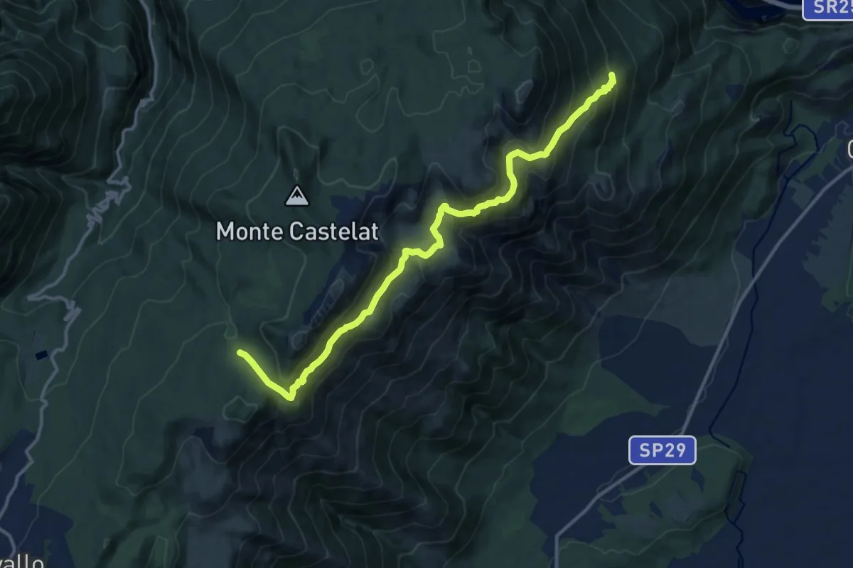
Medium · Trail
Località Palis Bivio sentiero n. 987 (quota 1000 m) – Bivio sentiero n. 985 (quota 1387 m)
13.9 km · ↑ 774 m · 4 h 57 min
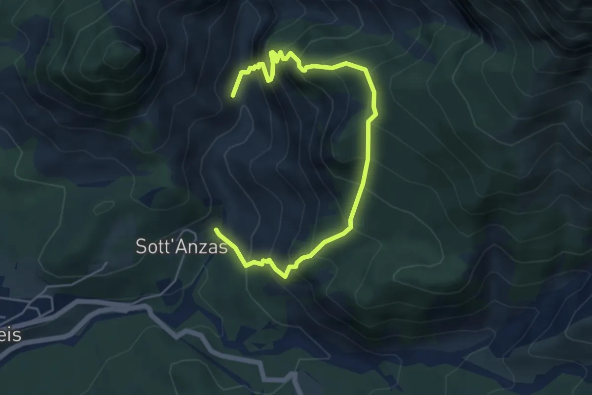
Medium · Trail
Bivio sentiero n.979 (quota 480 m) – Andreis (quota 456 m)
5.3 km · ↑ 718 m · 2 h 48 min
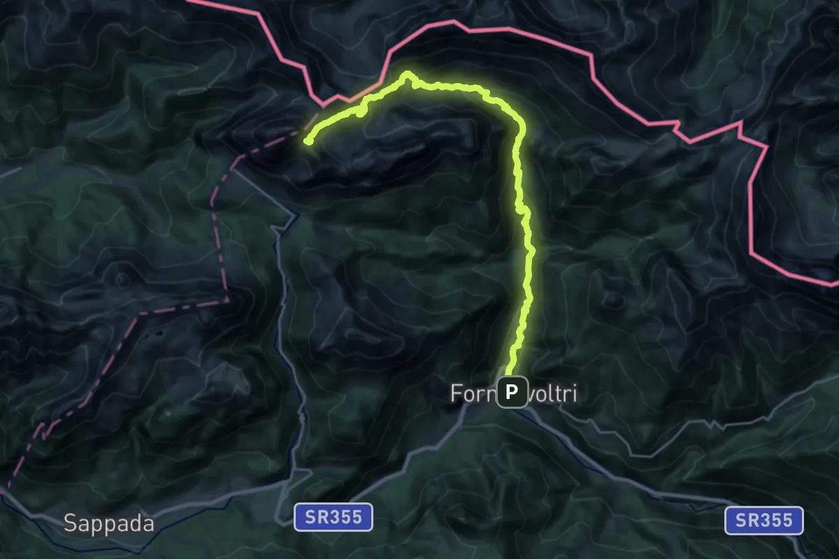
Demanding · Trail
Forni Avoltri – Cimitero (quota 897 m) – Passo Sesis – Confine con il comune di Sappada (quota 2310 m)
11.4 km · ↑ 1469 m · 5 h 20 min
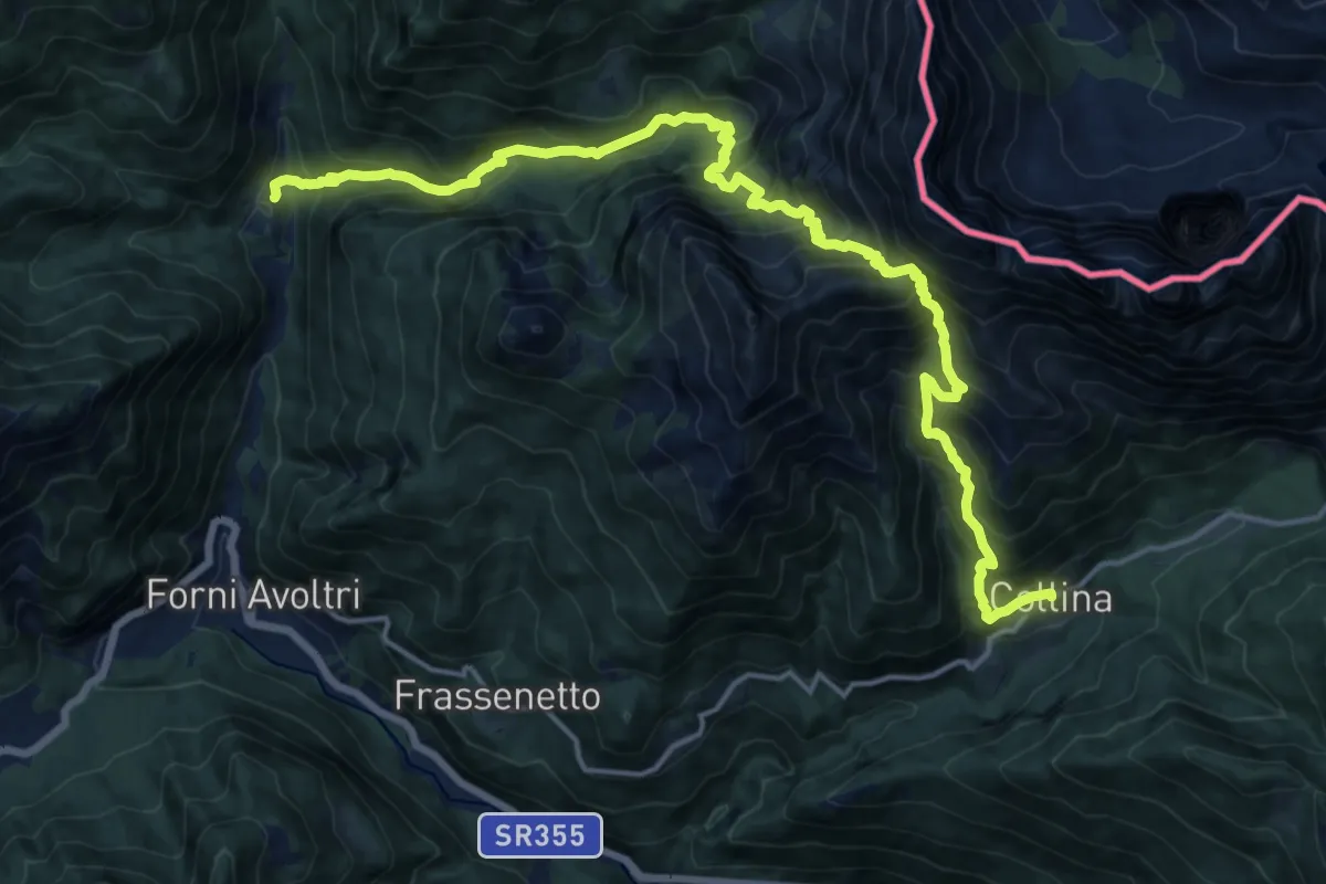
Demanding · Trail
Collina (quota 1230 m) – Pierabech Pian della Guerra (quota 1060 m)
10.0 km · ↑ 873 m · 4 h 29 min
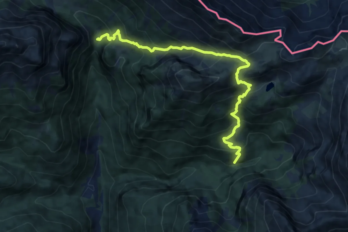
Demanding · Trail
Stretta di Fleons (quota 1370 m) – Bivio sentiero n. 141 (quota 1425 m)
11.1 km · ↑ 1136 m · 5 h 5 min
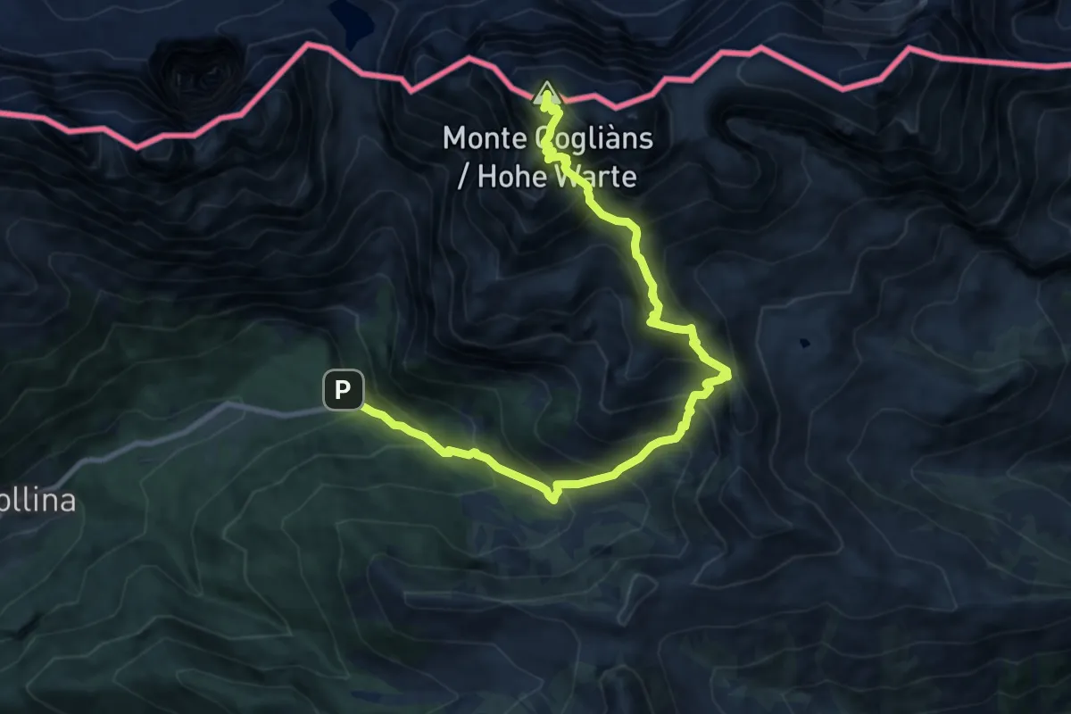
Demanding · Summit
Rifugio Tolazzi (quota 1350 m) – Monte Cogliàns (quota 2780 m)
11.4 km · ↑ 1570 m · 6 h 5 min
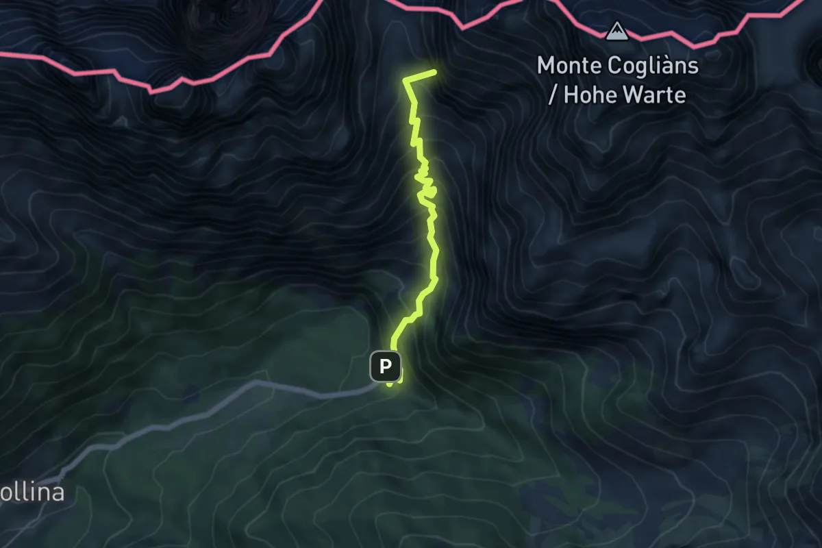
Medium · Summit
Rifugio Tolazzi (quota 1350 m) – Passo Volaia (quota 1955 m)
4.8 km · ↑ 608 m · 2 h 26 min
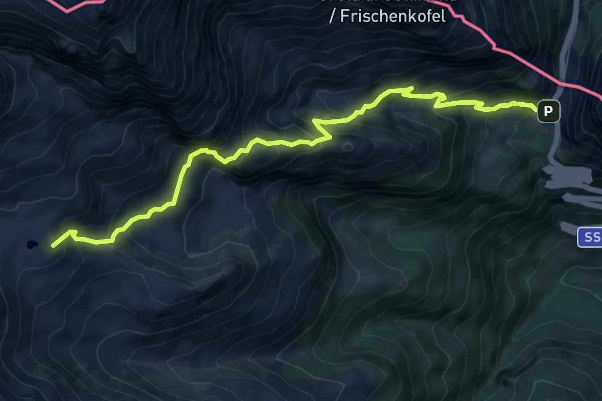
Expert · Summit
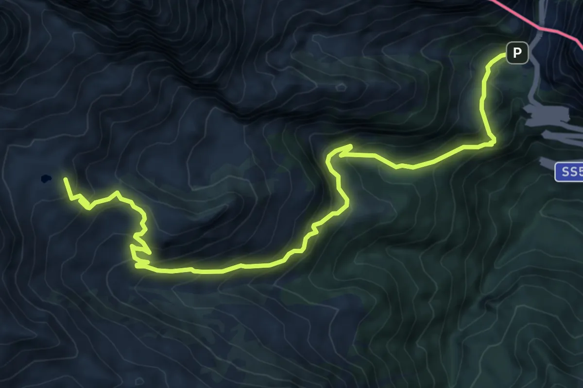
Passo Monte Croce (quota 1360 m) – Rifugio Marinelli (quota 2122 m)
8.5 km · ↑ 841 m · 3 h 50 min
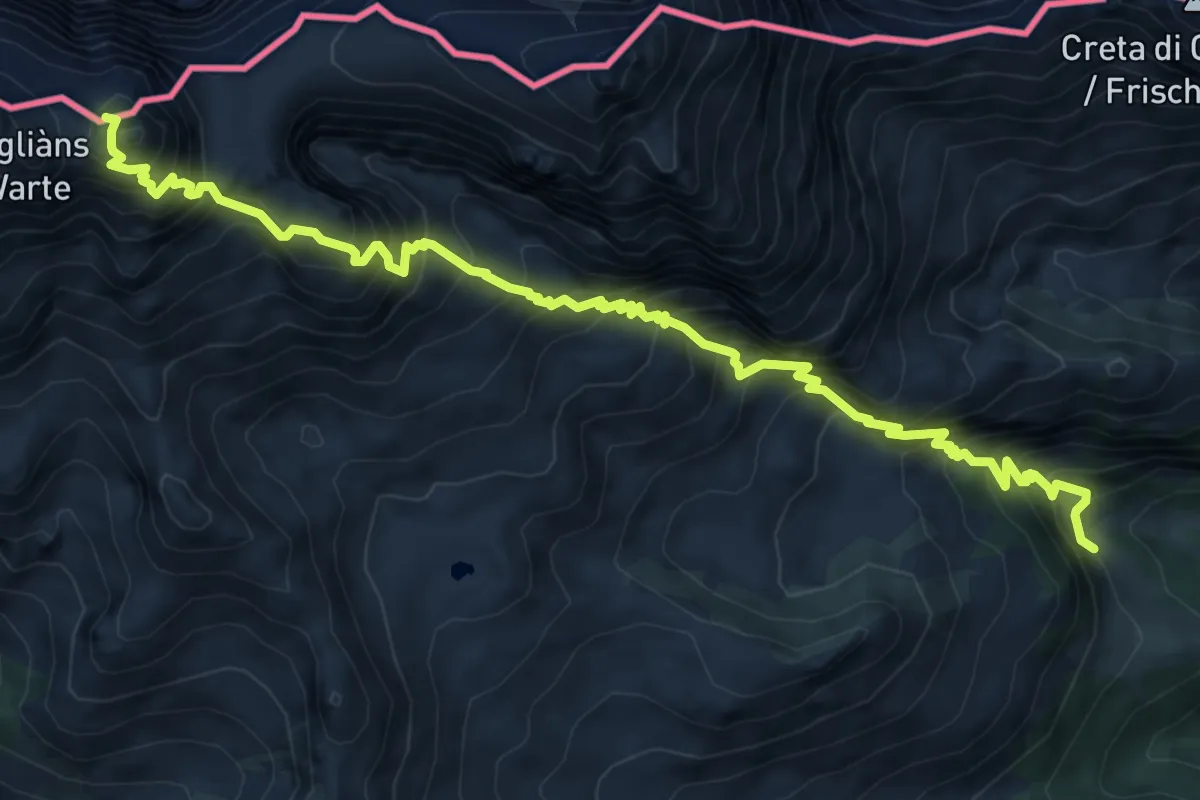
Demanding · Summit
Passo Monte Croce (quota 1360 m) – Rifugio Marinelli (quota 2122 m)
11.3 km · ↑ 885 m · 4 h 35 min
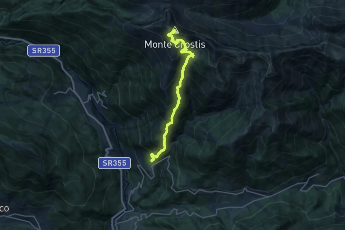
Expert · Summit
Passo Monte Croce (quota 1360 m) – Cima di mezzo (quota 2713 m)
9.5 km · ↑ 1470 m · 5 h 25 min
Demanding · Summit
Rigolato (quota 741 m) – Tualis (quota 854 m)
13.3 km · ↑ 1416 m · 6 h 12 min
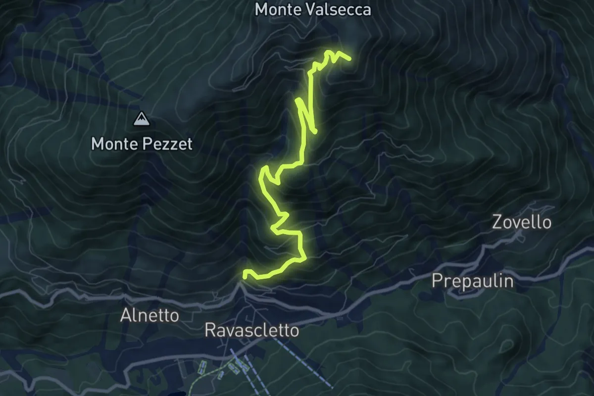
Demanding · Summit
Ravascletto (quota 963 m) – Bivio sentiero n. 154 (quota 1899 m)
8.4 km · ↑ 808 m · 3 h 45 min
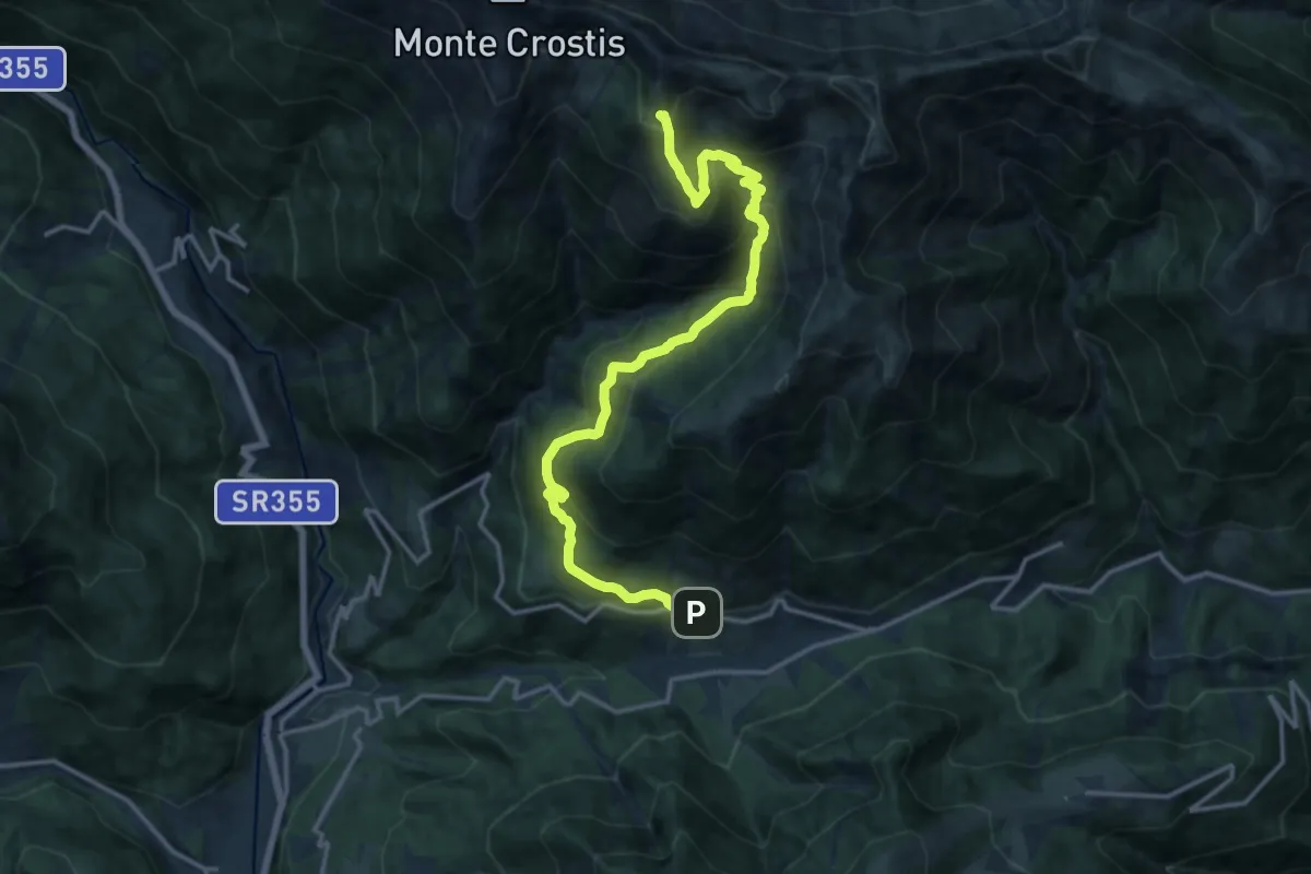
Demanding · Trail
Ravascletto (quota 963 m) – Bivio sentiero n. 154 sotto Monte Pecciacul (quota 2068 m)
16.3 km · ↑ 1284 m · 6 h 37 min
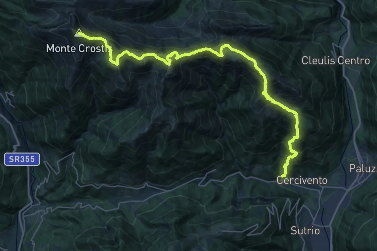
Demanding · Summit
Cercivento di Sopra (quota 619 m) – Monte Crostis (quota 2250 m)
29.5 km · ↑ 2337 m · 12 h 2 min
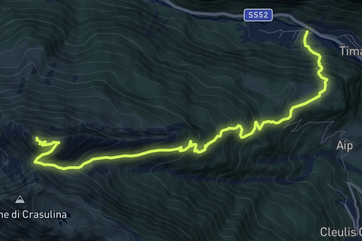
Demanding · Summit
Ravascletto (quota 963 m) – Bivio sentiero n. 154 (quota 1899 m)
12.4 km · ↑ 1176 m · 5 h 28 min
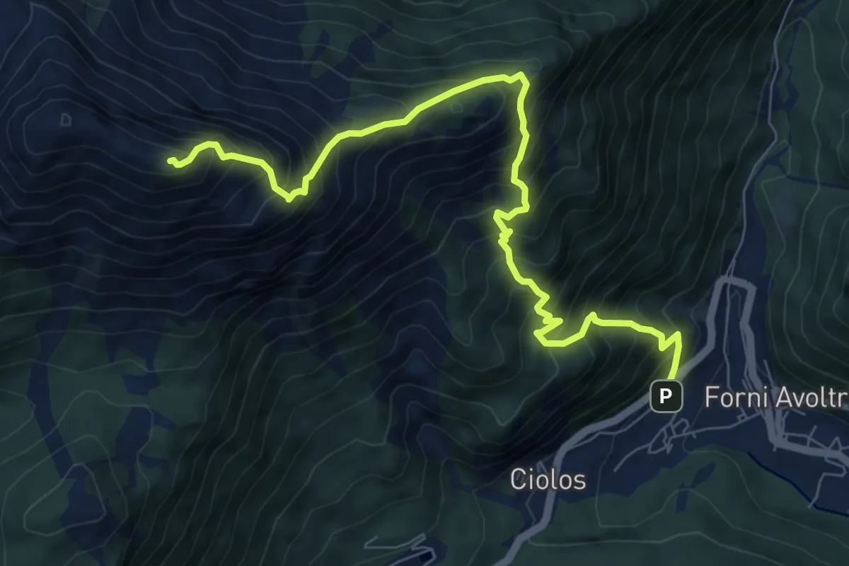
Demanding · Summit
Avoltri (quota 980 m) – Cima est del Monte Chiadin (quota 2252 m)
8.8 km · ↑ 1302 m · 4 h 54 min
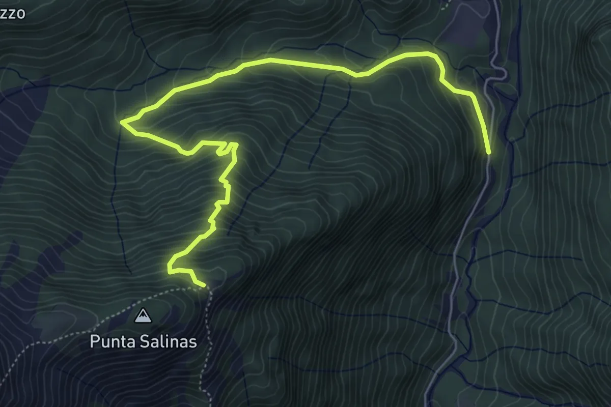
Medium · Trail
Pierabech (quota 1032 m) – Giogo del Chiadin (quota 1799 m)
6.9 km · ↑ 687 m · 3 h 8 min
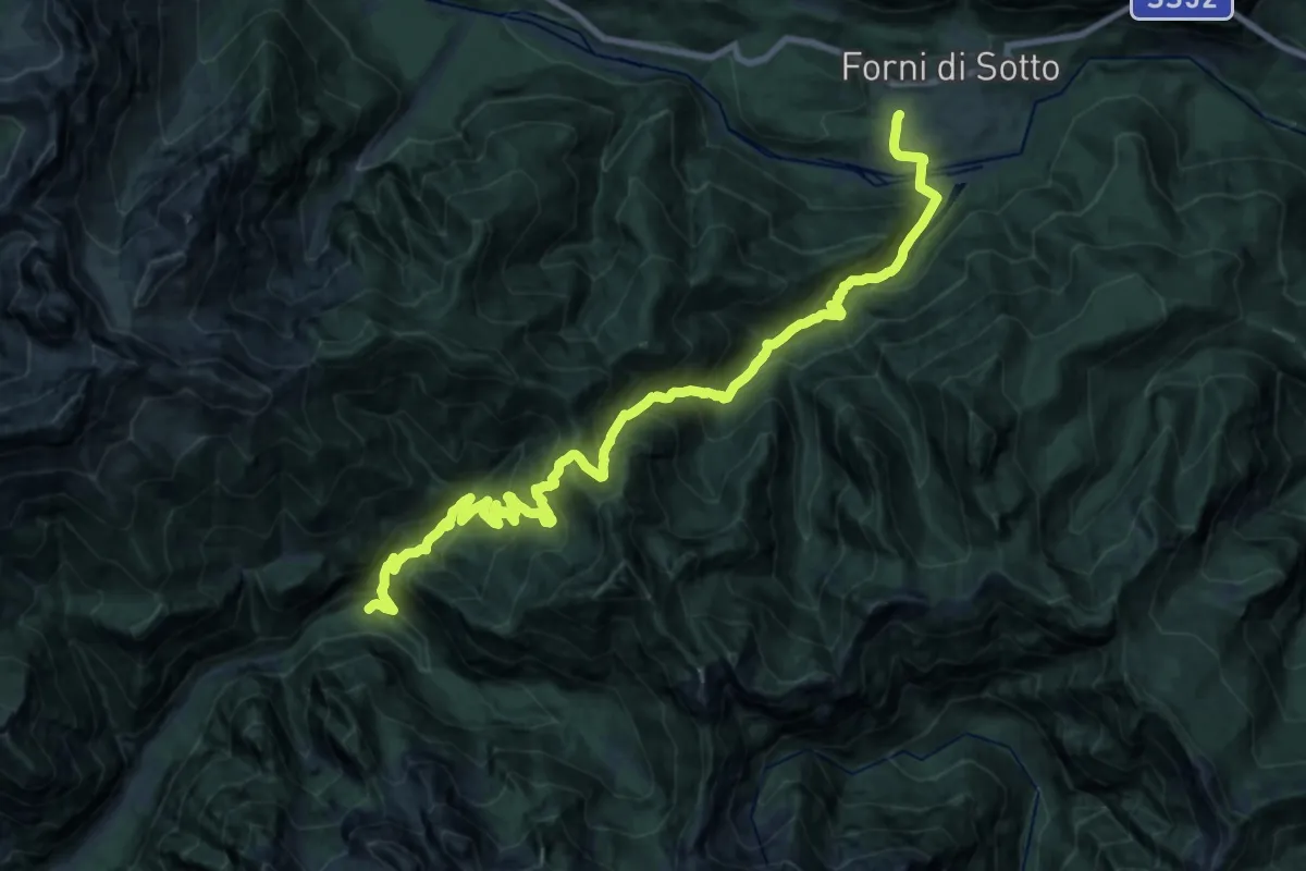
Demanding · Trail
Forni di Sotto Borgo Vico (quota 750 m) – Rifugio Pussa (quota 930 m)
12.7 km · ↑ 1102 m · 5 h 28 min
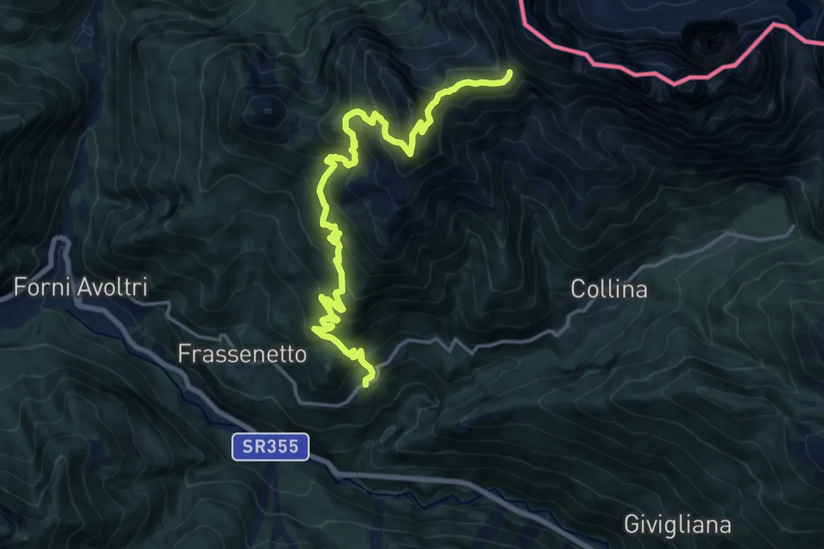
Demanding · Trail
Sigilletto (quota 1121 m) – Forcella Ombladeet (quota 2061 m)
15.1 km · ↑ 1421 m · 6 h 39 min
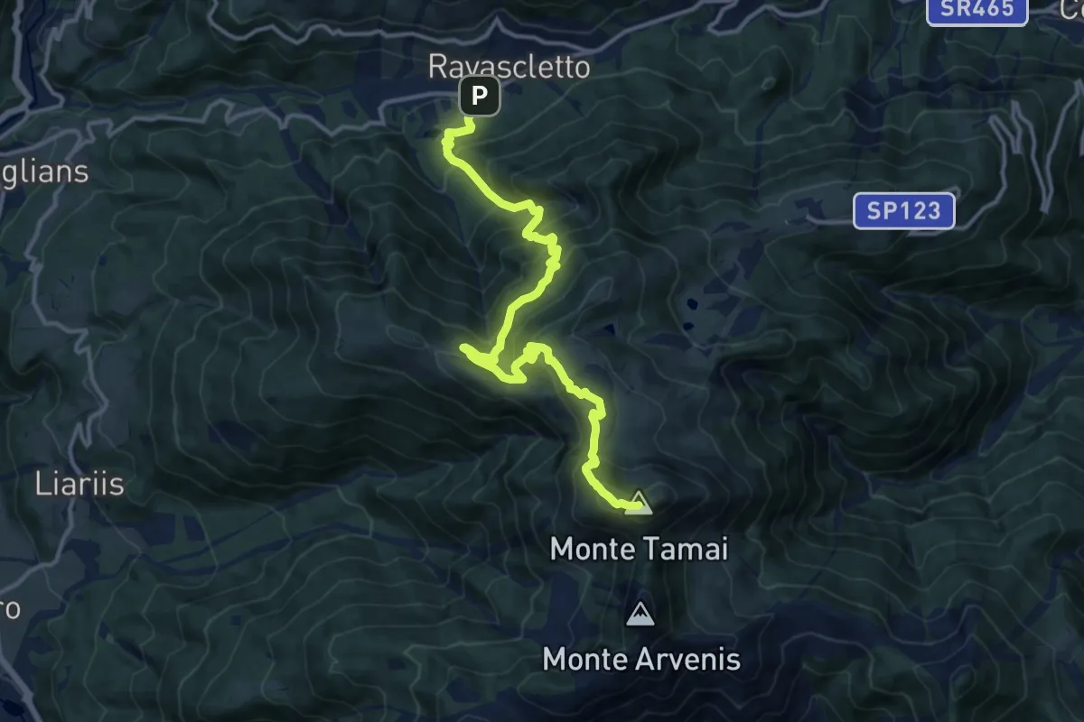
Demanding · Summit
Ravascletto (quota 963 m) – Monte Arvenis (quota 1968 m)
14.3 km · ↑ 1157 m · 5 h 53 min
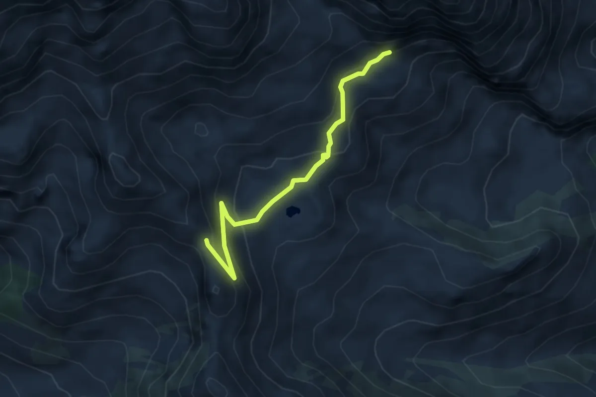
Medium · Cabin
Rifugio Marinelli (quota 2122 m) – Bivio sentiero 149 (quota 2023 m)
4.1 km · ↑ 243 m · 1 h 29 min
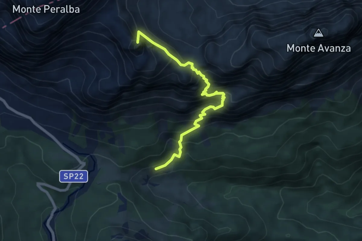
Demanding · Summit
Casera di Casa Vecchia (quota 1683 m) – Passo Sesis Bivio sentiero n. 140 (quota 2310 m)
5.1 km · ↑ 777 m · 2 h 54 min
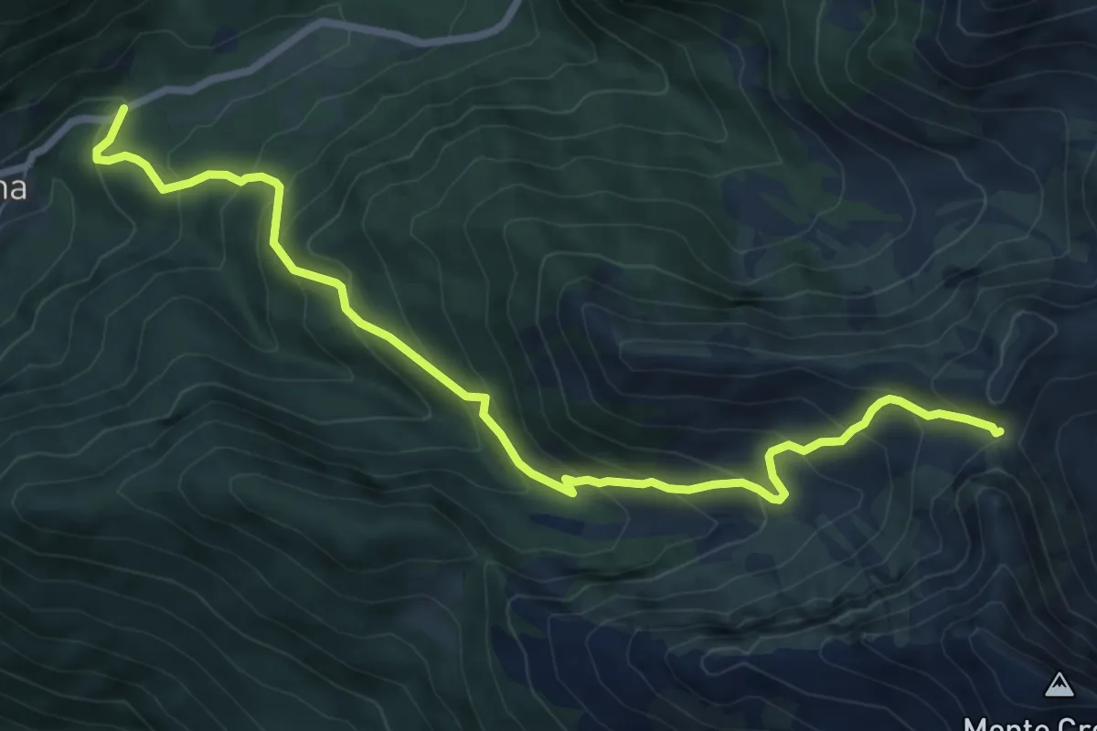
Medium · Trail
Località Edelweiss (quota 1224 m) – Forcella Plumbs (bivio sentiero n. 174 quota 1976 m)
8.6 km · ↑ 749 m · 3 h 38 min
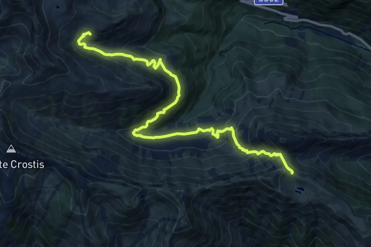
Demanding · Cabin
Bivio sentiero n. 148 (quota 1794 m) – Bivio sentiero n. 154 (quota 1966 m)
16.1 km · ↑ 1245 m · 6 h 30 min
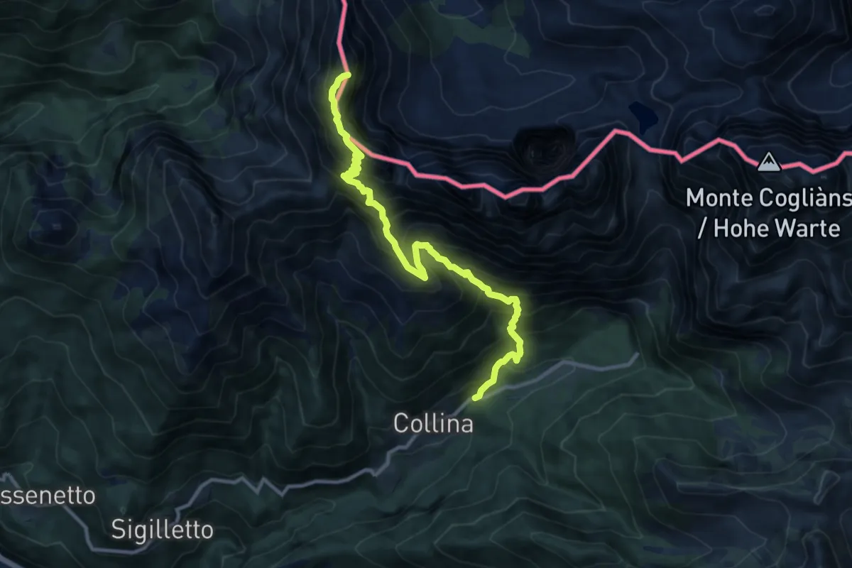
Expert · Summit
Località Canobio (quota 1260 m) – Monte Volaia (quota 2470 m)
11.0 km · ↑ 1428 m · 5 h 41 min
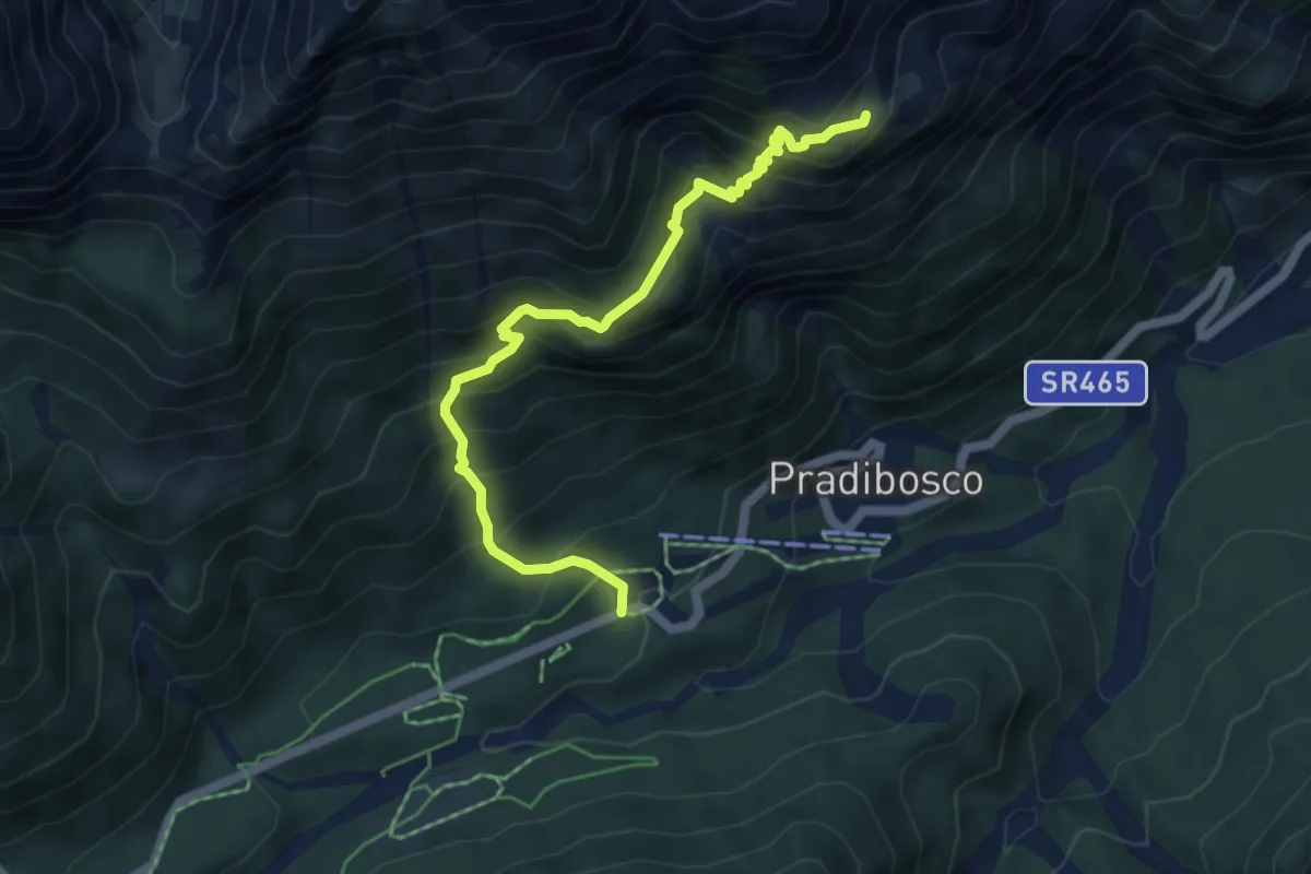
Medium · Cabin
Località Lavadin/Pian di Casa (quota 1236 m) – Rifugio De Gasperi (quota 1767 m)
5.5 km · ↑ 639 m · 2 h 40 min
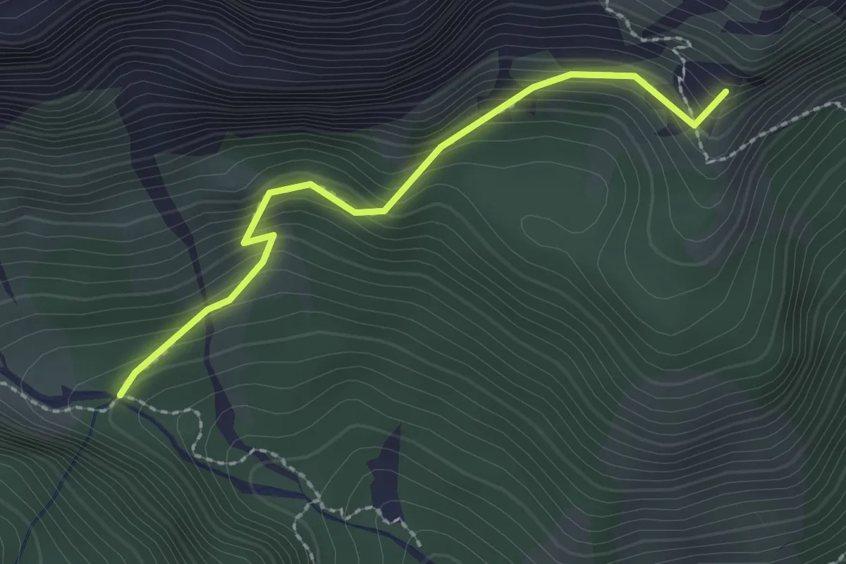
Medium · Summit
Bivio sentiero n. 202 (quota 1713 m) – Bivio sentiero n. 315 (quota 1880 m)
2.2 km · ↑ 243 m · 1 h 3 min
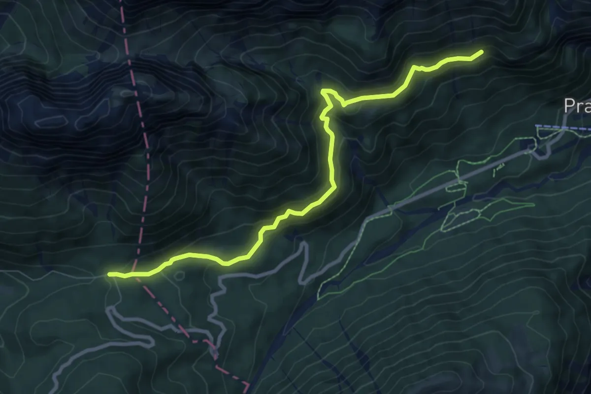
Medium · Trail
Forcella Lavardet (quota 1542 m) – Bivio sentiero n. 201 (quota 1581 m)
8.4 km · ↑ 451 m · 2 h 58 min
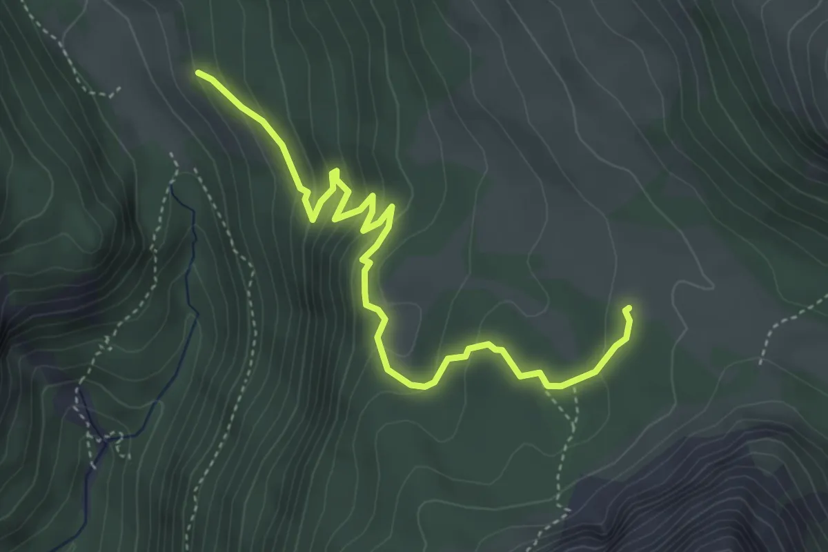
Easy · Trail
Lerosa da sentiero 8 – Sopra Malga Ra Stua - innesto sentiero 8
4.7 km · ↑ 281 m · 1 h 44 min
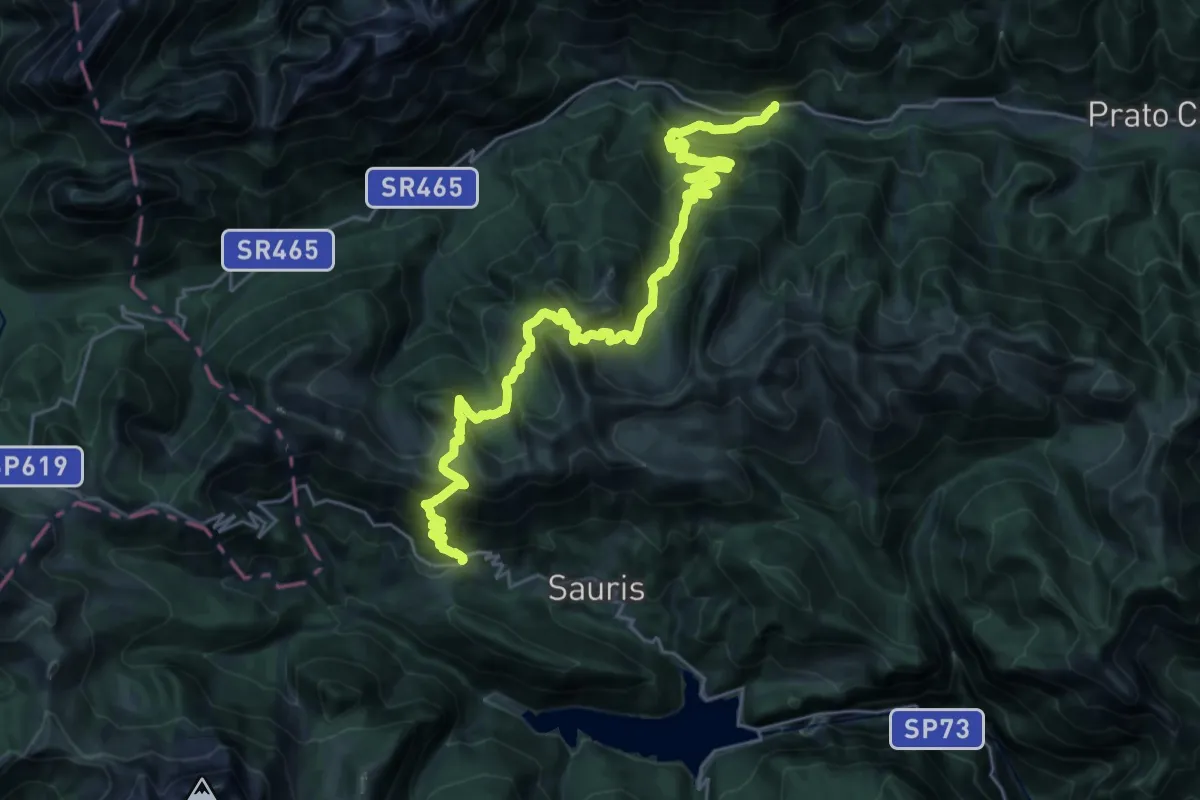
Medium · Trail
Sauris di Sopra (quota 1400 m) – Ponte Arceons (quota 860 m) sulla S.R. n° 465 Val Pesarina
15.4 km · ↑ 738 m · 5 h 43 min
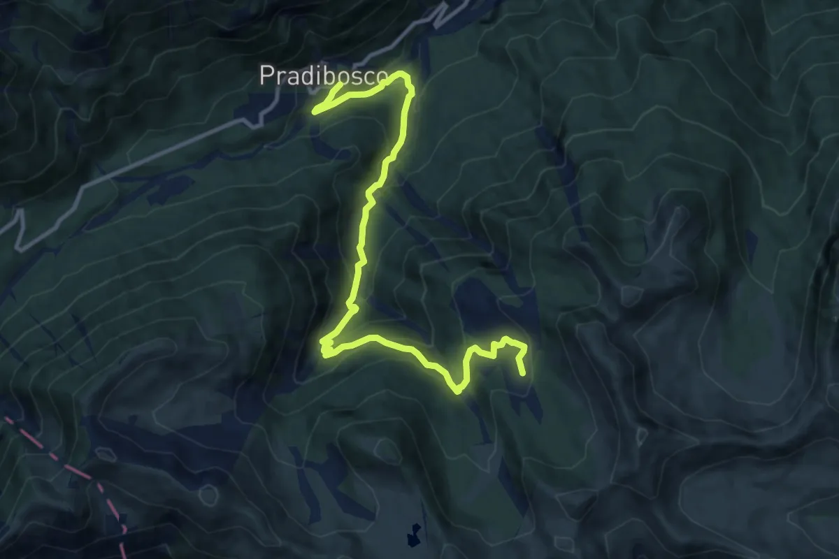
Medium · Trail
S.R. n. 465 Val Pesarina (sciovia di Pradibosco) – Casera Malìns (quota 1672 m)
11.9 km · ↑ 739 m · 4 h 25 min
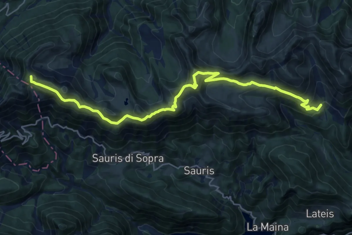
Demanding · Summit
Sella di Rioda (quota 1800 m) – Raccordo con sentiero n. 220 (quota 1491 m)
20.8 km · ↑ 1142 m · 7 h 23 min
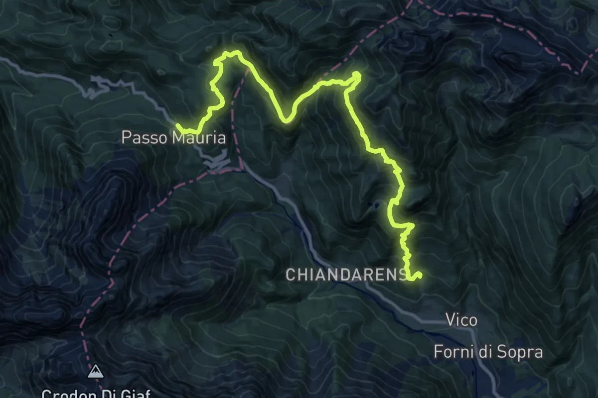
Demanding · Trail
Forni di Sopra località Chianeit (quota 1049 m) – Passo Mauria (quota 1298 m)
11.4 km · ↑ 915 m · 4 h 43 min
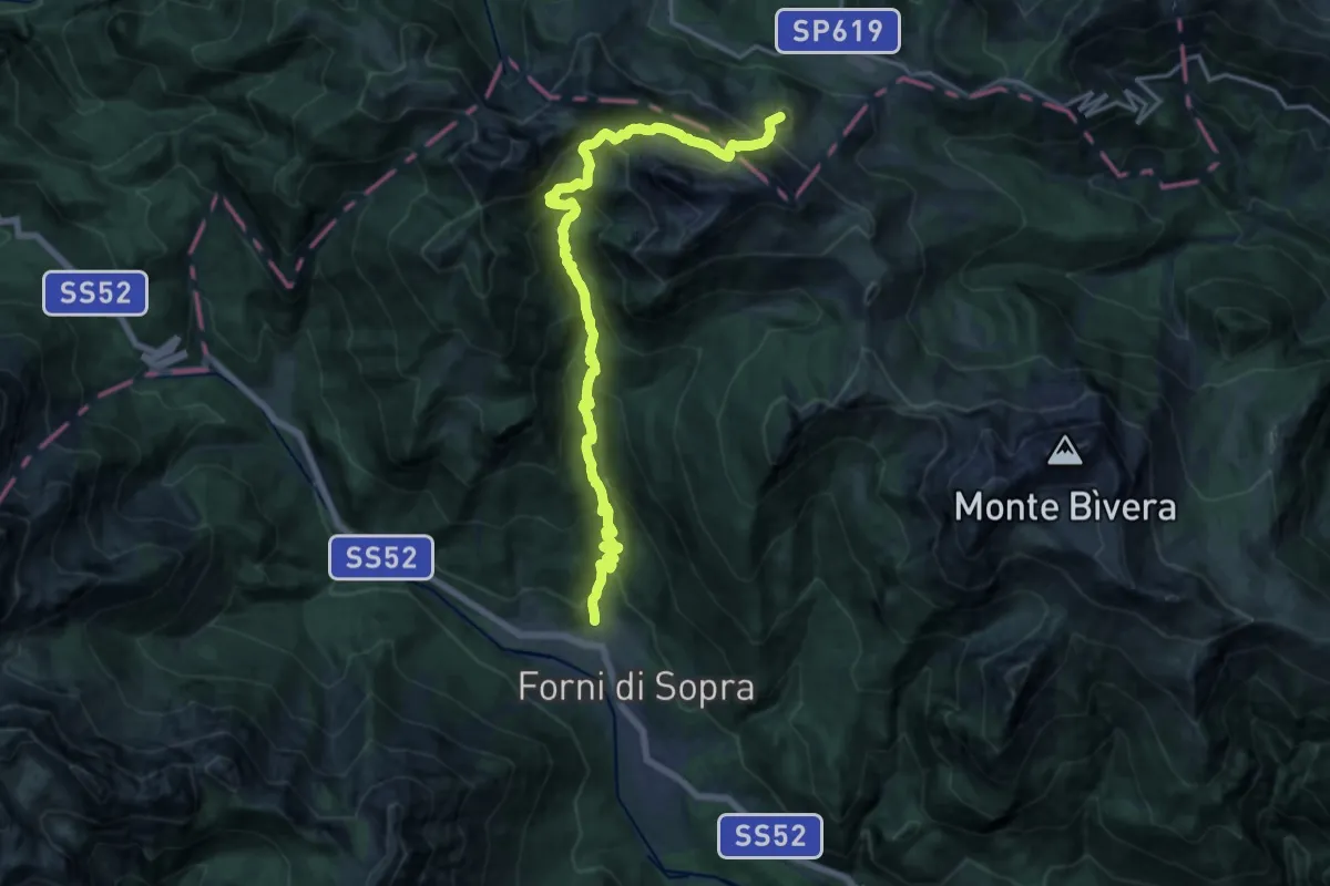
Demanding · Summit
Forni di Sopra Località Vico (quota 907 m) – Casera Razzo (quota 1739 m), innesto su S.P. 619
18.1 km · ↑ 1594 m · 7 h 44 min
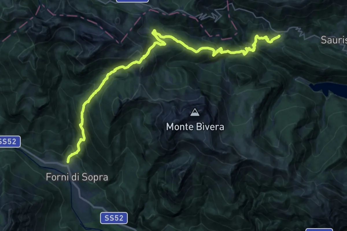
Demanding · Trail
Forni di Sopra località Vico (quota 907 m) – Sauris di Sopra
14.8 km · ↑ 1377 m · 6 h 26 min
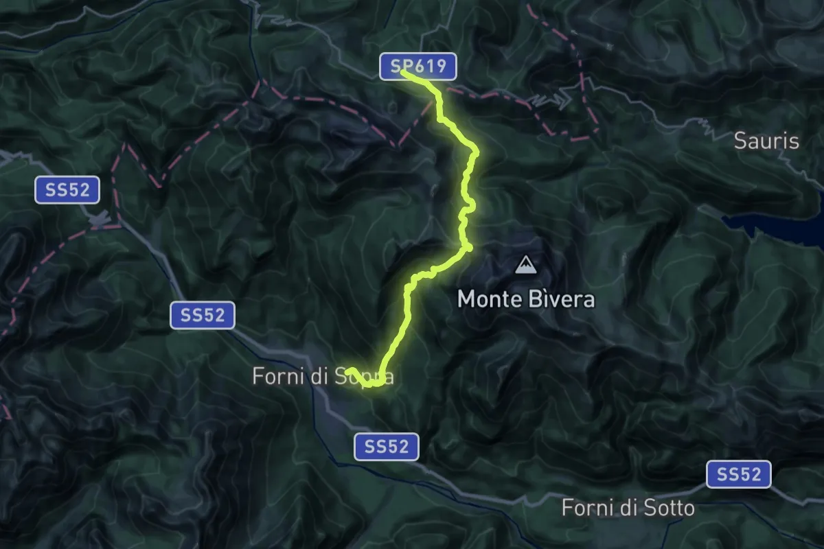
Demanding · Trail
Forni di Sopra Località Tiviei (quota 1020 m) – Casera Razzo (quota 1739 m)
10.3 km · ↑ 1143 m · 4 h 42 min
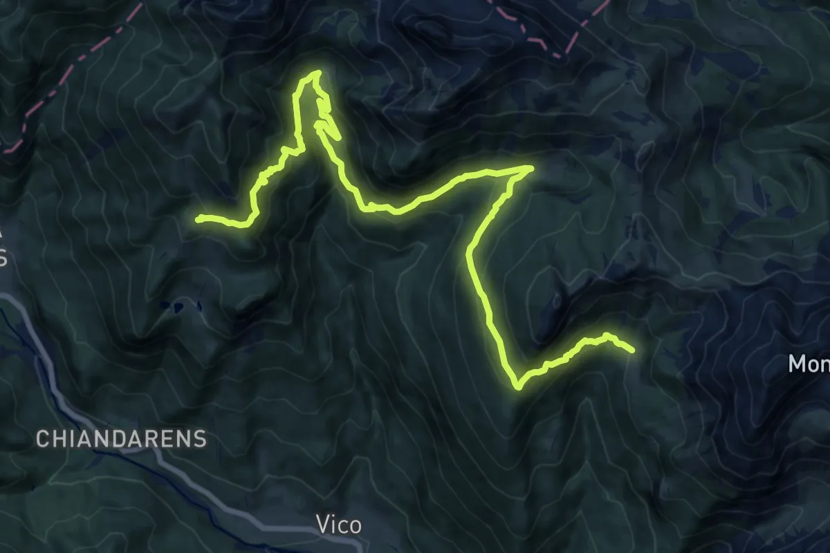
Demanding · Cabin
Forni di Sopra località Tiviei (quota 1020 m) – Casera Razzo (quota 1739 m)
20.2 km · ↑ 1258 m · 7 h 30 min
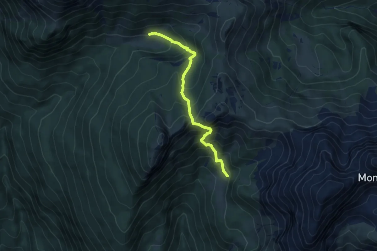
Medium · Cabin
Casera Montemaggiore (quota 1729 m) – Casera Tragonia (quota 1760 m)
5.3 km · ↑ 561 m · 2 h 28 min
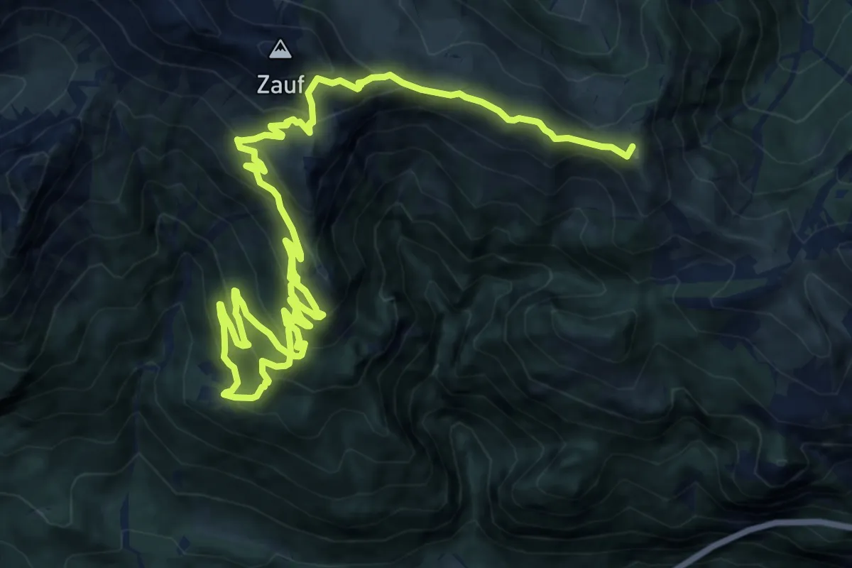
Demanding · Summit
Forni di Sotto (quota 766 m) – Forcella Montôf (Montovo) (quota 1398 m)
19.4 km · ↑ 1481 m · 7 h 48 min
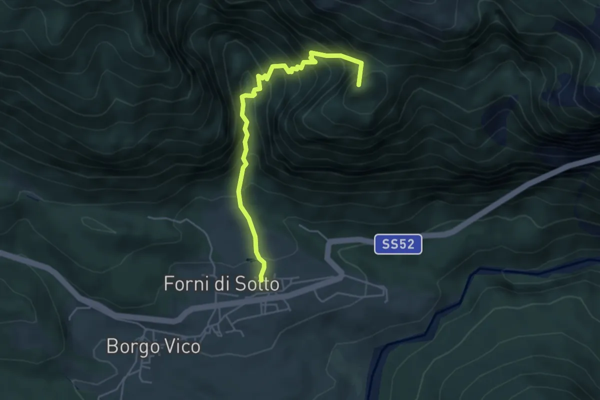
Medium · Summit
Forni di Sotto località Melareit Auza (quota 777 m) – Ricovero Casera Montôf (Montovo) (quota 1742 m)
4.4 km · ↑ 569 m · 2 h 17 min
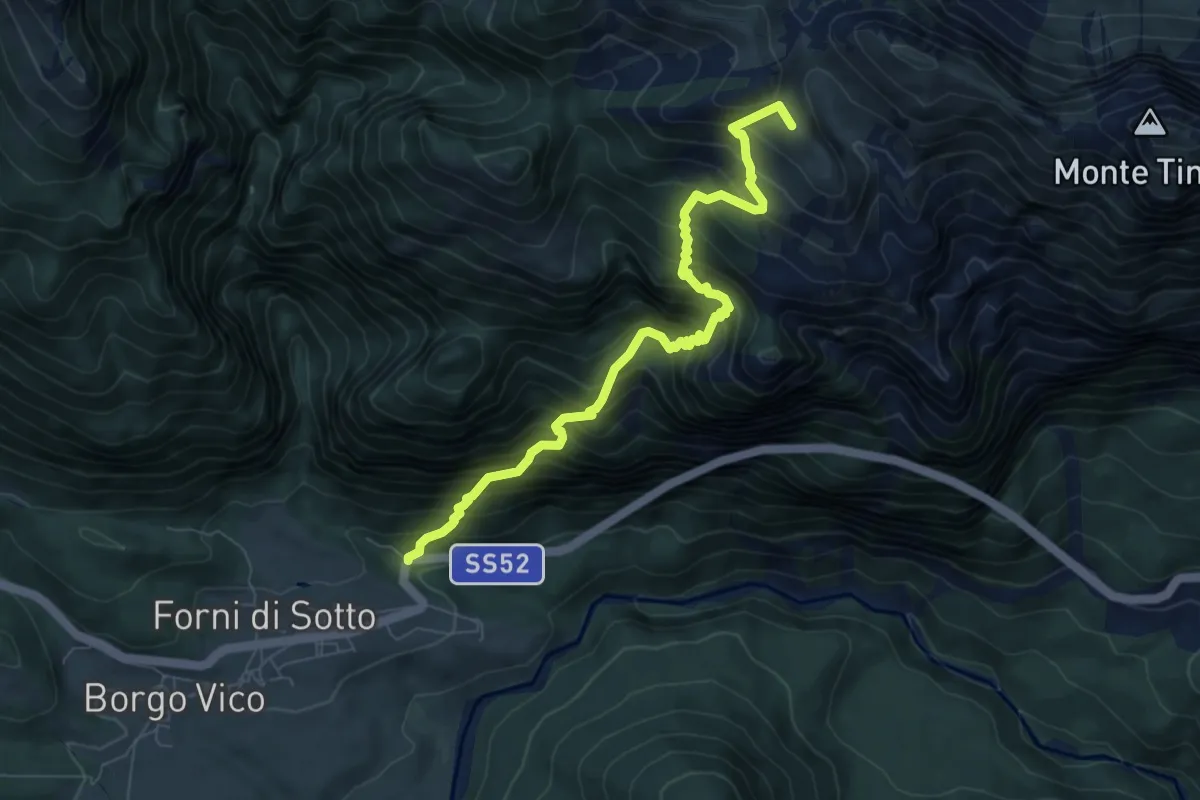
Demanding · Summit
Forni di Sotto torrente Auza (quota 766 m) – Passo del Pura (Rifugio Tita Piaz) (quota 1386 m)
7.7 km · ↑ 1095 m · 4 h 12 min
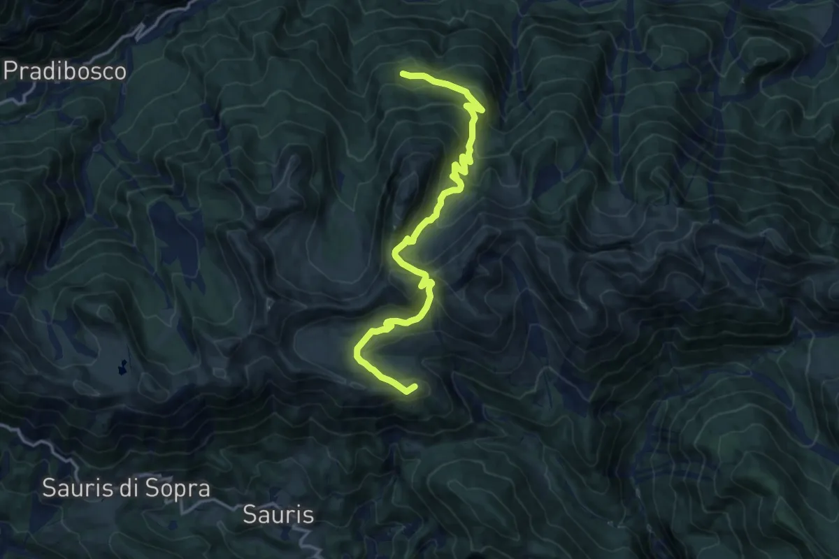
Medium · Summit
Sauris di Sotto (quota 1212 m) – Val Pesarina – Bivio con sentiero n° 204 (quota 1320 m)
14.2 km · ↑ 784 m · 5 h 3 min
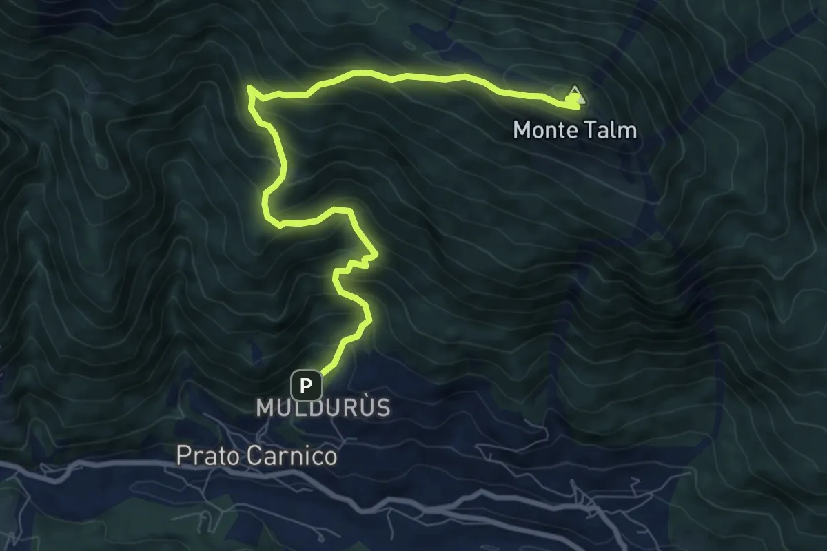
Demanding · Summit
Prato Carnico (quota 767 m) – Rigolato (quota 750 m)
9.2 km · ↑ 923 m · 4 h 11 min
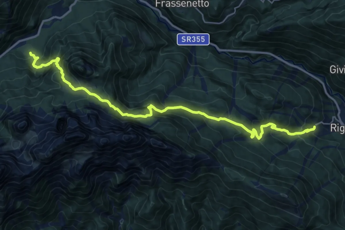
Demanding · Trail
Rigolato (quota 759 m) – Piani di Luzza centro Biathlon (quota 1029 m)
20.6 km · ↑ 1416 m · 7 h 56 min
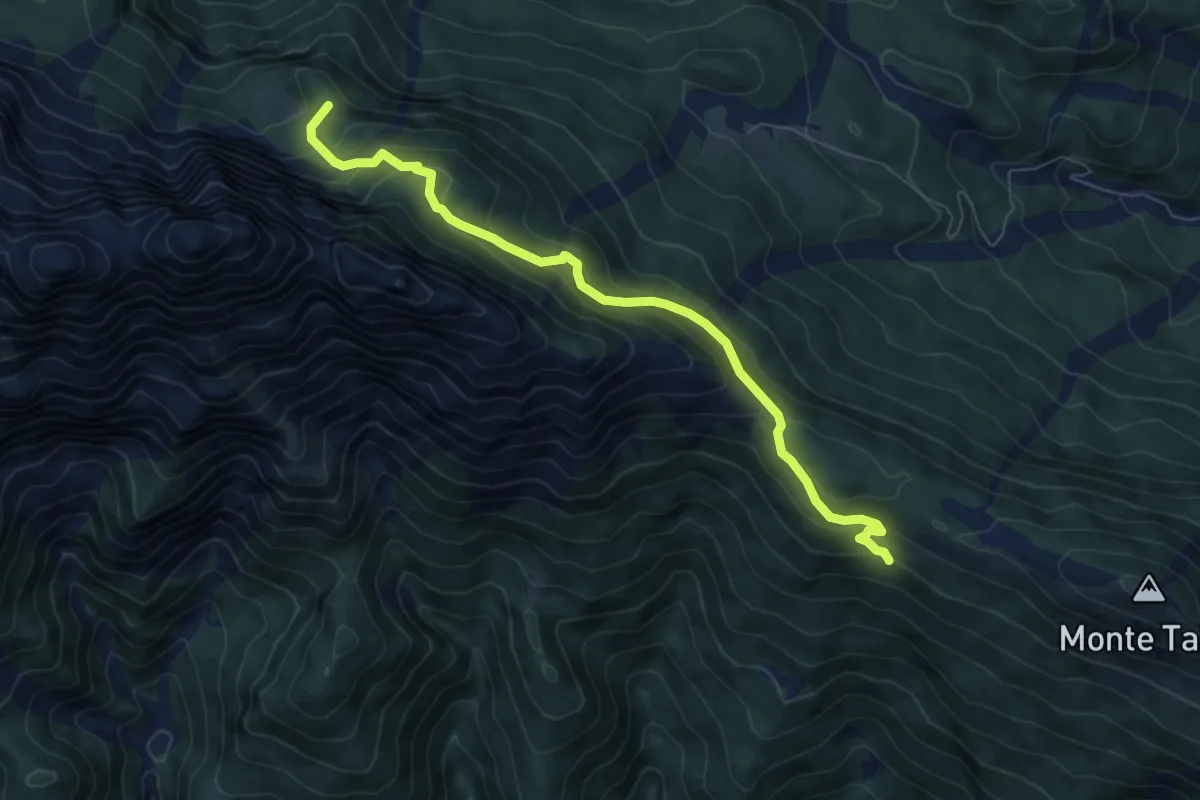
Medium · Trail
Bivio sentiero n. 226 (quota 1474 m) – Casera Campiut di Sopra (quota 1598 m)
7.4 km · ↑ 484 m · 2 h 48 min
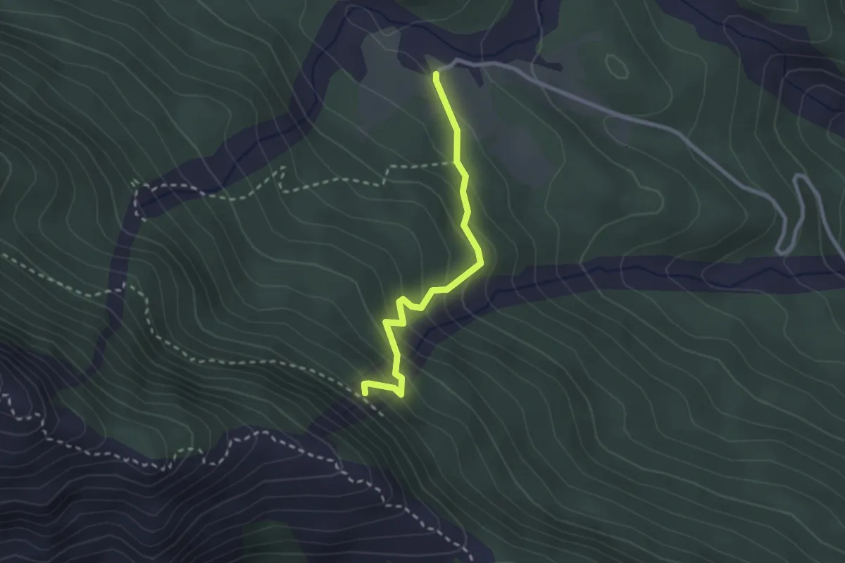
Easy · Trail
Piani di Vas (quota 1330 m) – Bivio sentiero n. 228 (quota 1562 m)
2.3 km · ↑ 241 m · 1 h 4 min
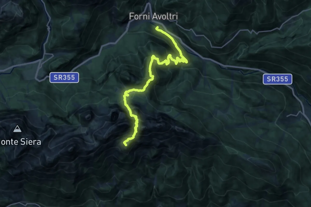
Demanding · Summit
Forni Avoltri (quota 888 m) – Pesariis (quota 758 m)
20.0 km · ↑ 1908 m · 8 h 51 min
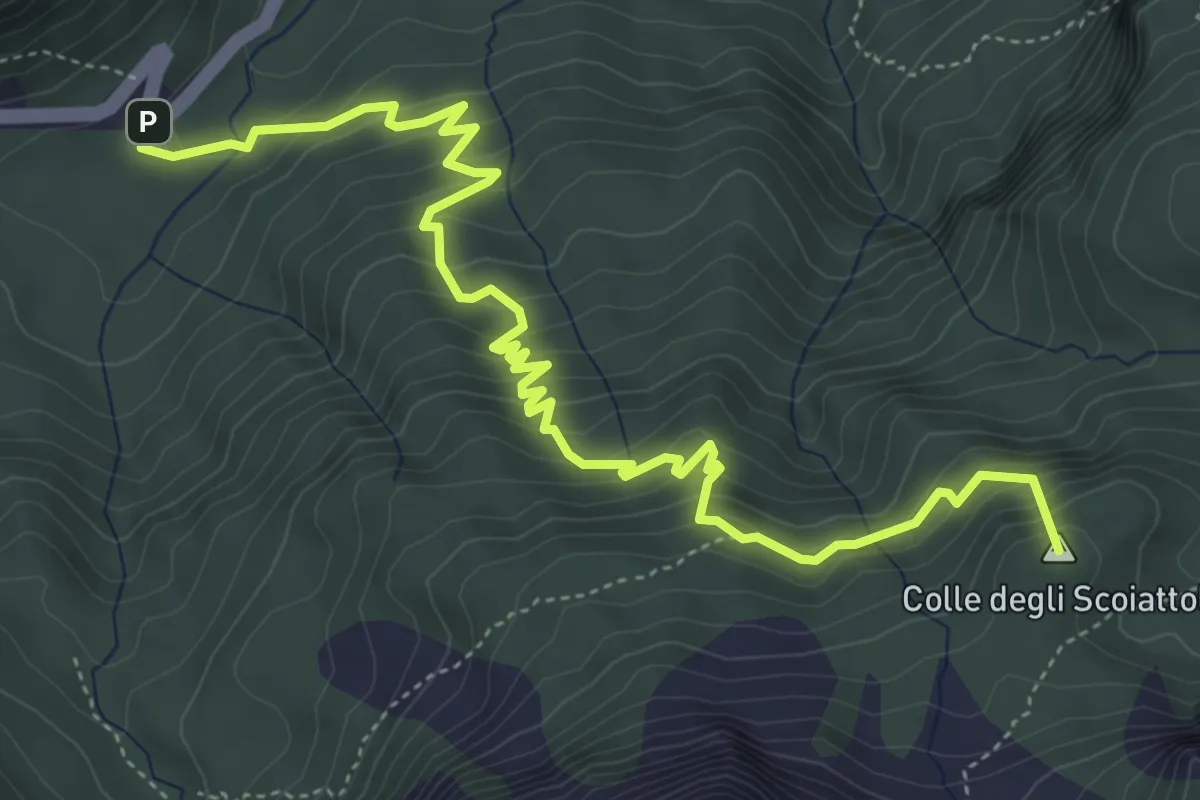
Medium · Summit
S.R. n. 355 km 31+500 (quota 1169 m) – Bivio sentiero n. 321 (quota 1940 m)
6.4 km · ↑ 512 m · 2 h 37 min