Trails in Italy
25,219 hiking trails, each with its route, climb, walking time and grade.
All trails, page 503 of 526
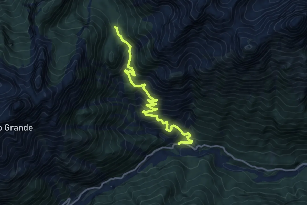
Medium · Trail
Culzei (quota 970 m) – Bivio sent. n. 316 (quota 1586 m)
8.9 km · ↑ 739 m · 3 h 42 min
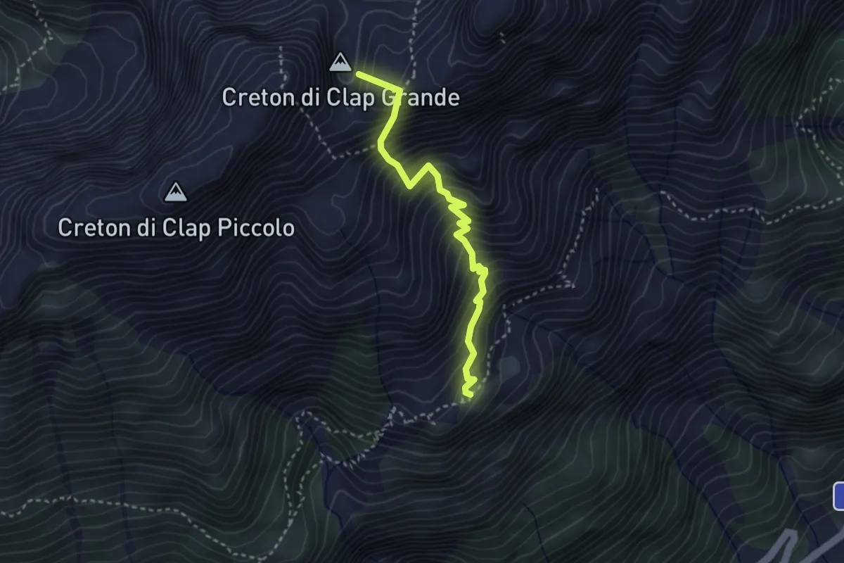
Demanding · Summit
Rifugio De Gasperi (quota 1767 m) – Bivio sentiero n. 317 (quota 1814 m)
3.0 km · ↑ 609 m · 2 h 2 min
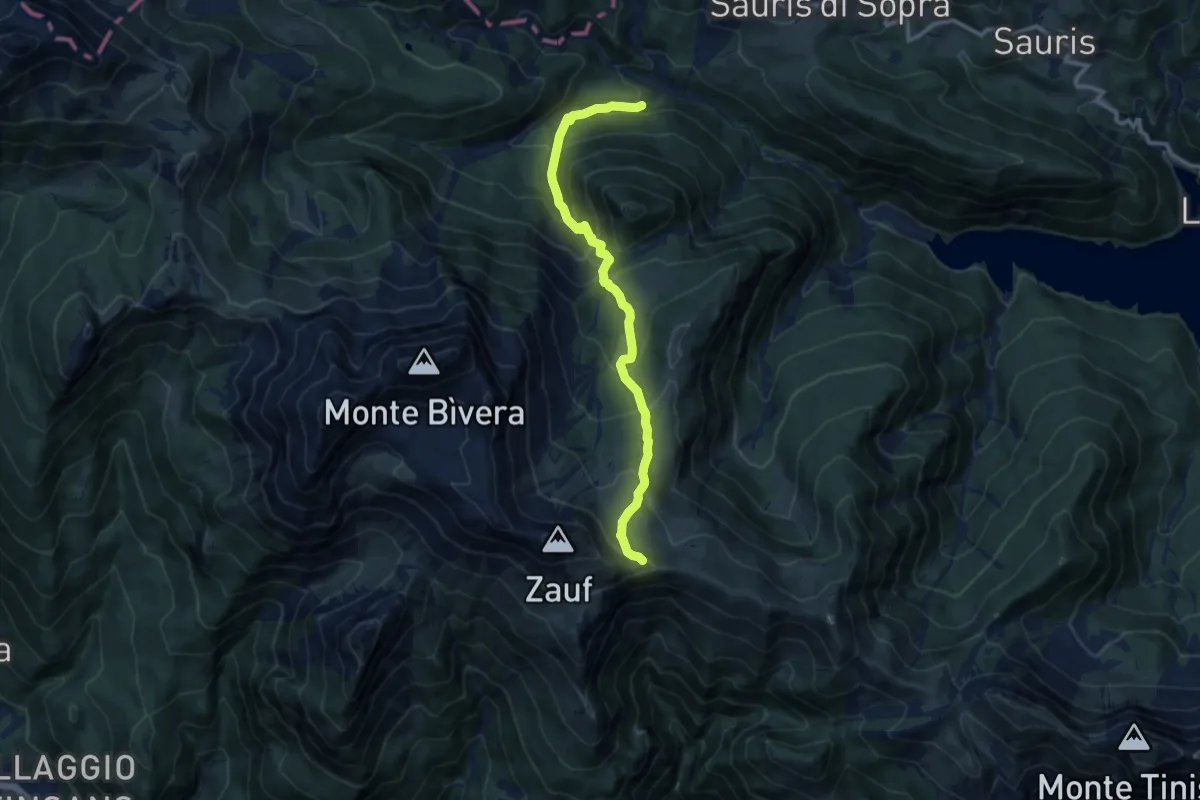
Demanding · Trail
Sauris di Sopra località Molini (quota 1241 m) – Passo dello Zàuf (quota 2013 m)
10.2 km · ↑ 816 m · 4 h 10 min
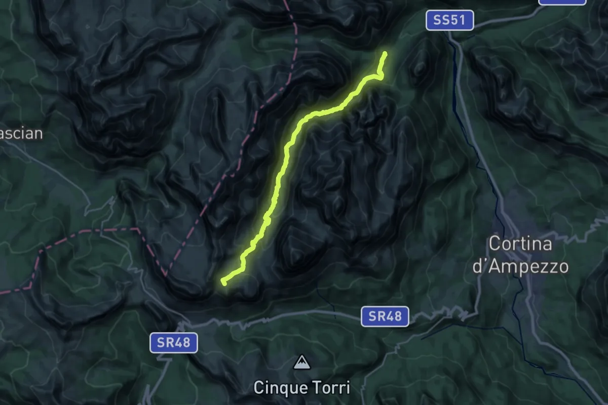
Demanding · Summit
sopra Ponte Outo - sentiero 10 – Rifugio Lagazuoi
20.4 km · ↑ 1350 m · 7 h 44 min
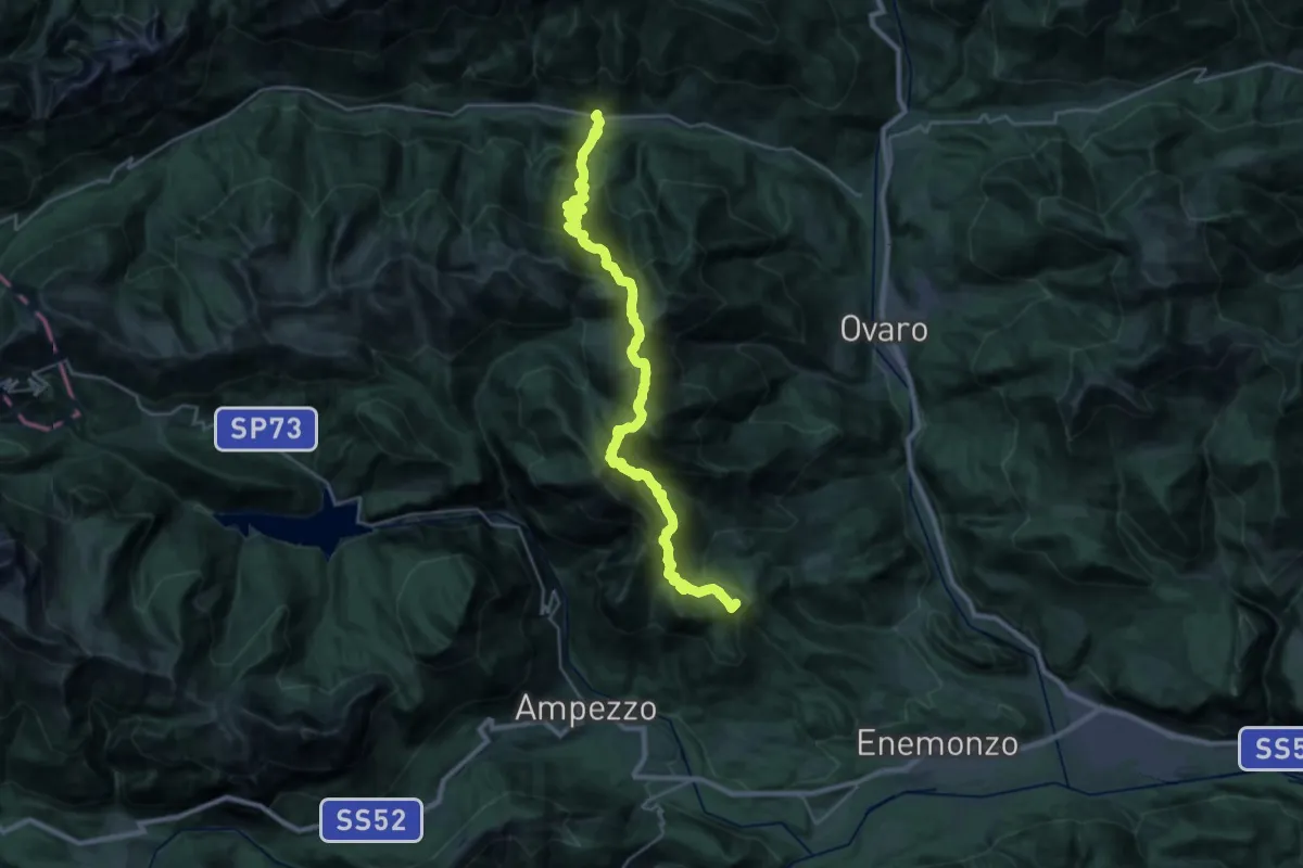
Demanding · Summit
Feltrone (quota 716 m) – Pieria di Prato Carnico (quota 659 m)
31.0 km · ↑ 2781 m · 13 h 21 min
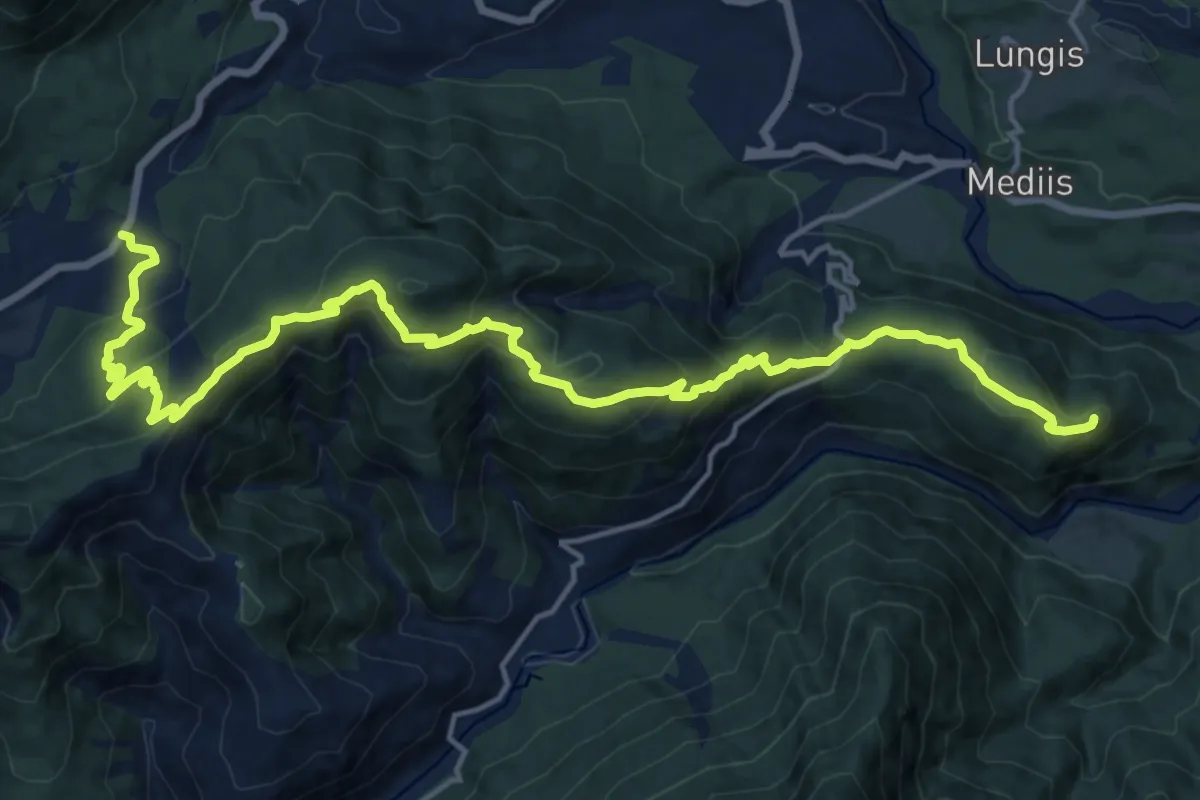
Demanding · Summit
Socchieve (quota 420 m) – Regionale 52 Carnica km 38,800 (quota 810 m)
19.9 km · ↑ 996 m · 6 h 52 min
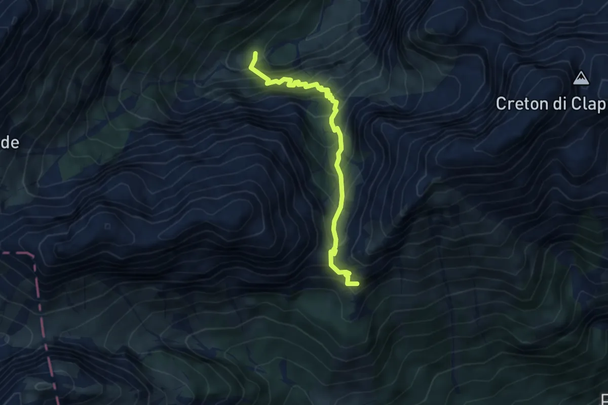
Medium · Summit
Bivio sentiero 314 (quota 1433 m) – Bivio sentiero 201 (quota 1670 m)
4.5 km · ↑ 663 m · 2 h 30 min
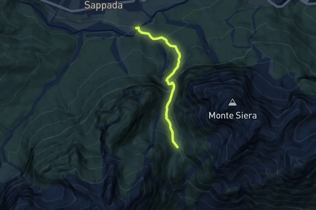
Medium · Trail
Rifugio F.lli De Gasperi (quota 1767 m) – Sappada (quota 1196 m)
6.2 km · ↑ 590 m · 2 h 45 min
Demanding · Cabin
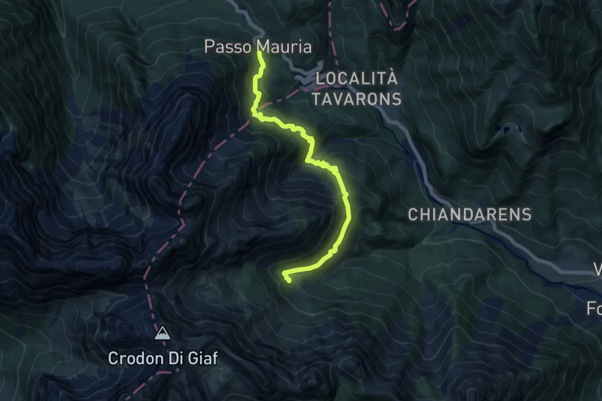
Passo della Mauria (quota 12980 m) – Rifugio Giaf (quota 1400 m)
10.8 km · ↑ 918 m · 4 h 32 min
Expert · Summit
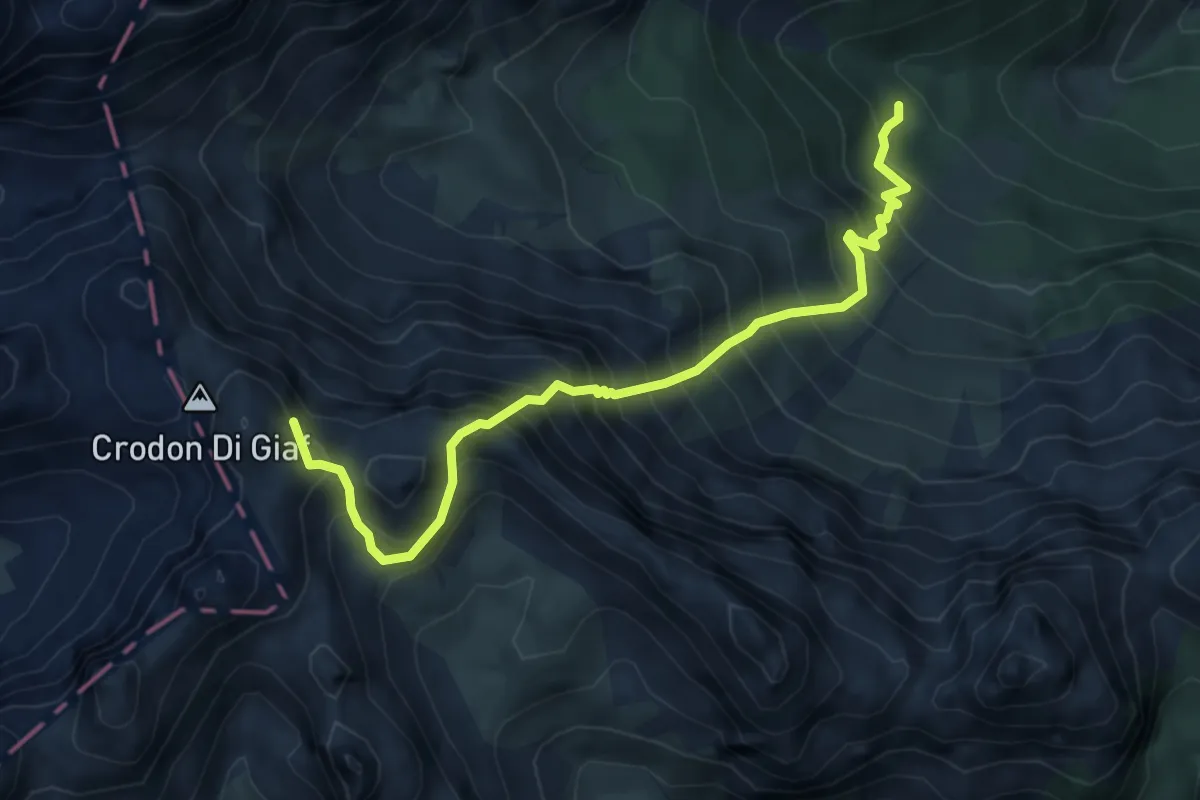
Rifugio Giaf (quota 1400 m) – Rifugio Padova (quota 1287 m)
5.7 km · ↑ 1044 m · 3 h 37 min
Demanding · Trail
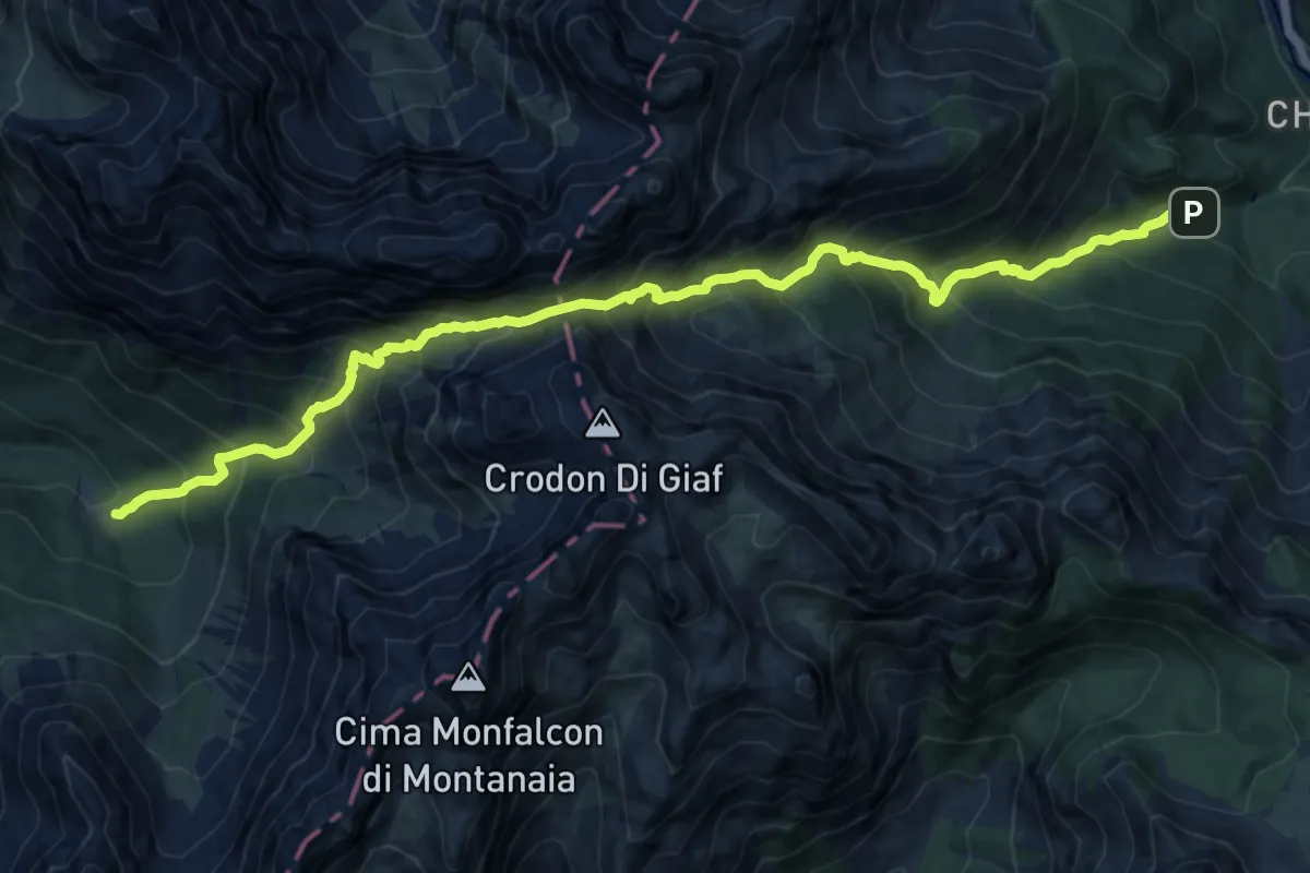
Forni di Sopra località Chiandarens (quota 966 m) – Rifugio Padova (quota 1287 m)
14.9 km · ↑ 1754 m · 7 h 19 min
Demanding · Summit
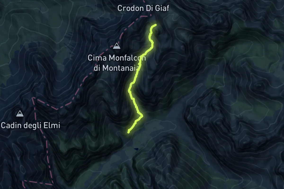
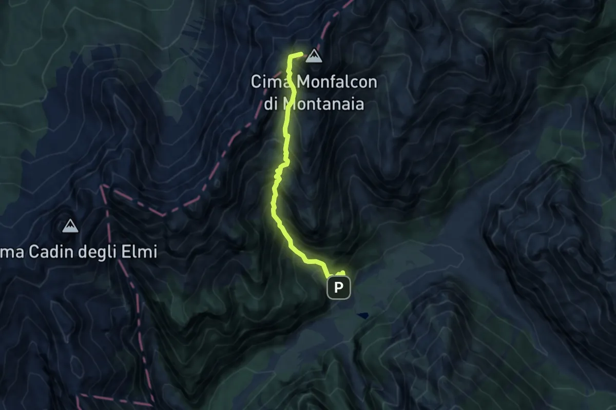
Rifugio Pordenone (quota 1249 m) – Bivacco Marchi-Granzotto (quota 2170 m)
7.7 km · ↑ 1015 m · 4 h 2 min
Demanding · Summit
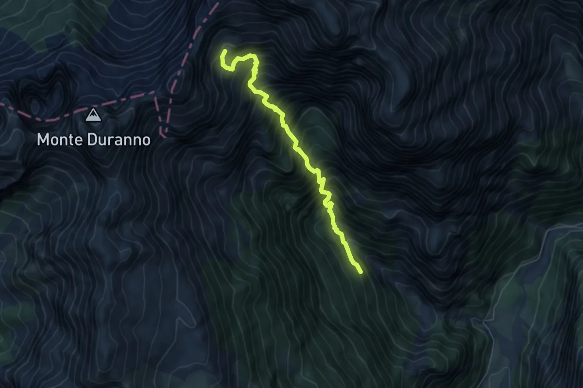
Rifugio Pordenone (quota 1249 m) – Rifugio Padova (quota 1267 m)
7.3 km · ↑ 1241 m · 4 h 25 min
Demanding · Trail
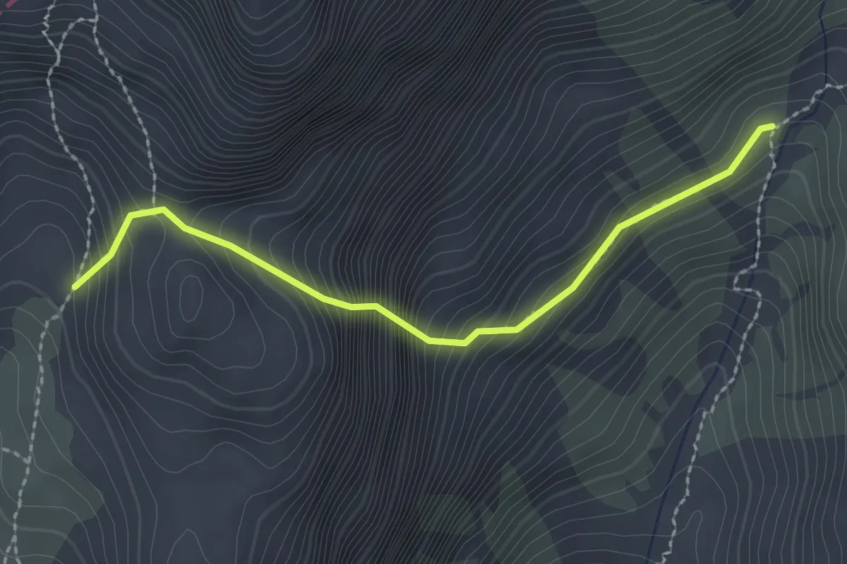
Bivio sentiero n. 374 Compol (Val Cimoliana) (quota 1025 m) – Bivacco Greselin (quota 1920 m)
5.8 km · ↑ 1057 m · 3 h 39 min
Expert · Trail
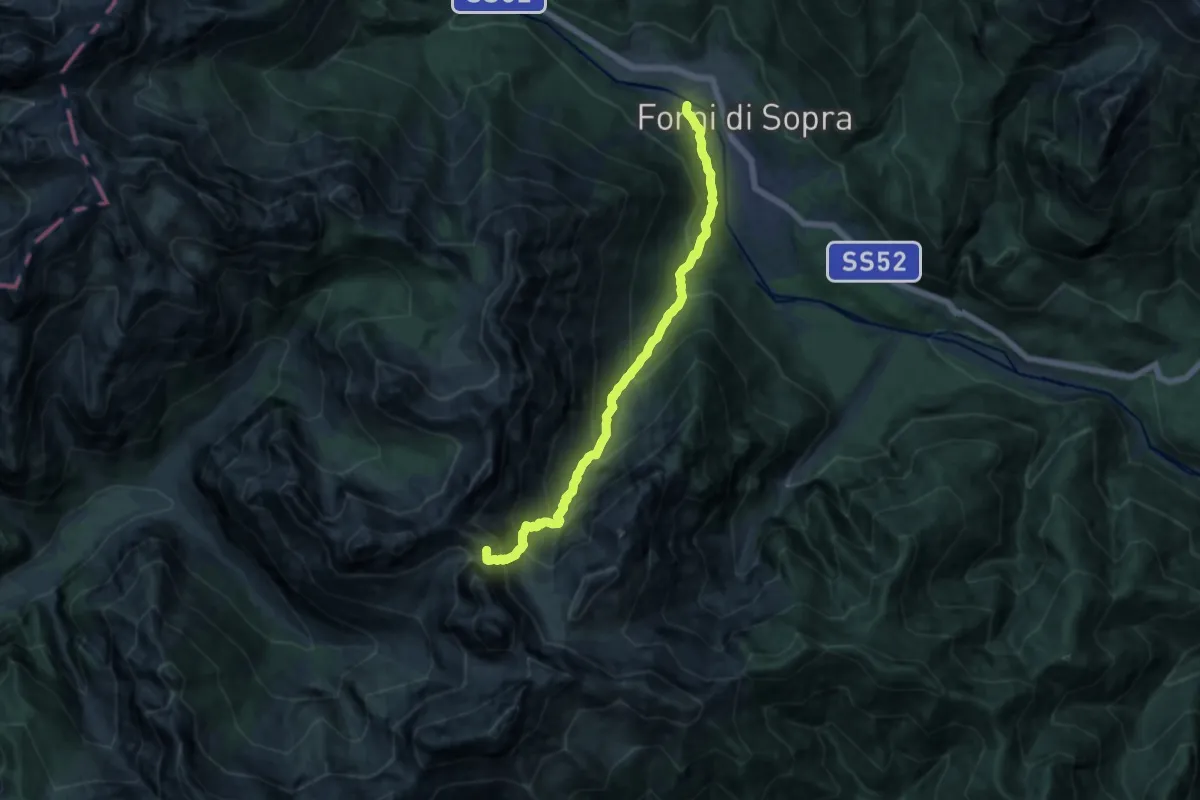
Bivacco Perugini (quota 2060 m) – Bivio Sentiero 349 (quota 1850 m)
2.3 km · ↑ 377 m · 1 h 21 min
Demanding · Summit
Forni di Sopra Località Davost (quota 850 m) – Raccordo con sentiero n. 361 (quota 1195 m)
12.6 km · ↑ 1175 m · 5 h 31 min
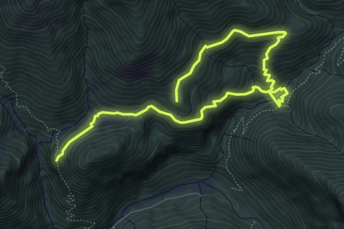
Medium · Summit
Valle delle Camoscie Bivio sentiero 364 (quota 1100 m) – Valle delle Merie Bivio sentiero 366 (quota 12101 m)
8.5 km · ↑ 696 m · 3 h 31 min
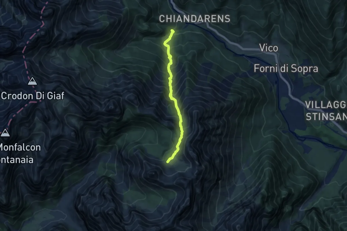
Demanding · Trail
Forni di Sopra località Chiandarens (quota 978 m) – Forni di Sopra Canpuròs racc. sent. n. 369 (quota 1914 m)
8.8 km · ↑ 1006 m · 4 h 15 min
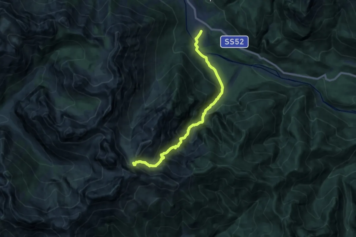
Demanding · Trail
Forni di Sopra Andrazza (quota 885 m) – Rua Bassa raccordo sentiero 373 (quota 1848 m)
14.2 km · ↑ 1273 m · 6 h 7 min
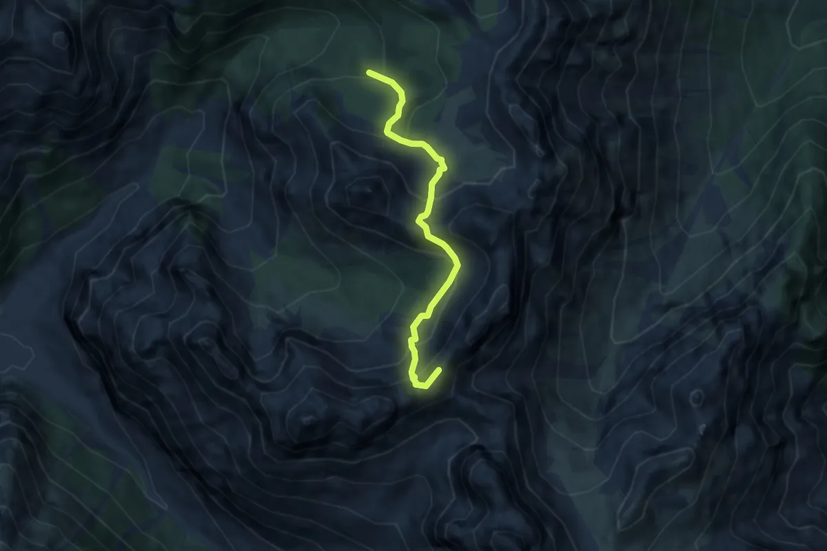
Medium · Summit
Ricovero Casera Valmenone – Raccordo sentiero 362 (quota 2000 m)
6.4 km · ↑ 637 m · 2 h 54 min
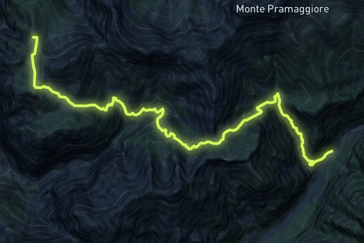
Demanding · Summit
Val Meluzzo (quota 1160 m) – Val Settimana – Ponte del Ciarter (quota 867 m)
22.2 km · ↑ 2187 m · 9 h 59 min
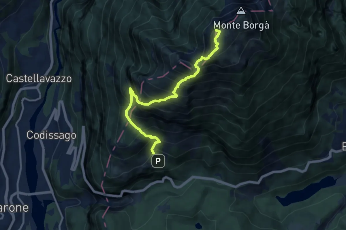
Demanding · Summit
Casso (quota 964 m) – Bivio sent. n. 381 (quota 1610 m)
8.3 km · ↑ 1326 m · 4 h 50 min
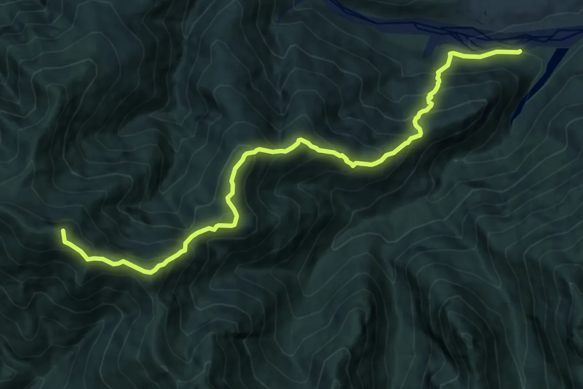
Demanding · Summit
Forni di Sotto Borgo Vico (quota 750 m) – Rua Bassa bivio sentiero 368 (quota 1849 m)
13.0 km · ↑ 1310 m · 5 h 55 min
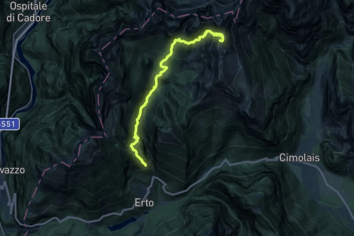
Demanding · Summit
Stei de Conte (quota 1200 m) – Ponte Compol (quota 728 m)
16.1 km · ↑ 1938 m · 8 h
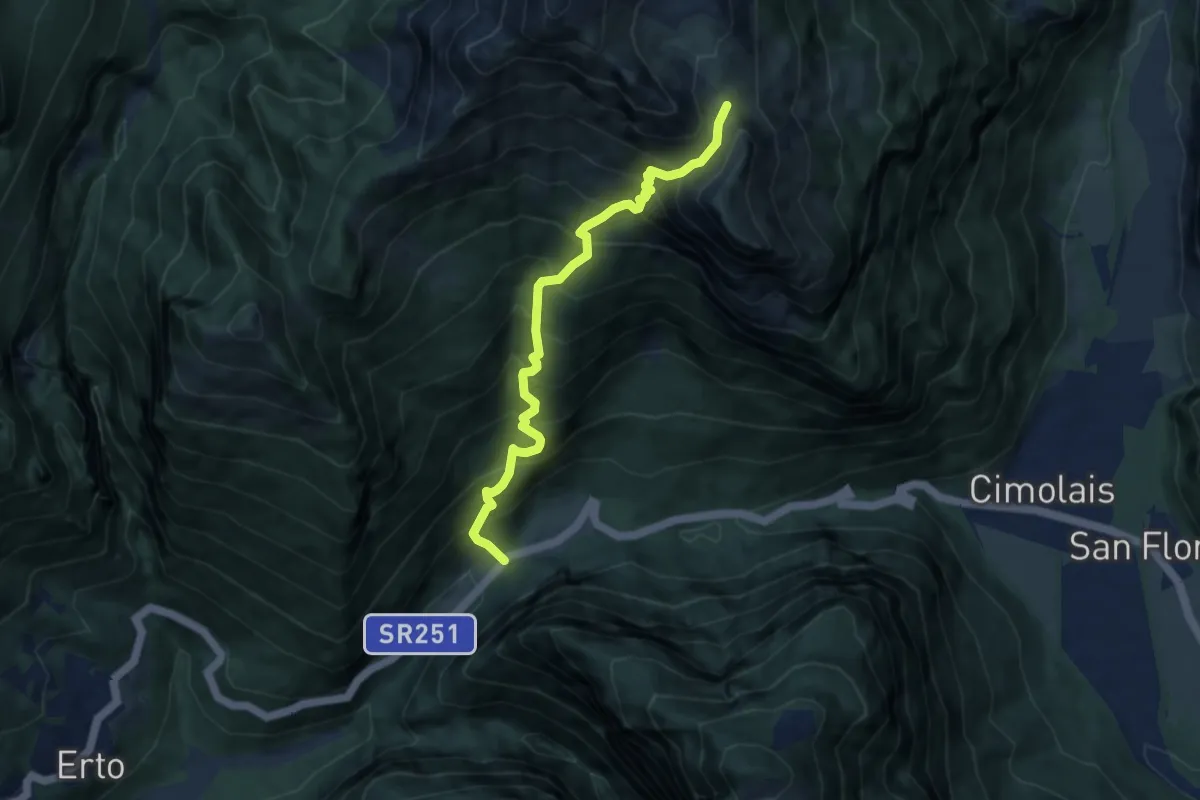
Demanding · Trail
Passo S. Osvaldo (quota 800 m) – Forcella Lodina (quota 1860 m)
7.6 km · ↑ 1087 m · 4 h 9 min
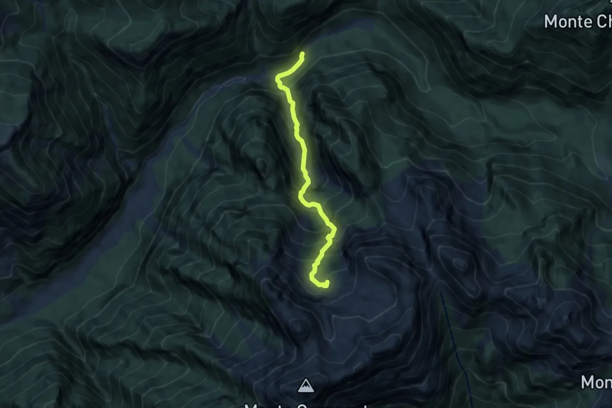
Demanding · Trail
Val Settimana – Ponte della Stua (quota 913 m) – Bivacco Anita Goitan (quota 1810 m)
6.3 km · ↑ 946 m · 3 h 32 min
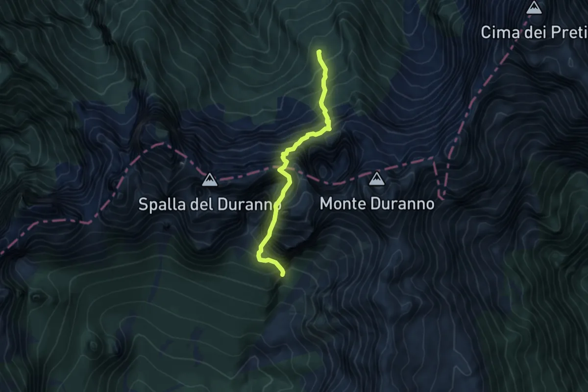
Expert · Cabin
Rifugio Maniago (quota 1730 m) – Forcella della Spalla del Duranno (quota 2127 m)
5.2 km · ↑ 1381 m · 4 h 14 min
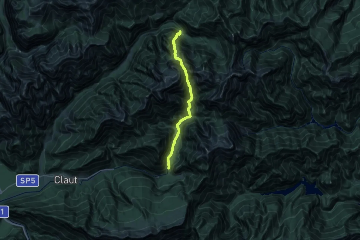
Demanding · Trail
Pian della Pussa (quota 930 m) – Pian di Cea (quota 914 m)
9.2 km · ↑ 986 m · 4 h 29 min
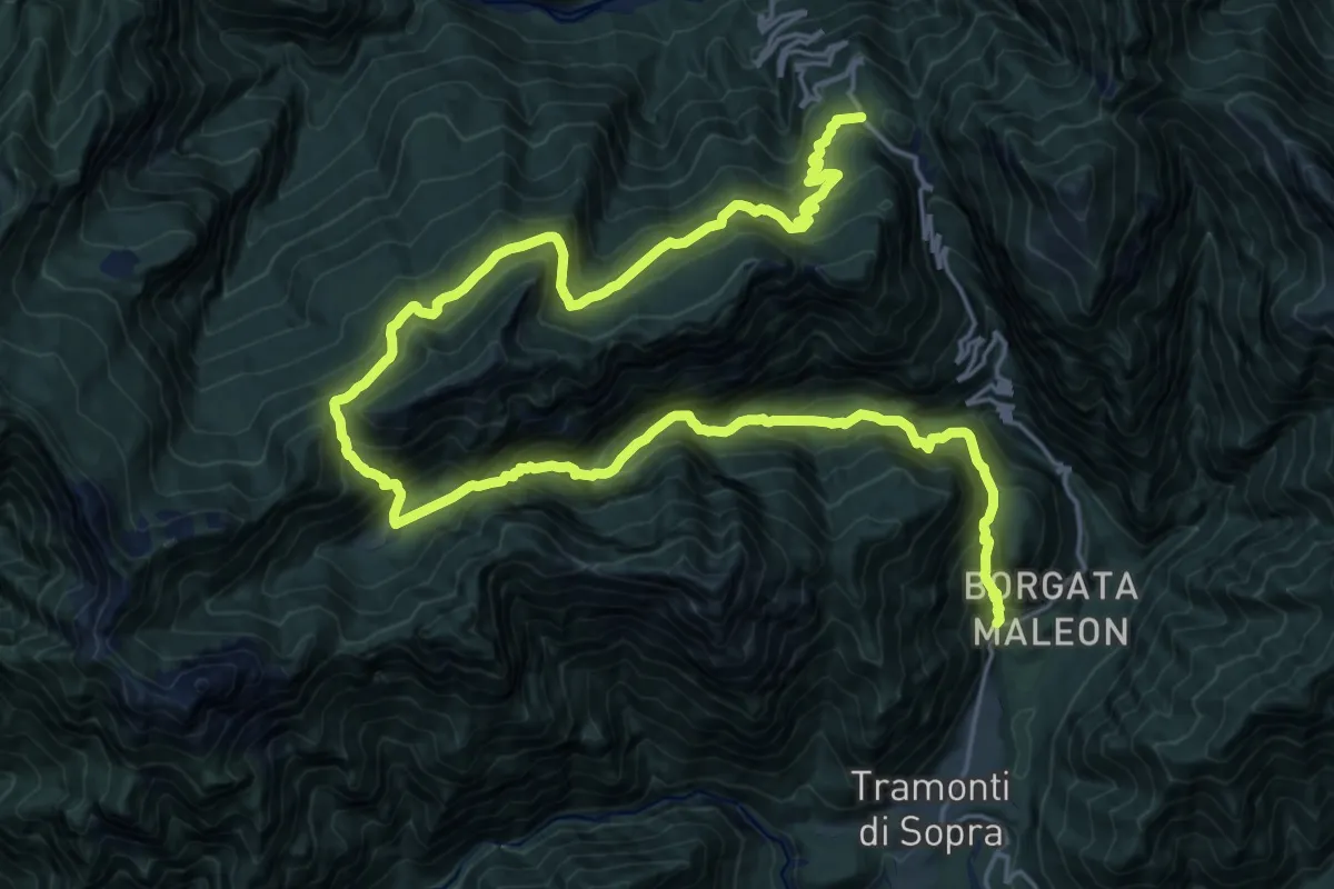
Demanding · Trail
Maleòn, Tramonti di Sopra (quota 454 m) – Passo di Monte Rest (quota 1060 m)
15.0 km · ↑ 1561 m · 6 h 51 min
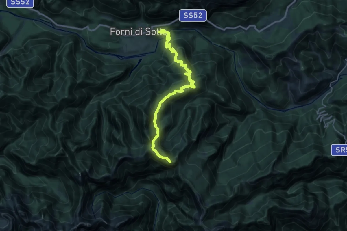
Demanding · Summit
Borgo Tredolo località San Rocco (quota 767 m) – Forca del Mugnòl raccordo sentiero 377 (quota 1552 m)
22.0 km · ↑ 1399 m · 8 h 14 min
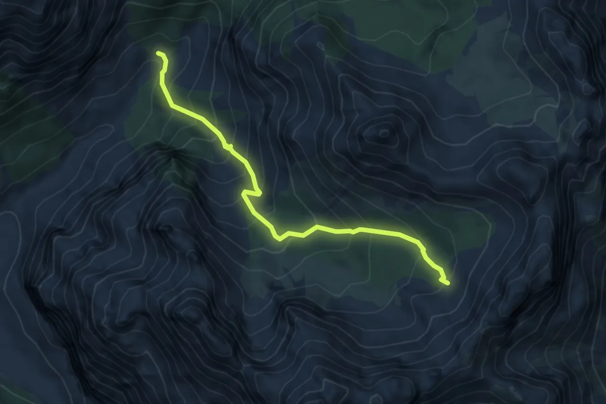
Medium · Trail
Caseruta dai Pecoli (Pechi) (quota 1363 m) – Bivio sentiero 369 (quota 1970 m)
5.6 km · ↑ 637 m · 2 h 43 min
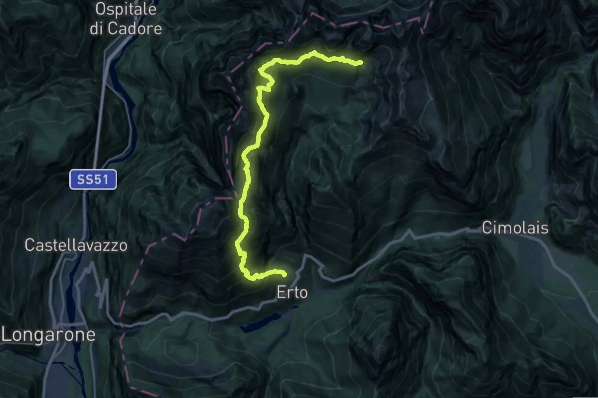
Demanding · Cabin
Erto (quota 790 m) – Rifugio Maniago (quota 1730 m)
9.8 km · ↑ 2065 m · 6 h 29 min
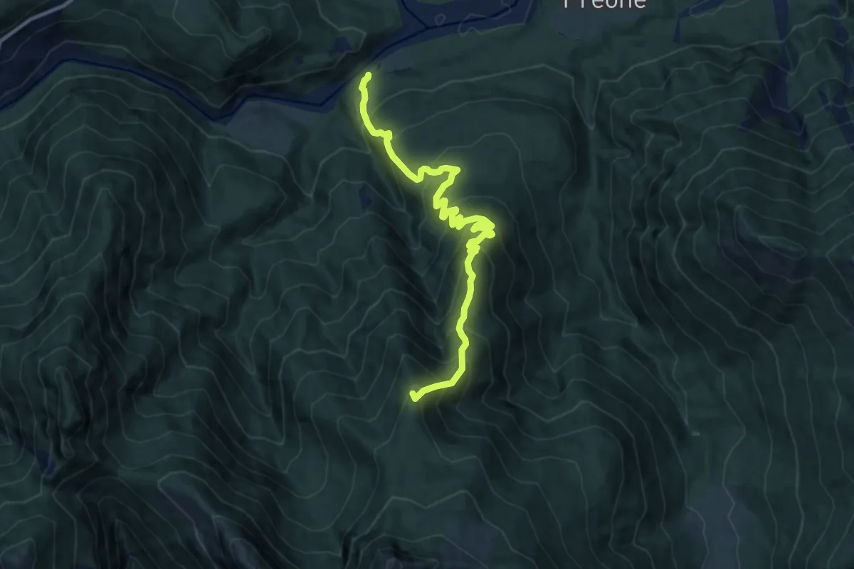
Demanding · Summit
Socchieve (quota 410 m) – Casera Teglara – Bivio sentiero n. 826 (quota 1573 m)
10.5 km · ↑ 1002 m · 4 h 39 min
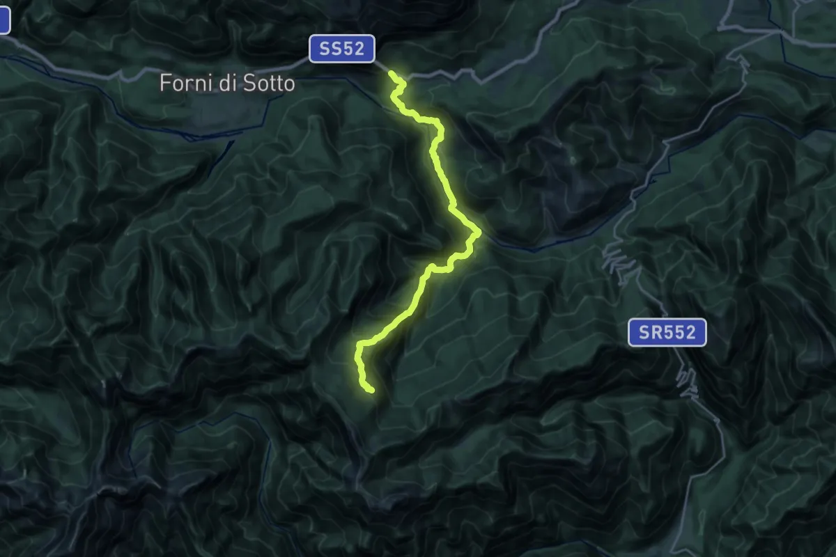
Demanding · Trail
Passo della Morte localit Cinal (quota 720 m) – Raccordo sentiero 378 (quota 1620 m)
9.9 km · ↑ 1185 m · 4 h 38 min
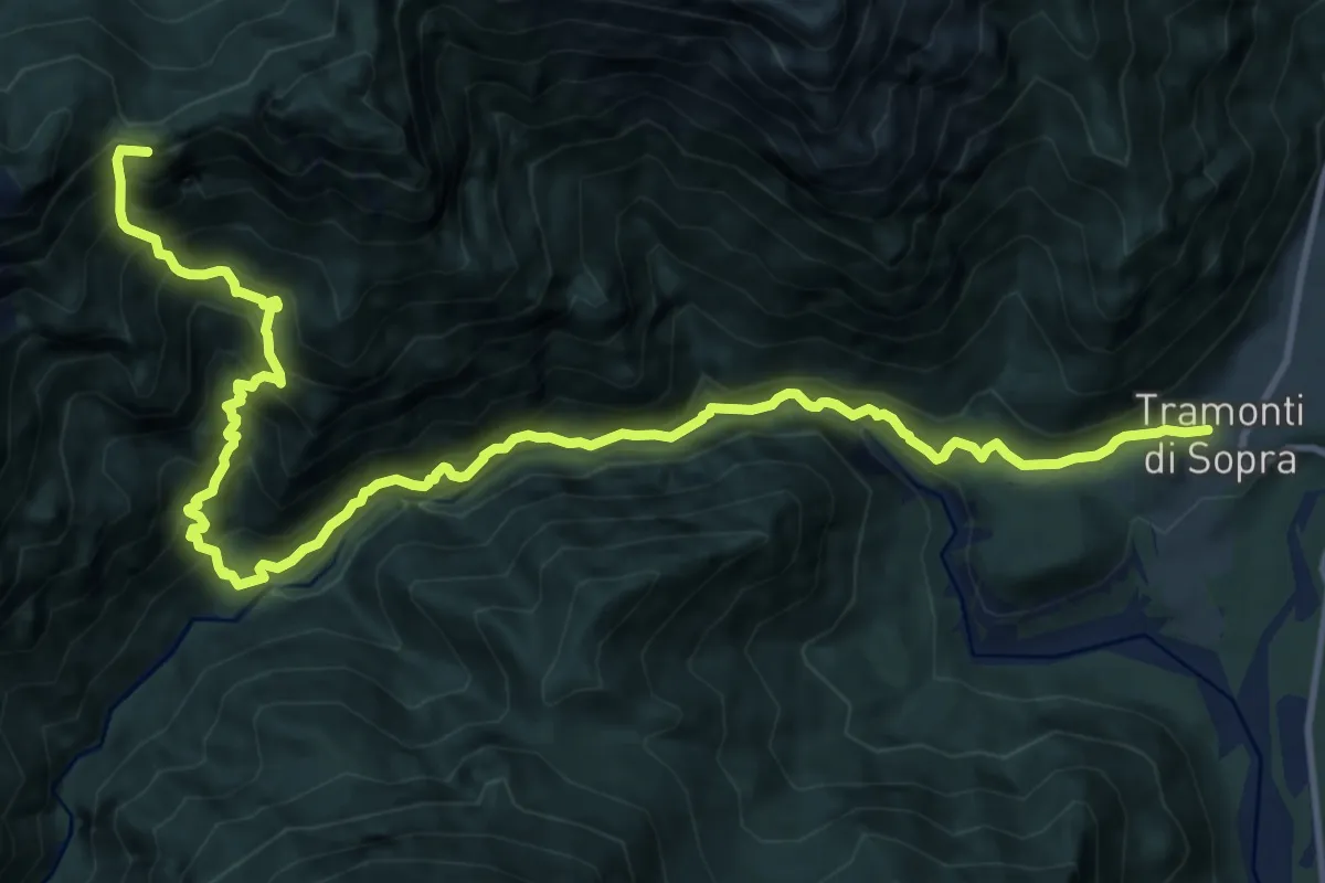
Demanding · Summit
Tramonti di Sopra (quota 415 m) – Ricovero Casera Chiampis (quota 1236 m)
15.6 km · ↑ 1803 m · 7 h 36 min
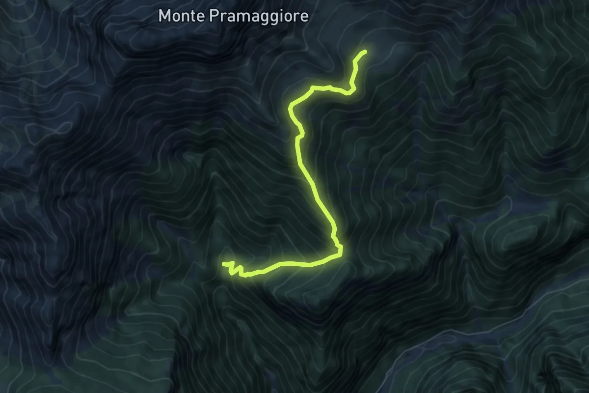
Medium · Cabin
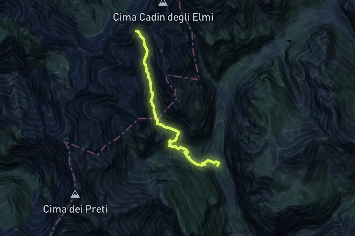
Bivio sentiero n. 370 (quota 1229 m) – Casera Pramaggiore (quota 1812 m)
6.7 km · ↑ 710 m · 3 h 7 min
Demanding · Trail
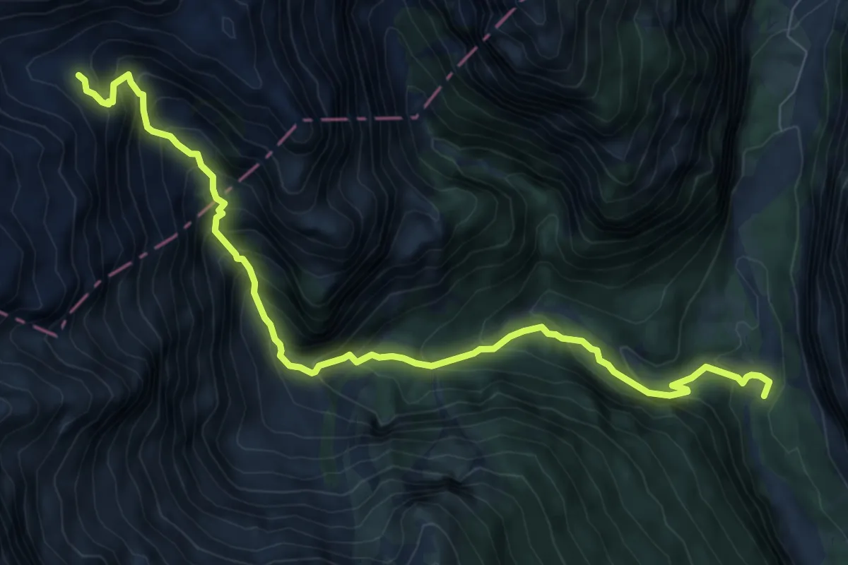
Pian Fontana (Val Cimoliana) (quota 941 m) – Bivacco G. Gervasutti (quota 1940 m)
11.6 km · ↑ 1228 m · 5 h 25 min
Demanding · Cabin
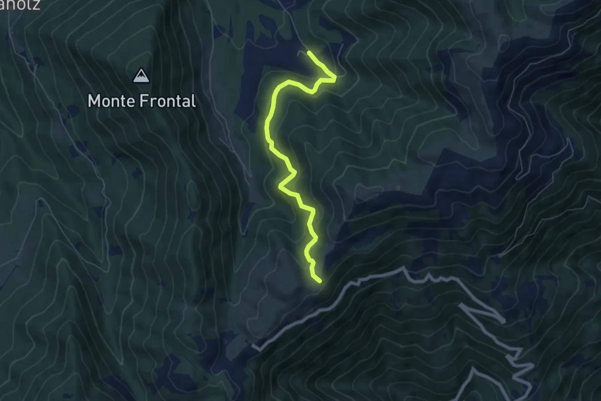
Pian Fontana, Val Cimoliana (quota 919 m) – Casera Laghet de Sora (quota 1871 m)
9.3 km · ↑ 934 m · 4 h 13 min
Medium · Trail
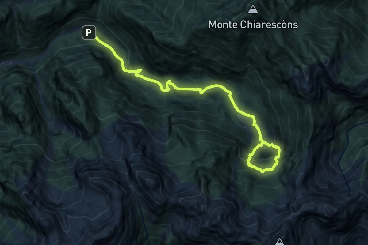
Malga Montegal – Casere Frascon
5.9 km · ↑ 352 m · 2 h 10 min
Demanding · Trail
Pian della Pussa (quota 930 m) – Ciadin di Senons (quota 1610 m)
11.7 km · ↑ 981 m · 4 h 54 min
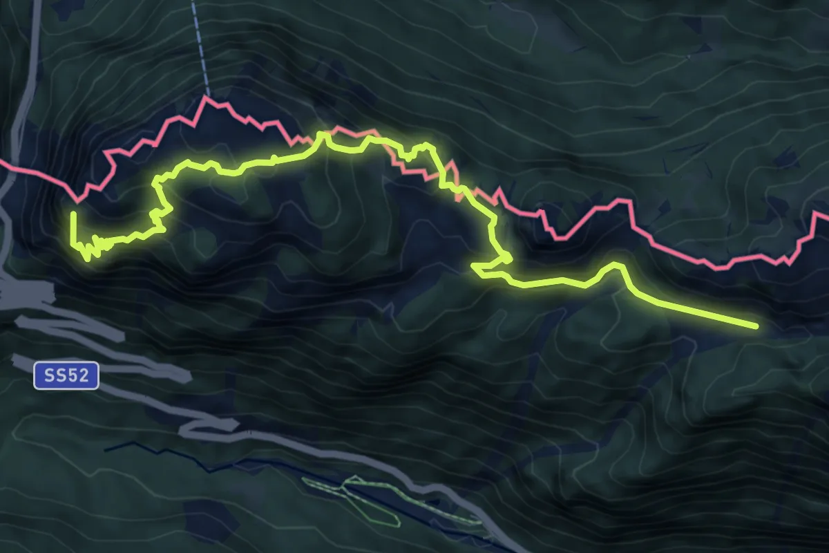
Expert · Summit
Passo Monte Croce Carnico (quota 1360 m) – Casera Pal Grande di Sotto (quota 1536 m)
10.7 km · ↑ 1061 m · 4 h 49 min
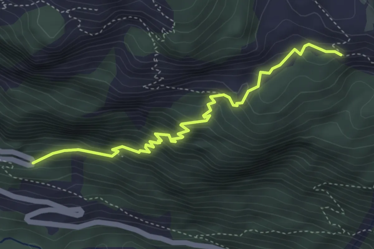
Medium · Trail
Casa Cantoniera (quota 1150 m) – Bivio sentiero n. 401 (quota 1545 m)
4.4 km · ↑ 450 m · 2 h
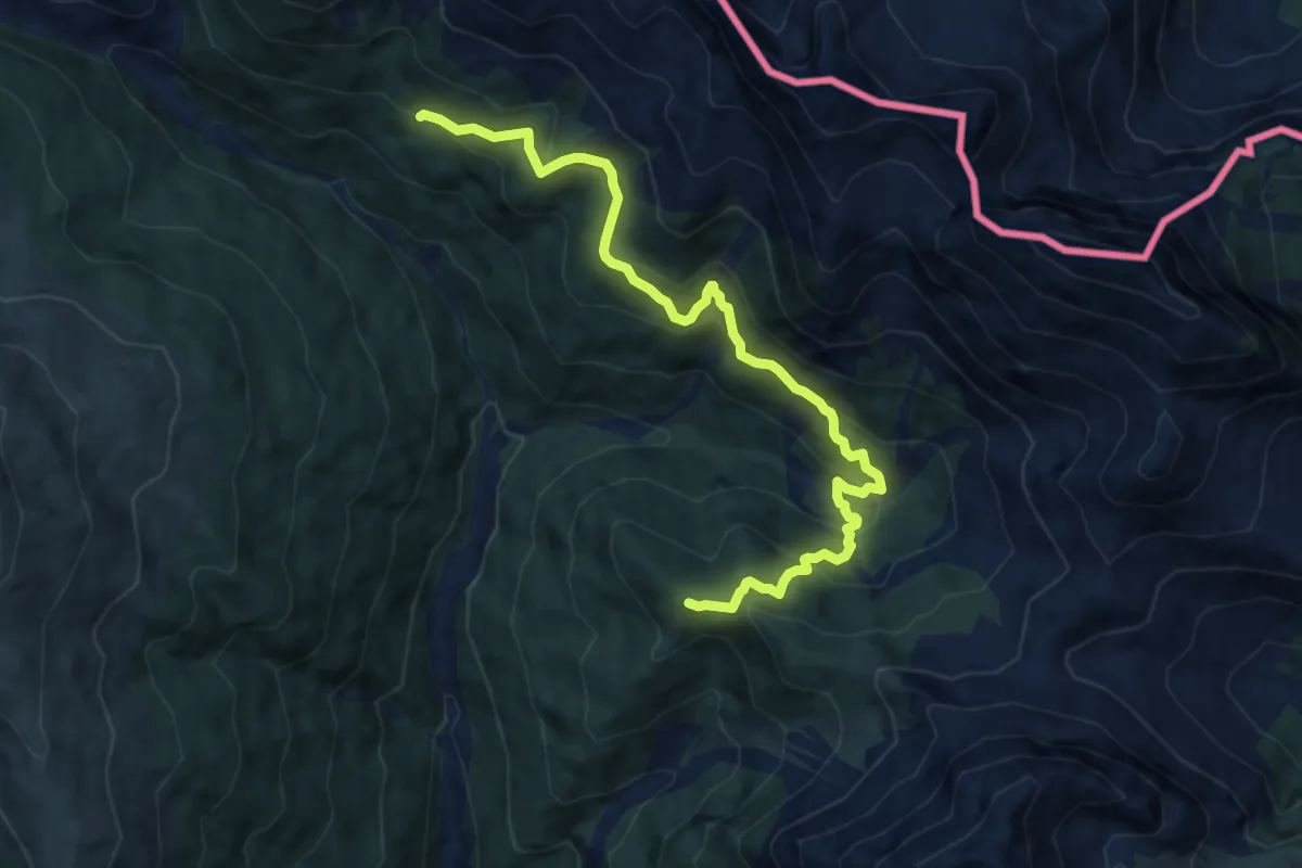
Demanding · Summit
Rio Saletta - da sent. 142 – Casera Pian Formaggio
10.5 km · ↑ 801 m · 4 h 13 min
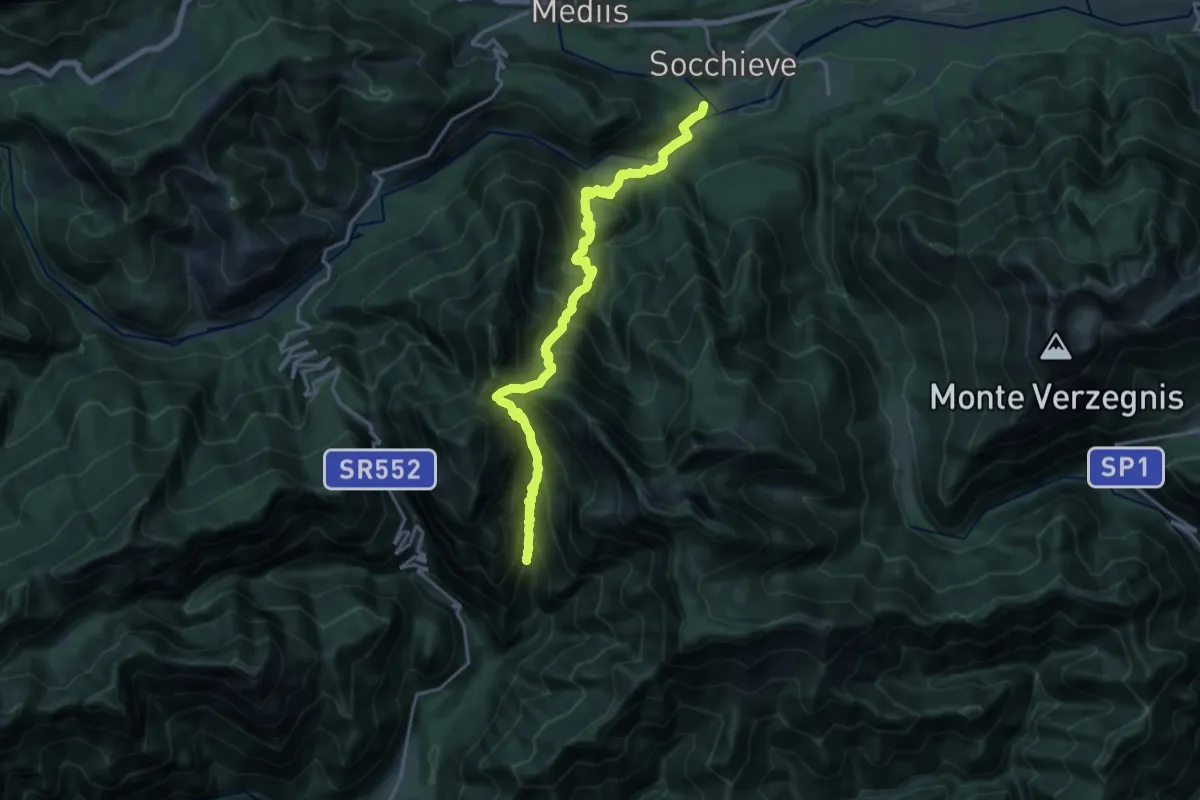
Demanding · Trail
Socchieve (quota 405 m) – Fontanon del Toff (bivio sentiero n. 829) (quota 725 m)
9.4 km · ↑ 1166 m · 4 h 42 min
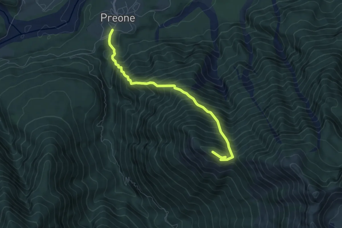
Demanding · Summit
Preone (quota 475 m) – Monte Rizzat (quota 1441 m)
7.3 km · ↑ 1013 m · 3 h 55 min
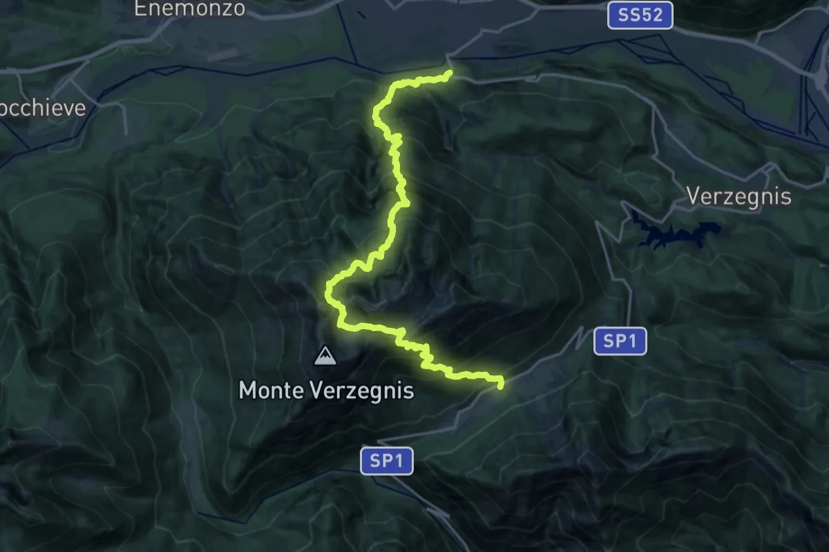
Demanding · Trail
Valle di Preone (quota 765 m) – Bivio Sentiero 806 (quota 1572 m)
10.6 km · ↑ 1516 m · 5 h 39 min
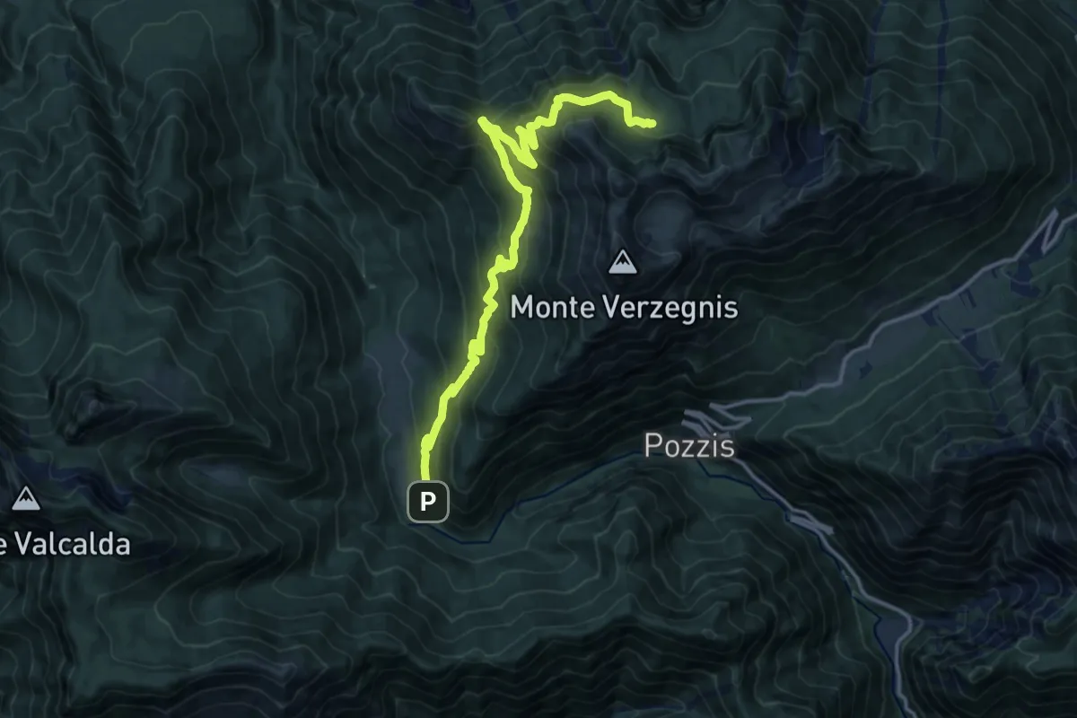
Demanding · Trail
Linder (quota 190 m) – Bivio sentiero n. 725 (quota 900 m)
15.3 km · ↑ 1184 m · 6 h 11 min
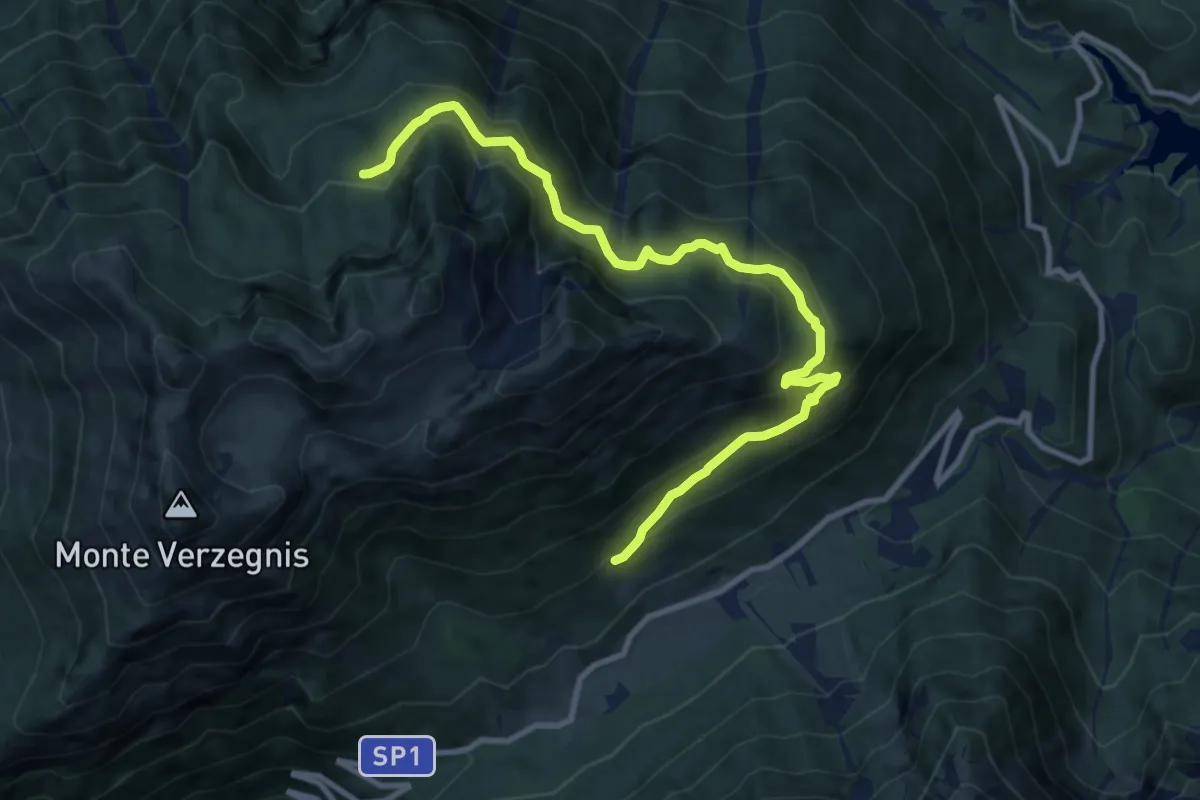
Medium · Trail
Casera Mongranda (quota 1071 m) – Bivio sentiero n. 806 (quota 1460 m)
10.8 km · ↑ 724 m · 4 h 8 min