Trails in Italy
25,219 hiking trails, each with its route, climb, walking time and grade.
All trails, page 504 of 526
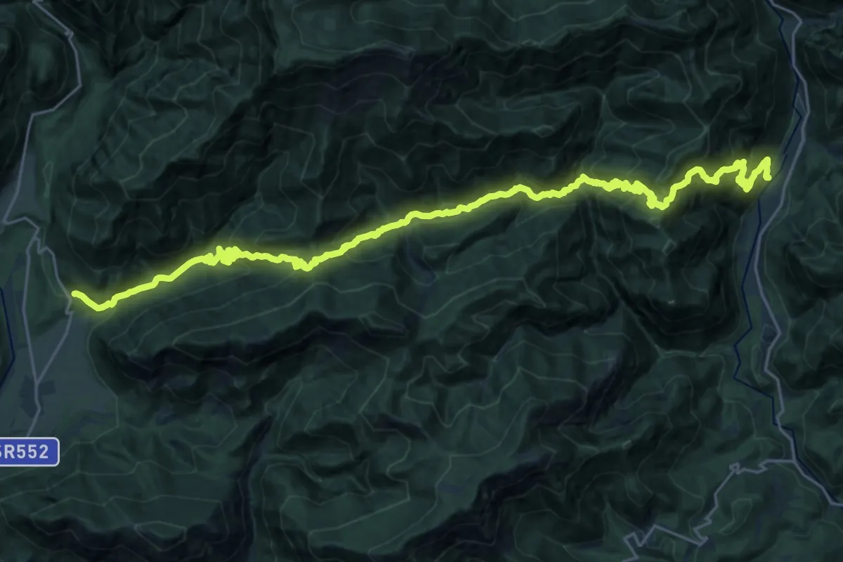
Demanding · Trail
Tramonti di Mezzo (quota 408 m) – San Francesco in Val d’Arzino (quota 390 m)
15.9 km · ↑ 1219 m · 6 h 37 min
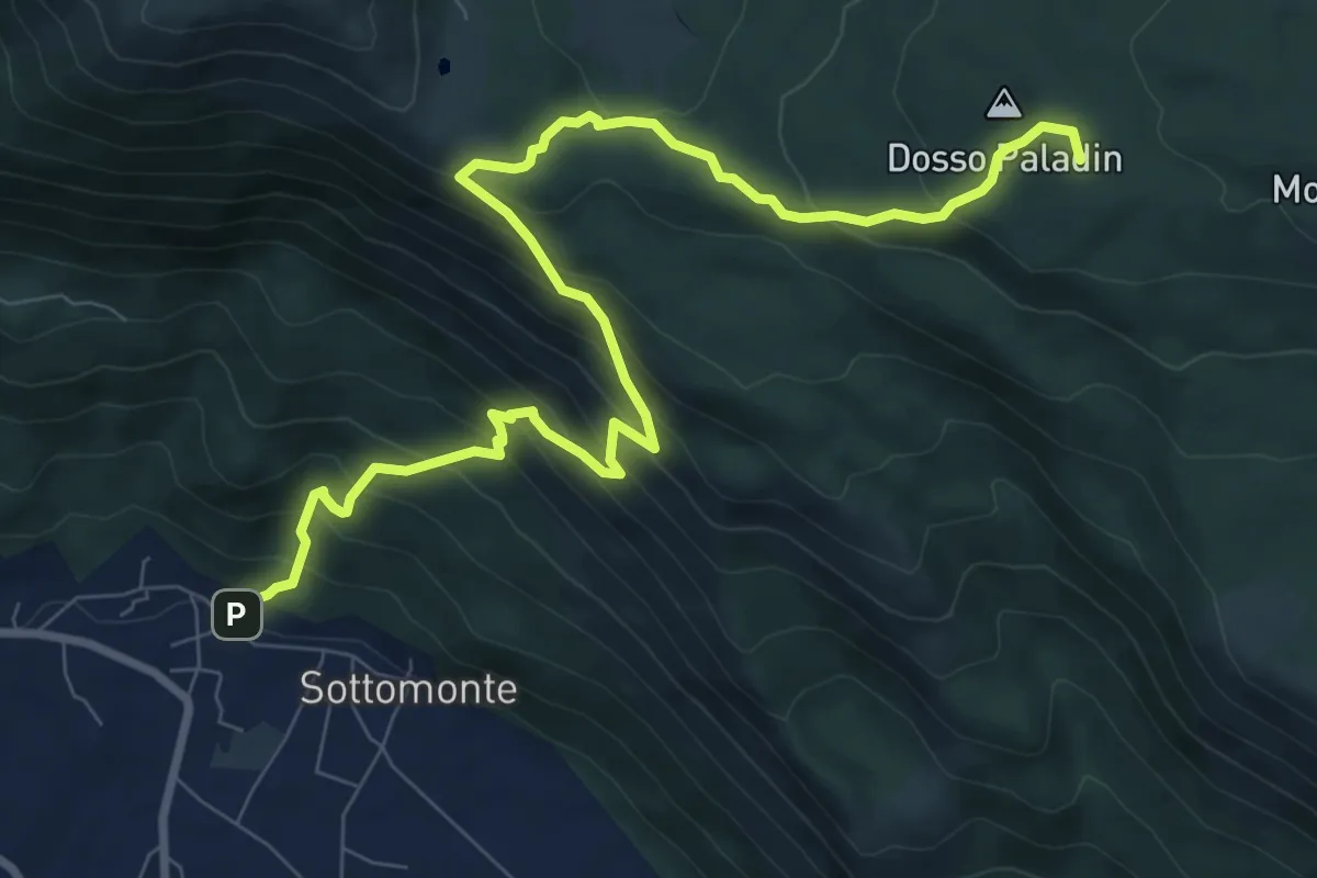
Demanding · Summit
Sottomonte di Meduno (quota 292 m) – Piani di Gerchia (quota 673 m)
10.7 km · ↑ 864 m · 4 h 24 min
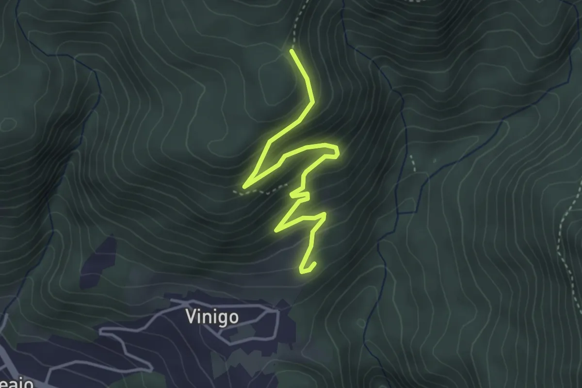
Easy · Trail
Vinigo – Greanes
3.9 km · ↑ 282 m · 1 h 31 min
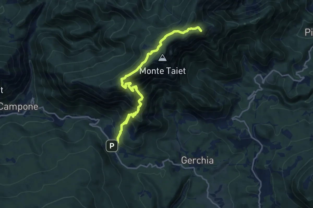
Demanding · Summit
Piani di Gerchia (quota 670 m) – La Forchiazza (bivio 821) (quota 1000 m)
11.7 km · ↑ 1011 m · 4 h 57 min
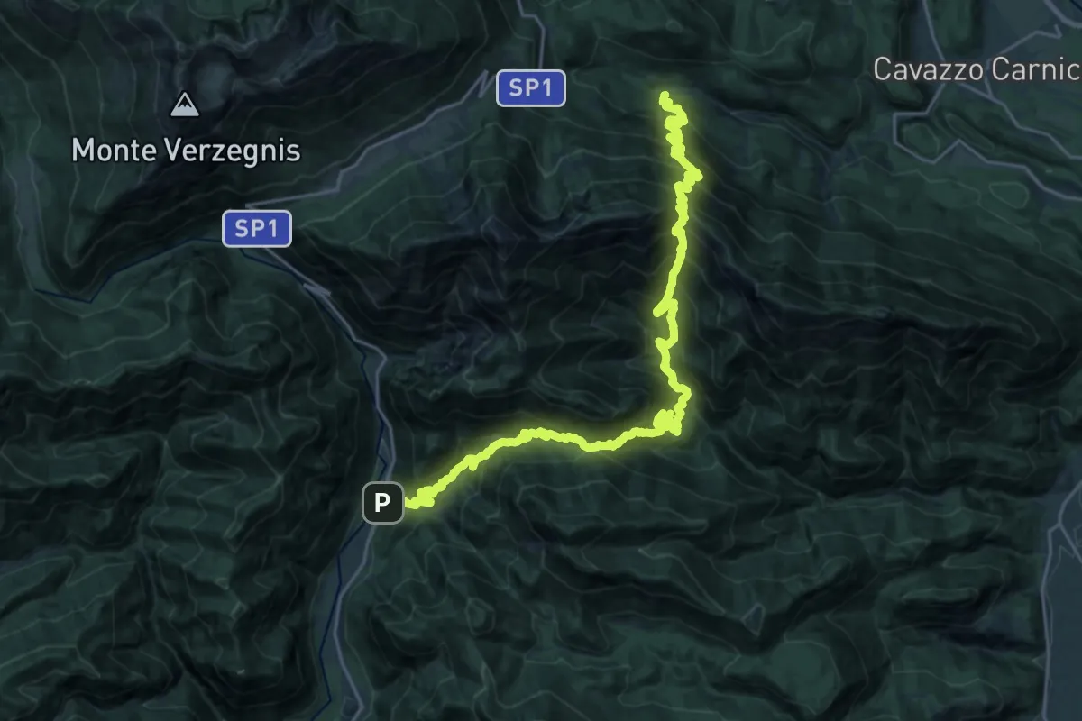
Demanding · Trail
Pusea (quota 504 m) (a 3 km da Chiaicis di Verzegnis) – S. Francesco (quota 395 m)
14.0 km · ↑ 1396 m · 6 h 29 min
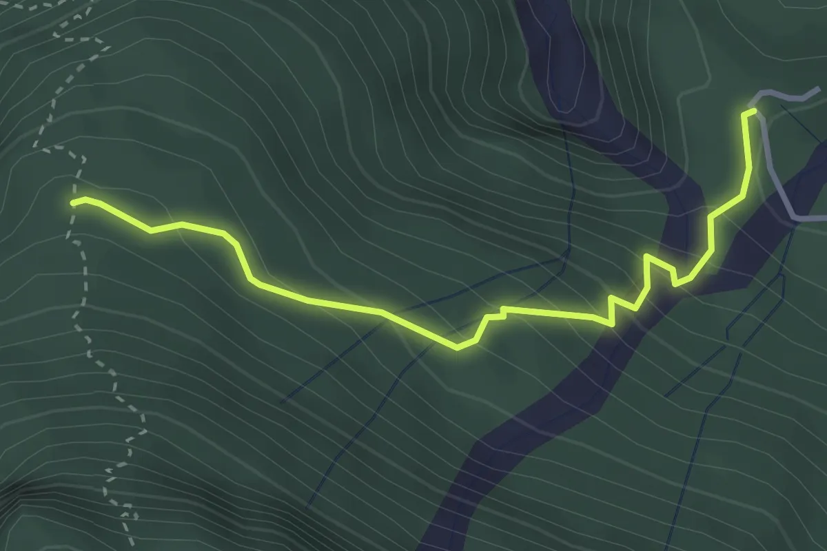
Easy · Trail
Stavolo Chiampaman (quota 704 m) – Bivio sentiero n. 806 (quota 940 m)
3.2 km · ↑ 256 m · 1 h 18 min
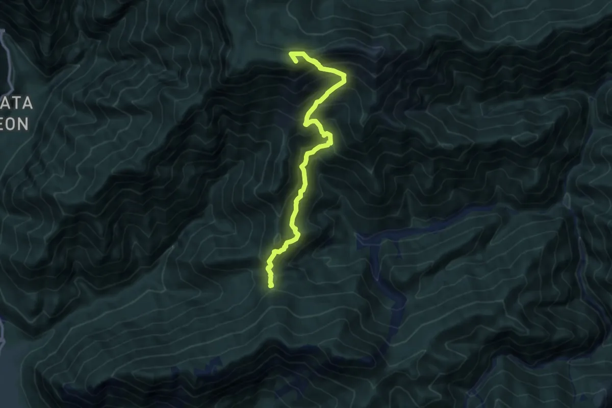
Demanding · Summit
Selvapiana (quota 749 m) – Casera Teglara (quota 1573 m)
9.9 km · ↑ 1068 m · 4 h 39 min
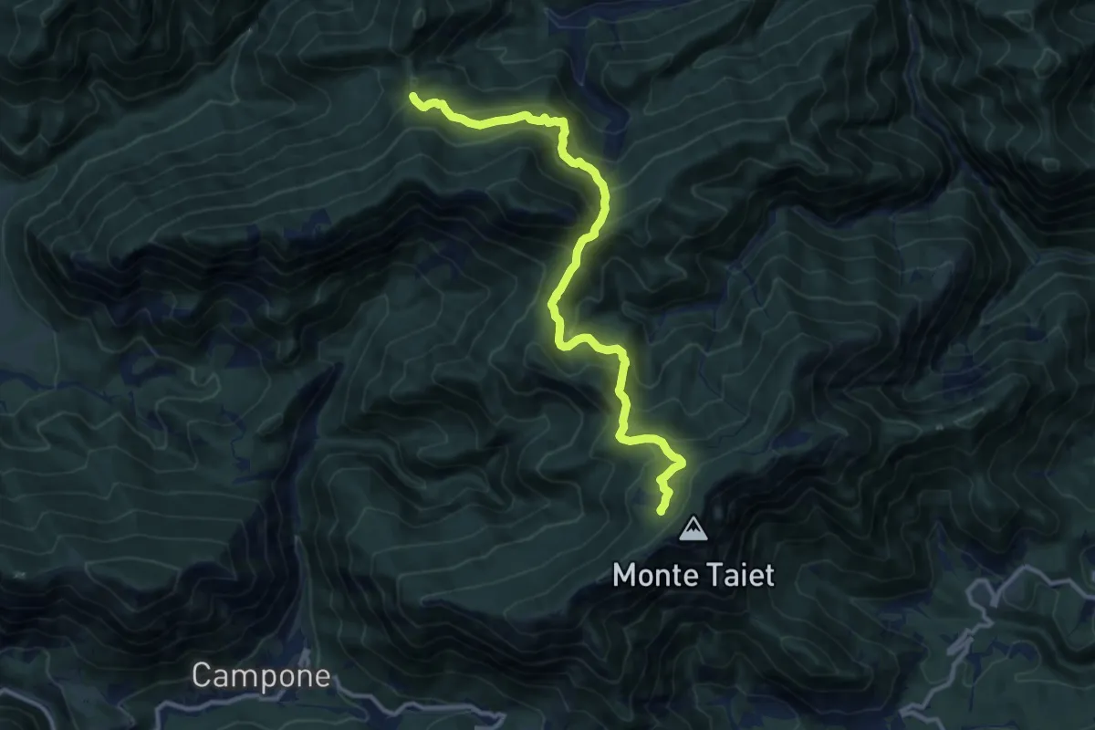
Expert · Trail
Forca Zuvièl (quota 890 m) – Malga di Rossa (quota 1268 m)
12.0 km · ↑ 929 m · 4 h 51 min
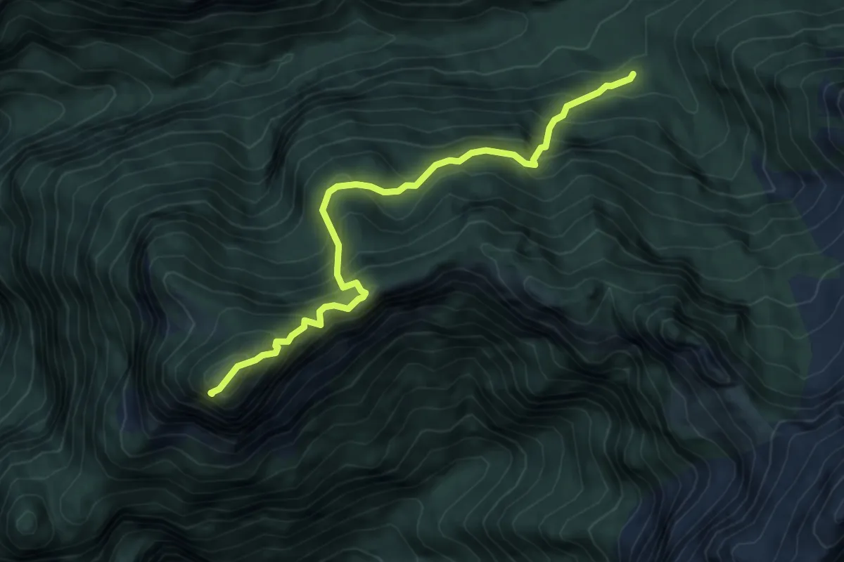
Medium · Summit
sopra Rifugio Bianchet - da sentiero 503 – Monte Coro
6.1 km · ↑ 685 m · 2 h 56 min
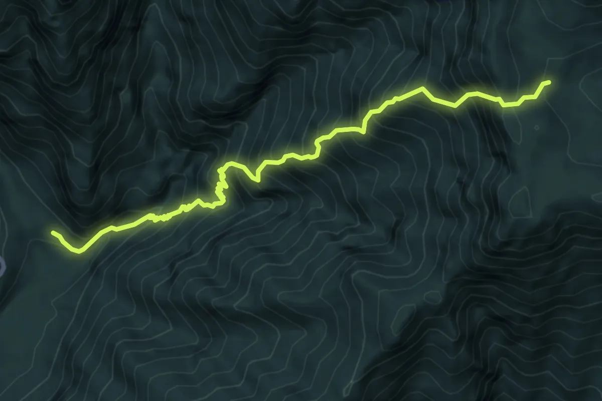
Demanding · Trail
Maleòn, ponte sul Viellia (quota 492 m) – Casera Teglara (quota 1573 m)
8.1 km · ↑ 1342 m · 4 h 49 min
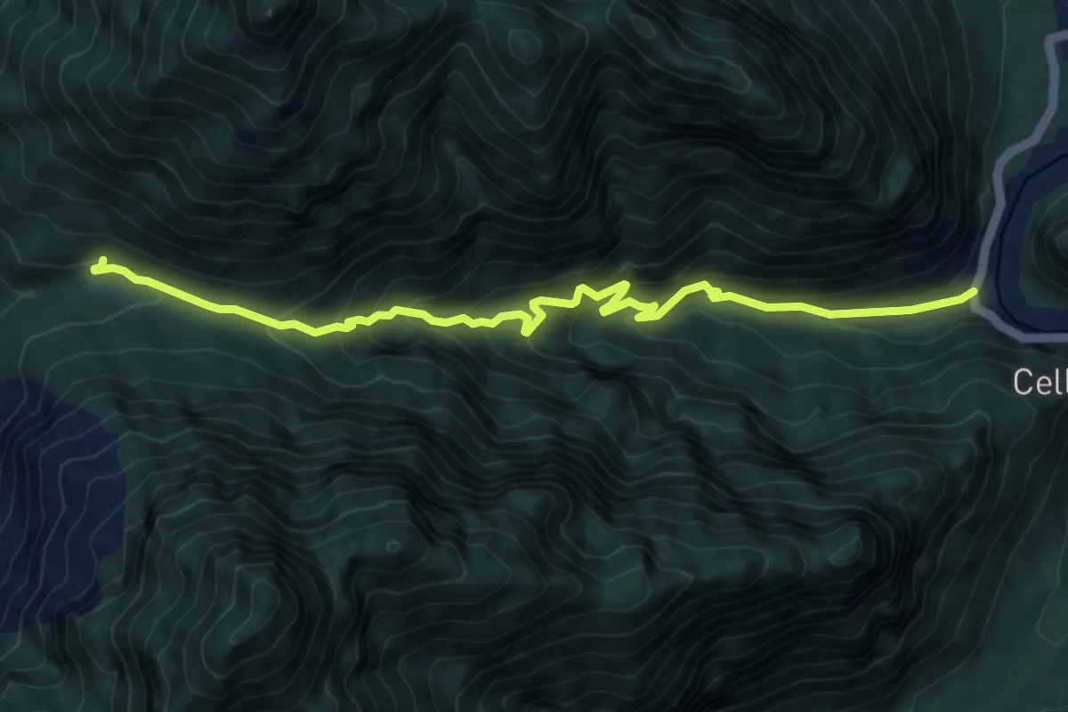
Demanding · Cabin
Ponte Feron (quota 504 m) – Ric. Casera Feron (quota 992 m)
8.3 km · ↑ 634 m · 3 h 20 min
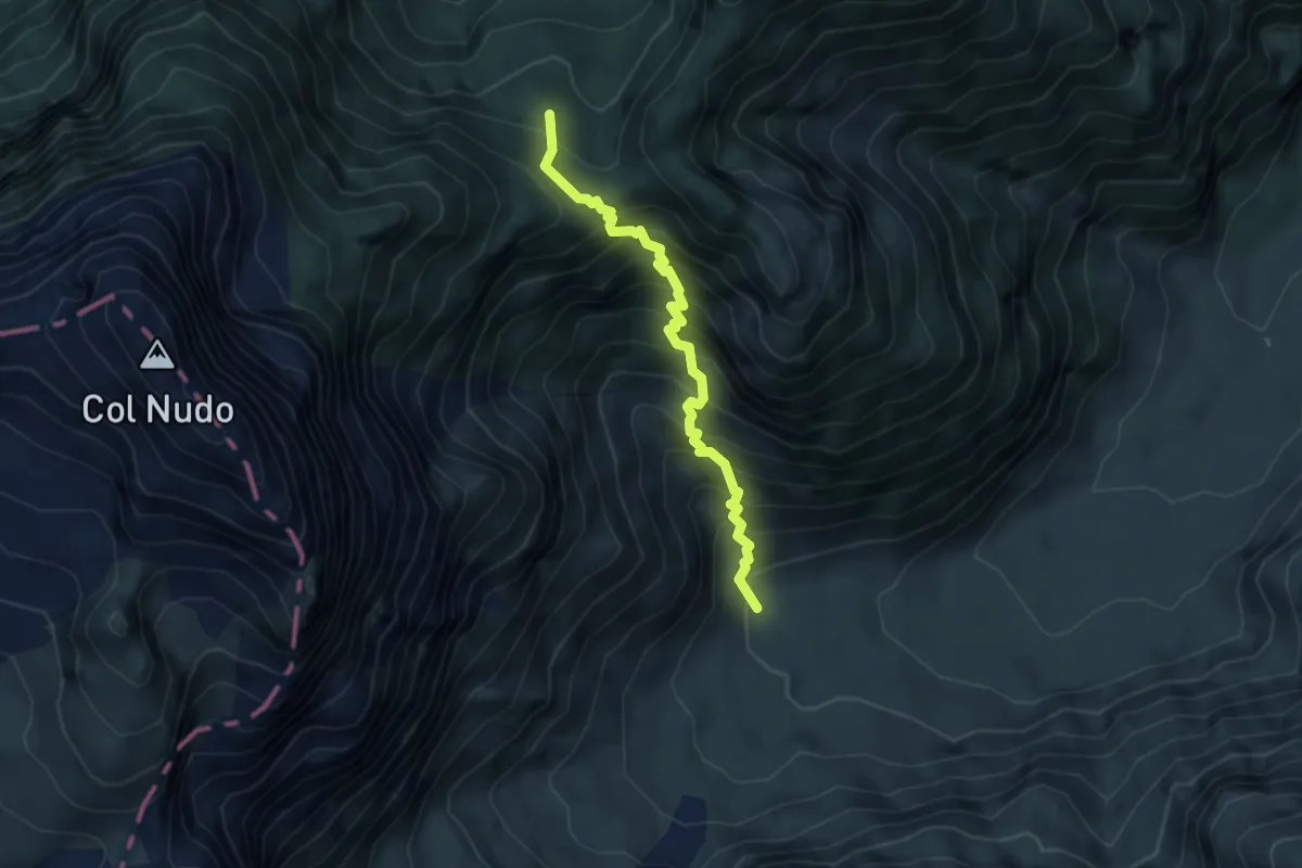
Medium · Cabin
Casera Gravuzza (quota 984 m) – Bivacco Frugna (quota 1538 m)
4.1 km · ↑ 639 m · 2 h 22 min
Demanding · Summit
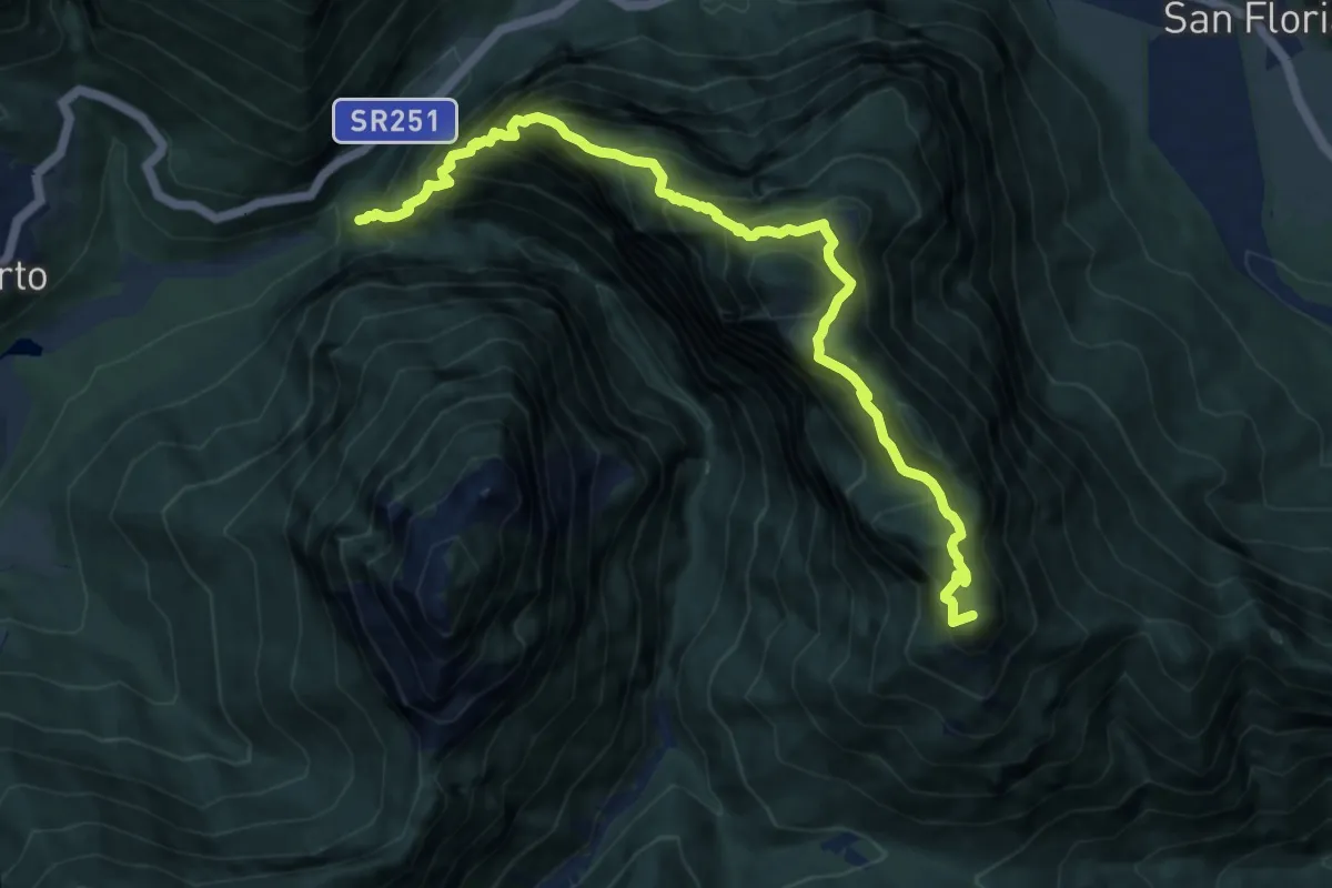
Casera Ferron (quota 992 m) – S. Antonio in Zerenton (quota 840 m)
10.8 km · ↑ 1430 m · 5 h 38 min
Demanding · Cabin
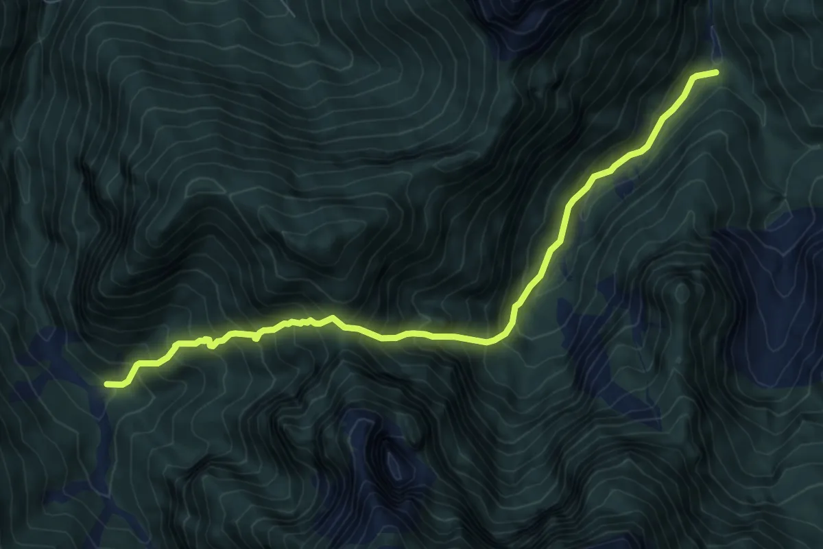
Casera Ditta (quota 956 m) – Bivio sentiero n. 901 (quota 830 m)
8.4 km · ↑ 1101 m · 4 h 22 min
Medium · Trail
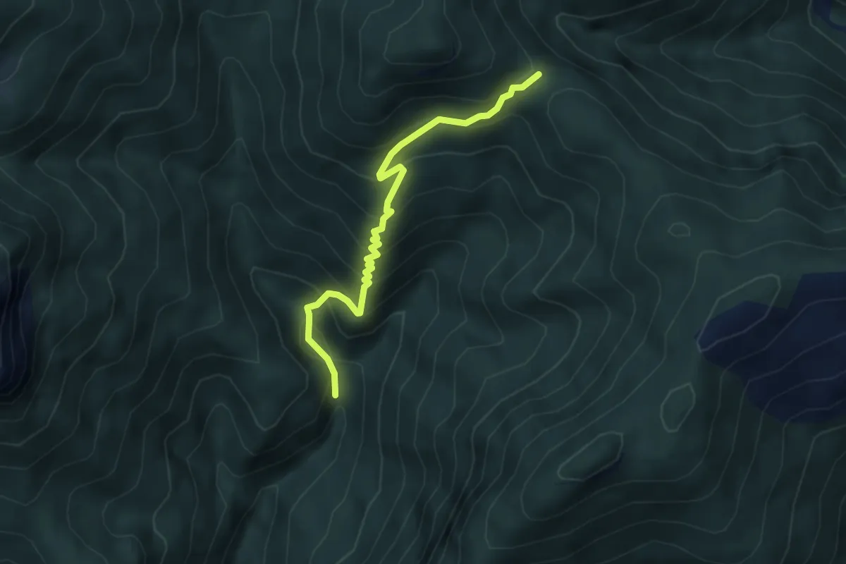
Val Vedassana - La Stua (quota 1150) – Forcella Bassa-innesto sentiero 264 (quota 1581)
4.4 km · ↑ 438 m · 1 h 59 min
Medium · Cabin
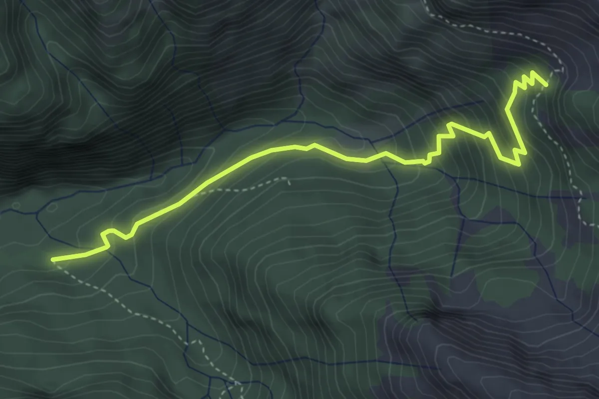
Rifugio Bianchet – Scalon de Nerville - innesto sentiero 514
4.5 km · ↑ 388 m · 1 h 54 min
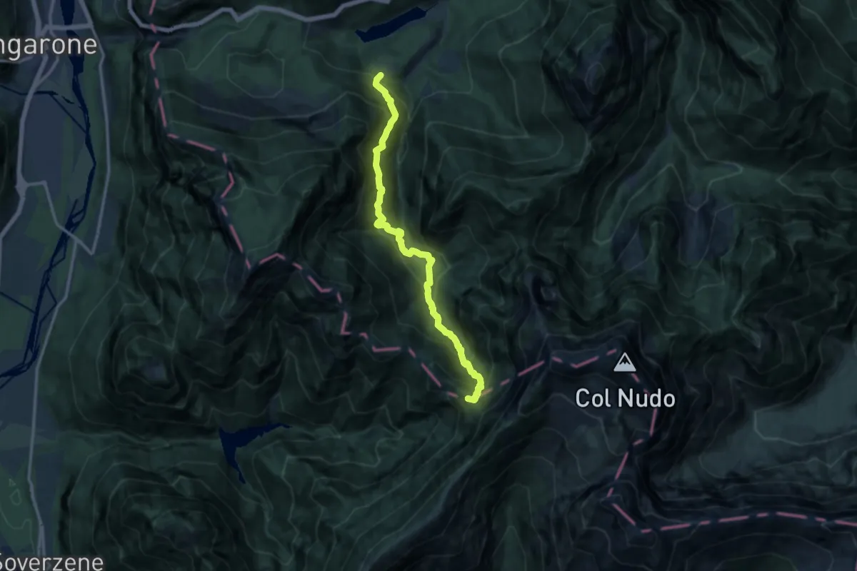
Demanding · Summit
Pineda (quota 800 m) – Forcella della Meda o del Ciot (confine Regione)
11.8 km · ↑ 1205 m · 5 h 24 min
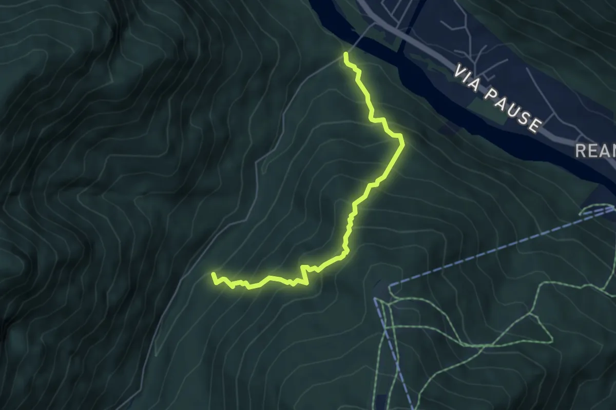
Medium · Trail
Ponte da Rin – Guado Pre Ciaurìn
5.1 km · ↑ 656 m · 2 h 38 min
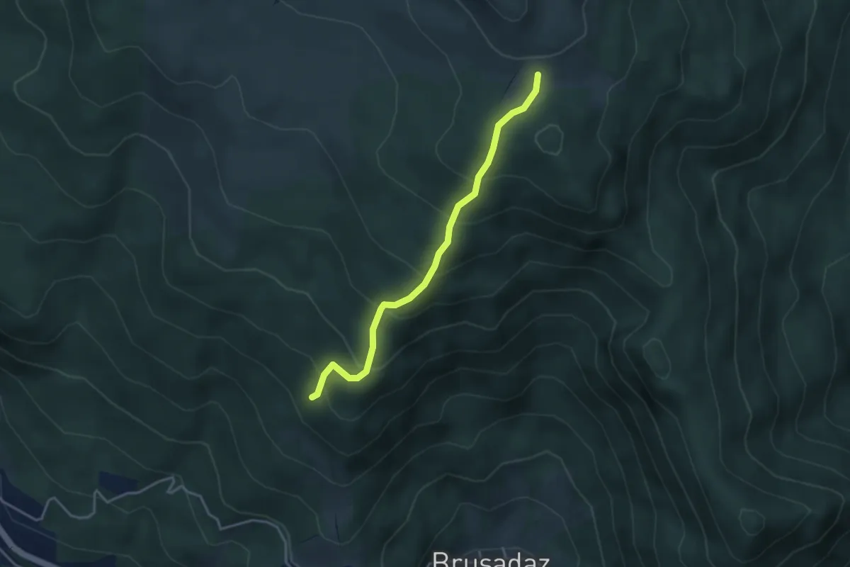
Medium · Trail
Coi - Casera da sentiero 473 – Pian de la Sofrina - I Lach
3.4 km · ↑ 310 m · 1 h 29 min
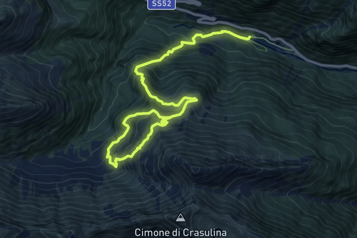
Demanding · Trail
Laghetti Timau (quota 950 m) – C.ra Lavareit (quota 1470 m) + Anello C.ra Chiàula alta (1568 m) e Chiàula Bassa (1397 m)
14.2 km · ↑ 1150 m · 5 h 50 min
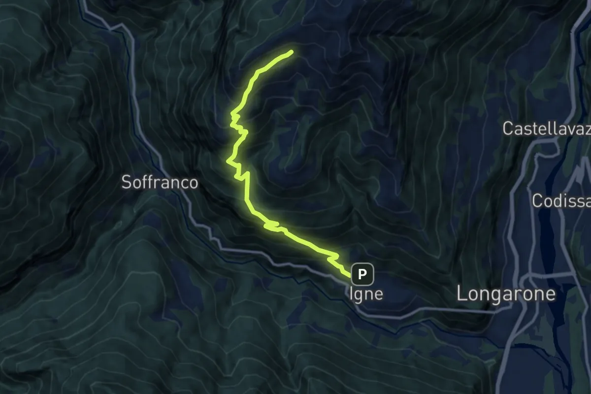
Demanding · Trail
Igne – Costa del Dou - inn. sent. 482
10.2 km · ↑ 1121 m · 4 h 50 min
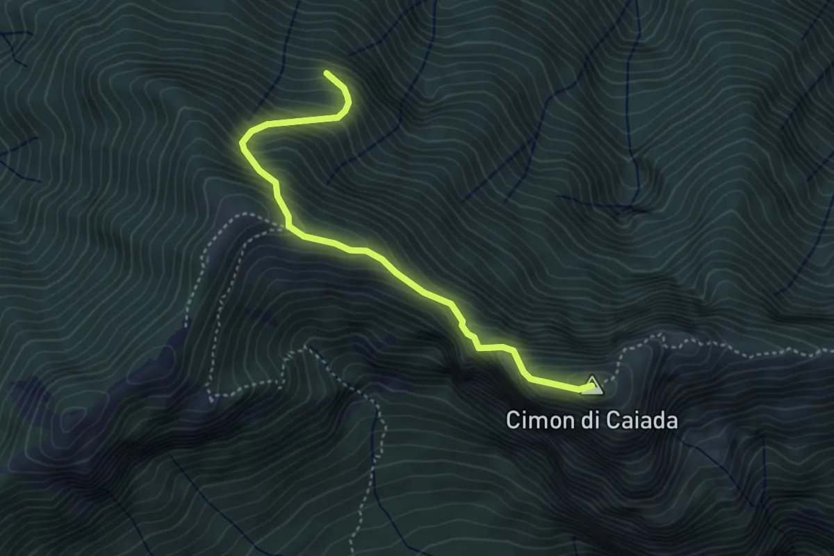
Medium · Summit
Cimitero Muda - Maè – sopra Ponte de la Costa Granda - inn. sent. 527
4.0 km · ↑ 516 m · 2 h 3 min
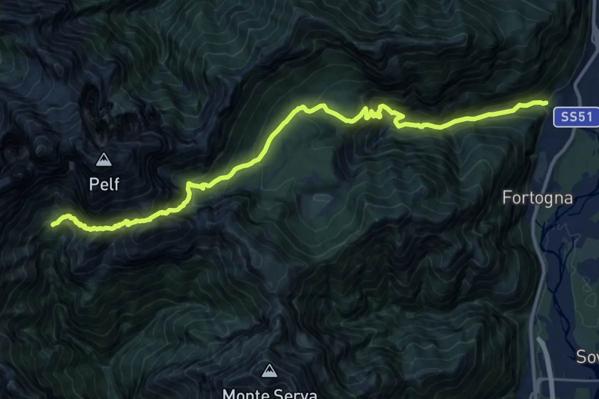
Demanding · Cabin
Stazione Faè-Fortogna da S.S. 51 – Rifugio VII° Alpini - Pis Pilon
10.3 km · ↑ 1631 m · 5 h 37 min
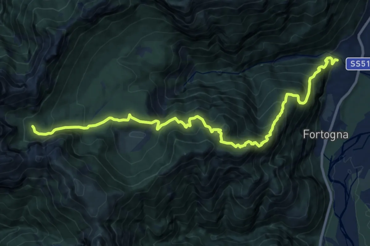
Demanding · Trail
Faè Desedan - Case s. Martino – Casera Caneva - inn. sent. 505
16.6 km · ↑ 1644 m · 7 h 29 min
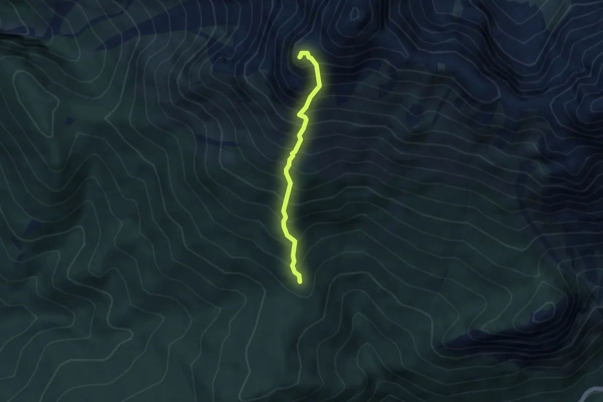
Demanding · Summit
a monte di Zergolon - da sentiero 328 (quota 1534) – Monte Schiavon (quota 2326)
3.2 km · ↑ 740 m · 2 h 21 min
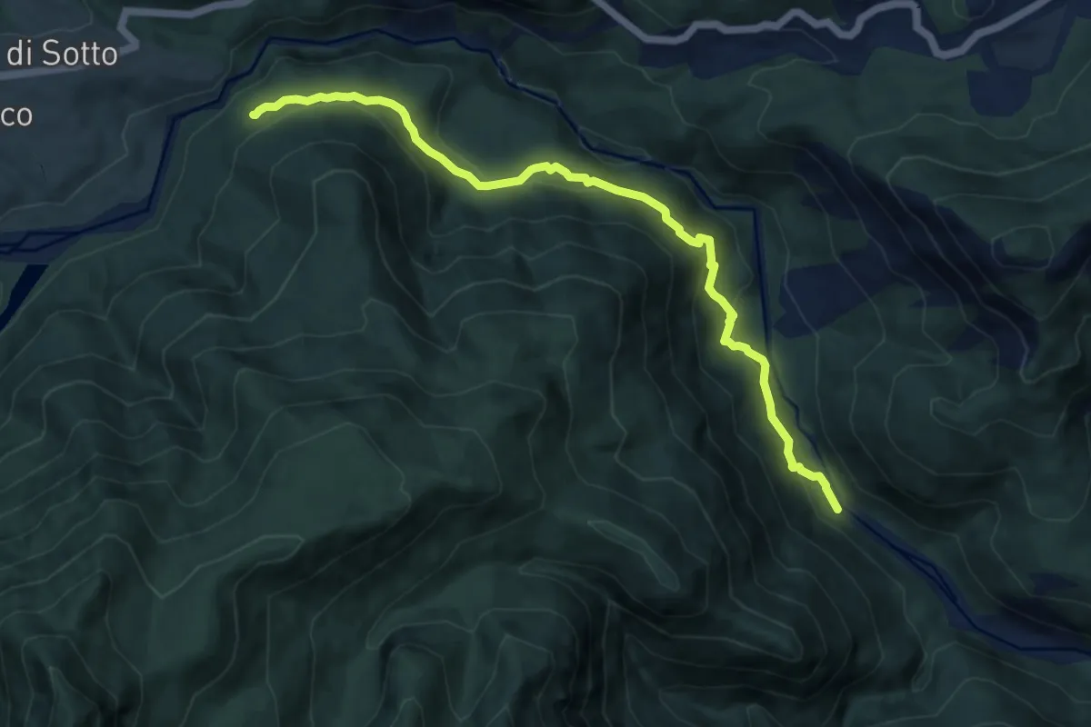
Medium · Trail
Costa Ciazòn bivio sentiero 378 (quota 787 m) – Stavolo Rio dei Zaas raccordo sentiero 383 (quota 583 m)
10.1 km · ↑ 576 m · 3 h 39 min
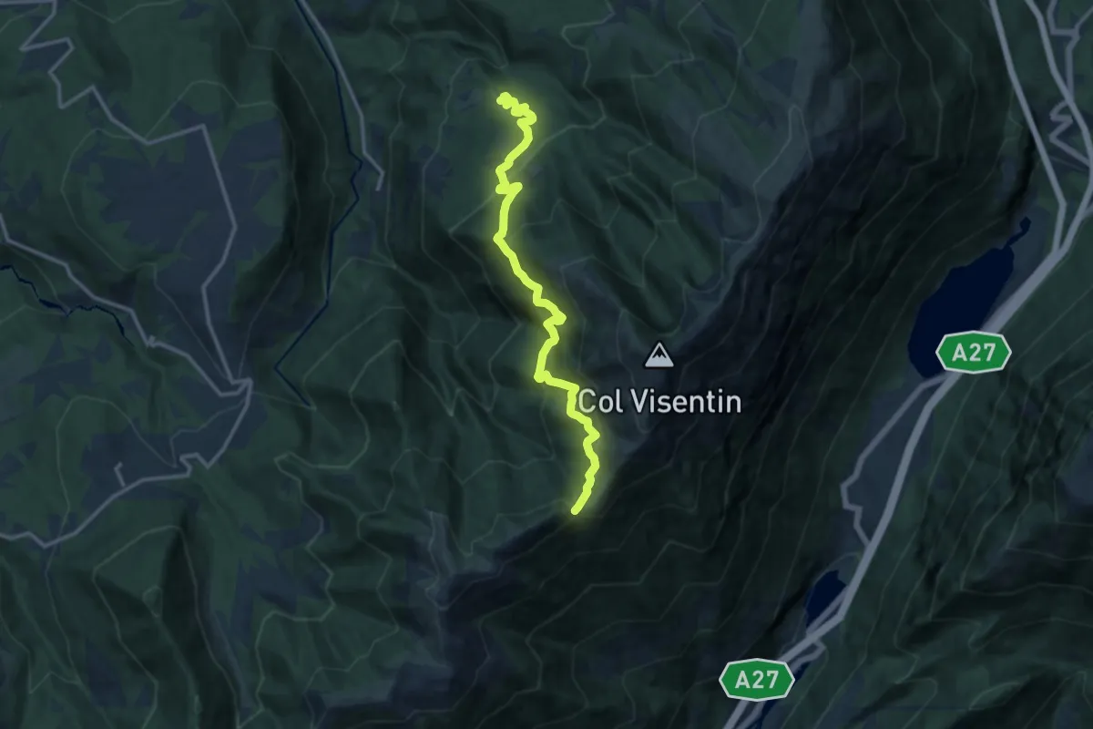
Demanding · Trail
Case Caviola – Forcella Zopei
12.9 km · ↑ 970 m · 5 h 9 min
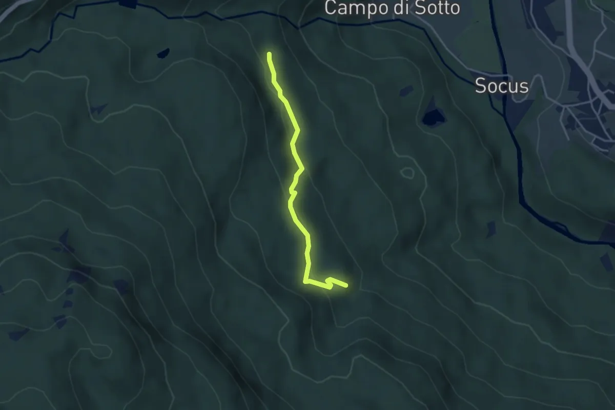
Easy · Trail
Mortisa – Col Purin
3.2 km · ↑ 171 m · 1 h 8 min
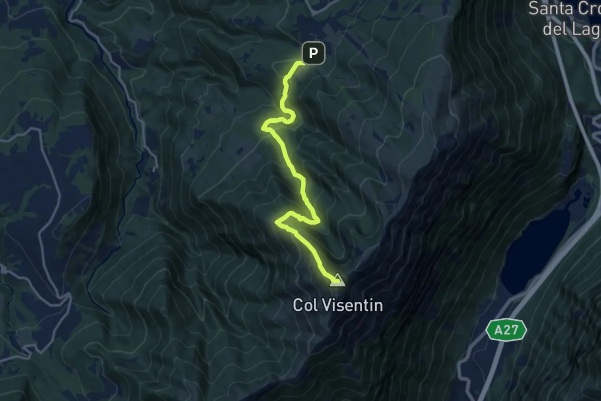
Demanding · Summit
Villaggio Olimpo – Col Visentin
11.8 km · ↑ 931 m · 4 h 48 min
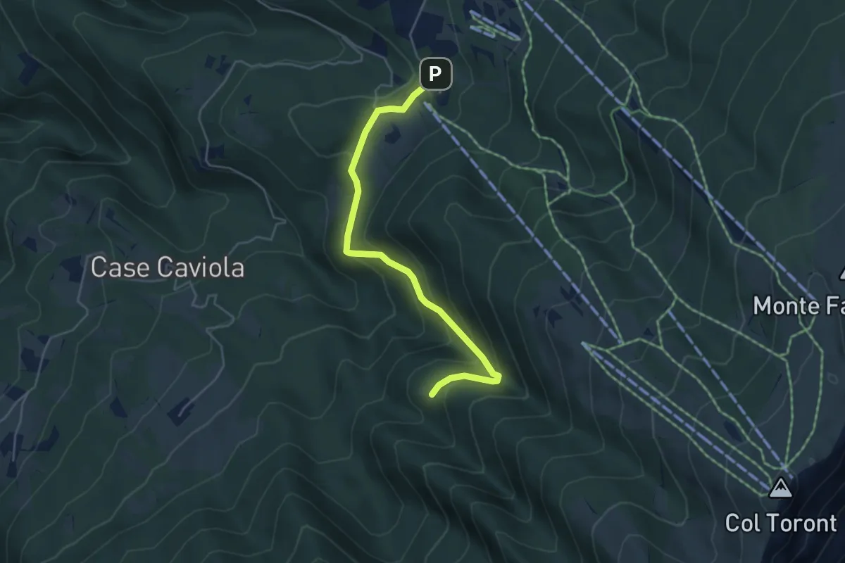
Easy · Trail
Villaggio Olimpo – Costa Degner
4.6 km · ↑ 252 m · 1 h 38 min
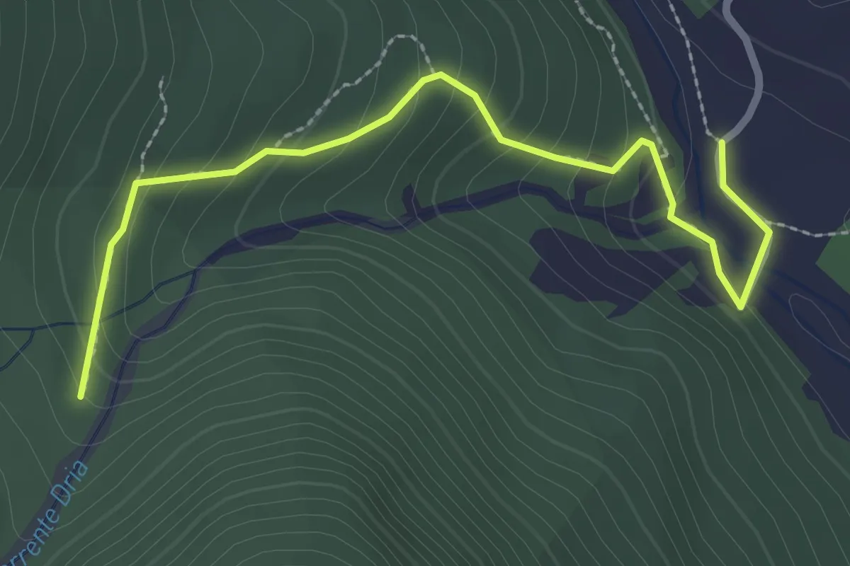
Easy · Trail
Andrazza (quota 836 m) – Bivio sentiero n. 362 (quota 1010 m)
2.8 km · ↑ 178 m · 1 h 3 min
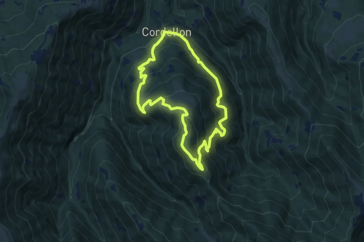
Medium · Summit
Cordellon – Cordellon
8.3 km · ↑ 644 m · 3 h 28 min
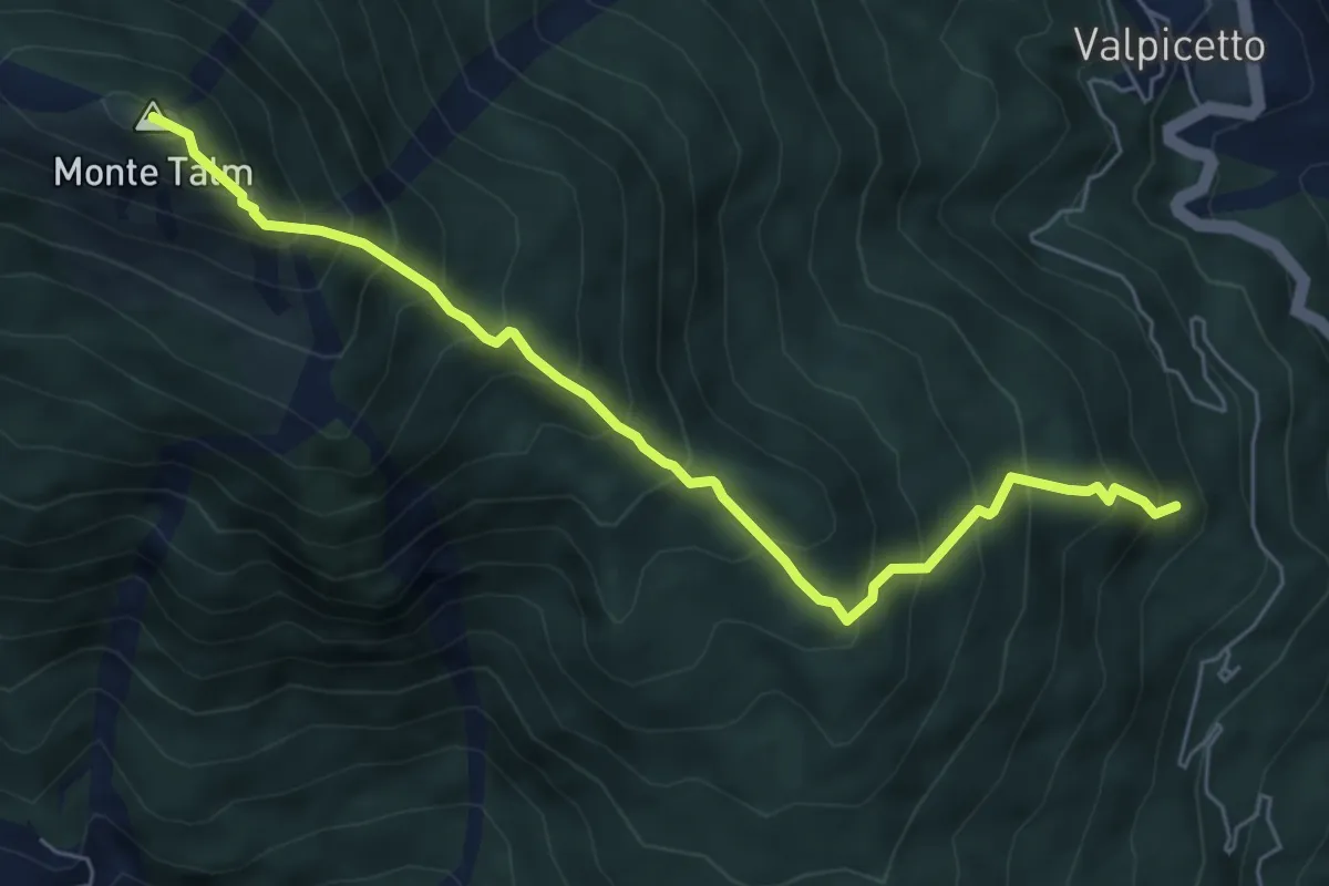
Demanding · Summit
Calgaretto-Valtions (quota 860 m) – Monte Talm (quota 1728 m)
6.3 km · ↑ 823 m · 3 h 16 min
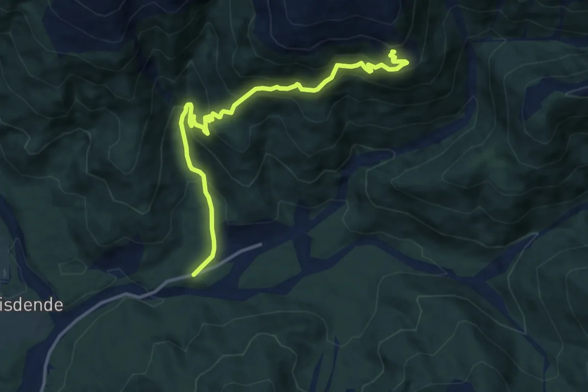
Medium · Trail
Pra del Belf – Malga Chiastellin
10.2 km · ↑ 722 m · 3 h 59 min
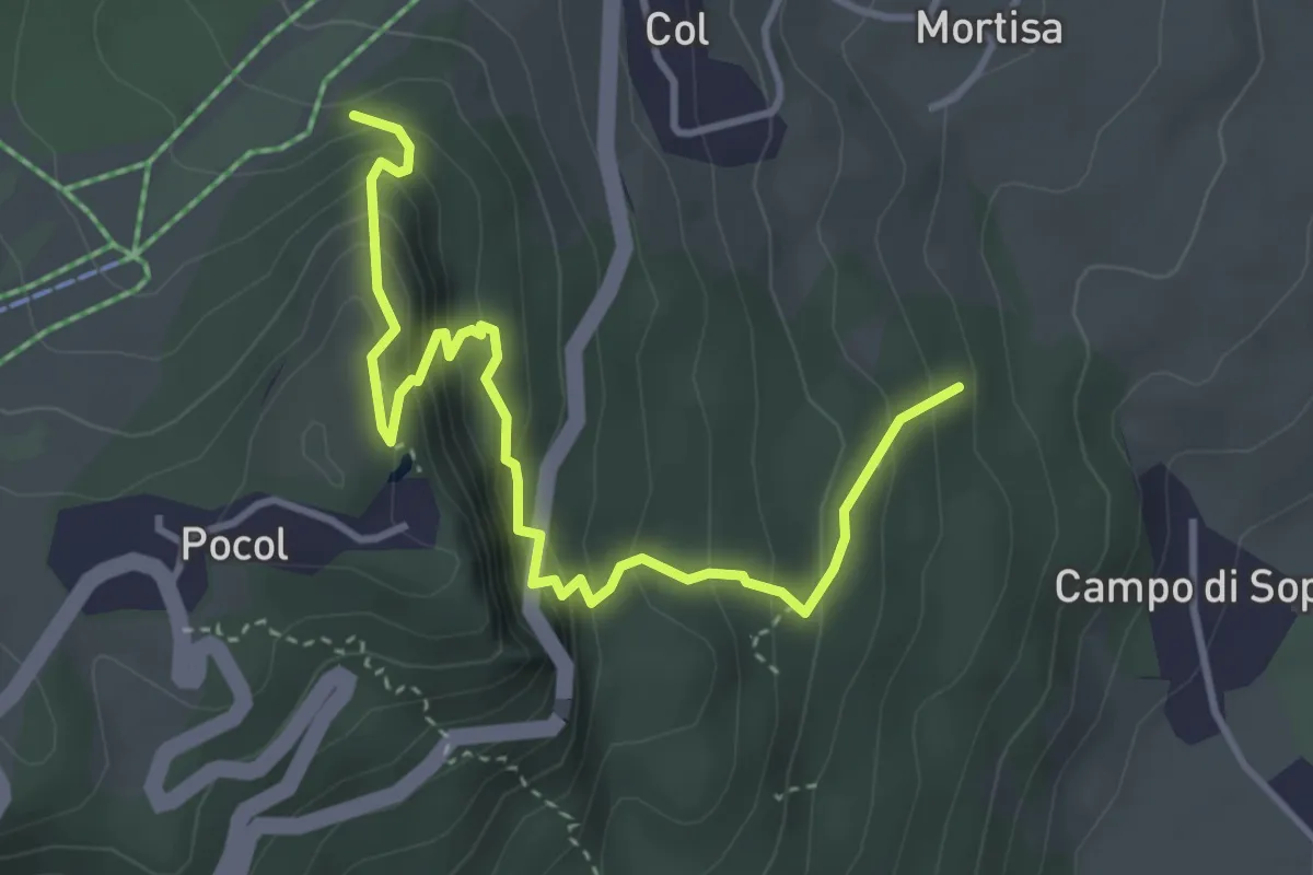
Medium · Trail
Volpera (da sentiero 428) – Crosc de Ester (innesto sentiero 403)
4.2 km · ↑ 432 m · 1 h 55 min
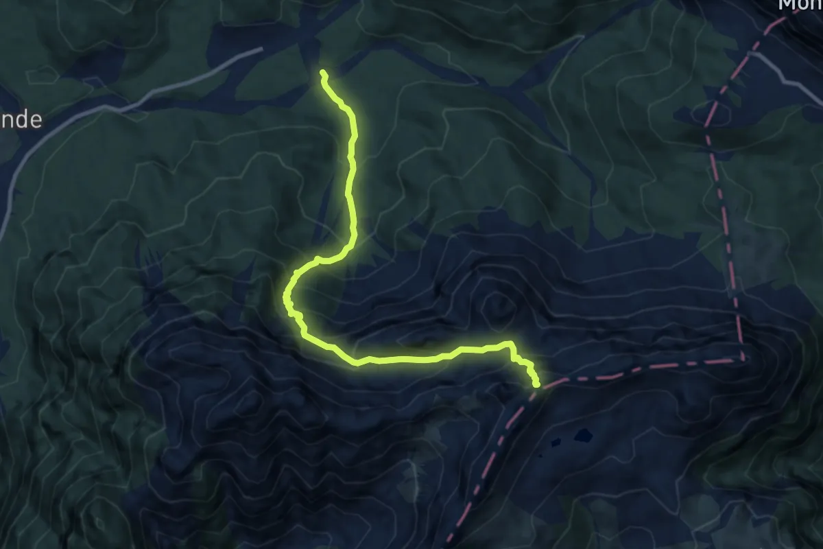
Demanding · Trail
Piè della Costa - da sent. 136 – Passo del Mulo (quota 2356 m)
9.9 km · ↑ 981 m · 4 h 28 min
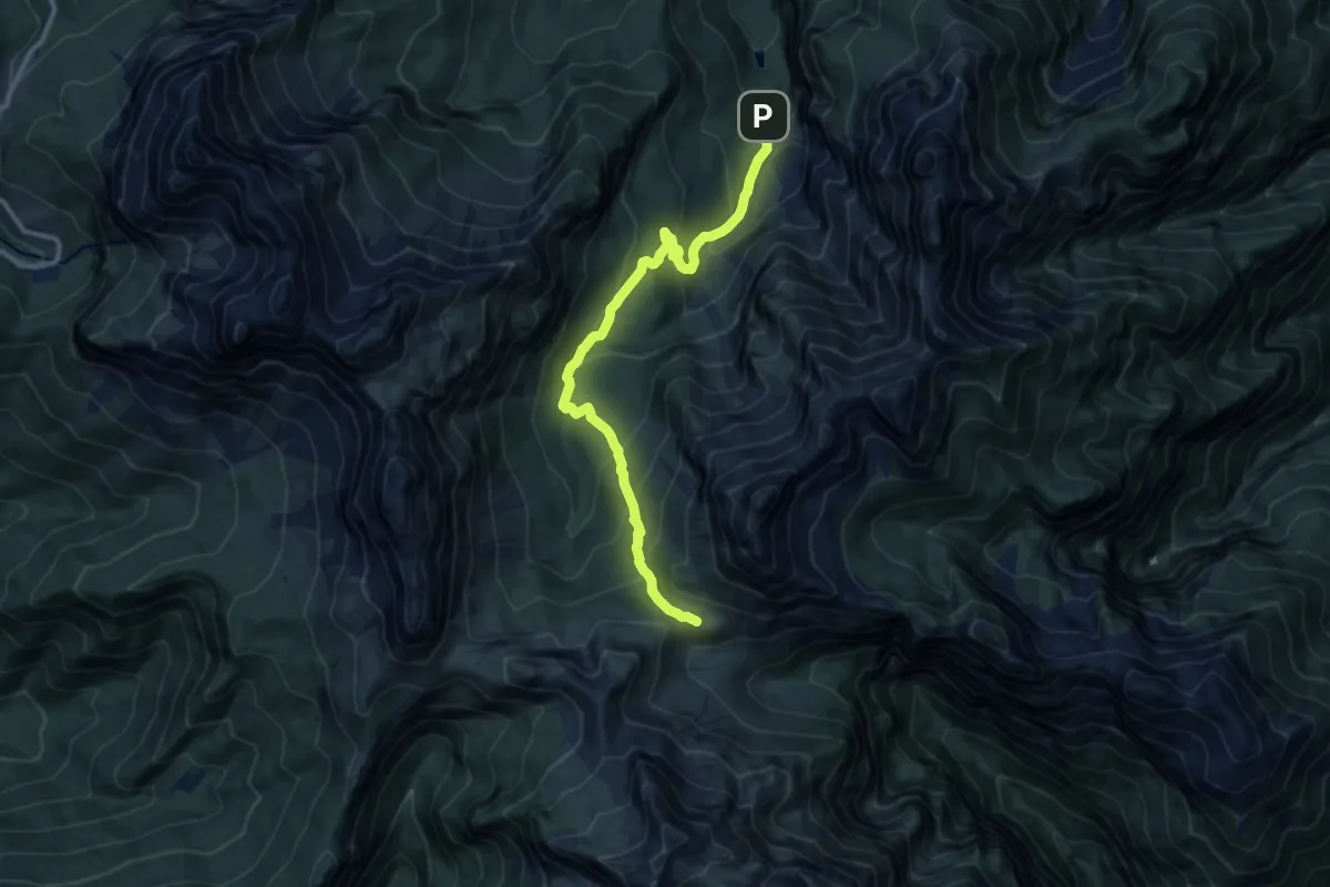
Medium · Trail
Val Pramper-Pian de la Fopa – Rif. Sommariva al Pramperet - inn. sent. 543
11.3 km · ↑ 715 m · 4 h 13 min
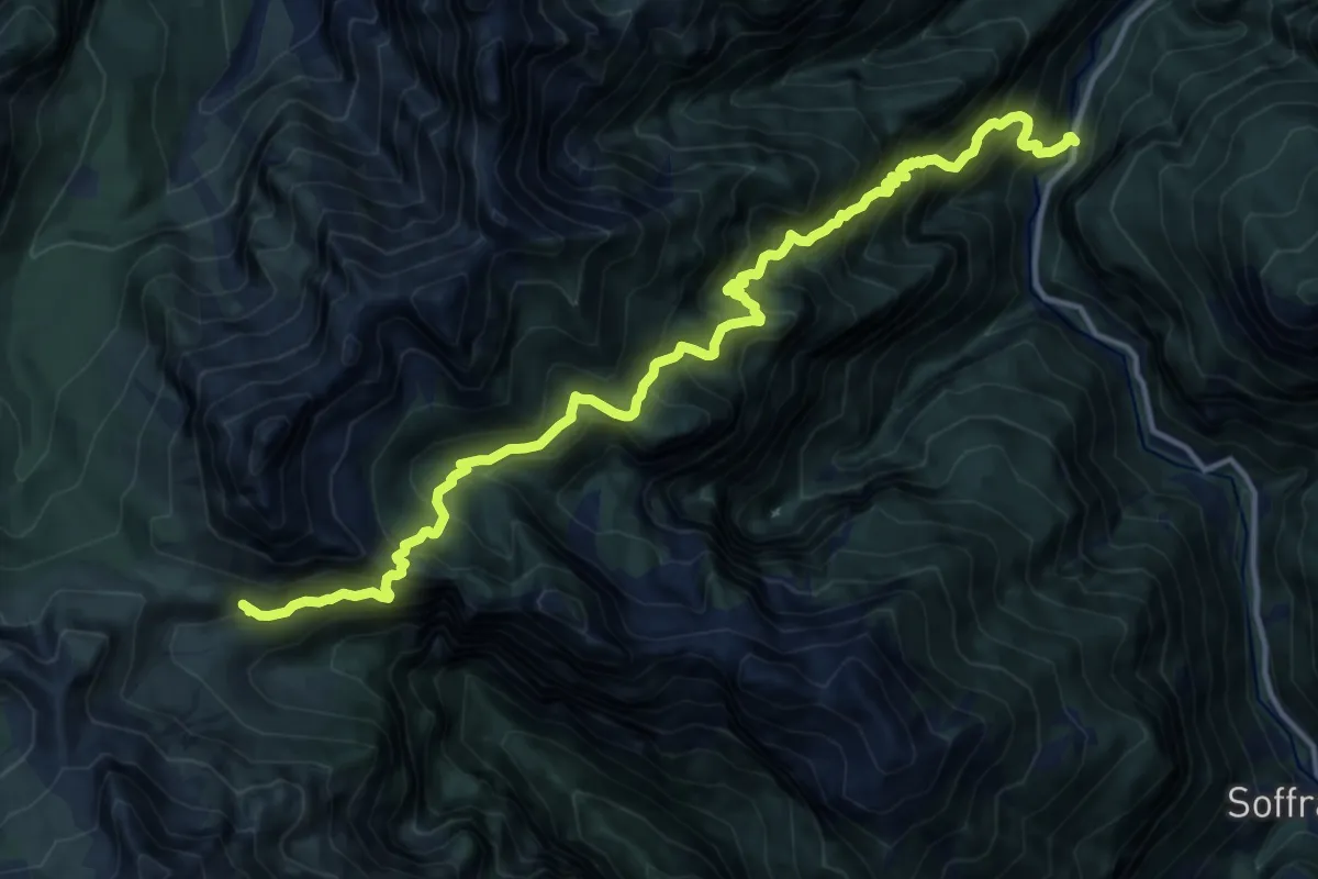
Demanding · Trail
Pont Pian de la Sega - da S.R. 251 – Rifugio Sommariva al Pramperet
15.4 km · ↑ 1996 m · 7 h 58 min
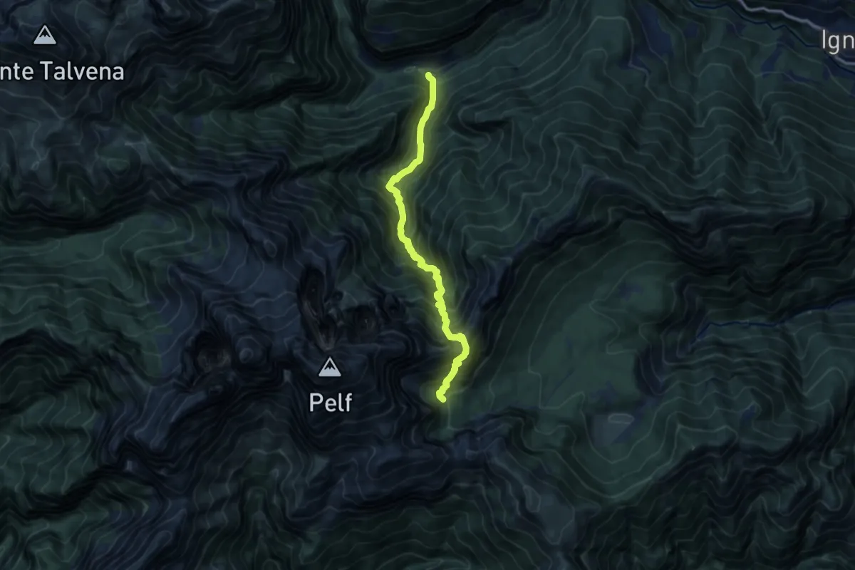
Demanding · Trail
Soffranco - Pont de la Costa Granda – Casera Caneva - inn. sent. 505
10.2 km · ↑ 1367 m · 5 h 22 min
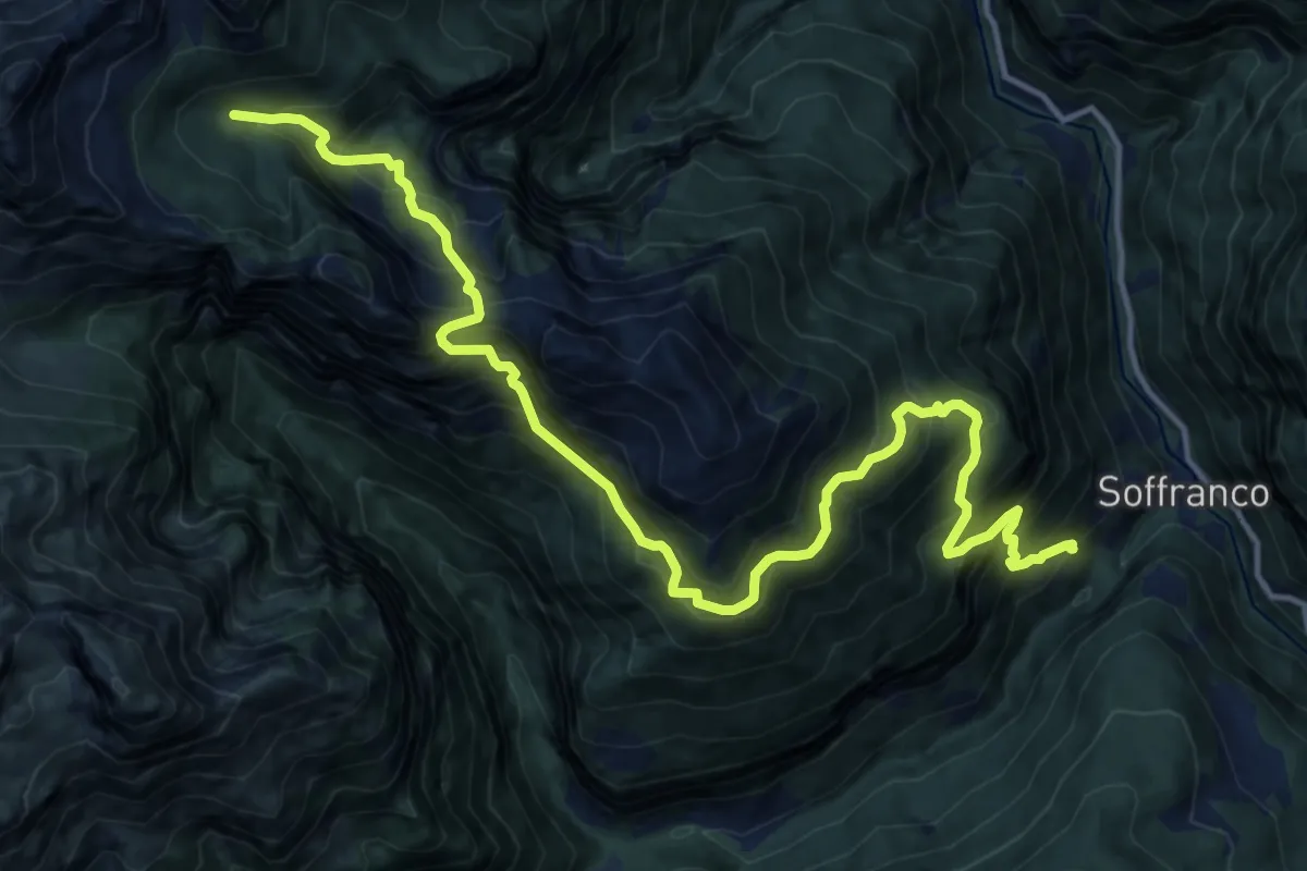
Demanding · Trail
Soffranco – Casera di Cornia - inn. sent. 521
8.4 km · ↑ 1535 m · 4 h 55 min
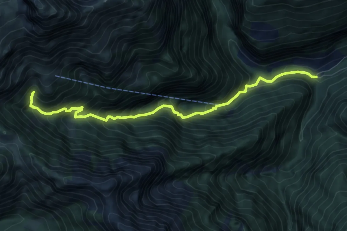
Demanding · Trail
Soffranco - Pont de la Costa Granda – sotto Rifugio Pian de Fontana - innesto percorso 514
8.3 km · ↑ 888 m · 3 h 53 min
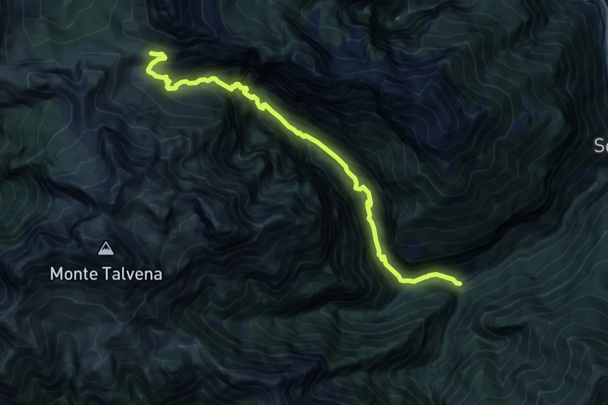
Expert · Cabin
Soffranco - Pont de la Costa Granda – Rifugio Sommariva al Pramperet
13.7 km · ↑ 1283 m · 6 h
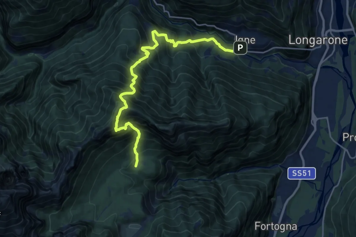
Demanding · Trail
Igne - Passerella sul Maè (quota 580) – Casera Cajada - innesto sentiero 505 (quota 1157)
15.8 km · ↑ 1903 m · 7 h 51 min
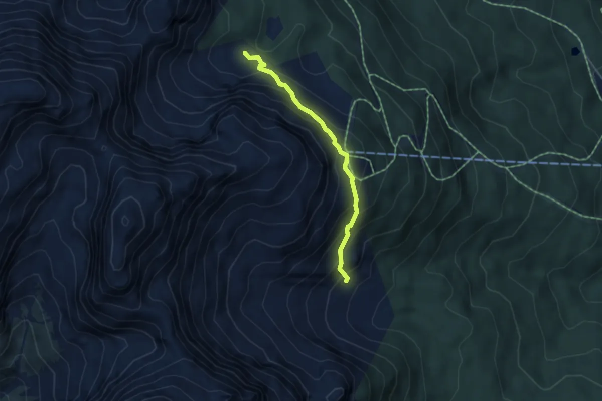
Medium · Trail
Giau Giauzel - da sent. 152 – Buda dal Pintar - inn. sent. 126
3.6 km · ↑ 347 m · 1 h 37 min
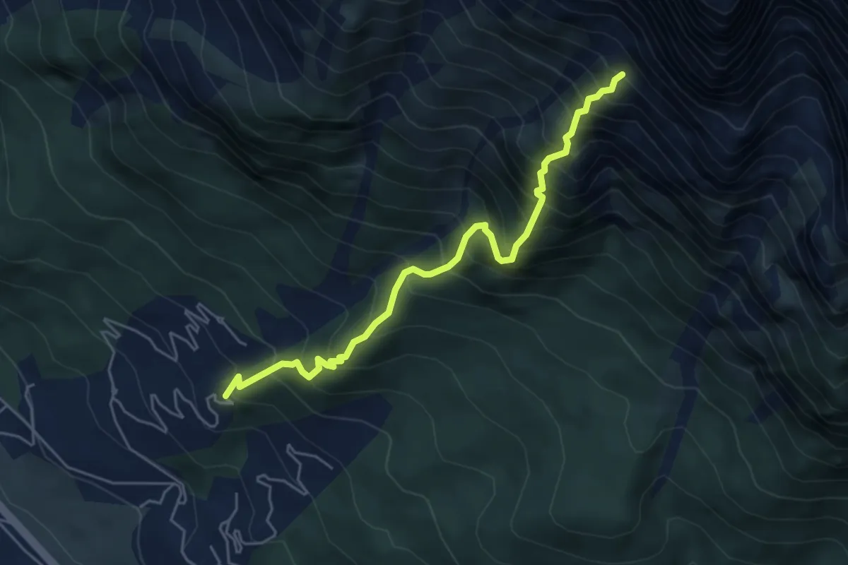
Demanding · Trail
Corte - ex Villaggio ENI- gruppo ville 100 – Busa della Ciaudièra - ex Bivacco Brunetta
5.2 km · ↑ 966 m · 3 h 19 min
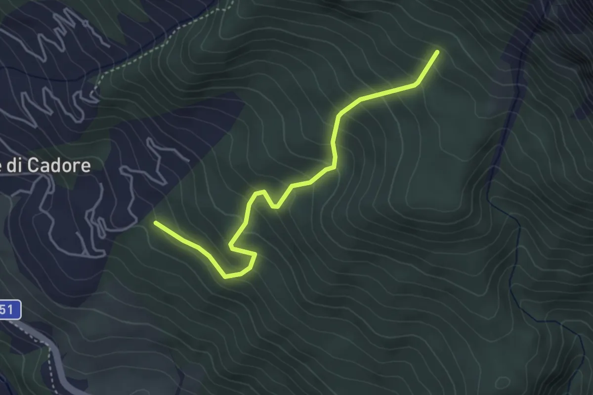
Medium · Trail
Vodo - Costa Sonvigo – Innesto sent. n.230
4.0 km · ↑ 370 m · 1 h 44 min
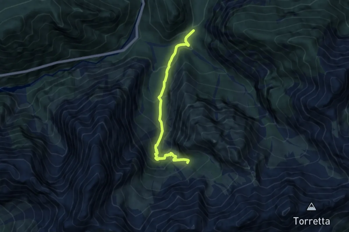
Medium · Trail
Bus de Val - Rio Grande – Sotto Federa Mauria - inn. sent. 330
7.6 km · ↑ 719 m · 3 h 21 min
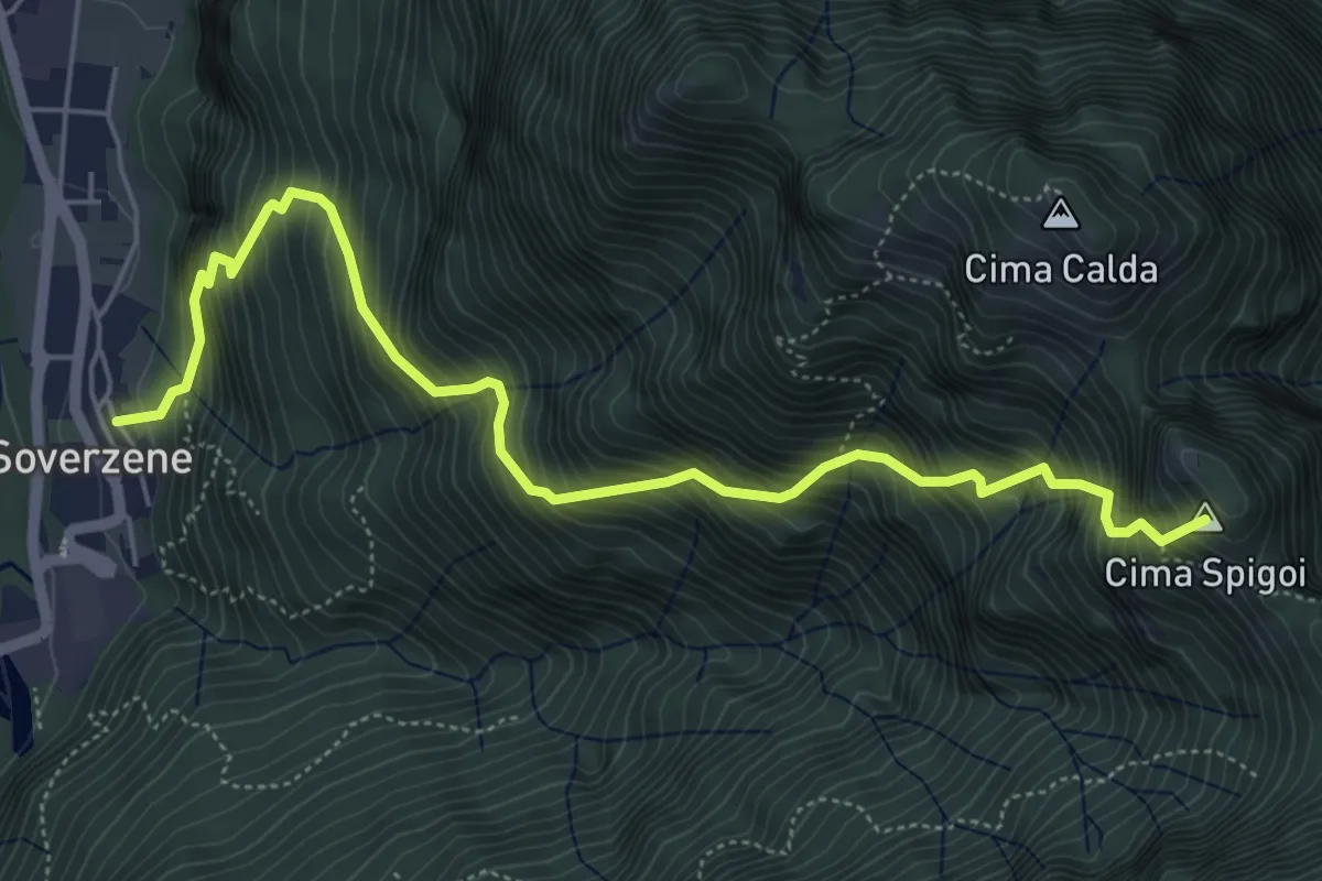
Demanding · Summit
Soverzene – Passo Valpora
6.2 km · ↑ 1169 m · 4 h