Trails in Italy
25,219 hiking trails, each with its route, climb, walking time and grade.
All trails, page 506 of 526
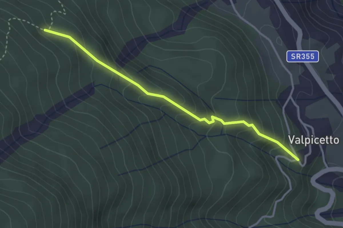
Easy · Trail
Valpicetto (quota 756 m) – Località Pradaer bivio sentiero n. 226 (quota 1055 m)
3.1 km · ↑ 299 m · 1 h 22 min
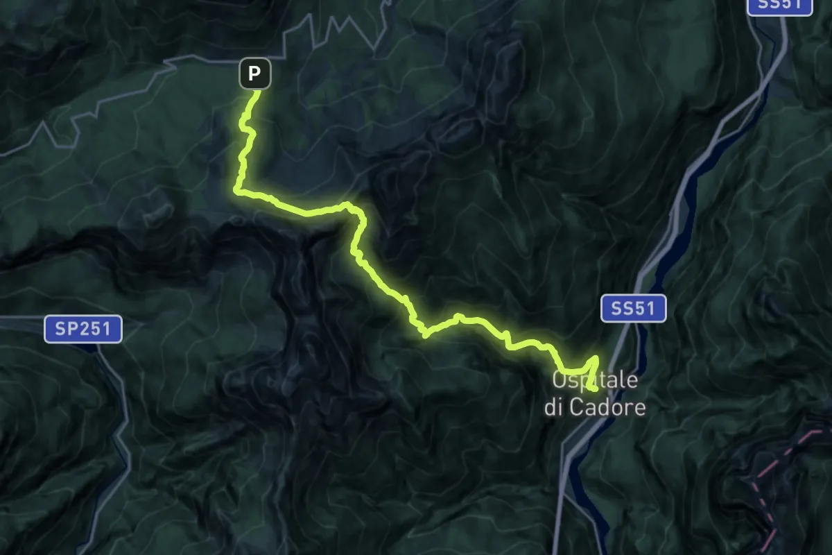
Medium · Trail
Ospitale Alto – Passo Cibiana-Tabià Deona
10.6 km · ↑ 676 m · 4 h 37 min
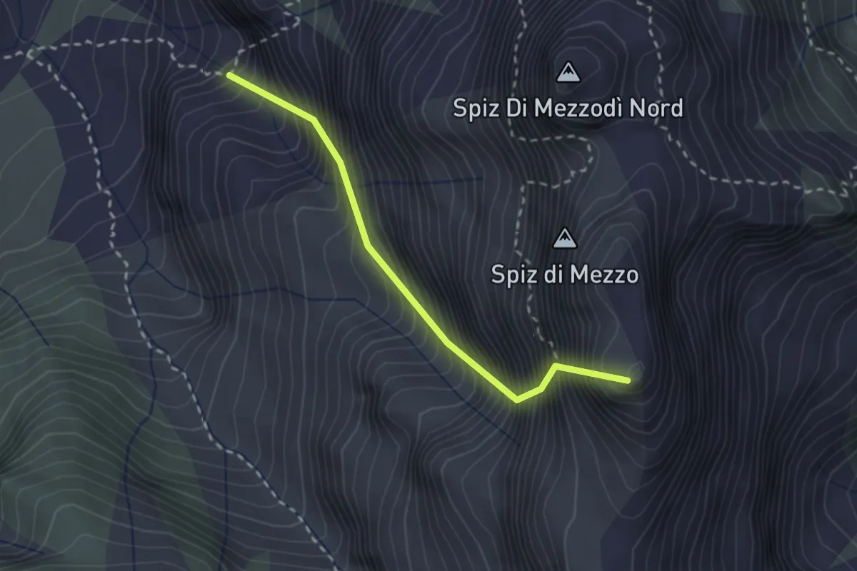
Demanding · Summit
Val Pramper-Pian de la Fopa - da sent. 534 – Bivacco Carnielli-De Marchi
2.3 km · ↑ 848 m · 2 h 23 min
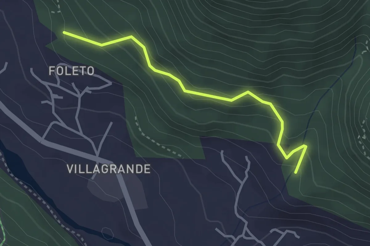
Easy · Trail
Foleto – Bersaglio
2.9 km · ↑ 253 m · 1 h 14 min
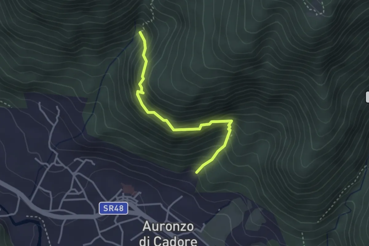
Medium · Trail
Auronzo – I Tofi
2.9 km · ↑ 298 m · 1 h 21 min
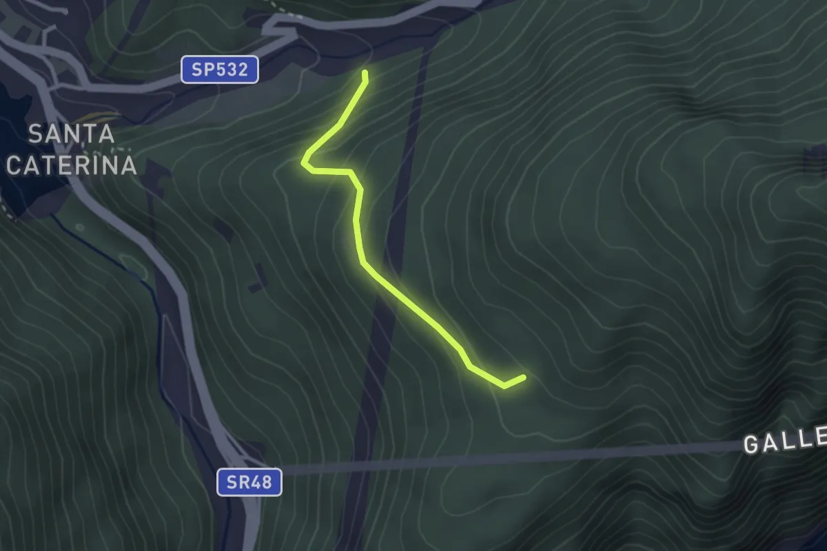
Easy · Trail
Pian de Namos – Torrente Diebba
2.3 km · ↑ 193 m · 58 min
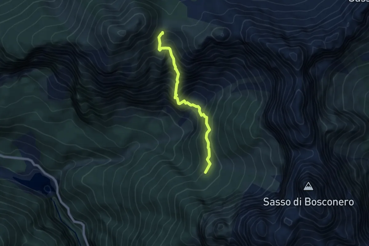
Demanding · Cabin
Forcella de la Calada - da sentiero 485 – Rifugio Casera Bosconero
4.6 km · ↑ 717 m · 2 h 39 min
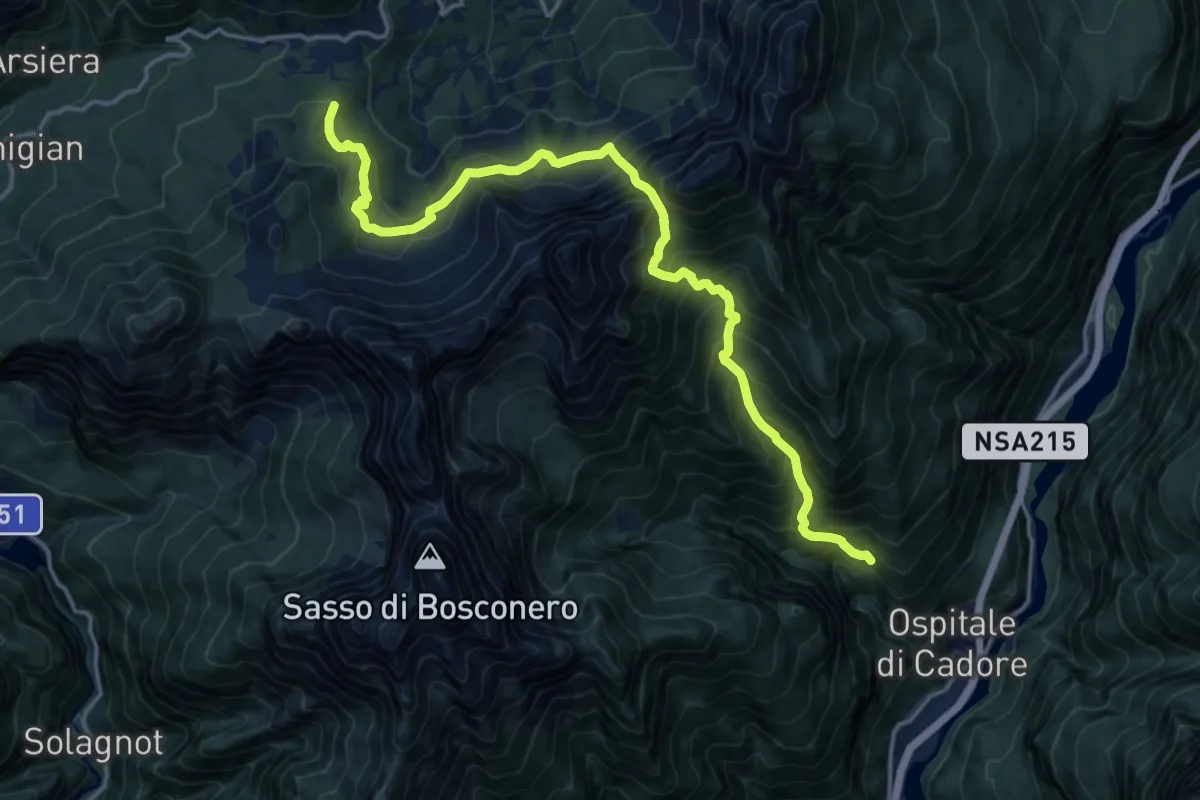
Medium · Trail
Ospitale di Cadore Località Festin – Forcellla Cibiana - Fienili Ronco
8.5 km · ↑ 606 m · 3 h 49 min
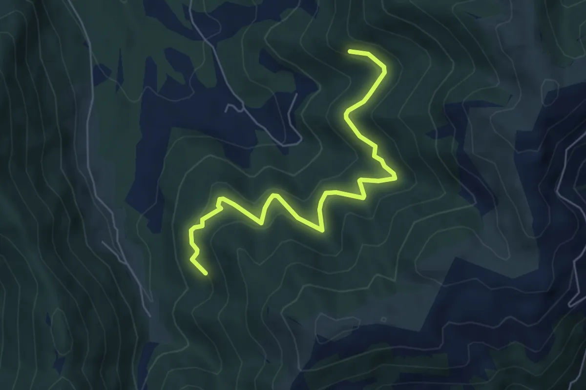
Medium · Trail
da sentiero 2202 quota 1108 – innesto sentiero 2204
6.1 km · ↑ 415 m · 2 h 20 min
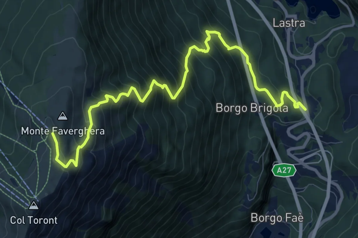
Demanding · Cabin
Santa Croce - Lastra – Monte Faverghera (Casera)
11.6 km · ↑ 1136 m · 5 h 12 min
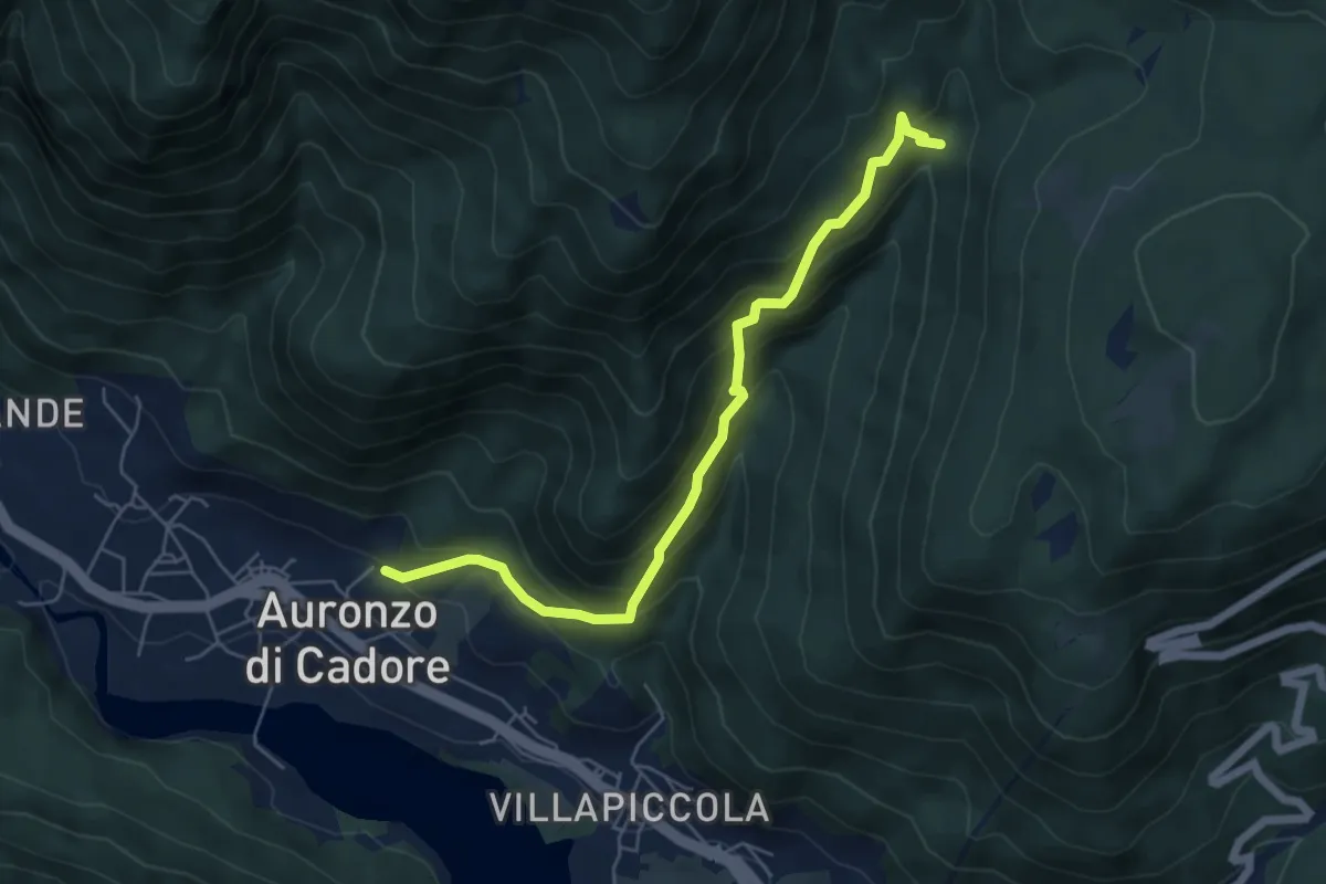
Medium · Trail
Tarin – Larietto
5.8 km · ↑ 478 m · 2 h 24 min
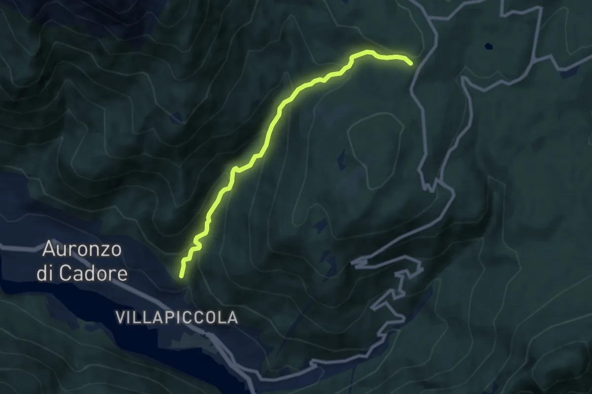
Medium · Trail
Alla Grotta – Rivalongia
6.8 km · ↑ 563 m · 2 h 50 min
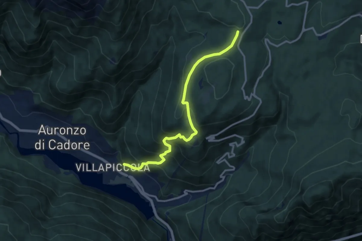
Medium · Trail
Villapiccola – Tabià de Ronce
8.4 km · ↑ 627 m · 3 h 21 min
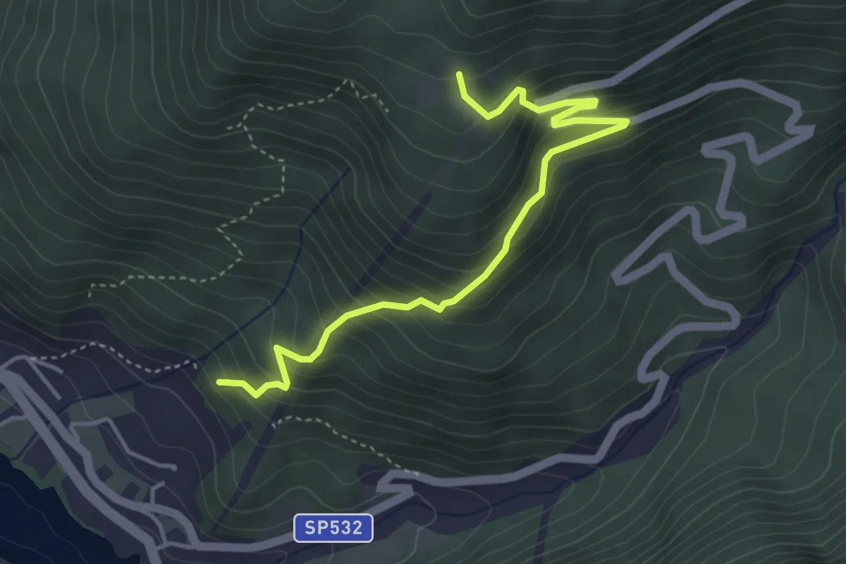
Medium · Trail
Giausiel – Tabià de Ronce
4.3 km · ↑ 434 m · 1 h 58 min
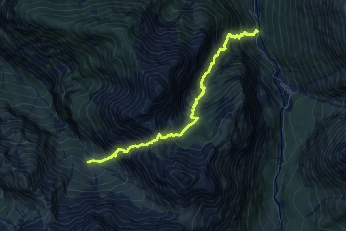
Demanding · Trail
Val Frison – Forcella Cornon
8.6 km · ↑ 1542 m · 5 h 22 min
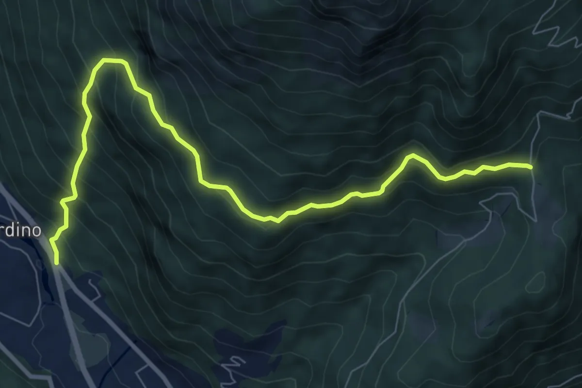
Medium · Trail
Taibon - San Cipriano – Case Campon - inn. sent. 548
8.5 km · ↑ 795 m · 3 h 43 min
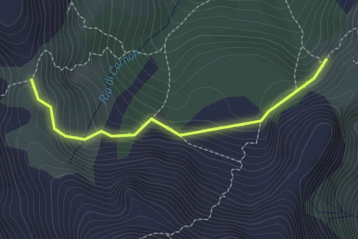
Medium · Cabin
biv. sent. 334 – Forcella Cornon
2.0 km · ↑ 154 m · 48 min
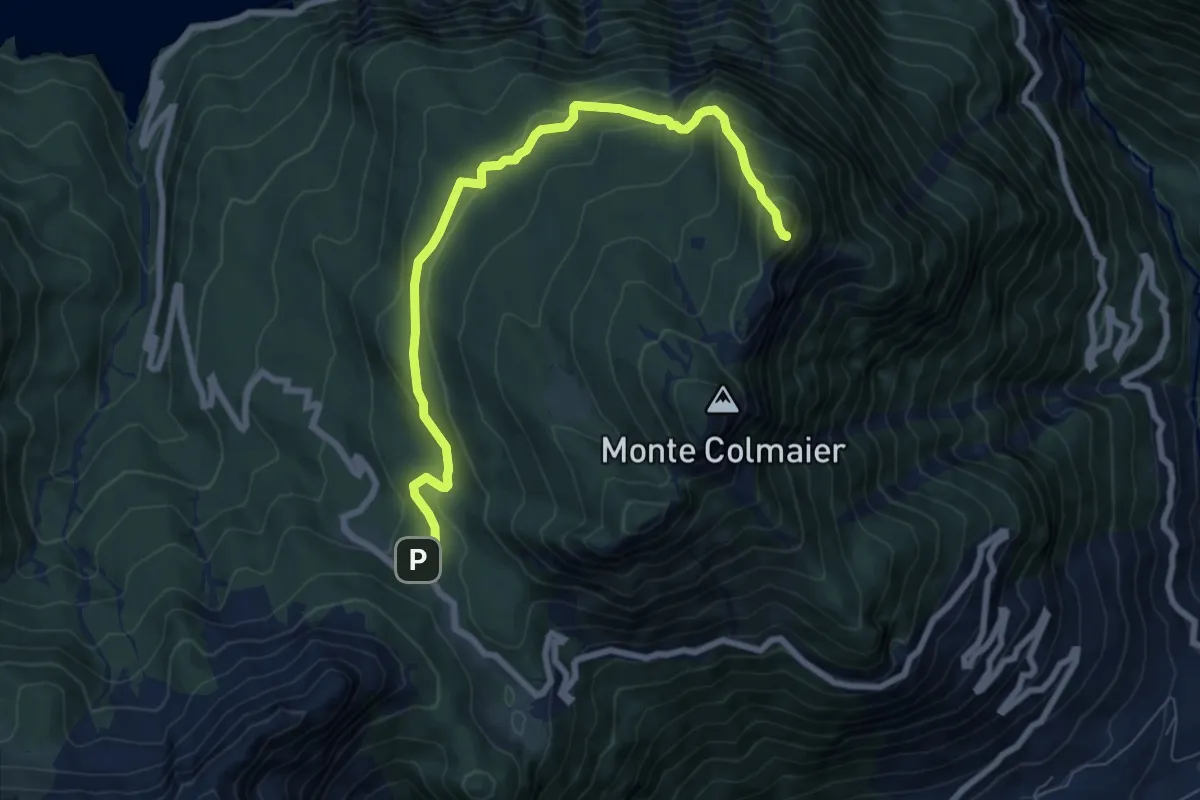
Medium · Summit
Rifugio Tita Piaz (quota 1417 m) – Forchia Piccola sentiero 238 (quota 1761 m)
8.0 km · ↑ 496 m · 2 h 58 min
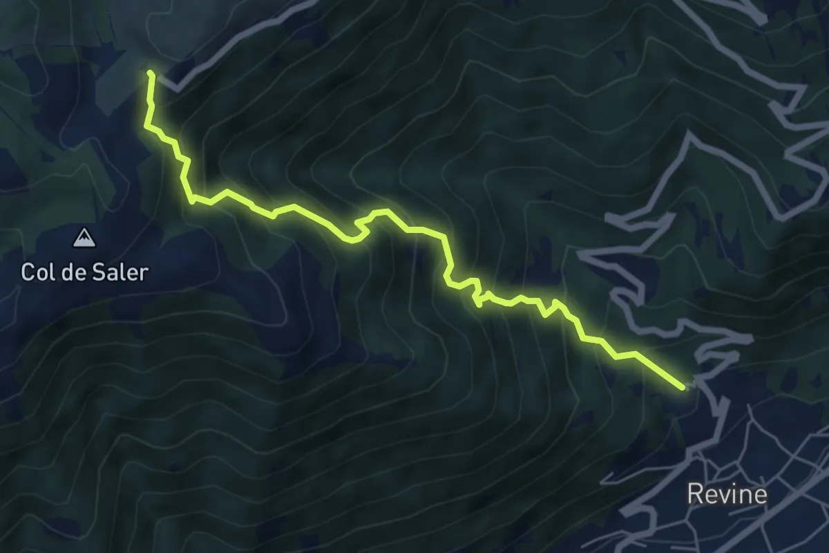
Medium · Trail
Revine Lago – Pian de le Femene
6.0 km · ↑ 788 m · 3 h 7 min
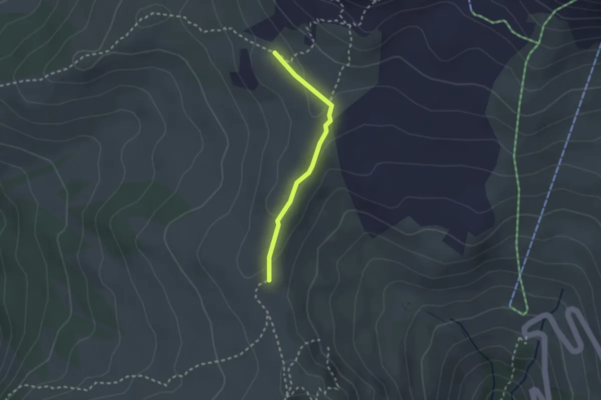
Medium · Trail
sent. 463 in loc. Jof de Melèi – inn. set. 441 in loc. Sosàs
2.0 km · ↑ 69 m · 38 min
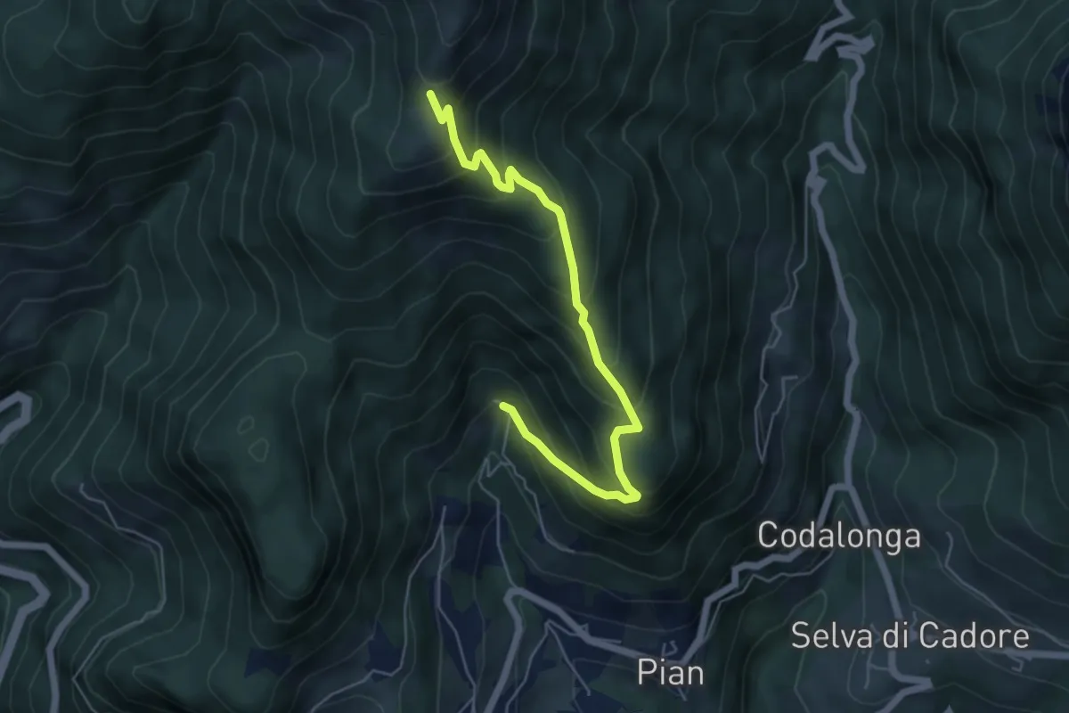
Medium · Trail
Colle Santa Lucia loc. Ru – inn. sent. 463 in loc. Ciadign
5.6 km · ↑ 524 m · 2 h 27 min
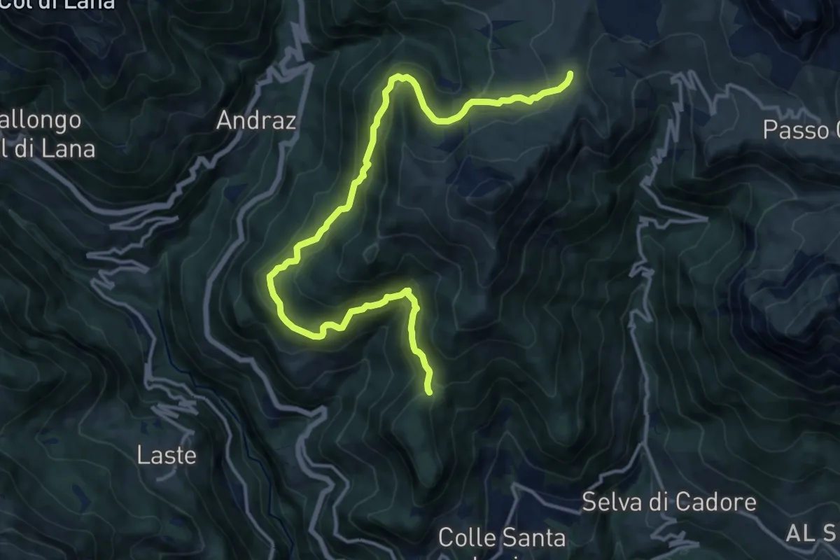
Demanding · Trail
sent 463 loc. Forzela – inn. sent. 463 in loc Jof de Melèi
15.0 km · ↑ 876 m · 5 h 27 min
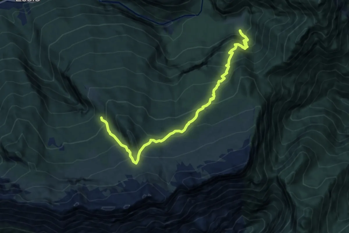
Demanding · Trail
Casera Casavento (quota 947 m) – Bivio sent. 960 (quota 1450 m)
10.9 km · ↑ 1096 m · 4 h 57 min
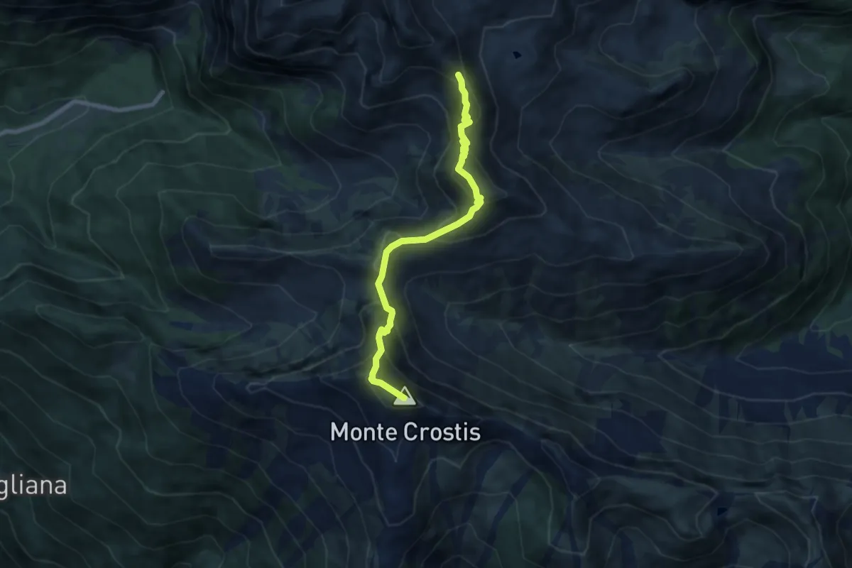
Demanding · Summit
Rifugio Marinelli (quota 2111 m) – Monte Crostis (quota 2250 m)
7.1 km · ↑ 682 m · 3 h 9 min
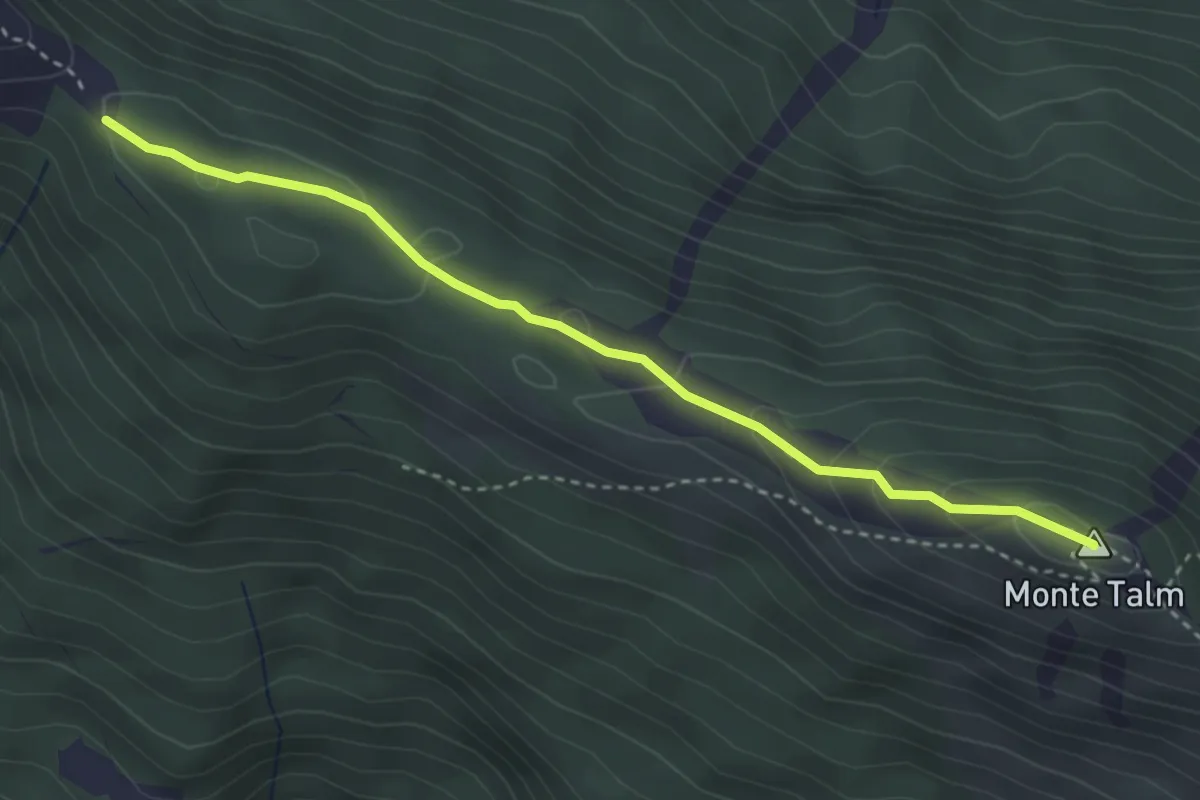
Easy · Summit
Sella di Talm (quota 1598 m) – Monte Talm (bivio sentiero n. 226) (quota 1728 m)
3.4 km · ↑ 160 m · 1 h 10 min
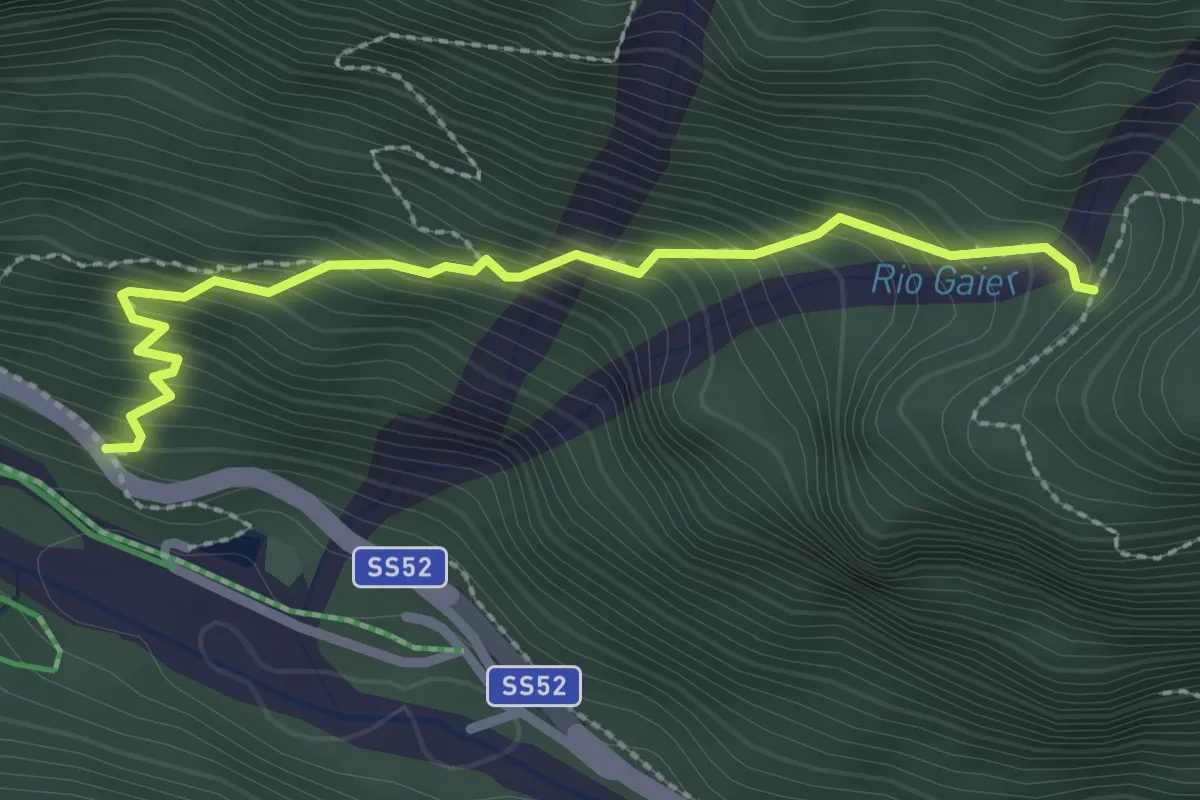
Medium · Trail
Laghetti di Timau (quota 903 m) – Bivio sentiero n. 402 (quota 1545 m)
2.5 km · ↑ 333 m · 1 h 19 min
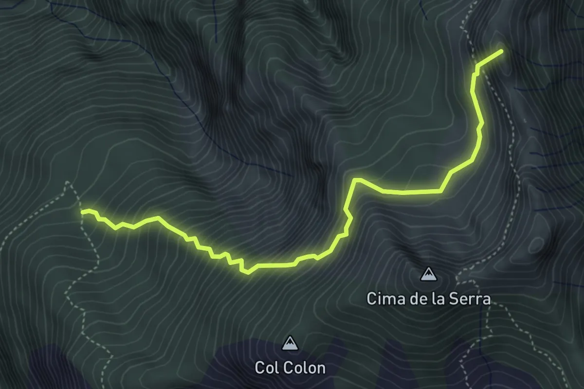
Medium · Summit
Pian Grant - da sentiero 487 – Van de la Serra - innesto sentiero 482
5.0 km · ↑ 757 m · 2 h 50 min
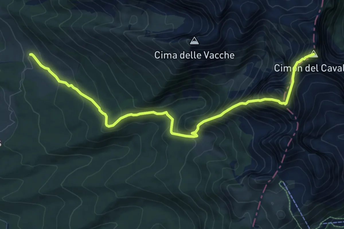
Expert · Summit
Rifugio Carlo e Massimo Semenza - Bivacco Lastè – Tambre d'Alpago
10.7 km · ↑ 1148 m · 5 h
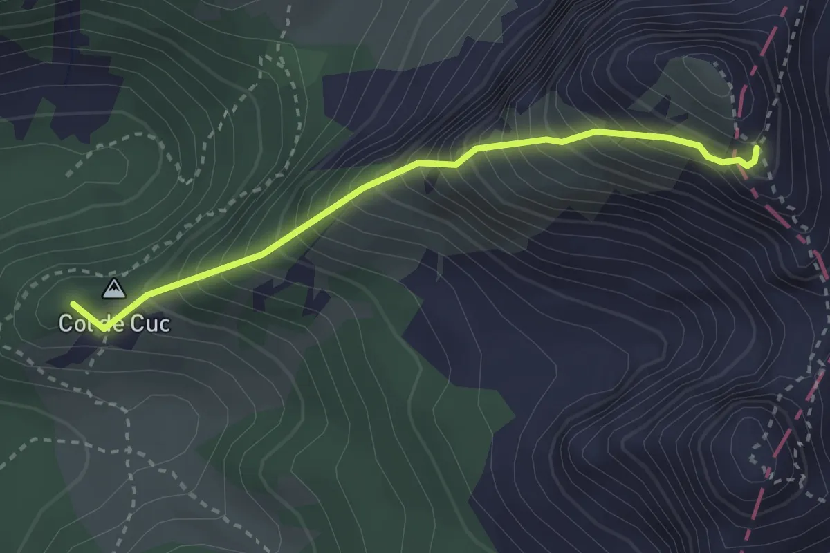
Demanding · Summit
Casera Palantina – Cimon del Cavallo - confine Regione
2.8 km · ↑ 515 m · 1 h 46 min
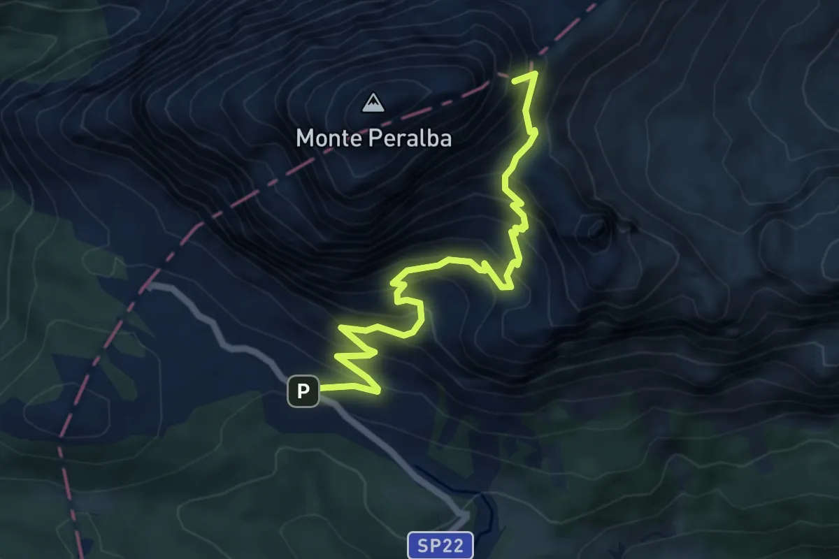
Medium · Summit
Parcheggio prima del rifugio Sorgenti del Piave (quota 1816 m) – Passo dell’Oregone confine di Stato (quota 2280 m)
6.1 km · ↑ 678 m · 2 h 54 min
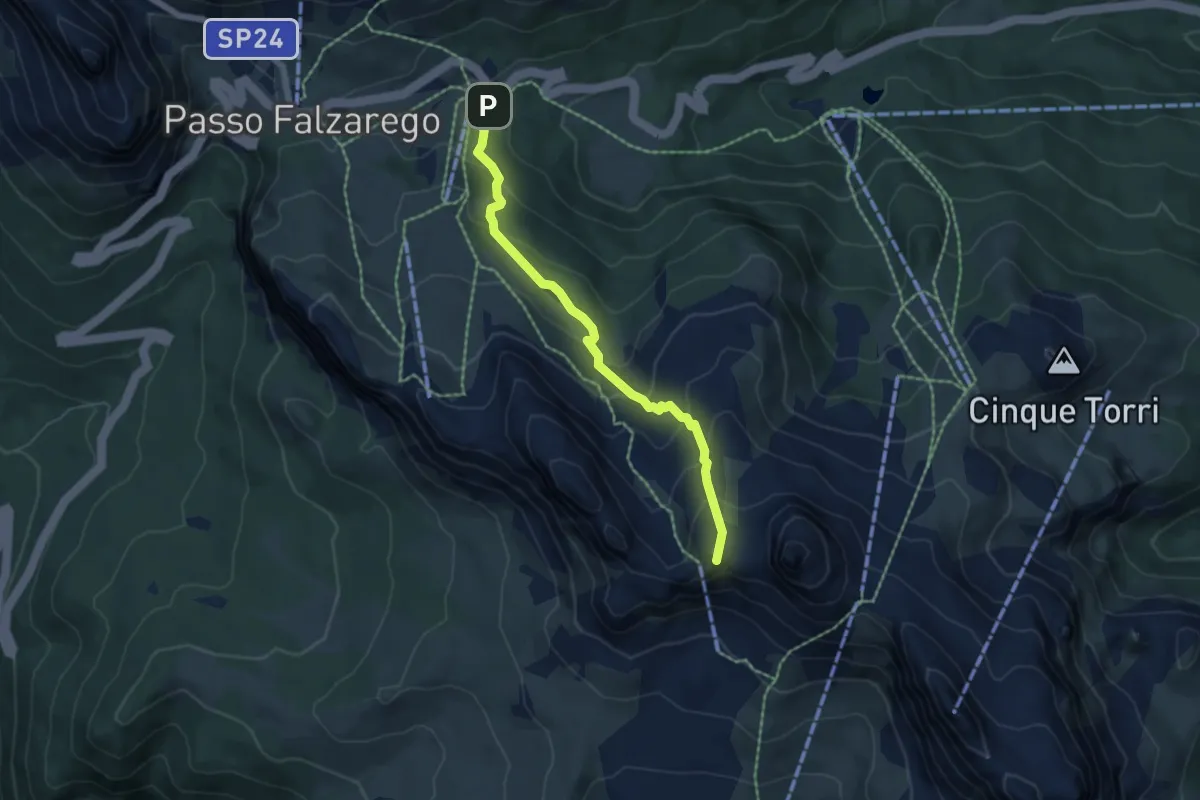
Medium · Summit
Col Gallina – Forcella Averau
5.3 km · ↑ 386 m · 2 h 5 min
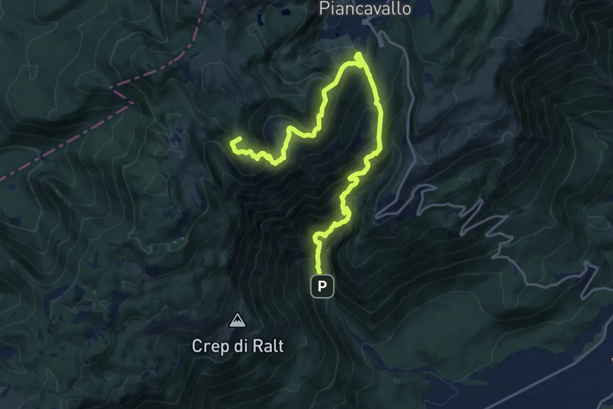
Demanding · Summit
Dardago Chalet Belvedere (quota 440 m) – Casera Valle Friz (quota 1538 m)
18.3 km · ↑ 1580 m · 7 h 45 min
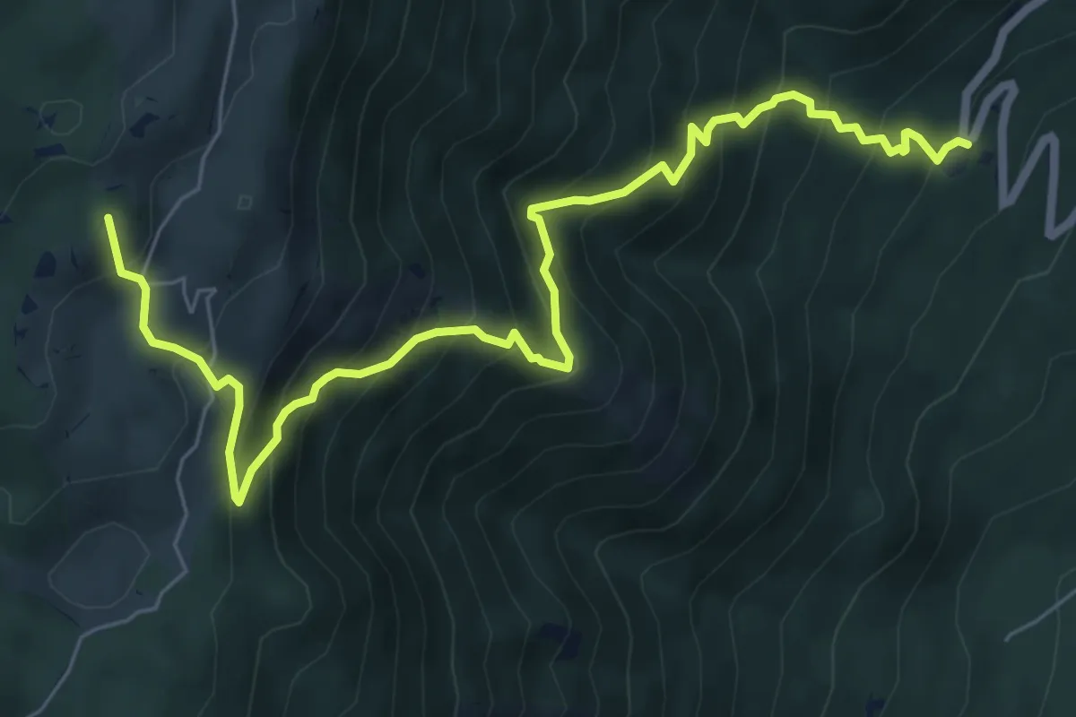
Demanding · Summit
Ristorante da Stae – Bivio sentiero n. 991
8.0 km · ↑ 872 m · 3 h 47 min
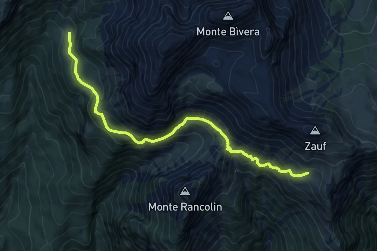
Medium · Cabin
Casera Montemaggiore (Mamajou) (quota 1729 m) – Fantignelles Bivio sentiero 214 (quota 1878 m)
9.4 km · ↑ 778 m · 3 h 54 min
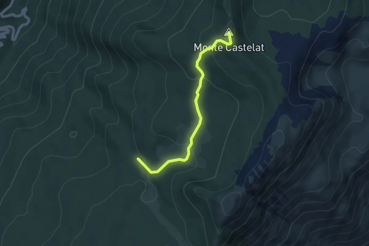
Medium · Summit
Forcella Giais (quota 1460 m) – Forcella Giais (quota 1460 m)
4.1 km · ↑ 209 m · 1 h 25 min
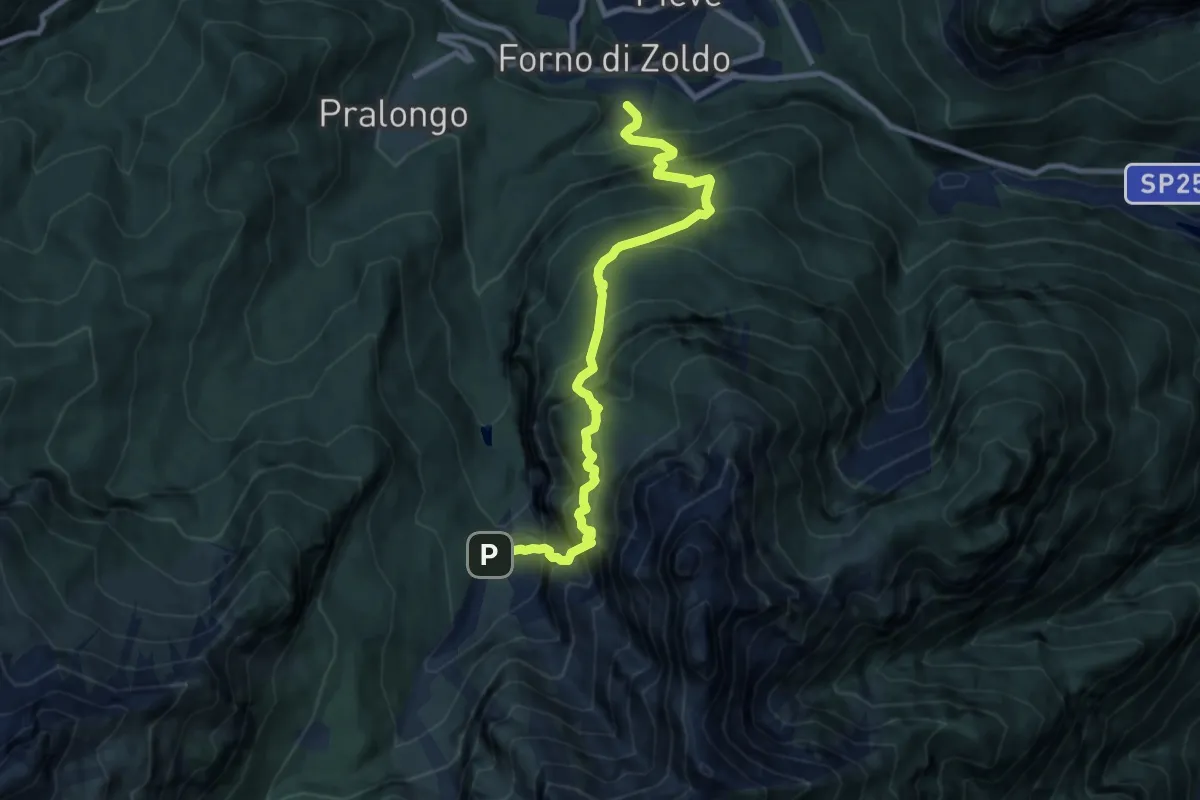
Demanding · Trail
Baron-Fain – Pian de la Fopa - inn. sent. 523
9.7 km · ↑ 1222 m · 4 h 57 min
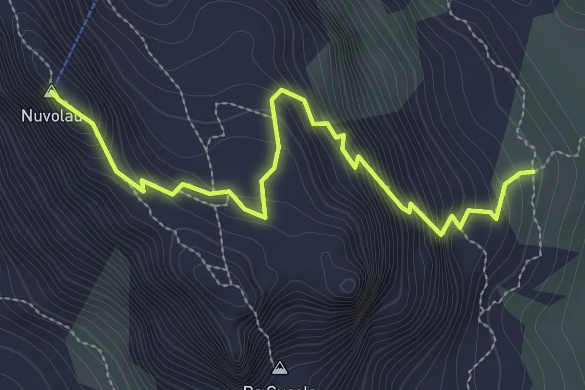
Demanding · Summit
Rifugio Nuvolau – sentiero 443
3.1 km · ↑ 323 m · 1 h 26 min
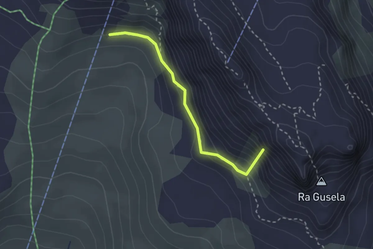
Medium · Summit
Passo Giau – inn. sent. 464 sotto Forcella Nuvolau
2.2 km · ↑ 192 m · 56 min
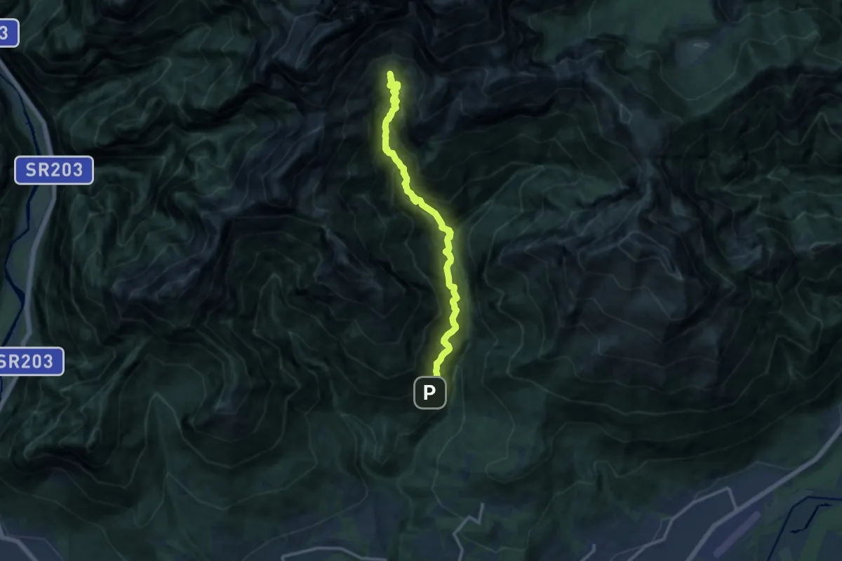
Demanding · Cabin
Bolzano B. - Case Bortot – Rifugio VII° Alpini - Pis Pilon
11.7 km · ↑ 1669 m · 6 h 22 min
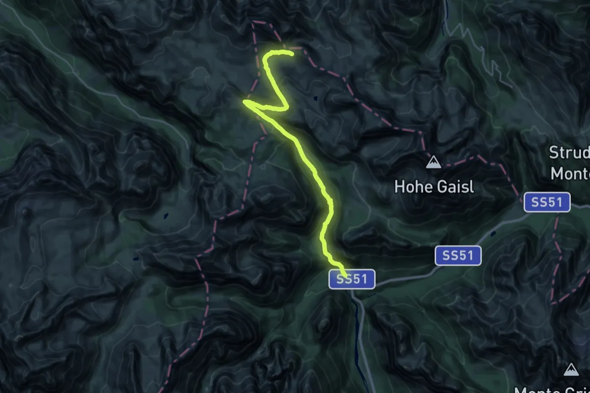
Demanding · Cabin
Sant Uberto – Rifugio Biella
22.6 km · ↑ 964 m · 7 h 26 min
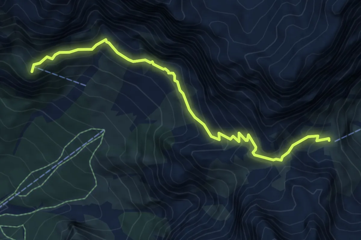
Medium · Summit
Rifugio San Marco – Rifugio Galassi
7.5 km · ↑ 775 m · 3 h 27 min
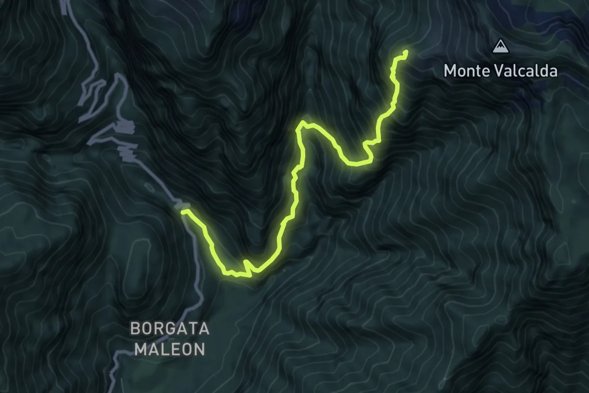
Demanding · Cabin
Maleòn, ponte sul Viellia (quota 492 m) – Ricovero Casera Sopareit (quota 1529 m)
8.8 km · ↑ 1251 m · 4 h 47 min
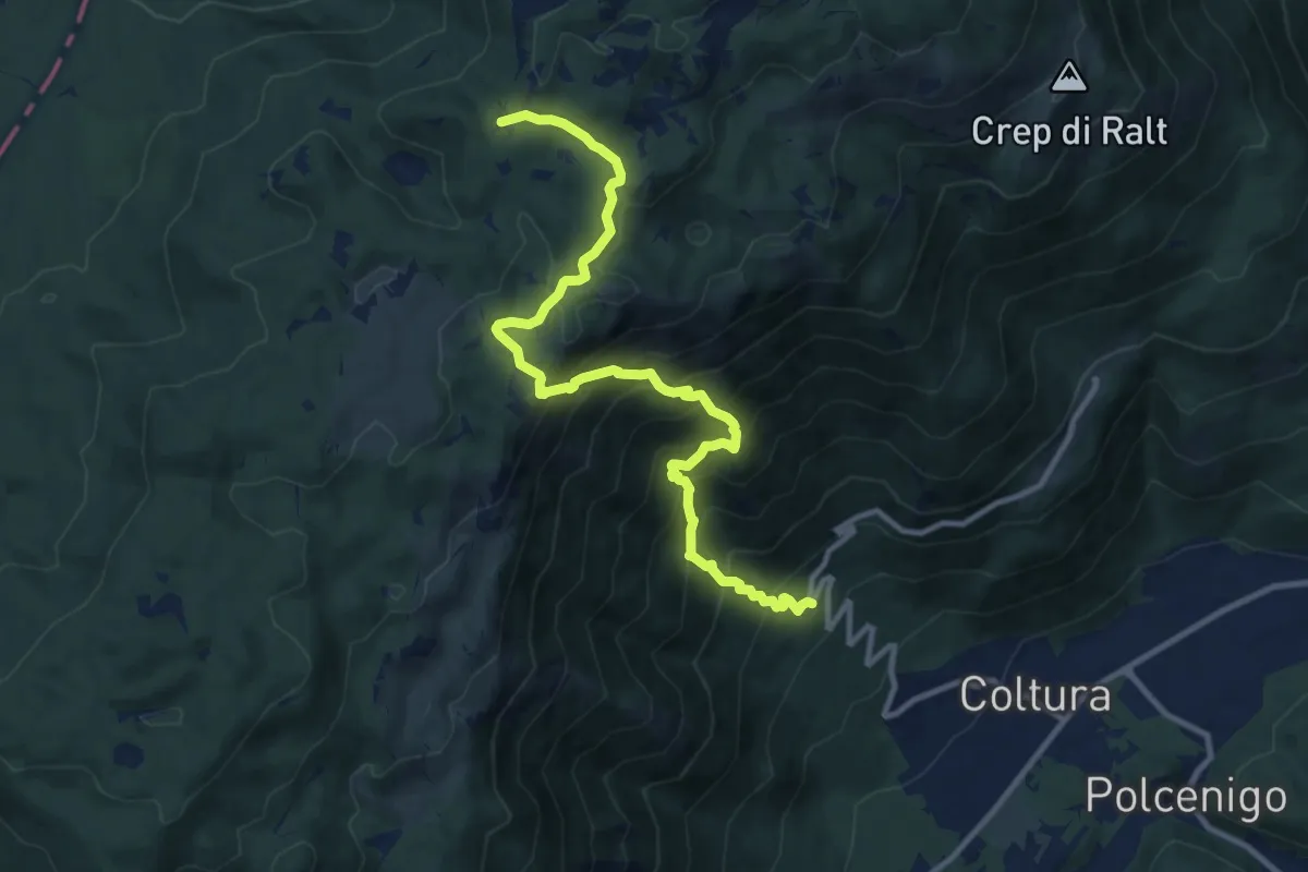
Demanding · Cabin
Ristorante da Stale (quota 342 m) – Casera Ceresera (quota 1347 m)
11.8 km · ↑ 1106 m · 5 h 11 min
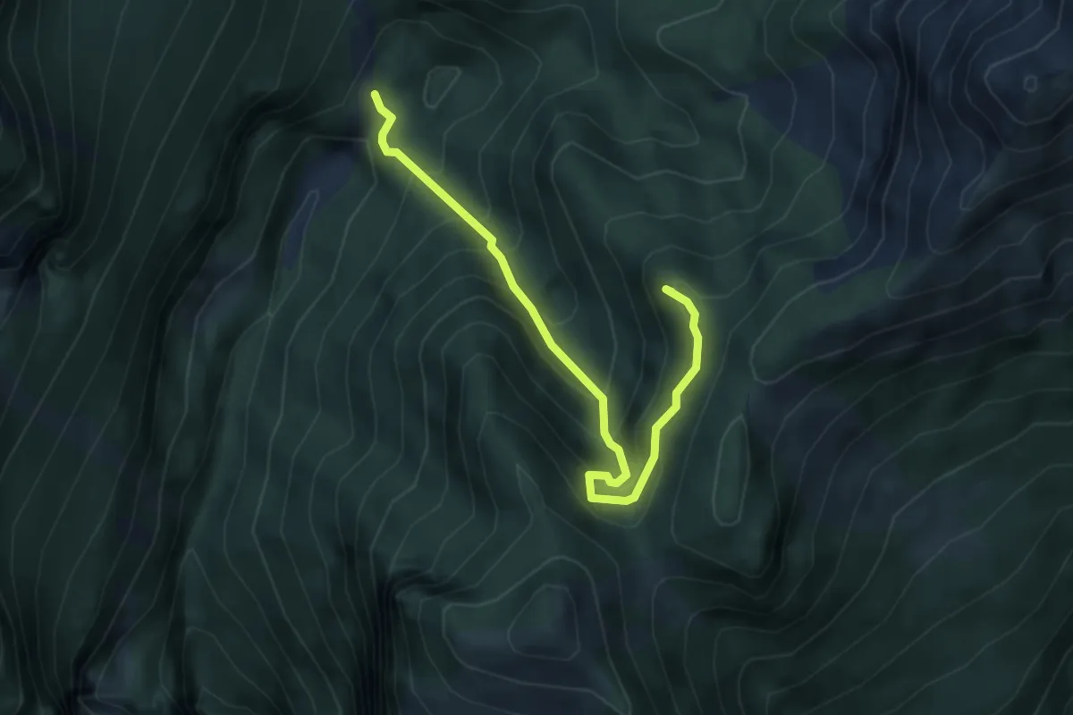
Medium · Summit
Località Le Grave (quota 1203 m) – Rifugio Maniago (quota 1730 m)
4.5 km · ↑ 491 m · 2 h 7 min
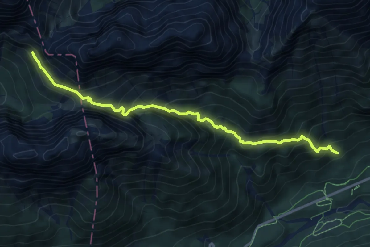
Medium · Trail
Bivio sentiero n. 201 (quota 1380 m) – Bivio sentiero n. 314 (quota 1975 m)
7.7 km · ↑ 686 m · 3 h 19 min
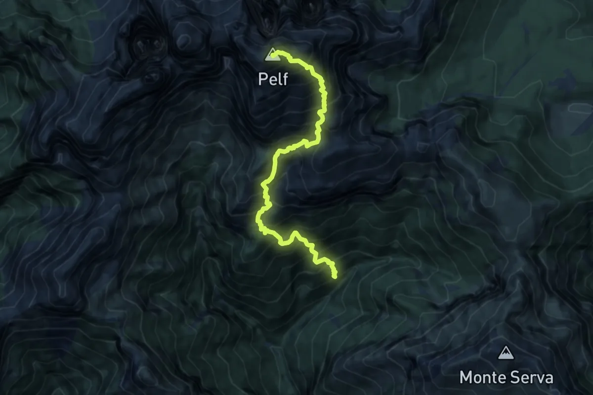
Demanding · Summit
Val Rui Fret - inn. sent. 507 – Monte Pelf
9.5 km · ↑ 1677 m · 5 h 52 min
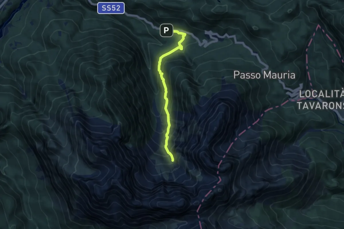
Medium · Trail
Borbe, pressi del Bar Pineta – Alta Val Cridola - innesto su sentiero 340
8.4 km · ↑ 671 m · 3 h 27 min
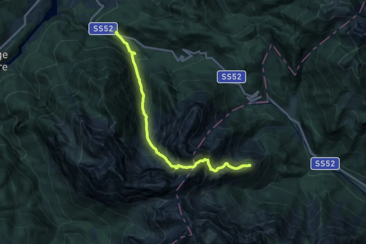
Expert · Summit
Rifugio Giaf (quota 1400 m) – Strada Regionale 52 Carnica (km 70+100) Val da Campo (quota 987 m)
16.0 km · ↑ 1991 m · 8 h 5 min