Trails in Italy
25,219 hiking trails, each with its route, climb, walking time and grade.
All trails, page 507 of 526
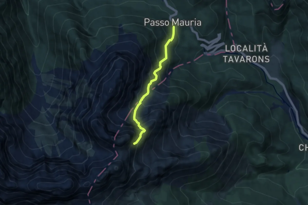
Expert · Trail
Passo della Mauria (quota 1298 m) – Vallanut di Forni, la Mescala Raccordo sentiero 340 (quota 1900 m)
5.6 km · ↑ 824 m · 3 h 7 min
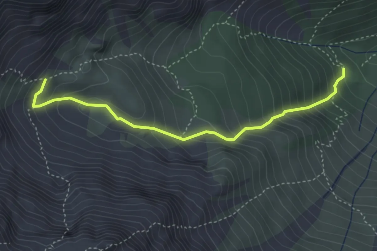
Medium · Cabin
Rifugio Giàf (quota 1400 m) – bivio sentiero 346 Clapon dal Gravon (quota 1850 m)
3.7 km · ↑ 453 m · 1 h 51 min
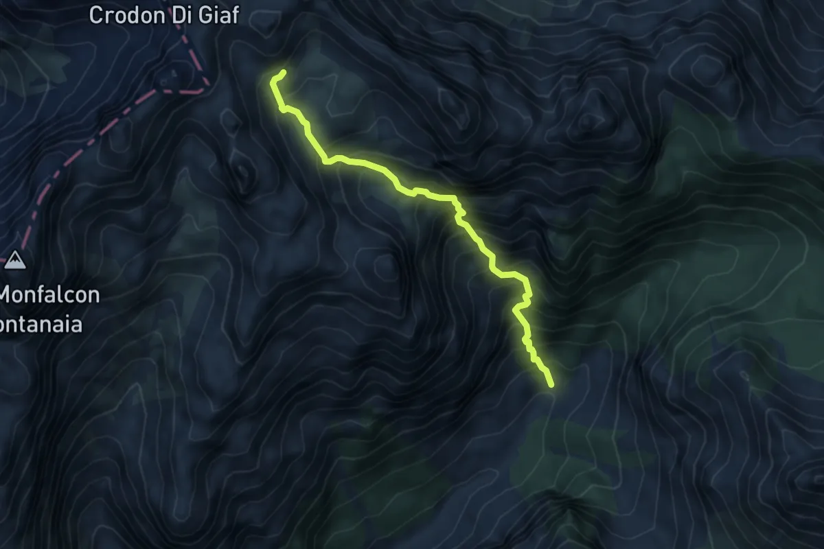
Medium · Cabin
Caseruta dei Pecoli (Pechi) (quota 1363 m) – Bivacco Marchi Granzotto (quota 2152 m)
5.3 km · ↑ 798 m · 2 h 58 min
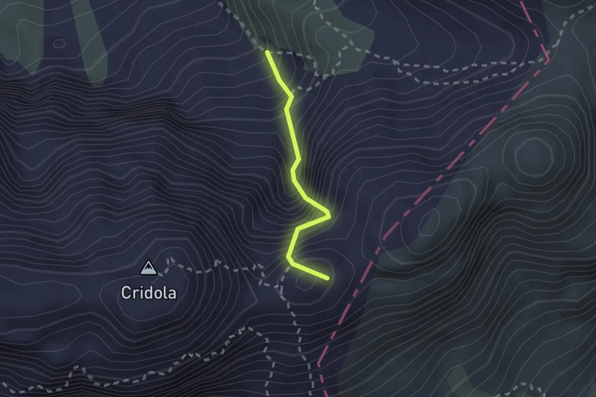
Expert · Summit
sotto Bivacco Vaccari da sentiero 340 – sotto Forcella Scodavacca, innesto su sentiero 346
1.5 km · ↑ 471 m · 1 h 22 min
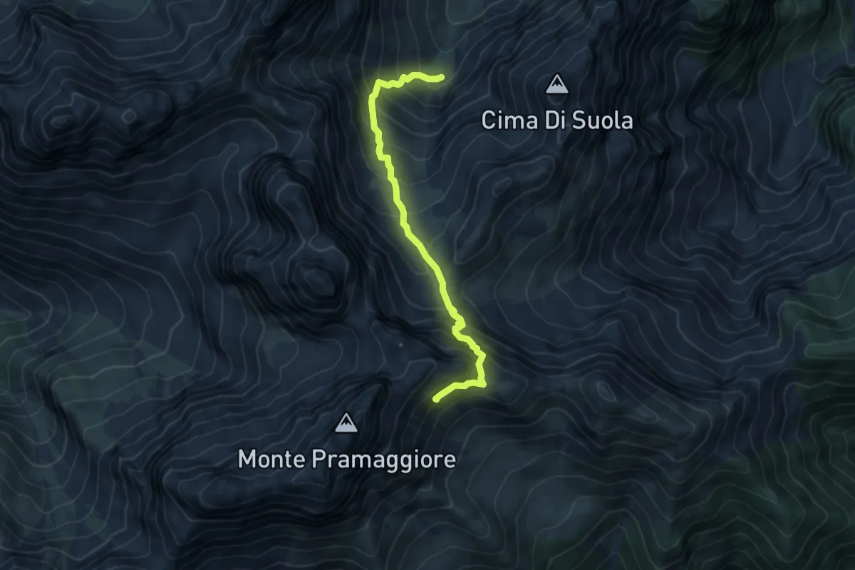
Demanding · Cabin
Rifugio Flaiban Pacherini (quota 1587 m) – Bivio sentiero n. 366 (quota 2100 m)
5.4 km · ↑ 676 m · 2 h 45 min
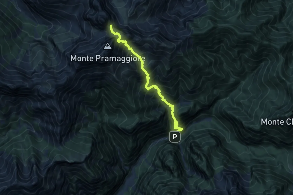
Demanding · Summit
Val Settimana (quota 907 m) – Val dell’Inferno bivio sentiero 362 (quota 1791 m)
12.2 km · ↑ 1581 m · 6 h 18 min
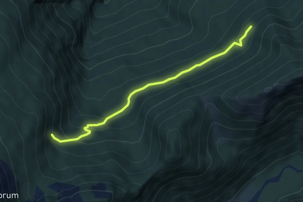
Easy · Trail
raccordo sentiero n. 378 (quota 1400 m) – raccordo sentiero n. 377 (quota 1360 m)
4.7 km · ↑ 279 m · 1 h 43 min
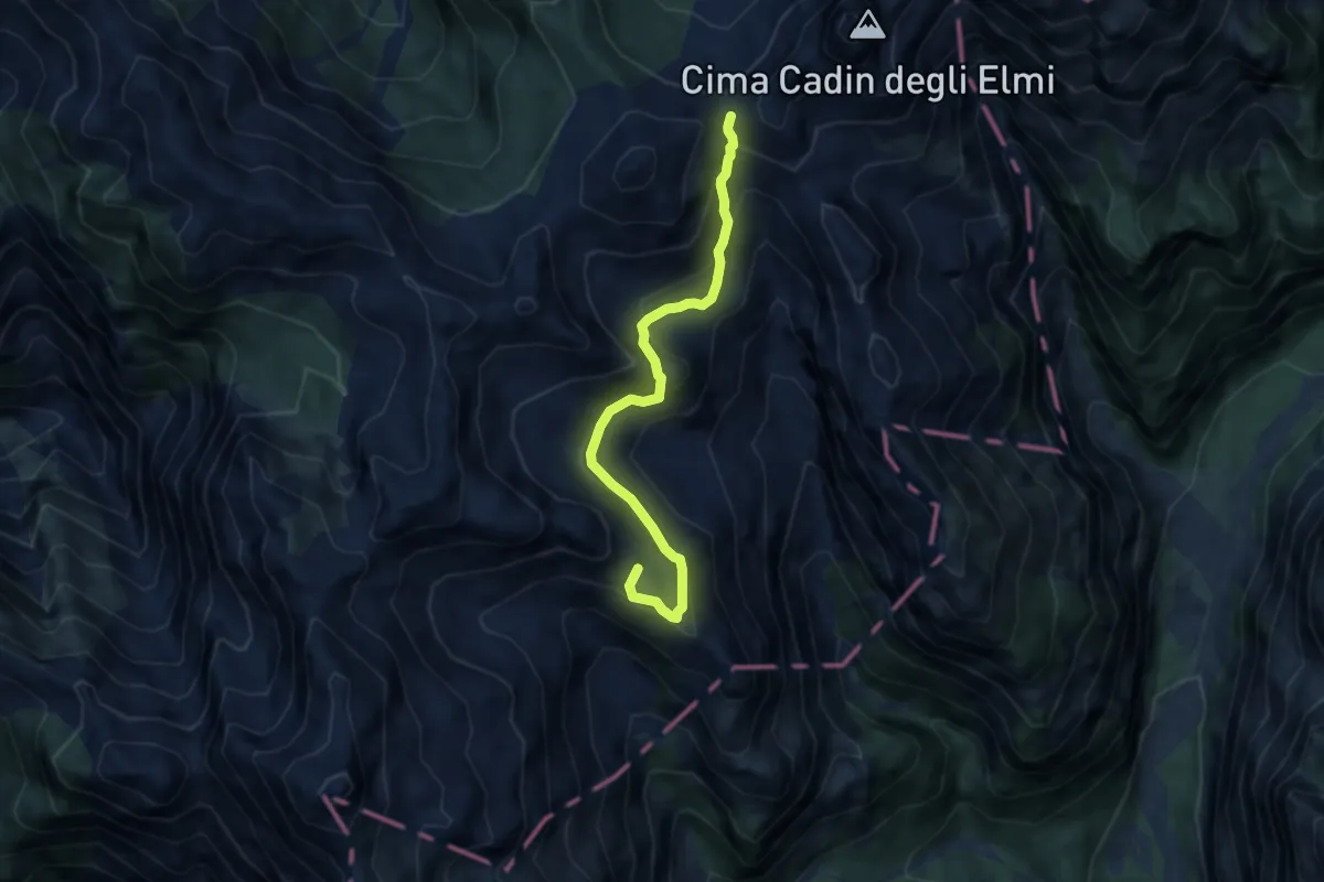
Demanding · Summit
Forcella Spé (Costa de la Piura) da sentiero 352 – Ricovero Casera Laghet de Sora, innesto su sentiero 365
6.9 km · ↑ 515 m · 2 h 45 min
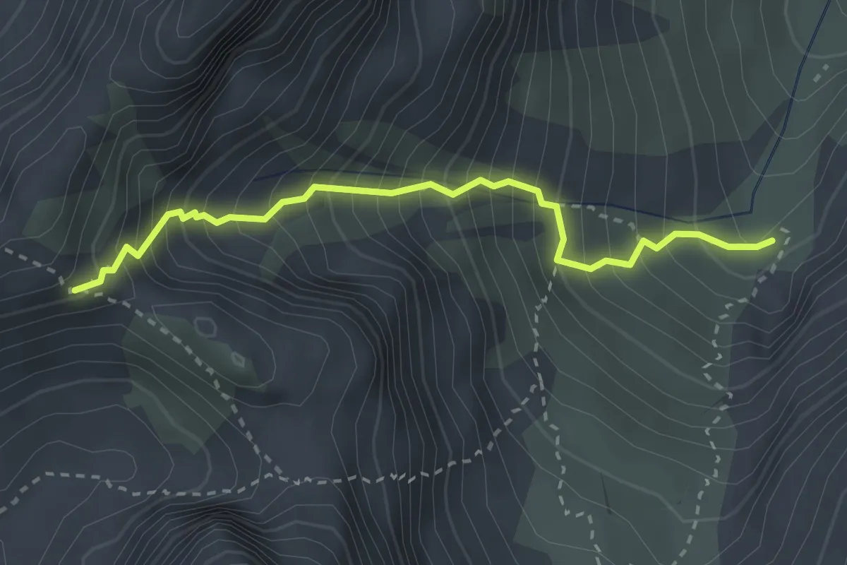
Medium · Cabin
Rifugio Flaiban Pacherini sentiero 362 (quota 1600 m) – Forcella Fantulina Alta (quota 2107 m)
2.8 km · ↑ 523 m · 1 h 48 min
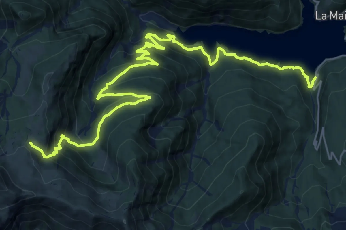
Demanding · Trail
Sauris località Scalotta (quota 980 m) – Forni di Sotto Bivio sentiero 234 (quota 1847 m)
10.9 km · ↑ 1141 m · 4 h 45 min
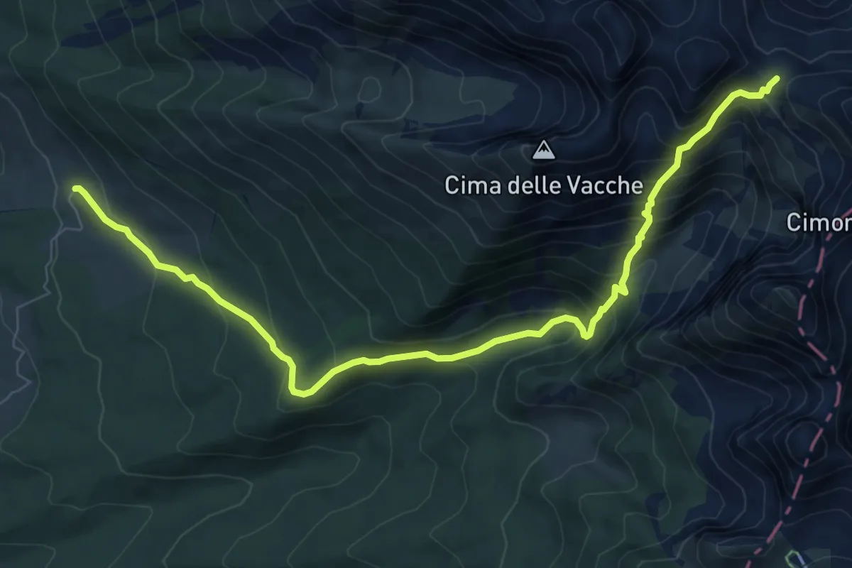
Demanding · Cabin
Pian de le Lastre (Malga) – Forcella Lastè (Rif. Semenza)
9.5 km · ↑ 791 m · 3 h 58 min
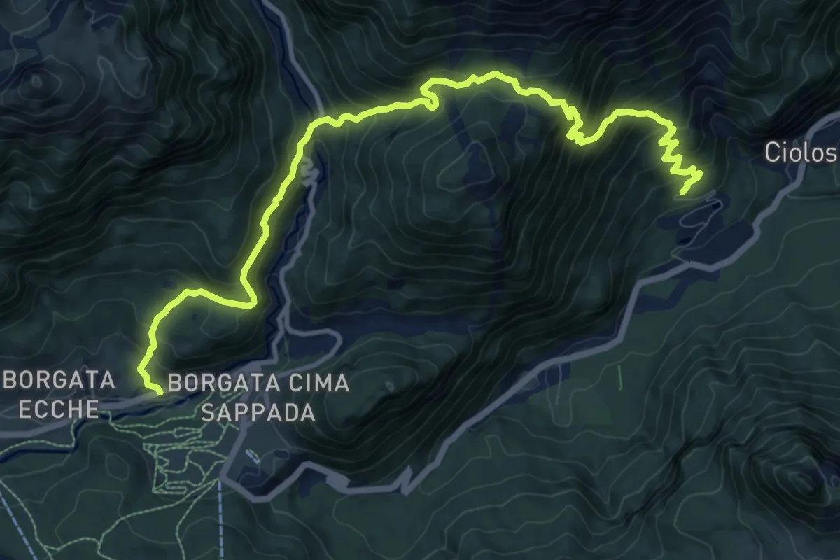
Demanding · Trail
Località Cjolos (quota 985 m) – Borgata Puiche (quota 1254 m)
12.9 km · ↑ 1096 m · 5 h 25 min
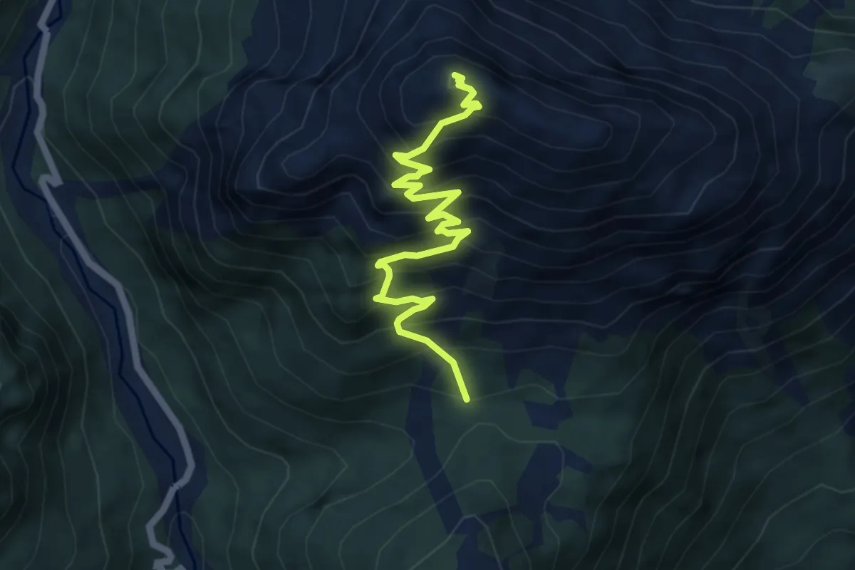
Demanding · Summit
Sella Keser (quota 1644 m) – Monte Chiadin (quota 2269 m)
5.4 km · ↑ 585 m · 2 h 33 min
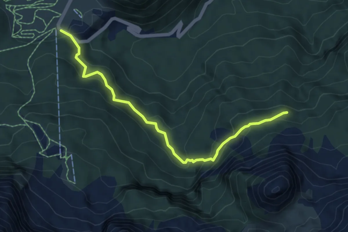
Medium · Trail
Cima Sappada (quota 1278 m) – Bivio sentiero 230 (quota 1516 m)
6.1 km · ↑ 433 m · 2 h 22 min
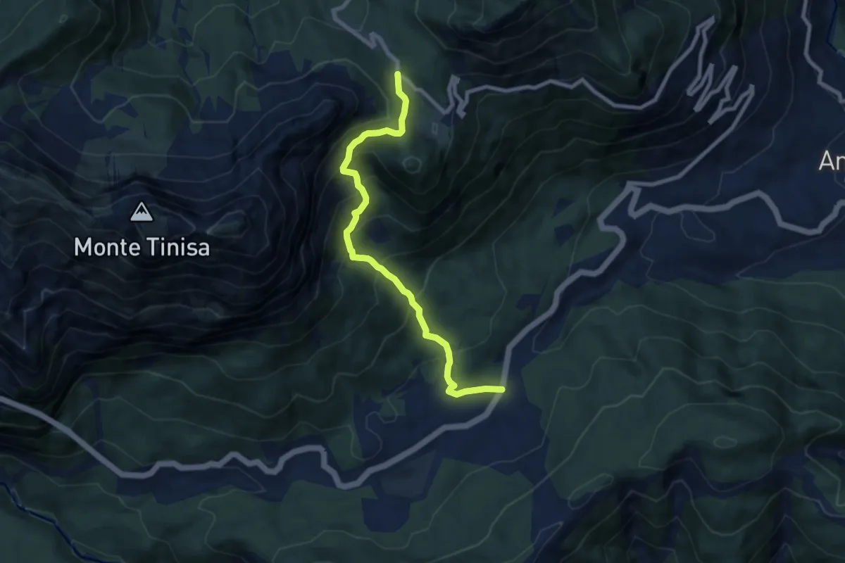
Medium · Trail
Strada Regionale 52 Carnica km 38 (quota 822 m) – Passo del Pura (quota 1428 m)
7.6 km · ↑ 704 m · 3 h 19 min
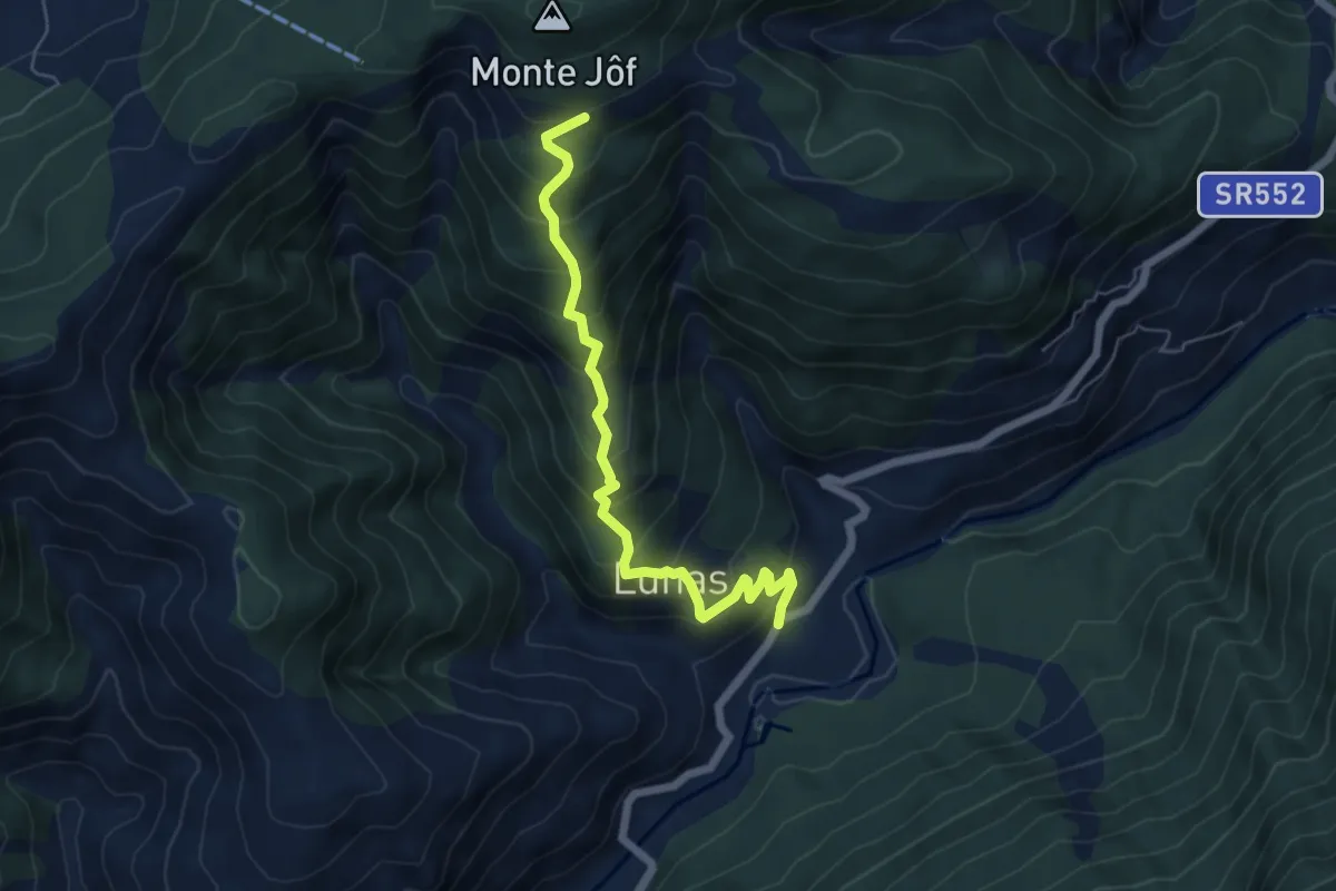
Medium · Trail
Caprizi (quota 528 m) – Bivio sentiero n. 239 (q. 1120 m)
5.8 km · ↑ 567 m · 2 h 36 min
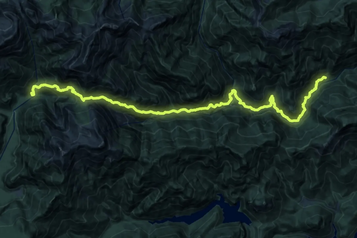
Demanding · Cabin
Frasseneit di Sotto (quota 525 m) – Casera Podestine (quota 1024 m)
14.6 km · ↑ 1629 m · 6 h 57 min
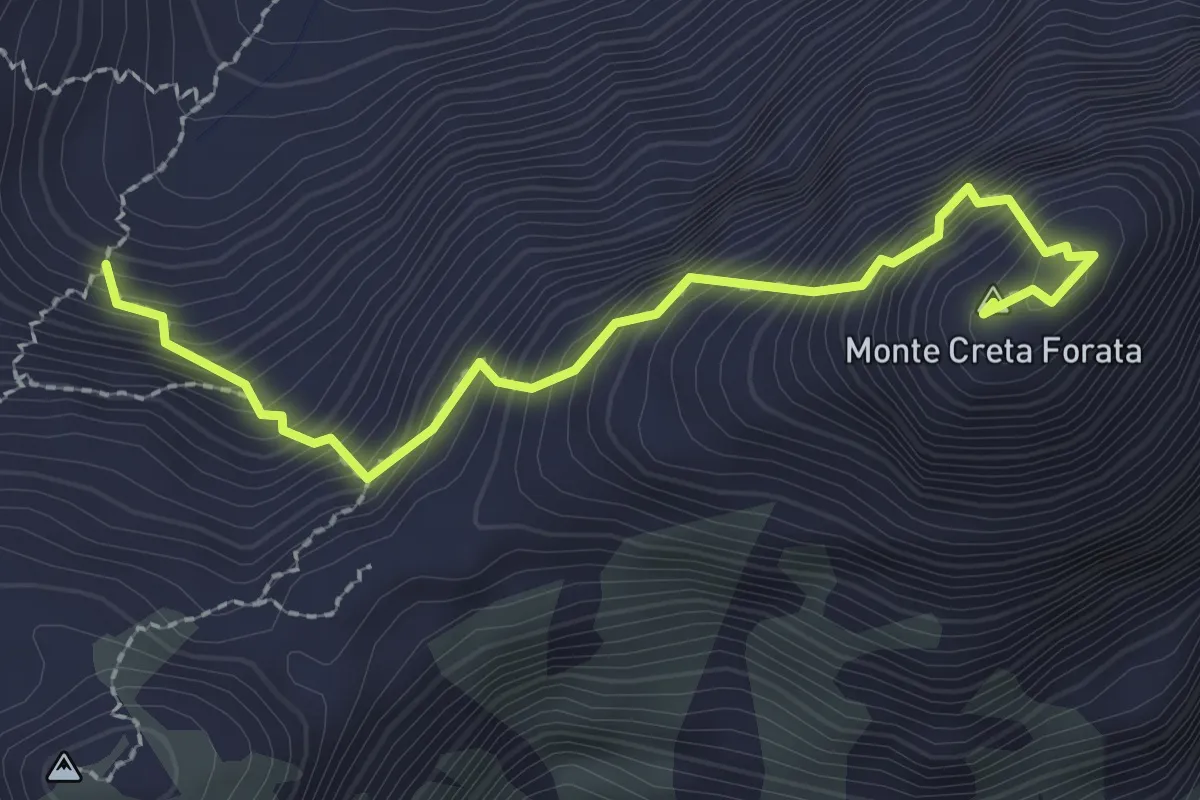
Expert · Summit
Bivio sentiero 321 (quota 2000 m) – Monte Creta Forata (quota 2462 m)
2.5 km · ↑ 483 m · 1 h 38 min
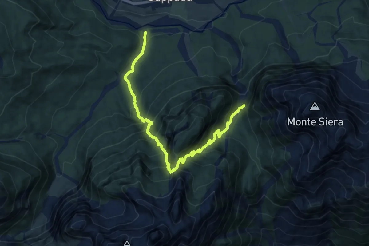
Demanding · Trail
Bivio sentiero 316 (quota 1550 m) – Bivio sentiero 314 Sappada (quota 1186 m)
10.9 km · ↑ 1086 m · 4 h 56 min
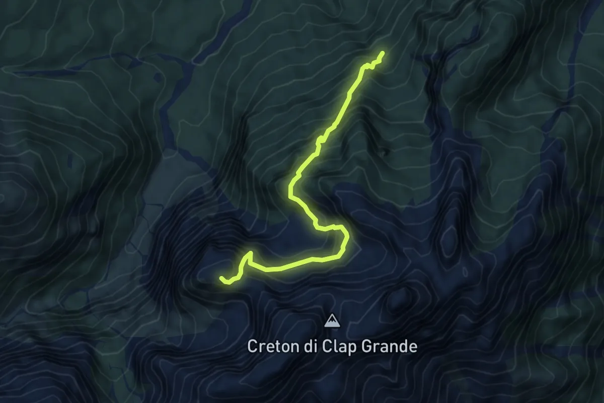
Expert · Summit
Bivio sentiero 317 (quota 1500 m) – Bivio sentiero 315 (quota 1730 m)
6.1 km · ↑ 895 m · 3 h 23 min
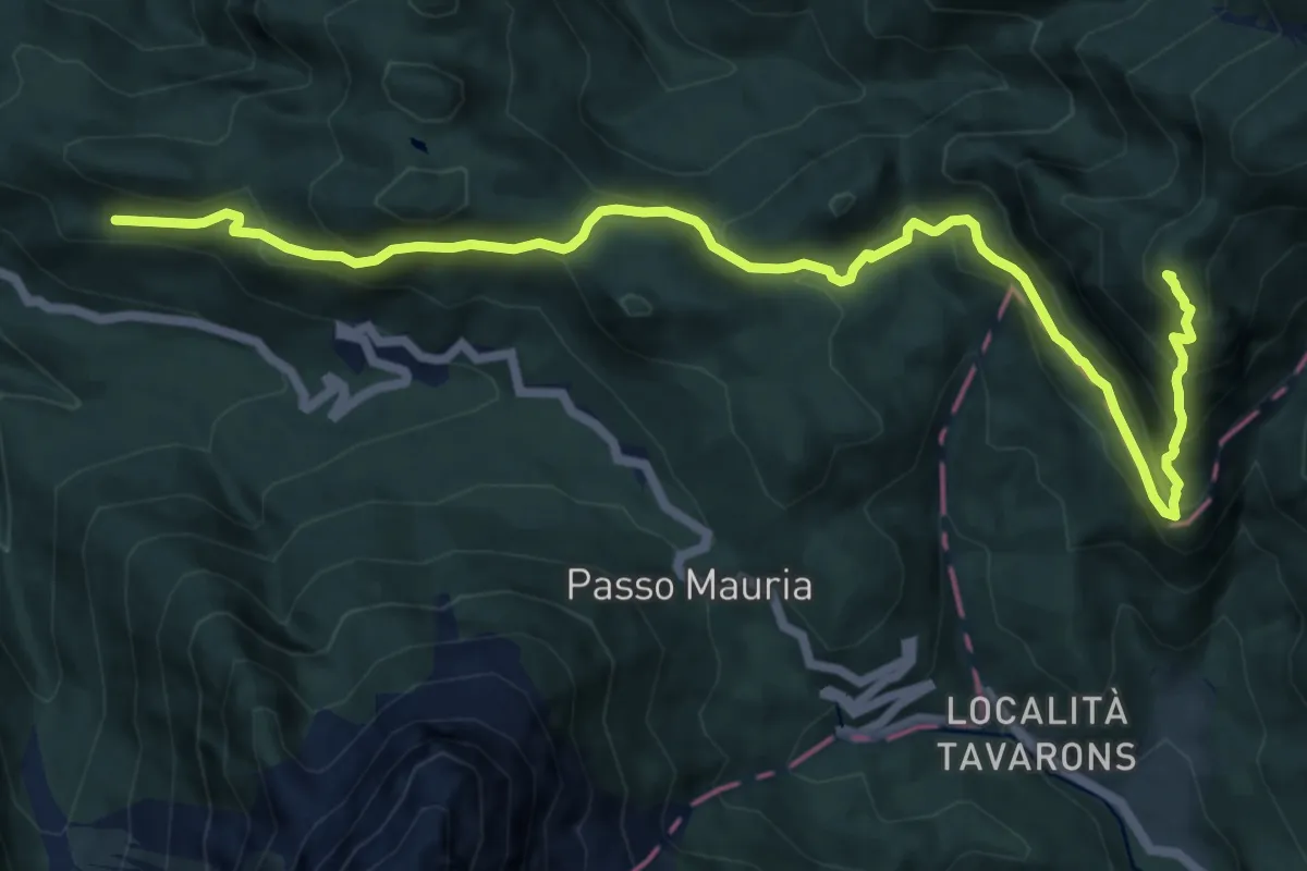
Demanding · Summit
Lorenzago - Castello di Mirabello (quota 1030 m) – Casera Doana (quota 1911 m)
13.4 km · ↑ 905 m · 5 h 7 min
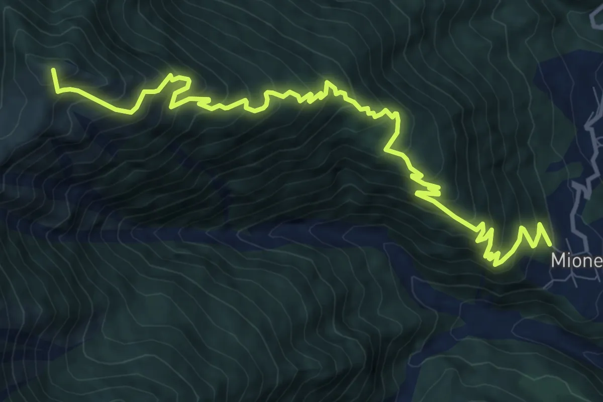
Demanding · Summit
Mione (quota 710 m) – Lateis (quota 1274 m)
12.5 km · ↑ 1142 m · 5 h 26 min
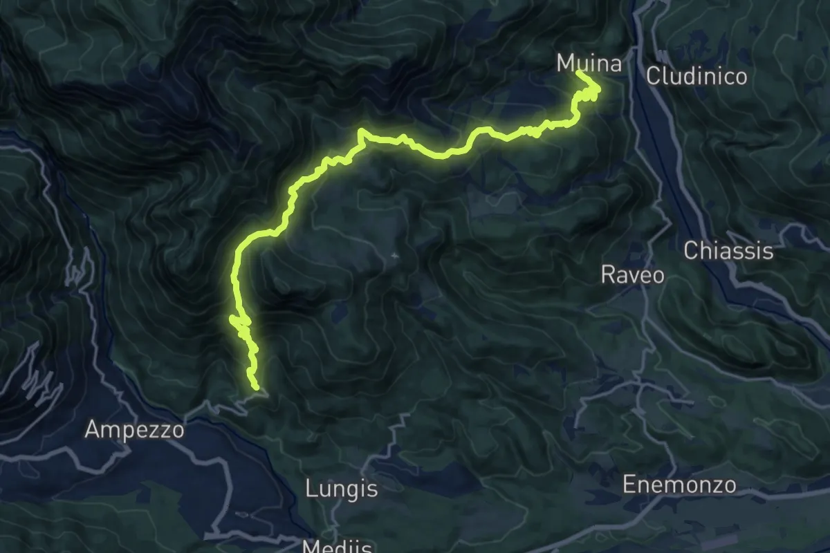
Demanding · Trail
Voltois (quota 660 m) – Muina (quota 519 m)
20.2 km · ↑ 1356 m · 7 h 43 min
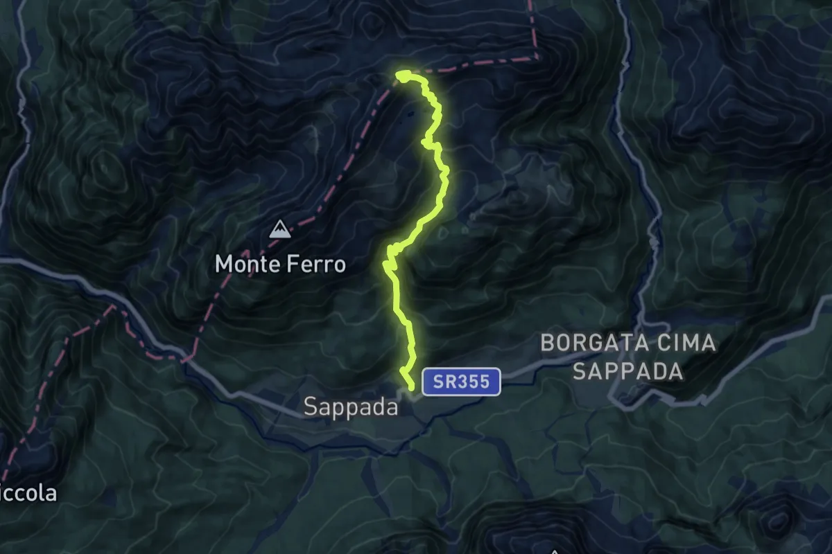
Demanding · Trail
Borgata Mühlbach (quota 1242 m) – Passo del Mulo (quota 2356 m)
11.2 km · ↑ 1122 m · 5 h 5 min
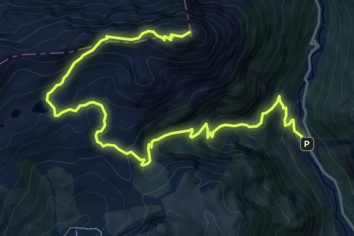
Demanding · Summit
Collina (quota 1230 m) – Pierabech Pian della Guerra (quota 1060 m)
11.1 km · ↑ 975 m · 4 h 44 min
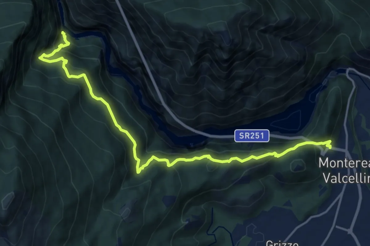
Demanding · Trail
Montereale Valcellina – Vecchia Strada della Val Cellina
13.8 km · ↑ 1214 m · 5 h 54 min
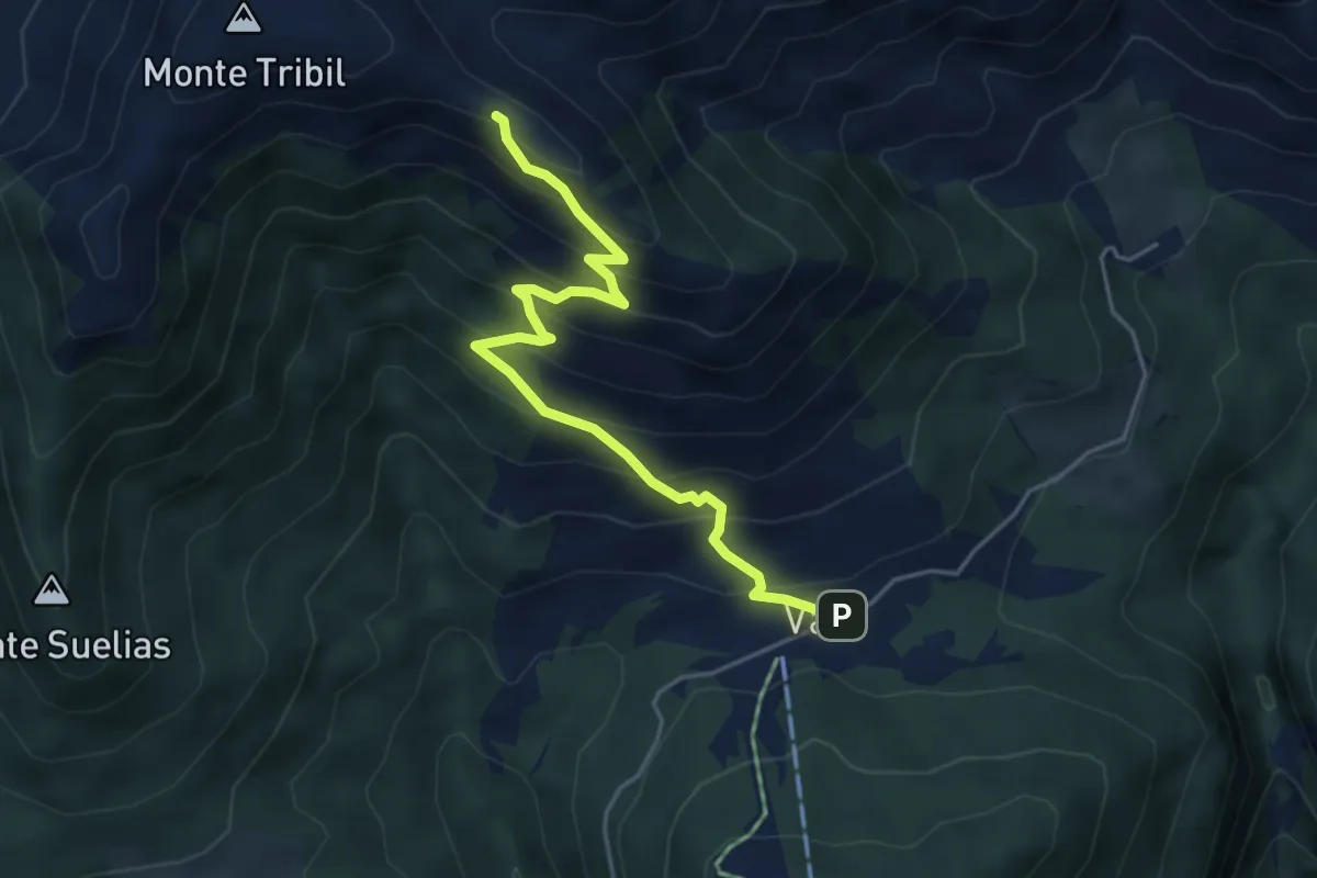
Medium · Trail
Val di Lauco (quota 1187 m) – Sella di Monte Tribil (quota 1670 m)
4.7 km · ↑ 451 m · 2 h 5 min
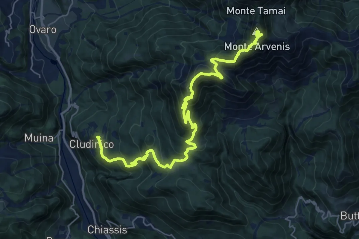
Demanding · Summit
Cludinico (quota 720 m) – Monte Arvenis (quota 1968 m)
23.1 km · ↑ 1646 m · 9 h 2 min
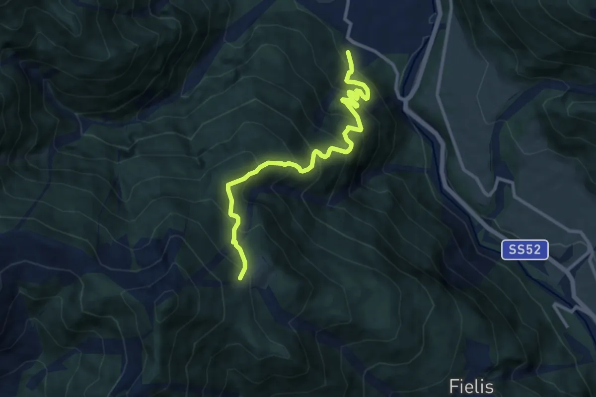
Demanding · Trail
Noiaris -Sutrio (quota 531 m) – Casera Dauda (quota 1413 m)
8.3 km · ↑ 998 m · 4 h 7 min
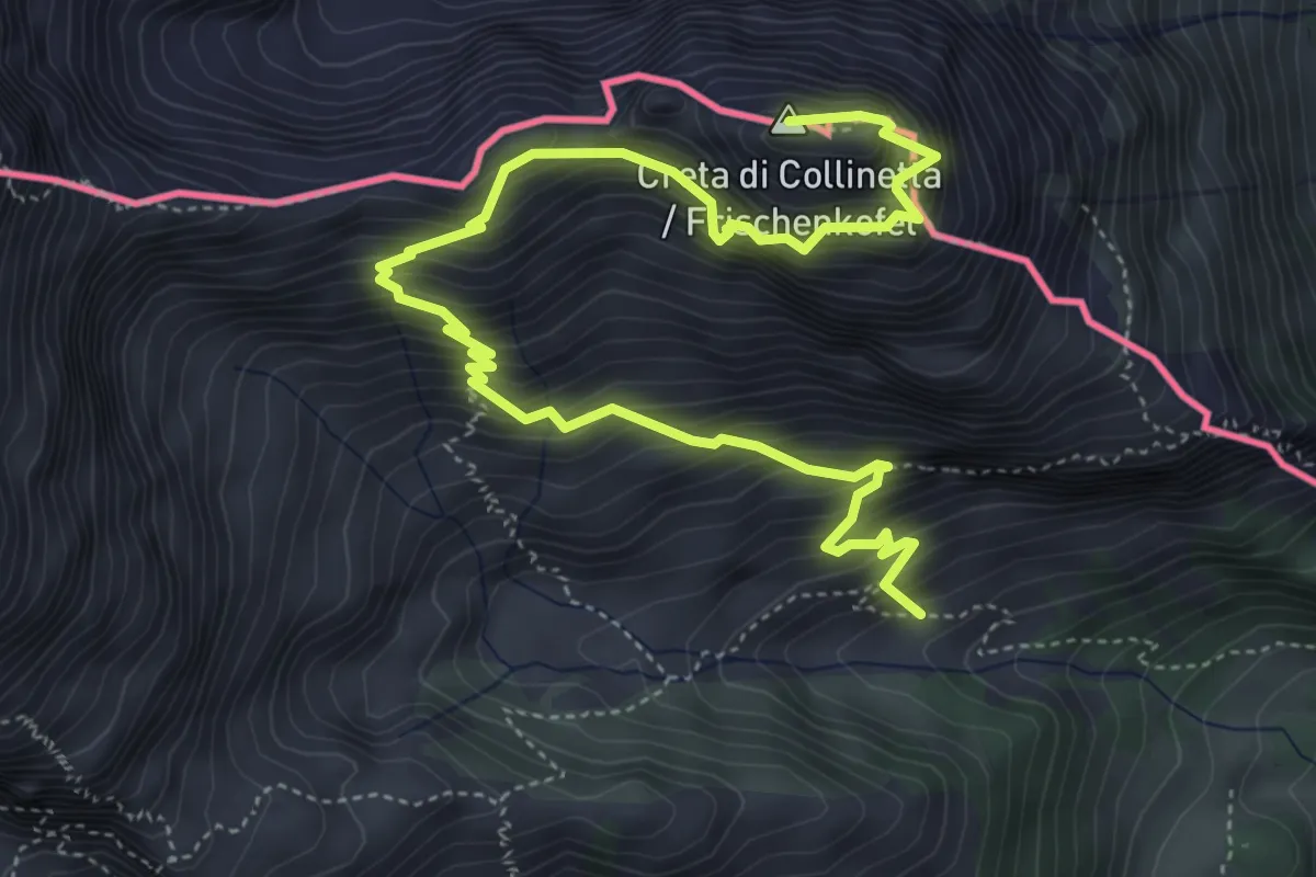
Demanding · Summit
Bivio sentiero CAI n. 146 (quota 1641 m) – Creta di Collinetta (Cellon) (quota 2238 m)
6.5 km · ↑ 930 m · 3 h 33 min
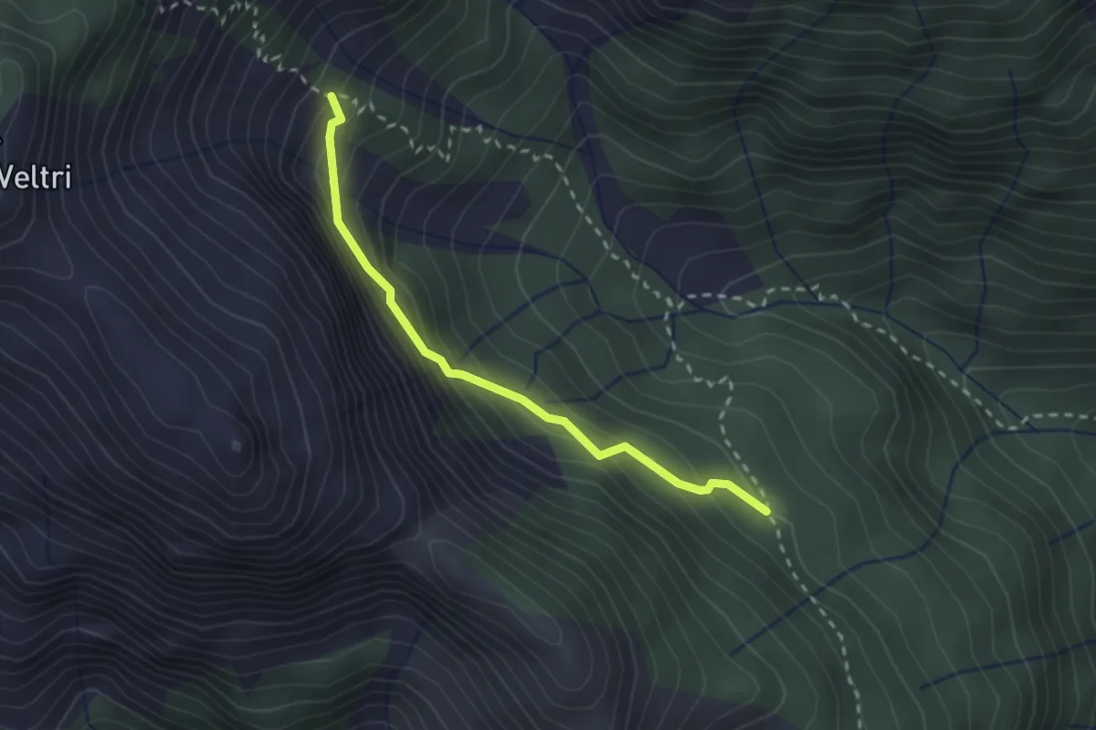
Demanding · Cabin
Ricovero Casera Chiarzò (quota 1393 m) – Colador/Bivio sentiero n. 235 (quota 1600 m)
2.3 km · ↑ 251 m · 1 h 5 min
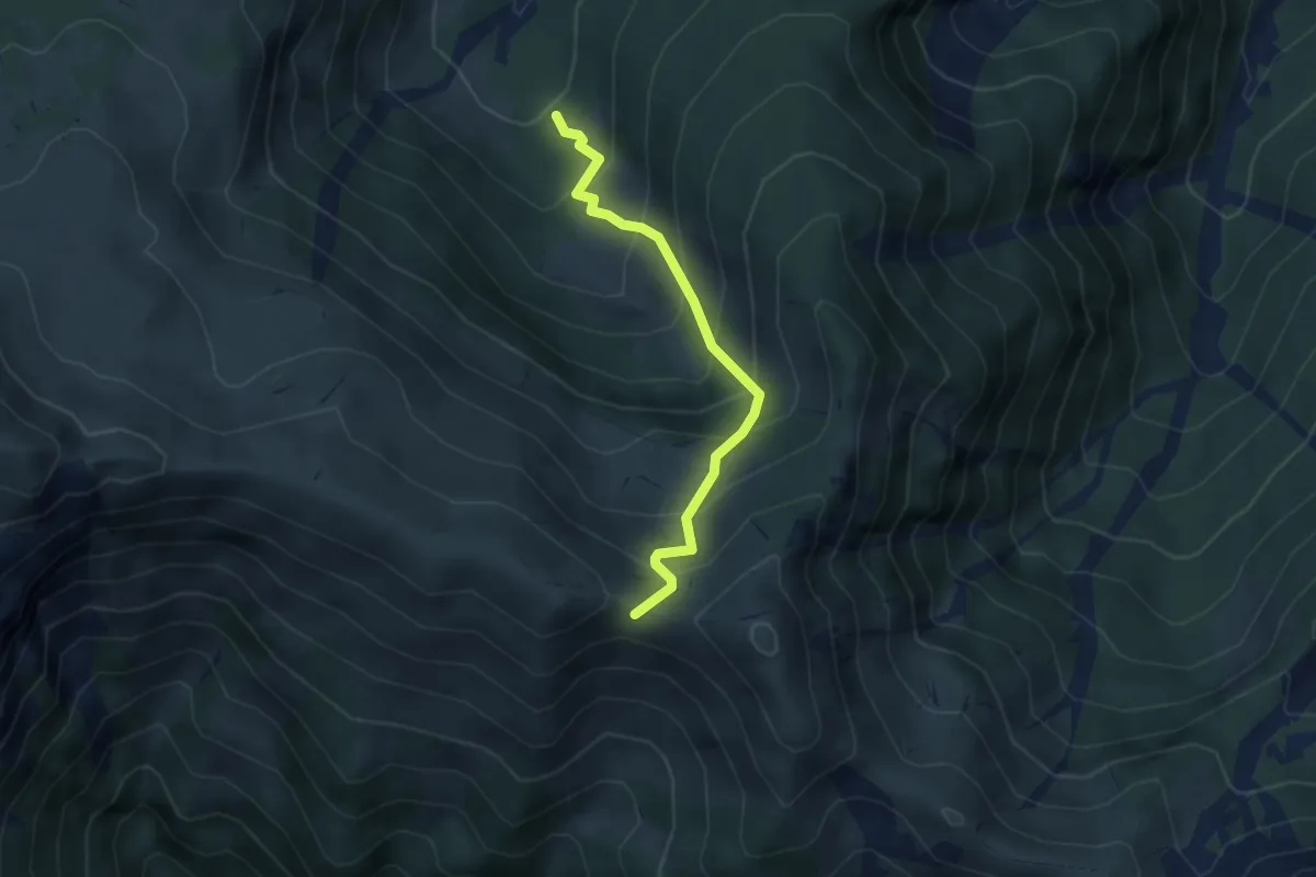
Medium · Trail
Bosco Bernone località Tavanelli (quota 1506 m) – Brutto Passo (quota 1945 m)
3.4 km · ↑ 413 m · 1 h 42 min
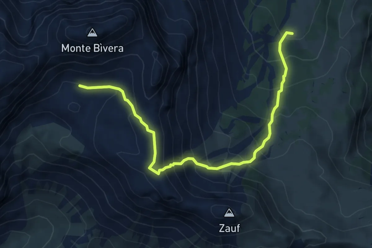
Demanding · Cabin
Casera Giaveada (Neveade) (quota 1684 m) – Pian delle Streghe (quota 2180 m)
6.5 km · ↑ 596 m · 2 h 50 min
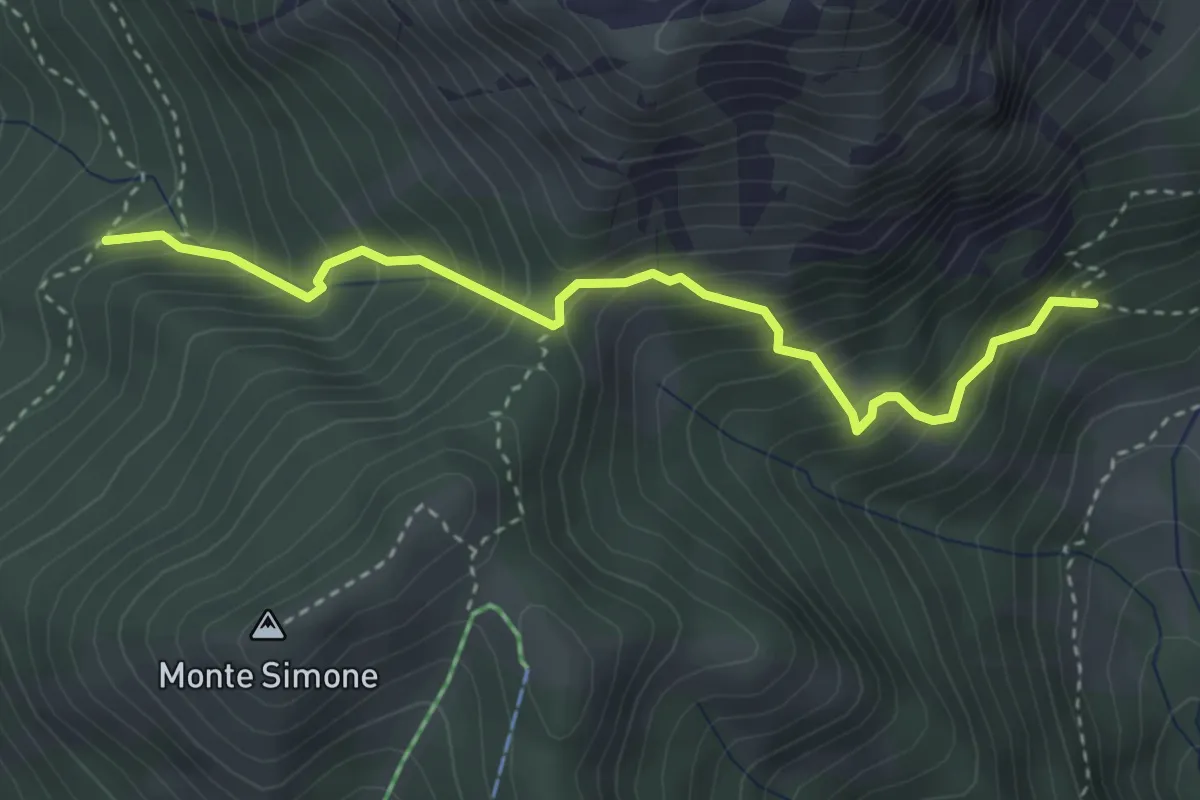
Medium · Cabin
Casera Lavazeit-Valaseit (quota 1813 m) – Malga Tartoi (quota 1711 m)
3.5 km · ↑ 438 m · 1 h 47 min
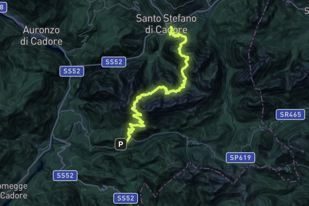
Demanding · Trail
Santo Stefano - Krissin/Rio Salon – Fienili del Rin - da S.P. 619
21.9 km · ↑ 2154 m · 10 h 18 min
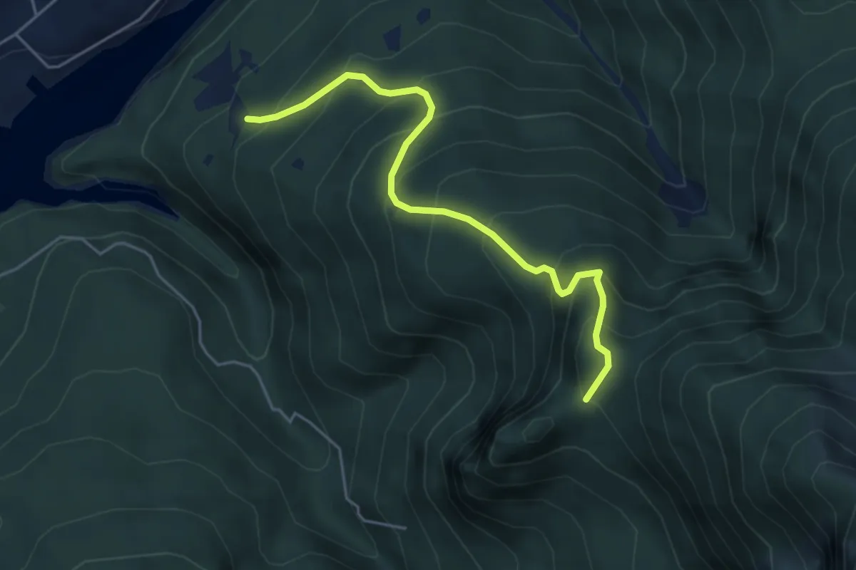
Medium · Summit
Lago, località Fazen - da strada per i rifugi, quota 830 m circa – Bivacco Natale Da Deppo/Montanel
4.6 km · ↑ 501 m · 2 h 10 min
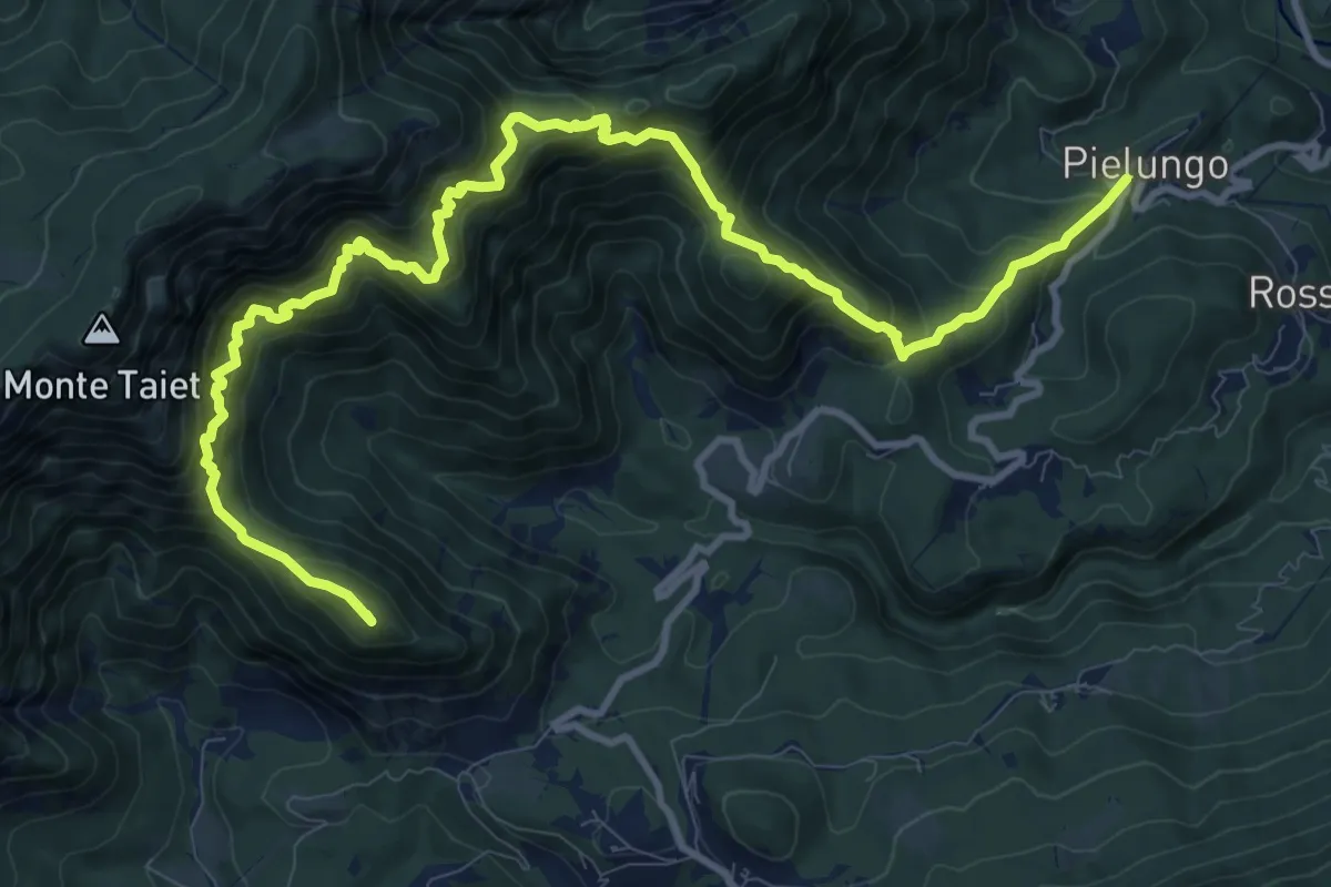
Demanding · Summit
Pielungo (quota 466 m) – Capanna Alpina Val di Ros (quota 675 m)
13.5 km · ↑ 1359 m · 6 h 7 min
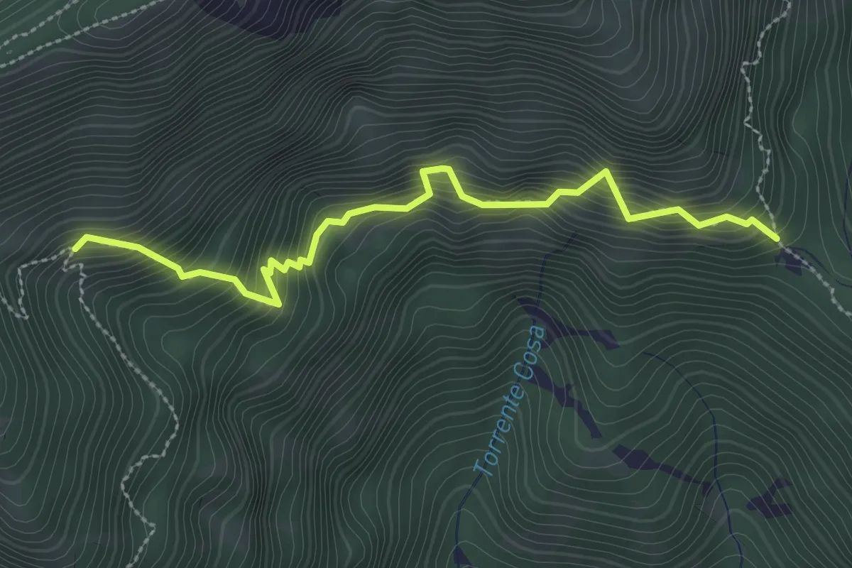
Medium · Trail
Sella Dagn (quota 874 m) – Bivio sentiero n. 820 (quota 1050 m)
2.9 km · ↑ 427 m · 1 h 37 min
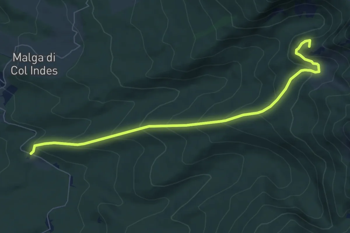
Medium · Summit
Pian Canaie – Alta Val di Piera-Sasso della Madonna-inn.sent.923
7.8 km · ↑ 510 m · 2 h 57 min
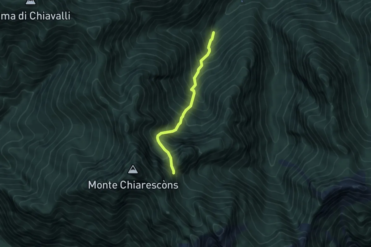
Demanding · Trail
Rubarai (quota 1020 m) – Forcella nei pressi di Col della Valle (quota 1820 m)
4.7 km · ↑ 772 m · 2 h 46 min
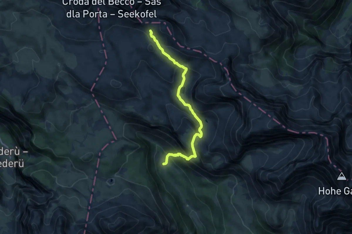
Medium · Cabin
Ciampo de Crosc - da sentiero 6 – sotto rif. Biella - innesto sentiero 28
10.1 km · ↑ 672 m · 3 h 50 min
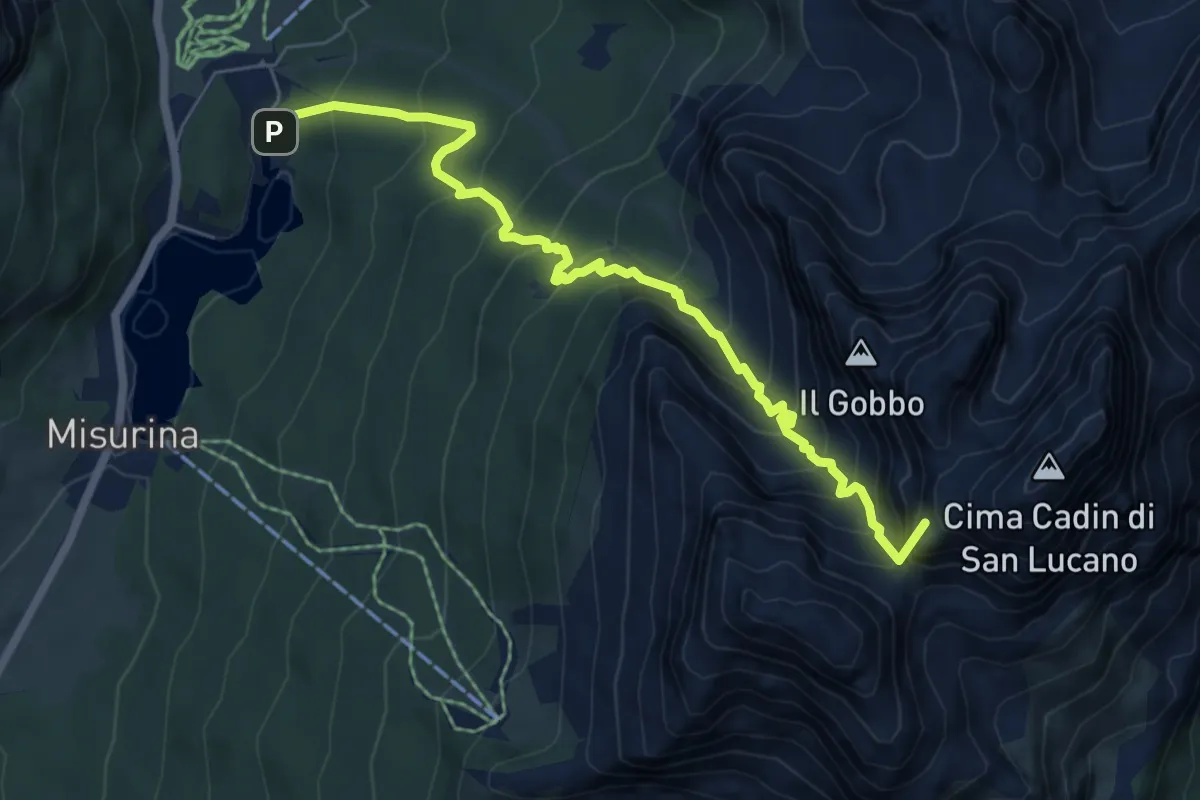
Demanding · Summit
Misurina - Camping Ristorante La Baita – Rifugio Città di Carpi
6.7 km · ↑ 863 m · 3 h 28 min
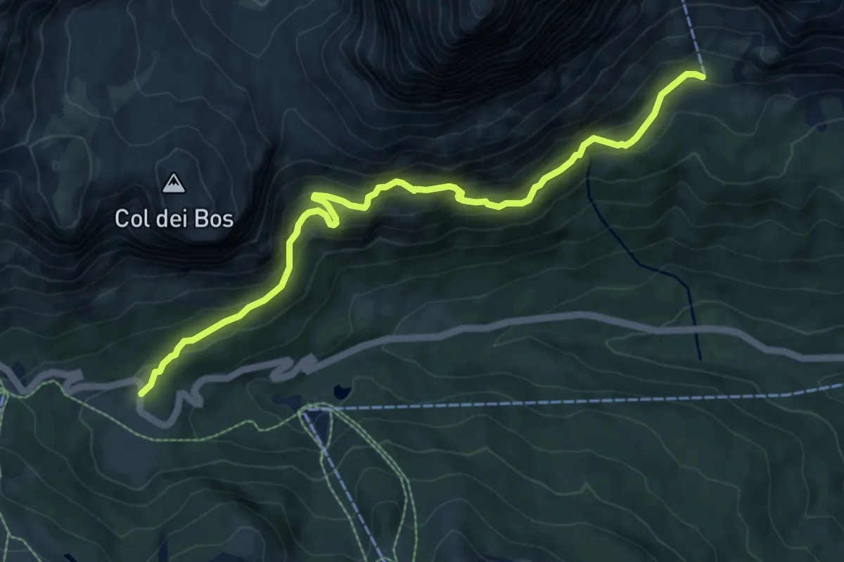
Medium · Trail
S.R. 48 - ristorante Da Ra Nona – Valon de Tofana - sentiero 403
8.6 km · ↑ 603 m · 3 h 20 min
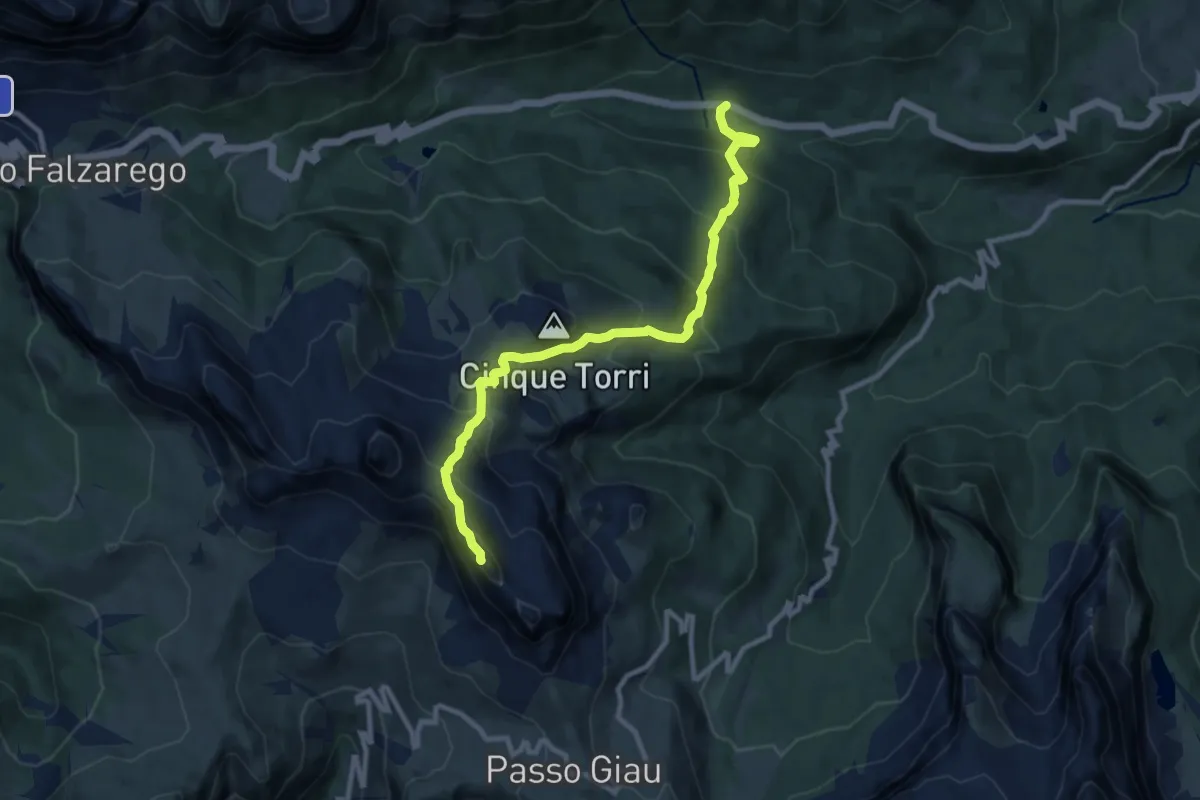
Demanding · Summit
Cian Zopè - S.R. 48 km 112 Cian Zopè - S.R. 48 km 112 – Rifugio Nuvolau
9.9 km · ↑ 807 m · 4 h 6 min
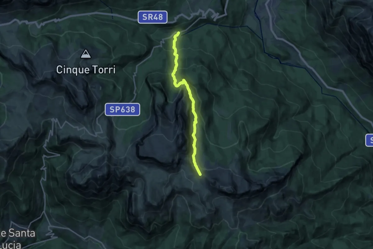
Demanding · Trail
Ponte Pezziè de Parù – Forcella Ambrizzola incrocio percorso 436
13.2 km · ↑ 947 m · 5 h 10 min
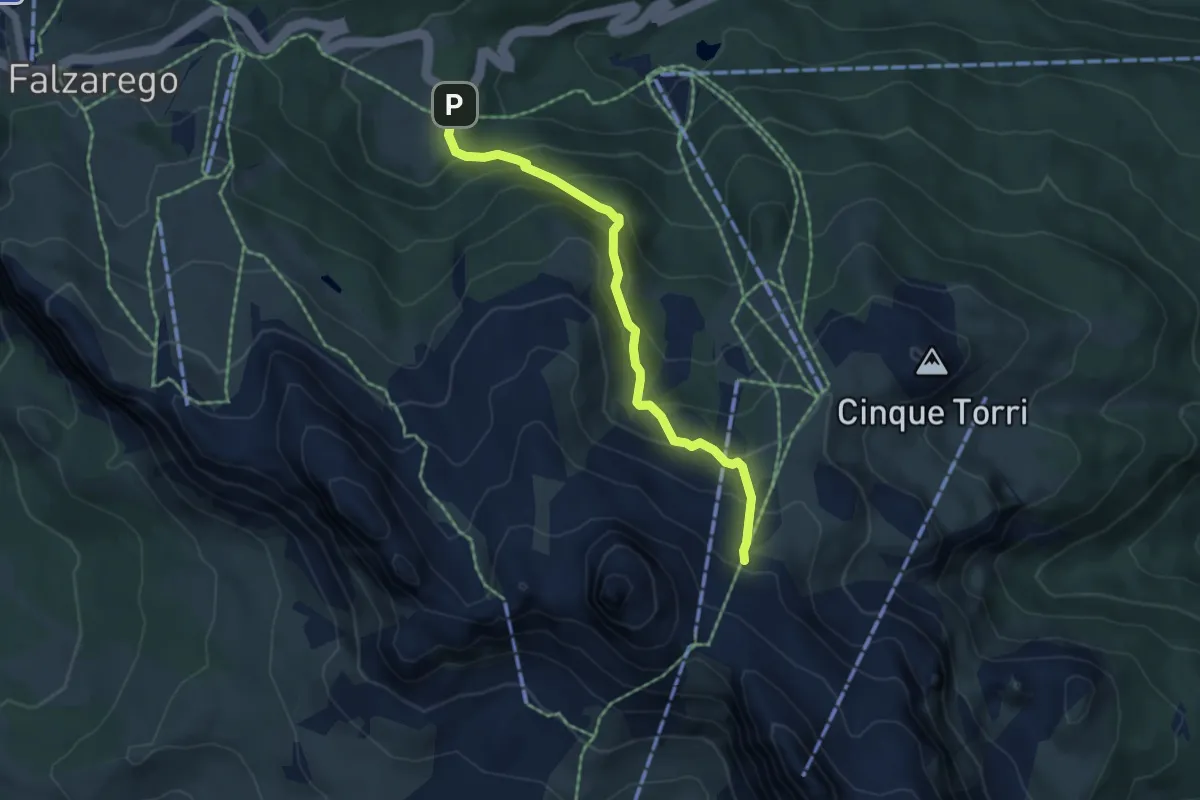
Medium · Trail
Pian dei Menis - S.R. 48 km 108,5 – nei pressi Rif. Scoiattoli - sentiero 439
4.9 km · ↑ 418 m · 2 h 4 min
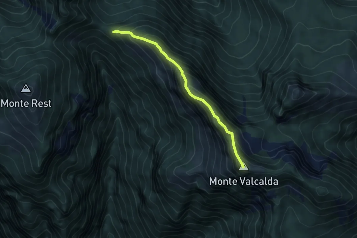
Medium · Summit
Forca Sopareit (quota 1411 m) – Bivio sentiero n. 826 (quota 1908 m)
4.7 km · ↑ 505 m · 2 h 13 min
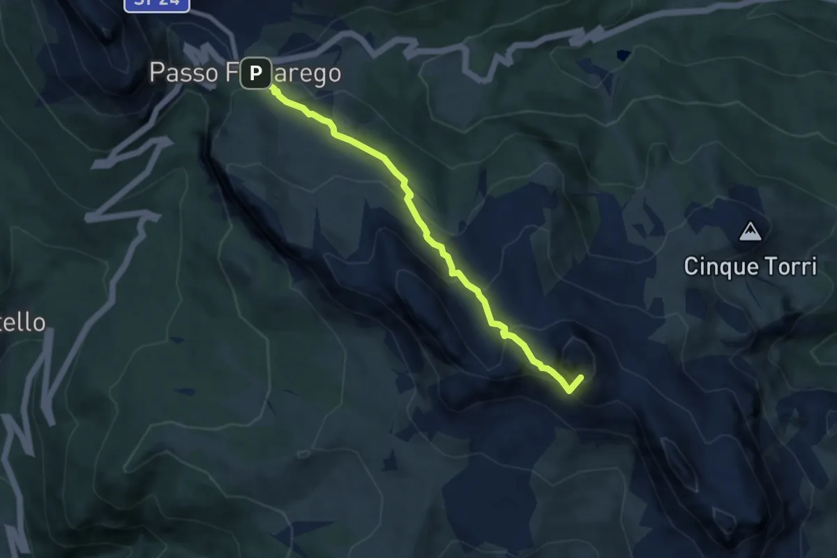
Demanding · Summit
Passo Falzarego – Rifugio Averau - Forcella Nuvolau
6.6 km · ↑ 422 m · 2 h 29 min