Trails in Italy
25,219 hiking trails, each with its route, climb, walking time and grade.
All trails, page 508 of 526
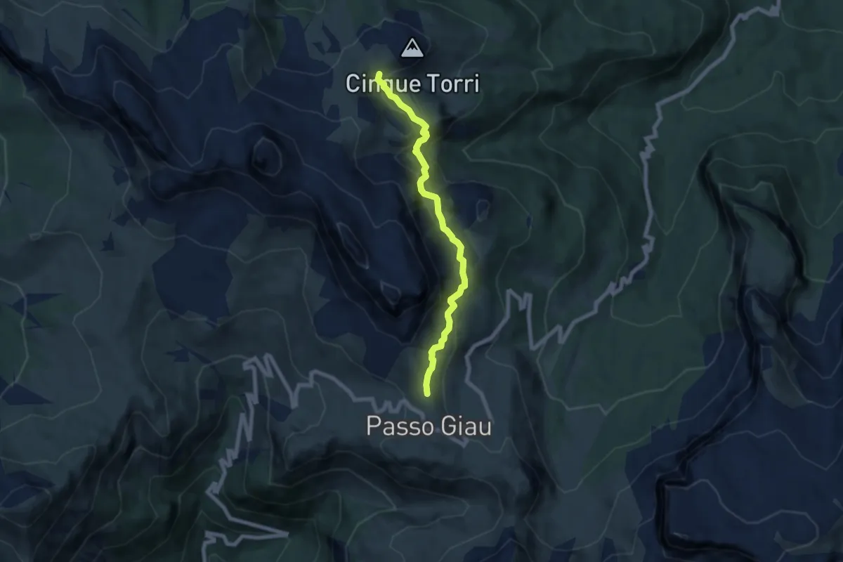
Demanding · Trail
sopra Passo Giau - da sent. 452 – Rifugio 5 Torri e Rifugio Scoiattoli
6.2 km · ↑ 401 m · 2 h 20 min
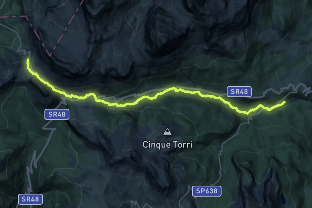
Demanding · Cabin
Diga Ciou del Conte - sentiero 430 – Rifugio Valparola
22.3 km · ↑ 848 m · 7 h 6 min
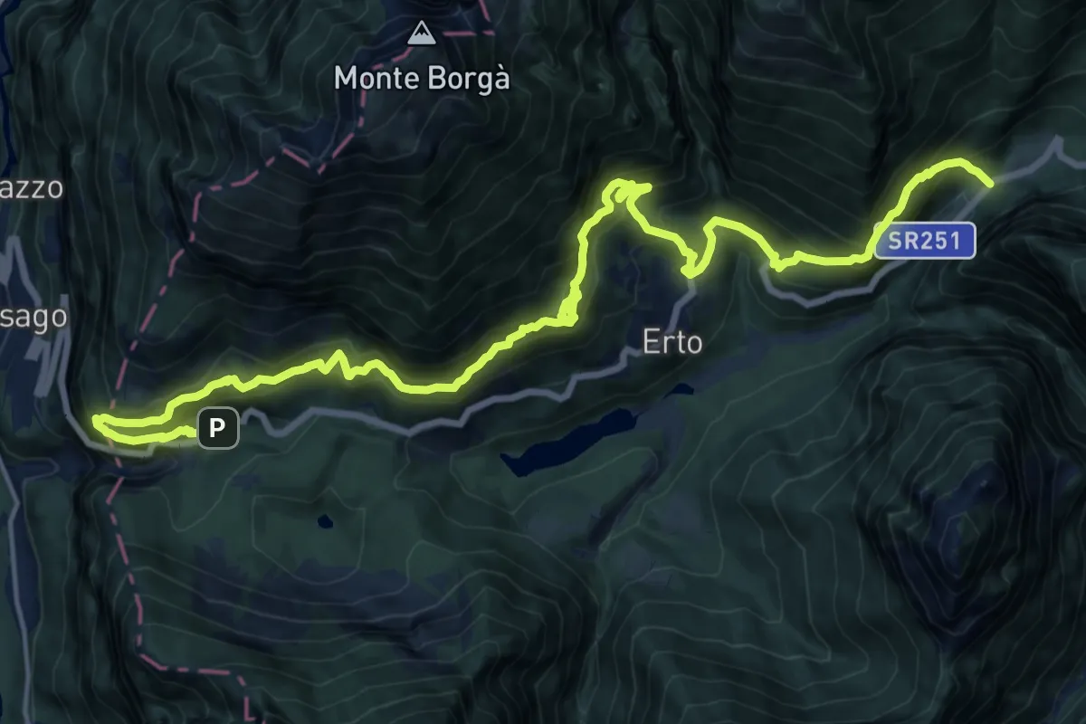
Demanding · Trail
Diga del Vajont (quota 740 m) – Pre de Tegn (quota 800 m)
11.3 km · ↑ 1052 m · 5 h 5 min
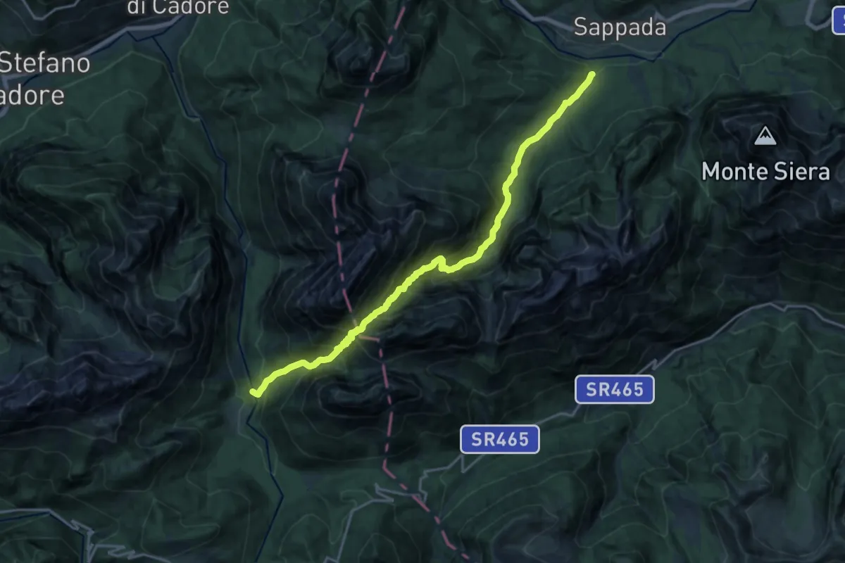
Demanding · Trail
Borgata Granvilla (quota 1218 m) – Passo Oberenghe (quota 2081 m)
18.4 km · ↑ 1634 m · 7 h 52 min
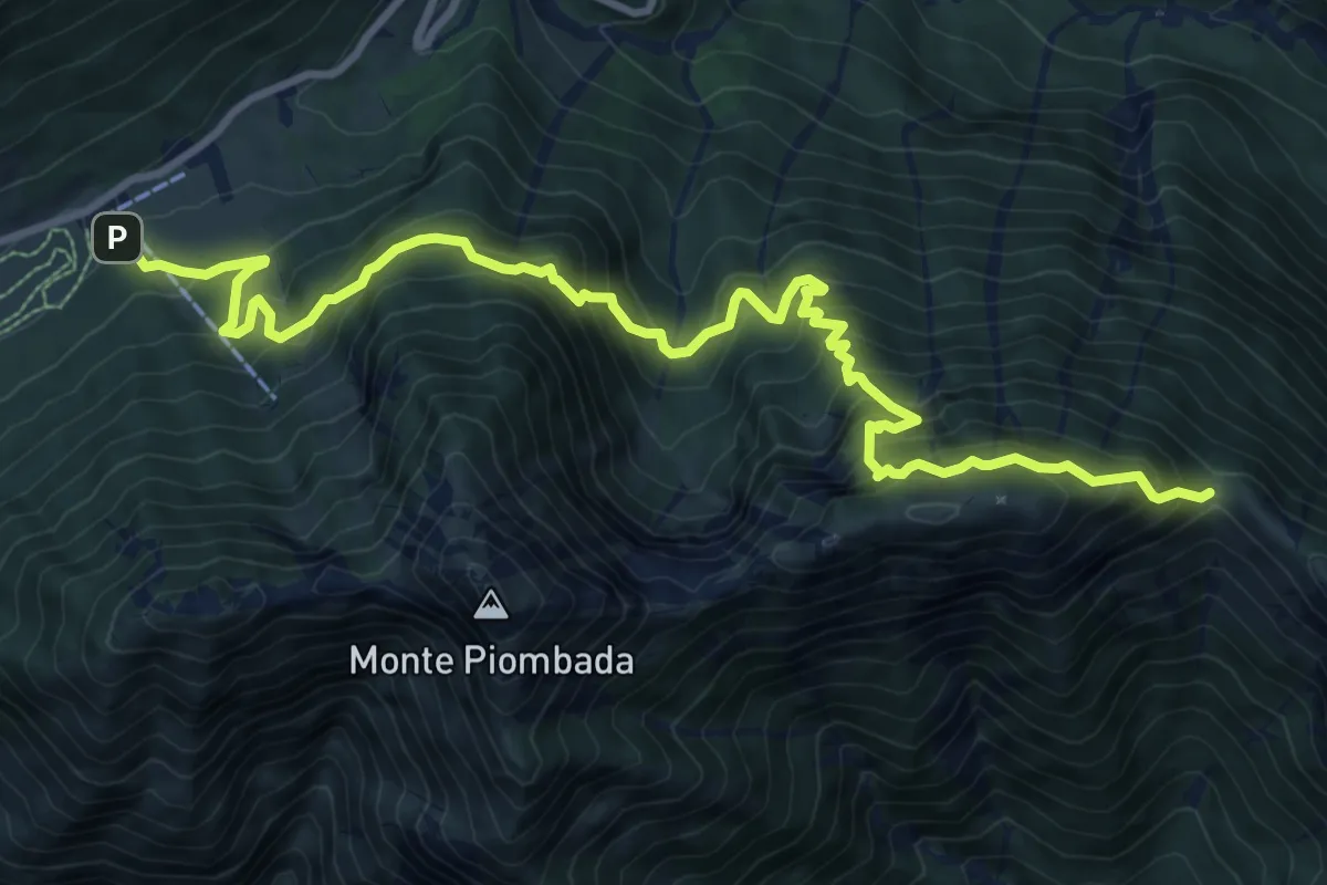
Demanding · Cabin
Sella Chianzutan (quota 955 m) – La Forca/Bivio sentiero n. 827 (quota 1258 m)
12.0 km · ↑ 1248 m · 5 h 33 min
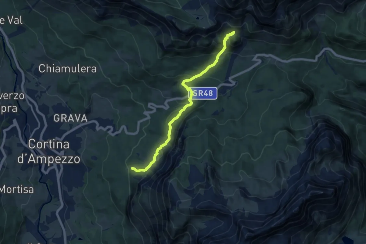
Medium · Trail
Strada per Tre Croci – Son Forca
9.4 km · ↑ 520 m · 3 h 20 min
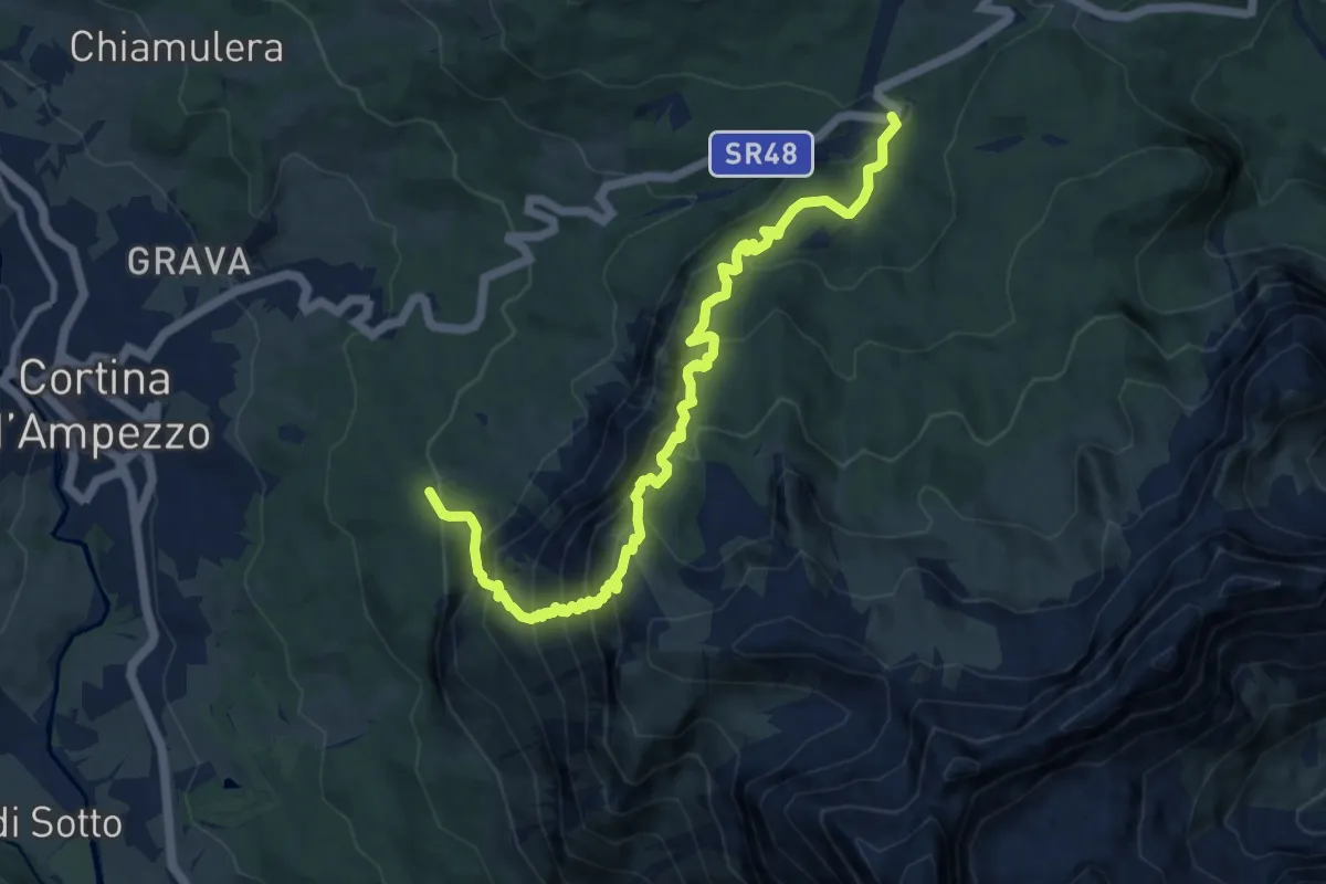
Demanding · Trail
Mandres - da percorso 210 – Ristoro Rio Gere - S.S. 48
11.5 km · ↑ 1168 m · 5 h 14 min
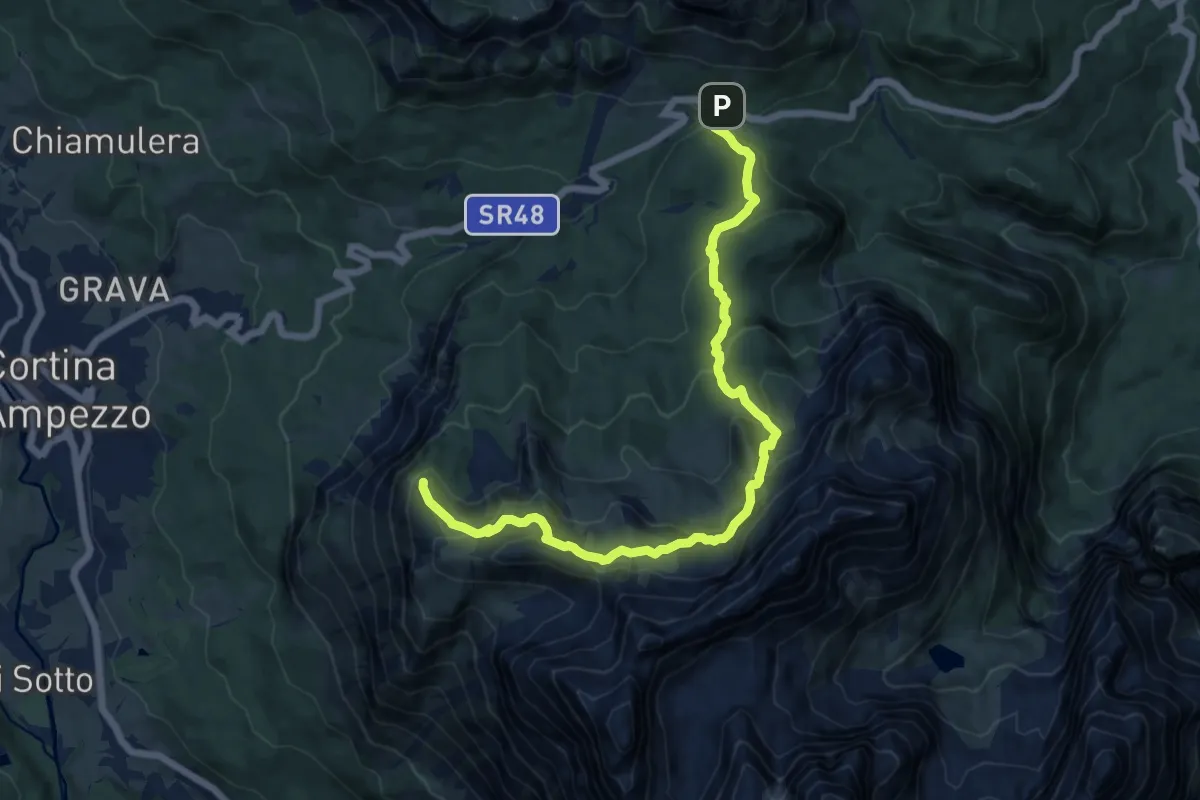
Medium · Cabin
Passo Tre Croci – Rifugio Faloria
13.6 km · ↑ 769 m · 4 h 53 min
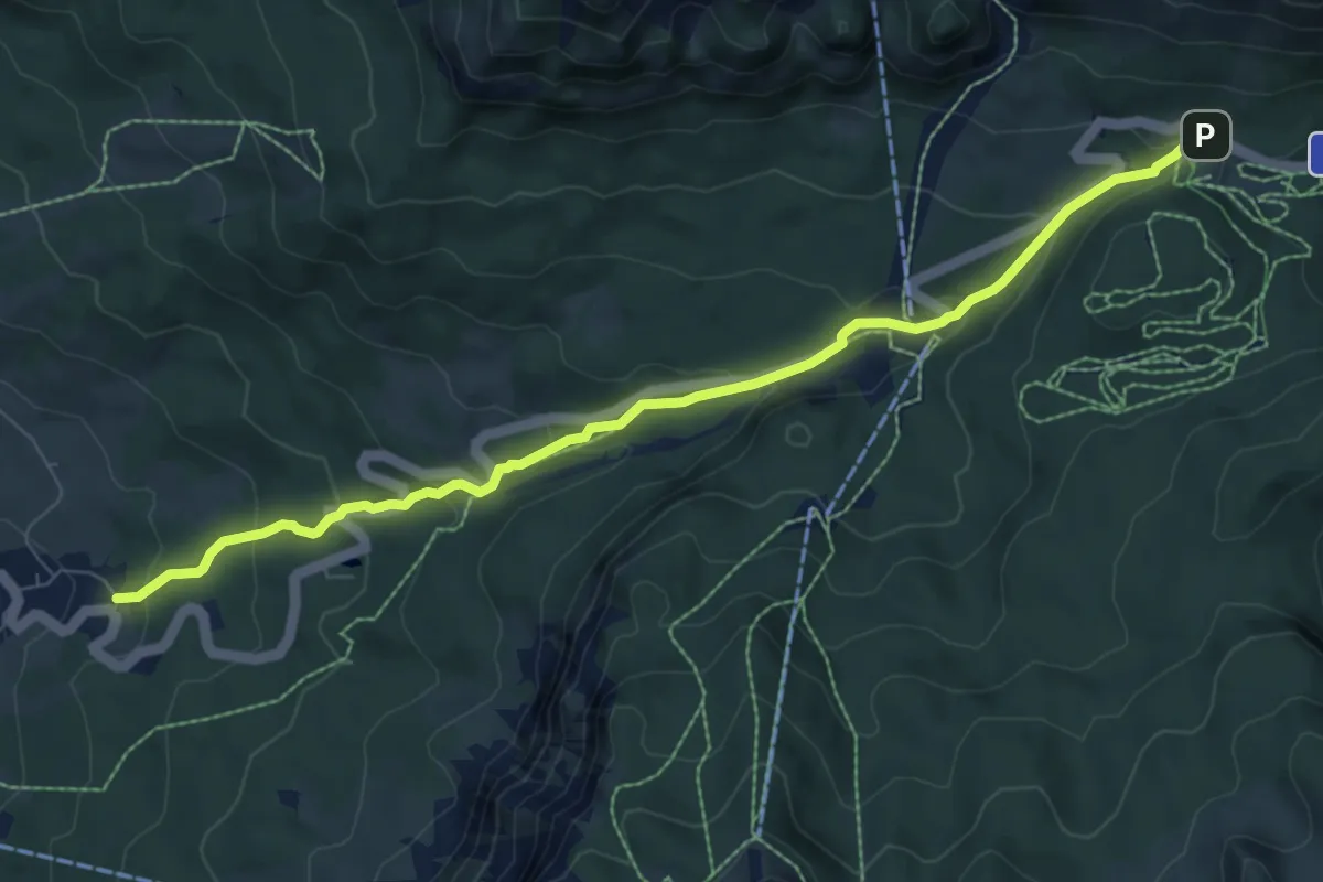
Medium · Trail
Passo Tre Croci – Valbona
8.2 km · ↑ 439 m · 2 h 53 min
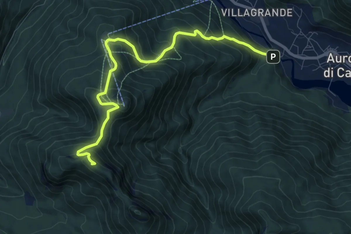
Demanding · Summit
Villagrande - Ponte Malon – Colle de la Mandria - innesto sentiero 1262
10.2 km · ↑ 883 m · 4 h 20 min
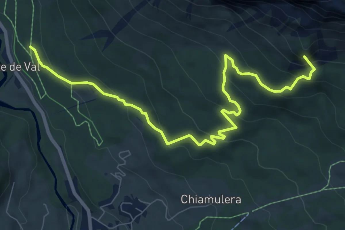
Medium · Summit
Fiames (S.S. 51) – Ristoro Rio Gere (S.S. 48)
8.5 km · ↑ 477 m · 3 h 3 min
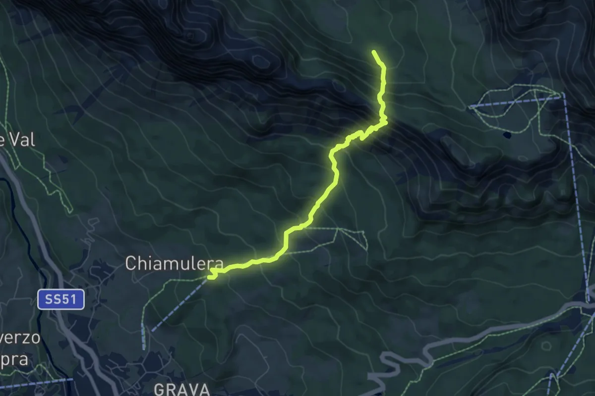
Demanding · Trail
Ristoro Col Tondo – Alta Val Padeon - sentiero 203
6.8 km · ↑ 829 m · 3 h 25 min
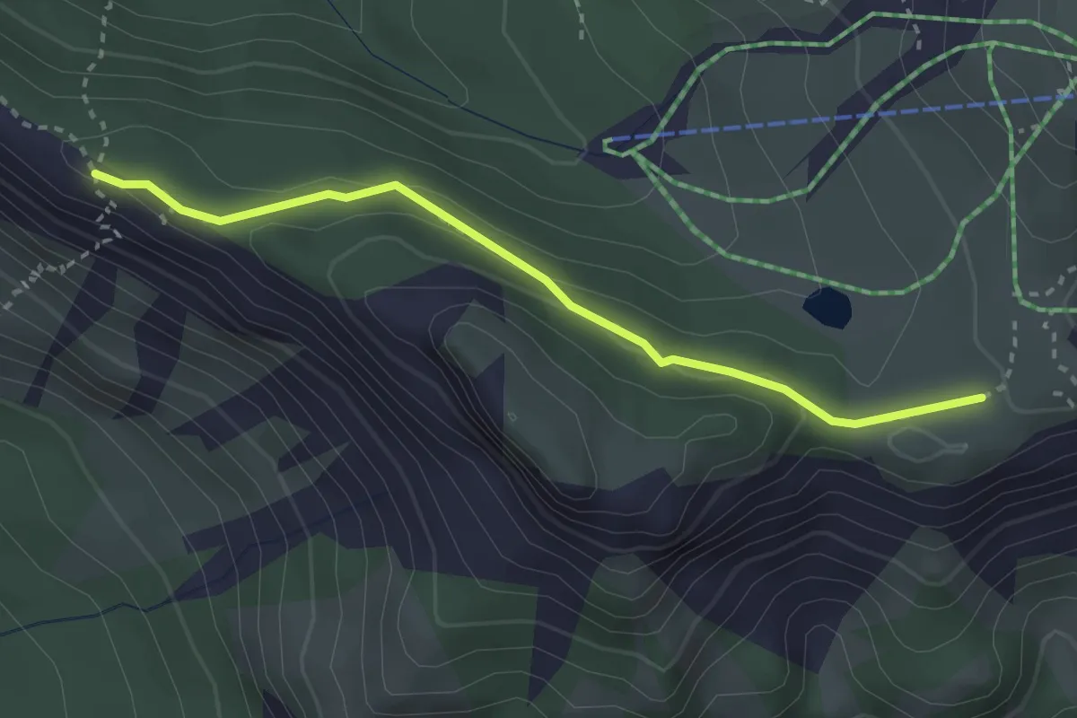
Medium · Trail
Forcella Zumeles - sentiero 204 – Passo Sonforcia - sentiero 203
2.9 km · ↑ 105 m · 55 min
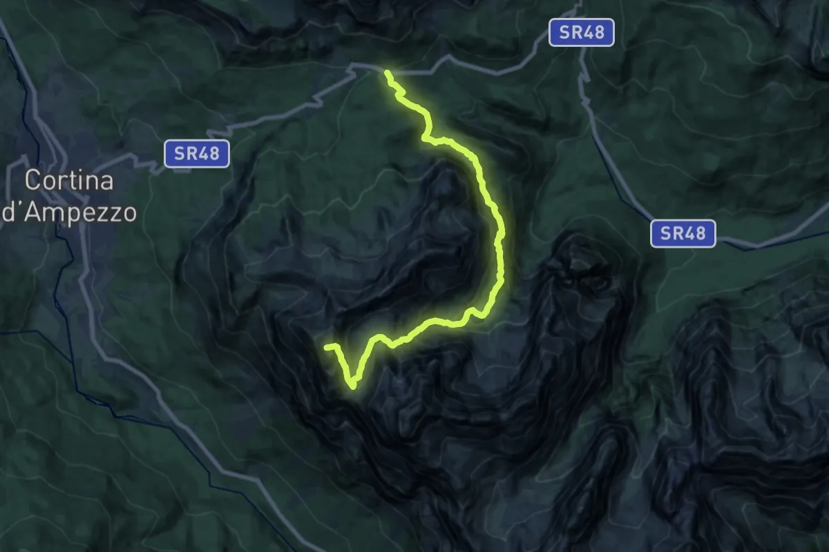
Expert · Summit
nei pressi Passo 3 Croci - Pian de ra mores – F.lla Faloria - sentieri 223-213
18.7 km · ↑ 1720 m · 8 h 8 min
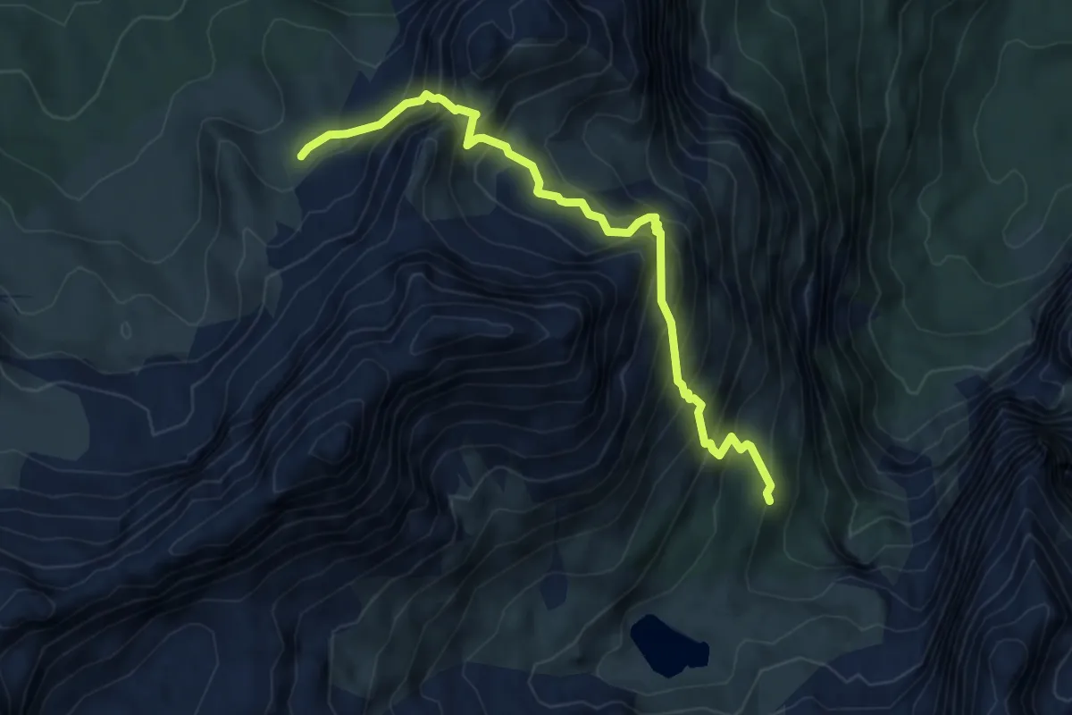
Expert · Trail
sotto Rifugio Vandelli - sentiero215 – Tardeiba - sentiero 213
5.9 km · ↑ 770 m · 3 h 3 min
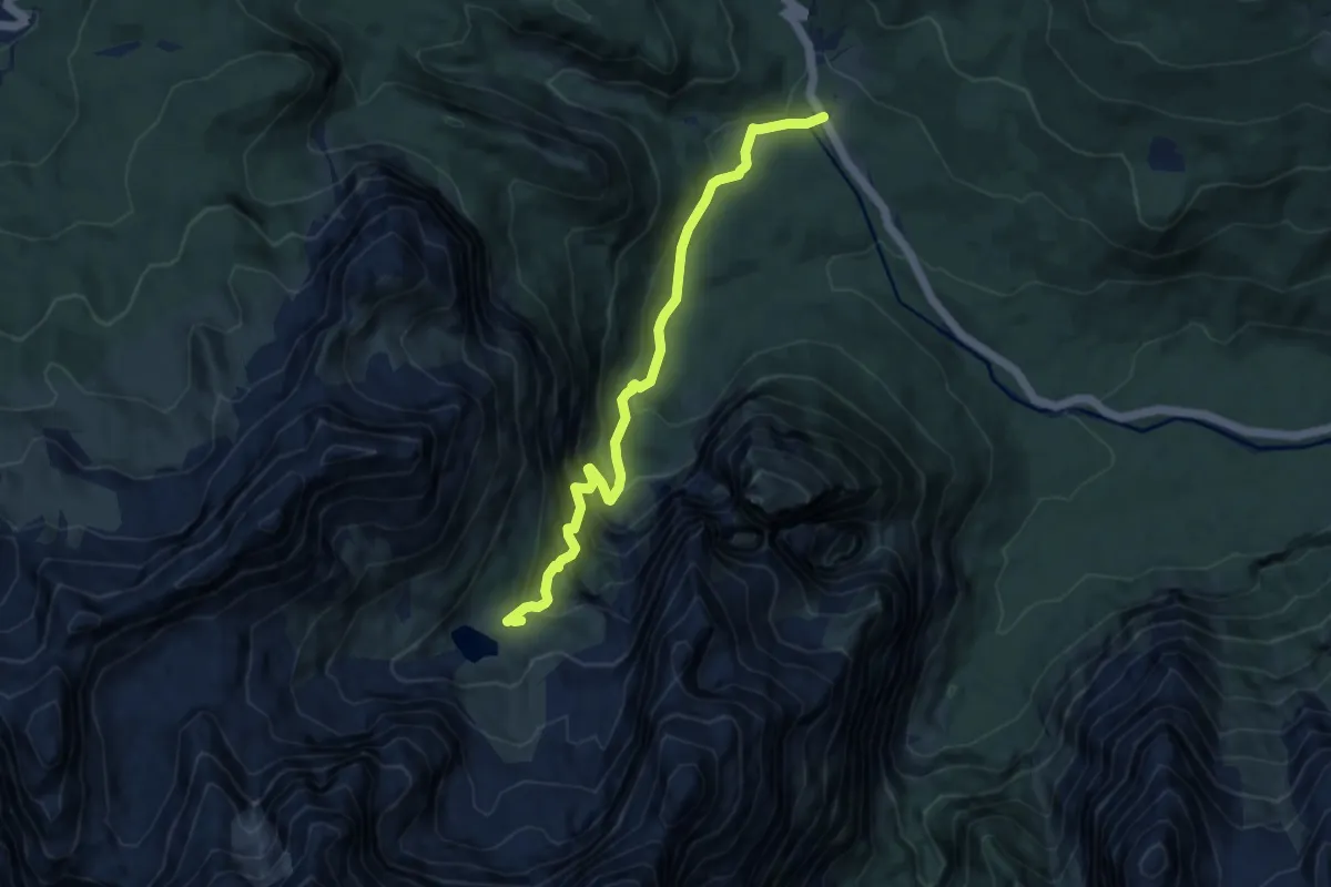
Medium · Cabin
Federa Vecia – Rifugio A. Vandelli
8.7 km · ↑ 732 m · 3 h 39 min
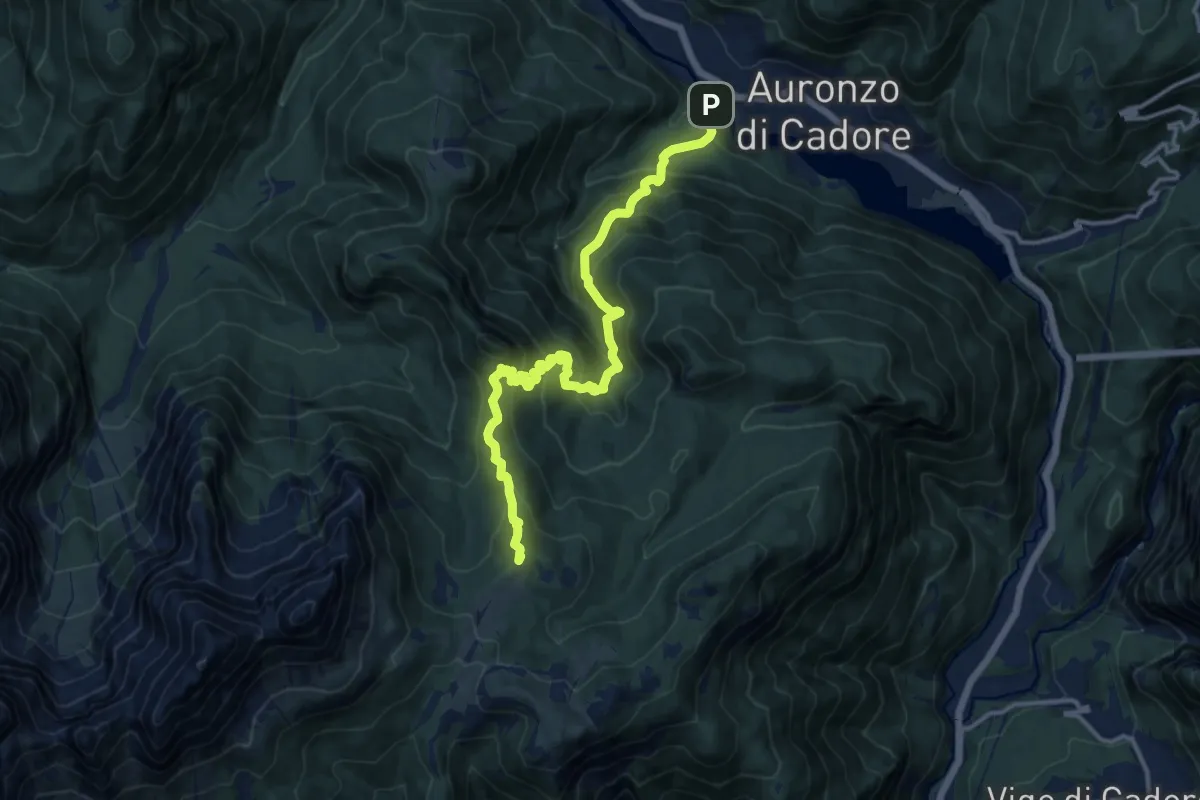
Demanding · Summit
Villagrande - Ponte Malon – Col dei Buoi - innesto sentiero 268
14.1 km · ↑ 1244 m · 6 h 2 min
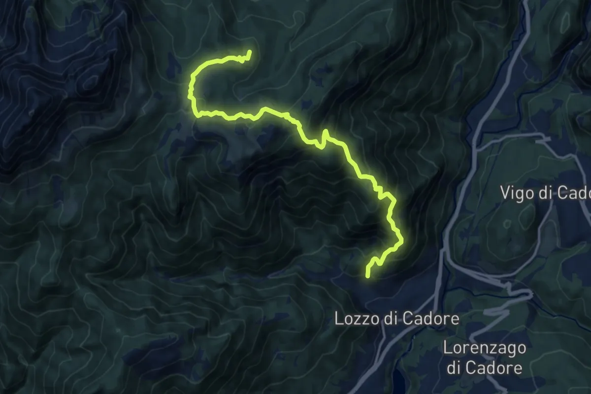
Demanding · Summit
Bivio di Val, a nord di San Rocco e della omonima chiesetta – Auronzo lago, nei pressi del coronamento della diga di S. Caterina
14.5 km · ↑ 1171 m · 5 h 58 min
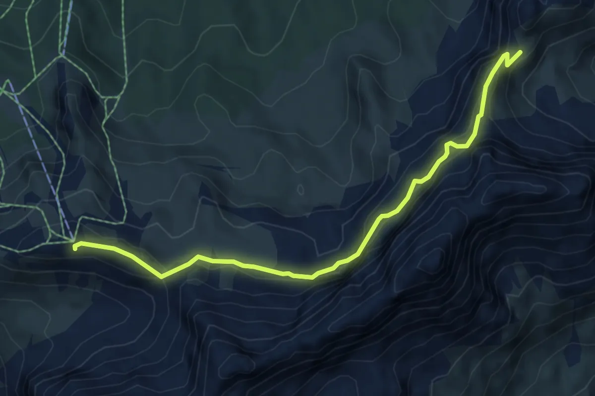
Demanding · Summit
tra Rif. Faloria e Rif. Tondi - sentiero 213 – Ciadin del Loudo - sentiero 216
6.5 km · ↑ 361 m · 2 h 19 min
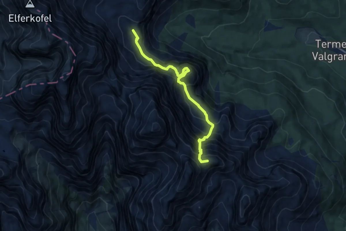
Demanding · Summit
Rif. A. Berti – Bivacco Gera
8.7 km · ↑ 1257 m · 4 h 46 min
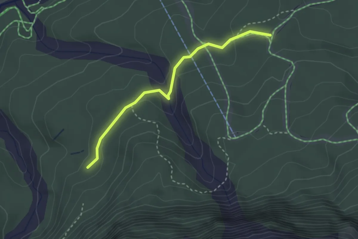
Medium · Trail
Bivio sentiero 321 (quota 1278 m) – Bivio sentiero 316 (quota 1351 m)
2.6 km · ↑ 93 m · 49 min
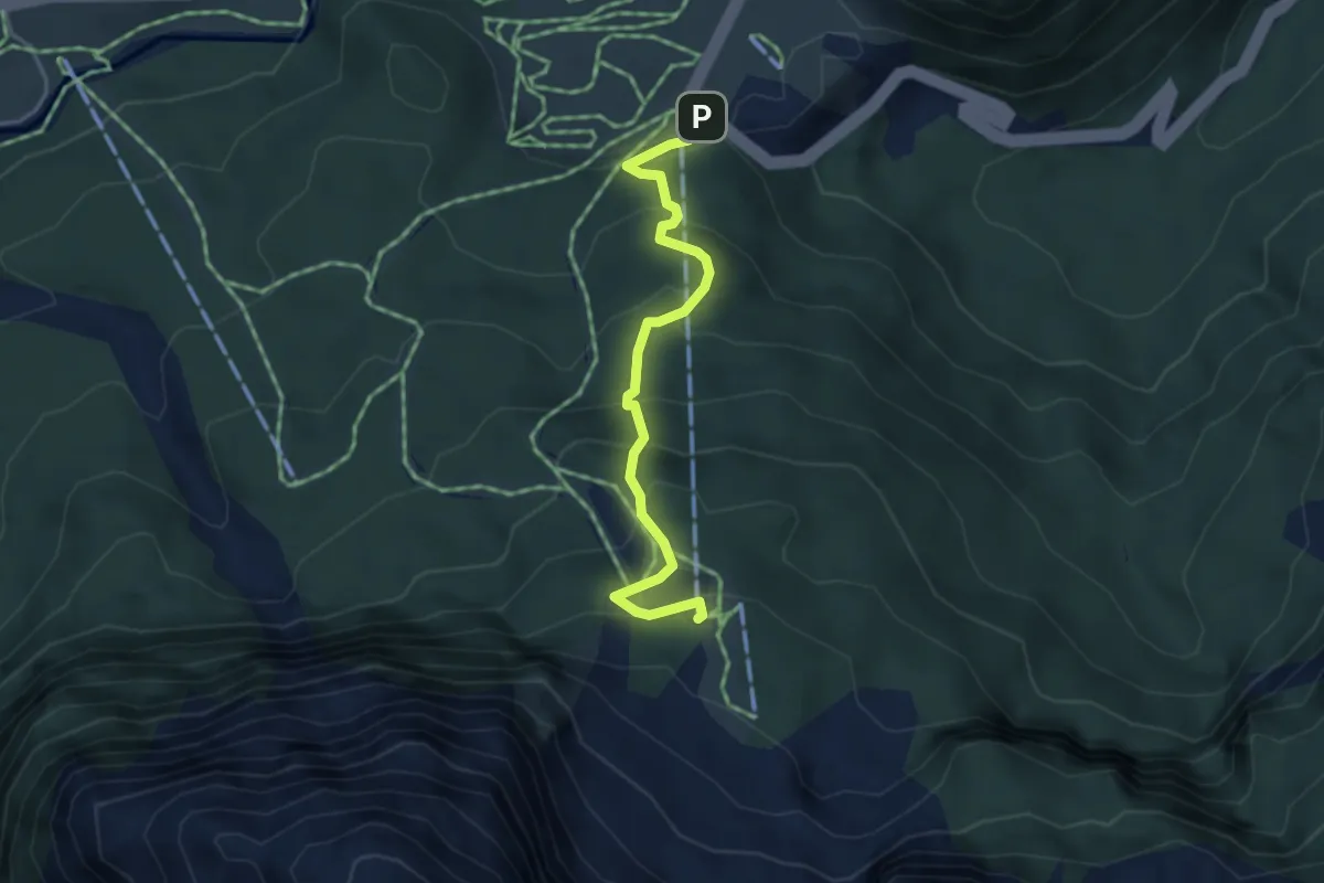
Medium · Cabin
Cima Sappada (quota 1291 m) coordinate 46°33’57.7″N 12°43’12.2”E – Rif. monte Siera (quota 1606 m) coordinate 46°33’21.06″N 12°43’11.02”E
3.7 km · ↑ 320 m · 1 h 34 min
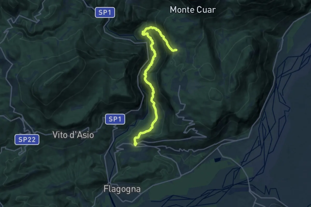
Demanding · Trail
Forgaria (quota 263 m) – Val Borgna – Bivio sentiero n. 816 (quota 826 m)
15.3 km · ↑ 1396 m · 6 h 38 min
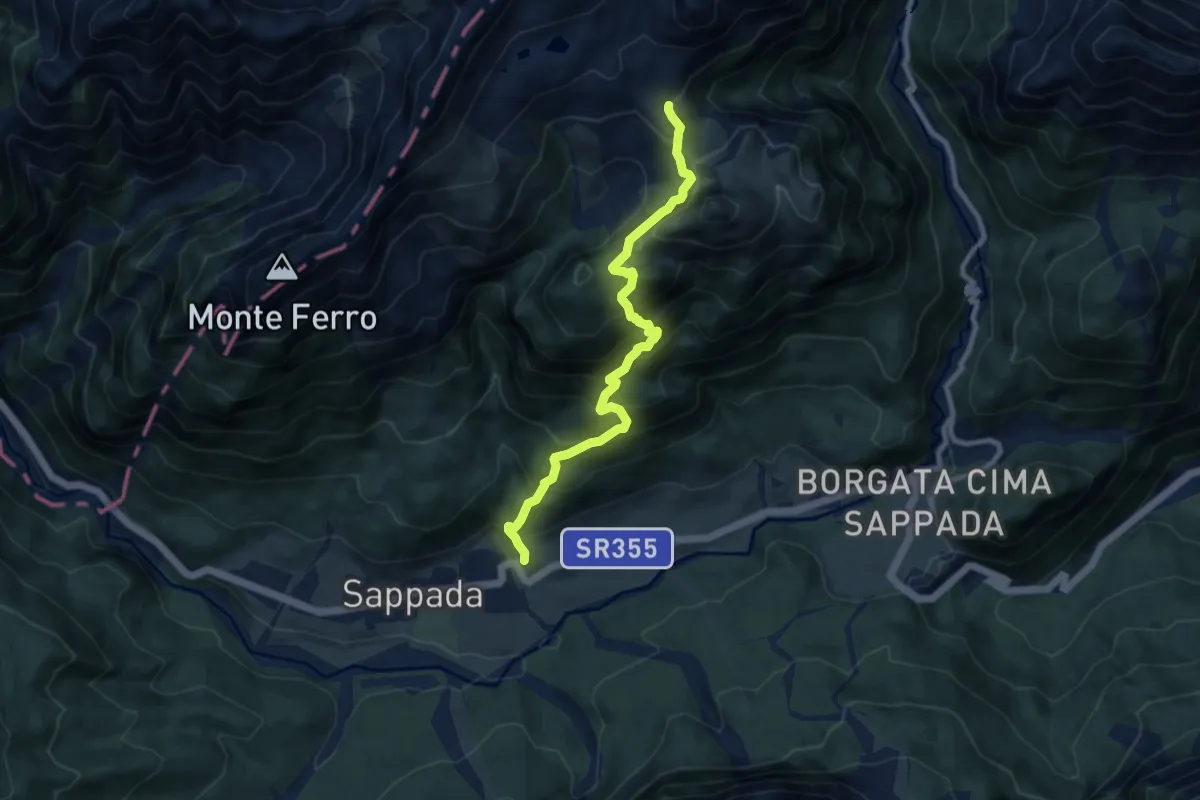
Demanding · Trail
Borgata Cottern (quota 1250 m) – Bivio sentiero 138 laghi d’Olbe (quota 2000 m)
8.7 km · ↑ 889 m · 3 h 59 min
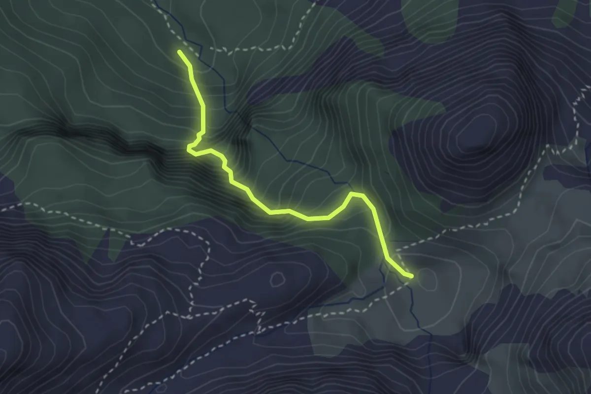
Demanding · Trail
Bivio sentiero 320 (quota 1400 m) – Casera Geu Alta (quota 1796 m)
2.6 km · ↑ 498 m · 1 h 41 min
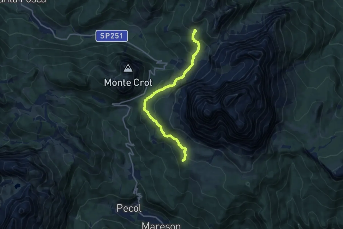
Medium · Summit
Rifugio Venezia-De Luca al Pelmo – Rifugio Città di Fiume - innesto percorso 467
10.4 km · ↑ 468 m · 3 h 28 min
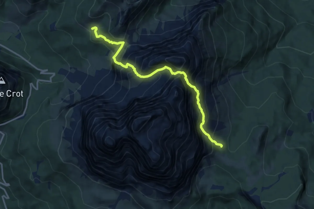
Demanding · Cabin
Rifugio Venezia – Rifugio Città di Fiume
9.8 km · ↑ 1443 m · 5 h 26 min
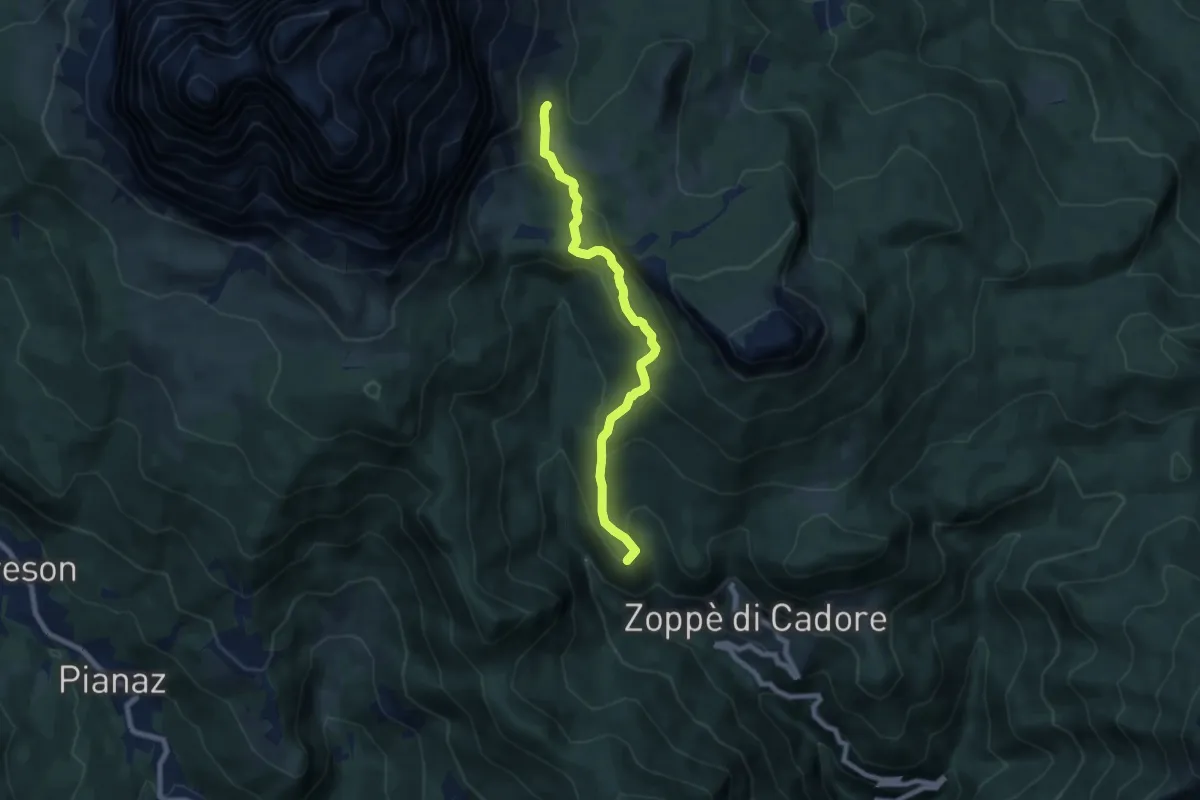
Medium · Summit
Zoppè - Località Sagui – Rifugio Venezia-De Luca al Pelmo
7.3 km · ↑ 467 m · 2 h 45 min
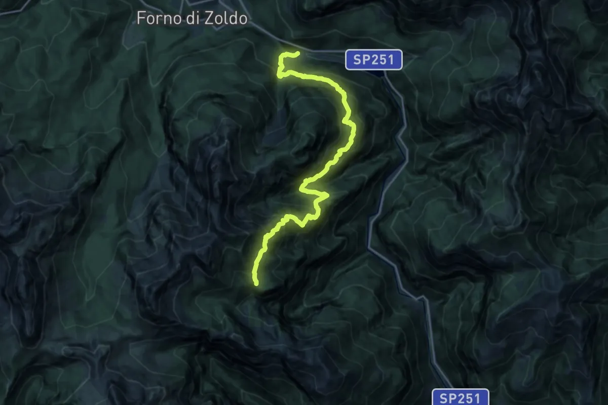
Demanding · Trail
Baron-Fain – Col dei Gai di Cornia - inn. sent. 521
9.0 km · ↑ 425 m · 3 h 39 min
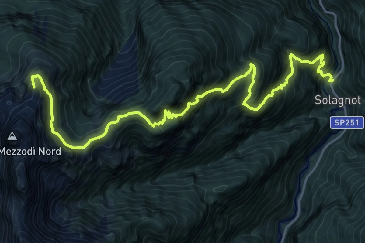
Demanding · Summit
Solagnot (Diga S.Giovanni) da S.R. 251 – Rifugio Casel Sora 'l Sass-Angelini
14.3 km · ↑ 1903 m · 7 h 29 min
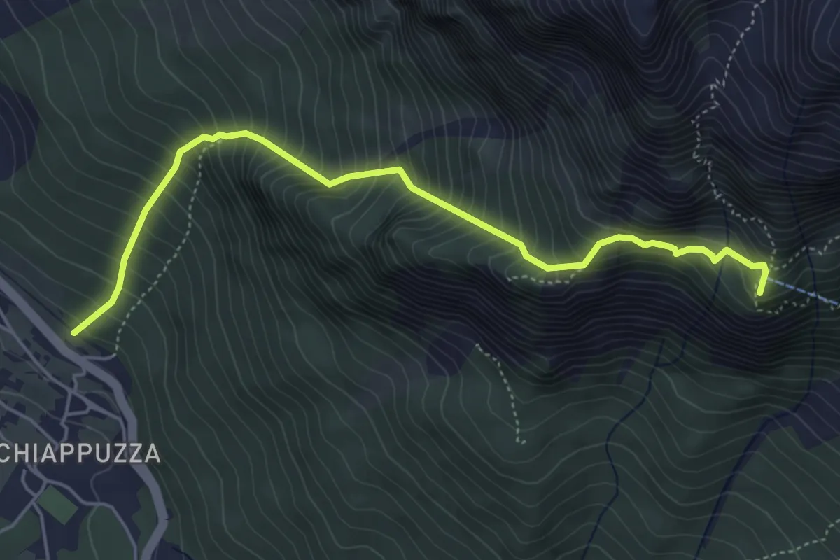
Demanding · Summit
Chiapuzza (da pista ciclabile) – Rifugio San Marco
5.3 km · ↑ 846 m · 3 h 4 min
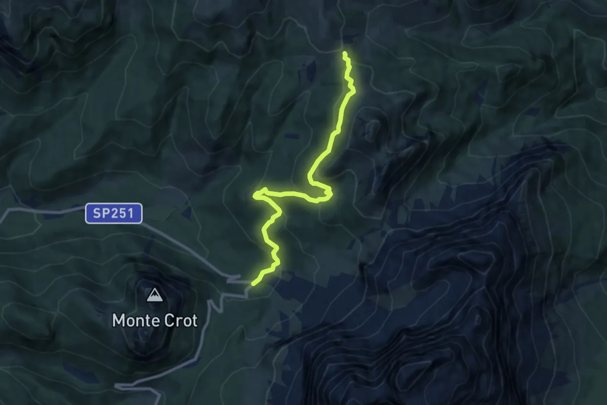
Medium · Trail
tornante S.P.251 sotto Forcella Staulanza – Forcella de Col Roan - innesto sentiero 458
8.5 km · ↑ 443 m · 2 h 58 min
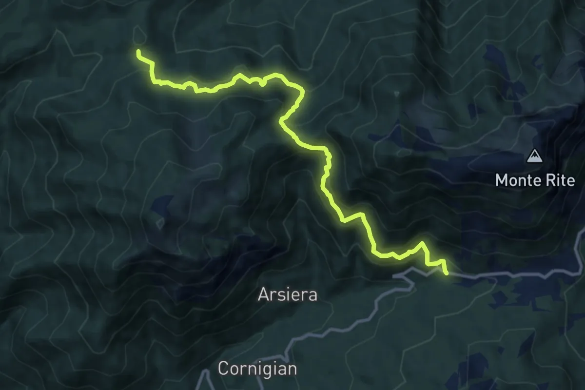
Medium · Cabin
Quattro Tabià, SP 347 km 62 – Rifugio G. Talamini
10.8 km · ↑ 791 m · 4 h 15 min
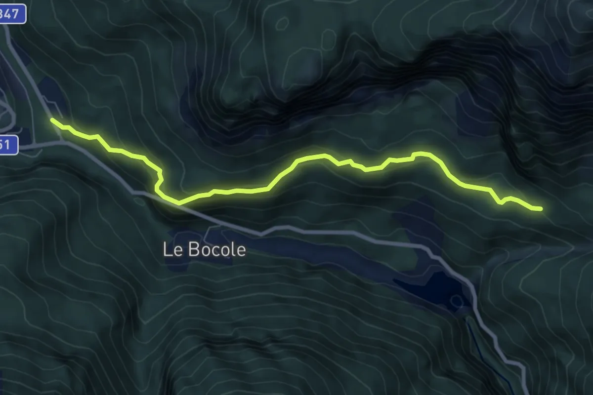
Medium · Trail
Ciamber da SP 347 – Casera del Mugòn
7.7 km · ↑ 449 m · 2 h 47 min
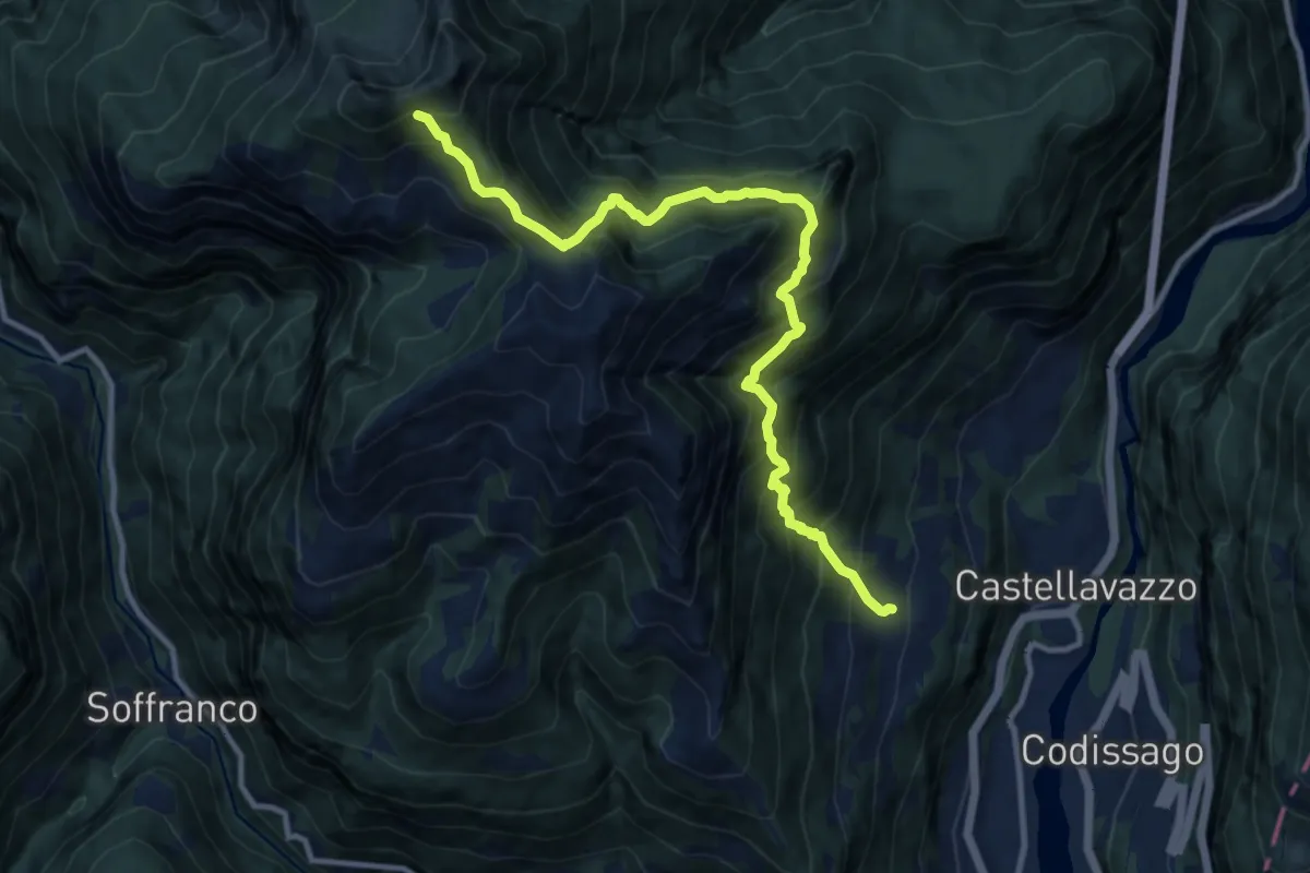
Demanding · Trail
Podenzoi - Le Mure – sotto Porta de la Serra - inn. sent. 482
11.6 km · ↑ 1498 m · 5 h 59 min
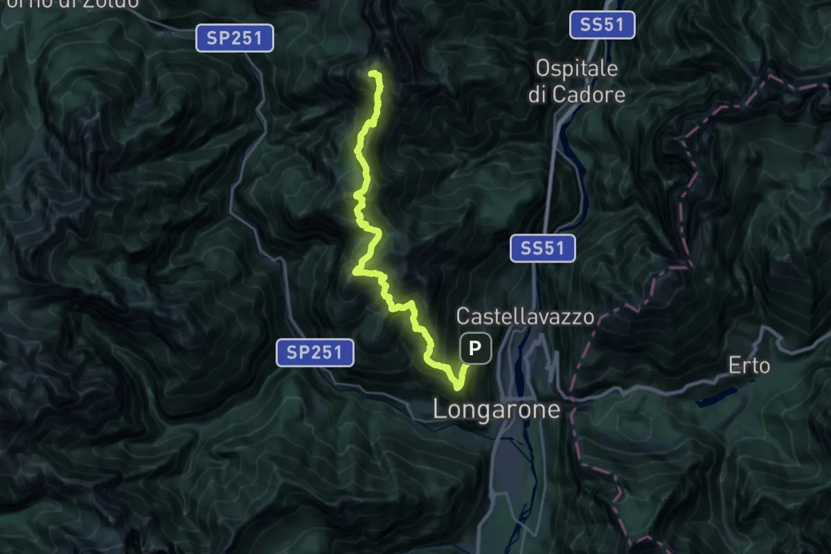
Expert · Summit
Podenzoi - cappella vittime Vajont – Al Gronf - inn. sentiero 485
23.2 km · ↑ 2487 m · 10 h 52 min
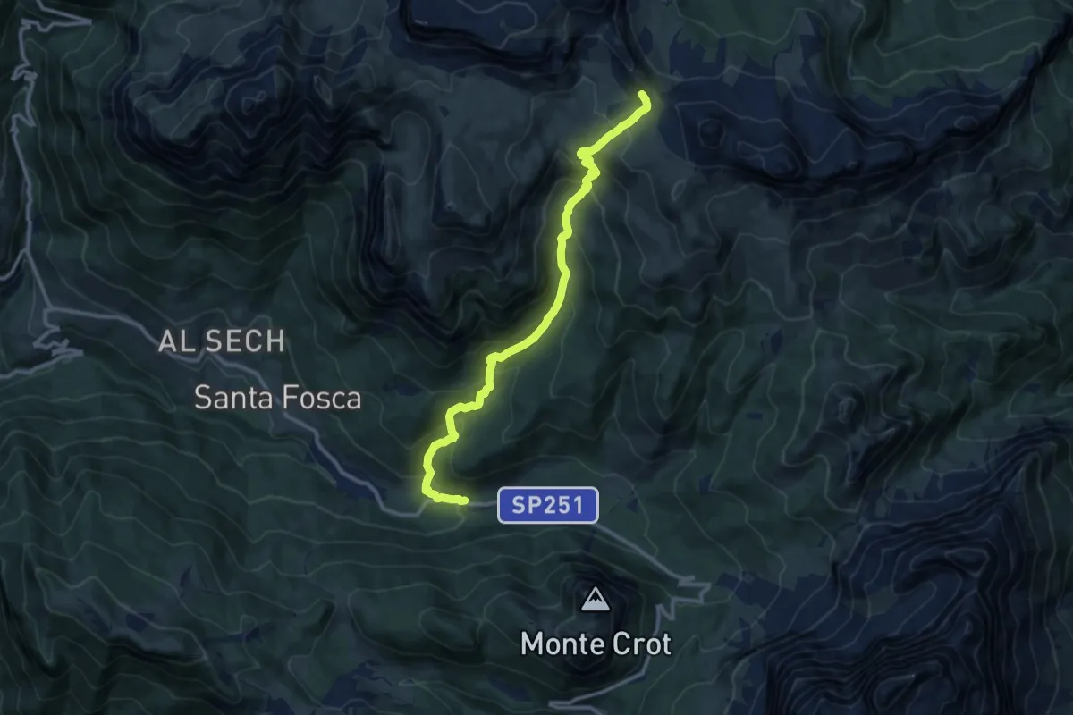
Medium · Trail
Pescul - Le Stroppe – F.lla d'Ambrizzola - inn. sent. 436
11.3 km · ↑ 793 m · 4 h 23 min
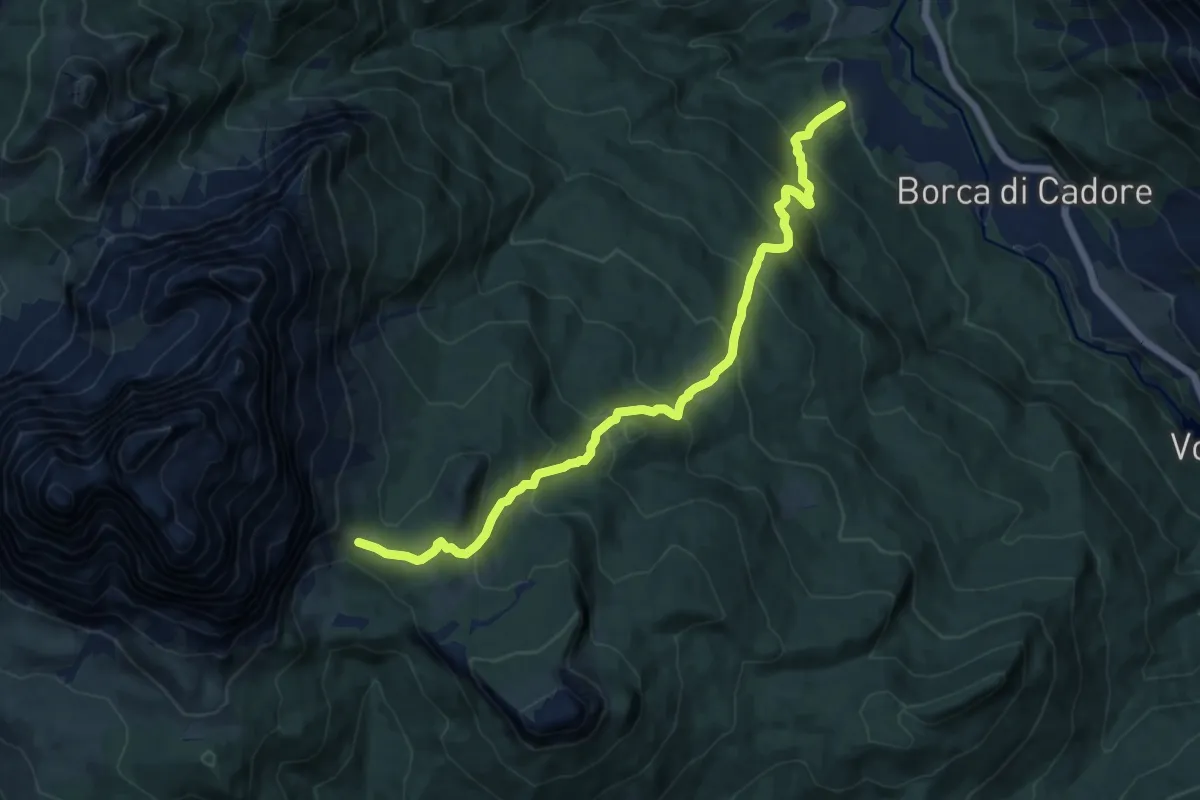
Demanding · Trail
Borca - Villanova – Passo di Rutorto - inesto percorso 471
12.6 km · ↑ 958 m · 5 h 3 min
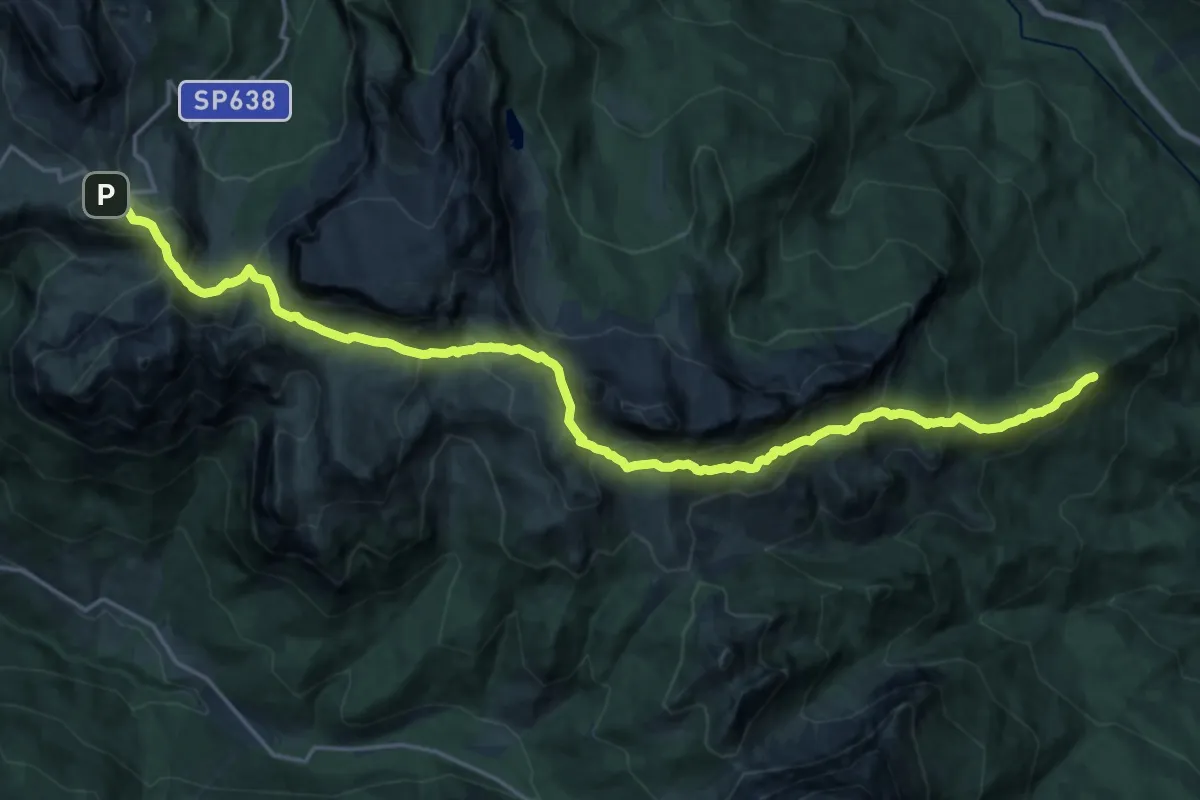
Demanding · Summit
Ponte del Moro - Lago di Mosigo – Passo Giau
23.3 km · ↑ 1401 m · 8 h 33 min
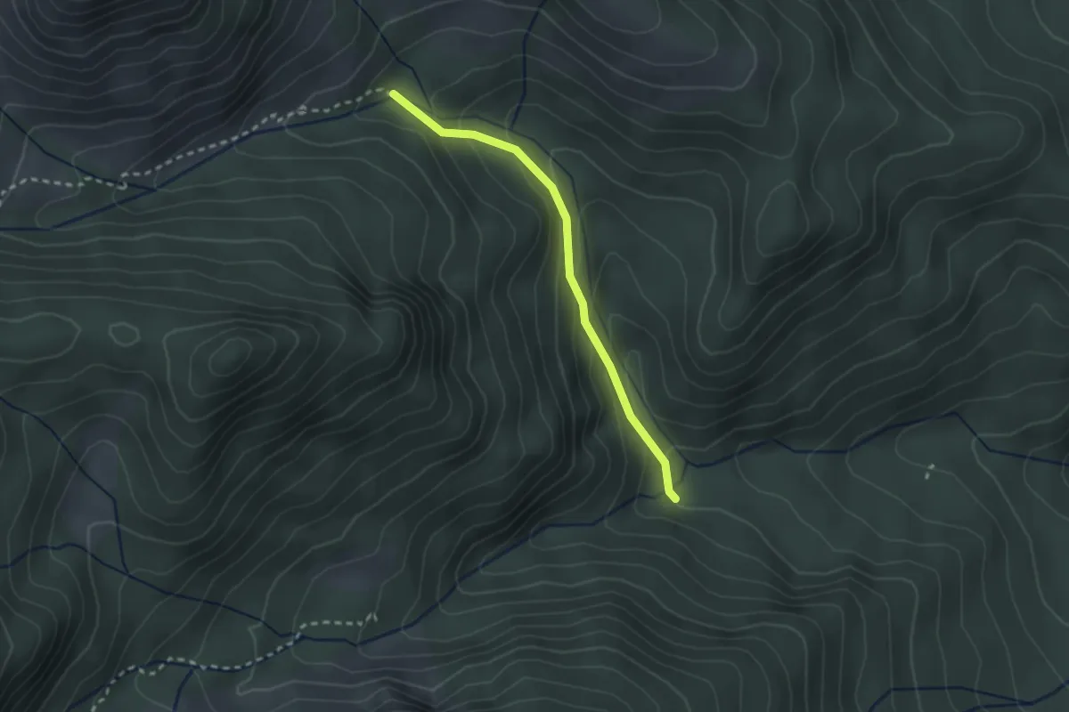
Easy · Trail
Ponte Intra les Aghes - da sent. 468 – Ponte Ru de Faon - innesto sentiero 458
2.3 km · ↑ 177 m · 55 min
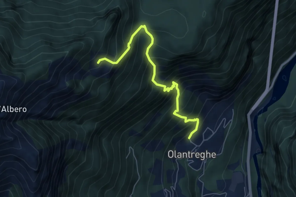
Demanding · Cabin
Olantreghe – Bivacco Casera Busnich - inn. sent. 484
5.7 km · ↑ 906 m · 3 h 18 min
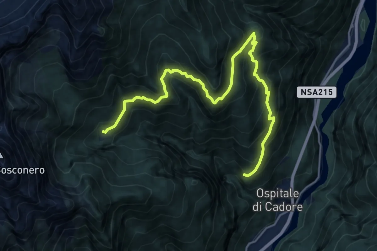
Demanding · Trail
Festin - da sent. 483 – Casera Valbona - inn. sent. 483
13.7 km · ↑ 1190 m · 5 h 49 min
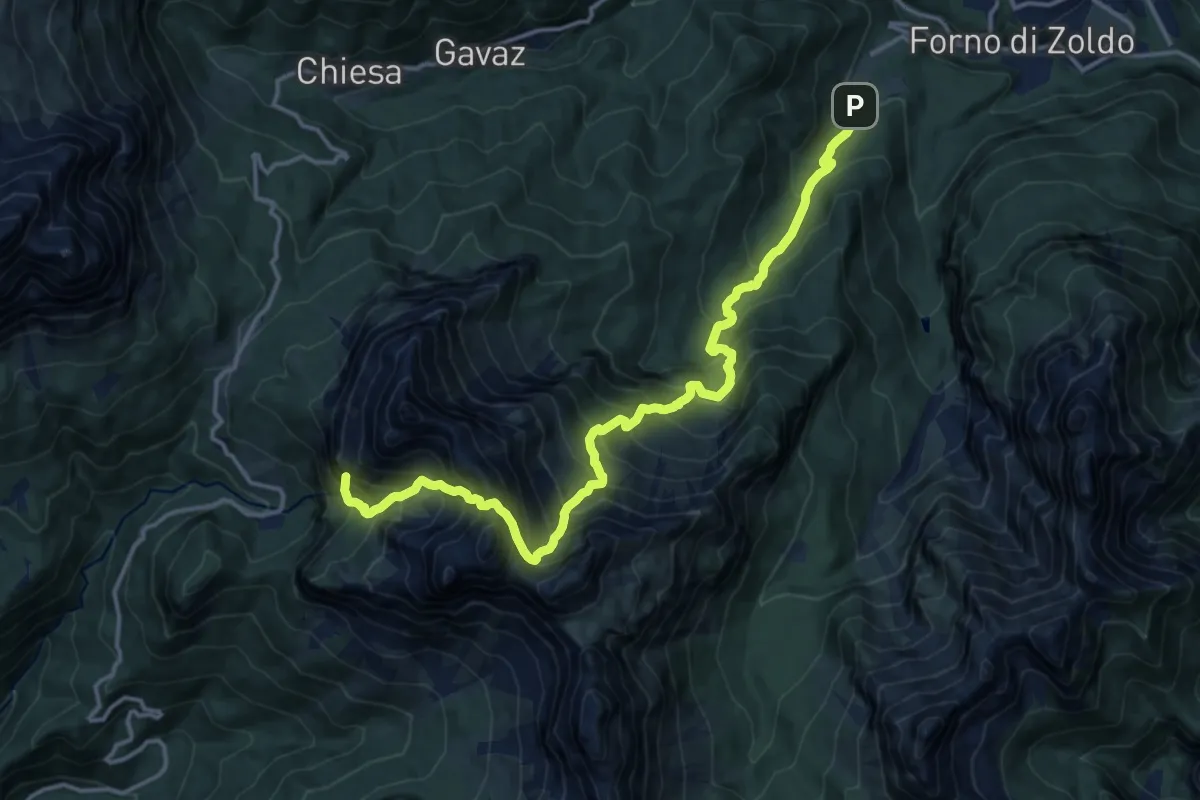
Expert · Summit
Pralongo – Passo Duran
16.2 km · ↑ 2162 m · 8 h 30 min
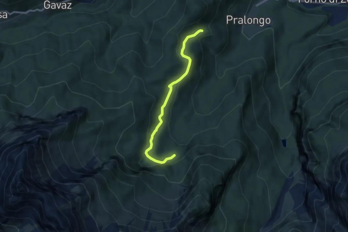
Easy · Trail
Colcerver – Crepe di Rondoi (inn. sent. 524)
6.1 km · ↑ 242 m · 1 h 57 min
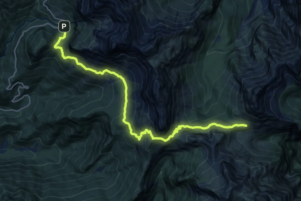
Demanding · Cabin
Rifugio Sommariva al Pramperet – Malga Caleda Vecchia
17.8 km · ↑ 1020 m · 6 h 25 min
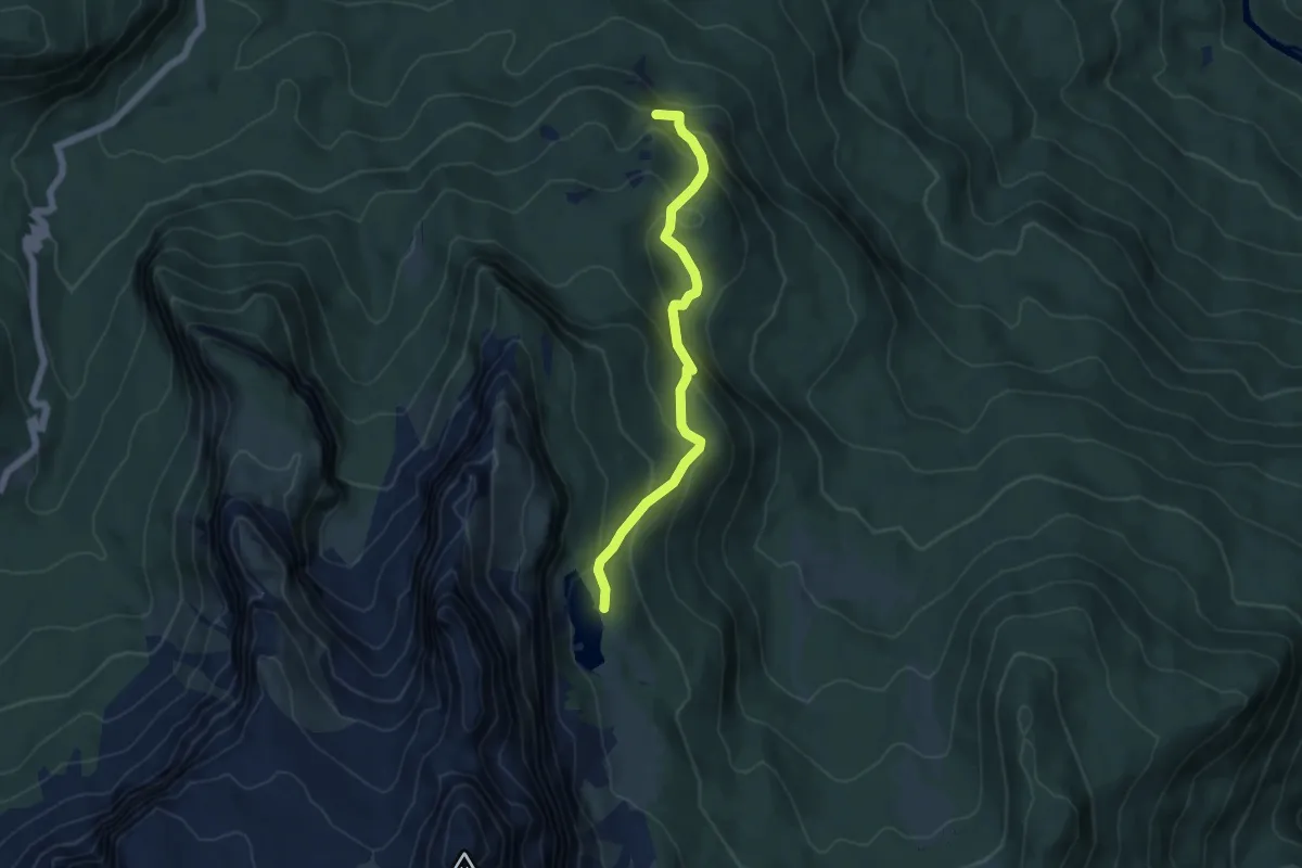
Medium · Summit
Lago d'Aial – Lago de Federa inn. sent. 434
5.0 km · ↑ 386 m · 2 h 1 min
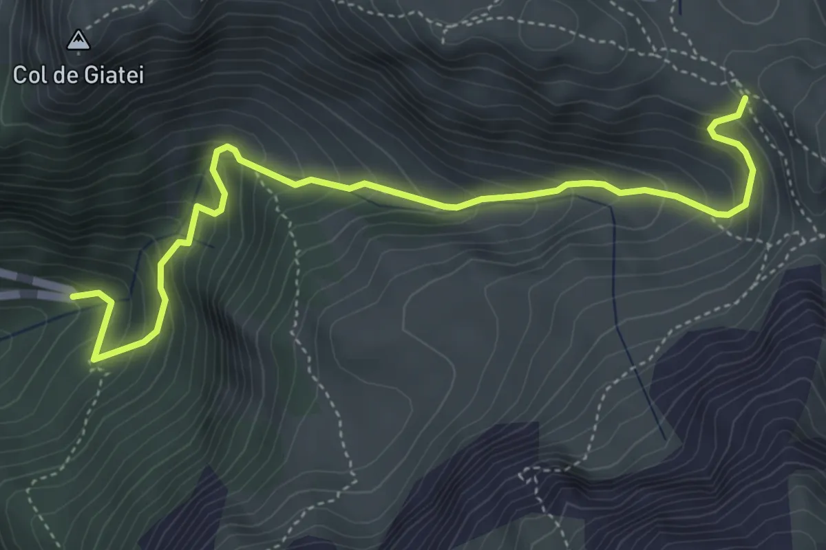
Medium · Trail
Sorgenti Zonia - S.P. 638 tornante Passo Giau – Forcella Zonia - inn. sent. 436
5.2 km · ↑ 538 m · 2 h 24 min
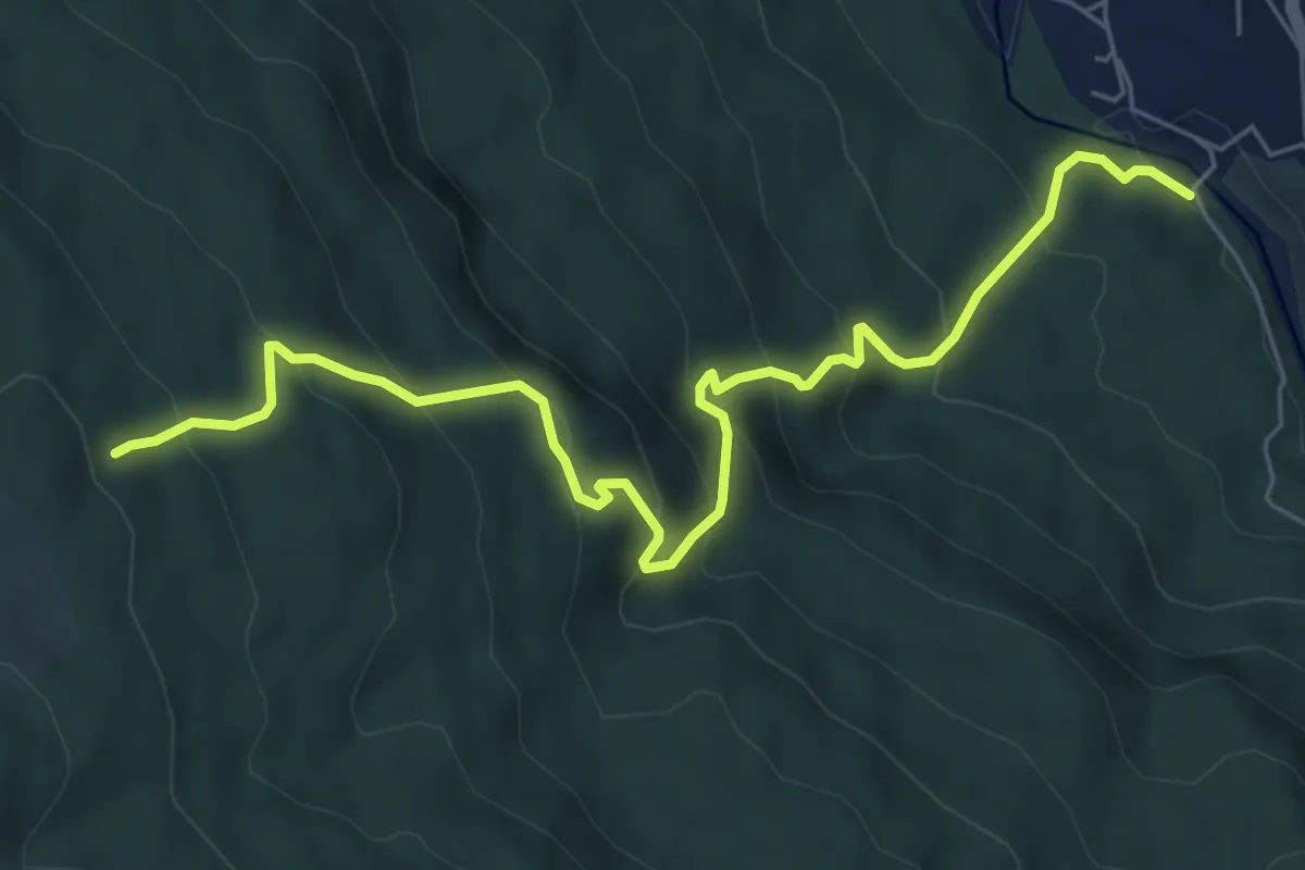
Medium · Trail
Borca - Ponte di Cancia – Malga Ciauta - inn. sent. 475
7.2 km · ↑ 612 m · 3 h 1 min