Trails in Italy
25,219 hiking trails, each with its route, climb, walking time and grade.
All trails, page 509 of 526
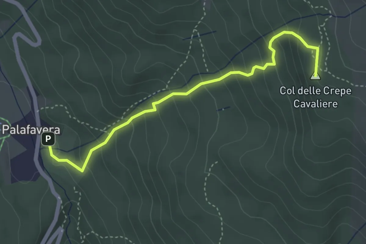
Medium · Summit
Palafavera – Col de le Crepe Cavaliere - innesto sentiero 472
3.9 km · ↑ 349 m · 1 h 41 min
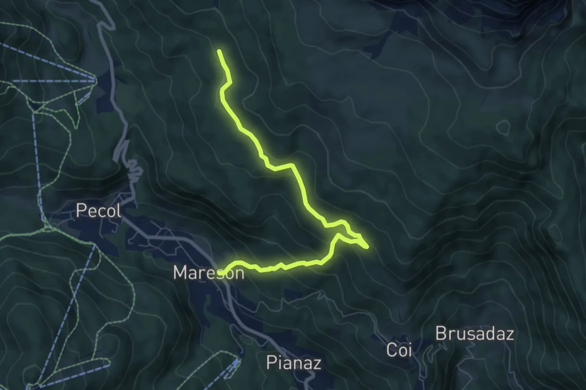
Medium · Trail
Mareson - da S.P. 251 – Pian de le Mandrate - innesto percorso 474
7.4 km · ↑ 443 m · 2 h 42 min
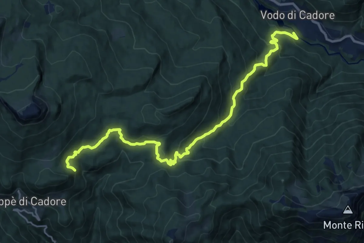
Demanding · Trail
Zoppè - Le Fraine – Vodo di Cadore
17.3 km · ↑ 925 m · 6 h 5 min
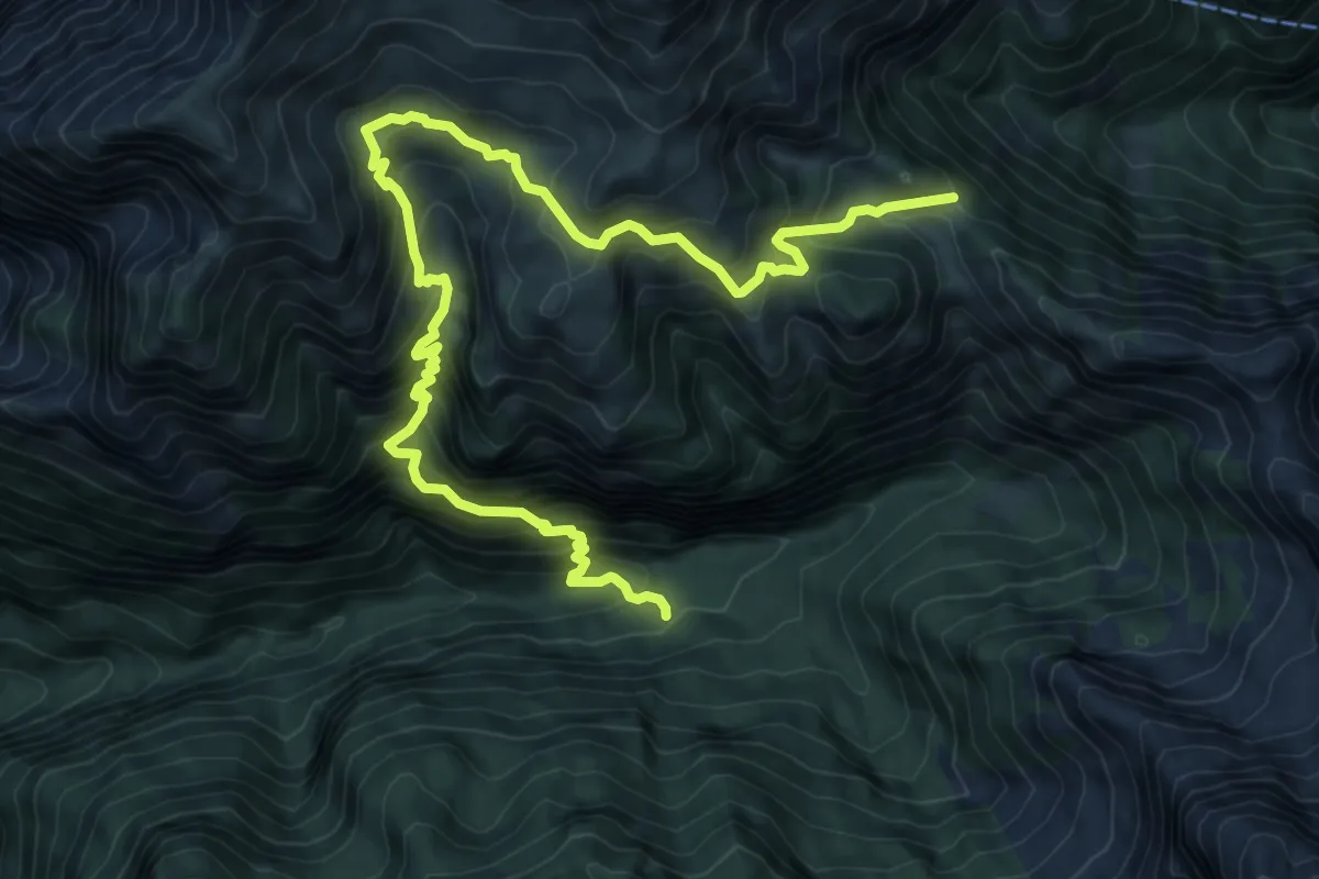
Demanding · Trail
Rifugio Bianchet – Forcella La Vareta - inn. sent. 514
11.2 km · ↑ 1182 m · 5 h 12 min
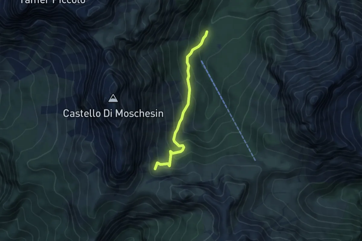
Medium · Trail
nei pressi Malga Pramper - da sentiero 523 – sotto Forcella Moschesin - innesto sentiero 543
4.9 km · ↑ 353 m · 1 h 55 min
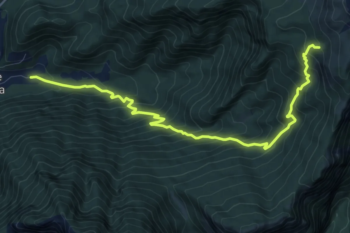
Demanding · Cabin
su strada per Malga Foca – nei pressi Malga Moschesin - innesto sentiero 543
12.1 km · ↑ 998 m · 5 h 1 min
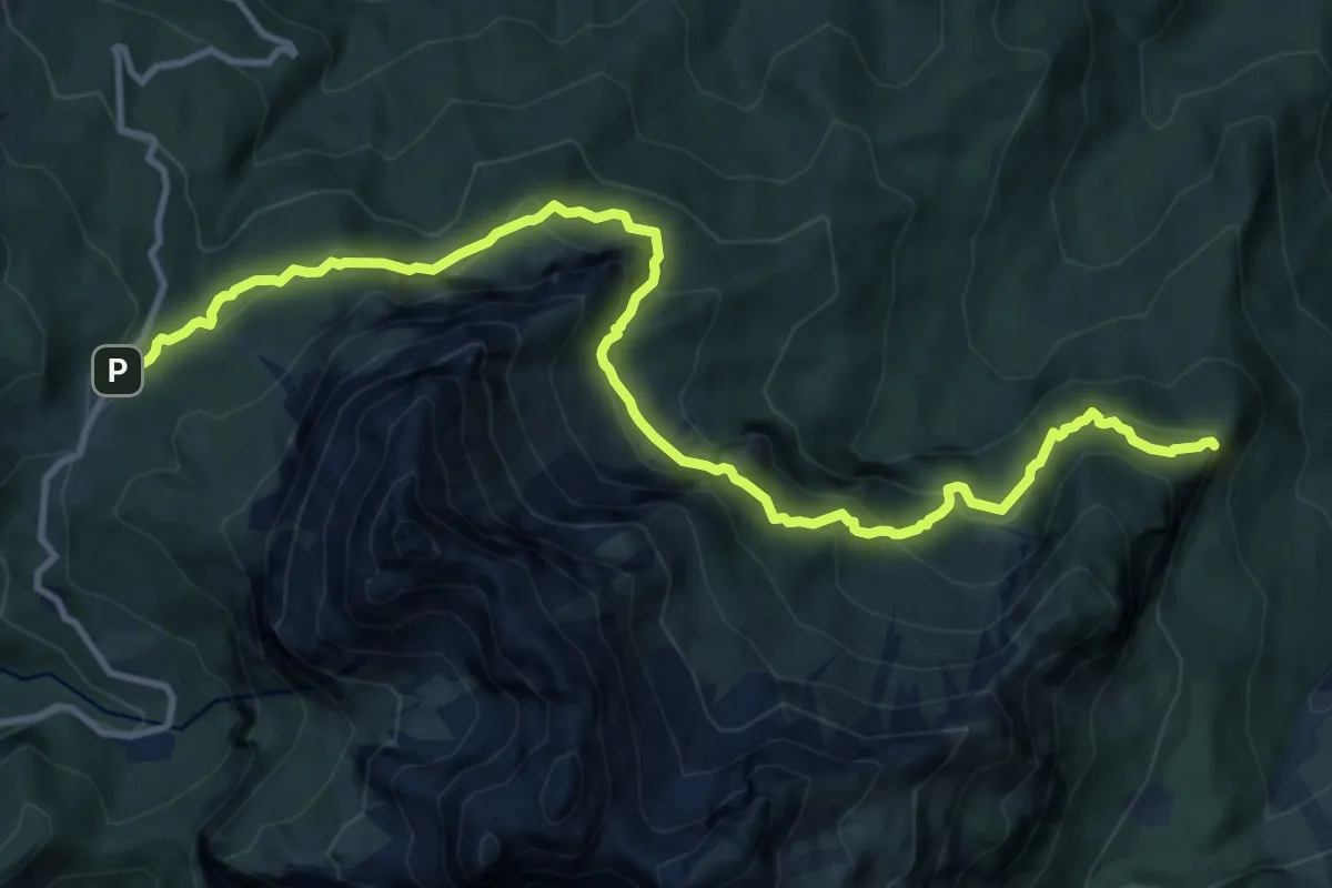
Demanding · Summit
Passo Duran – Pian dei Palui - inn. 523
13.5 km · ↑ 1194 m · 5 h 46 min
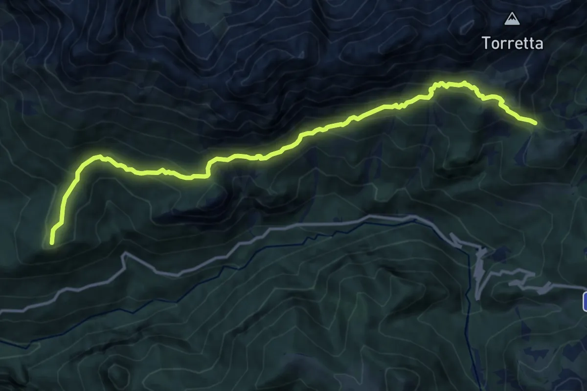
Demanding · Summit
Laggio di Cadore, nei pressi della Casa di soggionro alpino – Forcella Camporosso, innesto su sentiero 332
13.0 km · ↑ 1010 m · 5 h 16 min
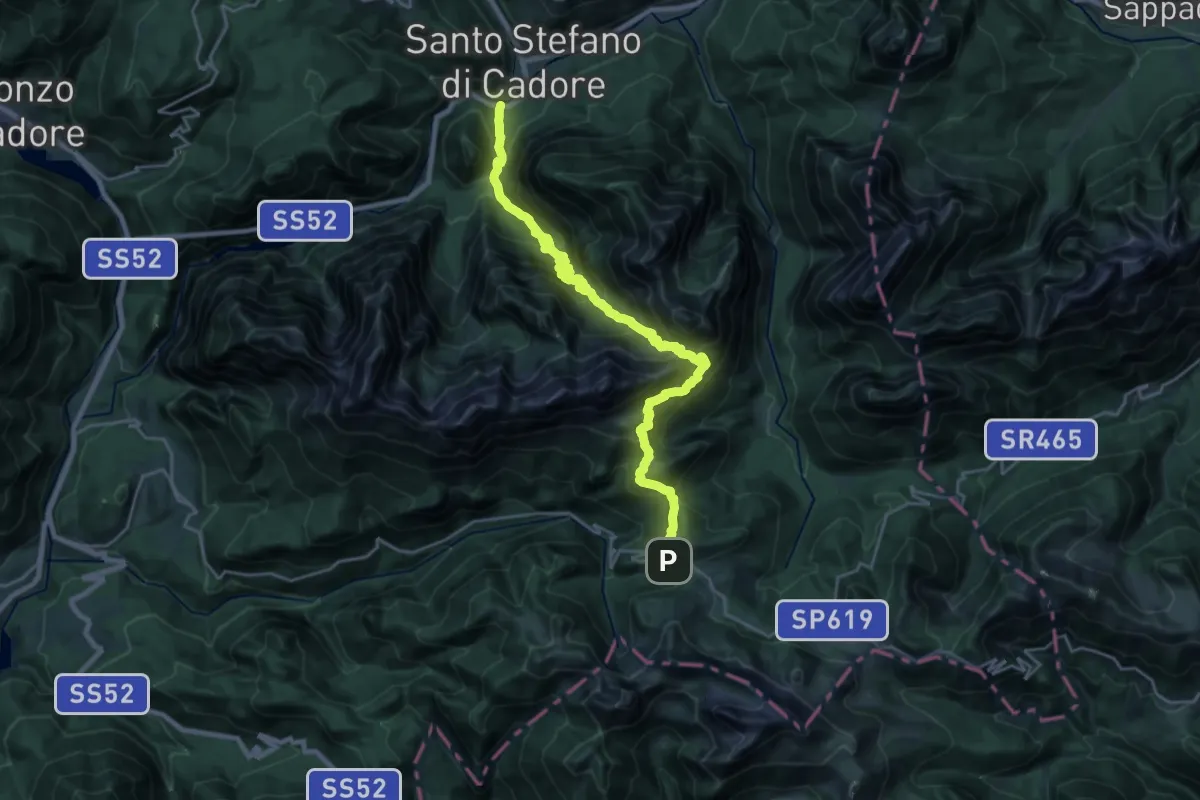
Demanding · Trail
S.P. 619 sotto valico Ciampigotto – Bus de Val - innesto su S.S. 52
12.6 km · ↑ 583 m · 4 h 51 min
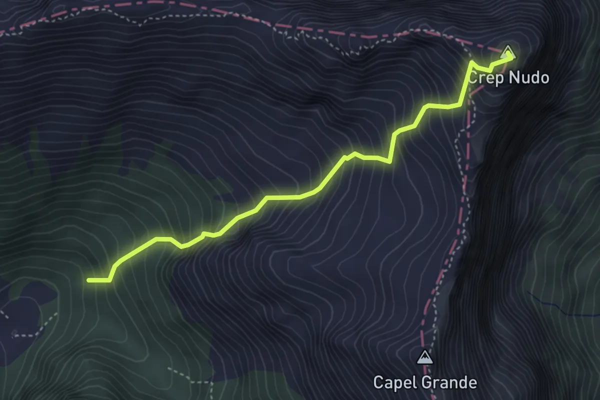
Demanding · Summit
Casera Venal - da sent. 934 – Monte Crep Nudo - confine Regione
4.1 km · ↑ 804 m · 2 h 43 min
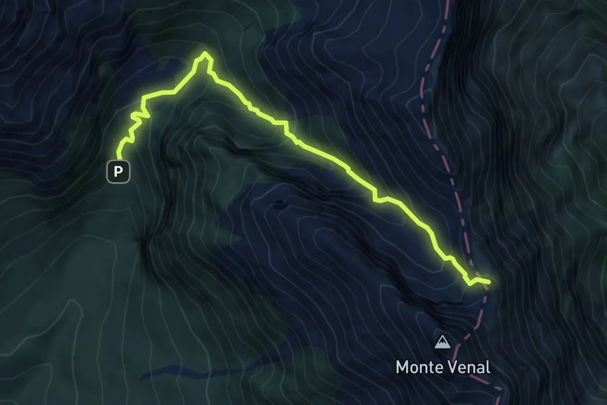
Medium · Summit
Casera Crosetta – Soto il Dente di Venal - inn. sent. 936
6.8 km · ↑ 741 m · 3 h 13 min
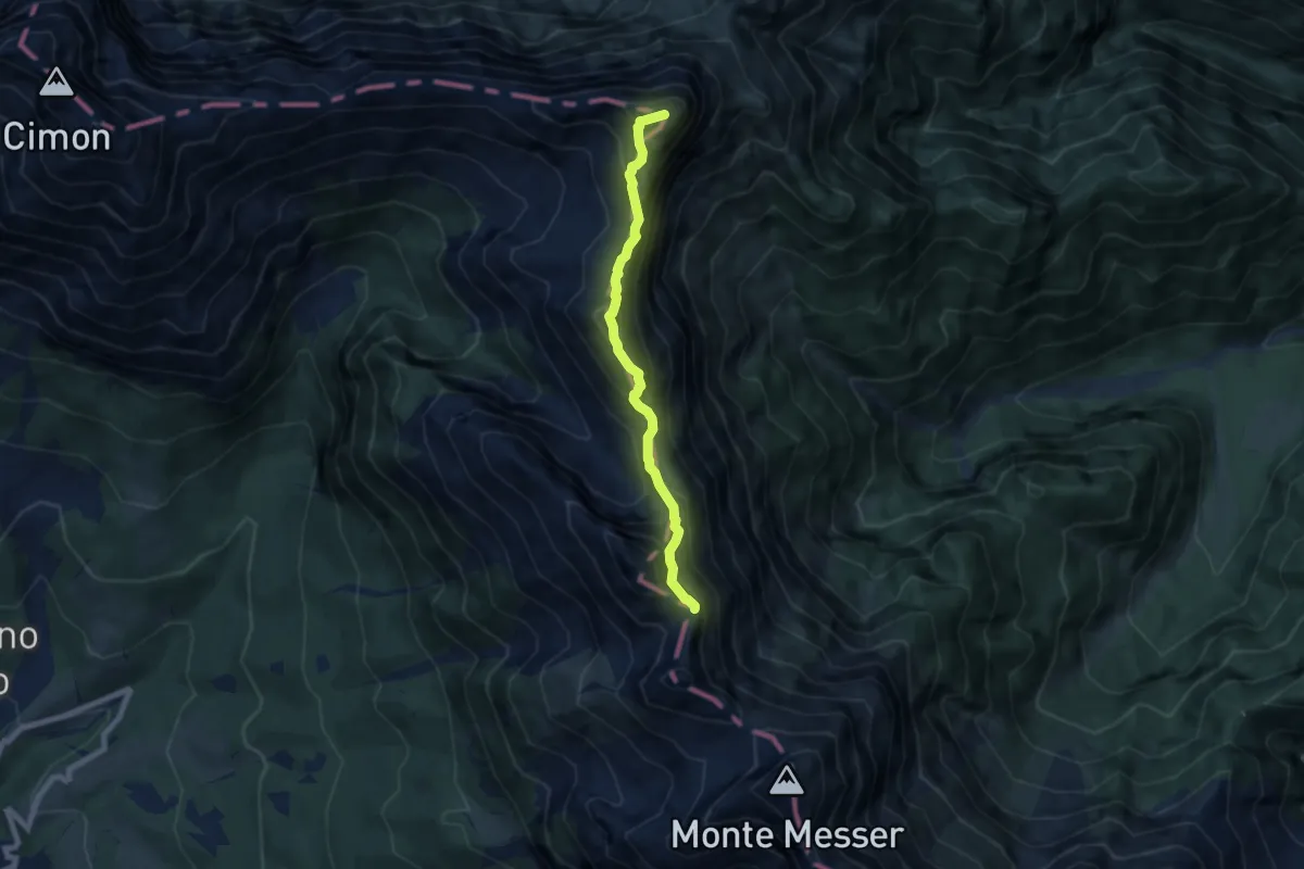
Expert · Summit
Forc. Fagoreit - da sent. 932 e ferrata Costacurta – Forcella Federola
6.4 km · ↑ 699 m · 3 h 2 min
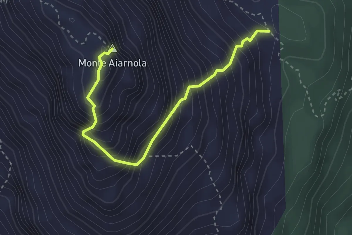
Expert · Summit
Selletta Val Pucera da sentiero 153 – Cima Aiarnola - Forcella Val da Rin
2.9 km · ↑ 543 m · 1 h 52 min
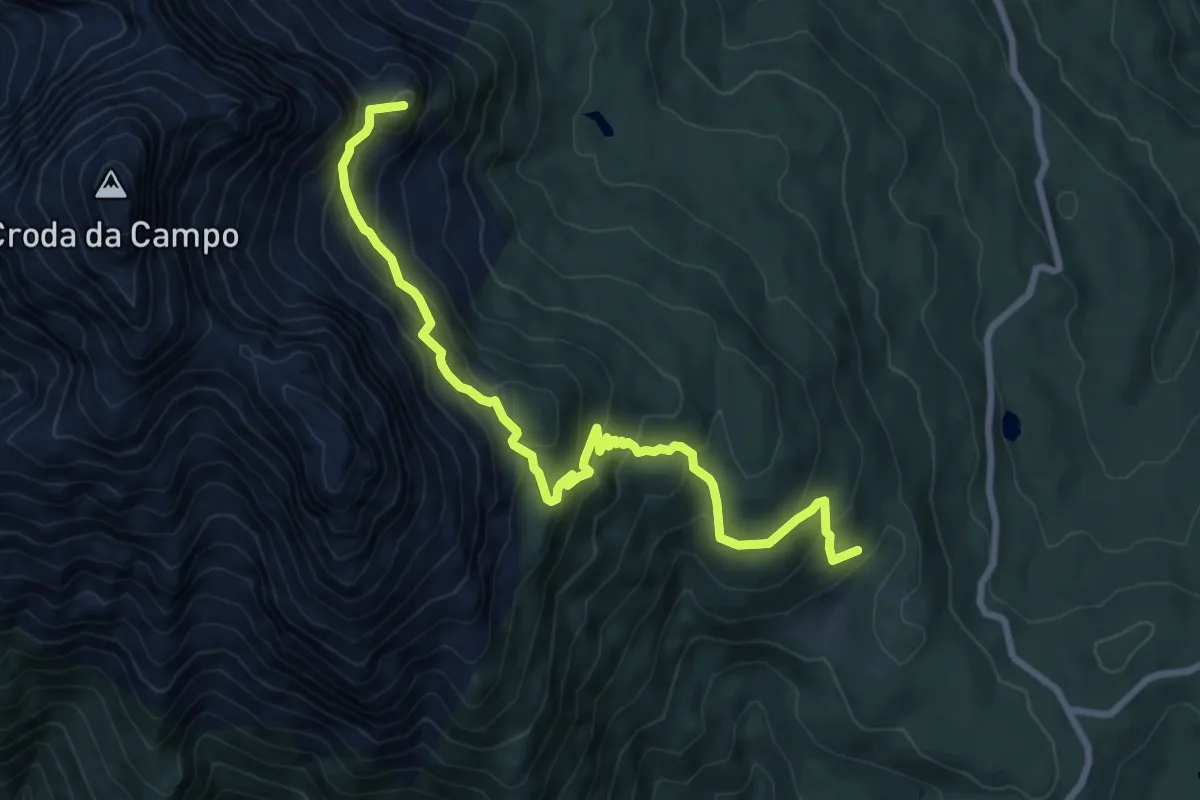
Medium · Summit
Passo S.Antonio - Pra de la Monte - da sentiero 164 – Vallon della Sappada - innesto sentieri 123 e 126
8.8 km · ↑ 677 m · 3 h 32 min
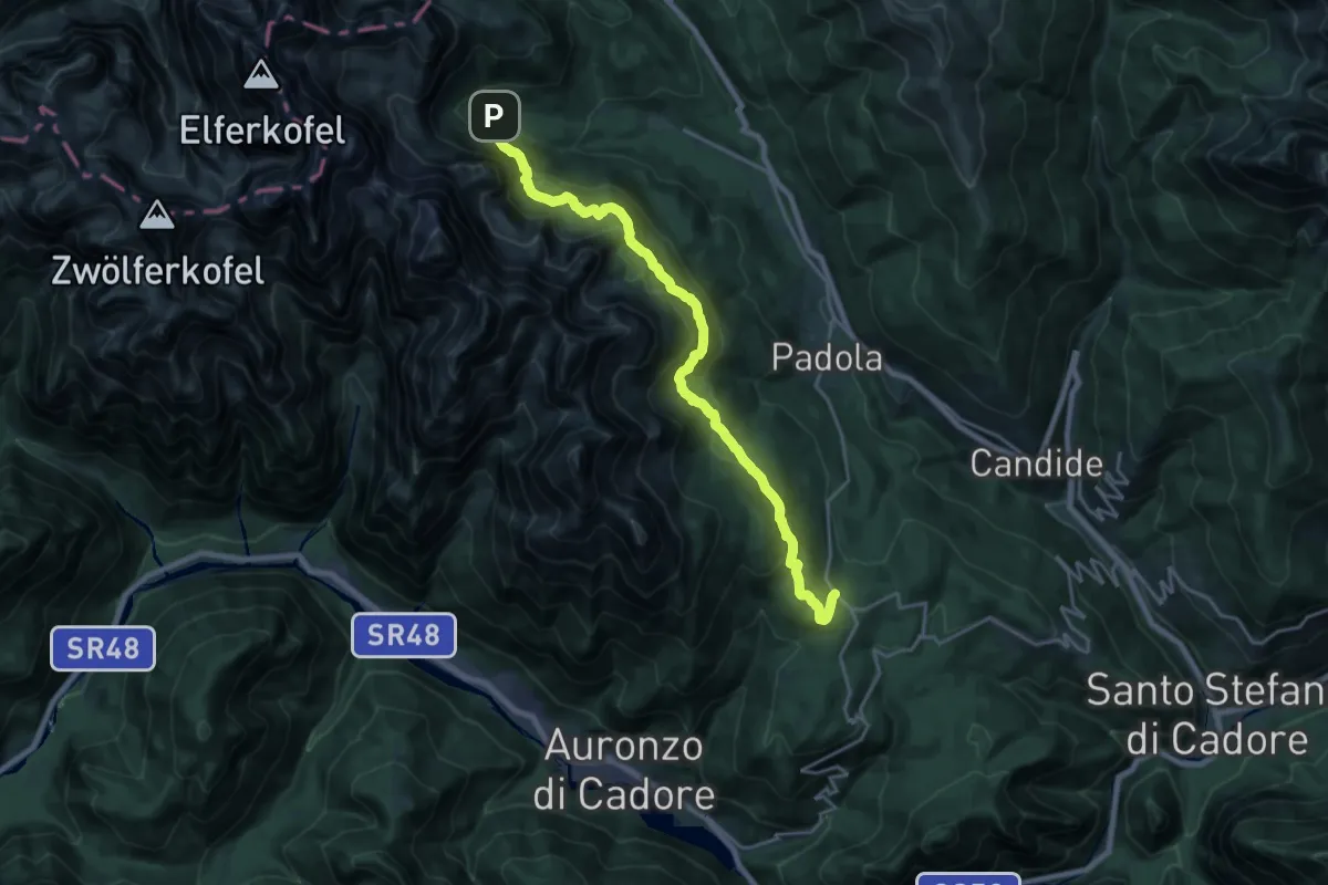
Demanding · Trail
Nei pressi del Passo S.Antonio – Rifugio Lunelli a Selvapiana
20.8 km · ↑ 926 m · 6 h 55 min
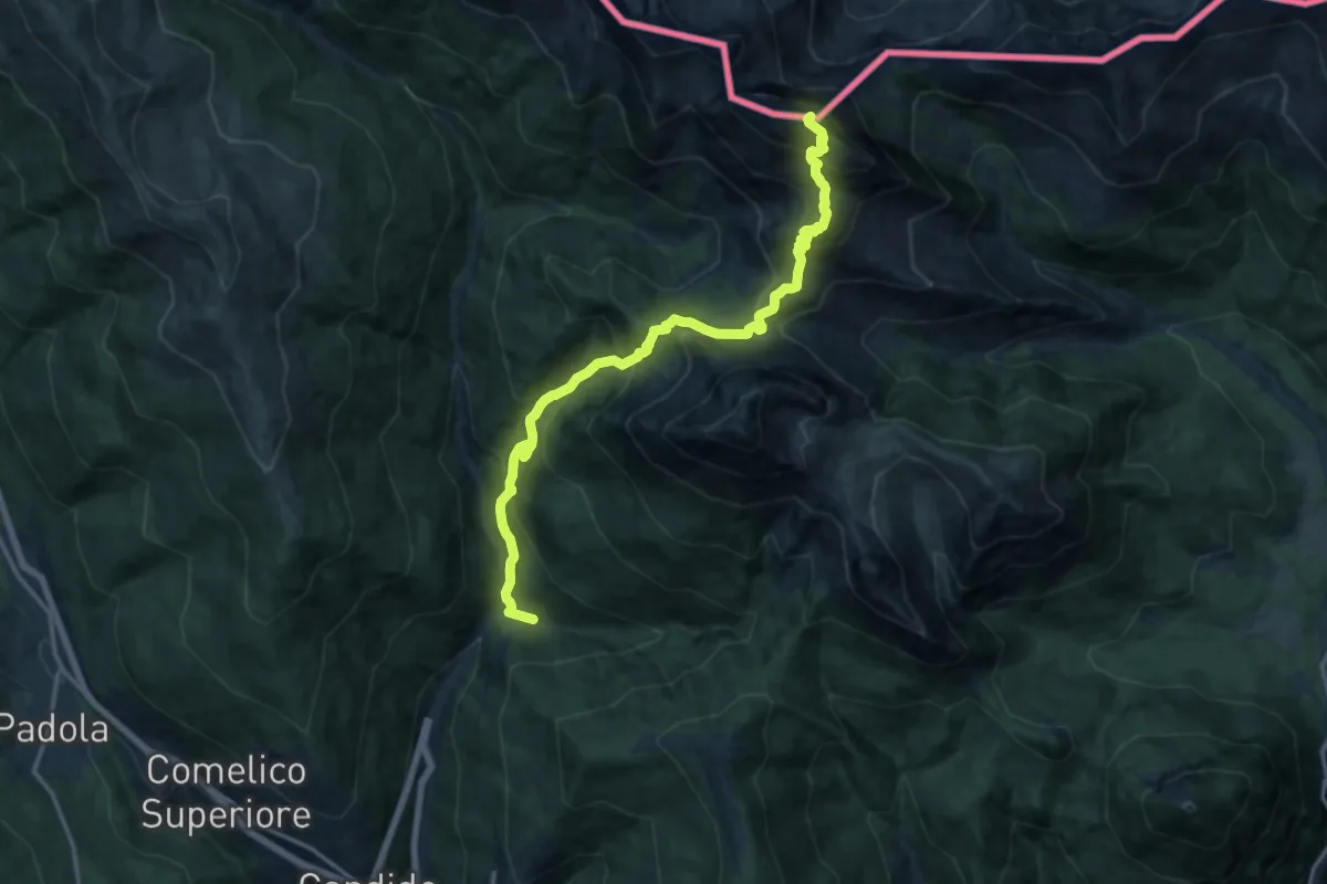
Demanding · Summit
Sega Digon - Capella Tamai- Giò storto – Cima Palombino
16.2 km · ↑ 1528 m · 7 h 8 min
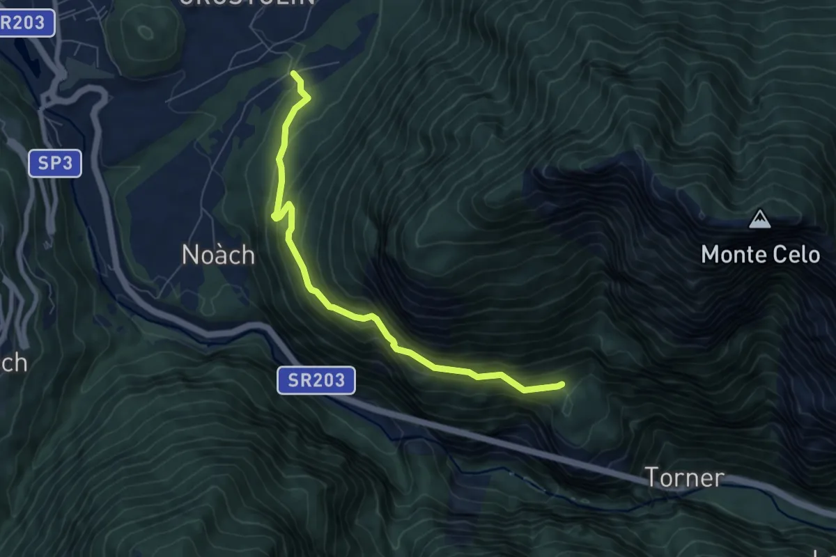
Medium · Trail
Cancellade – Roit - innesto sentiero n. 541to sentiero 541
6.9 km · ↑ 450 m · 2 h 37 min
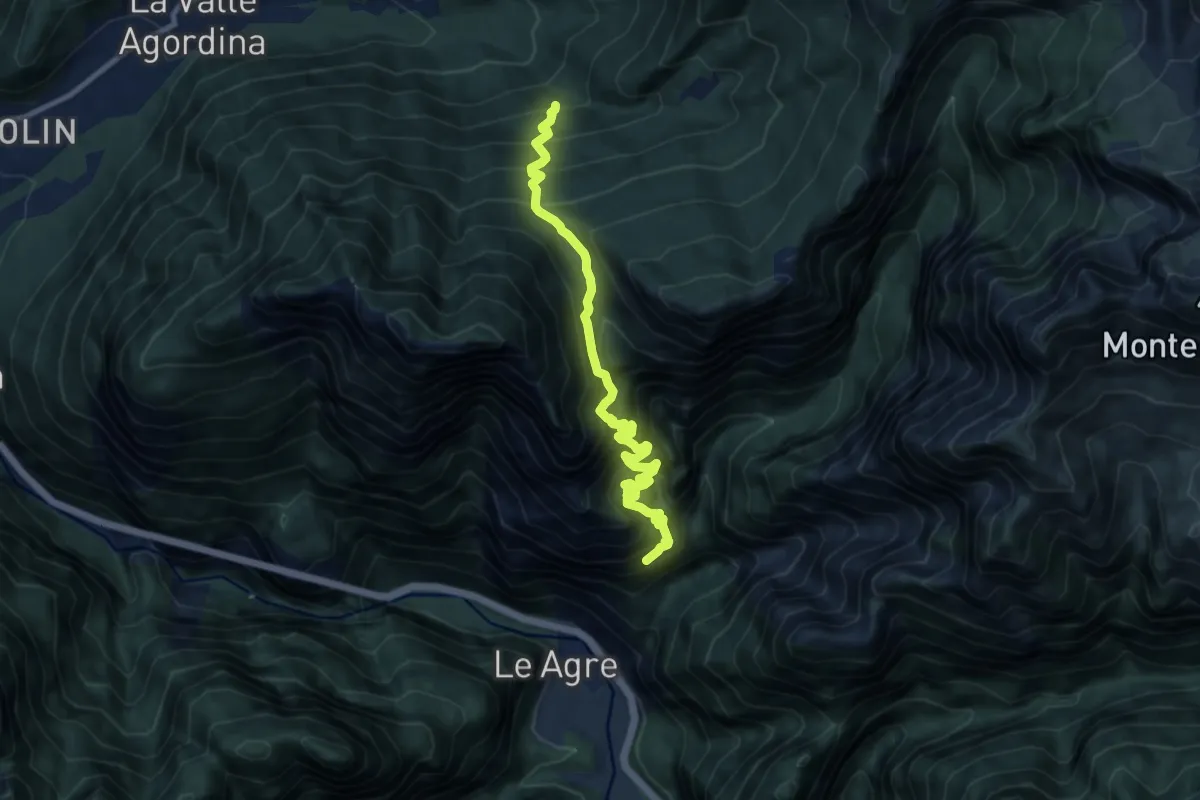
Demanding · Trail
Val Clusa - da sent. 546 – Madonna dei S'Ciar - inn. sent. 542
10.5 km · ↑ 2316 m · 7 h 30 min
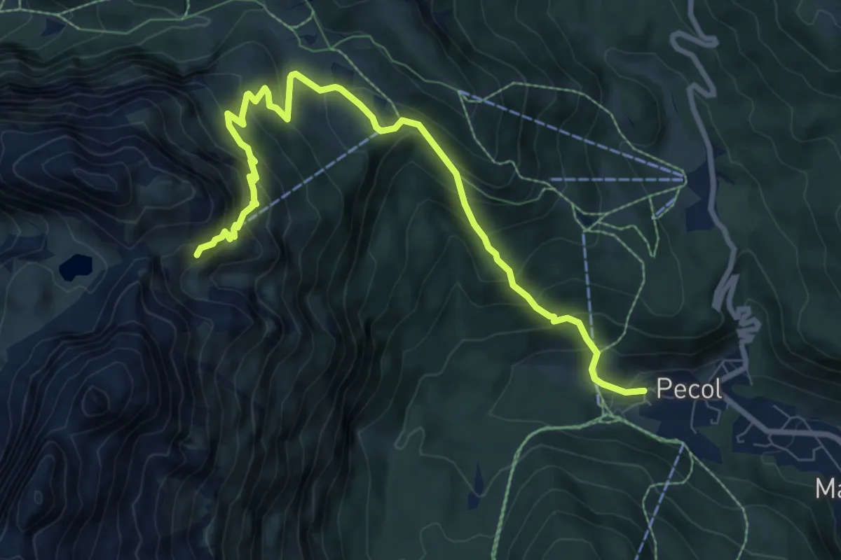
Medium · Cabin
Pecol Vecchio (quota 1382) – Rifugio Coldai (quota 2312)
9.2 km · ↑ 779 m · 3 h 52 min
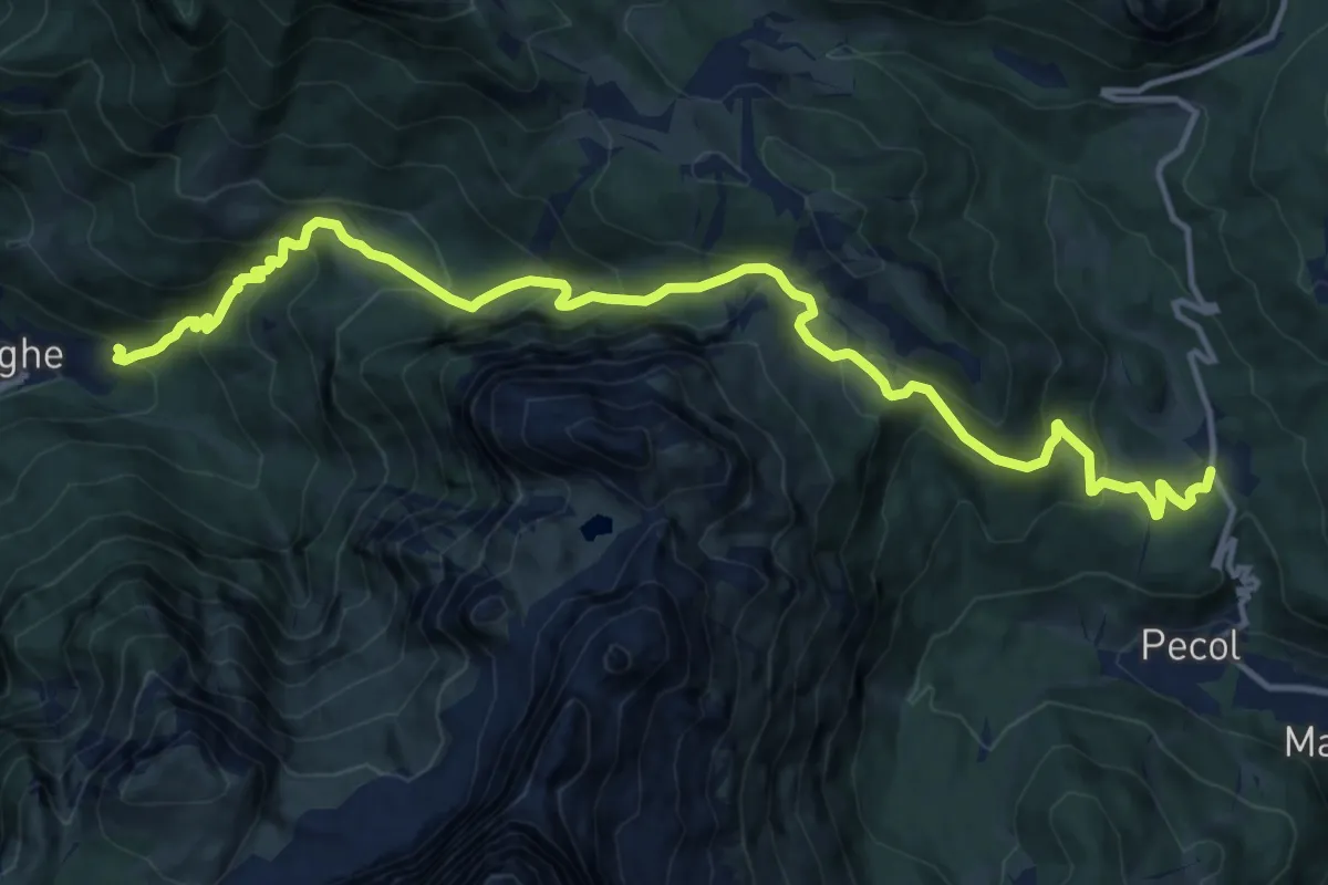
Demanding · Trail
Alleghe - Fontanive – Palafavera
16.0 km · ↑ 1113 m · 6 h 12 min
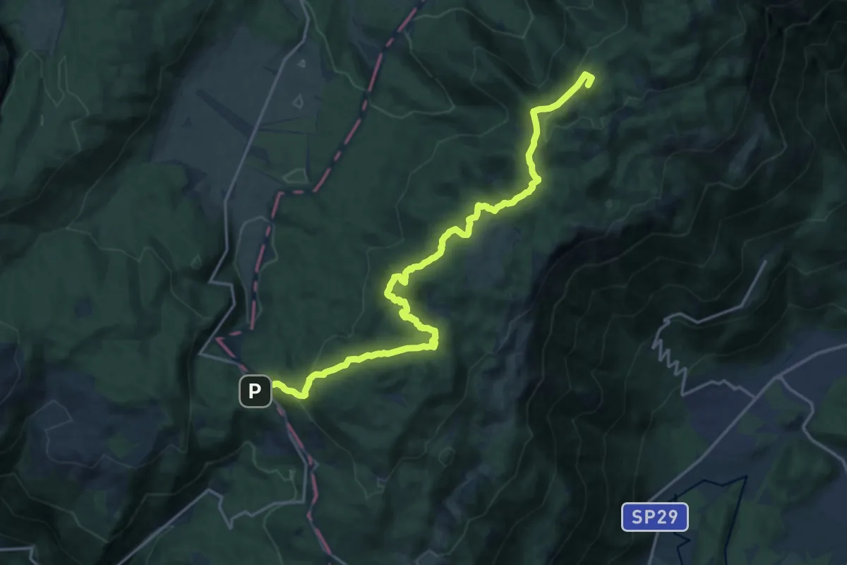
Demanding · Summit
La Crosetta – Bivio sentiero n.984 Valle Friz
19.2 km · ↑ 799 m · 6 h 16 min
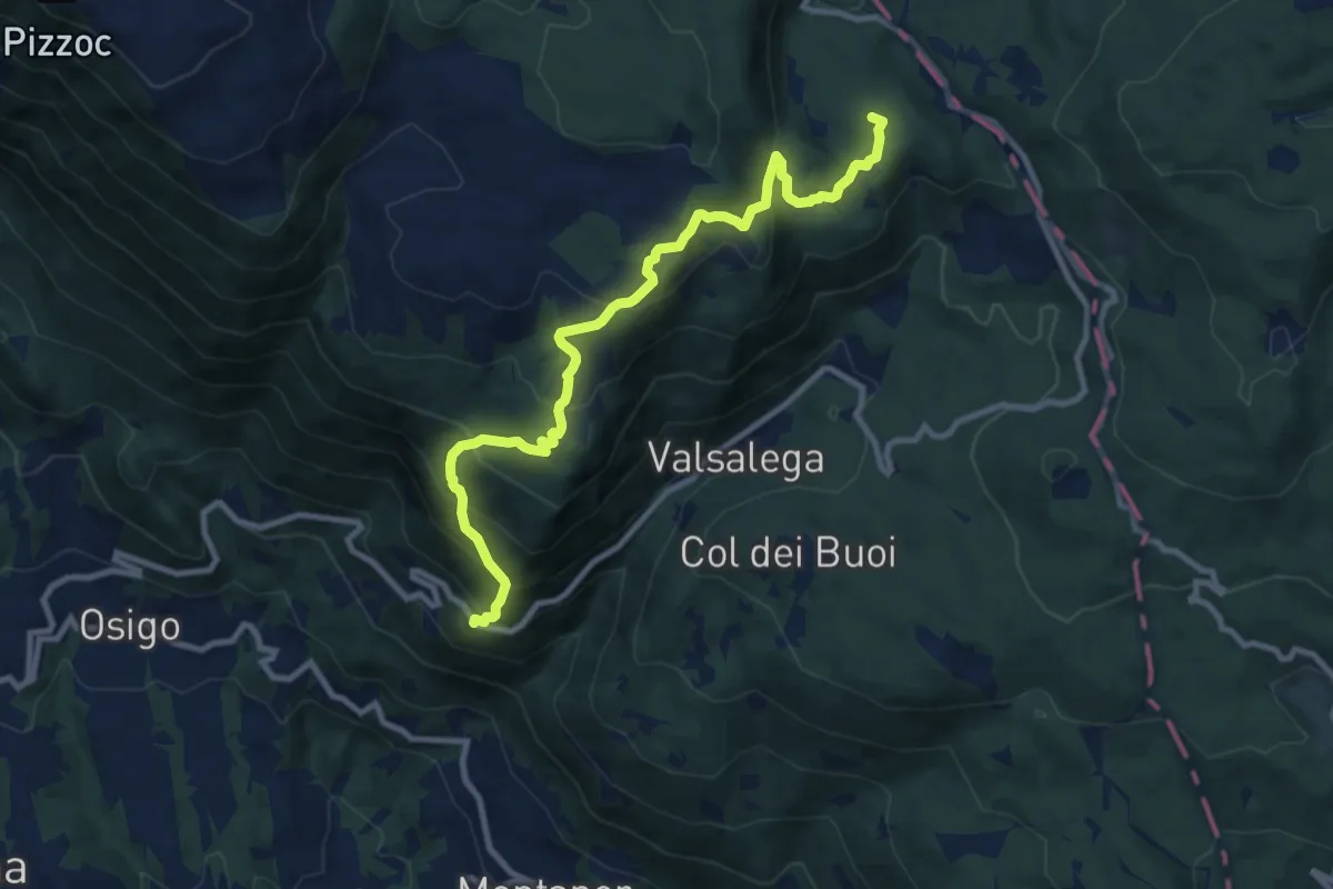
Medium · Summit
S.Antonio - da S.P. 422 – La Crosetta
10.4 km · ↑ 775 m · 4 h 8 min
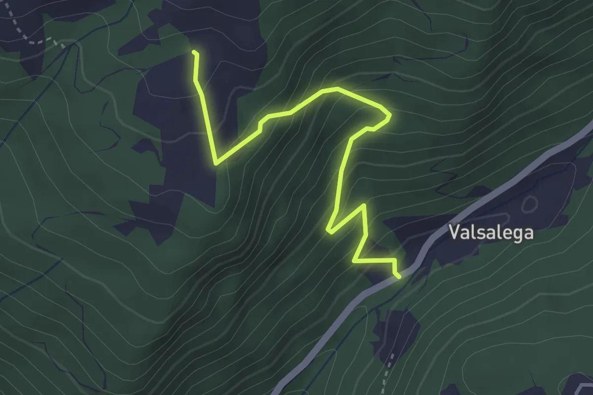
Medium · Trail
Valsalega - da S.P. 422 – Pian della Loc - inn. sent. 982
3.5 km · ↑ 337 m · 1 h 33 min
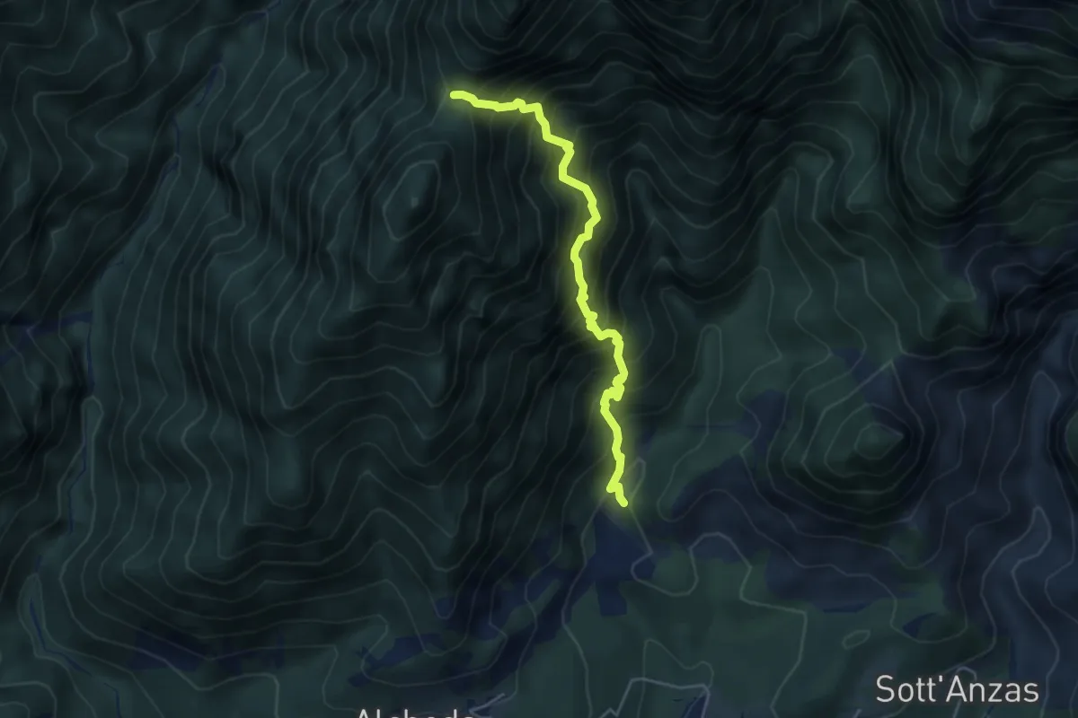
Demanding · Trail
Andreis (quota 456 m) – Forcella d’Antracisa (quota 1173 m) – Forcella dell’Asta (quota 1385 m)
4.5 km · ↑ 807 m · 2 h 49 min
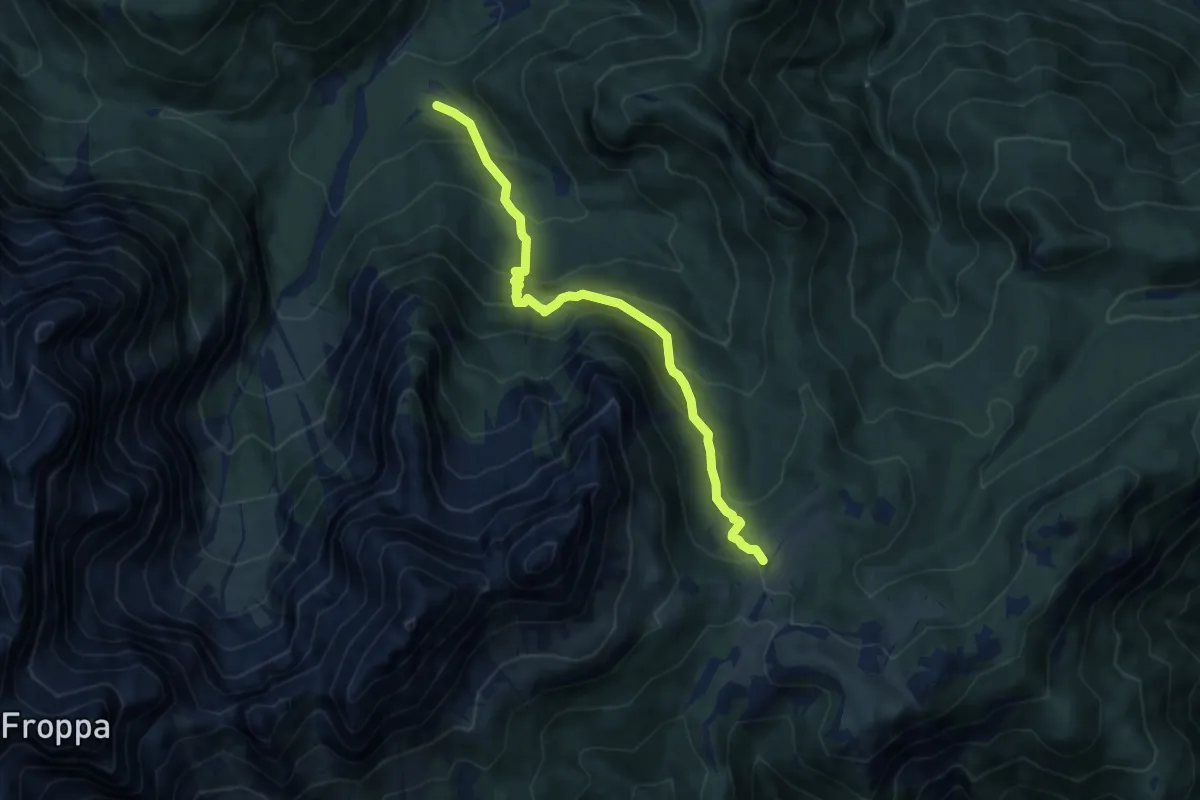
Medium · Trail
Tabià da Rin – Pian dei Buoi - innesto sentiero 268
8.9 km · ↑ 768 m · 3 h 47 min
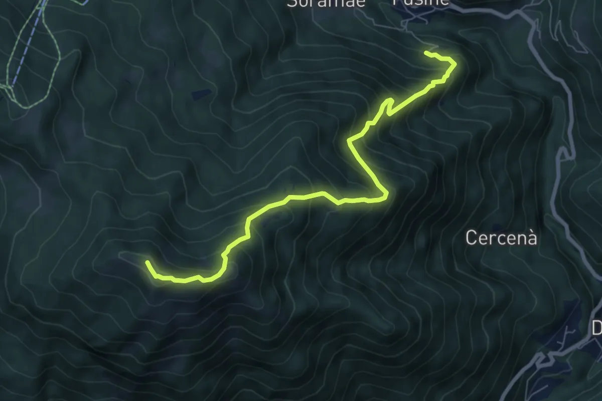
Demanding · Summit
Fusine cimitero – Pianaz - Palma
7.3 km · ↑ 828 m · 3 h 31 min
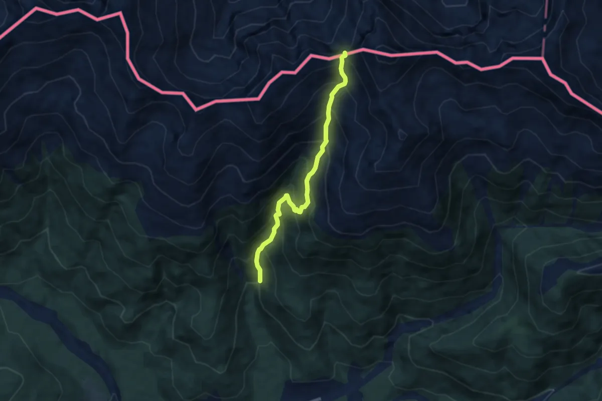
Demanding · Trail
Costa d'Antola - Valvisdende – Forcella Val Carnia - confine di Stato
6.6 km · ↑ 802 m · 3 h 18 min
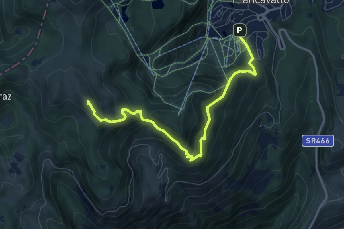
Medium · Summit
Piancavallo P.zza della Puppa – mt. 1260 – Bivio sentiero 993
8.2 km · ↑ 564 m · 3 h 10 min
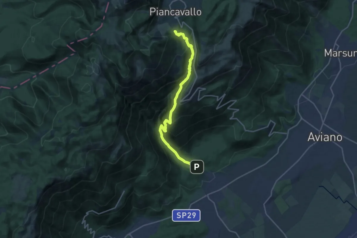
Demanding · Trail
Dardago-Sentiero del Rujal (quota 230 m) – Piancavallo (quota 1290 m)
14.6 km · ↑ 1219 m · 6 h 6 min
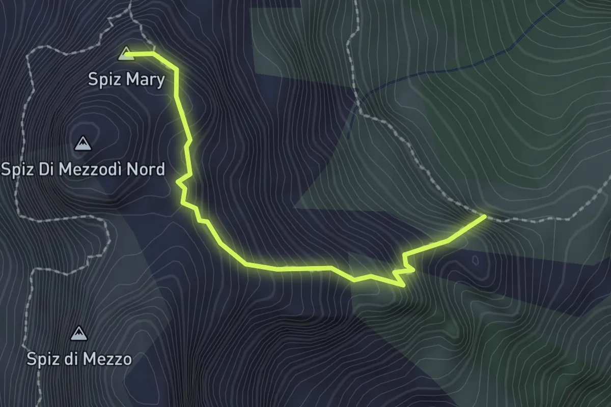
Demanding · Summit
Giaron dentre i Spiz - da sentiero 532 – sotto Forcella Col Pelos - innesto sentiero 532
2.1 km · ↑ 404 m · 1 h 22 min
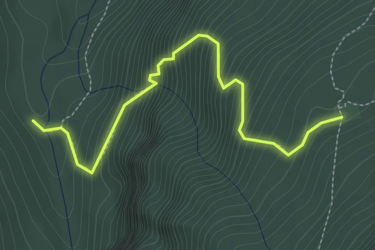
Medium · Trail
Castelaz- da strada della Val Pramper – Casera di Mezzodì - inn. sent. 534
2.8 km · ↑ 362 m · 1 h 26 min
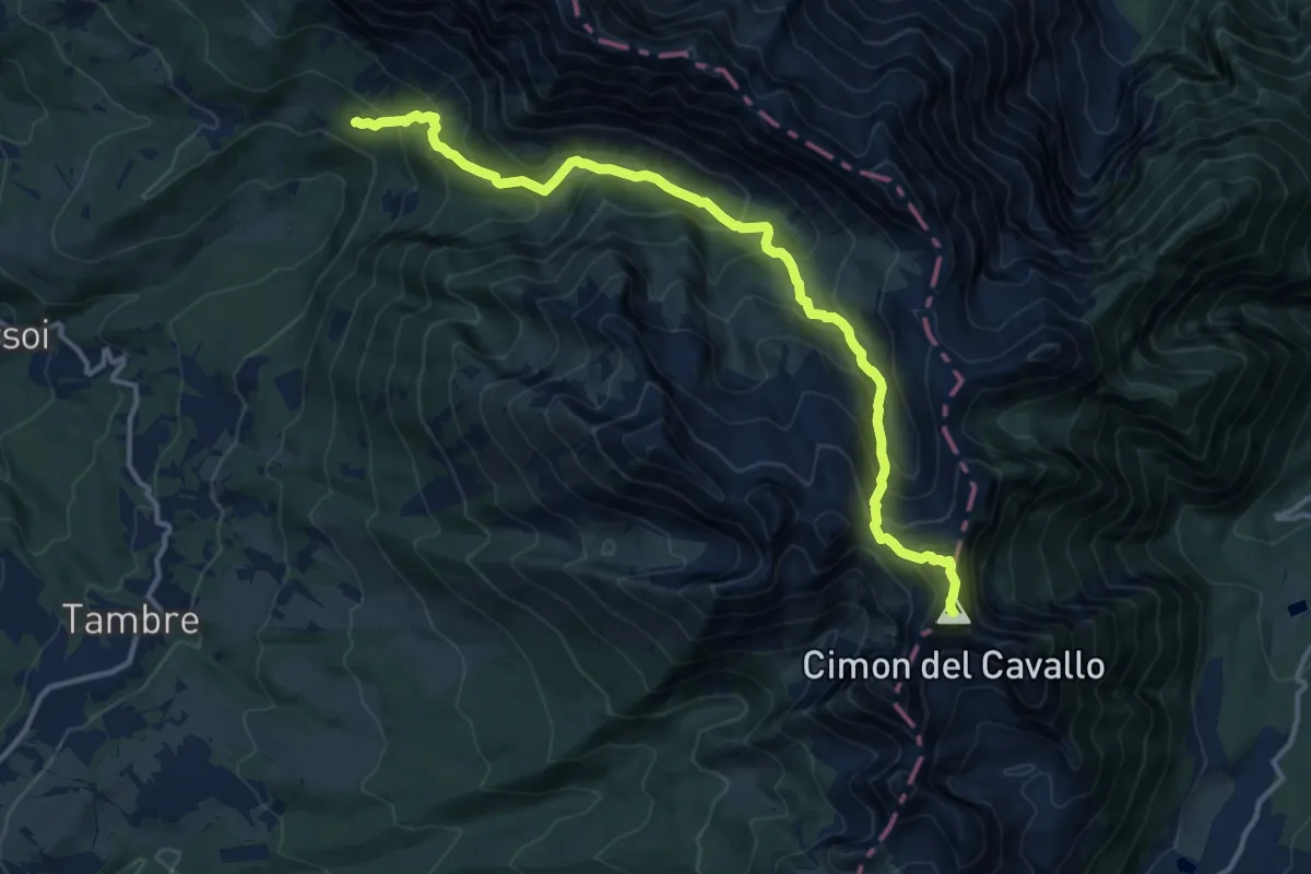
Expert · Summit
Casera Pal – Cimon del Cavallo - confine Regione
14.1 km · ↑ 1259 m · 6 h 3 min
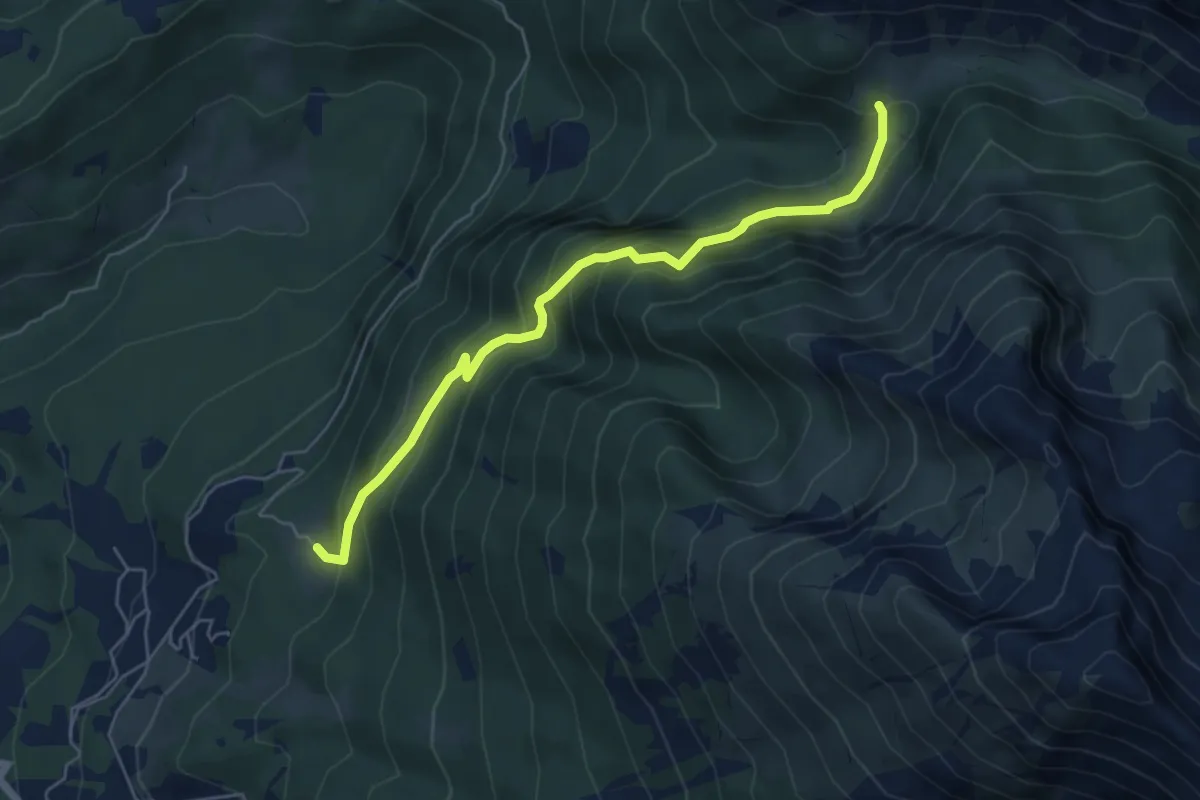
Demanding · Trail
Col de le Fratte - Pian dei March – presso ruderi Casera Astor - innesto sentiero 924
5.6 km · ↑ 445 m · 2 h 17 min
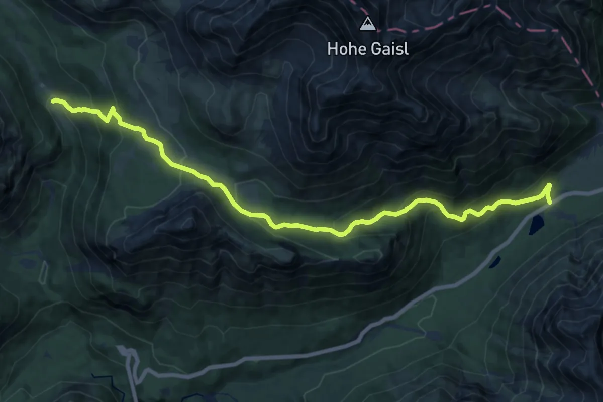
Demanding · Trail
SS51 km 117 sotto Cimabanche – Sopra Malga Ra Stua - innesto sentiero 6
14.0 km · ↑ 855 m · 5 h 9 min
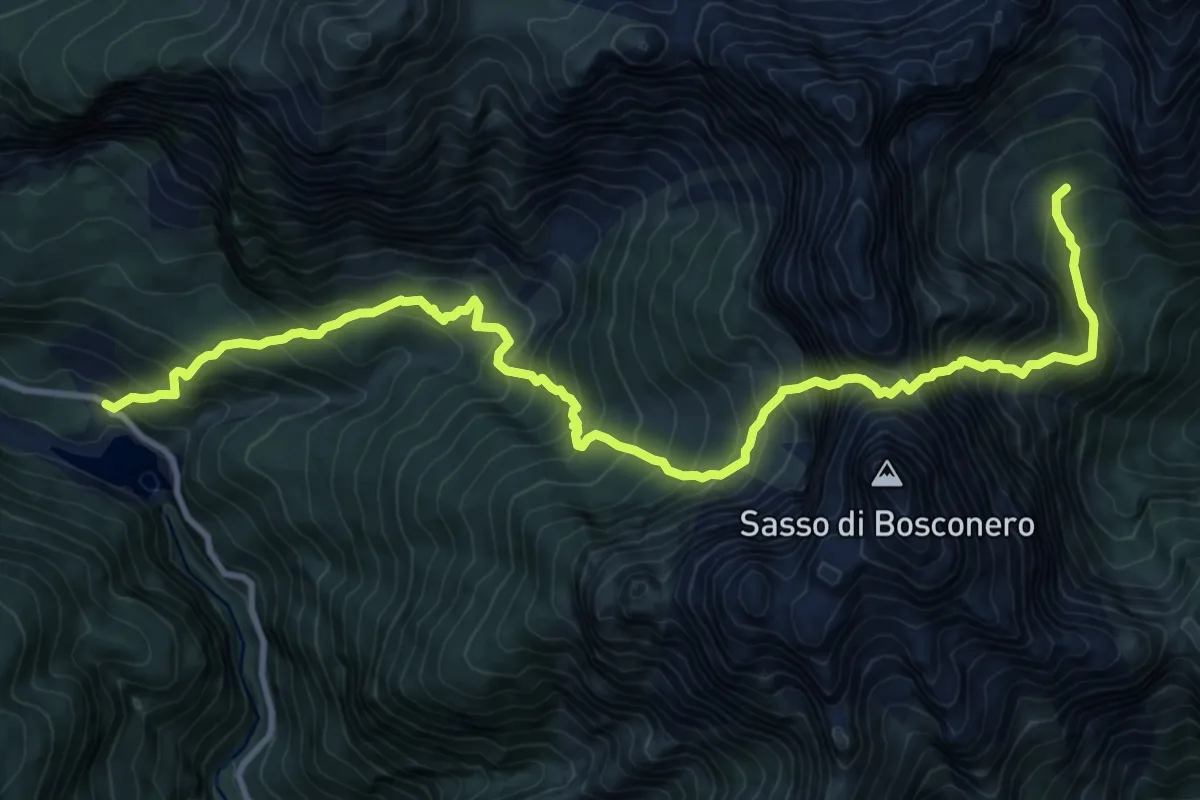
Demanding · Cabin
Lago di Pontesei - da S.P. 251 – Bivacco Casera Campestrin
12.8 km · ↑ 1902 m · 7 h 9 min
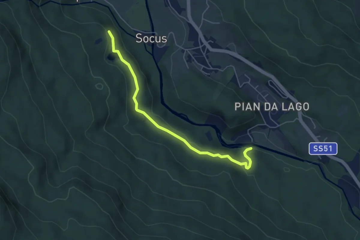
Easy · Trail
Socol – Lago di Pianozes
4.8 km · ↑ 106 m · 1 h 22 min
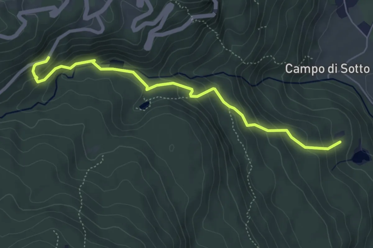
Medium · Trail
Lago de Pianozes - sentiero 432 – Ra Sapada - S.P. 638
5.4 km · ↑ 331 m · 1 h 59 min
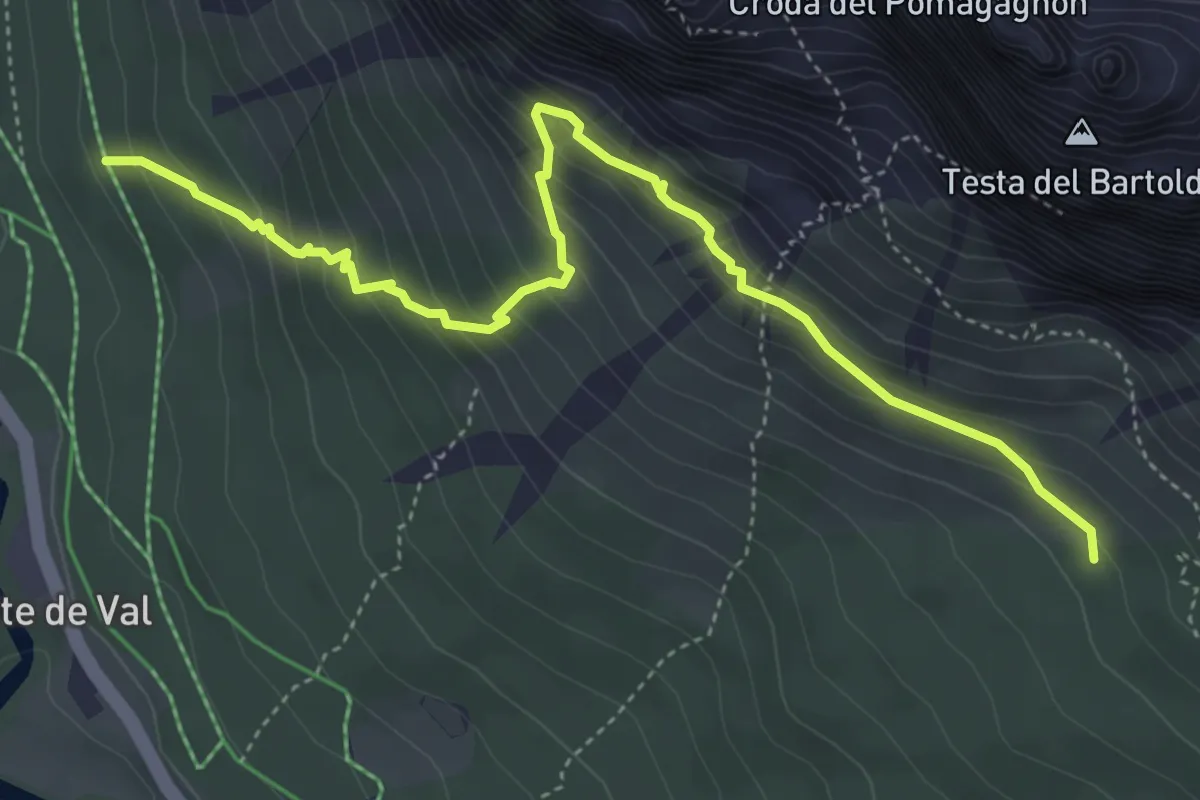
Medium · Trail
Fiames (da pista ciclabile/ex ferrovia) – Cusinates/sotto Pomagagnon (Percorso 211)
5.2 km · ↑ 465 m · 2 h 14 min
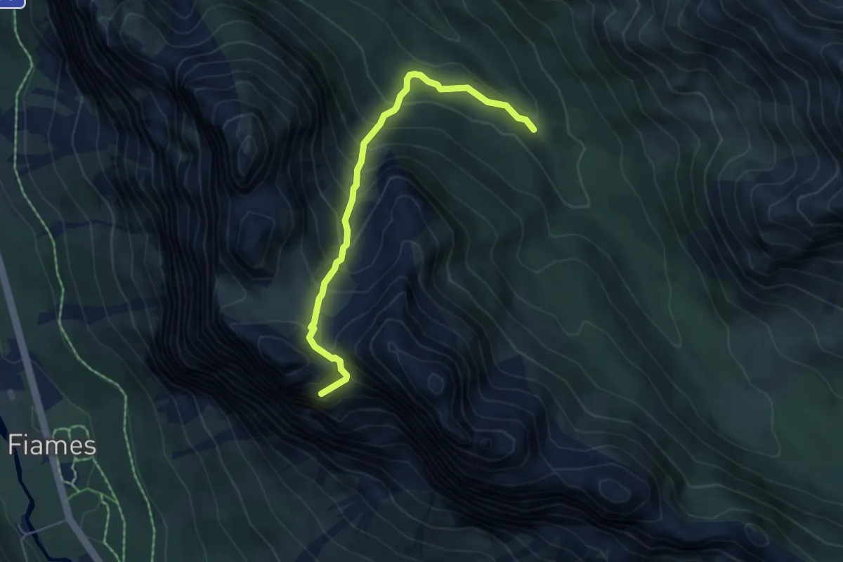
Demanding · Summit
nei pressi di La Vera - S.S. 51 km 106 – Val Padeon - sentiero 203
5.0 km · ↑ 549 m · 2 h 22 min
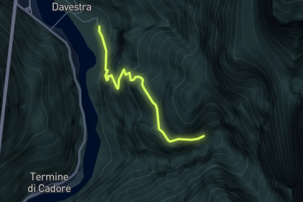
Medium · Trail
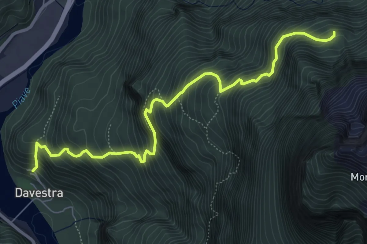
Davestra – Forcella Borgà Confine Regione
4.3 km · ↑ 507 m · 2 h 7 min
Demanding · Cabin
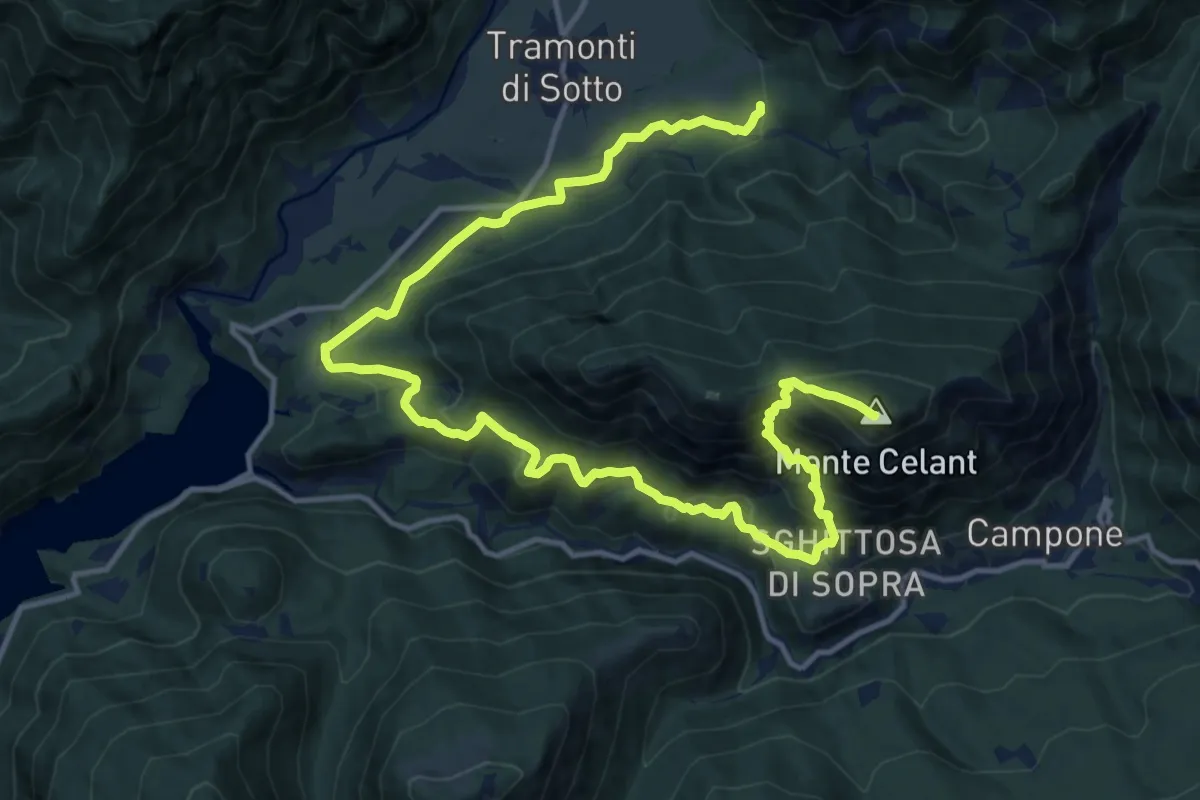
Davestra – Forcella Pagnac de Fora - inn. sent. n.396
6.9 km · ↑ 964 m · 3 h 43 min
Demanding · Summit
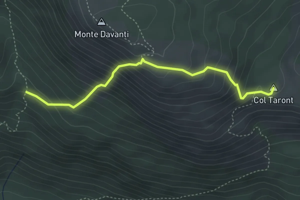
Guado torrente Tarcenò (quota 415 m) – Casa Comesta, innesto 831a (quota 370 m)
18.9 km · ↑ 1141 m · 6 h 56 min
Medium · Summit
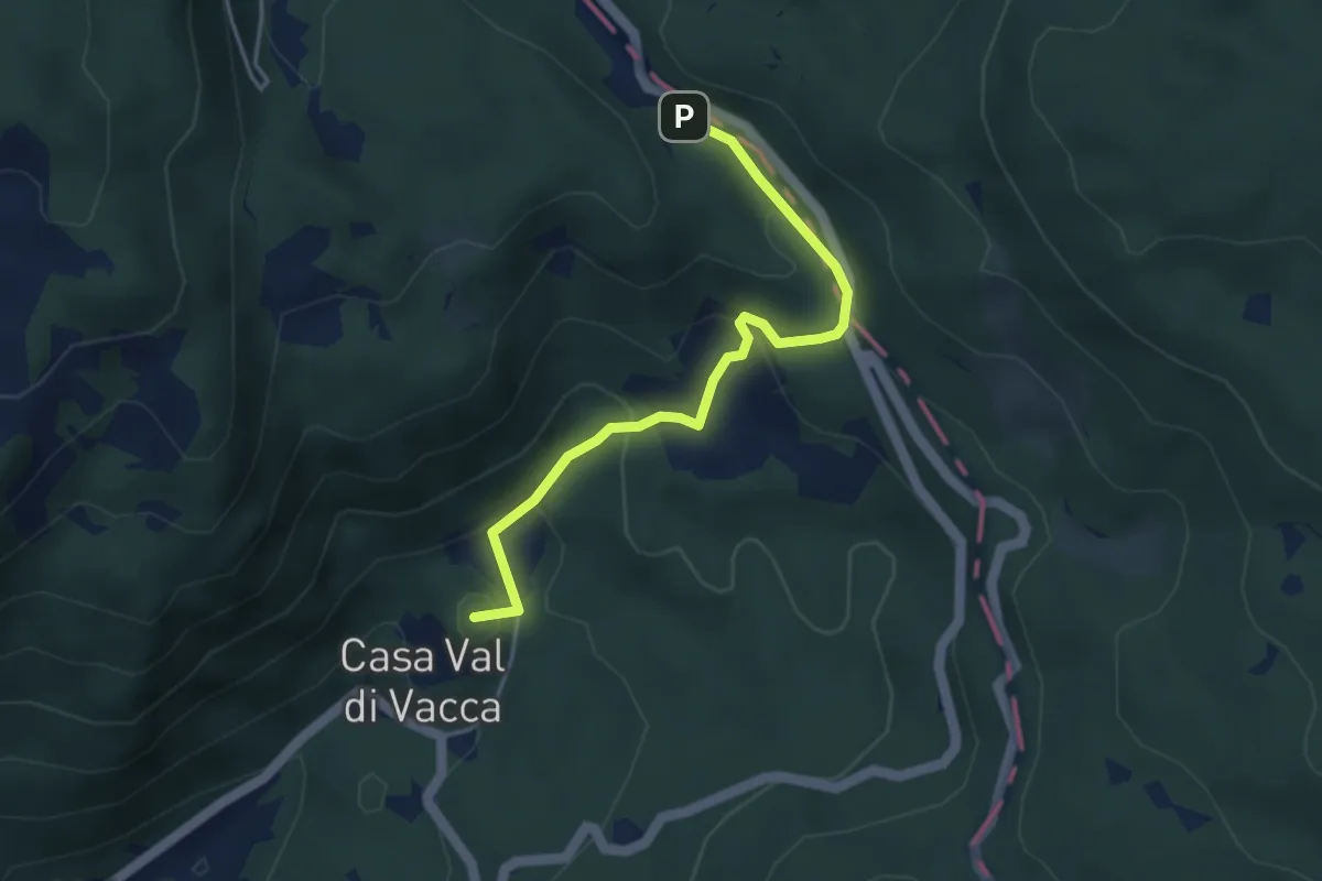
Praforte (q. 455 m) – C.ra Tàmer Bassa – bivio 850 (q. 580 m)
3.9 km · ↑ 465 m · 1 h 55 min
Easy · Summit
Villa Natalia – Passo Crosetta
4.0 km · ↑ 199 m · 1 h 23 min
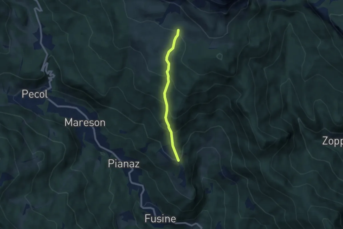
Medium · Trail
Coi – Le Mandre - innesto percorso 472
4.8 km · ↑ 403 m · 2 h
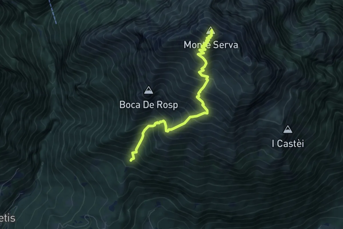
Demanding · Summit
Col di Roanza - Cargador – Monte Serva
7.7 km · ↑ 1054 m · 4 h 7 min
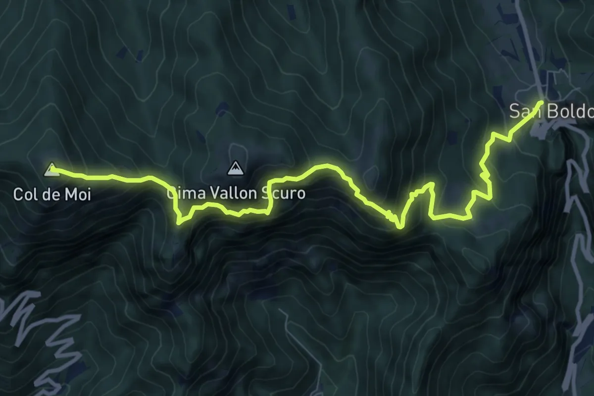
Demanding · Summit
Passo Praderadego – Passo Scaletta (Passo S. Boldo)
10.5 km · ↑ 1004 m · 4 h 40 min
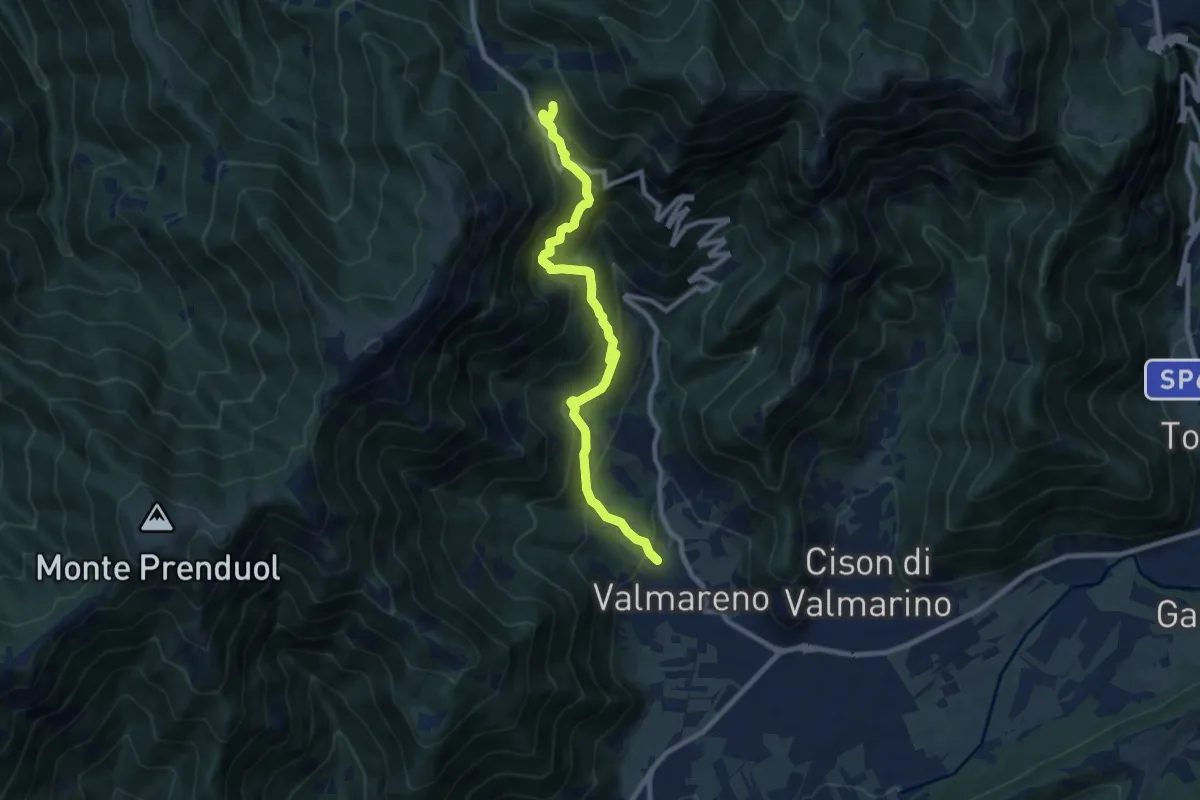
Demanding · Trail
Valmareno Località Peroz – Praderadego
9.1 km · ↑ 842 m · 3 h 58 min