Trails in Italy
25,219 hiking trails, each with its route, climb, walking time and grade.
All trails, page 512 of 526
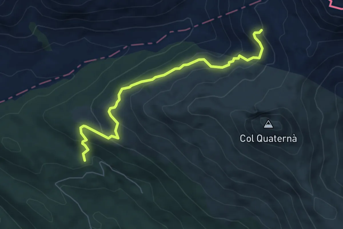
Medium · Trail
Sopra Casera Coltrondo - da sentiero 156 – Sotto Passo Silvella - innesto sentiero 146
6.2 km · ↑ 390 m · 2 h 19 min
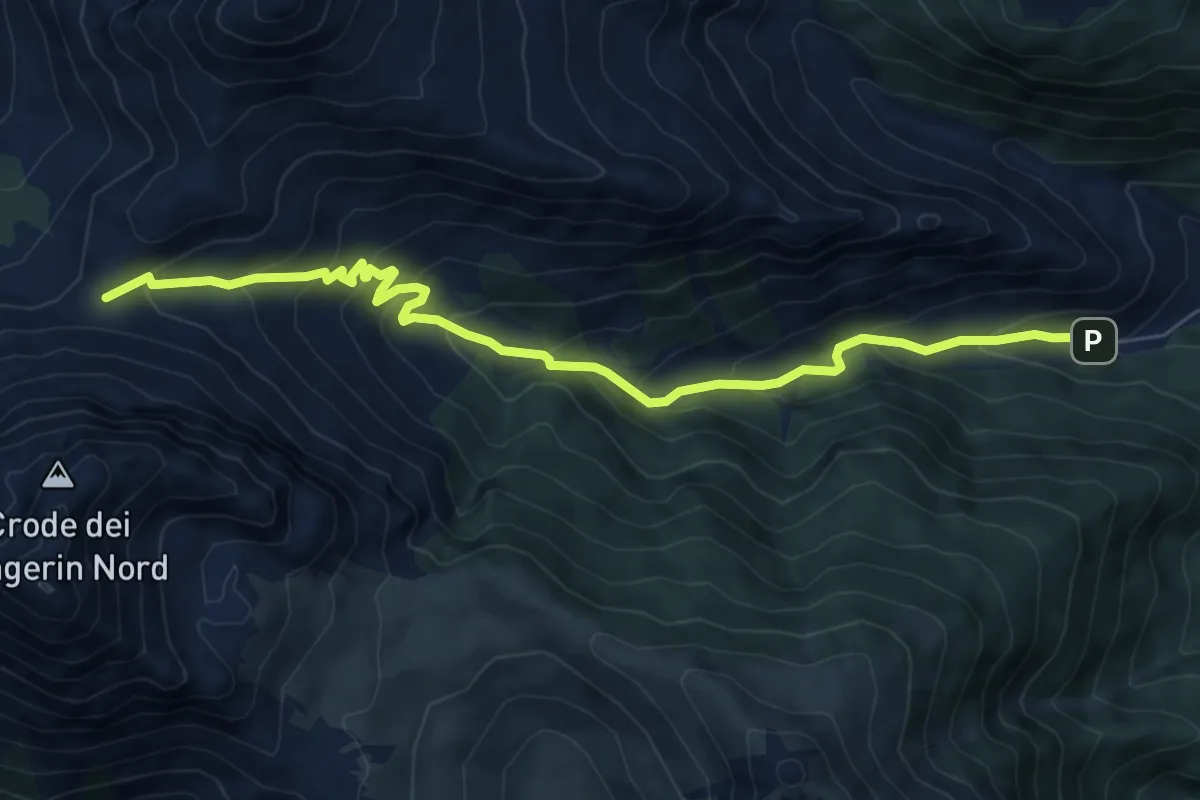
Medium · Trail
Bivio Ciadon - Val di Londo – Passo Palombino - innesto sentieri 142 e 165
7.8 km · ↑ 565 m · 3 h 4 min
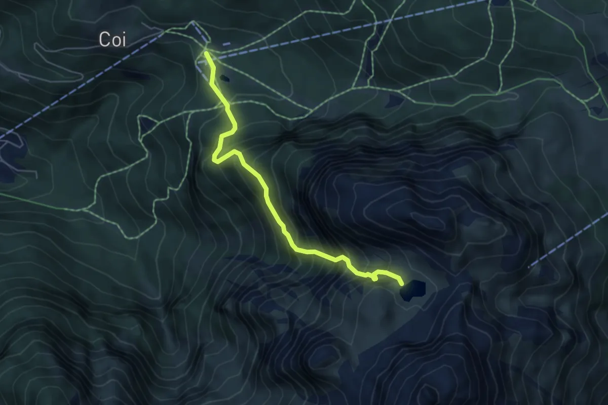
Expert · Trail
Piani di Pezzè (quota 1452) – Rù de Porta/Lago Coldai - inn. sent. 560 (quota 2143)
5.0 km · ↑ 736 m · 2 h 46 min
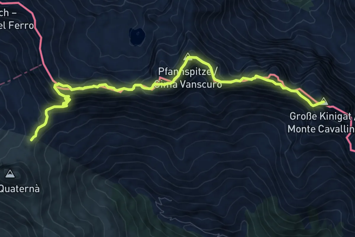
Demanding · Summit
Passo Silvella – Passo di Cima Vallona
11.0 km · ↑ 1160 m · 5 h 6 min
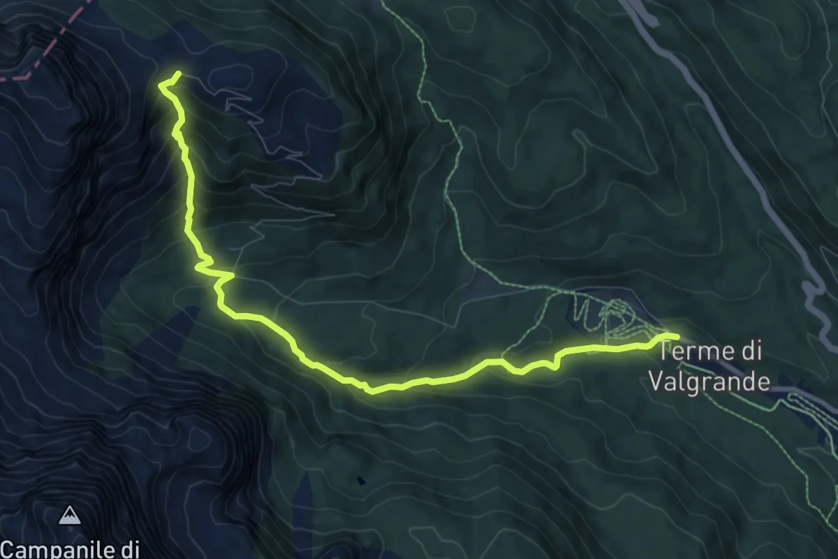
Medium · Trail
Bagni di Valgrande – Forcella Pian della Biscia - inn. sent. 124
9.5 km · ↑ 640 m · 3 h 37 min
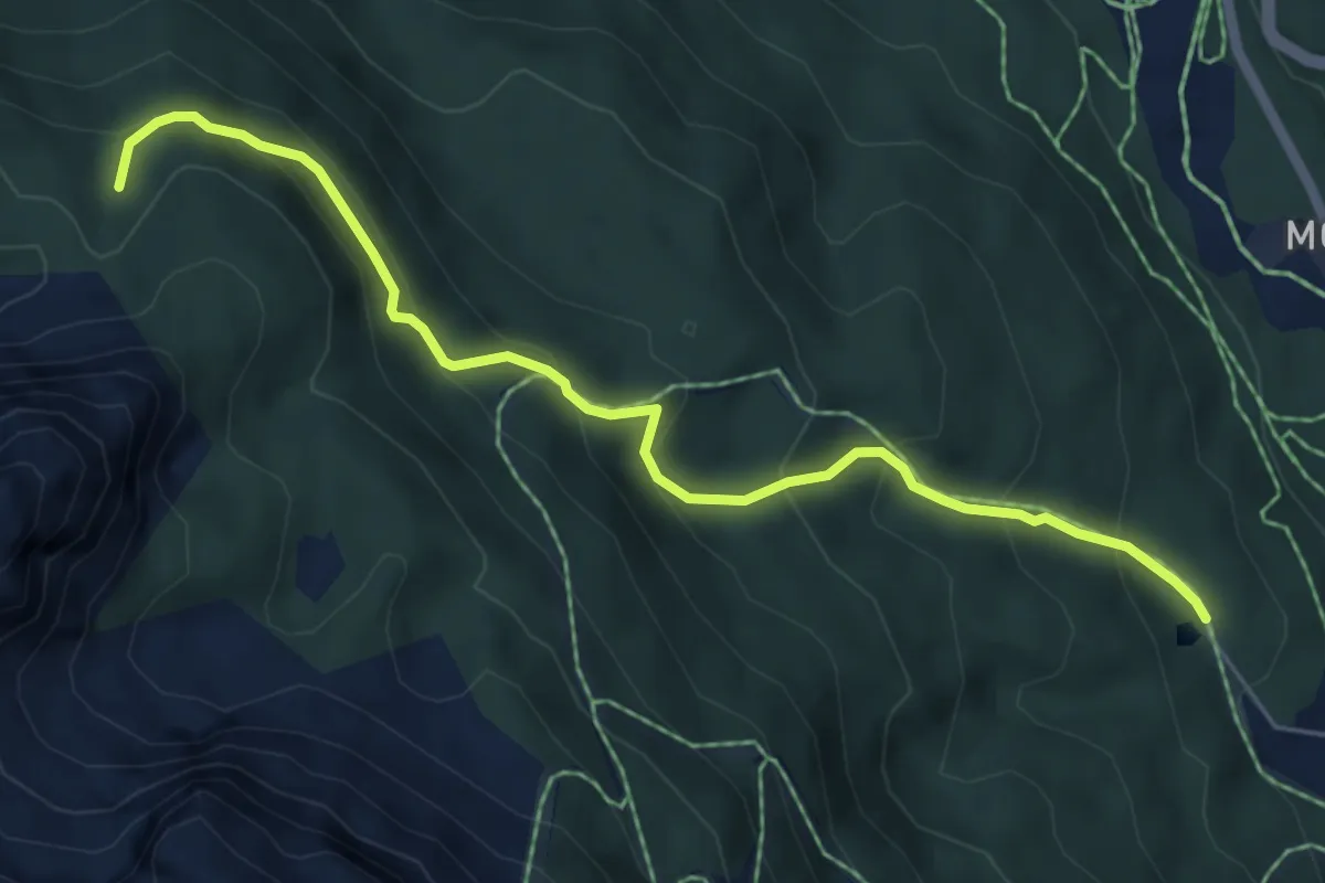
Medium · Trail
Padola - Lago di Campo – Col dei Bagni - innesto sentiero 126
6.0 km · ↑ 452 m · 2 h 24 min
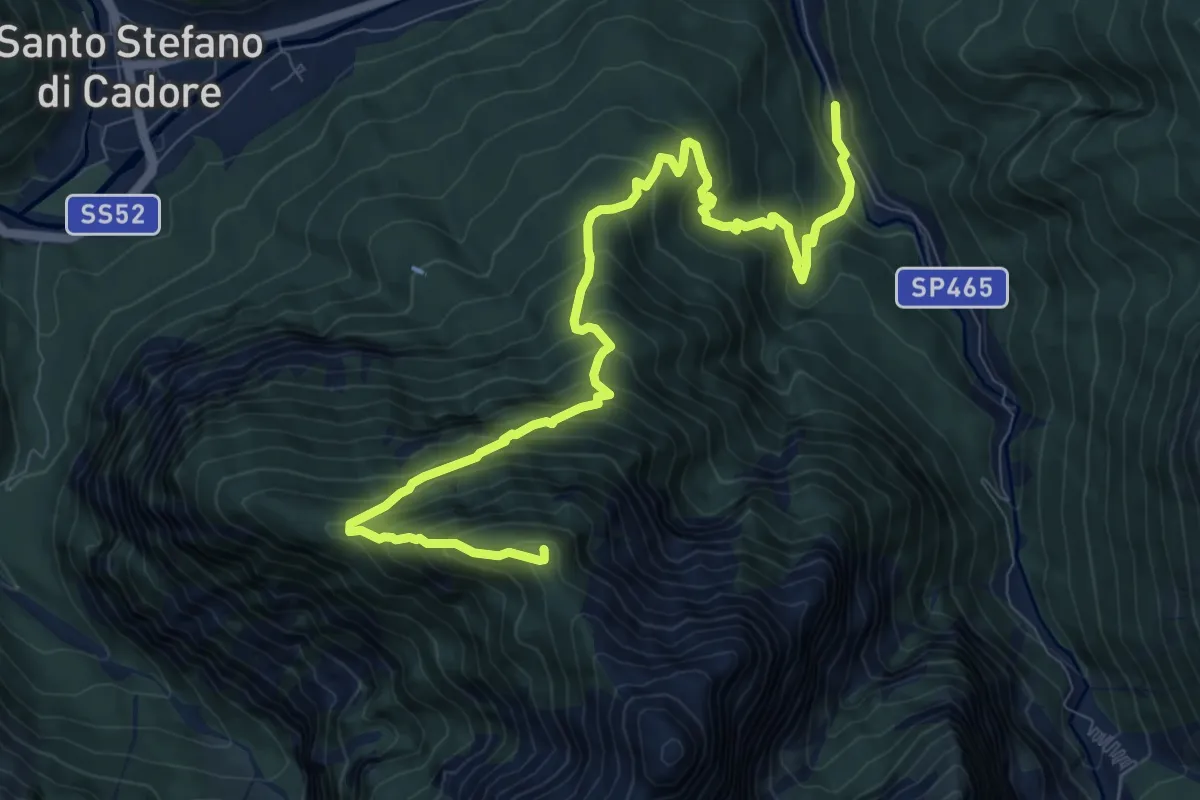
Demanding · Summit
Campolongo - Val Frison/Pian dei Osei – Monte Col
11.3 km · ↑ 1102 m · 5 h 4 min
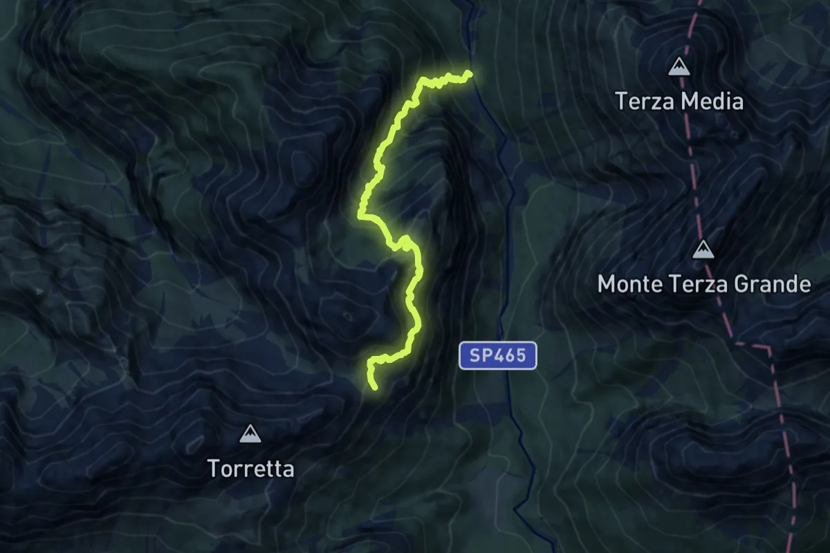
Expert · Trail
Da strada Val Frison a q.ta 1112 – Bivacco Caimi
9.6 km · ↑ 1420 m · 5 h 20 min
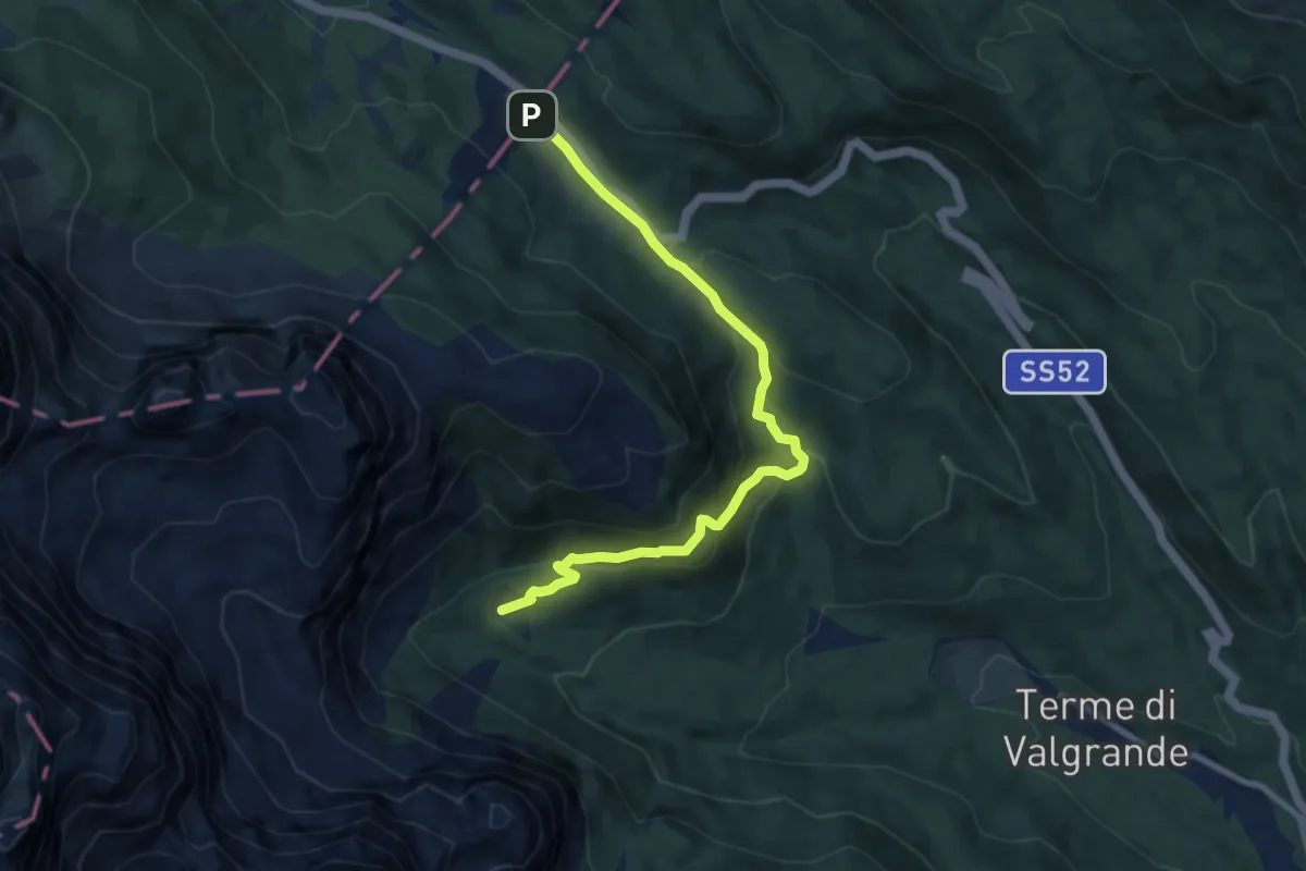
Medium · Cabin
Rifugio Lunelli a Selvapiana – Passo Monte Croce Comelico
8.6 km · ↑ 373 m · 2 h 51 min
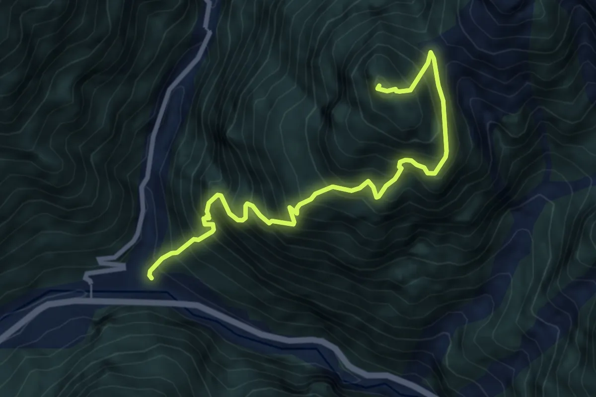
Demanding · Summit
Presenaio - Ponte Cordevole – Monte Carro
6.8 km · ↑ 1304 m · 4 h 26 min
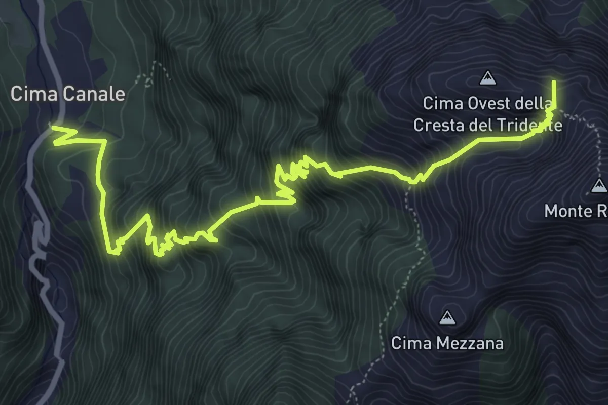
Demanding · Summit
Cima Canale - Val Visdende – Forcella Grande
8.3 km · ↑ 1149 m · 4 h 27 min
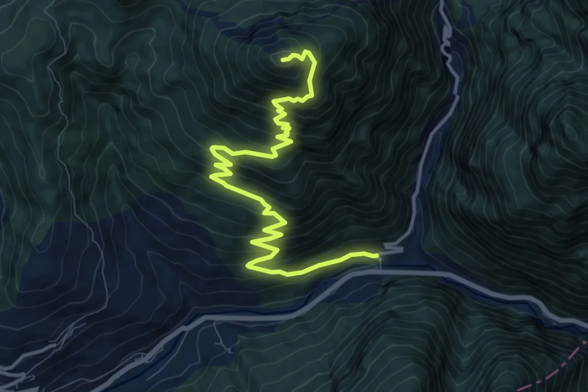
Demanding · Summit
Dal ponte Cordevole per Valvisdende – Forcella Zovo (rifugio)
11.5 km · ↑ 994 m · 4 h 52 min
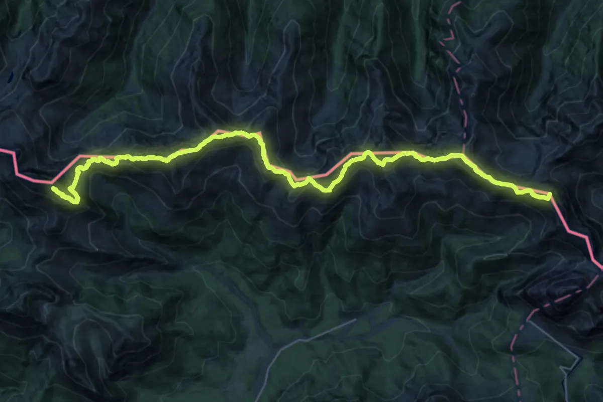
Demanding · Summit
Malga Chivion - Val Visdende – Innesto su 142 Cima Palombino
31.0 km · ↑ 2639 m · 13 h 3 min
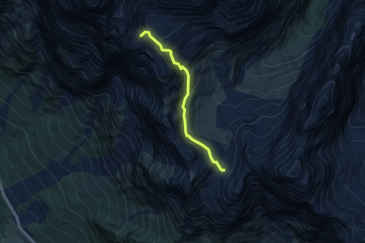
Medium · Cabin
Forcella Grande - da percorso 226 – Bivacco Slataper
4.8 km · ↑ 452 m · 2 h 6 min
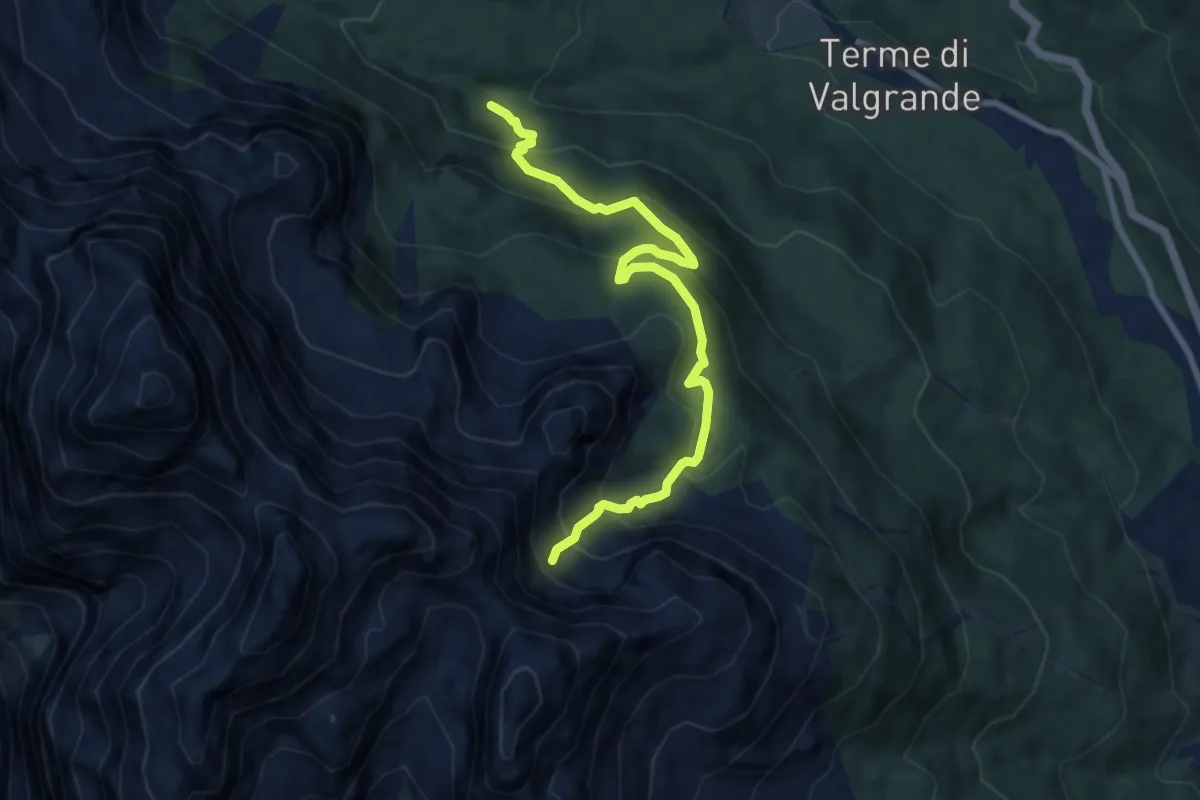
Medium · Trail
Valgrande - Rio del Sasso - da sentiero 171 – Valon de la Sapada - innesto sentieri 123 e 153
8.5 km · ↑ 620 m · 3 h 22 min
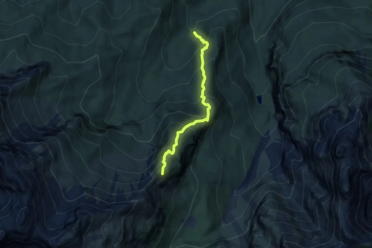
Demanding · Summit
Valle de La Malisia – Cima di Petorgnon
5.9 km · ↑ 783 m · 3 h 5 min
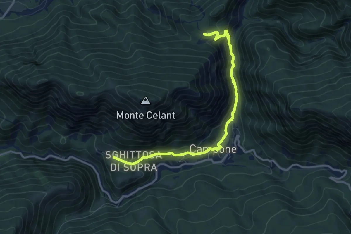
Demanding · Cabin
Loc. Zanon, bivio sent. n.832 (quota 517 m) – Tamar (quota 660 m)
8.4 km · ↑ 376 m · 2 h 47 min
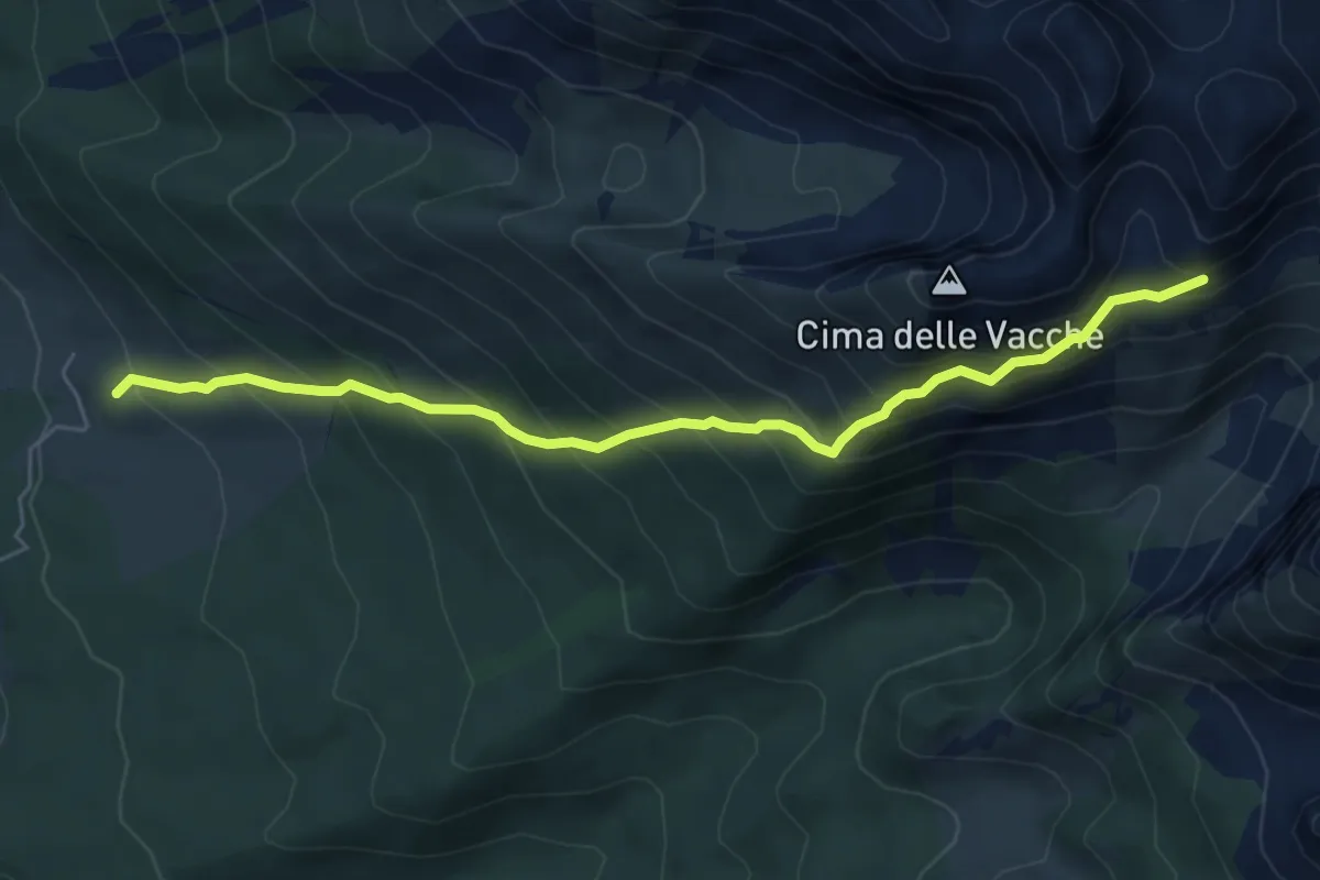
Medium · Trail
Pian delle Lastrre – Busa Toronda - inn. sent. 923
6.0 km · ↑ 718 m · 2 h 58 min
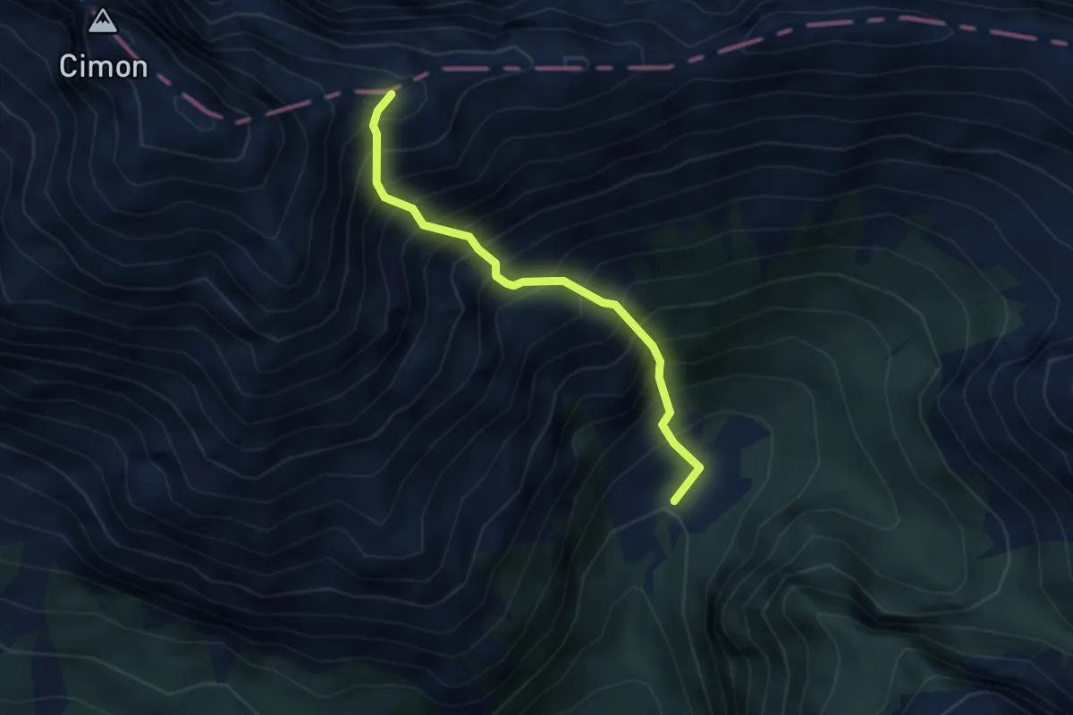
Demanding · Summit
Casera Venal - da sentiero 934 – Forcella Fagoreit - innesto ferrata Costacurta
3.2 km · ↑ 809 m · 2 h 31 min
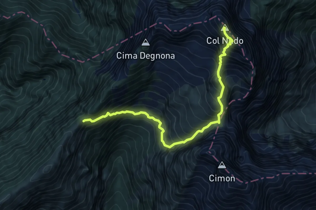
Expert · Summit
Forcella della Lastra – Col Nudo
8.6 km · ↑ 1205 m · 4 h 39 min
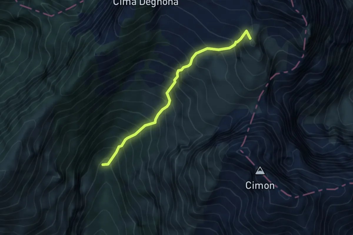
Demanding · Summit
Casera Stabalì – Passo di Valbona
4.4 km · ↑ 866 m · 2 h 55 min
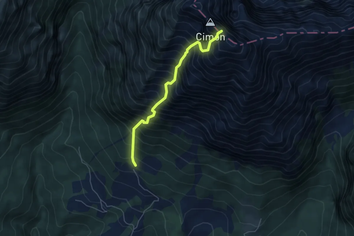
Demanding · Trail
San Martino - Degnona – Cima Monte Teverone
4.7 km · ↑ 1141 m · 3 h 34 min
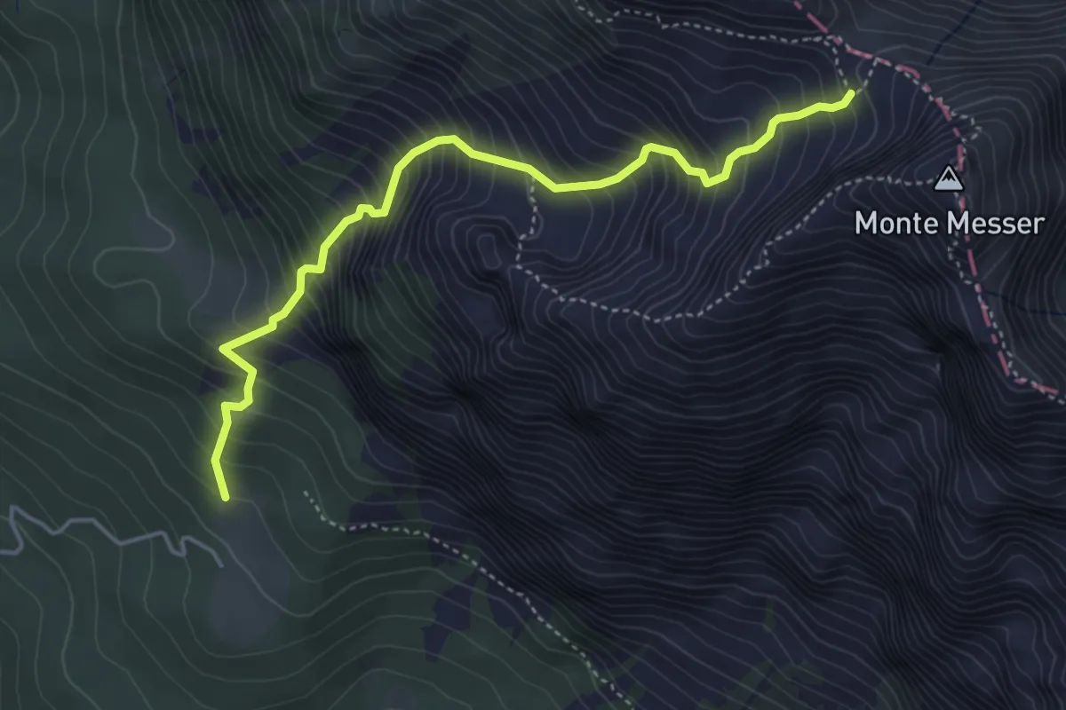
Medium · Trail
Casera Pian Formosa – Bivacco Toffolon (innesto sentiero 928 a Forcella Antander)
4.6 km · ↑ 757 m · 2 h 44 min
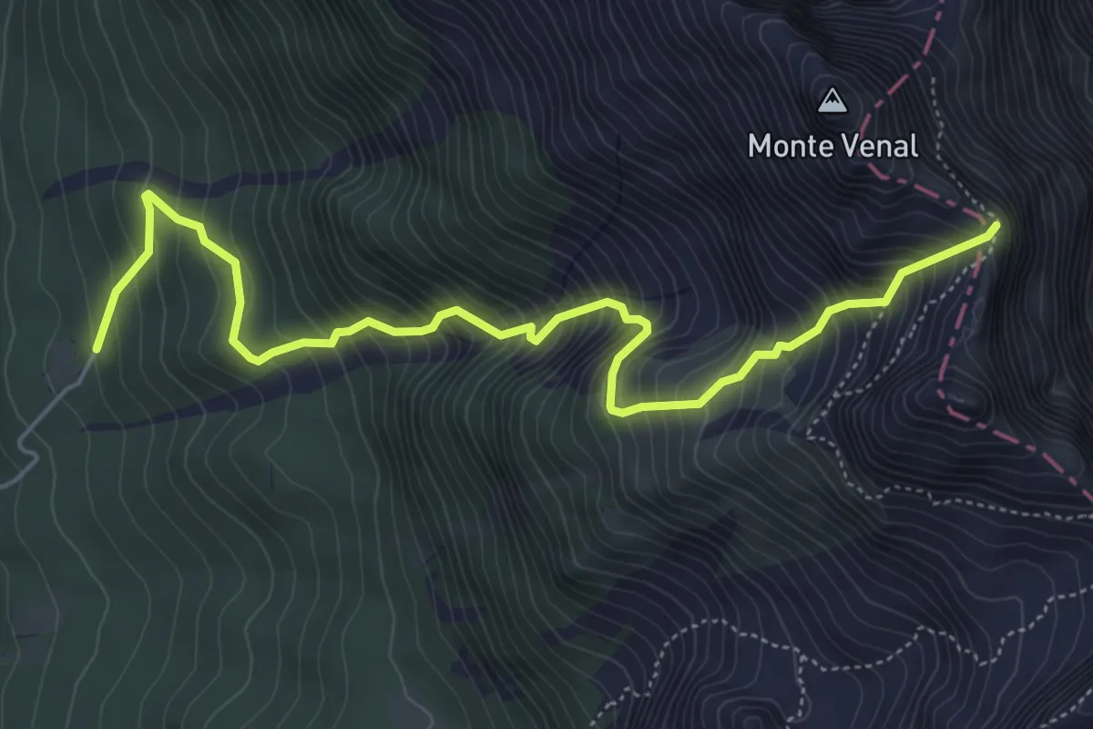
Demanding · Trail
Casera Cruden – Forcella Fedarola
6.2 km · ↑ 939 m · 3 h 30 min
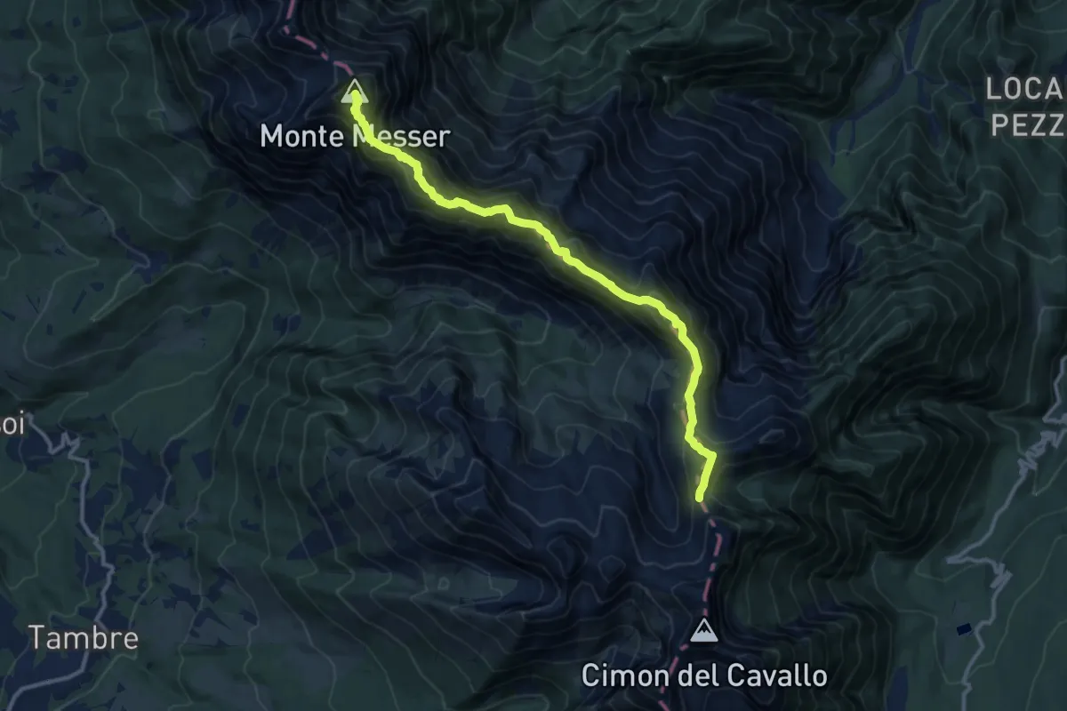
Expert · Summit
Forcella Fedarola – Forcella Val Grande
12.2 km · ↑ 1027 m · 5 h 6 min
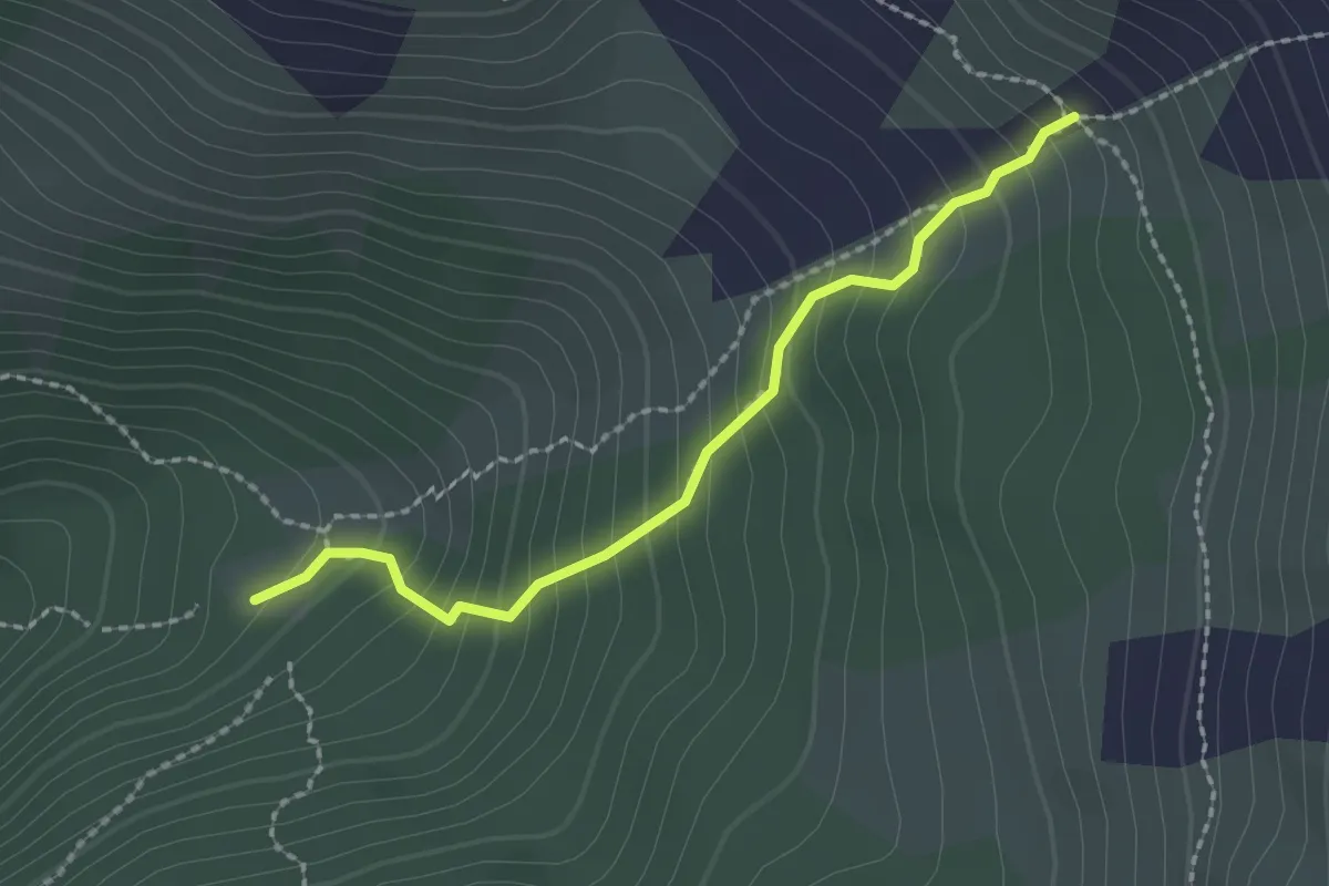
Medium · Trail
Malga La Roa da sent.544 – Alta Val Missiaga - inn. sent. 543
2.0 km · ↑ 251 m · 1 h 2 min
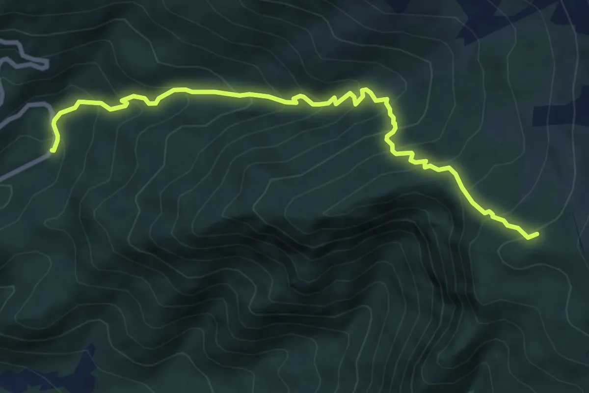
Medium · Trail
Le Cesurette – Prssi Malga Moschesin - inn. sent. 543
7.4 km · ↑ 713 m · 3 h 17 min
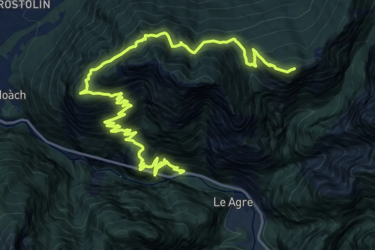
Demanding · Summit
Torner - S.R. 203 – Casera Moschesin - innesto sentiero 543
25.2 km · ↑ 2179 m · 10 h 41 min
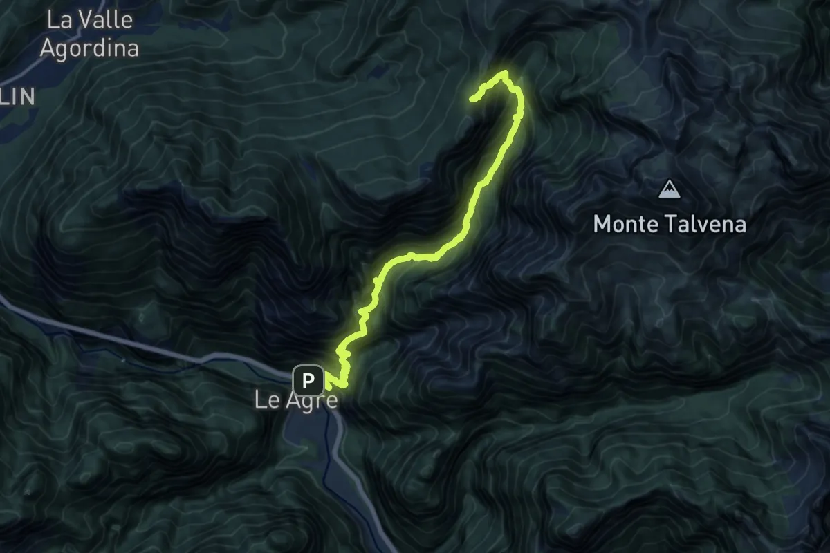
Demanding · Trail
La Muda – Forcella Scalabras - innesto percorso 541
14.7 km · ↑ 1872 m · 7 h 32 min
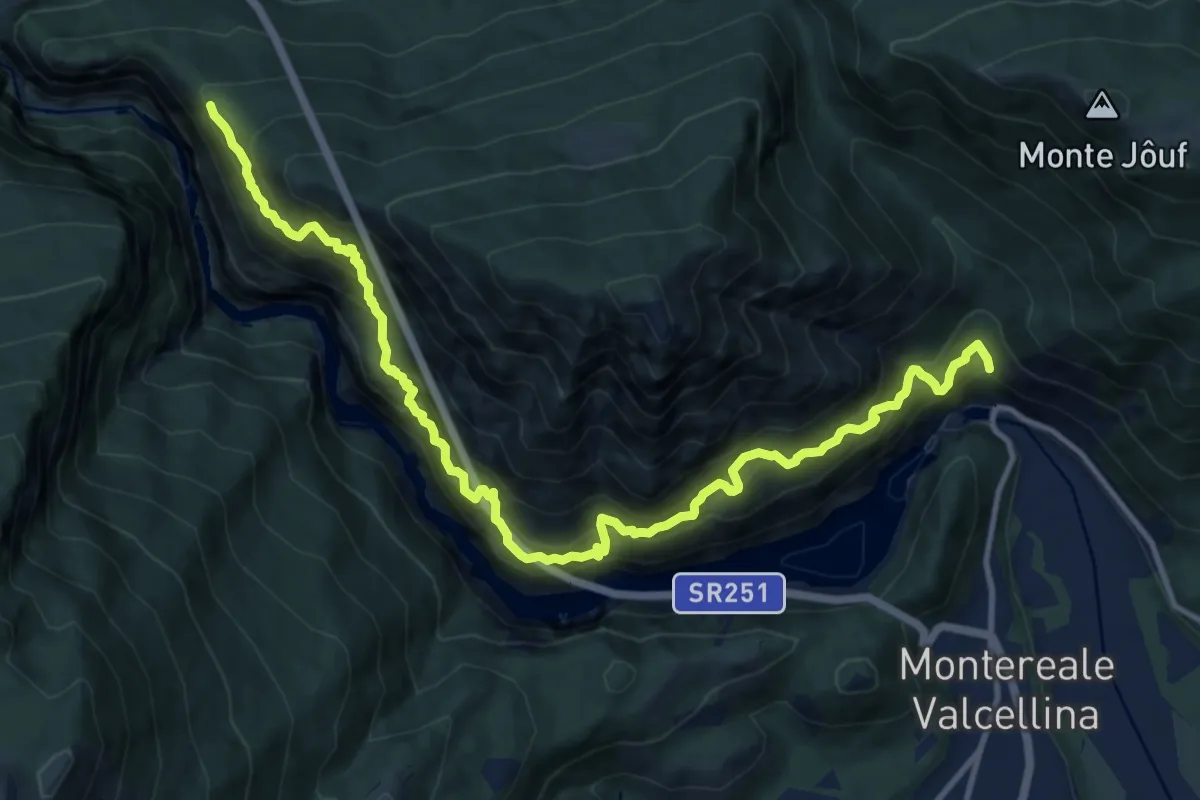
Demanding · Trail
Molassa bivio CAI 983 – Ponte di Ravedis bivio CAI 967
14.3 km · ↑ 2006 m · 7 h 44 min
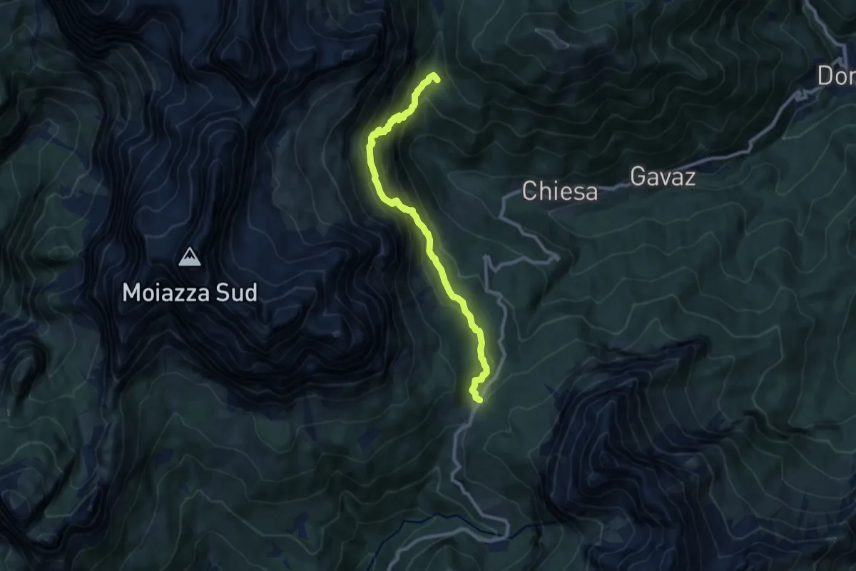
Medium · Cabin
Passo Duran - da S.P. 347 – Val de la Grava - inn. sen. 557
9.1 km · ↑ 680 m · 3 h 38 min
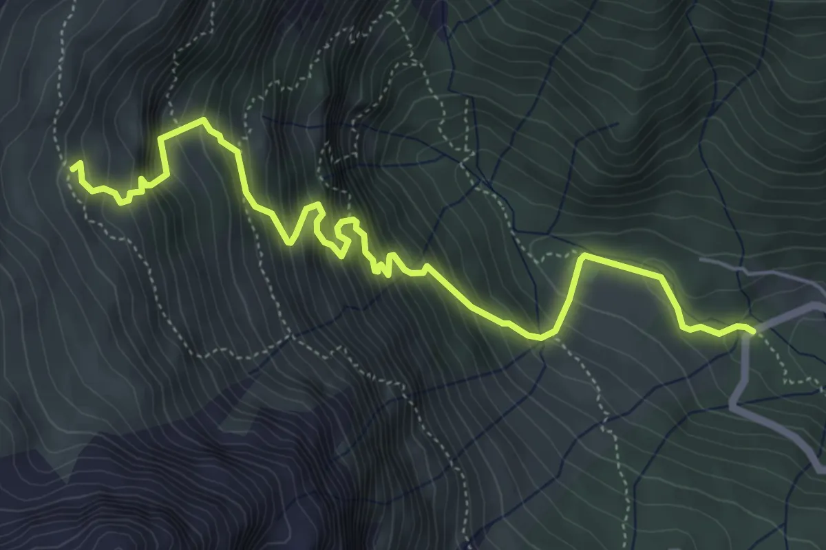
Medium · Trail
Le Vare - da S.P.347 – Bivacco Grisetti
6.3 km · ↑ 786 m · 3 h 11 min
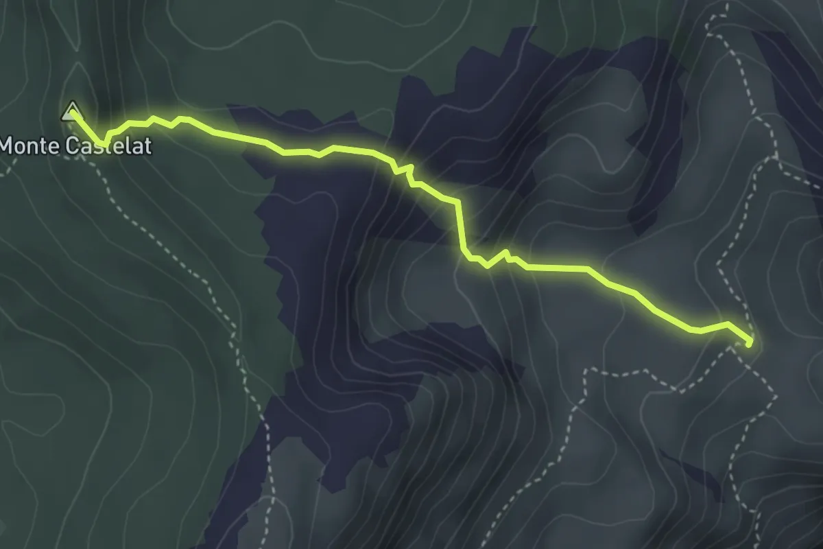
Medium · Summit
Casera di Giais (quota 1289 m) – Bivio sentiero 915 (quota 1600 m)
3.9 km · ↑ 312 m · 1 h 36 min
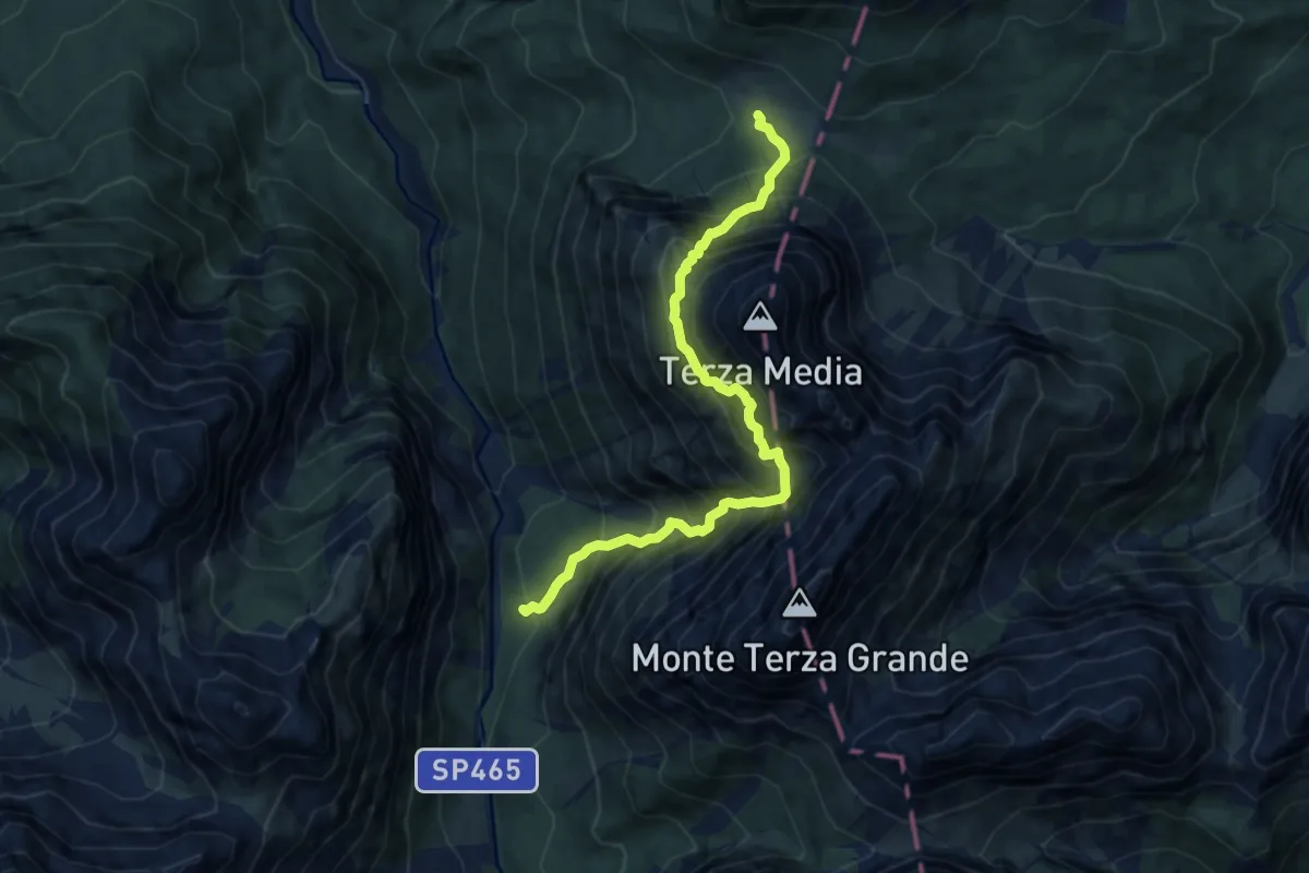
Expert · Trail
Val Frison - Rifugio Volontari Alpini – Passo della Digola
9.2 km · ↑ 1569 m · 5 h 34 min
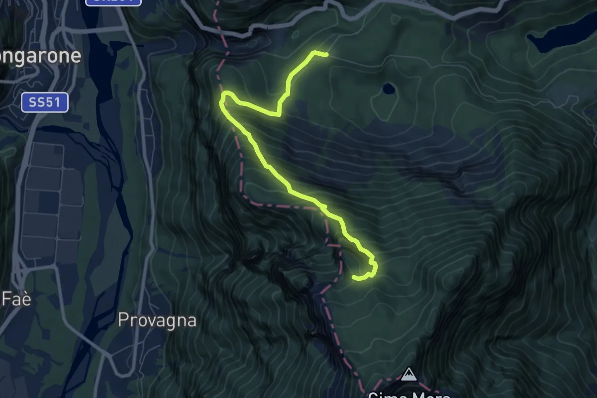
Demanding · Trail
Frana Monte Toc (quota 820 m) – Casera Vasei (quota 1610 m)
7.6 km · ↑ 852 m · 3 h 38 min
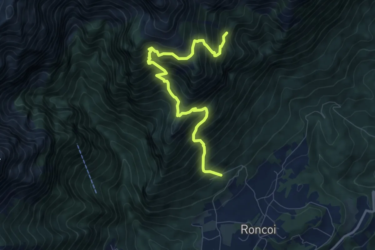
Demanding · Trail
Roncoi - Staolet – dopo Biv. Palia - innesto sentiero 851
8.9 km · ↑ 1199 m · 4 h 42 min
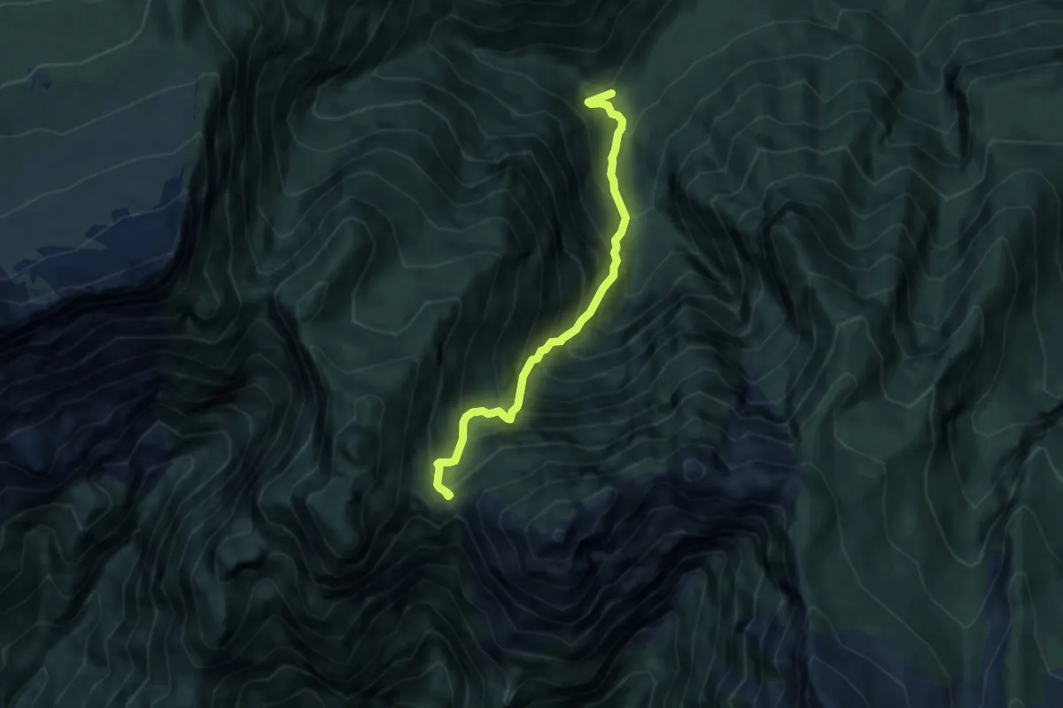
Demanding · Trail
Le Tronconere (quota 603 m) – Forcella Navalesc (quota 1526 m)
6.6 km · ↑ 1011 m · 3 h 45 min
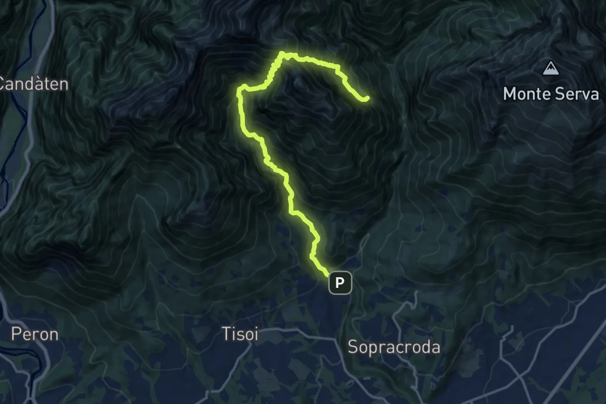
Demanding · Summit
Bolzano B. Goiz/Colover – dopo Case Bortot-Maone - innesto sentiero 501
14.9 km · ↑ 1887 m · 7 h 36 min
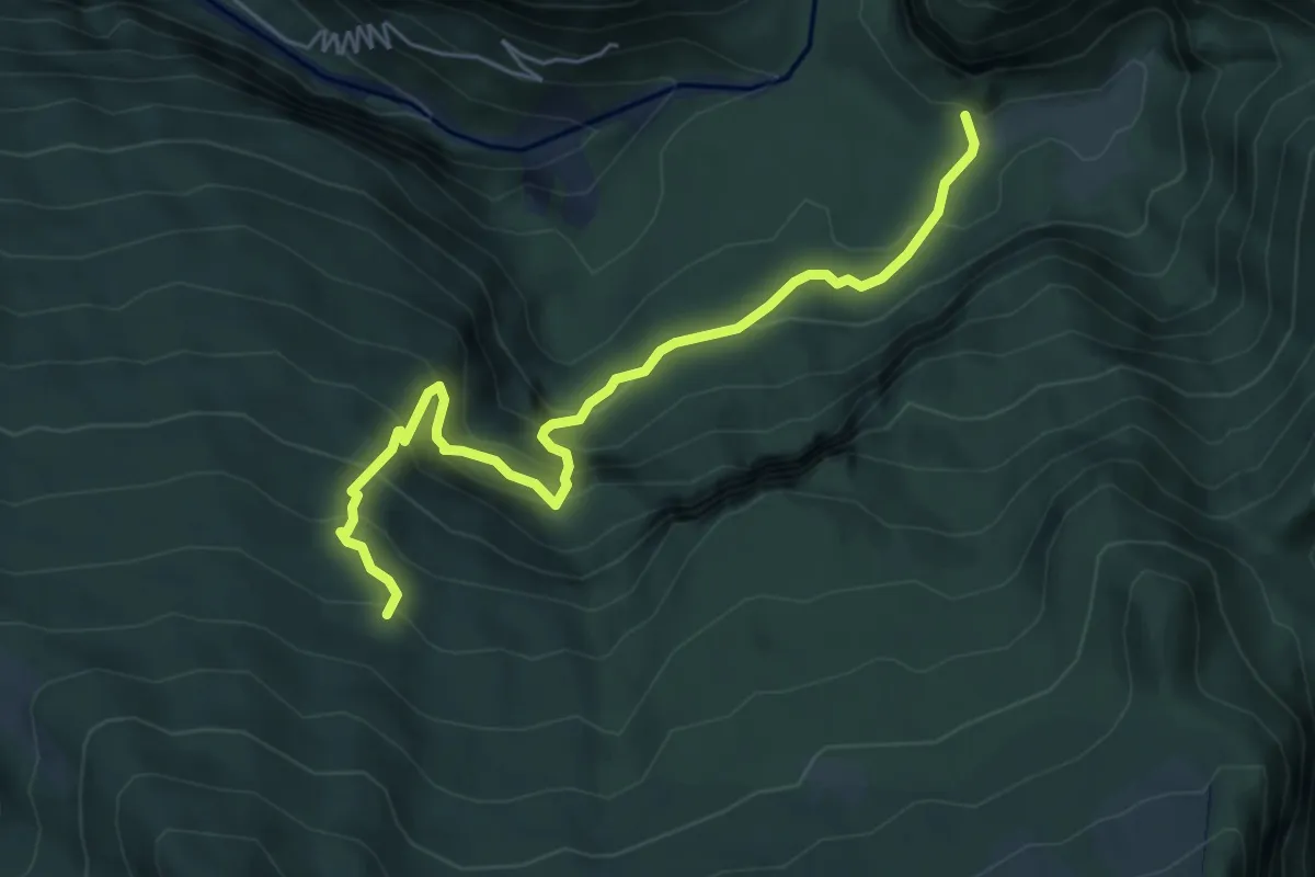
Medium · Trail
Casera Casavento (quota 930 m) – Bivio sentiero n. 960 (quota 1350 m)
5.9 km · ↑ 507 m · 2 h 29 min
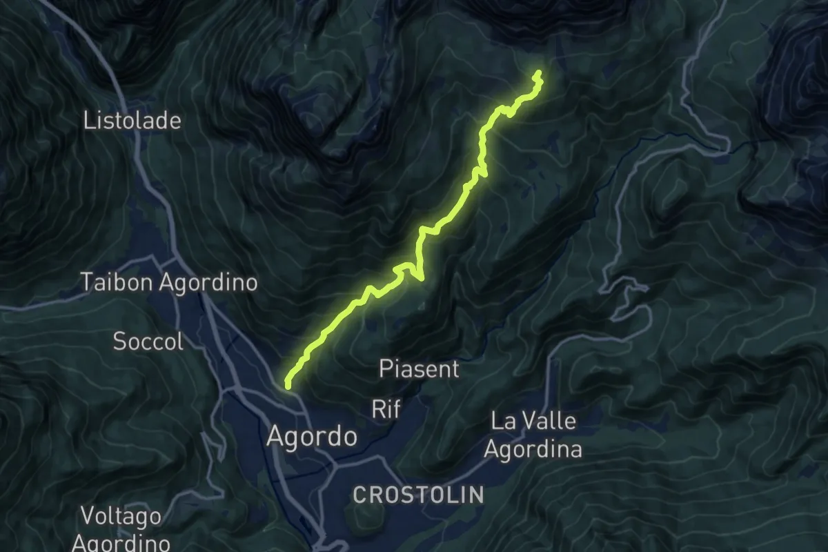
Demanding · Cabin
Agordo - Parech – Rifugio Carestiato
12.9 km · ↑ 1325 m · 5 h 55 min
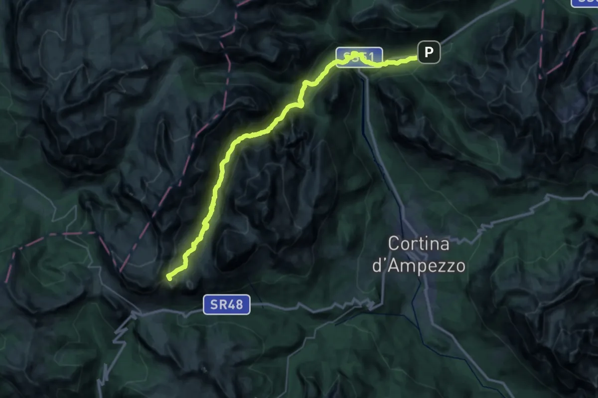
Demanding · Summit
Rifugio Lagazuoi – Albergo Rifugio Ospitale
31.8 km · ↑ 1799 m · 11 h 24 min
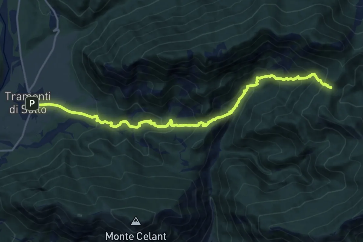
Demanding · Trail
Tramonti di Sotto (quota 366 m) – Forchia de Agardaia (quota 1039 m)
13.3 km · ↑ 962 m · 5 h 13 min
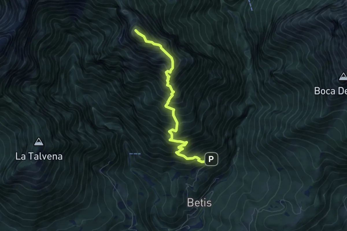
Demanding · Summit
Bolzano B. - Case Bortot – Monte terne o Zimon di Terne
7.3 km · ↑ 1095 m · 4 h 5 min
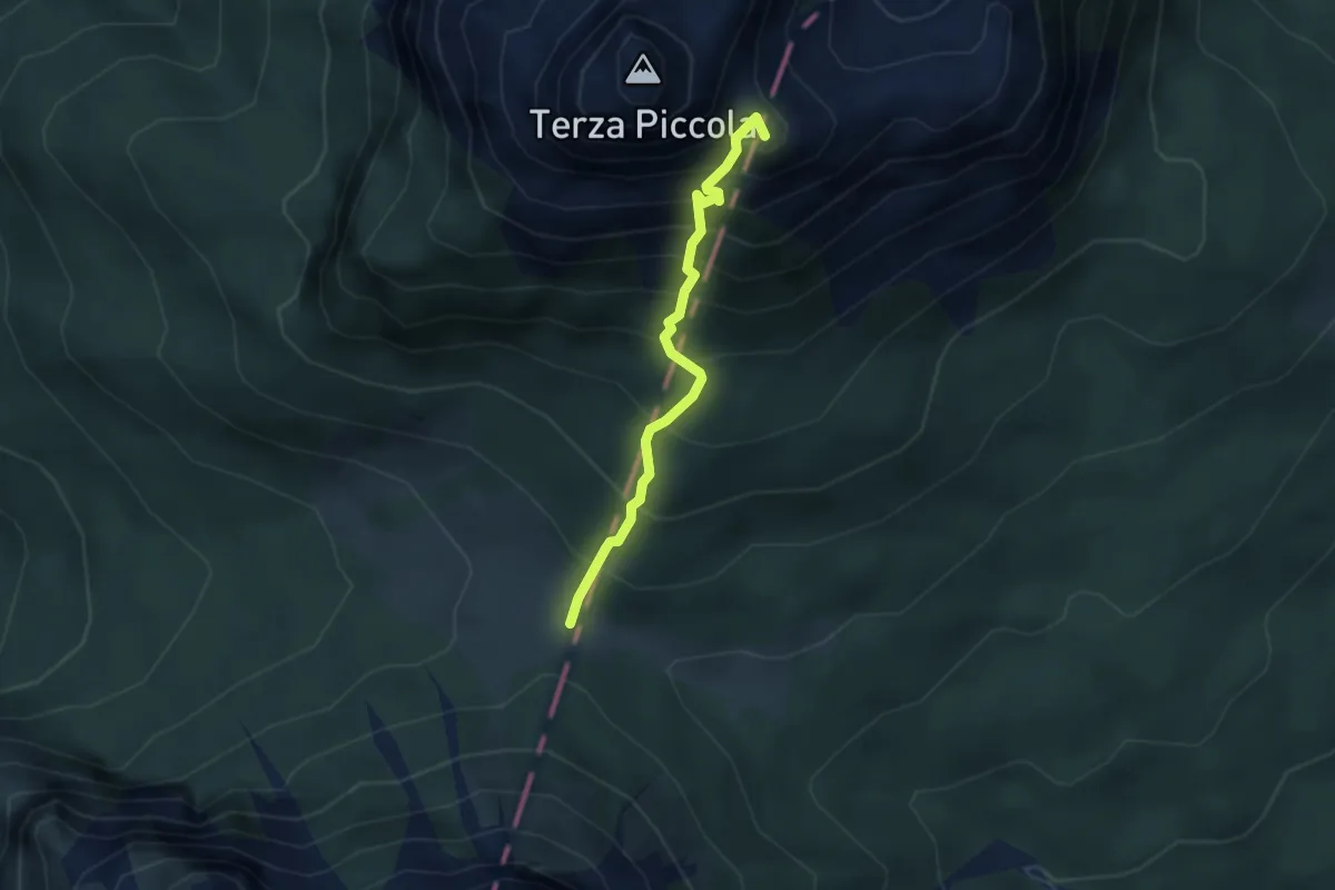
Demanding · Summit
Bivio sentiero 313 (quota 1534 m) – Passo Digola (quota 1674 m)
2.8 km · ↑ 468 m · 1 h 40 min
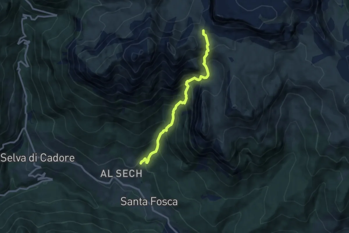
Demanding · Trail
Toffol – Forcella di Giau
7.2 km · ↑ 890 m · 3 h 37 min
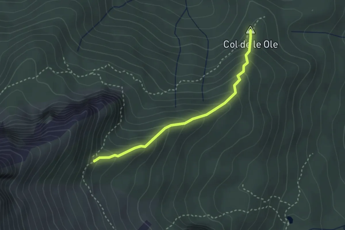
Medium · Summit
nei pressi di Colcerver – Forcella Val de le Barance - inn. sent. 536
2.7 km · ↑ 266 m · 1 h 13 min
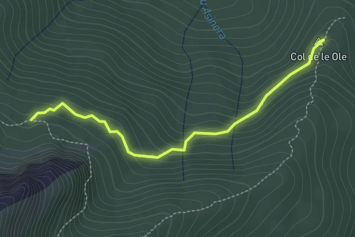
Medium · Summit
Col de le Ole – Col de le Buse
2.5 km · ↑ 139 m · 53 min
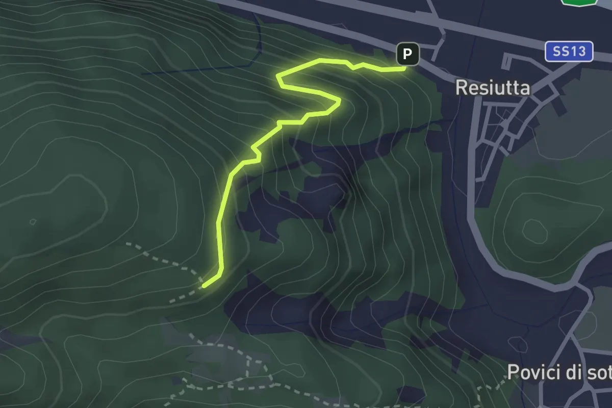
Medium · Trail
Resiutta bivio strada nord ex stazione (q. 318 m) – Bivio sent. 743 (q. 538 m)
2.3 km · ↑ 355 m · 1 h 19 min