Trails in Italy
25,219 hiking trails, each with its route, climb, walking time and grade.
All trails, page 513 of 526
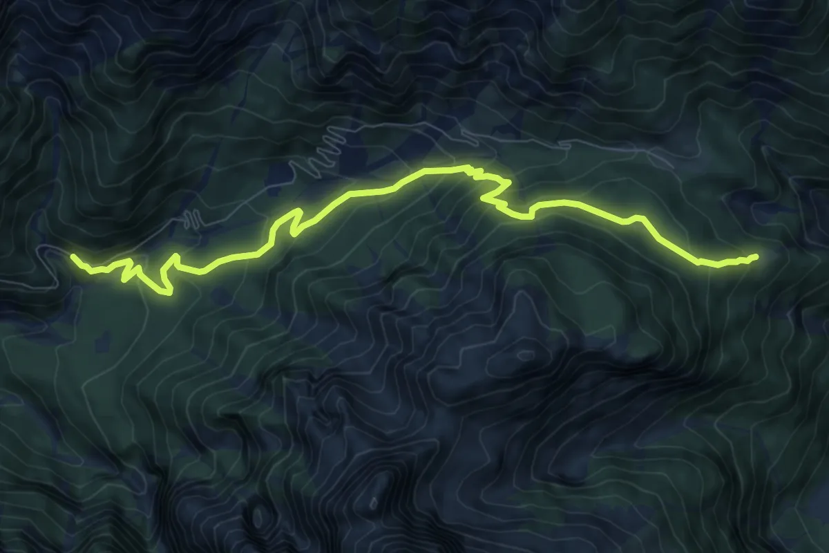
Medium · Cabin
Strada Val Dogna – Cappella Zacchi (quota 1005 m) – Rifugio Grego (quota 1389 m)
10.2 km · ↑ 698 m · 3 h 56 min
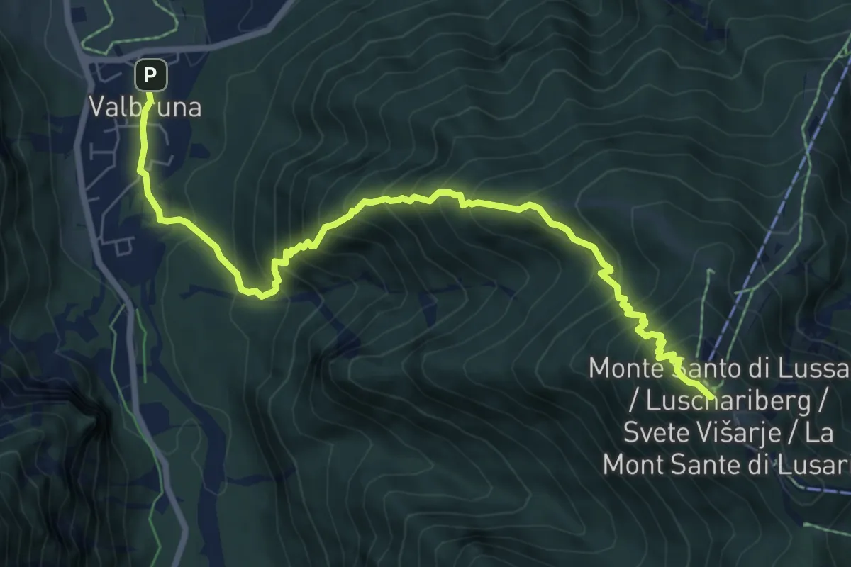
Demanding · Cabin
Casa Alpina J. Kugy (quota 810 m) – Monte Santo di Lussari (bivio sent. 617) (quota 1.770 m)
8.2 km · ↑ 994 m · 4 h 5 min
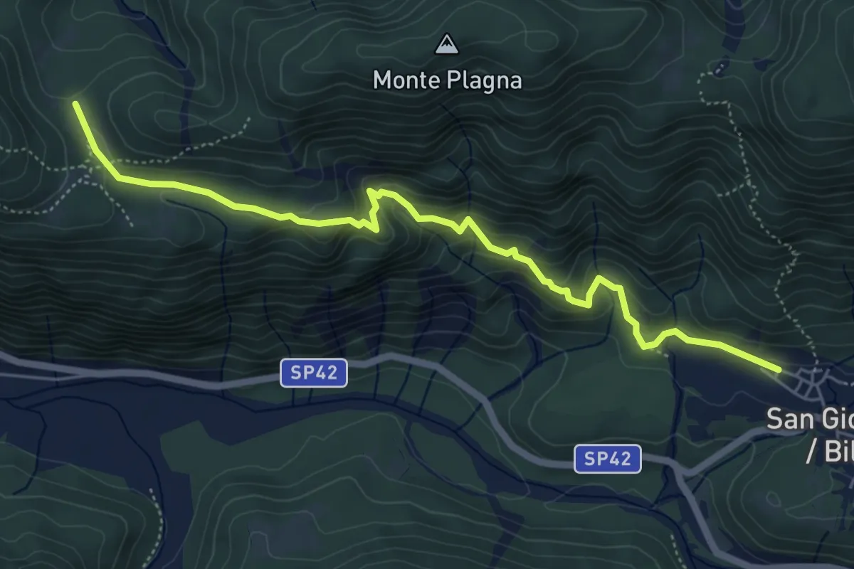
Medium · Trail
San Giorgio in piazzetta (quota 438 m) – Bivio sent. 631 Stavoli Ruschis (quota 658 m)
5.9 km · ↑ 320 m · 2 h 5 min
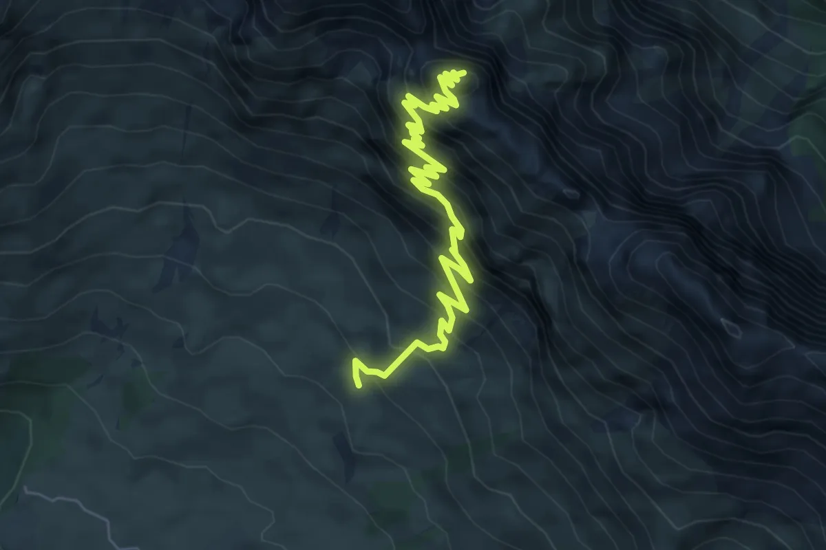
Demanding · Summit
Rifugio Di Brazzà bivio sentiero CAI n. 663 (quota 1660 m) – Cima di Terrarossa (quota 2420 m)
7.0 km · ↑ 842 m · 3 h 29 min
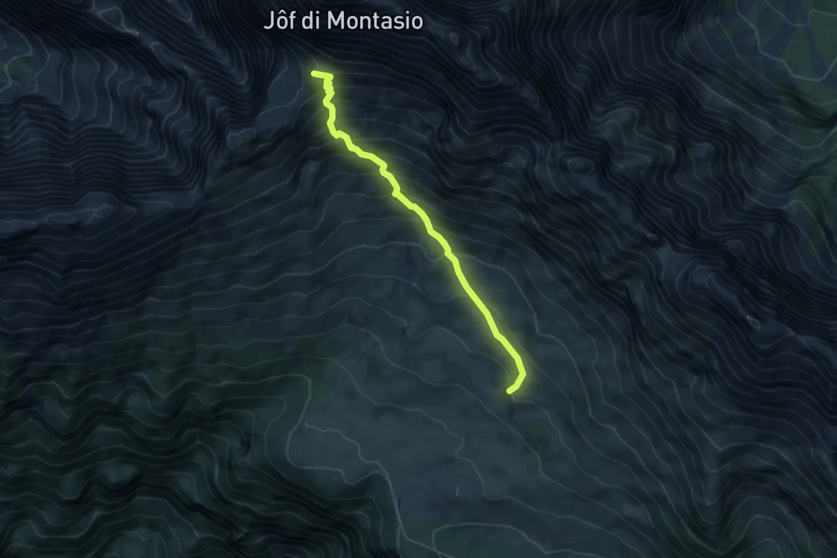
Medium · Summit
Rifugio Di Brazzà (quota 1660 m) – Forca Disteis (quota 2201 m)
5.1 km · ↑ 571 m · 2 h 27 min
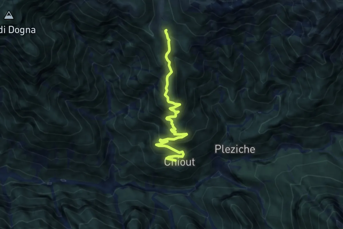
Medium · Trail
Casera Bieliga Incrocio (quota 1400 m) – Chiout di Dogna (quota 838 m)
9.0 km · ↑ 730 m · 3 h 43 min
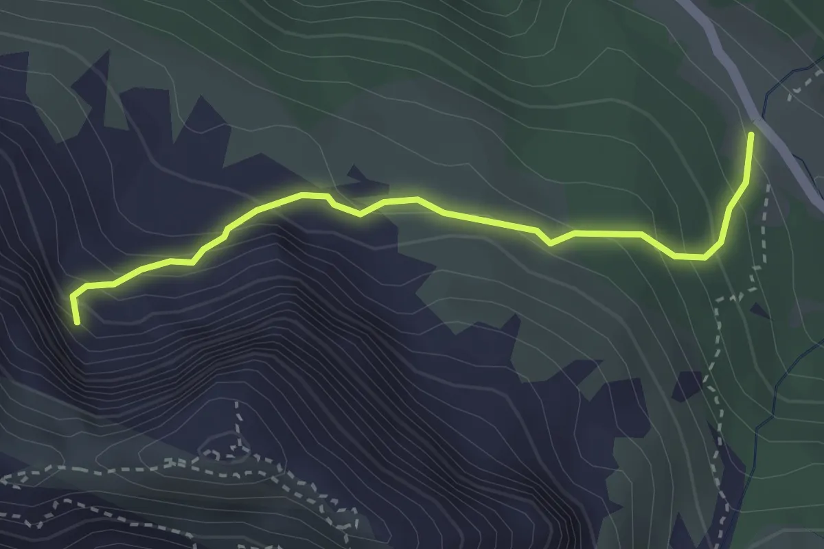
Medium · Cabin
Passo Cason di Lanza (quota 1552 m) – Attacco ferrata (quota 1772 m)
3.0 km · ↑ 322 m · 1 h 24 min
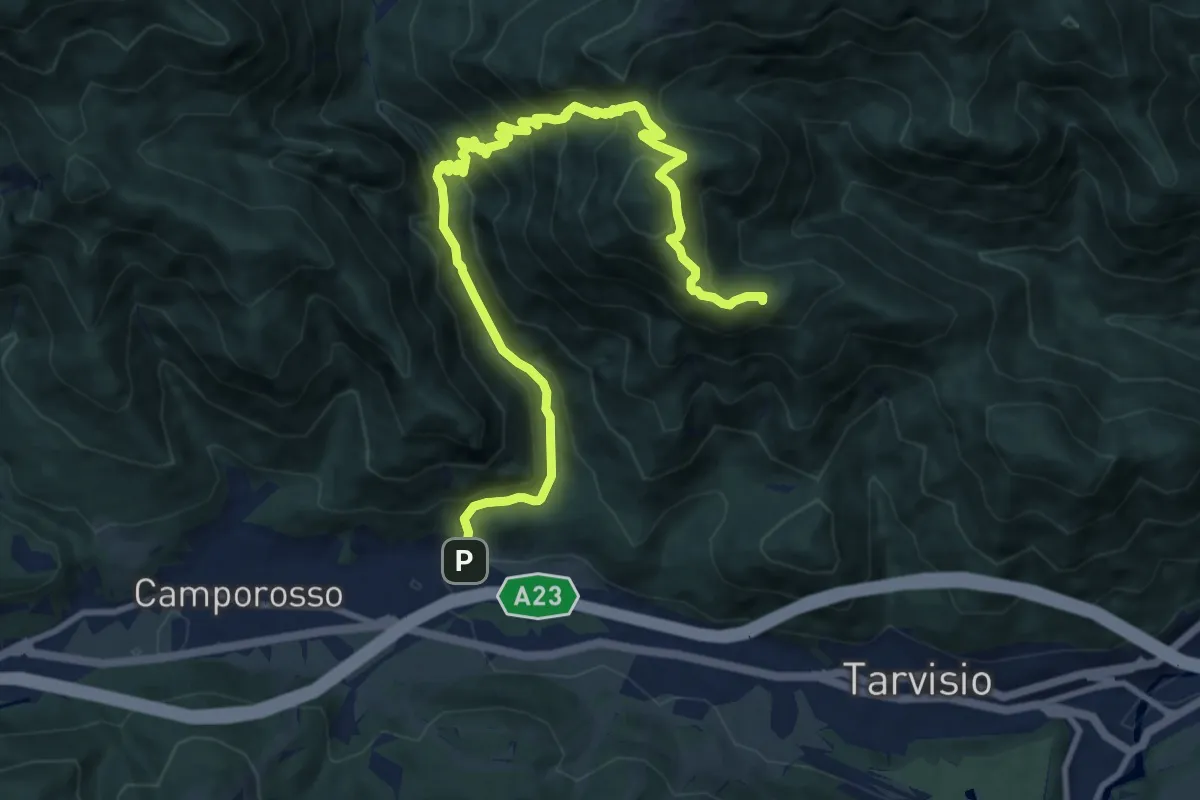
Demanding · Summit
Tarvisio Centrale Località San Michele (quota 774 m) – Rutte di Camporosso (quota 800 m)
12.7 km · ↑ 938 m · 5 h 2 min
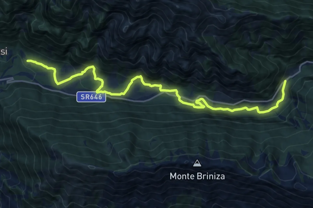
Medium · Trail
Loc. Simaz (quota 615 m) – Passo Tanamea (quota 851 m)
16.4 km · ↑ 618 m · 5 h 12 min
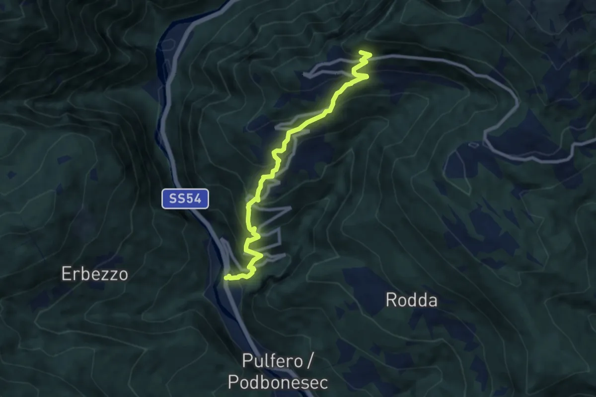
Medium · Trail
Linder (quota 190 m) – Bivio sentiero n. 725 (quota 900 m)
7.8 km · ↑ 716 m · 3 h 23 min
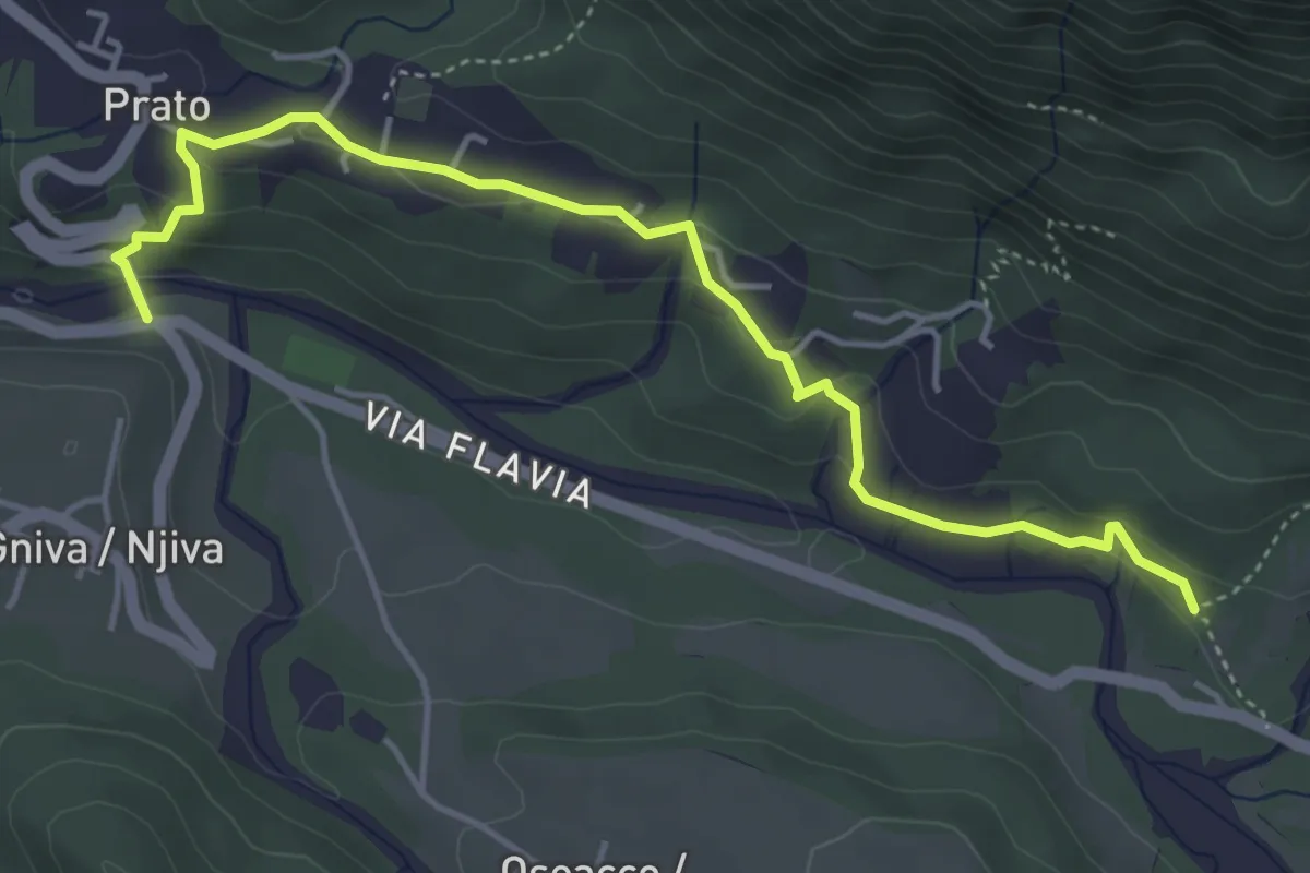
Easy · Trail
Bivio sentiero n. 662 (quota 440 m) – Bivio sentiero n. 734 (quota 420 m)
4.9 km · ↑ 177 m · 1 h 33 min
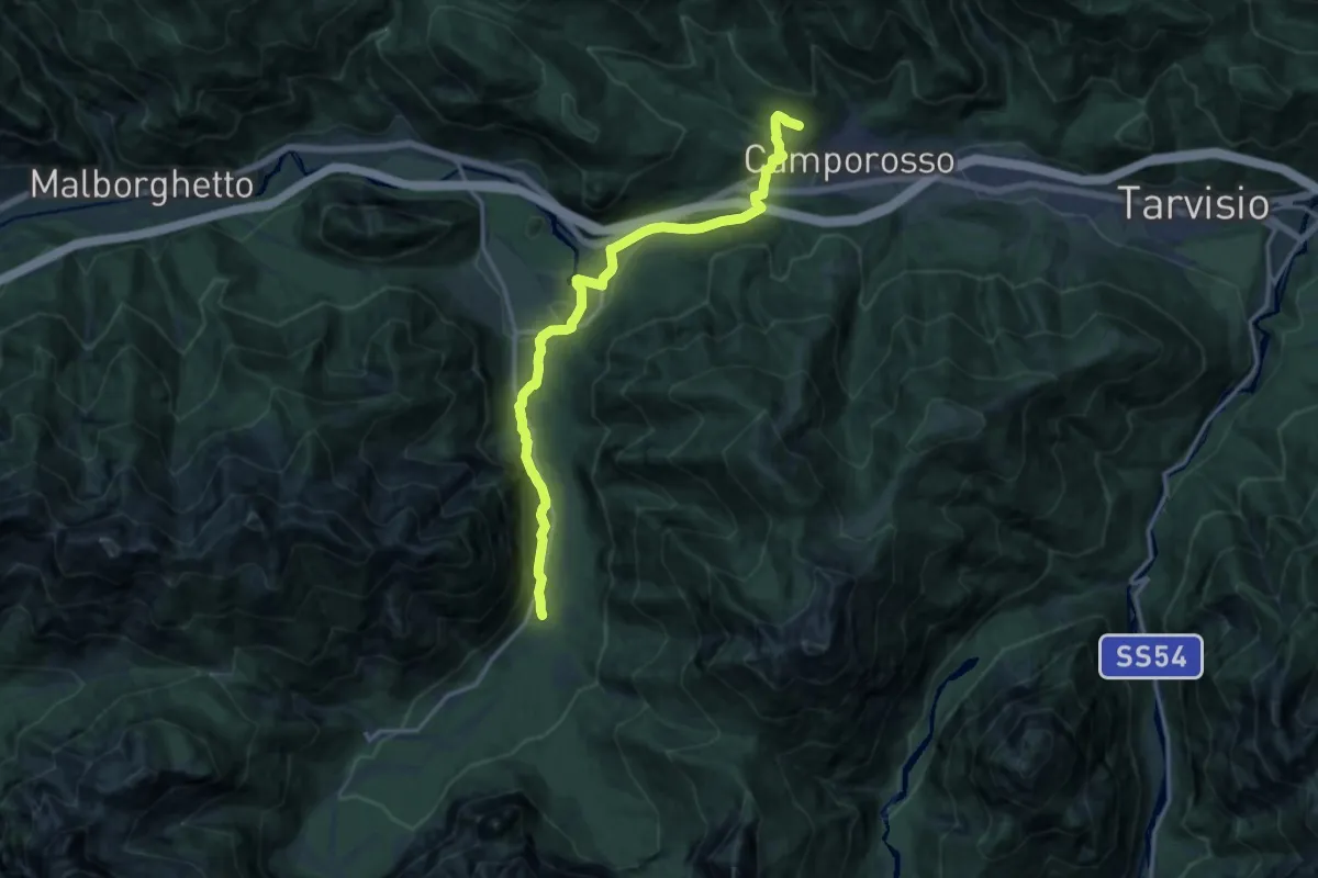
Medium · Trail
Camporosso bivio sentieri 506-508 (quota 900 m) – Bivio sentiero 615 val Saisera (quota 866 m)
15.2 km · ↑ 304 m · 4 h 15 min
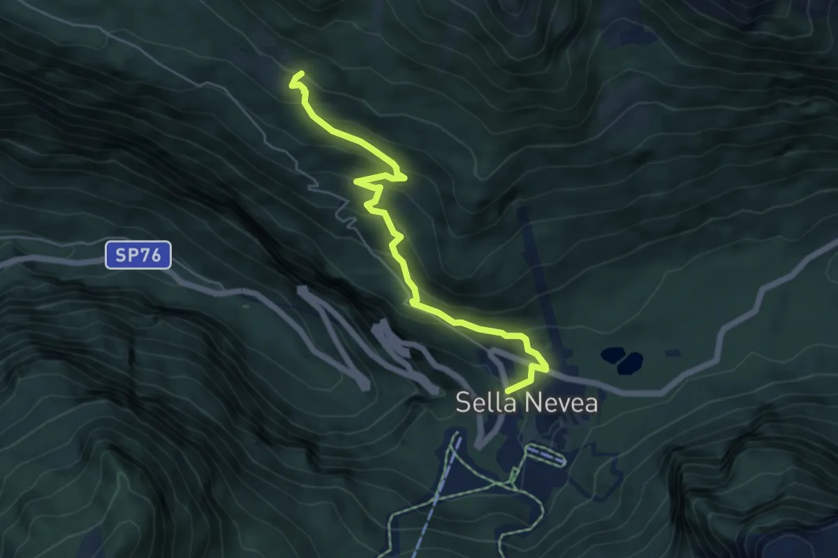
Medium · Cabin
Rifugio Divisione Julia (quota 1162 m) – Casera Larice (quota 1479 m)
5.3 km · ↑ 393 m · 2 h 6 min
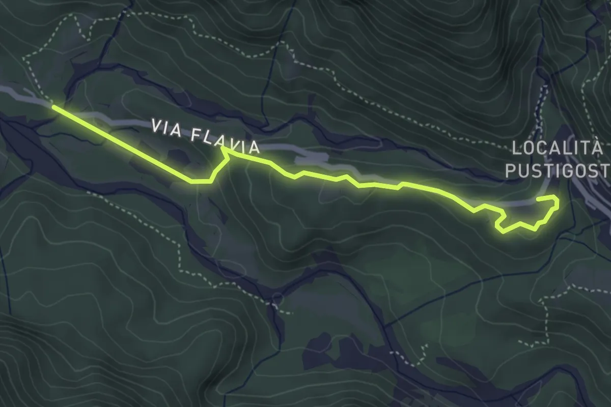
Easy · Trail
Stolvizza (quota 566 m) – Bivio sentiero n. 662 (quota 430 m)
4.8 km · ↑ 148 m · 1 h 27 min
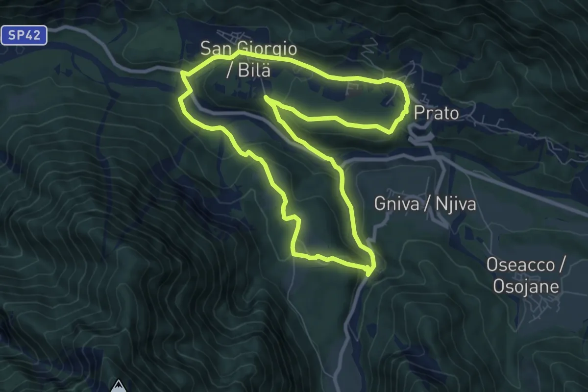
Easy · Trail
Majana di Lipovaz – Majana di Lipovaz
7.6 km · ↑ 273 m · 2 h 29 min
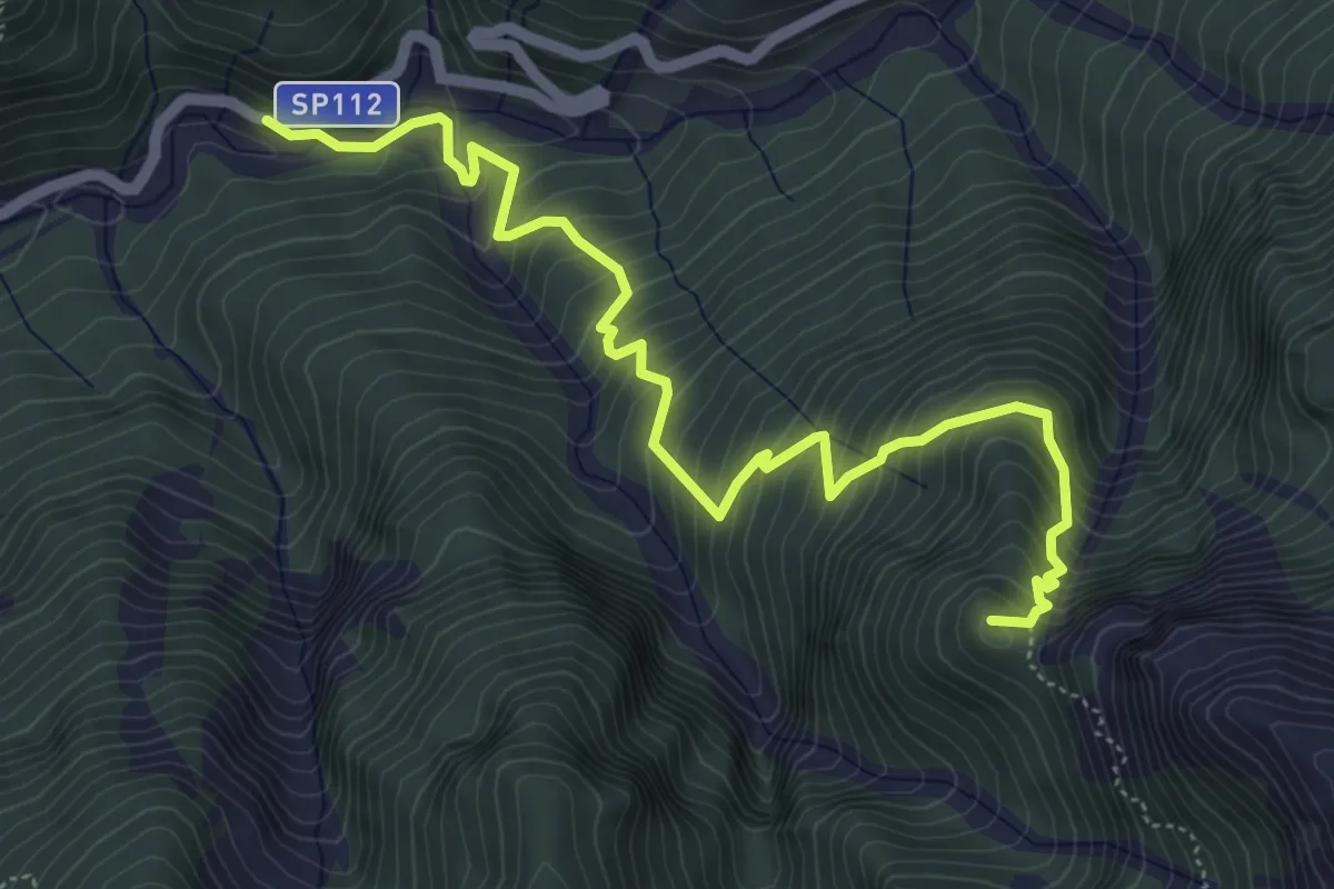
Demanding · Summit
Val Aupa Località Casone (quota 724 m) – Bivio Sentiero n. 425 Forchiadice (quota 1604 m)
6.2 km · ↑ 727 m · 3 h 2 min
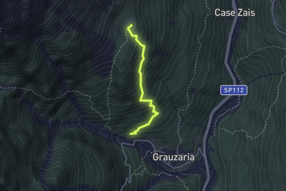
Easy · Summit
Sopra frazione Grauzaria (quota 540 m) – Bivio sentiero n. 437 (quota 986 m)
2.6 km · ↑ 317 m · 1 h 18 min
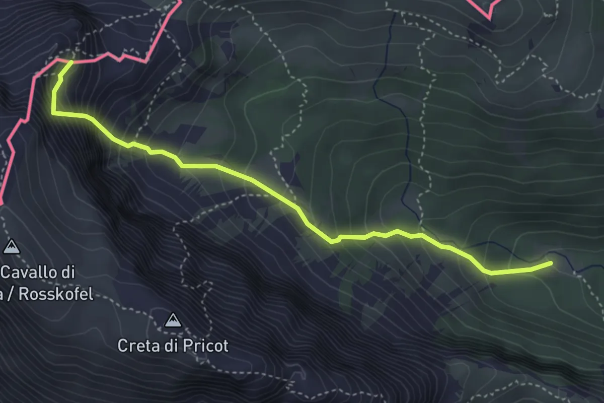
Demanding · Summit
Baita Winkel (quota 1470 m) – Attacco ferrata Contin (quota 2000 m)
4.1 km · ↑ 727 m · 2 h 33 min
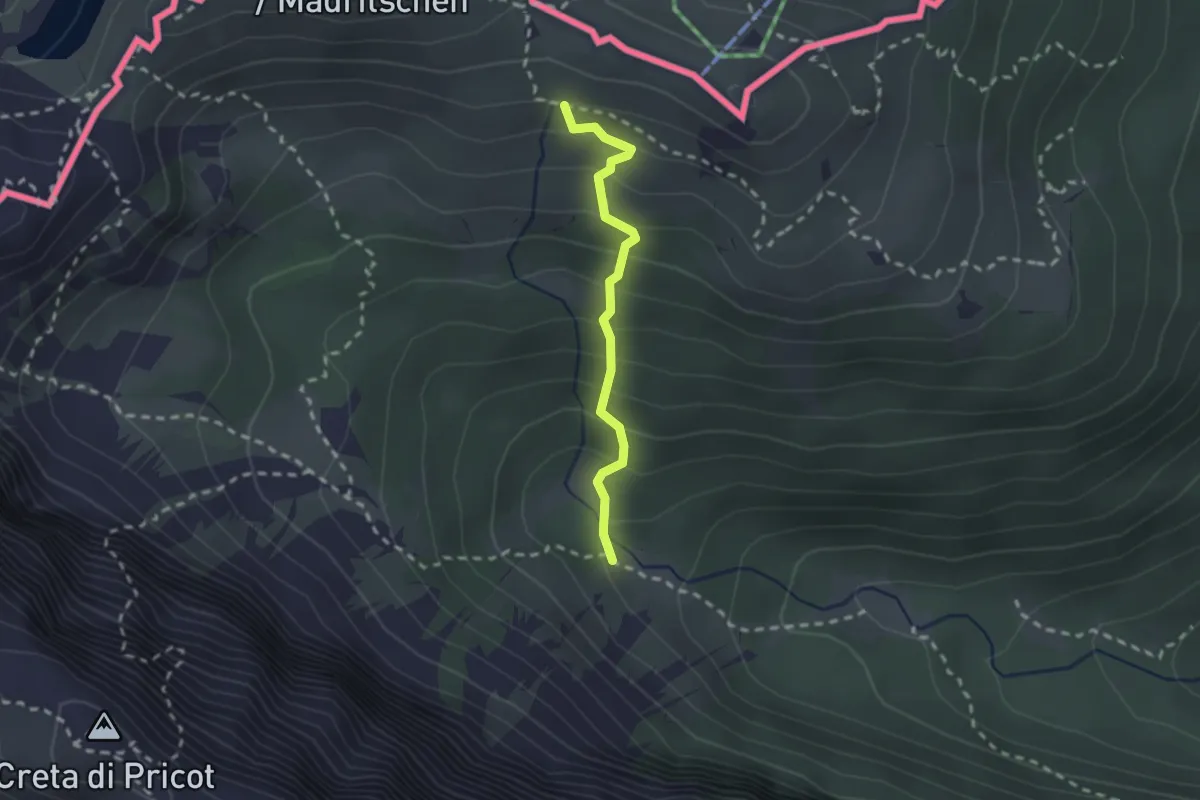
Medium · Trail
Bivio sentiero n. 469 (quota 1560 m) – Bivio sentiero n. 403a (quota 1785 m)
1.9 km · ↑ 223 m · 56 min
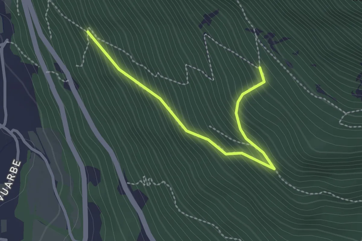
Medium · Trail
Primo tornante del sentiero 716 con progressione N-S (quota 300 m) – Ricongiungimento sul sentiero 716 (quota 600 m)
2.4 km · ↑ 265 m · 1 h 9 min
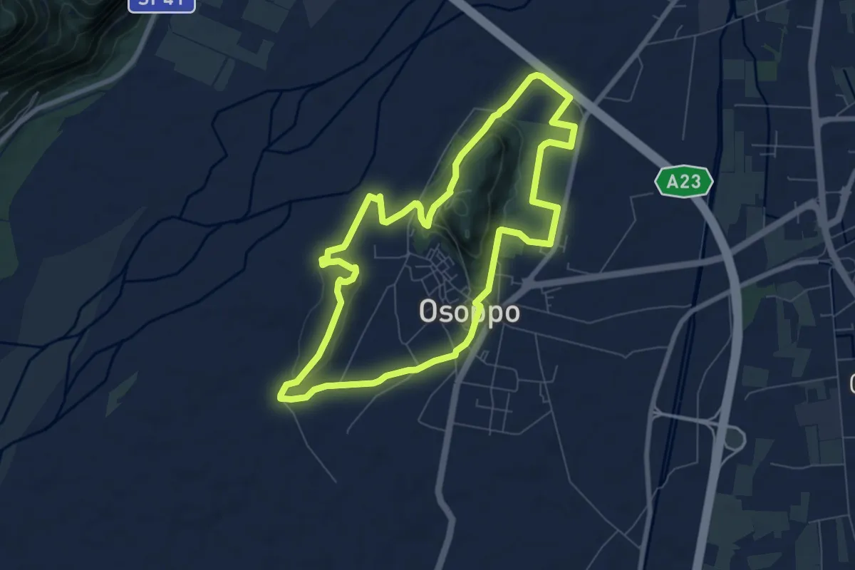
Medium · Trail
Sede del C.A.I. (quota 180 m) – Sede del C.A.I. (quota 180 m)
7.3 km · ↑ 131 m · 2 h 7 min
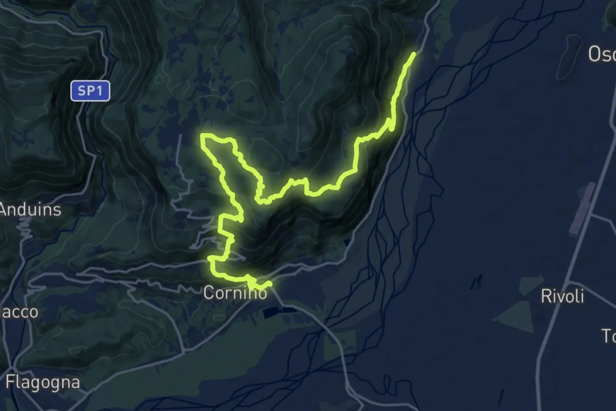
Medium · Trail
Peonis (quota 190 m) – Cornino (quota 157 m)
11.4 km · ↑ 665 m · 4 h 16 min
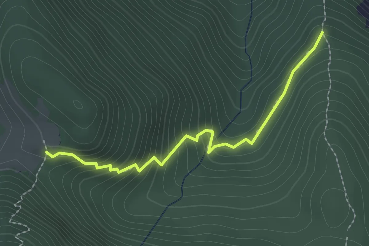
Easy · Trail
Bivio sentiero n. 738 (quota 799 m) – Bivio sentiero n. 732 (quota 1000 m)
2.2 km · ↑ 226 m · 1 h
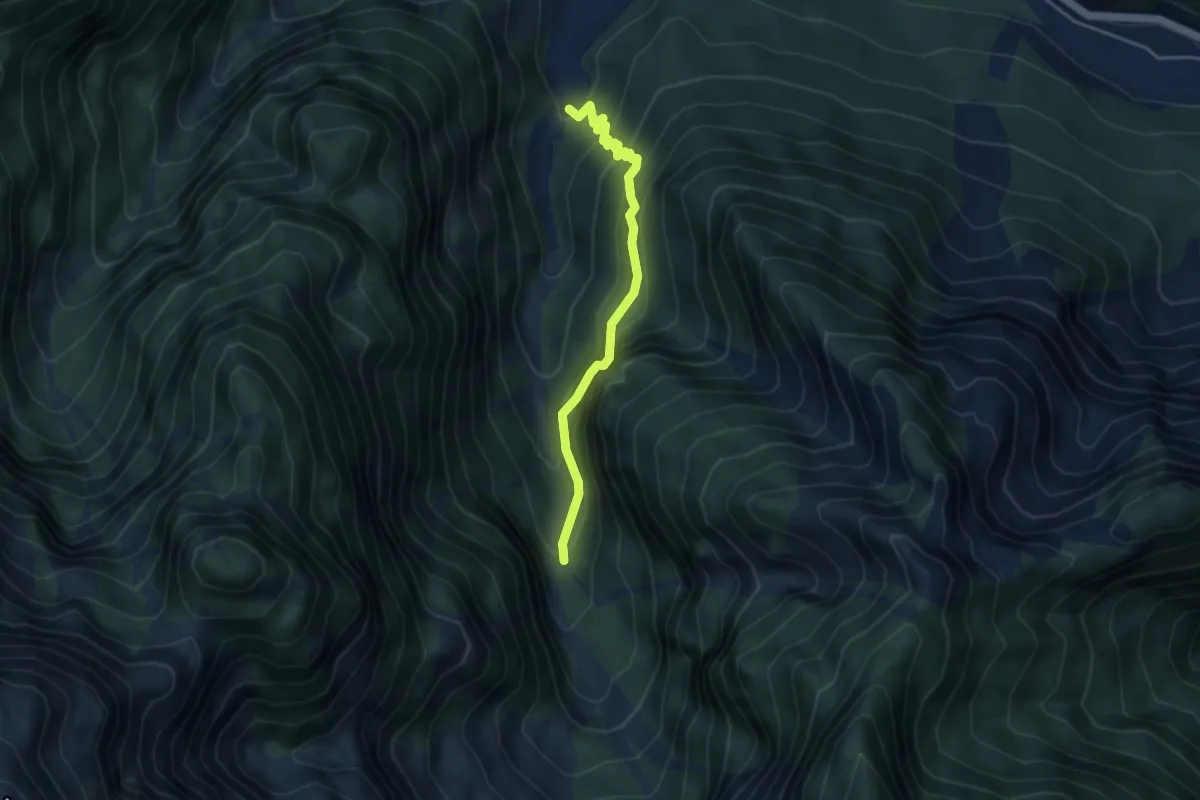
Expert · Trail
bivio sent 702 (quota 400 m) – bivio sent 702 (quota 620 m)
3.8 km · ↑ 522 m · 2 h 1 min
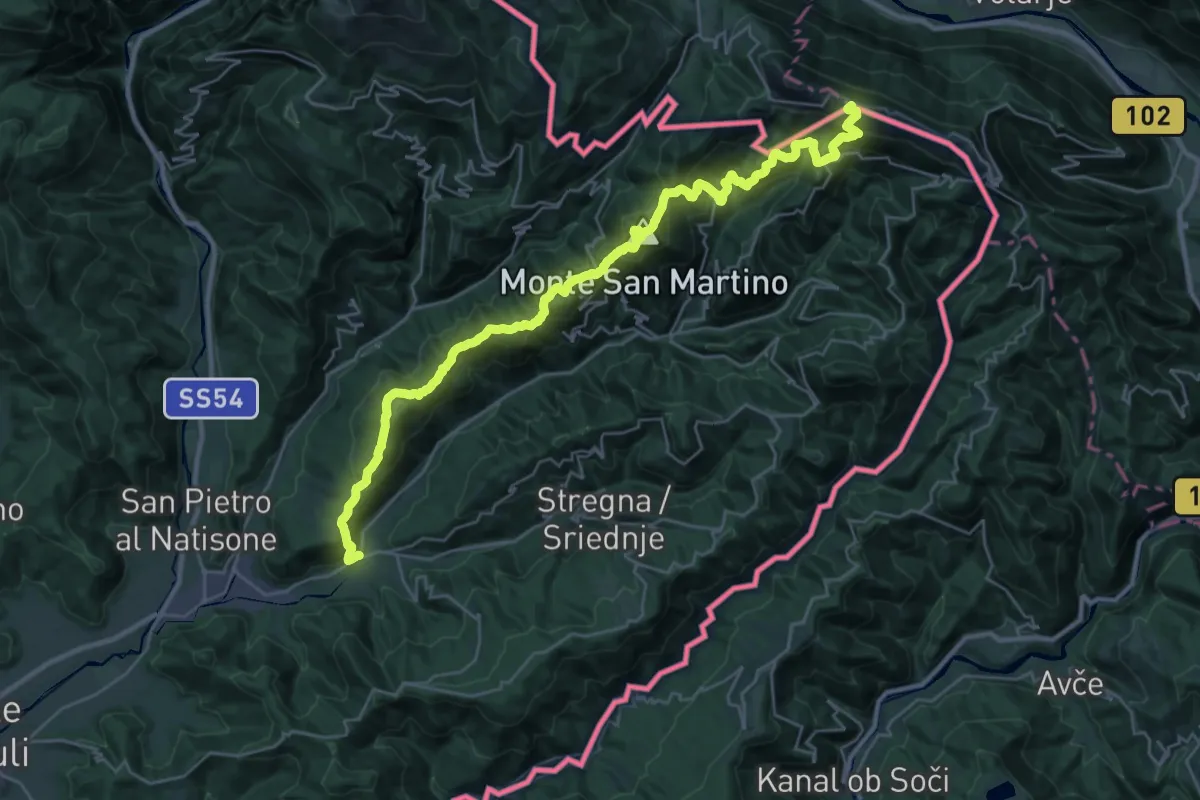
Demanding · Summit
Hst. Scrutto – Rif. Casoni Solarie
34.5 km · ↑ 2376 m · 13 h 17 min
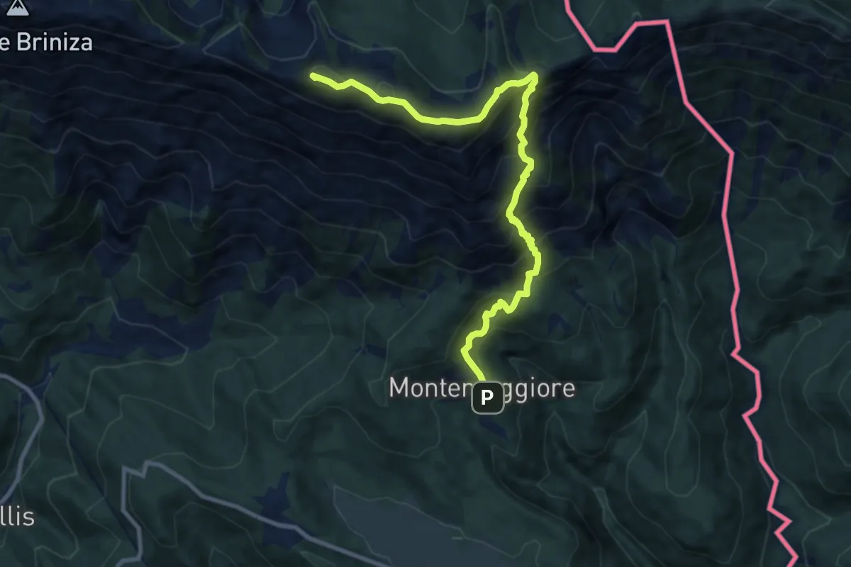
Demanding · Summit
P.so Tanamea – Montemaggiore/Gh.
9.9 km · ↑ 924 m · 4 h 20 min
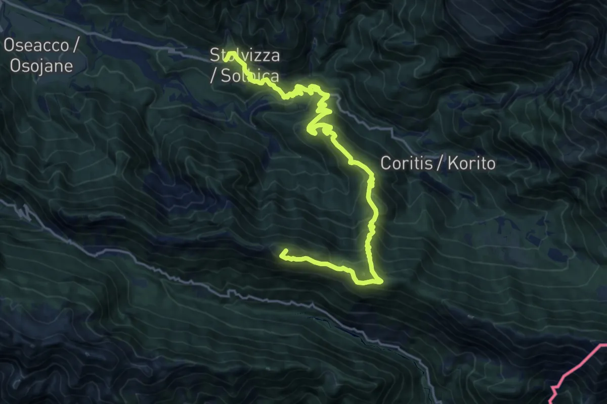
Demanding · Summit
Hst. Stolvizza – Stavoli Gnivizza/Baita al Taj
19.4 km · ↑ 1315 m · 7 h 26 min
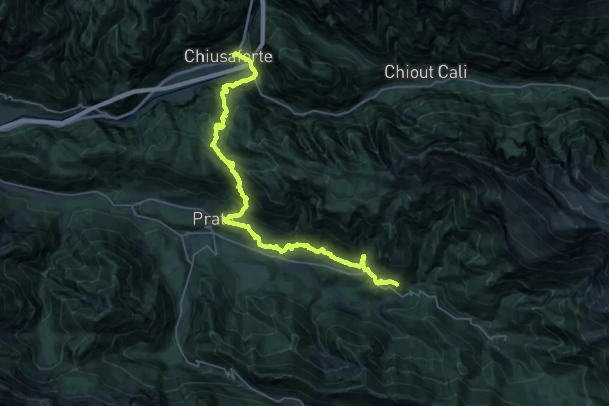
Medium · Trail
Hst. Chiusaforte – Stolvizza/Ladina/Casa Vacanza
12.4 km · ↑ 768 m · 4 h 52 min
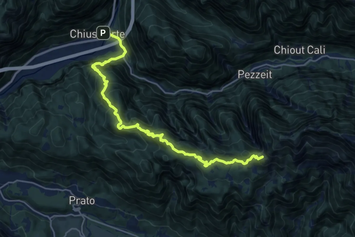
Demanding · Summit
Hst. Chiusaforte – Stolvizza
17.2 km · ↑ 1304 m · 6 h 53 min
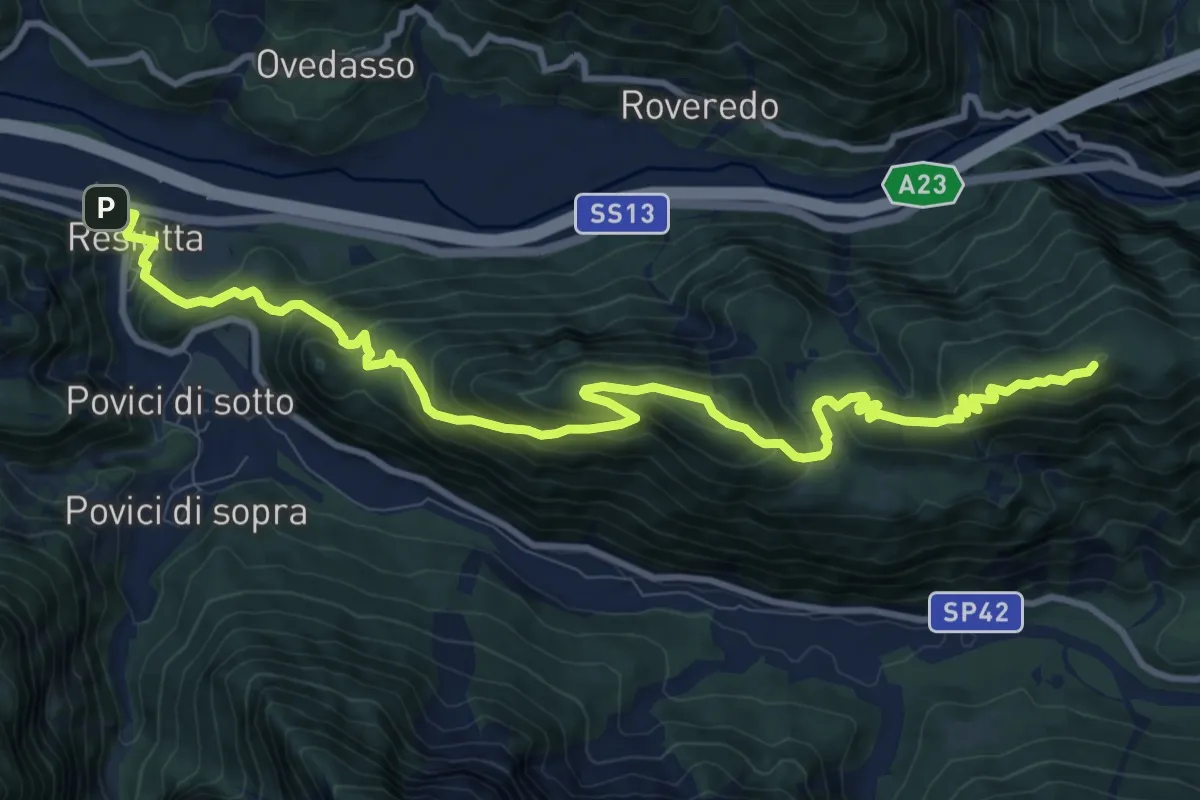
Medium · Summit
Hst. Chiusaforte – Resiutta/Albergo
12.7 km · ↑ 785 m · 4 h 42 min
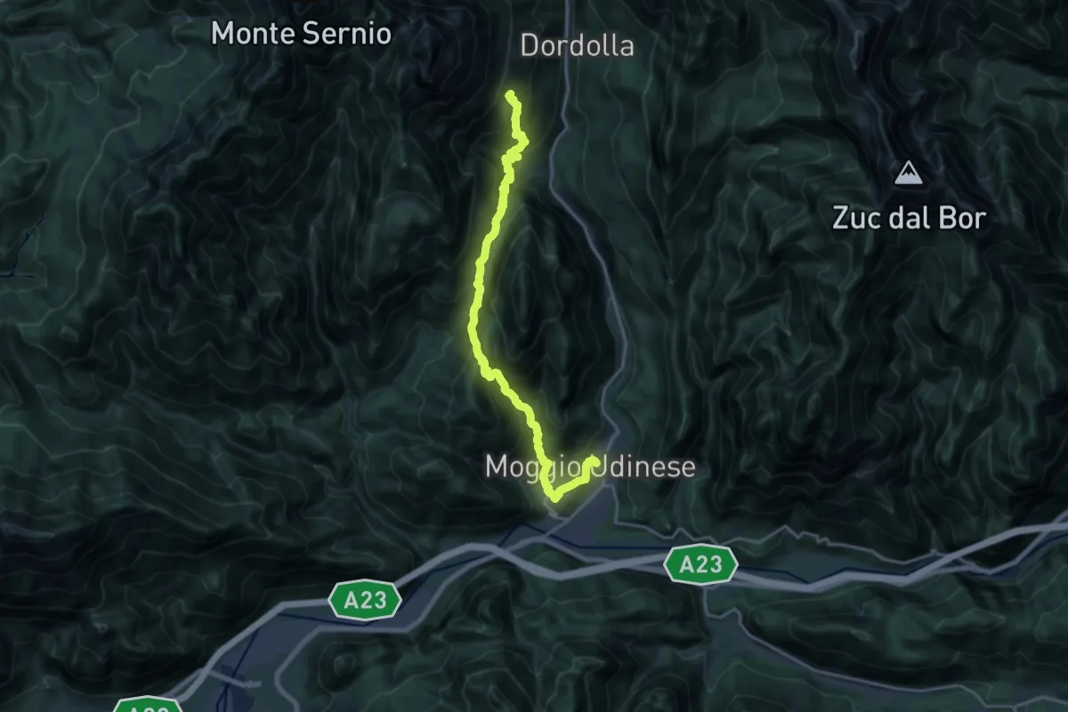
Demanding · Summit
Hst. Moggio Udinese Centro – Rif. Grauzaria
18.5 km · ↑ 1645 m · 7 h 56 min
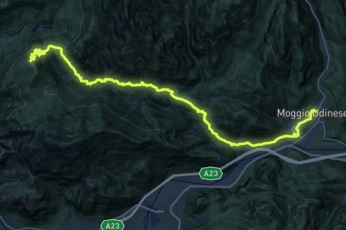
Demanding · Summit
Hst. Moggio Udinese/Via Roma – Tolmezzo/Albergo Roma
30.4 km · ↑ 2140 m · 11 h 49 min
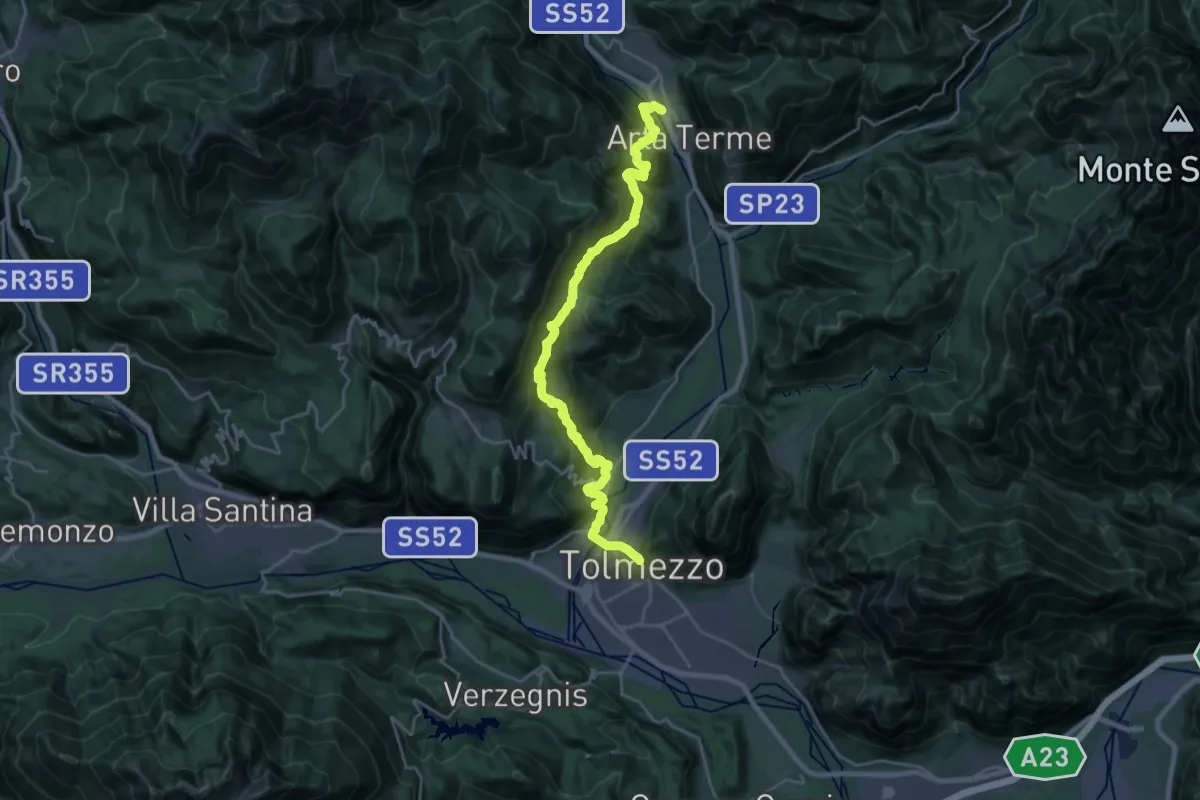
Demanding · Trail
Hst. Arta Terme/Via Nazionale 38 – Tolmezzo/Ortszentrum
12.5 km · ↑ 872 m · 4 h 57 min
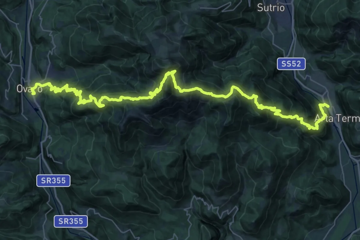
Demanding · Trail
Hst. Arta Terme/Via Nazionale 38 (Hotel) – Ovaro
22.6 km · ↑ 1563 m · 8 h 59 min
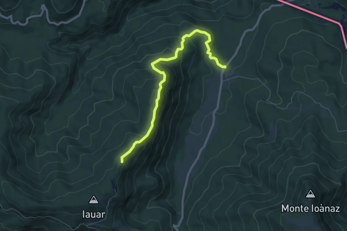
Medium · Summit
malghe di Porzûs – Forcadizze
6.6 km · ↑ 397 m · 2 h 25 min
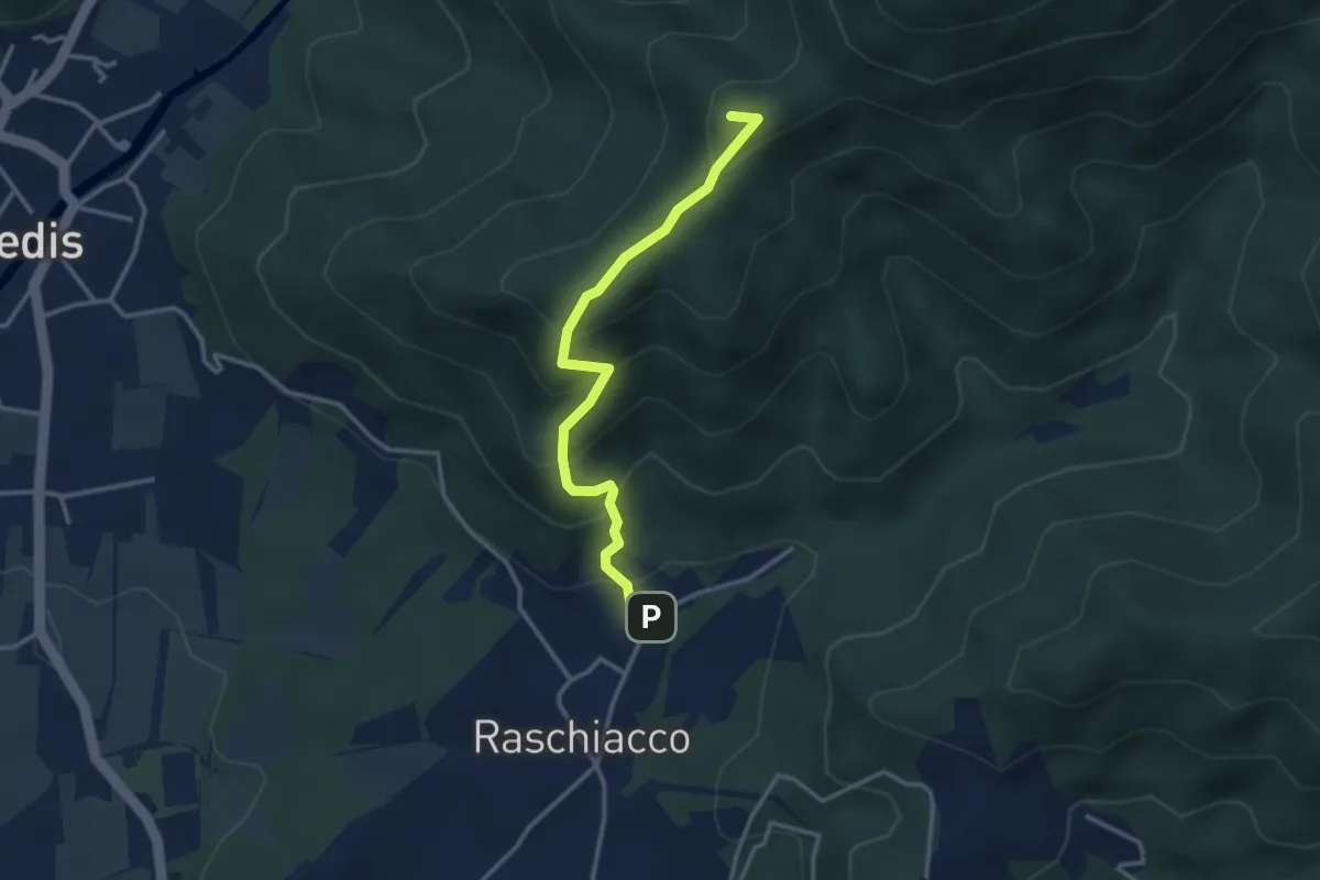
Easy · Summit
Raschiacco – Costalunga
3.2 km · ↑ 280 m · 1 h 21 min
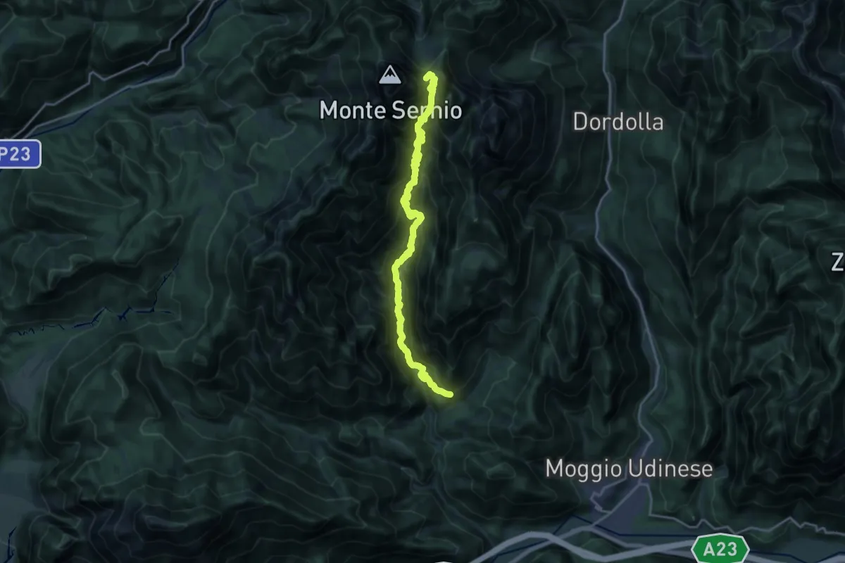
Expert · Summit
Frazione di Moggessa di Là (quota 530 m) – Sella Foran Da La Gjaline (quota 1570 m)
18.4 km · ↑ 1902 m · 8 h 28 min
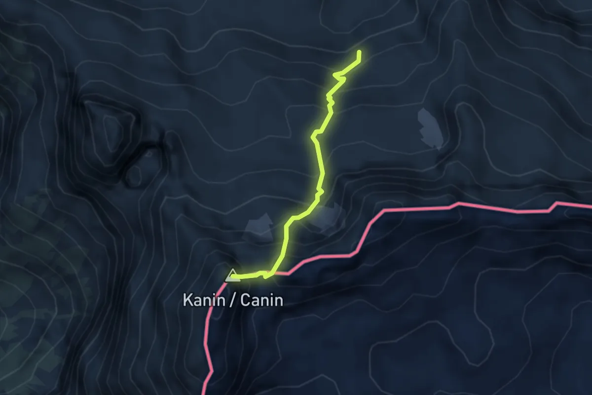
Expert · Summit
Sentiero CAI n. 632 (quota 2031 m) – Monte Canin (quota 2587 m)
3.0 km · ↑ 465 m · 1 h 42 min
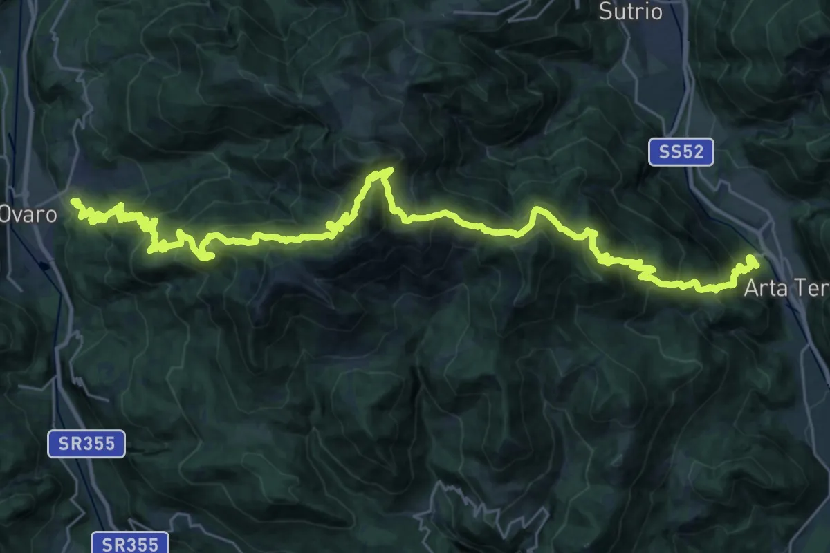
Demanding · Trail
Ovaro (Lenzone) (quota 614 m) – Arta Terme (quota 440 m)
20.2 km · ↑ 1540 m · 8 h 18 min
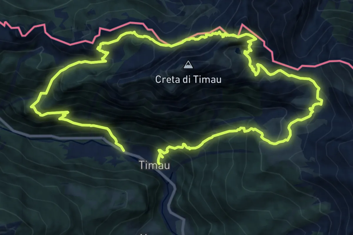
Demanding · Trail
Timau (quota 820 m) – Fontanon – Timau (quota 800 m)
13.1 km · ↑ 1354 m · 6 h 12 min
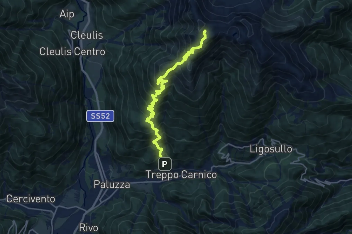
Demanding · Trail
Treppo Carnico – Zenodis (quota 680 m) – Monte Paularo (quota 2043 m)
14.3 km · ↑ 1412 m · 6 h 26 min
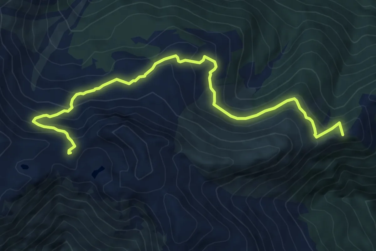
Medium · Summit
Castel Valdajer – Ligosullo (quota 1340 m) – Casera Montelago (quota 1920 m)
9.4 km · ↑ 642 m · 3 h 37 min
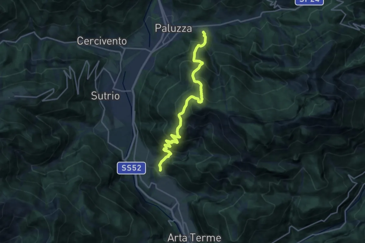
Demanding · Trail
Paluzza – Englaro (quota 600 m) – Piano Arta (quota 560 m)
14.7 km · ↑ 1641 m · 7 h 1 min
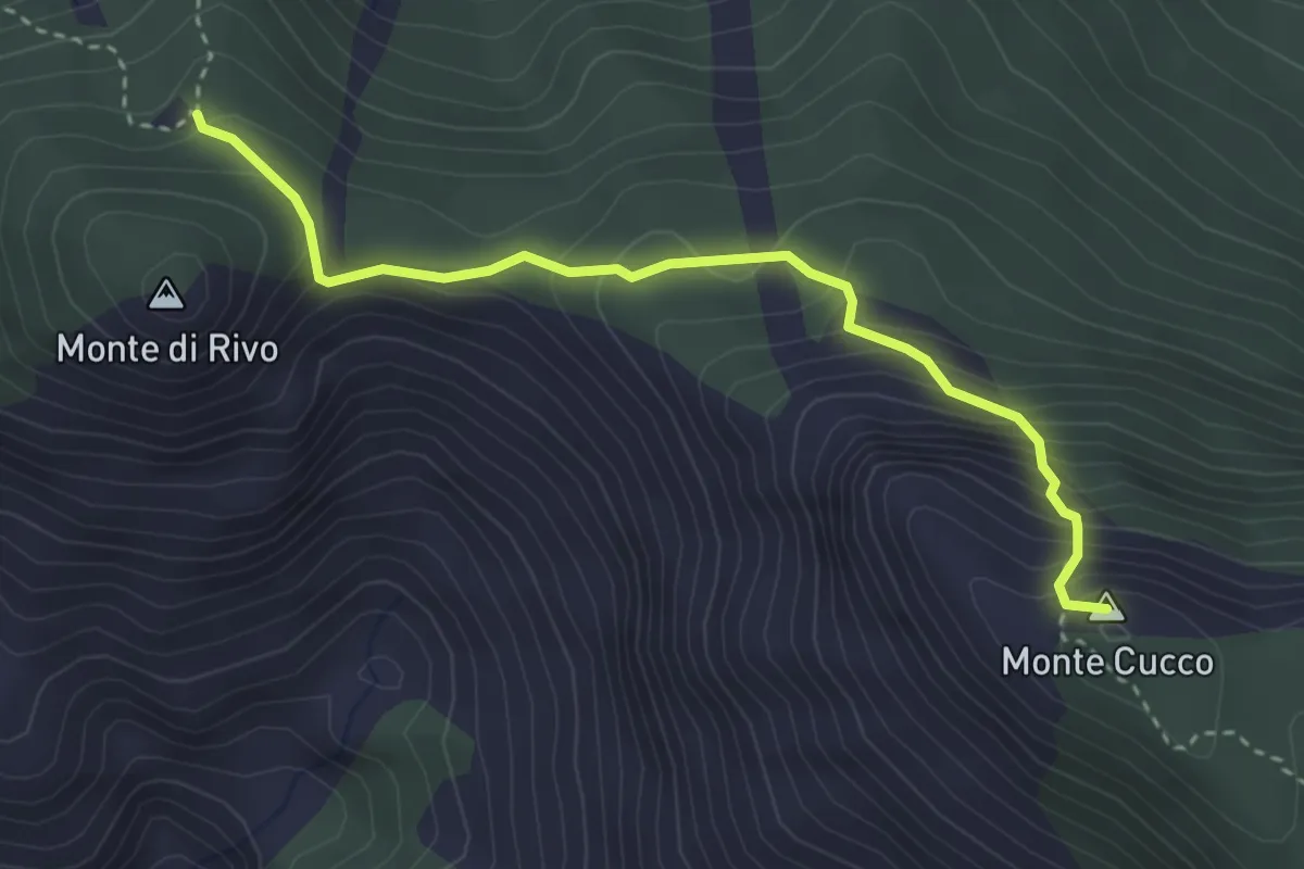
Medium · Summit
Casera Monte Cucco (quota 1445 m) – Bivio sentiero 409 (quota 1683 m)
3.4 km · ↑ 346 m · 1 h 33 min
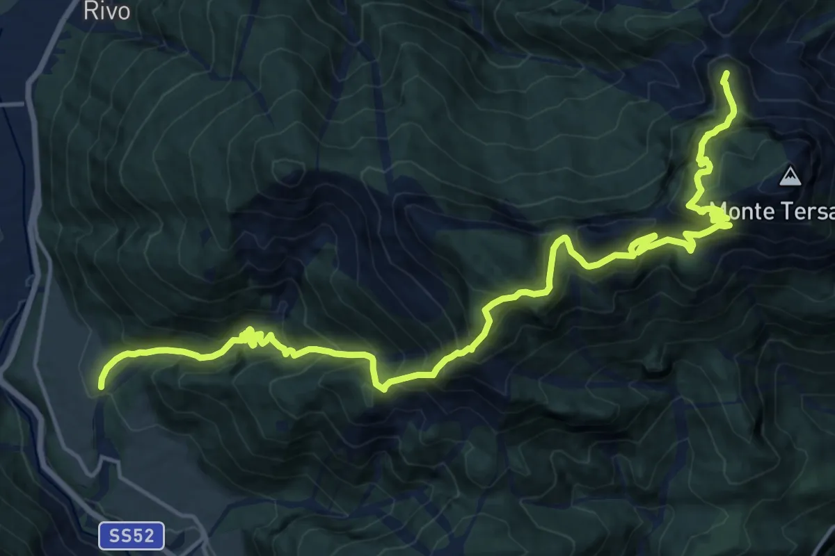
Demanding · Summit
Piano Arta (quota 560 m) – Forcella Lius (quota 1032 m)
20.1 km · ↑ 1915 m · 8 h 54 min
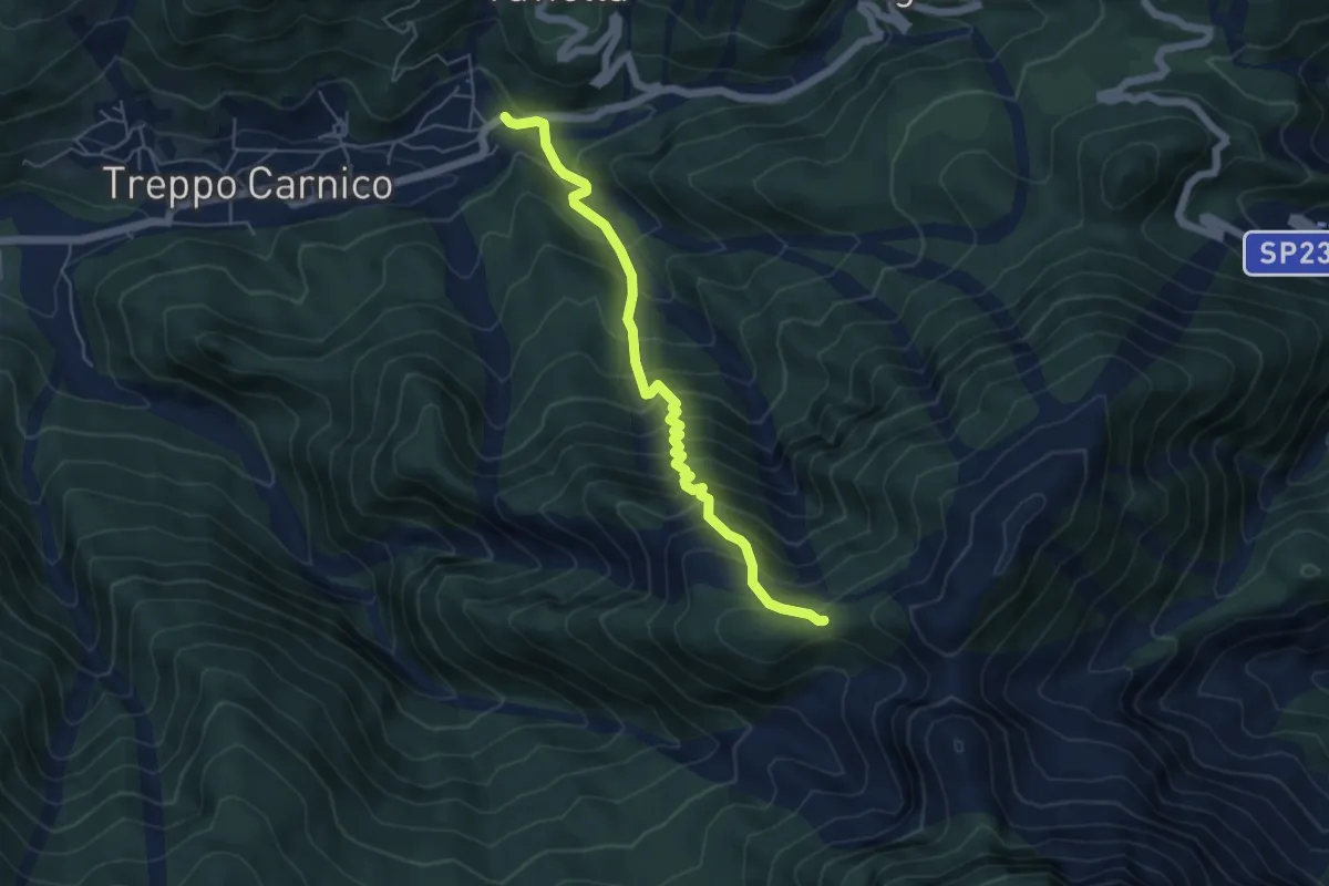
Medium · Trail
Treppo Carnico (quota 720 m) – Bivio sentiero n. 409 (quota 1400 m)
5.3 km · ↑ 677 m · 2 h 43 min
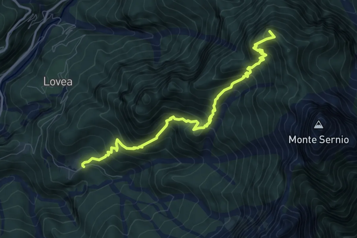
Demanding · Summit
Stavoli Chiampeis (quota 800 m) – Casera del Mestri (quota 1510 m) Bivio sentiero n. 437 (quota 1490 m)
9.1 km · ↑ 1029 m · 4 h 23 min
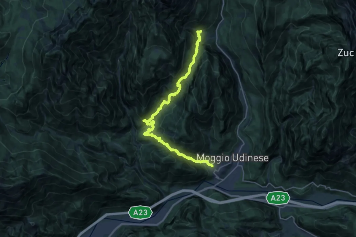
Demanding · Trail
Moggio di Sopra località Costa (quota 420 m) – Frazione Grauzaria (quota 516 m)
9.9 km · ↑ 876 m · 4 h 16 min