Trails in Italy
25,219 hiking trails, each with its route, climb, walking time and grade.
All trails, page 514 of 526
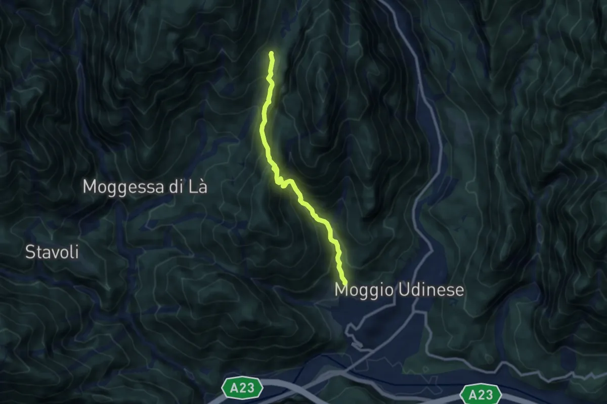
Demanding · Trail
Moggio di Sopra, Borgo Travasans (quota 413 m) – Borgo di Mezzo (quota 832 m)
7.9 km · ↑ 837 m · 3 h 40 min
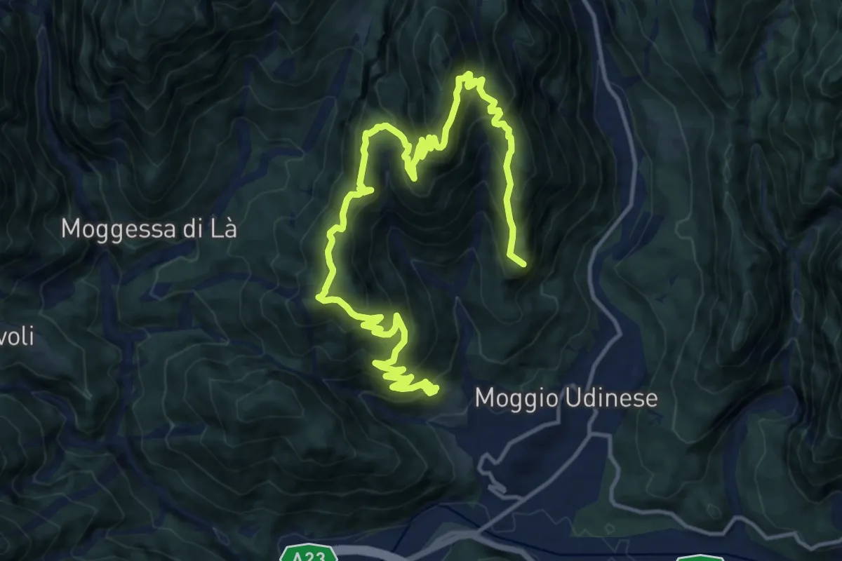
Demanding · Summit
Moggio di Sopra Borgo Travasans (quota 450 m) – Borgo Costa e Borgo Travasans (quota 413 m)
18.8 km · ↑ 1579 m · 7 h 52 min
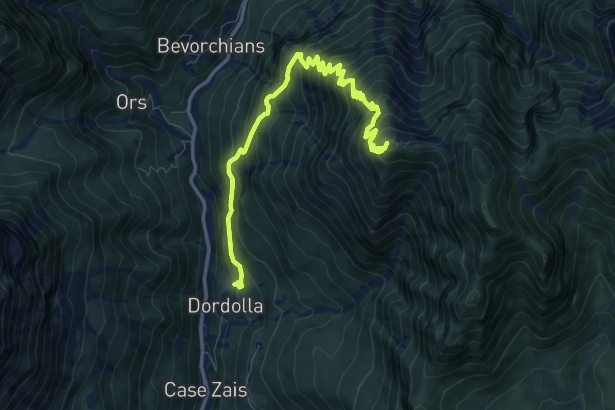
Demanding · Summit
Frazione Dordolla (quota 621 m) – Bivio sentiero n. 425 (quota 1550 m)
9.4 km · ↑ 1027 m · 4 h 27 min
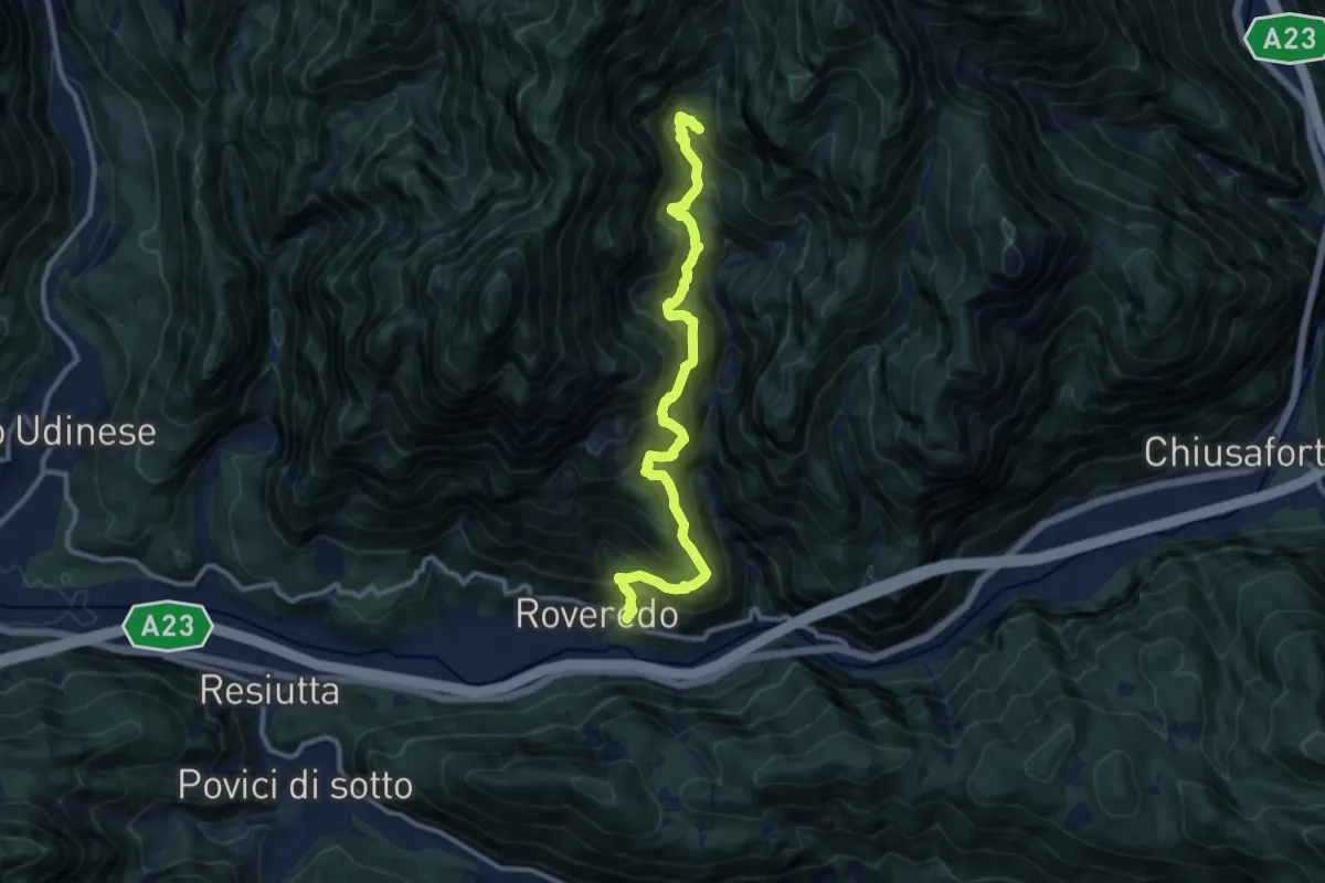
Demanding · Trail
Frazione di Rovereto (quota 406 m) – Casera La Cite – Bivio sentiero n. 425 (quota 976 m)
11.5 km · ↑ 1425 m · 5 h 48 min
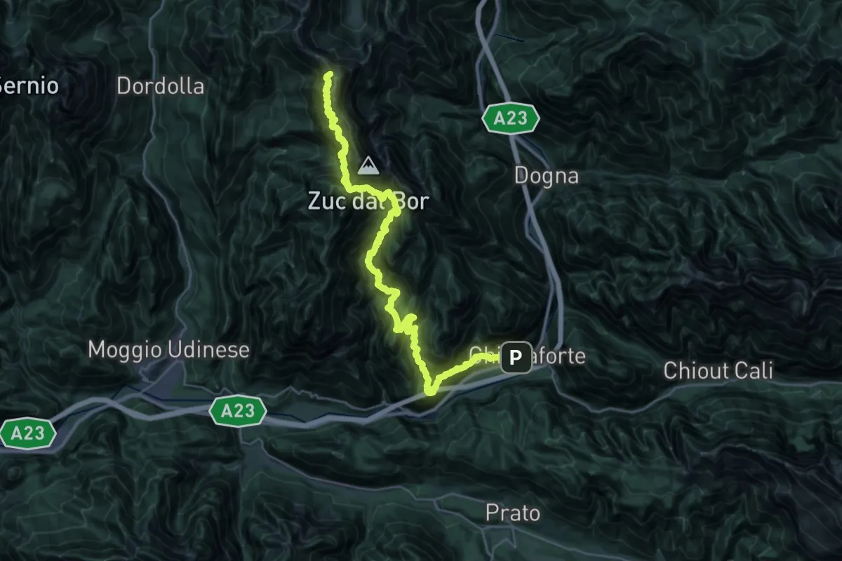
Demanding · Summit
Frazione Dordolla (quota 621 m) – Chiusaforte (quota 373 m)
33.1 km · ↑ 4414 m · 17 h 23 min
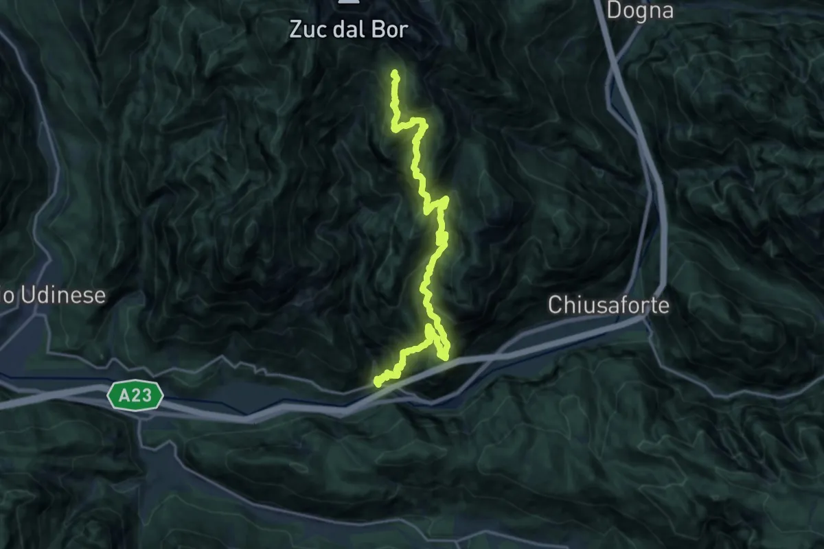
Demanding · Trail
Val Rio Simon Ponte per Roveredo (quota 346 m) – Ricovero Sot Cretis (quota 1537 m)
9.3 km · ↑ 1651 m · 5 h 19 min
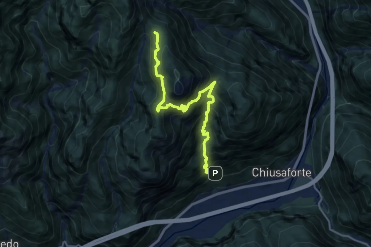
Demanding · Trail
Chiusaforte Bivio sentiero n. 425 (quota 550 m) – Stalli di Sopra (quota 1338 m)
10.5 km · ↑ 1330 m · 5 h 21 min
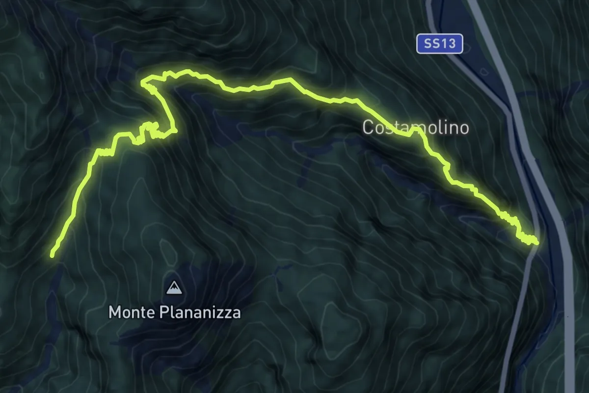
Demanding · Trail
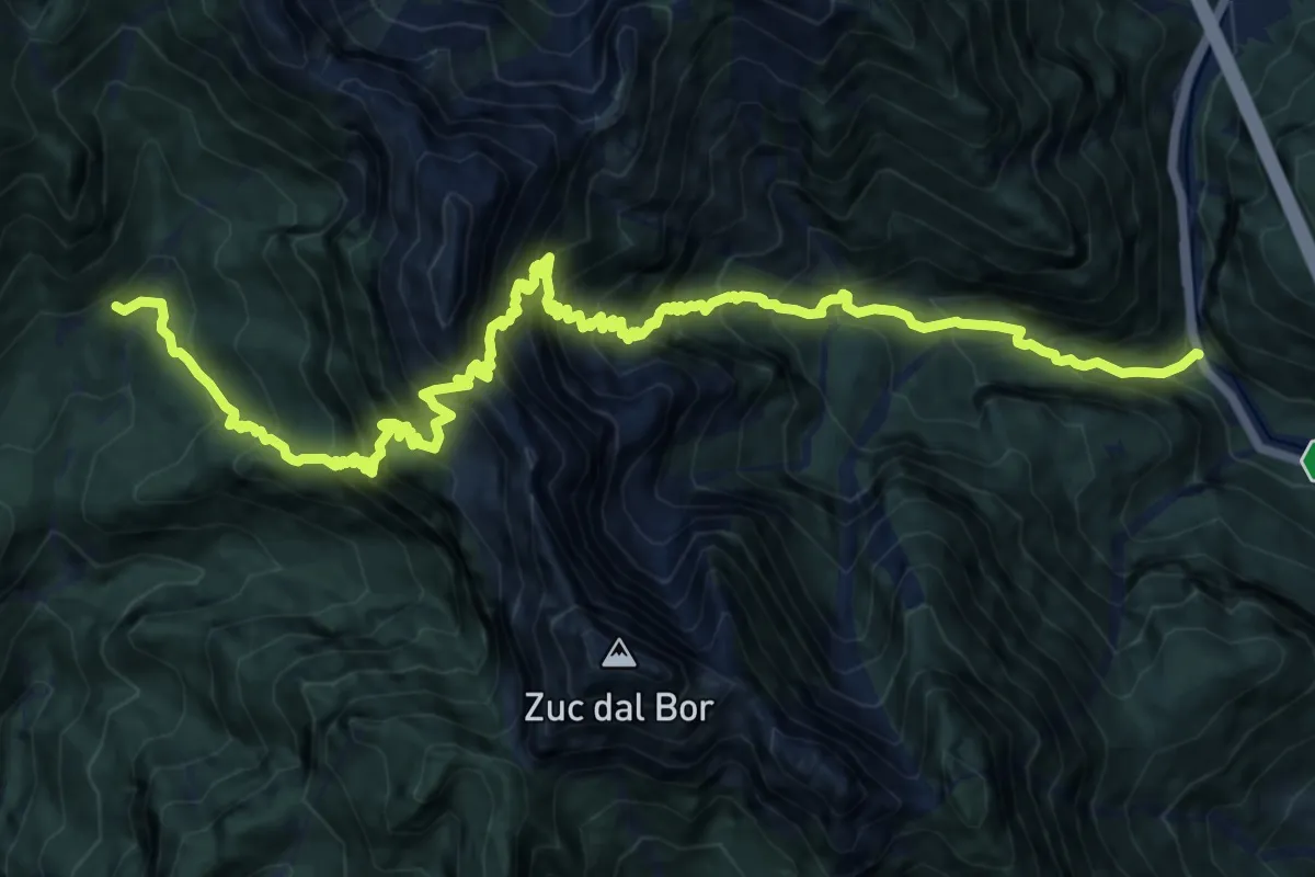
S.S. n. 13 km 187 (quota 397 m) – Bivio sentiero n. 425a (quota 1170 m)
12.1 km · ↑ 1305 m · 5 h 41 min
Demanding · Trail
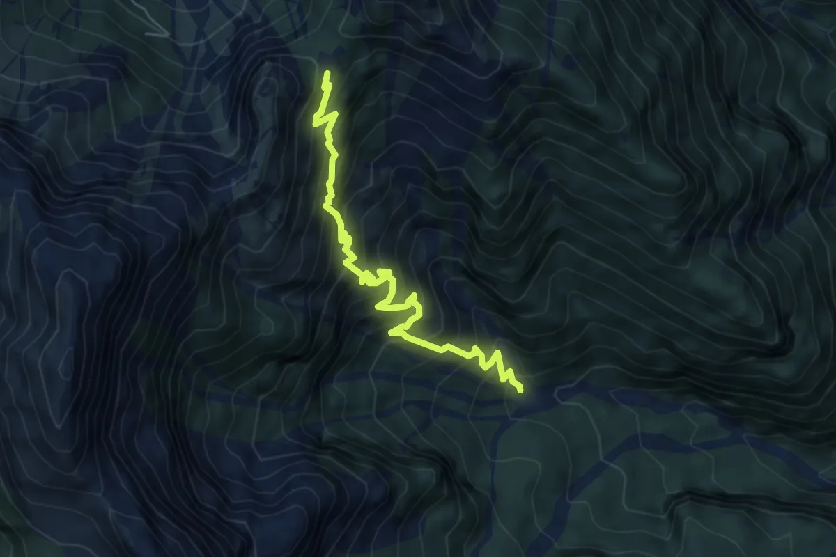
Località Ponte di Muro S.S.n. 13 Pontebbana (quota 470 m) – Casera Vualt (quota 1168 m)
9.2 km · ↑ 1497 m · 5 h 11 min
Demanding · Trail
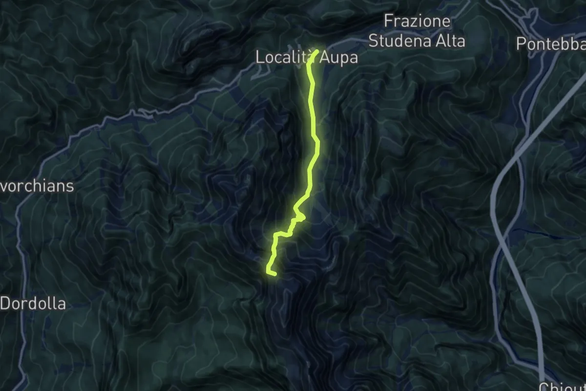
Bivio sentiero n. 428 (quota 1250 m) – Ruderi Casera Ponte di Muro (quota 1481 m) Bivio sentiero n. 429
5.9 km · ↑ 732 m · 2 h 59 min
Demanding · Summit
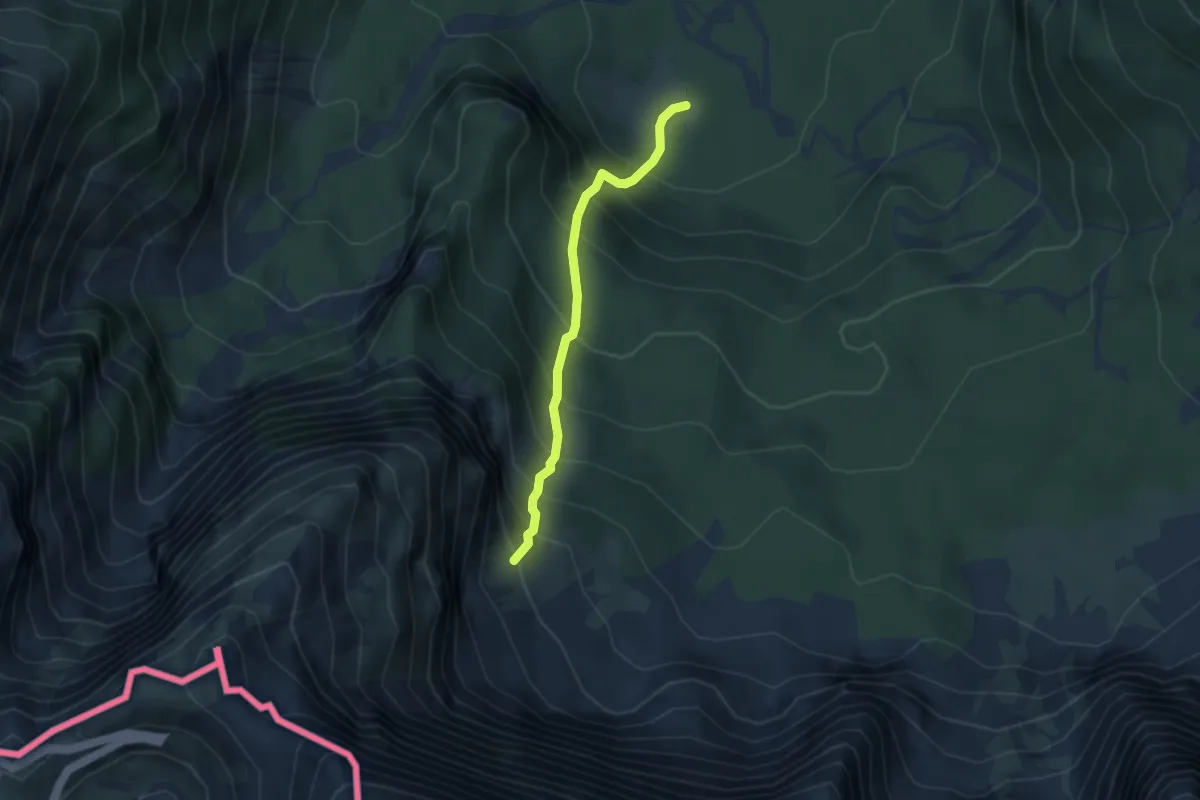
Aupa (quota 900 m) – Forcella della Pecora (quota 1827 m)
9.3 km · ↑ 948 m · 4 h 15 min
Demanding · Trail
Alpe Tamer Bivio sentiero n. 513 (quota 1010 m) – Alpe Traunig Bivio sentiero n. 517 (quota 1475 m)
3.1 km · ↑ 492 m · 1 h 47 min
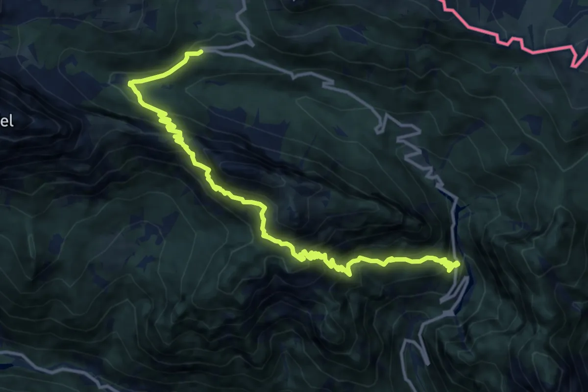
Demanding · Trail
Caserma Guardia di Finanza (quota 1460 m) – Val Rio Bombaso (quota 1020 m)
14.1 km · ↑ 1272 m · 6 h 5 min
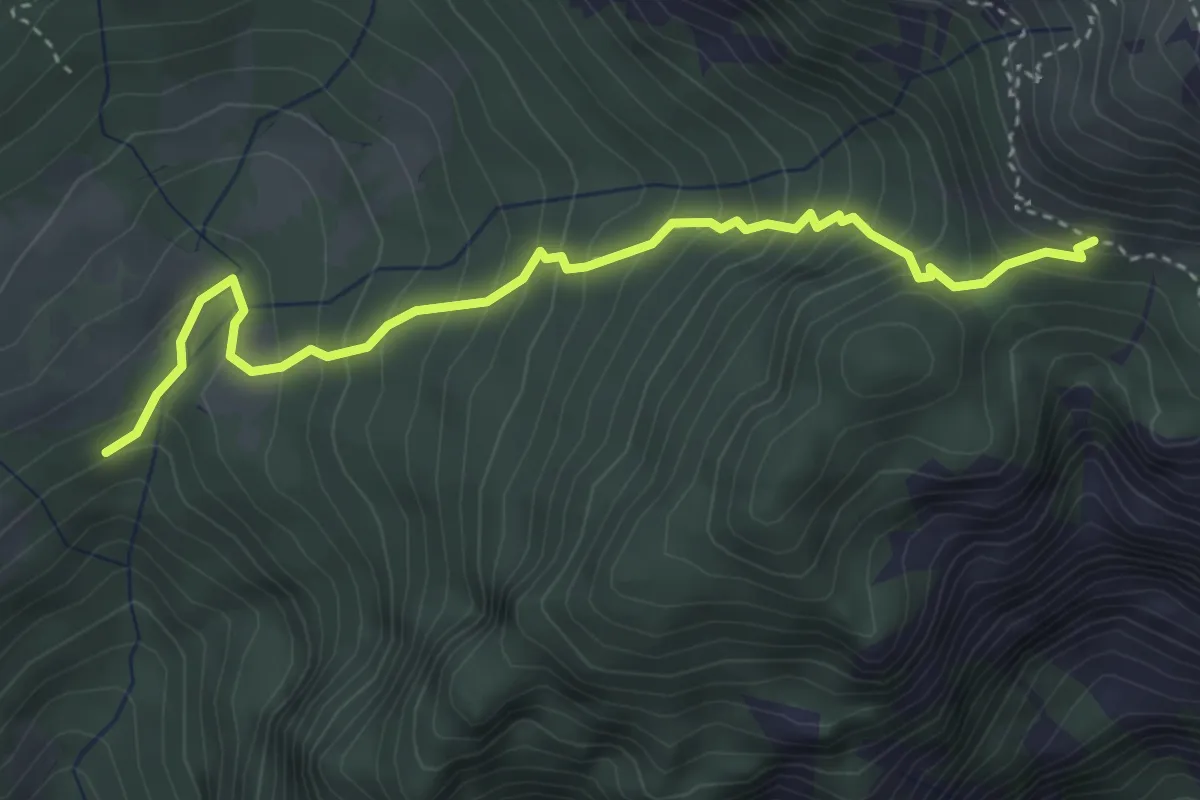
Medium · Trail
Conca di Pricot (quota 1125 m) – Bivio sentiero n. 433 Panegouz (quota 1550 m)
4.0 km · ↑ 485 m · 2 h
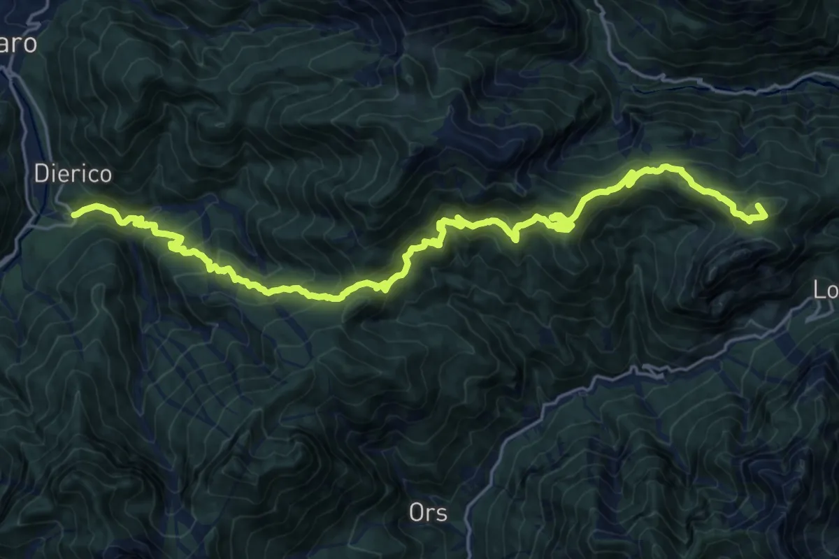
Demanding · Summit
Frazione Frattis (quota 900 m) – Frazione Diérico (quota 659 m)
25.0 km · ↑ 1557 m · 9 h 17 min
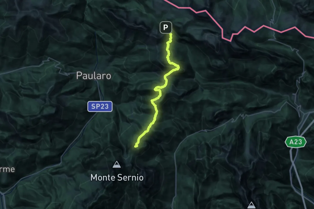
Demanding · Summit
Bivio S.P. Pontebba (quota 1450 m) – Foran da Gjaline (quota 1550 m)
24.8 km · ↑ 1831 m · 9 h 49 min
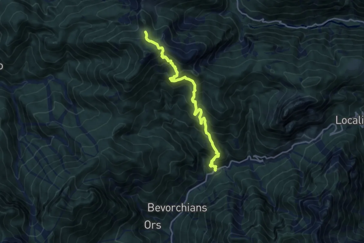
Demanding · Cabin
Provinciale Val Aupa ponte Rio Fous (quota 660 m) – Casera Turriee (quota 1555 m)
12.2 km · ↑ 1171 m · 5 h 25 min
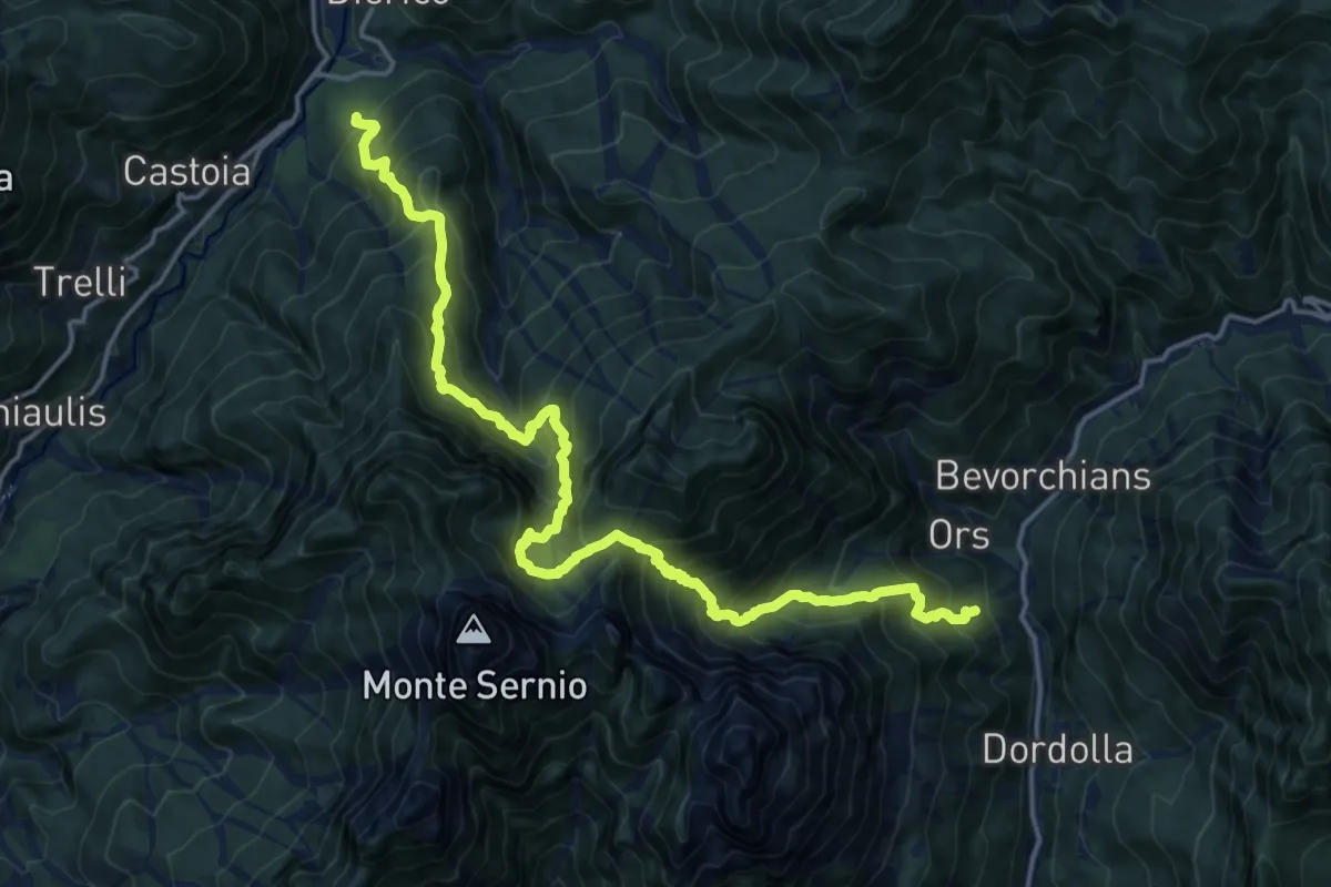
Demanding · Trail
Strada Provinciale Val Aupa Località Nanghet (quota 619 m) – Frazione Dioor di Paularo (quota 659 m)
9.6 km · ↑ 1059 m · 4 h 40 min
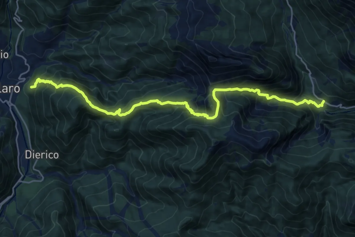
Demanding · Trail
Casaso (quota 685 m) – Località Carbonarie, strada Pontebba Lanza (quota 943 m)
18.5 km · ↑ 1659 m · 7 h 57 min
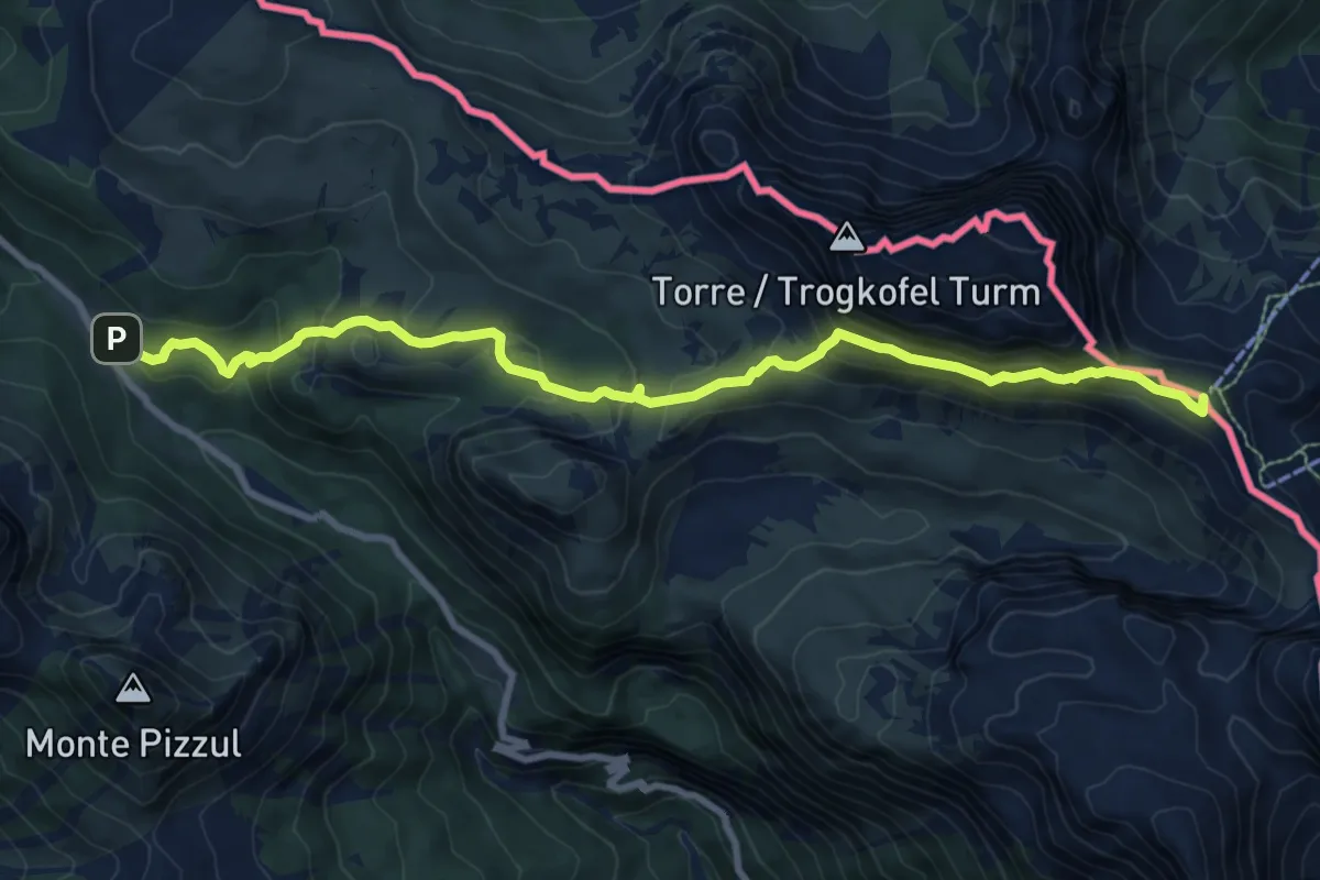
Medium · Summit
Passo Cason di Lanza (quota 1552 m) – Sella di Aip (quota 1942 m)
9.8 km · ↑ 652 m · 3 h 44 min
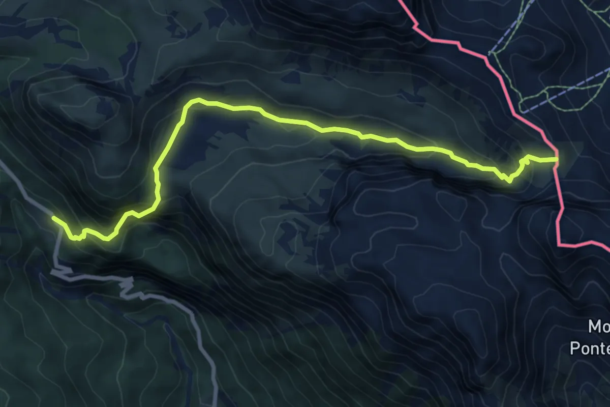
Medium · Trail
Casera Caserute (quota 1419 m) – Sella di Aip (quota 1942 m)
8.4 km · ↑ 632 m · 3 h 21 min
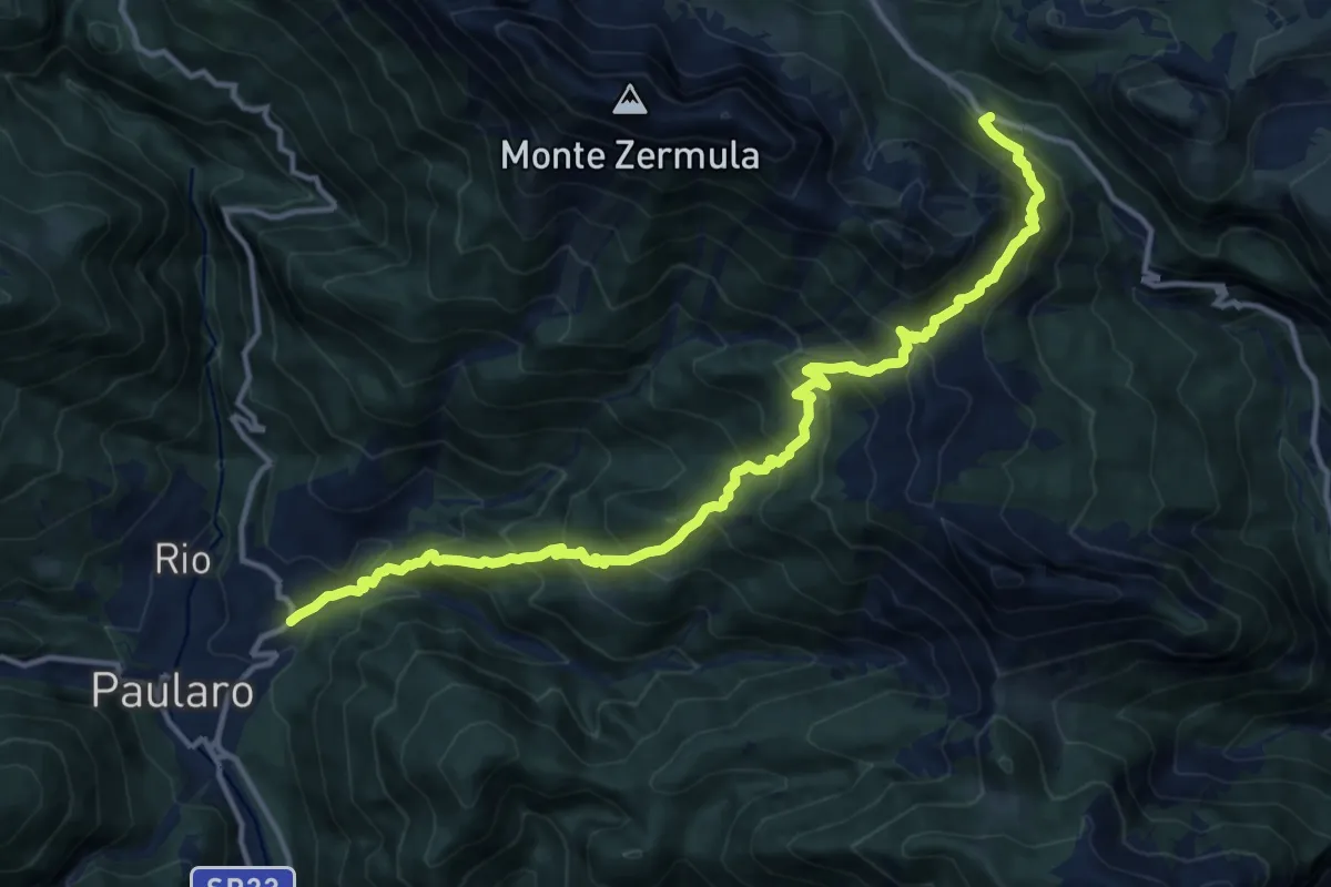
Demanding · Trail
Paularo frazione Misincinis (quota 730 m) – Casera Cason di Lanza (quota 1552 m)
14.9 km · ↑ 1358 m · 6 h 27 min
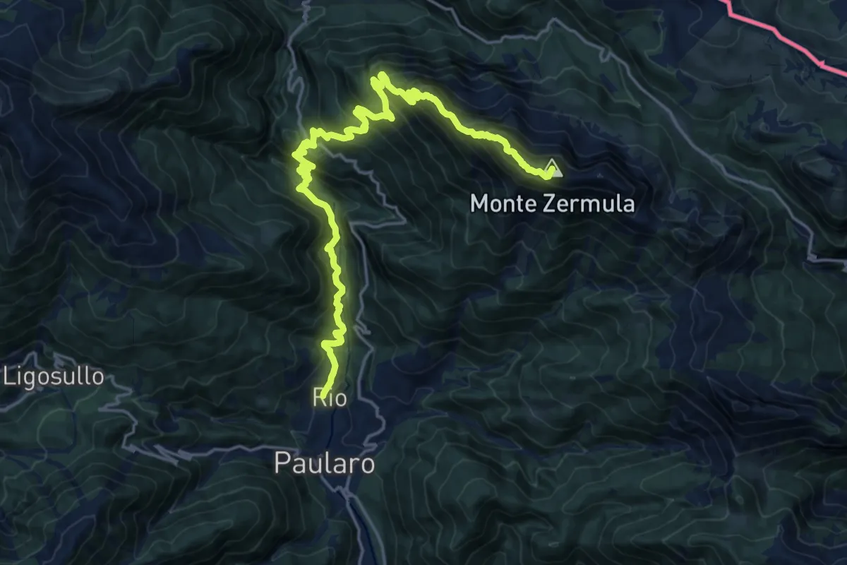
Demanding · Summit
Paularo Villamezzo (quota 665 m) – Casera Pizzul (quota 1532 m)
21.6 km · ↑ 2080 m · 9 h 36 min
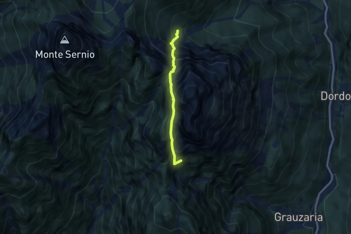
Expert · Summit
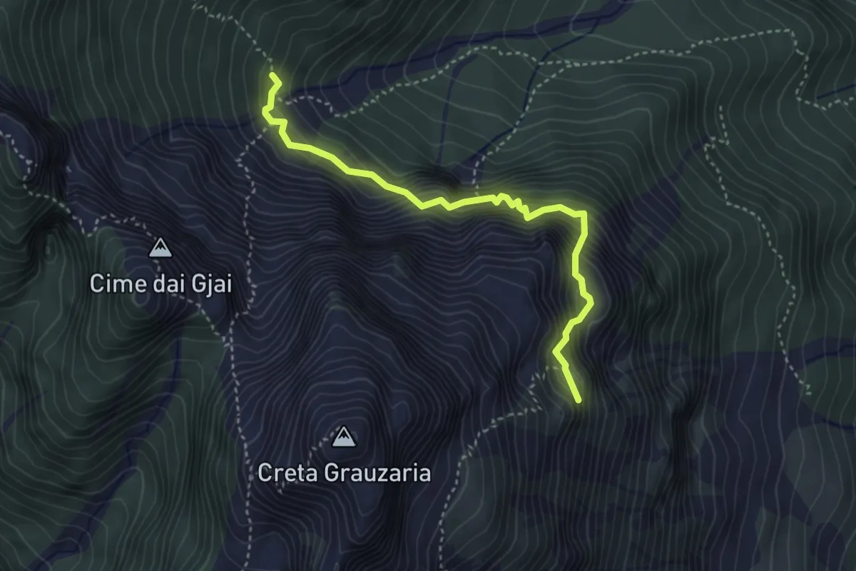
Rifugio Grauzaria (quota 1250 m) – Bivio sentiero n. 418a (quota 1350 m)
4.6 km · ↑ 1071 m · 3 h 25 min
Demanding · Summit
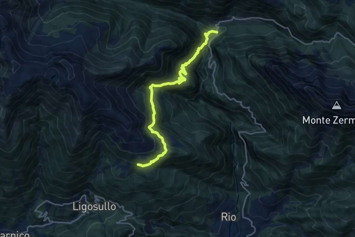
Rifugio Grauzaria (quota 1250 m) – Bivacco Feruglio (quota 1700 m)
3.7 km · ↑ 603 m · 2 h 11 min
Demanding · Trail
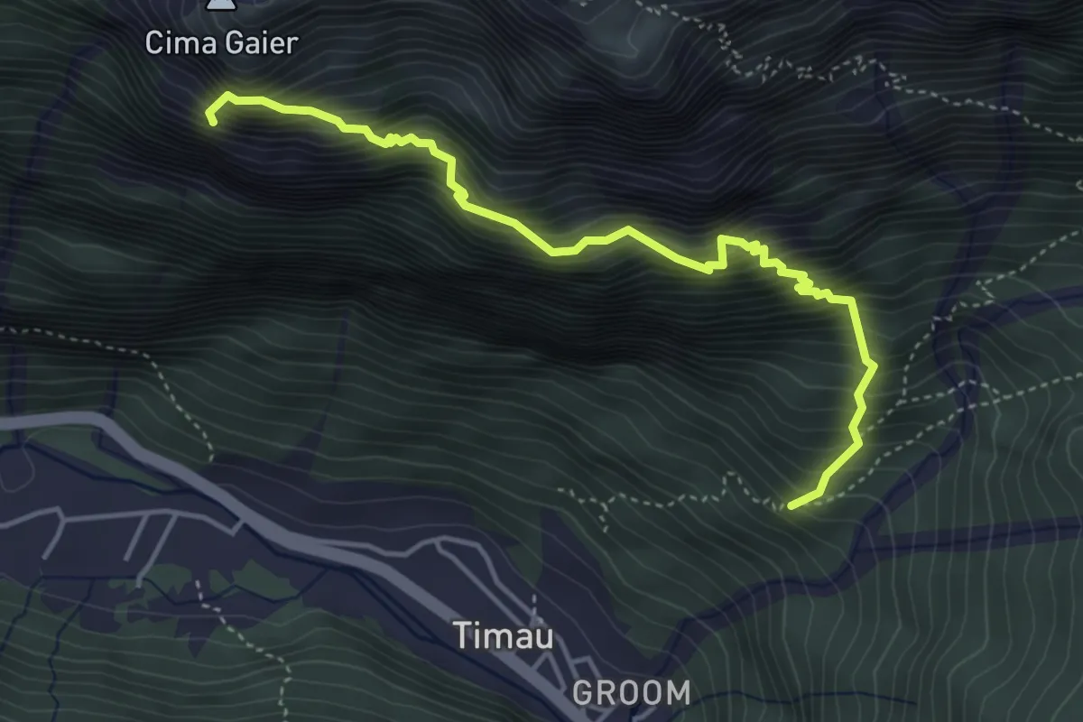
Castel Valdajer (quota 1340 m) – Casera Ramaz (quota 1050 m)
12.2 km · ↑ 866 m · 4 h 46 min
Expert · Summit
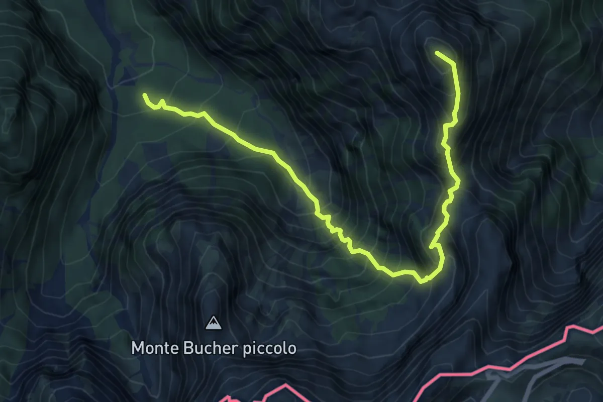
Timau (quota 820 m) – Gamspitz (quota 1847 m)
4.6 km · ↑ 998 m · 3 h 14 min
Expert · Summit
Val Romana (quota 980 m) – Bivio sentiero n. 515 (quota 1950 m)
7.4 km · ↑ 1230 m · 4 h 24 min
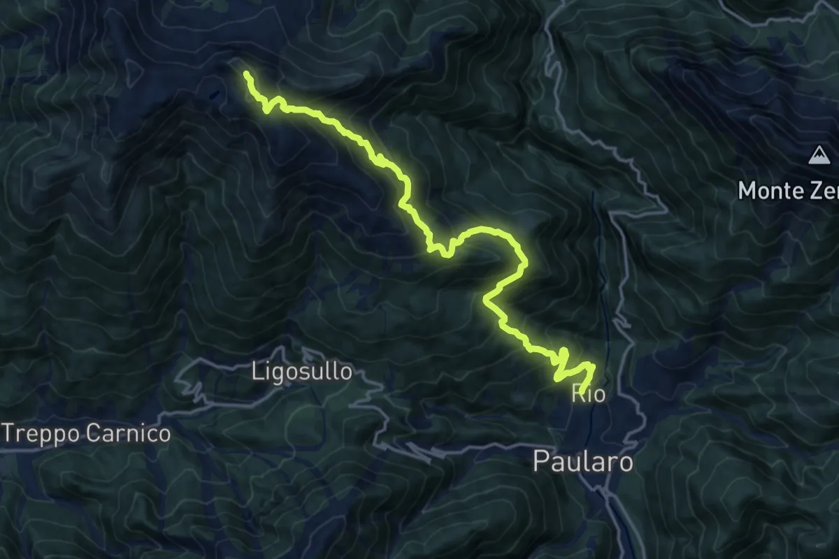
Demanding · Summit
Villamezzo Ligosullo (quota 700 m) – Monte Dimon (quota 2043 m)
17.3 km · ↑ 1498 m · 7 h 20 min
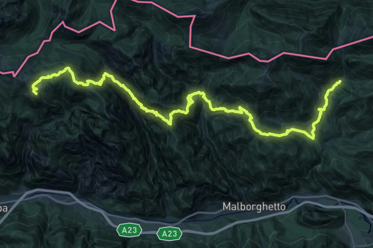
Demanding · Summit
Passo Pramollo (quota 1528 m) – Ex Rifugio Nordio-Deffar (quota 1210 m)
41.2 km · ↑ 3145 m · 16 h 32 min
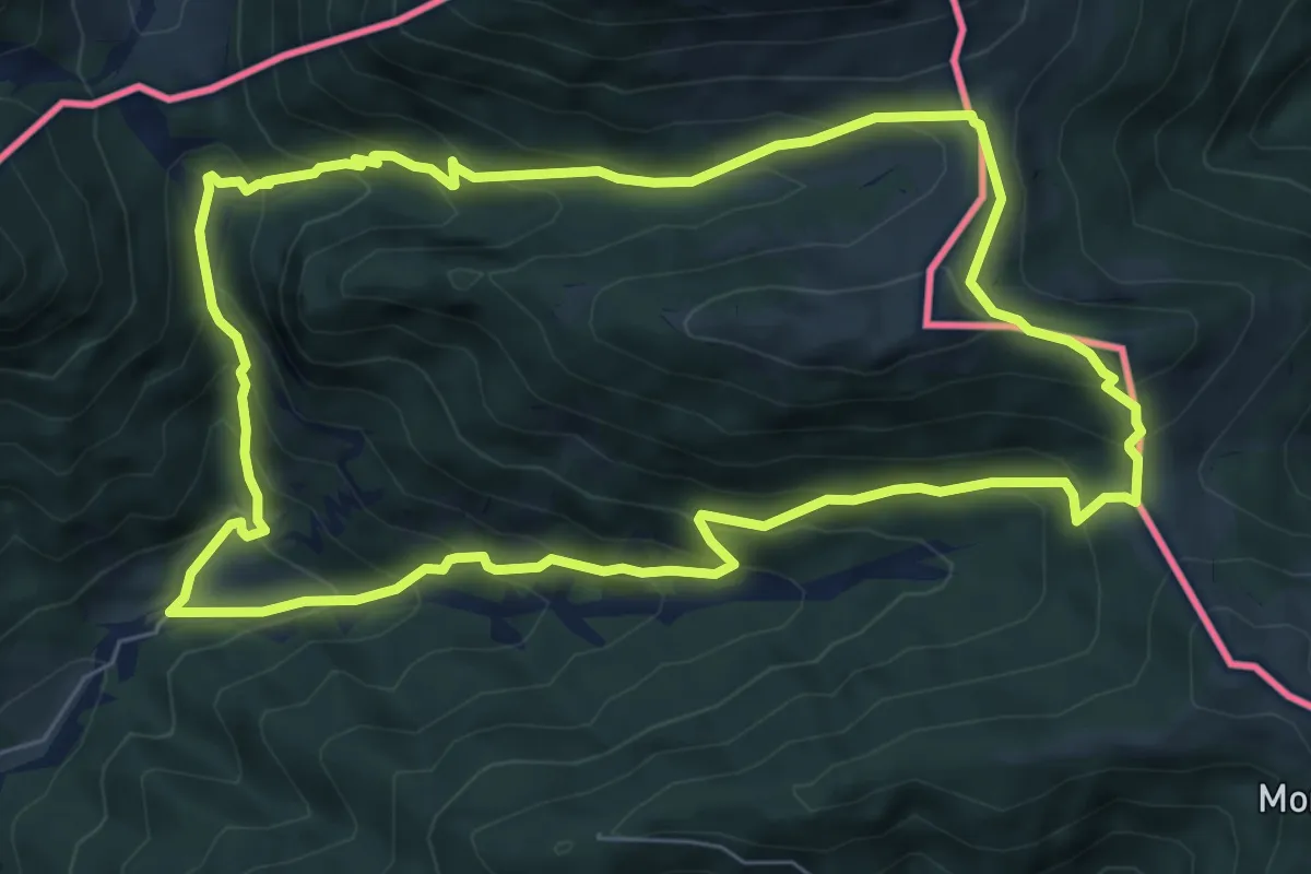
Medium · Cabin
Bivio sentiero n. 507a (quota 1200 m) – Bivio sentiero n. 507a (quota 1200 m)
7.3 km · ↑ 548 m · 3 h 1 min
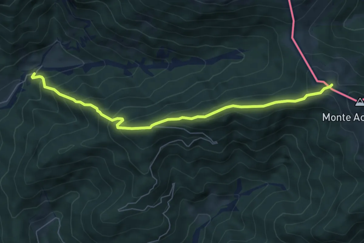
Medium · Trail
Bivio sentiero n. 507 (quota 1200 m) – Bivio sentiero n. 508 (quota 1712 m)
6.4 km · ↑ 516 m · 2 h 38 min
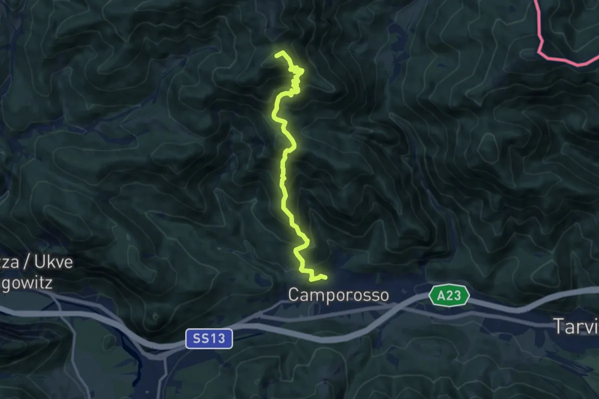
Demanding · Summit
Camporosso (quota 805 m) – Sella Pleccia (quota 1616 m)
10.3 km · ↑ 948 m · 4 h 29 min
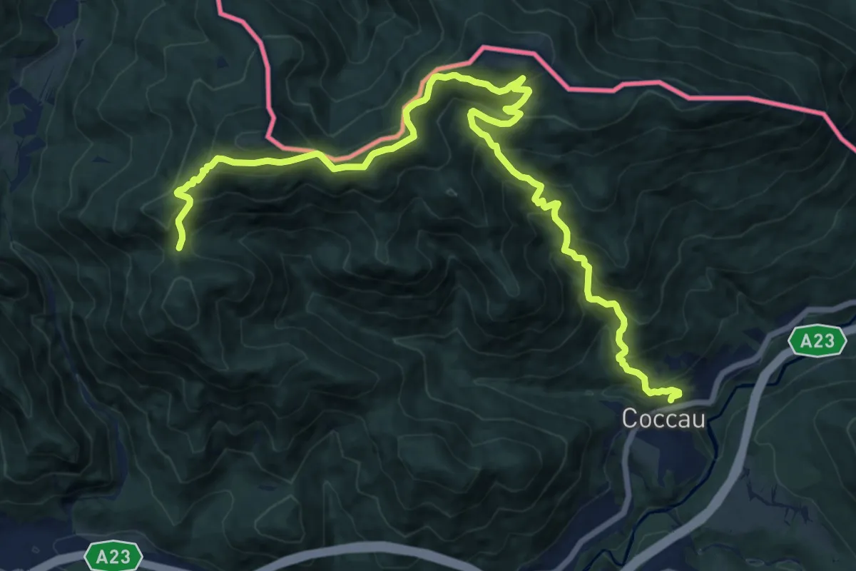
Demanding · Trail
Coccau (quota 725 m) – Sella Canton (quota 1413 m)
17.9 km · ↑ 1327 m · 7 h 5 min
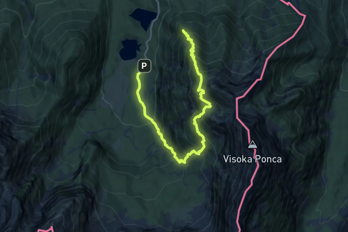
Demanding · Summit
Lago inferiore di Fusine (quota 927 m) – Lago superiore di Fusine (quota 941 m)
12.3 km · ↑ 1175 m · 5 h 27 min
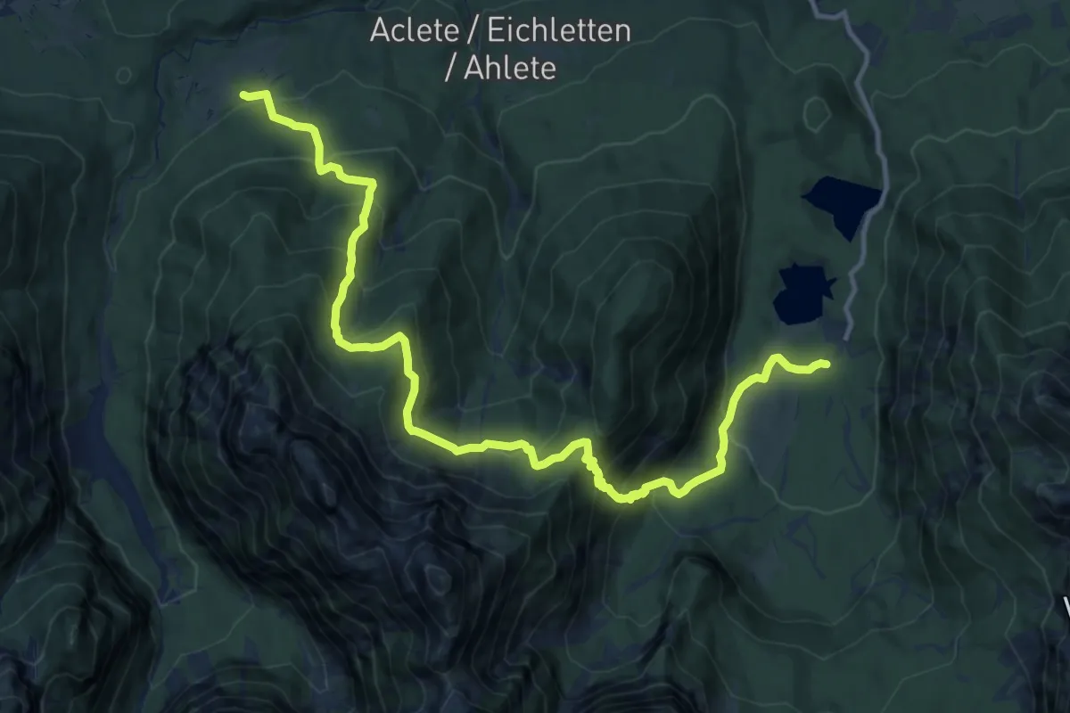
Demanding · Trail
Lago Superiore Fusine (quota 944 m) – Ortigara in Val Romana (quota 883 m))
15.0 km · ↑ 1161 m · 6 h 4 min
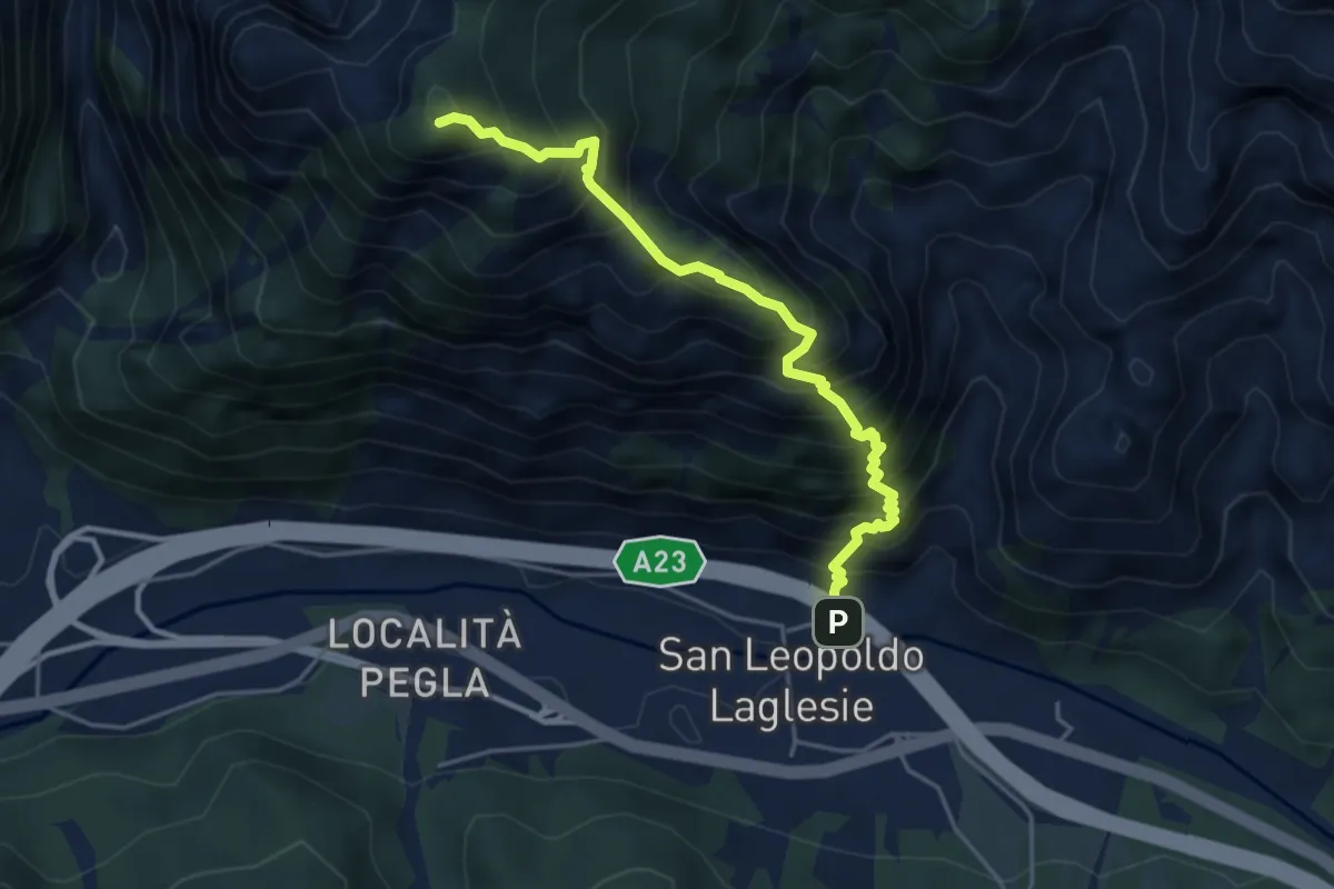
Demanding · Summit
San Leopoldo (quota 607 m) – Bivio sentiero 501 (quota 1400 m)
4.5 km · ↑ 805 m · 2 h 48 min
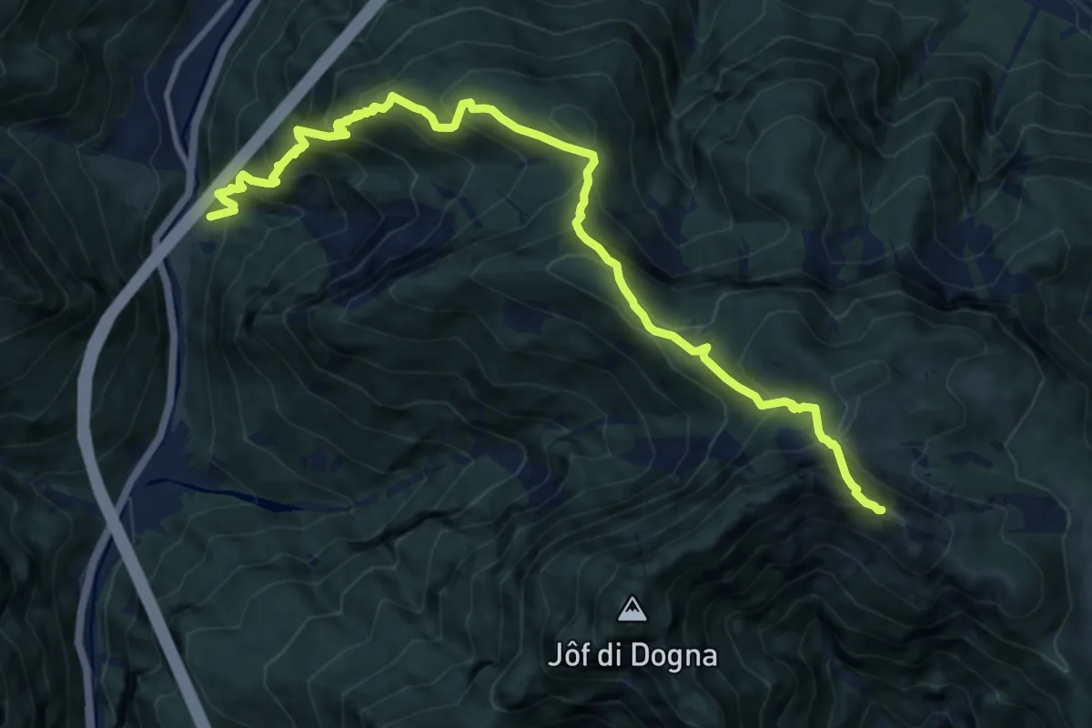
Demanding · Summit
Località Buric (quota 520 m) – Chiout di Dogna strada ponte Rio Bieliga (quota 909 m)
12.9 km · ↑ 1362 m · 5 h 59 min
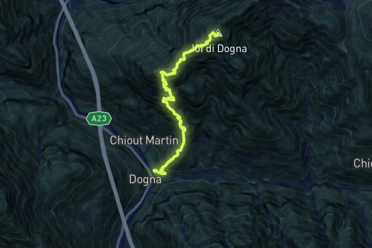
Demanding · Summit
Dogna (quota 425 m) – Sella Bieliga (quota 1479 m)
10.9 km · ↑ 1815 m · 6 h 30 min
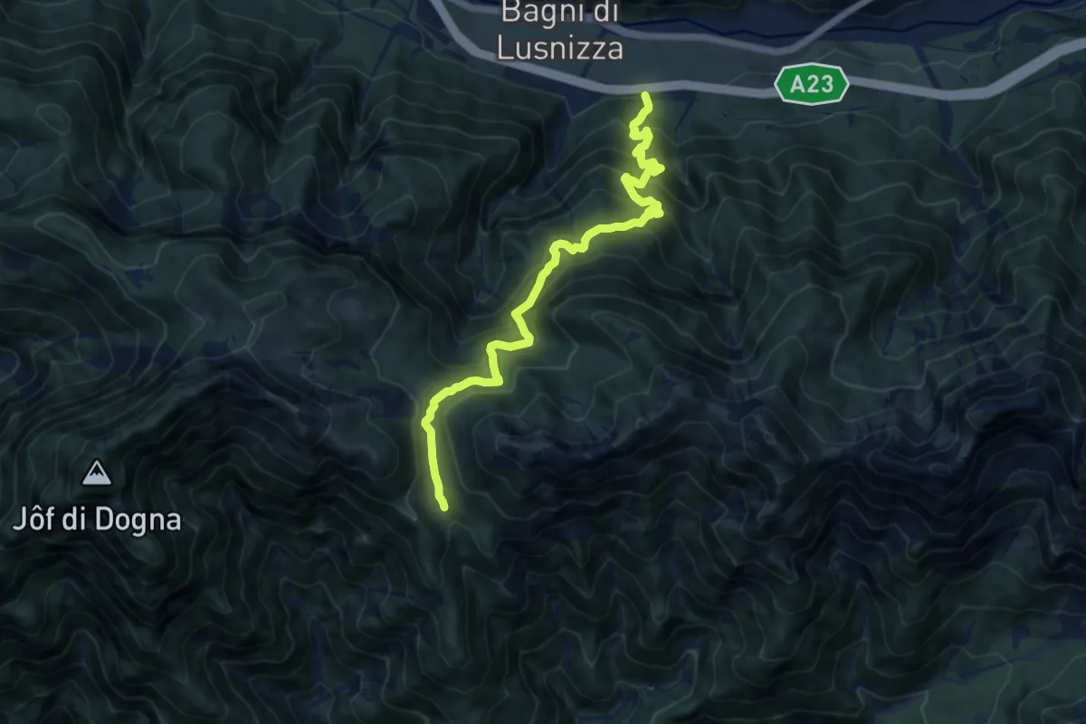
Demanding · Trail
Bagni di Lusnizza (quota 635 m) – Bivio sentiero n. 601 (quota 1351 m)
11.2 km · ↑ 1145 m · 5 h 8 min
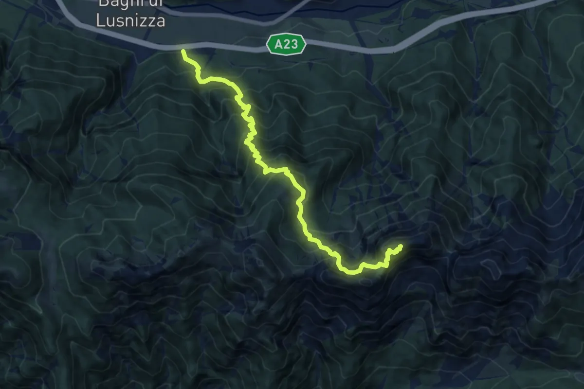
Demanding · Summit
Bagni di Lusnizza (quota 635 m) – Cima Alta Due Pizzi (quota 2046 m)
11.4 km · ↑ 1542 m · 6 h 1 min
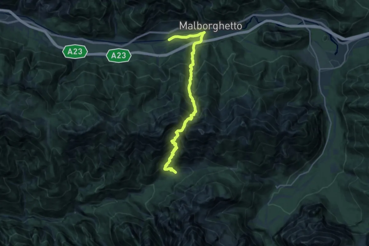
Demanding · Cabin
Malborghetto (quota 710 m) – Plan dei Spadovai in Val Dogna (quota 1075 m)
8.6 km · ↑ 1147 m · 4 h 25 min
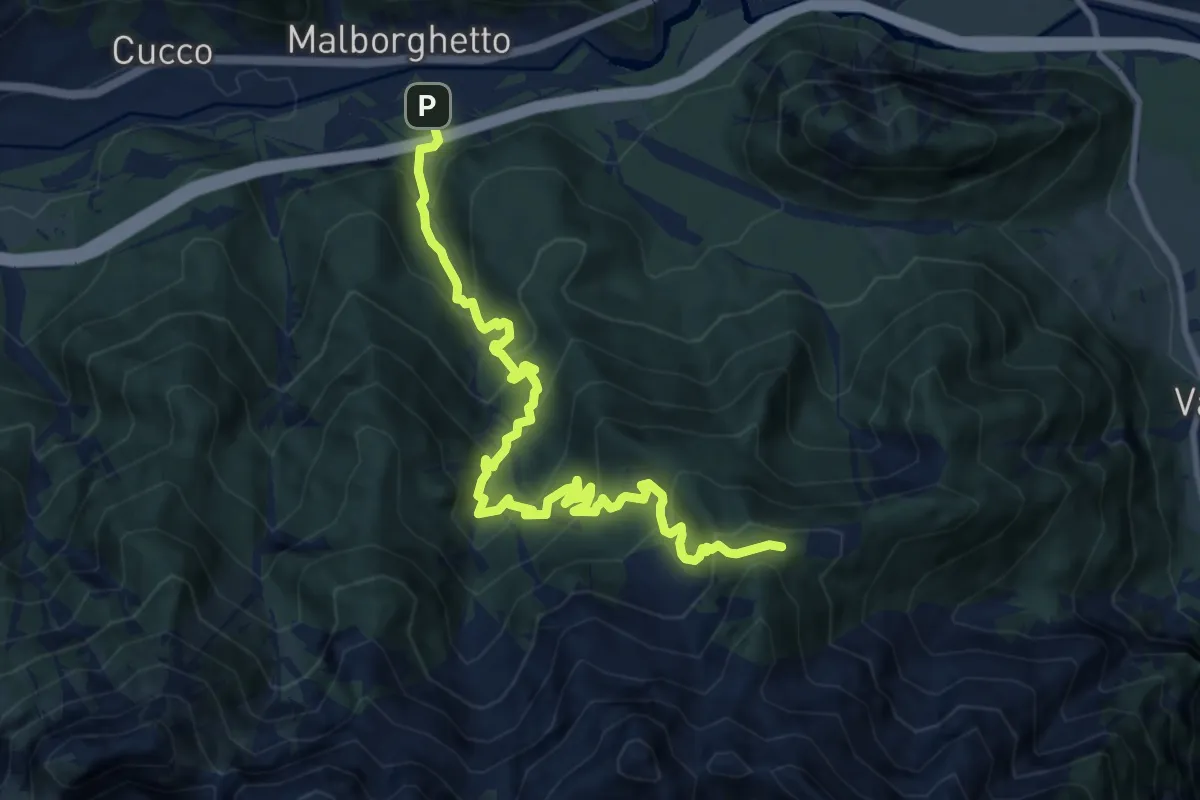
Demanding · Trail
Malborghetto (quota 715 m) – Bivio sentiero n. 607 (quota 1600 m))
11.2 km · ↑ 1024 m · 4 h 51 min
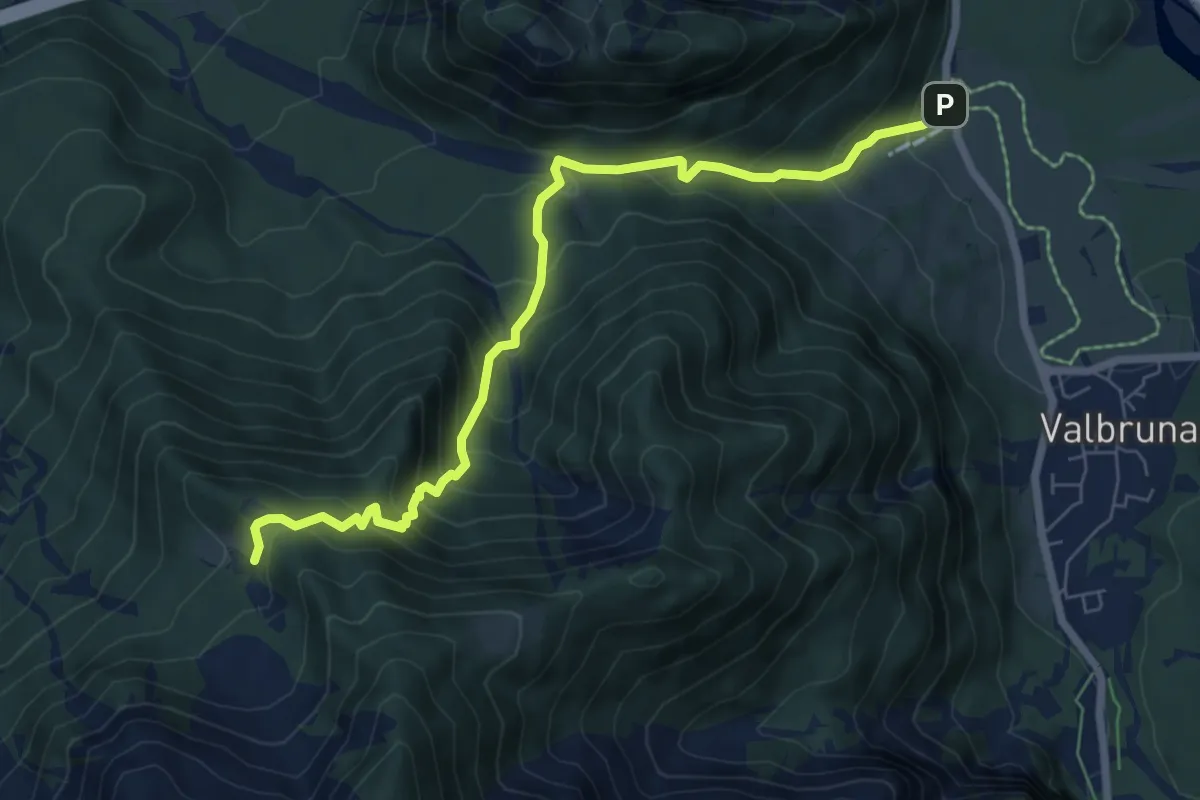
Medium · Trail
Valbruna (quota 795 m) – Malga Stechizza (quota 1359 m)
7.3 km · ↑ 694 m · 3 h 13 min
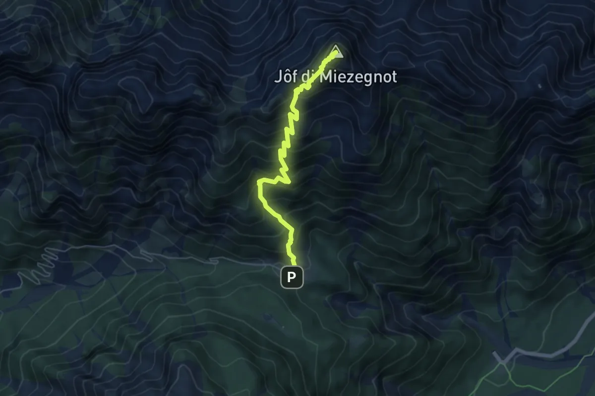
Expert · Summit
Sella Somdogna (quota 1397 m) – Jôf di Miezegnot (quota 2087 m)
5.4 km · ↑ 700 m · 2 h 47 min
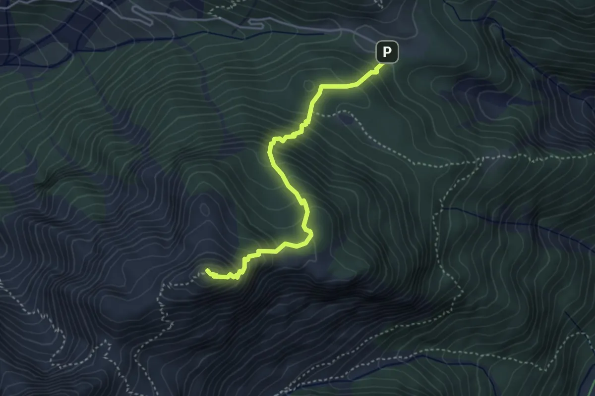
Medium · Summit
Sella Somdogna (quota 1397 m) – Jôf di Somdogna – Bivio sentiero n. 652 (quota 1889 m)
3.8 km · ↑ 443 m · 1 h 52 min
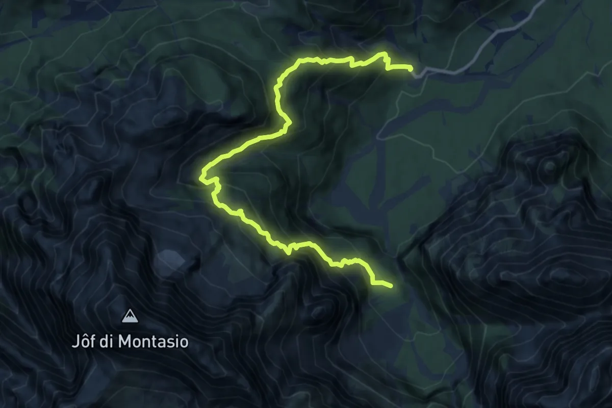
Expert · Trail
Malga Saisera (quota 1004 m) – Spragna Bivio sentiero n° 616 (quota 1080 m)
12.0 km · ↑ 1455 m · 5 h 59 min
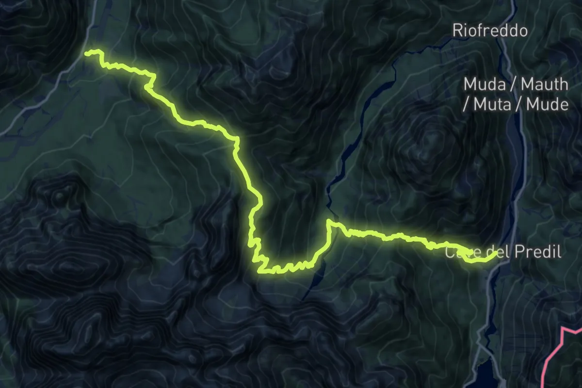
Demanding · Trail
Valbruna (quota 860 m) – Cave del Predil (quota 900 m)
11.7 km · ↑ 1027 m · 5 h 10 min