Trails in Italy
25,219 hiking trails, each with its route, climb, walking time and grade.
All trails, page 515 of 526
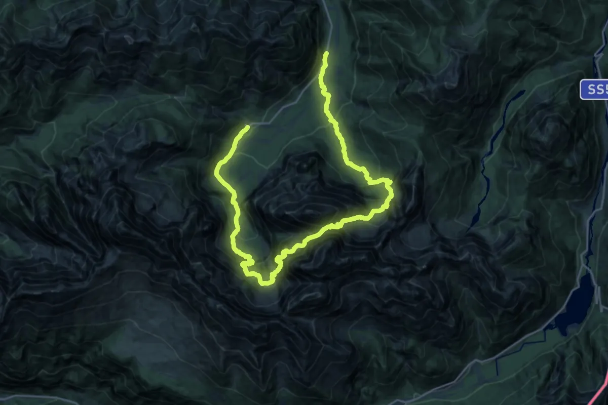
Demanding · Trail
Valbruna (quota 860 m) – Malga Saisera (quota 1004 m)
14.1 km · ↑ 1550 m · 6 h 49 min
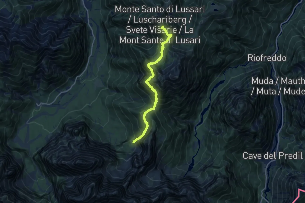
Demanding · Summit
Monte Santo di Lussari (quota 1780 m) – Bivio sentiero n. 616 (quota 1300 m)
11.3 km · ↑ 932 m · 4 h 41 min
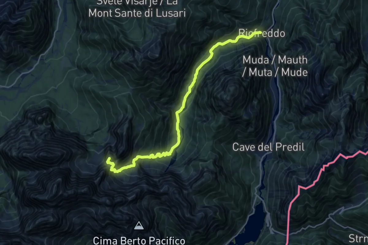
Demanding · Summit
Riofreddo (quota 817 m) – Rifugio Pellarini (quota 1499 m)
16.2 km · ↑ 983 m · 5 h 57 min
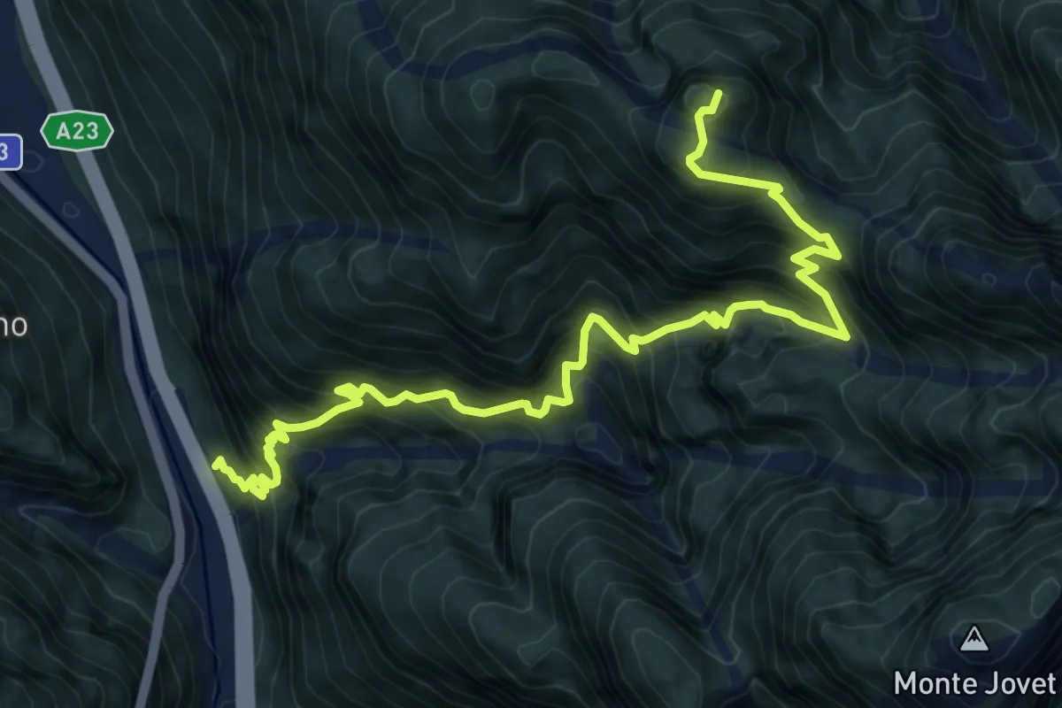
Demanding · Summit
Cadramazzo (quota 412 m) – Cuel de la Bareta (quota 1522 m)
9.2 km · ↑ 1300 m · 4 h 59 min
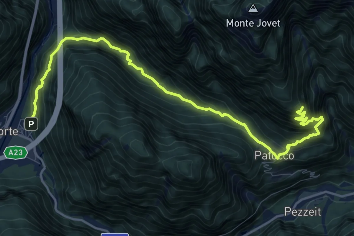
Demanding · Trail
Raccolana (quota 380 m) – Stavolo del Chinop
12.0 km · ↑ 1251 m · 5 h 32 min
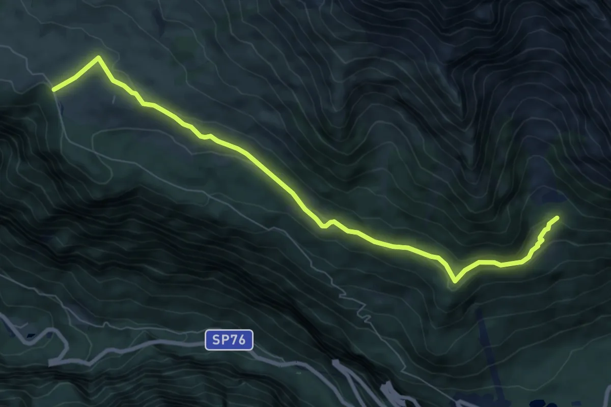
Medium · Trail
Altopiano del Montasio (quota 1502 m) – Bivio sentiero n. 625 (quota 1525 m)
8.4 km · ↑ 245 m · 2 h 30 min
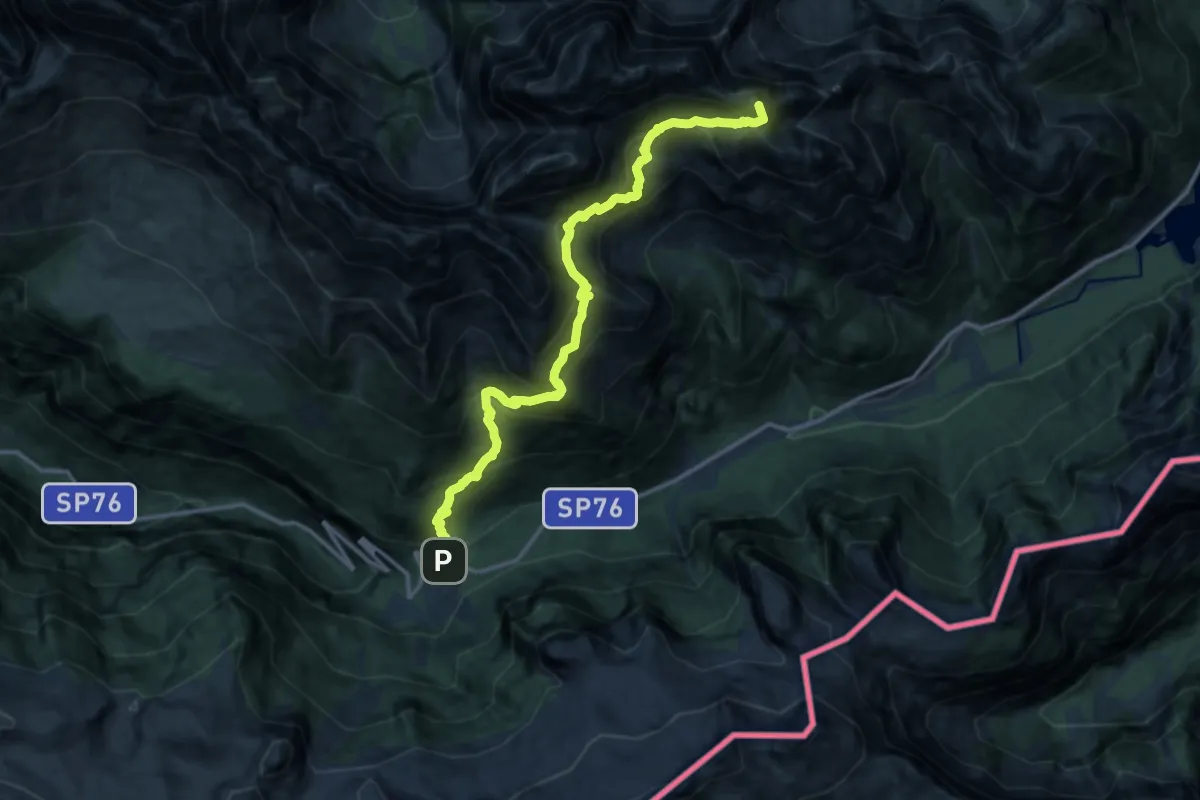
Expert · Summit
Sella Nevea (quota 1162 m) – Val Rio del Lago (quota 980 m)
14.7 km · ↑ 1718 m · 7 h 12 min
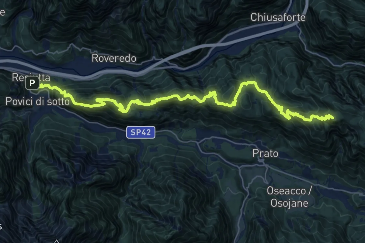
Demanding · Summit
Resiutta Calvario (quota 340 m) – Bivio sentiero n. 632 (quota 1220 m)
28.6 km · ↑ 1792 m · 10 h 38 min
Demanding · Summit
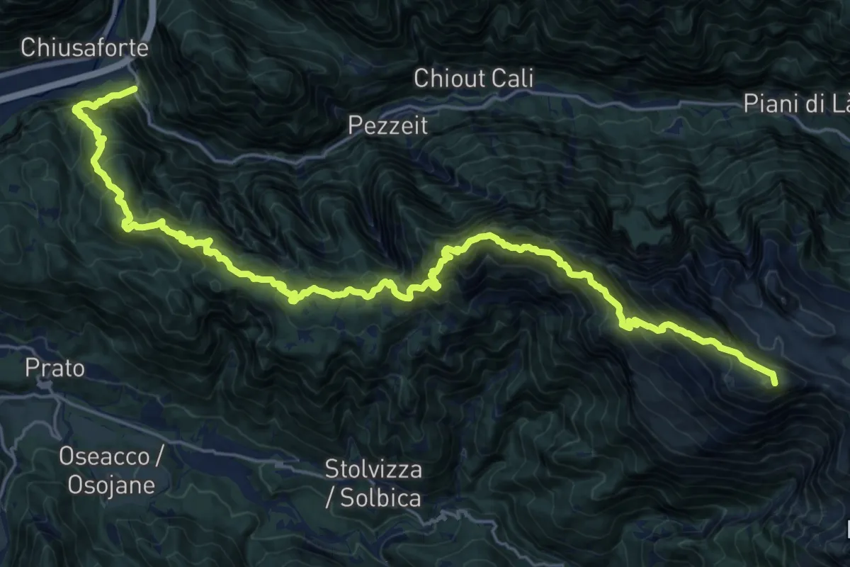
Raccolana (quota 391 m) – Rifugio Gilberti (quota 1850 m)
28.9 km · ↑ 2909 m · 13 h 8 min
Demanding · Trail
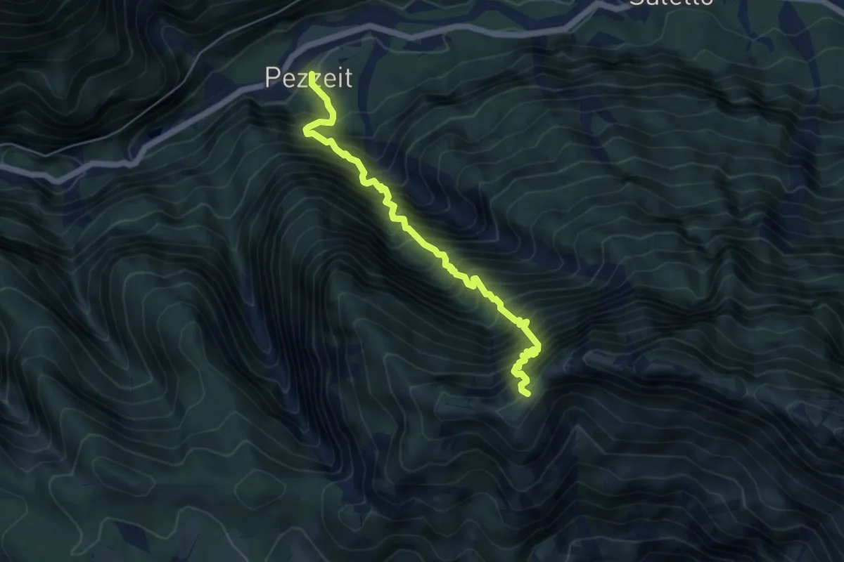
Pezzeit (quota 506 m) – Sella Buia (quota 1682 m)
5.2 km · ↑ 1315 m · 4 h 4 min
Demanding · Trail
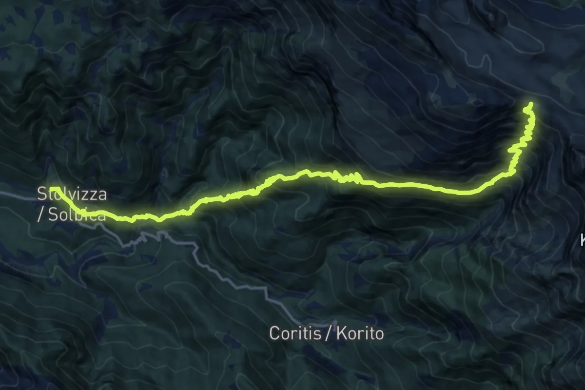
Sella di Grubia (quota 2045 m) – Stolvizza bivio sent. 662a (quota 566 m)
9.2 km · ↑ 1649 m · 5 h 8 min
Demanding · Cabin
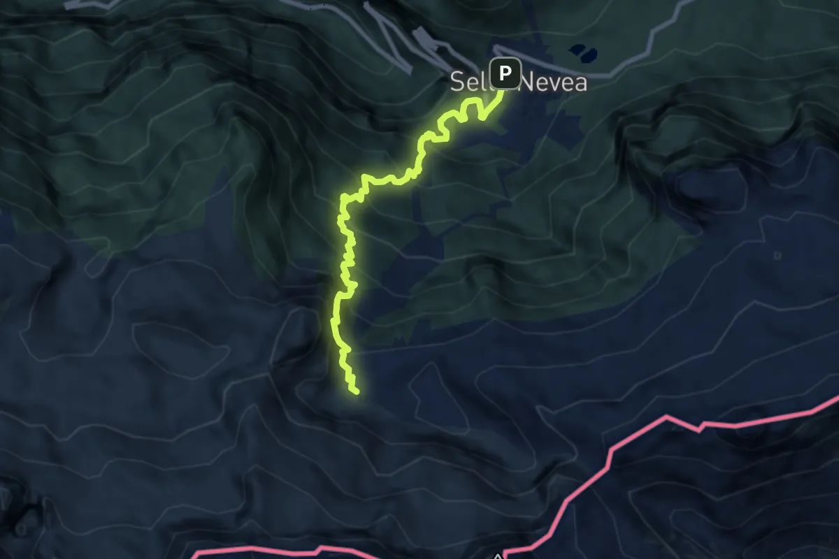
Rifugio Divisione Julia (quota 1162 m) – Rifugio Gilberti-Soravito (quota 1850 m)
7.9 km · ↑ 845 m · 3 h 42 min
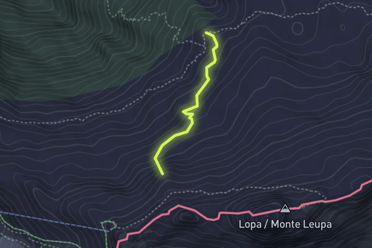
Medium · Summit
Rifugio Divisione Julia - Sella Nevea (quota 1162 m) – Rifugio Gilberti-Soravito (quota 1850 m)
2.3 km · ↑ 211 m · 1 h
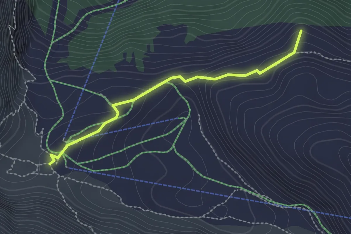
Medium · Summit
Rifugio Gilberti-Soravito (quota 1850 m) – Bivio sentiero n. 636 (quota 1866 m)
2.3 km · ↑ 90 m · 44 min
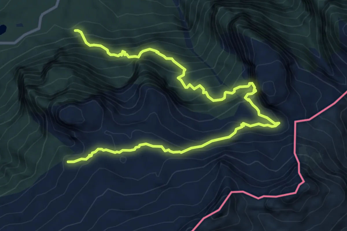
Demanding · Trail
Sella Nevea (quota 1162 m) – Bivio sentiero n. 636 (quota 1866 m)
11.0 km · ↑ 1171 m · 5 h 8 min
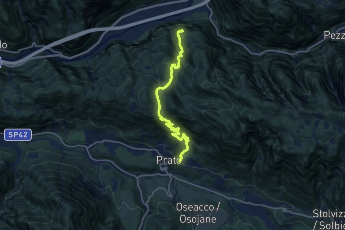
Medium · Trail
Prato di Resia (quota 498 m) – Bivio sentiero n. 632 (quota 626 m) Raccolana
11.1 km · ↑ 784 m · 4 h 20 min
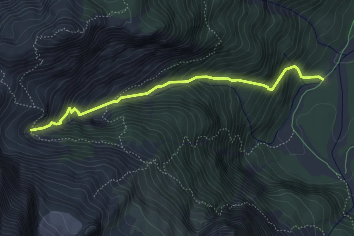
Demanding · Trail
Malga Saisera (quota 1004 m) – Bivio sentiero n. 652 (quota 1609 m)
4.9 km · ↑ 596 m · 2 h 26 min
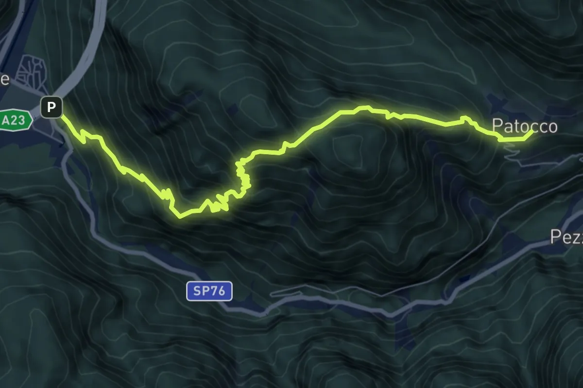
Demanding · Trail
Raccolana (quota 380 m) – Patoc (quota 735 m)
9.2 km · ↑ 1246 m · 4 h 52 min
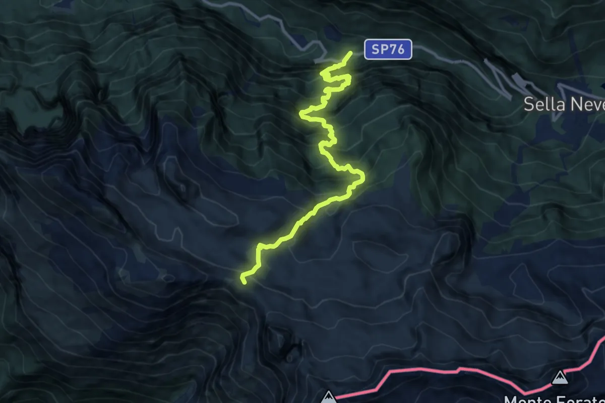
Demanding · Trail
SP76 Val Raccolana, dopo fontanone Goriuda (q. 780 m) – Bivio sent. n. 632 (q. 2020 m)
11.1 km · ↑ 1399 m · 5 h 40 min
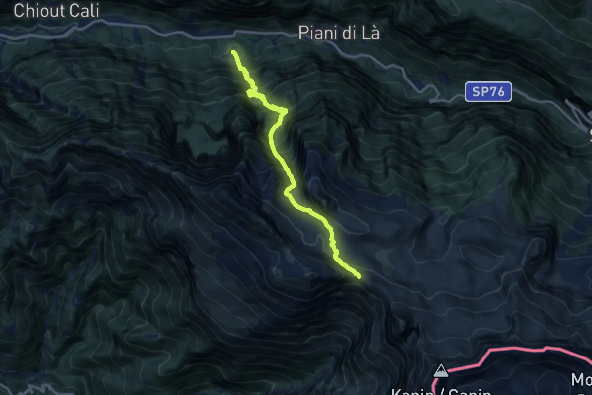
Demanding · Trail
Tamaroz (quota 616 m) – Sella di Grubia – Bivacco Marussich (quota 2040 m)
9.9 km · ↑ 1486 m · 5 h 34 min
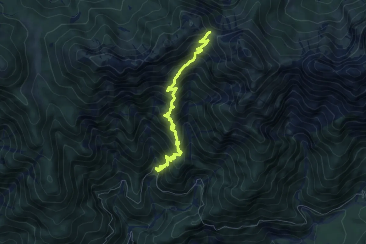
Medium · Trail
Mincigos, dopo Rio Mincigos (quota 1001 m) – Bivio con sentiero n. 649 (quota 1740 m)
6.8 km · ↑ 734 m · 3 h 12 min
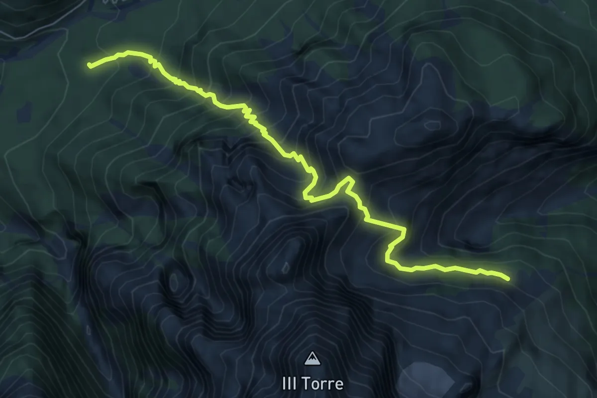
Demanding · Trail
Bivio sentiero n. 611 (quota 1605 m) – Bivio sentiero n. 651 (quota 1100 m)
7.4 km · ↑ 915 m · 3 h 44 min
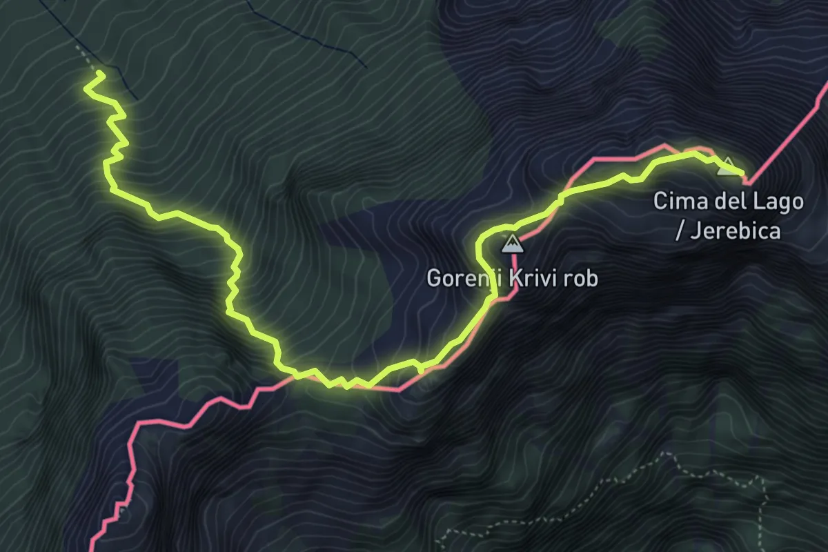
Expert · Summit
Val Rio del Lago (quota 980 m) – Cima del Lago (quota 2125 m)
6.9 km · ↑ 966 m · 3 h 43 min
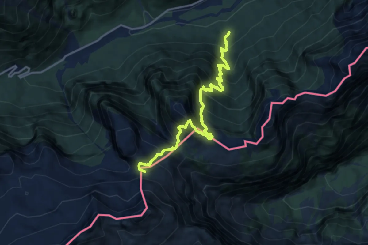
Expert · Summit
Val Rio del Lago (quota 980 m) – Sella Robon (quota 1896 m)
9.7 km · ↑ 1199 m · 4 h 54 min
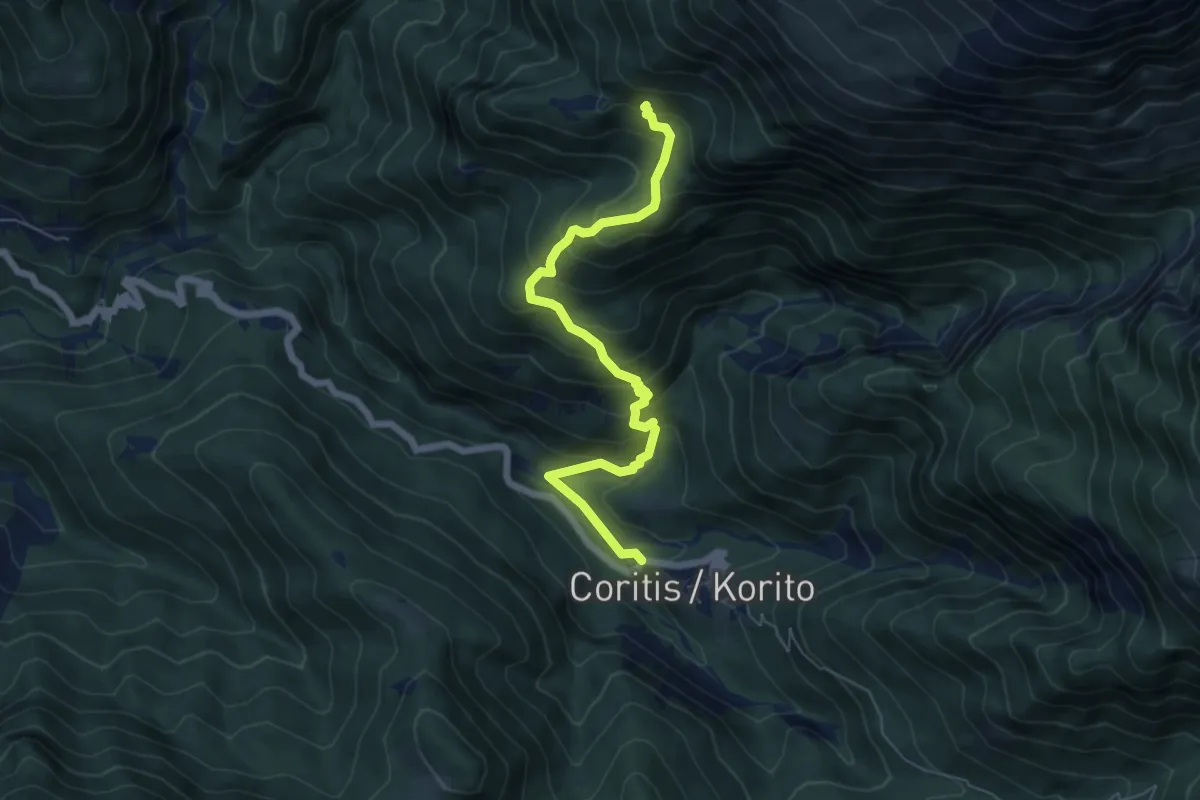
Medium · Trail
Carrabile di Coritis (quota 580 m) – Bivio sentiero n. 634 (quota 1100 m)
6.3 km · ↑ 568 m · 2 h 43 min
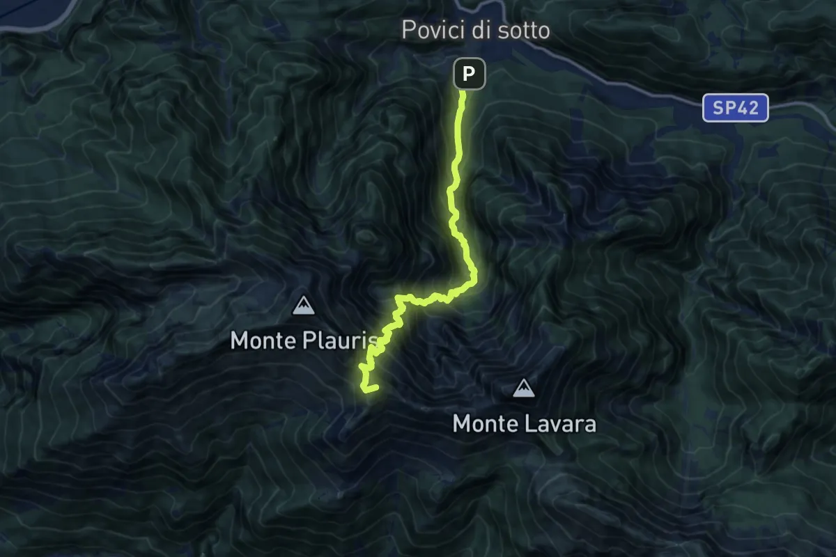
Demanding · Summit
Borgo Povici di Sopra (quota 400 m) – Casera Ungarina (quota 1300 m)
11.5 km · ↑ 1412 m · 5 h 47 min
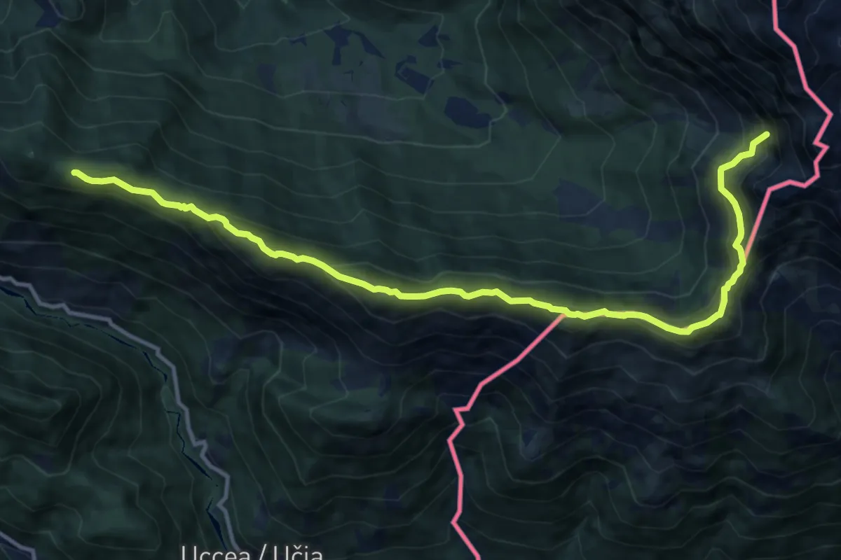
Demanding · Summit
Sella Canizza (quota 1072 m) – Rotabile per Coritis (quota 810 m)
12.9 km · ↑ 914 m · 5 h 1 min
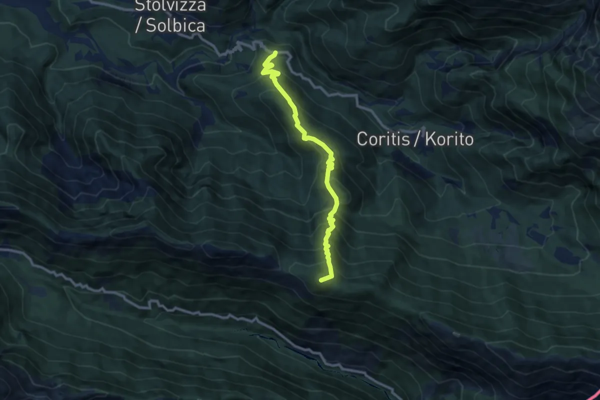
Demanding · Summit
Carnapenc (Cyrna Penć) (quota 650 m) – Uccea (quota 695 m)
8.2 km · ↑ 772 m · 3 h 37 min
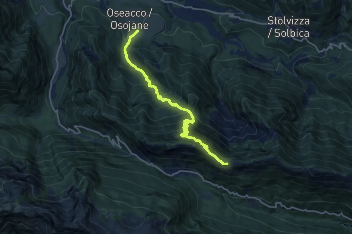
Demanding · Trail
Oseacco (quota 500 m) – Casera Nische-ruderi (quota 1350 m)
11.1 km · ↑ 1055 m · 4 h 55 min
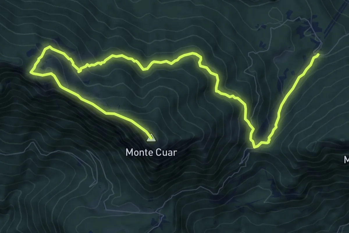
Demanding · Summit
Stavoli Grignes (quota 720 m) – Monte Cuâr (quota 1478 m)
14.6 km · ↑ 1118 m · 5 h 53 min
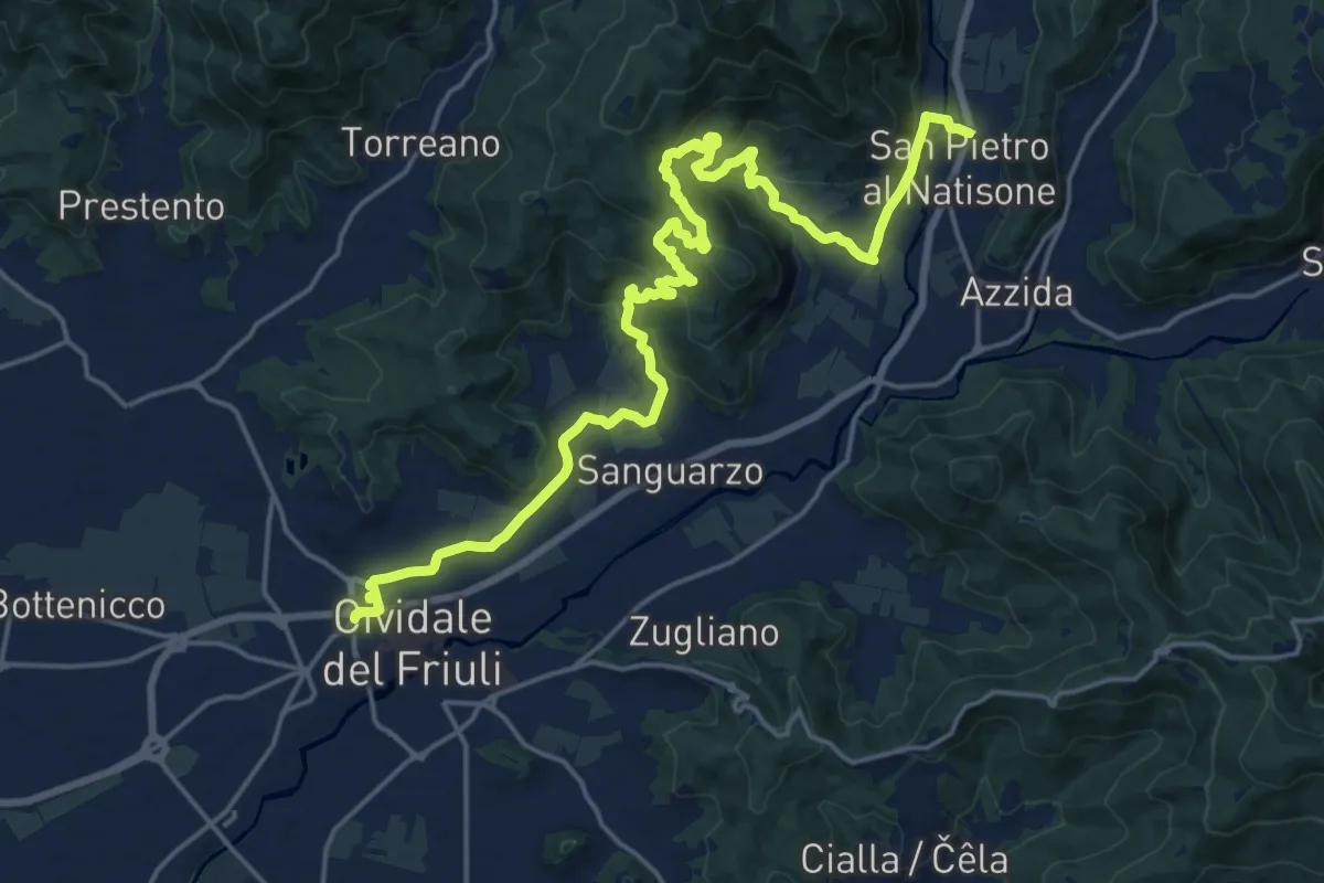
Demanding · Trail
Cividale (quota 132 m) – San Pietro (quota 171 m)
24.0 km · ↑ 684 m · 7 h 9 min
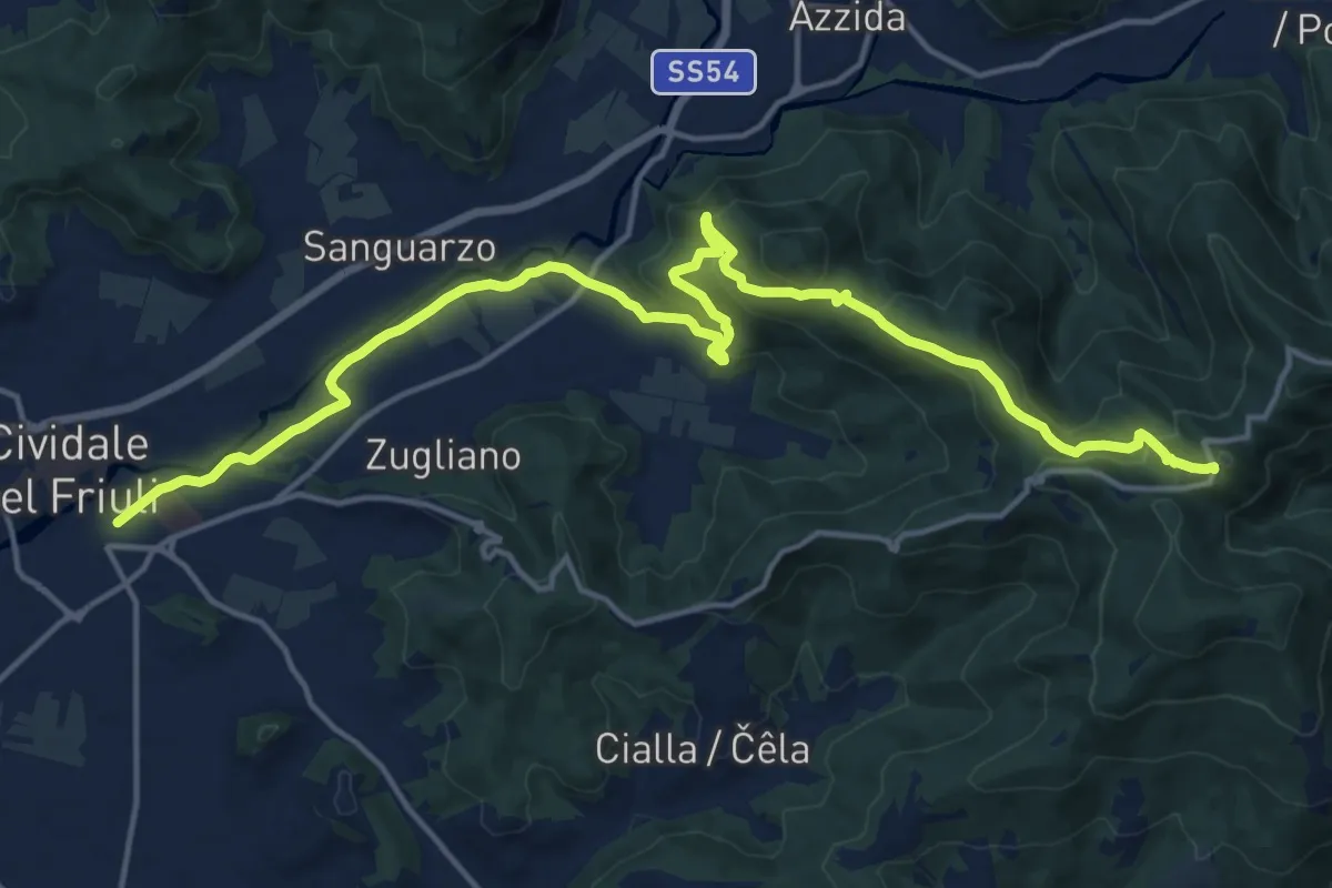
Demanding · Trail
Castelmonte (quota 618 m) – Cividale (quota 131 m)
19.9 km · ↑ 696 m · 6 h 12 min
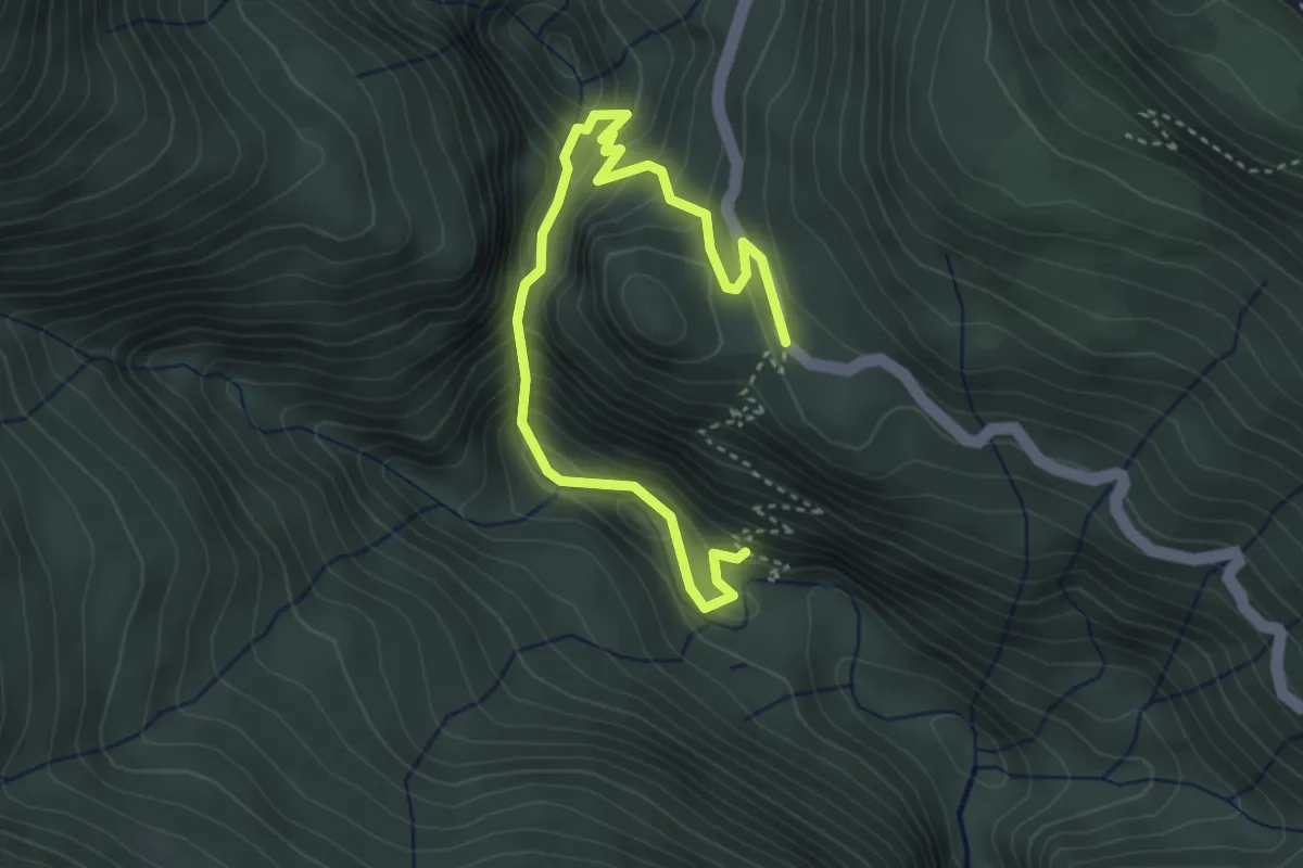
Demanding · Trail
Bivio sentiero 442 (quota 886 m) – Cason di Nelut (quota 1102 m)
4.3 km · ↑ 360 m · 1 h 48 min
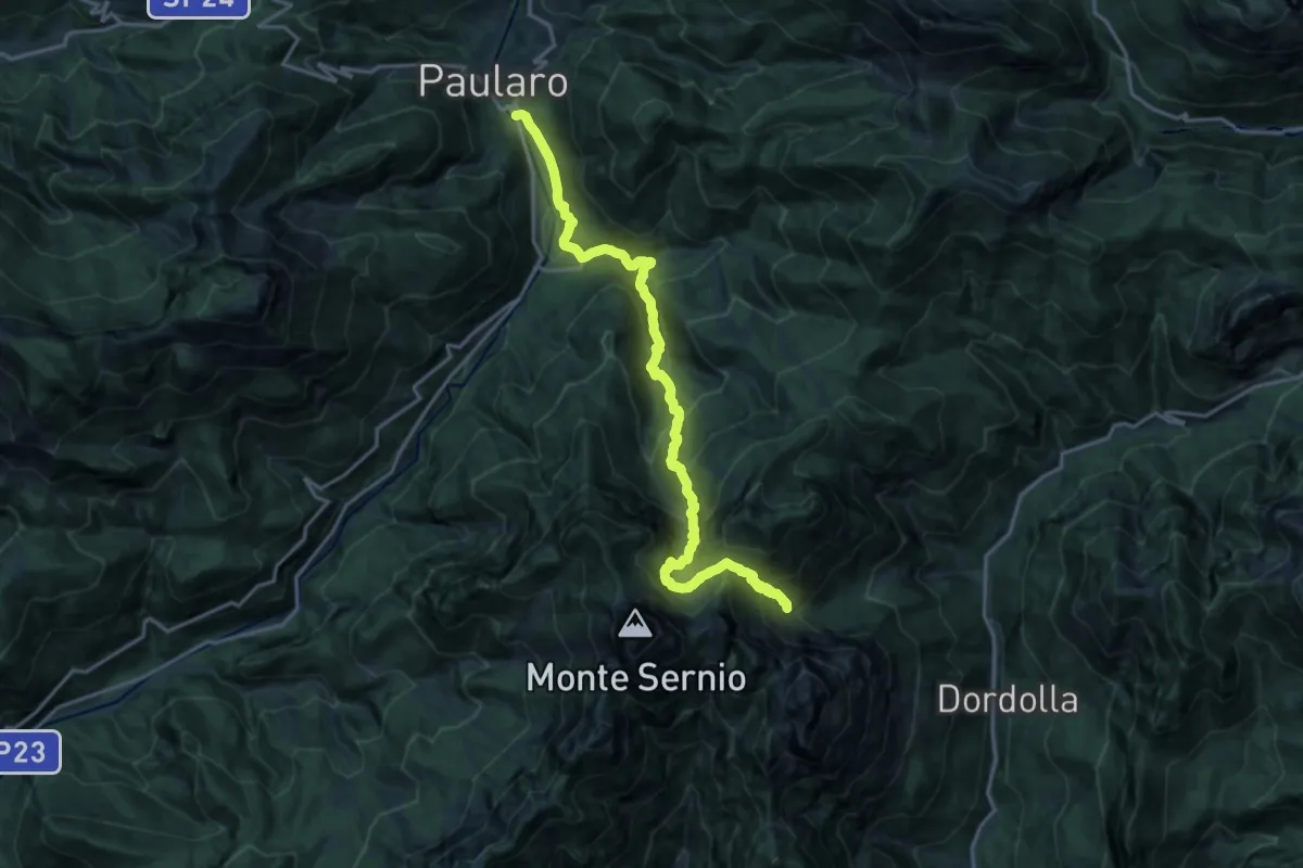
Demanding · Cabin
Hst. Casasco bei Paularo – Rifugio Grauzaria
9.4 km · ↑ 1128 m · 4 h 30 min
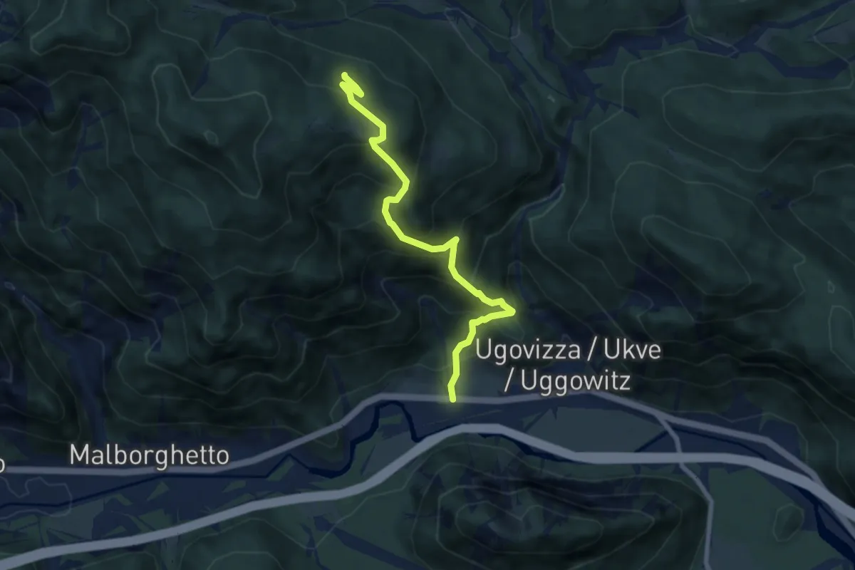
Medium · Trail
Ugovizza (quota 770 m) – Bivio sentiero n. 504a (quota 1340 m)
6.9 km · ↑ 736 m · 3 h 14 min
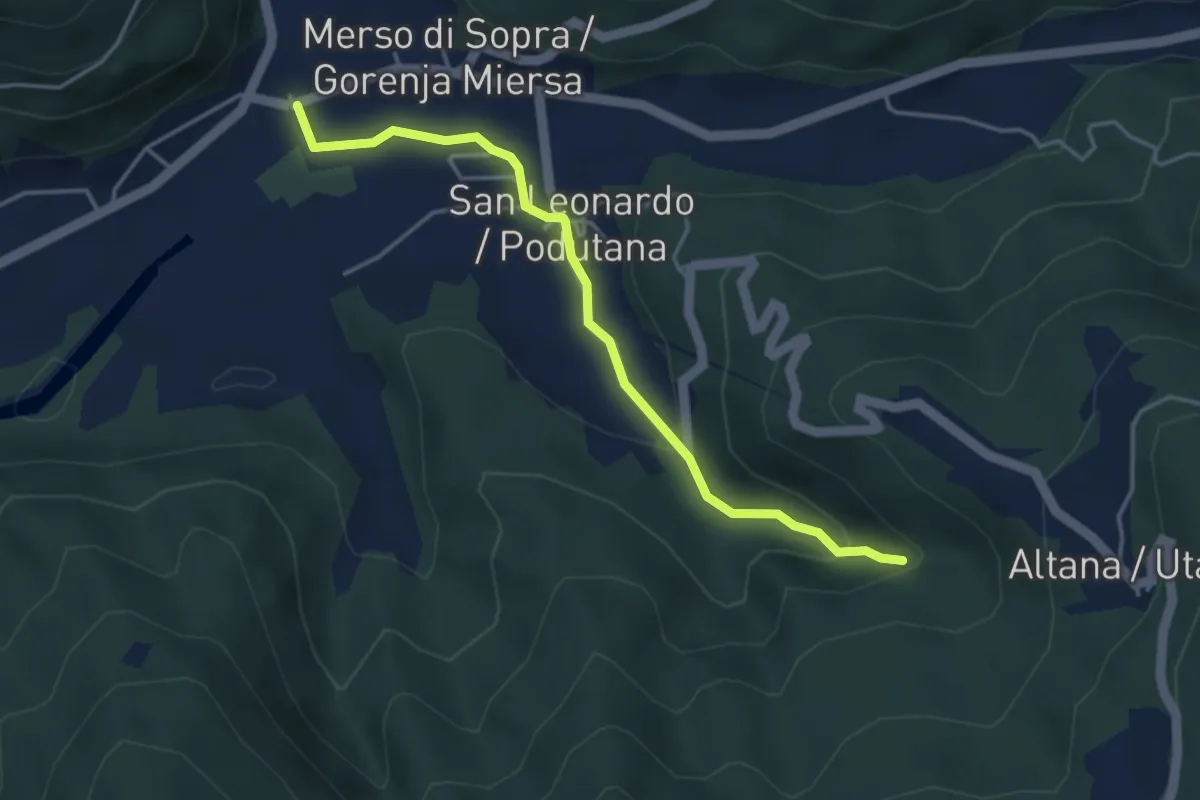
Medium · Trail
Municipio San Leonardo (quota 159 m) – cascata Kot (quota 254 m)
4.0 km · ↑ 135 m · 1 h 15 min
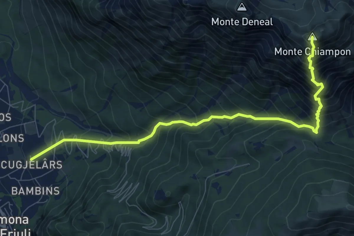
Demanding · Summit
Gemona – Località Scugjelârs (quota 370 m) – Forca di Ledis (quota 752 m)
9.0 km · ↑ 1349 m · 5 h 2 min
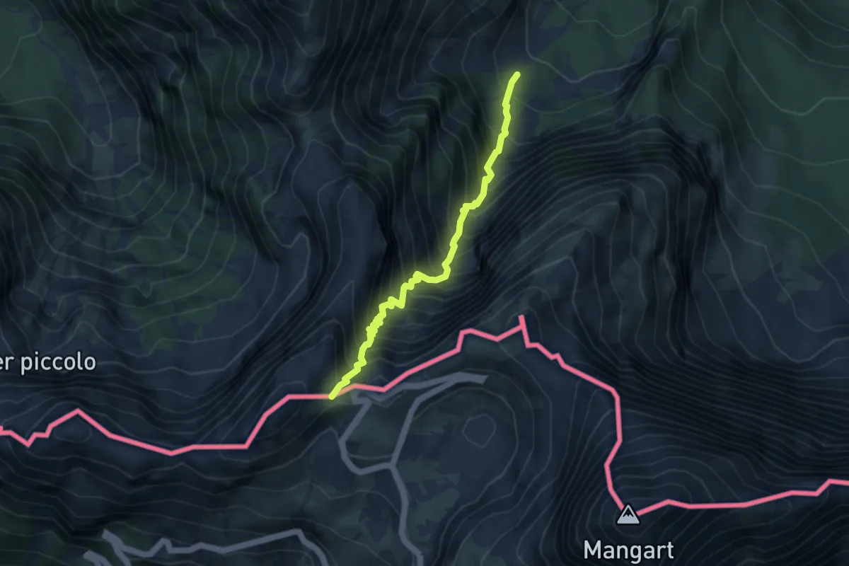
Demanding · Trail
Alpe del Lago (quota 1025 m) – Forcella della Lavina (quota 2055 m)
3.9 km · ↑ 777 m · 2 h 36 min
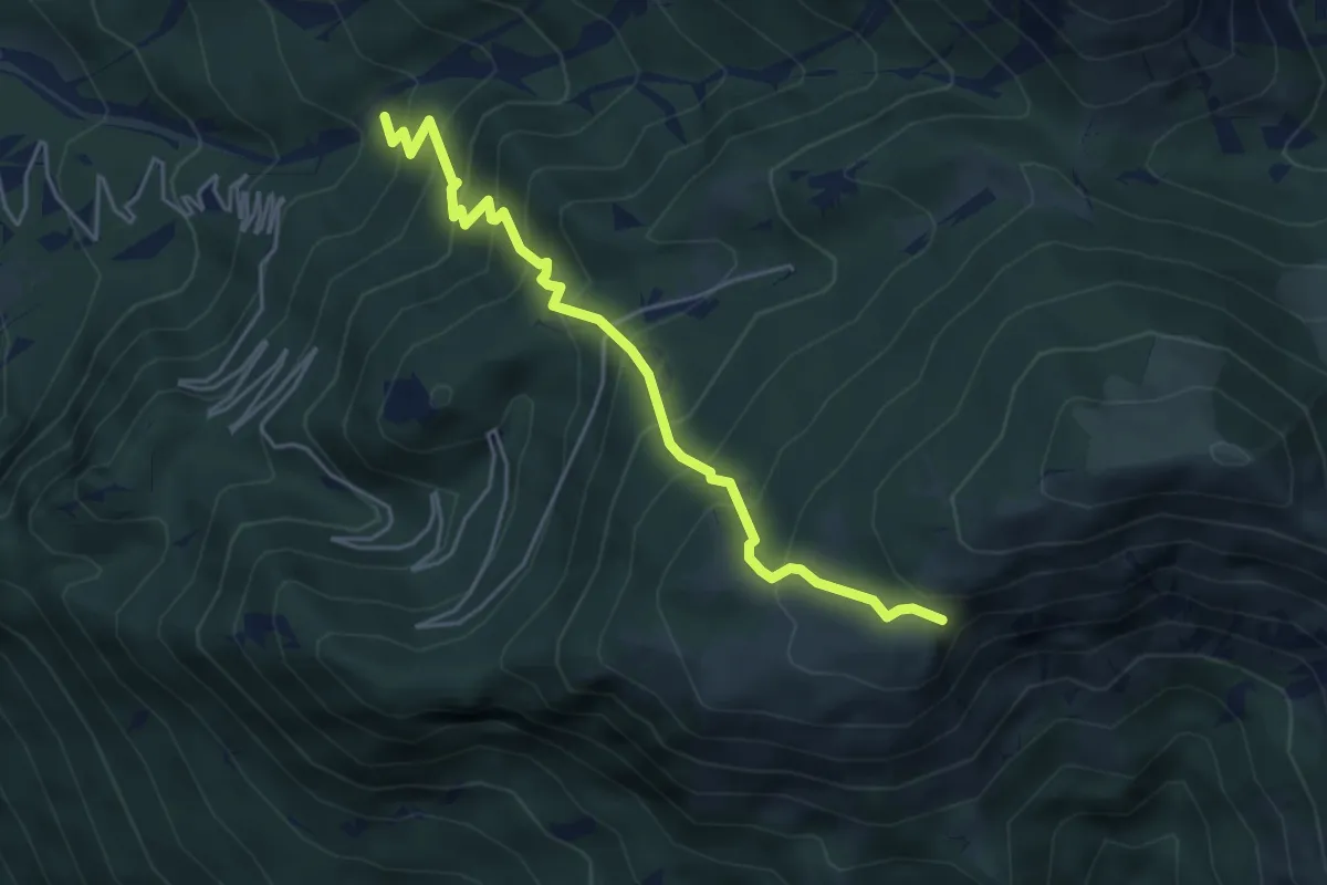
Medium · Trail
Bivio sentiero n. 713 (quota 615 m) – Ors di Cuarnan – Bivio sentiero n. 715 (quota 1152 m)
4.8 km · ↑ 569 m · 2 h 22 min
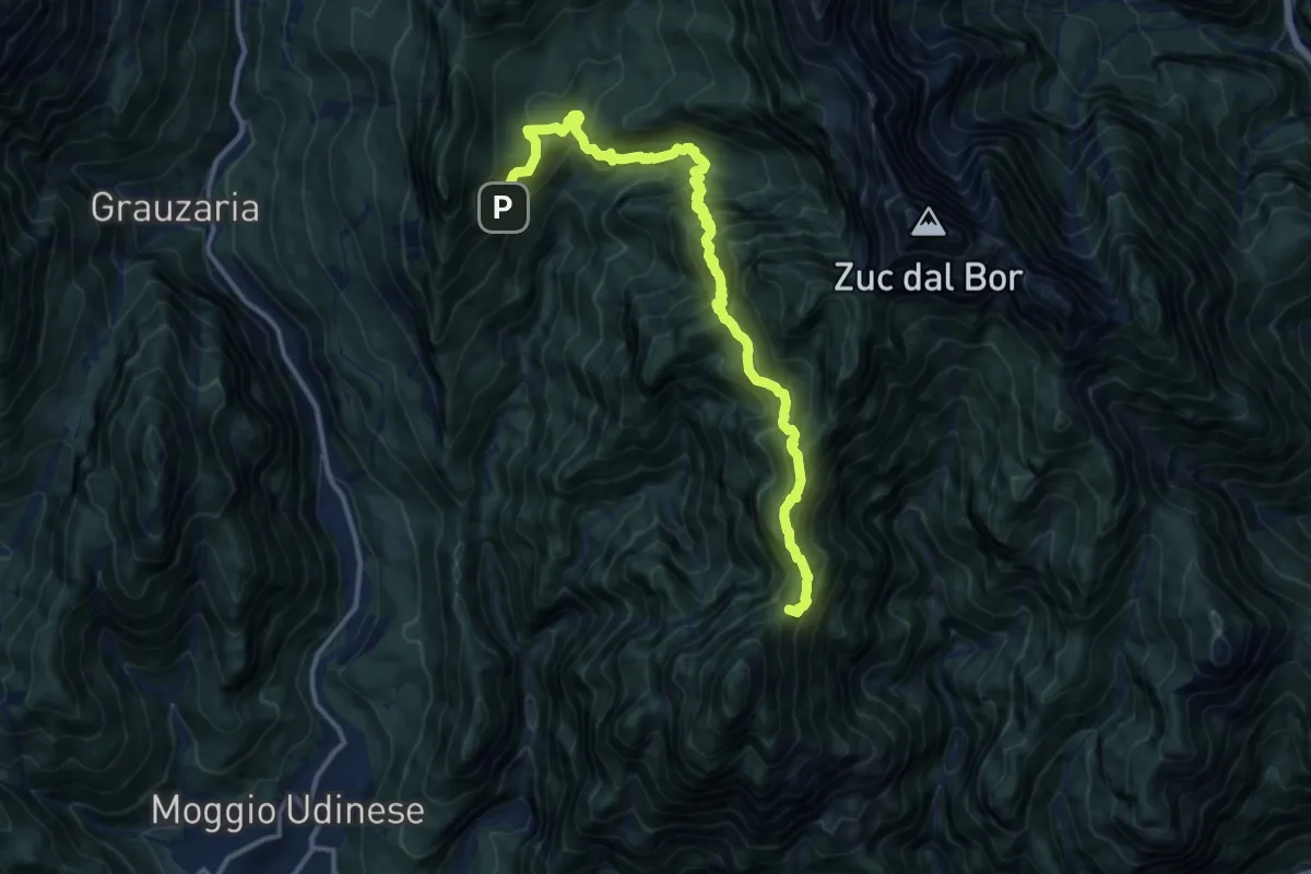
Demanding · Summit
Bivio Percorso 424 (quota 650 m) – Val Alba Bivio Percorso 428a (quota 1060 m)
14.6 km · ↑ 1544 m · 6 h 48 min
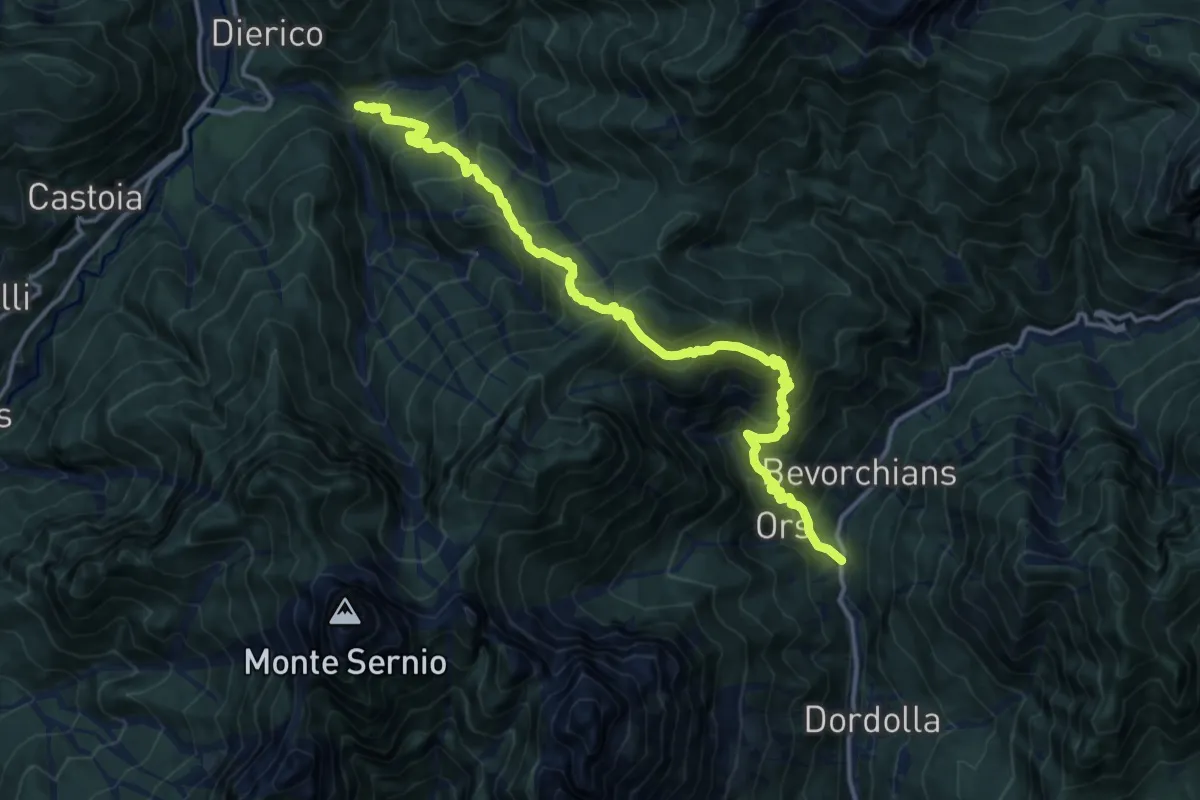
Demanding · Trail
Strada Provinciale Val Aupa Ponte Rio Fontanaz (quota 619 m) – Plan di Muele Bivio Sentiero 434 (quota 1018 m)
15.8 km · ↑ 1522 m · 7 h 2 min
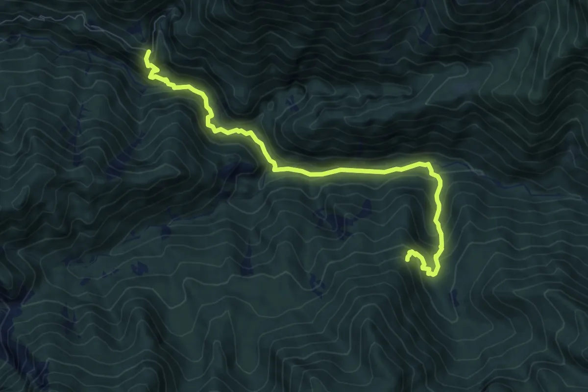
Medium · Trail
Rotabile Val Venzonassa (curva Del Gran Rio 3.5 km da Venzone) (quota 525 m) – Bivio sentiero n. 708 (quota 800 m)
9.1 km · ↑ 692 m · 3 h 39 min
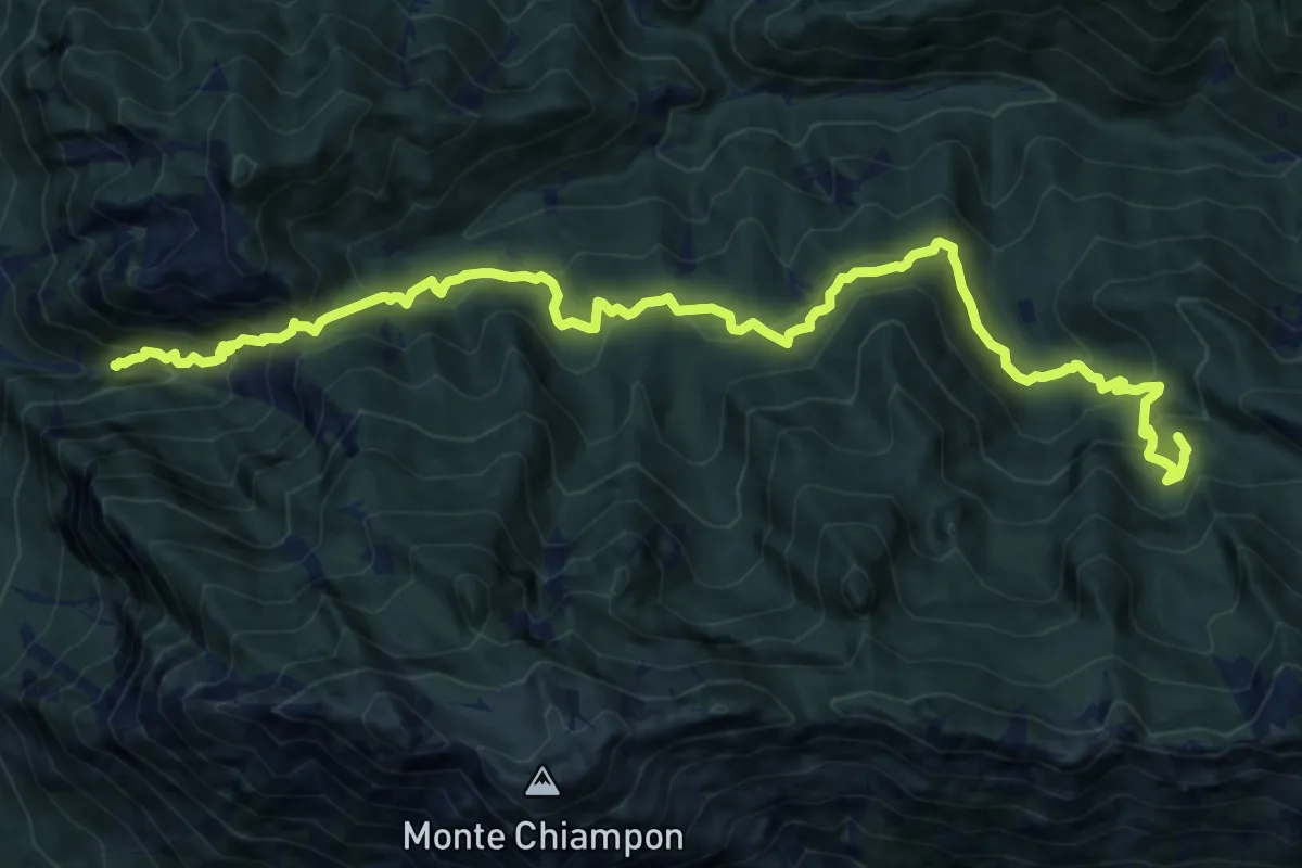
Demanding · Summit
Venzone – Rivoli Bianchi (quota 364 m) – Forcella Tacia (quota 1089 m)
15.9 km · ↑ 1279 m · 6 h 32 min
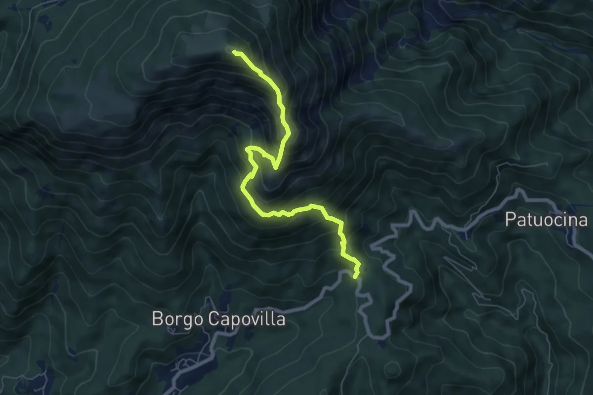
Medium · Summit
Roccolo di Montenars (quota 650 m) – Sella Foredôr
6.3 km · ↑ 756 m · 3 h 8 min
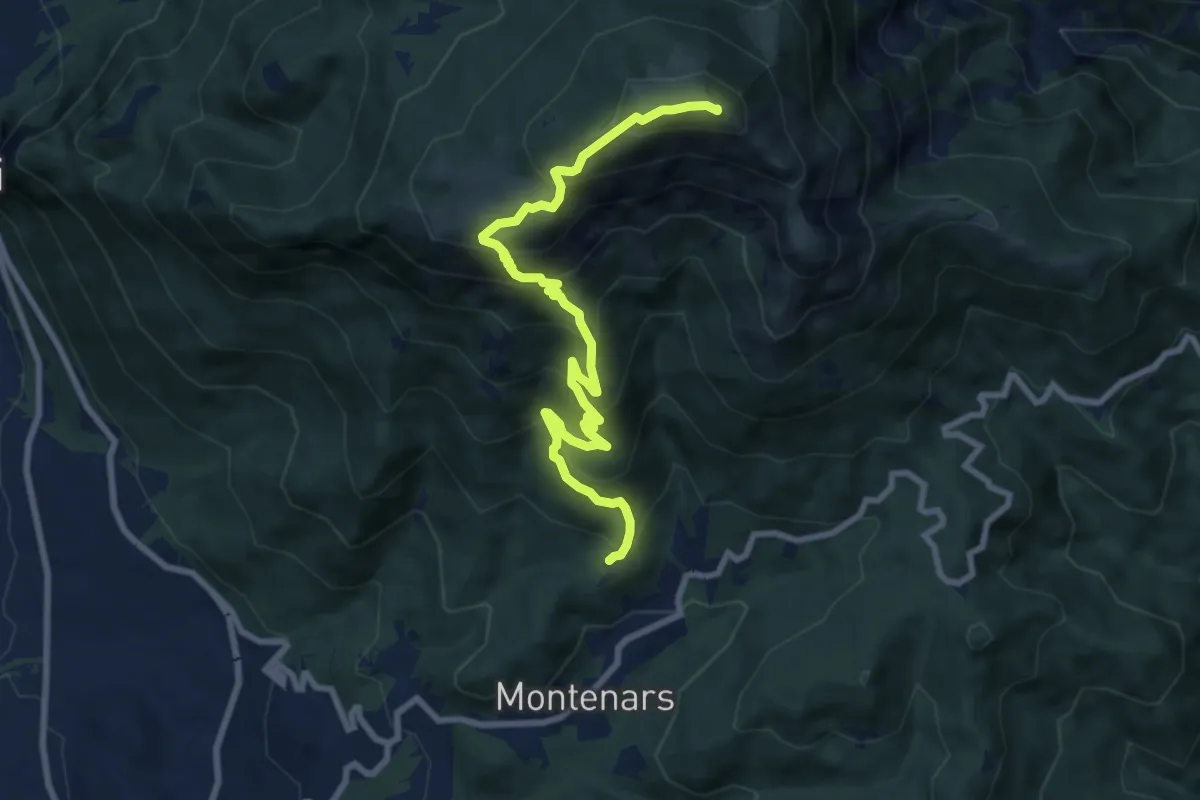
Demanding · Summit
Montenars, Iôuf (quota 598 m) – M. Cuarnan Chiesetta del Redentore Forcella dell’Asta (quota 1372 m)
9.2 km · ↑ 856 m · 4 h 2 min
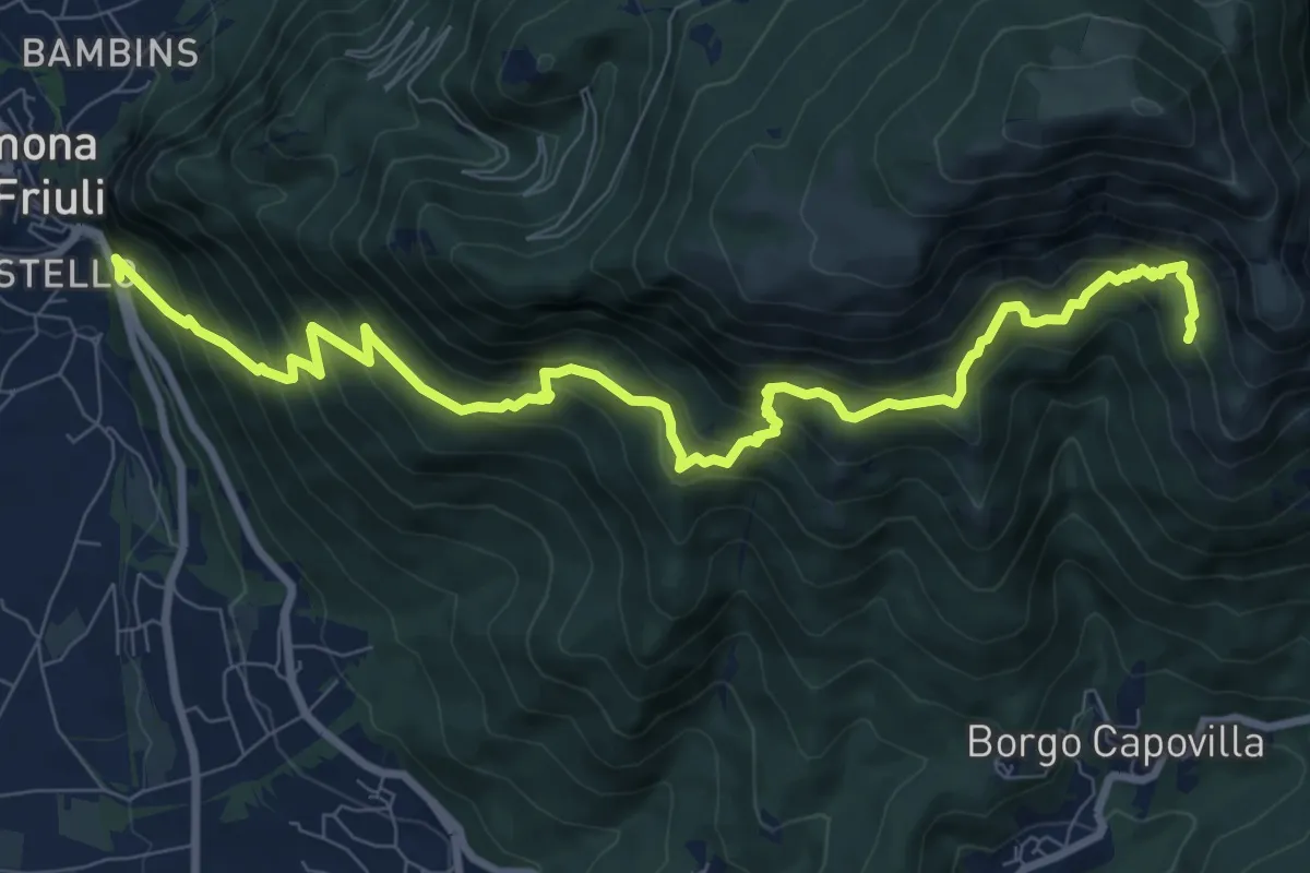
Demanding · Trail
Gemona (il Vallo) SP20 bivio strada per Maniaglia (quota 254 m) – Lis Presis (quota 1000 m)
10.8 km · ↑ 1021 m · 4 h 45 min
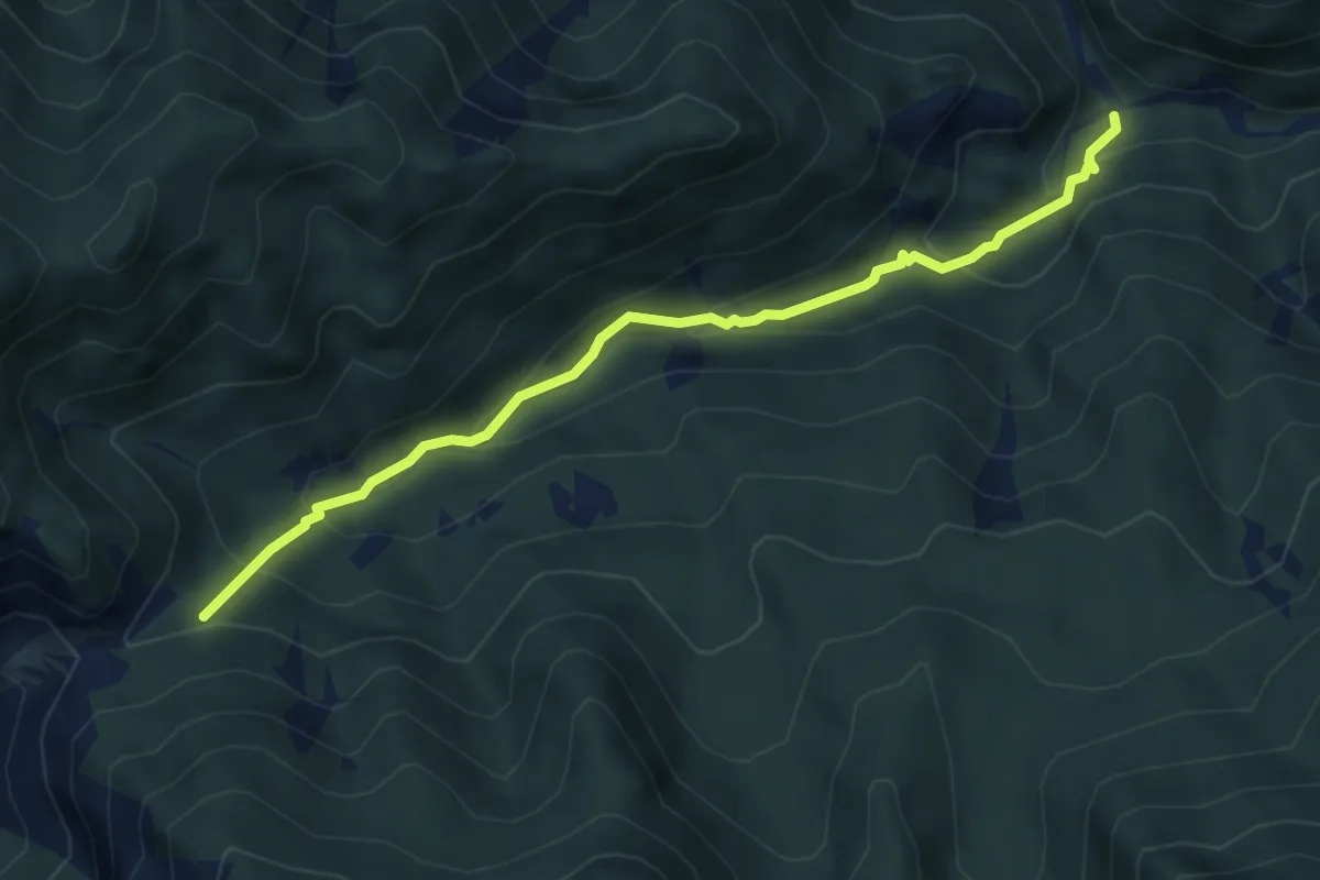
Medium · Trail
Bivio sentiero n.708 – Chiesetta di Ledis (quota 730 m) – Bivio sentiero n. 704 (quota 600 m)
4.8 km · ↑ 322 m · 1 h 50 min
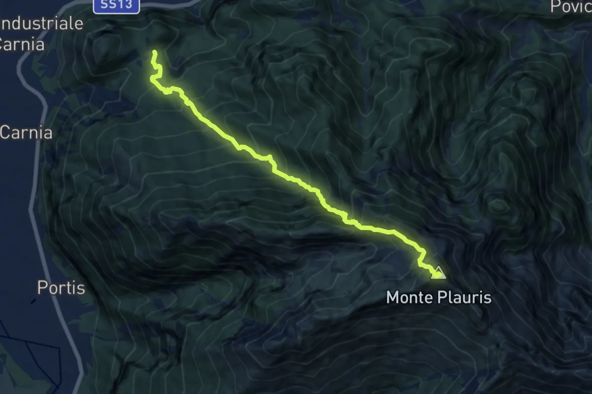
Demanding · Summit
Stavoli Tugliezzo (quota 450 m) – Forca Slips
10.5 km · ↑ 1403 m · 5 h 32 min