Trails in Italy
25,219 hiking trails, each with its route, climb, walking time and grade.
All trails, page 516 of 526
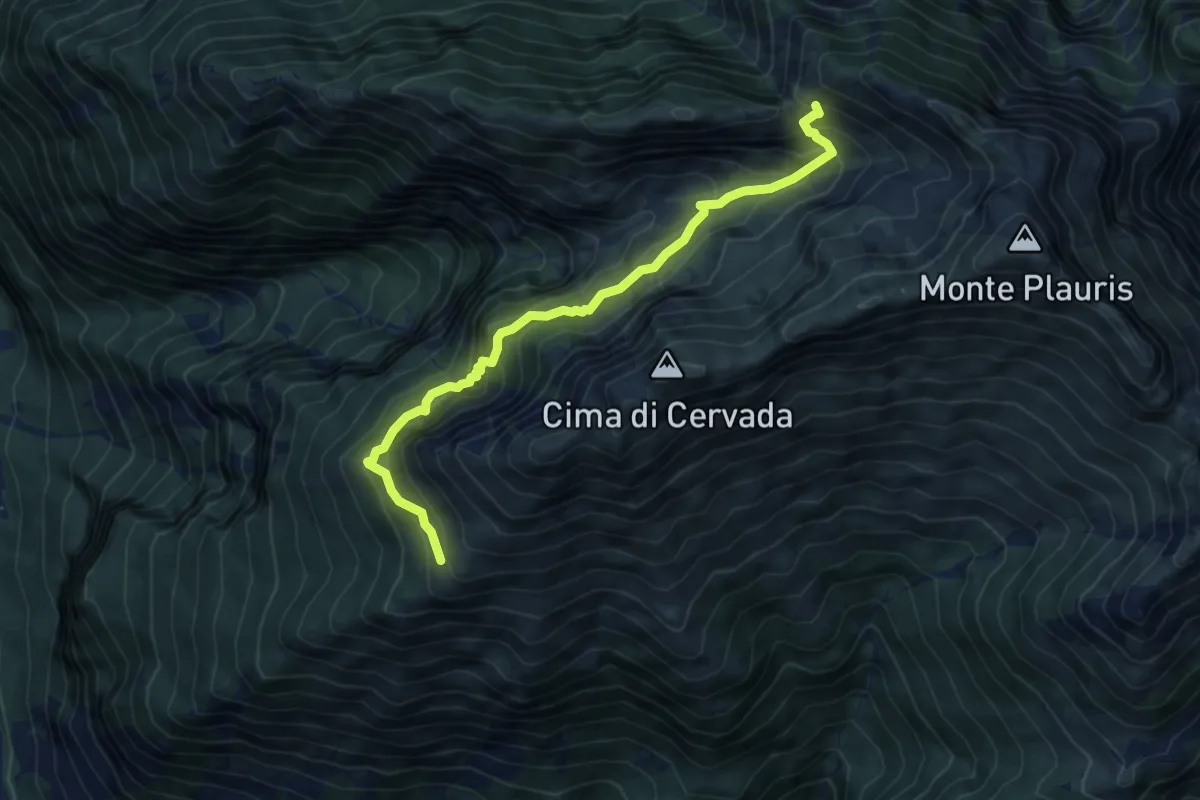
Medium · Trail
Bivacco Coi (quota 1308 m) – Bivio sentiero 701 (quota 1600 m)
6.5 km · ↑ 681 m · 3 h
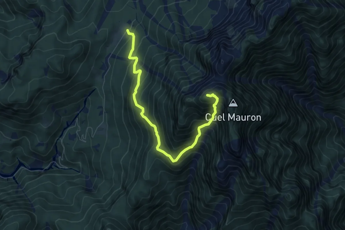
Demanding · Summit
Pra di Lunge (quota 910 m) – Monte Palavierte (quota 1785 m)
7.5 km · ↑ 903 m · 3 h 44 min
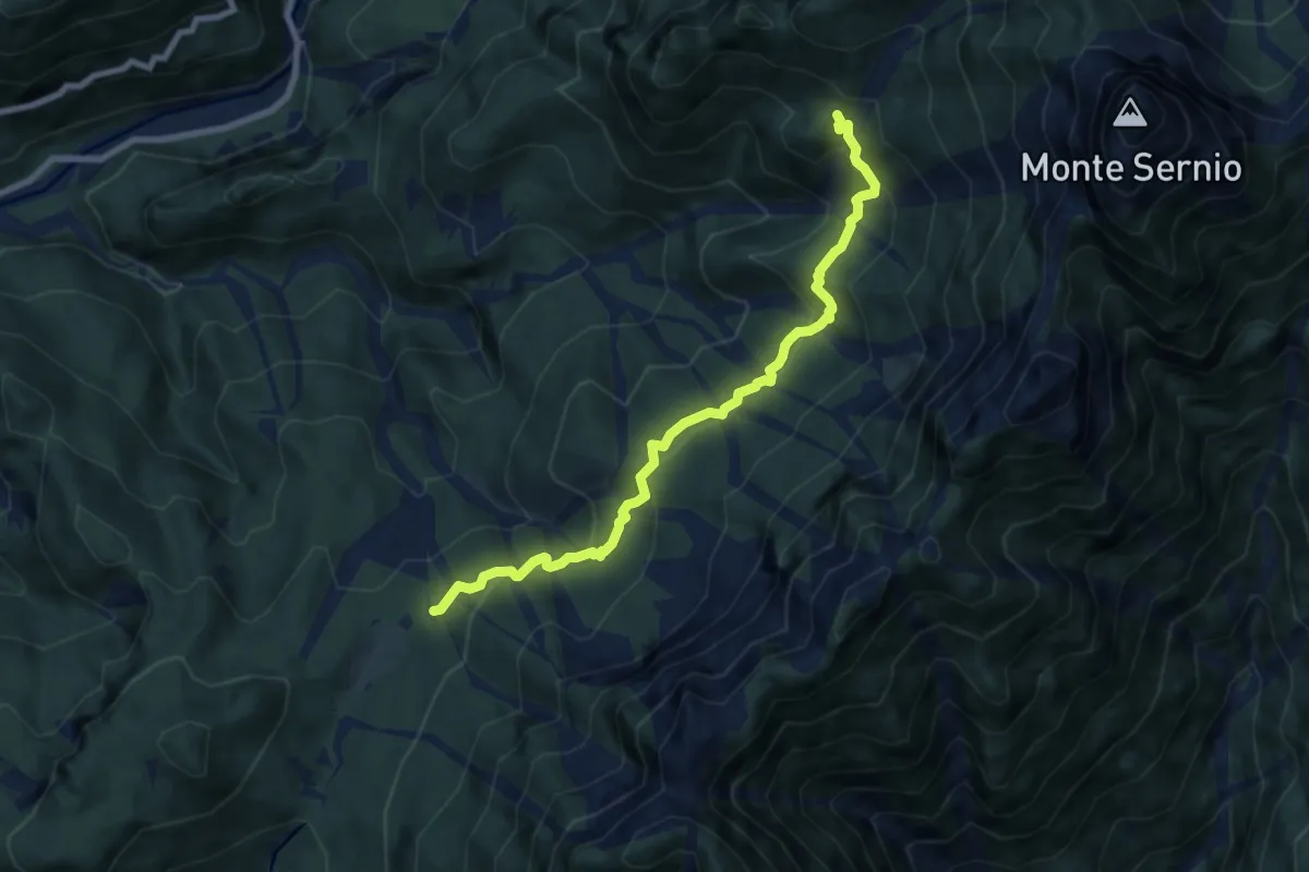
Medium · Trail
Pra di Lunge (quota 912 m) – Bivio sentiero n. 416 (quota 1290 m)
8.0 km · ↑ 490 m · 2 h 56 min
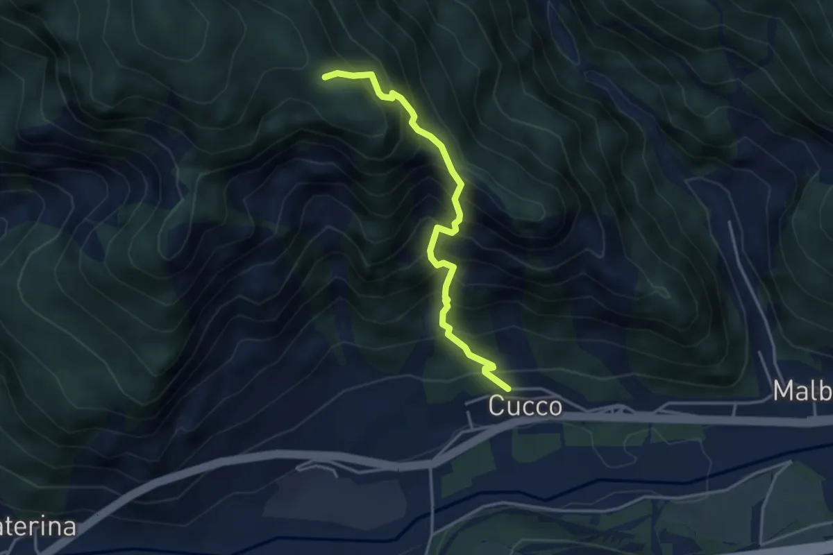
Medium · Trail
Località Cucco di Malborghetto (quota 700 m) – Incrocio sentiero n. 502 (quota 1300 m)
3.5 km · ↑ 607 m · 2 h 8 min
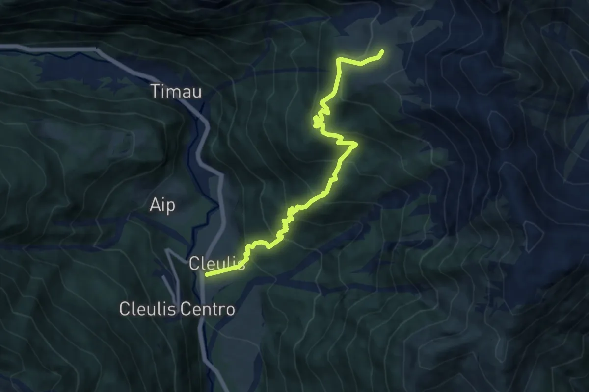
Medium · Cabin
Cleulis di Laipacco (quota 800 m) – Malga Promosio (quota 1521 m)
9.2 km · ↑ 721 m · 3 h 44 min
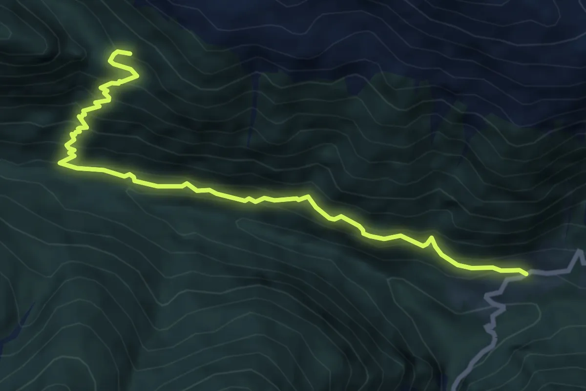
Medium · Trail
Casera Ramaz (quota 1050 m) – Casera Lodin, bivio sentiero 454 (quota 1450 m)
7.3 km · ↑ 628 m · 3 h 5 min
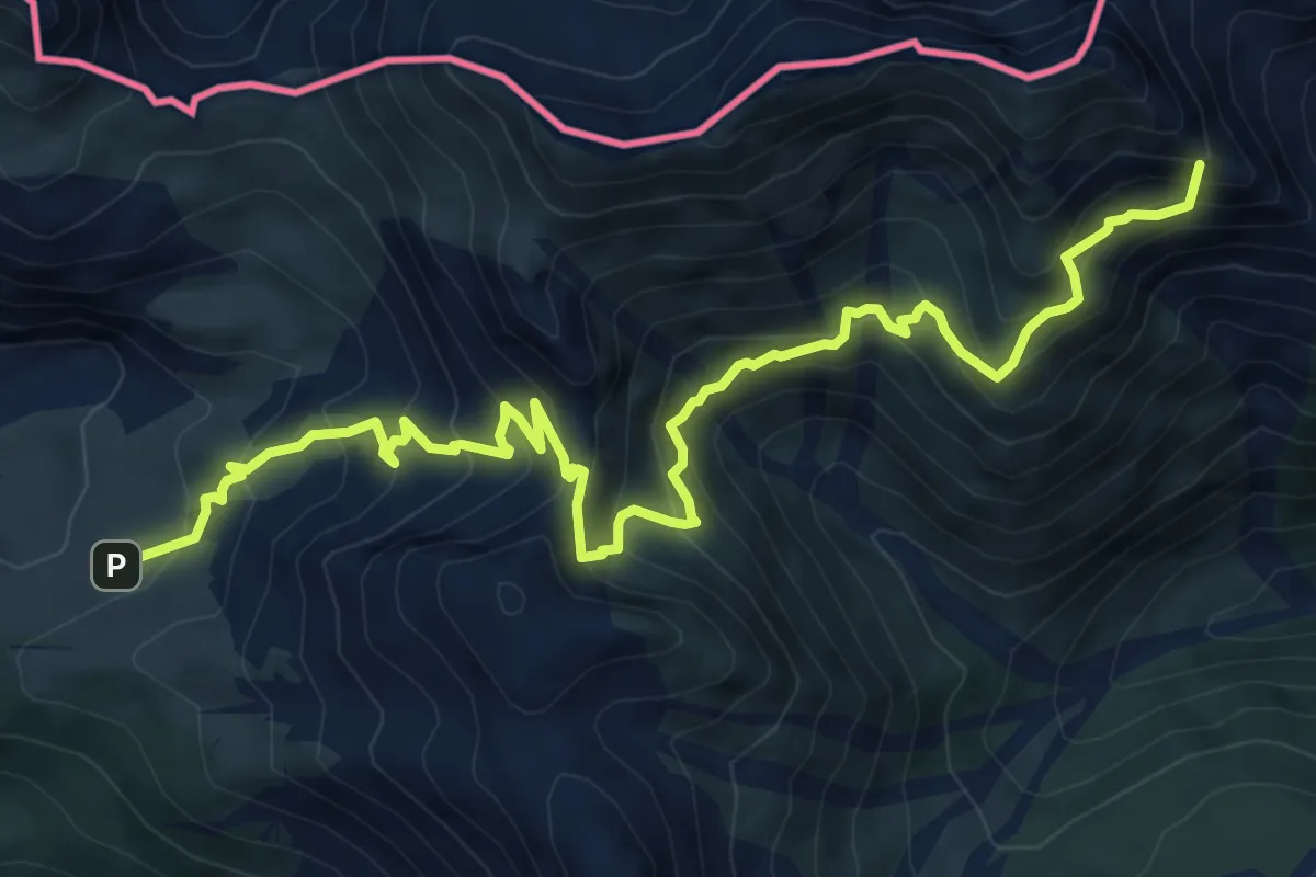
Demanding · Summit
Casera Promosio (quota 1521 m) – Bivio sent. 448 (quota 1770 m)
10.0 km · ↑ 1034 m · 4 h 36 min
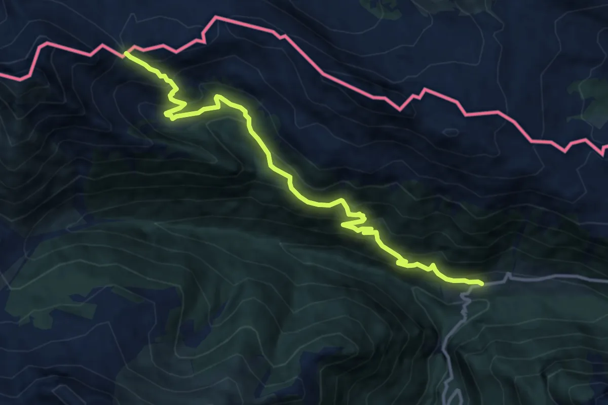
Demanding · Trail
Casera Ramaz (quota 1050 m) – Passo Pecol di Chiaula (quota 1873 m)
11.5 km · ↑ 883 m · 4 h 38 min
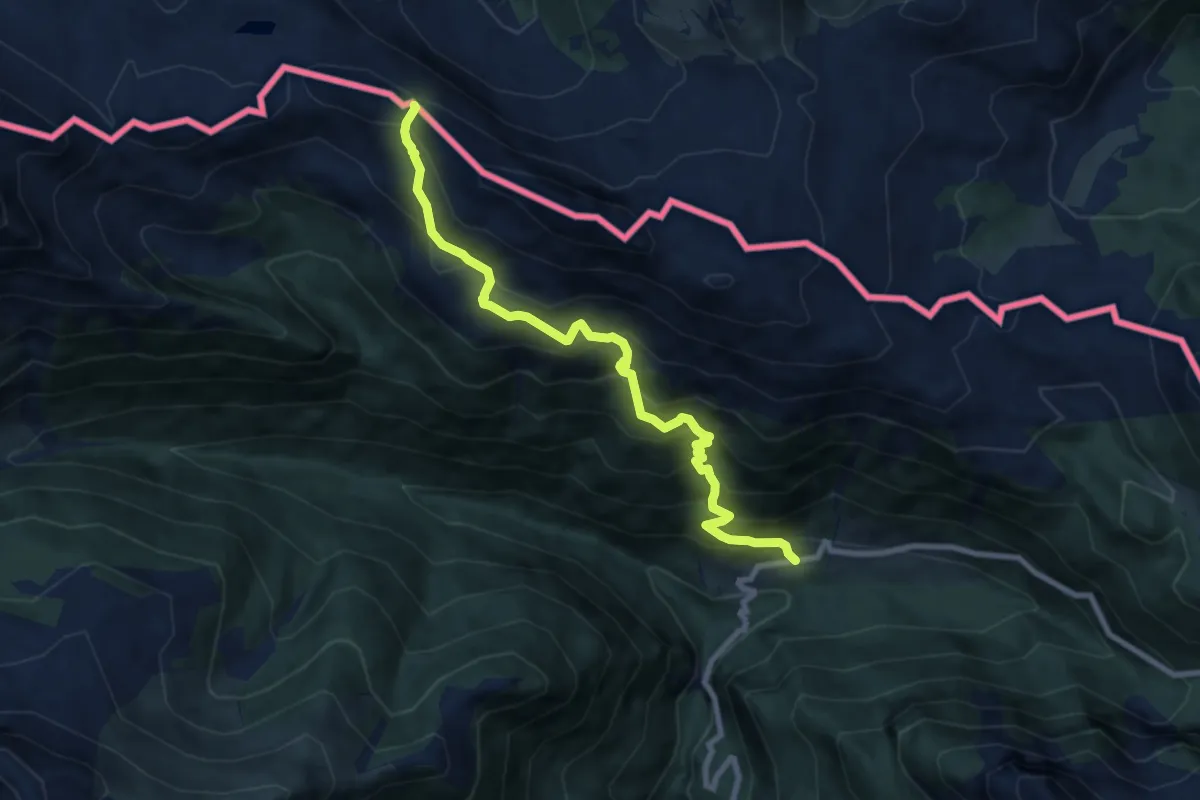
Demanding · Trail
Casera Ramaz (quota 1050 m) – Casera Lodin Alta (quota 1680 m)
8.4 km · ↑ 864 m · 3 h 51 min
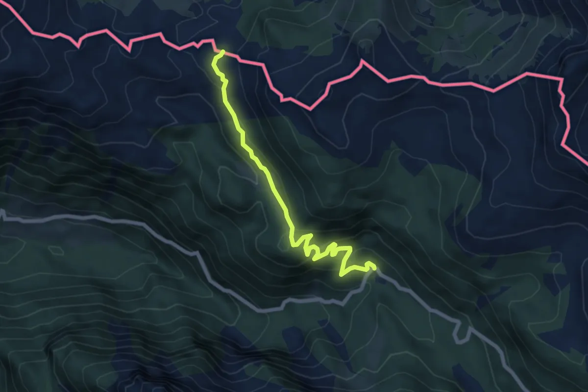
Easy · Trail
Casera Valbertad bassa (quota 1403 m) – Sella Meledis (quota 1578 m)
5.7 km · ↑ 233 m · 1 h 52 min
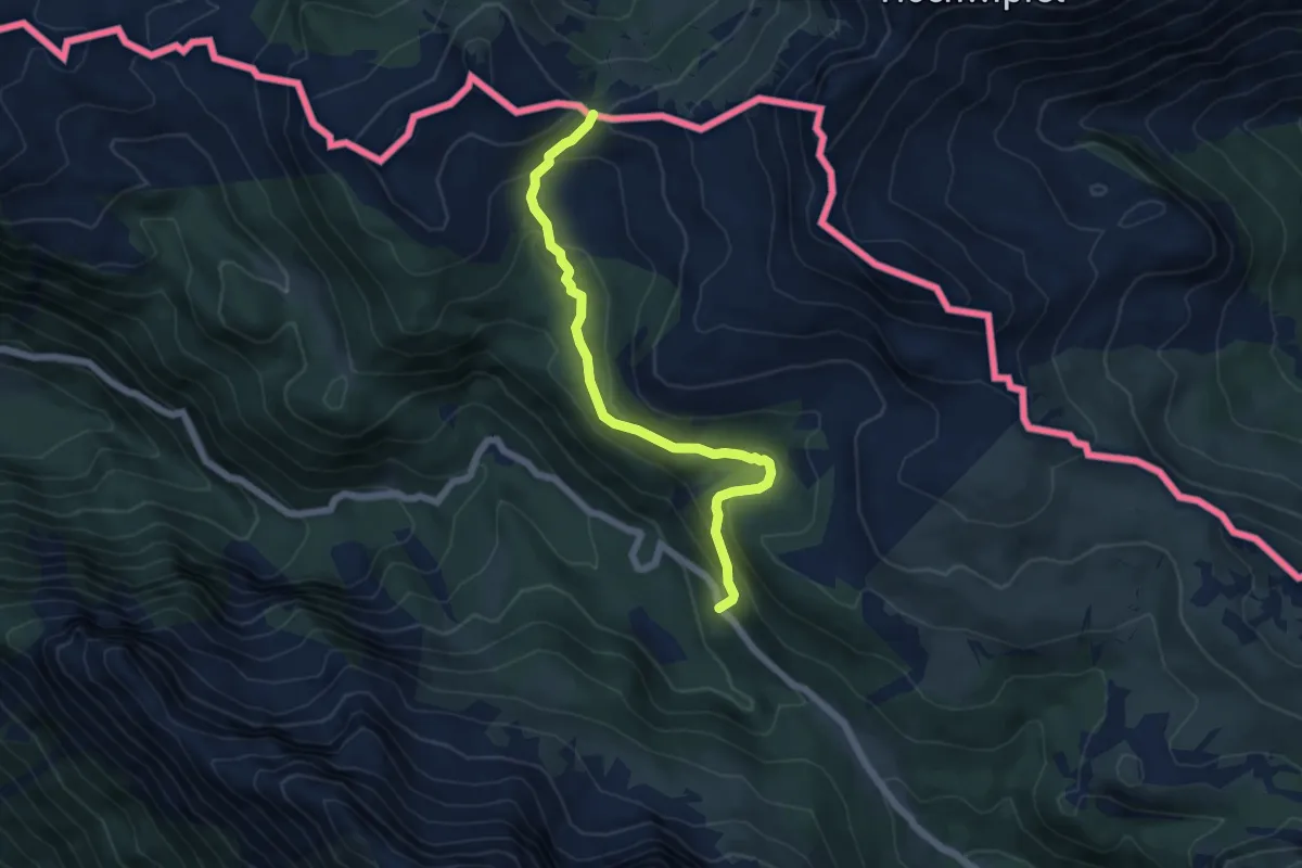
Easy · Trail
Casera Lanza (quota 1552 m) – Sella Cordin (quota 1752 m)
5.7 km · ↑ 312 m · 2 h 1 min
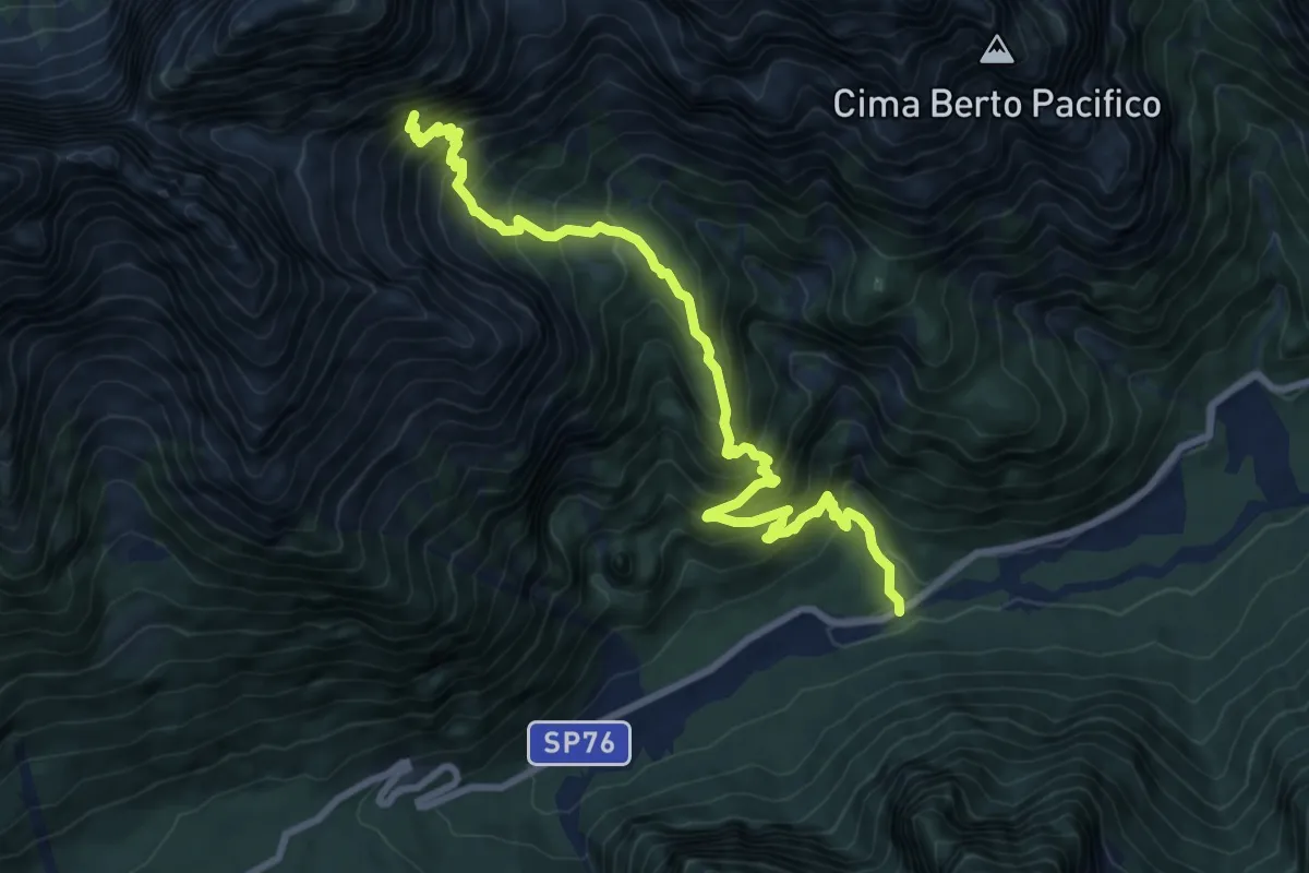
Demanding · Trail
Val Rio del Lago – ruderi Polveriera – Rio Torto (quota 990 m) – Bivio sentiero CAI n. 625 (quota 1800 m)
9.4 km · ↑ 1025 m · 4 h 27 min
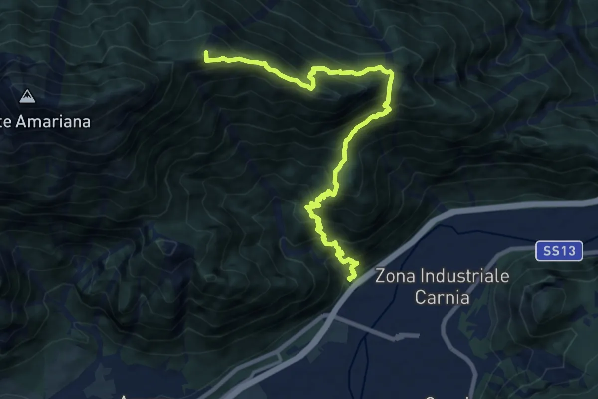
Expert · Summit
Ponte Rio Favarins (quota 270 m) – Bivio sentiero n. 414 (quota 1850 m)
11.5 km · ↑ 1326 m · 5 h 35 min
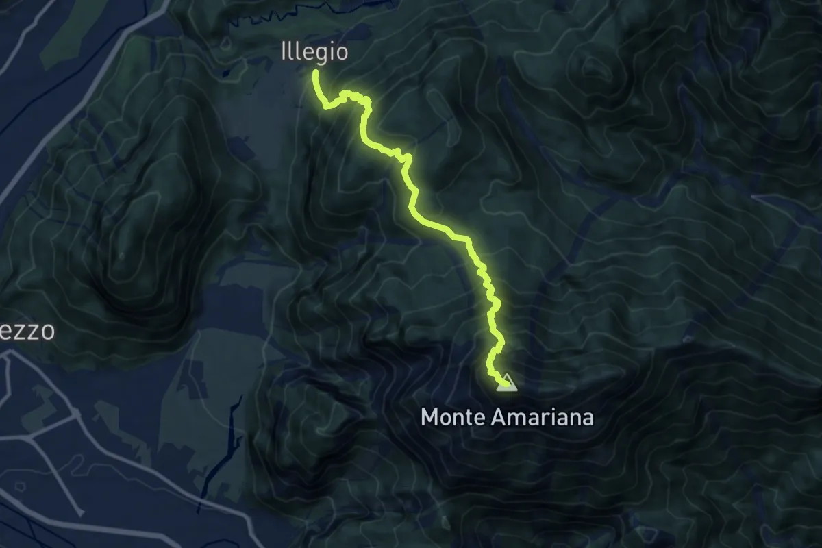
Demanding · Summit
Illegio (quota 596 m) – Monte Amariana (quota 1905 m)
10.3 km · ↑ 1469 m · 5 h 37 min
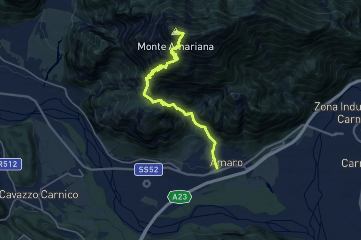
Expert · Summit
Amaro (quota 290 m) – Monte Amariana (quota 1907 m)
12.6 km · ↑ 1760 m · 6 h 47 min
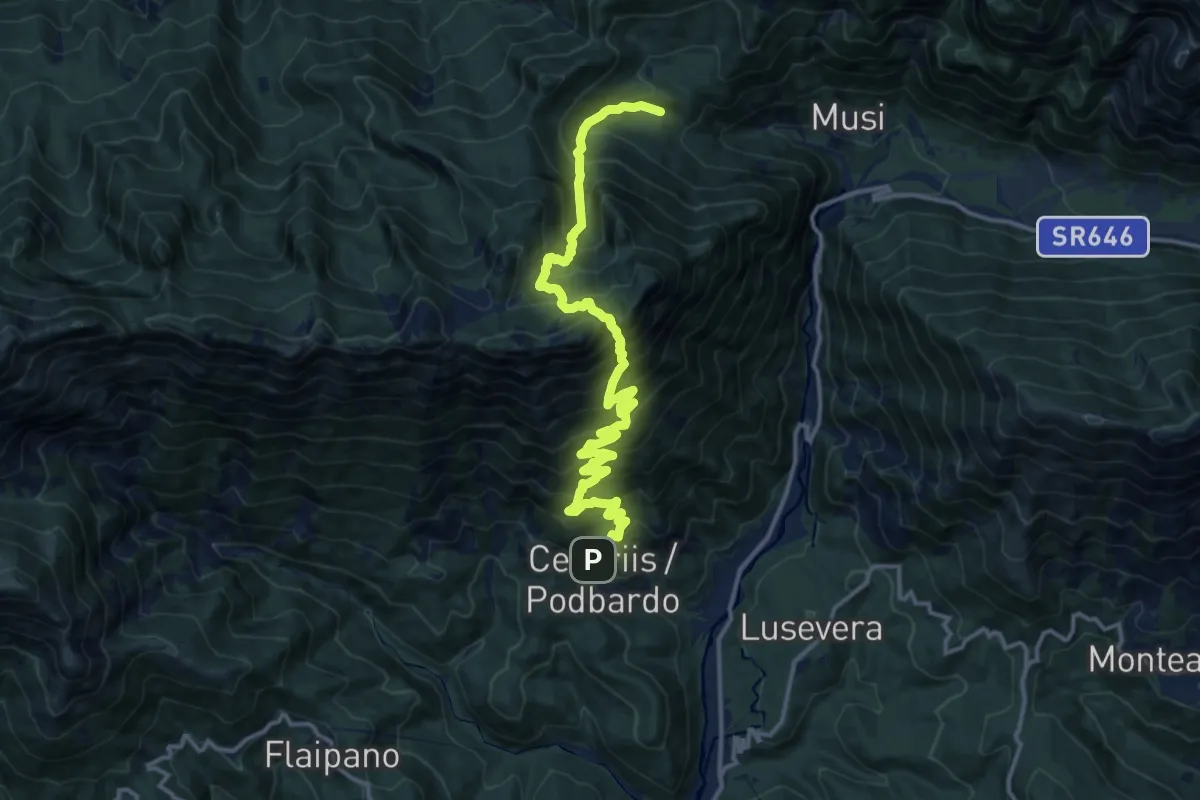
Demanding · Trail
Cesariis (quota 539 m) – Plan di Tapou (quota 886 m)
15.9 km · ↑ 1675 m · 7 h 23 min
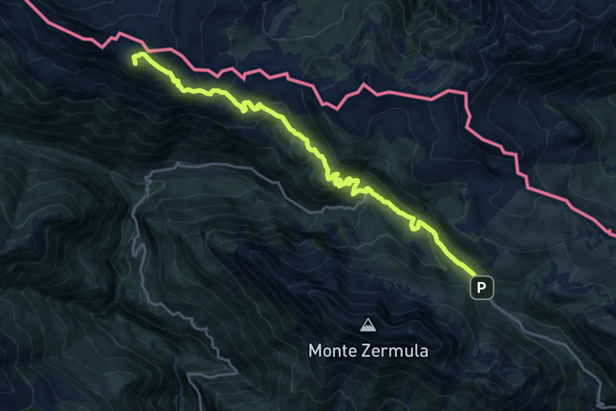
Demanding · Summit
Rifugio Fabiani – Cason di Lanza
14.8 km · ↑ 792 m · 5 h 13 min
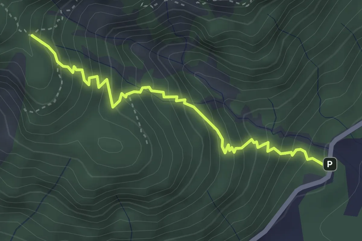
Medium · Trail
Val Rio del Lago (quota 989 m) – Bivio sentiero n. 629 (quota 1430 m)
3.6 km · ↑ 474 m · 1 h 53 min
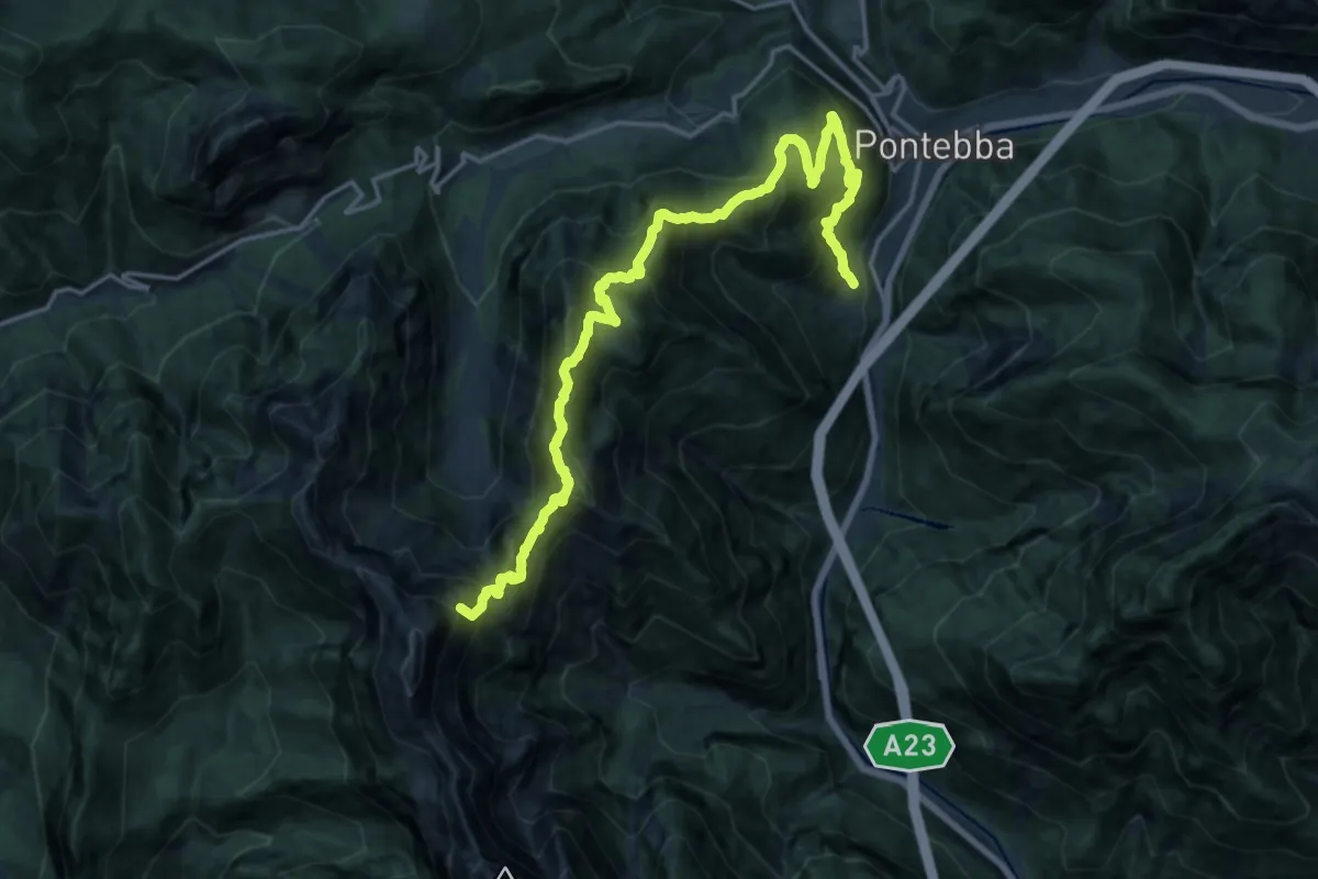
Demanding · Summit
Località Plans di Pontebba (quota 618 m) – Bivio sentiero n° 428 (quota 1428 m)
19.8 km · ↑ 1732 m · 8 h 25 min
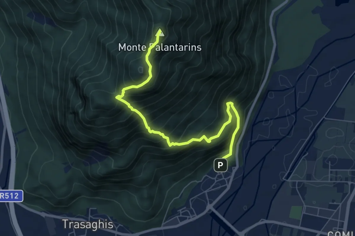
Demanding · Summit
Braulins (quota 210 m) – Interneppo (quota 270 m)
7.1 km · ↑ 904 m · 3 h 38 min
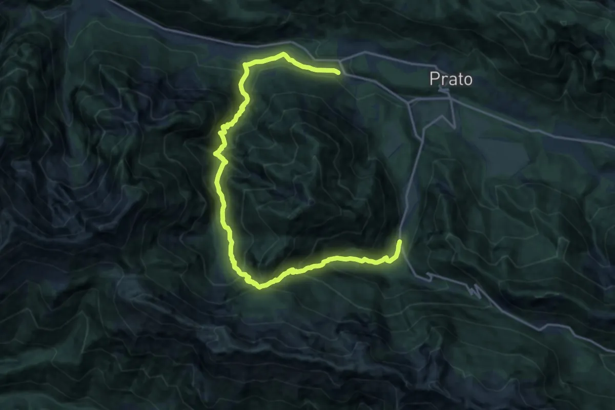
Demanding · Trail
Tigo (quota 370 m) – Borgo Lischiazze (quota 580 m)
9.9 km · ↑ 951 m · 4 h 26 min
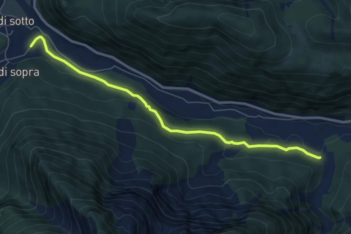
Easy · Trail
Stalli Cialze (quota 350 m) – Povici di Sopra (quota 330 m)
6.1 km · ↑ 180 m · 1 h 50 min
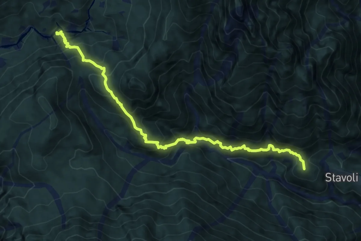
Demanding · Summit
Campiolo di Sopra (quota 349 m) – Rotabile Illegio – Pra di Lunze a km 2 da Illegio (quota 690 m)
13.1 km · ↑ 1439 m · 6 h 12 min
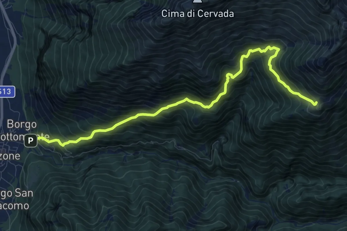
Demanding · Trail
Venzone – Borgo Pragiel (quota 250 m) – Casera Ungarina (quota 1296 m)
12.1 km · ↑ 1408 m · 5 h 54 min
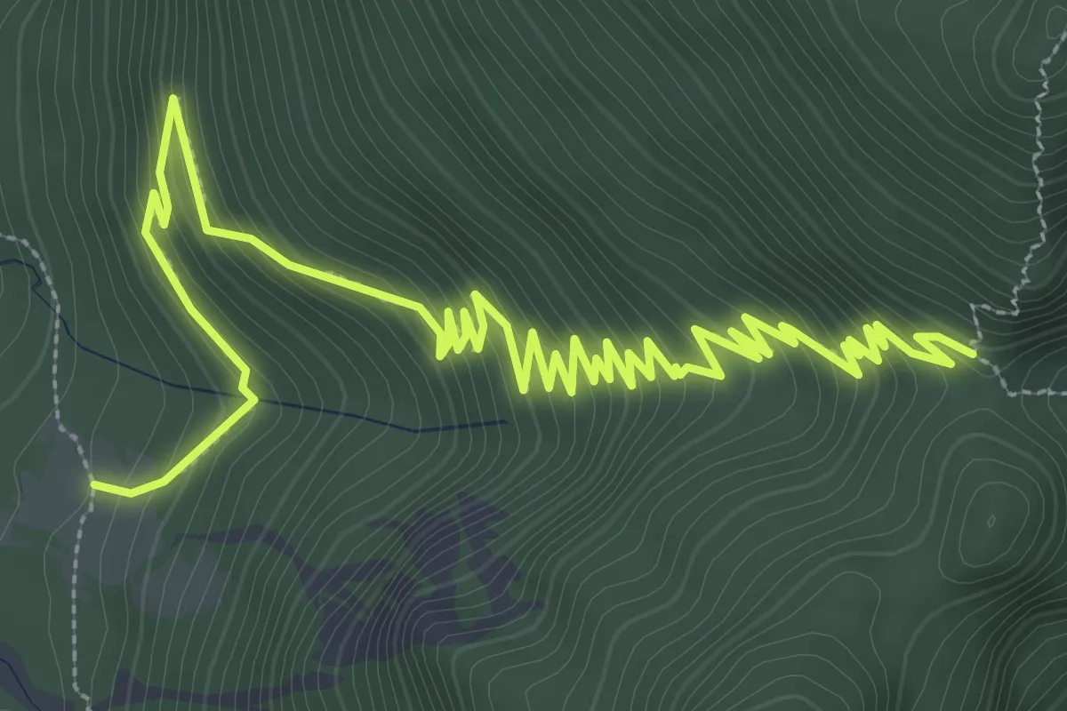
Medium · Cabin
Casera Rio Nero (quota 865 m) – Forca Tasacuzzer (quota 1231 m)
5.7 km · ↑ 437 m · 2 h 18 min
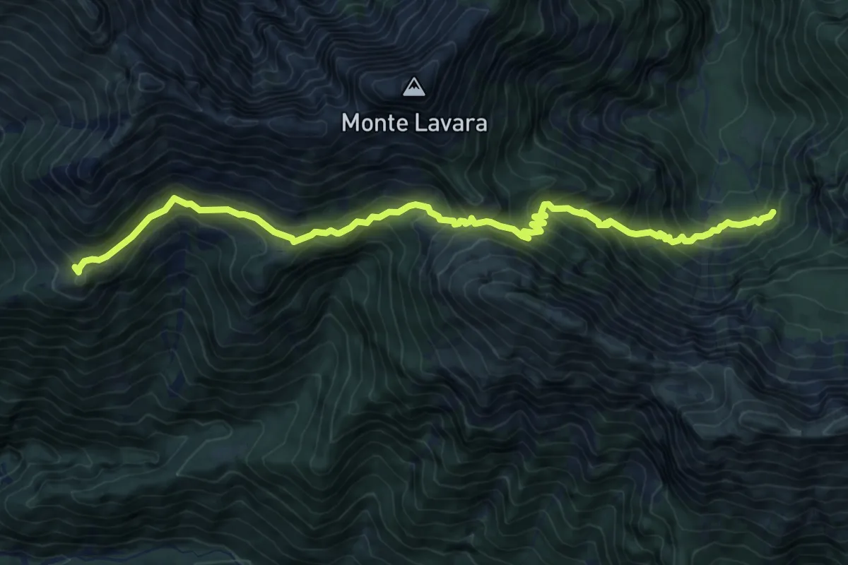
Demanding · Trail
Casera Ungarina (quota 1296 m) – Bivio sentiero n. 703 (quota 908 m)
11.2 km · ↑ 878 m · 4 h 32 min
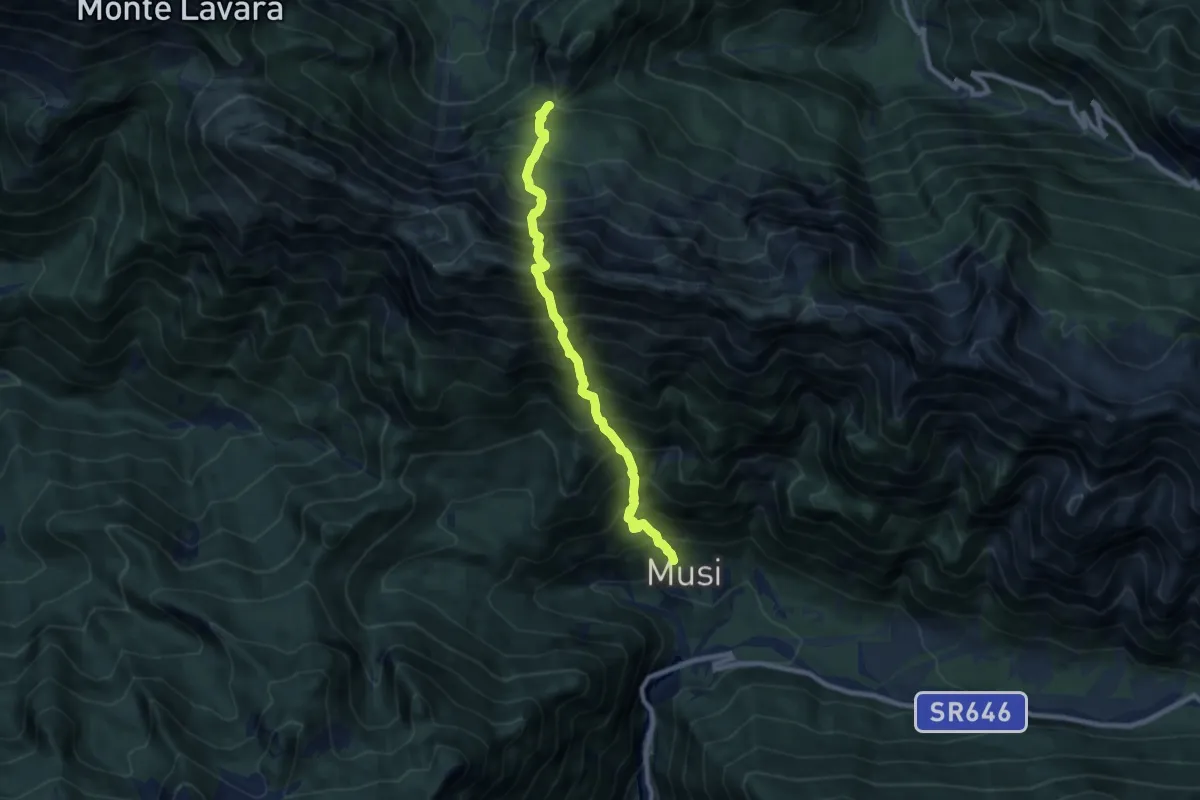
Expert · Trail
La Forchia Bivio sentiero n. 703 (quota 1192 m) – Tanataviele (quota 627 m)
8.0 km · ↑ 1580 m · 5 h 19 min
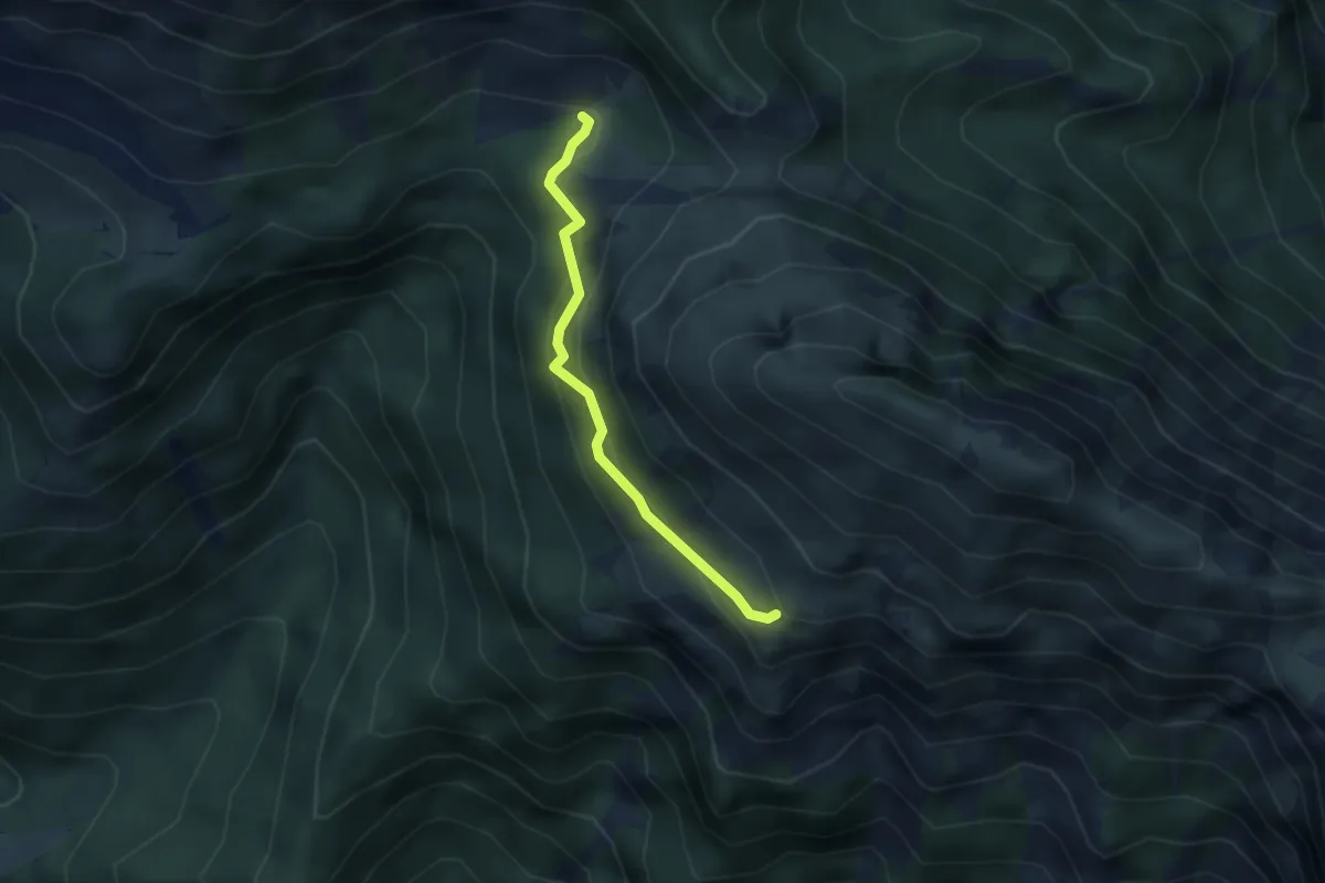
Medium · Trail
Forca Campitello – bivio sent. n. 726 (q. 1303 m) – Forca Stiliza – bivio sent. n. 740a (q. 1799 m)
2.7 km · ↑ 267 m · 1 h 14 min
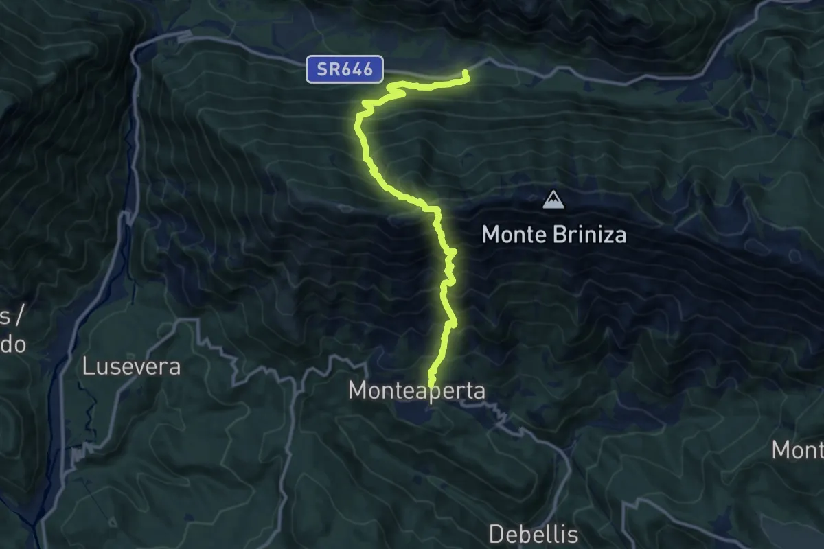
Demanding · Trail
S.R. 646 Tarcento – Uccea (quota 720 m) – Monteaperta (quota 608 m)
11.6 km · ↑ 1695 m · 6 h 24 min
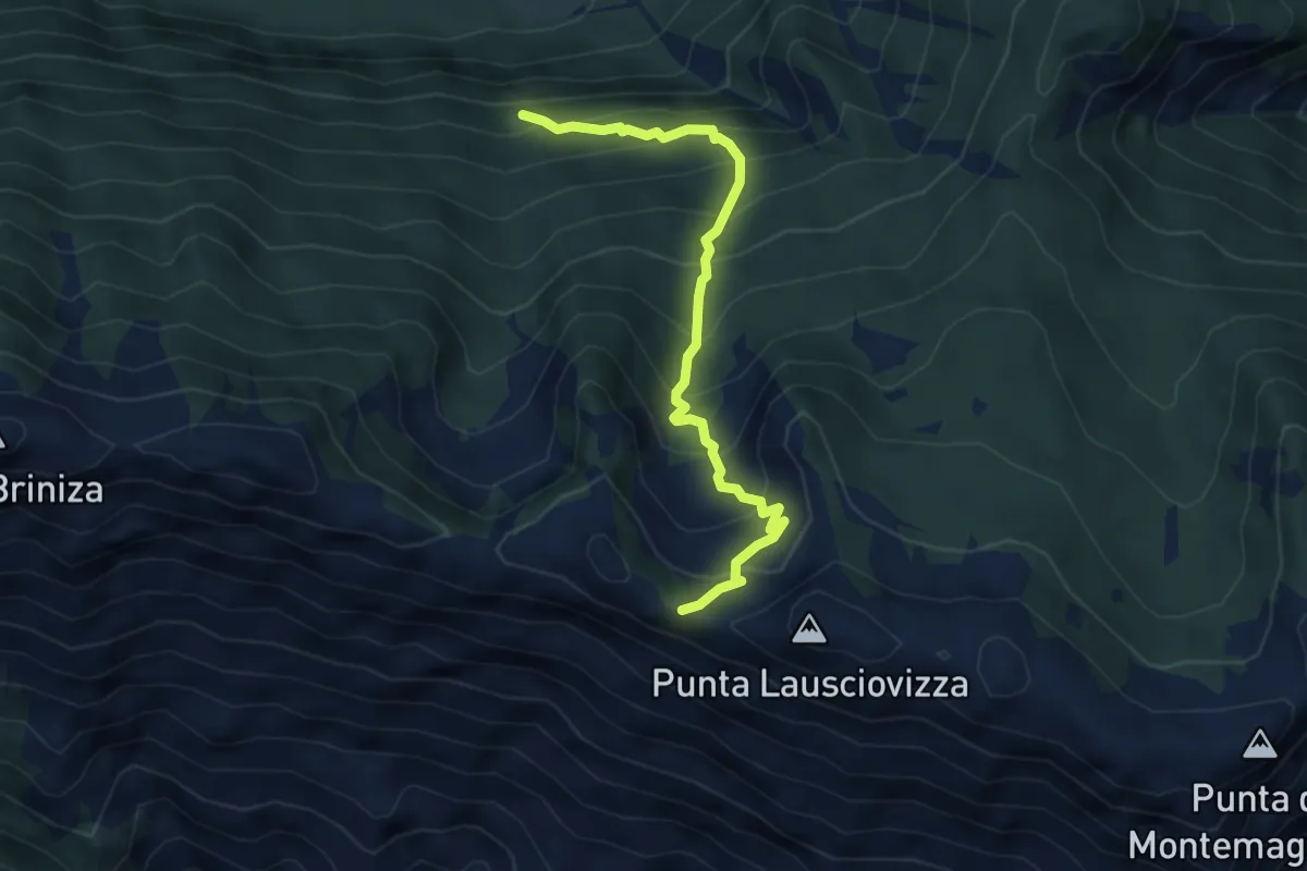
Medium · Trail
Incrocio sentiero 711 (quota 1025 m) – Ricovero Montemaggiore (quota 1468 m) Incrocio sentiero 742 (quota 1554 m)
4.6 km · ↑ 525 m · 2 h 13 min
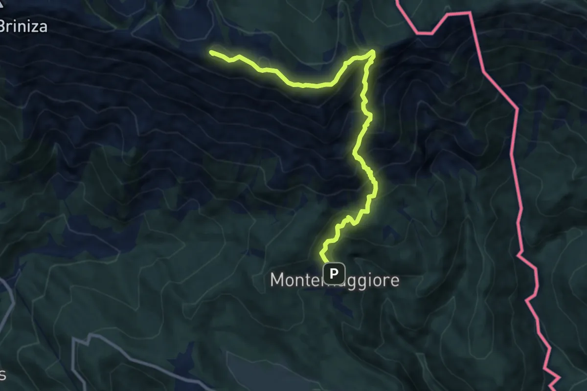
Demanding · Summit
Montemaggiore (quota 793 m) – Bivio sentiero 711 (quota 1529 m)
9.5 km · ↑ 914 m · 4 h 13 min
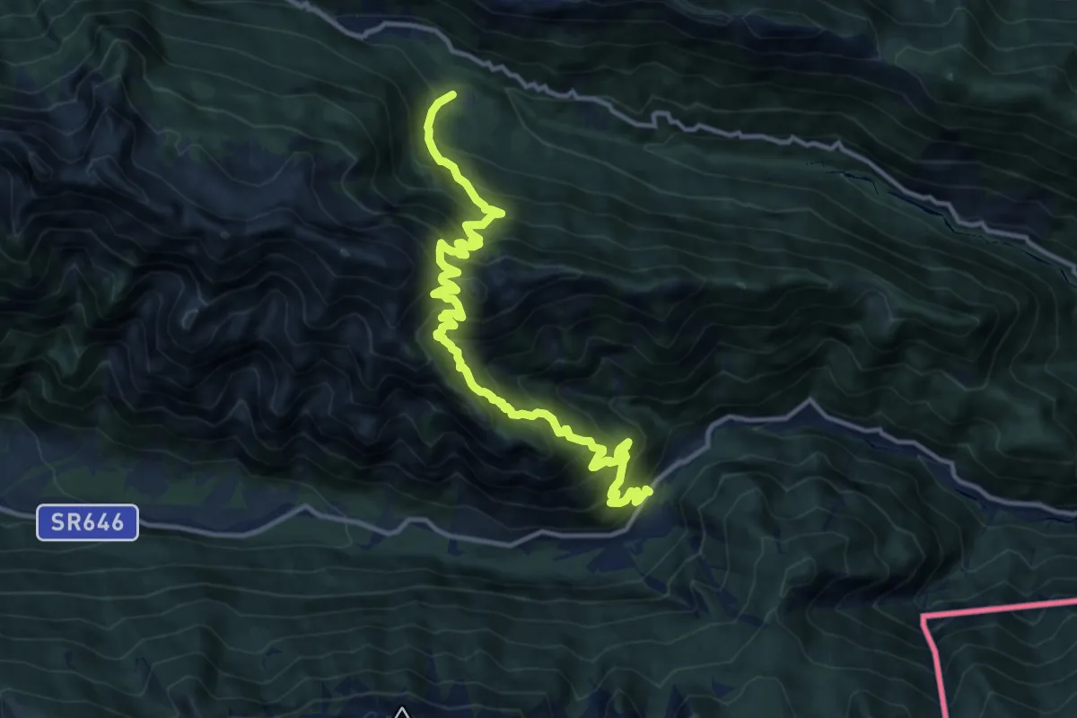
Demanding · Trail
Passo Tanamea (quota 851 m) – Sant’ Anna di Carnizza (quota 1077 m)
13.8 km · ↑ 1507 m · 6 h 31 min
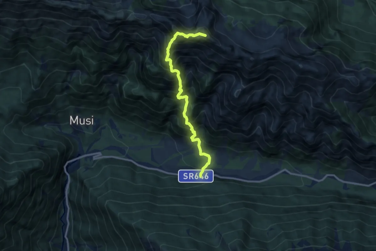
Expert · Summit
S.R. n. 646 Tarcento – Uccea (quota 691 m) – Sella Carnizza (quota 1086 m)
8.0 km · ↑ 1254 m · 4 h 36 min
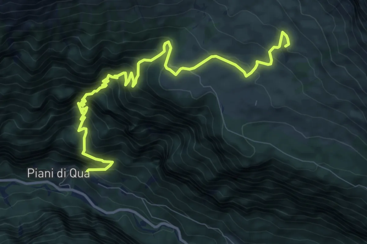
Demanding · Cabin
Piani (quota 604 m) – Rifugio G. di Brazzà (quota 1660 m)
11.6 km · ↑ 1126 m · 5 h 10 min
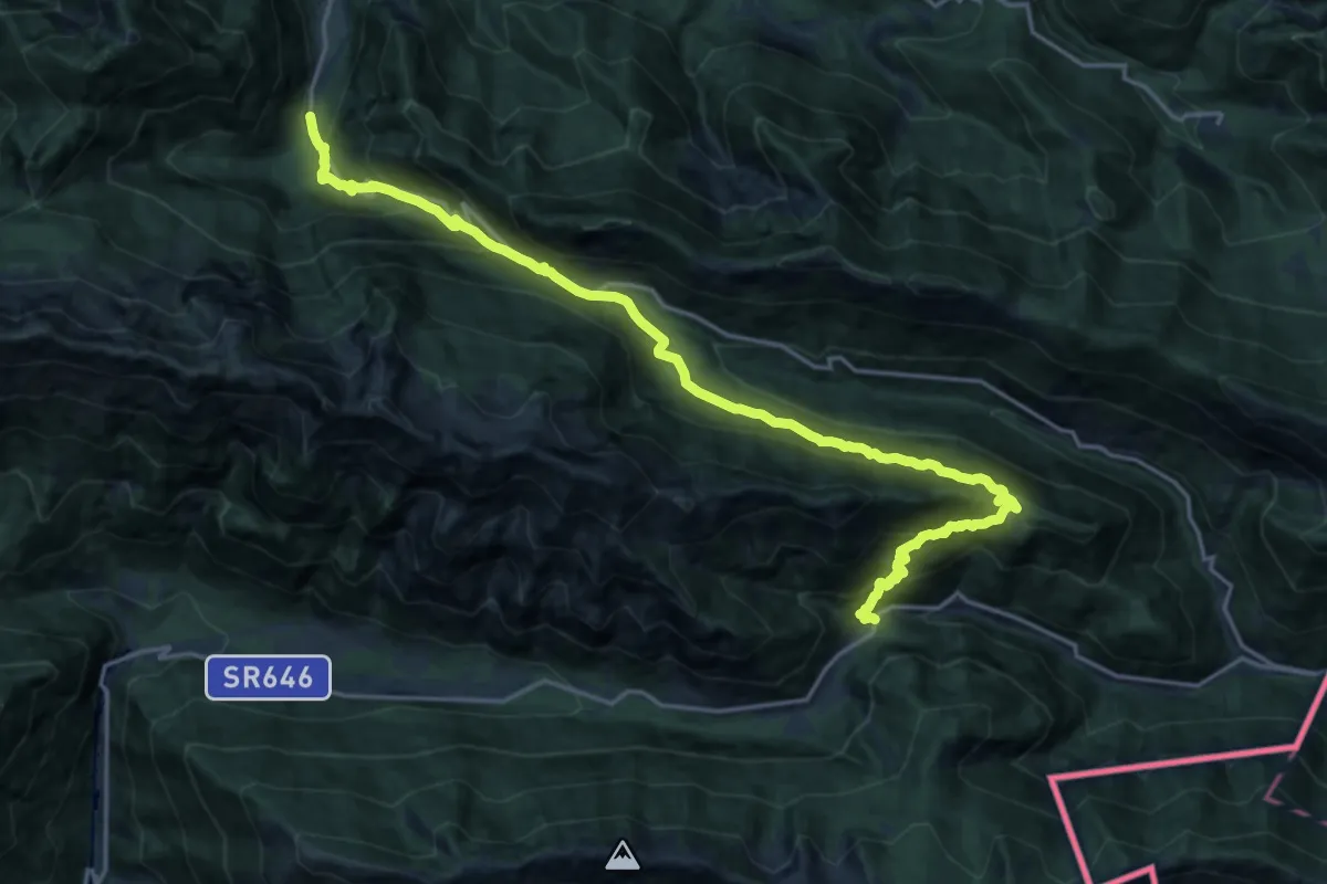
Medium · Trail
Ponte sul Rio Bianco (quota 826 m) – Parcheggio sopra Lischiazze (quota 556 m)
10.5 km · ↑ 677 m · 4 h 13 min
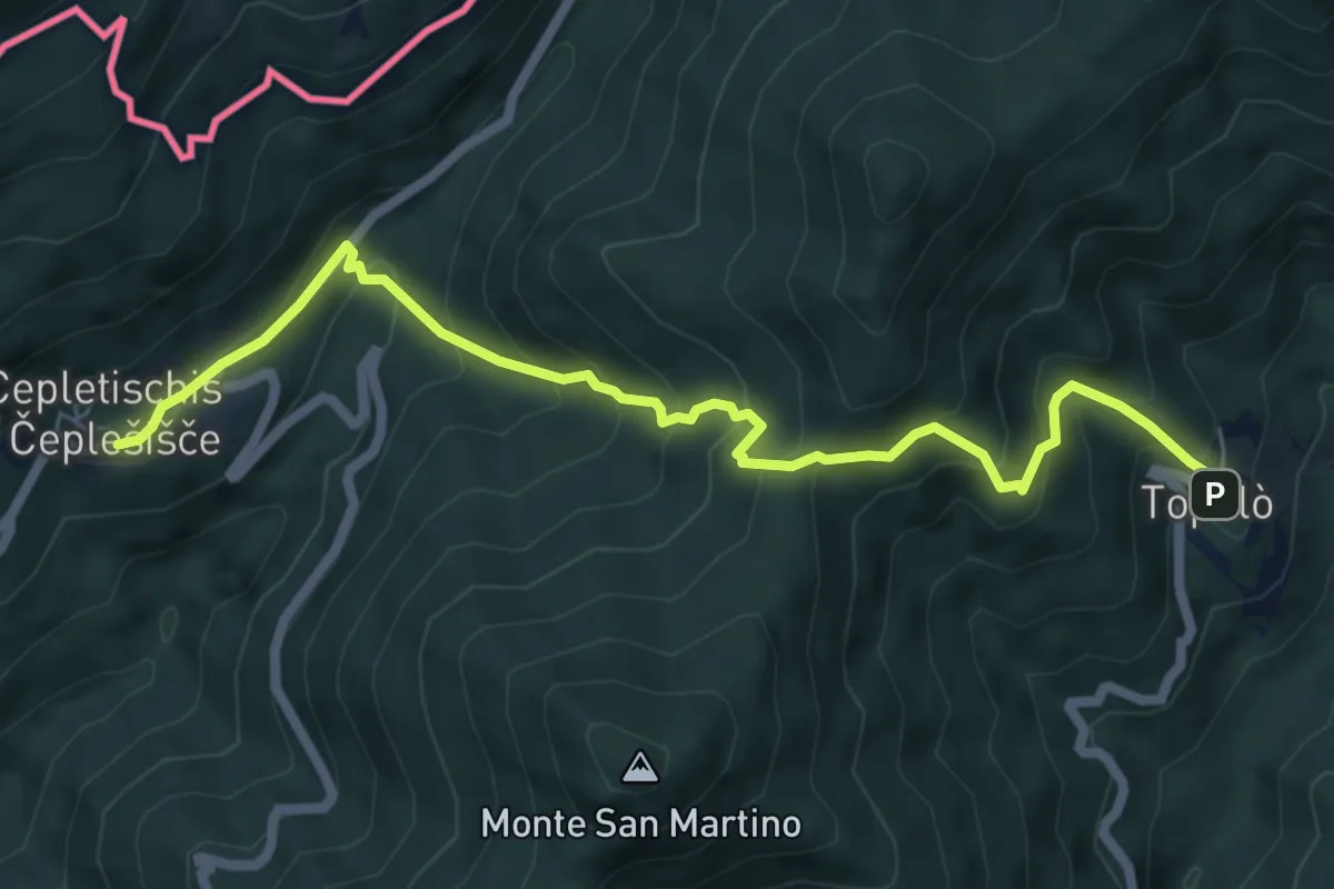
Medium · Trail
Polava (quota 590 m) – Topolò (quota 531 m)
6.9 km · ↑ 604 m · 2 h 56 min
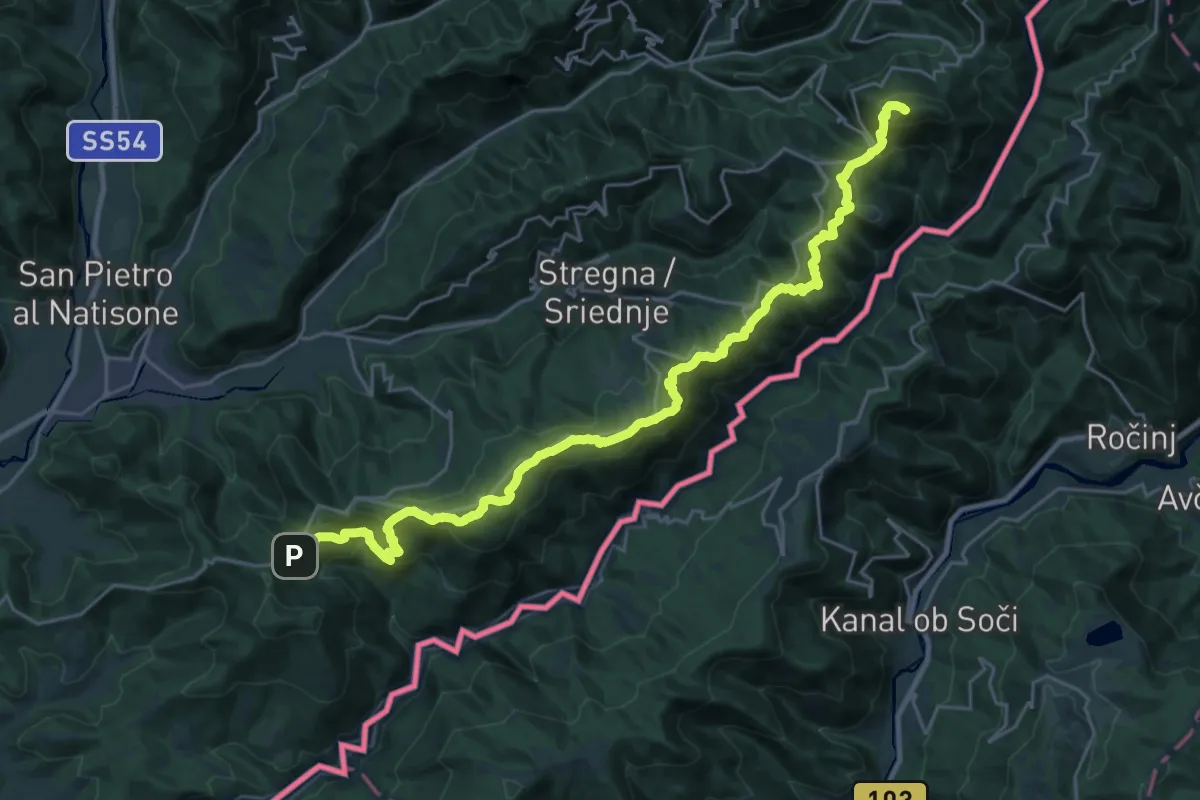
Demanding · Summit
Clabuzzaro – Castelmonte
29.6 km · ↑ 1411 m · 10 h 3 min
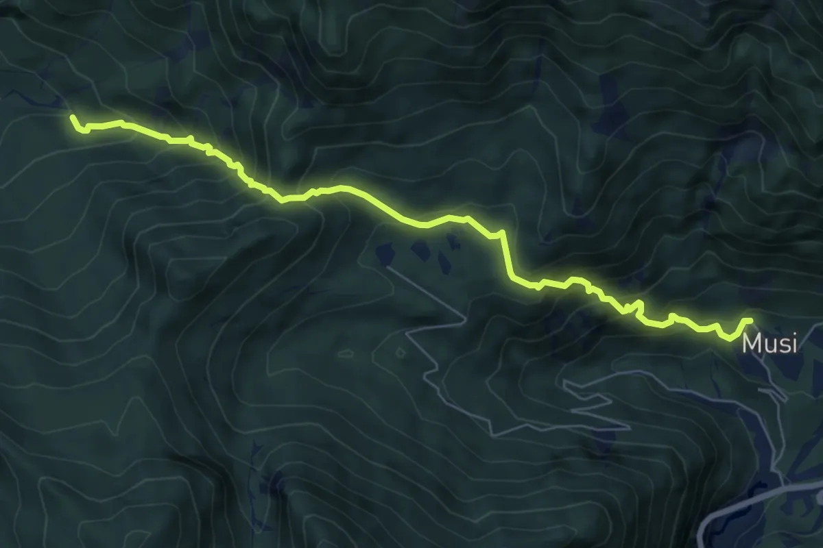
Medium · Trail
Tanataviele (quota 627 m) – Strada forestale Val Venzonassa (quota 717 m)
7.2 km · ↑ 730 m · 3 h 17 min
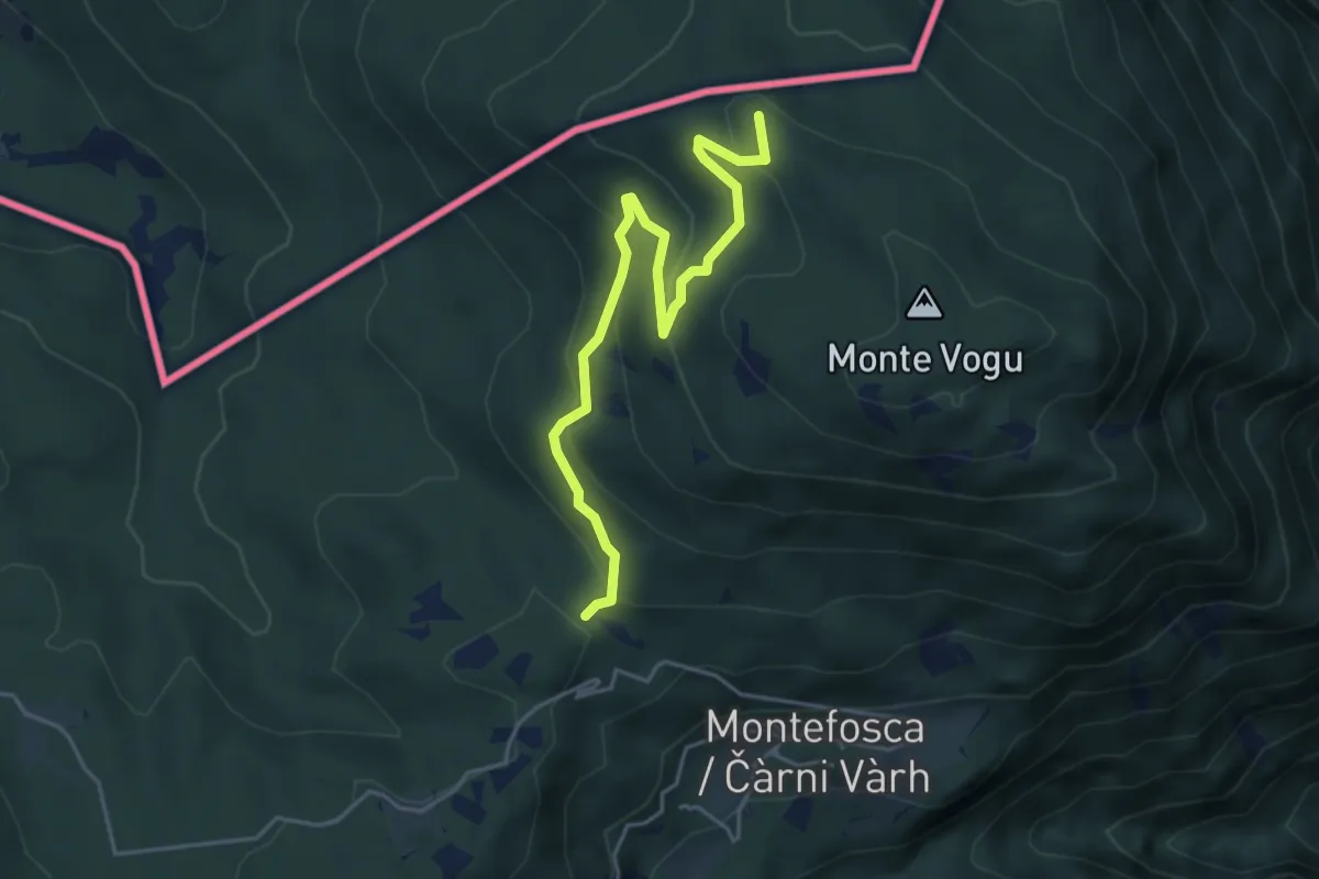
Easy · Summit
Stupizza (quota 203 m) – Monte Vogu (quota 1124 m)
4.7 km · ↑ 237 m · 1 h 38 min
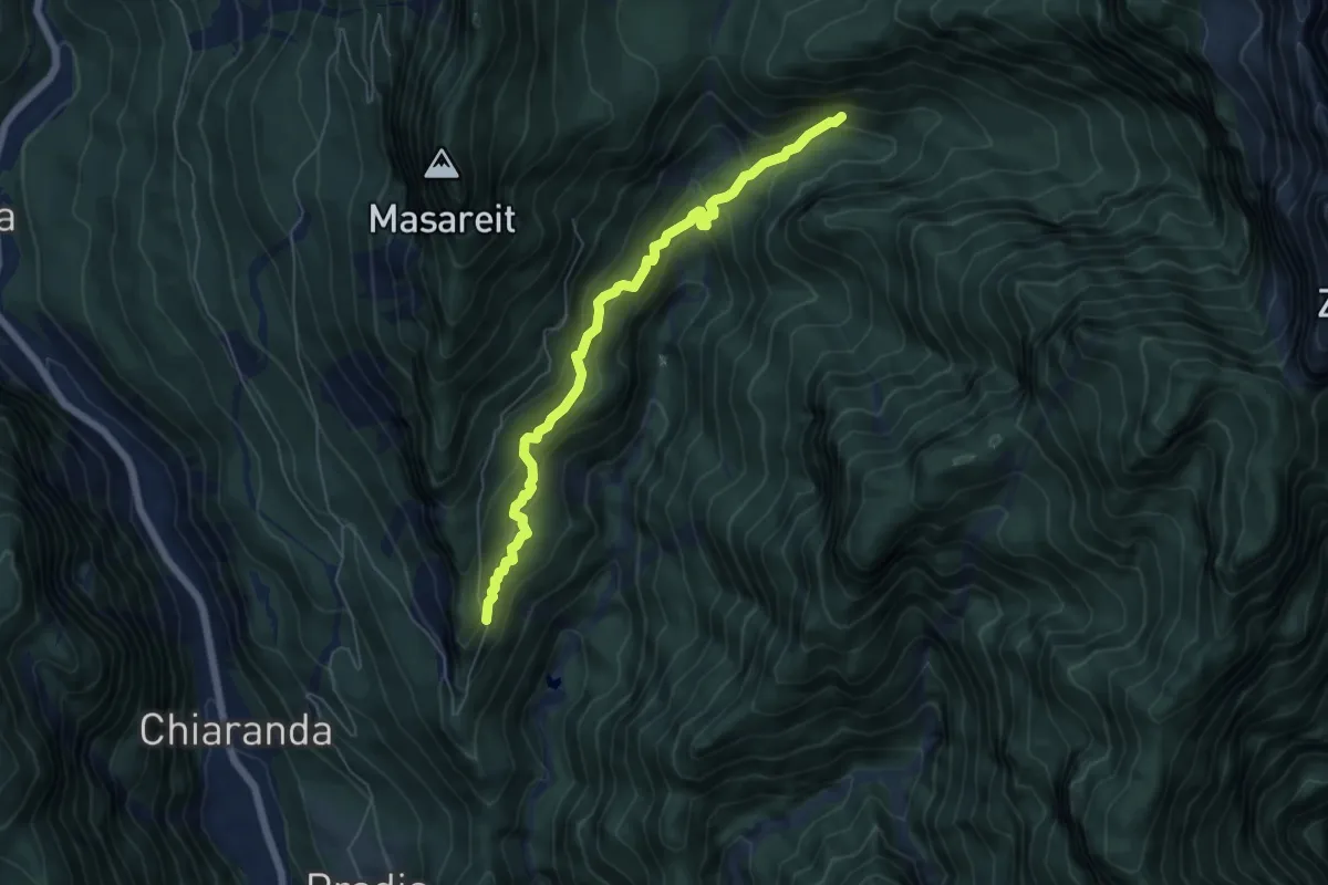
Demanding · Trail
Strada Riulade (quota 830 m) – bivio CAI 450 (quota 1000 m)
5.8 km · ↑ 423 m · 2 h 18 min
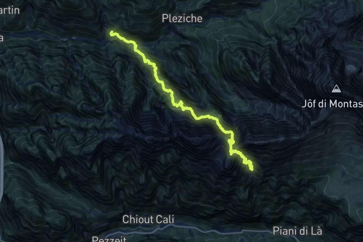
Expert · Trail
Dogna (3km) – Bivio sentiero n. 621
8.0 km · ↑ 2019 m · 5 h 54 min
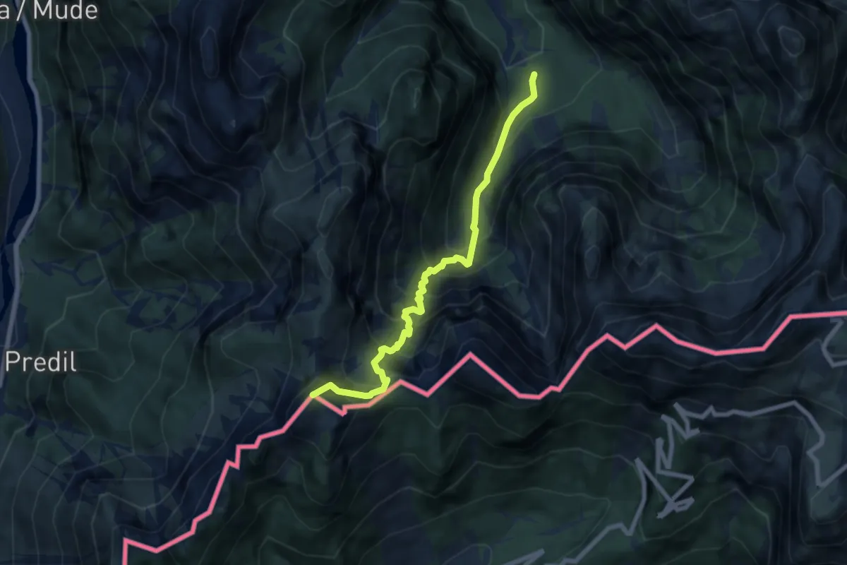
Demanding · Summit
Val Romana (quota 854 m) – Cave del Predil (quota 900 m)
6.6 km · ↑ 903 m · 3 h 31 min
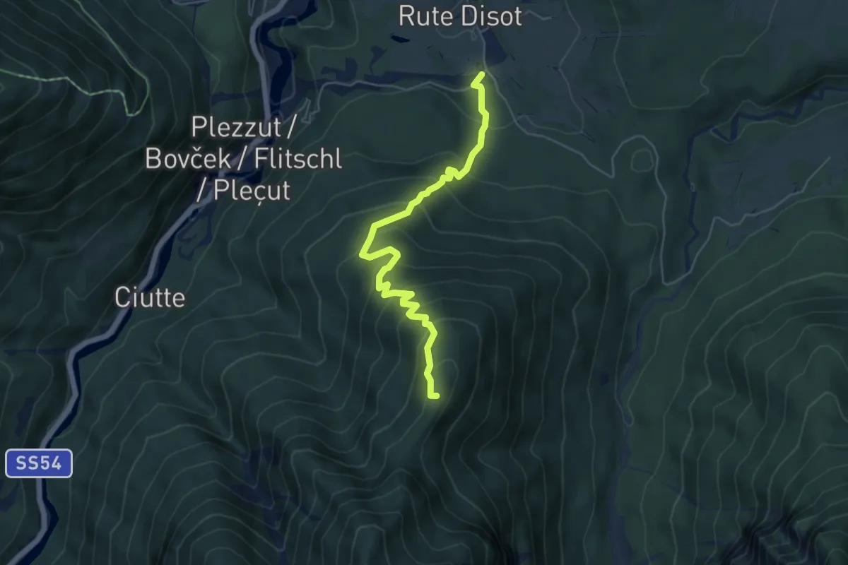
Medium · Summit
Rutte Piccolo (quota 820 m) – Val Romana (quota 915 m)
5.3 km · ↑ 490 m · 2 h 18 min
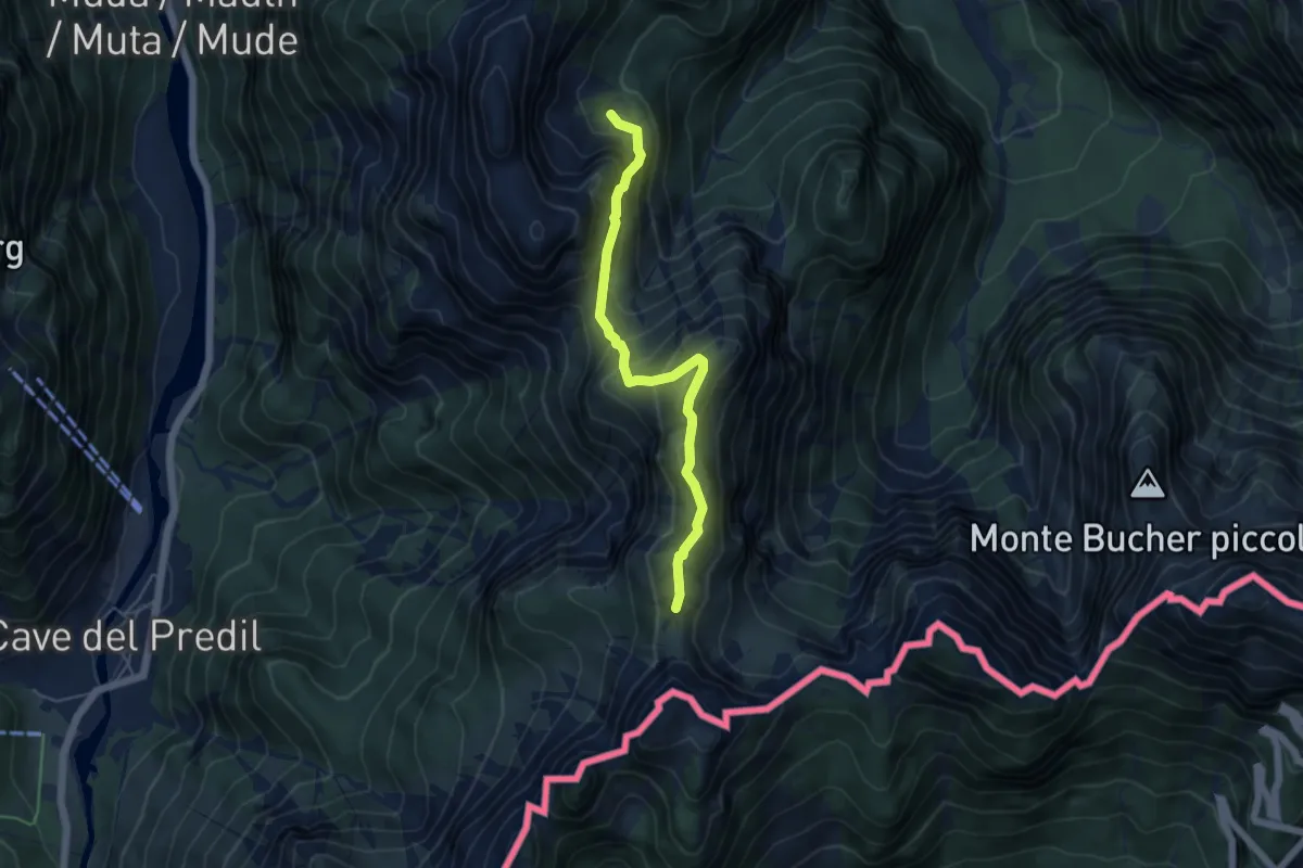
Medium · Trail
Val Romana (quota 918 m) – La Portella Bivio sentiero n. 511 (quota 1798 m)
4.9 km · ↑ 441 m · 2 h 6 min
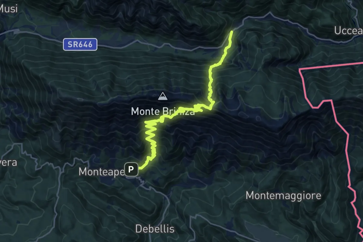
Demanding · Trail
Monteaperta (quota 608 m) – Passo Tanamea (quota 851 m)
9.7 km · ↑ 994 m · 4 h 27 min
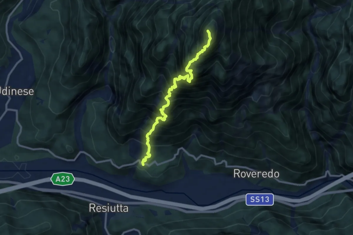
Demanding · Summit
Frazione Ovedasso, Moggio Udinese (quota 425 m) – Bivio Sentiero n. 450 (quota 1520 m)
7.3 km · ↑ 1669 m · 5 h 21 min
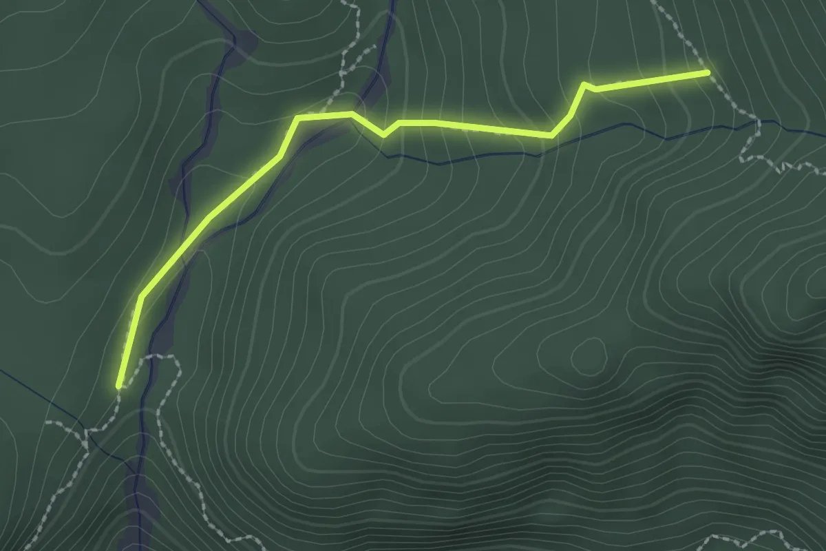
Medium · Trail
Parcheggio strada Val Alba (quota 1050 m) – Bivio sentiero n. 428 (quota 1250 m)
2.2 km · ↑ 152 m · 51 min
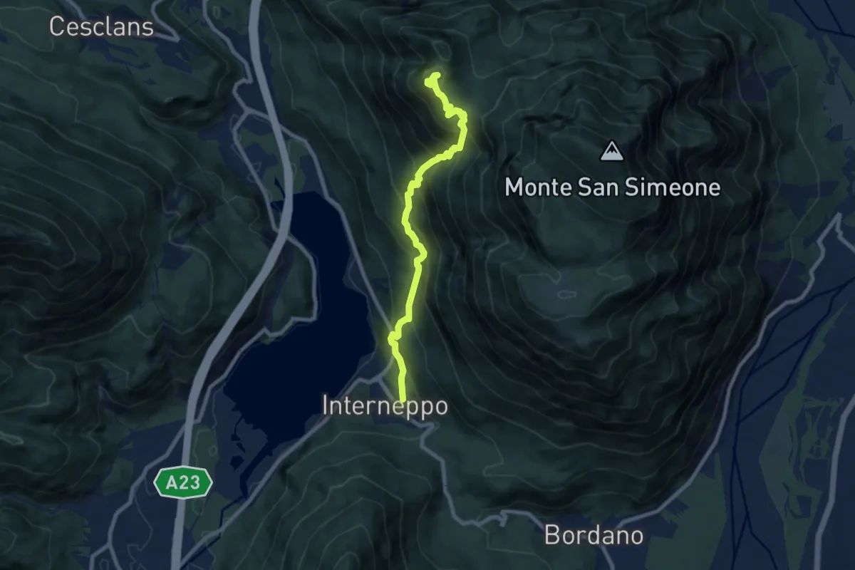
Demanding · Trail
Interneppo (q. 257 m) – Monte San Simeone (q. 1505 m)
7.7 km · ↑ 909 m · 3 h 48 min