Trails in Italy
25,219 hiking trails, each with its route, climb, walking time and grade.
All trails, page 517 of 526
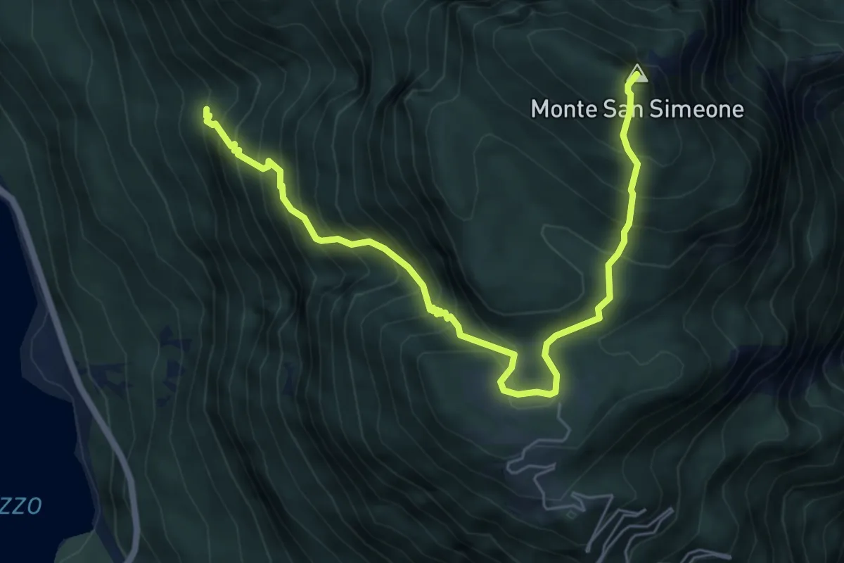
Demanding · Summit
Bivio sentiero n. 838 (q. 643 m) – Monte San Simeone (q. 1505 m)
6.8 km · ↑ 852 m · 3 h 28 min
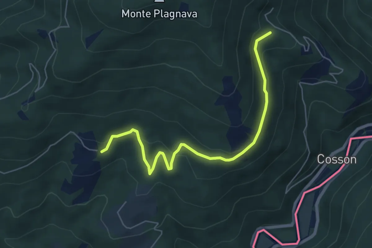
Easy · Trail
Castelmonte – Albana
5.5 km · ↑ 236 m · 1 h 49 min
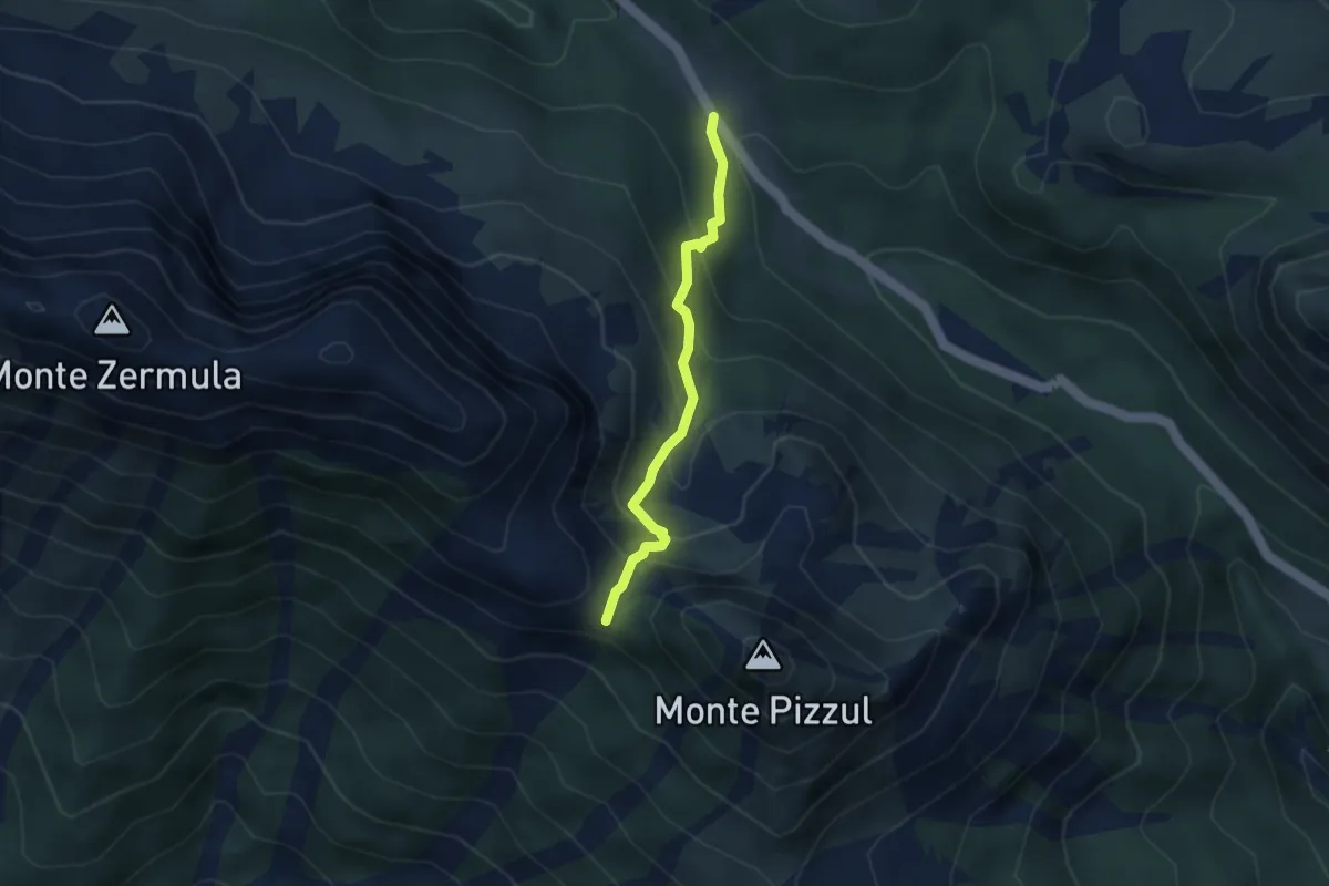
Medium · Cabin
Casera Lanza (quota 1552 m) – Forca di Lanza (quota 1831 m)
3.0 km · ↑ 313 m · 1 h 23 min
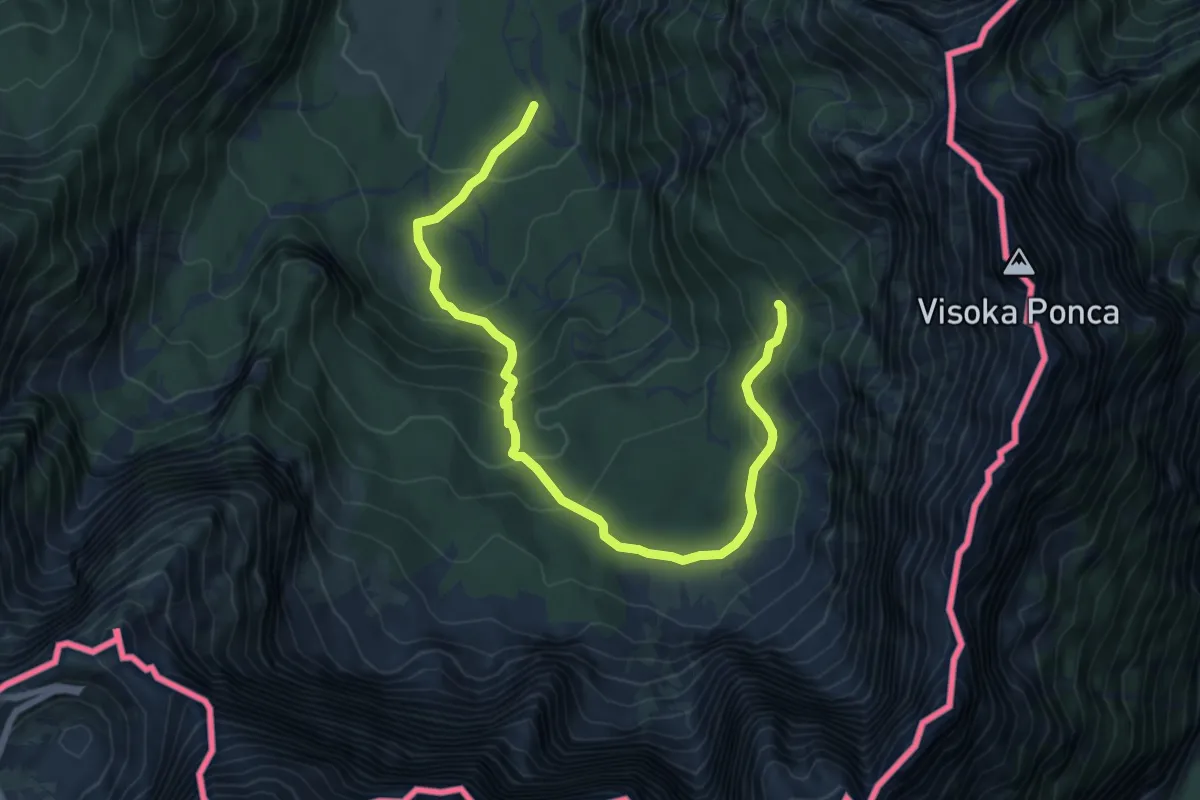
Demanding · Cabin
Lago superiore di Fusine (quota 941 m) – Rifugio Zacchi (quota 1380 m)
8.3 km · ↑ 427 m · 2 h 54 min
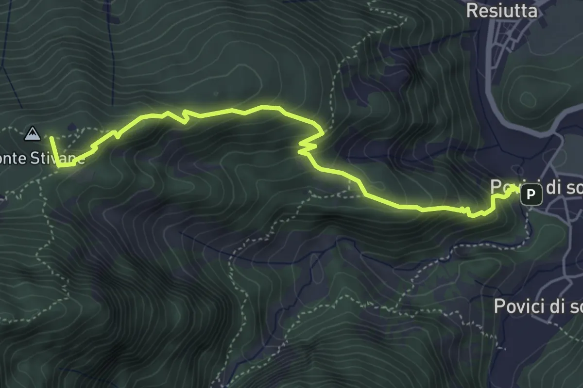
Medium · Summit
Borgo Povici di Sotto (quota 323 m) – Bivio 701 (quota 610 m)
5.3 km · ↑ 472 m · 2 h 16 min
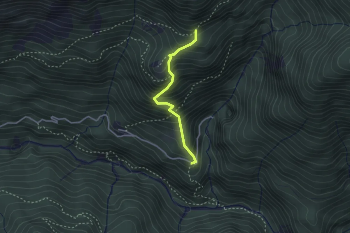
Medium · Trail
Borgo Costa (quota 534 m) – Bivio sentiero n. 705 (quota 885 m)
2.3 km · ↑ 384 m · 1 h 23 min
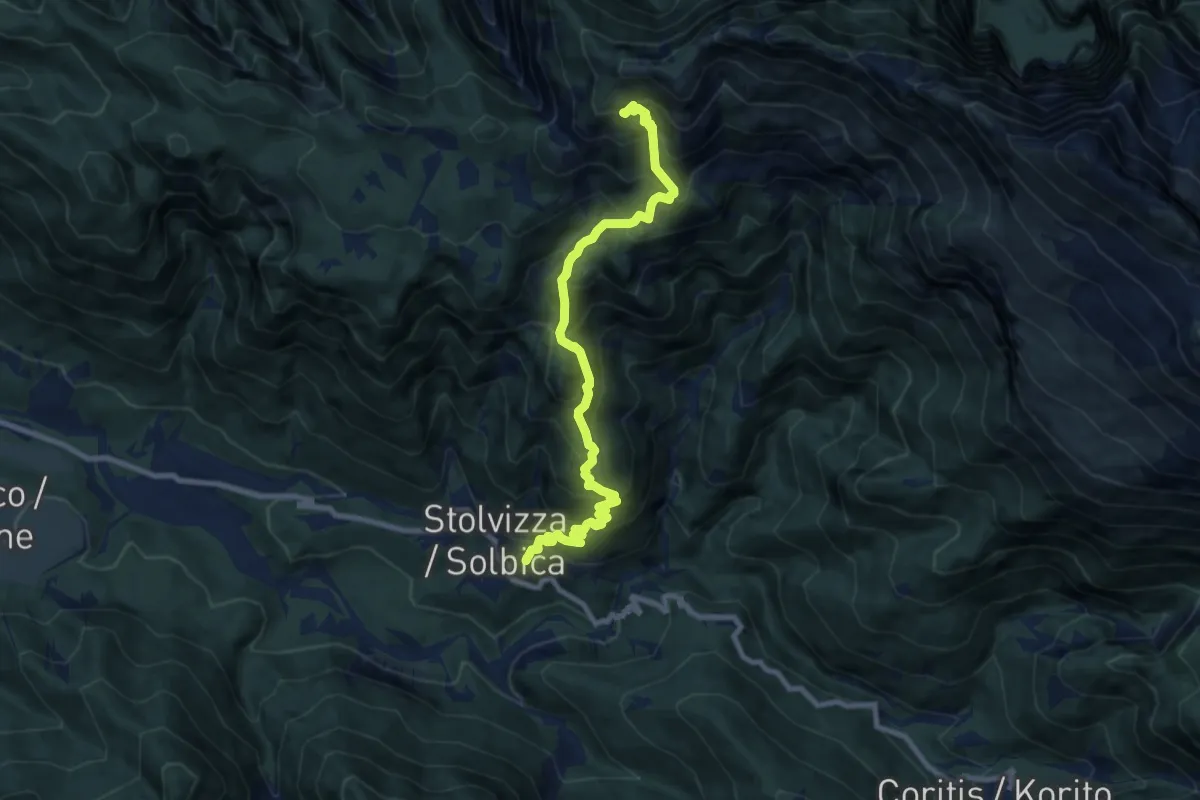
Demanding · Trail
Ladina – Val Resia (quota 578 m) – Bivio sentiero n. 632 (quota 1491 m)
9.4 km · ↑ 957 m · 4 h 18 min
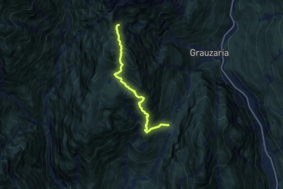
Demanding · Trail
Val di Monticello Borgo di Mezzo (quota 832 m) – Bivio sentiero n. 444 (quota 1350 m)
7.0 km · ↑ 947 m · 3 h 43 min
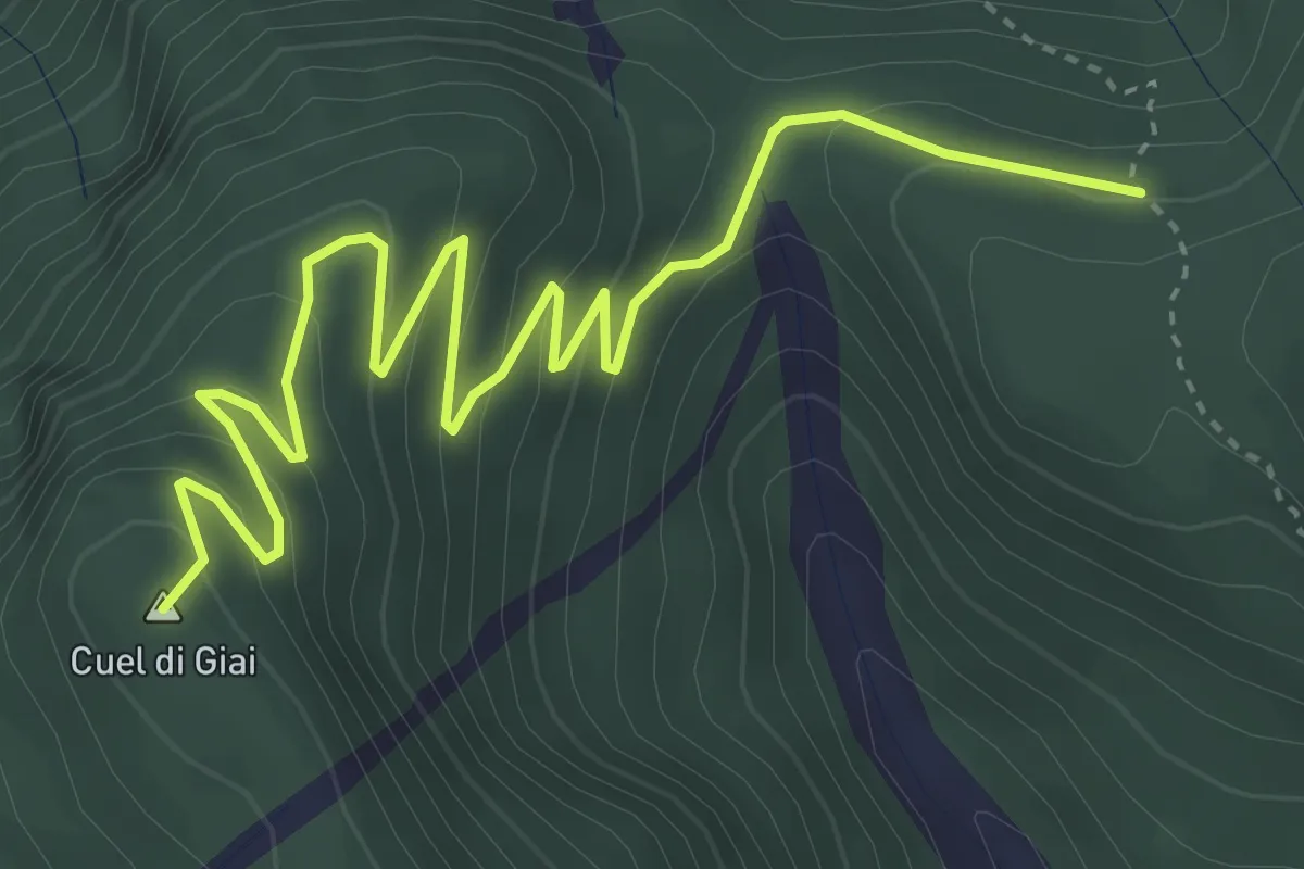
Medium · Summit
Sella Dagna/Bivio sentiero n. 417 (quota 980 m) – Ricovero Cimenti-Floreanini/Bivio sentiero n. 443 (quota 1070 m)
5.1 km · ↑ 332 m · 1 h 55 min
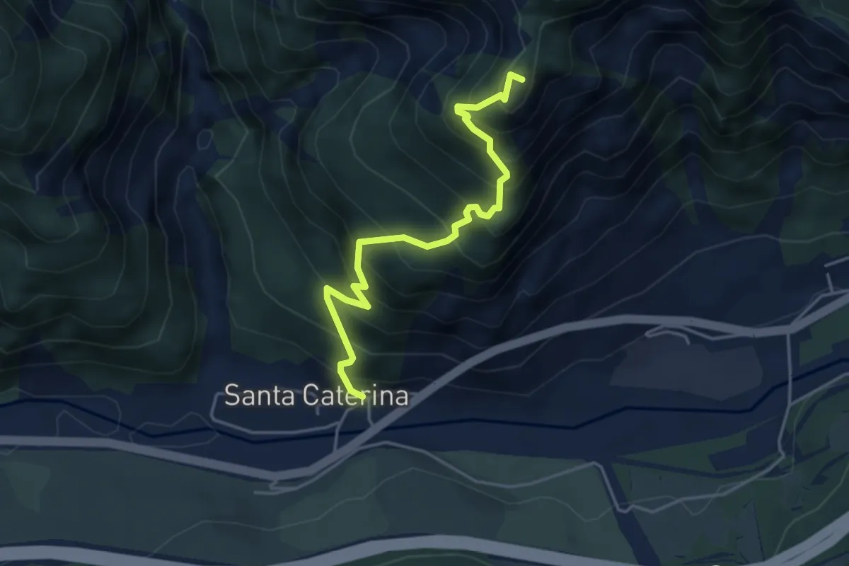
Expert · Summit
Località Cucco di Malborghetto (quota 700 m) – Sella Clinach (quota 1441 m)
4.2 km · ↑ 623 m · 2 h 21 min
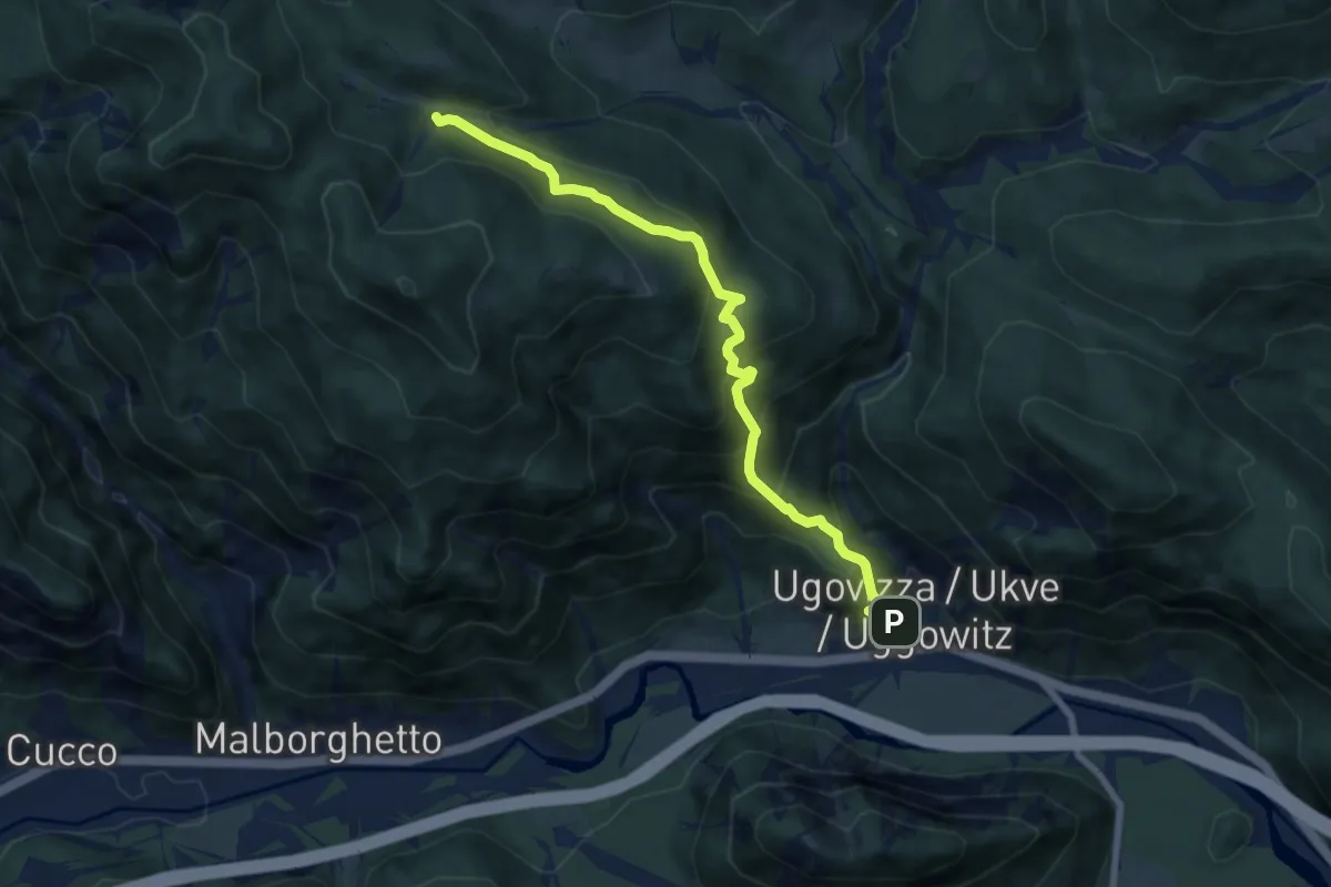
Demanding · Trail
Ugovizza (quota 770 m) – Bivio sentiero n.504 (quota 1285 m)
7.6 km · ↑ 694 m · 3 h 18 min
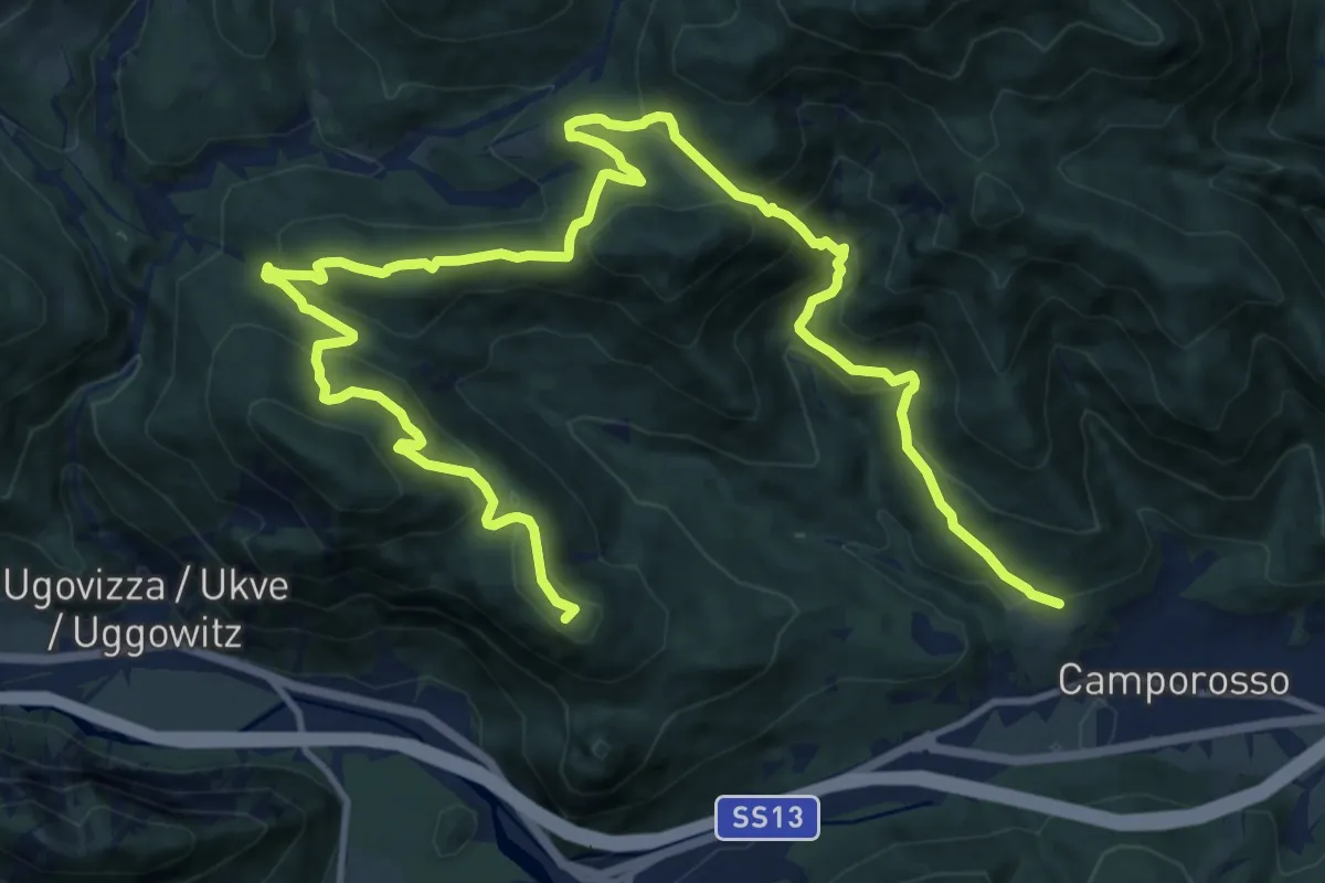
Demanding · Summit
Camporosso, Bivio sentiero n. 508 (quota 905 m) – Camporosso Località Spartiacque (quota 816 m)
18.8 km · ↑ 941 m · 6 h 29 min
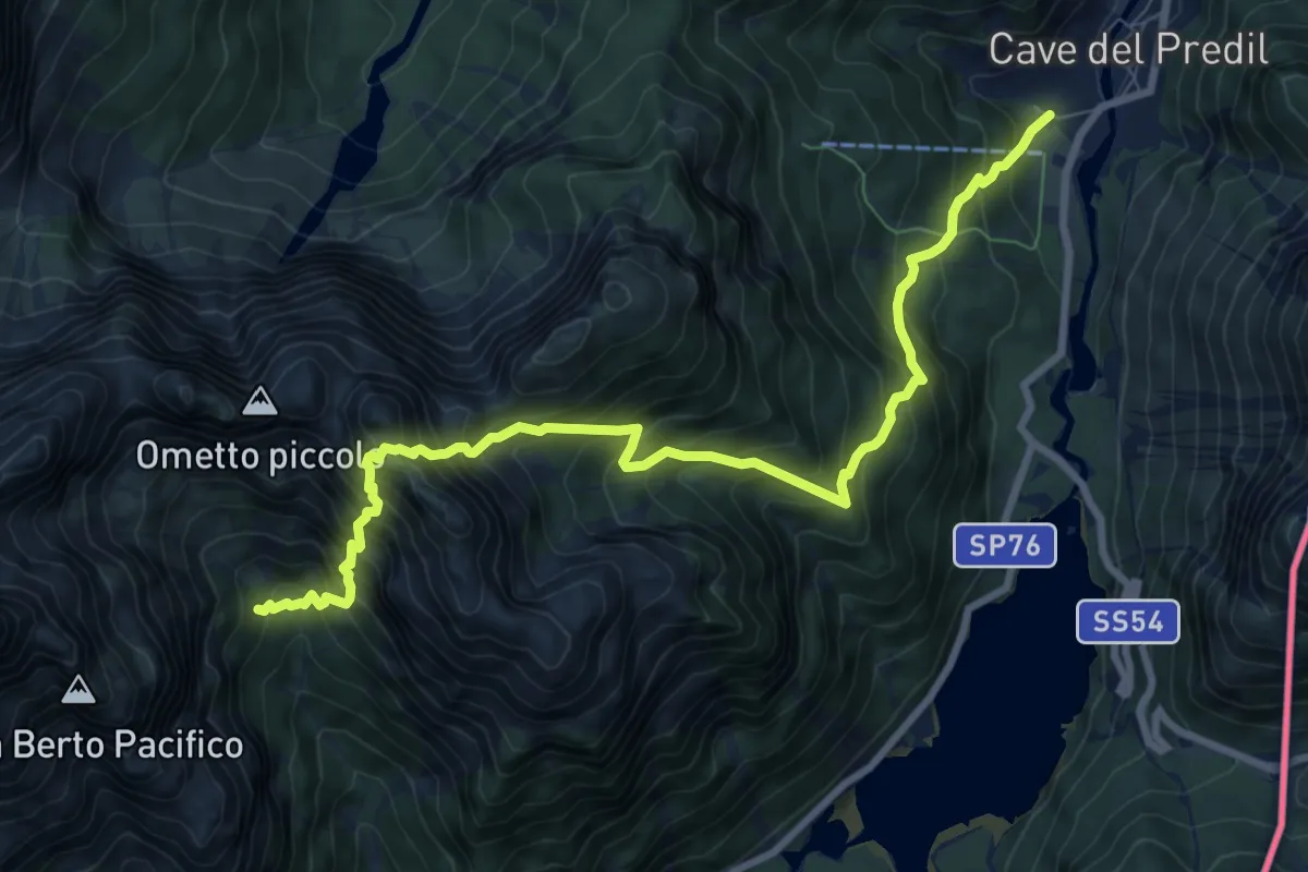
Expert · Cabin
Cave del Predil (quota 900 m) – Rifugio Brunner (quota 1432 m)
9.8 km · ↑ 1552 m · 5 h 41 min
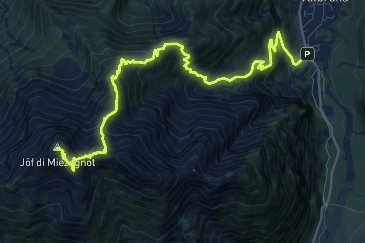
Demanding · Summit
Valbruna (quota 821 m) – Jôf di Miezegnot (quota 2087 m)
12.5 km · ↑ 1291 m · 5 h 45 min
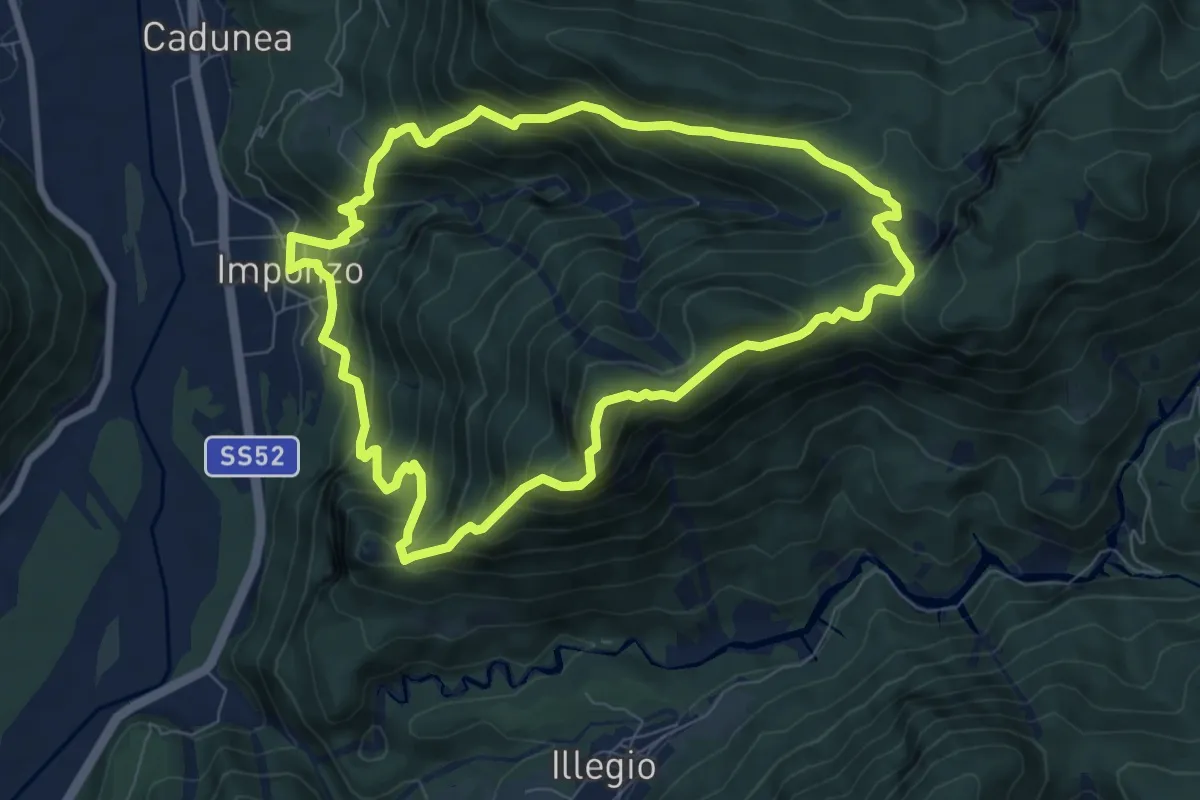
Medium · Summit
Imponzo (quota 404 m) – Imponzo (quota 404 m)
7.6 km · ↑ 693 m · 3 h 25 min
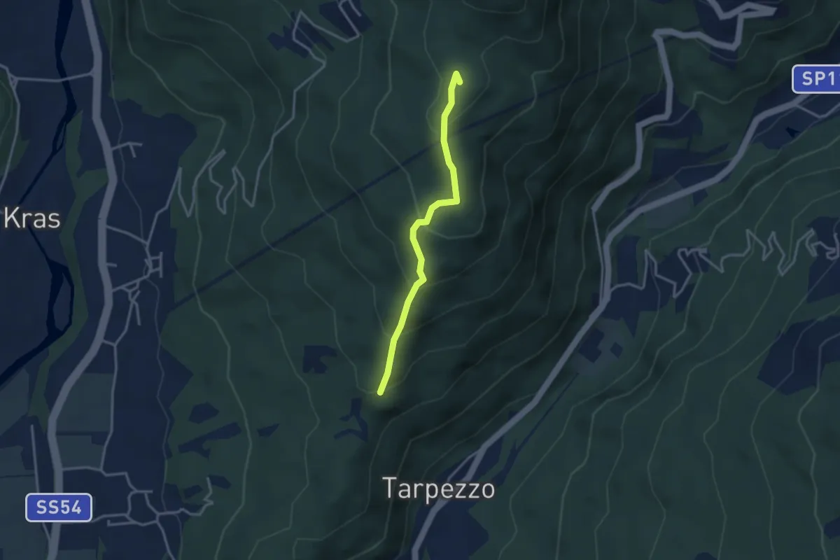
Medium · Summit
Località Makota (quota 360 m) – Passo S. Canziano (quota 658 m)
3.0 km · ↑ 208 m · 1 h 9 min
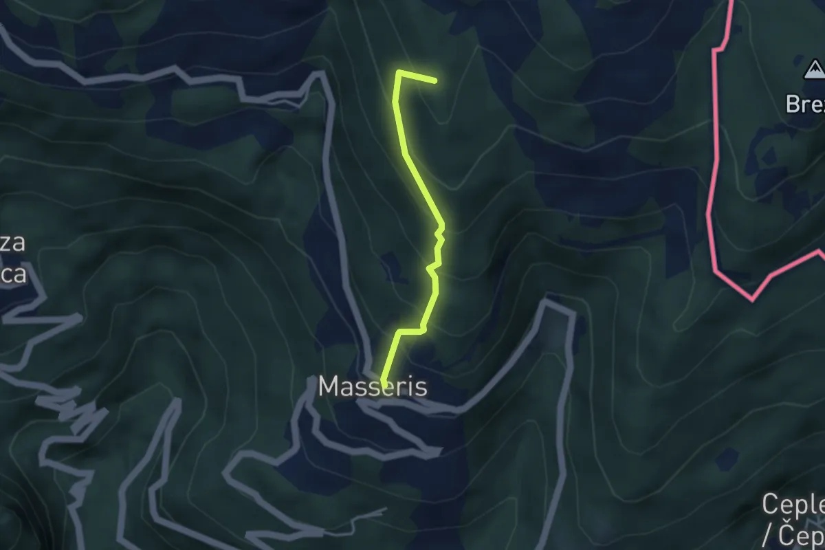
Medium · Summit
Masseris (quota 760 m) / Mašera – Bivio sentiero 736 (quota 1100 m)
2.7 km · ↑ 288 m · 1 h 16 min
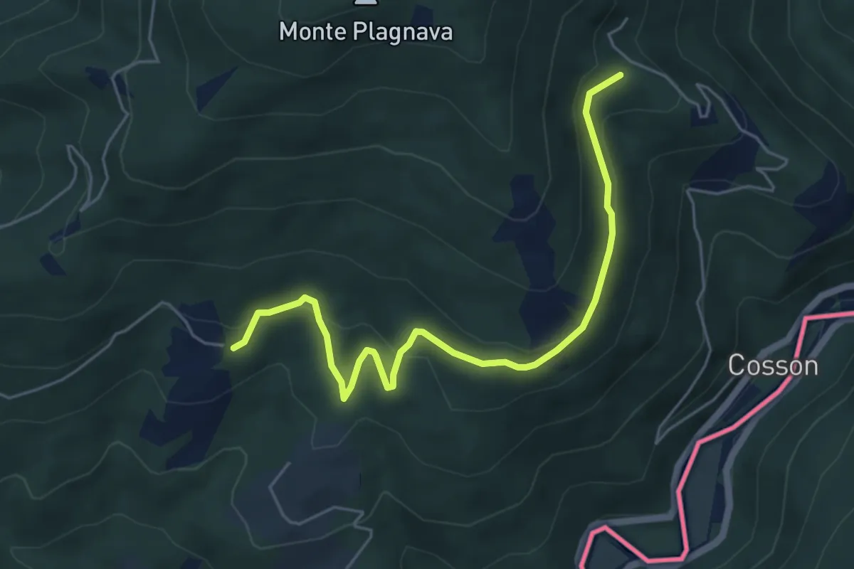
Easy · Trail
Castelmonte – Albana / Ibána
5.5 km · ↑ 236 m · 1 h 49 min
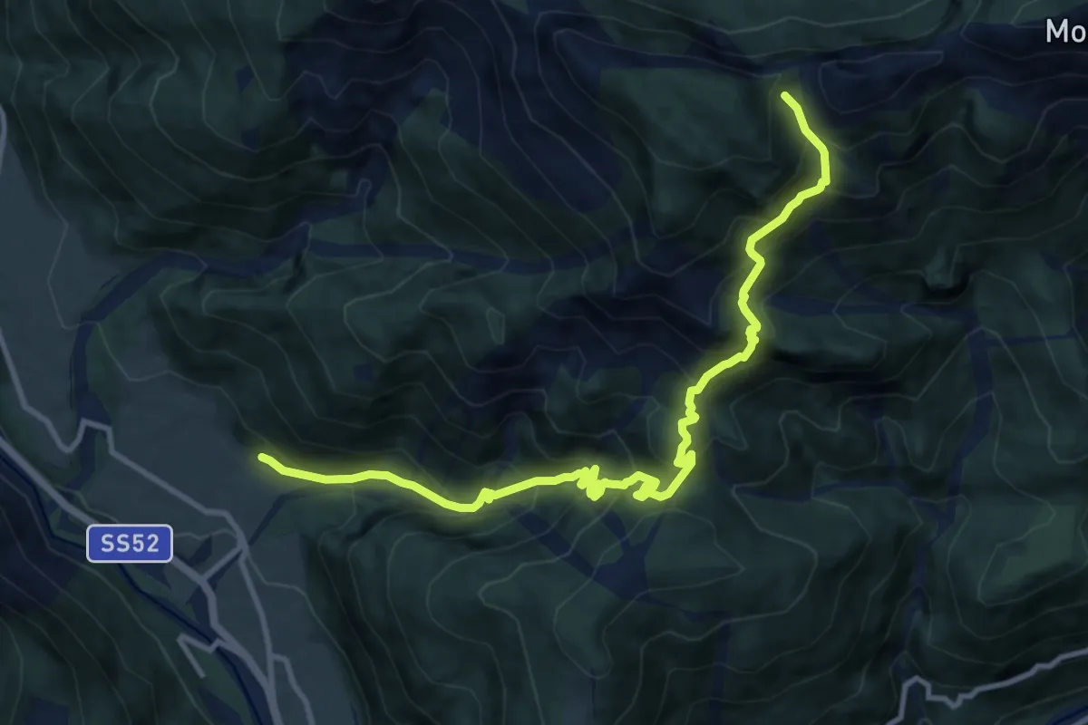
Demanding · Trail
Piano Arta (quota 560 m) – Casera Val Medan Alta (quota 1566 m)
12.0 km · ↑ 1259 m · 5 h 34 min
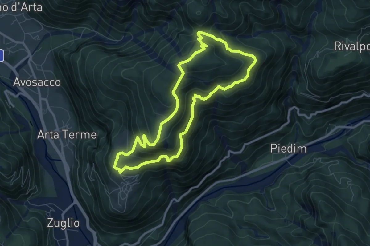
Medium · Trail
Cabia (quota 804 m) – Cabia (quota 804 m)
7.1 km · ↑ 487 m · 2 h 50 min
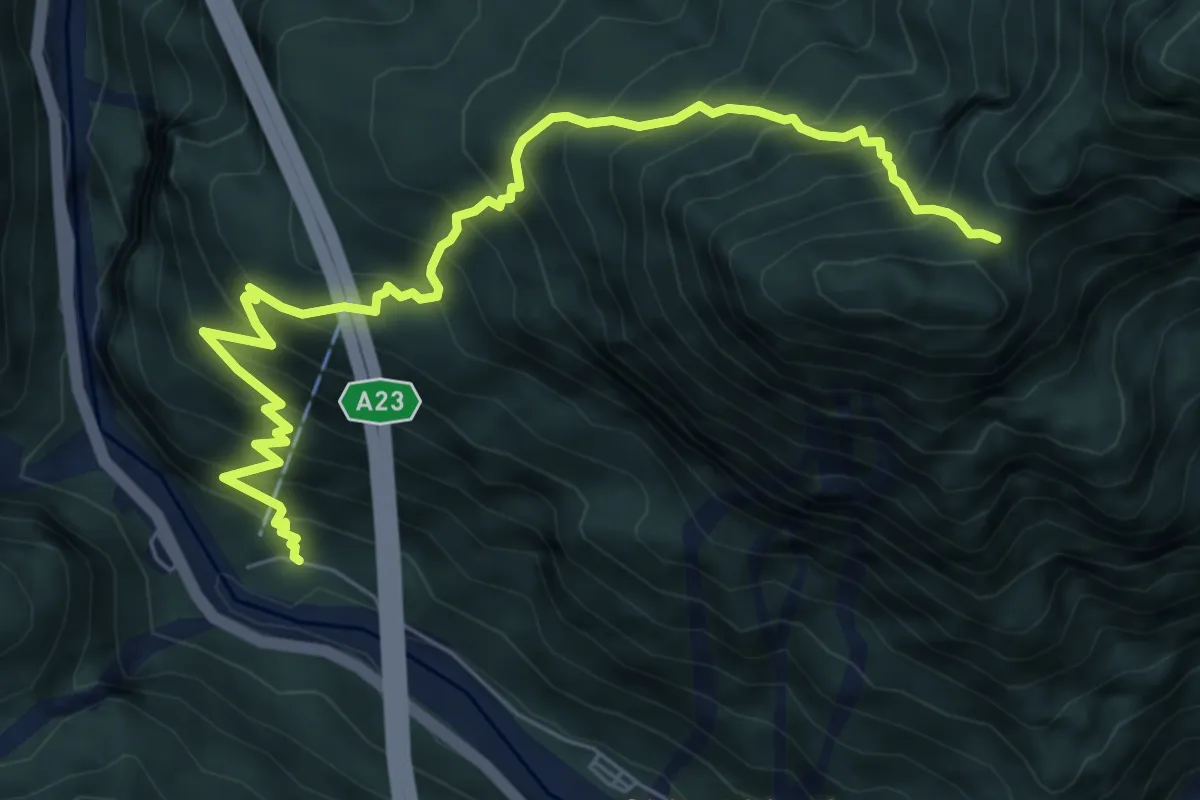
Demanding · Trail
Prerit di Sopra (Dogna) – Forcella Mincigos – Bivio Sent. 602
7.7 km · ↑ 1035 m · 4 h 3 min
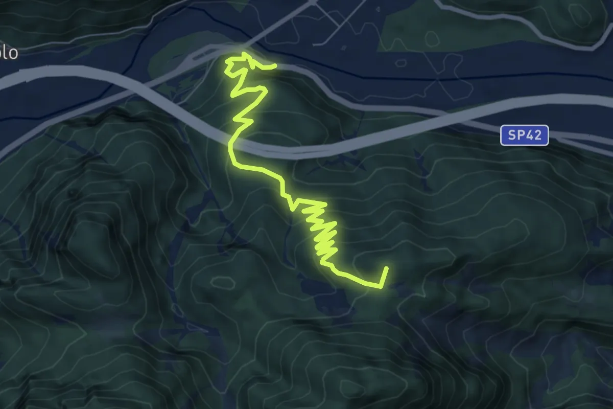
Medium · Summit
Moggio Udinese (quota 306 m) – Stalli Stivane (quota 747 m)
8.3 km · ↑ 589 m · 3 h 14 min
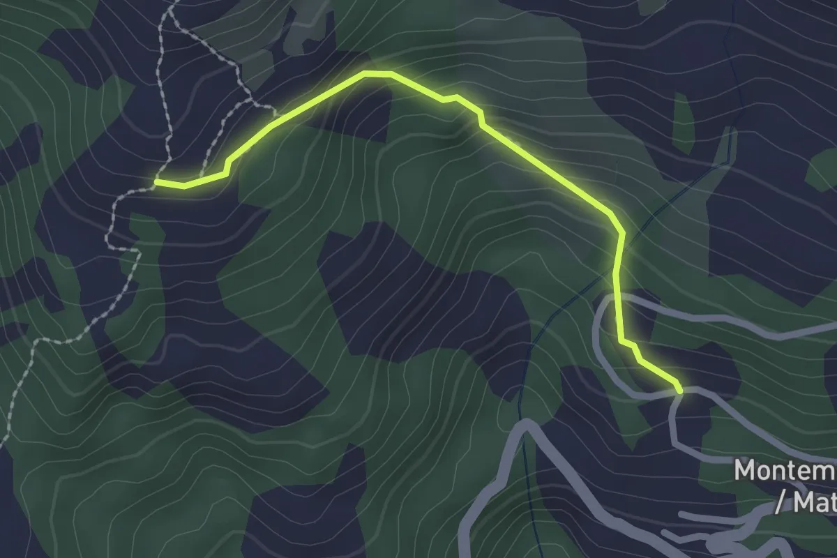
Easy · Trail
Montemaggiore (quota 955 m) – Malga Gosgnach (quota 1200 m)
2.0 km · ↑ 173 m · 51 min
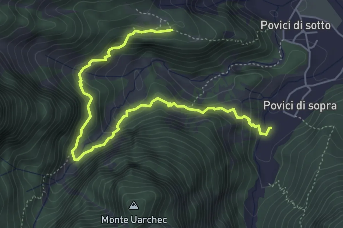
Medium · Trail
Borgo Cros Bivio sentiero n. 743 (quota 530 m) – Borgo Povici (quota 334 m)
5.5 km · ↑ 405 m · 2 h 11 min
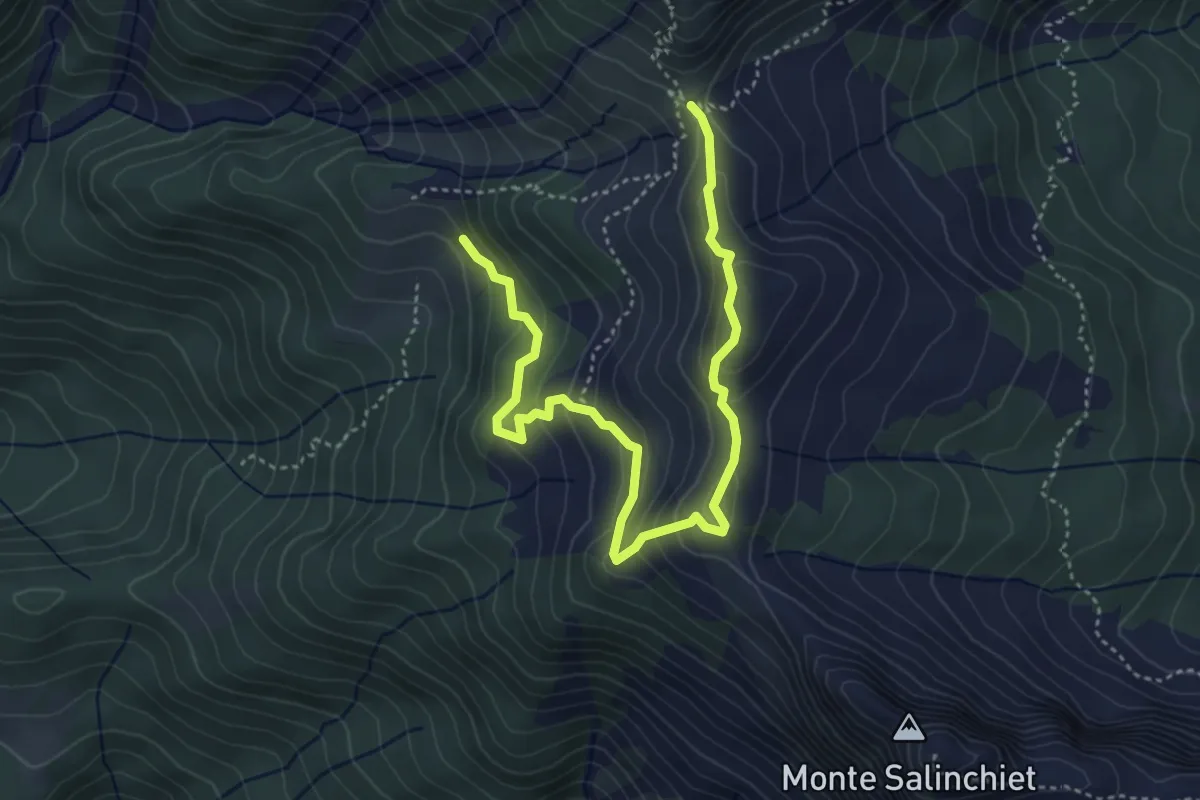
Medium · Trail
Forca Pizzul – Bivio sentiero n. 441 – Casera Paluchian – Forca Pizzul (quota 1708 m)
5.0 km · ↑ 340 m · 1 h 56 min
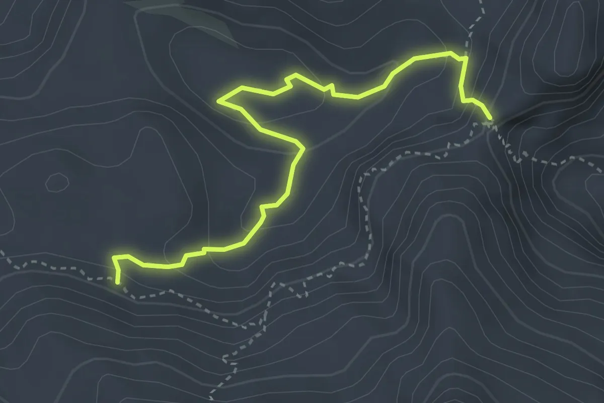
Demanding · Trail
Sella Bila Pec (quota 2005 m) – Bivio Sentiero n. 632 (quota 1975 m)
3.7 km · ↑ 247 m · 1 h 25 min
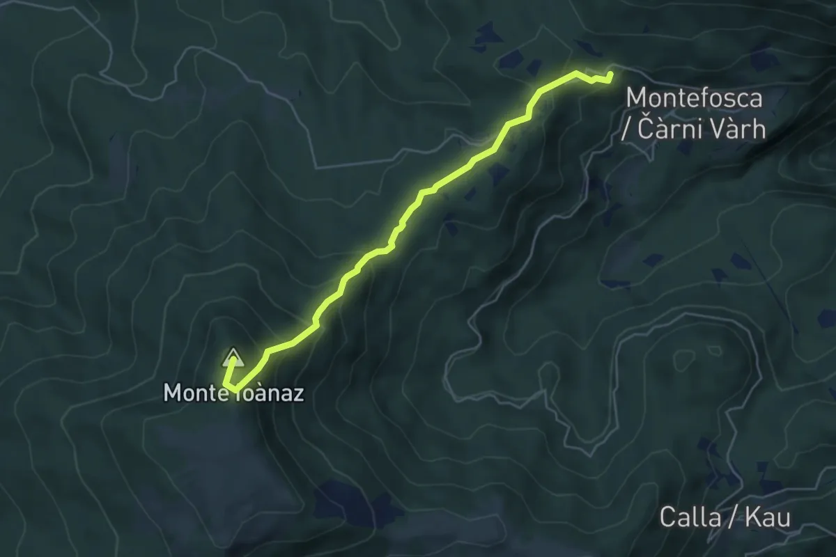
Medium · Summit
Montefosca – Bivio 744 (quota 795 m) / Čàrni Vàrh – Bocchette di Calla (quota 868 m)
5.0 km · ↑ 362 m · 1 h 58 min
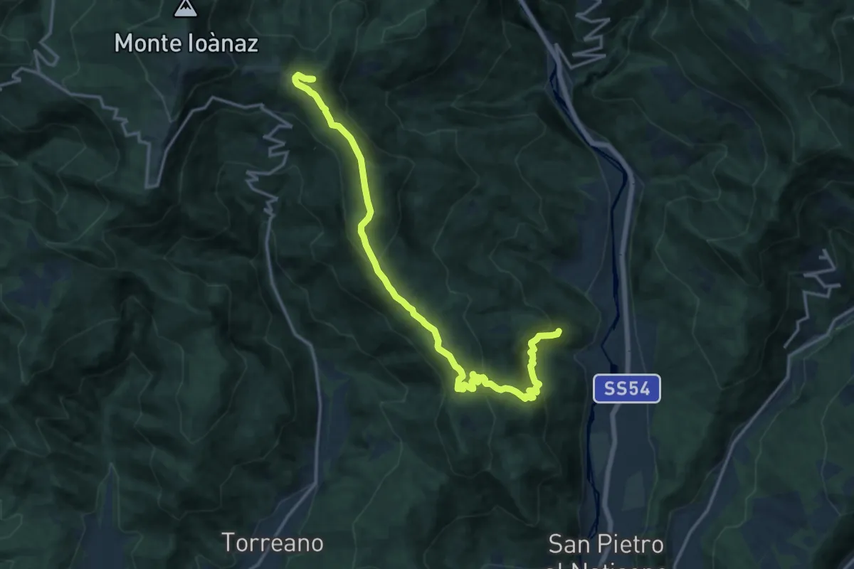
Demanding · Summit
Antro (quota 320 m) – Montefosca (quota 707 m)
15.8 km · ↑ 894 m · 5 h 40 min
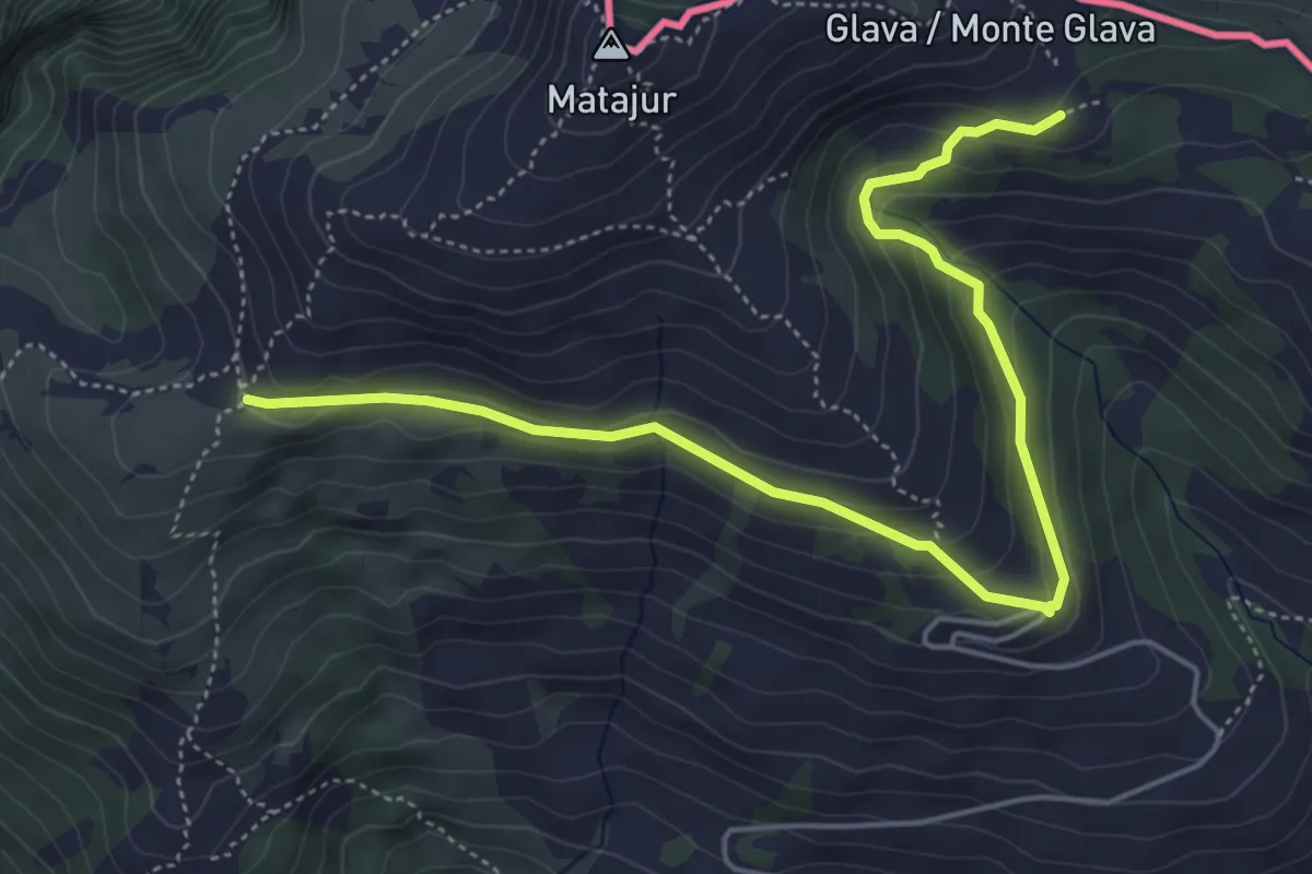
Medium · Trail
Bivio sentiero n. 736 (quota 1455 m) – Malghe di Mersino (quota 1401 m) bivio 749-725
5.8 km · ↑ 294 m · 2 h 1 min
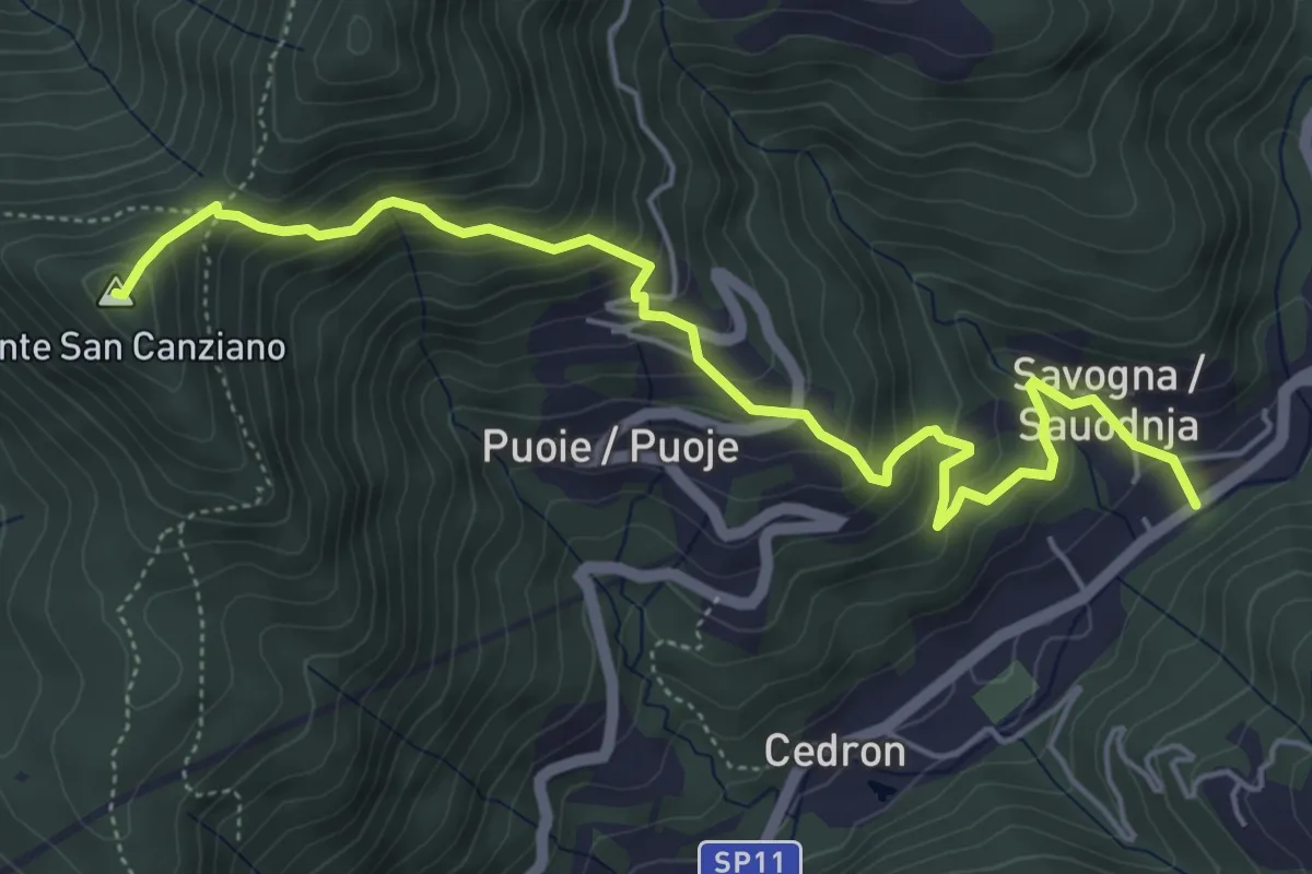
Medium · Summit
Savogna (quota 210 m) – Monte S. Canziano (quota 723 m)
6.0 km · ↑ 520 m · 2 h 32 min
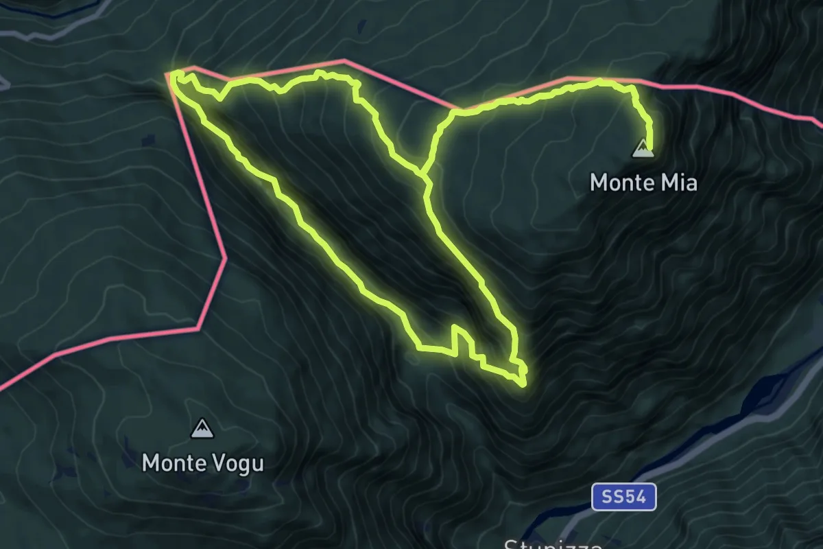
Demanding · Summit
Stupizza / Štupca – Monte Mia
10.2 km · ↑ 902 m · 4 h 30 min
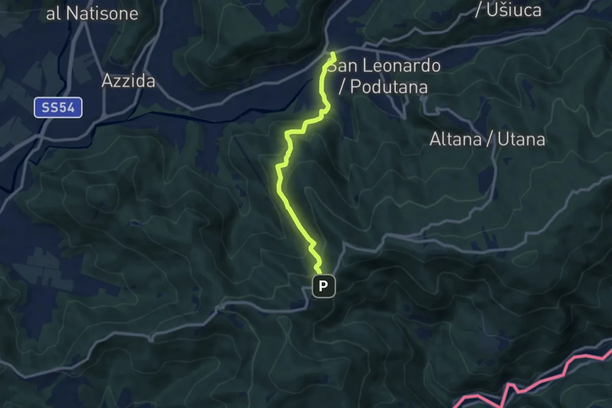
Medium · Trail
Scrutto (quota 160 m) – Incrocio sentiero n. 747 (sotto Castelmonte) (quota 540 m)
7.4 km · ↑ 450 m · 2 h 43 min
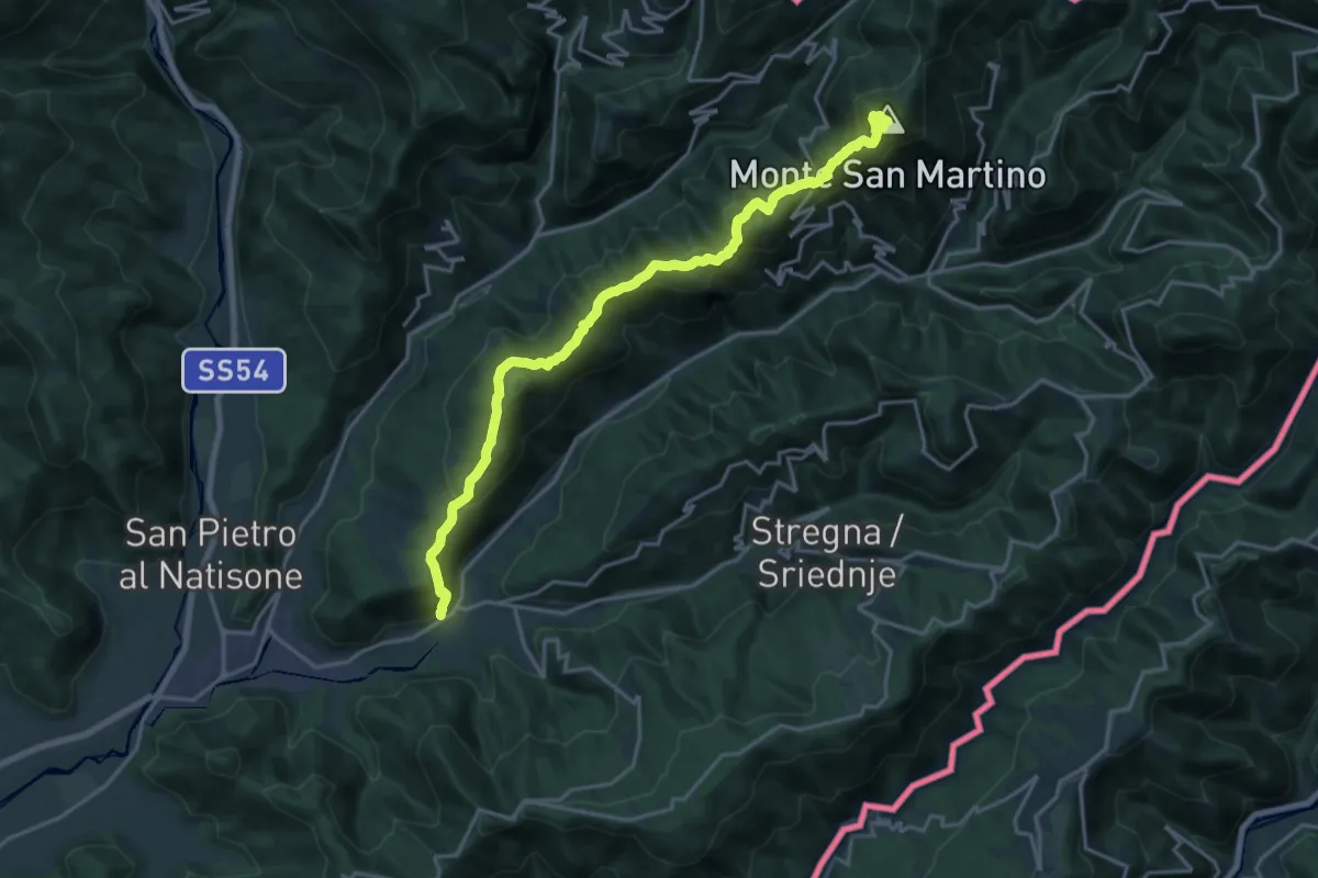
Demanding · Summit
Scrutto (quota 160 m) – Bocchetta di Topolò (Kjuc) (quota 810 m)
19.7 km · ↑ 1092 m · 7 h 1 min
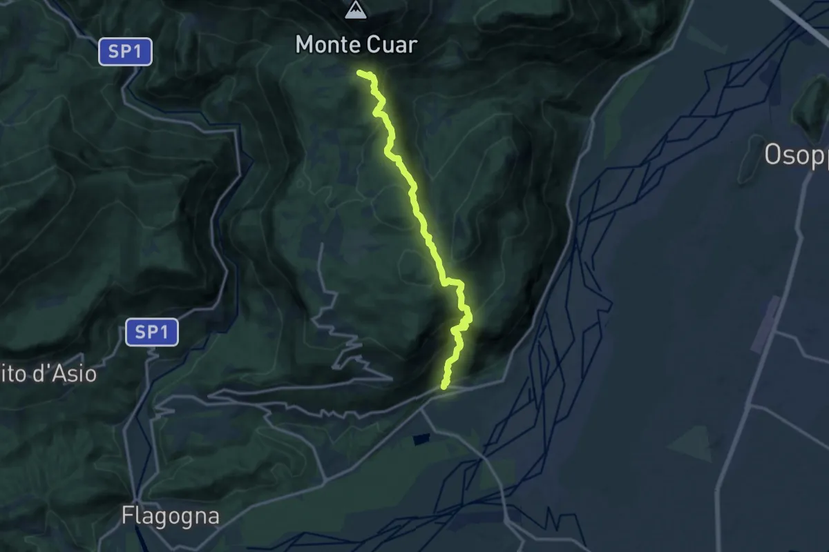
Demanding · Trail
Somp Cornino (quota 186 m) – Val Tochel (quota 894 m)
12.7 km · ↑ 913 m · 4 h 58 min
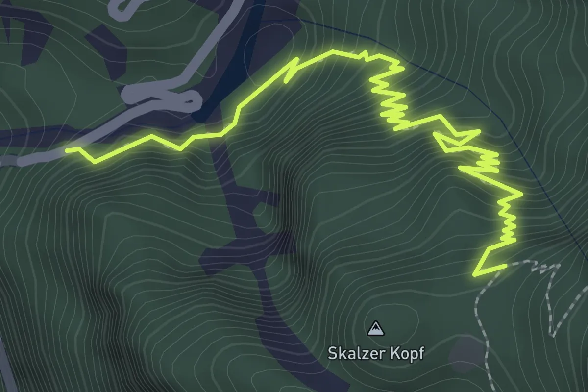
Demanding · Trail
Strada per Pramollo (quota 900 m) – Prati Scalzer, Bivio sentiero n. 501 (quota 1241 m)
3.6 km · ↑ 418 m · 1 h 45 min
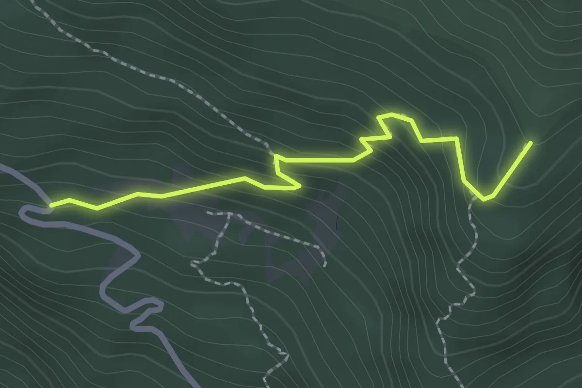
Easy · Trail
Fonte Barboz (quota 1350 m) – Bivio sentiero n. 624 (quota 1488 m)
2.1 km · ↑ 178 m · 52 min
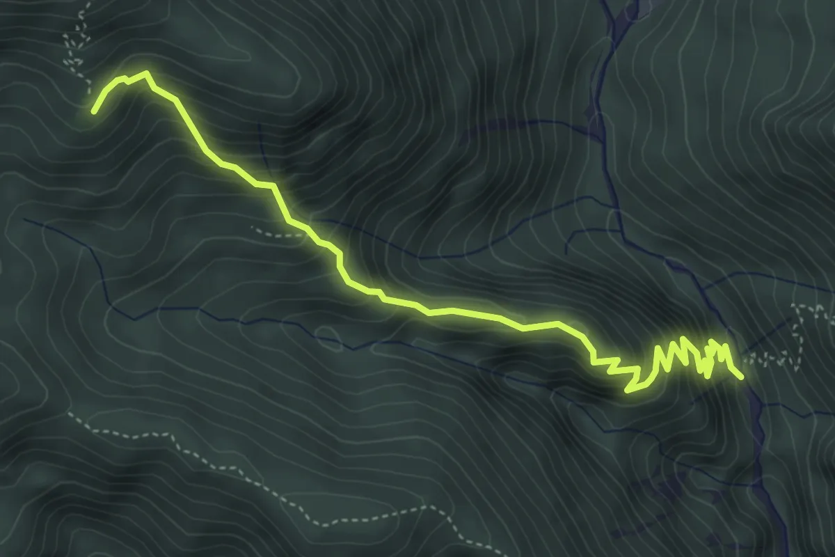
Medium · Trail
Val Bartolo (quota 935 m) – Cima Muli (quota 1495 m)
5.3 km · ↑ 515 m · 2 h 22 min
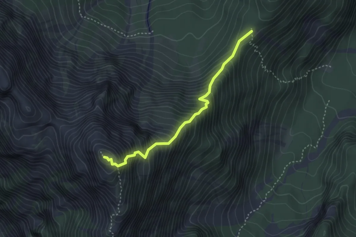
Demanding · Summit
Sella Col Rotondo (quota 1400 m) – Picco di Mezzodì (quota 2063 m)
3.3 km · ↑ 638 m · 2 h 10 min
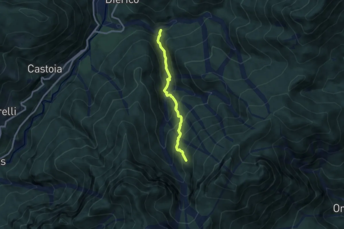
Medium · Trail
Dierico “Ponte Muela” (quota 505 m) – Casera Tesseit (quota 1233 m)
6.0 km · ↑ 654 m · 2 h 49 min
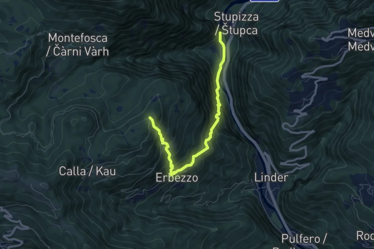
Medium · Trail
Stupizza (quota 203 m) – Chiesa di S. Andrea (quota 797 m)
7.1 km · ↑ 688 m · 3 h 10 min
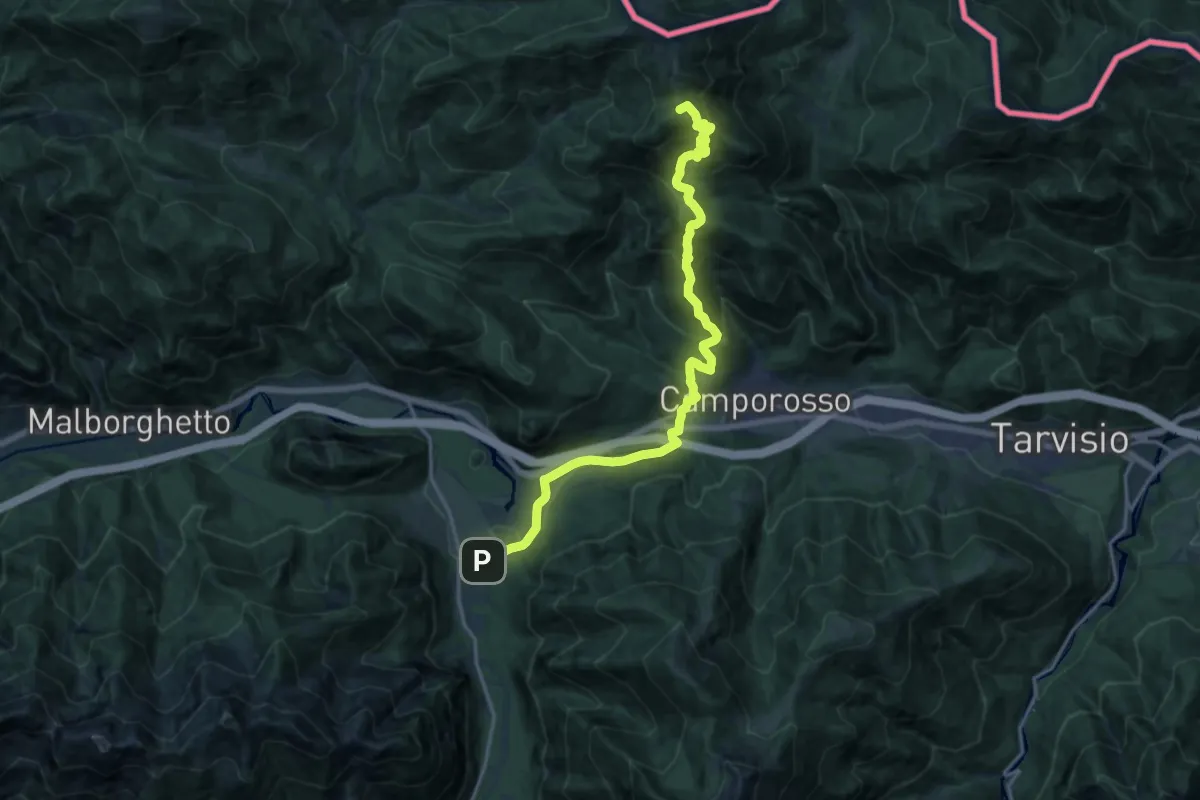
Demanding · Summit
Rifugio Nordio – Casa Alpina Valbruna
18.1 km · ↑ 1059 m · 6 h 34 min
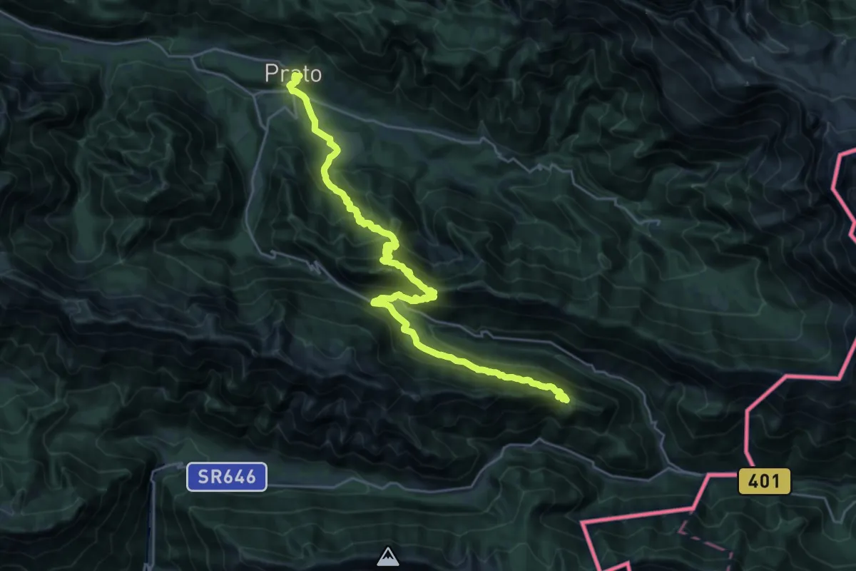
Demanding · Cabin
Prato di Resia – Bivacco Casera Nischiuarch
14.1 km · ↑ 1337 m · 6 h 3 min
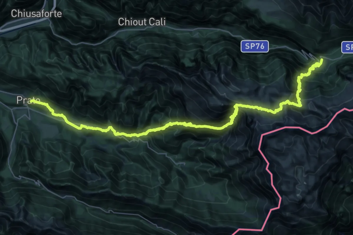
Demanding · Cabin
Sella Nevea Rifugio Julia – Prato di Resia
21.5 km · ↑ 2118 m · 9 h 38 min
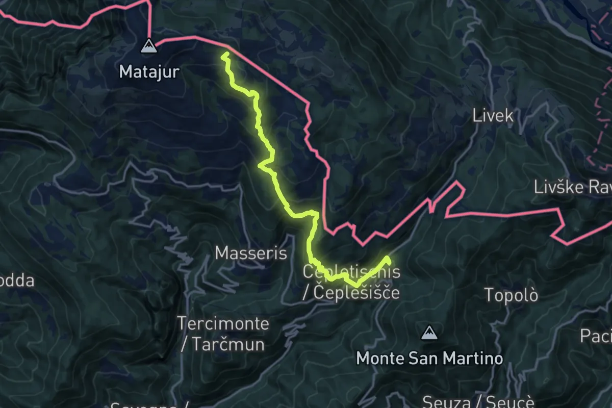
Demanding · Summit
Rifugio Pelizzo – Topolò
13.2 km · ↑ 965 m · 5 h 12 min
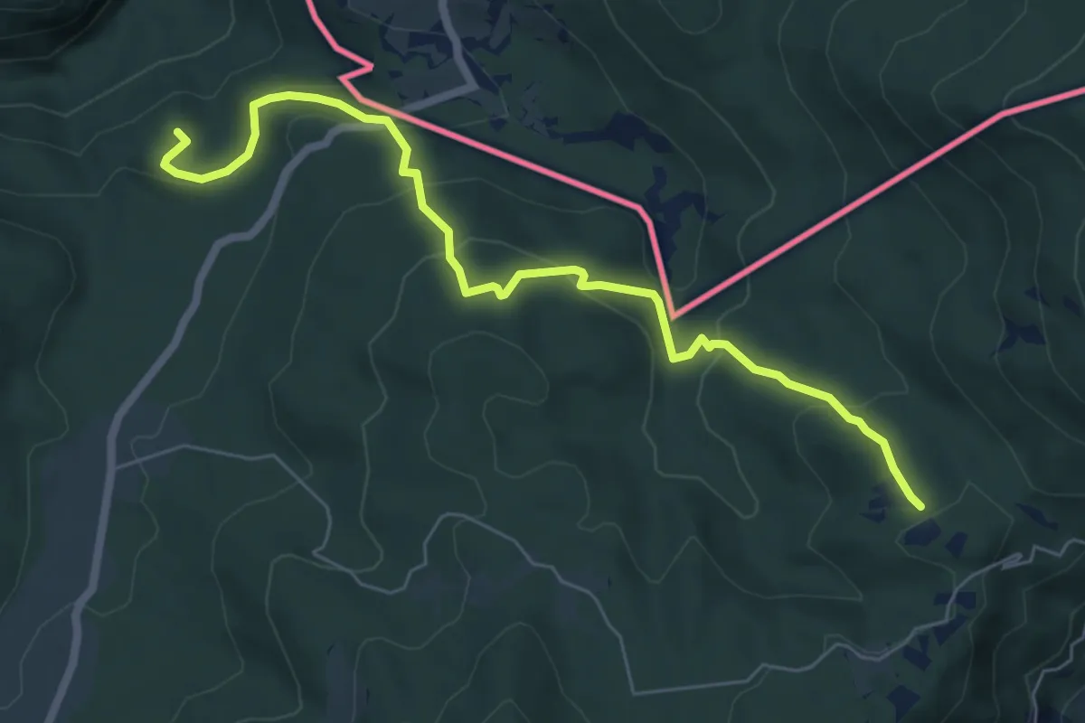
Medium · Summit
Prossenicco – Rifugio Pelizzo
6.8 km · ↑ 410 m · 2 h 30 min
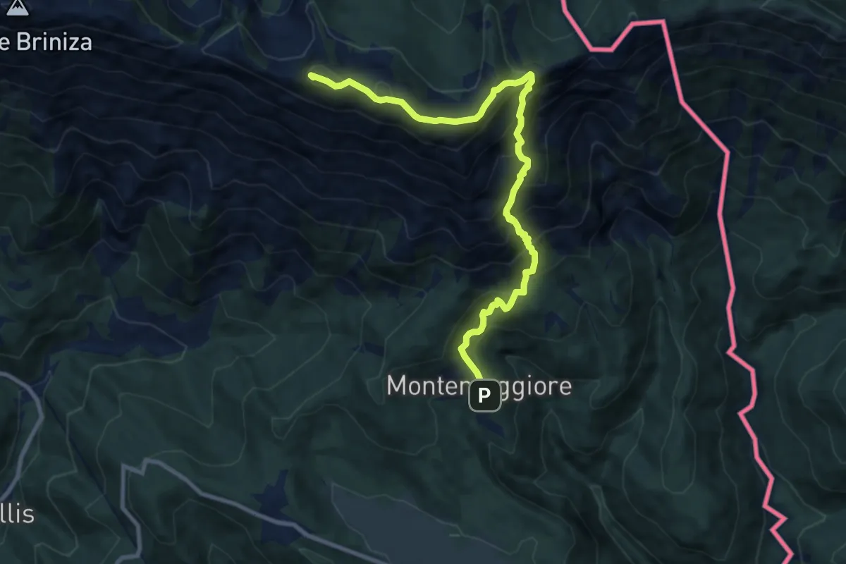
Demanding · Summit
Sella Carnizza – Montemaggiore di Taipana
9.9 km · ↑ 916 m · 4 h 19 min
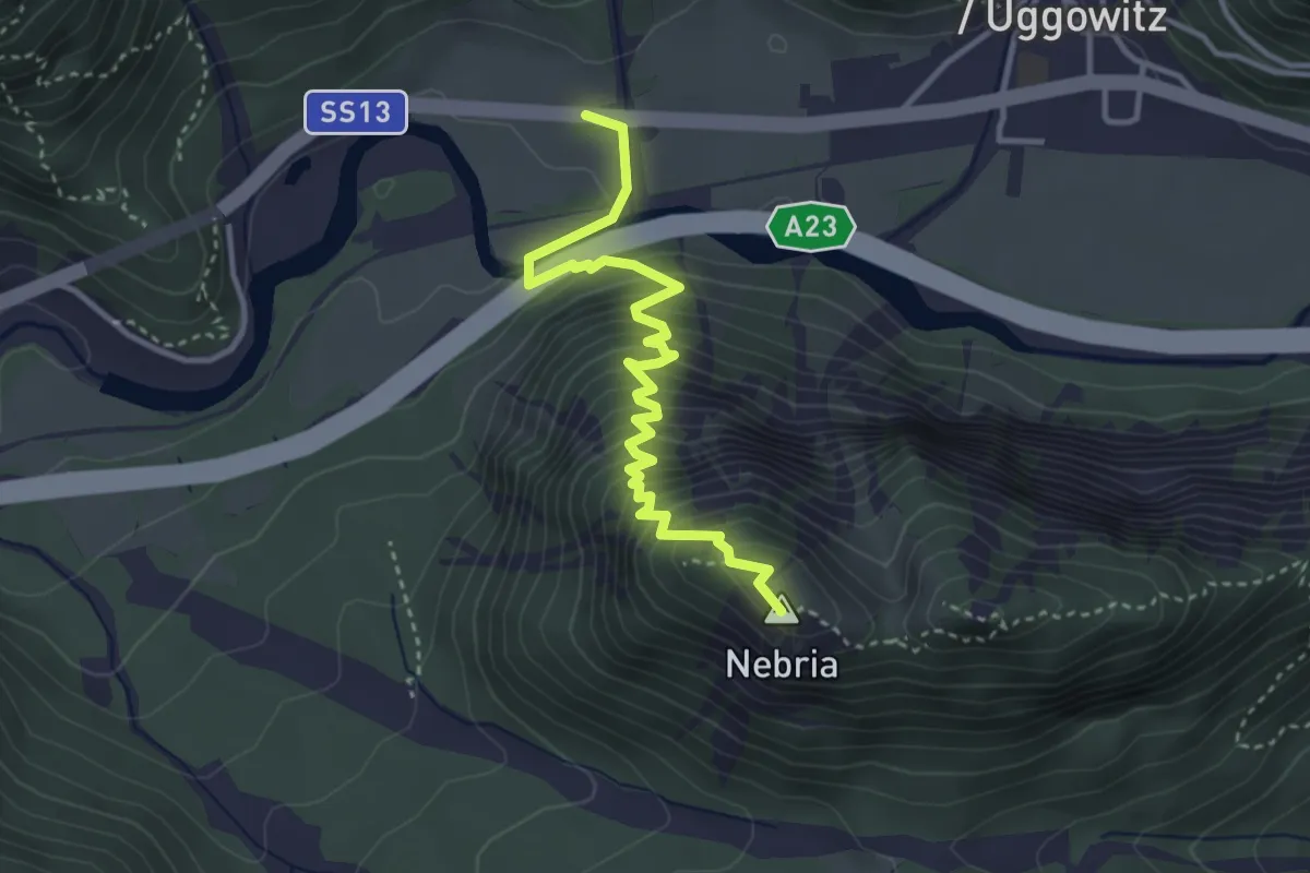
Demanding · Summit
Ugovizza (quota 770 m) – Valbruna (quota 810 m)
3.8 km · ↑ 421 m · 1 h 49 min
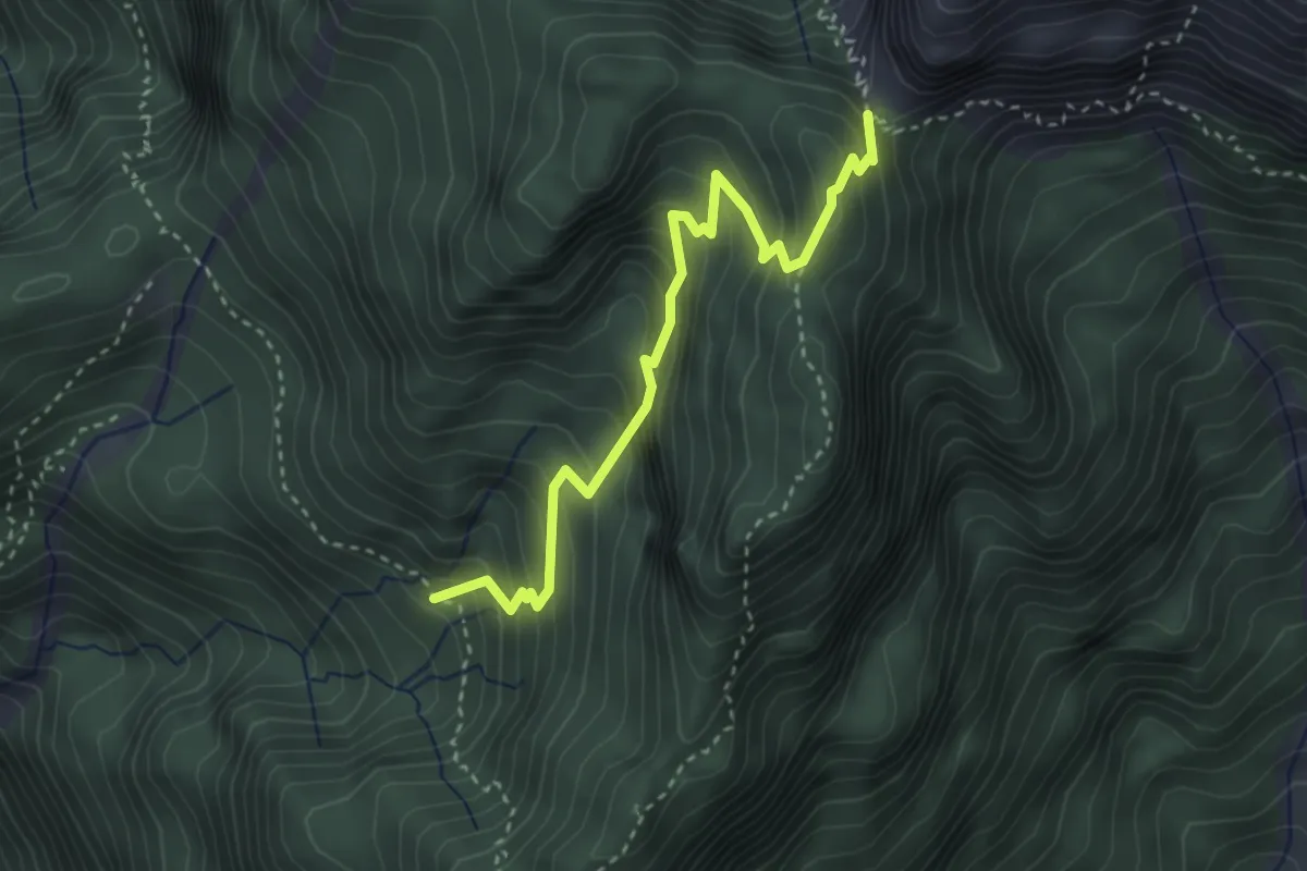
Medium · Trail
Bivio sentiero n. 450 (quota 1507 m) – Bivio sentiero n. 425 (quota 1800 m)
3.4 km · ↑ 389 m · 1 h 39 min