Trails in Italy
25,219 hiking trails, each with its route, climb, walking time and grade.
All trails, page 518 of 526
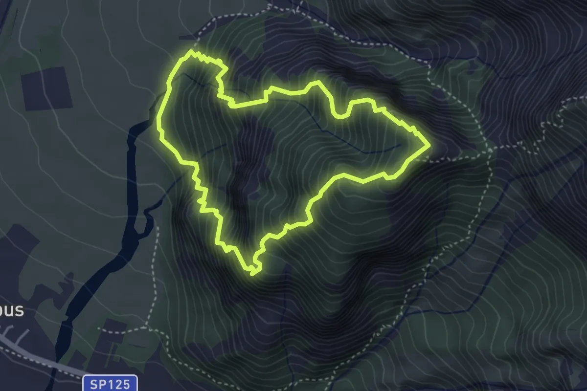
Demanding · Summit
Strada Provinciale 125 località Pissebus (q. 300 m) – Strada Provinciale 125 località Pissebus (q. 300 m)
3.8 km · ↑ 642 m · 2 h 20 min
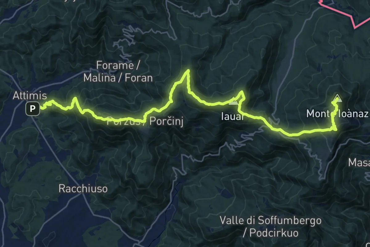
Demanding · Summit
Attimis (q. 195 m) – Colloredo di Soffumbergo (q. 303 m)
26.7 km · ↑ 1564 m · 9 h 41 min
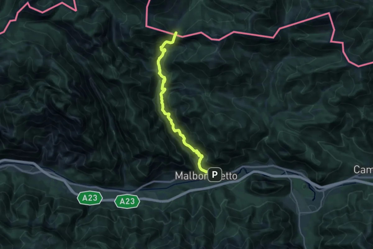
Demanding · Trail
Malborghetto (quota 728 m) – Sella della Caldiera (quota 1477 m)
17.5 km · ↑ 1481 m · 7 h 20 min
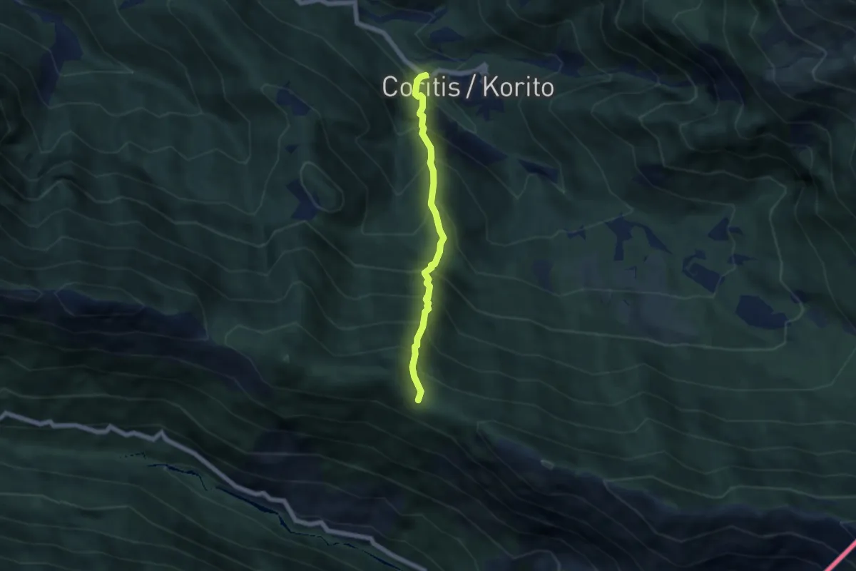
Medium · Trail
Località ponte sul Torrente Resia (quota 564 m) – Forcella Praduline (quota 1335 m)
4.6 km · ↑ 774 m · 2 h 46 min
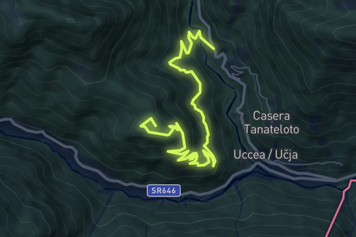
Medium · Summit
S.P. sopra Uccea (quota 700 m) – Ric. Casera Nischiuarch (quota 1207 m)
8.0 km · ↑ 513 m · 3 h
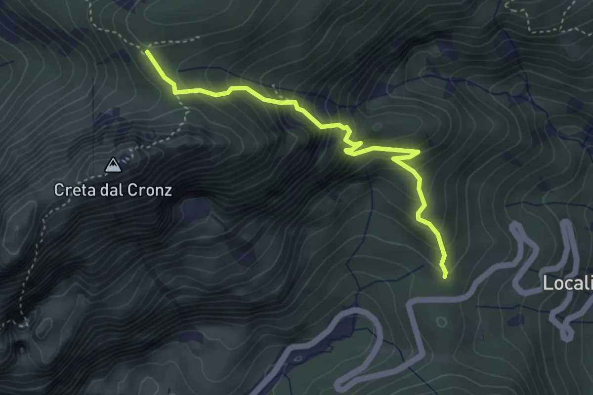
Medium · Trail
Sella Cereschiatis (quota 1066 m) – Quel des Jerbis (quota 1537 m)
3.7 km · ↑ 400 m · 1 h 45 min
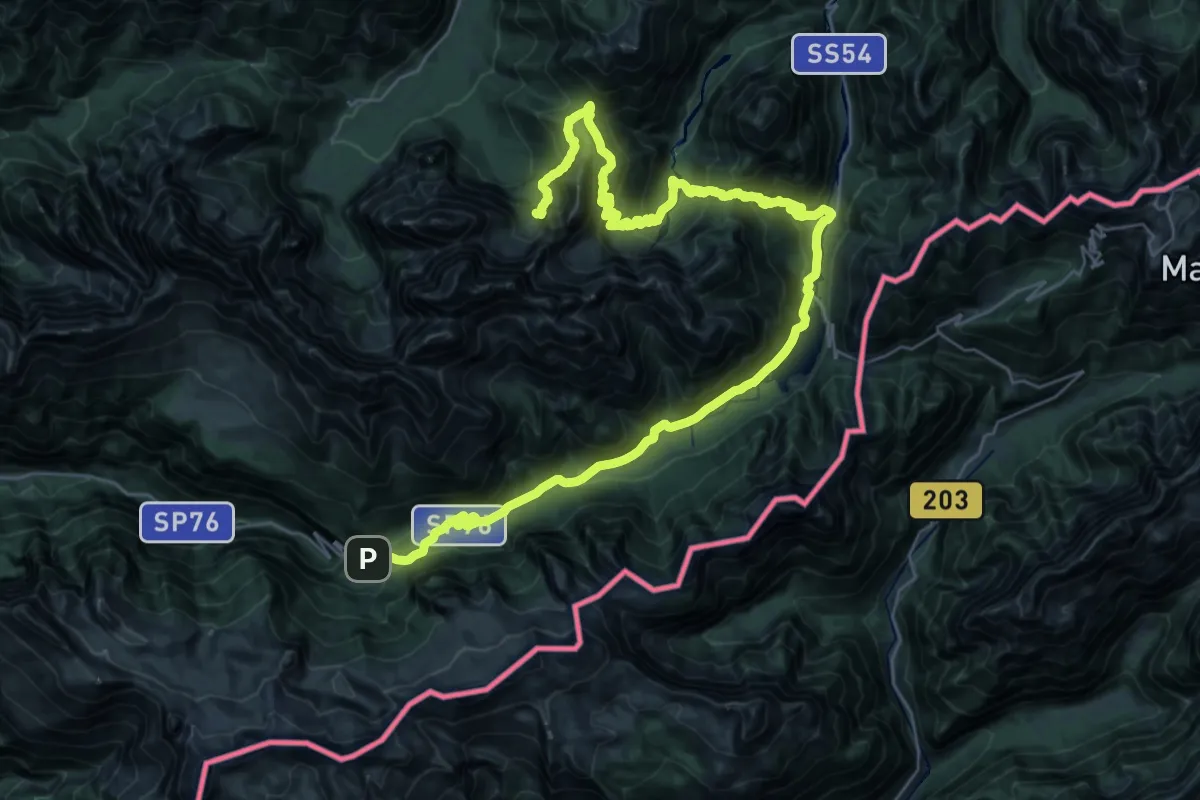
Demanding · Cabin
Bivio Rifugio Pellarin – Sella Nevea Rifugio Julia
22.6 km · ↑ 1453 m · 8 h 39 min
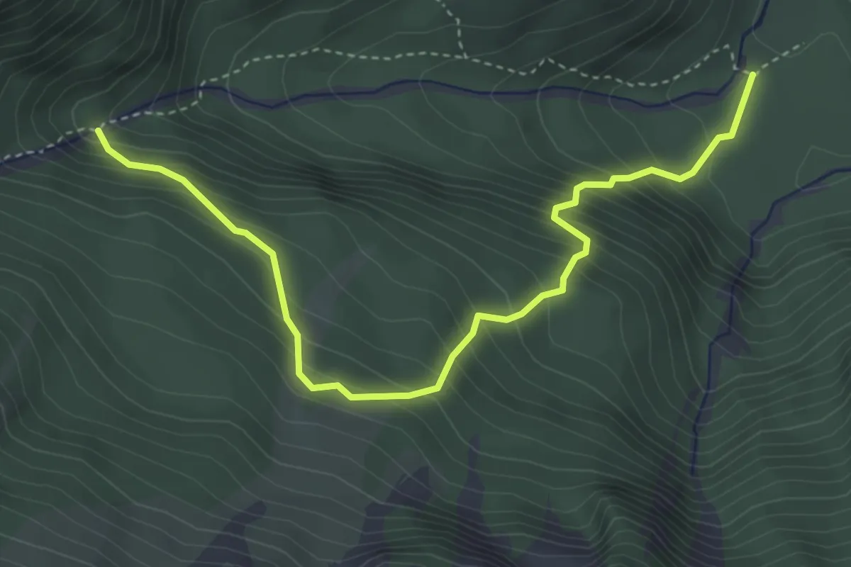
Medium · Trail
Lischiazze (quota 575 m) – Bivio sentiero n. 703(quota 876 m)>
4.4 km · ↑ 530 m · 2 h 11 min
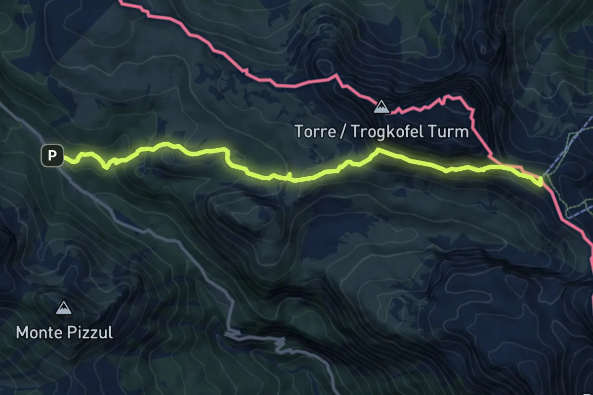
Medium · Summit
Cason di Lanza – Prato Pramollo
9.9 km · ↑ 660 m · 3 h 47 min
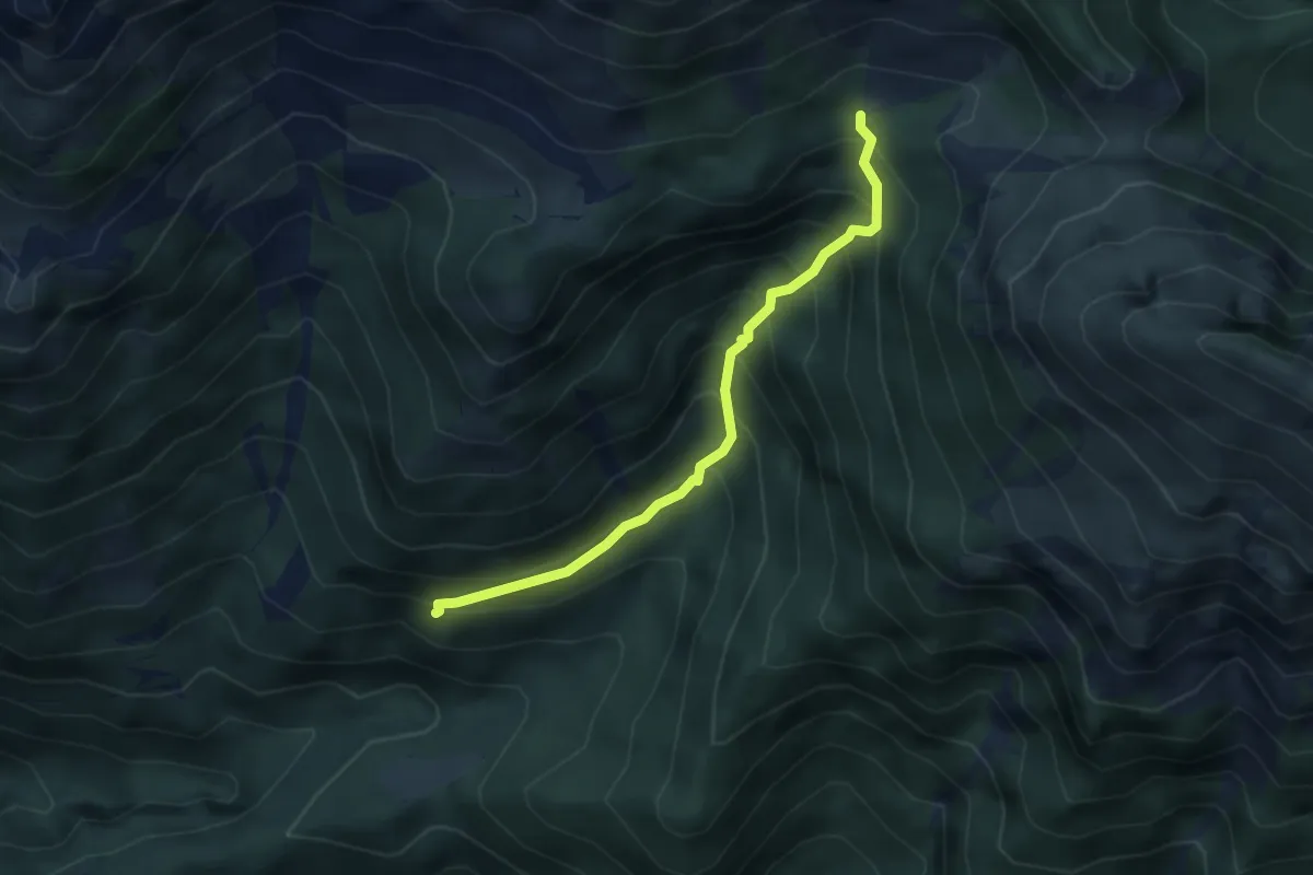
Medium · Trail
Borgo Prabunello (quota 900 m) – Bivio sentiero n. 726 (quota 1309 m)
3.5 km · ↑ 441 m · 1 h 47 min
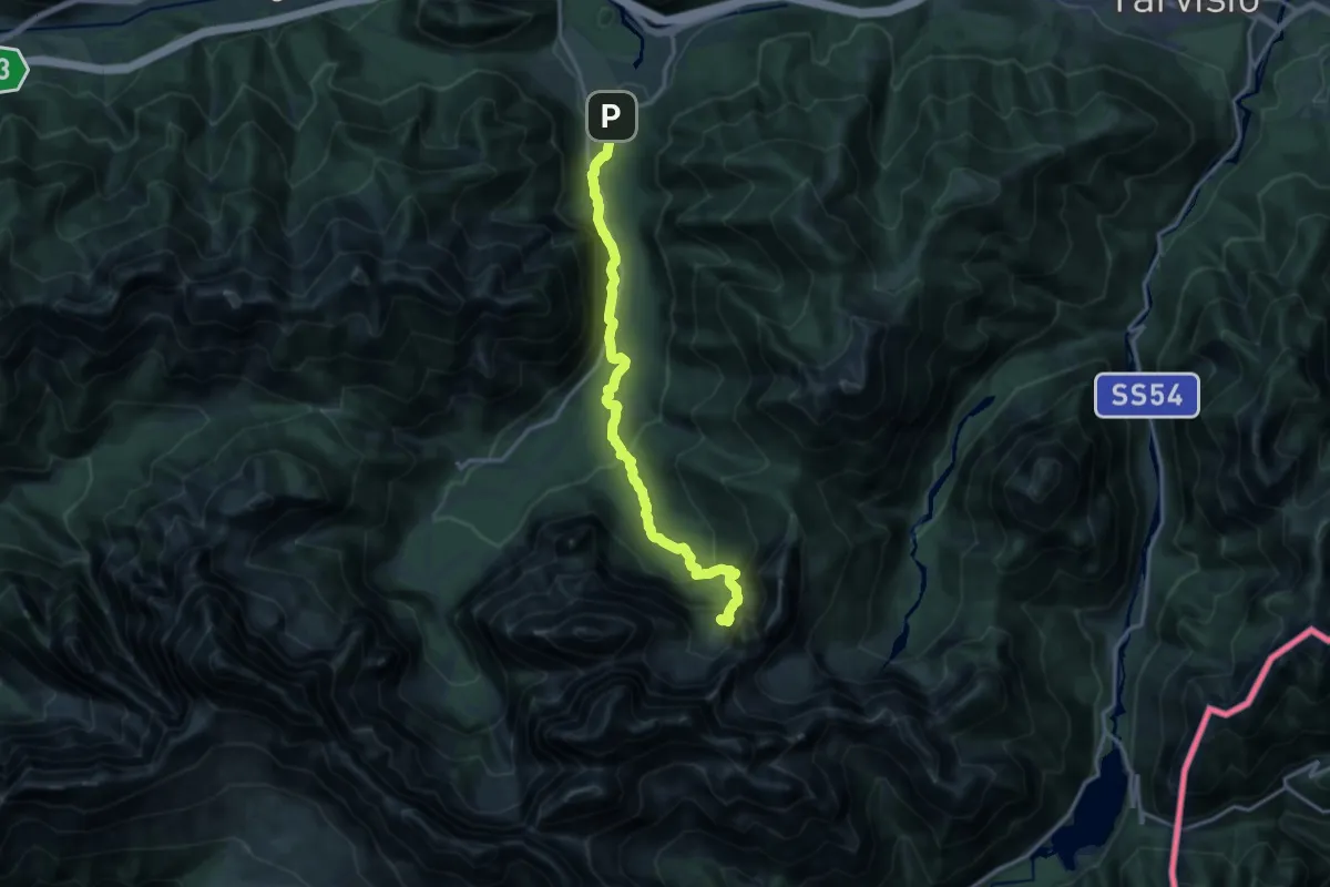
Medium · Cabin
Casa Alpina Valbruna – Bivio Rifugio Pellarini
15.5 km · ↑ 798 m · 5 h 23 min
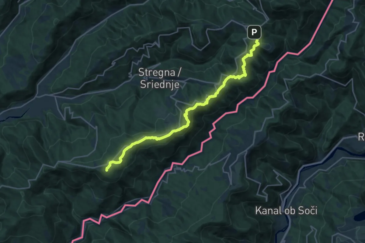
Demanding · Summit
Tribil Superiore – Castelmonte
18.3 km · ↑ 634 m · 5 h 42 min
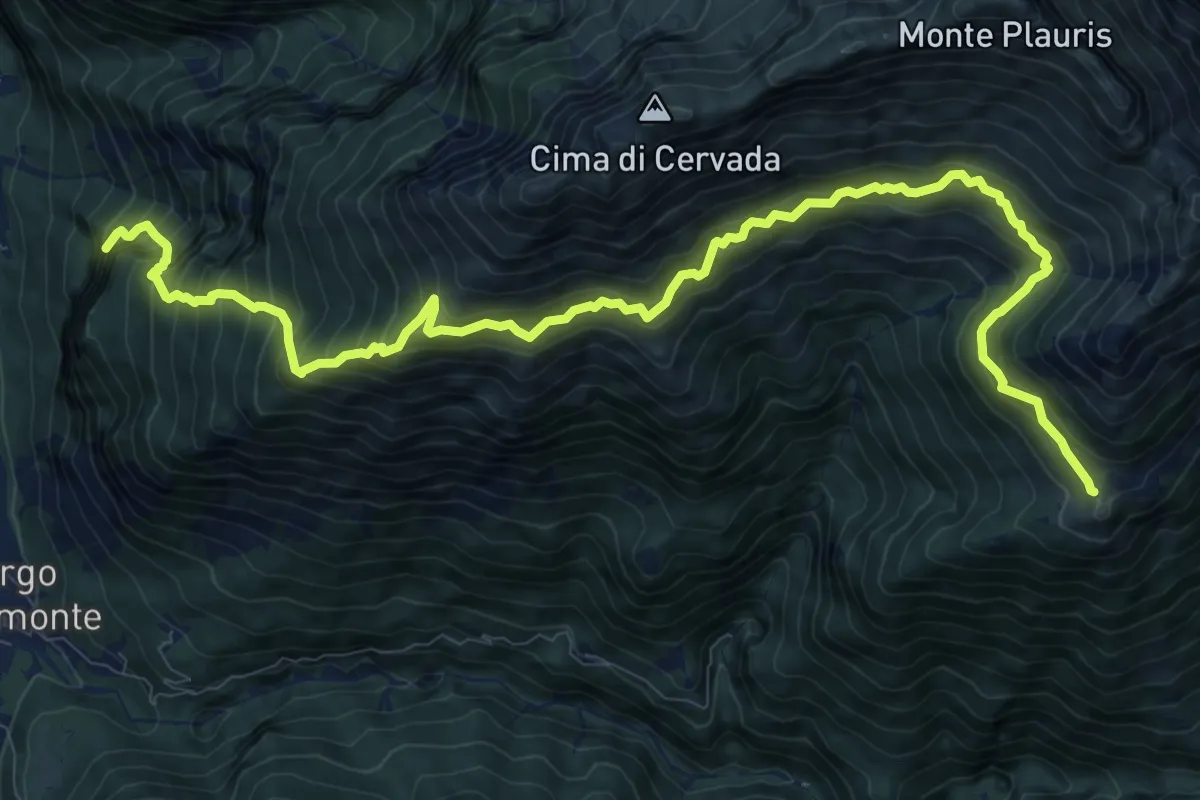
Demanding · Summit
SS13 Portis (quota 250 m) – Casera Ungarina (quota 1298 m)
13.3 km · ↑ 1693 m · 6 h 49 min
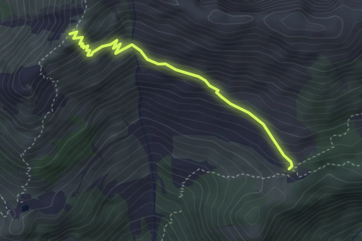
Medium · Cabin
Malga Confin (quota 1331 m) – Bivio sentiero n. 702 (quota 1761 m)
3.3 km · ↑ 335 m · 1 h 31 min
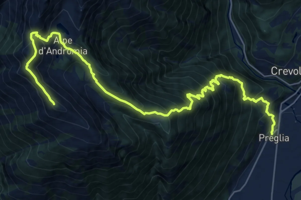
Demanding · Summit
Preglia fraz. Canei – Cima Lariè
21.2 km · ↑ 2077 m · 9 h 30 min
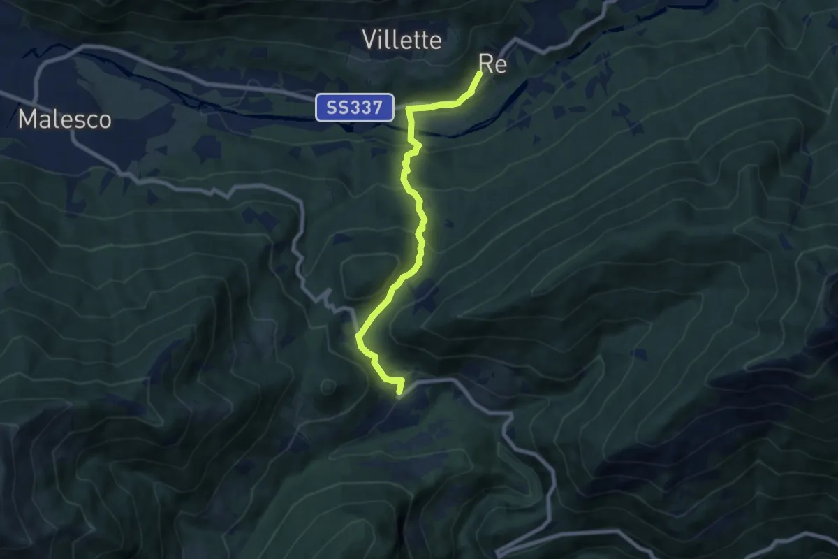
Medium · Trail
Re – Finero
7.1 km · ↑ 416 m · 2 h 34 min
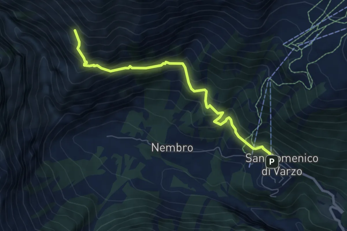
Medium · Trail
San Domenico (partenza seggiovia) – Percorso F50
6.6 km · ↑ 698 m · 3 h 5 min
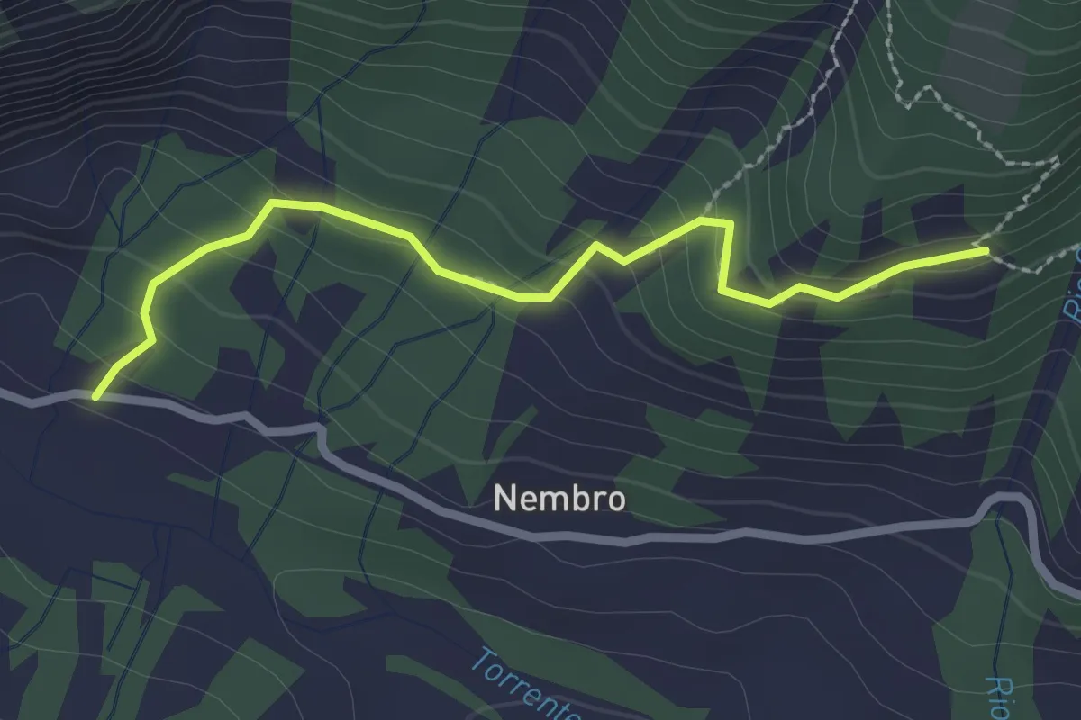
Medium · Trail
Alpe Nava (di S. Domenico) 1476 mt – Ponte Campo bivio SI - F10 quota 1338 mt
2.4 km · ↑ 169 m · 56 min
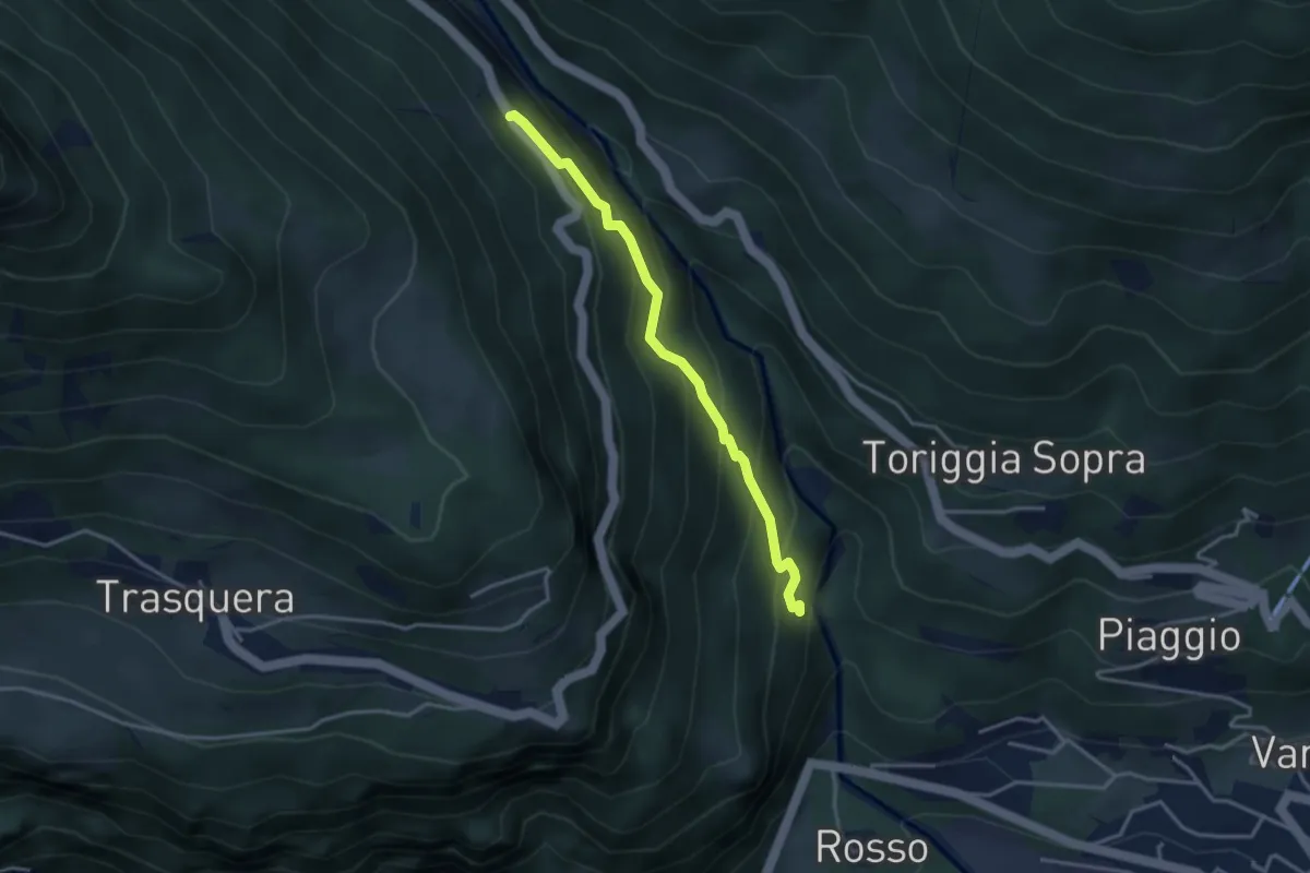
Medium · Trail
Varzo (ponte Boldrini) bivio F00 quota 700 mt – Cioina di fuori strada provinciale quota 1000 mt
3.3 km · ↑ 293 m · 1 h 24 min
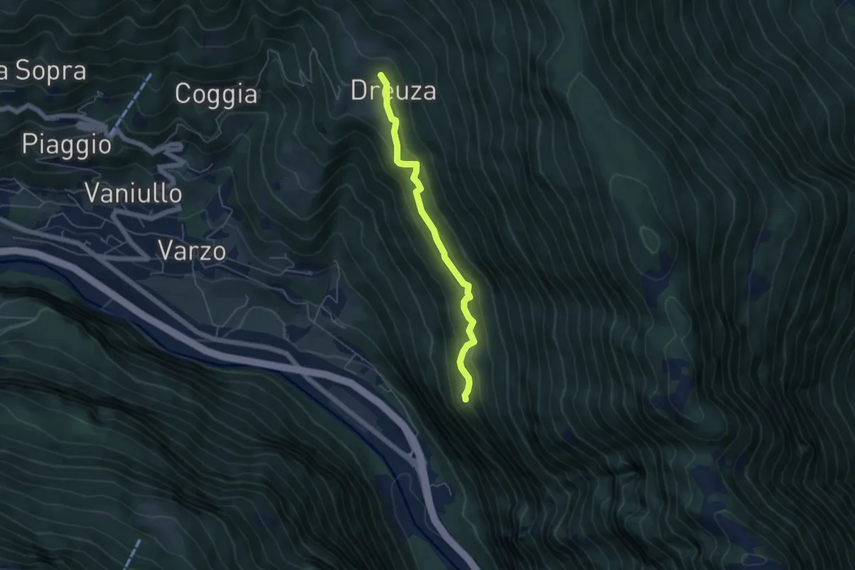
Easy · Trail
Alpe Dai 900 m – Dreuza bivio strada per Solcio 1045 m
4.7 km · ↑ 308 m · 1 h 46 min
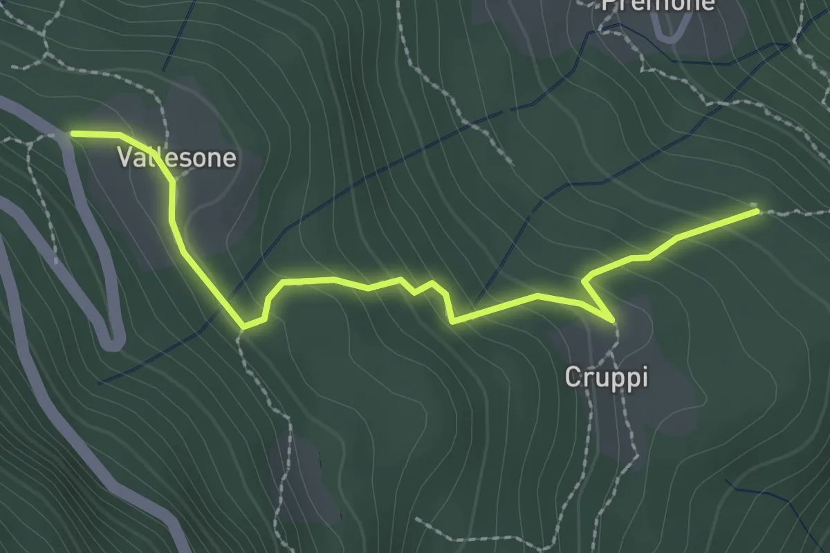
Easy · Trail
San Defendente Cruppi – Vallesone bivio D01
2.5 km · ↑ 205 m · 1 h 2 min
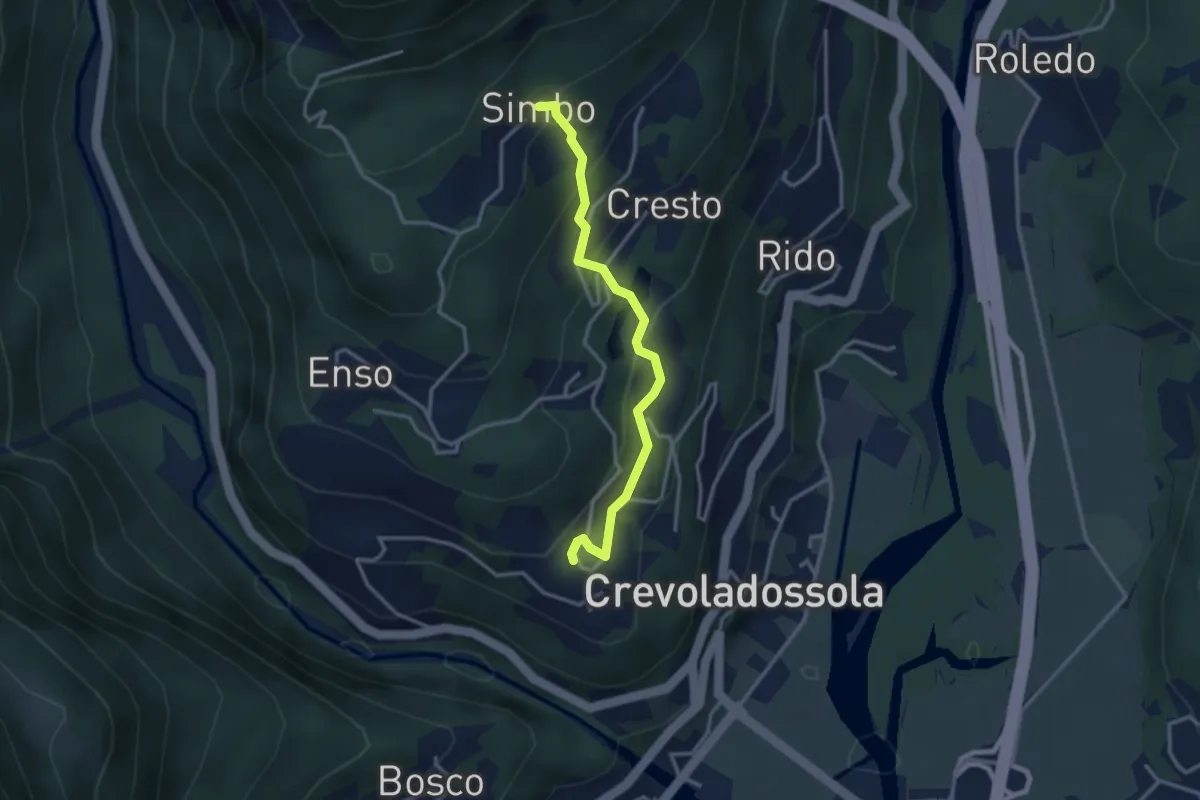
Easy · Trail
Pinone – Simbo
3.0 km · ↑ 242 m · 1 h 14 min
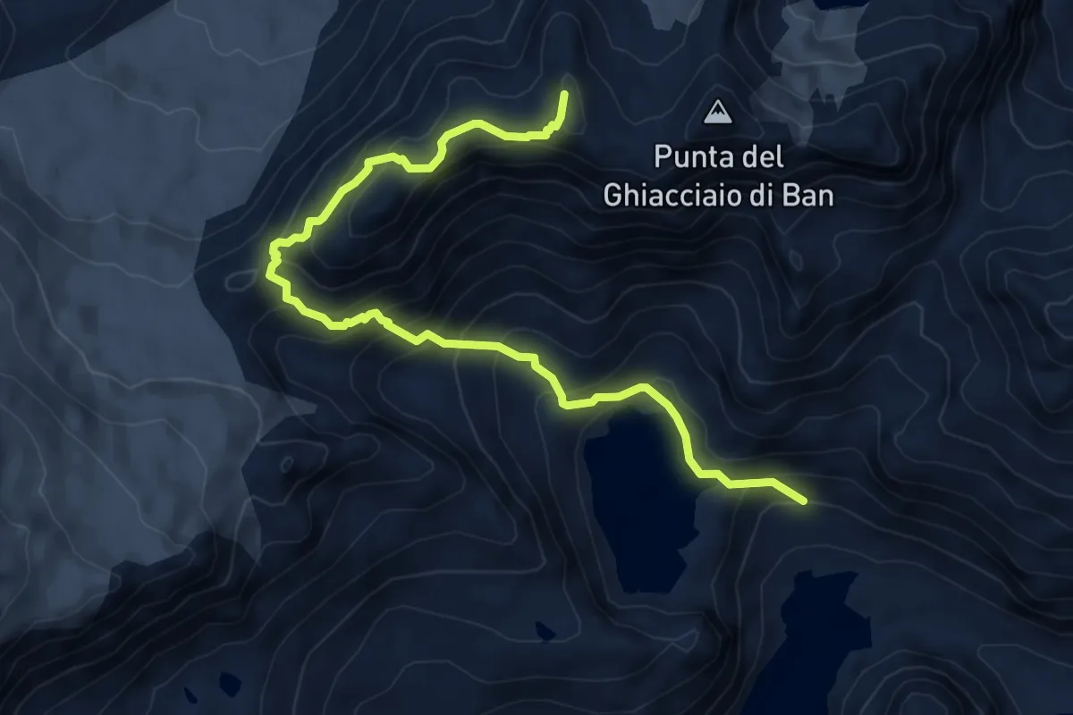
Demanding · Summit
Bivio con G39 presso stazione arrivo funivia di servizio dell'enel – Rifugio Eugenio Margaroli Alpe Vannino -bivio G97
7.9 km · ↑ 693 m · 3 h 22 min
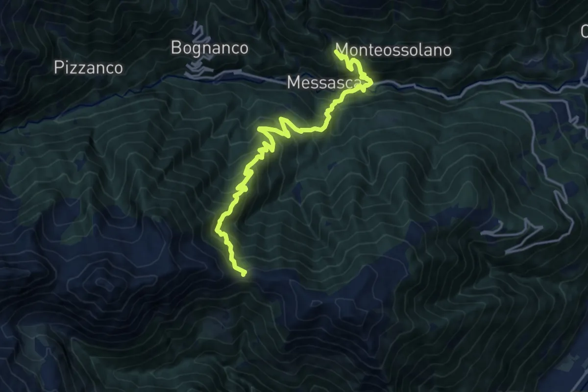
Demanding · Trail
Pianezza, Oratorio Dagliano – Colle del Pianino
15.5 km · ↑ 1530 m · 6 h 58 min
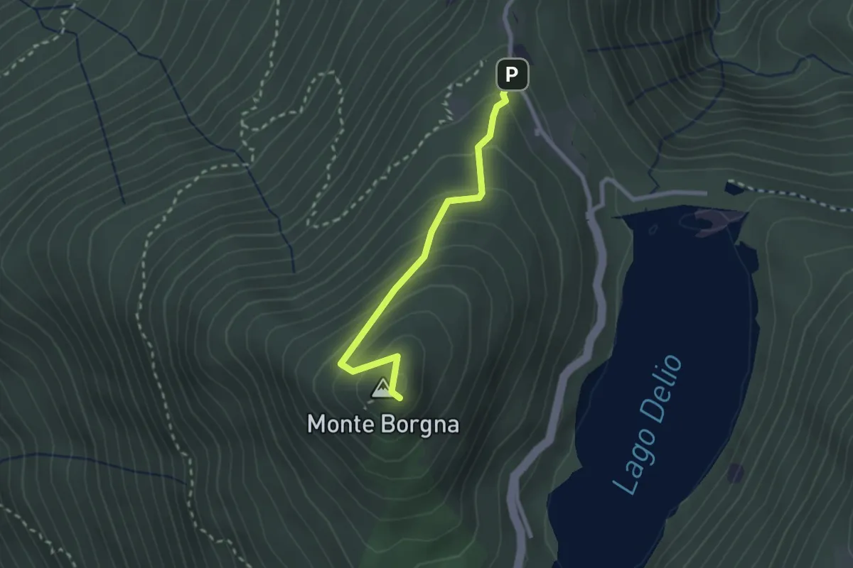
Easy · Summit
Monti di Bassano – Monte Borgna
2.2 km · ↑ 192 m · 56 min
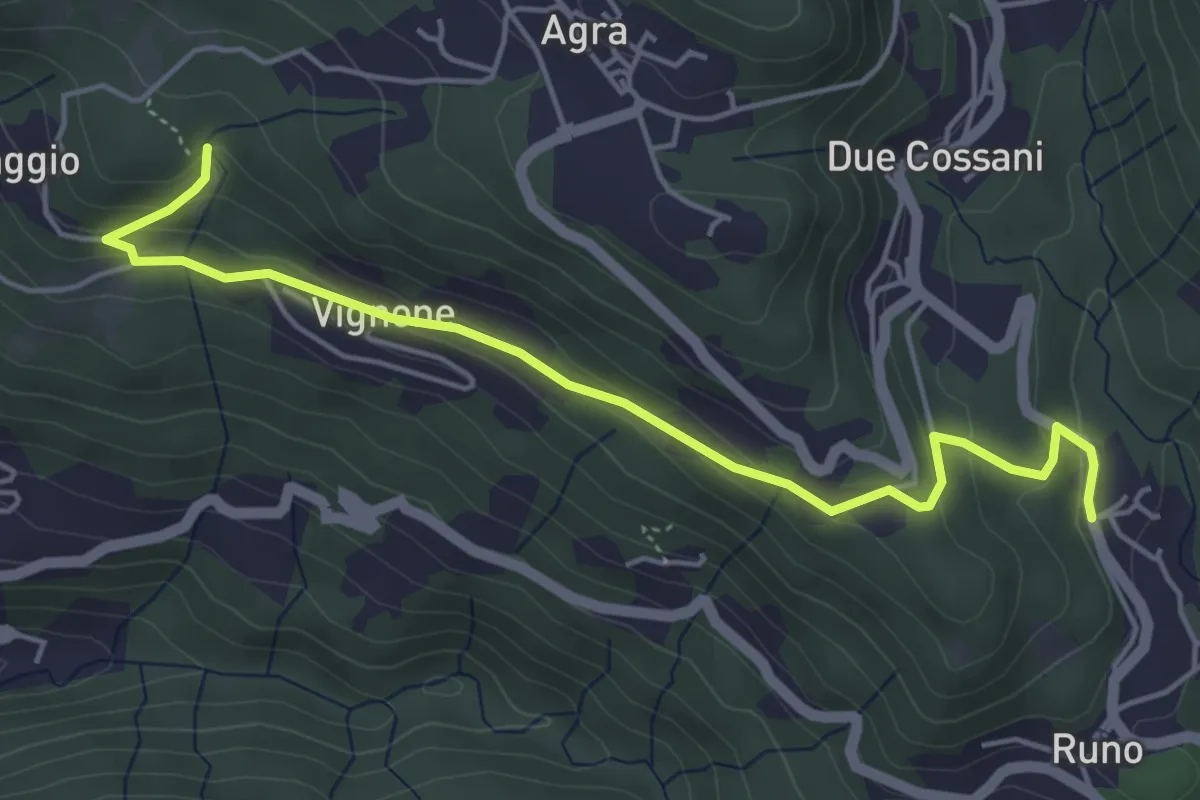
Medium · Trail
Madonna della Lupera – Stivigliano
5.2 km · ↑ 225 m · 1 h 43 min
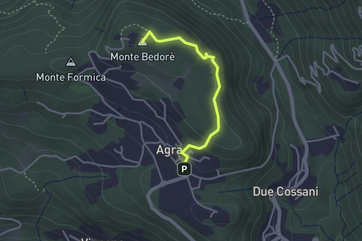
Medium · Summit
Agra – Bedorè
2.7 km · ↑ 122 m · 54 min
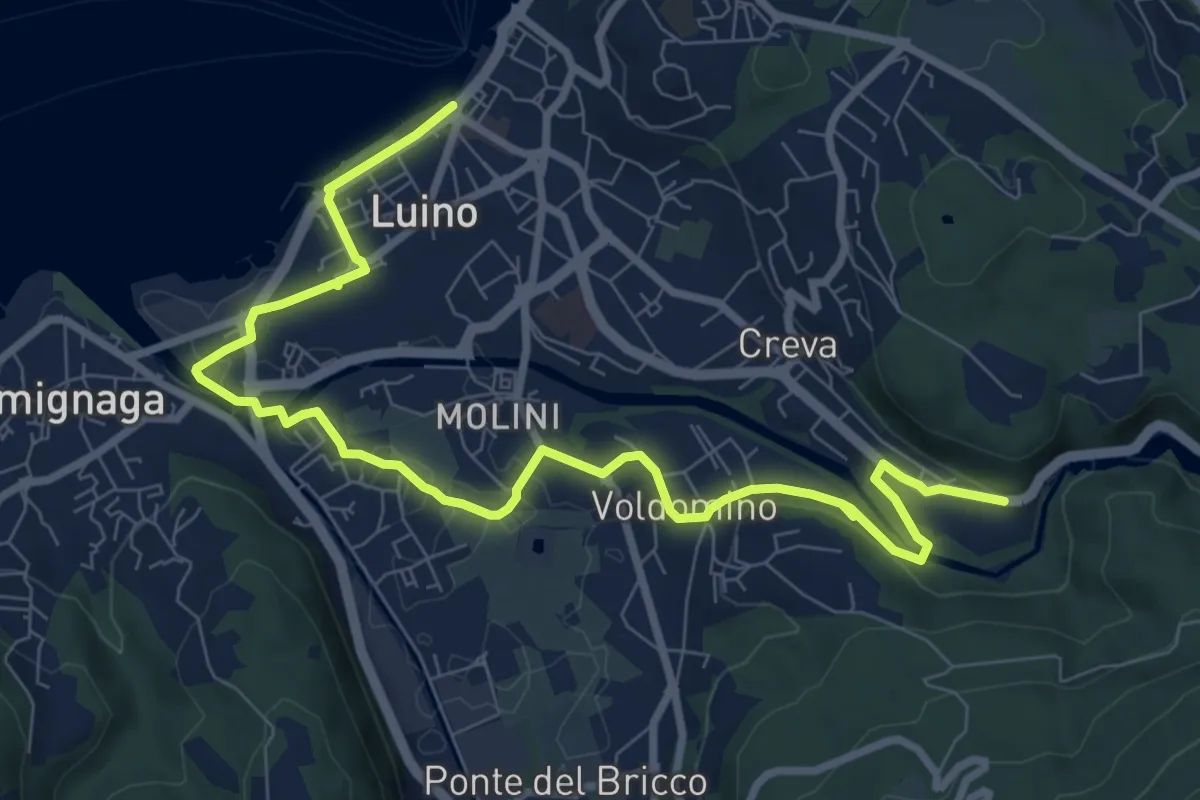
Medium · Trail
Creva – Luino
10.6 km · ↑ 99 m · 2 h 44 min
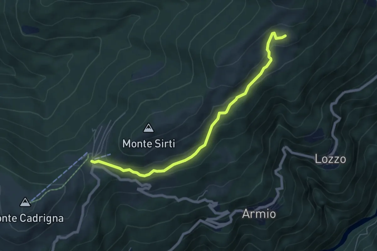
Easy · Cabin
Monterecchio – Forcora
5.6 km · ↑ 233 m · 1 h 50 min
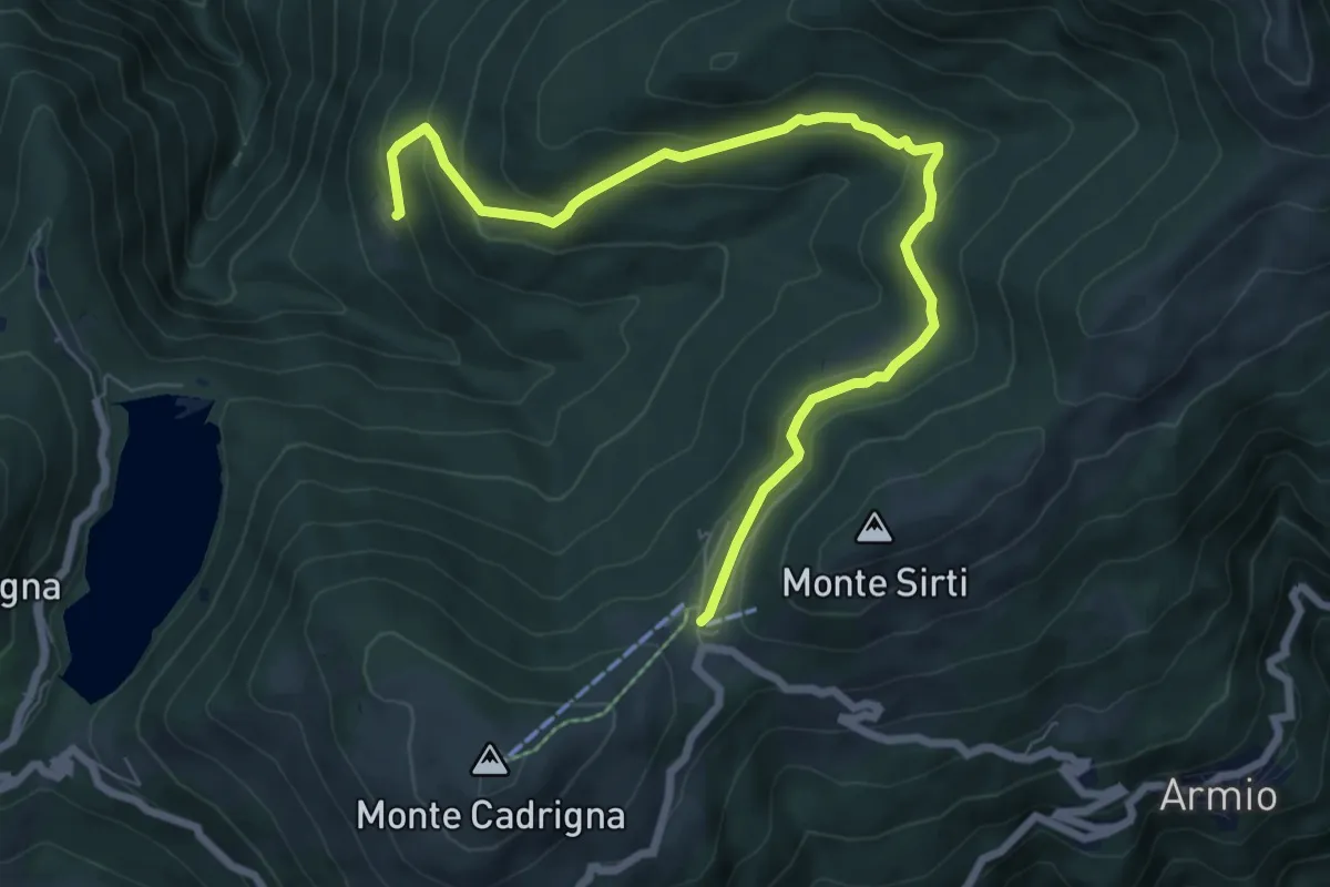
Medium · Cabin
Passo Forcora – Monti di Pino
8.3 km · ↑ 319 m · 2 h 39 min
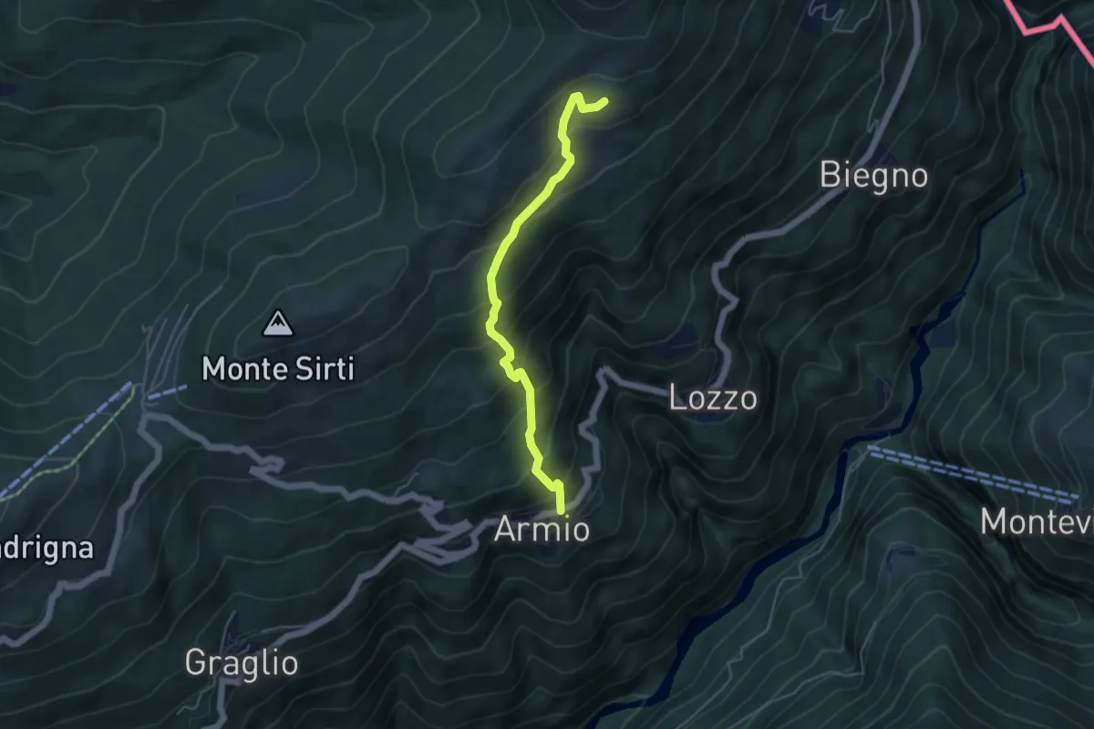
Medium · Trail
Armio – Monterecchio
4.5 km · ↑ 436 m · 2 h
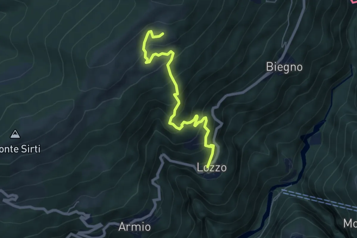
Medium · Trail
Lozzo – Monterecchio
5.3 km · ↑ 489 m · 2 h 19 min
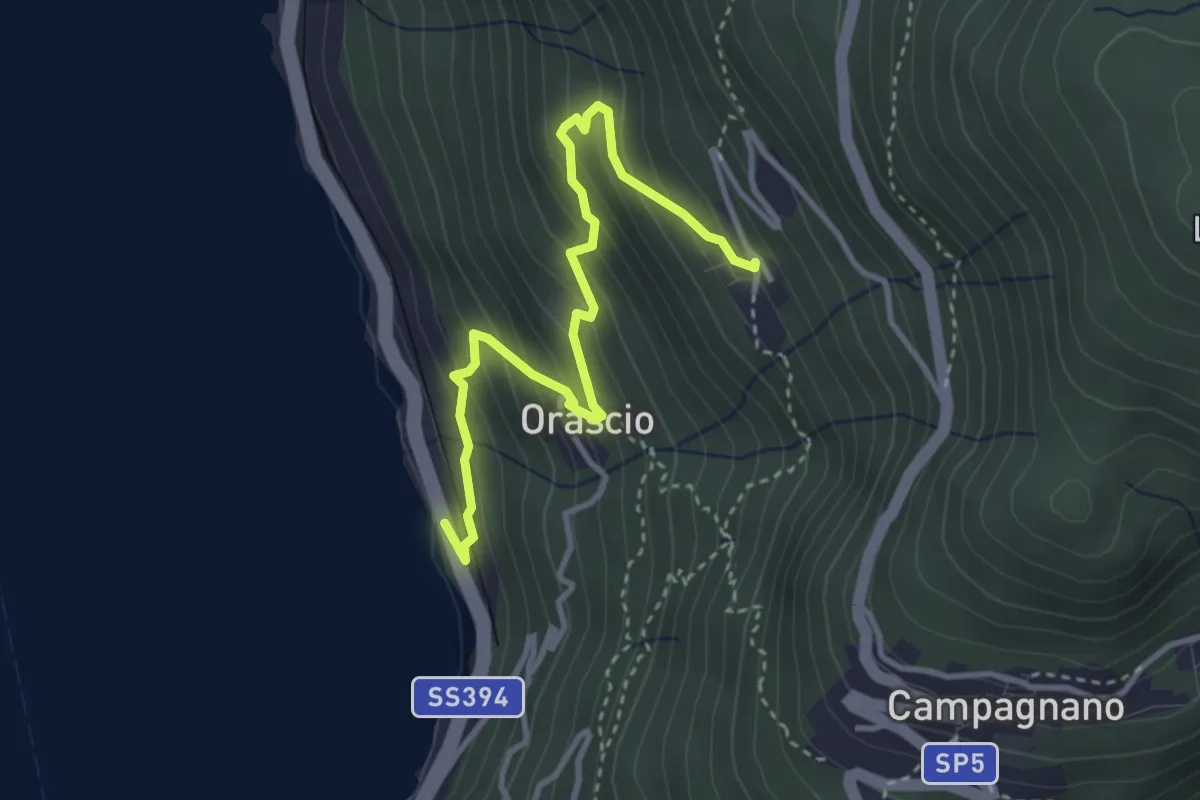
Medium · Trail
Ronco delle Monache – Sarangio
3.7 km · ↑ 343 m · 1 h 37 min
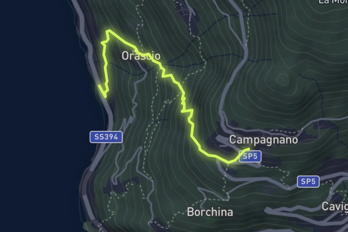
Medium · Trail
Ronco delle Monache – Orascio-Campagnano
3.8 km · ↑ 409 m · 1 h 47 min
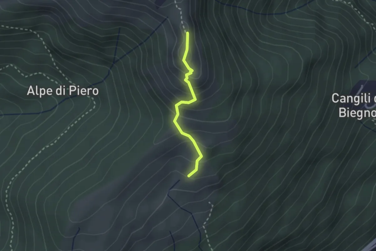
Medium · Summit
Monterecchio – Monte Corbaro
1.9 km · ↑ 186 m · 52 min
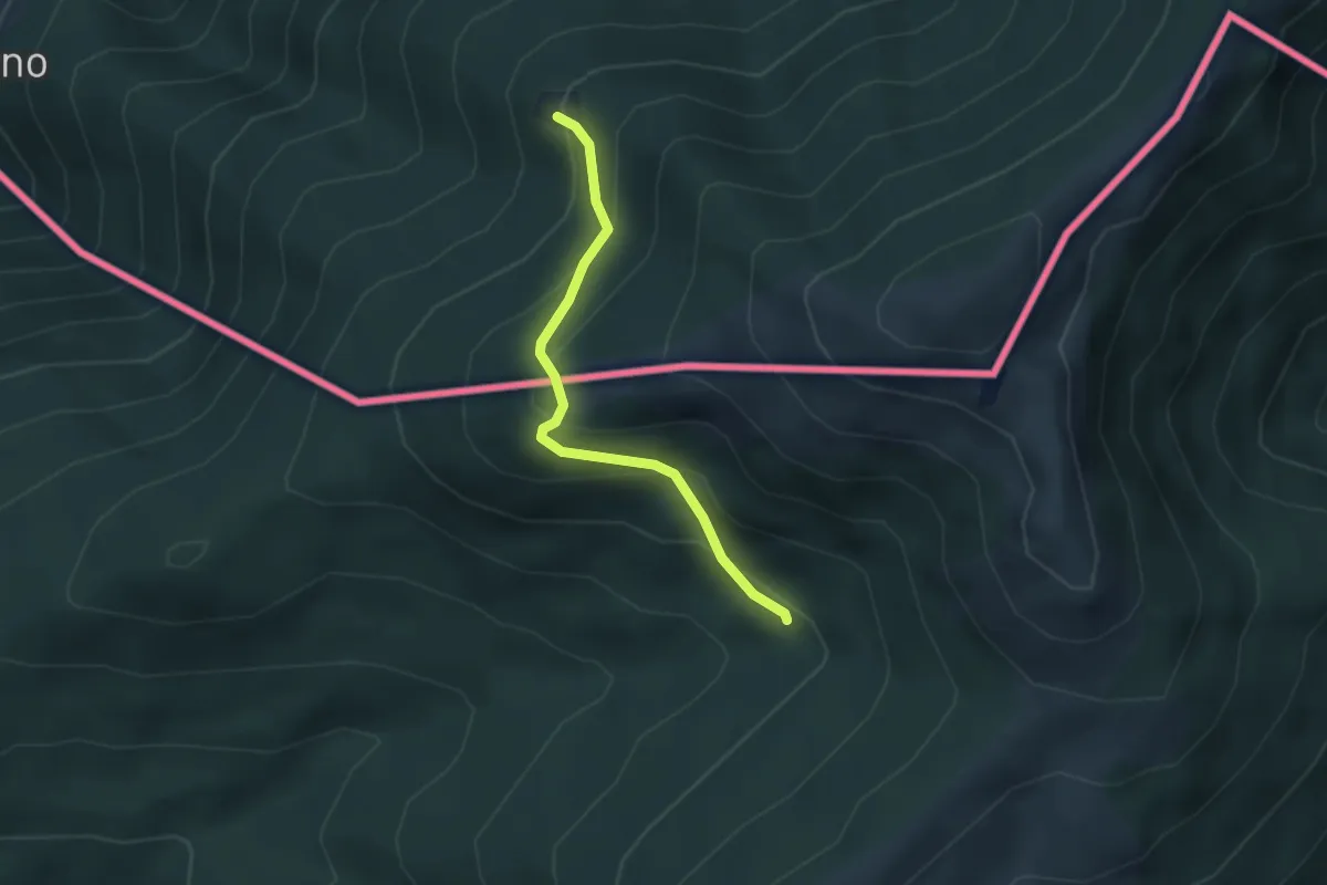
Medium · Cabin
Passo Forcora – Rifugio Alpetto (CH)
2.9 km · ↑ 221 m · 1 h 9 min
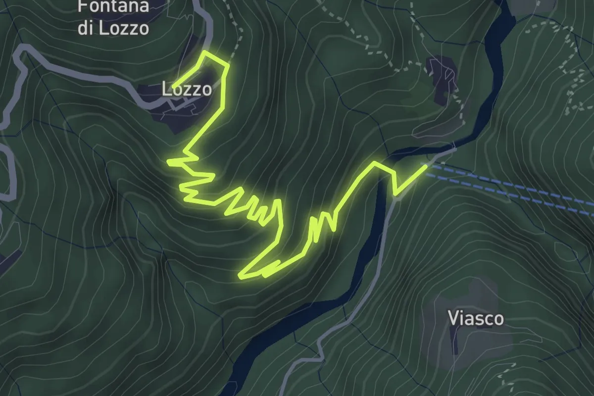
Medium · Trail
Ponte di Piero – Lozzo
5.6 km · ↑ 381 m · 2 h 8 min
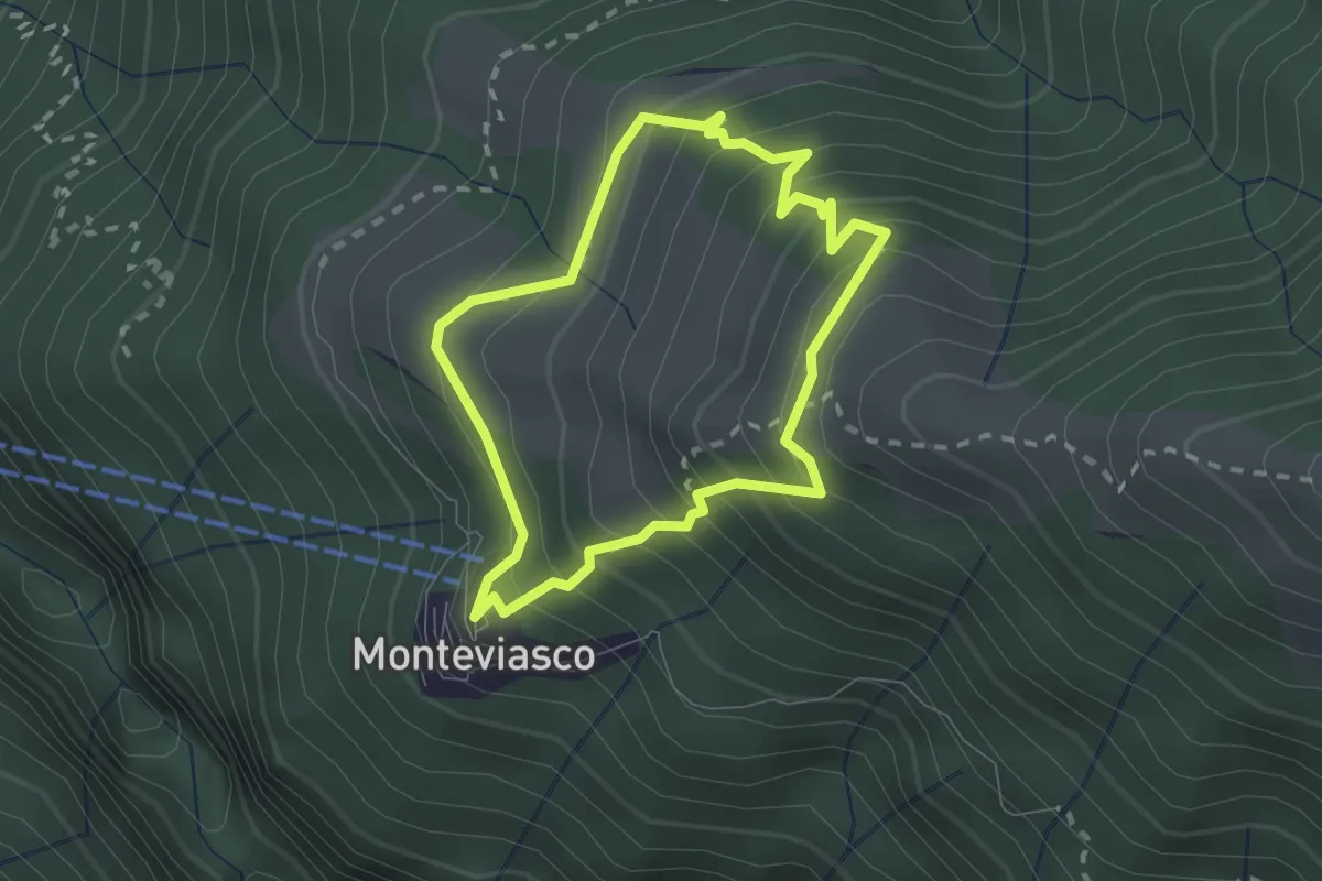
Medium · Trail
Monteviasco – Monteviasco
2.0 km · ↑ 233 m · 1 h
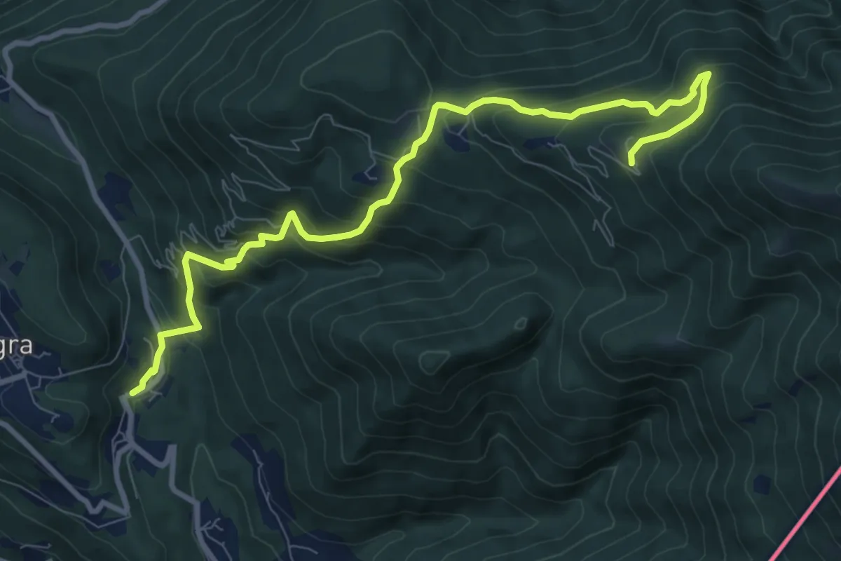
Medium · Cabin
Due Cossani – Pradecolo
9.9 km · ↑ 744 m · 3 h 57 min
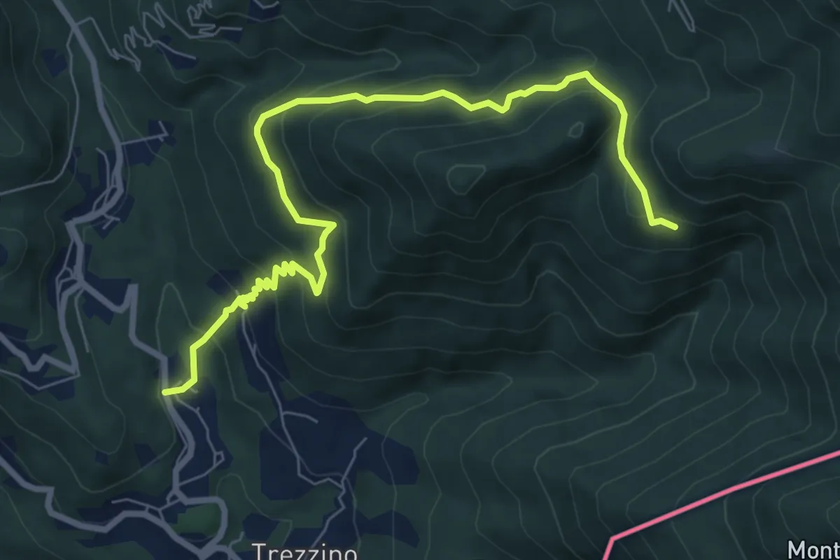
Medium · Trail
Stivigliano – Alpe Bois
8.4 km · ↑ 645 m · 3 h 22 min
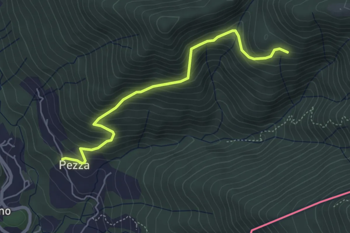
Medium · Trail
Trezzino – Alpe Bois
4.8 km · ↑ 460 m · 2 h 8 min
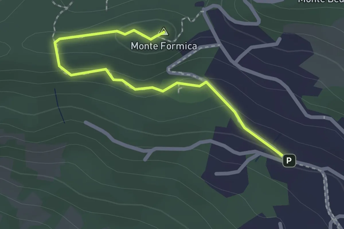
Easy · Summit
Agra – Monte Formica
2.0 km · ↑ 52 m · 35 min
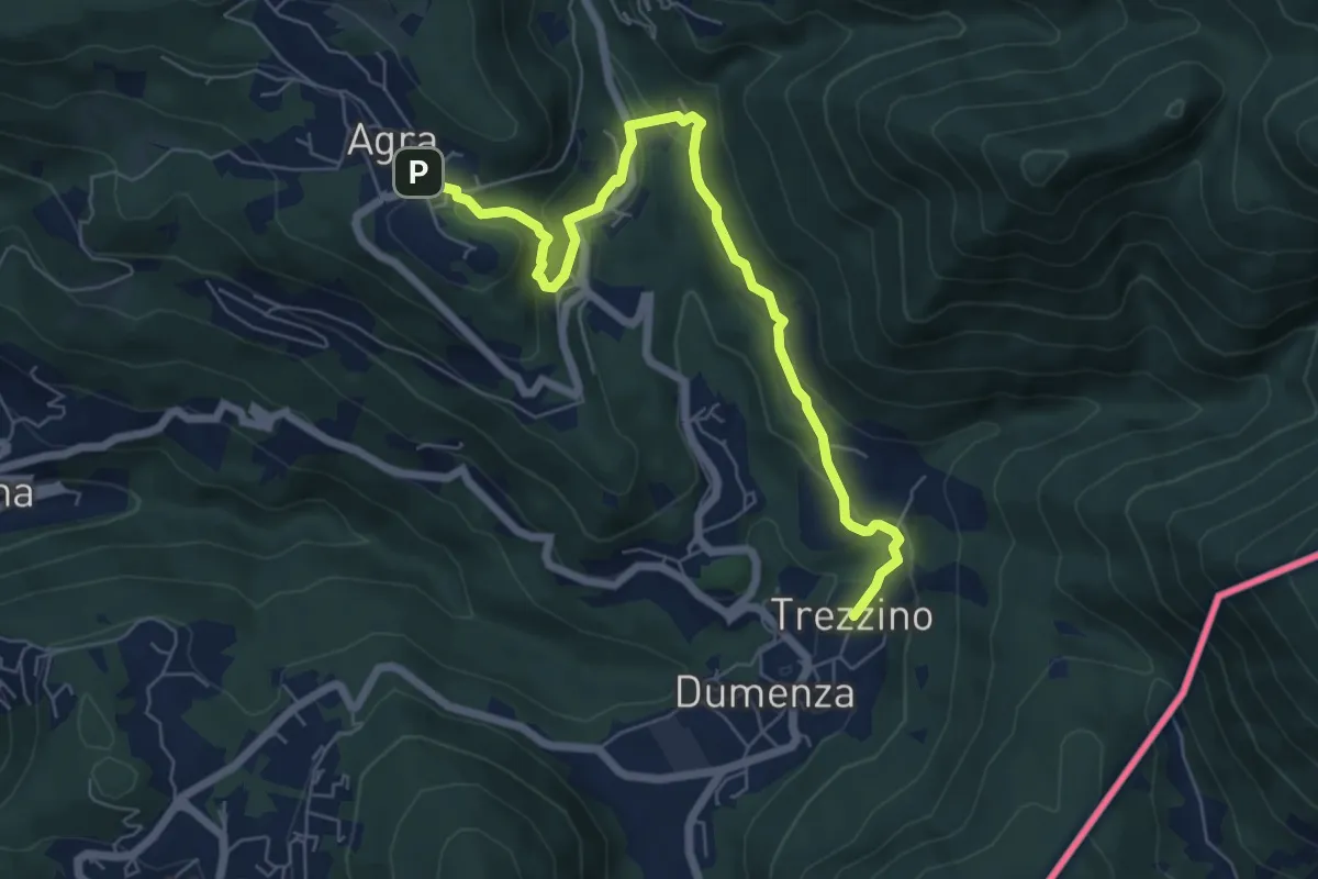
Easy · Trail
Agra – Dumenza
7.1 km · ↑ 297 m · 2 h 19 min
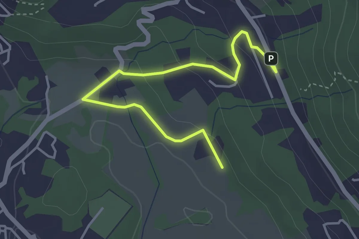
Easy · Trail
Motte – Paü
3.7 km · ↑ 116 m · 1 h 8 min
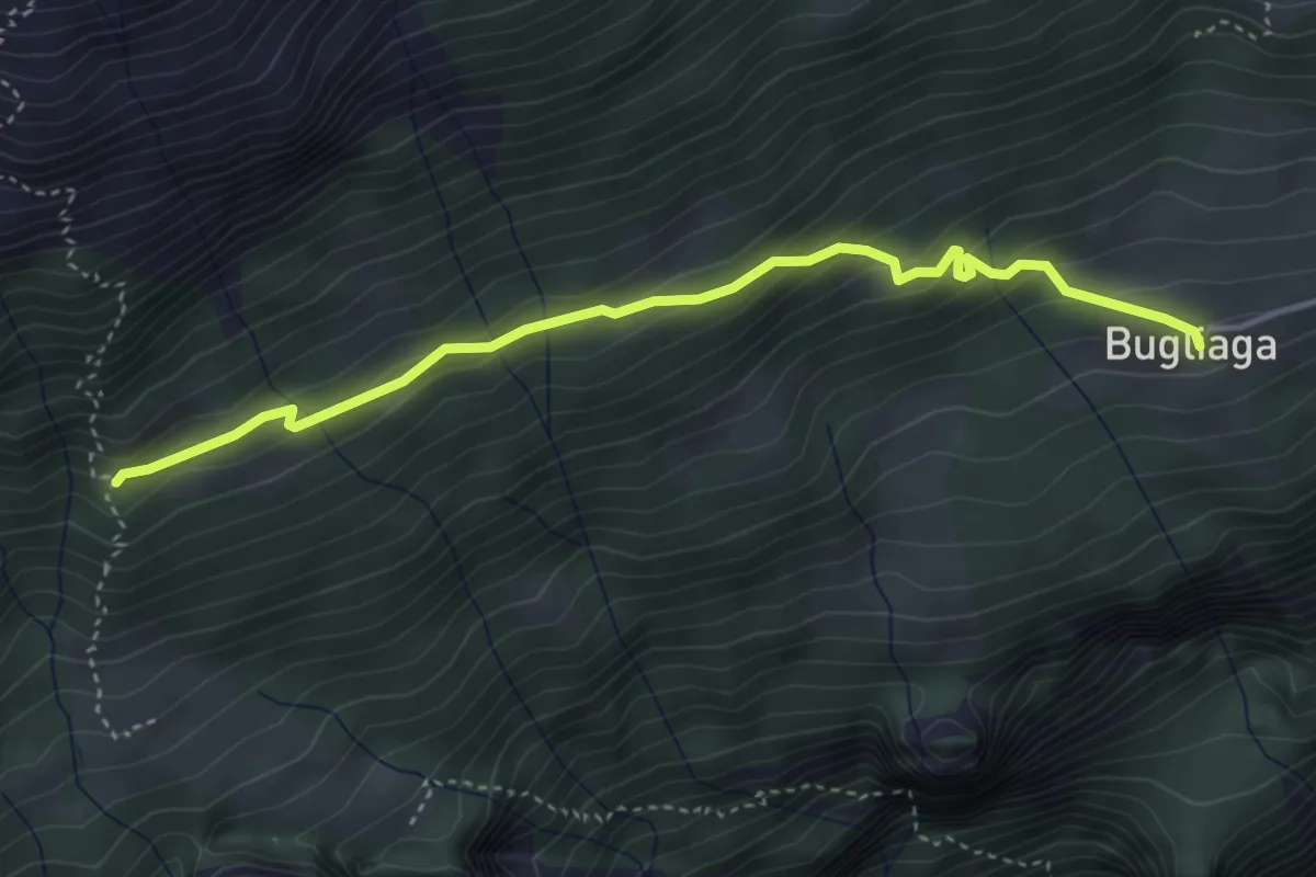
Easy · Trail
Bugliaga – Gondo
4.1 km · ↑ 255 m · 1 h 31 min
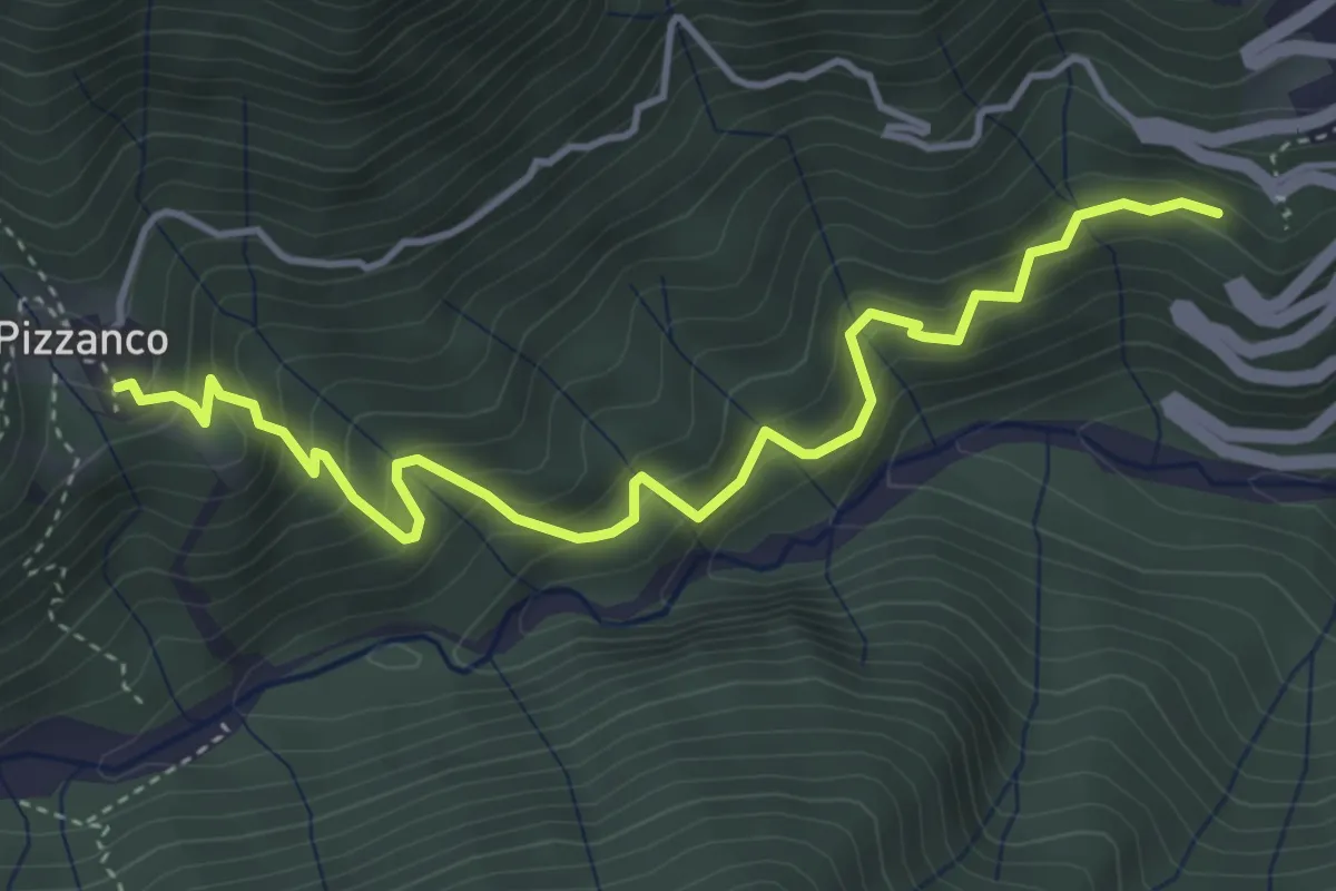
Medium · Trail
Camisanca - Bivio D00 – Pizzanco - Bivio D20
4.6 km · ↑ 545 m · 2 h 17 min
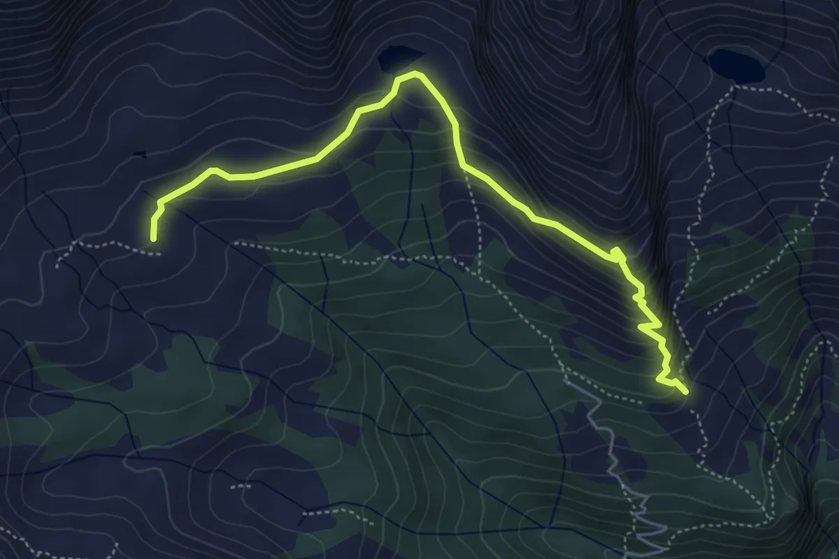
Medium · Trail
Alpe Paione – Alpe Monscera
5.5 km · ↑ 420 m · 2 h 12 min
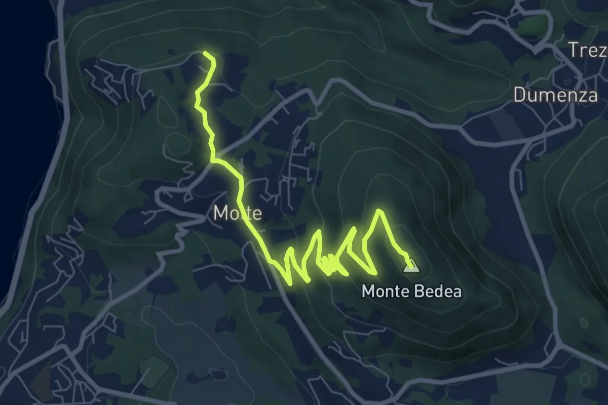
Medium · Summit
Bonga – Longhirolo
8.6 km · ↑ 341 m · 2 h 46 min