Trails in Italy
25,219 hiking trails, each with its route, climb, walking time and grade.
All trails, page 519 of 526
Medium · Trail
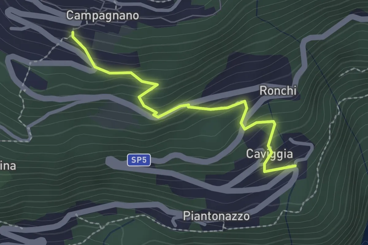
Caviggia – Campagnano
2.2 km · ↑ 183 m · 55 min
Medium · Trail
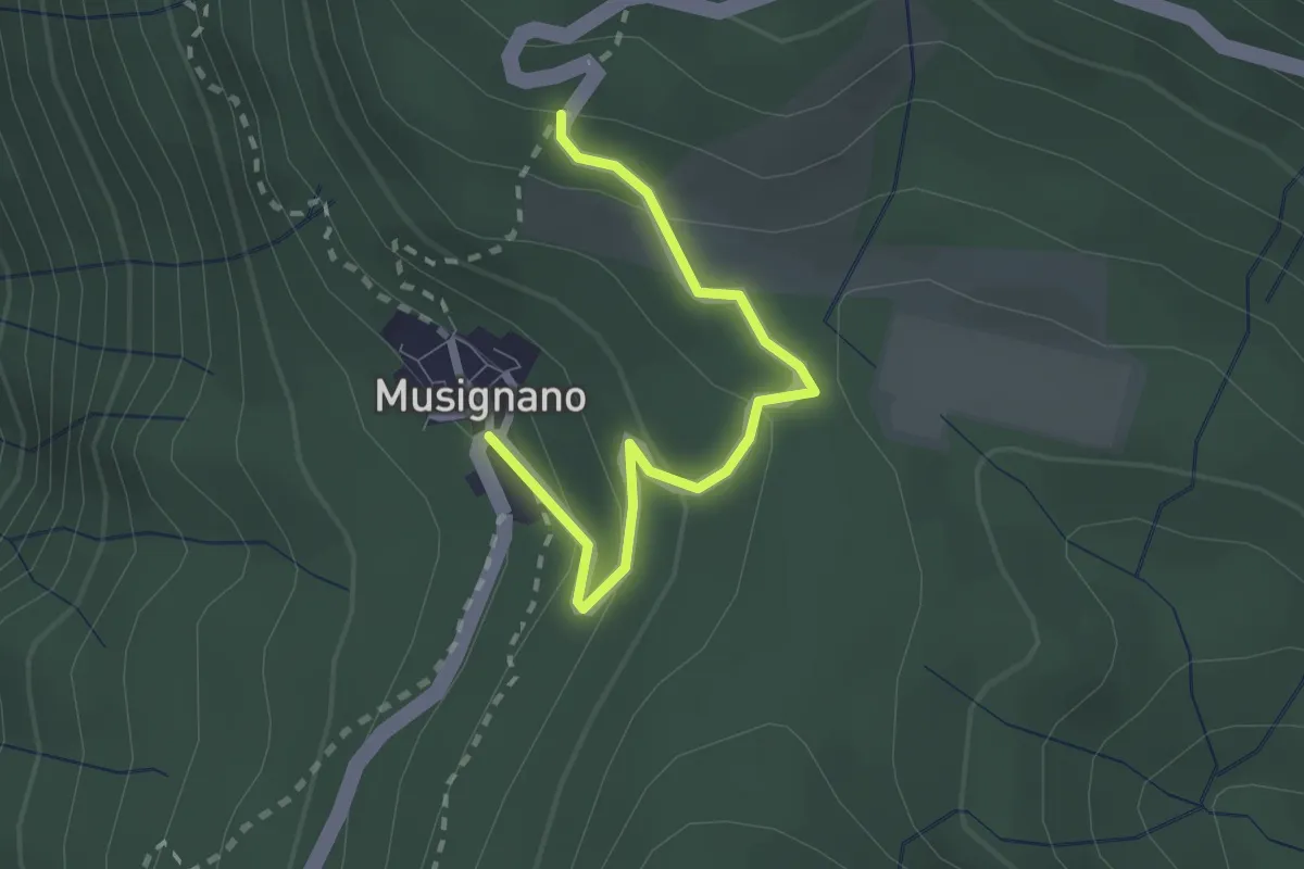
Lago Delio – Musignano
2.3 km · ↑ 115 m · 47 min
Medium · Trail
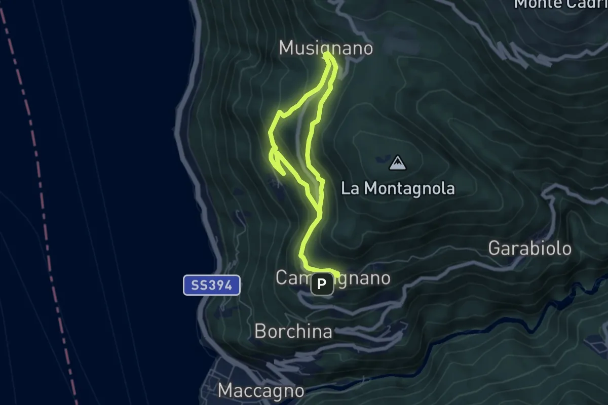
Campagnano – Musignano
8.6 km · ↑ 534 m · 3 h 11 min
Demanding · Trail
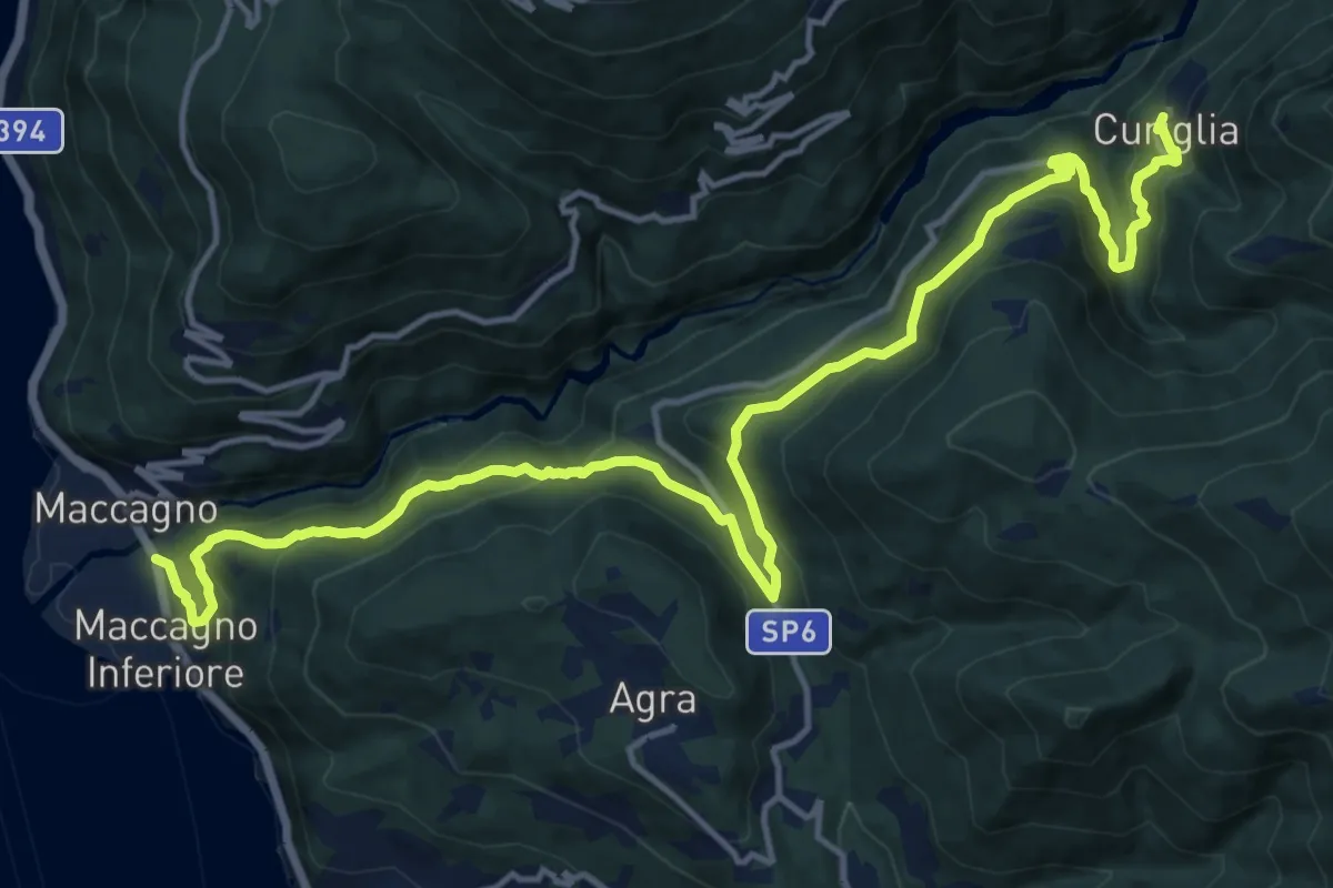
Maccagno – Curiglia
18.6 km · ↑ 1070 m · 6 h 43 min
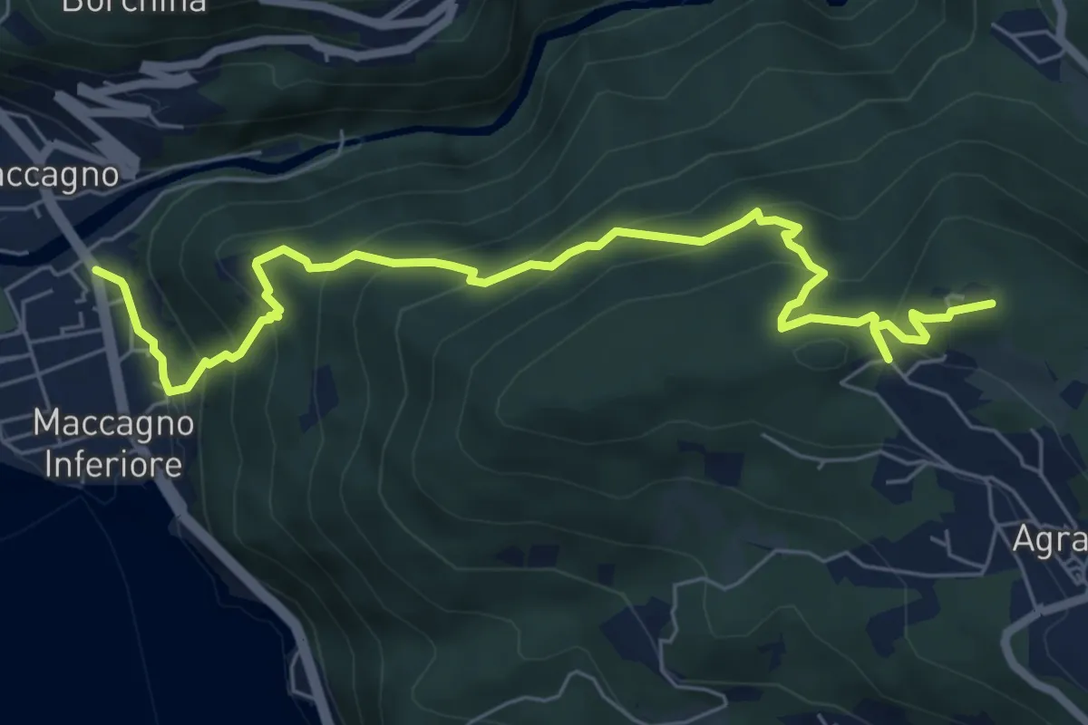
Medium · Summit
Maccagno – Agra (Bodorè)
7.5 km · ↑ 544 m · 2 h 57 min
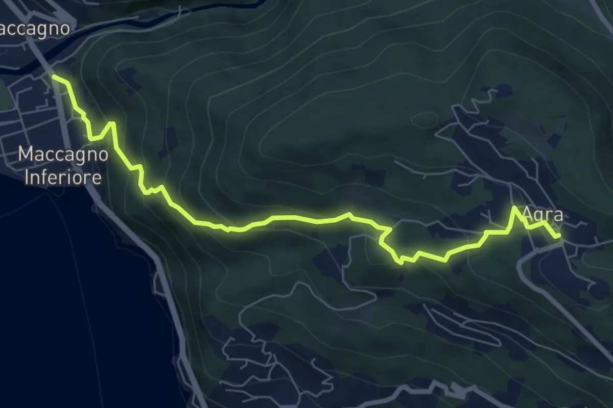
Medium · Trail
Maccagno – Agra
7.3 km · ↑ 487 m · 2 h 47 min
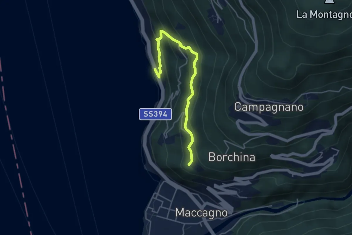
Medium · Trail
Ronco delle Monache – Pianca
3.7 km · ↑ 297 m · 1 h 31 min
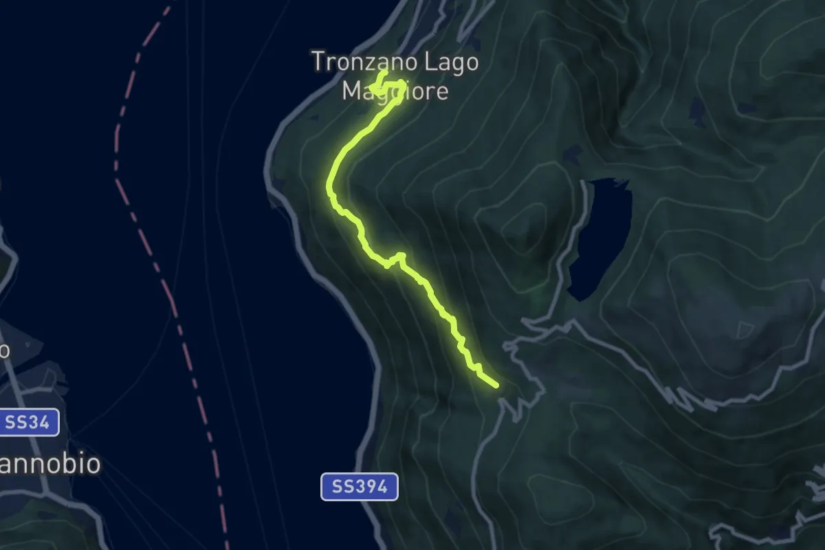
Medium · Trail
Tronzano – Musignano
8.0 km · ↑ 603 m · 3 h 12 min
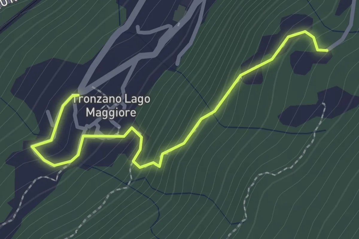
Medium · Trail
Trozzano – Chiesa di Santa Maria Assunta
2.4 km · ↑ 230 m · 1 h 3 min
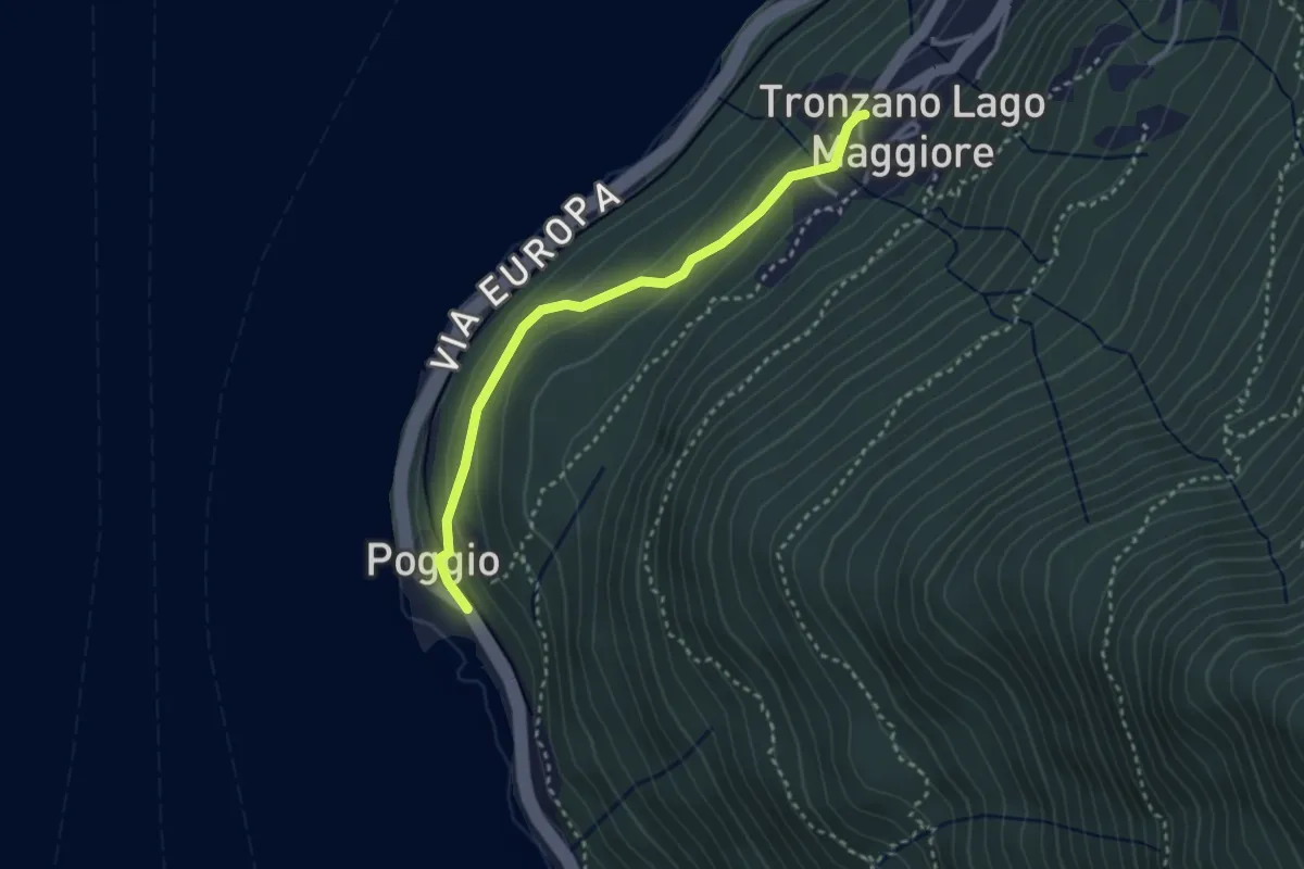
Easy · Trail
Tronzano – Poggio
3.0 km · ↑ 114 m · 57 min
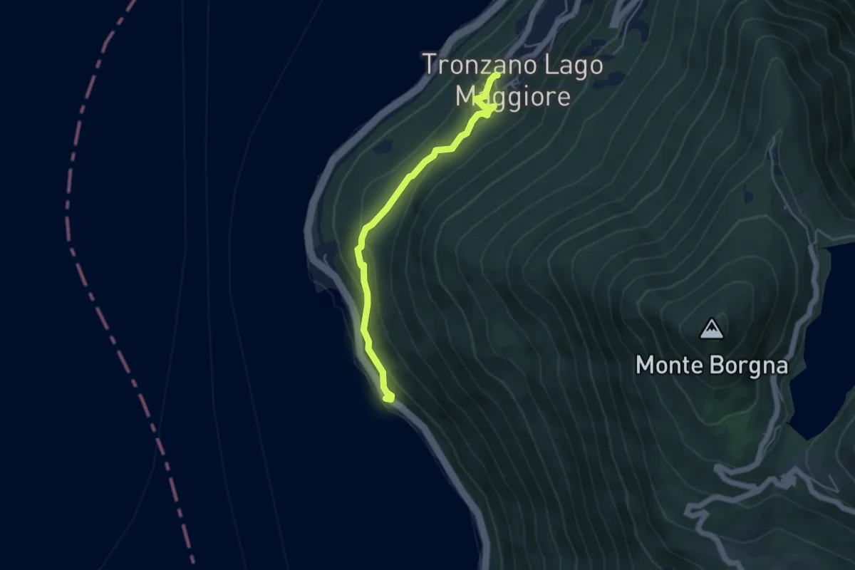
Medium · Trail
Tronzano – Ronco Scigolino
4.3 km · ↑ 242 m · 1 h 32 min
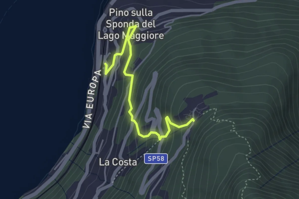
Medium · Trail
Pino sulla Sponda del Lago Maggiore – Bassano
3.7 km · ↑ 334 m · 1 h 36 min
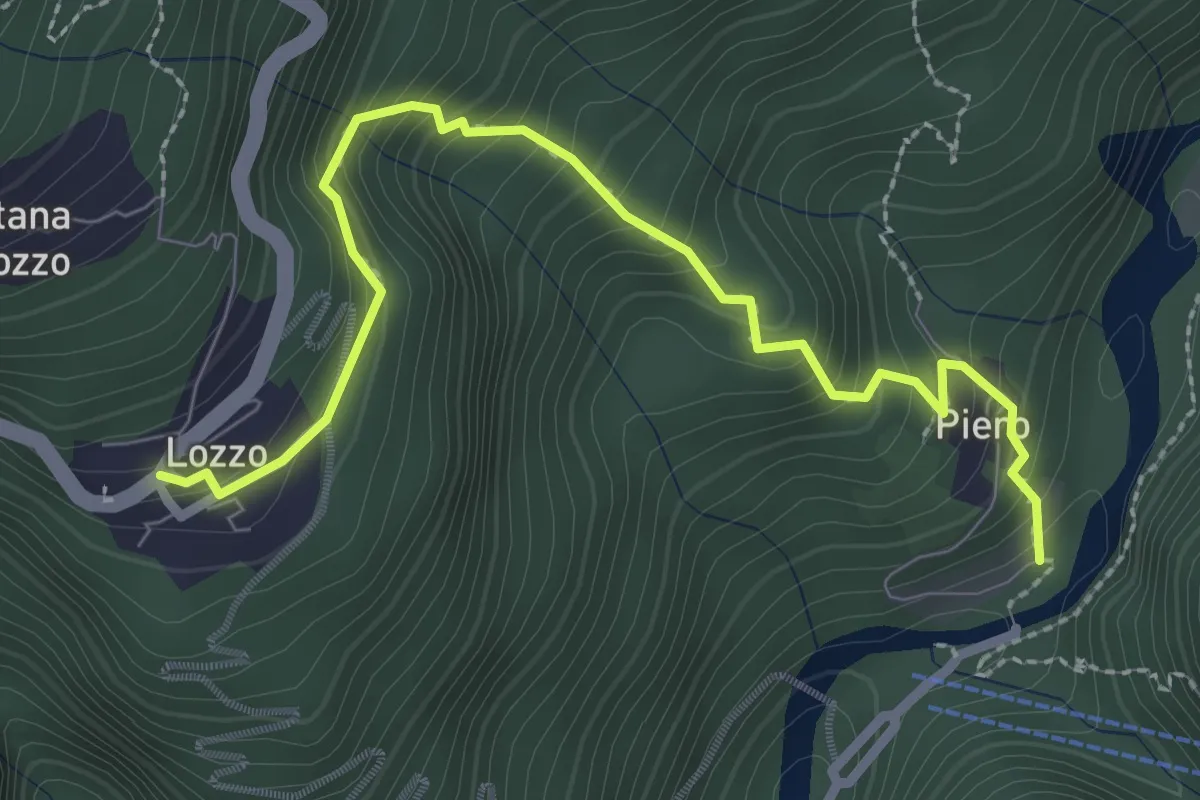
Medium · Trail
Lozzo – Ponte di Piero
3.0 km · ↑ 352 m · 1 h 28 min
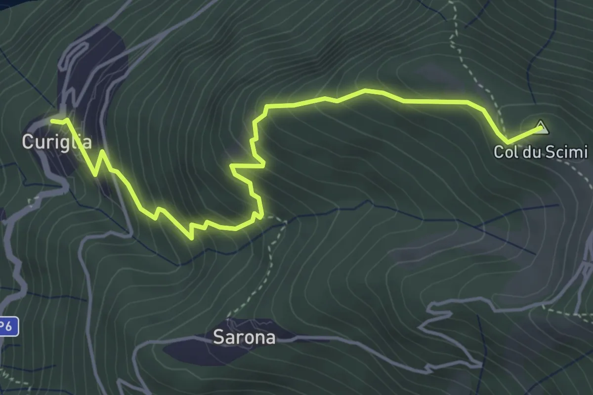
Medium · Summit
Alpone – Curiglia
4.8 km · ↑ 565 m · 2 h 21 min
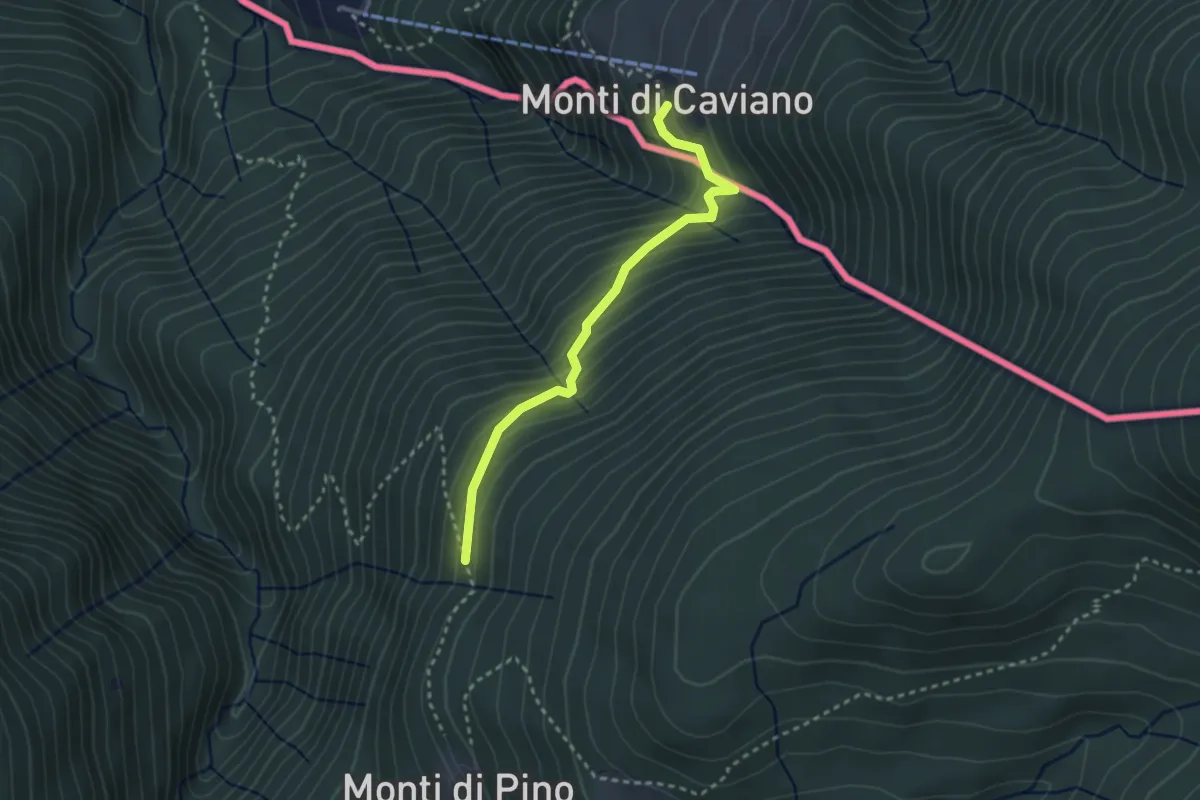
Medium · Trail
Lago Delio – Cento Campi (CH)
2.8 km · ↑ 237 m · 1 h 11 min
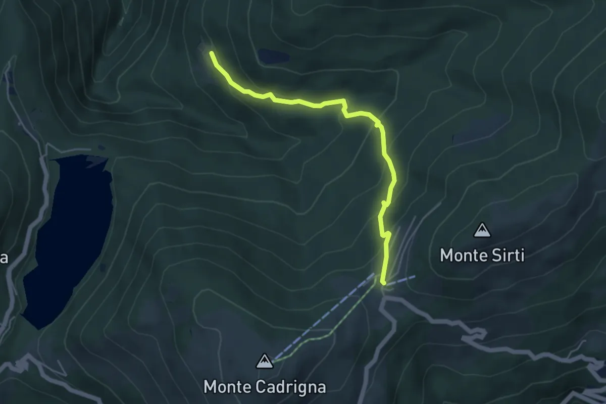
Medium · Cabin
Forcora – Monti di Pino
4.4 km · ↑ 285 m · 1 h 40 min
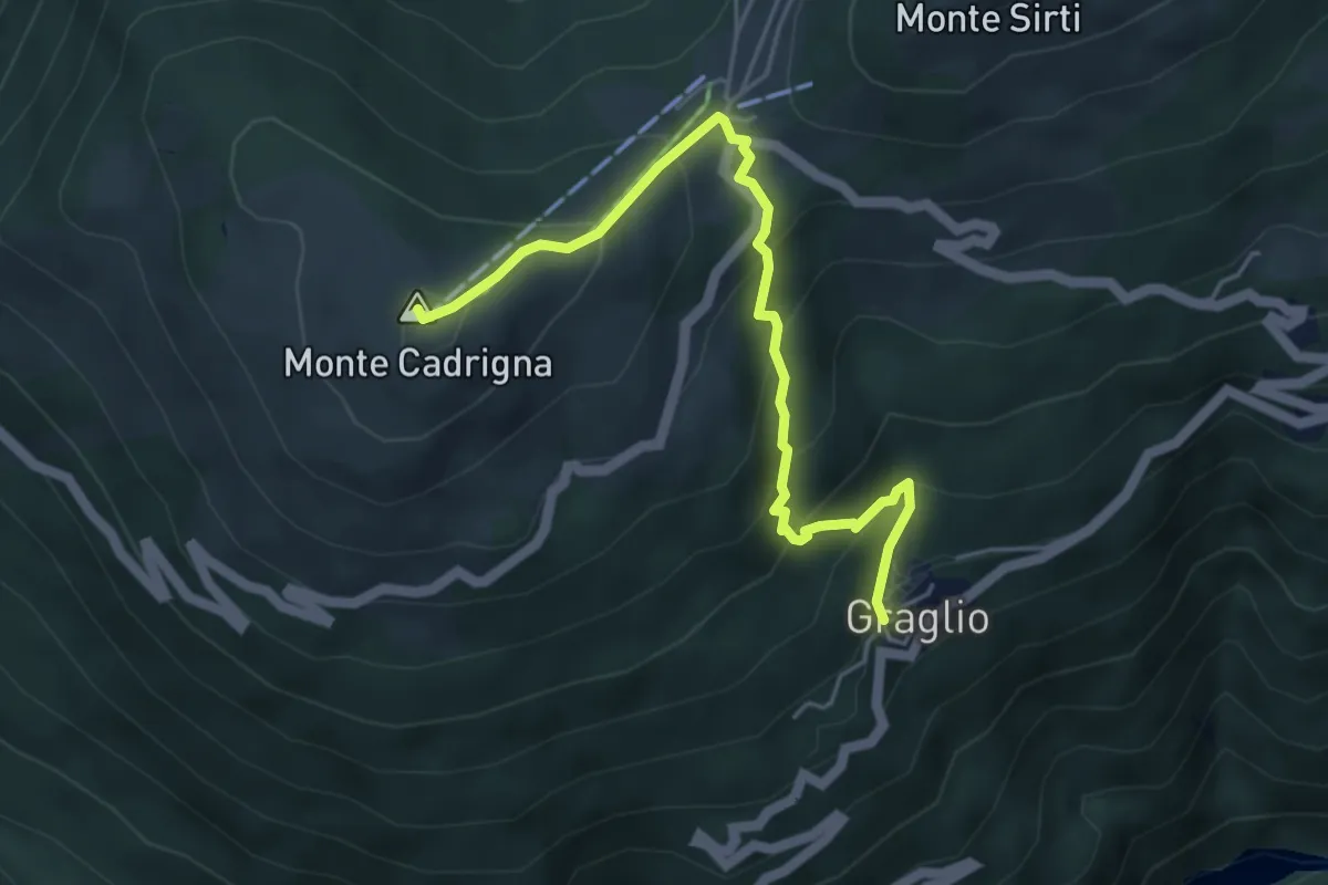
Medium · Summit
Graglio – Monte Cadrigna
5.0 km · ↑ 408 m · 2 h 4 min
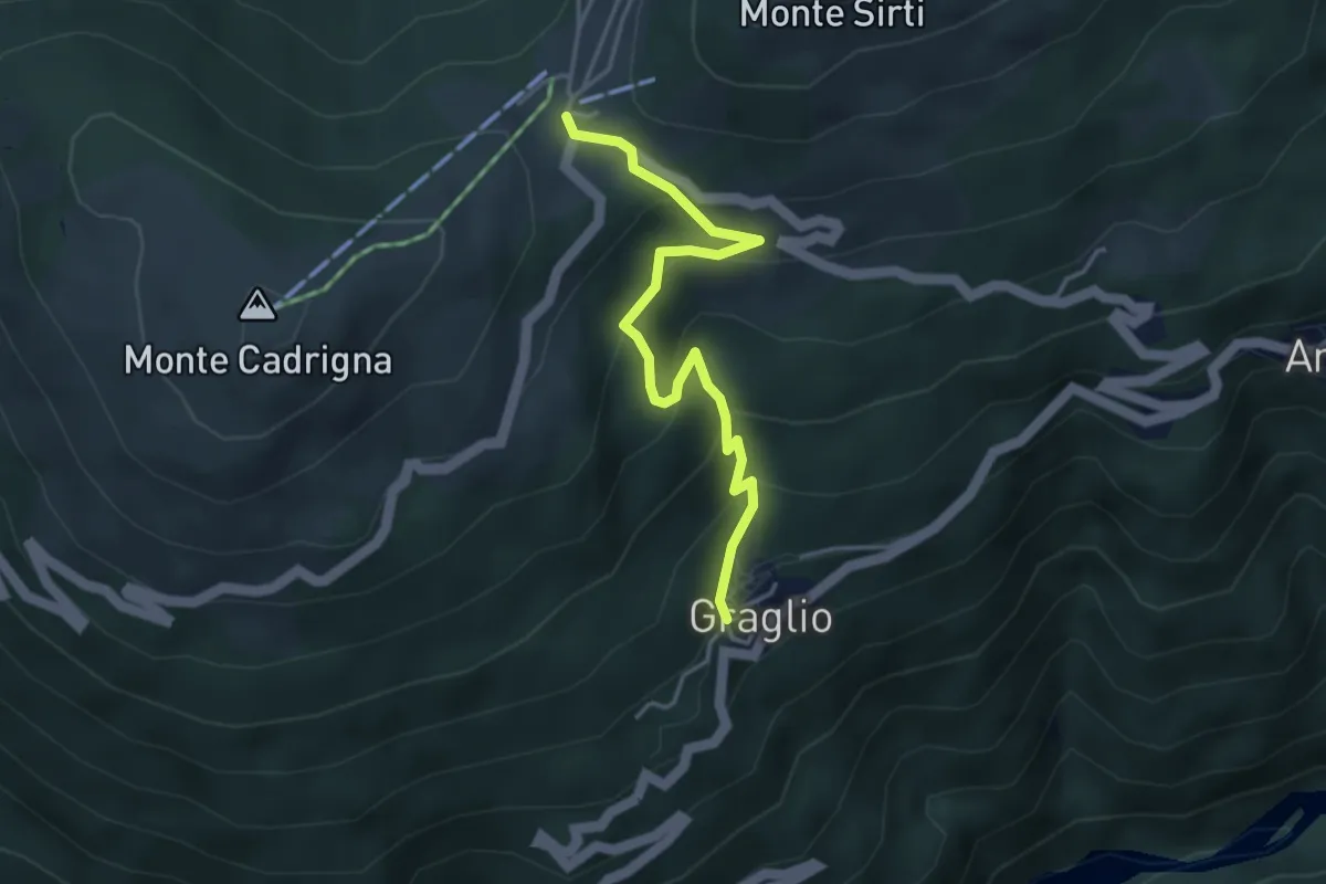
Medium · Trail
Graglio – Passo Forcora
3.9 km · ↑ 316 m · 1 h 37 min
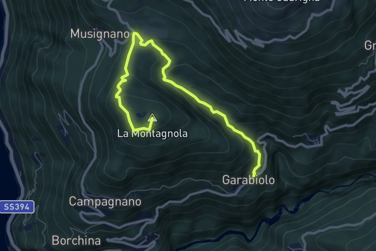
Medium · Summit
Garabiolo – Campagnano
7.8 km · ↑ 366 m · 2 h 38 min
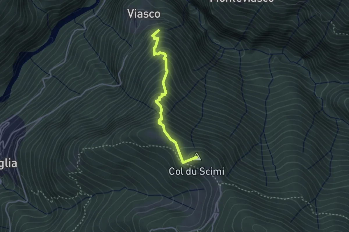
Medium · Summit
Viasco – Alpone
2.8 km · ↑ 377 m · 1 h 28 min
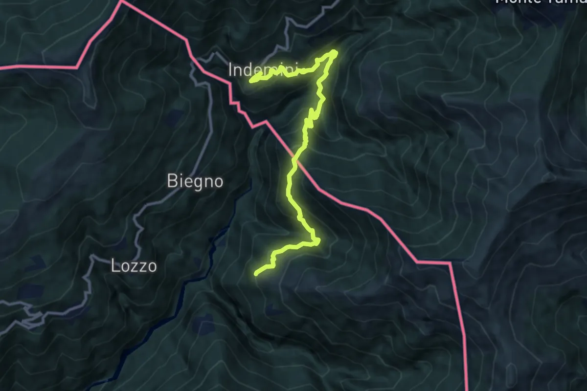
Demanding · Trail
Monteviasco – Indemini (CH)
10.4 km · ↑ 938 m · 4 h 29 min
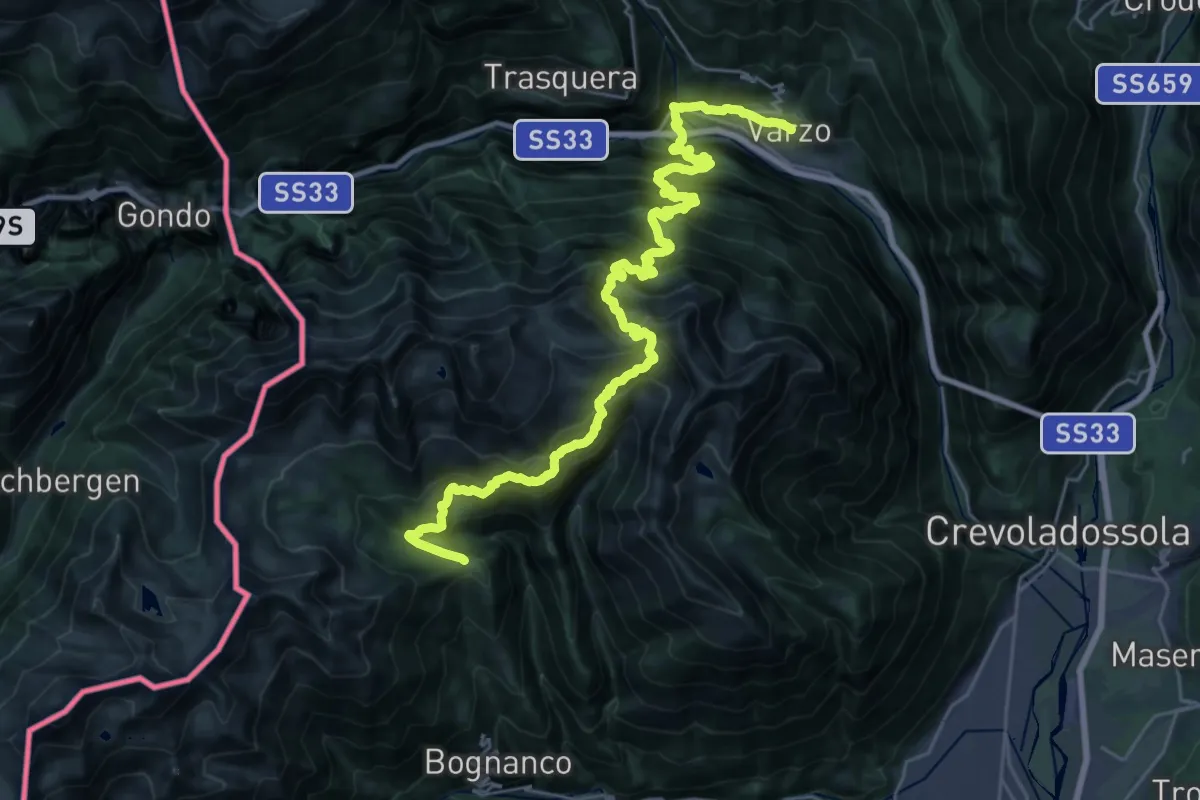
Demanding · Cabin
Rifugio San Bernardo – Varzo
17.2 km · ↑ 2065 m · 8 h 16 min
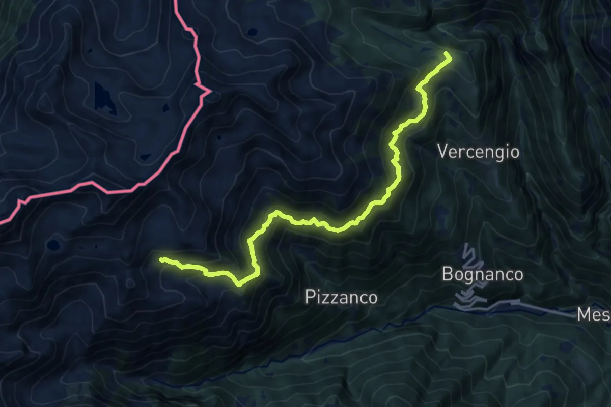
Demanding · Cabin
Rifugio Alpe Laghetto – Rifugio San Bernardo
13.7 km · ↑ 1280 m · 6 h
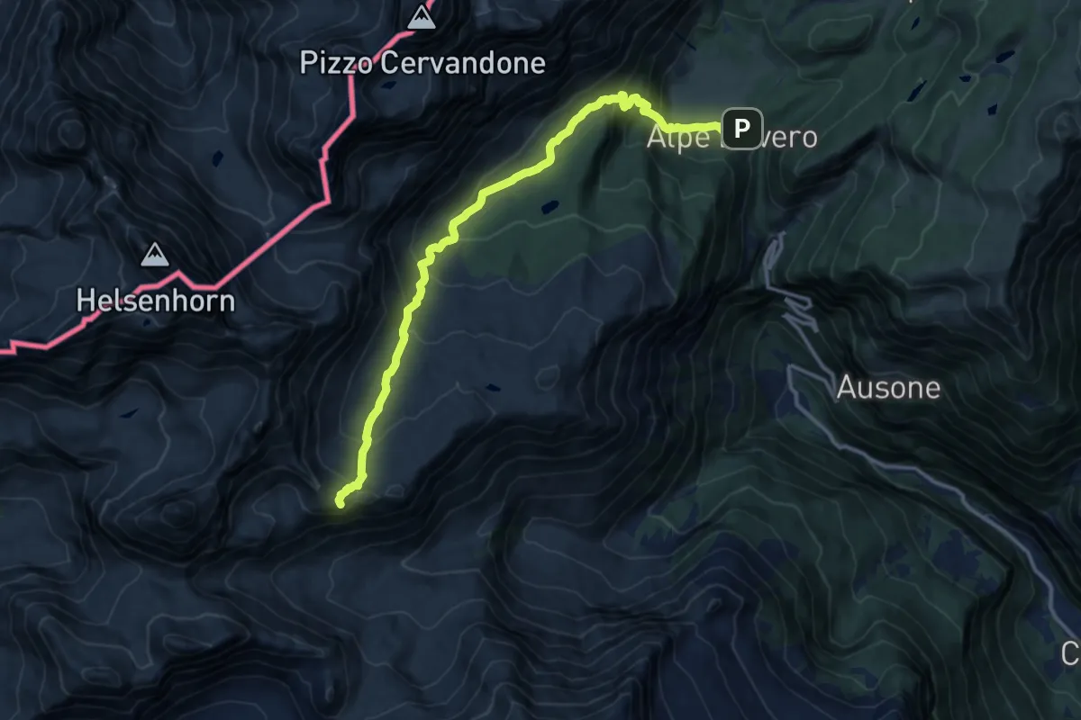
Demanding · Summit
Alpe Veglia (Cornu) – Alpe Devero
13.5 km · ↑ 810 m · 4 h 56 min
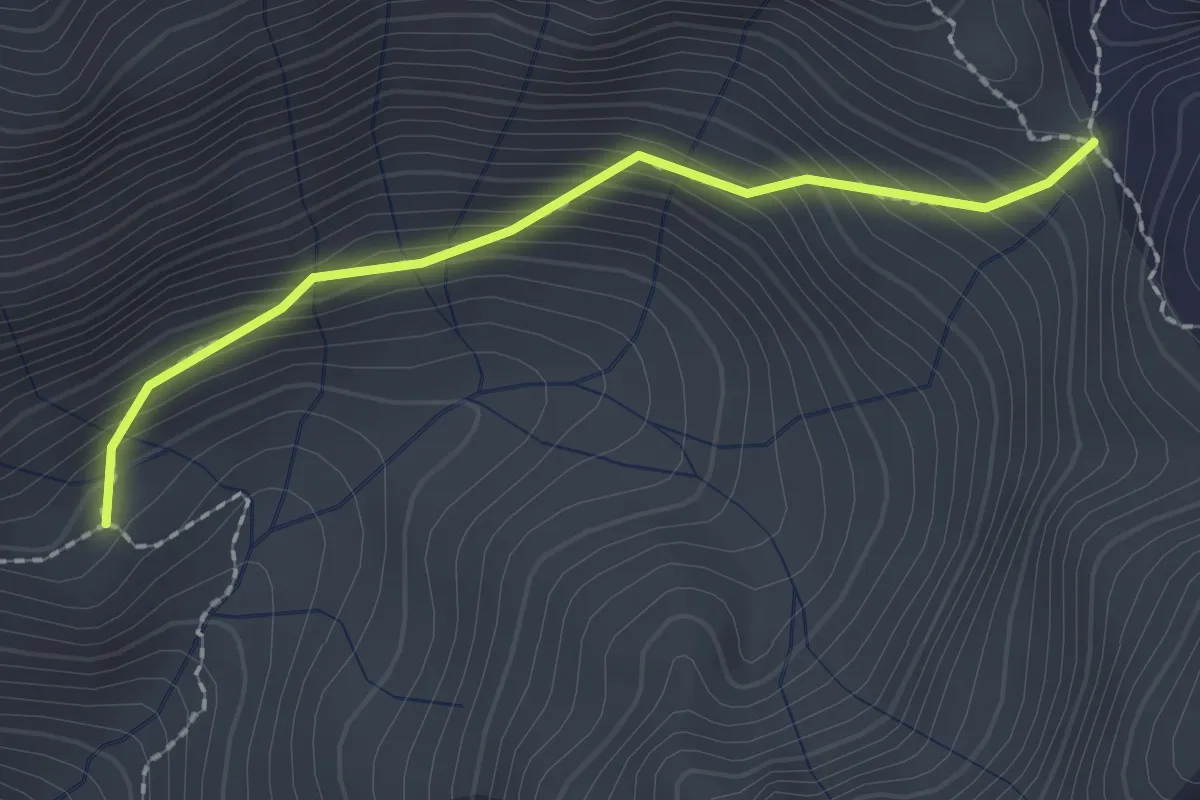
Medium · Trail
Rifugio Città di Novara all'Alpe Cheggio – Rifugio Alpe Laghetto
2.0 km · ↑ 218 m · 57 min
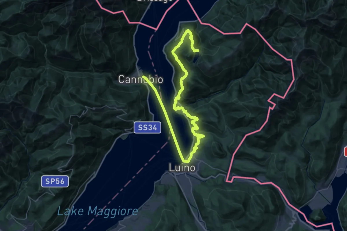
Demanding · Trail
Canobbio – Lago Delio
28.8 km · ↑ 1057 m · 9 h 52 min
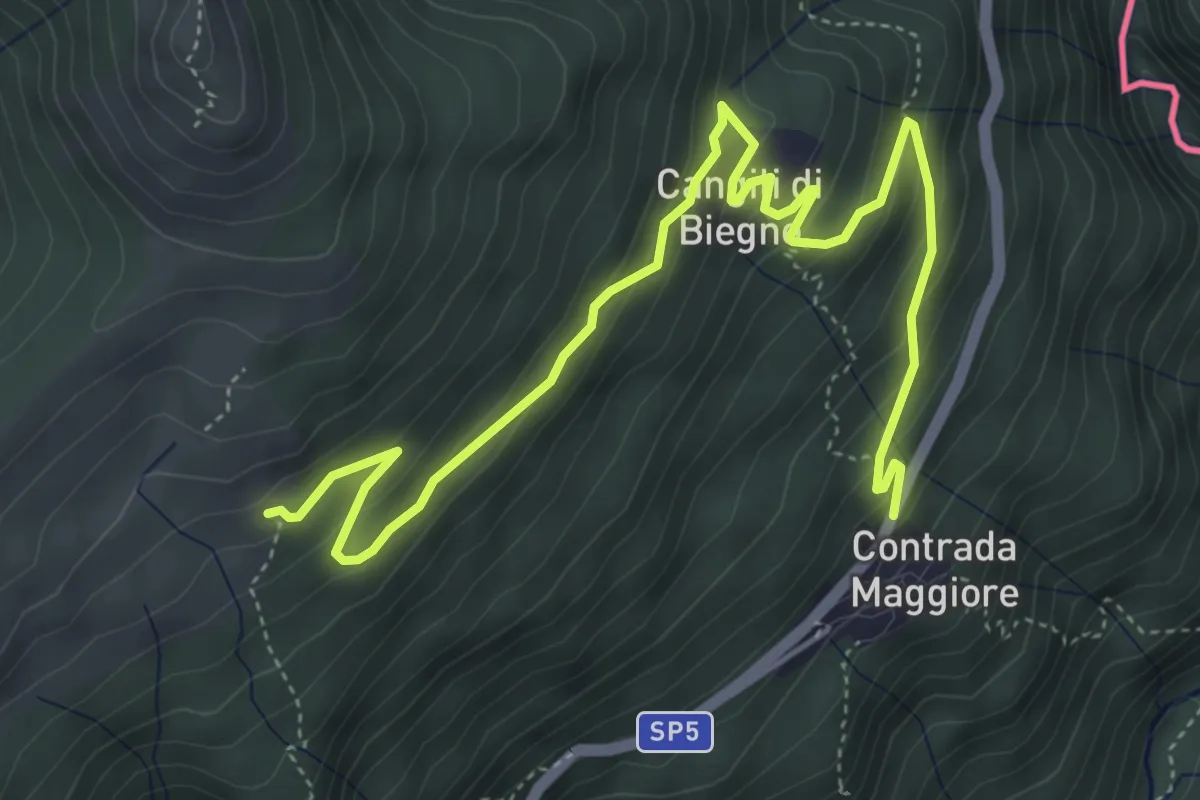
Medium · Trail
Lago Delio – Monteviasco
6.3 km · ↑ 363 m · 2 h 16 min
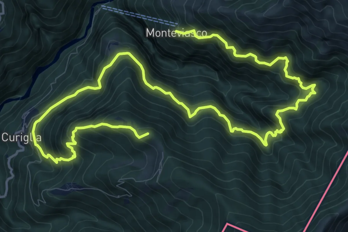
Demanding · Summit
Monteviasco – Rifugio Campiglio al Pradecolo
19.1 km · ↑ 1904 m · 8 h 38 min
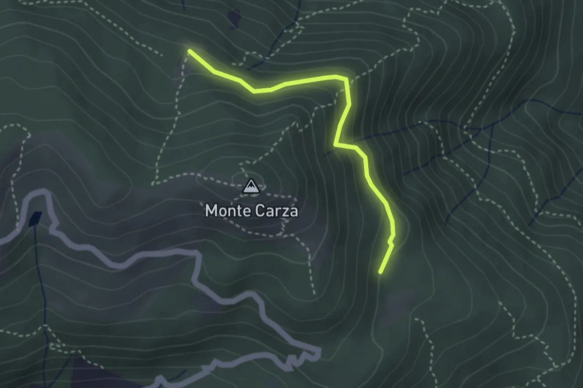
Easy · Trail
Bivio VBAR42 – Pra Rotondo, bivio VBAR42A-VBAS05
2.8 km · ↑ 130 m · 57 min
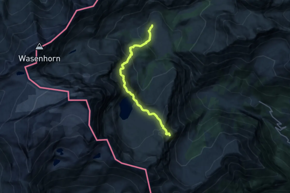
Demanding · Summit
Varzo, Alpe Veglia, bivio VBAF30-VBAF28 – Trasquera, presso Alpe Valle, bivio VBAF30-VBAF97
12.5 km · ↑ 875 m · 4 h 51 min
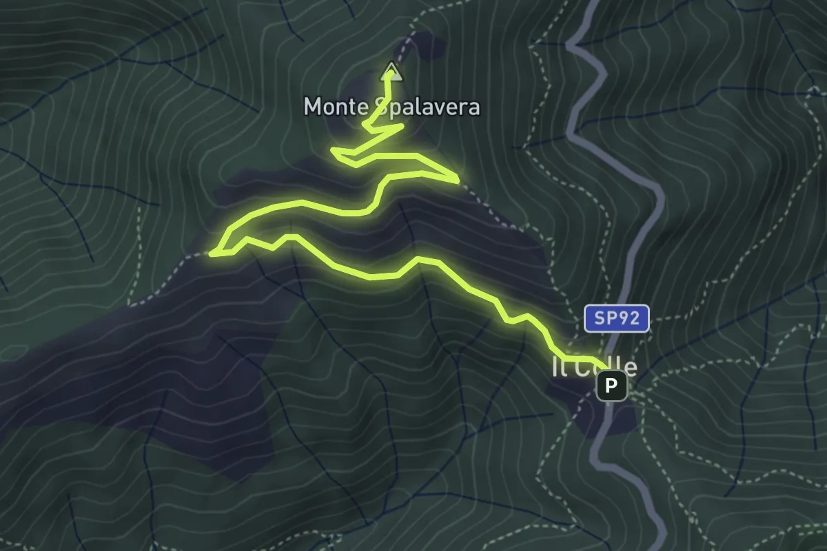
Medium · Summit
Colle (m 1238) – Bivio R20 sotto Cima l'Alpe (m 1298)
5.9 km · ↑ 350 m · 2 h 8 min
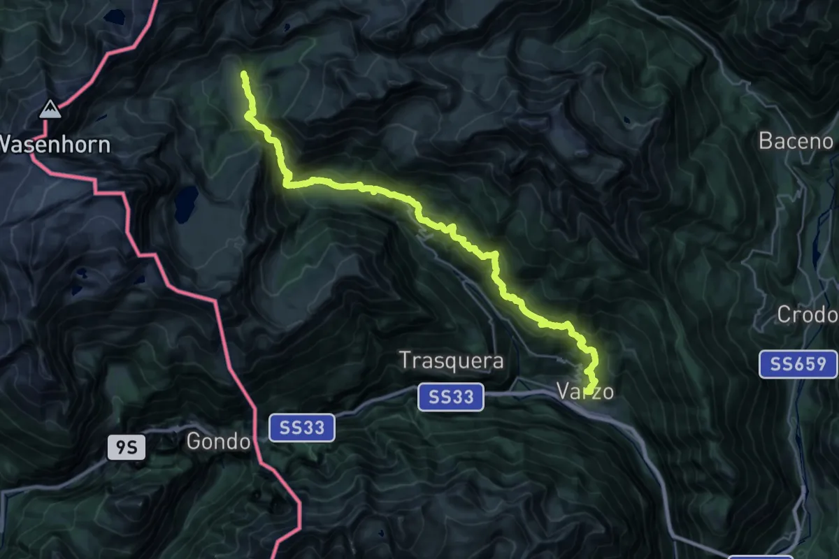
Demanding · Cabin
Varzo – Alpe Veglia (Cornu)
16.0 km · ↑ 1766 m · 7 h 14 min
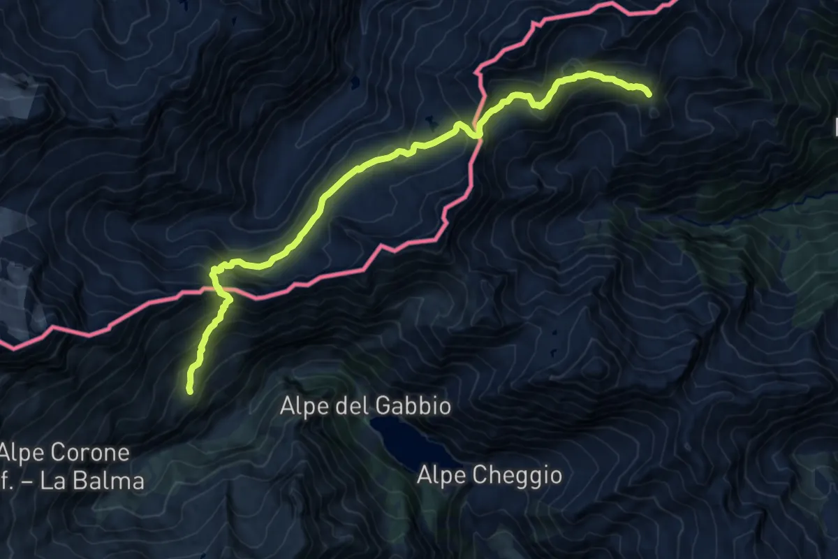
Demanding · Trail
Rifugio Andolla – Rifugio Alpe Laghetto
17.1 km · ↑ 1238 m · 6 h 43 min
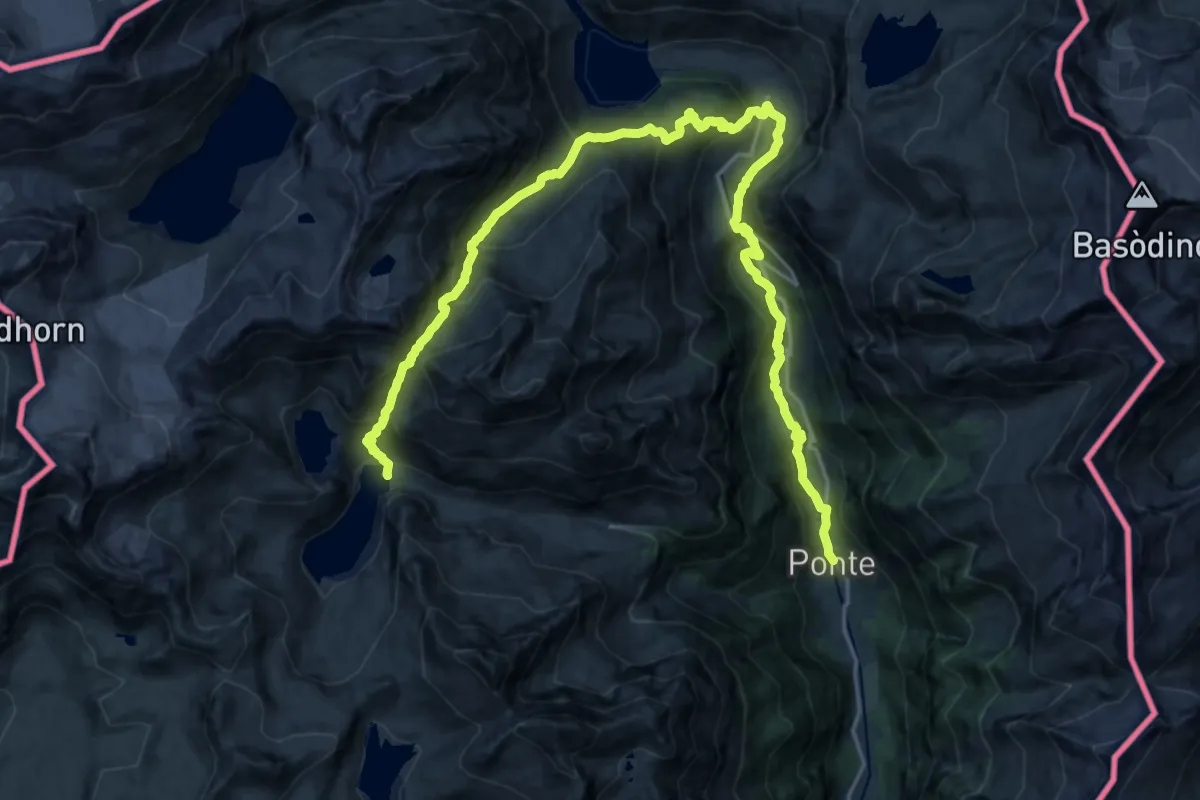
Demanding · Cabin
Rifugio Eugenio Margaroli all'Alpe Vannino – Formazza
13.7 km · ↑ 1413 m · 6 h 2 min
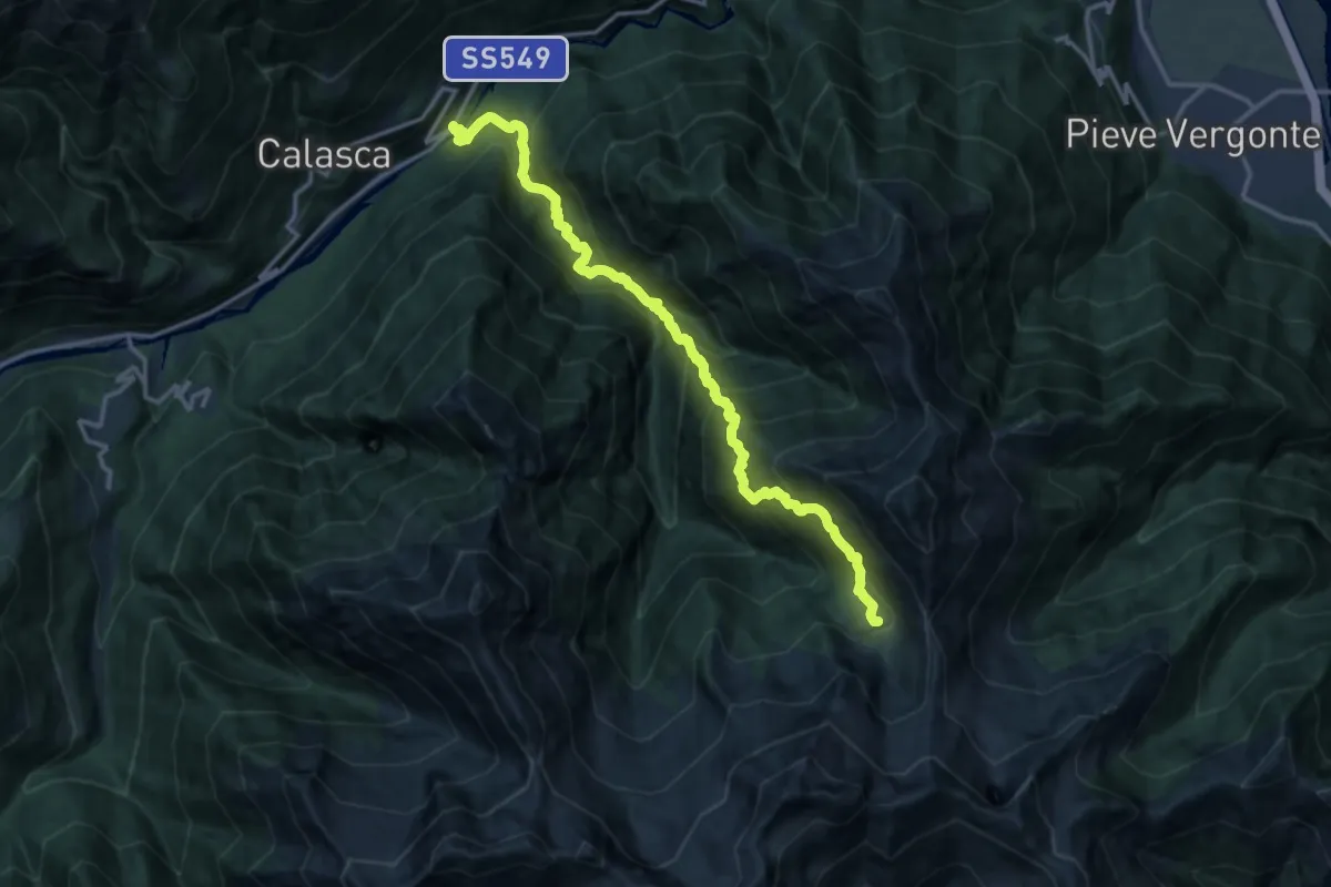
Demanding · Cabin
Alpe Lago – Madonna della Gurva (Molini di Calasca)
15.5 km · ↑ 1735 m · 7 h 25 min
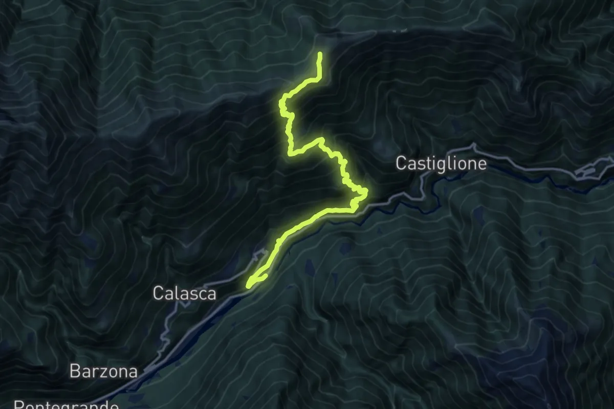
Demanding · Cabin
Madonna della Gurva (Molini di Calasca) – Alpe della Colma
14.2 km · ↑ 1306 m · 6 h 12 min
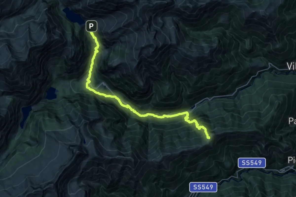
Demanding · Cabin
Alpe della Colma – Rifugio Città di Novara all'Alpe Cheggio
13.1 km · ↑ 1028 m · 5 h 27 min
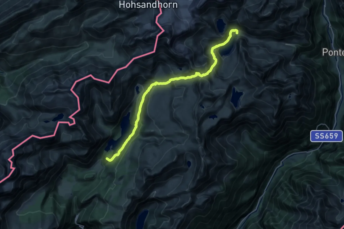
Demanding · Summit
Alpe Devero – Rifugio Eugenio Margaroli all'Alpe Vannino
22.1 km · ↑ 1361 m · 8 h 10 min
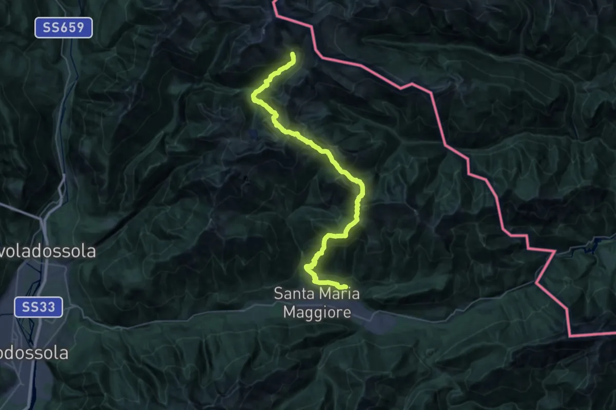
Demanding · Cabin
Alpe Cortevecchio (Bivacco Bonasson) – Vocogno
18.6 km · ↑ 1922 m · 8 h 17 min
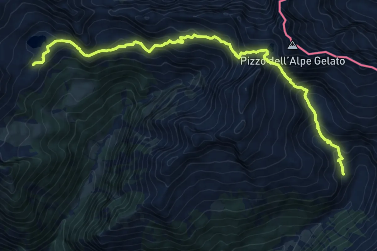
Demanding · Cabin
Alpe Lago (Bivacco Sironi) – Alpe Cortevecchio (Bivacco Bonasson)
12.5 km · ↑ 1012 m · 5 h 9 min
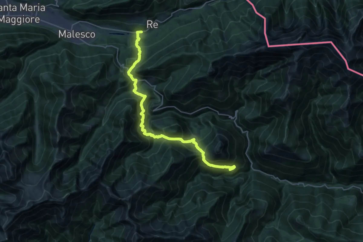
Demanding · Trail
Re – Falmenta
11.9 km · ↑ 1002 m · 5 h 10 min
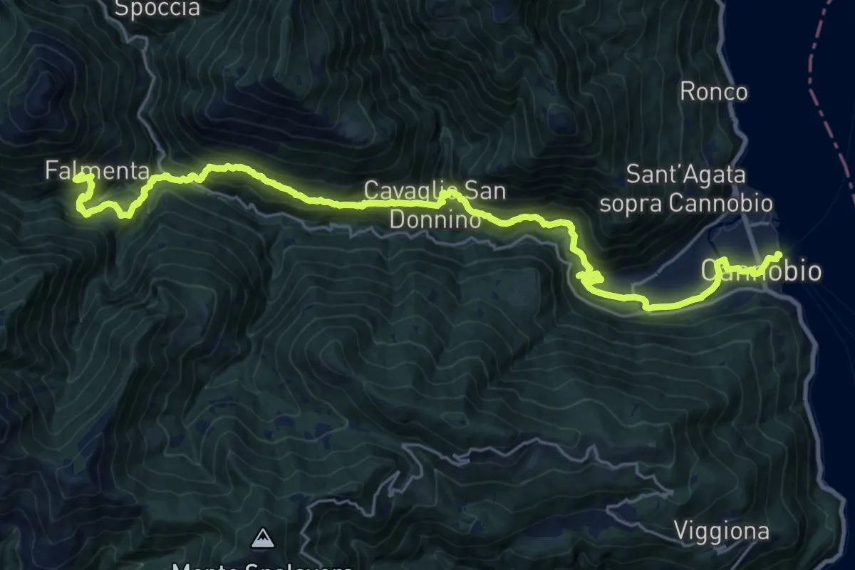
Medium · Trail
Falmenta – Cannobio
13.0 km · ↑ 564 m · 4 h 43 min
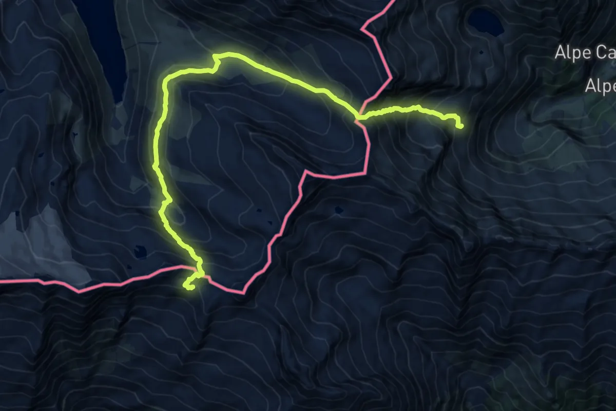
Demanding · Cabin
Rifugio Oberto – Bivacco Cingino
18.6 km · ↑ 1502 m · 7 h 39 min
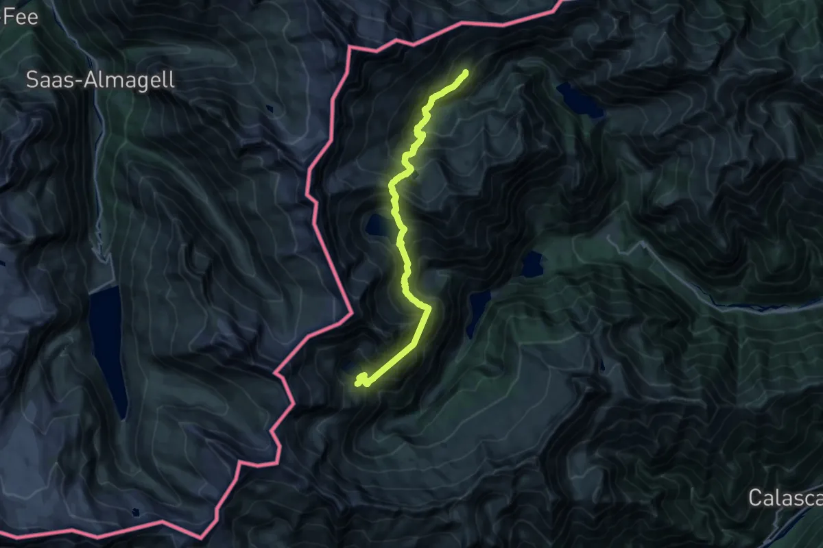
Expert · Cabin
Bivacco Cingino – Rifugio Andolla
10.8 km · ↑ 1325 m · 5 h 41 min
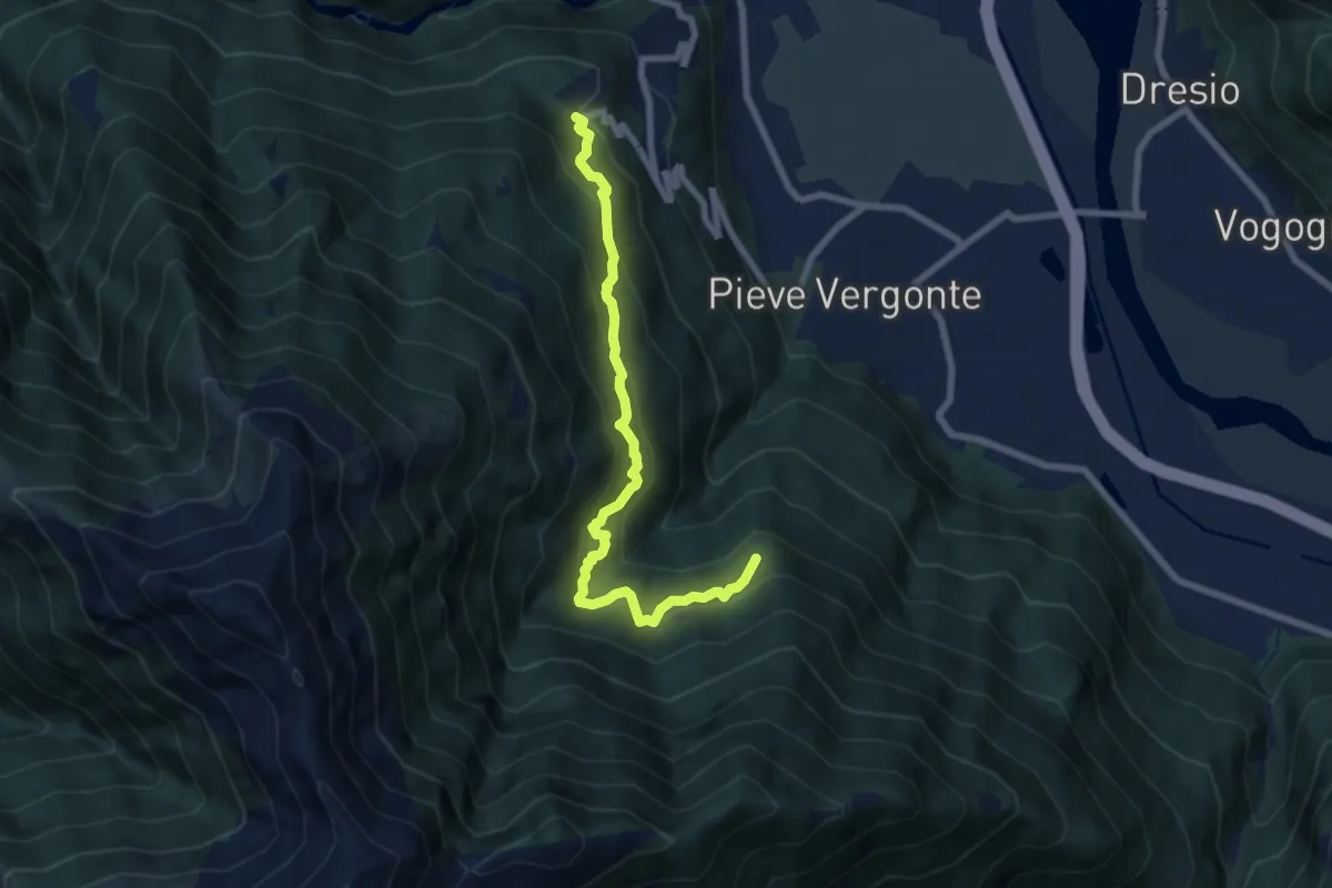
Medium · Trail
bivio A47 La Crosa – Casa Fontàn
7.5 km · ↑ 714 m · 3 h 19 min
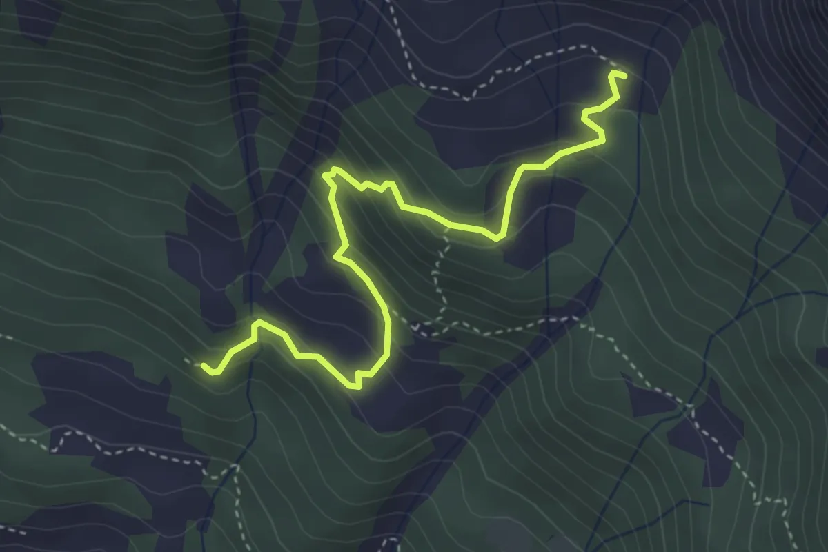
Medium · Trail
Dorcia di fuori bivio F14 1580 m – Moiero F50b GTA
4.1 km · ↑ 346 m · 1 h 43 min
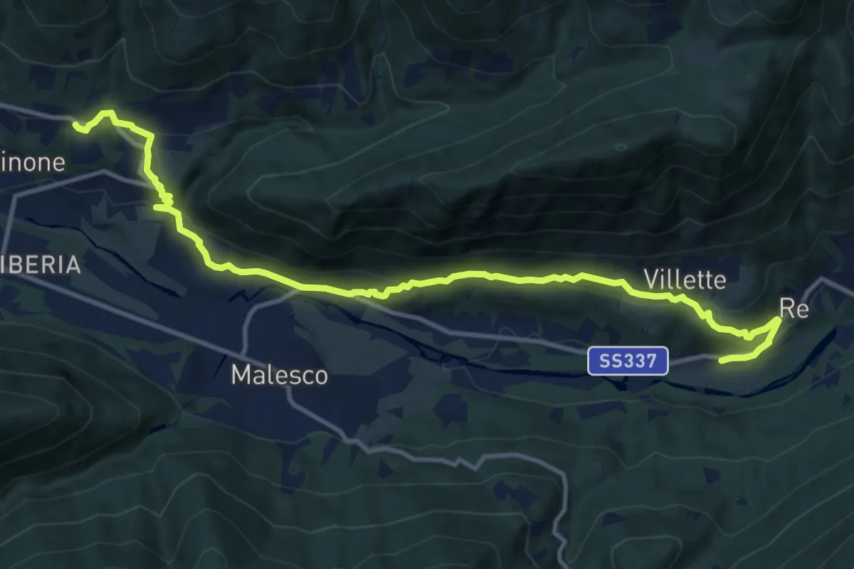
Medium · Trail
Vocogno – Re
13.0 km · ↑ 621 m · 4 h 25 min
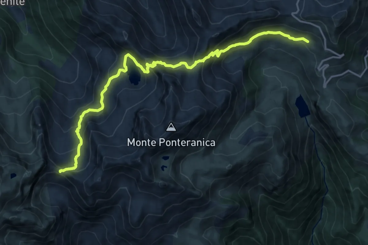
Demanding · Cabin
Rifugio Ca' San Marco – Passo di Salmurano
14.6 km · ↑ 1127 m · 5 h 53 min