Trails in Italy
25,219 hiking trails, each with its route, climb, walking time and grade.
All trails, page 520 of 526
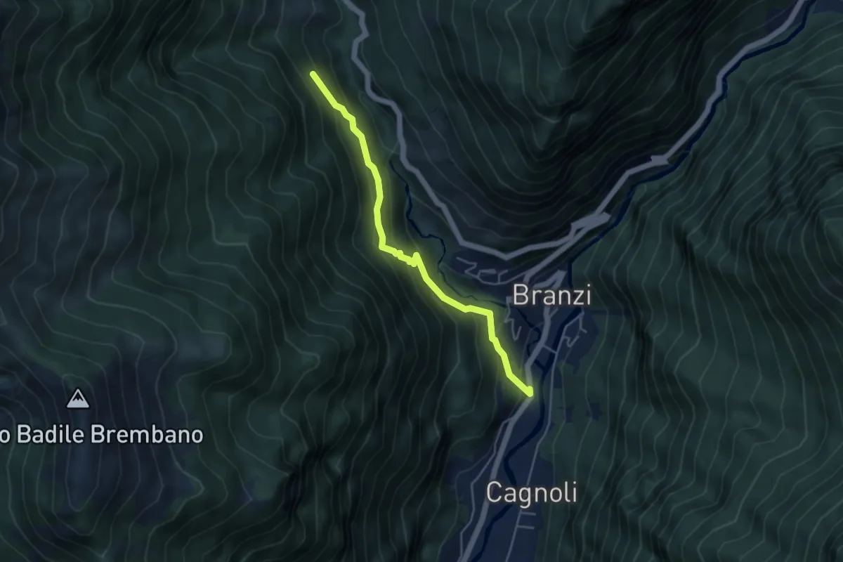
Medium · Trail
Branzi (San Rocco) – Incrocio 117
4.3 km · ↑ 359 m · 1 h 48 min
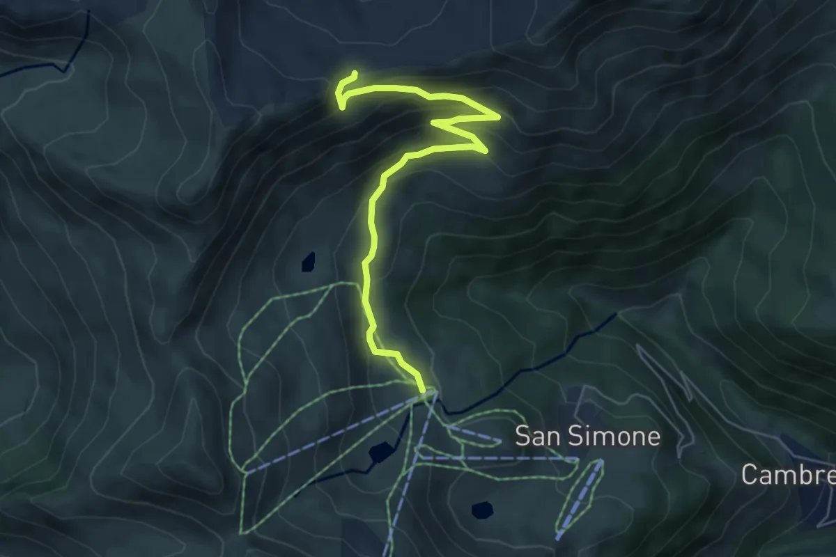
Medium · Trail
San Simone (Baita Camoscio) – Passo di Lemma
5.8 km · ↑ 424 m · 2 h 17 min
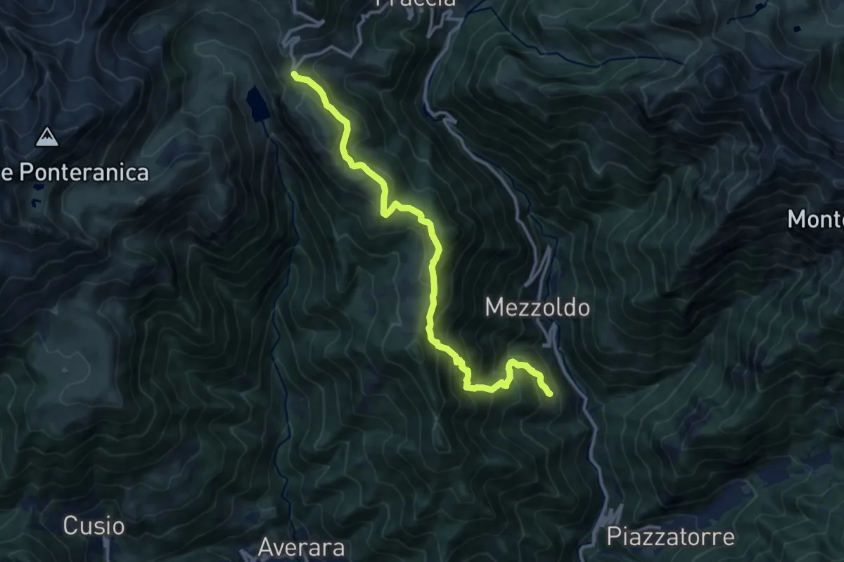
Demanding · Trail
Mezzoldo (Soliva) – Ca' San Marco
12.7 km · ↑ 957 m · 5 h 4 min
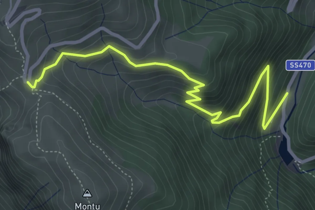
Medium · Trail
Mezzoldo (Ponte dell'Acqua) – Ca' San Marco (Via Priula)
5.7 km · ↑ 473 m · 2 h 22 min
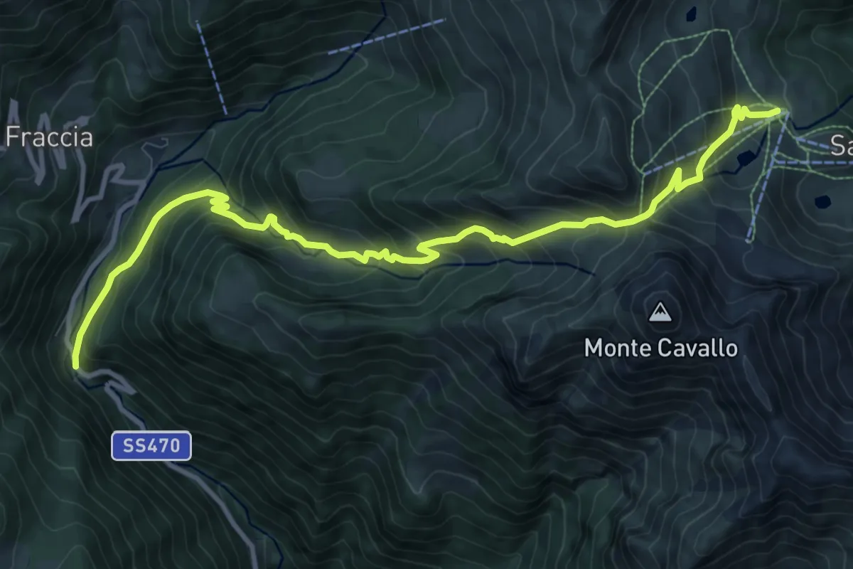
Demanding · Trail
Ponte dell'Acqua – Baita Camoscio
11.6 km · ↑ 1096 m · 5 h 7 min
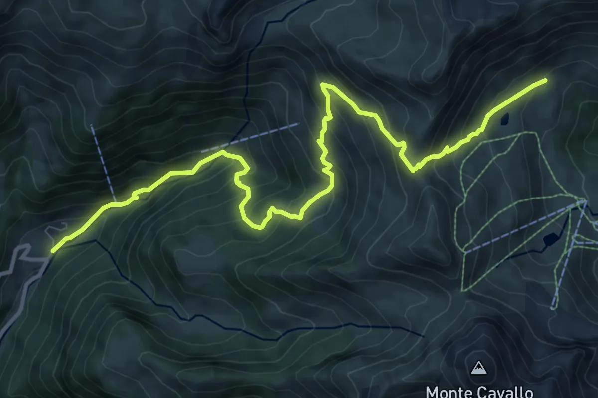
Demanding · Trail
Mezzoldo (Madonna delle Nevi) – Baita Camoscio (San Simone)
11.4 km · ↑ 955 m · 4 h 45 min
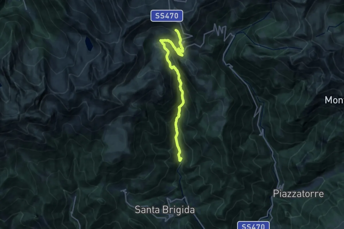
Demanding · Cabin
Averara (Caprile inferiore) – Ca' San Marco
15.1 km · ↑ 1166 m · 6 h 5 min
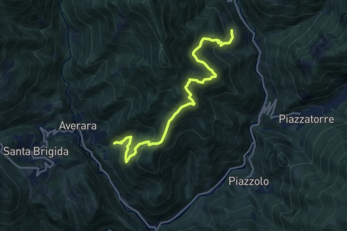
Demanding · Trail
Averara (Redivo) – Mezzoldo (Soliva)
11.1 km · ↑ 1115 m · 5 h 2 min
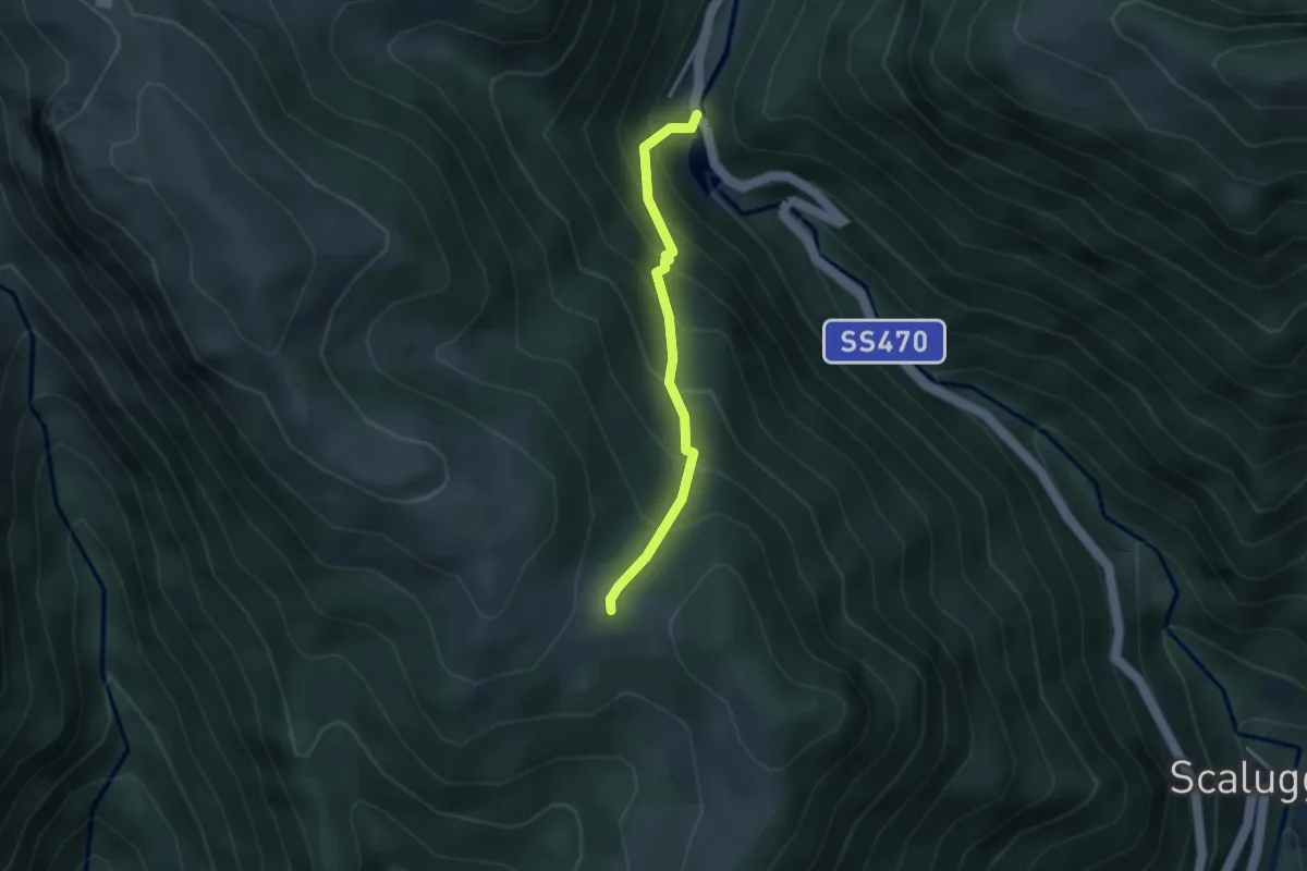
Medium · Trail
Ponte dell'Acqua (Mezzoldo) – Dosso Gambetta (incrocio 113)
2.8 km · ↑ 375 m · 1 h 29 min
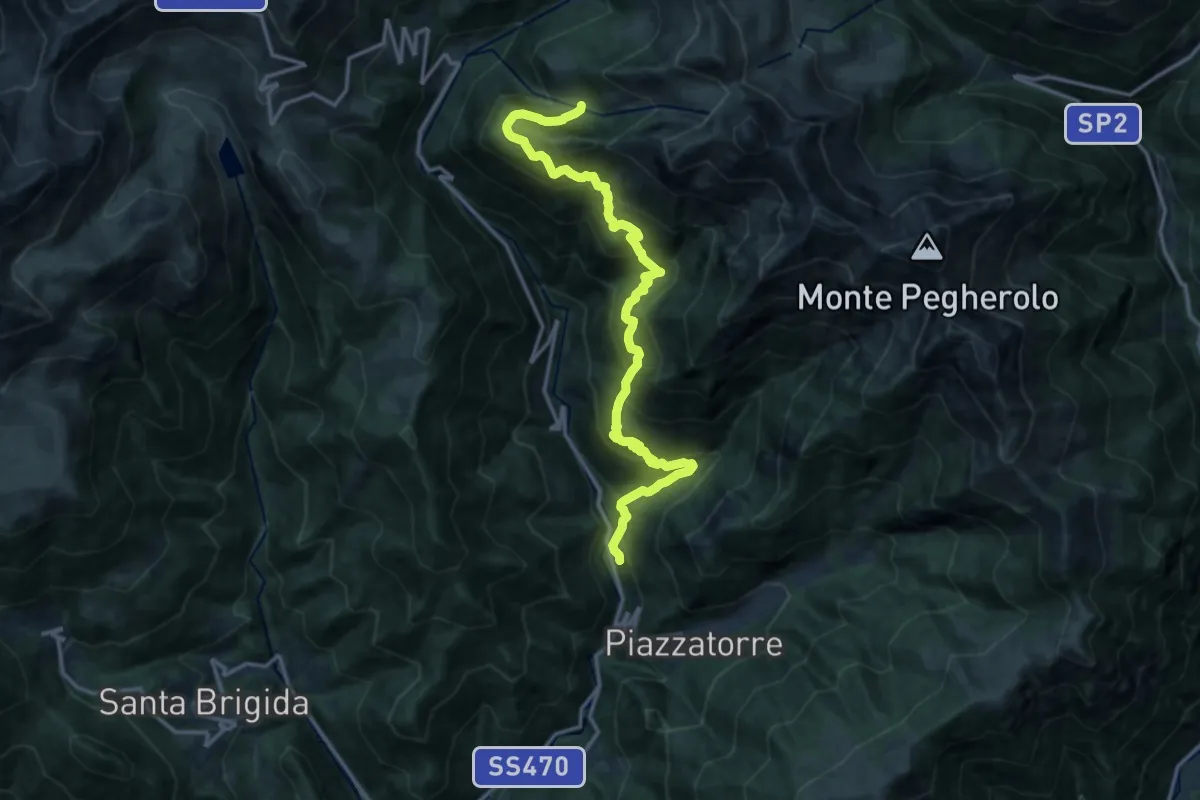
Demanding · Trail
Le Piazzole (Piazzatorre) – Val Terzera (incrocio 115)
16.6 km · ↑ 1332 m · 6 h 48 min
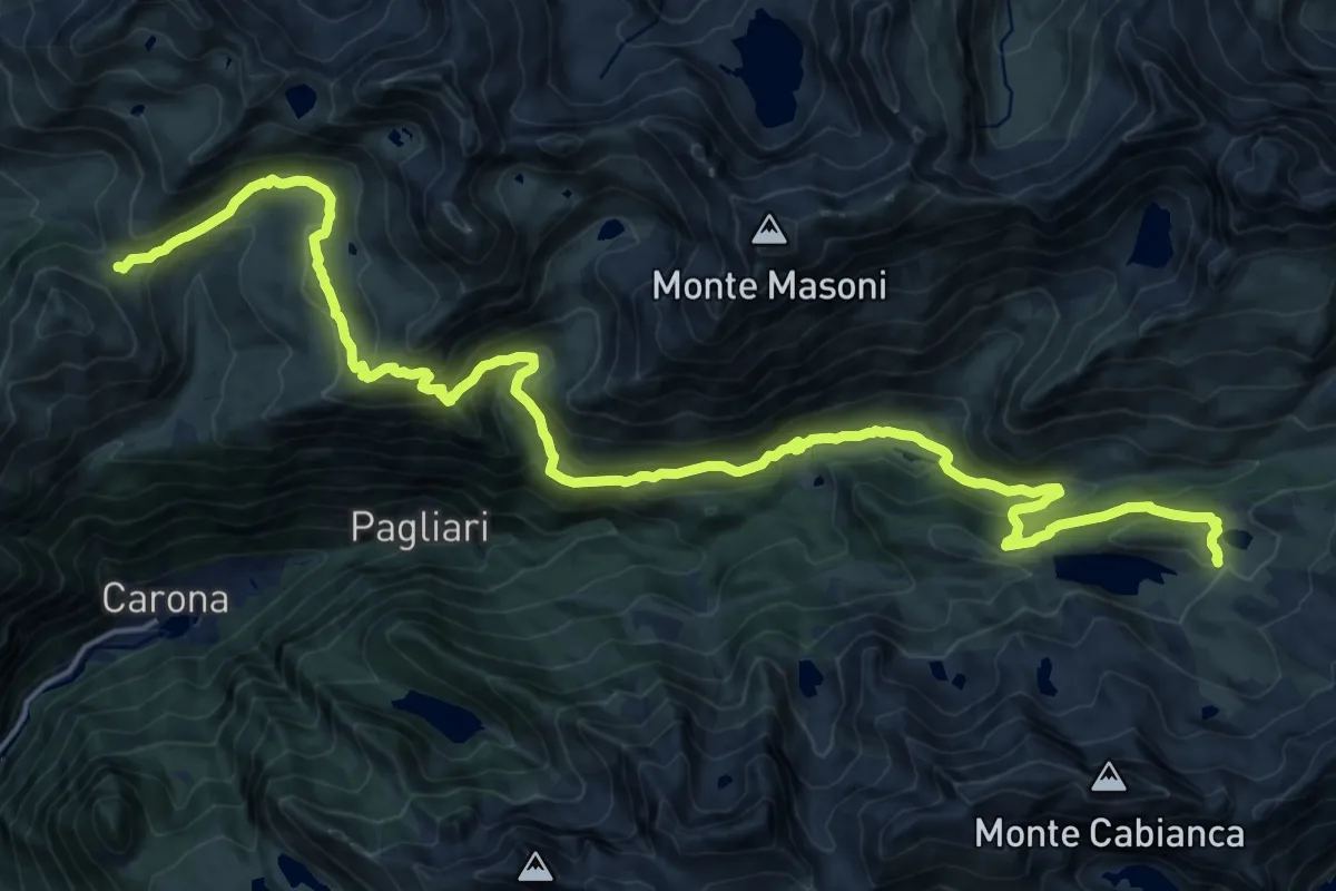
Medium · Cabin
Passo della Croce – Rifugio Fratelli Calvi
12.1 km · ↑ 690 m · 4 h 30 min
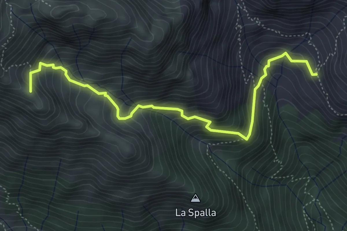
Demanding · Summit
Casera Valletto – Incrocio 101
5.4 km · ↑ 544 m · 2 h 27 min
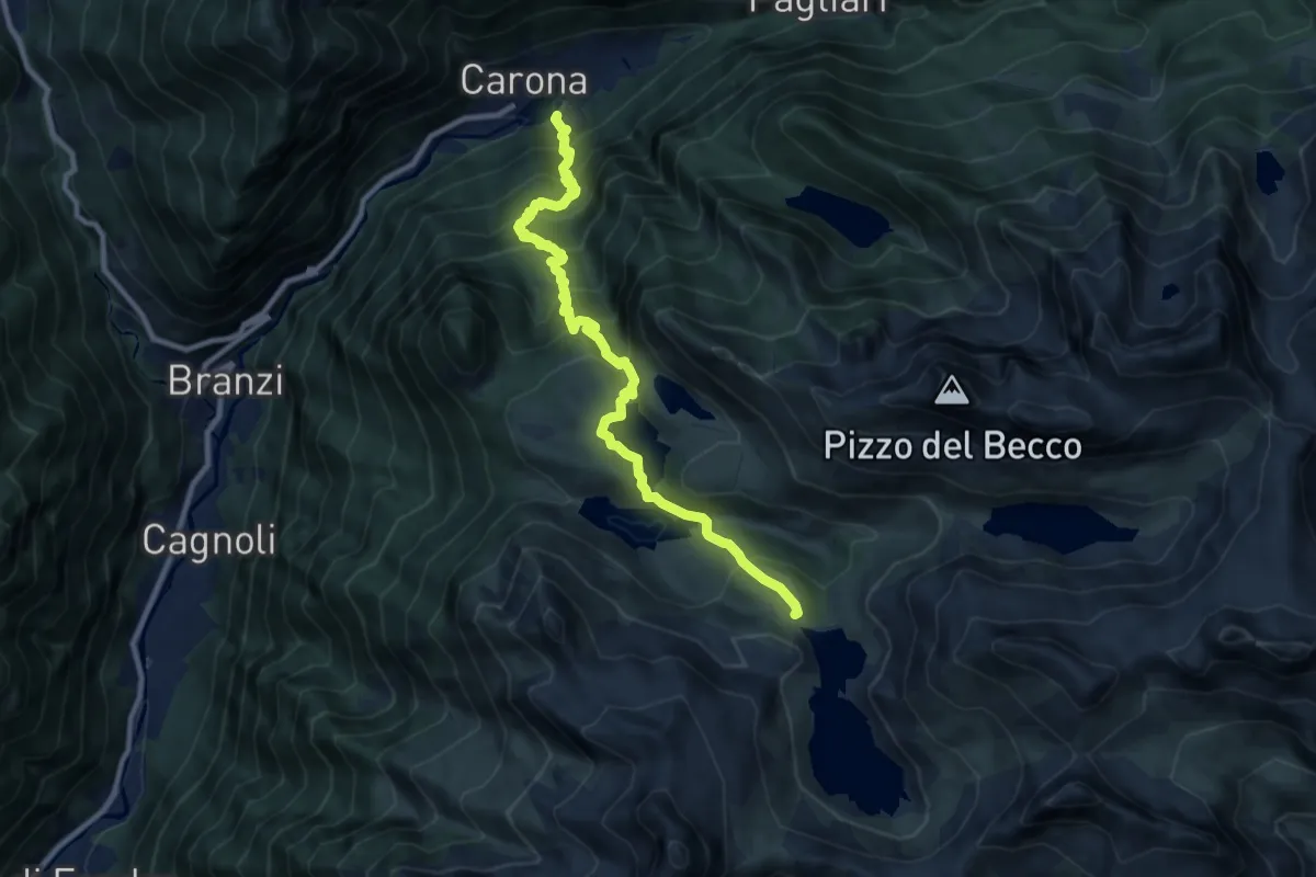
Demanding · Cabin
Carona – Rifugio Laghi Gemelli
10.2 km · ↑ 928 m · 4 h 25 min
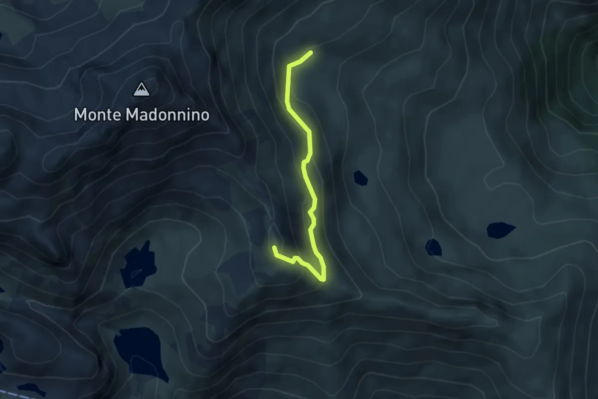
Demanding · Summit
Rifugio Cernello – Baita Alta del Cardeto
3.6 km · ↑ 242 m · 1 h 22 min
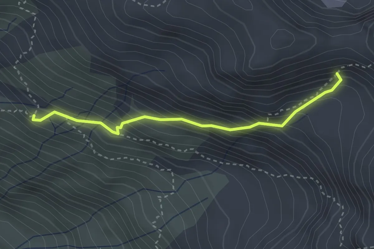
Demanding · Cabin
Rifugio Brunone – Vedretta del Redorta
2.7 km · ↑ 366 m · 1 h 25 min
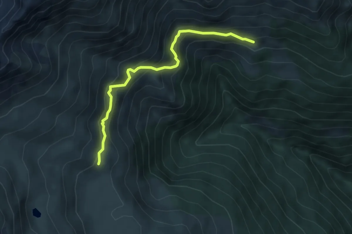
Expert · Trail
Baita Bassa Grabiasca – Cardeto (incrocio 233)
5.2 km · ↑ 464 m · 2 h 14 min
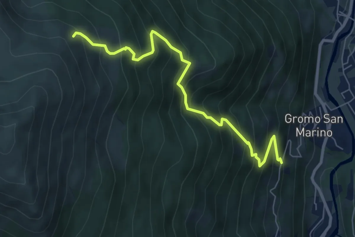
Medium · Trail
Gromo San Marino – Cardeto (incrocio 233)
6.2 km · ↑ 764 m · 3 h 7 min
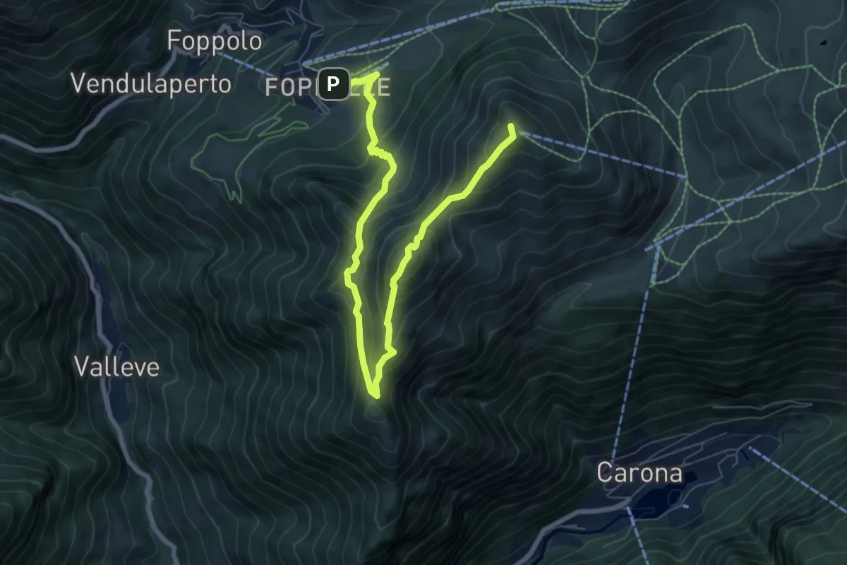
Demanding · Summit
Foppolo – Pizzo del Vescovo
8.8 km · ↑ 758 m · 3 h 43 min
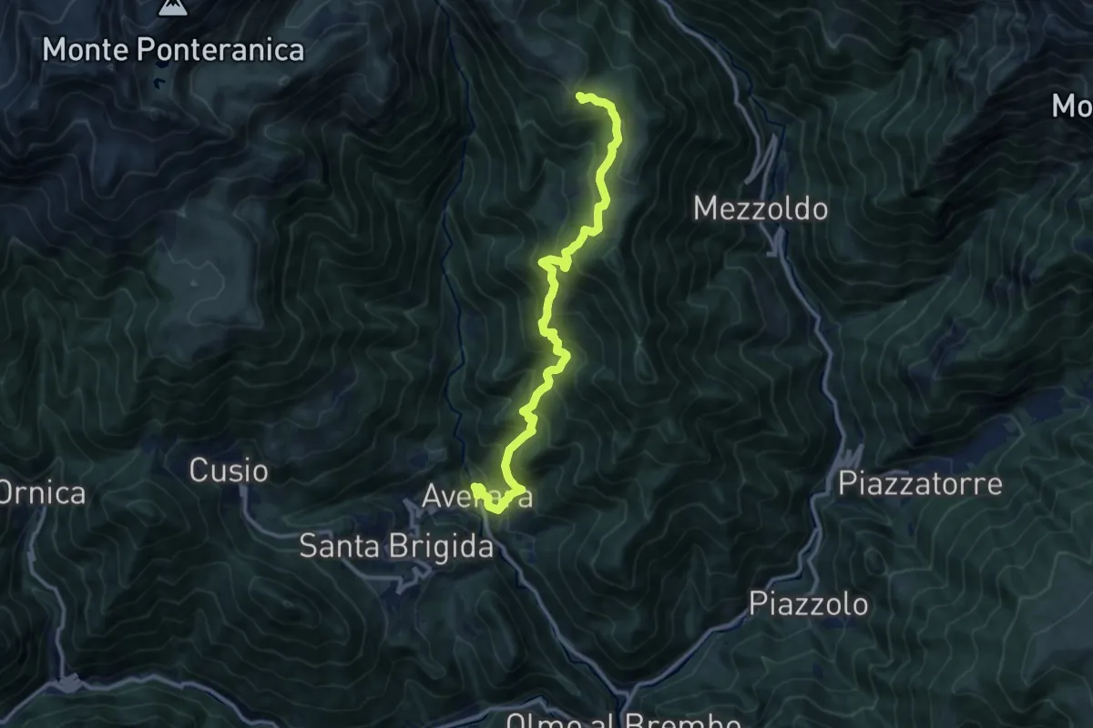
Demanding · Trail
Averara – Casera Gambetta (incrocio 113)
12.1 km · ↑ 1094 m · 5 h 14 min
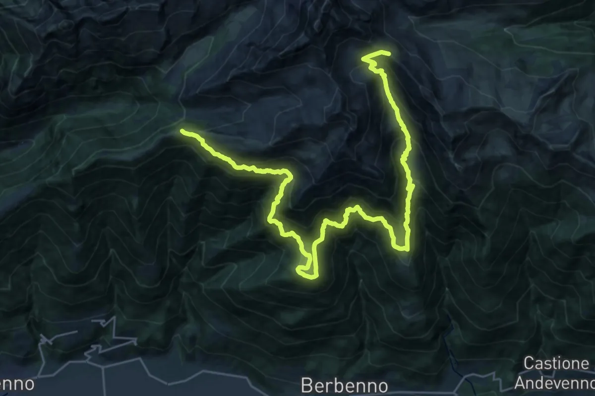
Demanding · Cabin
Bivacco Scermendone – Passo Caldenno
15.4 km · ↑ 1063 m · 6 h 20 min
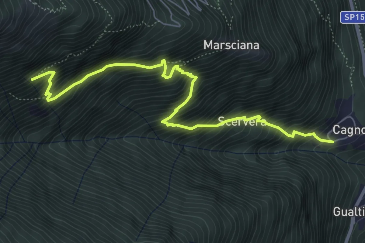
Demanding · Trail
Cagnoletti – Innesto 314
6.7 km · ↑ 969 m · 3 h 40 min
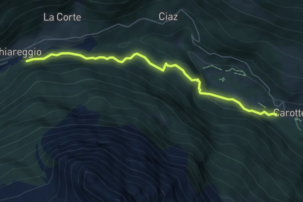
Demanding · Trail
Innesto 304 – Innesto 318 - Chiareggio
5.3 km · ↑ 250 m · 1 h 48 min
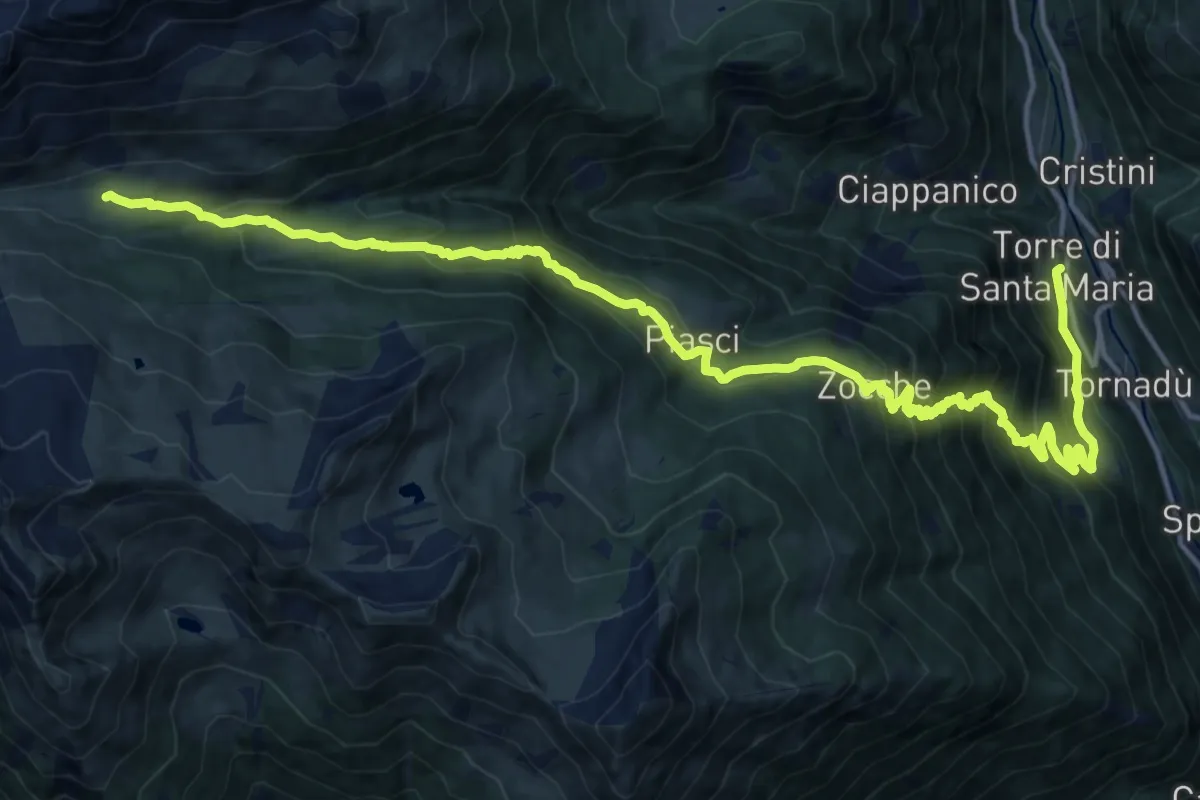
Demanding · Cabin
Torre di Santa Maria – Rifugio Bosio Galli all'Alpe Airale
19.7 km · ↑ 1465 m · 7 h 50 min
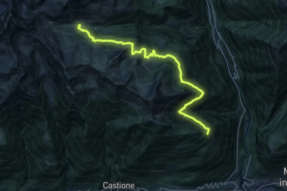
Demanding · Cabin
Forcola – Rifugio Bosio - Galli
11.9 km · ↑ 1061 m · 5 h
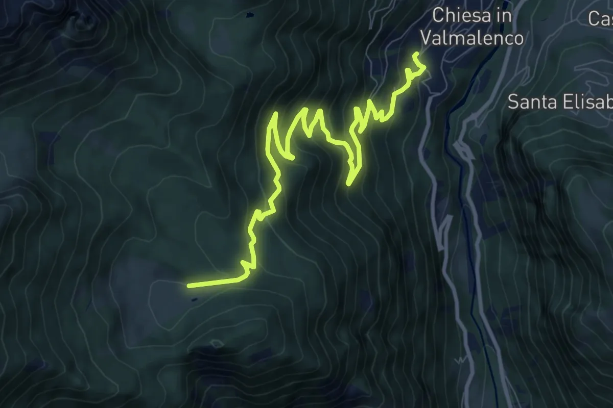
Medium · Trail
Via Ezio Vanoni (Chiesa in Val Malenco) – Alpe Lago
11.0 km · ↑ 711 m · 4 h 9 min
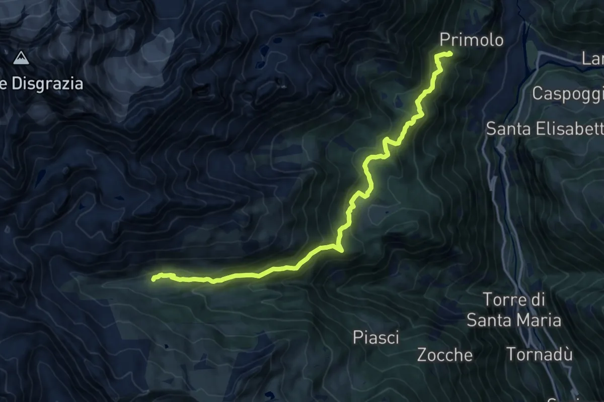
Demanding · Cabin
Primolo – Aple Airale
16.3 km · ↑ 968 m · 5 h 57 min
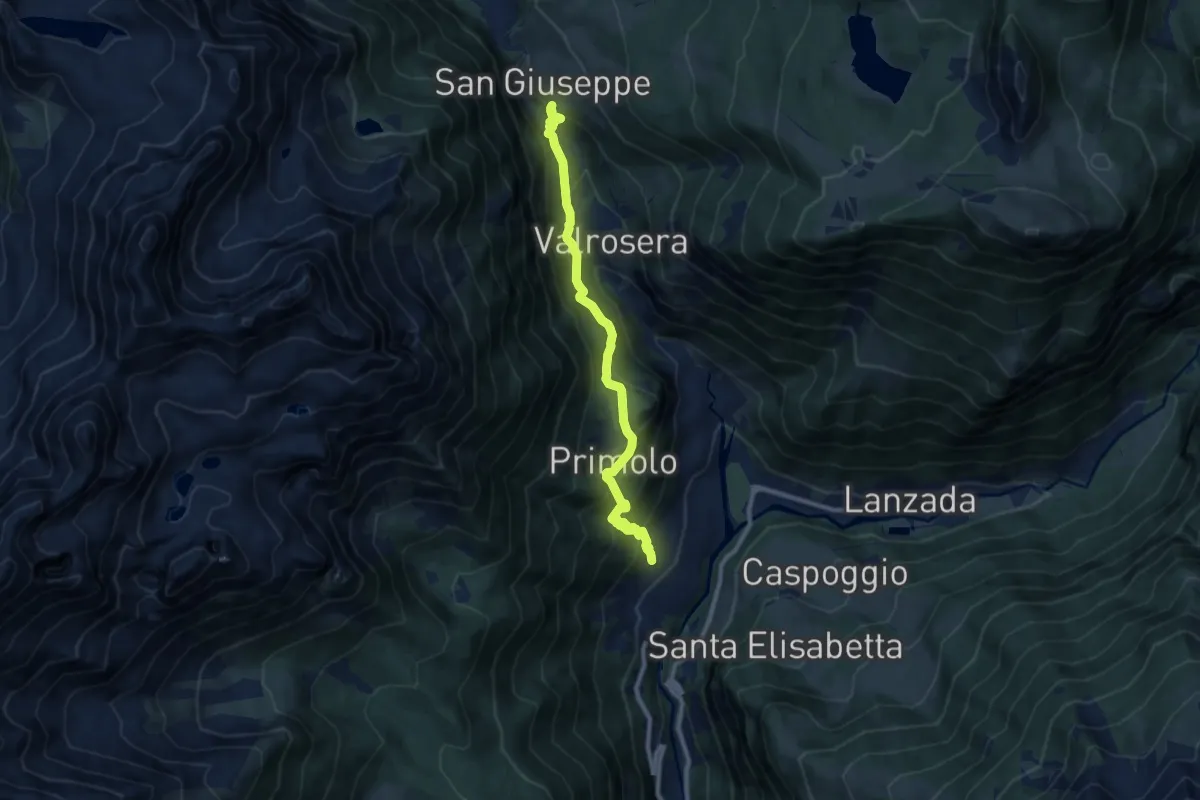
Medium · Trail
Via Ezio Vanoni (Chiesa in Val Malenco) – San Giuseppe
9.3 km · ↑ 694 m · 3 h 42 min
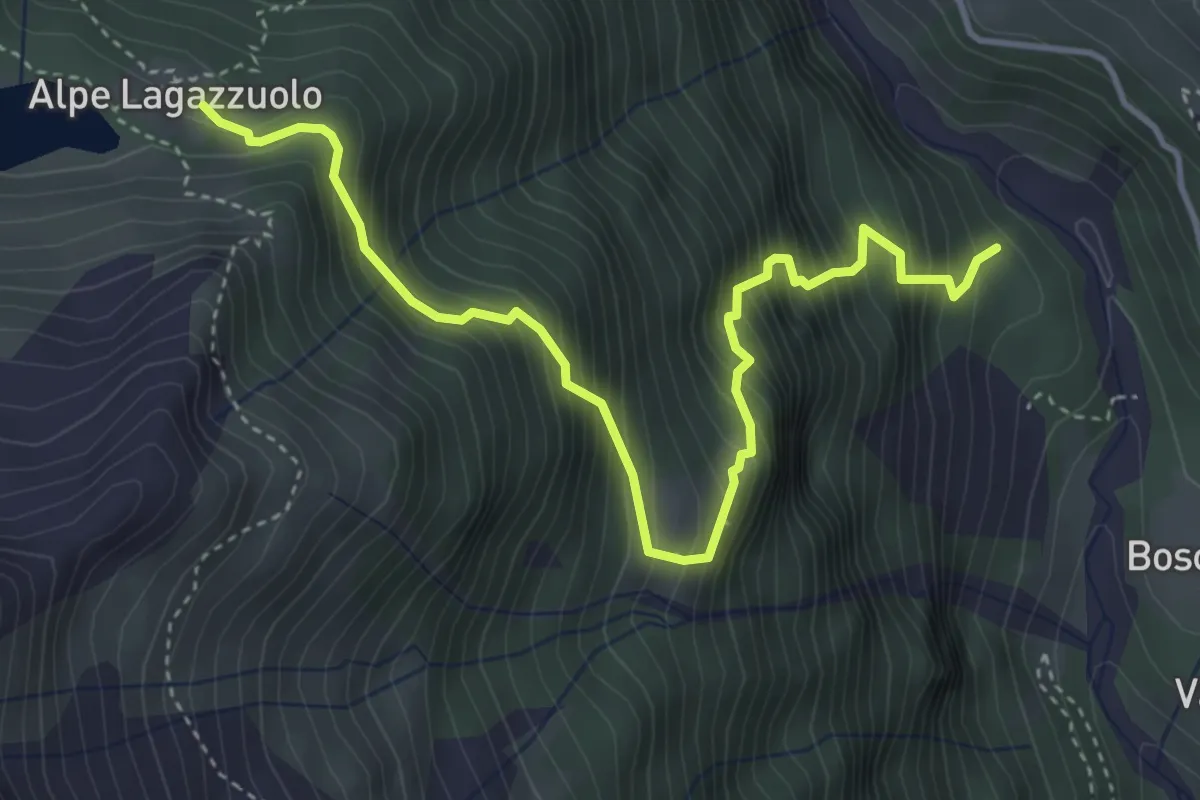
Demanding · Cabin
Innesto 304 – Lago di Lagazzuolo
4.6 km · ↑ 695 m · 2 h 36 min
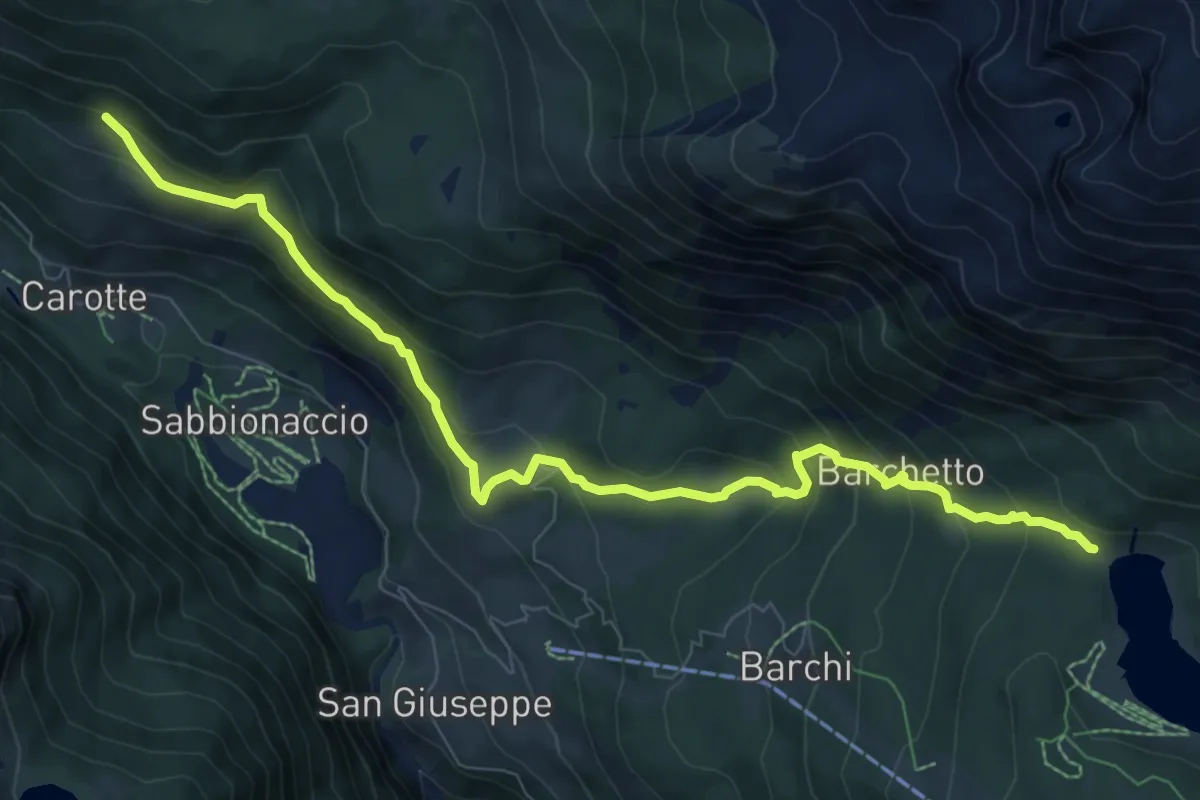
Medium · Trail
Ciaz – Rifugio Lago Palù
9.4 km · ↑ 574 m · 3 h 28 min
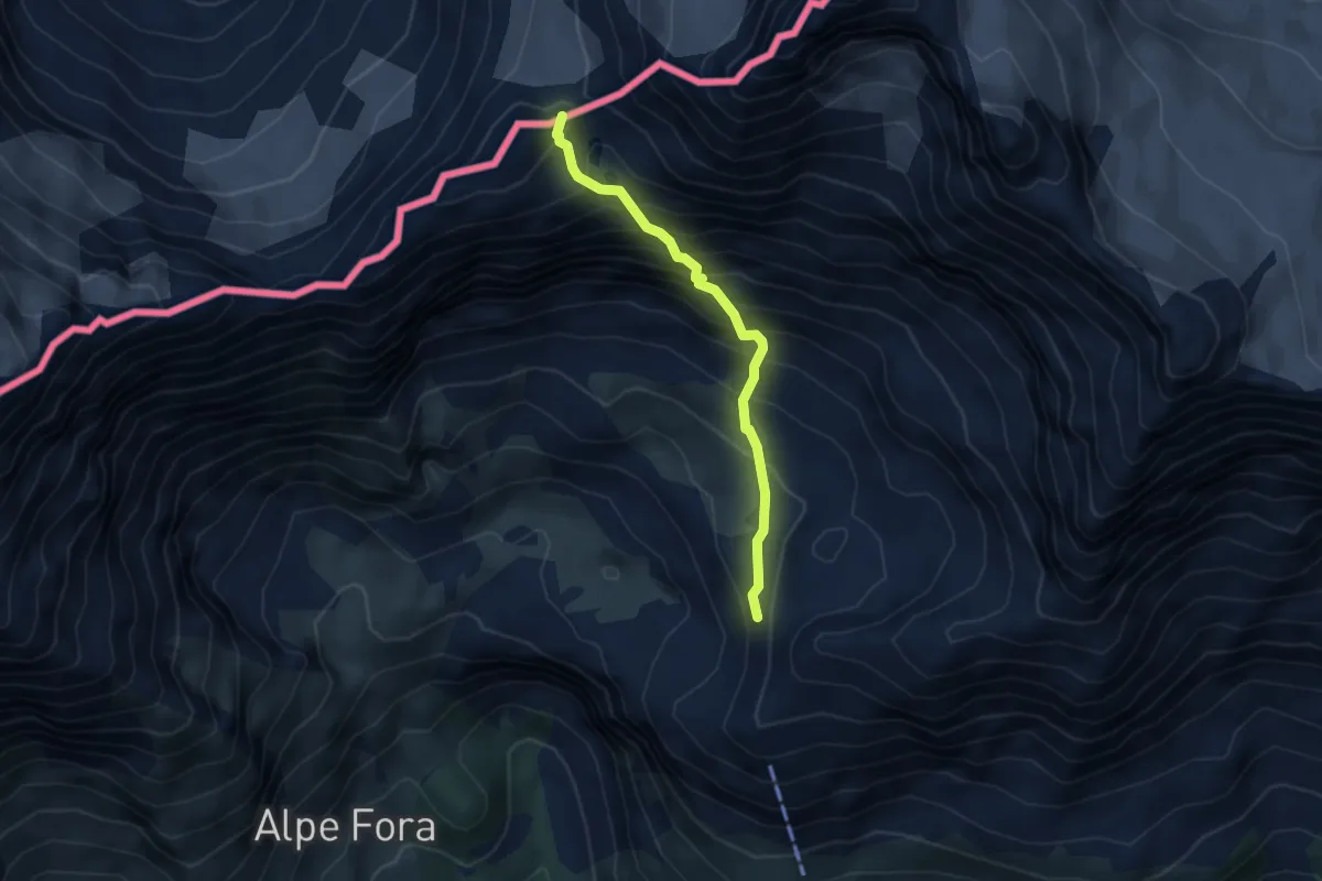
Demanding · Trail
Innesto 329 – Passo delle Tre Mogge
4.0 km · ↑ 563 m · 2 h 10 min
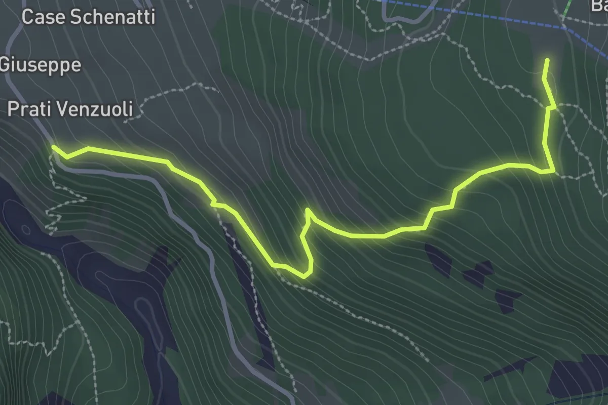
Medium · Trail
San Giuseppe – Barchi
3.3 km · ↑ 279 m · 1 h 23 min
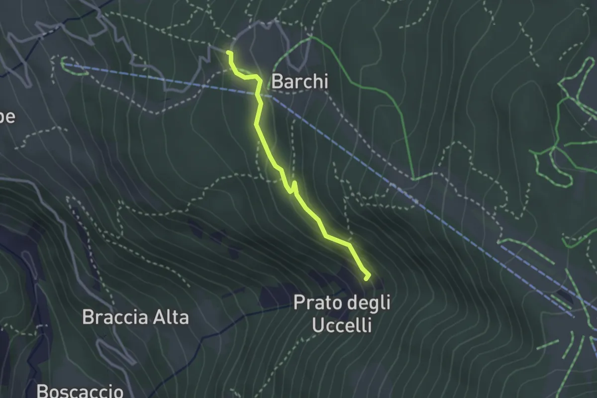
Medium · Trail
PIazzetto – Innesto 334
2.3 km · ↑ 106 m · 46 min
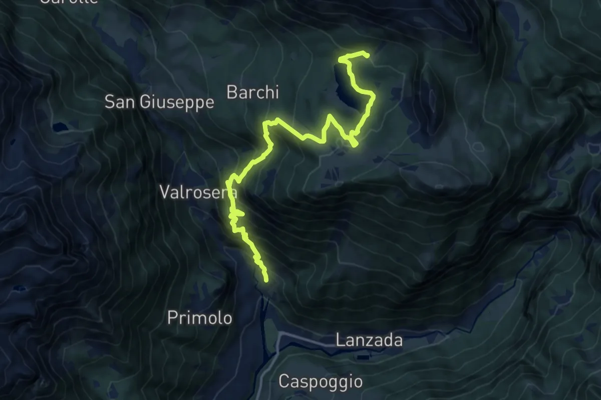
Demanding · Trail
C.da Curlo (Curlo) – Innesto 301 - Aple Roggione
14.8 km · ↑ 1222 m · 6 h 9 min
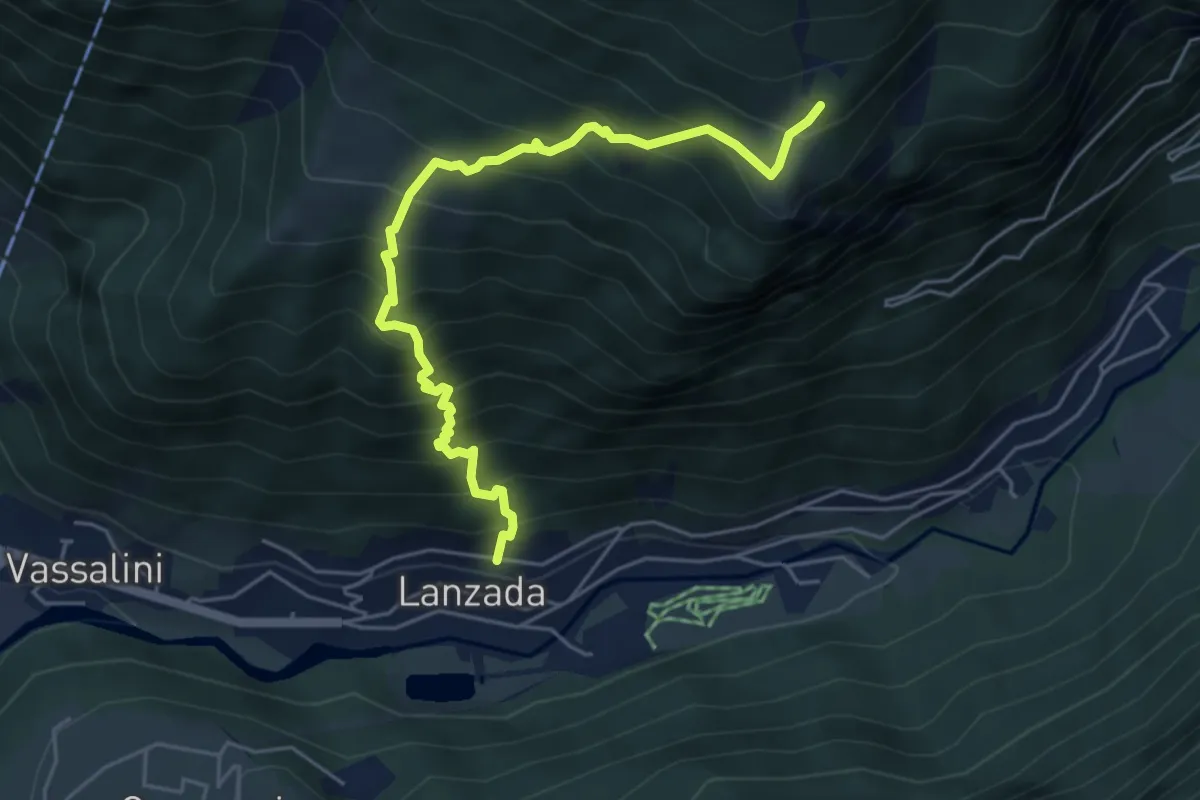
Medium · Trail
Via Ronchetti (Lanzada) – Innesto Sentiero 339
5.5 km · ↑ 756 m · 2 h 56 min
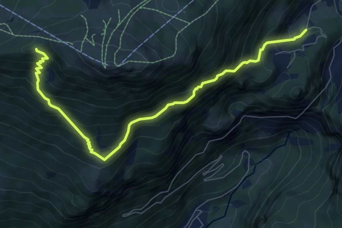
Demanding · Cabin
Cava Franscia – Rifugio Motta
7.8 km · ↑ 865 m · 3 h 44 min
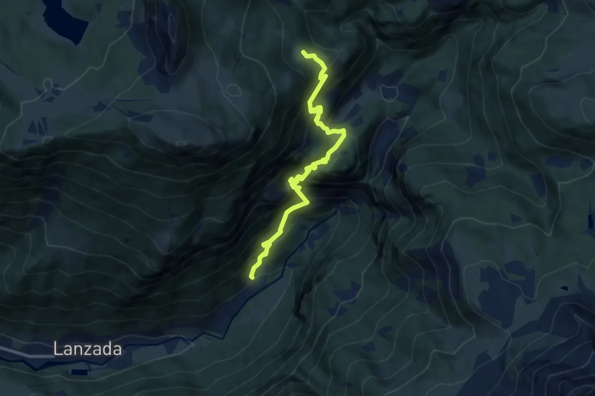
Demanding · Trail
Via Bernina (Tornadri) – Ineesto Sentiero 301 (Dosso dei Vetti)
8.2 km · ↑ 901 m · 3 h 54 min
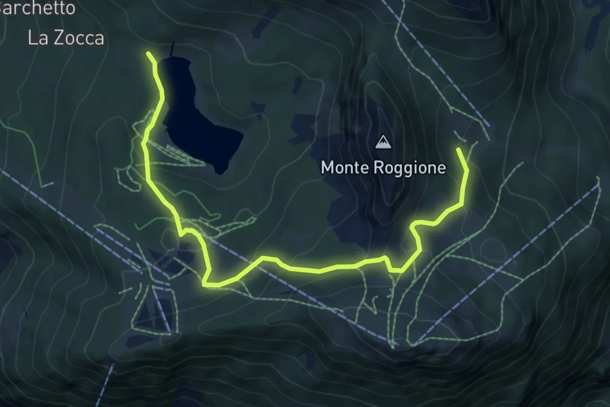
Medium · Trail
Innesto Sentiero 301 – Biforcazione Sentiero 329 - 334
7.6 km · ↑ 394 m · 2 h 39 min
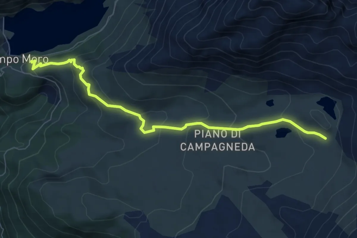
Medium · Cabin
Innesto Sentiero 346 – Innesto Sentiero 301
7.3 km · ↑ 423 m · 2 h 38 min
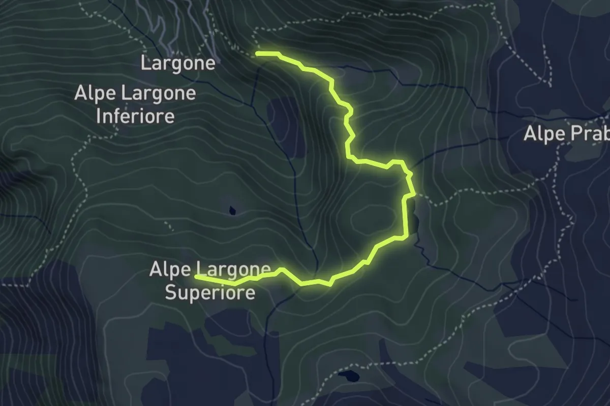
Demanding · Trail
Innesto Sentiero 348 – Innesto Sentiero 350
4.7 km · ↑ 228 m · 1 h 36 min
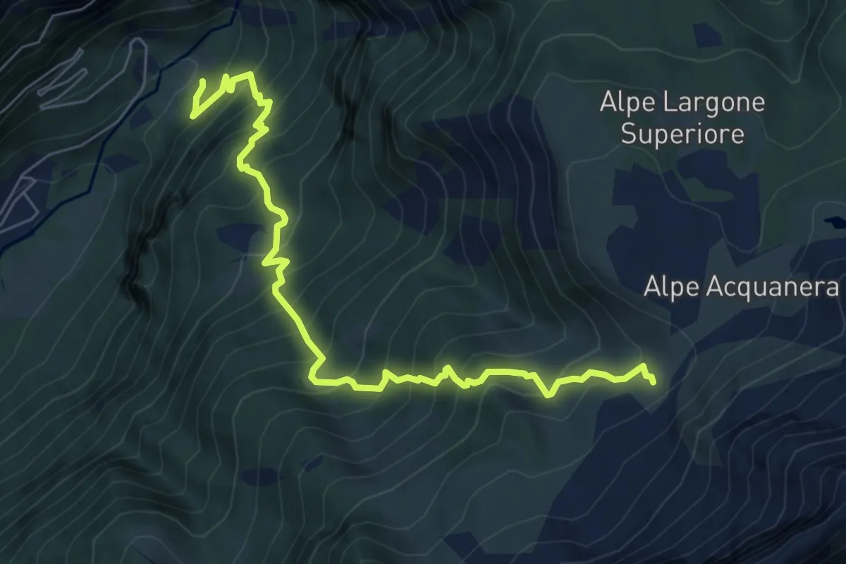
Demanding · Trail
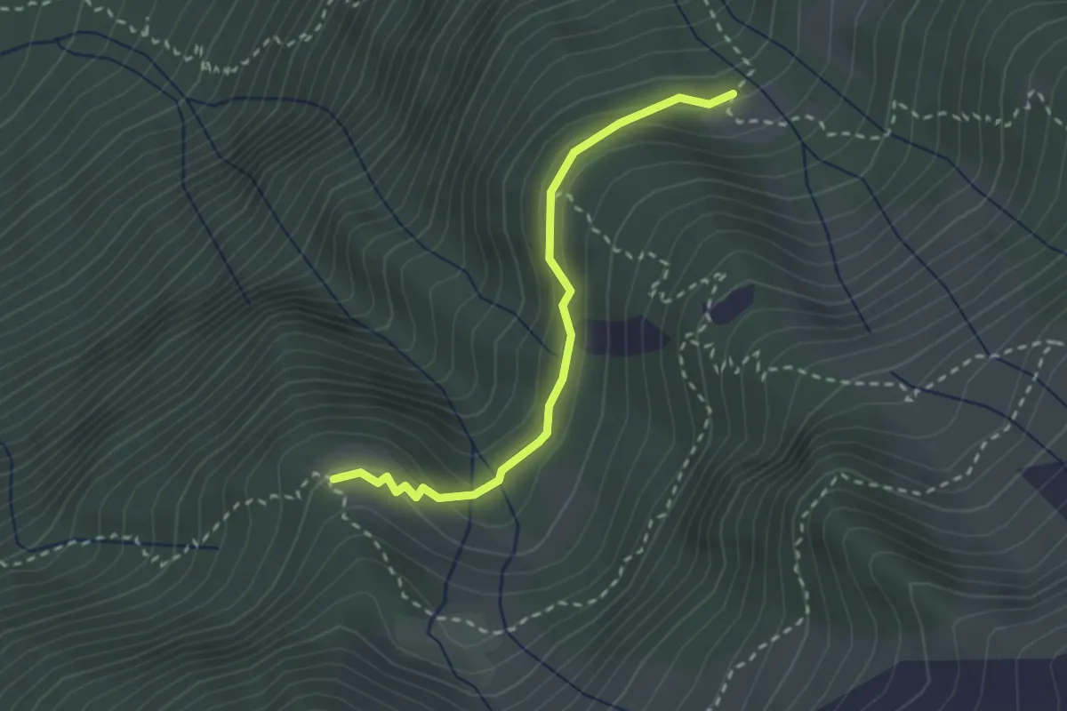
Miniera Steatite (Vetto) – Innesto Sentiero 305
7.5 km · ↑ 924 m · 3 h 47 min
Medium · Trail
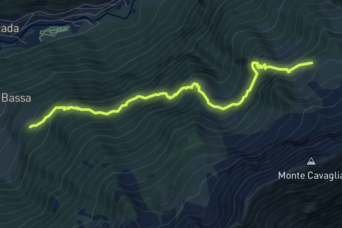
Innesto Sentiero 351 – Innesto Sentiero 353
2.5 km · ↑ 110 m · 50 min
Demanding · Trail
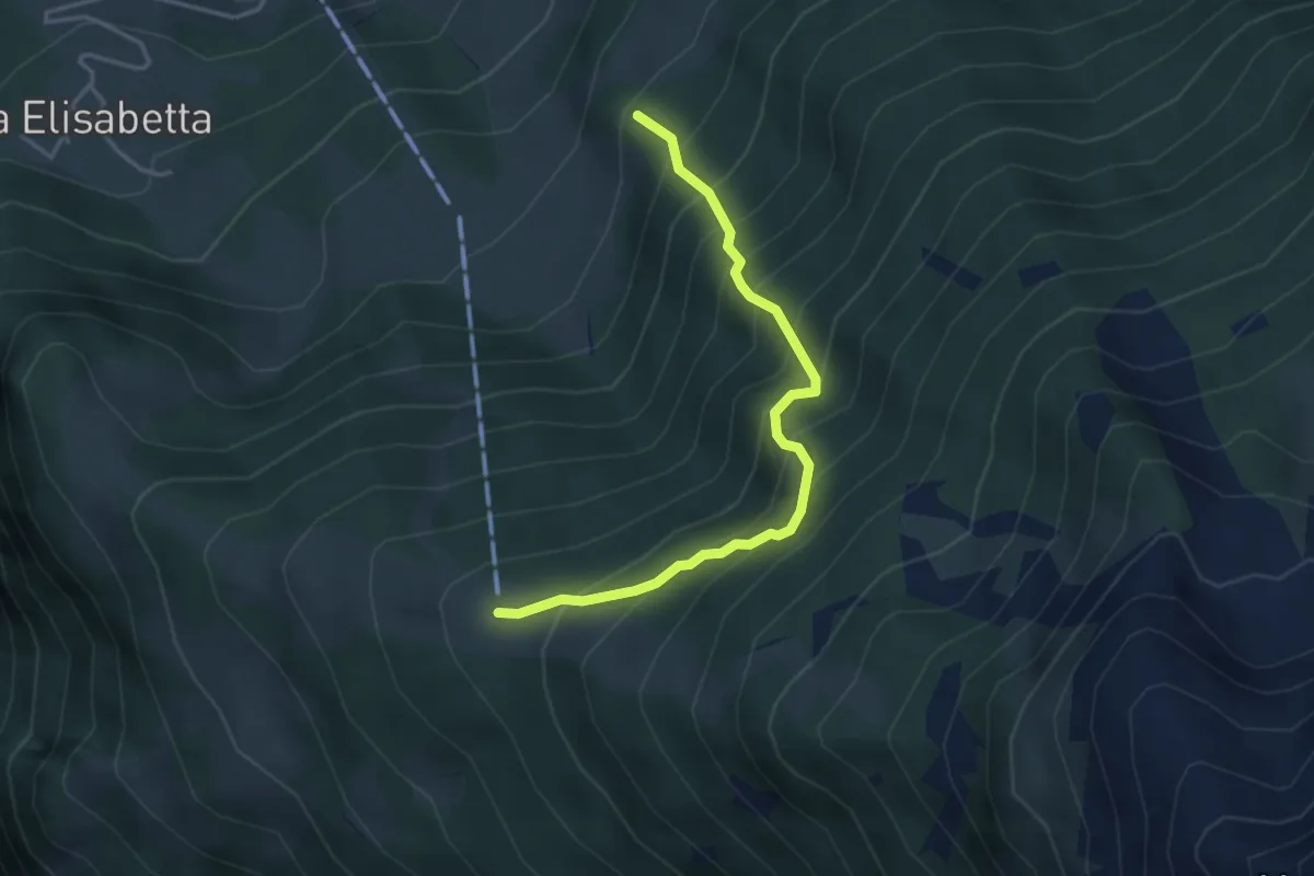
Astù – Innesto Sentiero 305
8.2 km · ↑ 856 m · 3 h 48 min
Demanding · Trail
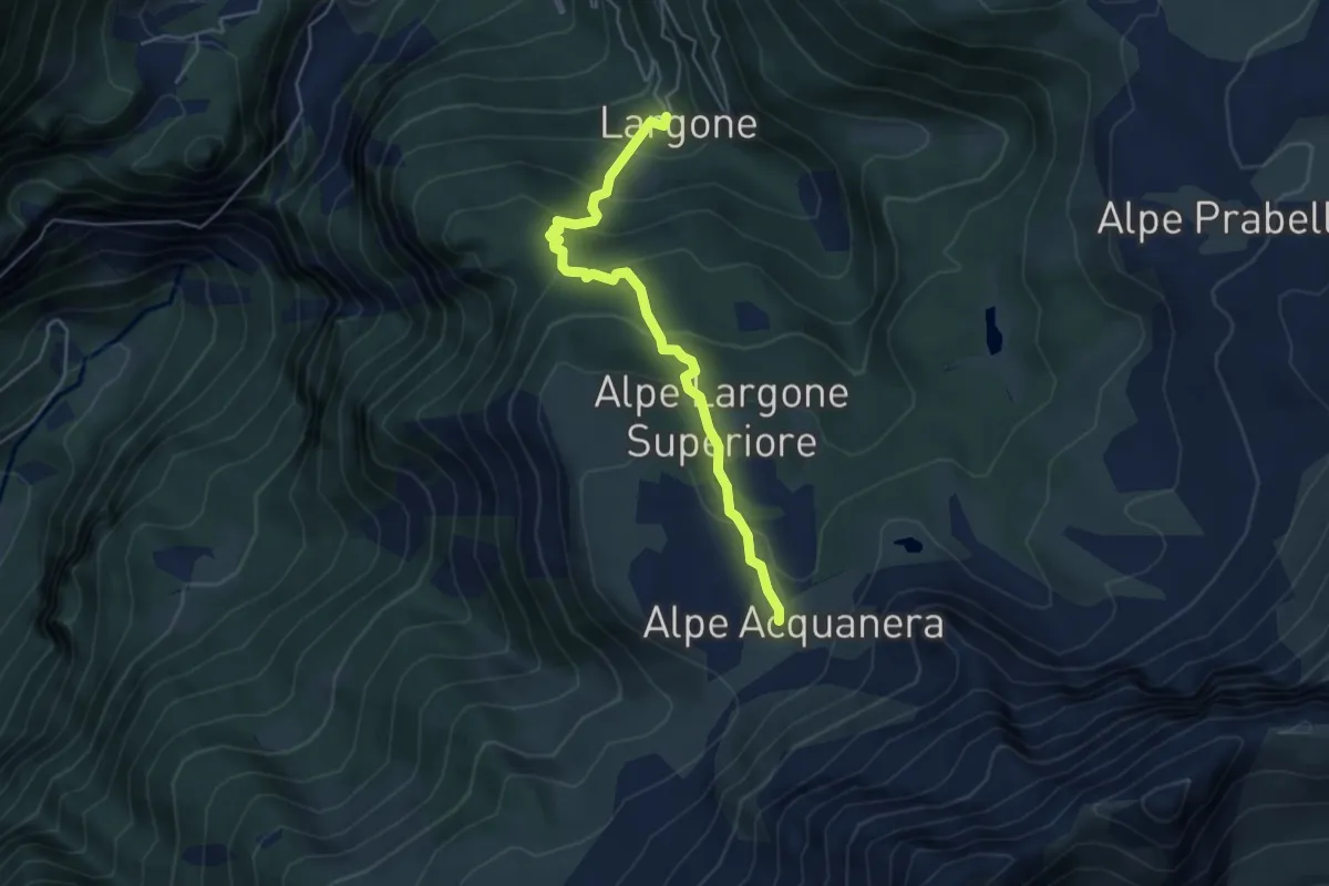
Astù – Innesto 305
3.8 km · ↑ 574 m · 2 h 8 min
Medium · Trail
Alpe Largone Inferiore – Innesto Sentiero 305
4.7 km · ↑ 347 m · 1 h 51 min
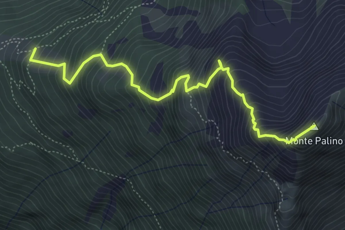
Expert · Summit
Innesto Percorso 305 – Monte Palino
5.8 km · ↑ 863 m · 3 h 14 min
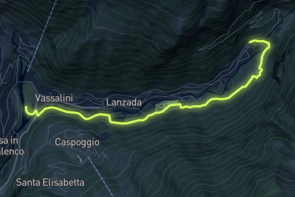
Medium · Trail
Via Bernina (Tornadri) – Innesto Sentiero 304
9.4 km · ↑ 248 m · 2 h 45 min
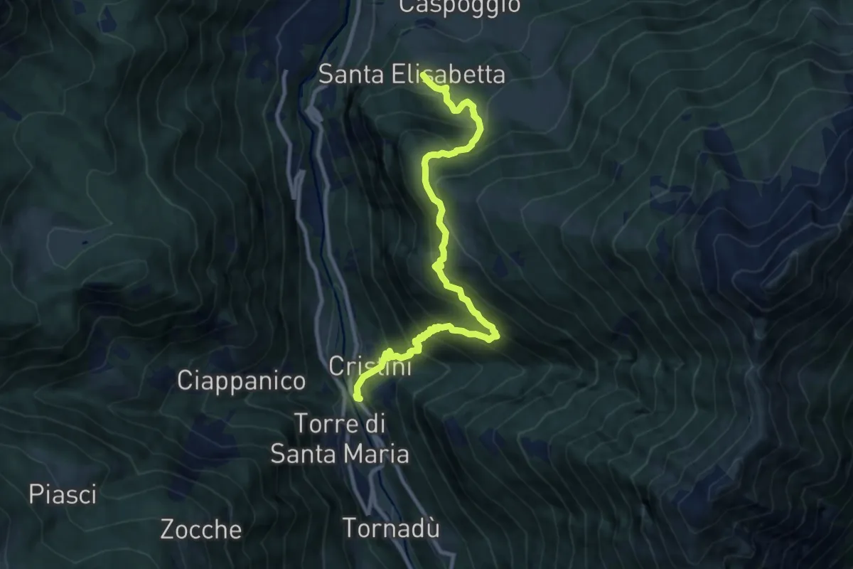
Demanding · Trail
SP 15 – Santa Elisabetta
10.0 km · ↑ 1058 m · 4 h 40 min
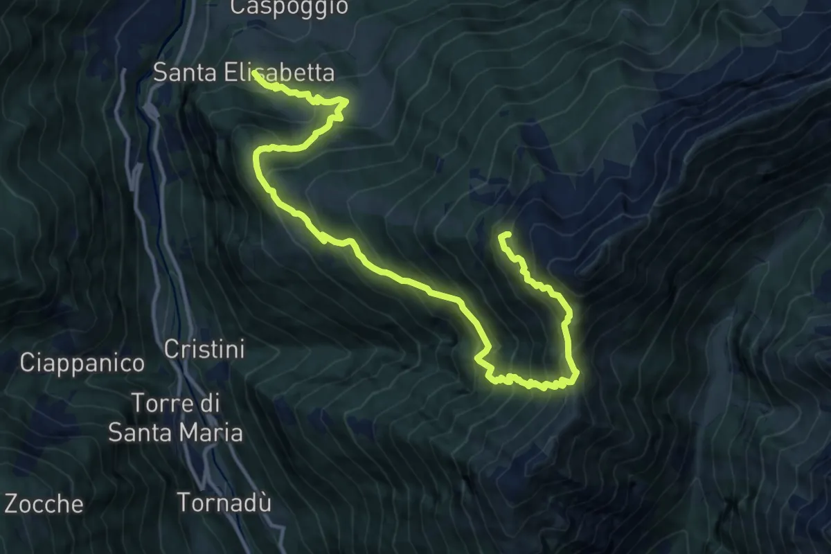
Expert · Cabin
Santa Elisabetta – Innesto Sentiero 355
15.9 km · ↑ 1756 m · 7 h 34 min