Trails in Italy
25,219 hiking trails, each with its route, climb, walking time and grade.
All trails, page 523 of 526
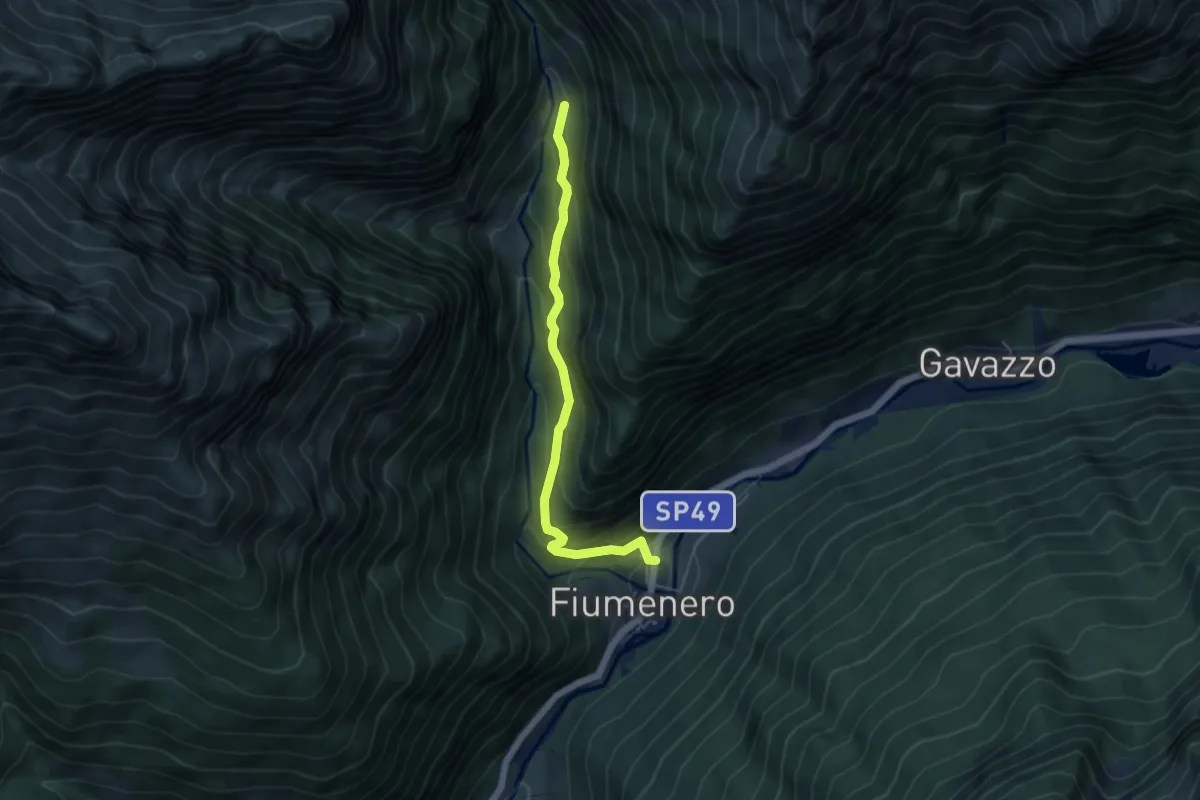
Medium · Trail
Fiumenero – Incrocio 227
4.8 km · ↑ 388 m · 1 h 59 min
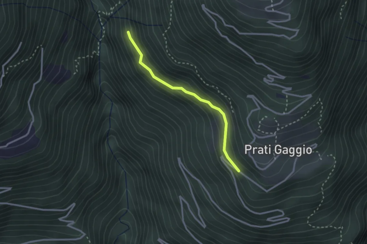
Easy · Trail
Innesto Sentiero 420 – Innesto Sentiero 422
2.3 km · ↑ 141 m · 50 min
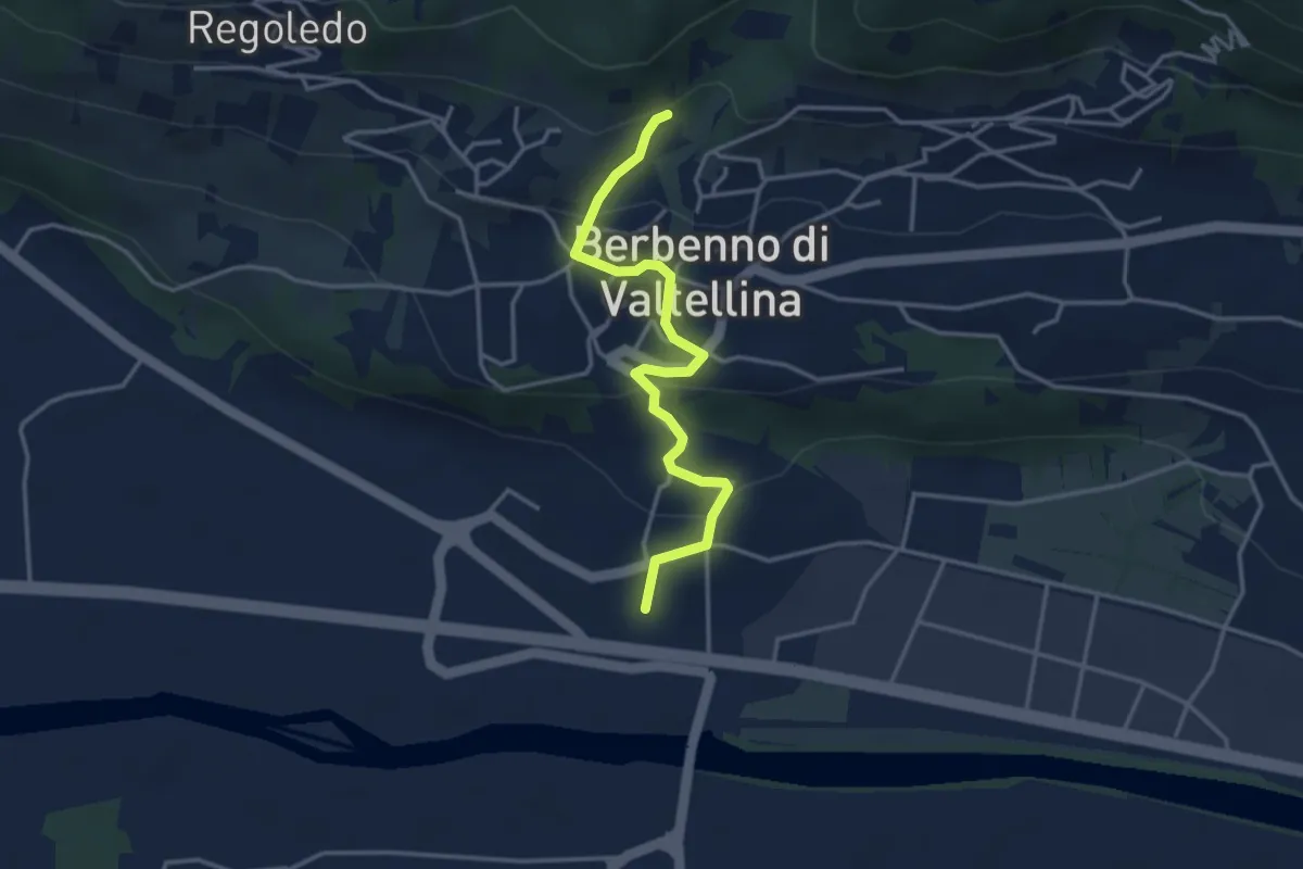
Easy · Trail
Innesto Sentiero 406 – San Pietro Berbenno
3.6 km · ↑ 166 m · 1 h 13 min
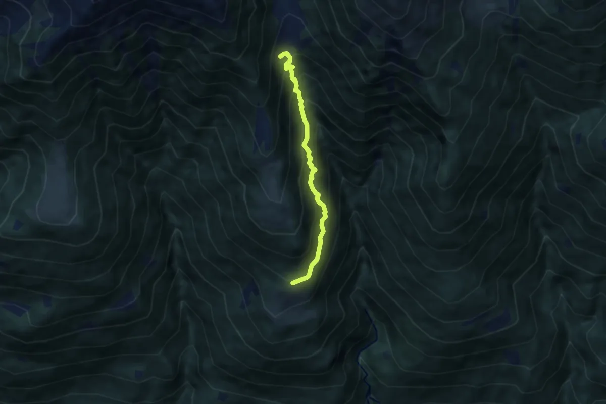
Medium · Trail
Innesto Sentiero 420 – Innesto Sentiero 401
5.5 km · ↑ 725 m · 2 h 52 min
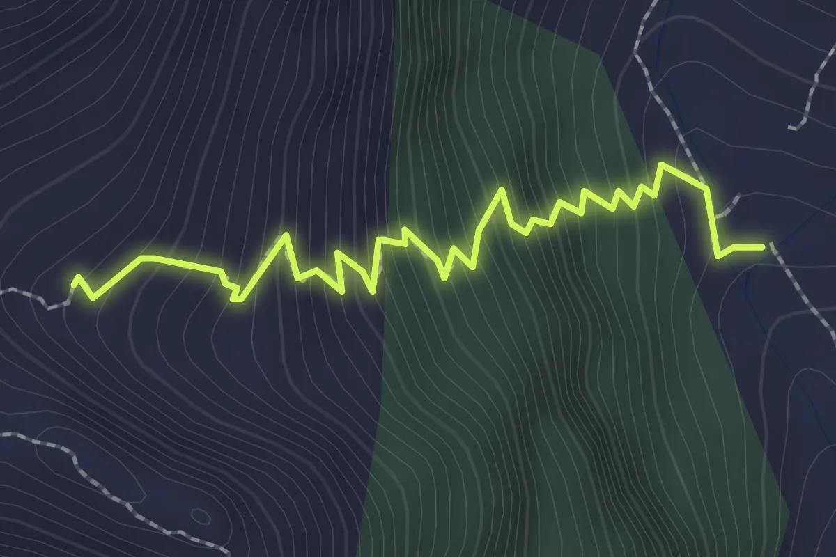
Demanding · Cabin
Innesto Sentiero 401 – Bivacco Ai Fop
2.5 km · ↑ 363 m · 1 h 23 min
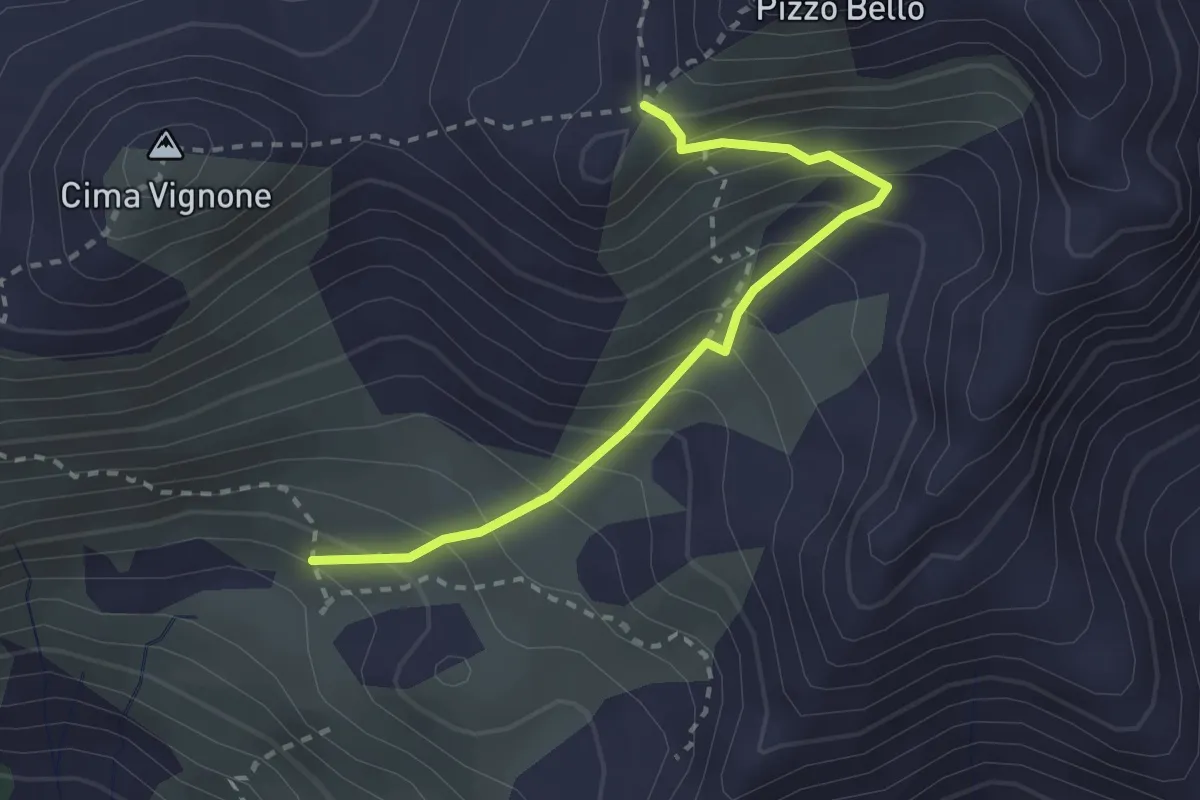
Medium · Trail
Innesto Sentiero 422 – Monte Pizzo Bello
2.5 km · ↑ 321 m · 1 h 18 min
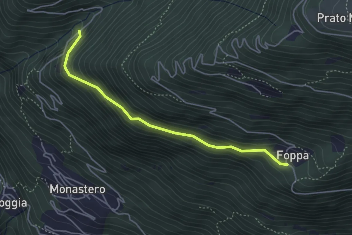
Easy · Trail
Innesto Sentiero 423 – Gaggio di Monastero
3.8 km · ↑ 257 m · 1 h 27 min
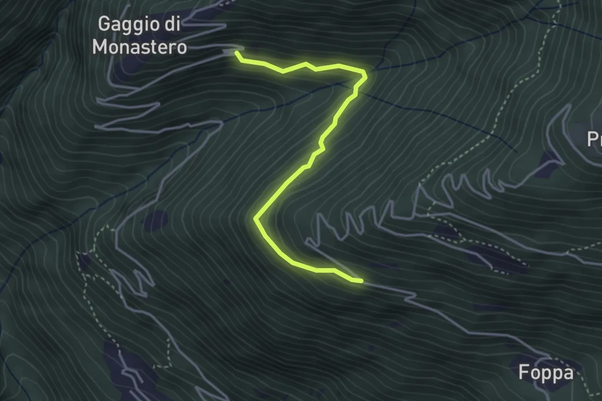
Medium · Trail
Innesto Sentiero 423 – Gaggio di Monastero
3.5 km · ↑ 268 m · 1 h 24 min
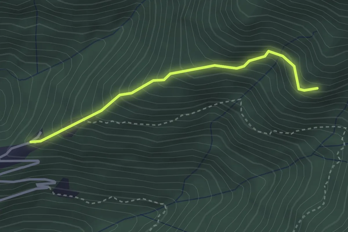
Demanding · Trail
Innesto Sentiero 425 – Gaggio di Monastero
2.8 km · ↑ 414 m · 1 h 33 min
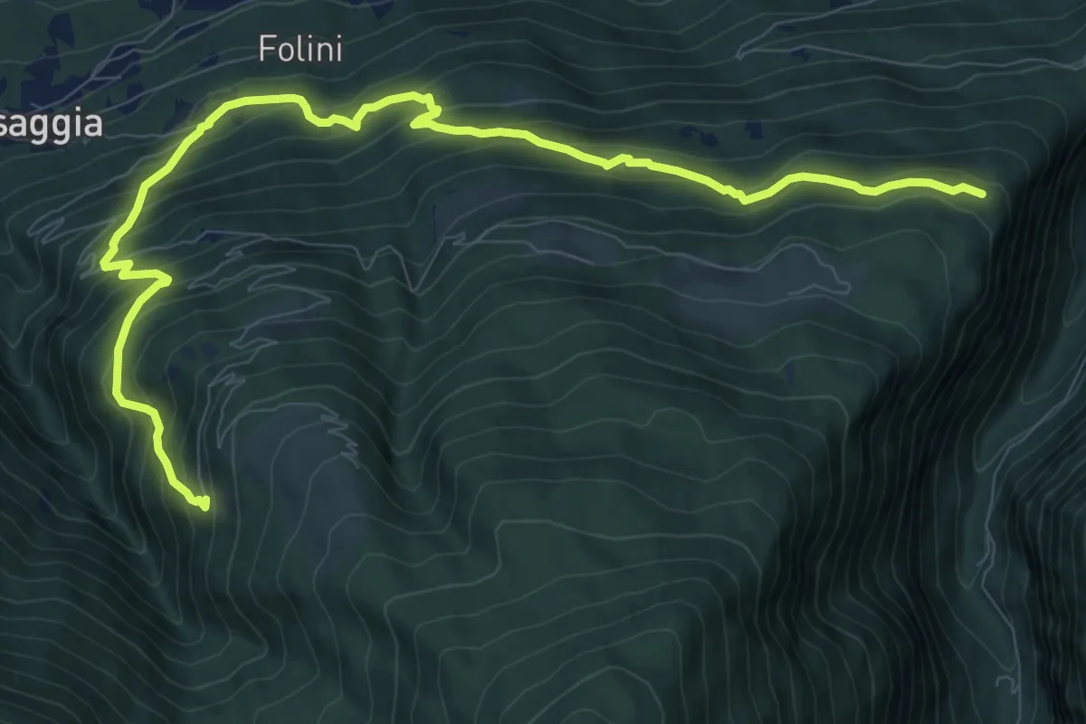
Expert · Trail
Innesto Sentiero 235 – Campiolo
11.9 km · ↑ 1005 m · 4 h 59 min
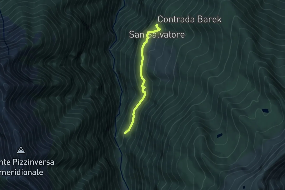
Easy · Trail
Innesto Sentiero 219 – Innesto Sentiero 220
4.3 km · ↑ 266 m · 1 h 35 min
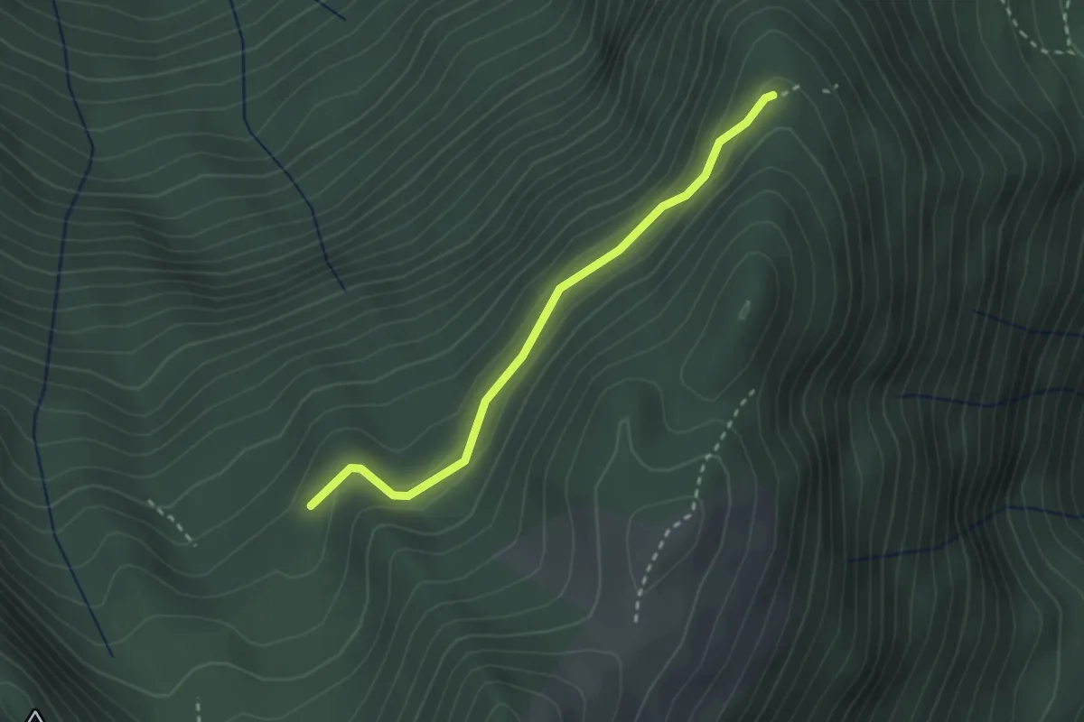
Easy · Trail
Innesto Sentiero 217 – Innesto Sentiero 216
2.6 km · ↑ 124 m · 53 min
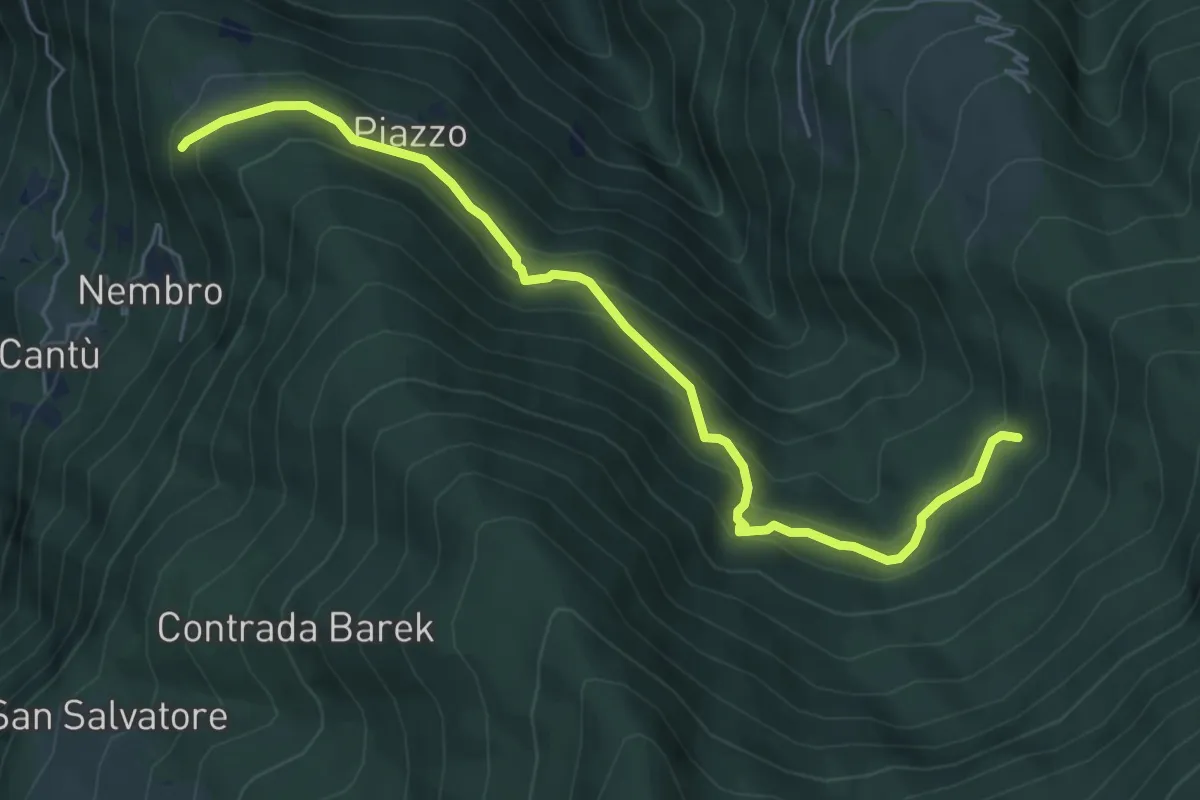
Medium · Trail
Innesto Sentiero 220 – Innesto Sentiero 217
6.5 km · ↑ 475 m · 2 h 34 min
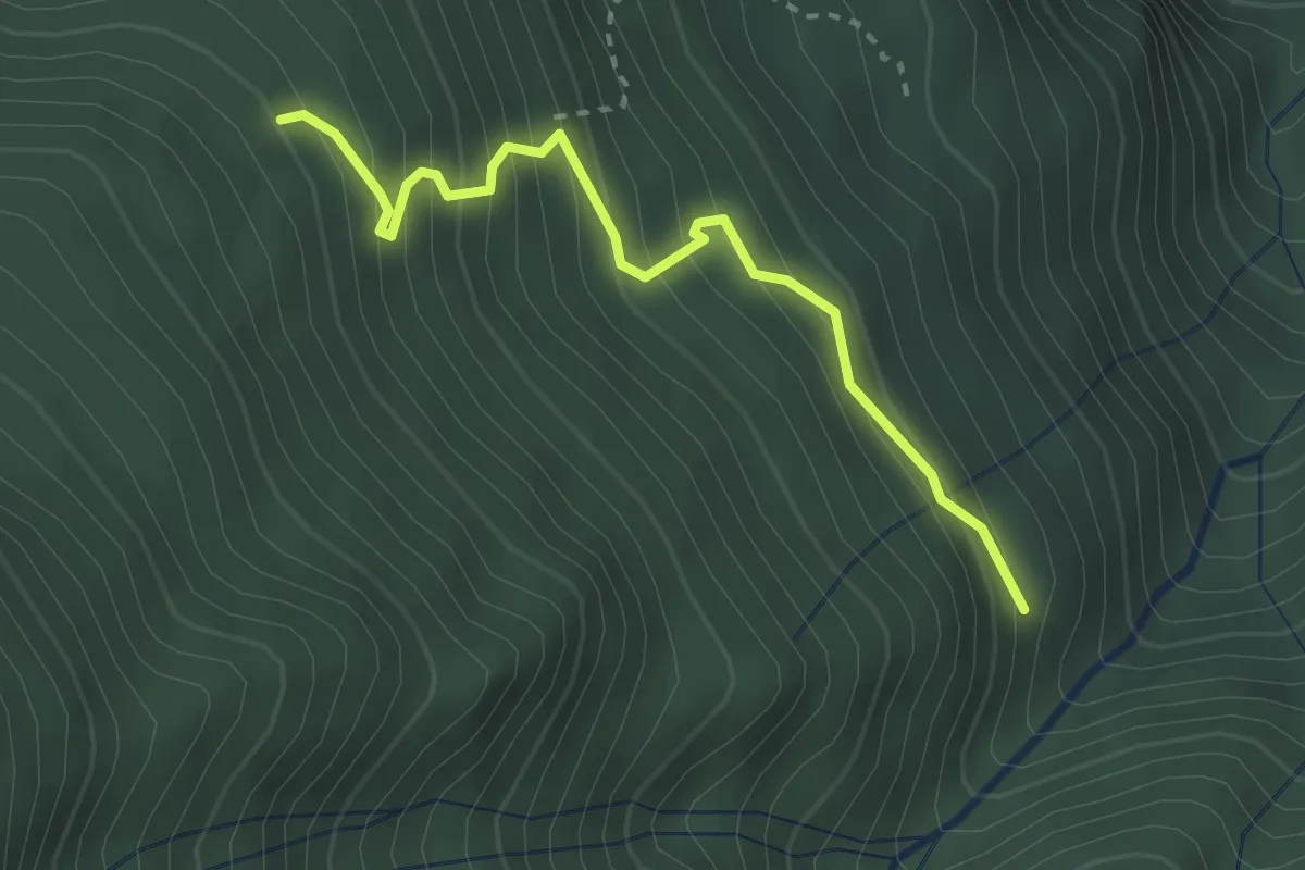
Medium · Trail
Innesto Sentiero 225 – Innesto Sentiero 223
2.8 km · ↑ 331 m · 1 h 23 min
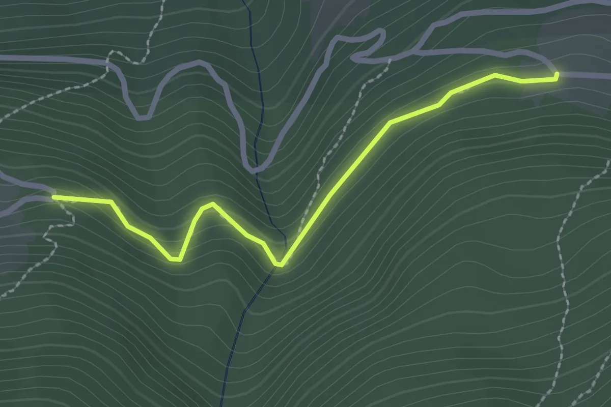
Easy · Trail
Innesto Sentiero 231 – Innesto Sentiero 216
2.2 km · ↑ 150 m · 51 min
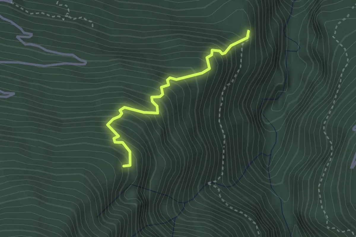
Medium · Trail
Innesto Sentiero 227 – Innesto Sentiero 222
2.6 km · ↑ 495 m · 1 h 41 min
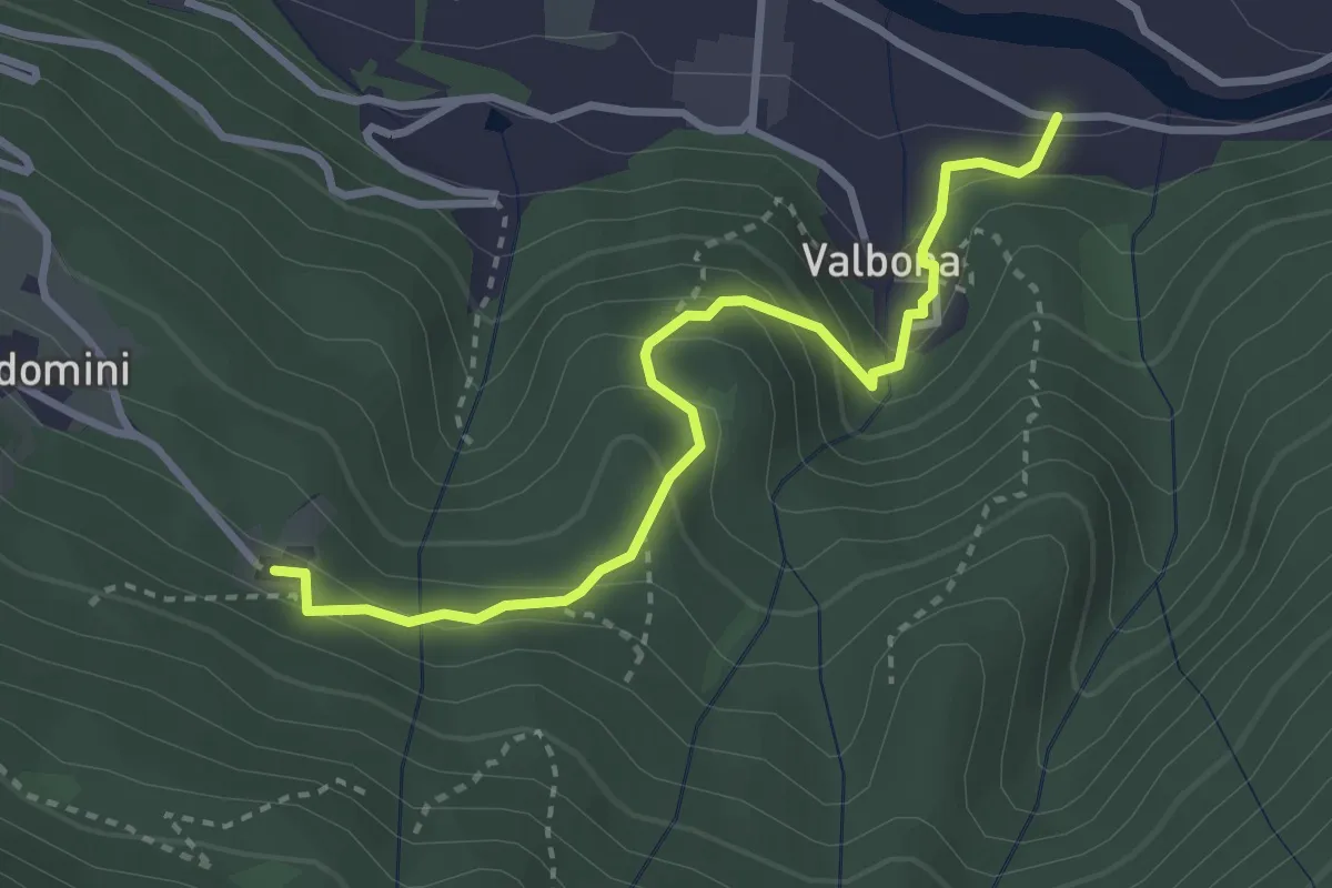
Easy · Trail
Innesto Sentiero 252 – Innesto Sentiero 203
3.3 km · ↑ 246 m · 1 h 18 min
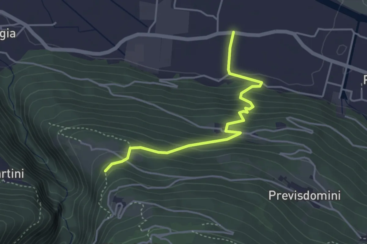
Medium · Trail
Innesto Sentiero 254 – Via Amonini (Piateda)
3.8 km · ↑ 257 m · 1 h 27 min
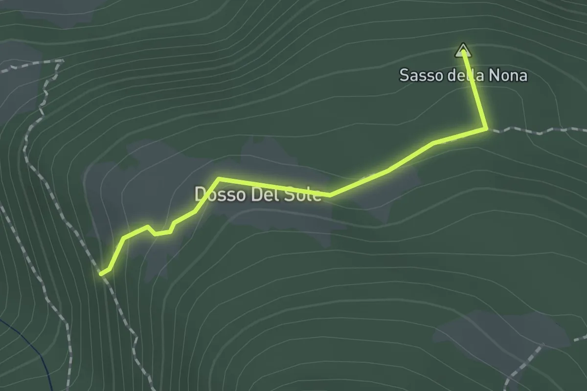
Easy · Summit
Innesto Sentiero 255 – Innesto Sentiero 252
1.5 km · ↑ 64 m · 29 min
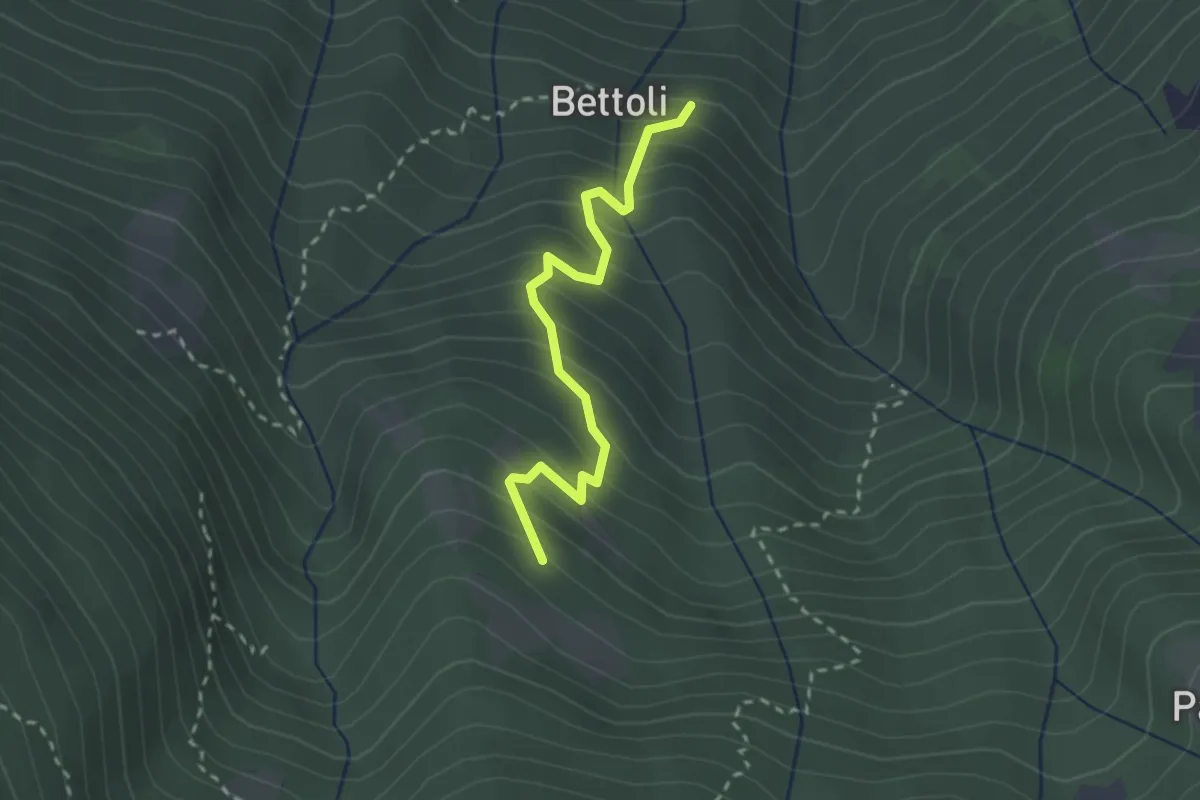
Medium · Trail
Innesto Sentiero 255 – Innesto Sentiero 204
2.5 km · ↑ 363 m · 1 h 22 min
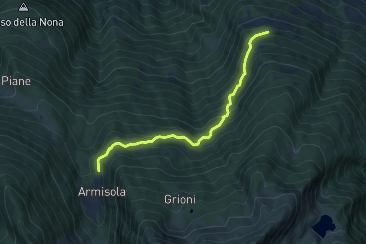
Medium · Trail
Innesto Sentiero 264 – Innesto Sentiero 267
6.8 km · ↑ 451 m · 2 h 35 min
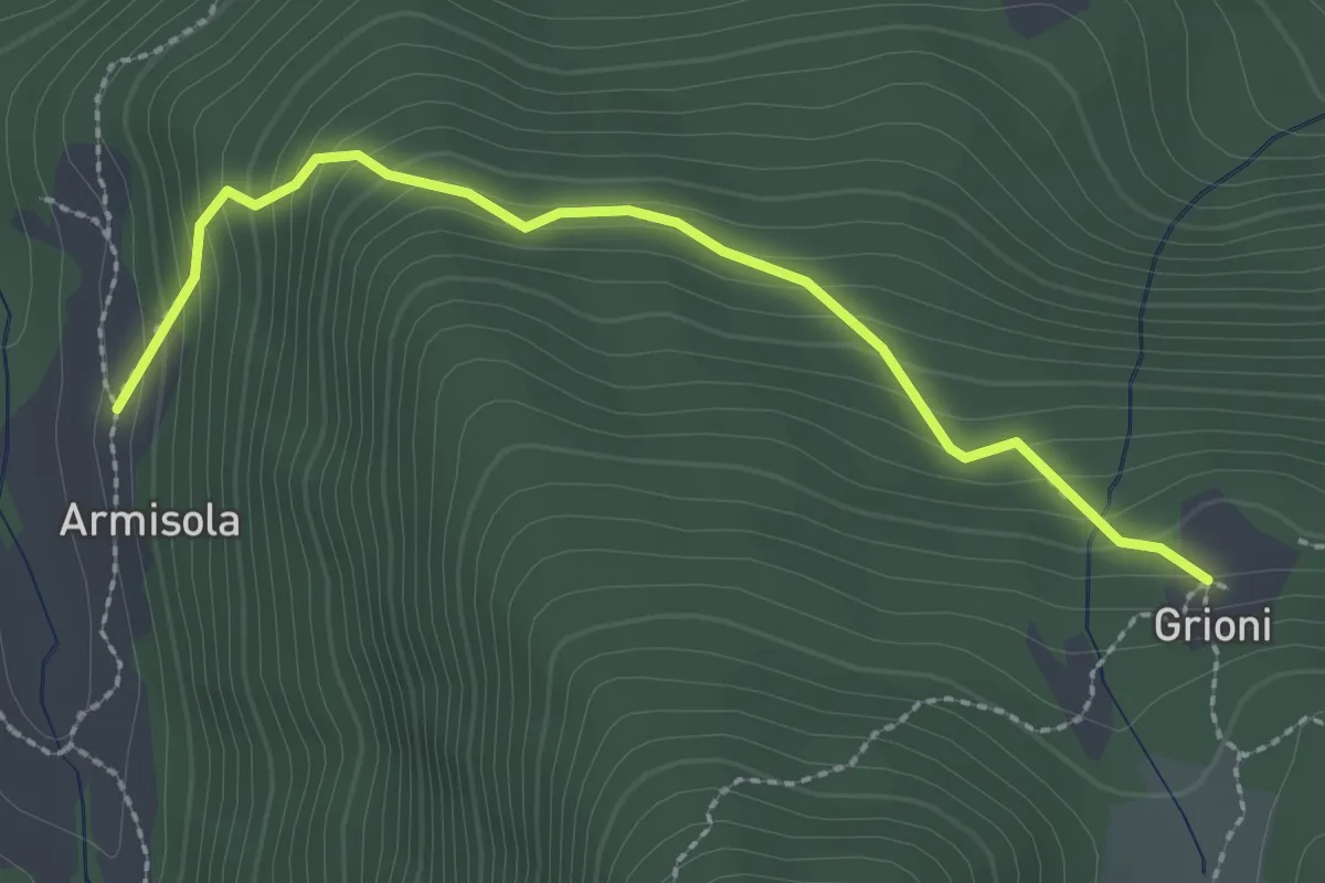
Medium · Cabin
Innesto Sentiero 264 – Innesto Sentiero 264
2.6 km · ↑ 255 m · 1 h 10 min
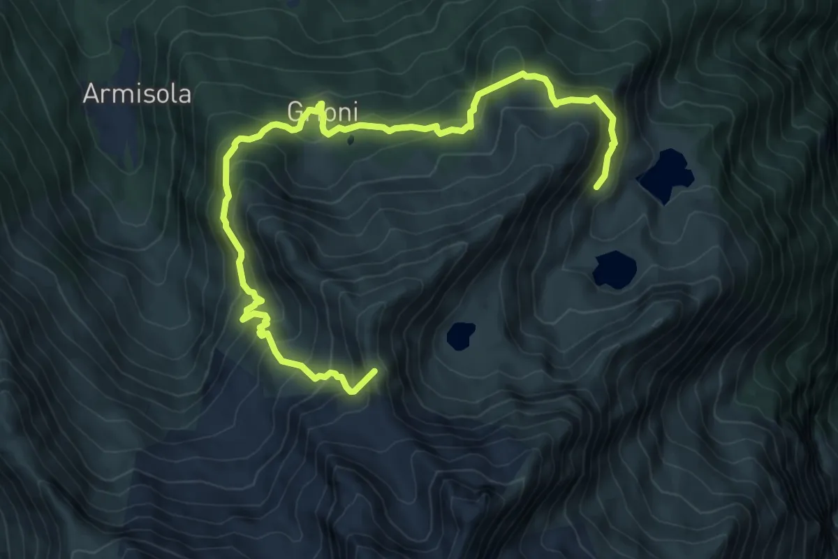
Demanding · Summit
Innesto Sentiero 260 – Innesto Sentiero 260
10.4 km · ↑ 880 m · 4 h 21 min
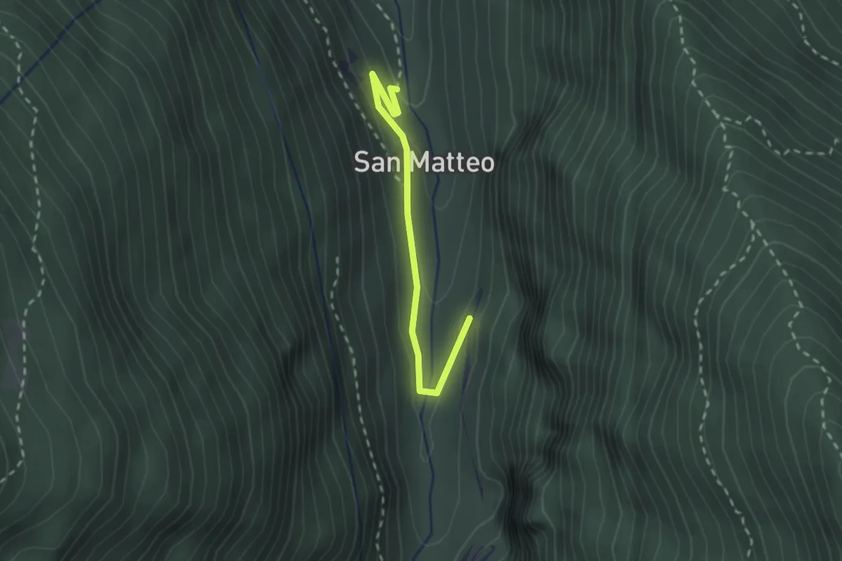
Easy · Trail
Innesto Sentiero 266 – Innesto Sentiero 266
2.1 km · ↑ 39 m · 35 min
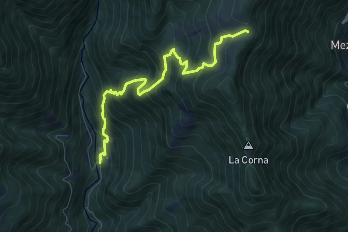
Medium · Trail
Valmoresca (Averara) – Alpe Cantedoldo (incrocio 113)
7.6 km · ↑ 782 m · 3 h 30 min
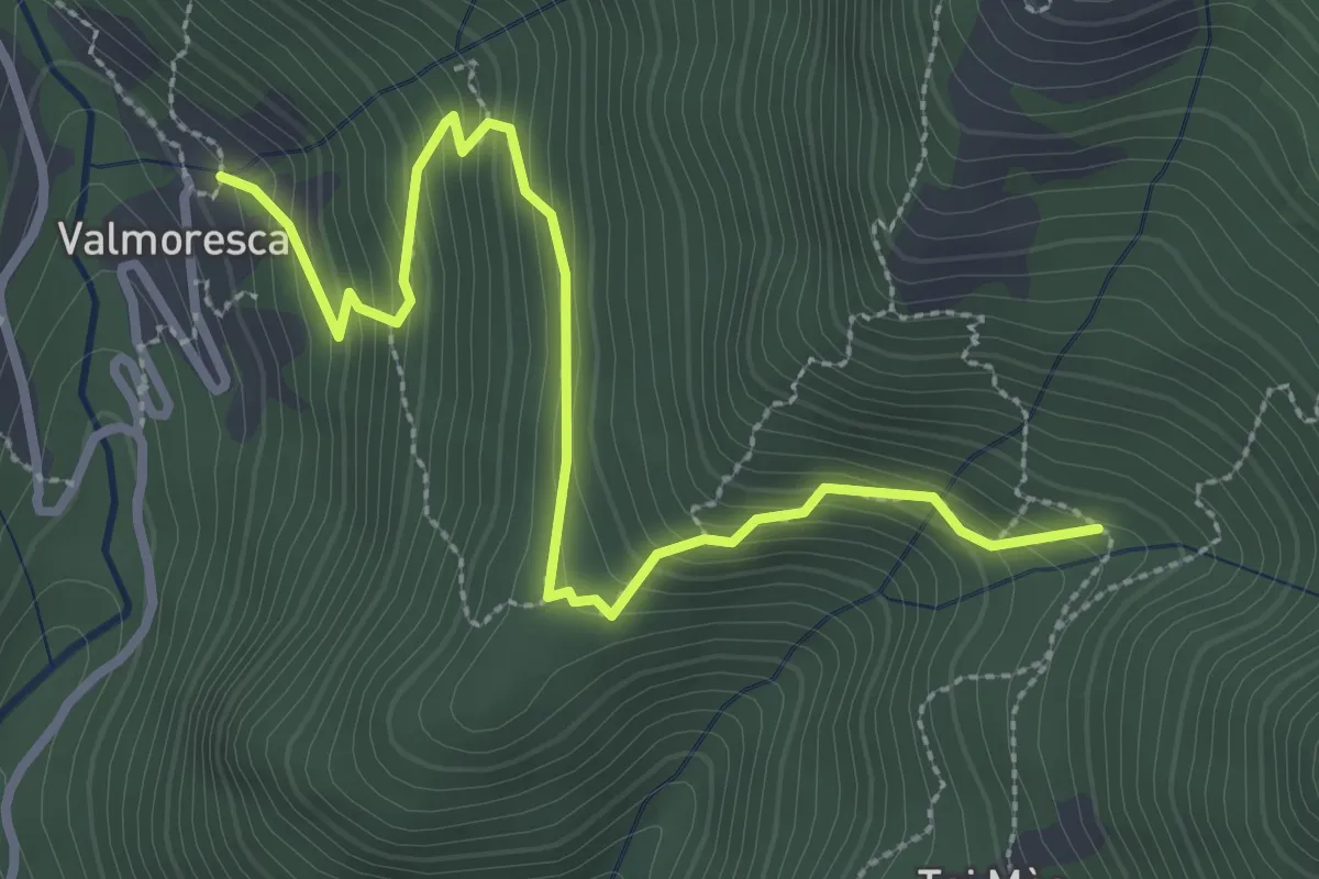
Medium · Trail
Valmoresca – Tegge di Mezzo (incrocio 133A)
3.4 km · ↑ 297 m · 1 h 26 min
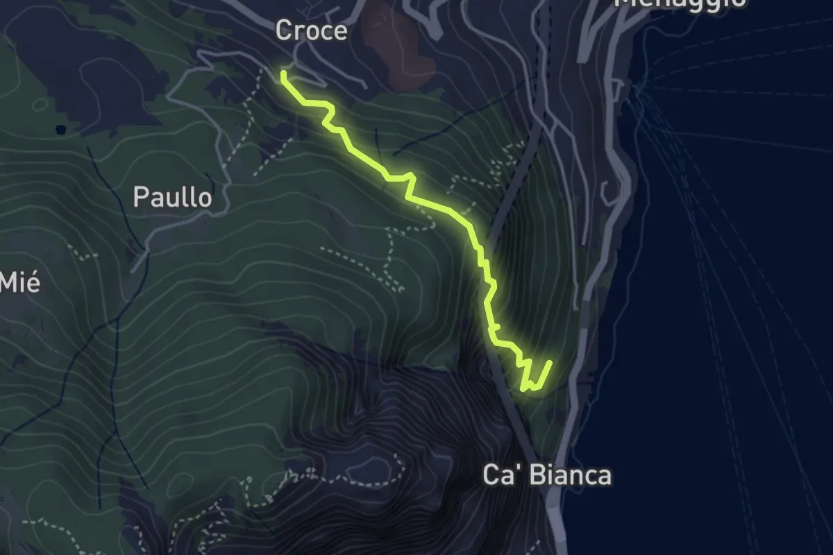
Medium · Trail
Pastura – Croce
3.3 km · ↑ 335 m · 1 h 31 min
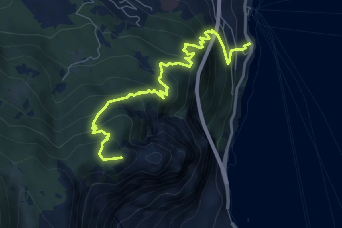
Medium · Summit
Casate – Pilone
6.9 km · ↑ 652 m · 3 h 3 min
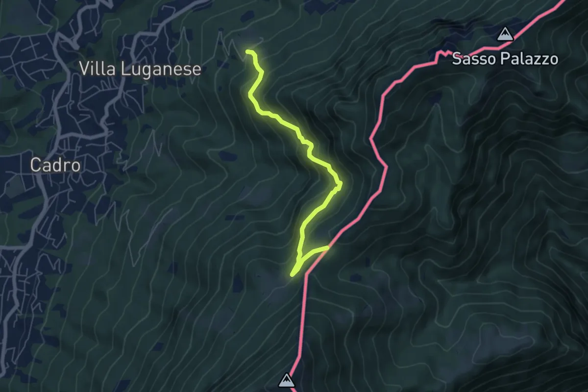
Medium · Trail
Pian di Scagn – Creda-Car
5.4 km · ↑ 494 m · 2 h 21 min
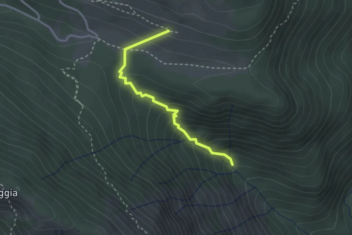
Medium · Trail
strada agro-silvo-pastorale Val Sanagra – Alpe Logone
2.4 km · ↑ 245 m · 1 h 5 min
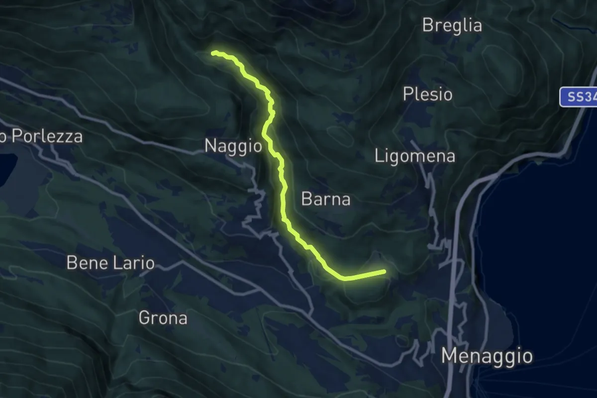
Medium · Trail
Piamuro – Monti di Madri
8.0 km · ↑ 252 m · 2 h 25 min
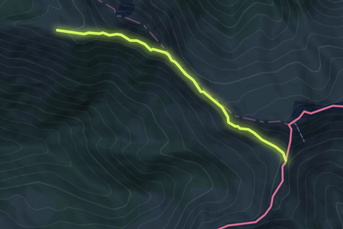
Expert · Cabin
Biscia – Passo San Jorio
5.3 km · ↑ 306 m · 1 h 54 min
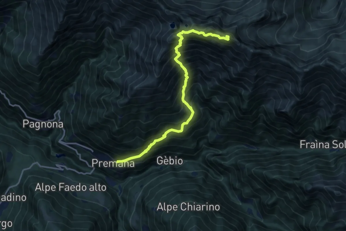
Expert · Summit
Premana – Pizzo Alto
12.3 km · ↑ 1559 m · 6 h 17 min
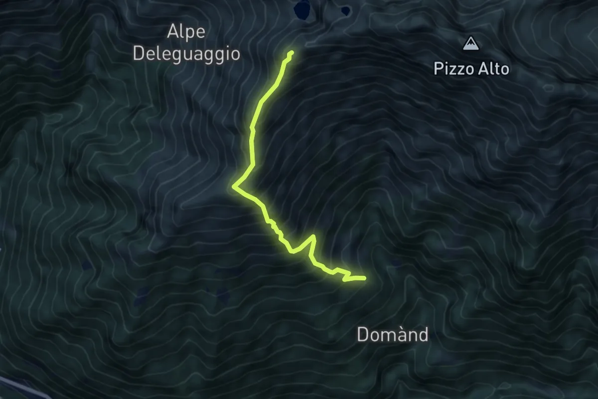
Demanding · Summit
Premaniga – Bocch. Cortese Alto
5.3 km · ↑ 822 m · 3 h 3 min
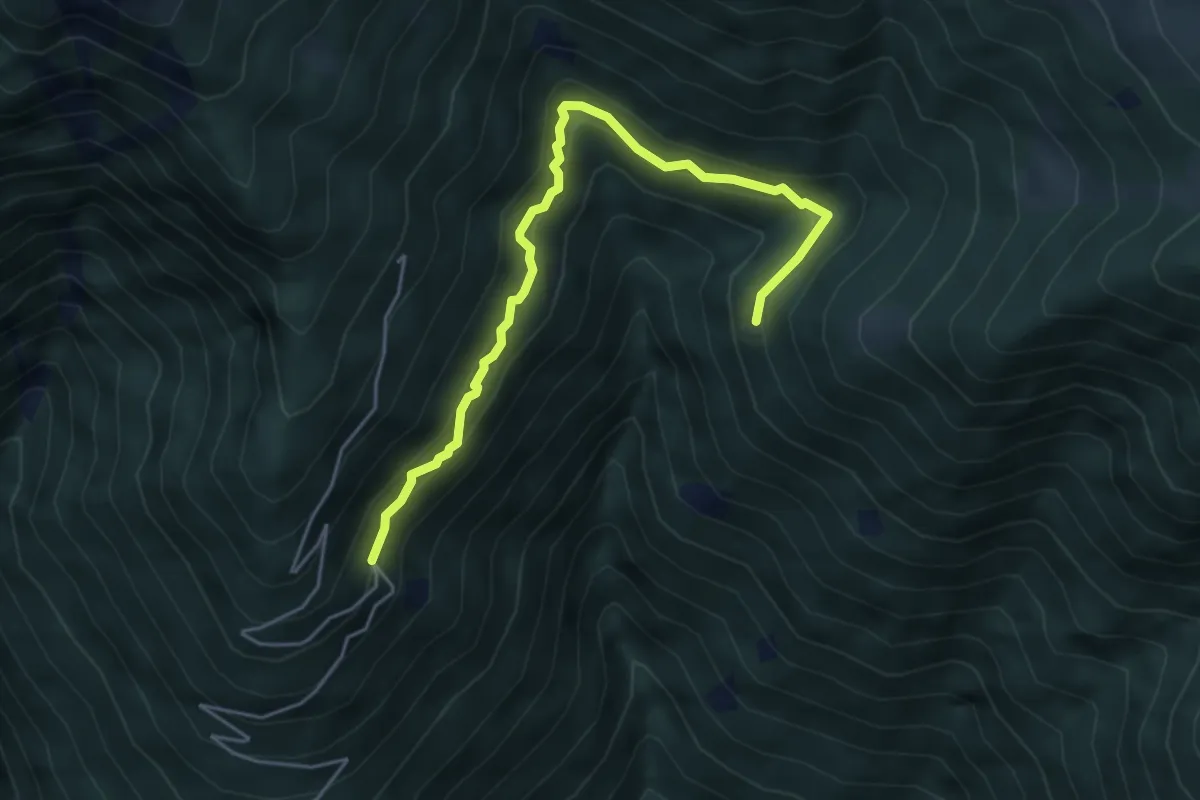
Medium · Trail
Pra Cigolosa – Aple Calchèra
5.1 km · ↑ 390 m · 2 h 3 min
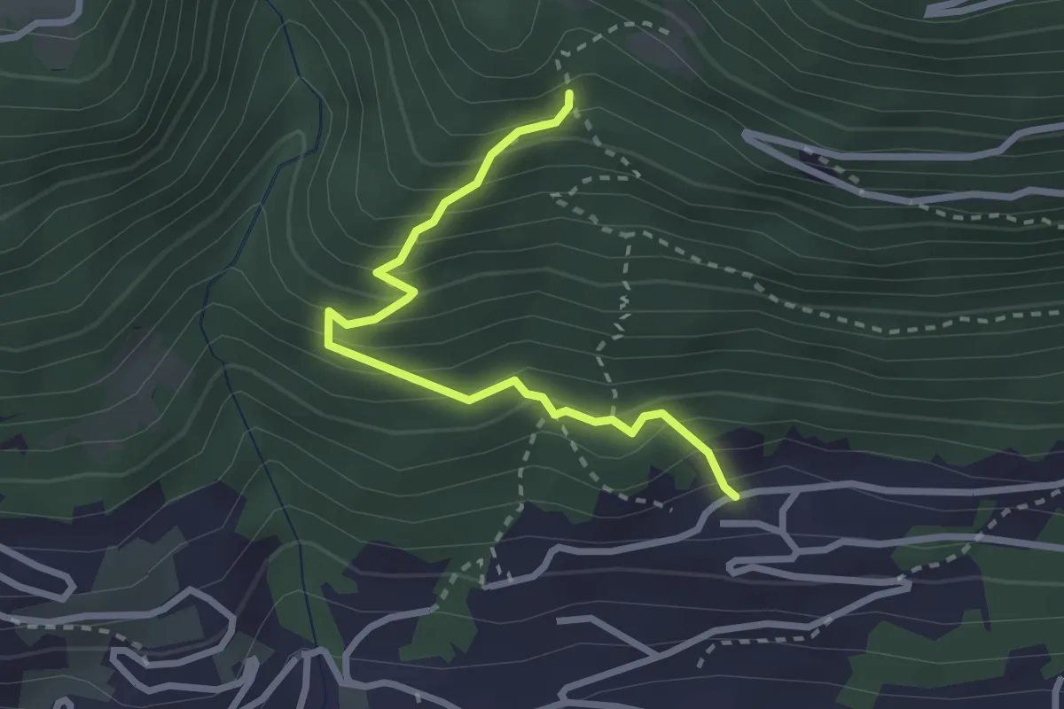
Expert · Trail
Innesto Sentiero 373 – Innesto Sentiero 373
2.6 km · ↑ 312 m · 1 h 18 min
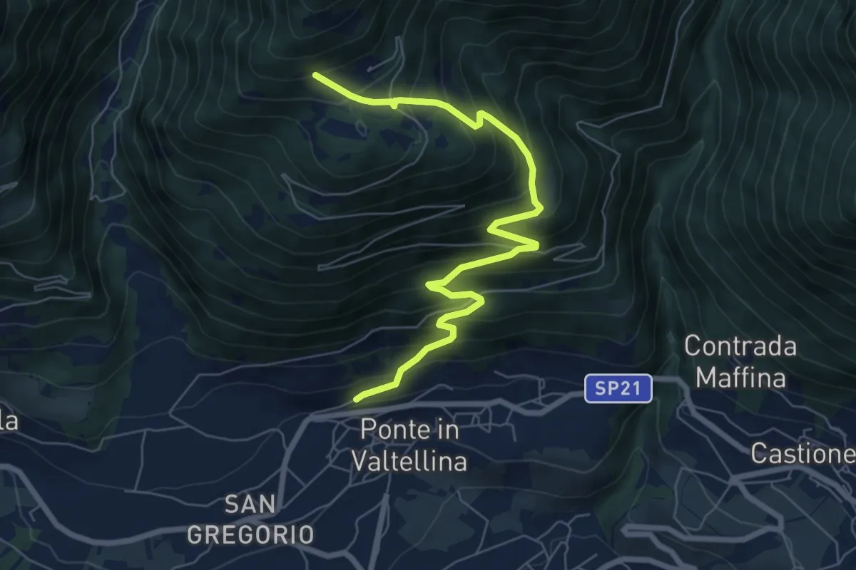
Medium · Trail
Ponte in Valtellina – Innesto Sentiero 302 - 377
7.3 km · ↑ 725 m · 3 h 18 min
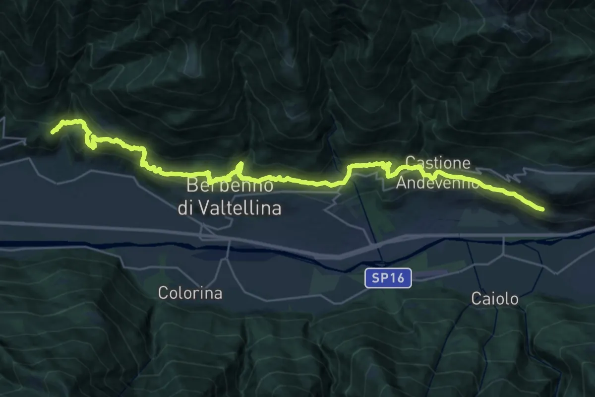
Medium · Trail
Innesto Sentiero 306 – Torrente Maroggia
14.1 km · ↑ 746 m · 5 h 10 min
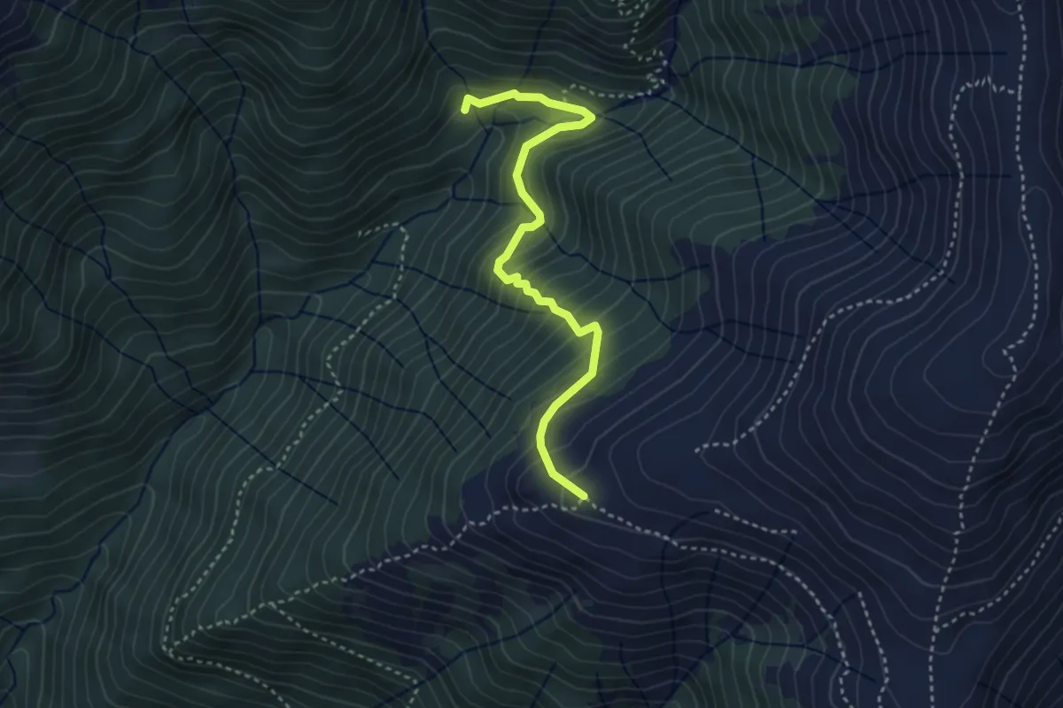
Medium · Cabin
Alpe Leveja – Alpe Nesdale
3.6 km · ↑ 371 m · 1 h 39 min
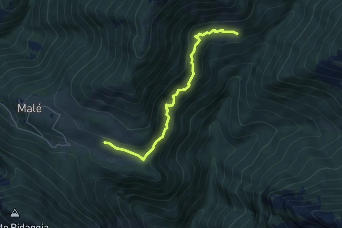
Medium · Trail
Alpe Logone – Alpe Erba
4.9 km · ↑ 405 m · 2 h 2 min
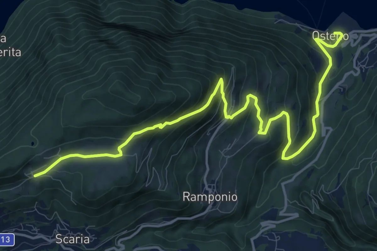
Demanding · Trail
Parcheggio Clinica COF – Osteno
14.1 km · ↑ 820 m · 5 h 7 min
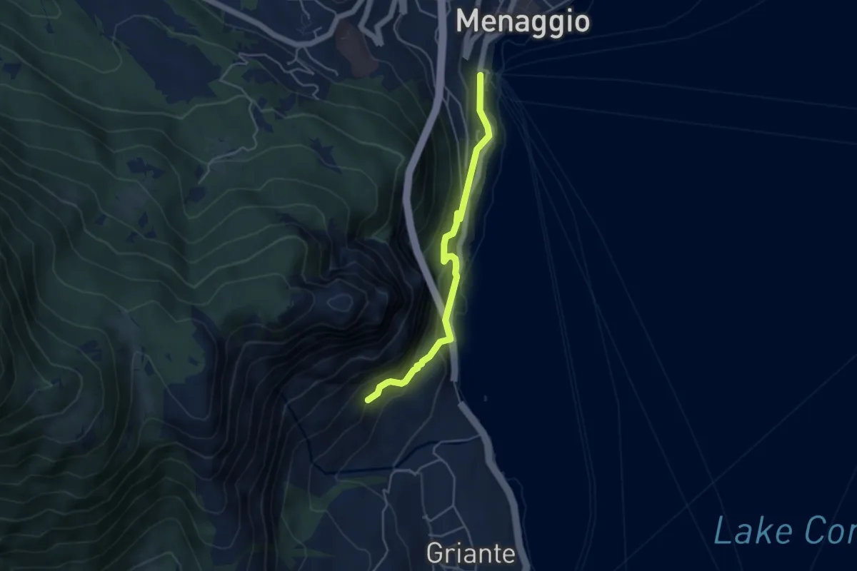
Medium · Trail
Imbarcadero Menaggio – sent 893 per San Martino
4.3 km · ↑ 333 m · 1 h 45 min
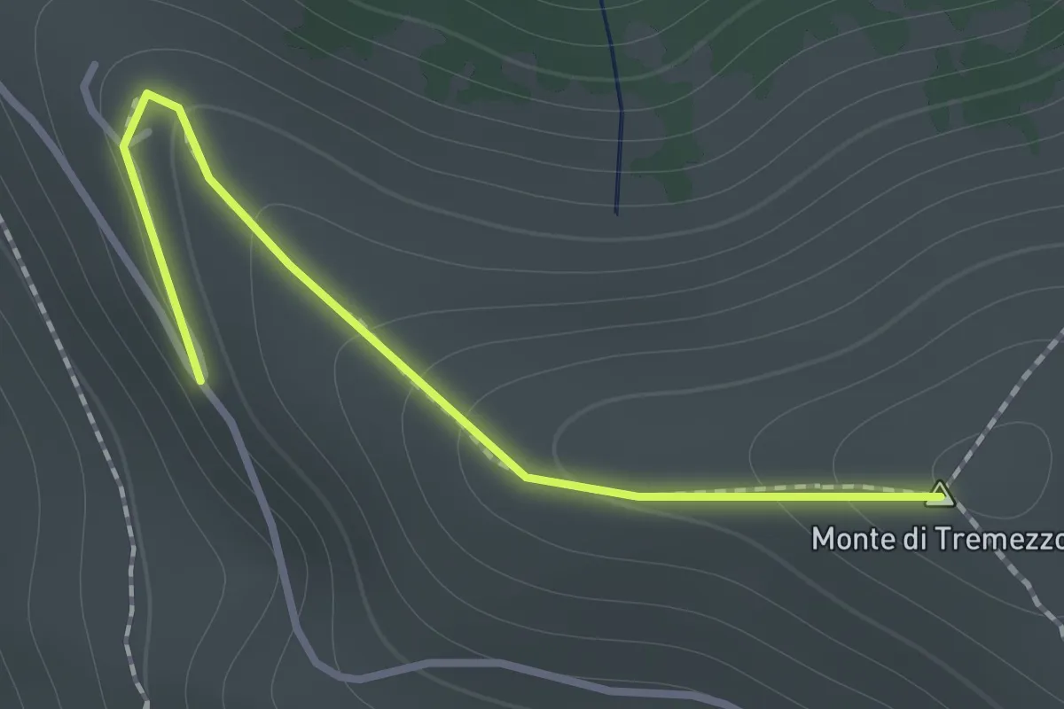
Medium · Summit
Rifugio Venini 880 – Monte Crocione
1.2 km · ↑ 88 m · 28 min
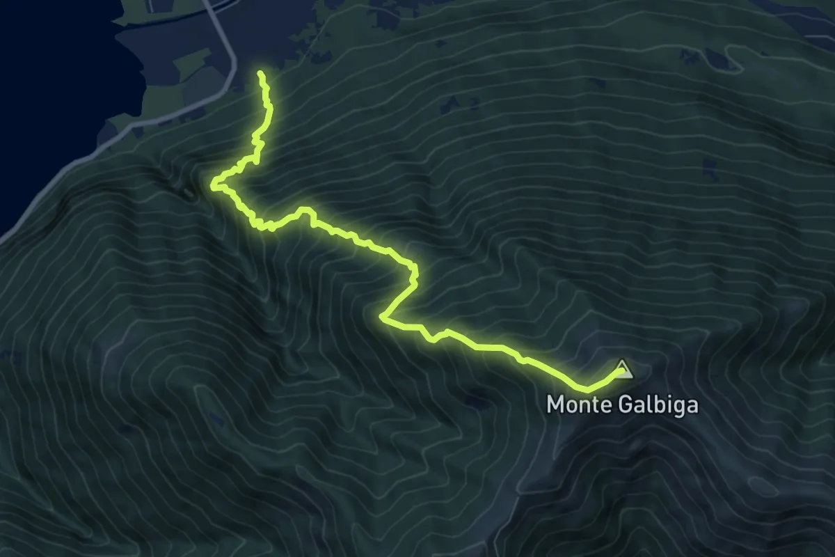
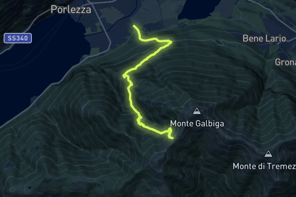
Demanding · Summit
Porlezza San Maurizio – Monte Galbiga
9.3 km · ↑ 1481 m · 5 h 24 min
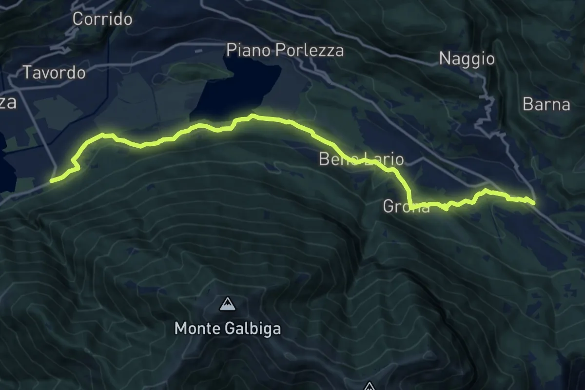
Demanding · Trail
Porlezza Caraco – Alpe di Lenno
12.4 km · ↑ 1313 m · 5 h 46 min
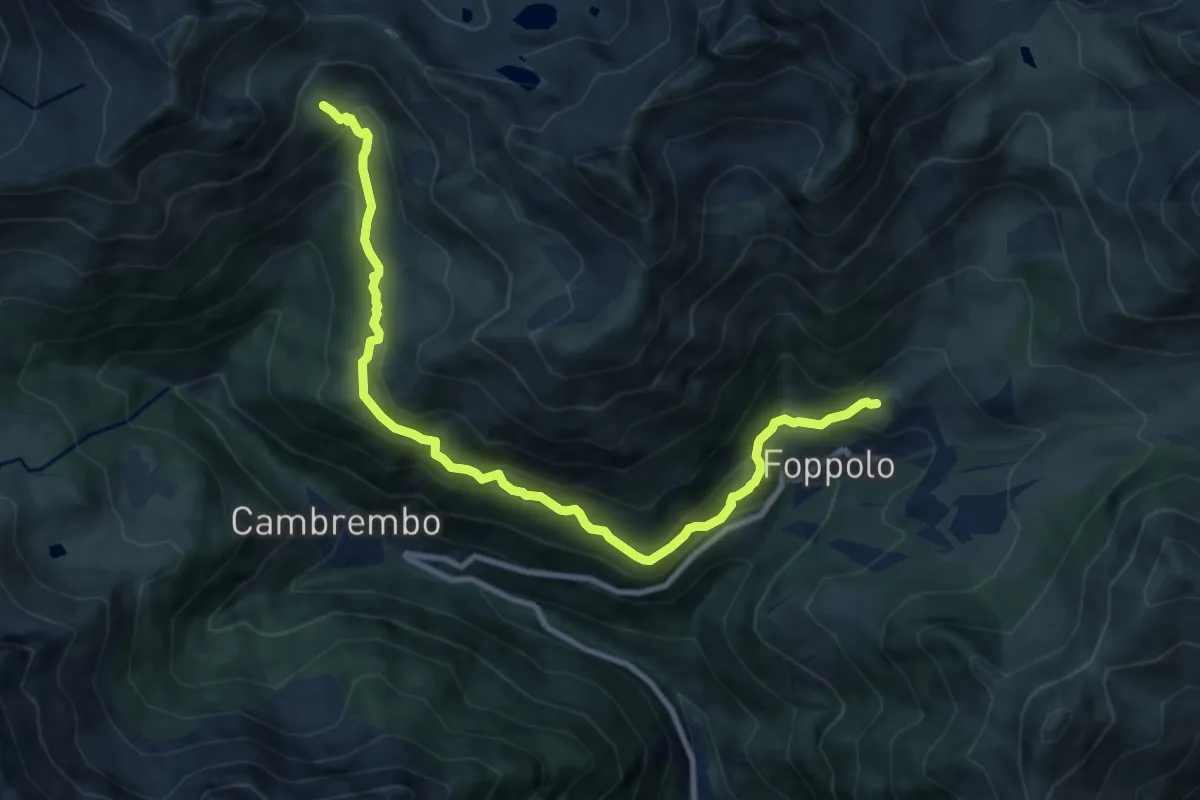
Medium · Trail
Porlezza San Maurizio – Cardano
15.7 km · ↑ 281 m · 4 h 19 min
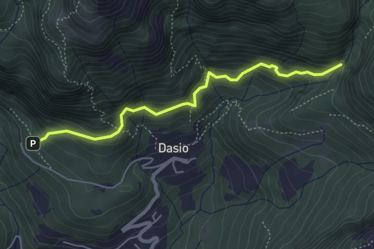
Medium · Trail
Foppolo (Rocky) – Passo di Tartano
10.1 km · ↑ 753 m · 4 h 2 min
Medium · Trail
San Rocco – Riserva Valsolda
4.2 km · ↑ 400 m · 1 h 52 min