Trails in Italy
25,219 hiking trails, each with its route, climb, walking time and grade.
All trails, page 524 of 526
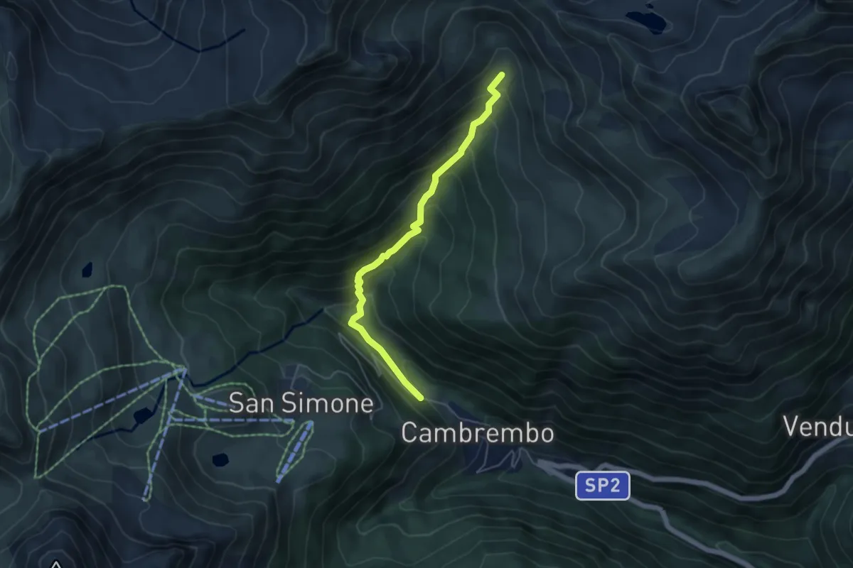
Medium · Trail
Valleve (Cambrembo) – Passo di Tartano
4.7 km · ↑ 410 m · 2 h
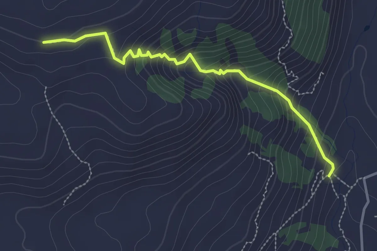
Medium · Trail
Madesimo – Giardino Alpino Valcava
2.9 km · ↑ 263 m · 1 h 15 min
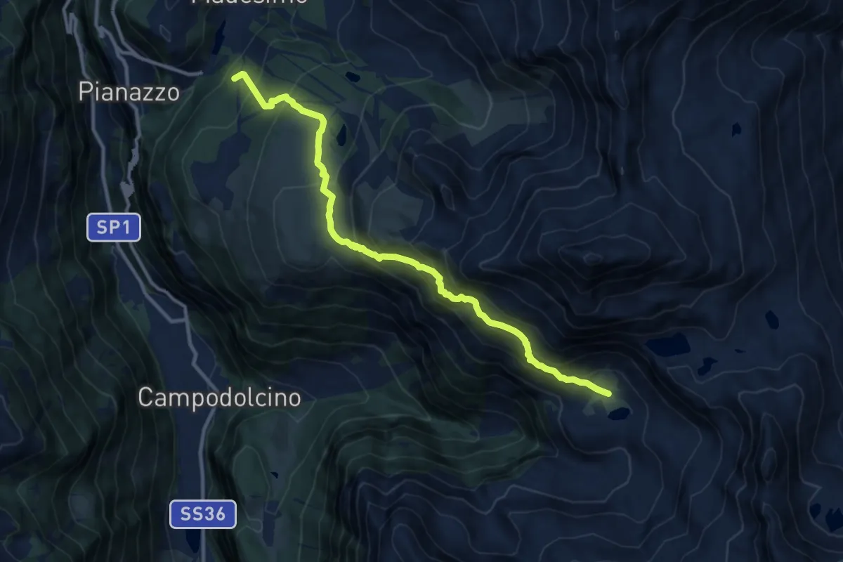
Demanding · Cabin
Madesimo – Angeloga
11.2 km · ↑ 953 m · 4 h 43 min
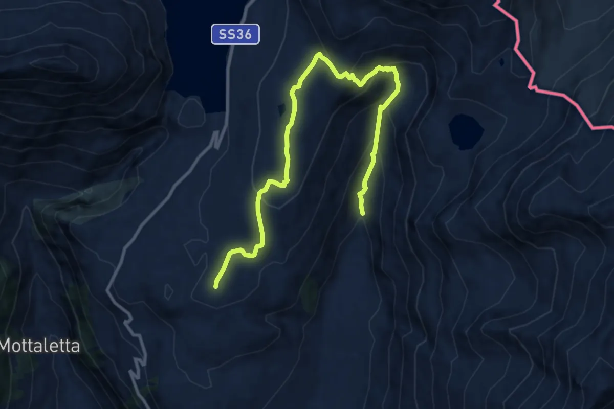
Medium · Trail
Macolino – Valcava
11.1 km · ↑ 587 m · 3 h 54 min
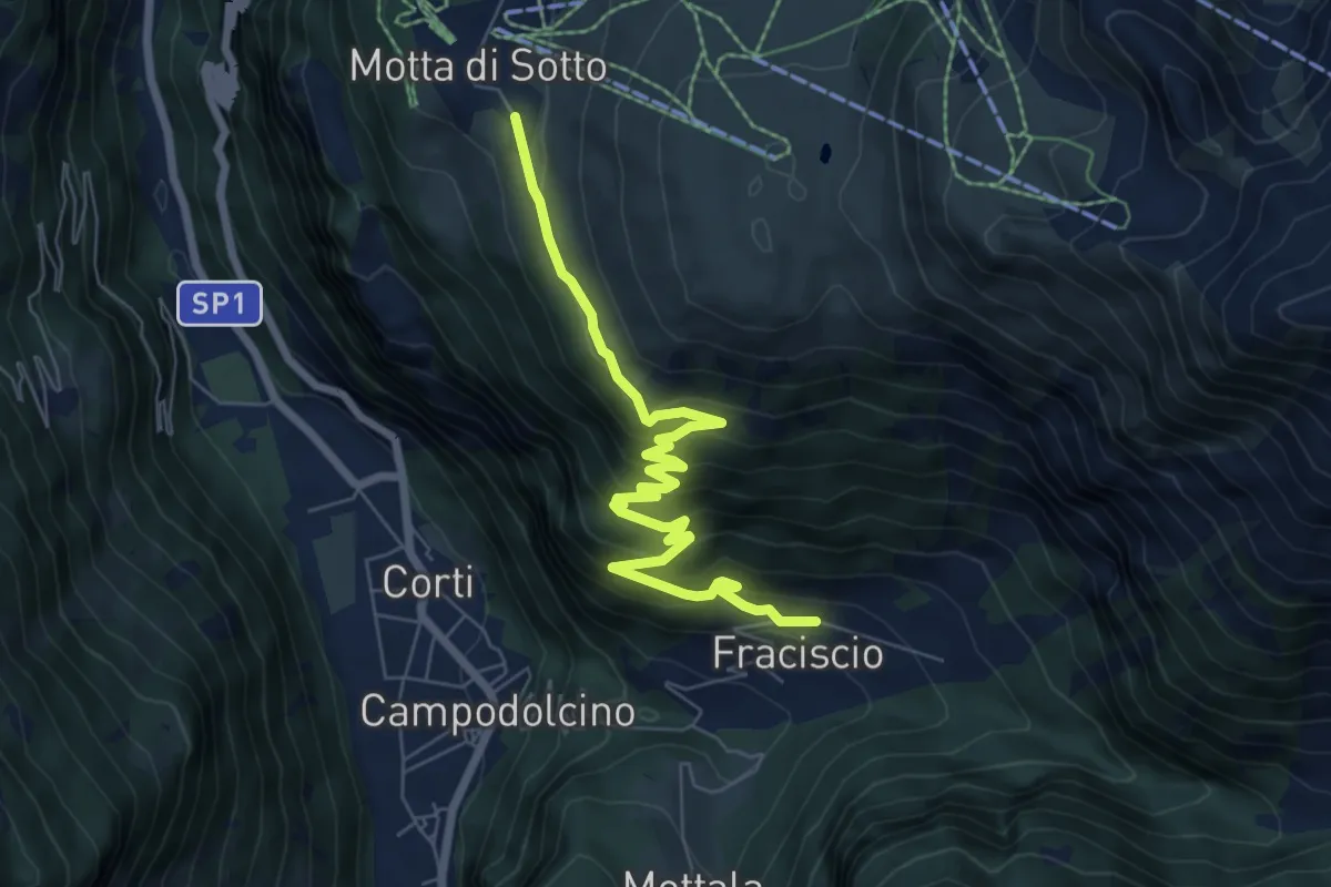
Medium · Trail
Fraciscio – Alpe Motta
7.4 km · ↑ 461 m · 2 h 45 min
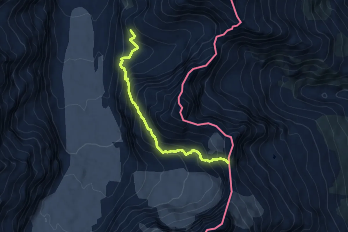
Expert · Cabin
Forno Huette – Passo di Val Bona
6.0 km · ↑ 657 m · 2 h 51 min
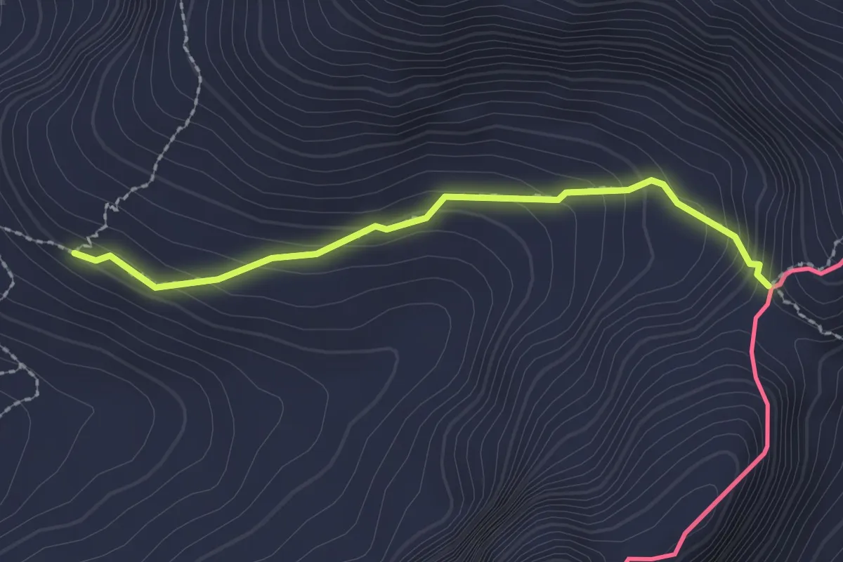
Demanding · Cabin
Forno Hutte – Monte del Forno
2.1 km · ↑ 175 m · 53 min
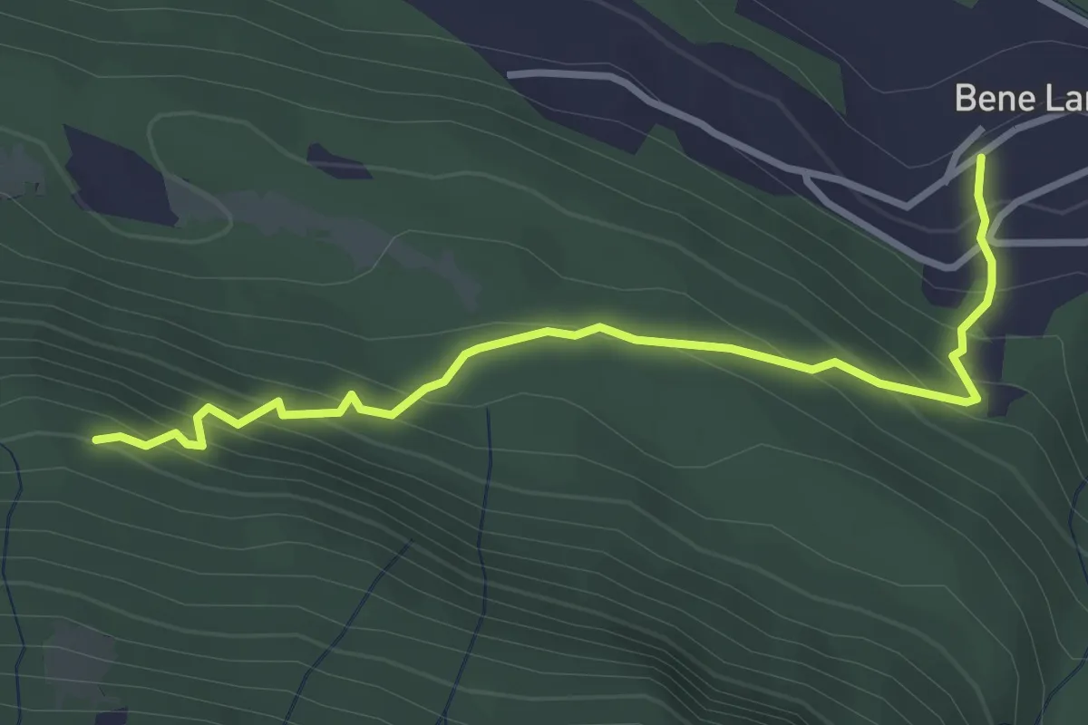
Easy · Trail
Bene Lario – sentiero 872 per alpe di lenno
3.3 km · ↑ 317 m · 1 h 28 min
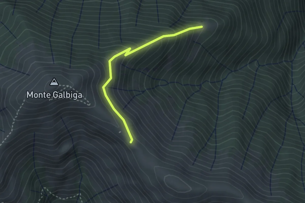
Easy · Cabin
Alp de Volt – Rifugio Venini
2.7 km · ↑ 280 m · 1 h 15 min
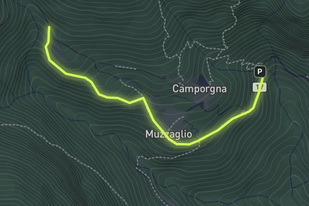
Easy · Trail
Ponte di Bizzo – Bodeghino
2.7 km · ↑ 201 m · 1 h 4 min
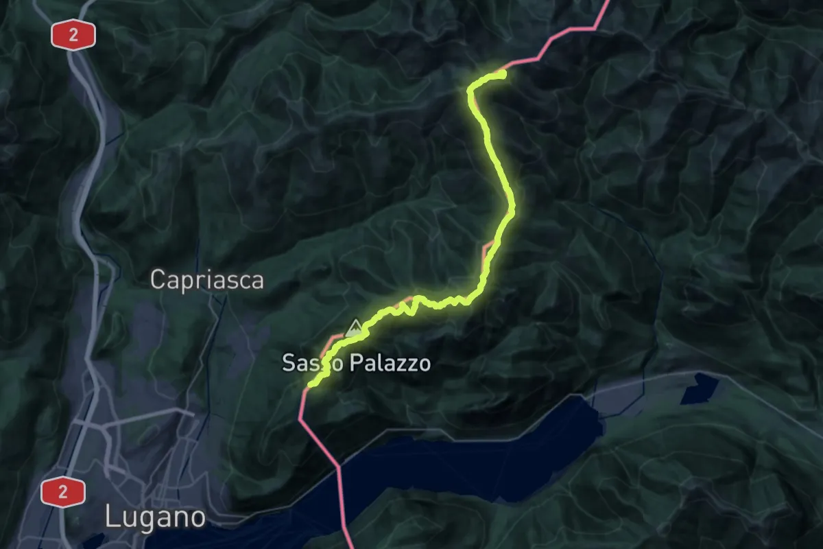
Demanding · Summit
Pian di Scagn – Bocchetta della Tappa
31.9 km · ↑ 1947 m · 11 h 45 min
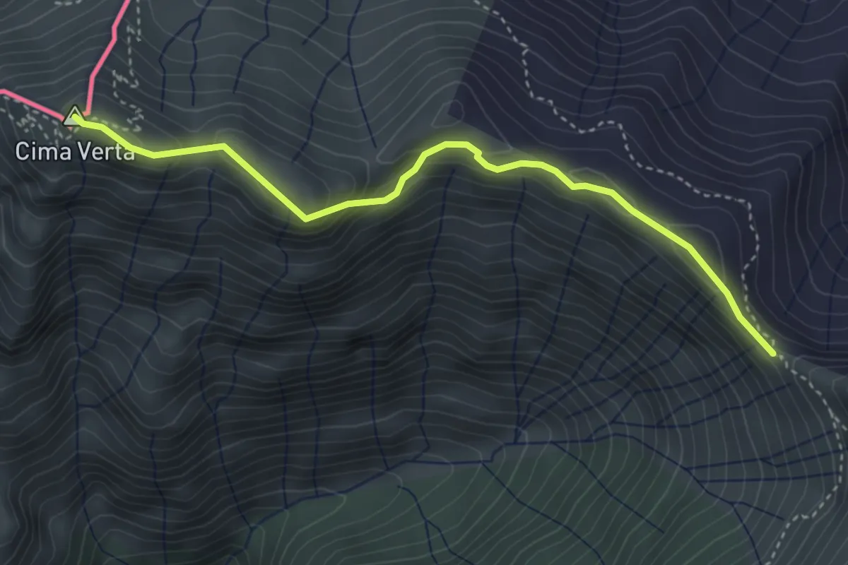
Demanding · Summit
Cima Verta VF – Bocchetta di Sengio AVL
3.9 km · ↑ 221 m · 1 h 24 min
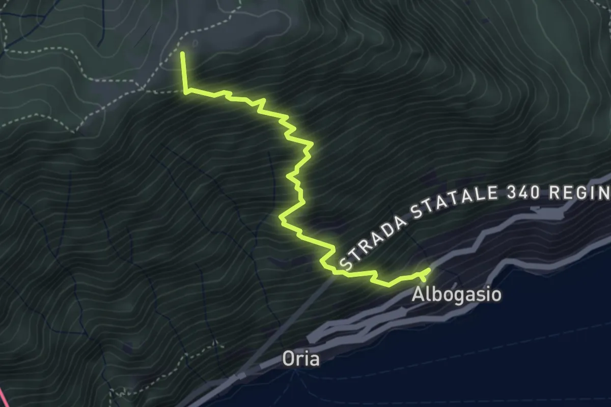
Medium · Summit
Albogasio Superiore – Monte Saletta
4.2 km · ↑ 728 m · 2 h 34 min
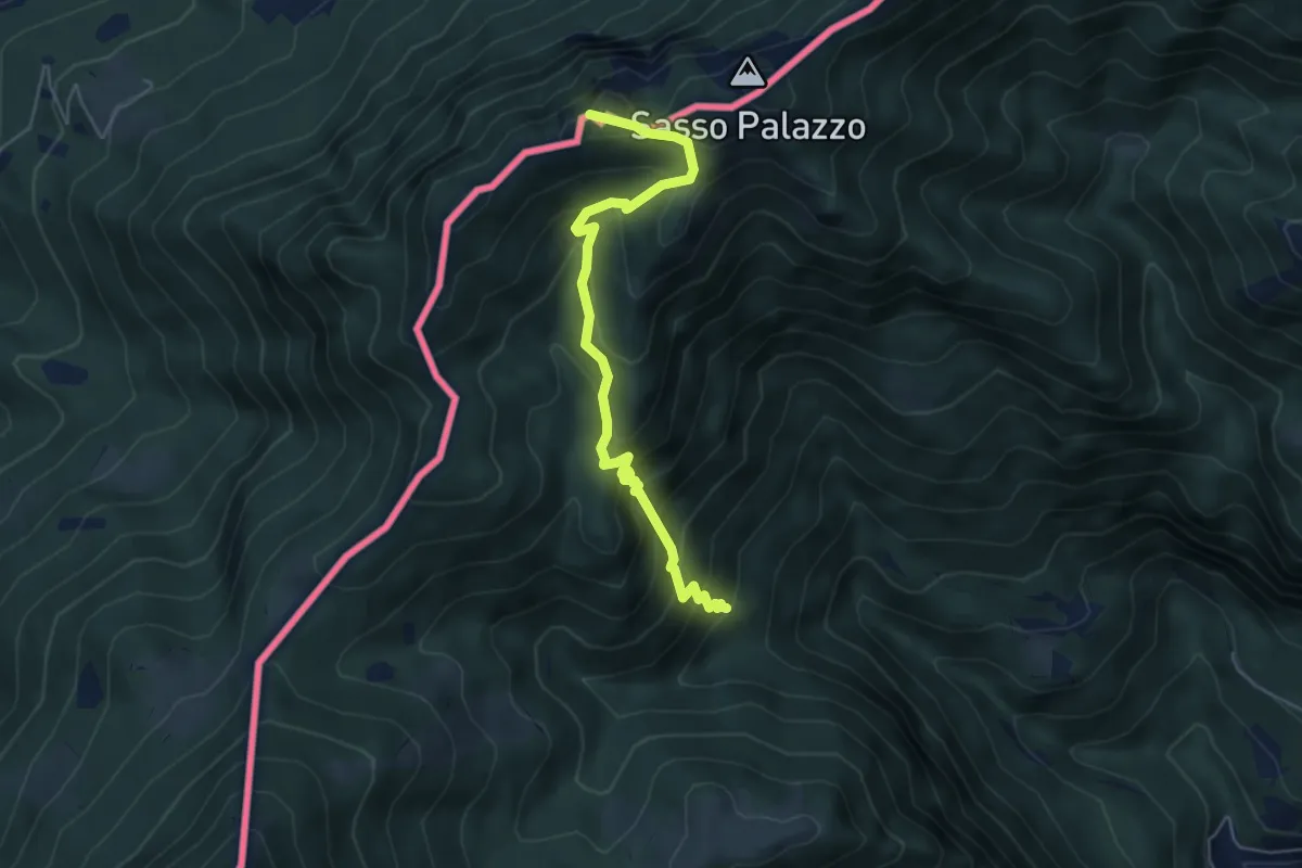
Medium · Summit
Drubi – Passo Streccione Denti della Vecchia
5.3 km · ↑ 530 m · 2 h 24 min
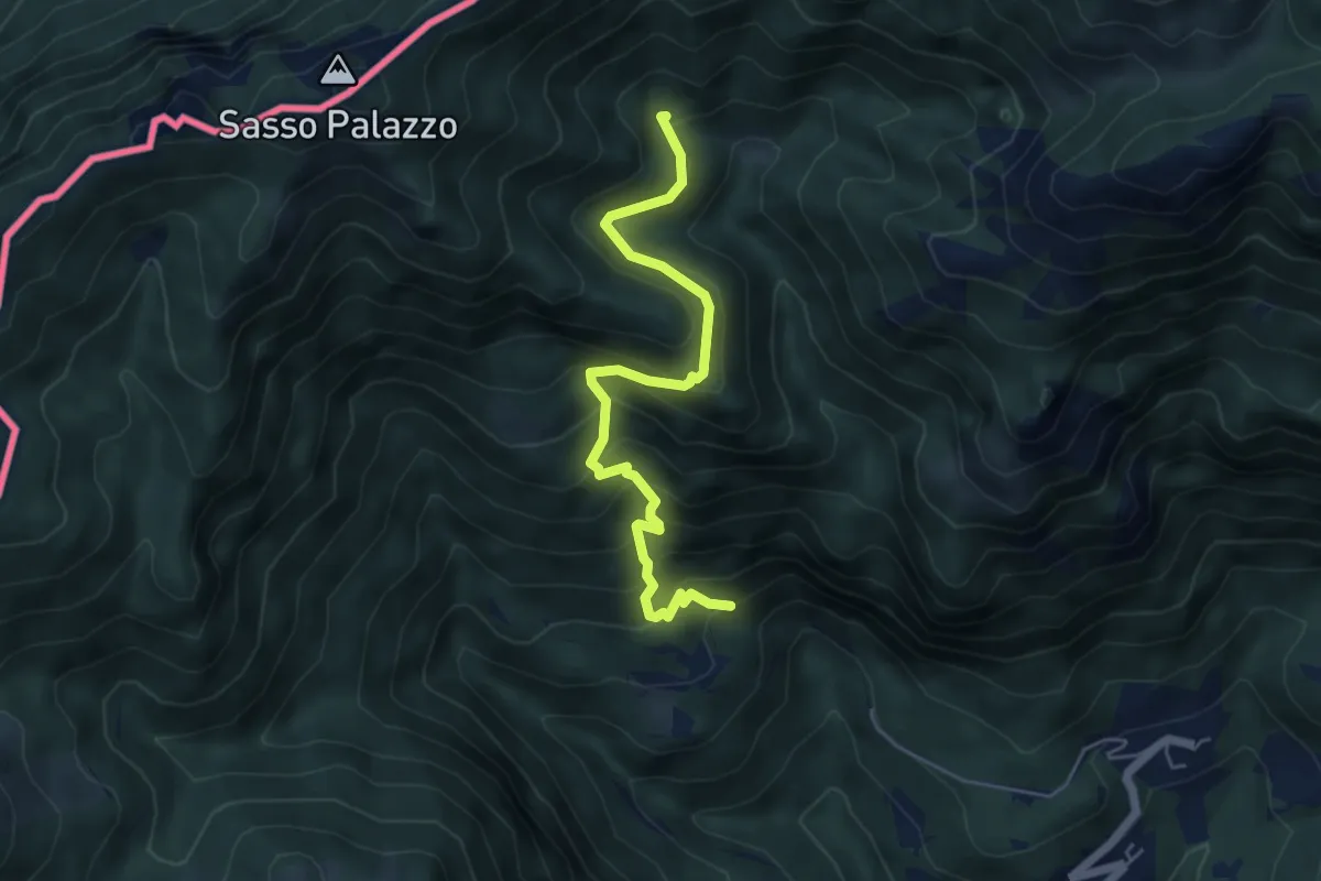
Medium · Trail
Cappelletta Camporgna – Alpe di Puria 608
5.4 km · ↑ 504 m · 2 h 23 min
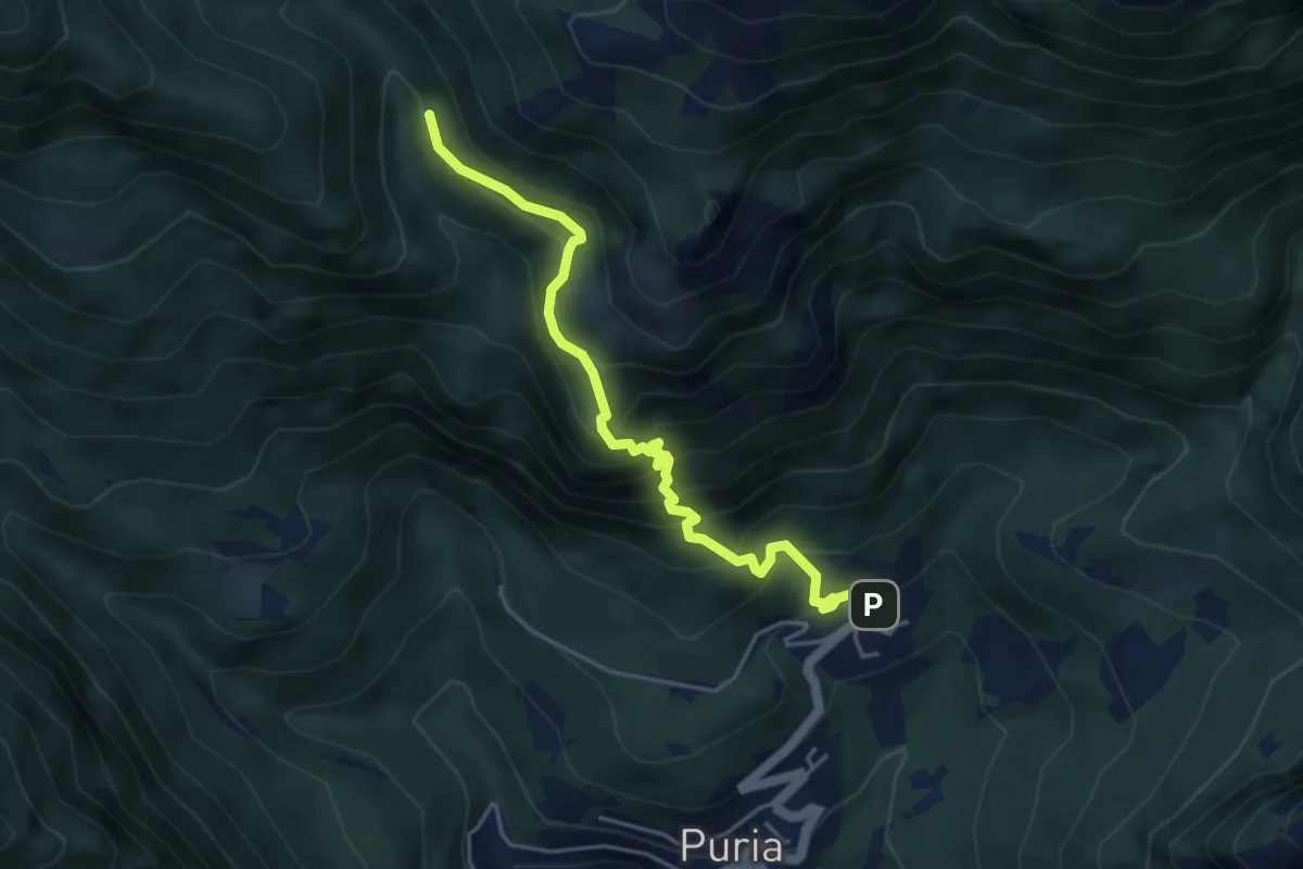
Expert · Trail
Dasio – Alpe di Puria
4.6 km · ↑ 521 m · 2 h 13 min
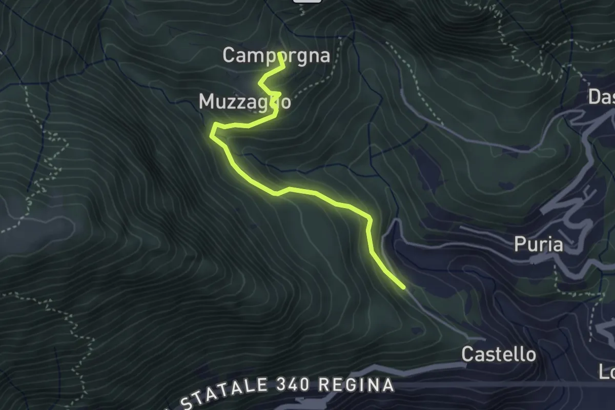
Easy · Trail
Castello – Camporgna
3.5 km · ↑ 242 m · 1 h 21 min
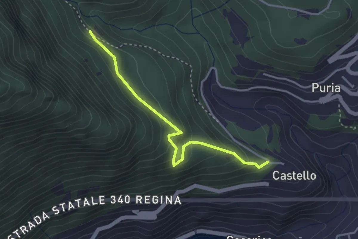
Easy · Trail
Castello – Bresè sent. 615
3.0 km · ↑ 234 m · 1 h 13 min
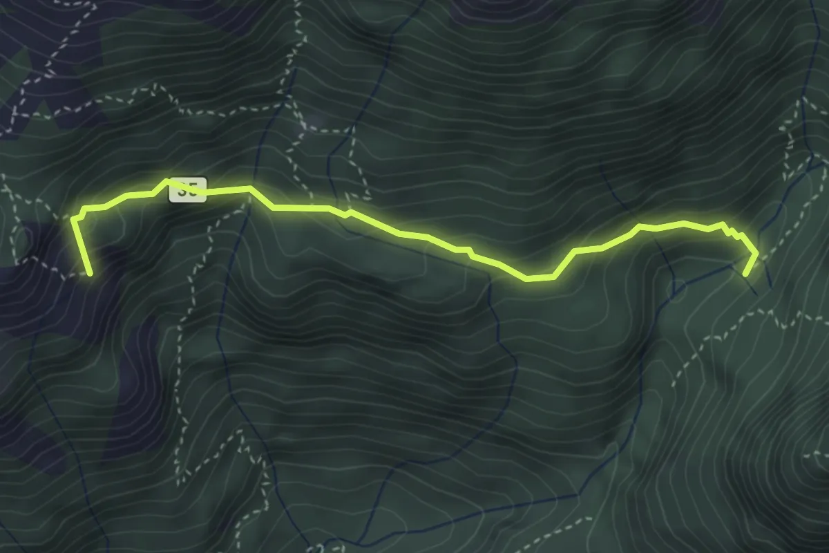
Medium · Summit
Alpe Serte – Alpe di Puria
3.6 km · ↑ 366 m · 1 h 39 min
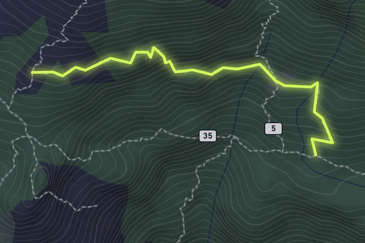
Medium · Trail
Sent. 625 – Mascossa
2.3 km · ↑ 249 m · 1 h 5 min
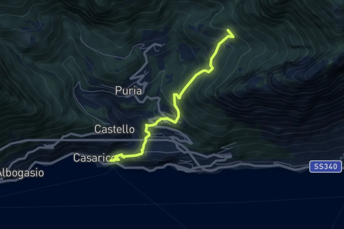
Medium · Trail
San Mamete – Rancò
5.6 km · ↑ 488 m · 2 h 23 min
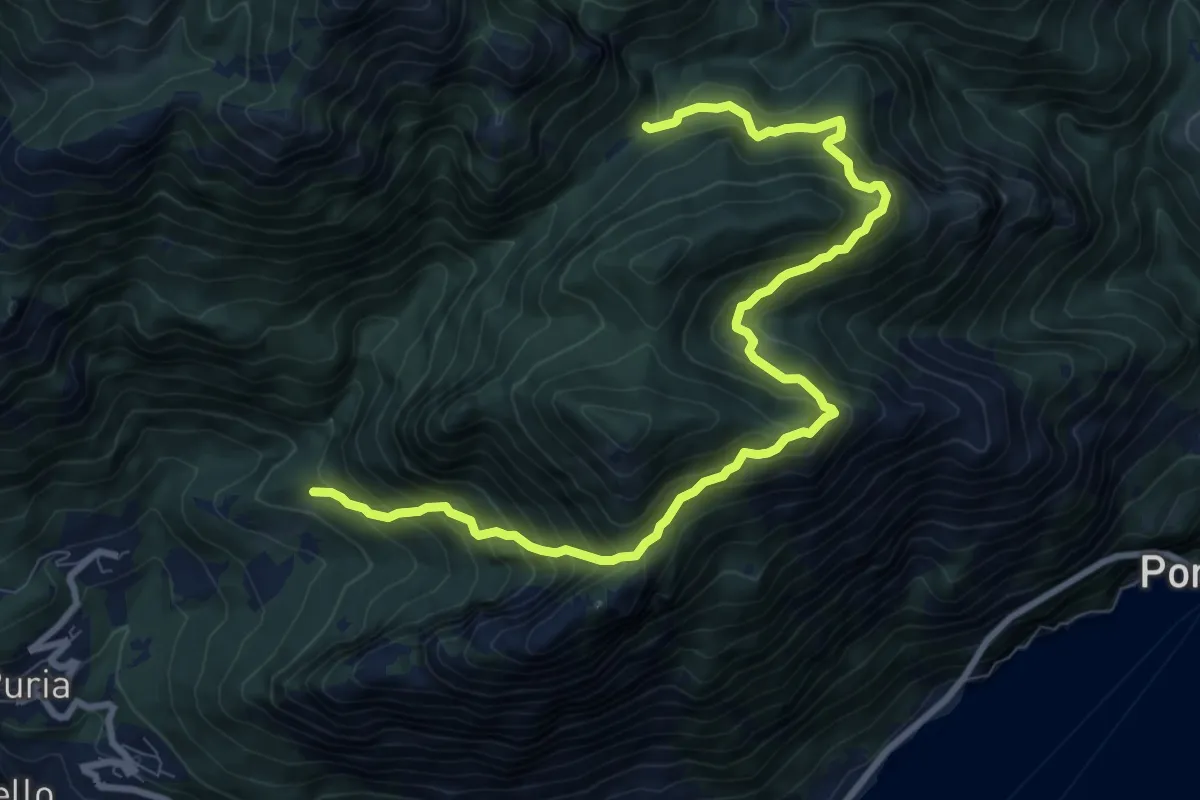
Demanding · Trail
Rancò – Alpe Riccola
10.6 km · ↑ 1078 m · 4 h 50 min
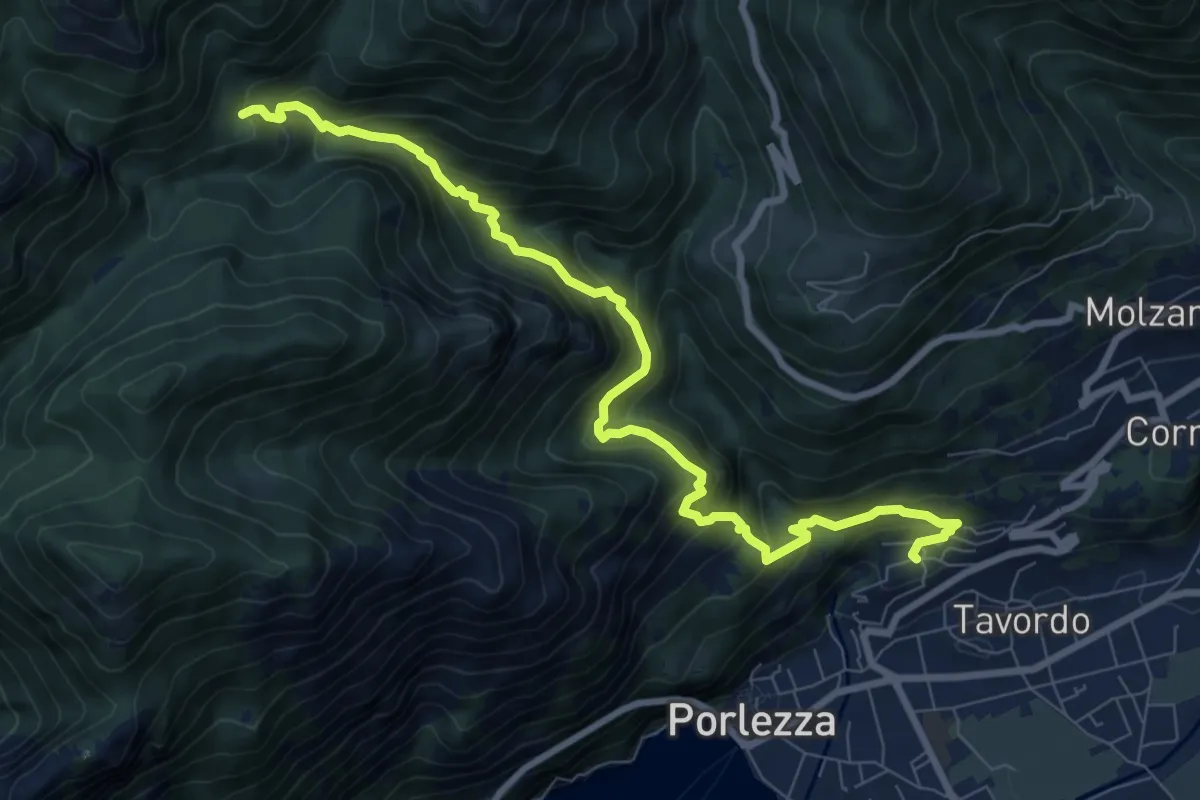
Demanding · Trail
Begna – Alpe Riccola Sent 621 per alpe Fiorina
9.5 km · ↑ 975 m · 4 h 21 min
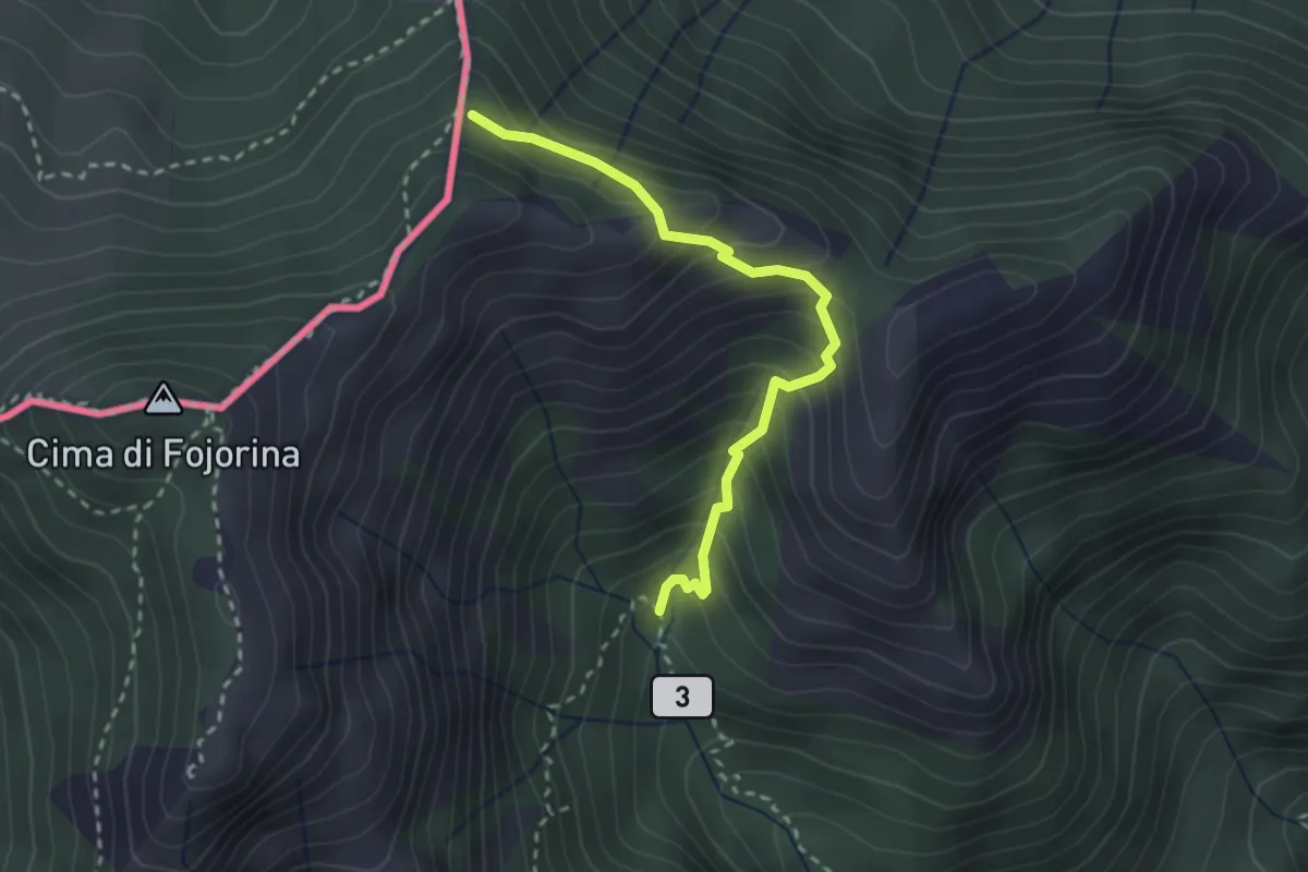
Medium · Trail
Alpe Fiorina – sent 601 per cima Fiorina
2.7 km · ↑ 326 m · 1 h 20 min
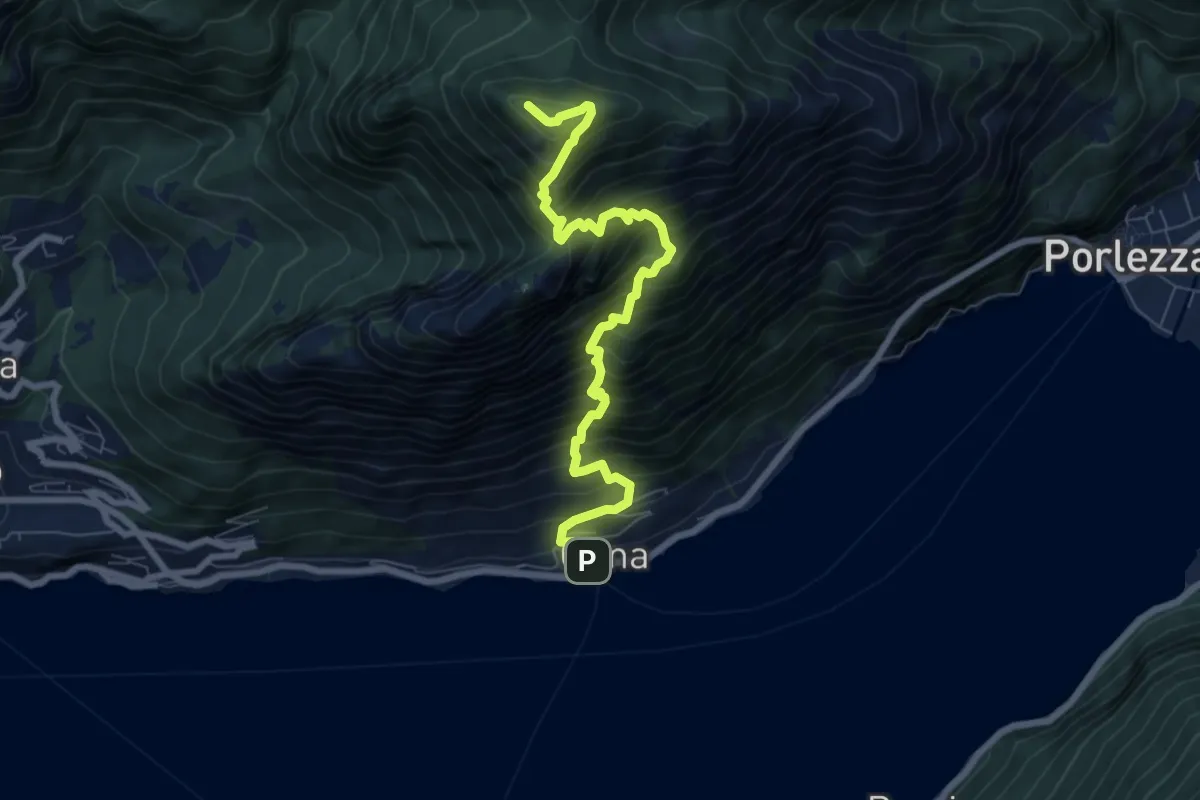
Demanding · Summit
Cima – Monte Bronzone
7.9 km · ↑ 1188 m · 4 h 27 min
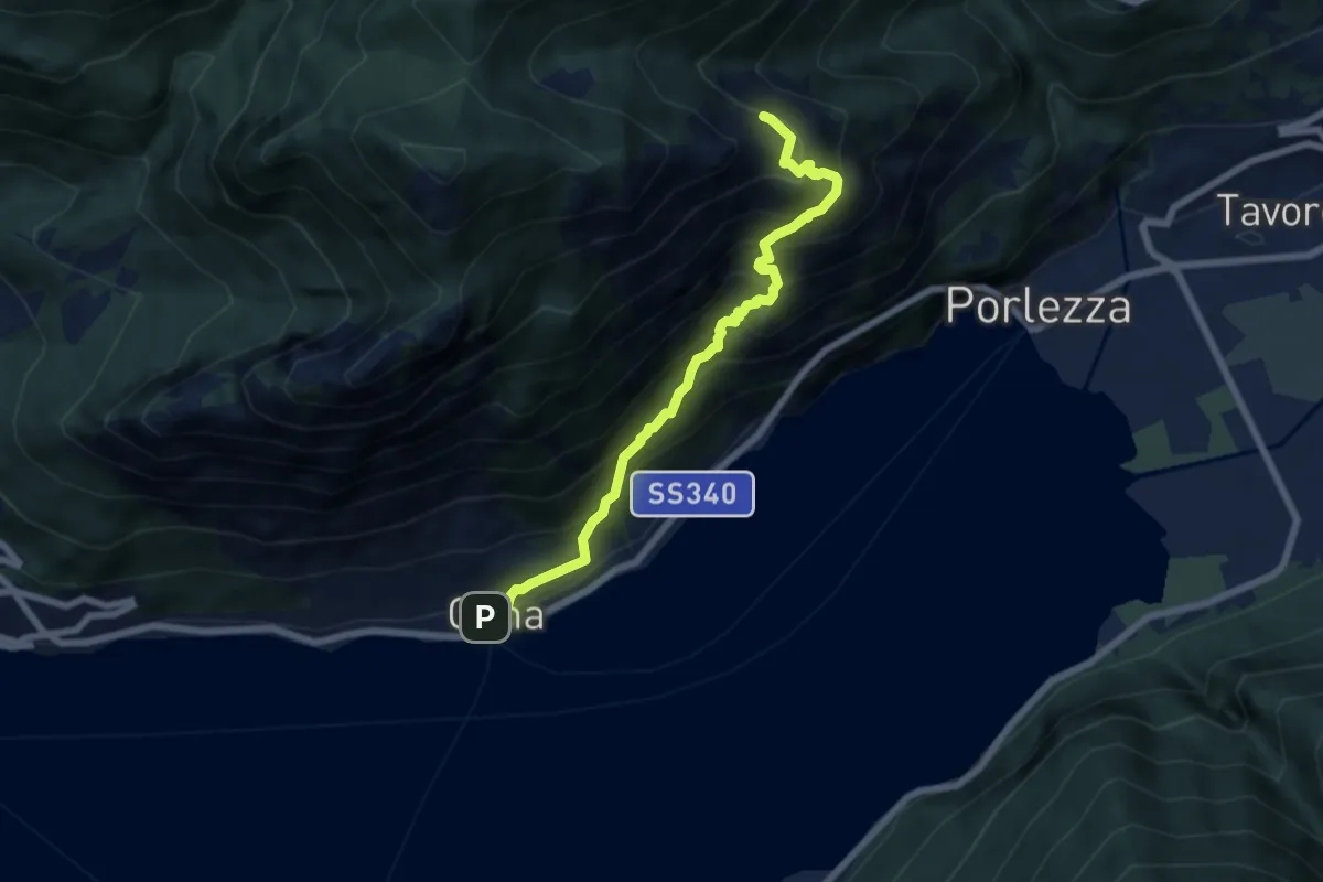
Medium · Trail
Cima – Ghiserba sent 624 per alpe di Cima
6.5 km · ↑ 783 m · 3 h 14 min
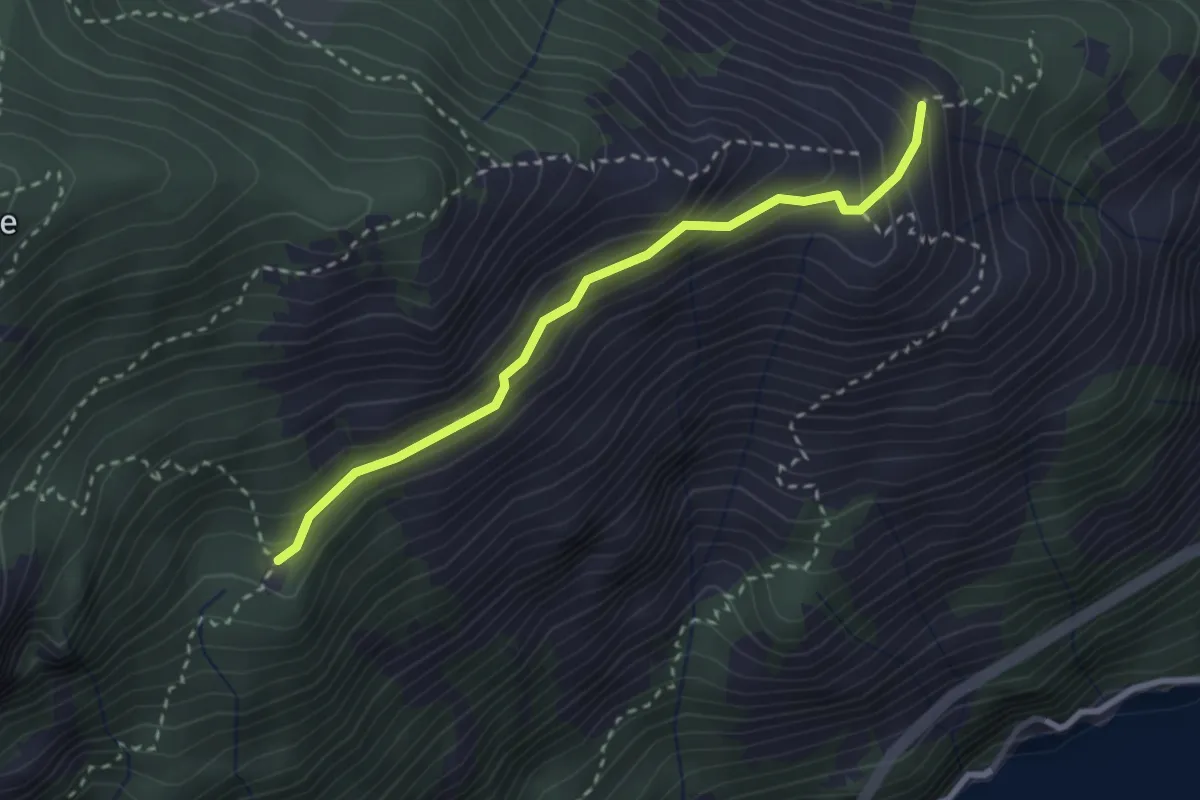
Medium · Cabin
Alpe Vecchio – Ghiserba
2.7 km · ↑ 207 m · 1 h 5 min
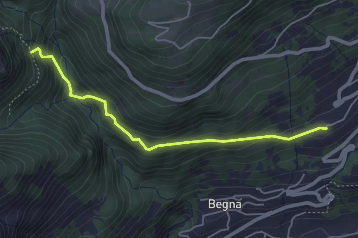
Easy · Trail
Corrido Bicagno – Sentiero Alpe Riccola
4.0 km · ↑ 307 m · 1 h 36 min
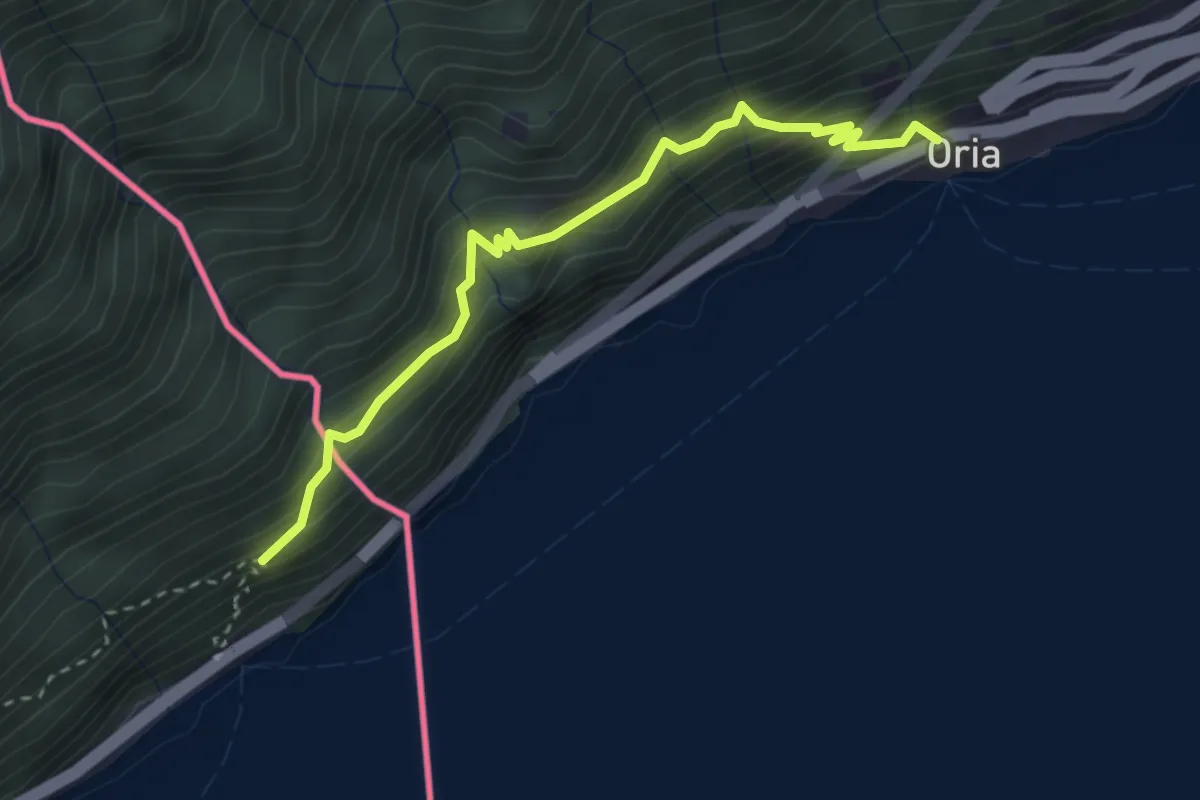
Demanding · Trail
Oria – sentiero Gandria Dogana
3.1 km · ↑ 445 m · 1 h 42 min
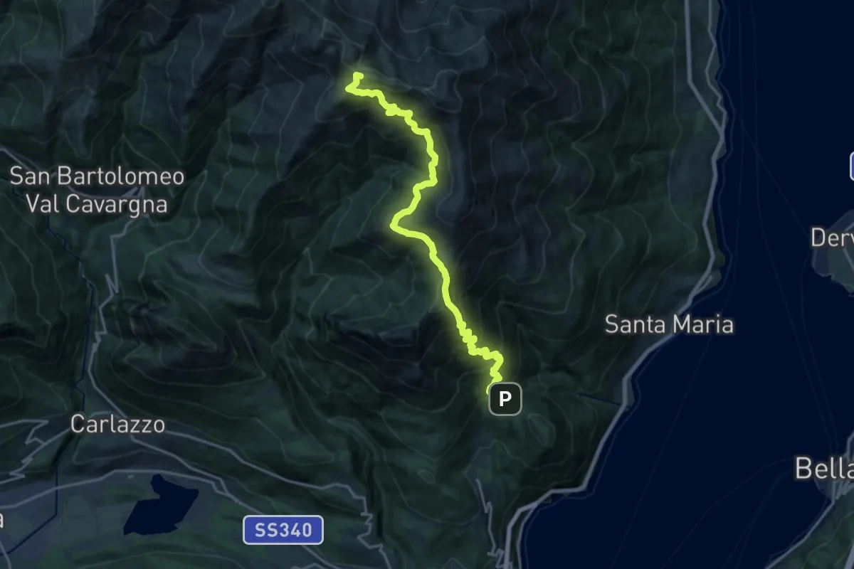
Demanding · Summit
Breglia – Bocchetta di Rozzo
18.5 km · ↑ 1576 m · 7 h 46 min
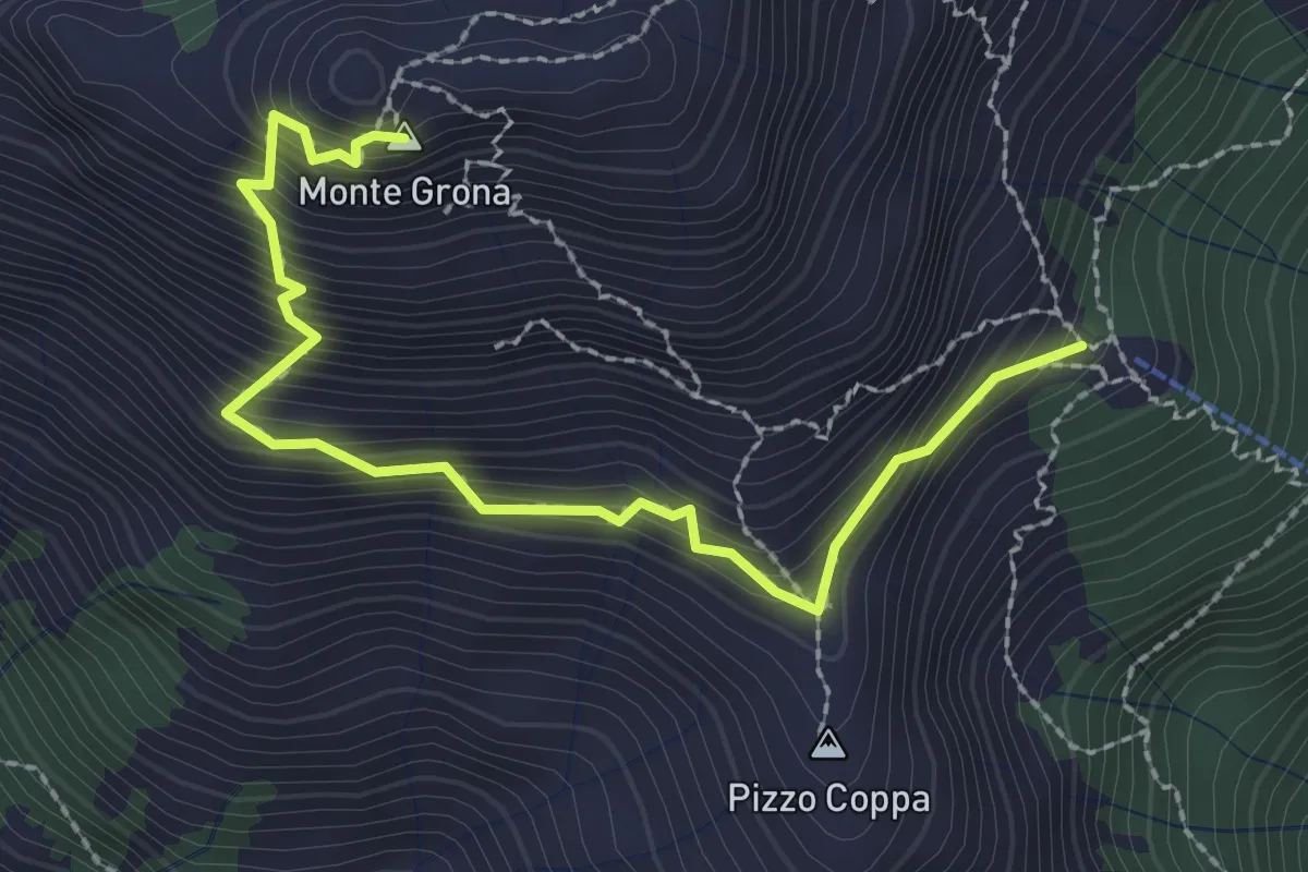
Demanding · Summit
Rifugio Menaggio – Monte Grona
2.7 km · ↑ 488 m · 1 h 42 min
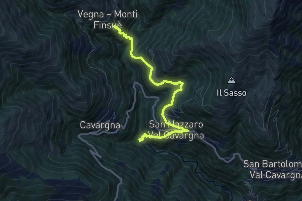
Medium · Trail
Forni Vecchi – Vegna
8.5 km · ↑ 725 m · 3 h 34 min
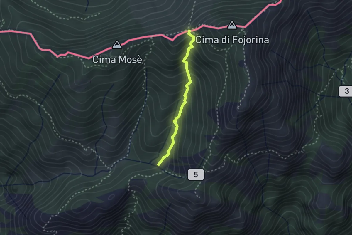
Medium · Trail
Dasio – Bocchetta di Piancabella
2.2 km · ↑ 241 m · 1 h 2 min
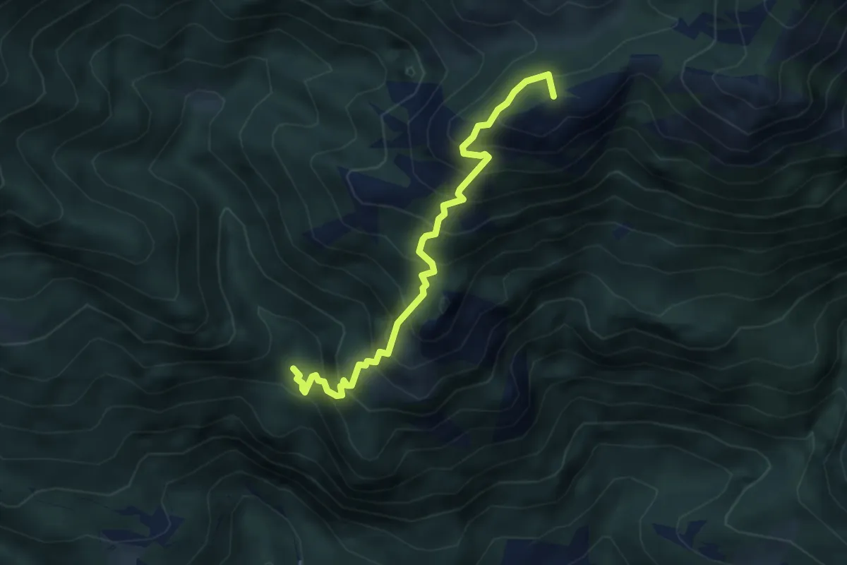
Medium · Summit
Porteja di Roz – Passo di Piancabella
4.3 km · ↑ 592 m · 2 h 18 min
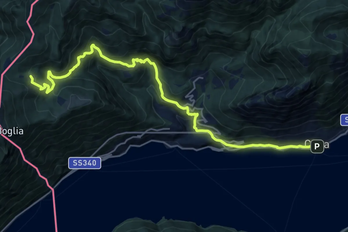
Demanding · Trail
Cima – Alpe Bolgia
17.8 km · ↑ 1098 m · 6 h 35 min
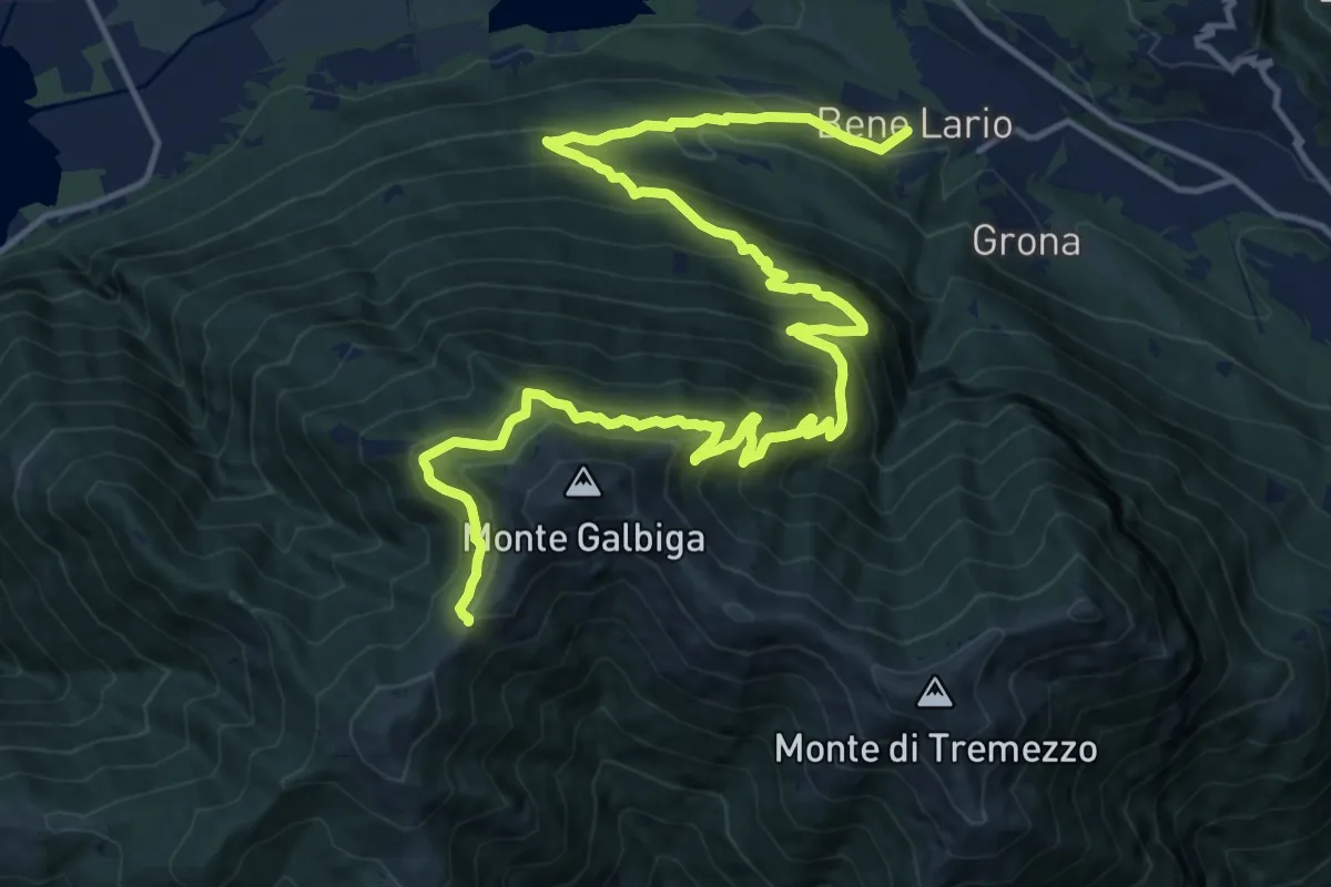
Demanding · Trail
Bene Lario – Alpe di Lenno
10.1 km · ↑ 1370 m · 4 h 56 min
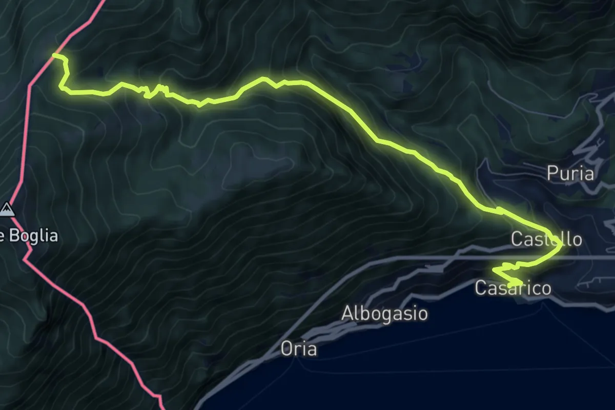
Demanding · Trail
Casarico – Pian di Scagn
10.5 km · ↑ 922 m · 4 h 28 min
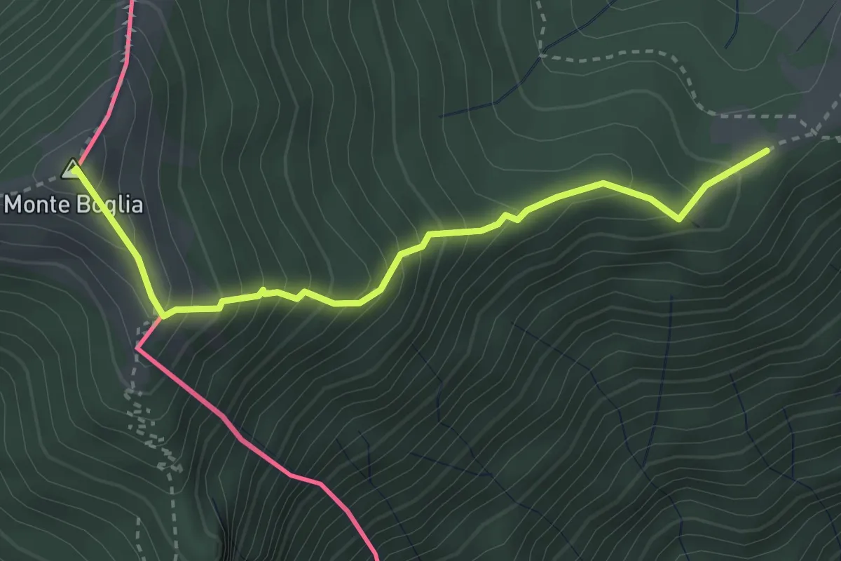
Medium · Summit
Drubi – Monte Boglia o Colmaregia
3.3 km · ↑ 389 m · 1 h 37 min
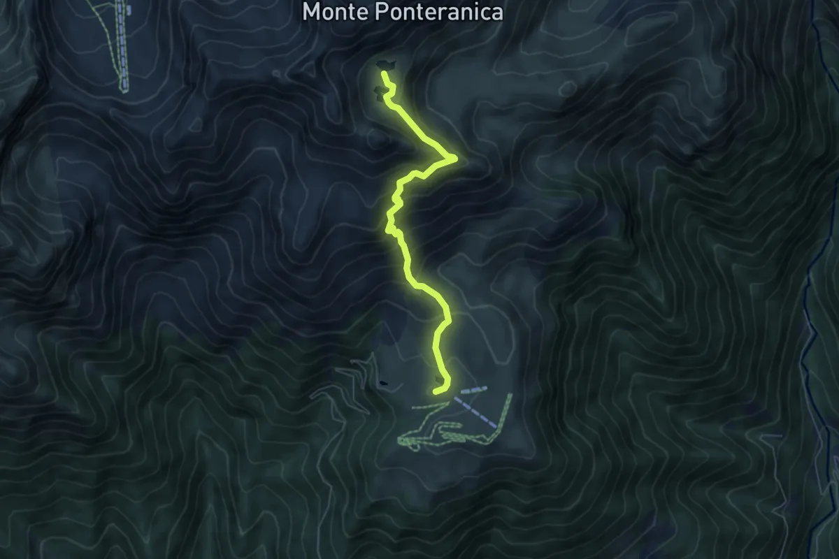
Medium · Cabin
Piani dell'Avaro – Laghi Ponteranica
5.7 km · ↑ 504 m · 2 h 27 min
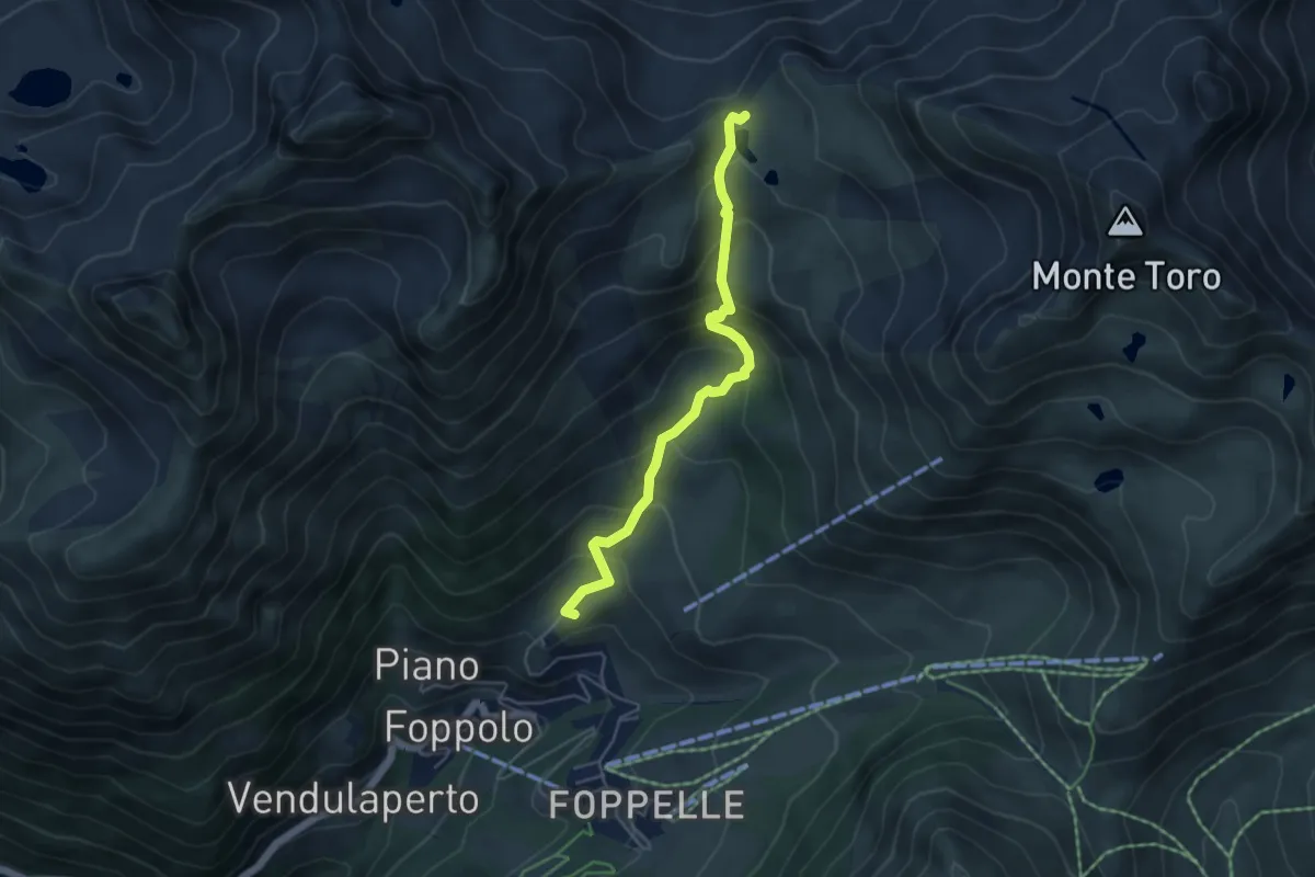
Medium · Trail
Foppolo – Passo di Dordona
4.8 km · ↑ 384 m · 1 h 57 min
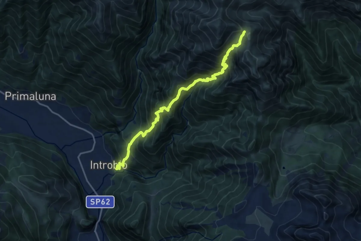
Demanding · Trail
Introbio – Bocchetta di Foppabona
12.5 km · ↑ 1424 m · 6 h 2 min
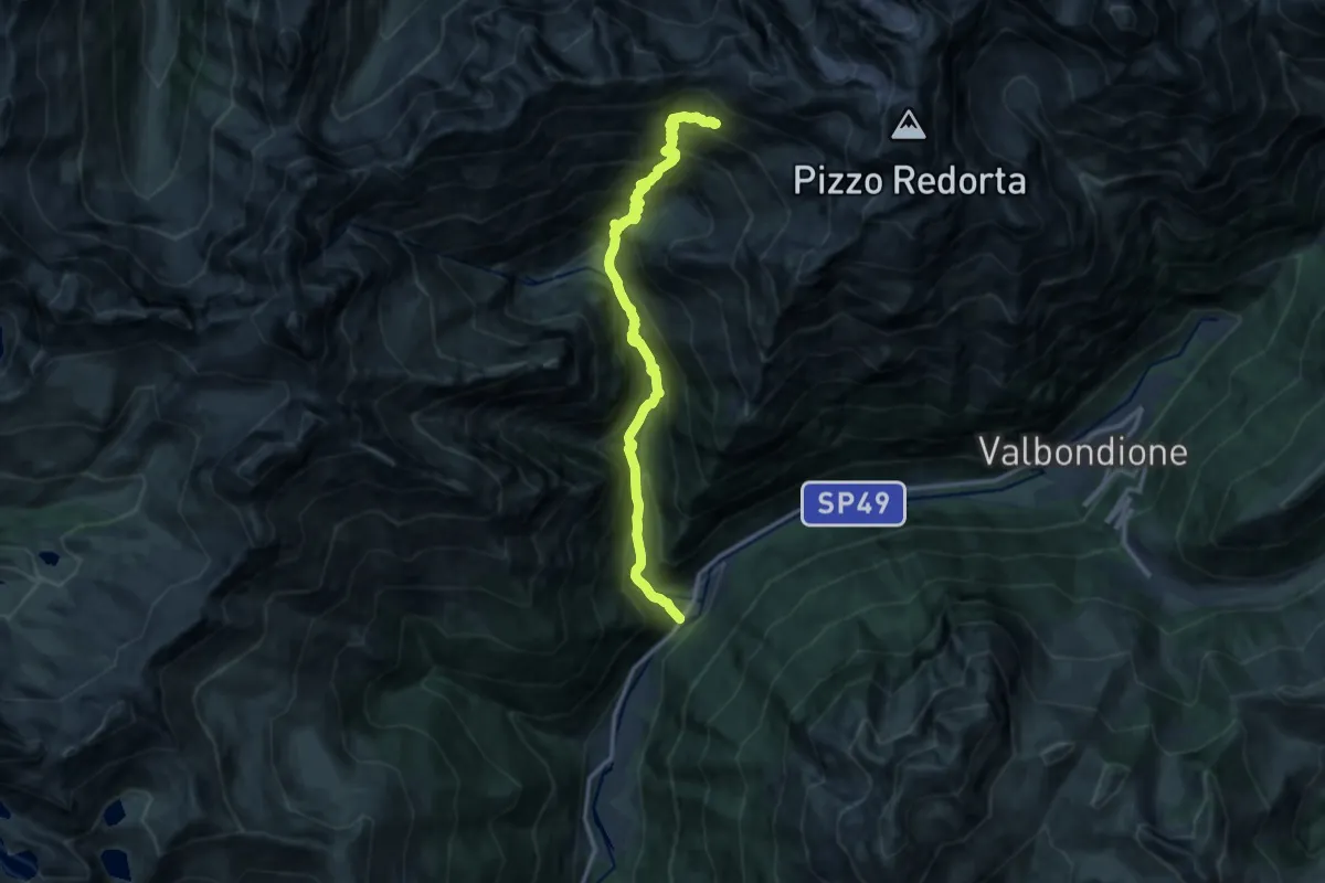
Demanding · Cabin
Fiumenero – Rifugio Baroni al Brunone
13.6 km · ↑ 1493 m · 6 h 26 min
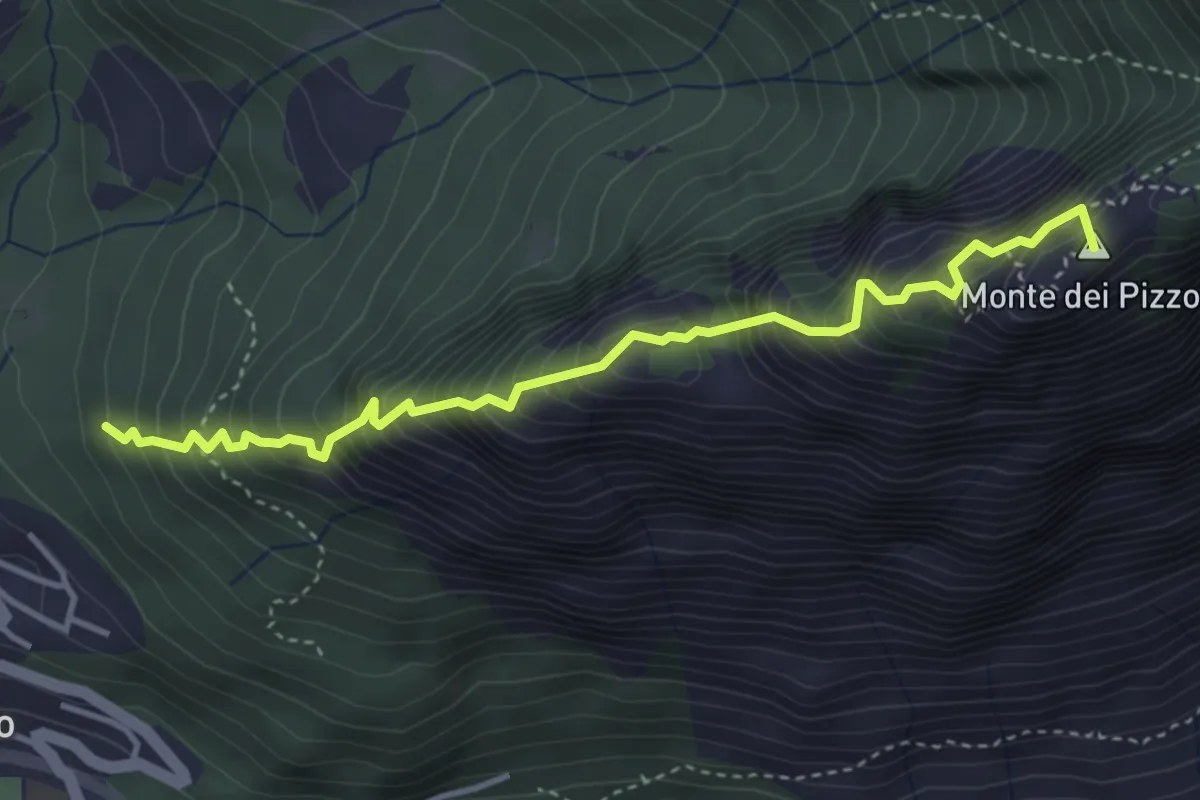
Expert · Summit
Drano – Forcola
4.1 km · ↑ 699 m · 2 h 29 min
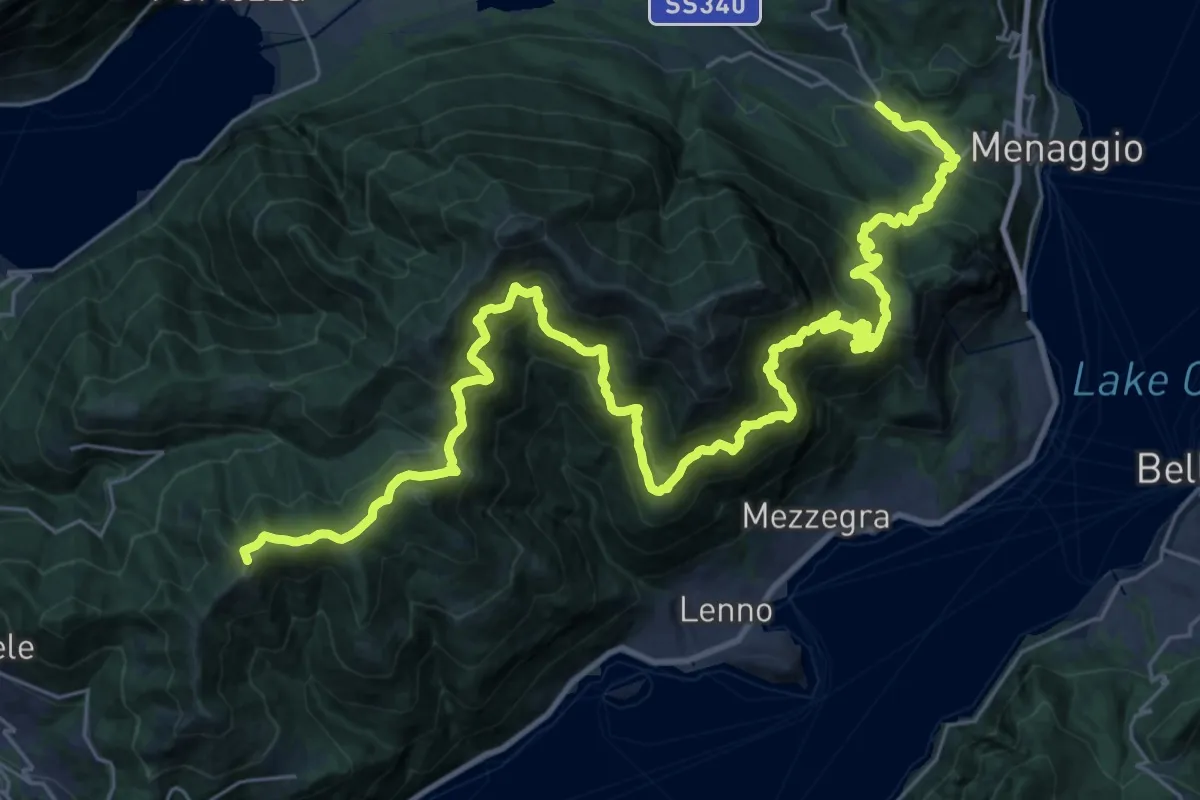
Demanding · Summit
San Fedele Intelvi – Cardano
41.2 km · ↑ 2937 m · 16 h 6 min
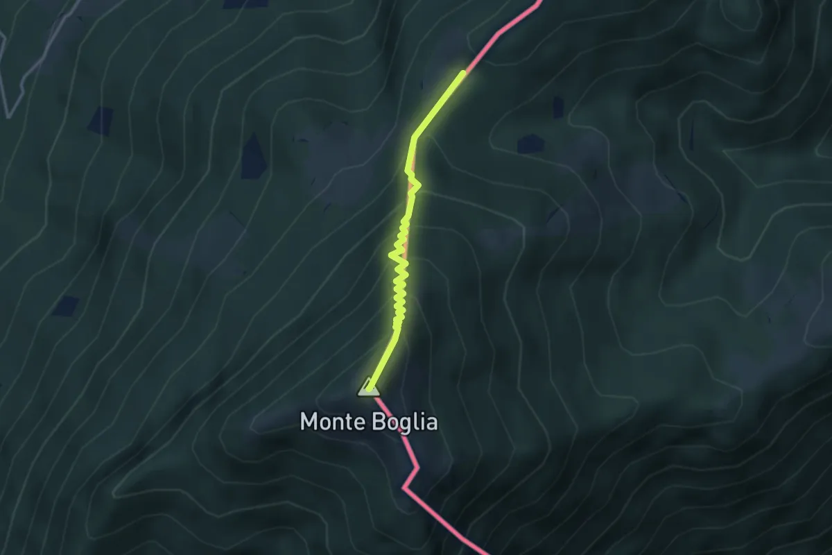
Medium · Summit
Pian di Scagn – Monte Boglia
2.8 km · ↑ 307 m · 1 h 20 min
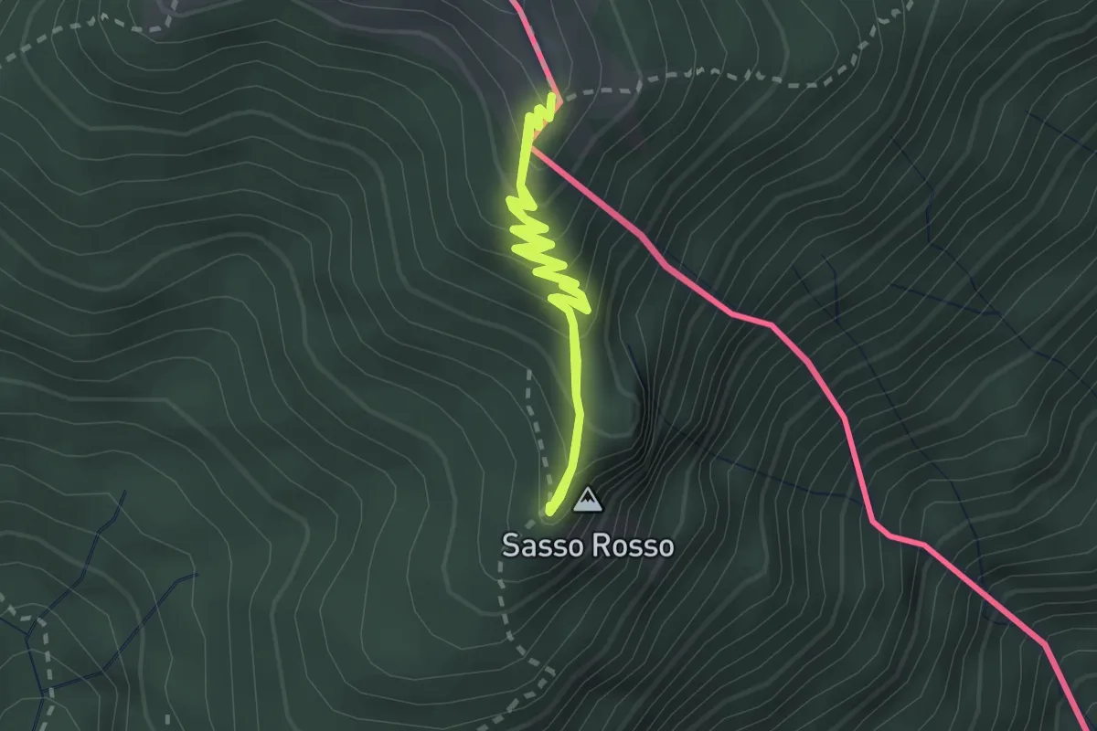
Medium · Summit
Monte Boglia – Sasso Rosso
2.2 km · ↑ 212 m · 1 h
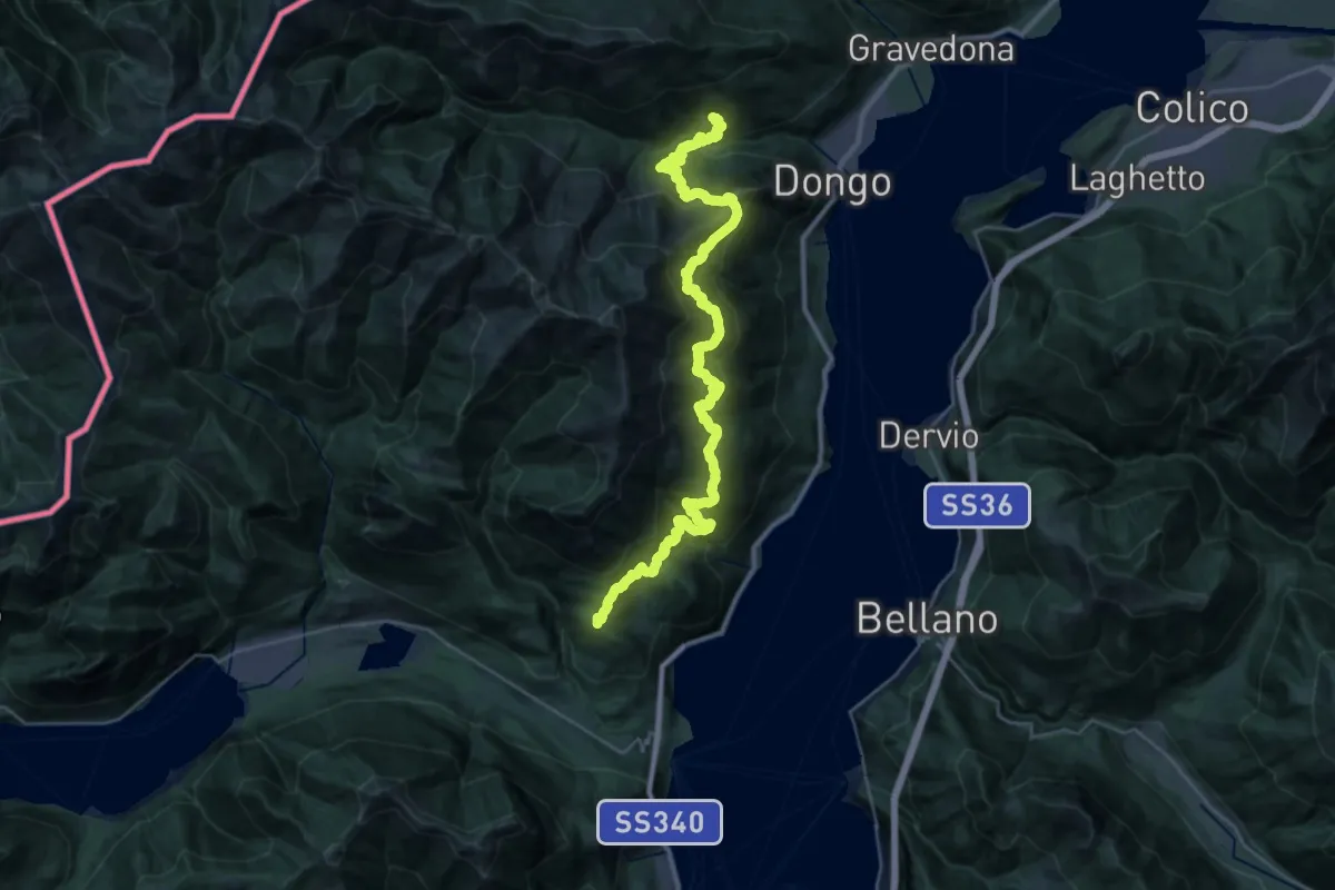
Demanding · Summit
Croce di Menaggio – Garzeno
40.3 km · ↑ 3049 m · 16 h 8 min
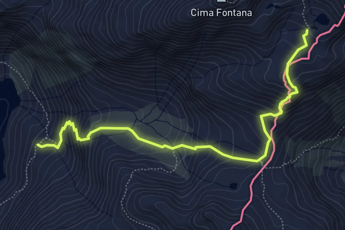
Demanding · Trail
Campo Franscia – Passo Confinale
6.8 km · ↑ 643 m · 3 h