Trails in Italy
25,211 hiking trails, each with its route, climb, walking time and grade.
All trails, page 59 of 526
Demanding · Summit
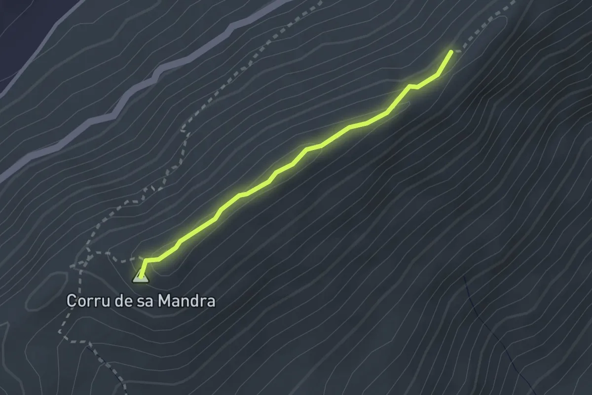
Cresta del Montalbo
2.4 km · ↑ 94 m · 46 min
Demanding · Summit
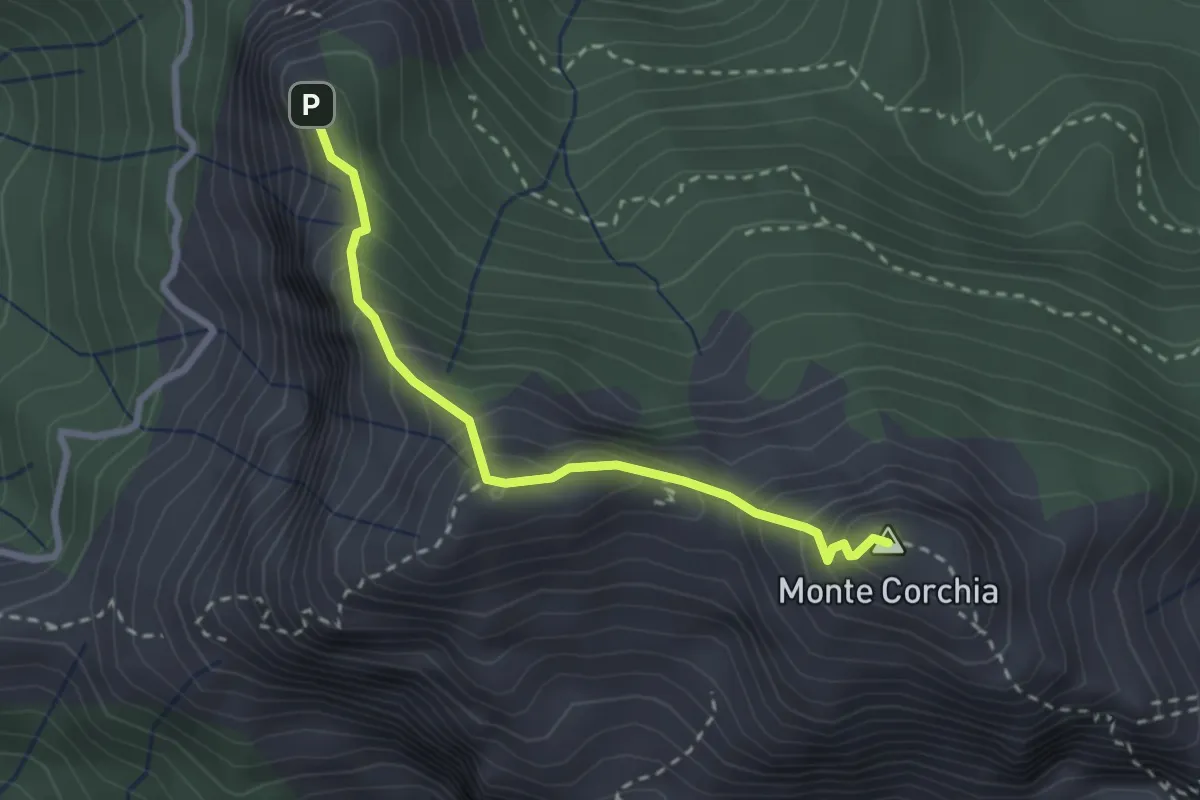
Cresta del Monte Corchia
2.6 km · ↑ 263 m · 1 h 12 min
Medium · Summit
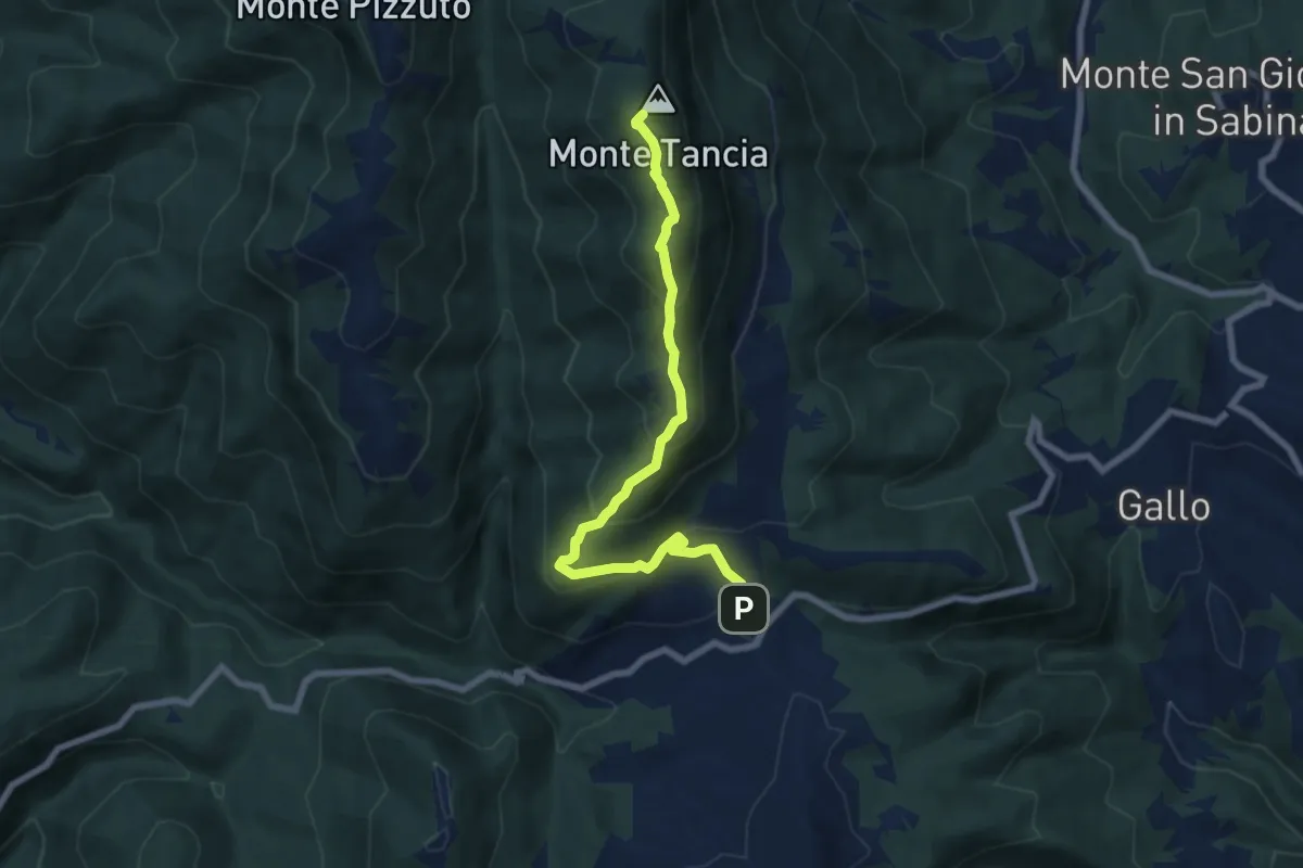
Cresta di Monte Tancia
7.8 km · ↑ 467 m · 2 h 52 min
Expert · Trail
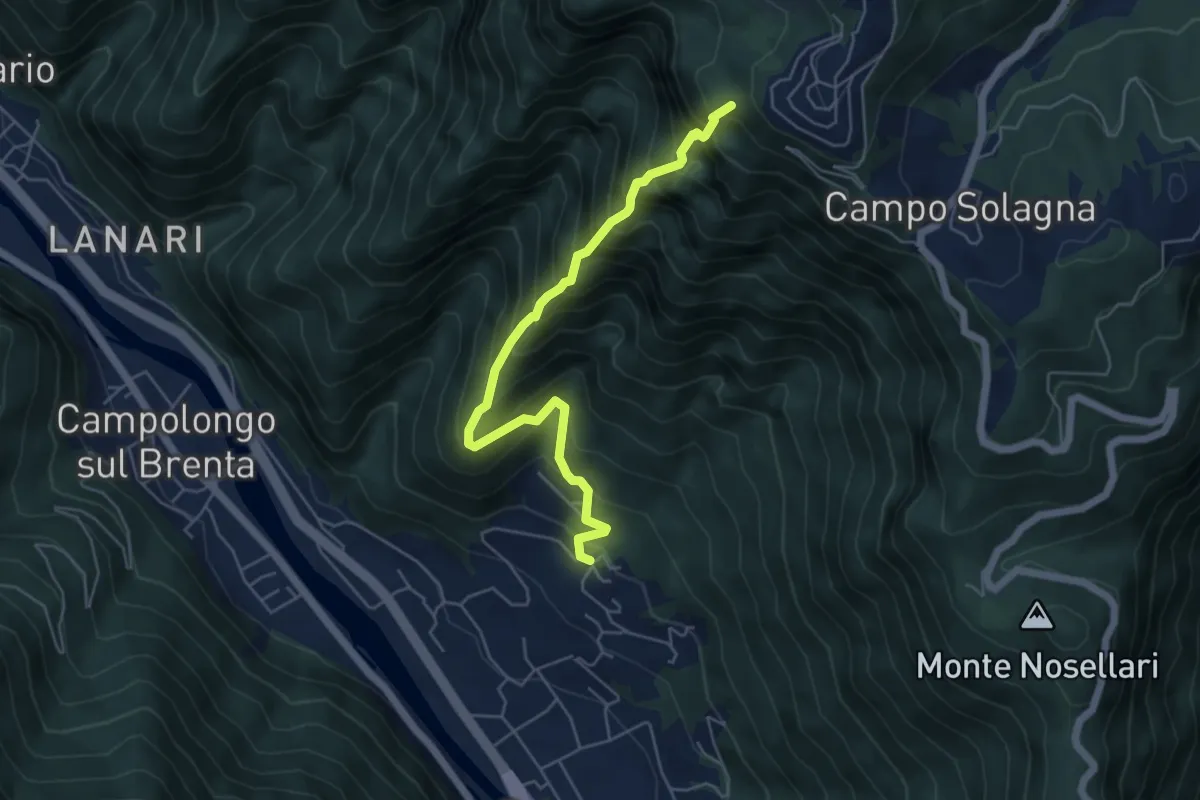
Cresta di San Giorgio
5.5 km · ↑ 853 m · 3 h 9 min
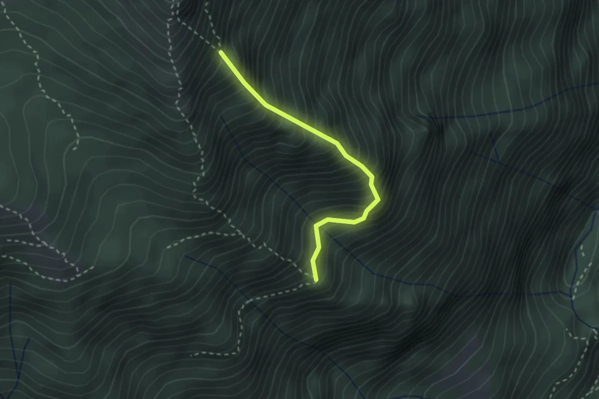
Expert · Trail
Cresta est
2.4 km · ↑ 499 m · 1 h 38 min
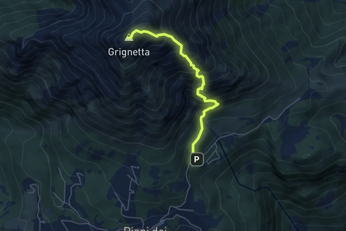
Expert · Summit
Cresta Sinigaglia
4.6 km · ↑ 824 m · 2 h 52 min
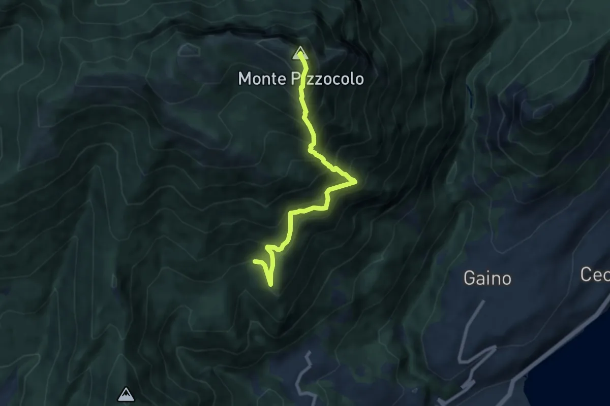
Expert · Summit
Cresta sud-est Pizzocolo
6.9 km · ↑ 972 m · 3 h 45 min
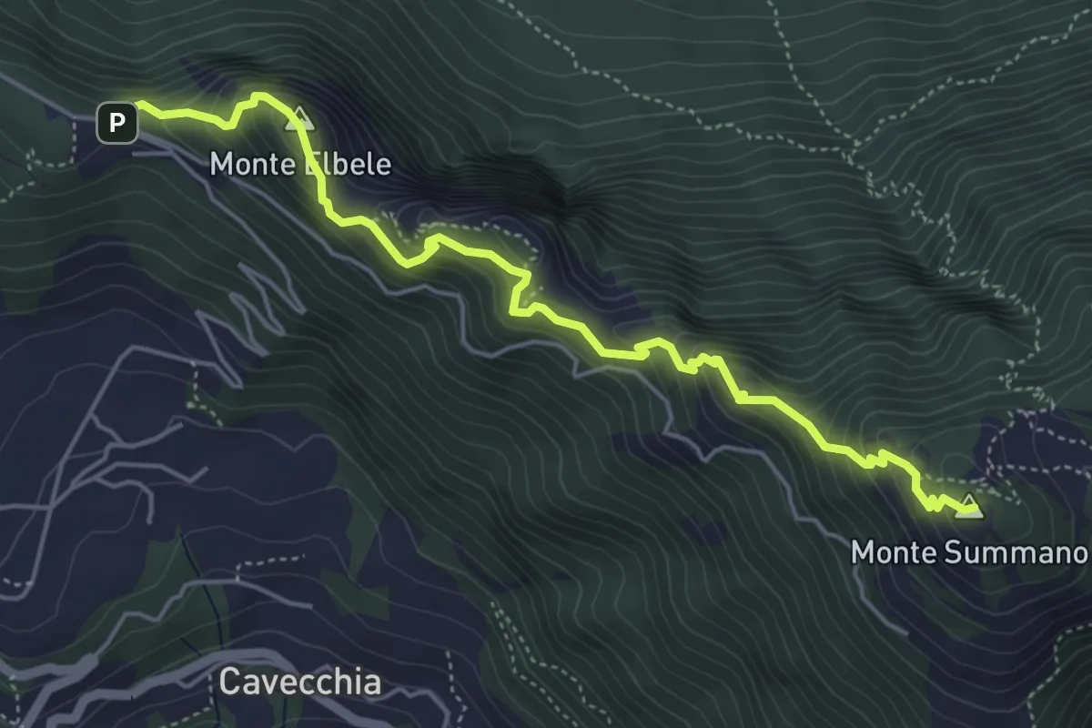
Demanding · Summit
Creste del Summano
5.5 km · ↑ 507 m · 2 h 24 min
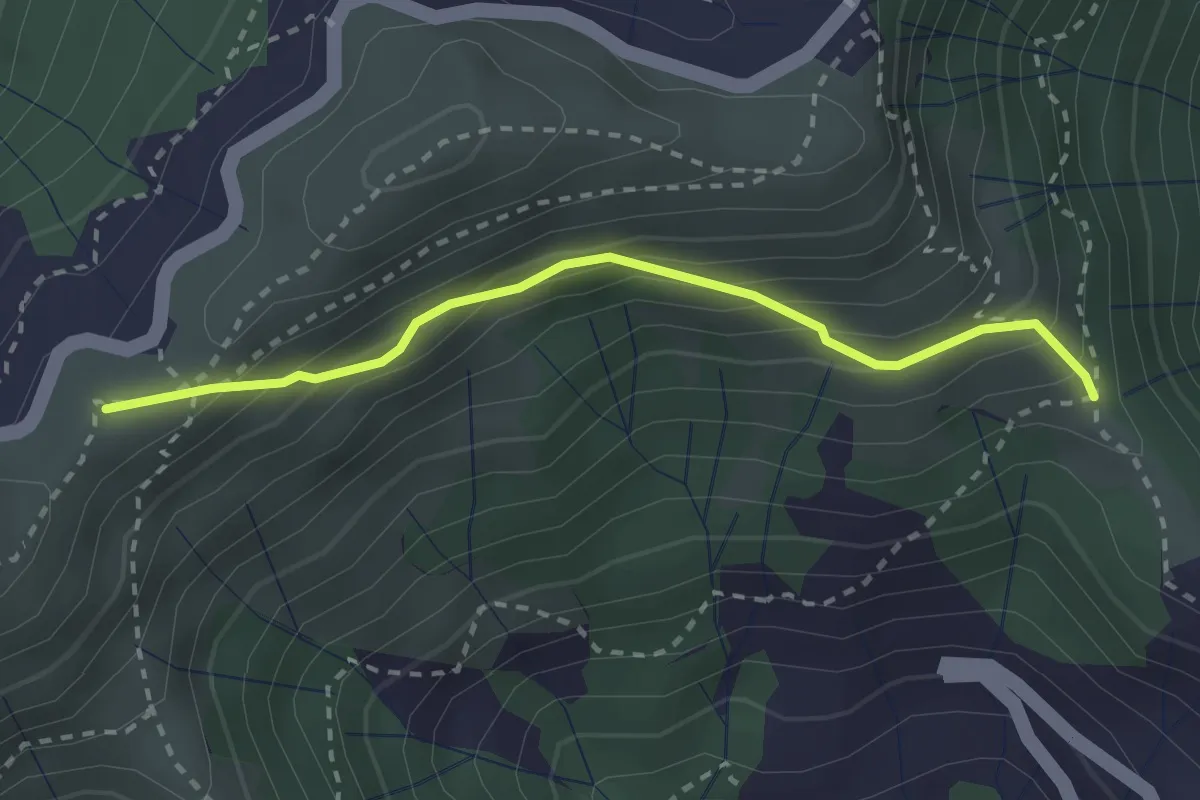
Easy · Summit
Croce - Bocchin di Levà
2.6 km · ↑ 222 m · 1 h 6 min
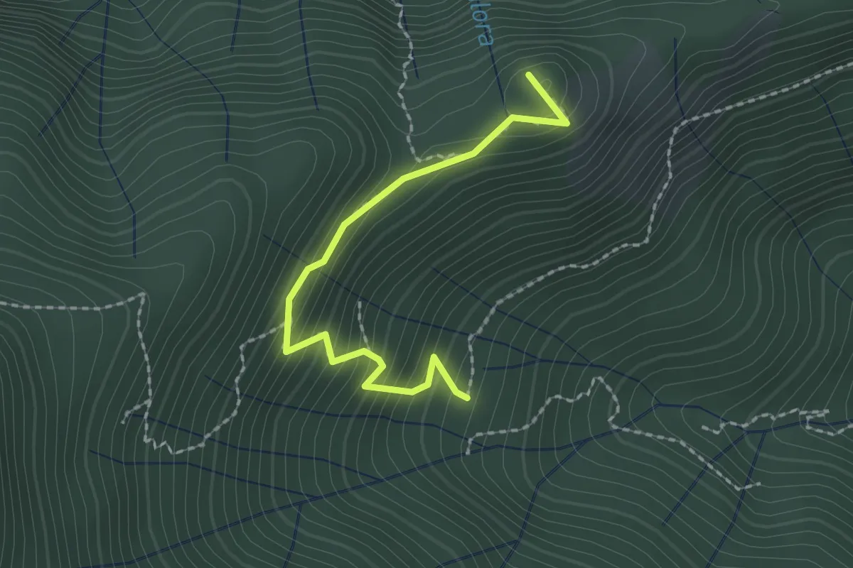
Easy · Trail
Croce dei Castiglieri
2.0 km · ↑ 209 m · 56 min
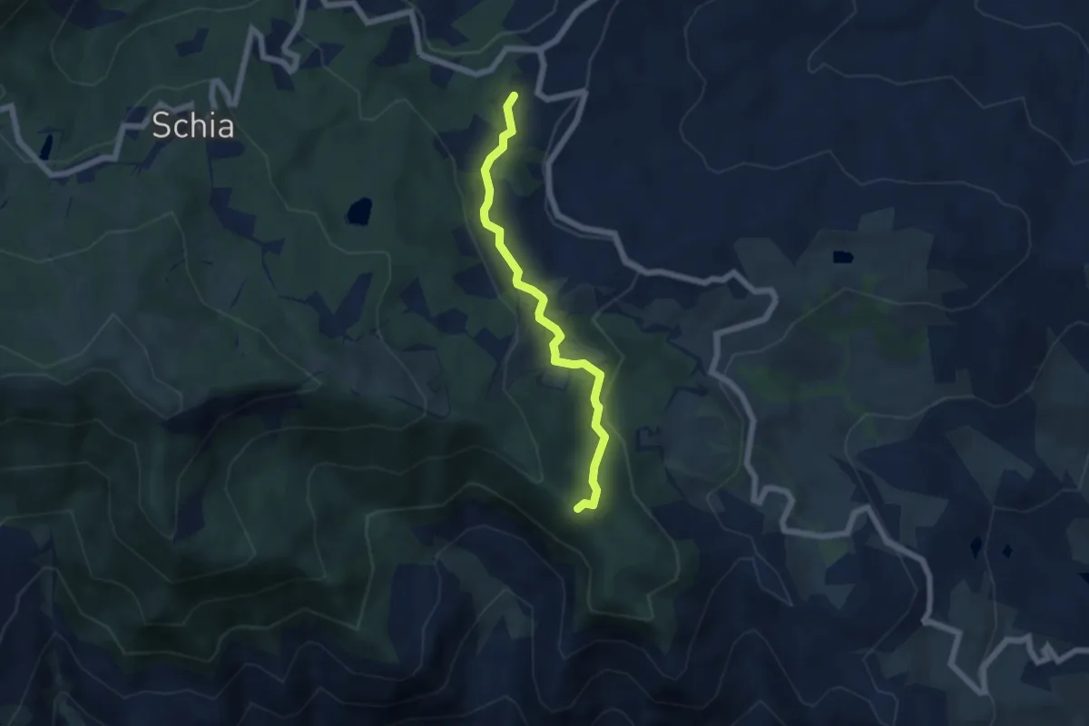
Easy · Trail
Croce del Cardinale - Casagalvana - Capriglio
5.5 km · ↑ 217 m · 1 h 46 min
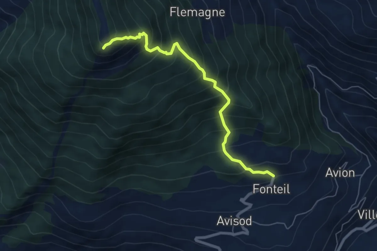
Medium · Summit
Croce di Fana
5.5 km · ↑ 745 m · 2 h 55 min
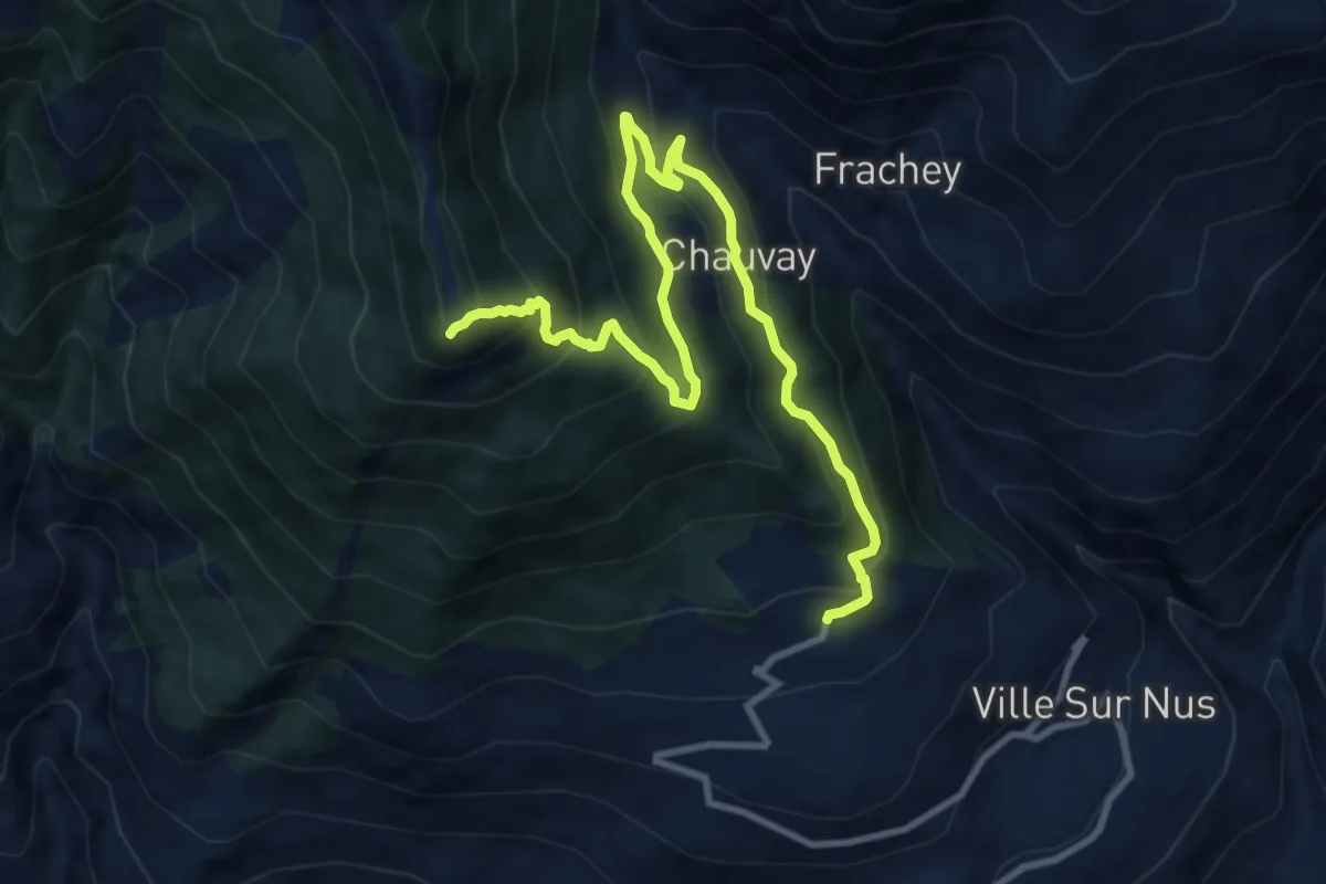
Demanding · Summit
Croce di Fana (diretta)
11.5 km · ↑ 906 m · 4 h 41 min
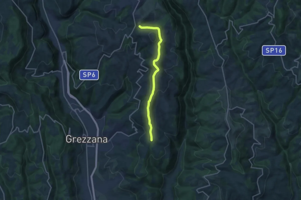
Medium · Trail
Croce di Romagnano - Tenda di Azzago
11.7 km · ↑ 419 m · 3 h 41 min
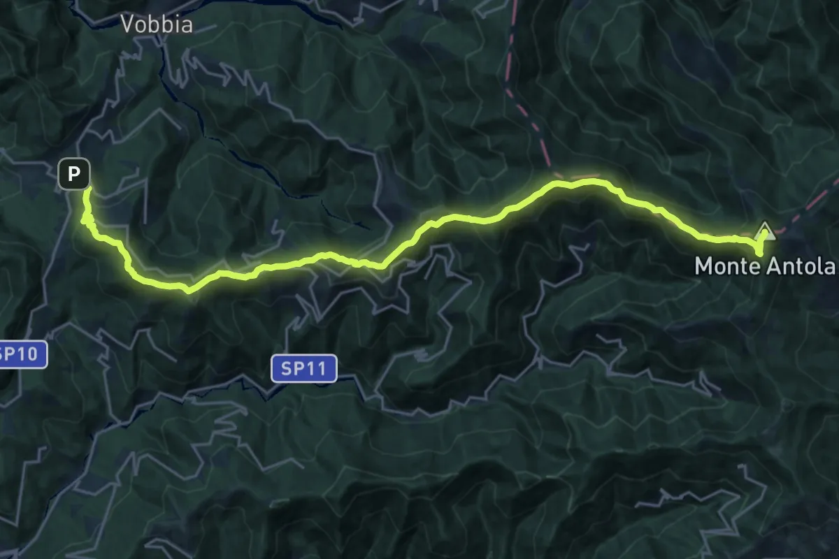
Demanding · Summit
Crocefieschi - Monte Antola
25.7 km · ↑ 1569 m · 9 h 28 min
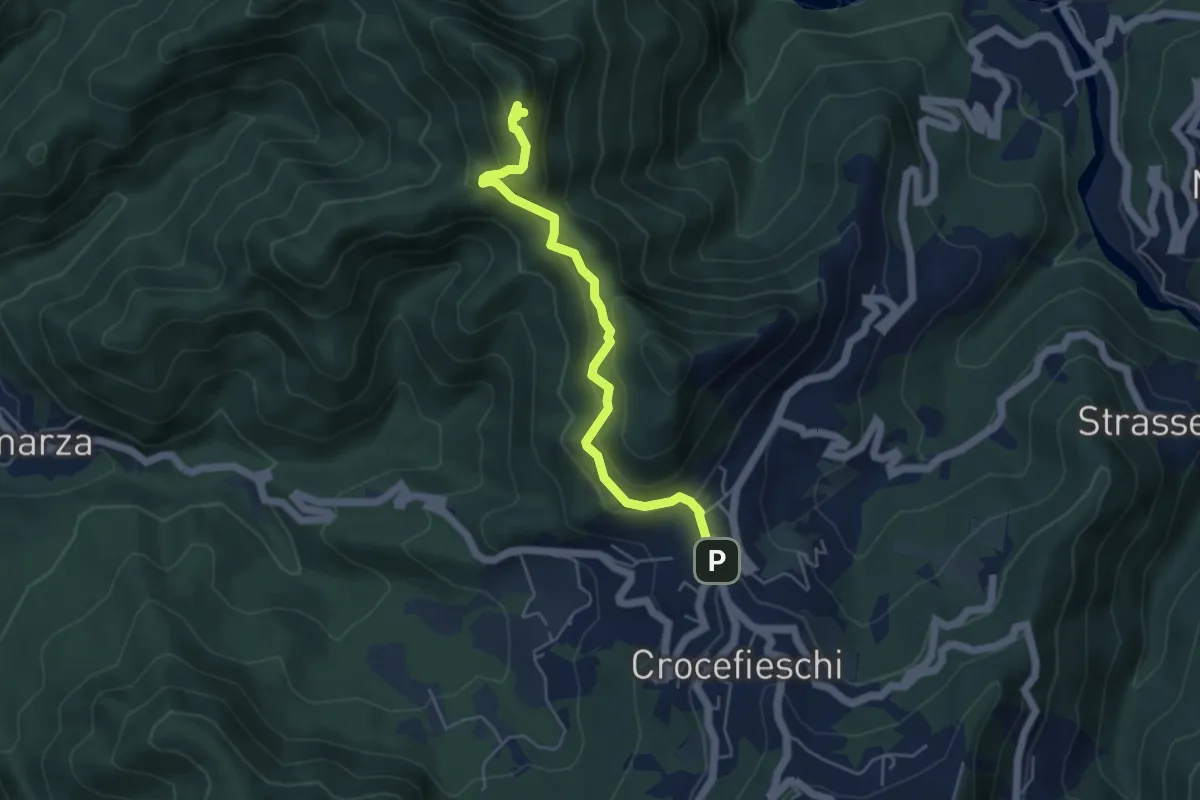
Expert · Summit
Crocefieschi - Rocche del Reopasso (Sedia del Diavolo)
4.9 km · ↑ 338 m · 1 h 54 min
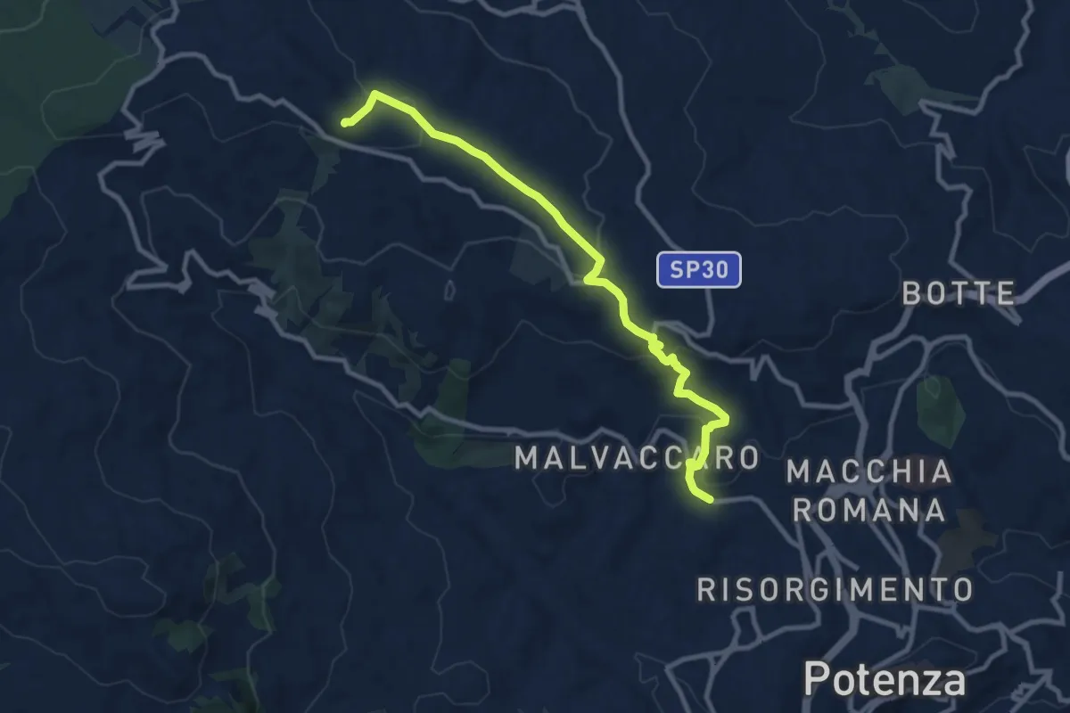
Medium · Trail
Croce Montocchio
10.6 km · ↑ 363 m · 3 h 18 min
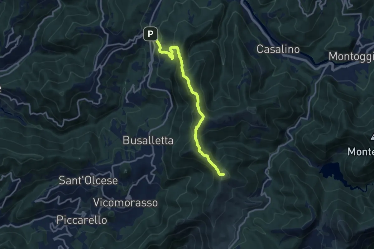
Medium · Summit
Crocetta d'Orero - Colle di Creto
9.3 km · ↑ 542 m · 3 h 22 min
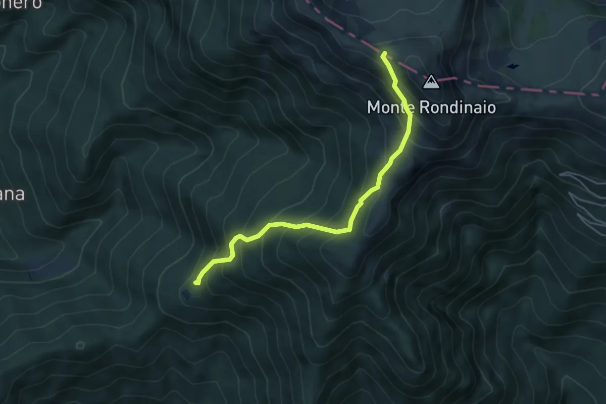
Medium · Trail
Crocialetto- Passetto di Rondinaio
4.6 km · ↑ 577 m · 2 h 20 min
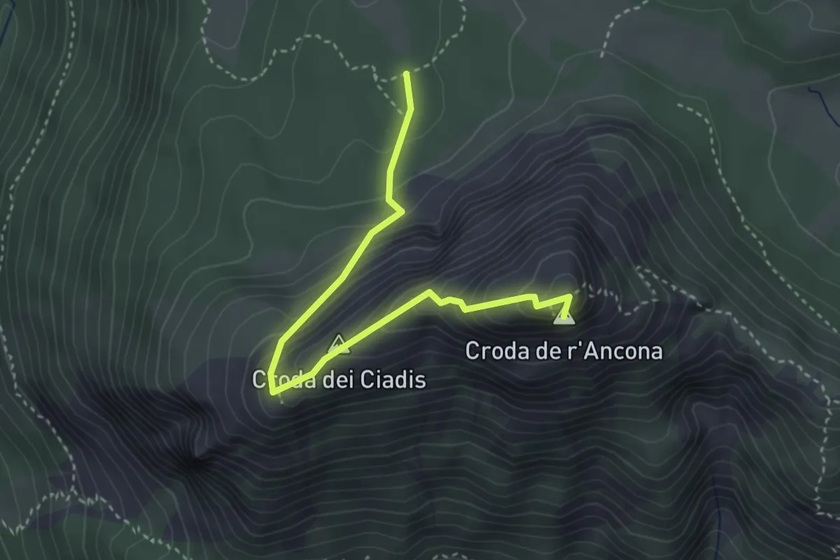
Medium · Summit
Croda de r'Ancona
3.5 km · ↑ 359 m · 1 h 36 min
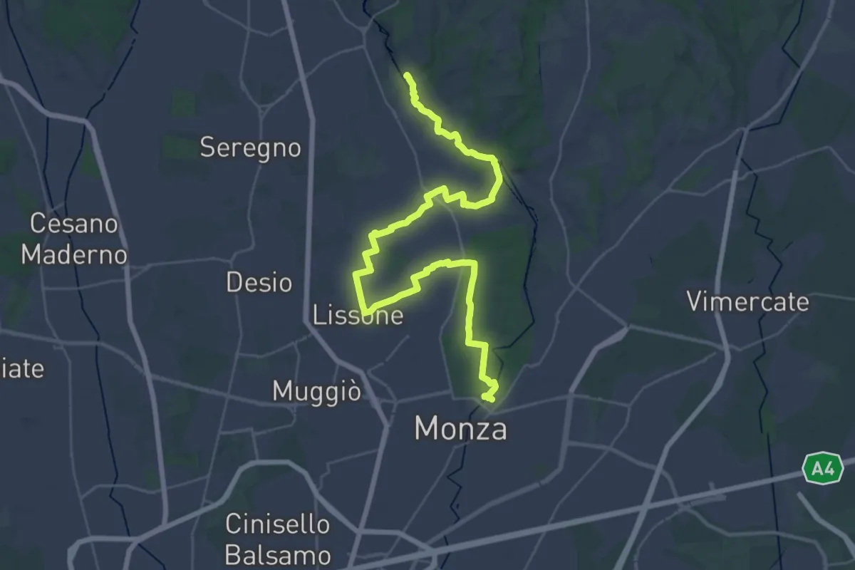
Demanding · Trail
CSA - Il Fiore Della Rosa - Tappa 1
20.0 km · ↑ 65 m · 5 h 11 min
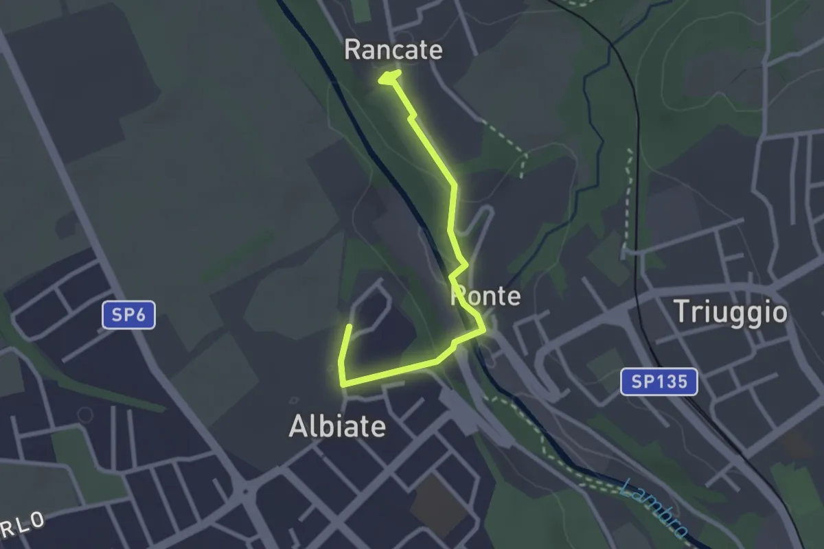
Easy · Trail
CSA - Il Fiore Della Rosa - Tappa 2
2.6 km · ↑ 63 m · 45 min
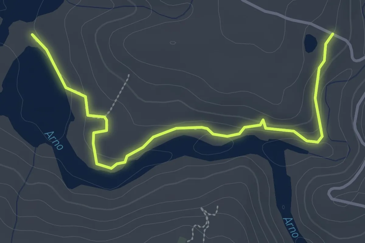
Easy · Trail
C -Sentiero della Terrazza sull'Agna
3.8 km · ↑ 93 m · 1 h 6 min
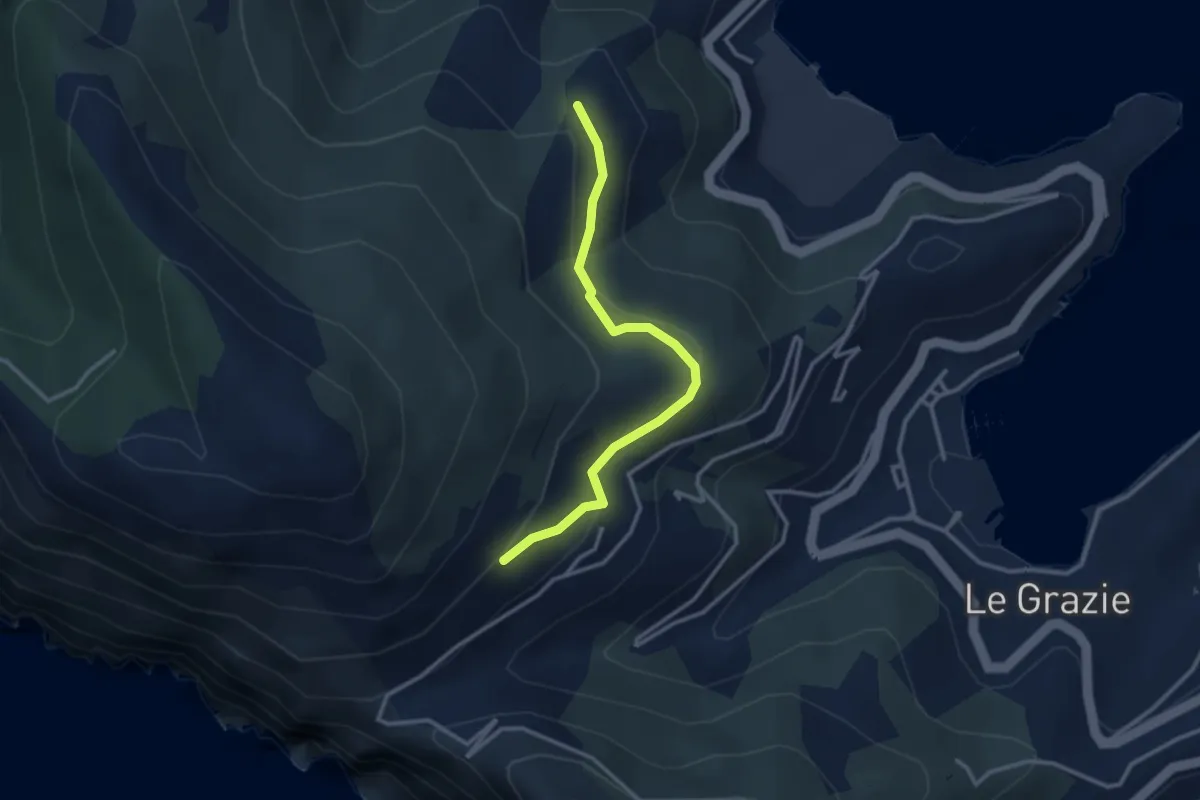
Easy · Trail
C. Tori – I Bondoni – C. Derbi
3.1 km · ↑ 143 m · 1 h 2 min
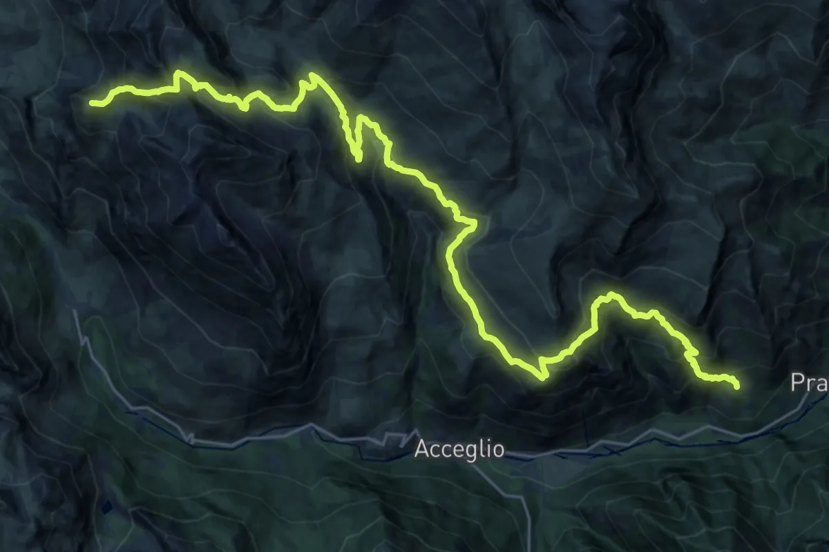
Demanding · Summit
CUE - Tappa 01
33.4 km · ↑ 2177 m · 12 h 37 min
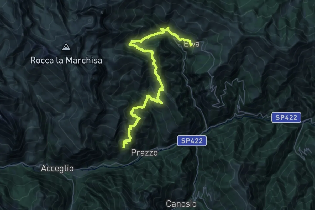
Demanding · Trail
CUE - Tappa 02
17.8 km · ↑ 1457 m · 7 h 30 min
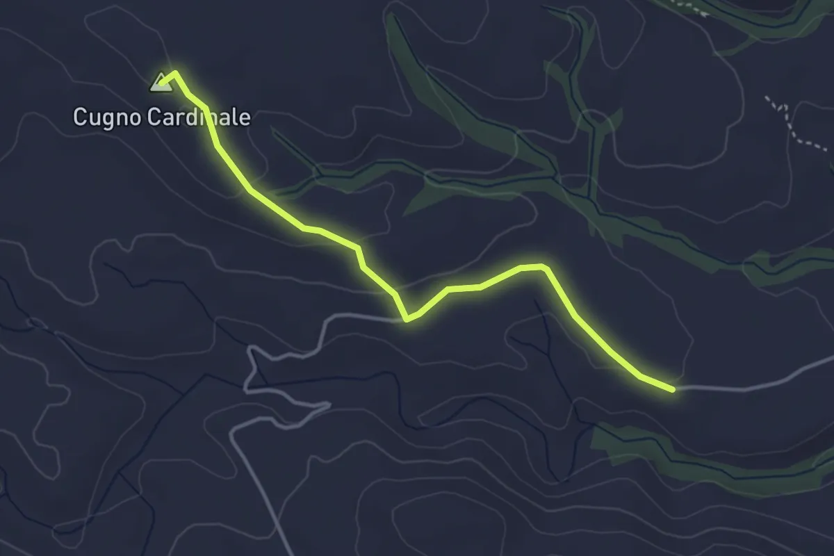
Easy · Summit
Cugno Cardinale
4.3 km · ↑ 78 m · 1 h 12 min
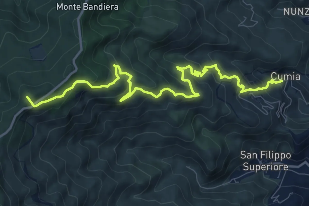
Demanding · Summit
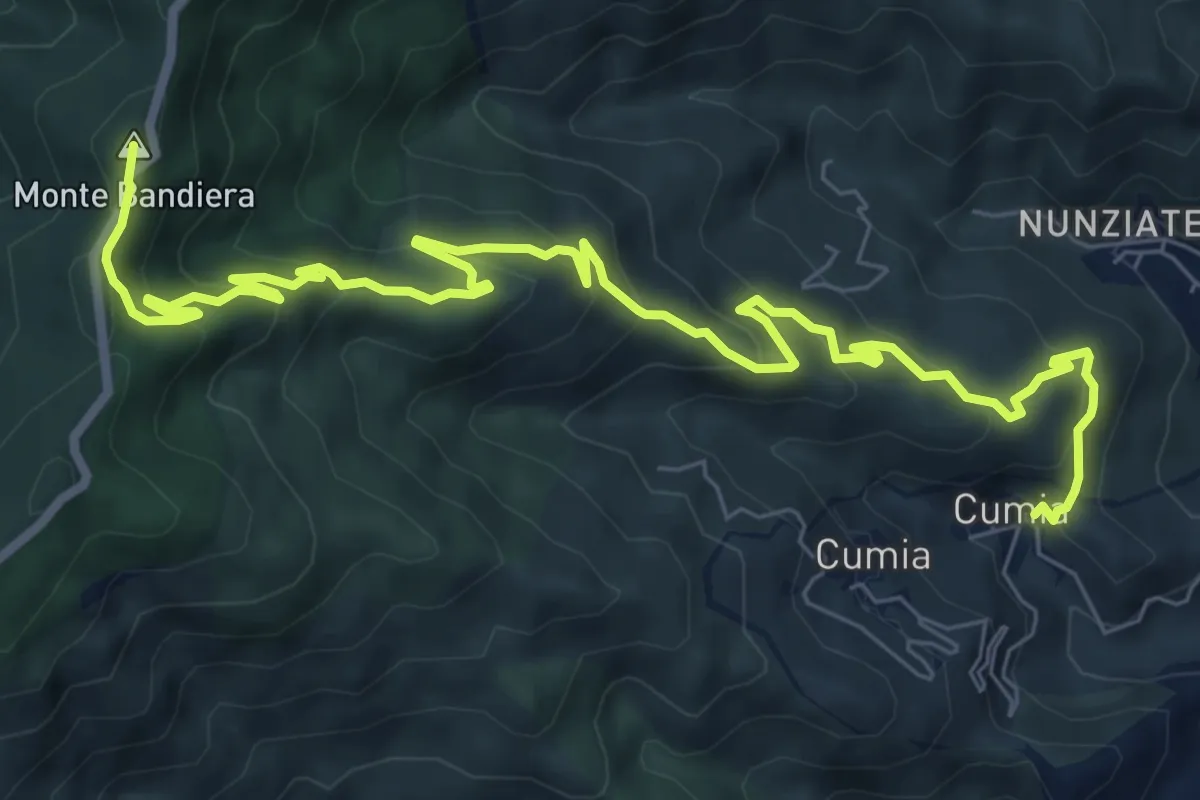
Cumia Inferiore - Dinnammare (Via Mariae di Cumia)
11.3 km · ↑ 833 m · 4 h 29 min
Medium · Summit
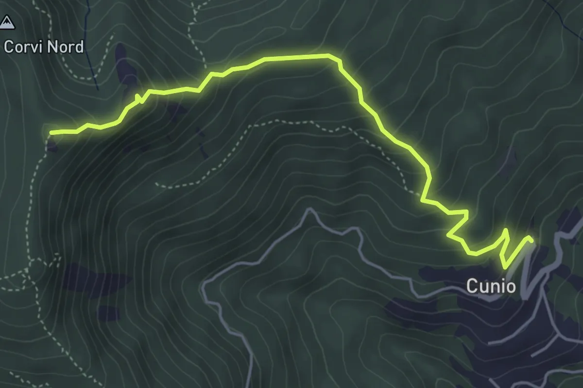
Cumia Inferiore - Monte Bandiera (Sentiere delle Neviere di Cumia)
11.8 km · ↑ 713 m · 4 h 20 min
Demanding · Summit
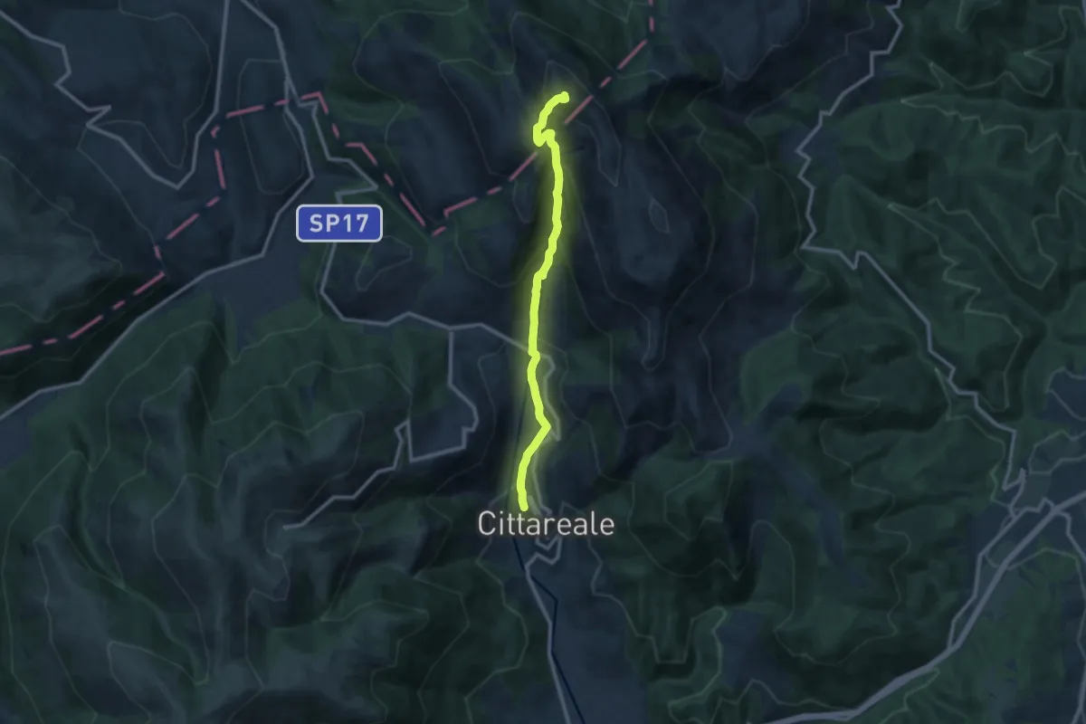
Cunio - Rocca dei Corvi
5.4 km · ↑ 458 m · 2 h 16 min
Demanding · Summit
Cupello-M.Pozzoni
10.3 km · ↑ 885 m · 4 h 21 min
Medium · Summit
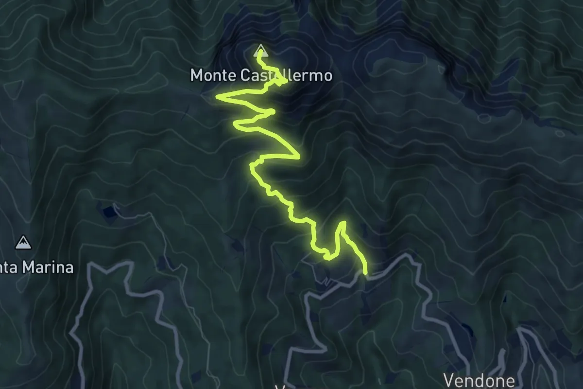
Curenna - Castell'Ermo
9.7 km · ↑ 747 m · 3 h 54 min
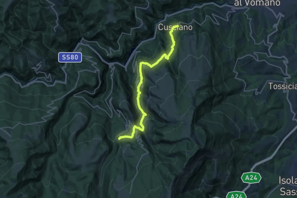
Demanding · Trail
Cusciano - Cerqueto - Pietracamela
17.7 km · ↑ 1024 m · 6 h 24 min
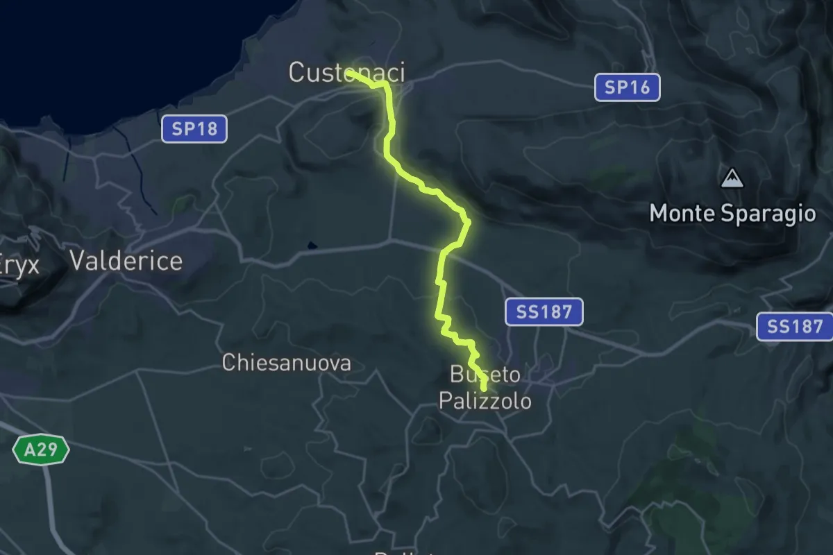
Demanding · Trail
Custonaci Buseto Palizzolo
21.2 km · ↑ 529 m · 6 h 8 min
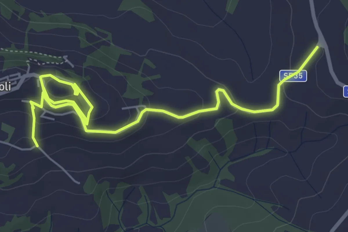
Easy · Trail
D
7.0 km · ↑ 247 m · 2 h 11 min
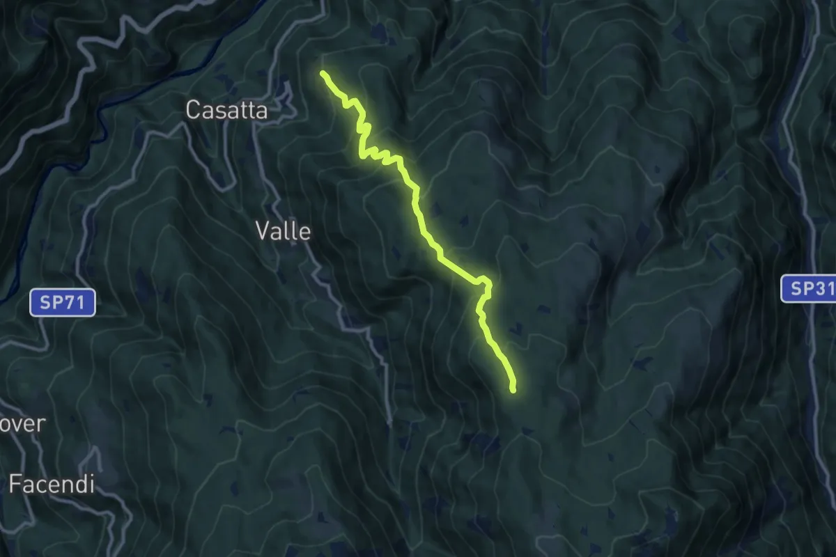
Medium · Trail
D
9.6 km · ↑ 740 m · 3 h 53 min
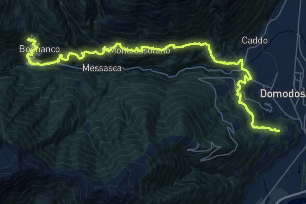
Expert · Trail
D00 - Quarta sezione: Graniga - Monte Calvario
13.5 km · ↑ 1374 m · 6 h 1 min
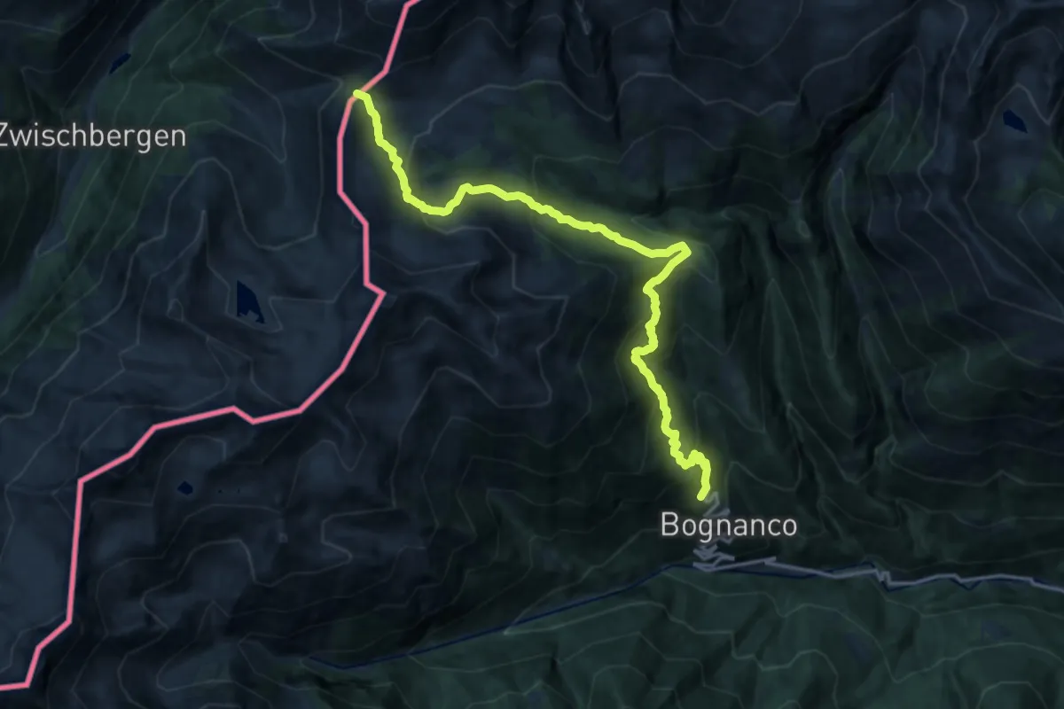
Demanding · Trail
D00 - Terza sezione: Passo di Monscera - Graniga
17.0 km · ↑ 1130 m · 6 h 28 min
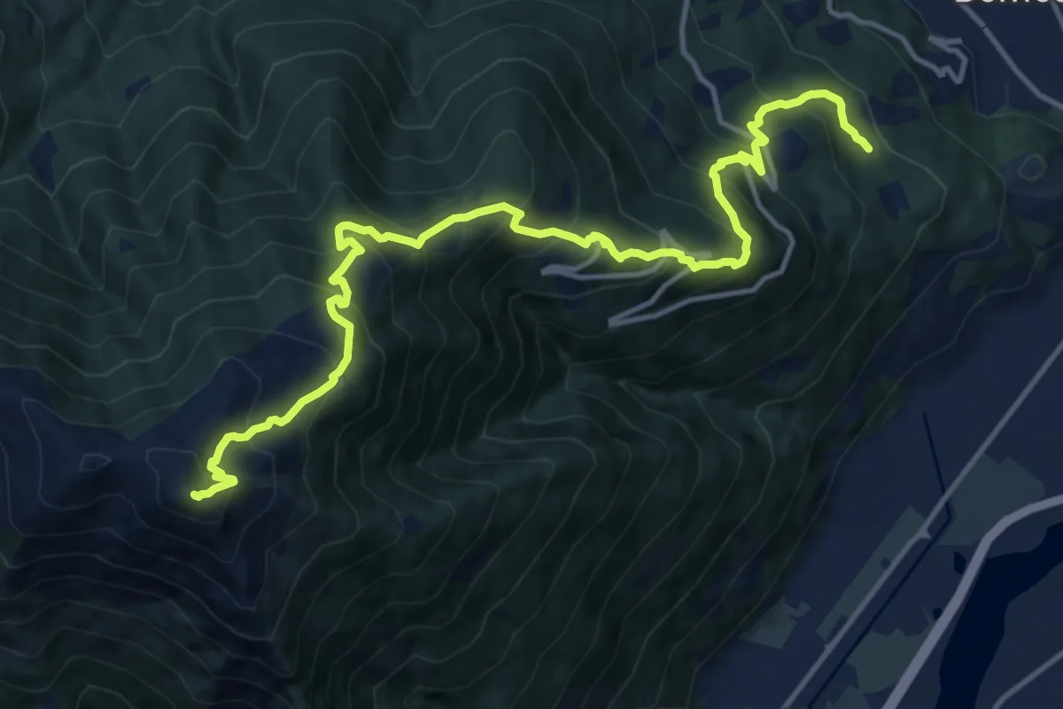
Demanding · Summit
D01 - Cappella di Marisch - Moncucco
15.3 km · ↑ 1431 m · 6 h 43 min
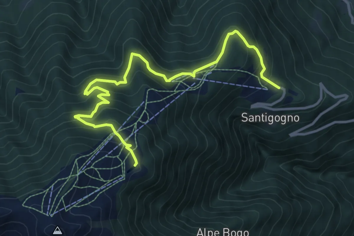
Medium · Trail
D01d - luse trek
9.9 km · ↑ 698 m · 3 h 51 min
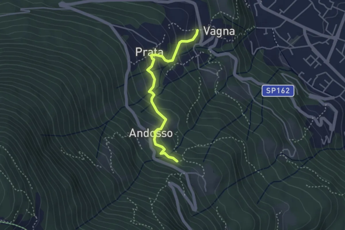
Medium · Trail
D03a - Sala - Andosso
3.2 km · ↑ 196 m · 1 h 10 min
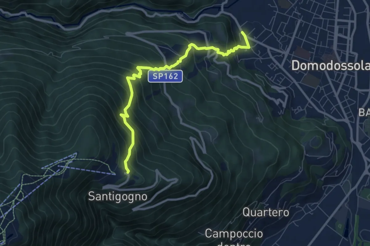
Demanding · Trail
D03 - Domodossola - Alpe Lusentino
7.8 km · ↑ 803 m · 3 h 35 min
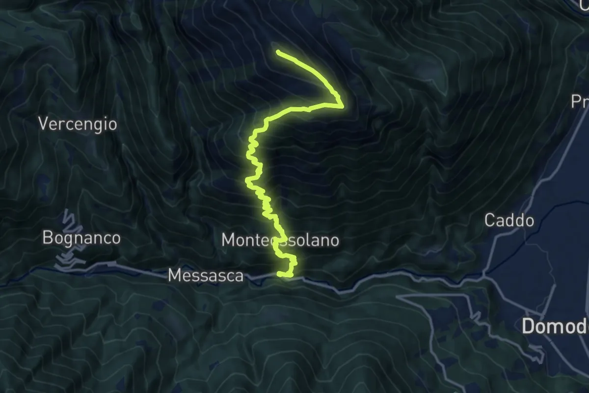
Demanding · Summit
D04 - Gabbio - Cima Lariè
14.2 km · ↑ 1690 m · 7 h 1 min
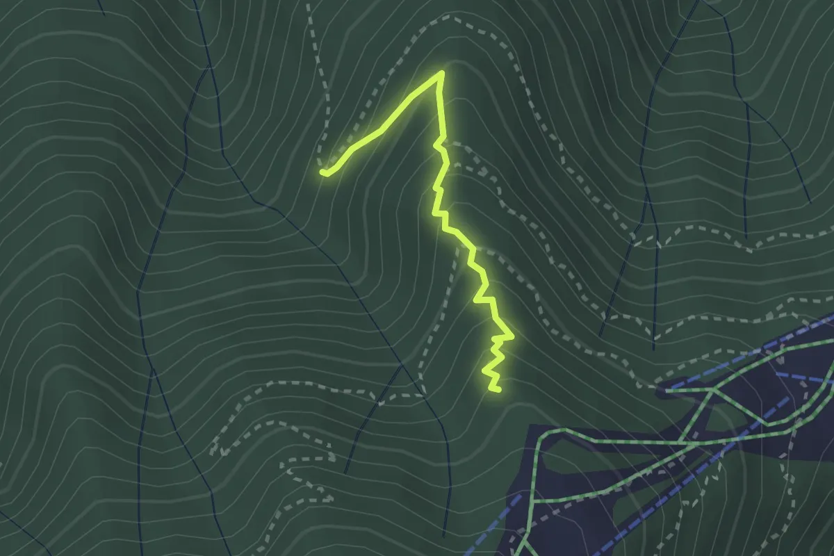
Medium · Trail
D05a - Alpe Casale (1131) - sorgente fontanelli foppiano (1380)
2.2 km · ↑ 240 m · 1 h 3 min
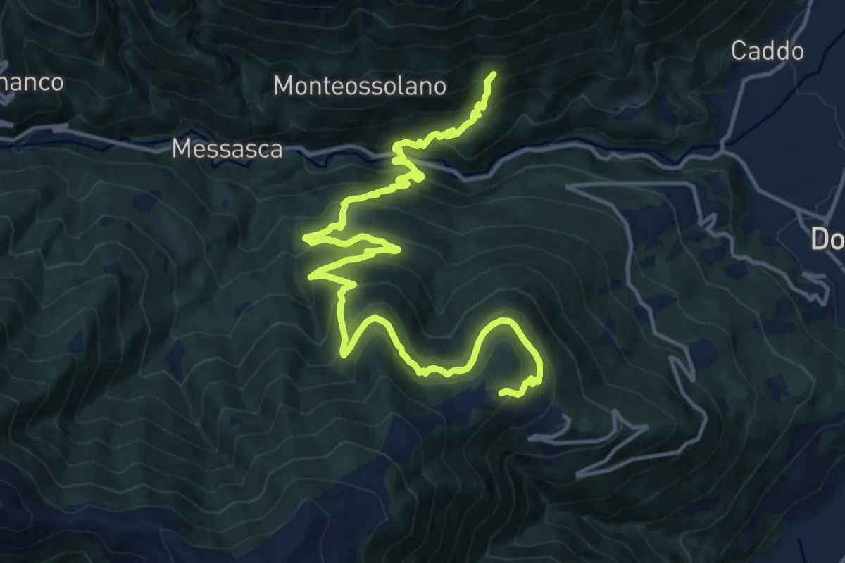
Demanding · Trail
D05 - Località Torno (quota 443) - Alpe Foppiano (quota 1160)
17.6 km · ↑ 1387 m · 7 h 10 min
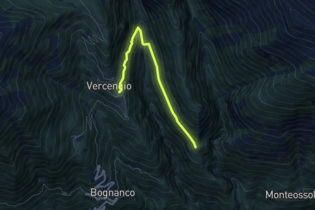
Medium · Trail
D06a - Alpe Agrello - Alpe Vercengio
6.2 km · ↑ 403 m · 2 h 21 min
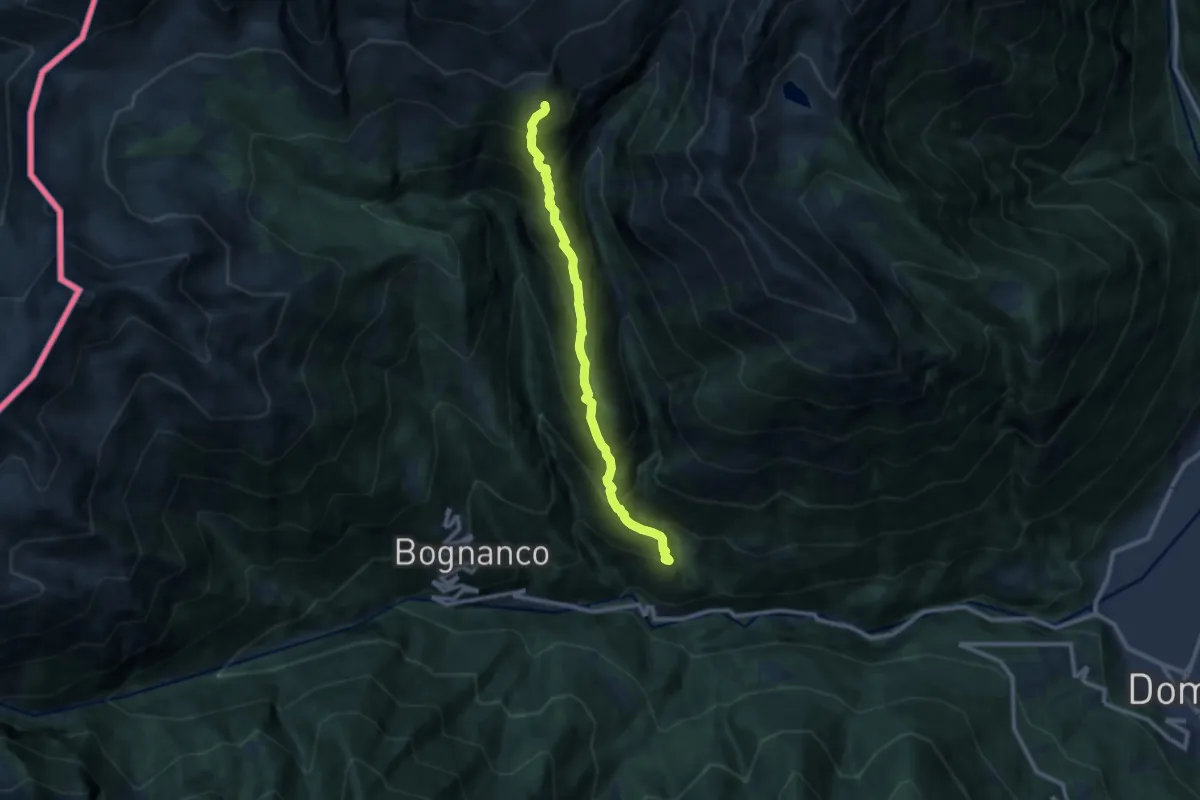
Demanding · Trail
D06 - Costa d'Agrello
9.7 km · ↑ 1202 m · 4 h 53 min
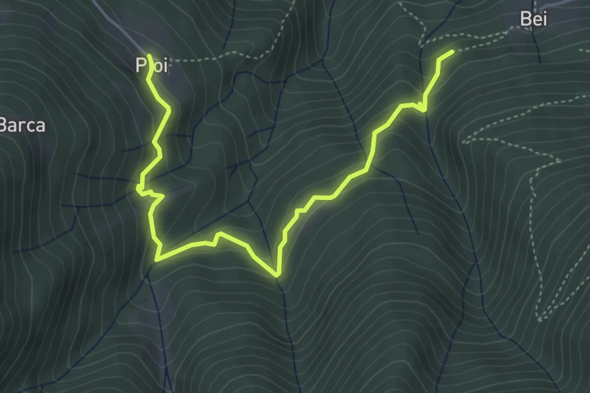
Medium · Trail
D07 - Bei - Pioi
5.1 km · ↑ 358 m · 1 h 59 min