Trails in Italy
25,211 hiking trails, each with its route, climb, walking time and grade.
All trails, page 60 of 526
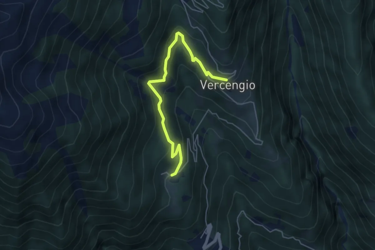
Medium · Trail
D08a - Gomba -Vercengio
4.7 km · ↑ 352 m · 1 h 53 min
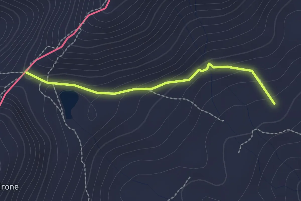
Medium · Trail
D08 - Bognanco Terme - Passo del Monscera
2.0 km · ↑ 109 m · 43 min
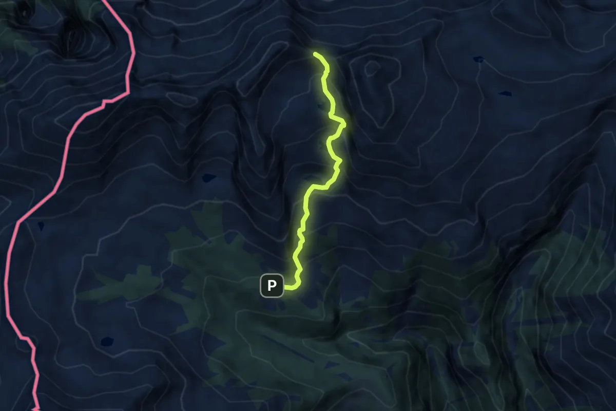
Demanding · Trail
D10 - Alpe Paione - Passo di Paione
6.4 km · ↑ 641 m · 2 h 53 min
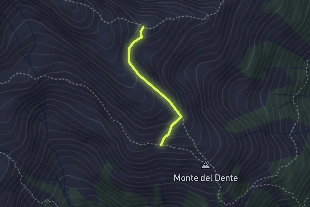
Medium · Trail
D12a - Costa del Dente, bivio D14 - Bivio von D12
2.0 km · ↑ 178 m · 51 min
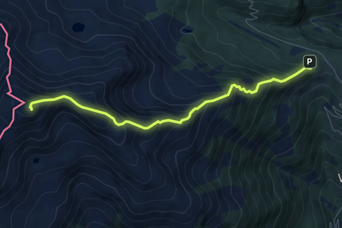
Demanding · Summit
D12 - S. Bernardo - Monte del Dente
7.0 km · ↑ 805 m · 3 h 23 min
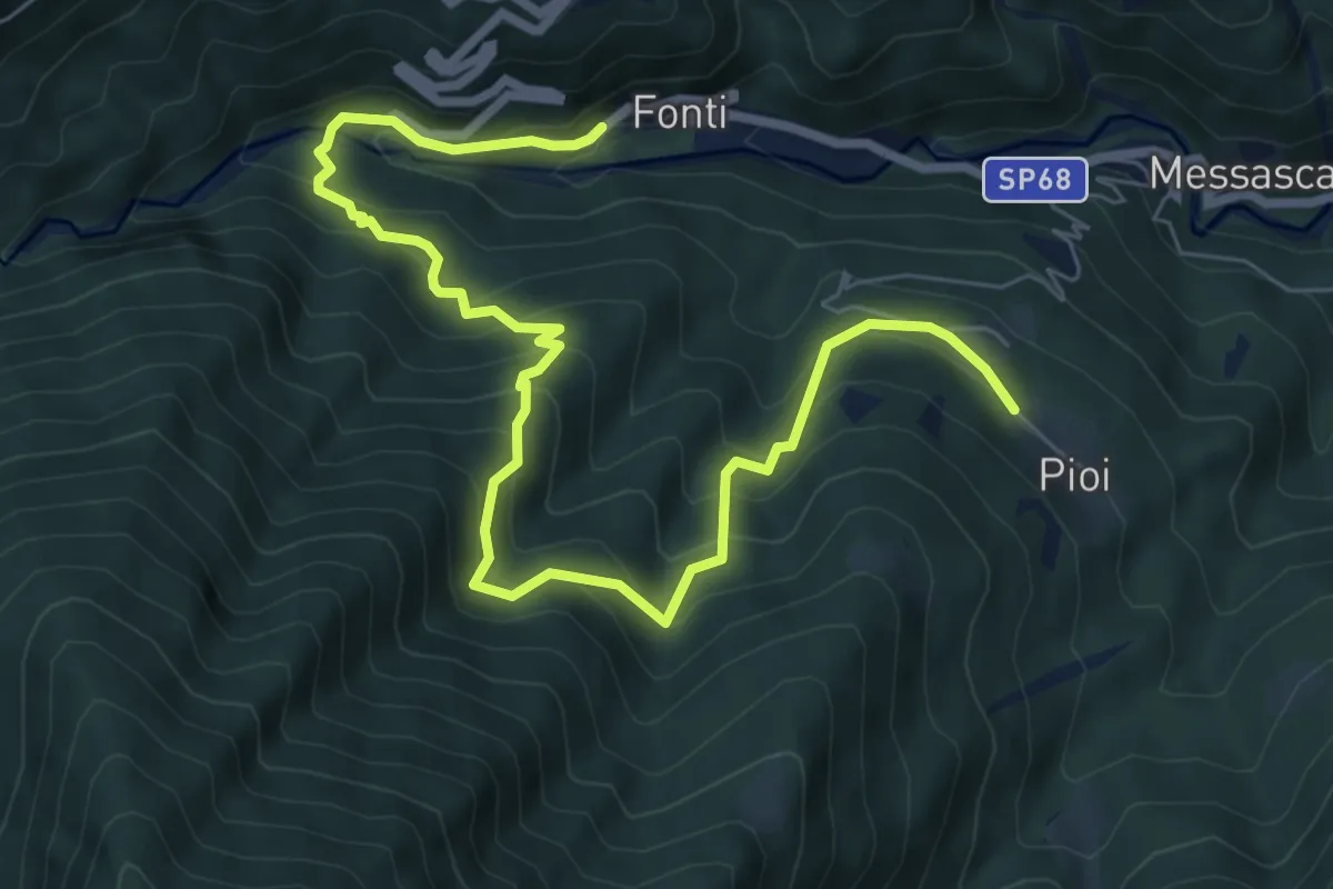
Demanding · Trail
D13 - Bognanco - Pioi
9.1 km · ↑ 818 m · 3 h 55 min
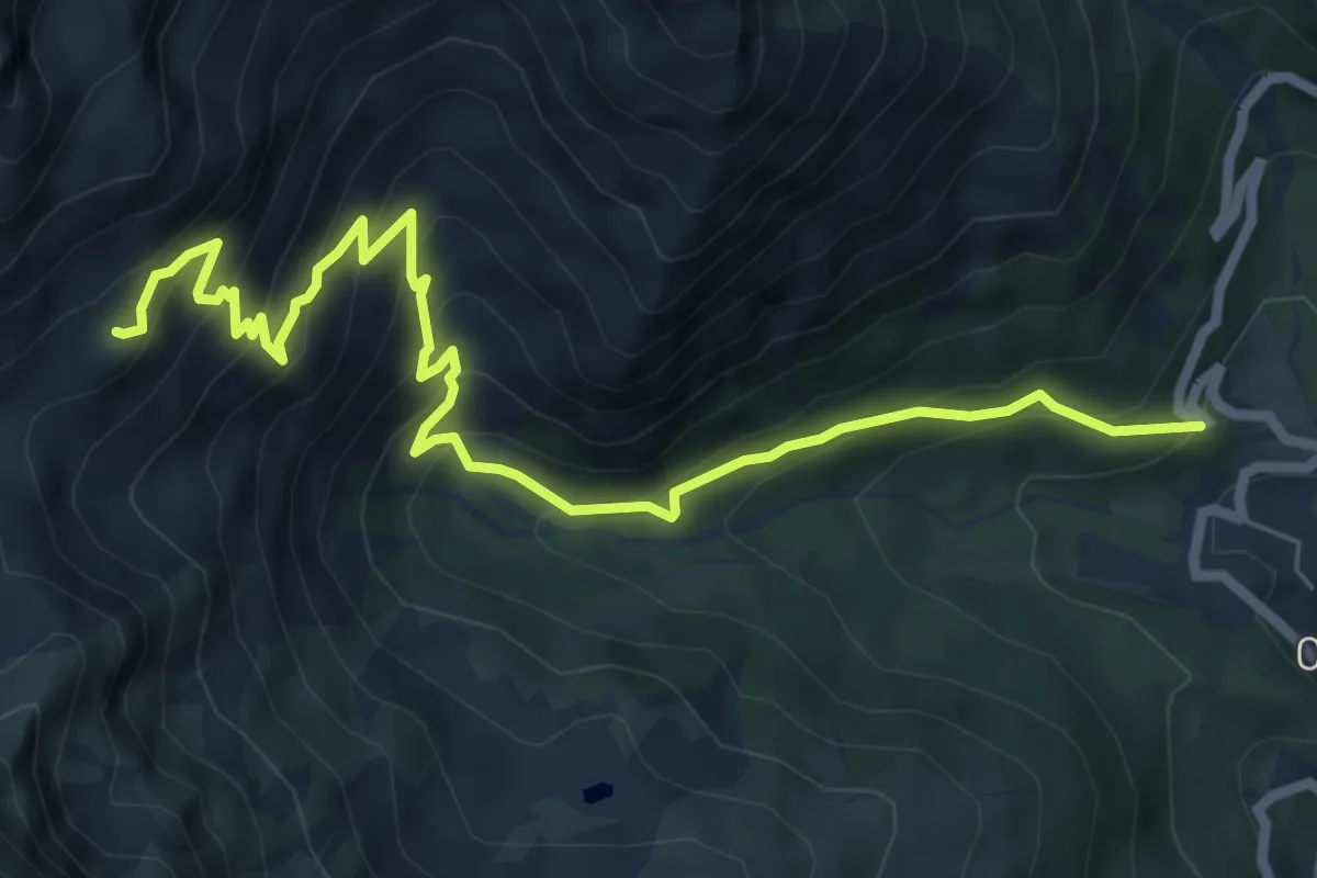
Medium · Trail
D13 - Delubro - Oropa Sport
7.9 km · ↑ 715 m · 3 h 25 min
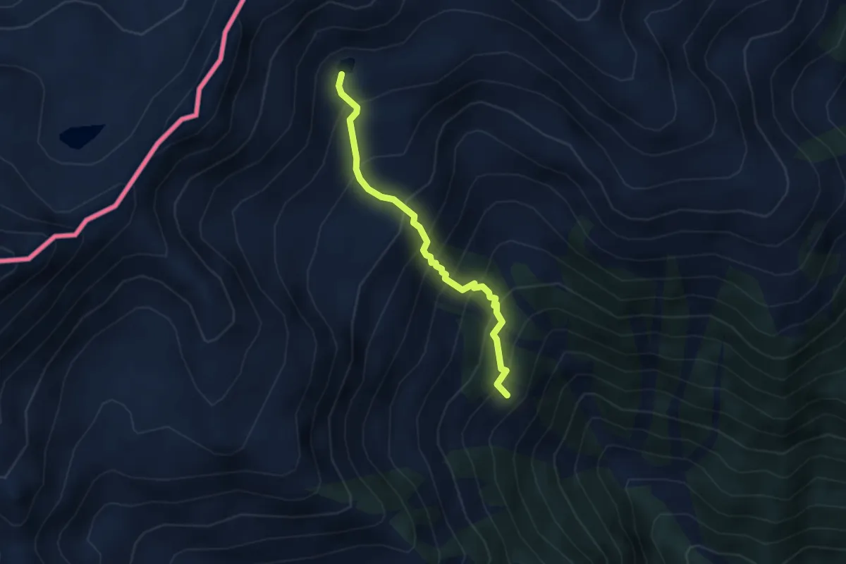
Medium · Trail
D14a - Alpe Oriaccia - Lago di Oriaccia
3.2 km · ↑ 456 m · 1 h 45 min
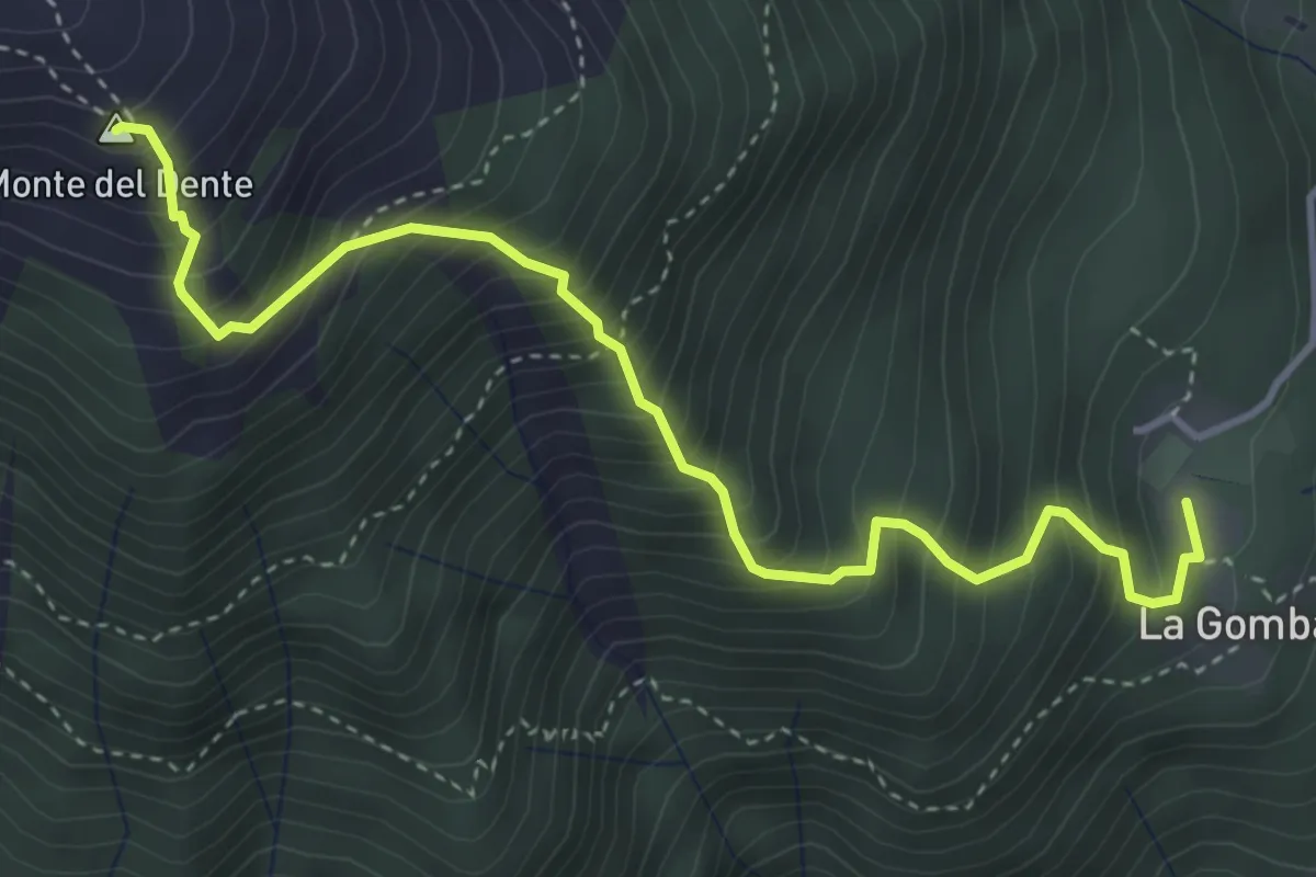
Demanding · Summit
D14 - Gomba - Passo di Oriaccia
4.4 km · ↑ 745 m · 2 h 39 min
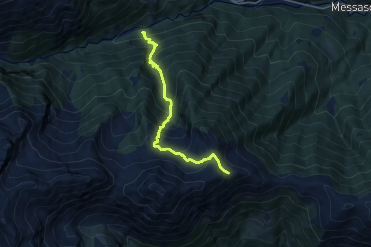
Demanding · Trail
D15 - Picciola bivio D19 - Bivio C06
8.5 km · ↑ 1051 m · 4 h 18 min
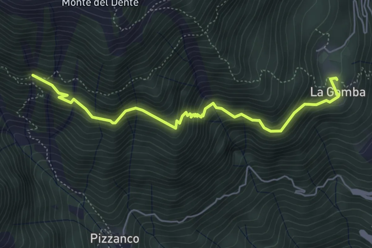
Medium · Trail
D16 - Alpe la Gomba - bivio D98 presso alpe Oriaccia
5.3 km · ↑ 660 m · 2 h 41 min
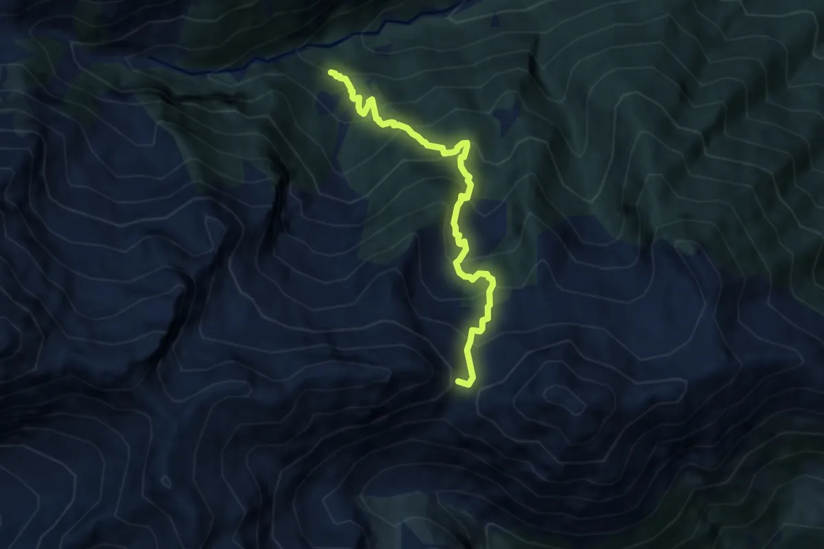
Demanding · Trail
D17 - bivio D19 - Passo d'Arnigo
7.2 km · ↑ 839 m · 3 h 31 min
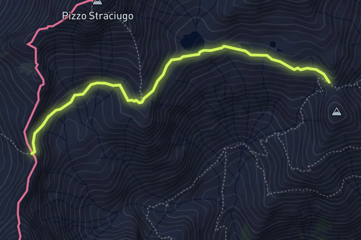
Medium · Trail
D18 - Bivio D98 presso Alpe Vallaro - Passo di Pontimia
5.3 km · ↑ 328 m · 1 h 58 min
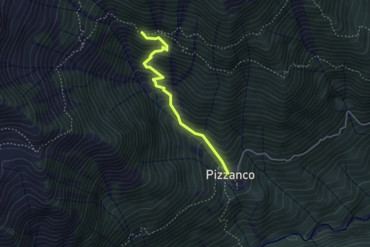
Medium · Trail
D18c - Pizzanco - bivio D98
3.2 km · ↑ 486 m · 1 h 48 min
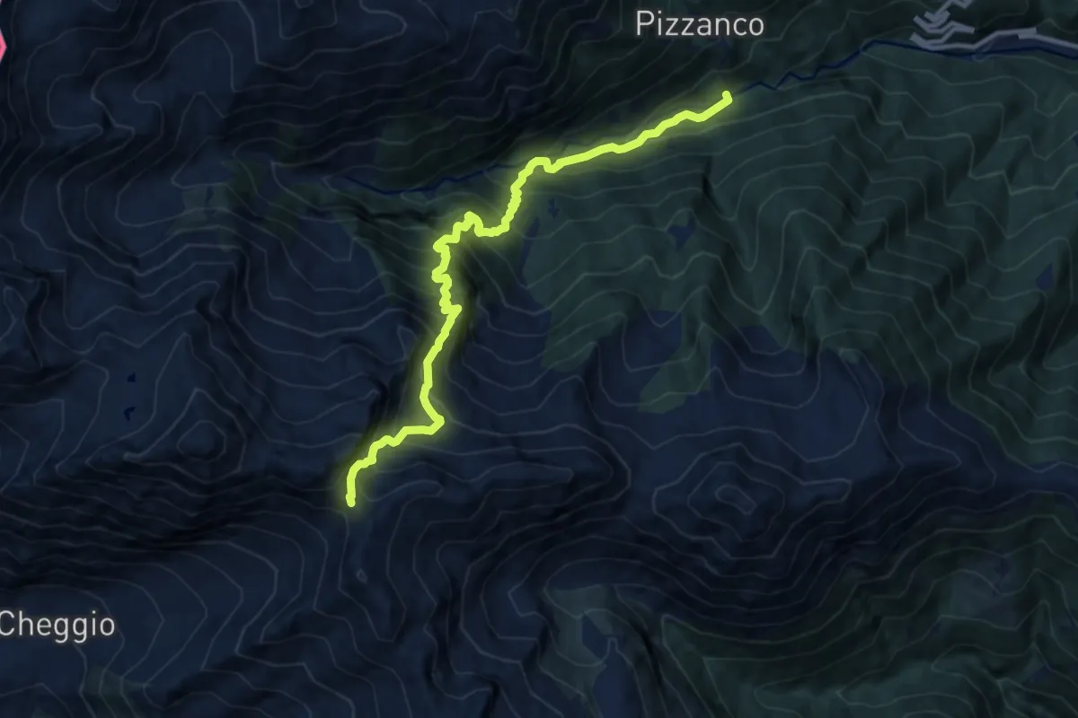
Demanding · Trail
D19 - bivio D20 presso Picciola - Passo del Fornalino
11.2 km · ↑ 1498 m · 5 h 54 min
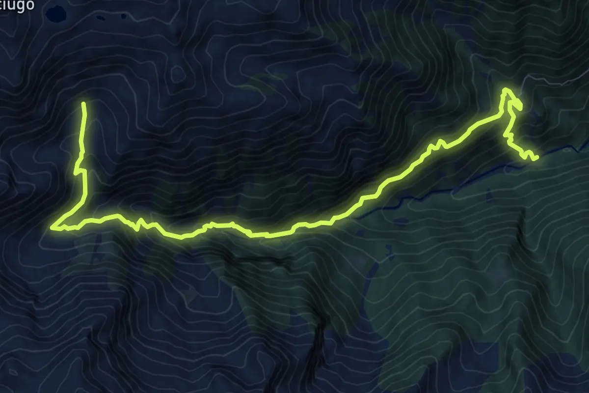
Demanding · Trail
D20 - Picciola - Alpe Campo
14.0 km · ↑ 1361 m · 6 h 16 min
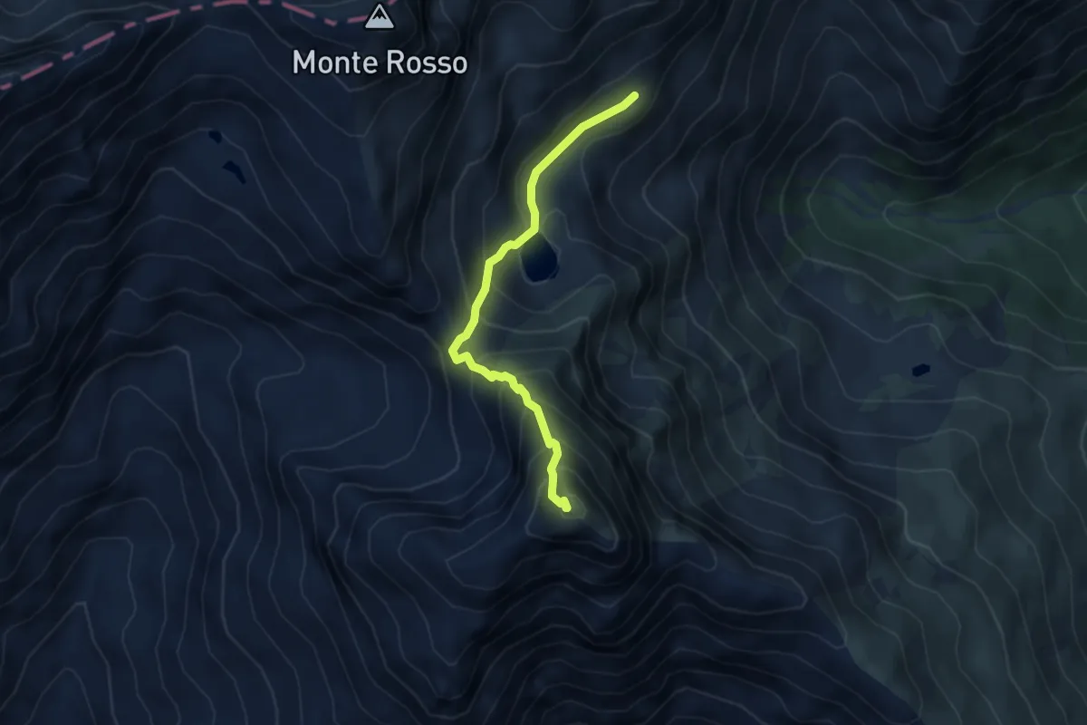
Demanding · Summit
D24 - Oropa Sport - Croce del Mucrone
4.1 km · ↑ 439 m · 1 h 55 min
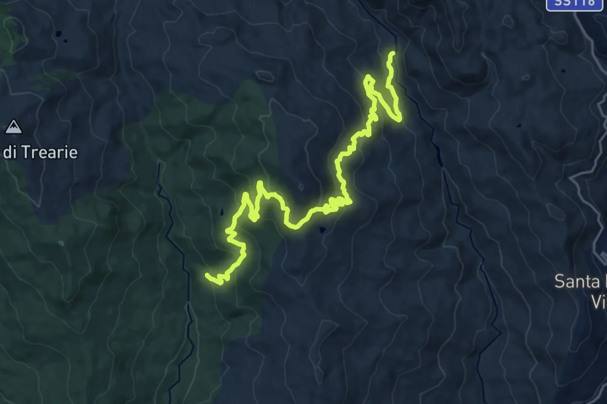
Demanding · Trail
D313 Masseria Colla
23.6 km · ↑ 1083 m · 7 h 54 min
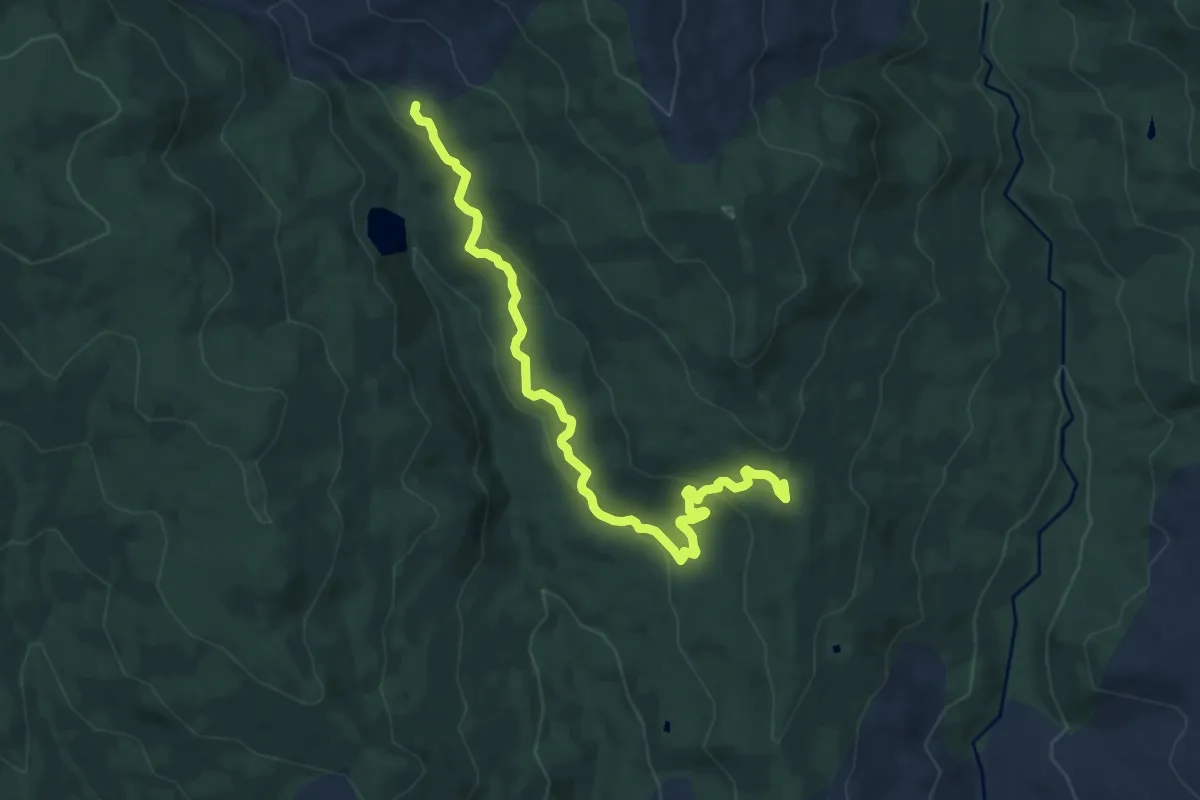
Medium · Trail
D323 Santi Paolo
11.4 km · ↑ 362 m · 3 h 28 min
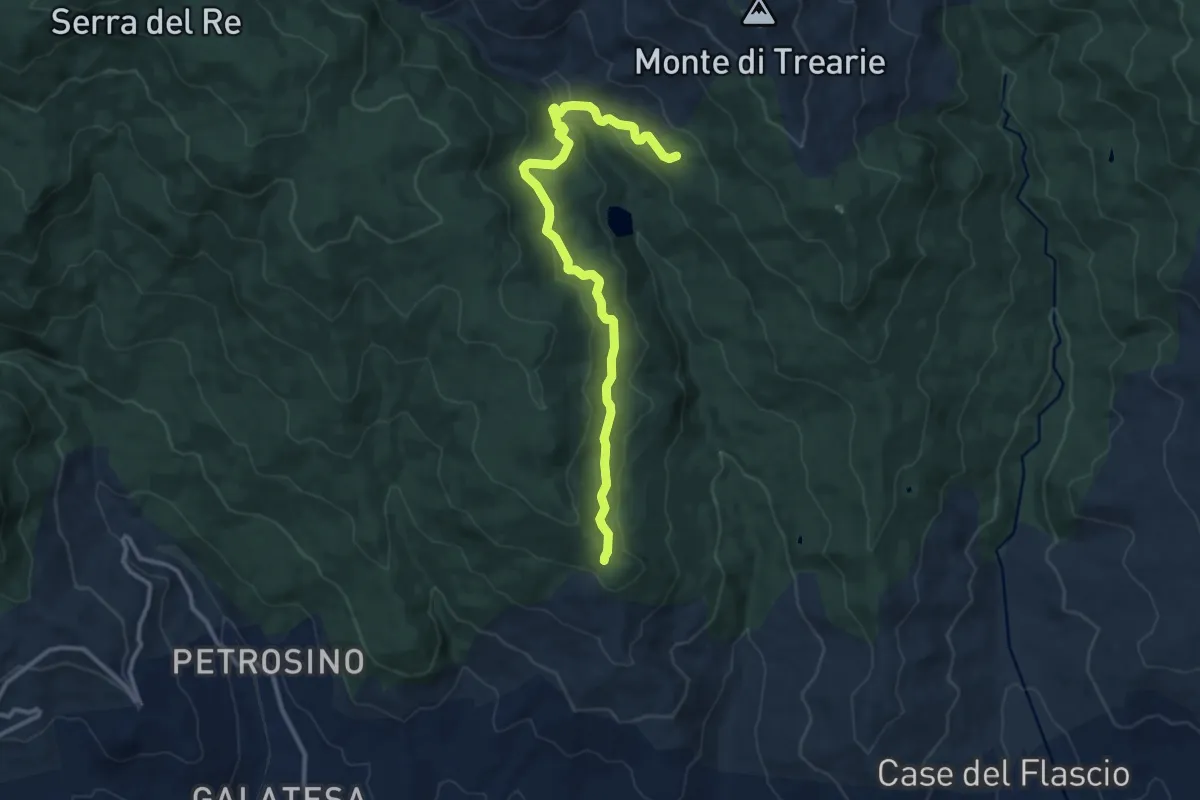
Medium · Cabin
D331 Margio Salice
13.8 km · ↑ 346 m · 4 h
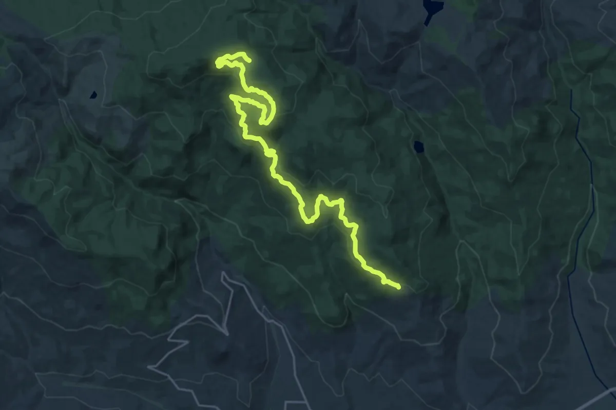
Medium · Trail
D335 Da Segheria a Sorgente del Medico
14.2 km · ↑ 170 m · 4 h 11 min
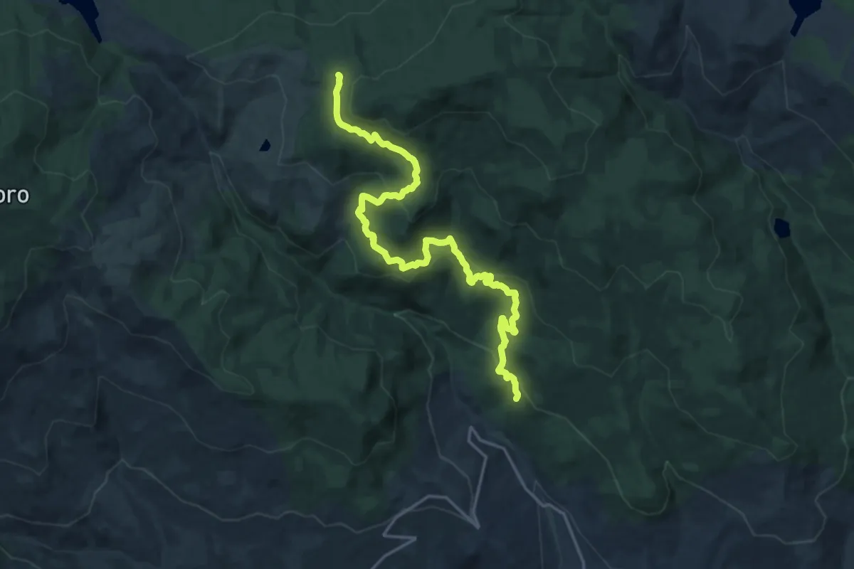
Demanding · Trail
D337 Bosco di Grappidà
21.2 km · ↑ 914 m · 7 h
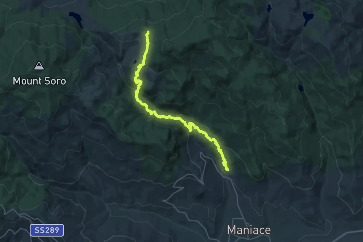
Demanding · Trail
D339 Da Petrosino a Portella Scafi
23.7 km · ↑ 959 m · 7 h 40 min
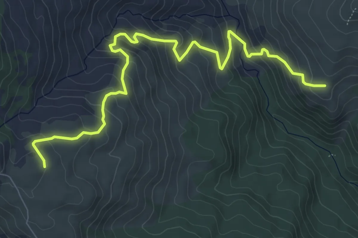
Medium · Trail
D341 Sorgente Ramo
9.4 km · ↑ 522 m · 3 h 21 min
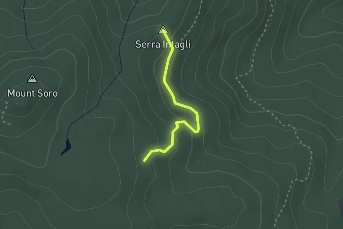
Easy · Summit
D345A
2.2 km · ↑ 100 m · 44 min
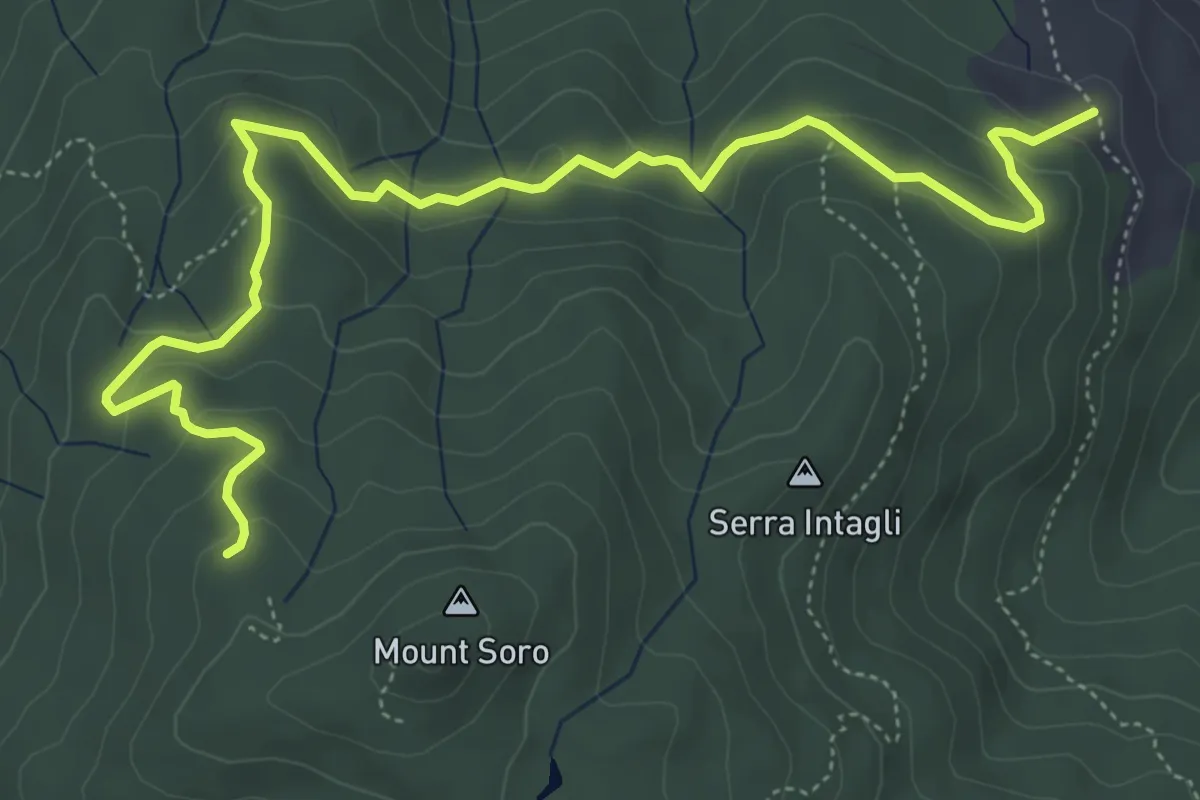
Easy · Trail
D345C Sollazzo Verde
7.5 km · ↑ 305 m · 2 h 26 min
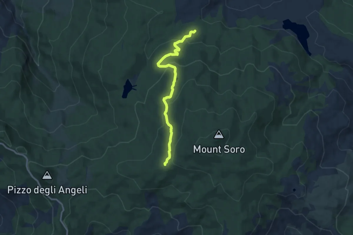
Medium · Trail
D345E Sentiero dei Laghetti
8.7 km · ↑ 345 m · 2 h 49 min
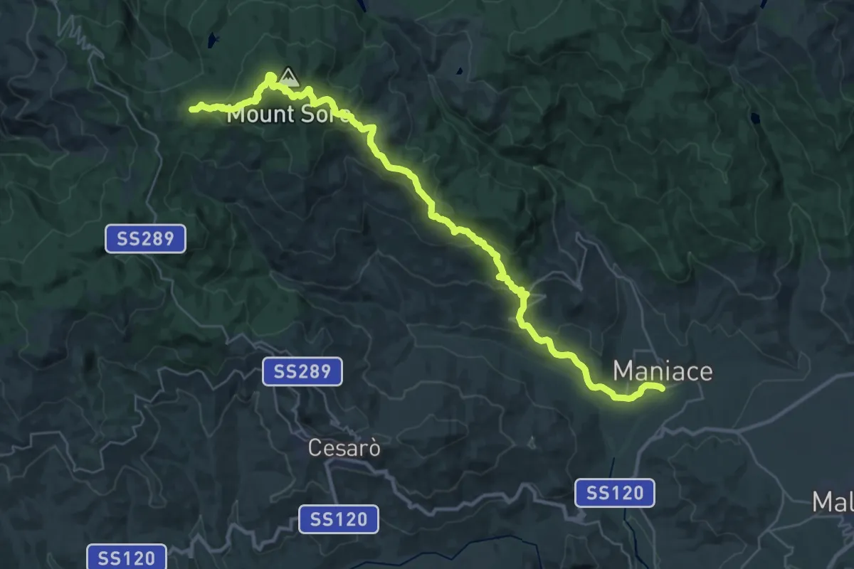
Demanding · Trail
D345 Maniace-Portella Calacudera
20.3 km · ↑ 287 m · 6 h 9 min
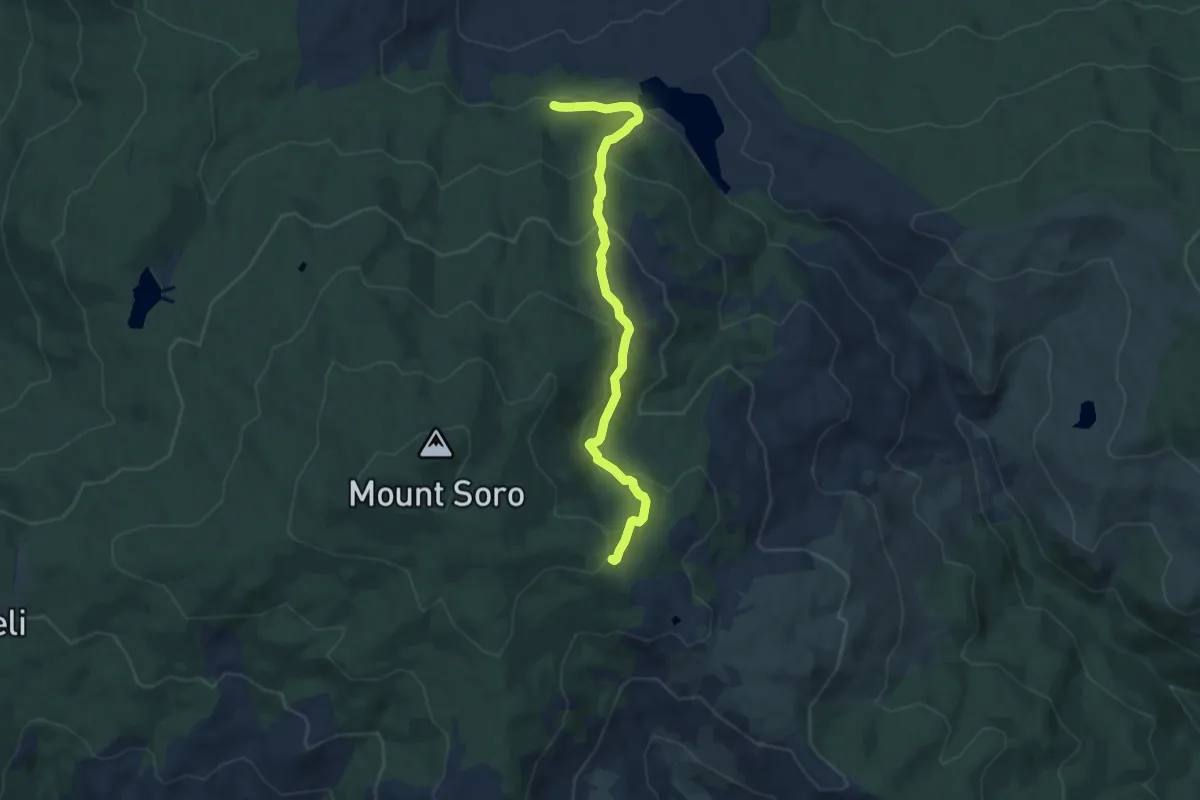
Medium · Trail
D347 Case Sollima
8.8 km · ↑ 446 m · 3 h 2 min
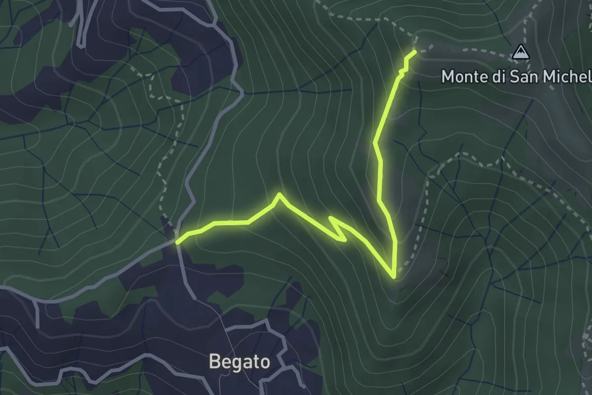
Medium · Trail
D3 - Begato - Forte Fratello Minore
3.1 km · ↑ 279 m · 1 h 19 min
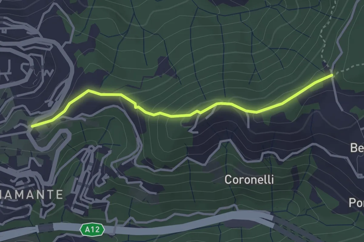
Easy · Trail
D4 - Costa di Begato
3.1 km · ↑ 155 m · 1 h 4 min
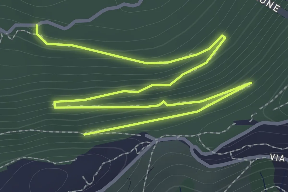
Easy · Trail
D5 - Fregoso - Forte Begato
4.0 km · ↑ 175 m · 1 h 19 min
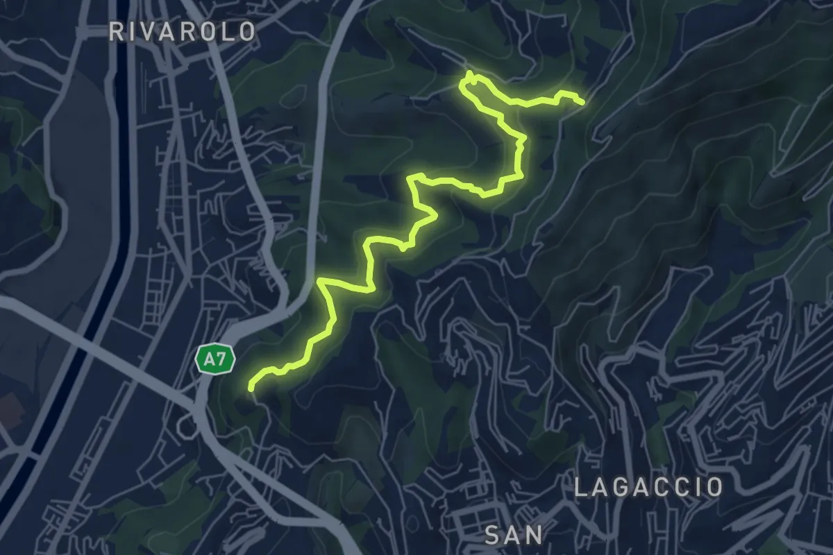
Medium · Trail
D6 - Forte Crocetta - Garbo - Fregoso
7.0 km · ↑ 551 m · 2 h 51 min
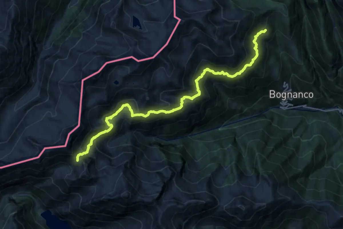
Demanding · Trail
D98 - Pragio bivio D00 - Passo della Preja
10.4 km · ↑ 1320 m · 5 h 4 min
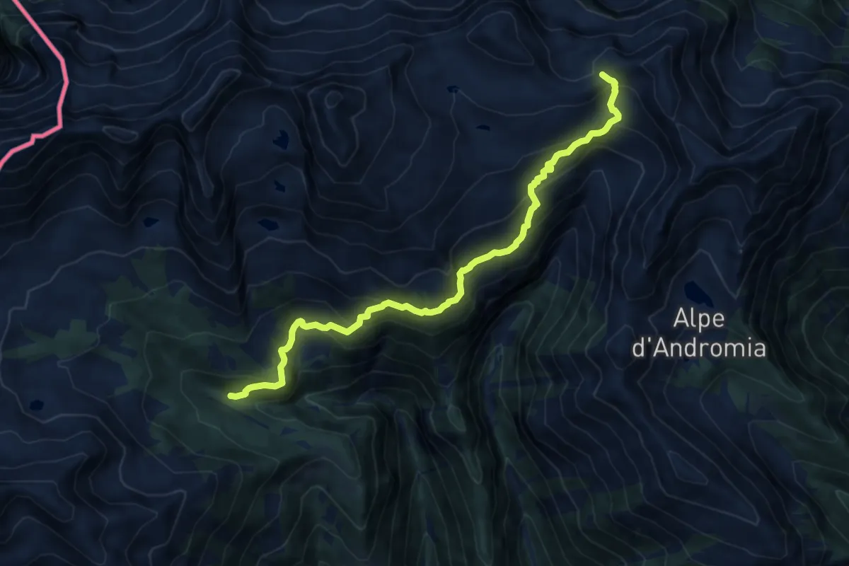
Demanding · Trail
D99 - Bivio D08 - Passo di Variola
11.8 km · ↑ 926 m · 4 h 47 min
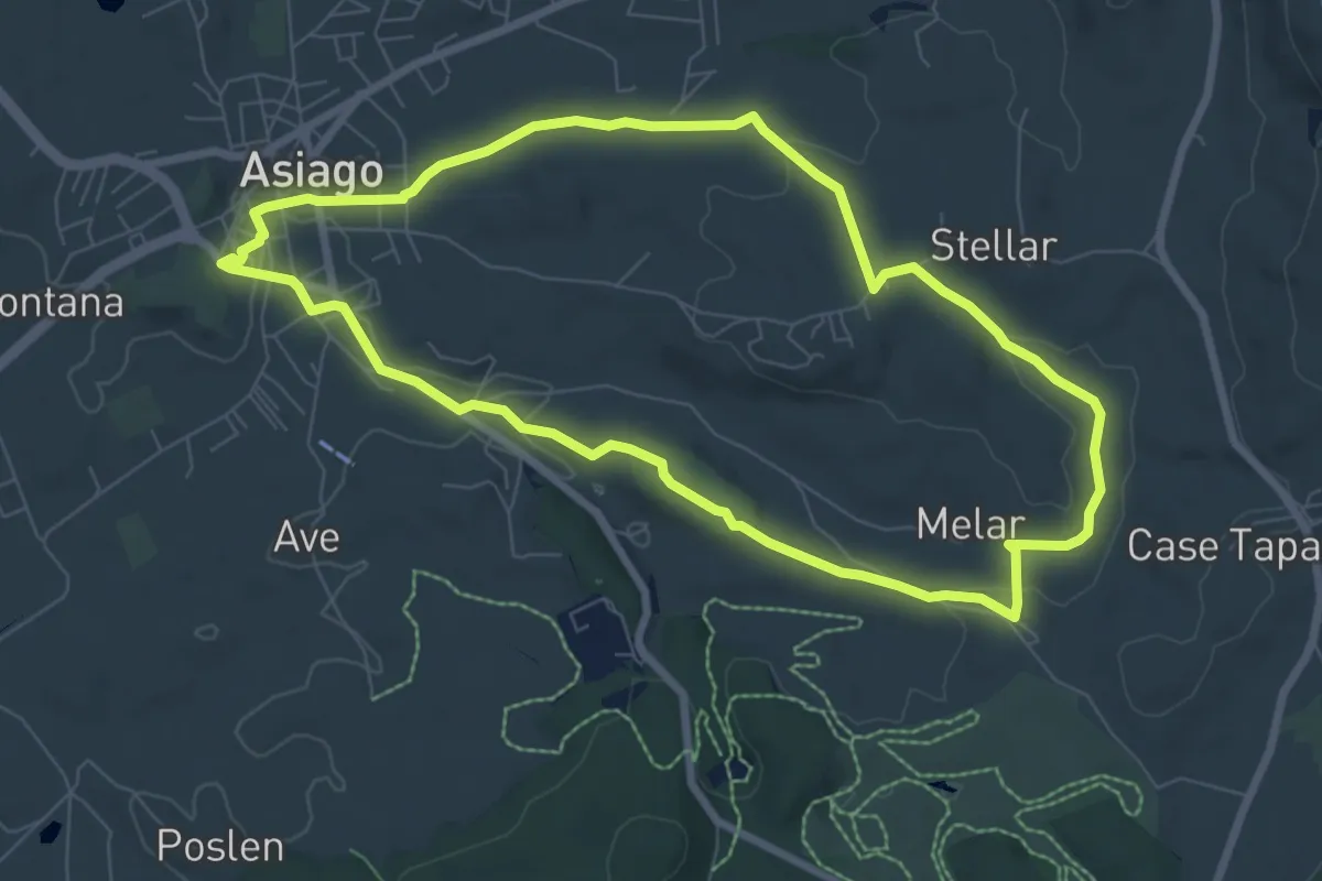
Easy · Trail
"Da Asiago alle stelle": Sentiero dei pianeti
7.6 km · ↑ 105 m · 2 h 7 min
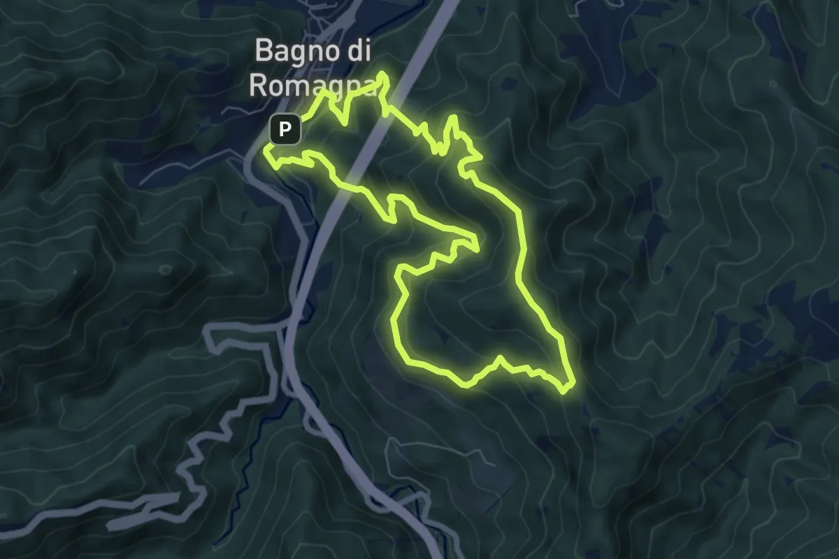
Demanding · Summit
Da Bagno verso Poggio Pian delle Riti
7.3 km · ↑ 573 m · 3 h 4 min
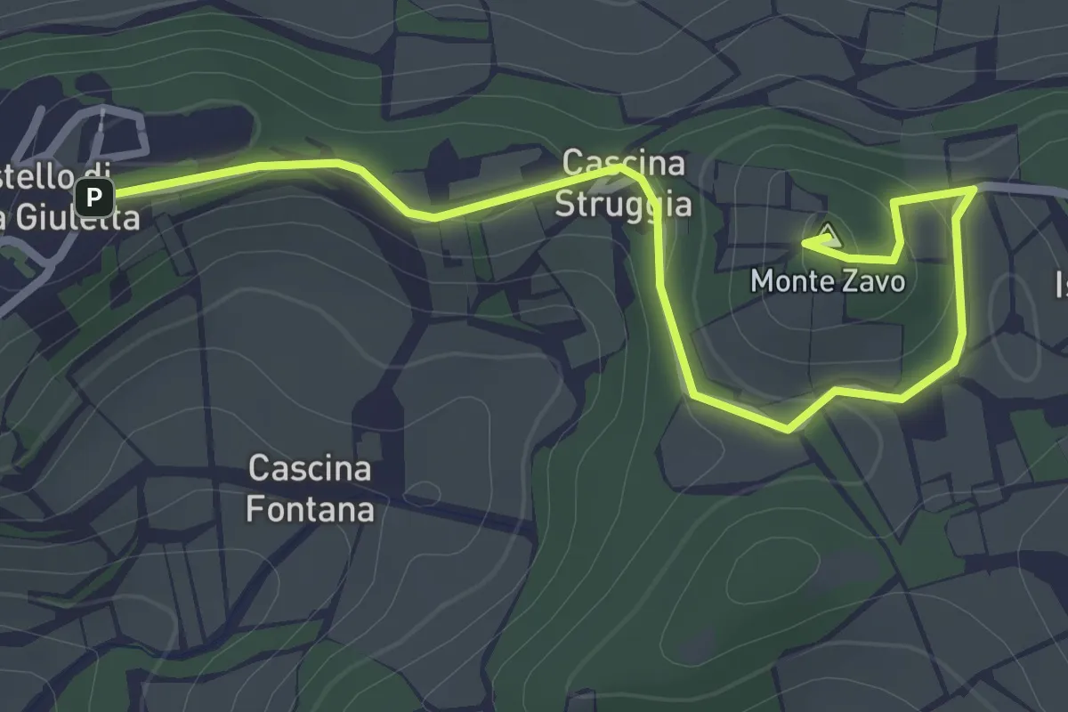
Easy · Summit
Da Castello al Monte Zavo
3.2 km · ↑ 88 m · 57 min
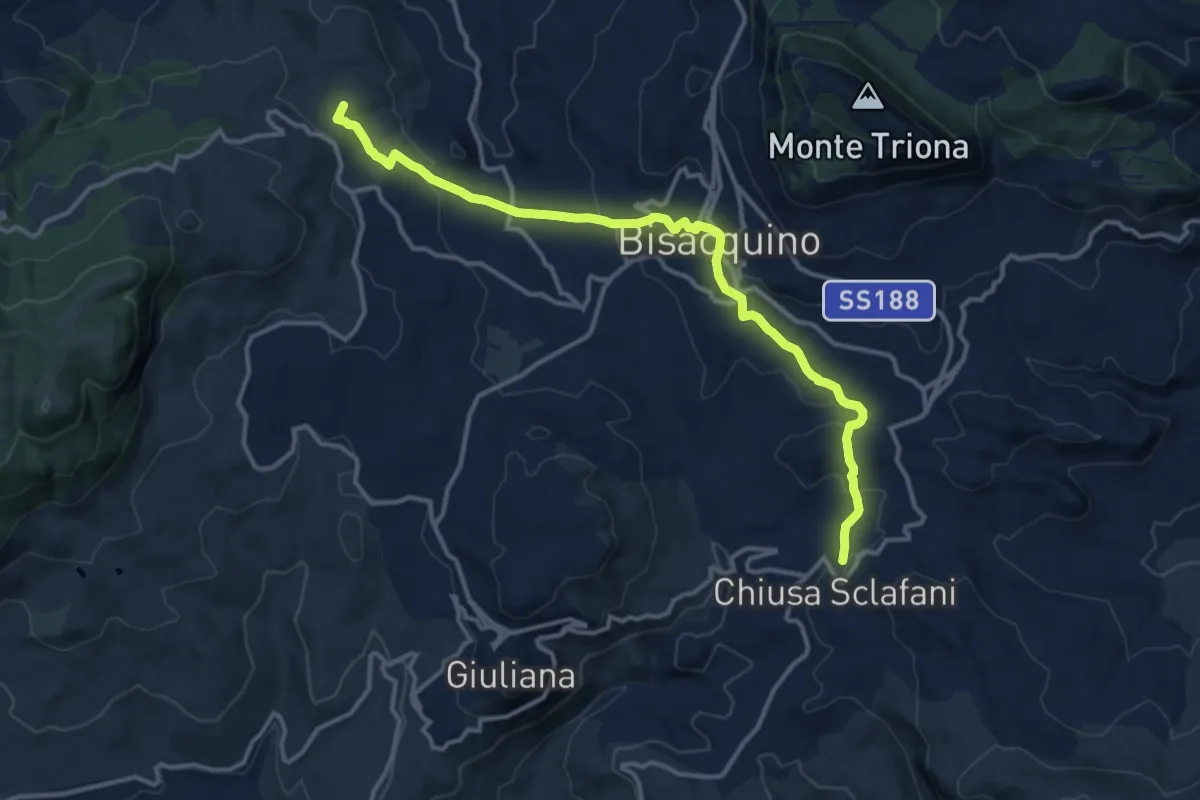
Medium · Summit
Da Chiusa Sclafani a Abbazia di Santa Maria del Bosco
15.7 km · ↑ 550 m · 4 h 54 min
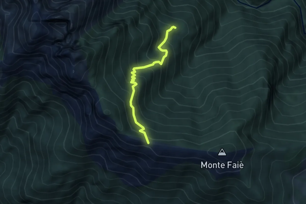
Medium · Cabin
Da Corte buè alla Colma di Vercio
3.9 km · ↑ 402 m · 1 h 47 min
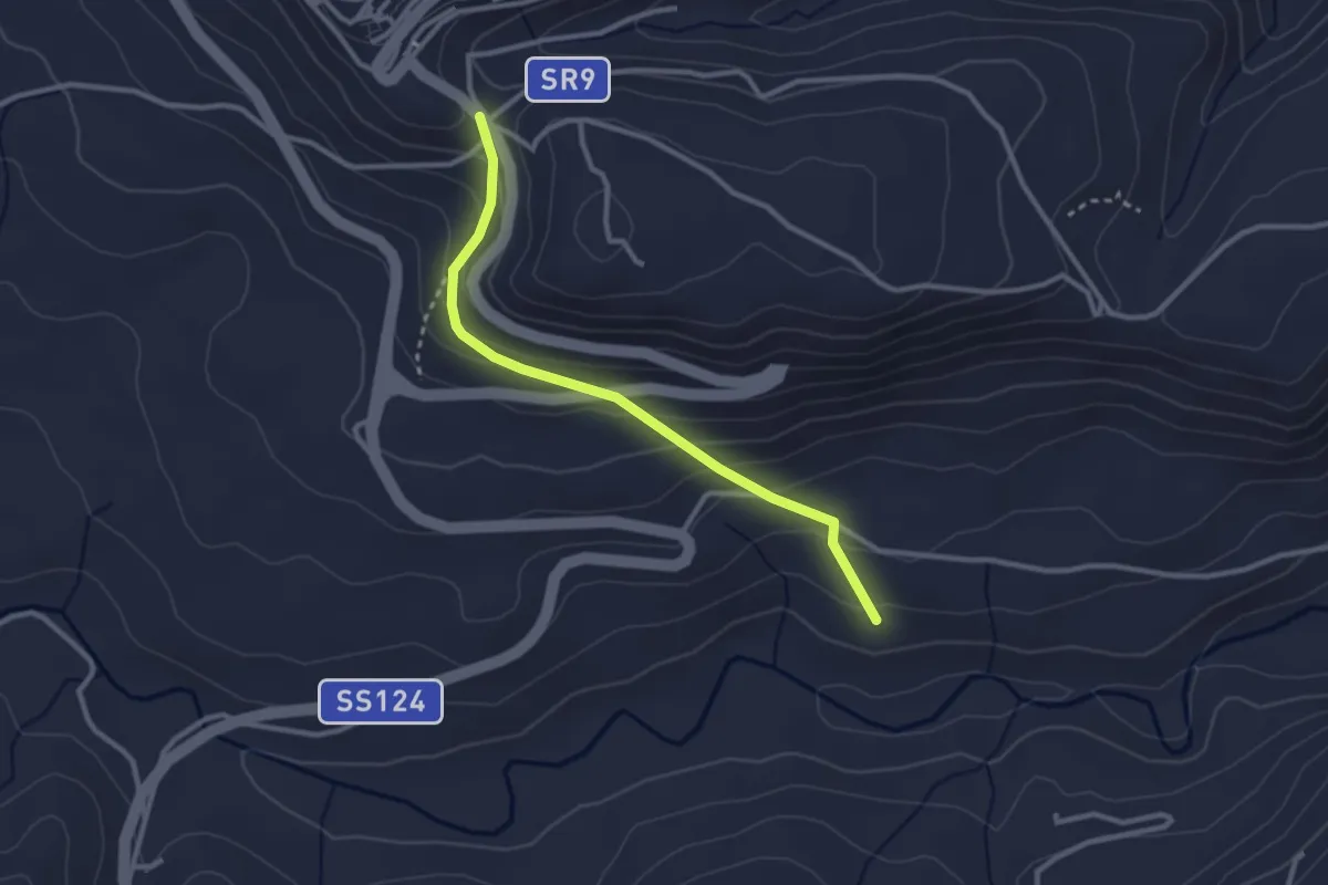
Easy · Trail
da ex stazione Palazzolo a Buscemi
3.2 km · ↑ 194 m · 1 h 11 min
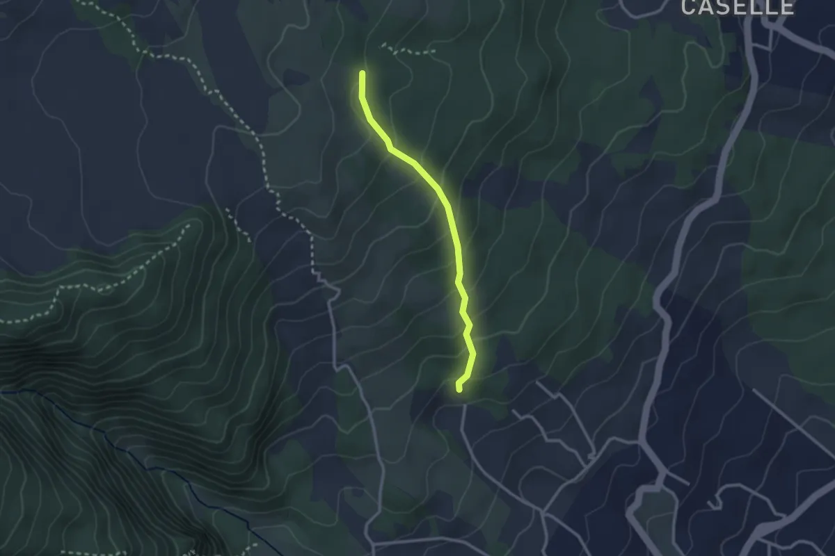
Medium · Trail
Dagalone Carrinu - Ilice Carrinu
2.6 km · ↑ 184 m · 1 h 1 min
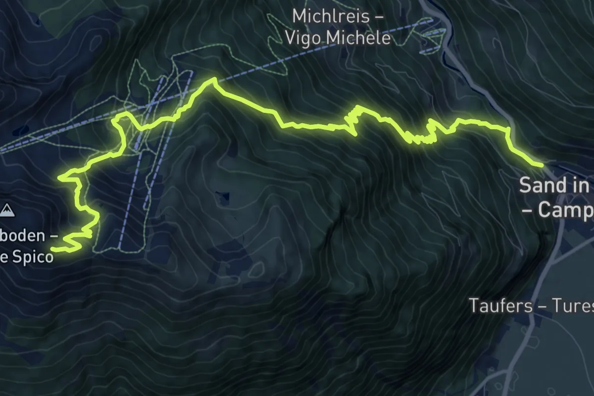
Demanding · Trail
Daimerweg
16.6 km · ↑ 1576 m · 7 h 19 min
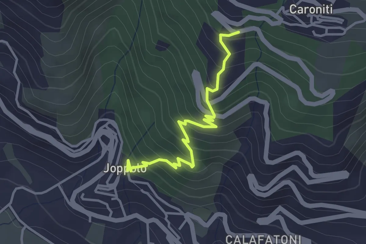
Medium · Trail
Da Joppolo a Monte Poro
3.4 km · ↑ 337 m · 1 h 32 min
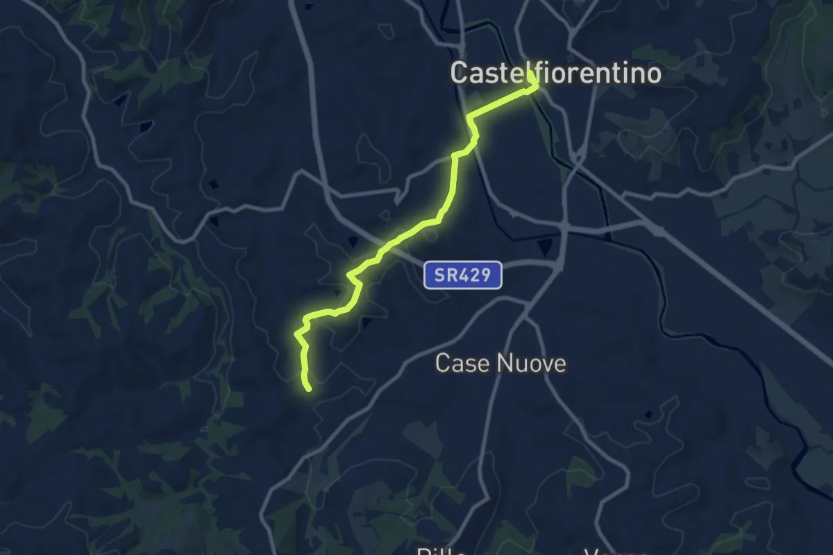
Medium · Trail
Dal Borgo alla Francigena
9.0 km · ↑ 154 m · 2 h 27 min
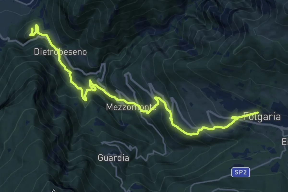
Demanding · Trail
Dal Castello al Monte
16.8 km · ↑ 1254 m · 6 h 40 min
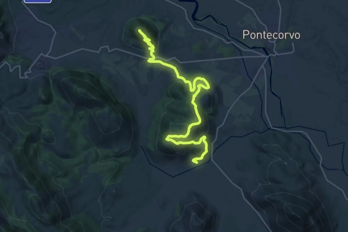
Medium · Trail
Dalla Guerra al Tabacco
12.7 km · ↑ 786 m · 4 h 40 min
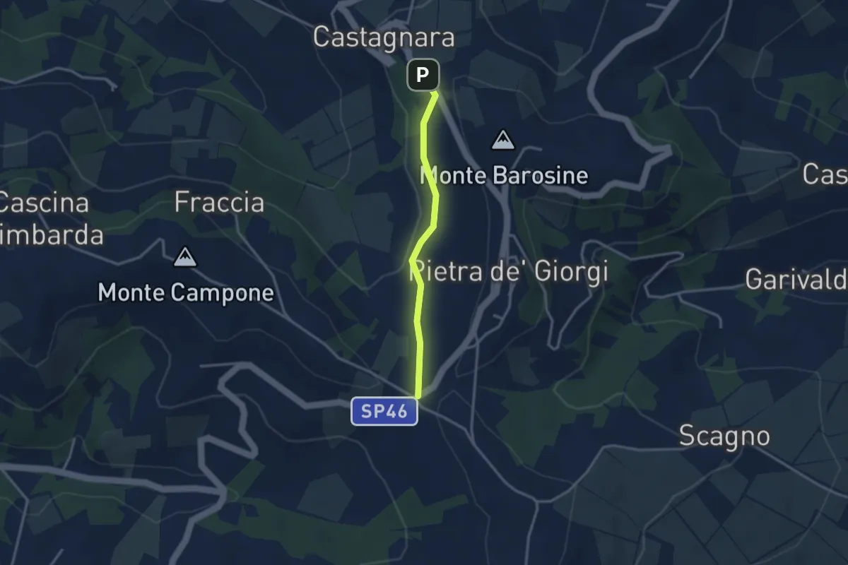
Easy · Trail
Dalle cinque strade a Castagnara lungo la strada della peschiera
2.6 km · ↑ 77 m · 46 min