Trails in Italy
25,211 hiking trails, each with its route, climb, walking time and grade.
All trails, page 63 of 526
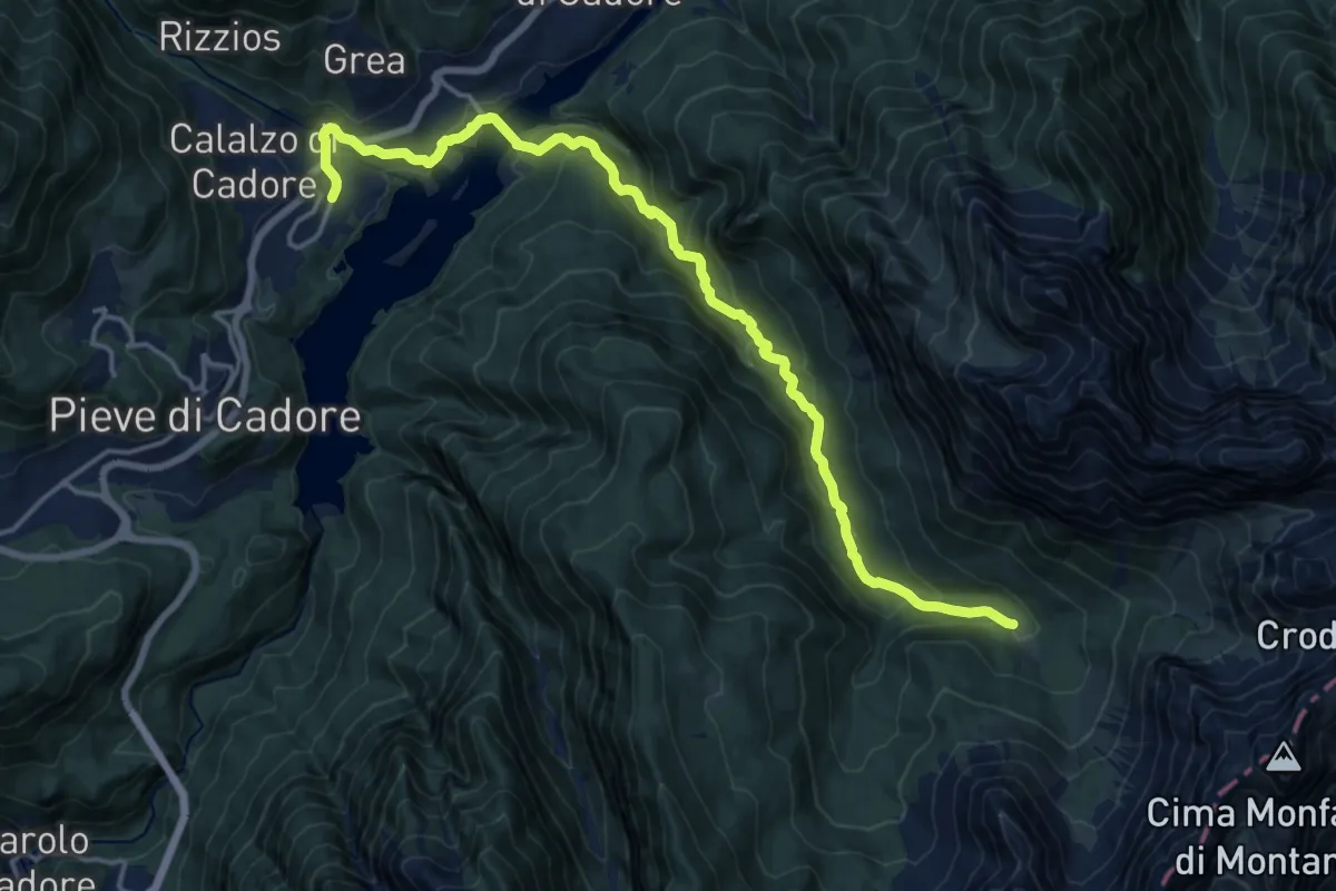
Demanding · Cabin
Dolomites World Heritage Geotrail 22
18.1 km · ↑ 853 m · 6 h 7 min
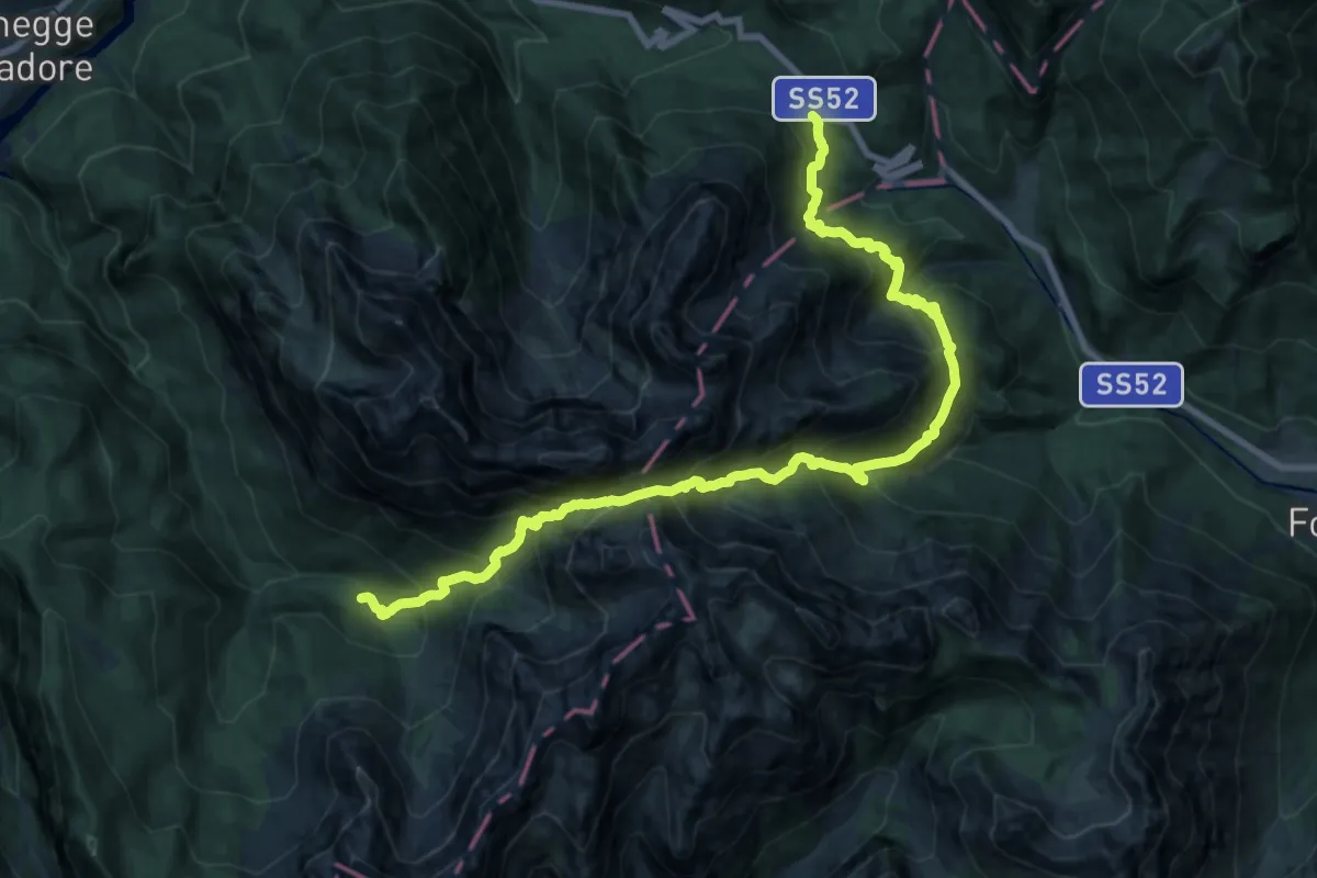
Demanding · Cabin
Dolomites World Heritage Geotrail 22bis
11.5 km · ↑ 1157 m · 5 h 24 min
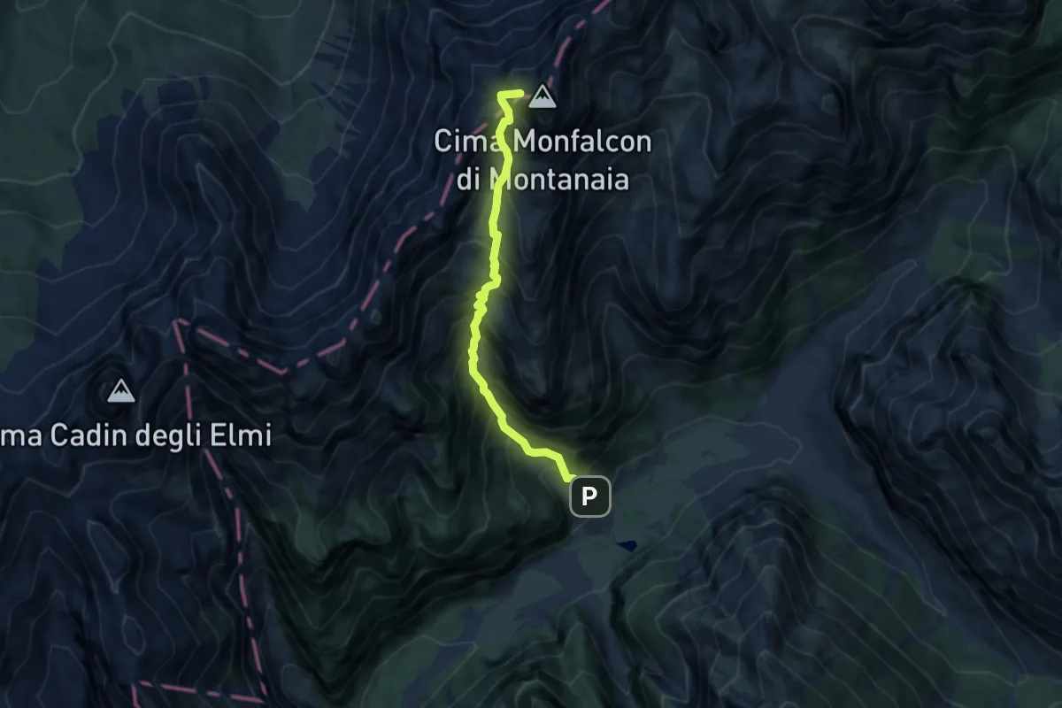
Expert · Summit
Dolomites World Heritage Geotrail 23
7.0 km · ↑ 1251 m · 4 h 22 min
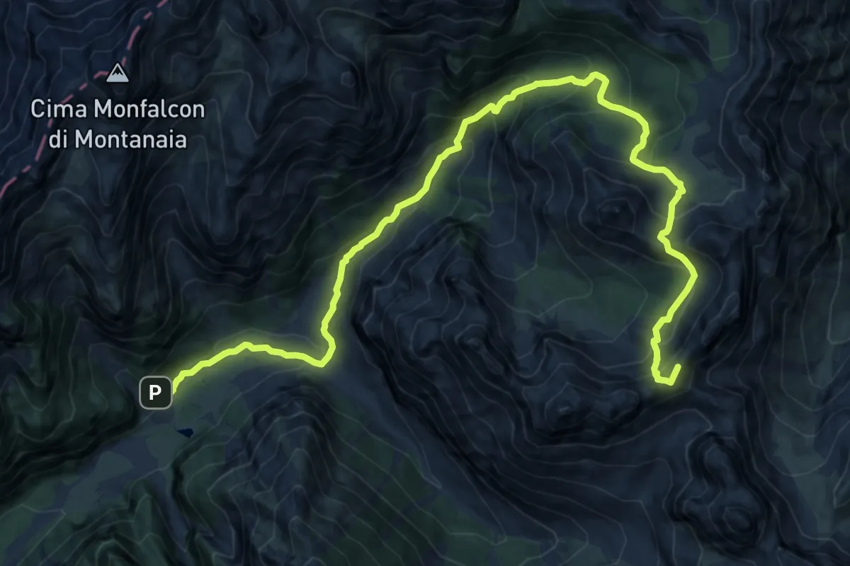
Demanding · Summit
Dolomites World Heritage Geotrail 24
18.2 km · ↑ 1334 m · 7 h 11 min
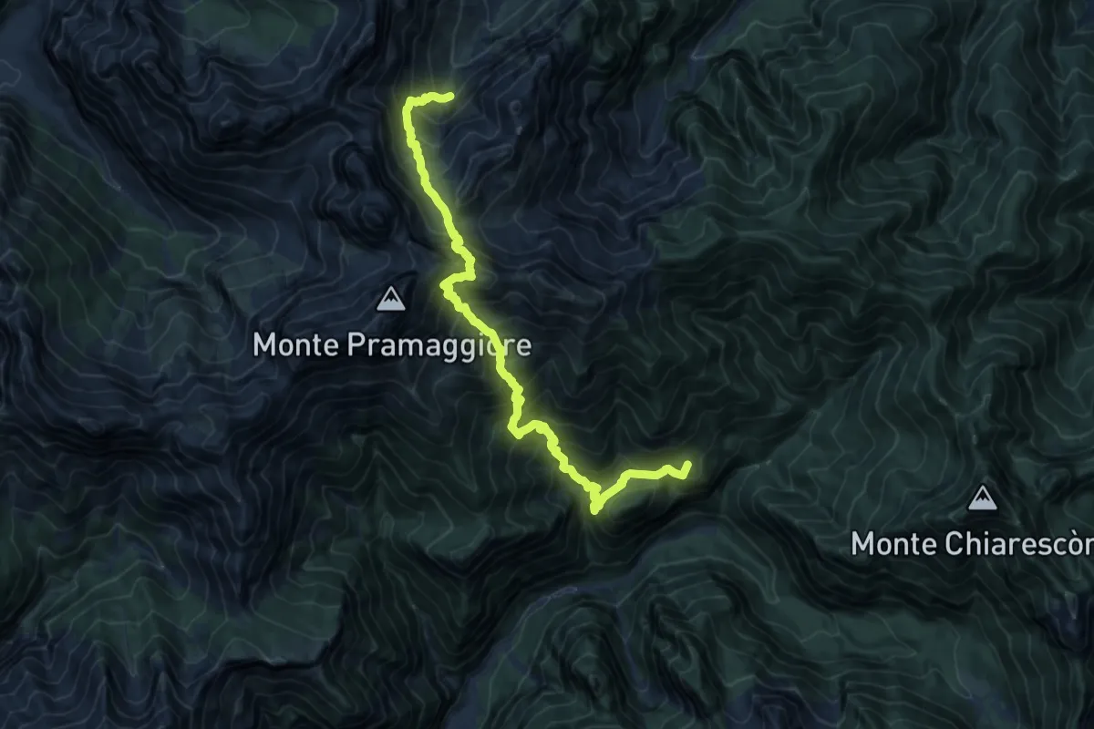
Demanding · Summit
Dolomites World Heritage Geotrail 25
15.1 km · ↑ 1807 m · 7 h 28 min
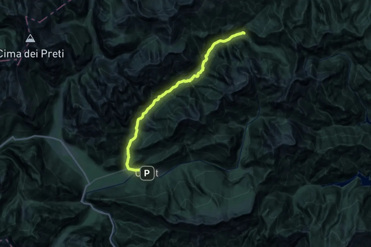
Demanding · Cabin
Dolomites World Heritage Geotrail 26
14.4 km · ↑ 518 m · 4 h 33 min
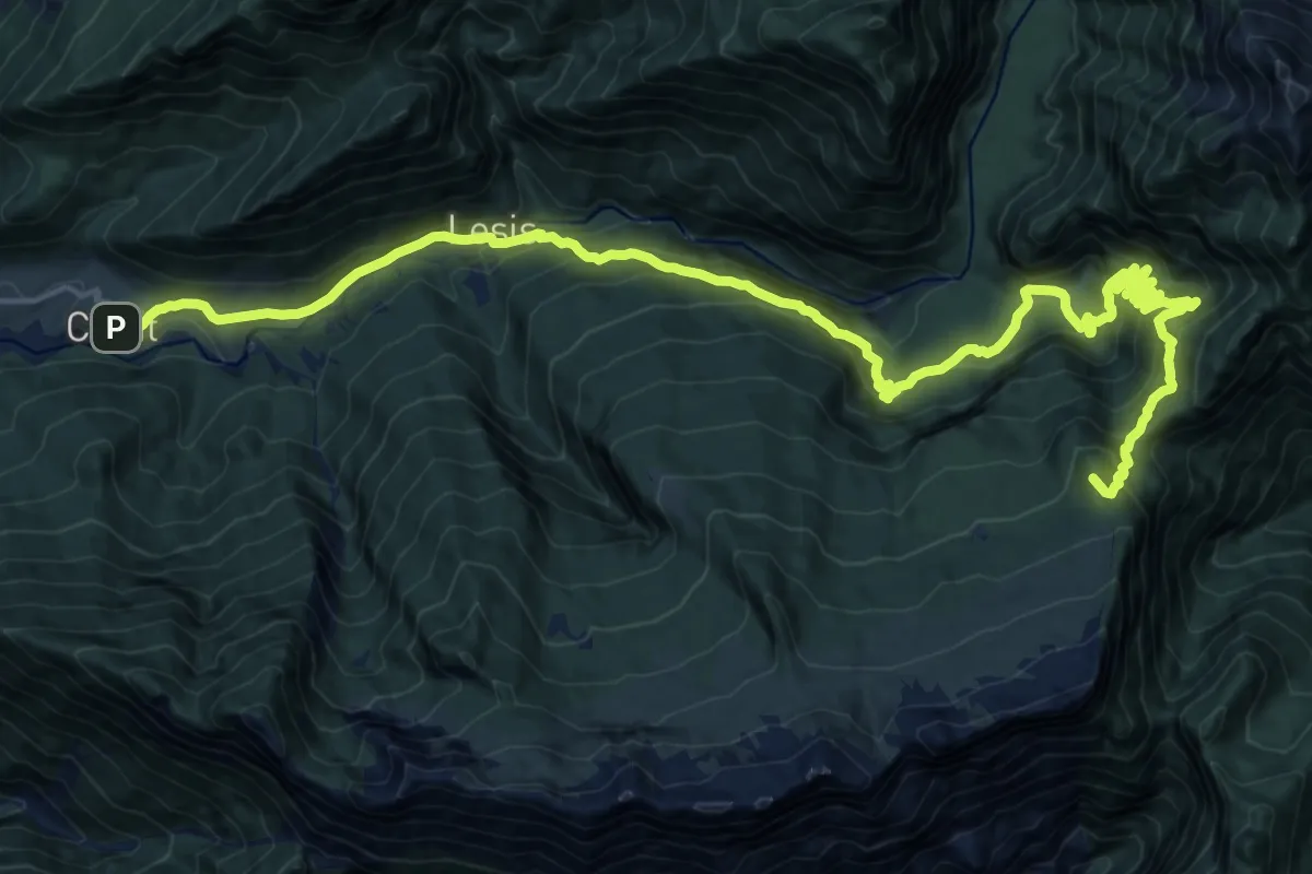
Demanding · Summit
Dolomites World Heritage Geotrail 27
25.5 km · ↑ 1861 m · 10 h 3 min
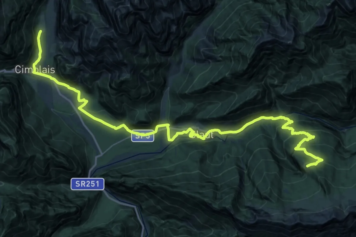
Demanding · Cabin
Dolomites World Heritage Geotrail 28
18.7 km · ↑ 1026 m · 6 h 32 min
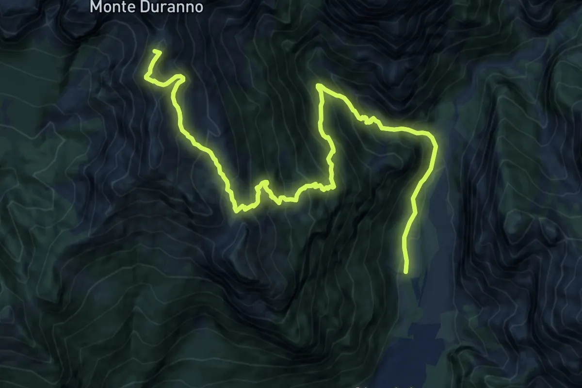
Demanding · Summit
Dolomites World Heritage Geotrail 29
18.0 km · ↑ 1835 m · 8 h 13 min
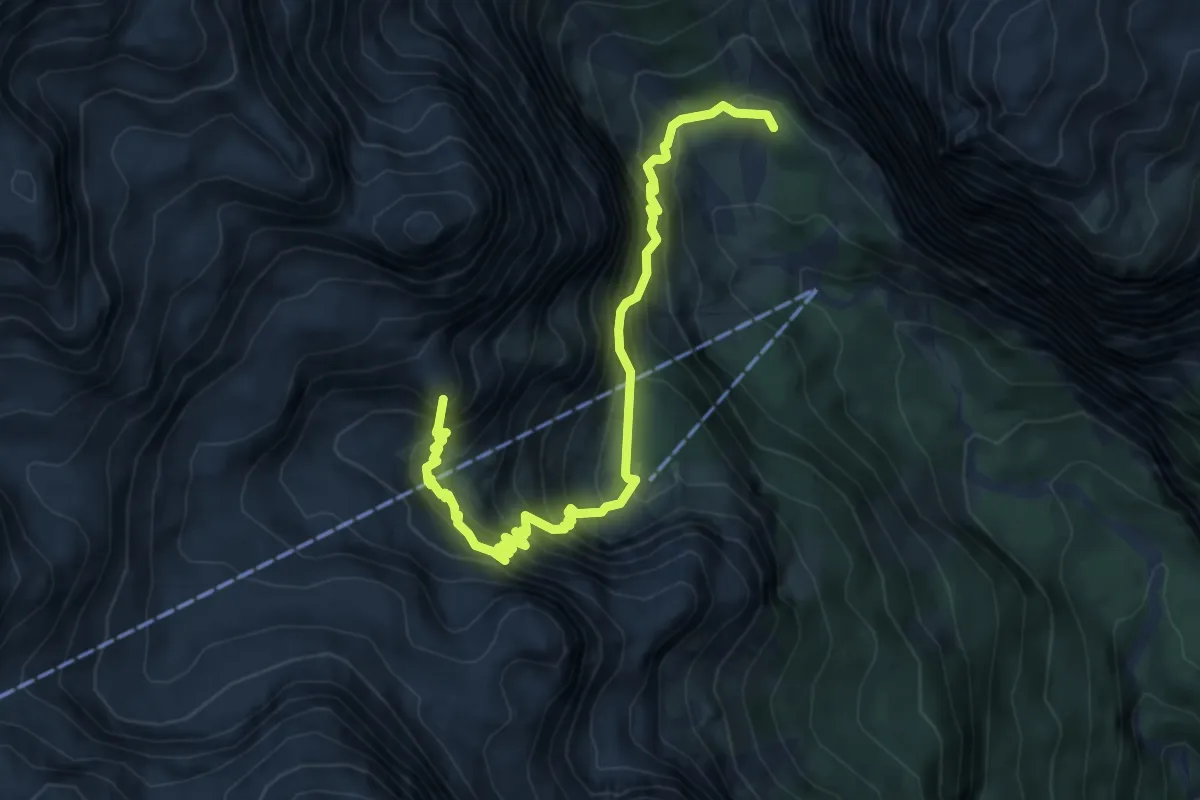
Medium · Summit
Dolomites World Heritage Geotrail 3
6.4 km · ↑ 626 m · 2 h 52 min
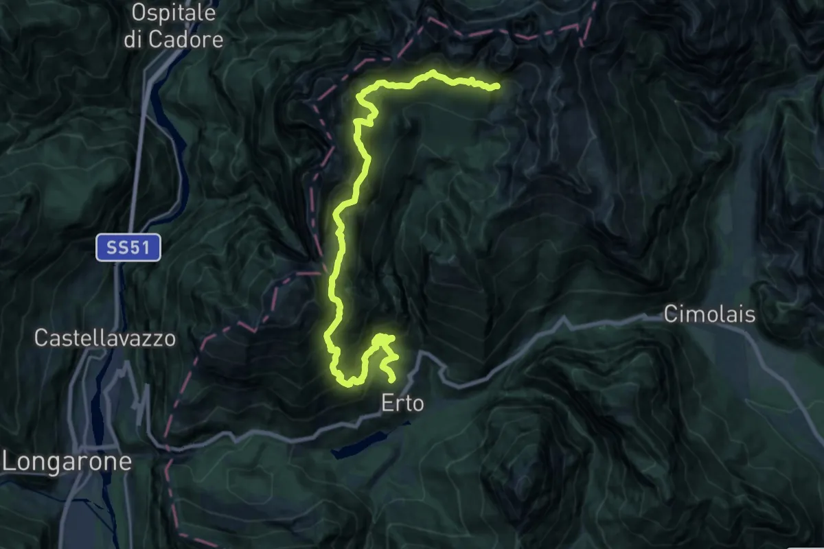
Demanding · Cabin
Dolomites World Heritage Geotrail 30
11.6 km · ↑ 2197 m · 7 h 13 min
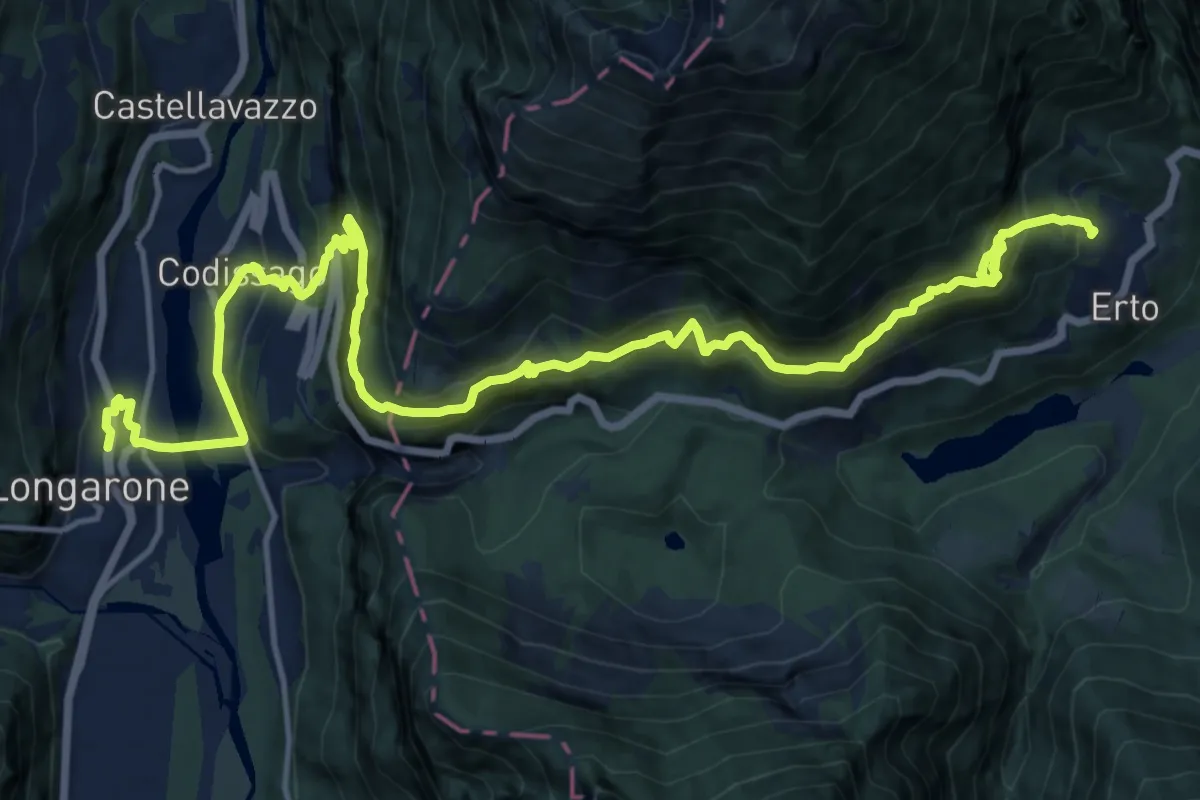
Demanding · Trail
Dolomites World Heritage Geotrail 31
10.1 km · ↑ 1076 m · 4 h 39 min
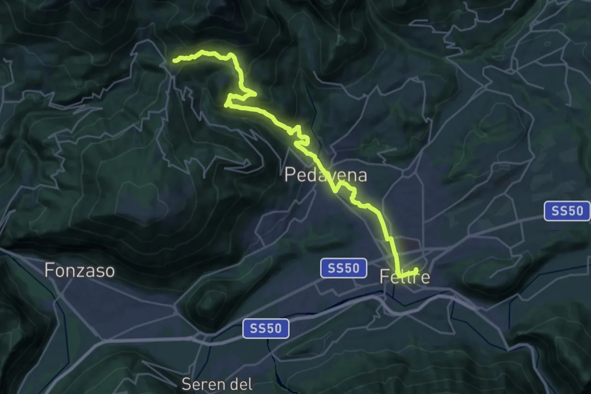
Medium · Trail
Dolomites World Heritage Geotrail 32
12.8 km · ↑ 155 m · 3 h 54 min
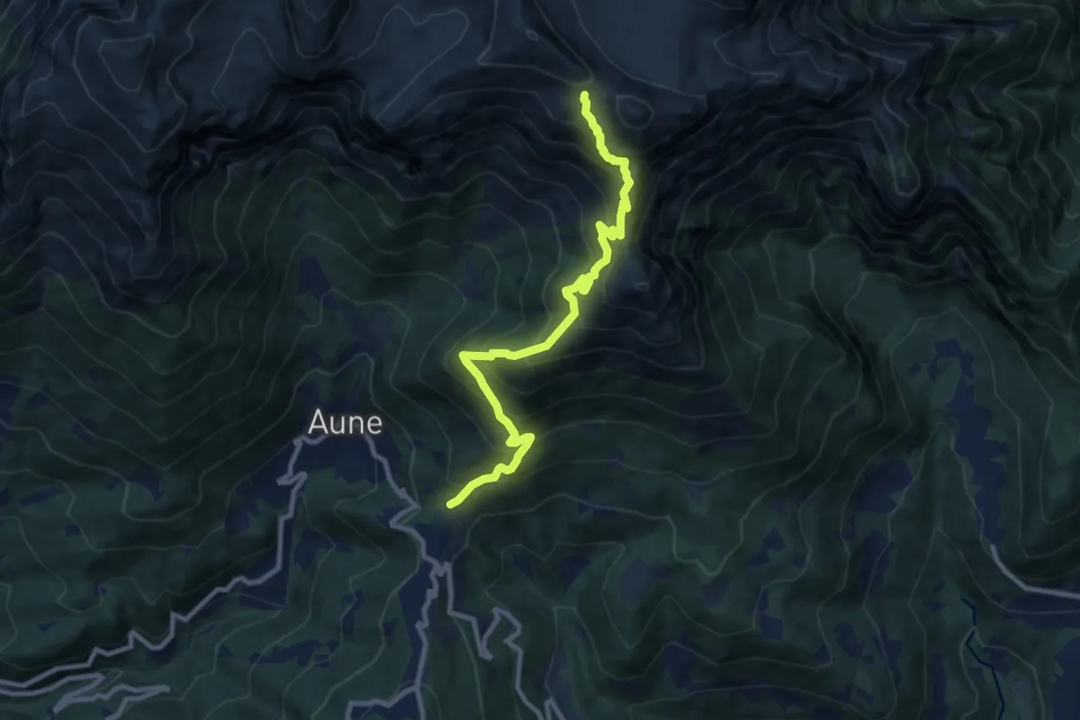
Demanding · Cabin
Dolomites World Heritage Geotrail 33
9.5 km · ↑ 1018 m · 4 h 27 min
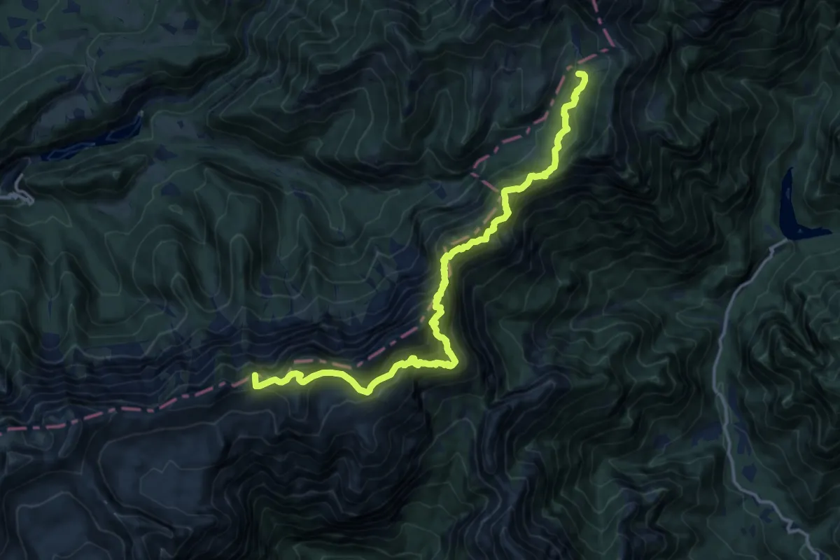
Expert · Summit
Dolomites World Heritage Geotrail 34
15.9 km · ↑ 1733 m · 7 h 31 min
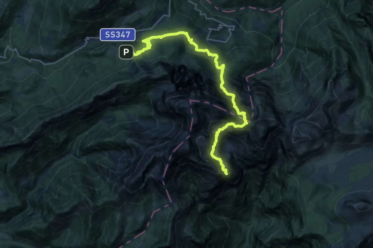
Demanding · Summit
Dolomites World Heritage Geotrail 35
19.6 km · ↑ 2339 m · 9 h 41 min
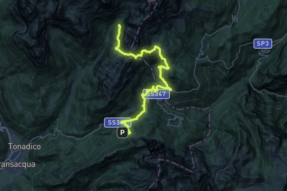
Demanding · Cabin
Dolomites World Heritage Geotrail 36
13.7 km · ↑ 1262 m · 6 h 7 min
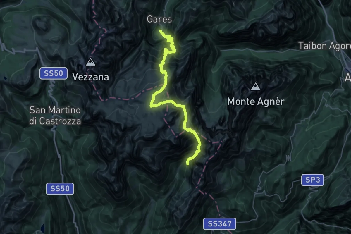
Demanding · Cabin
Dolomites World Heritage Geotrail 37
15.4 km · ↑ 1289 m · 6 h 46 min
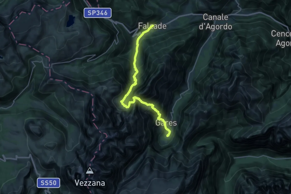
Demanding · Cabin
Dolomites World Heritage Geotrail 38
10.2 km · ↑ 1073 m · 4 h 47 min
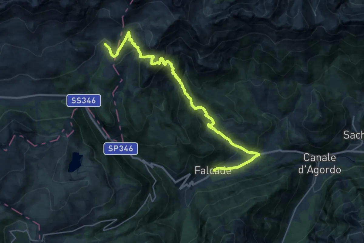
Demanding · Cabin
Dolomites World Heritage Geotrail 39
10.4 km · ↑ 1187 m · 4 h 46 min
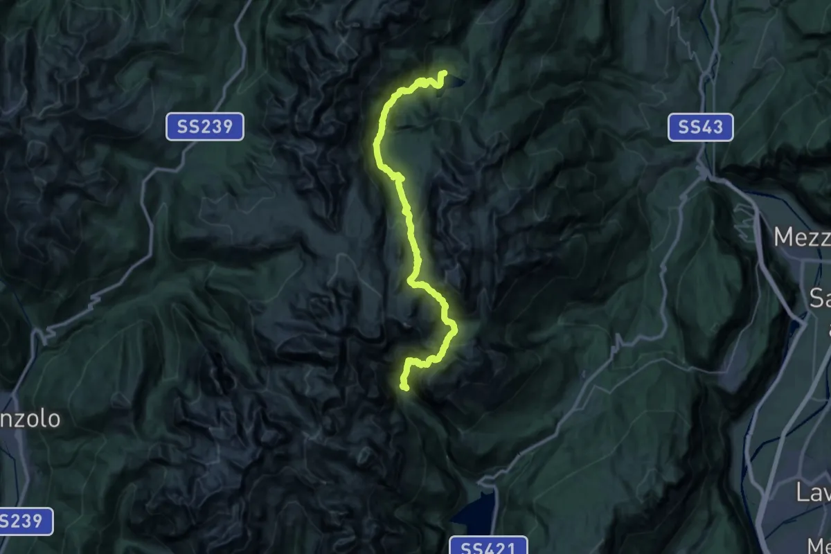
Demanding · Cabin
Dolomites World Heritage Geotrail 4
16.4 km · ↑ 1418 m · 7 h 3 min
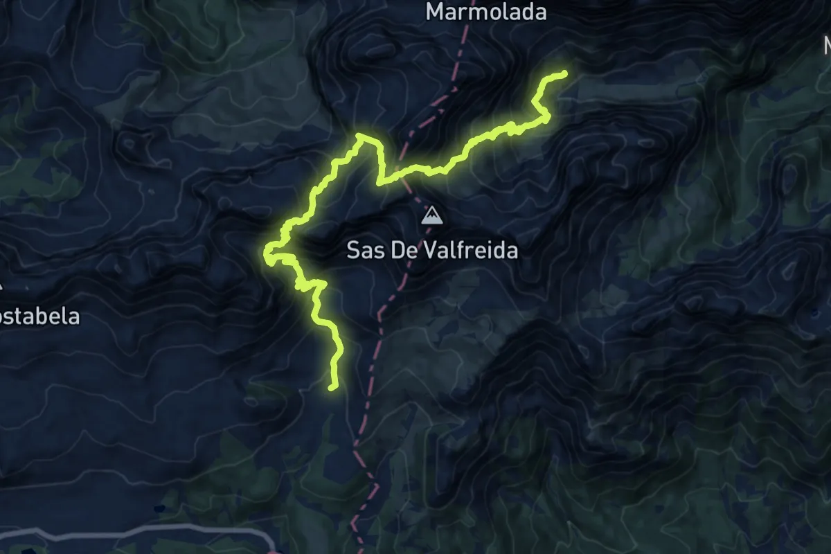
Demanding · Cabin
Dolomites World Heritage Geotrail 40
9.6 km · ↑ 977 m · 4 h 34 min
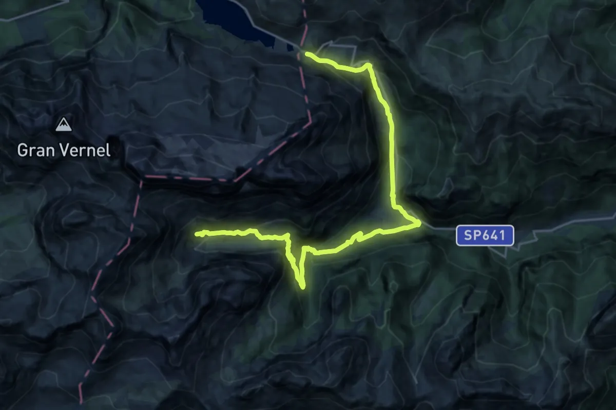
Medium · Cabin
Dolomites World Heritage Geotrail 41
10.6 km · ↑ 715 m · 4 h 13 min
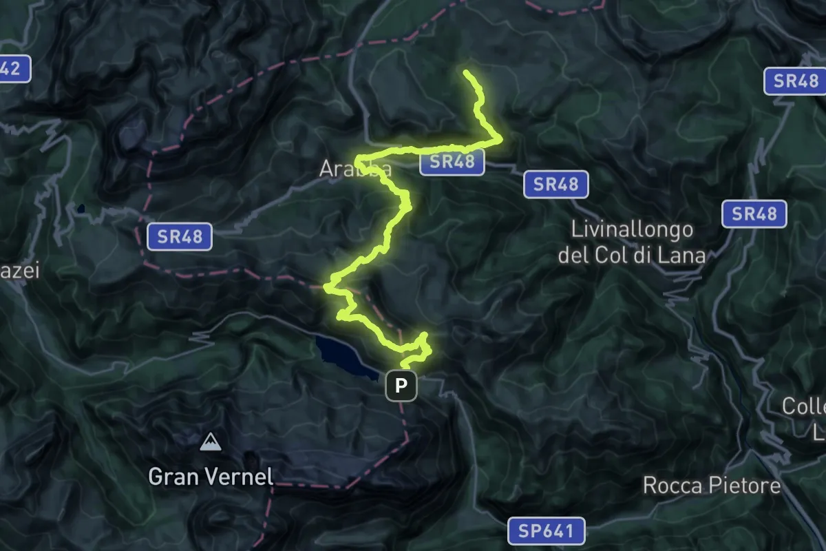
Expert · Cabin
Dolomites World Heritage Geotrail 42
17.0 km · ↑ 963 m · 6 h 29 min
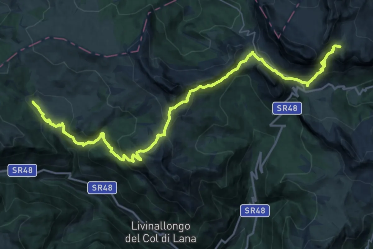
Demanding · Summit
Dolomites World Heritage Geotrail 43
29.4 km · ↑ 1855 m · 10 h 57 min
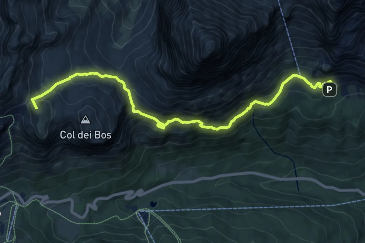
Medium · Summit
Dolomites World Heritage Geotrail 44
10.7 km · ↑ 790 m · 4 h 14 min
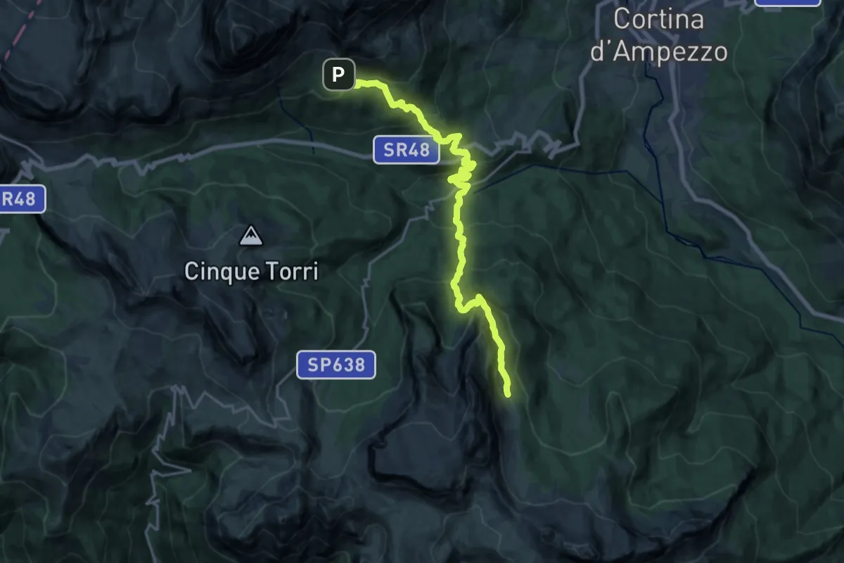
Demanding · Cabin
Dolomites World Heritage Geotrail 45
19.3 km · ↑ 1247 m · 7 h 15 min
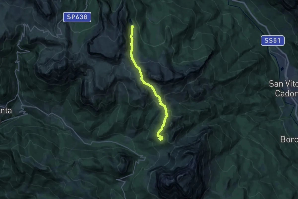
Demanding · Cabin
Dolomites World Heritage Geotrail 46
14.2 km · ↑ 802 m · 5 h 5 min
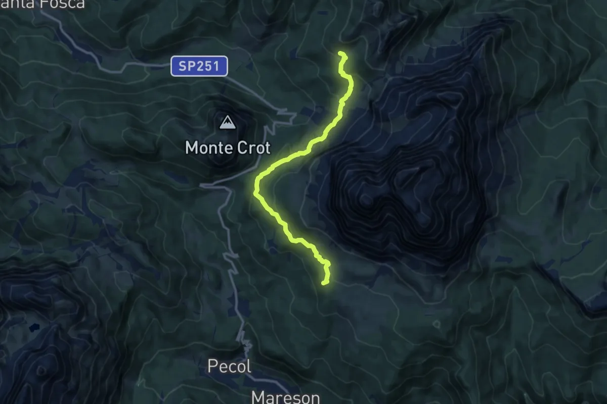
Medium · Summit
Dolomites World Heritage Geotrail 47
10.5 km · ↑ 476 m · 3 h 31 min
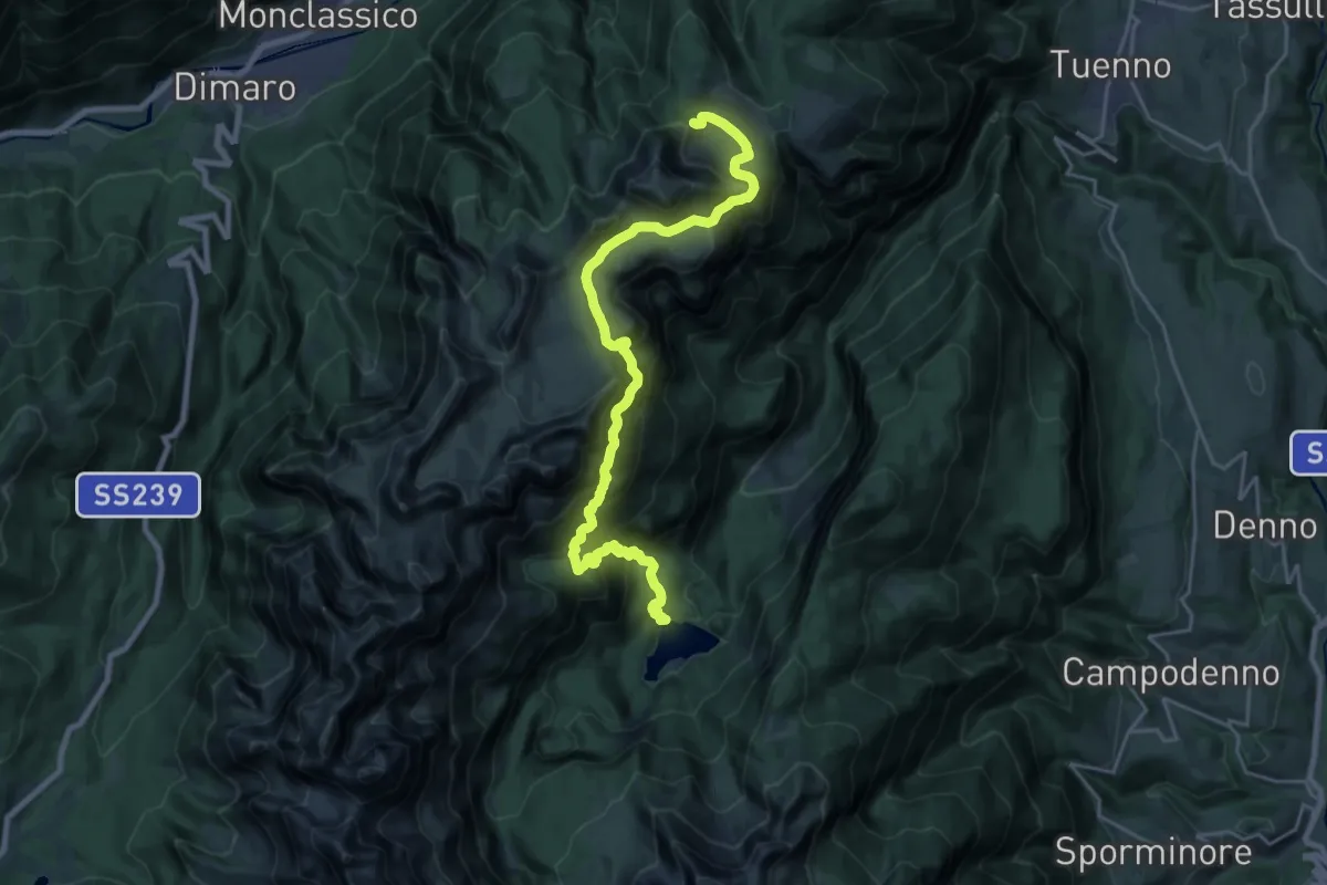
Demanding · Cabin
Dolomites World Heritage Geotrail 5
11.8 km · ↑ 1278 m · 5 h 20 min
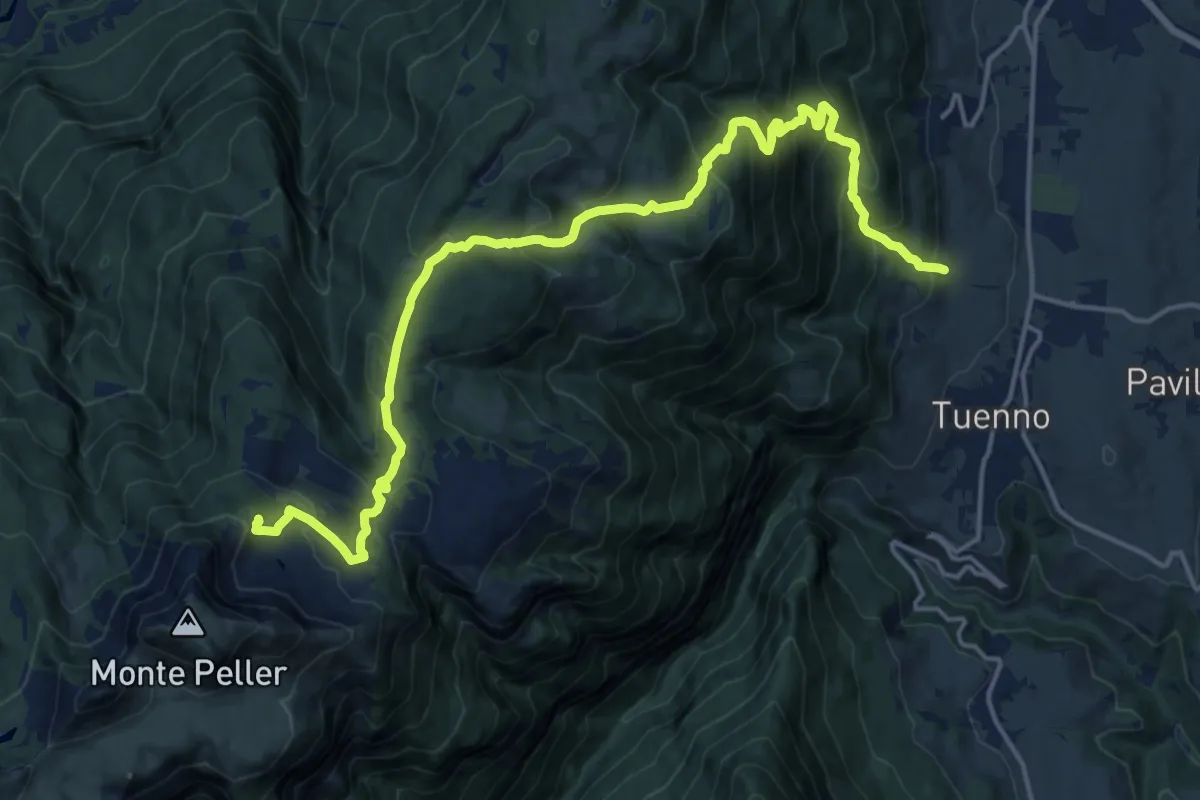
Demanding · Cabin
Dolomites World Heritage Geotrail 6
19.6 km · ↑ 1297 m · 7 h 26 min
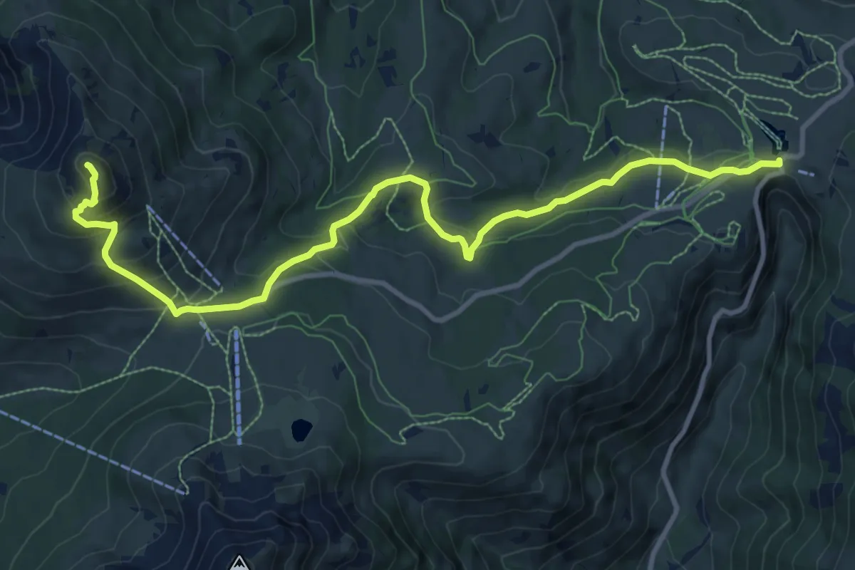
Demanding · Summit
Dolomites World Heritage Geotrail 7
11.0 km · ↑ 539 m · 3 h 46 min
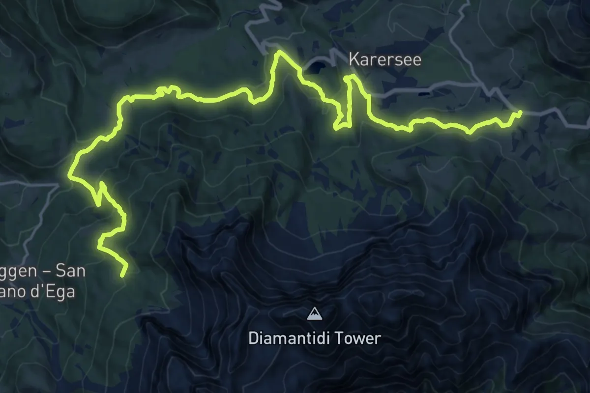
Demanding · Summit
Dolomites World Heritage Geotrail 8
24.4 km · ↑ 1015 m · 7 h 57 min
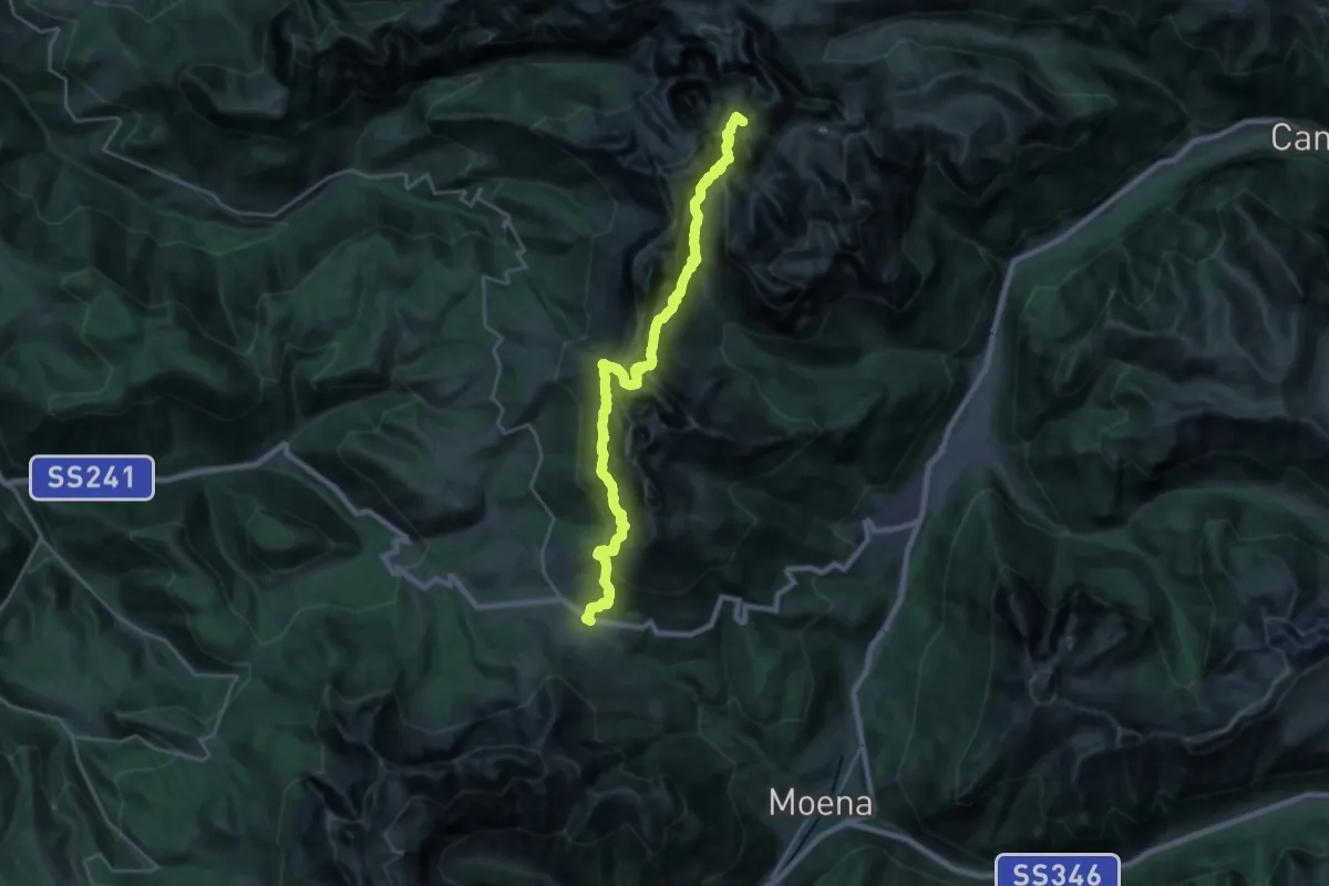
Demanding · Summit
Dolomites World Heritage Geotrail 9
24.7 km · ↑ 2446 m · 11 h 9 min
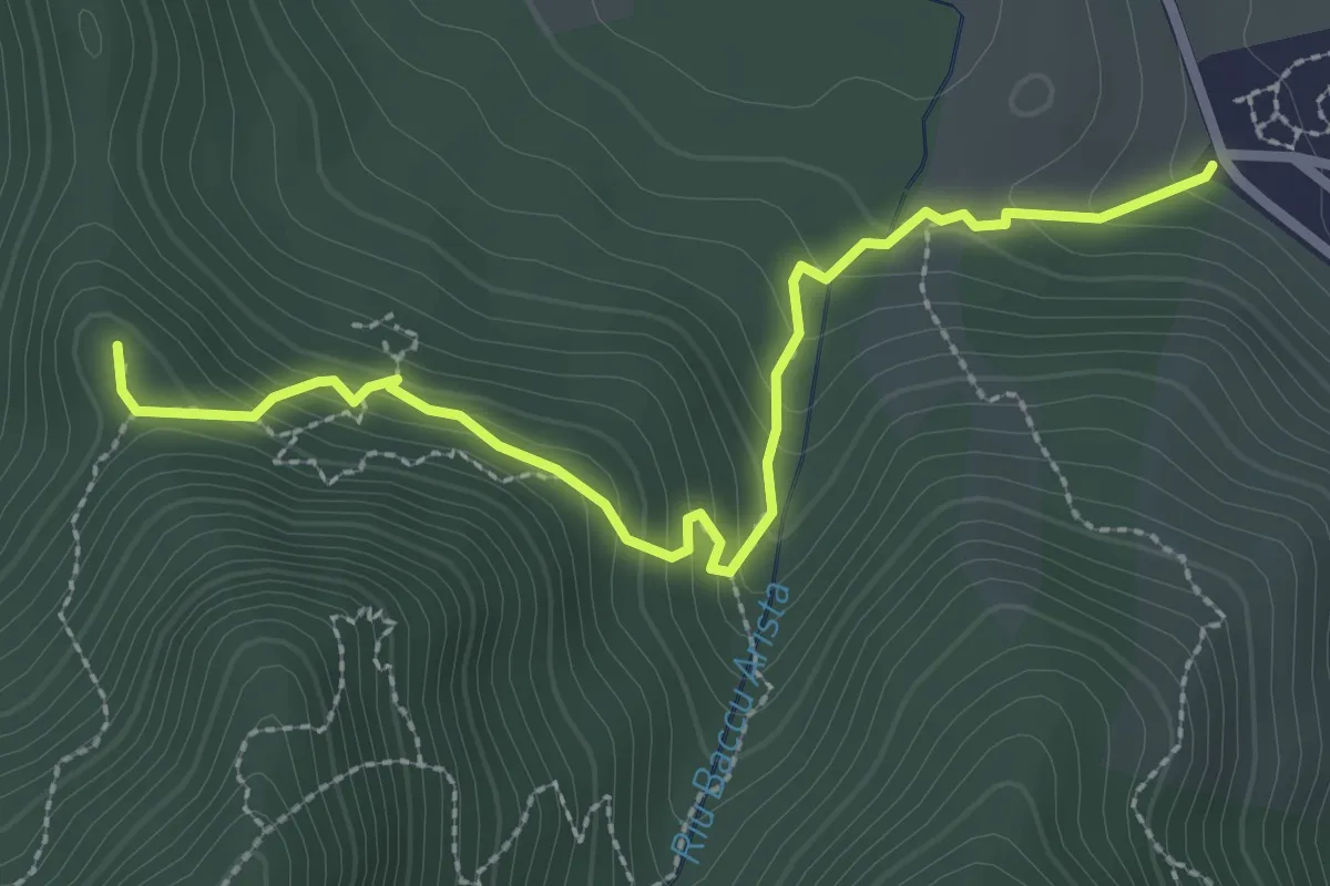
Easy · Trail
Domus de Janas di Monte Arista and Nuraghe Is Follas
3.3 km · ↑ 222 m · 1 h 15 min
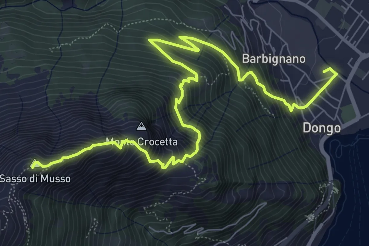
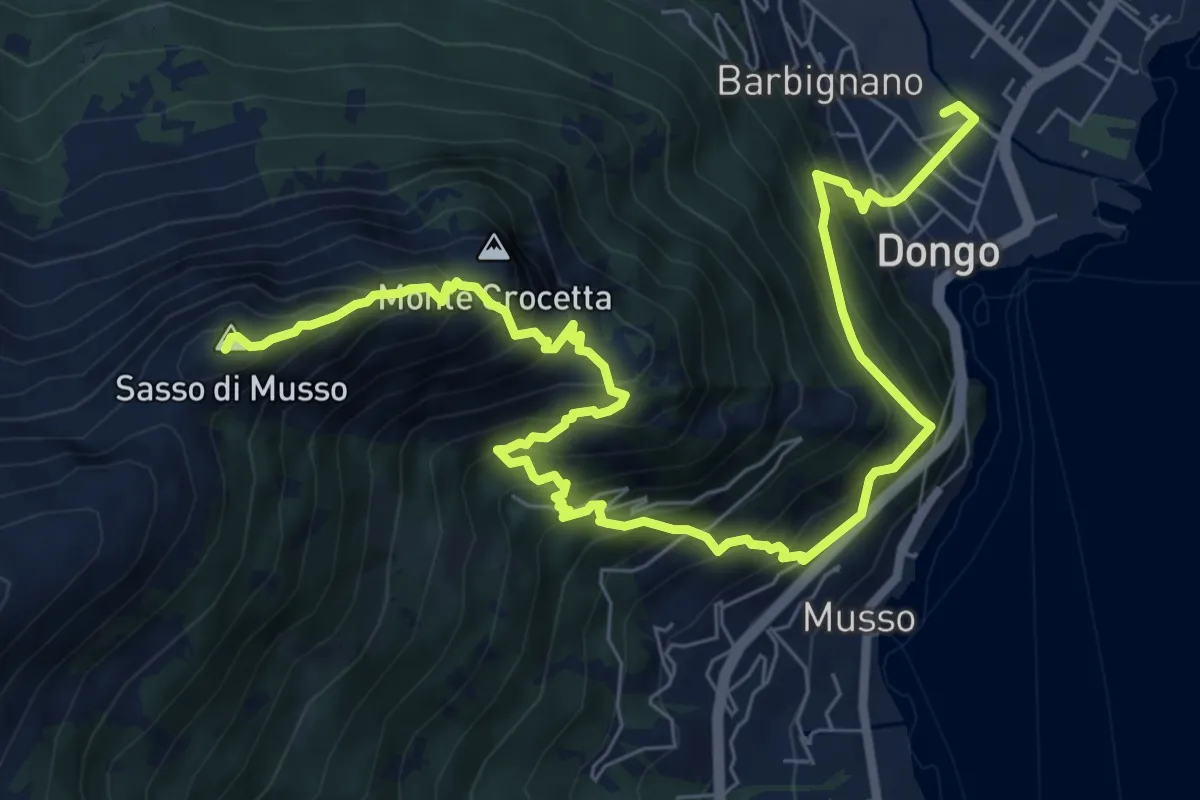
Demanding · Summit
Dongo-La Corna-Sasso di Musso-San Bernardo
9.2 km · ↑ 967 m · 4 h 16 min
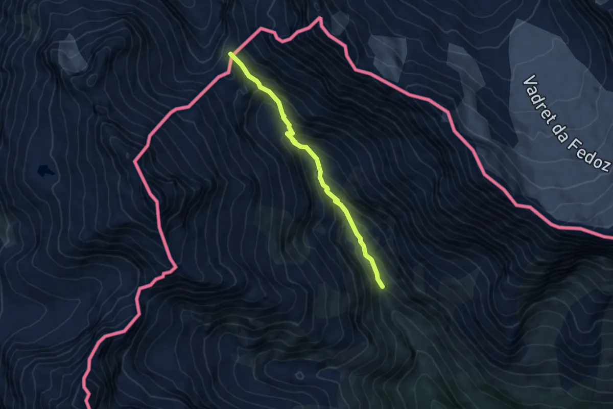
Demanding · Summit
Dongo-Santa Eufemia-Sasso di Musso-San Bernardo
10.1 km · ↑ 1214 m · 5 h 1 min
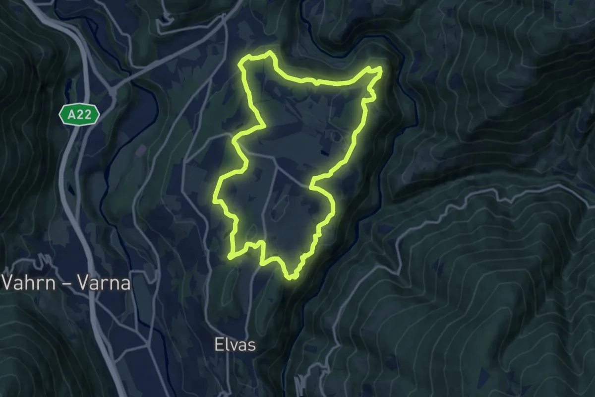
Medium · Trail
Don Nicolò to Passo del Muretto
5.2 km · ↑ 466 m · 2 h 15 min
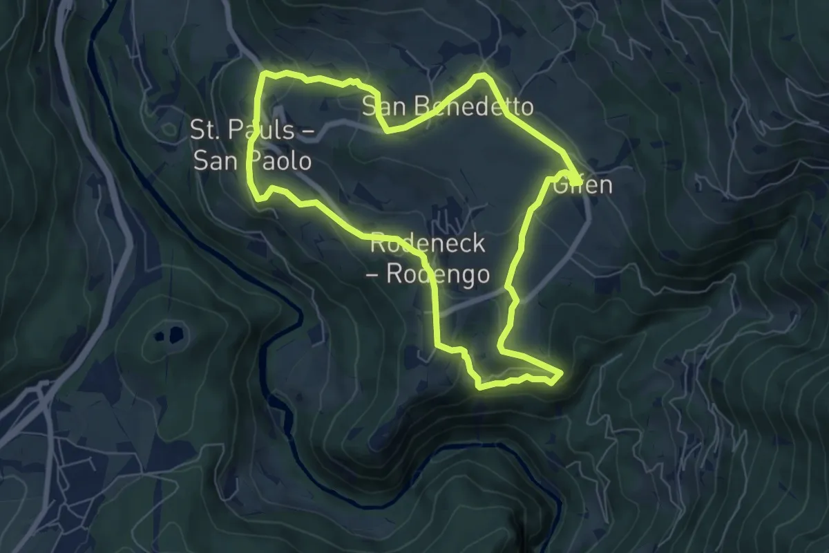
Medium · Trail
Dörferrunde (Natz => Raas => Schabs => Viums)
12.0 km · ↑ 340 m · 3 h 44 min
Easy · Trail
Dörferrunde (Vill => St. Pauls => Nauders => Gifen)
6.5 km · ↑ 234 m · 2 h 8 min
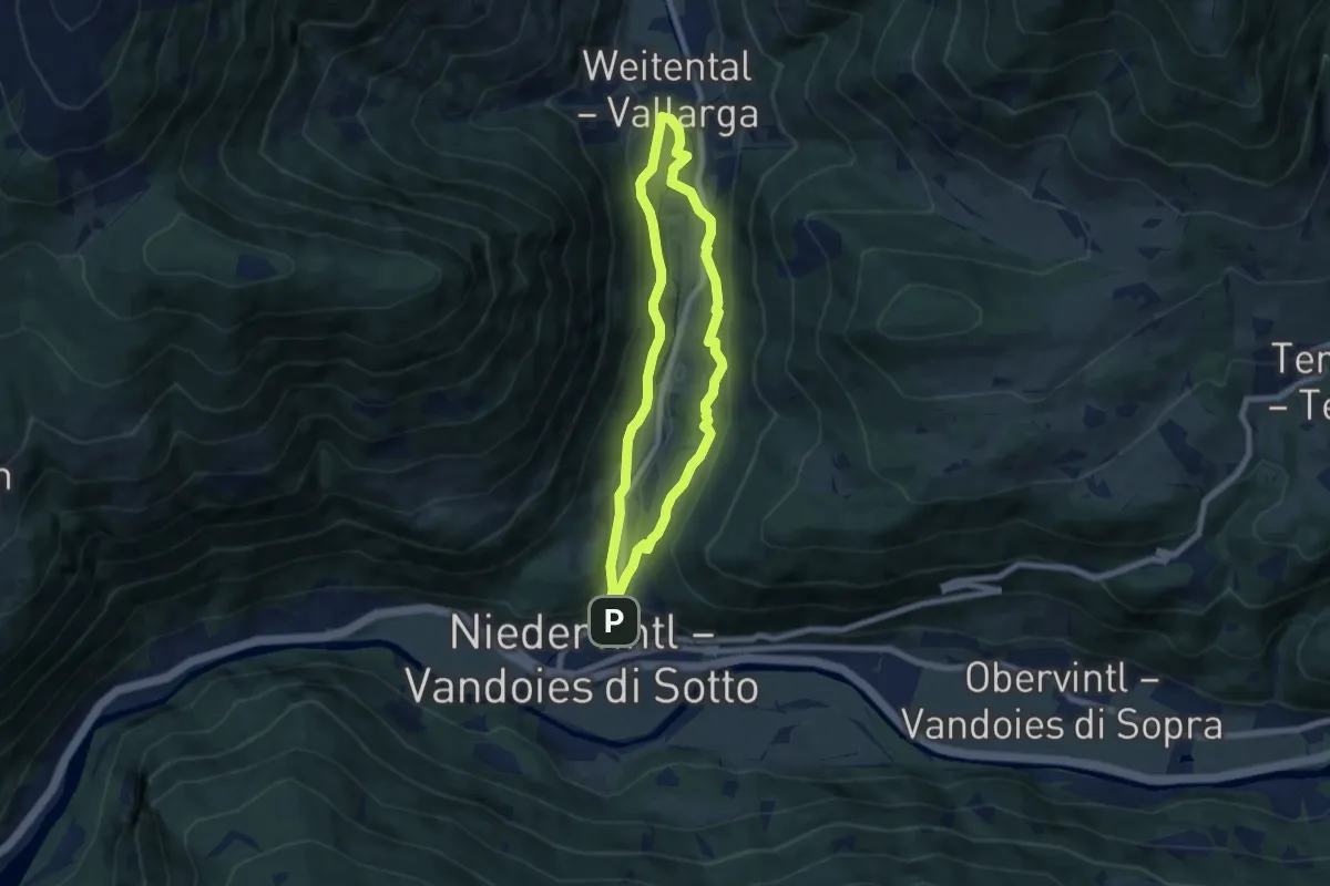
Easy · Trail
Dörferrundweg
6.2 km · ↑ 196 m · 1 h 59 min
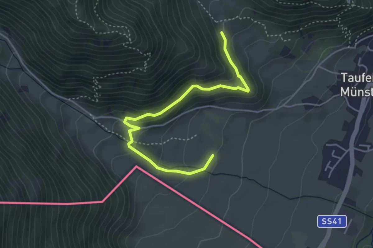
Medium · Trail
Dorfrundweg
4.1 km · ↑ 259 m · 1 h 32 min
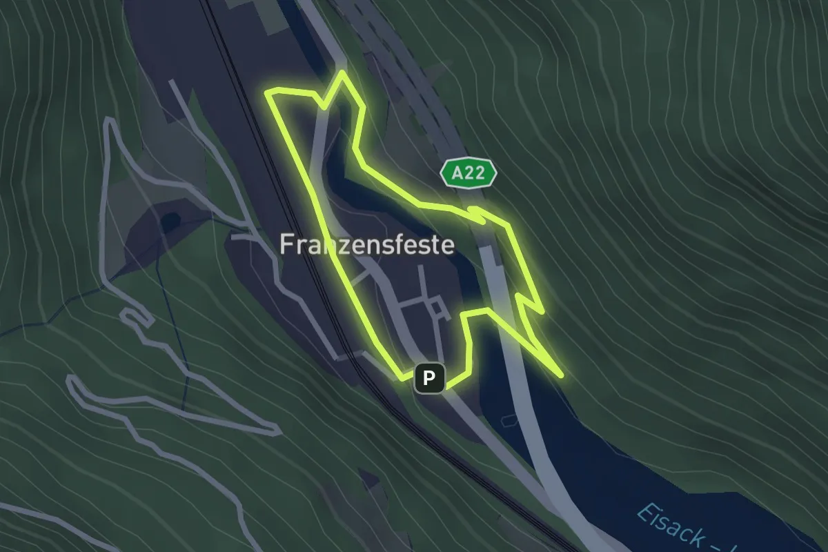
Easy · Trail
Dorfrundweg
2.1 km · ↑ 68 m · 40 min
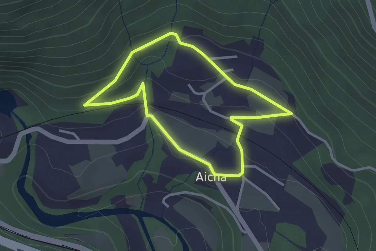
Easy · Trail
Dorfrundweg (Aicha)
2.3 km · ↑ 84 m · 45 min
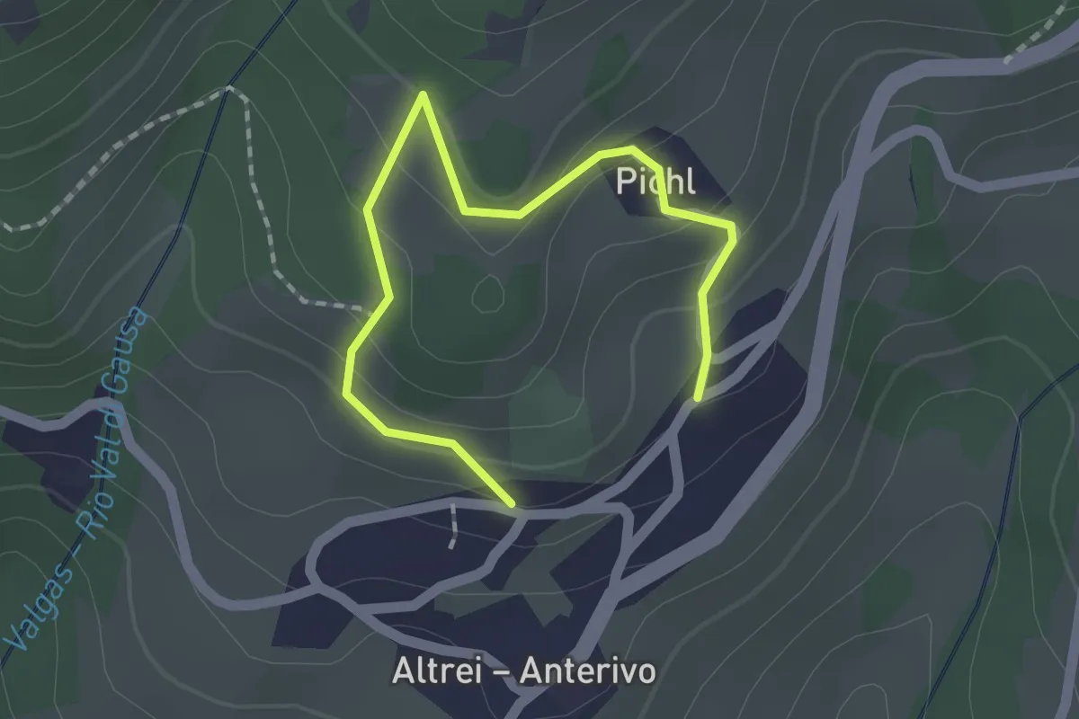
Easy · Trail
Dorfrundweg - Giro del Paese
2.0 km · ↑ 109 m · 42 min
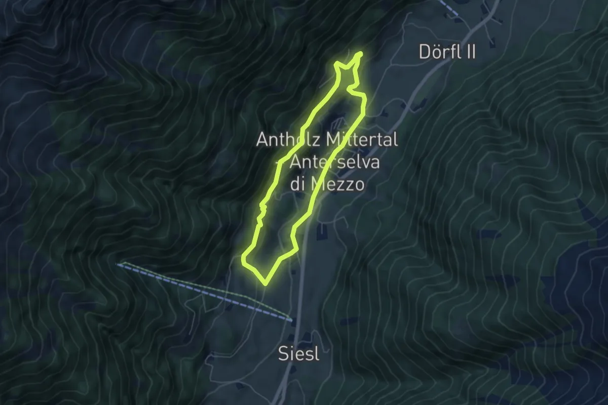
Easy · Trail
Dorfrundweg Mittertal
4.7 km · ↑ 230 m · 1 h 41 min
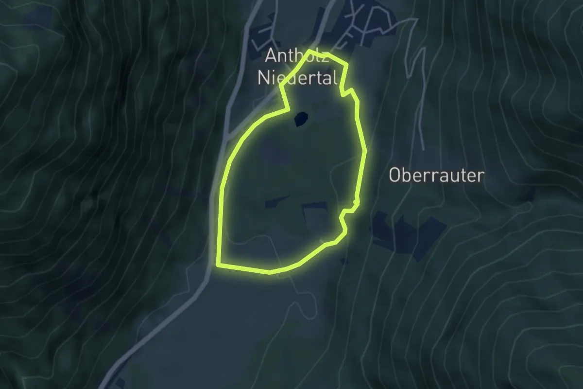
Easy · Trail
Dorfrundweg Niedertal
3.0 km · ↑ 90 m · 57 min
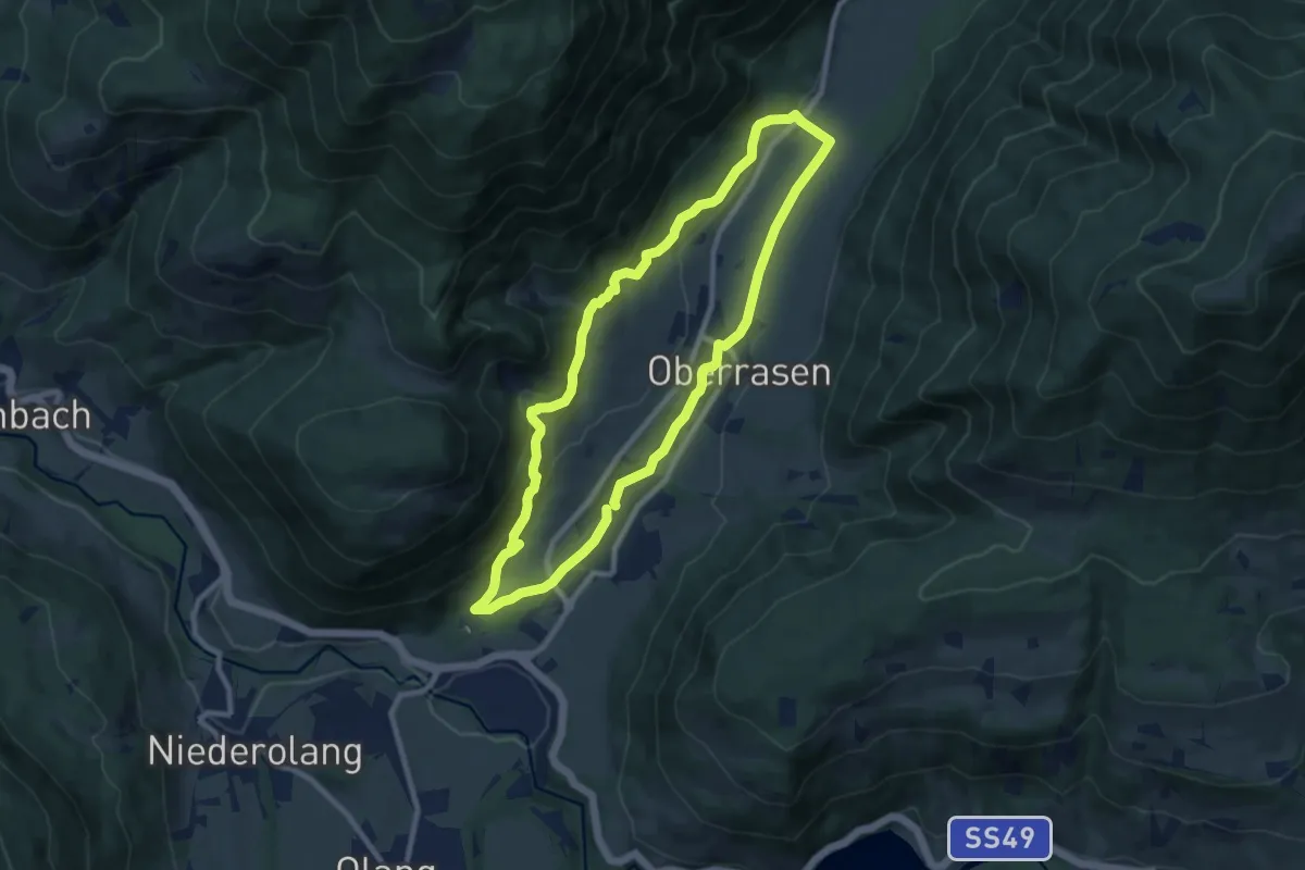
Medium · Trail
Dorfrundweg Rasen
8.5 km · ↑ 282 m · 2 h 44 min