Trails in Italy
25,211 hiking trails, each with its route, climb, walking time and grade.
All trails, page 64 of 526
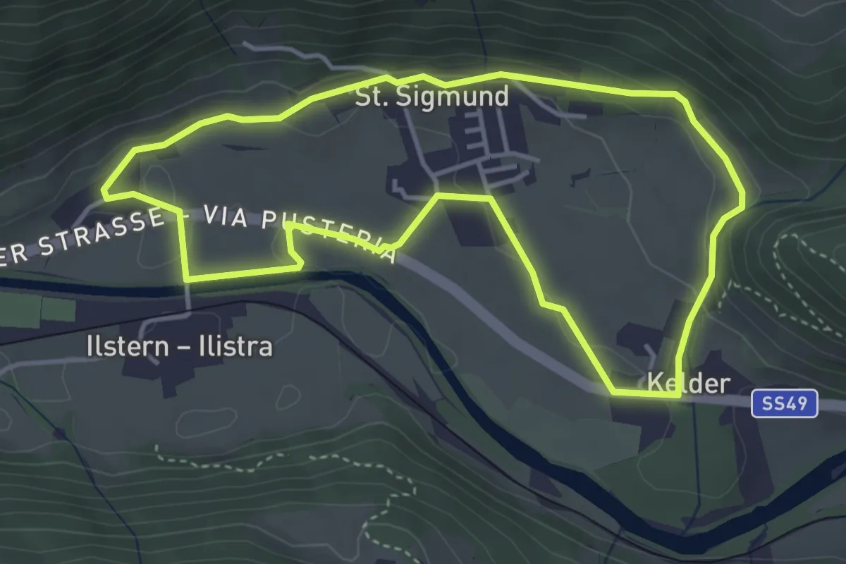
Easy · Trail
Dorfrundweg St. Sigmund
3.8 km · ↑ 94 m · 1 h 10 min
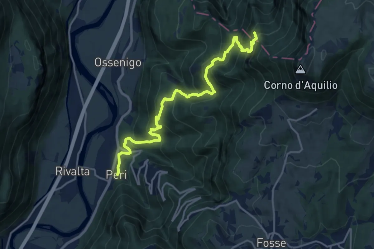
Demanding · Summit
Dorsale Alta della Lessinia - 4° tratto - Sentiero di Rocca Pia
11.8 km · ↑ 1081 m · 5 h 8 min
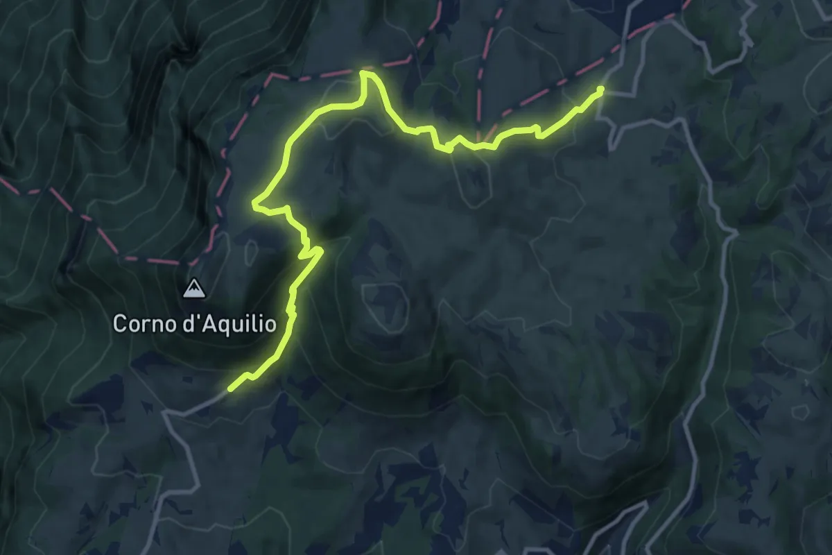
Medium · Trail
Dorsale Alta della Lessinia sezione Passo Fittanze - Tommasi
11.7 km · ↑ 577 m · 4 h
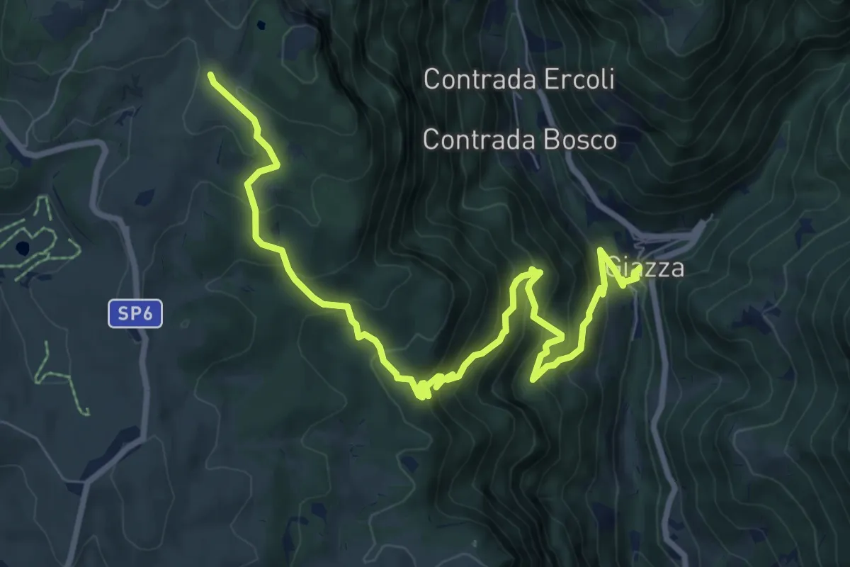
Demanding · Trail
Dorsale Alta della Lessinia tratto Giazza - Parparo di Sopra
9.9 km · ↑ 856 m · 4 h 11 min
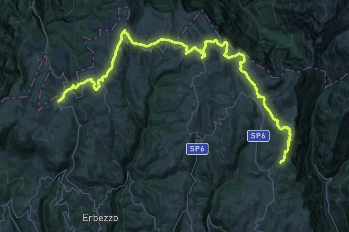
Demanding · Trail
Dorsale Alta della Lessinia tratto Parparo di Sopra - Passo Fittanze
19.8 km · ↑ 644 m · 6 h 18 min
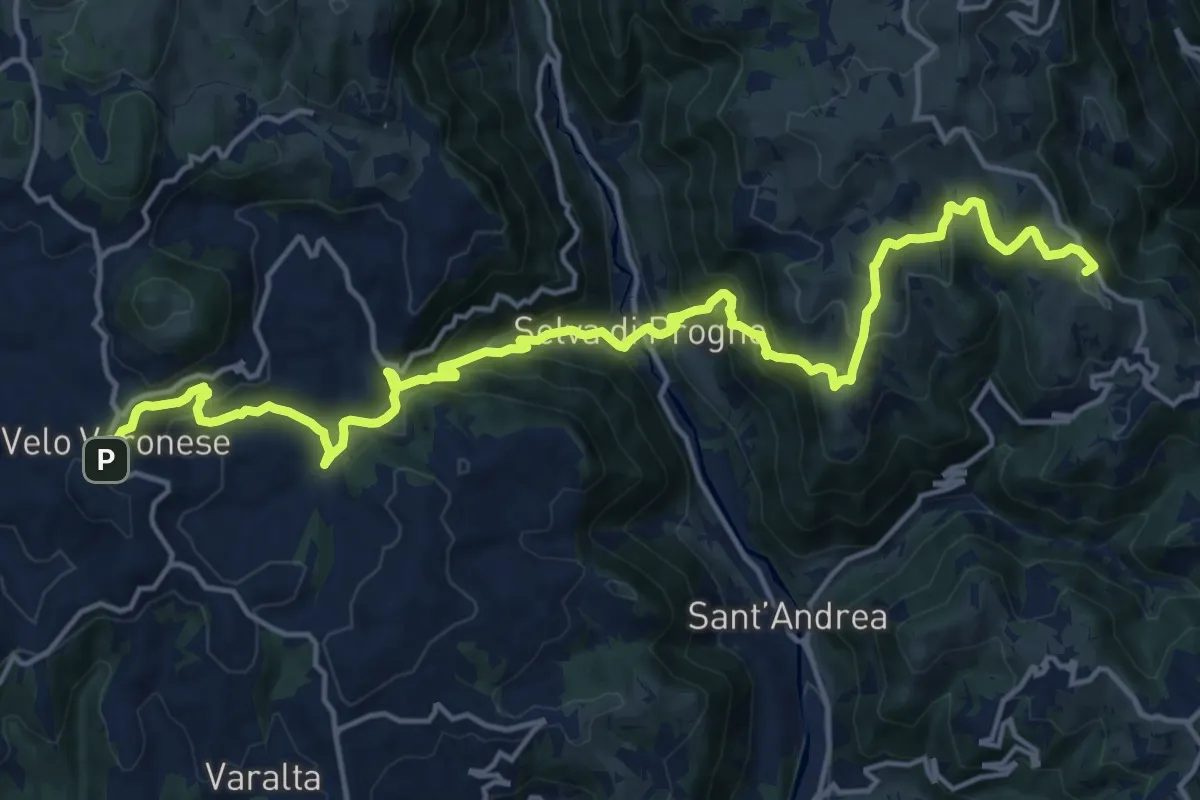
Demanding · Summit
Dorsale Bassa della Lessinia sezione Bolca - Velo
20.4 km · ↑ 1305 m · 7 h 39 min
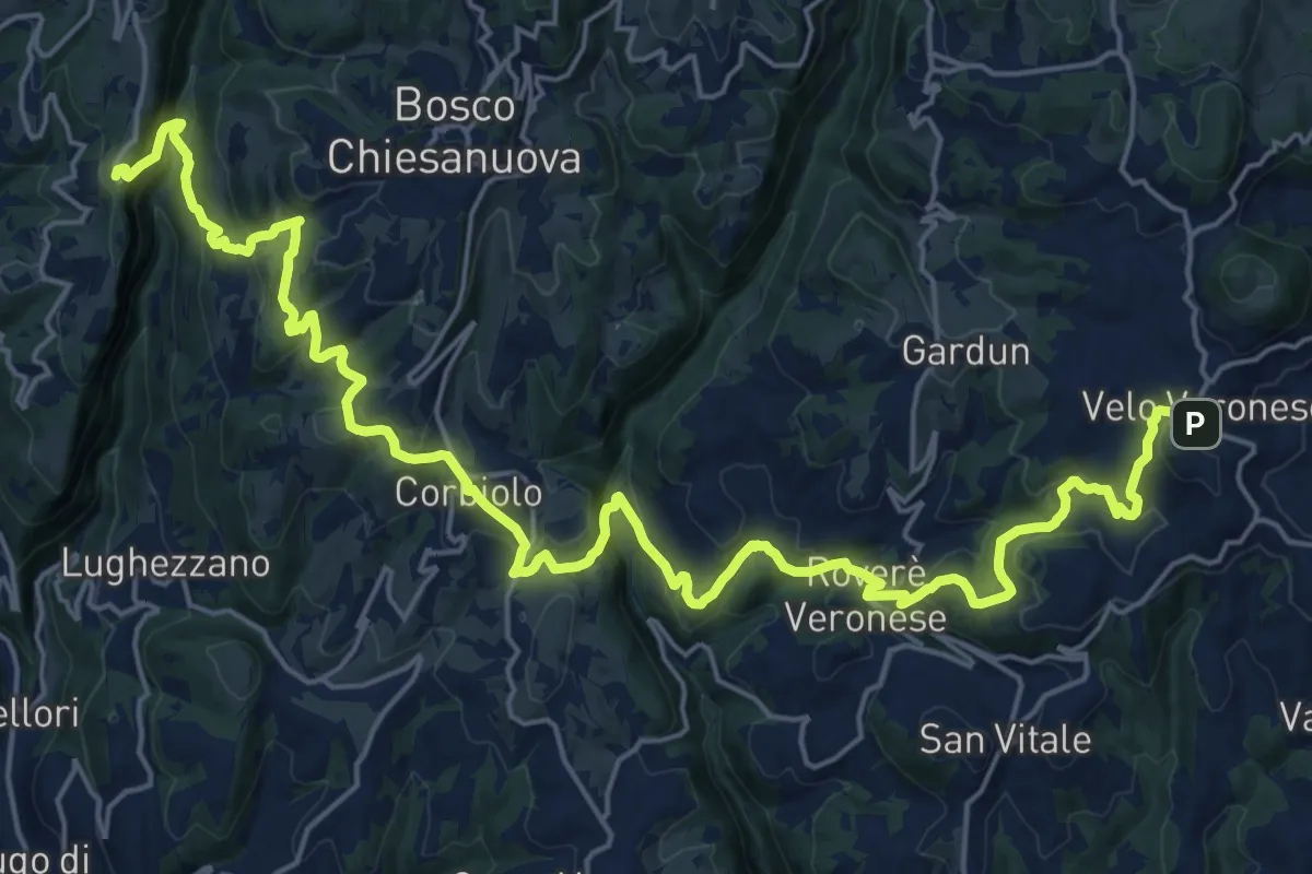
Demanding · Trail
Dorsale Bassa della Lessinia sezione Velo - Genderli
14.6 km · ↑ 594 m · 5 h 1 min
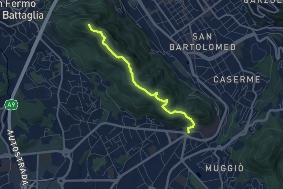
Easy · Summit
Dorsale collinare
6.0 km · ↑ 250 m · 1 h 58 min
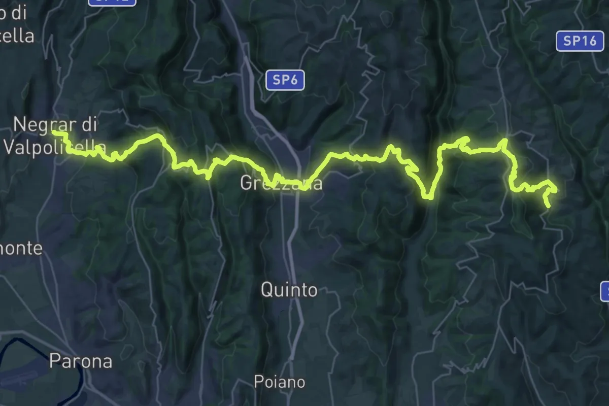
Demanding · Trail
Dorsale delle Cinque Valli
24.2 km · ↑ 1289 m · 8 h 44 min
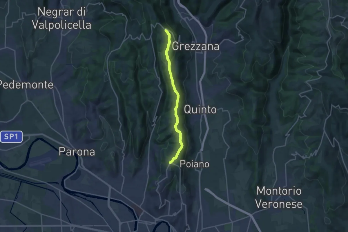
Medium · Trail
Dorsale delle Torricelle
13.1 km · ↑ 260 m · 3 h 39 min
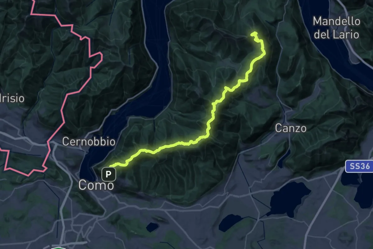
Demanding · Summit
Dorsale del Triangolo Lariano
44.3 km · ↑ 2300 m · 15 h 26 min
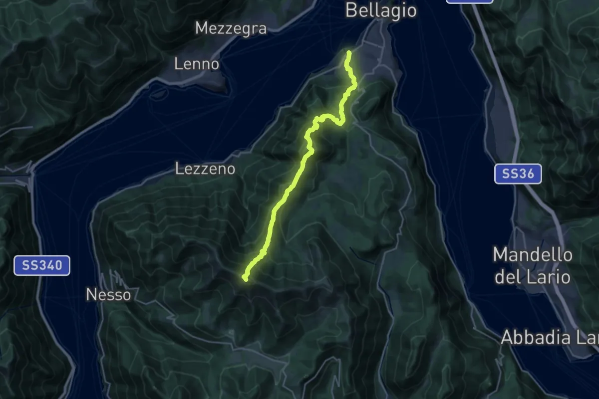
Expert · Summit
Dorsale del Triangolo Lariano per cresta
19.2 km · ↑ 1785 m · 8 h 24 min
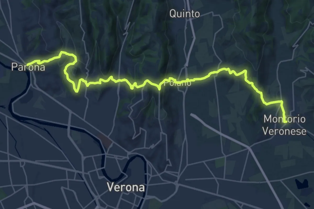
Medium · Trail
Dorsale Giuliani
14.8 km · ↑ 490 m · 4 h 46 min
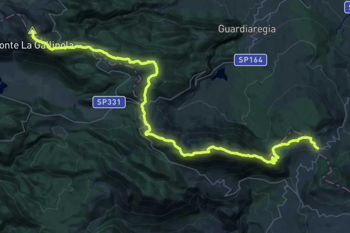
Demanding · Summit
Dorsale Matese
43.9 km · ↑ 2248 m · 15 h 14 min
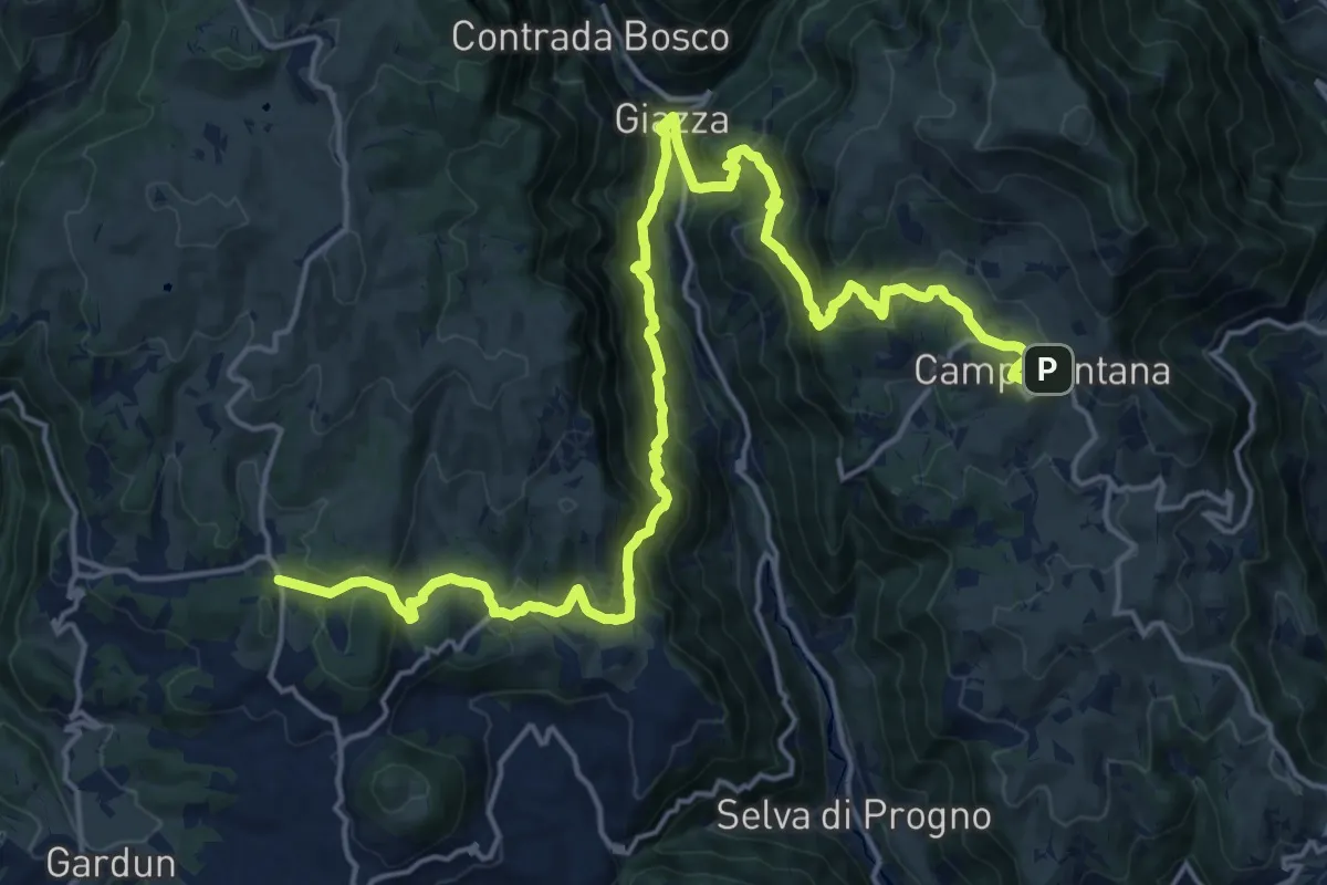
Medium · Trail
Dorsale Media della Lessinia - Tappa 1
12.2 km · ↑ 748 m · 4 h 41 min
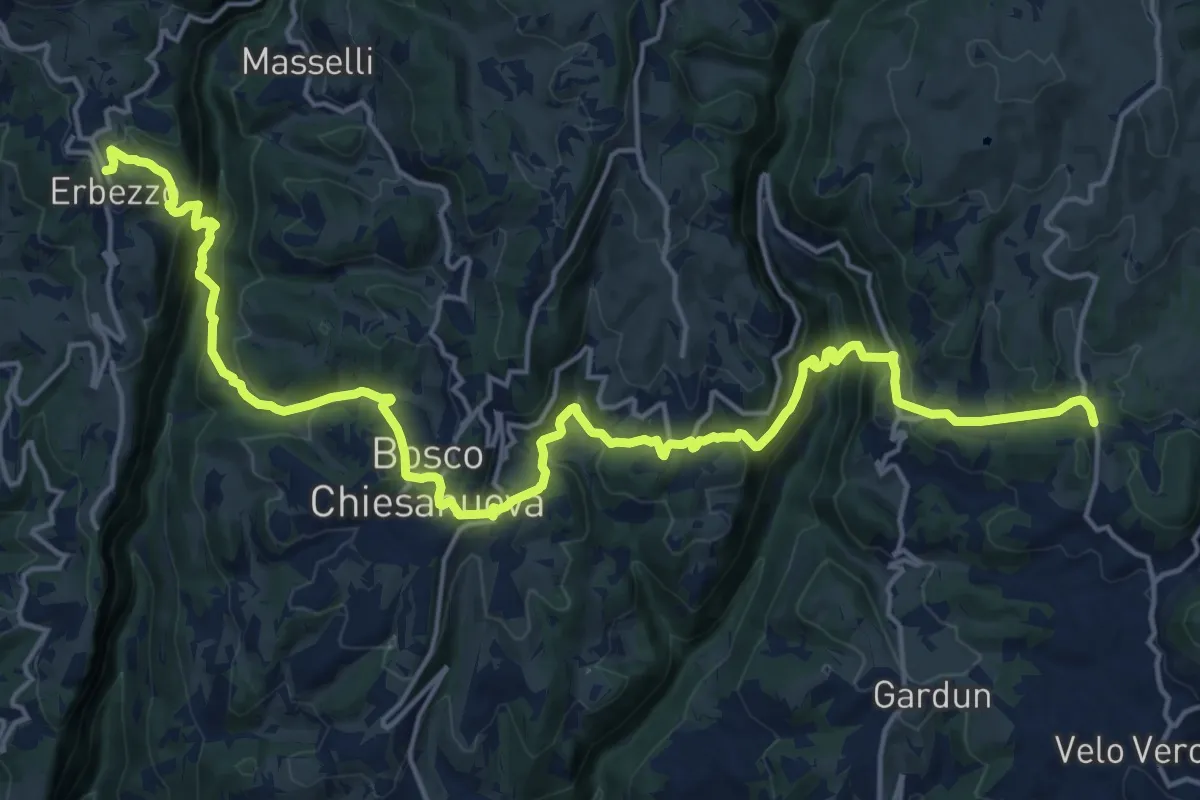
Demanding · Trail
Dorsale Media della Lessinia - Tappa 2
11.6 km · ↑ 670 m · 4 h 23 min
Demanding · Trail
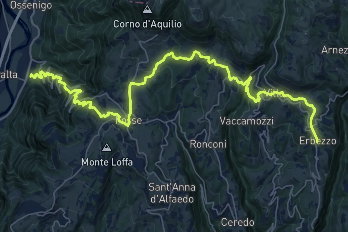
Dorsale Media della Lessinia - Tappa 3
15.0 km · ↑ 350 m · 4 h 59 min
Medium · Summit
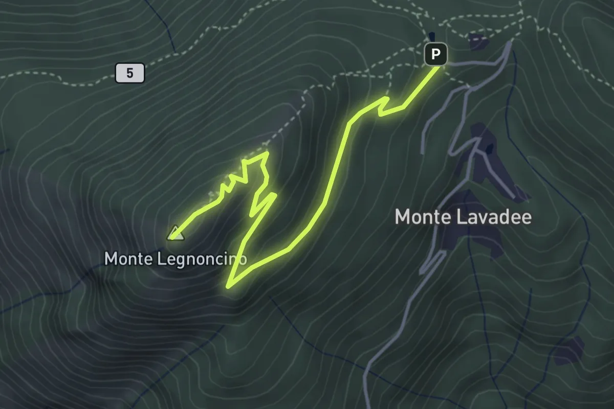
Dorsale Orobica Lecchese (deviazione per il Monte Legnoncino)
4.4 km · ↑ 229 m · 1 h 32 min
Easy · Trail
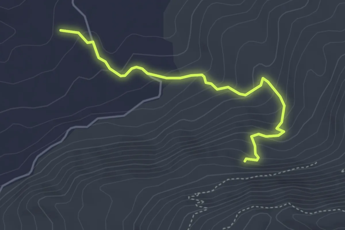
Dorsale Pizzo San Filippo, Monte Pernice e Monte delle Rose (variante A)
4.7 km · ↑ 282 m · 1 h 43 min
Demanding · Trail
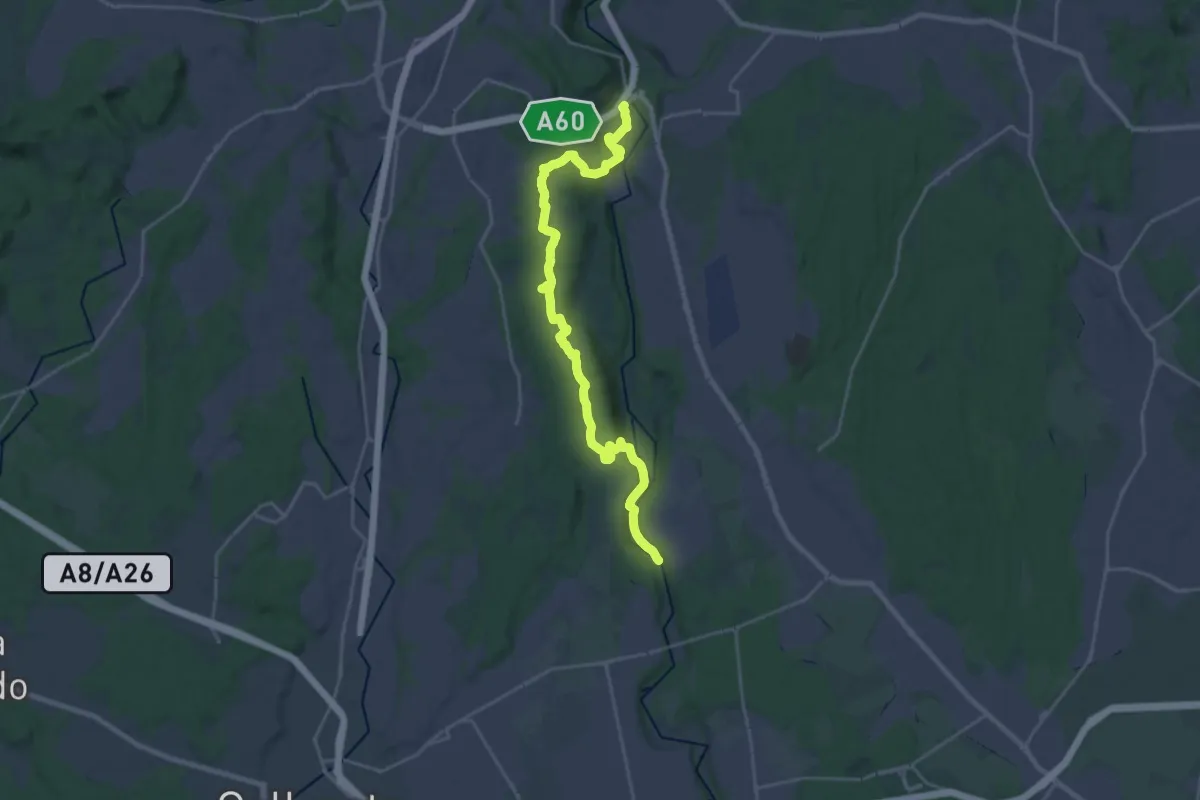
Dorsale Rile-Tenore-Olona
26.4 km · ↑ 426 m · 7 h 9 min
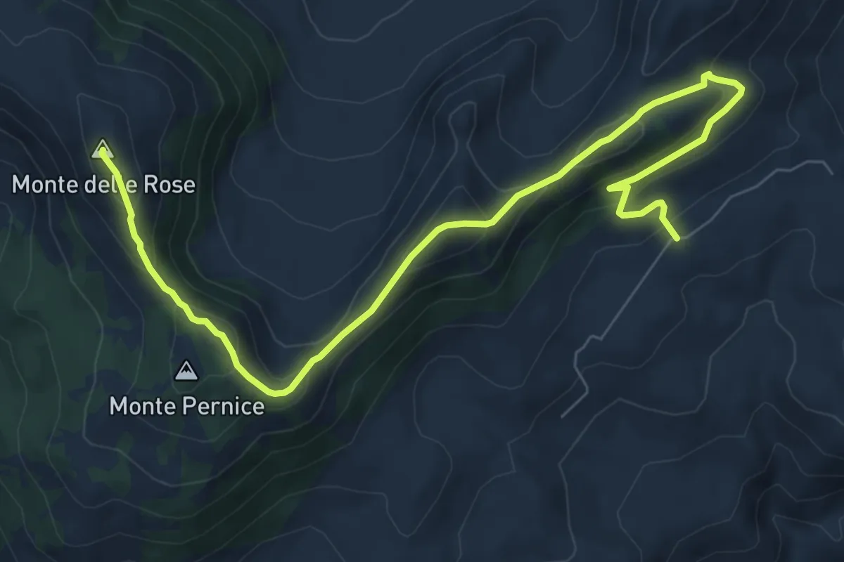
Medium · Summit
Dorsale San Filippo, Monte Pernice e Monte delle Rose
10.6 km · ↑ 583 m · 3 h 46 min
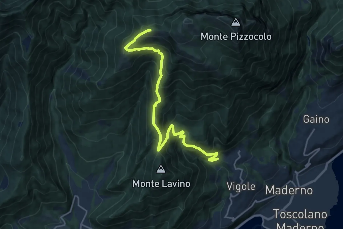
Demanding · Trail
Dos delle Prade - Magnico
12.9 km · ↑ 1066 m · 5 h 22 min
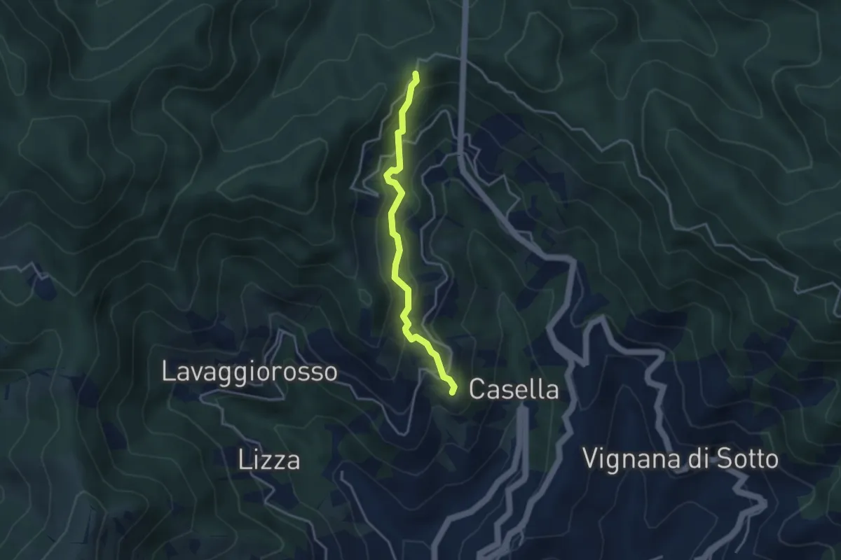
Easy · Trail
Dosso – Foce di Dosso
3.3 km · ↑ 283 m · 1 h 23 min
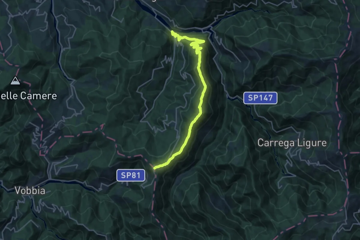
Demanding · Trail
Dovanelli – San Fermo
19.6 km · ↑ 1121 m · 7 h 4 min
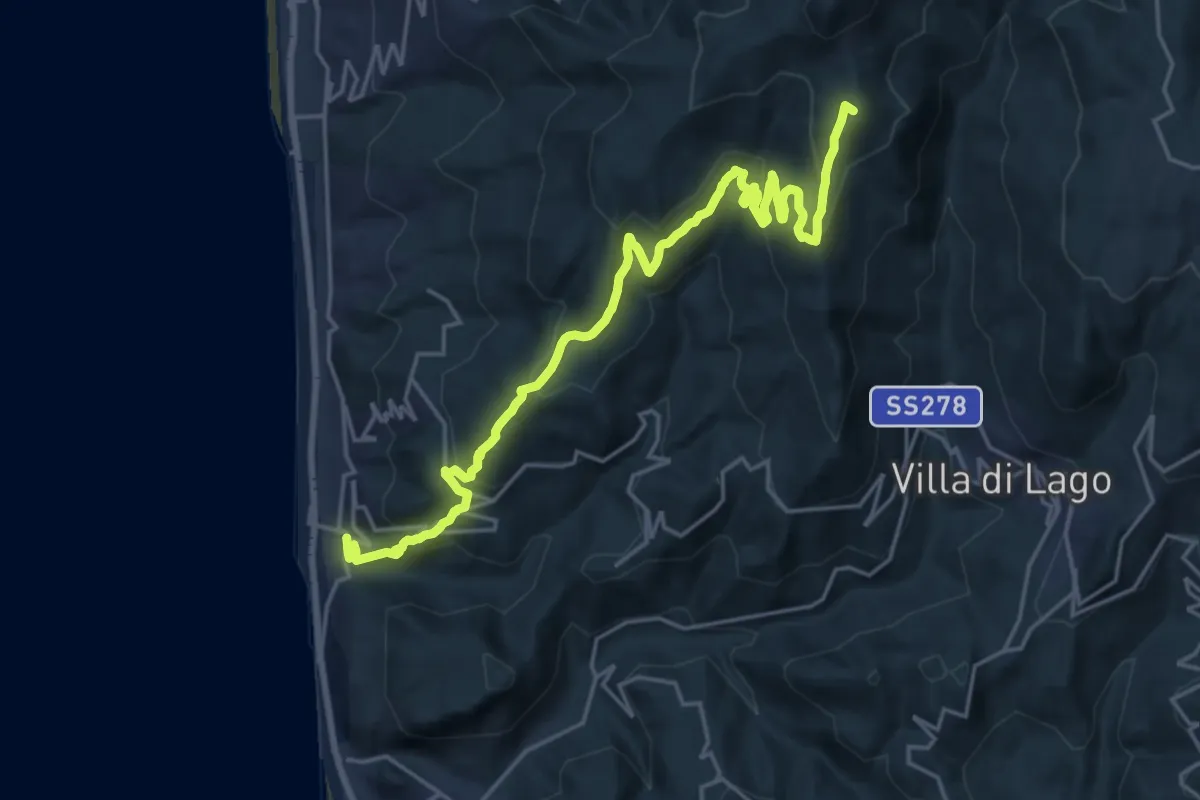
Demanding · Summit
Dragon De Beaumont
26.0 km · ↑ 1406 m · 9 h 12 min
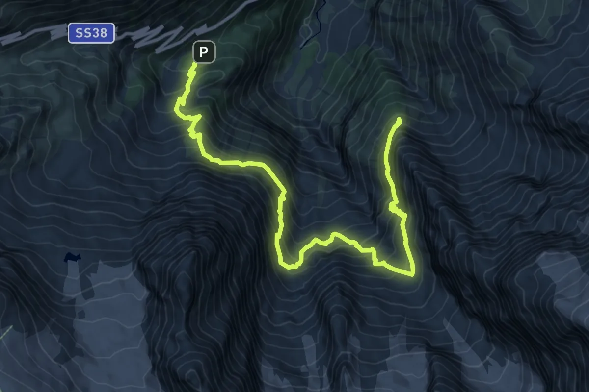
Expert · Cabin
Dreifernerweg
12.0 km · ↑ 1282 m · 5 h 37 min
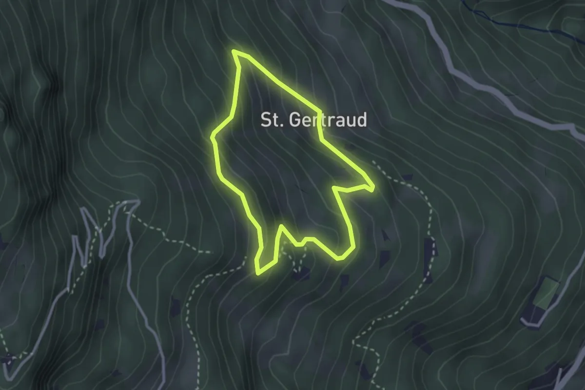
Easy · Trail
Dreikirchen-Rundweg
2.4 km · ↑ 204 m · 1 h 3 min
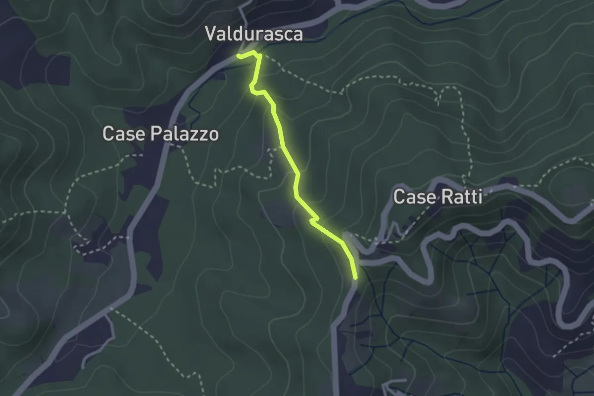
Easy · Trail
Durasca – Campasso – Serrolungo – innesto AVG
2.2 km · ↑ 128 m · 48 min
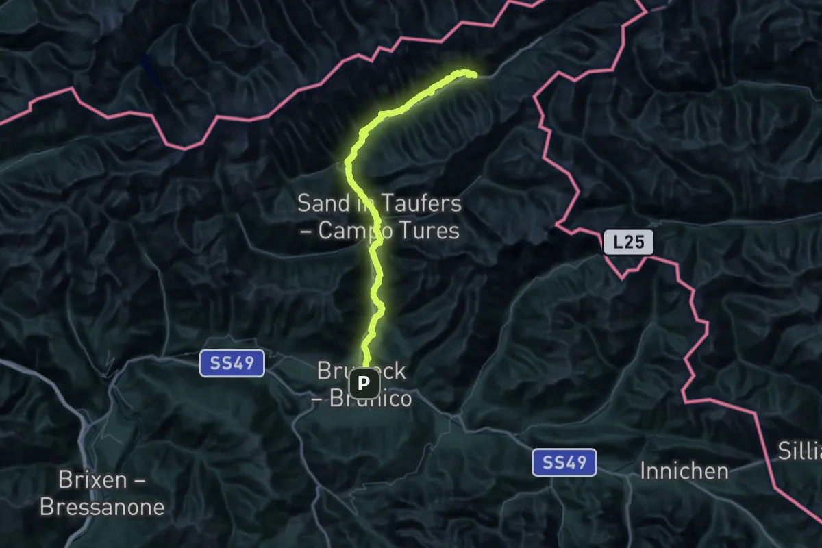
Demanding · Trail
Durchs Toul
37.2 km · ↑ 1239 m · 11 h 44 min
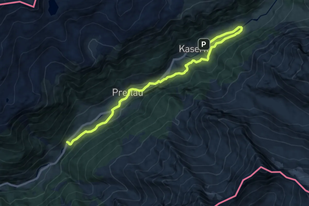
Medium · Trail
Durchs Toul
13.4 km · ↑ 413 m · 4 h 3 min
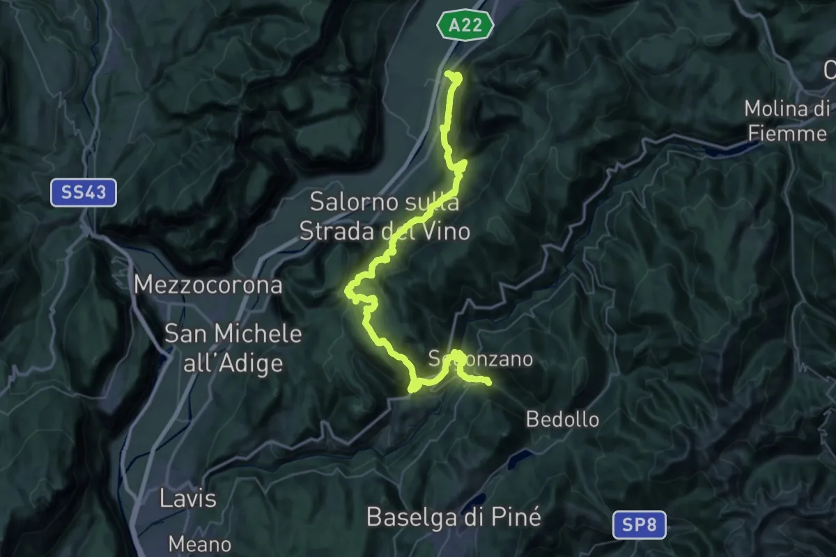
Demanding · Trail
Dürerweg
26.8 km · ↑ 1812 m · 10 h 25 min
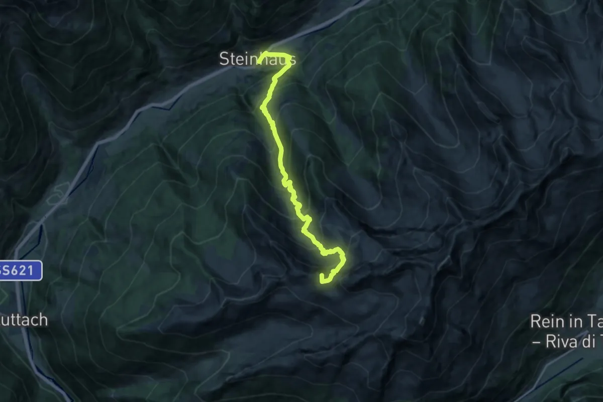
Demanding · Summit
Durreck-Höhenweg
14.5 km · ↑ 1524 m · 6 h 44 min
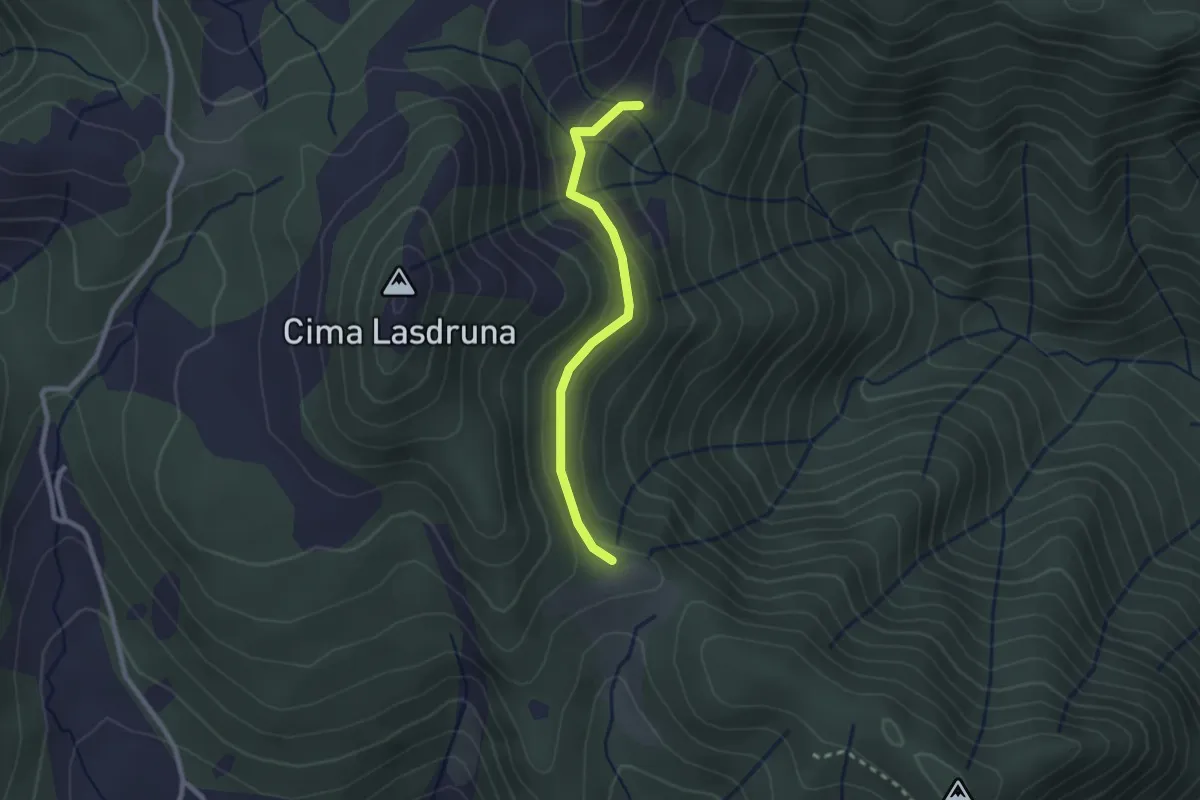
Medium · Trail
Dusina - Ludrio
2.2 km · ↑ 85 m · 43 min
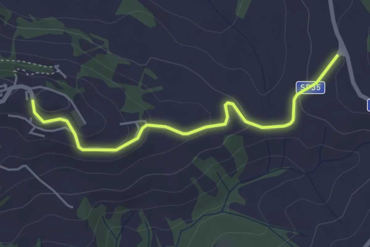
Easy · Trail
E
4.1 km · ↑ 135 m · 1 h 15 min
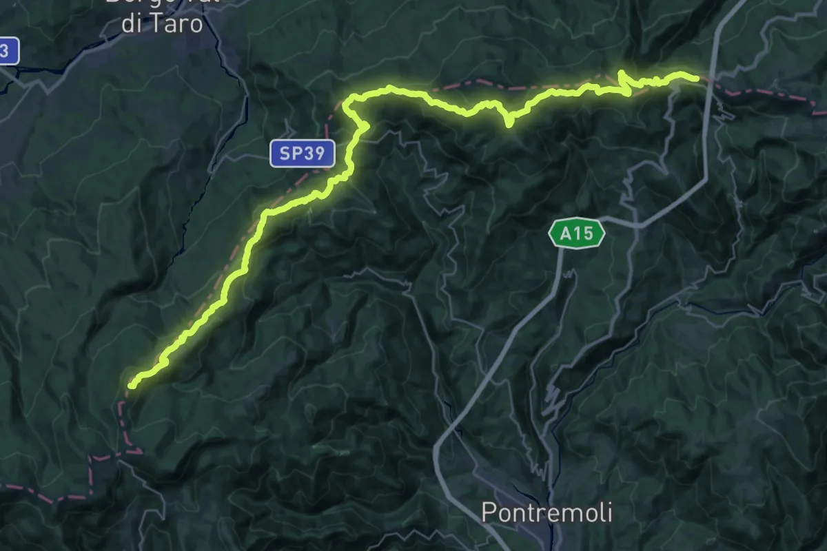
Demanding · Summit
E1 Toscana 01 Passo dei Due Santi - Passo della Cisa
44.6 km · ↑ 1934 m · 14 h 43 min
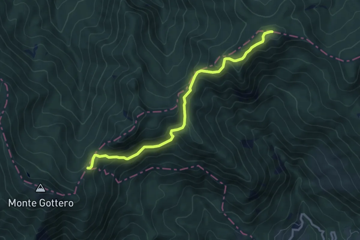
Medium · Trail
E1 Toscana 01 Variante 1.1
7.9 km · ↑ 412 m · 2 h 45 min
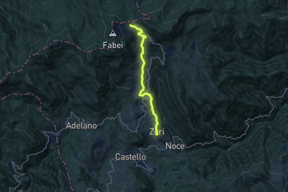
Medium · Cabin
E1 Toscana 01 Variante 1.2
10.7 km · ↑ 677 m · 4 h
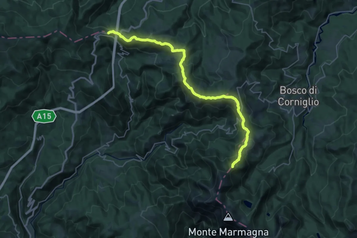
Demanding · Summit
E1 Toscana 02 Passo della Cisa - Lago Santo Parmense
23.7 km · ↑ 1127 m · 8 h 2 min
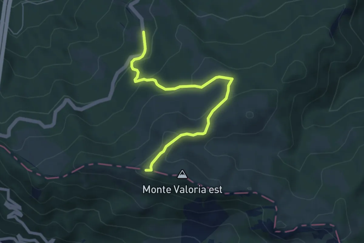
Easy · Summit
E1 Toscana 02 Variante 2.1
5.3 km · ↑ 241 m · 1 h 47 min
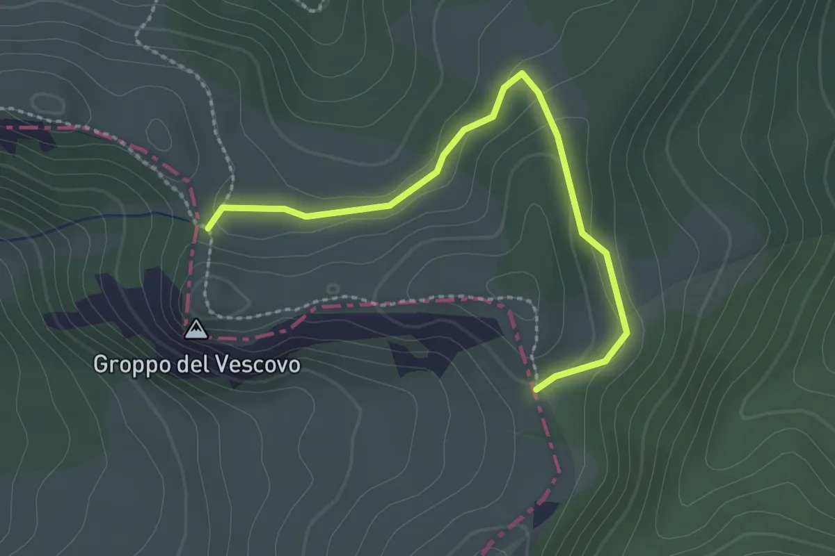
Easy · Trail
E1 Toscana 02 Variante 2.2
2.5 km · ↑ 65 m · 44 min
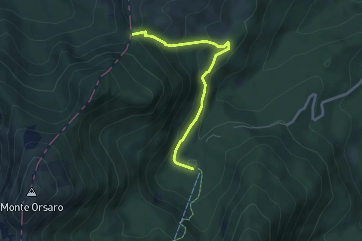
Medium · Cabin
E1 Toscana 02 Variante 2.4
4.5 km · ↑ 307 m · 1 h 44 min
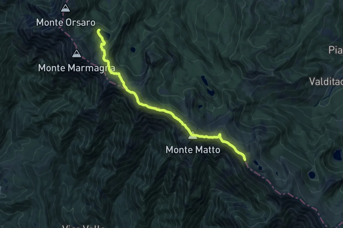
Demanding · Summit
E1 Toscana 03 Lago Santo Parmense / Passo del Lagastrello
15.1 km · ↑ 1100 m · 5 h 57 min
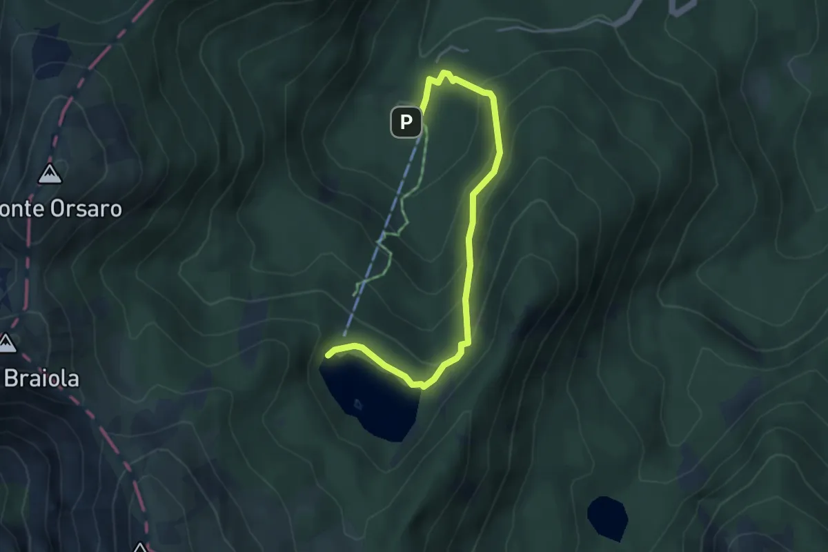
Medium · Cabin
E1 Toscana 03 Variante 3.1
4.4 km · ↑ 280 m · 1 h 39 min
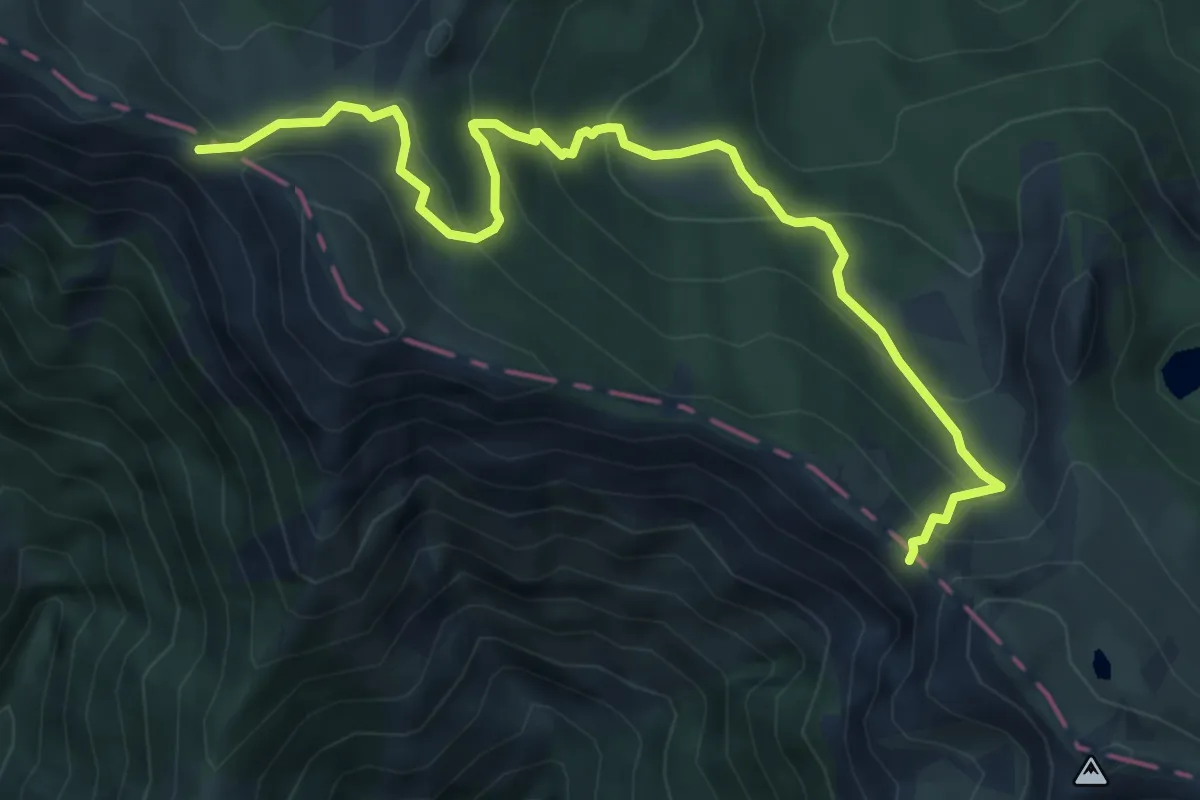
Medium · Trail
E1 Toscana 03 Variante 3.2
6.7 km · ↑ 470 m · 2 h 36 min
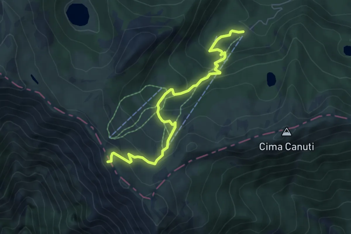
Medium · Cabin
E1 Toscana 03 Variante 3.3
6.4 km · ↑ 371 m · 2 h 19 min
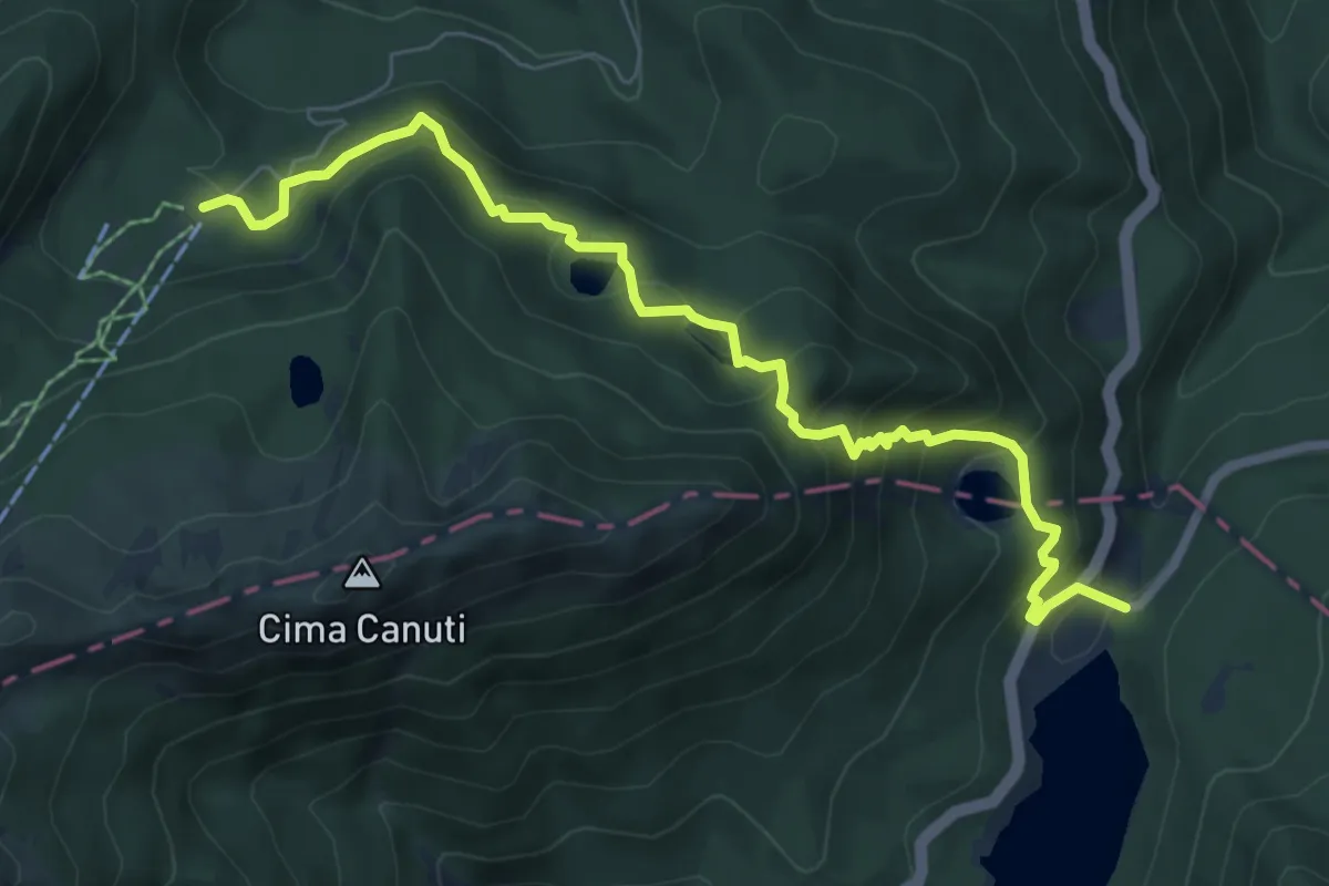
Medium · Cabin
E1 Toscana 03 Variante 3.4
7.9 km · ↑ 582 m · 3 h 8 min
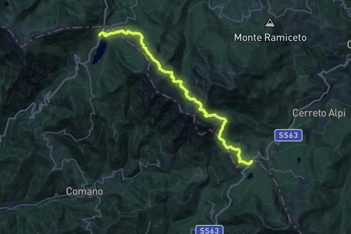
Demanding · Trail
E1 Toscana 04 Passo del Lagastrello - Passo del Cerreto
11.7 km · ↑ 820 m · 4 h 44 min
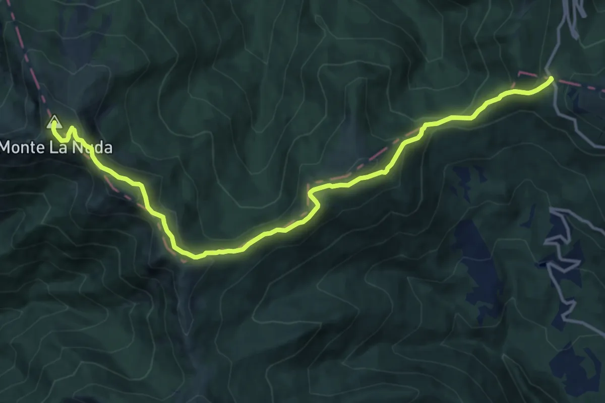
Medium · Summit
E1 Toscana 05 Passo del Cerreto - Passo di Pradarena
13.8 km · ↑ 774 m · 4 h 56 min