Trails in Italy
25,211 hiking trails, each with its route, climb, walking time and grade.
All trails, page 68 of 526
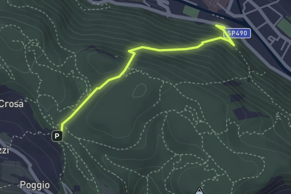
Medium · Trail
Finalborgo-ChiesaVerezzi
3.2 km · ↑ 282 m · 1 h 22 min
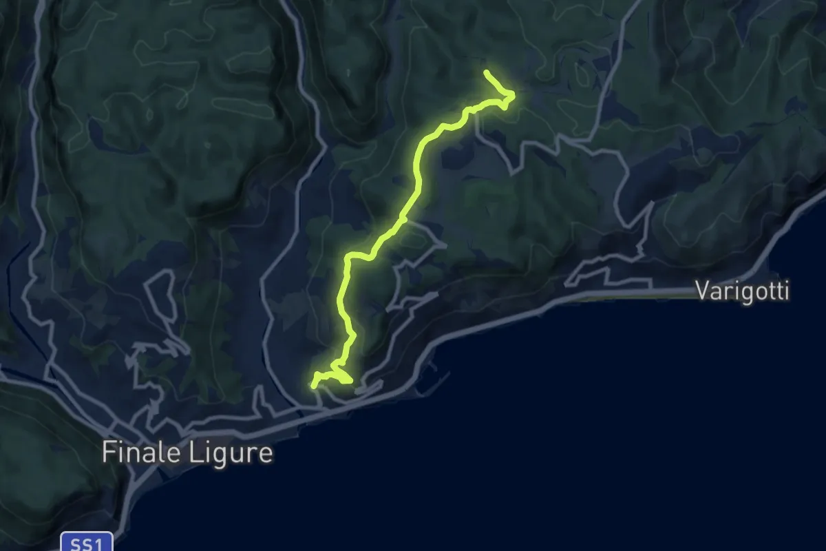
Medium · Trail
Finalpia - Arma delle Manie
8.9 km · ↑ 338 m · 2 h 51 min
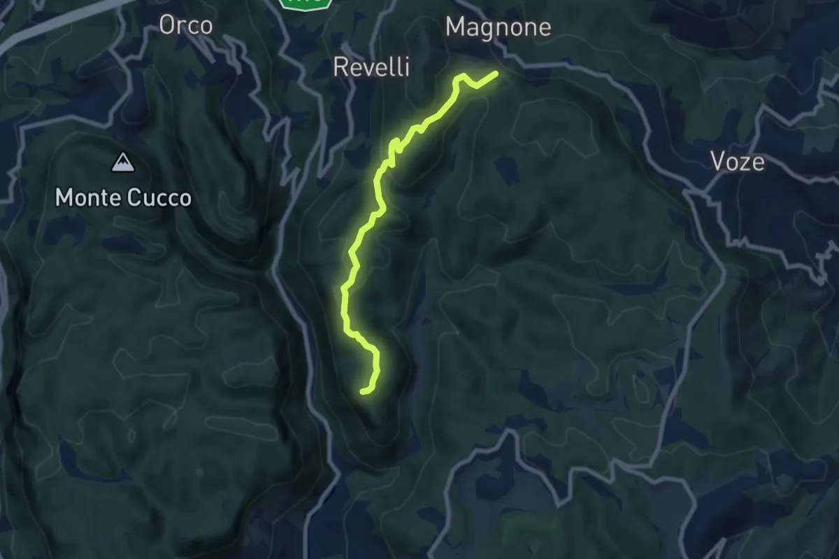
Demanding · Summit
Finalpia - Colla di Magnone
6.9 km · ↑ 266 m · 2 h 13 min
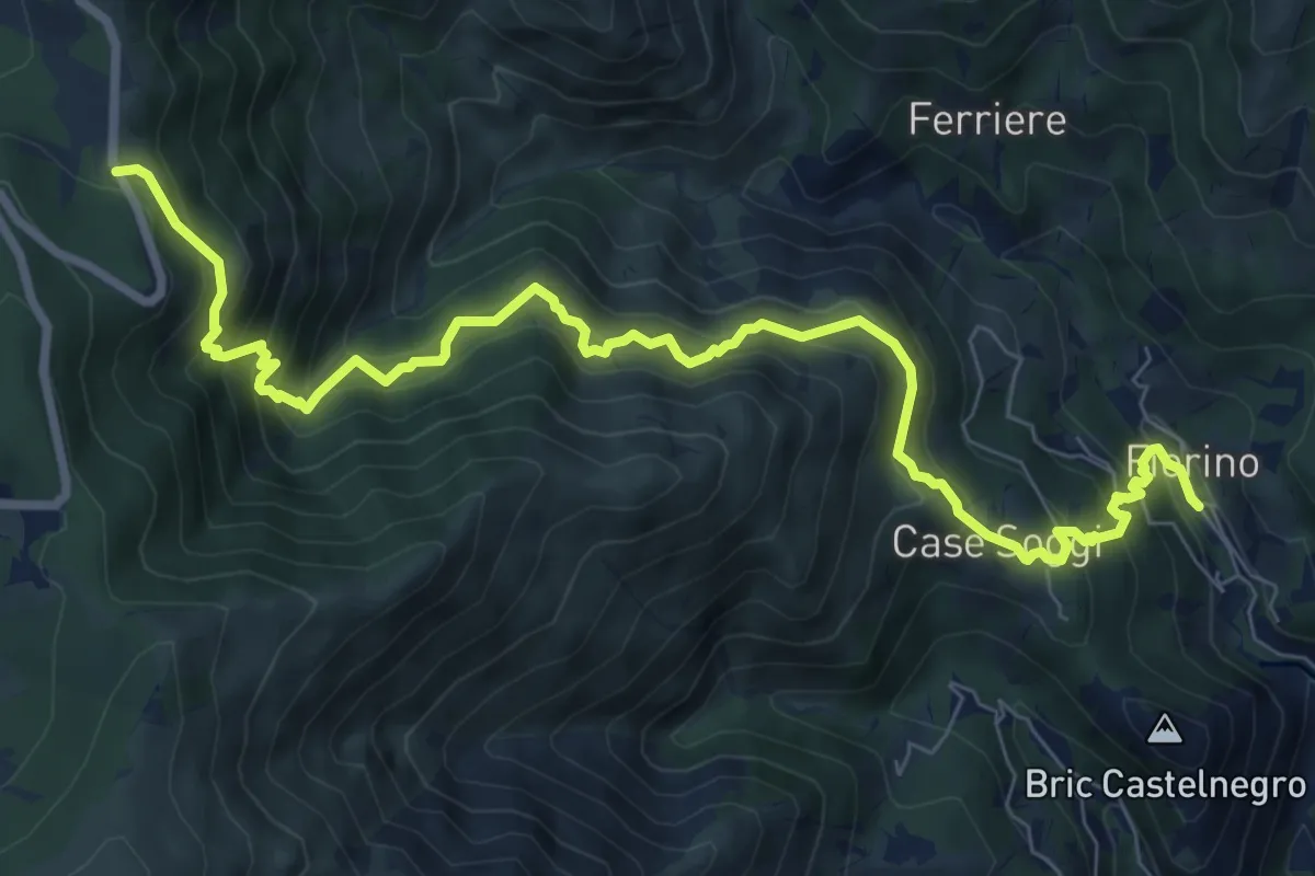
Demanding · Trail
Fiorino - Passo Cerusa
10.2 km · ↑ 1054 m · 4 h 42 min
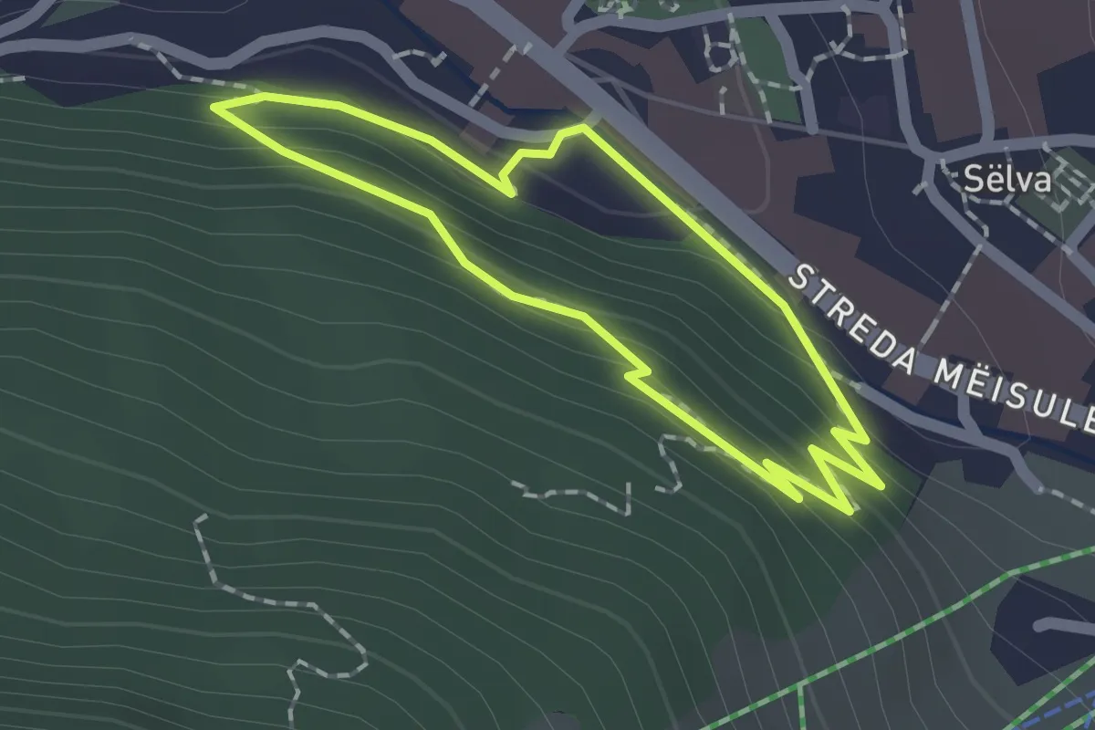
Easy · Trail
Fitness Parcours
1.4 km · ↑ 70 m · 31 min
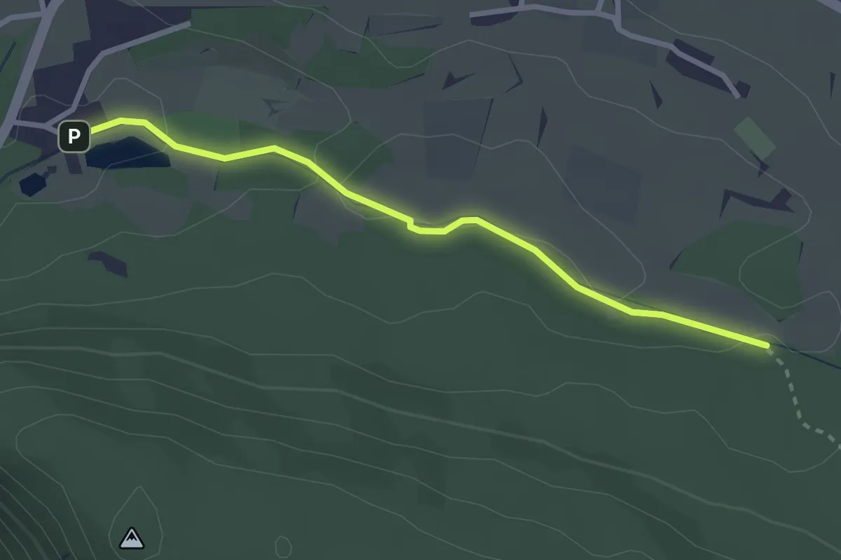
Easy · Trail
Fitnessweg
2.7 km · ↑ 39 m · 43 min
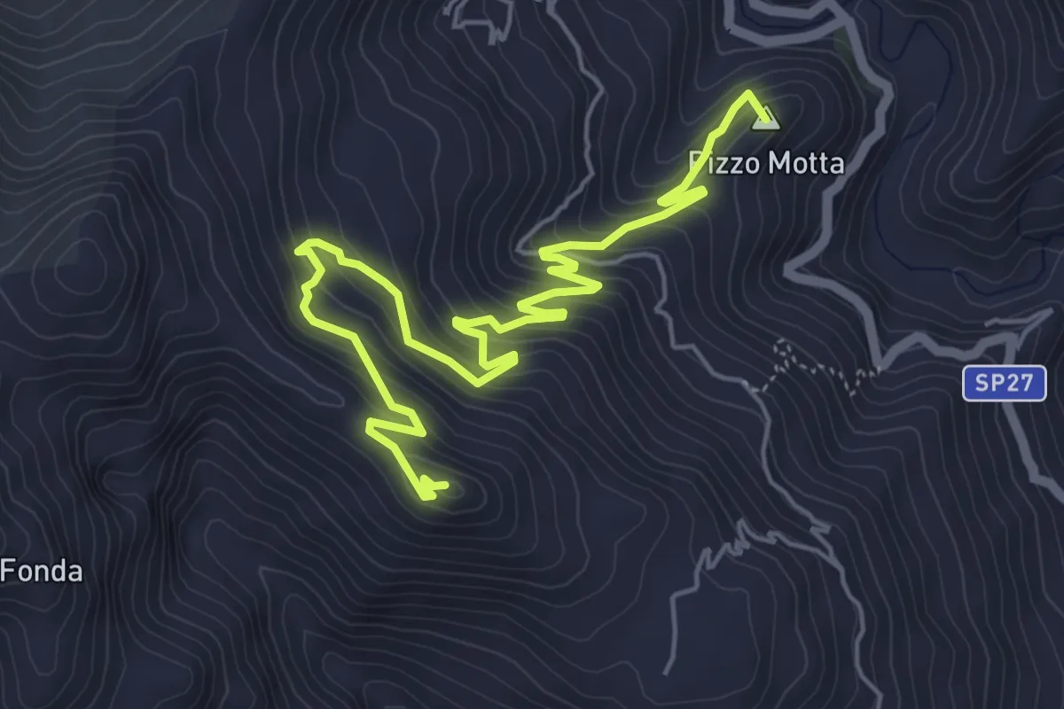
Medium · Summit
Fiumedinisi Castello Belvedere
7.8 km · ↑ 584 m · 3 h 6 min
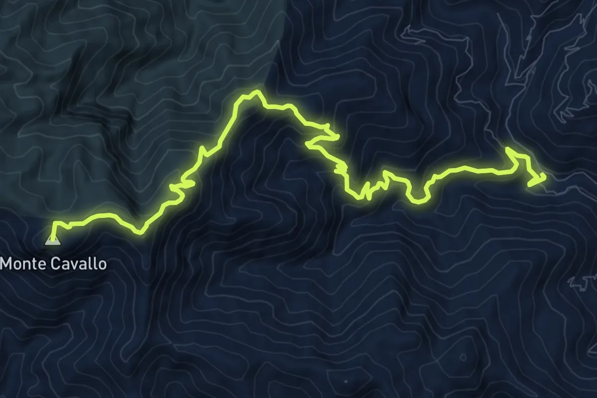
Demanding · Summit
Fiumedinisi Monte Cavallo (FI)
15.9 km · ↑ 1182 m · 6 h 19 min
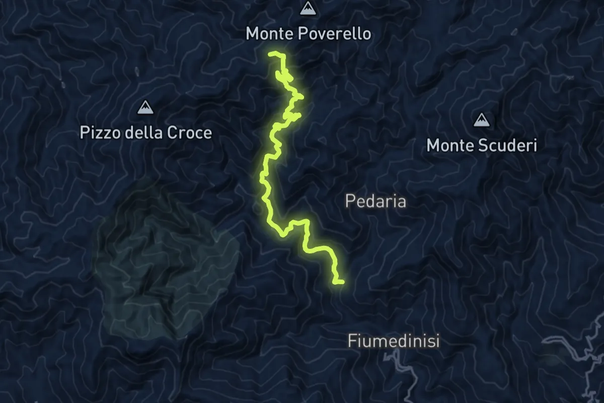
Demanding · Trail
Fiumedinisi Piano Menta (SI)
18.1 km · ↑ 1002 m · 6 h 27 min
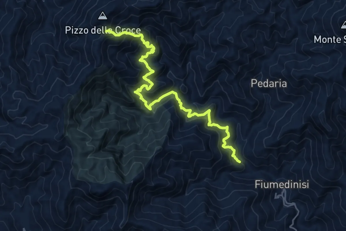
Demanding · Summit
Fiumedinisi Pizzo Croce (SI)
19.4 km · ↑ 1473 m · 7 h 46 min
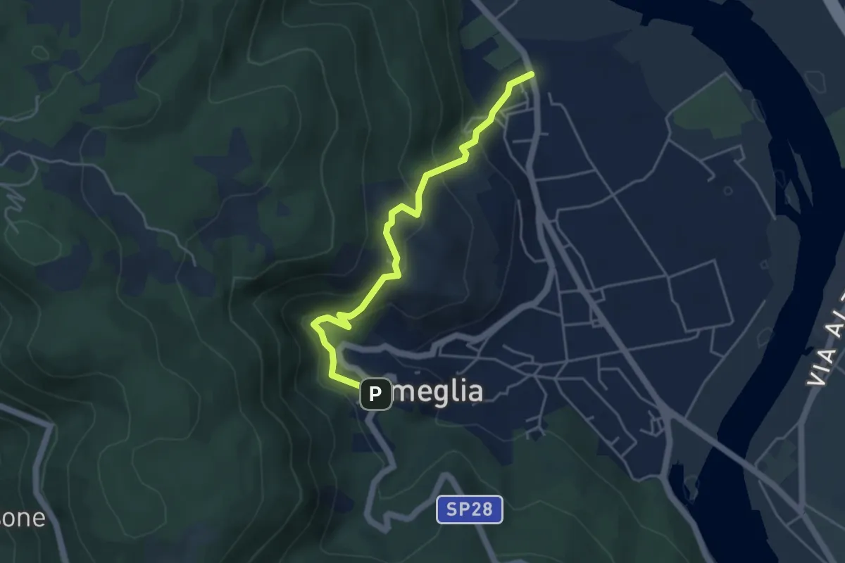
Easy · Trail
Fiume Magra – Camisano – C. Pianca – Ameglia
4.4 km · ↑ 307 m · 1 h 43 min
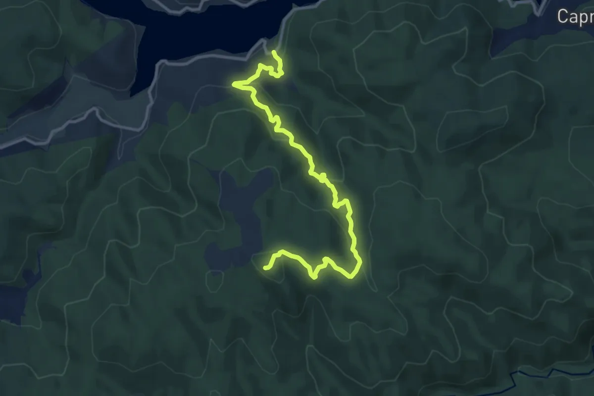
Medium · Summit
Fiume Tassito - Monte Scorciavuoi
13.0 km · ↑ 703 m · 4 h 36 min
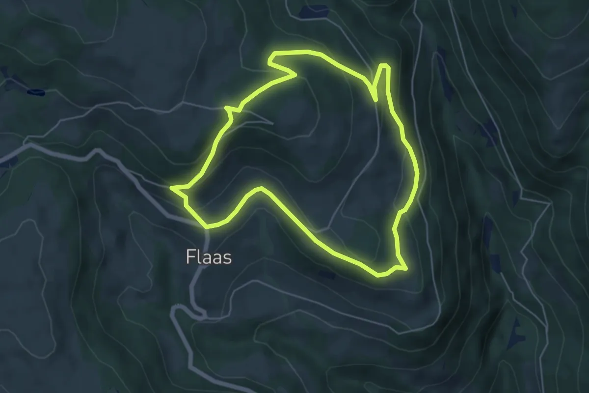
Easy · Trail
Flaaser Rundweg
5.1 km · ↑ 239 m · 1 h 47 min
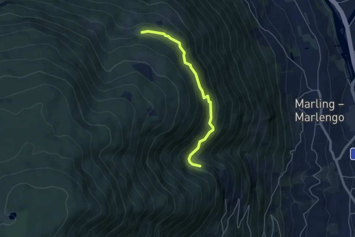
Easy · Trail
Flatscher Steig
4.0 km · ↑ 290 m · 1 h 35 min
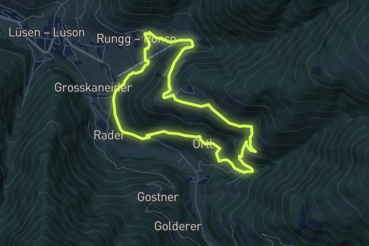
Demanding · Trail
Flittrunde
6.4 km · ↑ 435 m · 2 h 33 min
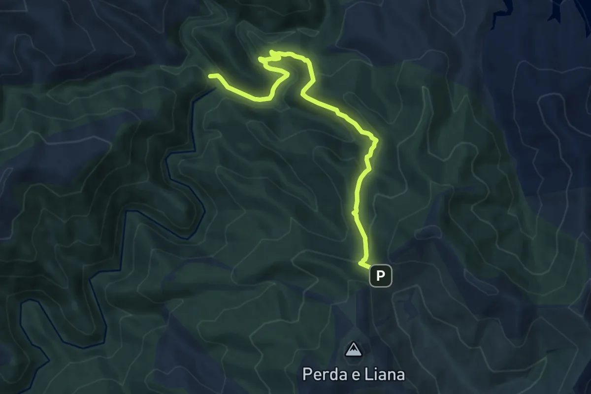
Medium · Trail
Flumendosa - Pinningasu
11.0 km · ↑ 555 m · 3 h 48 min
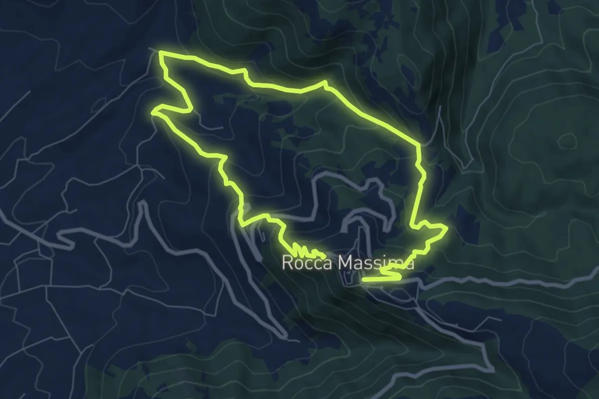
Medium · Trail
Flying in the sky
7.1 km · ↑ 446 m · 2 h 44 min
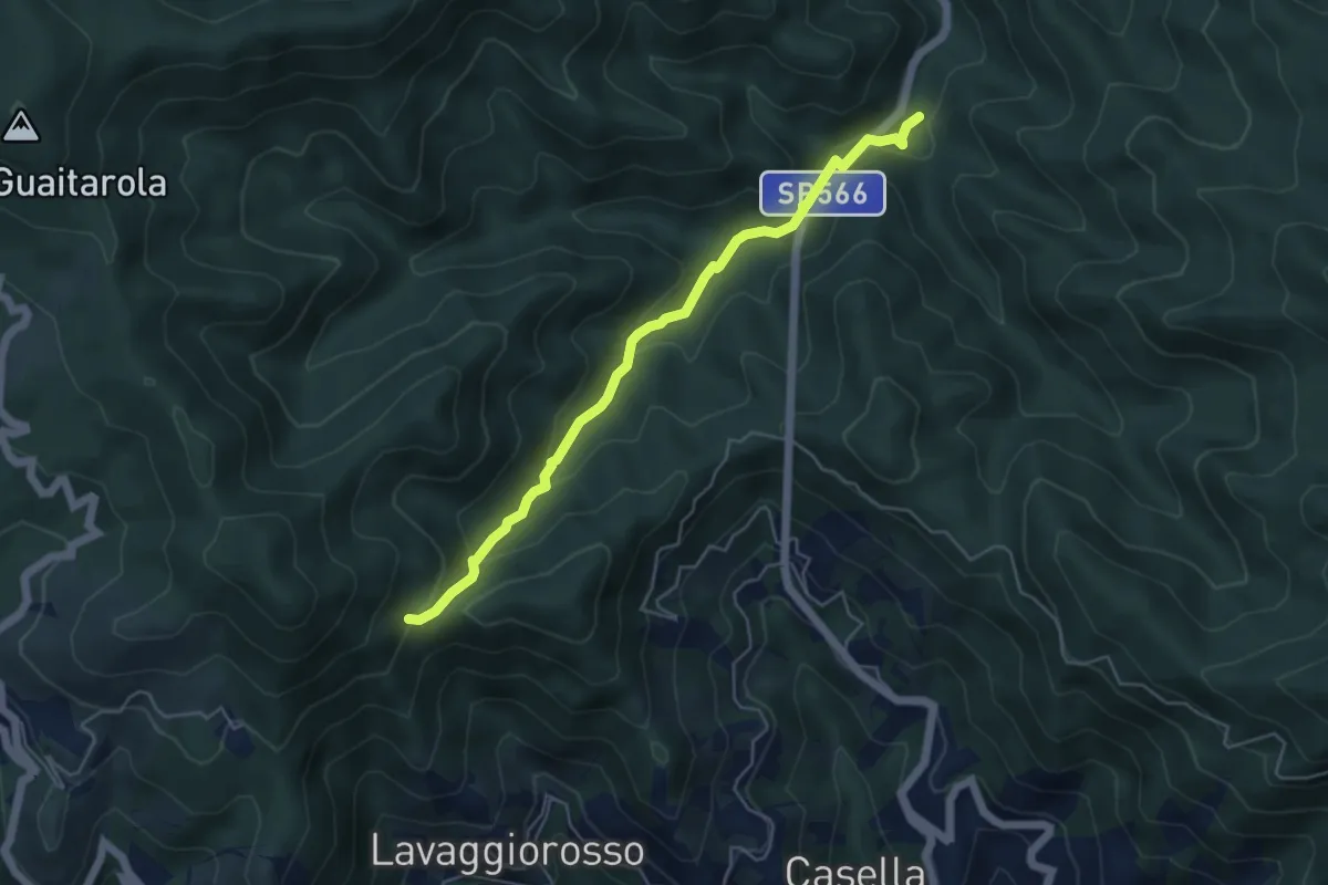
Easy · Trail
Foce di Lavaggio - Valle di Malacqua
5.2 km · ↑ 235 m · 1 h 44 min
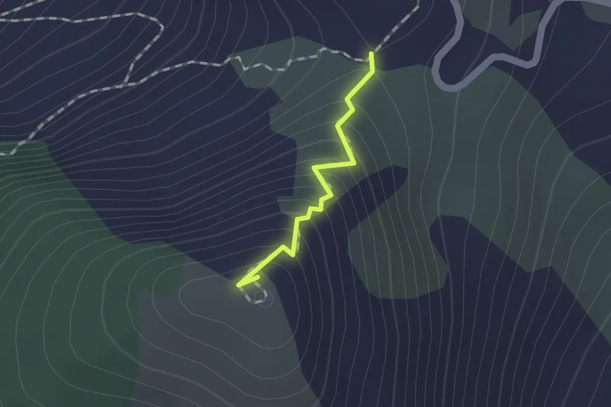
Medium · Summit
Foce Dragnone – Dragnone (Via Crucis) – Bivio 141
1.0 km · ↑ 119 m · 29 min
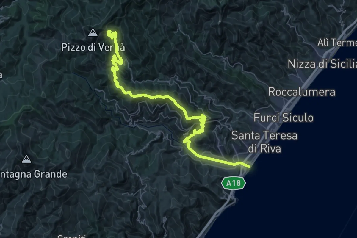
Demanding · Summit
Foce Fiumara d'Agrò - Casalvecchio - Vernà
50.7 km · ↑ 2054 m · 16 h 25 min
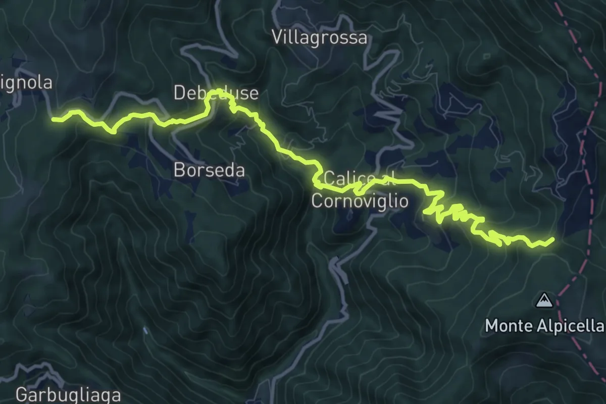
Demanding · Trail
Foce Veppo - Debeduse – Terugiara - Calice al Cornoviglio - Alpicella
13.8 km · ↑ 841 m · 5 h 4 min
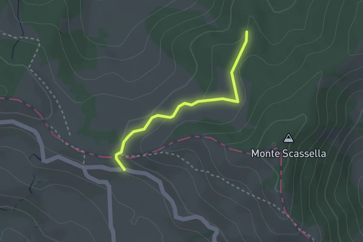
Easy · Trail
Folta - Monte Bagastese - Alta Via dei Monti Liguri
2.1 km · ↑ 70 m · 40 min
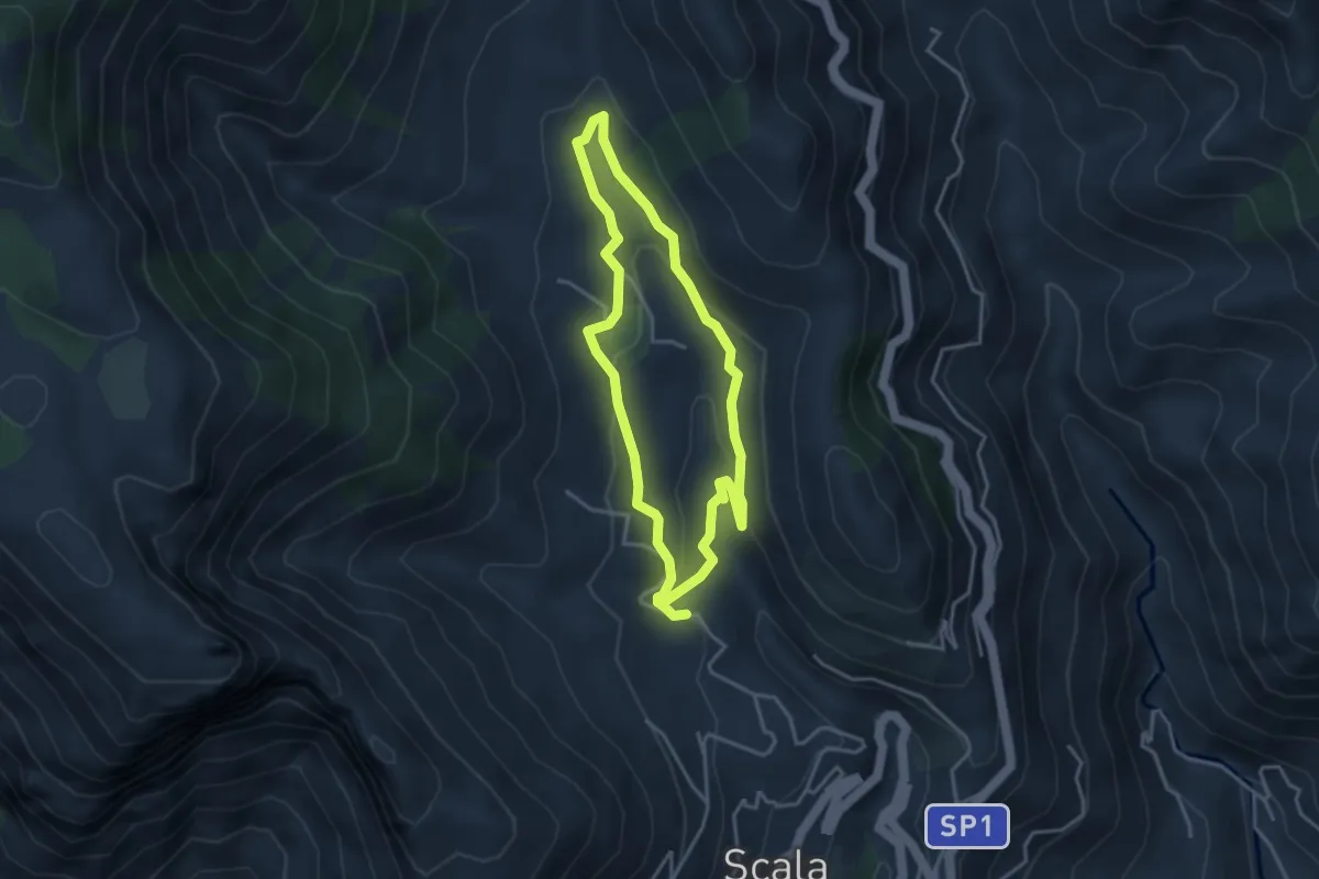
Medium · Trail
Fontana Carosa da Scala
3.6 km · ↑ 145 m · 1 h 12 min
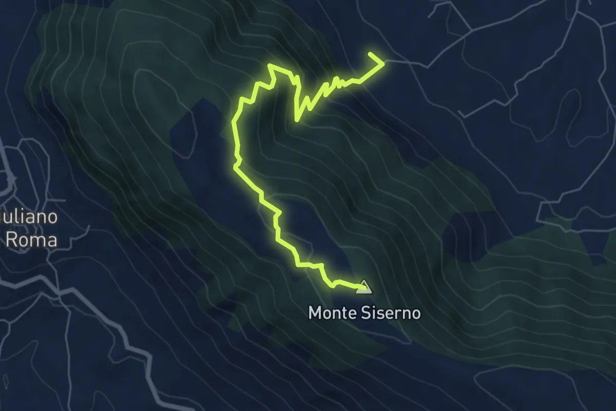
Medium · Summit
Fontana del Gatto - Monte Siserno
7.3 km · ↑ 588 m · 3 h
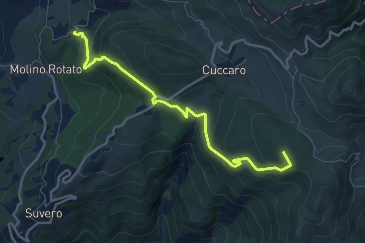
Medium · Summit
Fontana del Ratto (Bivio 153) - Gruzza di Veppo - Prato Della Signora - Torricella - Case Il Pirolo (Bivio 151)
7.6 km · ↑ 377 m · 2 h 37 min
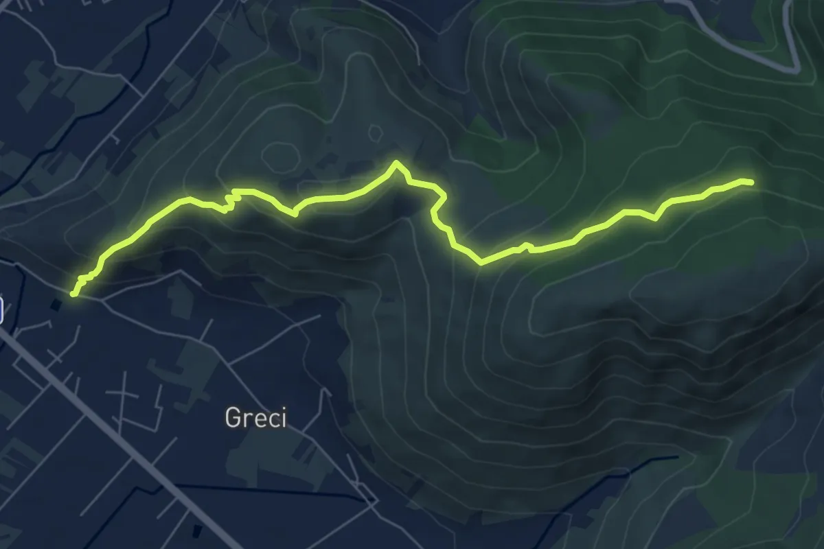
Medium · Trail
Fontana Gegni Monte Vele
8.3 km · ↑ 542 m · 3 h 7 min
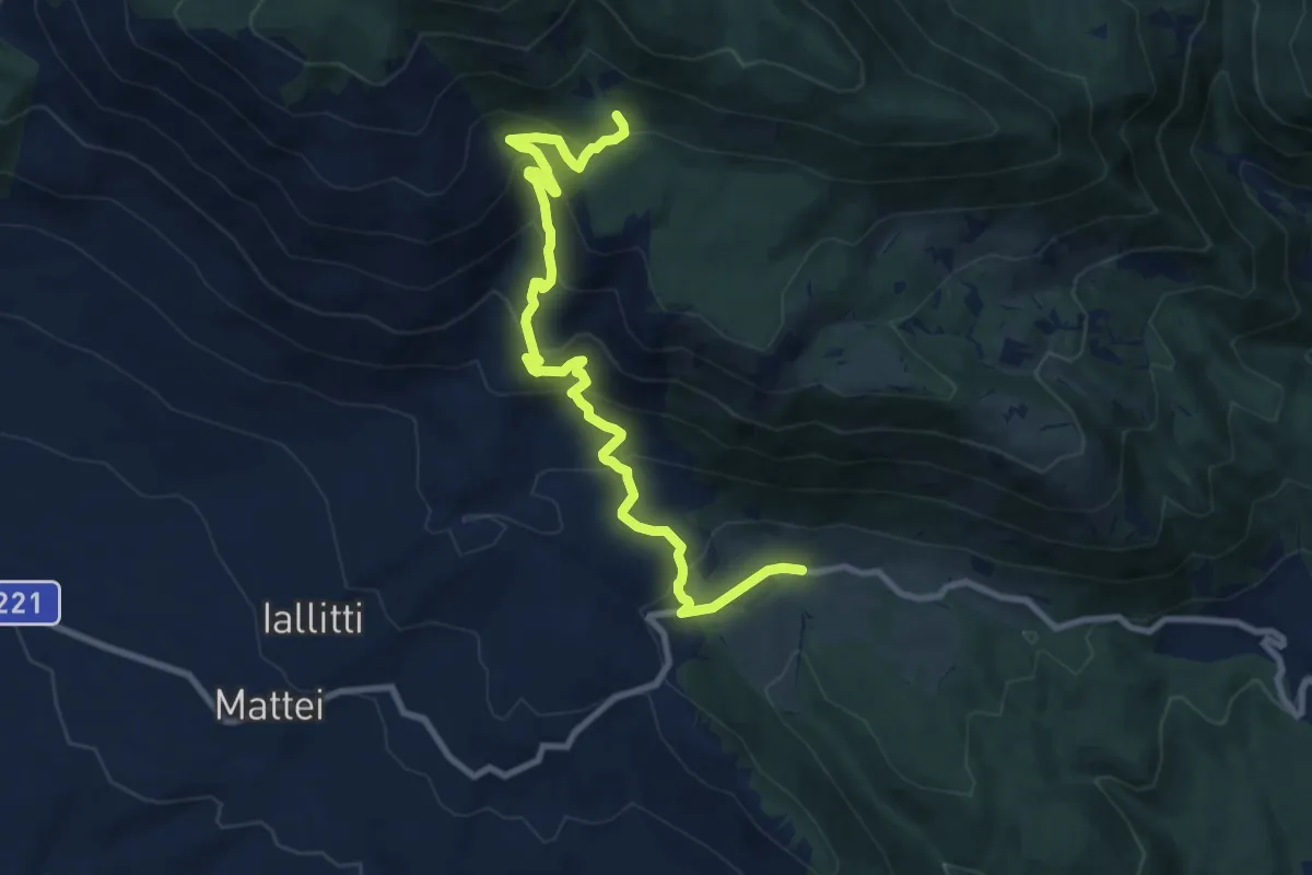
Medium · Trail
Fontana Grande - Valle Scura
11.2 km · ↑ 730 m · 4 h 13 min
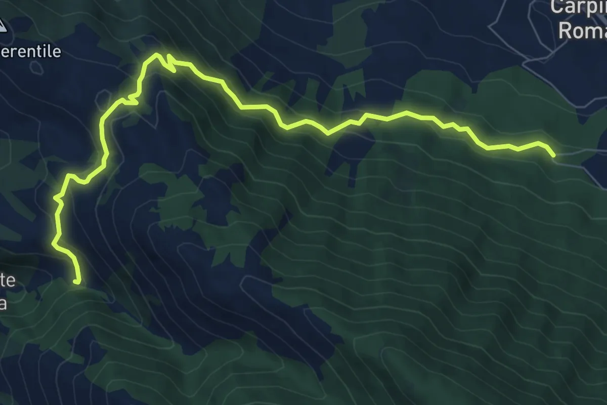
Medium · Trail
Fontana La Fata (Carpineto)-Sorgente Rapiglio
9.8 km · ↑ 543 m · 3 h 29 min
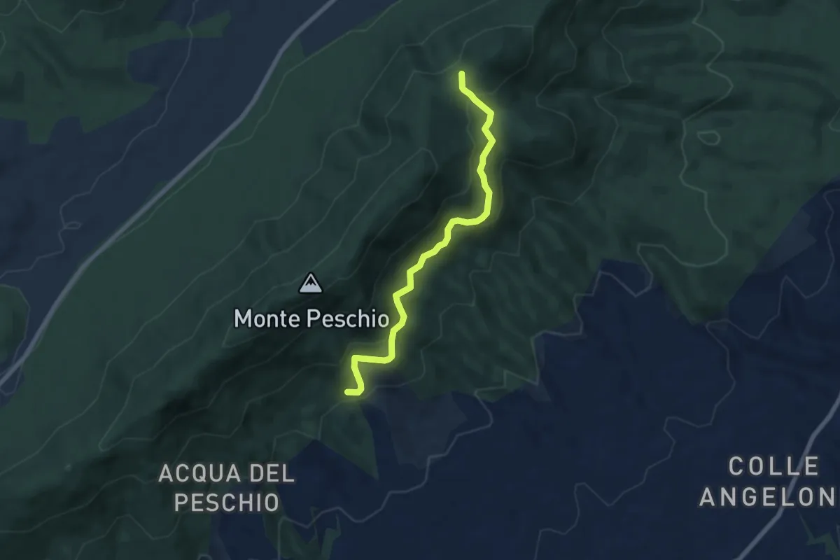
Medium · Trail
Fontana Marcaccio-Passo del Lupo
6.6 km · ↑ 341 m · 2 h 17 min
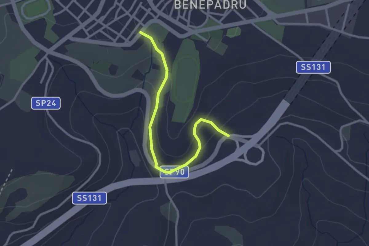
Easy · Trail
Fontana Putzola
2.8 km · ↑ 132 m · 57 min
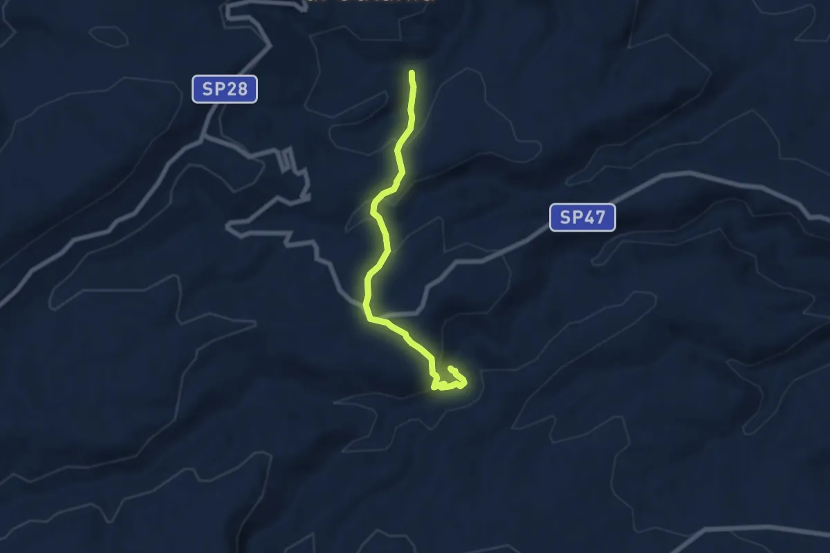
Easy · Trail
Fontana San Vito - Cascate dell'Ossena
6.6 km · ↑ 243 m · 2 h 5 min
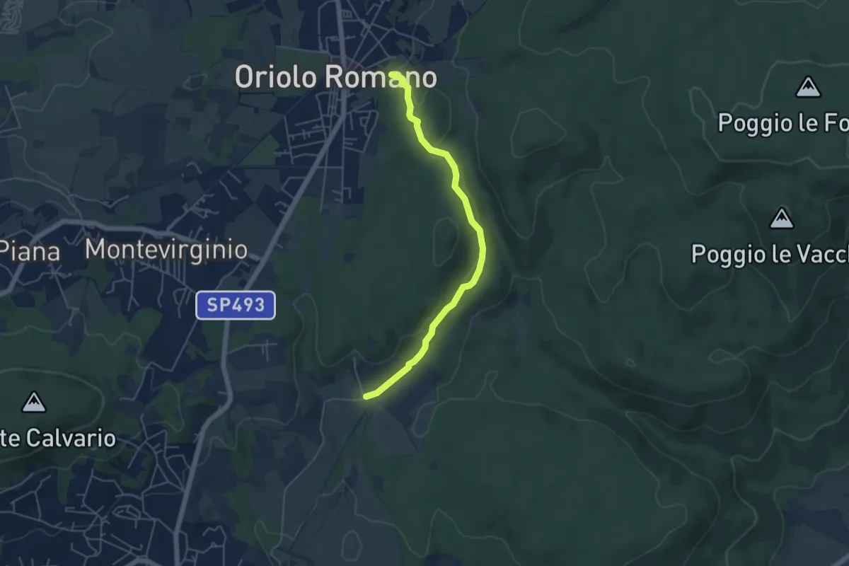
Easy · Trail
Fontana Vecchia - Tre Cancelli
5.1 km · ↑ 96 m · 1 h 24 min
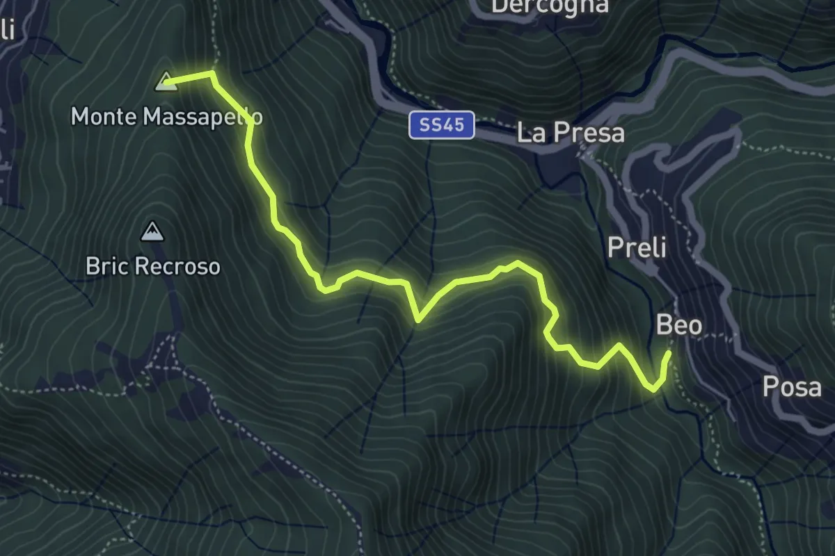
Medium · Summit
Fontanegli - Fisi
5.4 km · ↑ 495 m · 2 h 21 min
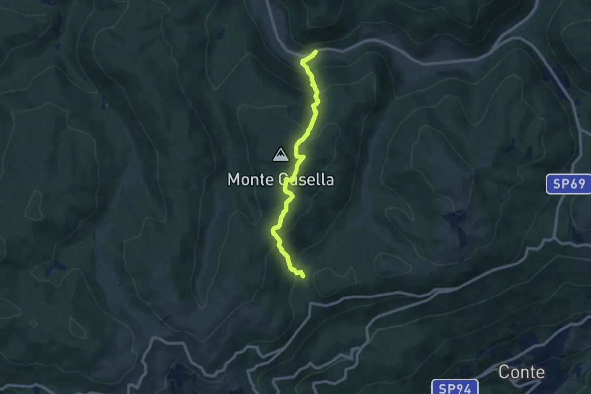
Medium · Trail
Fontanella
6.8 km · ↑ 500 m · 2 h 41 min
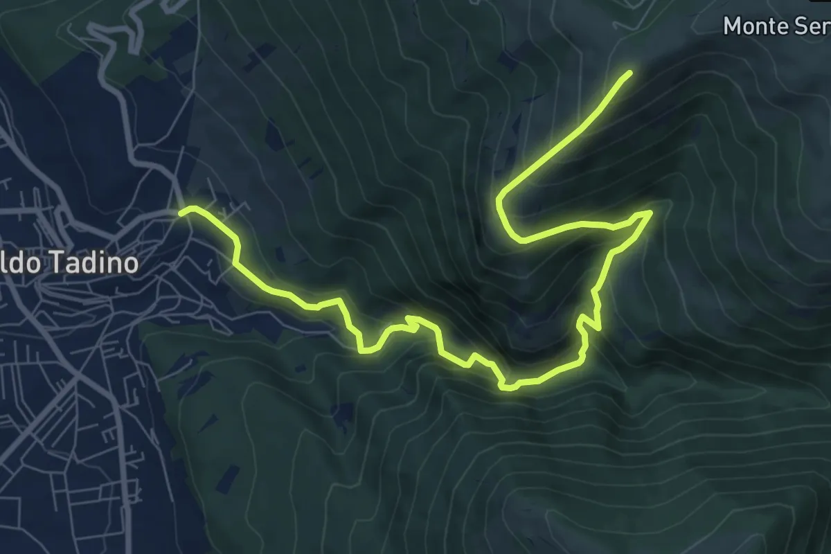
Demanding · Cabin
Fontanile di Campitella
10.7 km · ↑ 858 m · 4 h 23 min
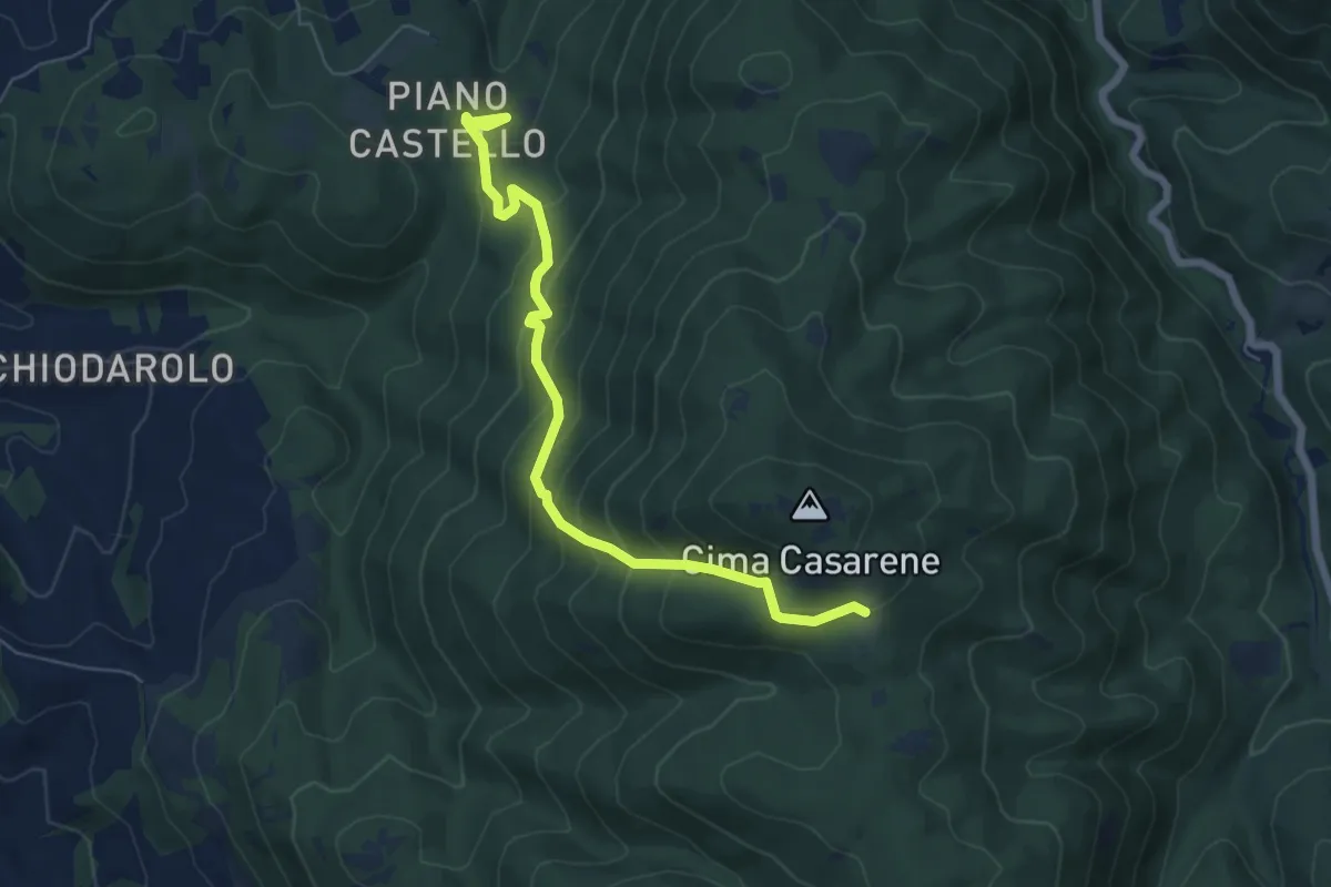
Medium · Trail
Fonte Castello-Valle Bariletta
7.0 km · ↑ 517 m · 2 h 47 min
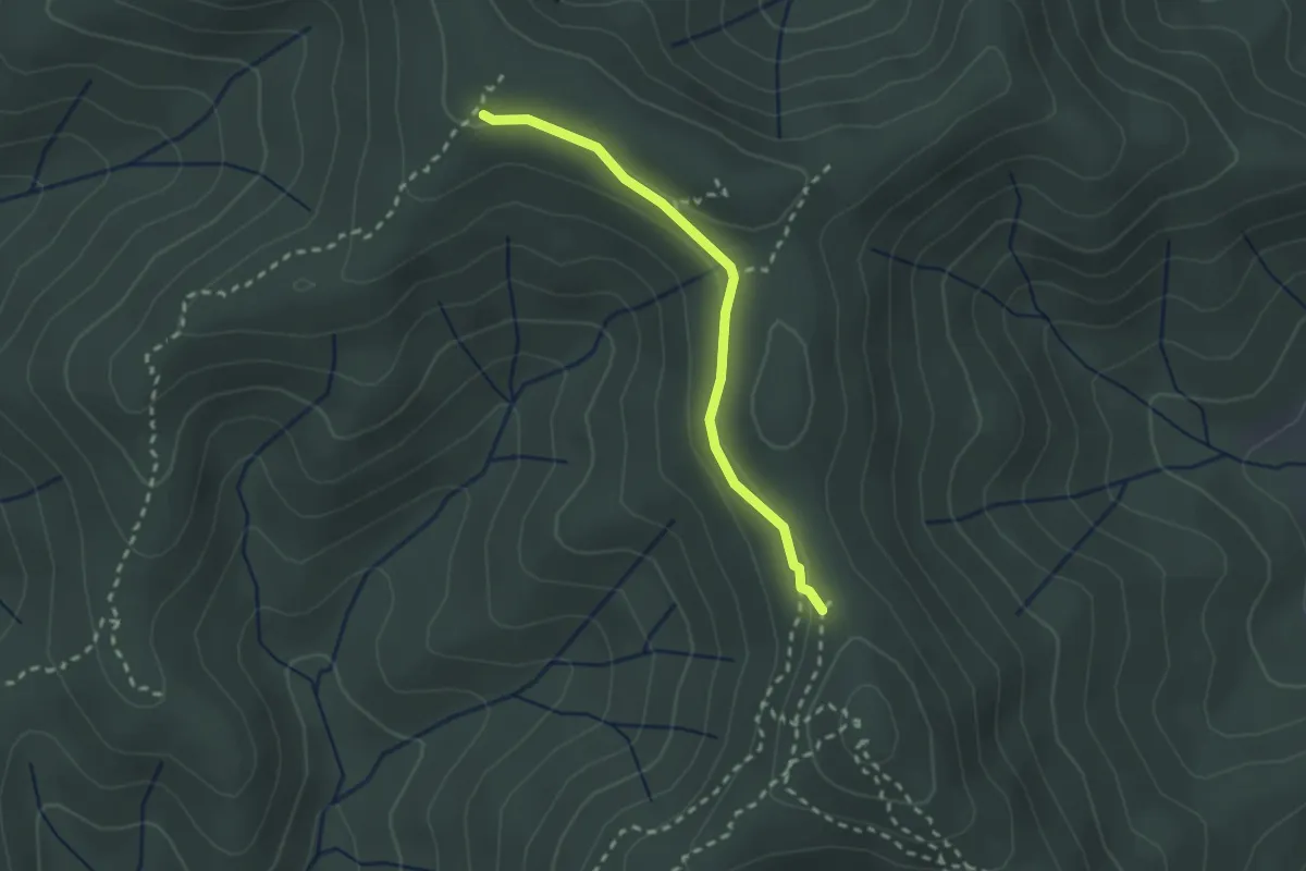
Easy · Trail
Fonte del Capitano
2.3 km · ↑ 51 m · 40 min
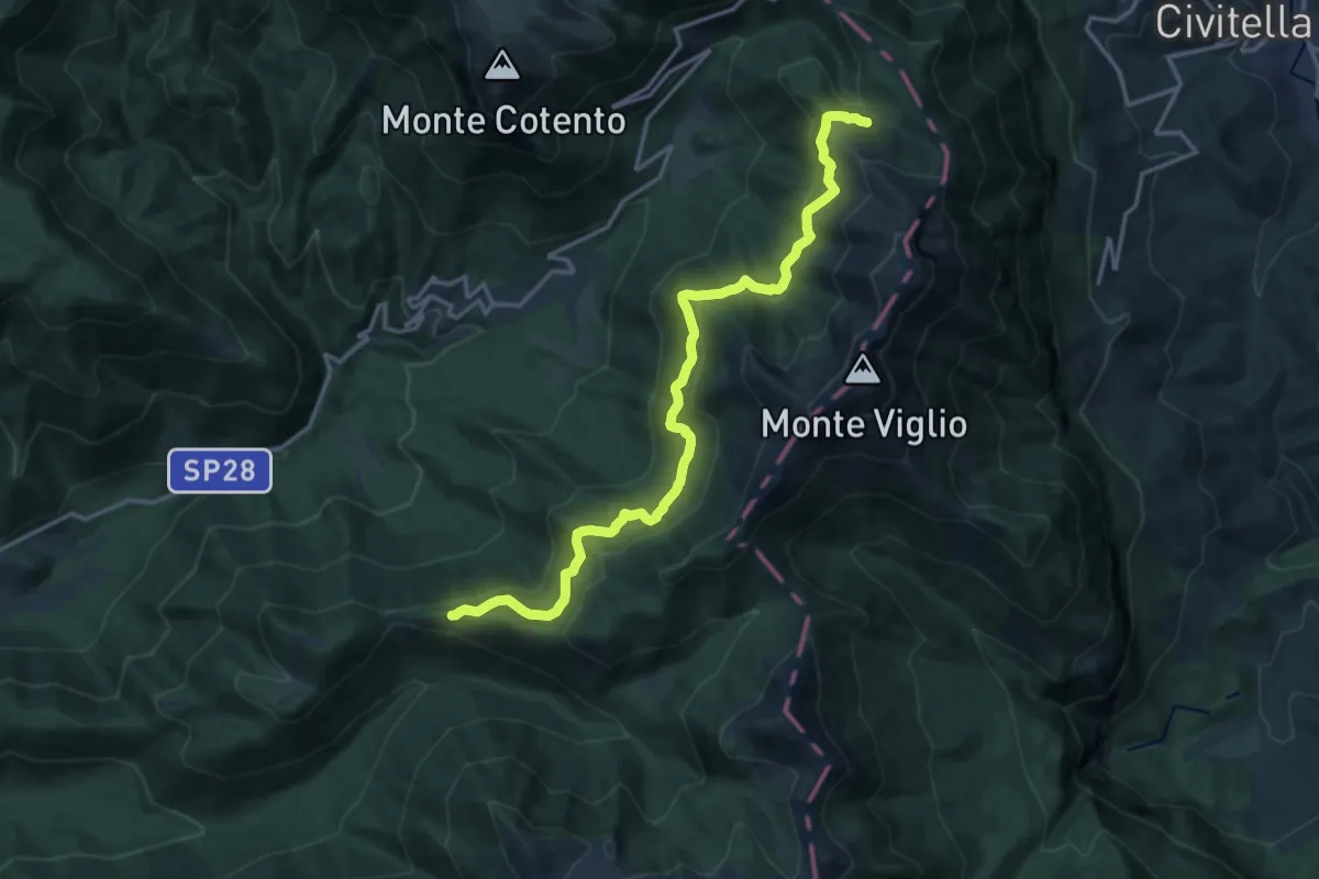
Demanding · Trail
Fonte della Moscosa - Serra Magliano
18.1 km · ↑ 698 m · 5 h 47 min
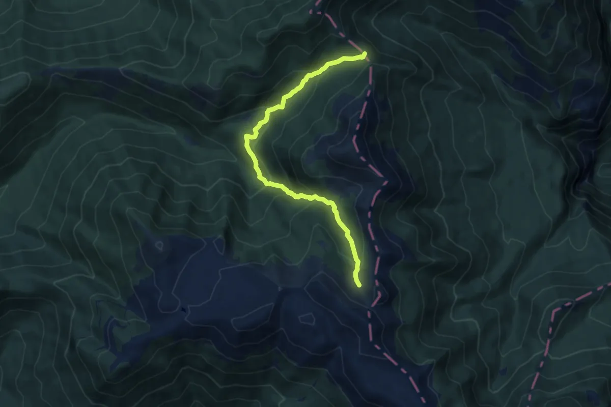
Medium · Cabin
Fonte del Pozzotello - Monte Femmina Morta
10.2 km · ↑ 623 m · 3 h 45 min
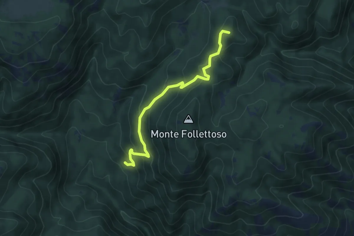
Medium · Summit
Fonte Fumiccia-Prato delle Forme
6.1 km · ↑ 337 m · 2 h 10 min
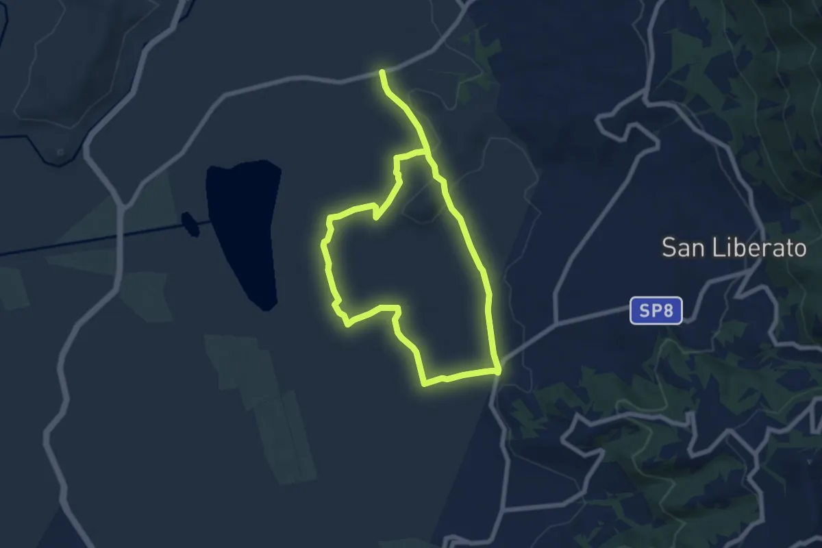
Easy · Trail
Fonte Giovannone-Ponte Capo d'Acqua-Vottone
5.9 km · ↑ 58 m · 1 h 36 min
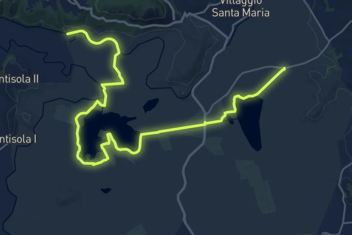
Demanding · Trail
Fonte Giovannone-Ponte S.Angelo
21.0 km · ↑ 22 m · 5 h 1 min
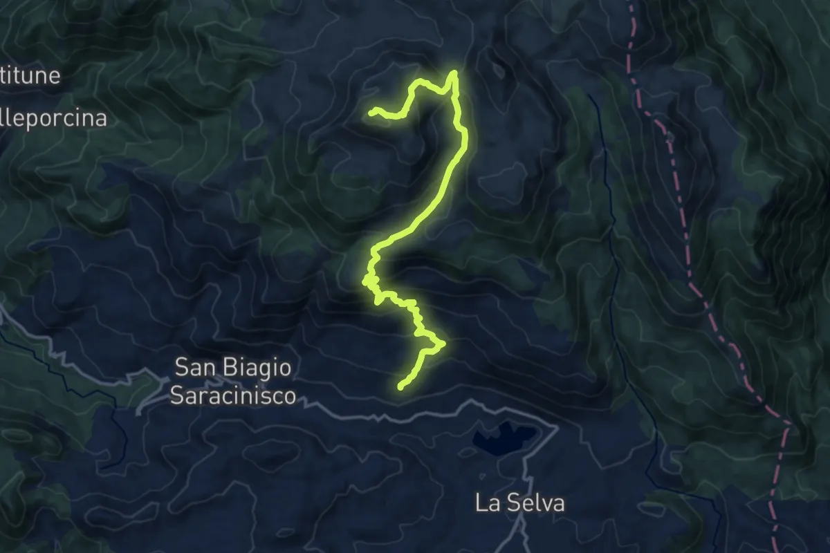
Demanding · Summit
Fonte Grimalda - Pietre Piane - M. Forcellone
15.7 km · ↑ 1010 m · 5 h 54 min
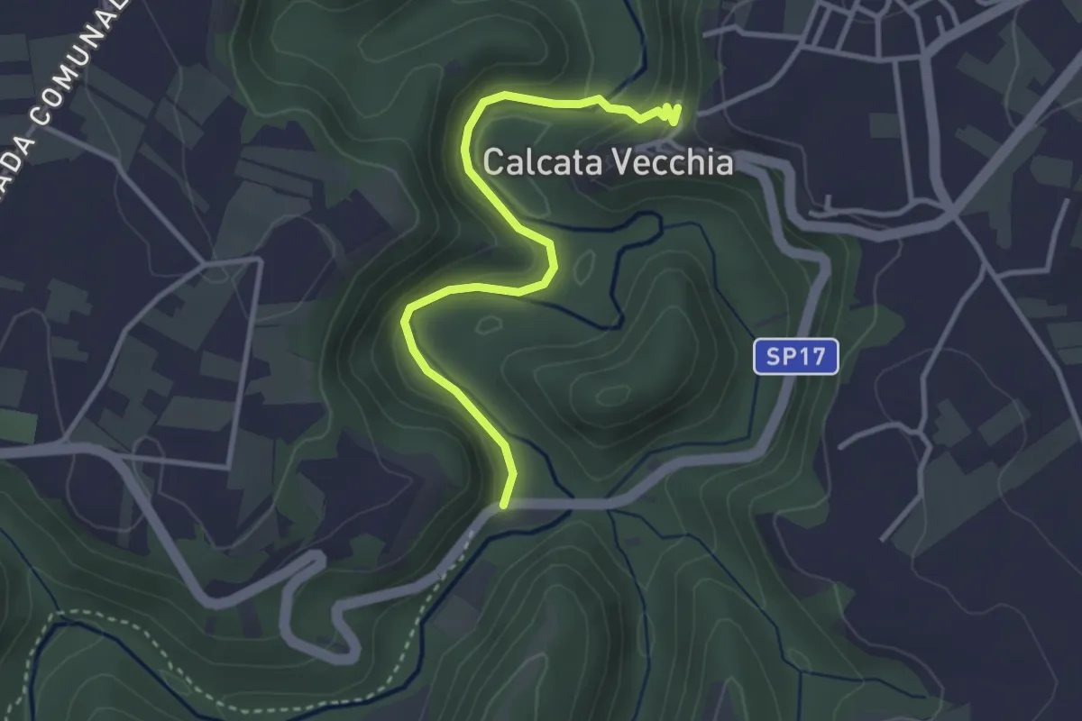
Easy · Trail
Fonteiano
3.5 km · ↑ 155 m · 1 h 9 min
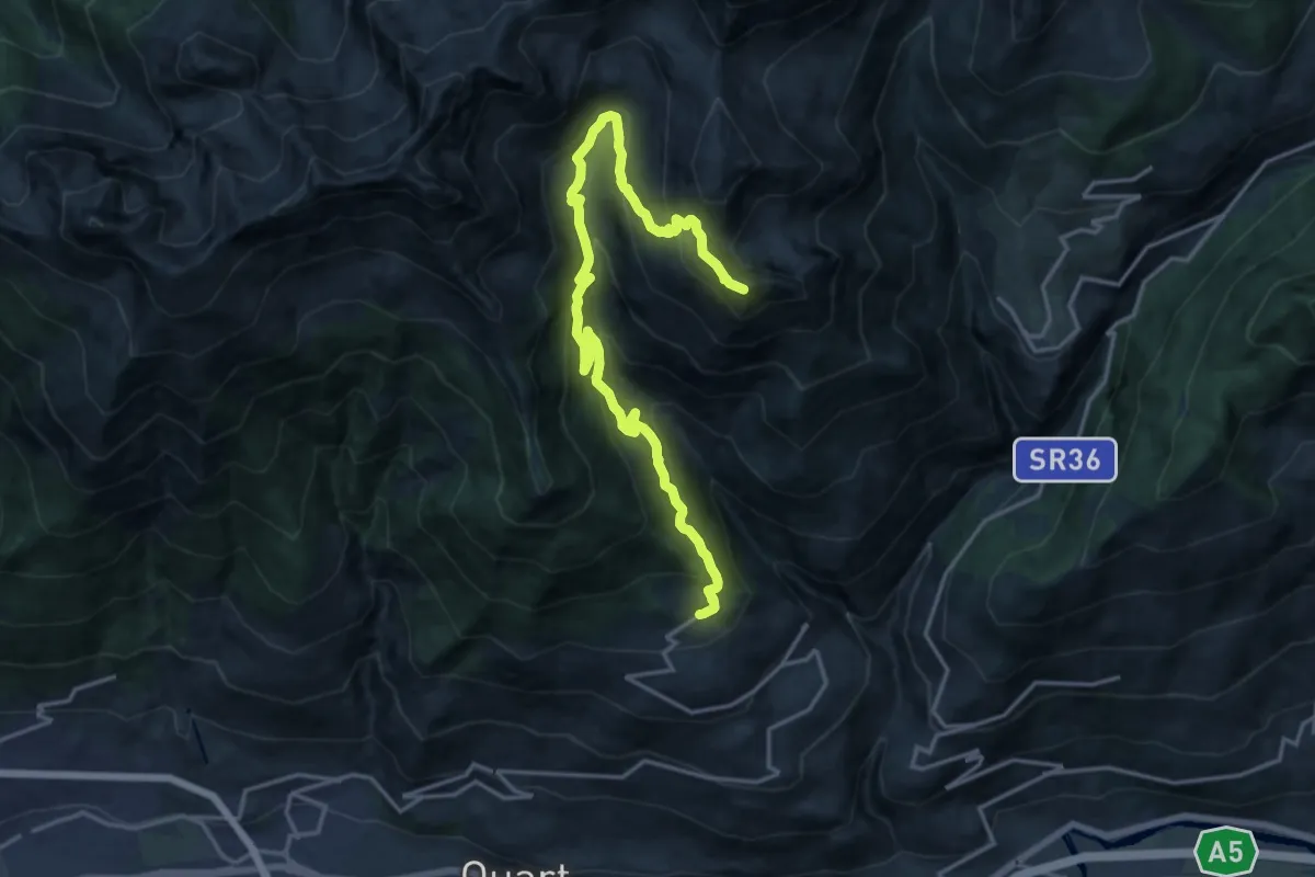
Demanding · Summit
Fonteil - Becca d'Aveille
19.8 km · ↑ 1316 m · 7 h 32 min
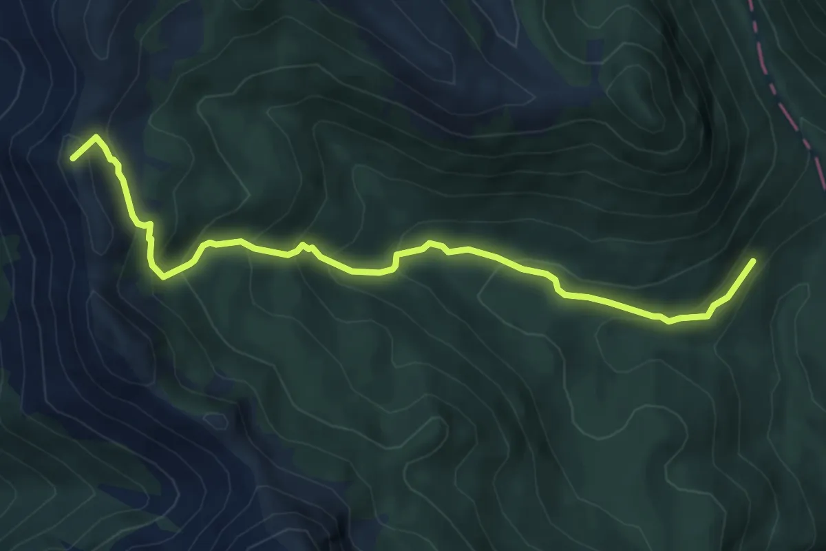
Medium · Summit
Fonte la Noce - Valico delle Gravare
7.0 km · ↑ 471 m · 2 h 40 min
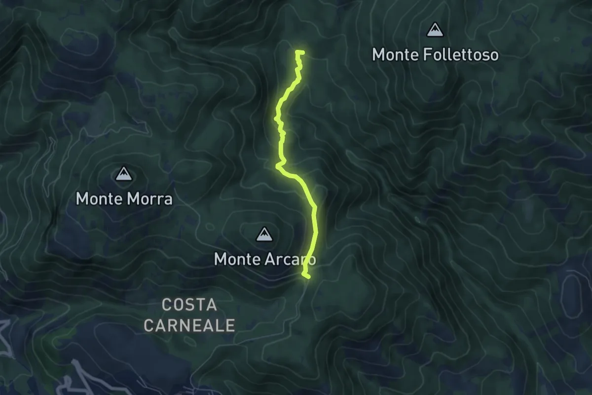
Easy · Trail
Fonte Longarina-Mad. dei Ronci
5.2 km · ↑ 282 m · 1 h 50 min
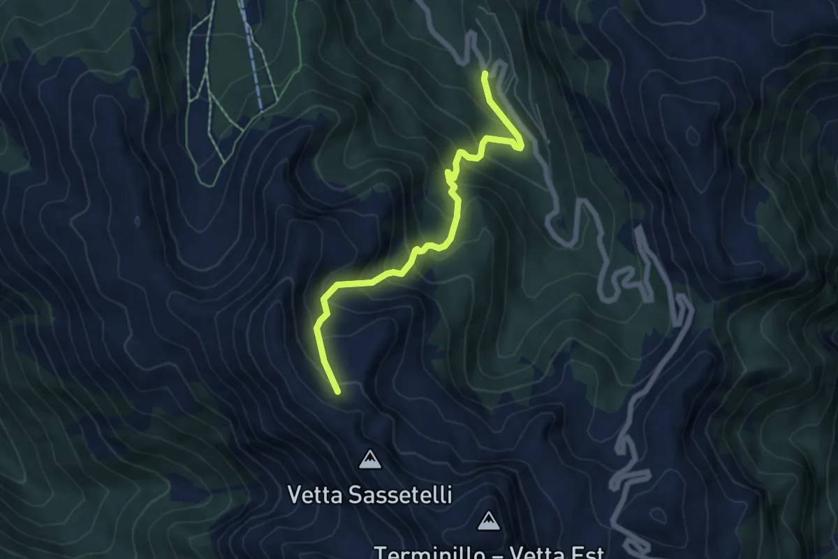
Medium · Trail
Fontenova - Prato dei Sassi
5.8 km · ↑ 597 m · 2 h 40 min