Trails in Italy
25,211 hiking trails, each with its route, climb, walking time and grade.
All trails, page 69 of 526
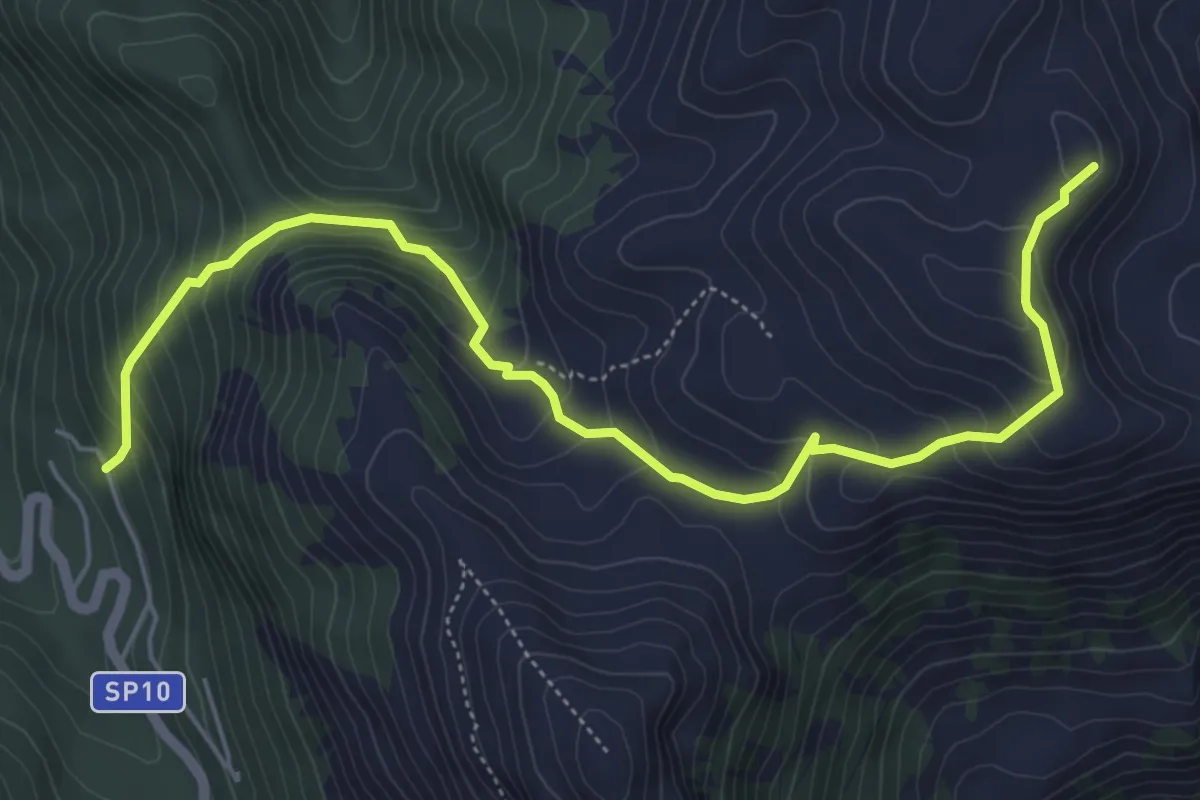
Medium · Summit
Fontenuova - Monte di Cambio
6.8 km · ↑ 529 m · 2 h 46 min
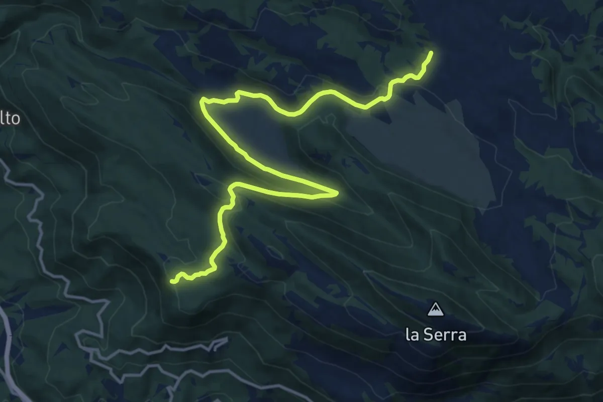
Medium · Trail
Fonticelle-Piano Aquilente
15.8 km · ↑ 442 m · 4 h 42 min
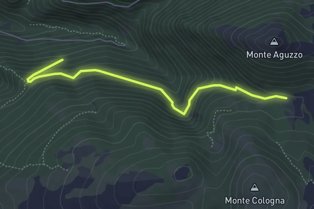
Medium · Trail
Fonti di Sassovivo
5.5 km · ↑ 395 m · 2 h 9 min
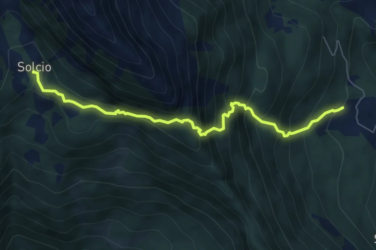
Expert · Trail
Foppiano-Costa
6.0 km · ↑ 764 m · 3 h 5 min
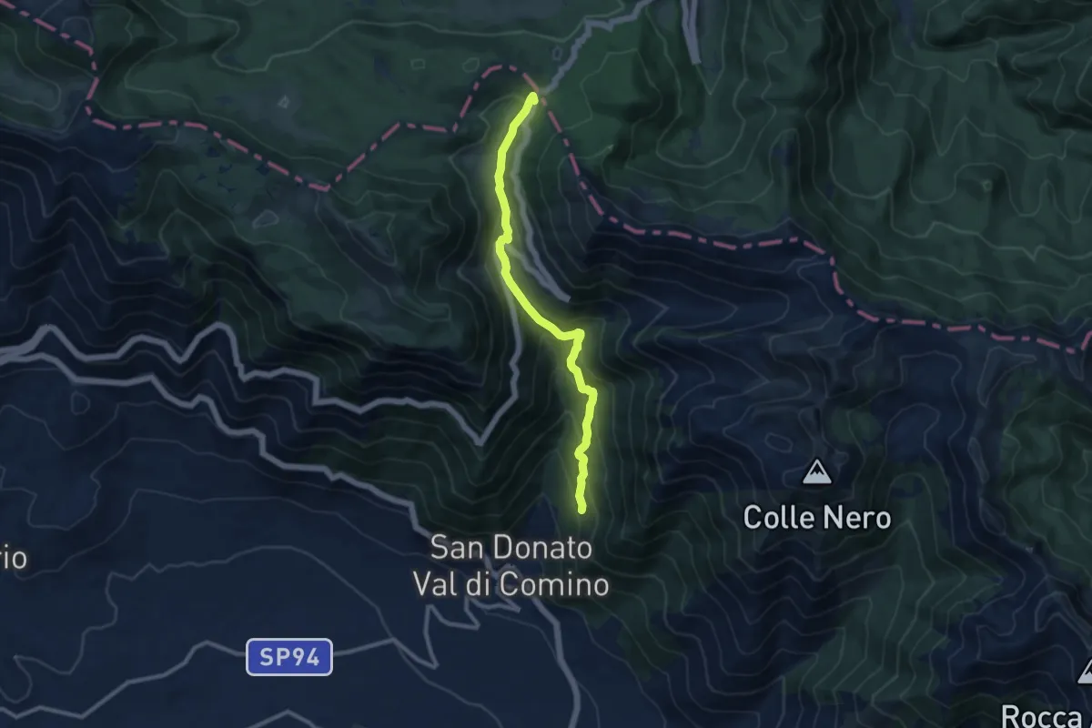
Medium · Trail
Forca d'Acero - San Donato Val di Comino
10.2 km · ↑ 696 m · 3 h 55 min
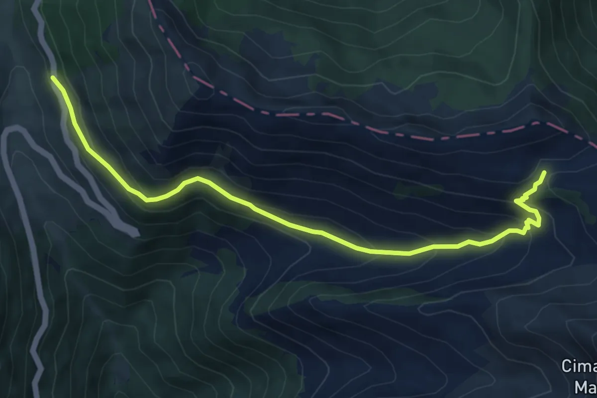
Medium · Trail
Forca d'Acero - Valico Inguagnera
7.6 km · ↑ 443 m · 2 h 45 min
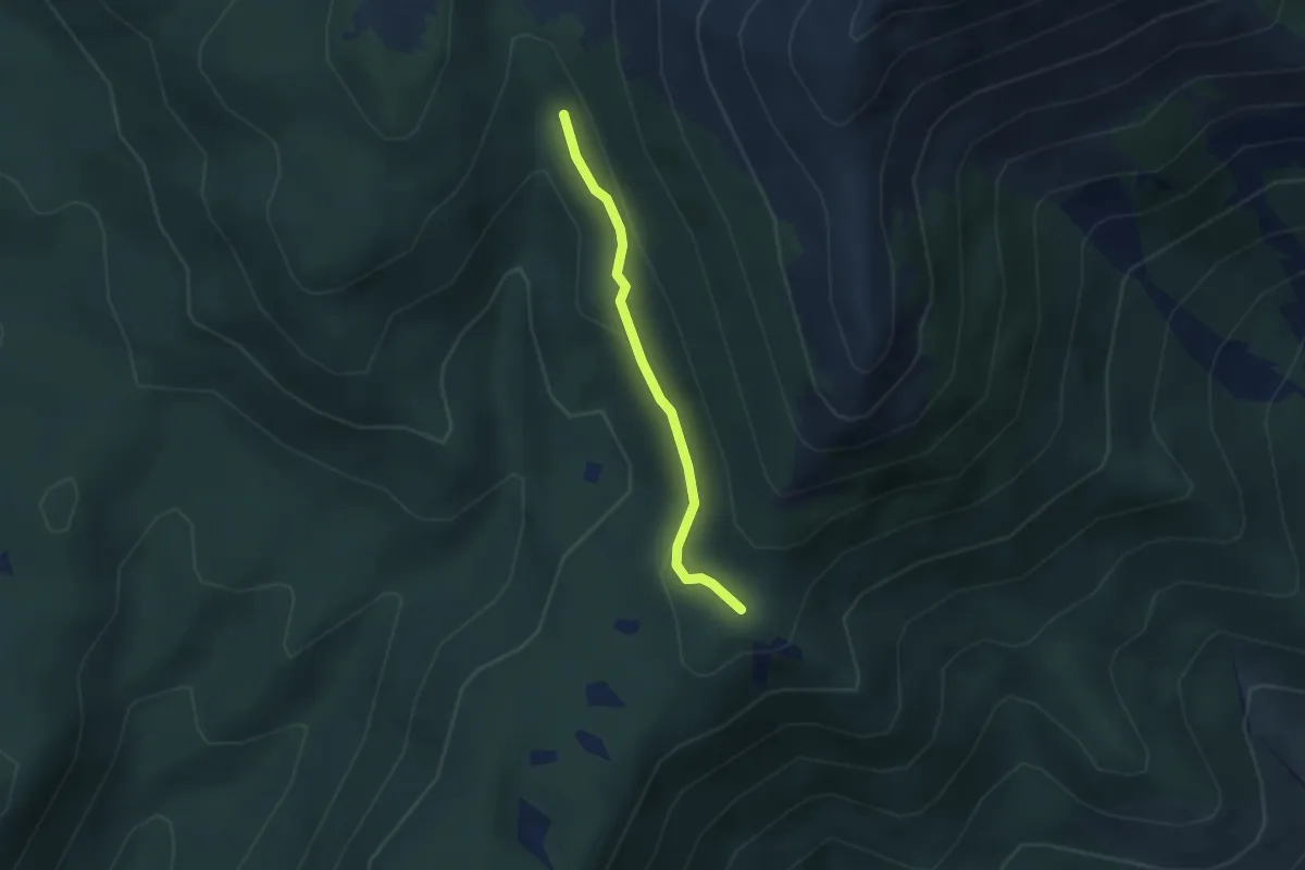
Easy · Trail
Forca Palomba - Fosso della Neve
2.6 km · ↑ 75 m · 46 min
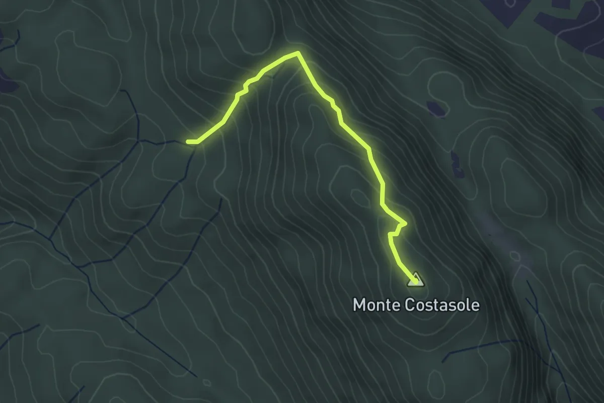
Easy · Summit
Forca Travella - Monte Costasole
3.5 km · ↑ 266 m · 1 h 24 min
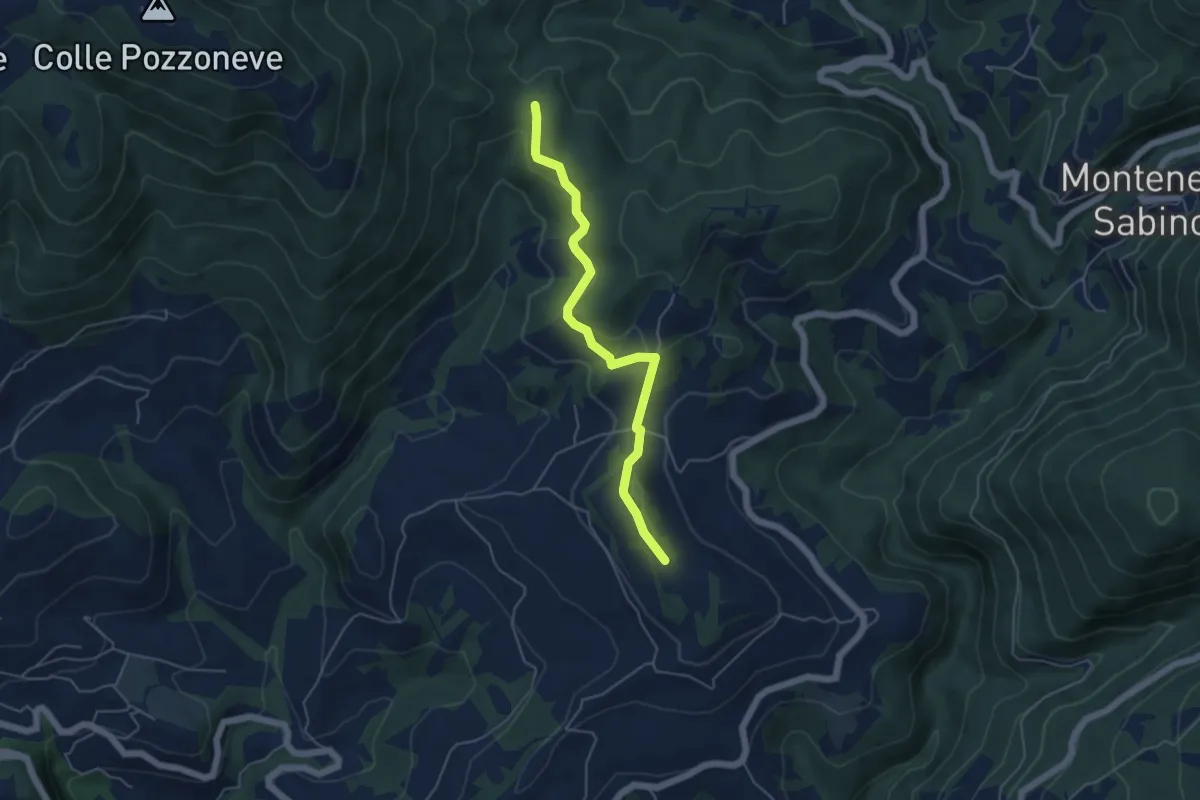
Easy · Trail
Forca Troila-Cima San Paolo
5.2 km · ↑ 180 m · 1 h 38 min
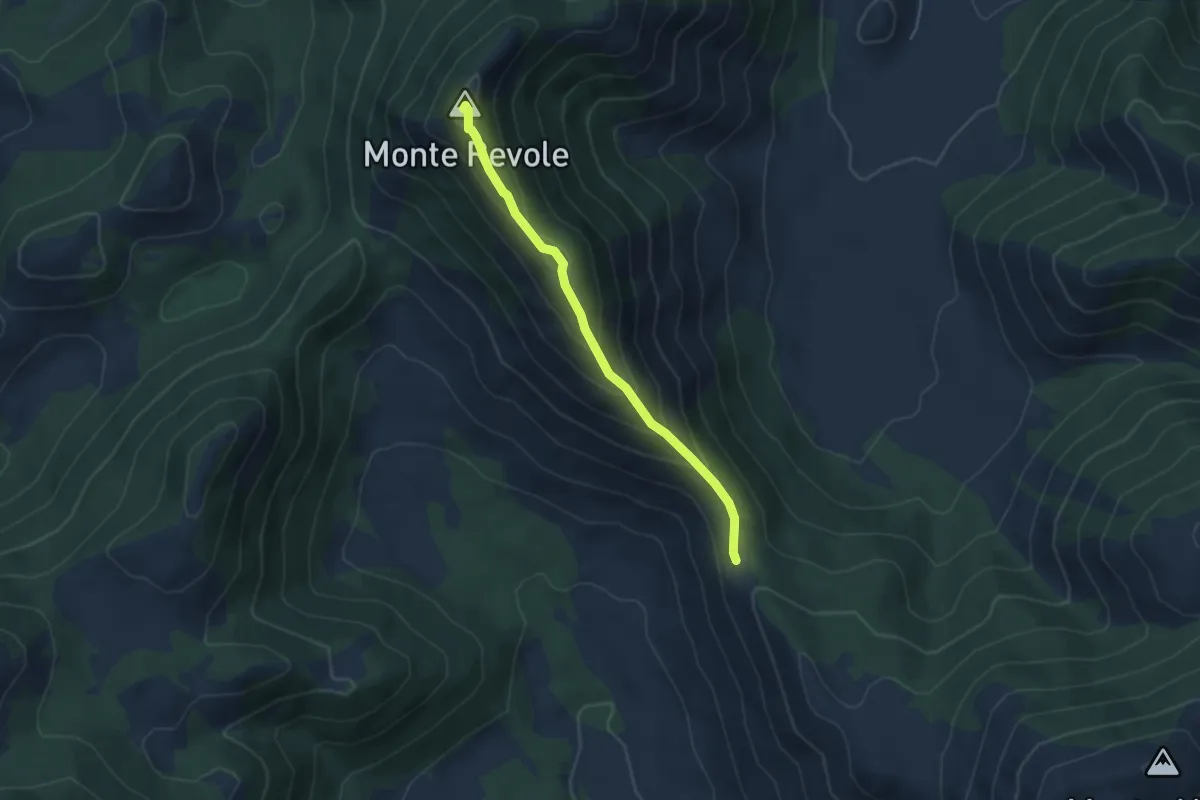
Easy · Summit
Forcella di Fraile-Monte Revole
4.5 km · ↑ 289 m · 1 h 41 min
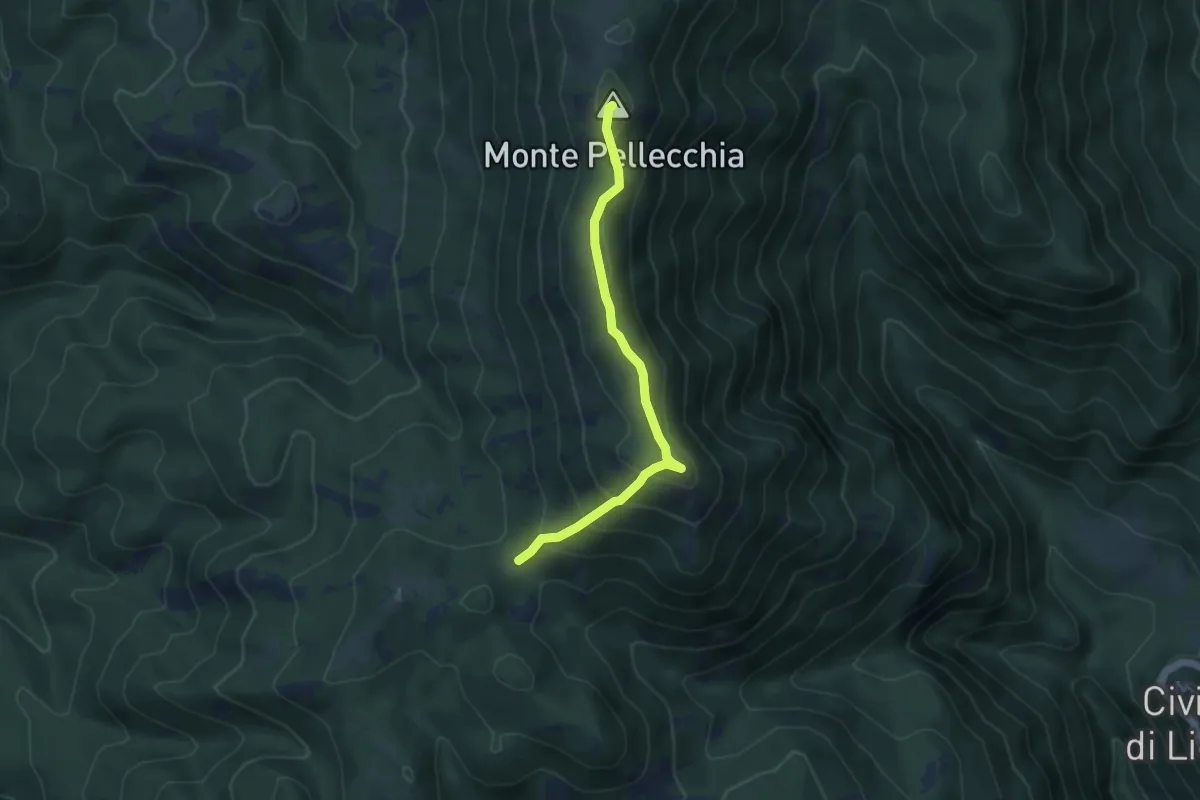
Easy · Summit
Forcella-M Pellecchia
4.6 km · ↑ 256 m · 1 h 39 min
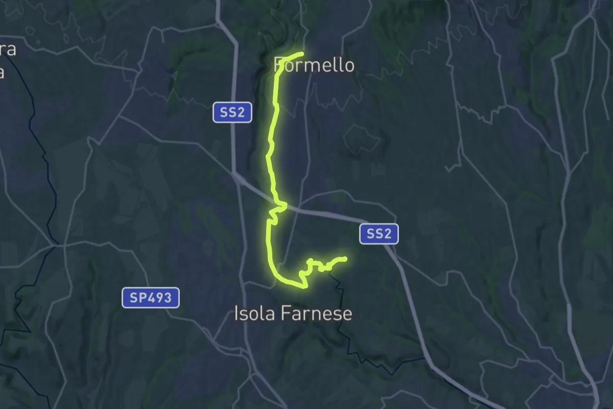
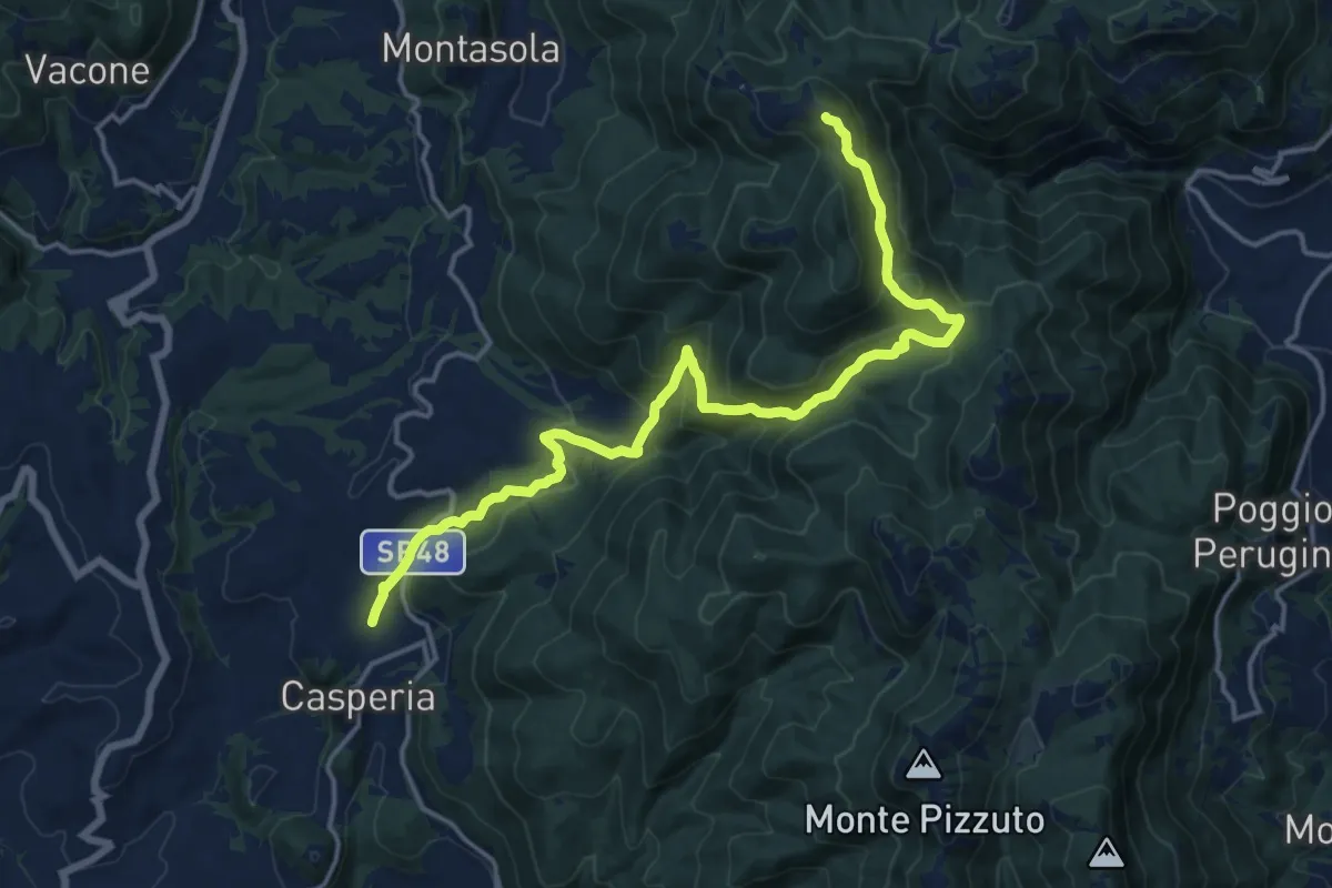
Demanding · Trail
Formello-Località Monte Michele
22.3 km · ↑ 311 m · 5 h 56 min
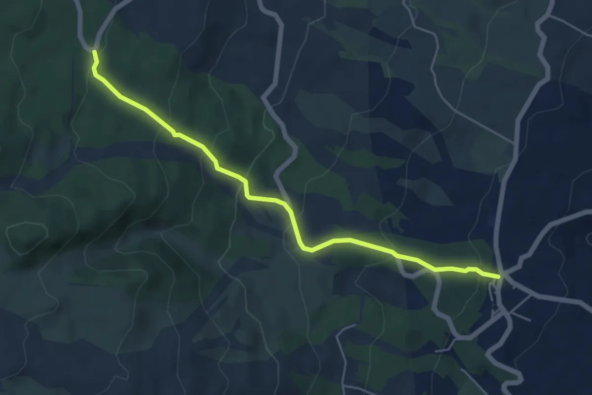
Demanding · Summit
Fornace - Edicola di via Santa Maria
19.1 km · ↑ 978 m · 6 h 37 min
Easy · Cabin
Fornazzo - Sentiero 731
5.4 km · ↑ 319 m · 1 h 58 min
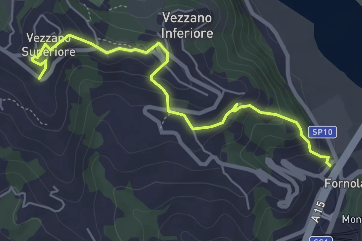
Easy · Trail
Fornola – Darola – Vezzano Ligure
5.0 km · ↑ 275 m · 1 h 46 min
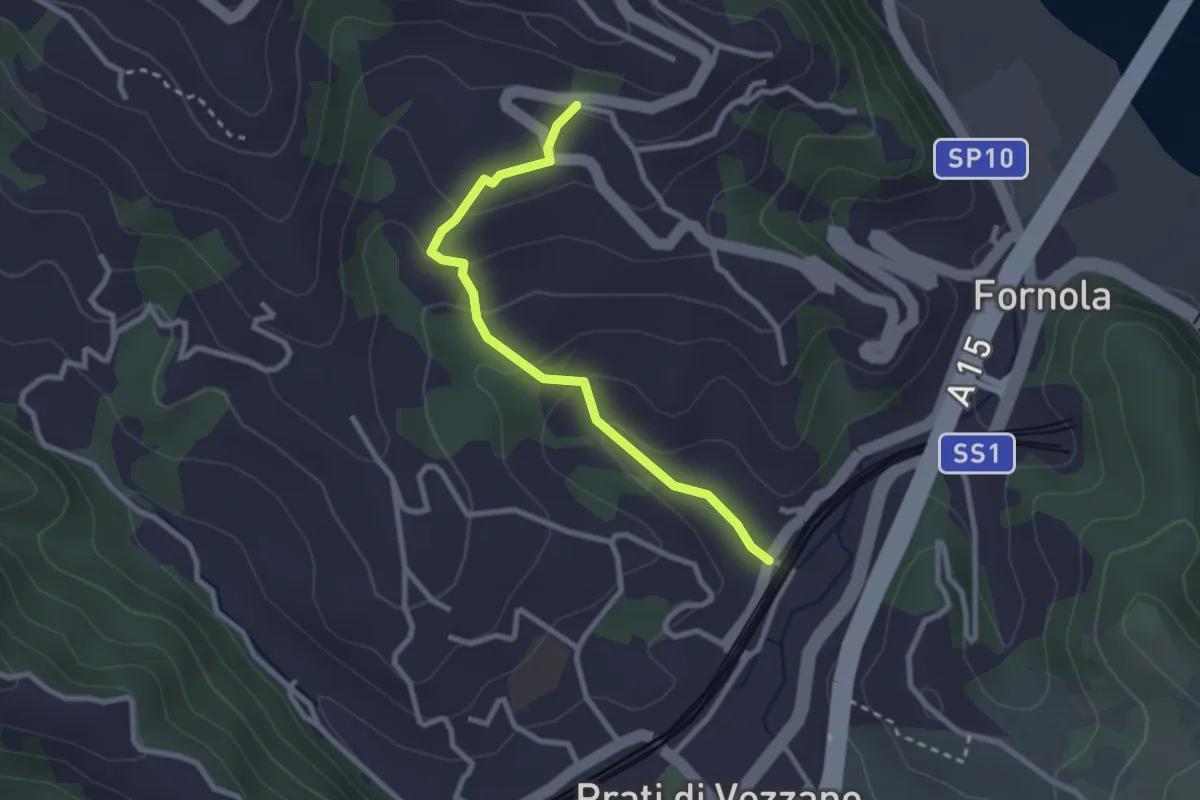
Easy · Trail
Fornola – Il Giardino – S. Maria
2.7 km · ↑ 134 m · 56 min
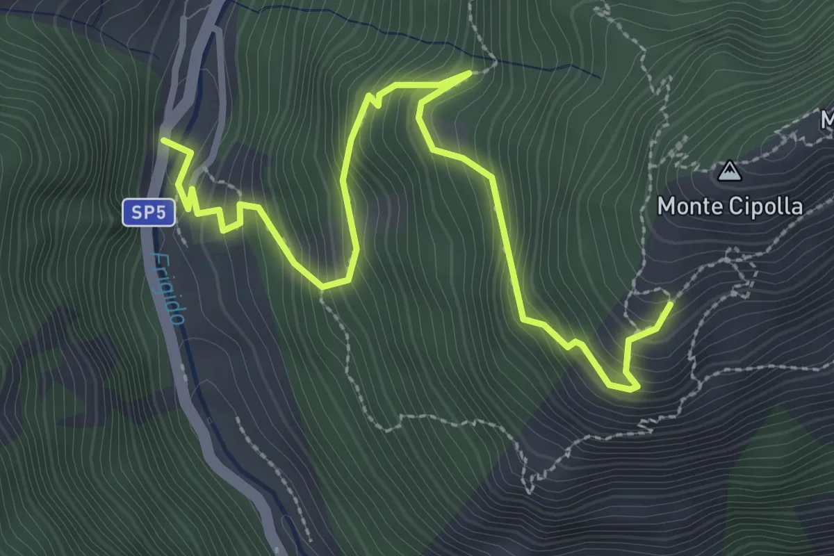
Medium · Trail
Forno - Pian dei Santi
3.6 km · ↑ 382 m · 1 h 41 min
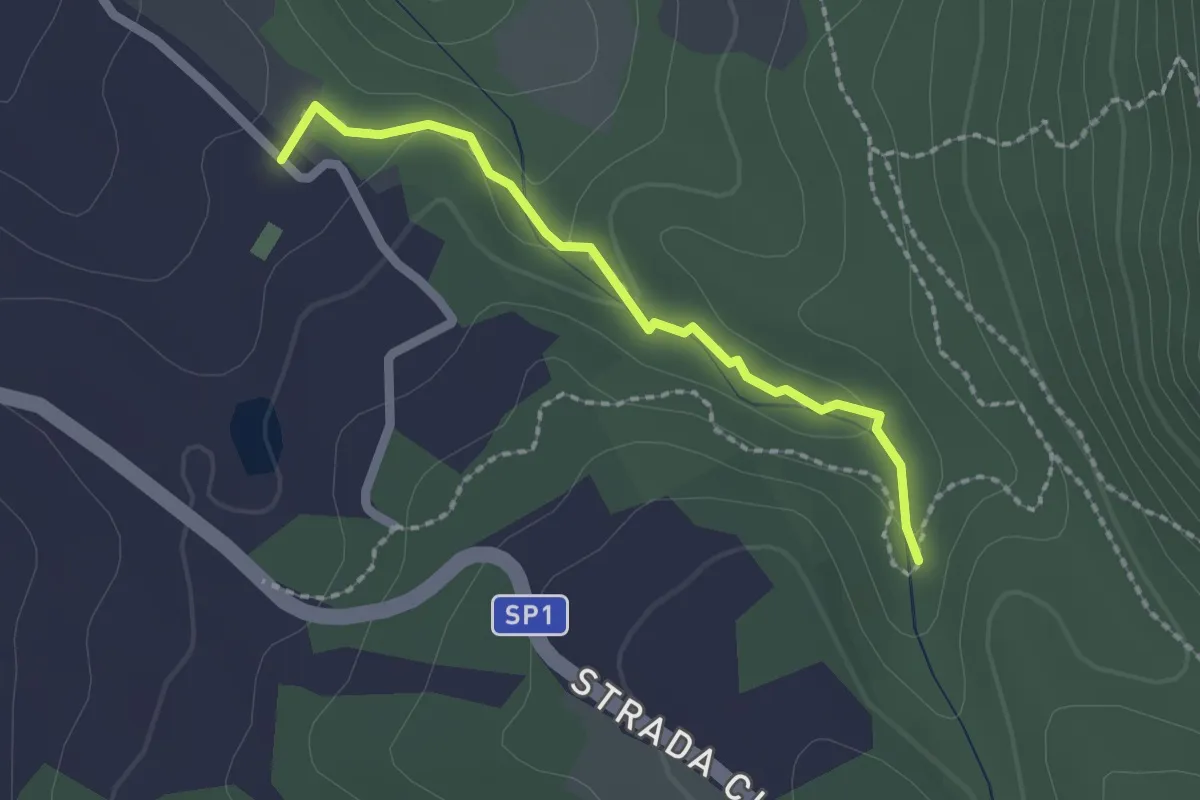
Easy · Trail
Forra del fosso Luparo
2.0 km · ↑ 50 m · 35 min
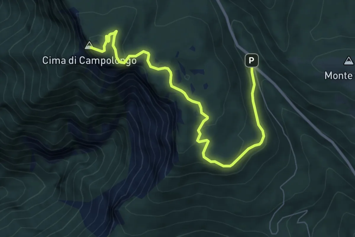
Medium · Summit
Forte Campolongo
7.8 km · ↑ 305 m · 2 h 30 min
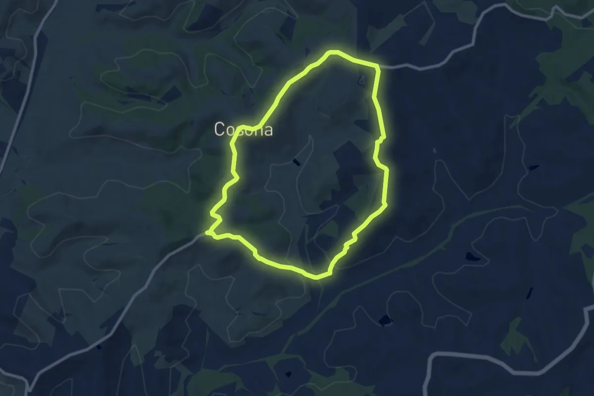
Medium · Trail
Forteguerri
8.2 km · ↑ 176 m · 2 h 26 min
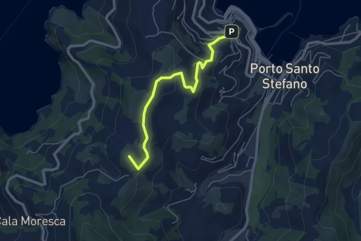
Easy · Summit
Fortezza Spagnola - Cala del Gesso
5.0 km · ↑ 228 m · 1 h 40 min
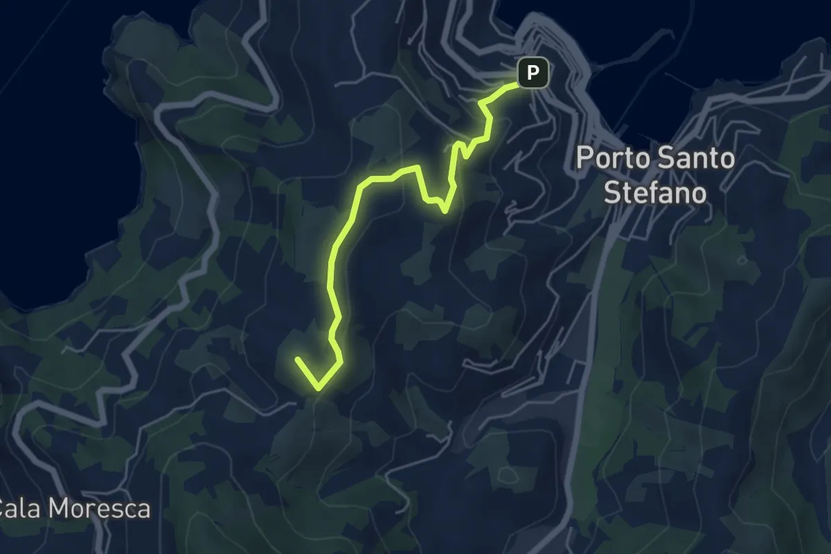
Easy · Summit
Fortezza Spagnola - Ronconali
5.0 km · ↑ 228 m · 1 h 40 min
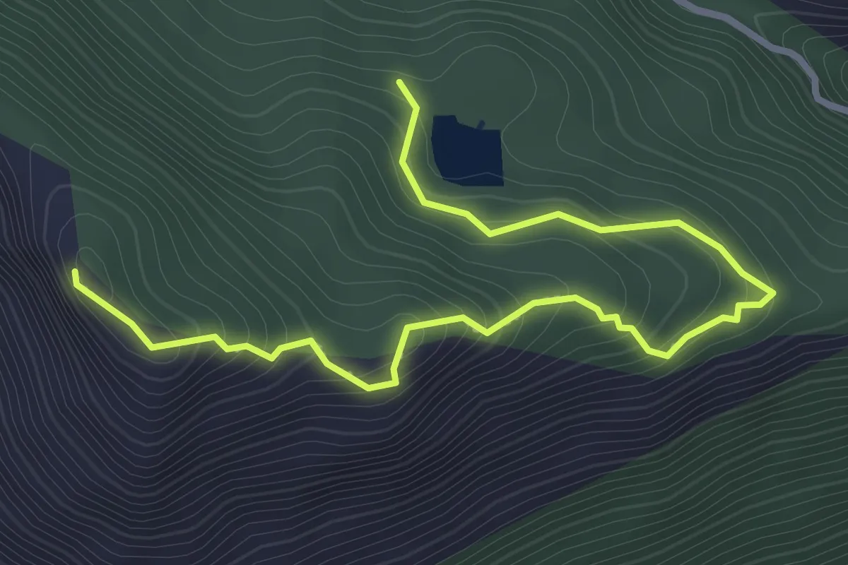
Easy · Trail
Fortini Tedeschi di Monte Cifalco
4.1 km · ↑ 255 m · 1 h 31 min
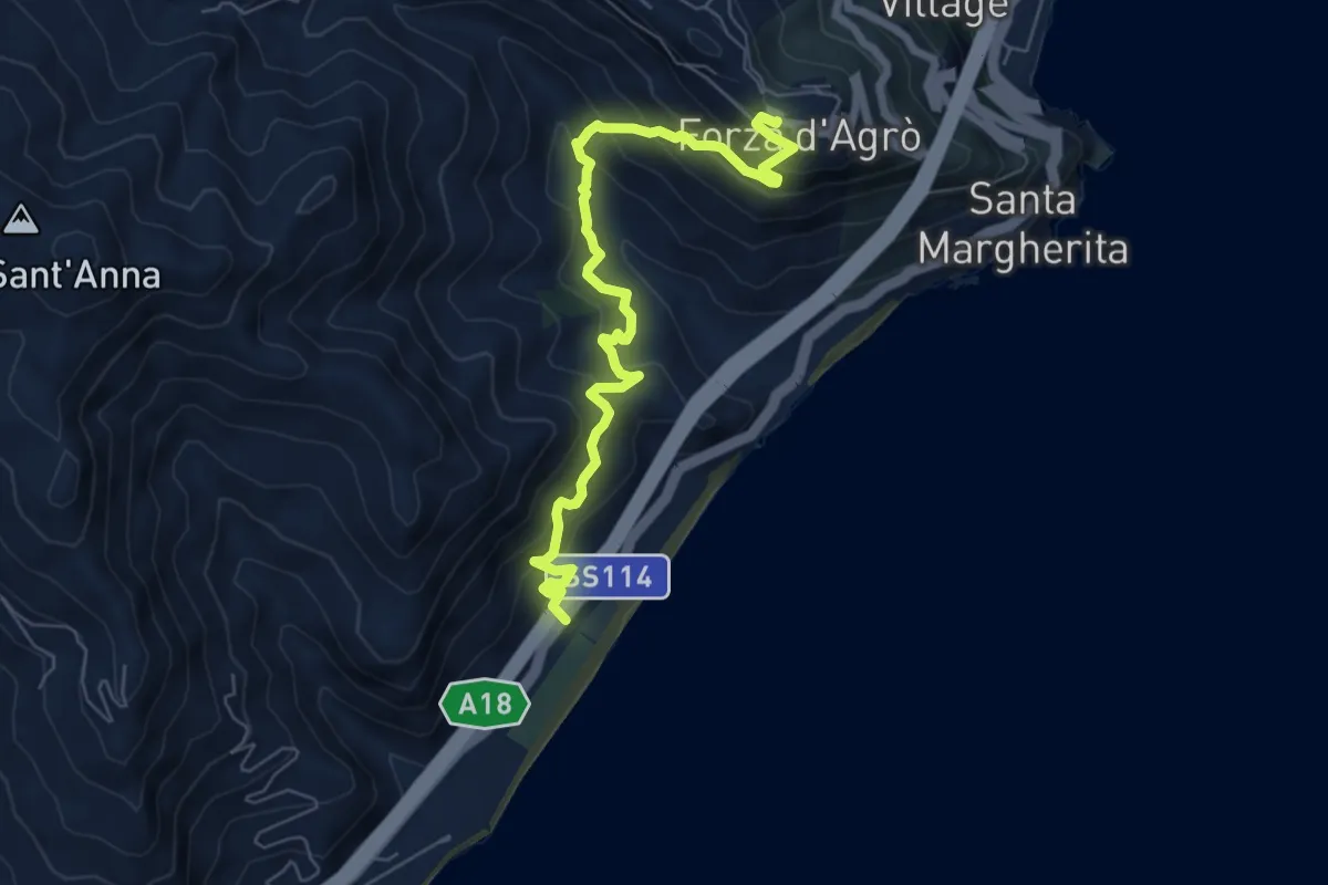
Medium · Trail
Forza d'Agrò-Piatrabianca
8.0 km · ↑ 656 m · 3 h 19 min
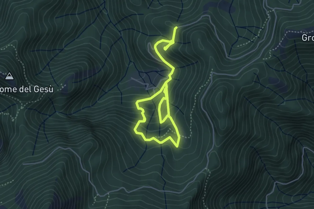
Medium · Trail
Fosco Maraini 2 - Ritorno alle Origini
6.4 km · ↑ 472 m · 2 h 32 min
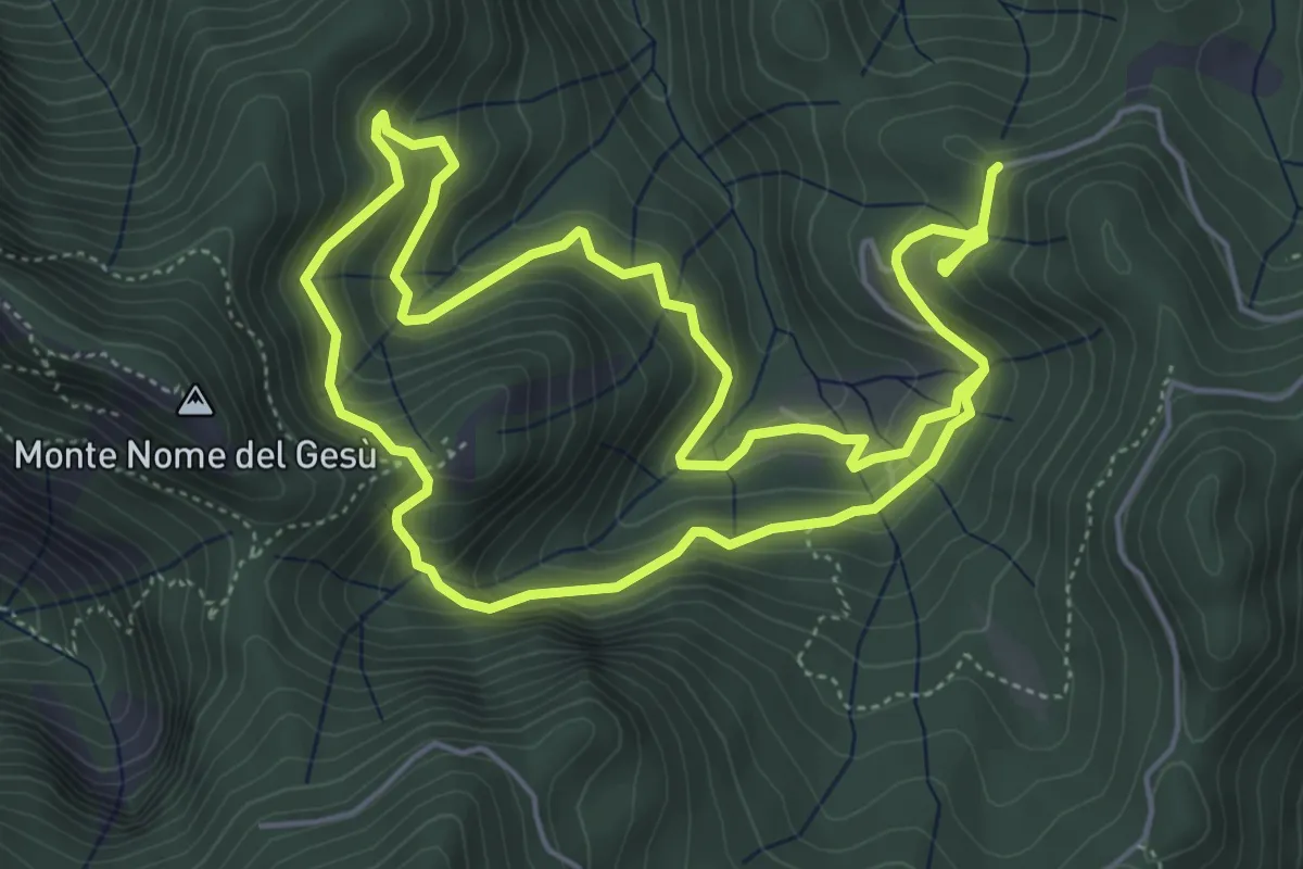
Medium · Trail
Fosco Maraini 3 - Pasquigliora centro del mondo
10.7 km · ↑ 664 m · 3 h 58 min
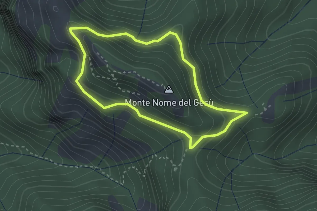
Medium · Summit
Fosco Maraini 4 - Tignoso Rovaio
2.5 km · ↑ 192 m · 1 h 2 min
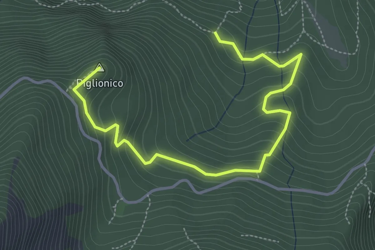
Medium · Summit
Fosco Maraini 5 - Lo specchio-cellulare
3.9 km · ↑ 306 m · 1 h 35 min
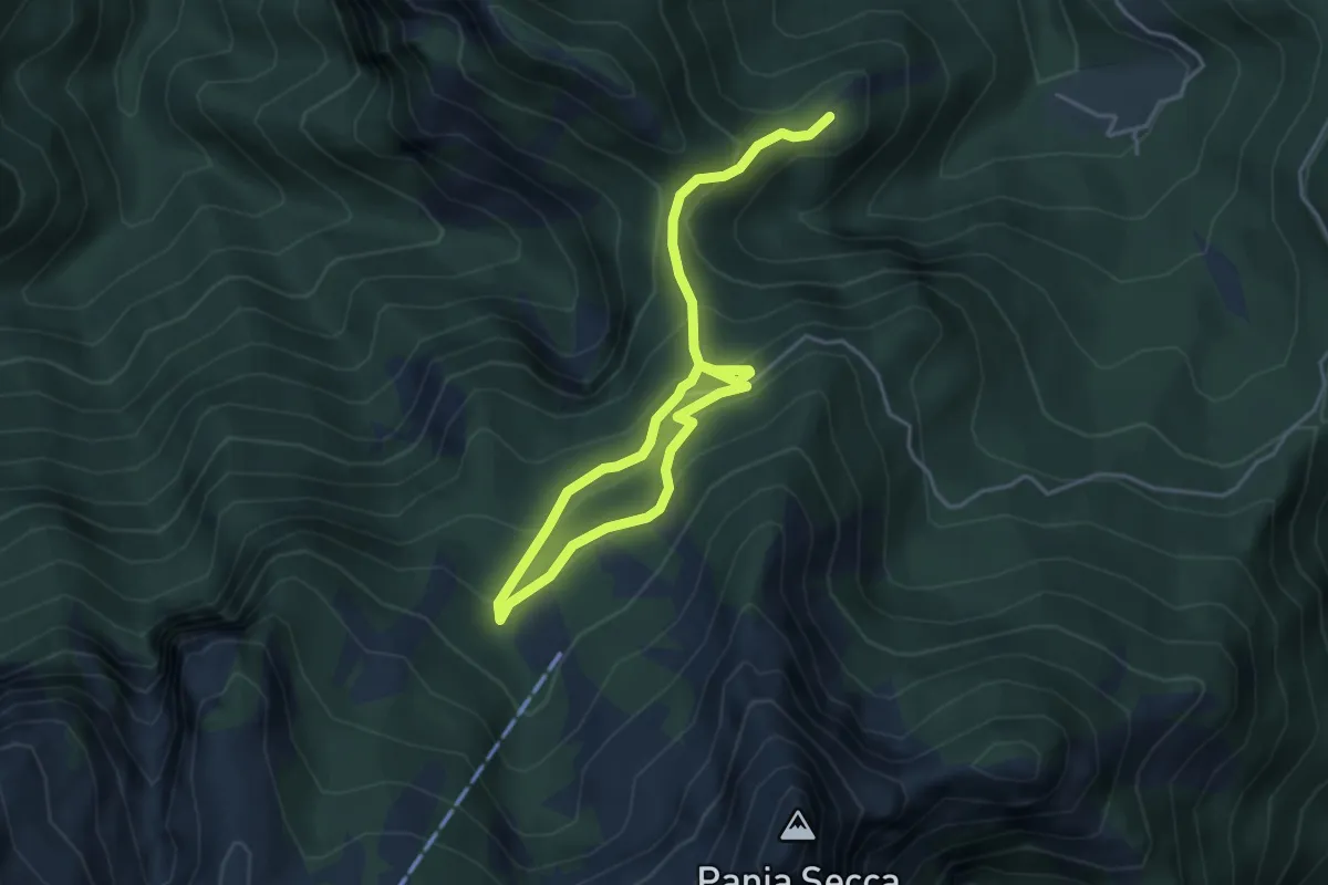
Medium · Trail
Fosco Maraini 6 - Lo sguardo del miramondo
6.1 km · ↑ 514 m · 2 h 33 min
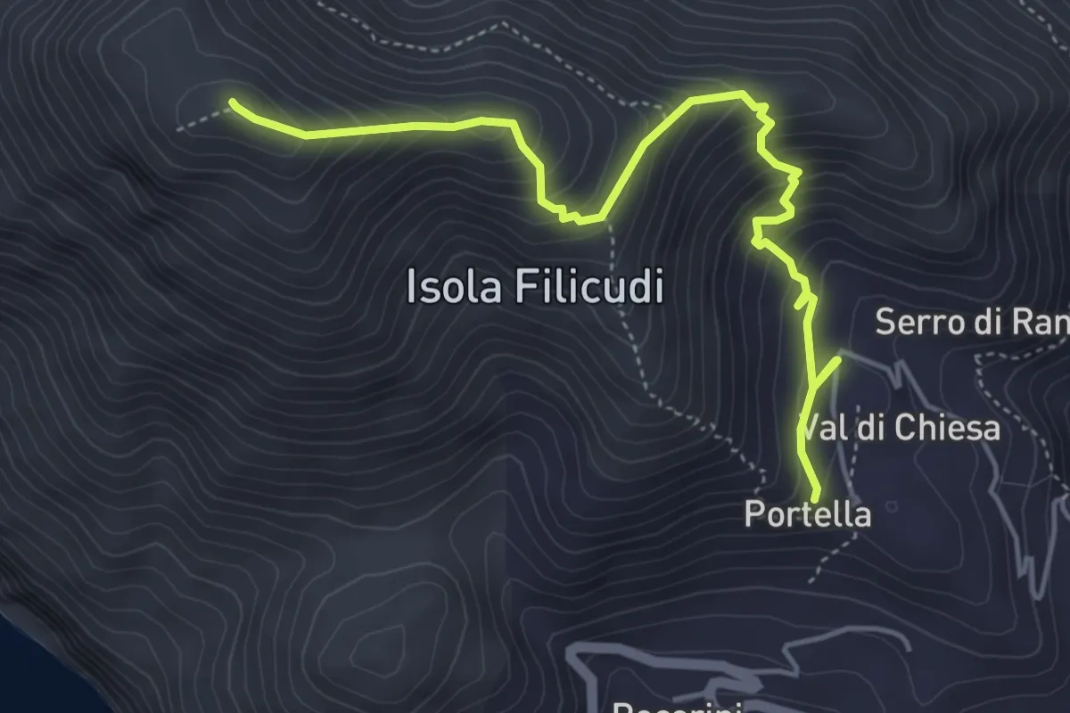
Medium · Summit
Fossa delle Felci
5.7 km · ↑ 507 m · 2 h 26 min
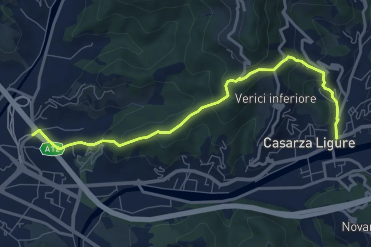
Medium · Trail
Fossa Lupara - Casarza Ligure
7.1 km · ↑ 422 m · 2 h 35 min
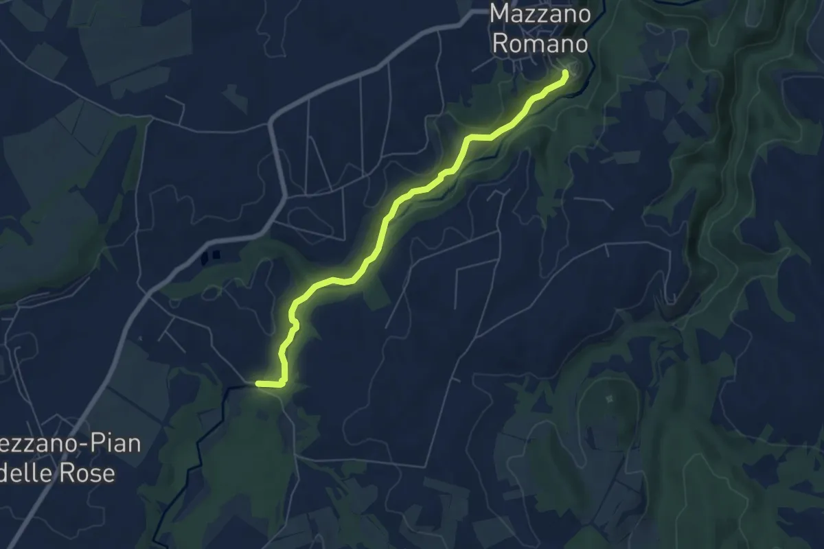
Easy · Trail
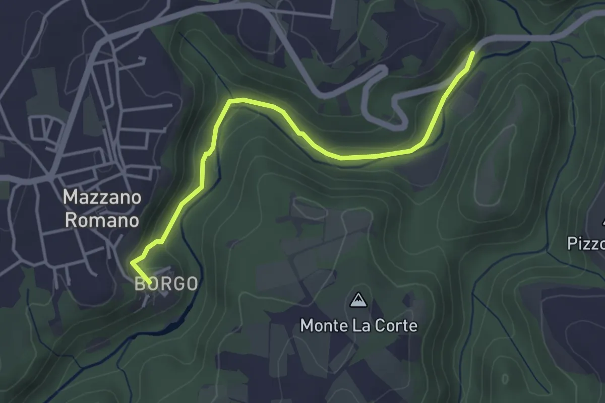
Fossi della Mola di Monte Gelato
6.5 km · ↑ 174 m · 1 h 54 min
Easy · Trail
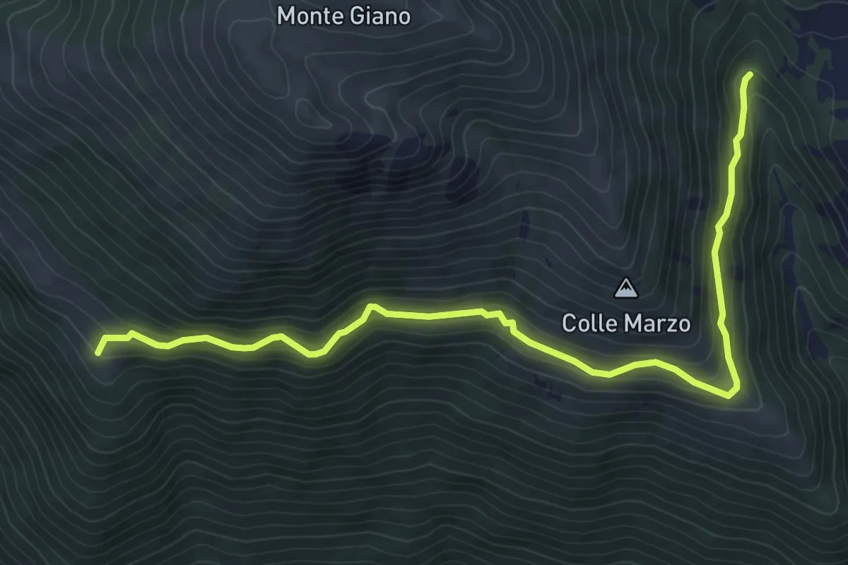
Fossi della Mola di Monte Gelato
3.9 km · ↑ 95 m · 1 h 7 min
Medium · Trail
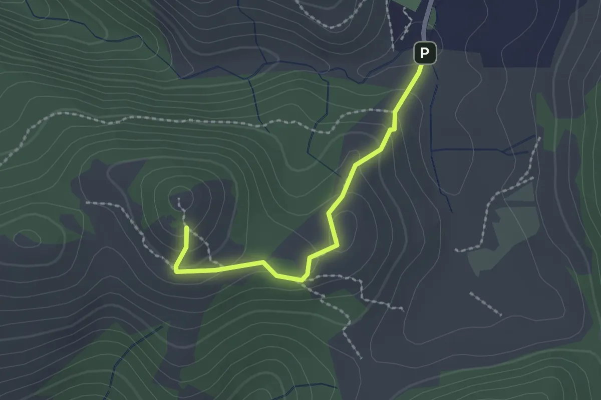
Fosso della Mozza-Chiesetta Alpina M.Giano
6.7 km · ↑ 348 m · 2 h 21 min
Easy · Trail
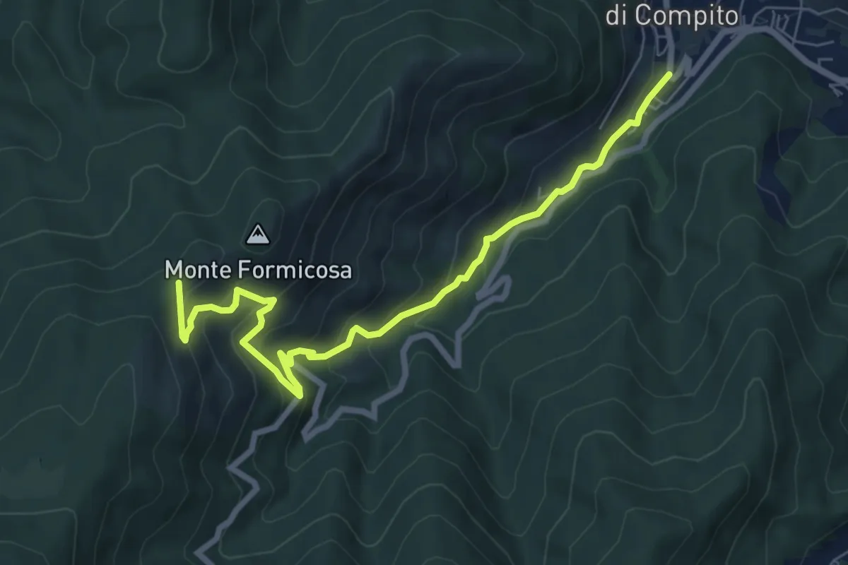
Fosso delle Pacine - Montefalco
2.1 km · ↑ 109 m · 43 min
Medium · Trail
Fosso del Lupo
7.8 km · ↑ 526 m · 2 h 59 min
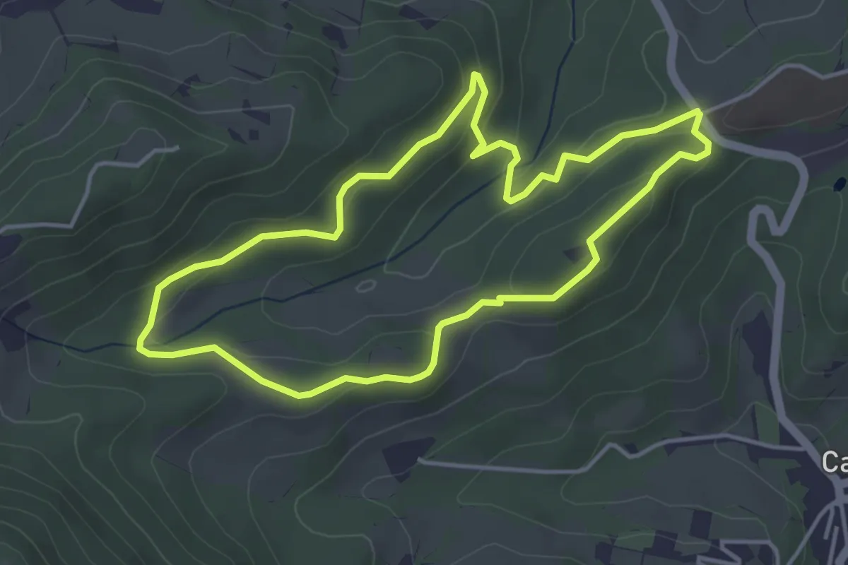
Easy · Trail
Fosso del tasso
4.1 km · ↑ 129 m · 1 h 19 min
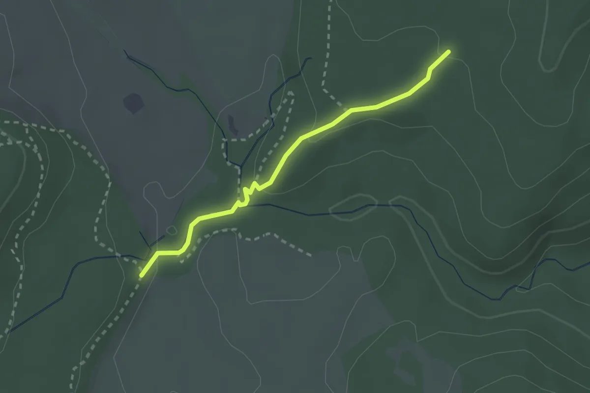
Medium · Trail
Fosso di Giovannaccio
2.4 km · ↑ 64 m · 43 min
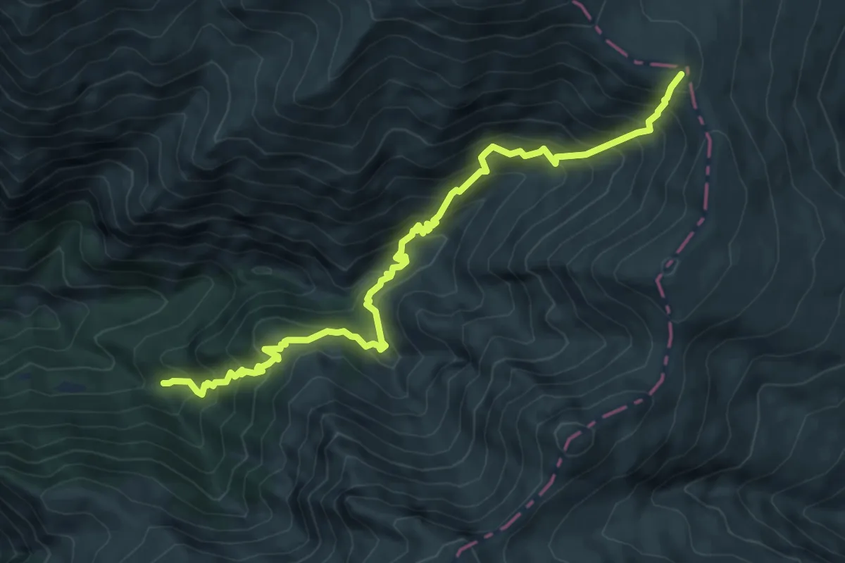
Demanding · Trail
Fosso il Gorzano (bivio 300) - Sella della Solagna (bivio 301)
8.7 km · ↑ 952 m · 4 h 7 min
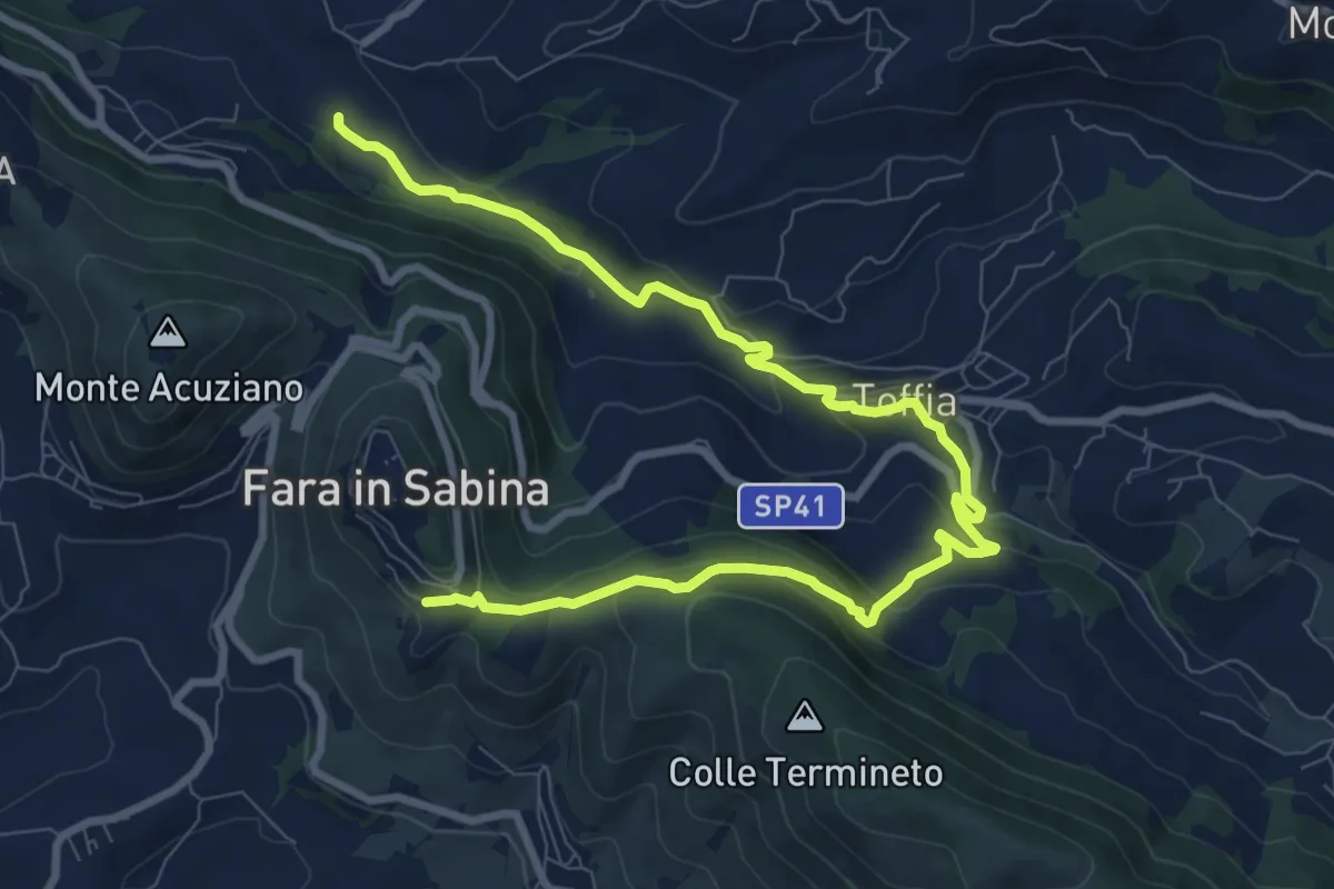
Medium · Trail
Fosso Riana-Toffia-Preventorio Savoia
12.1 km · ↑ 440 m · 3 h 49 min
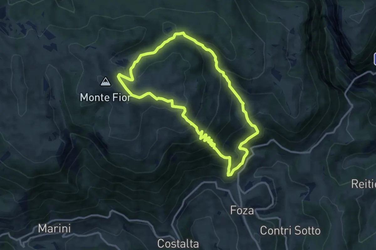
Medium · Summit
Foza - Meletta
8.8 km · ↑ 679 m · 3 h 41 min
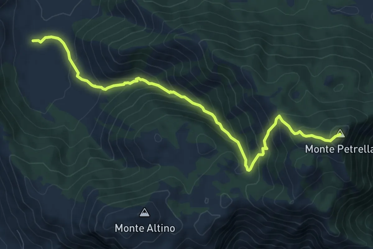
Medium · Summit
Fraile-Monte Petrella
11.0 km · ↑ 752 m · 4 h 13 min
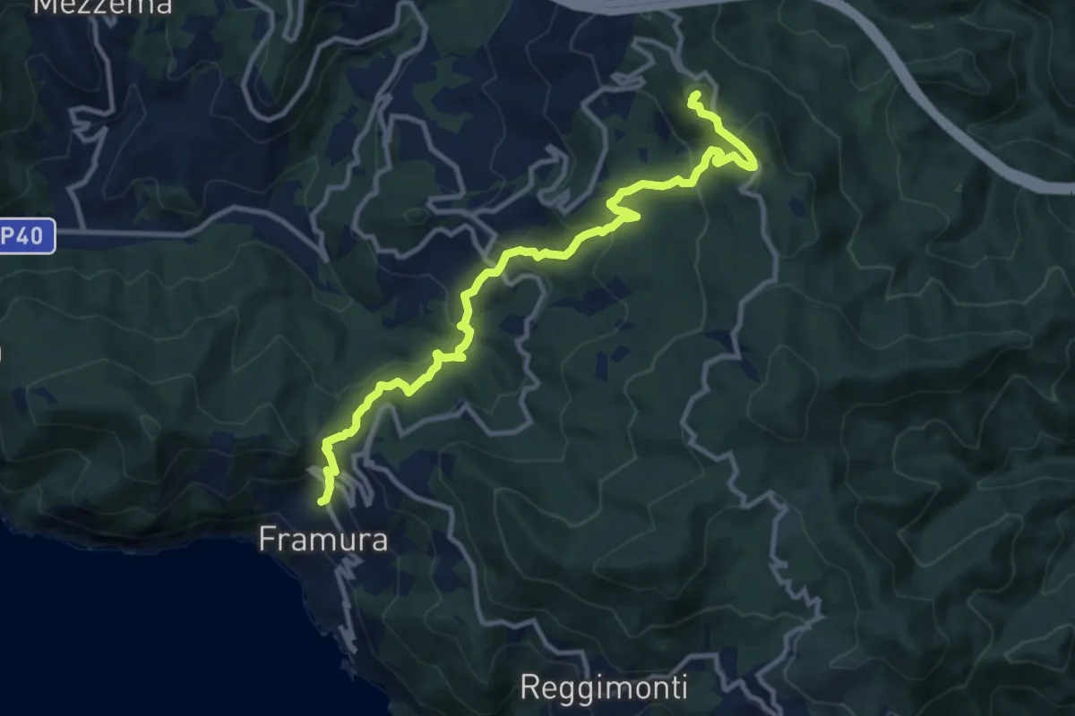
Medium · Summit
Framura (Setta) - Costa - Rovereto - Castagnola - Monte Sant'Agata
11.9 km · ↑ 720 m · 4 h 23 min
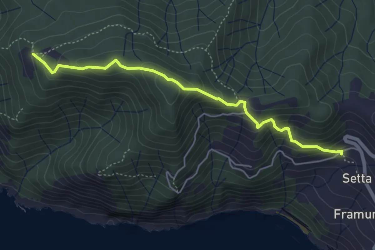
Medium · Trail
Framura (Setta) - Ressa - Foce del Prato - Monte Serra - Case Serra
4.6 km · ↑ 359 m · 1 h 52 min
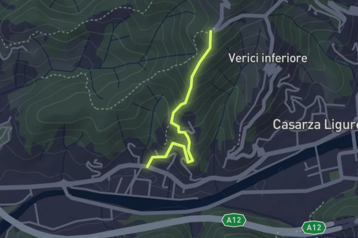
Easy · Trail
Francolano - Seiuo
2.5 km · ↑ 217 m · 1 h 4 min
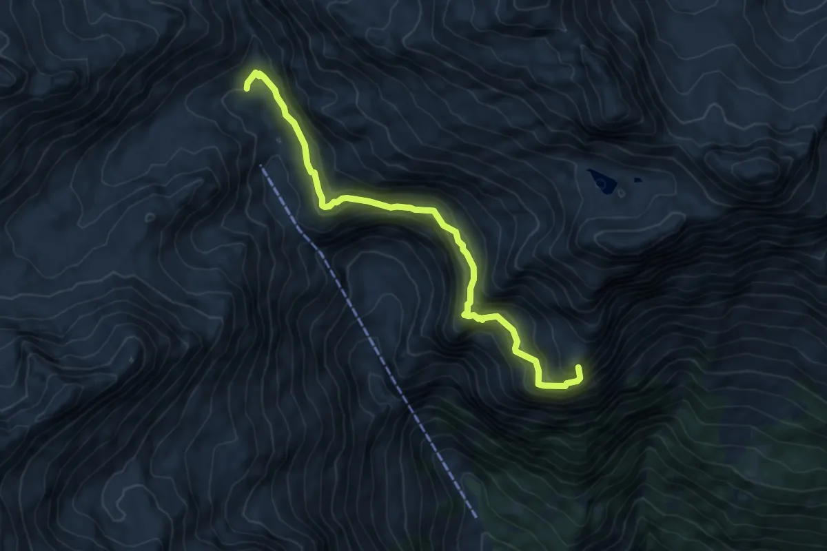
Expert · Summit
Franz-Huber-Steig
7.0 km · ↑ 626 m · 3 h 1 min
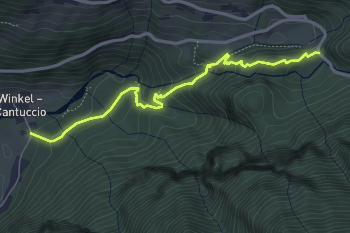
Medium · Trail
Franziskusweg - Sentiero di San Francesco
5.2 km · ↑ 275 m · 1 h 50 min
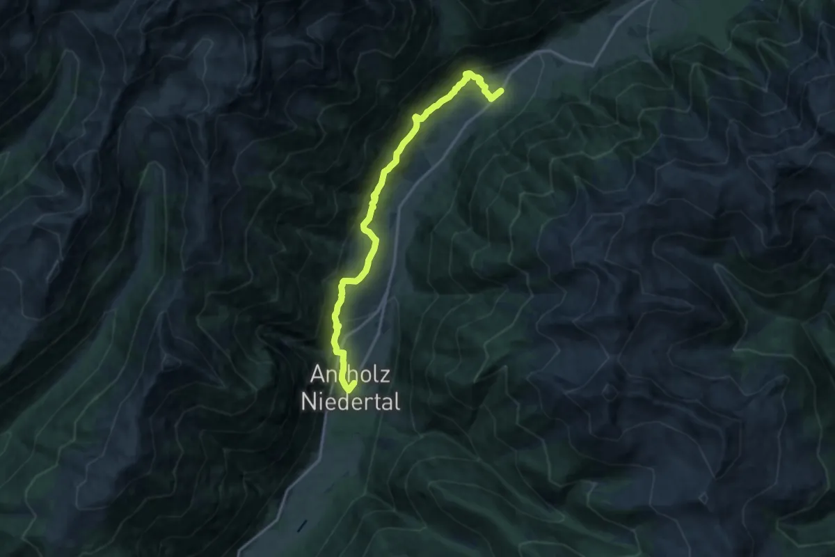
Medium · Trail
Franzosensteig
13.7 km · ↑ 674 m · 4 h 42 min