Trails in Italy
25,211 hiking trails, each with its route, climb, walking time and grade.
All trails, page 70 of 526
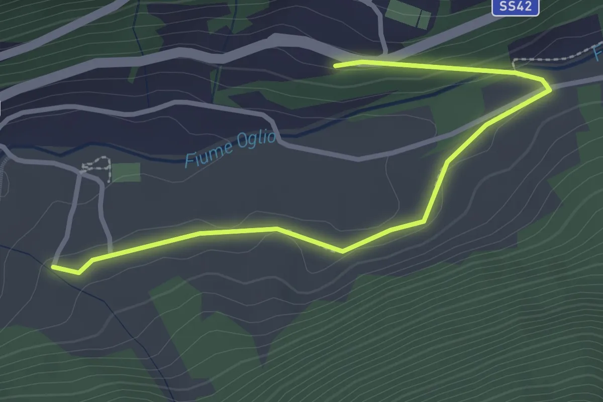
Easy · Trail
Frasen
1.5 km · ↑ 41 m · 27 min
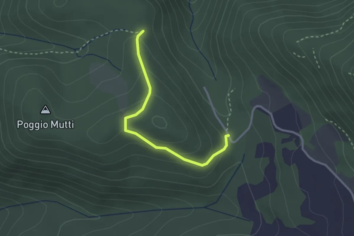
Easy · Trail
Frasseta
2.5 km · ↑ 126 m · 52 min
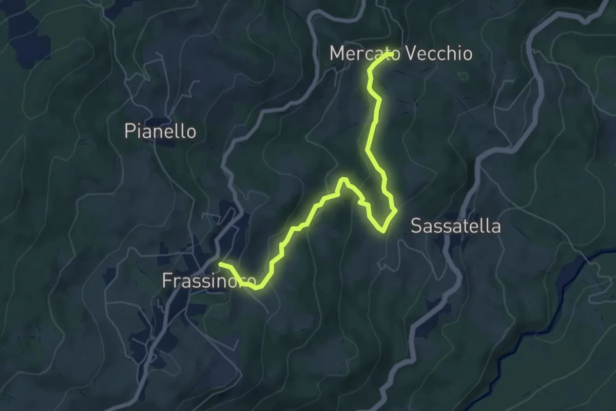
Easy · Trail
Frassinoro - Mercato Vecchio
6.9 km · ↑ 279 m · 2 h 14 min
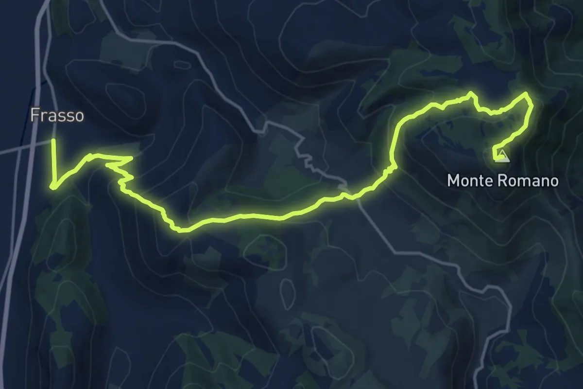
Demanding · Summit
Frasso - Monte Romano
19.3 km · ↑ 1124 m · 6 h 59 min
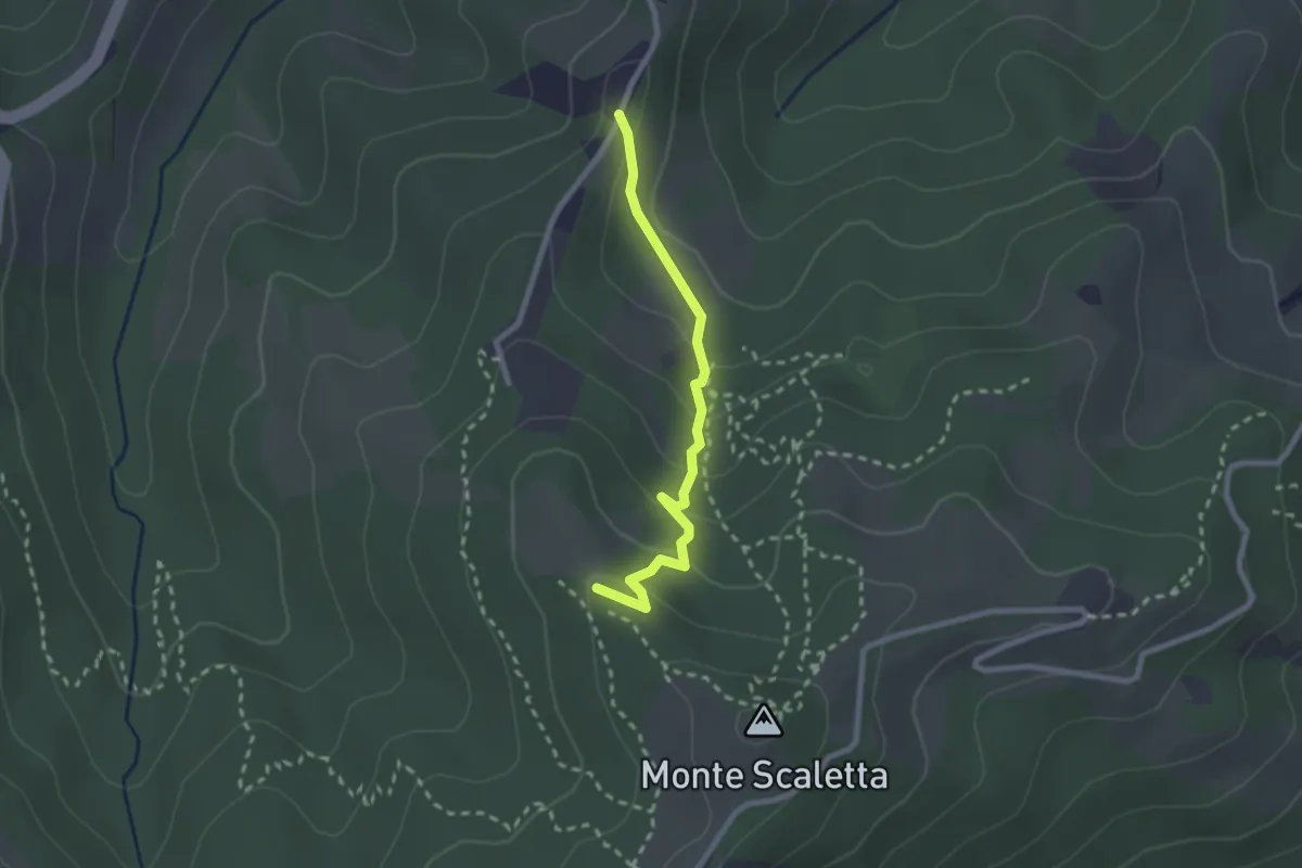
Easy · Trail
Fra Track
2.3 km · ↑ 123 m · 49 min
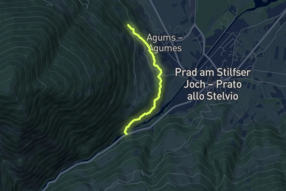
Medium · Trail
Frauwaal
4.5 km · ↑ 319 m · 1 h 45 min
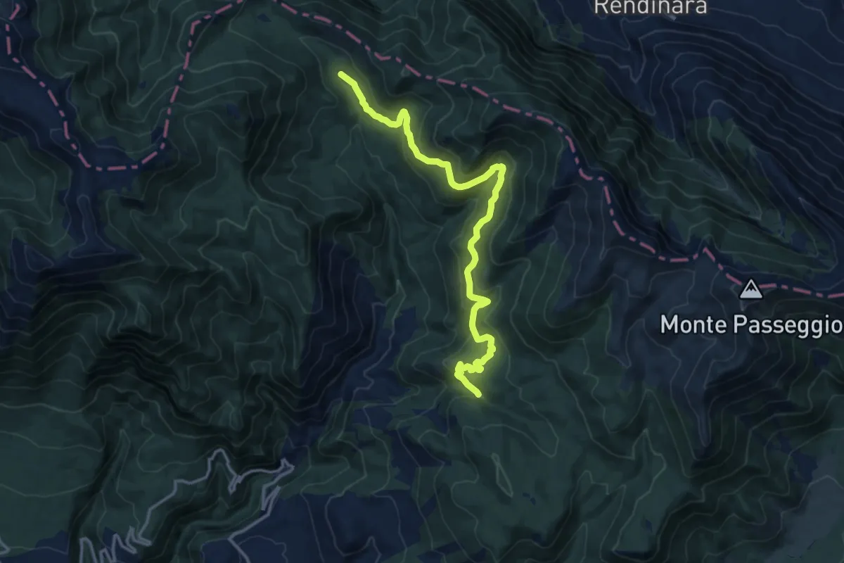
Medium · Cabin
Frazione San Nicola - Rifugio di Pietra Acquara
15.5 km · ↑ 567 m · 4 h 53 min
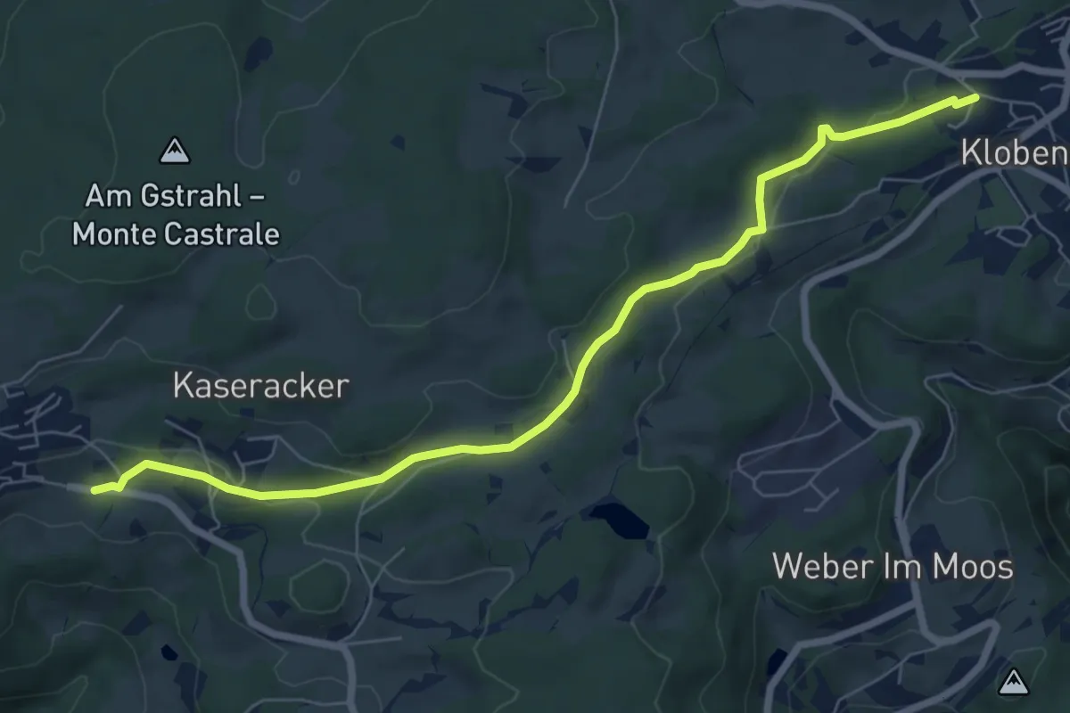
Easy · Trail
Freudpromenade
7.5 km · ↑ 154 m · 2 h 6 min
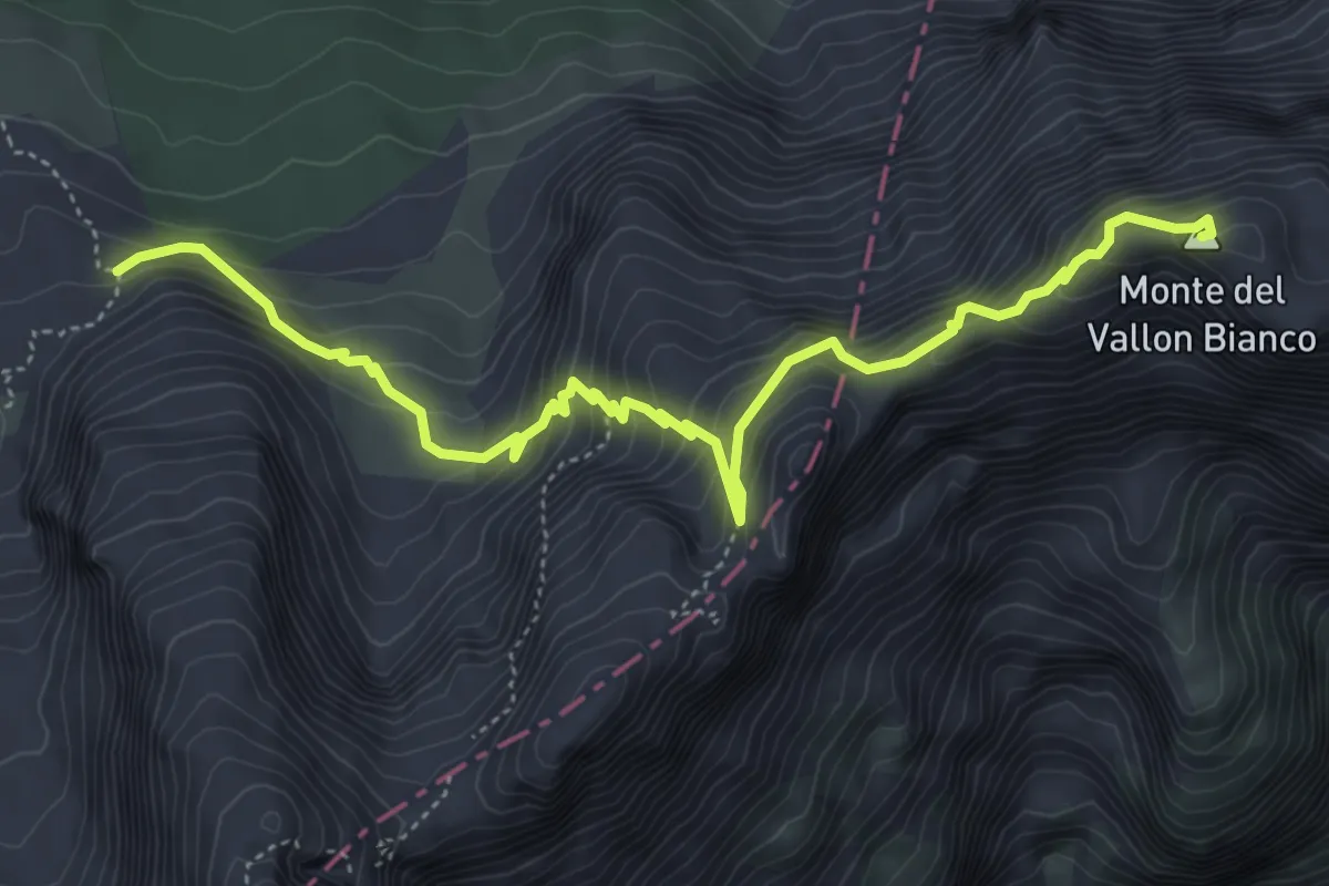
Demanding · Summit
Friedensweg - Via della Pace
5.8 km · ↑ 669 m · 2 h 49 min
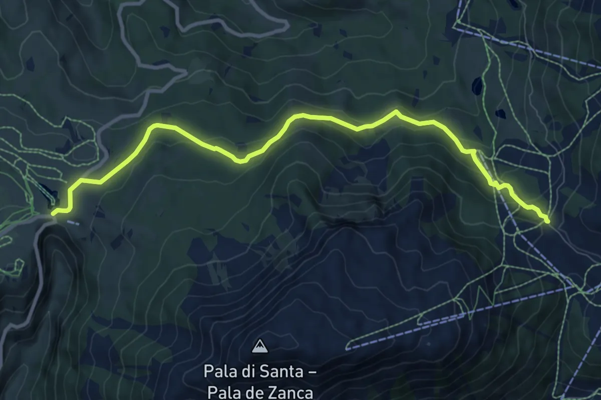
Medium · Trail
Führersteig
9.3 km · ↑ 442 m · 3 h 10 min
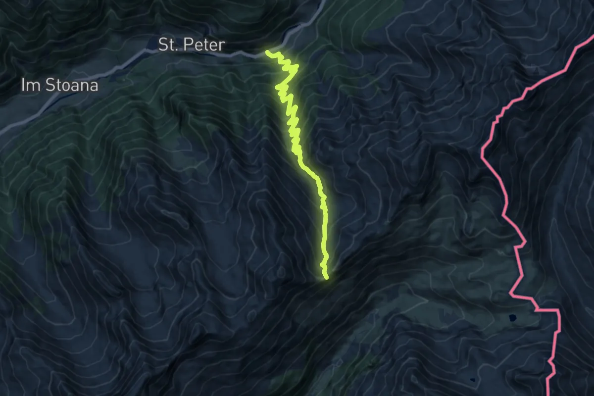
Demanding · Summit
Fuldaerweg
13.9 km · ↑ 1107 m · 5 h 41 min
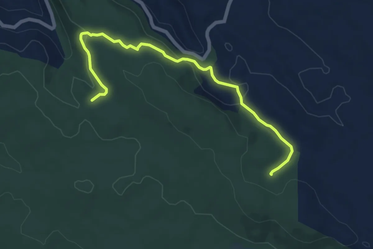
Easy · Trail
Funtanamela
7.9 km · ↑ 210 m · 2 h 19 min
Demanding · Trail
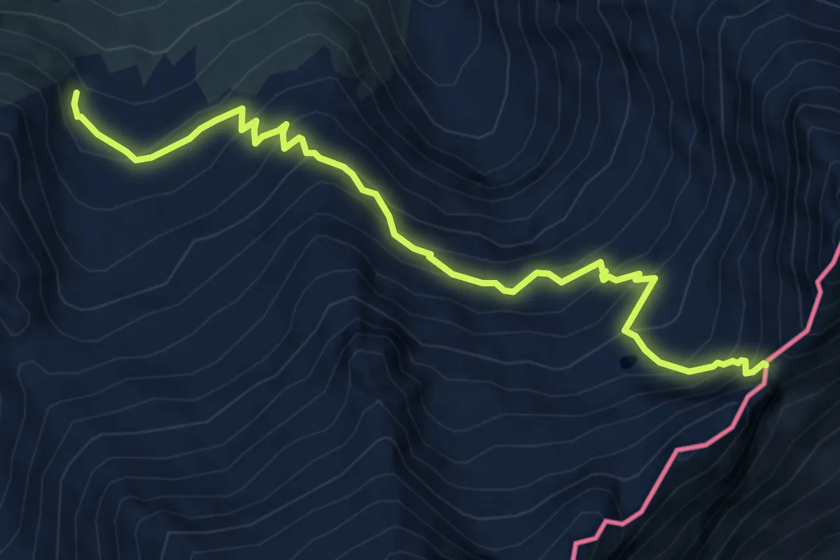
Furggubäumlickeweg
7.0 km · ↑ 673 m · 3 h 6 min
Easy · Trail
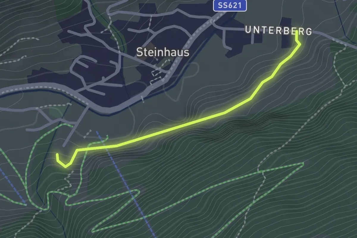
Fürstenweg
2.1 km · ↑ 116 m · 44 min
Demanding · Trail
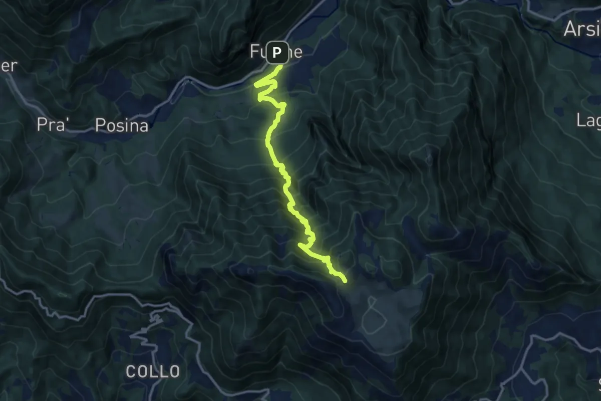
Fusine - Boalòn del Novegno
11.6 km · ↑ 1214 m · 5 h 22 min
Medium · Trail
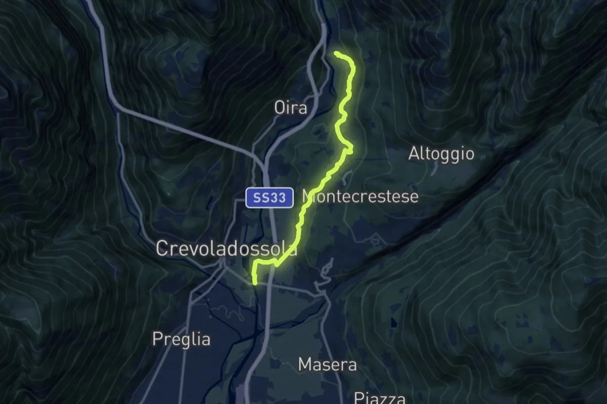
G00a - Montecrestese - Pontemaglio
9.8 km · ↑ 327 m · 3 h 1 min
Easy · Trail
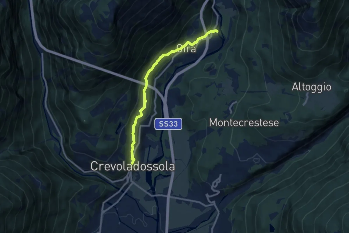
G00b - Crevoladossola - Oira
7.1 km · ↑ 291 m · 2 h 18 min
Easy · Cabin
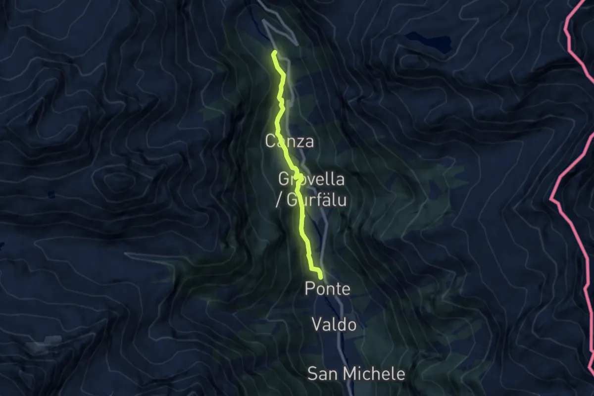
G00d - Ponte - Sotto Frua
6.3 km · ↑ 260 m · 2 h 3 min
Demanding · Trail
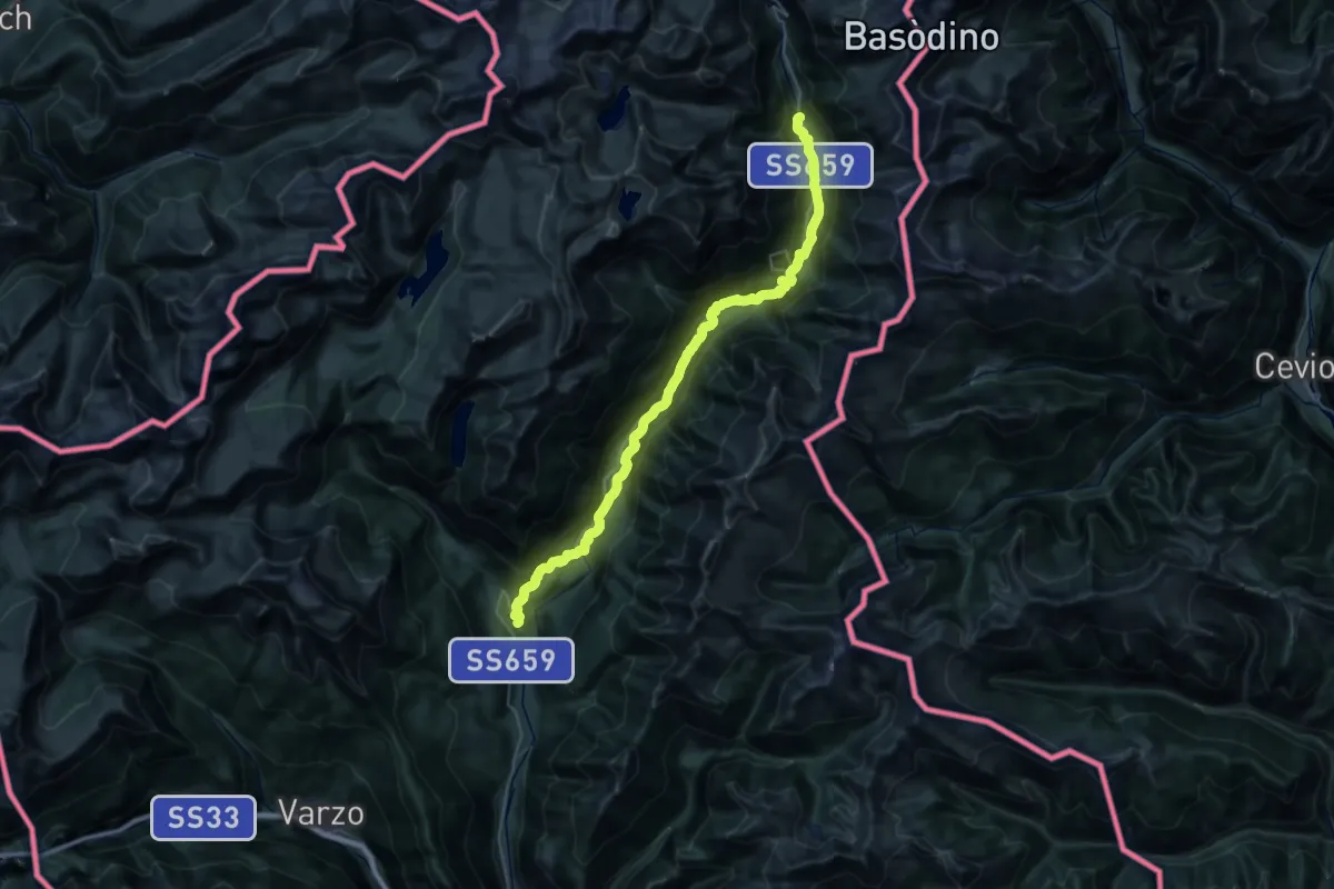
G00 - Via del Gries da Baceno a Ponte (seconda sezione)
20.2 km · ↑ 1026 m · 6 h 57 min
Demanding · Trail
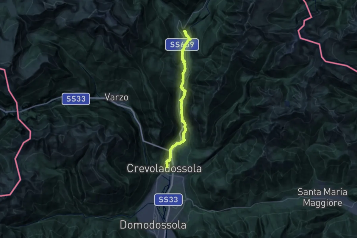
G00 - Via del Gries da Crevoladossola a Baceno (prima sezione)
26.8 km · ↑ 754 m · 7 h 57 min
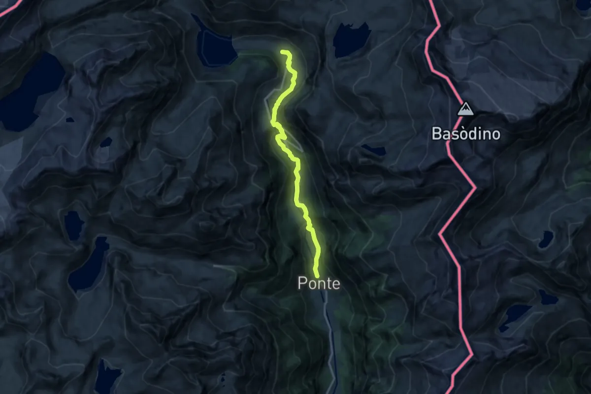
Medium · Trail
G00 - Via del Gries da Ponte a Riale (terza sezione)
13.0 km · ↑ 531 m · 4 h 13 min
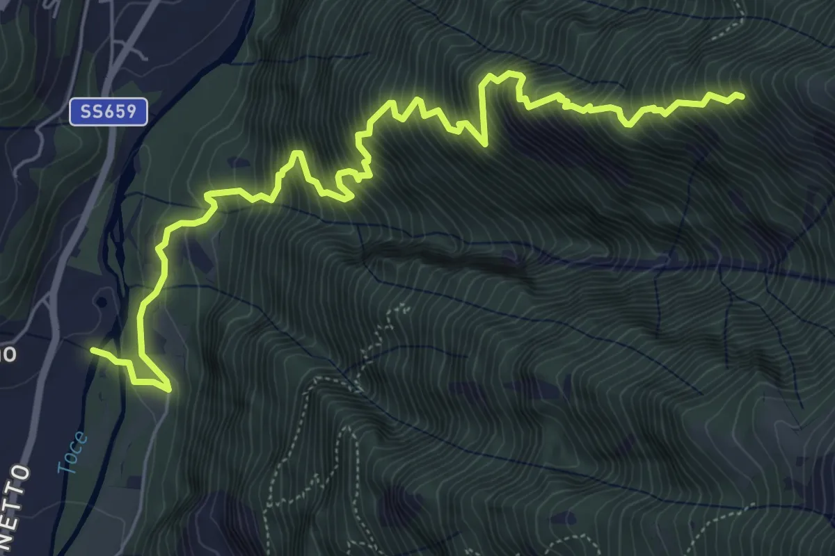
Demanding · Trail
G02 - Crodo - Alpe Larone
7.8 km · ↑ 1228 m · 4 h 30 min
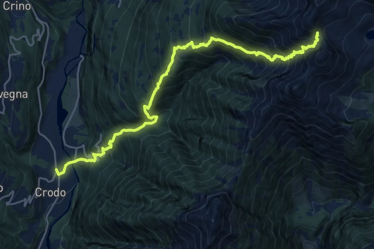
Demanding · Trail
G04 - Crodo - Passo della Forcoletta
8.6 km · ↑ 1843 m · 5 h 14 min
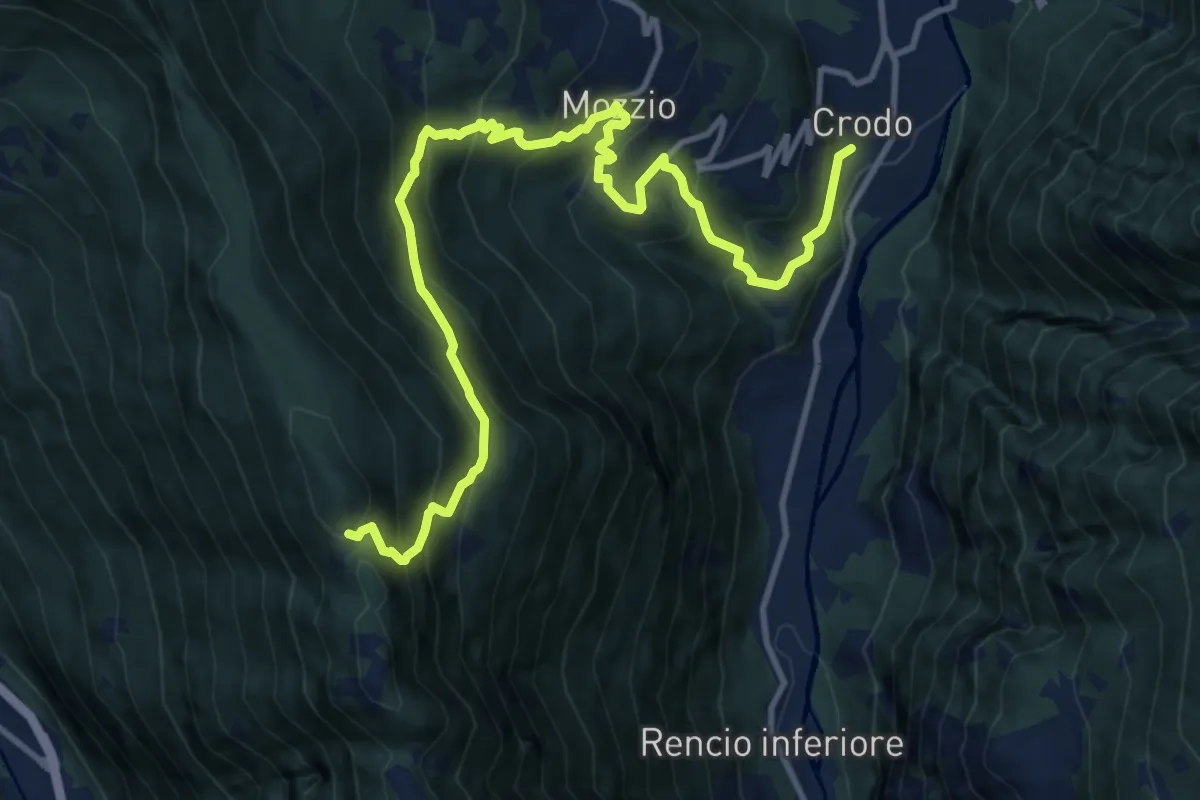
Demanding · Trail
G05 - Crodo - Alpe Genuina
14.1 km · ↑ 1240 m · 6 h 2 min
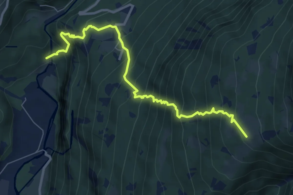
Demanding · Trail
G06 - Verampio - Aleccio
7.0 km · ↑ 916 m · 3 h 38 min
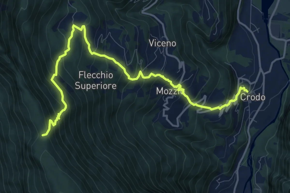
Demanding · Trail
G07 - Crodo - Passo della Colmine
12.1 km · ↑ 1070 m · 5 h 10 min
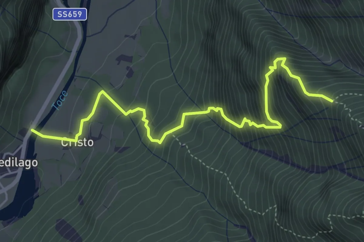
Medium · Trail
G08 - Piedilago - la Colla
5.4 km · ↑ 800 m · 3 h 1 min
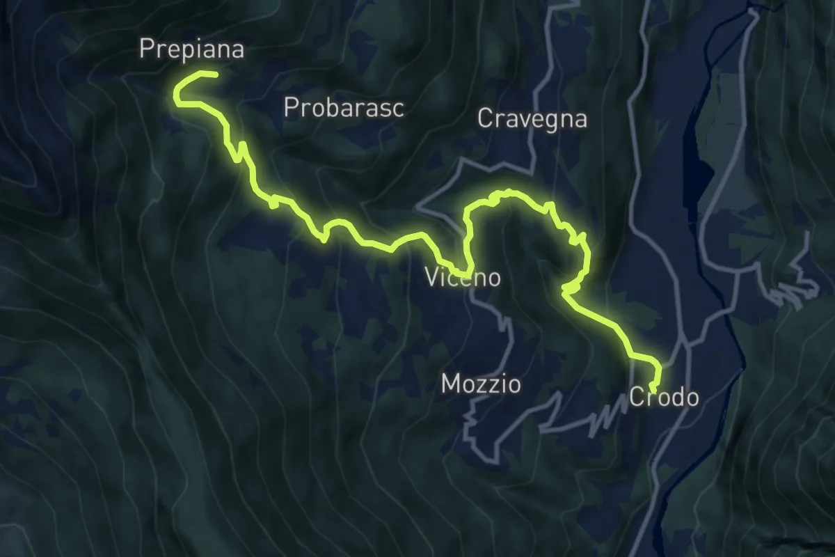
Demanding · Trail
G09 - Crodo - Prepiana
13.2 km · ↑ 883 m · 5 h 2 min
Demanding · Trail
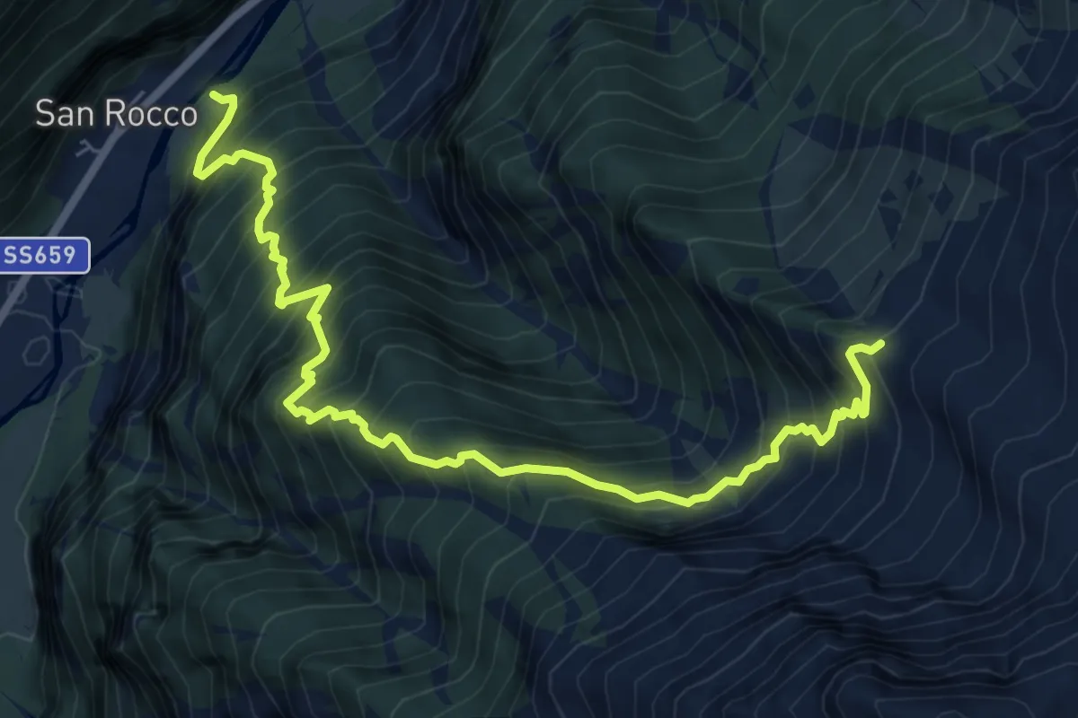
G10 - San Rocco - Alpe Groppo
8.3 km · ↑ 1278 m · 4 h 44 min
Demanding · Summit
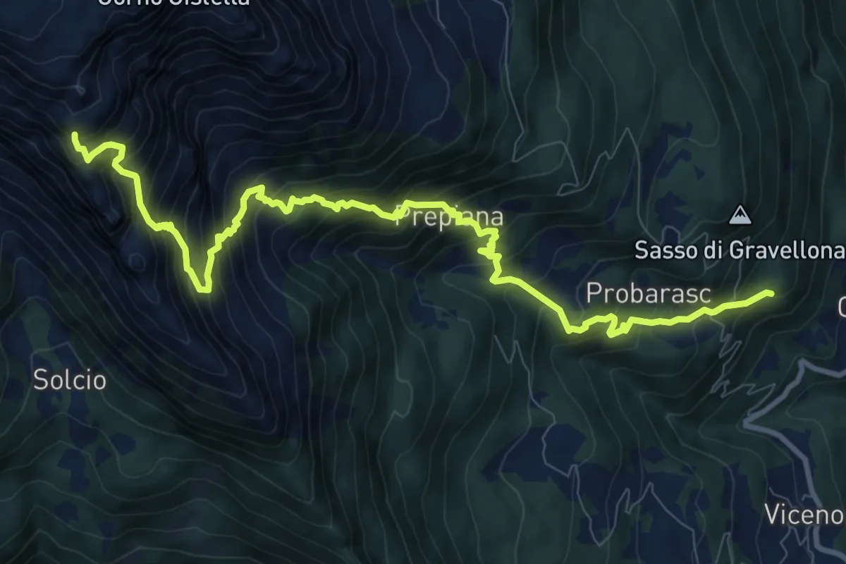
G11 - Cravegna - Cistella
11.7 km · ↑ 1443 m · 5 h 54 min
Demanding · Trail
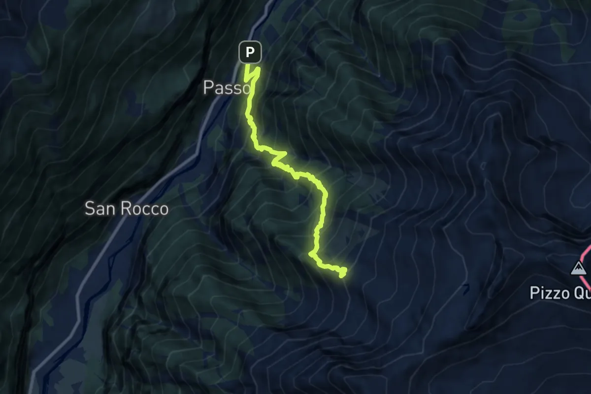
G12 - Passo - Alpe Groppo
8.5 km · ↑ 1297 m · 4 h 48 min
Demanding · Cabin
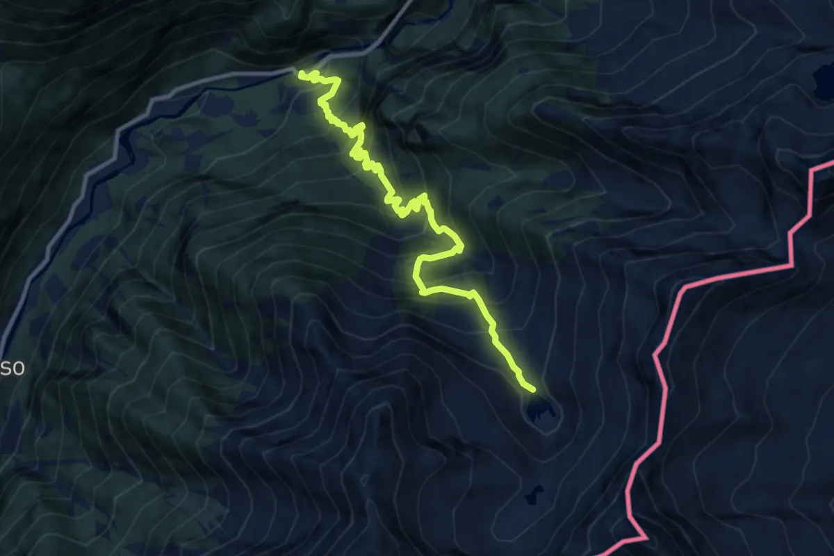
G14 - Foppiano - Alpe Cramec
10.0 km · ↑ 1133 m · 4 h 49 min
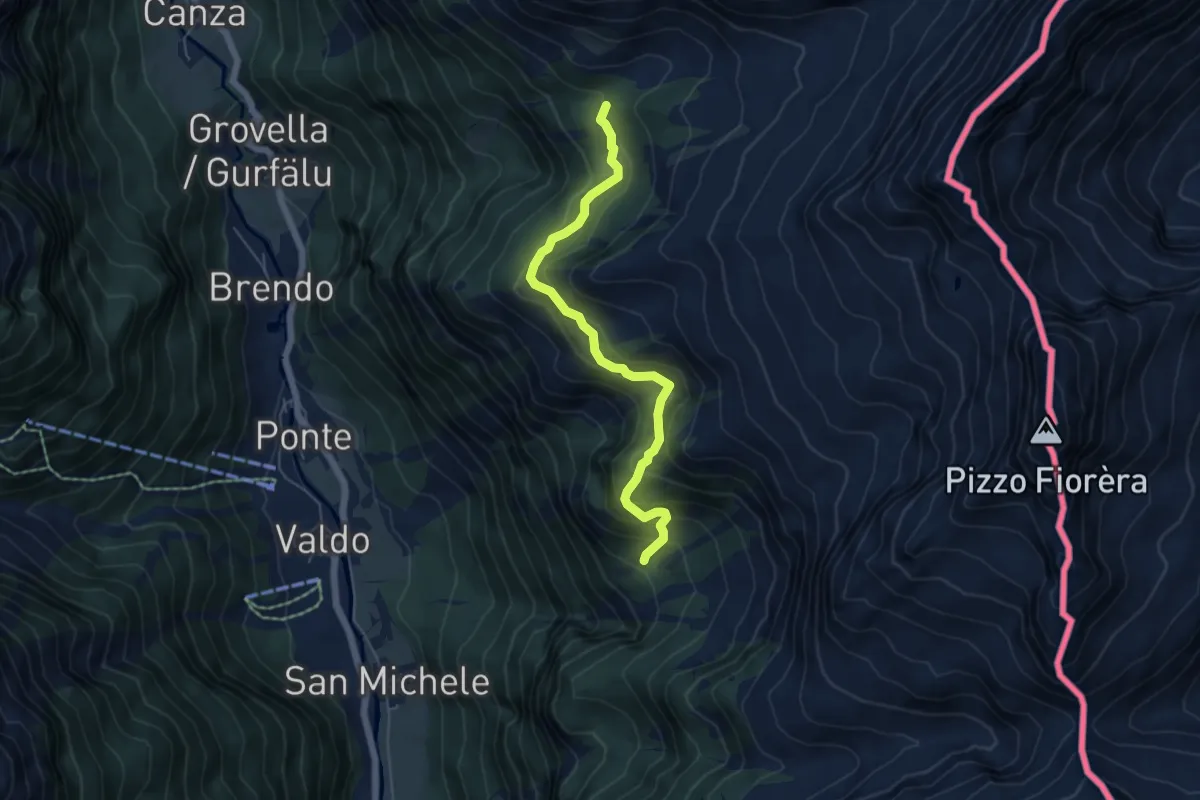
Medium · Trail
G16a - Alpe Bedriola - Bivio G18
5.4 km · ↑ 464 m · 2 h 17 min
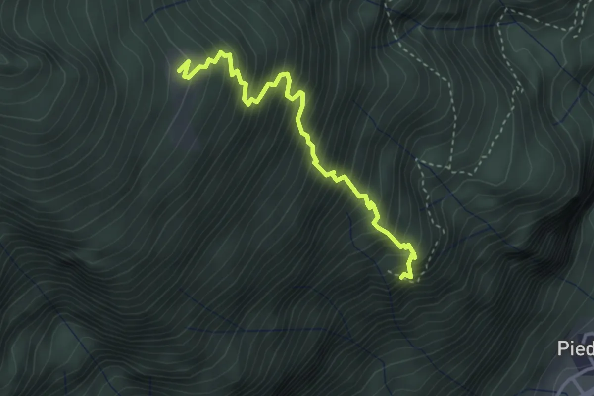
Medium · Trail
G17b - Bivio G17 - Spotigine
3.3 km · ↑ 643 m · 2 h 11 min
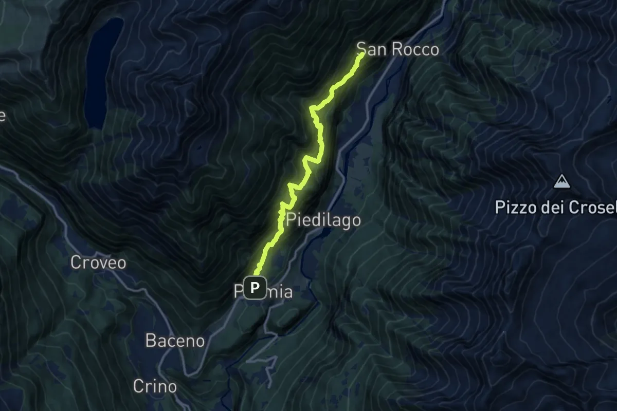
Demanding · Trail
G17 - Premia - La Pioda
11.6 km · ↑ 1560 m · 6 h 7 min
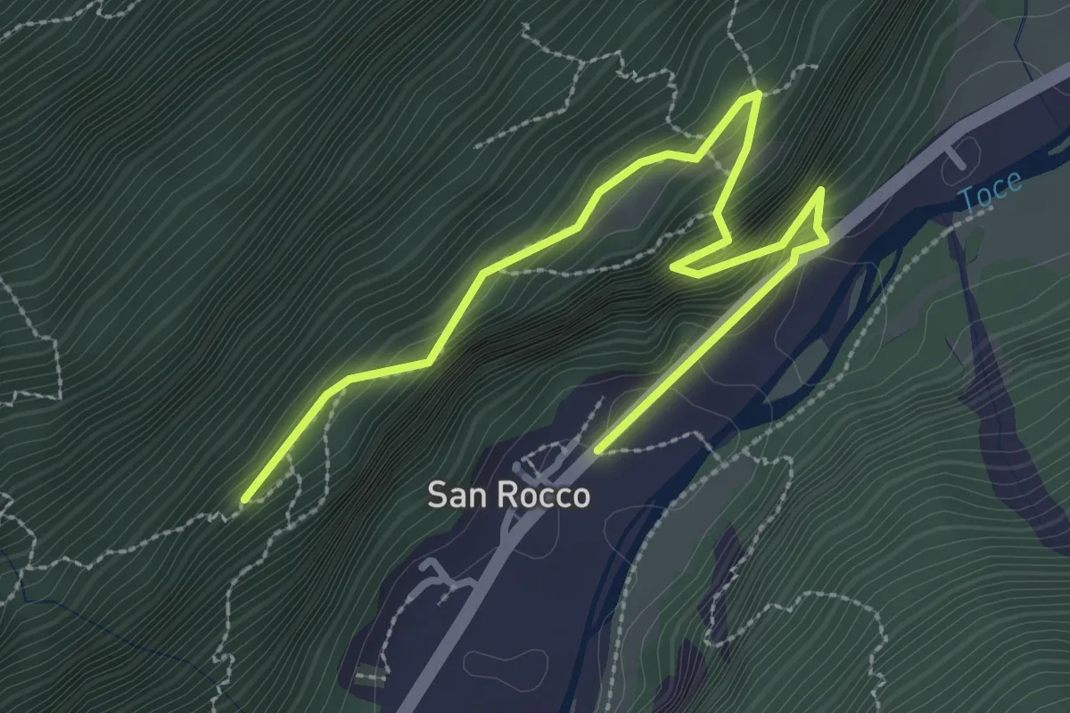
Expert · Trail
G19a - San Rocco - La Pioda
3.5 km · ↑ 387 m · 1 h 40 min
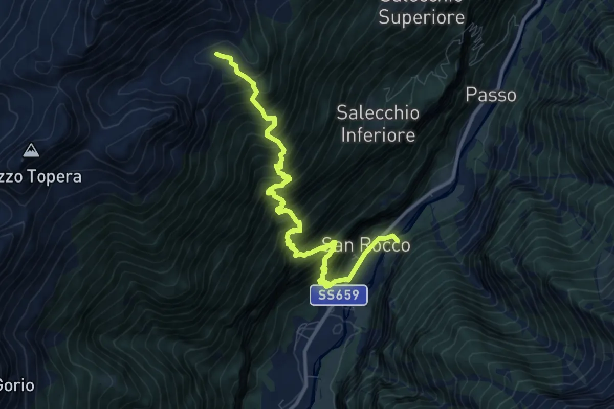
Demanding · Trail
G19 - San Rocco - Casarola di sopra
9.1 km · ↑ 1367 m · 5 h 7 min
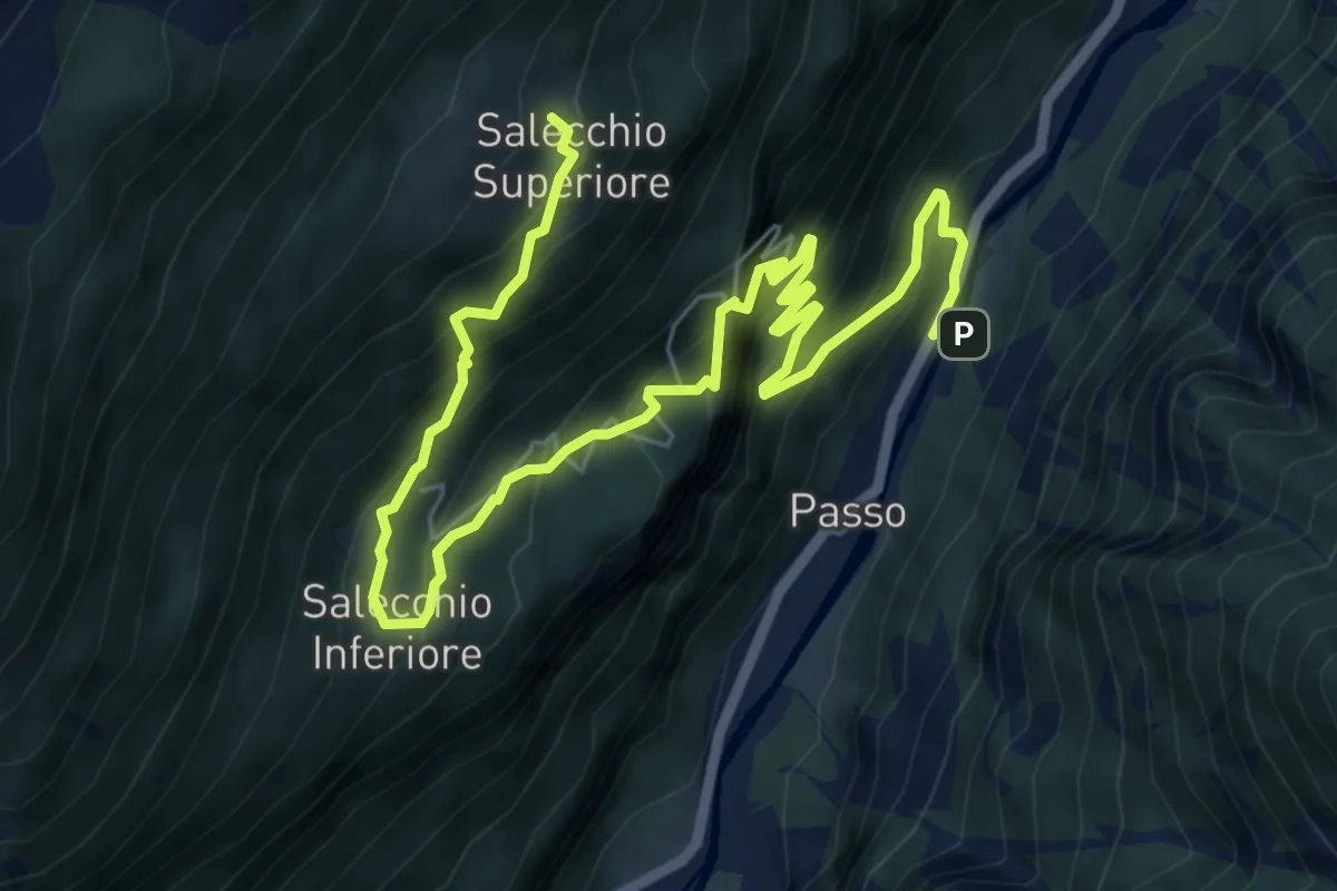
Demanding · Trail
G21 - Passo - Salecchio Superiore
9.0 km · ↑ 1044 m · 4 h 23 min
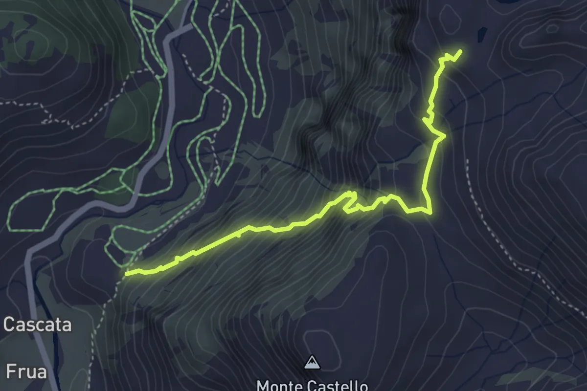
Medium · Trail
G22a - Cascata del Toce - Lago Castel
4.1 km · ↑ 516 m · 2 h 6 min
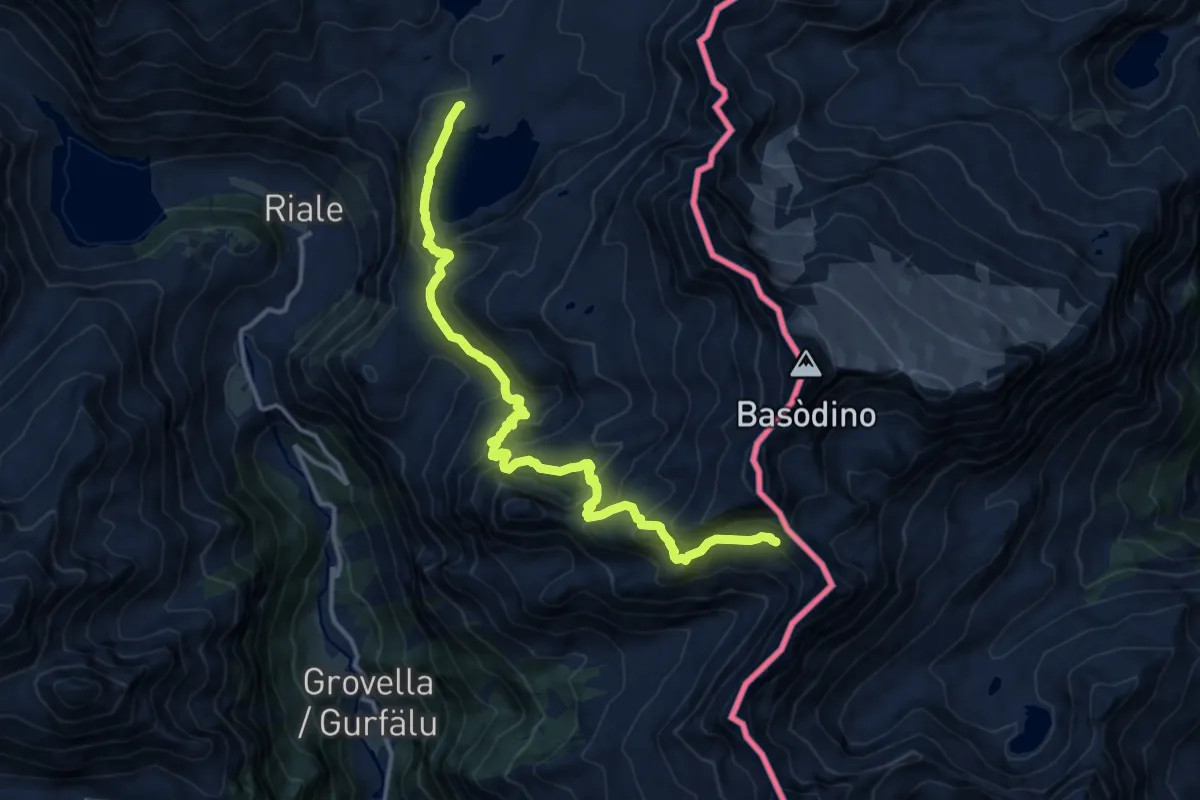
Demanding · Trail
G22 - Lago Castel - Bta di Tamia
14.5 km · ↑ 1034 m · 5 h 39 min
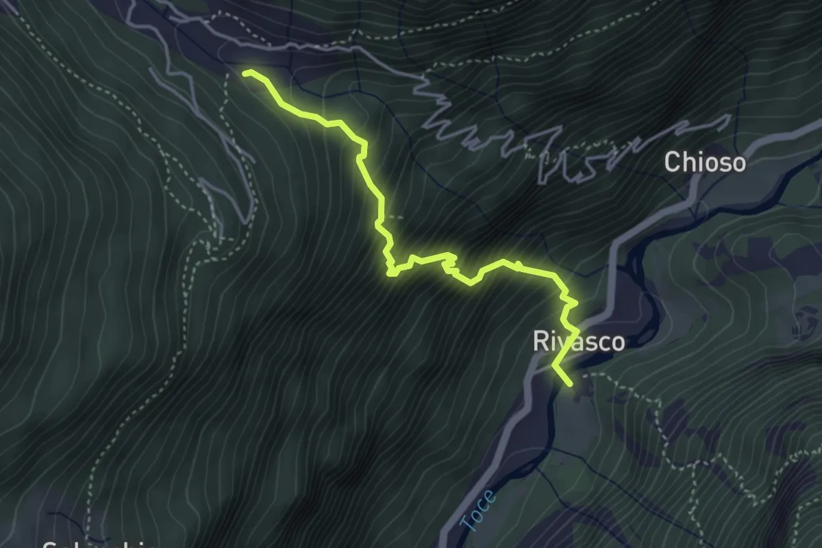
Medium · Trail
G23 - Rivasco - Alpi di Vova
3.8 km · ↑ 621 m · 2 h 15 min
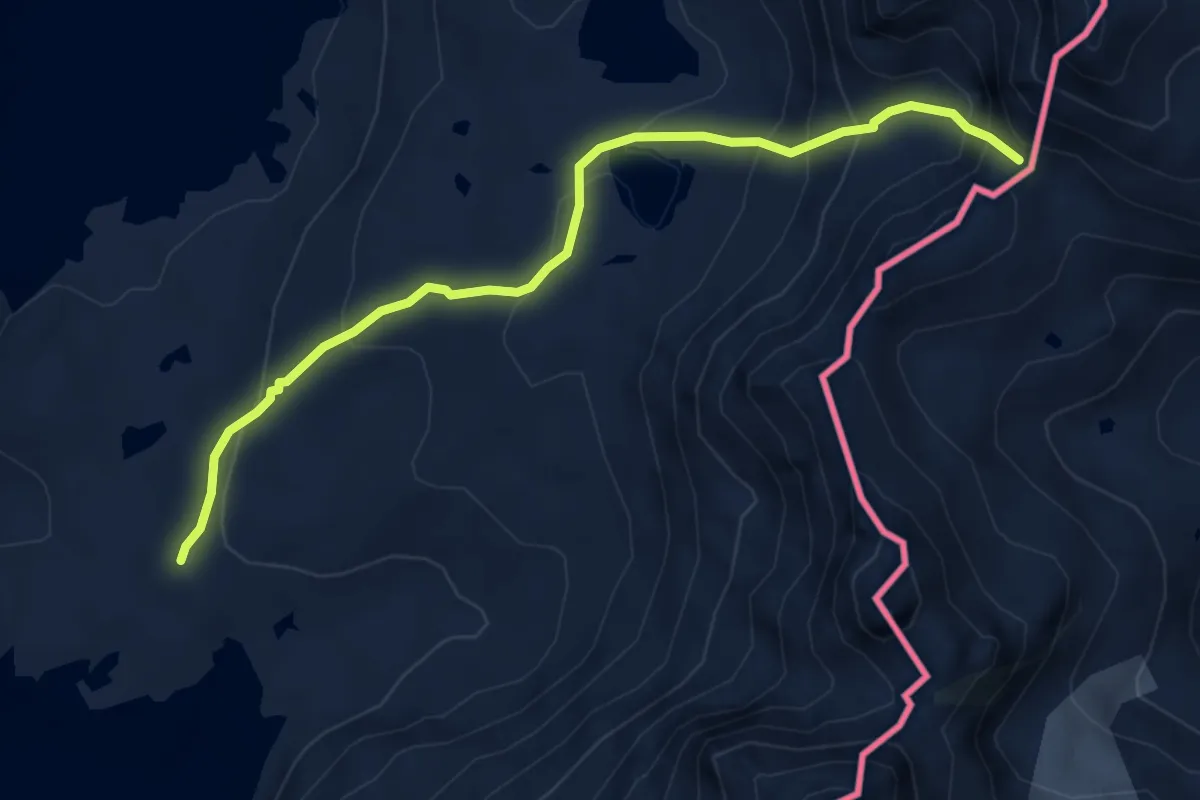
Medium · Trail
G24 - Rif. Maria Luisa - Bta di Valmaggia
5.3 km · ↑ 414 m · 2 h 9 min
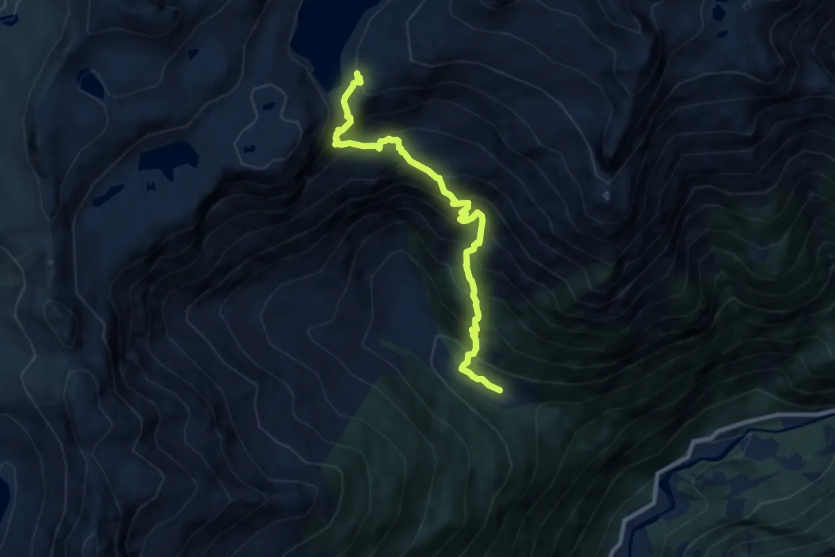
Demanding · Cabin
G25 - Alpi di Vova - Lago Busin Inferiore
7.5 km · ↑ 1030 m · 4 h
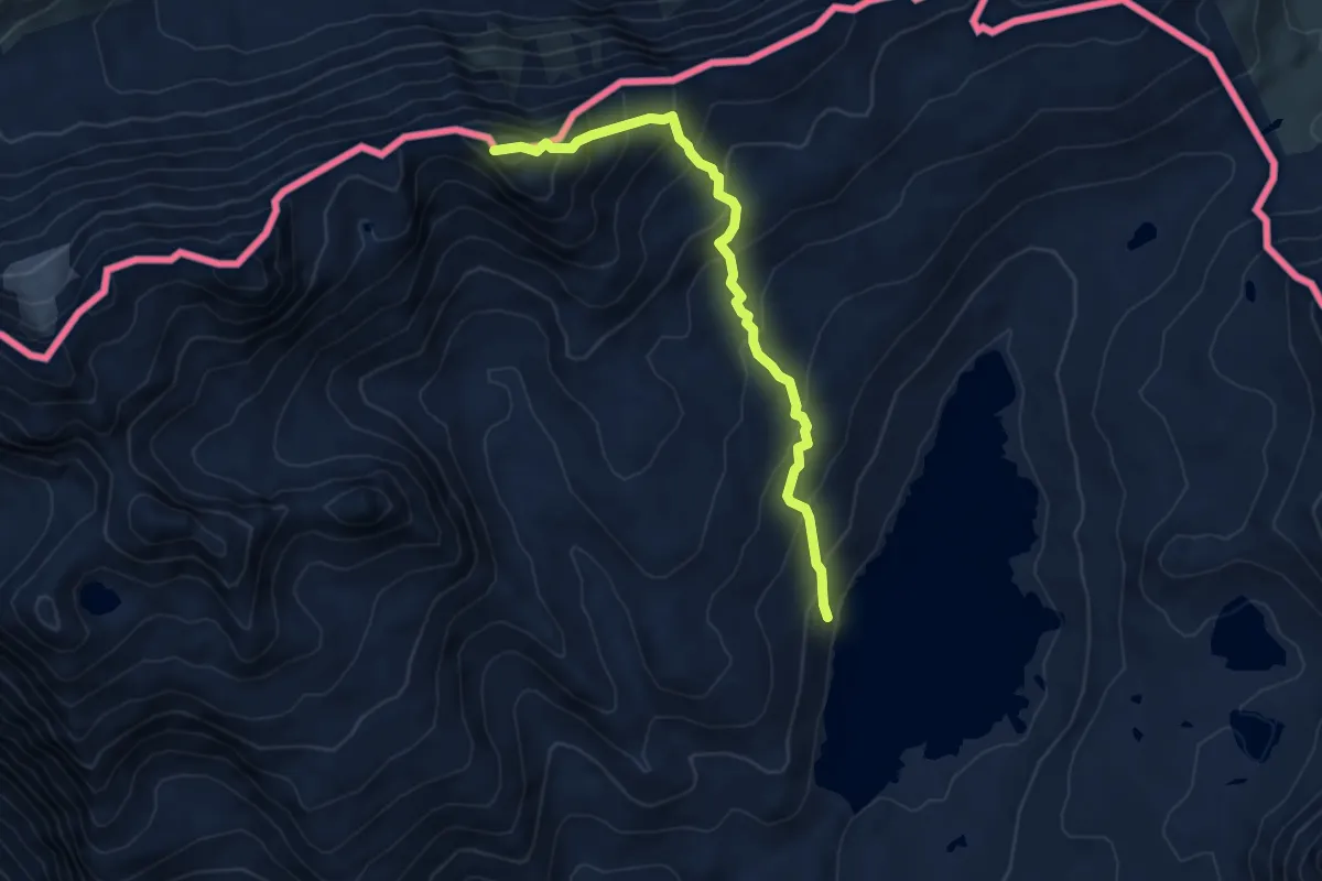
Medium · Summit
G26 - Lago Toggia - Punta Elgio
6.0 km · ↑ 587 m · 2 h 41 min
Medium · Trail
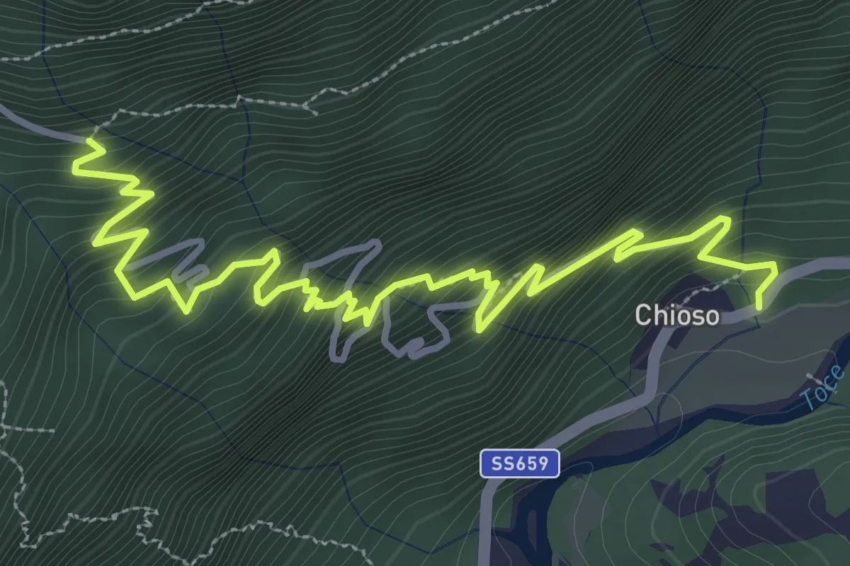
G27a - Chioso - Sant'Antonio
4.5 km · ↑ 511 m · 2 h 10 min
Medium · Trail
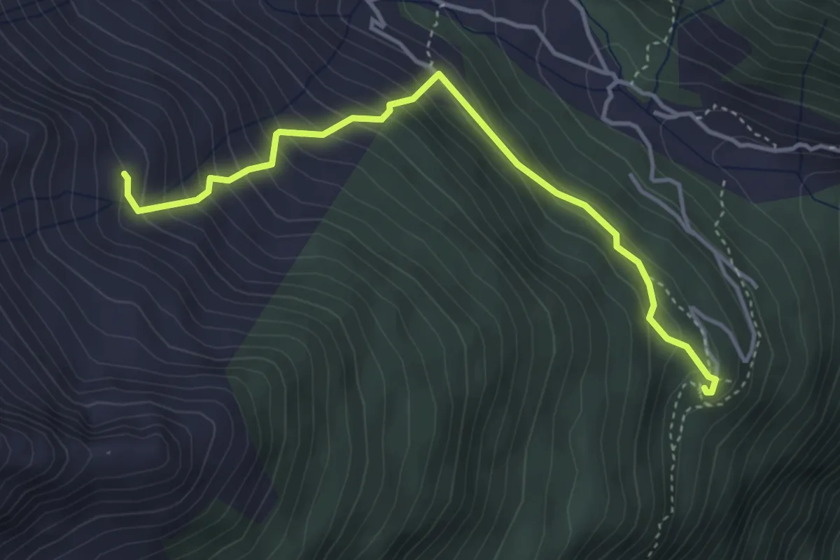
G27b - Case Francoli - Alpe Tanzonia
4.1 km · ↑ 426 m · 1 h 53 min
Medium · Trail
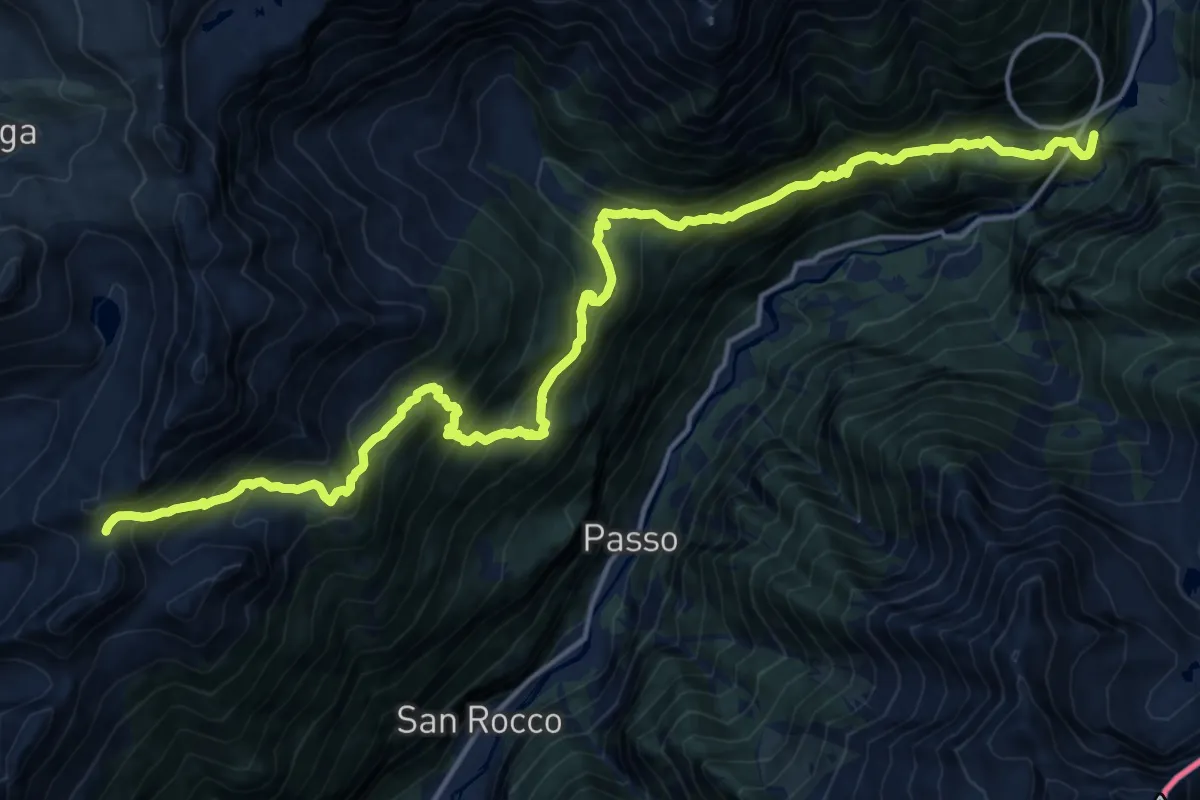
G27 - Le Casse - Passo del Muretto
10.0 km · ↑ 371 m · 3 h 52 min
Demanding · Summit
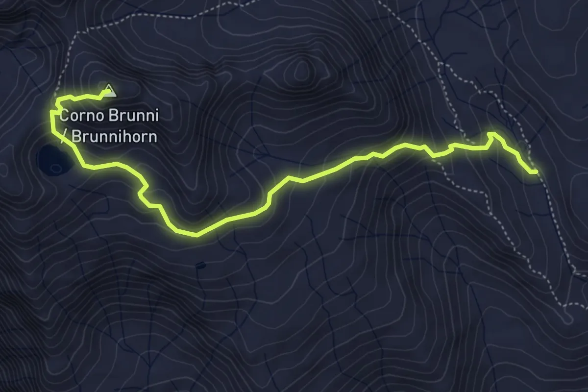
G28a - Rif.Maria Luisa - Corno Brunni
5.7 km · ↑ 504 m · 2 h 27 min