Trails in Italy
25,211 hiking trails, each with its route, climb, walking time and grade.
All trails, page 71 of 526
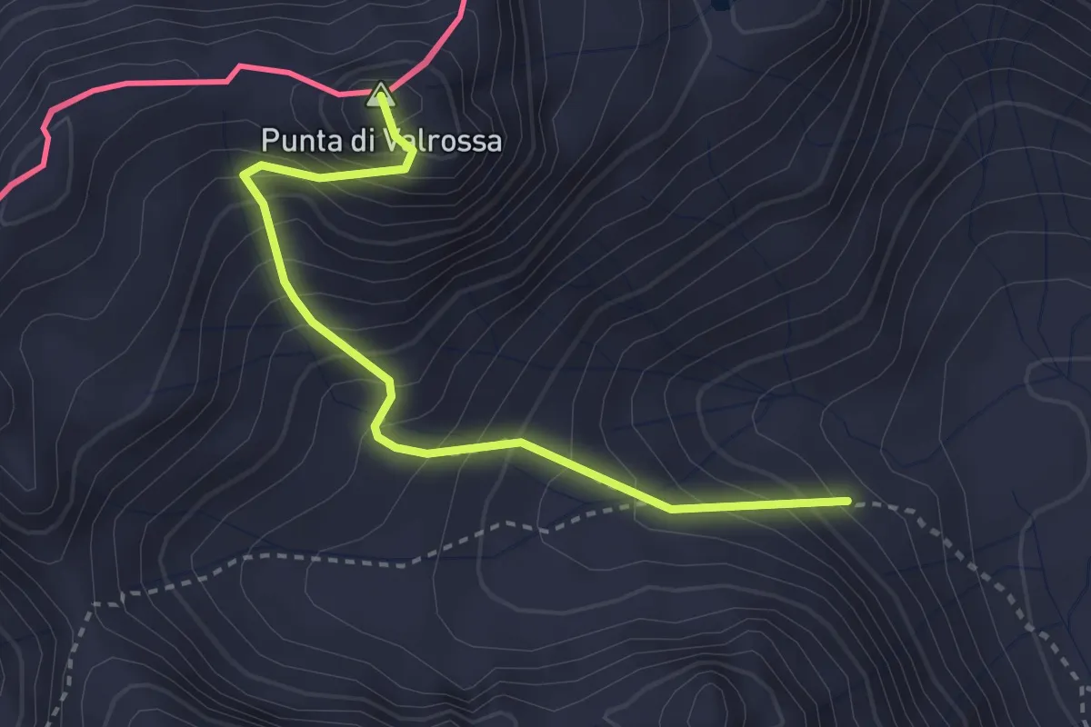
Medium · Summit
G28 - Rif. Maria Luisa - Punta Valrossa
3.1 km · ↑ 427 m · 1 h 39 min
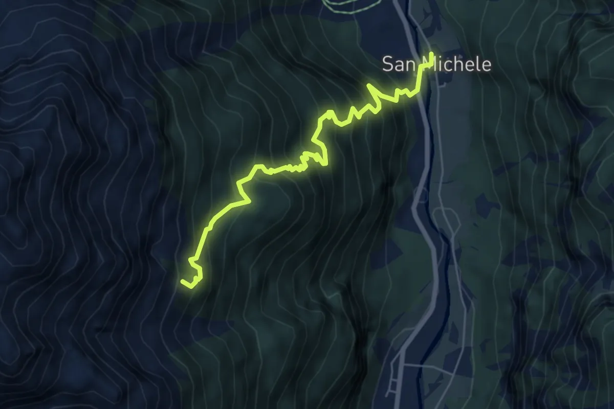
Medium · Trail
G29 - San Michele - Alpe Matli
6.0 km · ↑ 794 m · 3 h 8 min
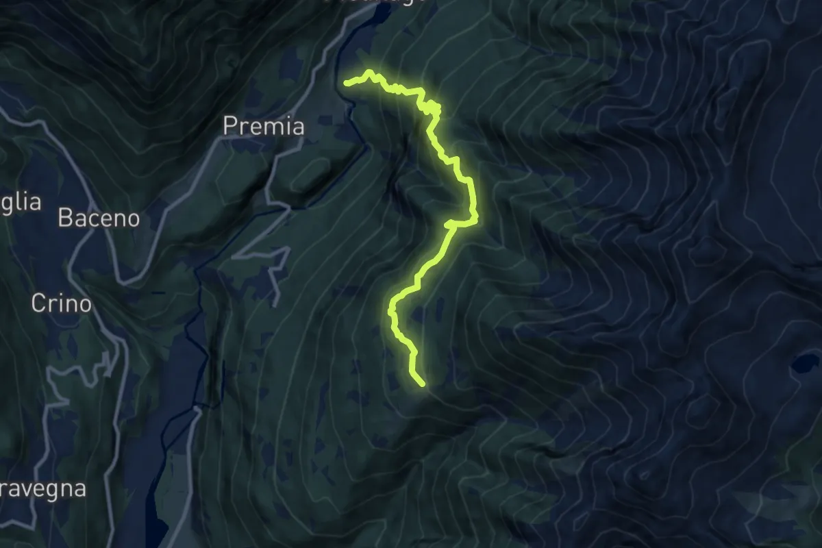
Demanding · Trail
G30 - Cagiogno - Aleccio
9.7 km · ↑ 879 m · 4 h 12 min
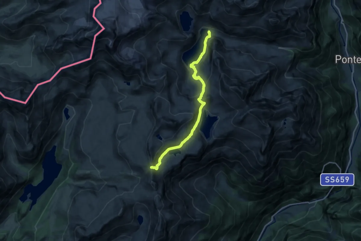
Demanding · Cabin
G31 - Lago Vannino - Bocchetta della Valle
13.3 km · ↑ 744 m · 4 h 45 min
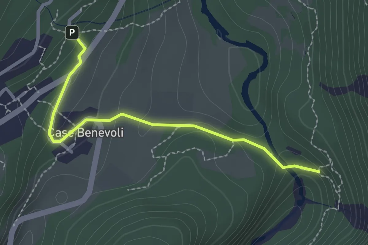
Easy · Trail
G32b - Premia - Orrido La Mota
2.3 km · ↑ 79 m · 42 min
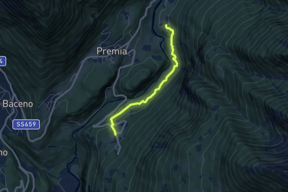
Medium · Cabin
G32 - Crego - Cagiogno
4.9 km · ↑ 232 m · 1 h 40 min
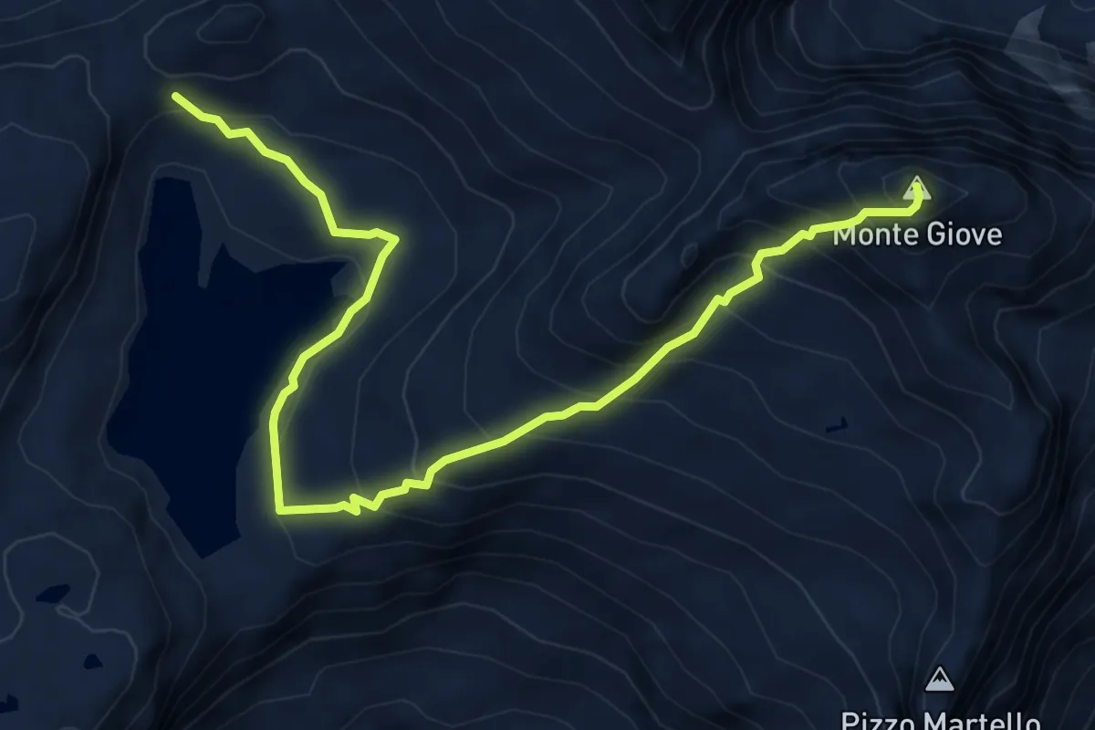
Expert · Summit
G33 - Passo Busin - Monte Giove
7.4 km · ↑ 718 m · 3 h 18 min
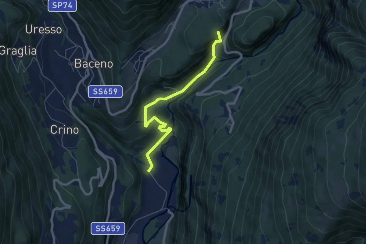
Medium · Summit
G34 - Verampio - Premia
5.4 km · ↑ 328 m · 1 h 59 min
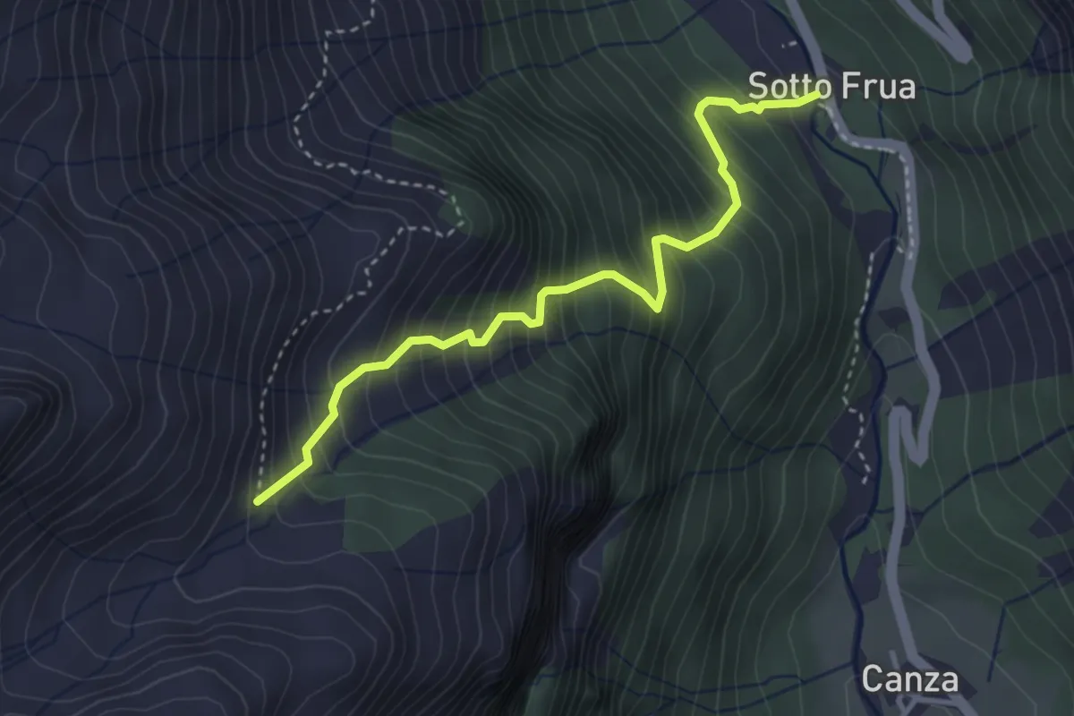
Medium · Cabin
G35a - Sottofrua - Alpe Freghera di sopra
3.6 km · ↑ 574 m · 2 h 5 min
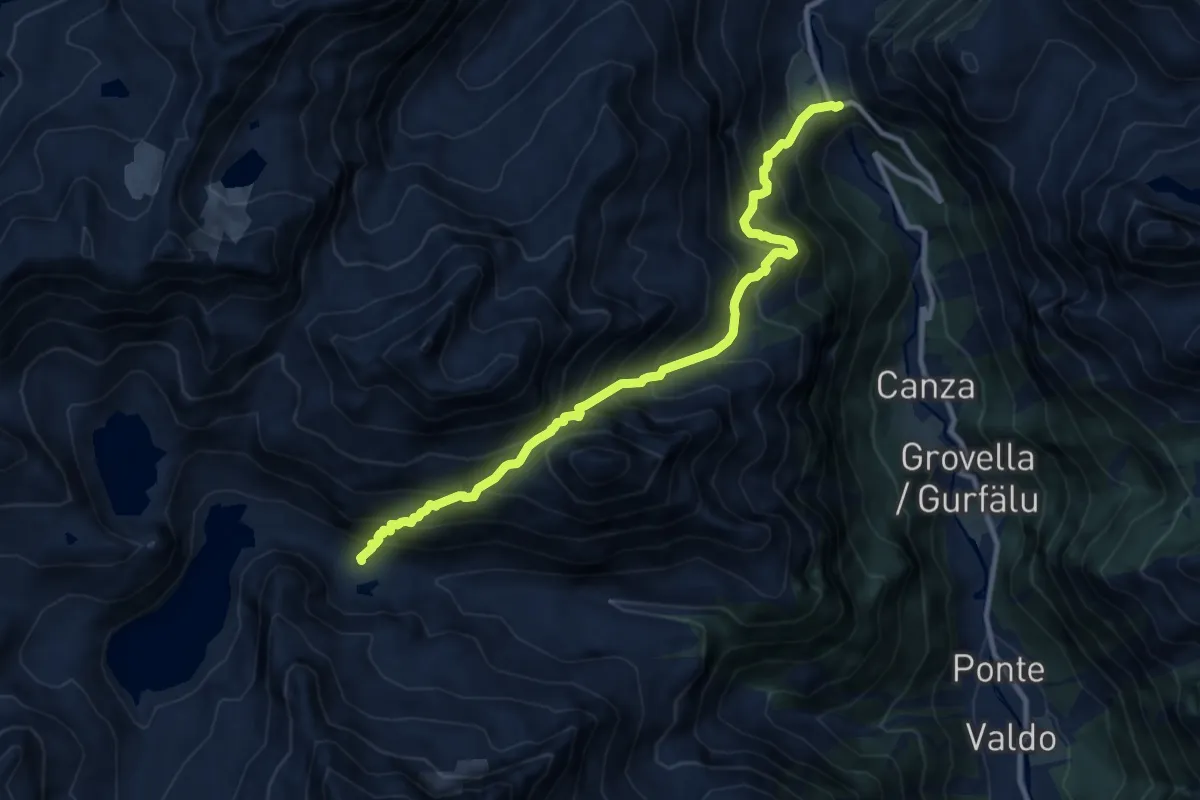
Demanding · Trail
G35 - Cascata del Toce - Lago Vannino
10.6 km · ↑ 1269 m · 5 h 15 min
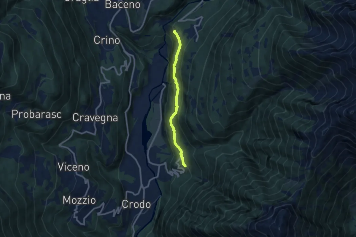
Medium · Trail
G36 - Crego - Maglioggio
6.2 km · ↑ 403 m · 2 h 20 min
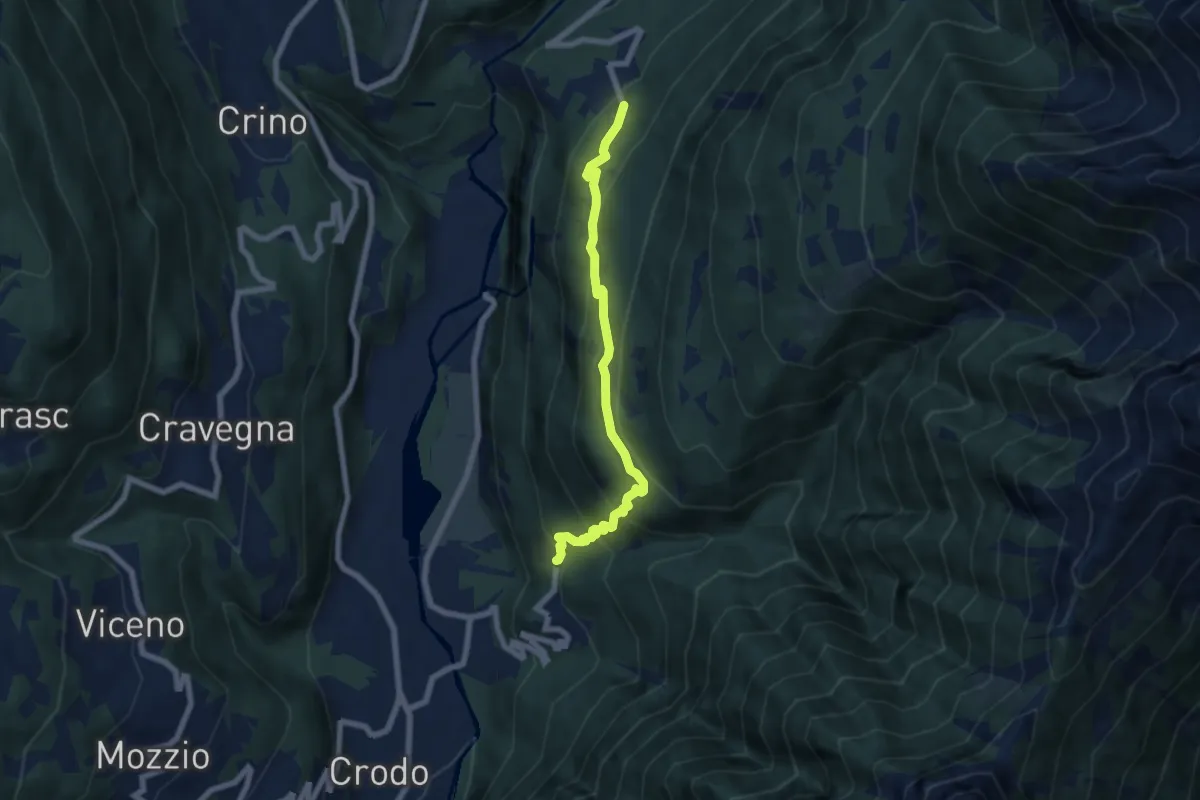
Medium · Trail
G38 - Cruppo - Crego
6.5 km · ↑ 512 m · 2 h 39 min
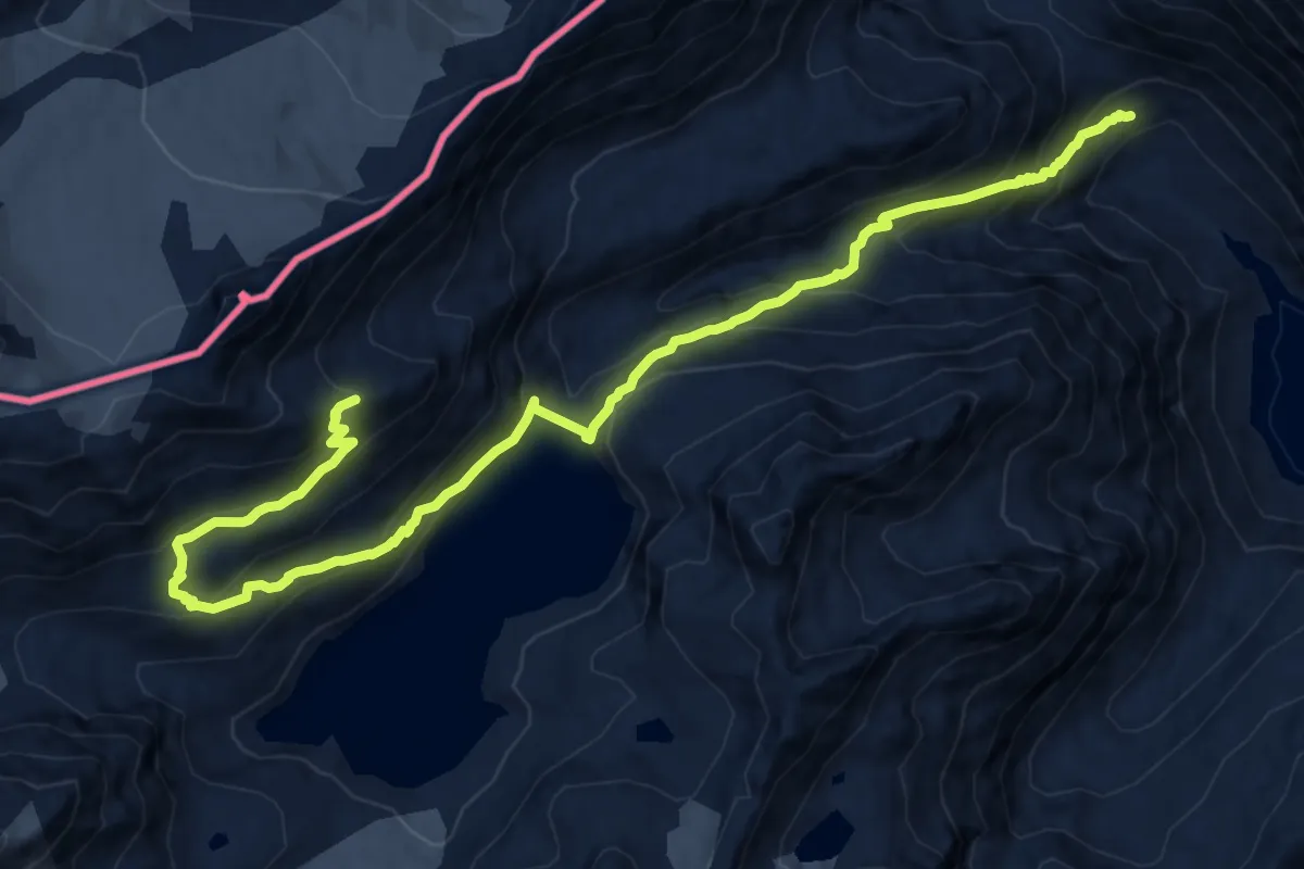
Demanding · Cabin
G39 - Lago Morasco - Rifugio 3A
15.3 km · ↑ 1163 m · 6 h 8 min
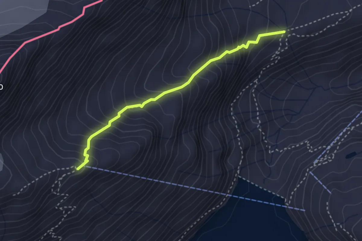
Demanding · Cabin
G41a - Piano dei Camosci - Rifugio 3A
3.0 km · ↑ 413 m · 1 h 36 min
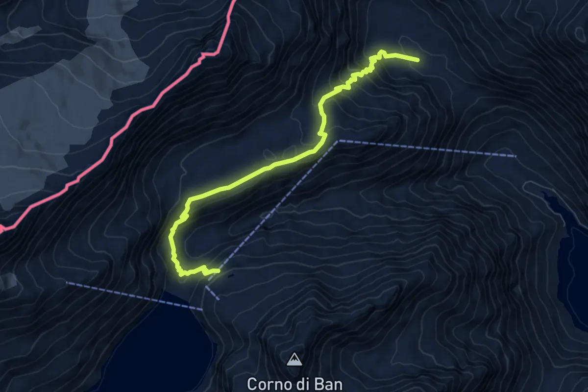
Medium · Cabin
G41 - Bettelmat - Lago dei Sabbioni
8.6 km · ↑ 556 m · 3 h 14 min
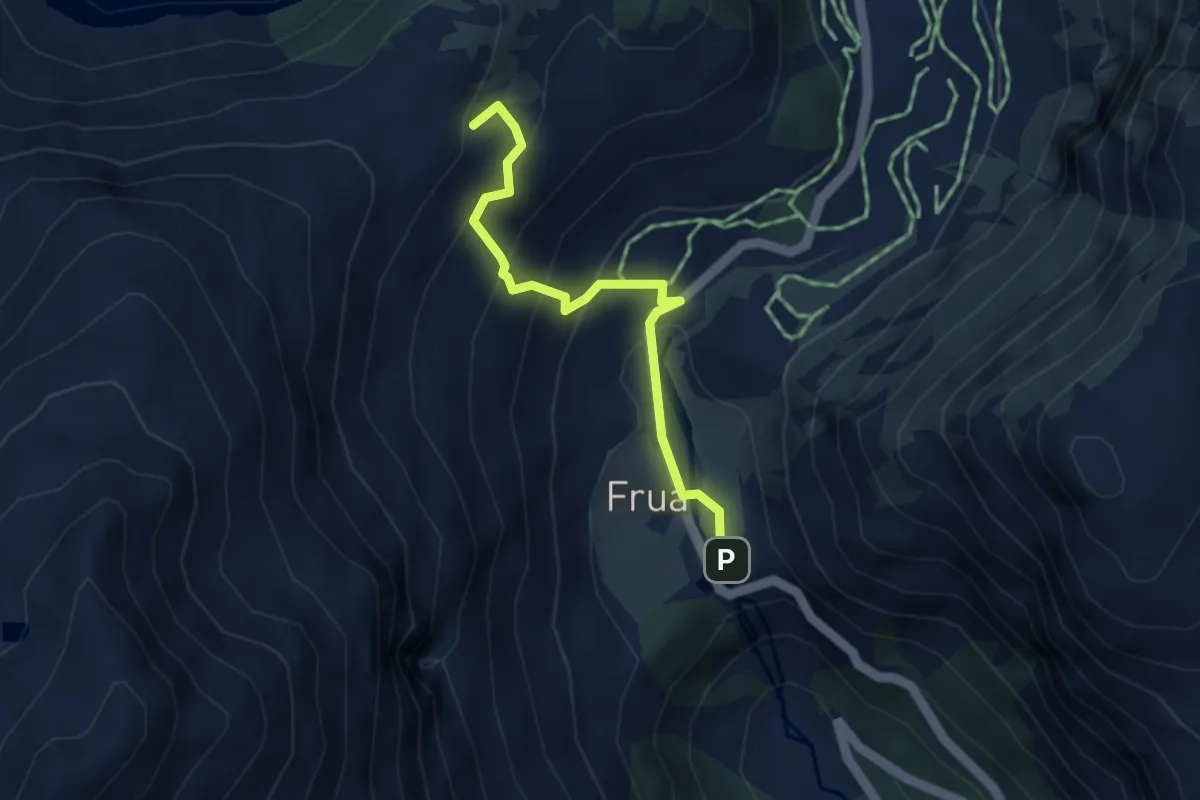
Medium · Trail
G95a - Cascata del Toce - Furculti
3.5 km · ↑ 301 m · 1 h 29 min
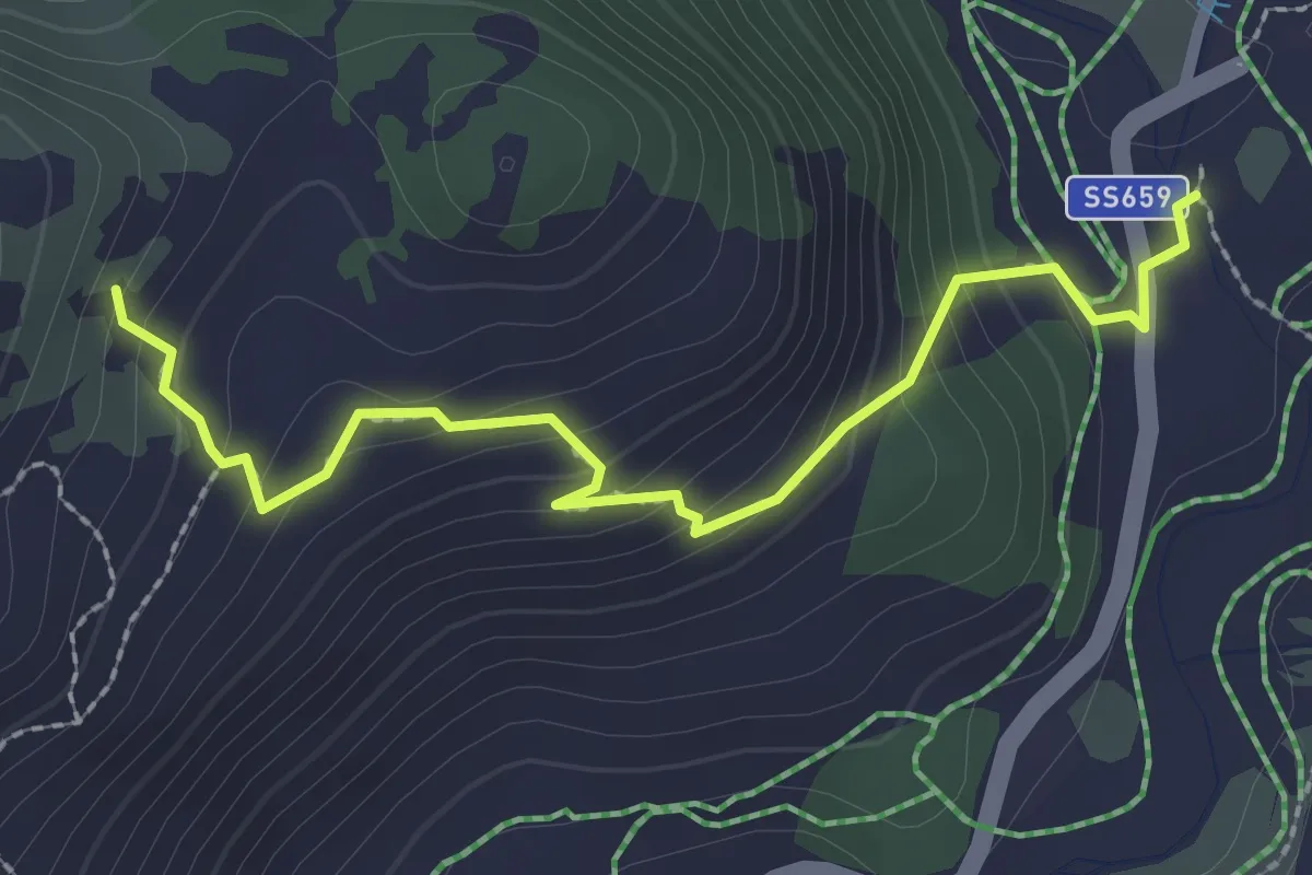
Easy · Trail
G95b - Riale - Furculti
2.6 km · ↑ 194 m · 1 h 2 min
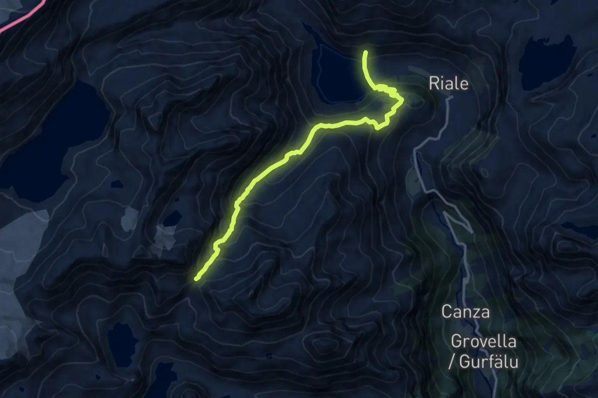
Demanding · Trail
G95 - Lago di Morasco - Passo di Nefelgiù
12.5 km · ↑ 997 m · 5 h 7 min
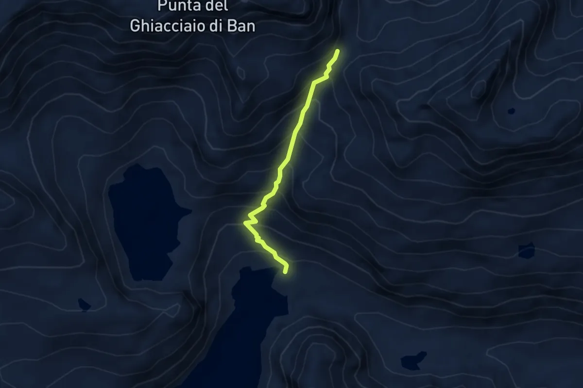
Medium · Cabin
G97 - Alpe Vannino - Passo di Nefelgiù
3.3 km · ↑ 410 m · 1 h 39 min
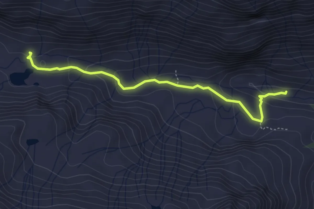
Easy · Trail
G99a - Rifugio Miriam - Bivio G99
4.1 km · ↑ 164 m · 1 h 20 min
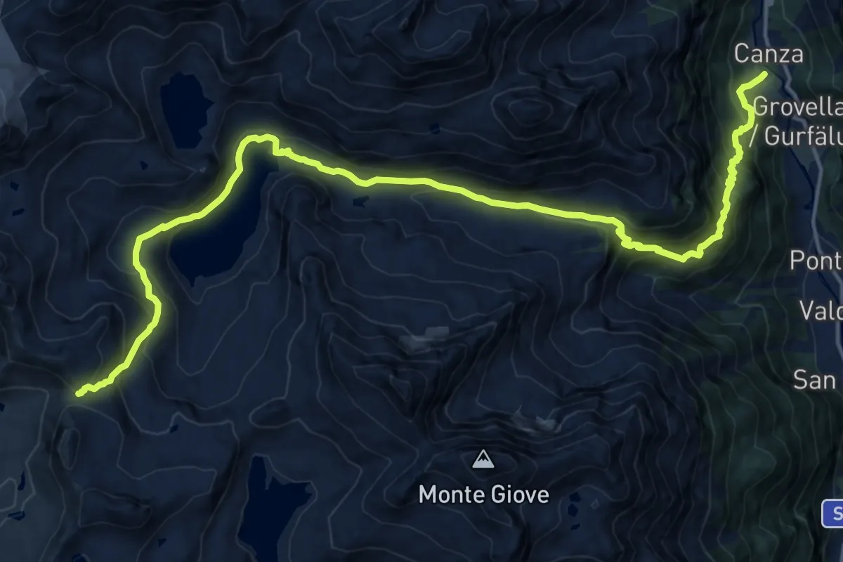
Demanding · Cabin
G99 - Canza - Scatta Minoia
19.7 km · ↑ 1390 m · 7 h 40 min
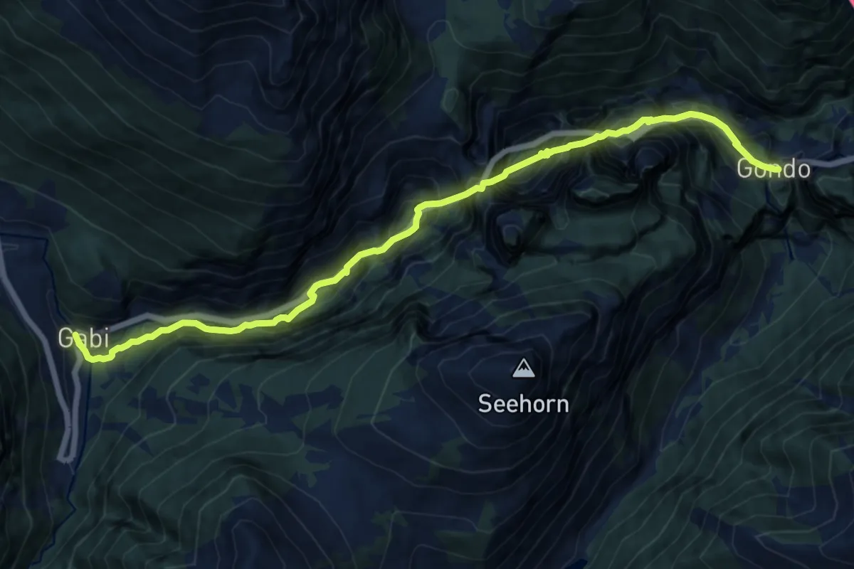
Demanding · Trail
Gabi - Gondo
12.9 km · ↑ 1096 m · 5 h 25 min
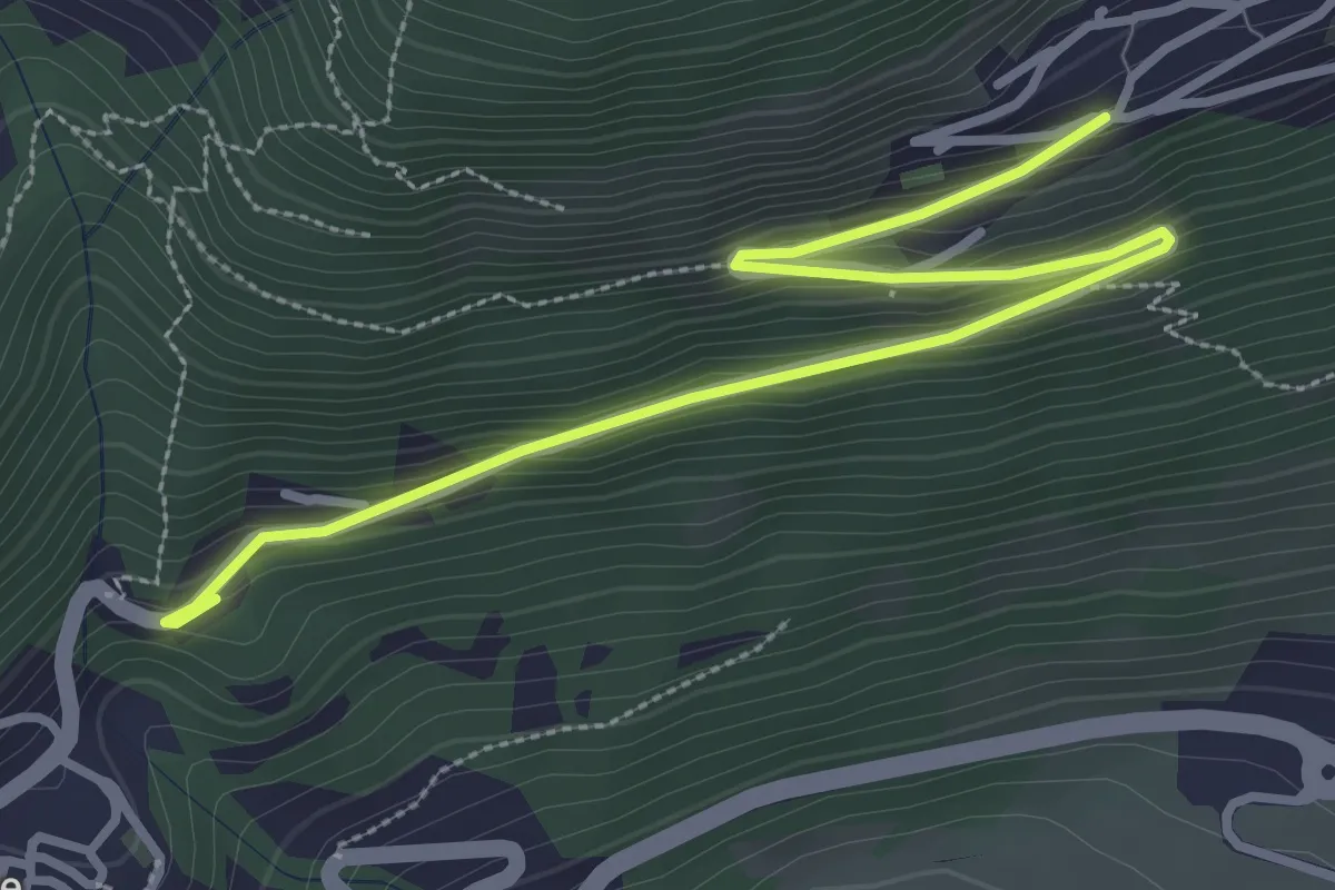
Easy · Trail
Gafiú
1.9 km · ↑ 6 m · 35 min
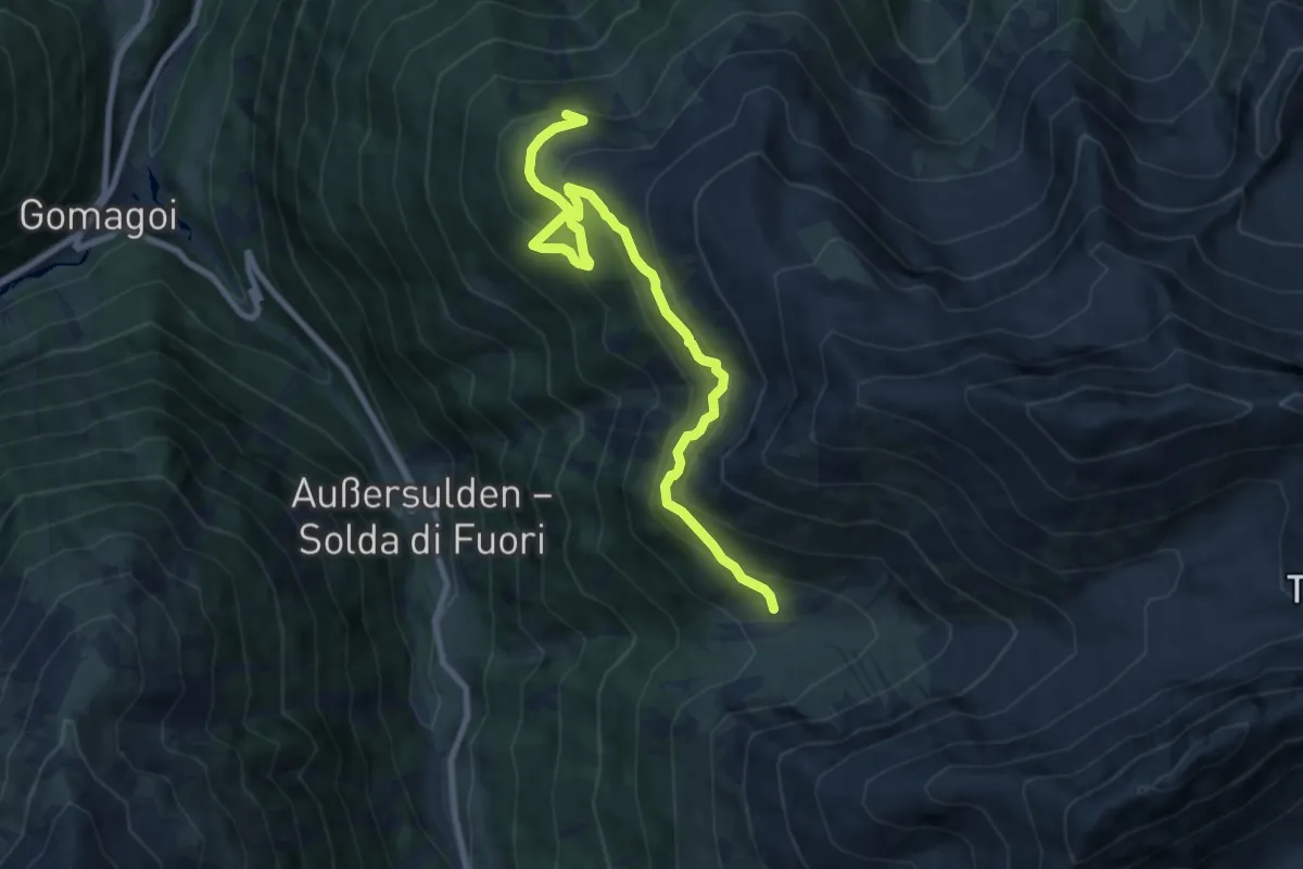
Medium · Trail
Gaflaunboden
9.2 km · ↑ 647 m · 3 h 34 min
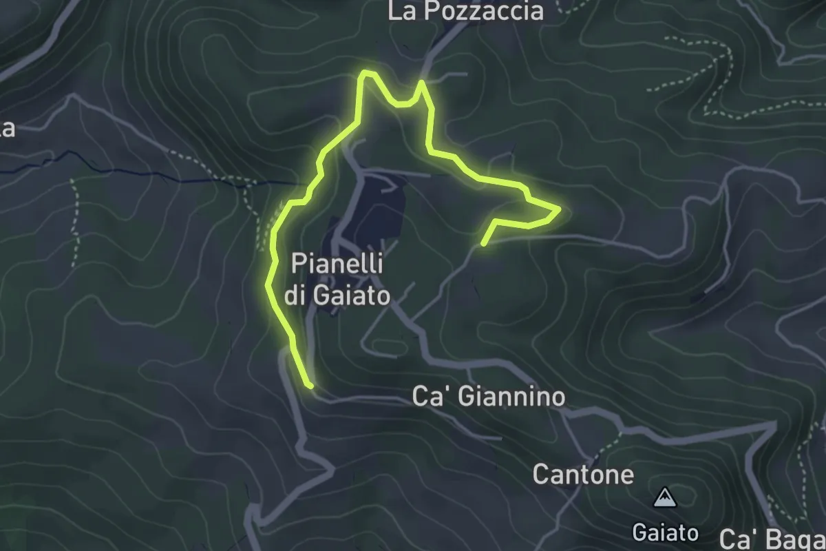
Easy · Trail
Gaiato (Variante)
4.7 km · ↑ 170 m · 1 h 29 min
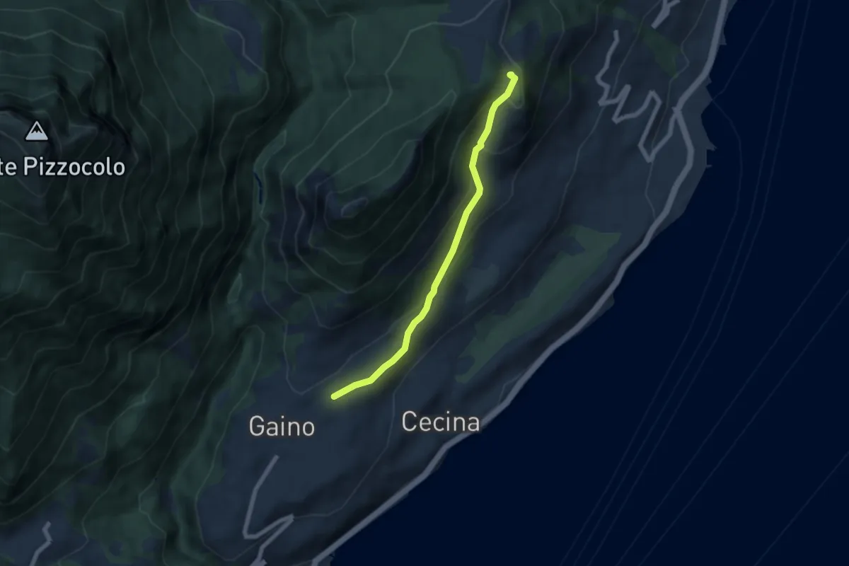
Easy · Summit
Gaino - Navazzo
5.6 km · ↑ 266 m · 1 h 54 min
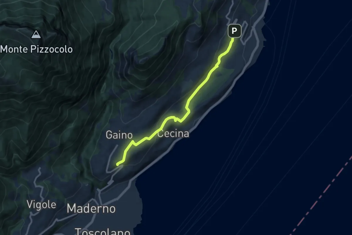
Medium · Trail
Gaino (Toscolano Maderno) - Villavetro (Gargnano)
8.7 km · ↑ 243 m · 2 h 34 min
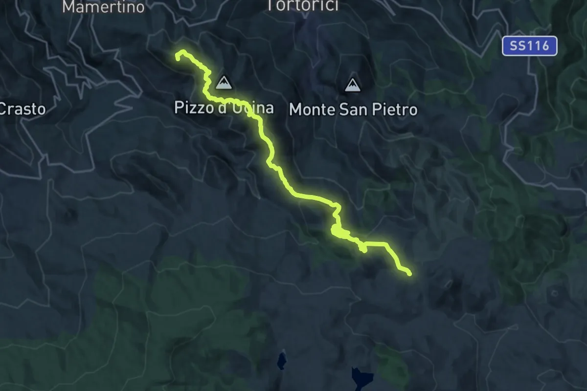
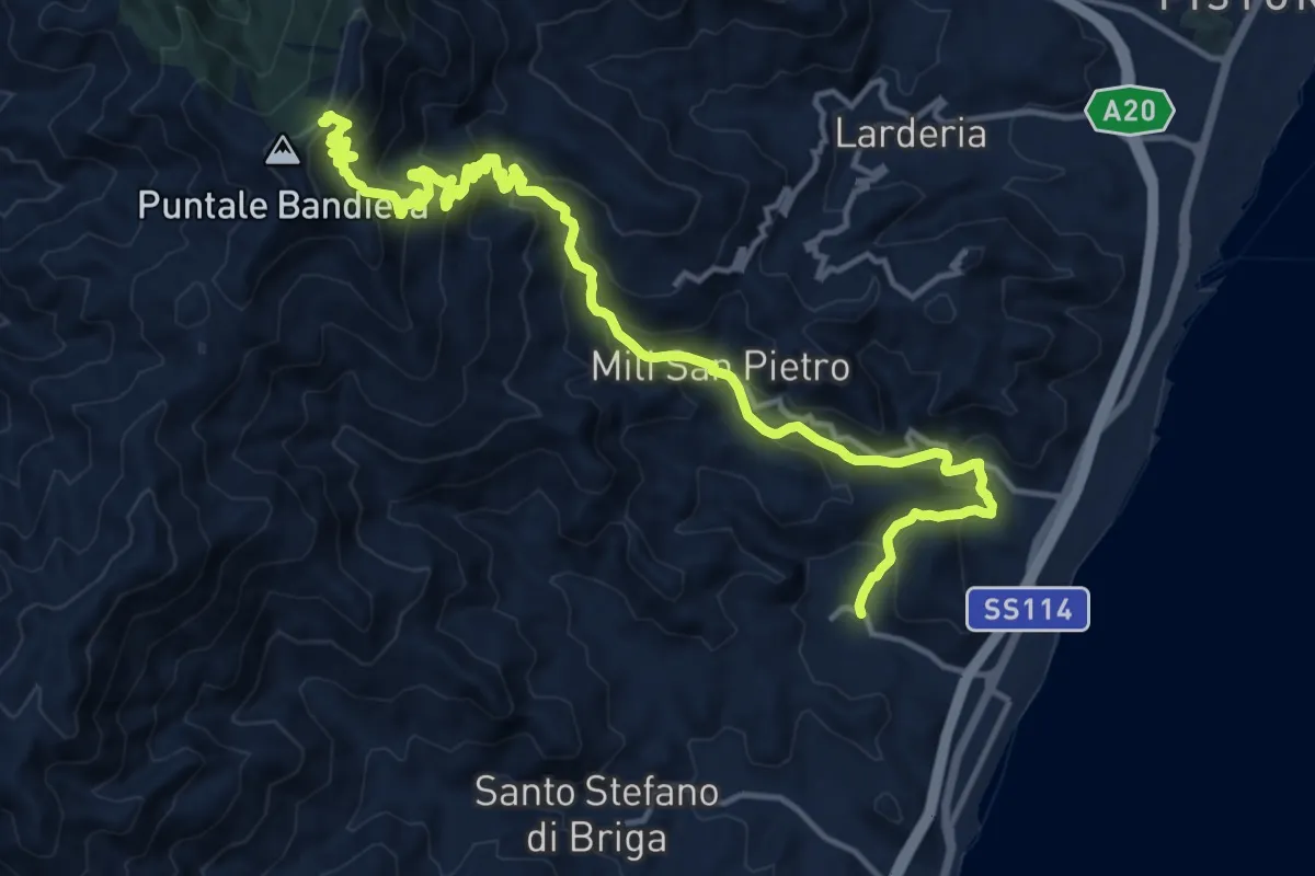
Demanding · Summit
Galati Mamertino-Passo della Busica
21.0 km · ↑ 997 m · 7 h 7 min
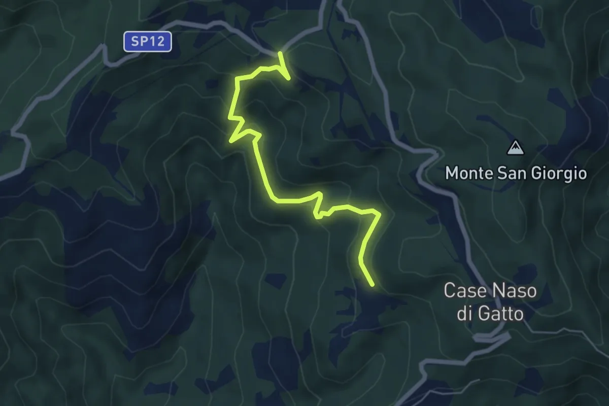
Demanding · Cabin
Galati Santa Lucia Mili Maressa
20.0 km · ↑ 1261 m · 7 h 28 min
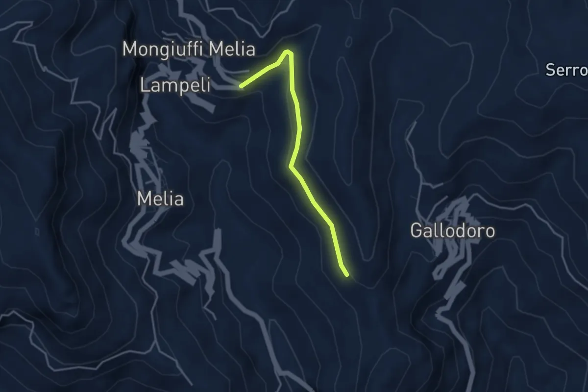
Easy · Trail
Gallina - Case Teggia - Case Bricco - Traversine
5.4 km · ↑ 317 m · 1 h 58 min
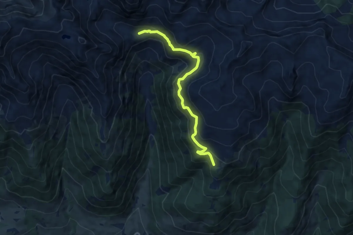
Easy · Trail
Gallodoro - Mongiuffi
3.3 km · ↑ 88 m · 58 min
Medium · Trail
Gamssteig
9.6 km · ↑ 667 m · 3 h 42 min
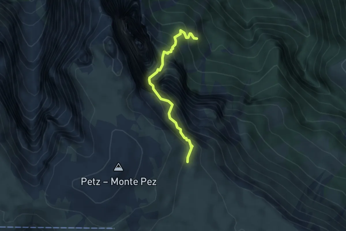
Expert · Cabin
Gamssteig
3.5 km · ↑ 748 m · 2 h 27 min
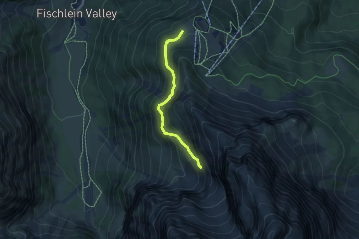
Medium · Trail
Gamssteig - Sentiero dei camosci
3.9 km · ↑ 377 m · 1 h 45 min
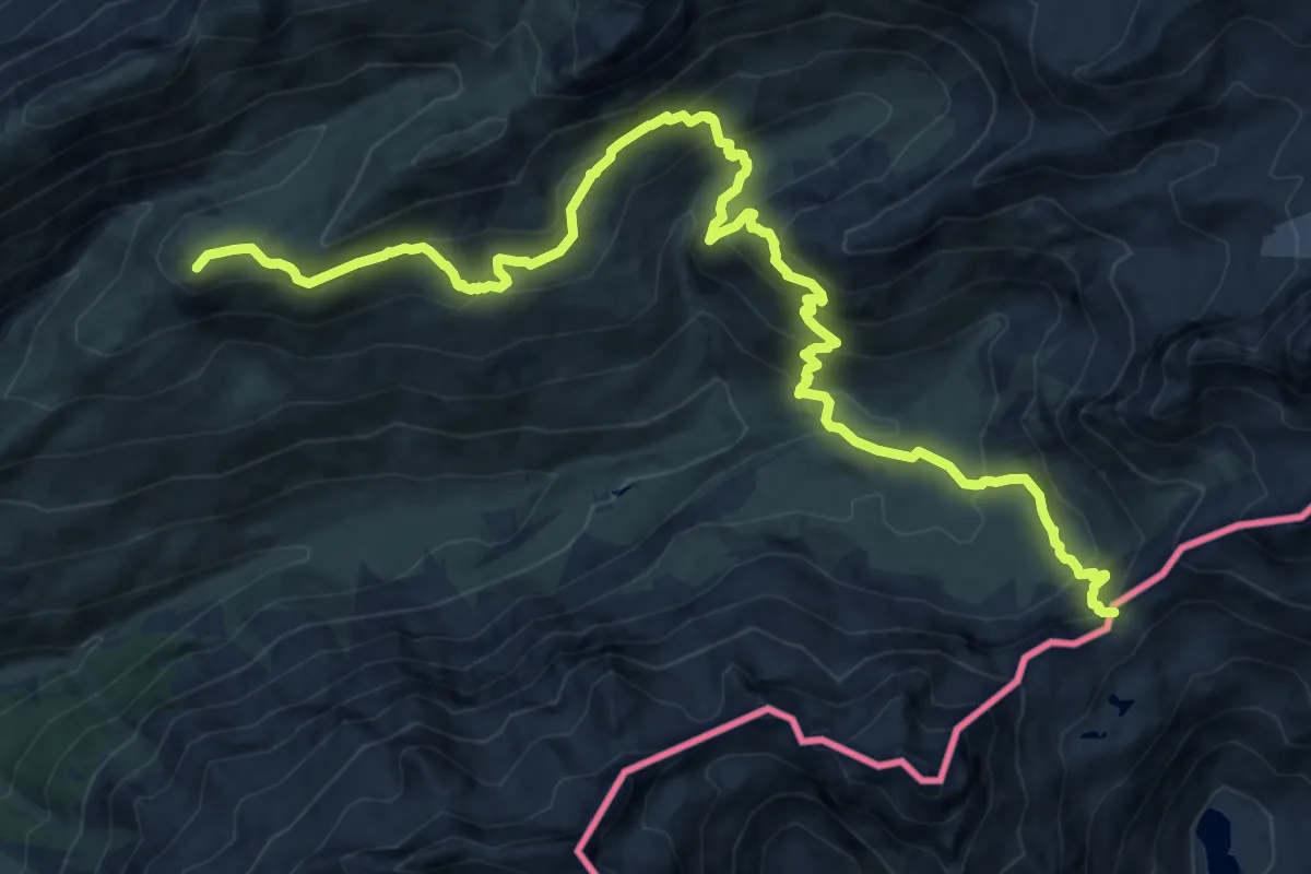
Demanding · Summit
Gandhorn - Albrunpass
17.2 km · ↑ 1255 m · 6 h 47 min
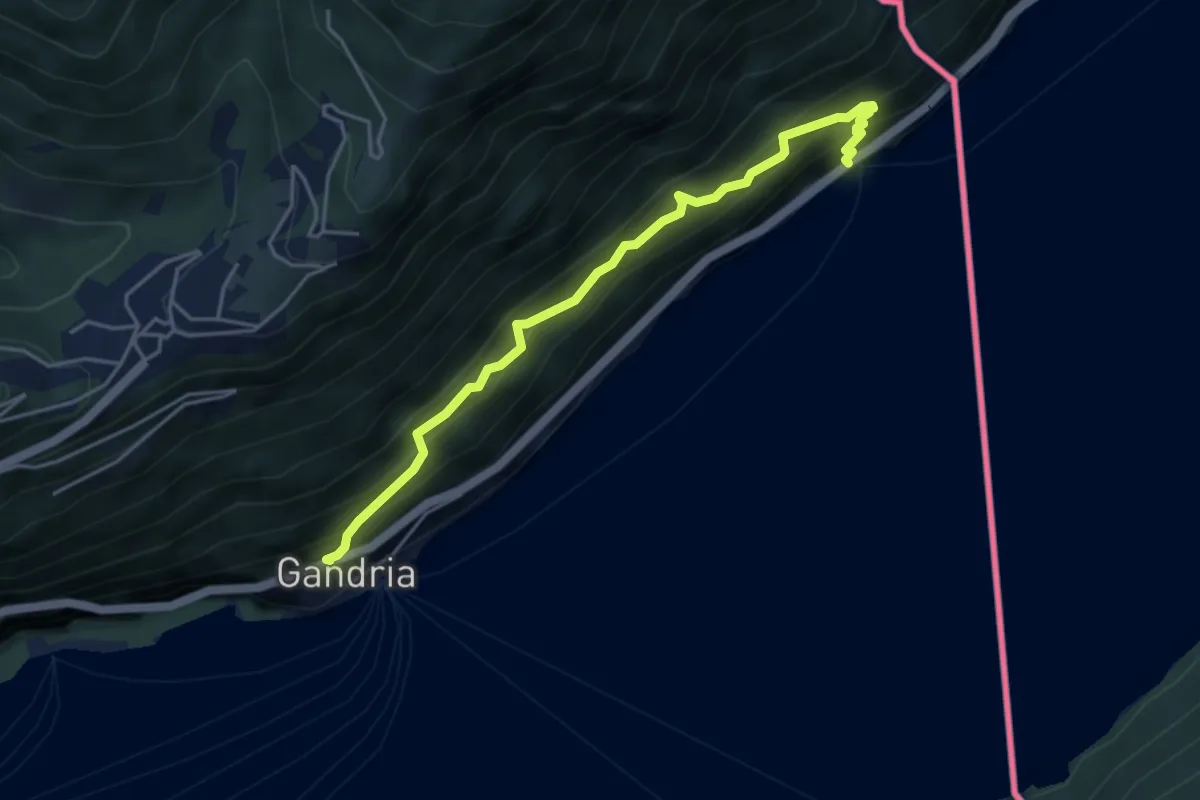
Medium · Trail
Gandria - Sasso della Predescia / Dogana Gandria -
4.5 km · ↑ 584 m · 2 h 20 min
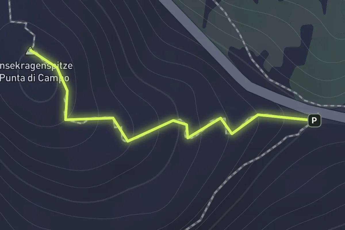
Medium · Summit
Gänsekragen
1.0 km · ↑ 94 m · 27 min
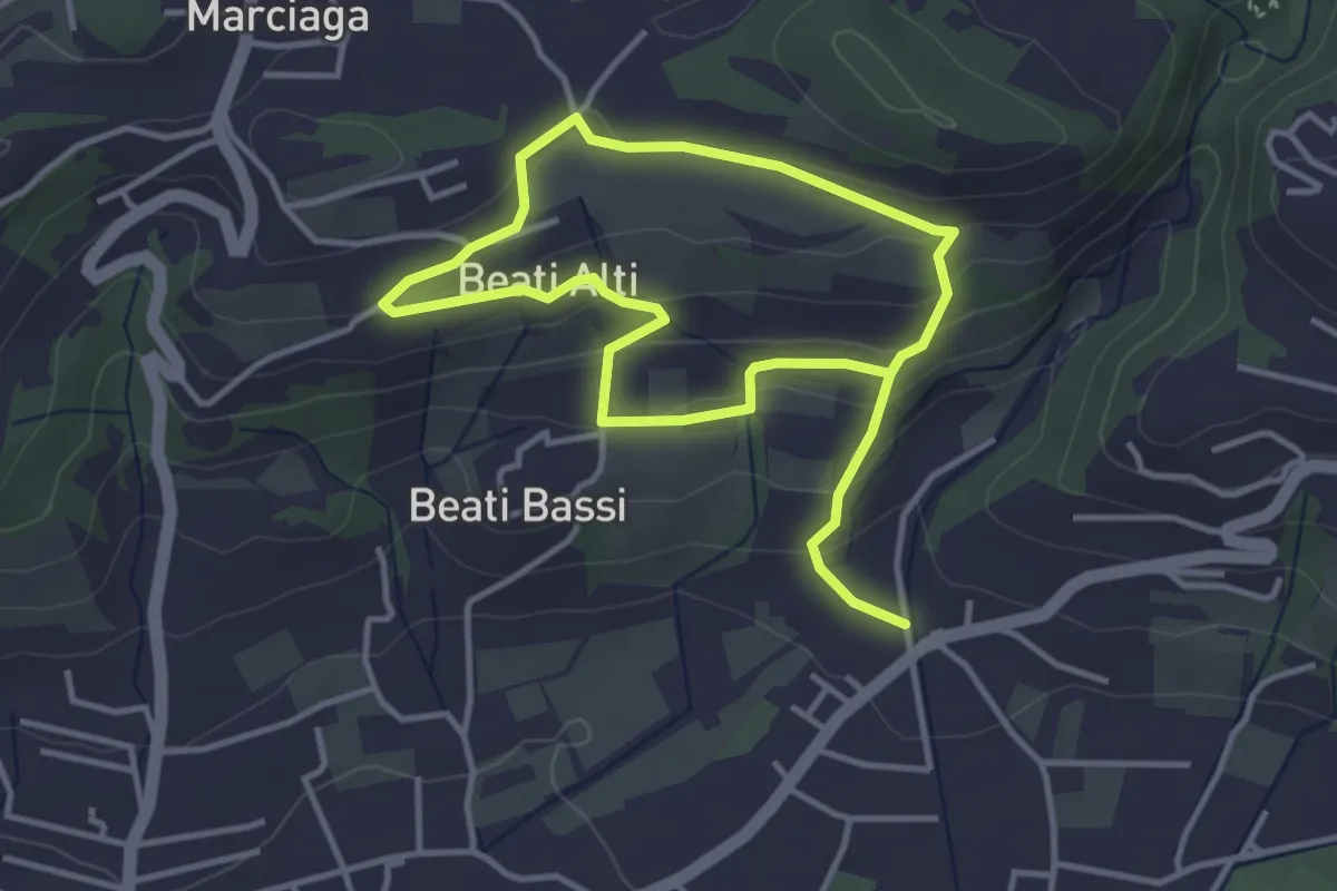
Easy · Trail
Garda - Beati - Pignoi (Itinerario C)
6.2 km · ↑ 241 m · 1 h 59 min
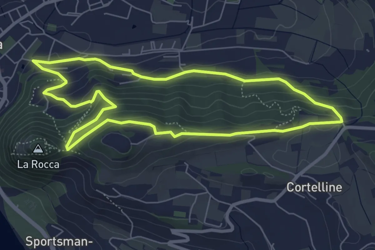
Medium · Trail
Garda - Dacia - Eremo dei Camaldolesi - Rocca Vecchia
5.8 km · ↑ 220 m · 1 h 55 min
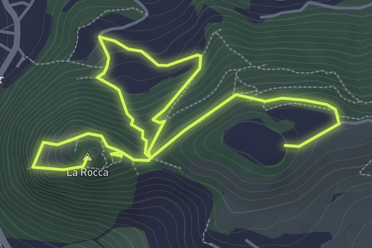
Medium · Summit
Garda - Rocca Vecchia - Eremo dei Camaldolesi
5.8 km · ↑ 404 m · 2 h 15 min
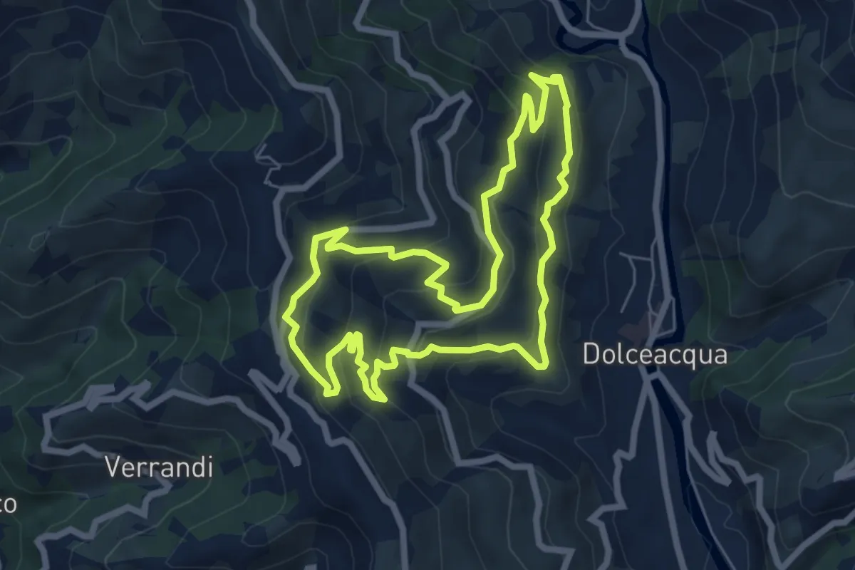
Medium · Trail
Gardiola
6.3 km · ↑ 385 m · 2 h 24 min
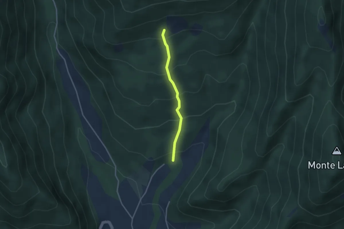
Easy · Trail
Gardone in Bike
2.2 km · ↑ 230 m · 1 h 1 min
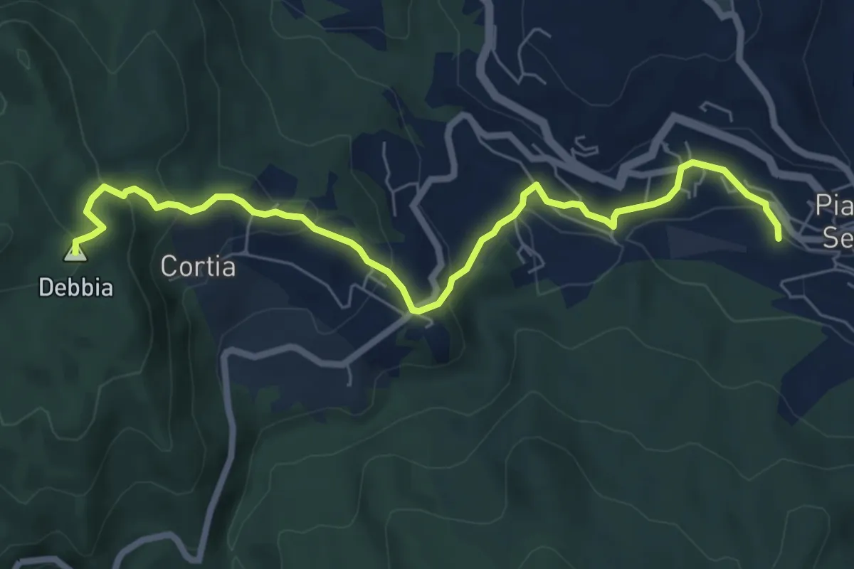
Medium · Summit
Garfagnana Trekking - Collegamento a Piazza al Serchio
7.4 km · ↑ 350 m · 2 h 30 min
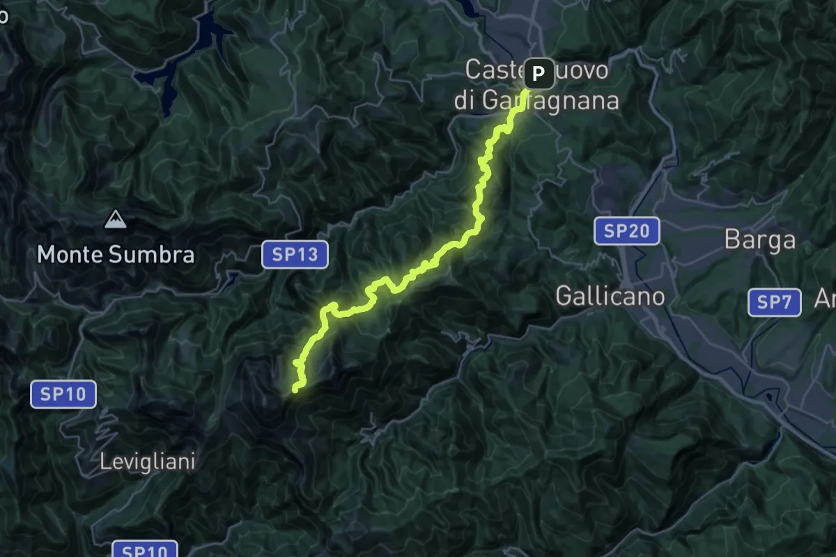
Demanding · Summit
Garfagnana Trekking - Tappa 1
31.1 km · ↑ 2193 m · 12 h 6 min
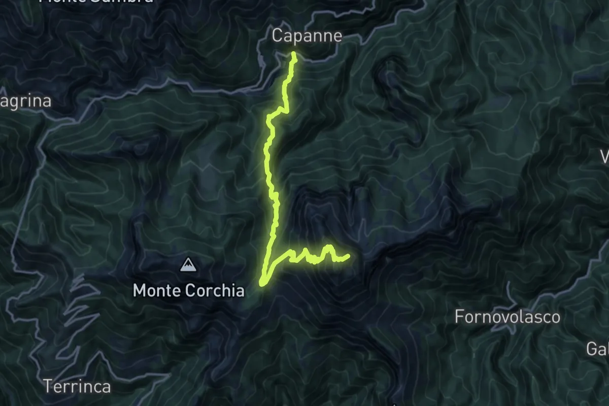
Demanding · Summit
Garfagnana Trekking - Tappa 2
14.9 km · ↑ 1592 m · 6 h 59 min
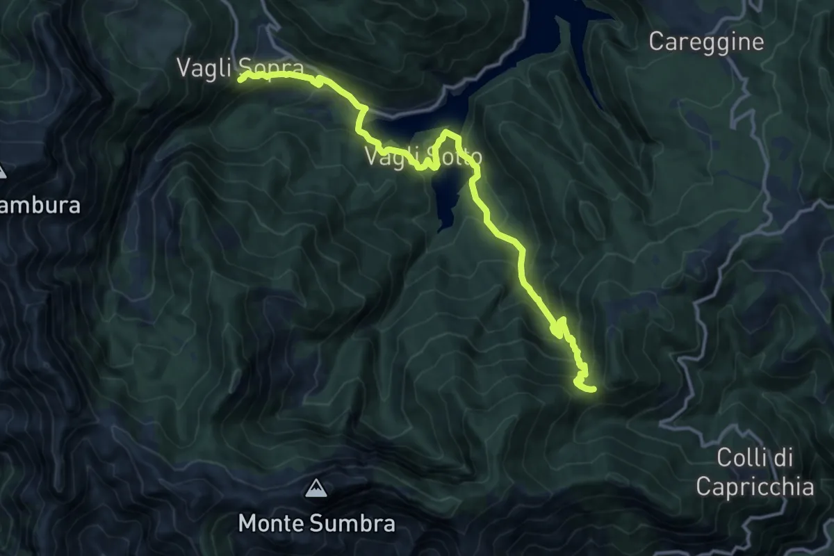
Demanding · Summit
Garfagnana Trekking - Tappa 3
14.8 km · ↑ 1090 m · 5 h 52 min
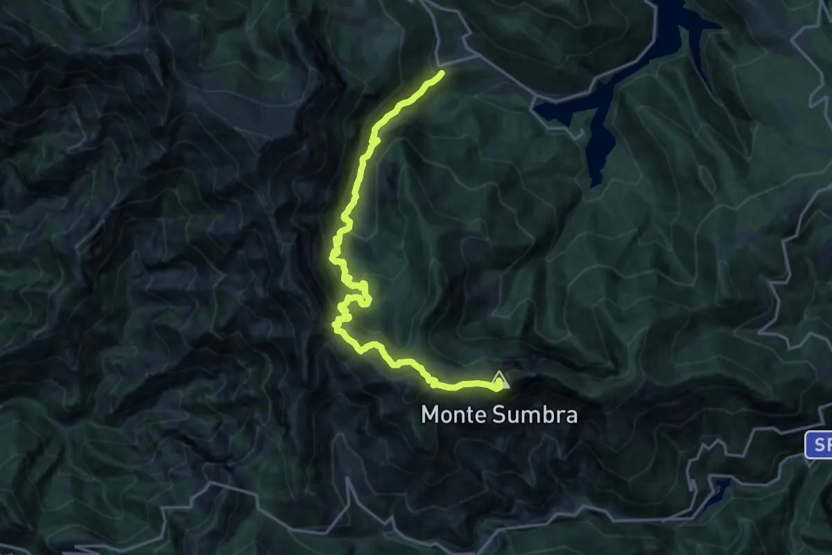
Demanding · Summit
Garfagnana Trekking - Tappa 3b
18.2 km · ↑ 1520 m · 7 h 35 min
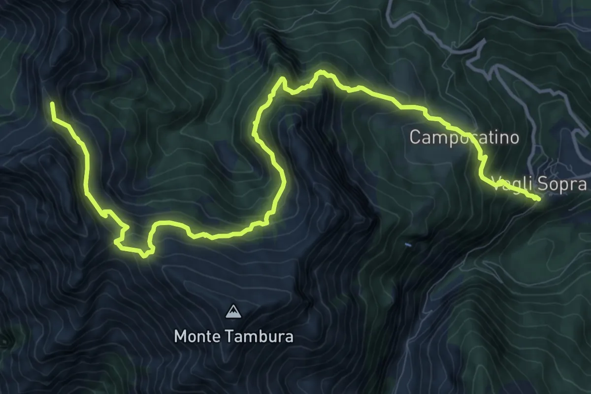
Demanding · Summit
Garfagnana Trekking - Tappa 4
15.4 km · ↑ 1320 m · 6 h 29 min