Trails in Italy
25,211 hiking trails, each with its route, climb, walking time and grade.
All trails, page 72 of 526
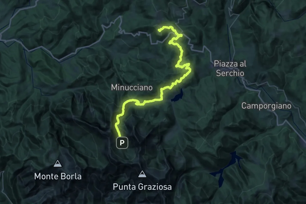
Demanding · Summit
Garfagnana Trekking - Tappa 5
39.5 km · ↑ 1668 m · 12 h 57 min
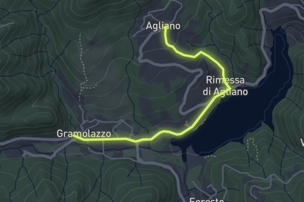
Easy · Trail
Garfagnana Trekking - Tappa 5 Variante Lungo Lago
4.5 km · ↑ 139 m · 1 h 21 min
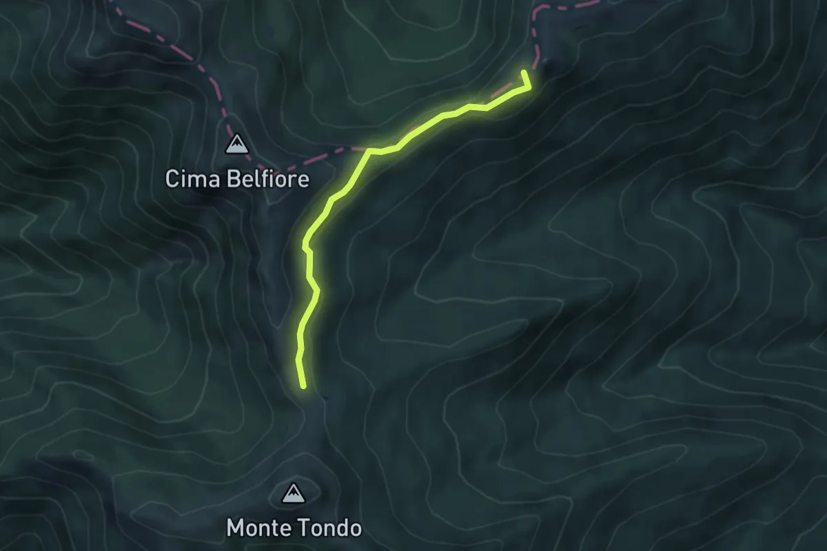
Medium · Summit
Garfagnana Trekking - Tappa 6
4.4 km · ↑ 129 m · 1 h 20 min
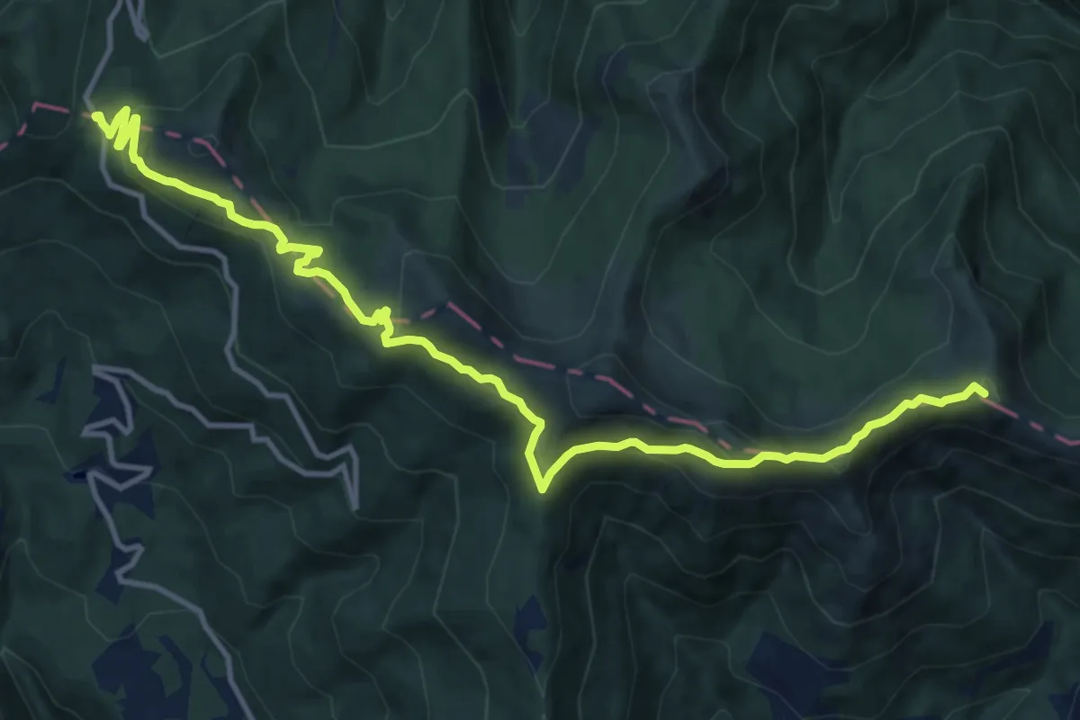
Medium · Summit
Garfagnana Trekking - Tappa 7
14.5 km · ↑ 593 m · 4 h 42 min
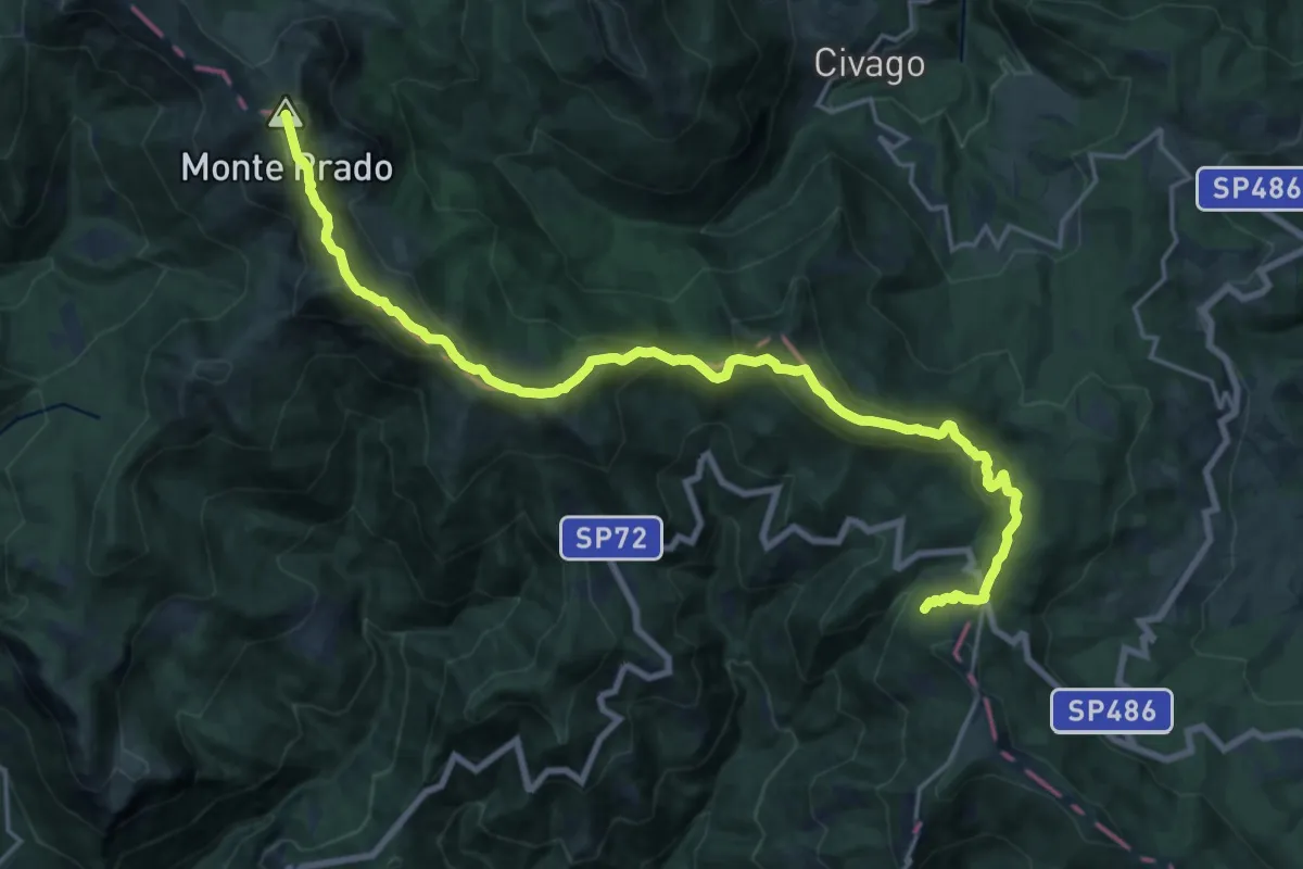
Demanding · Summit
Garfagnana Trekking - Tappa 8
22.6 km · ↑ 1097 m · 7 h 43 min
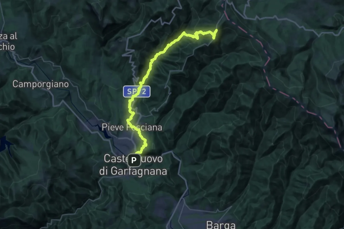
Demanding · Trail
Garfagnana Trekking - Tappa 9
17.1 km · ↑ 1579 m · 7 h 6 min
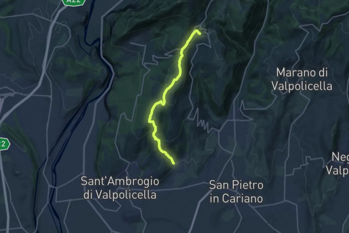
Medium · Trail
Gargagnago - Cavalo
12.4 km · ↑ 561 m · 4 h 9 min
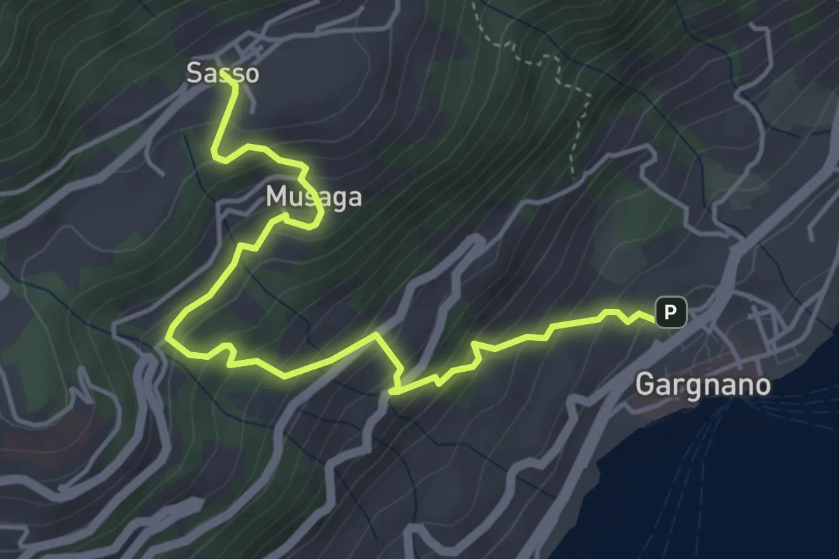
Medium · Trail
Gargnano - Sasso
4.9 km · ↑ 474 m · 2 h 11 min
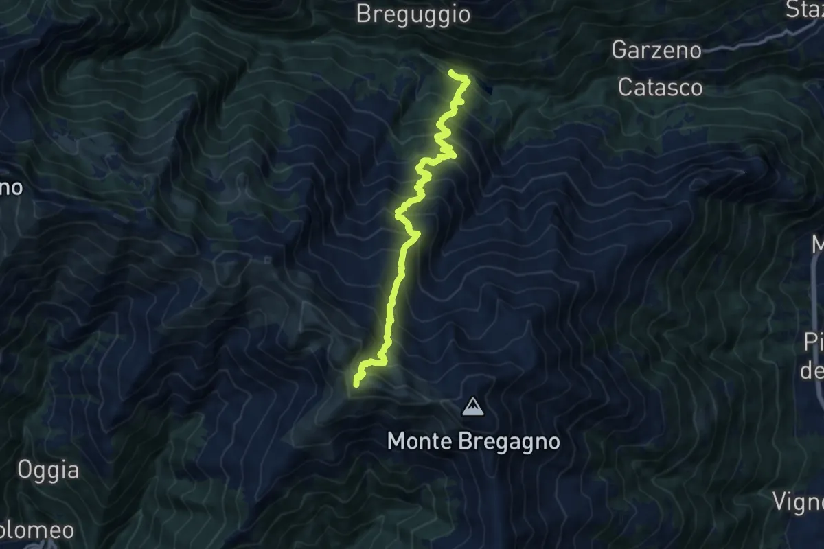
Demanding · Summit
Garzeno - Marnotto
11.8 km · ↑ 1370 m · 5 h 46 min
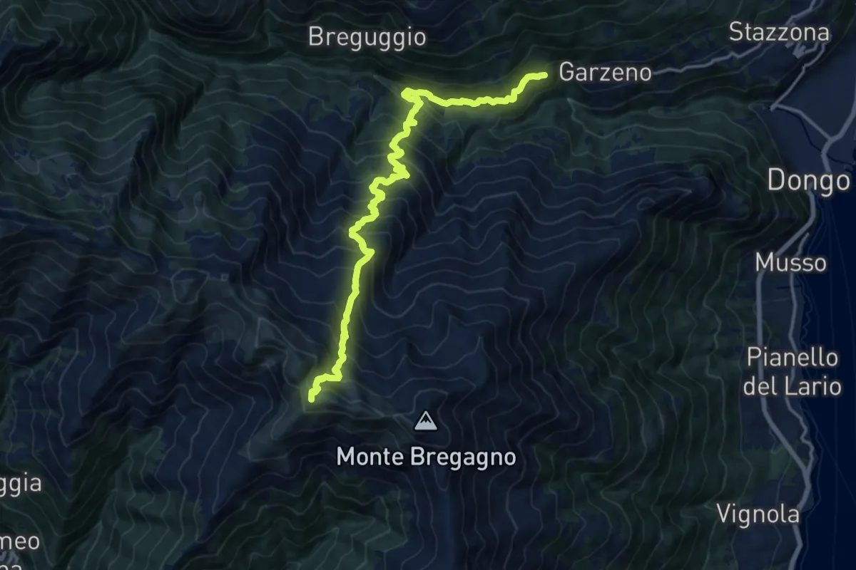
Demanding · Summit
Garzeno - Marnotto
15.7 km · ↑ 1621 m · 7 h 13 min
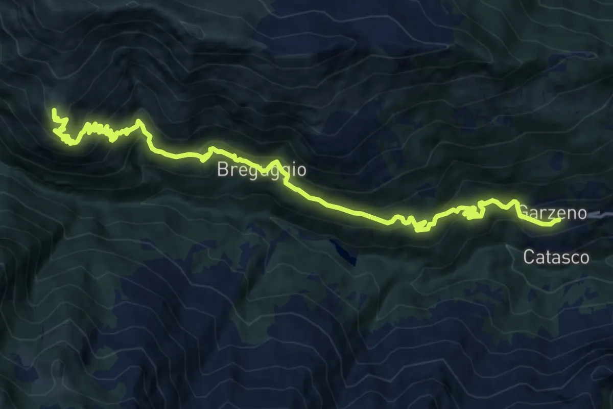
Demanding · Summit
Garzeno - Rifugio Giovo
16.8 km · ↑ 1215 m · 6 h 36 min
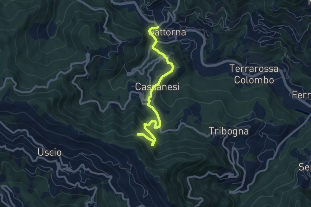
Medium · Trail
Gattorna - Innesto Itinerario Storico Colombiano
6.1 km · ↑ 414 m · 2 h 20 min
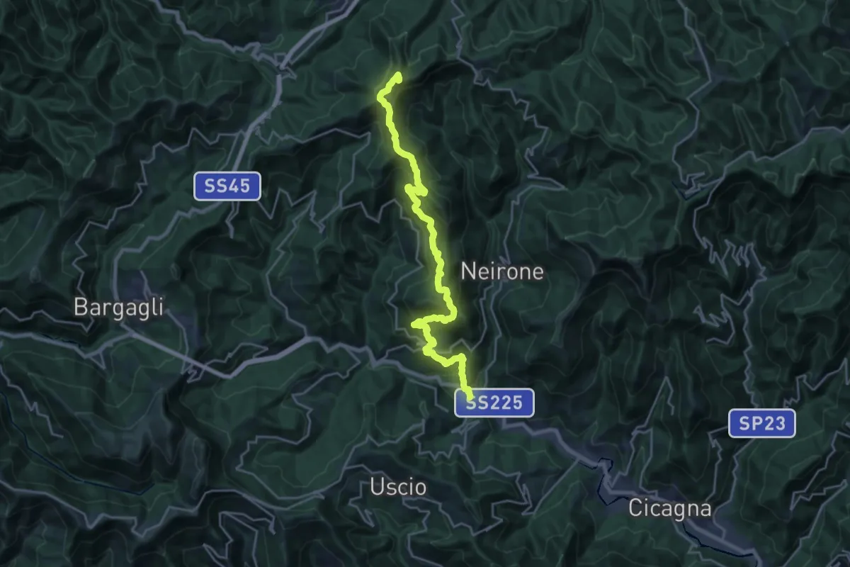
Demanding · Summit
Gattorna - Ogno - Monte Lavagnola
22.3 km · ↑ 1289 m · 8 h 3 min
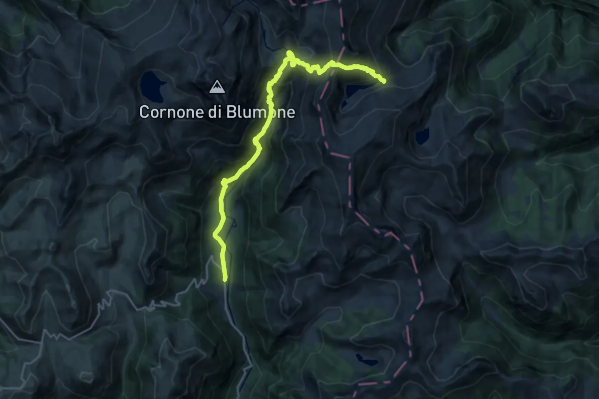
Demanding · Trail
Gaver - Lago Nero
18.0 km · ↑ 1271 m · 7 h
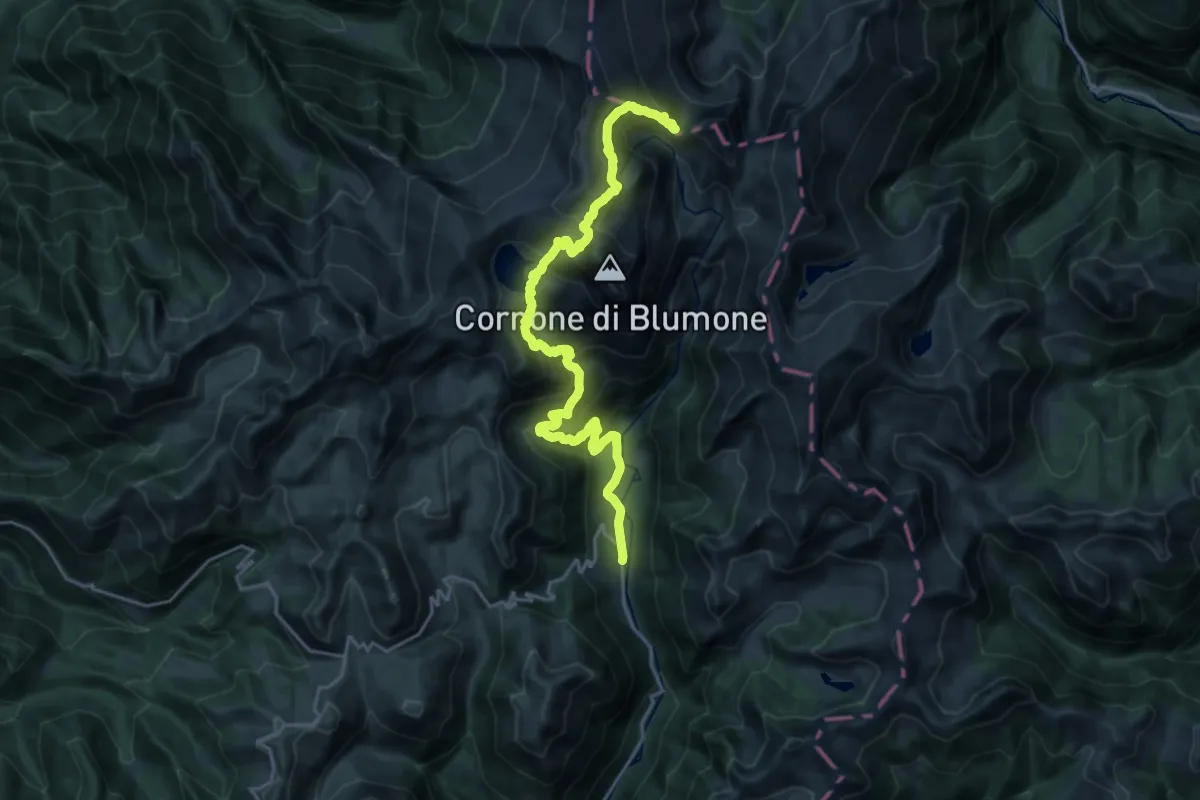
Demanding · Trail
Gaver - Passo Termine
11.9 km · ↑ 1256 m · 5 h 17 min
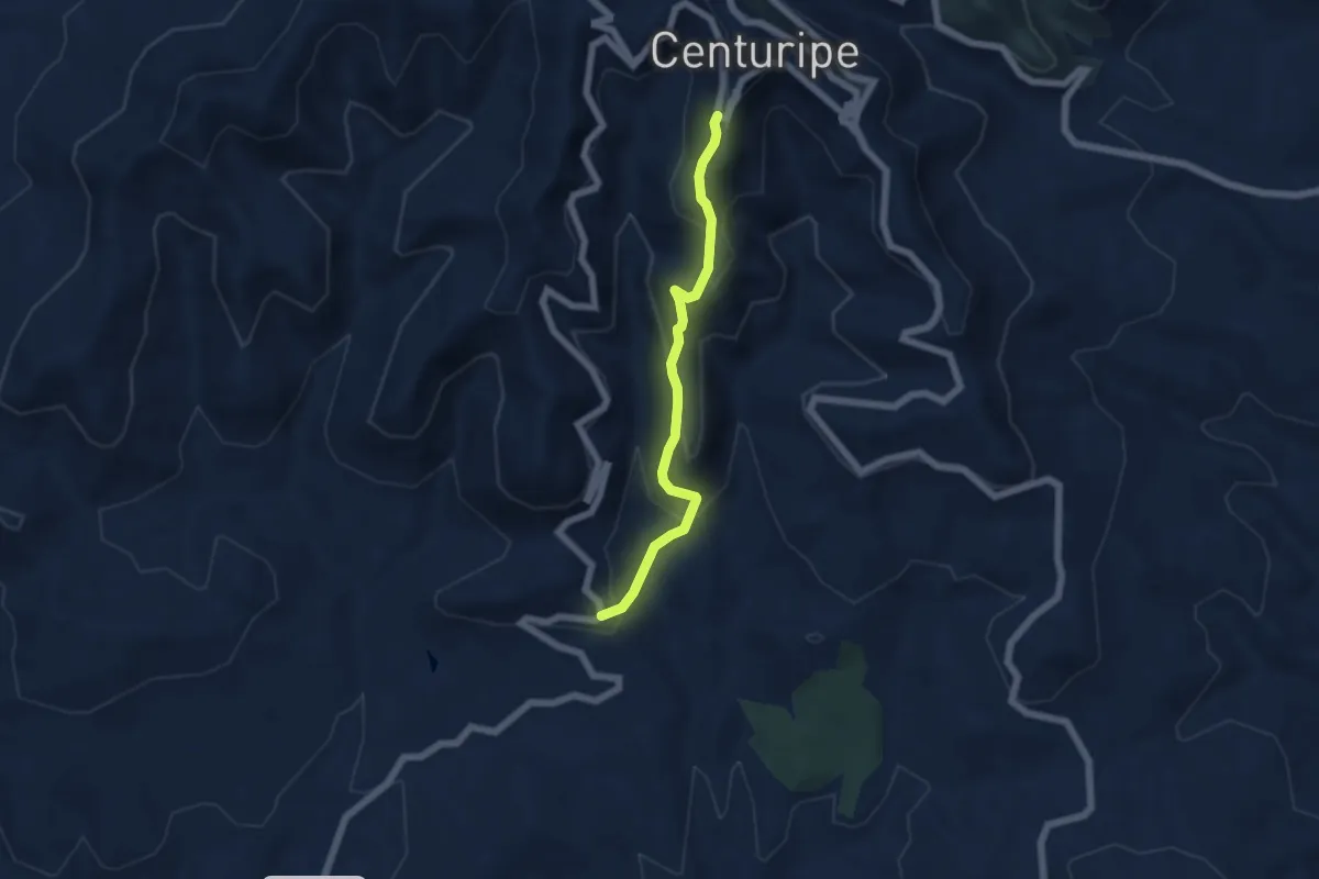
Medium · Trail
Gelosia
5.8 km · ↑ 392 m · 2 h 13 min
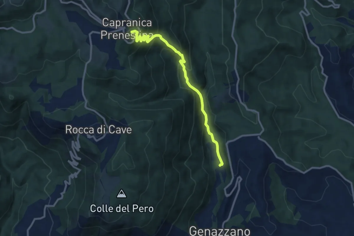
Medium · Trail
Genazzano-Capranica Prenestina
8.2 km · ↑ 576 m · 3 h 12 min
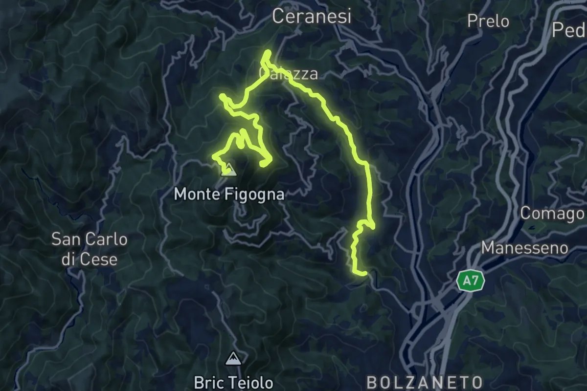
Demanding · Summit
Geo - Guidovia - Madonna della Guardia
21.3 km · ↑ 1031 m · 7 h 16 min
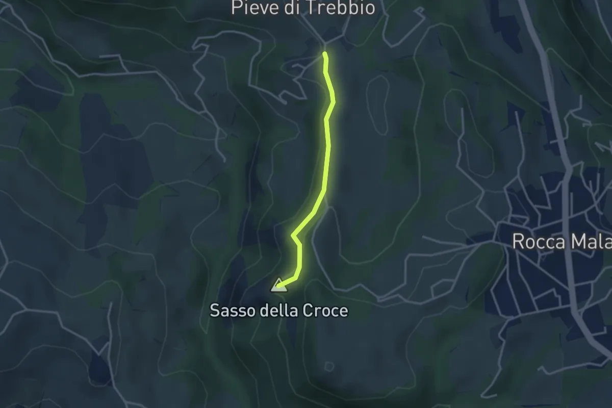
Medium · Summit
GEO - Itinerario Geologico
2.5 km · ↑ 67 m · 44 min
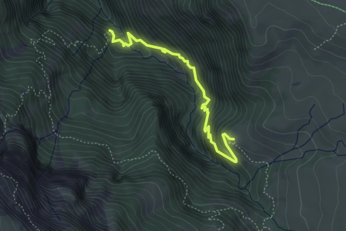
Medium · Trail
Geologensteig
4.3 km · ↑ 432 m · 1 h 56 min
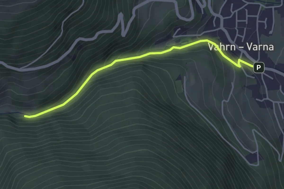
Easy · Trail
Georgssteig - Sentiero di S. Giorgio
3.9 km · ↑ 196 m · 1 h 21 min
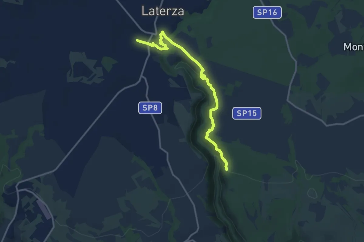
Medium · Trail
Geotouristic Paths
11.0 km · ↑ 397 m · 3 h 28 min
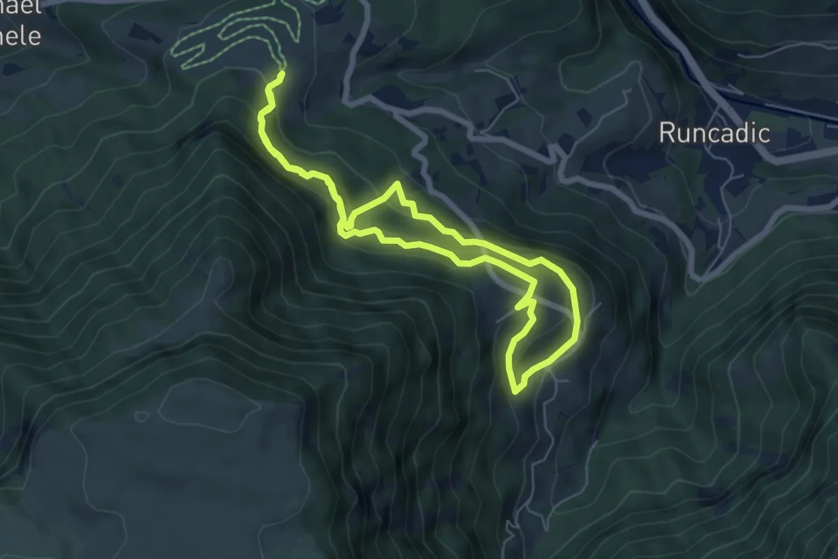
Medium · Trail
Geotrail Bula - Pufels - Bulla
5.3 km · ↑ 387 m · 2 h 10 min
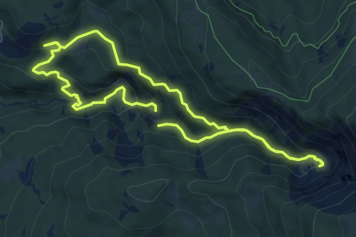
Medium · Trail
GEOWeg - Sentiero GEOlogico
6.4 km · ↑ 331 m · 2 h 20 min
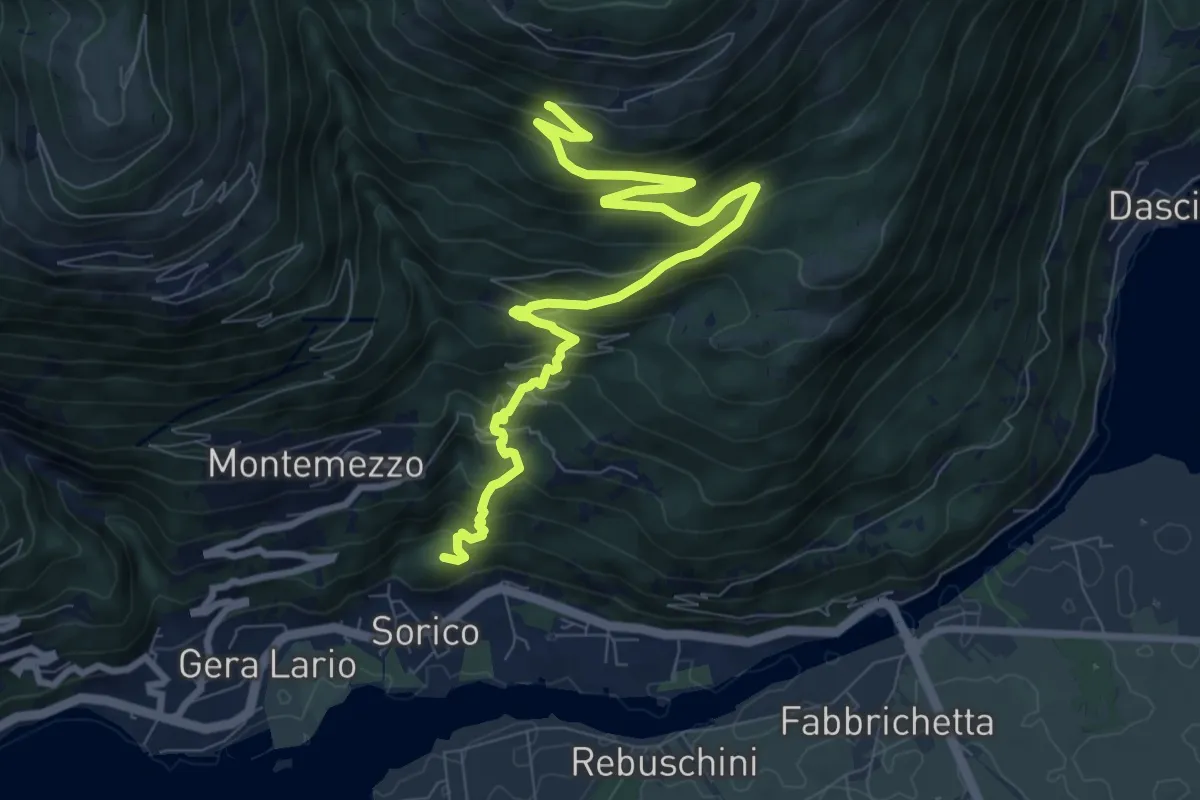
Medium · Summit
Gera-Fordeccia-Bugiallo
10.0 km · ↑ 773 m · 4 h 3 min
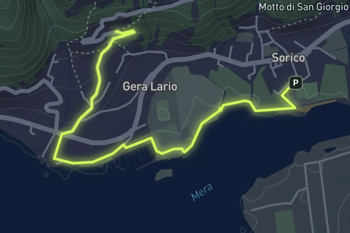
Easy · Trail
Gera - Montemezzo
4.6 km · ↑ 94 m · 1 h 18 min
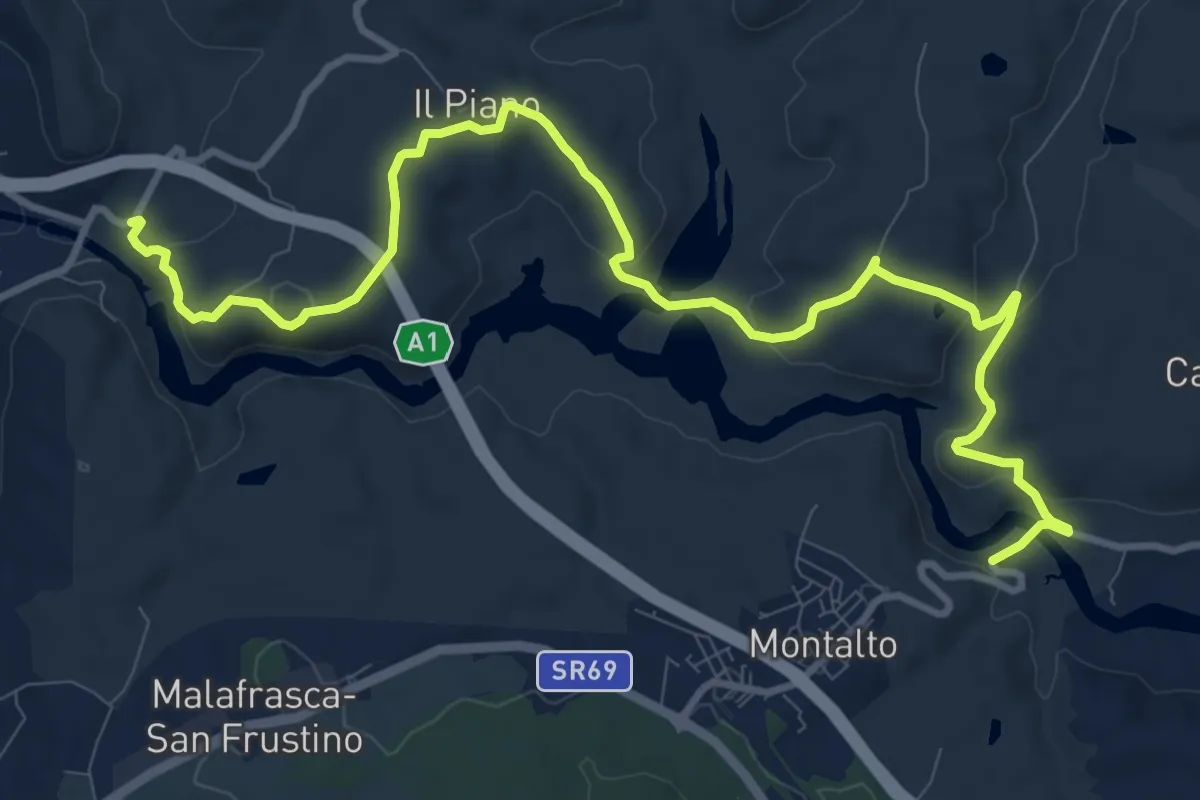
Medium · Trail
GERDA
13.8 km · ↑ 408 m · 4 h 8 min
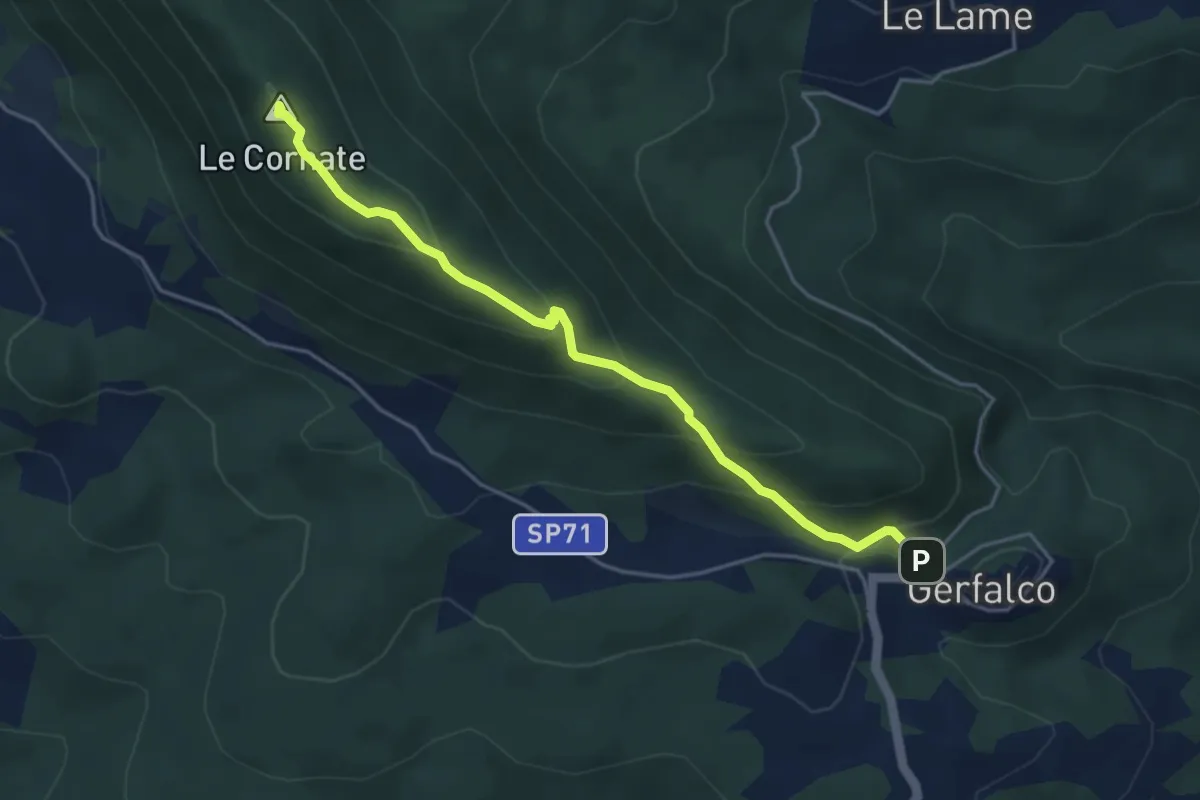
Easy · Summit
Gerfalco - le Cornate
4.7 km · ↑ 315 m · 1 h 47 min
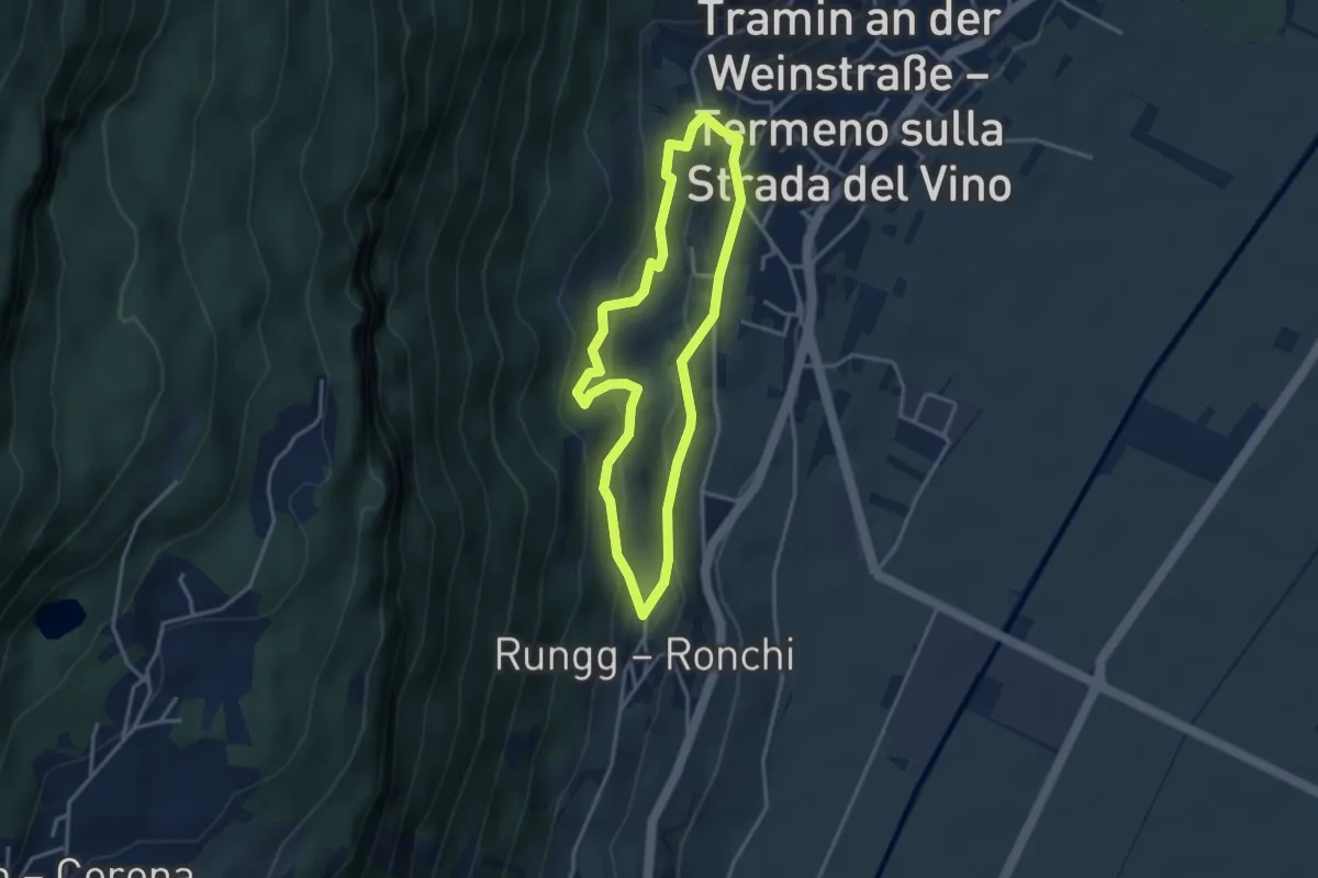
Easy · Trail
Gewürztraminerweg
3.1 km · ↑ 181 m · 1 h 11 min
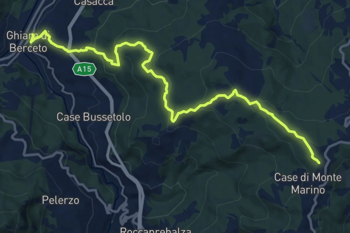
Medium · Trail
Ghiare di Berceto Case Gravagnino Casa Casoni Strada Statale della Cisa
17.0 km · ↑ 742 m · 5 h 37 min
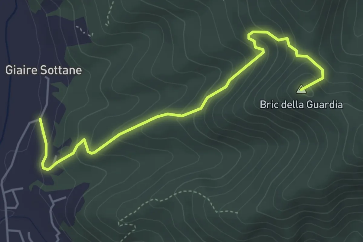
Medium · Summit
Giaire - Fonte Anime
4.8 km · ↑ 349 m · 1 h 53 min
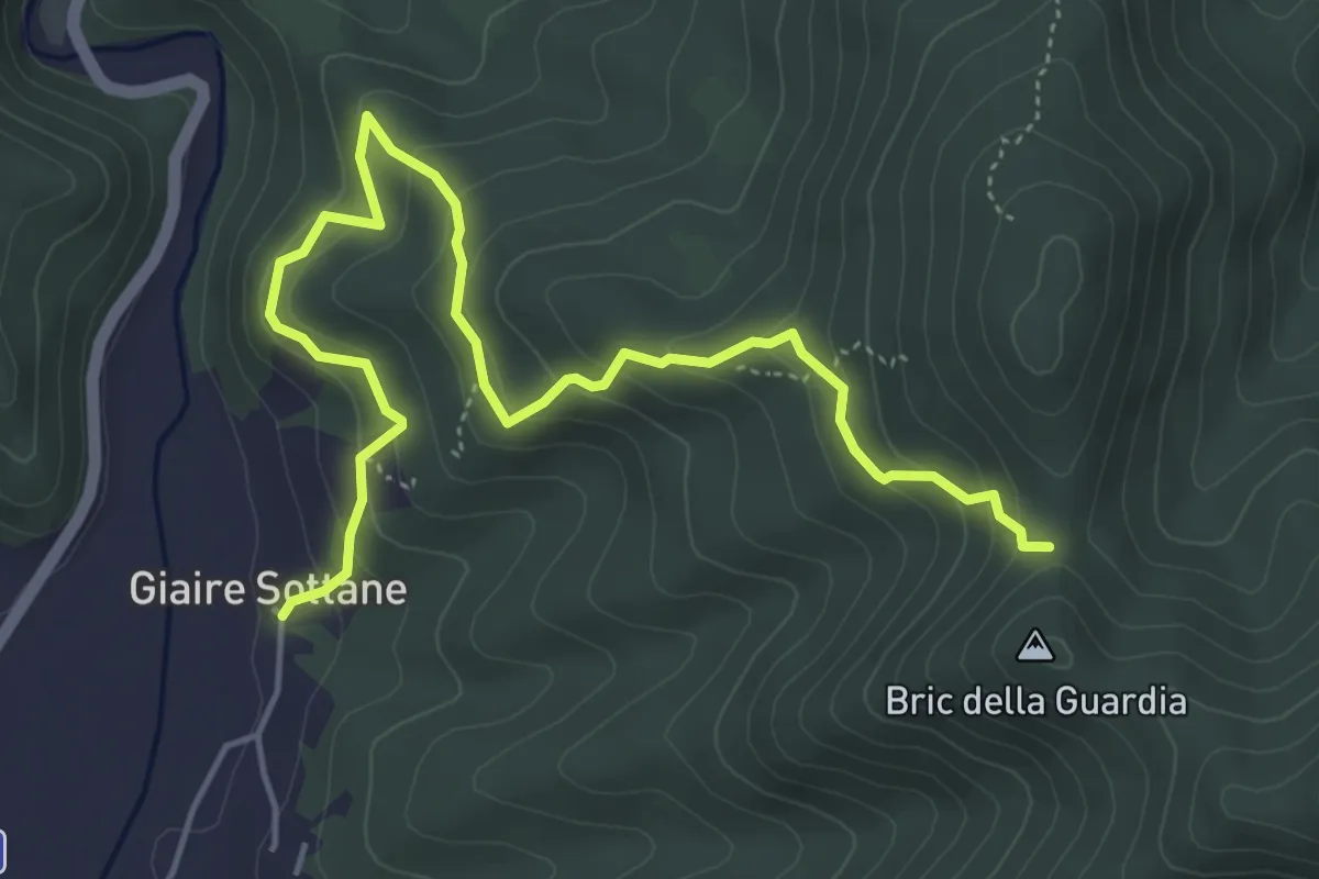
Medium · Trail
Giaire Sottane - Crocetta
6.1 km · ↑ 413 m · 2 h 20 min
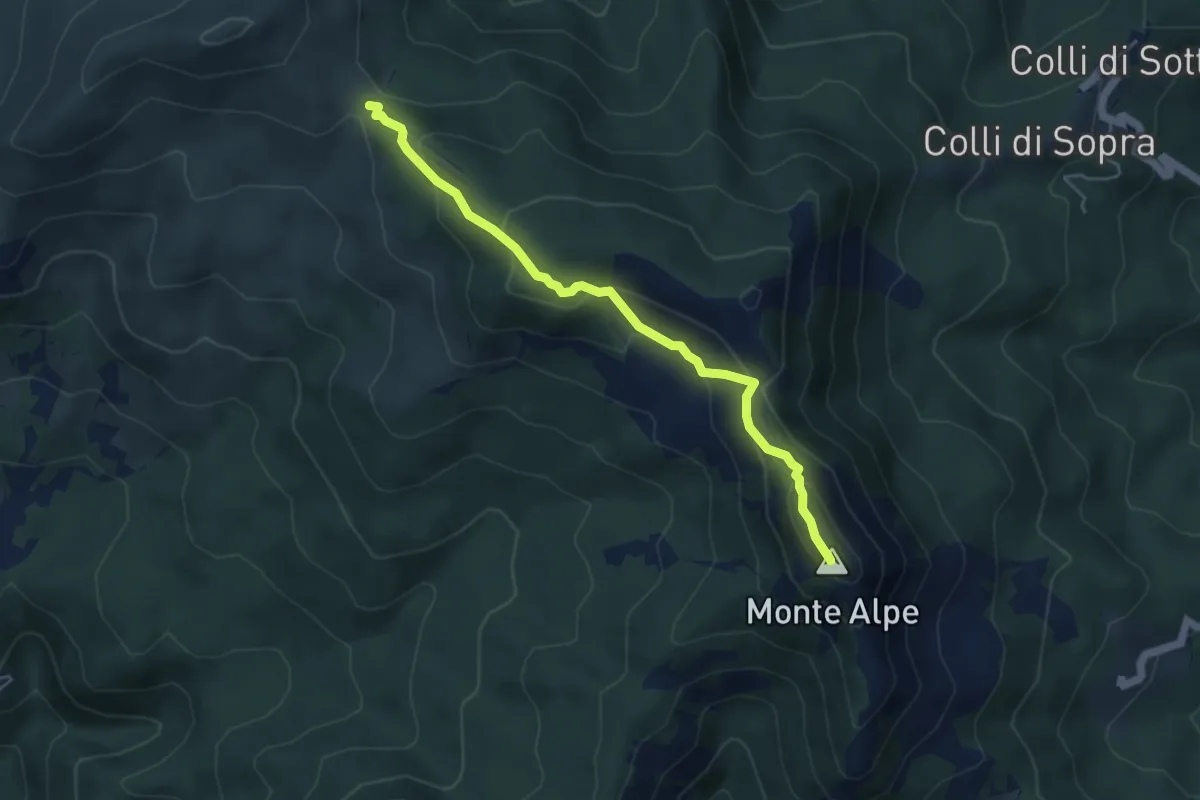
Medium · Summit
Giandriale - Monte Alpe - Monte Zenone - Passo del Bocco di Bargone
4.9 km · ↑ 294 m · 1 h 48 min
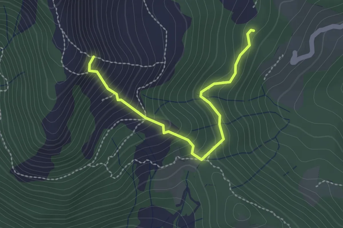
Medium · Trail
Giandriale - Passo Colello - Monte Alpe
2.6 km · ↑ 250 m · 1 h 9 min
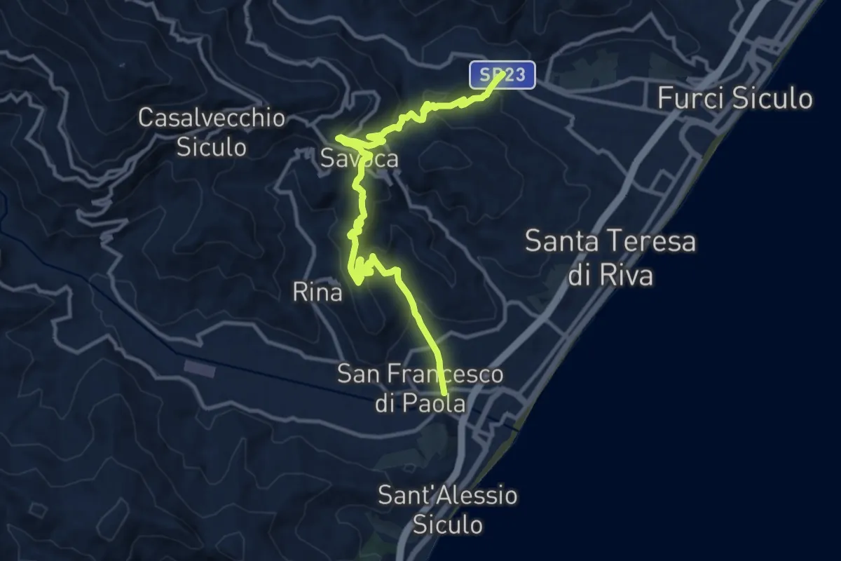
Medium · Trail
Giardino Savoca Agrò
14.0 km · ↑ 743 m · 4 h 55 min
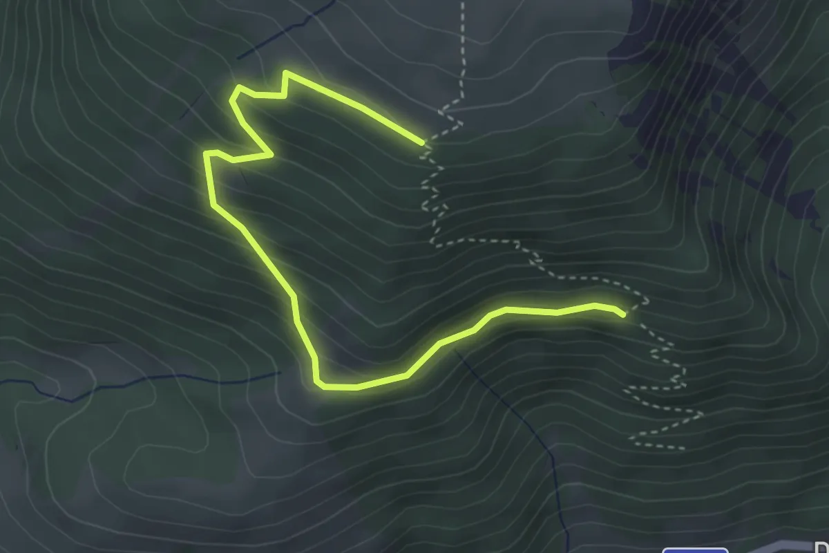
Medium · Trail
Giare Rosse - Puche
4.3 km · ↑ 263 m · 1 h 36 min
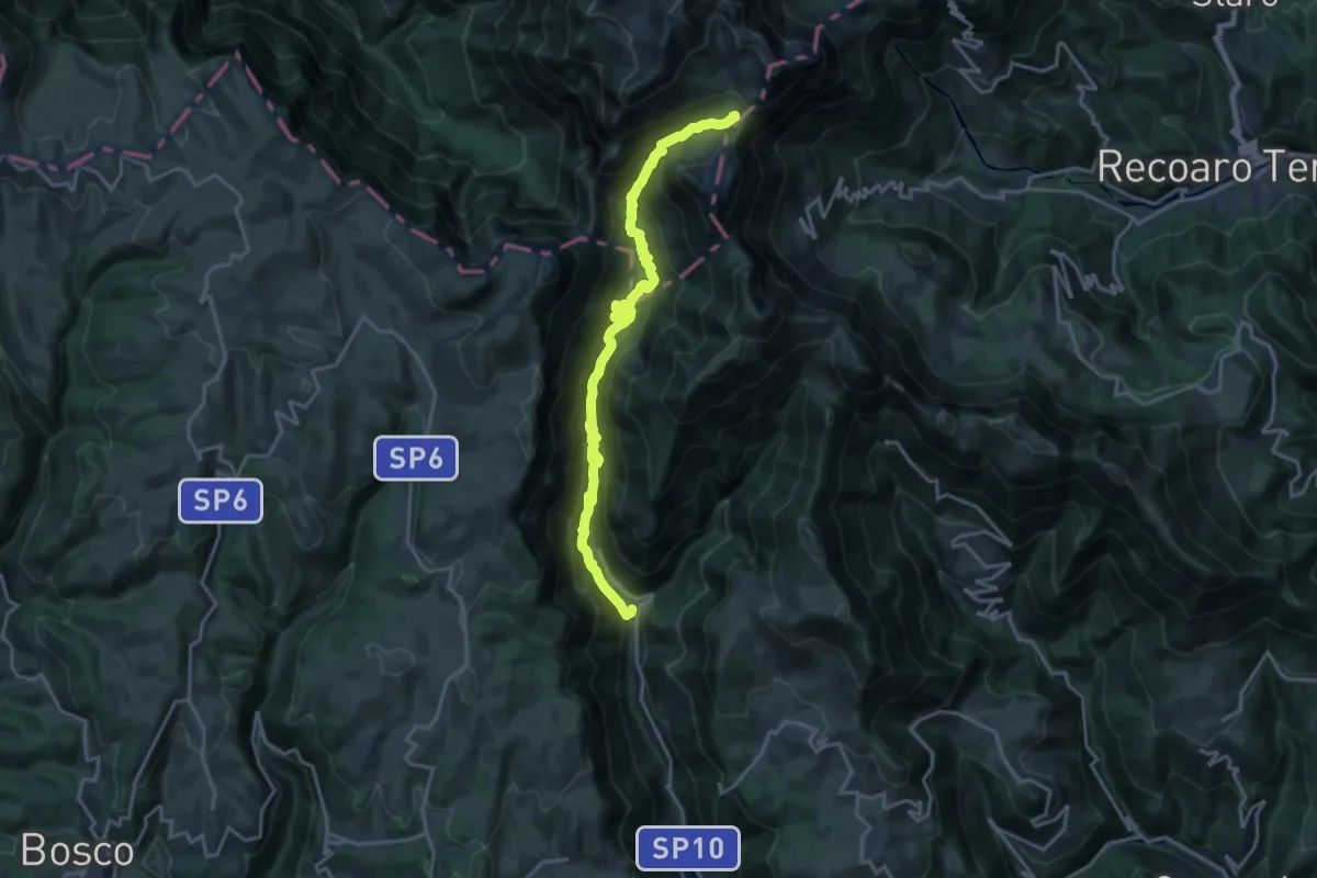
Demanding · Cabin
Giazza, Dogana Vecchia, Rifugio Pompeo Scalorbi
21.1 km · ↑ 1328 m · 7 h 51 min
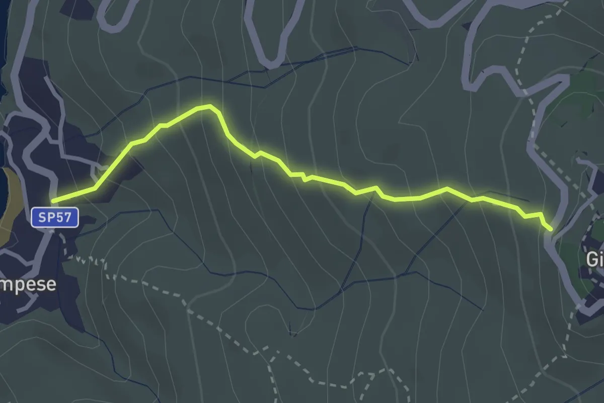
Medium · Trail
Giglio Castello - Il Gronco – Giglio Campese
2.8 km · ↑ 313 m · 1 h 21 min
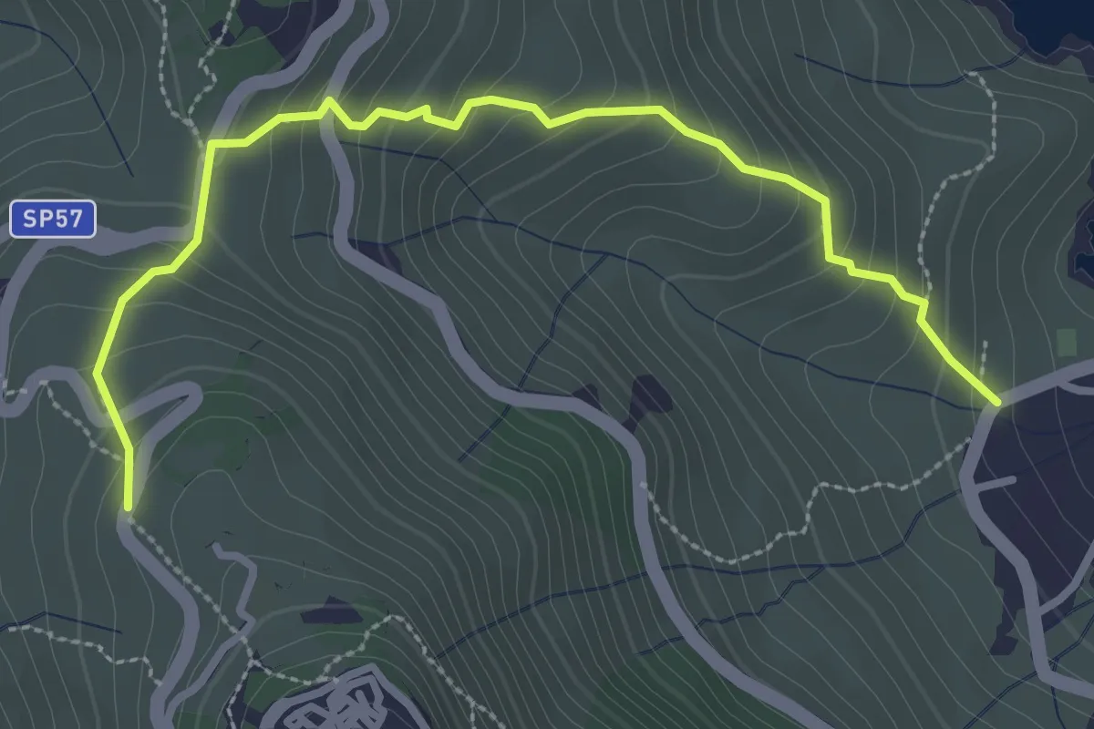
Medium · Trail
Giglio Castello - Via del Pentovaldo – Spiaggia dell’Arenella
3.4 km · ↑ 281 m · 1 h 25 min
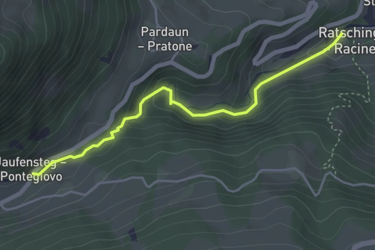
Medium · Trail
Gilfenklamm
3.5 km · ↑ 237 m · 1 h 21 min
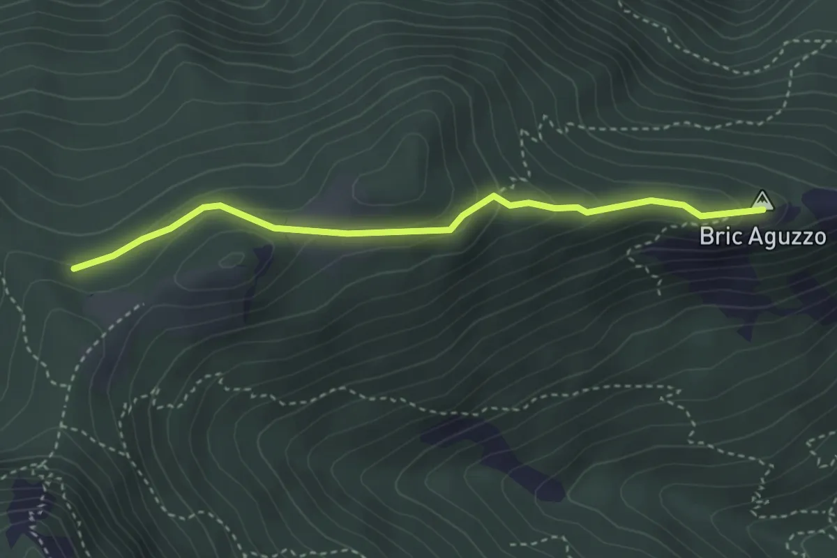
Medium · Summit
Giogo di Giustenice - Bric Aguzzo
3.5 km · ↑ 154 m · 1 h 10 min
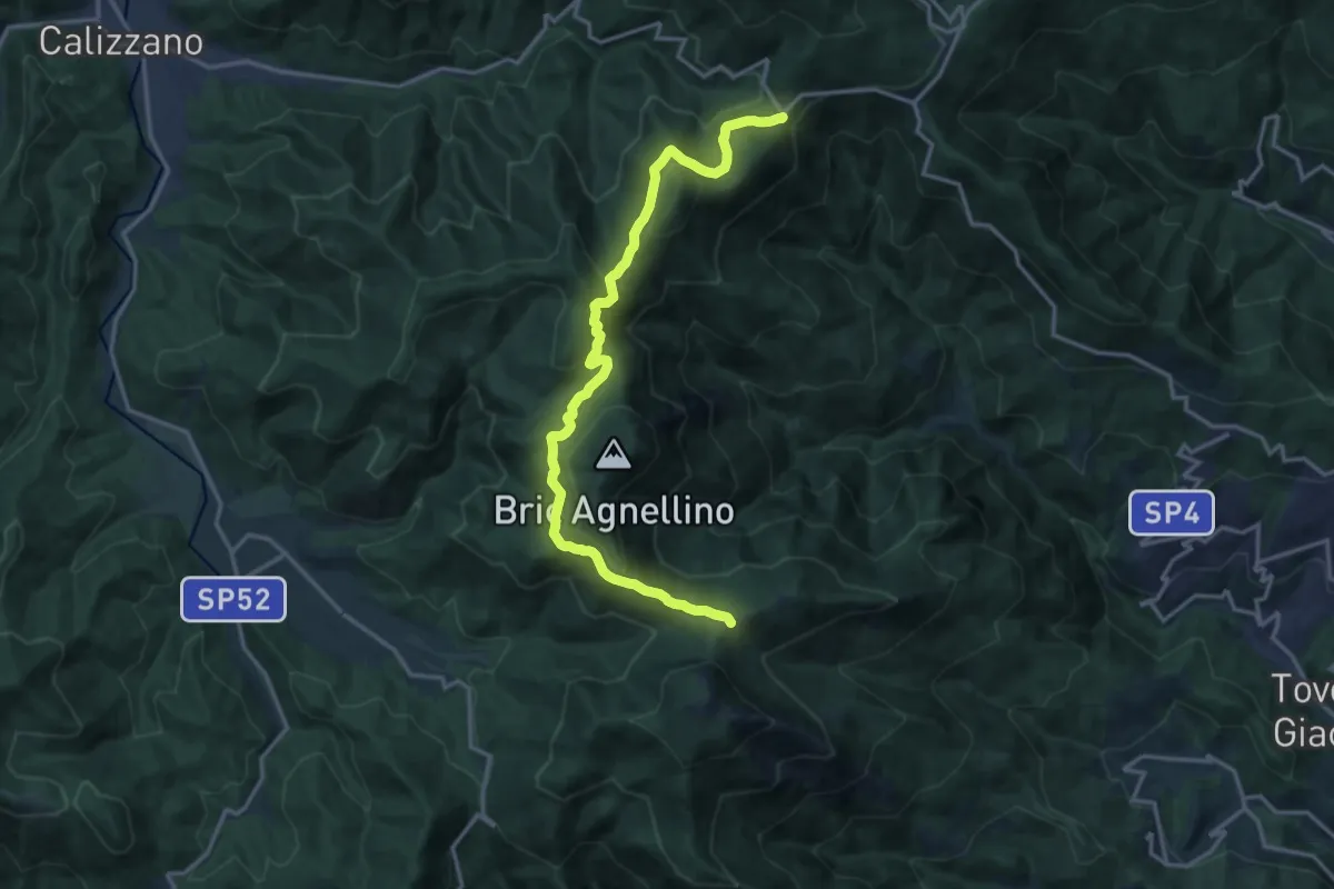
Medium · Trail
Giogo di Giustenice - Colle di Melogno
17.2 km · ↑ 558 m · 5 h 16 min
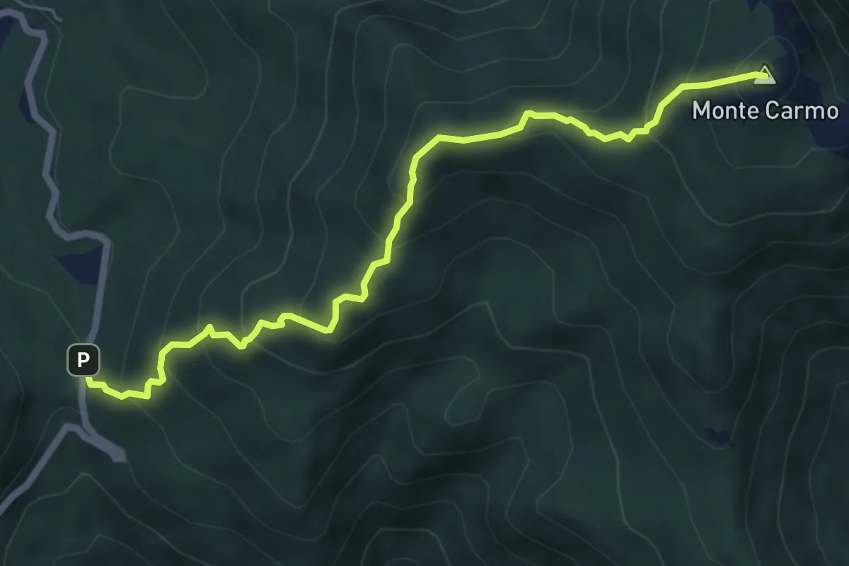
Medium · Summit
Giogo di Toirano - Giogo di Giustenice
6.4 km · ↑ 557 m · 2 h 43 min
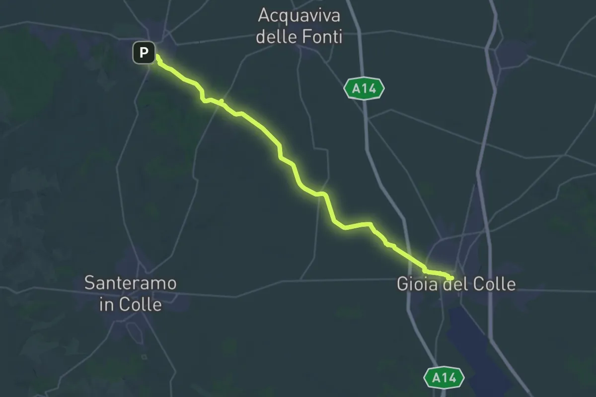
Demanding · Trail
Gioia del Colle - Cassano delle Murge
19.0 km · ↑ 33 m · 4 h 49 min
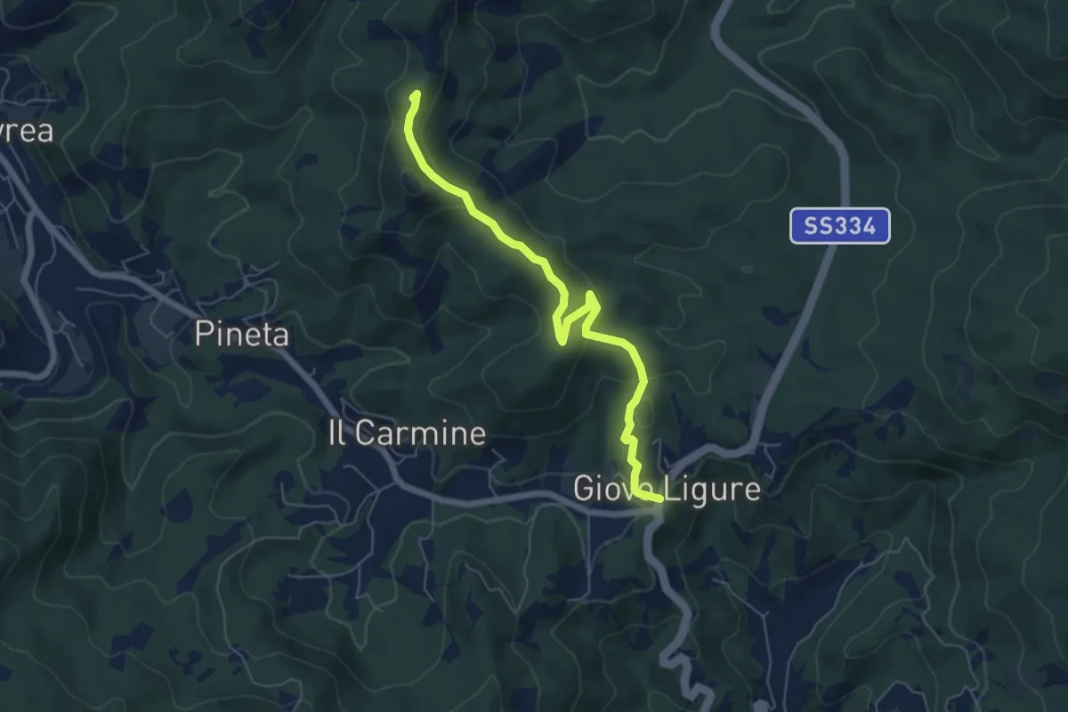
Easy · Summit
Giovo Ligure - Passo di Salmaceto
6.1 km · ↑ 225 m · 1 h 56 min
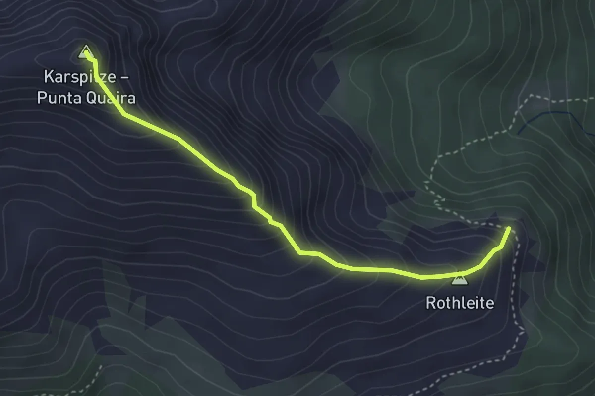
Medium · Summit
Gipfelsteig
3.4 km · ↑ 394 m · 1 h 40 min
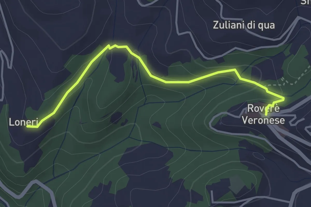
Easy · Trail
Giro Blu Loneri
1.8 km · ↑ 11 m · 31 min
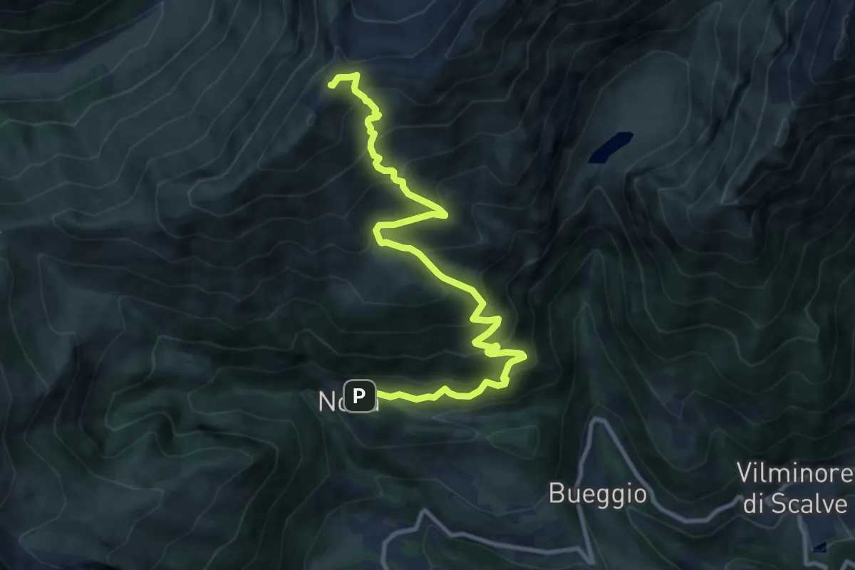
Demanding · Summit
Giro degli Alpeggi
10.6 km · ↑ 985 m · 4 h 38 min