Trails in Italy
25,211 hiking trails, each with its route, climb, walking time and grade.
All trails, page 79 of 526
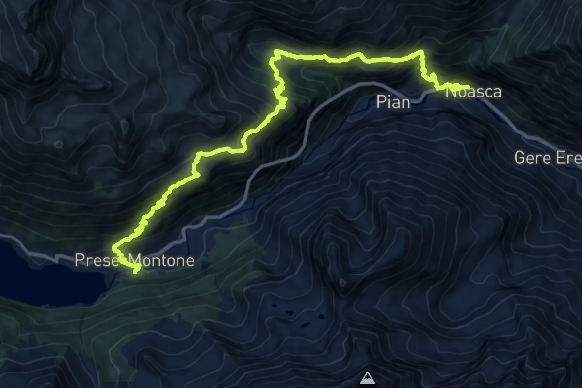
Medium · Trail
GTA: Noasca - Ceresole Reale
10.4 km · ↑ 707 m · 4 h 21 min
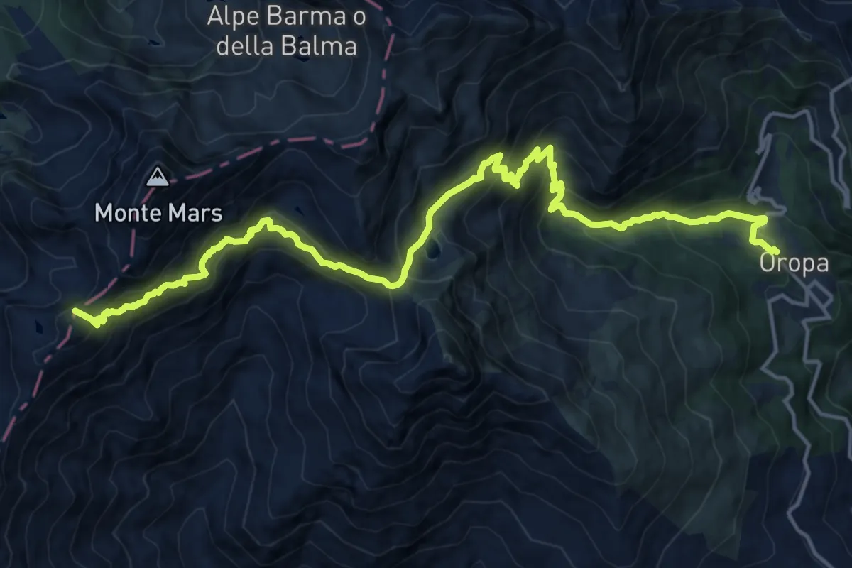
Demanding · Summit
GTA: Oropa - Rifugio Coda
18.2 km · ↑ 1600 m · 7 h 46 min
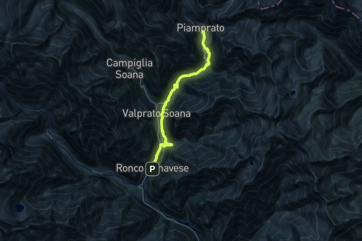
Demanding · Trail
GTA: Piamprato - Ronco Canavese
17.9 km · ↑ 847 m · 6 h 4 min
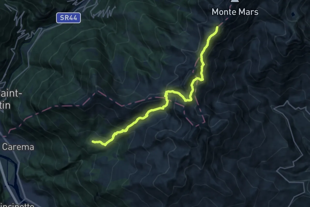
Demanding · Summit
GTA: Rifugio Coda - Maletto
18.1 km · ↑ 1462 m · 7 h 27 min
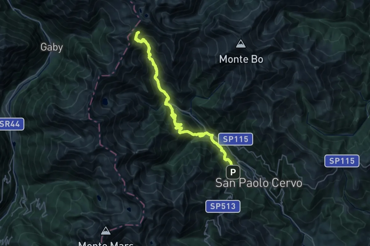
Demanding · Cabin
GTA: Rifugio Rivetti - Santuario San Giovanni
12.7 km · ↑ 1862 m · 6 h 37 min
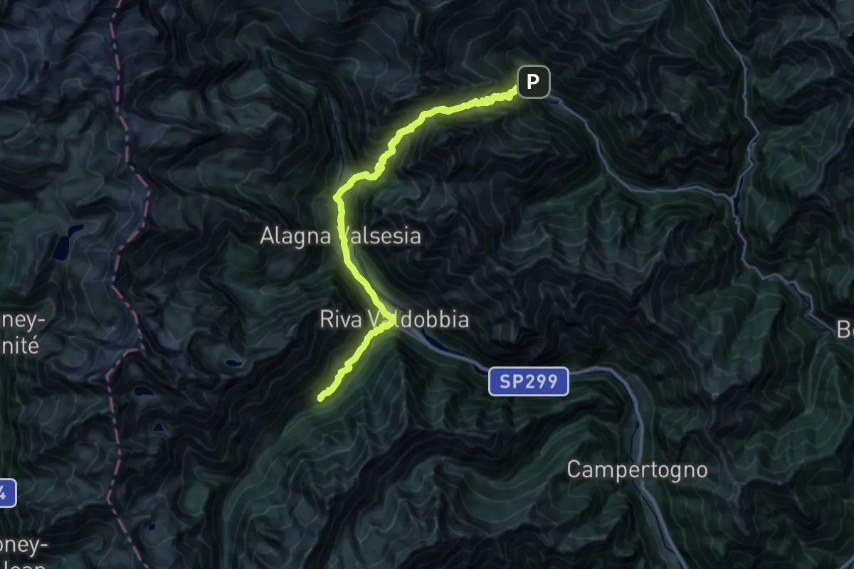
Demanding · Cabin
GTA: Rima - Sant'Antonio di Valvogna
15.2 km · ↑ 1357 m · 6 h 45 min
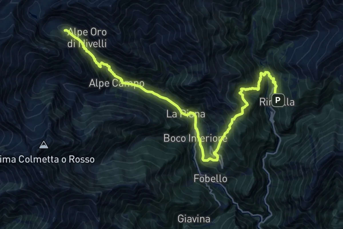
Demanding · Cabin
GTA: Rimella - Alpe Baranca
11.1 km · ↑ 1104 m · 4 h 56 min
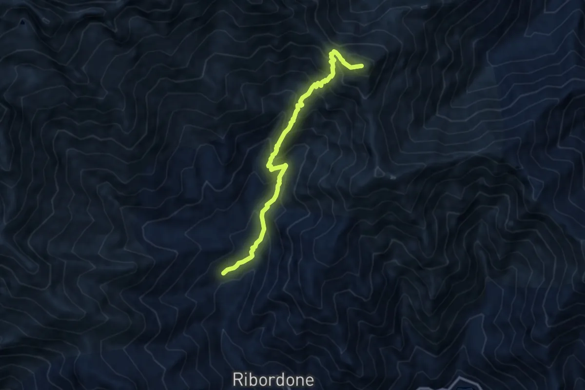
Demanding · Summit
GTA: Ronco Canavese - Talosio
9.5 km · ↑ 911 m · 4 h 13 min
Demanding · Trail
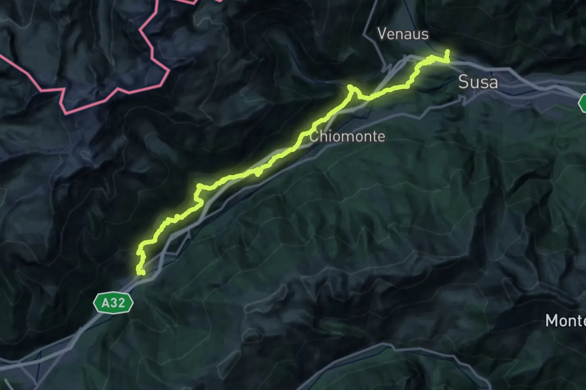
GTA: Salbertrand - San Giuseppe di Mompantero
20.7 km · ↑ 978 m · 7 h 31 min
Demanding · Trail
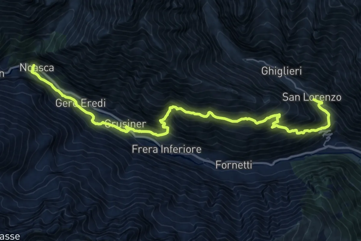
GTA: San Lorenzo - Noasca
12.7 km · ↑ 960 m · 5 h 16 min
Demanding · Cabin
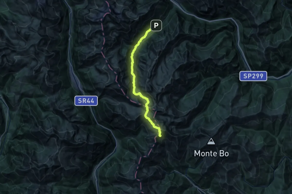
GTA: Sant'Antonio di Valvogna - Rifugio Rivetti
14.7 km · ↑ 1329 m · 6 h 9 min
Demanding · Trail
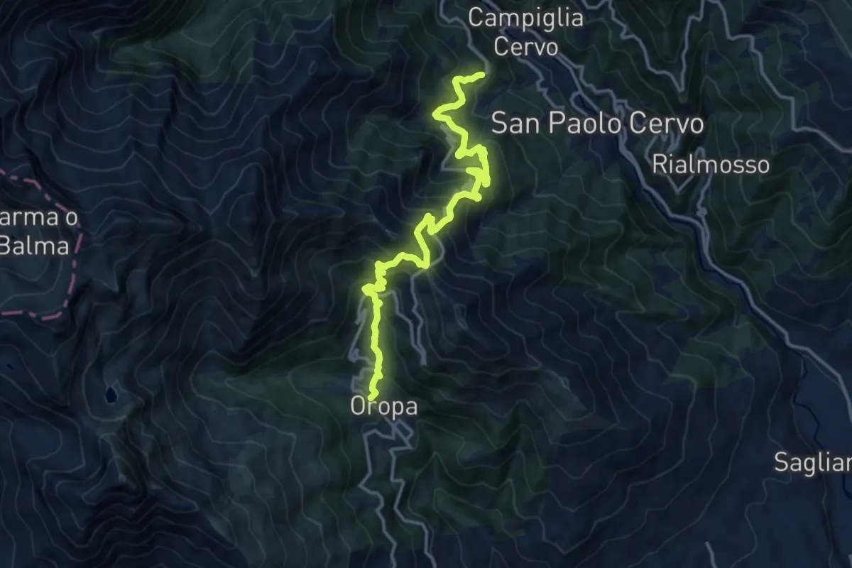
GTA: Santuario San Giovanni - Oropa
14.5 km · ↑ 1256 m · 6 h 8 min
Demanding · Summit
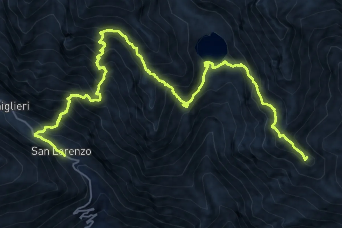
GTA: Talosio - San Lorenzo
19.8 km · ↑ 2206 m · 9 h 28 min
Demanding · Cabin
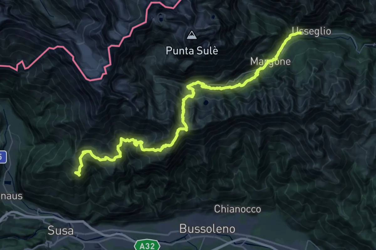
GTA: Usseglio - Il Truc
22.7 km · ↑ 1732 m · 9 h 13 min
Easy · Summit
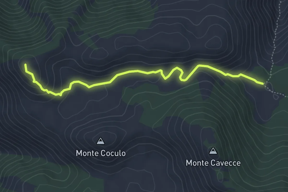
Guado del Faggeto-Monte Belvedere
5.7 km · ↑ 213 m · 1 h 48 min
Medium · Trail
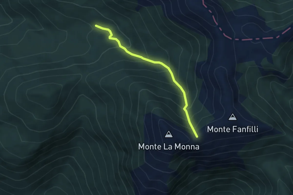
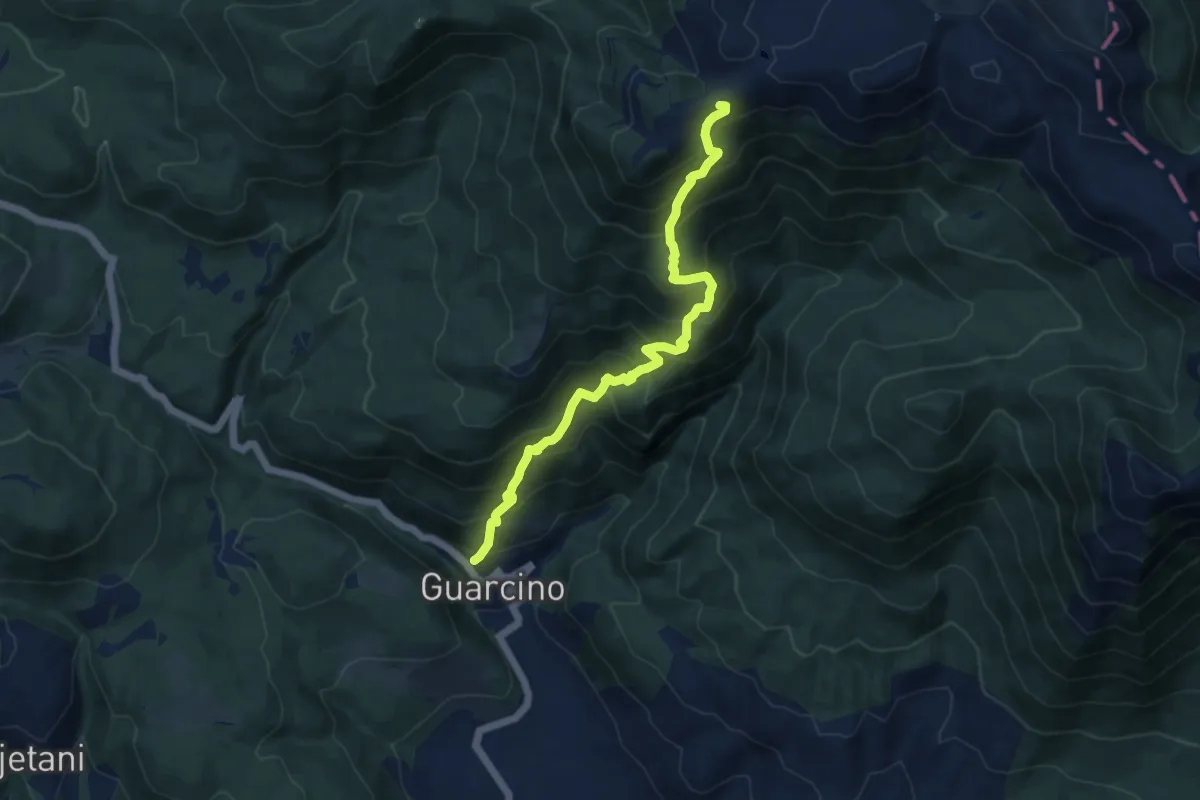
Guarcino Capo Cosa - Monte la Monna
4.2 km · ↑ 438 m · 1 h 57 min
Demanding · Trail
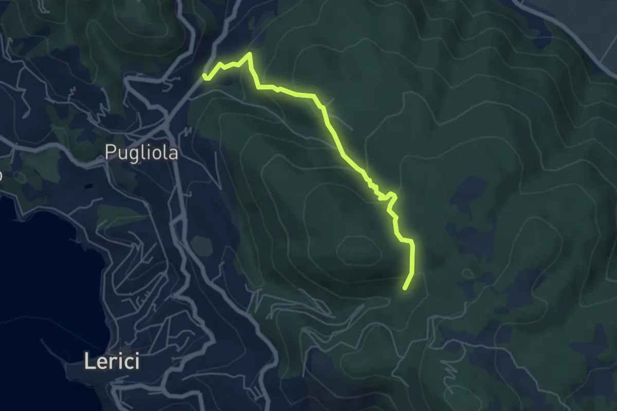
Guarcino - Colle Pannunzio - Campocatino
10.8 km · ↑ 1133 m · 5 h
Medium · Trail
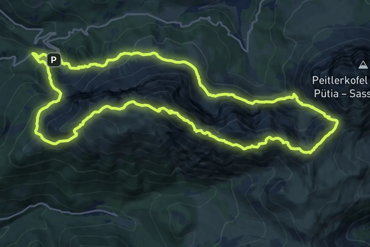
Guercio - Canale Dei Sardi - Case Di Monte Branzi
5.1 km · ↑ 356 m · 1 h 58 min
Demanding · Summit
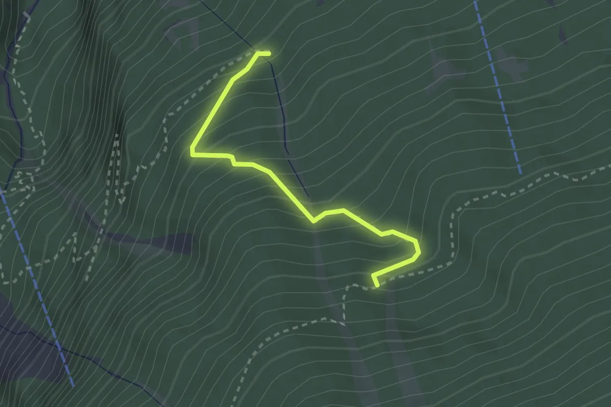
Günther-Messner-Steig
14.9 km · ↑ 1244 m · 6 h 25 min
Medium · Trail
Gurgelsteig - Pergontal
2.4 km · ↑ 318 m · 1 h 15 min
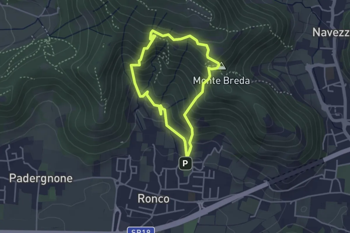
Medium · Summit
Gussago (Ronco) - Tesa di Sotto - Valle Bianca
2.9 km · ↑ 248 m · 1 h 16 min
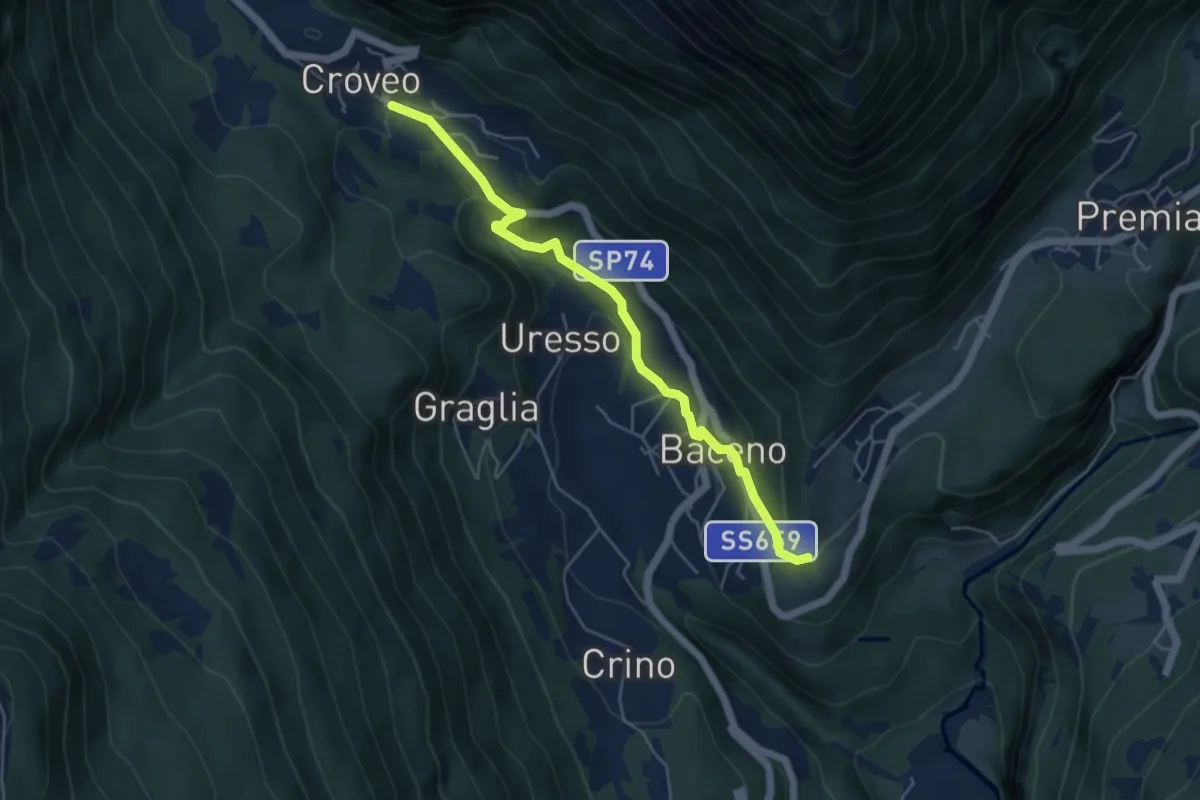
Easy · Trail
H00a - Baceno - Croveo
5.0 km · ↑ 270 m · 1 h 47 min
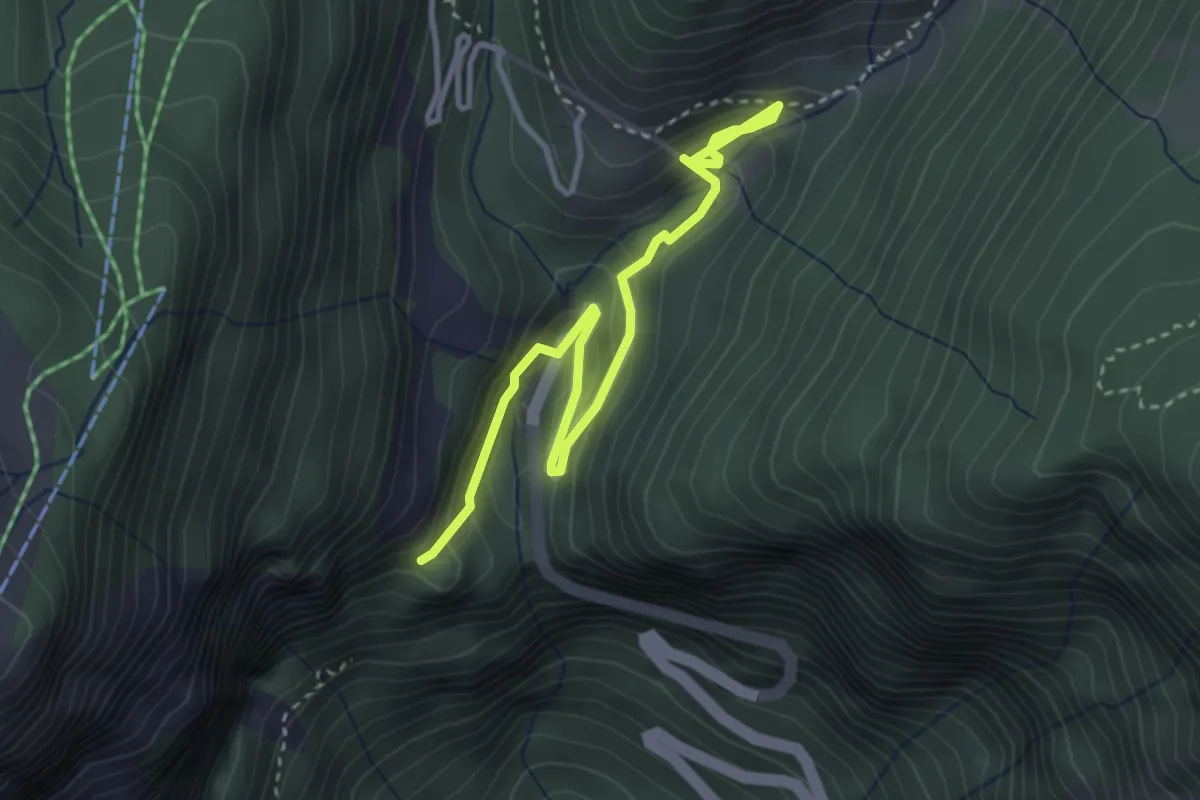
Medium · Trail
H00e - Forcola - Cologno
3.7 km · ↑ 279 m · 1 h 28 min
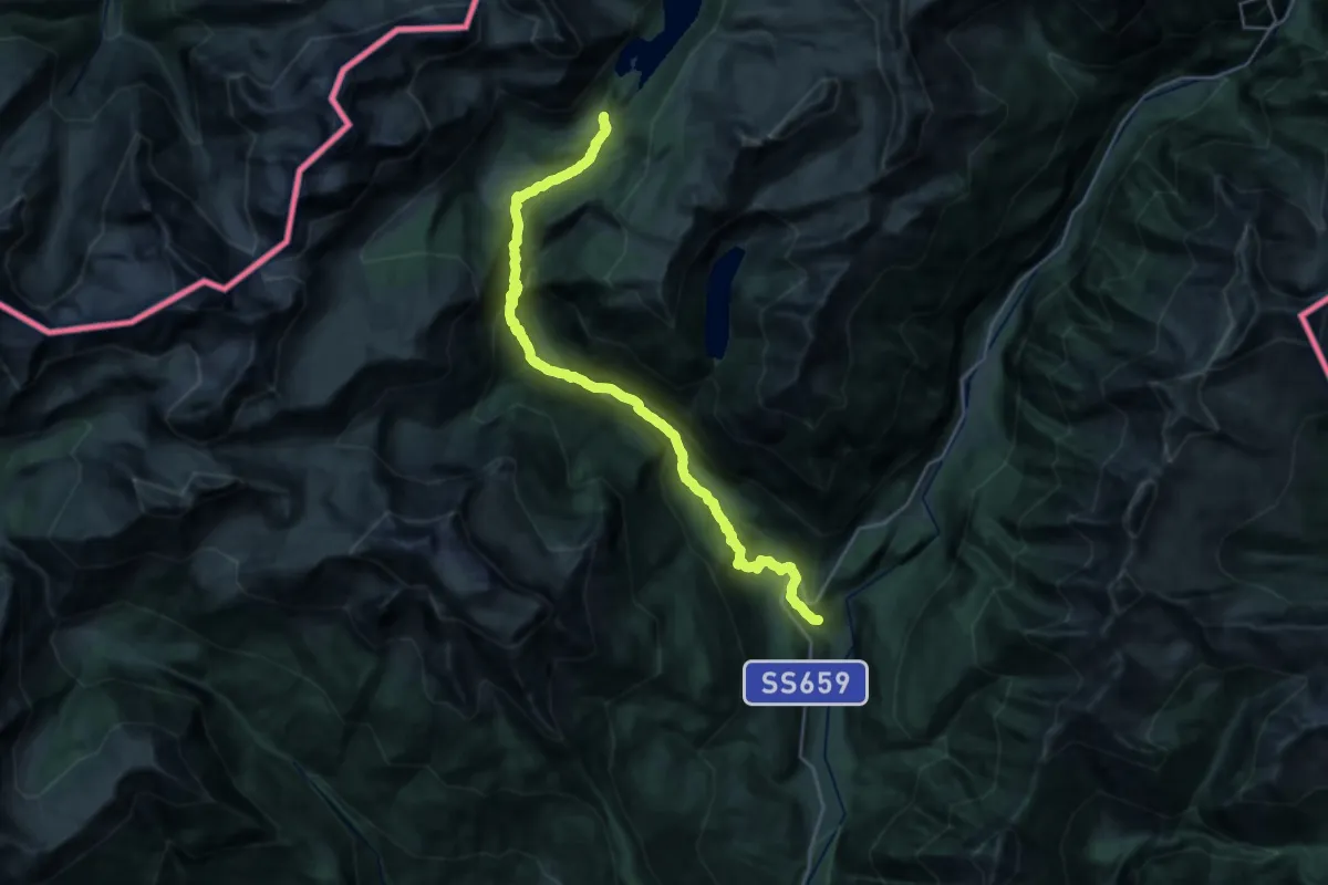
Medium · Trail
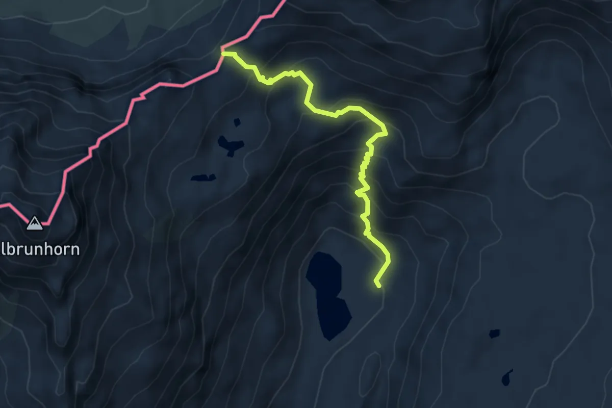
H00 - Via dell'Arbola da Baceno al Devero (prima sezione)
13.4 km · ↑ 234 m · 4 h 25 min
Medium · Trail
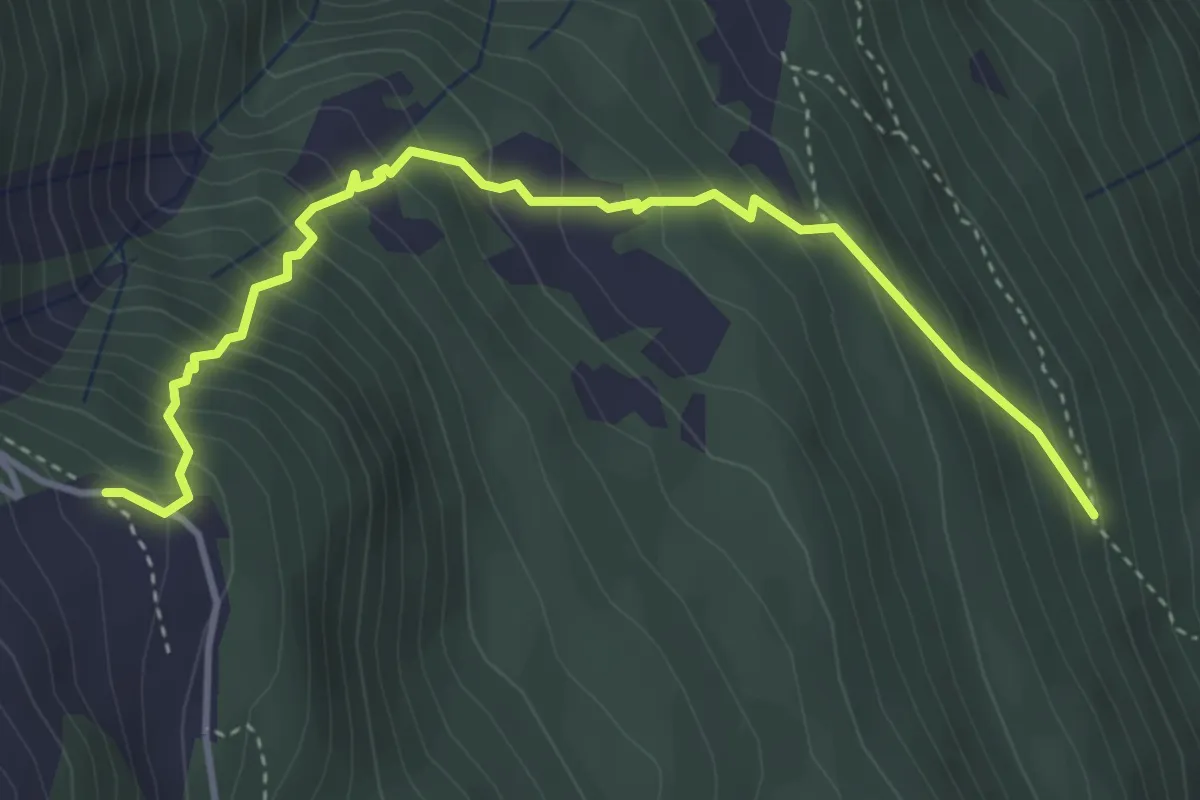
H00 - Via dell' Arbola dal Devero a Binn (seconda sezione, tratto italiano)
4.5 km · ↑ 421 m · 1 h 59 min
Medium · Trail
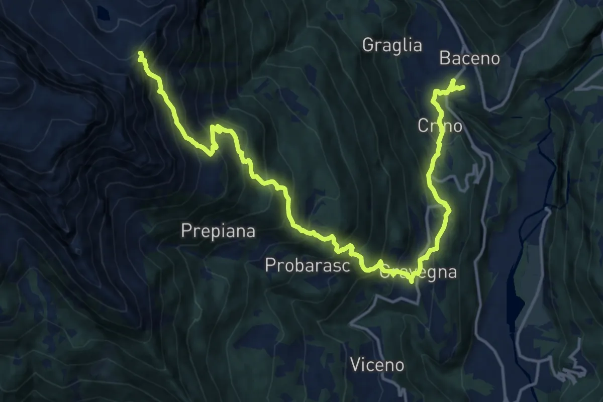
H01a - Fraccio - Alpe Deccia
4.3 km · ↑ 509 m · 2 h 7 min
Demanding · Trail
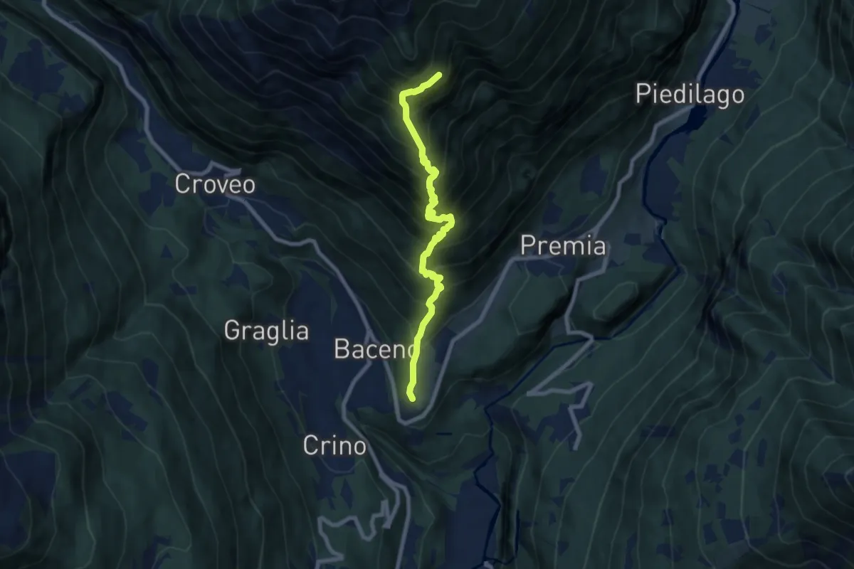
H01 - Baceno - Cravegna - Deccia - Bta di Deccia
17.6 km · ↑ 1570 m · 7 h 34 min
Demanding · Trail
H02 - Cresta - La Pizzetta
7.1 km · ↑ 1121 m · 4 h 7 min
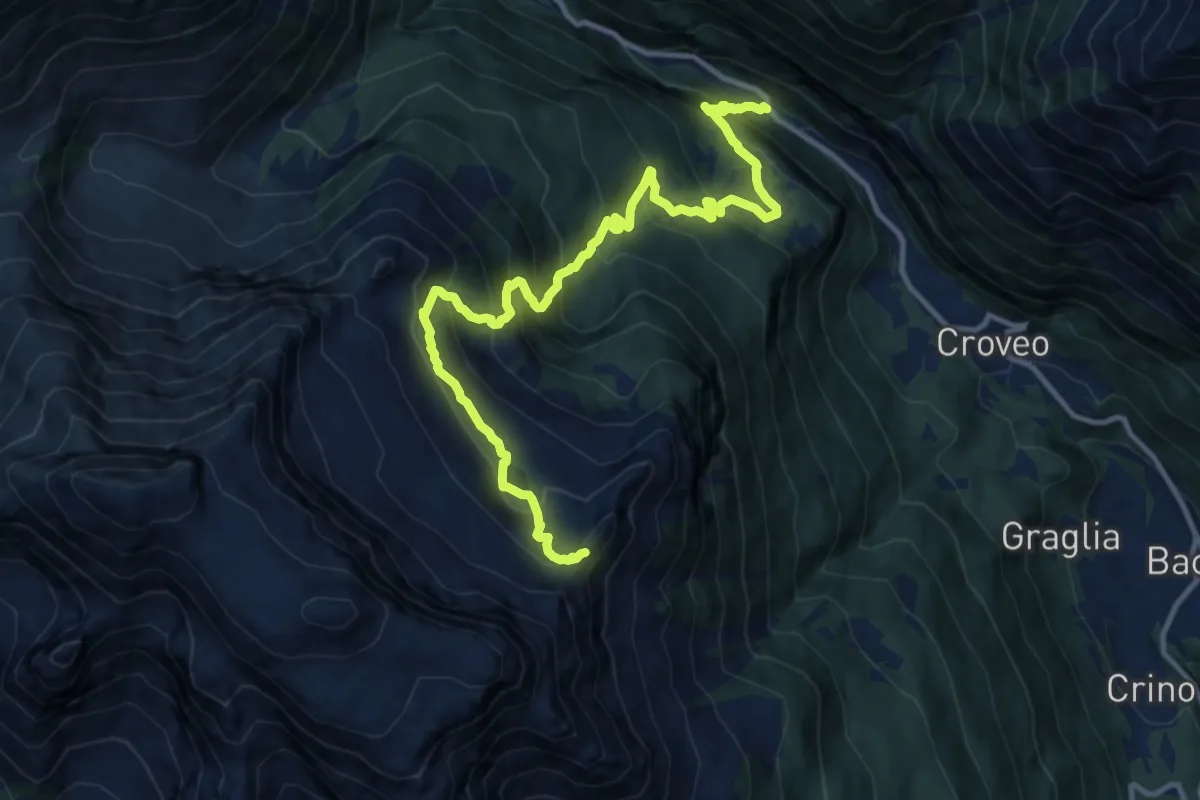
Demanding · Trail
H03 - Al Passo - Bocchetta di Deccia
14.2 km · ↑ 1306 m · 6 h 11 min
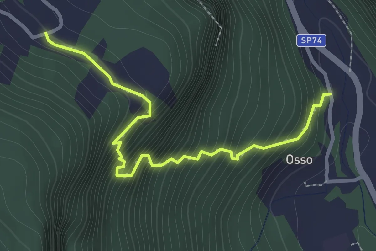
Medium · Trail
H03a - Osso - Esigo
2.6 km · ↑ 389 m · 1 h 28 min
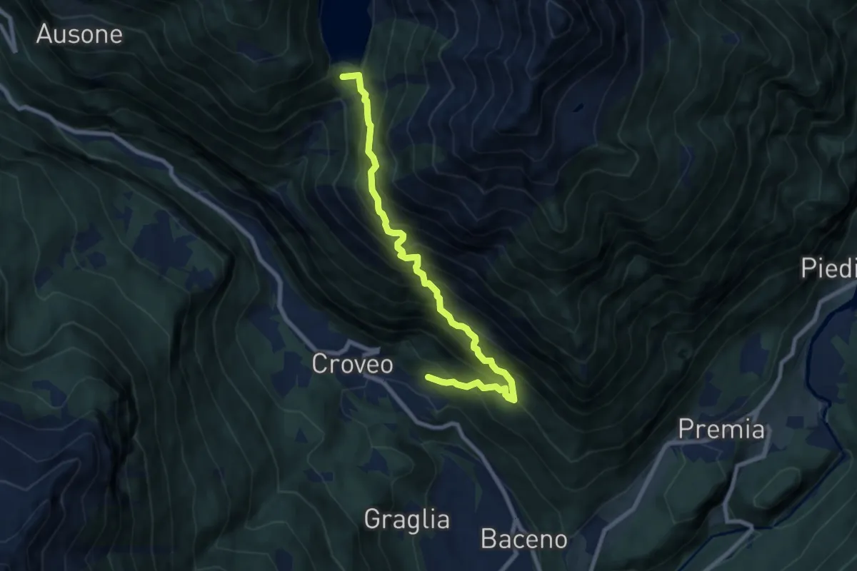
Demanding · Trail
H04 - Croveo - Diga di Agaro
7.9 km · ↑ 1050 m · 4 h 9 min
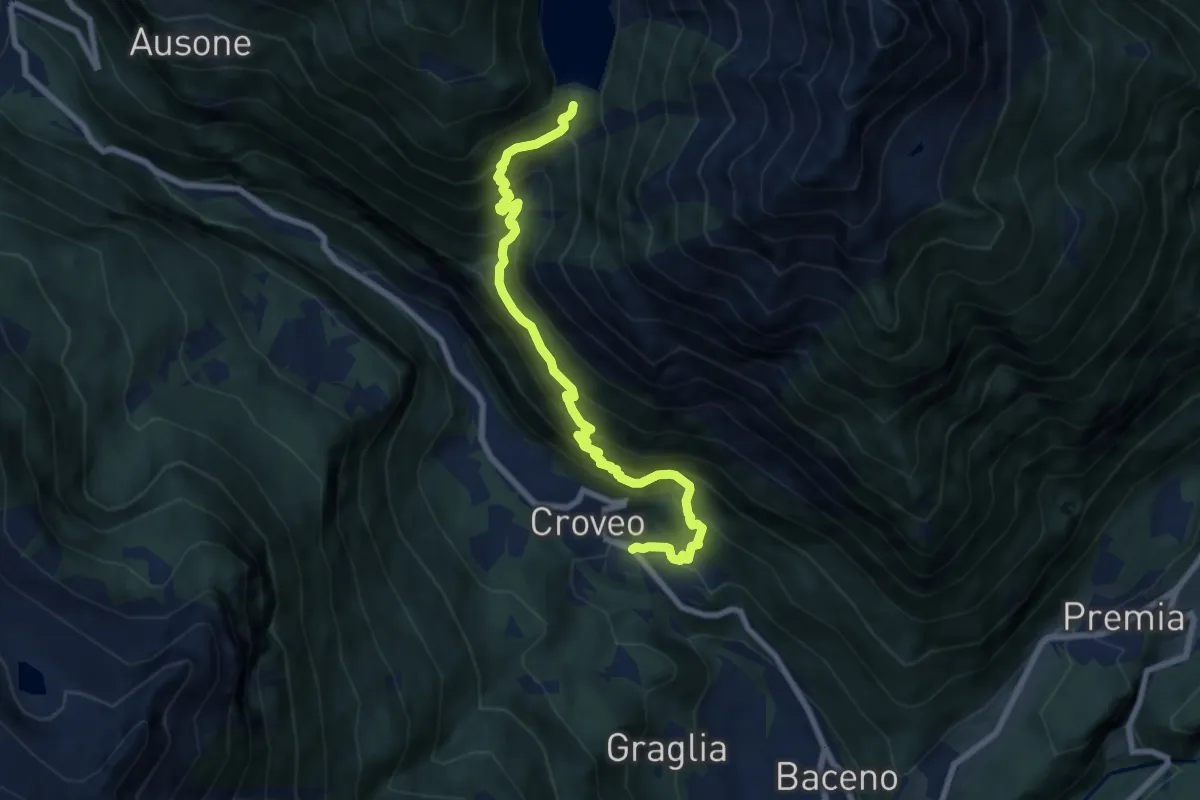
Demanding · Trail
H06 - Croveo - Diga di Agaro
8.3 km · ↑ 1017 m · 4 h 9 min
Medium · Trail
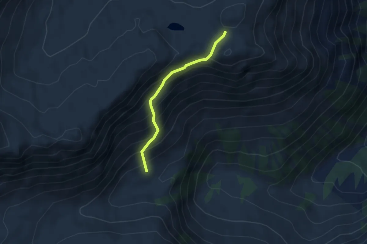
H07b - Alpe Bondolero - Passo di Buscagna
3.2 km · ↑ 365 m · 1 h 33 min
Demanding · Trail
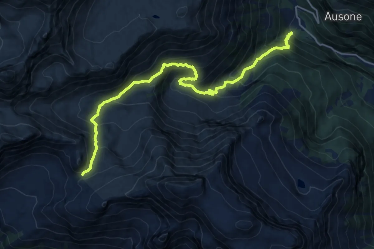
H07 - Goglio - Colle di Ciamporino
15.2 km · ↑ 1231 m · 6 h 15 min
Medium · Trail
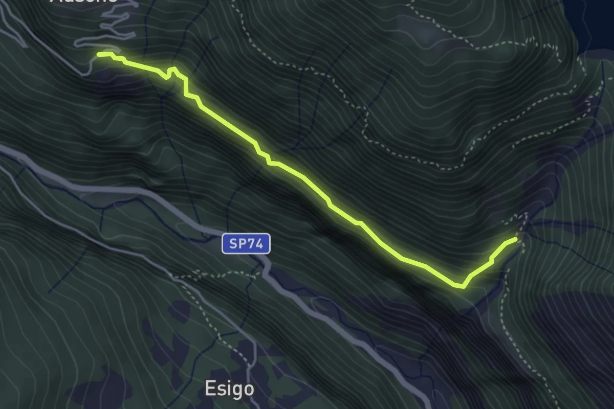
H08a - Ausone - Costa
4.0 km · ↑ 378 m · 1 h 46 min
Medium · Trail
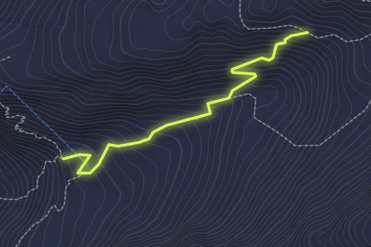
H08b - Alpe Bionca - Passo del Muretto
2.3 km · ↑ 304 m · 1 h 12 min
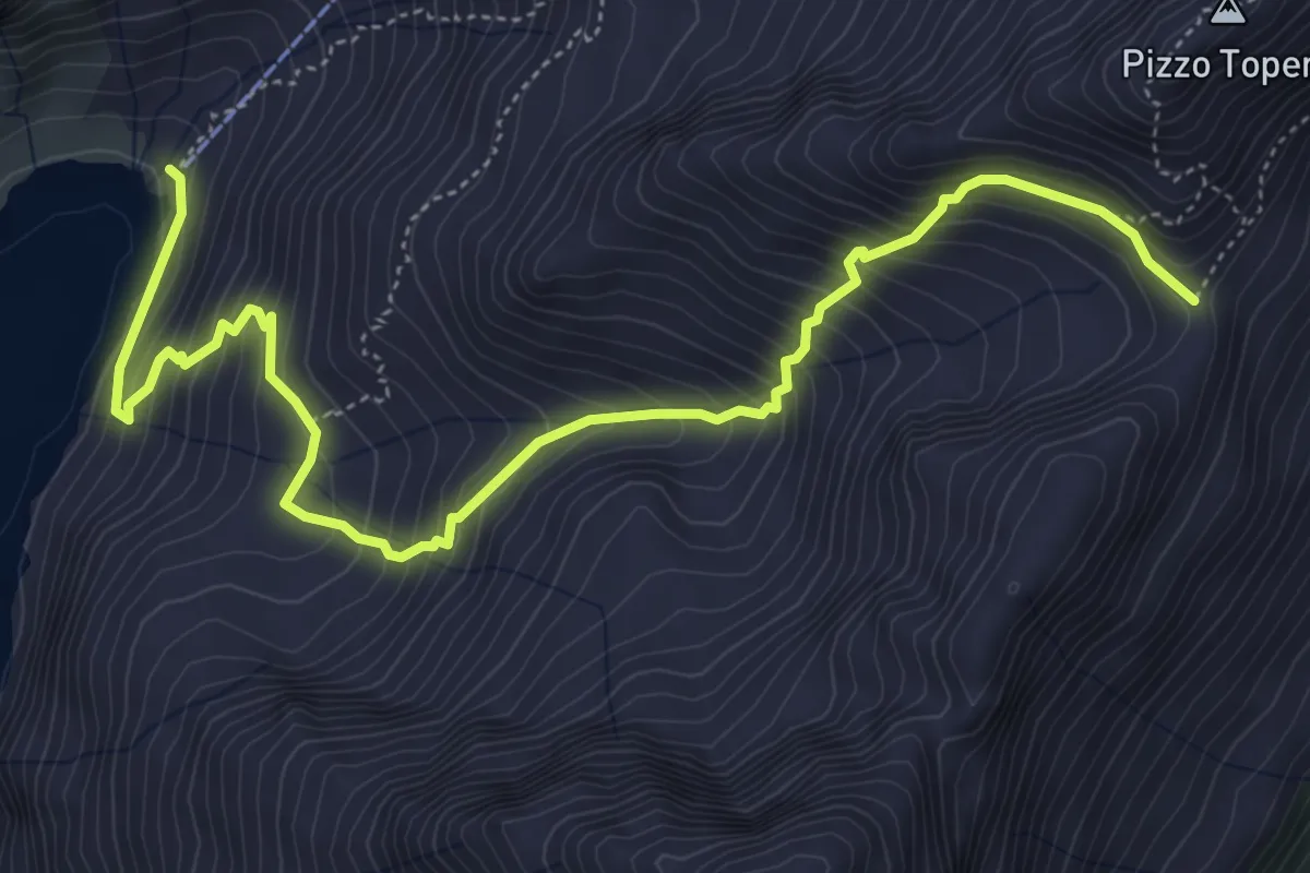
Demanding · Trail
H08c - Lago Agaro - Passo di Topera
6.3 km · ↑ 717 m · 3 h 3 min
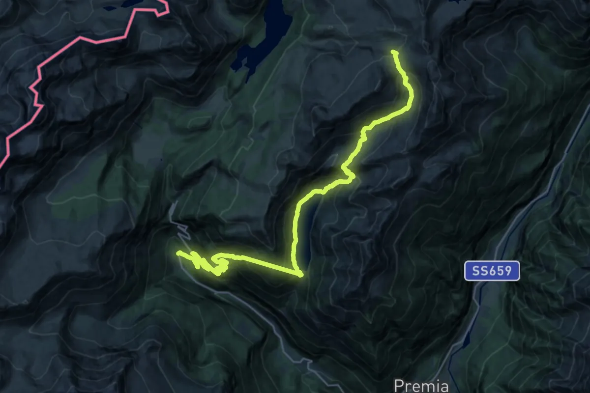
Medium · Trail
H08 - Goglio - Passo di Pojala
13.7 km · ↑ 466 m · 5 h 4 min
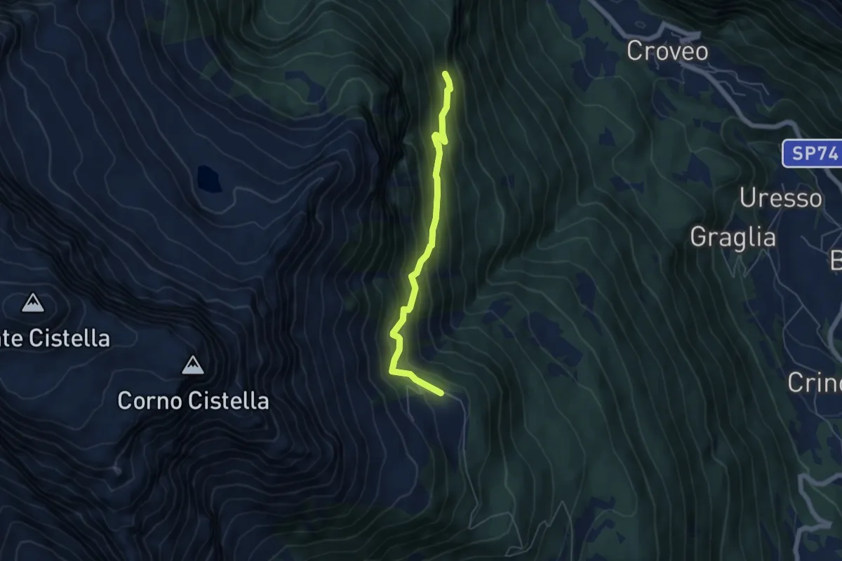
Medium · Trail
H09a - Bivio H09 - Deccia
4.9 km · ↑ 476 m · 2 h 11 min
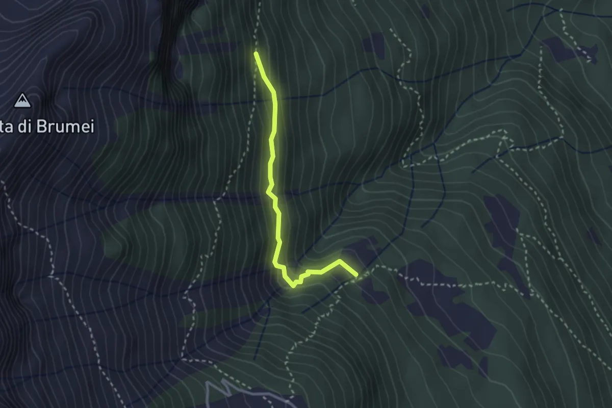
Easy · Trail
H09b - Compolo - Bivio H09a
2.5 km · ↑ 195 m · 1 h
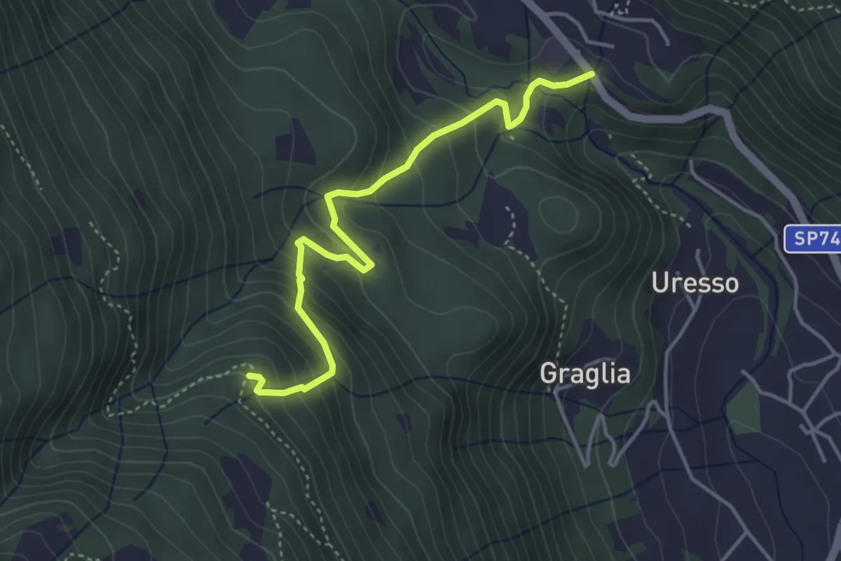
Medium · Trail
H09c - Ponte della Baulina - Veia di Scuetar
4.1 km · ↑ 348 m · 1 h 43 min
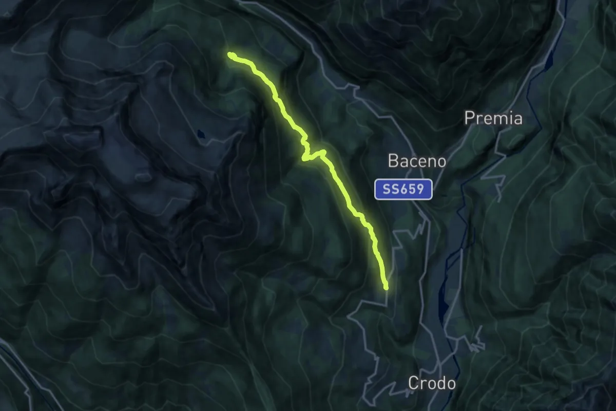
Demanding · Trail
H09 - Cravegna - Alpe Agarù. Parte della Veia di Scuettar
12.7 km · ↑ 842 m · 4 h 49 min
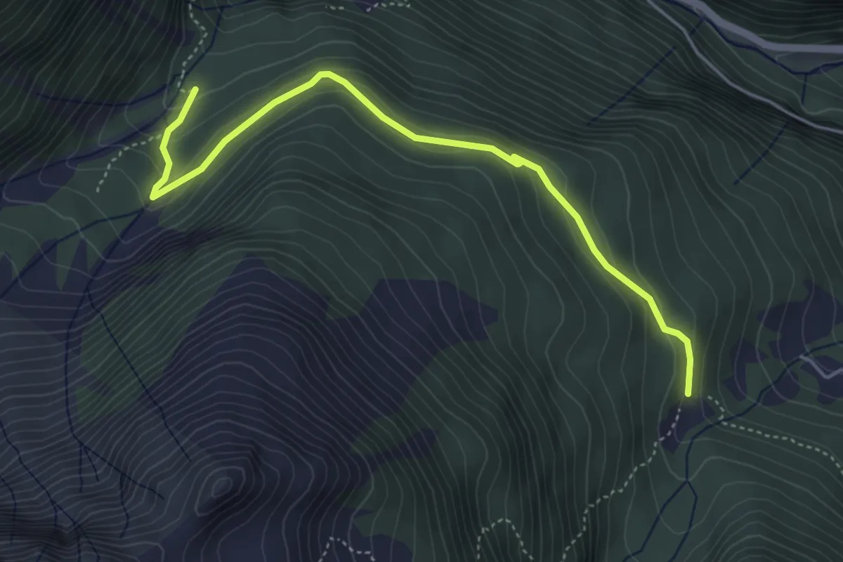
Easy · Trail
H09x - Alpe Agarù - Pian di Rio Secco. Parte della Veia di Scuettar
5.0 km · ↑ 262 m · 1 h 45 min
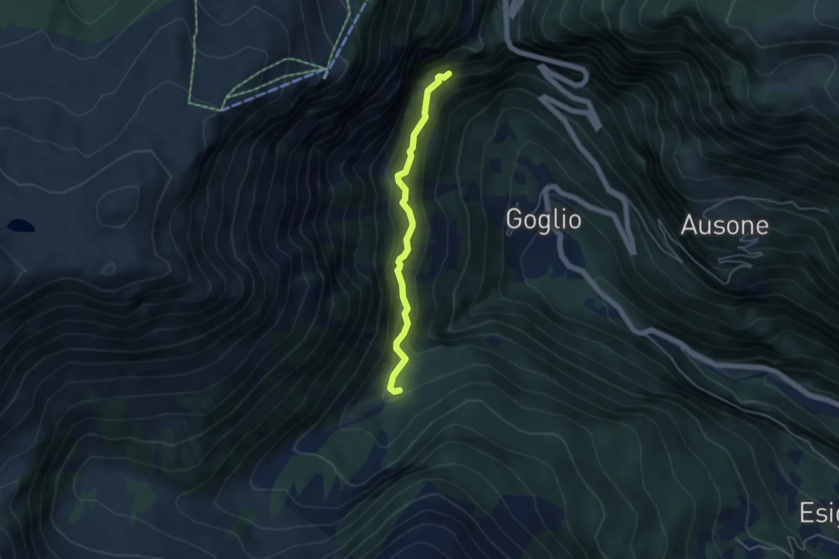
Demanding · Trail
H09y - Pian di Rio Secco - Bivio H0. Parte della Veia di Scuettar
3.8 km · ↑ 335 m · 1 h 38 min
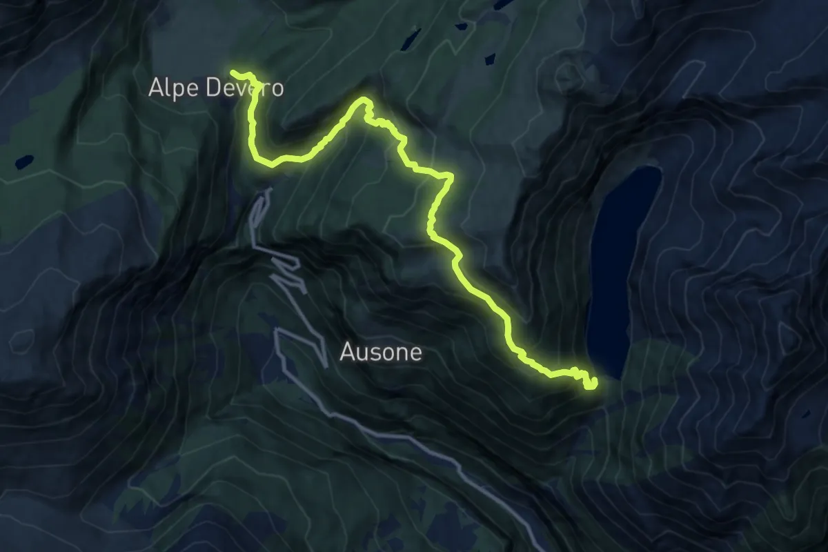
Demanding · Trail
H10 - Alpe Devero - Diga di Agaro
13.3 km · ↑ 1047 m · 5 h 24 min
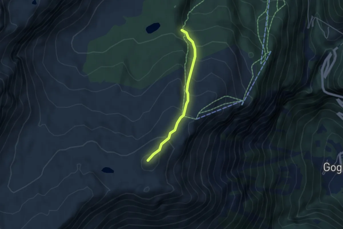
Medium · Summit
H11a - Alpe Misanco - Monte Cazzola
3.5 km · ↑ 355 m · 1 h 35 min
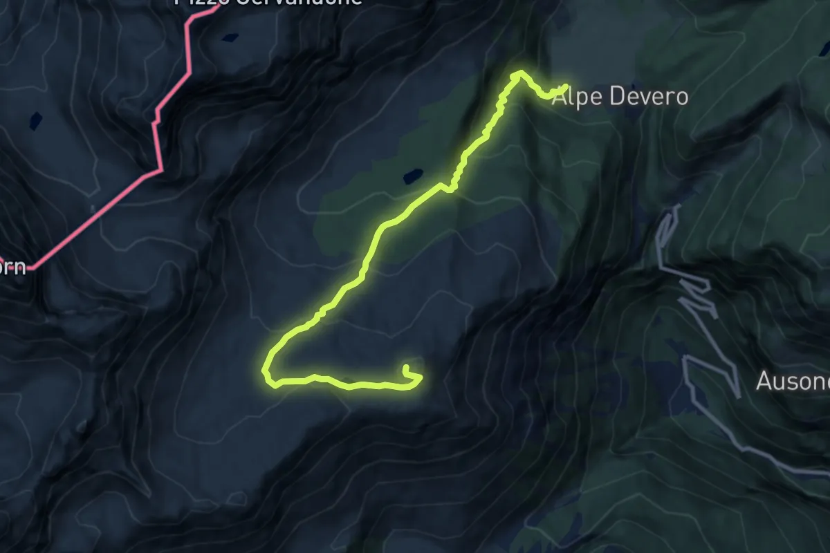
Medium · Summit
H11 - Alpe Devero - Monte Cazzola
11.1 km · ↑ 748 m · 4 h 15 min
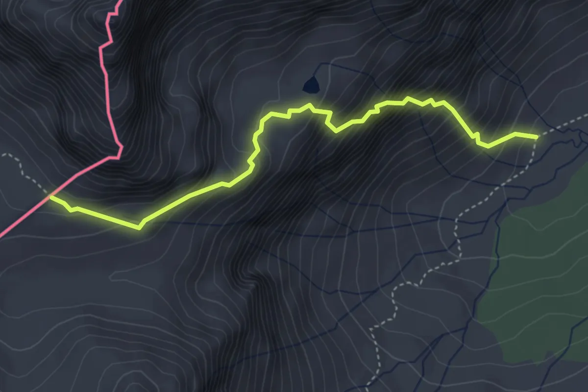
Demanding · Trail
H13 - Alpe Buscagna - Passo di Cornera
4.2 km · ↑ 581 m · 2 h 15 min