Trails in Italy
25,211 hiking trails, each with its route, climb, walking time and grade.
All trails, page 80 of 526
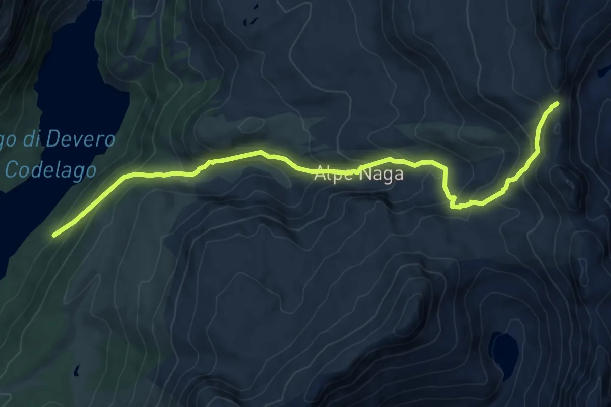
Medium · Trail
H14 - Lago di Devero - Bocchetta della Valle
9.1 km · ↑ 691 m · 3 h 38 min
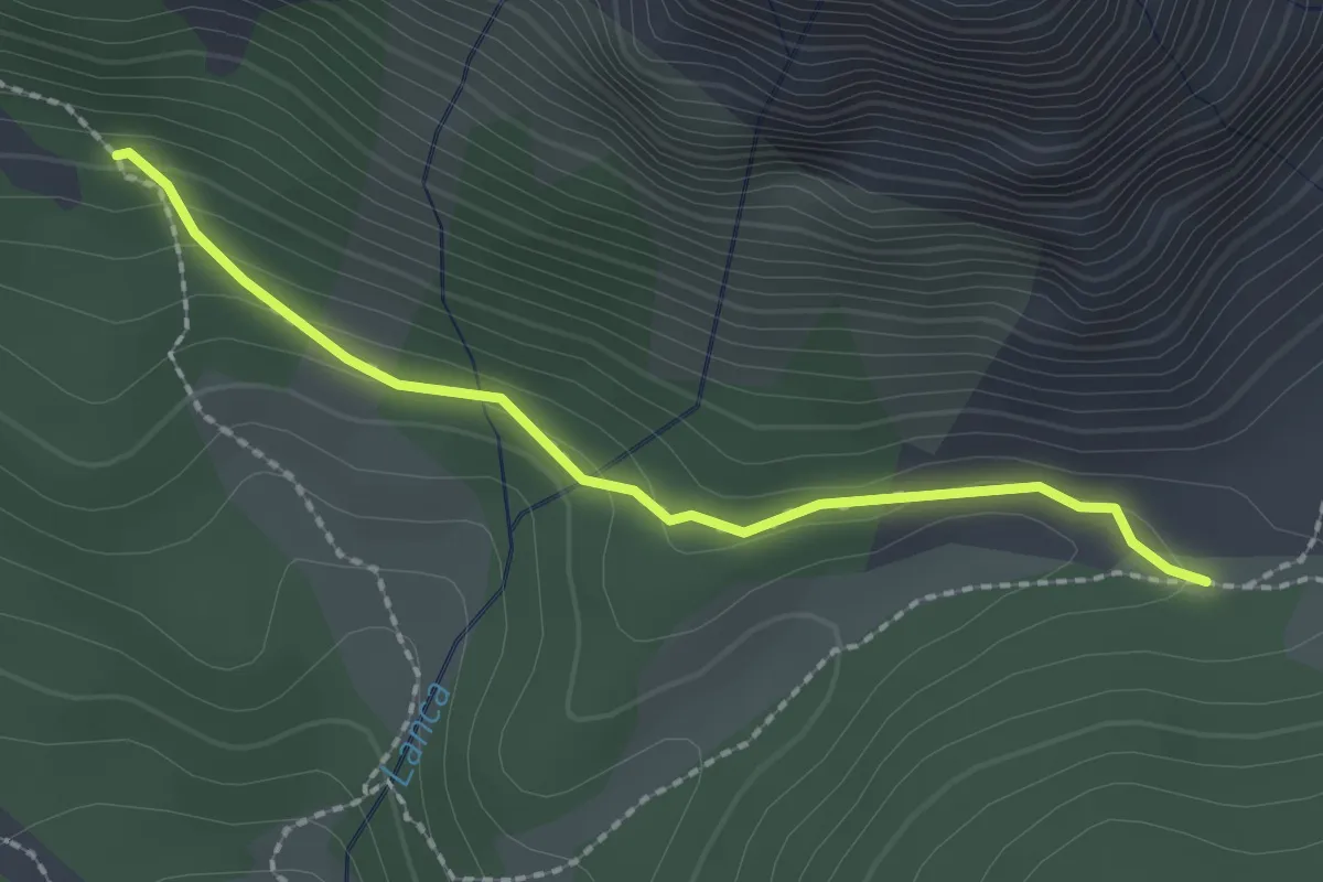
Medium · Trail
H15a - Bivio H15a - Vallaro
2.1 km · ↑ 71 m · 39 min
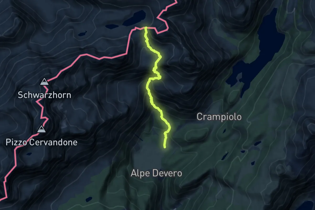
Demanding · Cabin
H15 - ALpe Devero - Passo della Rossa
8.2 km · ↑ 833 m · 3 h 45 min
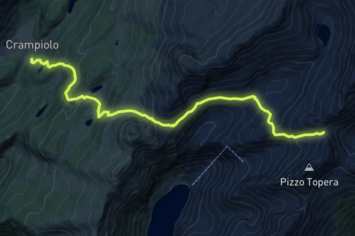
Demanding · Trail
H16 - Crampiolo - Passo del Muretto
12.3 km · ↑ 827 m · 4 h 42 min
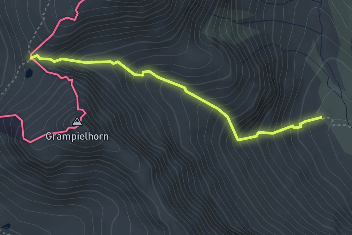
Demanding · Trail
H17 - Alpe Codelago - Passo di Crampiolo
3.1 km · ↑ 488 m · 1 h 47 min
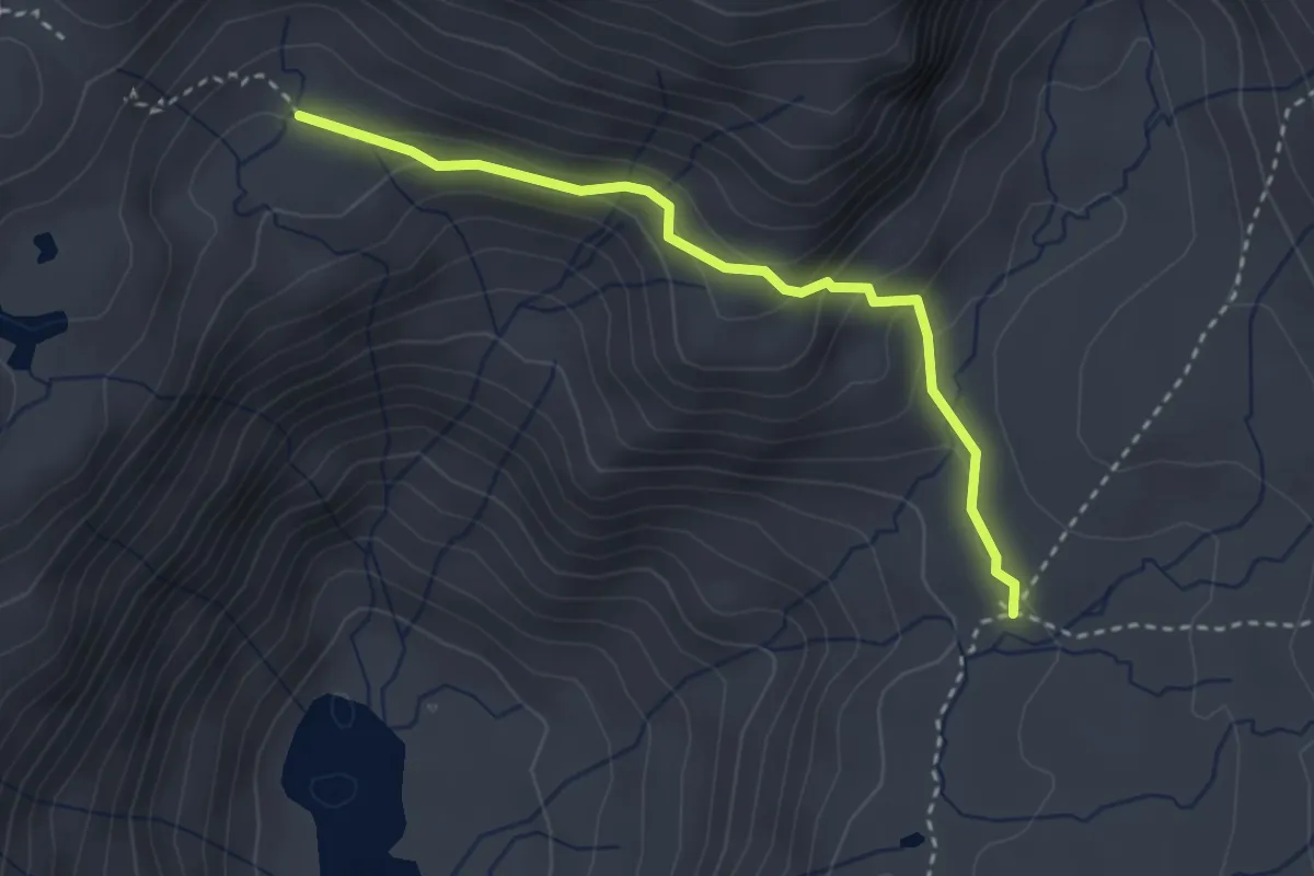
Medium · Trail
H18 - Grande Est Alpe Devero
3.0 km · ↑ 185 m · 1 h 6 min
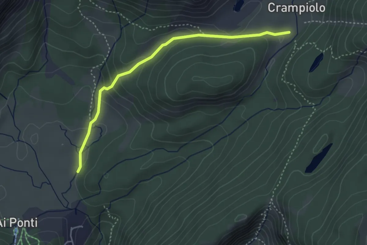
Easy · Trail
H98a - Alpe Devero - Crampiolo
3.8 km · ↑ 157 m · 1 h 14 min
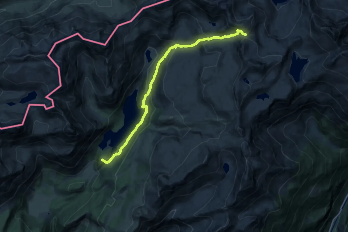
Demanding · Summit
H98 - Crampiolo - Scatta Minoia
15.5 km · ↑ 947 m · 5 h 42 min
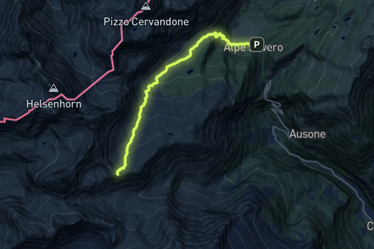
Demanding · Summit
H99 - Alpe Devero - Passo di Valtendra
13.5 km · ↑ 810 m · 4 h 56 min
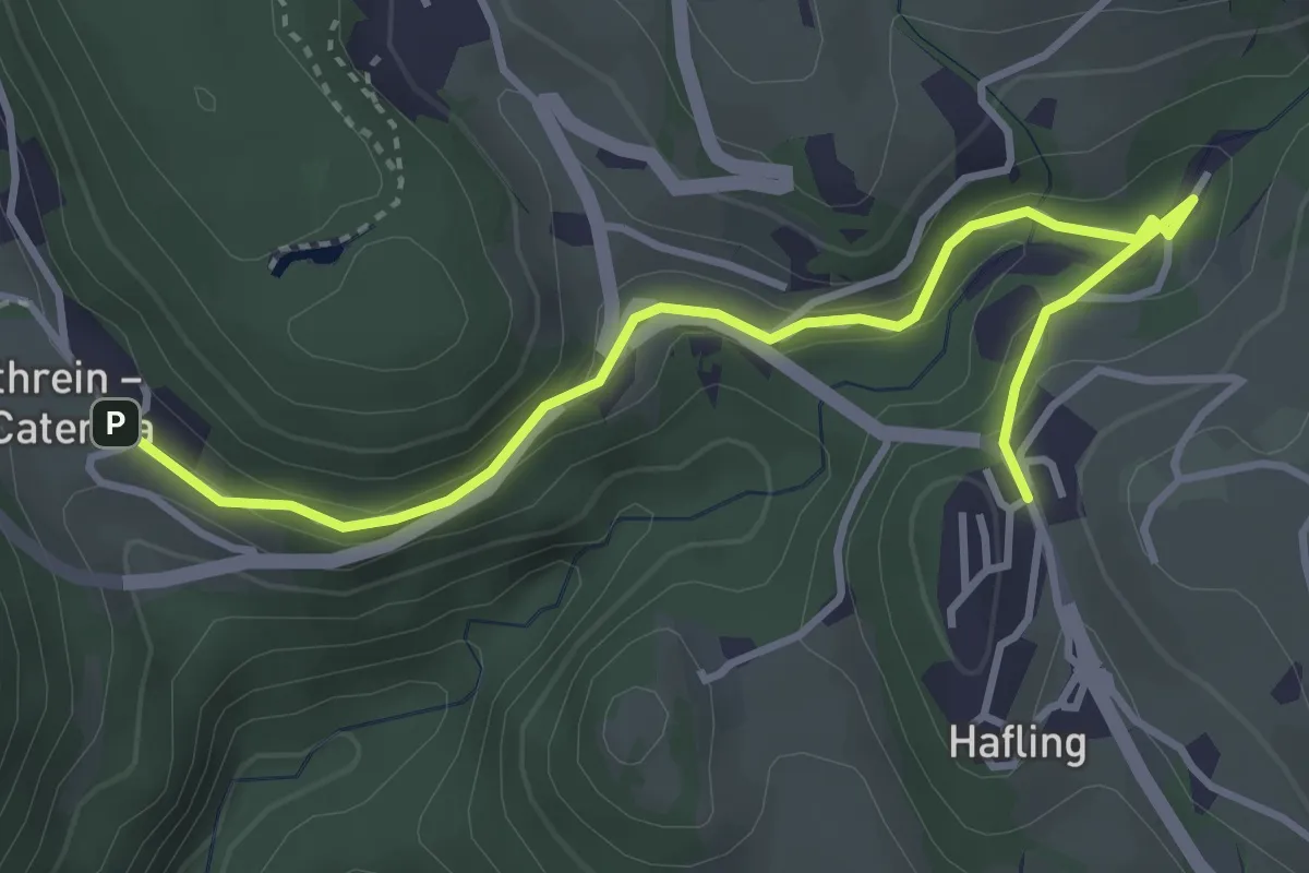
Easy · Trail
Haflinger Erlebnisweg
4.1 km · ↑ 177 m · 1 h 21 min
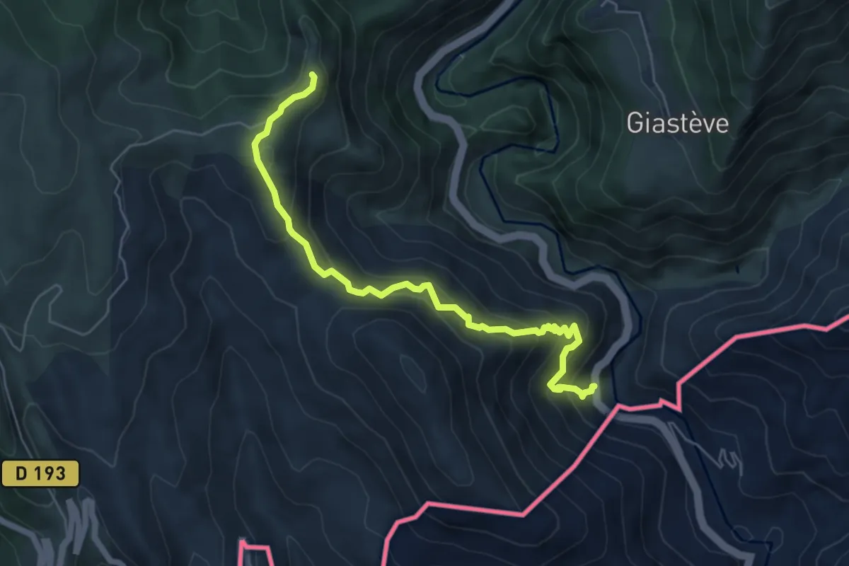
Medium · Trail
Hameau de Piène Haute
3.0 km · ↑ 141 m · 1 h 14 min
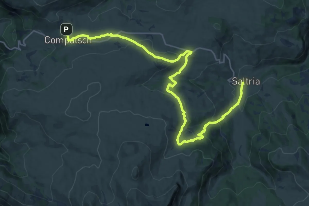
Medium · Trail
Hans und Paula Steger Weg - Sentiero Hans e Paula Steger
17.5 km · ↑ 631 m · 5 h 30 min
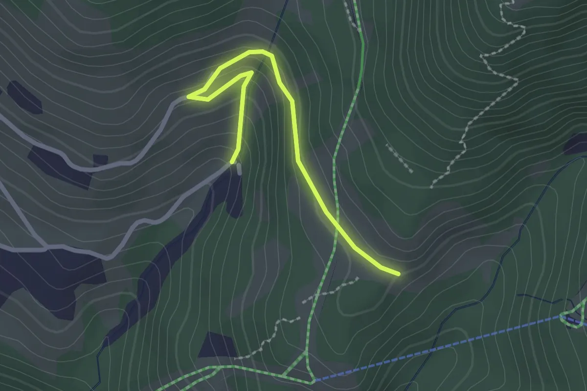
Easy · Trail
Heimatsteig
2.2 km · ↑ 120 m · 47 min
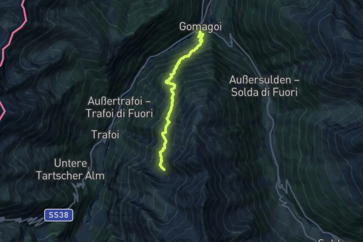
Expert · Trail
Herrensteig
10.2 km · ↑ 1236 m · 5 h 5 min
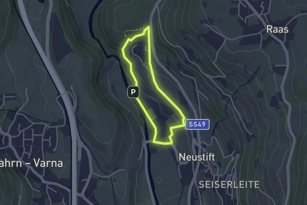
Easy · Trail
Herrnsteig
2.3 km · ↑ 89 m · 47 min
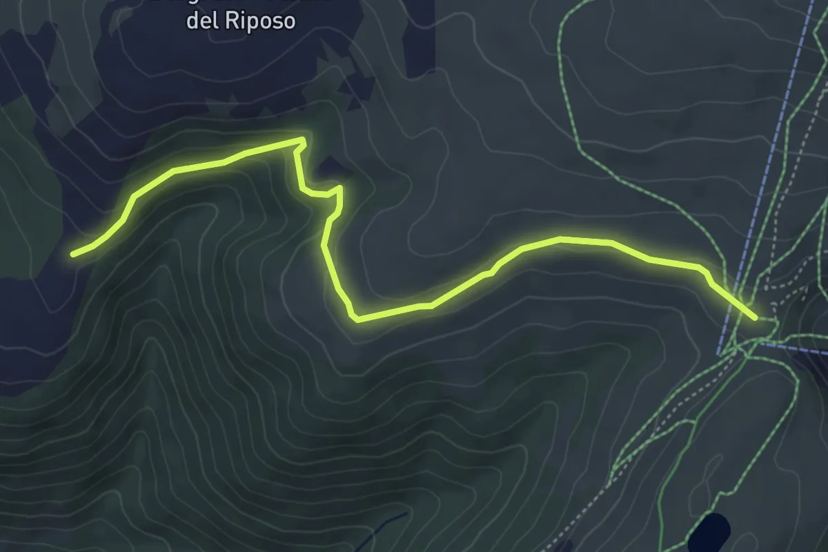
Easy · Trail
Heusteig
5.6 km · ↑ 206 m · 1 h 46 min
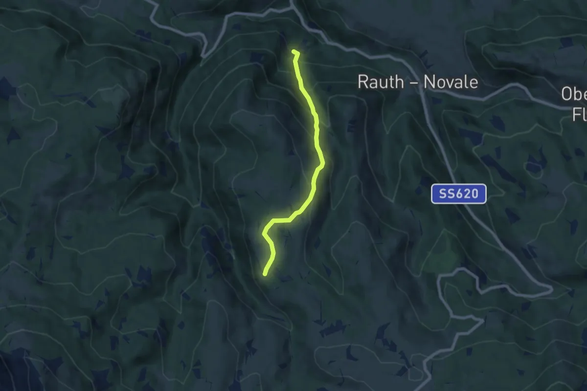
Medium · Trail
Heuweg
5.8 km · ↑ 470 m · 2 h 23 min
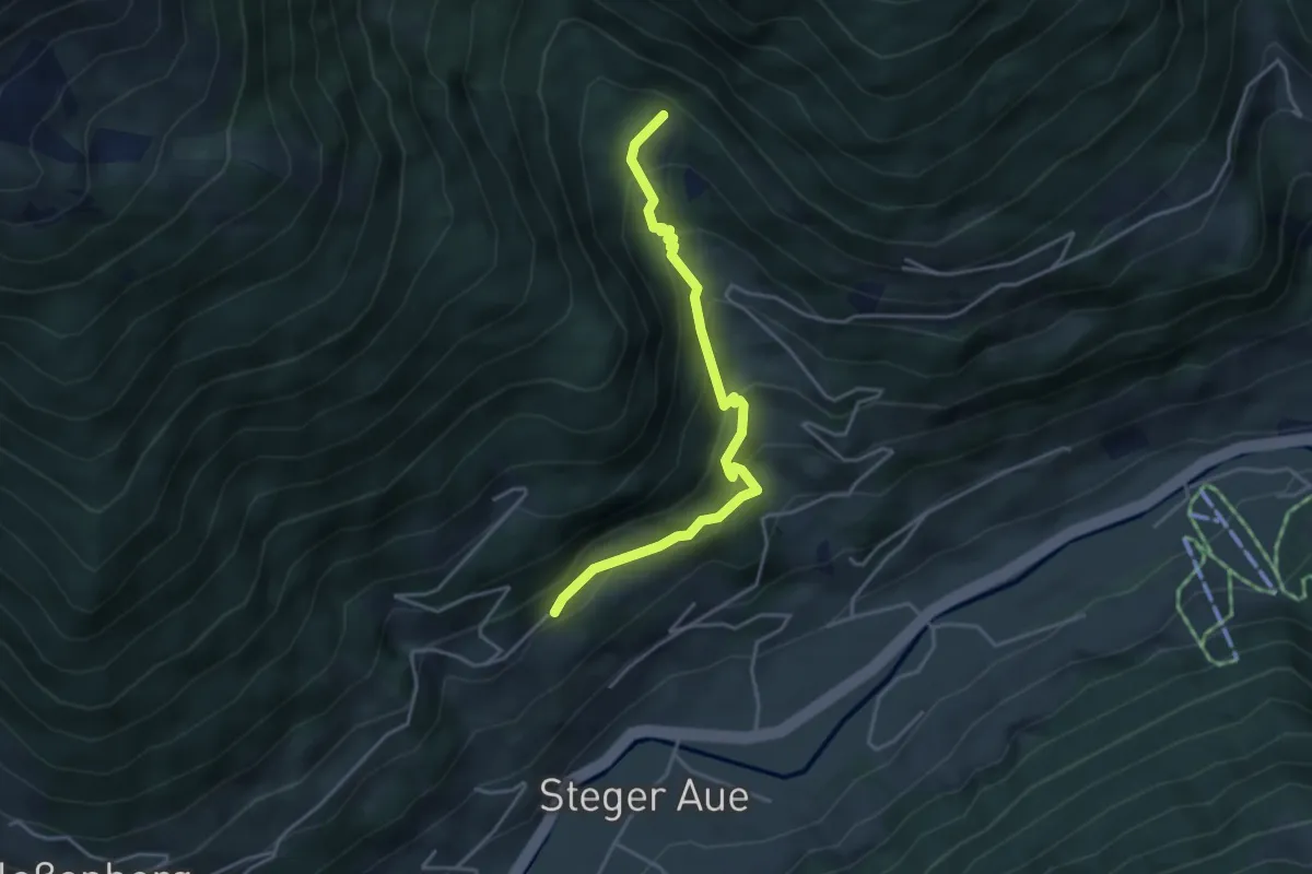
Easy · Trail
Hexensteig
3.9 km · ↑ 309 m · 1 h 36 min
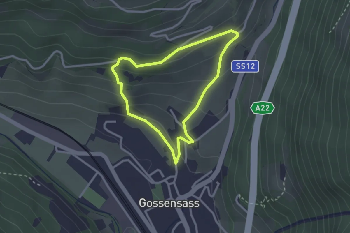
Easy · Trail
H.-Ibsen-Weg
2.0 km · ↑ 139 m · 49 min
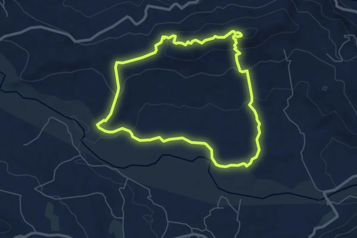
Demanding · Summit
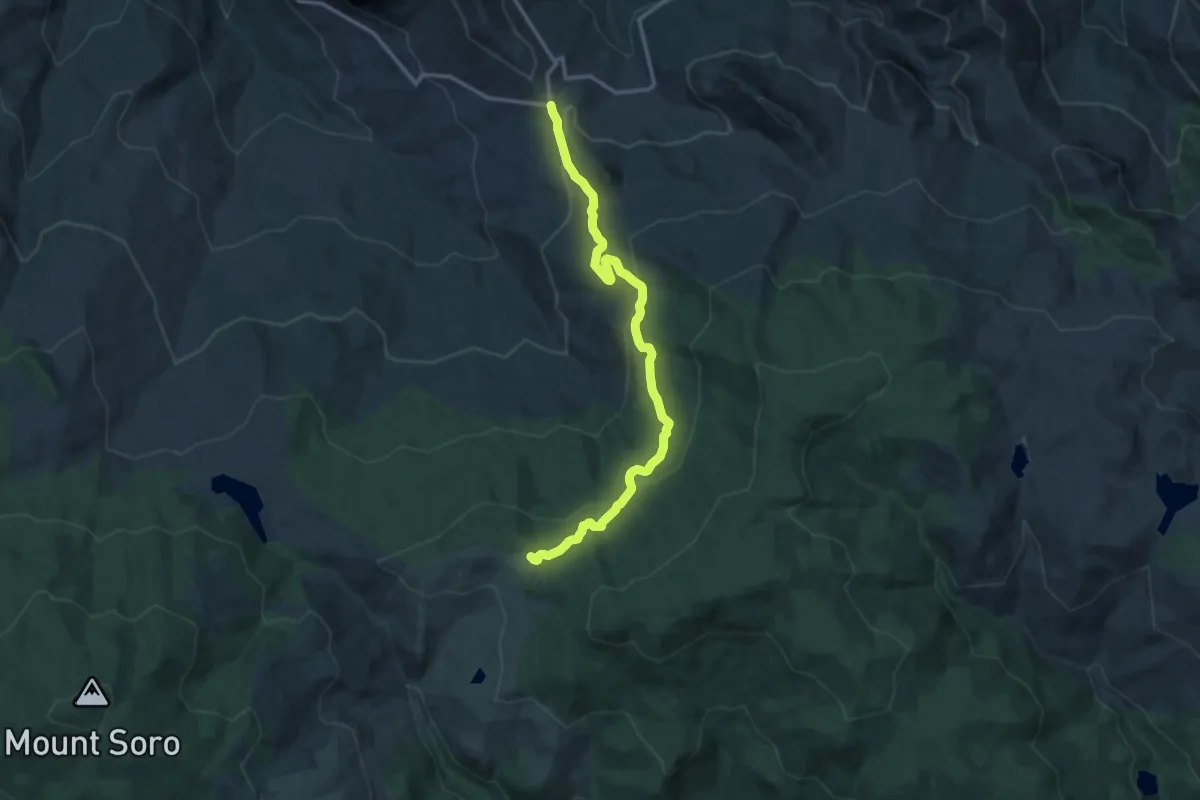
Hiking Alcantara Olgari
6.2 km · ↑ 183 m · 1 h 58 min
Medium · Trail
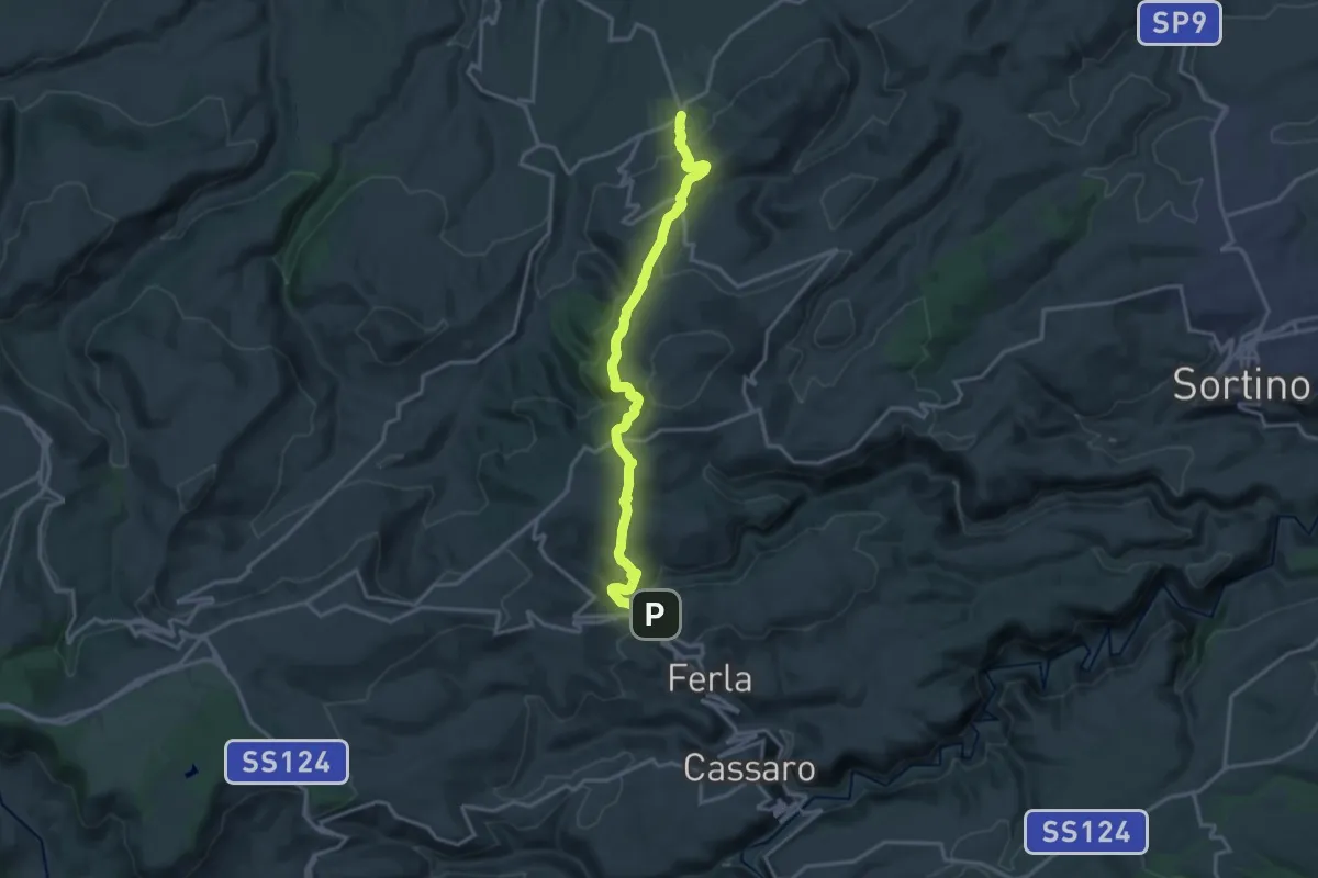
Hiking Case Mangalaviti
15.4 km · ↑ 549 m · 4 h 49 min
Demanding · Trail
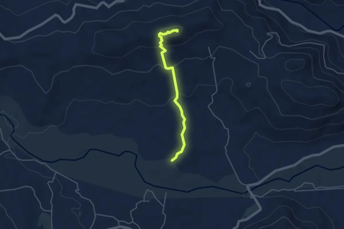
Hiking Ferla-Pedagaggi
19.6 km · ↑ 779 m · 6 h 19 min
Demanding · Summit
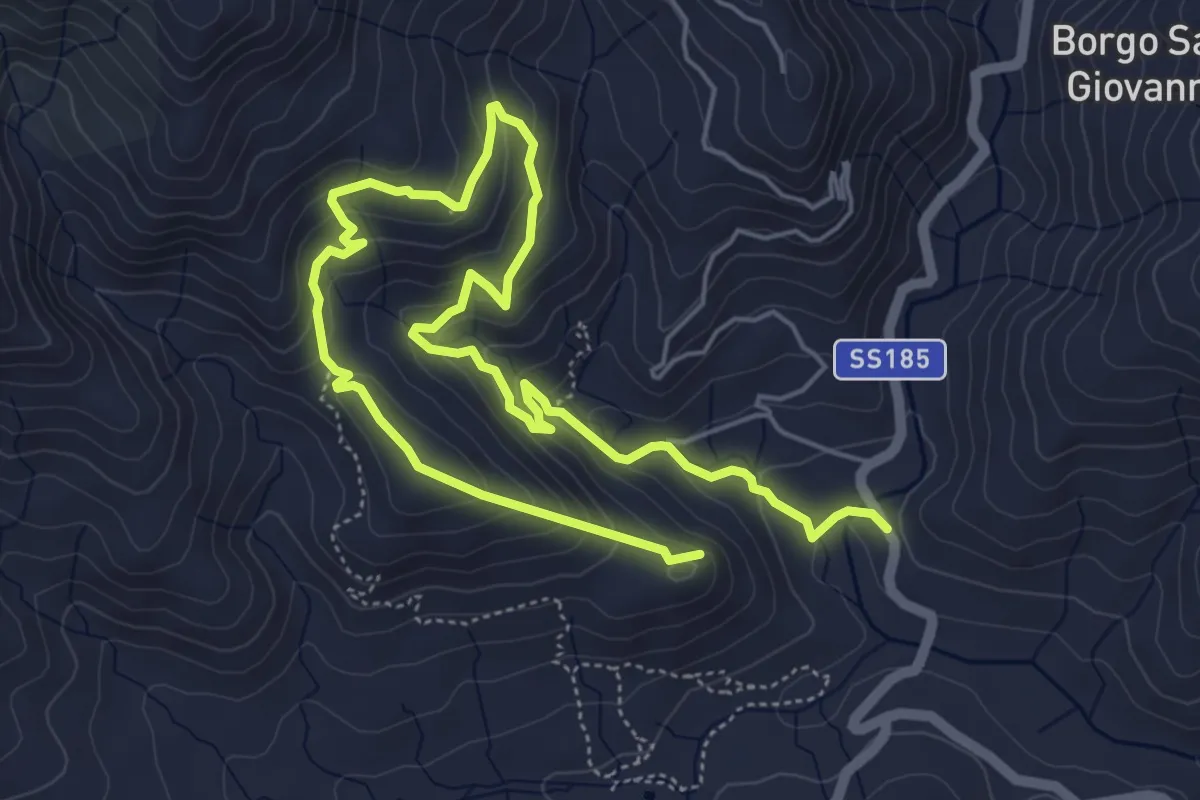
Hiking Olgari Archeologia
3.9 km · ↑ 173 m · 1 h 17 min
Medium · Summit
Hiking Rocca Badia
9.4 km · ↑ 577 m · 3 h 29 min
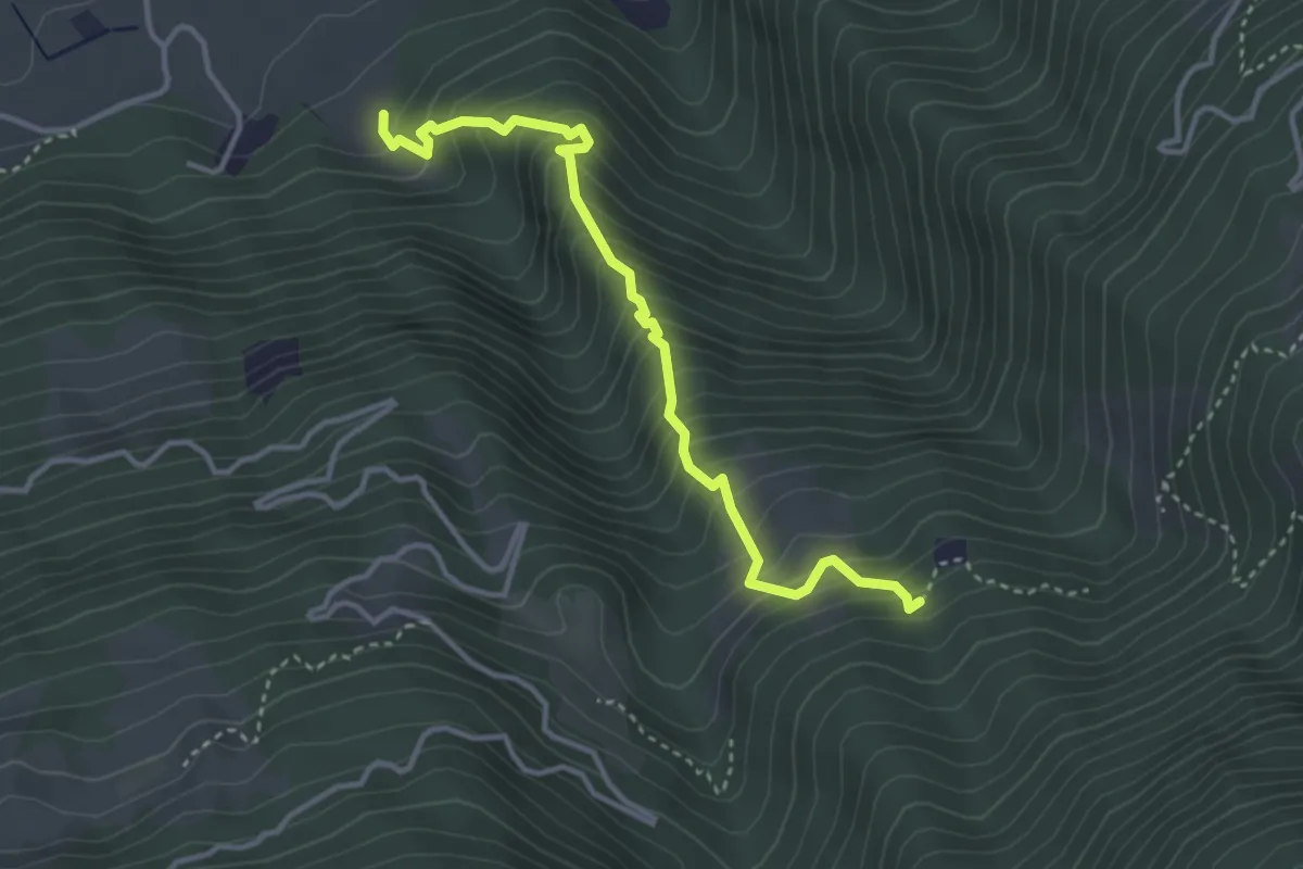
Medium · Trail
Hilbertal
3.7 km · ↑ 483 m · 1 h 55 min
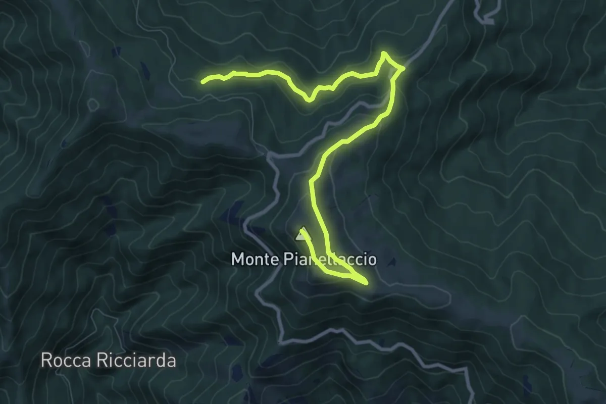
Medium · Summit
Hinkler Ring
10.3 km · ↑ 458 m · 3 h 25 min
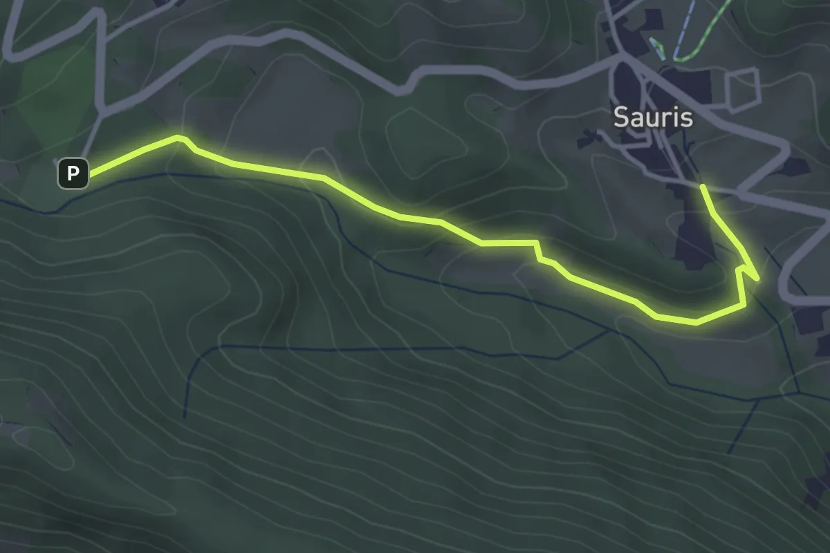
Easy · Trail
Hinterseike Pehrvole
3.6 km · ↑ 162 m · 1 h 13 min
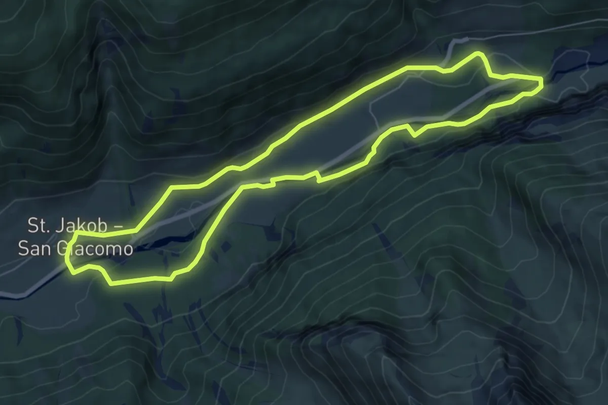
Easy · Trail
Hintertalweg
6.7 km · ↑ 162 m · 2 h 2 min
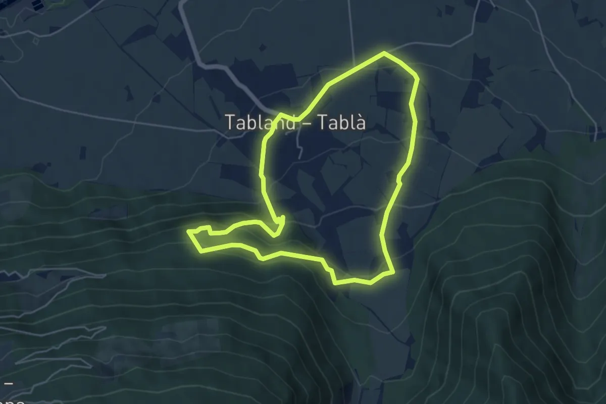
Medium · Trail
Hinzlweg
4.8 km · ↑ 260 m · 1 h 46 min
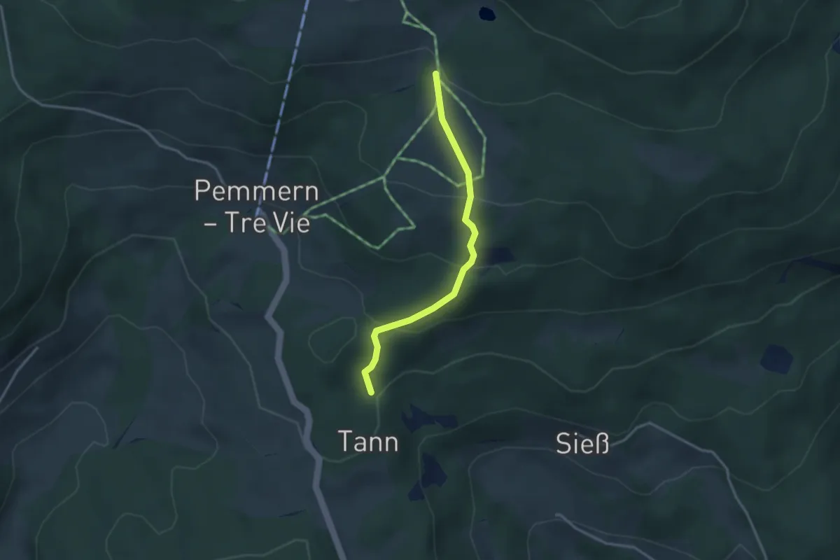
Easy · Trail
Hirtensteig
2.9 km · ↑ 171 m · 1 h 3 min
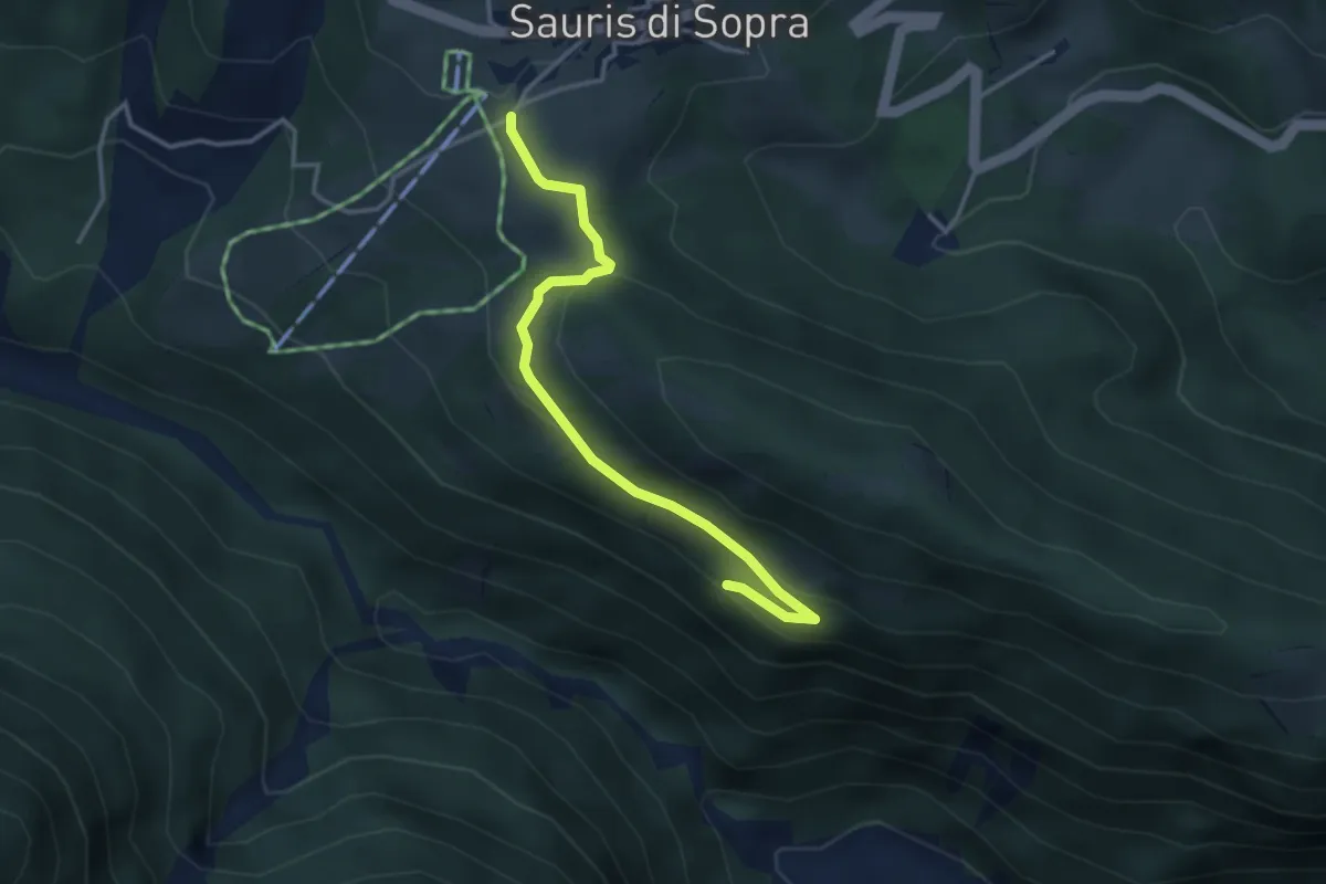
Easy · Trail
Hntermeruke
3.5 km · ↑ 90 m · 1 h 1 min
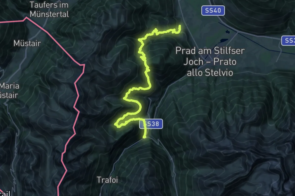
Demanding · Trail
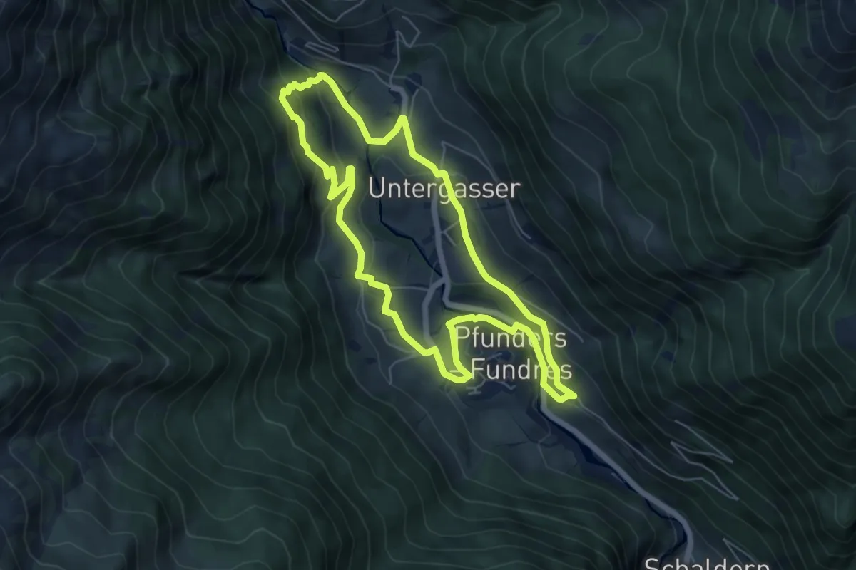
Höfeweg
17.6 km · ↑ 1463 m · 7 h 23 min
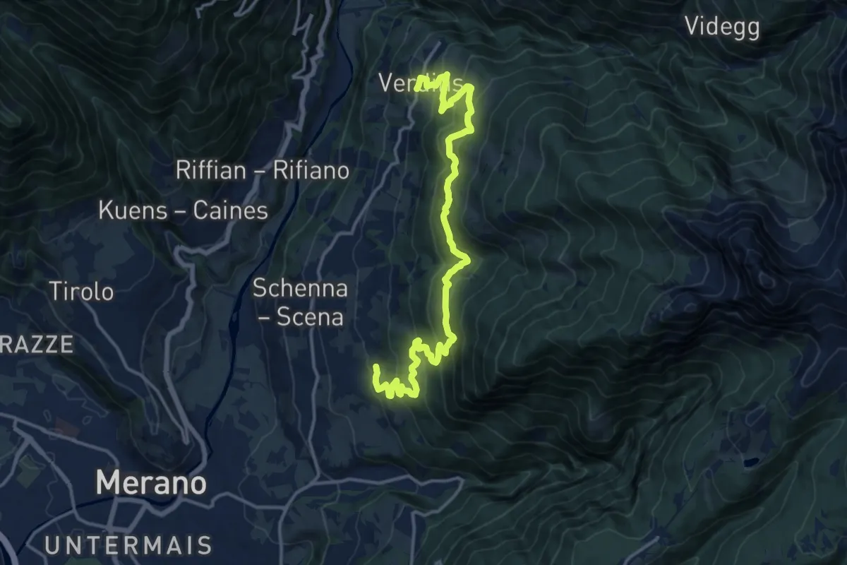
Easy · Trail
Höfeweg
5.8 km · ↑ 262 m · 2 h 2 min
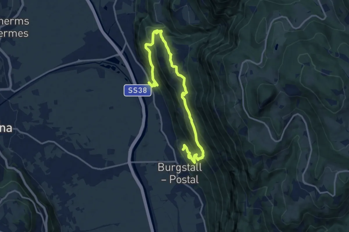
Demanding · Trail
Höfeweg
15.8 km · ↑ 1075 m · 6 h 3 min
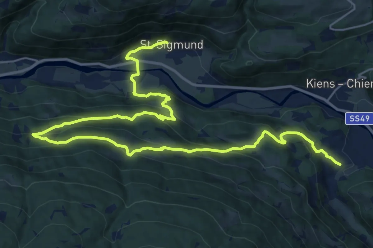
Demanding · Trail
Höfeweg
12.0 km · ↑ 831 m · 4 h 38 min
Demanding · Trail
Höfeweg
21.5 km · ↑ 1093 m · 7 h 27 min
Demanding · Trail
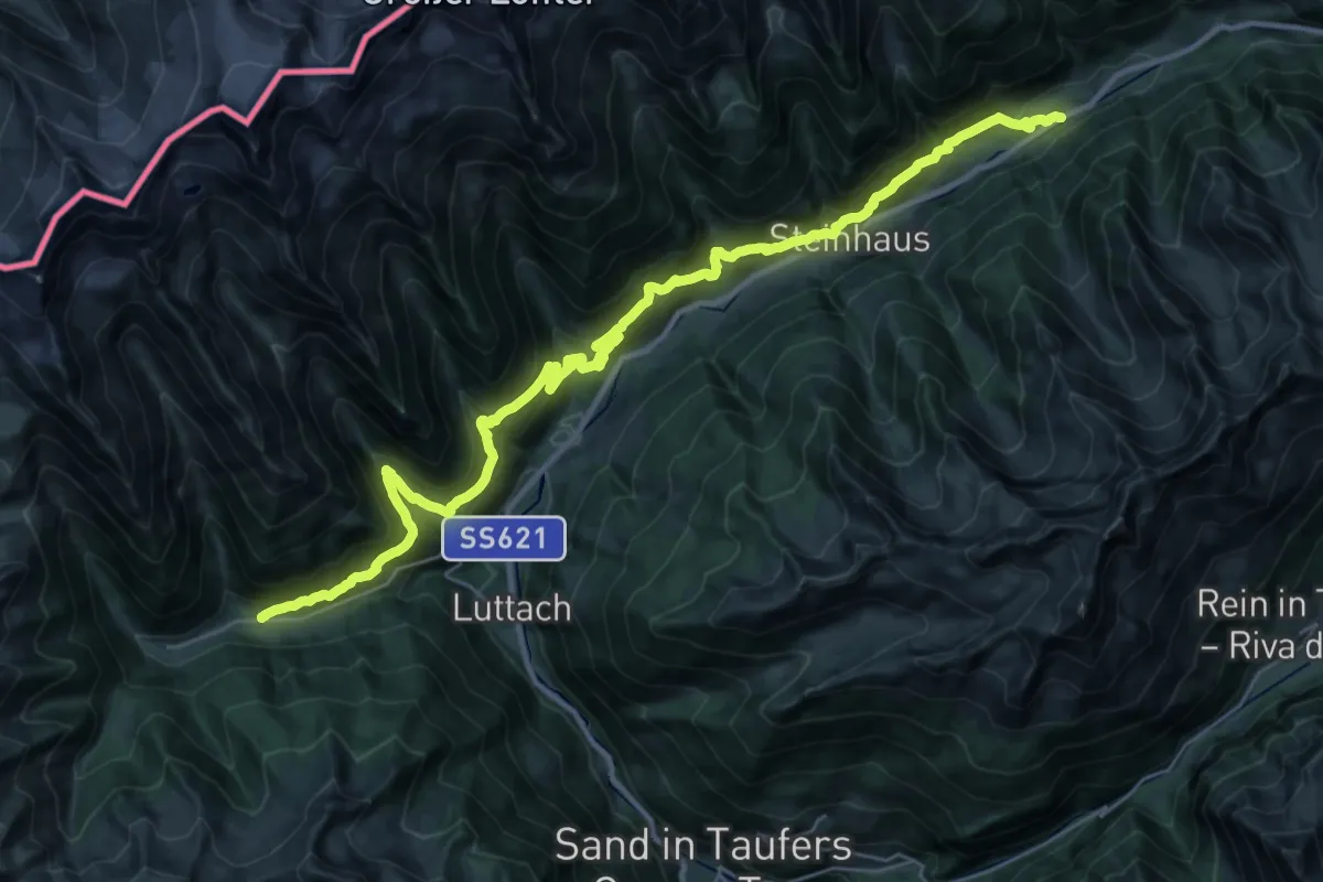
Höfeweg
18.6 km · ↑ 1087 m · 6 h 55 min
Demanding · Trail
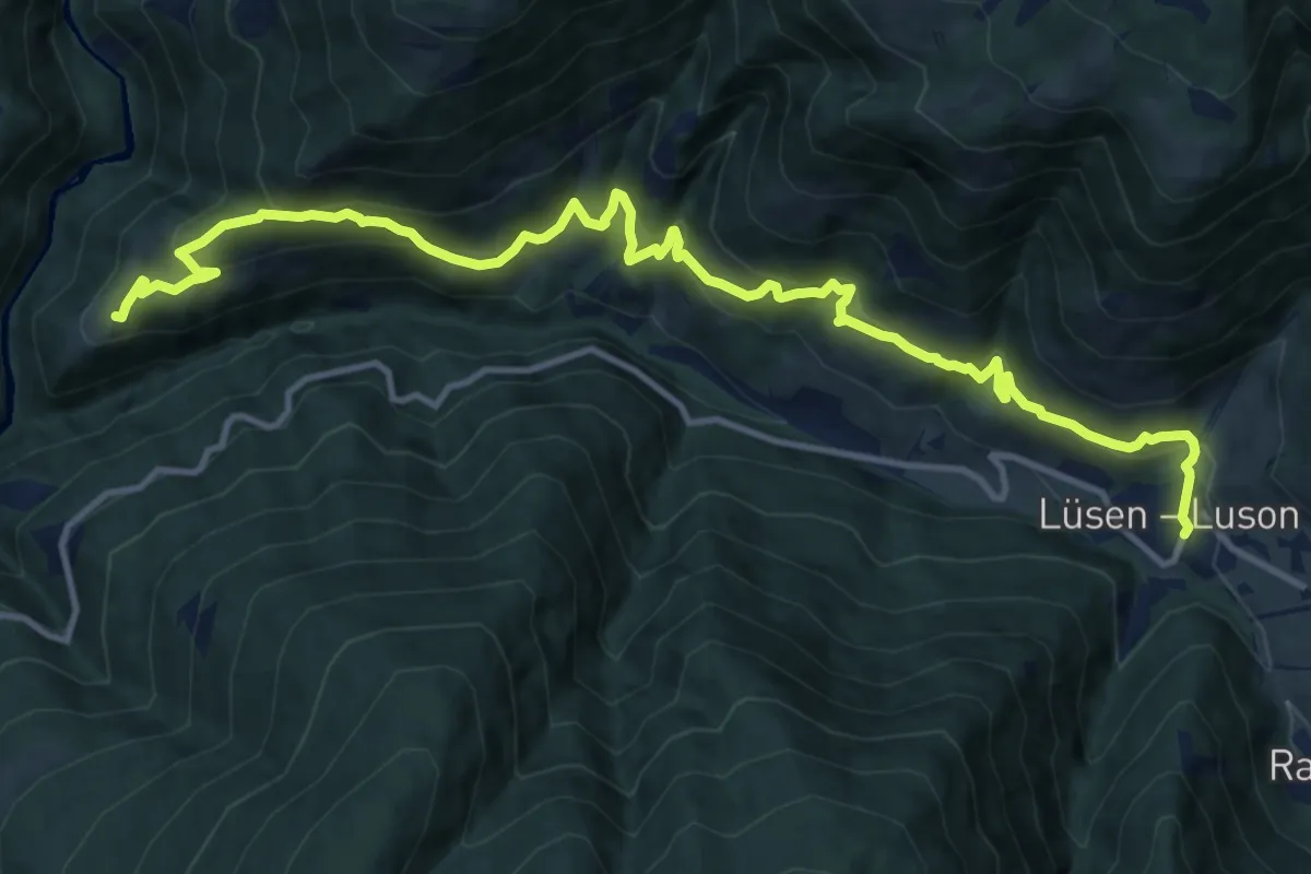
Höfeweg (Lüsen)
15.1 km · ↑ 986 m · 5 h 42 min
Medium · Trail
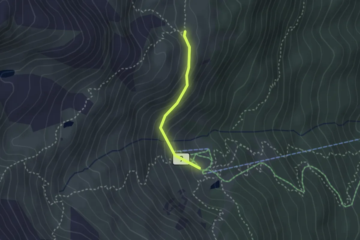
Höhenweg
2.0 km · ↑ 144 m · 47 min
Medium · Trail
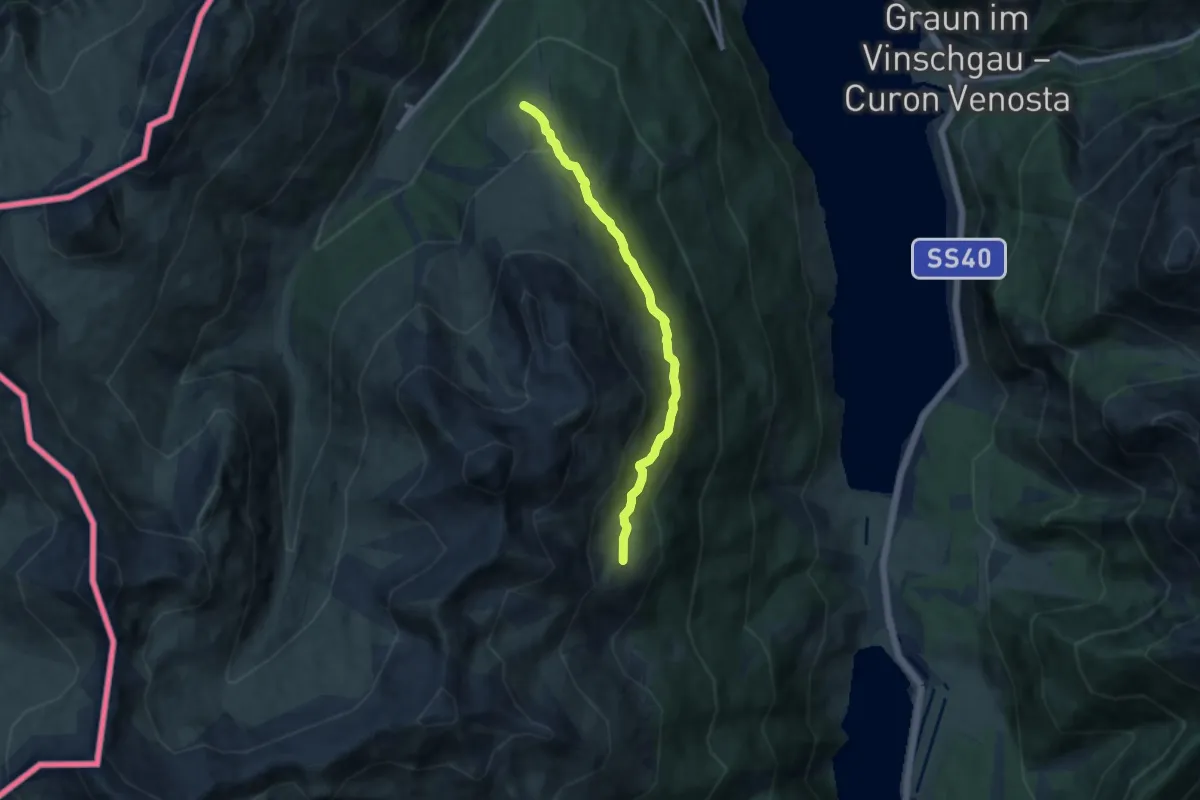
Höhenweg
9.4 km · ↑ 425 m · 3 h 9 min
Medium · Trail
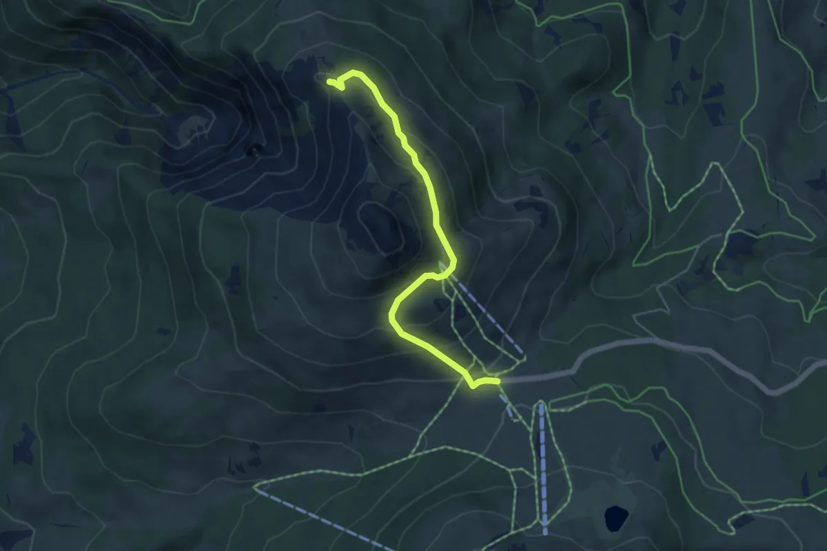
Höhenweg
4.6 km · ↑ 271 m · 1 h 41 min
Medium · Summit
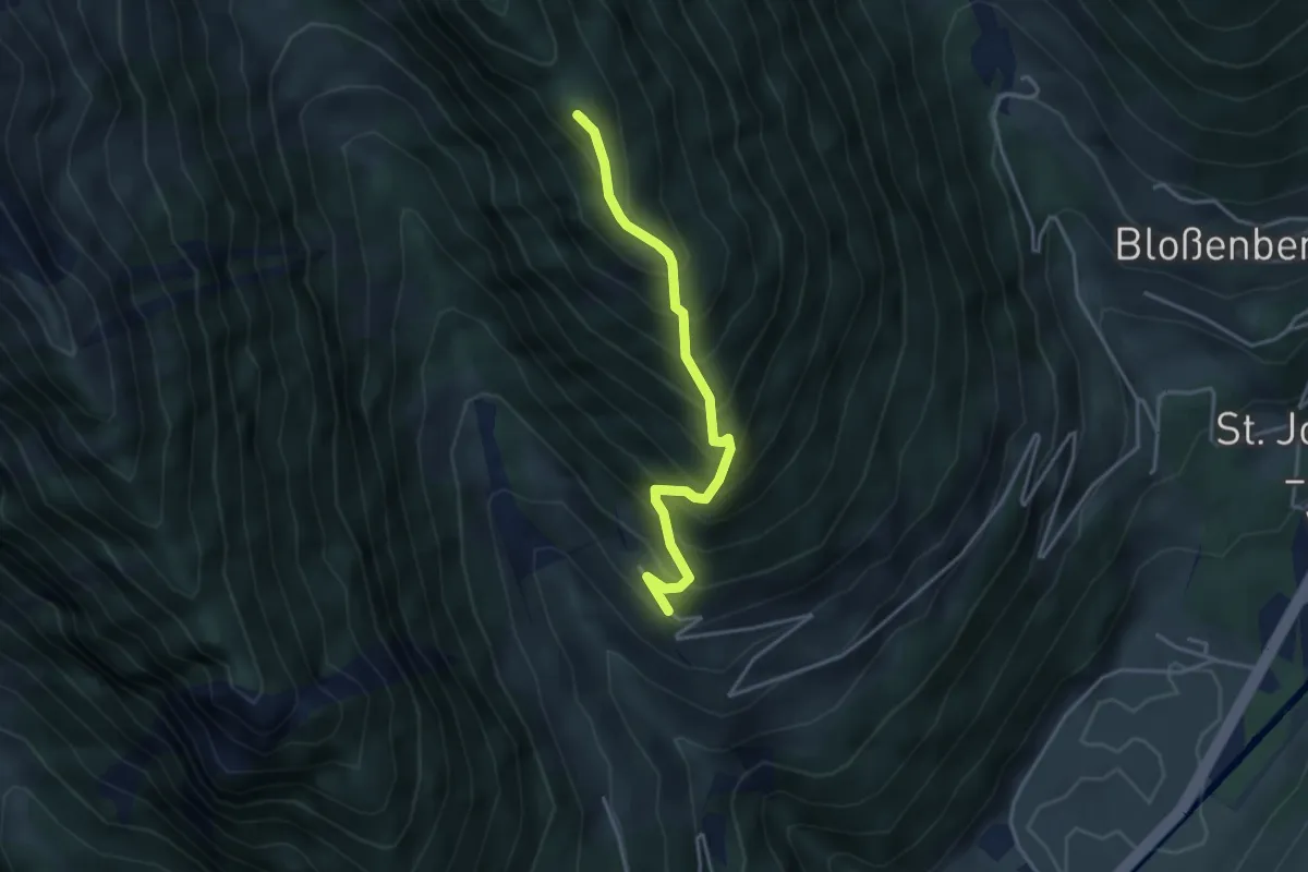
Höhenweg
3.5 km · ↑ 513 m · 1 h 57 min
Medium · Trail
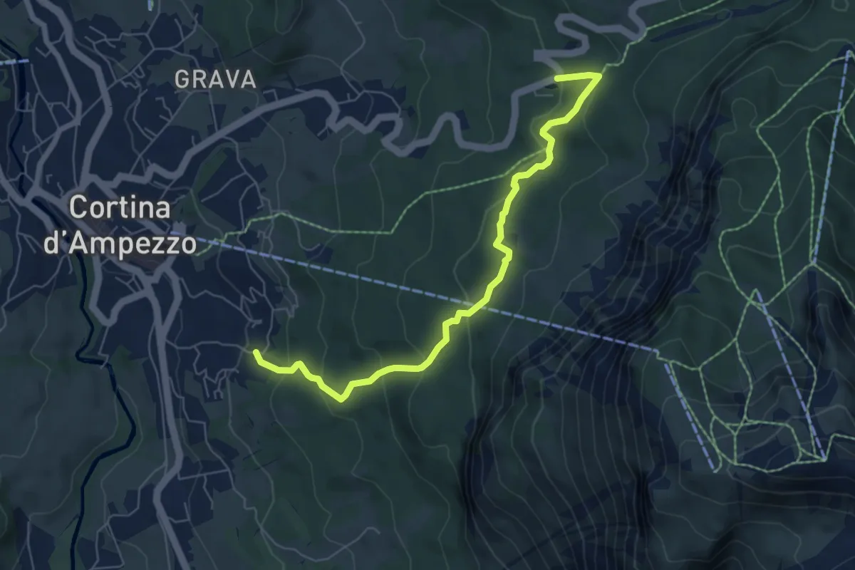
Hotel Serena - Mandres - Lago Scin
6.5 km · ↑ 393 m · 2 h 24 min
Expert · Trail
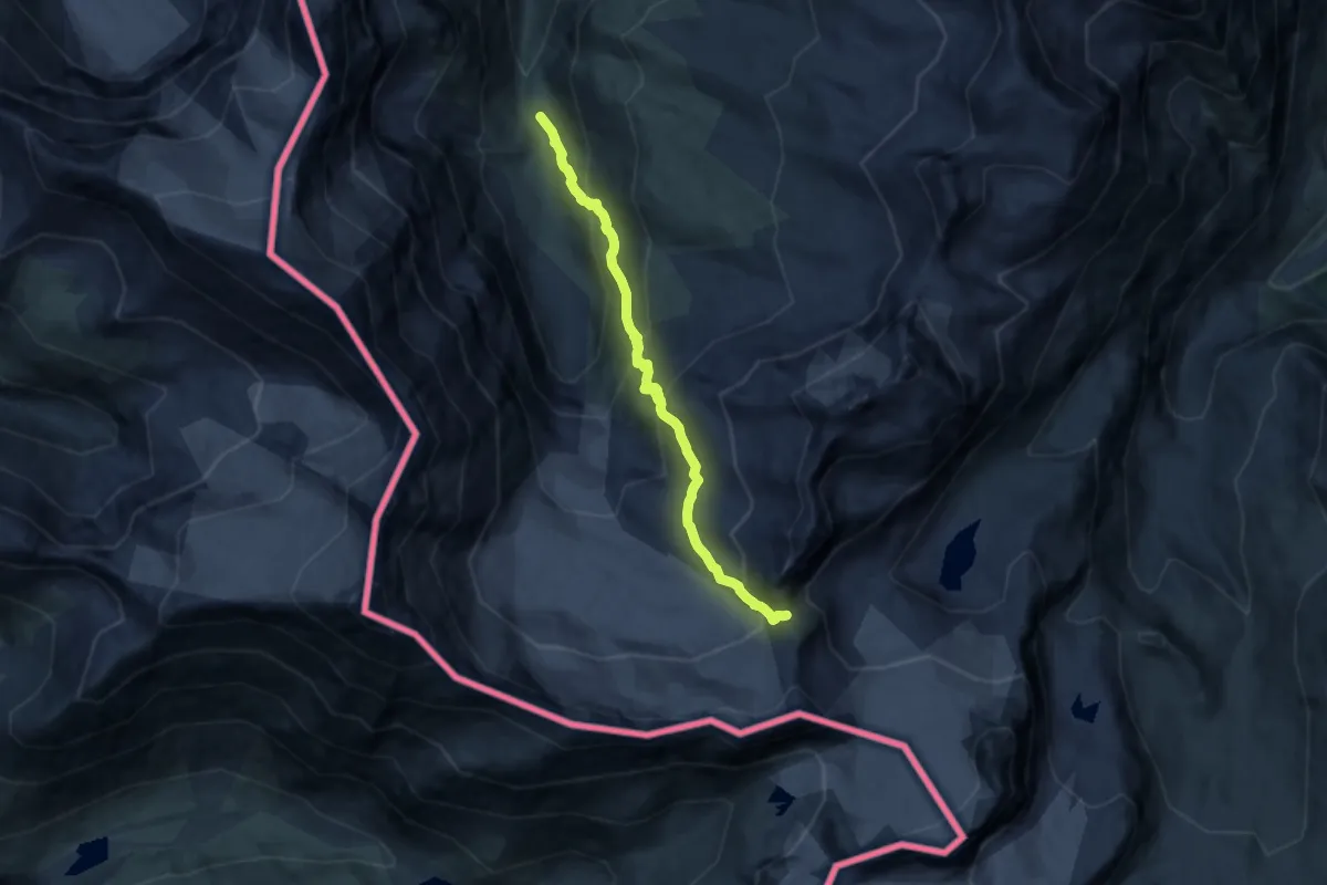
HRG, Haute Route des Glacier
10.6 km · ↑ 857 m · 4 h 22 min
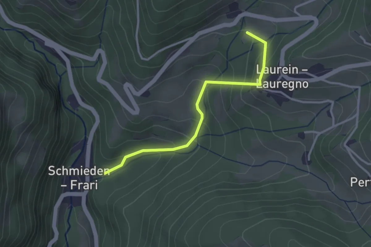
Easy · Trail
Hüttenweg
2.7 km · ↑ 229 m · 1 h 7 min
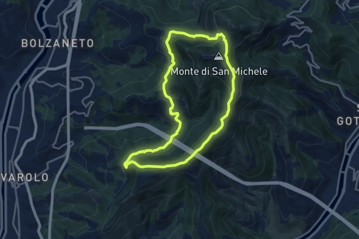
Medium · Summit
I1 - Anello Maggiore
8.0 km · ↑ 417 m · 2 h 55 min
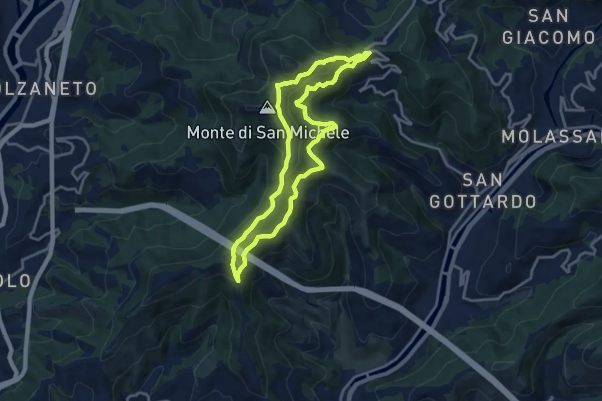
Medium · Summit
I2 - Anello Valbisagno
8.5 km · ↑ 543 m · 3 h 18 min
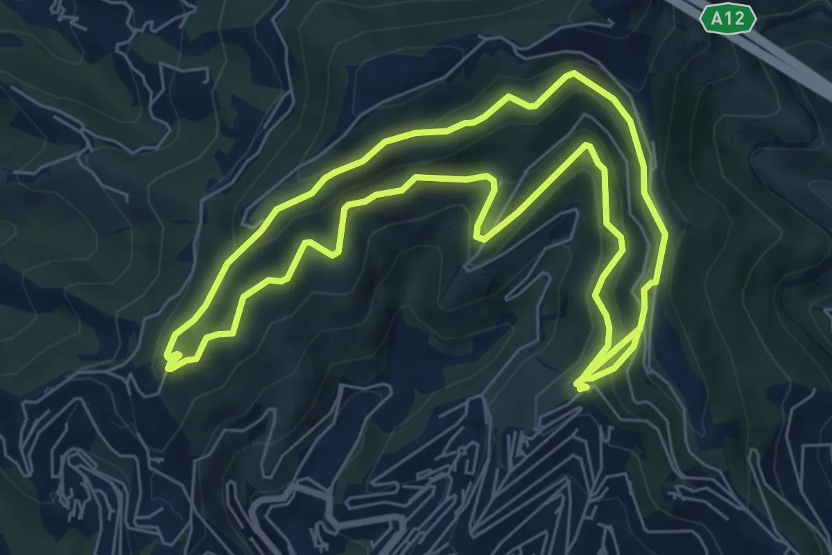
Medium · Trail
I3 - Anello della Zona a Sud
13.4 km · ↑ 711 m · 4 h 43 min