Trails in Italy
25,211 hiking trails, each with its route, climb, walking time and grade.
All trails, page 86 of 526
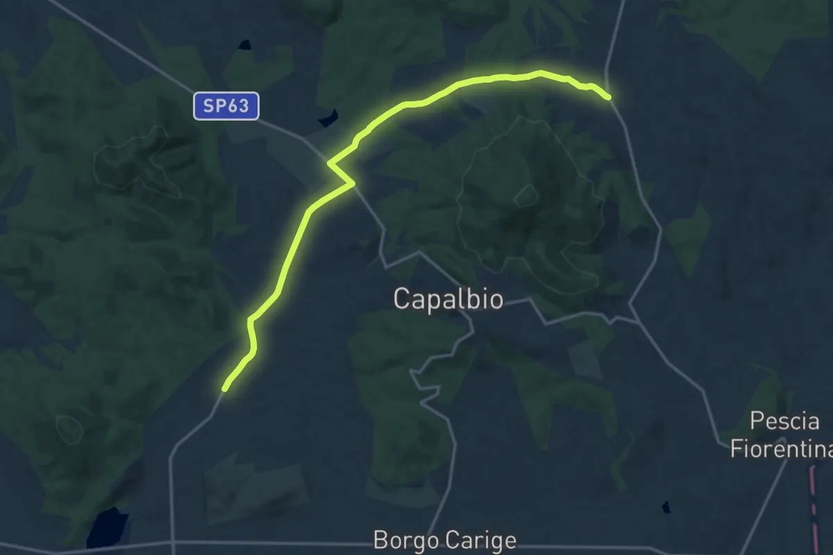
Medium · Trail
Italia Coast to Coast tappa 17 variante diretta per Orbetello
16.7 km · ↑ 157 m · 4 h 17 min
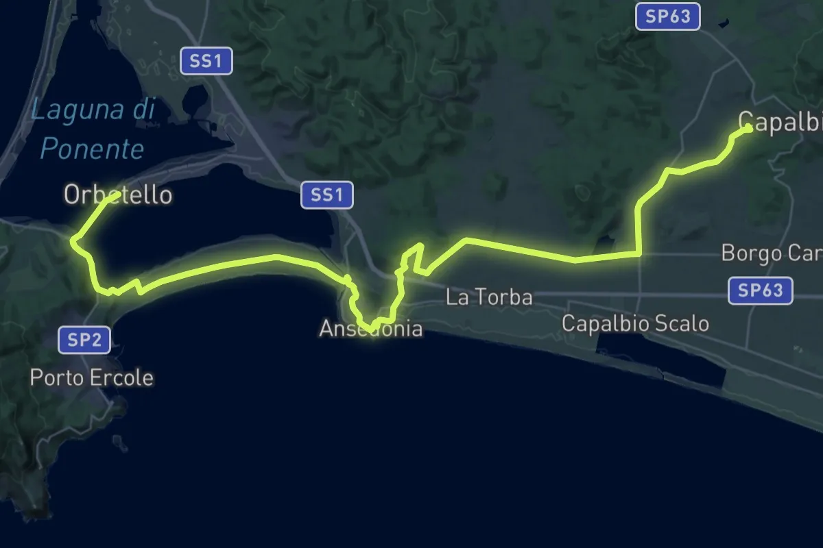
Demanding · Summit
Italia Coast to Coast tappa 18
54.1 km · ↑ 445 m · 13 h 44 min
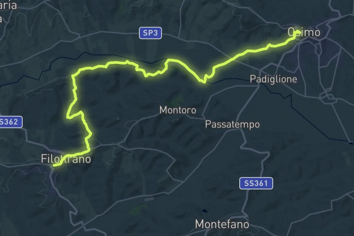
Demanding · Summit
Italia Coast to Coast-Tappa 2
38.1 km · ↑ 821 m · 10 h 47 min
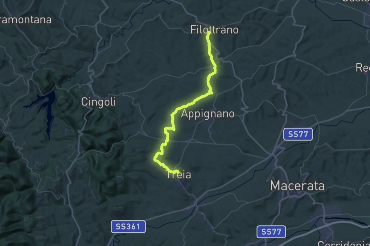
Demanding · Trail
Italia Coast to Coast-Tappa 3
20.8 km · ↑ 387 m · 6 h 1 min
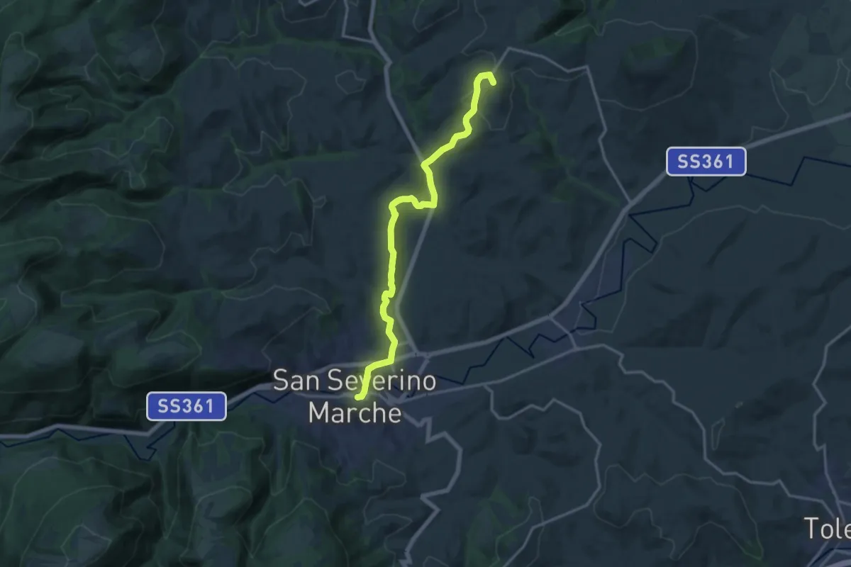
Medium · Summit
Italia Coast to Coast-Tappa 4
15.5 km · ↑ 466 m · 4 h 40 min
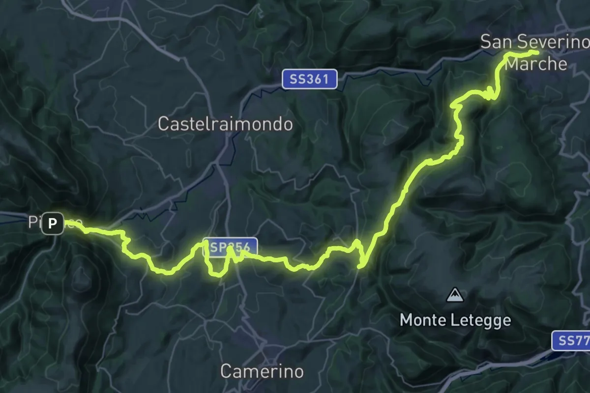
Demanding · Trail
Italia Coast to Coast-Tappa 5
29.0 km · ↑ 1017 m · 9 h 33 min
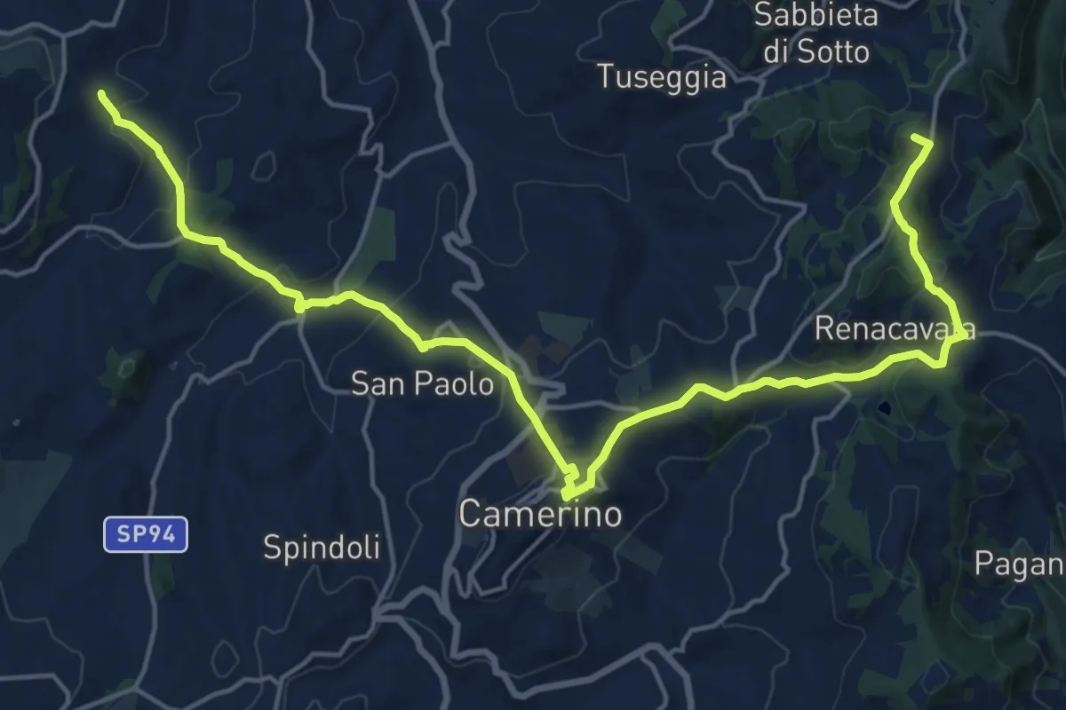
Demanding · Summit
Italia Coast to Coast-Tappa 5 Variante Camerino
22.7 km · ↑ 800 m · 7 h 5 min
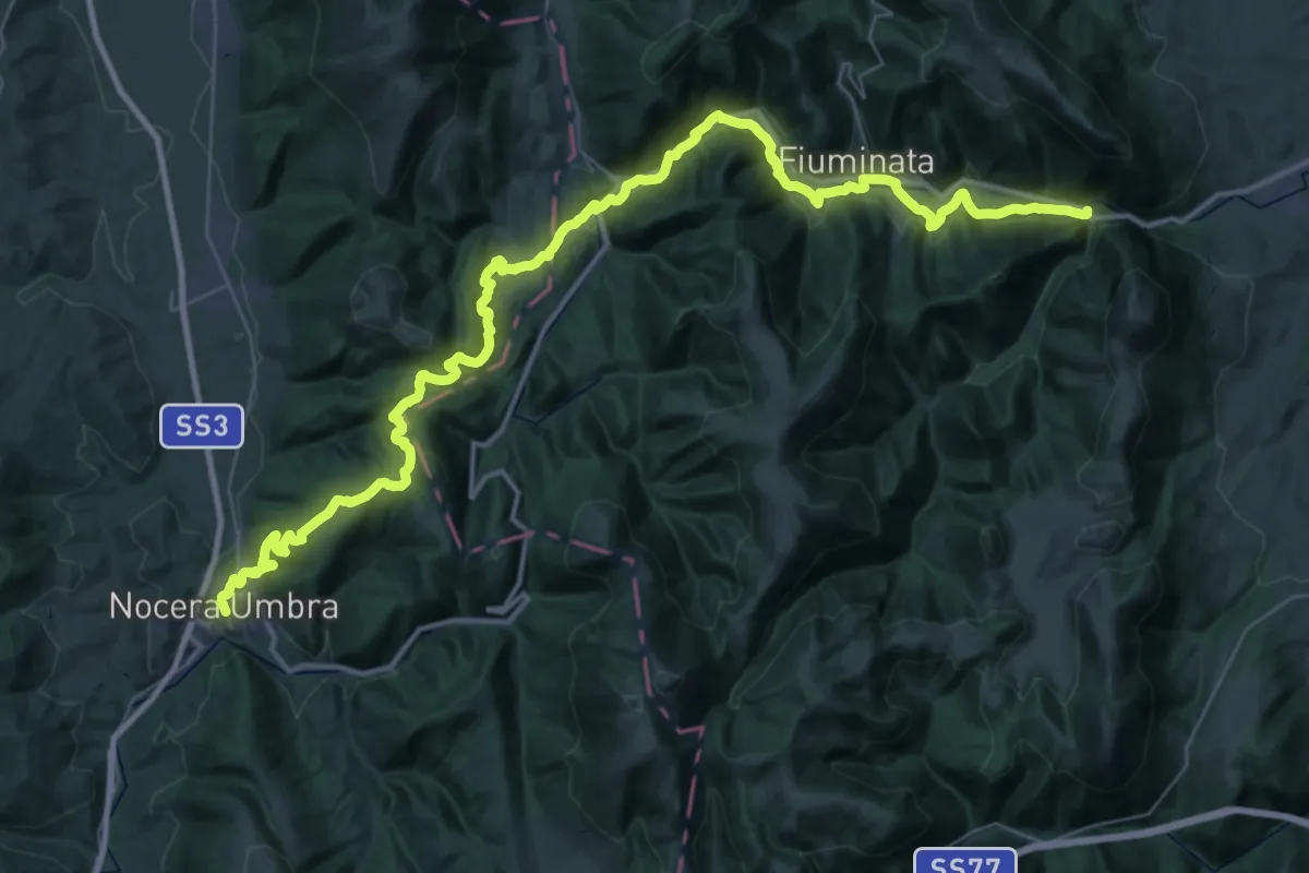
Demanding · Trail
Italia Coast to Coast-Tappa 6
27.8 km · ↑ 781 m · 8 h 40 min
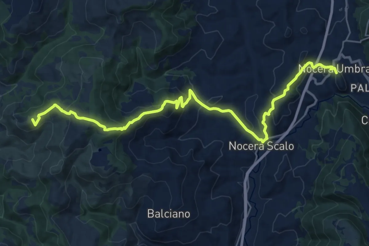
Demanding · Summit
Italia Coast to Coast-Tappa 7
22.1 km · ↑ 923 m · 7 h 13 min
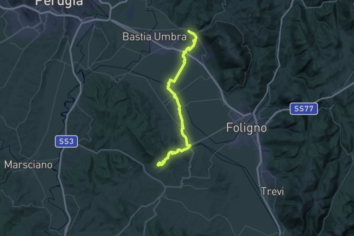
Demanding · Trail
Italia Coast to Coast-Tappa 8
29.7 km · ↑ 462 m · 8 h 24 min
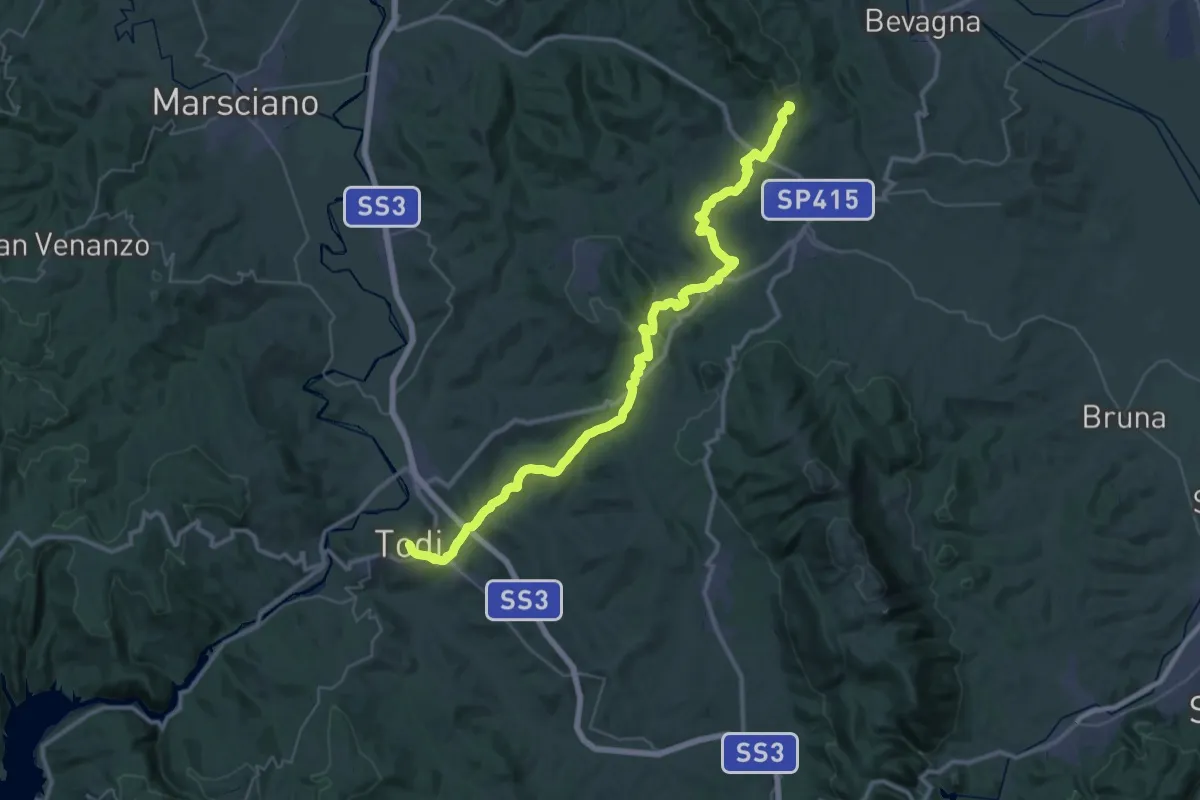
Demanding · Trail
Italia Coast to Coast-Tappa 9
25.8 km · ↑ 711 m · 7 h 57 min
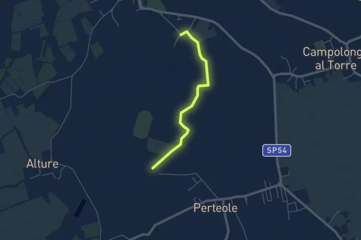
Easy · Trail
Iter Aquileiense - variante della Roggia
4.1 km · ↑ 4 m · 59 min
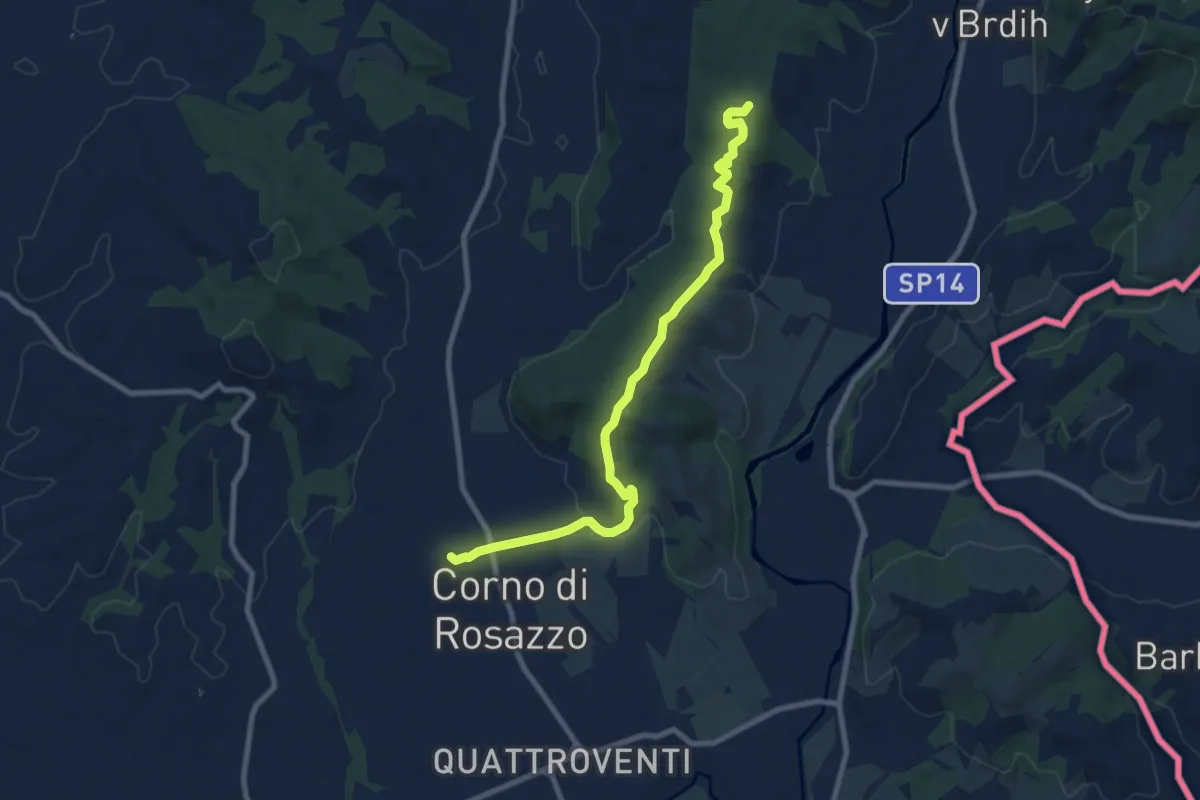
Medium · Trail
Iter Aquileiense - variante di Corno di Rosazzo
9.0 km · ↑ 204 m · 2 h 34 min
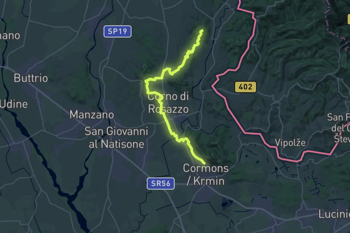
Demanding · Summit
Iter Aquileiense - variante per l'Abbazia di Rosazzo
28.9 km · ↑ 395 m · 7 h 41 min
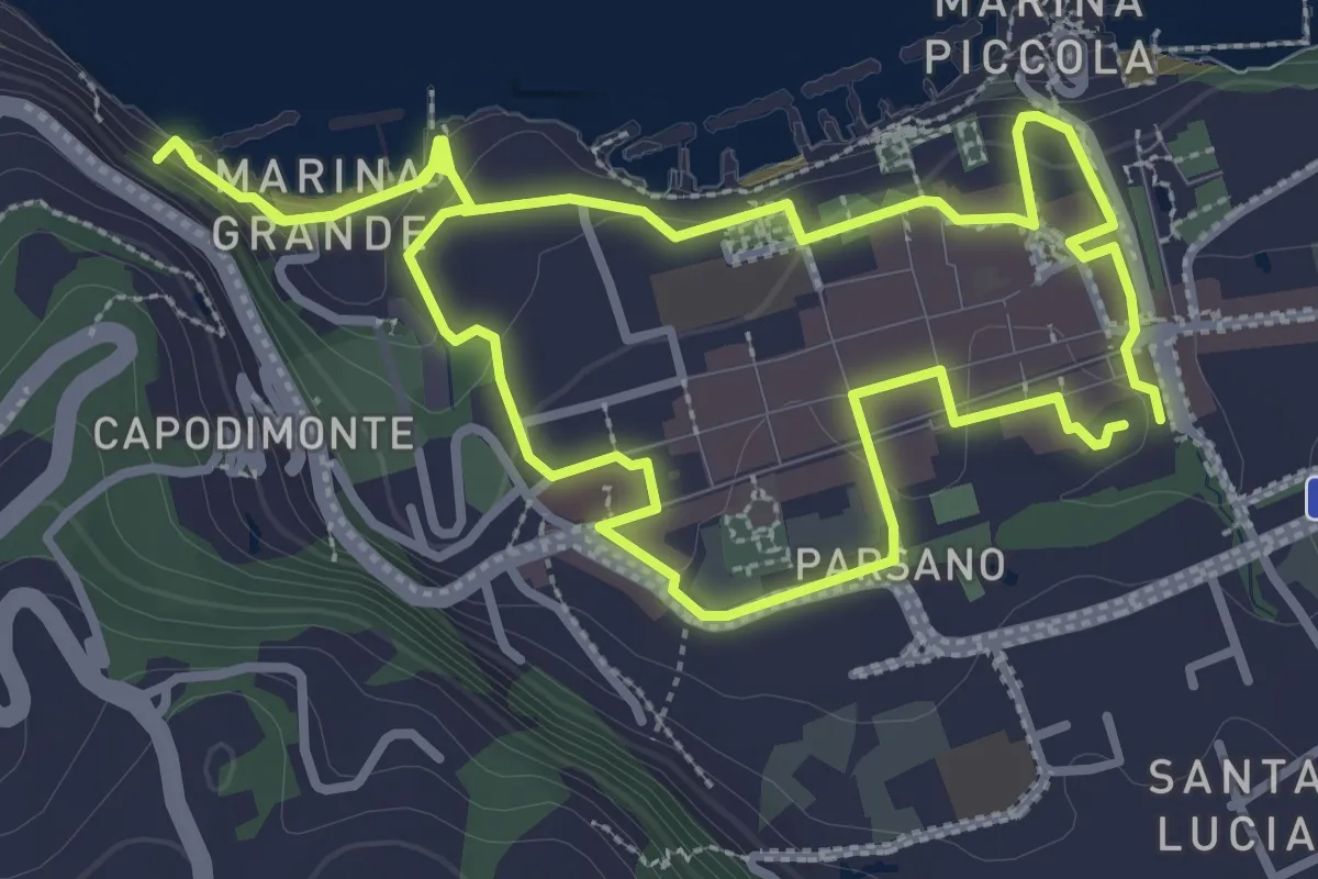
Easy · Trail
Itinerario 11
3.7 km · ↑ 104 m · 1 h 9 min
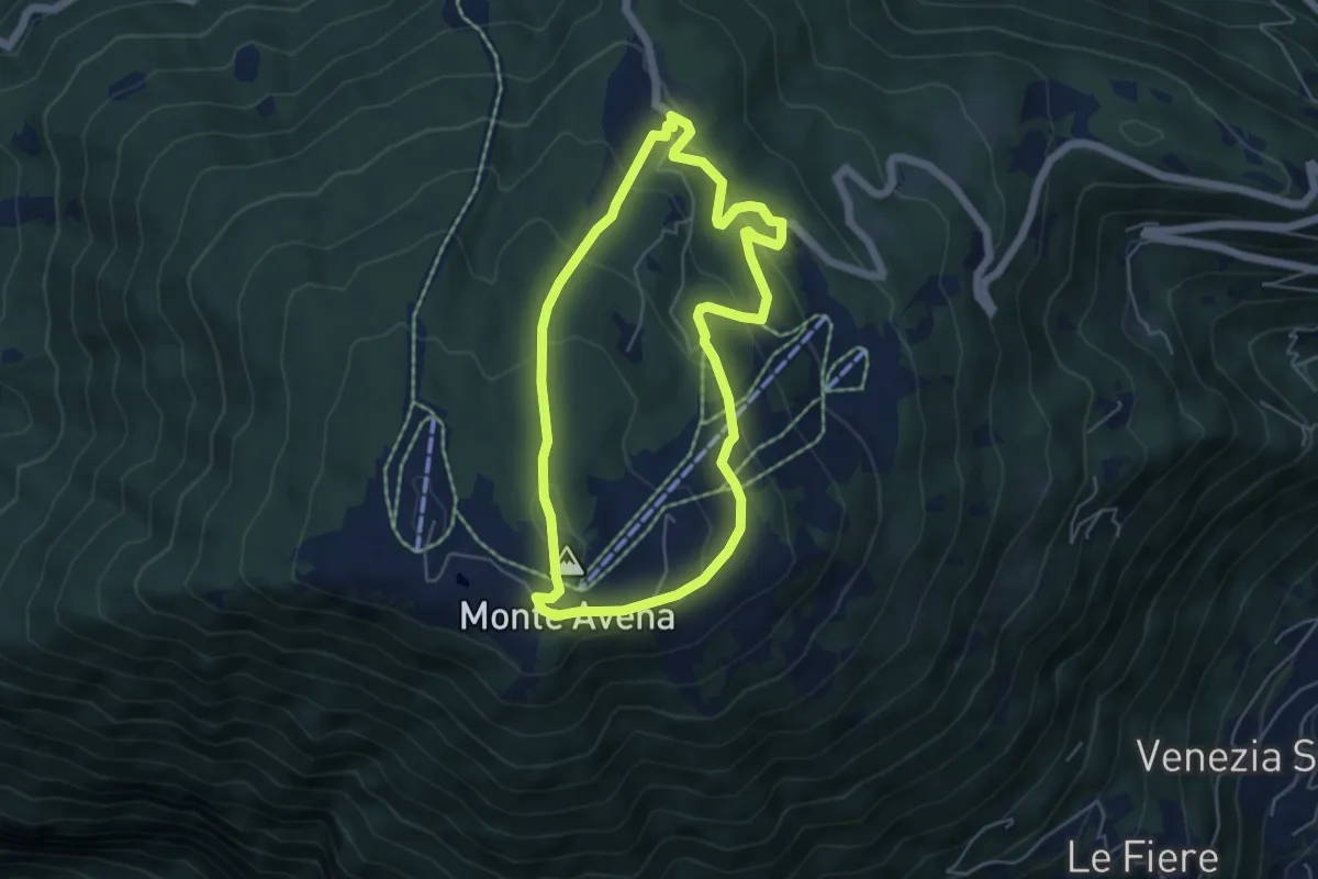
Medium · Summit
Itinerario 11
4.9 km · ↑ 271 m · 1 h 49 min
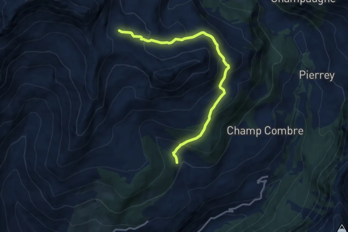
Medium · Trail
Itinerario 11C
9.0 km · ↑ 585 m · 3 h 23 min
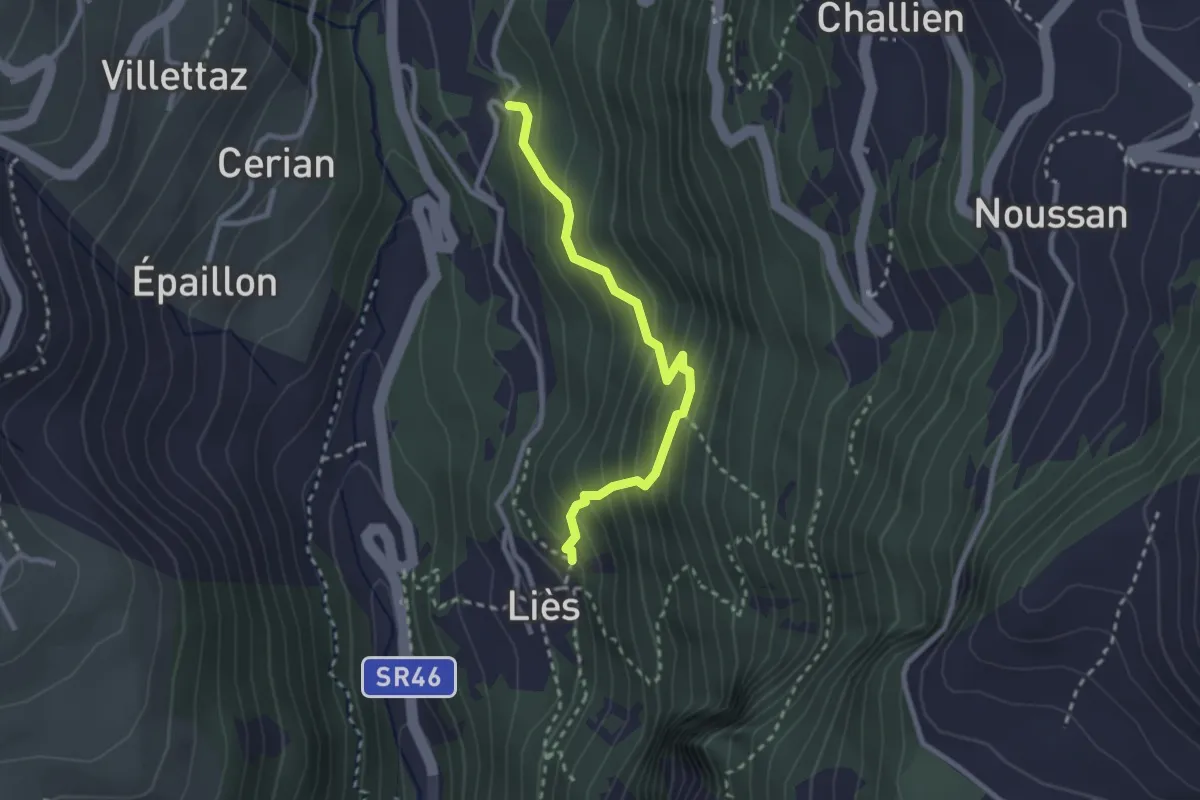
Medium · Trail
Itinerario 11 Liex Area Picnic
2.5 km · ↑ 301 m · 1 h 15 min
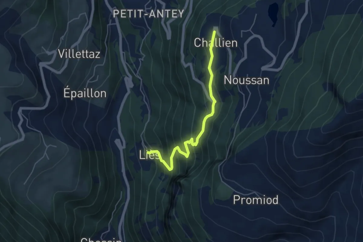
Medium · Trail
Itinerario 12 Liex Challien
4.5 km · ↑ 441 m · 2 h 1 min
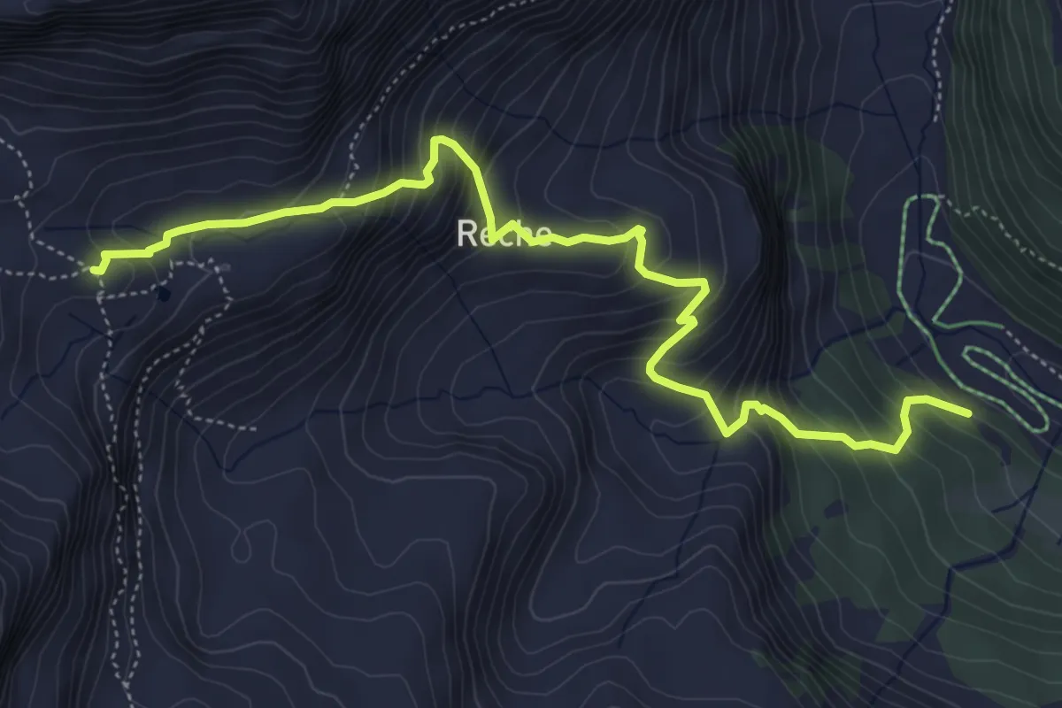
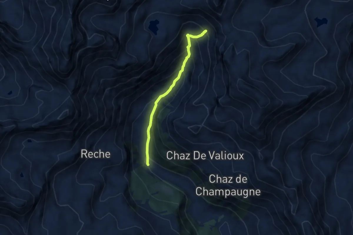
Medium · Cabin
Itinerario 12 Praz Rifugio Cuney
6.1 km · ↑ 625 m · 2 h 48 min
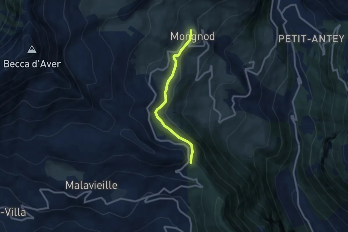
Medium · Cabin
Itinerario 13A Praz - Fenetre de Tsan
6.1 km · ↑ 516 m · 2 h 33 min
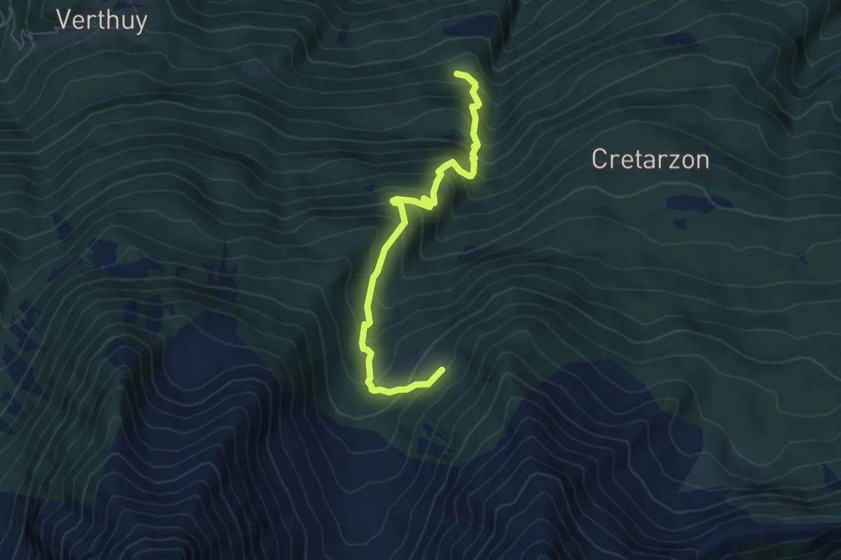
Medium · Trail
itinerario 13 Torgnon Colle di San Pantaleone
5.3 km · ↑ 170 m · 1 h 37 min
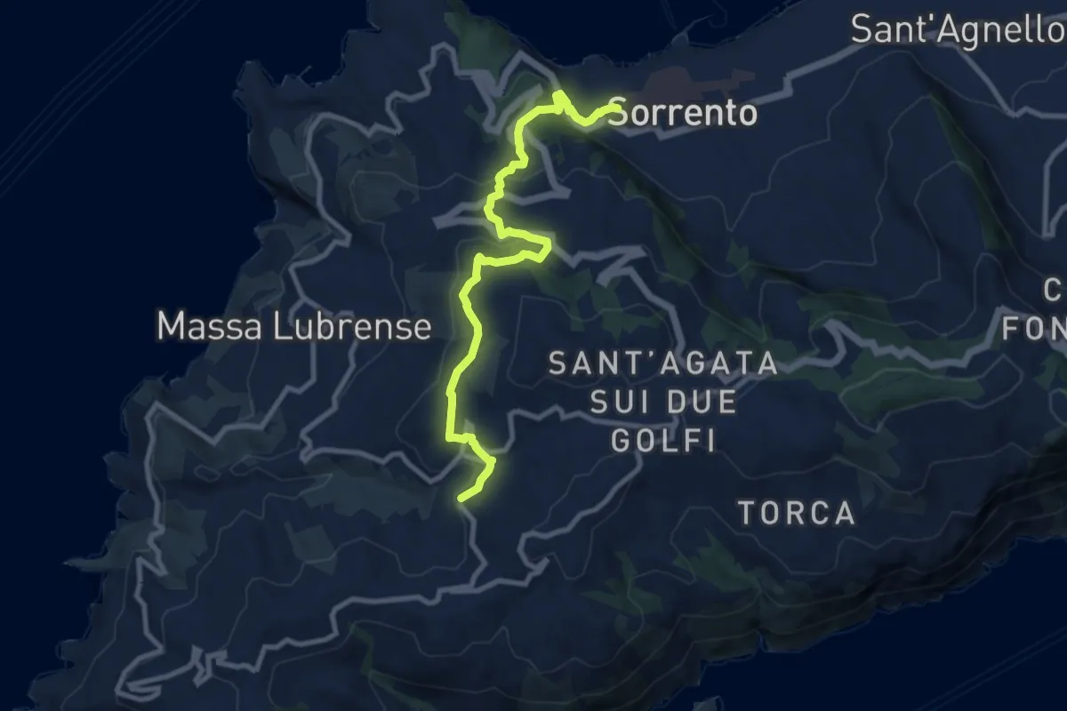
Medium · Trail
Itinerario 1/4
6.5 km · ↑ 731 m · 3 h 8 min
Medium · Trail
Itinerario 14
10.3 km · ↑ 424 m · 3 h 21 min
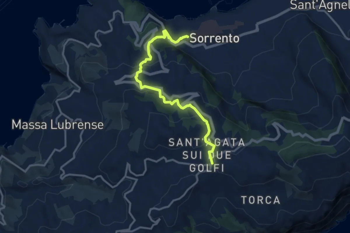
Medium · Trail
Itinerario 15
9.1 km · ↑ 471 m · 3 h 10 min
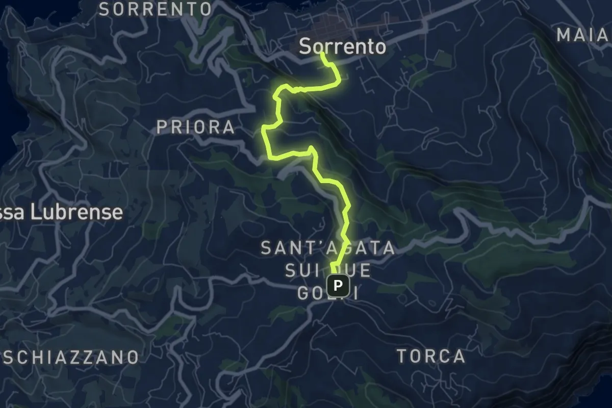
Medium · Trail
Itinerario 16
7.2 km · ↑ 379 m · 2 h 31 min
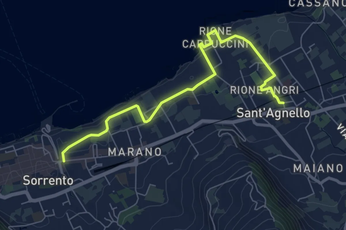
Easy · Trail
Itinerario 19
7.0 km · ↑ 282 m · 2 h 15 min
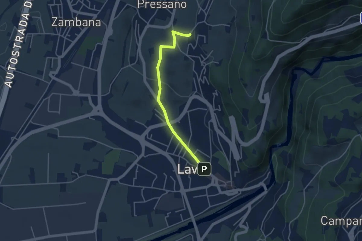
Easy · Trail
Itinerario 1 Colline Avisiane
3.3 km · ↑ 77 m · 56 min
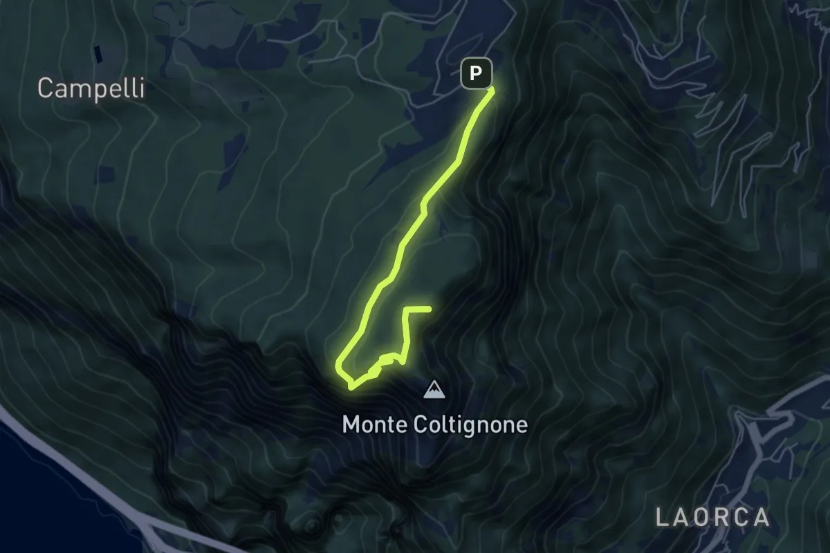
Medium · Summit
Itinerario 1 Parco Valentino
5.4 km · ↑ 301 m · 1 h 55 min
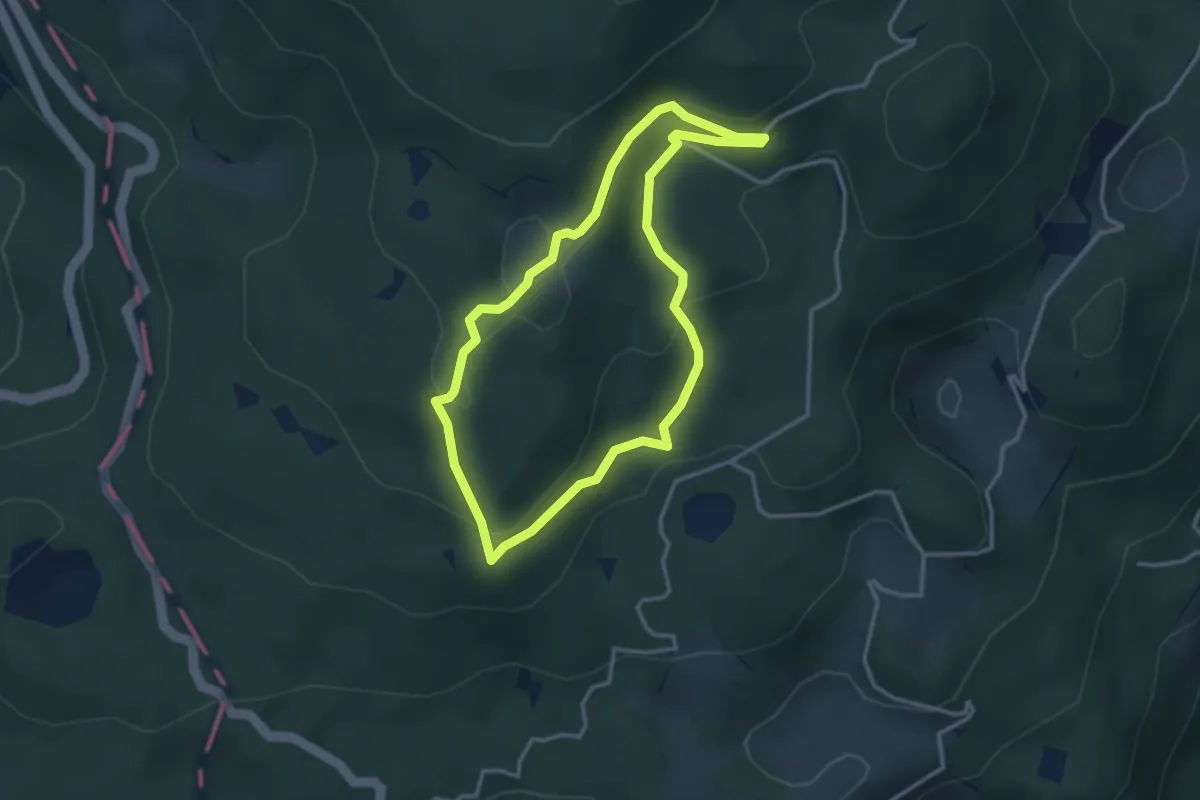
Medium · Trail
Itinerario 1 - Uno sguardo dall'alto
3.0 km · ↑ 129 m · 1 h 2 min
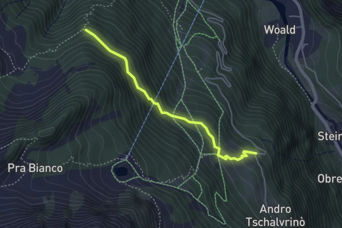
Medium · Trail
Itinerario 1W Loc. Tschalvrinò/Cialvrina Loc. Aresò/Ranzola
3.5 km · ↑ 280 m · 1 h 27 min
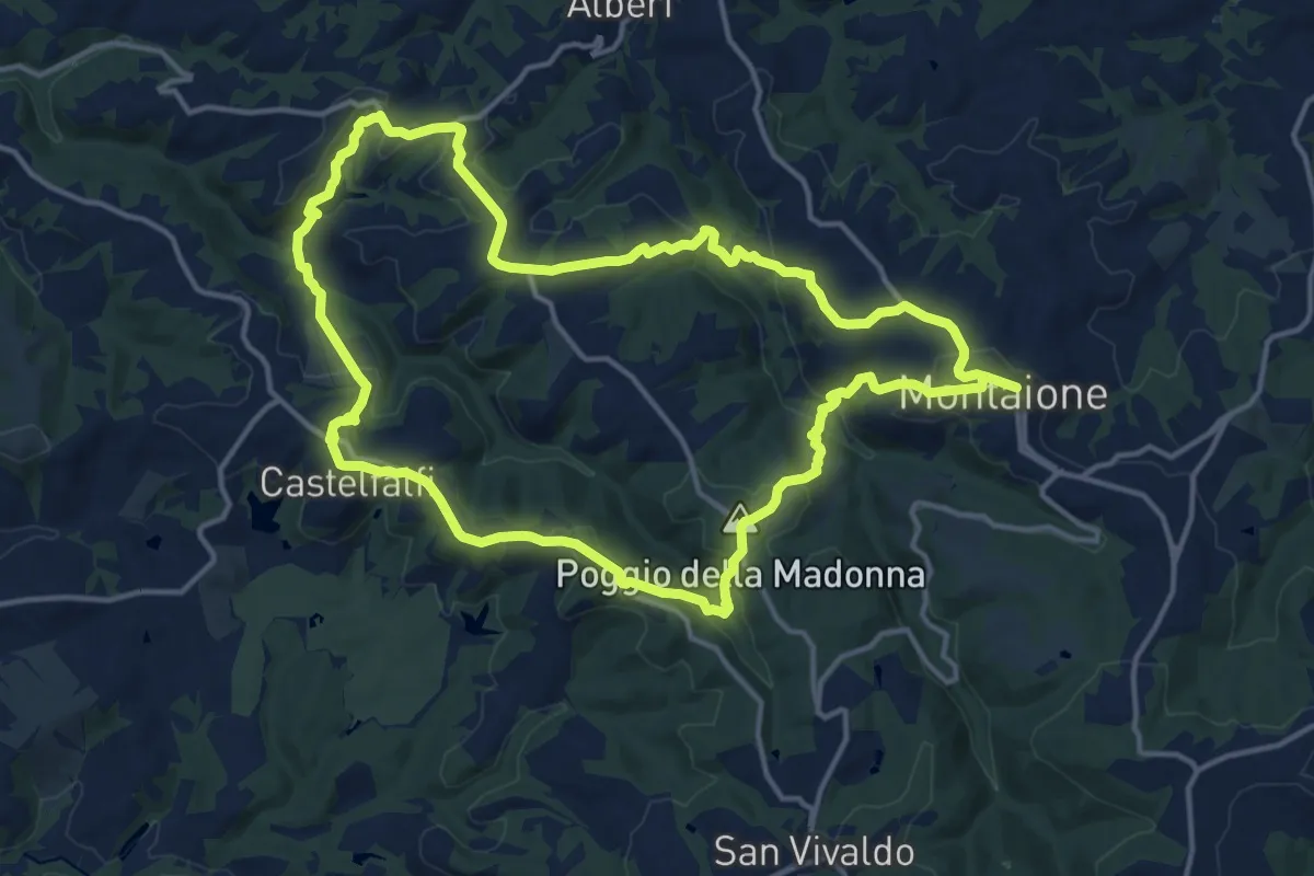
Medium · Summit
Itinerario 2
15.9 km · ↑ 516 m · 5 h 5 min
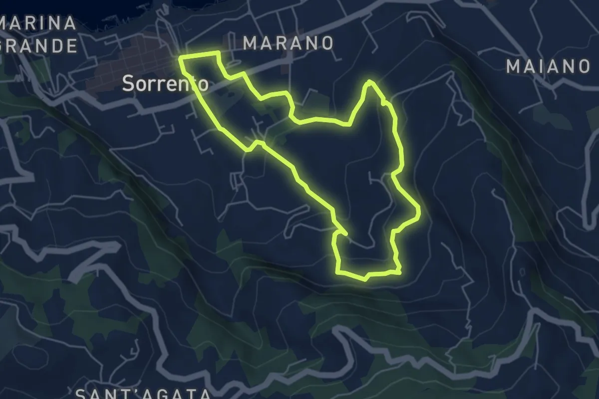
Easy · Trail
Itinerario 22
5.3 km · ↑ 223 m · 1 h 48 min
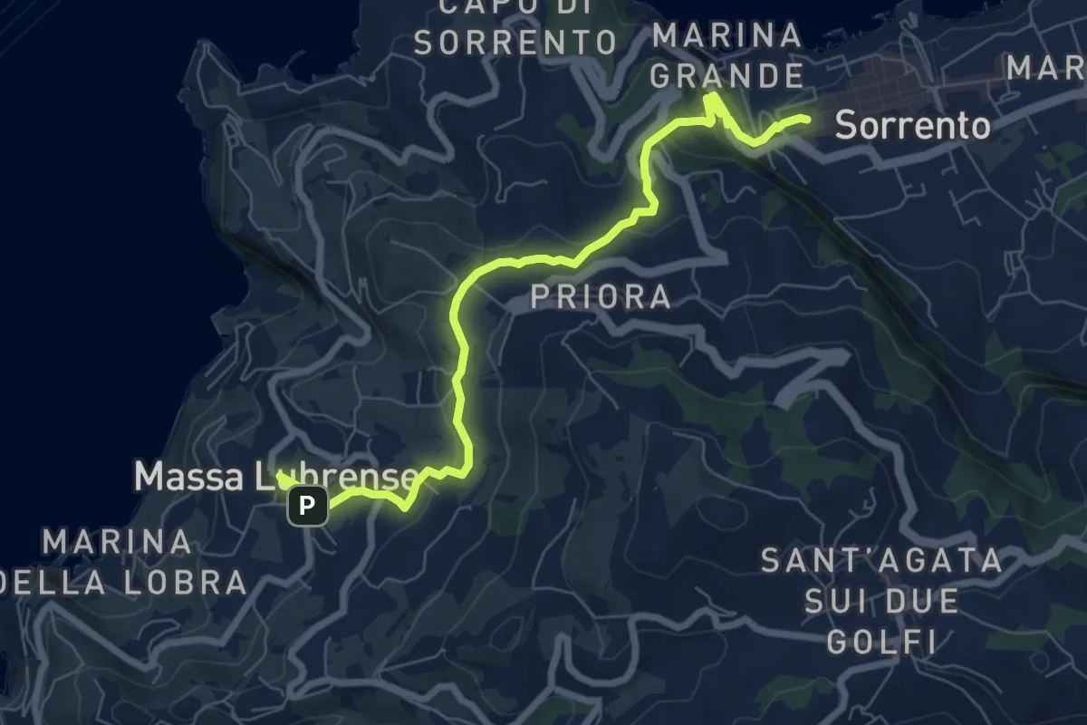
Medium · Trail
Itinerario 23
8.7 km · ↑ 298 m · 2 h 41 min
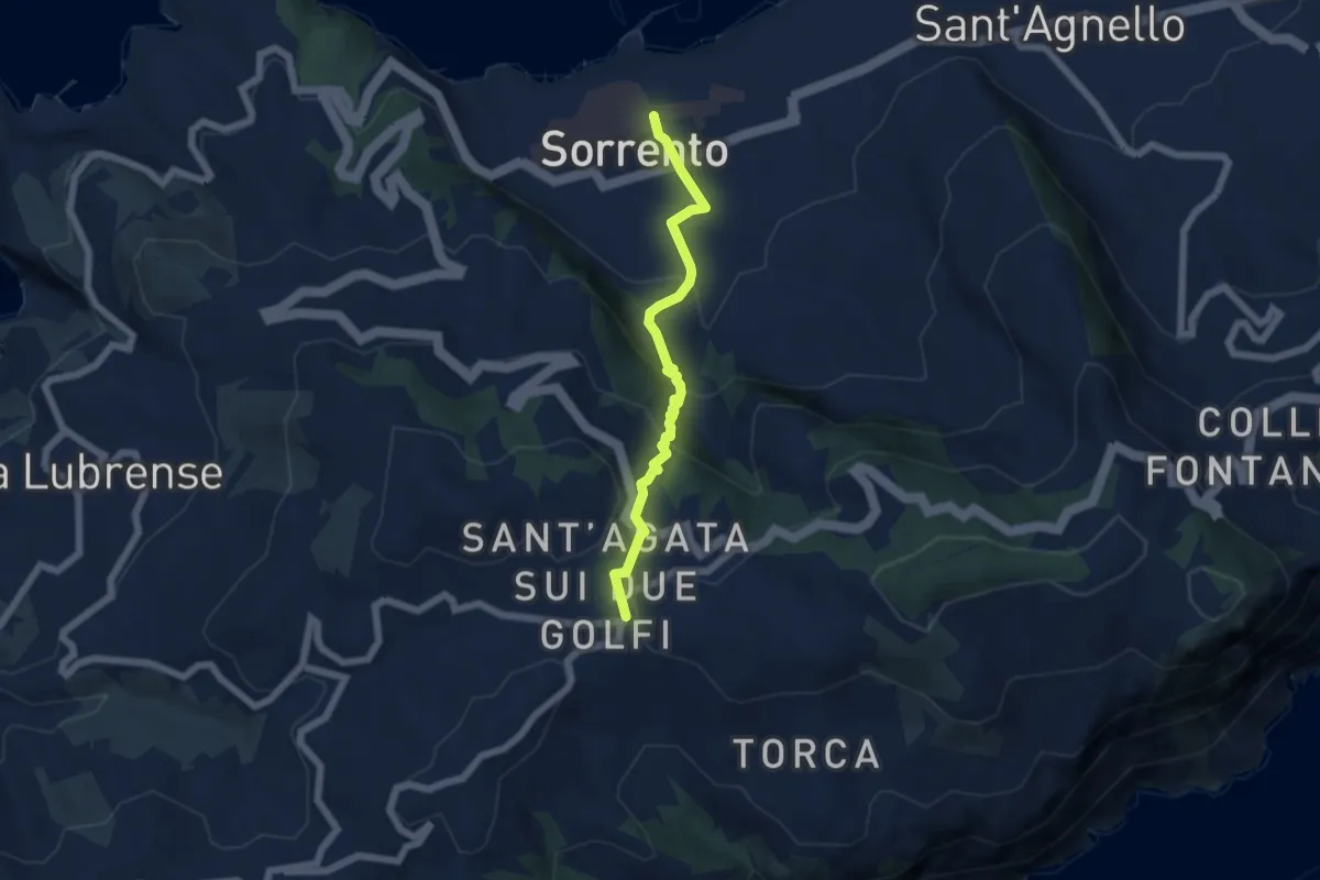
Medium · Trail
Itinerario 25
5.9 km · ↑ 346 m · 2 h 9 min
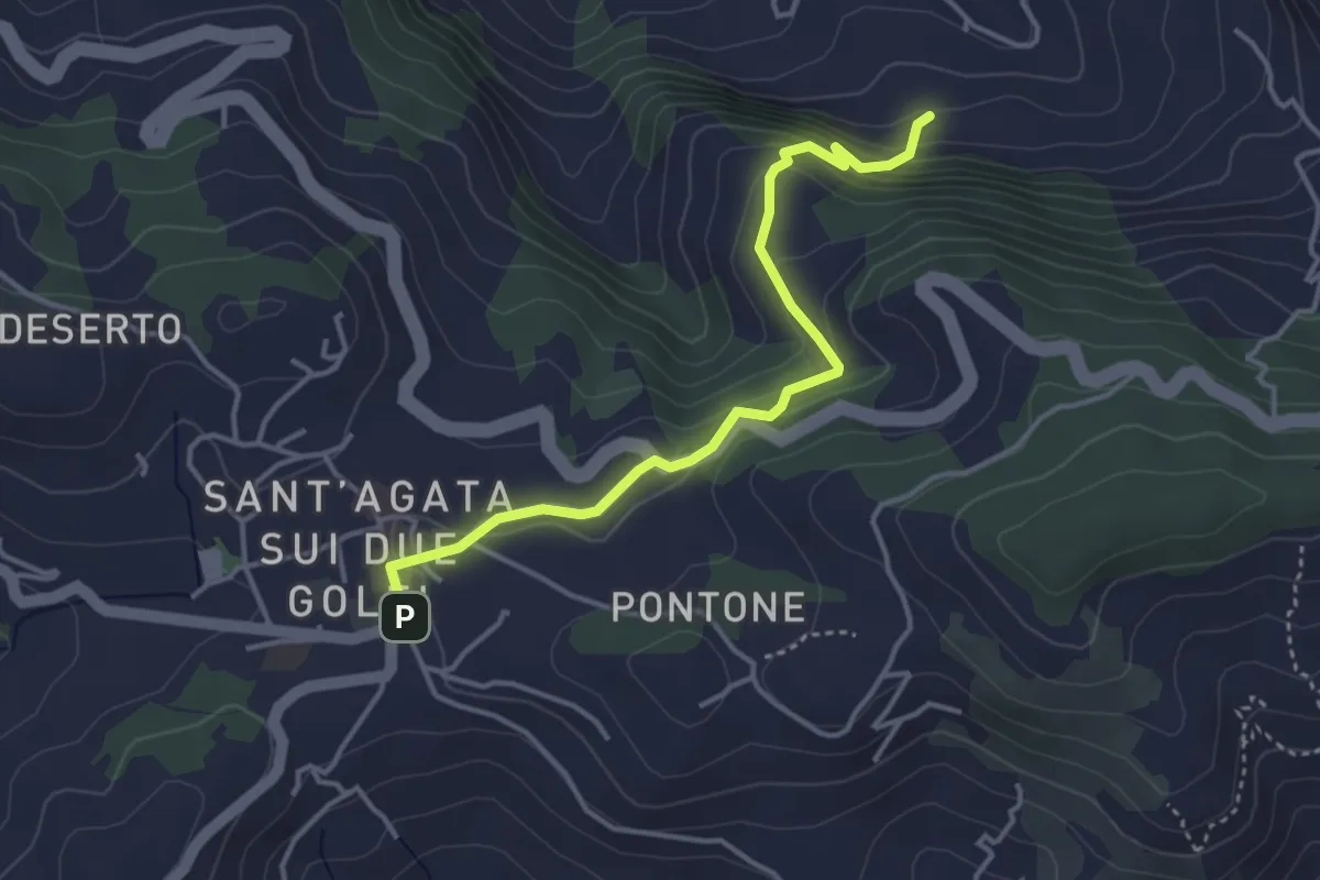
Easy · Trail
Itinerario 26
4.2 km · ↑ 246 m · 1 h 32 min
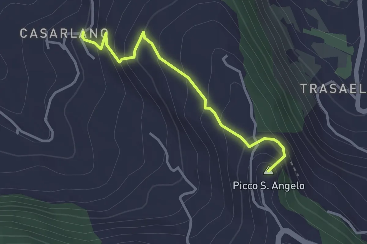
Easy · Summit
Itinerario 29
2.9 km · ↑ 258 m · 1 h 14 min
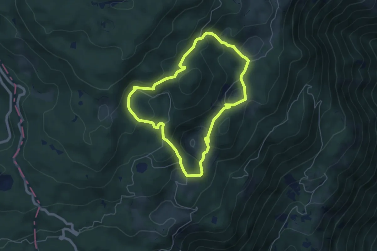
Medium · Summit
Itinerario 2 - Attorno al Col Major
4.9 km · ↑ 210 m · 1 h 40 min
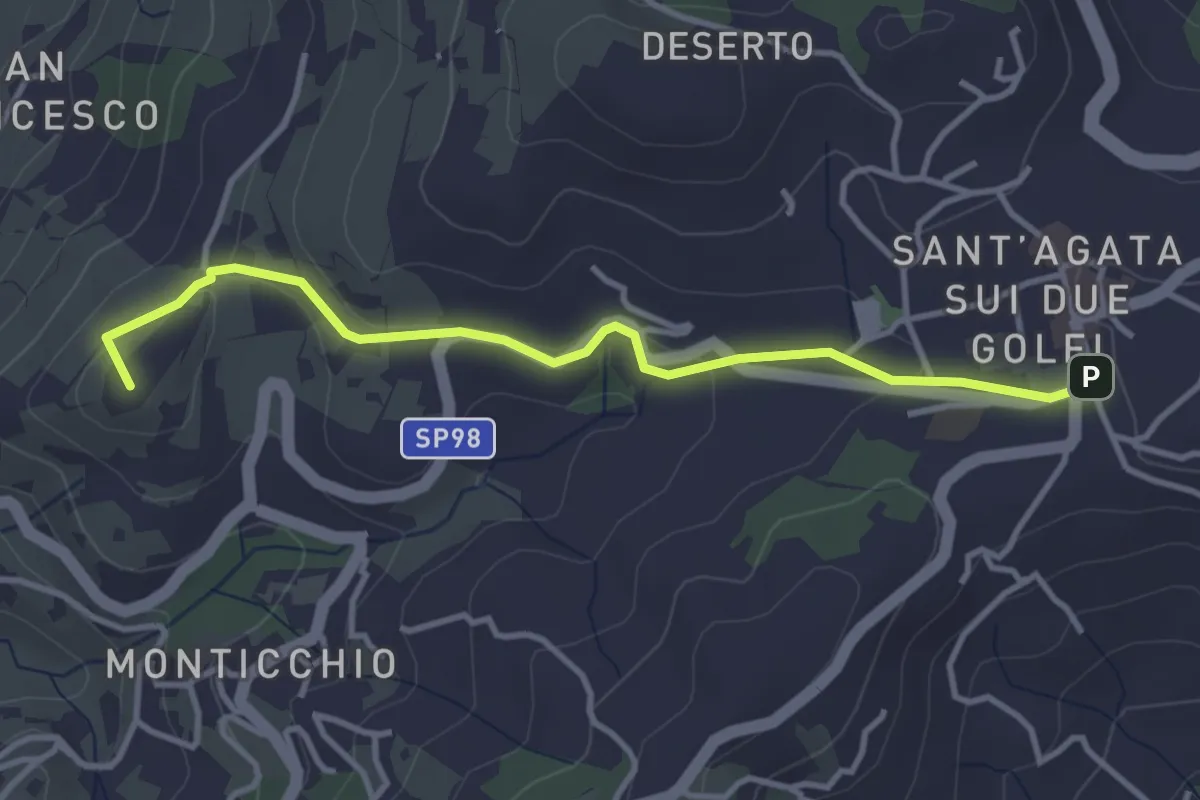
Easy · Summit
Itinerario 35
4.1 km · ↑ 94 m · 1 h 10 min
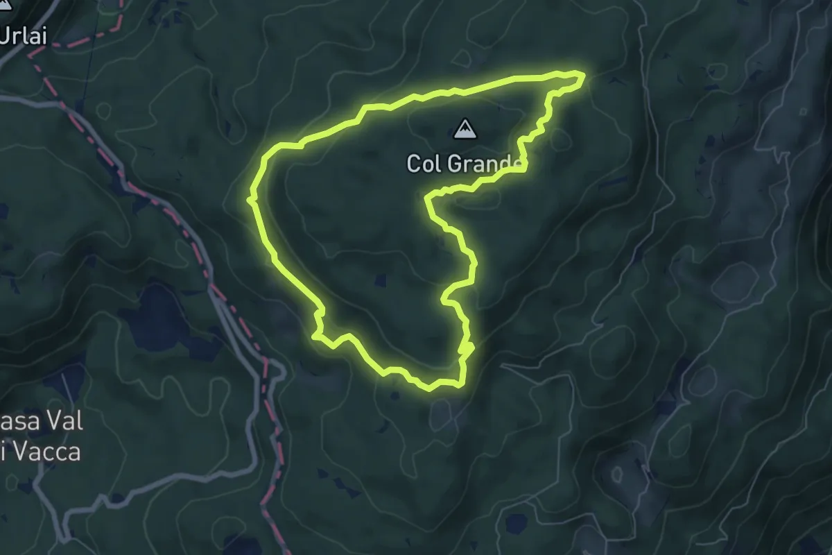
Medium · Summit
Itinerario 3 - Ai confini della Serenissima
6.7 km · ↑ 246 m · 2 h 12 min
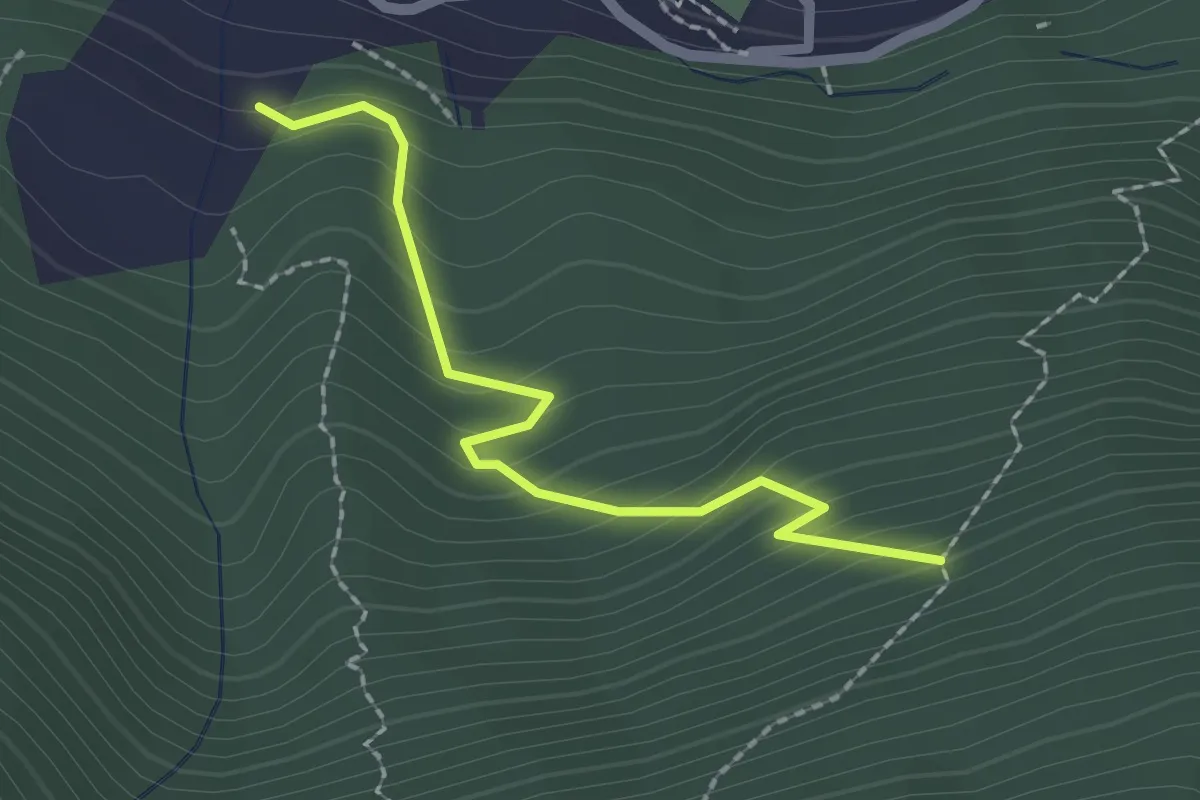
Medium · Trail
Itinerario 4A
2.0 km · ↑ 192 m · 54 min
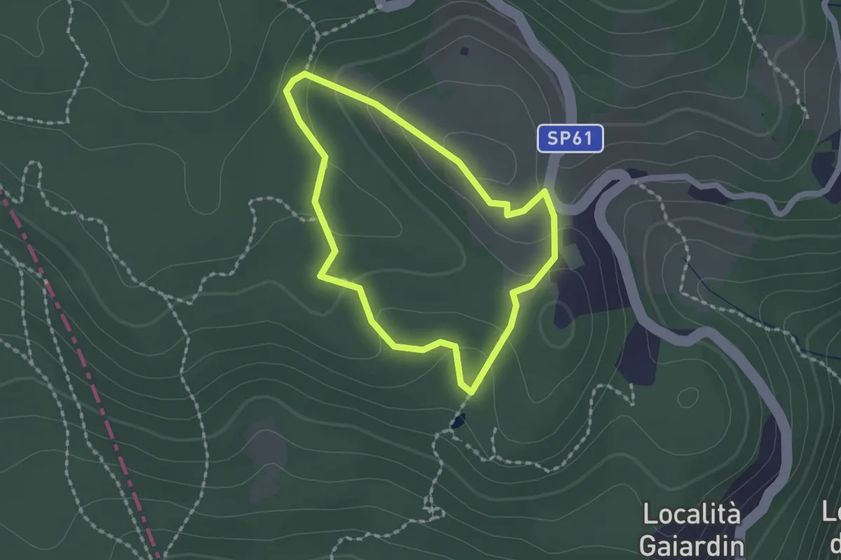
Easy · Trail
Itinerario 4 - Acqua preziosa
1.5 km · ↑ 53 m · 30 min
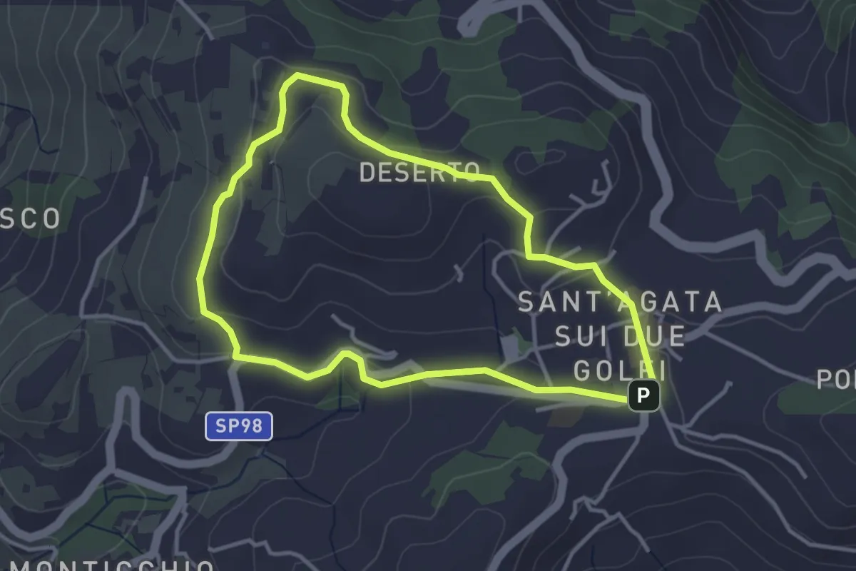
Easy · Summit
Itinerario 55
3.6 km · ↑ 89 m · 1 h 6 min
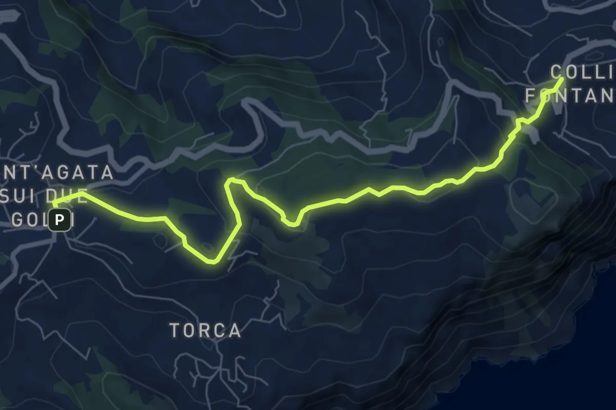
Medium · Trail
Itinerario 59
8.3 km · ↑ 297 m · 2 h 37 min
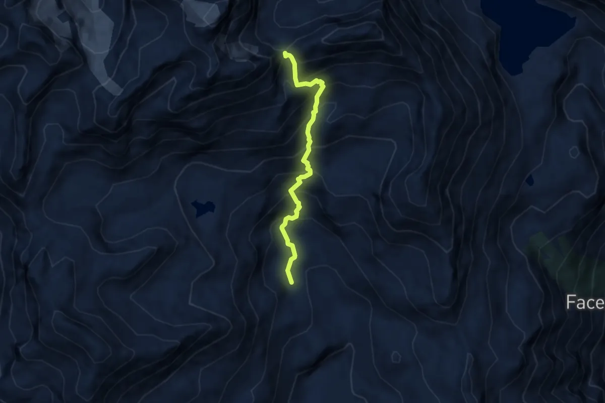
Demanding · Cabin
Itinerario 5 Bivacco Rivolta
6.4 km · ↑ 799 m · 3 h 14 min
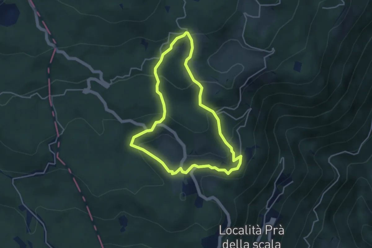
Medium · Trail
Itinerario 5 - Seguendo pascoli e masiere
3.4 km · ↑ 186 m · 1 h 16 min
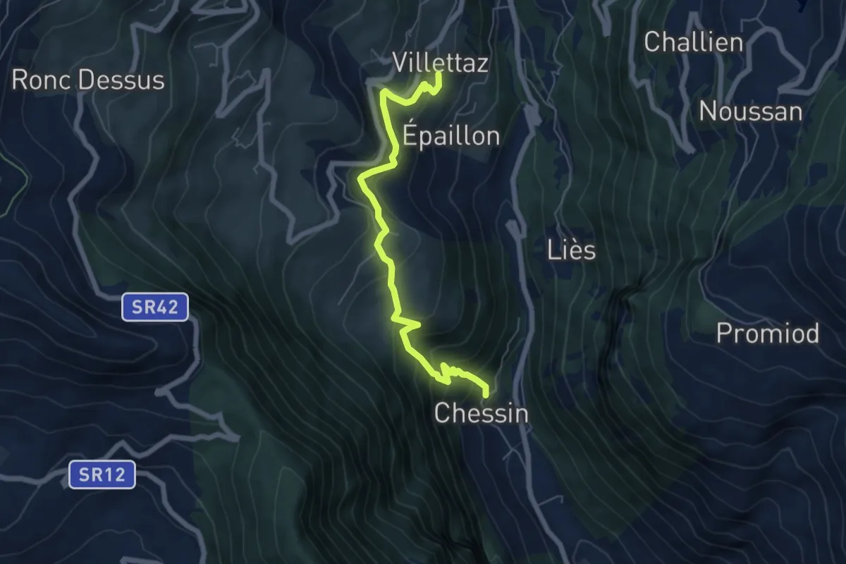
Medium · Trail
Itinerario 5 Villettaz Berzin Chessin
5.9 km · ↑ 496 m · 2 h 28 min
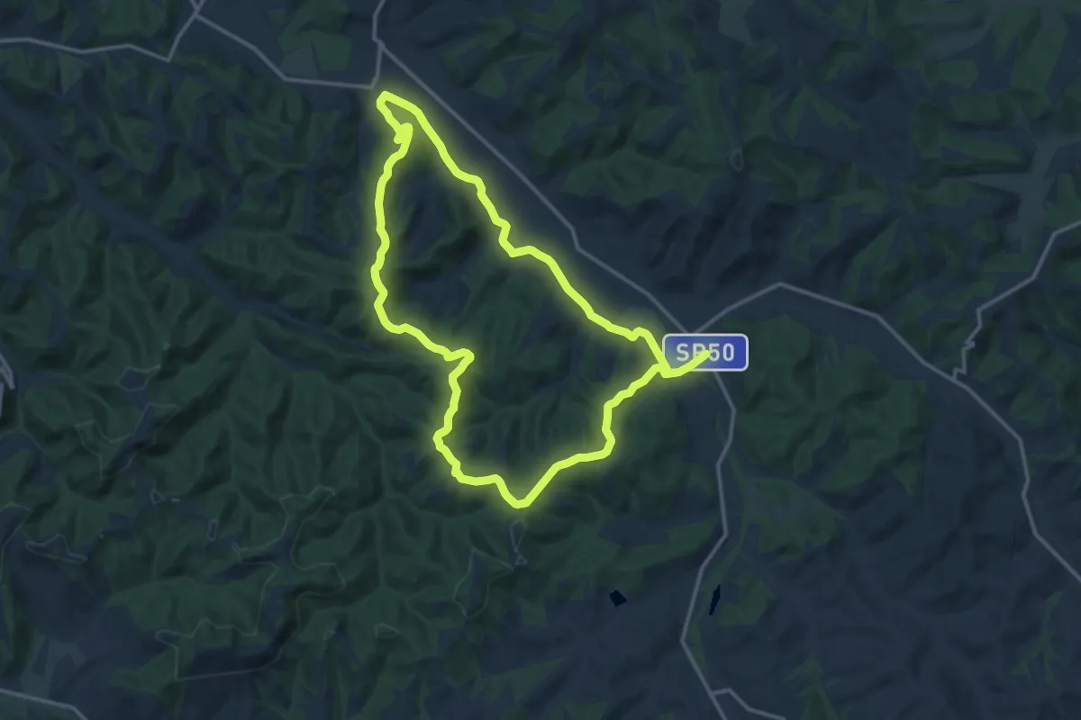
Medium · Trail
Itinerario 6 - Casastrada – Collegalli – Balconevisi – Casastrada
13.8 km · ↑ 290 m · 4 h 5 min