Trails in Italy
25,211 hiking trails, each with its route, climb, walking time and grade.
All trails, page 87 of 526
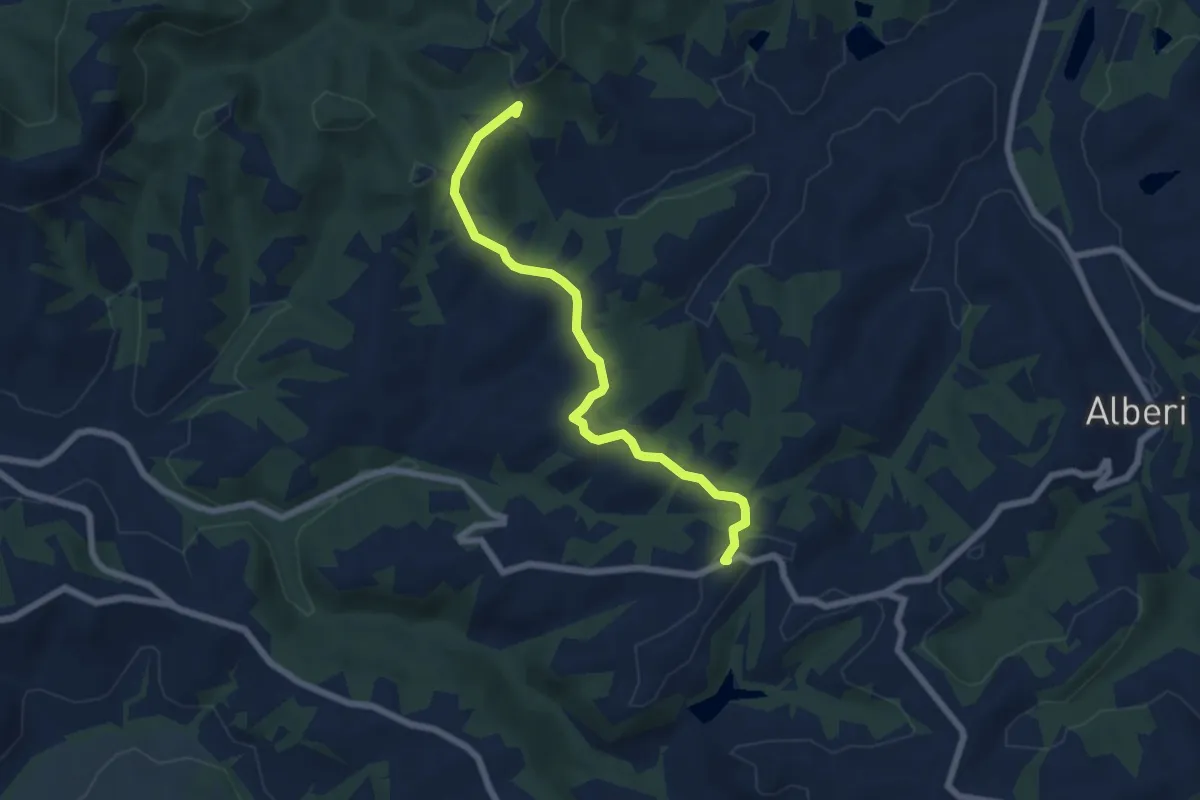
Easy · Summit
Itinerario 6 - Collegalli - Sughera
6.7 km · ↑ 119 m · 1 h 50 min
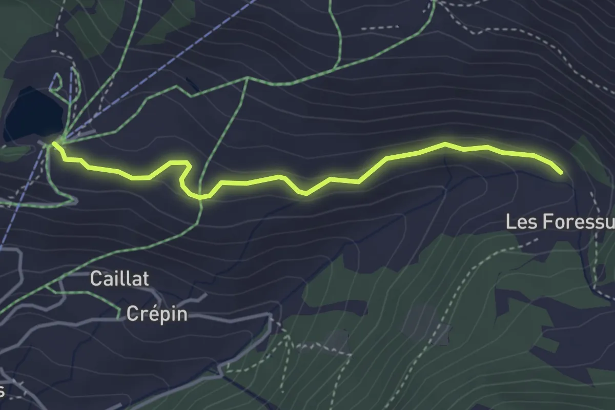
Easy · Trail
Itinerario 6 Ru des Novalles
3.5 km · ↑ 92 m · 1 h 1 min
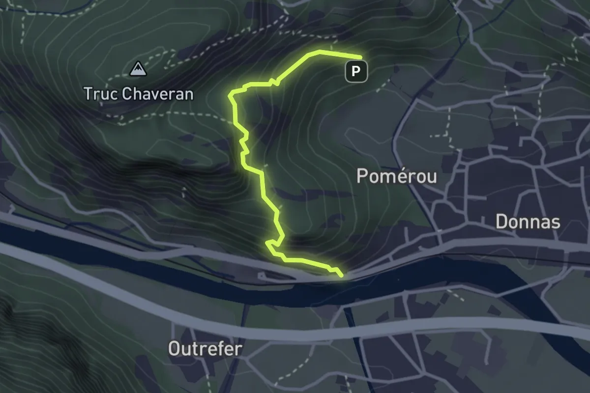
Medium · Trail
Itinerario 7 Bourg Préle
2.9 km · ↑ 381 m · 1 h 30 min
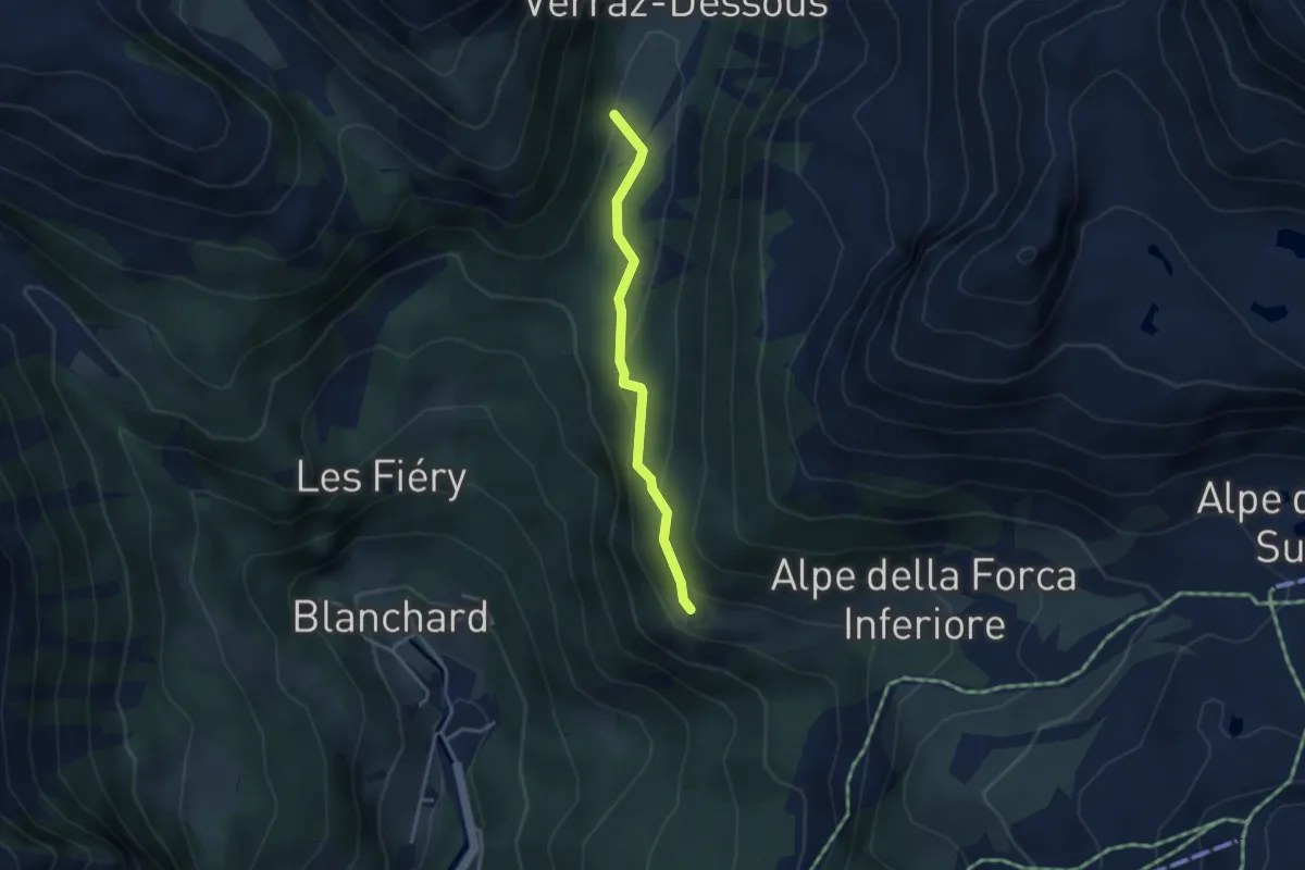
Medium · Cabin
Itinerario 8B Pian di Verra Inferiore - Résy
3.2 km · ↑ 176 m · 1 h 8 min
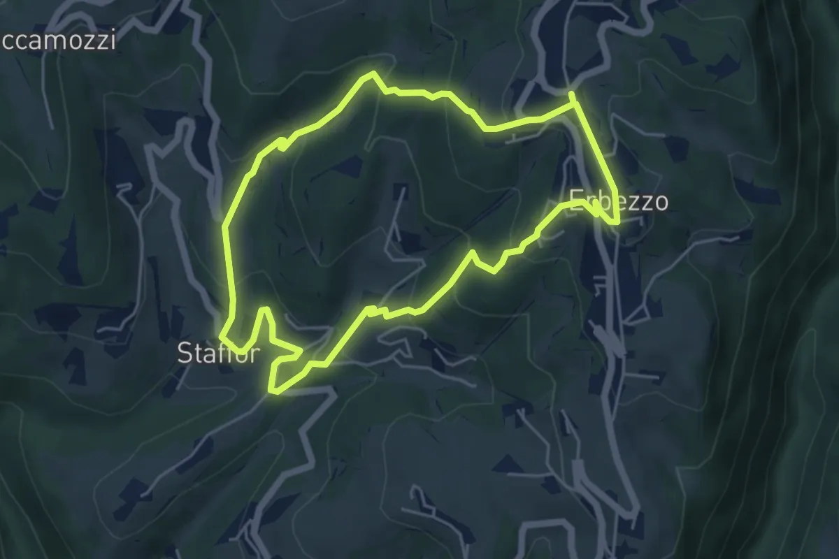
Medium · Trail
Itinerario Arancio
4.7 km · ↑ 275 m · 1 h 46 min
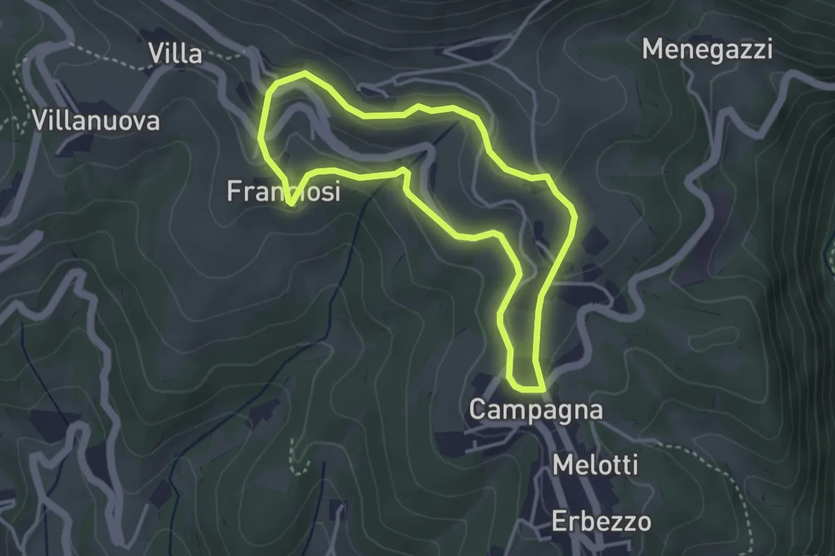
Medium · Trail
Itinerario Bianco-Azzurro
3.1 km · ↑ 94 m · 59 min
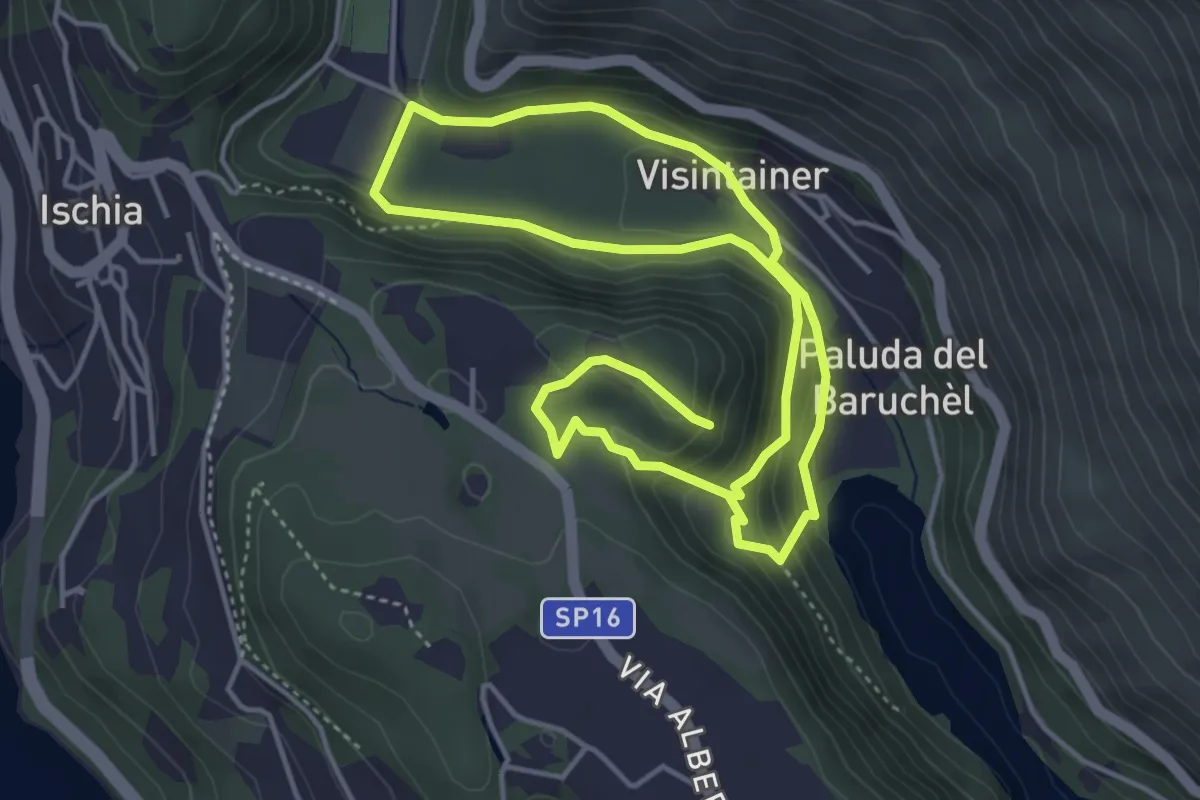
Easy · Trail
Itinerario Biotopo Pizé - Val de l'Orco
4.0 km · ↑ 199 m · 1 h 28 min
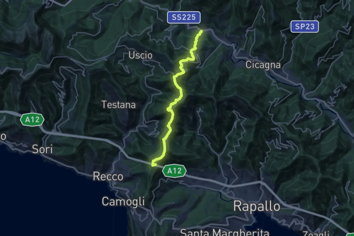
Demanding · Summit
Itinerario dei 2 Golfi
18.3 km · ↑ 1180 m · 6 h 52 min
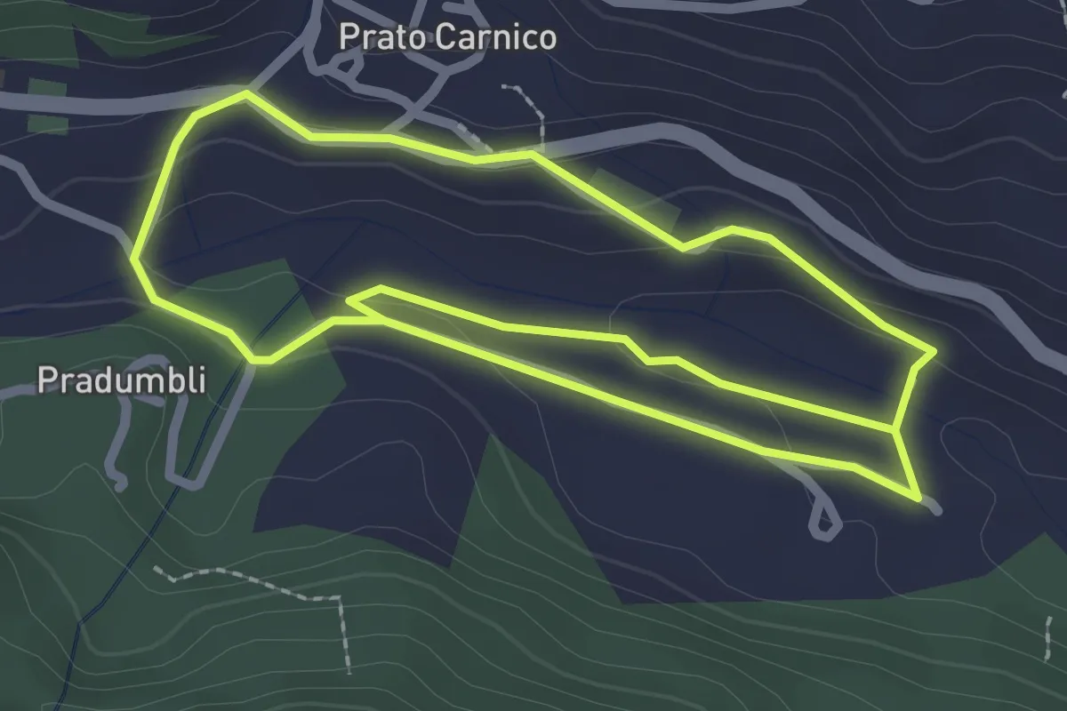
Easy · Trail
Itinerario dei ponti
4.7 km · ↑ 98 m · 1 h 20 min
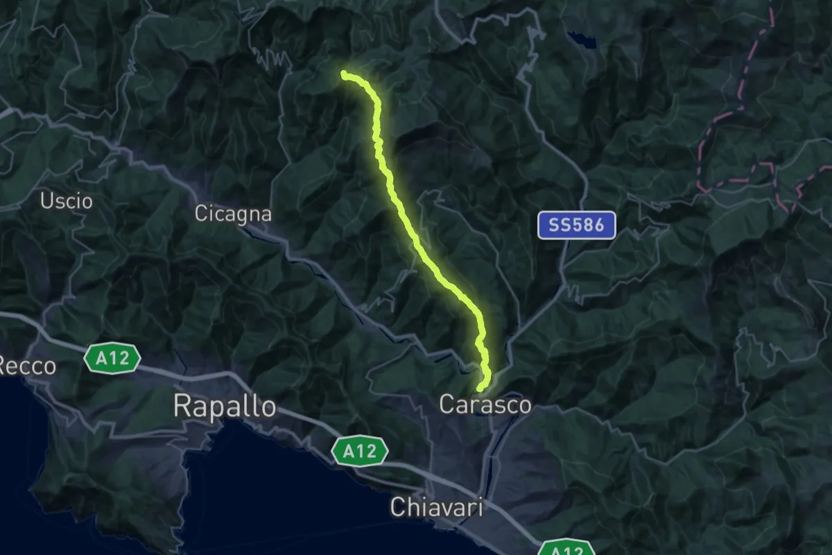
Demanding · Summit
Itinerario del 7 Passi
28.5 km · ↑ 1913 m · 10 h 53 min
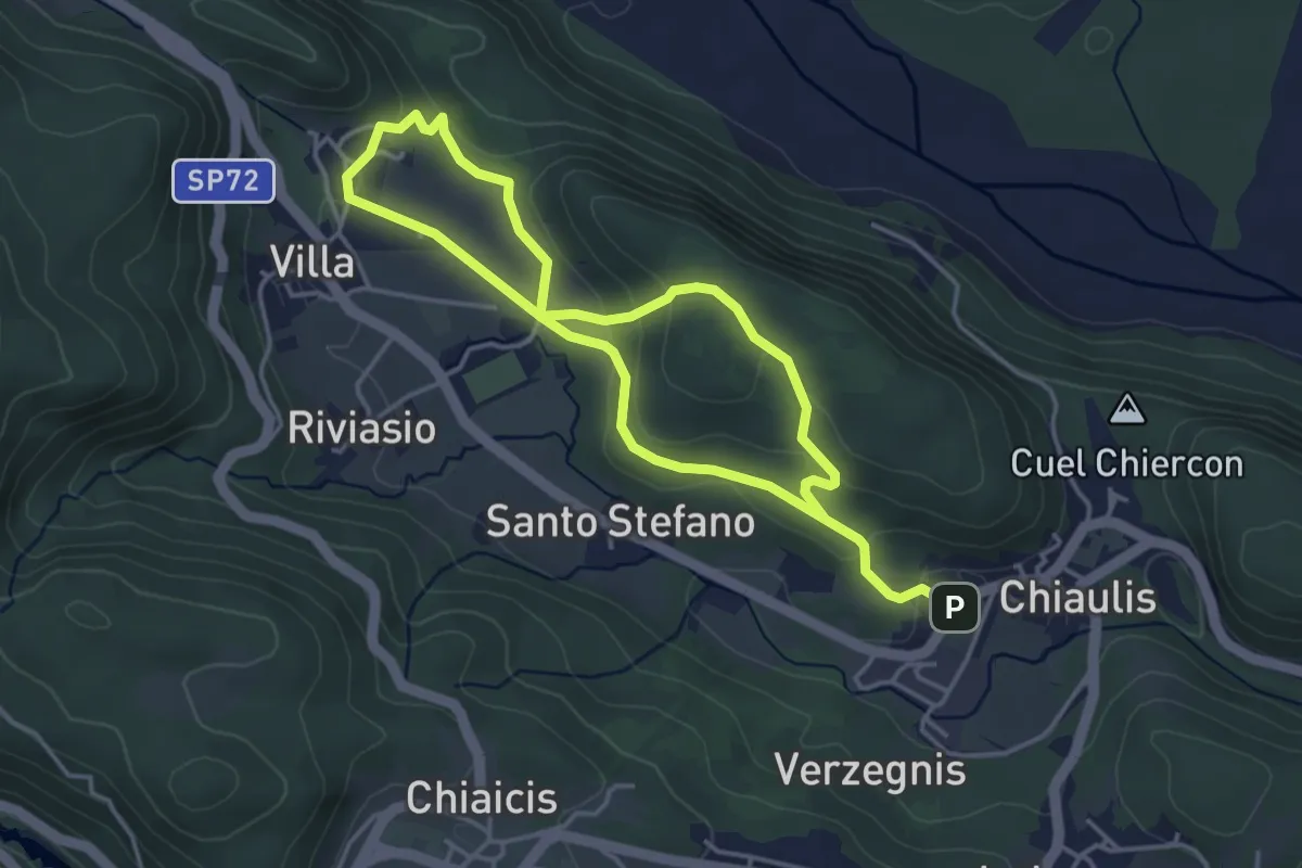
Easy · Trail
Itinerario del Colle Mazeit
6.8 km · ↑ 216 m · 2 h 5 min
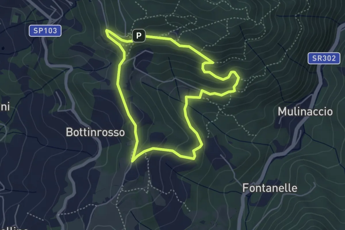
Easy · Trail
Itinerario delle Burraie
4.2 km · ↑ 171 m · 1 h 25 min
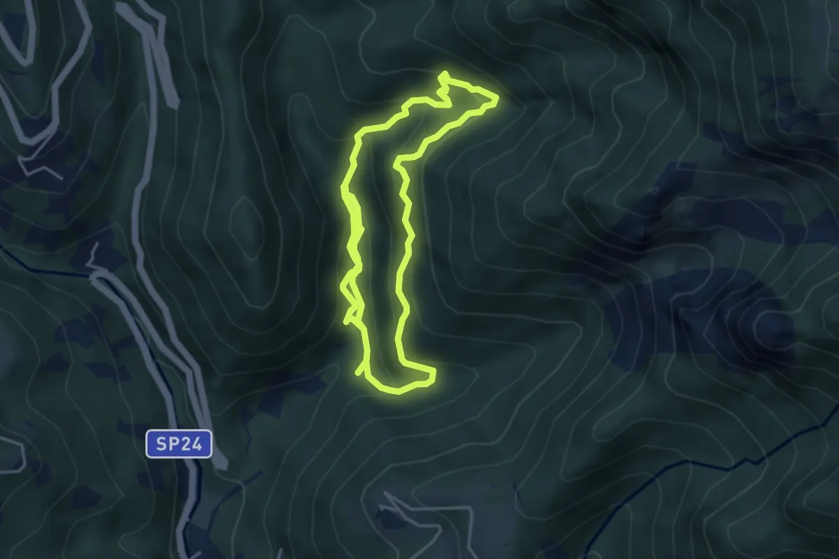
Medium · Trail
Itinerario delle Calchere
7.6 km · ↑ 589 m · 3 h 4 min
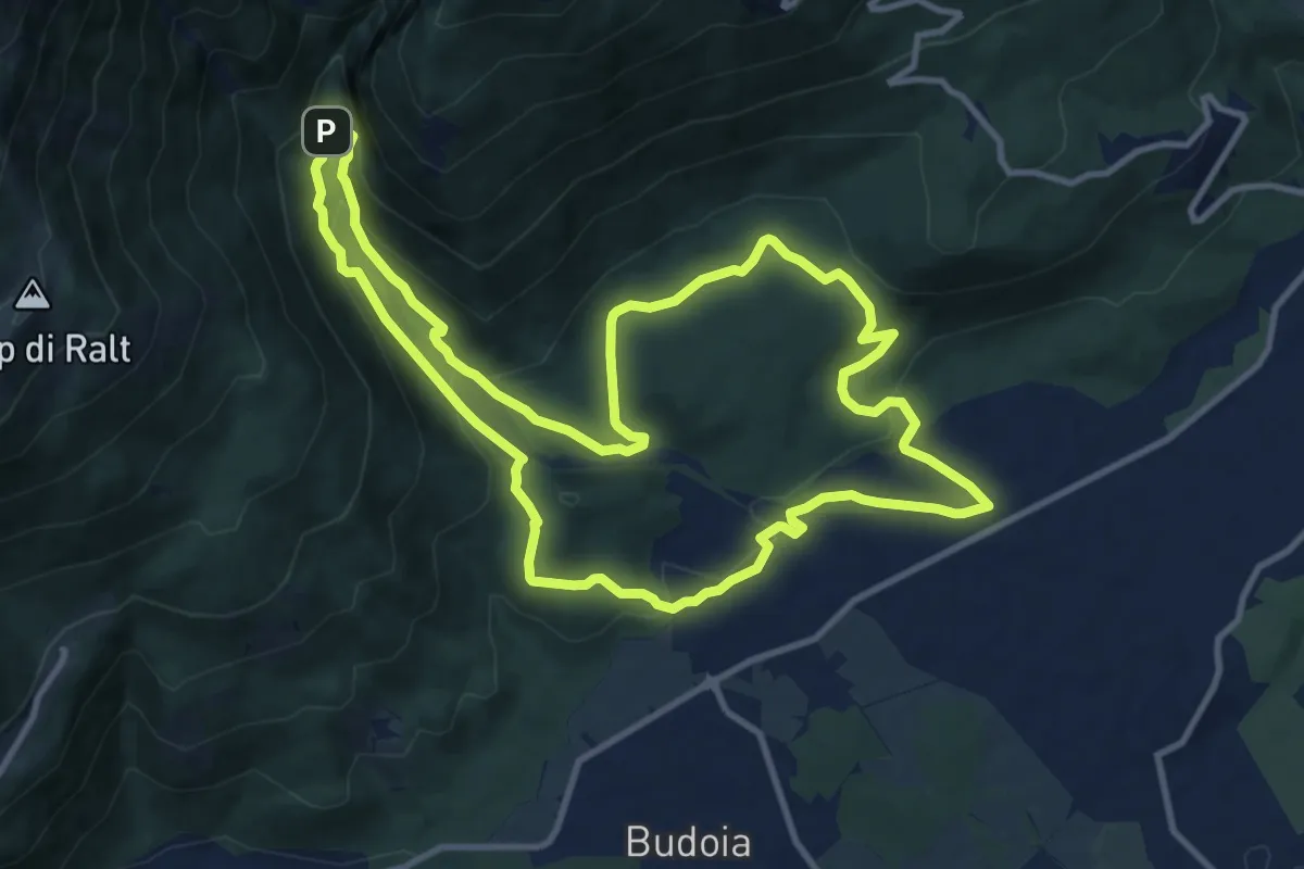
Medium · Summit
Itinerario del Torrente Artugna
11.6 km · ↑ 395 m · 3 h 45 min
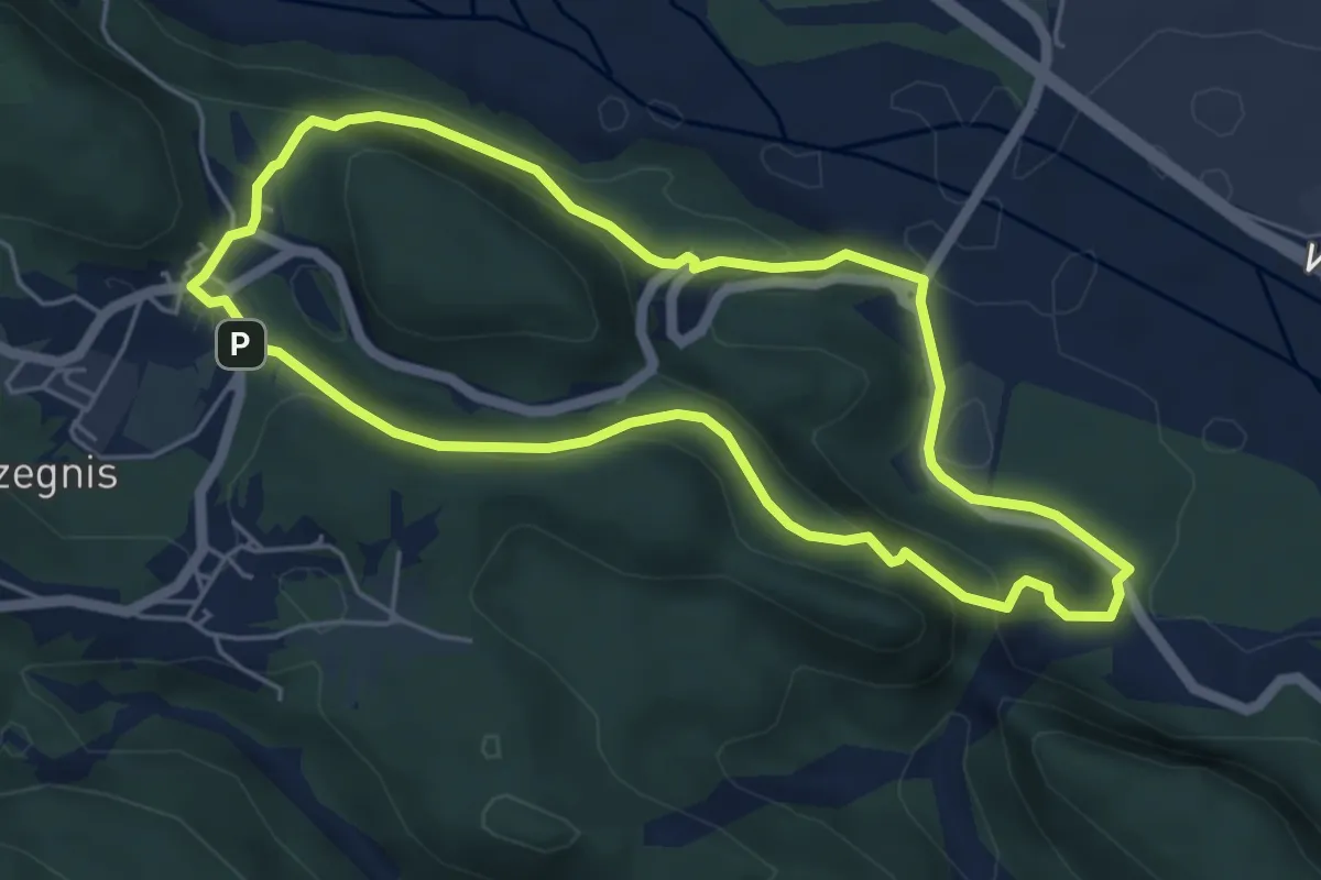
Easy · Summit
Itinerario di Selva
5.1 km · ↑ 204 m · 1 h 43 min
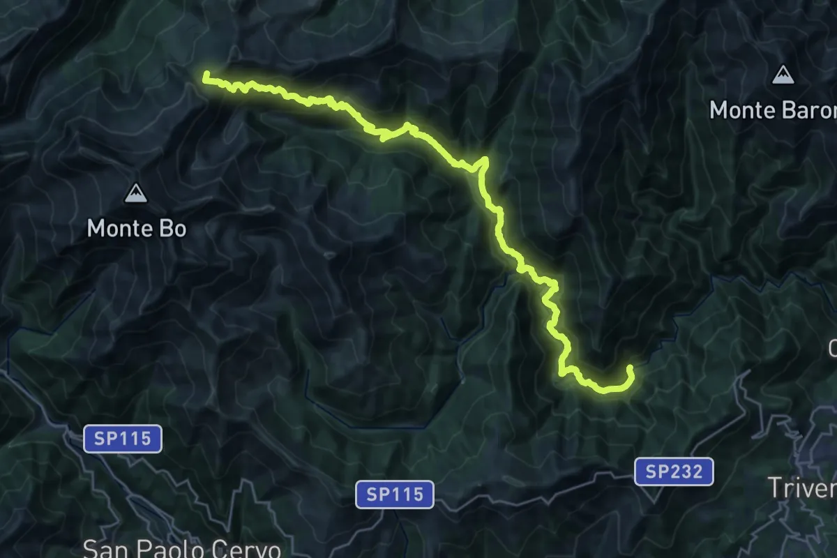
Demanding · Summit
Itinerario Dolciniano
30.3 km · ↑ 2272 m · 12 h 5 min
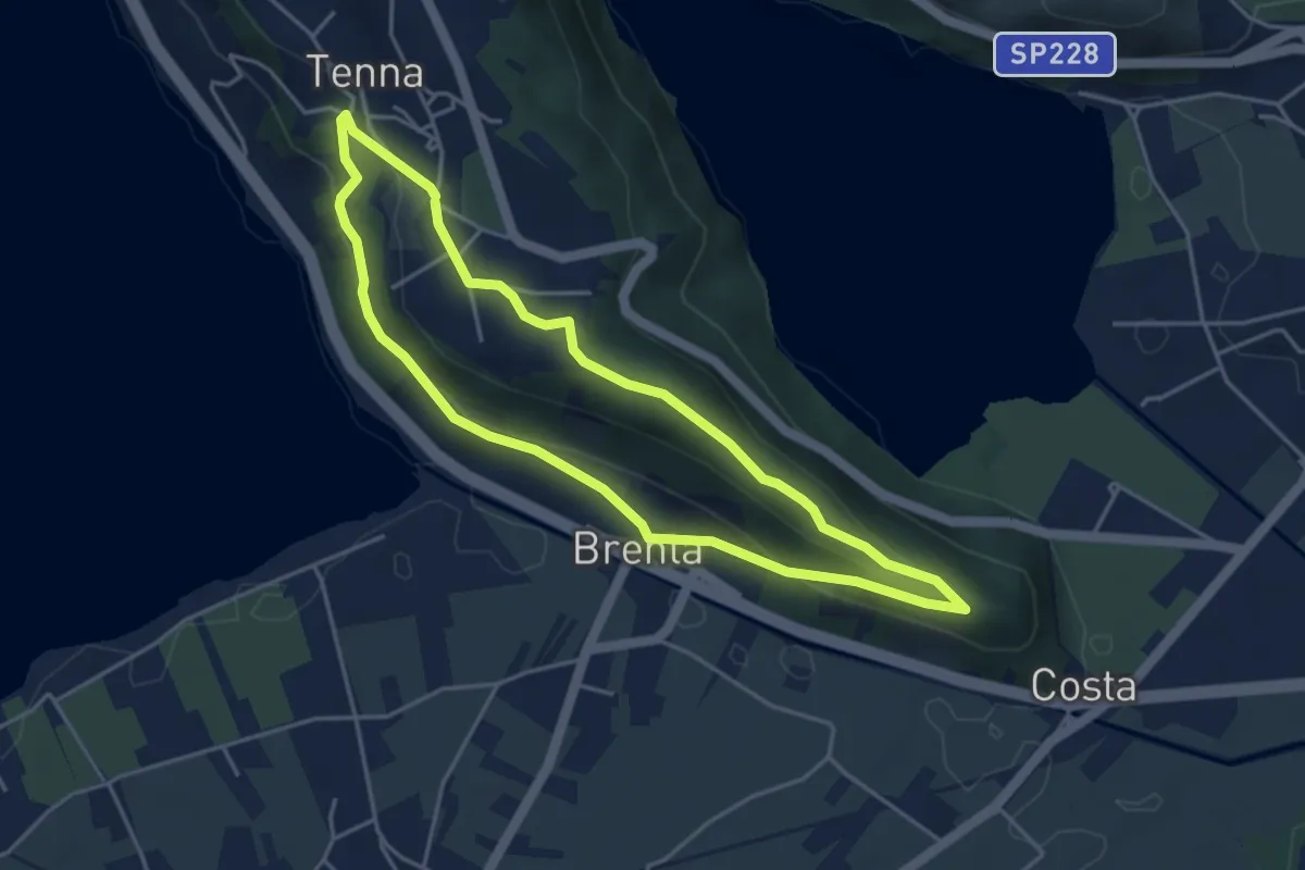
Easy · Trail
Itinerario Ex Forte - San Valentino
4.1 km · ↑ 121 m · 1 h 17 min
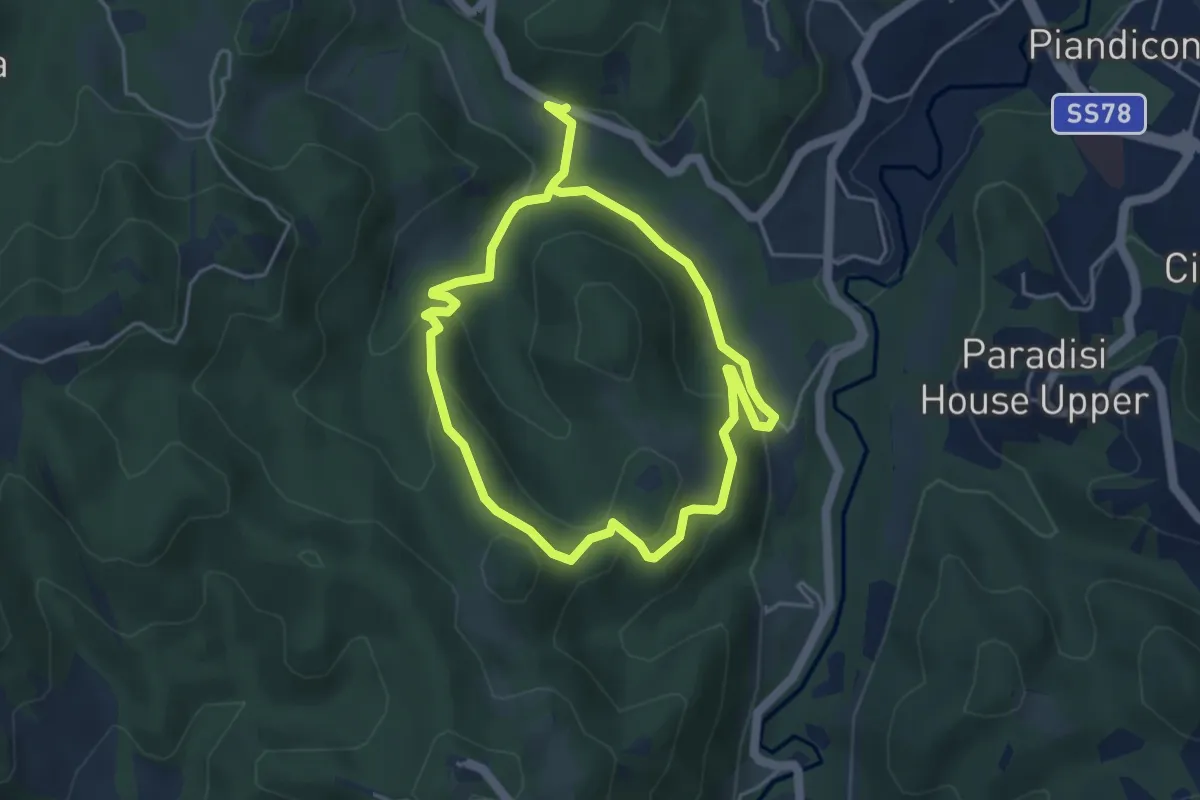
Easy · Trail
Itinerario fuoriporta 1 - Moscosa
4.1 km · ↑ 164 m · 1 h 22 min
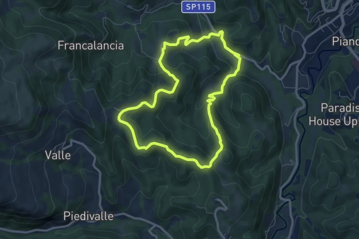
Easy · Trail
Itinerario fuoriporta 2 - Moglietta
6.6 km · ↑ 290 m · 2 h 16 min
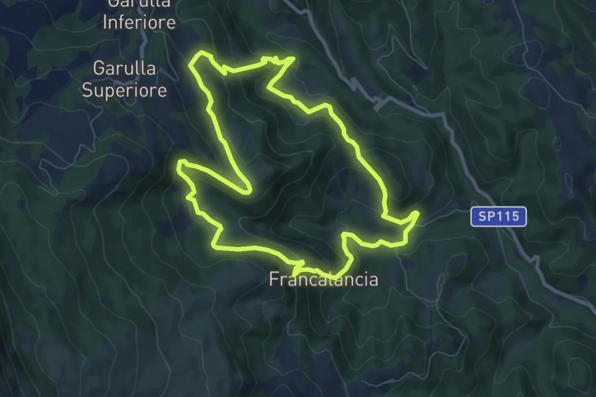
Medium · Trail
Itinerario fuoriporta 3 - Beato Antonio
8.2 km · ↑ 492 m · 3 h 7 min
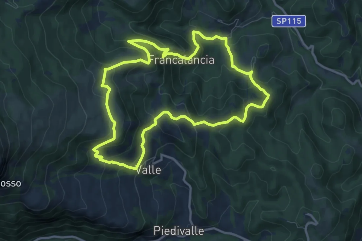
Medium · Summit
Itinerario fuoriporta 4 - Capovalle
8.5 km · ↑ 503 m · 3 h 13 min
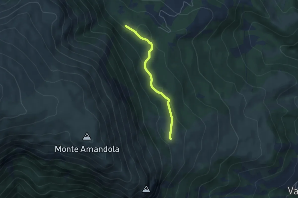
Medium · Cabin
Itinerario fuoriporta 5 - Valle Caprina
3.6 km · ↑ 130 m · 1 h 8 min
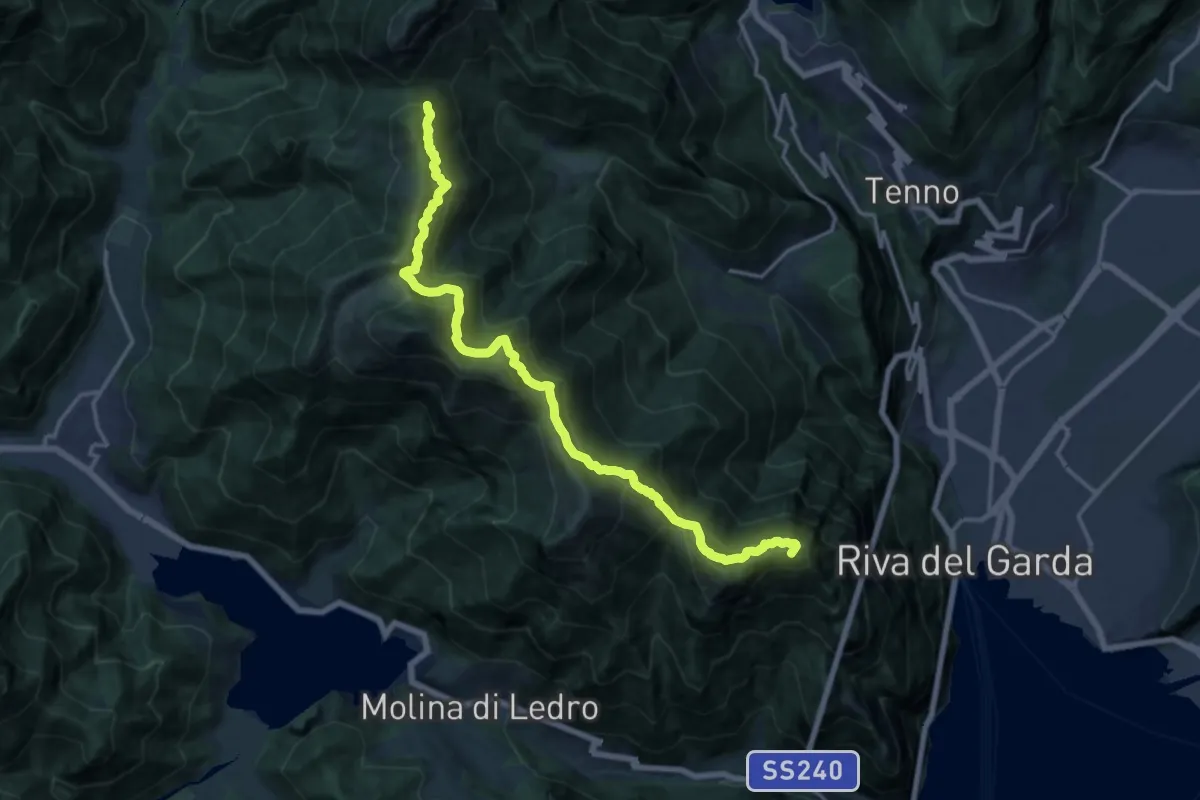
Expert · Summit
Itinerario Garda Brenta - Tappa 1
16.8 km · ↑ 1373 m · 6 h 57 min
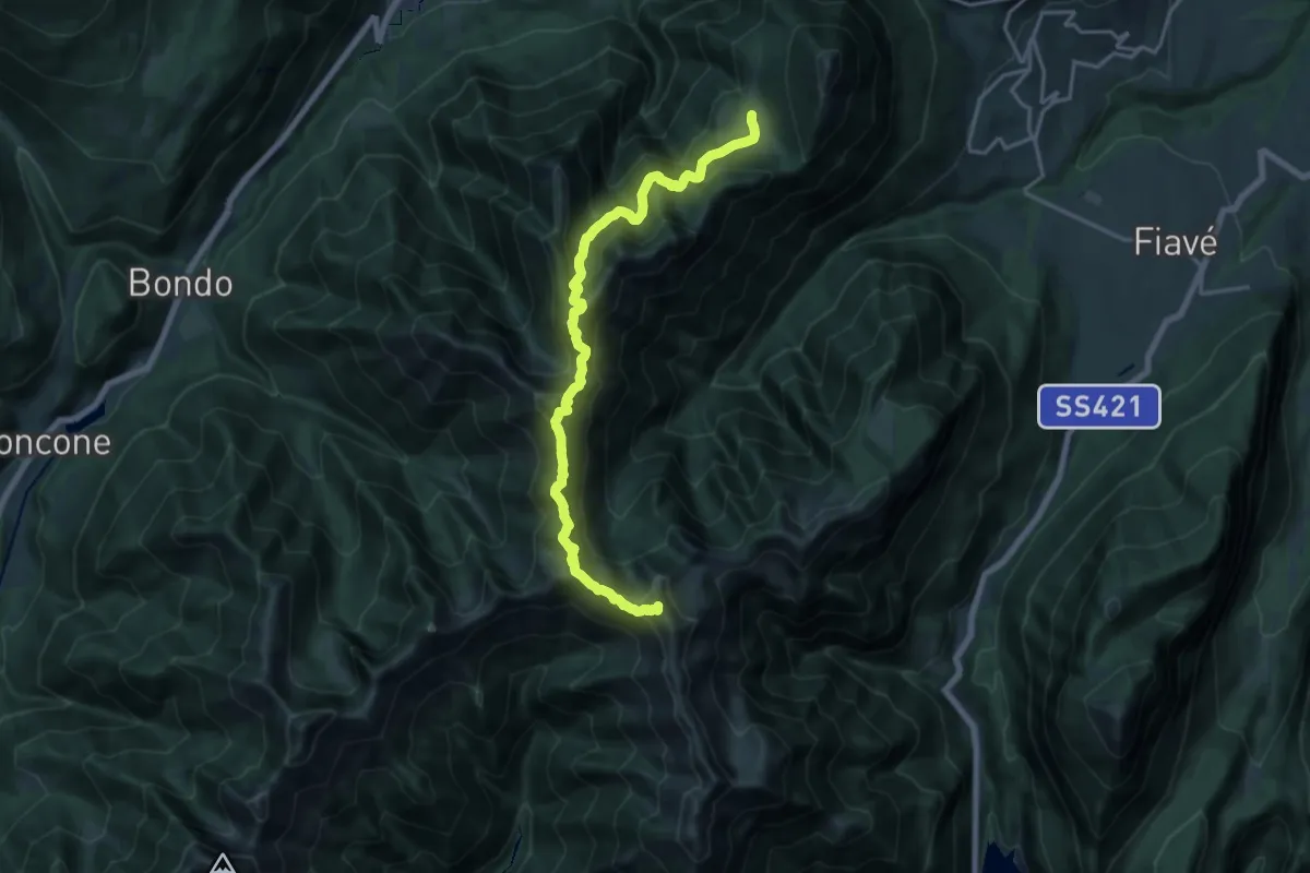
Demanding · Summit
Itinerario Garda Brenta - Tappa 2
18.2 km · ↑ 1622 m · 7 h 49 min
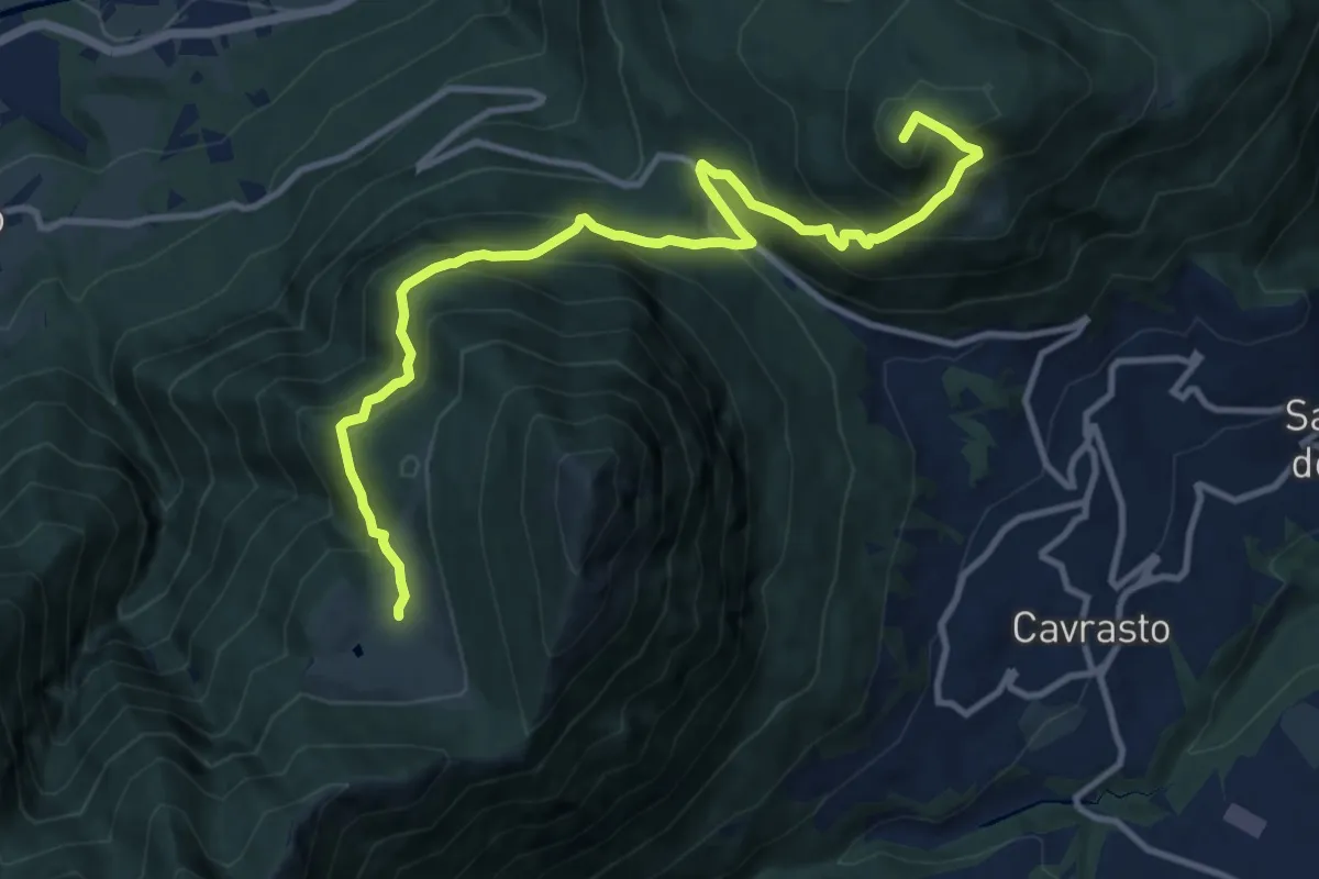
Demanding · Summit
Itinerario Garda Brenta - Tappa 3
12.5 km · ↑ 974 m · 5 h 4 min
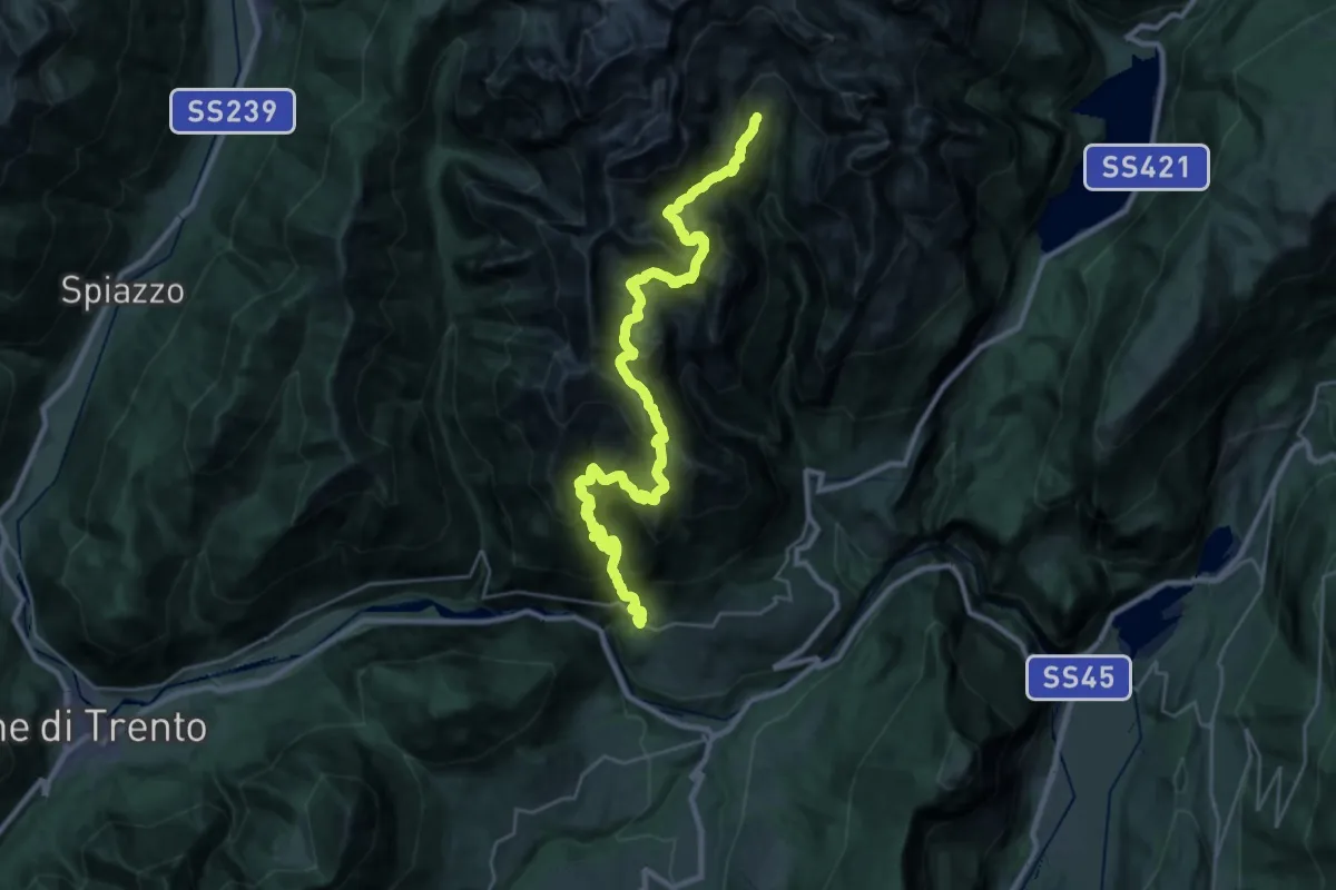
Demanding · Cabin
Itinerario Garda Brenta - Tappa 4
16.8 km · ↑ 2105 m · 8 h 10 min
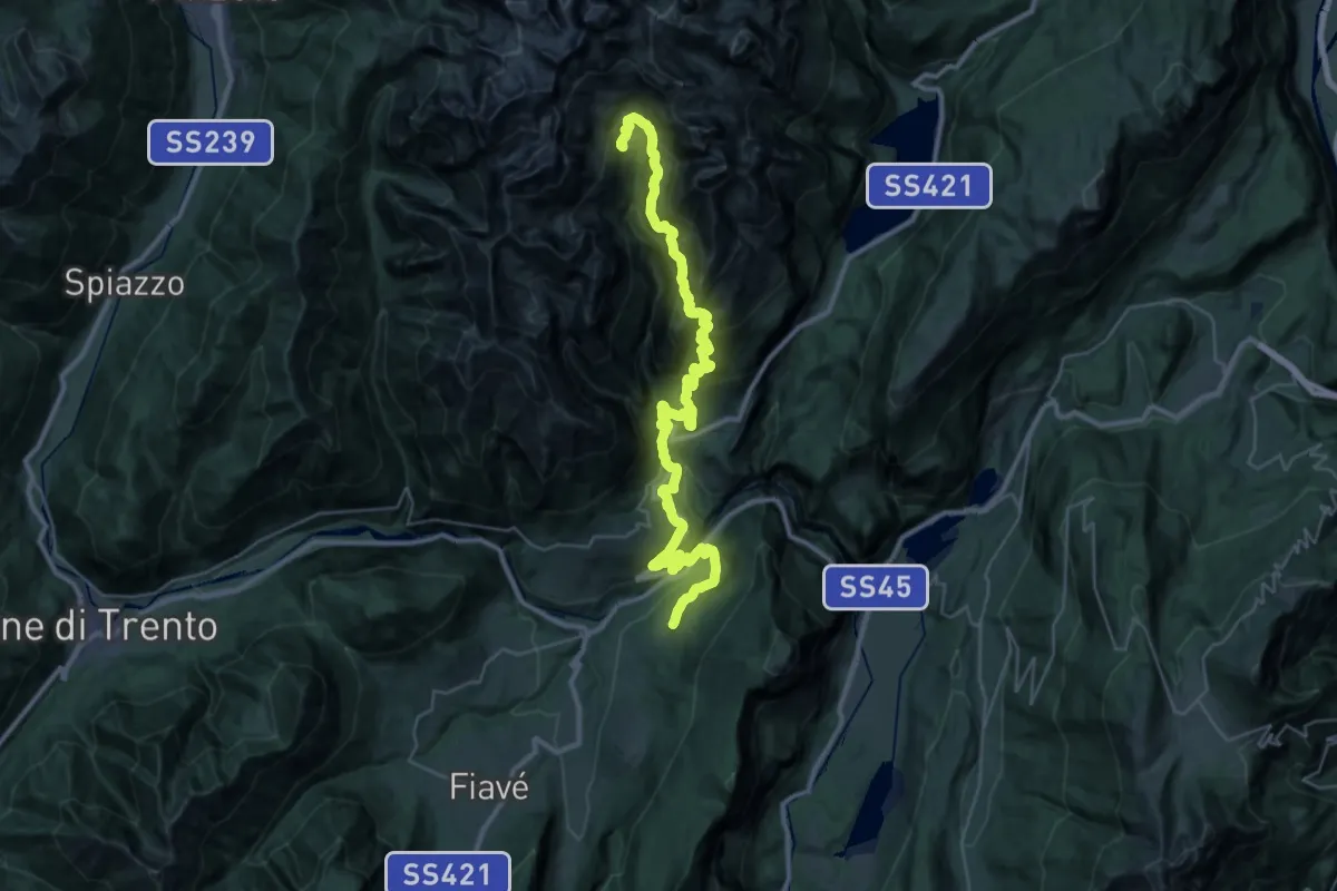
Demanding · Cabin
Itinerario Garda Brenta - Tappa 5
21.0 km · ↑ 2050 m · 9 h 6 min
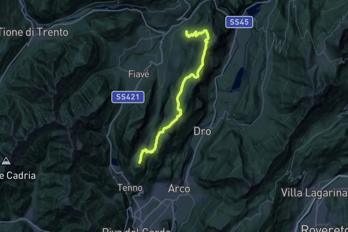
Demanding · Summit
Itinerario Garda Brenta - Tappa 6
37.8 km · ↑ 2171 m · 13 h 38 min
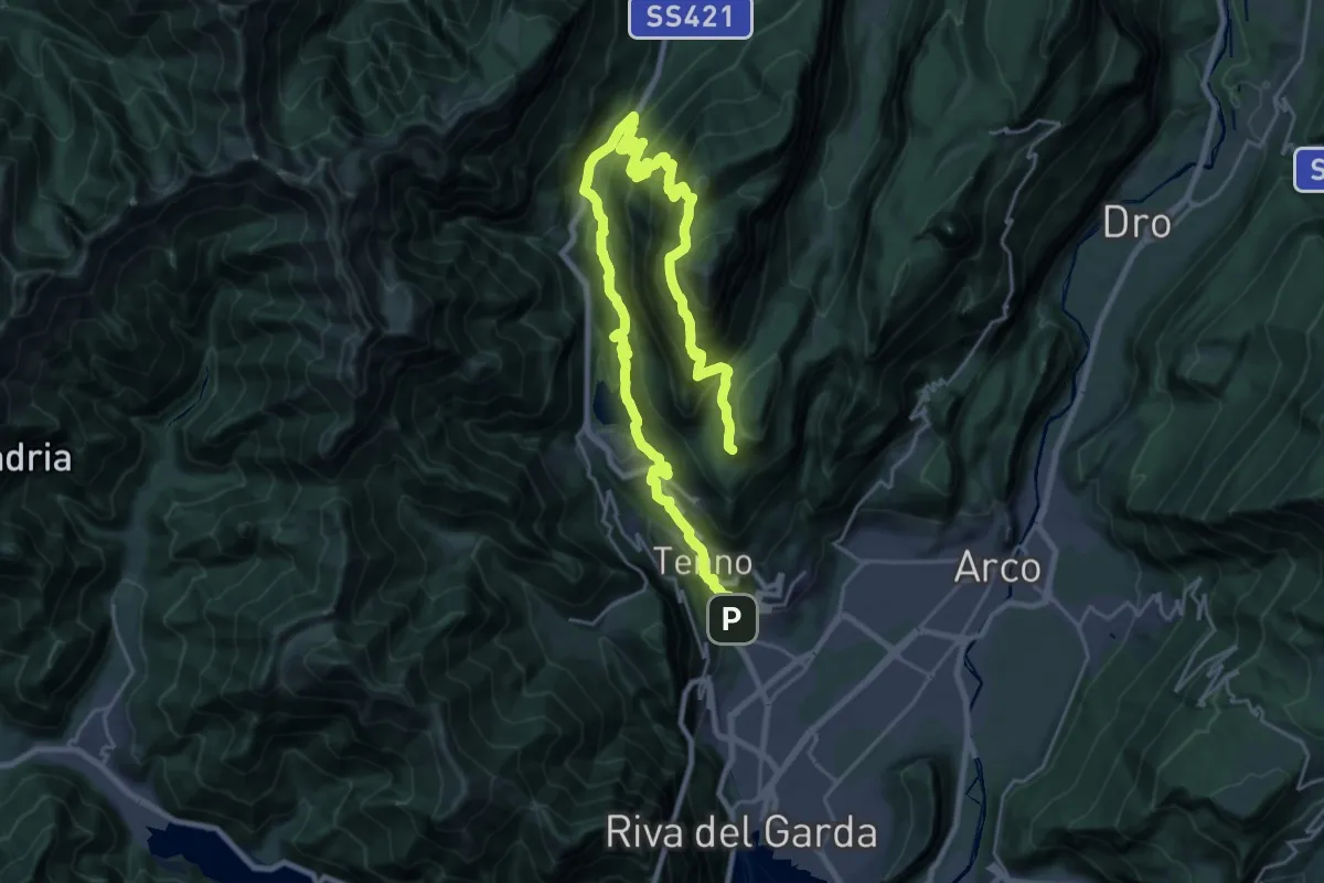
Demanding · Cabin
Itinerario Garda Brenta - Tappa 7
18.1 km · ↑ 1674 m · 7 h 45 min
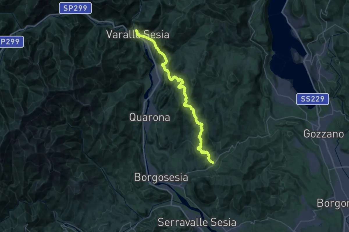
Medium · Trail
Itinerario Gaudenziano
17.1 km · ↑ 694 m · 5 h 45 min
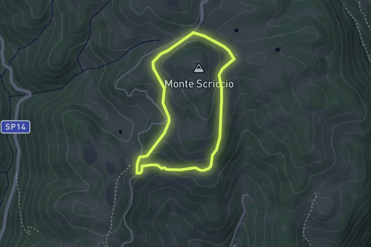
Medium · Summit
Itinerario giallo
2.9 km · ↑ 122 m · 59 min
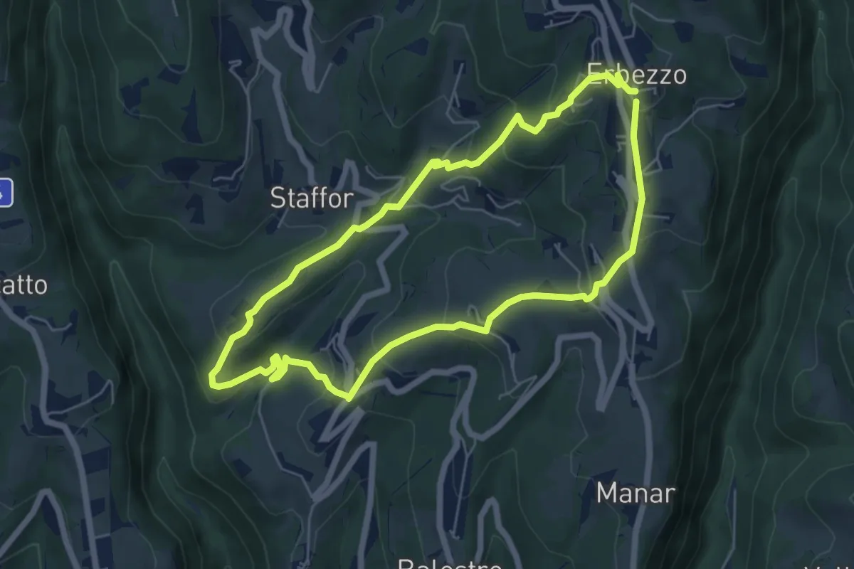
Medium · Trail
Itinerario Giallo
5.5 km · ↑ 319 m · 2 h 4 min
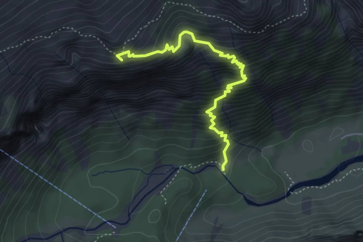
Medium · Summit
Itinerario glaciologico Vigilio Marchetti - Tappa 1
4.2 km · ↑ 595 m · 2 h 17 min
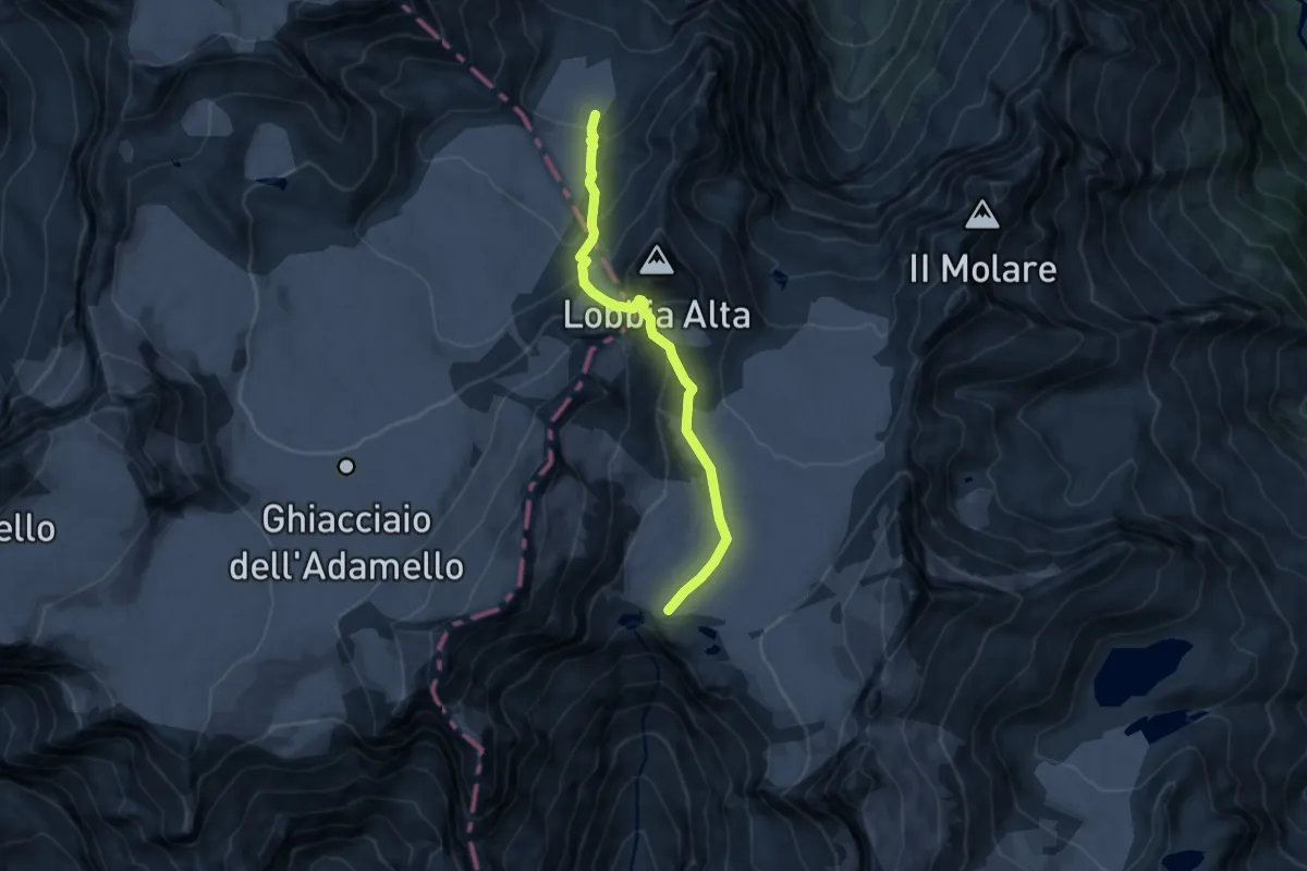
Expert · Trail
Itinerario glaciologico Vigilio Marchetti - Tappa 2
9.2 km · ↑ 517 m · 3 h 18 min
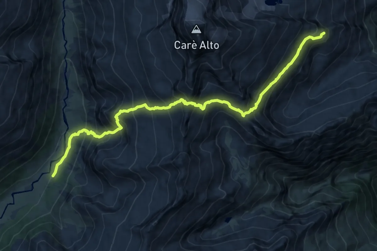
Expert · Cabin
Itinerario glaciologico Vigilio Marchetti - Tappa 3
15.0 km · ↑ 1570 m · 6 h 57 min
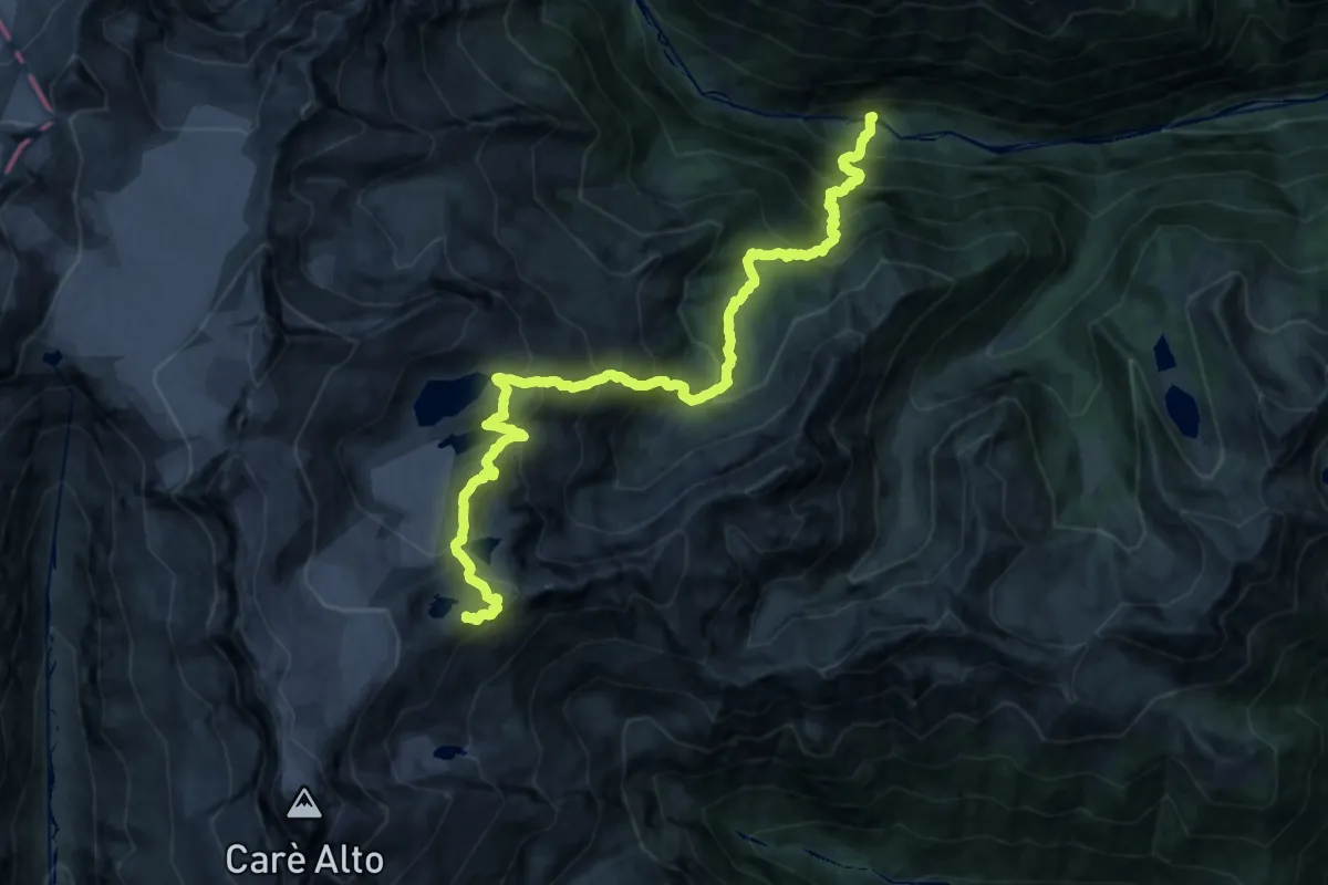
Expert · Summit
Itinerario glaciologico Vigilio Marchetti - Tappa 4
21.0 km · ↑ 2032 m · 9 h 21 min
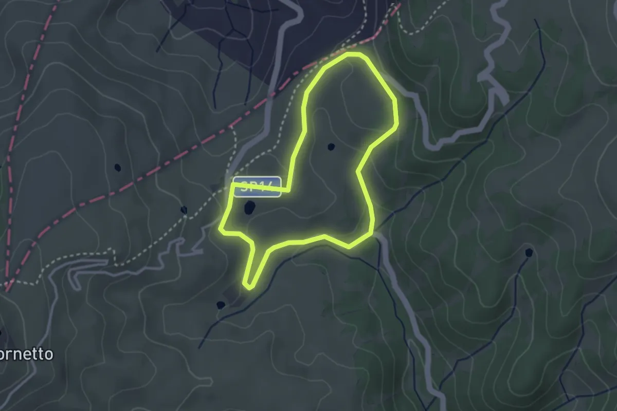
Easy · Trail
Itinerario Magenta
2.7 km · ↑ 66 m · 49 min
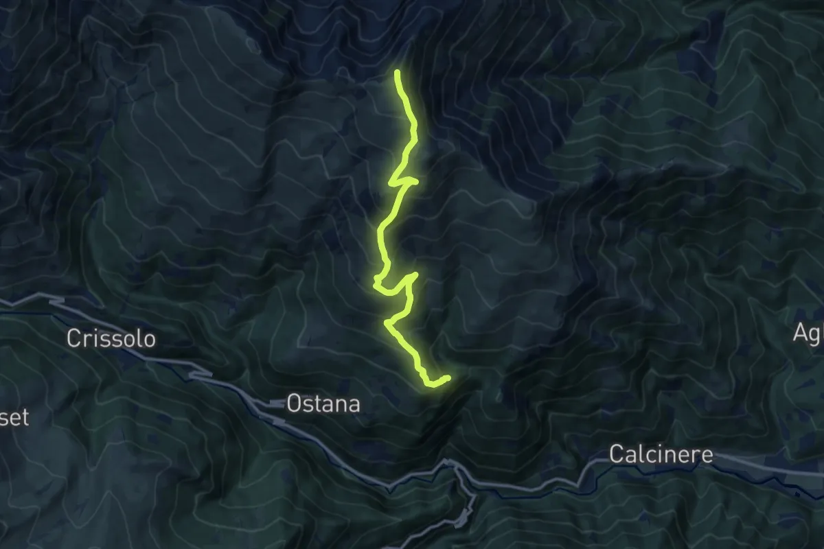
Demanding · Summit
Itinerario Meire Durandini - Punta Ostanetta
11.1 km · ↑ 900 m · 4 h 35 min
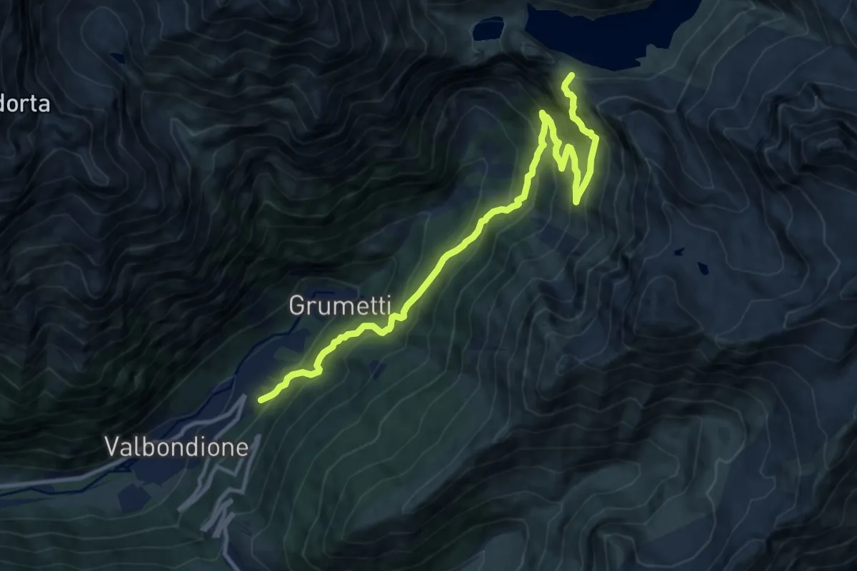
Demanding · Cabin
Itinerario Naturalistico Antonio Curò - Tappa 1
12.6 km · ↑ 1249 m · 5 h 41 min
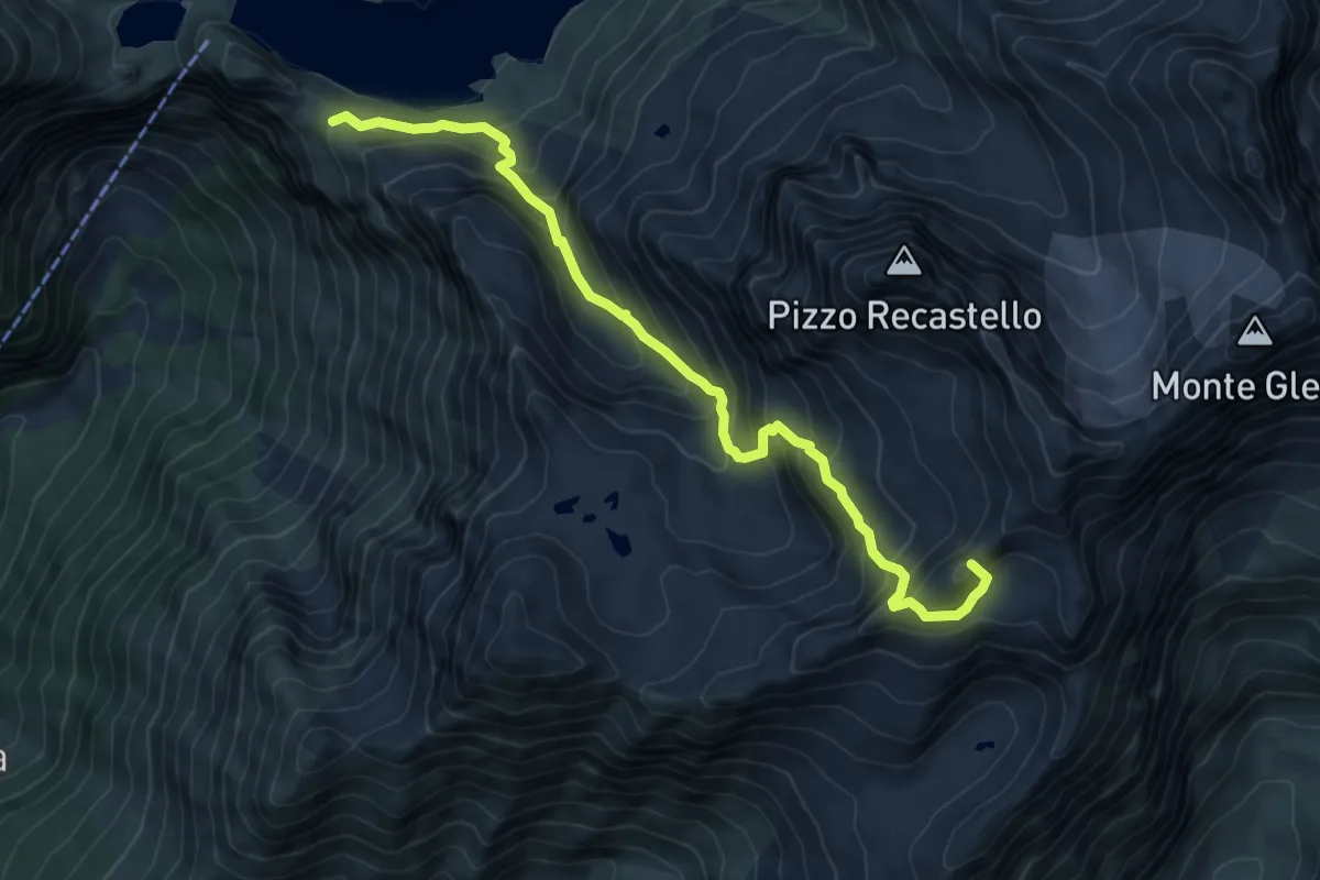
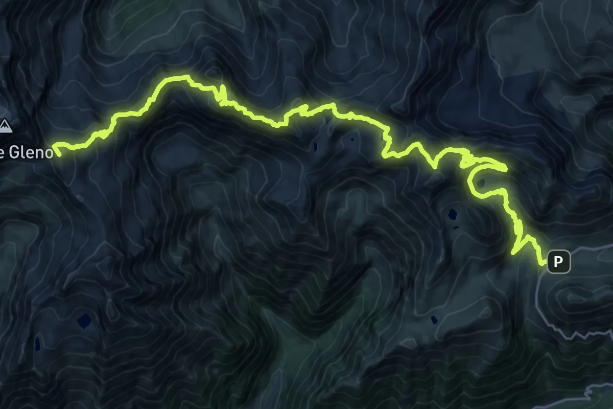
Expert · Summit
Itinerario Naturalistico Antonio Curò - Tappa 2
8.1 km · ↑ 901 m · 3 h 52 min
Demanding · Summit
Itinerario Naturalistico Antonio Curò - Tappa 3
30.5 km · ↑ 2098 m · 11 h 45 min
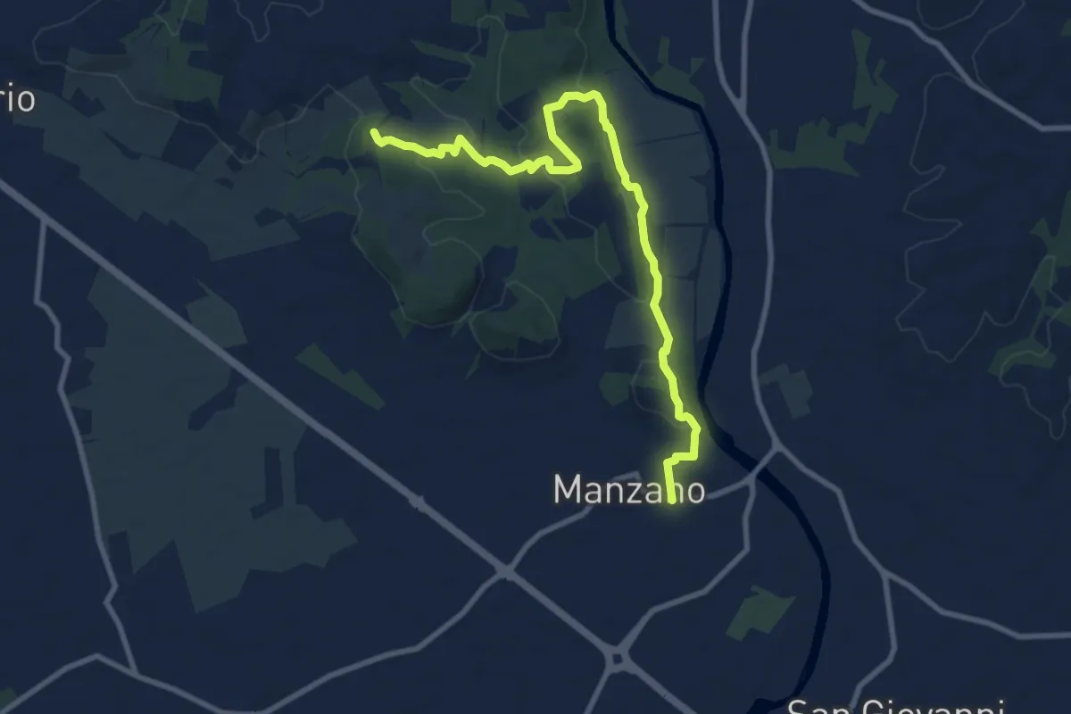
Medium · Trail
Itinerario Naturalistico della Sdricca
9.8 km · ↑ 174 m · 2 h 41 min
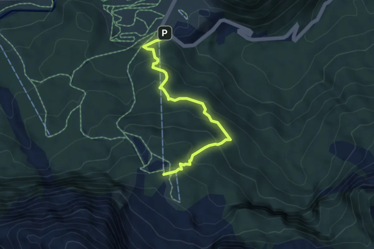
Medium · Cabin
Itinerario naturalistico Longrone
4.5 km · ↑ 398 m · 1 h 56 min
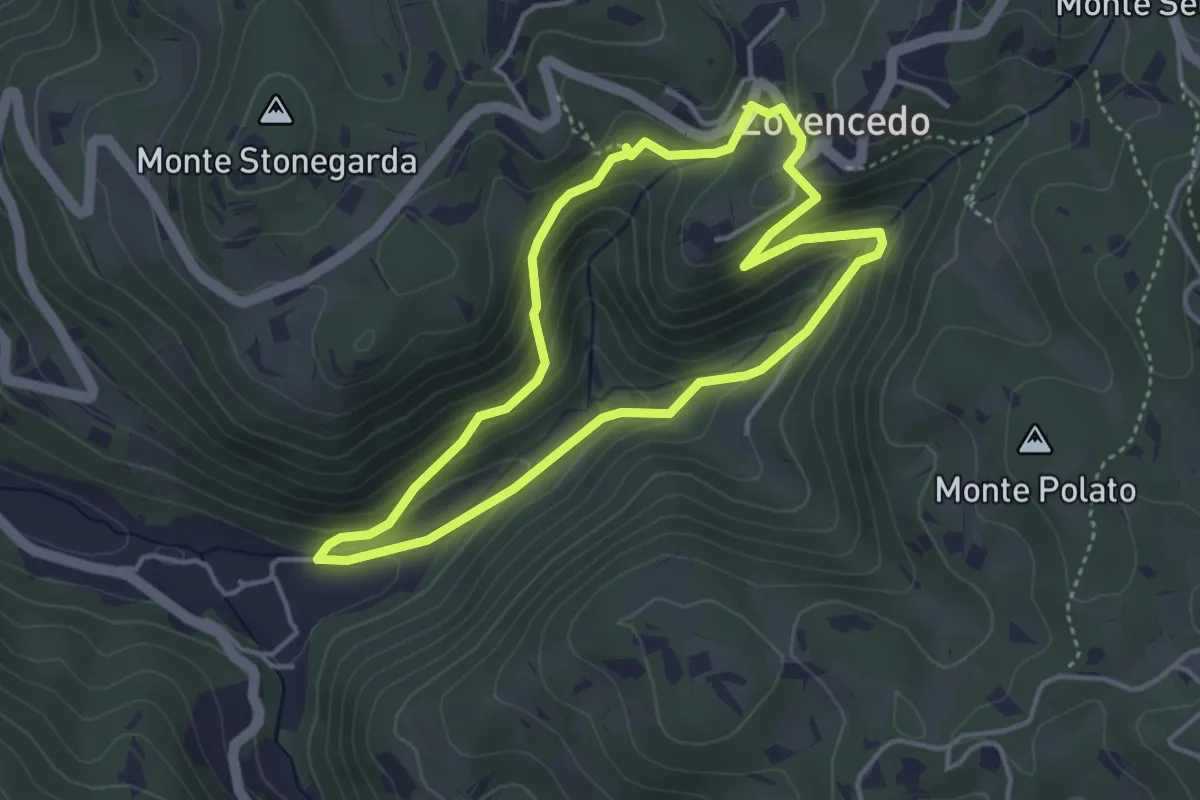
Easy · Trail
Itinerario pedonale 3 di Corte Calto - Zovencedo
3.7 km · ↑ 201 m · 1 h 22 min
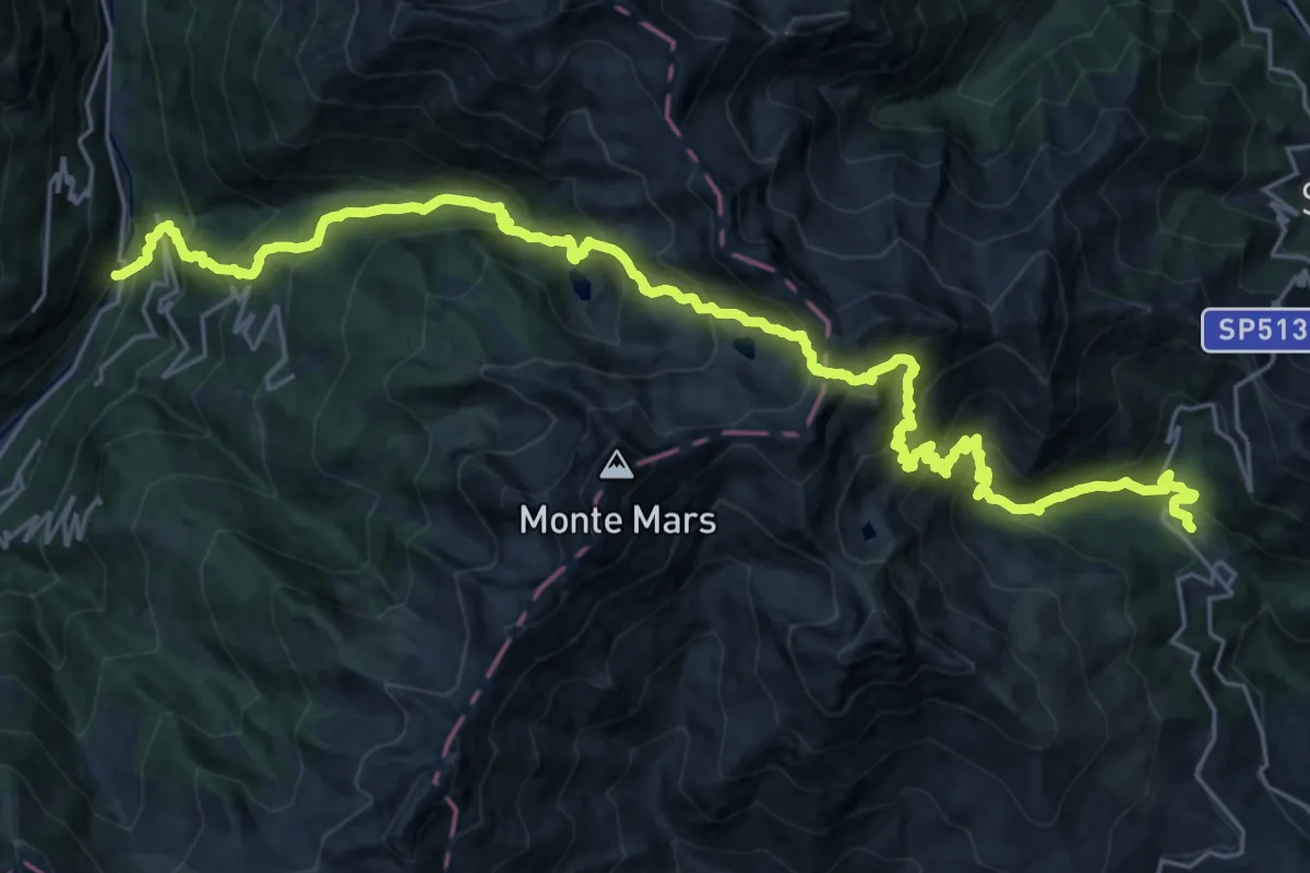
Demanding · Trail
Itinerario Processione Fontainemore Oropa
15.8 km · ↑ 1174 m · 6 h 41 min
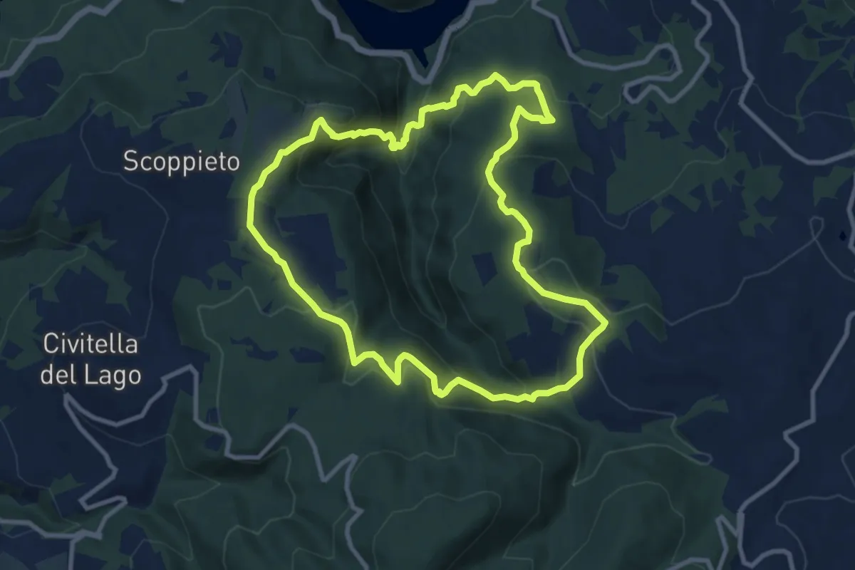
Medium · Trail
Itinerario Scoglio Salve Regina
9.5 km · ↑ 517 m · 3 h 29 min
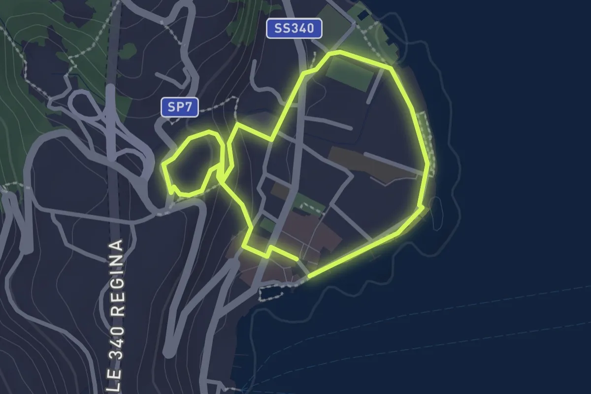
Easy · Trail
Itinerario storico-artistico di Menaggio
2.1 km · ↑ 59 m · 39 min
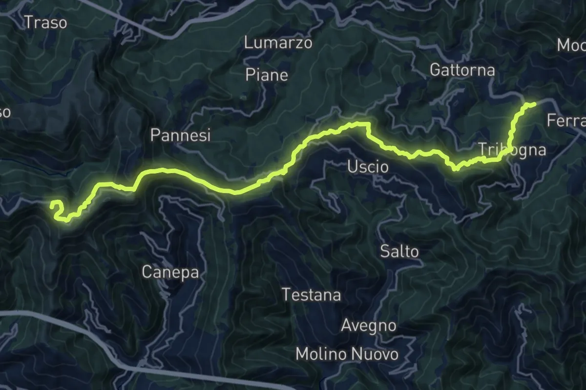
Demanding · Summit
Itinerario Storico Colombiano (ISC)
24.8 km · ↑ 1346 m · 8 h 46 min