Trails in Italy
25,211 hiking trails, each with its route, climb, walking time and grade.
All trails, page 89 of 526
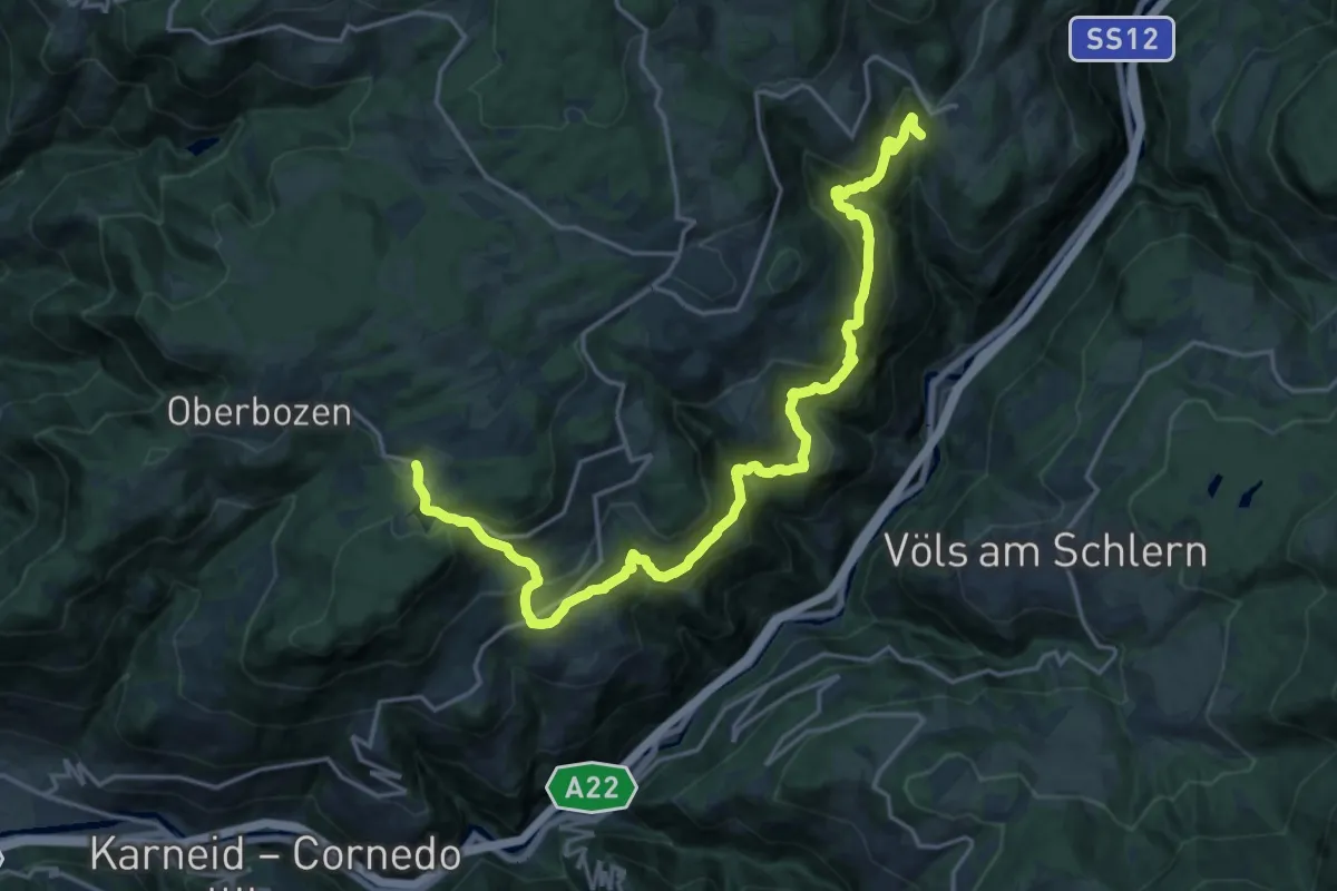
Medium · Pilgrim path
Jakobsweg Wolfsgruben - Cammino di San Giacomo Costalovara
11.0 km · ↑ 519 m · 4 h 3 min
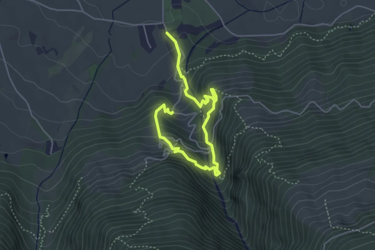
Medium · Trail
Jesus-Besinnungsweg
4.8 km · ↑ 441 m · 2 h 5 min
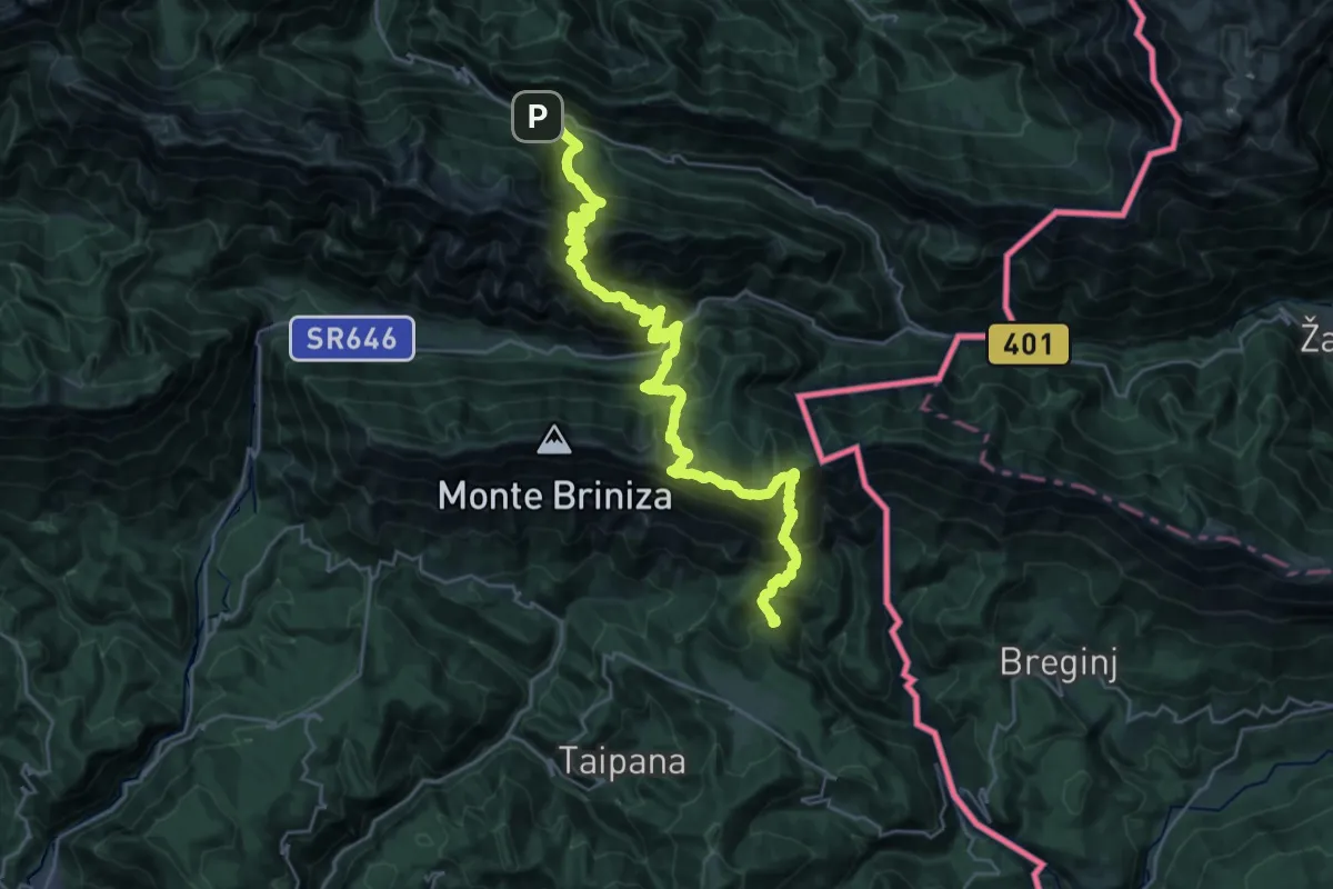
Demanding · Summit
JK16
16.6 km · ↑ 1471 m · 7 h 29 min
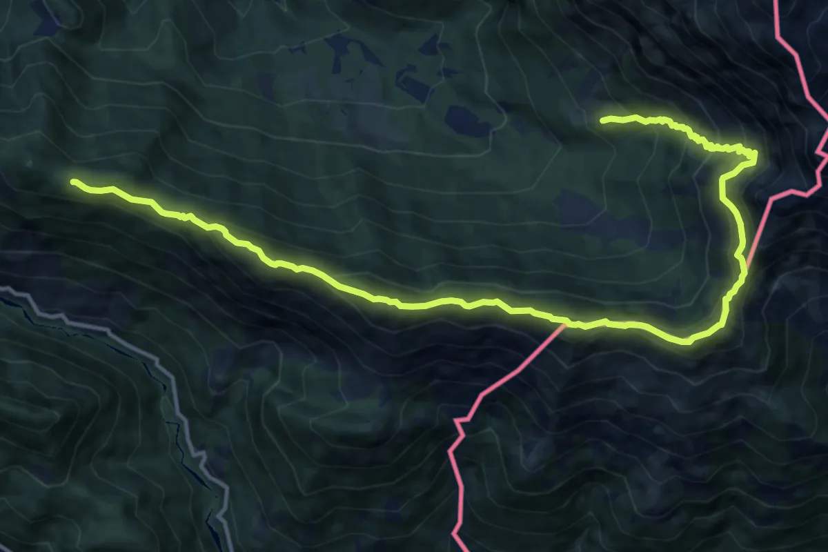
Medium · Summit
JK17
7.7 km · ↑ 555 m · 3 h 10 min
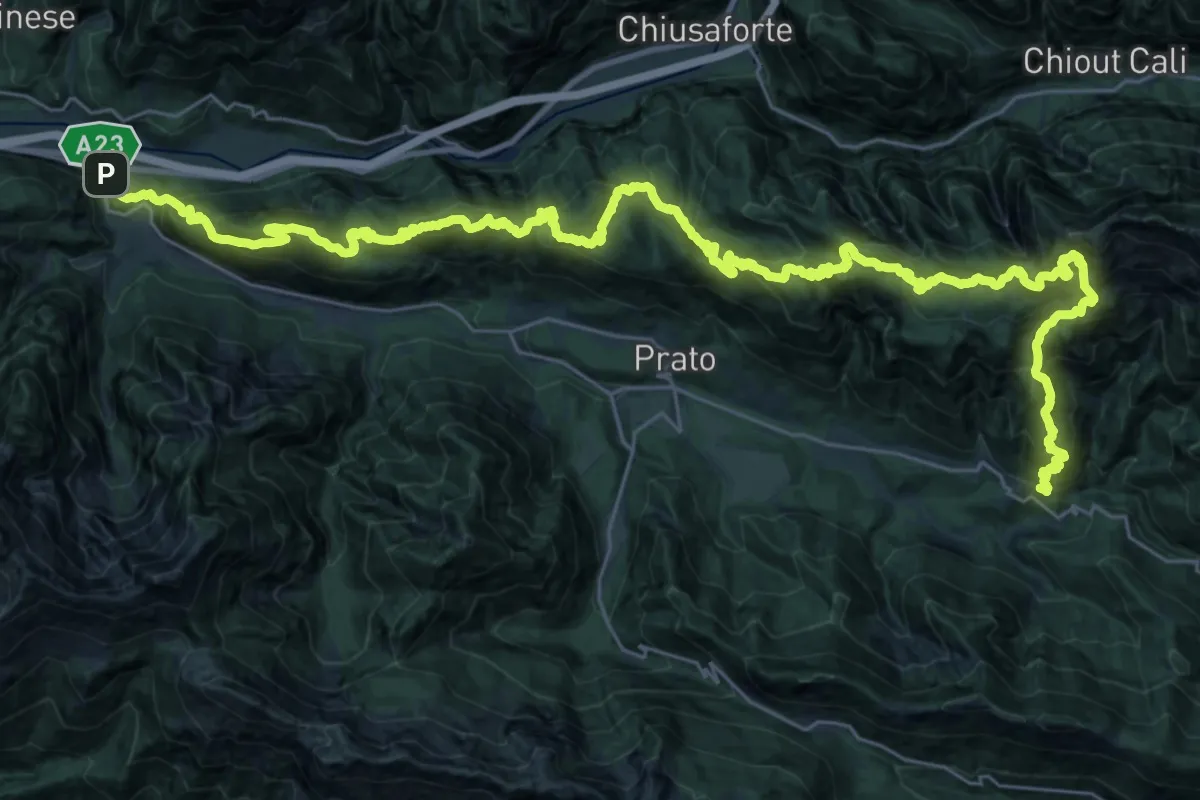
Demanding · Summit
JK18
22.9 km · ↑ 1749 m · 9 h 23 min
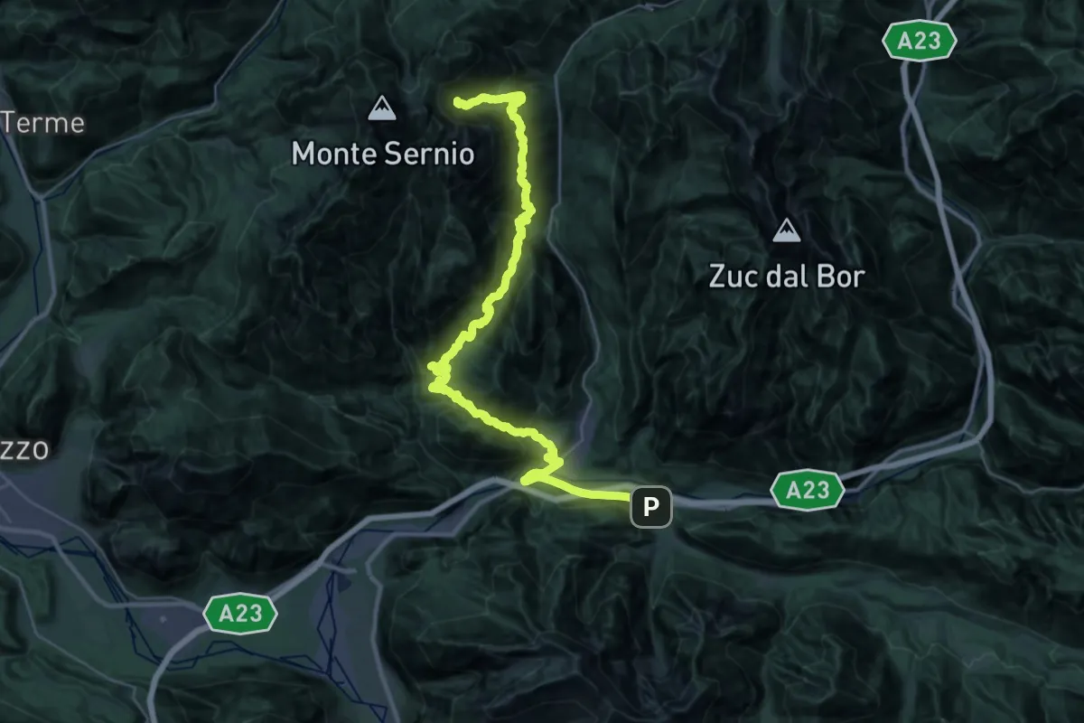
Demanding · Summit
JK19
20.7 km · ↑ 1965 m · 8 h 58 min
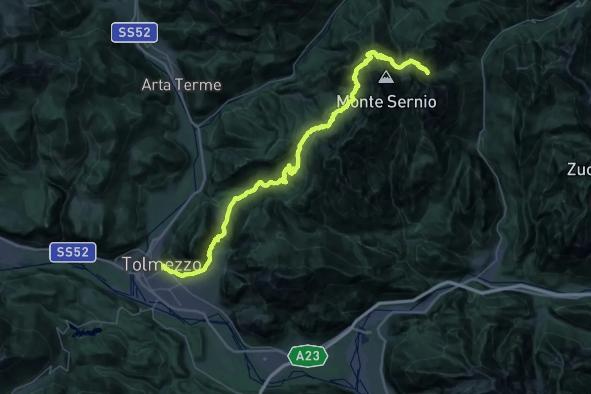
Demanding · Summit
JK20
21.8 km · ↑ 1806 m · 8 h 54 min
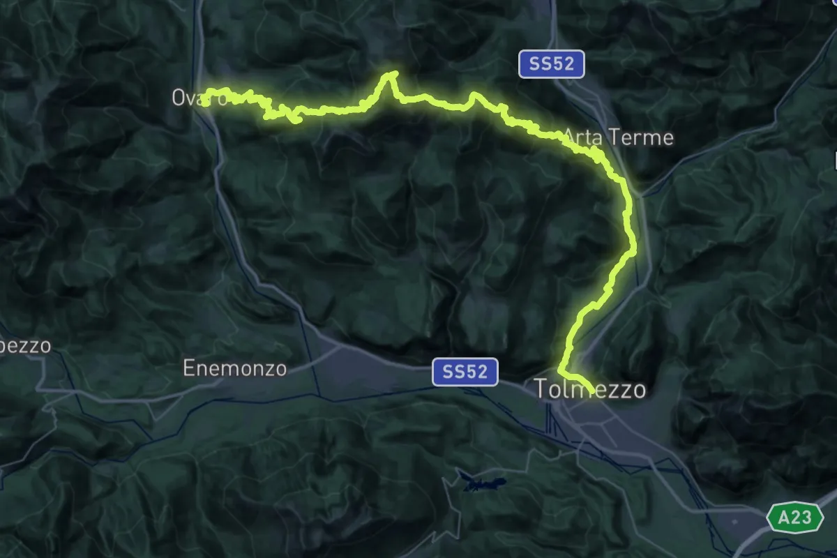
Demanding · Trail
JK21
31.8 km · ↑ 1756 m · 11 h 39 min
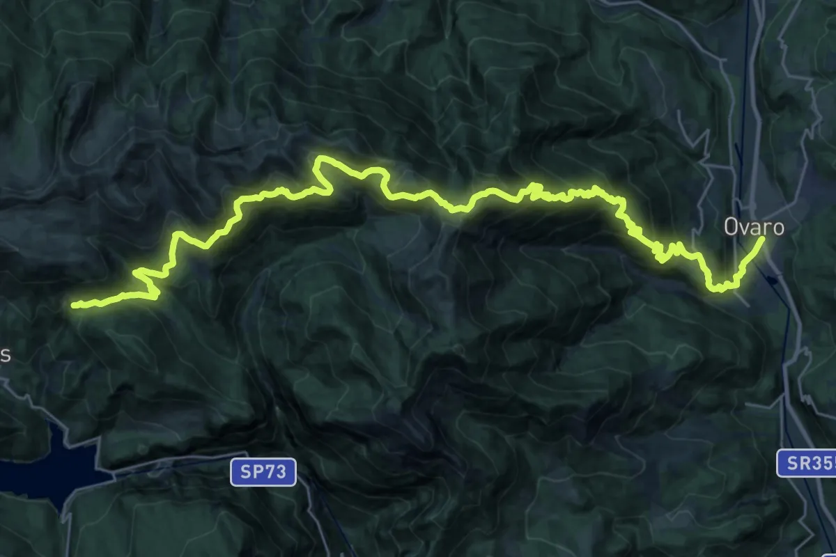
Demanding · Summit
JK22
18.6 km · ↑ 1674 m · 7 h 50 min
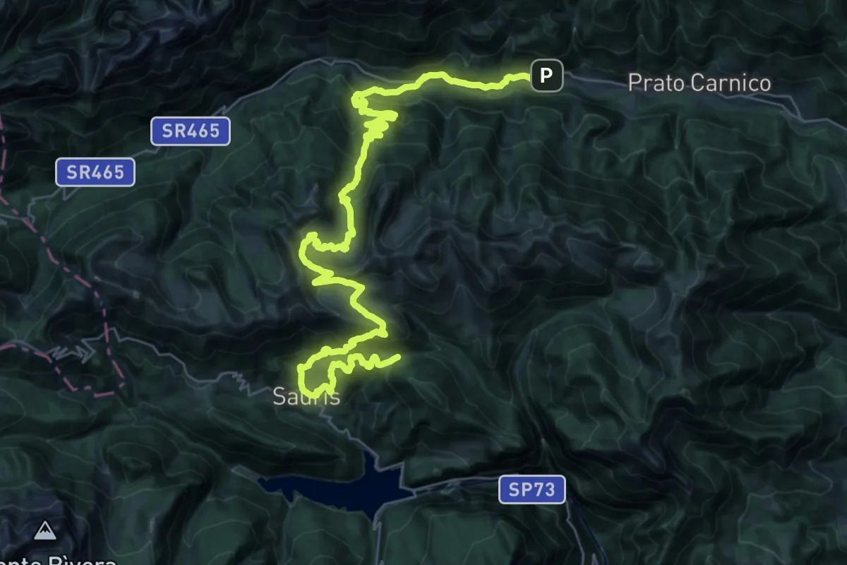
Demanding · Summit
JK23
21.7 km · ↑ 1587 m · 8 h 32 min
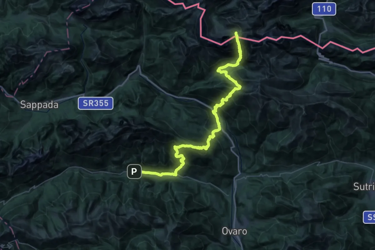
Demanding · Summit
JK24
24.3 km · ↑ 2836 m · 11 h 36 min
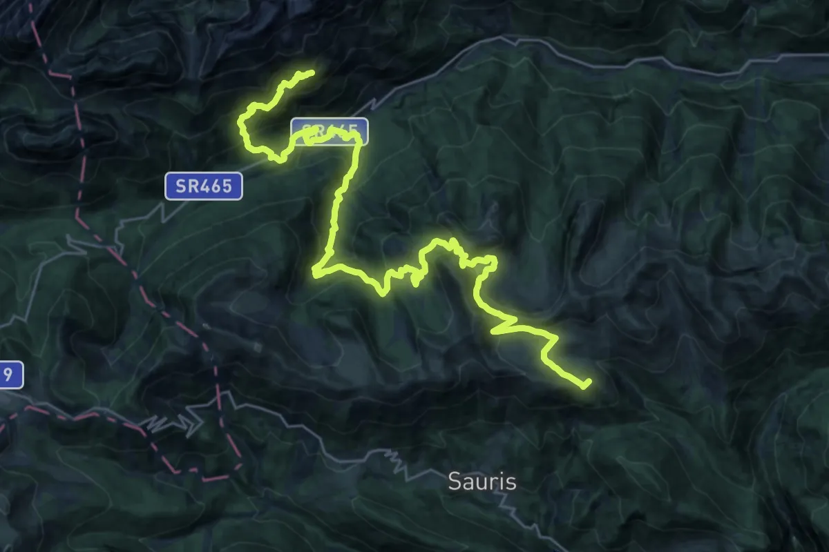
Demanding · Summit
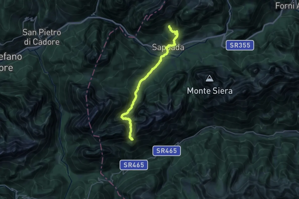
Julius Kugy-Dreiländerweg E 23A
32.2 km · ↑ 2180 m · 12 h 20 min
Demanding · Summit
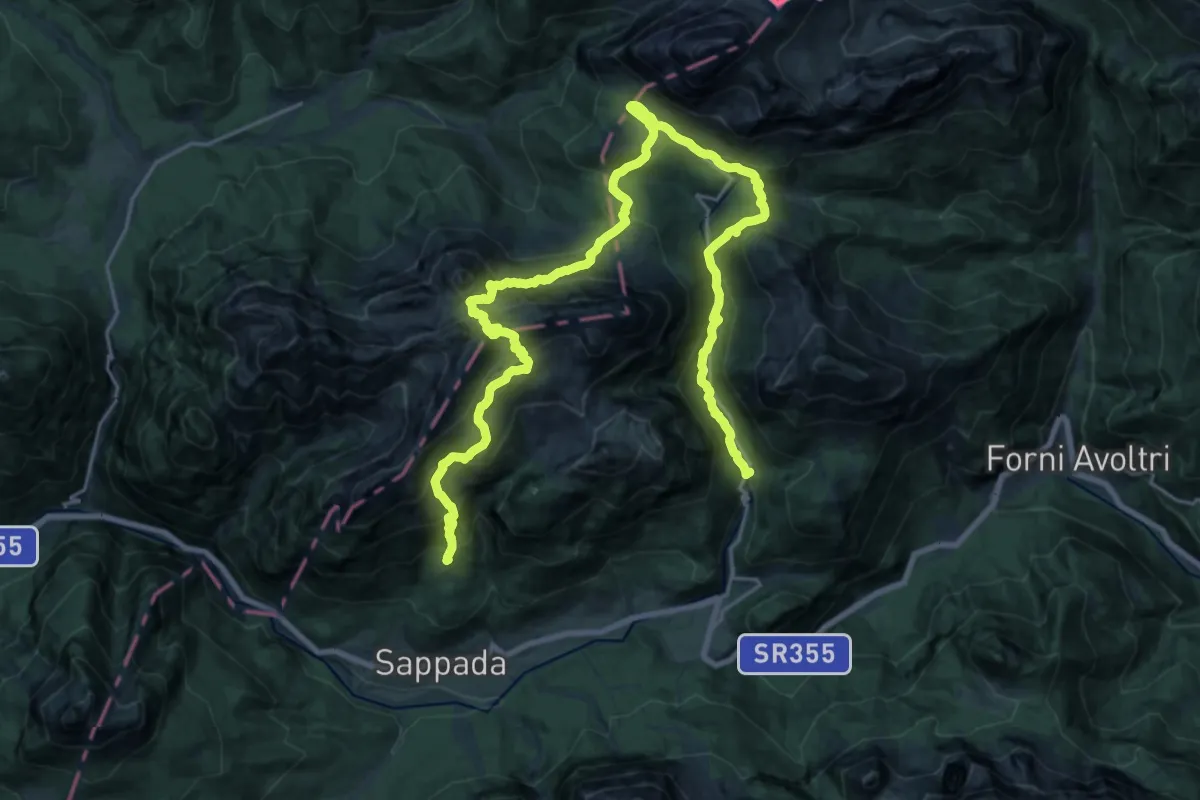
Julius Kugy-Dreiländerweg E 24A
19.3 km · ↑ 1290 m · 7 h 22 min
Demanding · Cabin
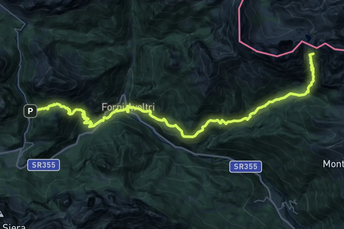
Julius Kugy-Dreiländerweg E 24B
15.2 km · ↑ 939 m · 5 h 55 min
Demanding · Summit
Julius Kugy-Dreiländerweg E 24C
35.3 km · ↑ 2488 m · 13 h 43 min
Medium · Trail
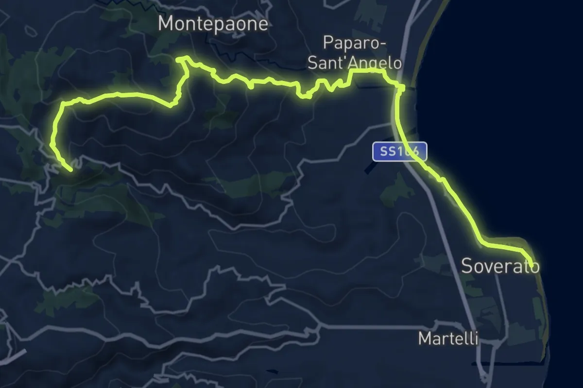
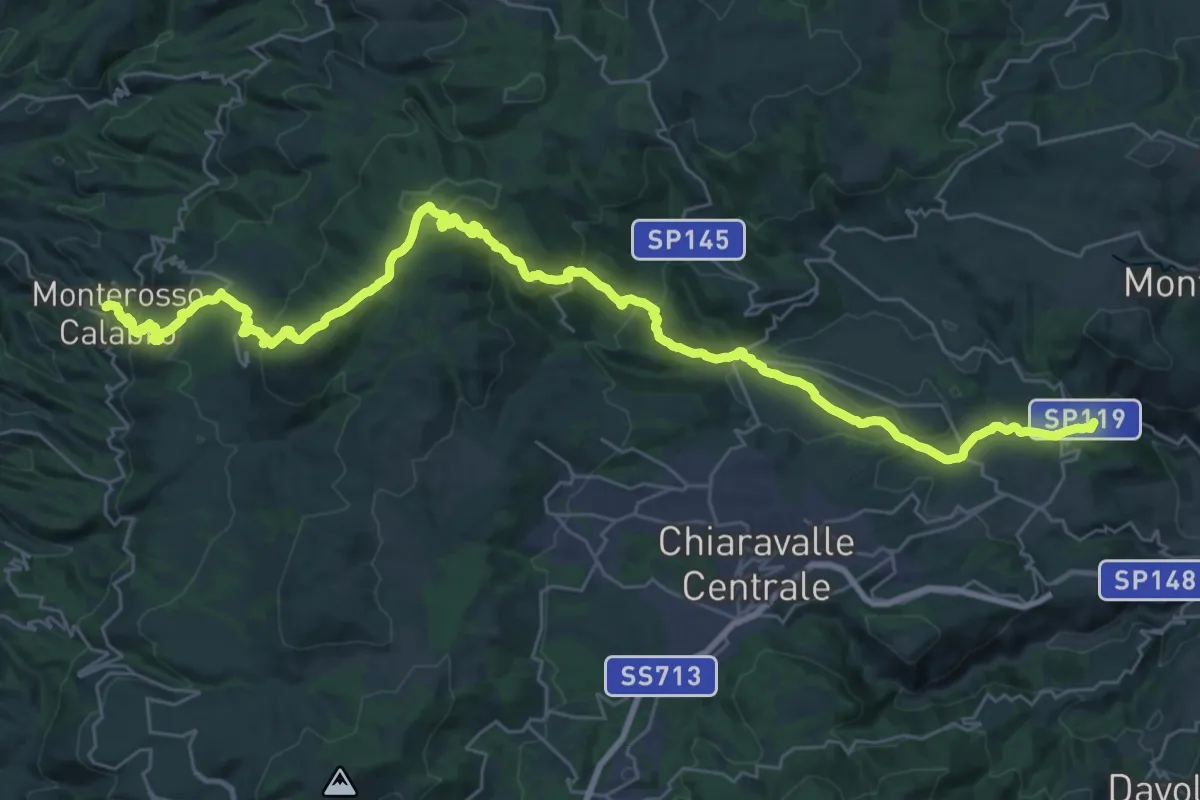
Kalabria Coast to coast - Tappa 1
12.6 km · ↑ 300 m · 4 h
Demanding · Trail
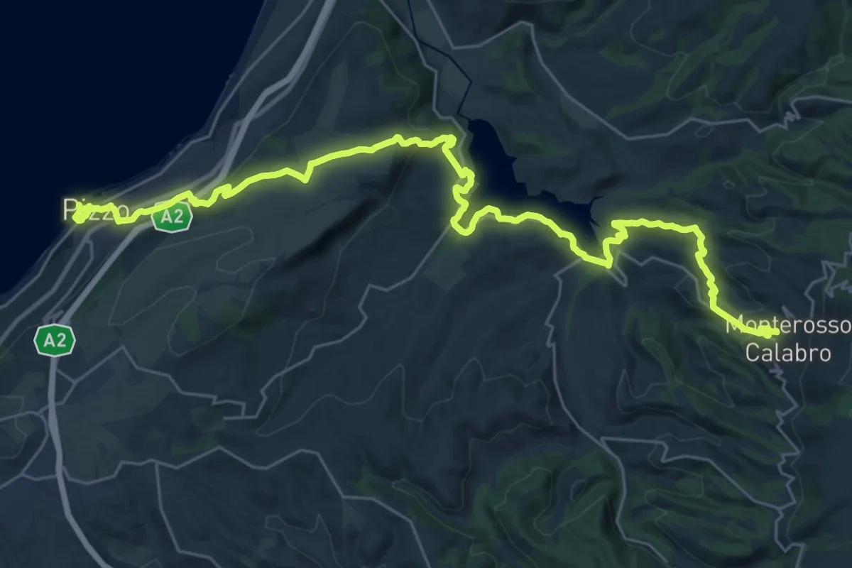
Kalabria Coast to coast - Tappa 2
23.0 km · ↑ 799 m · 7 h 32 min
Demanding · Trail
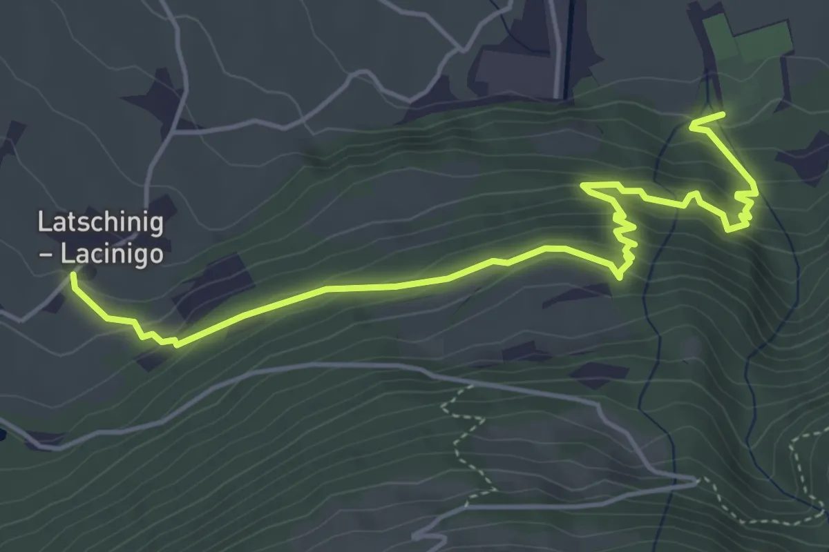
Kalabria Coast to coast - Tappa 3
19.1 km · ↑ 822 m · 6 h 25 min
Medium · Trail
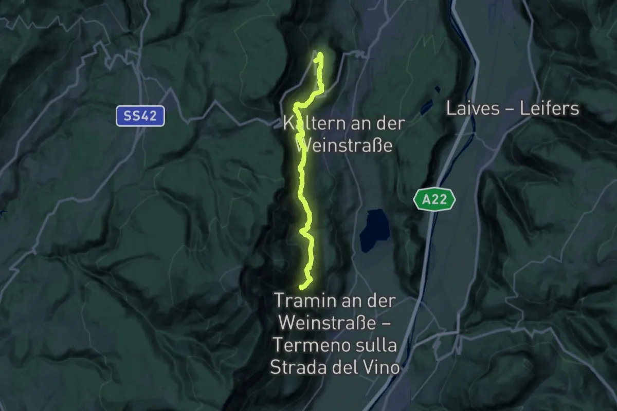
Kalkofenweg
5.3 km · ↑ 453 m · 2 h 14 min
Medium · Trail
Kalterer Höhenweg - Alta via di Caldaro
12.5 km · ↑ 711 m · 4 h 40 min
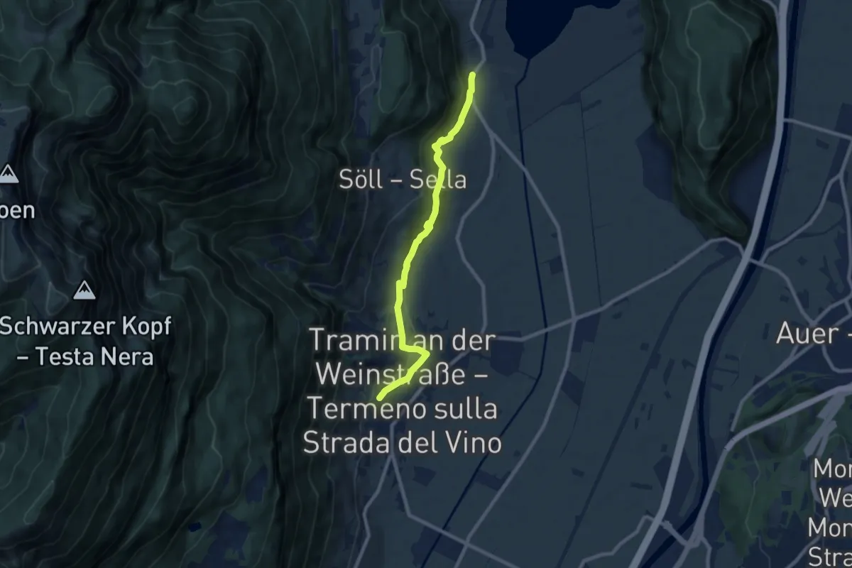
Medium · Trail
Kaltererseeweg - Sentiero del Lago di Caldaro
8.1 km · ↑ 325 m · 2 h 37 min
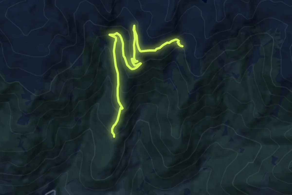
Medium · Trail
Kaltwassertal
11.3 km · ↑ 690 m · 4 h 10 min
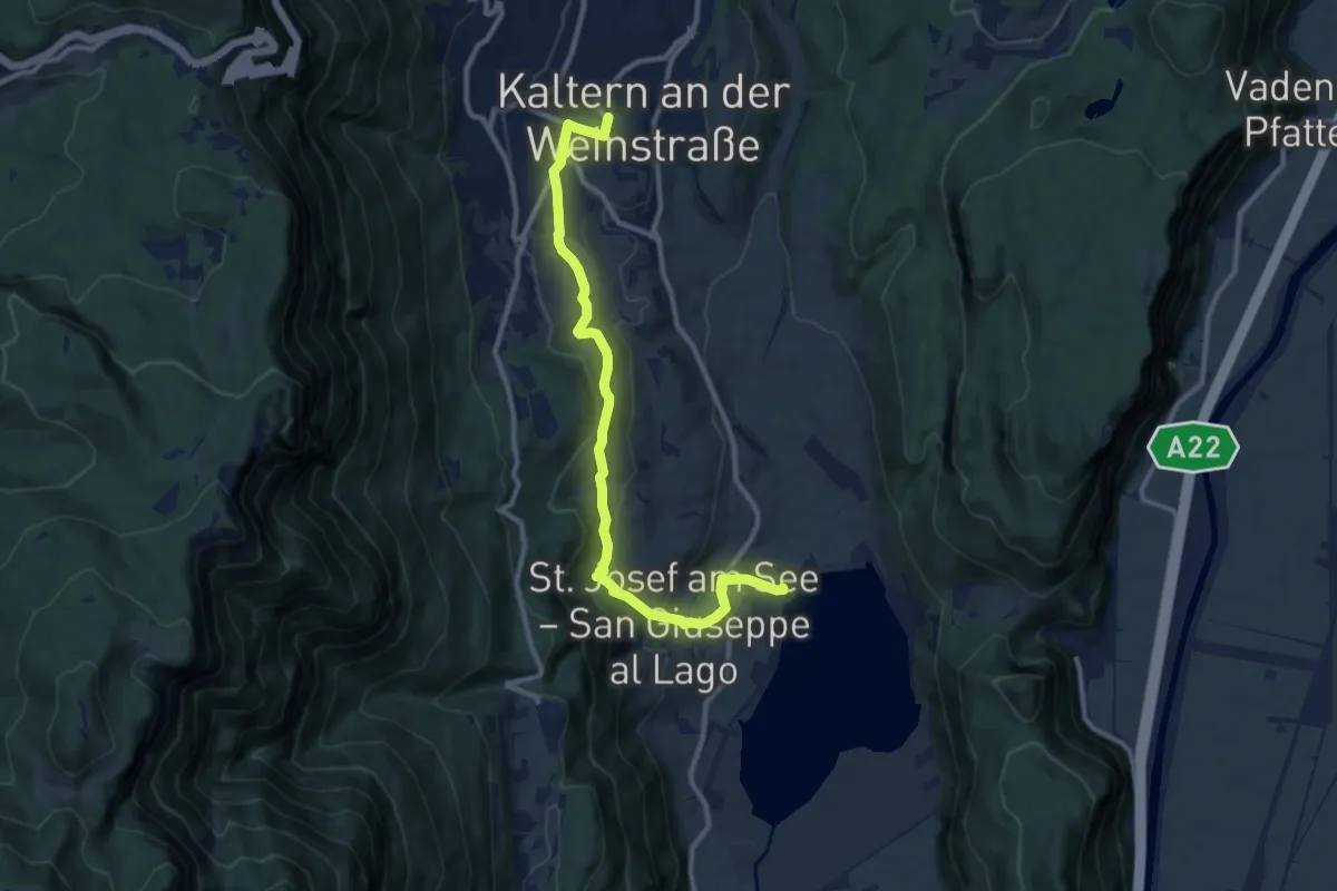
Medium · Trail
Kardatscher Weg - Sentiero Kardatsch
10.9 km · ↑ 381 m · 3 h 25 min
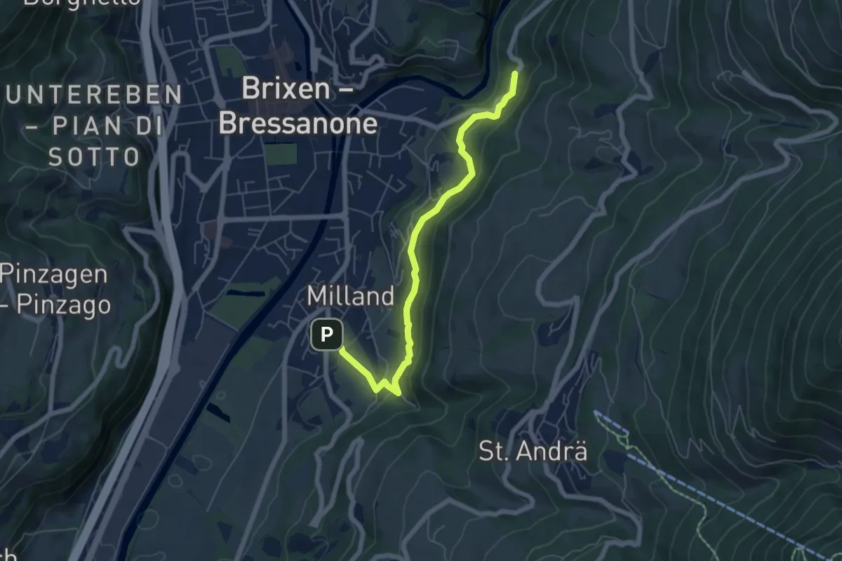
Medium · Trail
Karlspromenade
5.8 km · ↑ 370 m · 2 h 10 min
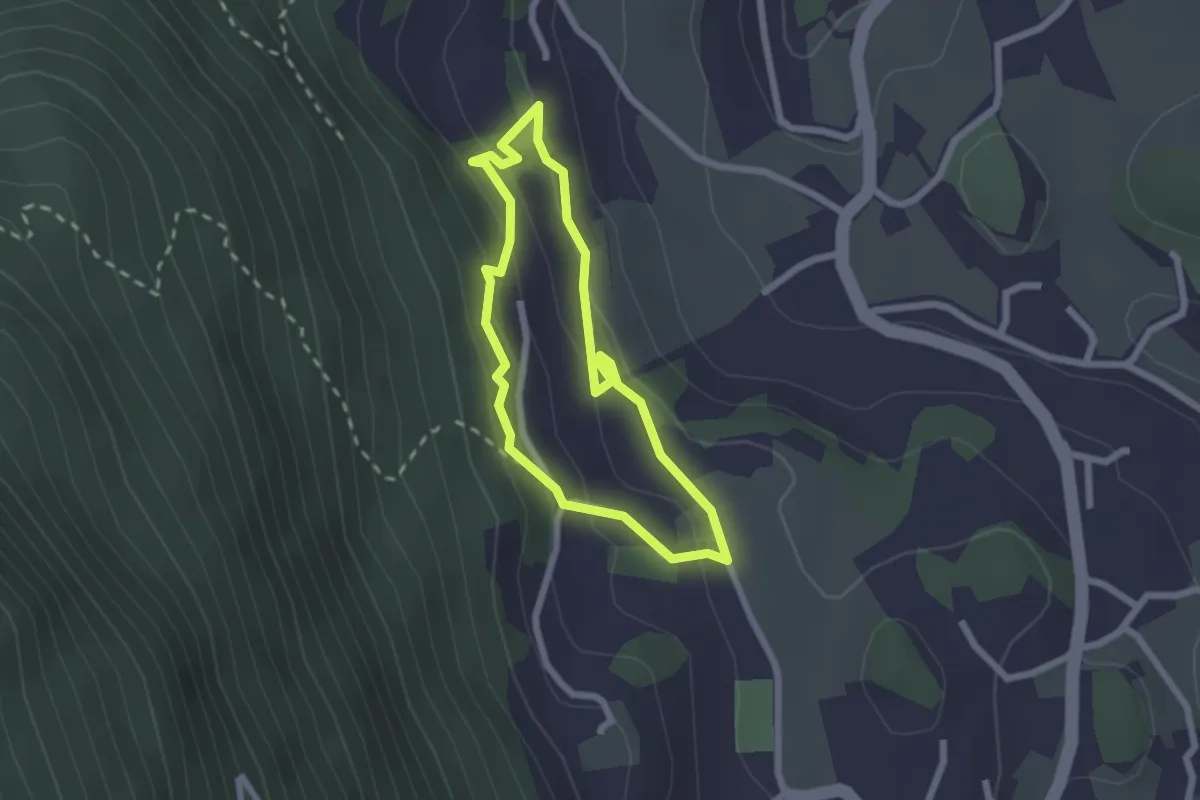
Easy · Trail
Kastanien-erlebnisweg
1.9 km · ↑ 94 m · 40 min
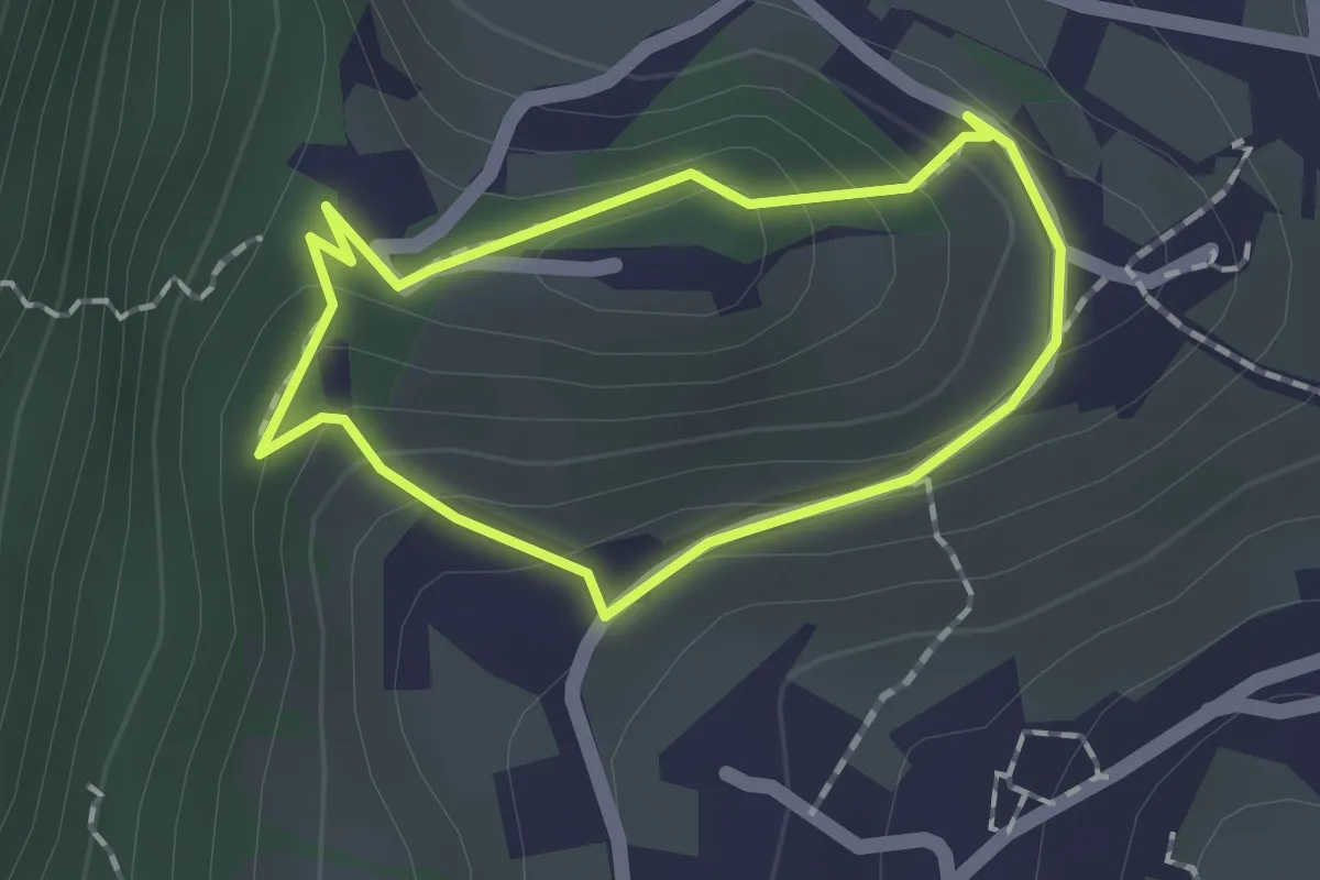
Easy · Trail
Kastelaz Promenade
1.3 km · ↑ 60 m · 27 min
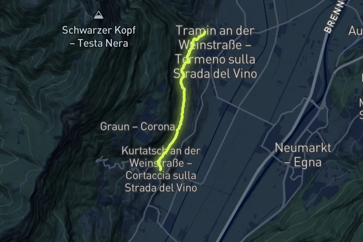
Medium · Trail
Kastelazweg
8.9 km · ↑ 546 m · 3 h 17 min
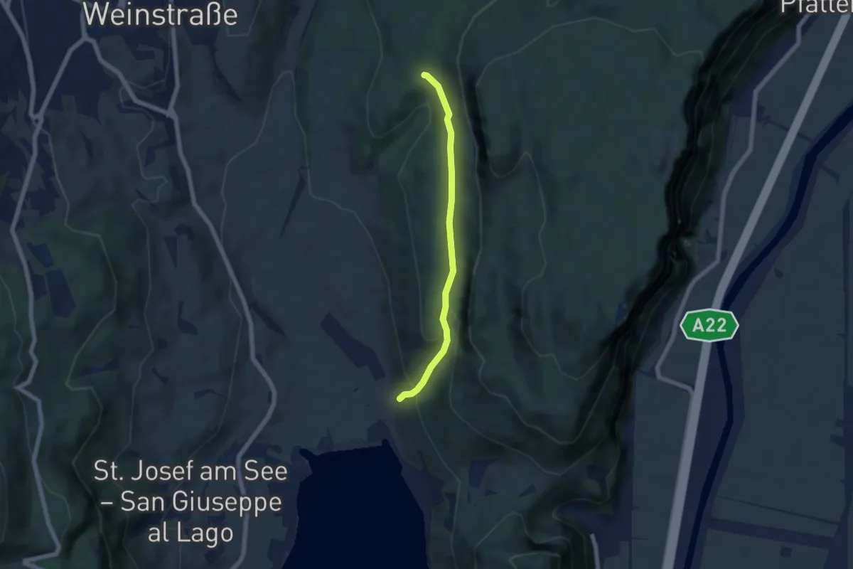
Easy · Trail
Kasterneienweg
4.8 km · ↑ 212 m · 1 h 36 min
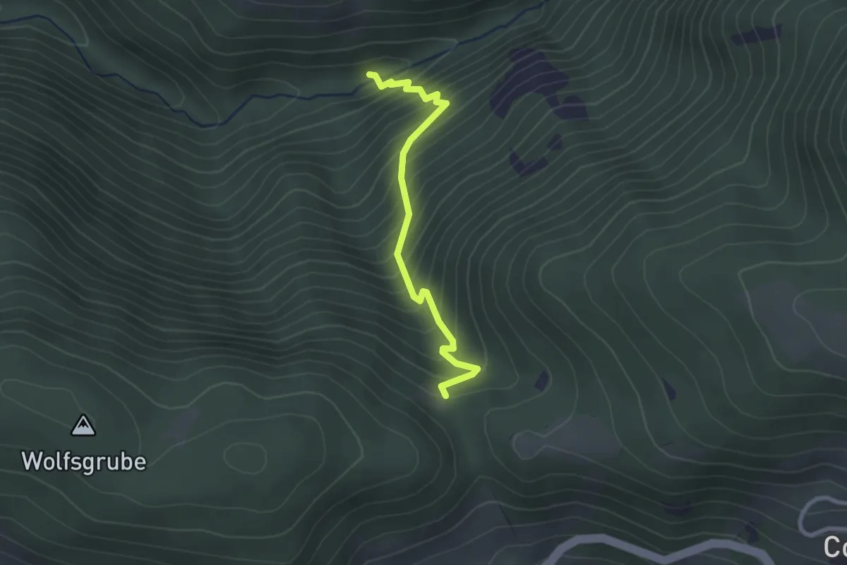
Medium · Trail
Katzenleiter
2.4 km · ↑ 344 m · 1 h 19 min
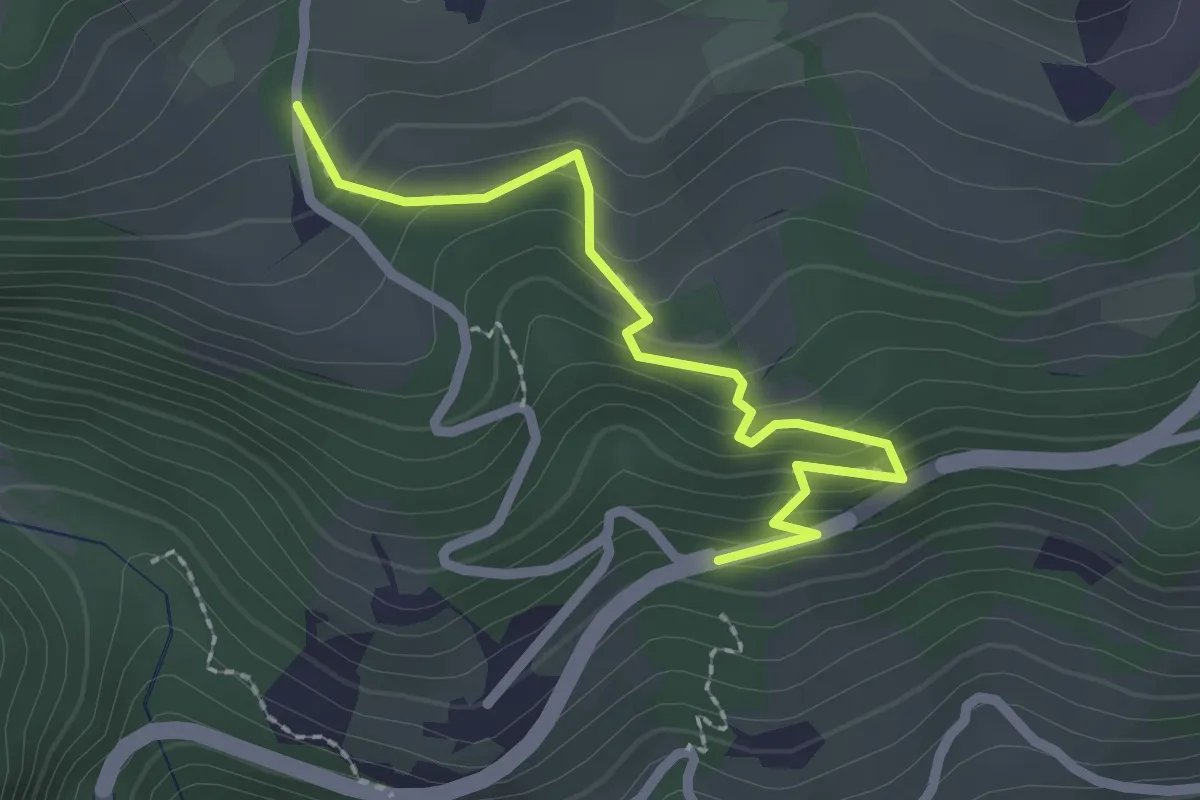
Medium · Trail
Katzenleiter
2.3 km · ↑ 186 m · 57 min
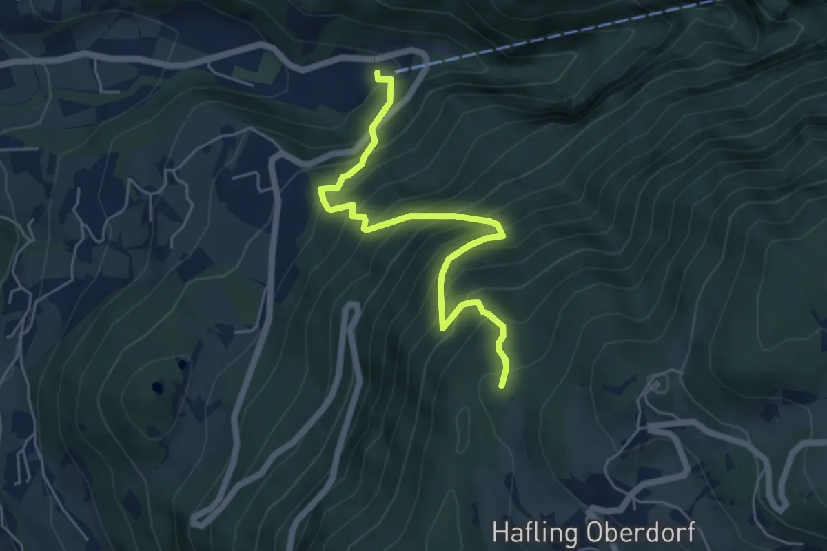
Medium · Trail
Katzenleiter
5.1 km · ↑ 740 m · 2 h 48 min
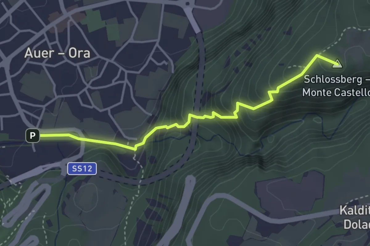
Medium · Summit
Katzenleiter
3.6 km · ↑ 388 m · 1 h 41 min
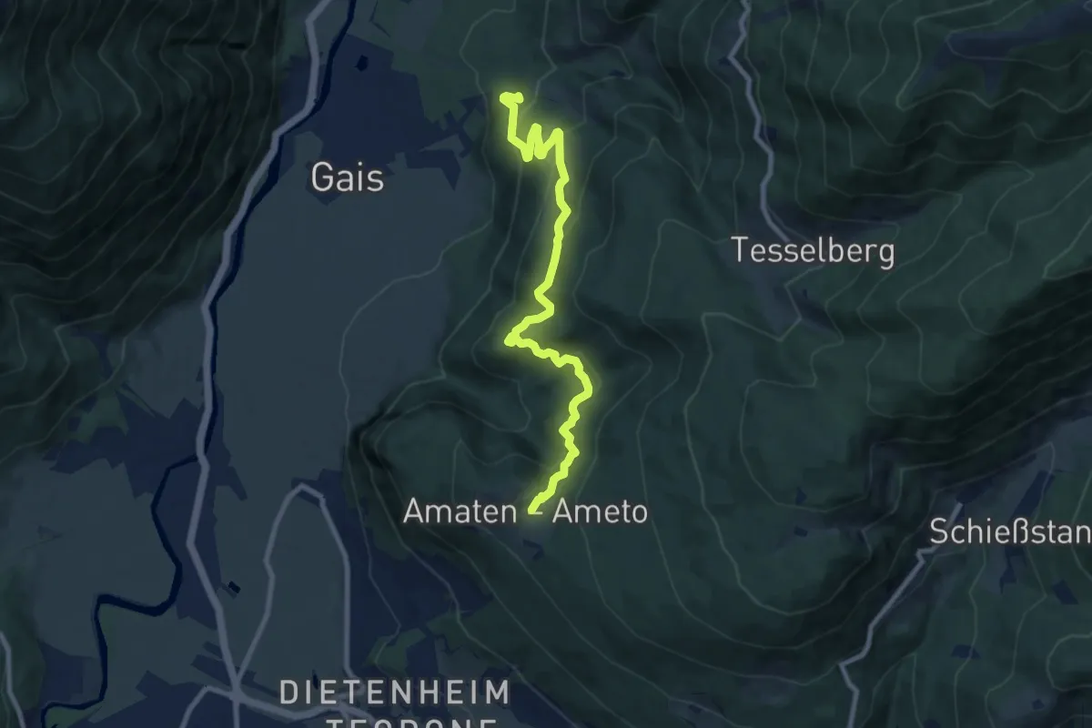
Medium · Trail
Kehlburgweg
9.2 km · ↑ 580 m · 3 h 26 min
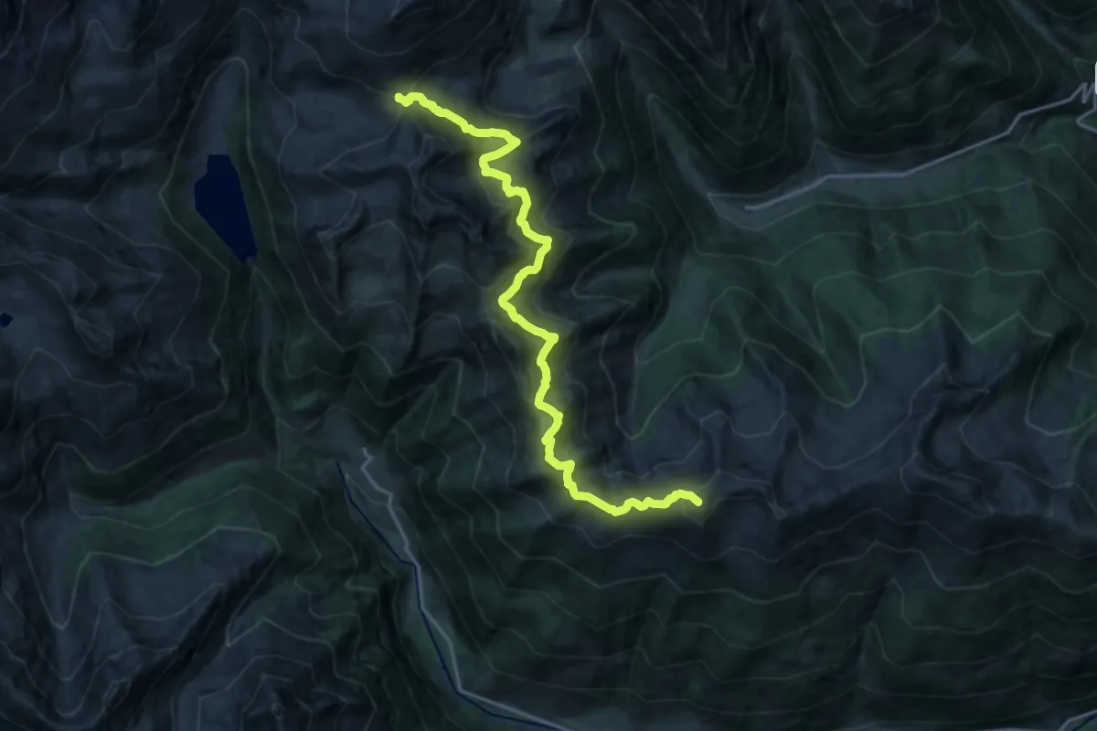
Demanding · Summit
Kellerbauerweg
18.9 km · ↑ 1216 m · 7 h 6 min
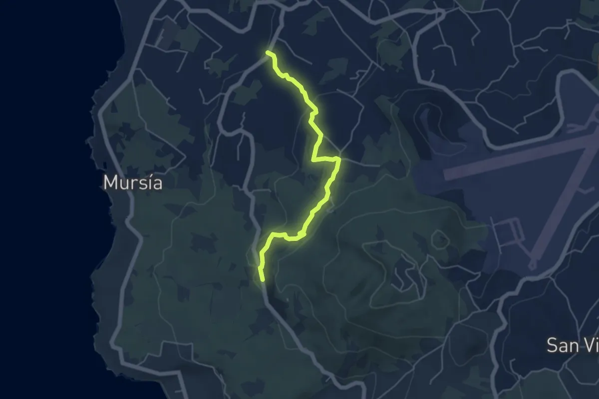
Easy · Trail
Khazzen - Suvaki - Bukkuram - Punta di San Gaetano
5.1 km · ↑ 126 m · 1 h 29 min
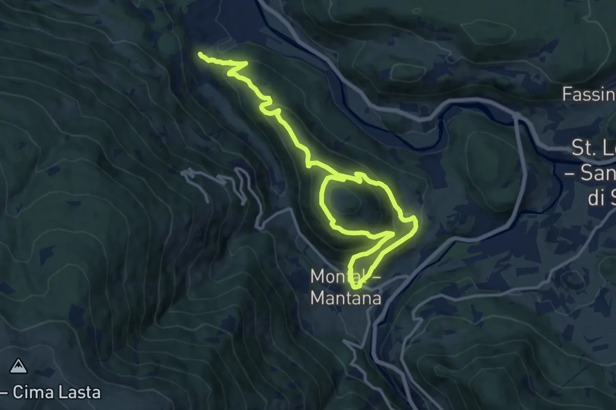
Demanding · Trail
Kienbergweg
16.1 km · ↑ 1024 m · 6 h 1 min
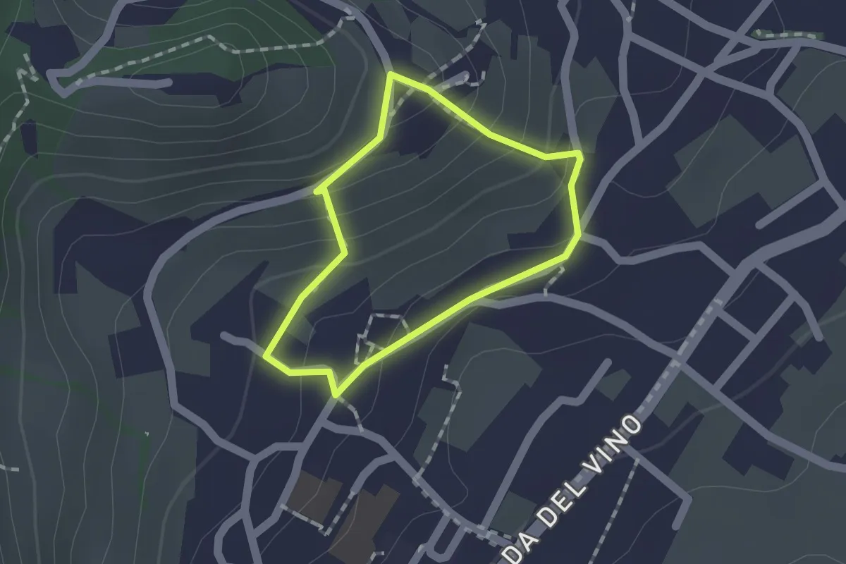
Easy · Trail
Kirchensteig
1.1 km · ↑ 62 m · 25 min
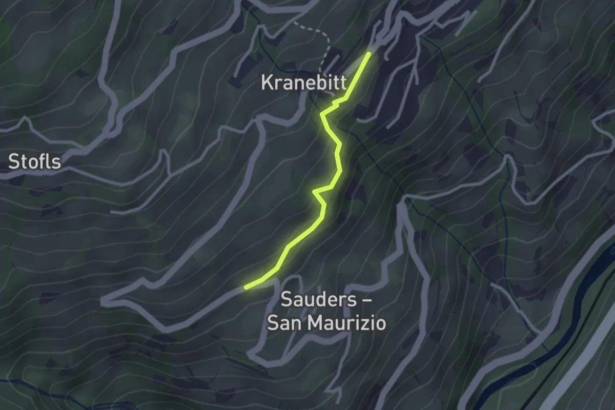
Easy · Trail
Kirchsteig
2.0 km · ↑ 113 m · 43 min
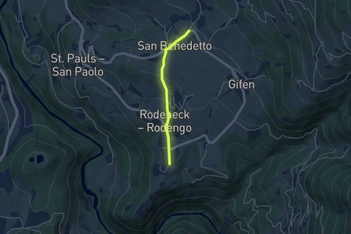
Easy · Trail
Kirchsteig
3.0 km · ↑ 110 m · 57 min
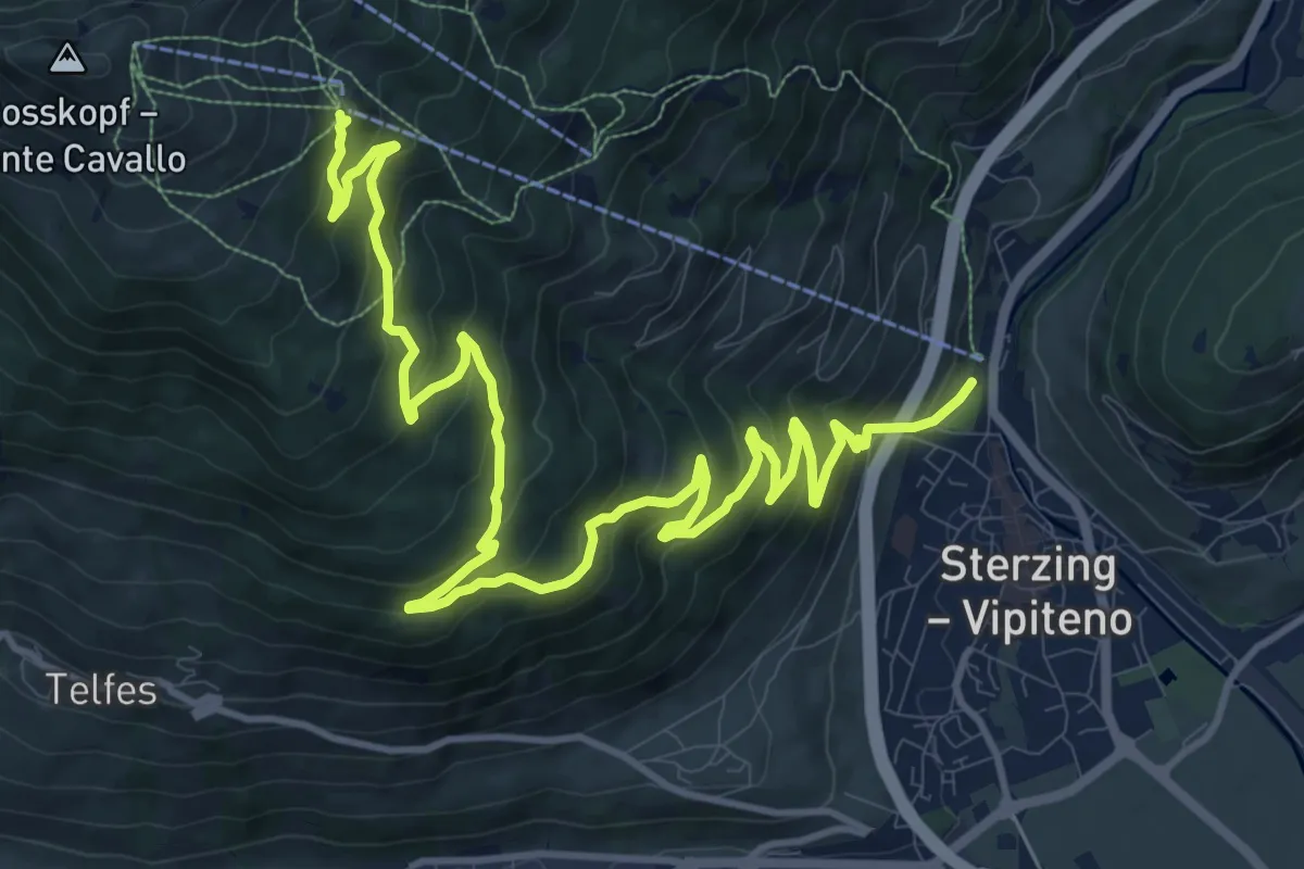
Demanding · Trail
Kirchsteig
16.5 km · ↑ 1015 m · 6 h 5 min
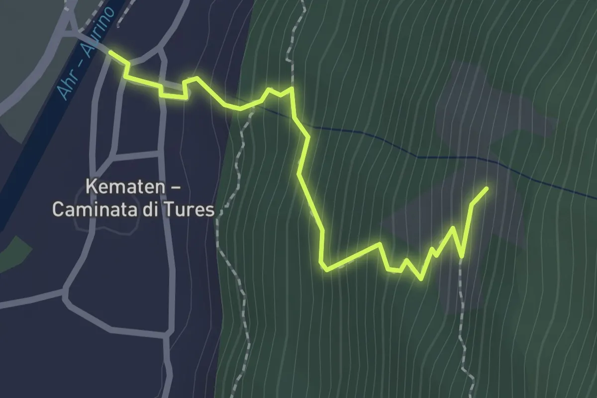
Easy · Trail
Kirchsteig
2.1 km · ↑ 251 m · 1 h 2 min
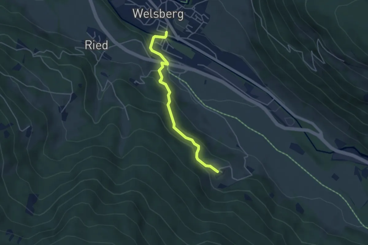
Easy · Trail
Kirchsteig
3.8 km · ↑ 204 m · 1 h 21 min
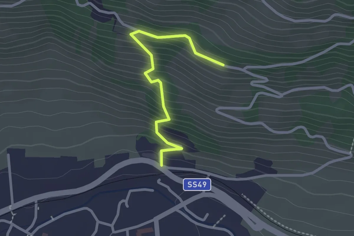
Easy · Trail
Kirchsteig
2.2 km · ↑ 227 m · 1 h
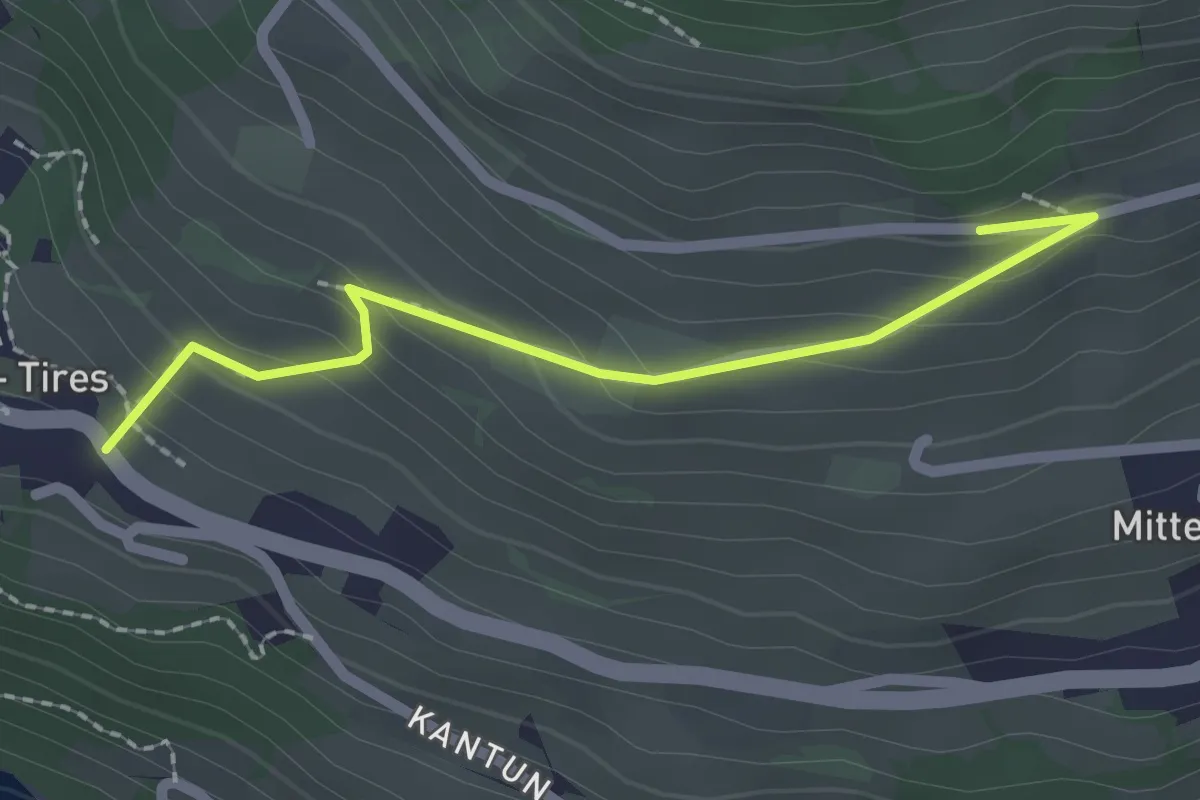
Easy · Trail
Kirchsteig (Tiers)
2.1 km · ↑ 141 m · 48 min
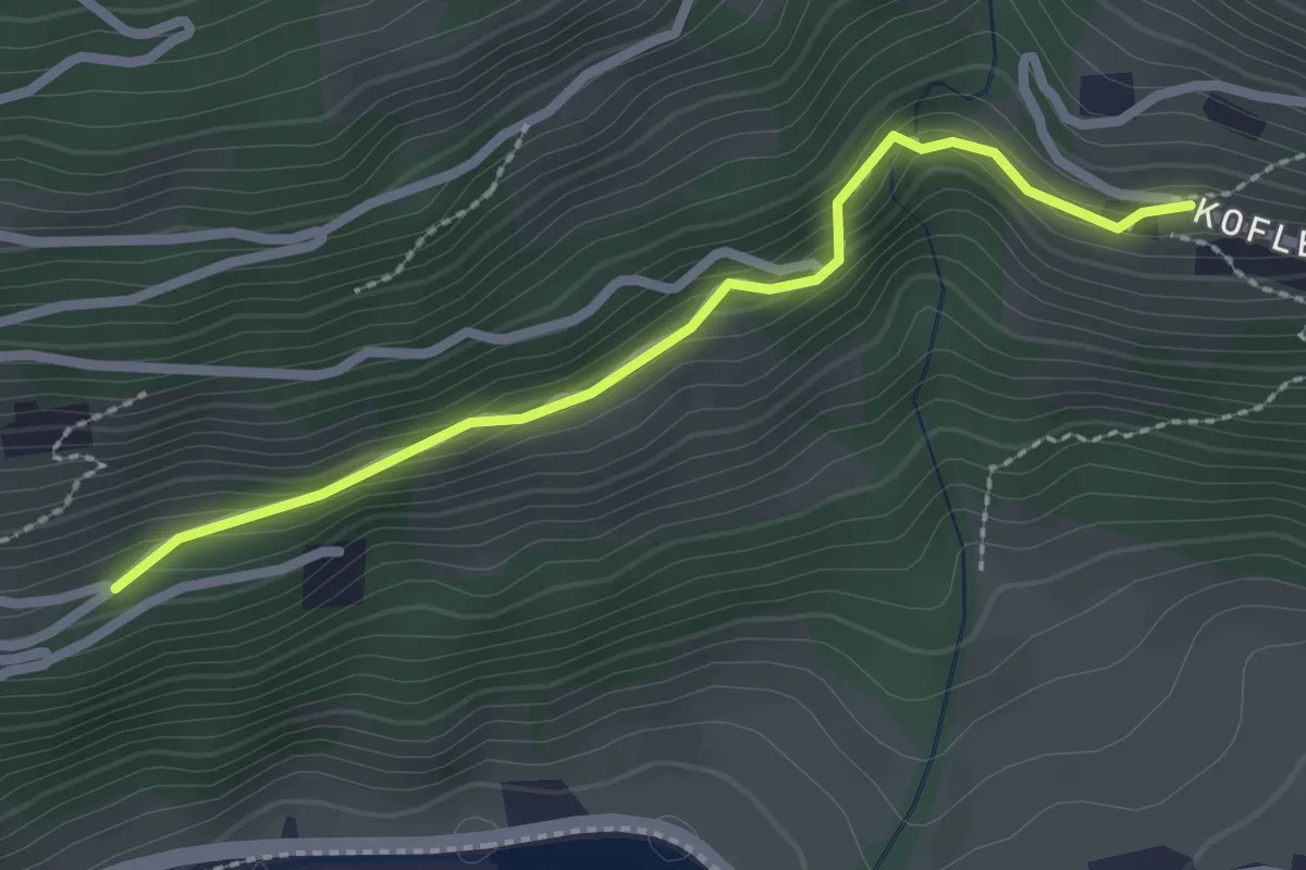
Easy · Trail
Kirchweg
2.4 km · ↑ 133 m · 51 min
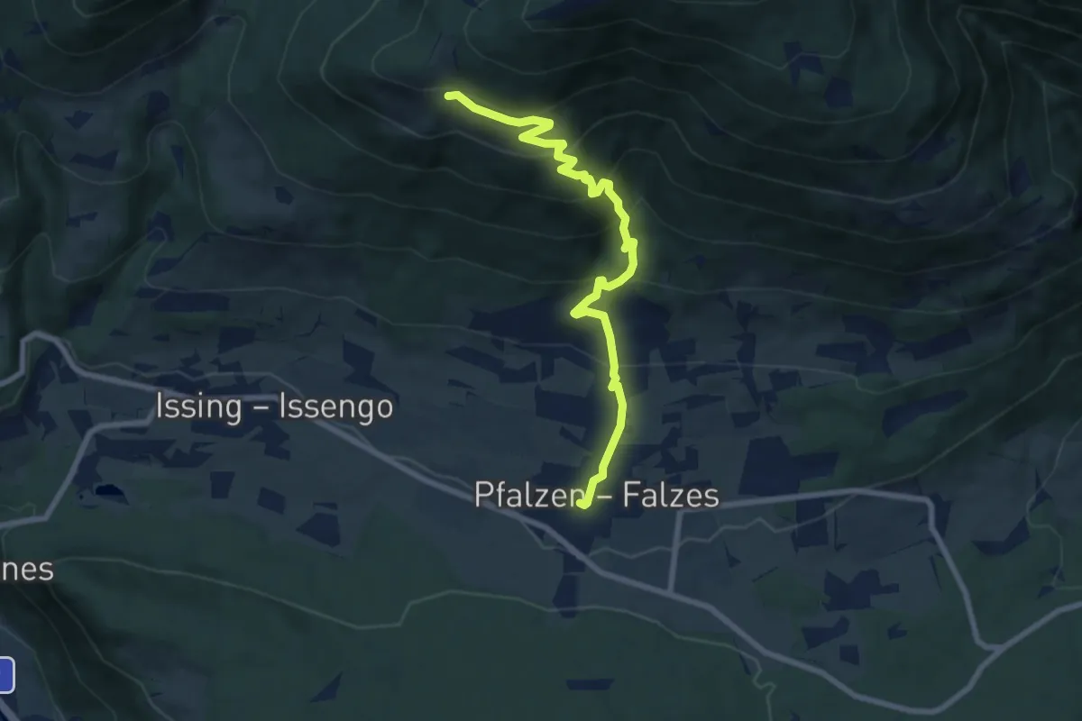
Medium · Trail
Kirchweg
7.6 km · ↑ 612 m · 3 h 7 min
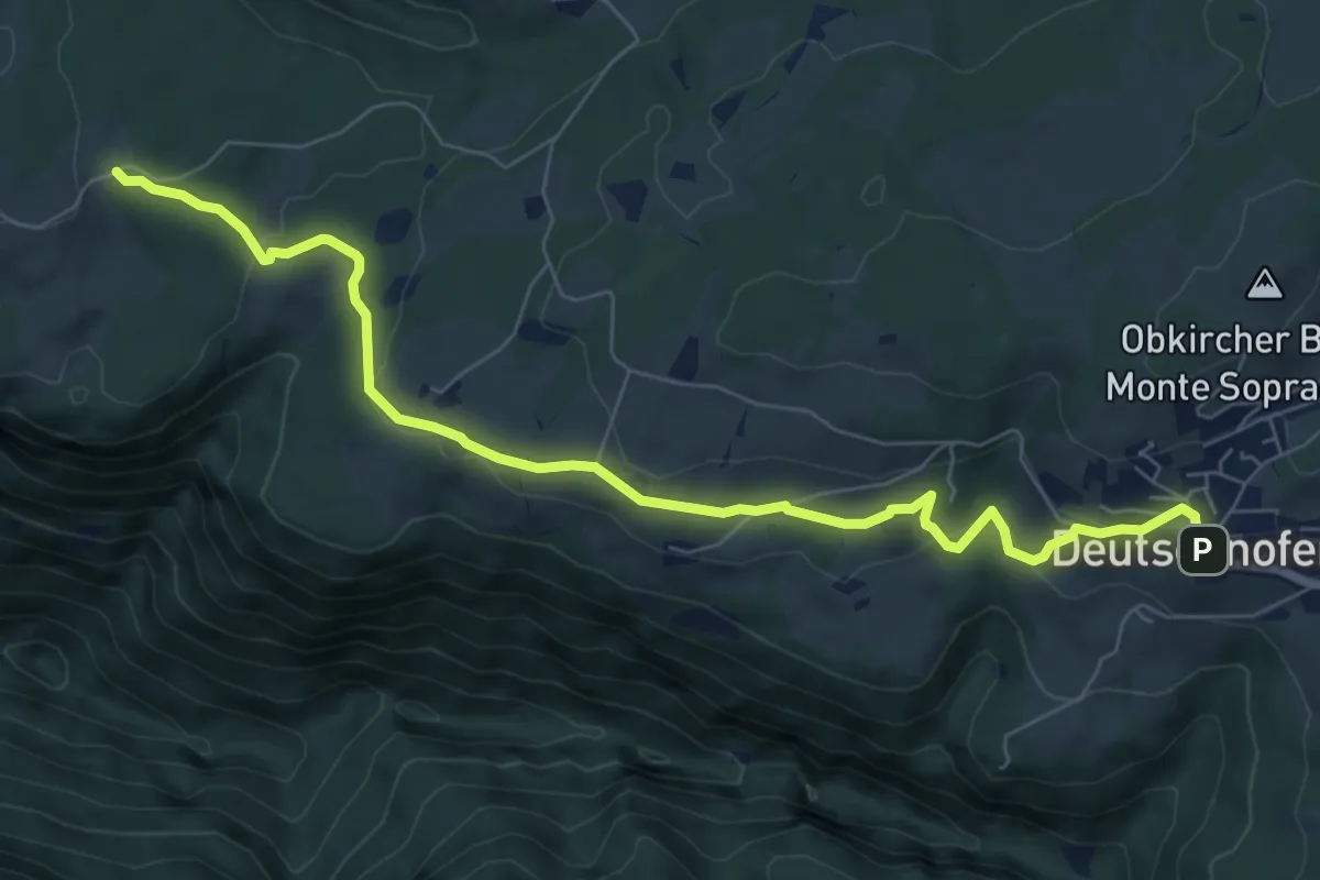
Medium · Trail
Kirchweg
8.0 km · ↑ 254 m · 2 h 27 min
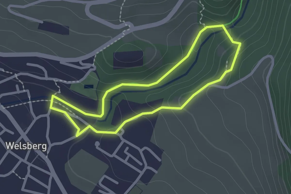
Easy · Trail
Kleine Schlossrunde
1.9 km · ↑ 66 m · 36 min