Trails in Italy
25,221 hiking trails, each with its route, climb, walking time and grade.
All trails, page 90 of 526
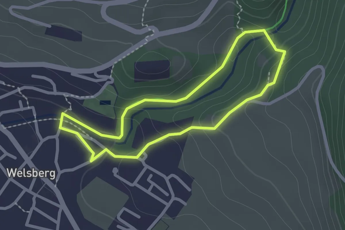
Easy · Trail
Kleine Schlossrunde
1.9 km · ↑ 66 m · 36 min
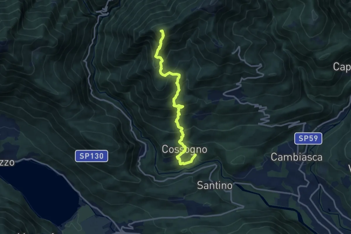
Demanding · Summit
km verticale Cossogno
10.7 km · ↑ 987 m · 4 h 40 min
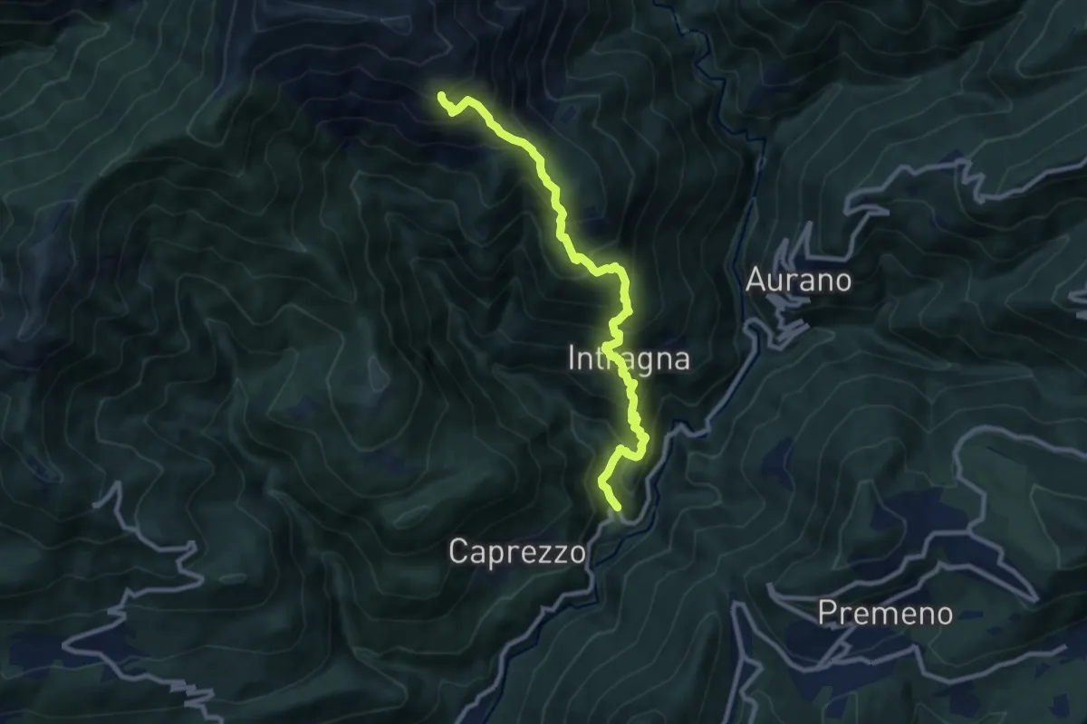
Demanding · Trail
km verticale Intragna
9.3 km · ↑ 949 m · 4 h 16 min
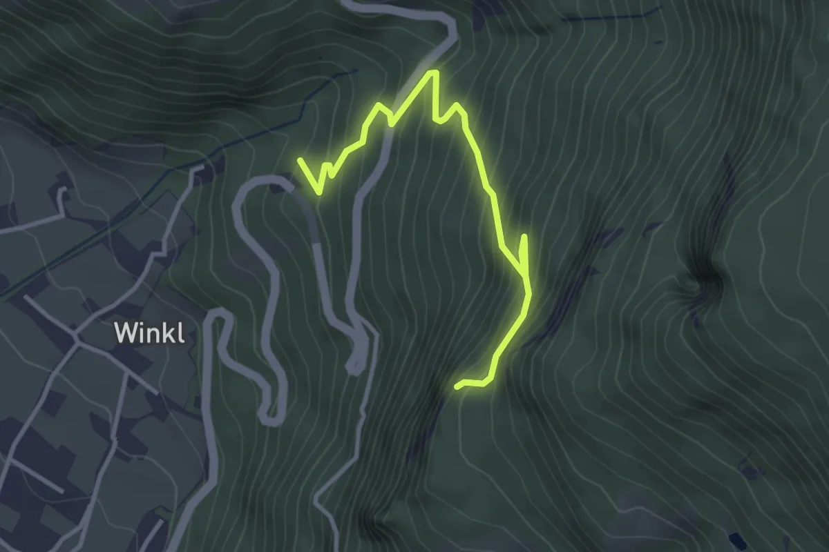
Medium · Trail
Knappensteig
3.4 km · ↑ 430 m · 1 h 44 min
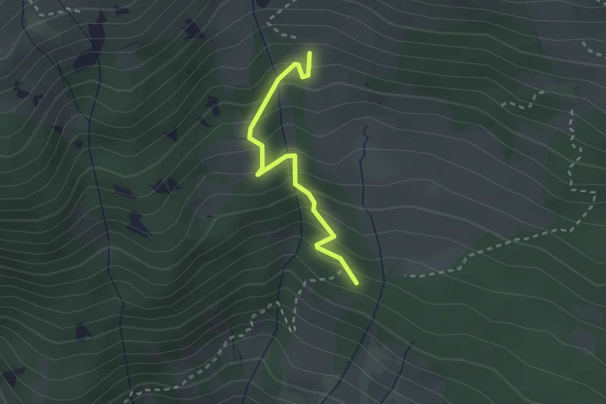
Demanding · Trail
Knappenweg
2.0 km · ↑ 238 m · 1 h
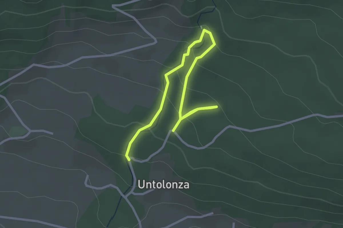
Easy · Trail
Kneippweg
3.2 km · ↑ 189 m · 1 h 10 min
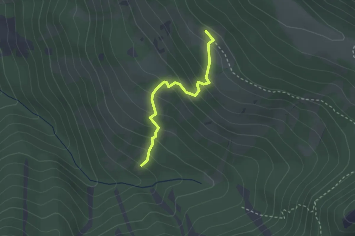
Demanding · Cabin
Knollsteig
2.2 km · ↑ 222 m · 1 h 1 min
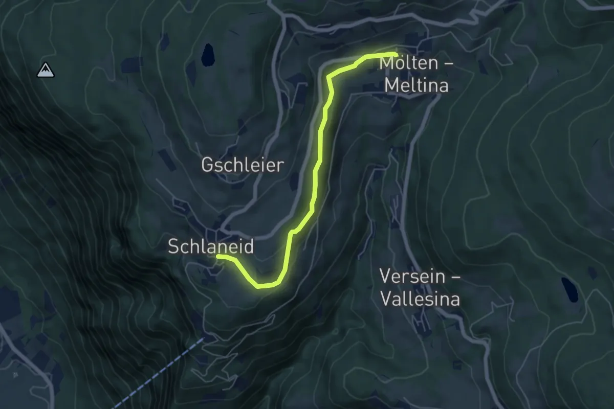
Medium · Trail
Köfeleweg
5.1 km · ↑ 195 m · 1 h 38 min
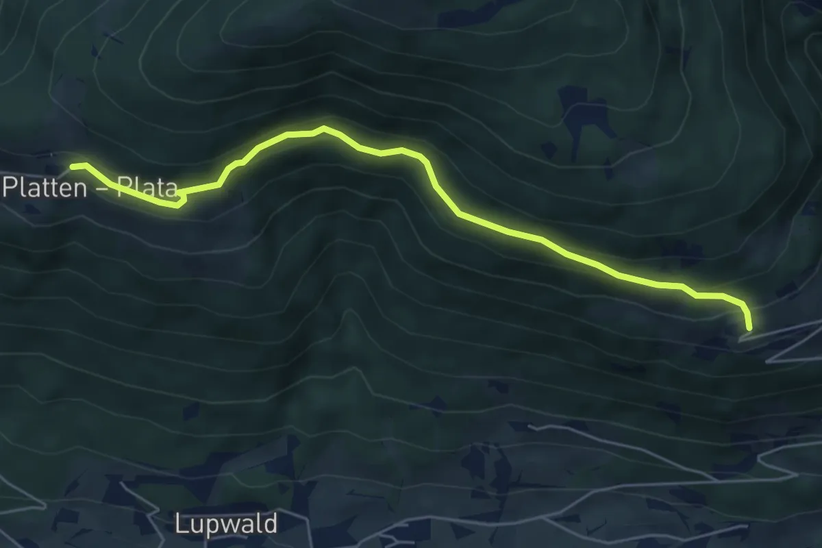
Easy · Trail
Koflsteig
5.6 km · ↑ 317 m · 2 h 1 min
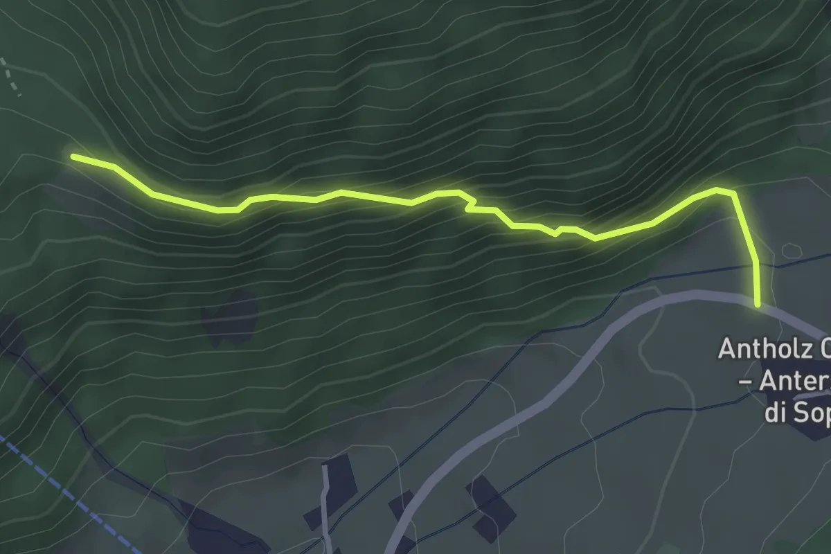
Medium · Trail
Kornbrentesteig
3.0 km · ↑ 290 m · 1 h 20 min
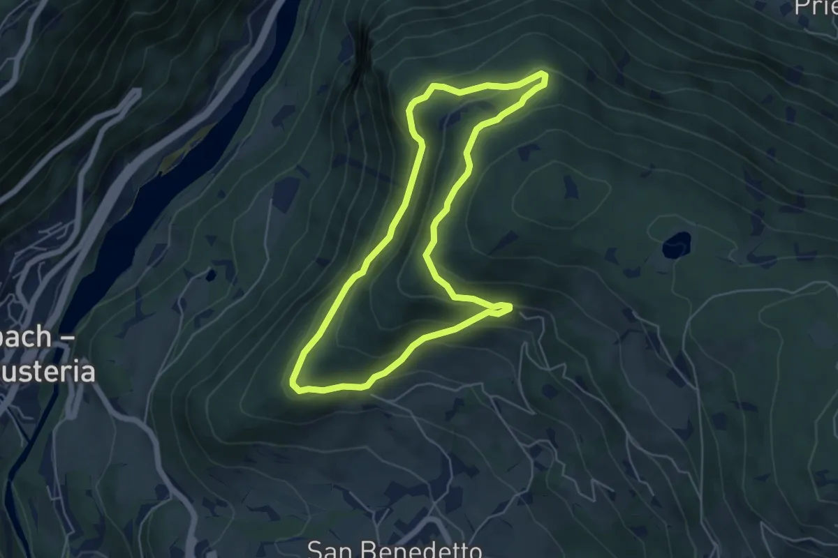
Easy · Trail
Kranterrunde
4.9 km · ↑ 294 m · 1 h 52 min
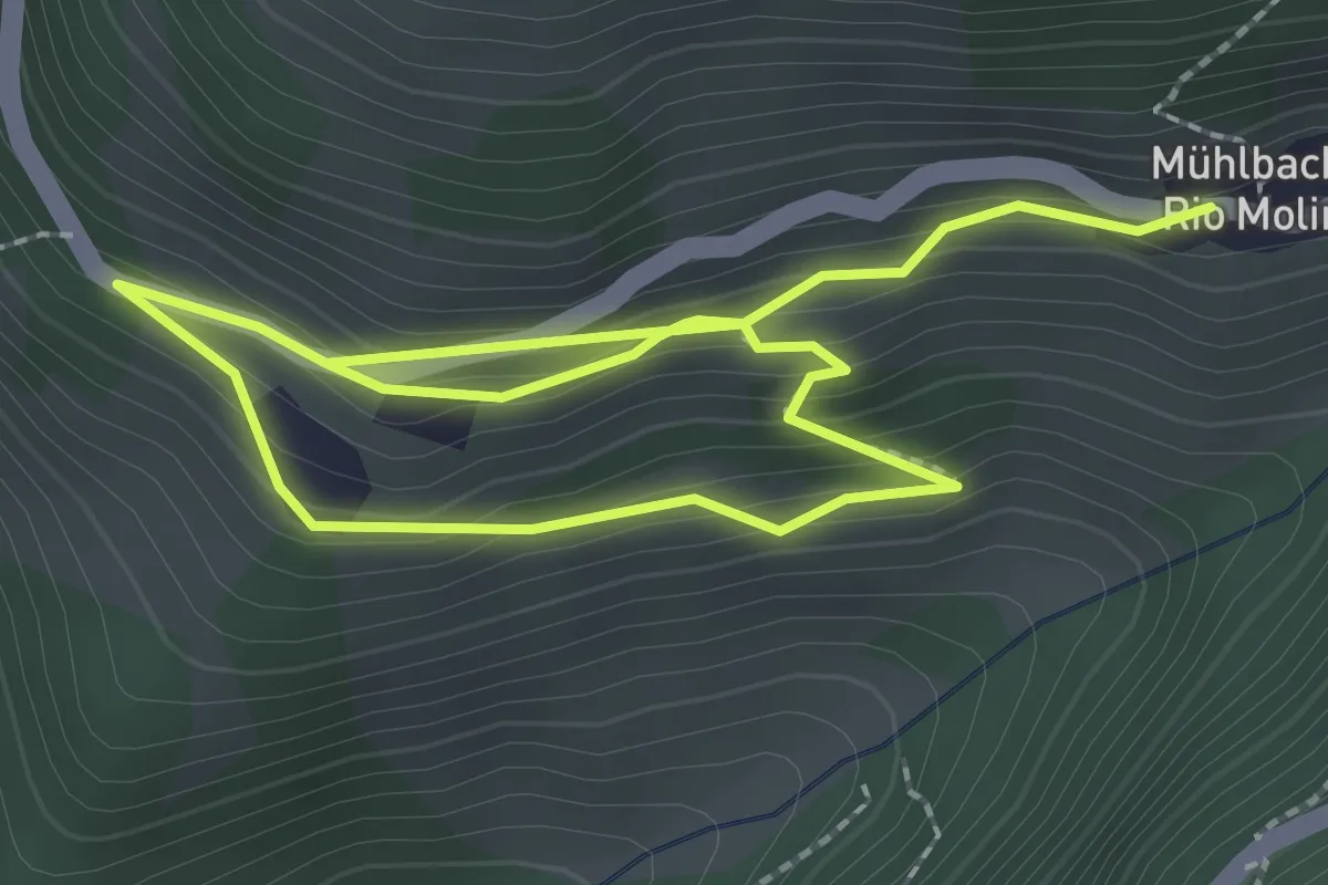
Easy · Trail
Kreuzweg
3.8 km · ↑ 275 m · 1 h 30 min
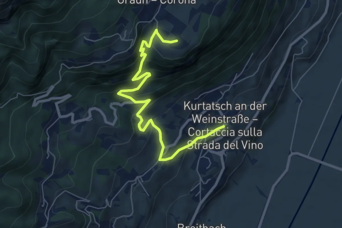
Medium · Trail
Kreuzweg
6.7 km · ↑ 492 m · 2 h 39 min
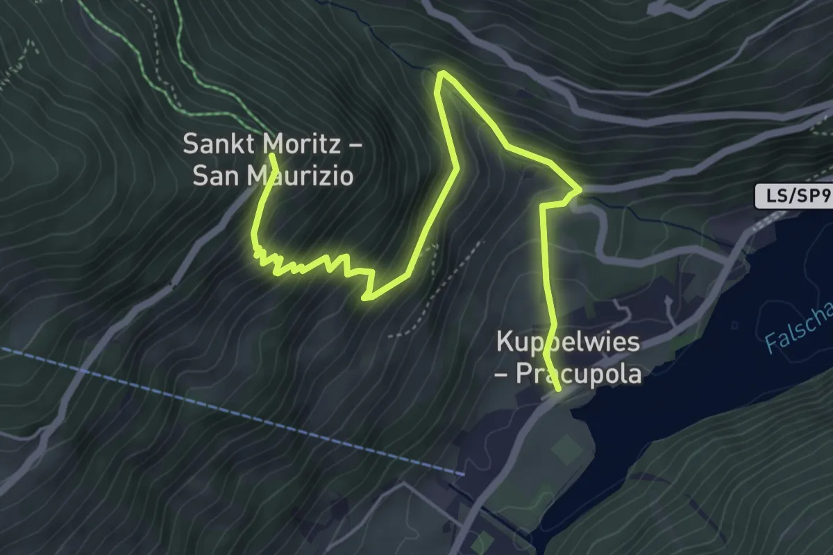
Medium · Trail
Kreuzweg Sankt Moritz
5.7 km · ↑ 526 m · 2 h 30 min
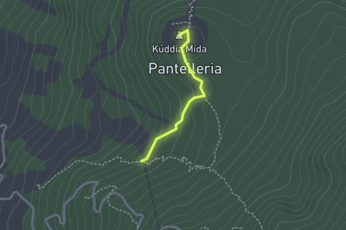
Medium · Summit
Kúddia Mída
1.6 km · ↑ 53 m · 29 min
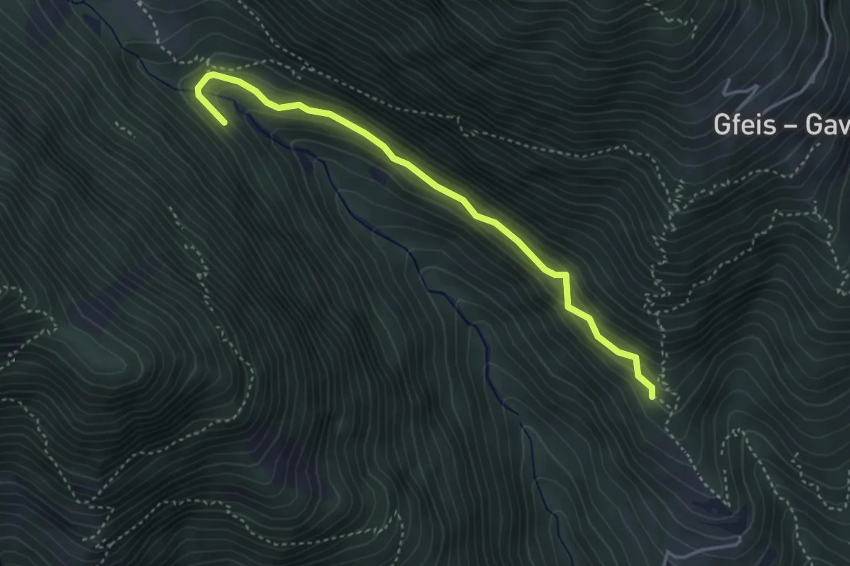
Easy · Trail
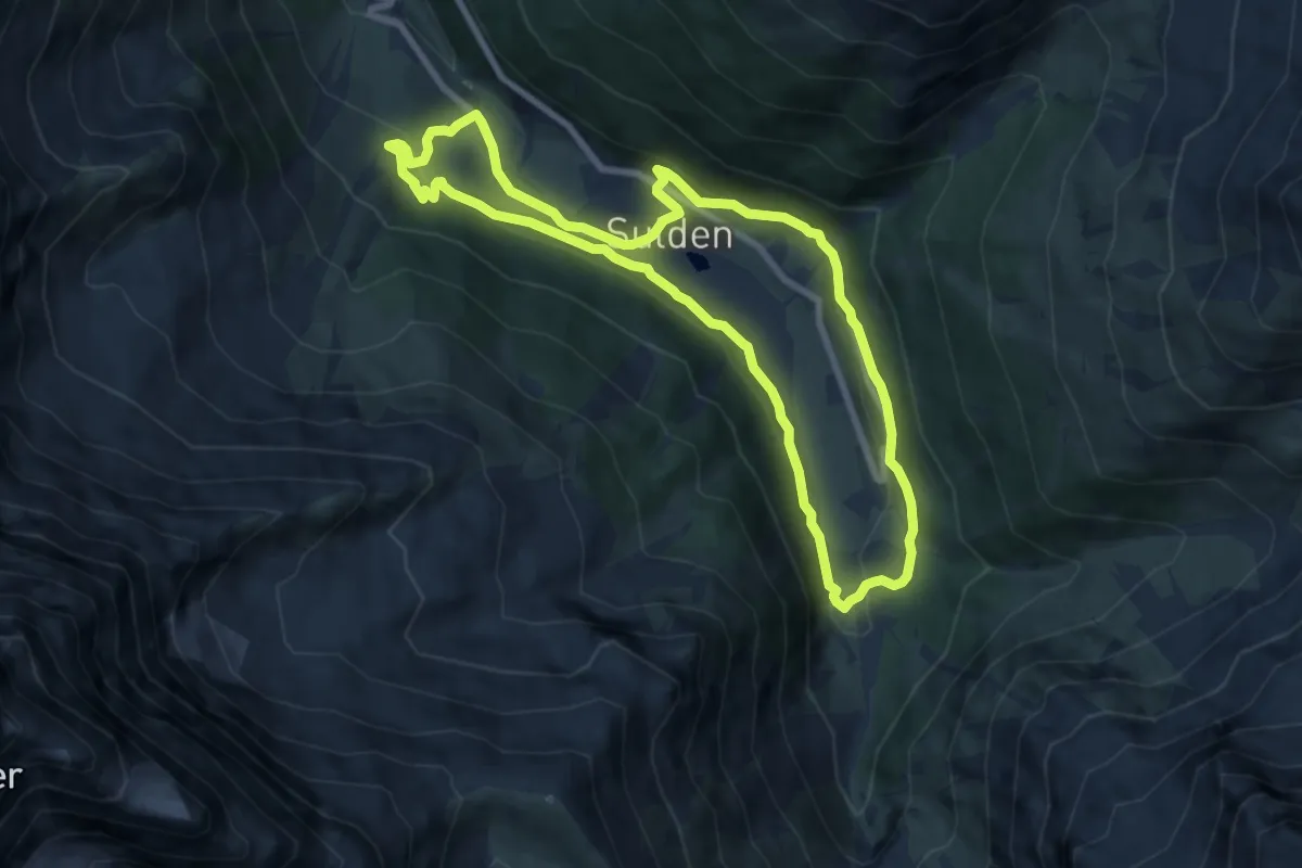
Kuenser Waalweg - Sentiero della Roggia di Caines
3.8 km · ↑ 220 m · 1 h 22 min
Medium · Trail
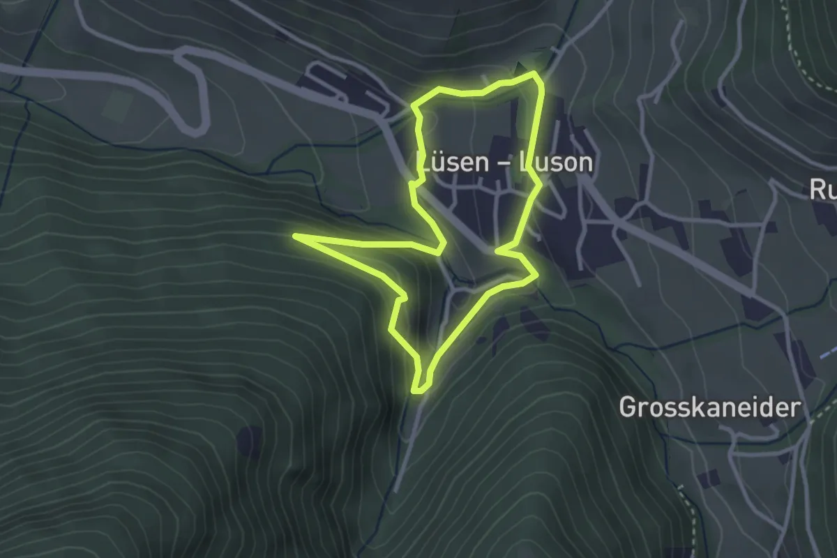
Kulturpromenade - Passeggiata storico-culturale
8.0 km · ↑ 252 m · 2 h 33 min
Easy · Trail
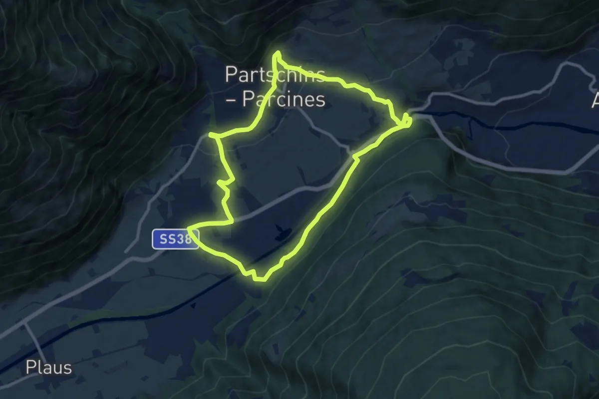
Kulturrunde - Culturonda
2.7 km · ↑ 100 m · 53 min
Medium · Trail
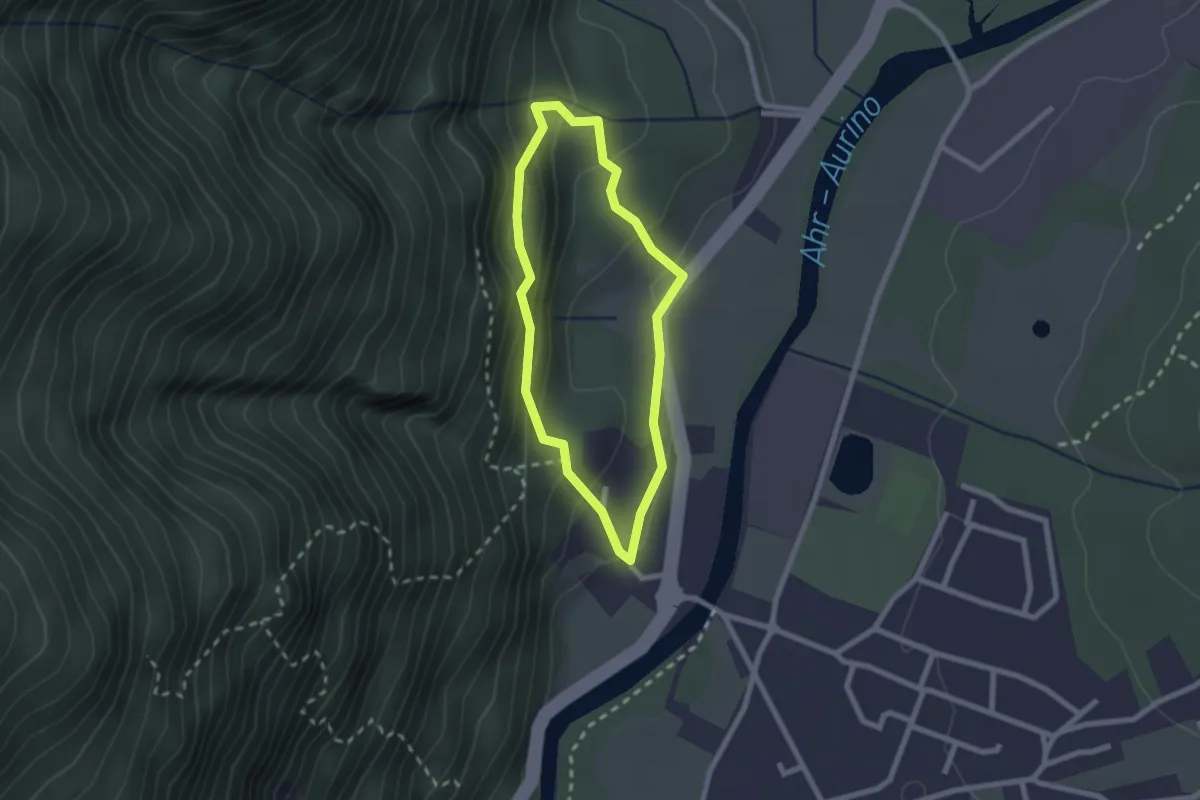
Kulturwanderweg Peter Mitterhofer
8.5 km · ↑ 187 m · 2 h 33 min
Easy · Trail
Kulturweg Gais
1.9 km · ↑ 125 m · 45 min
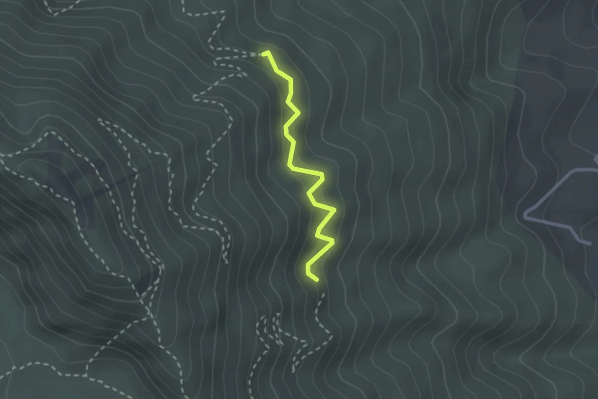
Medium · Trail
L
2.1 km · ↑ 203 m · 57 min
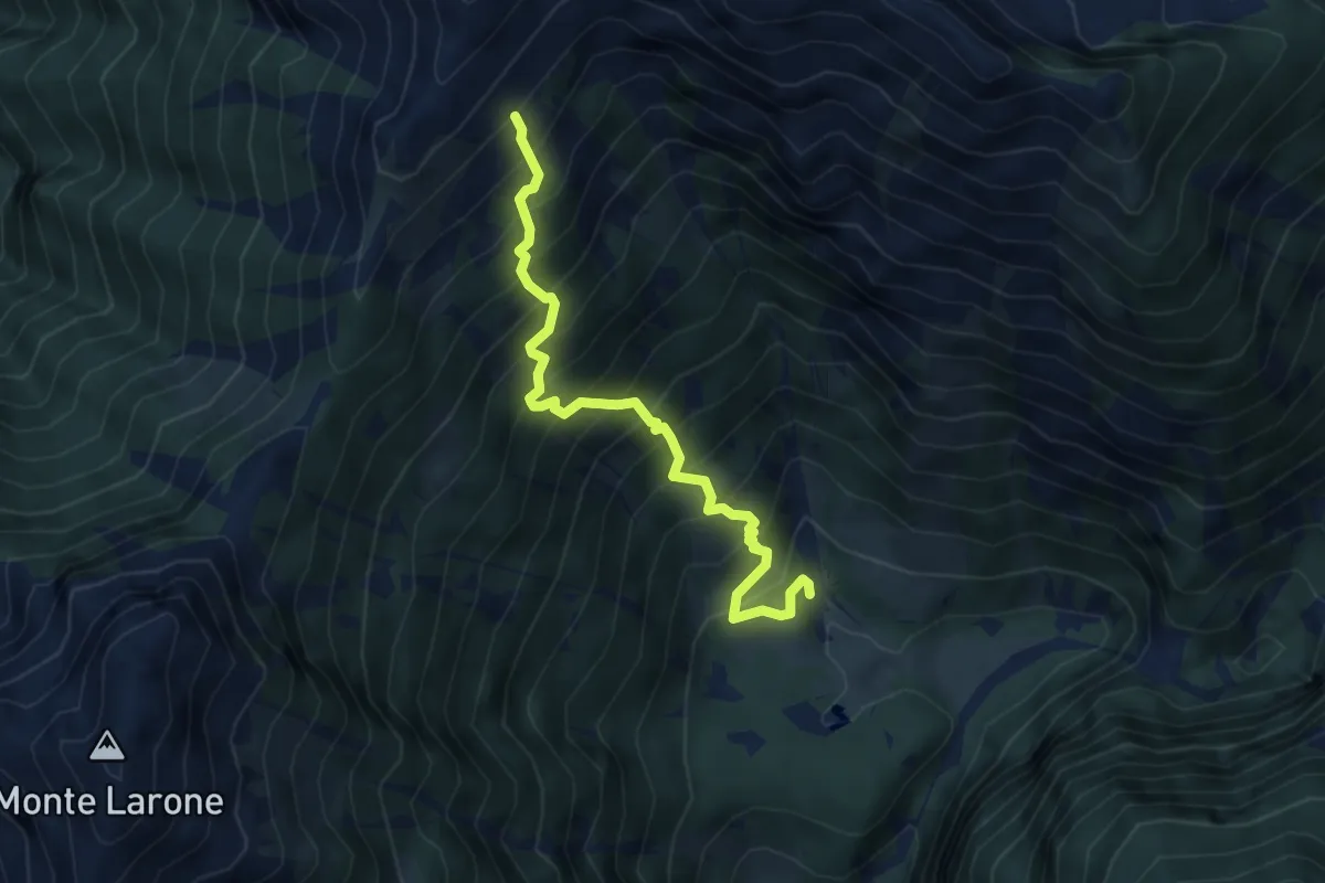
Demanding · Trail
L01 - Agarina - Bivio A04
4.8 km · ↑ 726 m · 2 h 42 min
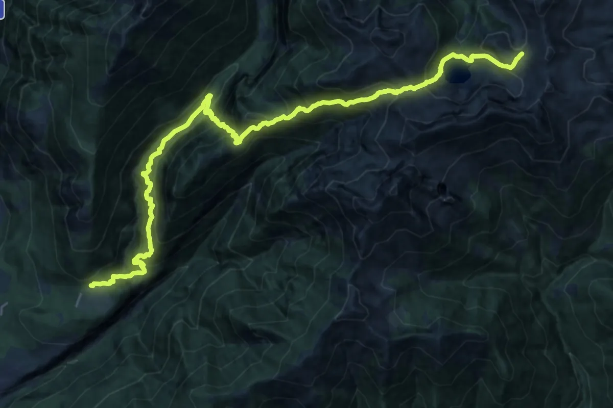
Demanding · Trail
L02 - Cippata - Forcola di Larecchio
13.2 km · ↑ 2020 m · 7 h 2 min
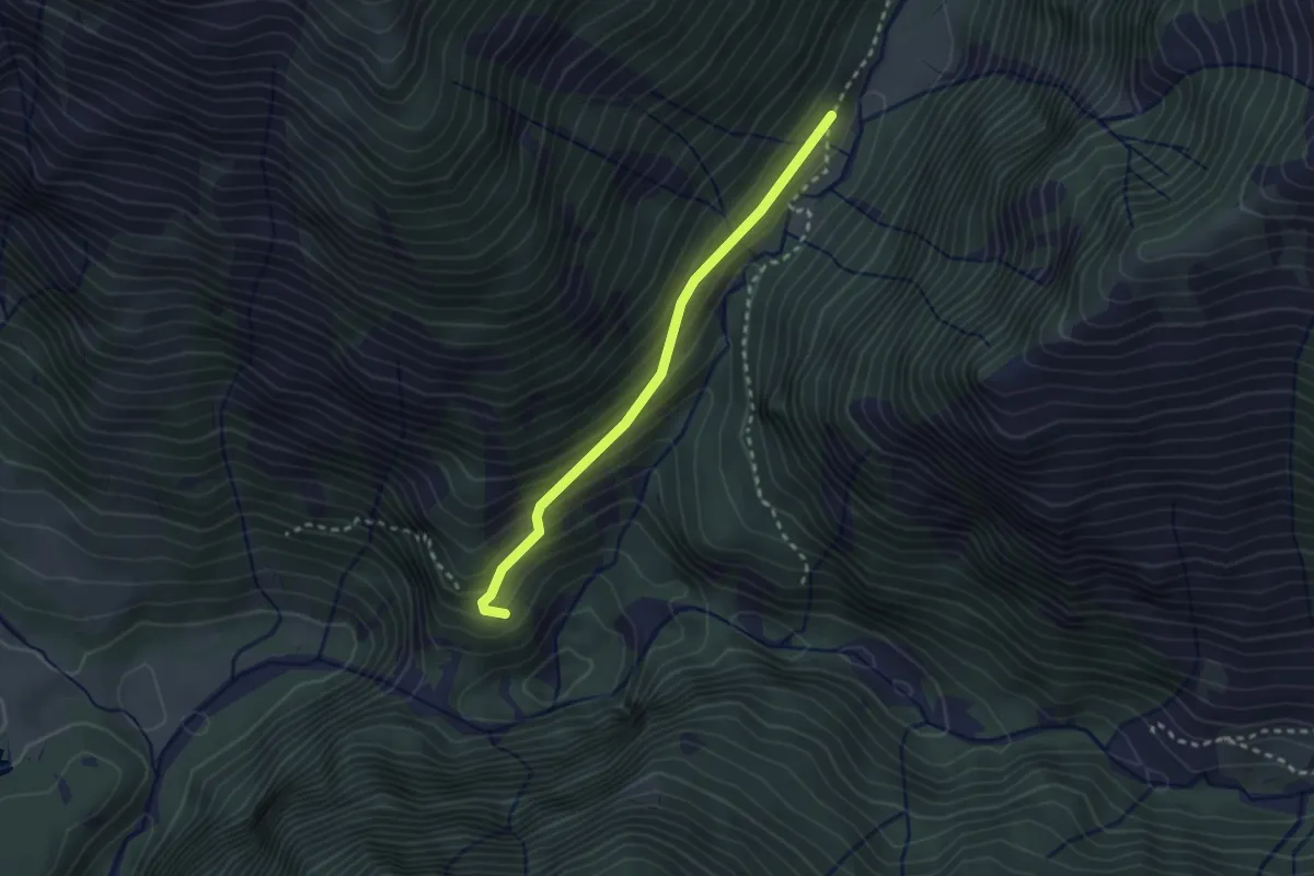
Easy · Trail
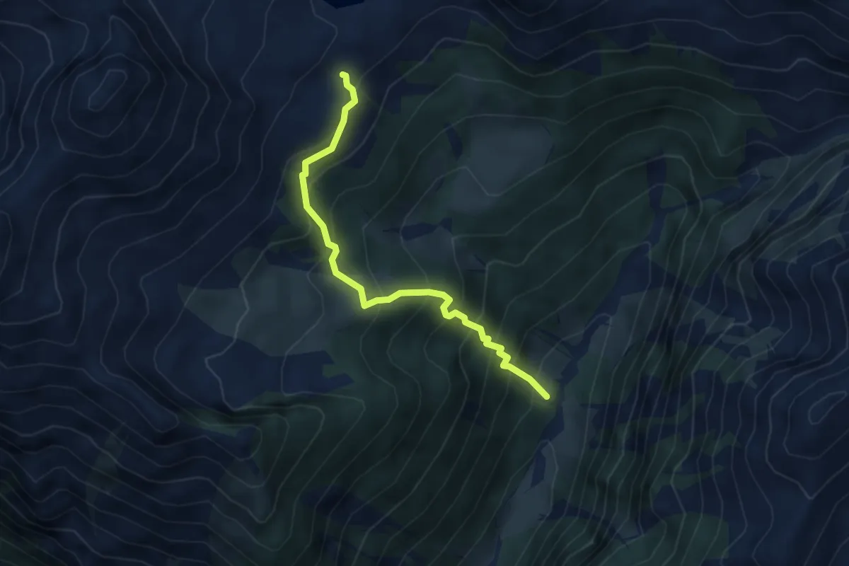
L03a - Cappella delle Scale - Bivio L03
2.4 km · ↑ 202 m · 1 h 1 min
Medium · Trail
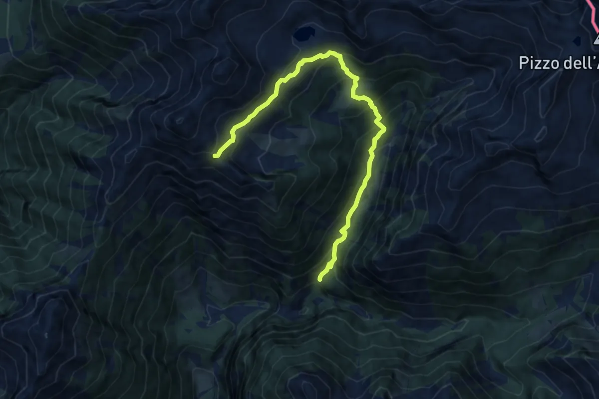
L03b - Alpe Nocca - Rifugio Sironi
4.1 km · ↑ 503 m · 2 h 4 min
Medium · Trail
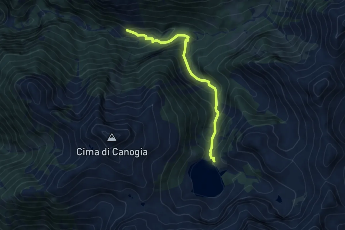
L03 - Ponte Faugiol - Cappella della Croce
10.7 km · ↑ 761 m · 4 h 10 min
Medium · Trail
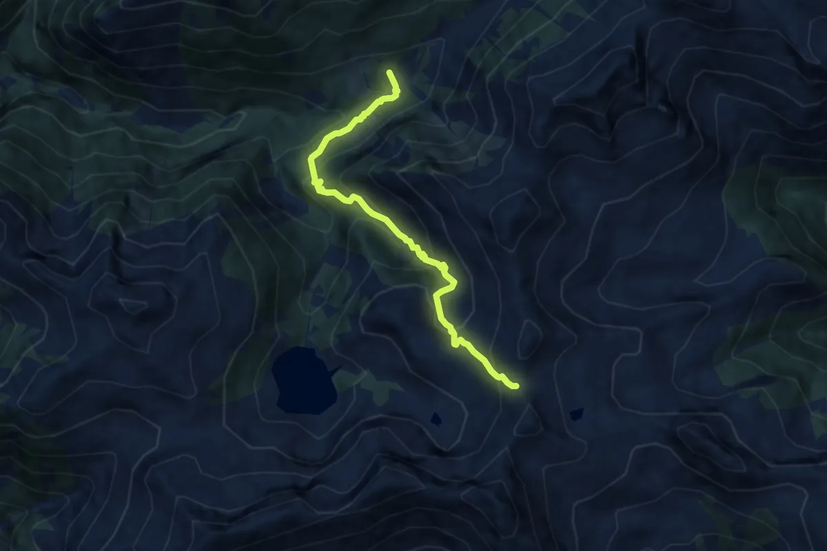
L04 - Alpe Cortone - Lago di Larecchio
5.7 km · ↑ 415 m · 2 h 15 min
Medium · Trail
L97 - Il Campo - Forcola di Larecchio
7.7 km · ↑ 551 m · 3 h
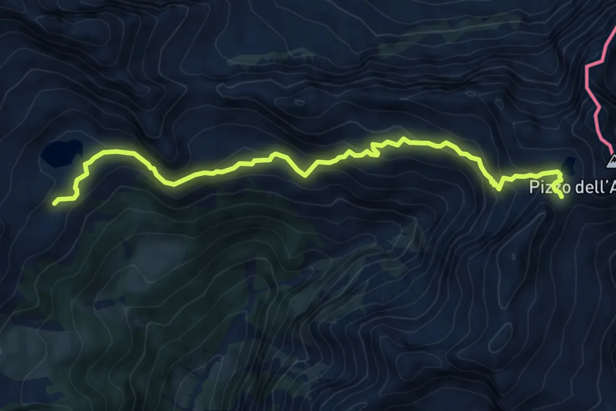
Demanding · Trail
L99 - Rifugio Sironi - Bocchetta del Lago Gelato
8.3 km · ↑ 529 m · 3 h 6 min
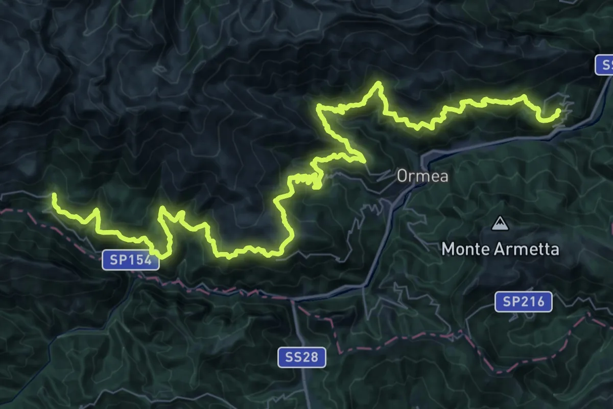
Demanding · Trail
La Balconata di Ormea
31.6 km · ↑ 1974 m · 11 h 59 min
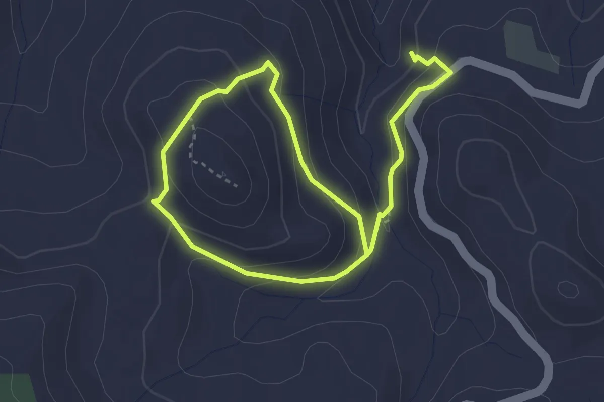
Easy · Trail
L'abbazia e il bagno di San Michele delle Formiche
2.6 km · ↑ 143 m · 57 min
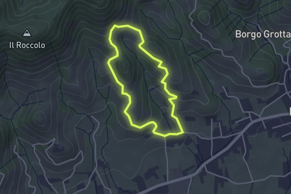
Easy · Trail
La Biodiversità
2.7 km · ↑ 152 m · 1 h 1 min
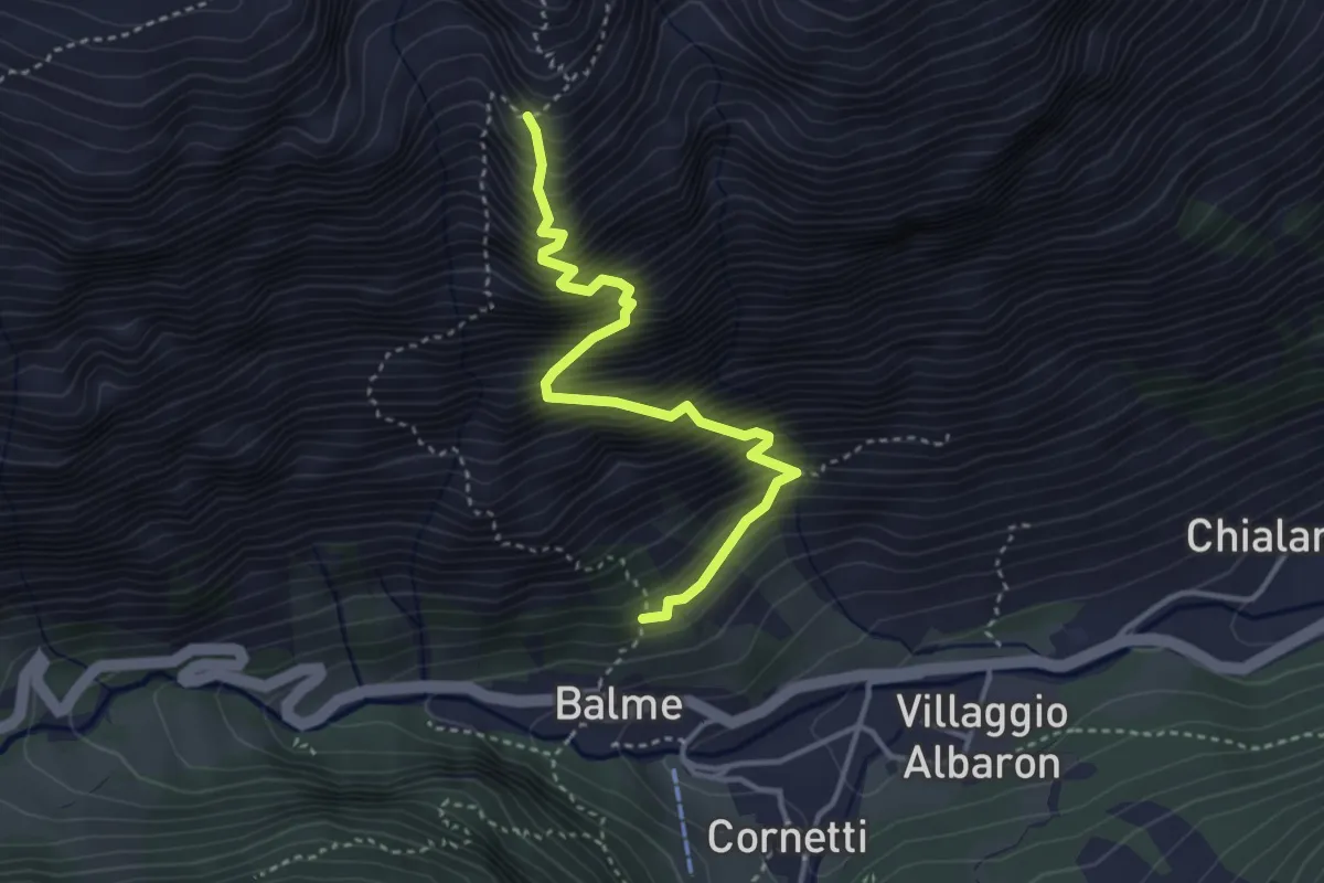
Demanding · Trail
Labirinto Verticale
3.7 km · ↑ 840 m · 2 h 42 min
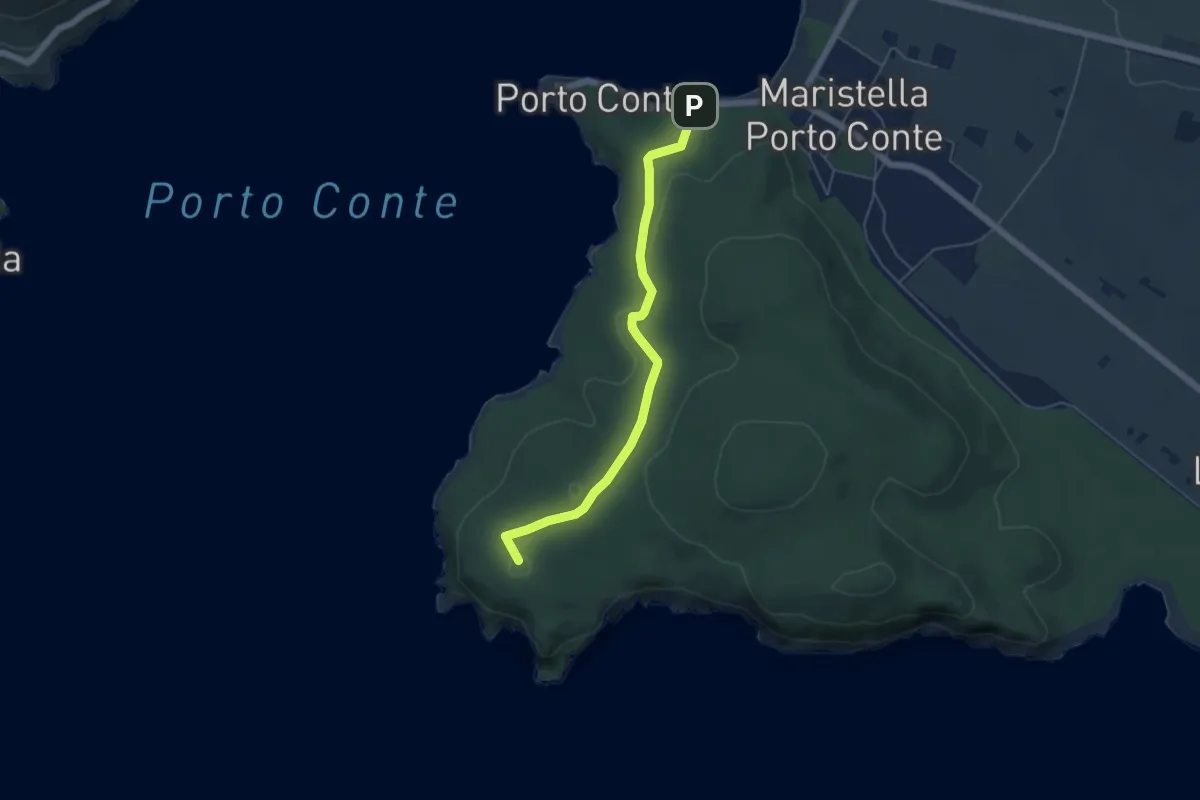
Easy · Summit
La Bramassa
5.6 km · ↑ 126 m · 1 h 35 min
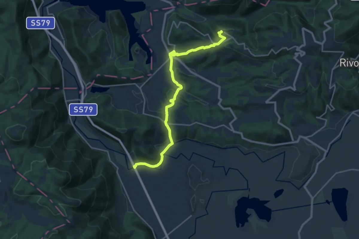
Medium · Trail
Labro - Ponte sul Velino
15.6 km · ↑ 537 m · 4 h 50 min
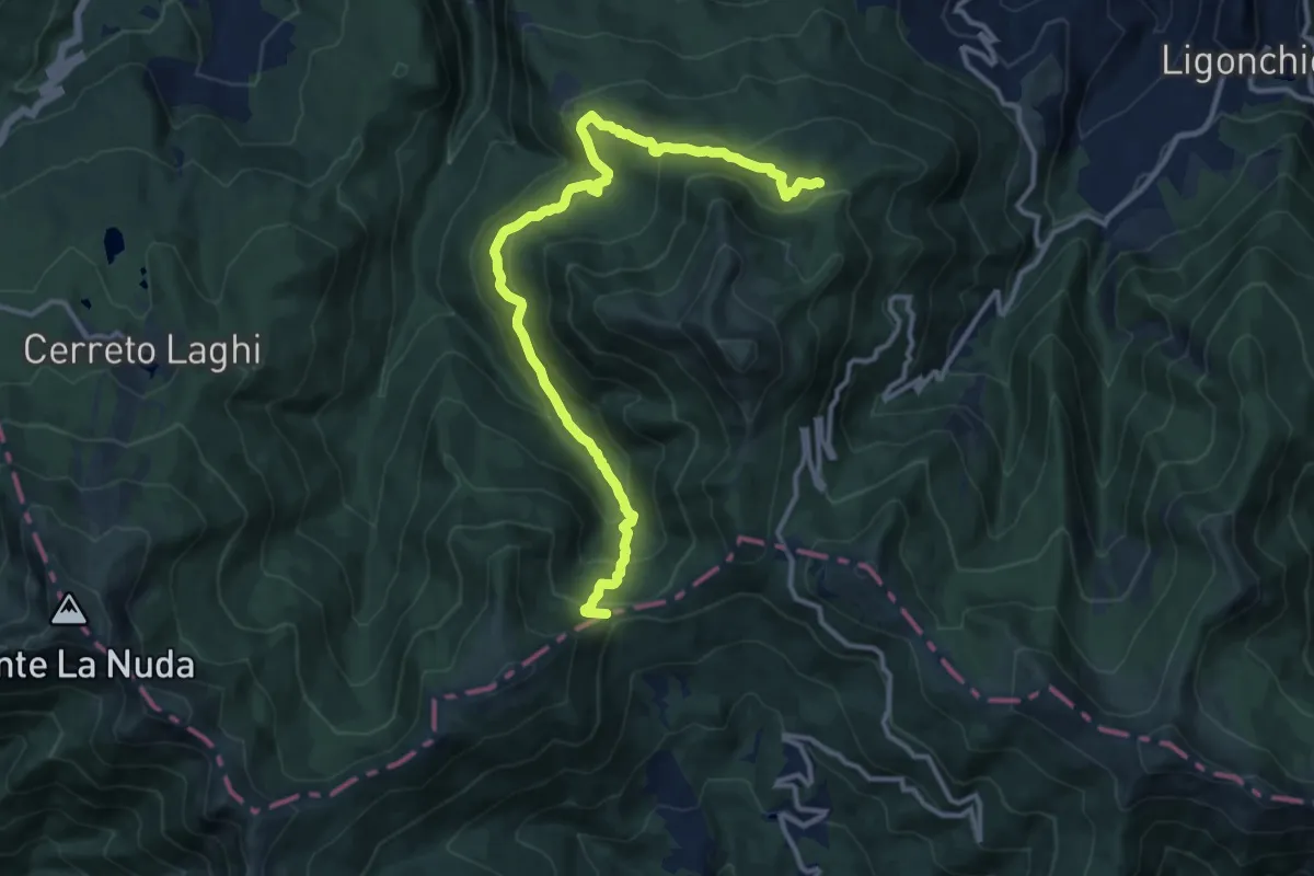
Medium · Trail
La Buca - Il Quartiere - Il Bottaccio - Passo di Cavorsella
13.9 km · ↑ 772 m · 4 h 57 min
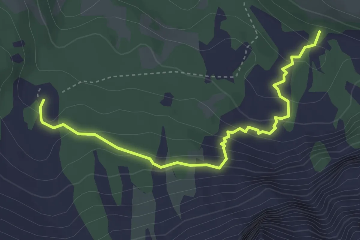
Medium · Trail
Labyrinthsteig - Labirinto
3.8 km · ↑ 223 m · 1 h 23 min
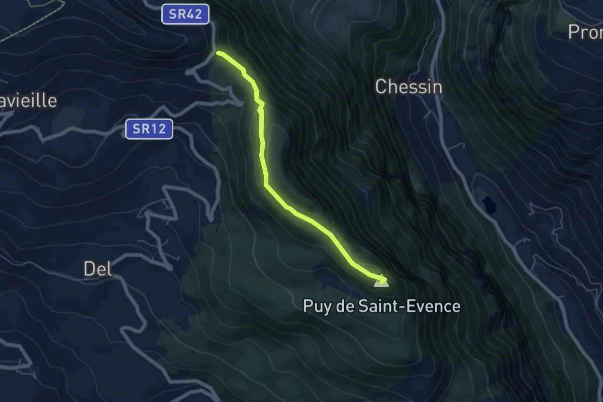
Easy · Summit
La cappella di Saint-Evence
4.9 km · ↑ 258 m · 1 h 43 min
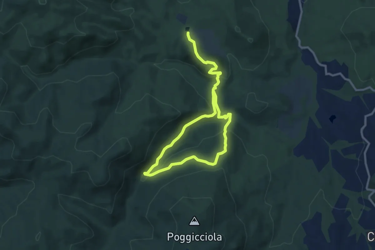
Easy · Trail
La cascata di Caselli e la foresta di Renzano
6.0 km · ↑ 196 m · 1 h 57 min
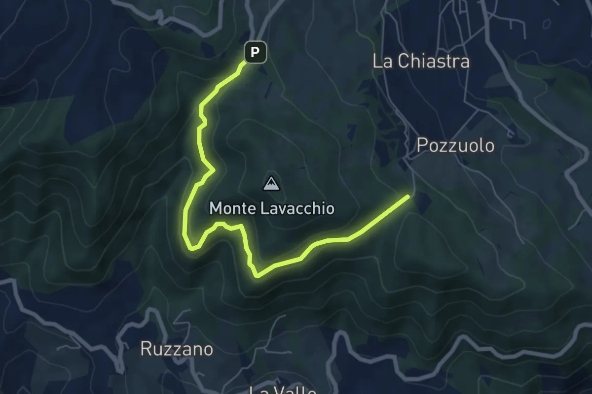
Medium · Trail
La Caserma (Centro Parco) - Pineta di Scurano
6.5 km · ↑ 330 m · 2 h 15 min
Medium · Trail
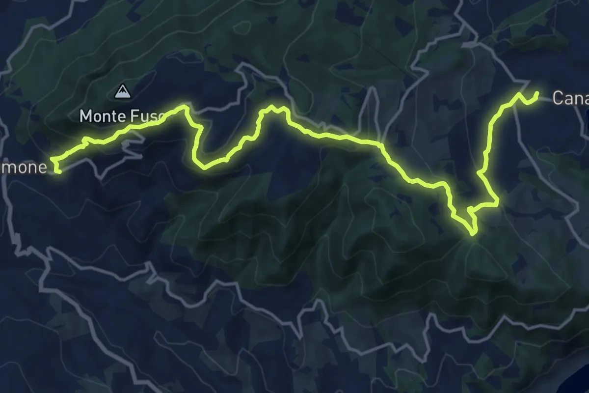
La Caserma (Centro Parco);Rusino
17.4 km · ↑ 791 m · 5 h 49 min
Medium · Summit
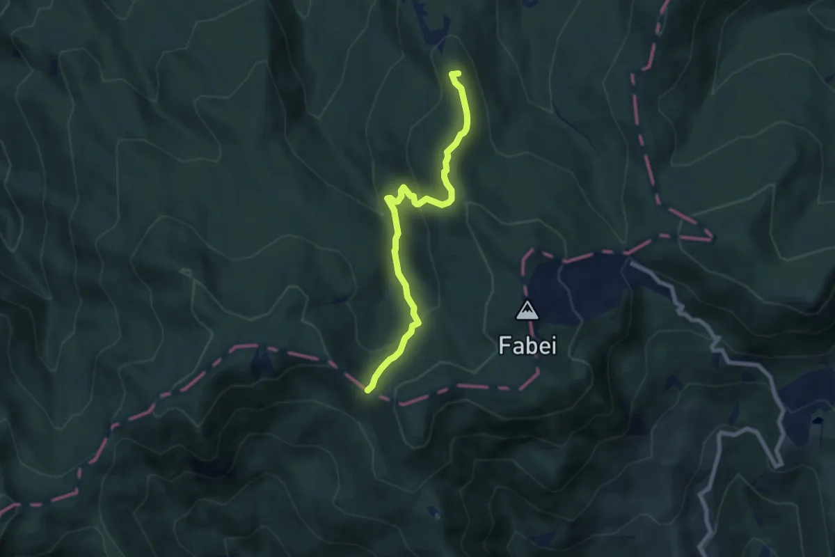
La Casermetta-Monte Vergastrelli-Passo del Focetto
6.6 km · ↑ 356 m · 2 h 20 min
Medium · Summit
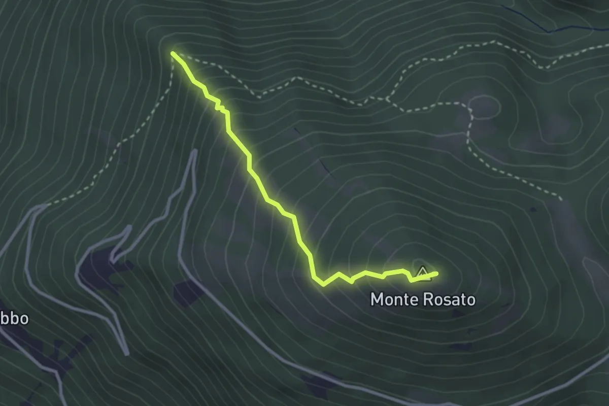
La Casetta-Monte Rosato e Polino
2.8 km · ↑ 381 m · 1 h 30 min
Demanding · Cabin
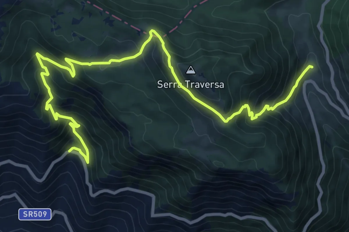
La Castelluccia - Tre Ponti Superiori
15.4 km · ↑ 1148 m · 6 h 7 min
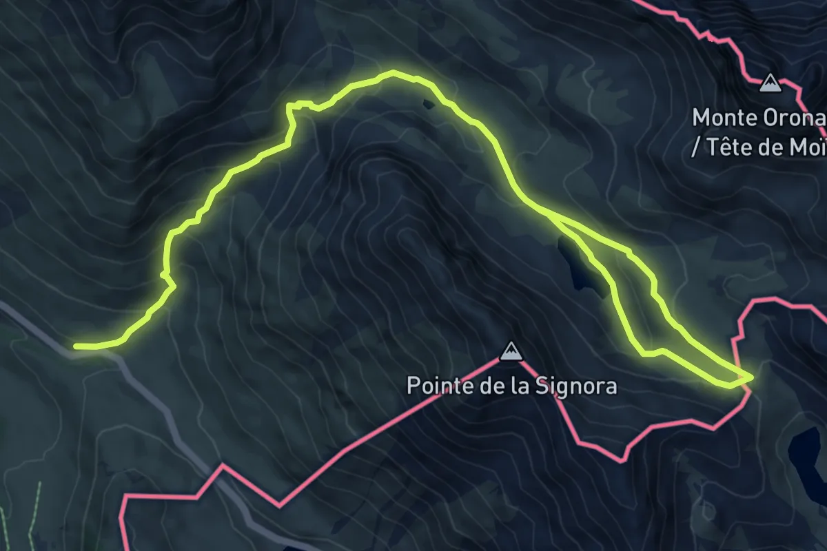
Medium · Trail
Lac de l'Oronaye et col de Roburent
6.7 km · ↑ 95 m · 2 h 7 min
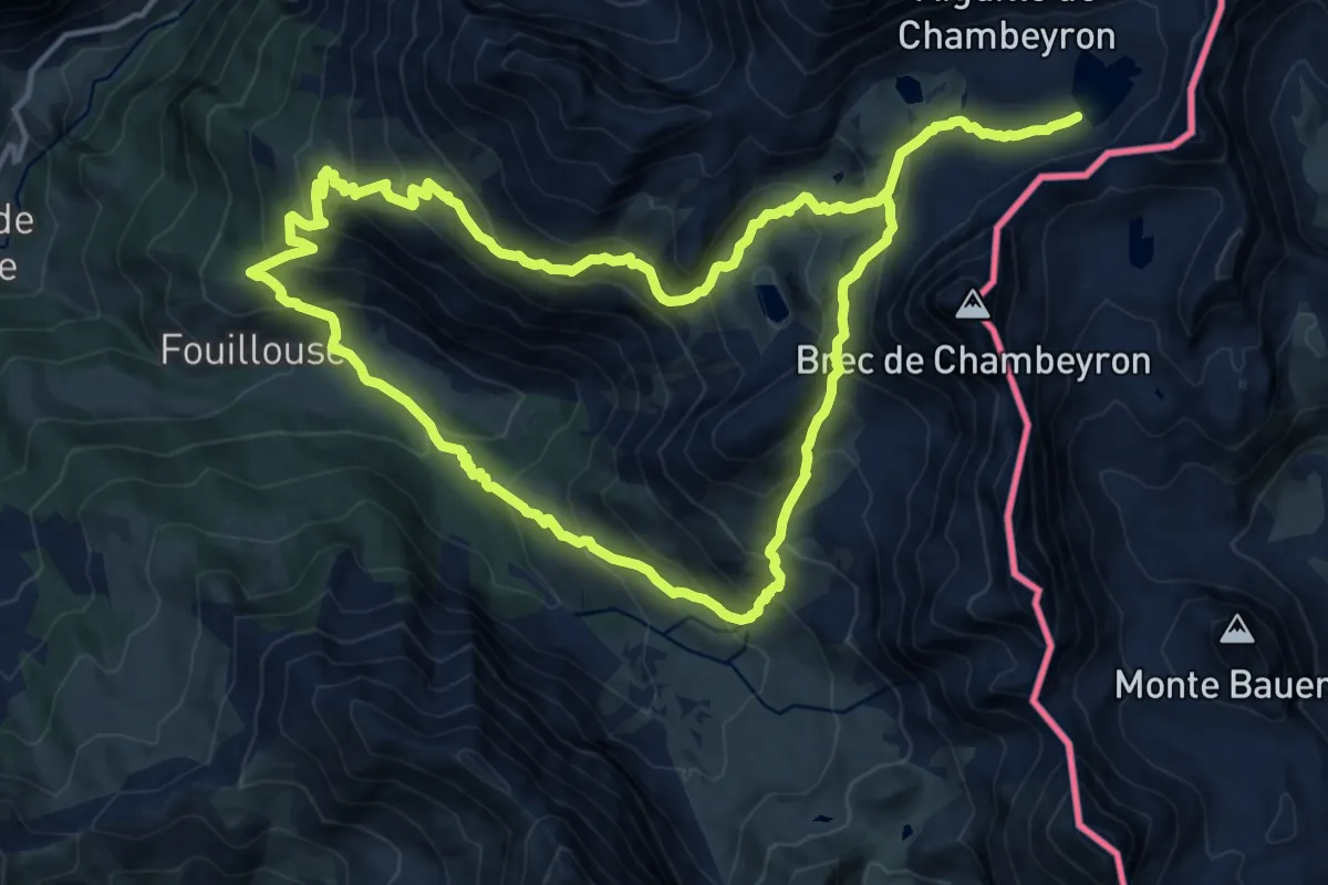
Expert · Trail
Lac des Neuf Couleurs
14.3 km · ↑ 996 m · 5 h 42 min
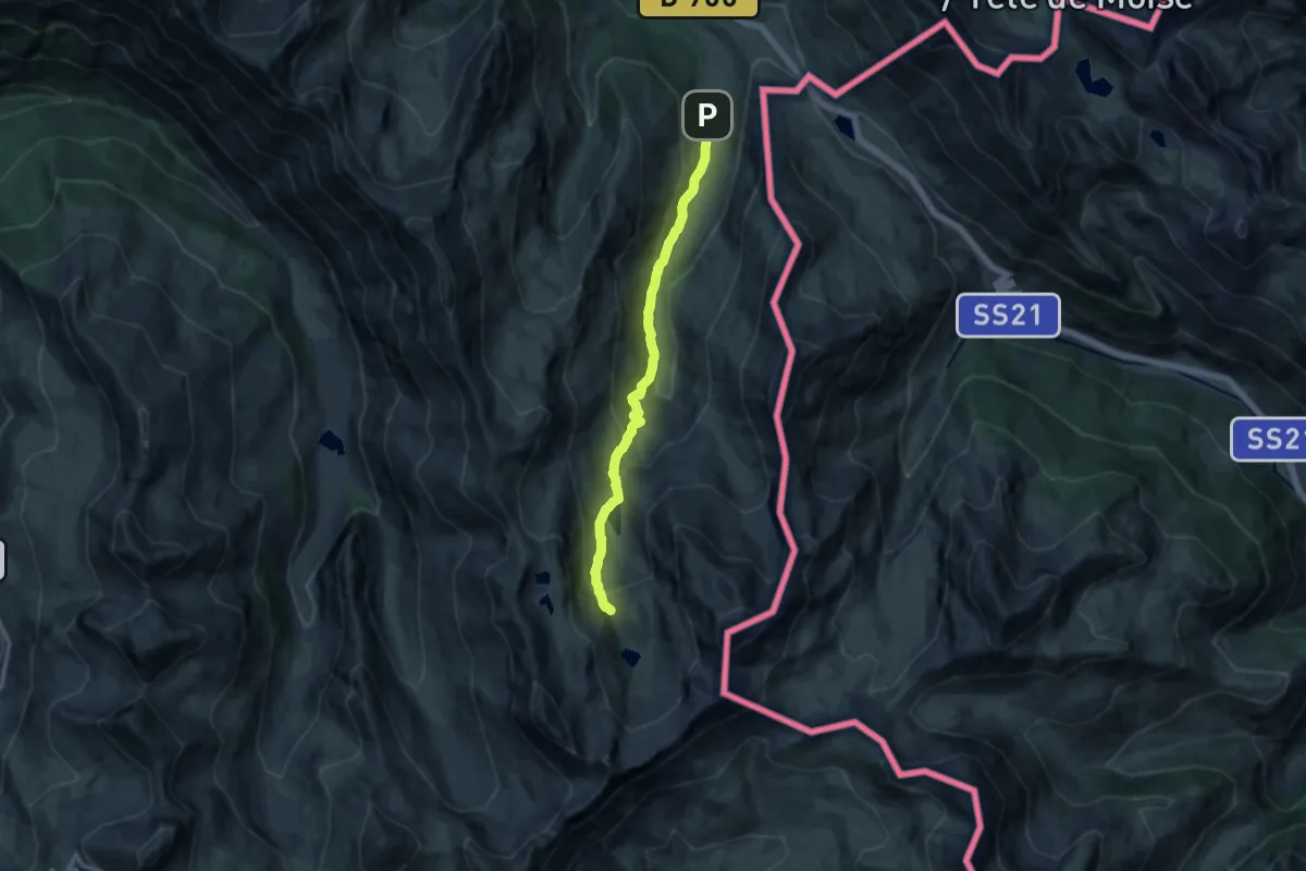
Medium · Trail
Lac du Lauzanier
6.1 km · ↑ 548 m · 2 h 28 min
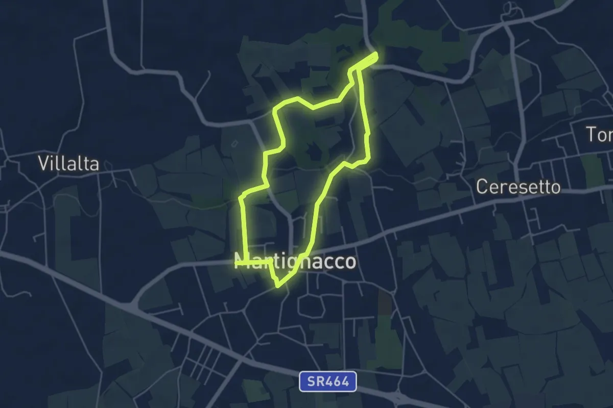
Easy · Trail
"La Cjaminade"
4.3 km · ↑ 42 m · 1 h 9 min