Trails in Italy
25,221 hiking trails, each with its route, climb, walking time and grade.
All trails, page 91 of 526
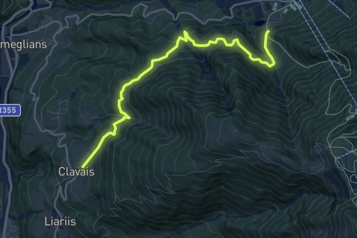
Medium · Trail
La Clavajana
10.7 km · ↑ 713 m · 4 h 4 min
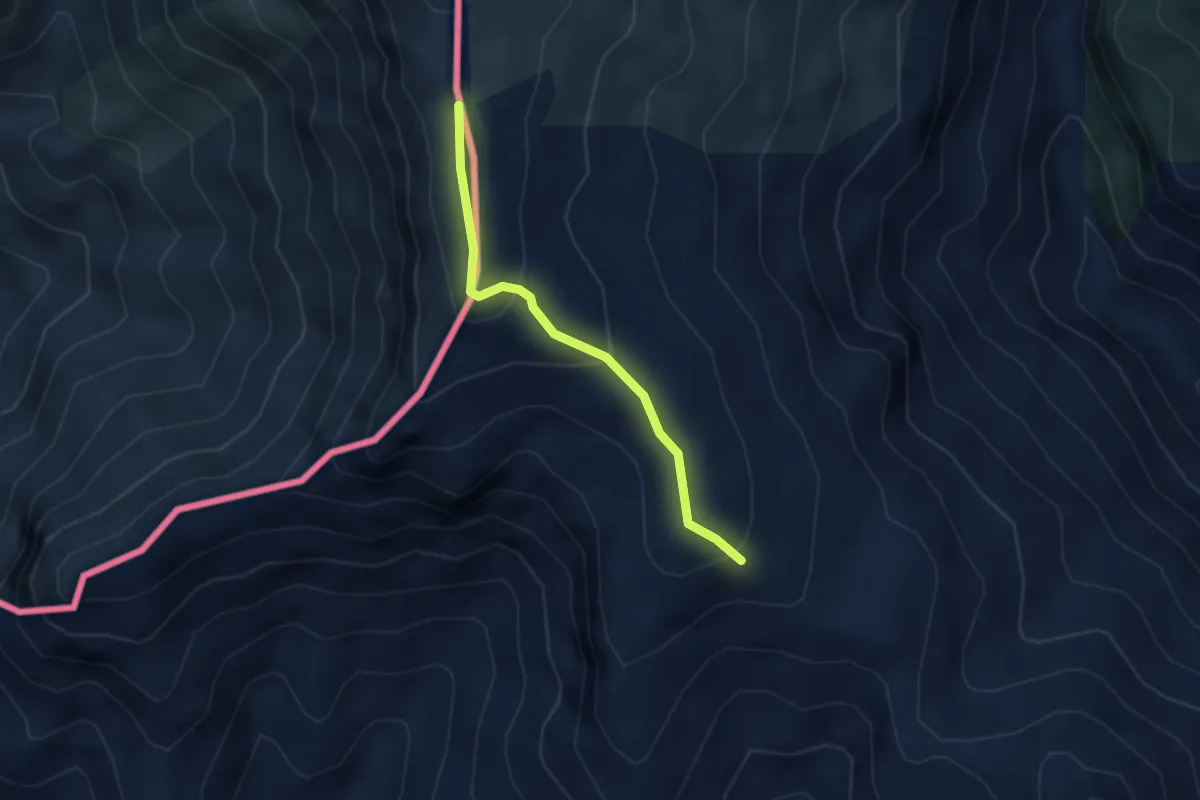
Easy · Trail
La Colla - Colla Sgora
2.9 km · ↑ 160 m · 1 h 2 min
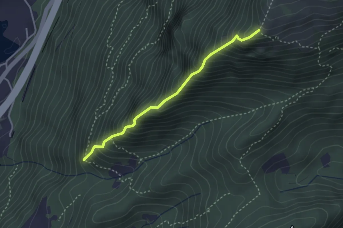
Expert · Trail
La Costiera
2.8 km · ↑ 568 m · 1 h 53 min
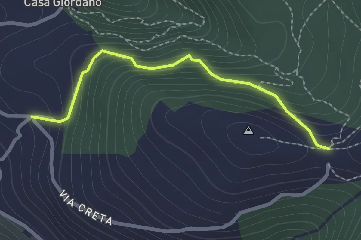
Medium · Trail
La Creta
2.0 km · ↑ 187 m · 53 min
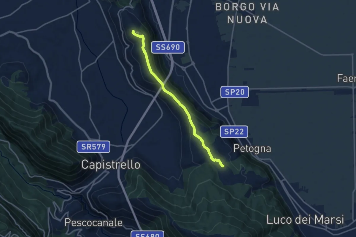
Medium · Summit
La Cunicella
11.2 km · ↑ 217 m · 3 h 7 min
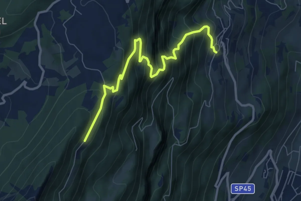
Medium · Trail
La direttissima
7.2 km · ↑ 732 m · 3 h 17 min
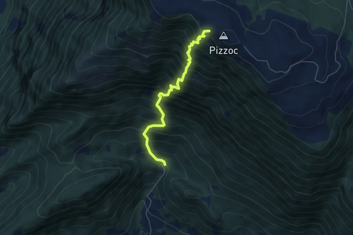
Demanding · Cabin
La Direttissima
4.9 km · ↑ 909 m · 3 h 8 min
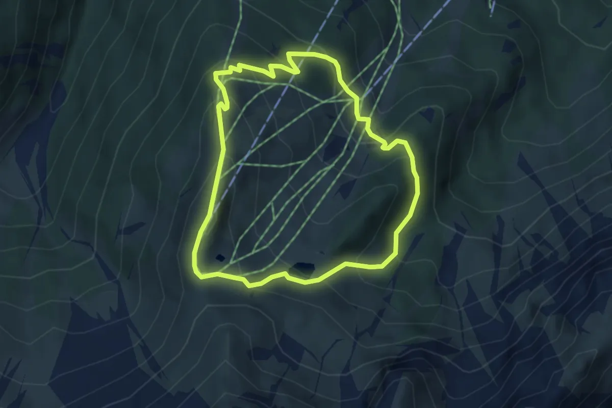
Medium · Trail
Ladurnser Rundweg
3.8 km · ↑ 303 m · 1 h 37 min
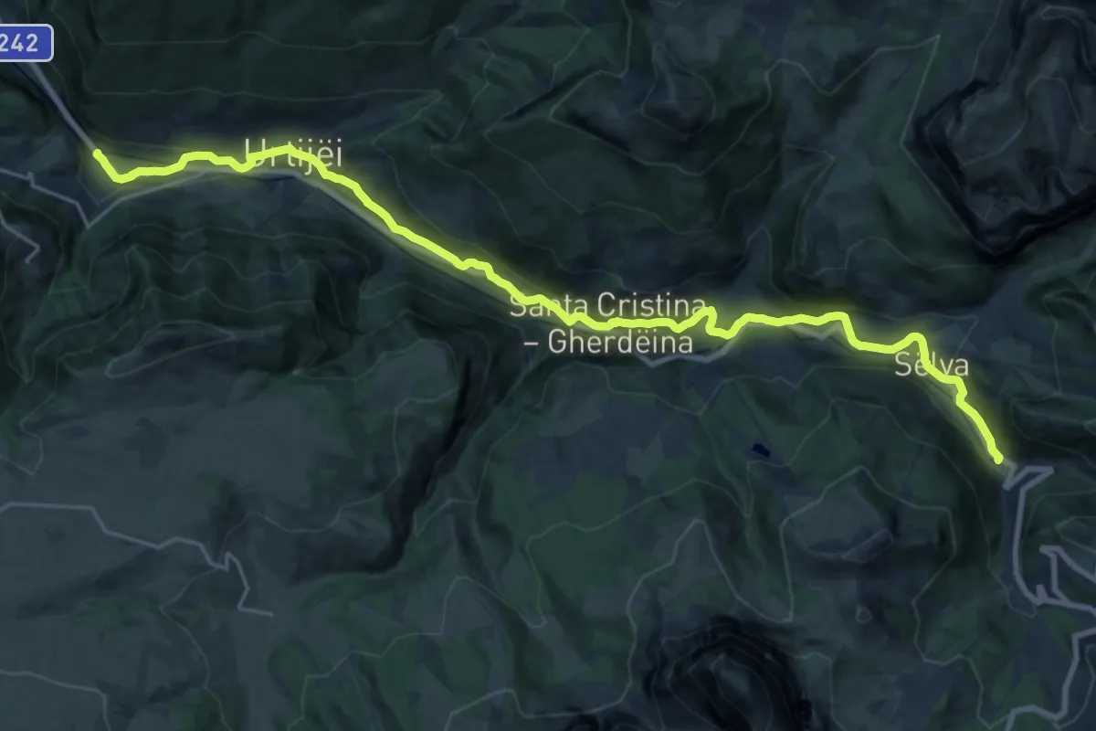
Demanding · Trail
La Ferata
24.5 km · ↑ 672 m · 7 h 14 min
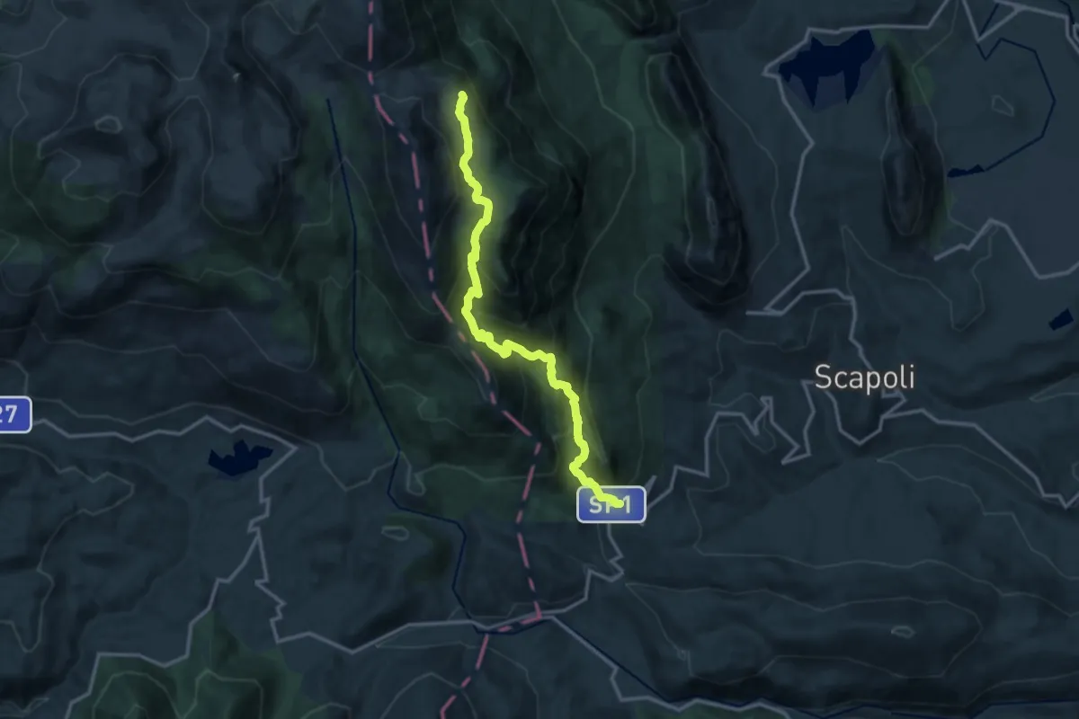
Demanding · Trail
La Ferruccia - Cerasuolo
14.5 km · ↑ 1129 m · 5 h 52 min
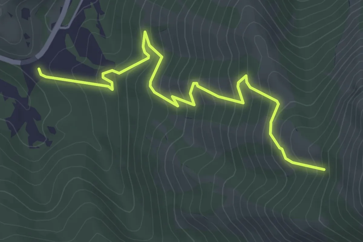
Medium · Trail
La Forca di Fuscello – Fonte Forcella
5.9 km · ↑ 536 m · 2 h 33 min
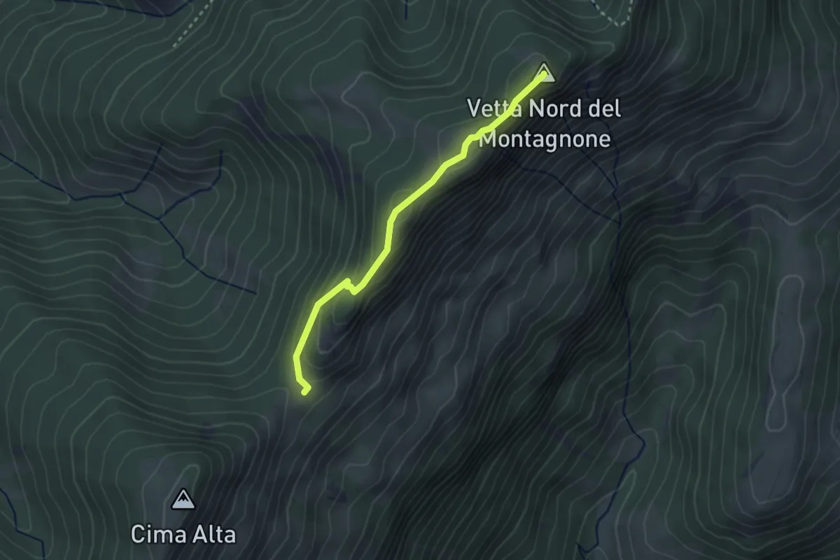
Easy · Summit
La Forchetta - Colle Pelato
2.9 km · ↑ 132 m · 58 min
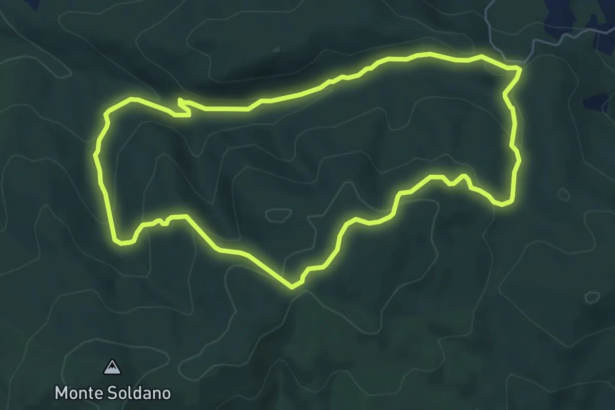
Easy · Summit
La Foresta di Tatti
6.6 km · ↑ 225 m · 2 h 9 min
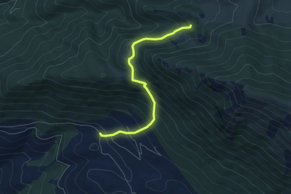
Medium · Trail
La Forma - Fosso Omo di Cairo
5.8 km · ↑ 519 m · 2 h 29 min
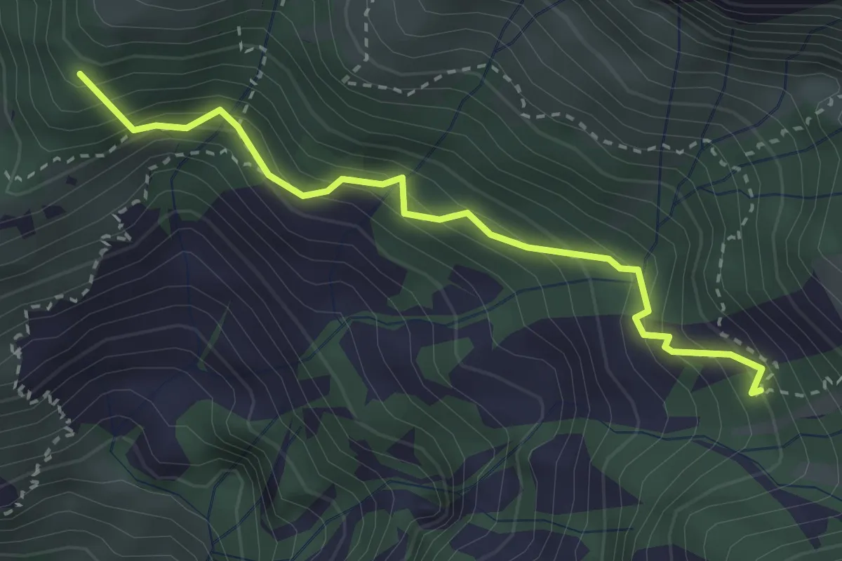
Medium · Summit
La Gardata - Rifugio Elisa
3.1 km · ↑ 395 m · 1 h 35 min
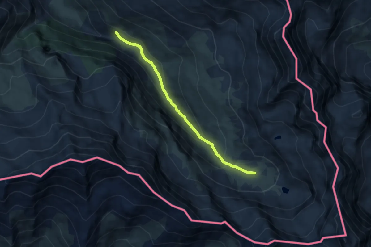
Easy · Trail
La Gardiole - Montagne du Viso
6.4 km · ↑ 307 m · 2 h 11 min
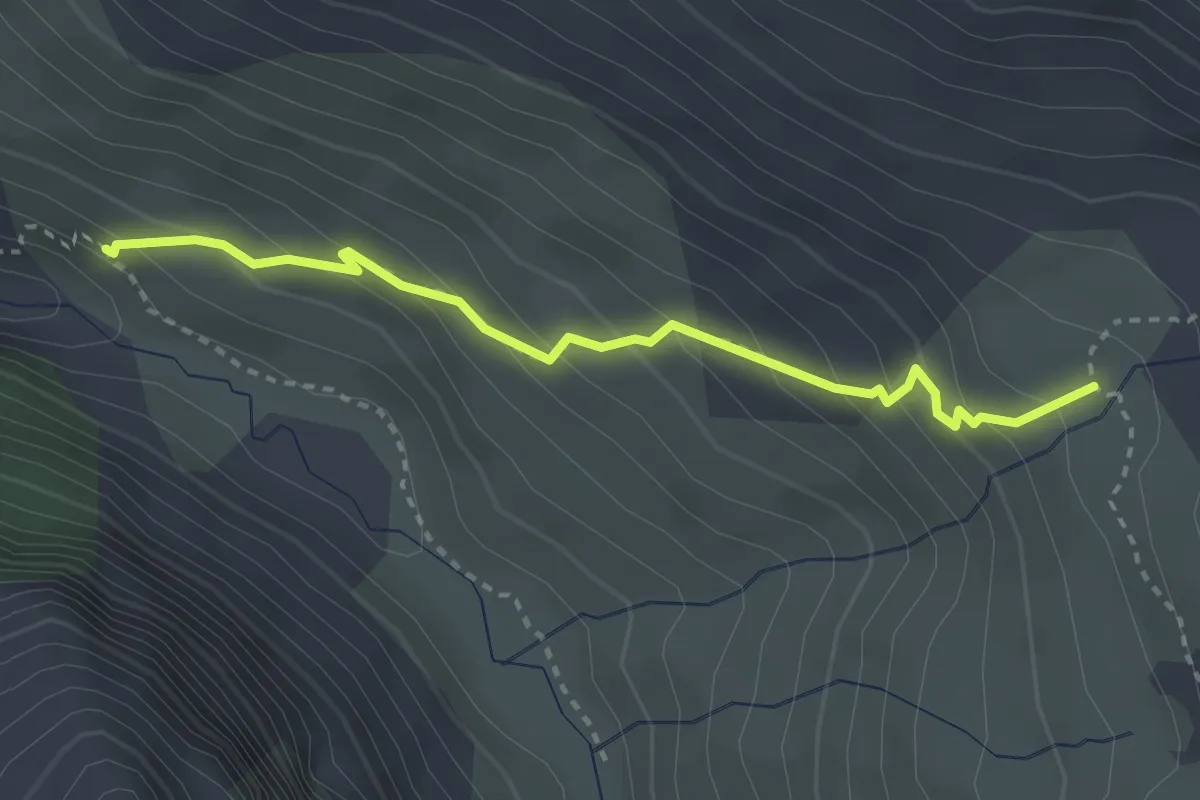
Medium · Trail
La Gardiole - Torrent de la Faïtou
3.1 km · ↑ 282 m · 1 h 21 min
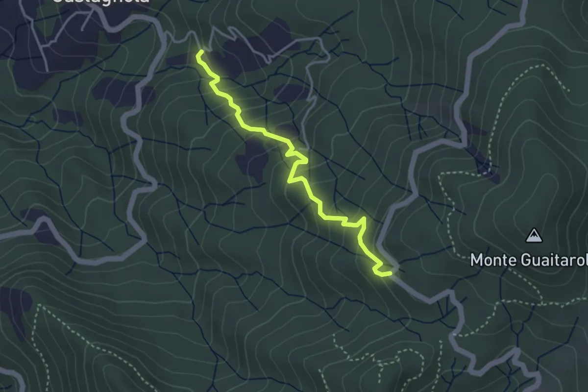
Easy · Trail
Laghello - Arcapassana - Tana del Lupo
3.5 km · ↑ 299 m · 1 h 28 min
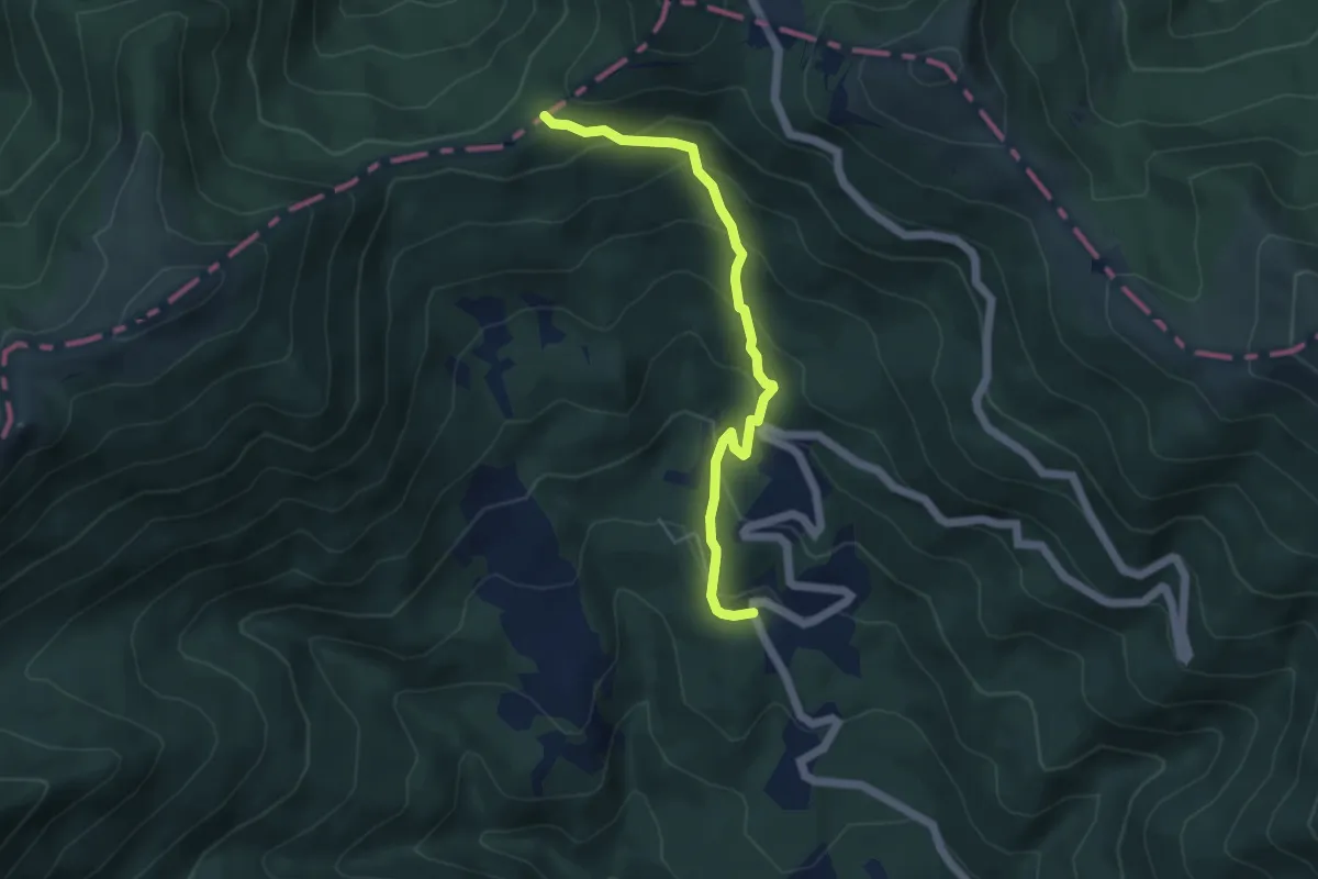
Medium · Trail
Laghetti di Lamastrone - Passo di Cavorsella
4.9 km · ↑ 346 m · 1 h 55 min
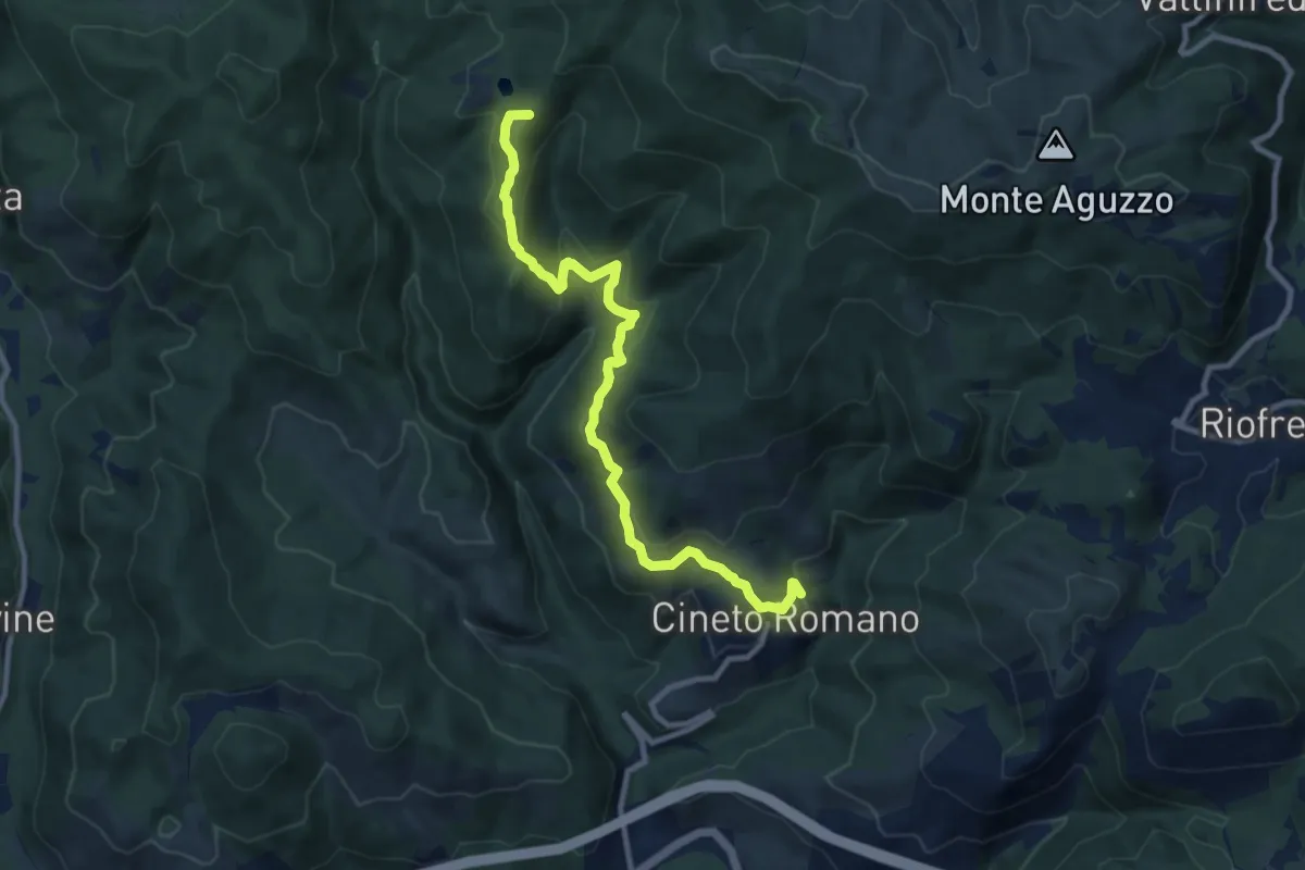
Medium · Summit
Laghetti di Percile-Cineto Romano
10.9 km · ↑ 537 m · 3 h 45 min
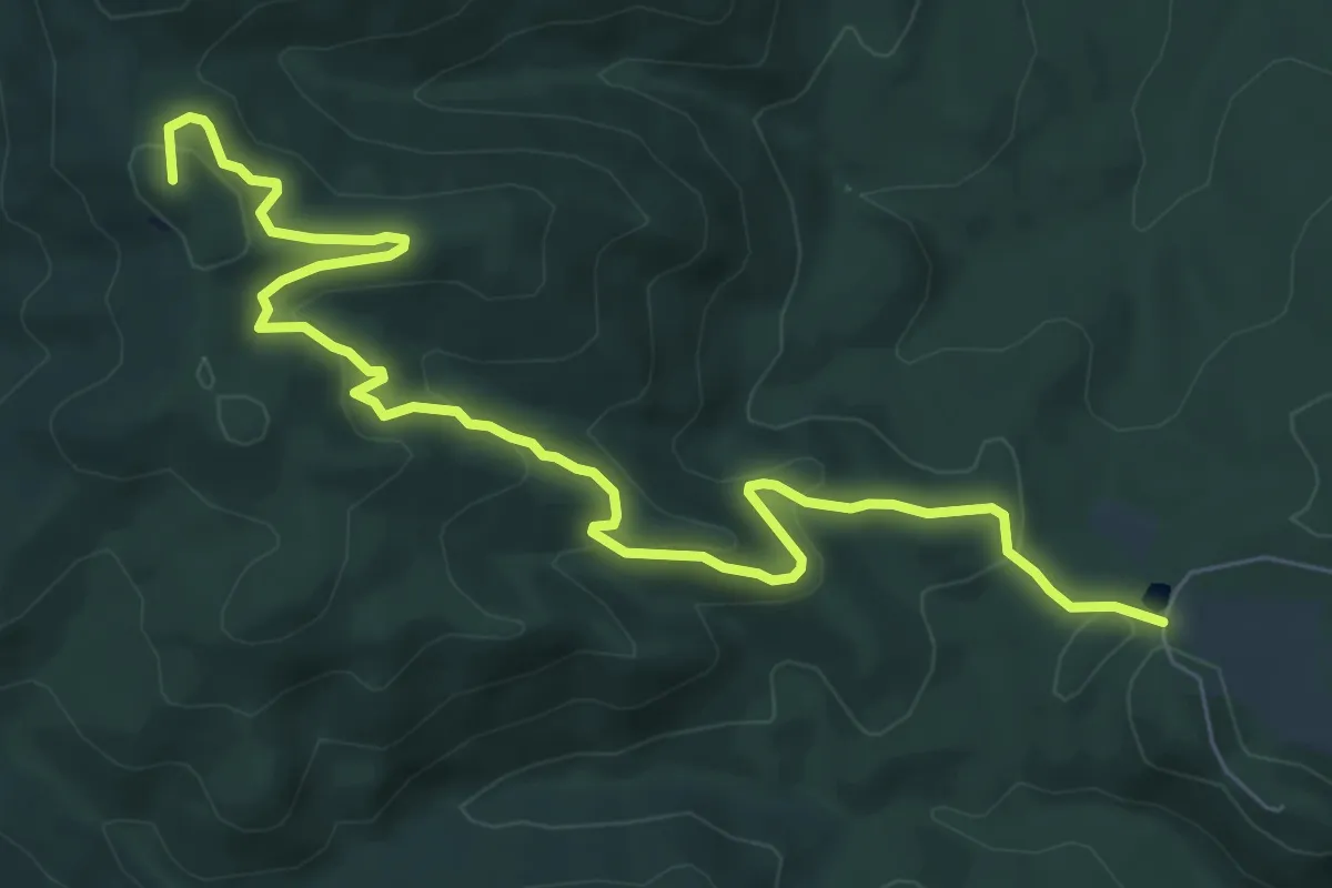
Medium · Summit
Laghetto-Magona
9.2 km · ↑ 339 m · 2 h 55 min
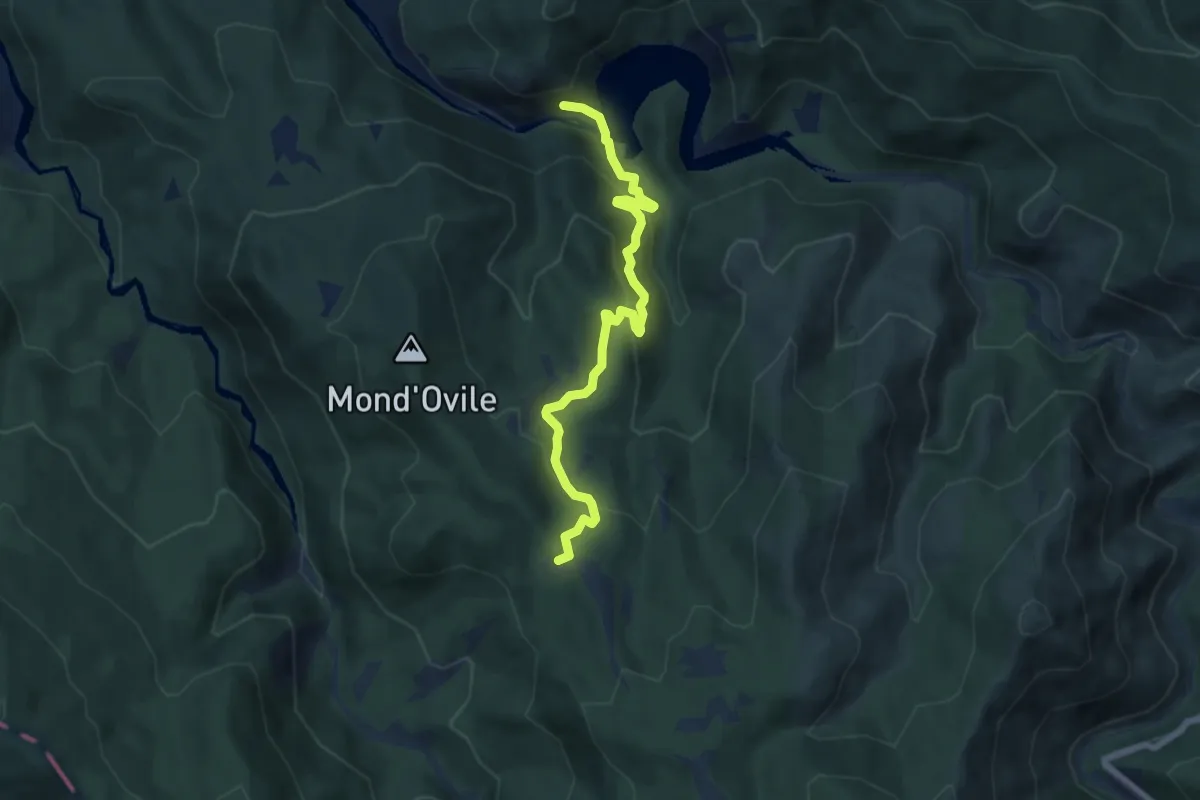
Medium · Trail
Laghi Lavagnina - C. Lombardo
7.1 km · ↑ 381 m · 2 h 30 min
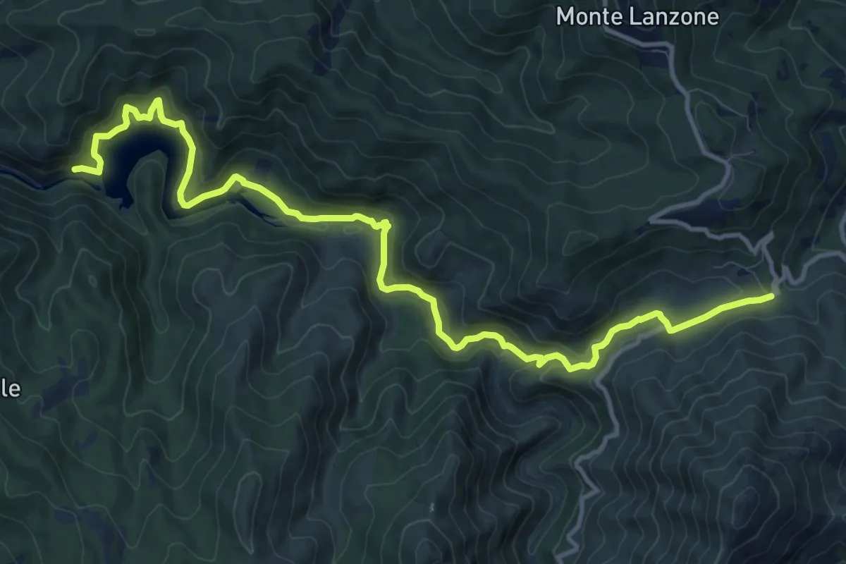
Demanding · Trail
Laghi Lavagnina - Valico Eremiti
13.8 km · ↑ 646 m · 4 h 40 min
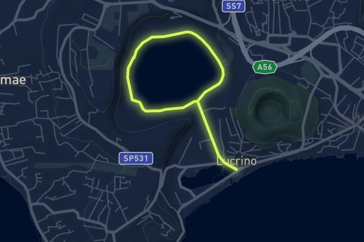
Easy · Trail
Lago d'Averno
7.3 km · ↑ 33 m · 1 h 47 min
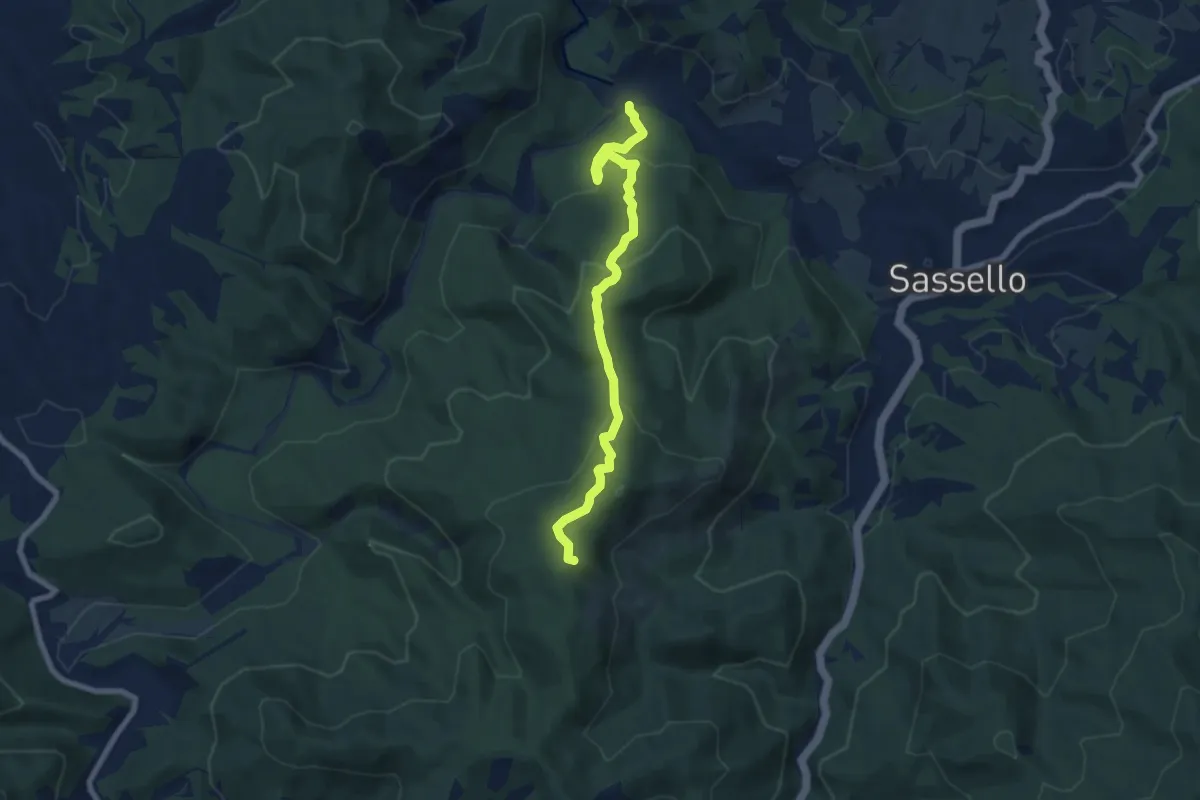
Medium · Summit
Lago dei Gulli - Passo Caghetta - Cima Deiva - Passo Salmaceto
7.9 km · ↑ 461 m · 2 h 52 min
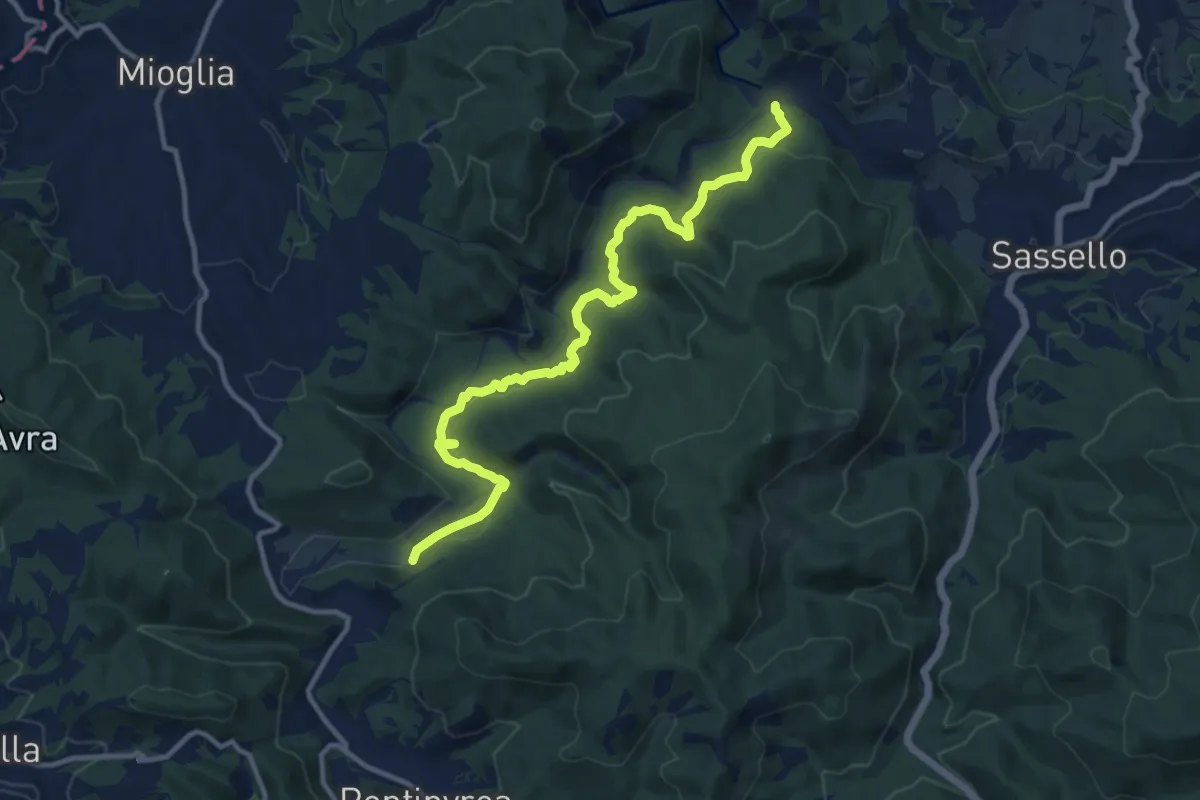
Medium · Trail
Lago dei Gulli - Pian d'Erro - La Gherpa
13.3 km · ↑ 415 m · 4 h 2 min
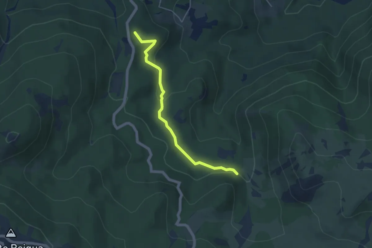
Easy · Summit
Lago della Biscia – Torbiera del Laione
4.1 km · ↑ 115 m · 1 h 12 min
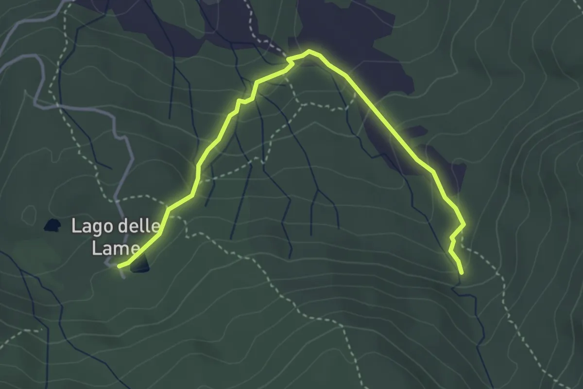
Medium · Trail
Lago delle Lame - Ponte sul torrente Rezzoaglio - Cascata della Ravezza
4.1 km · ↑ 230 m · 1 h 27 min
Easy · Trail
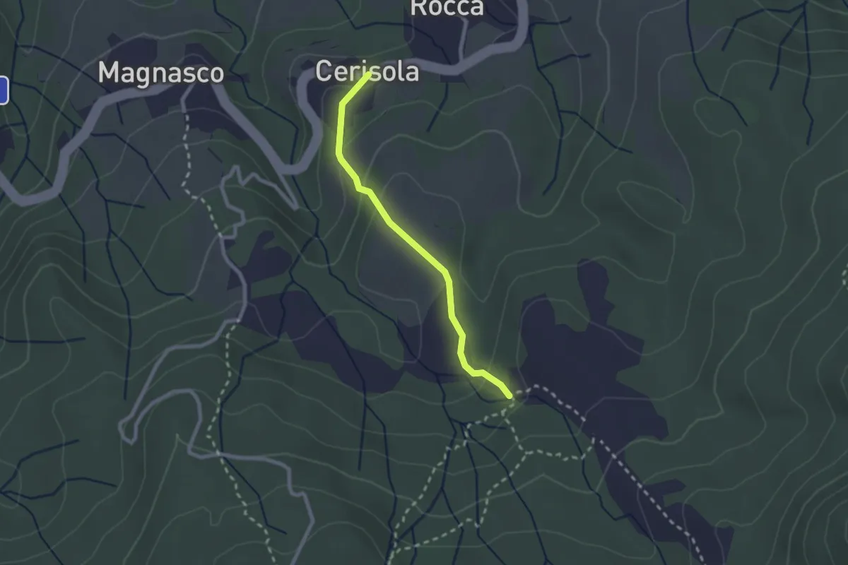
Lago delle Lame - Ponte sul torrente Rezzoaglio - Cascata della Ravezza
2.2 km · ↑ 116 m · 46 min
Easy · Trail
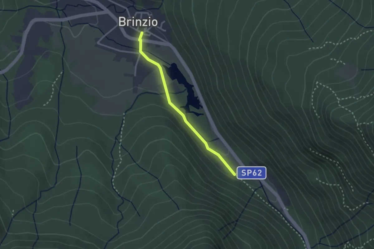
Lago di Brinzio
2.4 km · ↑ 43 m · 39 min
Easy · Trail
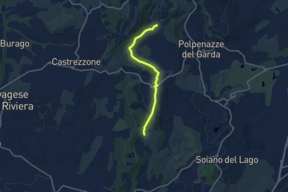
Lago di Lucone, Castelletto
6.9 km · ↑ 97 m · 1 h 51 min
Medium · Summit
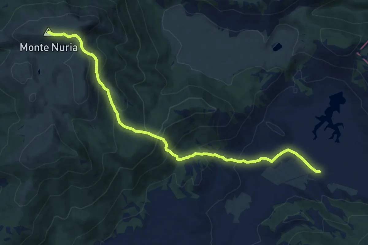
Lago di Rascino - Monte Nuria
13.3 km · ↑ 725 m · 4 h 42 min
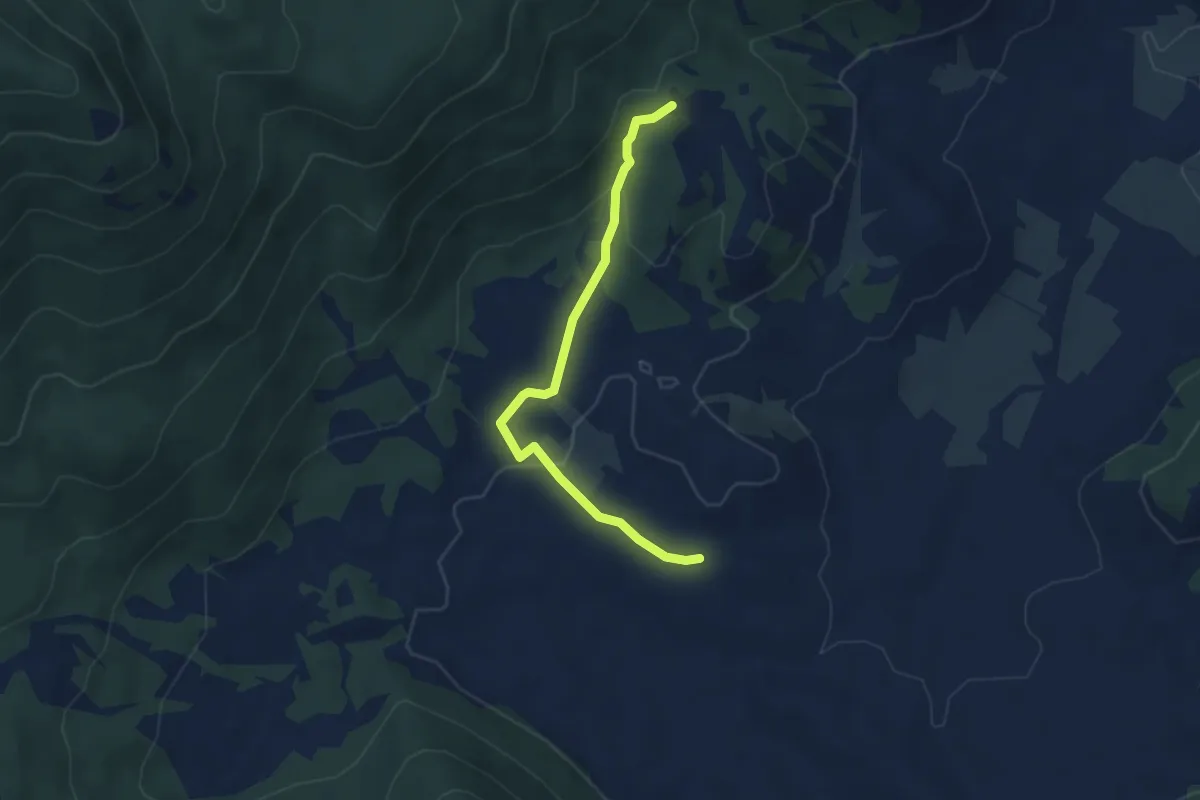
Easy · Trail
Lago La Petrella x Nuria
4.3 km · ↑ 104 m · 1 h 14 min
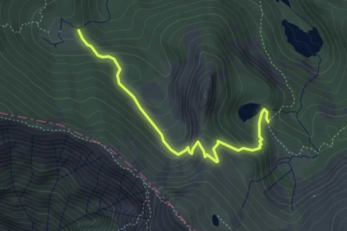
Easy · Trail
Lago Scuro - Passo di Fugicchia - Capanne di Badignana
4.5 km · ↑ 300 m · 1 h 43 min
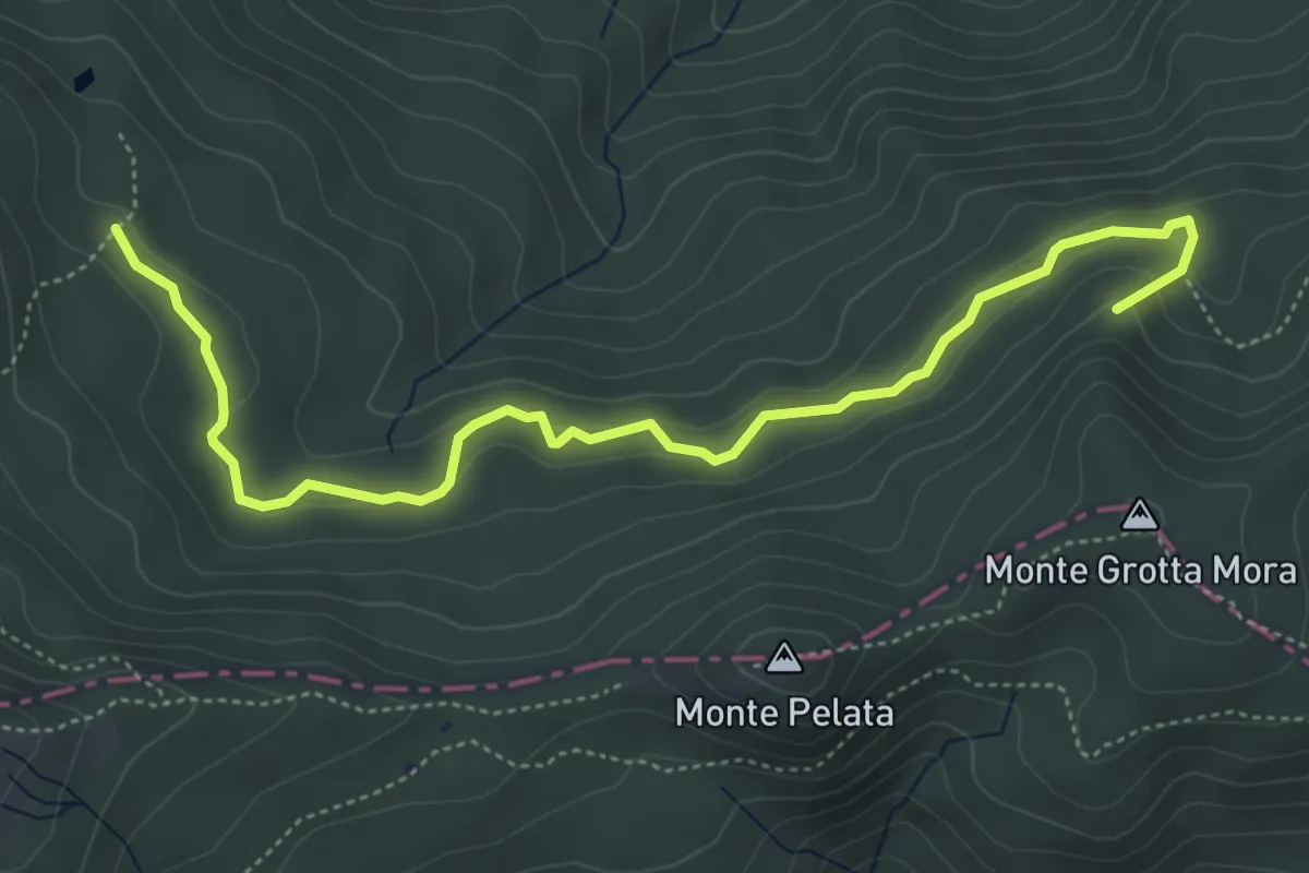
Easy · Summit
Lago Spadene di Sopra - Termine del Gatto
5.9 km · ↑ 210 m · 1 h 50 min
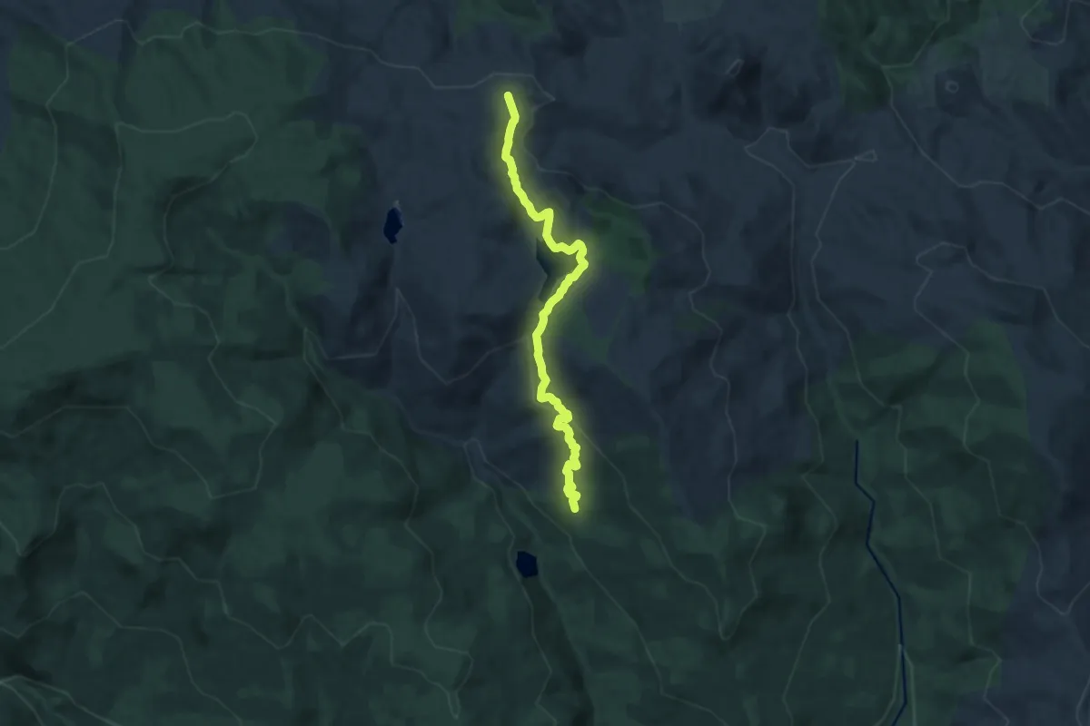
Medium · Cabin
Lago Trearie
12.8 km · ↑ 344 m · 3 h 46 min
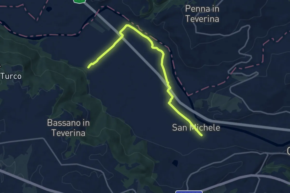
Medium · Trail
Lago Vadimone
11.1 km · ↑ 45 m · 2 h 43 min
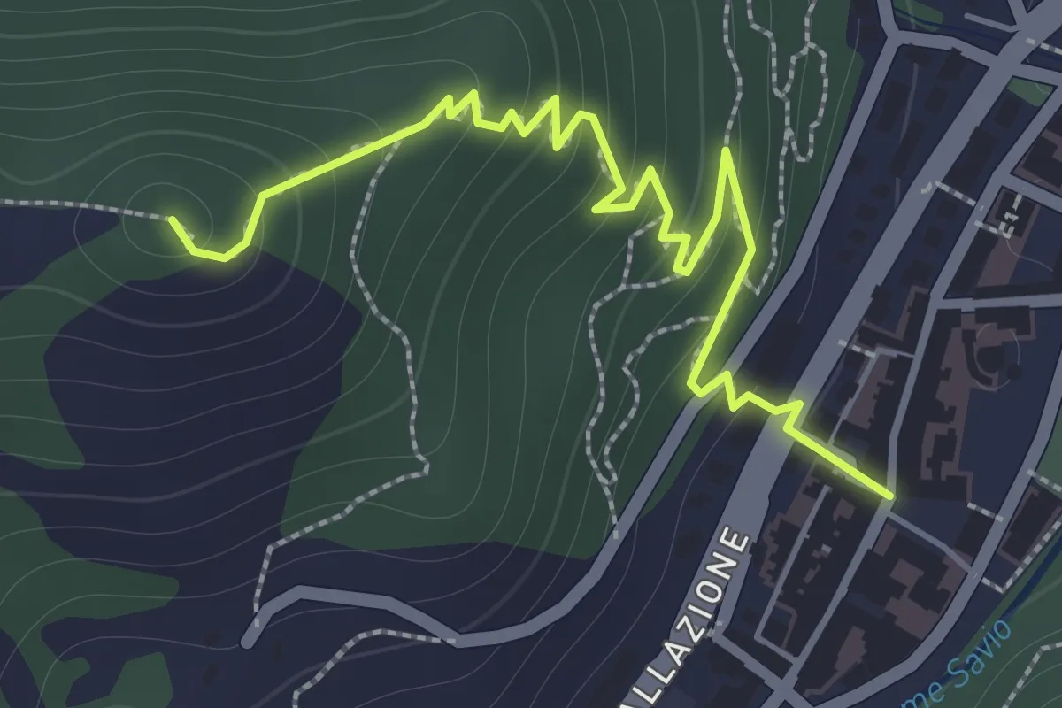
Easy · Trail
La Guardia di Bagno di Romagna
2.1 km · ↑ 161 m · 51 min
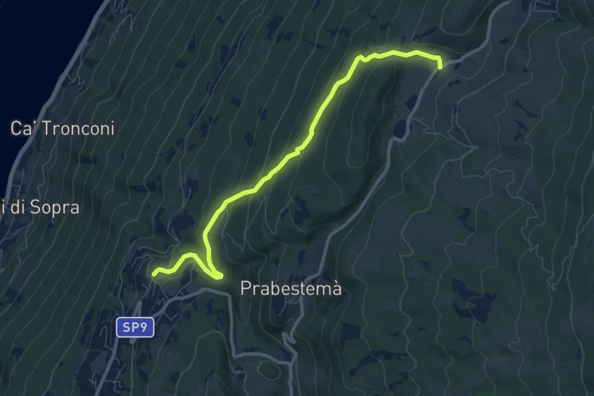
Medium · Trail
Laguna - Ponte del Diavolo - San Bartolomeo - Prada Bassa
4.2 km · ↑ 308 m · 1 h 34 min
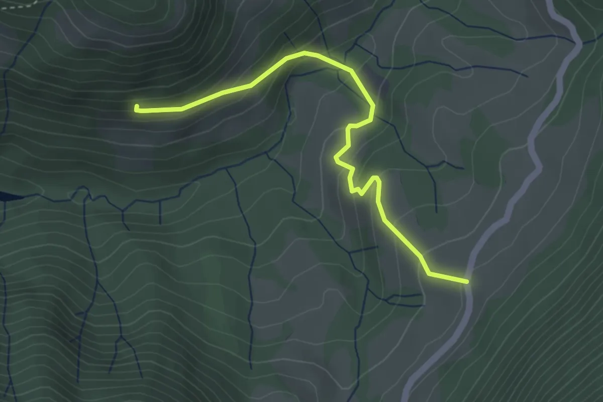
Easy · Trail
Lagù - Pasiana di Costa (Gargnano)
3.6 km · ↑ 229 m · 1 h 21 min
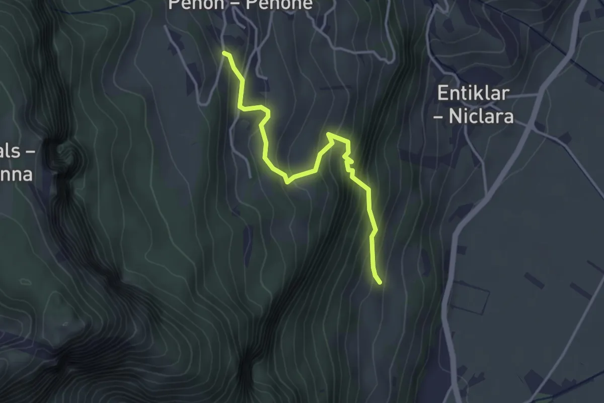
Easy · Trail
Lahnsteig
3.3 km · ↑ 310 m · 1 h 27 min
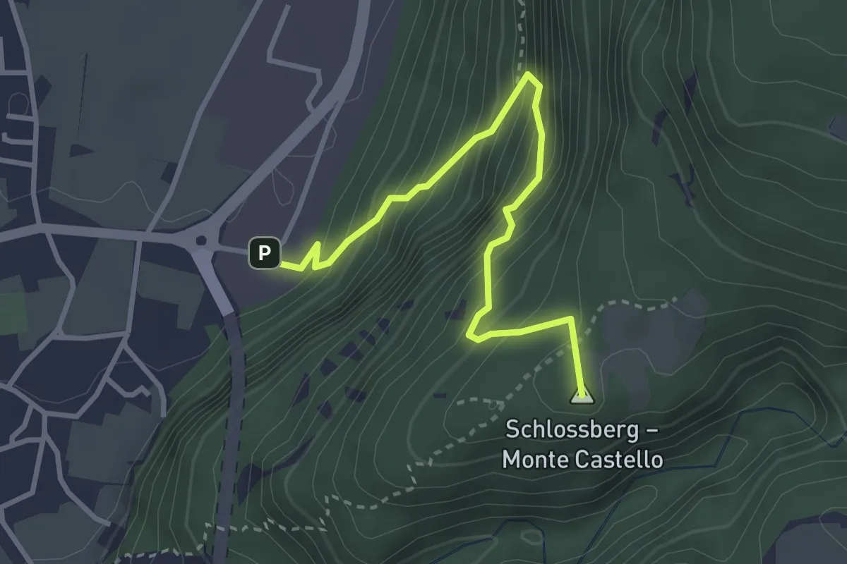
Medium · Summit
Lahnweg
3.3 km · ↑ 469 m · 1 h 47 min
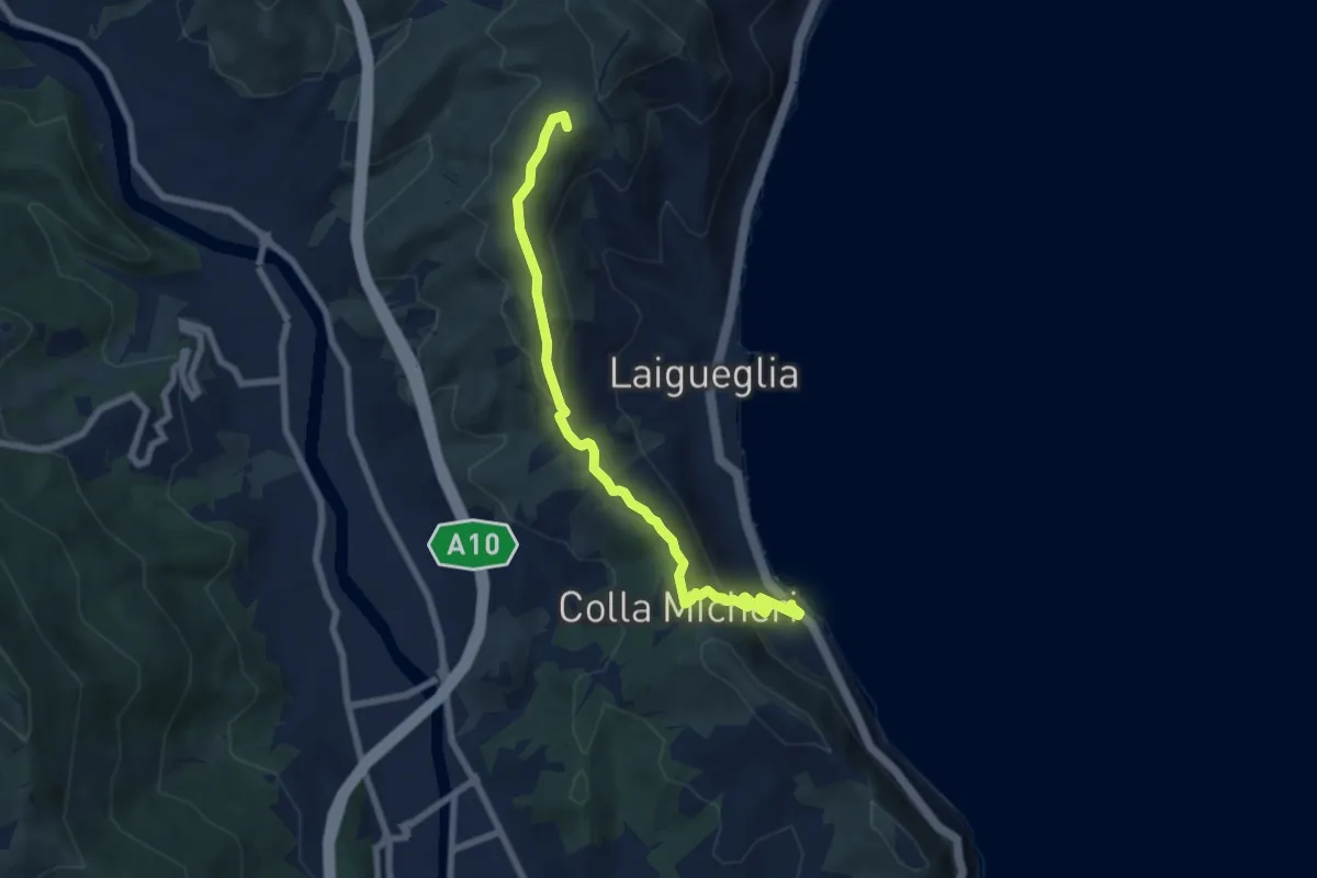
Easy · Summit
Laigueglia - Colla Micheri - San Bernardo
7.6 km · ↑ 294 m · 2 h 25 min
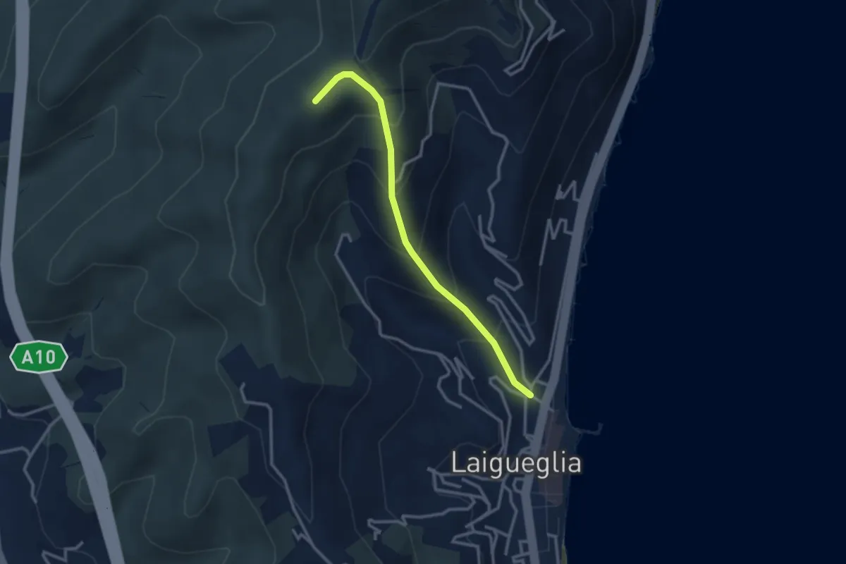
Easy · Summit
Laigueglia - Poggio Baiale
2.8 km · ↑ 279 m · 1 h 16 min
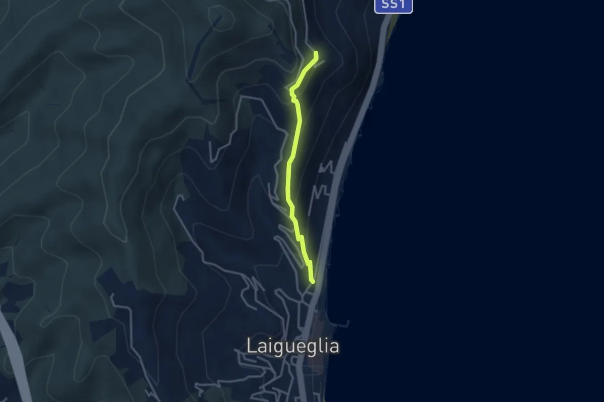
Easy · Trail
Laigueglia - Strada per San Bernardo
2.6 km · ↑ 237 m · 1 h 7 min
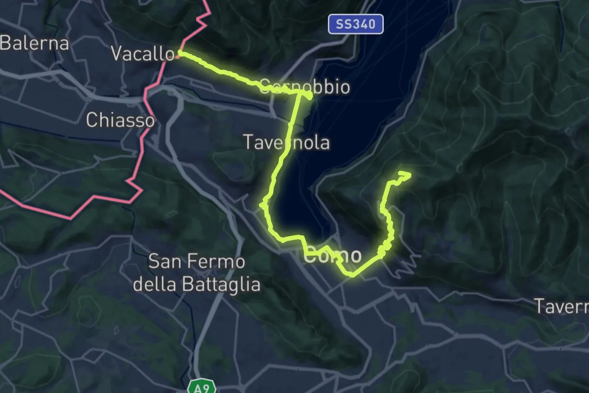
Demanding · Summit
Lake Como Poetry Way
25.8 km · ↑ 1054 m · 8 h 22 min
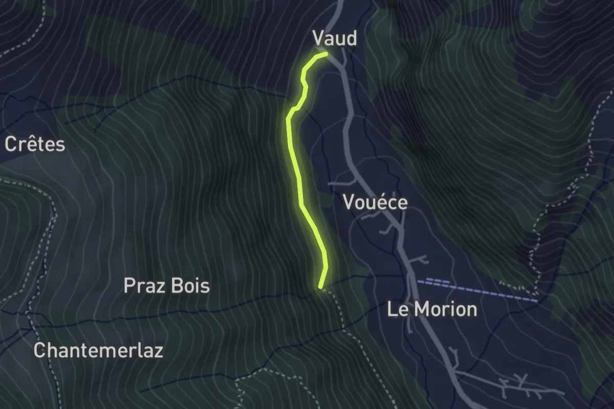
Easy · Trail
L'Allée Des Soupirs
2.1 km · ↑ 152 m · 49 min
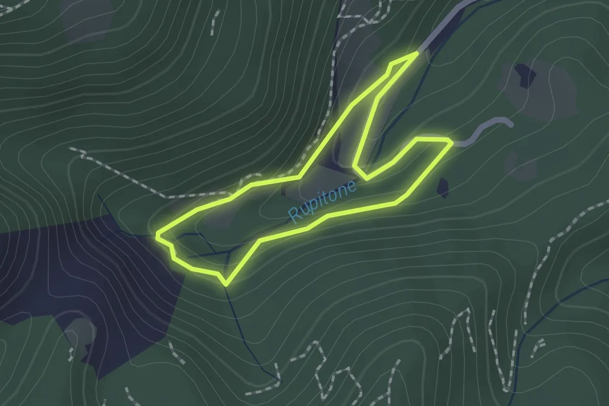
Easy · Trail
La Magia del Bosco
1.5 km · ↑ 66 m · 31 min