Trails in Italy
25,221 hiking trails, each with its route, climb, walking time and grade.
All trails, page 92 of 526
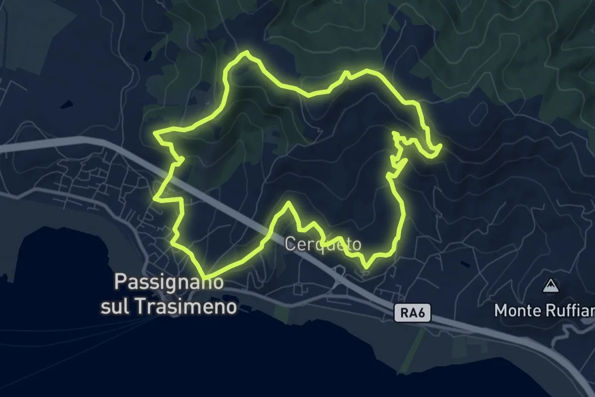
Medium · Trail
La Martinella
10.4 km · ↑ 437 m · 3 h 33 min
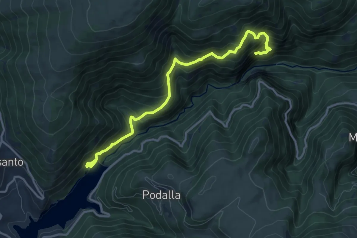
Demanding · Trail
Lame Rosse
9.5 km · ↑ 928 m · 4 h 15 min
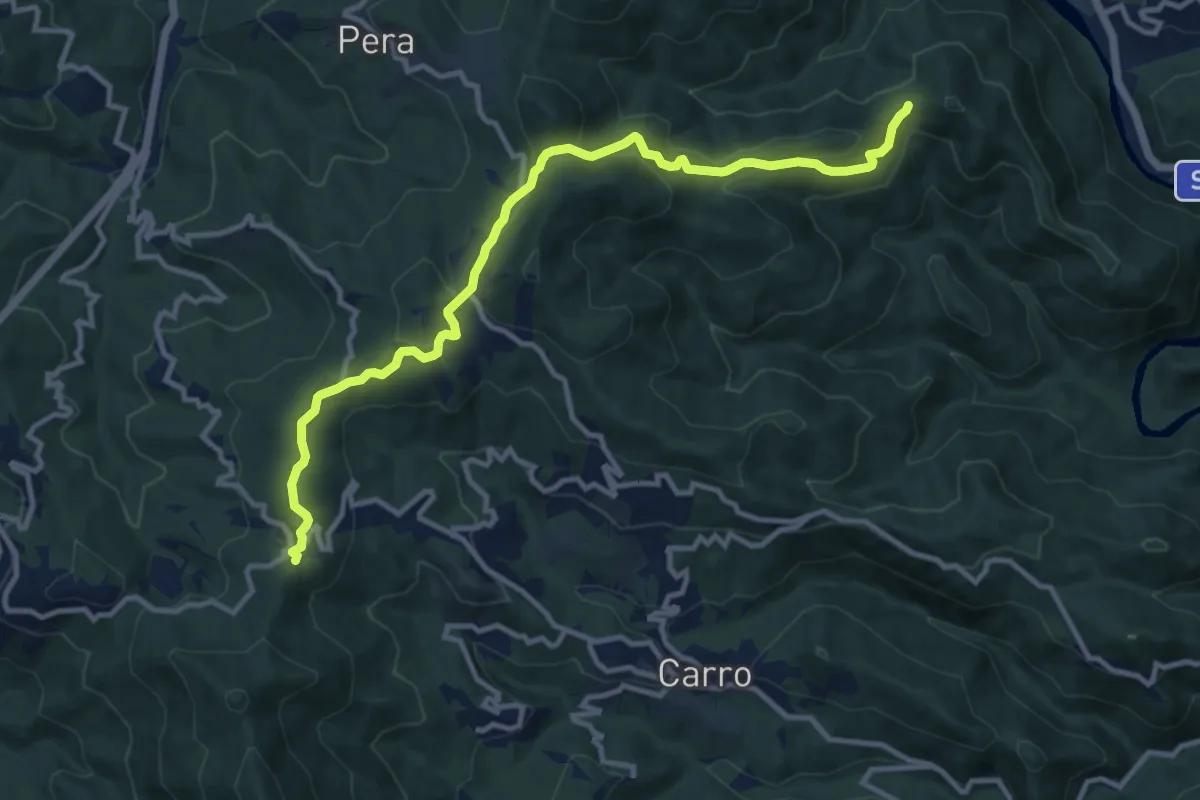
Medium · Trail
La Mola – Valico della Foce – Costa Manteghea – Monte Vagie
12.3 km · ↑ 555 m · 4 h 6 min
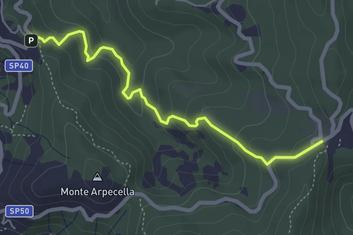
Easy · Trail
La Mola - Valico Velva
4.5 km · ↑ 296 m · 1 h 43 min
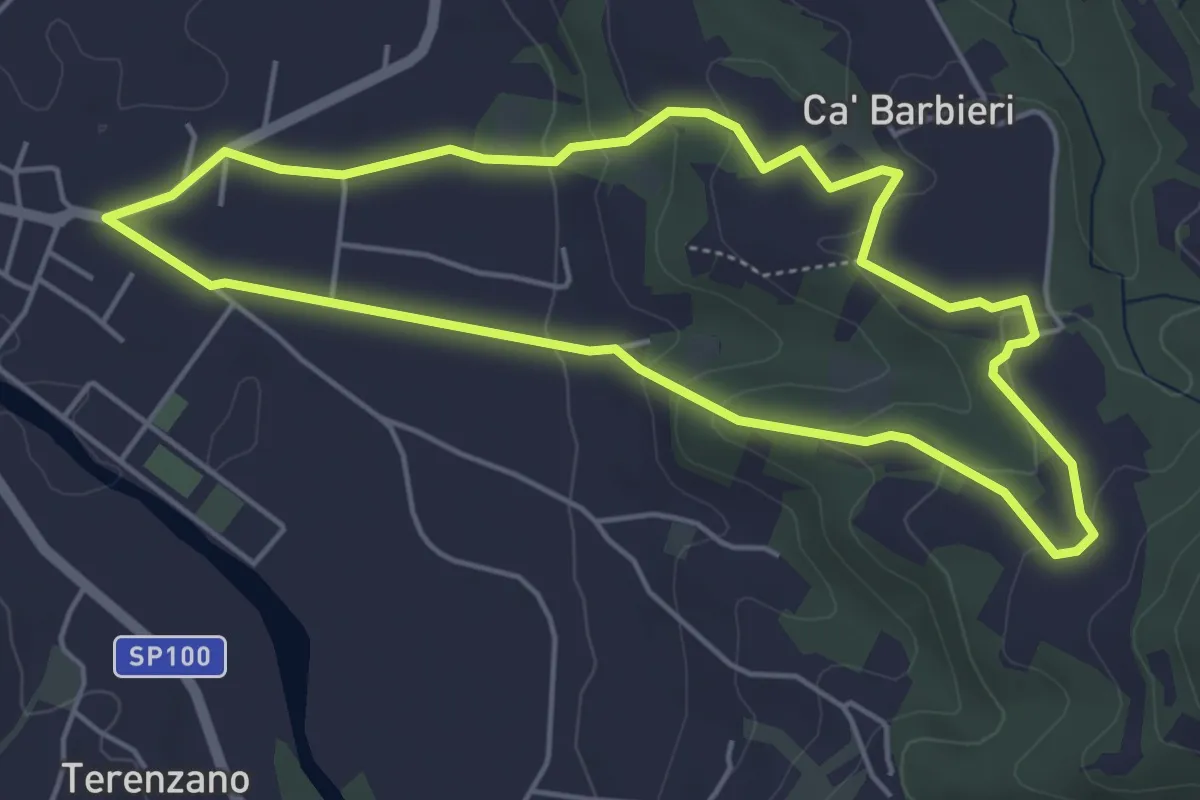
Easy · Trail
La Monta' di Bogino (Volpedo)
4.9 km · ↑ 138 m · 1 h 32 min
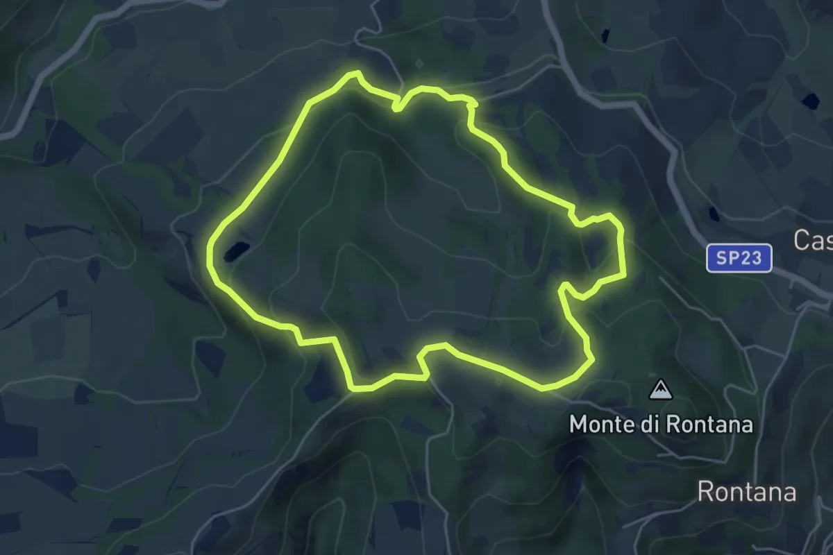
Medium · Trail
L'Anello del Carnè
5.3 km · ↑ 226 m · 1 h 49 min
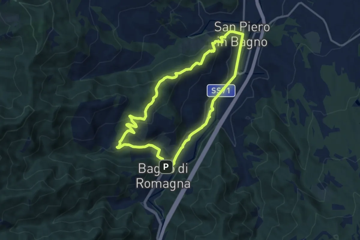
Medium · Summit
L'anello del Santuario di Corzano
8.4 km · ↑ 332 m · 2 h 48 min
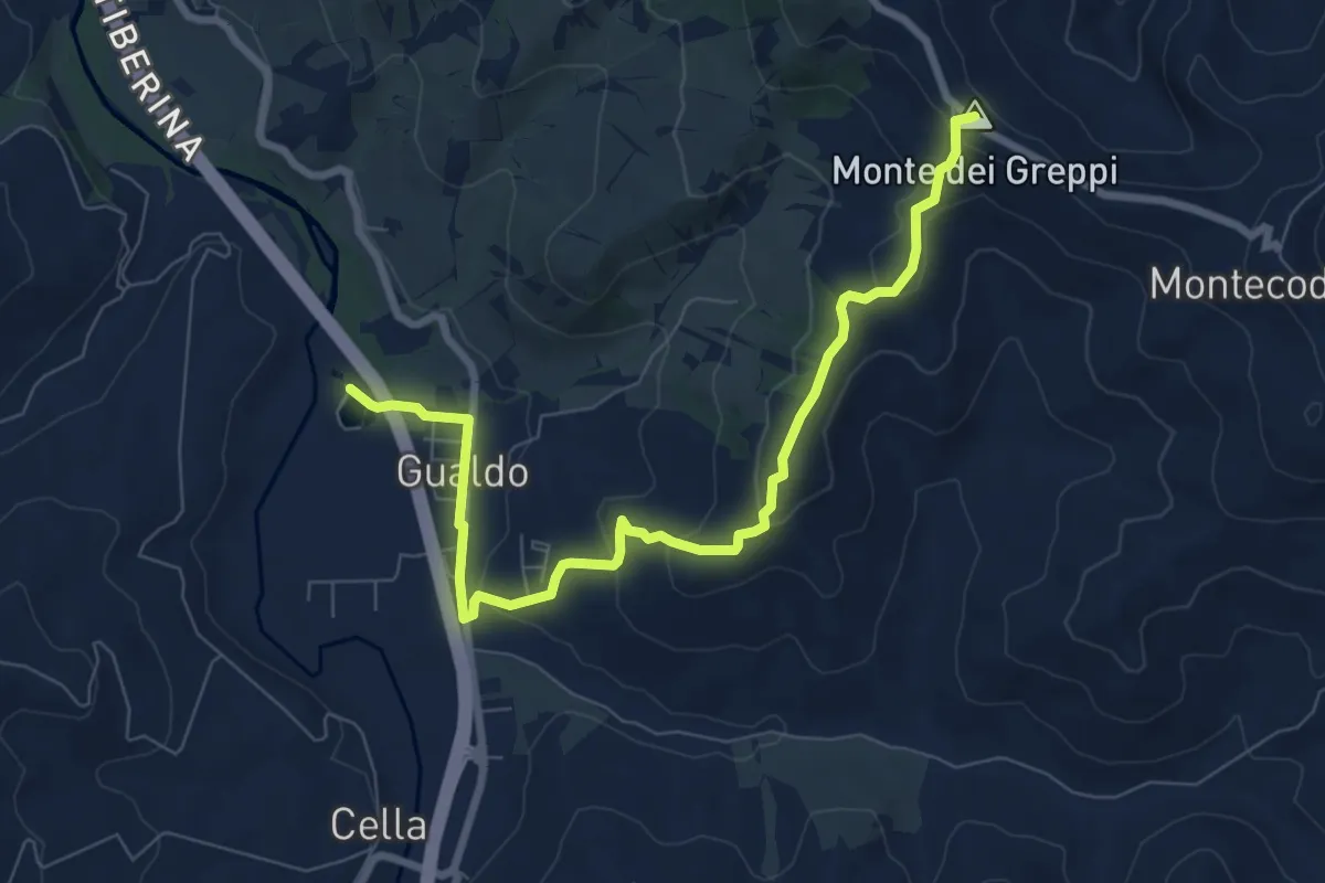
Medium · Summit
L'anello di Gualdo, Monte dei Greppi
8.9 km · ↑ 287 m · 2 h 43 min
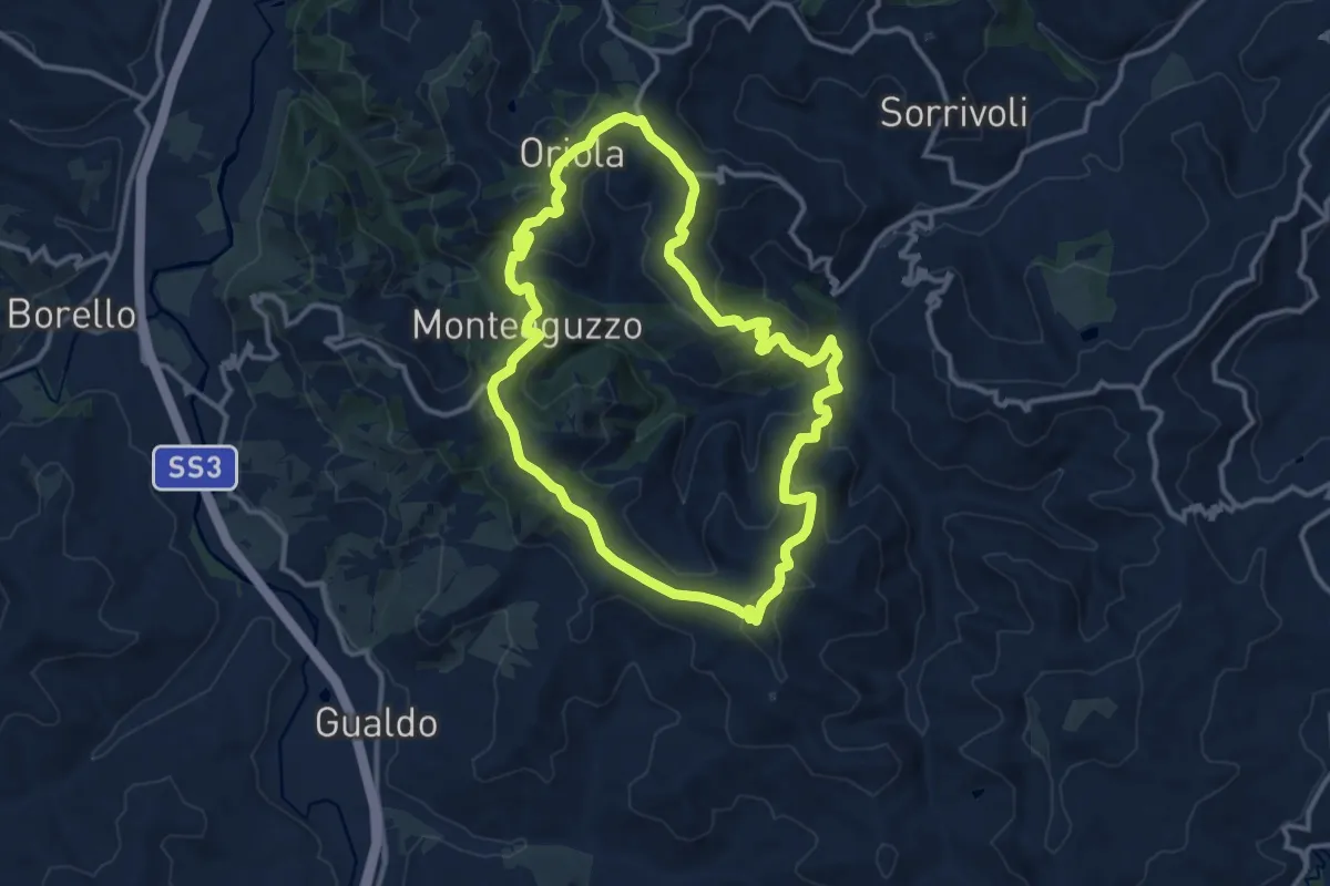
Medium · Summit
L'anello di Montecodruzzo, Montebora, Oriola e Monteaguzzo
12.6 km · ↑ 512 m · 4 h 16 min
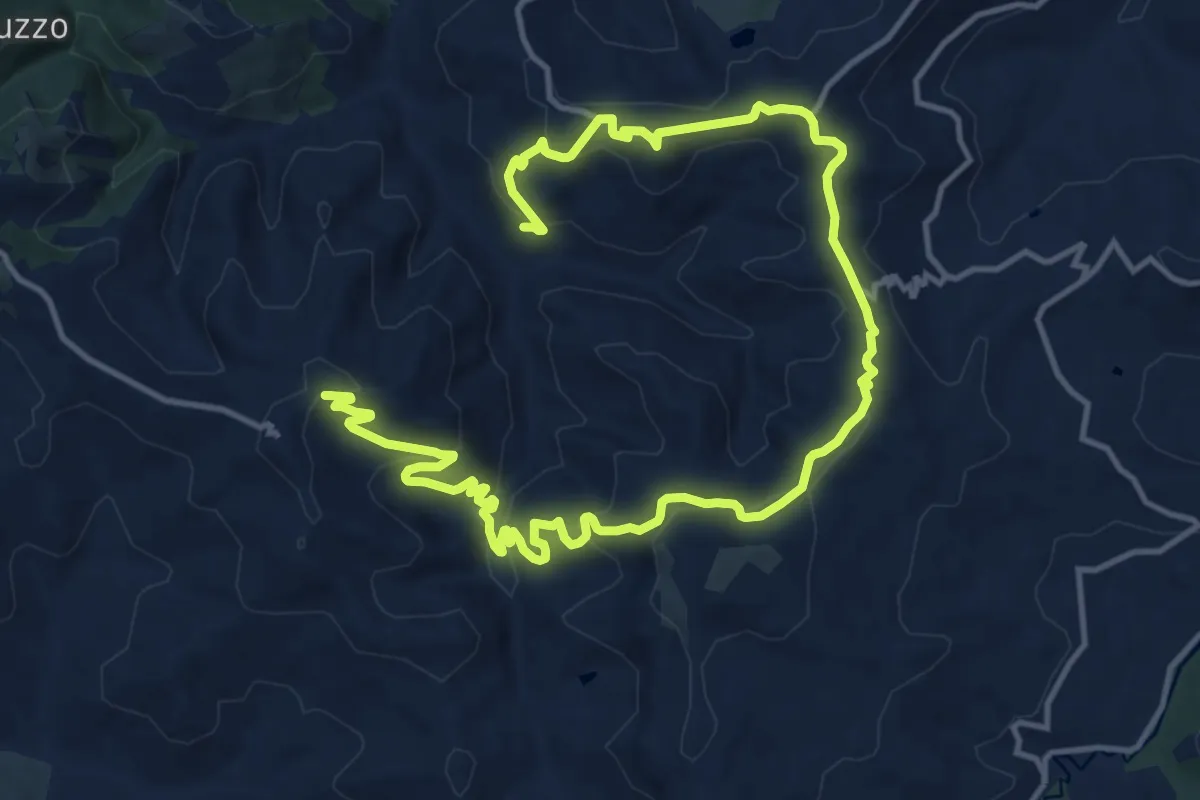
Medium · Trail
L'anello di Monteleone, Montecodruzzo, Ciolaraldi
10.5 km · ↑ 323 m · 3 h 26 min
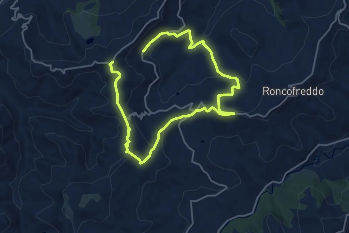
Medium · Trail
L'anello di Roncofreddo, Santa Paola e Castiglione
8.5 km · ↑ 242 m · 2 h 43 min
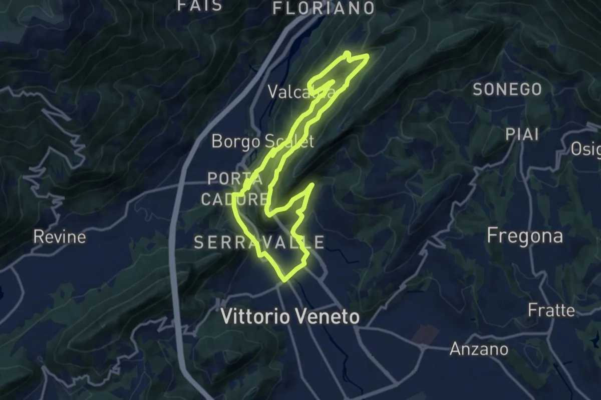
Medium · Trail
L'Anello di Santa Augusta
11.3 km · ↑ 434 m · 3 h 45 min
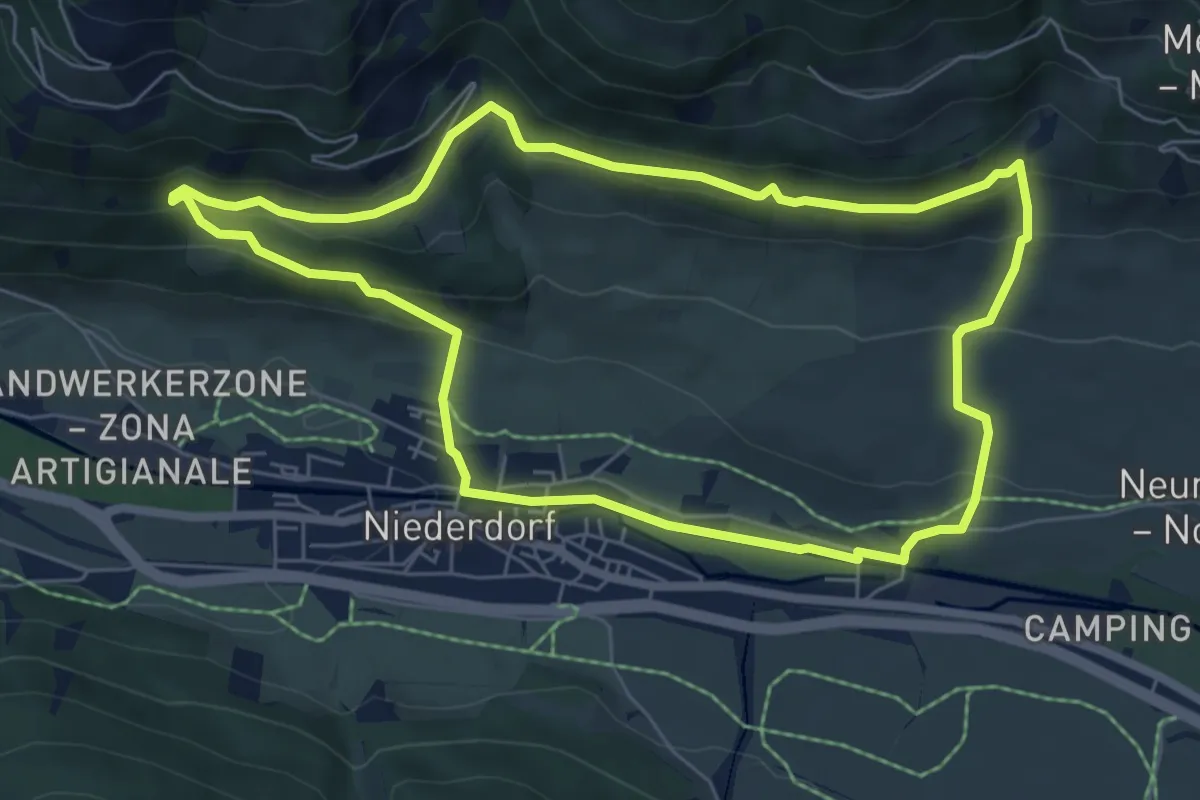
Easy · Trail
Lanerweg
6.4 km · ↑ 278 m · 2 h 12 min
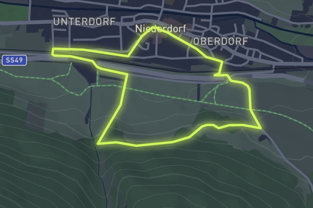
Easy · Trail
Lang-Erl-Weg
2.8 km · ↑ 68 m · 51 min
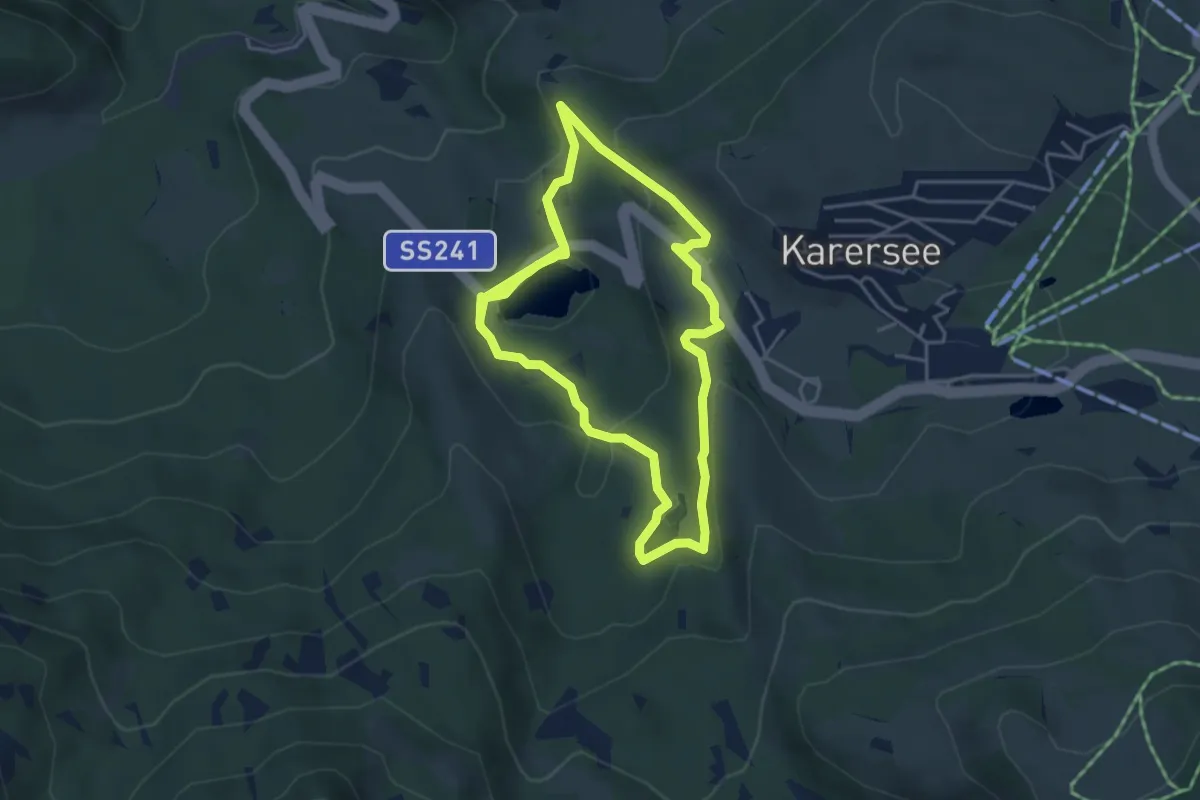
Medium · Trail
Langer Rundweg am Karer See
8.5 km · ↑ 235 m · 2 h 31 min
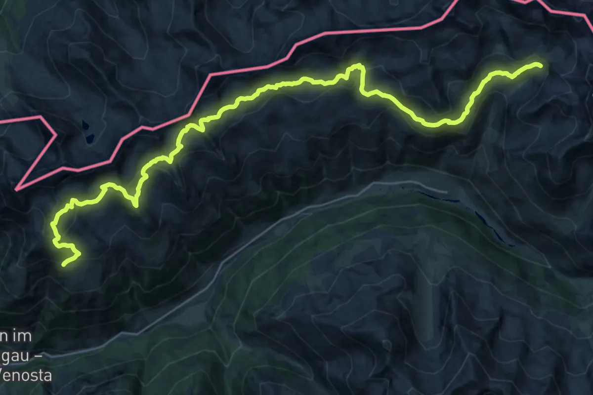
Demanding · Trail
Langtauferer Höhenweg
15.4 km · ↑ 1619 m · 7 h 17 min
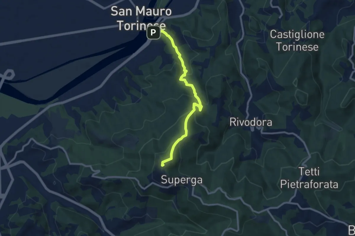
Medium · Summit
L'Antica Strada della Pulchra Rada
7.3 km · ↑ 474 m · 2 h 46 min
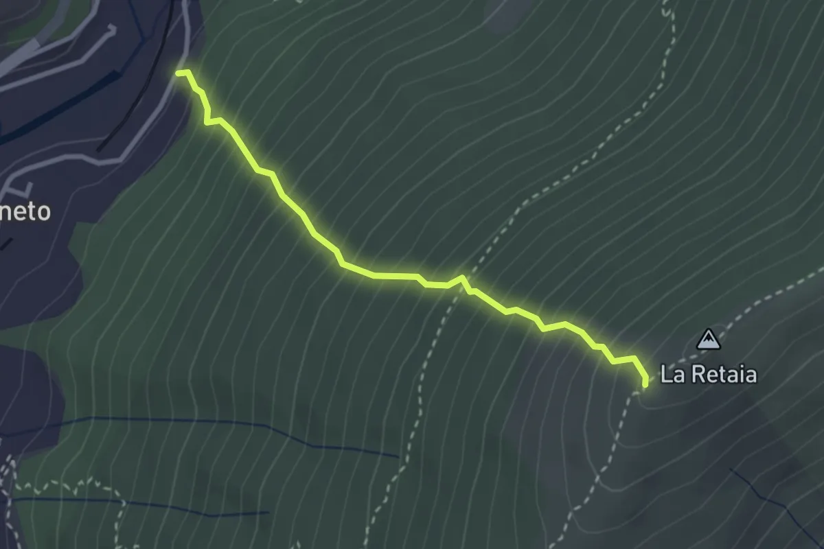
Medium · Trail
La Ovest Retaia
2.8 km · ↑ 628 m · 2 h 1 min
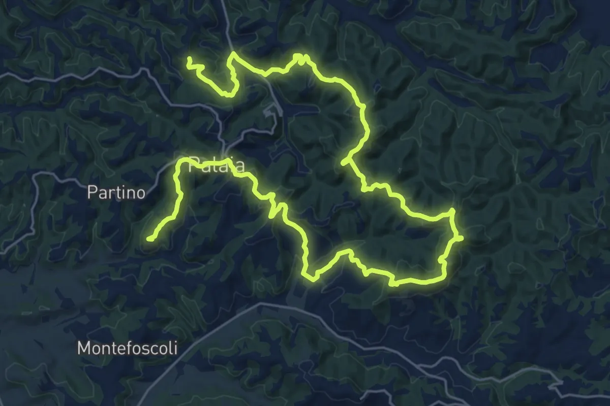
Demanding · Summit
La Palaiata - Sentiero 11a
38.6 km · ↑ 1225 m · 11 h 46 min
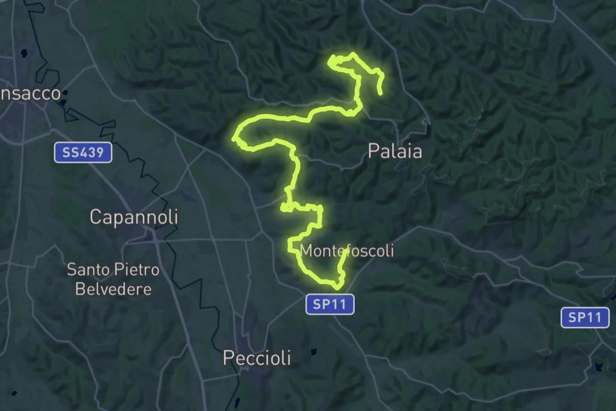
Demanding · Trail
La Palaiata - Sentiero 11b
22.1 km · ↑ 532 m · 6 h 41 min
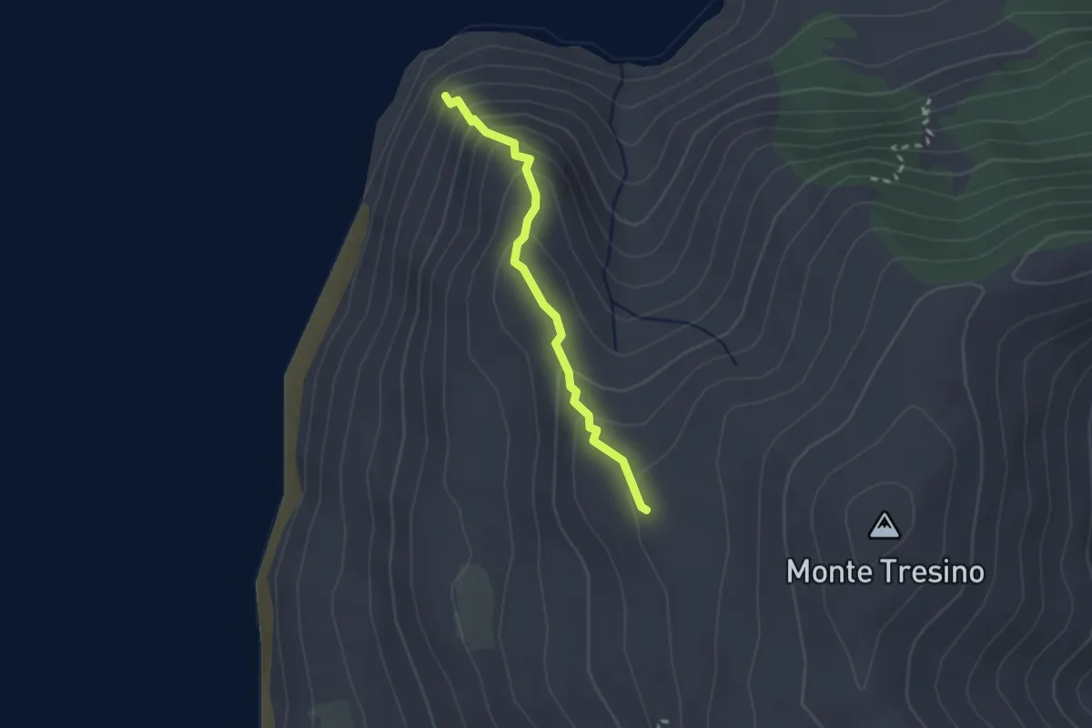
Demanding · Trail
La Panoramica
2.3 km · ↑ 188 m · 57 min
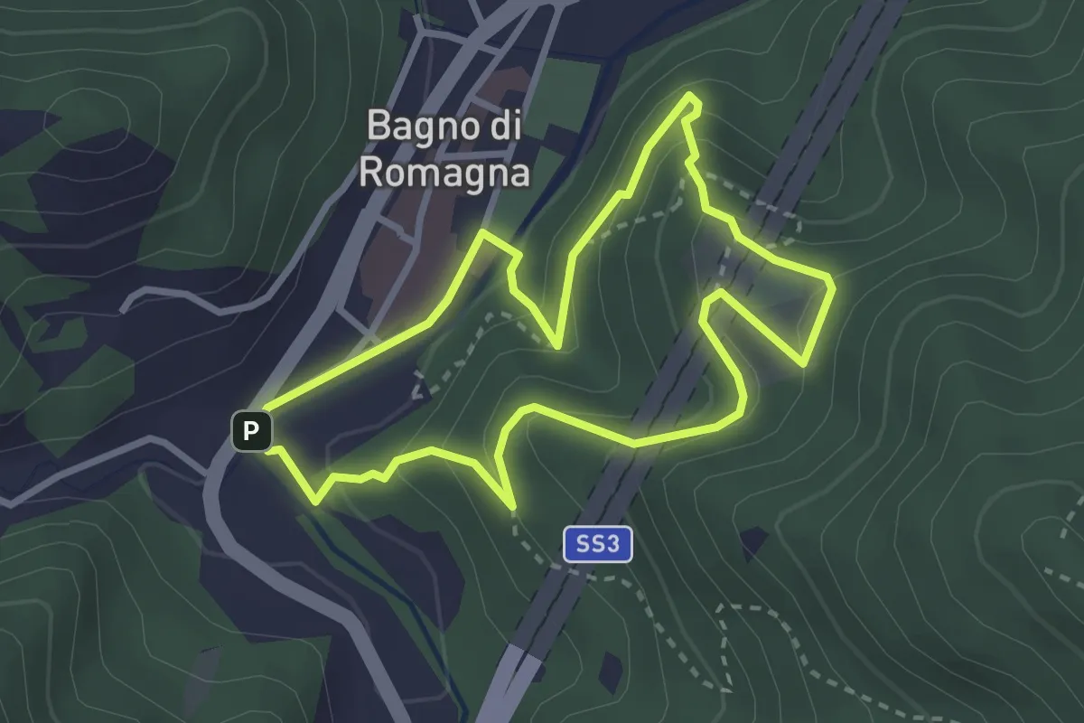
Easy · Trail
La Panoramica
2.9 km · ↑ 177 m · 1 h 6 min
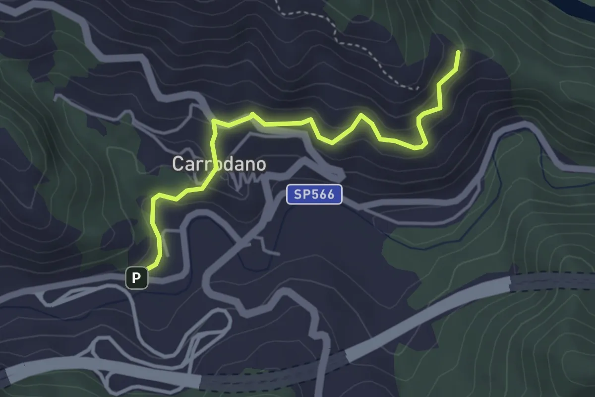
Easy · Trail
La Piana - Carrodano Inferiore - La Madonnetta (Bivio 630V)
3.9 km · ↑ 243 m · 1 h 27 min
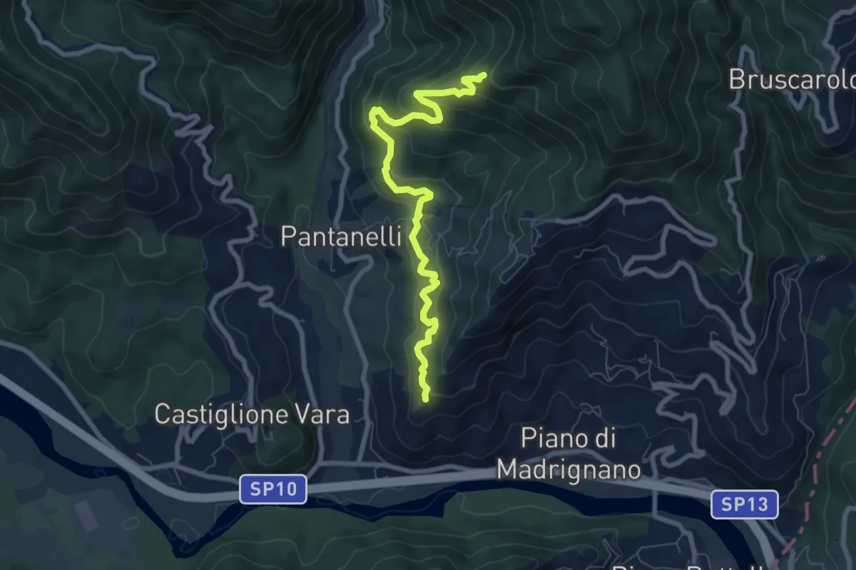
Medium · Trail
La Pianaccia - Case Carpenedo - Usurana - Novegina di Cima
7.6 km · ↑ 503 m · 2 h 53 min
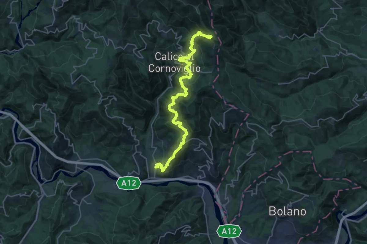
Demanding · Trail
La Pianaccia - Madrignano - Novegina di Cima - Nasso - Calice al Cornoviglio - Santa Maria - Le Cassorane - Bivio AVML
11.4 km · ↑ 1221 m · 5 h 7 min
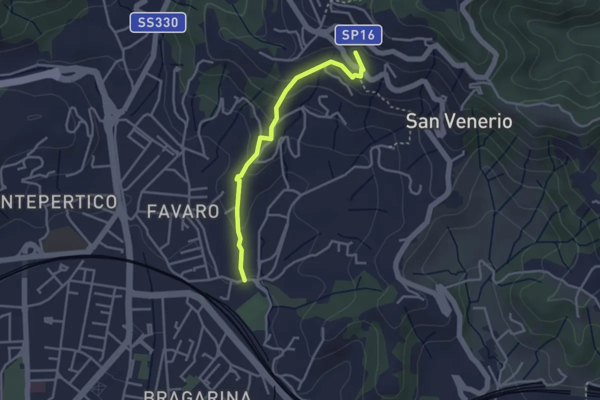
Easy · Trail
La Pieve – Carozzo (via della Lobbia)
2.9 km · ↑ 127 m · 57 min
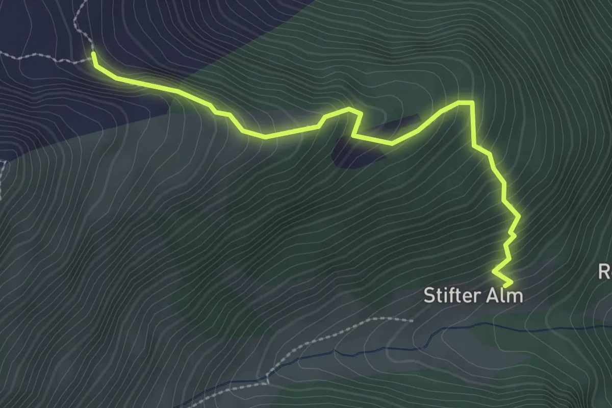
Easy · Trail
Lappacher Jöchl
2.9 km · ↑ 316 m · 1 h 22 min
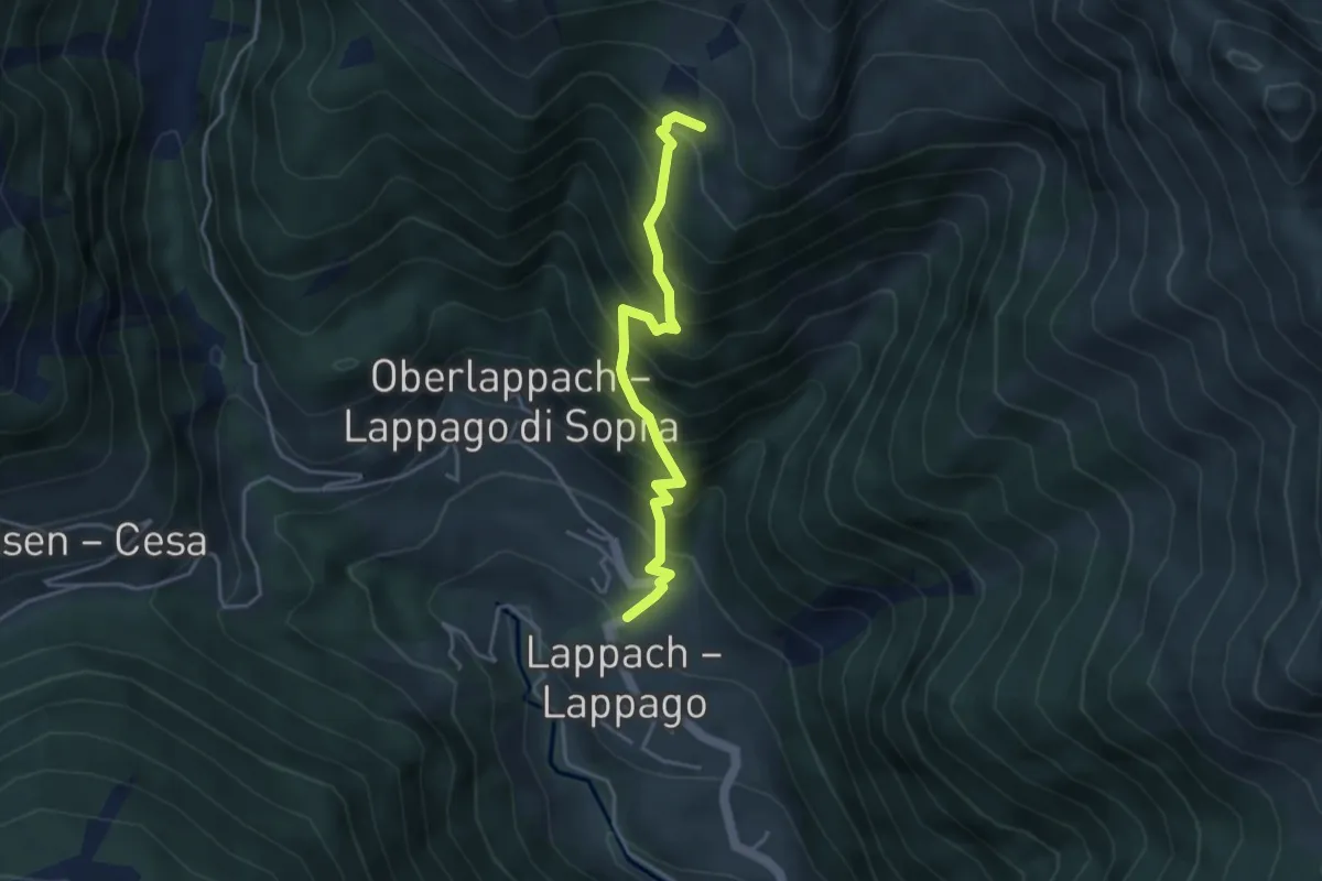
Medium · Trail
Lappacher Jöchl
3.8 km · ↑ 558 m · 2 h 7 min
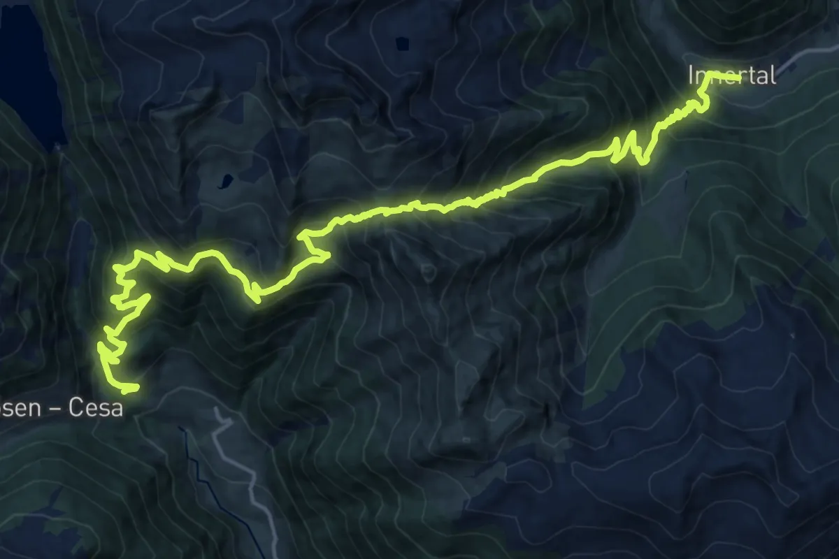
Demanding · Trail
Lappacher Jöchl
11.5 km · ↑ 854 m · 4 h 49 min
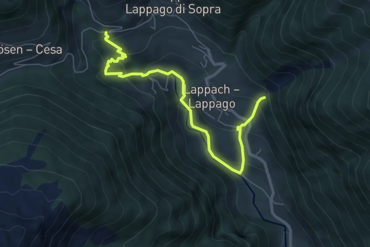
Medium · Trail
Lappacher Klamme
5.9 km · ↑ 422 m · 2 h 19 min
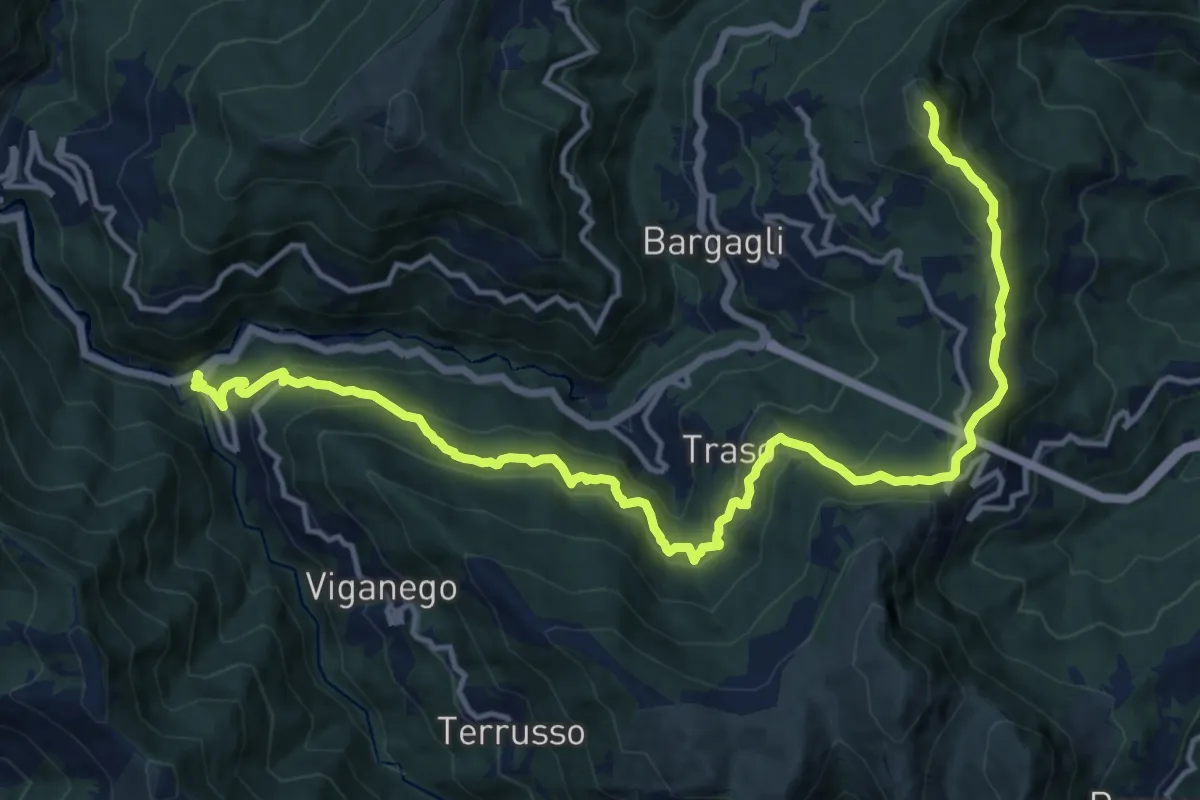
Demanding · Summit
La Presa - S. Alberto - Monte Croce di Bragalla
17.3 km · ↑ 979 m · 6 h 12 min
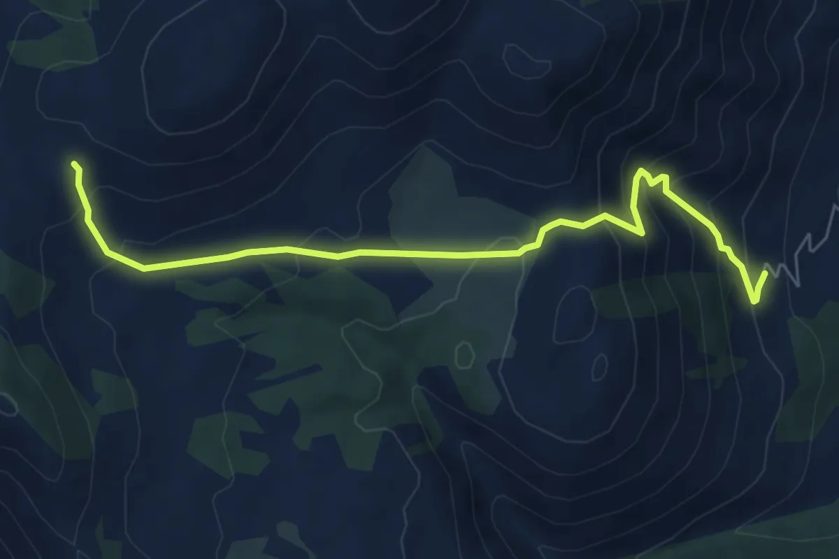
Medium · Trail
La Priata-Varo del Colle
6.9 km · ↑ 510 m · 2 h 44 min
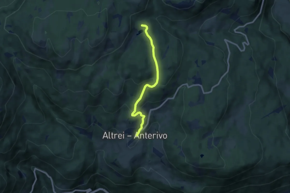
Easy · Trail
Lärcheneggweg
5.7 km · ↑ 270 m · 1 h 55 min
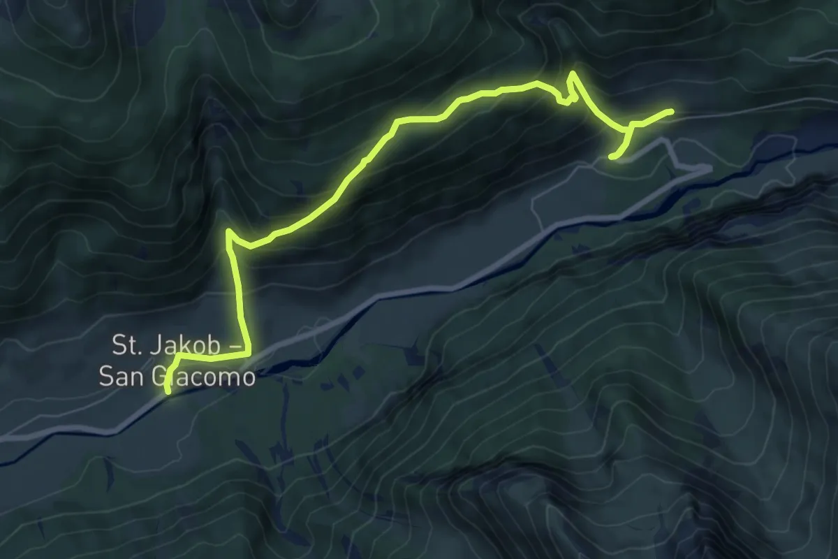
Medium · Trail
Lärchensteig
8.4 km · ↑ 704 m · 3 h 31 min
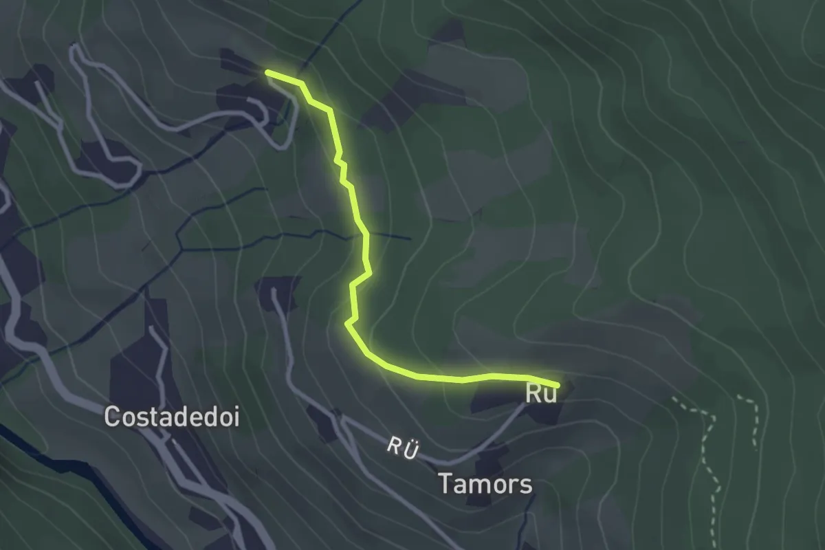
Easy · Trail
Lärchenweg
2.4 km · ↑ 105 m · 47 min
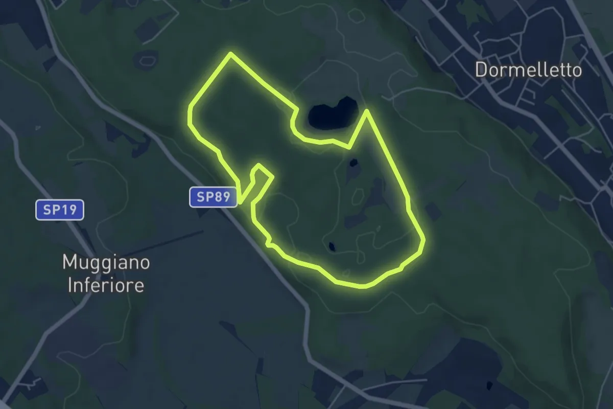
Easy · Summit
L'Archeologia
4.9 km · ↑ 73 m · 1 h 23 min
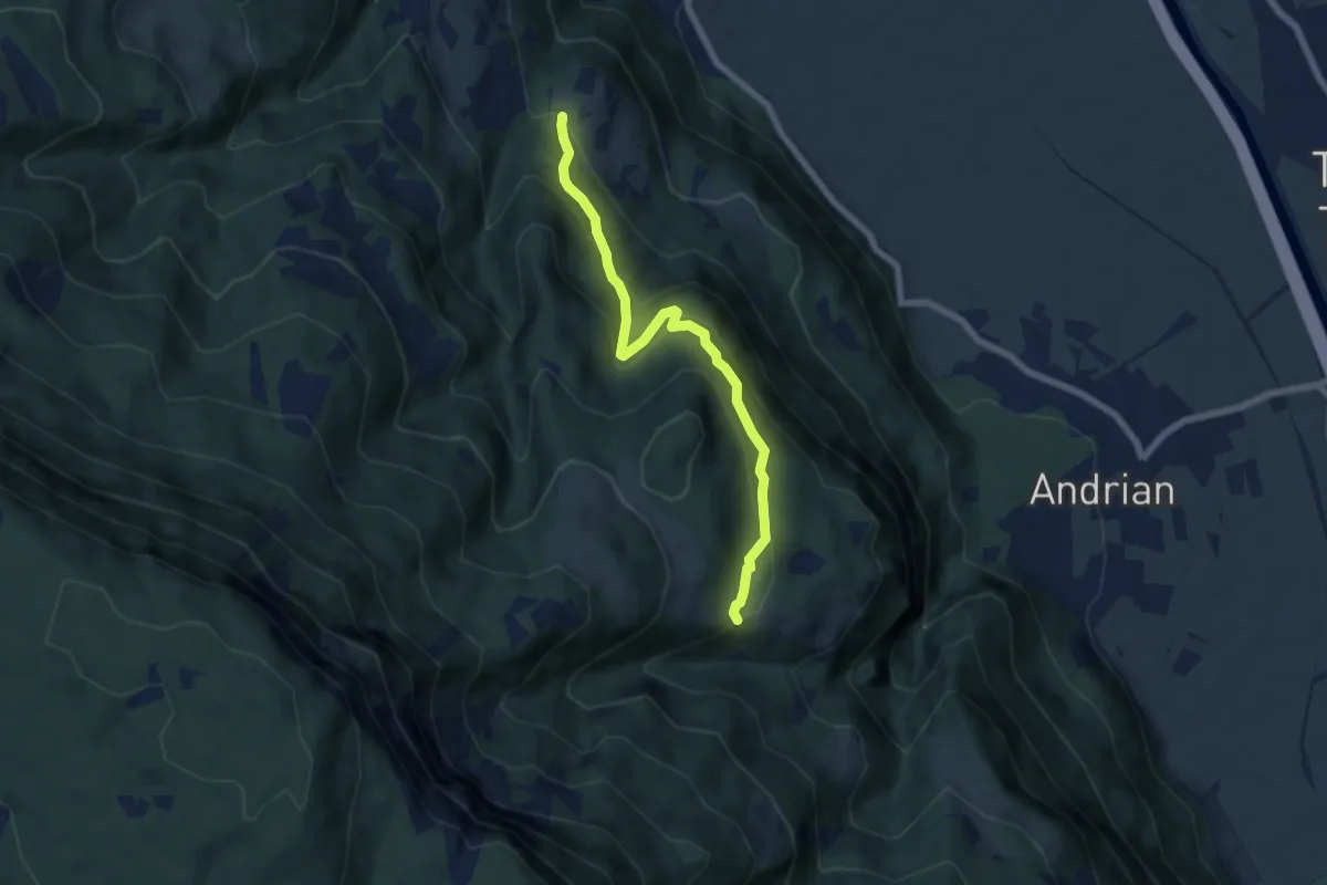
Medium · Trail
Larchsteig
6.3 km · ↑ 408 m · 2 h 22 min
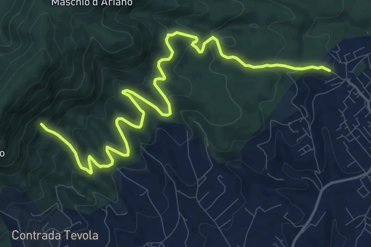
Medium · Cabin
Lariano-Casa del Parco Artemisio
14.0 km · ↑ 698 m · 4 h 49 min
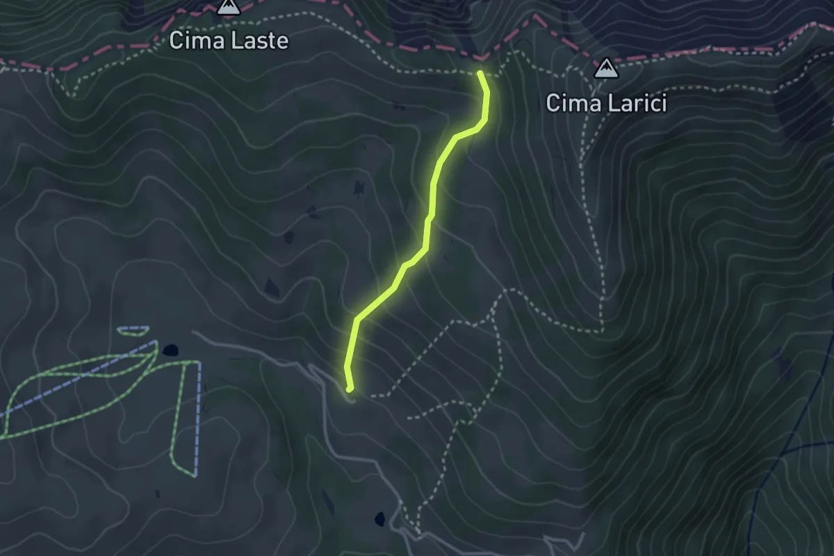
Medium · Cabin
Larici
2.3 km · ↑ 202 m · 59 min
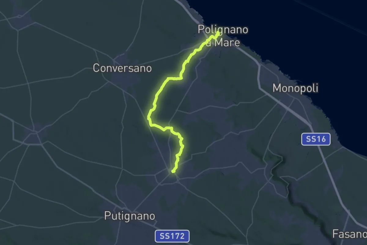
Demanding · Trail
La rotta dei due Mari - Tappa 1
19.8 km · ↑ 299 m · 5 h 28 min
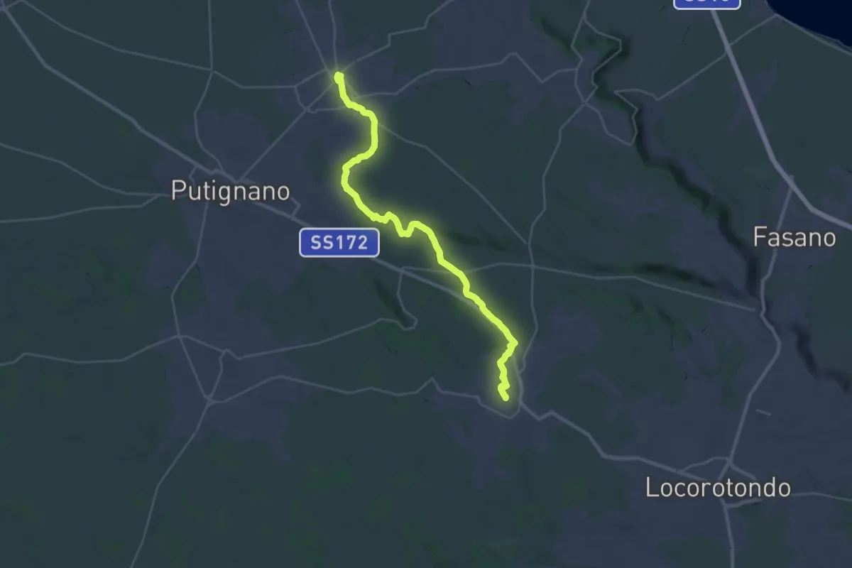
Medium · Trail
La rotta dei due Mari - Tappa 2
17.7 km · ↑ 235 m · 4 h 53 min
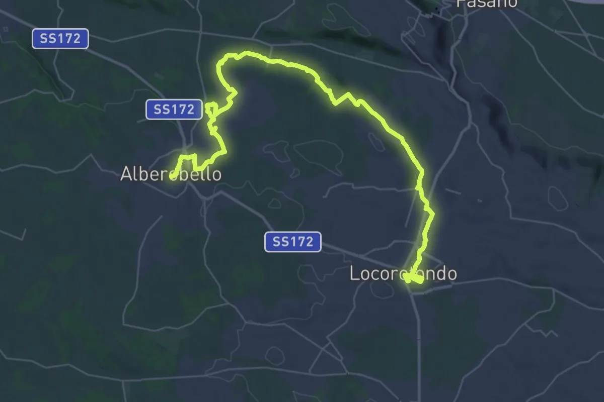
Demanding · Trail
La rotta dei due Mari - Tappa 3
22.2 km · ↑ 232 m · 6 h 4 min
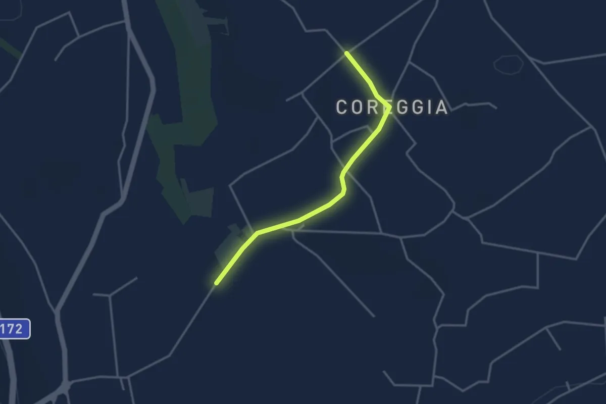
Easy · Trail
La rotta dei due Mari - Tappa 3A - Variante per ciclisti
3.3 km · ↑ 27 m · 50 min
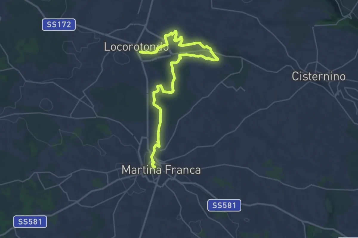
Demanding · Trail
La rotta dei due Mari - Tappa 4
30.9 km · ↑ 306 m · 7 h 58 min
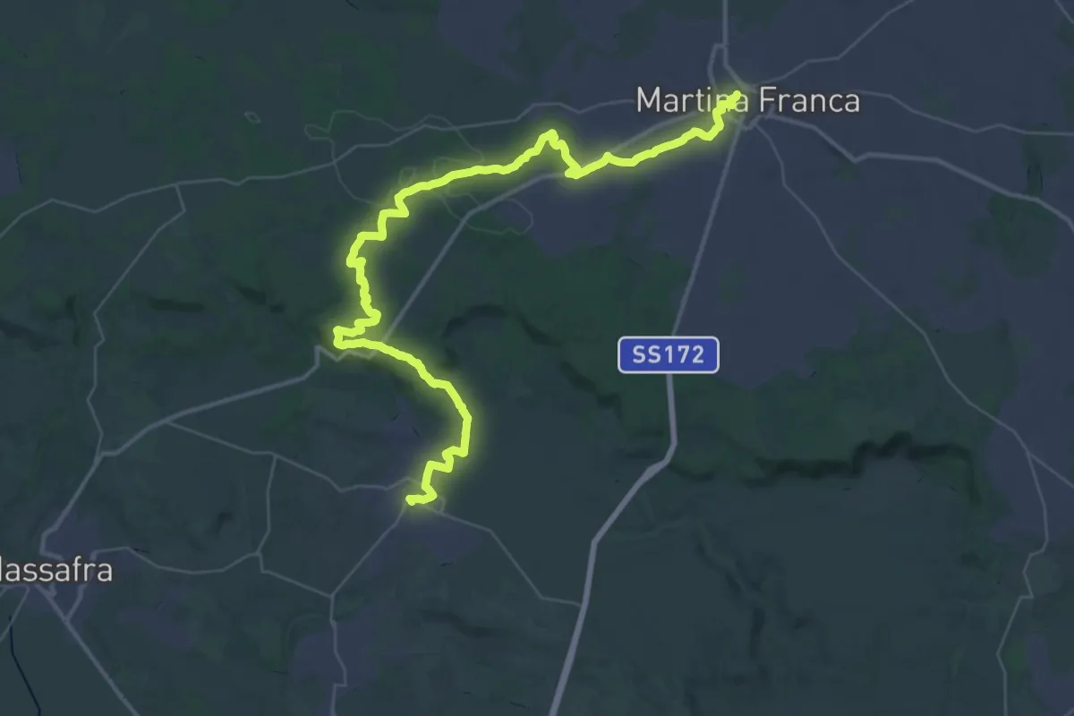
Demanding · Trail
La rotta dei due Mari - Tappa 5
29.1 km · ↑ 227 m · 7 h 51 min
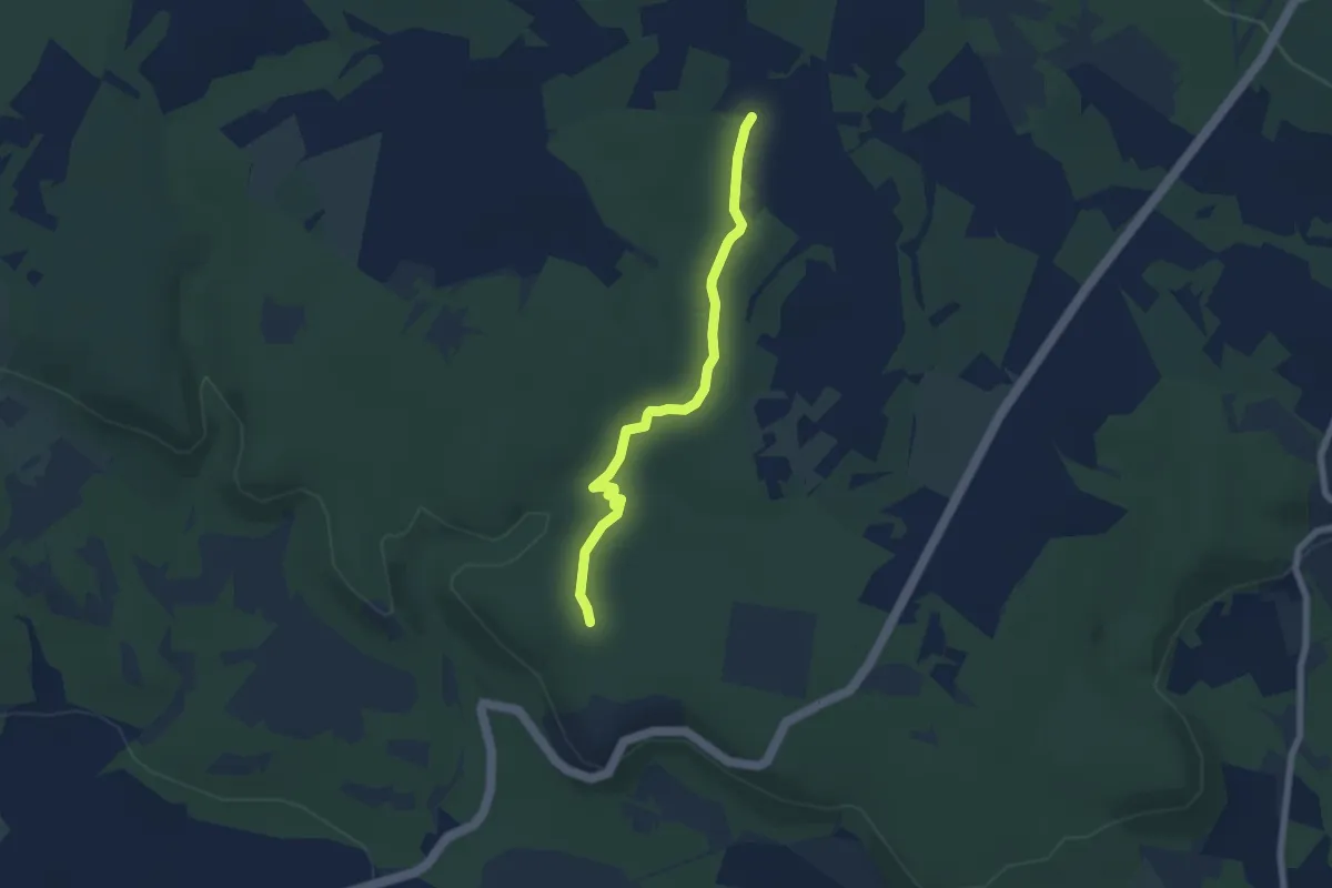
Easy · Trail
La rotta dei due Mari - Tappa 5A Variante per ciclisti
6.7 km · ↑ 106 m · 1 h 48 min
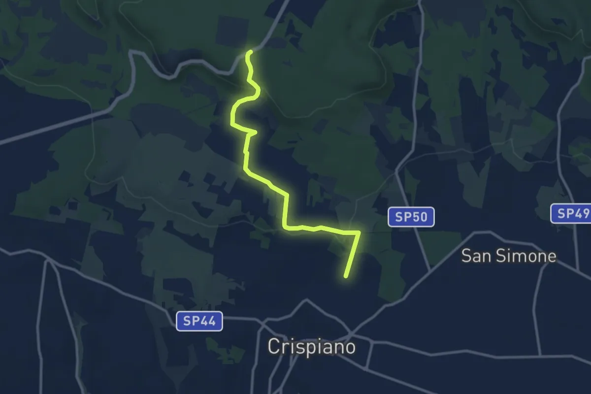
Medium · Trail
La rotta dei due Mari - Tappa 5B
10.4 km · ↑ 198 m · 2 h 54 min
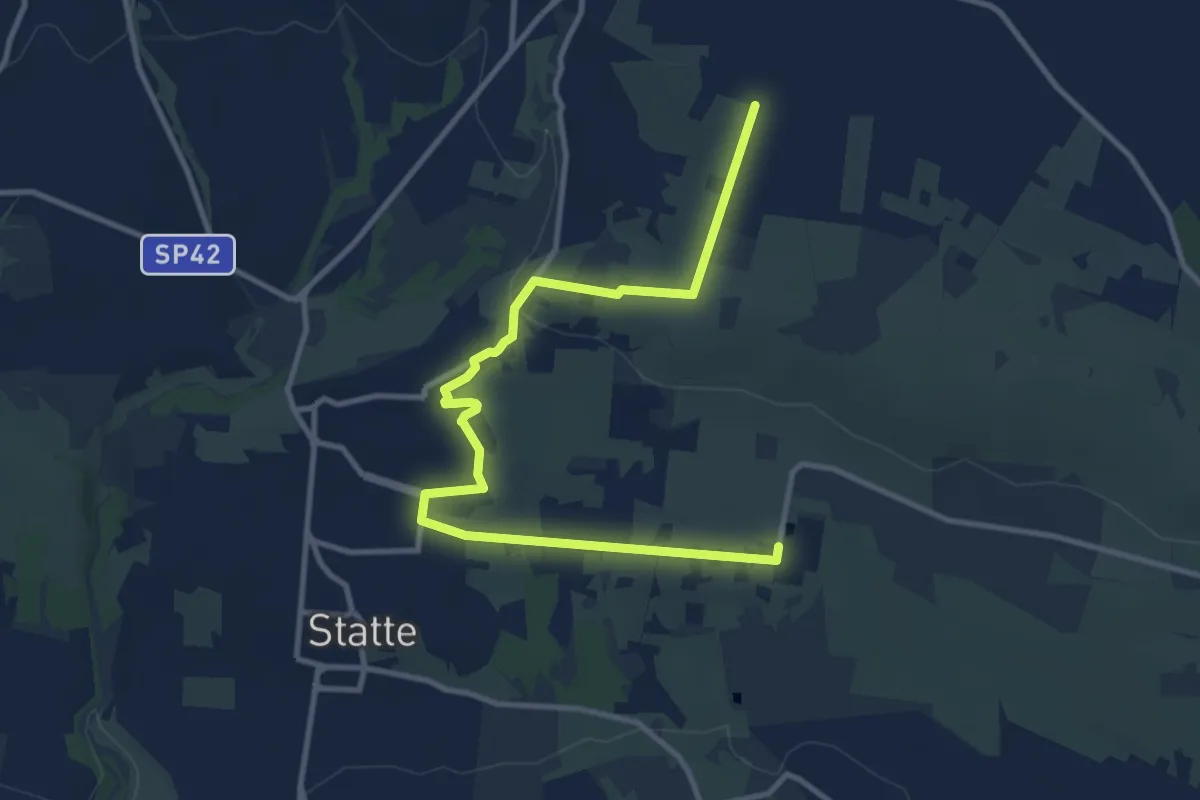
Medium · Trail
La rotta dei due Mari - Tappa 6A - Variante per ciclisti
14.0 km · ↑ 144 m · 3 h 37 min