Trails in Italy
25,221 hiking trails, each with its route, climb, walking time and grade.
All trails, page 93 of 526
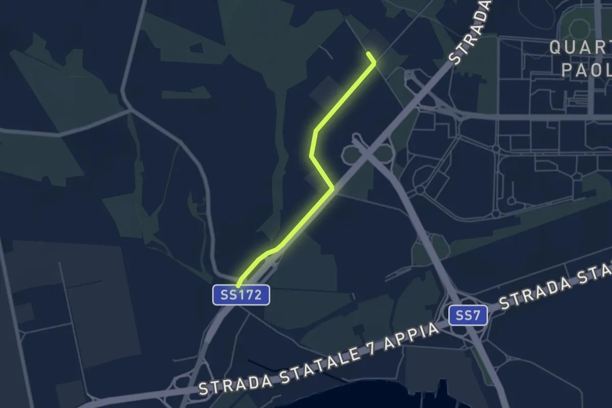
Easy · Trail
La rotta dei due Mari - Tappa 6B - Variante per ciclisti
4.7 km · ↑ 36 m · 1 h 11 min
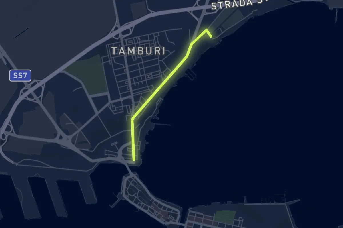
Easy · Trail
La rotta dei due Mari - Tappa 6C - Variante per ciclisti
4.6 km · ↑ 29 m · 1 h 8 min
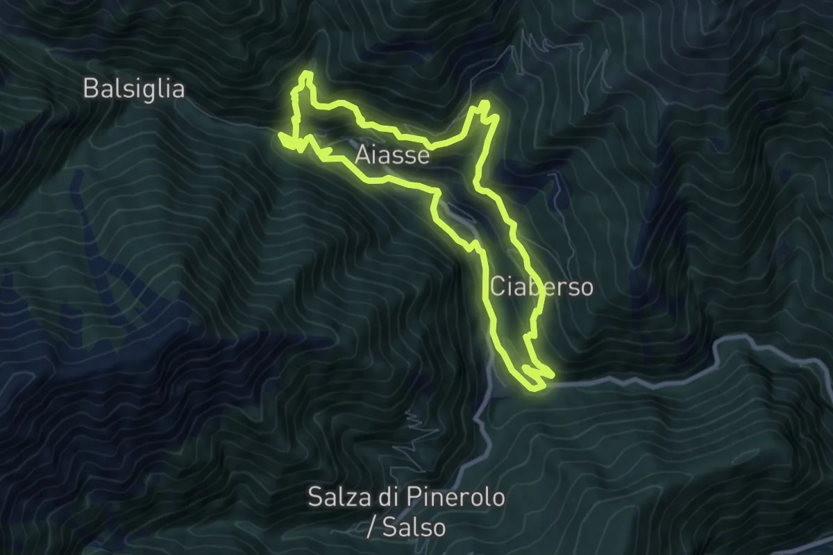
Medium · Trail
La ruota e l'acqua
7.9 km · ↑ 558 m · 3 h 11 min
Demanding · Trail
La Sassaia
22.2 km · ↑ 378 m · 6 h 4 min
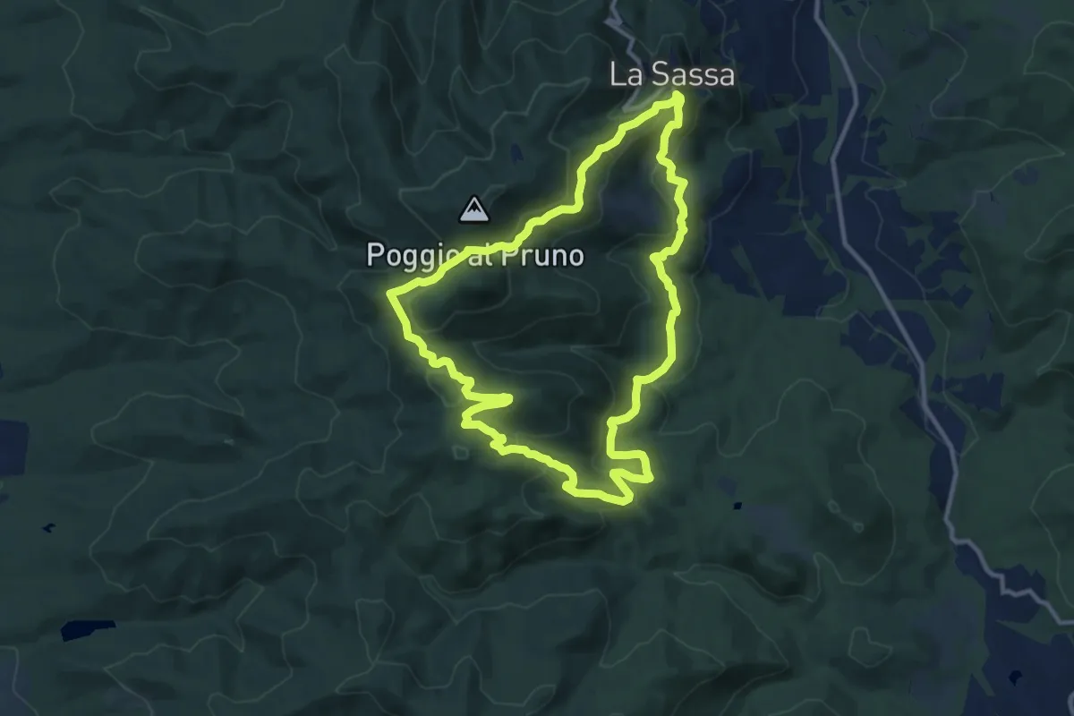
Medium · Summit
La Sassa, la foresta di Caselli e la macchia della Magona
11.6 km · ↑ 489 m · 3 h 57 min
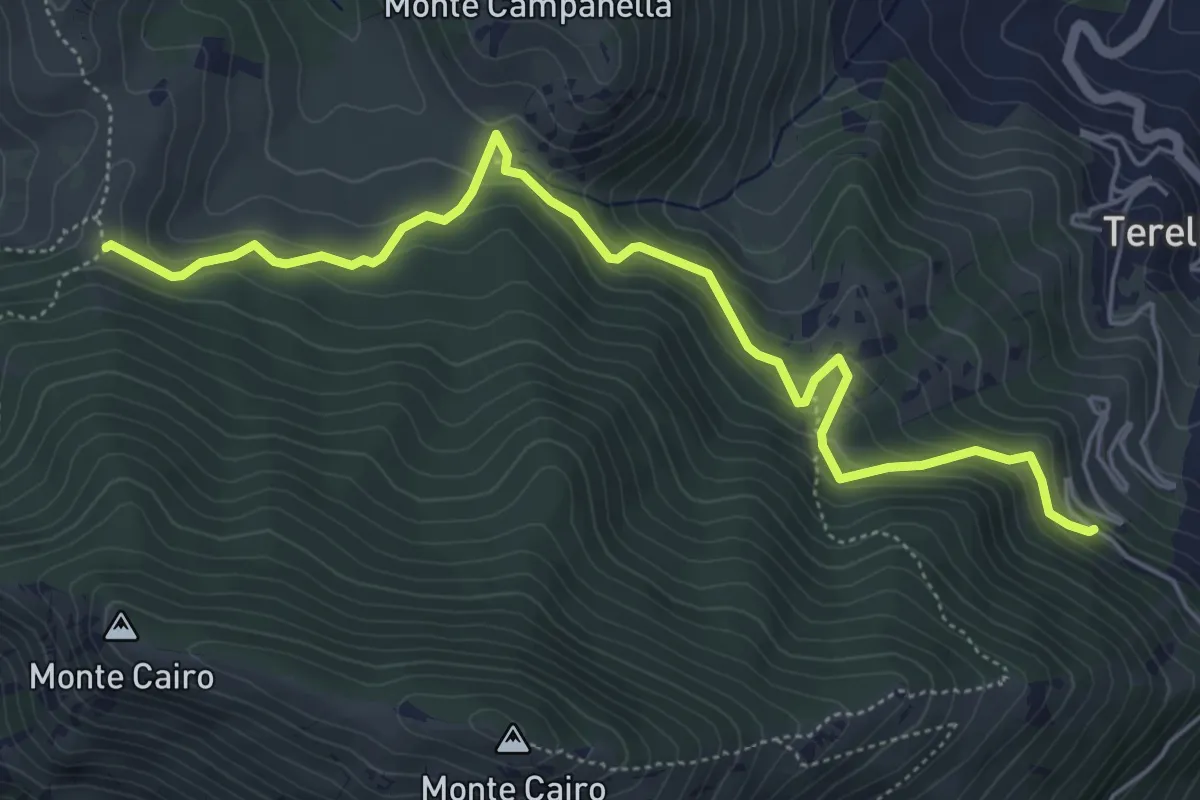
Medium · Cabin
La Sbarra - Pozzacone
6.6 km · ↑ 458 m · 2 h 33 min
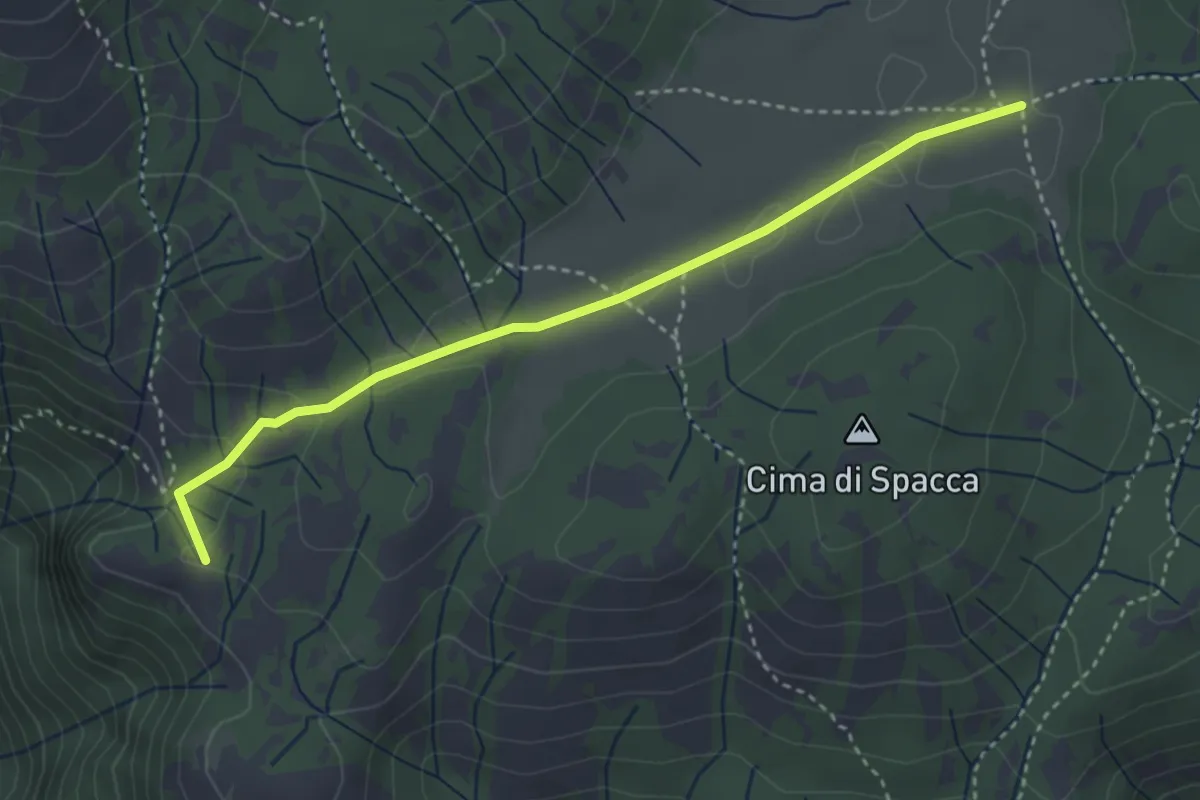
Easy · Summit
La Scalarola Scarpellata-Chiesetta del Pratone
3.8 km · ↑ 58 m · 1 h 1 min
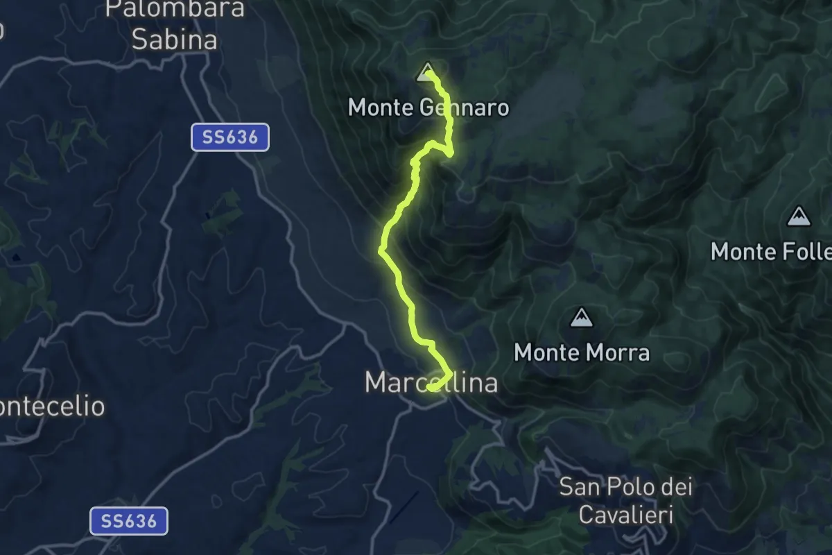
Demanding · Summit
La Scarpellata
11.8 km · ↑ 986 m · 4 h 56 min
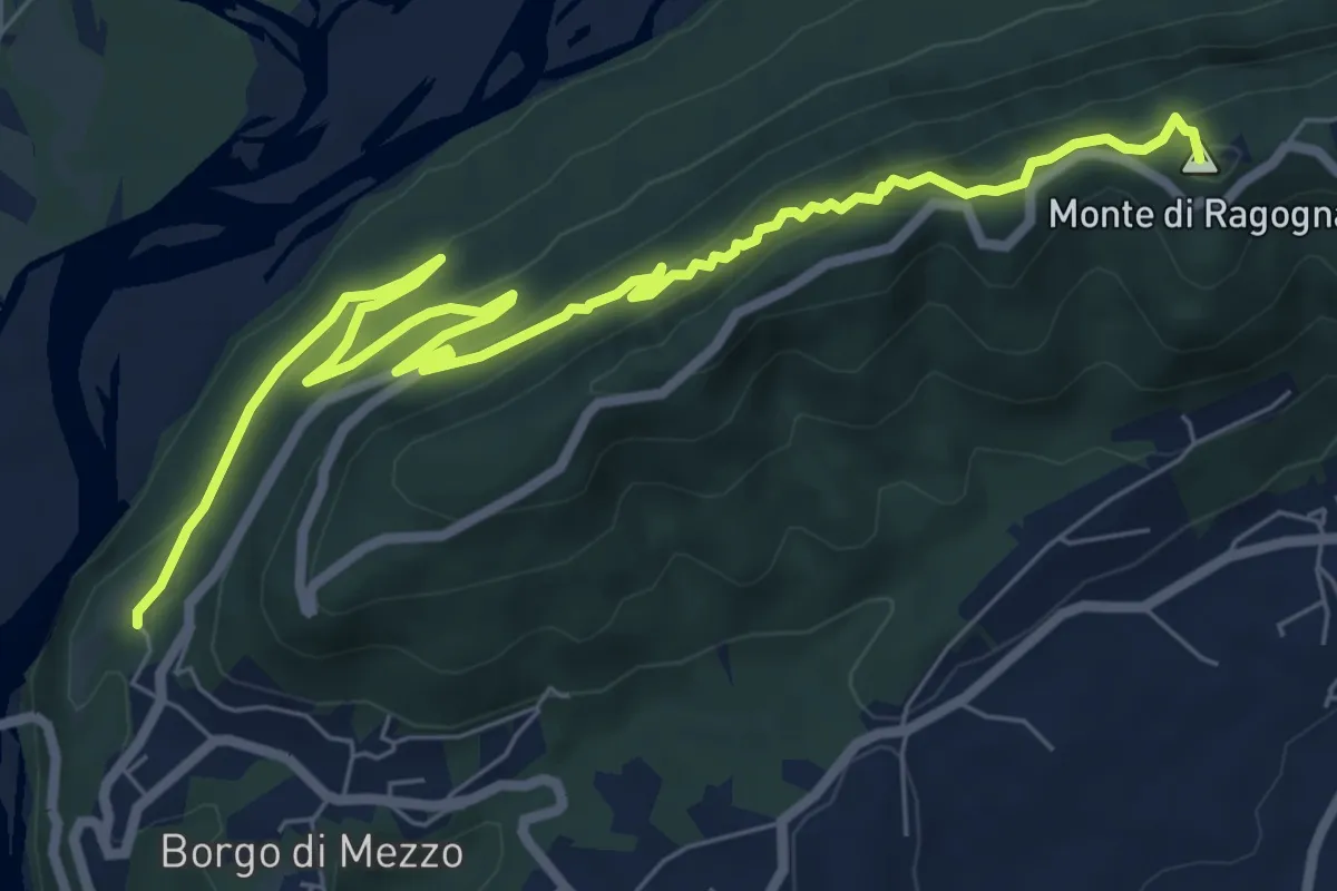
Medium · Summit
Las Cenglis
9.6 km · ↑ 660 m · 3 h 41 min
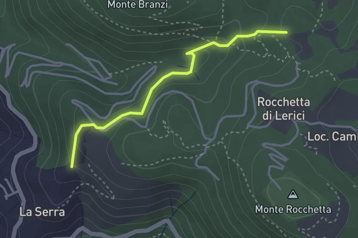
Easy · Trail
La Serra - Redarca - Villa "Il Fodo" - Campo Di Già
2.8 km · ↑ 159 m · 1 h
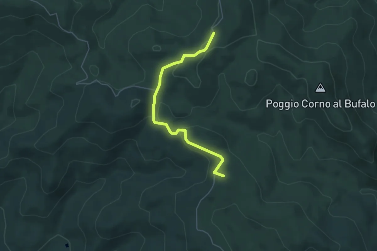
Easy · Summit
La Serra-Villa di Monterufoli
4.6 km · ↑ 105 m · 1 h 18 min
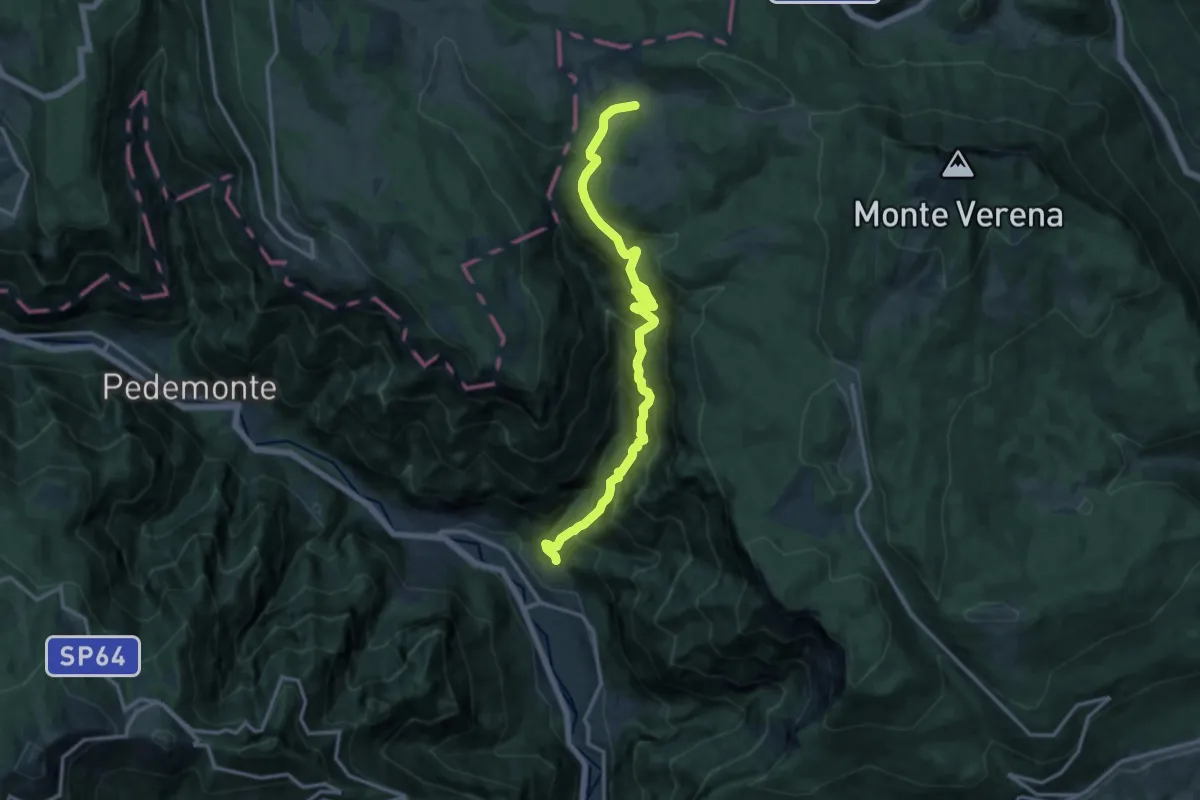
Demanding · Trail
La Singela
14.6 km · ↑ 1362 m · 6 h 24 min
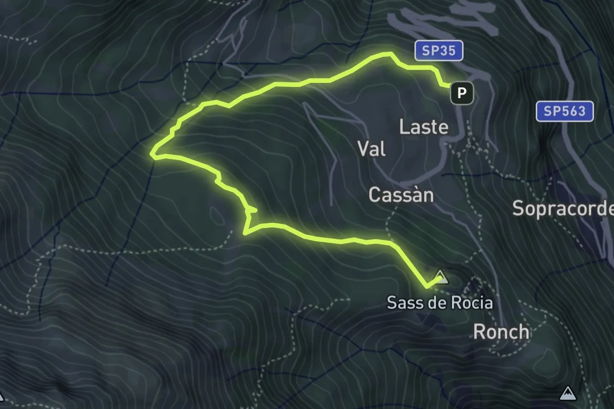
Medium · Summit
Laste Ciaspamoon
6.1 km · ↑ 397 m · 2 h 19 min
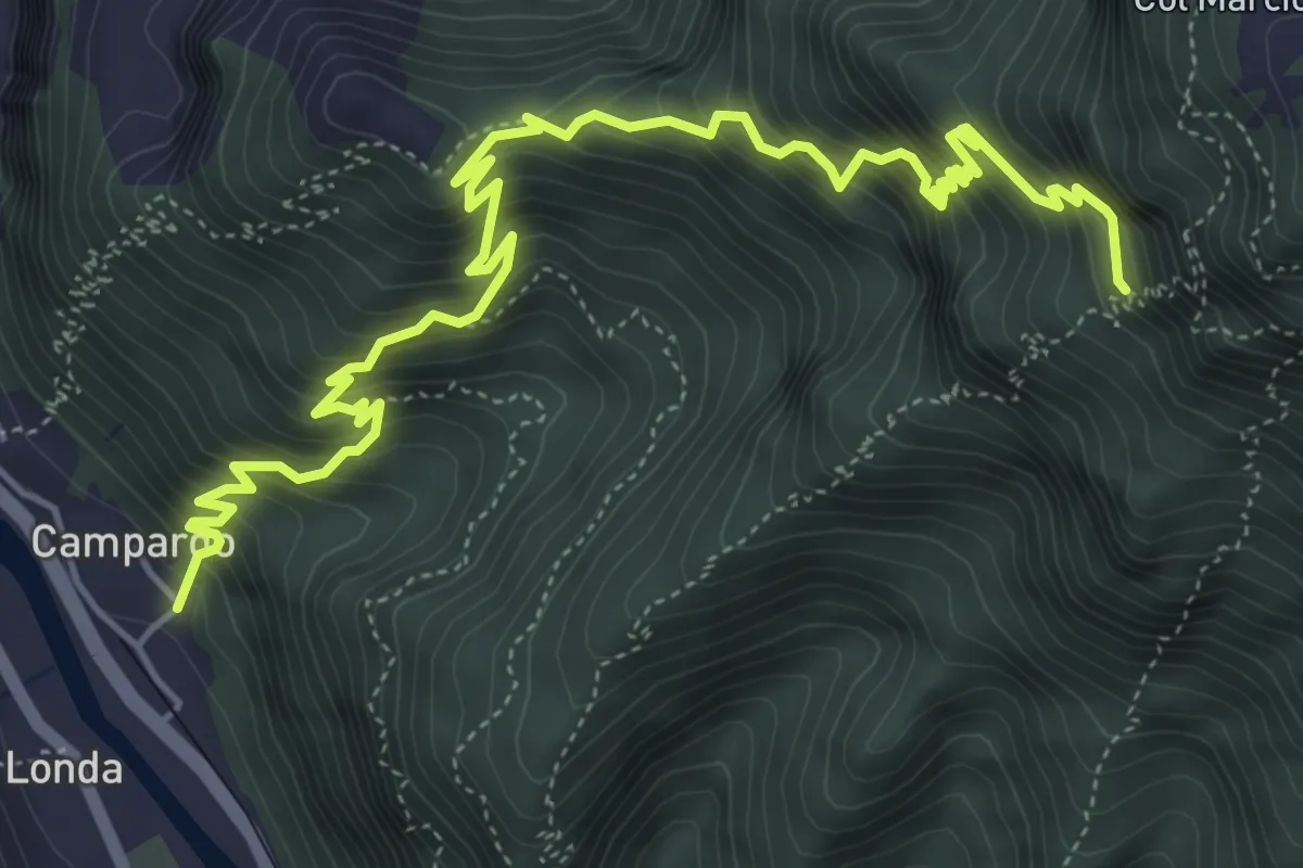
Demanding · Trail
Laste Rosse
7.2 km · ↑ 1109 m · 4 h 6 min
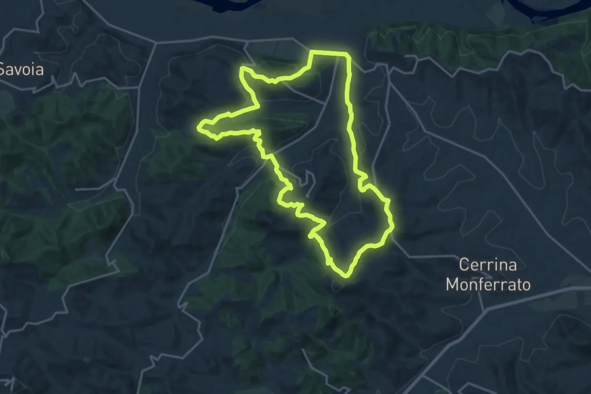
Medium · Trail
La Strada dei Miroglio
16.2 km · ↑ 548 m · 5 h 14 min
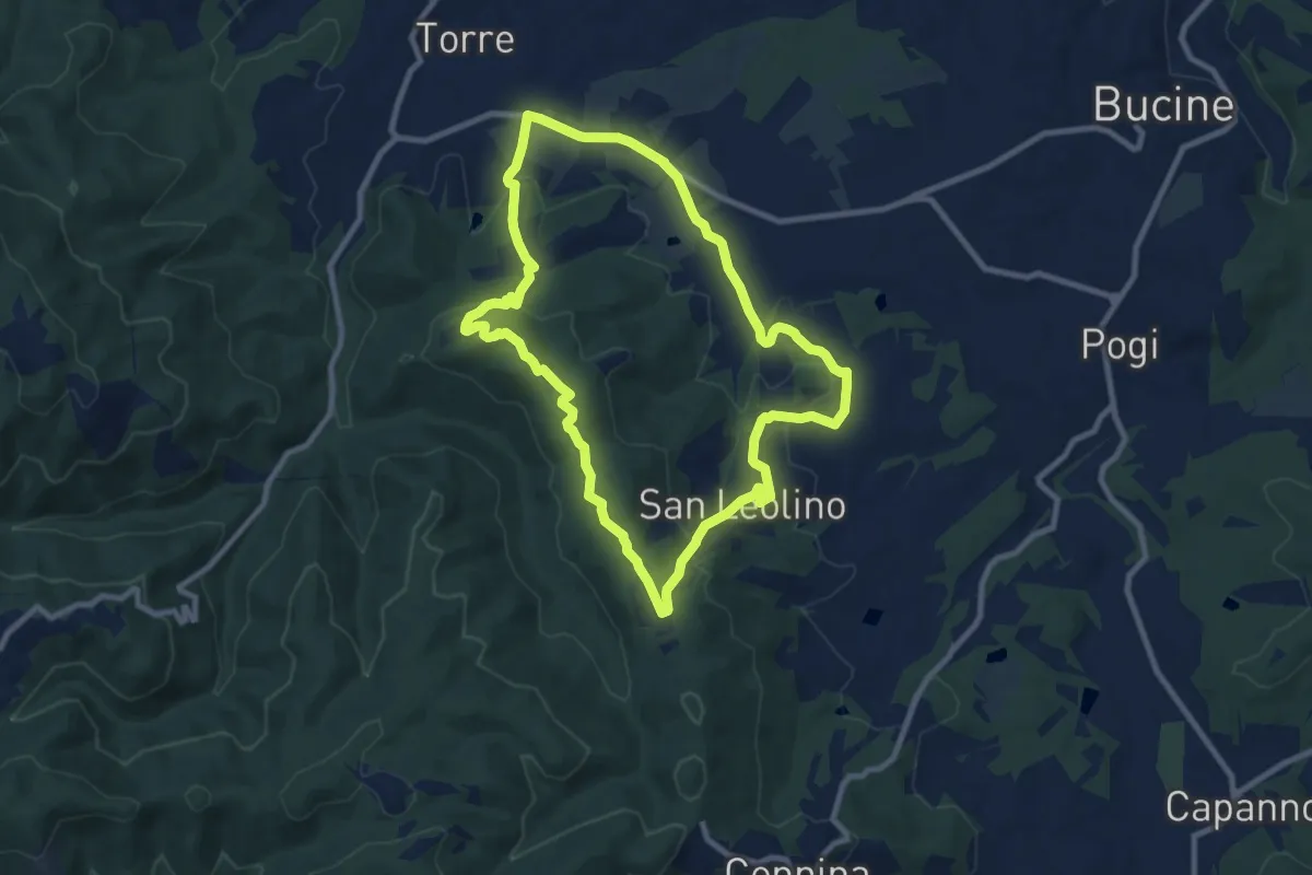
Medium · Trail
La strada del vino
9.5 km · ↑ 247 m · 2 h 54 min
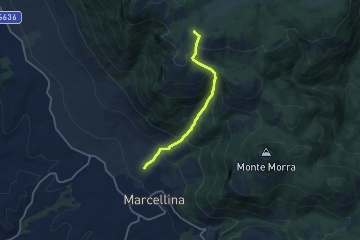
Medium · Summit
La Stretta
6.6 km · ↑ 719 m · 3 h 7 min
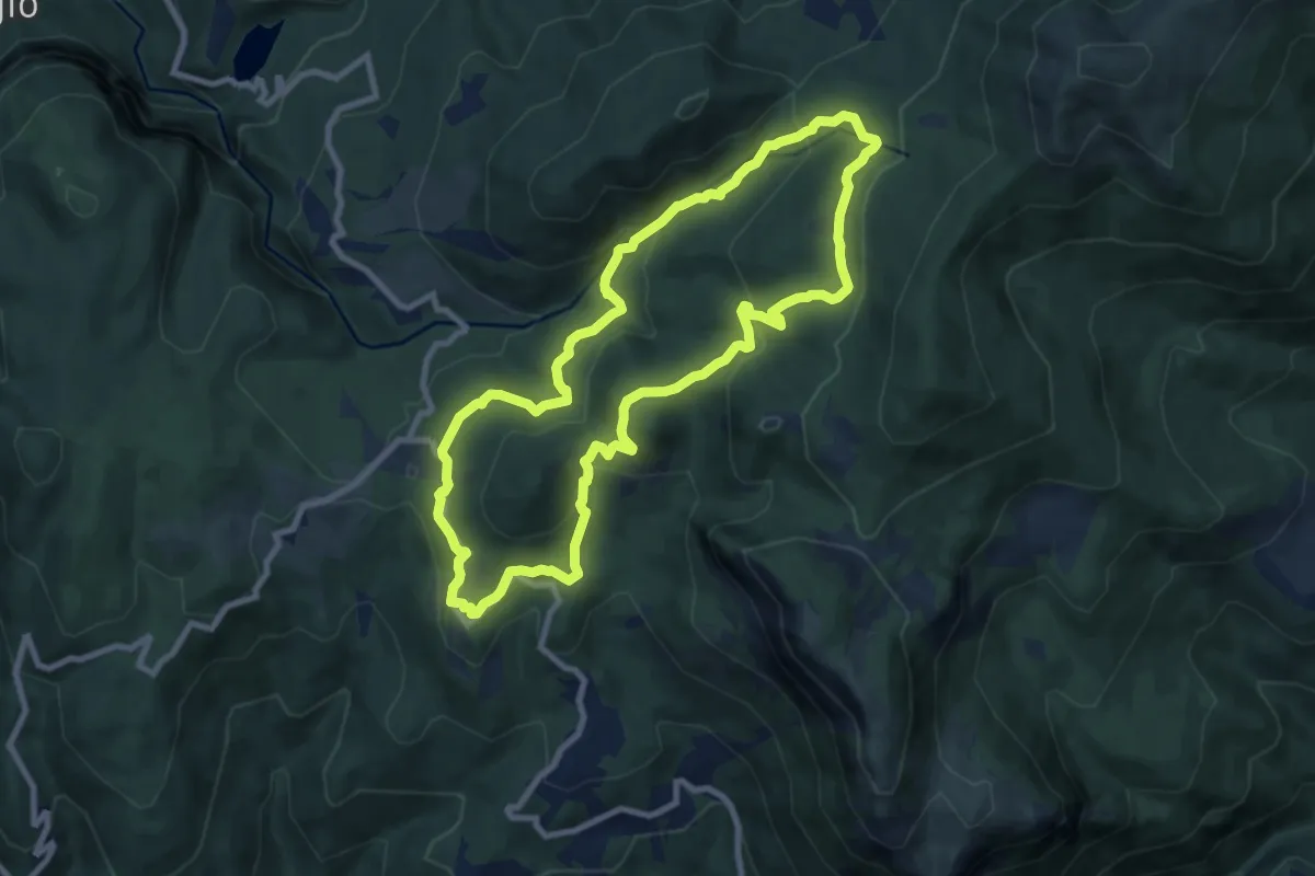
Medium · Trail
La Torbiera di Lamarossa
8.8 km · ↑ 335 m · 2 h 56 min
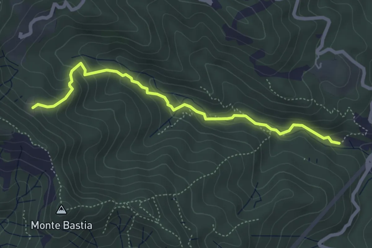
Medium · Trail
La Torre - Caprili - Prato Busino
5.1 km · ↑ 292 m · 1 h 50 min
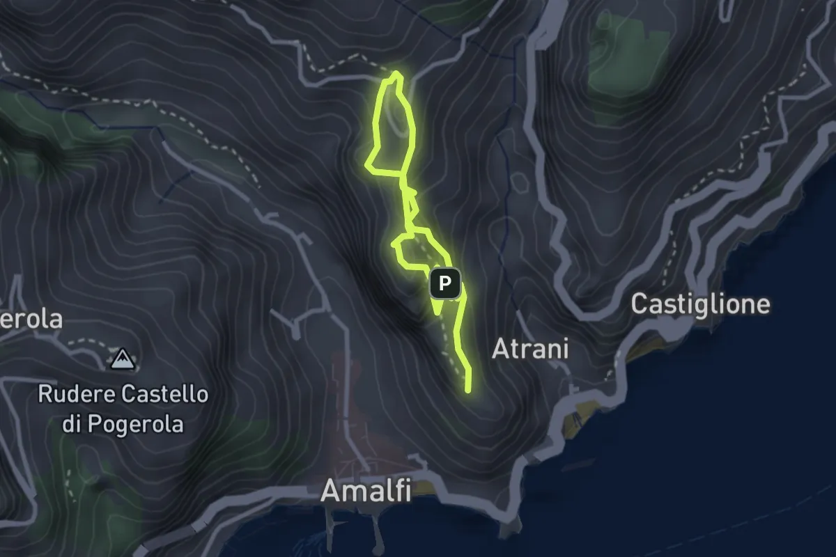
Easy · Trail
La Torre dello Ziro
2.0 km · ↑ 143 m · 50 min
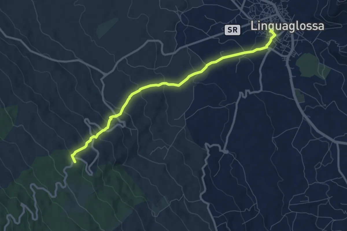
Medium · Summit
La Trainara
9.2 km · ↑ 430 m · 3 h 6 min
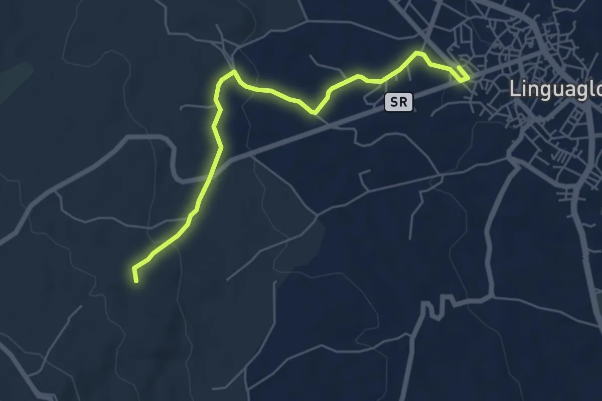
Easy · Trail
La Trainara Variante A
5.9 km · ↑ 120 m · 1 h 39 min
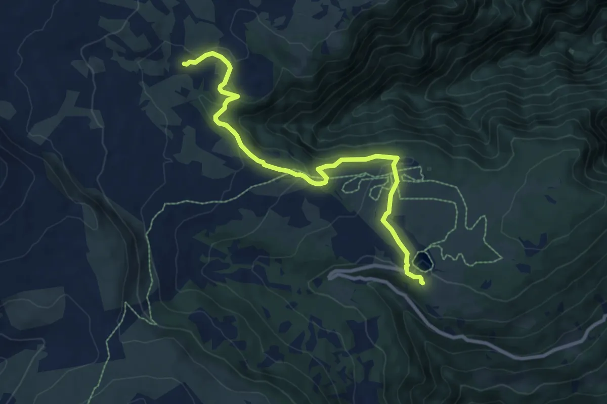
Medium · Trail
Latschenweg - Sentiero Pino Mugo
8.1 km · ↑ 246 m · 2 h 27 min
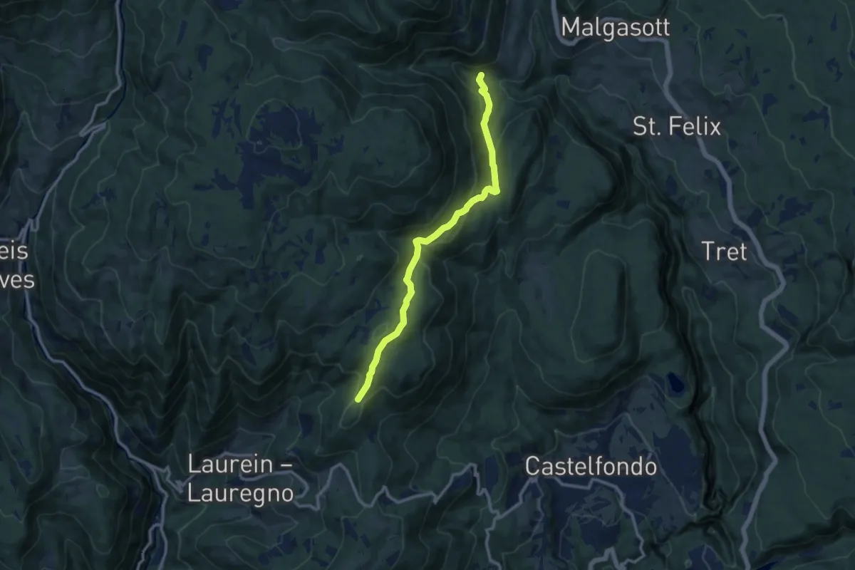
Medium · Trail
Laureiner Steig - Sentiero di Lauregno
9.9 km · ↑ 422 m · 3 h 15 min
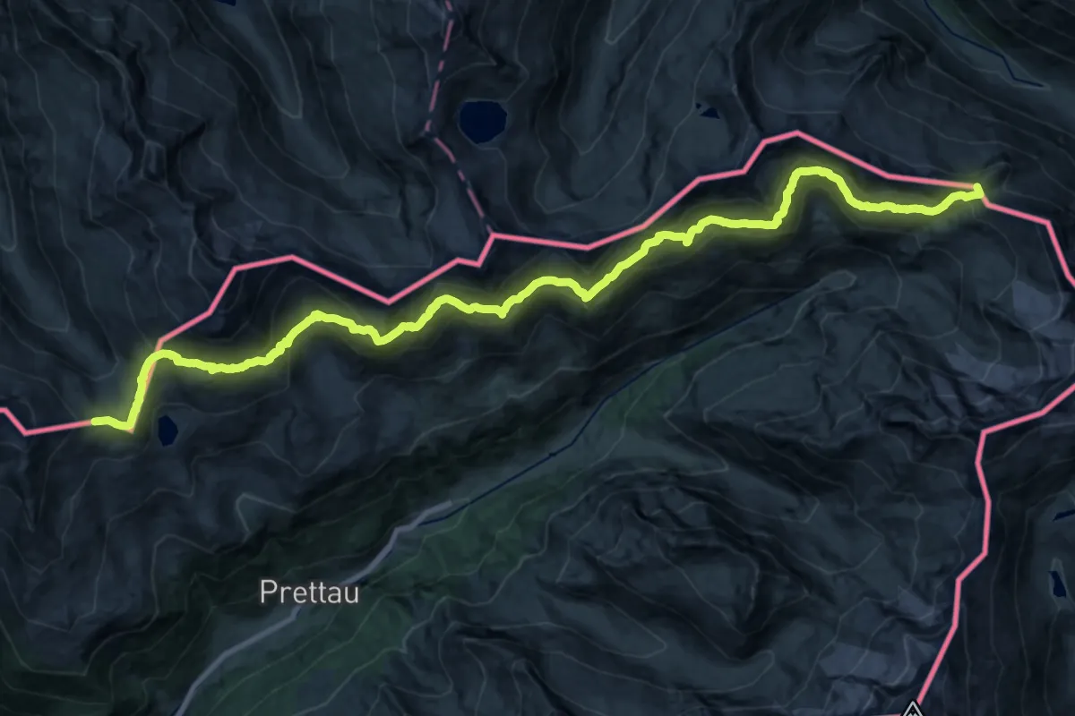
Demanding · Summit
Lausitzerweg
29.8 km · ↑ 2038 m · 11 h 27 min
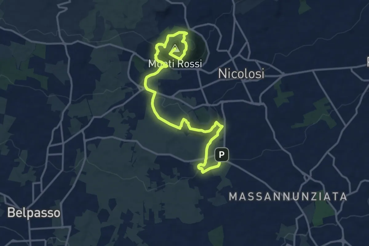
Medium · Summit
Lava 1669 Dai Monti Rossi a Mompilieri
15.2 km · ↑ 572 m · 4 h 49 min
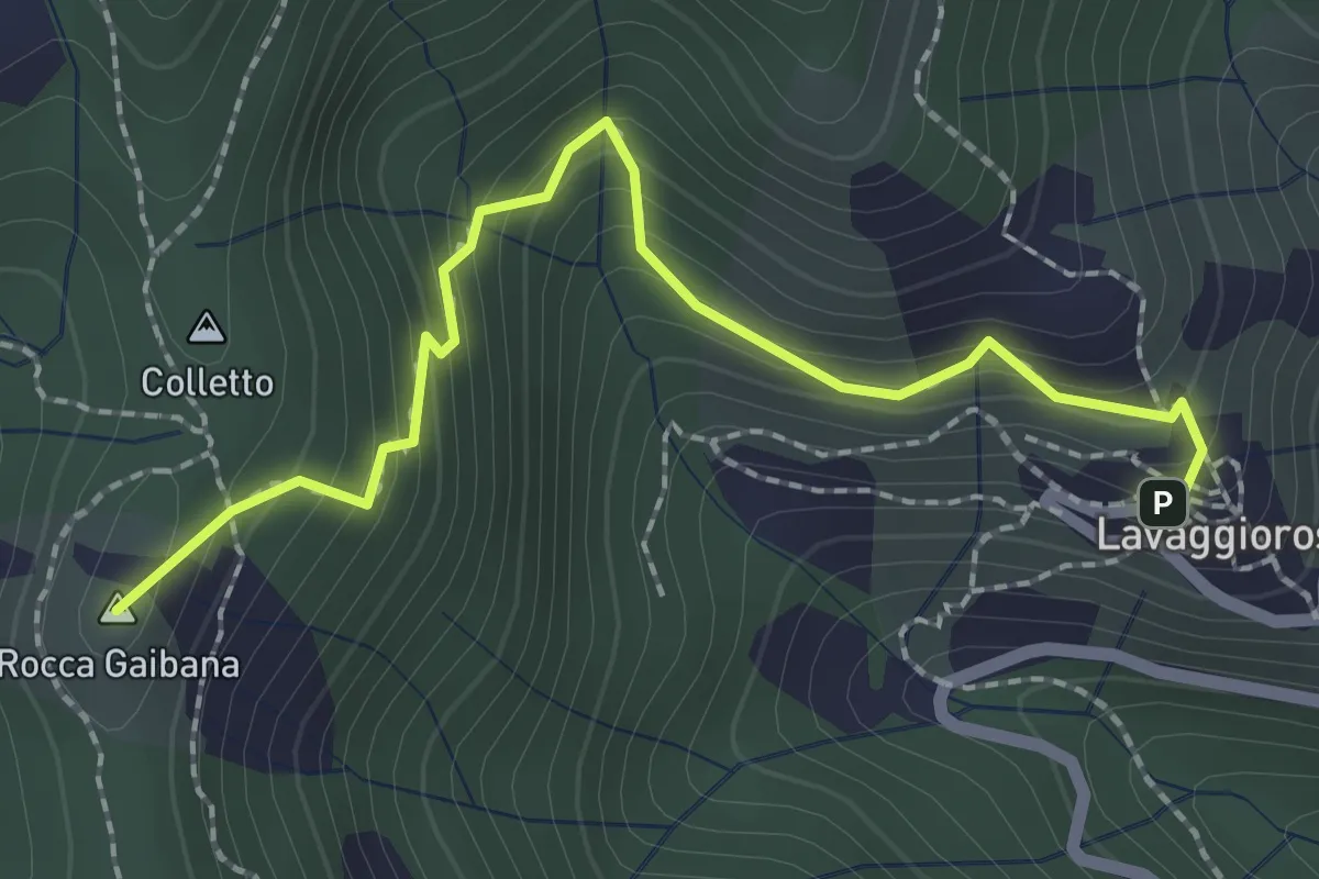
Medium · Summit
Lavaggiorosso - Passo del Colletto
2.5 km · ↑ 226 m · 1 h 4 min
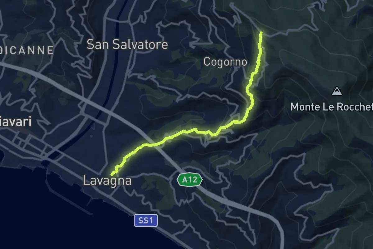
Medium · Trail
Lavagna - Cogorno - S. Giacomo
9.3 km · ↑ 511 m · 3 h 18 min
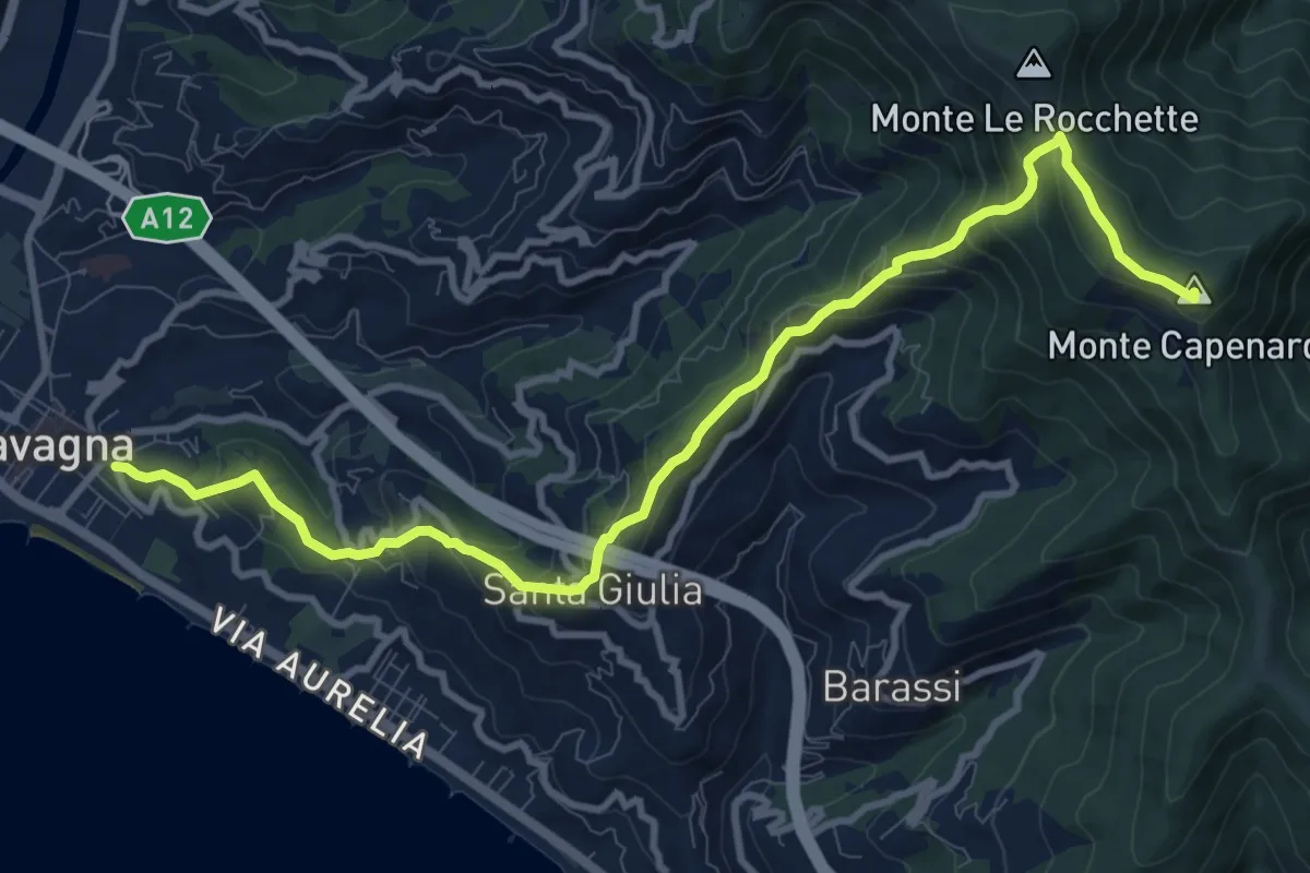
Medium · Summit
Lavagna - Santa Giulia di Centaura - Monte Capenardo
12.0 km · ↑ 739 m · 4 h 25 min
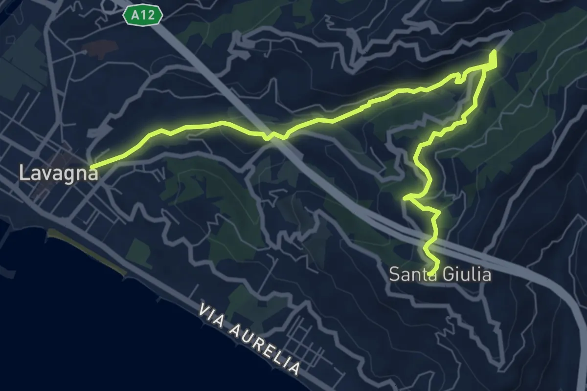
Medium · Trail
Lavagna - Valle dei Berissi - Santa Giulia
9.2 km · ↑ 384 m · 3 h
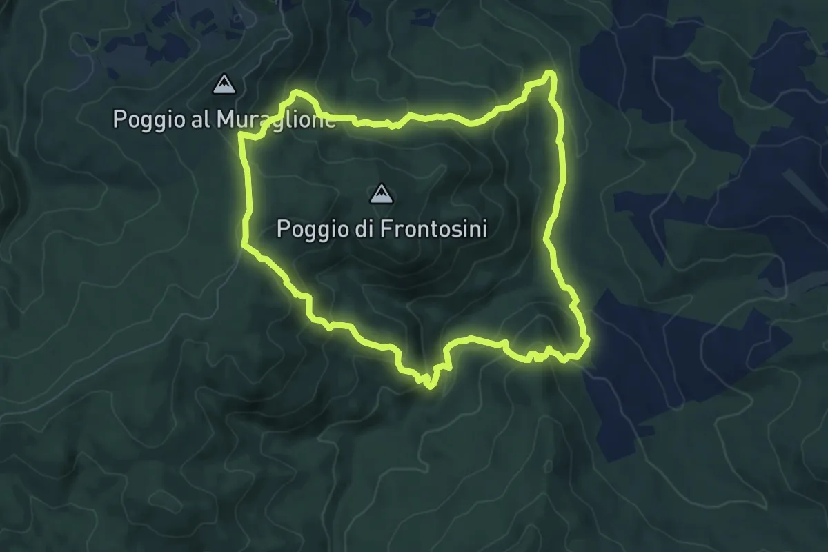
Medium · Trail
La valle del Trossa e le rupi di Frontosini
8.0 km · ↑ 435 m · 2 h 57 min
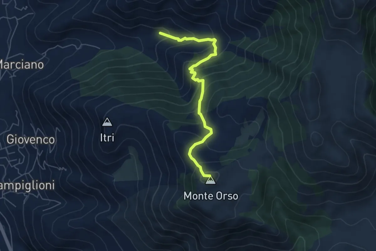
Medium · Summit
La Valle di Itri-Monte Orso
5.8 km · ↑ 528 m · 2 h 31 min
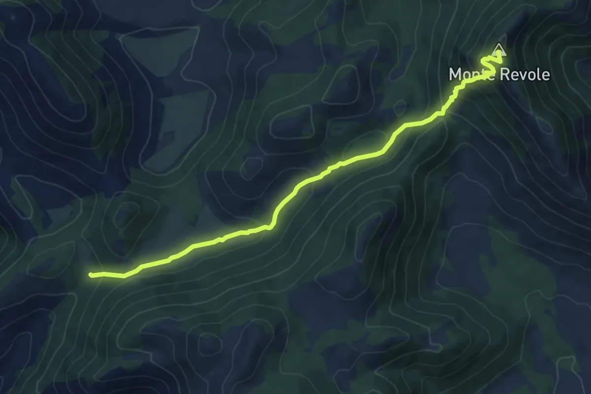
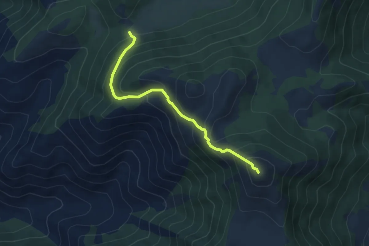
Medium · Summit
La Valle di Itri-Monte Revole
8.5 km · ↑ 559 m · 3 h 14 min
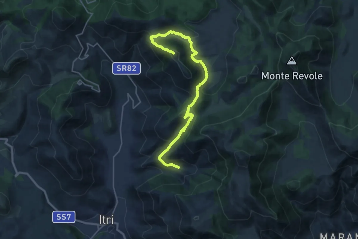
Medium · Summit
La Valle di Itri-Monte Ruazzo
5.2 km · ↑ 461 m · 2 h 13 min
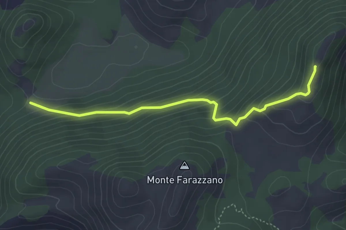
Demanding · Summit
La Valle di Itri-Monte Trina
17.8 km · ↑ 978 m · 6 h 20 min
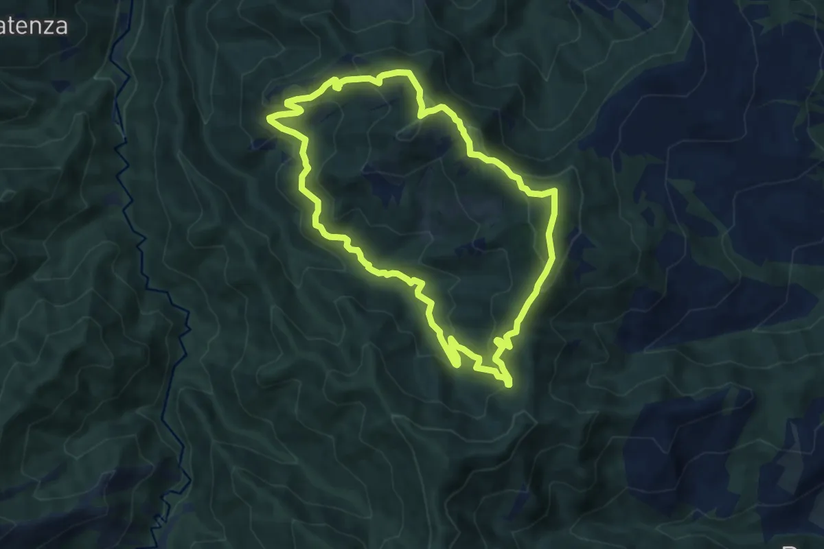
Easy · Summit
La Valle di Itri-Monte Viola
4.5 km · ↑ 306 m · 1 h 43 min
Medium · Summit
La Valle di Rio Salso
8.8 km · ↑ 499 m · 3 h 16 min
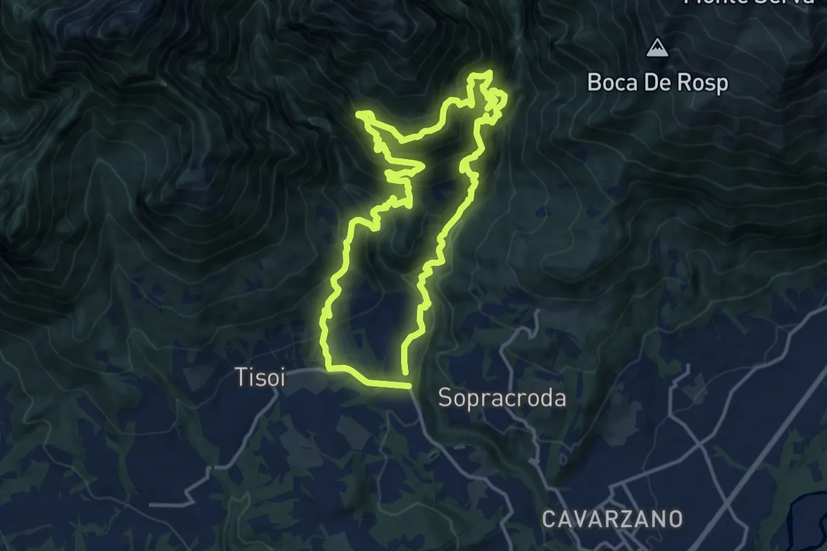
Demanding · Summit
La Velenosa
12.6 km · ↑ 1100 m · 5 h 32 min
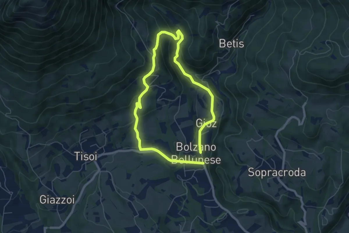
Easy · Trail
La Velenosetta
5.0 km · ↑ 235 m · 1 h 45 min
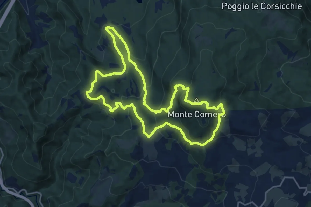
Medium · Summit
La vetta del M.Comero
11.9 km · ↑ 620 m · 4 h 19 min
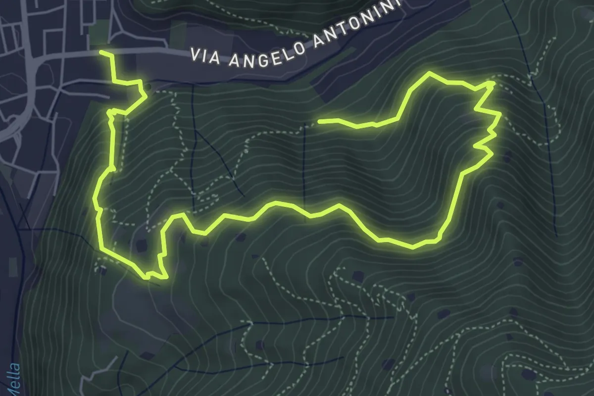
Demanding · Trail
La Vià Antiga
9.3 km · ↑ 858 m · 4 h 3 min
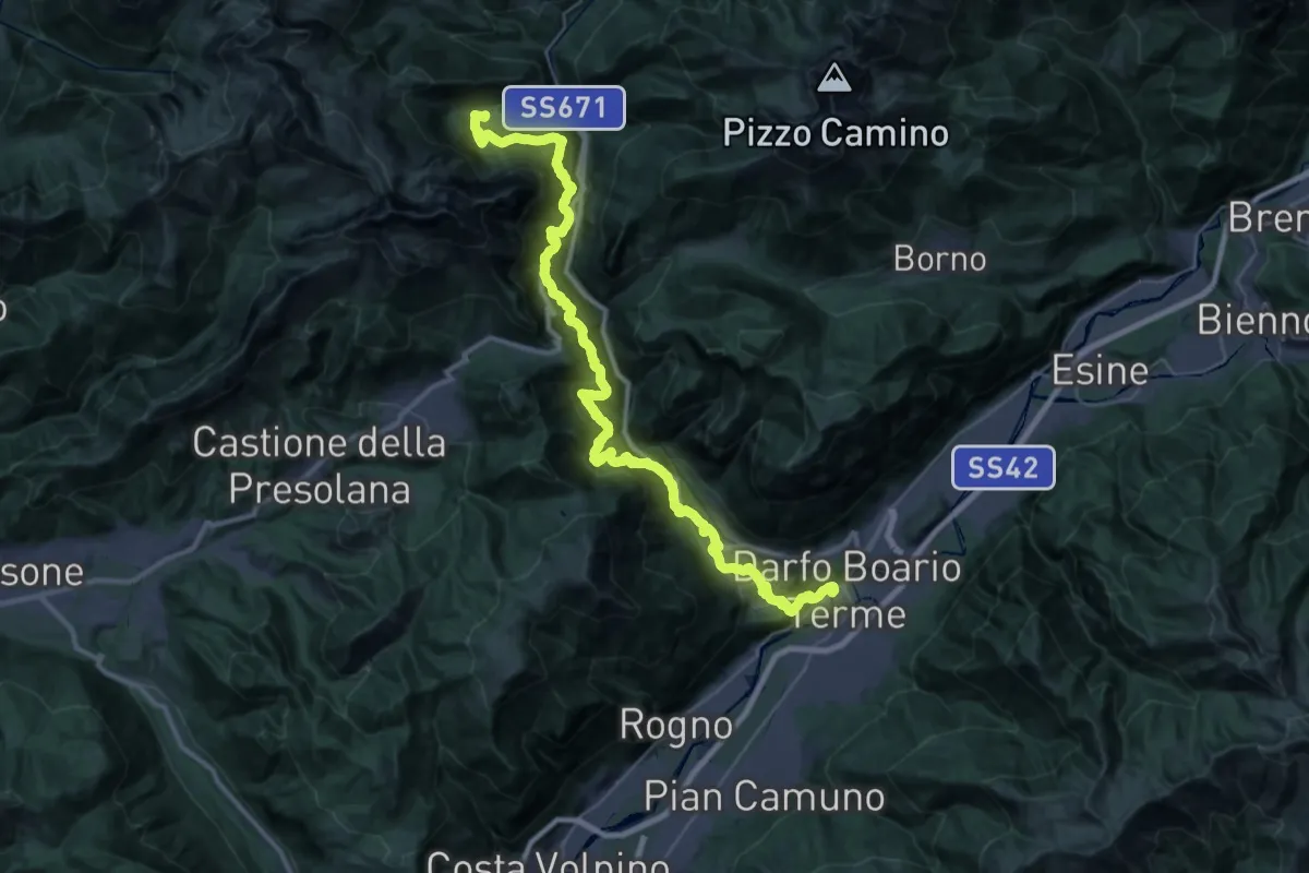
Demanding · Trail
La Via Decia - Tappa 1
21.1 km · ↑ 1089 m · 8 h 2 min
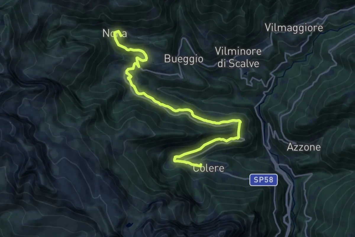
Medium · Summit
La Via Decia - Tappa 2
17.0 km · ↑ 775 m · 5 h 41 min
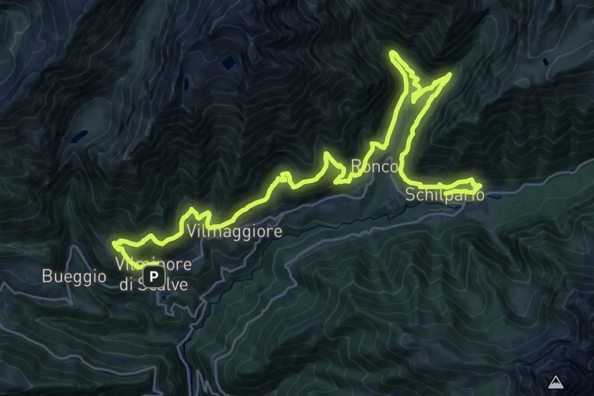
Demanding · Trail
La Via Decia - Tappa 3
16.3 km · ↑ 1146 m · 6 h 31 min
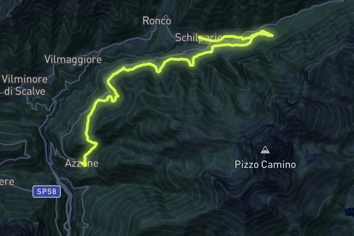
Medium · Trail
La Via Decia - Tappa 4
11.5 km · ↑ 576 m · 4 h 12 min
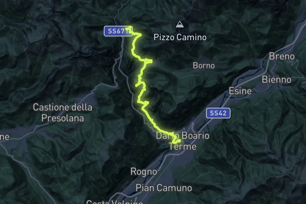
Demanding · Trail
La Via Decia - Tappa 5
21.8 km · ↑ 949 m · 7 h 52 min
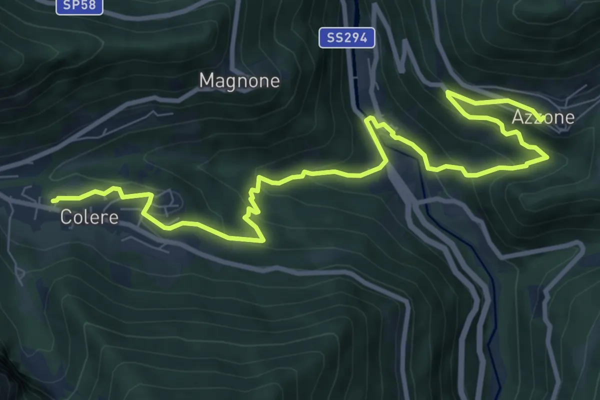
Medium · Trail
La Via Decia - Via Breve
9.9 km · ↑ 577 m · 3 h 36 min
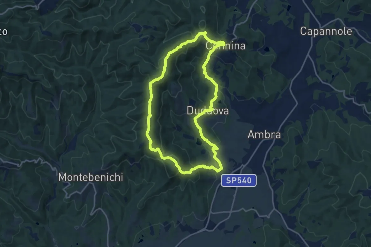
Medium · Summit
La via dei corbezzoli
12.3 km · ↑ 493 m · 4 h 9 min