Trails in Italy
25,221 hiking trails, each with its route, climb, walking time and grade.
All trails, page 95 of 526
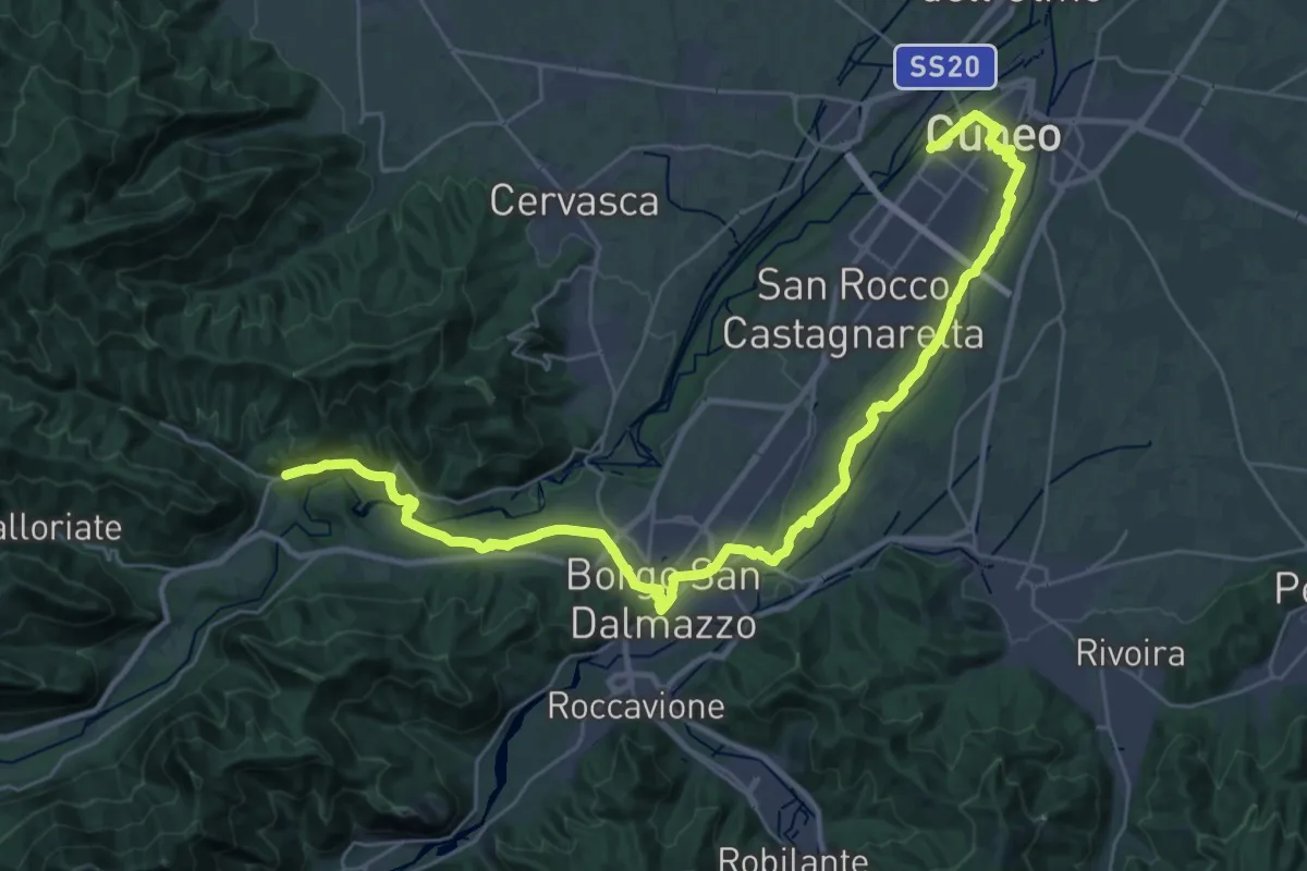
Demanding · Pilgrim path
La Via di Sant'Anna - Tappa 1
19.4 km · ↑ 324 m · 5 h 28 min
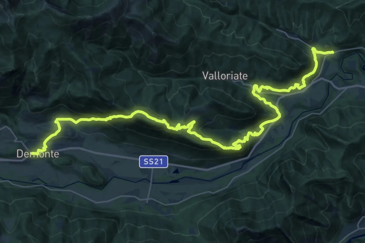
Demanding · Pilgrim path
La Via di Sant'Anna - Tappa 2
18.5 km · ↑ 924 m · 6 h 40 min
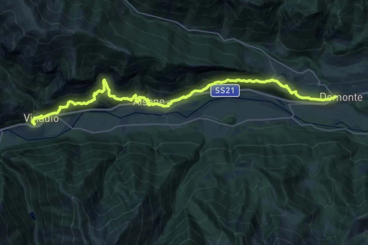
Demanding · Pilgrim path
La Via di Sant'Anna - Tappa 3
13.5 km · ↑ 875 m · 5 h 13 min
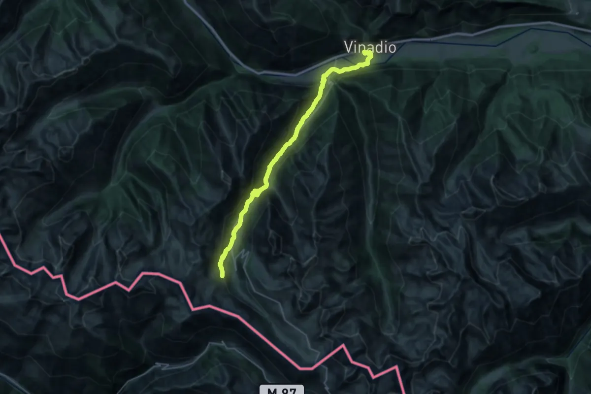
Demanding · Cabin
La Via di Sant'Anna - Tappa 4
12.8 km · ↑ 1179 m · 5 h 12 min
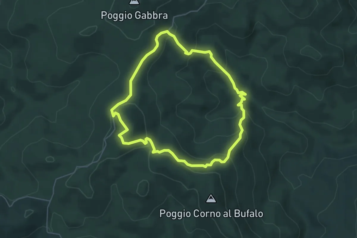
Easy · Trail
La villa di Monterufoli e la valle del Linari
4.8 km · ↑ 257 m · 1 h 45 min
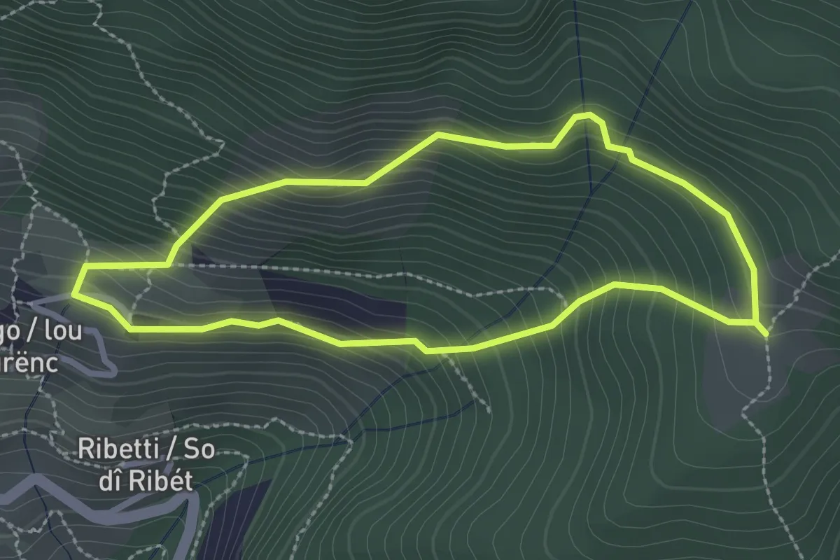
Medium · Trail
La Viroun dë Pârant
2.5 km · ↑ 240 m · 1 h 8 min
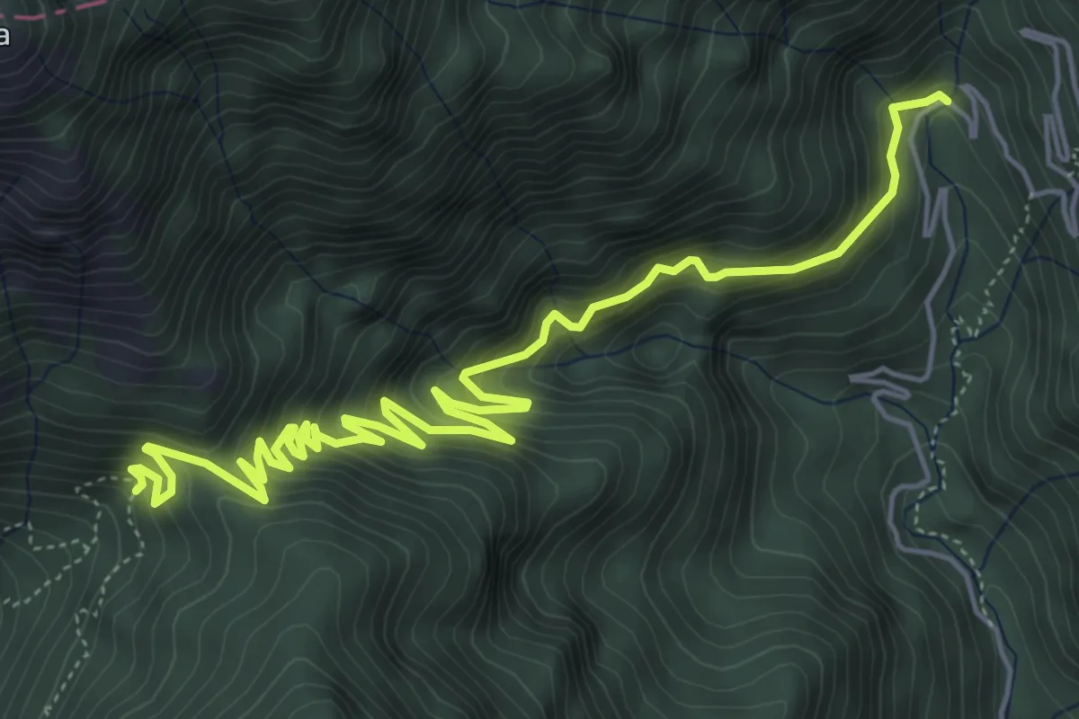
Medium · Trail
Le Acque, Bocca di Fobbia
7.5 km · ↑ 706 m · 3 h 18 min
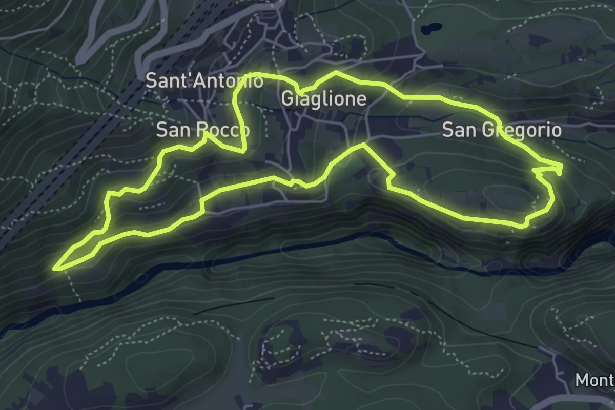
Medium · Trail
Le alture delle viti e dei mandorli
5.5 km · ↑ 262 m · 1 h 57 min
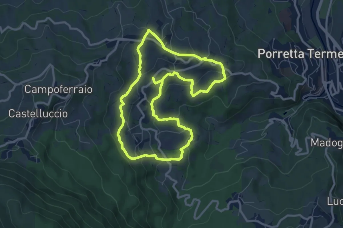
Easy · Trail
Le antiche via di Capugnano
7.2 km · ↑ 260 m · 2 h 23 min
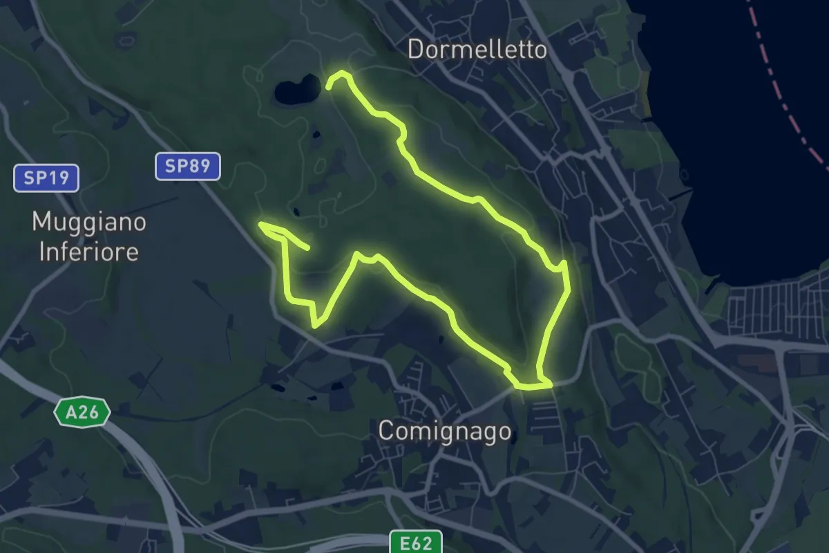
Medium · Summit
Le attività produttive
12.5 km · ↑ 194 m · 3 h 23 min
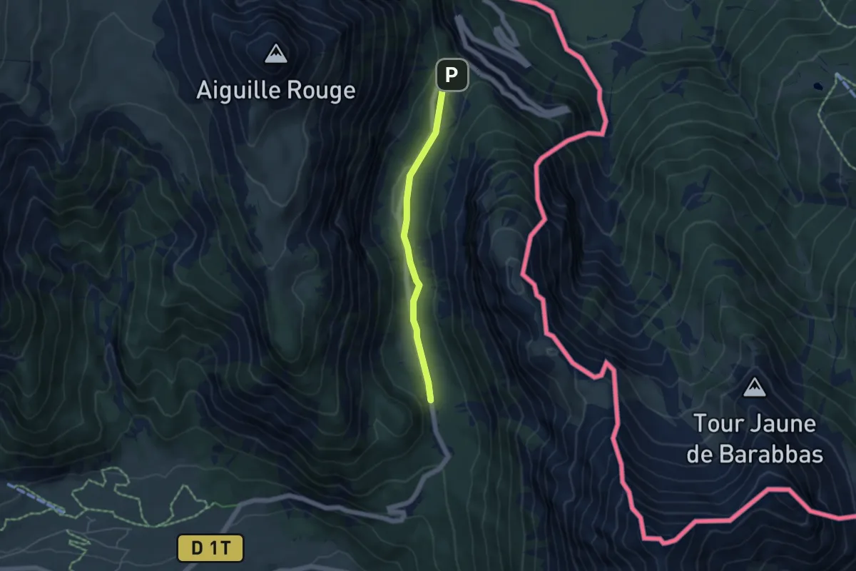
Easy · Trail
Le Blockhaus - Col de l'Echelle
4.2 km · ↑ 96 m · 1 h 12 min
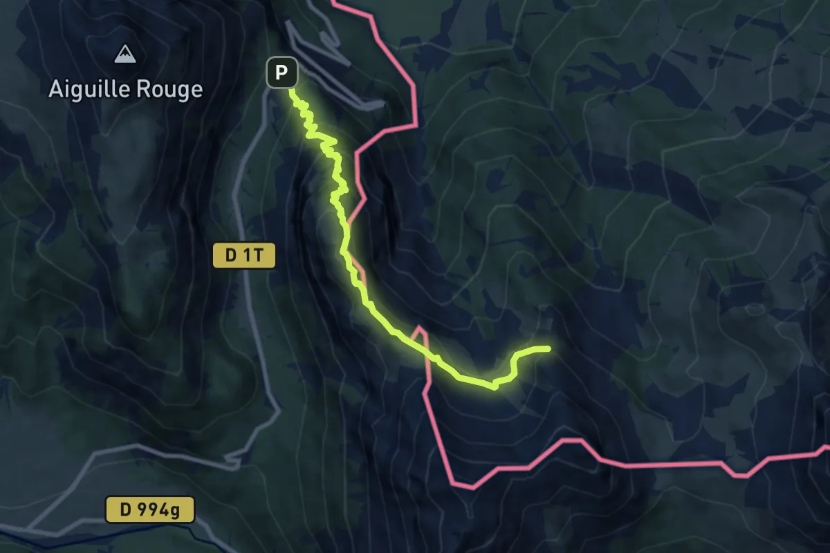
Medium · Summit
Le Blockhaus - Col des Acles
8.3 km · ↑ 731 m · 3 h 33 min
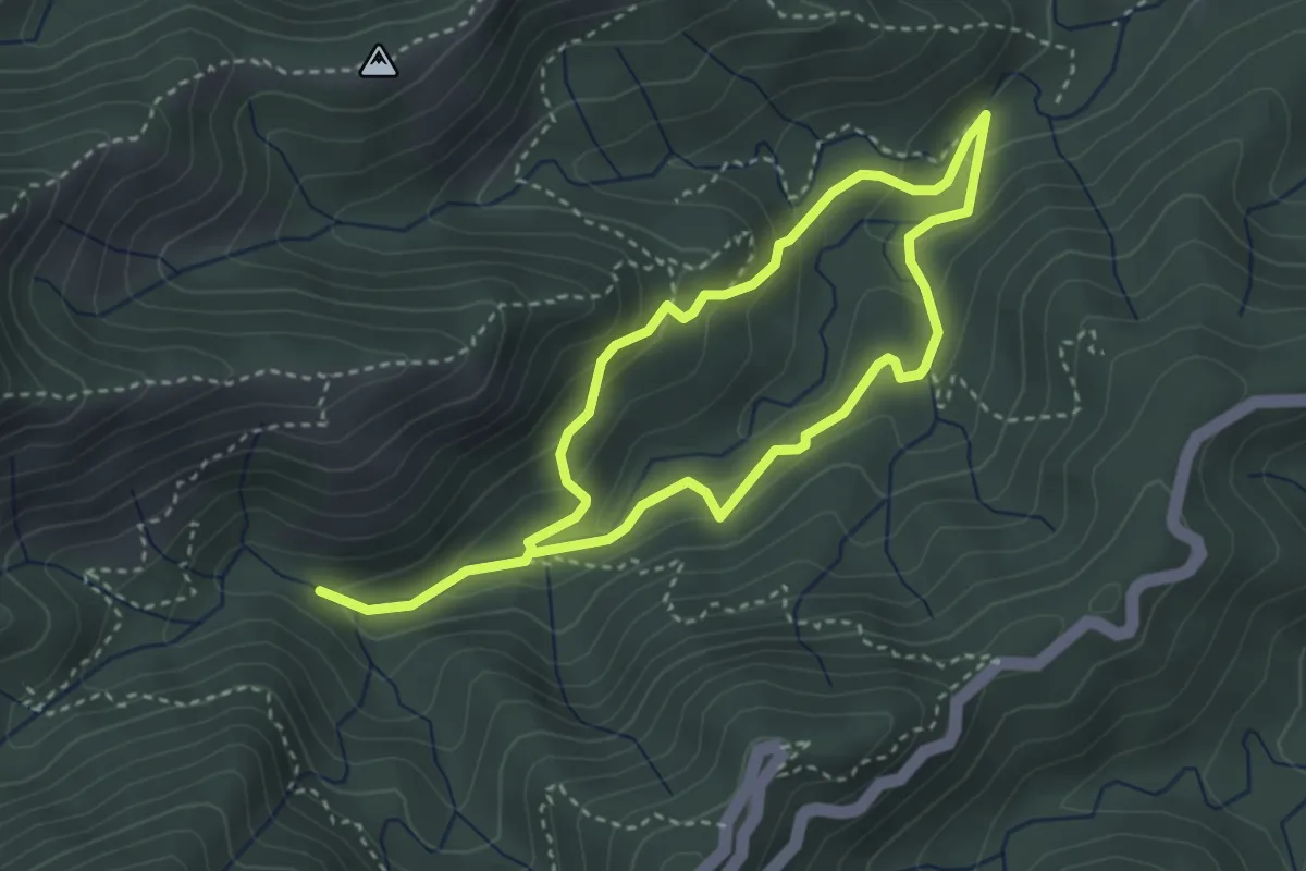
Medium · Trail
Le Cascate del Senio
5.9 km · ↑ 338 m · 2 h 7 min
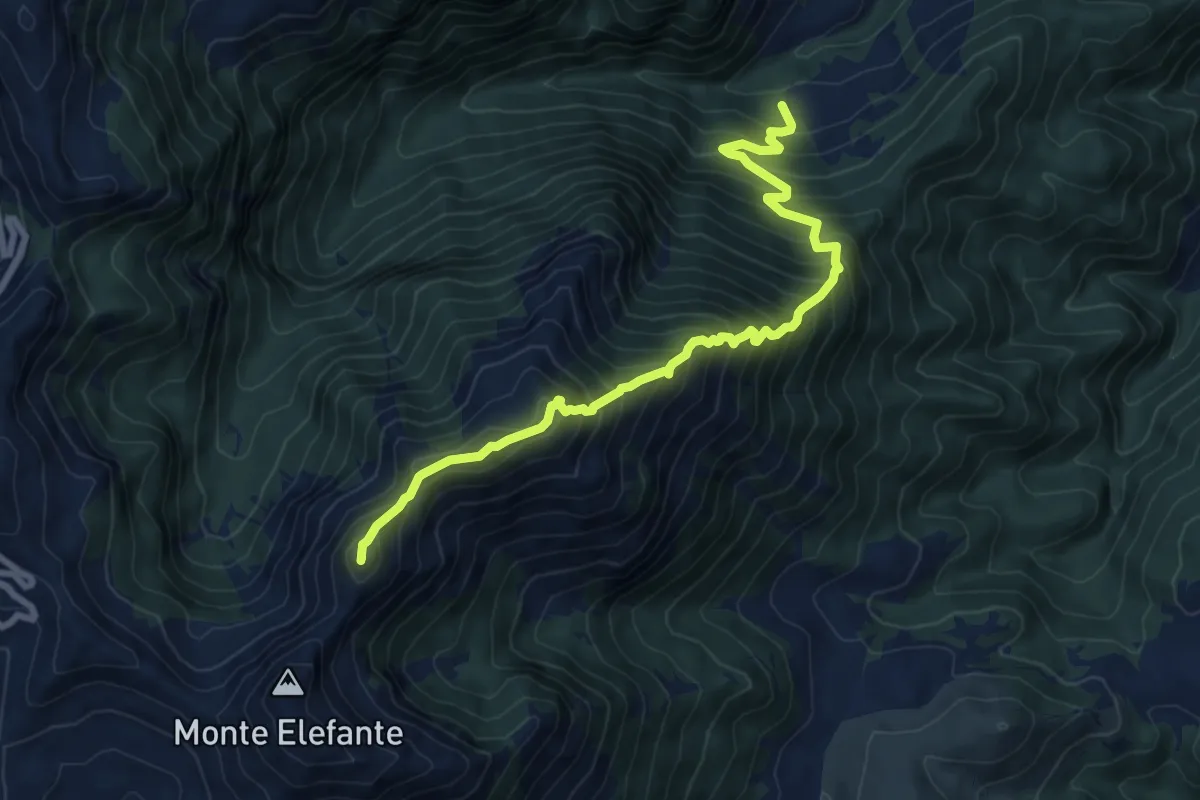
Demanding · Summit
Le Casette - Traversata dei Monti Valloni - Pian di Scura
9.0 km · ↑ 1114 m · 4 h 32 min
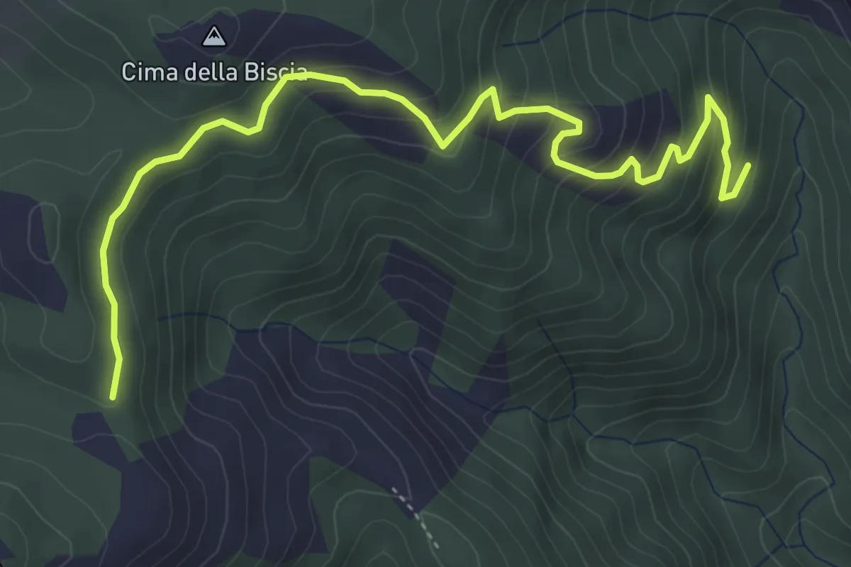
Medium · Trail
Le Cercie - Passo San Giorgio
5.7 km · ↑ 386 m · 2 h 11 min
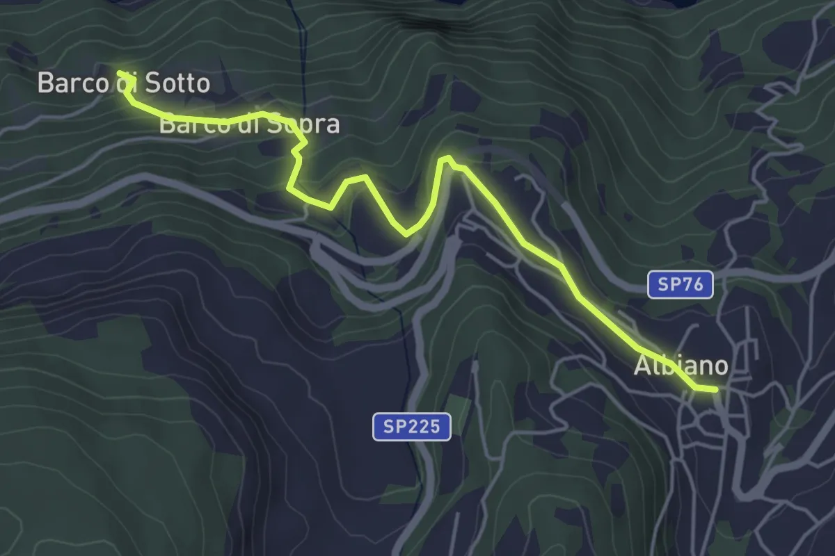
Easy · Trail
Le chiesette di Albiano
4.9 km · ↑ 244 m · 1 h 41 min
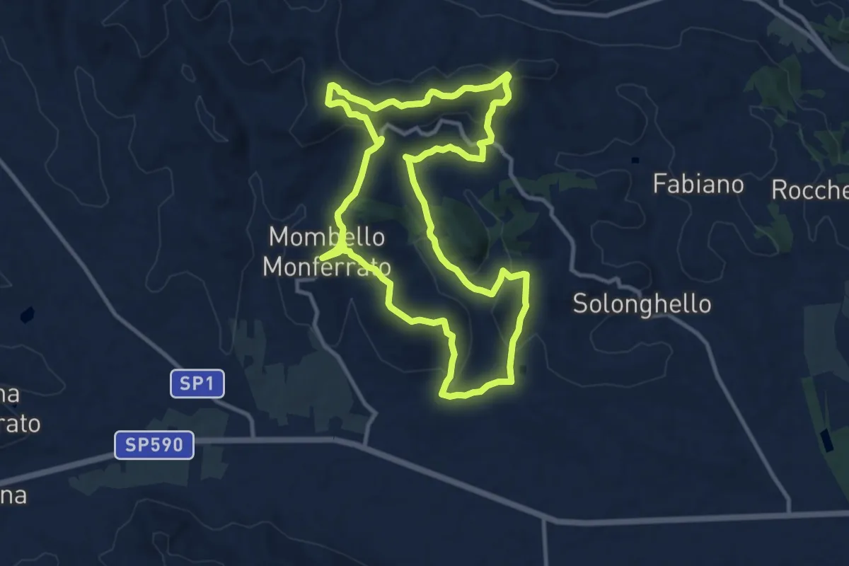
Medium · Trail
Le cime di Mombello
10.6 km · ↑ 352 m · 3 h 25 min
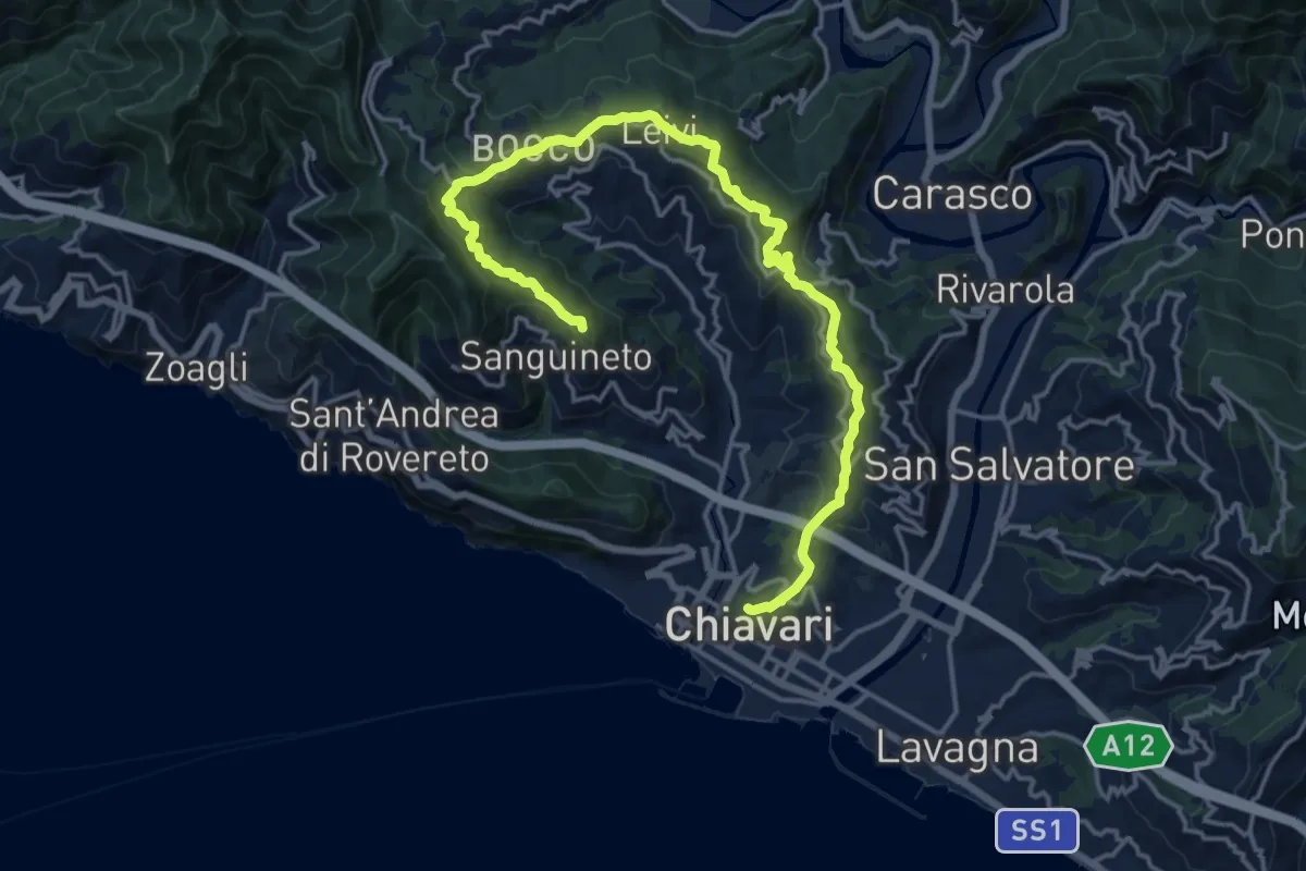
Demanding · Summit
Le Cinque Torri
20.1 km · ↑ 831 m · 6 h 33 min
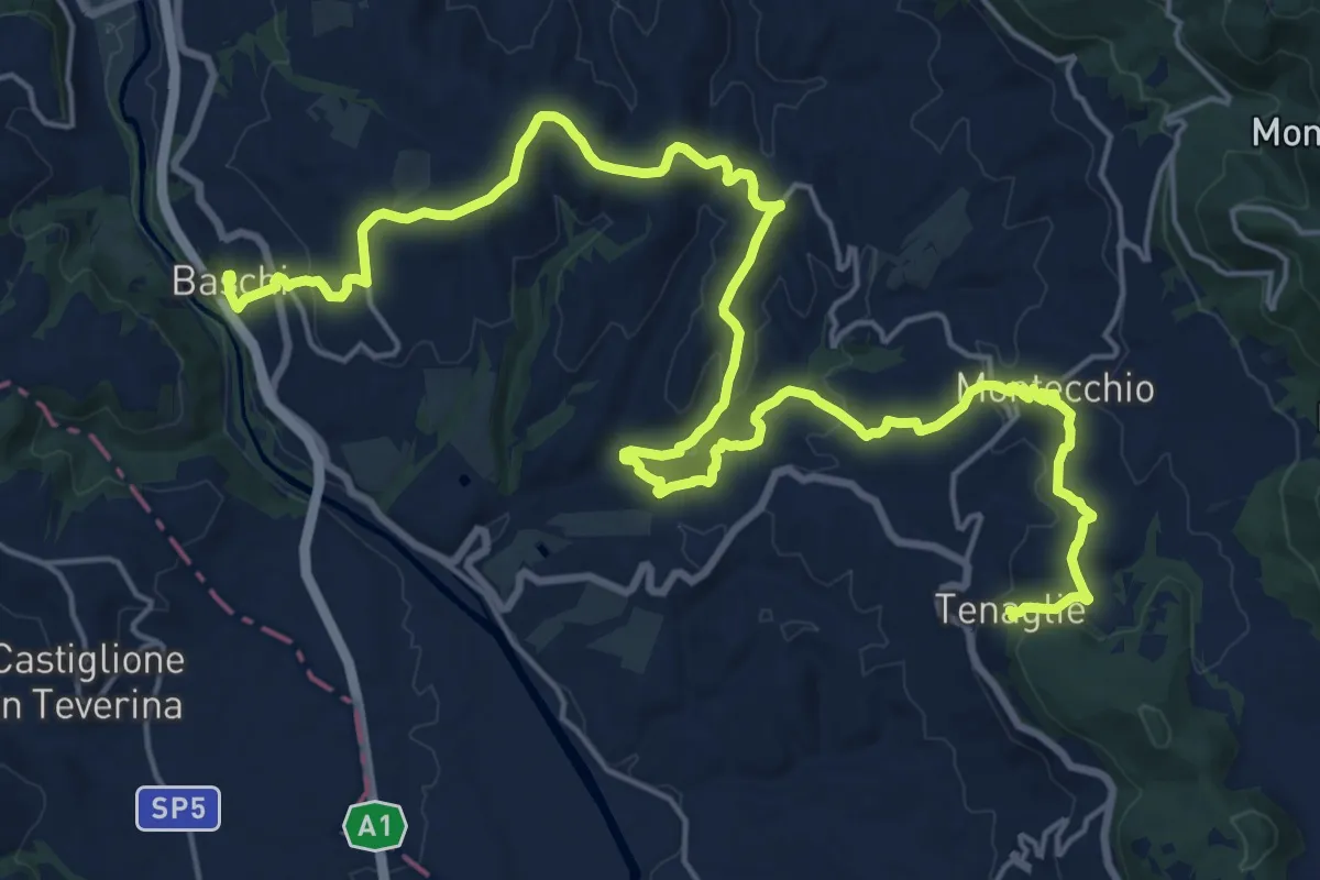
Medium · Trail
Le colline del sole
15.2 km · ↑ 526 m · 4 h 51 min
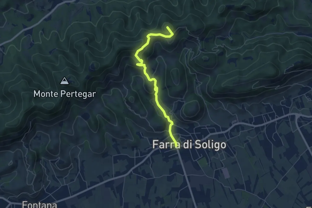
Medium · Summit
Le Costalliere
6.0 km · ↑ 335 m · 2 h 9 min
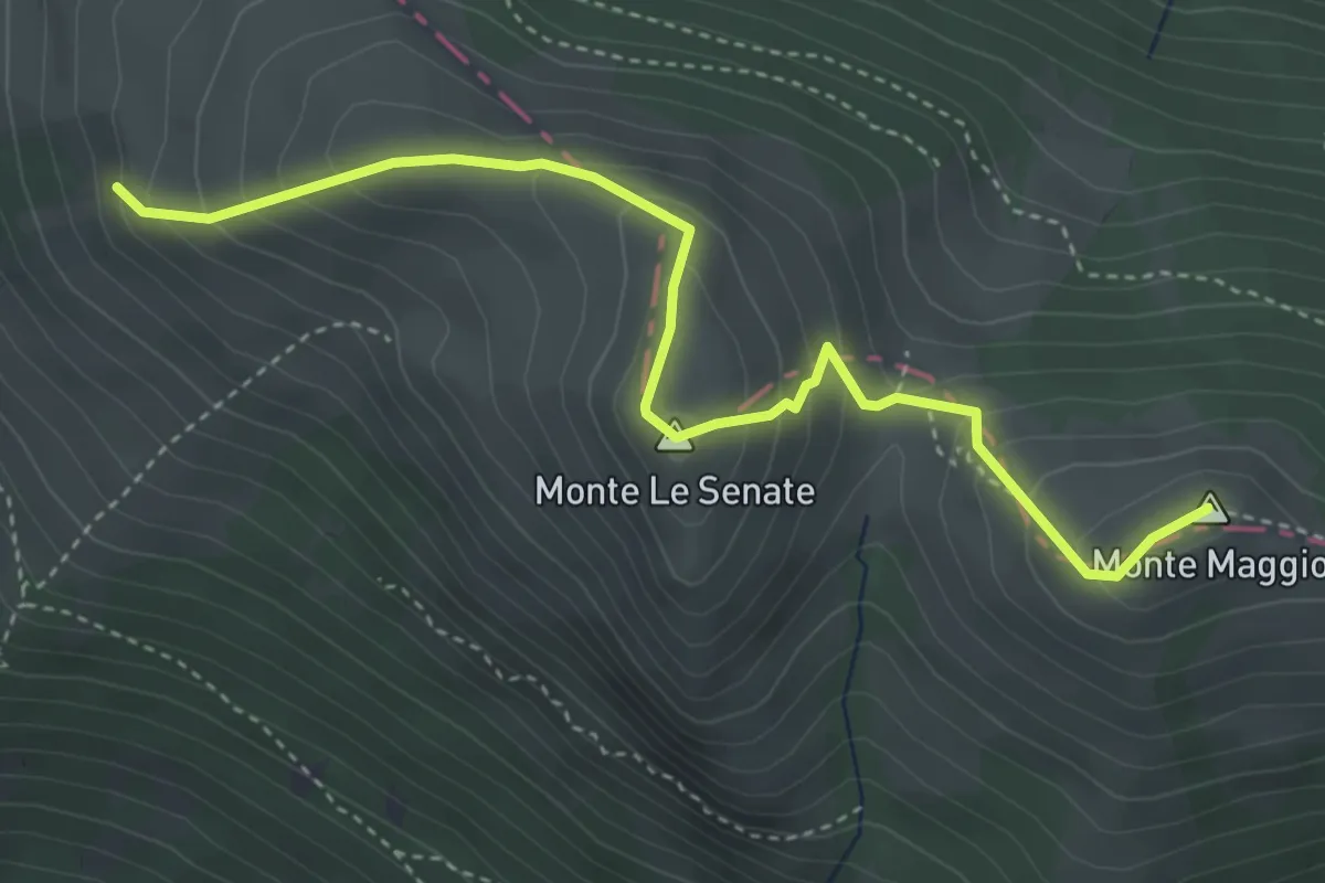
Medium · Summit
Le creste
4.5 km · ↑ 379 m · 1 h 53 min
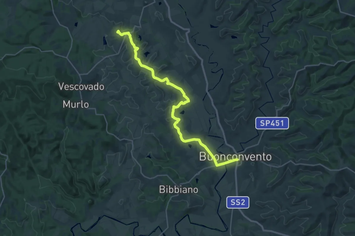
Demanding · Summit
Le Crete - Cammino Principale
24.4 km · ↑ 356 m · 6 h 32 min
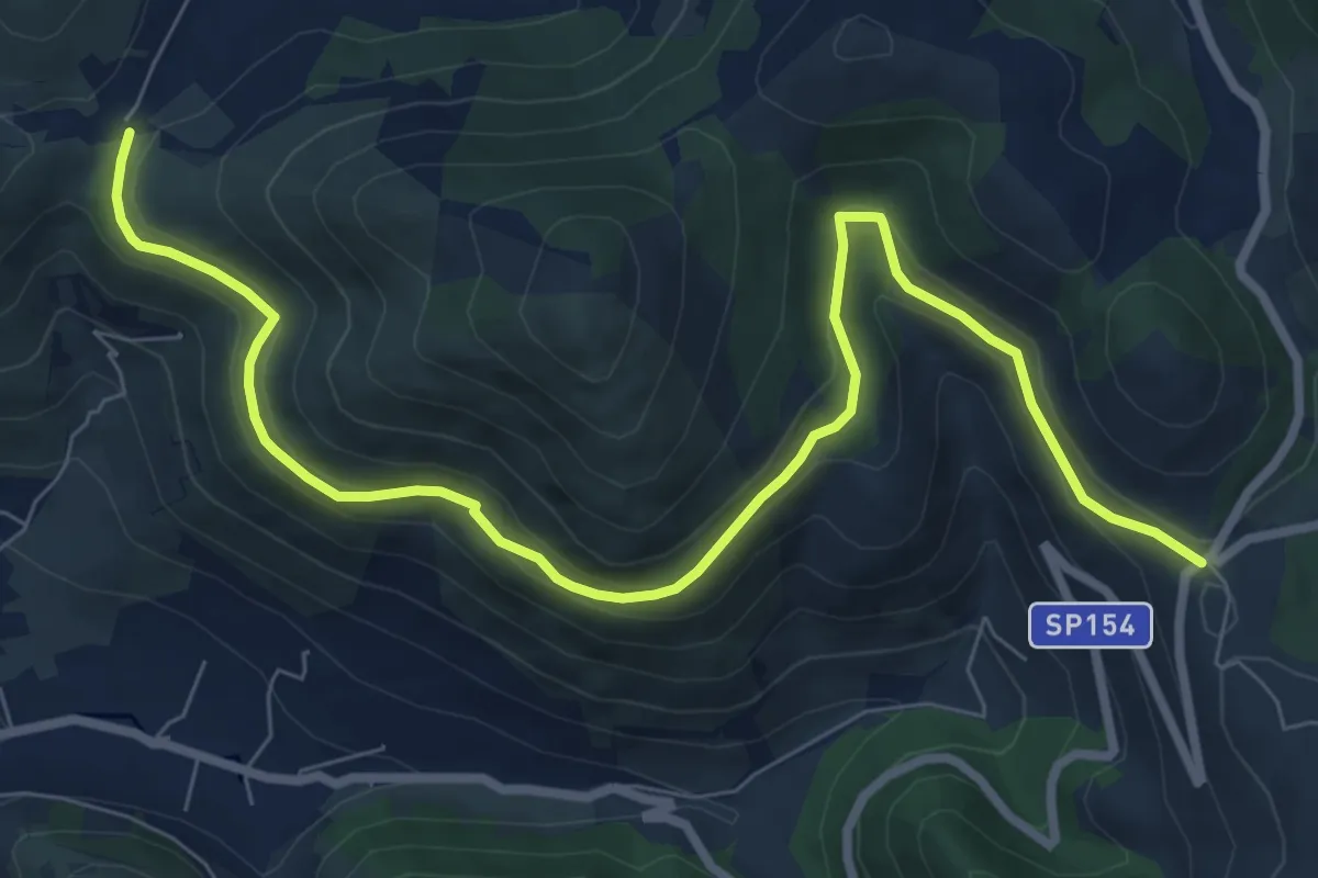
Medium · Trail
Le Crocette-La Ripa
10.4 km · ↑ 387 m · 3 h 18 min
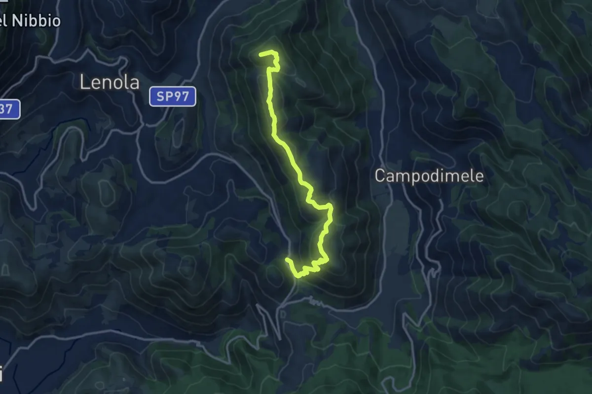
Demanding · Summit
Le Crocette-Monte Appiolo
13.5 km · ↑ 837 m · 5 h
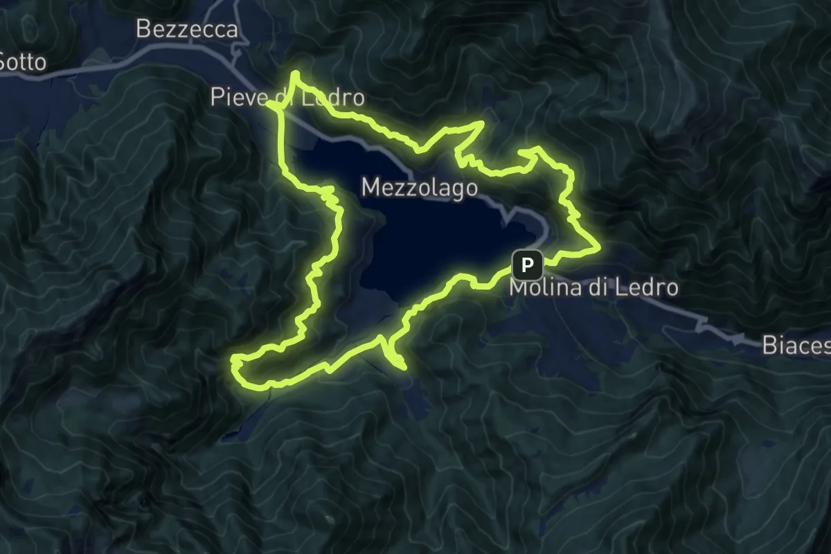
Demanding · Trail
Ledro Trek Low
17.8 km · ↑ 1428 m · 7 h 33 min
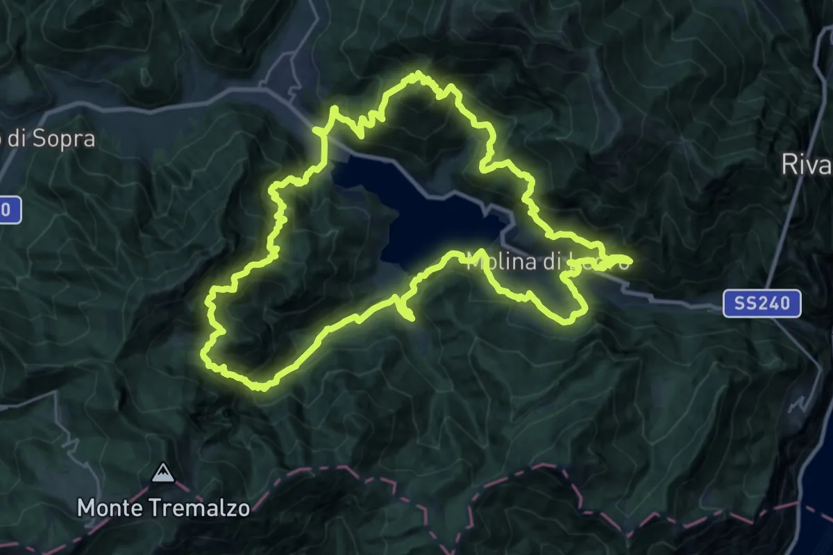
Demanding · Summit
Ledro Trek Medium
27.2 km · ↑ 2499 m · 12 h 12 min
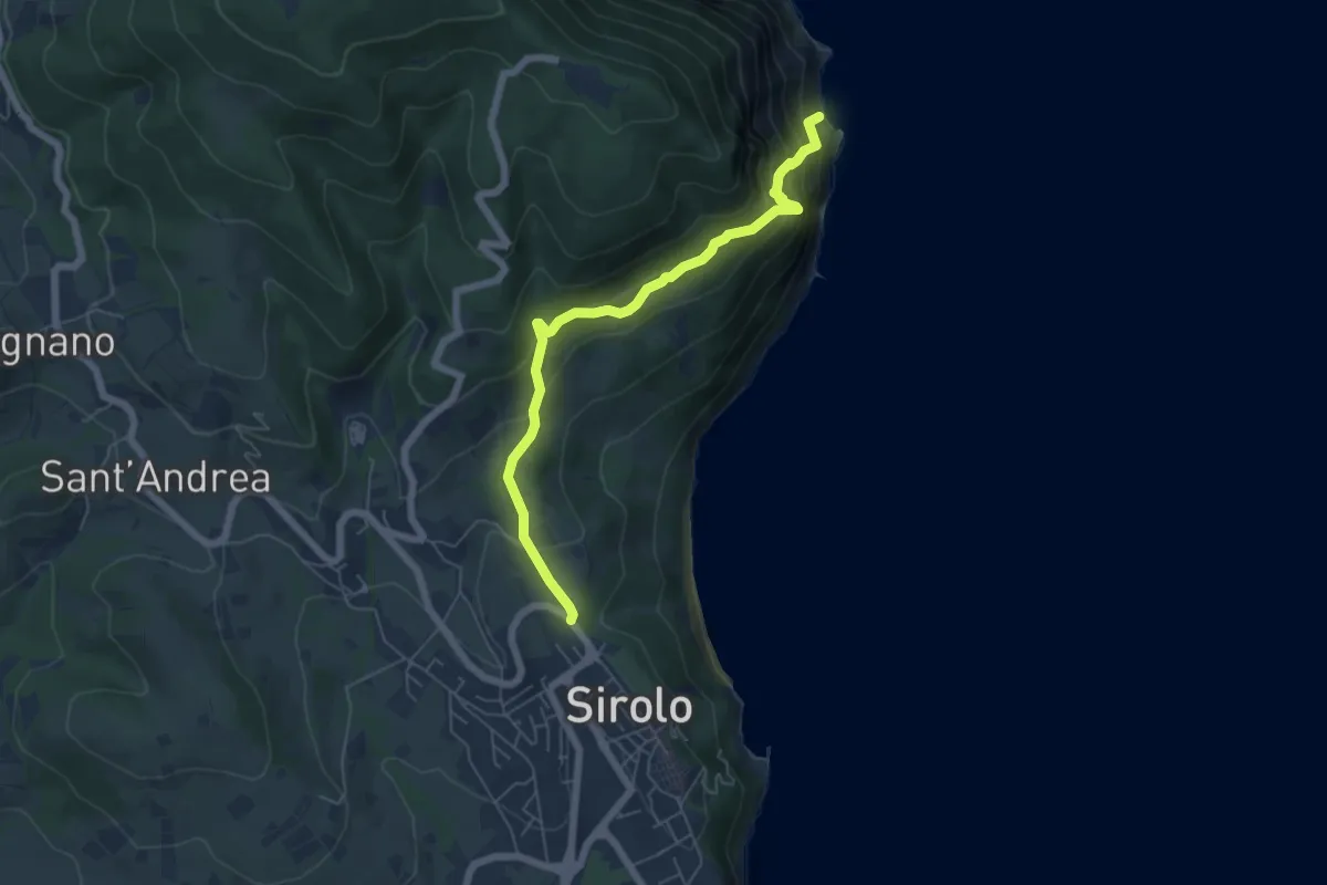
Expert · Trail
Le Due Sorelle
6.2 km · ↑ 585 m · 2 h 44 min
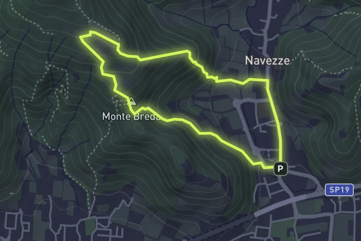
Medium · Summit
Le due Tese - Batoccolo
3.4 km · ↑ 256 m · 1 h 24 min
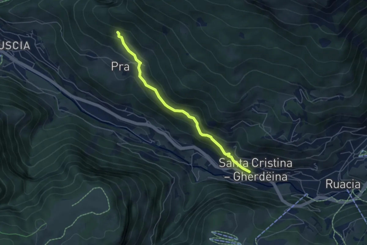
Medium · Trail
Legendenweg
4.9 km · ↑ 382 m · 1 h 59 min
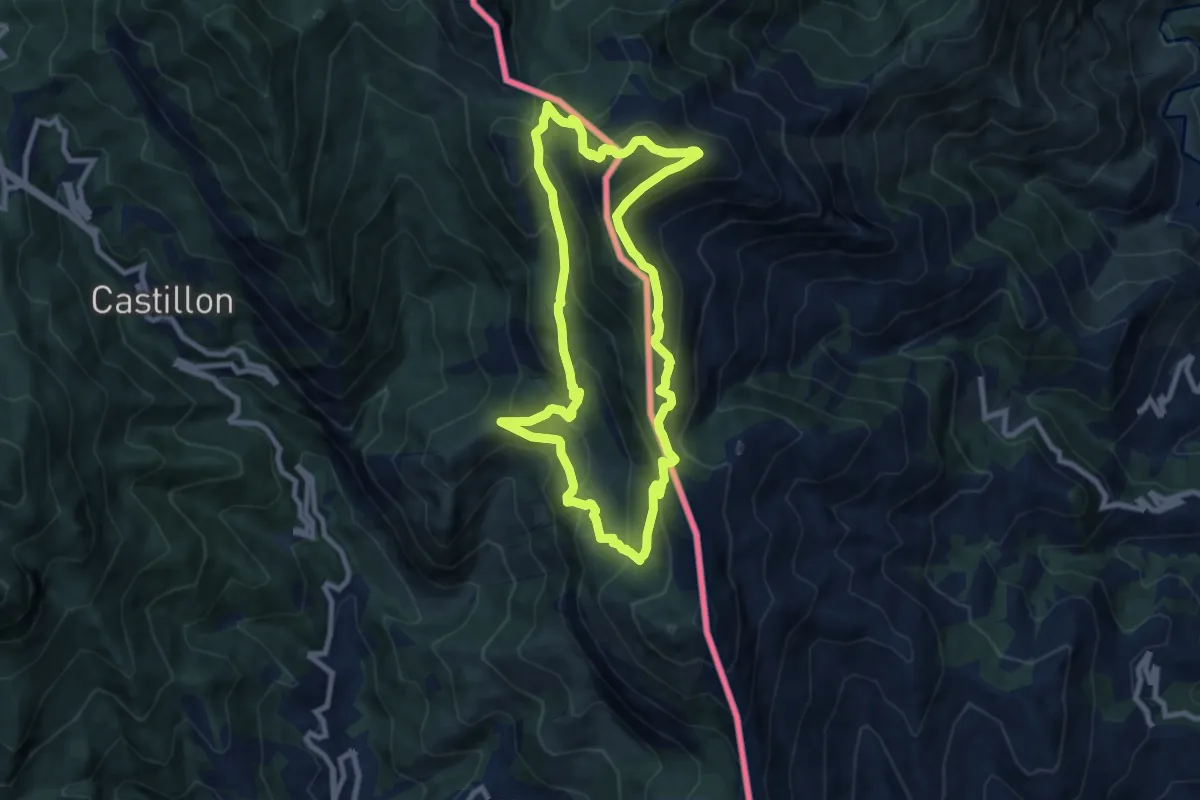
Medium · Summit
Le Grand Mont
8.8 km · ↑ 690 m · 3 h 42 min
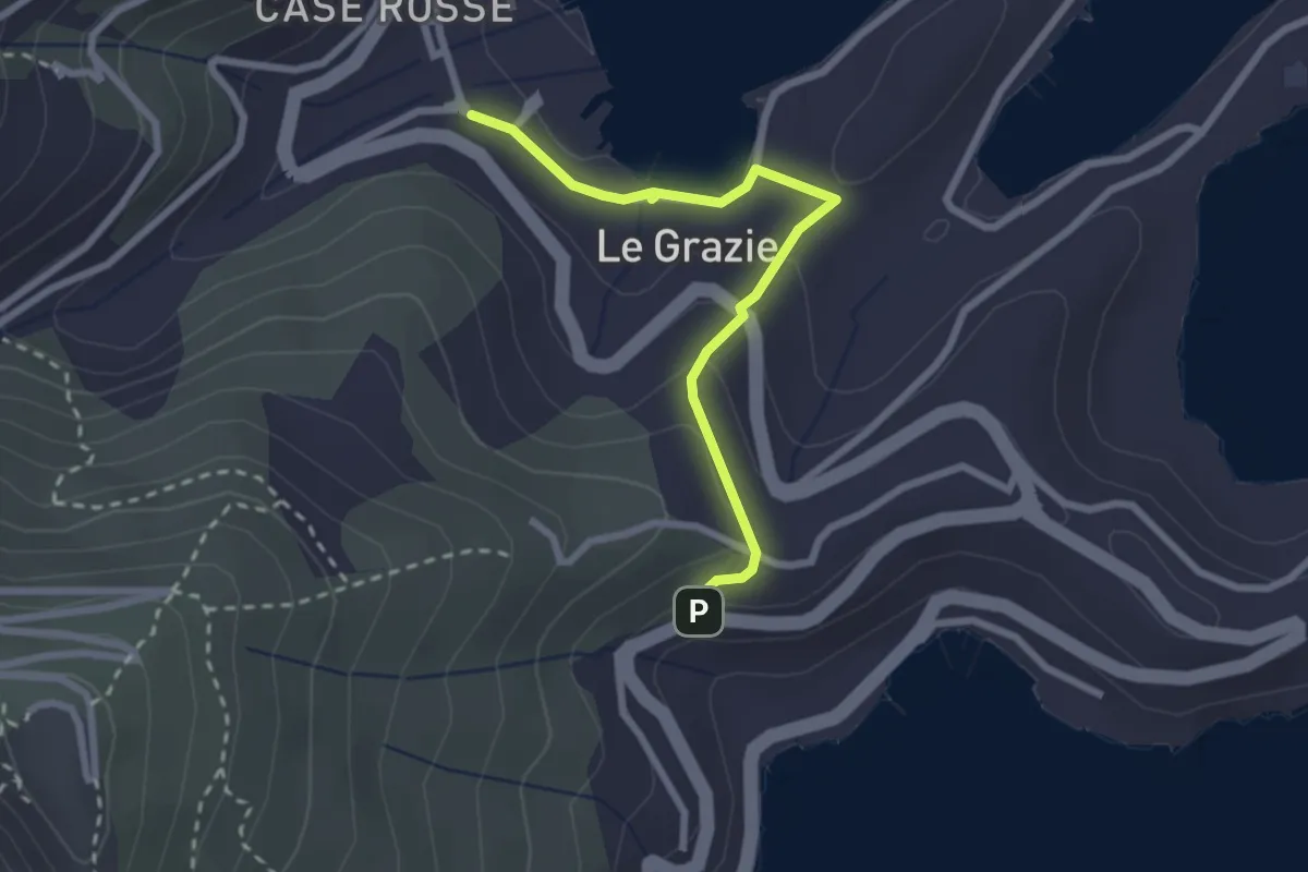
Easy · Trail
Le Grazie – Varignano - S. Antonio
2.6 km · ↑ 88 m · 48 min
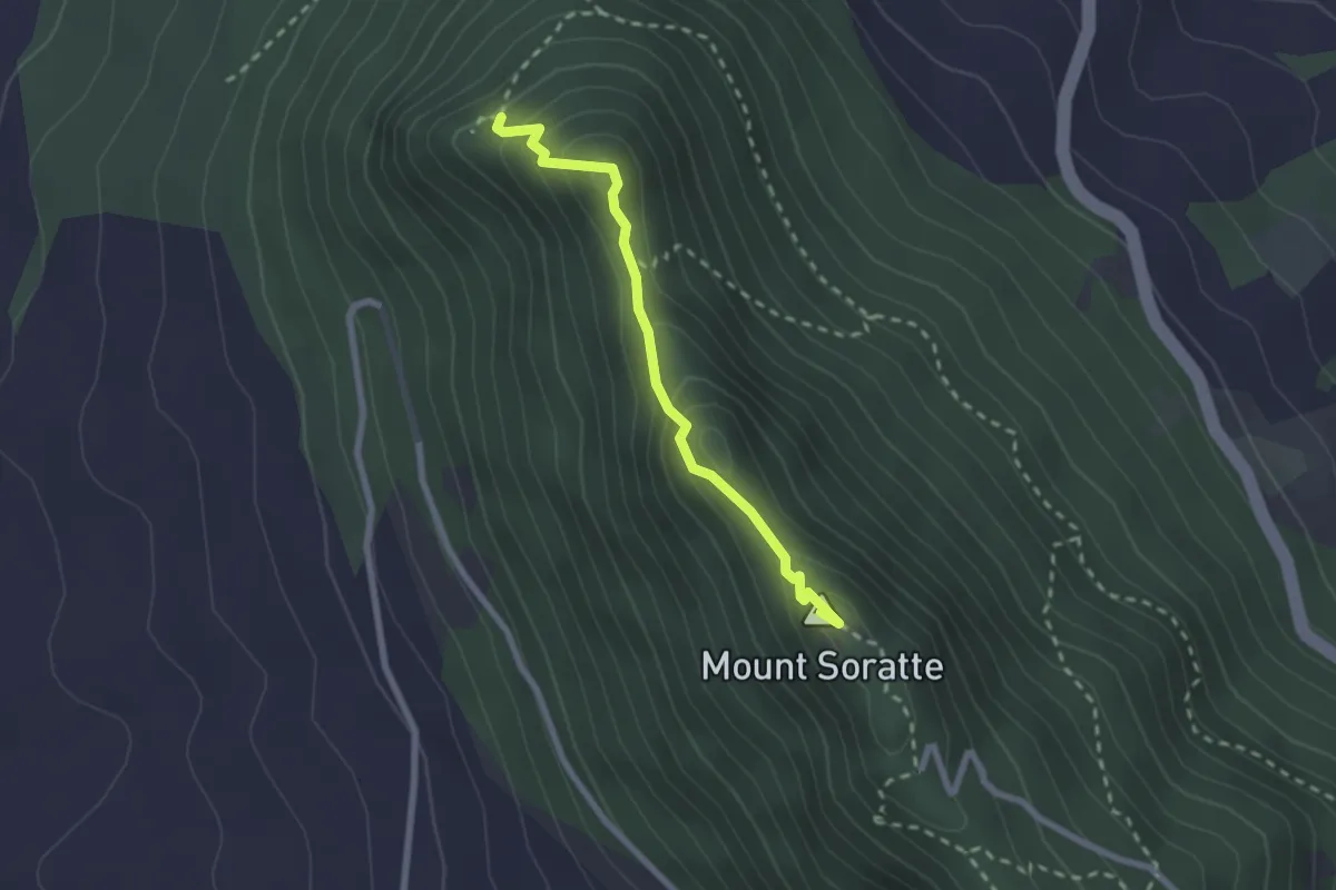
Demanding · Summit
Le Grotte
2.4 km · ↑ 186 m · 58 min
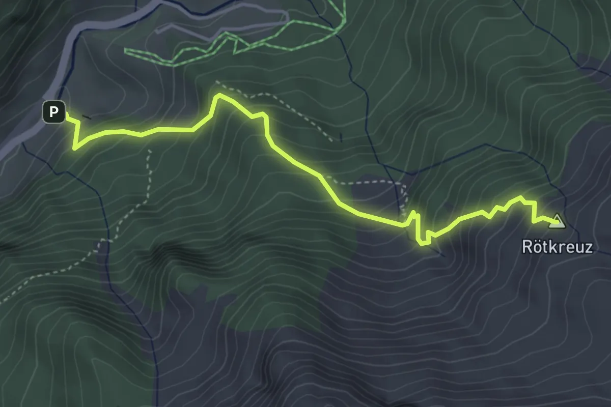
Medium · Summit
Lehrpfad Bergwerk
4.4 km · ↑ 526 m · 2 h 11 min
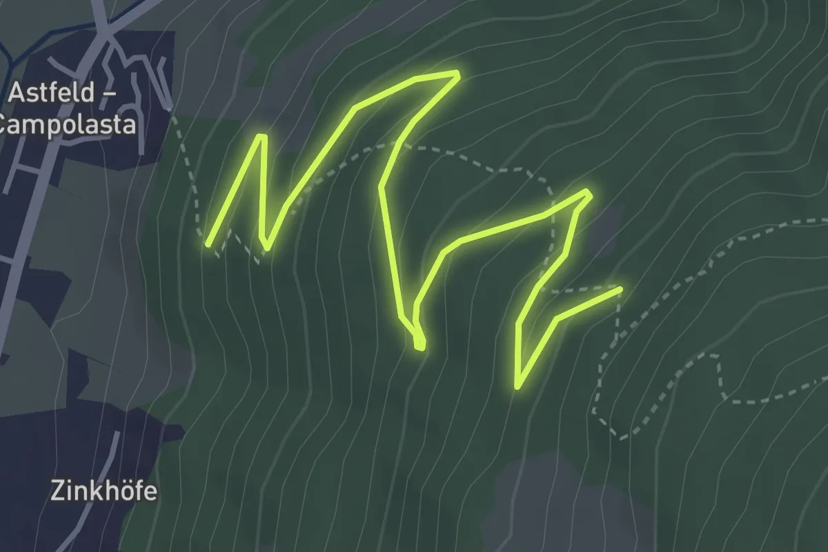
Easy · Trail
Leichte Variante
5.0 km · ↑ 299 m · 1 h 50 min
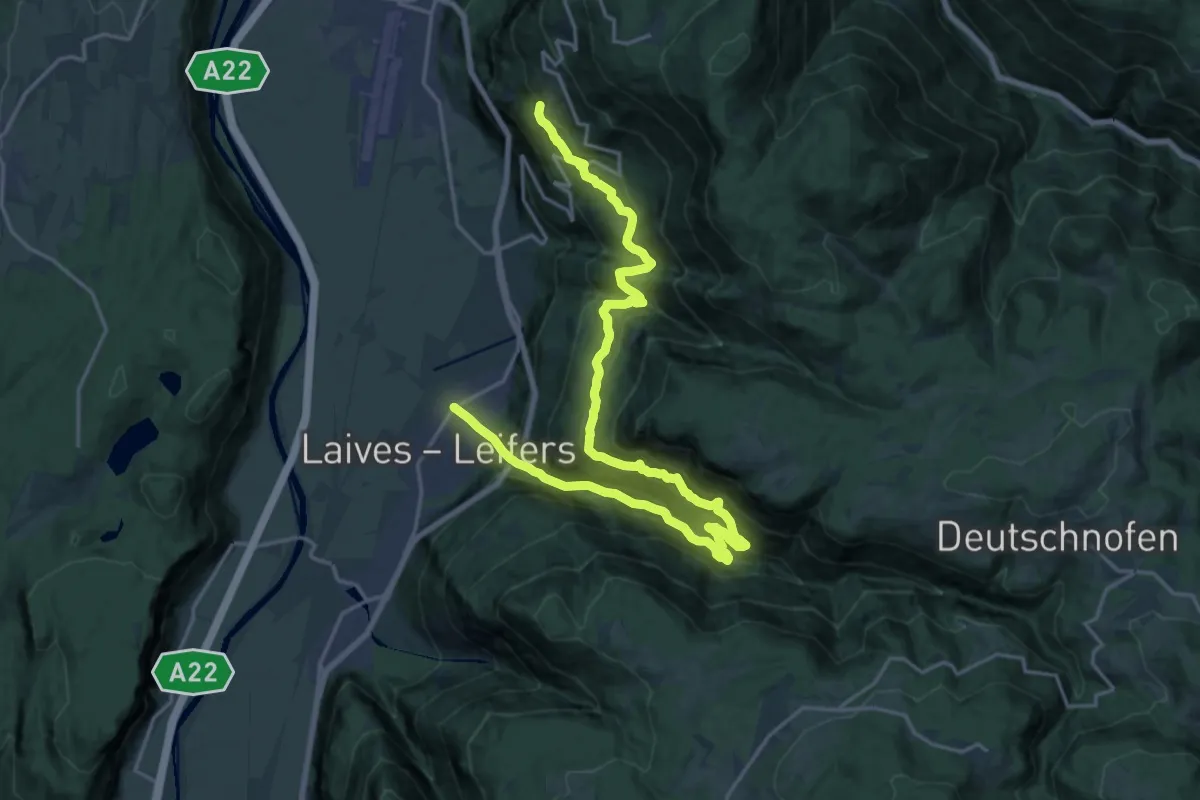
Medium · Trail
Leiferer Höhenweg
12.6 km · ↑ 689 m · 4 h 55 min
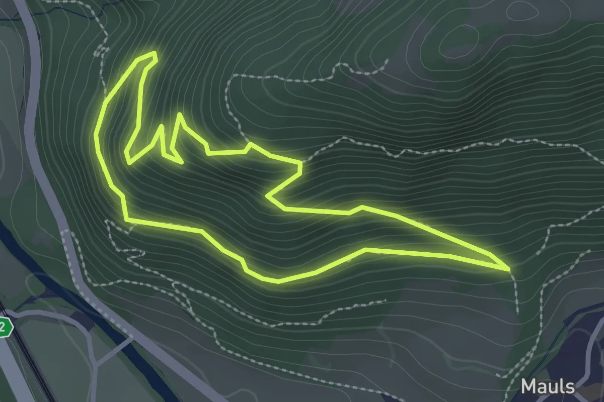
Easy · Trail
Leitenrundweg
2.5 km · ↑ 229 m · 1 h 7 min
Medium · Trail
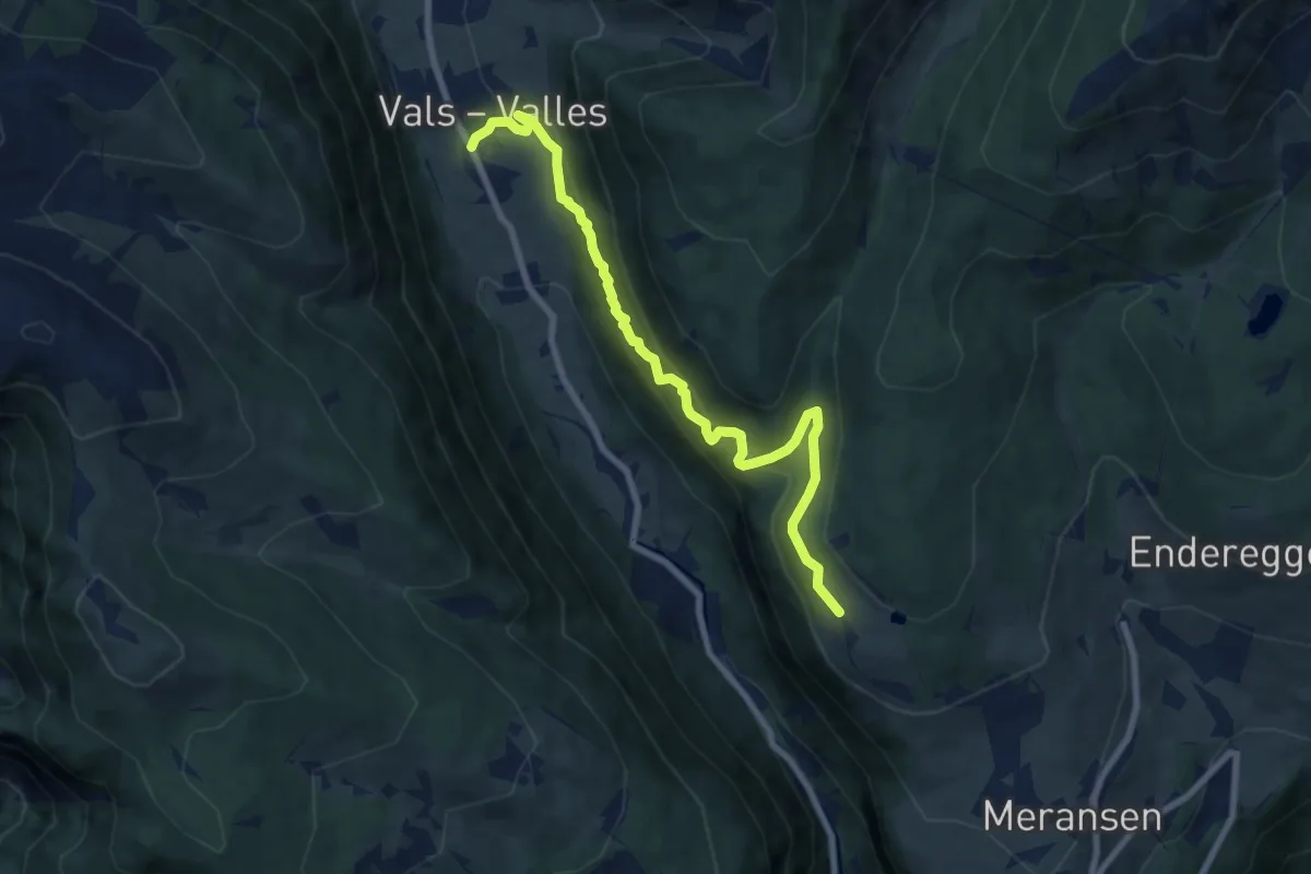
Leitensteig
8.4 km · ↑ 646 m · 3 h 22 min
Medium · Trail
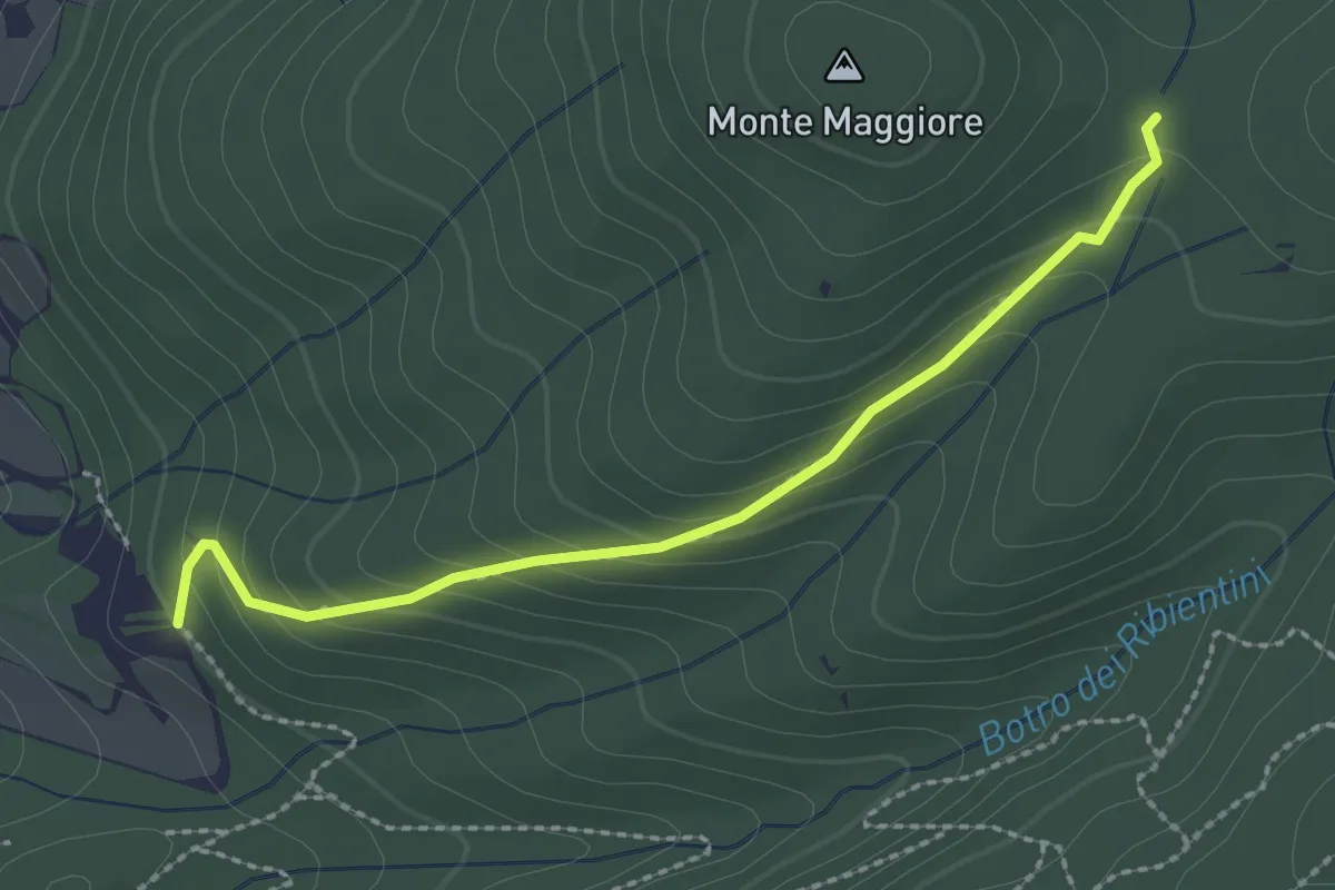
Le Mandrie – Innesto A12
2.5 km · ↑ 165 m · 57 min
Medium · Trail
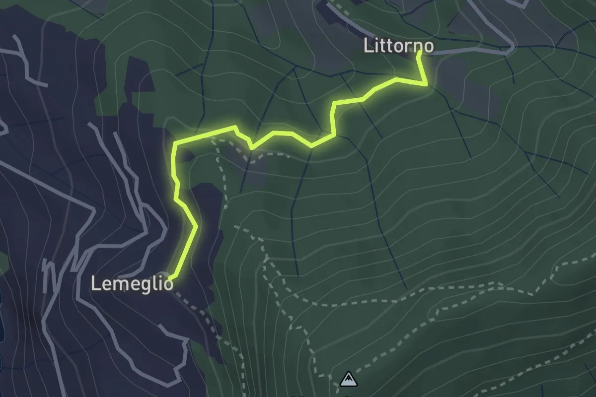
Lemeglio - Littorno
2.6 km · ↑ 108 m · 50 min
Medium · Trail
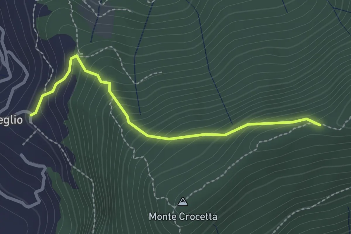
Lemeglio - Monte Incisa
2.3 km · ↑ 234 m · 1 h 2 min
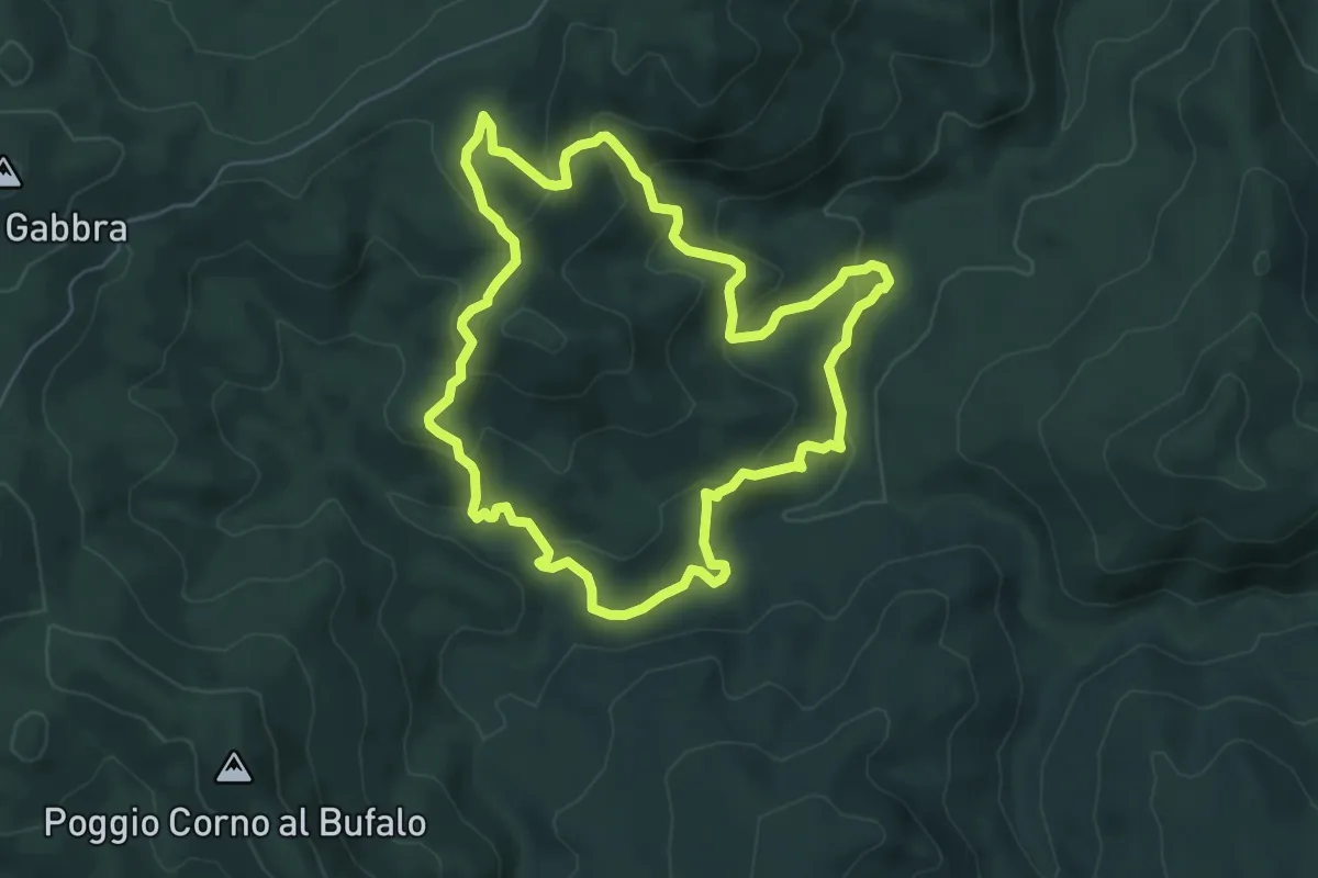
Medium · Trail
Le miniere di Botticella e il torrente Trossa
6.5 km · ↑ 324 m · 2 h 19 min
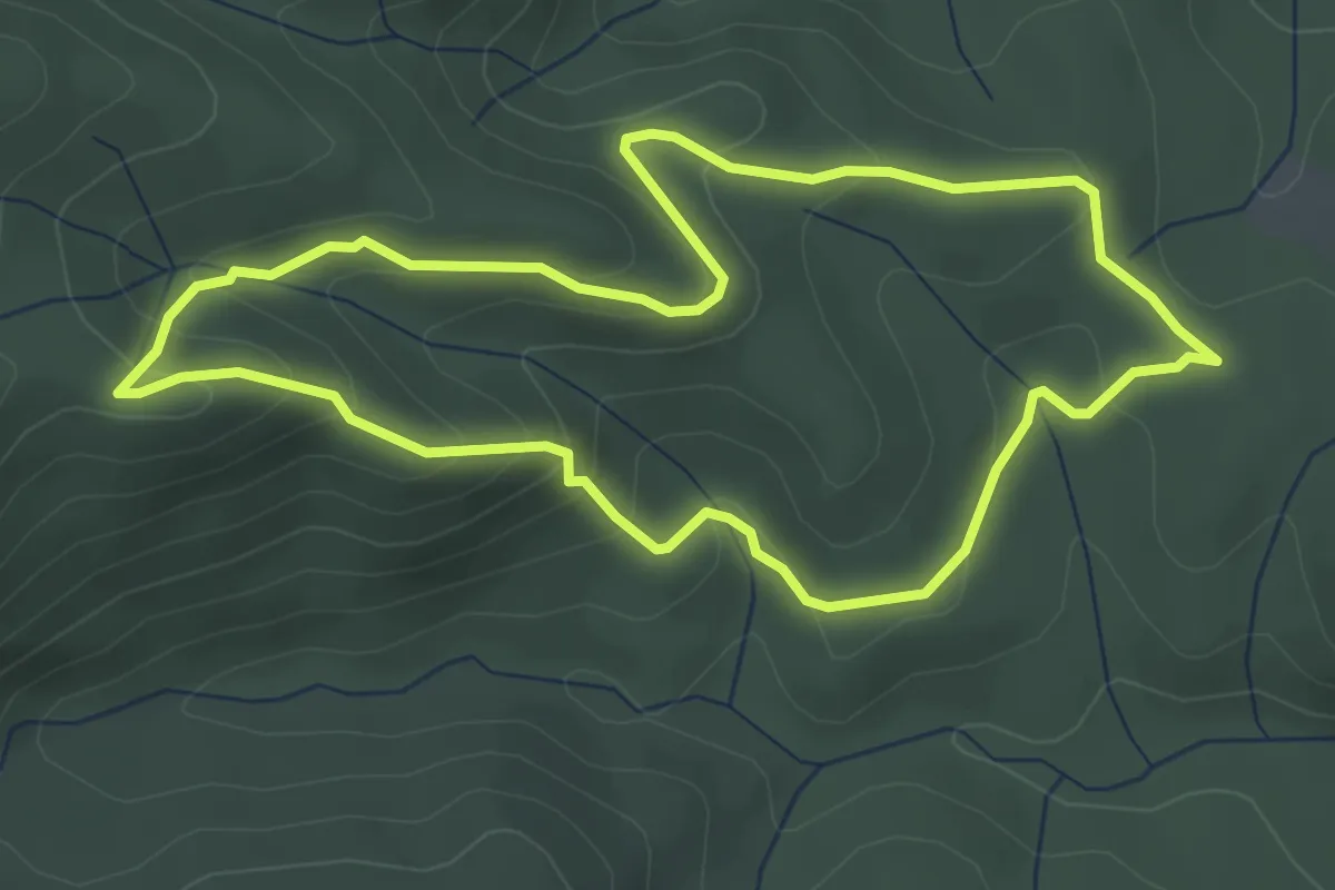
Easy · Summit
Le ofioliti di Poggio Donato
3.9 km · ↑ 164 m · 1 h 20 min
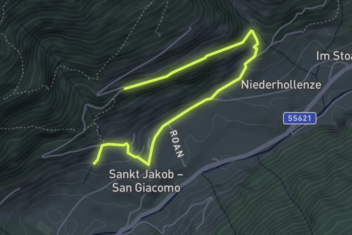
Easy · Trail
Leonardiweg
5.2 km · ↑ 306 m · 1 h 53 min
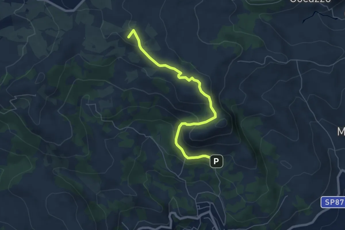
Easy · Summit
Leonessa da San Lupo
6.5 km · ↑ 299 m · 2 h 11 min
Demanding · Summit
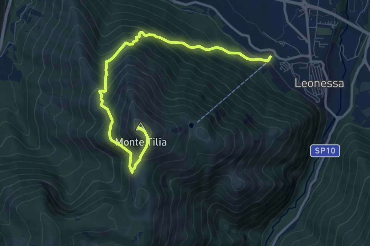
Leonessa - Monte Tilia
9.2 km · ↑ 862 m · 4 h 3 min
Medium · Trail
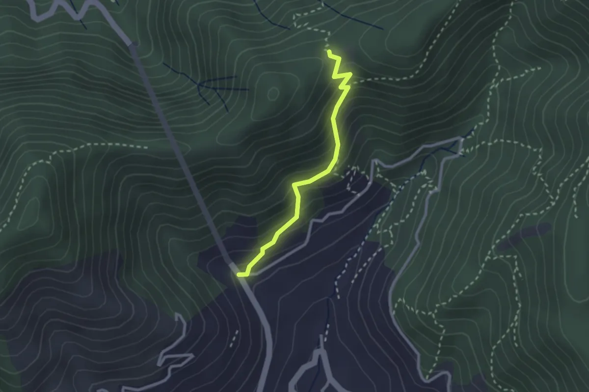
Le Palommelle
2.5 km · ↑ 211 m · 1 h 2 min
Easy · Summit
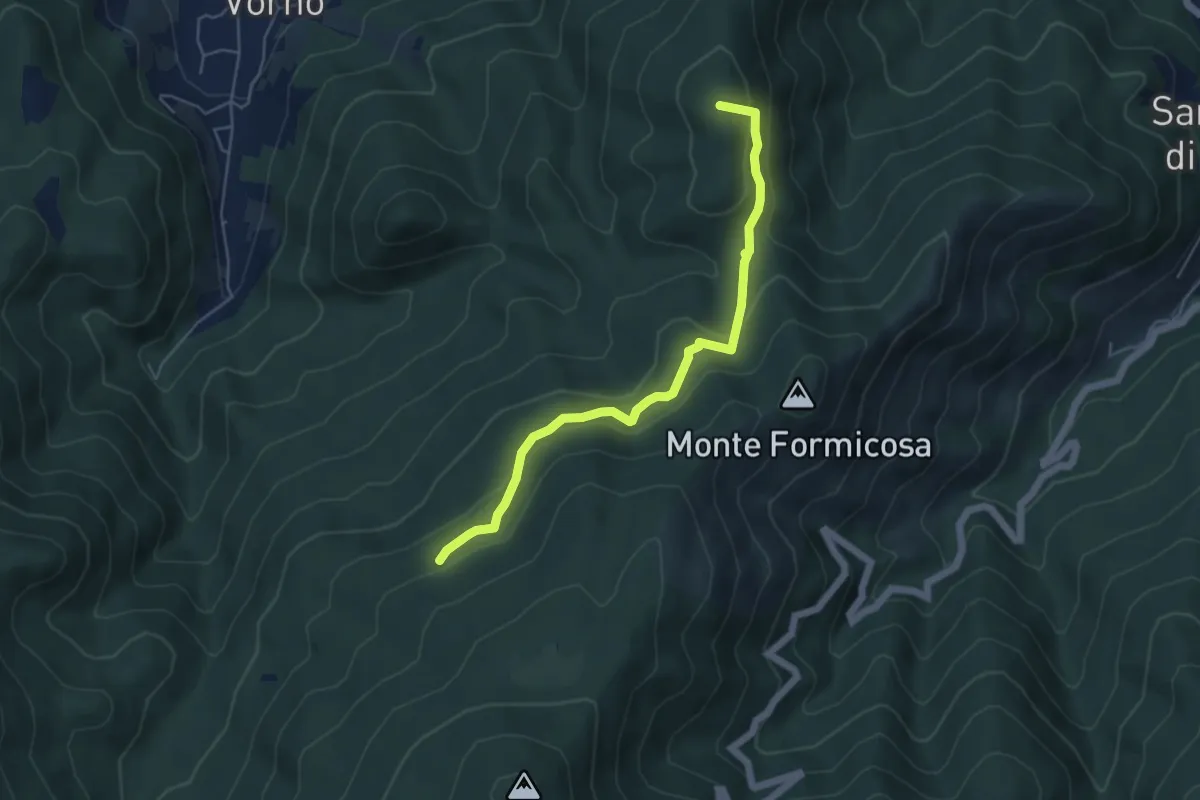
Le Parole d'Oro
5.4 km · ↑ 231 m · 1 h 46 min
Easy · Trail
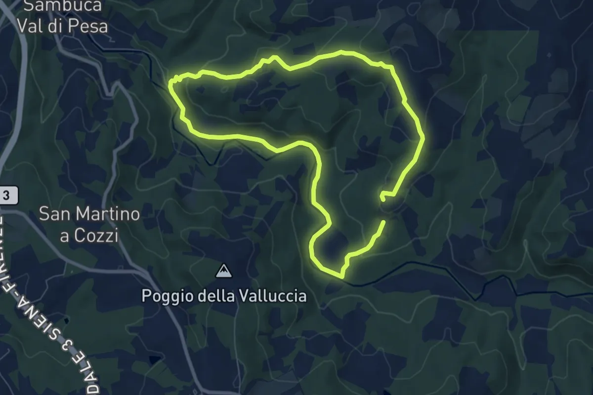
Le Pedate di San Giovanni Gualberto
7.1 km · ↑ 214 m · 2 h 15 min