Trails in Italy
25,221 hiking trails, each with its route, climb, walking time and grade.
All trails, page 96 of 526
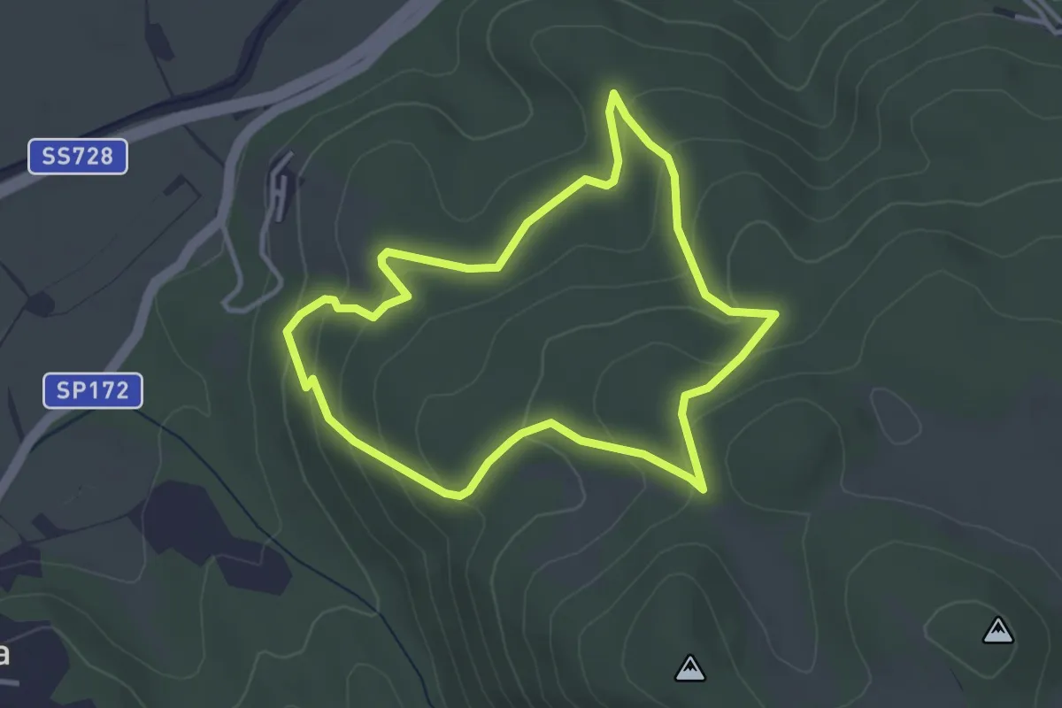
Easy · Trail
Le Piagge
3.4 km · ↑ 158 m · 1 h 11 min
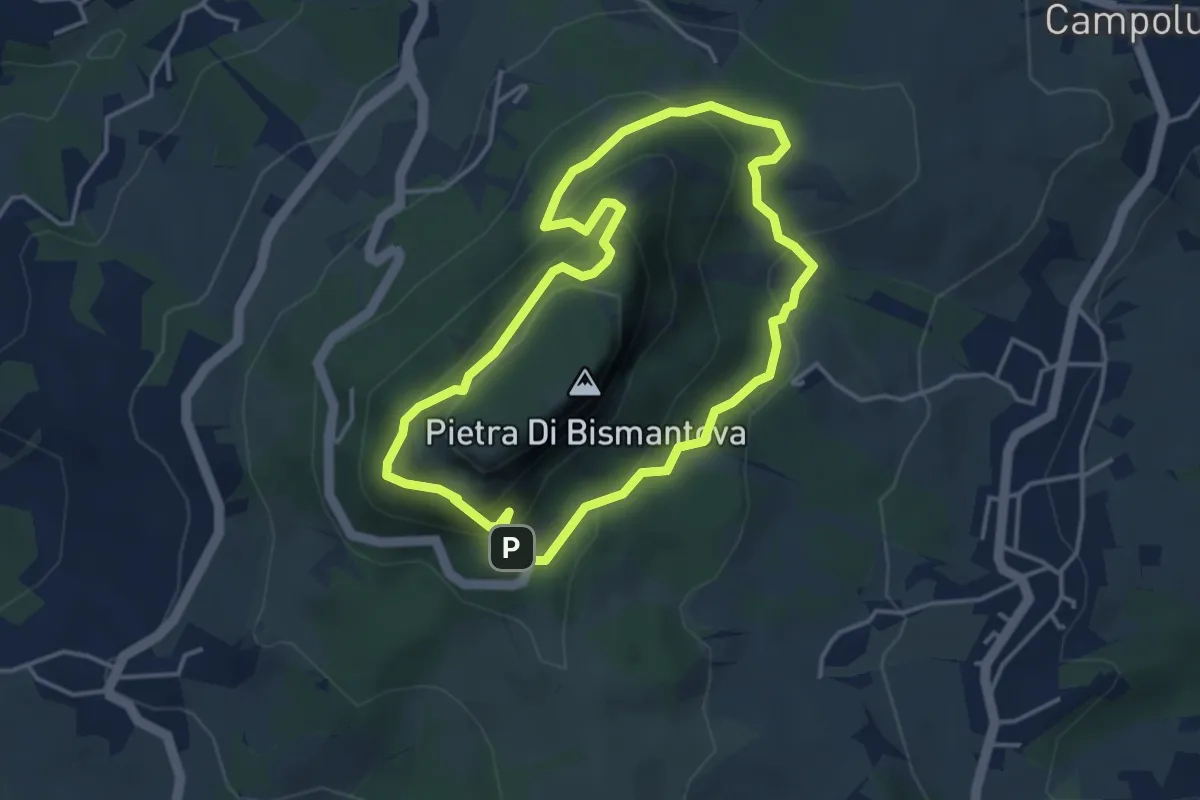
Medium · Trail
L'Eremo - Campo Pianelli - Pietra di Bismantova - L'Eremo
3.8 km · ↑ 273 m · 1 h 33 min
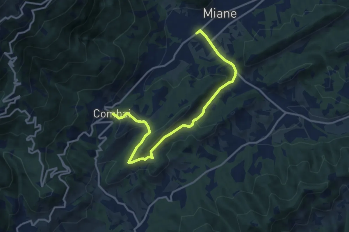
Medium · Trail
Le Serre
9.5 km · ↑ 324 m · 2 h 57 min
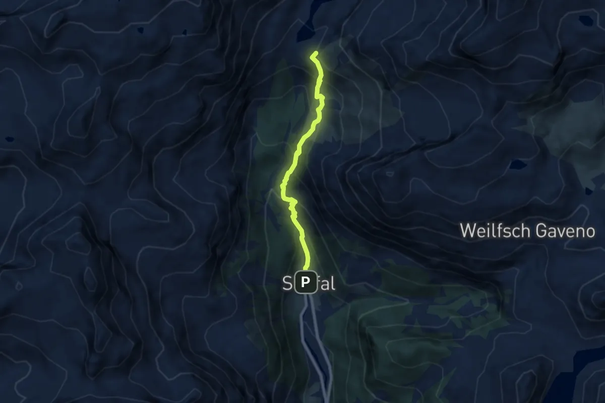
Medium · Trail
Le sorgenti del Lys
6.3 km · ↑ 575 m · 2 h 43 min
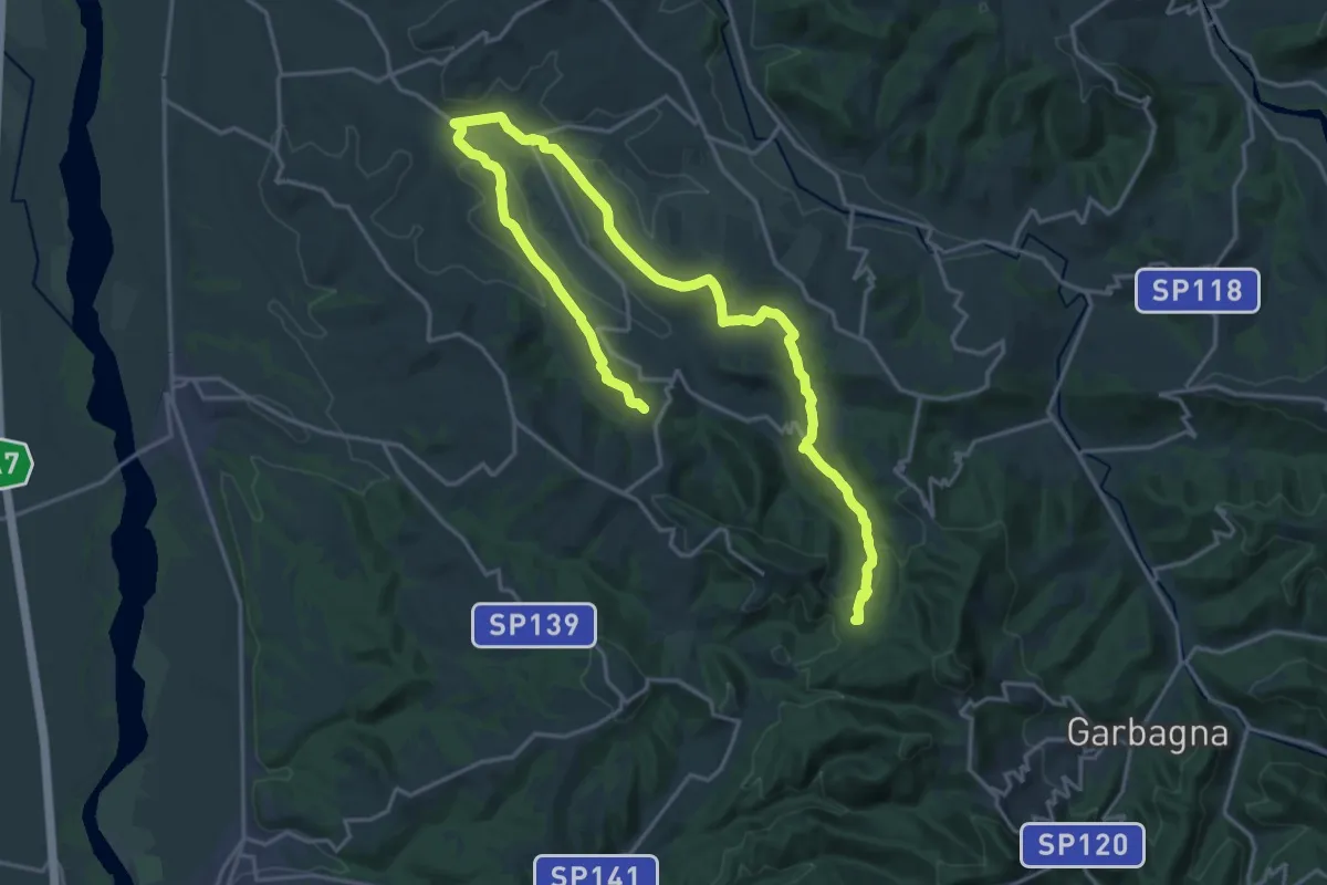
Demanding · Trail
Le sorgenti del torrente Ossona
27.6 km · ↑ 630 m · 7 h 53 min
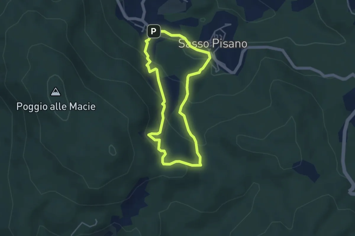
Medium · Trail
Le Terre Fumanti tra Sasso Pisano e Monterotondo
3.4 km · ↑ 188 m · 1 h 16 min
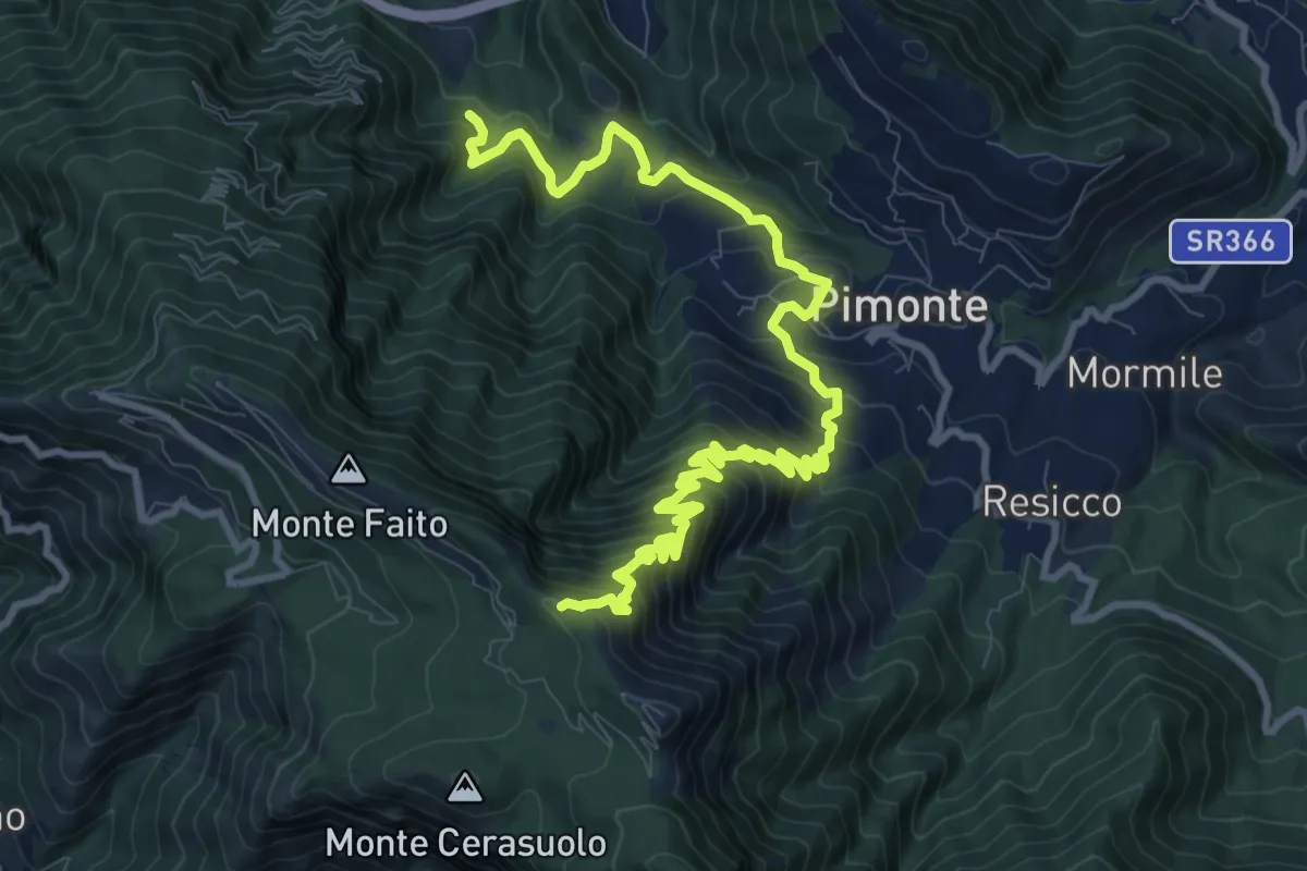
Demanding · Trail
Le tese di Pimonte
14.4 km · ↑ 1222 m · 6 h 3 min
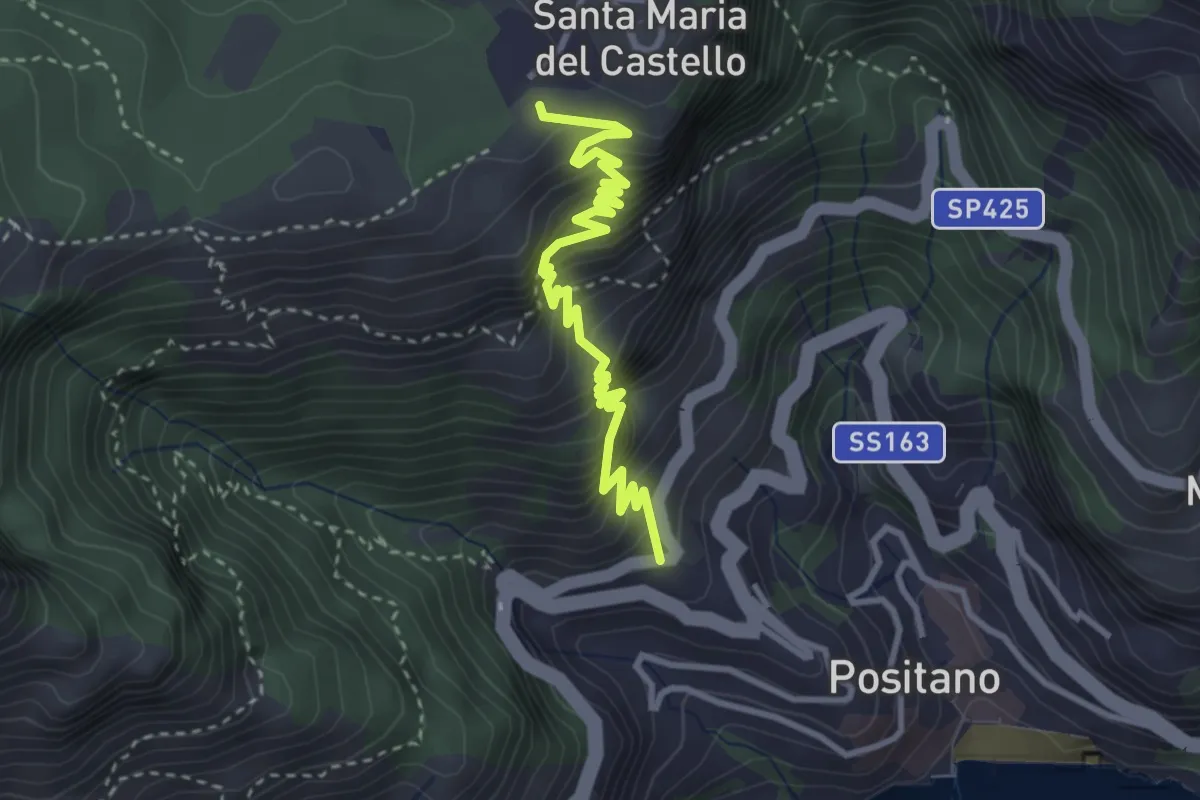
Medium · Trail
Le Tese di Positano
4.0 km · ↑ 715 m · 2 h 29 min
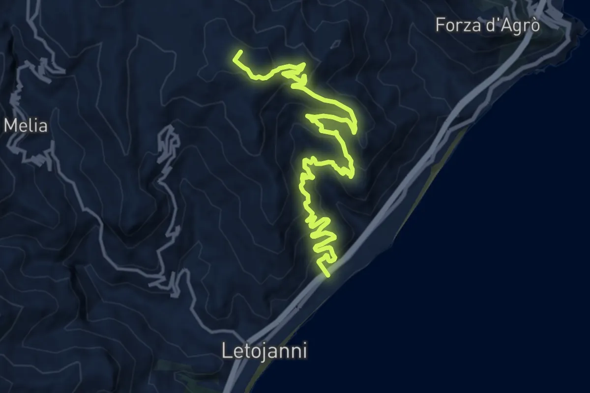
Demanding · Summit
Letojanni Piano Margi
16.7 km · ↑ 1012 m · 6 h 8 min
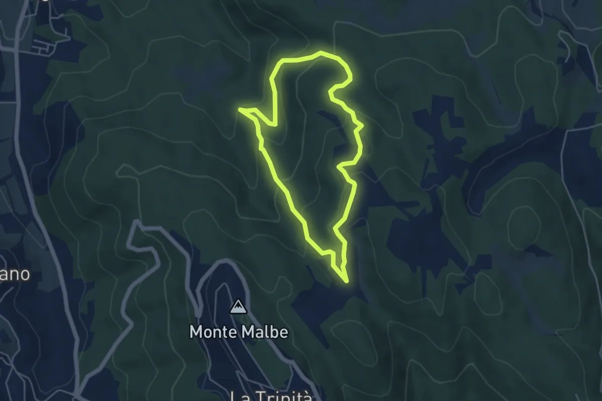
Easy · Trail
Le Trosce
4.3 km · ↑ 230 m · 1 h 35 min
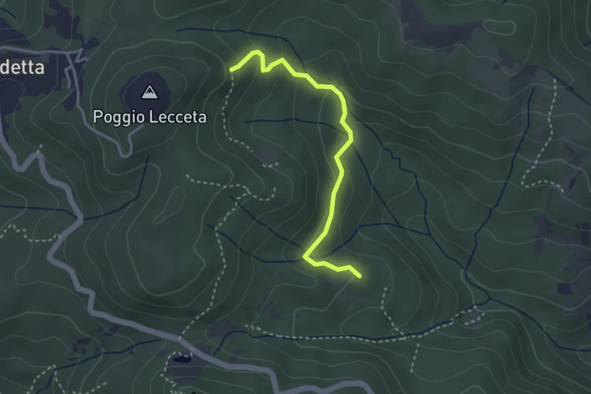
Easy · Trail
Le Vallore
3.1 km · ↑ 165 m · 1 h 5 min
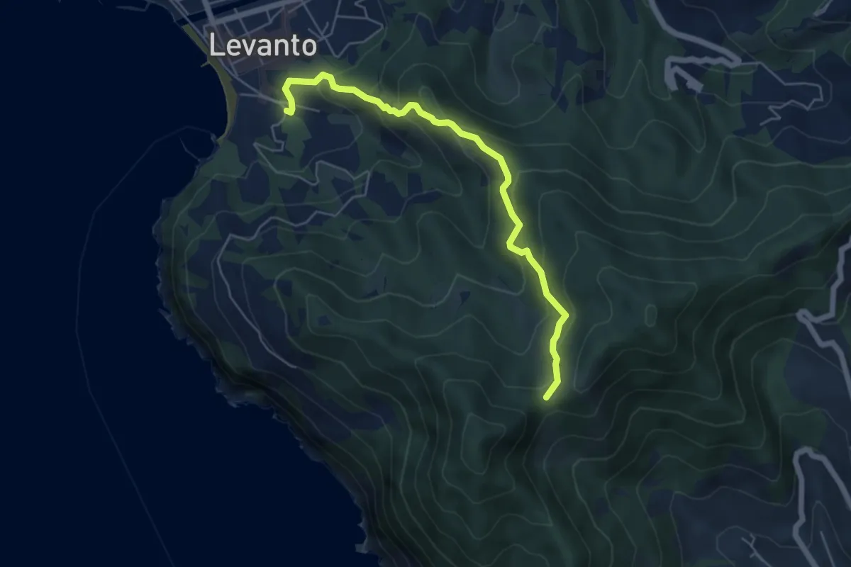
Medium · Trail
Levanto – Colla dei Bagari
5.5 km · ↑ 394 m · 2 h 10 min
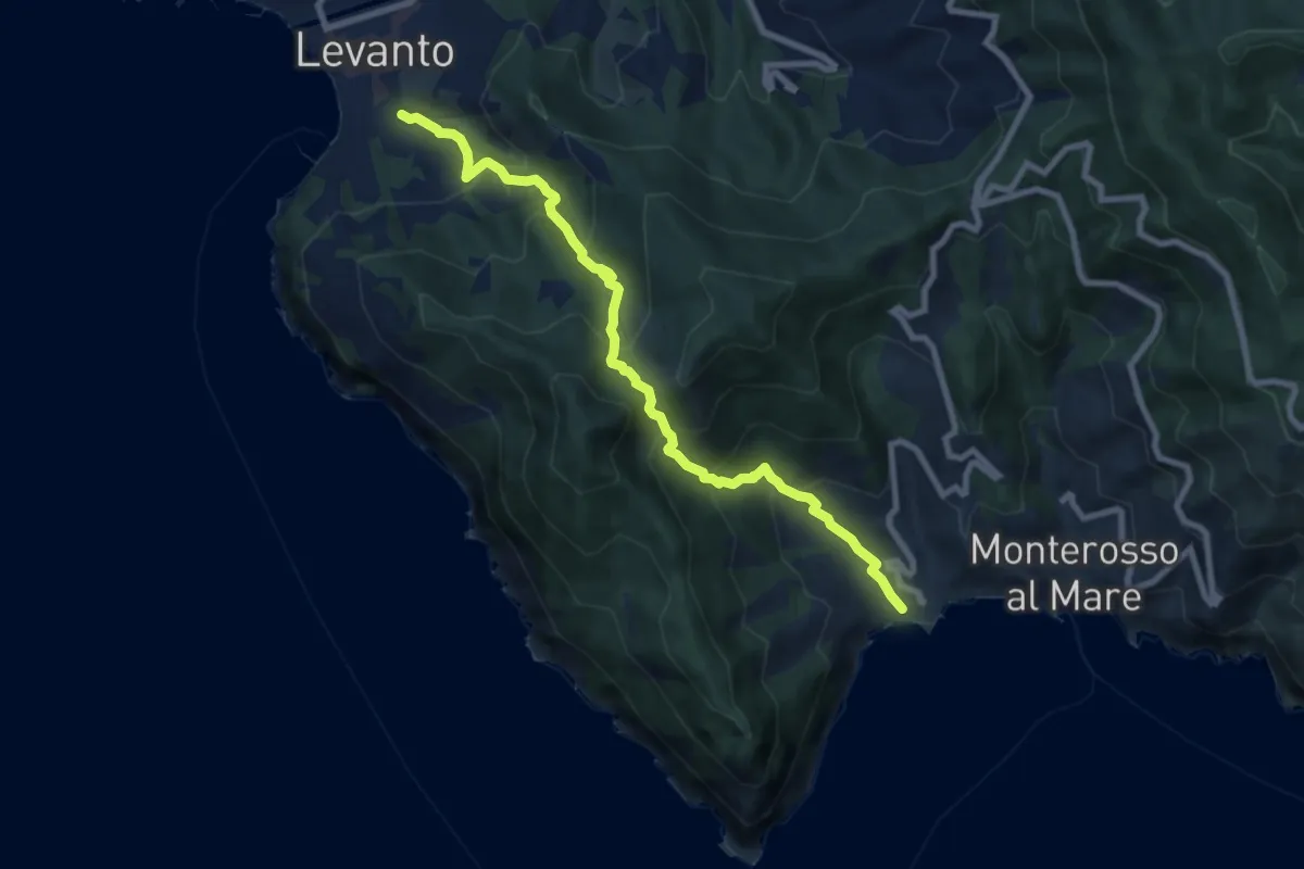
Medium · Trail
Levanto – Colla dei Bagari - Monterosso
8.9 km · ↑ 750 m · 3 h 43 min
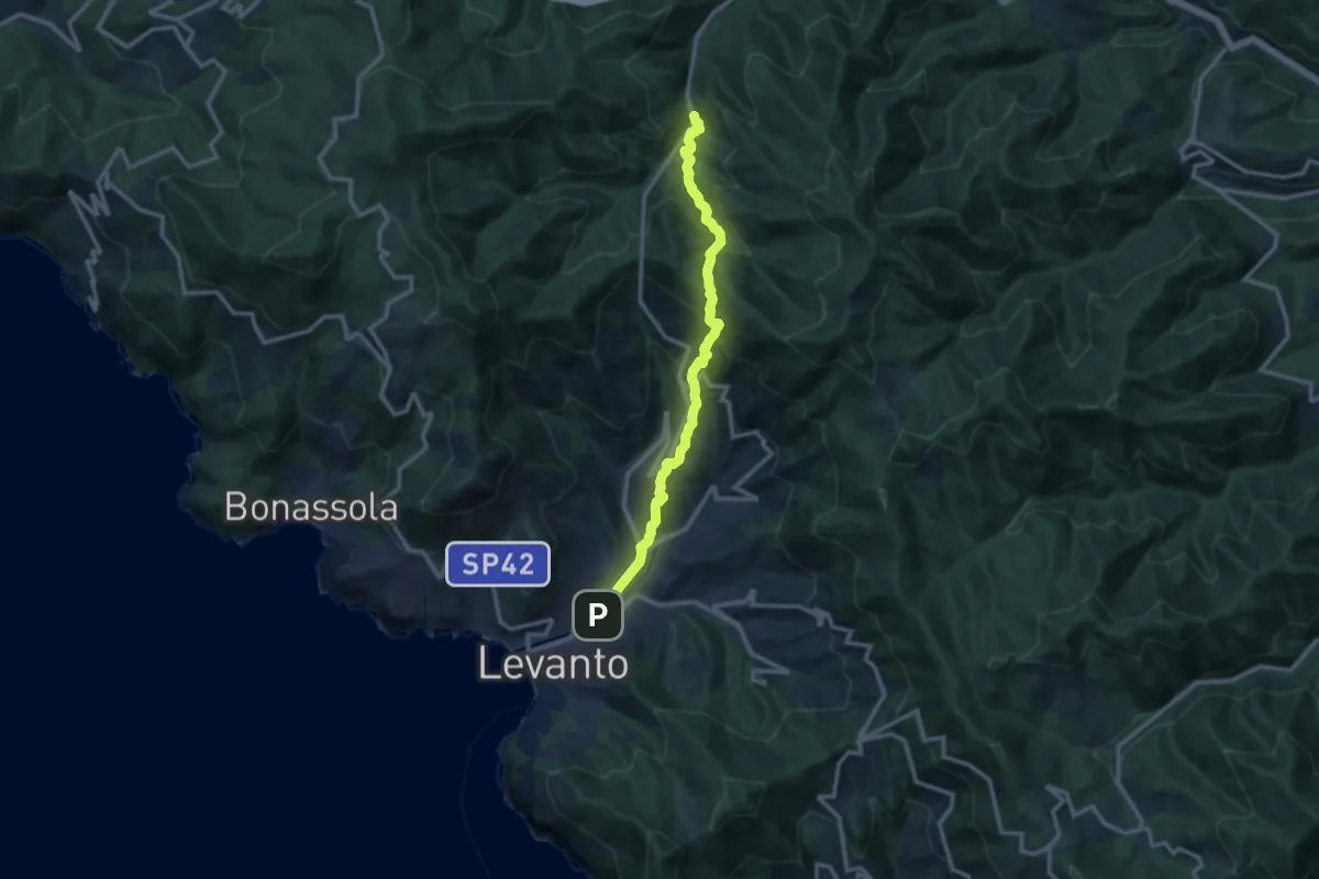
Medium · Trail
Levanto - Montale - Foce di Montale - Valle Carbonetta
12.0 km · ↑ 704 m · 4 h 22 min
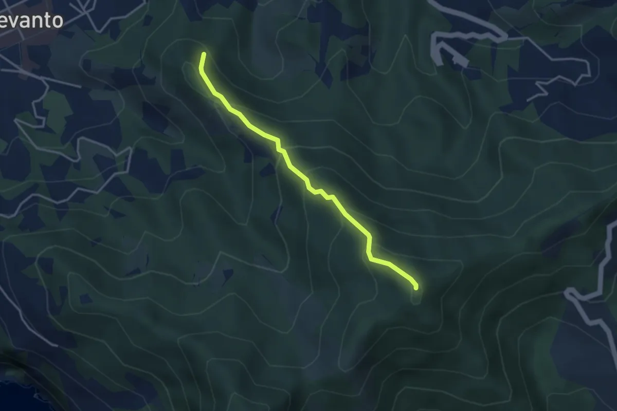
Medium · Summit
Levanto-Sopramare-Monte Rossini
3.3 km · ↑ 302 m · 1 h 26 min
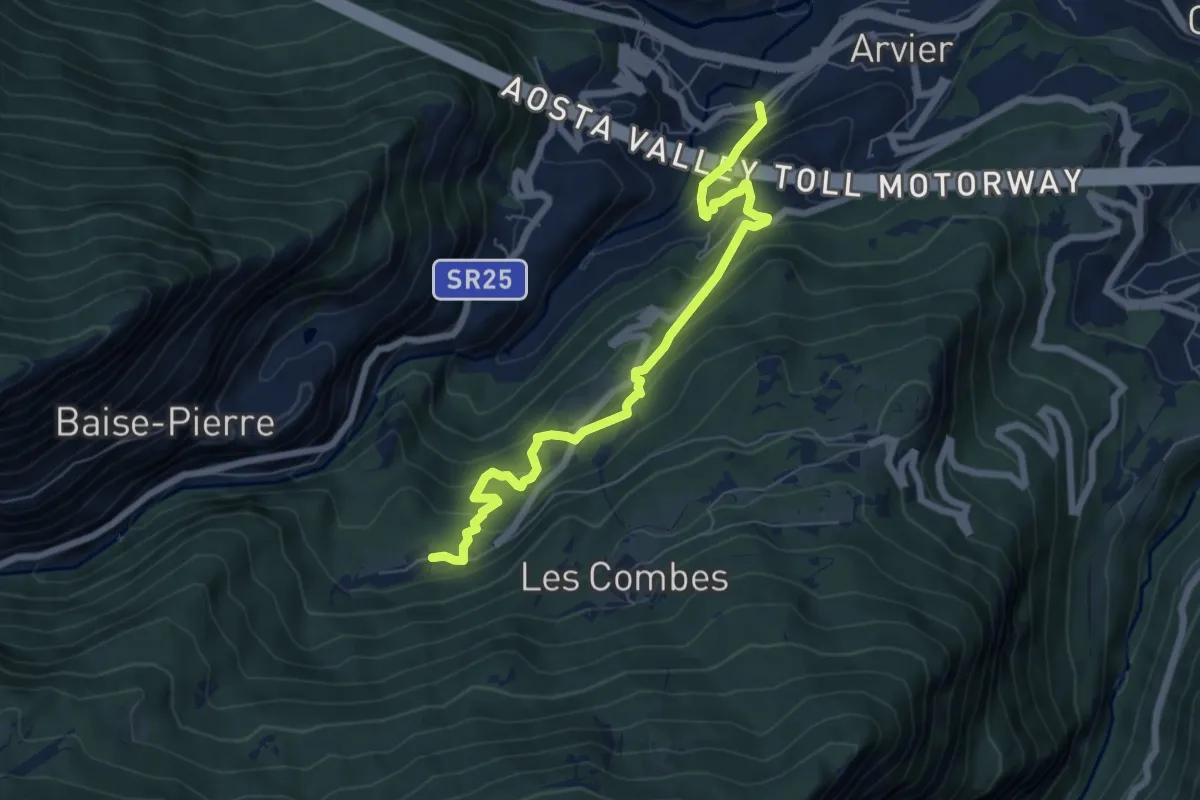
Medium · Trail
Leverogne - Grand Haury
7.0 km · ↑ 615 m · 2 h 59 min
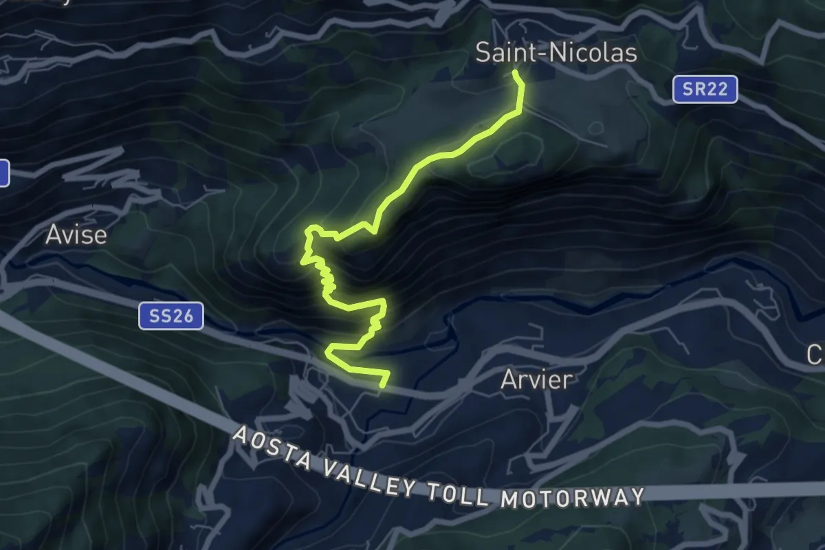
Medium · Trail
Leverogne - Relais de la television - Saint-Nicolas
6.3 km · ↑ 541 m · 2 h 40 min
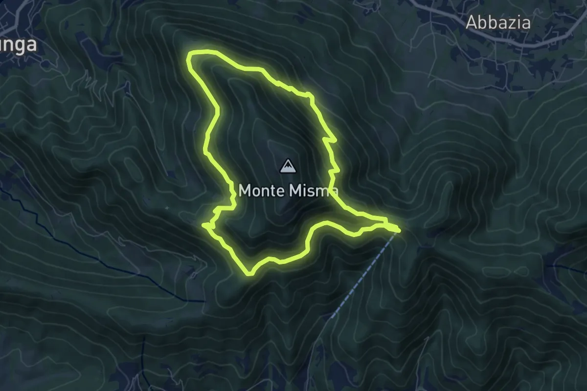
Medium · Trail
Le vie del Misma
7.5 km · ↑ 562 m · 3 h 5 min
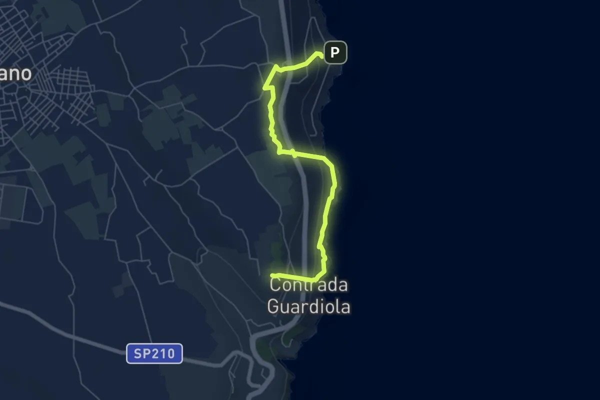
Medium · Trail
Le Vie del Sale
6.6 km · ↑ 415 m · 2 h 27 min
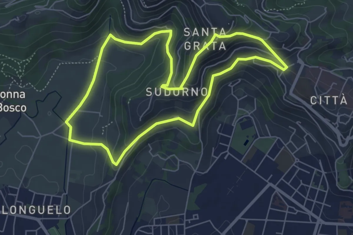
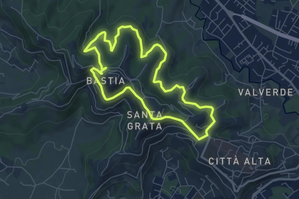
Easy · Trail
Le Vie del Verde (Itinerario 1)
5.3 km · ↑ 246 m · 1 h 52 min
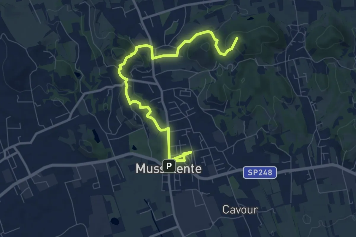
Easy · Summit
Le Vie del Verde (Itinerario 2)
6.0 km · ↑ 282 m · 2 h 6 min
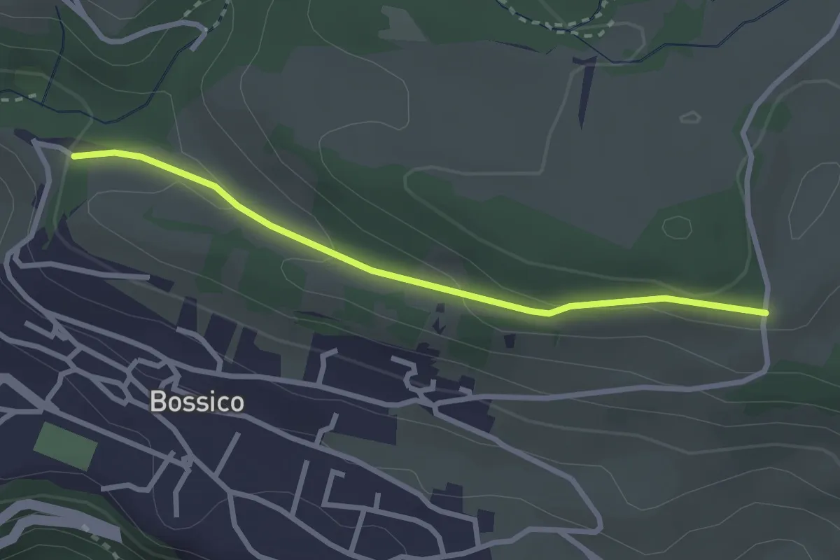
Medium · Summit
Le Volpere
8.9 km · ↑ 231 m · 2 h 36 min
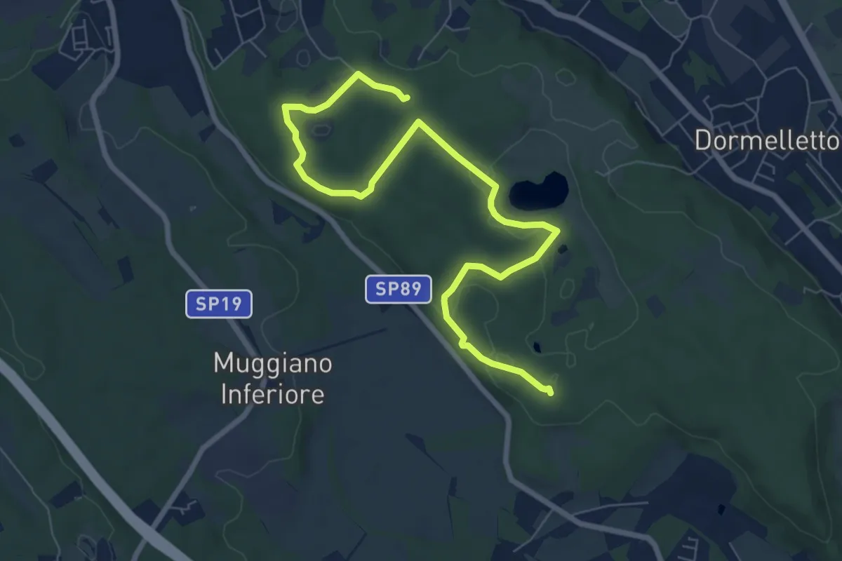
Easy · Trail
Levric
2.6 km · ↑ 88 m · 49 min
Medium · Summit
Le zone umide
8.7 km · ↑ 104 m · 2 h 17 min
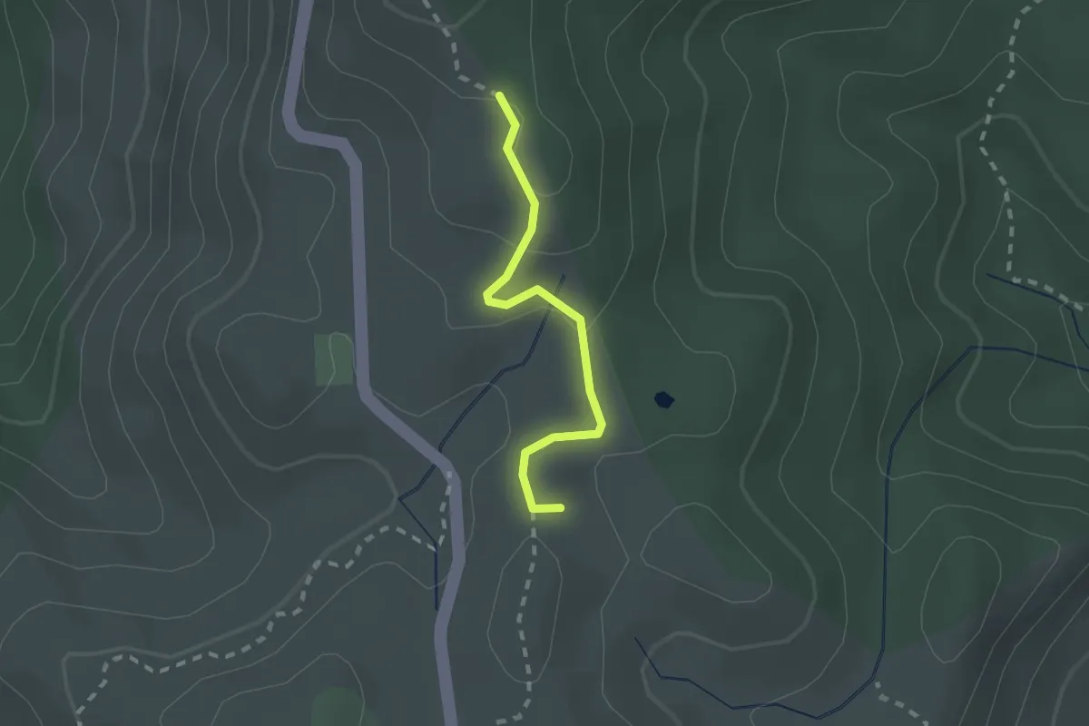
Medium · Summit
LH20 Monti Prenestini
1.9 km · ↑ 54 m · 34 min
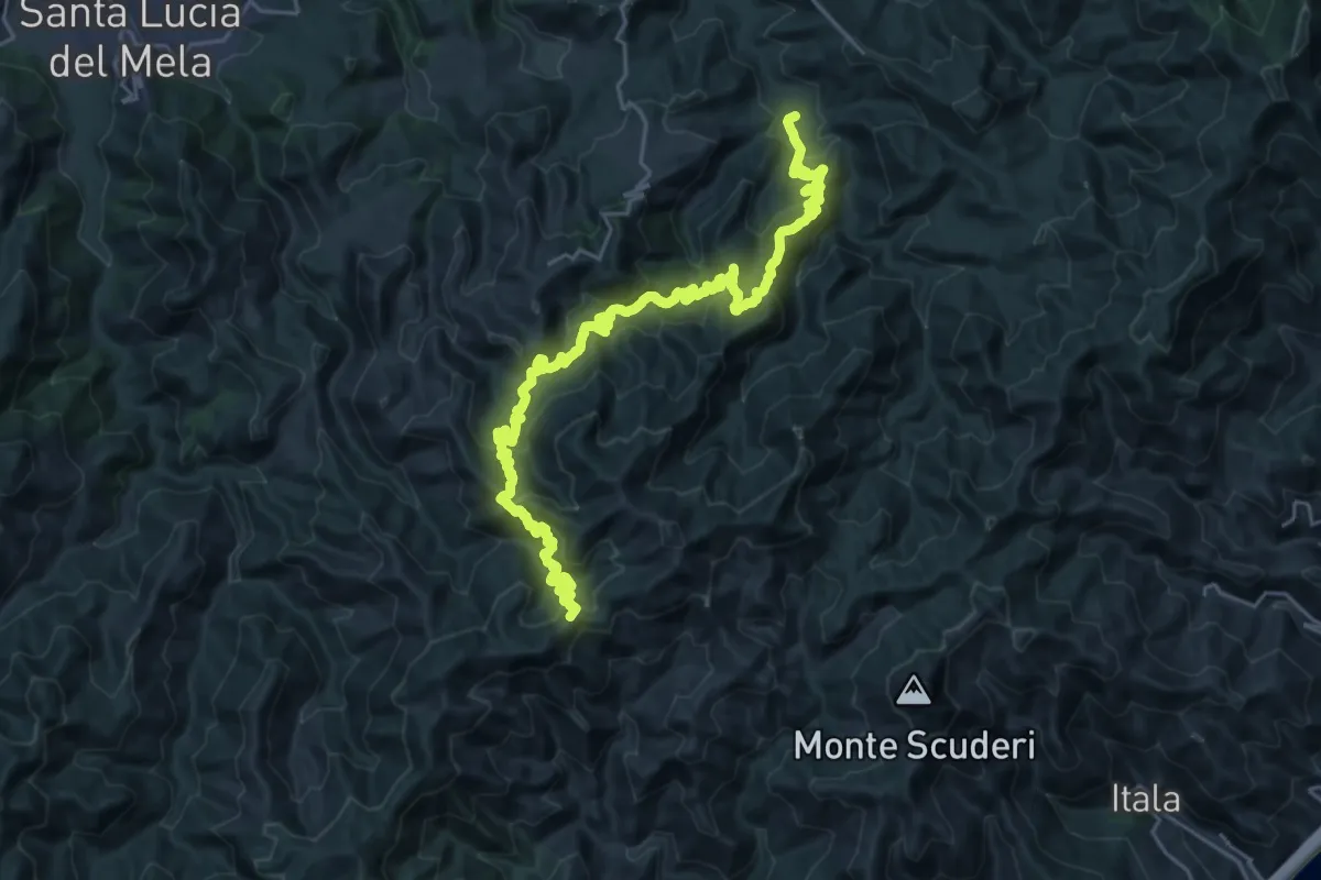
Demanding · Summit
Liarusa Rossimanno Portella Menta
34.8 km · ↑ 2353 m · 13 h 19 min
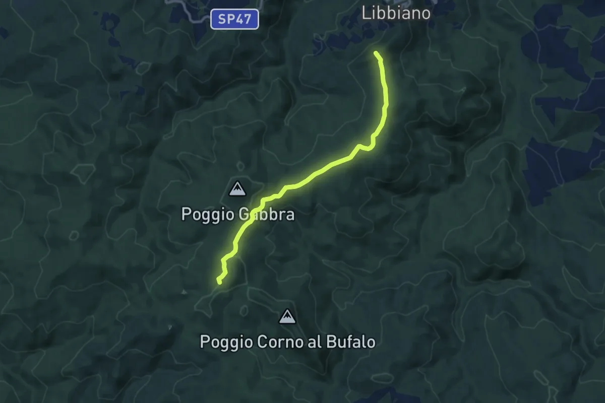
Medium · Summit
Libbiano - Villa di Monterufoli
10.0 km · ↑ 200 m · 2 h 47 min
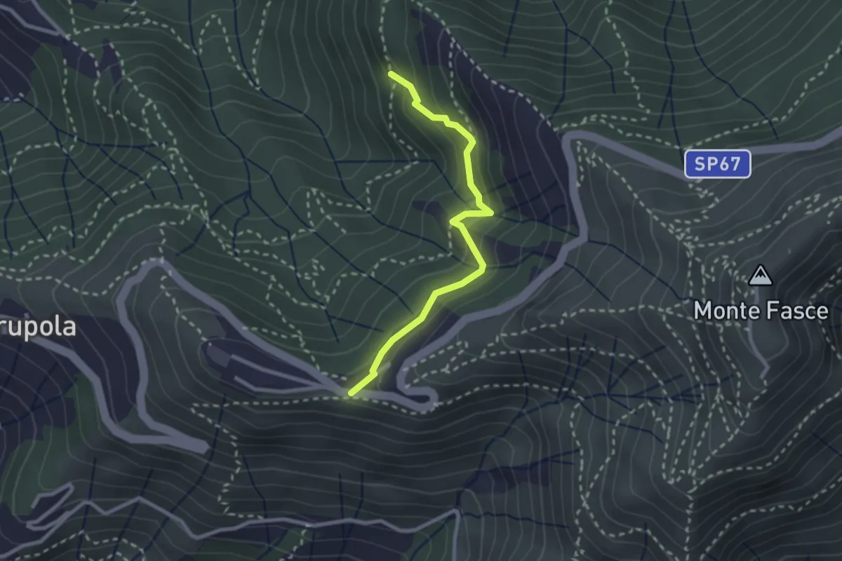
Medium · Trail
Liberale - Ciapon
2.5 km · ↑ 253 m · 1 h 8 min
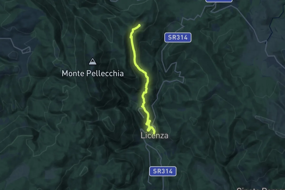
Medium · Trail
Licenza - Casale Bruciato
13.7 km · ↑ 647 m · 4 h 38 min
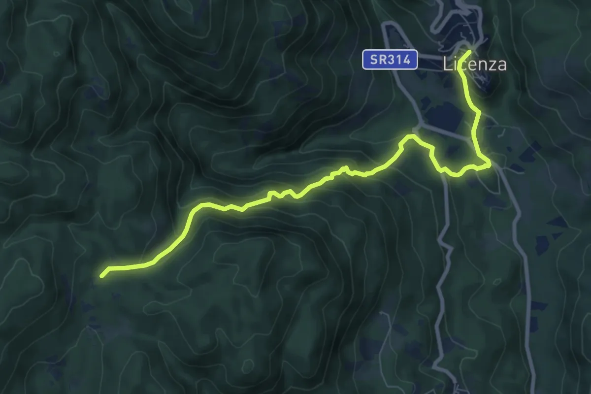
Expert · Trail
Licenza-Fosso di Vena Scritta
8.9 km · ↑ 586 m · 3 h 23 min
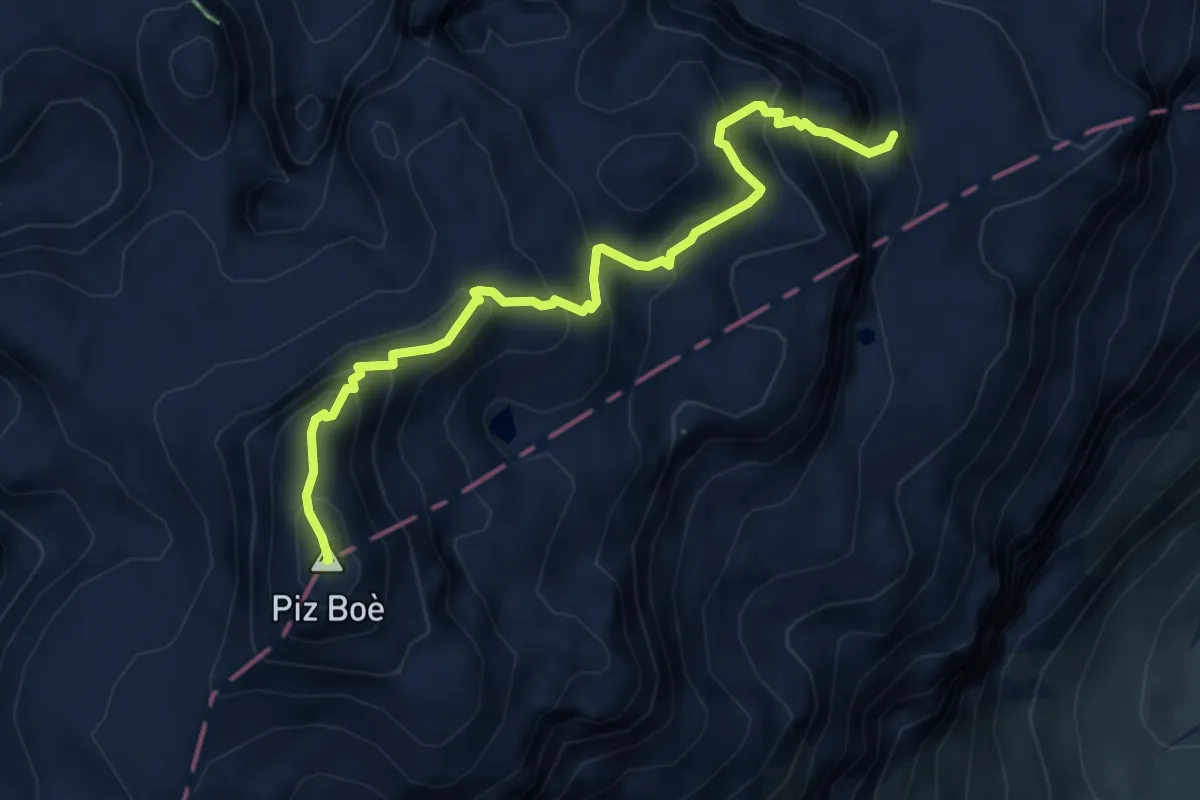
Expert · Summit
Lichtenfelser Weg
5.1 km · ↑ 561 m · 2 h 25 min
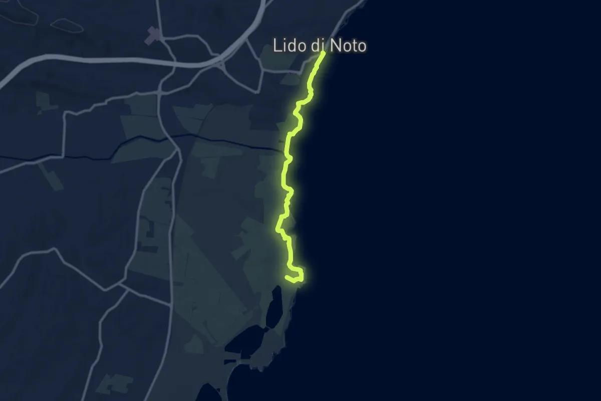
Medium · Summit
Lido di Noto - Vendicari
10.9 km · ↑ 93 m · 2 h 47 min
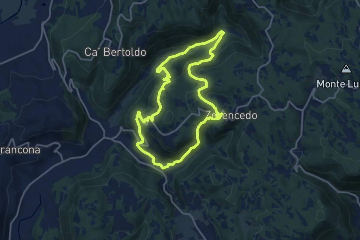
Medium · Trail
Life+ Zovencedo Calto San Gottardo
9.2 km · ↑ 449 m · 3 h 16 min
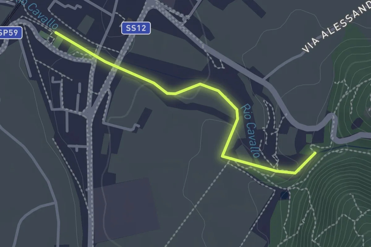
Medium · Trail
Lila e la magia del bosco
2.5 km · ↑ 45 m · 41 min
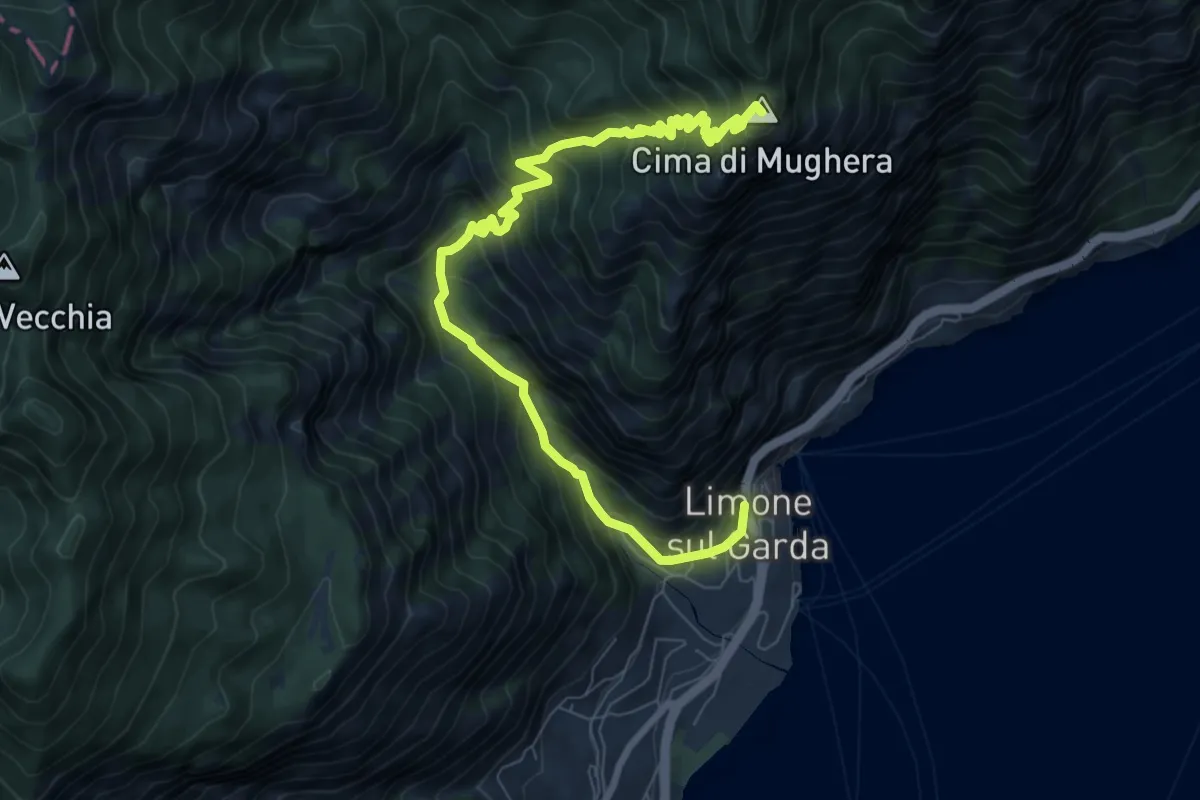
Demanding · Summit
Limone sul Garda - Cima di Mughera
9.2 km · ↑ 1021 m · 4 h 23 min
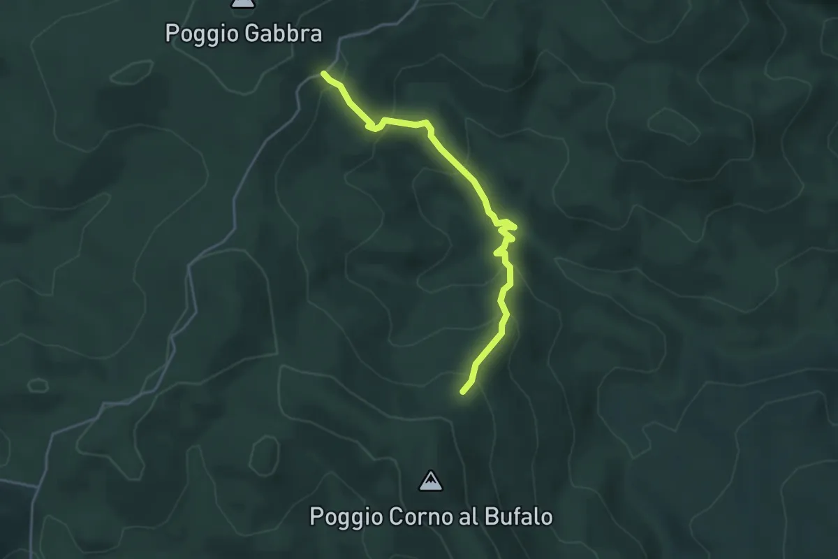
Easy · Trail
Linari
4.0 km · ↑ 305 m · 1 h 36 min
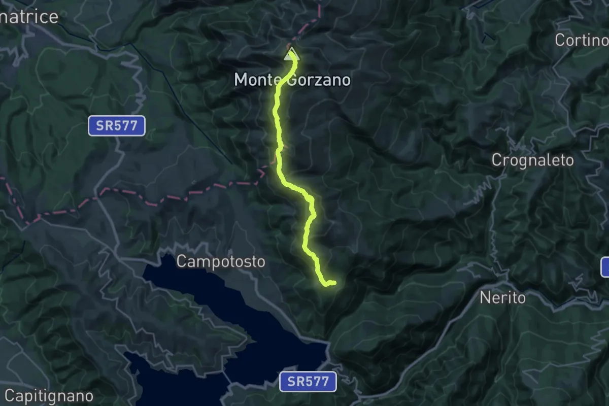
Demanding · Summit
Linea di cresta Monti della Laga tra Lazio - Marche - Abruzzo
18.8 km · ↑ 1389 m · 7 h 27 min
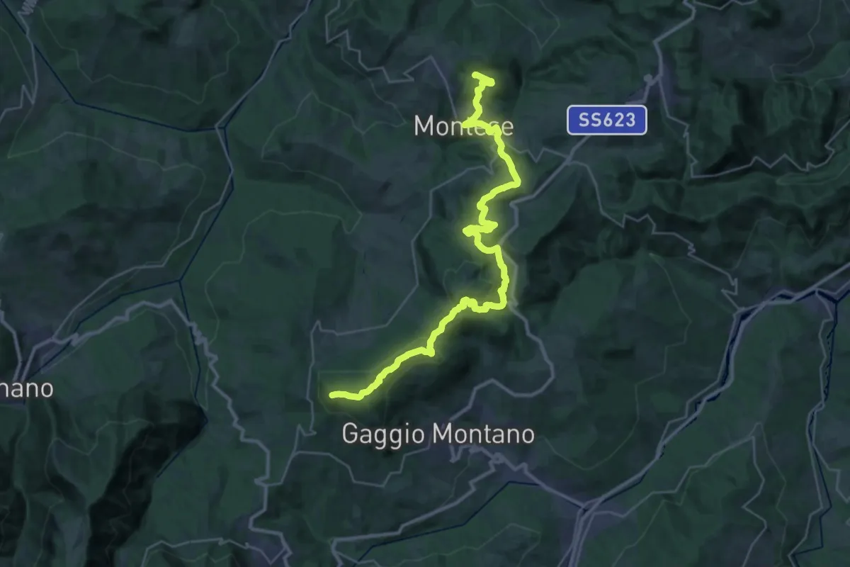
Demanding · Summit
Linea Gotica
33.9 km · ↑ 1047 m · 10 h 17 min
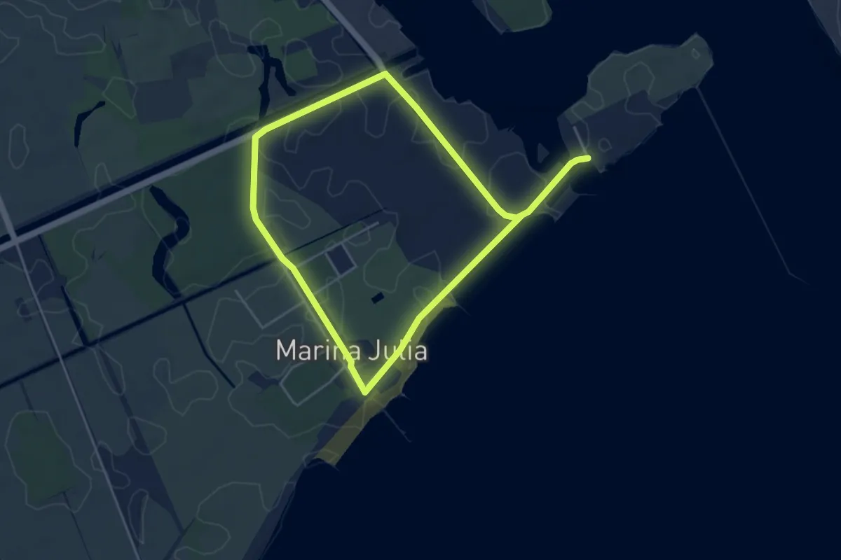
Easy · Trail
Litorale Isontino
7.7 km · ↑ 8 m · 1 h 51 min
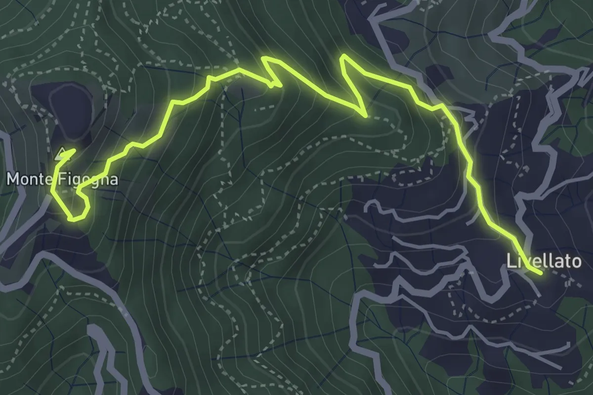
Medium · Summit
Livellato - Santuario Madonna della Guardia
5.3 km · ↑ 455 m · 2 h 14 min
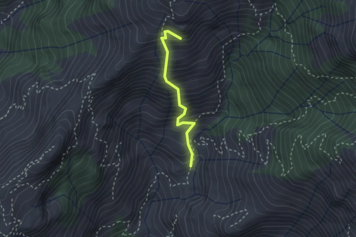
Medium · Summit
Lizza del Padulello
2.0 km · ↑ 490 m · 1 h 32 min
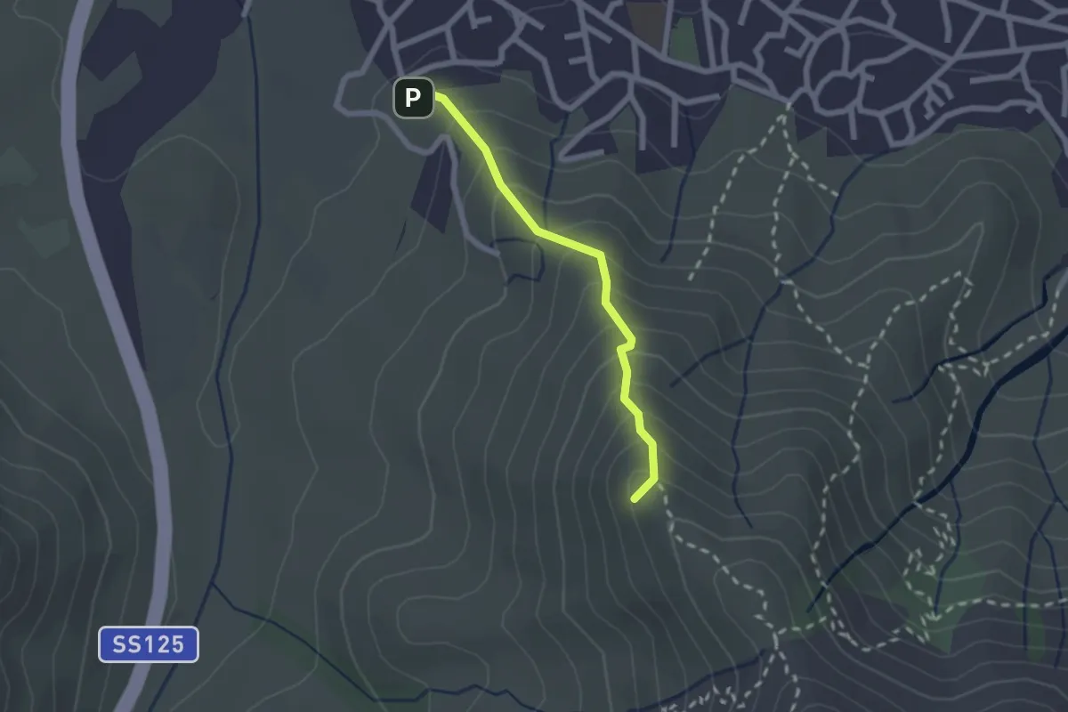
Medium · Summit
LN
2.1 km · ↑ 238 m · 1 h
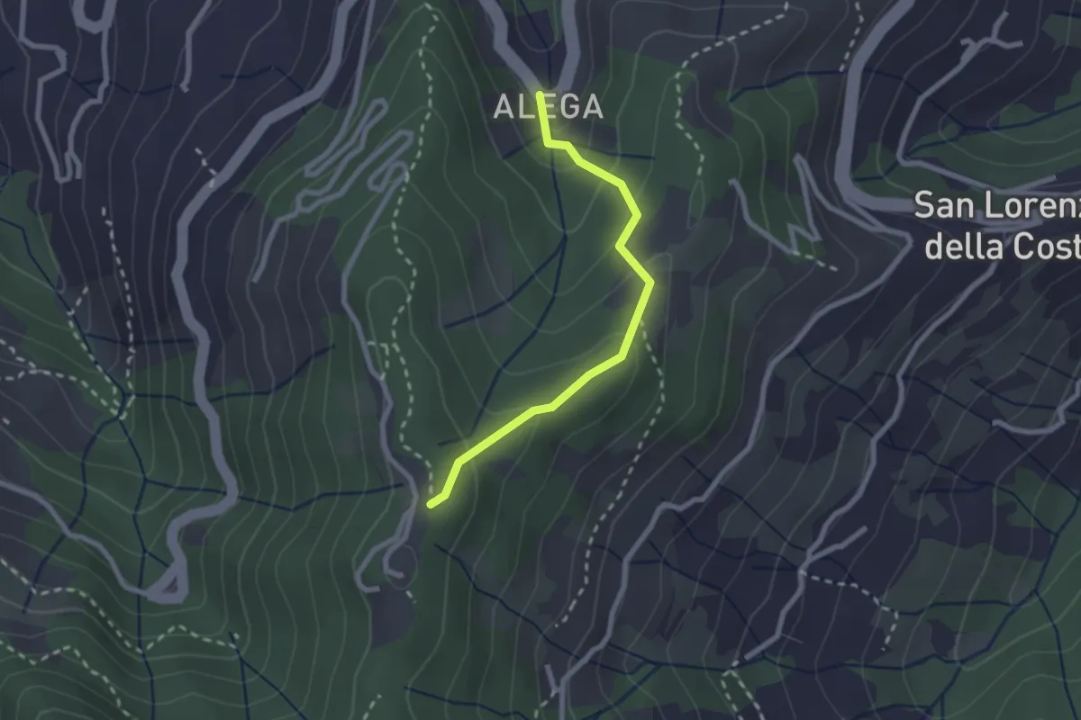
Medium · Trail
Località Alega (Parcheggio Bus/Auto Ruta) - Portofino Vetta
2.3 km · ↑ 149 m · 51 min
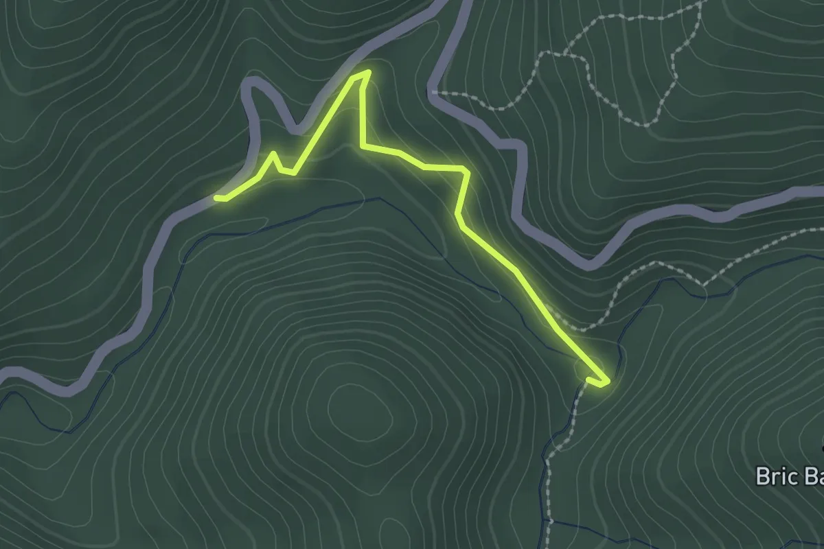
Easy · Trail
Località Franchella - Lago di Cravè
2.2 km · ↑ 114 m · 47 min
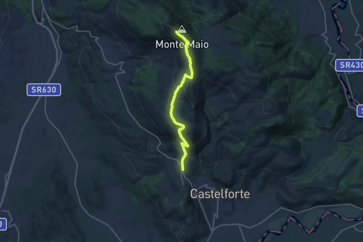
Medium · Summit
Località Ventosa-Monte Maio
13.1 km · ↑ 730 m · 4 h 40 min
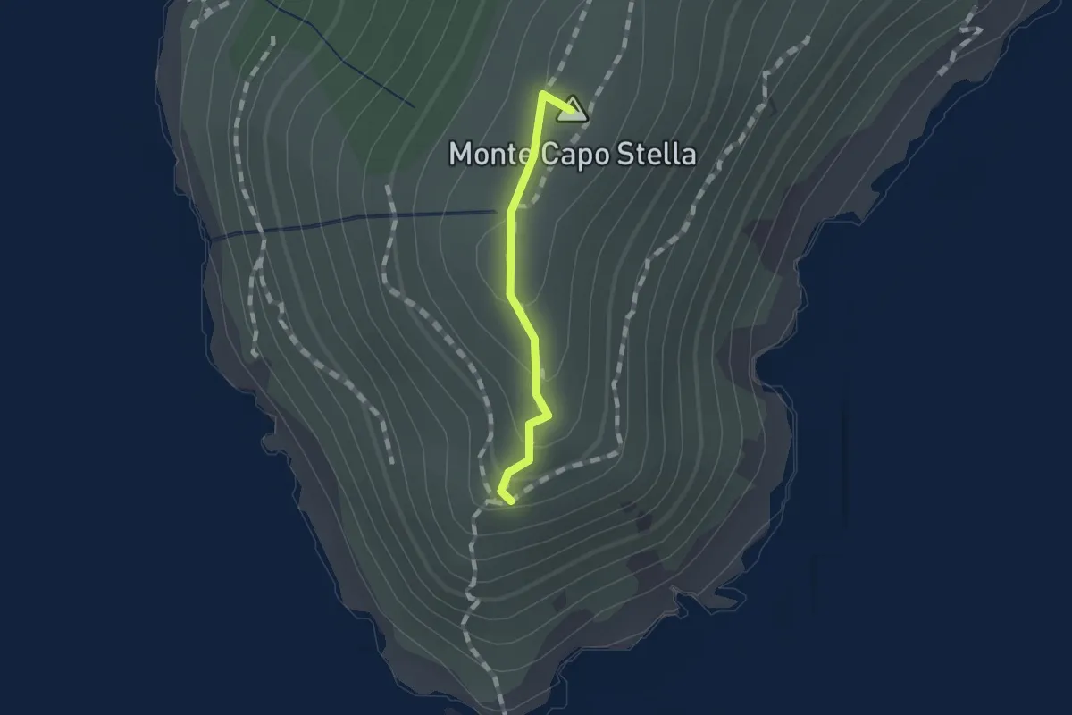
Easy · Summit
L'oceano
0.9 km · ↑ 58 m · 20 min
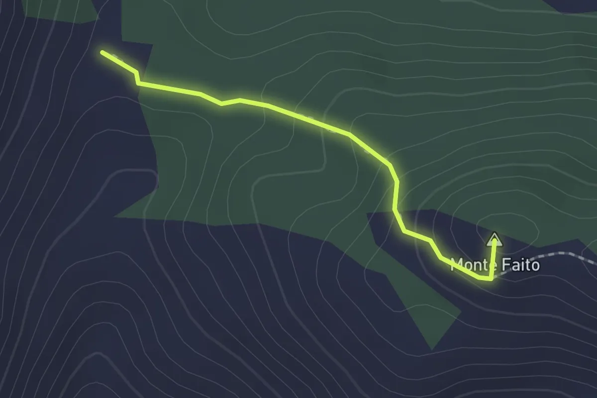
Easy · Summit
Loc. Termine (Coreno Ausonio)-Monte Ornito
1.7 km · ↑ 109 m · 39 min
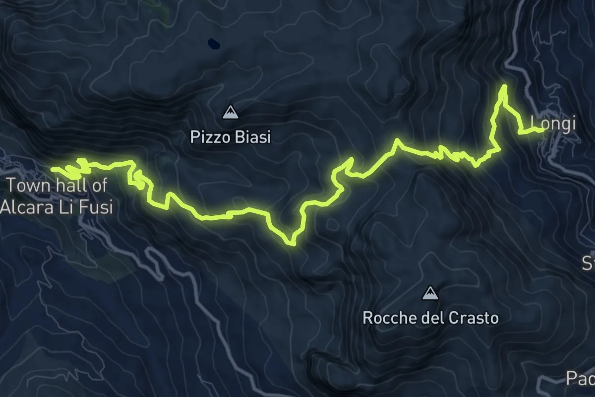
Demanding · Trail
Longi-Alcara li Fusi
17.1 km · ↑ 1258 m · 6 h 46 min