Trails in Italy
25,221 hiking trails, each with its route, climb, walking time and grade.
All trails, page 97 of 526
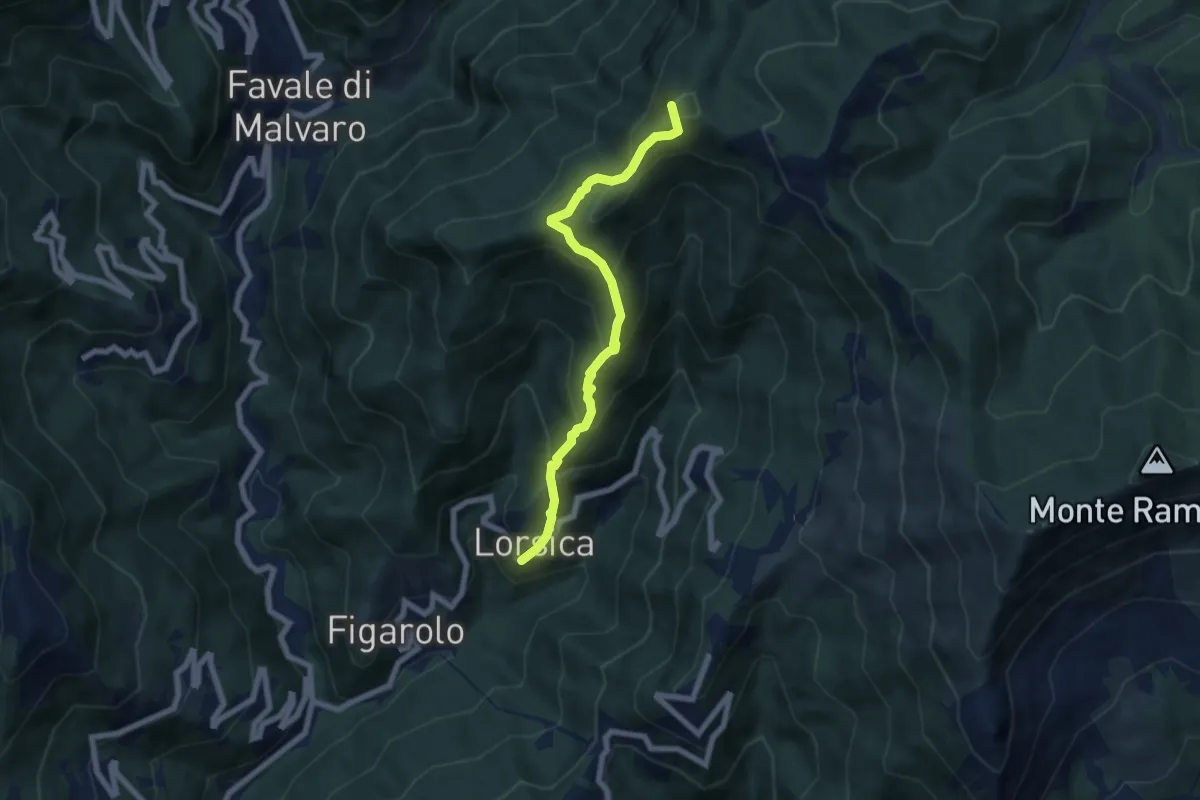
Medium · Summit
Lorsica - Passo Ventarola
6.5 km · ↑ 649 m · 2 h 57 min
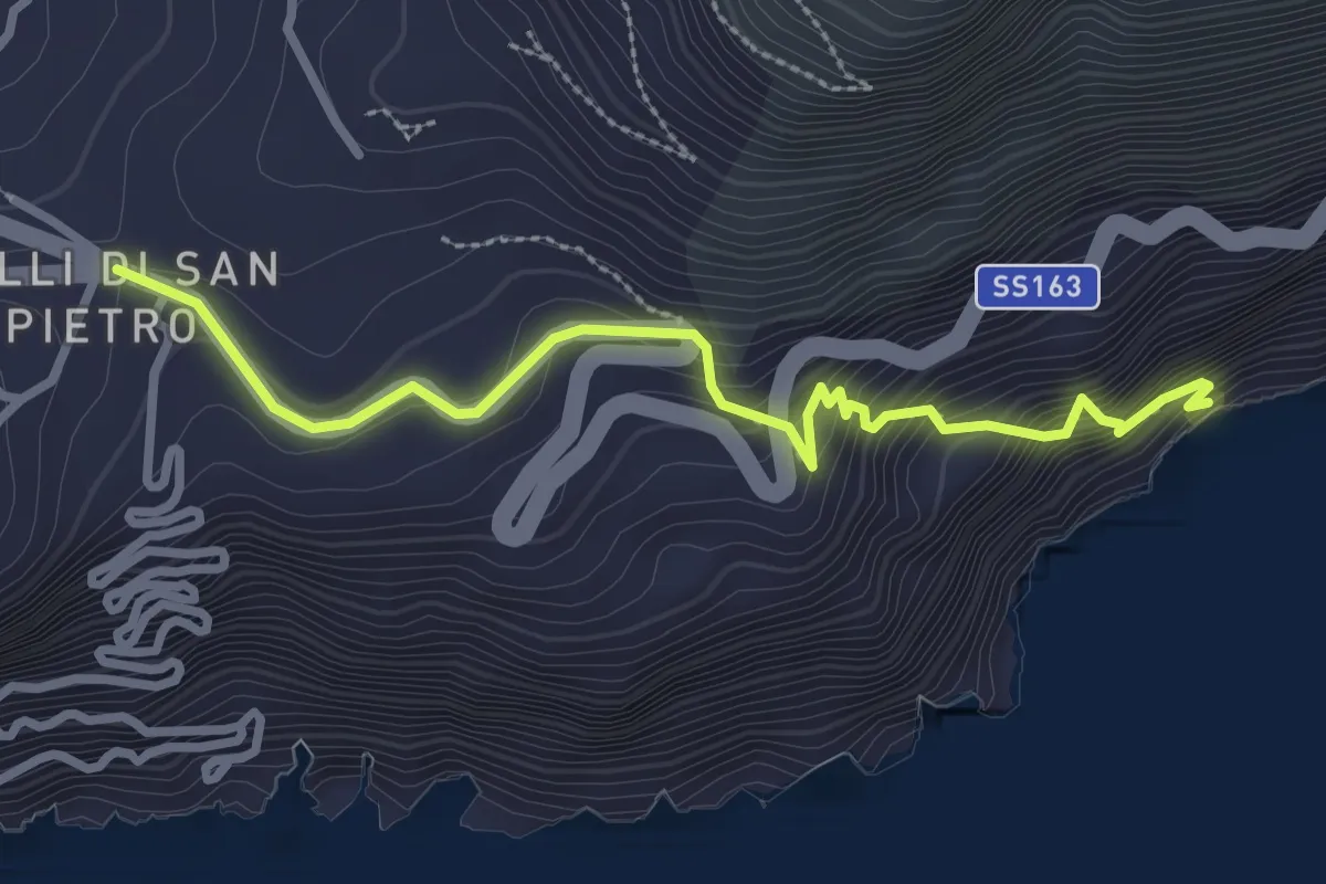
Medium · Trail
Lo Scaricatore
3.3 km · ↑ 374 m · 1 h 36 min
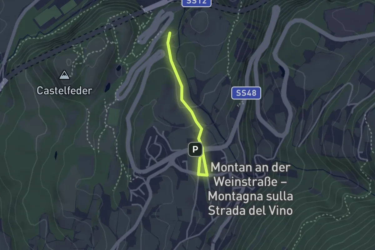
Easy · Trail
Lottersteig
2.5 km · ↑ 111 m · 49 min
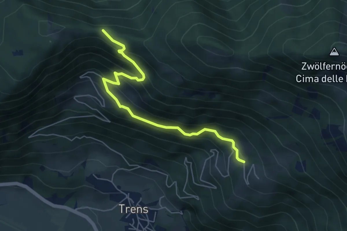
Medium · Trail
Lottersteig
5.3 km · ↑ 410 m · 2 h 8 min
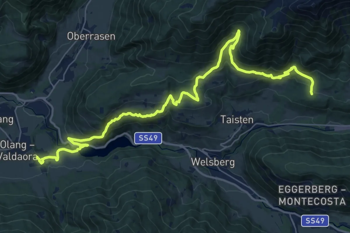
Demanding · Trail
Lottersteig
15.0 km · ↑ 912 m · 5 h 33 min
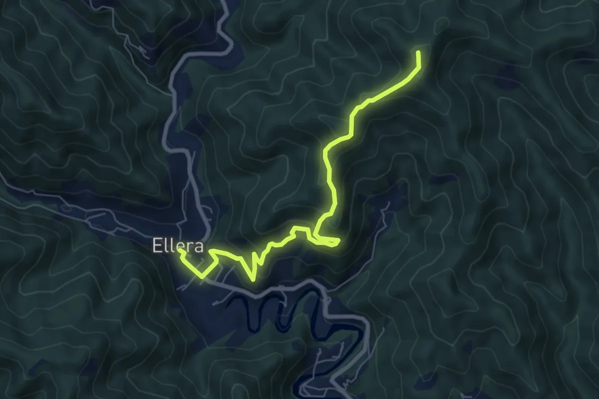
Medium · Summit
Luceto-Canavisse-Ellera
7.2 km · ↑ 497 m · 2 h 46 min
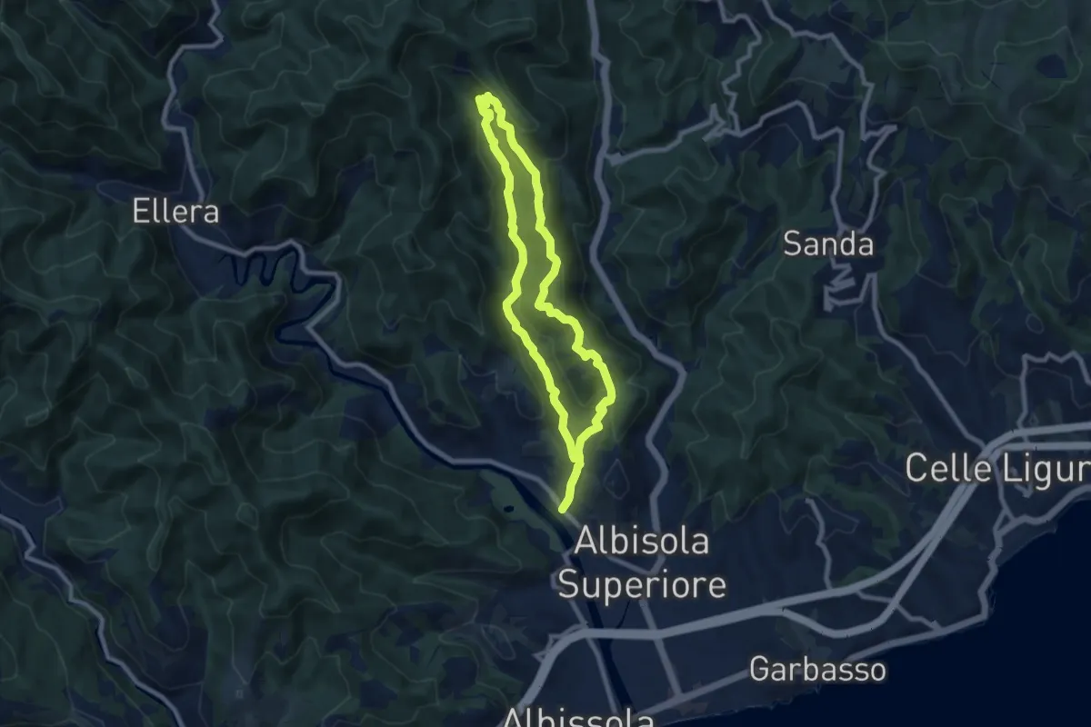
Medium · Summit
Luceto - Pian del Pero - Luceto
7.8 km · ↑ 331 m · 2 h 40 min
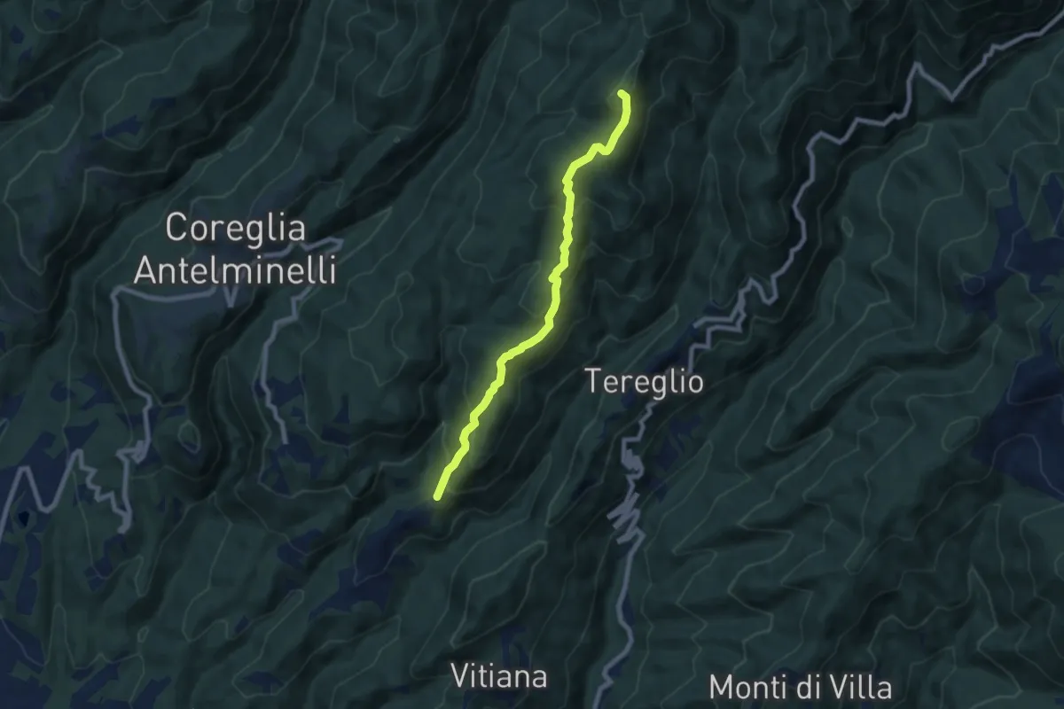
Medium · Summit
Lucignana - Foce a Fobi
7.3 km · ↑ 513 m · 2 h 50 min
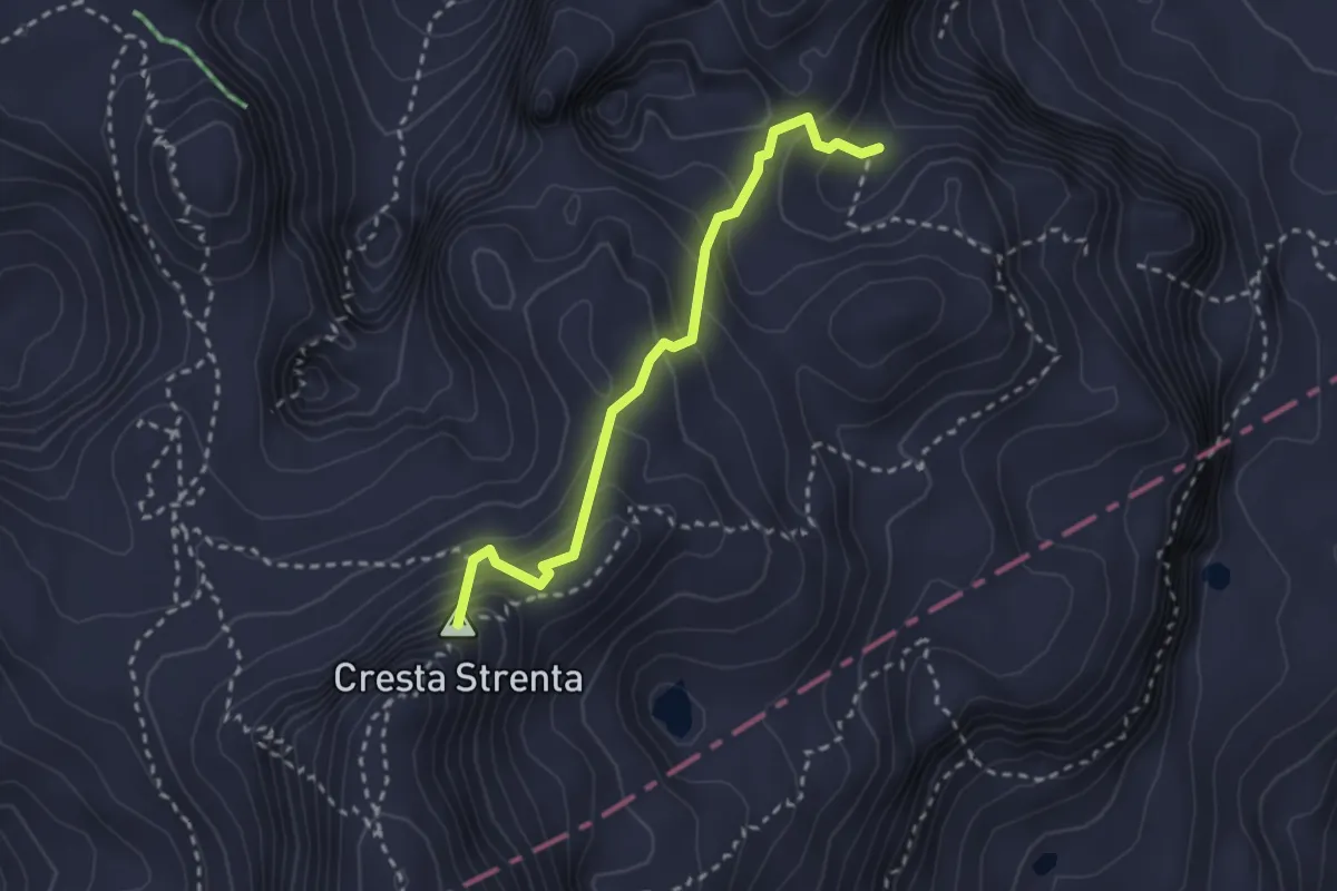
Expert · Summit
Ludwig Weg
2.6 km · ↑ 234 m · 1 h 7 min
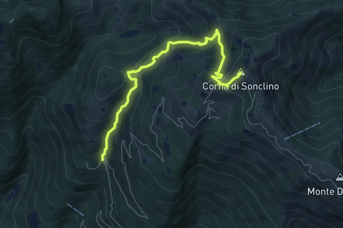
Medium · Summit
Lumezzane (Buca di Porticelle) - Corna di Sonclino
6.1 km · ↑ 583 m · 2 h 41 min
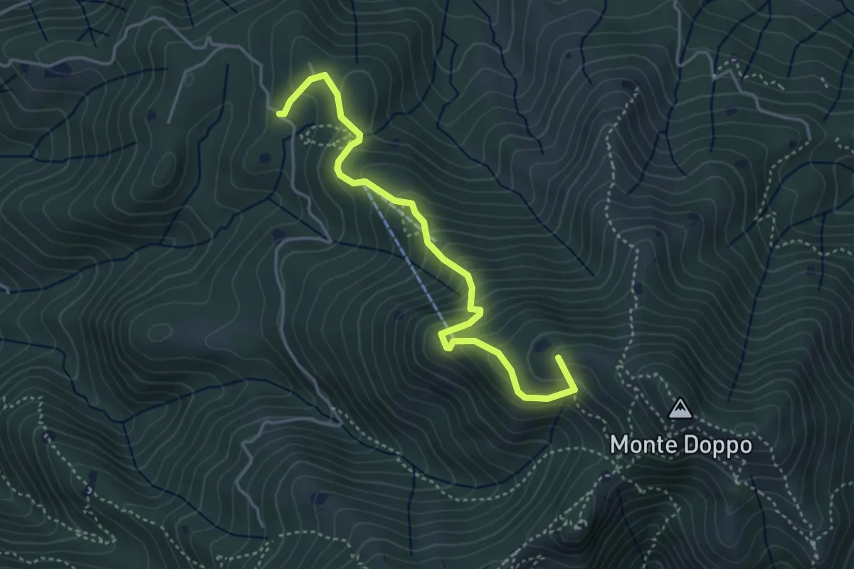
Medium · Summit
Lumezzane (Burio) - Bivio per San Giorgio
4.2 km · ↑ 376 m · 1 h 48 min
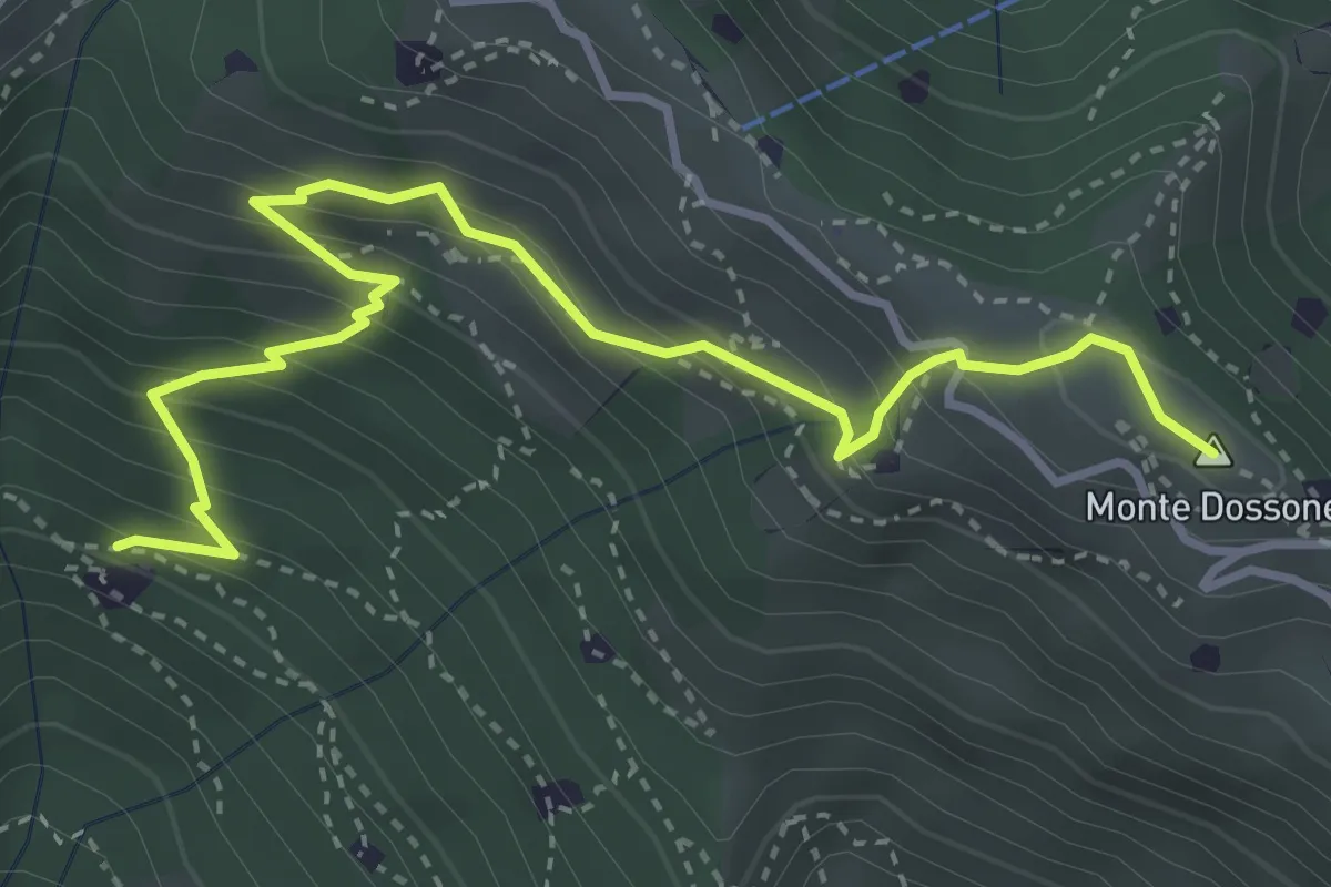
Medium · Summit
Lumezzane (Cascina Al Colonel) - Monte Dossone
4.3 km · ↑ 469 m · 2 h 2 min
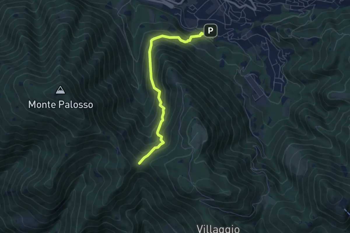
Medium · Trail
Lumezzane (Faidana) - Innesto Sentiero 371
6.4 km · ↑ 552 m · 2 h 43 min
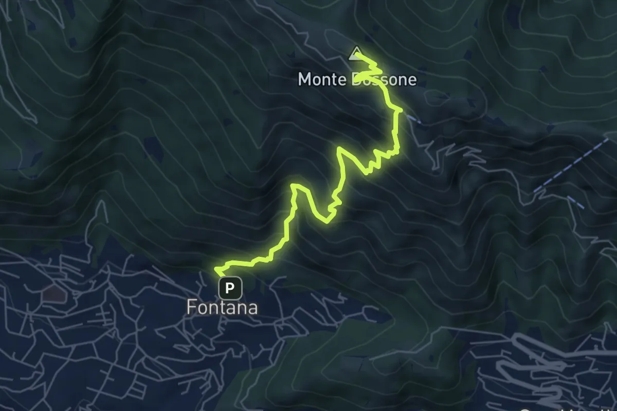
Medium · Summit
Lumezzane (Fontana) - Monte Dossone
6.5 km · ↑ 760 m · 3 h 11 min
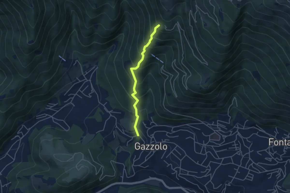
Medium · Trail
Lumezzane (Gazzolo) - Santella dei Giori
3.5 km · ↑ 418 m · 1 h 43 min
Medium · Trail
Lumezzane (Innesto sentiero 370) - Cocca di Bione
2.2 km · ↑ 106 m · 45 min
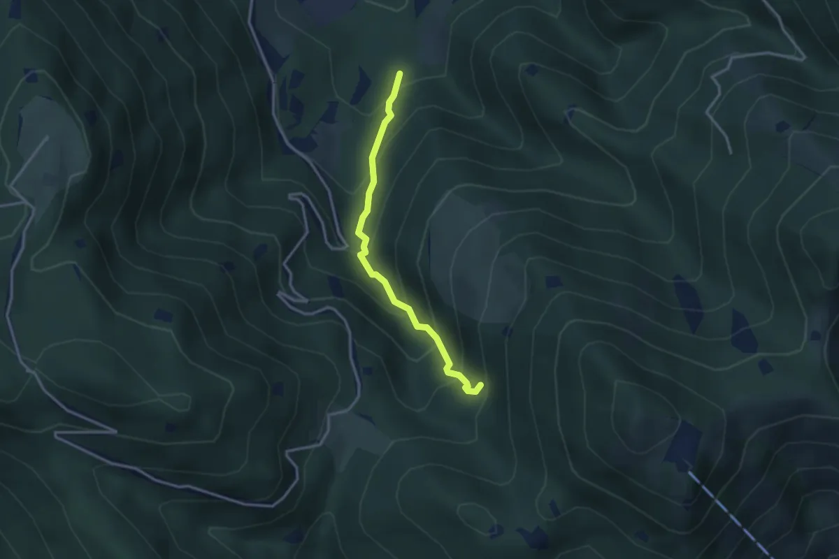
Medium · Trail
Lumezzane (Innesto Sentiero 374) - Fontanì de A'bie - Innesto Sentiero 375
2.7 km · ↑ 300 m · 1 h 18 min
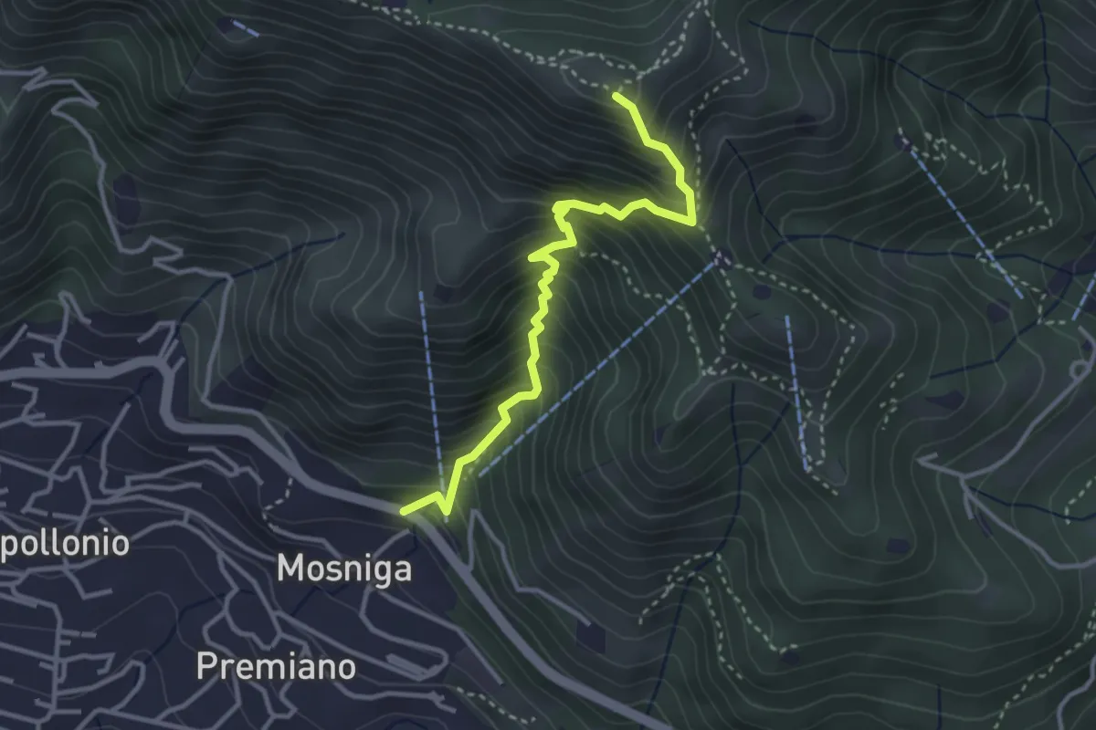
Medium · Summit
Lumezzane (Mosniga) - Punta Camoghera
3.4 km · ↑ 511 m · 1 h 54 min
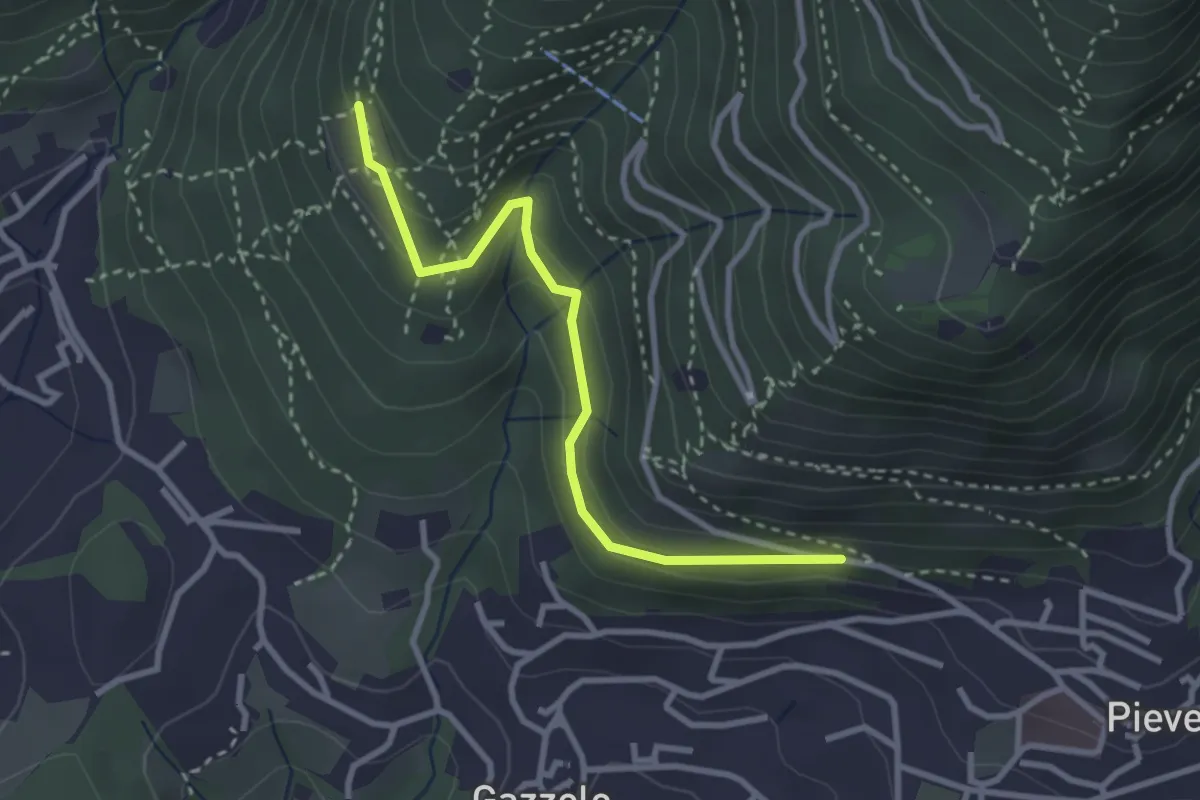
Easy · Trail
Lumezzane (Pieve) - Dosso Castol
3.0 km · ↑ 153 m · 1 h 3 min
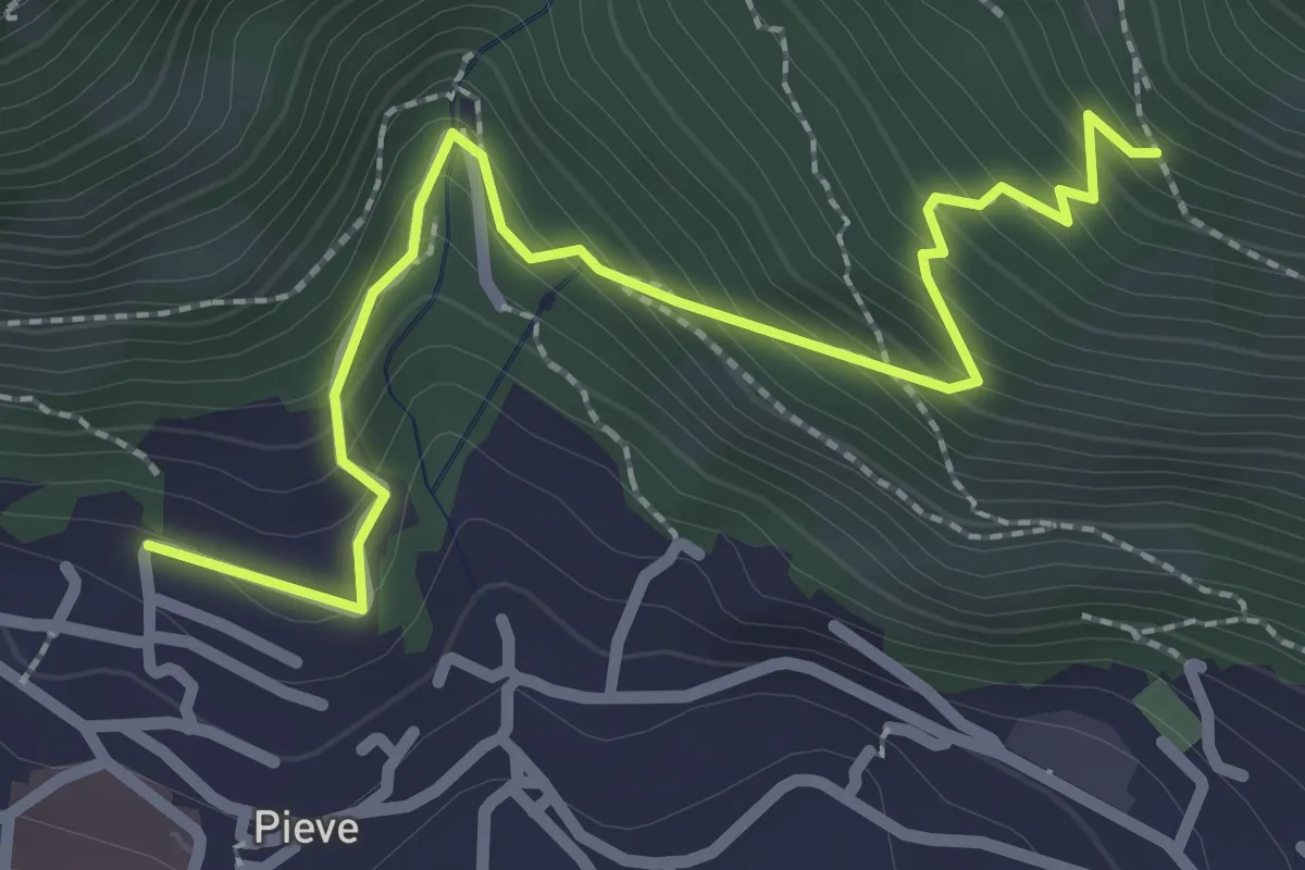
Medium · Trail
Lumezzane (Pieve) - Valle dei Fiori - Dossello
2.9 km · ↑ 291 m · 1 h 19 min
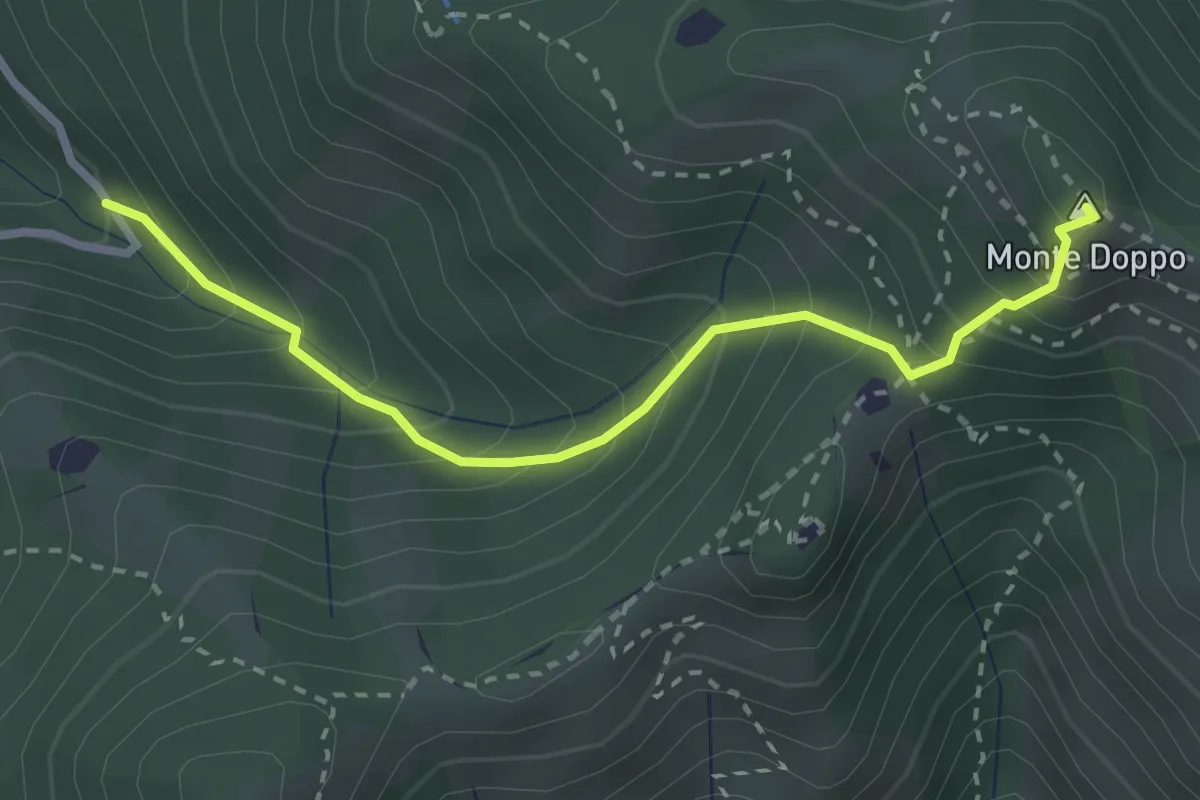
Expert · Summit
Lumezzane (Valle San Giorgio) - Monte Doppo - Innesto sentiero 393 [3V]
2.8 km · ↑ 348 m · 1 h 25 min
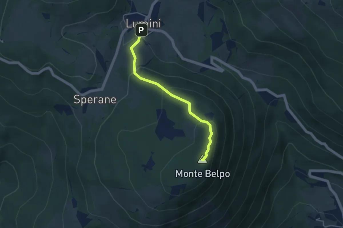
Medium · Summit
Lumini - Crocetta del Monte Belpo
3.1 km · ↑ 176 m · 1 h 7 min
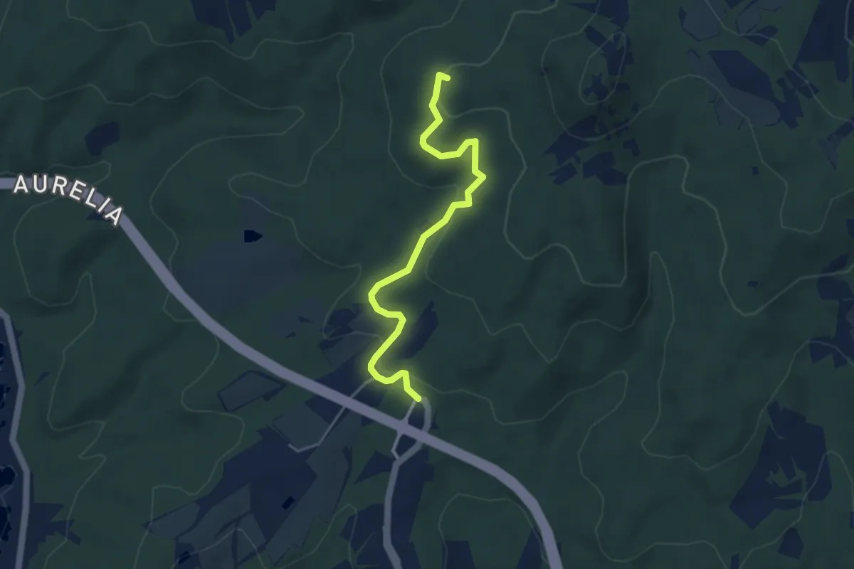
Easy · Summit
Lunga del Pelato
4.3 km · ↑ 129 m · 1 h 18 min
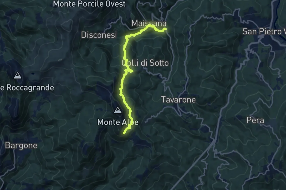
Demanding · Trail
Lungo Borsa - Maissana - Groppo Marzo - Casa Alpe - Bivio AV5T
12.8 km · ↑ 874 m · 4 h 55 min
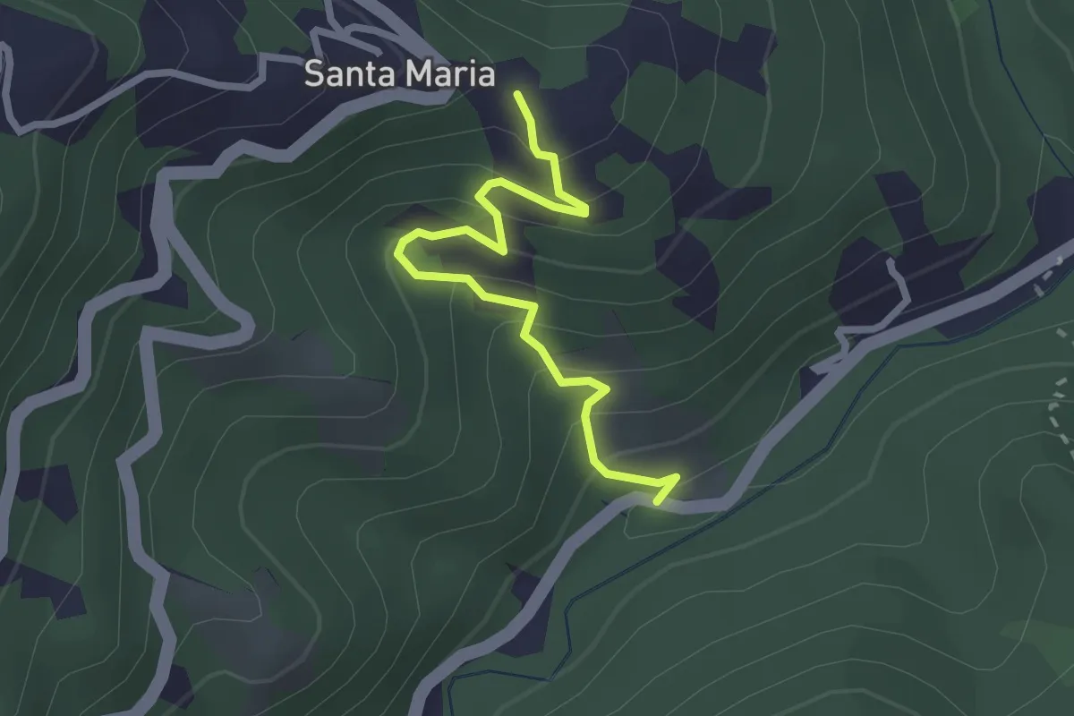
Easy · Trail
Lungo Borsa - Santa Maria
2.5 km · ↑ 205 m · 1 h 2 min
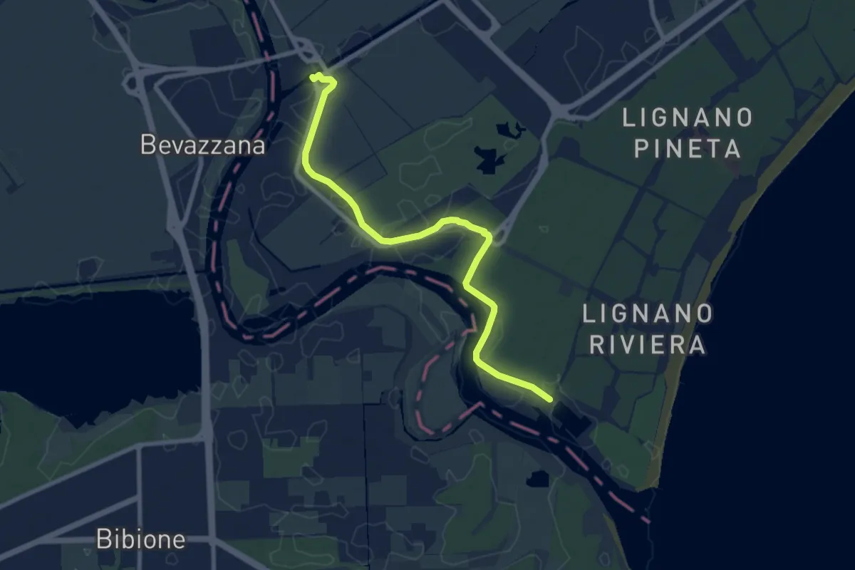
Medium · Trail
Lungo l'acqua dolce
8.2 km · ↑ 8 m · 1 h 57 min
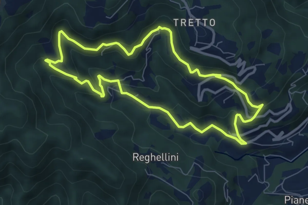
Medium · Trail
Lungo l'Acquasaliente
6.3 km · ↑ 373 m · 2 h 22 min
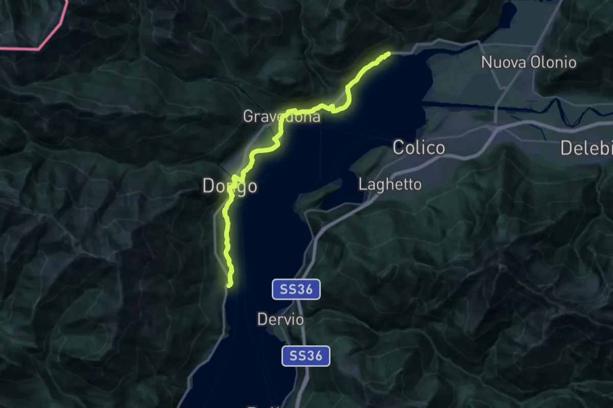
Medium · Trail
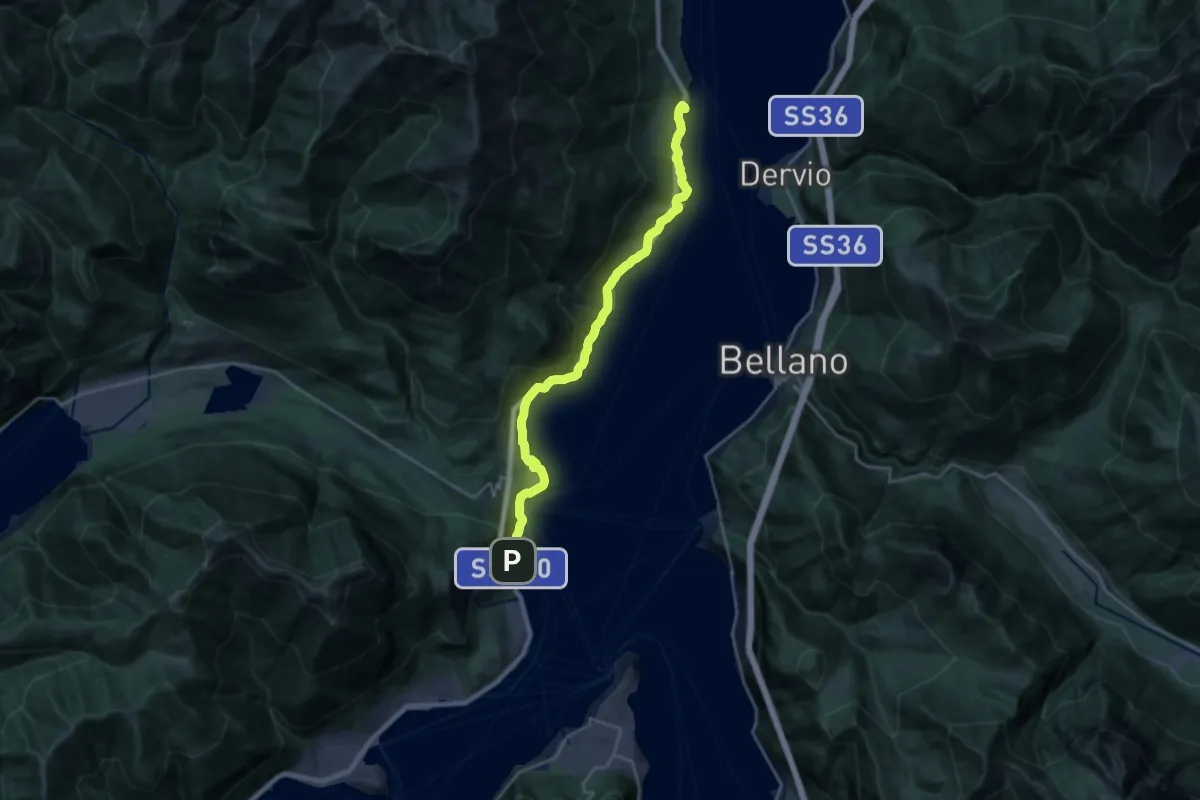
Lungolago
14.9 km · ↑ 326 m · 4 h 25 min
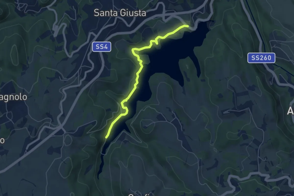
Demanding · Trail
Lungolago
23.3 km · ↑ 1015 m · 7 h 42 min
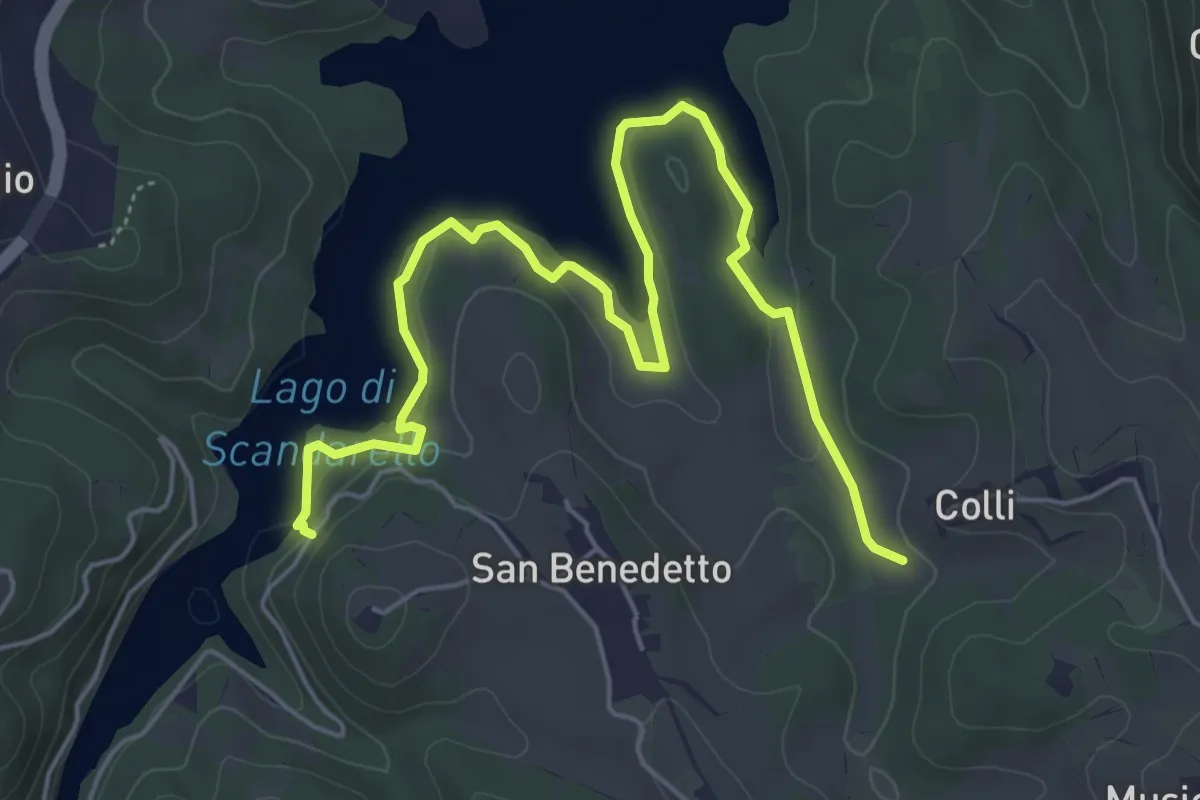
Easy · Trail
Lungo lago lato Conche
5.8 km · ↑ 152 m · 1 h 42 min
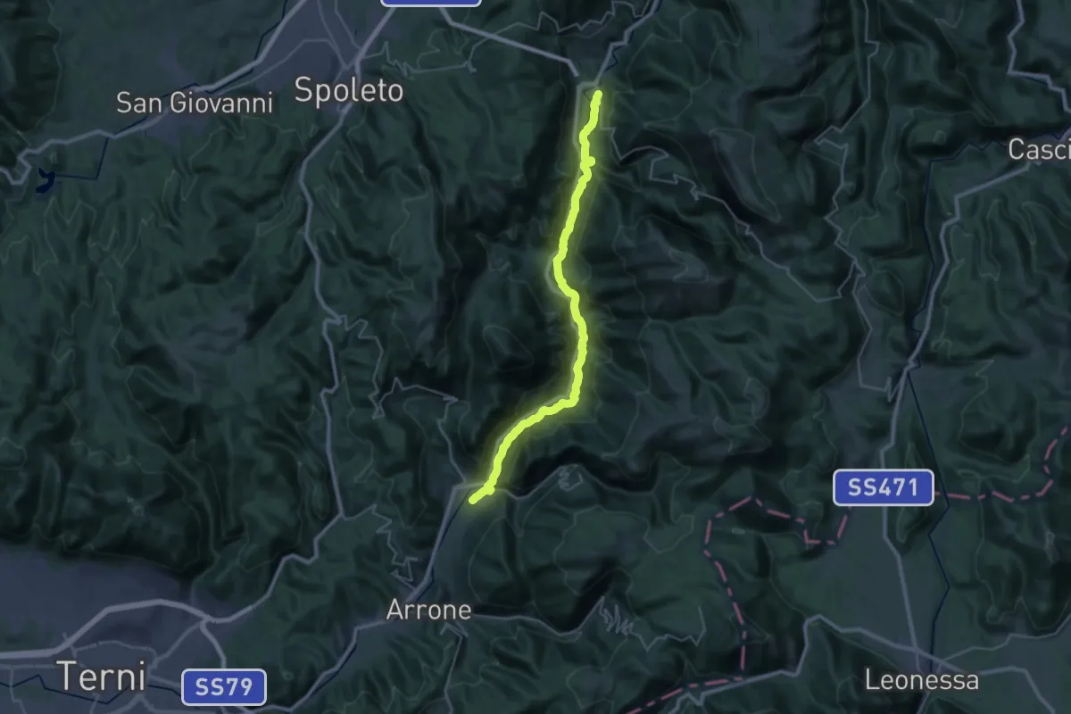
Easy · Trail
Lungo Lago lato San Benedetto
7.2 km · ↑ 245 m · 2 h 14 min
Medium · Trail
Lungonera Ferentillo - Sant'Anatolia di Narco
16.6 km · ↑ 195 m · 4 h 37 min
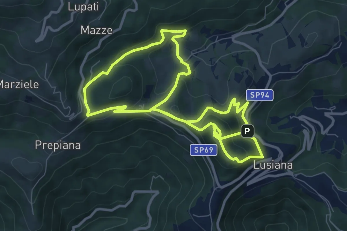
Medium · Summit
Lusia…’ndando
14.9 km · ↑ 753 m · 5 h 9 min
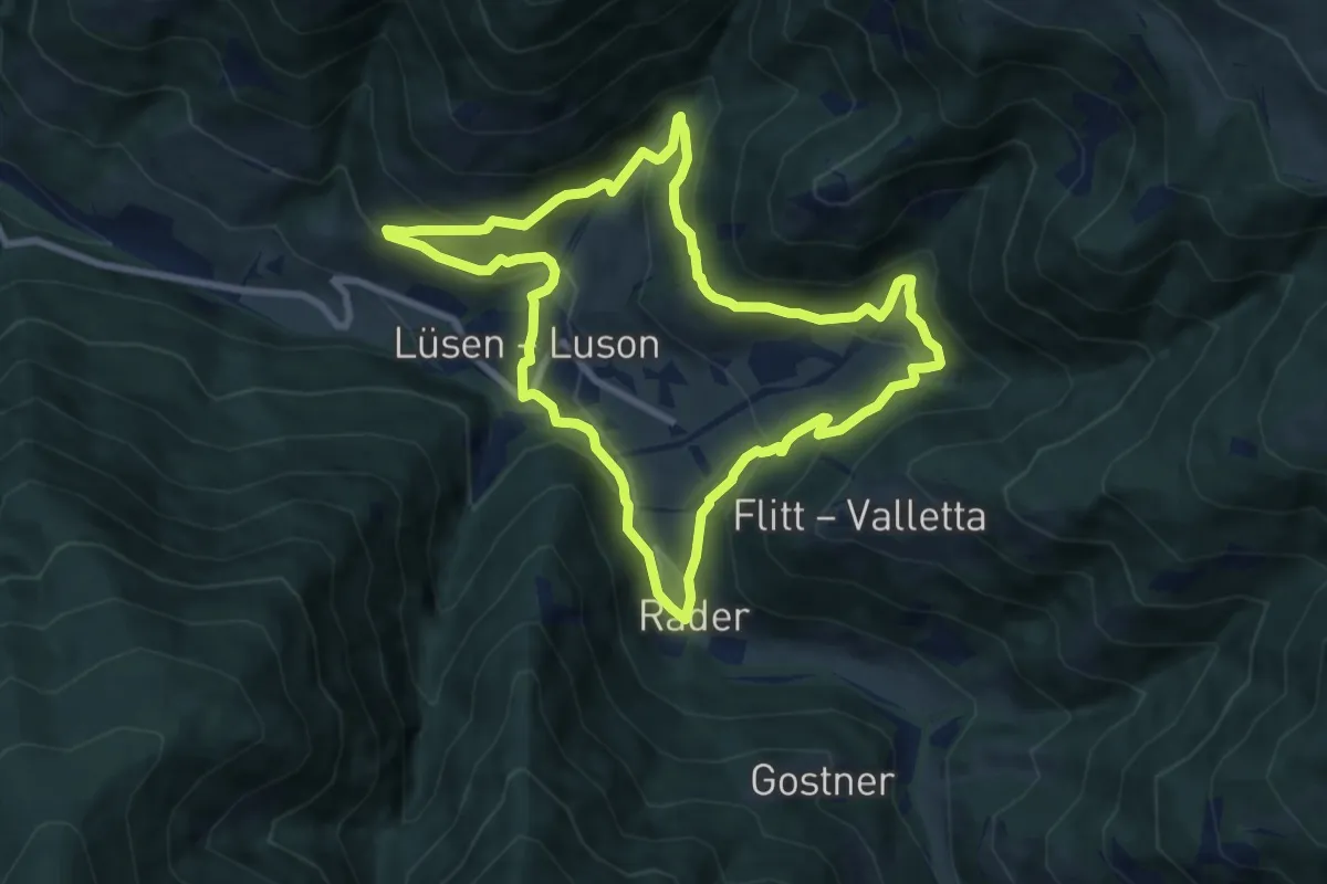
Demanding · Trail
Lüsner Panoramaweg - Giro panoramico di Luson
8.1 km · ↑ 449 m · 3 h
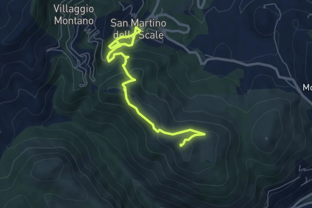
Medium · Summit
lwn 146
7.0 km · ↑ 423 m · 2 h 33 min
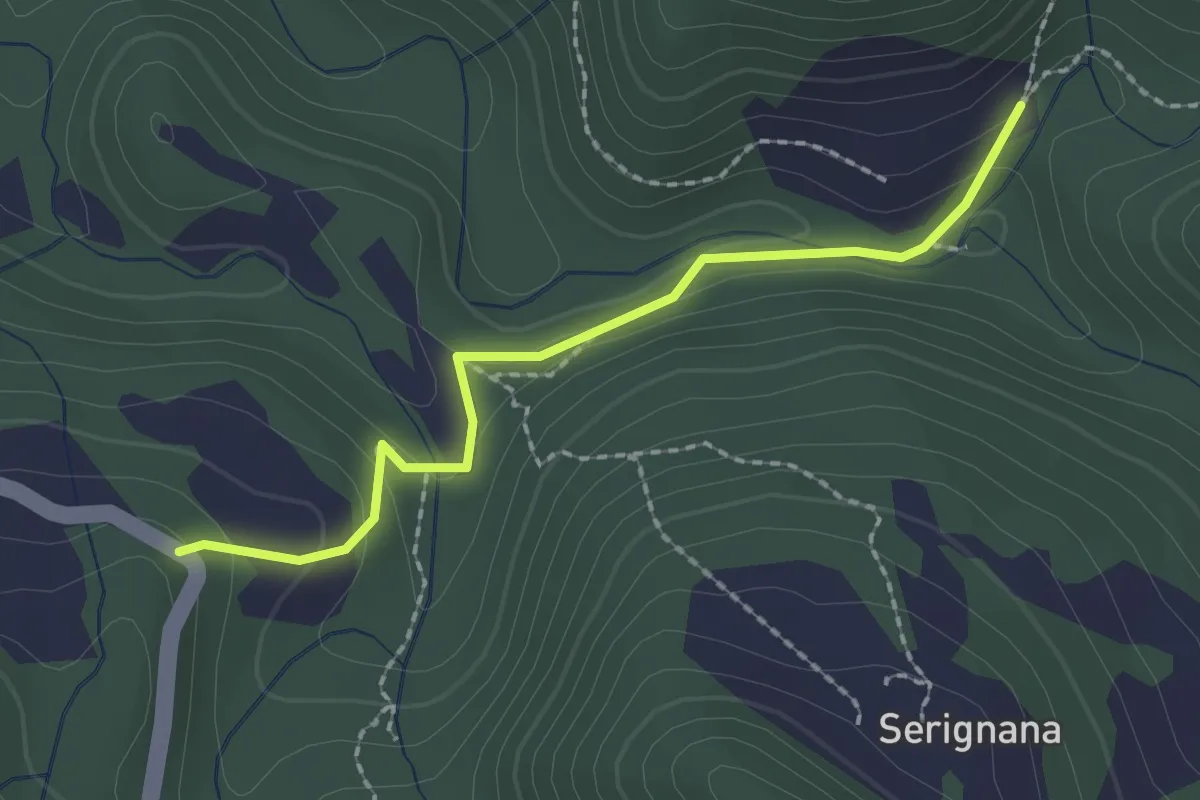
Medium · Trail
lwn 7
2.1 km · ↑ 93 m · 42 min
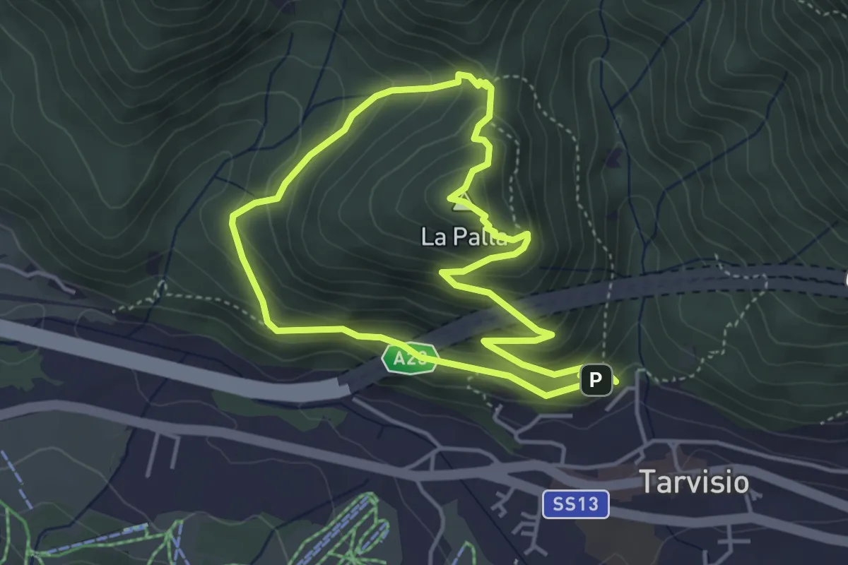
Medium · Summit
Lynx Trail
3.8 km · ↑ 250 m · 1 h 30 min
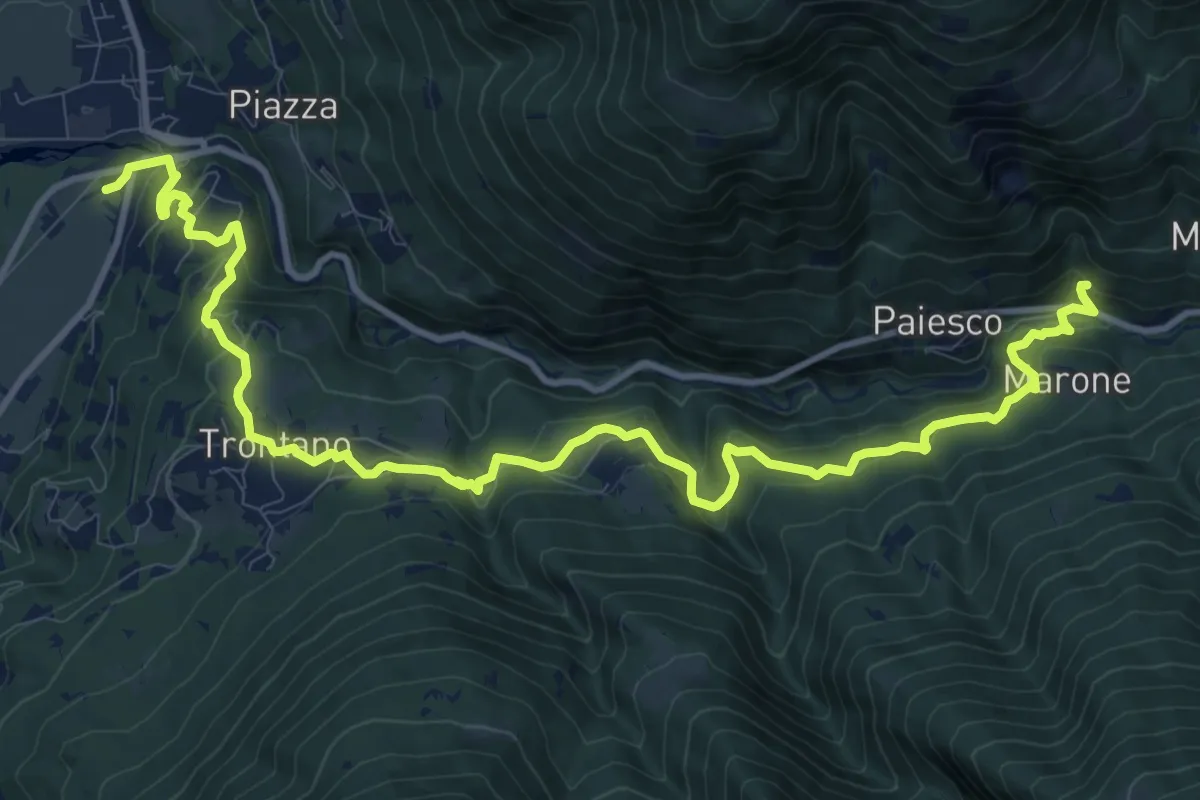
Medium · Trail
M00a - Via del Mercato (variante per Trontano)
14.9 km · ↑ 788 m · 5 h 13 min
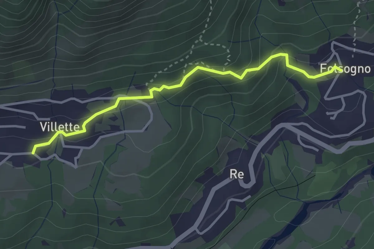
Medium · Trail
M00b - Villette - Folsogno
3.1 km · ↑ 183 m · 1 h 7 min
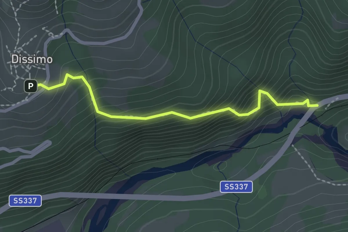
Medium · Trail
M00c - Marioccio bivio M22 - Dissimo bivio M00
2.0 km · ↑ 236 m · 1 h
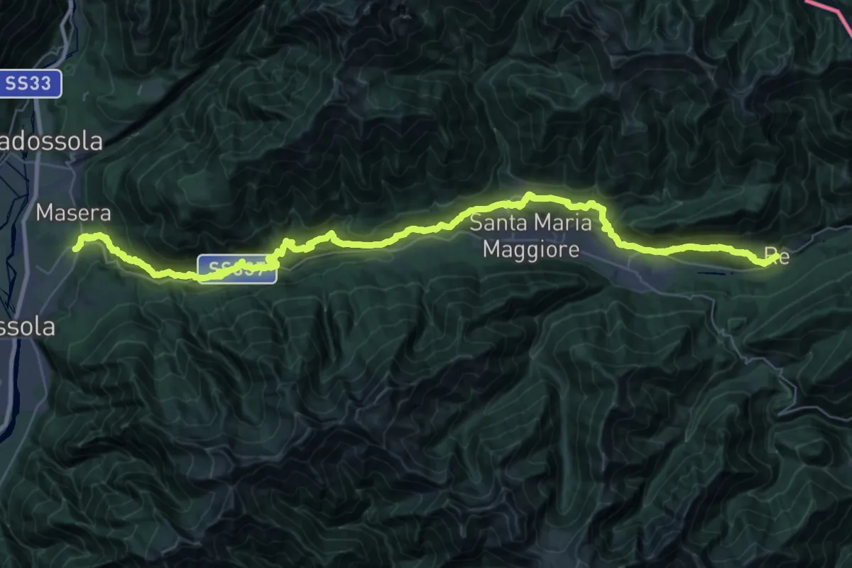
Demanding · Trail
M00 - Via del Mercato da Masera a Re (prima sezione)
22.6 km · ↑ 886 m · 7 h 47 min
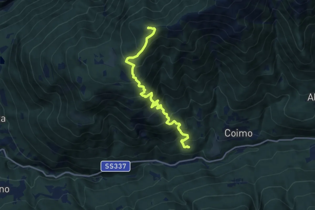
Demanding · Summit
M01 - Mozzio - Cima la Sella
9.4 km · ↑ 992 m · 4 h 23 min
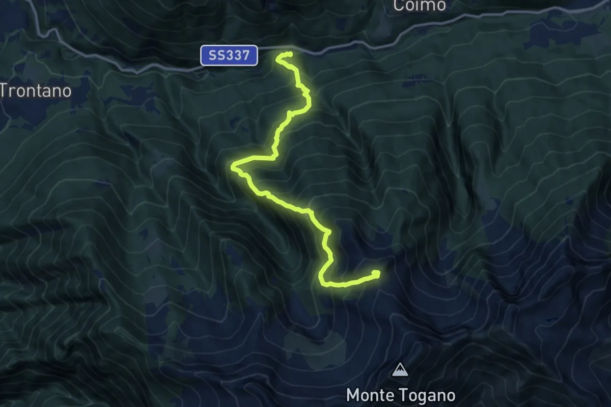
Demanding · Summit
M02 - Marone - Pizzo Marcio
11.9 km · ↑ 1529 m · 6 h 8 min
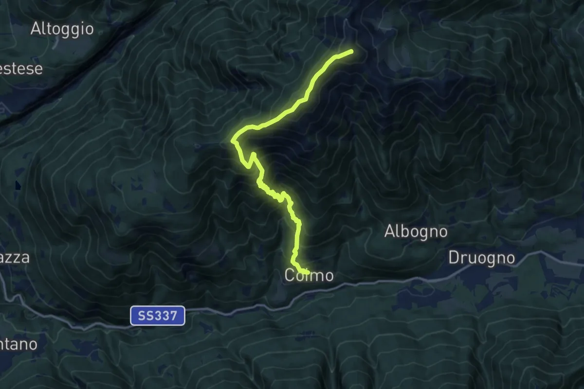
Expert · Summit
M03 - Coimo - Monte Loccia di Peve
13.1 km · ↑ 1522 m · 6 h 23 min
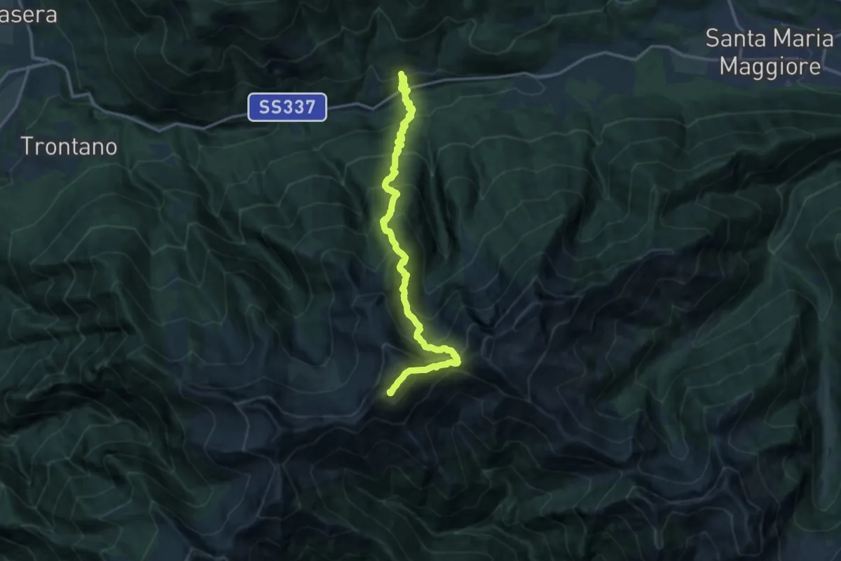
Demanding · Summit
M04 - Coimo - Monte Togano
15.0 km · ↑ 1868 m · 7 h 36 min
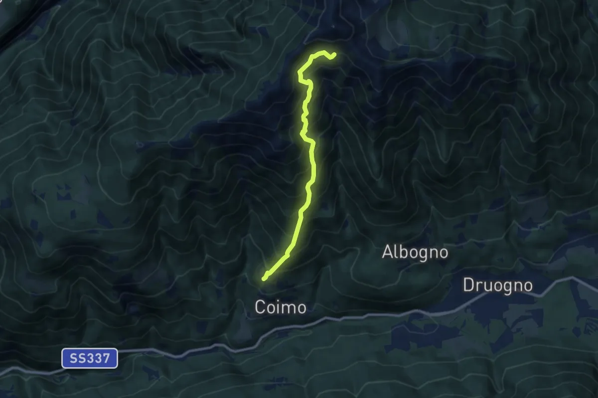
Demanding · Cabin
M05 - Alpe Varsaia -Alpe Buriale
7.7 km · ↑ 1016 m · 4 h 1 min
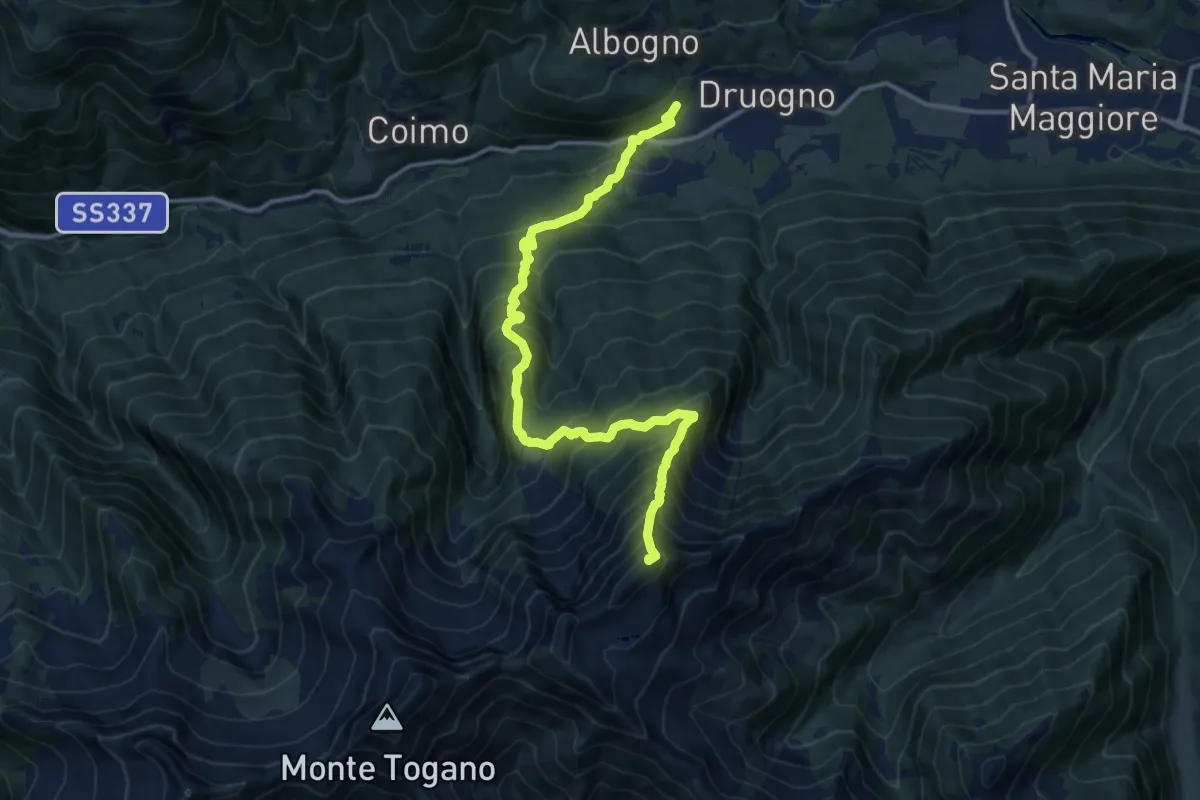
Expert · Summit
M06 - Druogno - Pizzo Ragno
13.8 km · ↑ 1534 m · 6 h 35 min
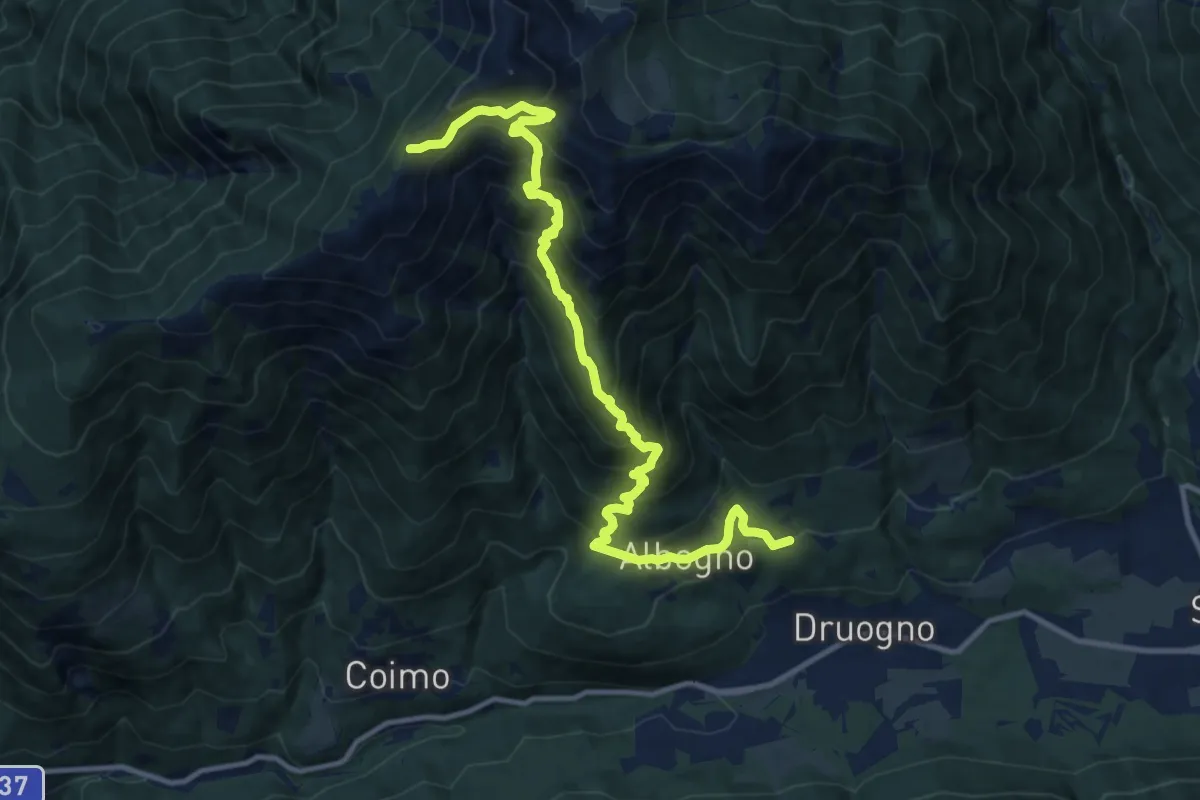
Demanding · Trail
M07 - Sagrogno - Passo della Margina - bivio M03
13.3 km · ↑ 1245 m · 5 h 50 min