Trails in Italy
25,221 hiking trails, each with its route, climb, walking time and grade.
All trails, page 98 of 526
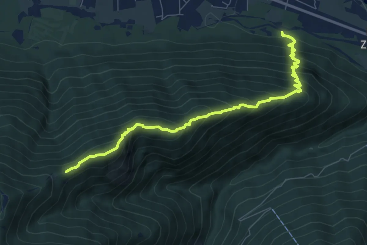
Demanding · Trail
M08a - Siberia - Alpe Cima
7.4 km · ↑ 753 m · 3 h 23 min
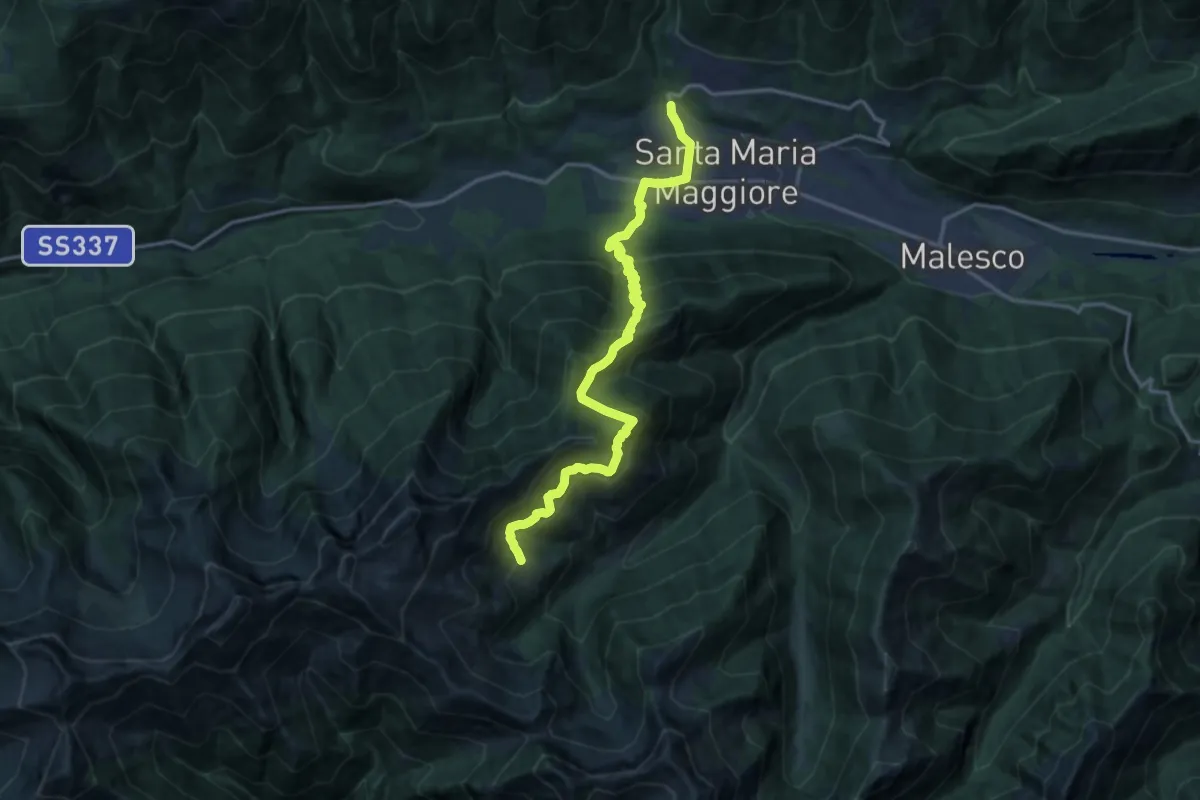
Demanding · Cabin
M08 - Santa Maria Maggiore - Rifugio Al Cedo
16.5 km · ↑ 1367 m · 6 h 52 min
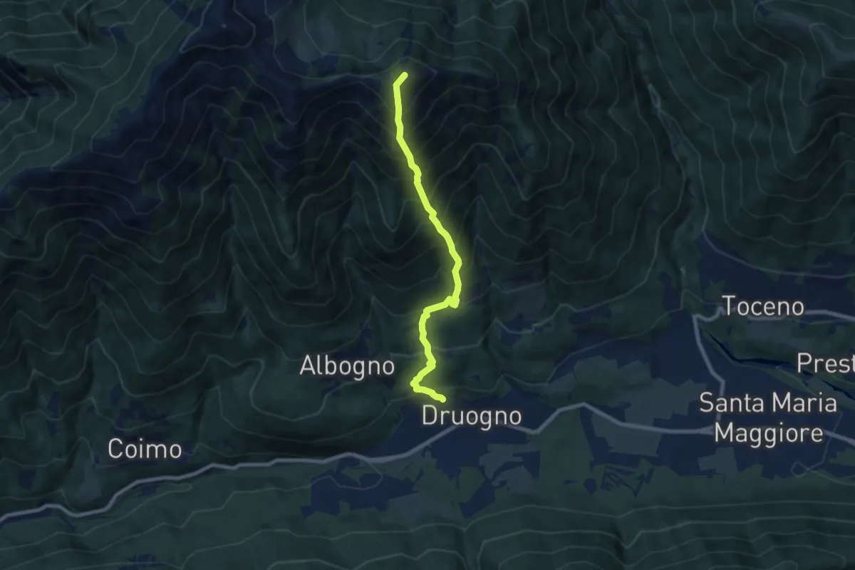
Demanding · Summit
M09 - Druogno - Monte Mater
7.2 km · ↑ 1189 m · 4 h 16 min
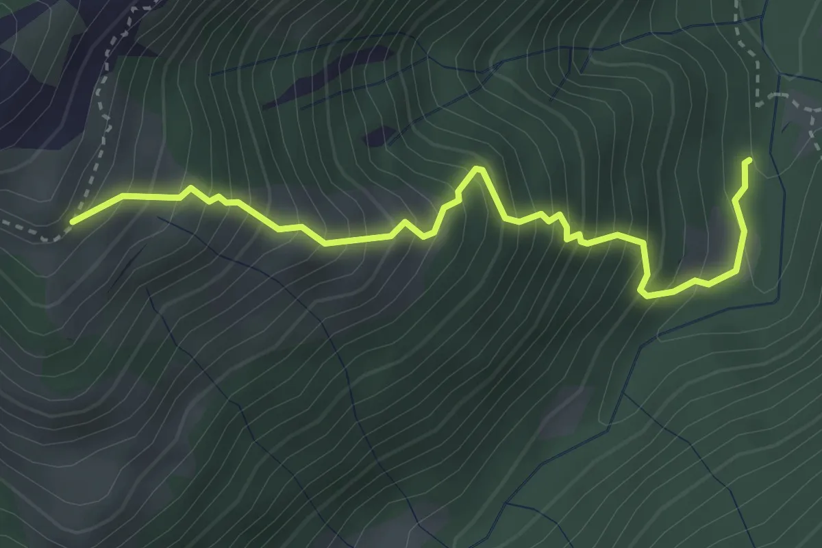
Medium · Trail
M10a - Alpe Aglio - Balmet
3.6 km · ↑ 637 m · 2 h 13 min
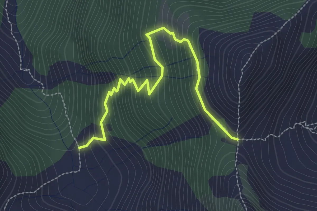
Demanding · Cabin
M10f - Alpe Bondolo - Bocchetta di Cavalla
3.0 km · ↑ 322 m · 1 h 25 min
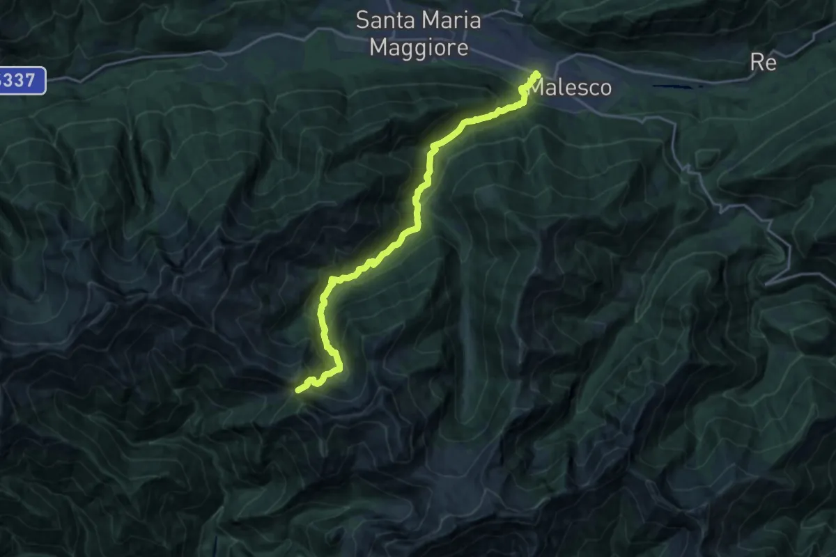
Demanding · Trail
M10 - Malesco loc. Gaia - Bocchetta di Vald
18.1 km · ↑ 1365 m · 7 h 14 min
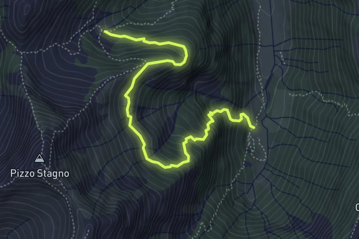
Demanding · Trail
M12a - Le Fornaci - Alpe Cavalla
5.9 km · ↑ 607 m · 2 h 43 min
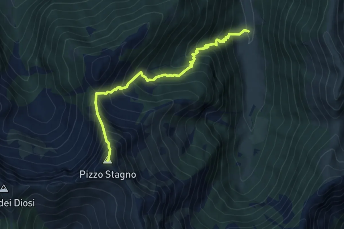
Expert · Summit
M12 - La Cascina - Pizzo Stagno
6.2 km · ↑ 892 m · 3 h 24 min
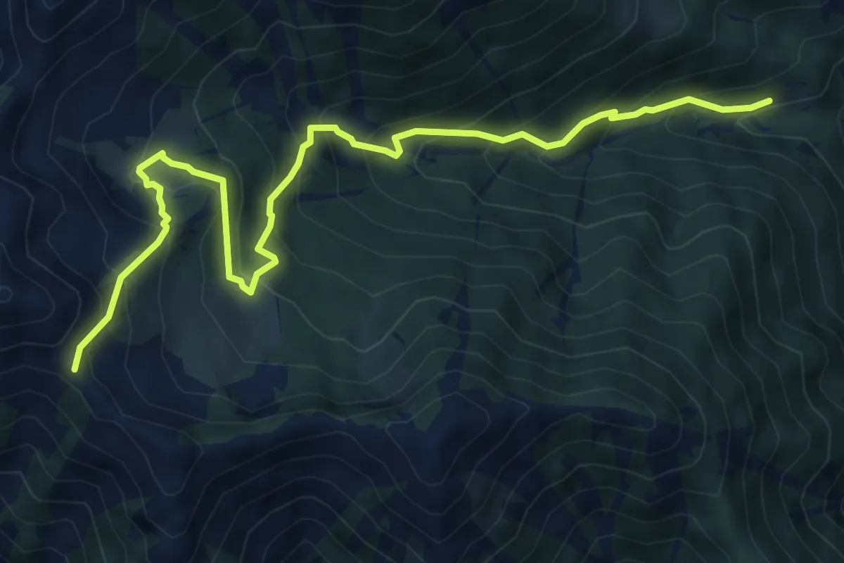
Medium · Trail
M13 - Cortino - Passo della Margina
8.4 km · ↑ 748 m · 3 h 36 min
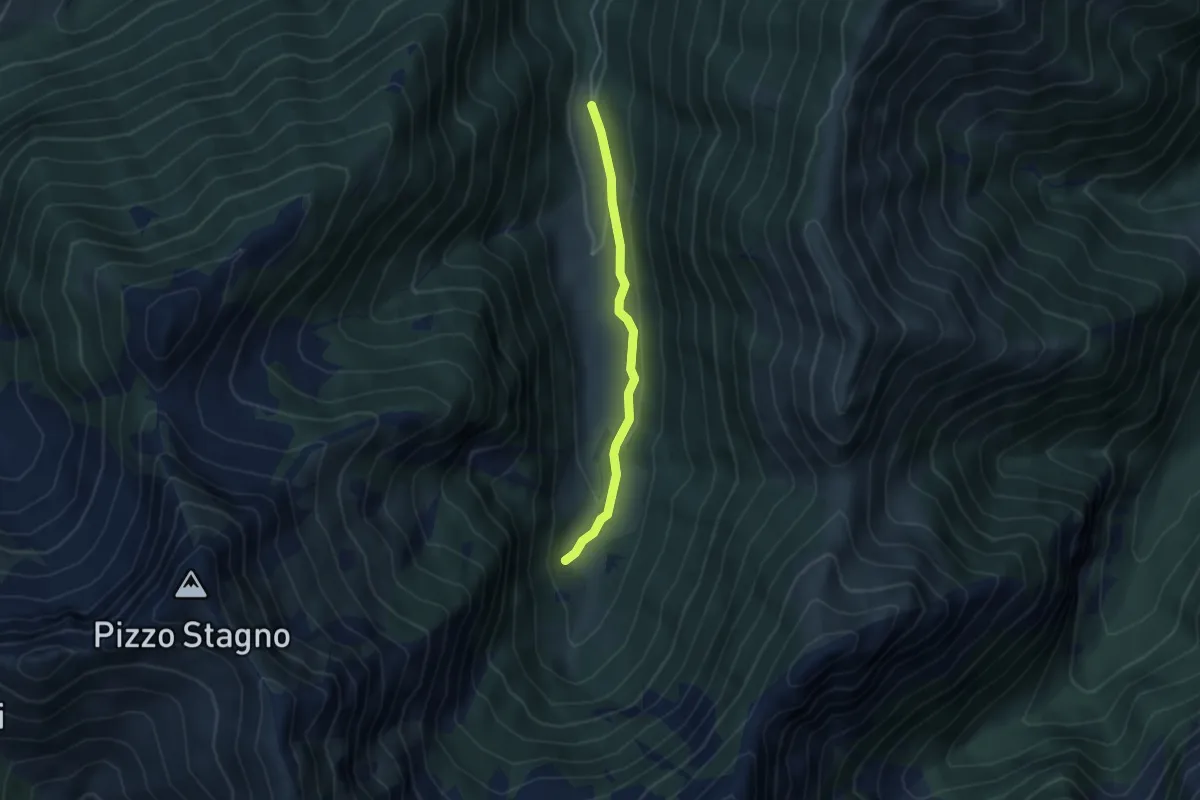
Easy · Trail
M14a - Fondo li Gabbi - Le Fornaci
3.6 km · ↑ 82 m · 1 h 2 min
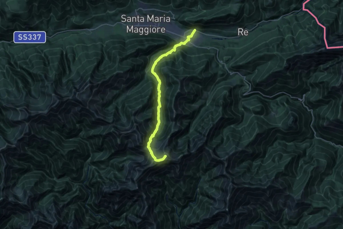
Demanding · Trail
M14 - Malesco - Bocchetta di Cortechiuso
11.6 km · ↑ 1392 m · 5 h 15 min
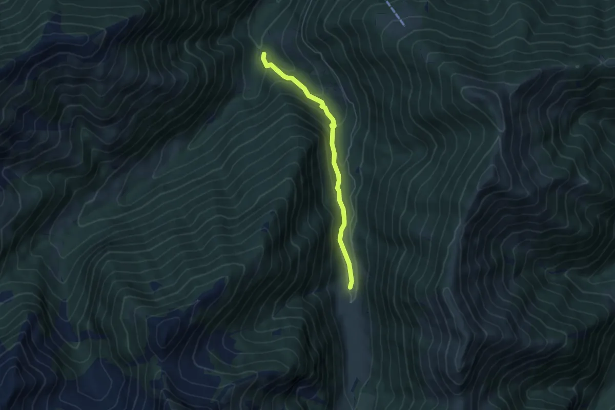
Medium · Trail
M14v - Crotte - La Cascina
4.8 km · ↑ 285 m · 1 h 45 min
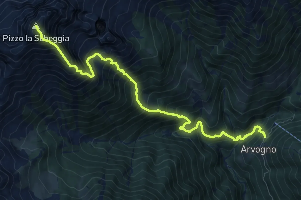
Demanding · Summit
M15 - Arvogno - Pizzo la Scheggia
11.0 km · ↑ 1522 m · 5 h 53 min
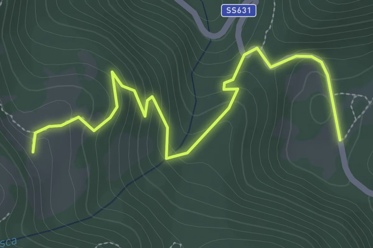
Easy · Trail
M16a - Piano di Sale - Laurenzo bivio M16
3.3 km · ↑ 194 m · 1 h 12 min
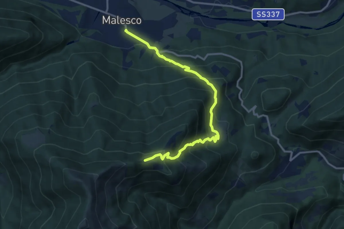
Demanding · Trail
M16 - Malesco - Cappella del Group
8.8 km · ↑ 813 m · 3 h 51 min
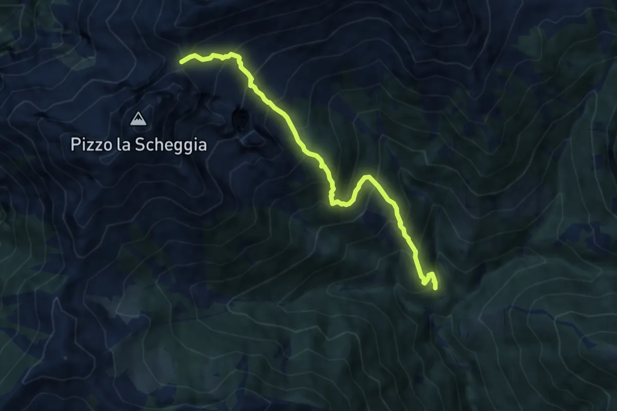
Expert · Trail
M17 - Coier - Passo Campeia
8.2 km · ↑ 1018 m · 4 h 9 min
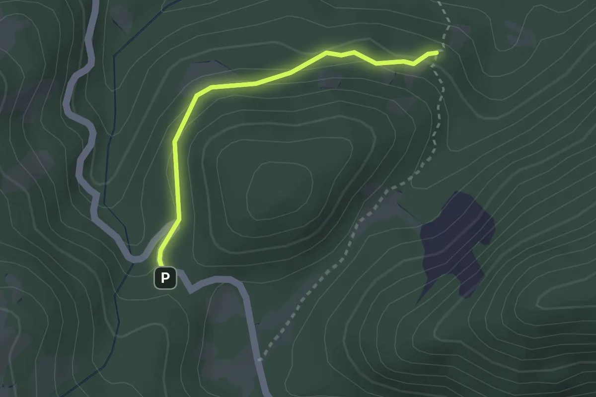
Easy · Trail
M18a - Alpe Cortaccio - Passo dello Scopello
2.4 km · ↑ 114 m · 49 min
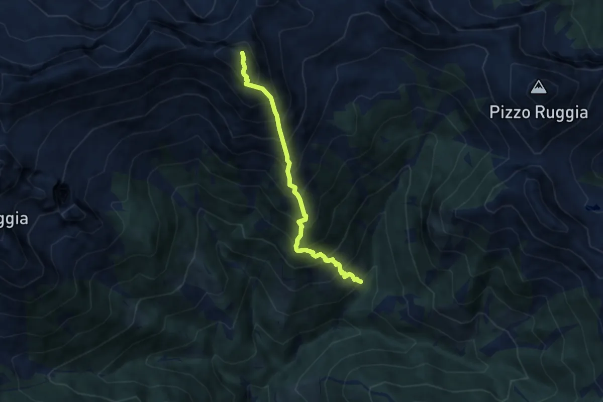
Demanding · Summit
M19 - Alpe Verzasca - Pioda di Crana
5.9 km · ↑ 1104 m · 3 h 47 min
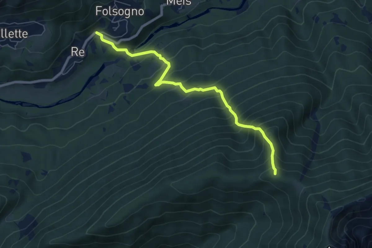
Medium · Trail
M20 - Re - Alpe Pluni
6.2 km · ↑ 796 m · 3 h 11 min
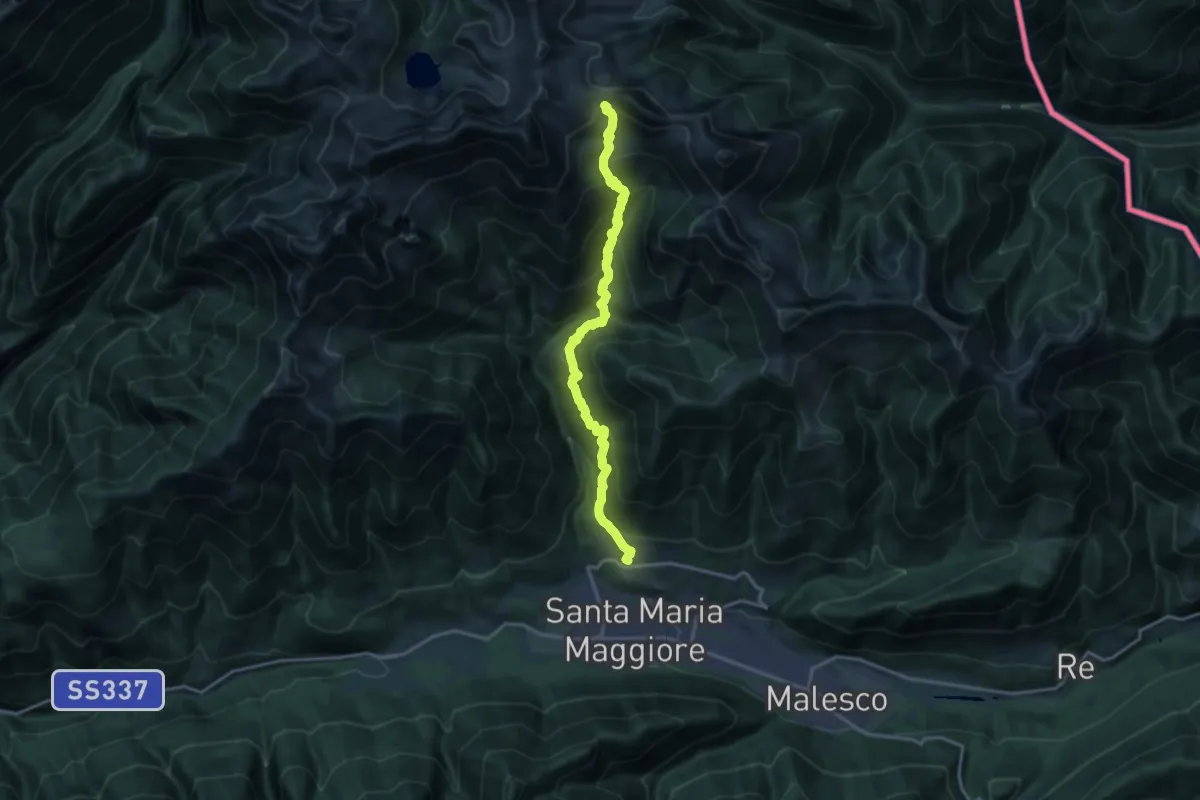
Demanding · Trail
M21 - Toceno - San Pantaleone
16.1 km · ↑ 1470 m · 6 h 59 min
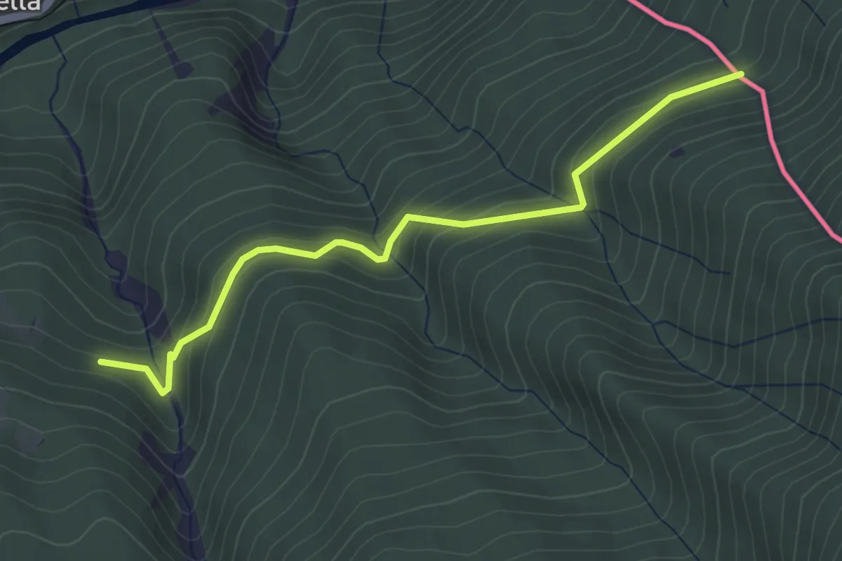
Easy · Trail
M22a - Vacchereccio - Confine di stato
4.0 km · ↑ 222 m · 1 h 26 min
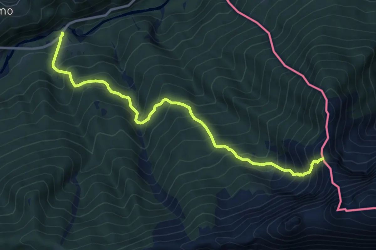
Demanding · Trail
M22 - Isella - Bocchetta di Misello
8.4 km · ↑ 983 m · 4 h 7 min
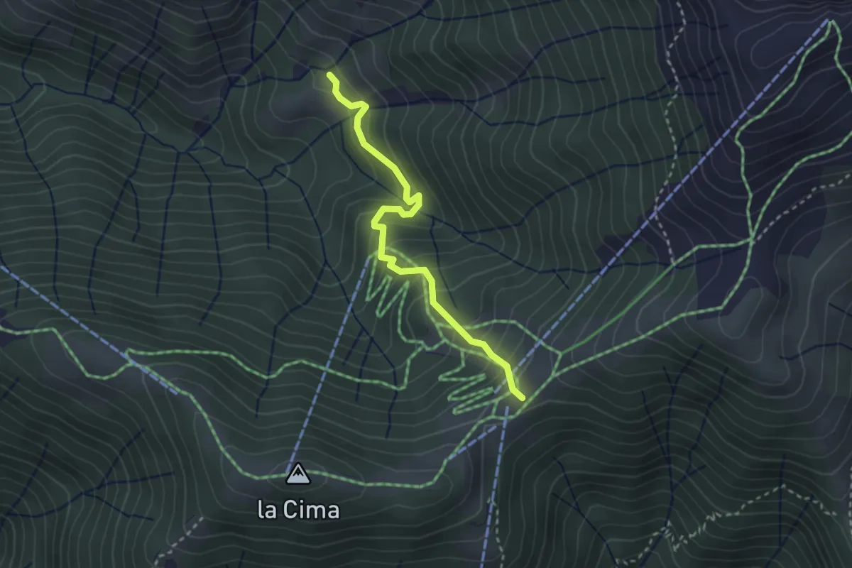
Easy · Trail
M23a - Alpe Raunel - Piana di Vigezzo
2.8 km · ↑ 304 m · 1 h 20 min
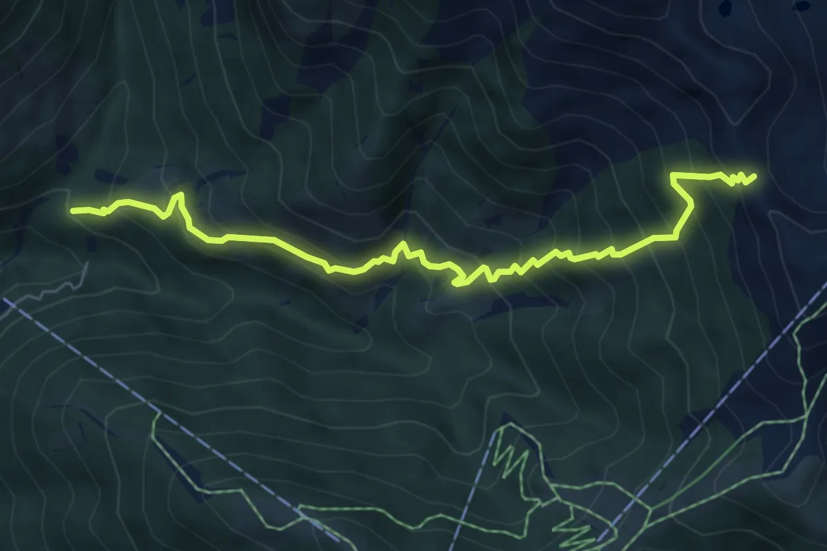
Medium · Trail
M23 - bivio M21 presso San Gerolamo - Bocchetta di Muino
6.3 km · ↑ 753 m · 3 h 7 min
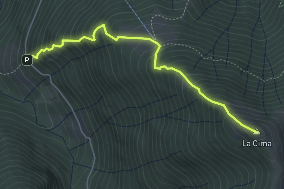
Medium · Summit
M24 - Bivio M14 presso Patqueso - La Cima
4.4 km · ↑ 660 m · 2 h 28 min
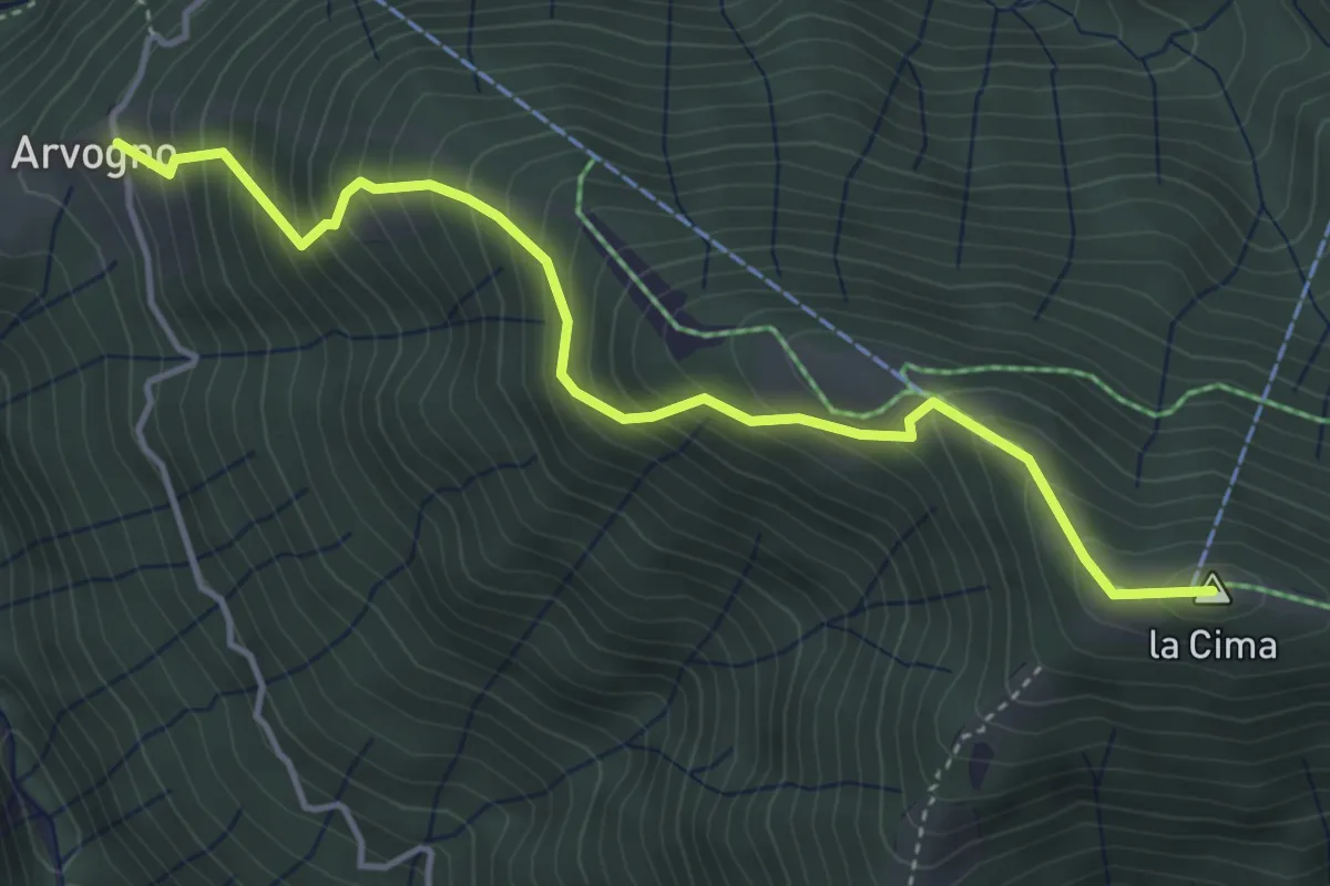
Medium · Summit
M25a - Arvogno - la Cima
4.4 km · ↑ 549 m · 2 h 13 min
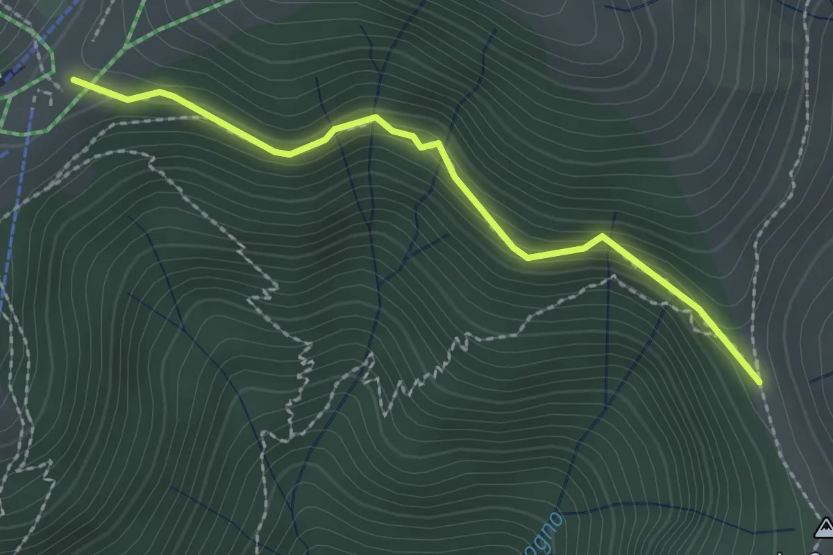
Easy · Trail
M25b - Piana di Vigezzo - Colma di Craveggia
2.2 km · ↑ 206 m · 58 min
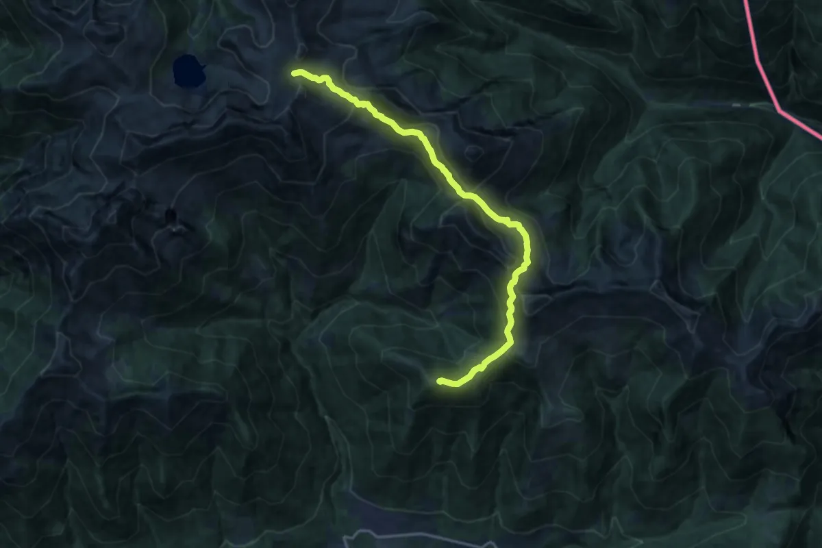
Demanding · Summit
M25 - Promez - Forcola di Larecchio
15.1 km · ↑ 1027 m · 5 h 47 min
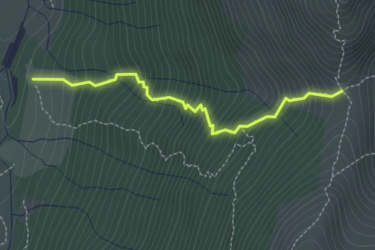
Medium · Trail
M26 - Alpe Loana - La Forcola
2.1 km · ↑ 385 m · 1 h 20 min
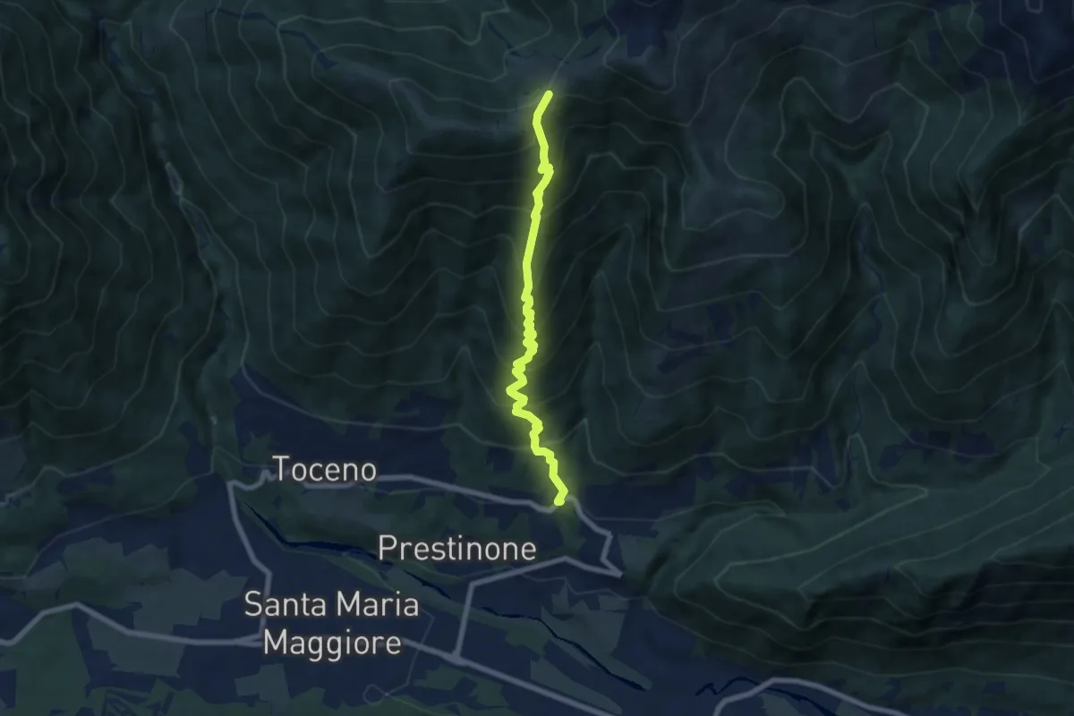
Medium · Trail
M27 - Vocogno - Piana di Vigezzo
6.8 km · ↑ 797 m · 3 h 20 min
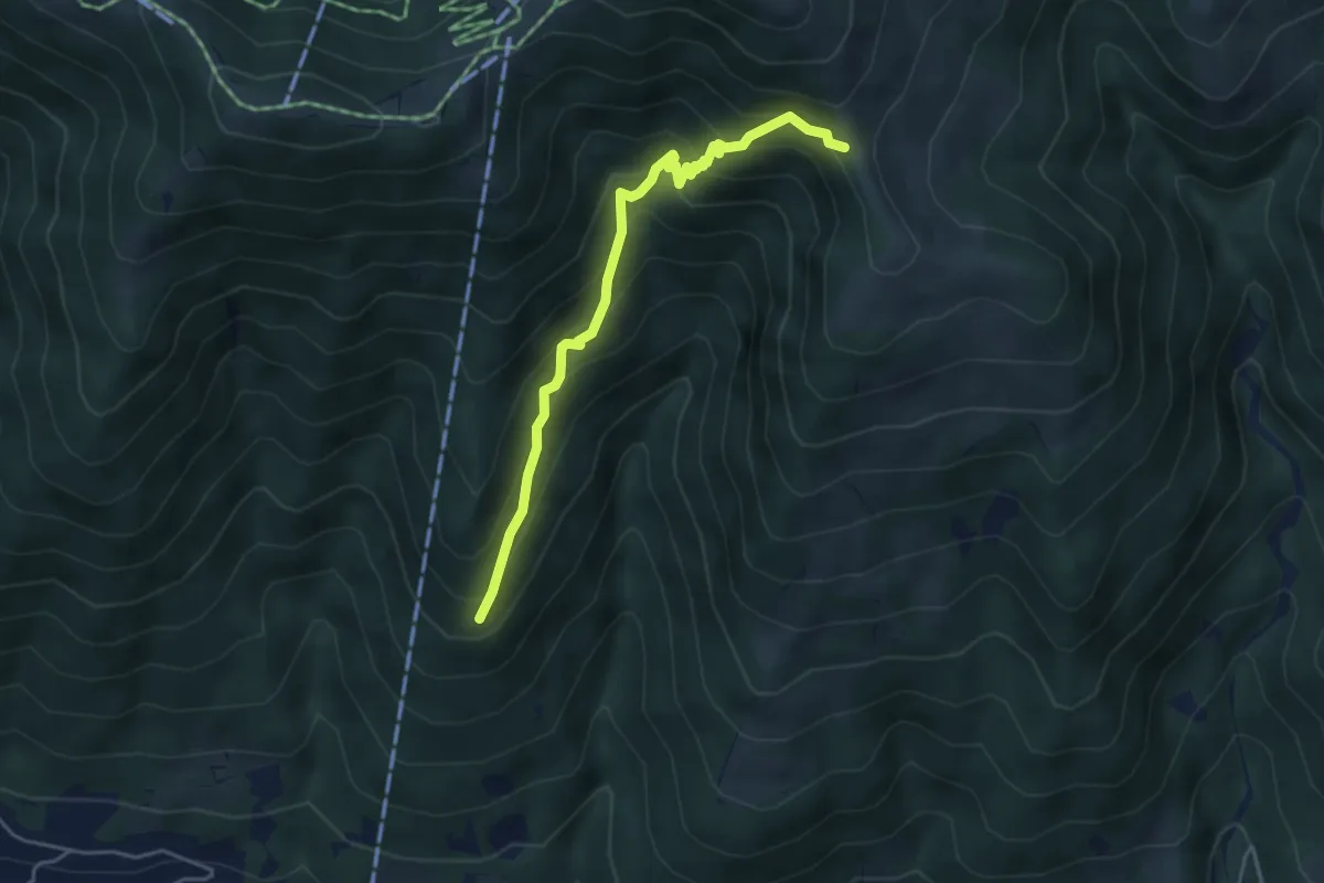
Medium · Trail
M29a - bivio M27 - la Colma di Craveggia
4.4 km · ↑ 504 m · 2 h 8 min
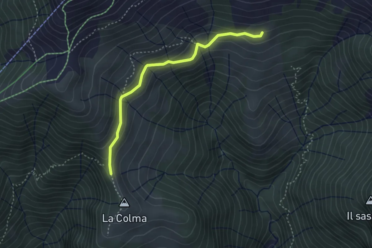
Easy · Trail
M29b - la Colma di Craveggia - la Colla
3.3 km · ↑ 201 m · 1 h 13 min
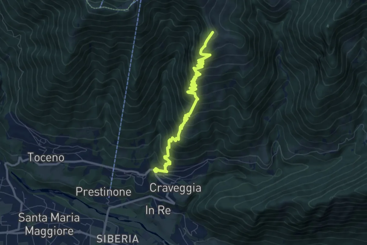
Demanding · Summit
M29 - Craveggia - Bocchetta della Cima
8.9 km · ↑ 802 m · 3 h 50 min
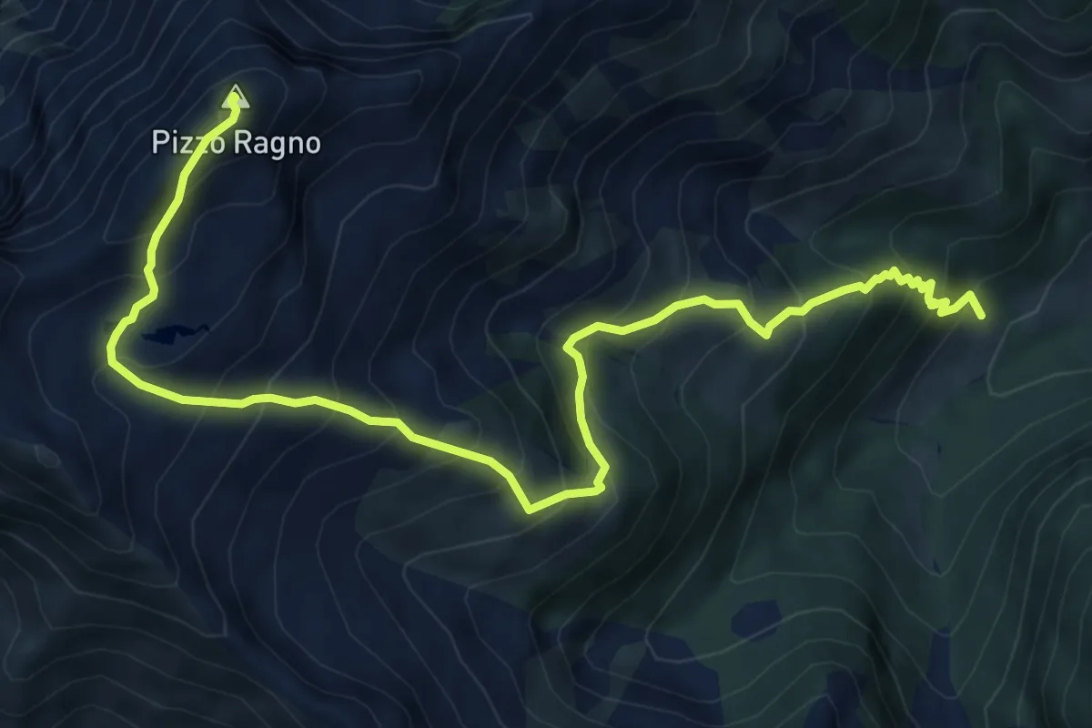
Demanding · Summit
M30 - All'Erta - Pizzo Ragno
8.4 km · ↑ 985 m · 4 h 7 min
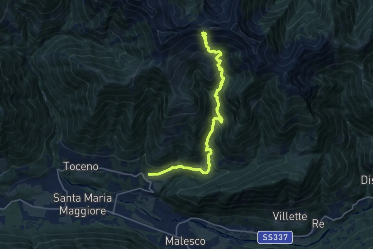
Demanding · Trail
M31 - Craveggia - Bocchetta della Cima
13.8 km · ↑ 1173 m · 5 h 48 min
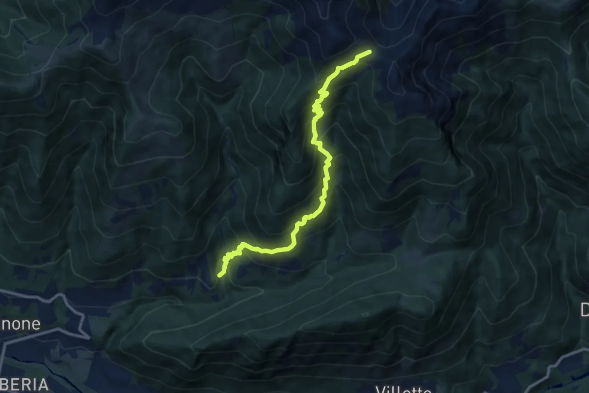
Demanding · Trail
M33 - in Bies - Bocchetta di Sant'Antonio
9.0 km · ↑ 1035 m · 4 h 22 min
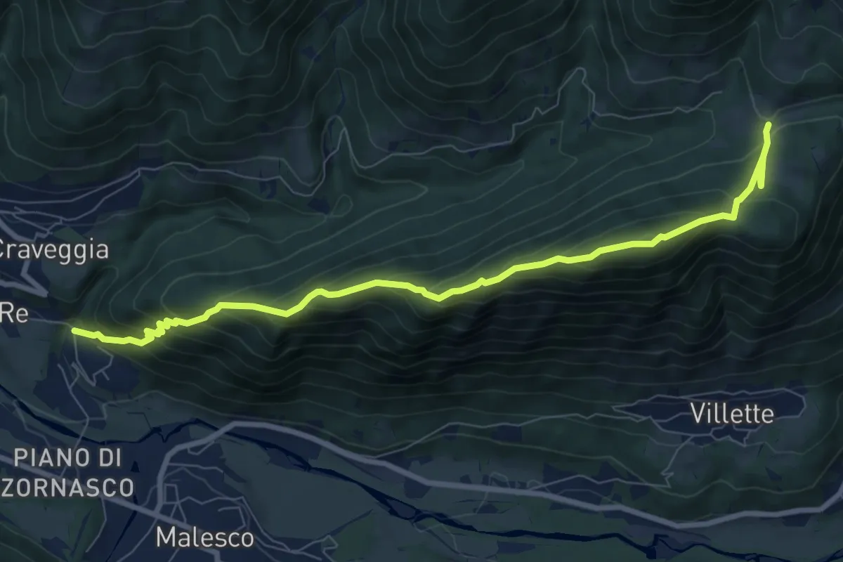
Demanding · Cabin
M35 - Zornasco - Alpe Fontana Verde
9.1 km · ↑ 751 m · 3 h 47 min
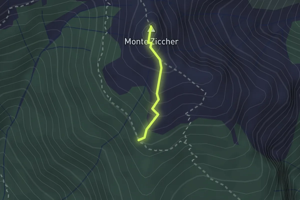
Demanding · Summit
M37b - Bivio M37 - Monte Ziccher - Bocchetta di St Antonio
1.2 km · ↑ 124 m · 33 min
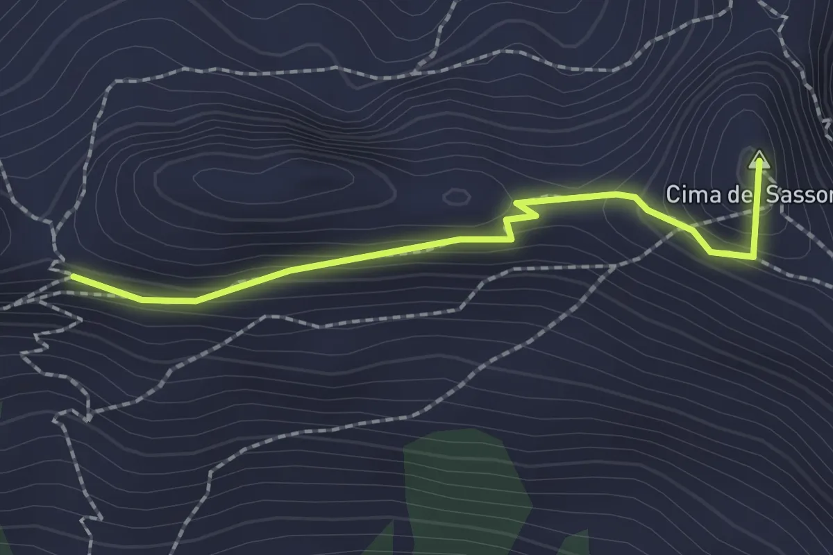
Easy · Summit
M37d Bocchetta di S. Antonio - Bocchetta della Cima
2.0 km · ↑ 110 m · 43 min
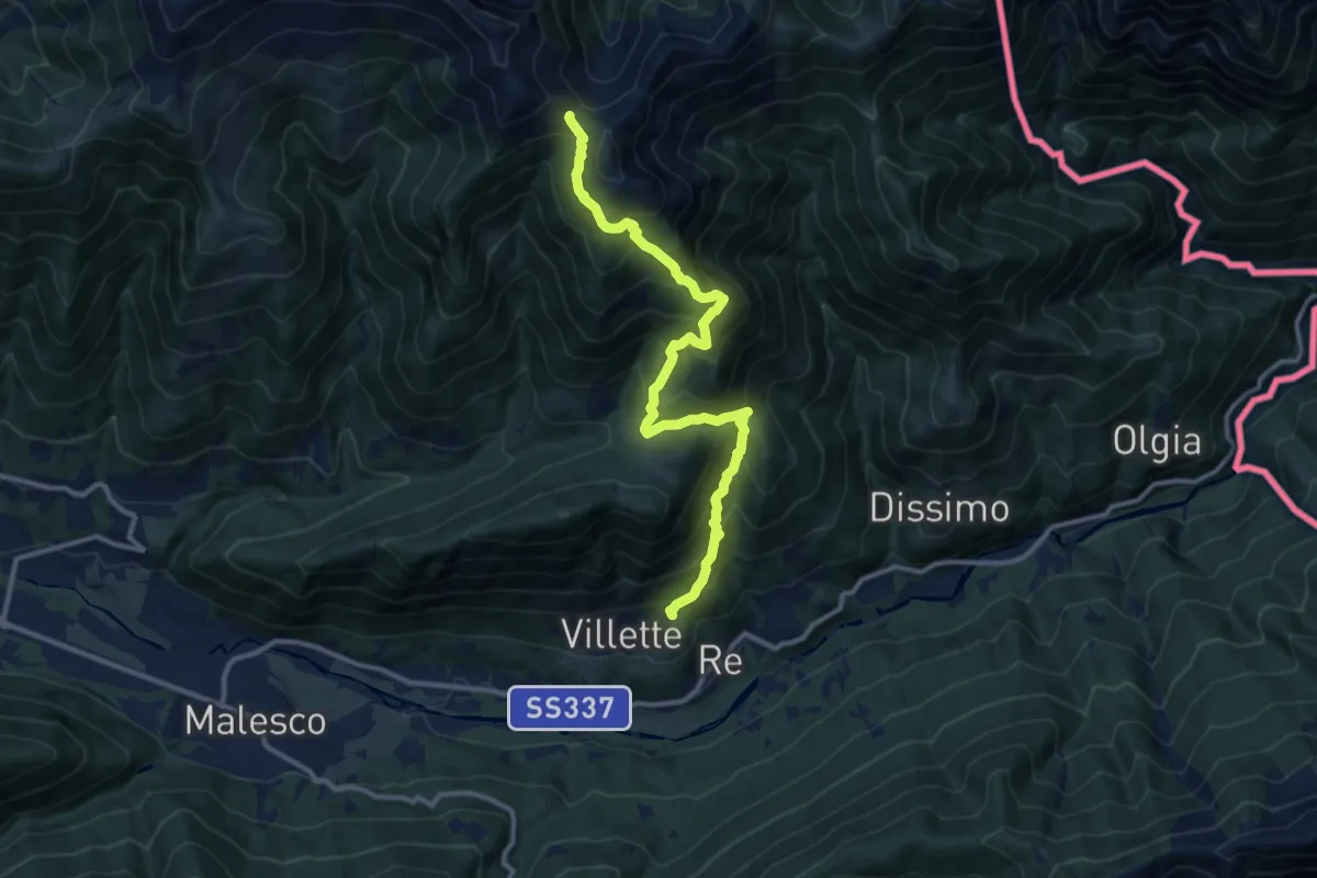
Demanding · Trail
M37 - Villette - Bocchetta di Sant'Antonio
12.2 km · ↑ 1037 m · 5 h 8 min
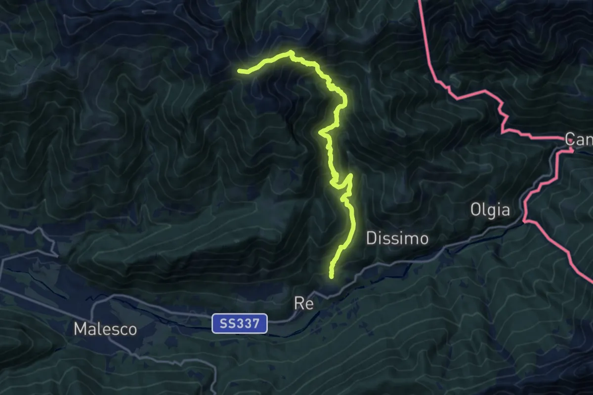
Demanding · Trail
M39 - Folsogno - Bocchetta di Sant'Antonio
14.4 km · ↑ 1503 m · 6 h 40 min
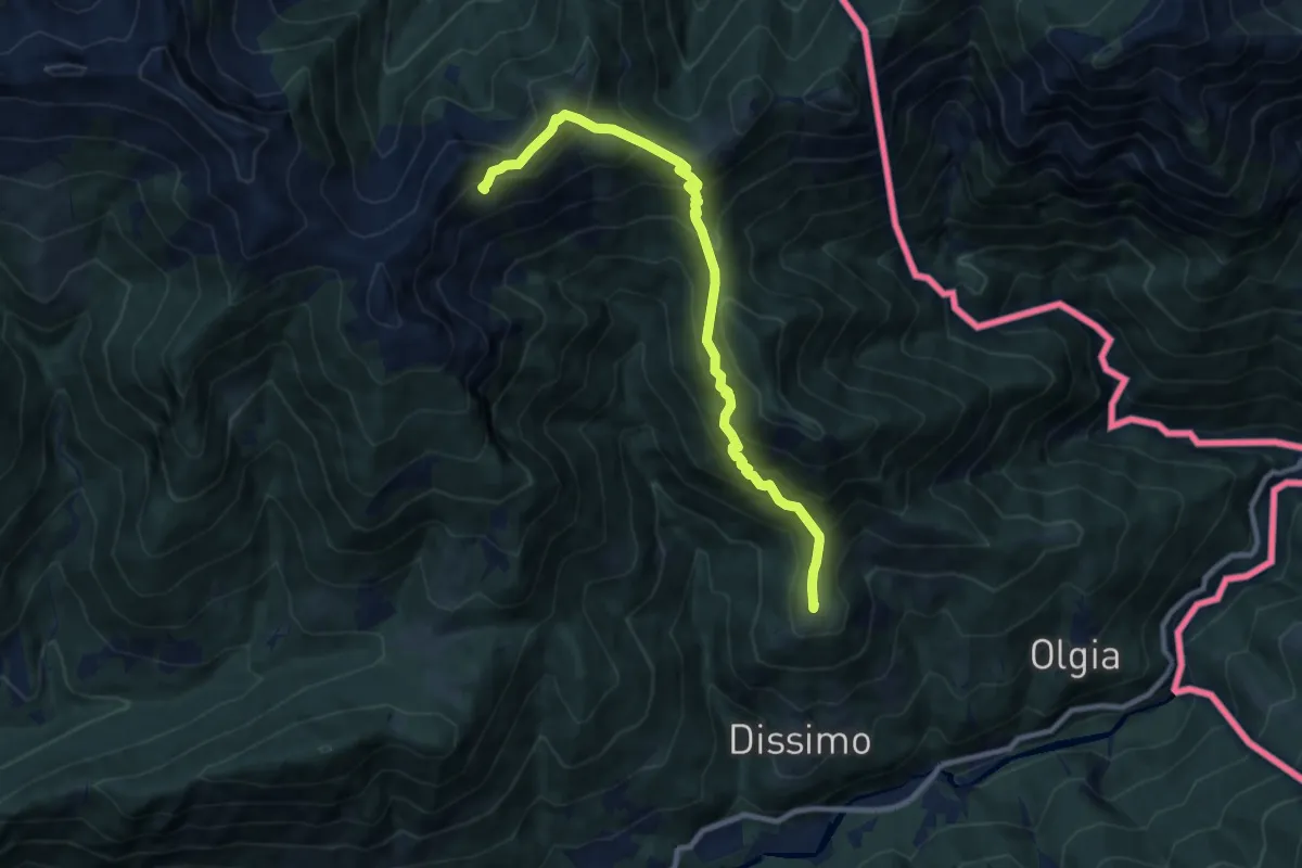
Demanding · Summit
M41 - Dissimo - Alpe Caneto
9.3 km · ↑ 920 m · 4 h 11 min
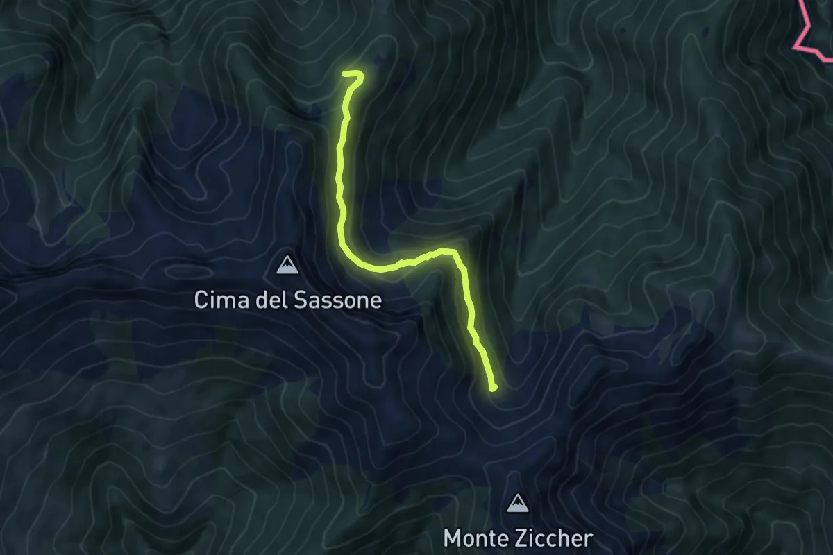
Demanding · Trail
M43b - Bivio M43 - Alpe Motto sopra
5.2 km · ↑ 315 m · 1 h 55 min
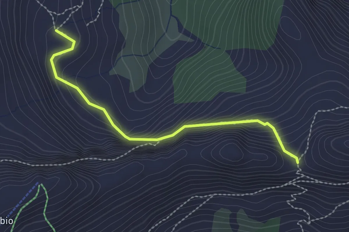
Easy · Trail
M47a - Alpe Canva - Bocchetta della Cima
2.5 km · ↑ 195 m · 1 h 1 min
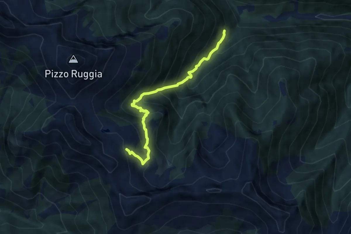
Demanding · Cabin
M47 - Alpe Cortaccio - Laghetti dei Muini
7.6 km · ↑ 814 m · 3 h 33 min
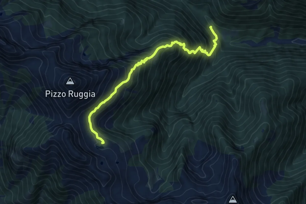
Demanding · Trail
M49 - Bivio M51 - Alpe di Ruggia
8.6 km · ↑ 905 m · 3 h 59 min
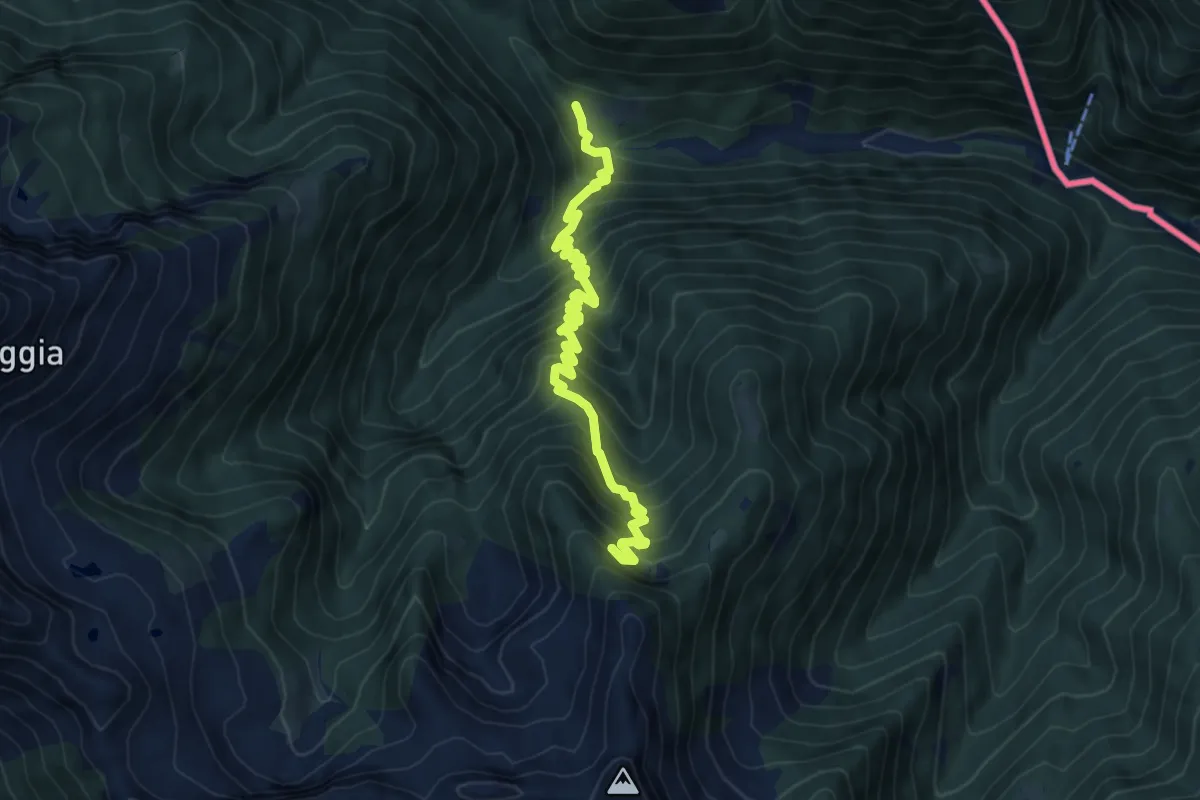
Demanding · Cabin
M51a - Fondo Monfracchio - Cresta di Moriming
7.6 km · ↑ 828 m · 3 h 35 min
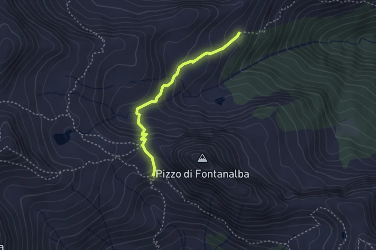
Medium · Trail
M51b - Bivio M51 - San Pantaleone
2.7 km · ↑ 190 m · 1 h 3 min