Trails in Japan
621 hiking trails, each with its route, climb, walking time and grade.
Near a town
- あきる野市
- いすみ市
- うるま市
- かすみがうら市
- さいたま市
- さぬき市
- たつの市
- つくばみらい市
- つくば市
- ふじみ野市
- みどり市
- みよし市
- 三好市
- 三浦市
- 三豊市
- 三郷市
- 三鷹市
- 上野原市
- 下妻市
- 下田市
- 下野市
- 下関市
- 世田谷区
- 中央区
- 中央市
- 中津川市
- 中野区
- 丸亀市
- 久慈市
- 亀岡市
- 二本松市
- 交野市
- 京田辺市
- 京都市
- 今治市
- 伊丹市
- 伊予市
- 伊勢原市
- 伊東市
- 伊賀市
- 伊達市
- 伊那市
- 佐倉市
- 佐野市
- 入間市
- 八尾市
- 八幡市
- 八幡平市
- 八戸市
- 八潮市
- 八王子市
- 八街市
- 出雲市
- 刈谷市
- 前橋市
- 勝浦市
- 北九州市
- 北区
- 北名古屋市
- 北広島市
- 北本市
- 匝瑳市
- 千代田区
- 千歳市
- 半田市
- 南アルプス市
- 南国市
- 南島原市
- 南房総市
- 南足柄市
- 南陽市
- 印西市
- 厚木市
- 可児市
- 台東区
- 吉川市
- 吉野川市
- 名古屋市
- 名張市
- 向日市
- 吹田市
- 和光市
- 品川区
- 善通寺市
- 四国中央市
- 四條畷市
- 国分寺市
- 国立市
- 土佐市
- 土岐市
- 土浦市
- 坂出市
- 坂戸市
- 城陽市
- 堺市
- 塩尻市
- 墨田区
- 多摩市
- 多治見市
- 大和市
- 大和郡山市
- 大和高田市
- 大府市
- 大東市
- 大津市
- 大田区
- 大田原市
- 大竹市
- 大網白里市
- 大船渡市
- 大野城市
- 大阪市
- 天理市
- 太宰府市
- 太田市
- 奈良市
- 姫路市
- 宇和島市
- 宇治市
- 宇陀市
- 守口市
- 守山市
- 安中市
- 安城市
- 安曇野市
- 宍粟市
- 宜野湾市
- 宝塚市
- 室戸市
- 宮古市
- 富士吉田市
- 富士見市
- 富岡市
- 富津市
- 富里市
- 寝屋川市
- 小山市
- 小平市
- 小松島市
- 小牧市
- 小田原市
- 小美玉市
- 小諸市
- 小金井市
- 尾張旭市
- 山梨市
- 山武市
- 岡崎市
- 岡谷市
- 島本町
- 島田市
- 川口市
- 川崎市
- 川西市
- 川越市
- 市原市
- 市川市
- 常滑市
- 常総市
- 常陸大宮市
- 平塚市
- 広島市
- 府中市
- 座間市
- 廿日市市
- 御所市
- 御殿場市
- 徳島市
- 志木市
- 恵庭市
- 恵那市
- 成田市
- 戸田市
- 所沢市
- 摂津市
- 文京区
- 新城市
- 新宮市
- 新宿区
- 新居浜市
- 新座市
- 日進市
- 日野市
- 日高市
- 春日井市
- 春日市
- 昭島市
- 朝霞市
- 木津川市
- 本宮市
- 杉並区
- 東かがわ市
- 東久留米市
- 東京都
- 東大和市
- 東大阪市
- 東御市
- 東村山市
- 東松山市
- 東温市
- 東金市
- 松原市
- 松山市
- 松戸市
- 松本市
- 板橋区
- 枚方市
- 柏原市
- 栃木市
- 栗東市
- 桐生市
- 桜井市
- 桜川市
- 桶川市
- 横浜市
- 横須賀市
- 橿原市
- 武蔵村山市
- 武蔵野市
- 江南市
- 江戸川区
- 江東区
- 池田市
- 沖縄市
- 沼田市
- 流山市
- 浜松市
- 浦安市
- 浦添市
- 海老名市
- 清瀬市
- 清須市
- 渋川市
- 渋谷区
- 港区
- 湖南市
- 湖西市
- 滝沢市
- 潮来市
- 瀬戸市
- 焼津市
- 牛久市
- 犬山市
- 狛江市
- 瑞浪市
- 生駒市
- 田原市
- 甲州市
- 甲賀市
- 町田市
- 白河市
- 目黒区
- 相模原市
- 真岡市
- 知多市
- 知立市
- 石岡市
- 碧南市
- 磐田市
- 福岡市
- 福生市
- 秦野市
- 秩父市
- 稲城市
- 稲敷市
- 立川市
- 笠間市
- 筑紫野市
- 筑西市
- 箕面市
- 米原市
- 米沢市
- 結城市
- 綾瀬市
- 練馬区
- 美濃加茂市
- 美馬市
- 羽曳野市
- 羽村市
- 茂原市
- 茅ヶ崎市
- 茅野市
- 茨木市
- 草加市
- 草津市
- 荒川区
- 葛城市
- 葛飾区
- 蕨市
- 藤井寺市
- 藤岡市
- 藤枝市
- 藤沢市
- 行方市
- 行橋市
- 西予市
- 西尾市
- 西条市
- 西東京市
- 観音寺市
- 調布市
- 諏訪市
- 豊中市
- 豊島区
- 豊川市
- 豊明市
- 豊橋市
- 豊田市
- 越谷市
- 足利市
- 足立区
- 逗子市
- 那珂川市
- 那須塩原市
- 那須烏山市
- 都留市
- 野洲市
- 釜石市
- 鎌倉市
- 長久手市
- 長岡京市
- 長浜市
- 門真市
- 阿南市
- 阿波市
- 阿蘇市
- 陸前高田市
- 青梅市
- 静岡市
- 韮崎市
- 飯田市
- 飯能市
- 館山市
- 館林市
- 香南市
- 香取市
- 香美市
- 香芝市
- 駒ヶ根市
- 高崎市
- 高松市
- 高槻市
- 高浜市
- 高知市
- 鳴門市
- 鴨川市
- 鴻巣市
- 鶴ヶ島市
- 龍ケ崎市
All trails, page 1 of 13
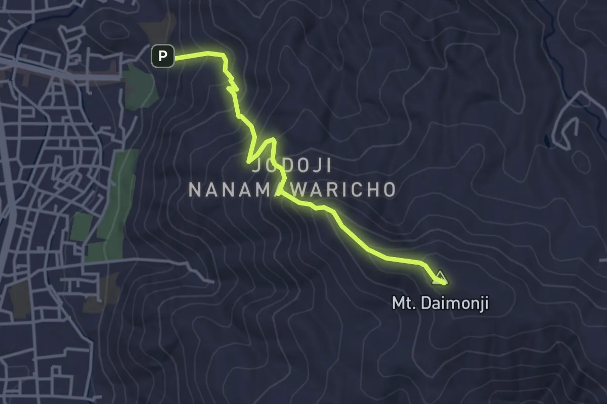
Medium · Summit
Daimonji from Ginkakuji
4.0 km · ↑ 340 m · 1 h 41 min
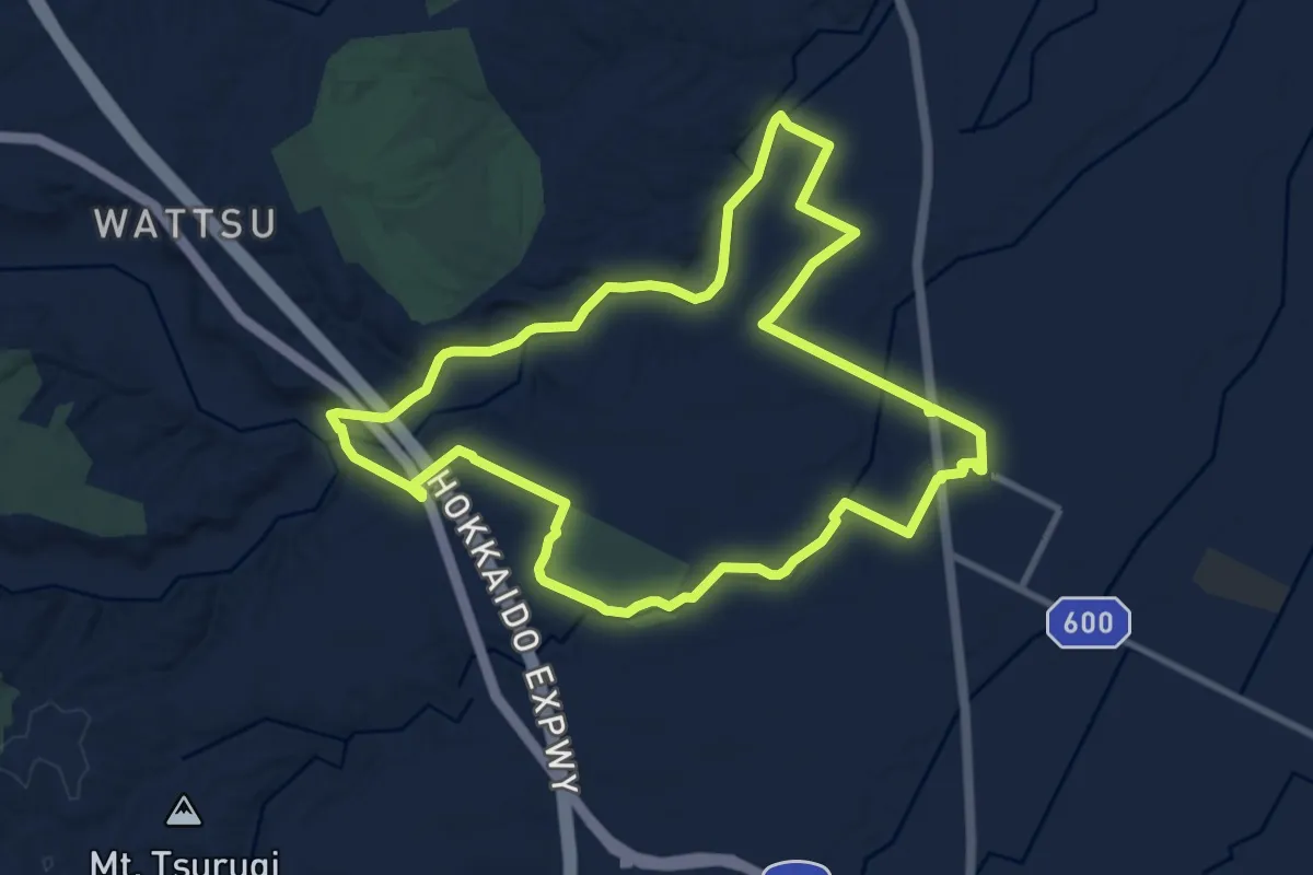
Medium · Trail
Eniwa Old Shimamatsu Station and Dr. Clark Footpath
10.2 km · ↑ 99 m · 2 h 46 min
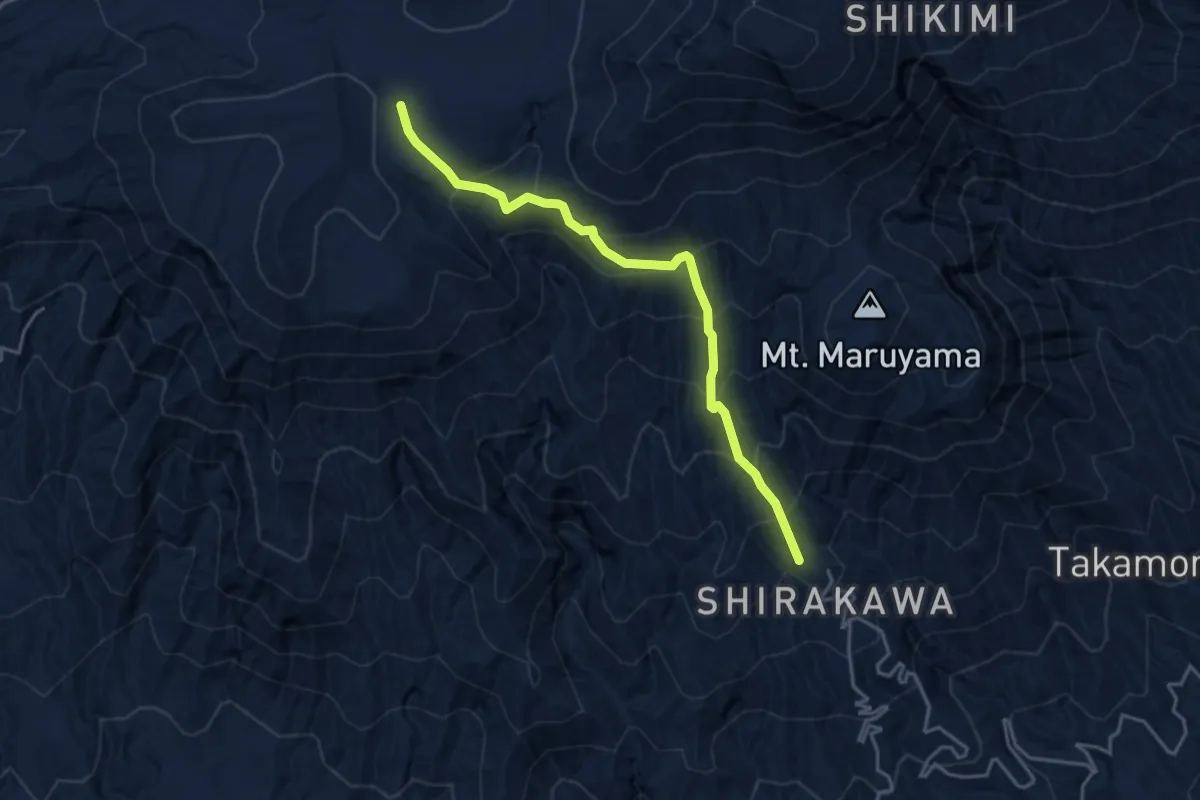
Demanding · Trail
Gyogimatsu Trail
4.8 km · ↑ 415 m · 2 h 2 min
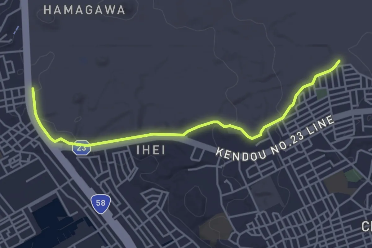
Easy · Trail
Habu Hill Trail
5.3 km · ↑ 67 m · 1 h 24 min
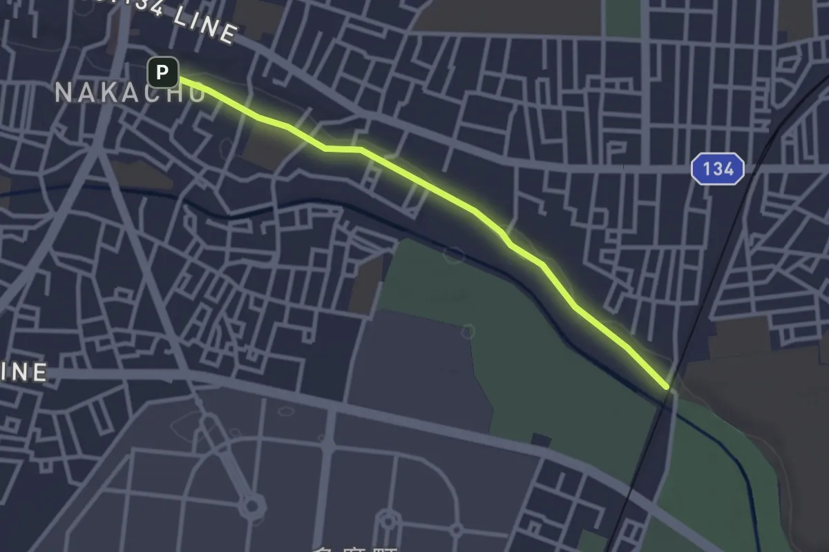
Easy · Trail
hake no michi
3.3 km · ↑ 24 m · 50 min
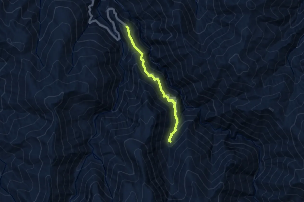
Medium · Trail
Iwama Hutt Rottenburo
6.8 km · ↑ 775 m · 3 h 18 min
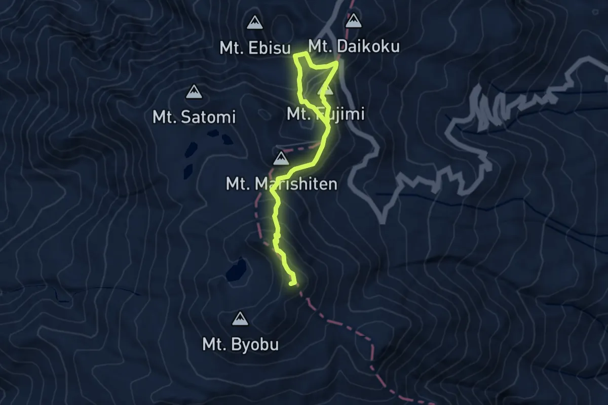
Medium · Summit
Kengamine
7.3 km · ↑ 479 m · 2 h 45 min
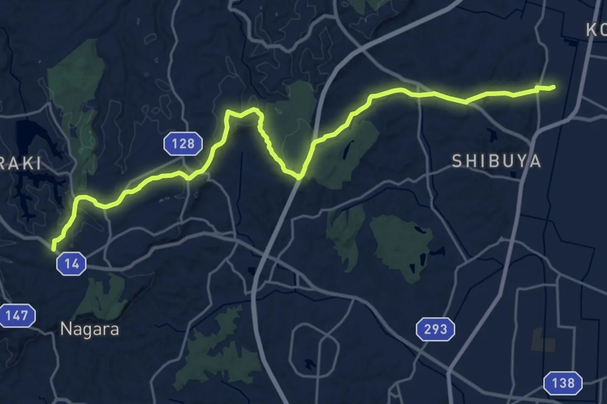
Demanding · Trail
KFT - C10 - Yamazato michi
25.2 km · ↑ 387 m · 6 h 47 min
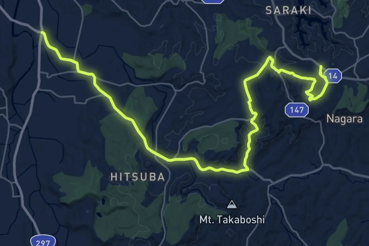
Medium · Trail
KFT - C11 - Mori to Mori wo tunagu michi
15.3 km · ↑ 221 m · 4 h 21 min
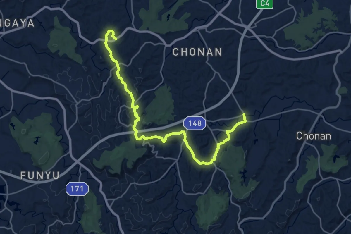
Demanding · Trail
KFT - C12 - Kannon sama no michi
21.2 km · ↑ 539 m · 6 h 11 min
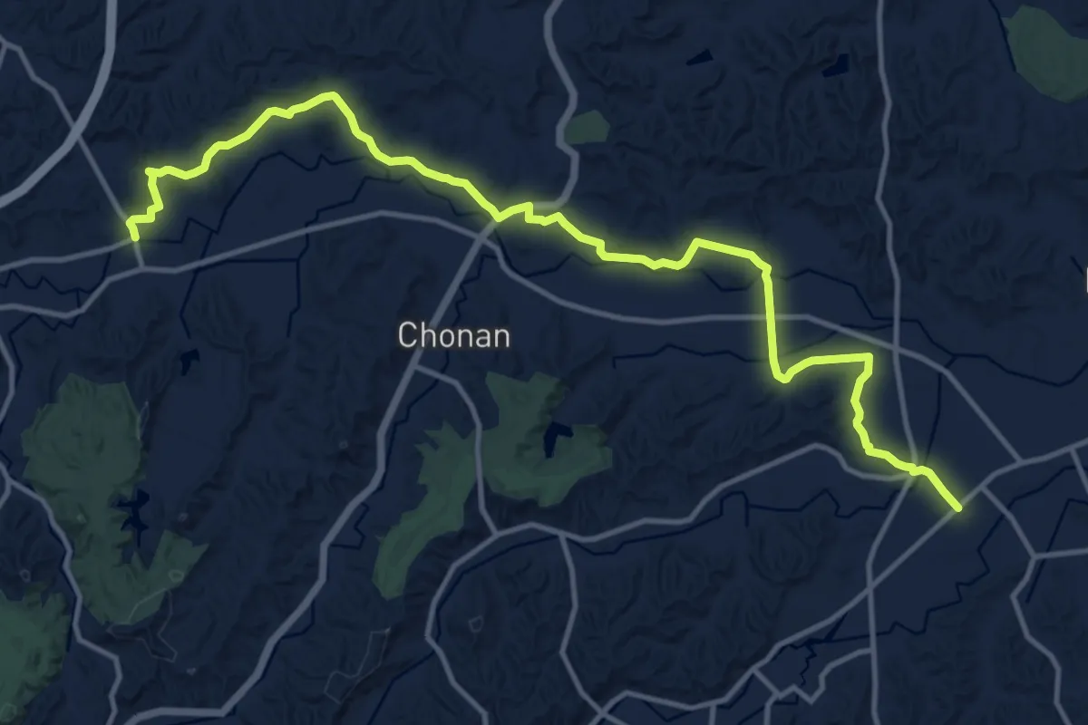
Demanding · Trail
KFT - C13 - Senjyuumin no aruita michi
18.3 km · ↑ 249 m · 4 h 51 min
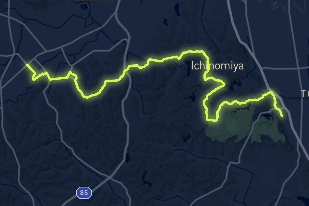
Demanding · Trail
KFT - C14 -Oounabara wo nozomeru michi
21.6 km · ↑ 386 m · 5 h 56 min
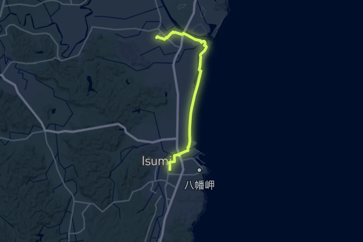
Medium · Trail
KFT - C16 - Kurosiono siosai wo kiku michi
15.9 km · ↑ 22 m · 3 h 48 min
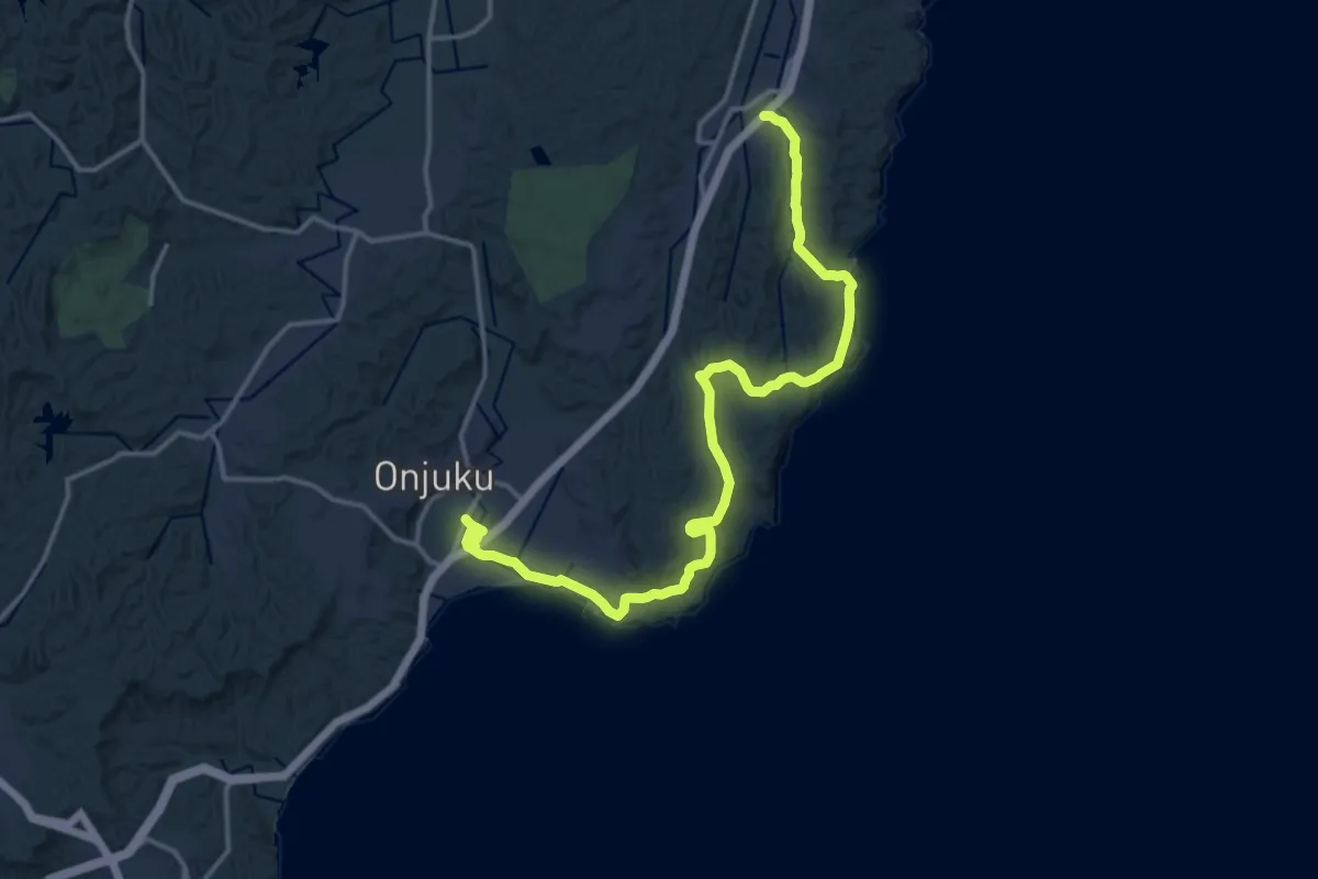
Demanding · Trail
KFT - C17 - Onjyuku kaigan wo aruku michi
20.7 km · ↑ 501 m · 5 h 59 min
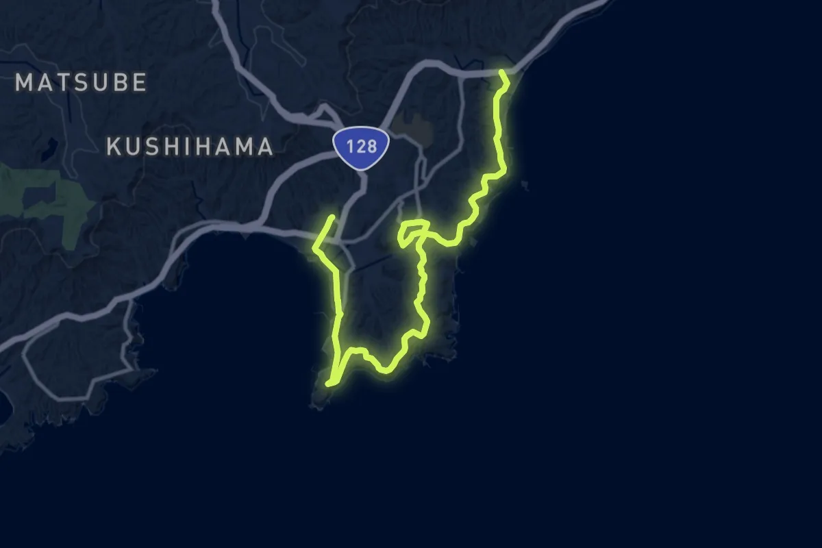
Medium · Trail
KFT - C18 - Araiso no michi
15.9 km · ↑ 293 m · 4 h 24 min
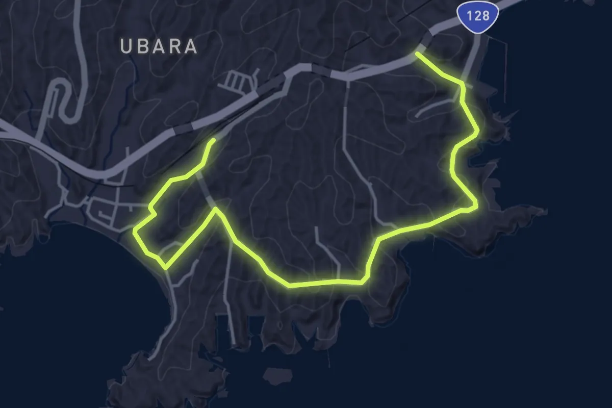
Easy · Trail
KFT - C19 - Risoukyou wo tazuneru michi
6.3 km · ↑ 228 m · 1 h 59 min
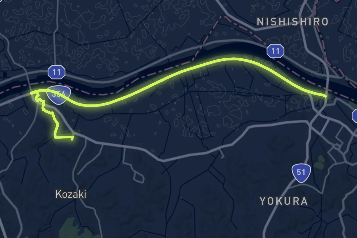
Demanding · Trail
KFT - C1 - Bandou tarou no michi
22.9 km · ↑ 107 m · 5 h 39 min
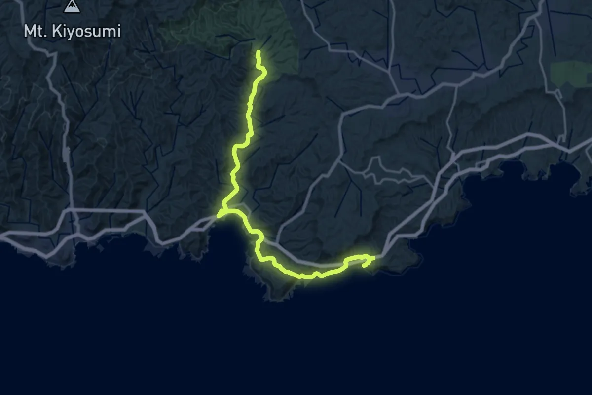
Demanding · Trail
KFT - C20 - Umi to Mori wo tunagu michi
19.2 km · ↑ 767 m · 6 h 12 min
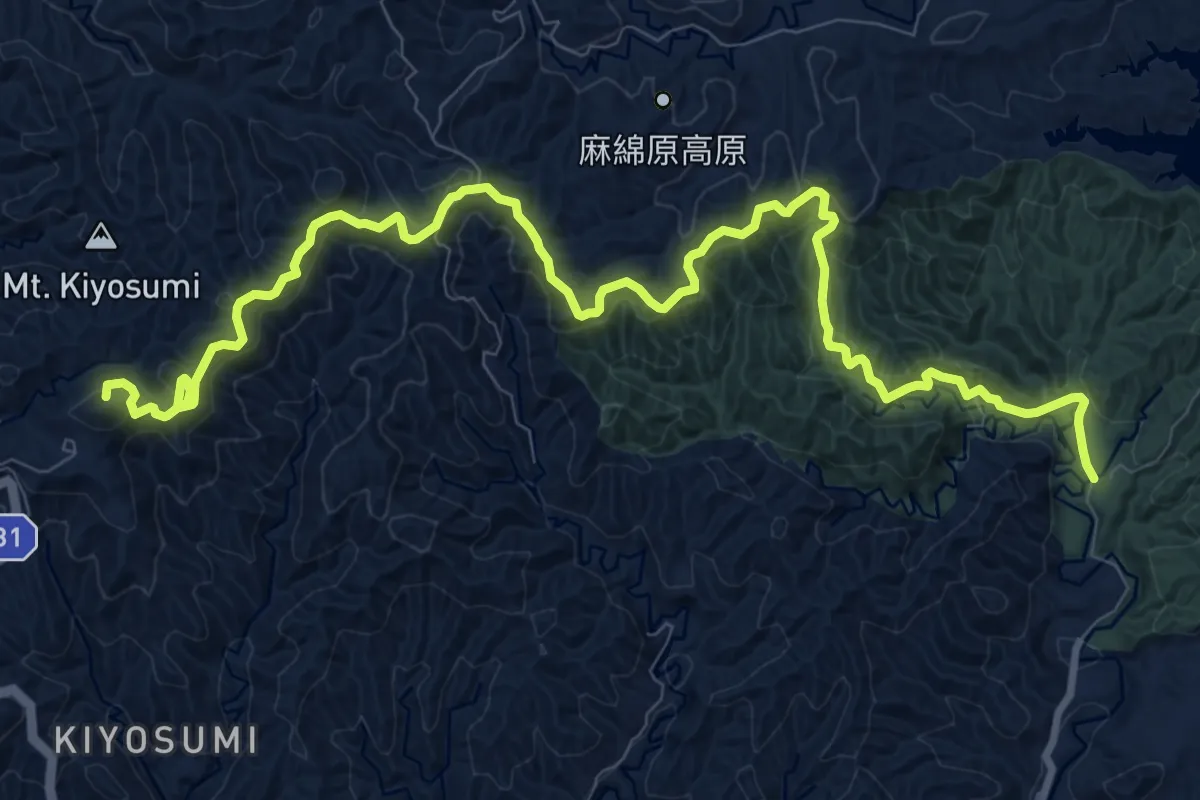
Medium · Summit
KFT - C21 - Ajisai no michi
15.1 km · ↑ 696 m · 5 h 4 min
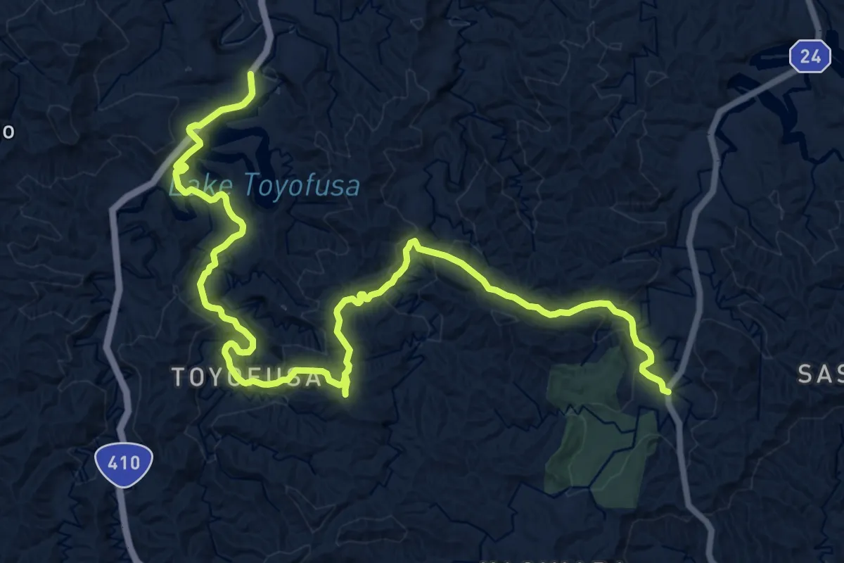
Demanding · Trail
KFT - C23 - Taki no aru michi
20.5 km · ↑ 843 m · 6 h 40 min
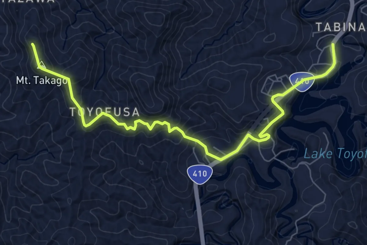
Medium · Summit
KFT - C24 - Nihonzaru to deau michi
8.6 km · ↑ 460 m · 3 h 1 min
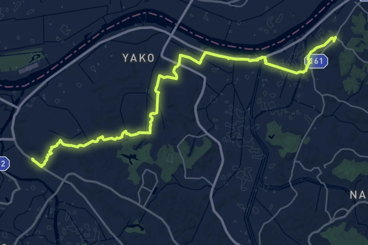
Demanding · Trail
KFT - C27 - Kawa to numa wo tunagu michi
28.0 km · ↑ 331 m · 7 h 20 min
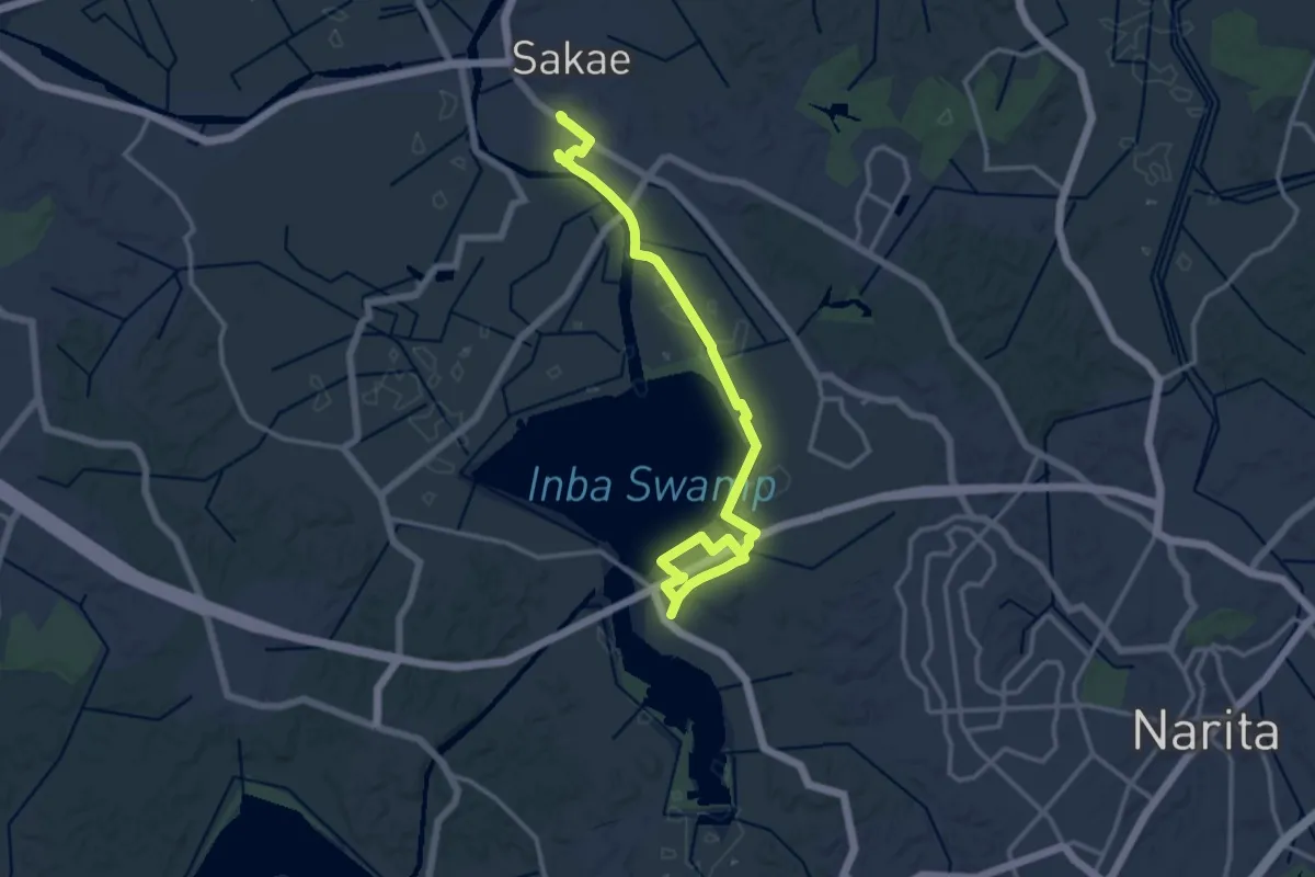
Demanding · Trail
KFT - C28 - Numa meguri no michi
19.0 km · ↑ 45 m · 4 h 35 min
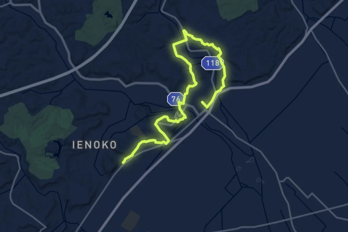
Medium · Trail
KFT - C29 - Jyousi wo tazuneru michi
17.4 km · ↑ 263 m · 4 h 41 min
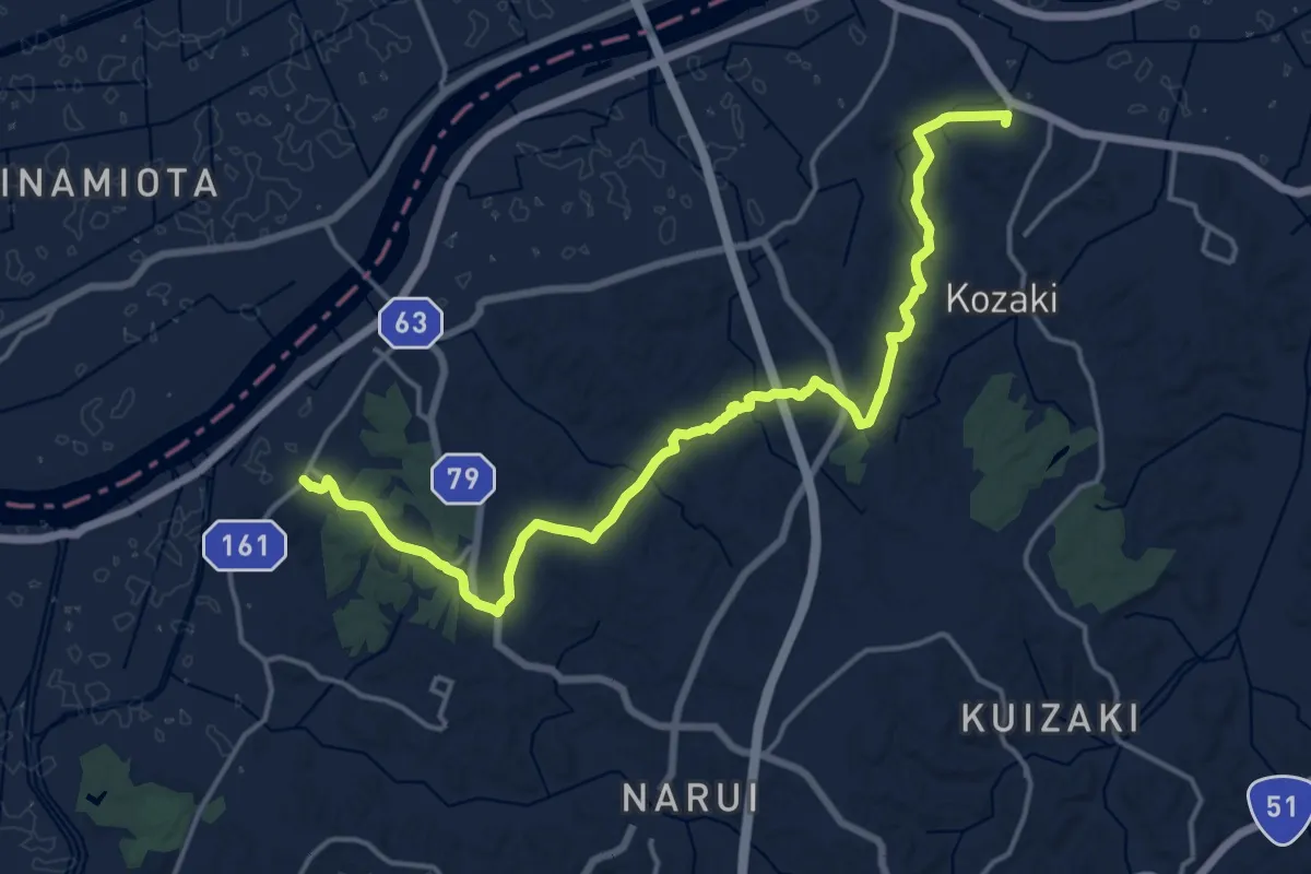
Demanding · Trail
KFT - C2 - Sizen to rekishi wo tadoru michi
22.3 km · ↑ 294 m · 5 h 54 min
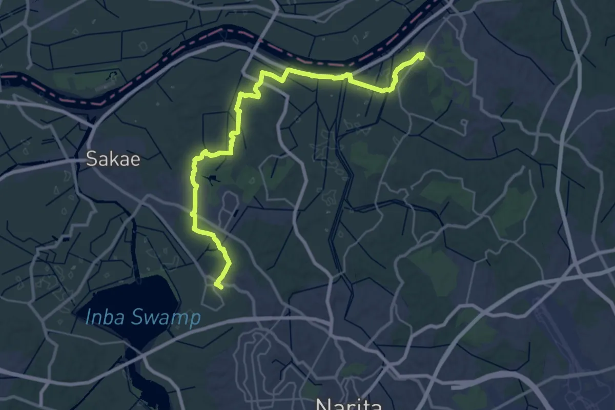
Demanding · Trail
KFT - C3 - Kofun wo tazuneru michi
30.5 km · ↑ 285 m · 7 h 49 min
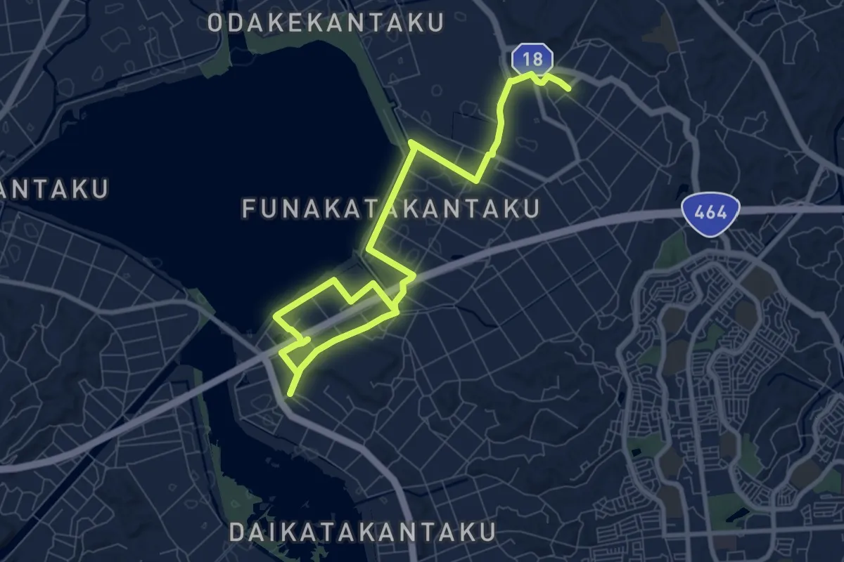
Medium · Trail
KFT - C4 - Mizudori no michi
13.0 km · ↑ 28 m · 3 h 8 min
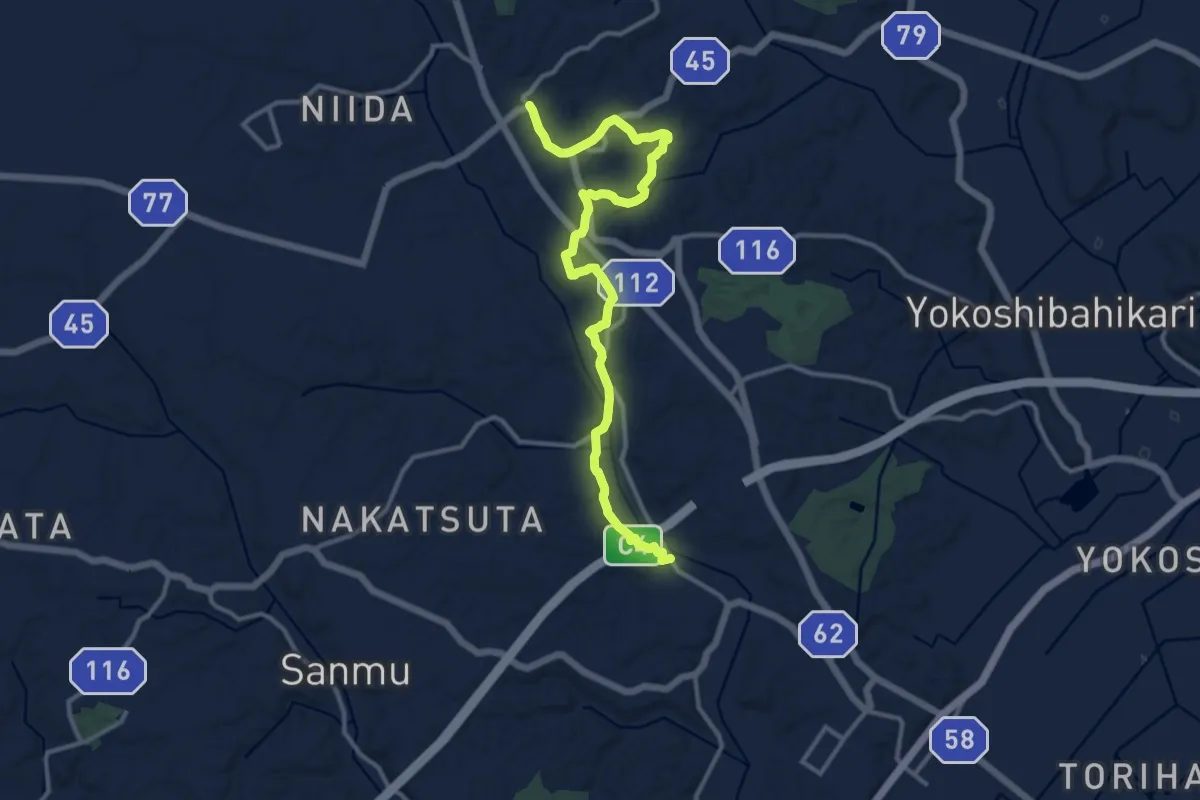
Medium · Trail
KFT - C5 - Haniwa to asobu michi
16.0 km · ↑ 238 m · 4 h 18 min
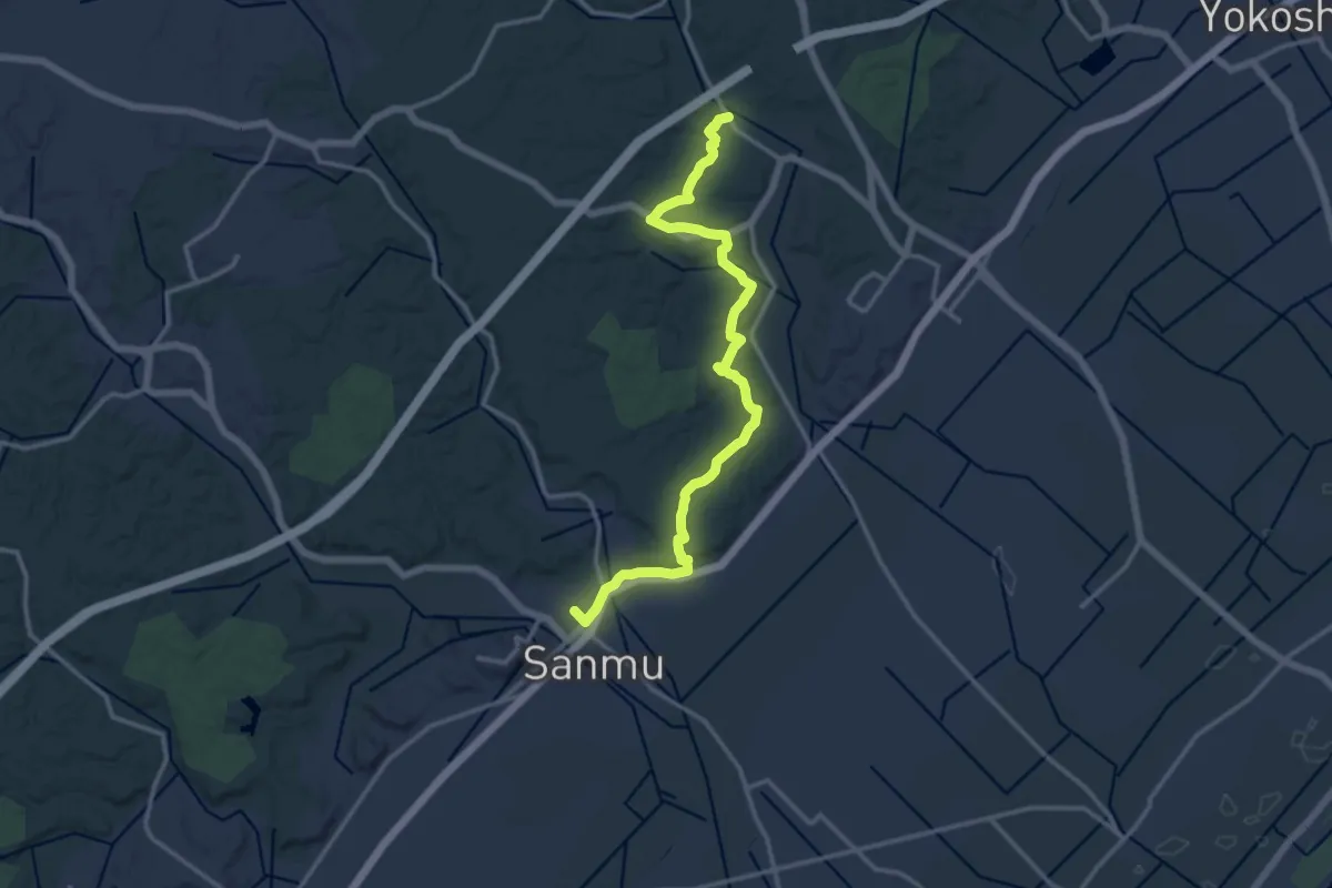
Medium · Trail
KFT - C6 - Sanbu sugi no michi
17.8 km · ↑ 364 m · 4 h 59 min
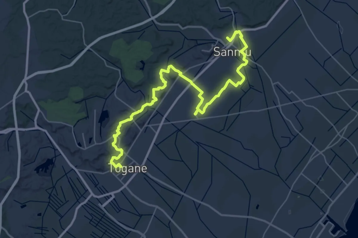
Medium · Trail
KFT - C7 - Ikou Sachio no michi
17.0 km · ↑ 167 m · 4 h 36 min
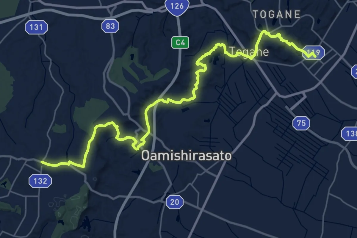
Medium · Trail
KFT - C8 - Sakura wo mederu michi
15.3 km · ↑ 247 m · 4 h 19 min
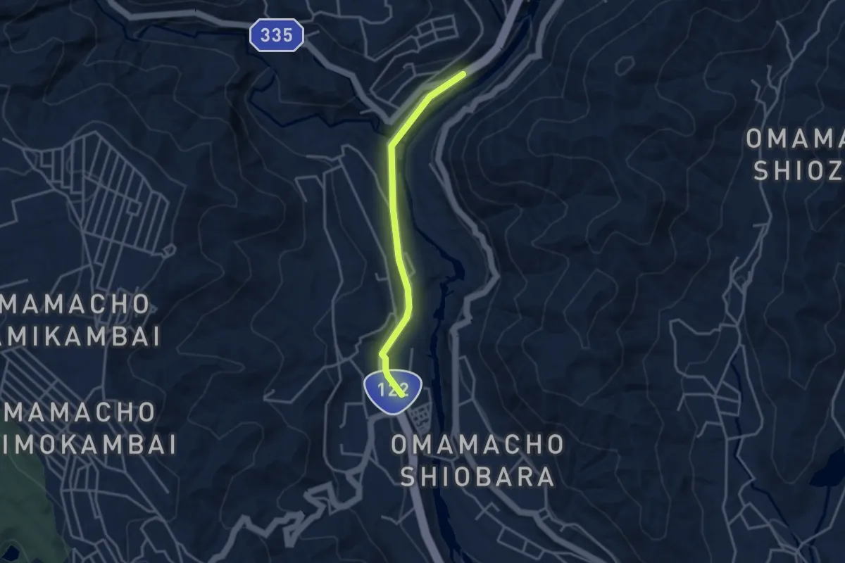
Easy · Trail
KFT - Connection route
3.4 km · ↑ 53 m · 55 min
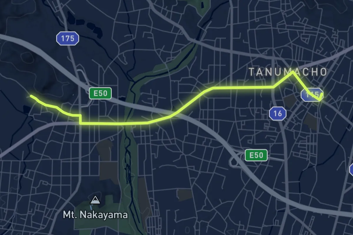
Medium · Trail
KFT - Connection route
8.8 km · ↑ 21 m · 2 h 8 min
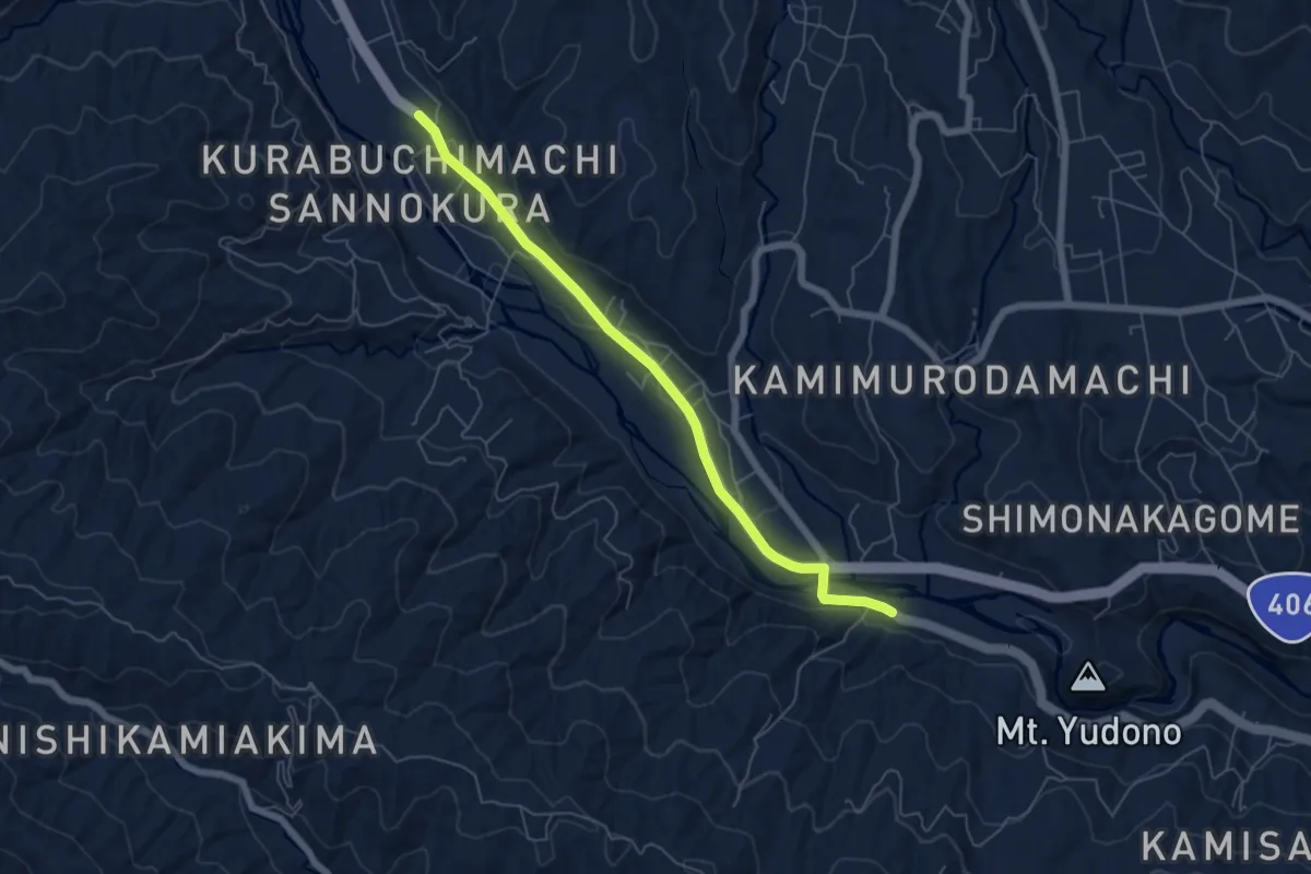
Easy · Trail
KFT - Connection route
6.7 km · ↑ 84 m · 1 h 47 min
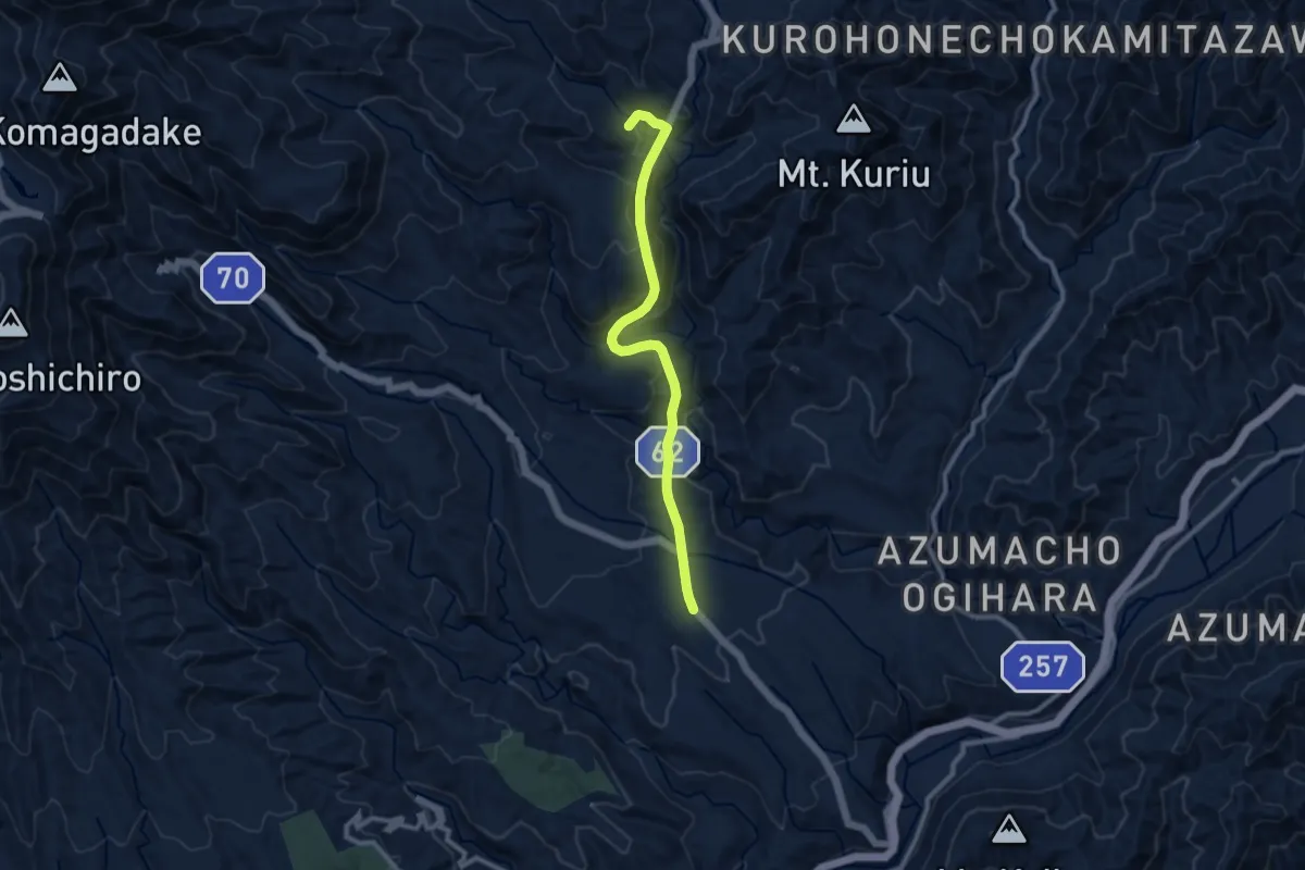
Medium · Trail
KFT - Connection route
10.6 km · ↑ 748 m · 4 h 7 min
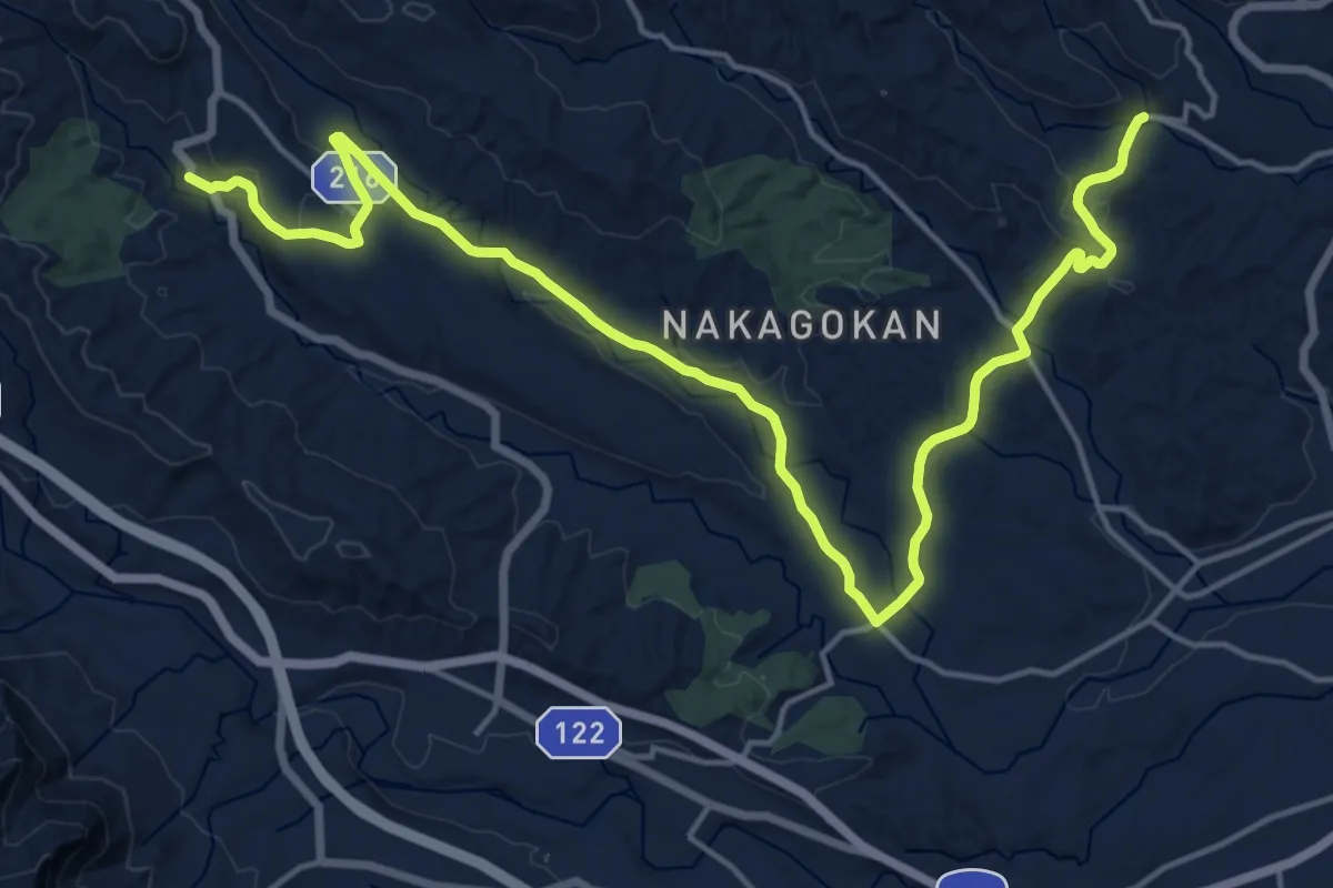
Demanding · Trail
KFT - Connection route
24.6 km · ↑ 517 m · 6 h 56 min
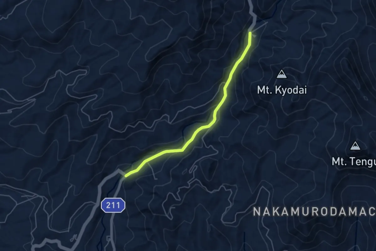
Easy · Trail
KFT - Connection route
4.9 km · ↑ 180 m · 1 h 33 min
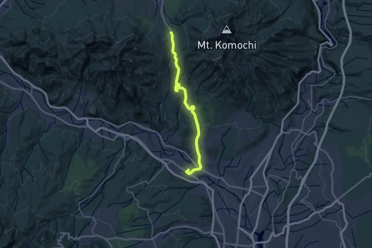
Demanding · Trail
KFT - Connection route
18.7 km · ↑ 595 m · 5 h 43 min
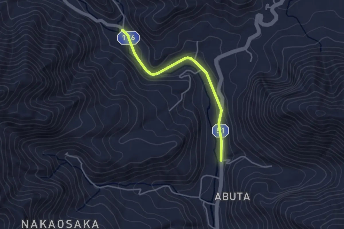
Easy · Trail
KFT - Connection route
3.5 km · ↑ 73 m · 59 min
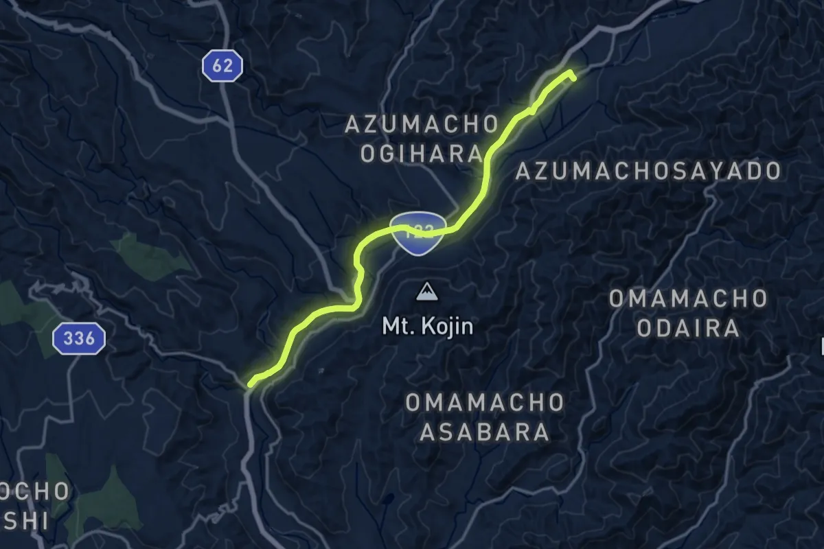
Medium · Trail
KFT - Connection route
15.0 km · ↑ 399 m · 4 h 25 min
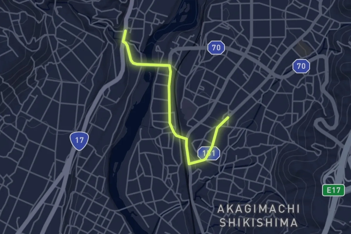
Easy · Trail
KFT - Connection route
4.1 km · ↑ 90 m · 1 h 10 min
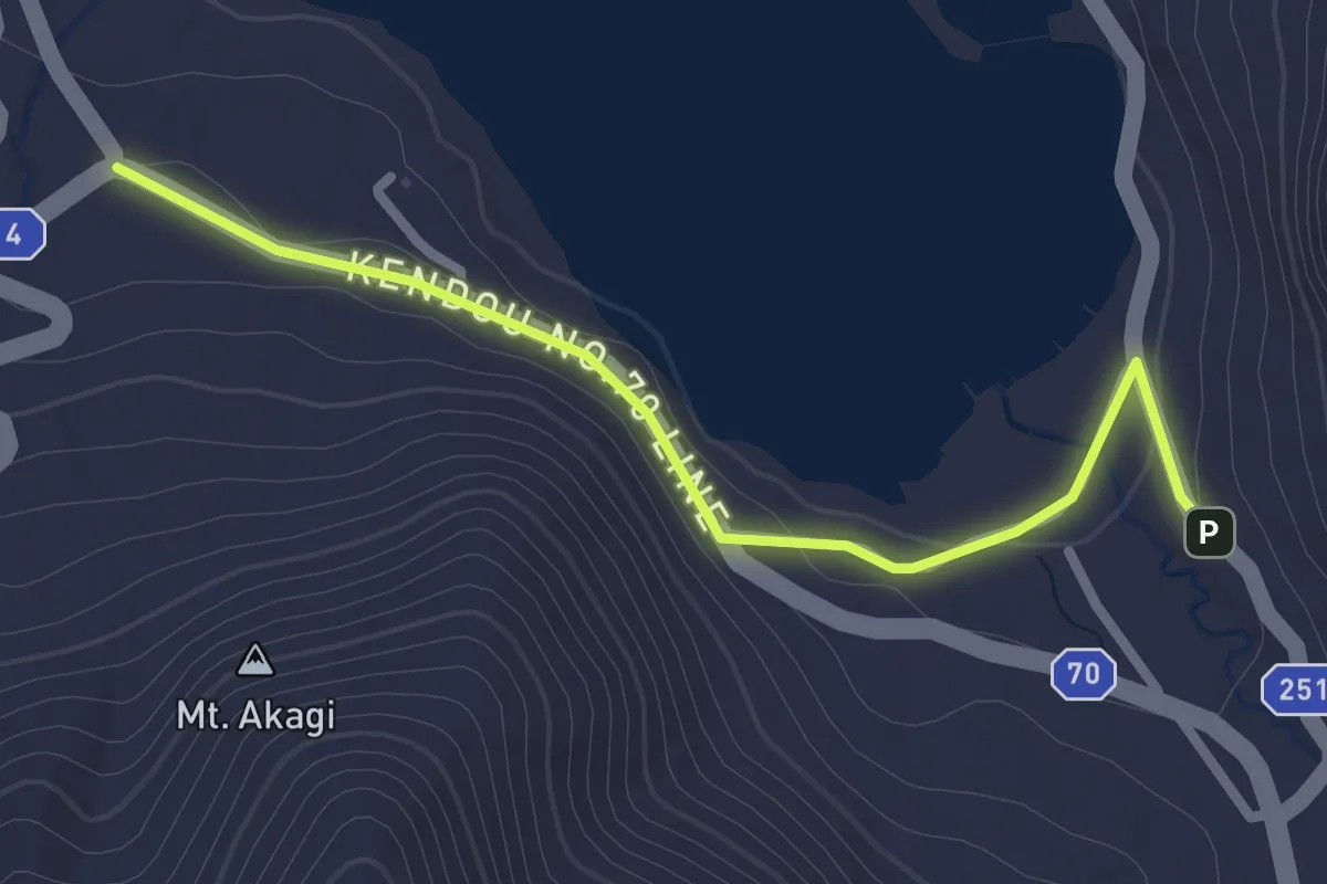
Easy · Trail
KFT - Connection route
3.0 km · ↑ 41 m · 48 min
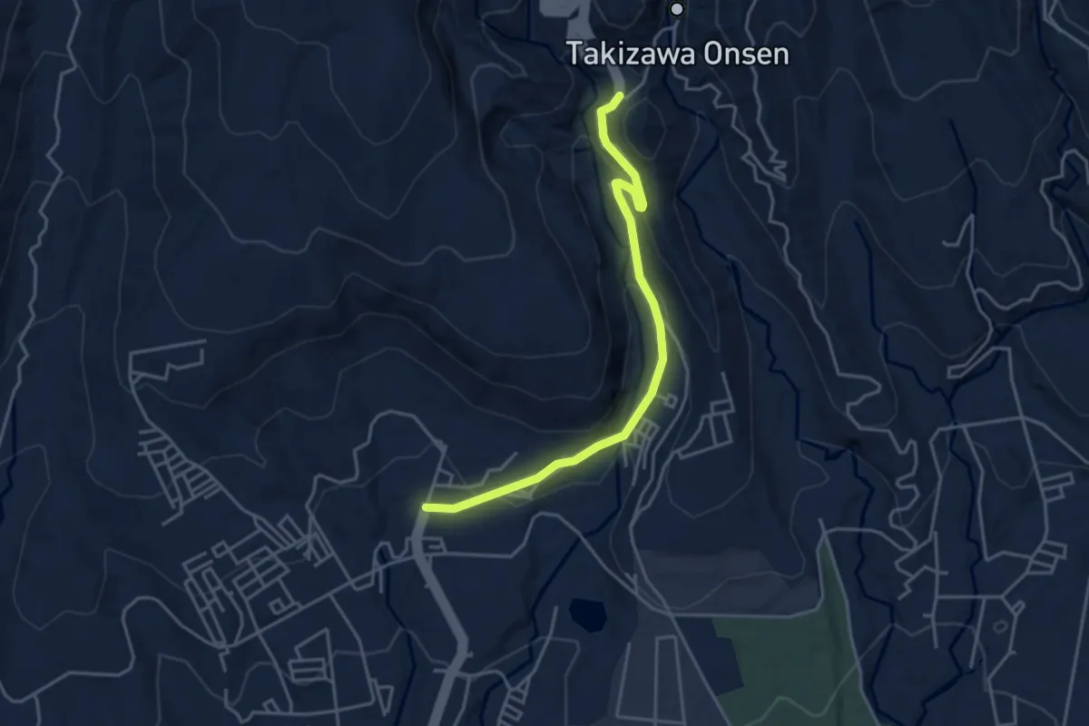
Easy · Trail
KFT - Connection route
4.7 km · ↑ 179 m · 1 h 30 min
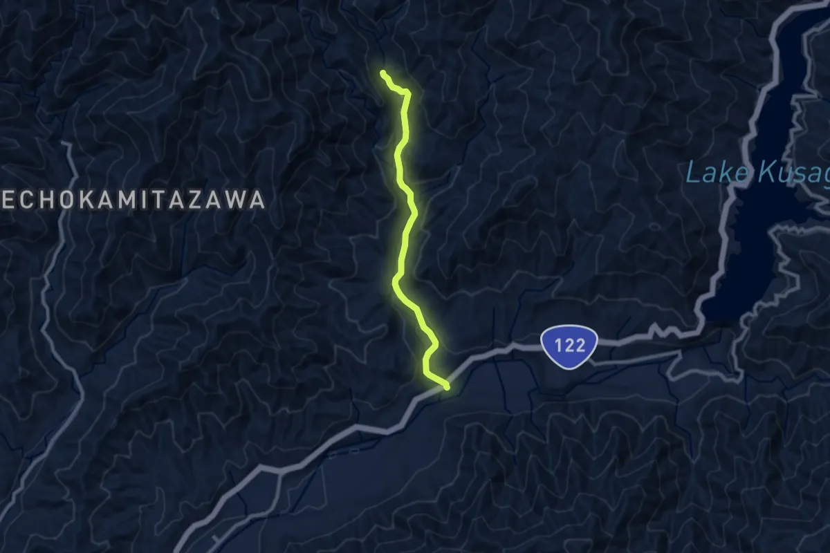
Medium · Trail
KFT - Connection route
8.4 km · ↑ 285 m · 2 h 36 min
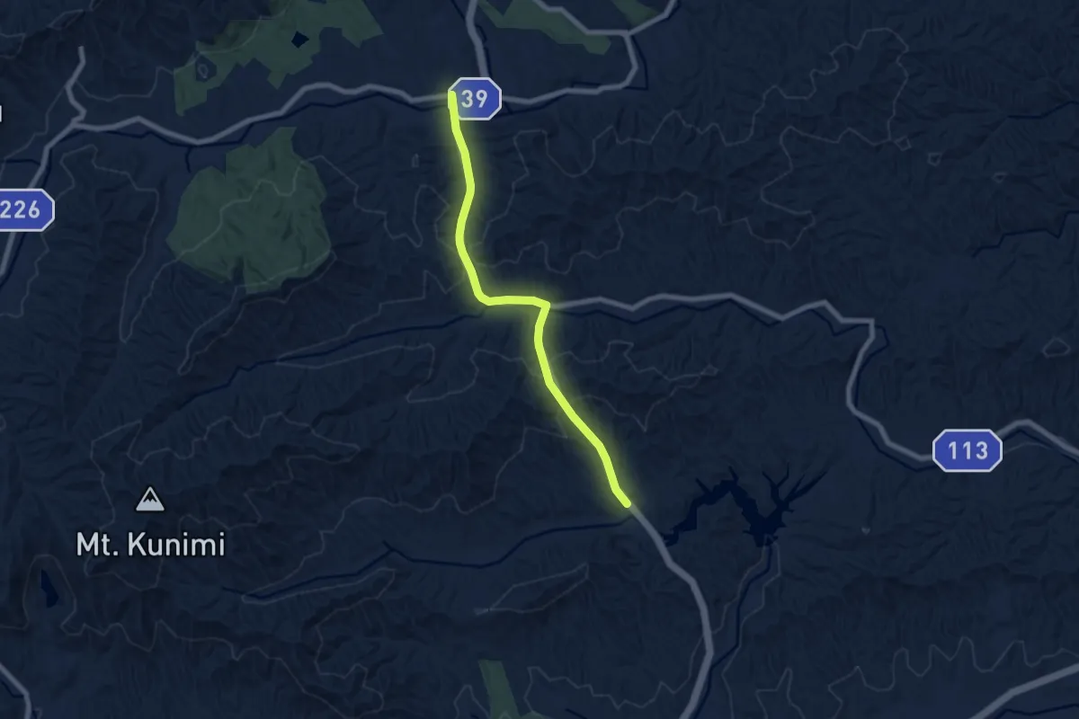
Easy · Trail
KFT - Connection route
7.7 km · ↑ 302 m · 2 h 29 min
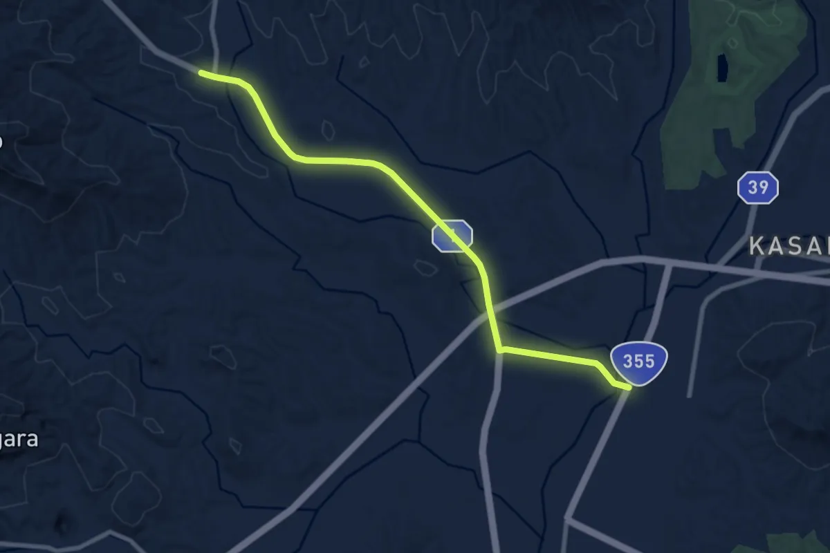
Medium · Trail
KFT - Connection route
8.9 km · ↑ 52 m · 2 h 13 min
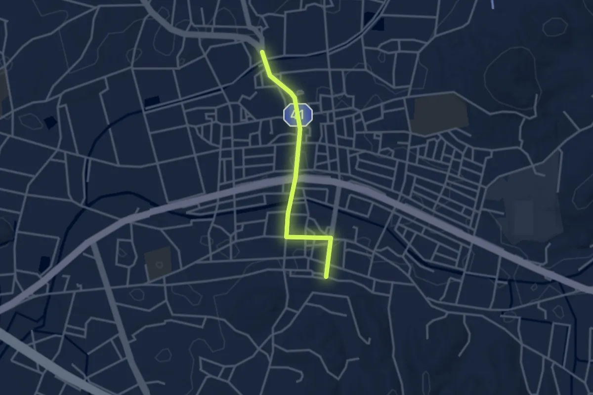
Easy · Trail
KFT - Connection route
3.1 km · ↑ 4 m · 44 min
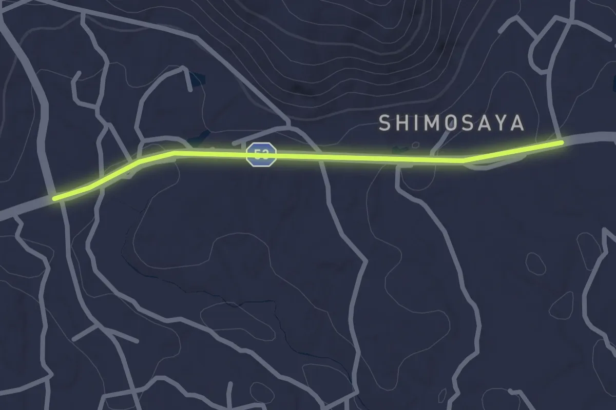
Easy · Trail
KFT - Connection route
2.4 km · ↑ 25 m · 37 min