Trails near 綾瀬市
16 hikes starting within 15 km, nearest first.
Nearest first
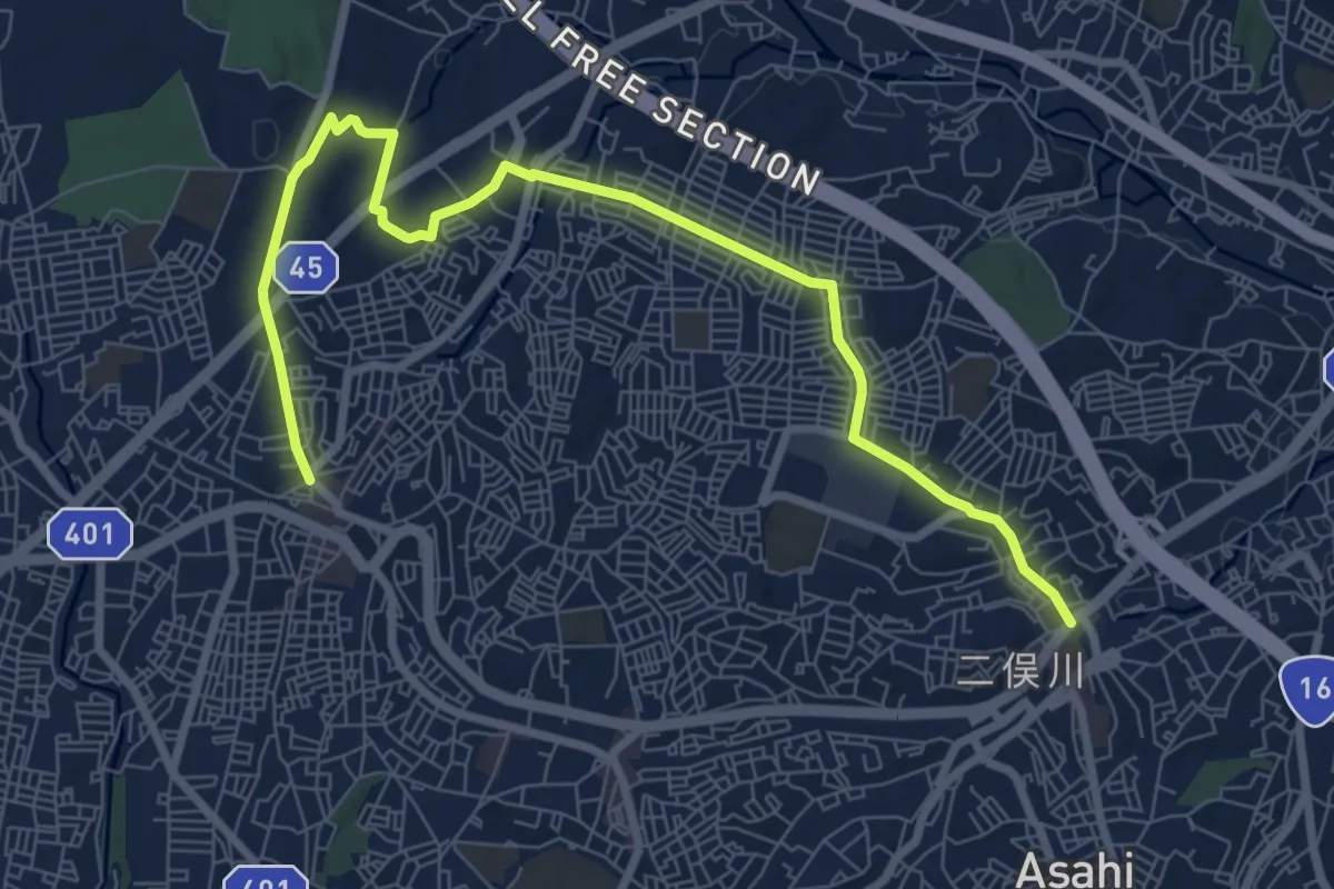
Medium · Trail
旭区グリーンロード 追分・矢指市民の森ルート
10.9 km · ↑ 195 m · 3 h · 8 km away
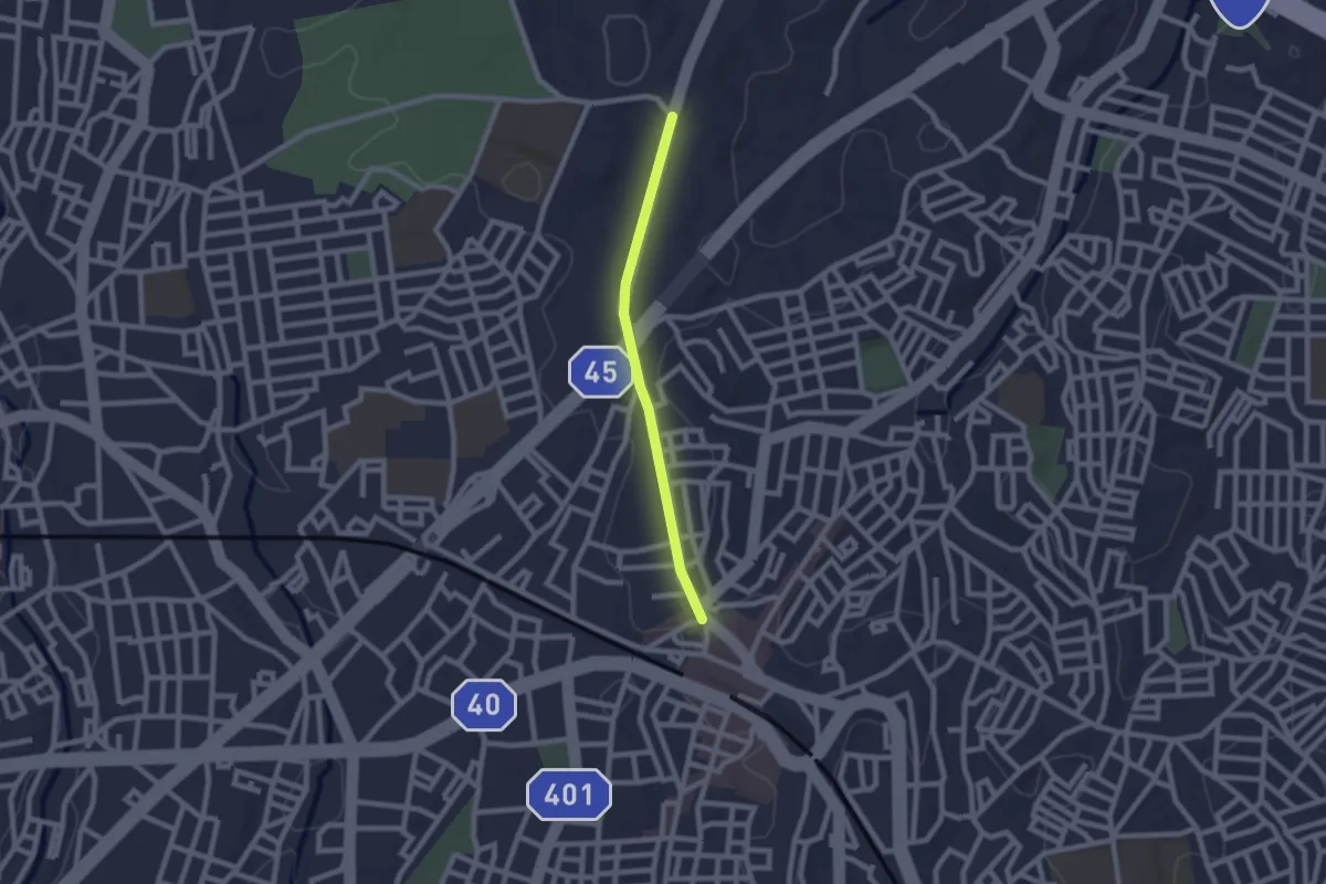
Easy · Trail
旭区グリーンロード 野境道路ルート
2.2 km · ↑ 13 m · 33 min · 8 km away
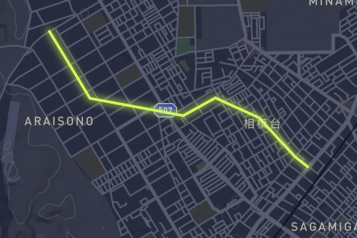
Easy · Trail
さがみの仲よし小道
4.8 km · ↑ 9 m · 1 h 9 min · 8 km away
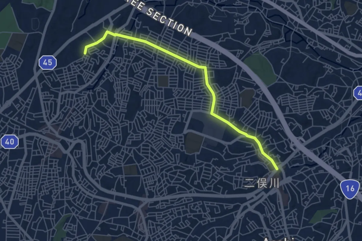
Easy · Trail
旭区グリーンロード ニュータウン並木道ルート
6.5 km · ↑ 103 m · 1 h 46 min · 9 km away
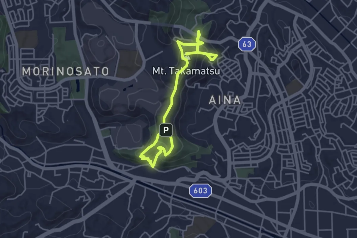
Medium · Summit
高松山コース
5.5 km · ↑ 393 m · 2 h 9 min · 10 km away
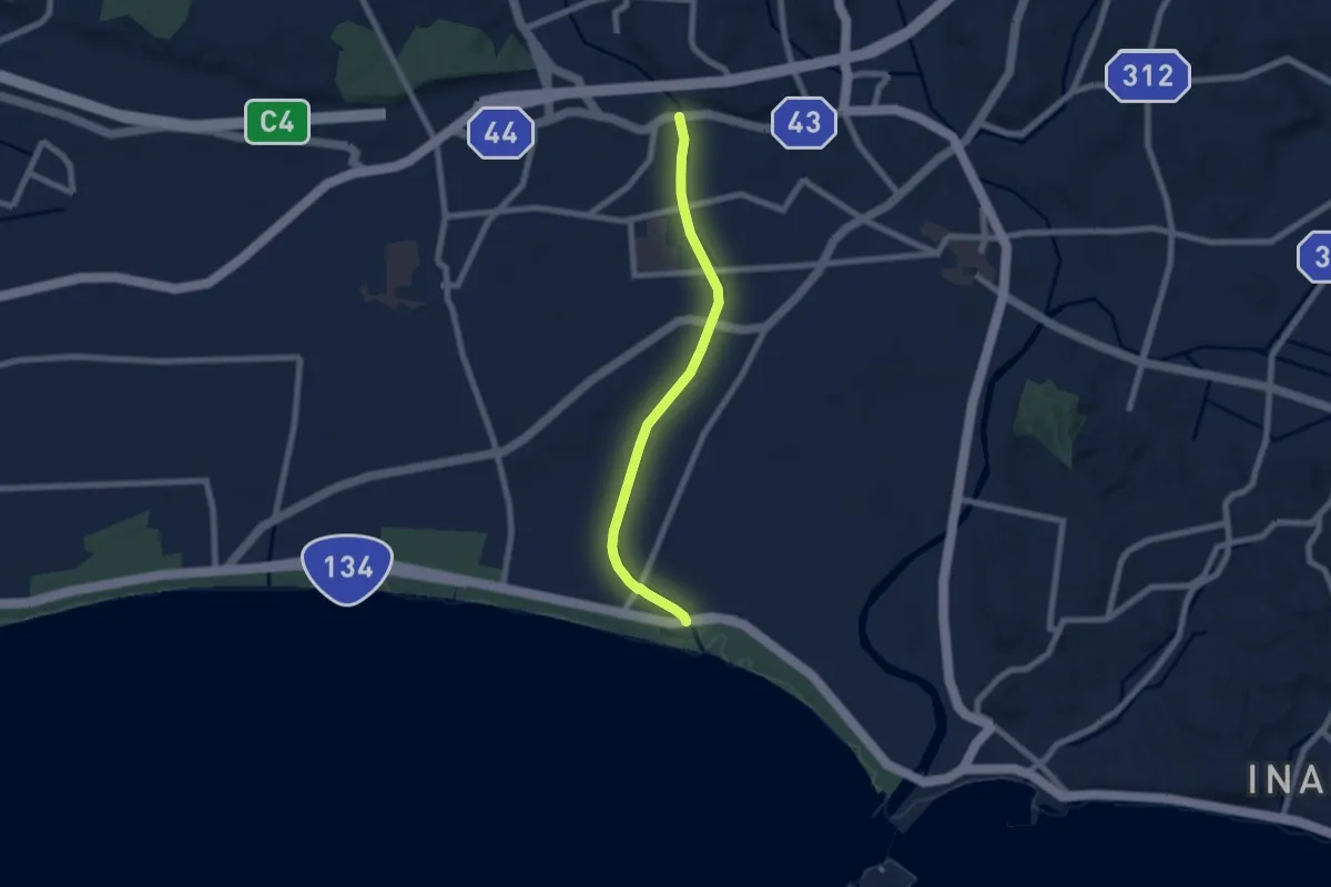
Easy · Trail
引地川緑道
7.7 km · ↑ 26 m · 1 h 52 min · 11 km away
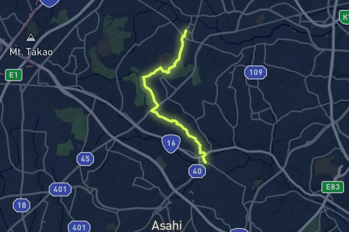
Medium · Trail
健康みちづくり:山と緑を感じる自然豊かなルート
14.2 km · ↑ 245 m · 3 h 53 min · 13 km away
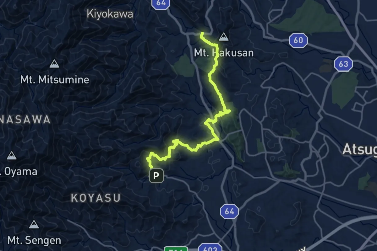
Demanding · Trail
関東ふれあいの道 - 神奈川11 - 順礼峠のみち
17.0 km · ↑ 834 m · 5 h 50 min · 14 km away
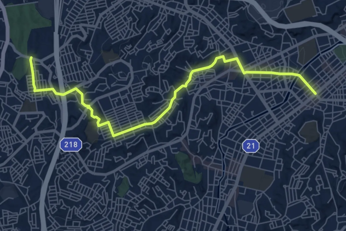
Medium · Trail
永田 六ツ川の丘ルート
8.4 km · ↑ 145 m · 2 h 18 min · 14 km away
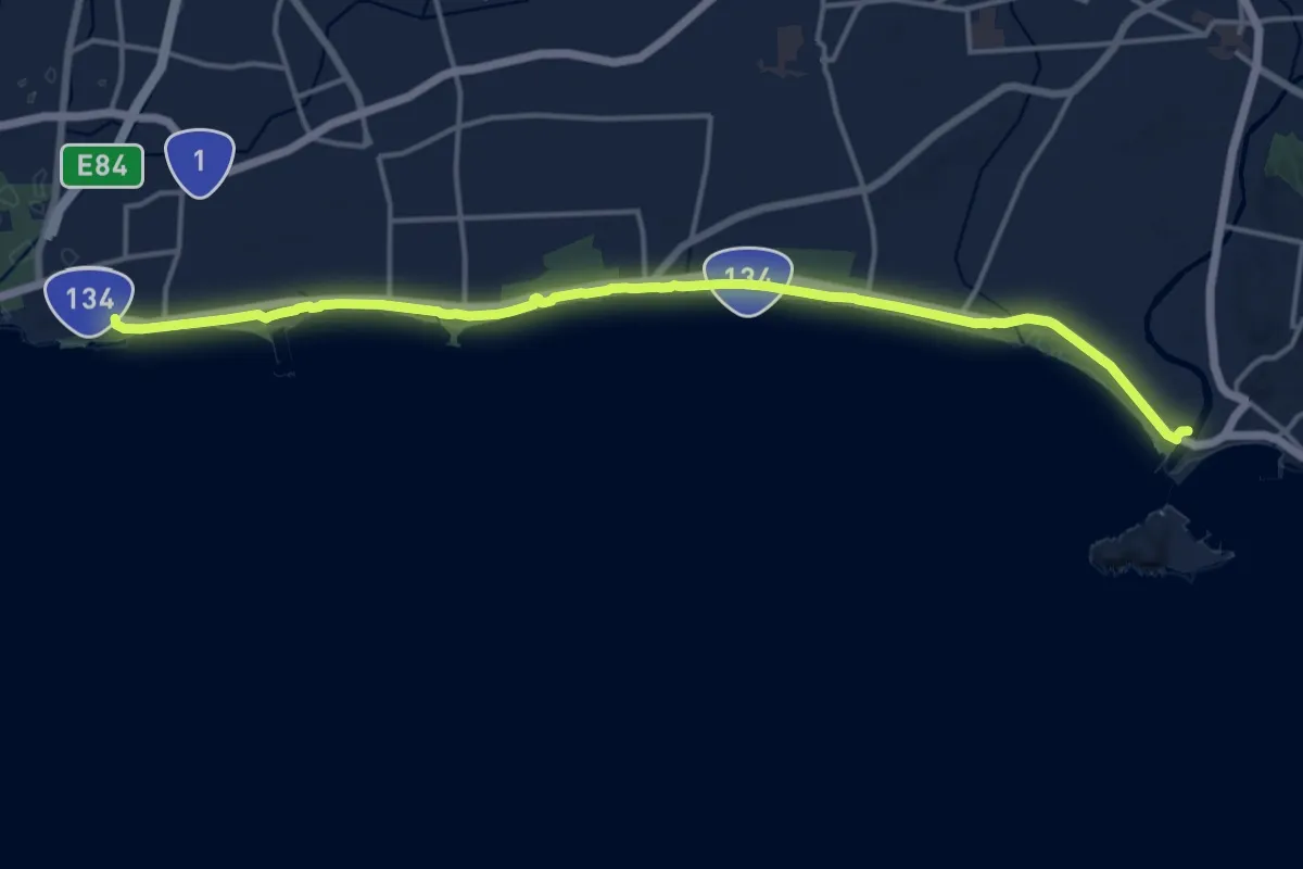
Demanding · Trail
関東ふれあいの道 - 神奈川6 - 湘南海岸・砂浜のみち
19.8 km · ↑ 123 m · 4 h 57 min · 14 km away
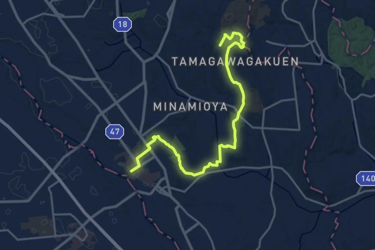
Medium · Trail
玉川学園前駅 – JR町田駅
13.0 km · ↑ 200 m · 3 h 30 min · 14 km away
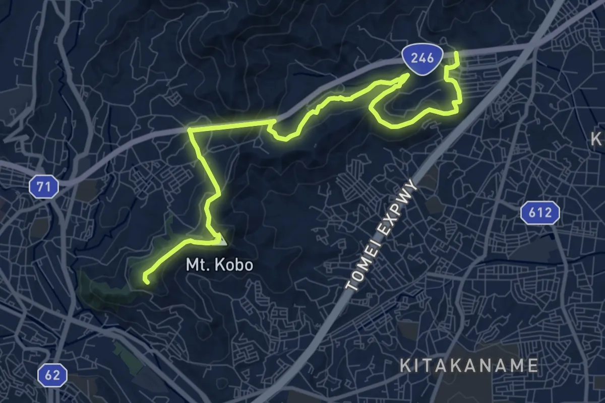
Medium · Summit
関東ふれあいの道 - 神奈川9 - 弘法大師とサクラのみち
12.8 km · ↑ 669 m · 4 h 28 min · 15 km away
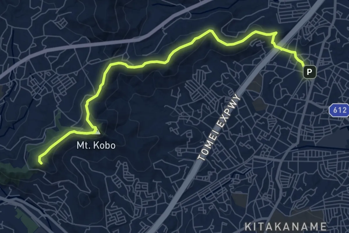
Medium · Summit
弘法山公園・吾妻山コース
9.6 km · ↑ 460 m · 3 h 16 min · 15 km away
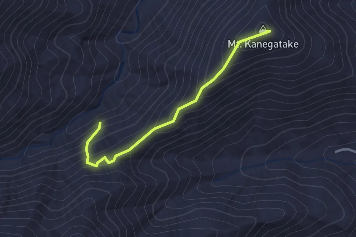
Easy · Summit
厚木市 - 鐘ヶ嶽ハイキングコース
2.6 km · ↑ 207 m · 1 h 4 min · 15 km away
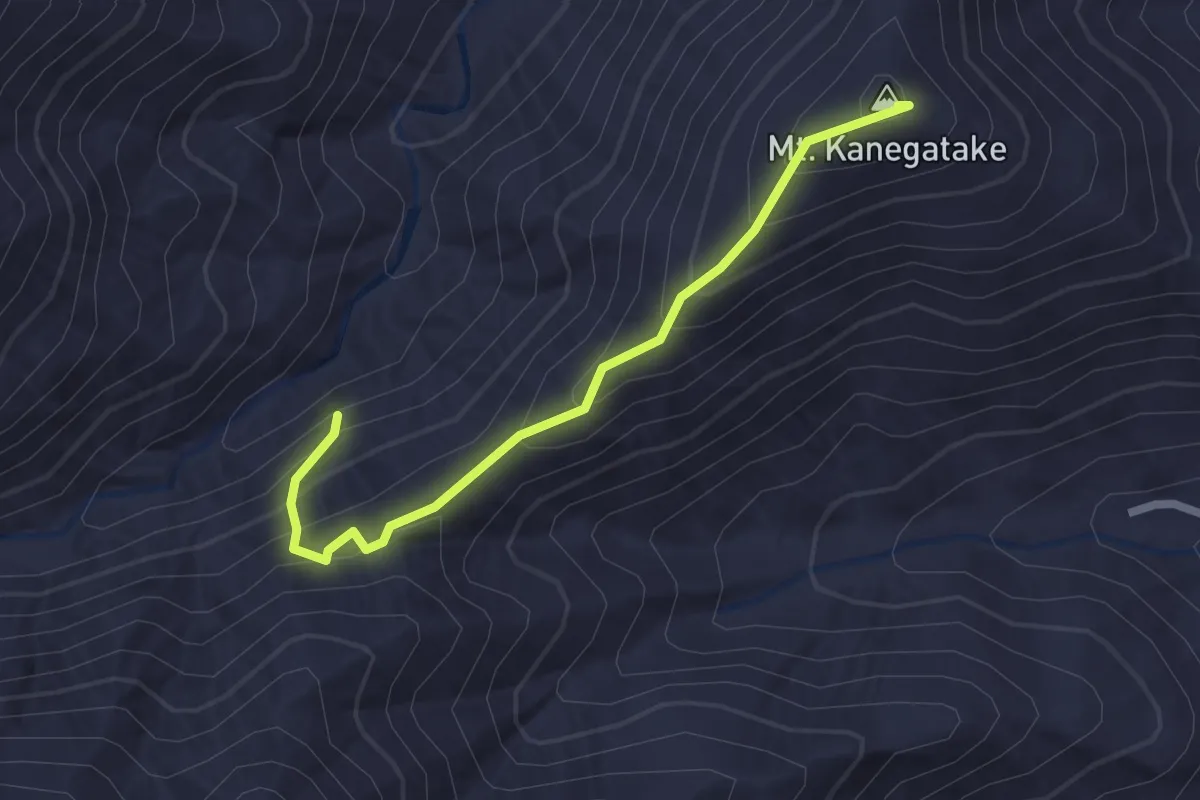
Easy · Summit
厚木市 - 鐘ヶ嶽ハイキングコース
2.6 km · ↑ 207 m · 1 h 4 min · 15 km away
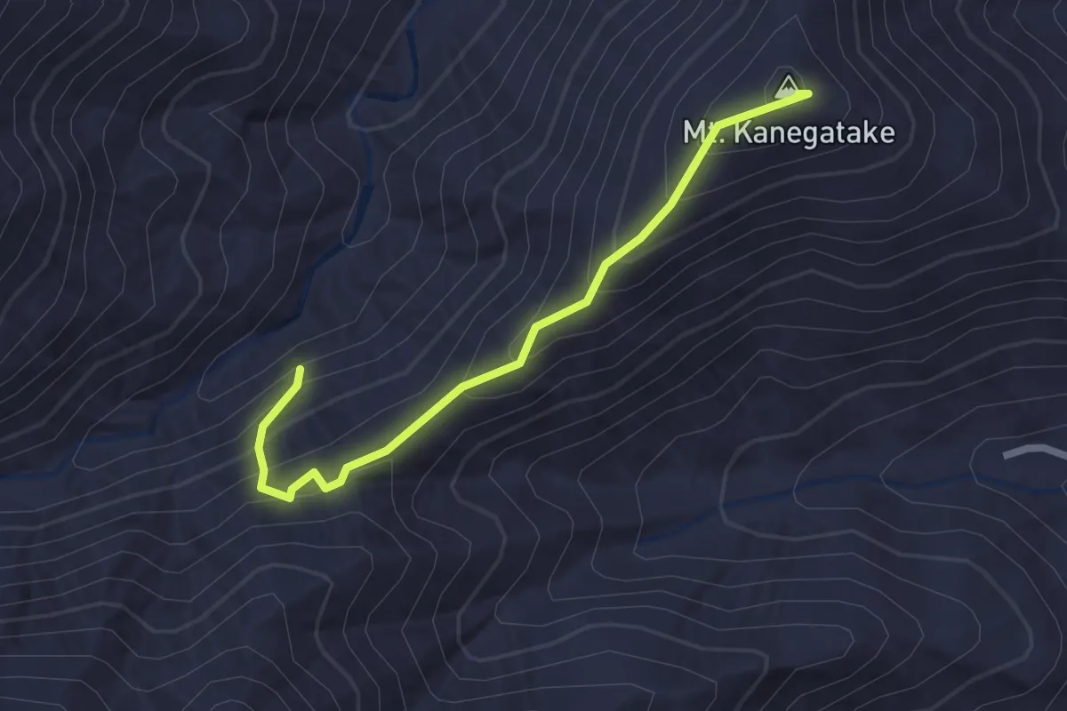
Easy · Summit
広沢寺温泉入口 – 山の神隧道
2.6 km · ↑ 207 m · 1 h 4 min · 15 km away