Trails near 愛川町
25 hikes starting within 15 km, nearest first.
Nearest first
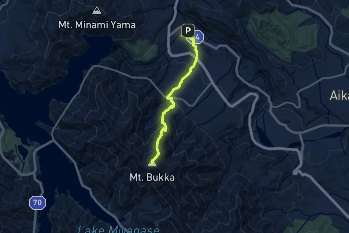
Medium · Summit
関東ふれあいの道 - 神奈川12 - 丹沢山塊東辺のみち
7.7 km · ↑ 605 m · 3 h 8 min · 3 km away
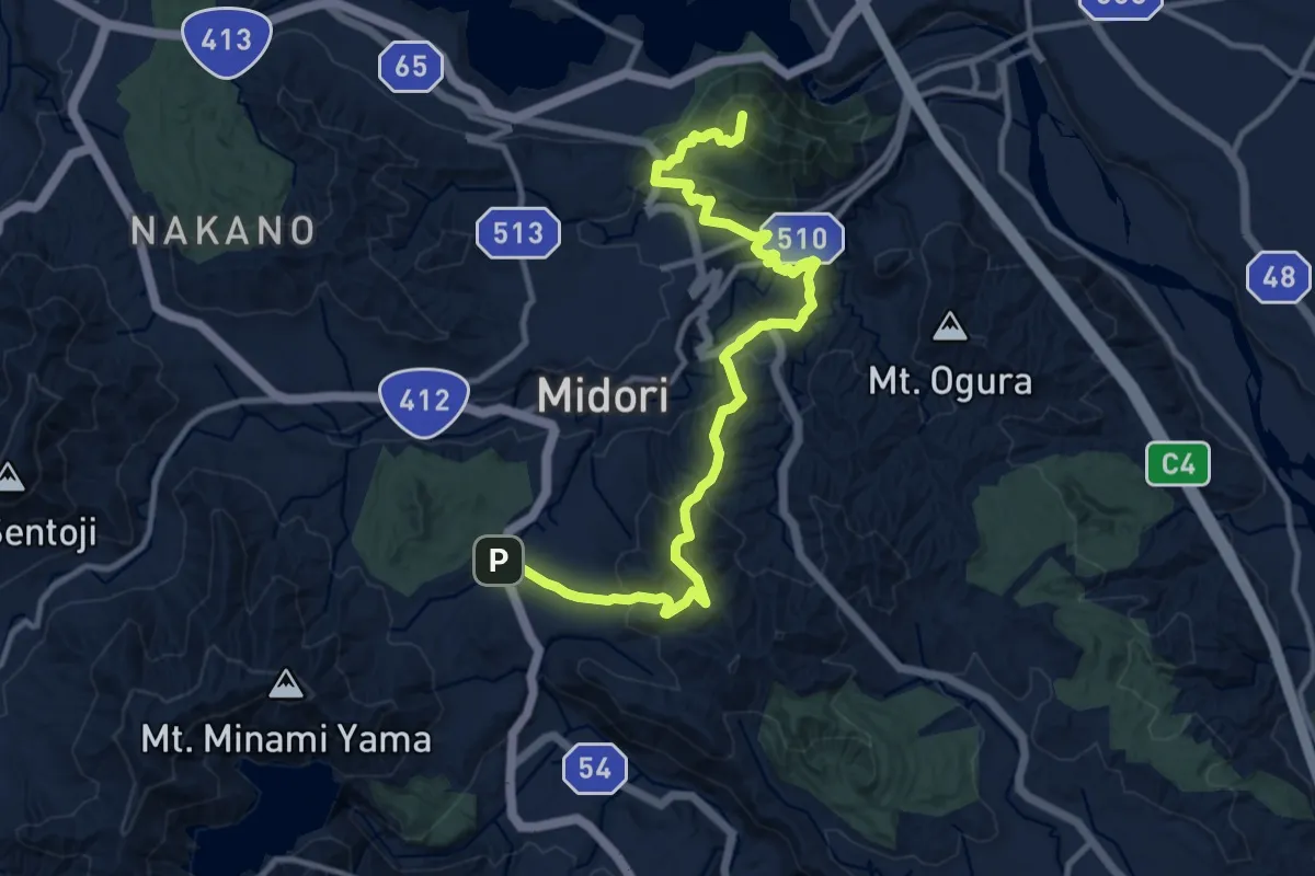
Demanding · Summit
関東ふれあいの道 - 神奈川13 - 山里から津久井湖へのみち
15.2 km · ↑ 857 m · 5 h 26 min · 4 km away
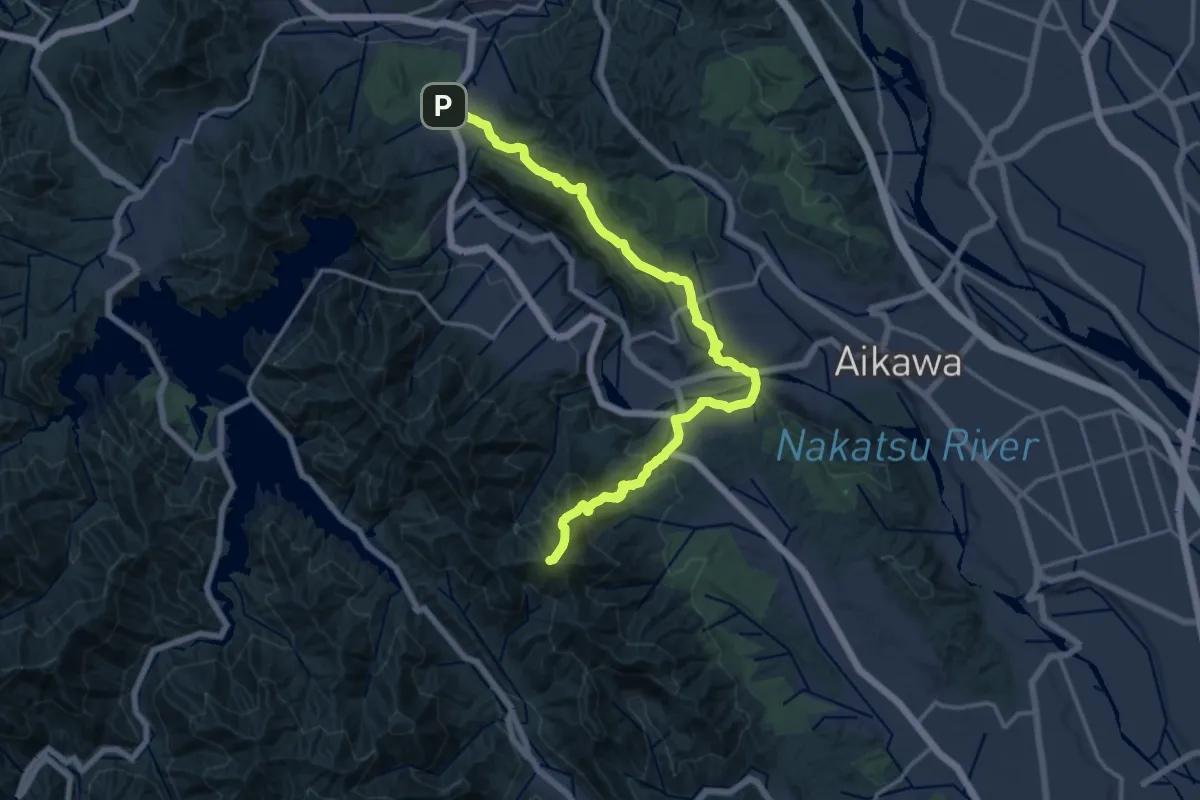
Demanding · Summit
関東ふれあいの道 - 神奈川17 - 北条武田合戦場のみち
20.4 km · ↑ 909 m · 6 h 47 min · 4 km away
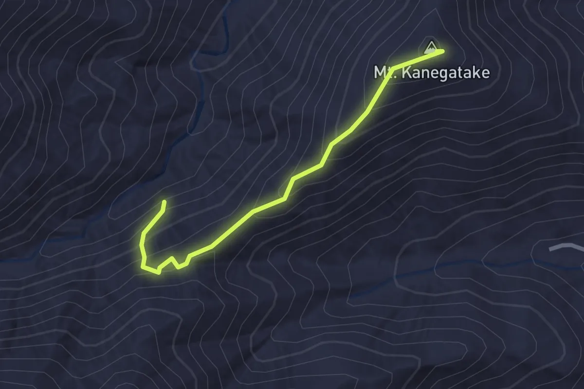
Easy · Summit
厚木市 - 鐘ヶ嶽ハイキングコース
2.6 km · ↑ 207 m · 1 h 4 min · 9 km away
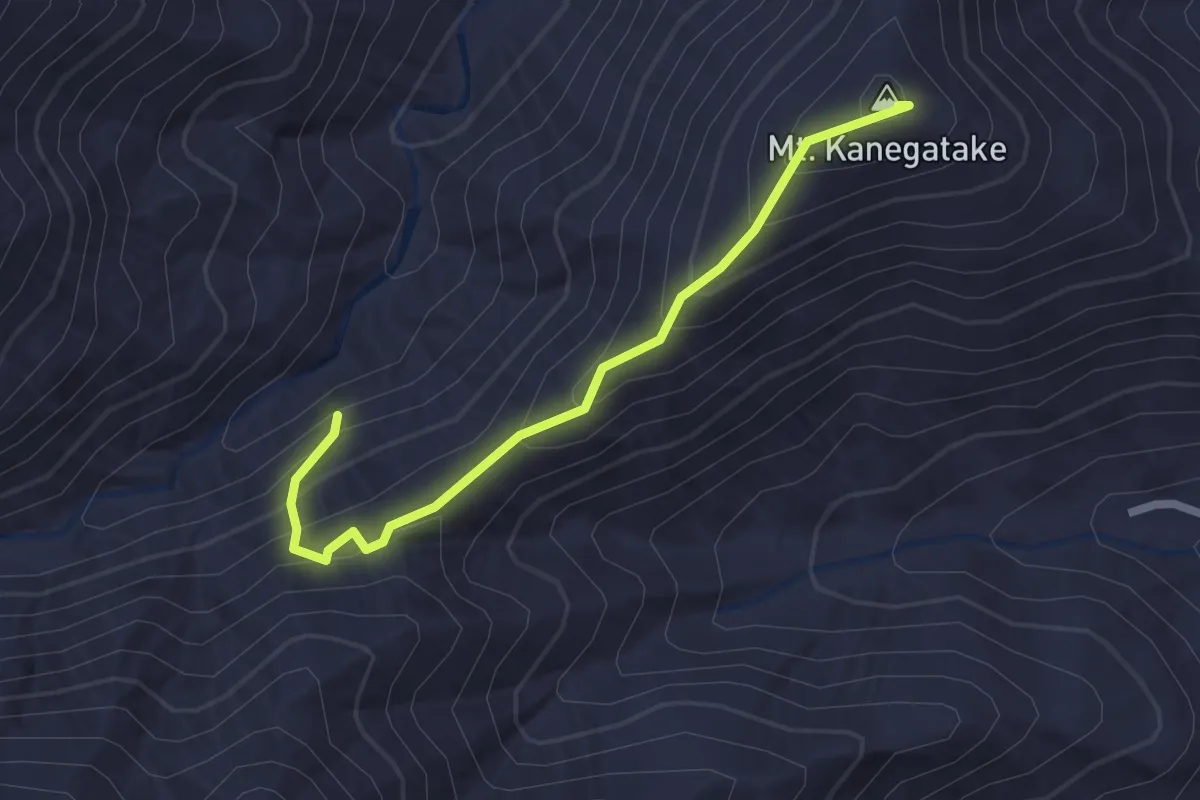
Easy · Summit
広沢寺温泉入口 – 山の神隧道
2.6 km · ↑ 207 m · 1 h 4 min · 9 km away
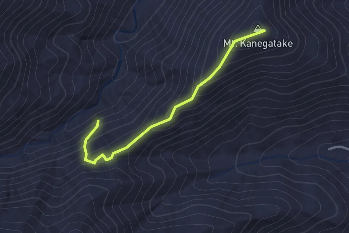
Easy · Summit
厚木市 - 鐘ヶ嶽ハイキングコース
2.6 km · ↑ 207 m · 1 h 4 min · 9 km away
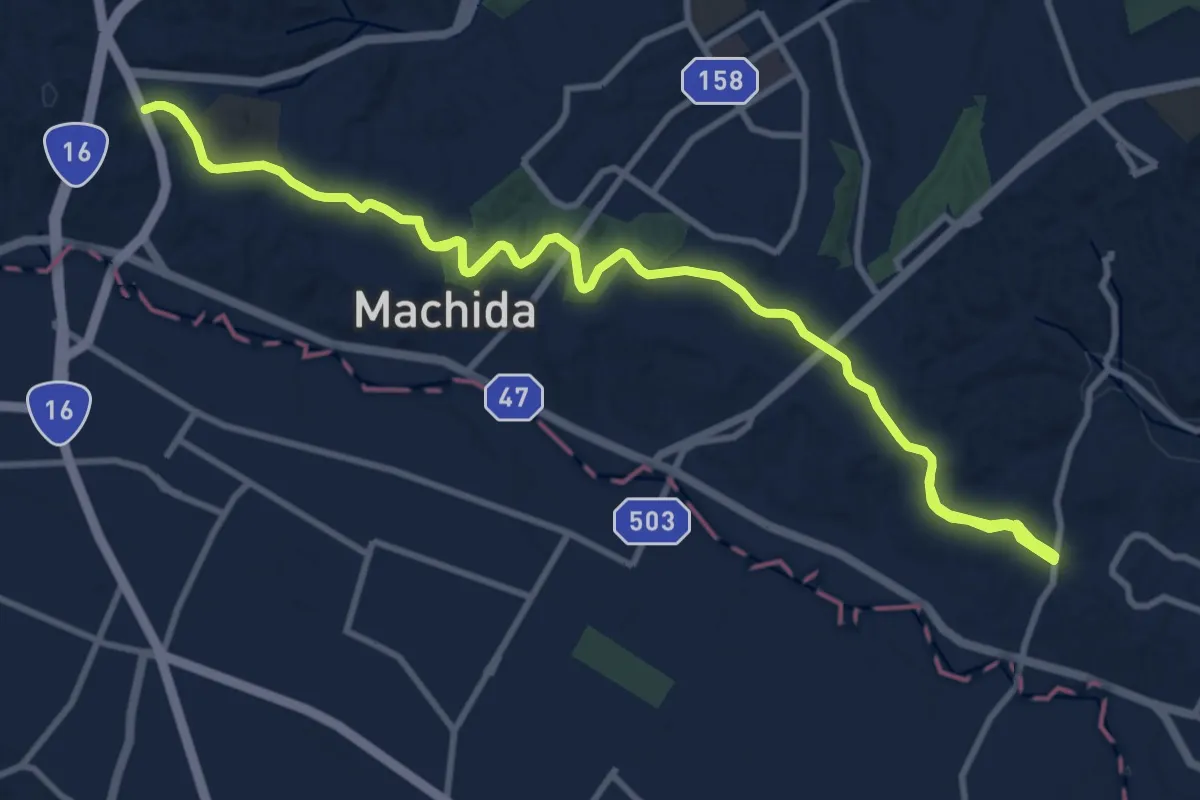
Medium · Trail
尾根緑道
16.1 km · ↑ 256 m · 4 h 22 min · 10 km away
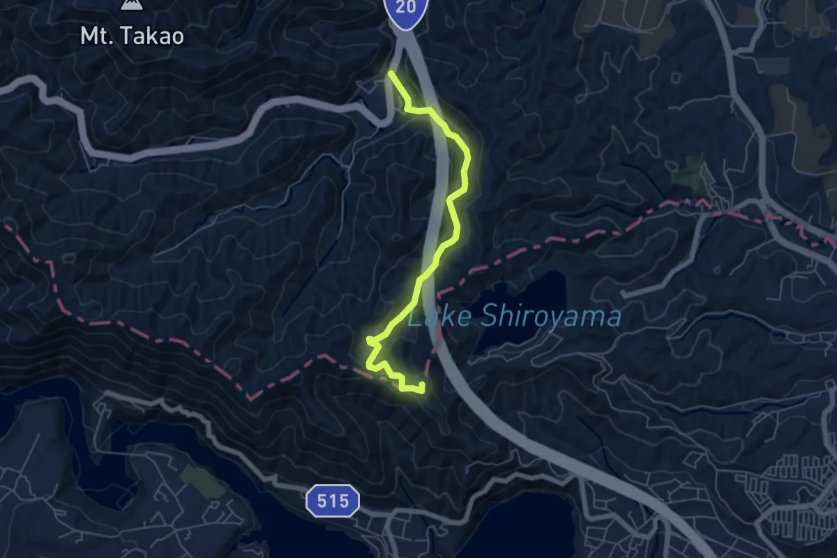
Easy · Summit
関東ふれあいの道 - 神奈川14 - 峰の薬師へのみち
6.3 km · ↑ 253 m · 2 h 2 min · 10 km away
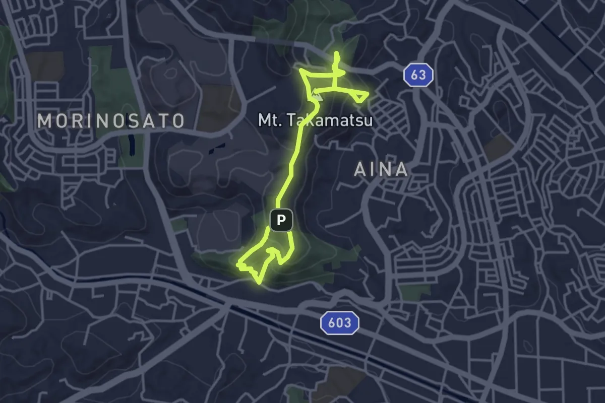
Medium · Summit
高松山コース
5.5 km · ↑ 393 m · 2 h 9 min · 11 km away
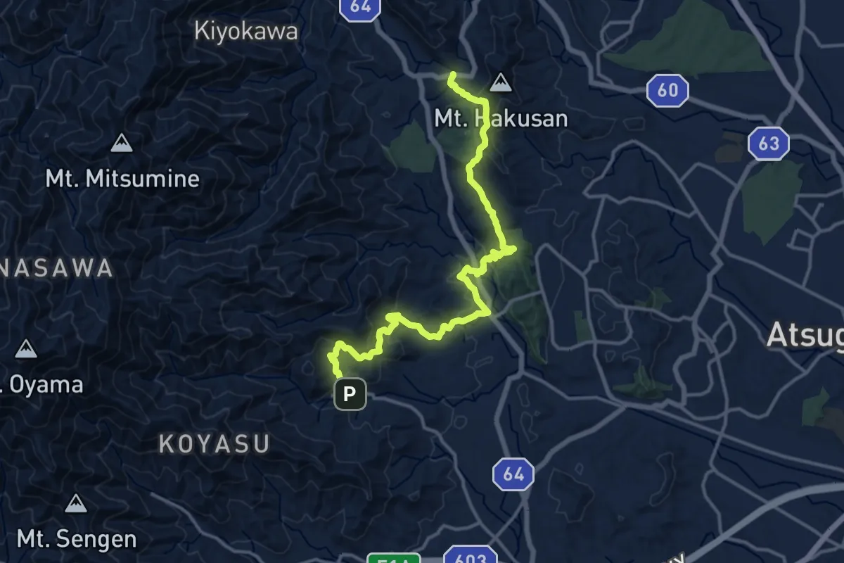
Demanding · Trail
関東ふれあいの道 - 神奈川11 - 順礼峠のみち
17.0 km · ↑ 834 m · 5 h 50 min · 11 km away
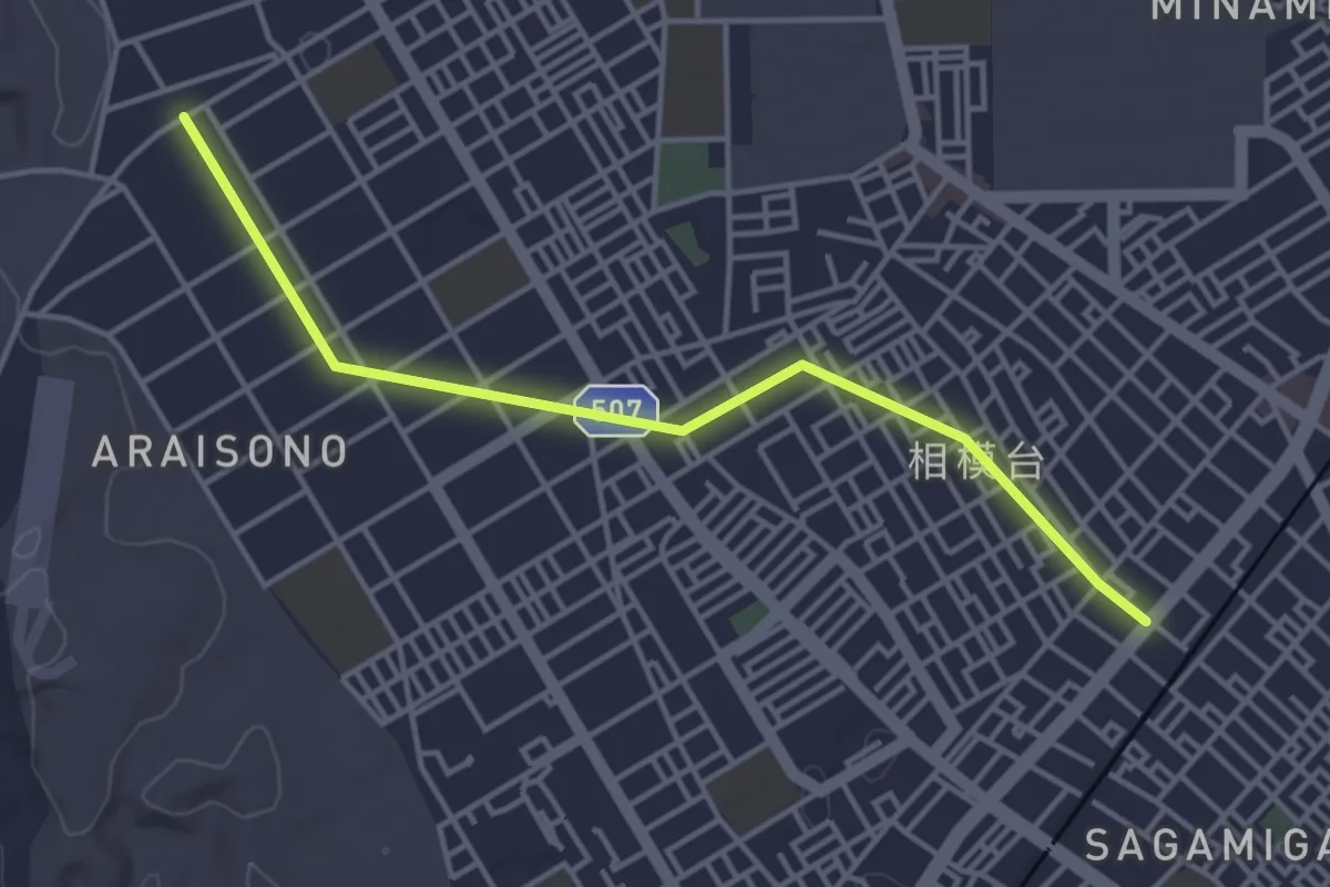
Easy · Trail
さがみの仲よし小道
4.8 km · ↑ 9 m · 1 h 9 min · 11 km away
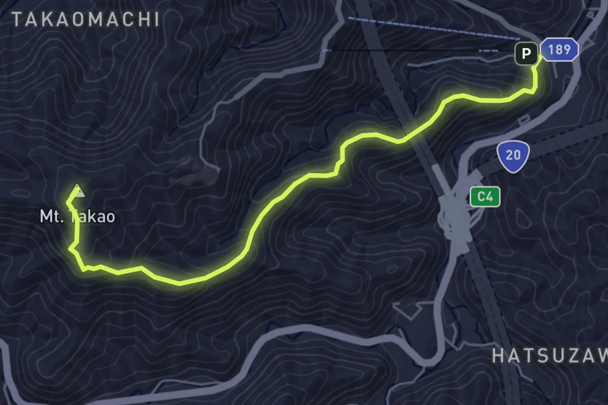
Medium · Summit
稲荷山コース
6.6 km · ↑ 449 m · 2 h 32 min · 11 km away
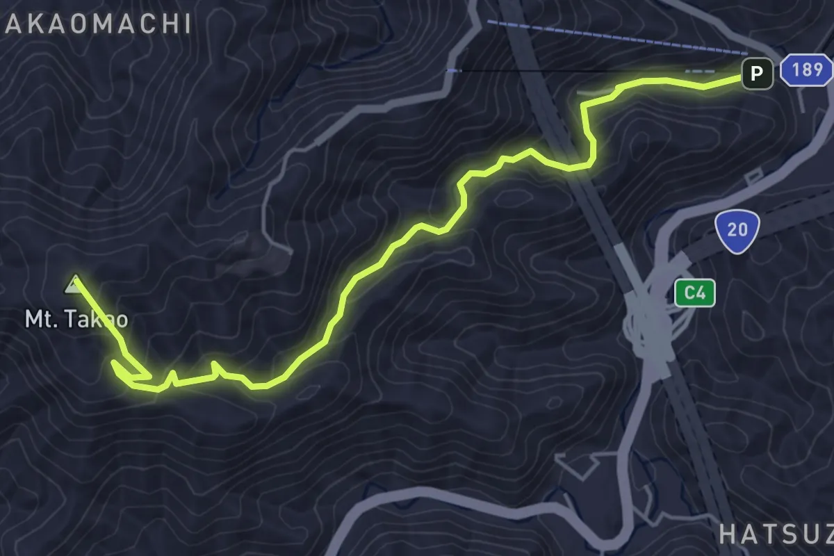
Medium · Summit
自然研究路6号路
6.7 km · ↑ 436 m · 2 h 31 min · 11 km away
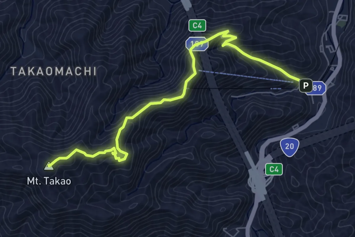
Medium · Summit
自然研究路1号路
7.5 km · ↑ 491 m · 2 h 50 min · 11 km away
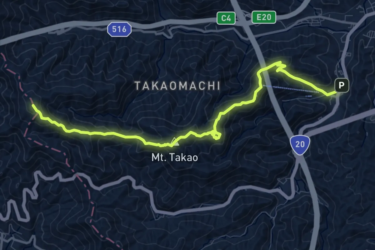
Demanding · Summit
KFT - TK1 - Mizuumi no michi
12.6 km · ↑ 852 m · 4 h 50 min · 11 km away
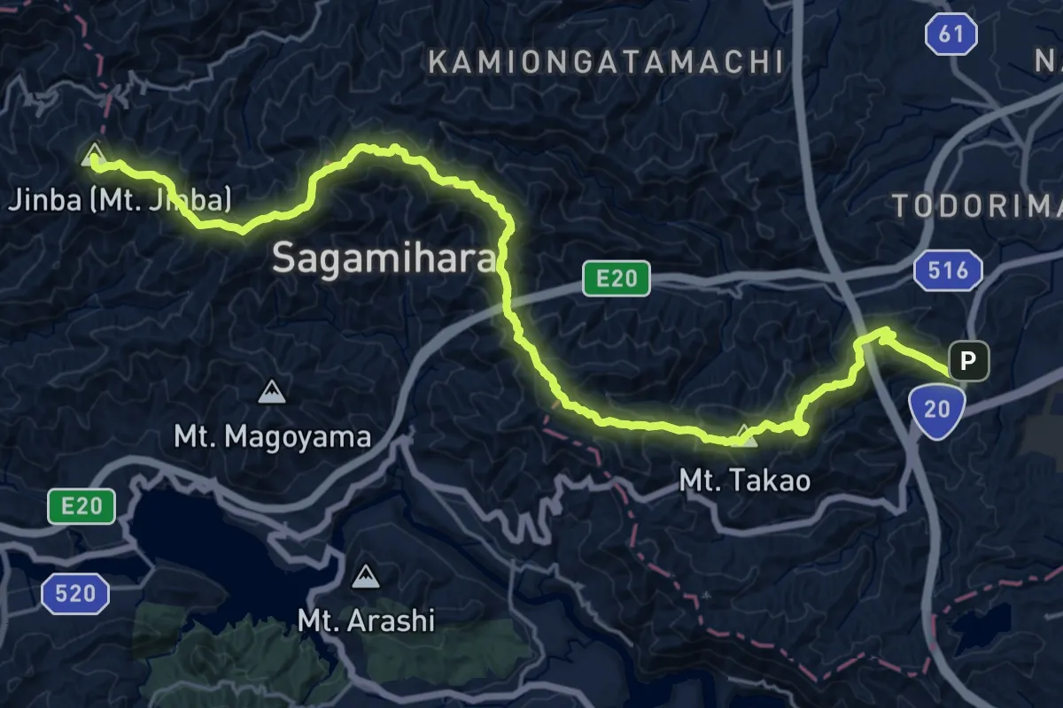
Demanding · Summit
KFT - TK2 - Tori no michi
28.7 km · ↑ 1764 m · 10 h 36 min · 11 km away
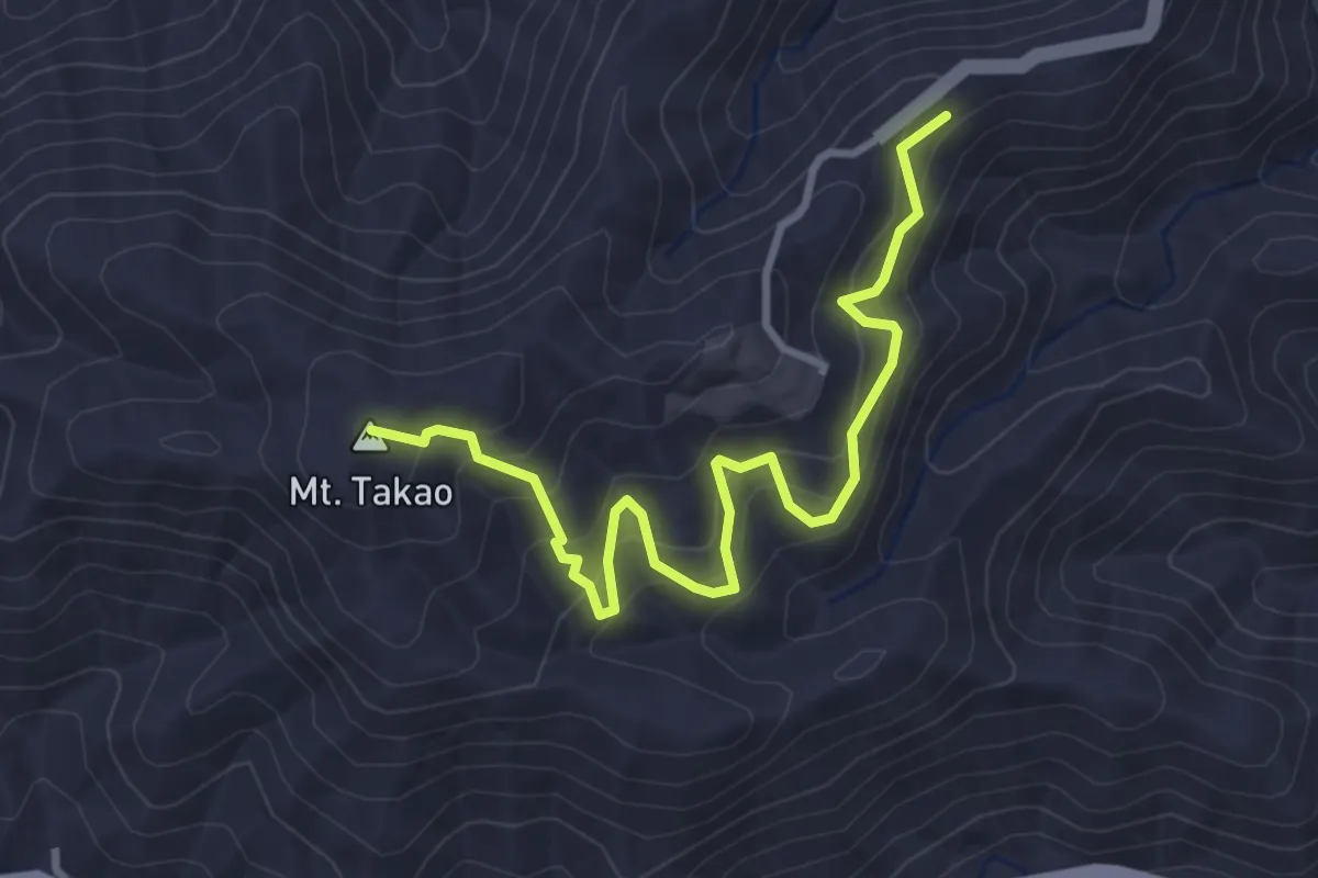
Medium · Summit
自然研究路3号路
4.3 km · ↑ 396 m · 1 h 52 min · 12 km away
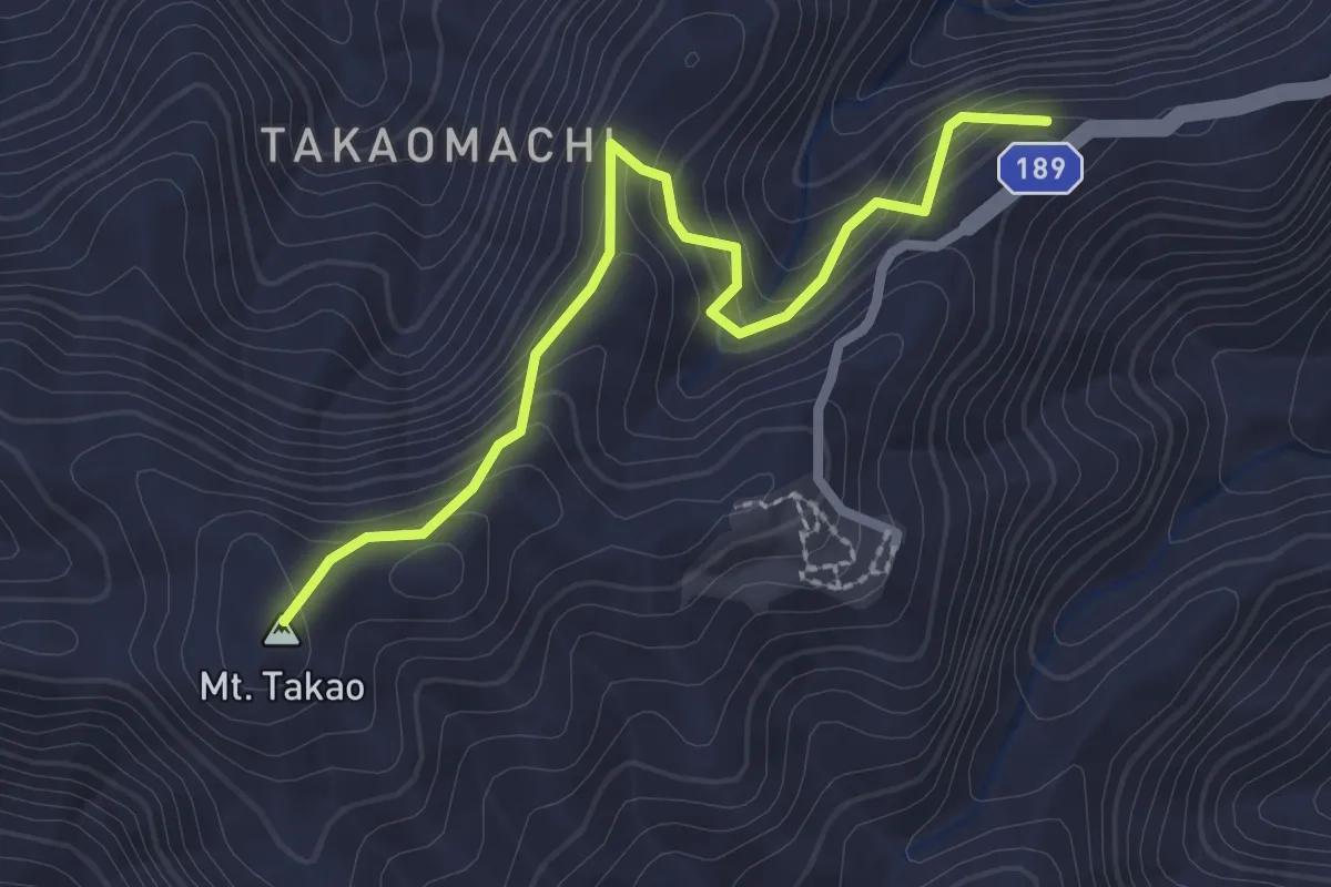
Easy · Summit
自然研究路4号路
3.0 km · ↑ 209 m · 1 h 9 min · 12 km away
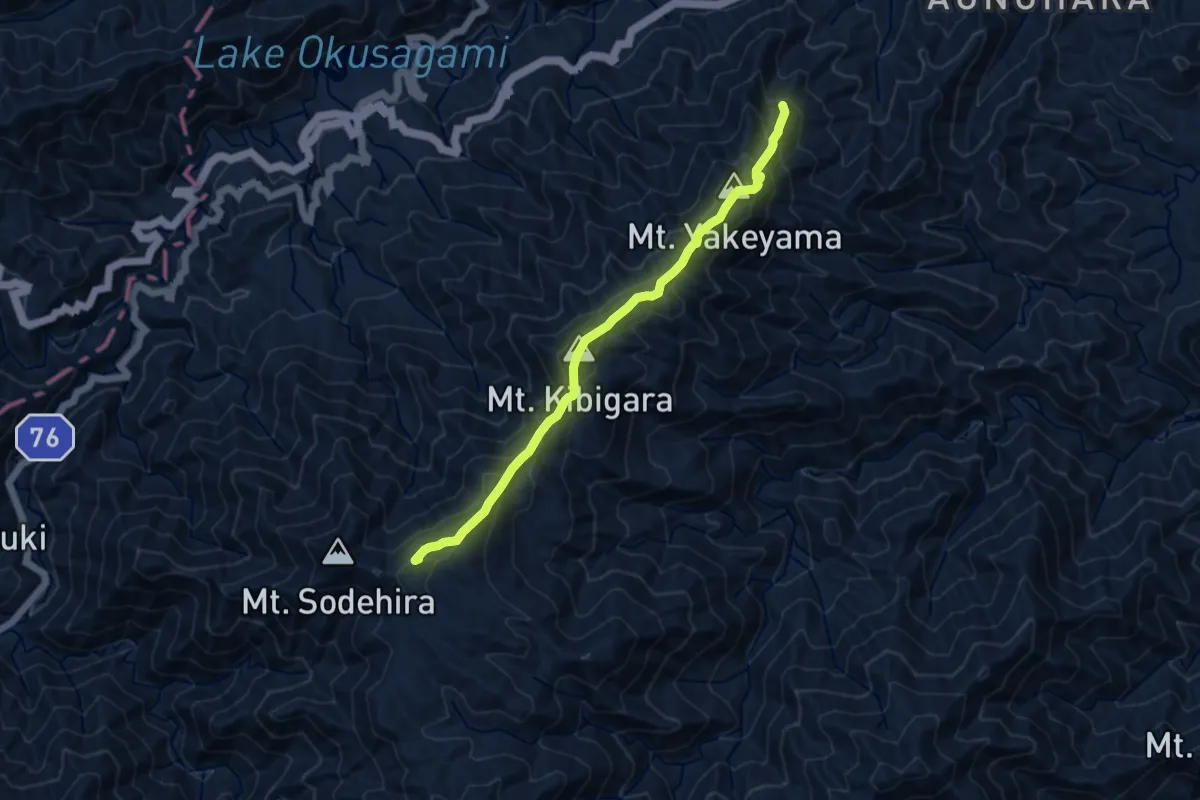
Demanding · Summit
東海自然歩道(西野々から西丹沢自然教室まで)
10.9 km · ↑ 879 m · 4 h 29 min · 12 km away
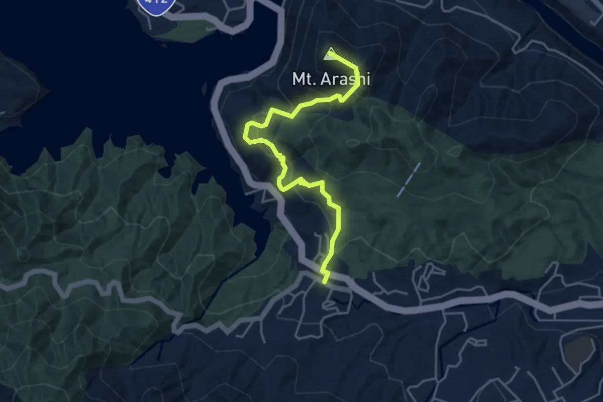
Medium · Summit
東海自然歩道
4.7 km · ↑ 345 m · 1 h 51 min · 12 km away
Demanding · Summit
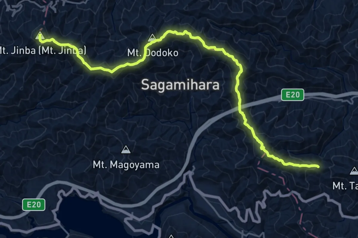
高尾山から陣馬山まで
19.3 km · ↑ 1133 m · 7 h 1 min · 12 km away
Medium · Summit
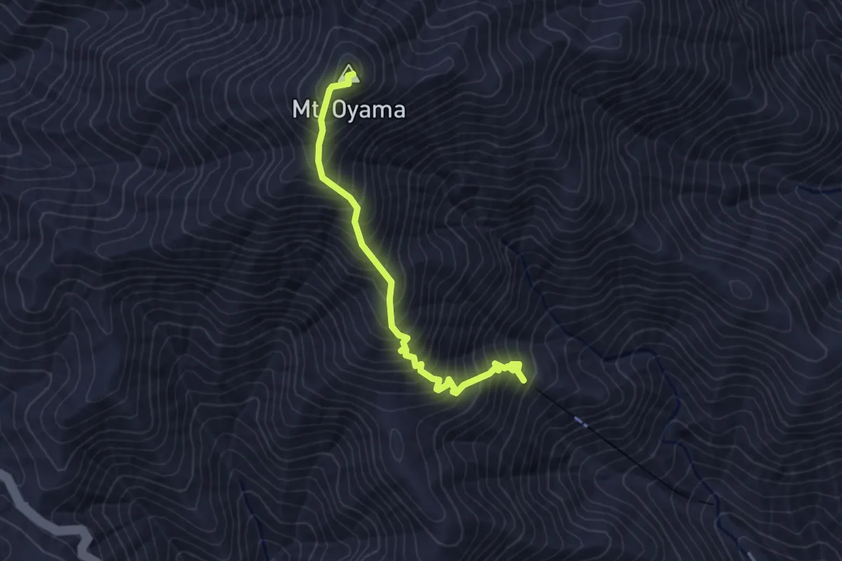
本坂
3.7 km · ↑ 531 m · 2 h 1 min · 12 km away
Easy · Trail
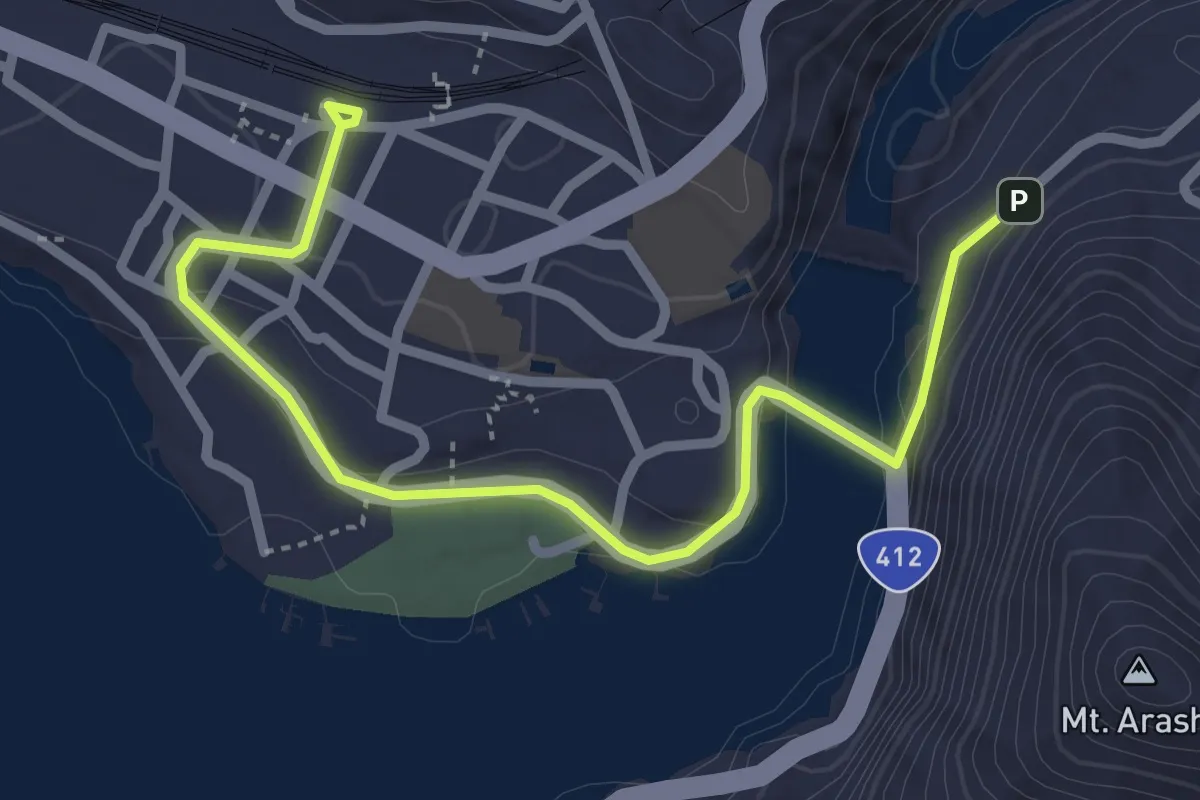
東海自然歩道
3.5 km · ↑ 138 m · 1 h 7 min · 13 km away
Demanding · Summit
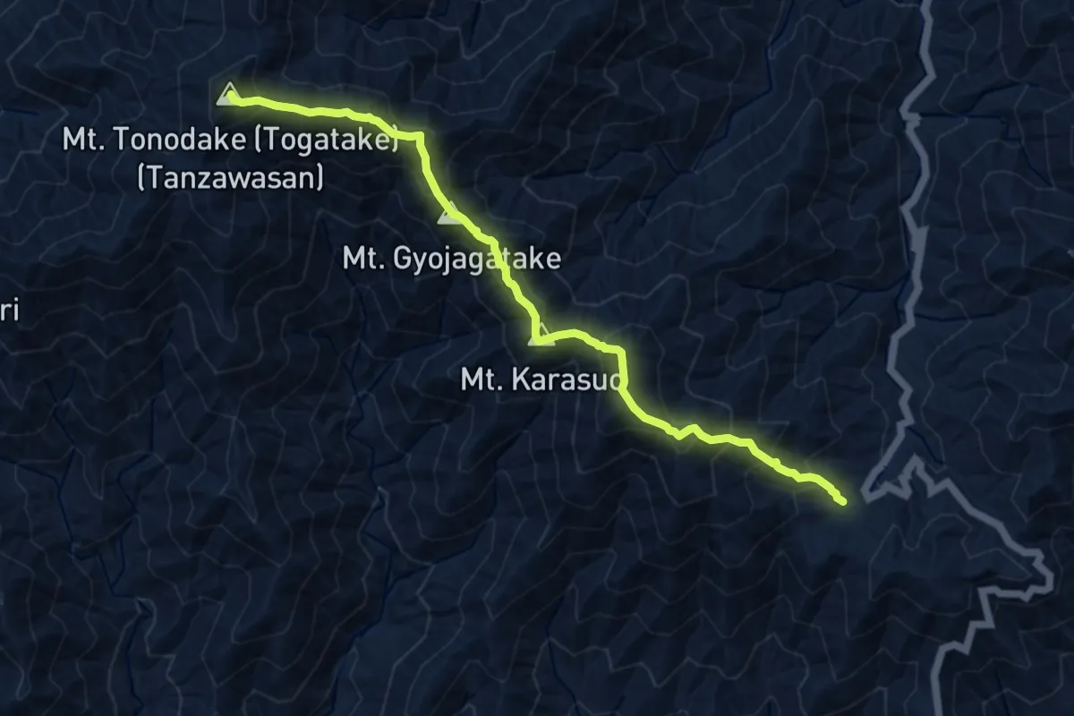
表尾根縦走路
11.2 km · ↑ 1156 m · 5 h 9 min · 14 km away
Demanding · Trail
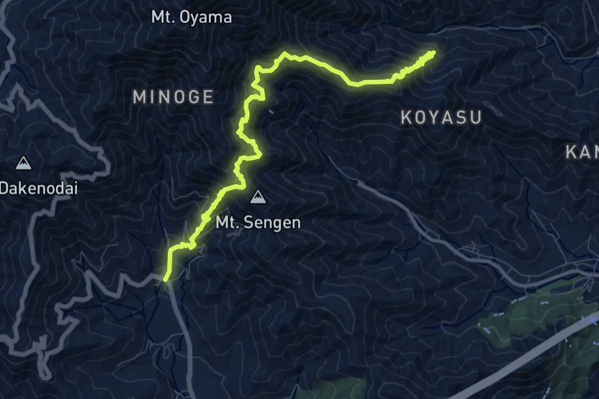
関東ふれあいの道 - 神奈川16 - 大山参り蓑毛のみち
14.0 km · ↑ 1455 m · 6 h 28 min · 14 km away