Trails near 中井町
18 hikes starting within 15 km, nearest first.
Nearest first
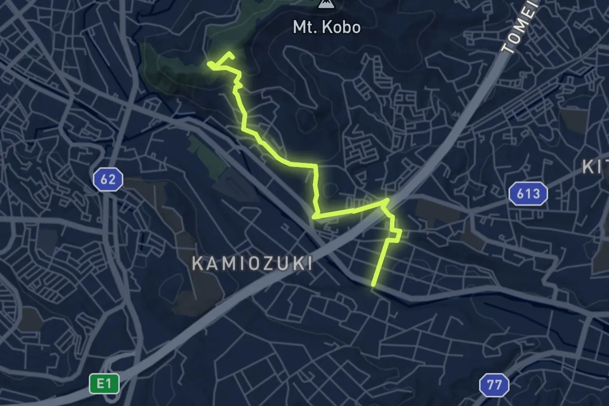
Easy · Summit
関東ふれあいの道 - 神奈川15 - 弘法大師と丹沢へのみち
6.1 km · ↑ 259 m · 2 h · 4 km away
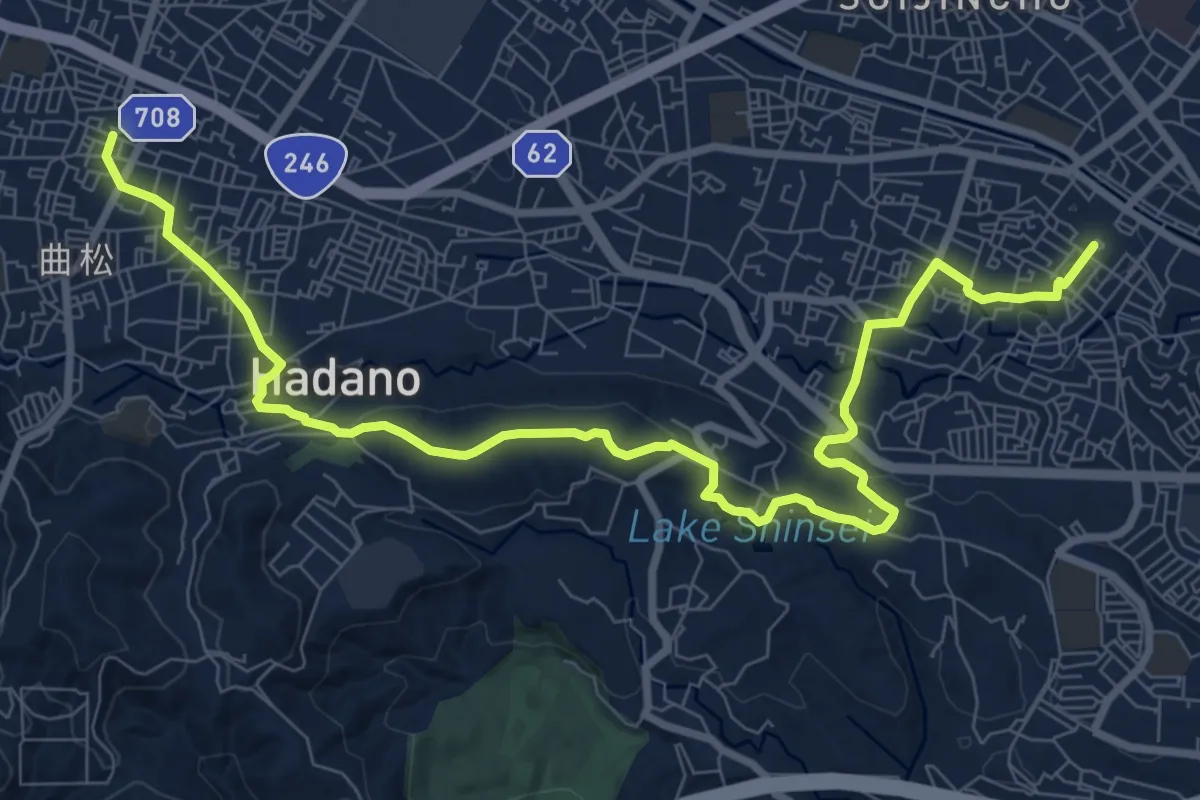
Medium · Trail
渋沢丘陵・震生湖コース
12.9 km · ↑ 302 m · 3 h 41 min · 6 km away
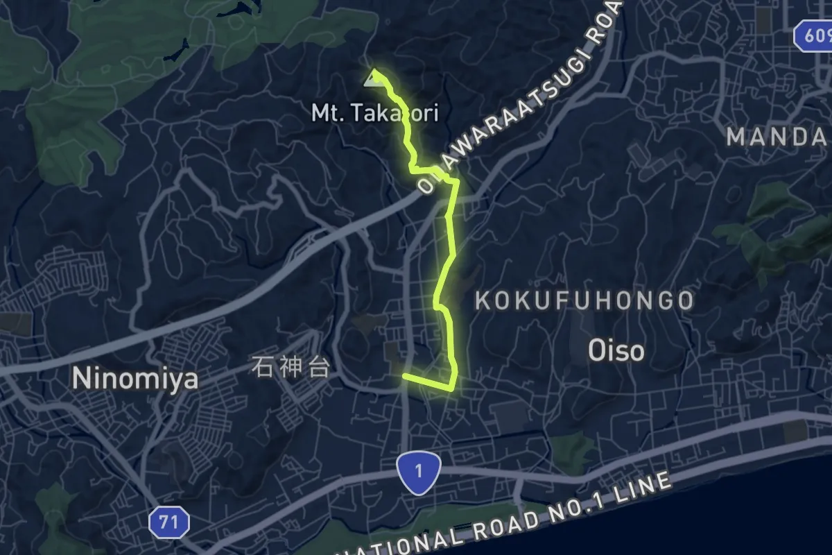
Easy · Summit
関東ふれあいの道 - 神奈川8 - 鷹取山・里のみち
6.3 km · ↑ 227 m · 1 h 59 min · 6 km away
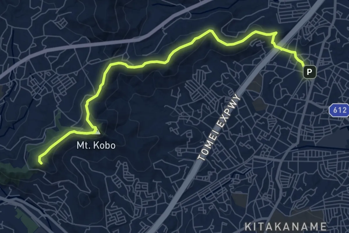
Medium · Summit
弘法山公園・吾妻山コース
9.6 km · ↑ 460 m · 3 h 16 min · 8 km away
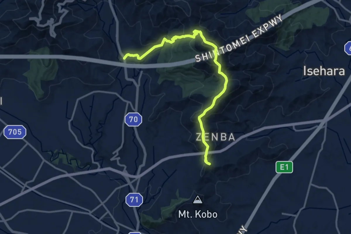
Demanding · Trail
野菊と信仰のみち
11.9 km · ↑ 856 m · 4 h 40 min · 8 km away
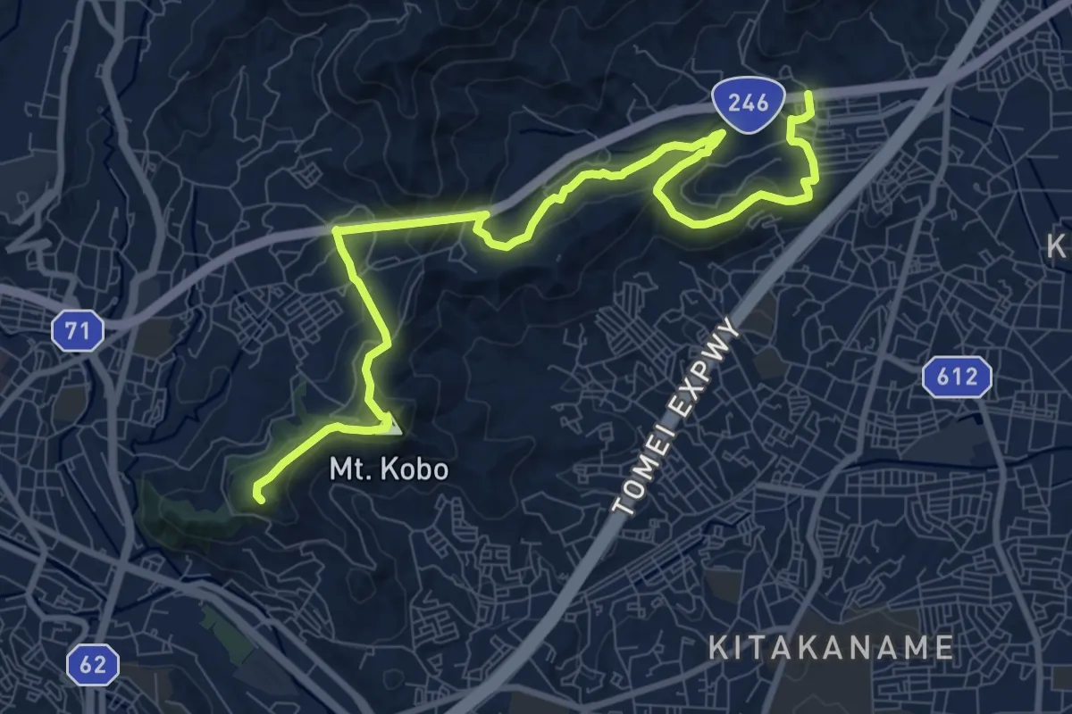
Medium · Summit
関東ふれあいの道 - 神奈川9 - 弘法大師とサクラのみち
12.8 km · ↑ 669 m · 4 h 28 min · 8 km away
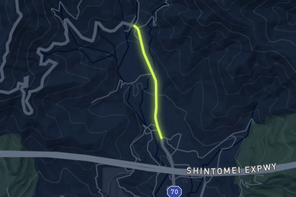
Easy · Trail
関東ふれあいの道 - 連絡区間
2.6 km · ↑ 105 m · 50 min · 8 km away
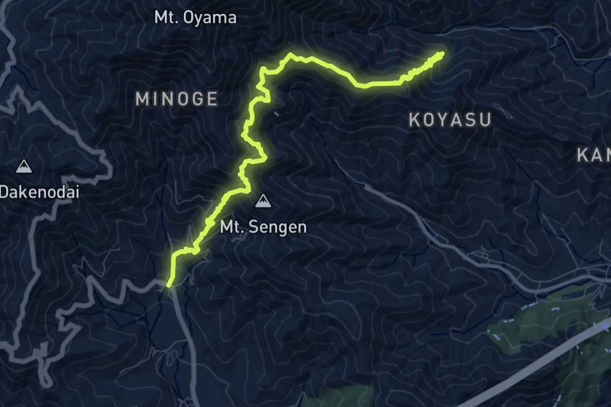
Demanding · Trail
関東ふれあいの道 - 神奈川16 - 大山参り蓑毛のみち
14.0 km · ↑ 1455 m · 6 h 28 min · 9 km away
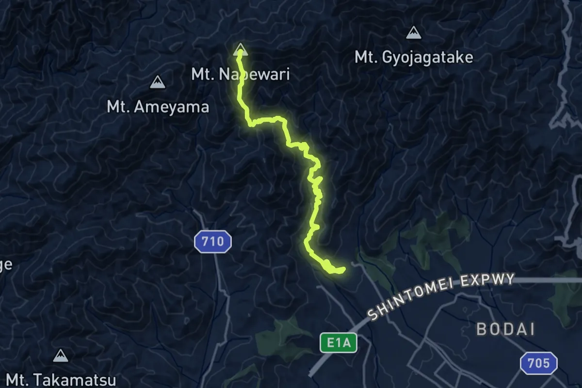
Demanding · Summit
鍋割山稜
16.3 km · ↑ 1412 m · 6 h 54 min · 10 km away
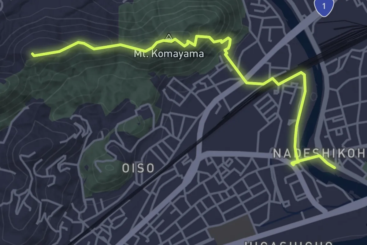
Easy · Summit
関東ふれあいの道 - 神奈川7 - 大磯・高麗山のみち
5.7 km · ↑ 313 m · 2 h 1 min · 10 km away
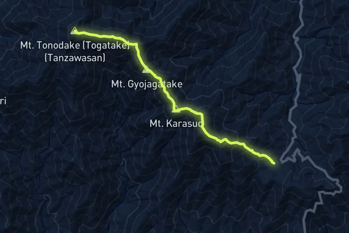
Demanding · Summit
表尾根縦走路
11.2 km · ↑ 1156 m · 5 h 9 min · 11 km away
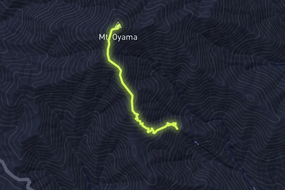
Medium · Summit
本坂
3.7 km · ↑ 531 m · 2 h 1 min · 11 km away
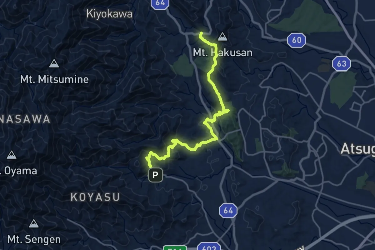
Demanding · Trail
関東ふれあいの道 - 神奈川11 - 順礼峠のみち
17.0 km · ↑ 834 m · 5 h 50 min · 13 km away
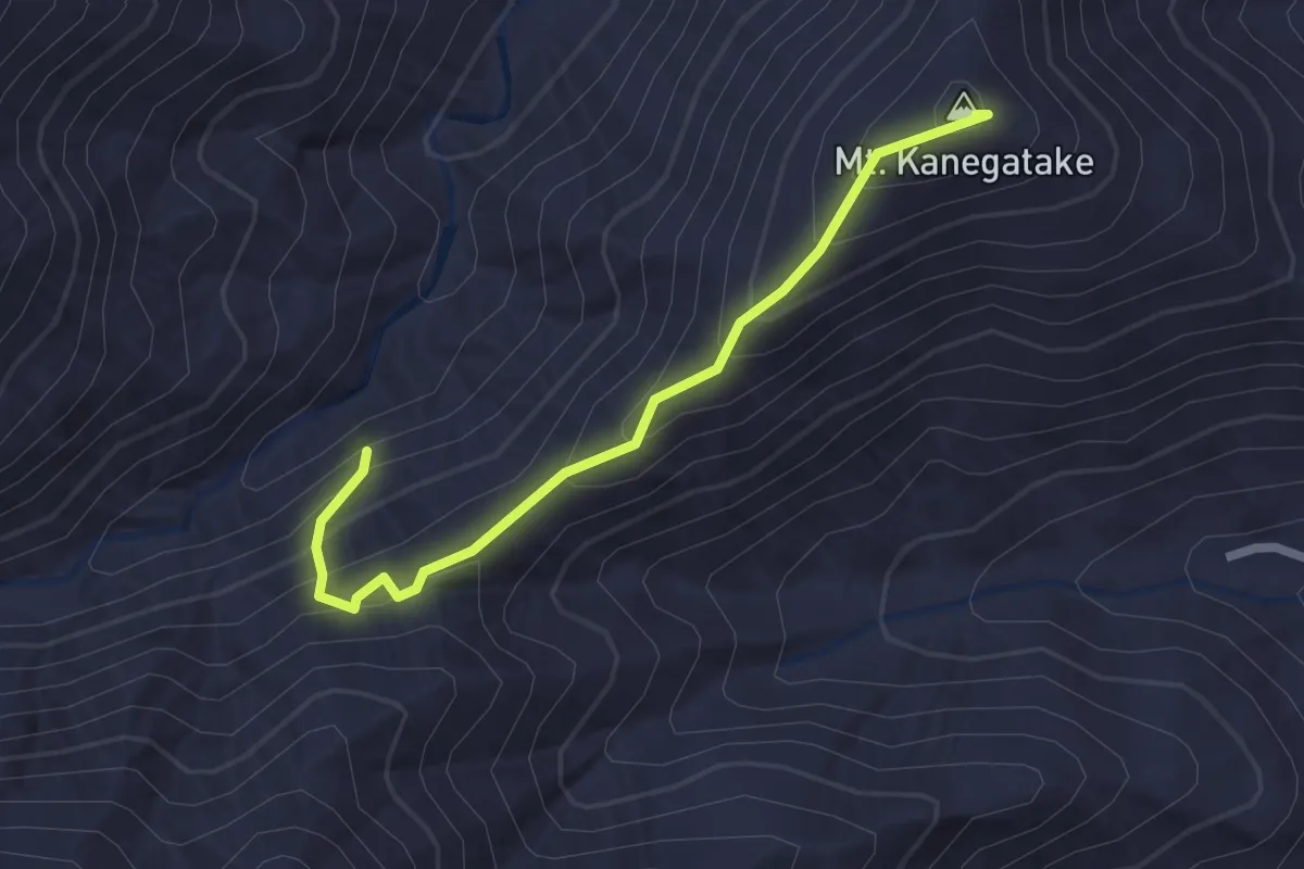
Easy · Summit
広沢寺温泉入口 – 山の神隧道
2.6 km · ↑ 207 m · 1 h 4 min · 14 km away
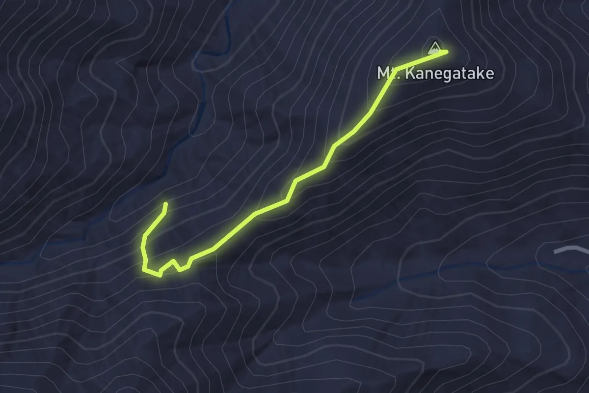
Easy · Summit
厚木市 - 鐘ヶ嶽ハイキングコース
2.6 km · ↑ 207 m · 1 h 4 min · 14 km away
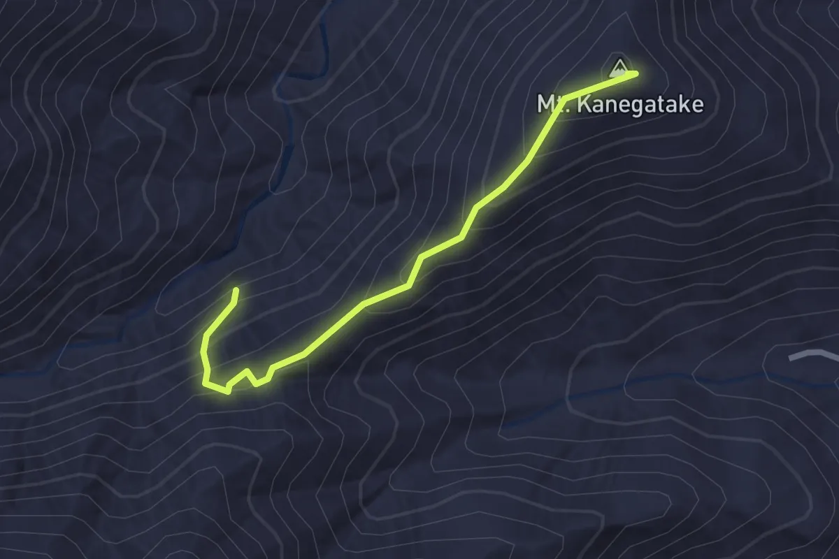
Easy · Summit
厚木市 - 鐘ヶ嶽ハイキングコース
2.6 km · ↑ 207 m · 1 h 4 min · 14 km away
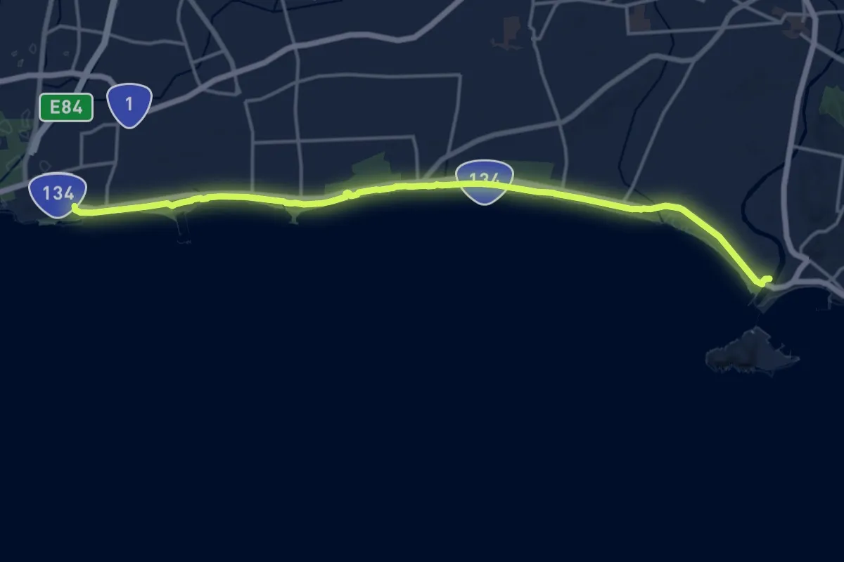
Demanding · Trail
関東ふれあいの道 - 神奈川6 - 湘南海岸・砂浜のみち
19.8 km · ↑ 123 m · 4 h 57 min · 15 km away
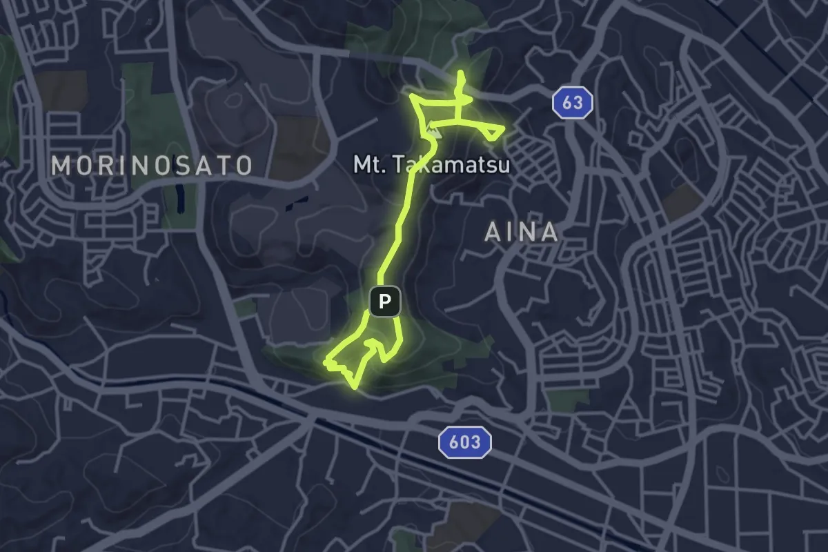
Medium · Summit
高松山コース
5.5 km · ↑ 393 m · 2 h 9 min · 15 km away