Trails in Japan
621 hiking trails, each with its route, climb, walking time and grade.
All trails, page 12 of 13
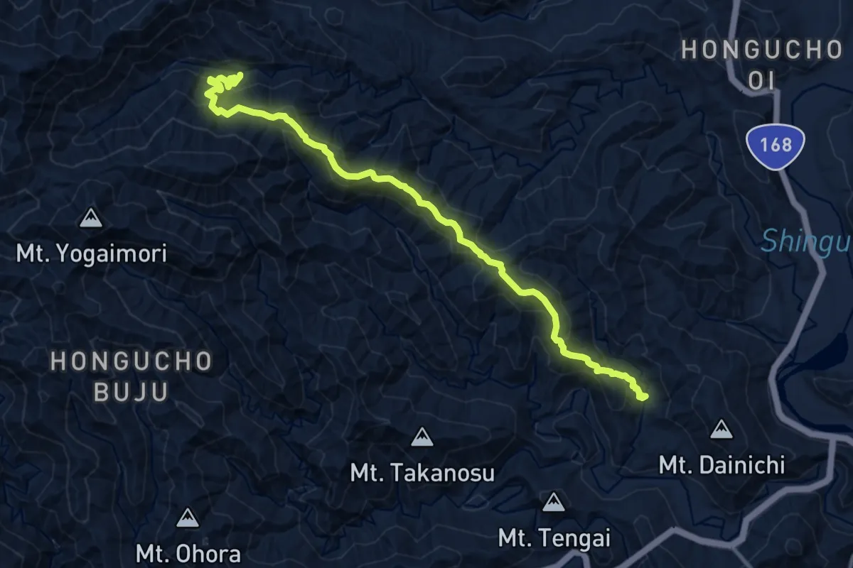
Medium · Pilgrim path
熊野古道 中辺路 赤木越
6.6 km · ↑ 349 m · 2 h 28 min
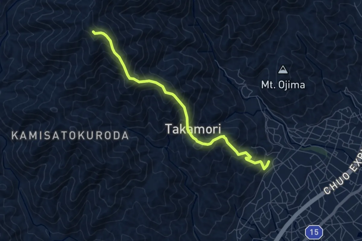
Demanding · Summit
牛牧山前山ルート
8.1 km · ↑ 805 m · 3 h 39 min
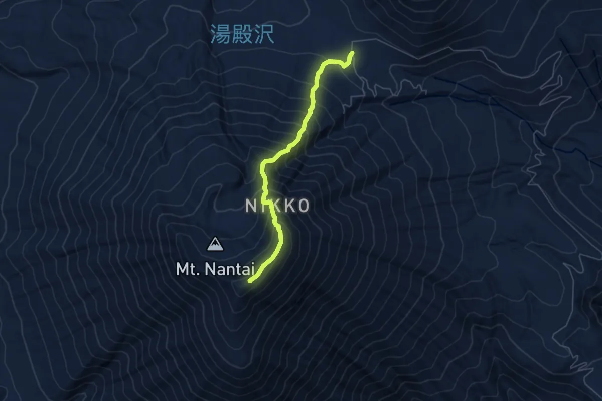
Medium · Summit
男体山志津登山道
5.6 km · ↑ 679 m · 2 h 48 min
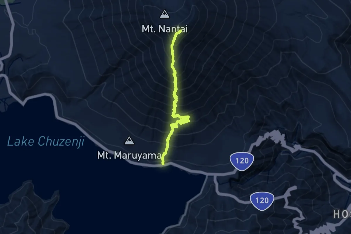
Demanding · Summit
男体山表登山道
9.1 km · ↑ 1238 m · 4 h 50 min
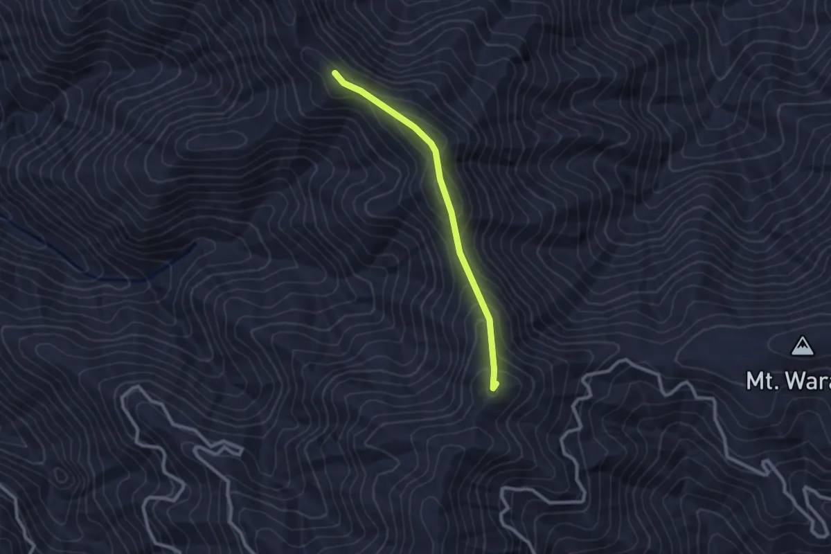
Easy · Summit
登山道
2.5 km · ↑ 182 m · 59 min
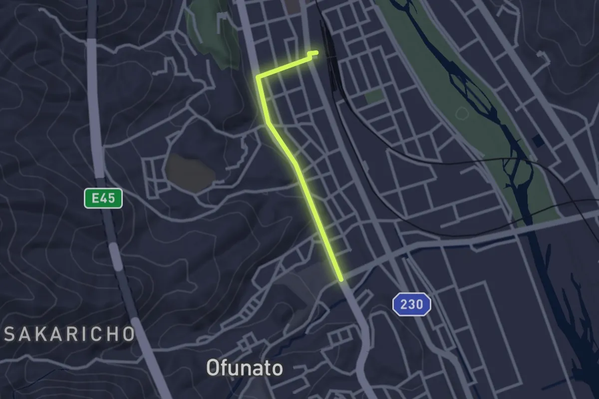
Easy · Trail
盛駅へ
2.2 km · ↑ 9 m · 33 min
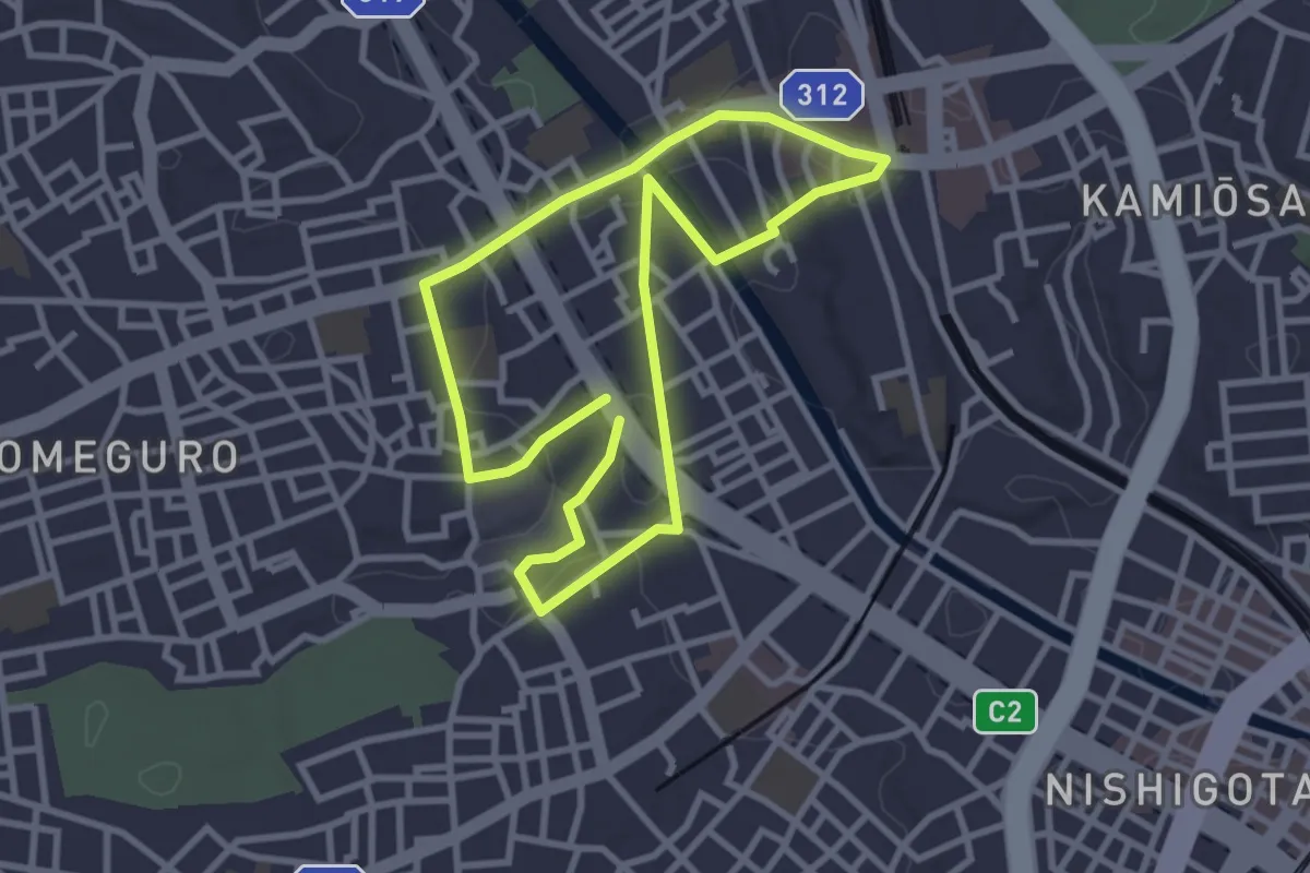
Easy · Trail
目黒区みどりの散歩道 不動コース
3.3 km · ↑ 55 m · 57 min
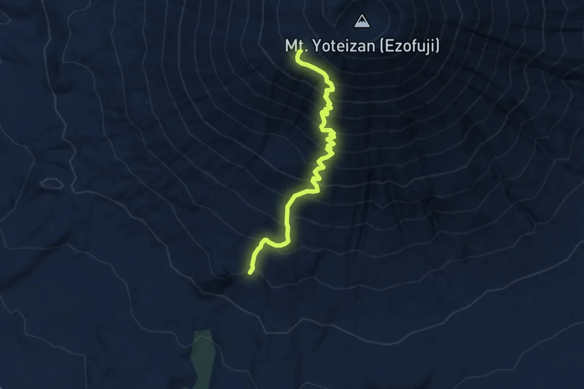
Demanding · Trail
真狩コース · Makkari trail
8.0 km · ↑ 1098 m · 4 h 16 min
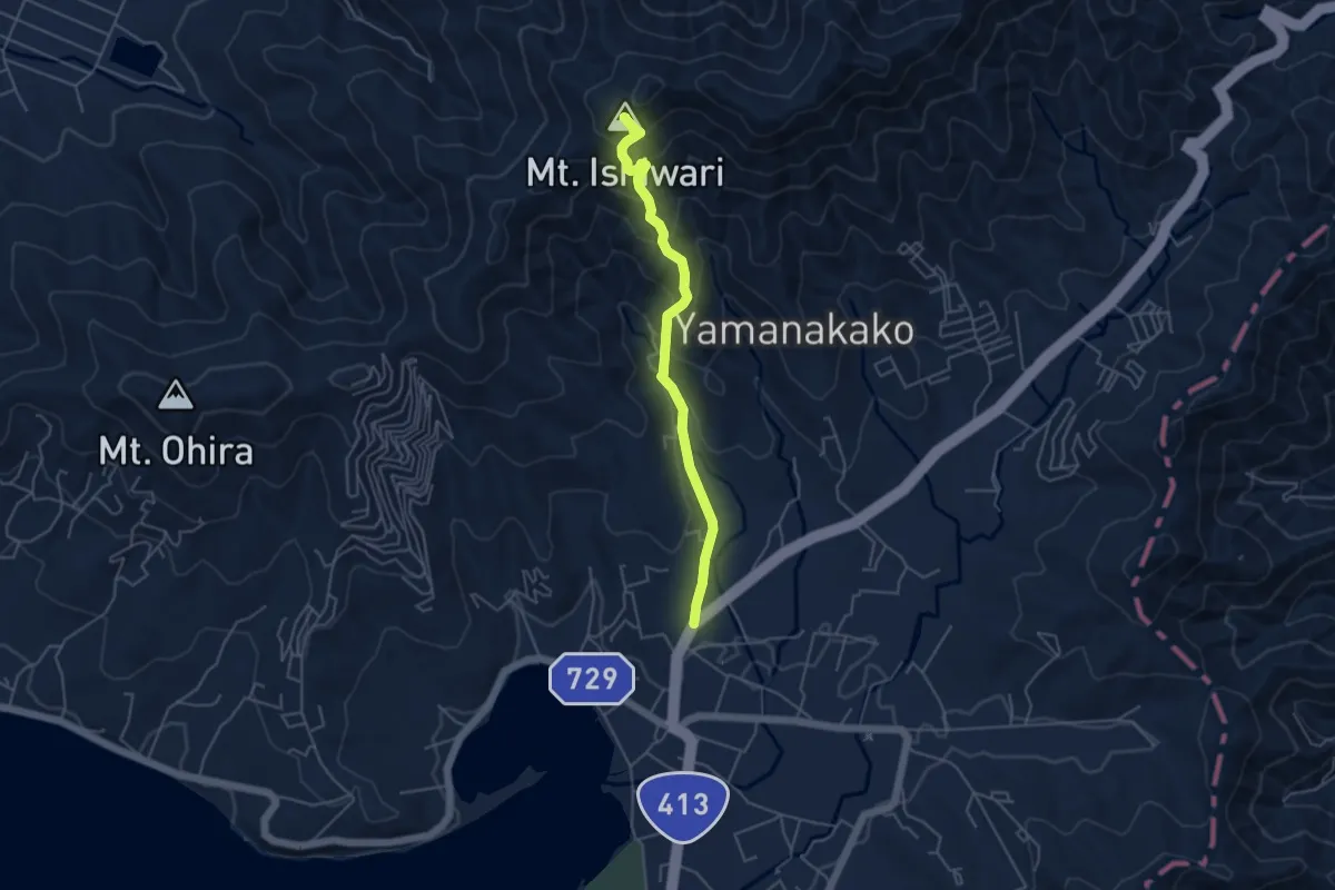
Medium · Summit
石割山ハイキングコース
5.3 km · ↑ 400 m · 2 h 7 min
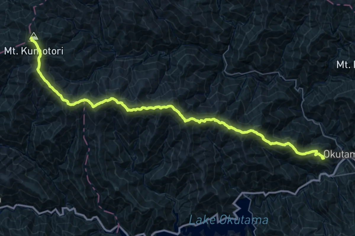
Expert · Summit
石尾根縦走路
35.1 km · ↑ 2403 m · 13 h 30 min
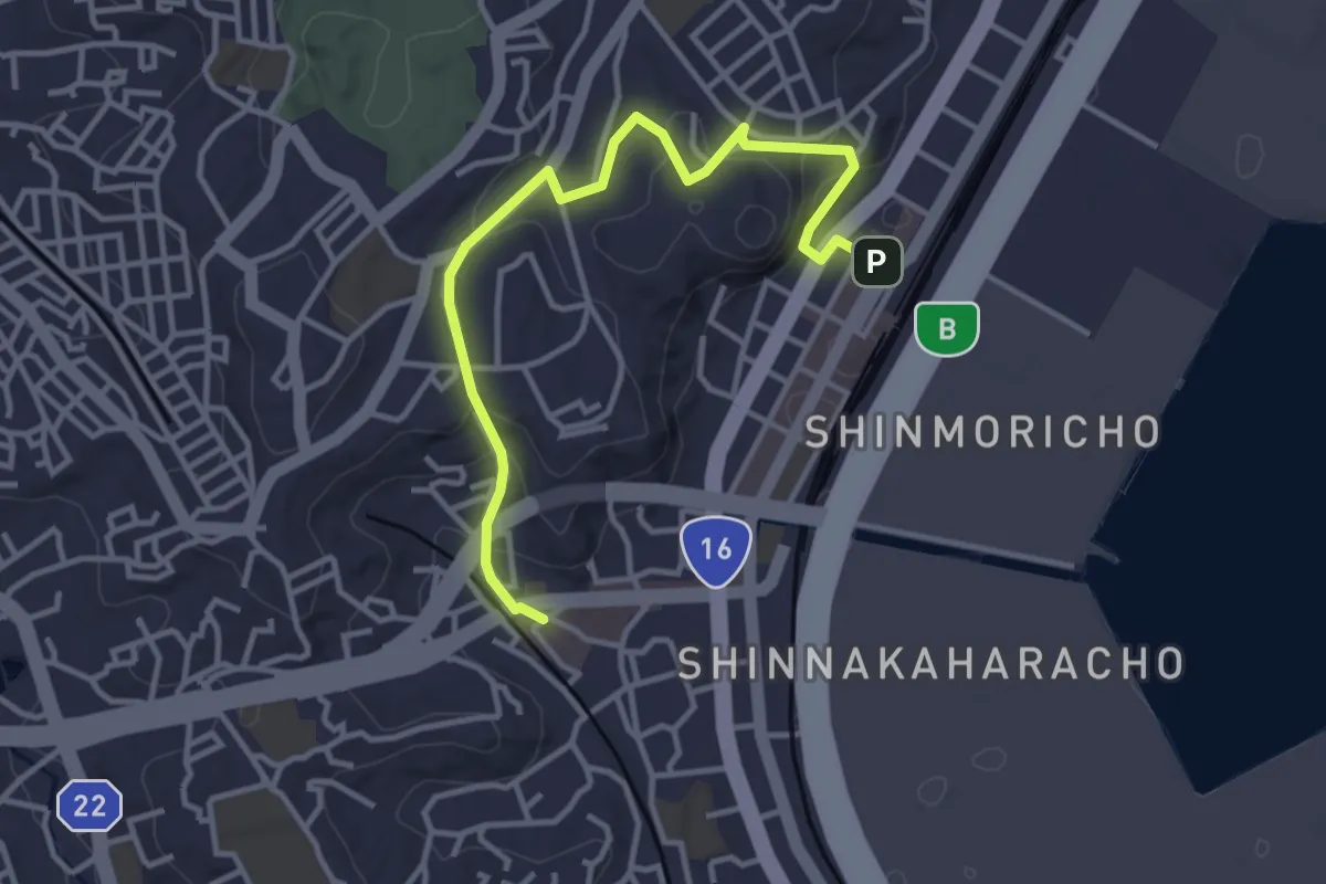
Easy · Trail
磯子区健康みちづくりルート:山ルート
4.6 km · ↑ 159 m · 1 h 25 min
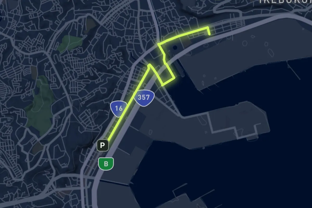
Easy · Trail
磯子区健康みちづくりルート:海ルート
7.0 km · ↑ 83 m · 1 h 50 min
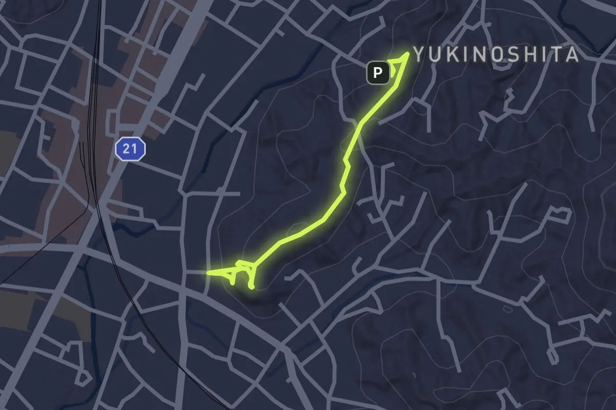
Easy · Trail
祇園山ハイキングコース
2.8 km · ↑ 123 m · 55 min
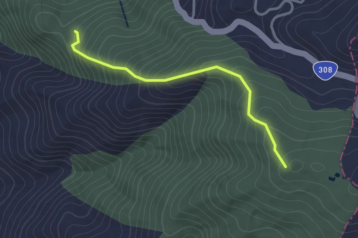
Easy · Trail
神津嶽ハイキングコース
2.5 km · ↑ 223 m · 1 h 5 min
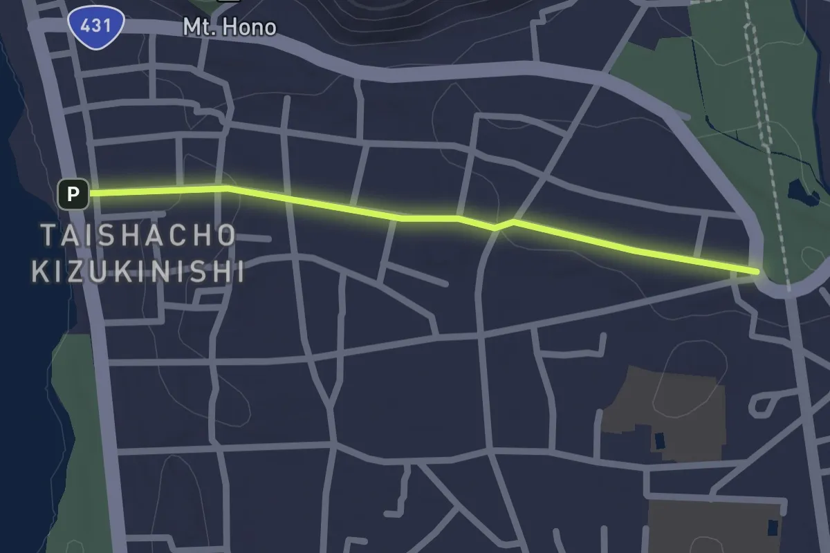
Easy · Trail
神迎の道
2.3 km · ↑ 18 m · 34 min
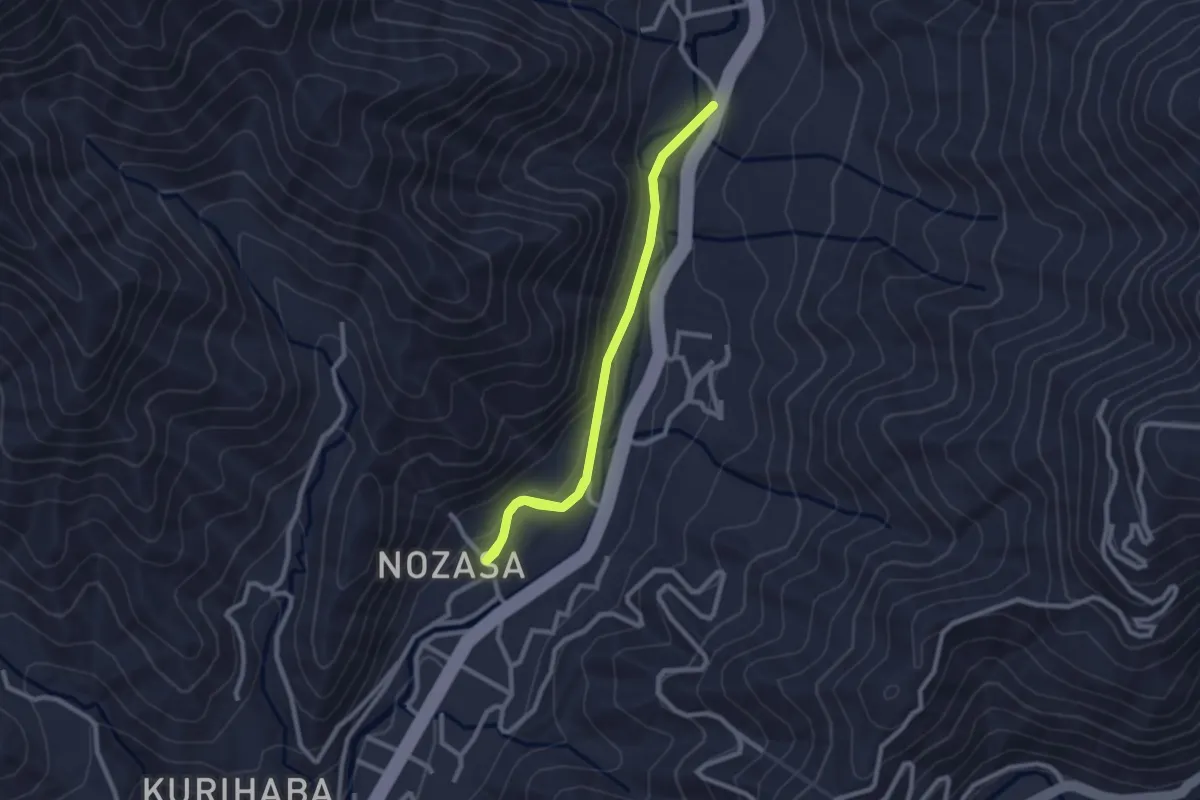
Easy · Trail
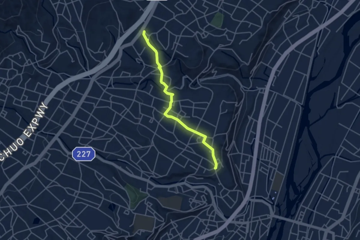
秋葉古道 野笹ルート
3.4 km · ↑ 65 m · 56 min
Easy · Trail
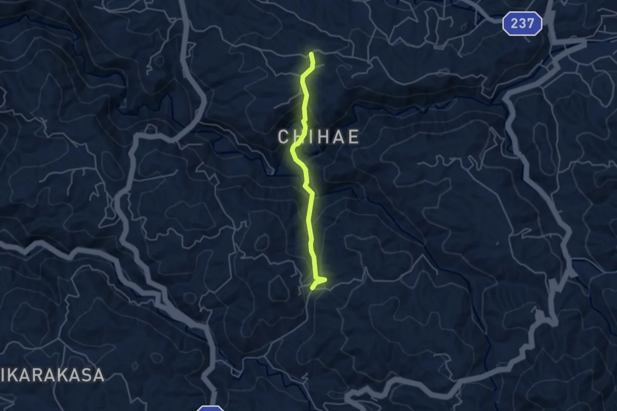
秋葉道
4.2 km · ↑ 109 m · 1 h 13 min
Easy · Trail
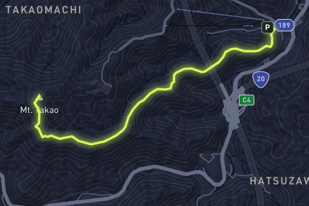
稲伏戸薬師参道
4.1 km · ↑ 263 m · 1 h 33 min
Medium · Summit
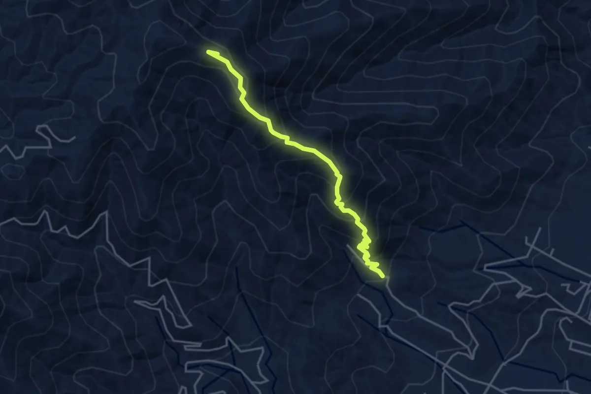
稲荷山コース
6.6 km · ↑ 449 m · 2 h 32 min
Medium · Summit
笠松山登山道 梅ヶ久保公園コース
4.2 km · ↑ 435 m · 1 h 56 min
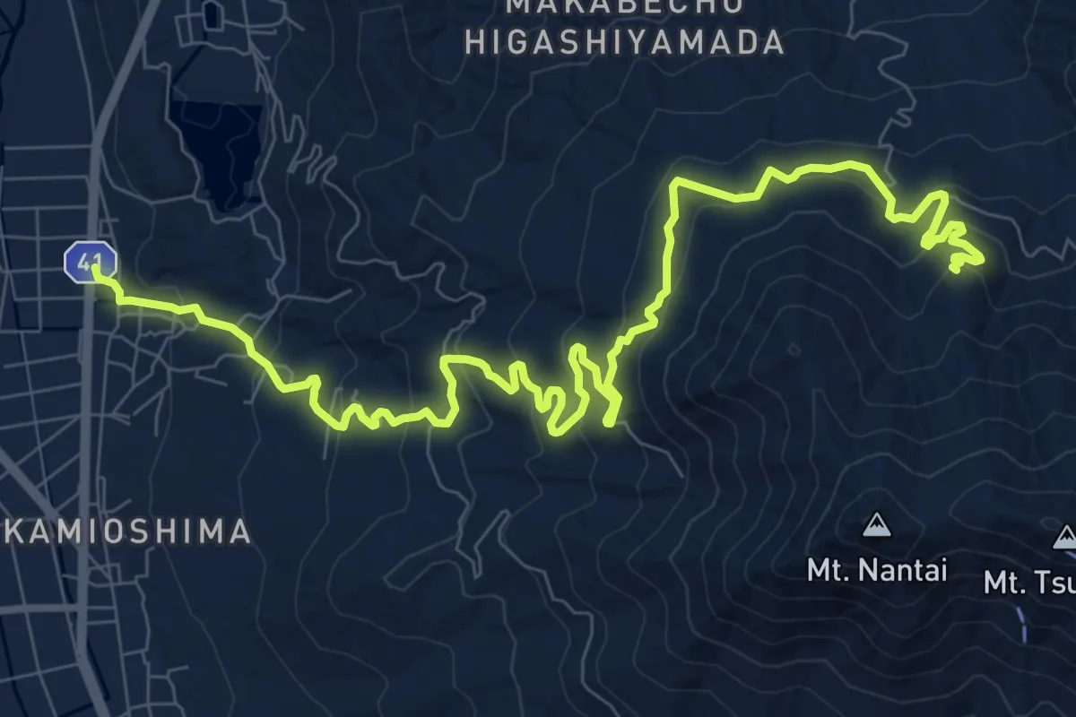
Medium · Trail
筑波山頂めぐりの道
14.3 km · ↑ 736 m · 4 h 58 min
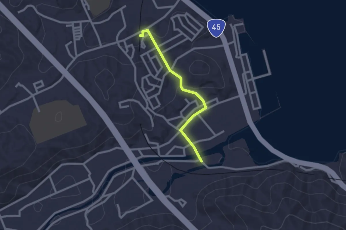
Easy · Trail
織笠駅へ南
2.1 km · ↑ 67 m · 38 min
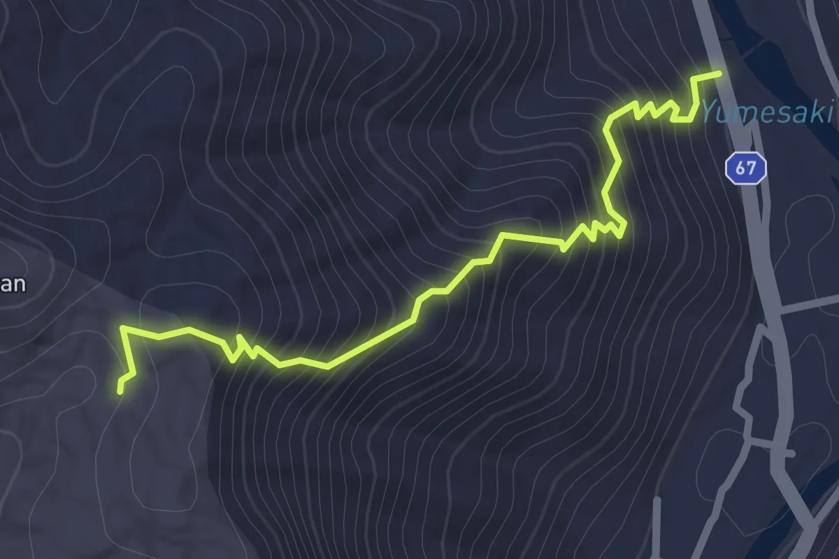
Easy · Trail
置塩坂
2.9 km · ↑ 301 m · 1 h 21 min
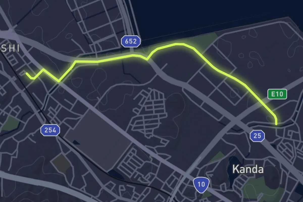
Easy · Trail
臨空里海ロード
5.2 km · ↑ 50 m · 1 h 20 min
Easy · Trail
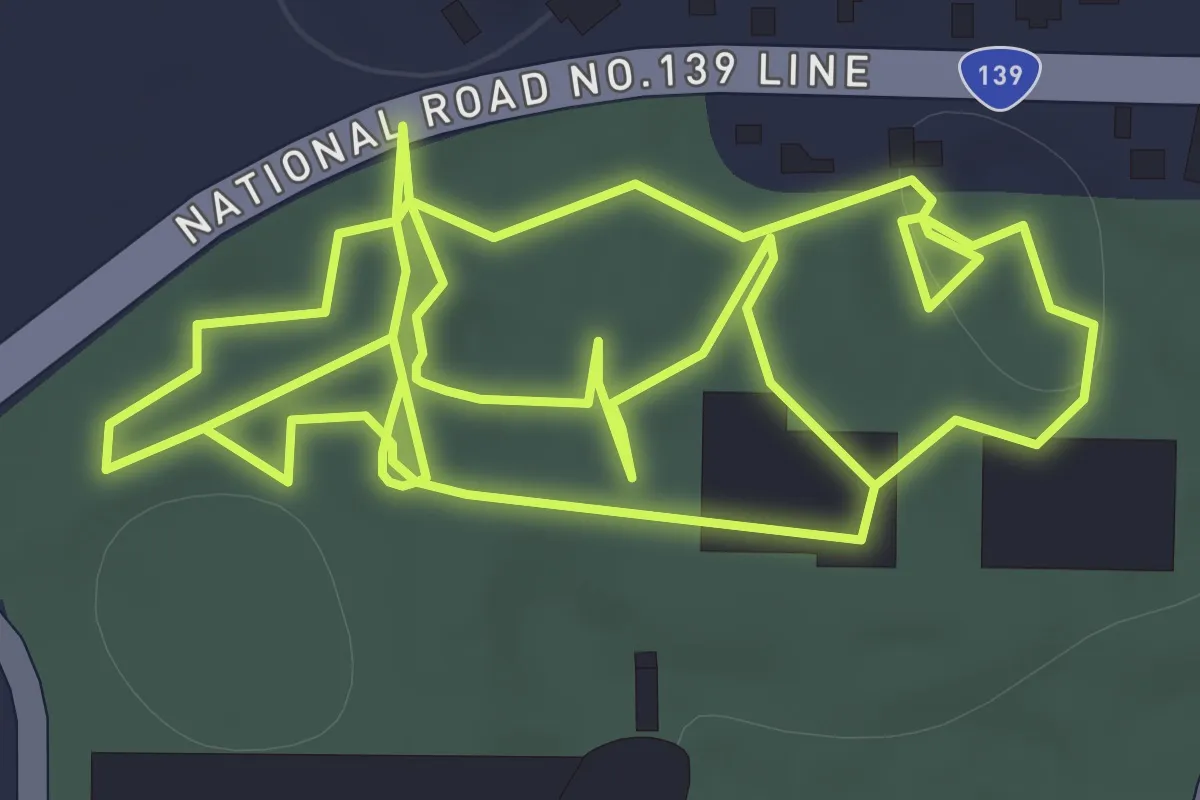
自然探索路
2.6 km · ↑ 0 m · 37 min
Medium · Summit
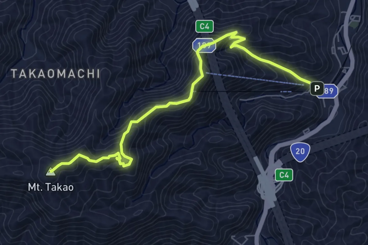
自然研究路1号路
7.5 km · ↑ 491 m · 2 h 50 min
Medium · Summit
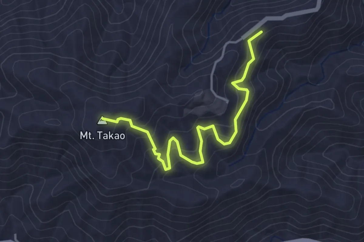
自然研究路3号路
4.3 km · ↑ 396 m · 1 h 52 min
Easy · Summit
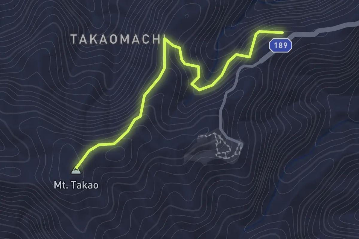
自然研究路4号路
3.0 km · ↑ 209 m · 1 h 9 min
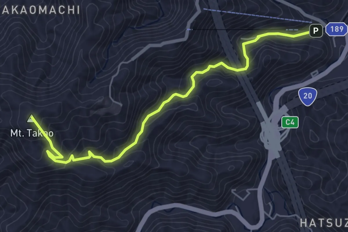
Medium · Summit
自然研究路6号路
6.7 km · ↑ 436 m · 2 h 31 min
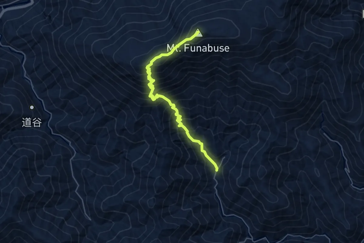
Medium · Summit
舟伏山登山道
6.2 km · ↑ 776 m · 3 h 9 min
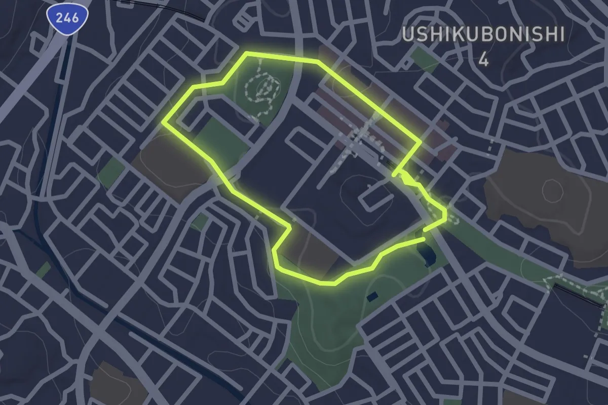
Easy · Trail
花と緑の散歩道
2.0 km · ↑ 31 m · 34 min
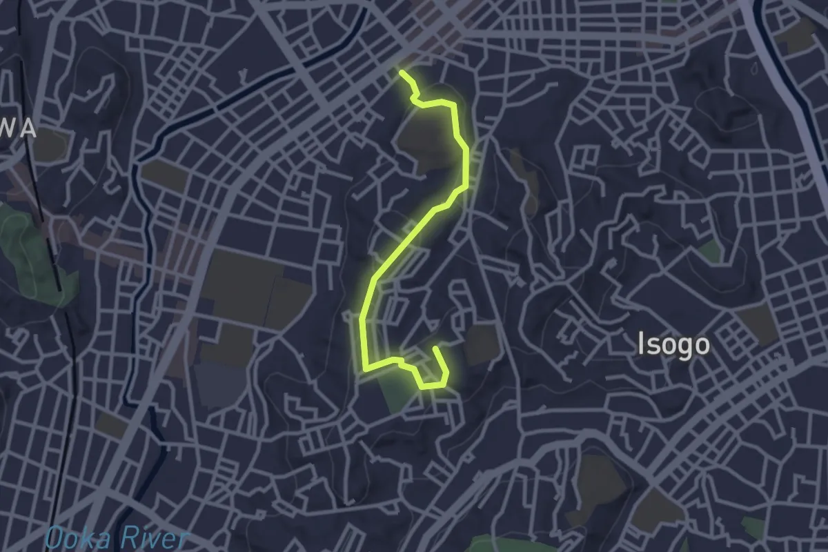
Easy · Trail
蒔田の丘ルート
3.2 km · ↑ 72 m · 55 min
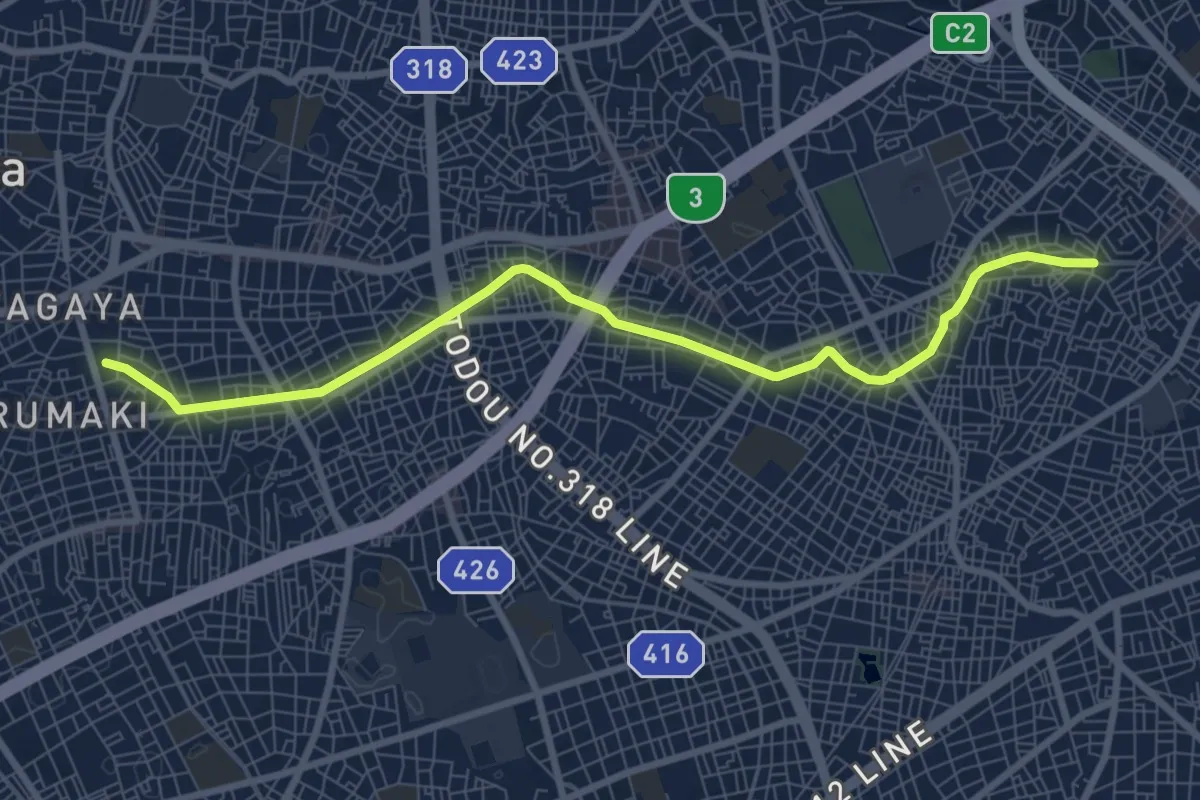
Medium · Trail
蛇崩川緑道
10.3 km · ↑ 81 m · 2 h 36 min
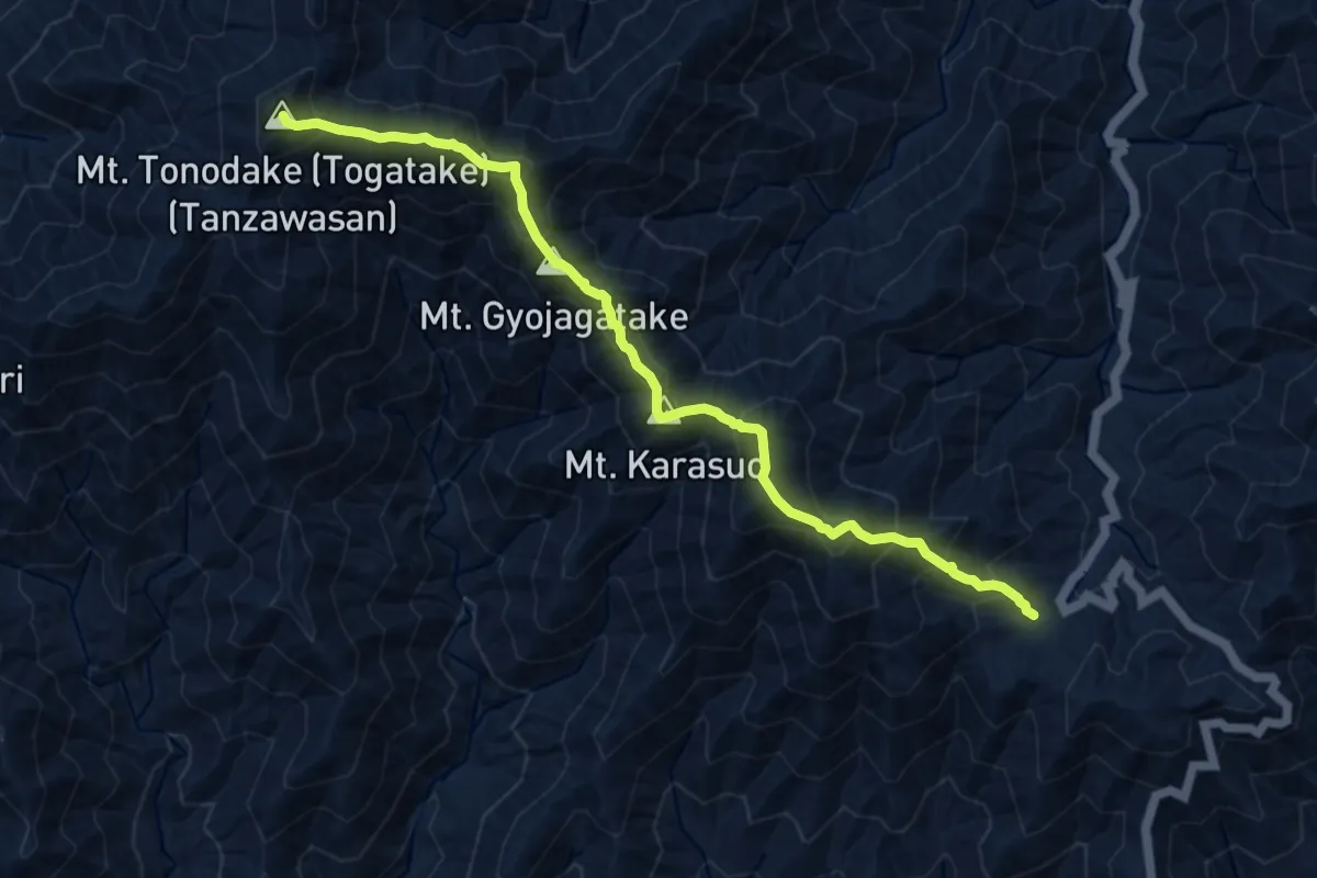
Demanding · Summit
表尾根縦走路
11.2 km · ↑ 1156 m · 5 h 9 min
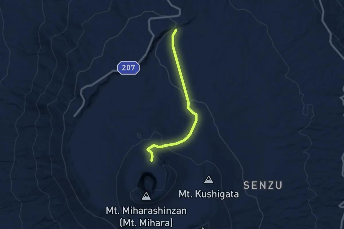
Easy · Trail
裏砂漠線
6.4 km · ↑ 215 m · 1 h 59 min
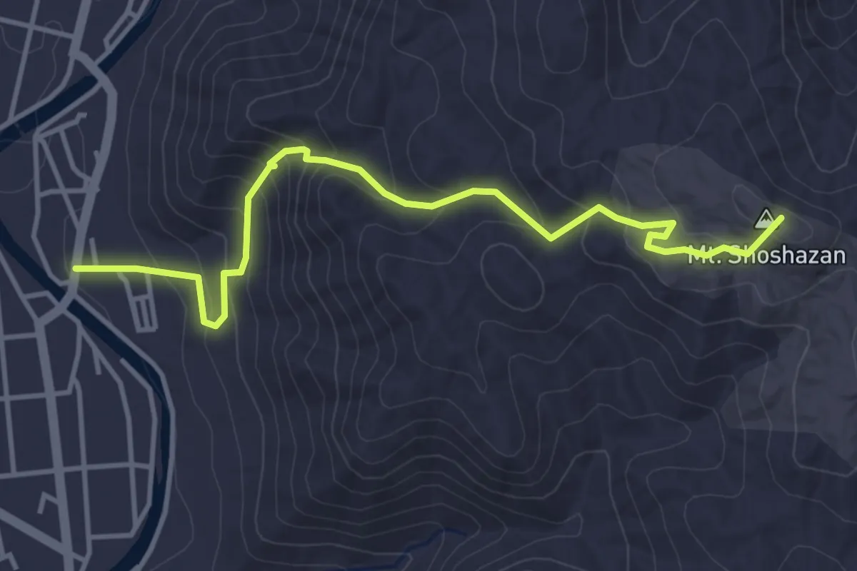
Medium · Summit
西の比叡 書写山圓教寺参詣の道
5.0 km · ↑ 335 m · 1 h 54 min
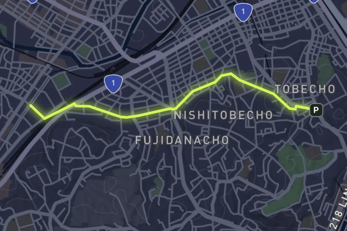
Easy · Trail
西区歴史街道 保土ヶ谷道
4.7 km · ↑ 51 m · 1 h 13 min
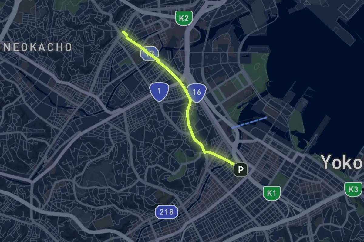
Easy · Trail
西区歴史街道 横浜道
6.5 km · ↑ 90 m · 1 h 44 min
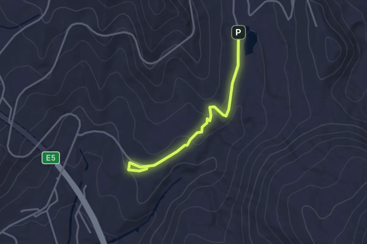
Easy · Trail
西山火口散策路
3.0 km · ↑ 87 m · 54 min
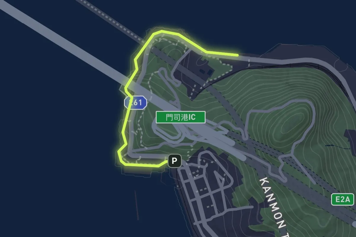
Easy · Trail
観潮コース
2.4 km · ↑ 218 m · 1 h 3 min
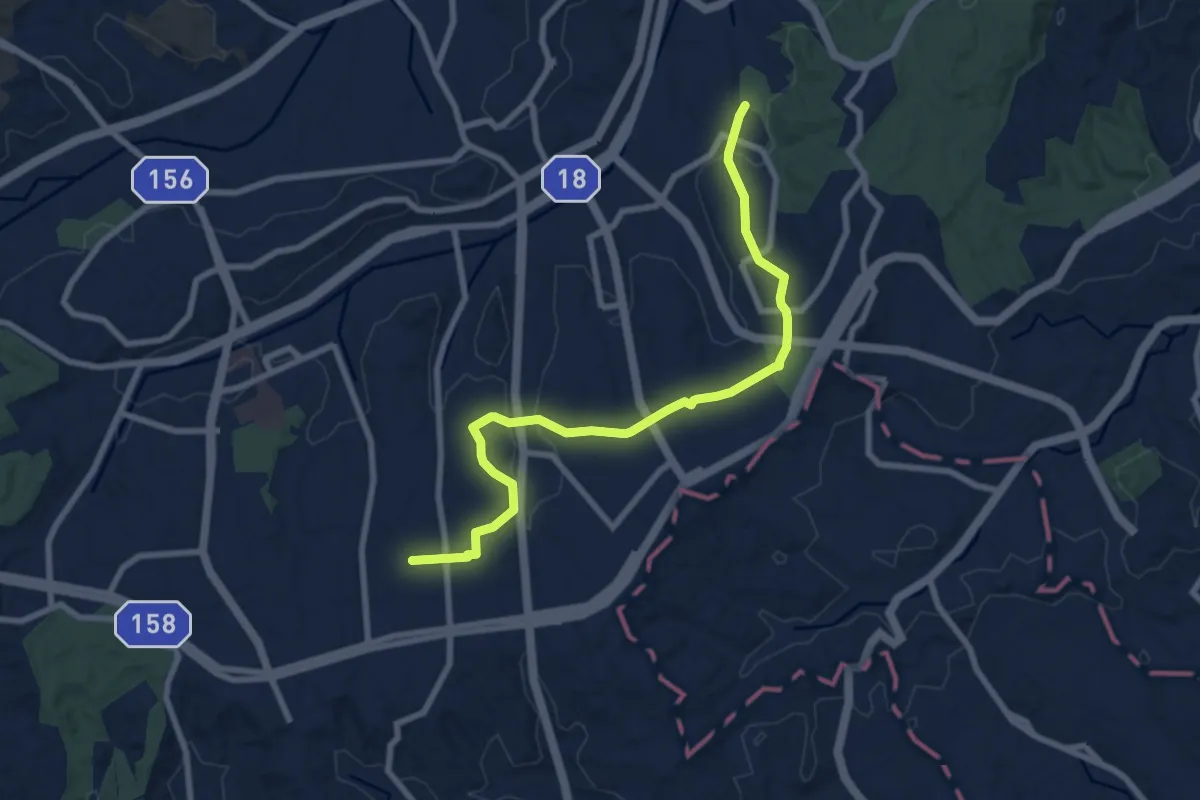
Medium · Trail
諏方永山ふれあいの道
10.0 km · ↑ 153 m · 2 h 42 min
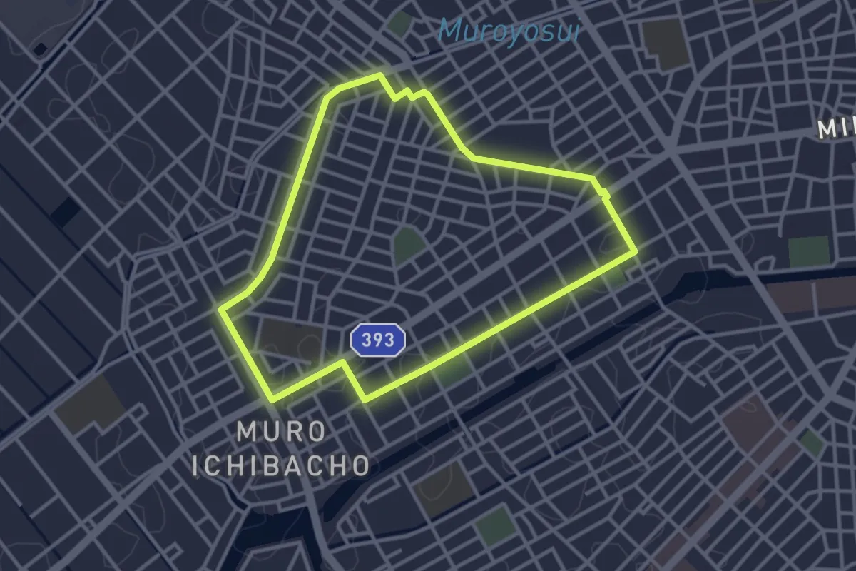
Easy · Trail
豊橋市健康の道牟呂八幡コース
3.7 km · ↑ 9 m · 56 min
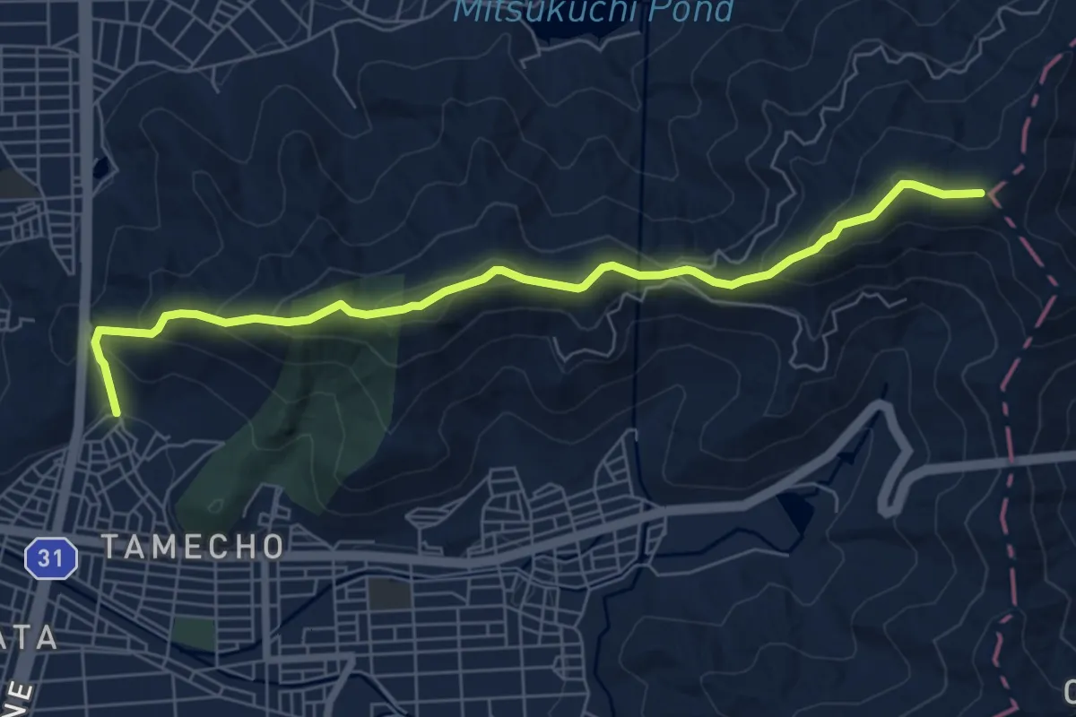
Medium · Trail
赤岩自然歩道
8.2 km · ↑ 529 m · 3 h 4 min
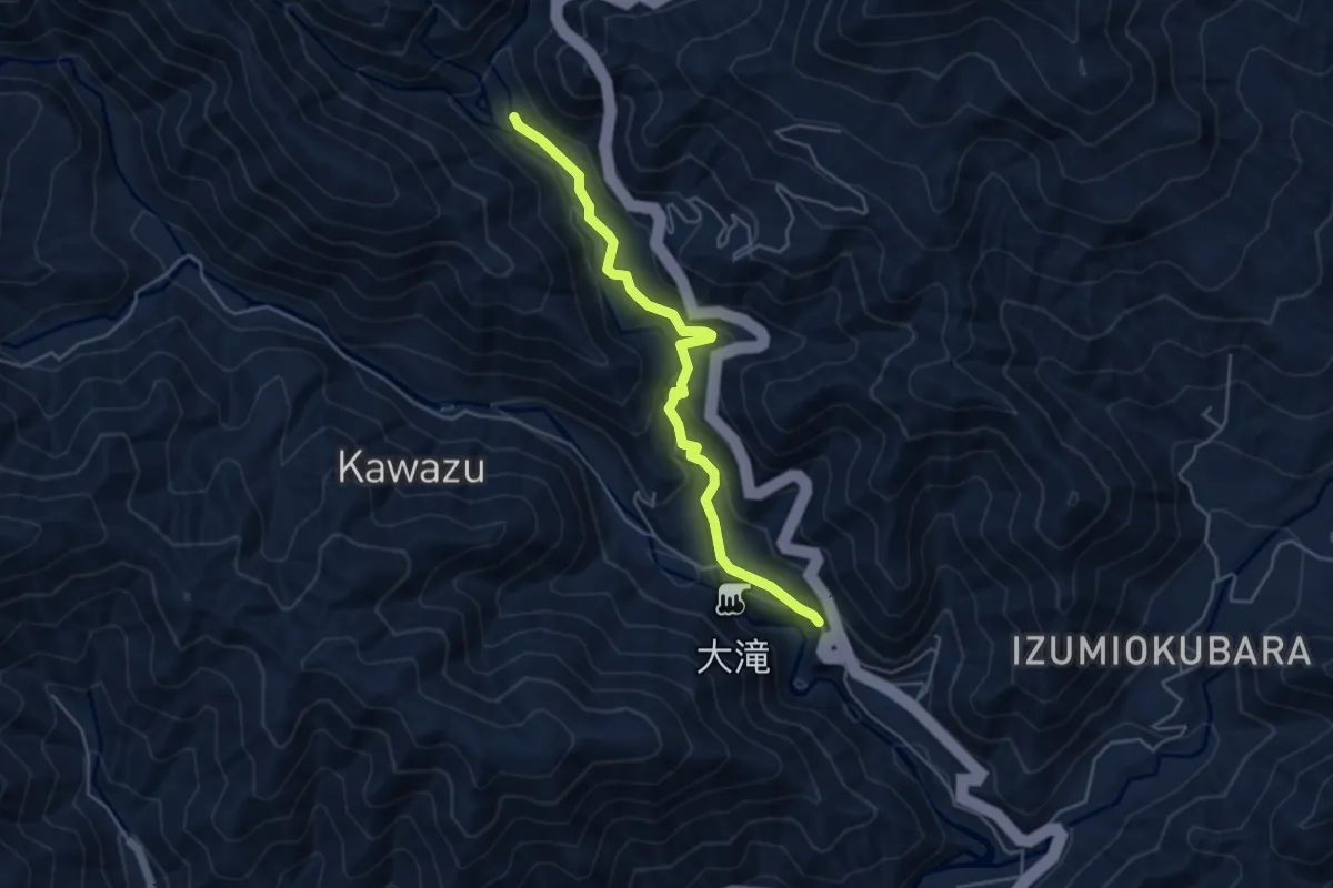
Easy · Trail
踊り子道
5.6 km · ↑ 203 m · 1 h 46 min
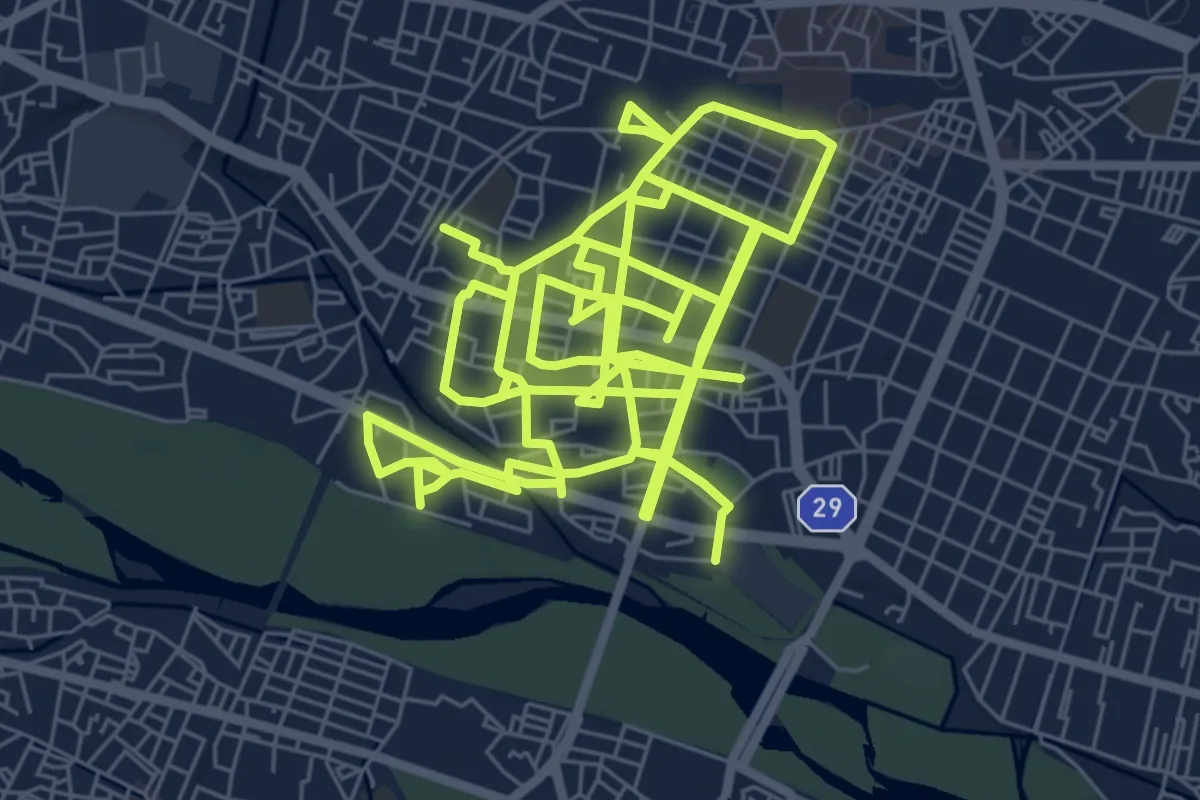
Demanding · Trail
通学路
26.2 km · ↑ 162 m · 6 h 33 min
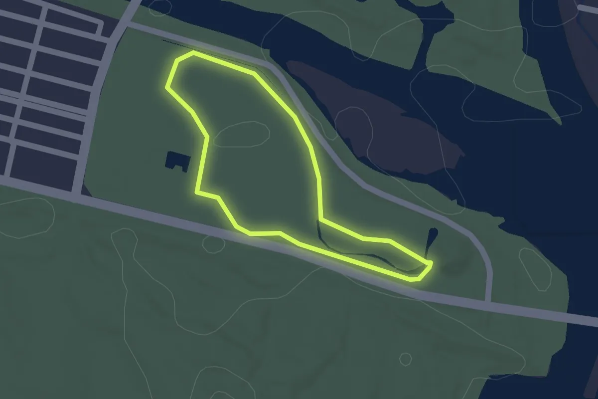
Easy · Trail
遠州灘海浜公園ウォーキングコース
1.5 km · ↑ 9 m · 23 min
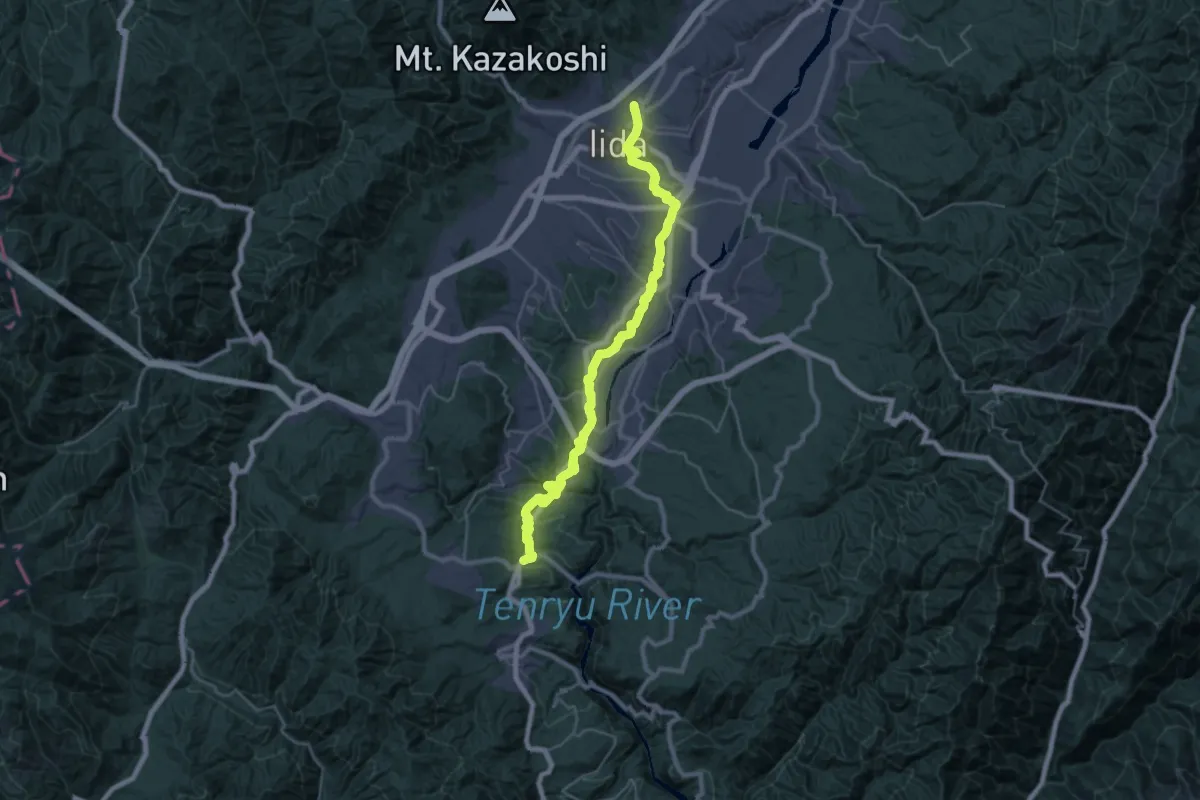
Demanding · Trail
遠州街道(塩の道)
20.4 km · ↑ 562 m · 6 h 16 min
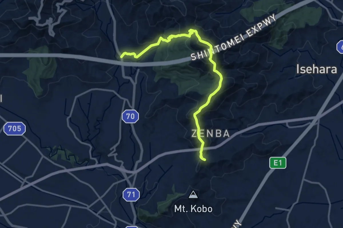
Demanding · Trail
野菊と信仰のみち
11.9 km · ↑ 856 m · 4 h 40 min