Trails in Japan
621 hiking trails, each with its route, climb, walking time and grade.
All trails, page 13 of 13
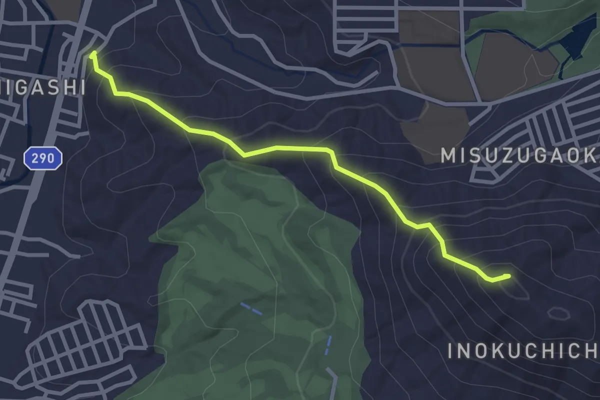
Easy · Summit
鈴ヶ峰登山コース
3.1 km · ↑ 288 m · 1 h 22 min
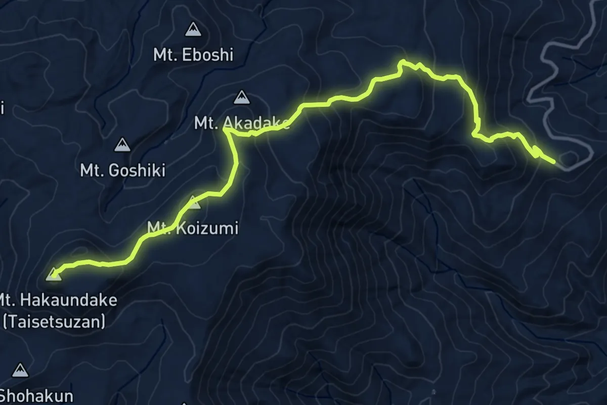
Expert · Summit
銀泉台ルート
13.1 km · ↑ 858 m · 4 h 57 min
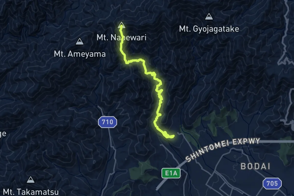
Demanding · Summit
鍋割山稜
16.3 km · ↑ 1412 m · 6 h 54 min
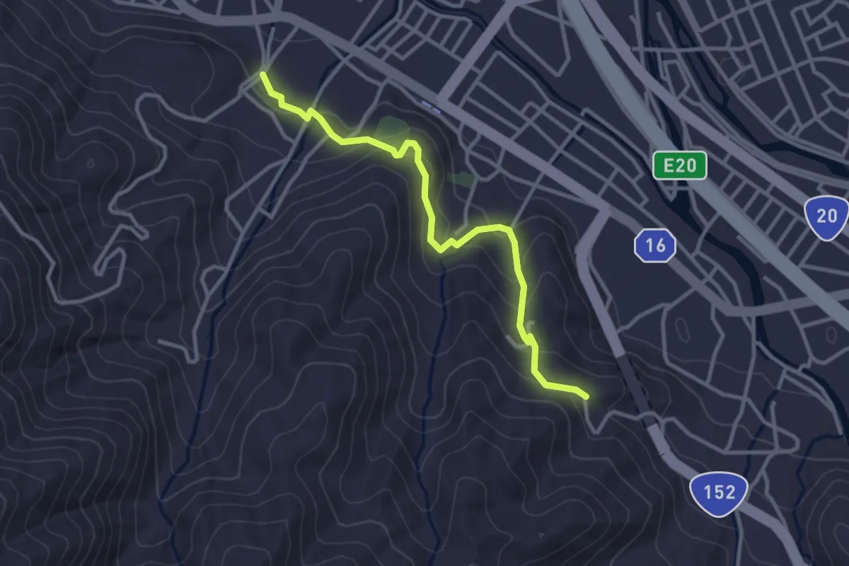
Easy · Trail
鎌倉道遊歩道
3.7 km · ↑ 202 m · 1 h 18 min
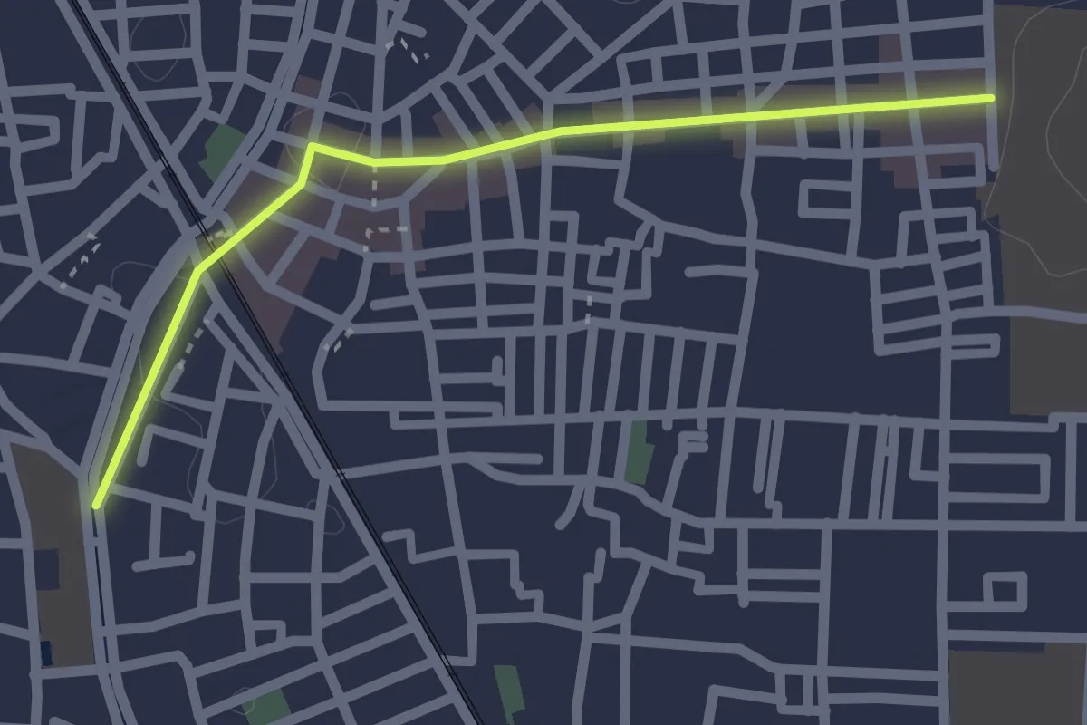
Easy · Trail
長瀬駅周辺商店街
2.3 km · ↑ 8 m · 34 min
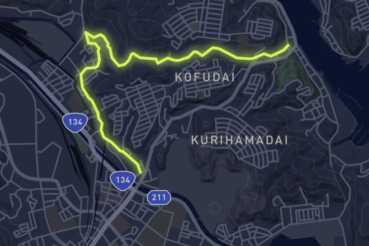
Easy · Trail
開国のまち・浦賀 吉井・久里浜コース
6.7 km · ↑ 168 m · 1 h 57 min
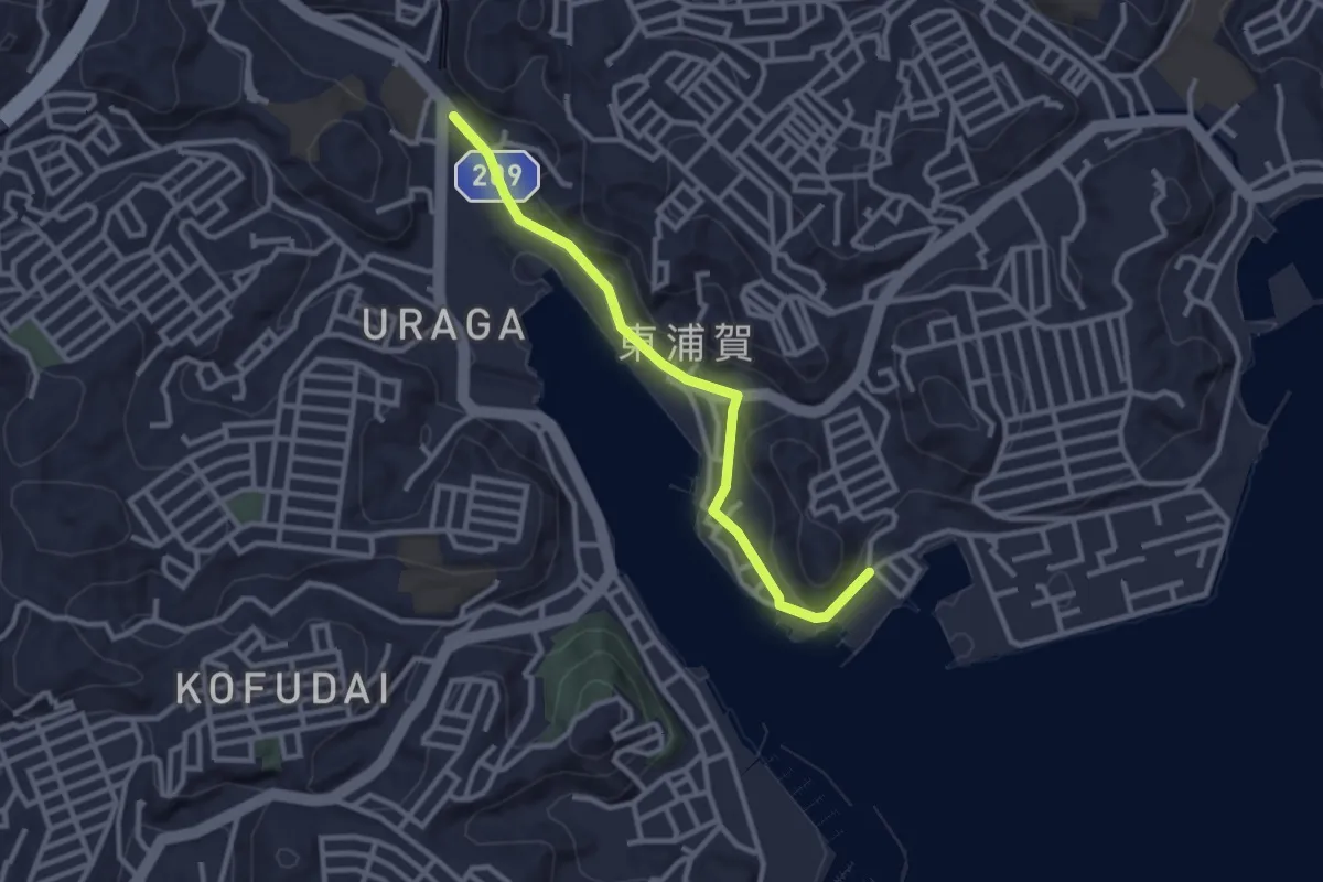
Easy · Trail
開国のまち・浦賀 東浦賀コース
3.3 km · ↑ 51 m · 53 min
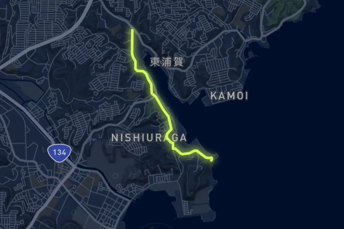
Easy · Trail
開国のまち・浦賀 西浦賀コース
5.7 km · ↑ 199 m · 1 h 46 min
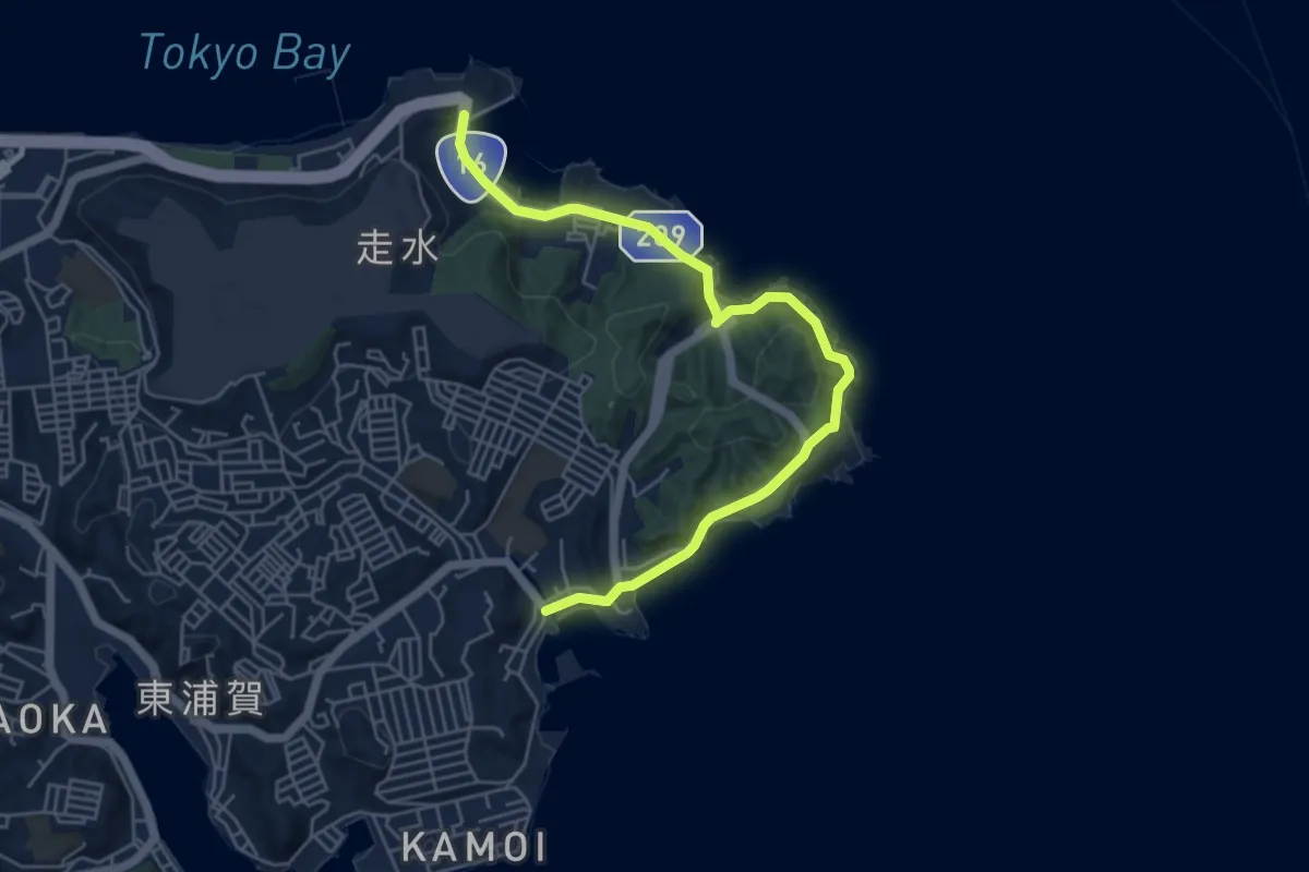
Easy · Trail
開国のまち・浦賀 観音崎コース
6.9 km · ↑ 206 m · 2 h 5 min
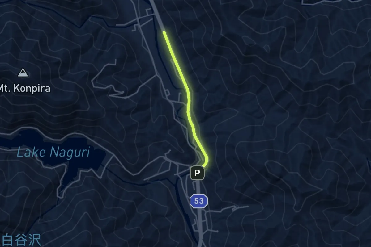
Easy · Trail
関東ふれあいの道
2.9 km · ↑ 56 m · 48 min
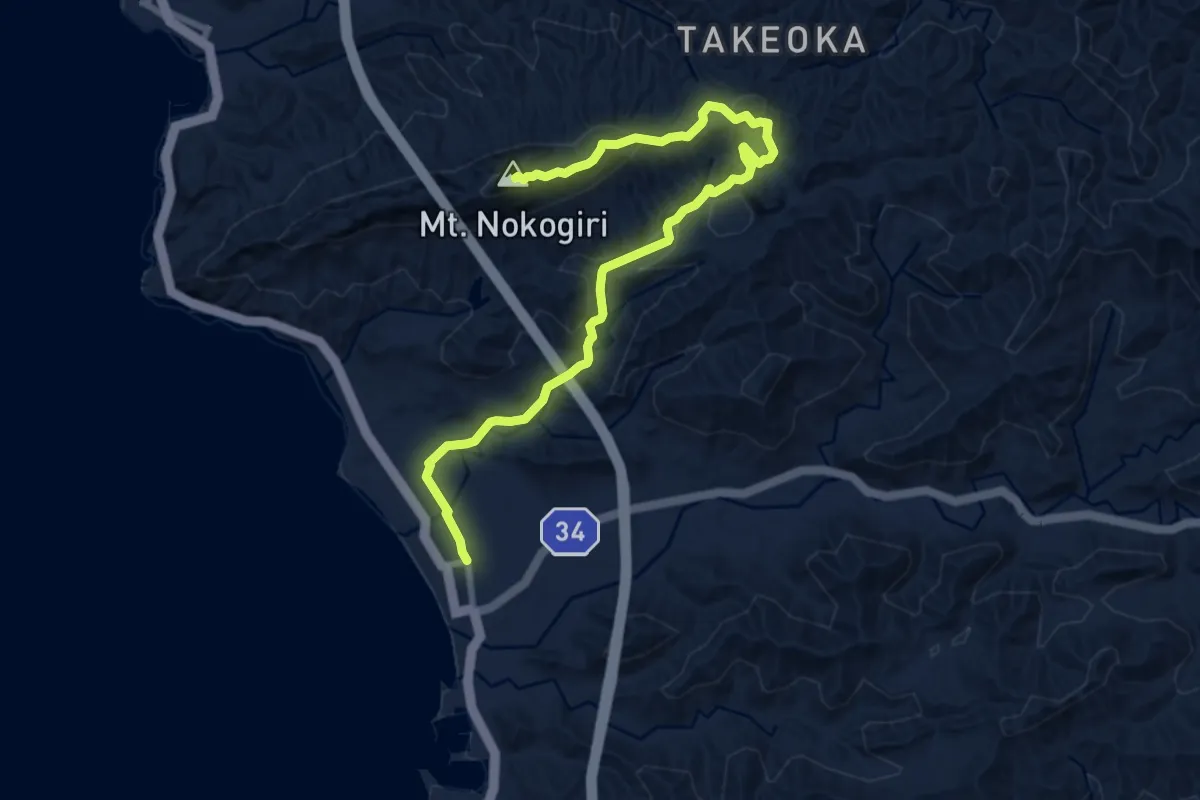
Medium · Summit
関東ふれあいの道 東京湾を望むみち
11.3 km · ↑ 384 m · 3 h 30 min
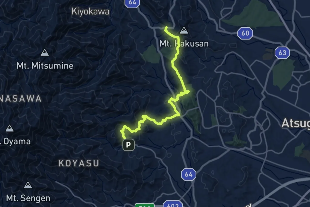
Demanding · Trail
関東ふれあいの道 - 神奈川11 - 順礼峠のみち
17.0 km · ↑ 834 m · 5 h 50 min
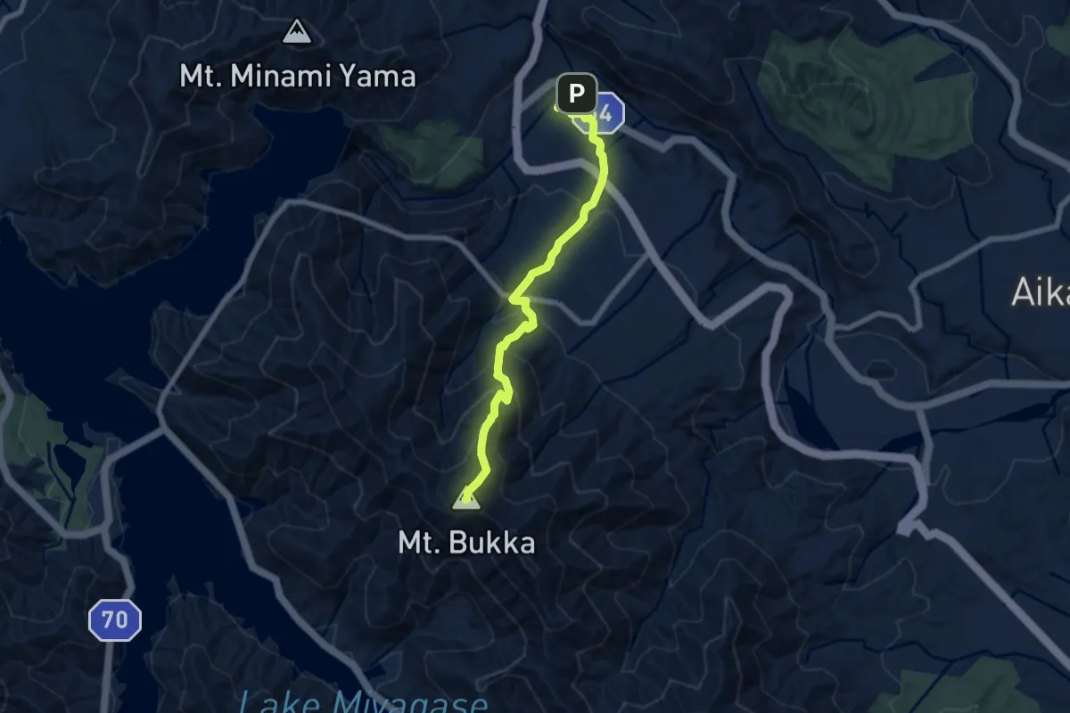
Medium · Summit
関東ふれあいの道 - 神奈川12 - 丹沢山塊東辺のみち
7.7 km · ↑ 605 m · 3 h 8 min
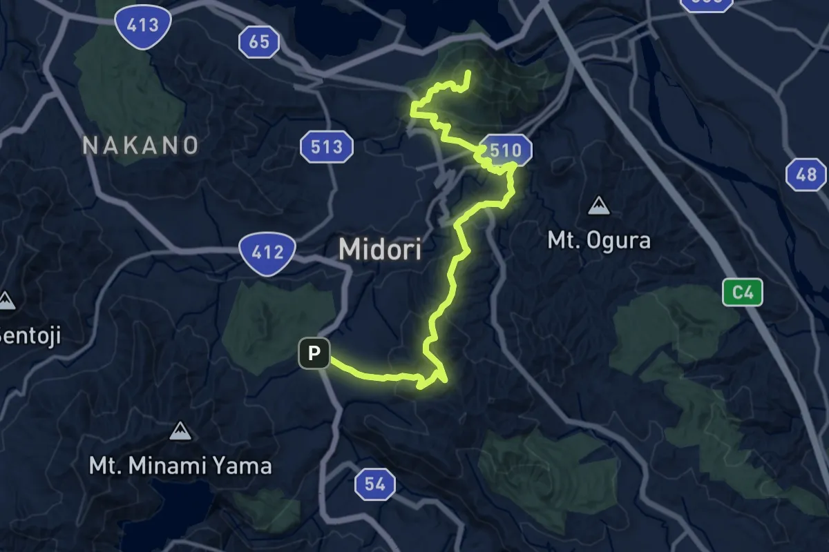
Demanding · Summit
関東ふれあいの道 - 神奈川13 - 山里から津久井湖へのみち
15.2 km · ↑ 857 m · 5 h 26 min
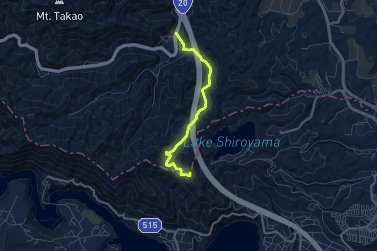
Easy · Summit
関東ふれあいの道 - 神奈川14 - 峰の薬師へのみち
6.3 km · ↑ 253 m · 2 h 2 min
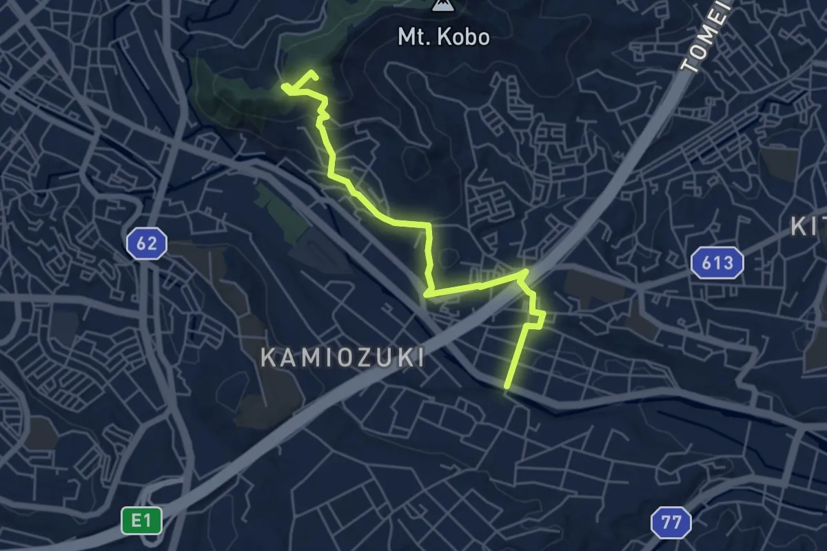
Easy · Summit
関東ふれあいの道 - 神奈川15 - 弘法大師と丹沢へのみち
6.1 km · ↑ 259 m · 2 h
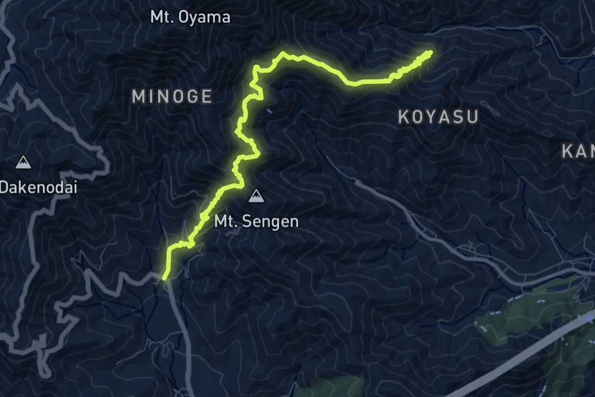
Demanding · Trail
関東ふれあいの道 - 神奈川16 - 大山参り蓑毛のみち
14.0 km · ↑ 1455 m · 6 h 28 min
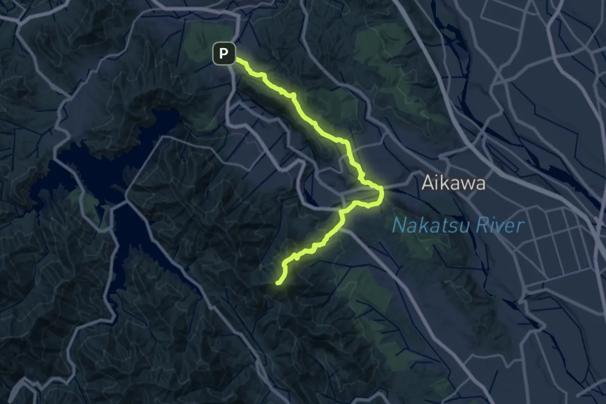
Demanding · Summit
関東ふれあいの道 - 神奈川17 - 北条武田合戦場のみち
20.4 km · ↑ 909 m · 6 h 47 min
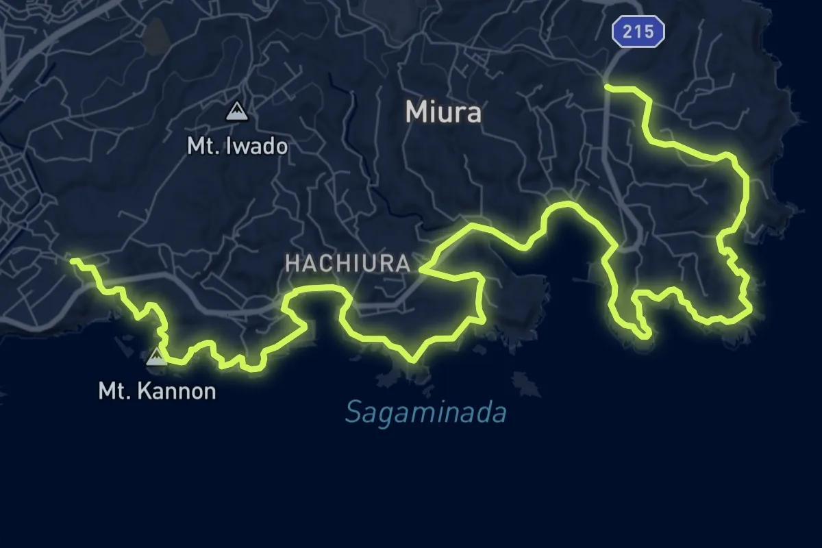
Demanding · Trail
関東ふれあいの道 - 神奈川1 - 三浦・岩礁のみち
20.3 km · ↑ 403 m · 5 h 40 min
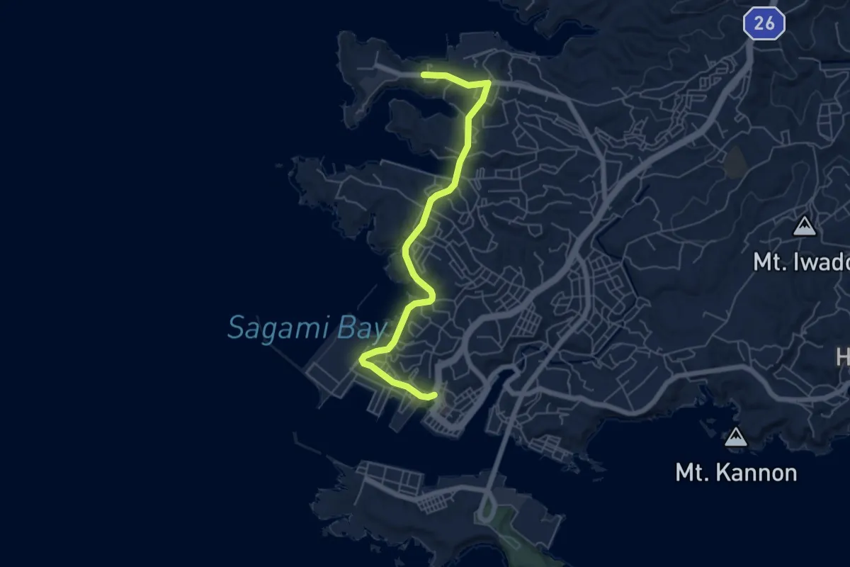
Easy · Trail
関東ふれあいの道 - 神奈川2 - 油壺・入江のみち
6.8 km · ↑ 131 m · 1 h 54 min
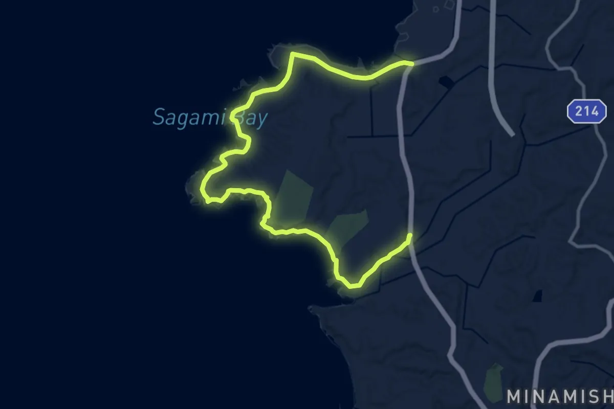
Medium · Trail
関東ふれあいの道 - 神奈川3 - 荒崎・潮騒のみち
15.0 km · ↑ 319 m · 4 h 13 min
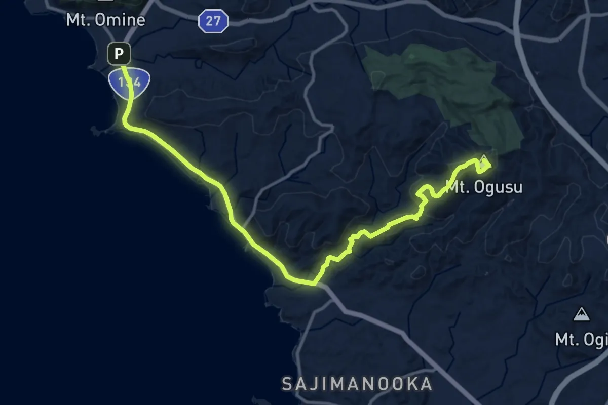
Medium · Summit
関東ふれあいの道 - 神奈川4 - 佐島・大楠山のみち
15.0 km · ↑ 400 m · 4 h 25 min
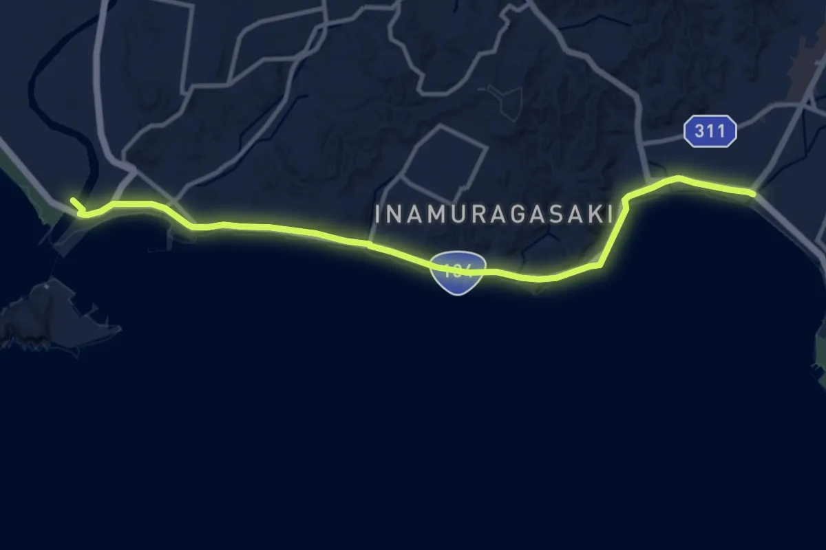
Medium · Trail
関東ふれあいの道 - 神奈川5 - 稲村ケ崎・磯づたいのみち
12.6 km · ↑ 117 m · 3 h 14 min
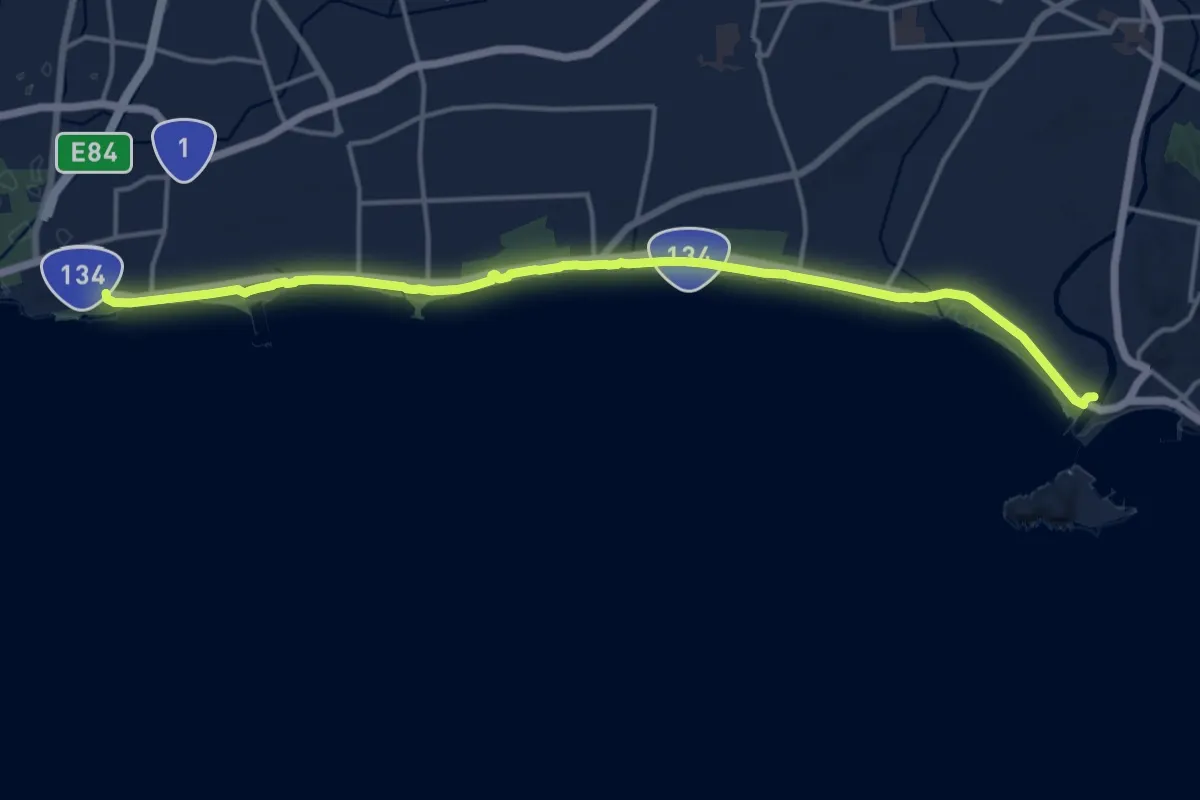
Demanding · Trail
関東ふれあいの道 - 神奈川6 - 湘南海岸・砂浜のみち
19.8 km · ↑ 123 m · 4 h 57 min
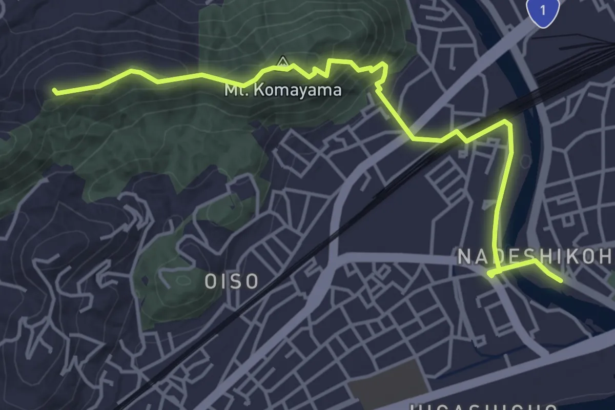
Easy · Summit
関東ふれあいの道 - 神奈川7 - 大磯・高麗山のみち
5.7 km · ↑ 313 m · 2 h 1 min
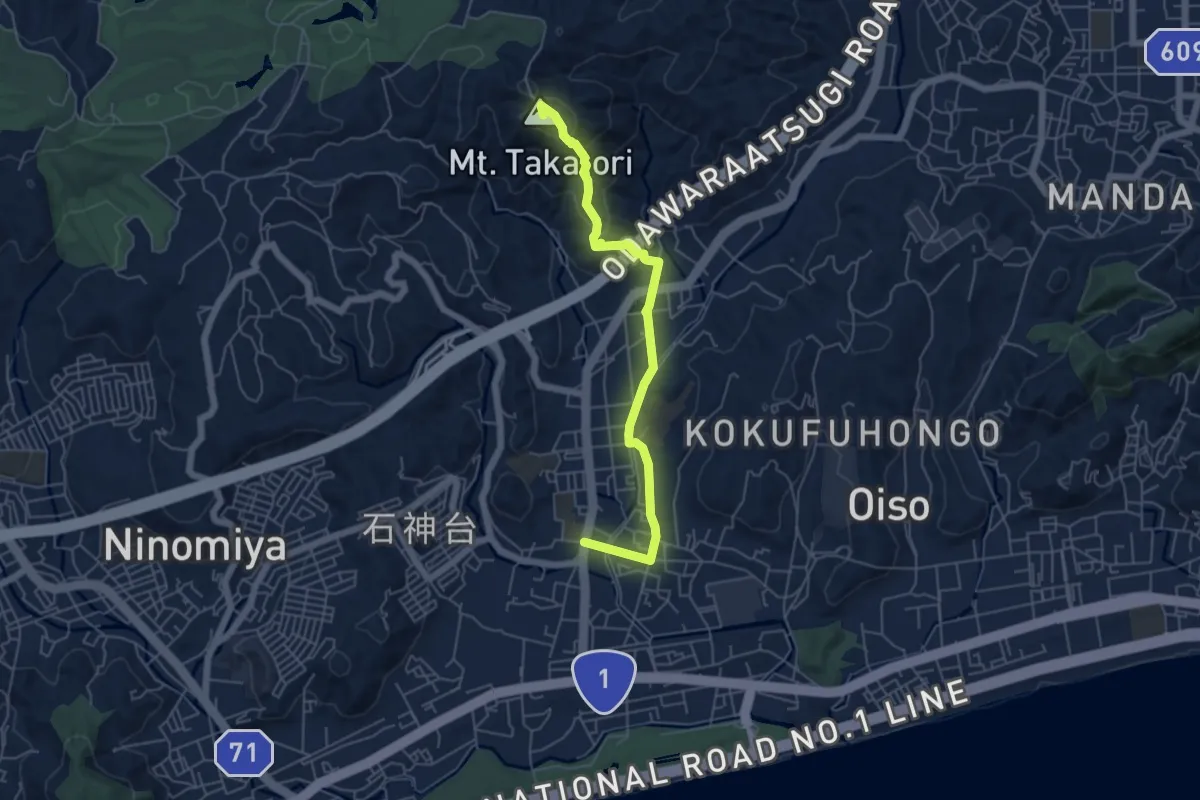
Easy · Summit
関東ふれあいの道 - 神奈川8 - 鷹取山・里のみち
6.3 km · ↑ 227 m · 1 h 59 min
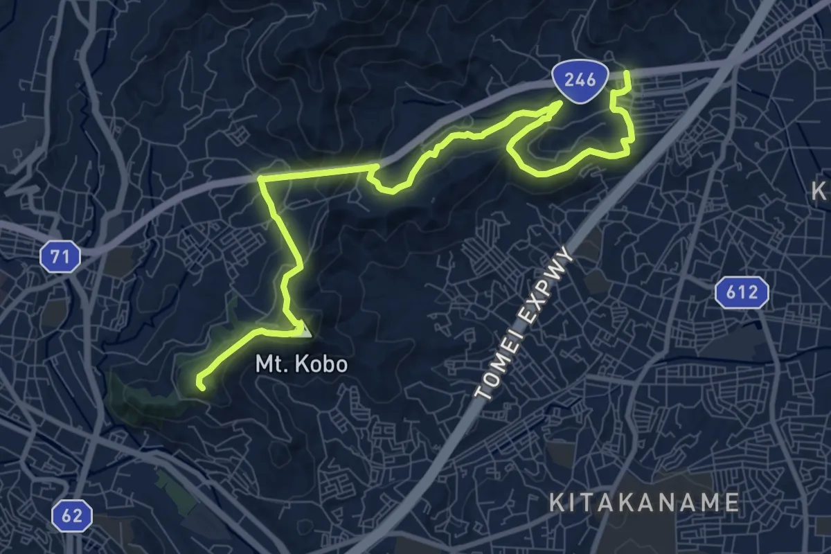
Medium · Summit
関東ふれあいの道 - 神奈川9 - 弘法大師とサクラのみち
12.8 km · ↑ 669 m · 4 h 28 min
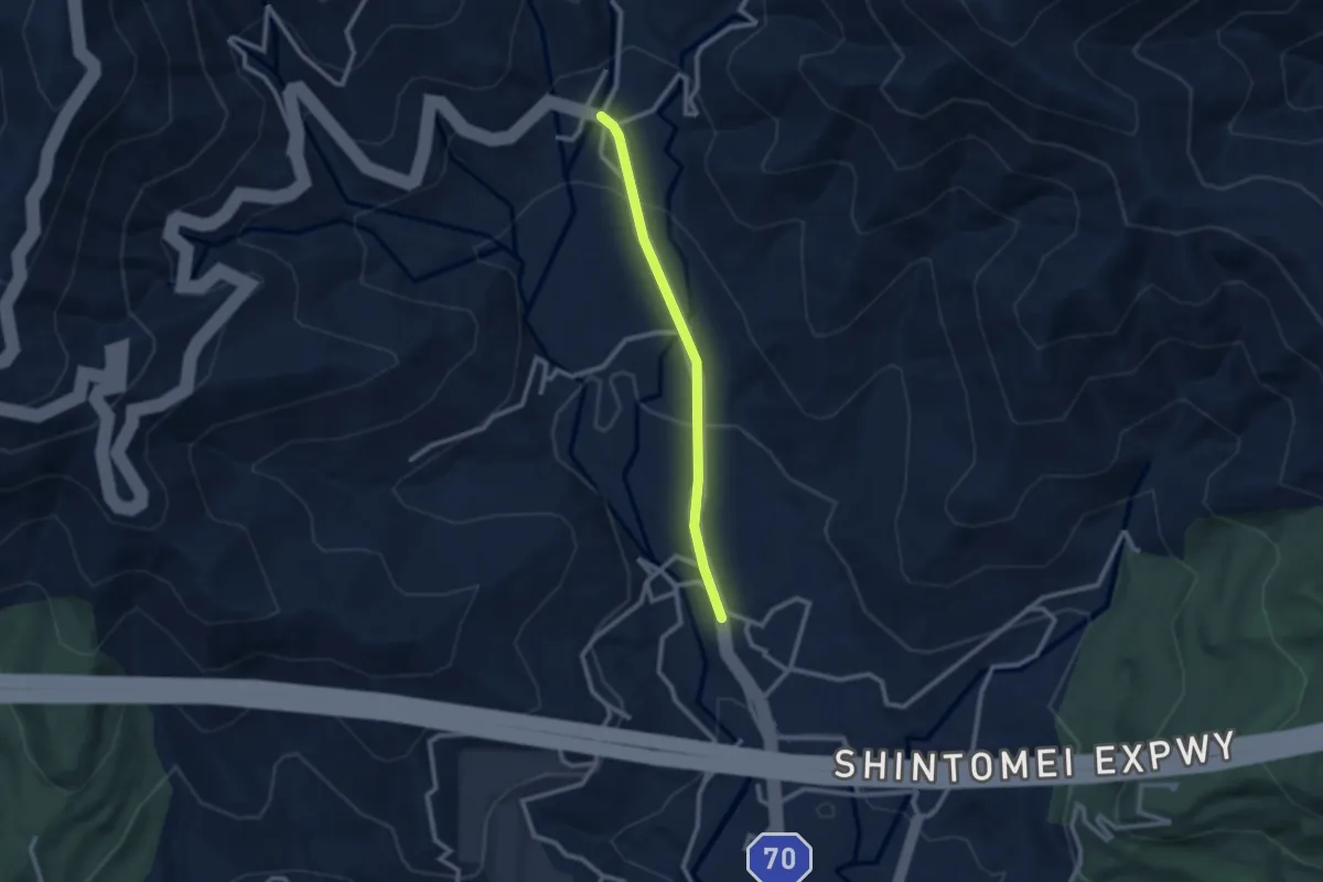
Easy · Trail
関東ふれあいの道 - 連絡区間
2.6 km · ↑ 105 m · 50 min
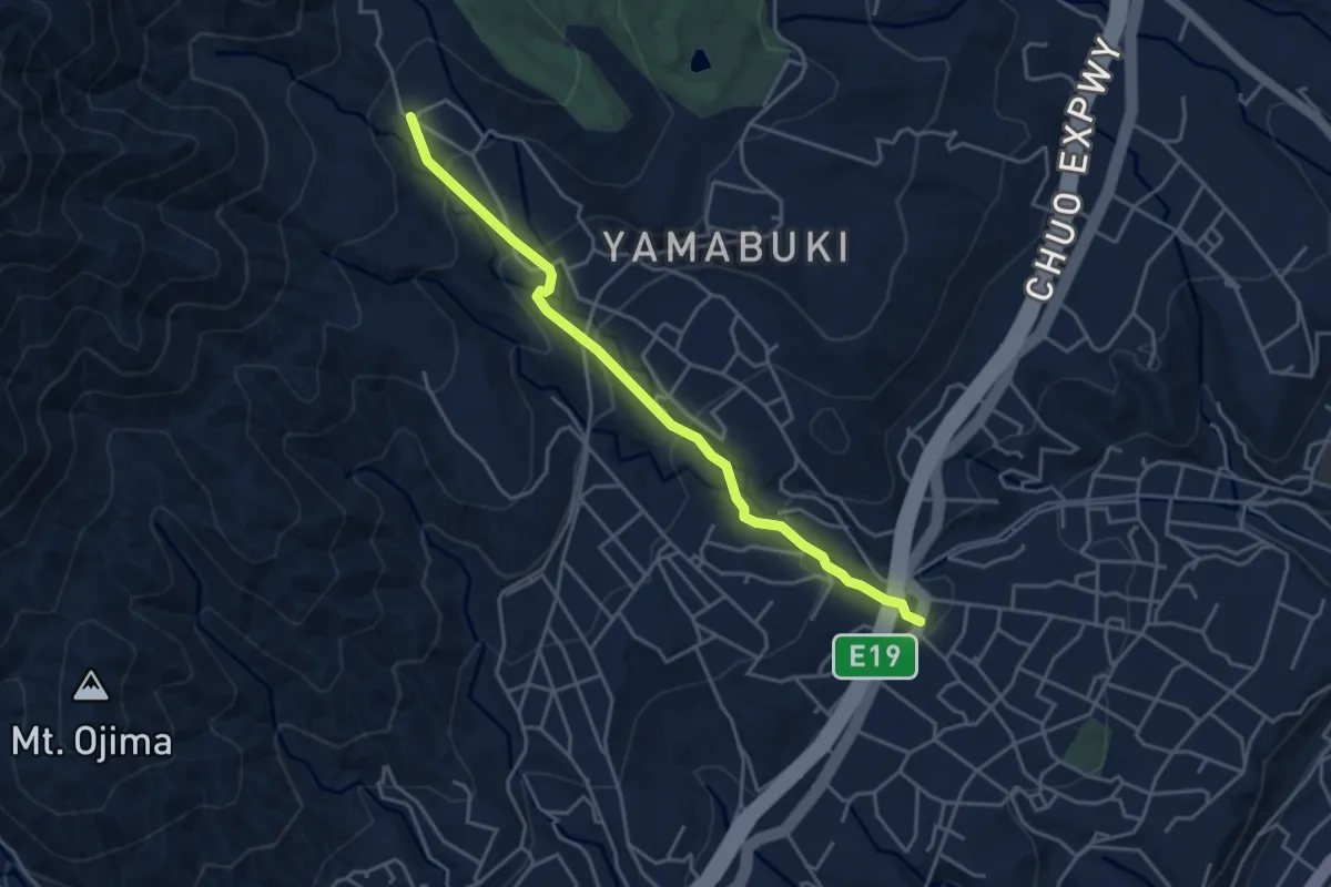
Easy · Trail
隣政寺参道
4.9 km · ↑ 278 m · 1 h 45 min
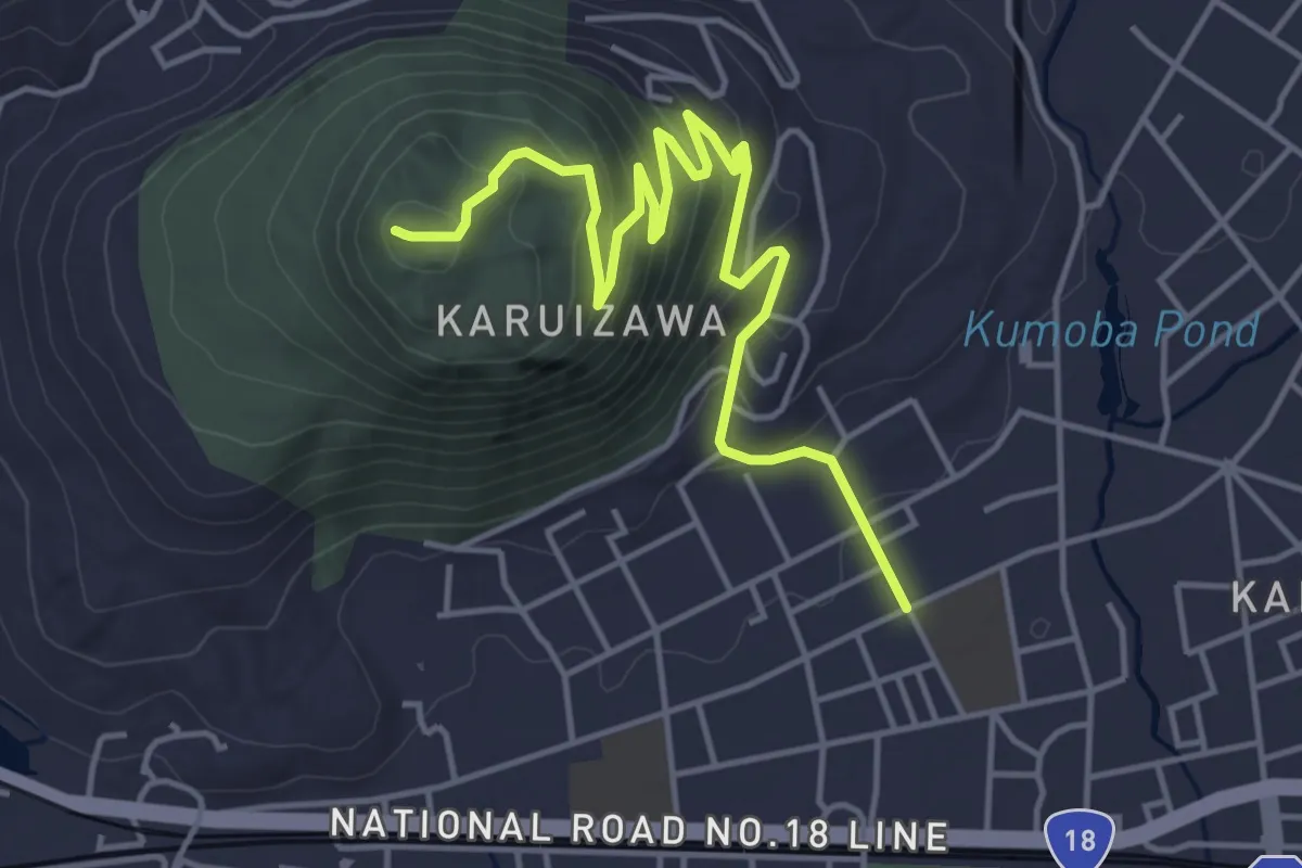
Easy · Summit
離山ハイキングコース
6.2 km · ↑ 313 m · 2 h 9 min
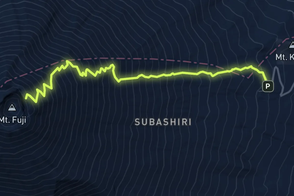
Expert · Summit
須走ルート「下り」
12.4 km · ↑ 1740 m · 6 h 41 min
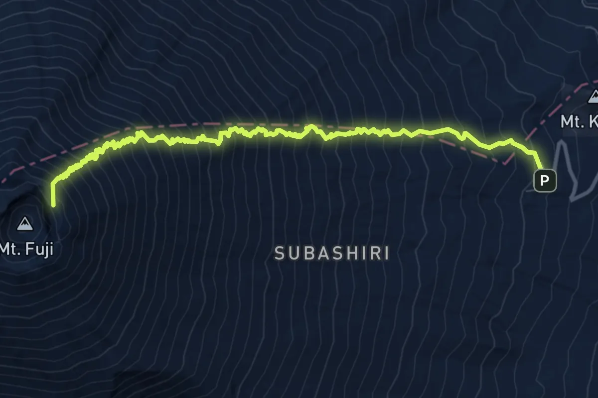
Expert · Summit
須走ルート「登り」
12.7 km · ↑ 1741 m · 6 h 46 min
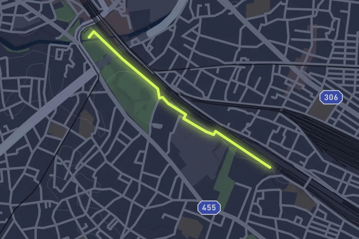
Easy · Summit
飛鳥の小径
2.4 km · ↑ 19 m · 36 min
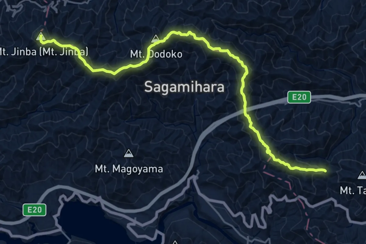
Demanding · Summit
高尾山から陣馬山まで
19.3 km · ↑ 1133 m · 7 h 1 min
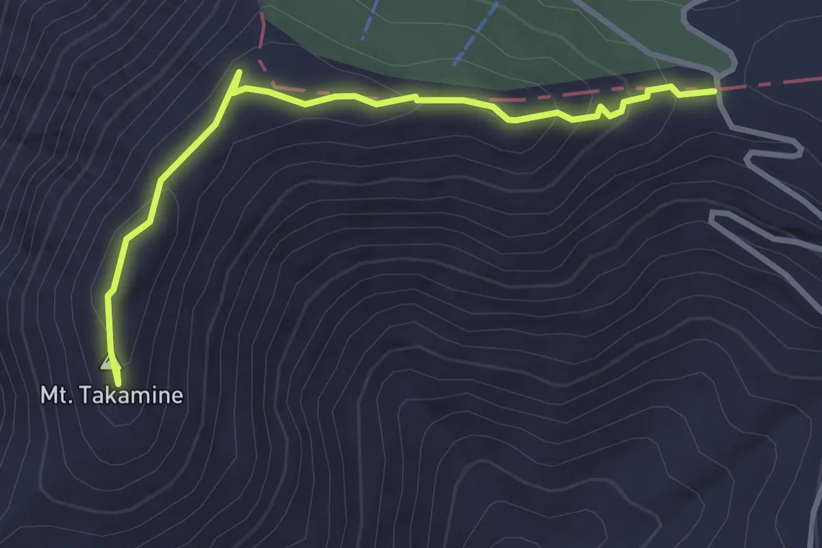
Easy · Summit
高峰山登山路
3.5 km · ↑ 151 m · 1 h 8 min
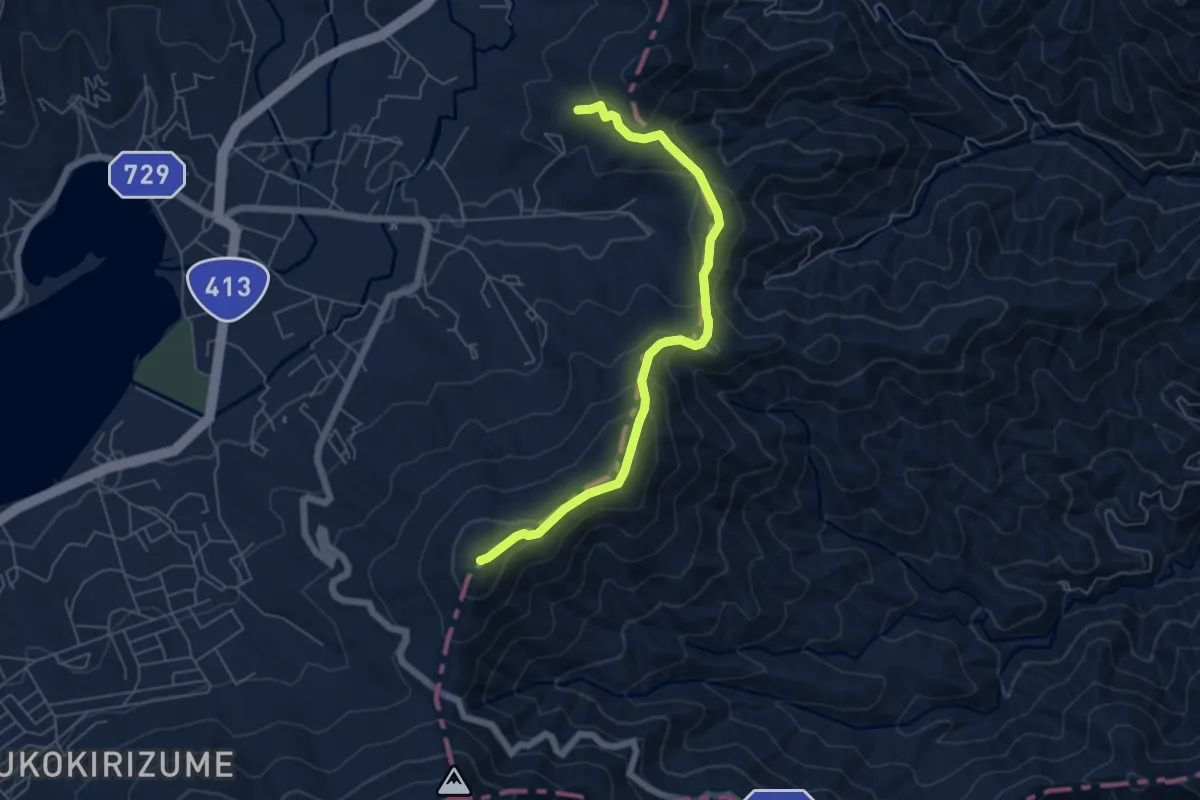
Medium · Summit
高指山・明神山コース
6.9 km · ↑ 412 m · 2 h 31 min
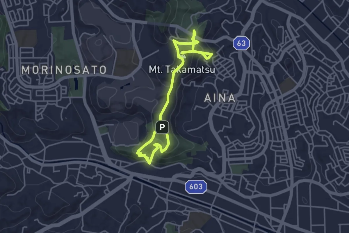
Medium · Summit
高松山コース
5.5 km · ↑ 393 m · 2 h 9 min
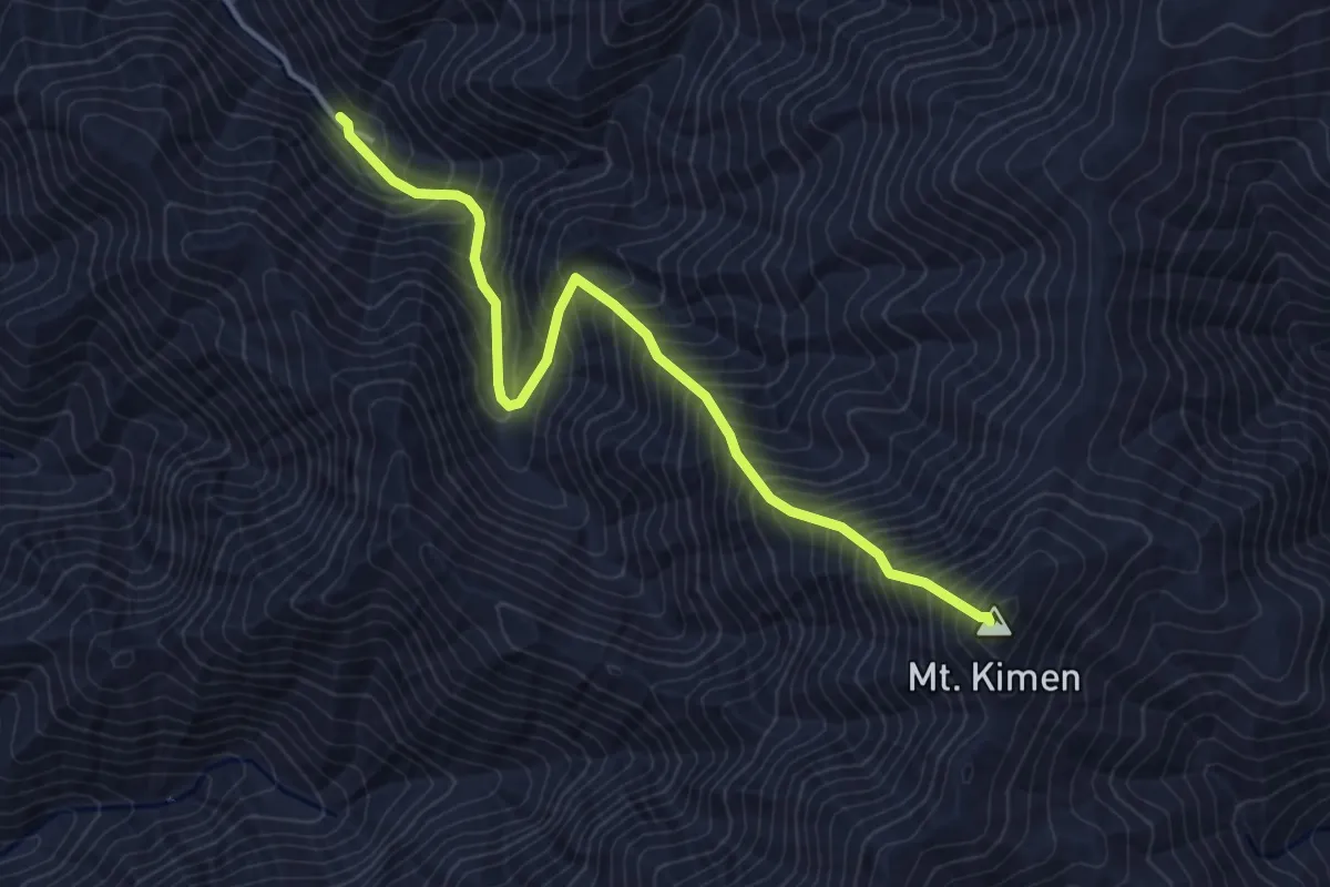
Medium · Summit
鬼面山登山道
4.8 km · ↑ 732 m · 2 h 43 min
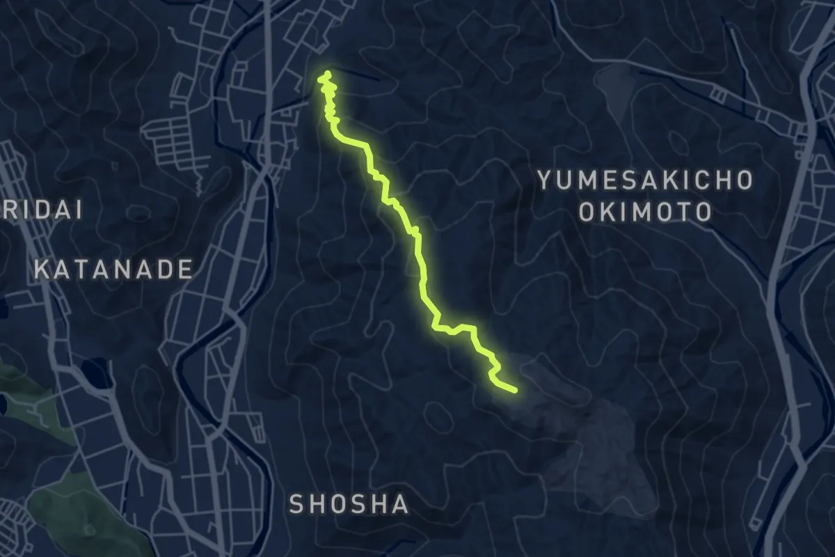
Medium · Trail
鯰尾坂
4.9 km · ↑ 359 m · 1 h 57 min
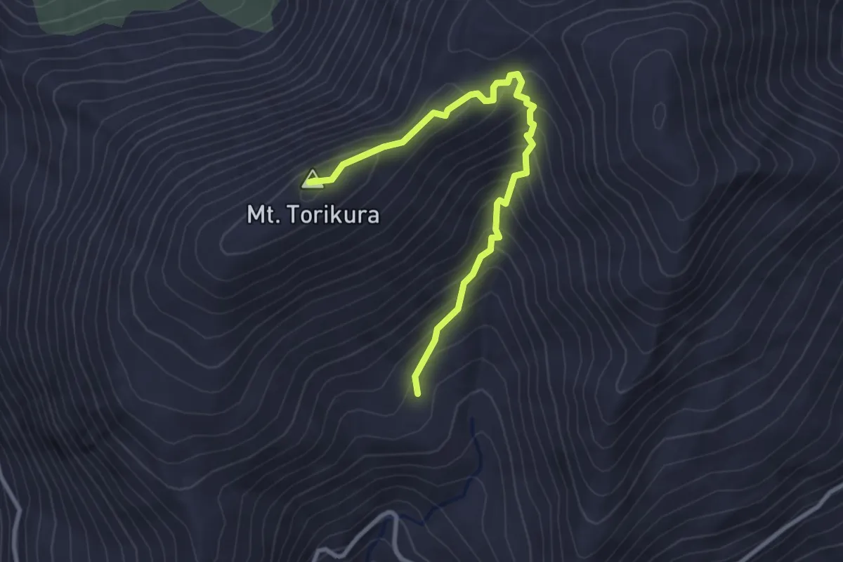
Medium · Summit
鳥ヶ池遊歩道
3.5 km · ↑ 293 m · 1 h 28 min
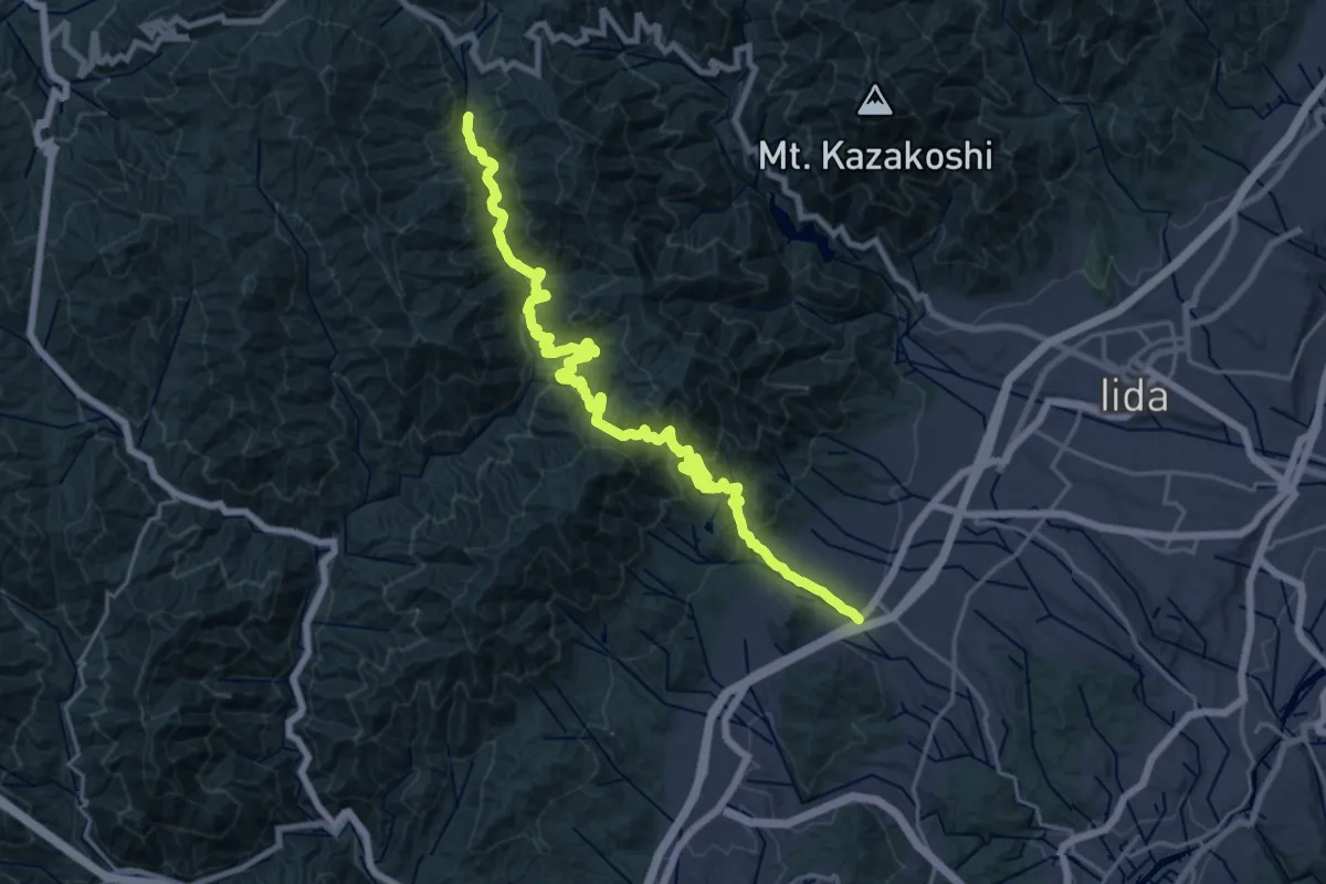
Medium · Trail
鳩打峠
14.5 km · ↑ 490 m · 4 h 57 min
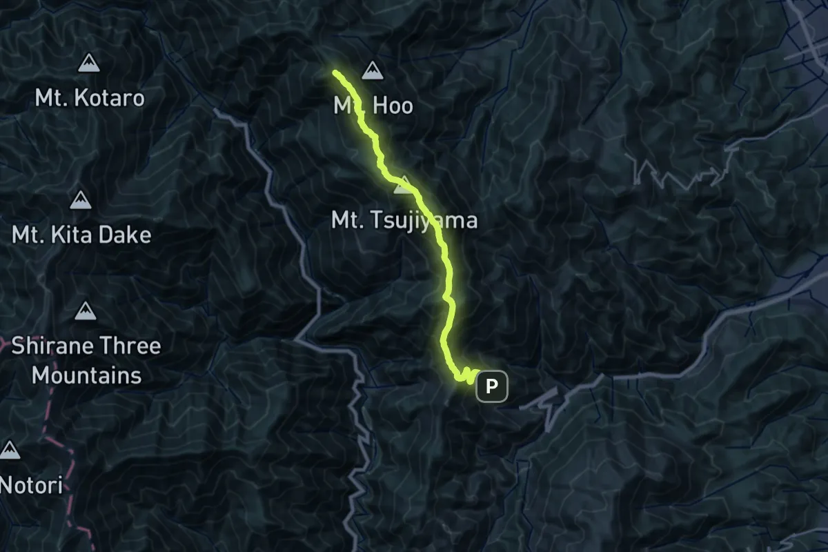
Expert · Summit
鳳凰三山縦走路
20.9 km · ↑ 1815 m · 8 h 53 min
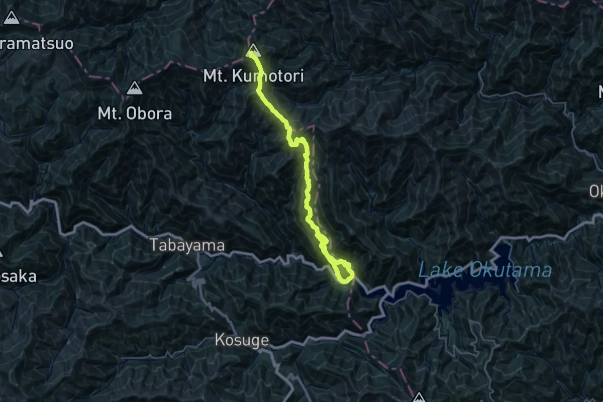
Demanding · Summit
鴨沢-雲取山登山道
29.5 km · ↑ 2268 m · 11 h 53 min
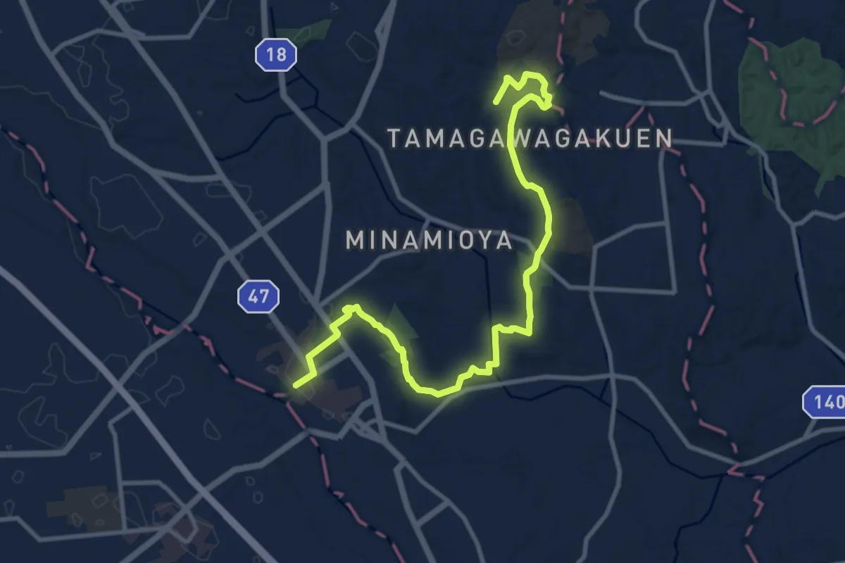
Medium · Trail
玉川学園前駅 – JR町田駅
13.0 km · ↑ 200 m · 3 h 30 min
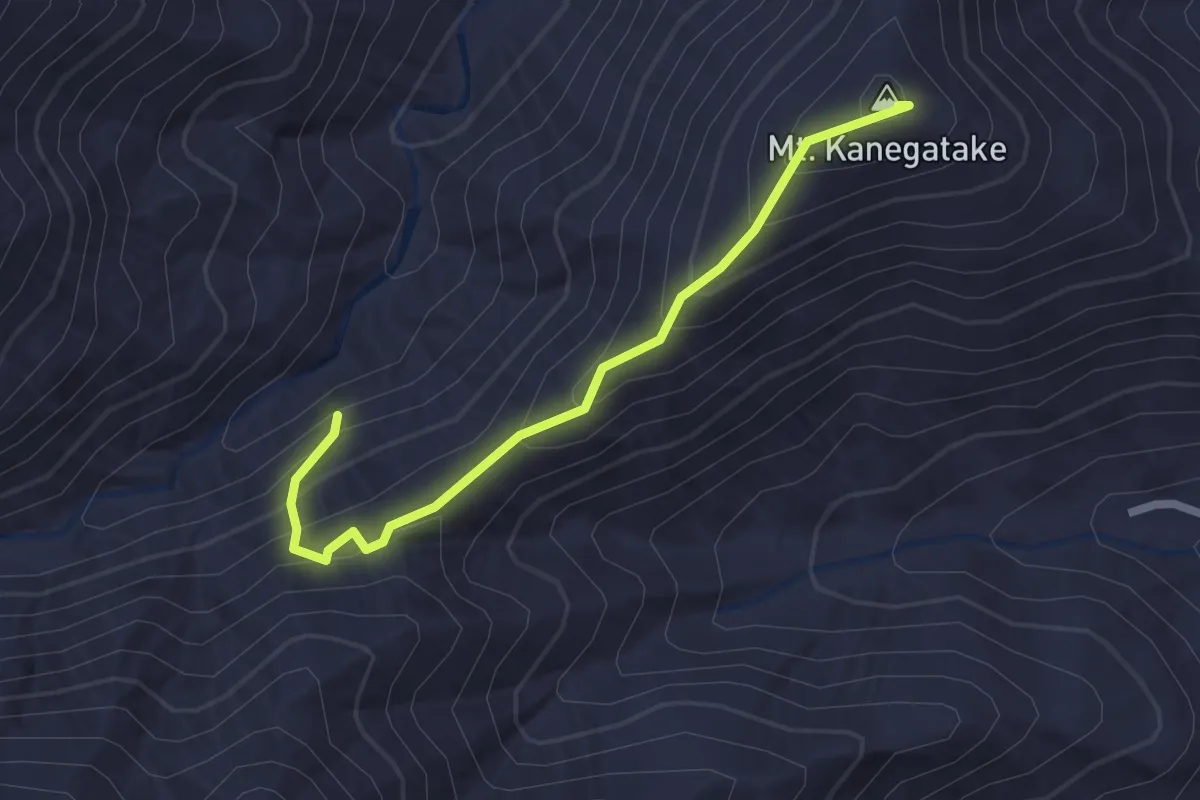
Easy · Summit
広沢寺温泉入口 – 山の神隧道
2.6 km · ↑ 207 m · 1 h 4 min