Trails in Japan
621 hiking trails, each with its route, climb, walking time and grade.
All trails, page 4 of 13
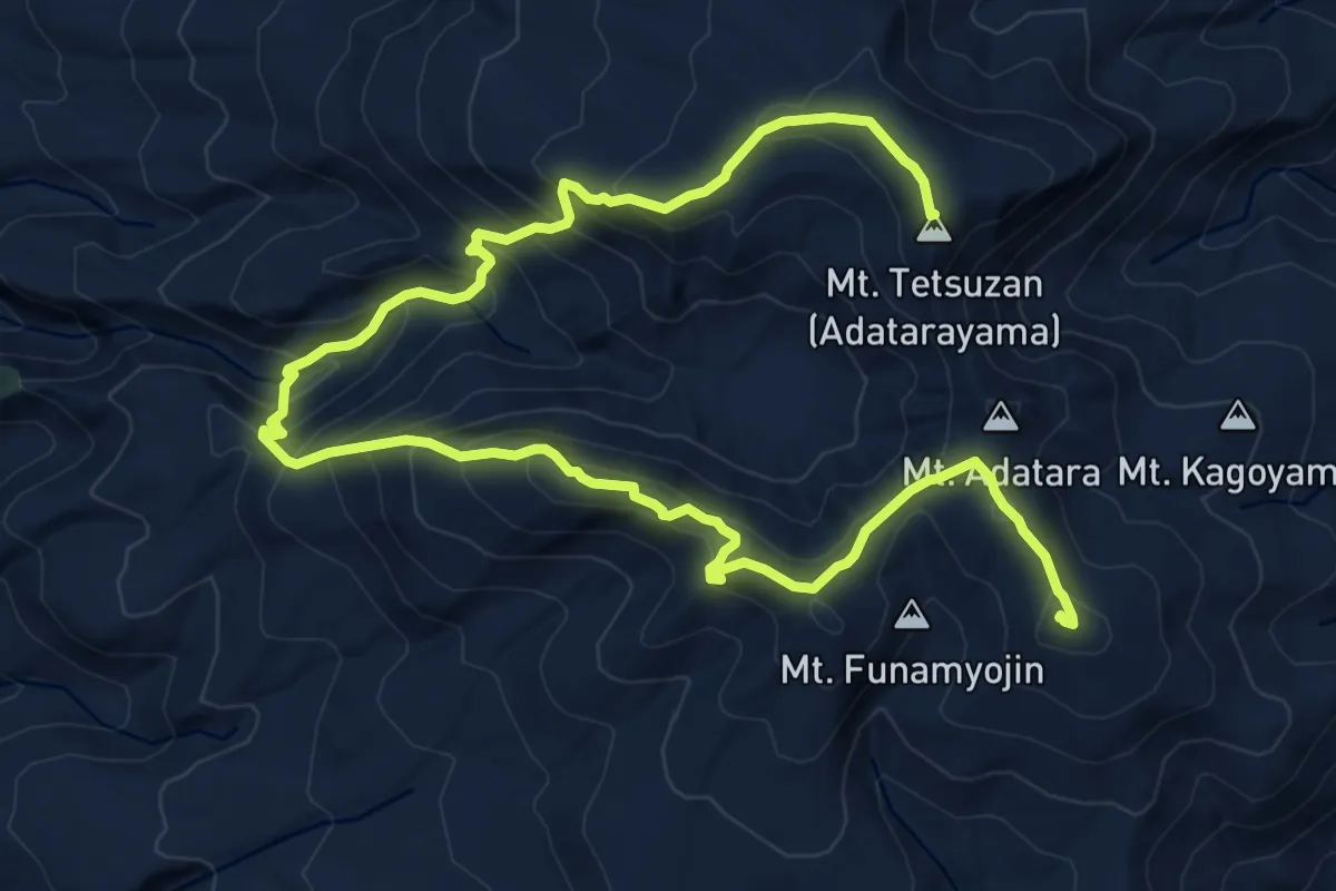
Demanding · Summit
Mt. Adatara - West Loop Trail
14.2 km · ↑ 1113 m · 5 h 46 min
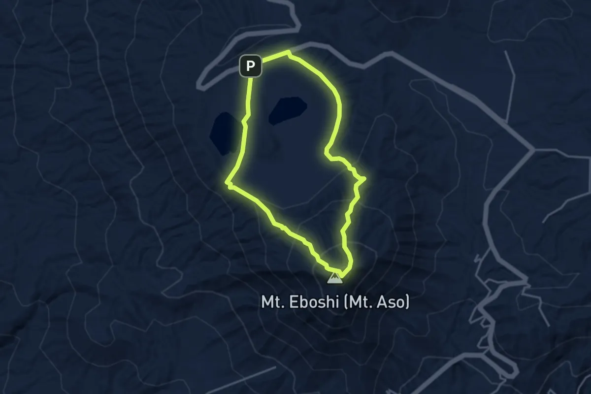
Easy · Summit
Mt.Eboshidake Course
3.6 km · ↑ 200 m · 1 h 20 min
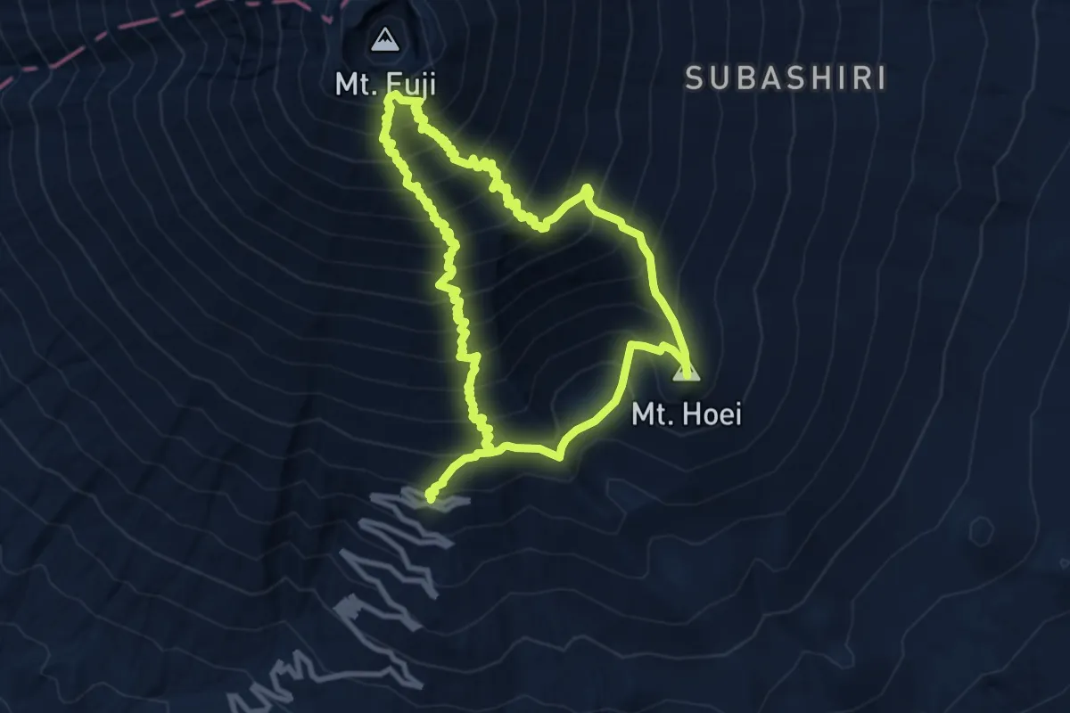
Demanding · Summit
Mt. Fuji Loop
10.1 km · ↑ 1300 m · 5 h 24 min
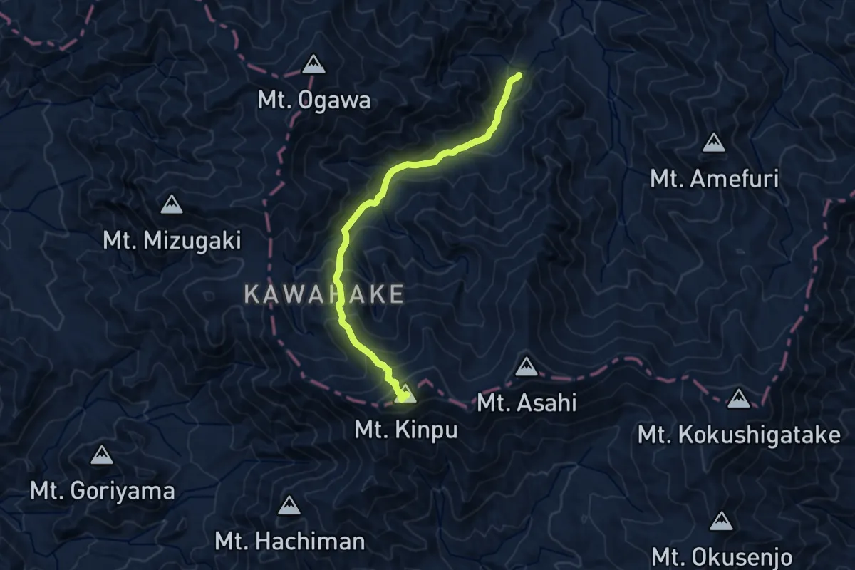
Demanding · Summit
Mt. Kinpu
12.4 km · ↑ 1059 m · 5 h 13 min
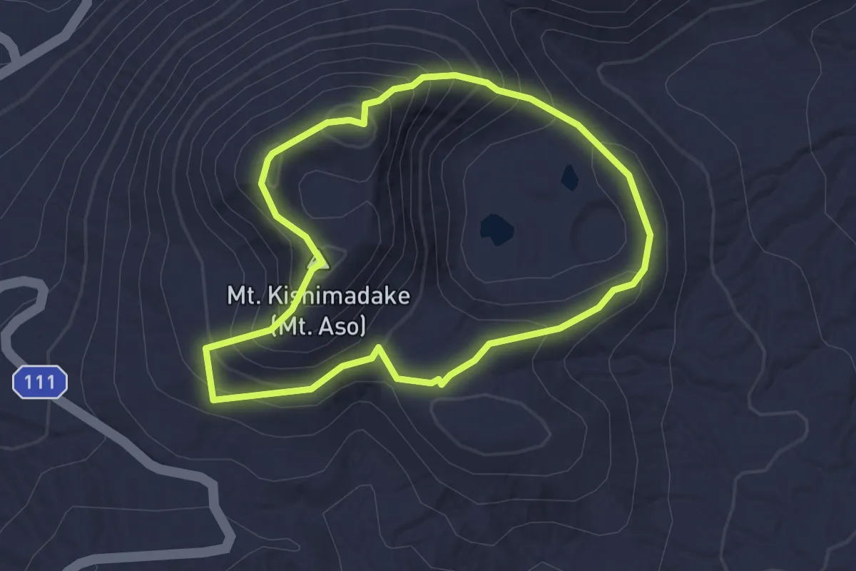
Easy · Summit
Mt.Kishimadake Course
3.1 km · ↑ 220 m · 1 h 15 min
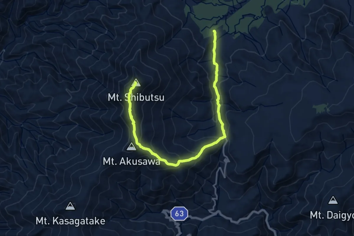
Demanding · Summit
Mt. Shibutsu Loop
15.6 km · ↑ 902 m · 5 h 38 min
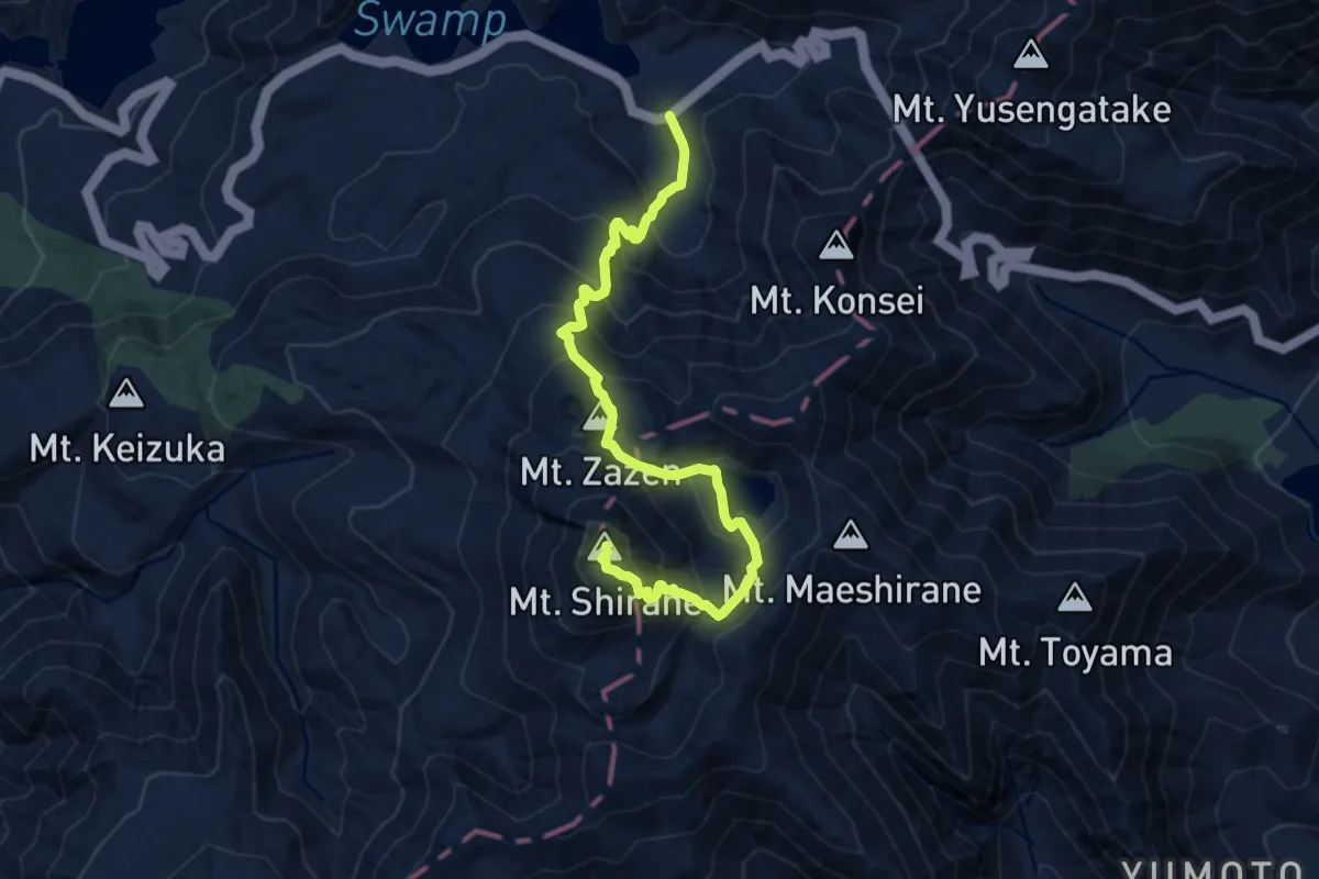
Demanding · Summit
Mt. Shirane - Sugamuna Campground Trail
11.3 km · ↑ 1070 m · 4 h 59 min
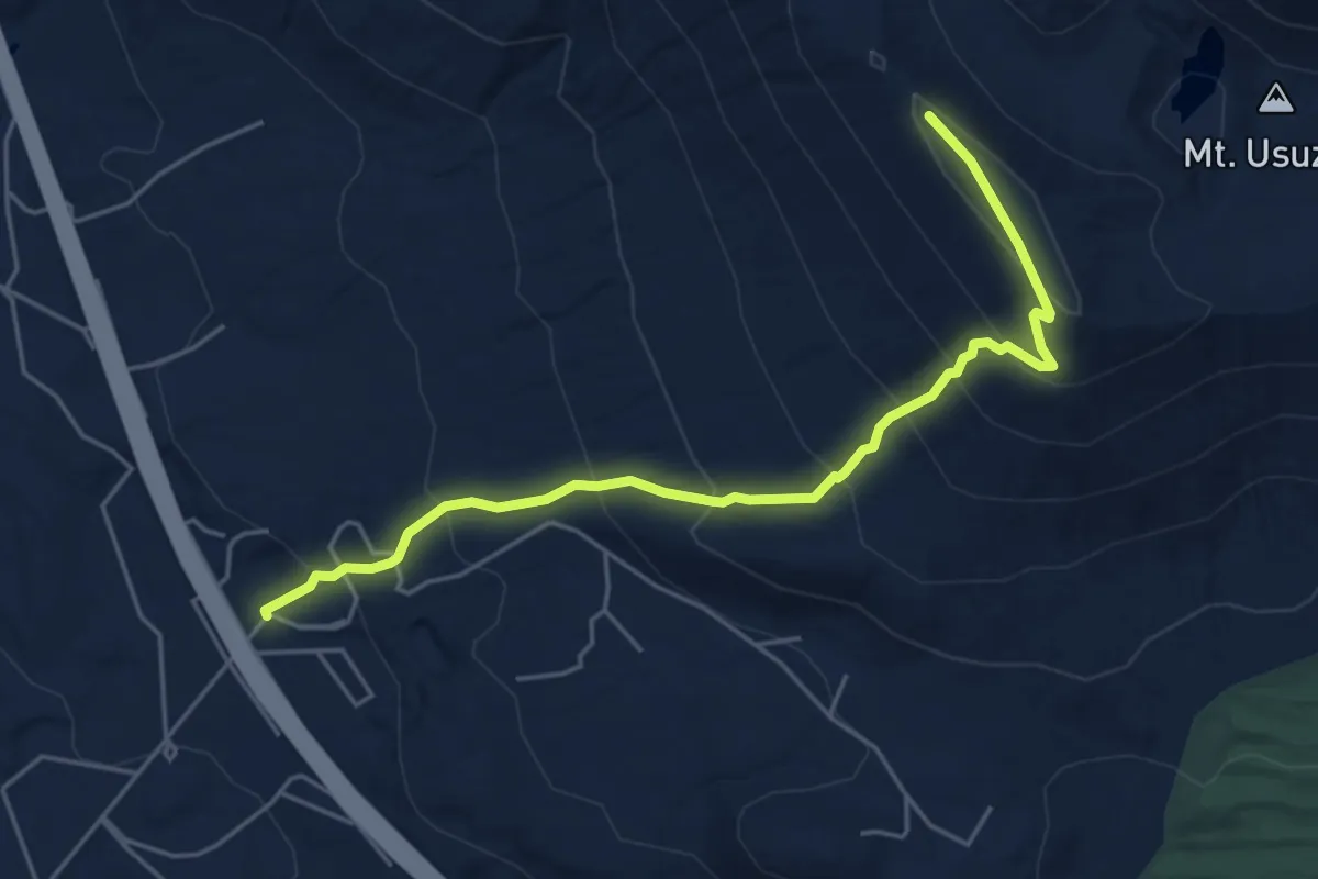
Medium · Trail
Mt. Usu Climbing
5.7 km · ↑ 435 m · 2 h 17 min
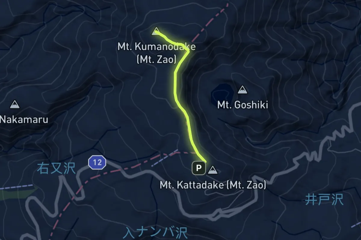
Easy · Summit
Mt. Zao
4.4 km · ↑ 138 m · 1 h 20 min
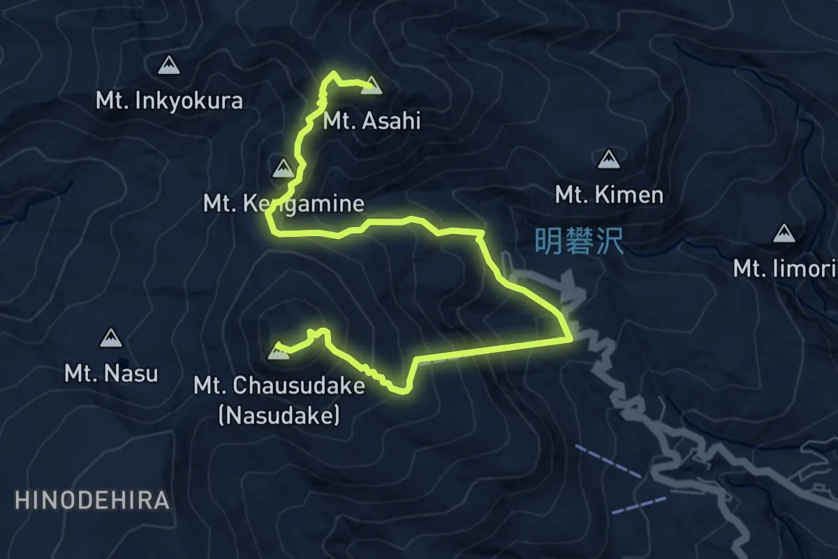
Demanding · Summit
Nasu Loop Circuit
9.9 km · ↑ 1042 m · 4 h 35 min
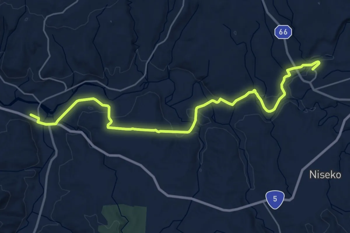
Demanding · Trail
Niseko Country Road Footpath
21.4 km · ↑ 367 m · 5 h 51 min
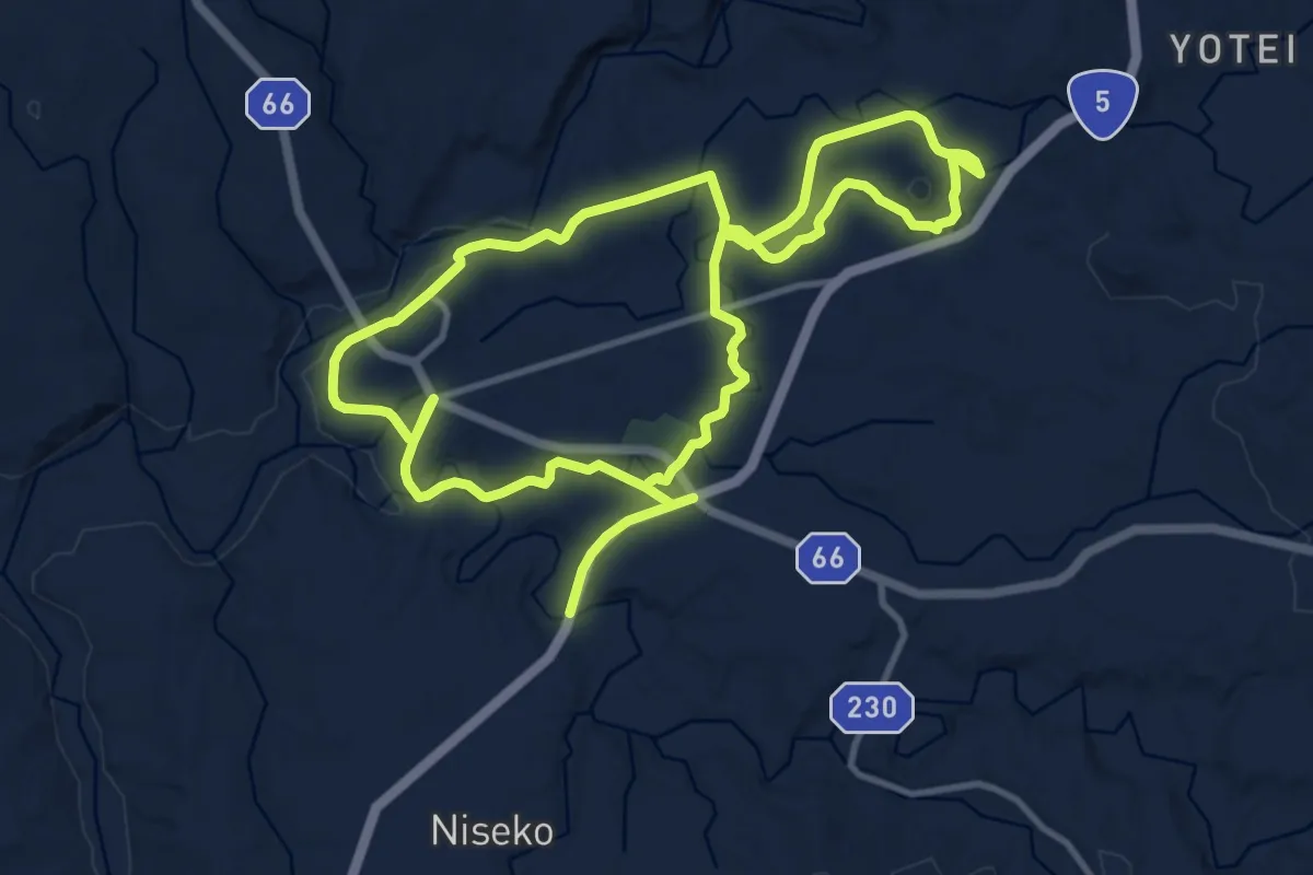
Demanding · Trail
Niseko Literature and History Footpath
24.3 km · ↑ 302 m · 6 h 23 min
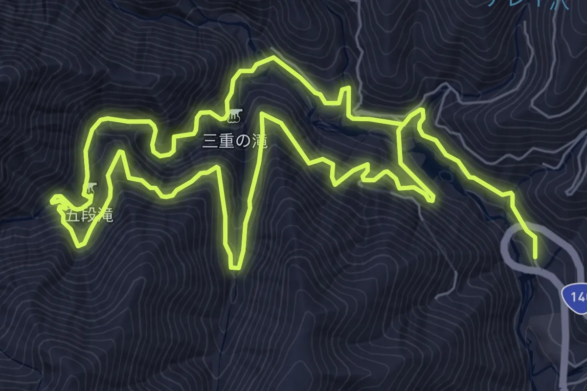
Demanding · Trail
Nishizawa Gorge
16.5 km · ↑ 1497 m · 7 h 8 min
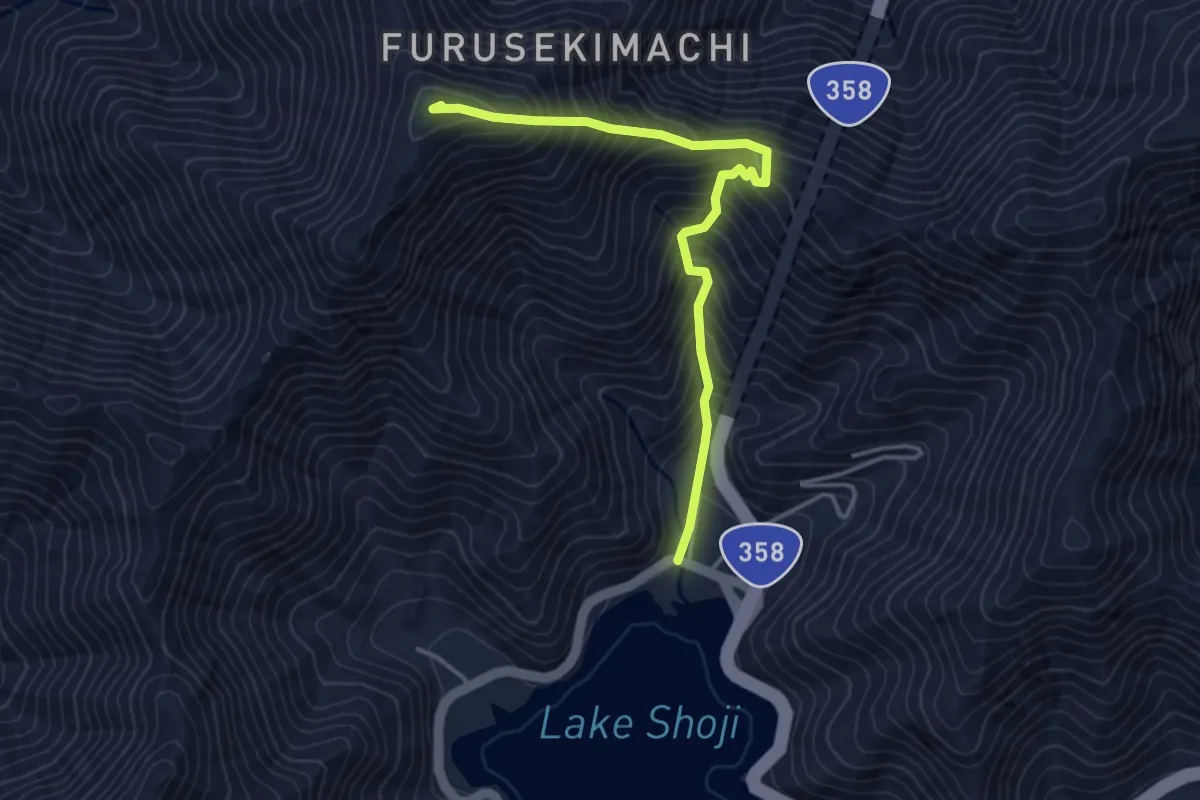
Medium · Summit
Panoramadai - Mount Sanpobun - Lake Shoji Loop
4.4 km · ↑ 543 m · 2 h 13 min
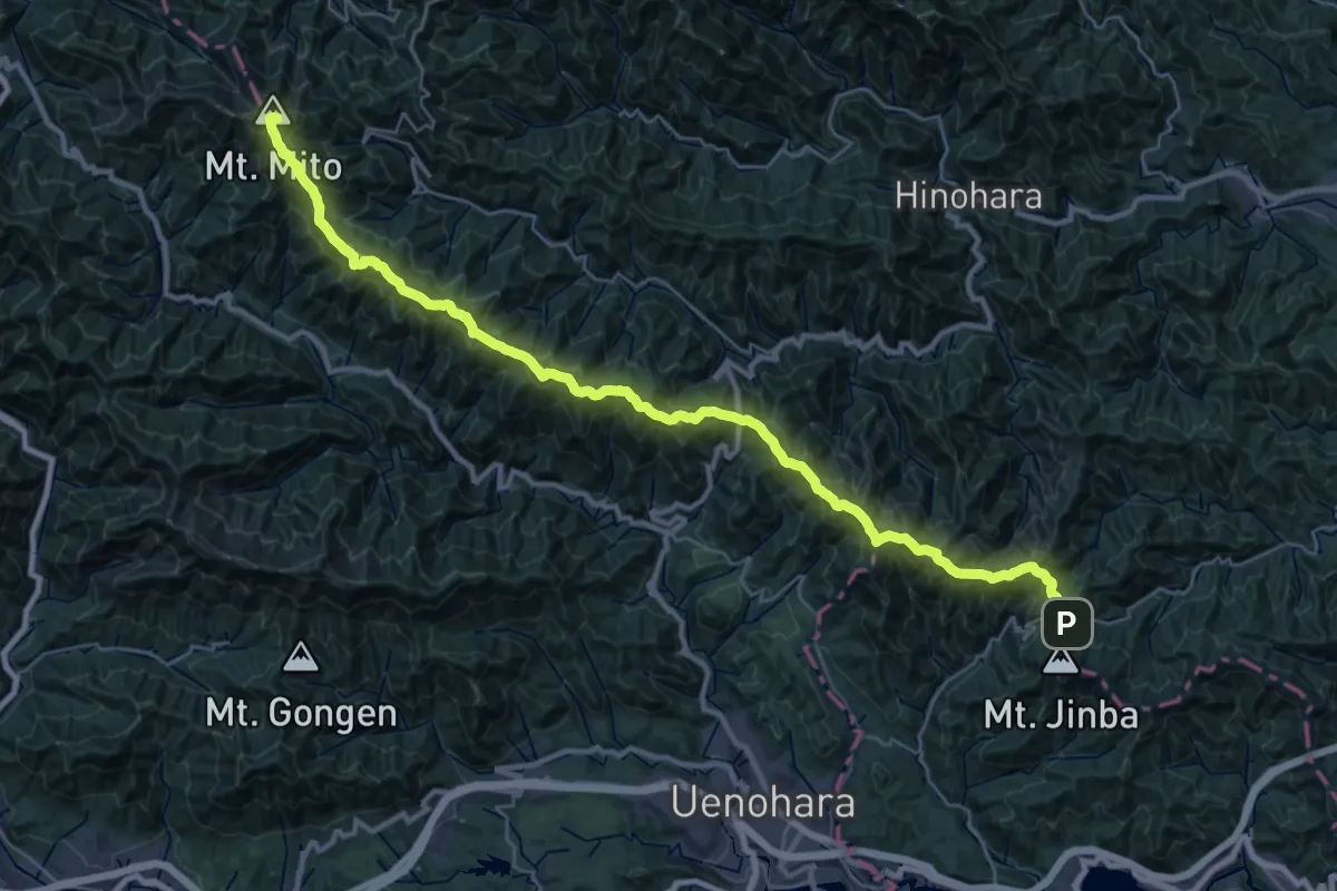
Demanding · Summit
Ridge trail to 三頭山
39.2 km · ↑ 2847 m · 15 h 26 min
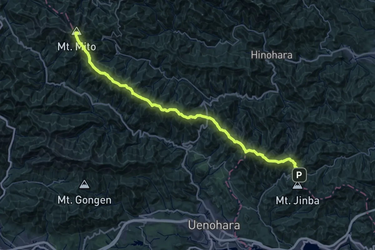
Demanding · Summit
Ridge trail to 三頭山
38.9 km · ↑ 2789 m · 15 h 14 min
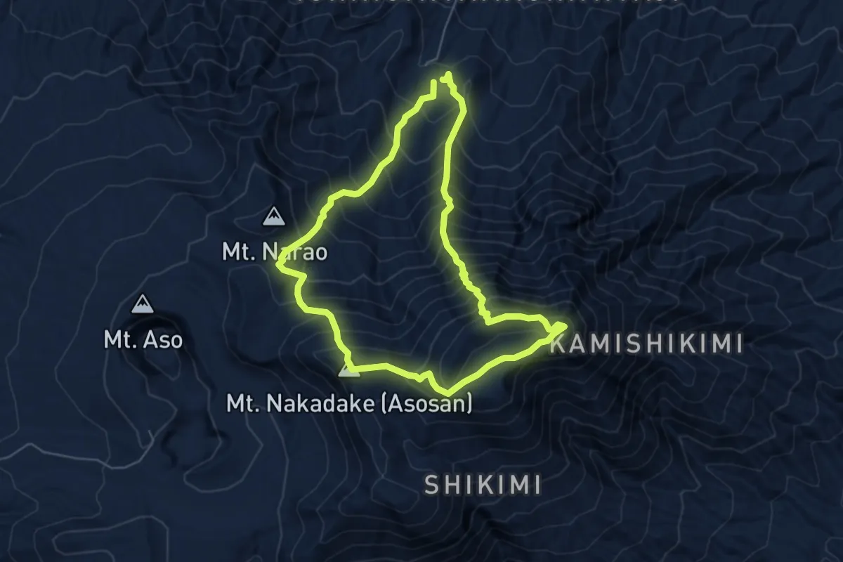
Demanding · Summit
Sensuikyo Gorge Trail
6.2 km · ↑ 745 m · 3 h 10 min
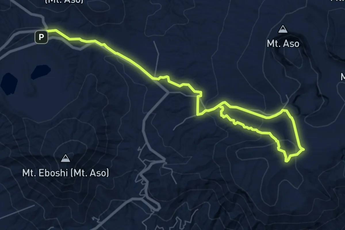
Medium · Trail
Sunasenri-ga-hama Course
10.9 km · ↑ 363 m · 3 h 22 min
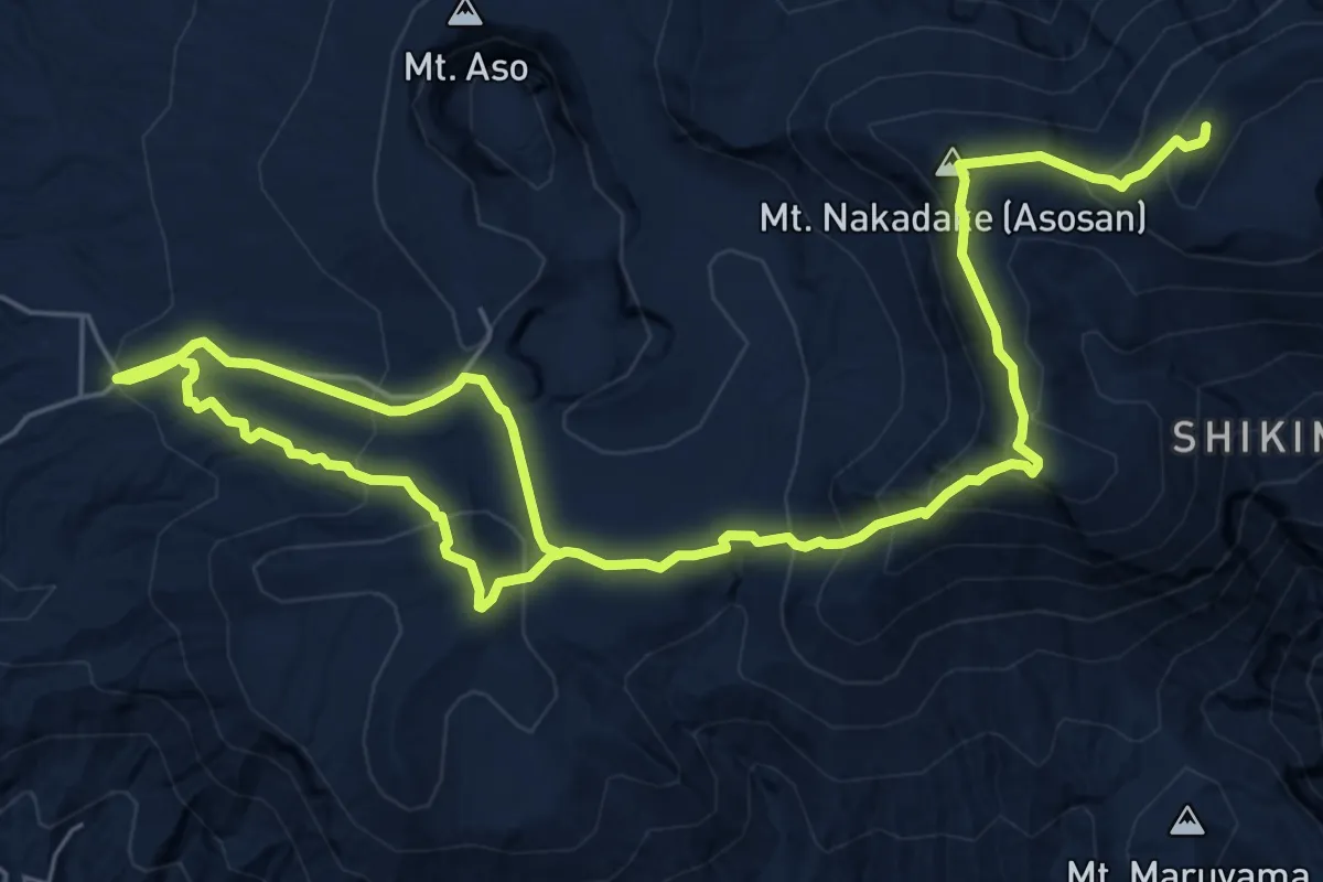
Demanding · Summit
Sunasenri Trail
12.0 km · ↑ 735 m · 4 h 26 min
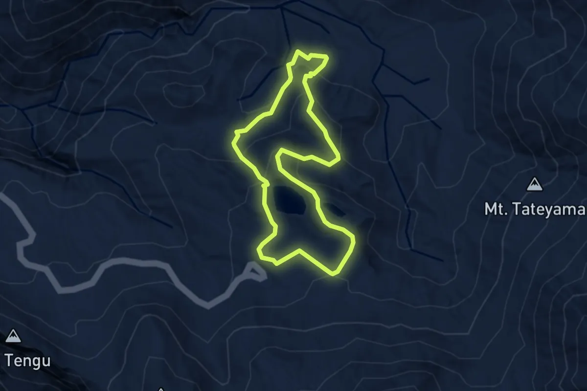
Easy · Trail
Tateyama, Murodo
3.9 km · ↑ 212 m · 1 h 26 min
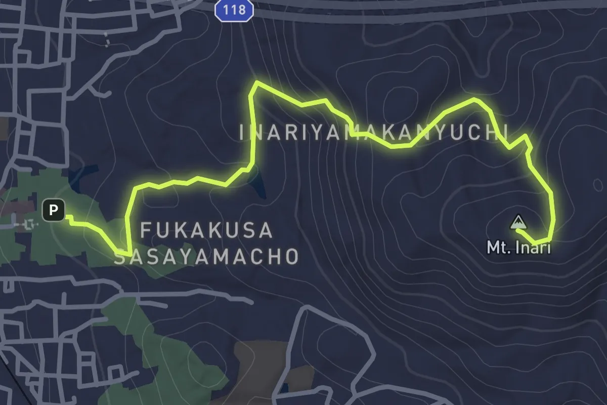
Easy · Summit
The easiest way on top
2.1 km · ↑ 187 m · 50 min
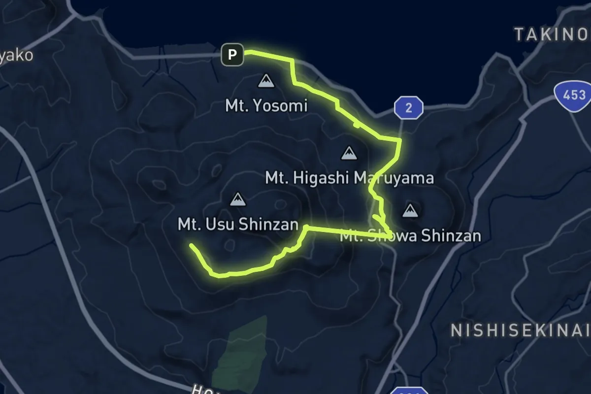
Demanding · Trail
Toya-Usu Panorama
20.4 km · ↑ 882 m · 6 h 43 min
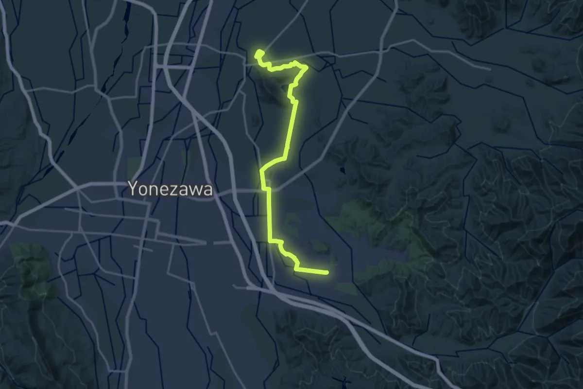
Demanding · Trail
あじさい寺を訪ねるみち
18.9 km · ↑ 171 m · 4 h 49 min
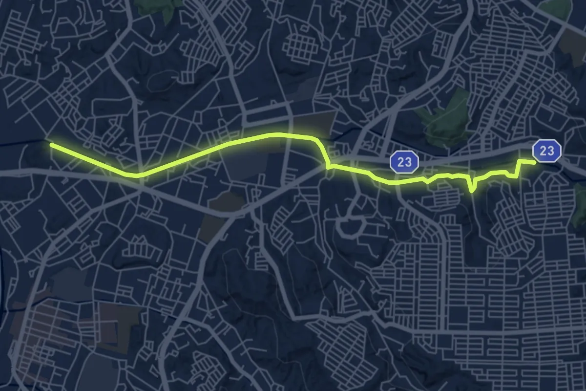
Easy · Trail
いたち川プロムナード
7.7 km · ↑ 79 m · 1 h 59 min
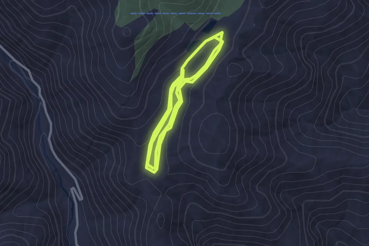
Easy · Trail
いわなの森
6.0 km · ↑ 166 m · 1 h 47 min
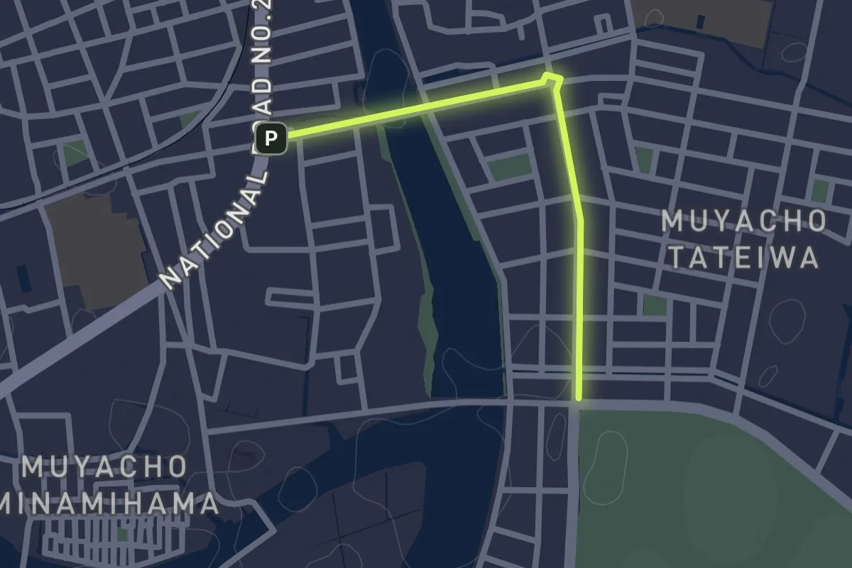
Easy · Trail
ヴォルティスロード
2.3 km · ↑ 8 m · 33 min
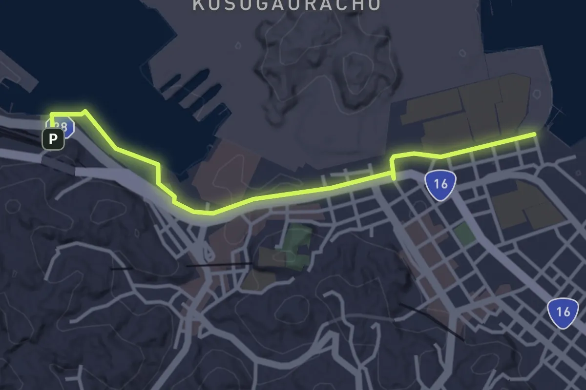
Easy · Trail
うみかぜの路(海と緑の10,000mプロムナード) 歴史とショッピングの道
4.0 km · ↑ 53 m · 1 h 3 min
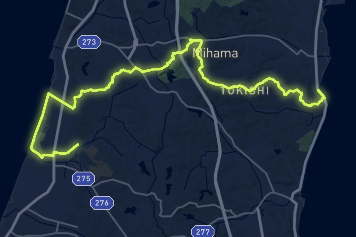
Demanding · Trail
オレンジライン
22.7 km · ↑ 316 m · 6 h 2 min
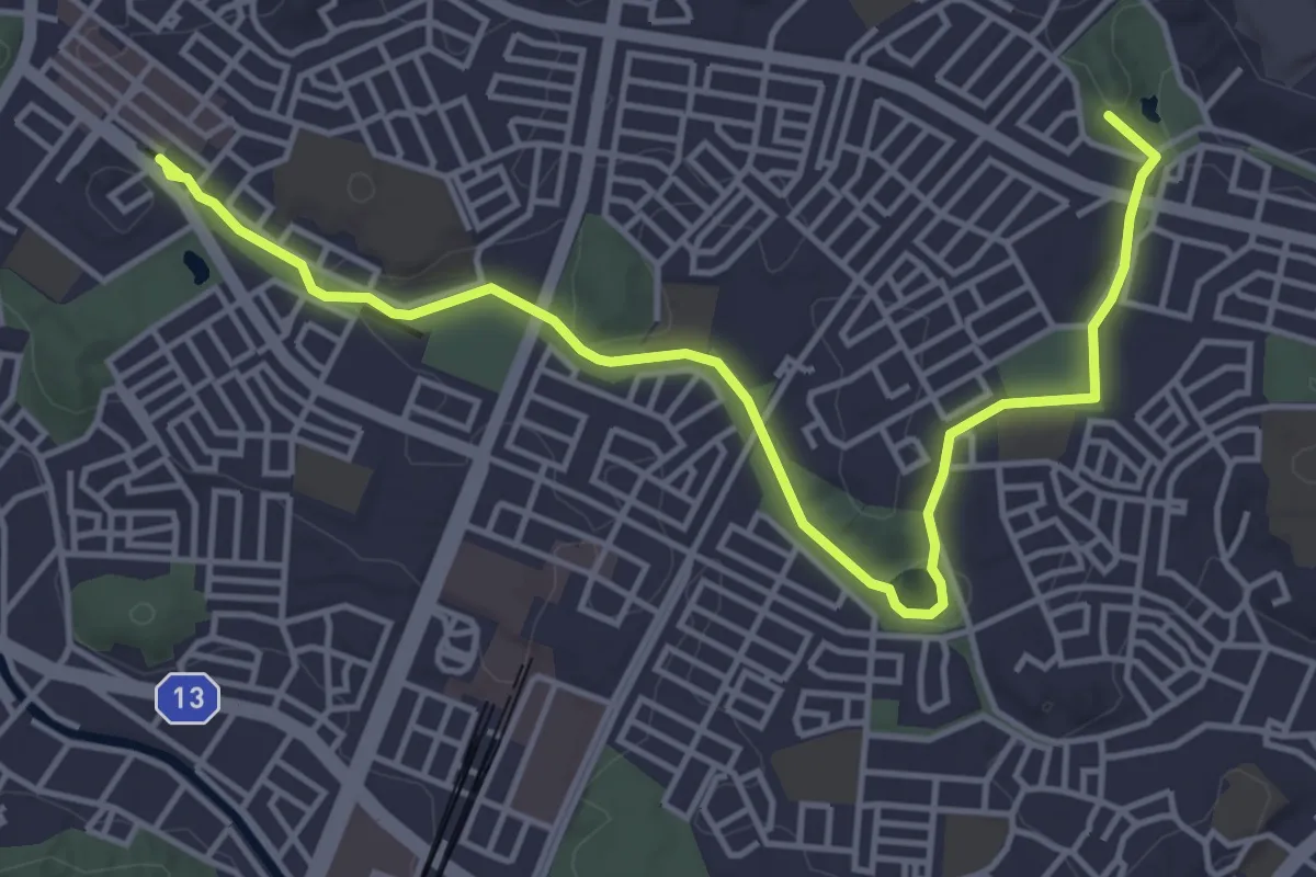
Easy · Summit
くさぶえのみち ふじやとのみち
6.2 km · ↑ 103 m · 1 h 41 min
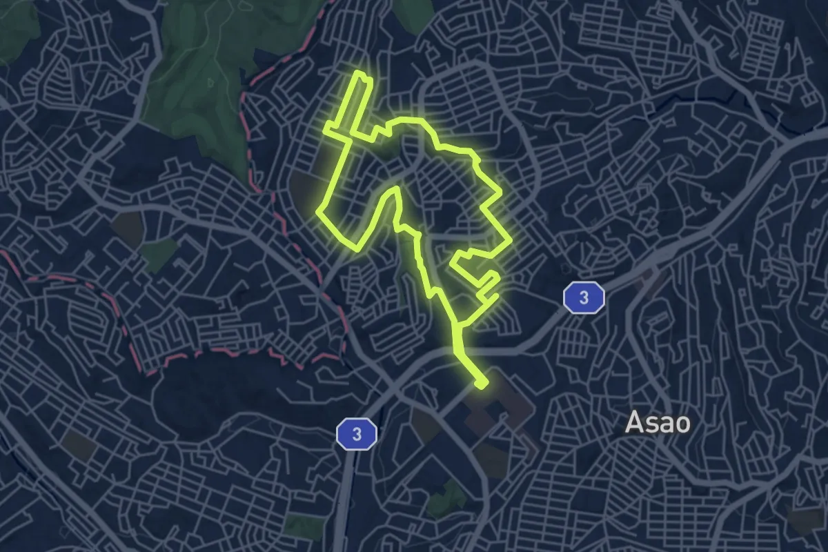
Easy · Trail
コース2
5.7 km · ↑ 124 m · 1 h 42 min
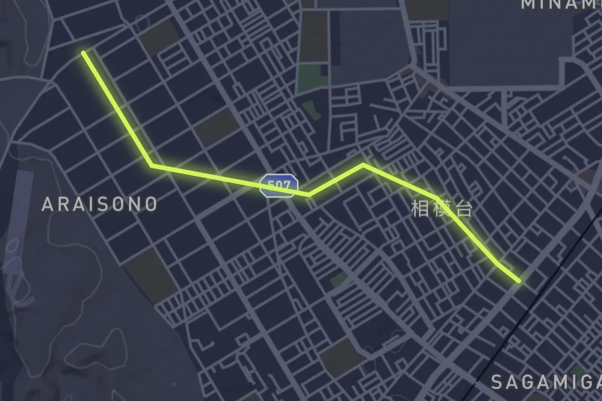
Easy · Trail
さがみの仲よし小道
4.8 km · ↑ 9 m · 1 h 9 min
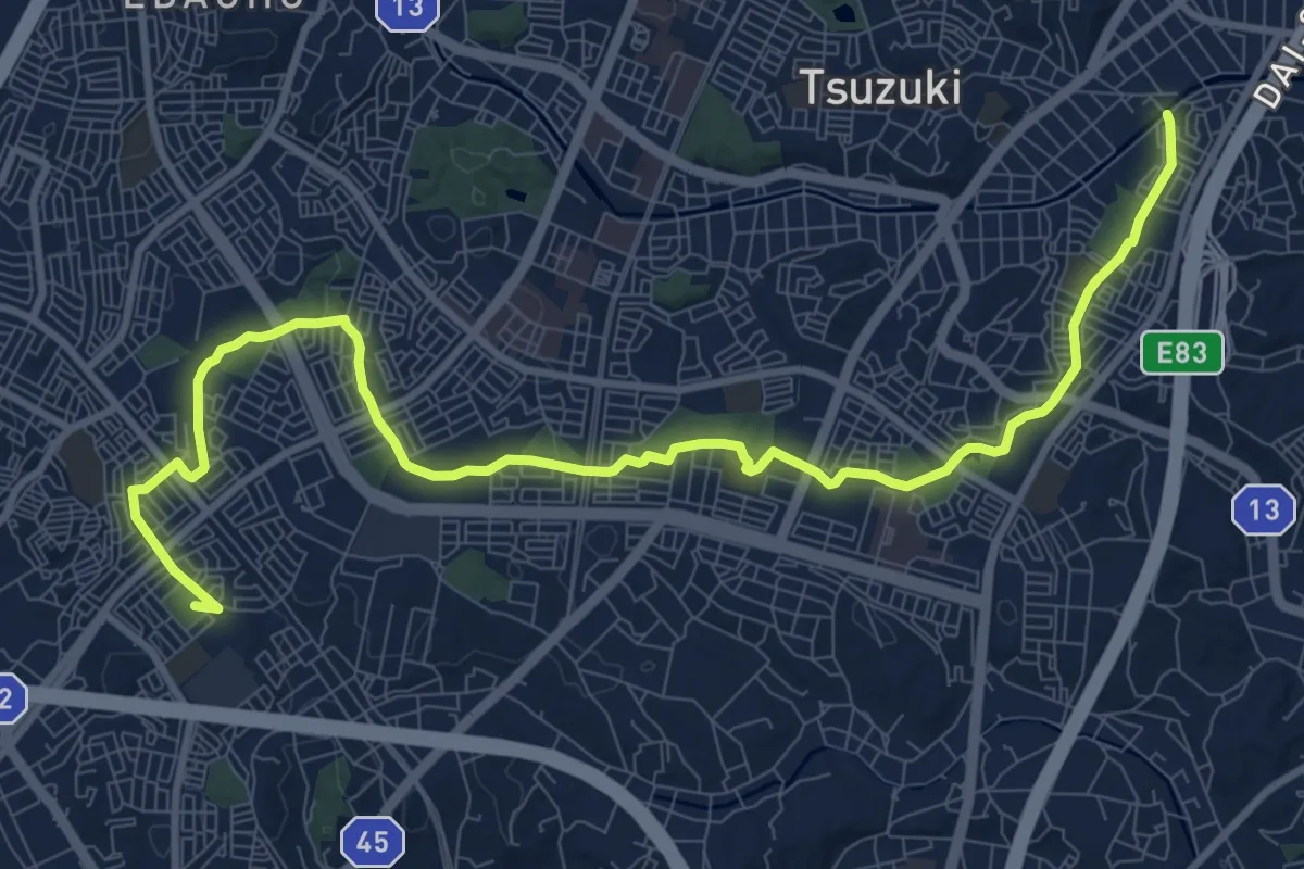
Medium · Summit
せきれいのみち ささぶねのみち ゆうばえのみち
14.5 km · ↑ 193 m · 3 h 51 min
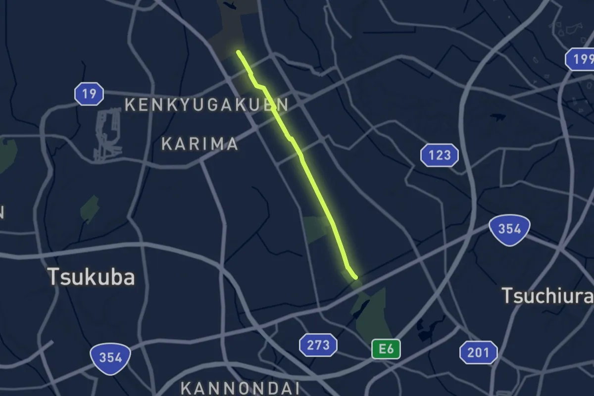
Medium · Trail
つくば公園通り
10.4 km · ↑ 60 m · 2 h 35 min
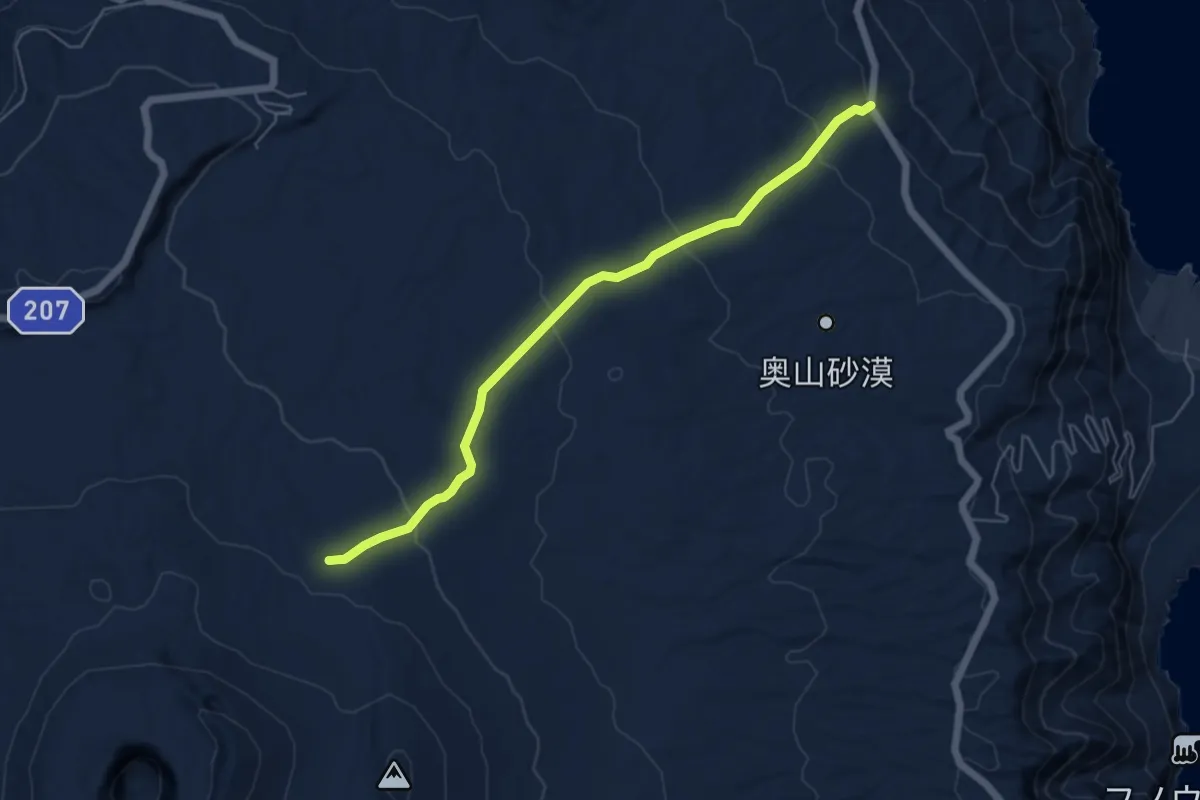
Easy · Trail
テキサスコース
6.7 km · ↑ 250 m · 2 h 7 min
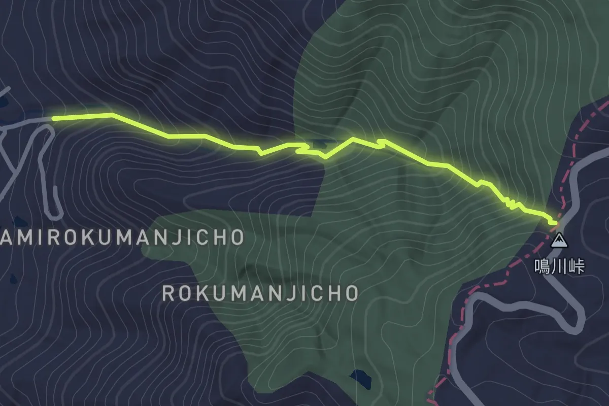
Easy · Trail
なるかわ谷ハイキングコース
3.0 km · ↑ 277 m · 1 h 19 min
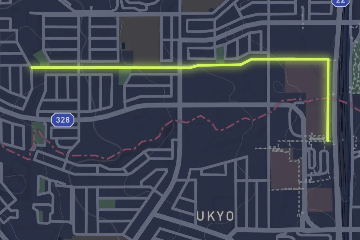
Easy · Trail
ニセアカシアの道
3.0 km · ↑ 51 m · 49 min
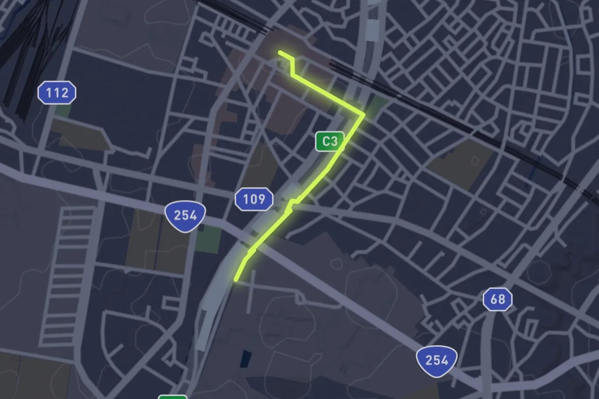
Easy · Trail
ニホニウム通り
2.3 km · ↑ 26 m · 36 min
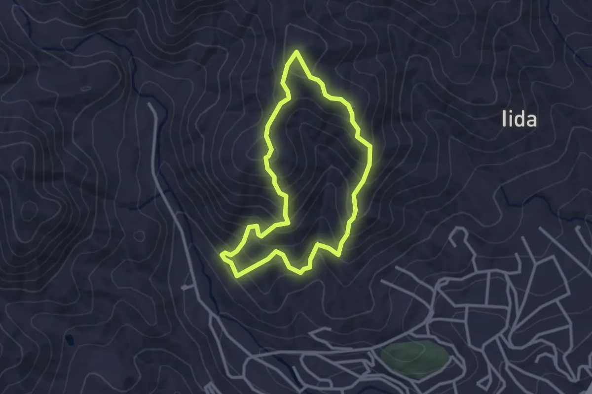
Easy · Trail
のろし台の道
2.9 km · ↑ 265 m · 1 h 18 min
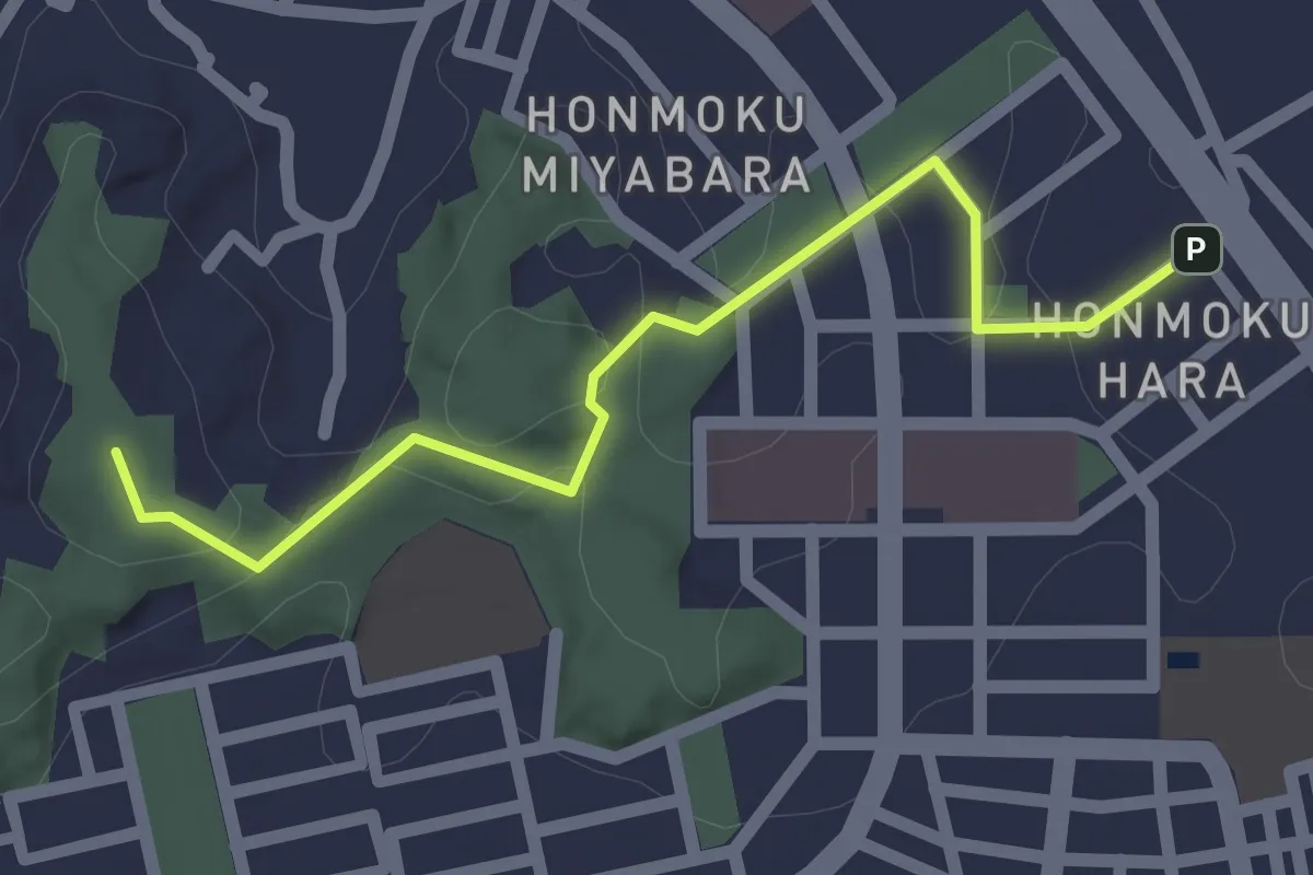
Easy · Summit
バス停本牧宮原から本牧山頂公園へ
2.4 km · ↑ 83 m · 45 min
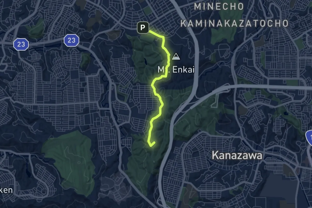
Easy · Summit
ビートルズトレイル
6.3 km · ↑ 219 m · 1 h 58 min
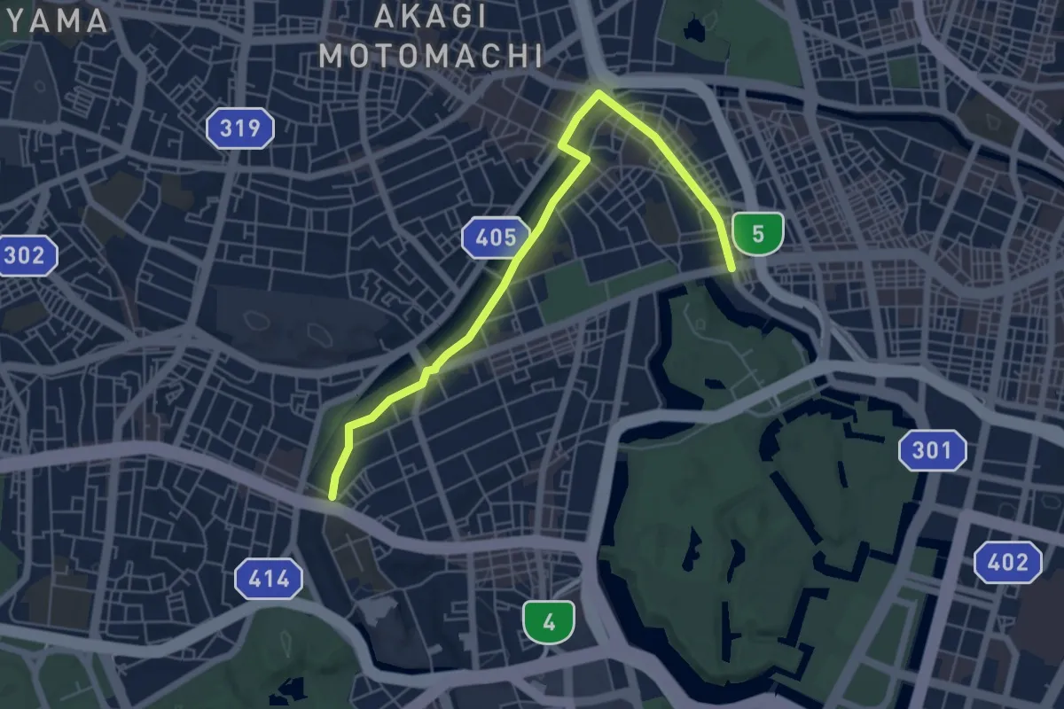
Easy · Trail
ふるさと文化の散歩道
6.9 km · ↑ 166 m · 2 h
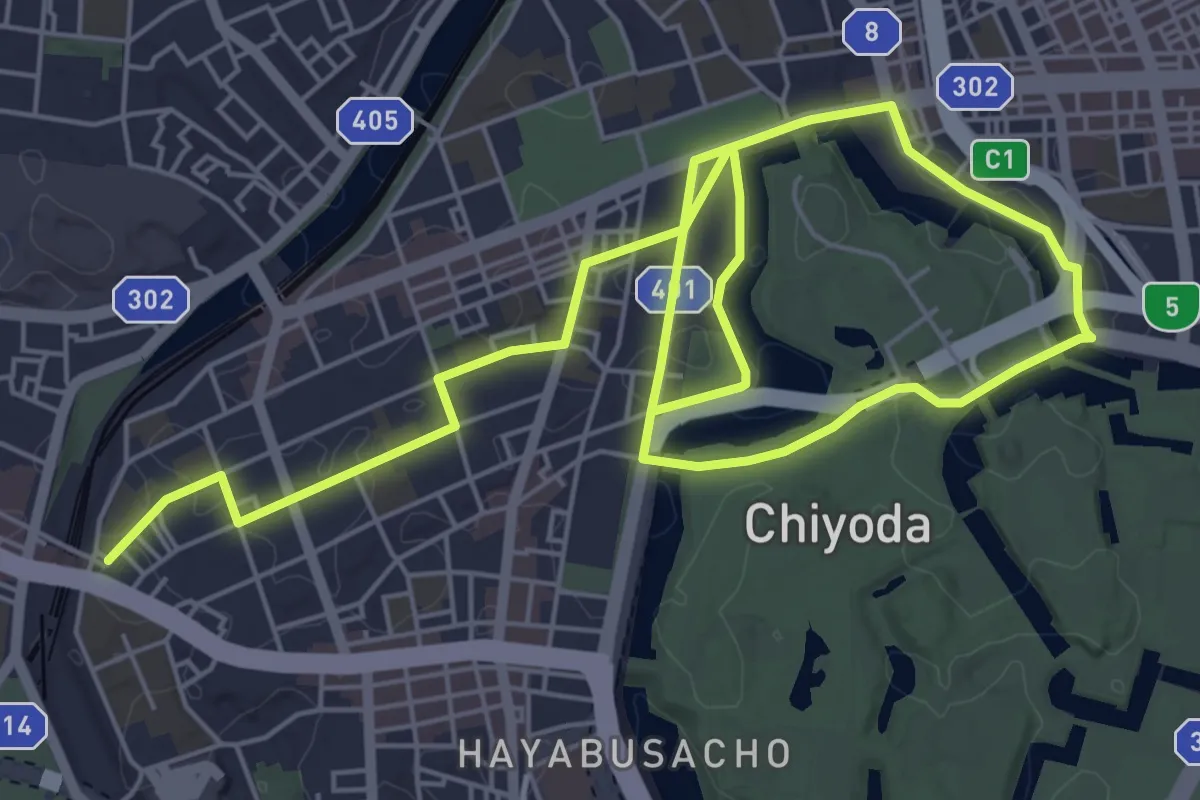
Medium · Trail
ふるさと文化の散歩道
11.8 km · ↑ 224 m · 3 h 16 min
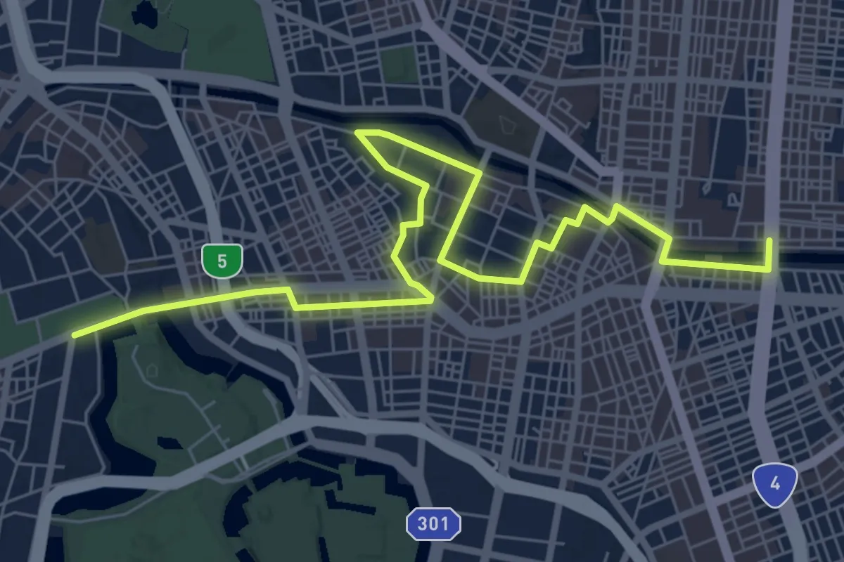
Medium · Trail
ふるさと文化の散歩道
9.8 km · ↑ 220 m · 2 h 48 min
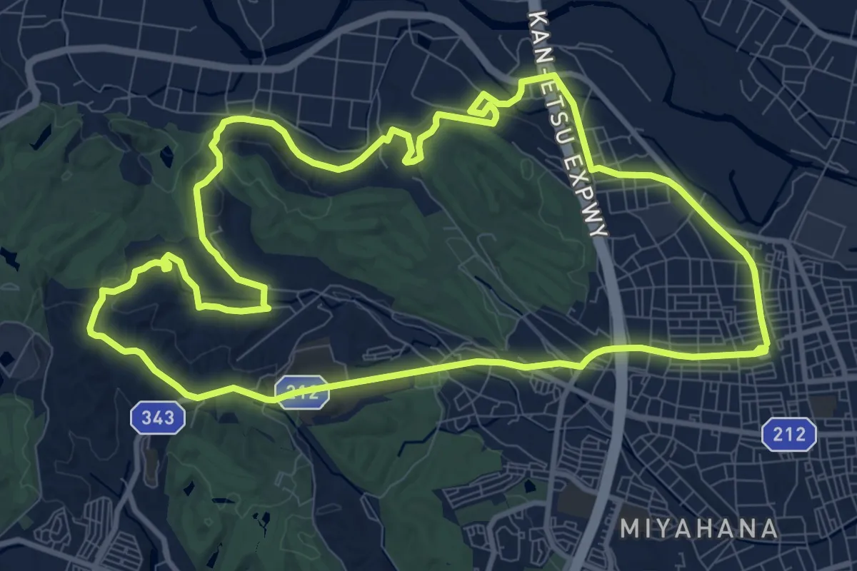
Medium · Summit
まなびのみち
12.5 km · ↑ 271 m · 3 h 42 min
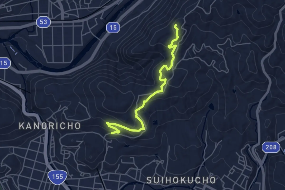
Easy · Trail
まなびの径
4.8 km · ↑ 158 m · 1 h 29 min
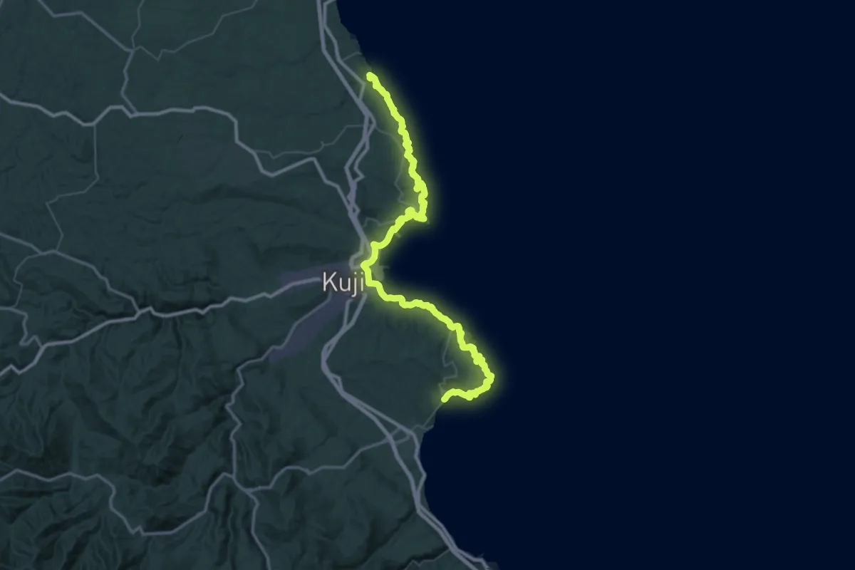
Demanding · Trail
みちのく潮風トレイル(久慈市ルート)
35.6 km · ↑ 2352 m · 13 h 59 min
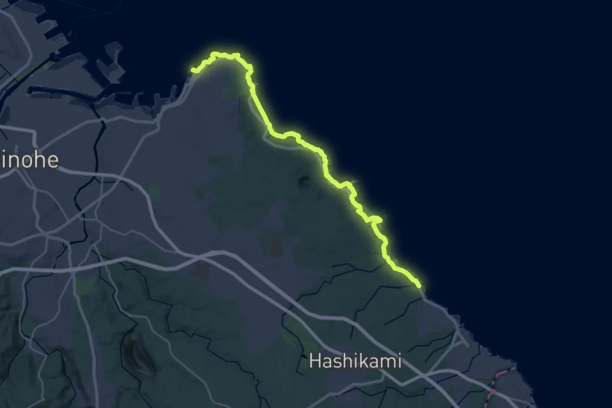
Demanding · Trail
みちのく潮風トレイル(八戸市ルート)
28.0 km · ↑ 414 m · 7 h 30 min
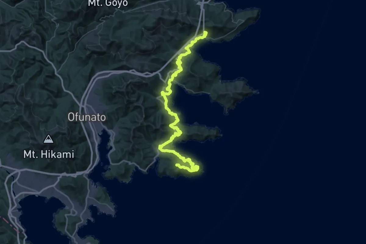
Demanding · Summit
みちのく潮風トレイル(大船渡市の北部ルート)
70.8 km · ↑ 2748 m · 22 h 40 min