Trails in Japan
621 hiking trails, each with its route, climb, walking time and grade.
All trails, page 5 of 13
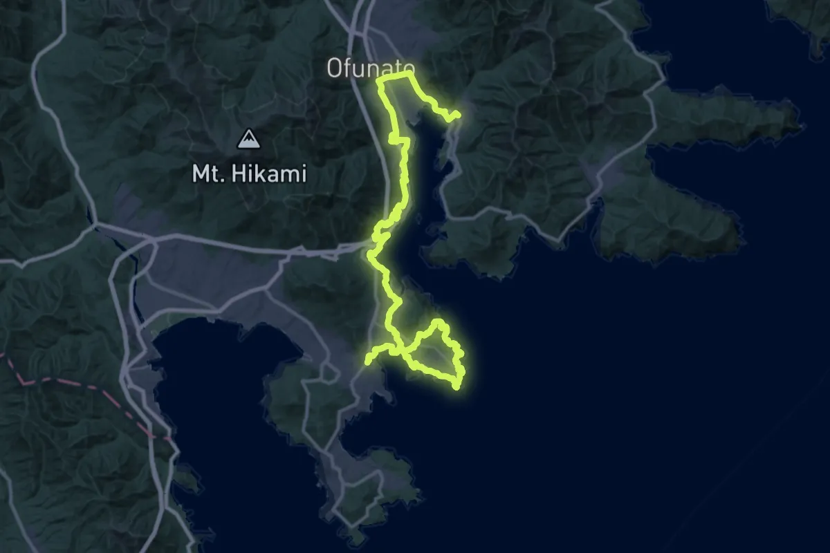
Demanding · Trail
みちのく潮風トレイル(大船渡市の南部ルート)
27.3 km · ↑ 723 m · 8 h 23 min
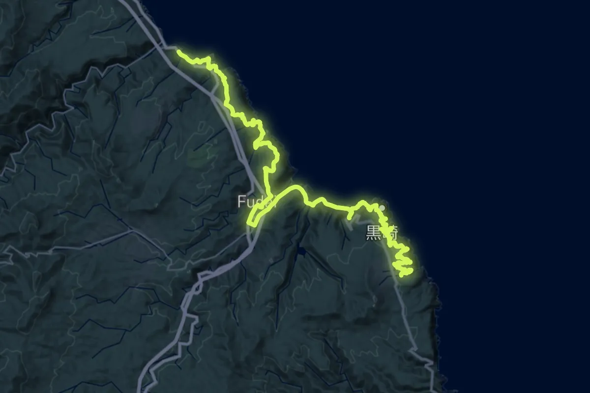
Demanding · Trail
みちのく潮風トレイル(普代村ルート)
23.3 km · ↑ 982 m · 8 h 2 min
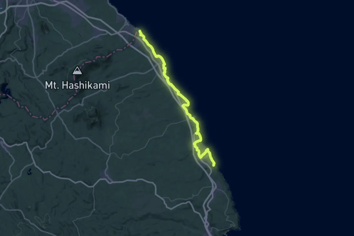
Demanding · Trail
みちのく潮風トレイル(洋野町ルート)
27.0 km · ↑ 1084 m · 9 h 6 min
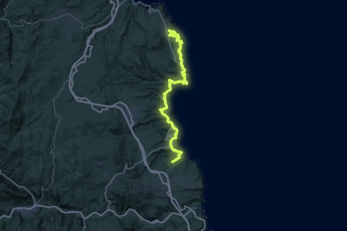
Demanding · Trail
みちのく潮風トレイル(田野畑村ルート)
22.6 km · ↑ 1462 m · 8 h 49 min
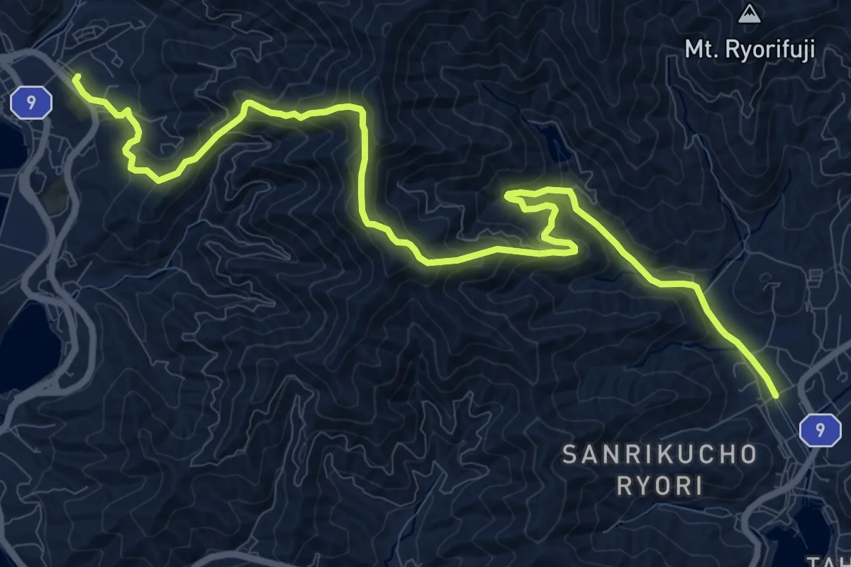
Demanding · Trail
みちのく潮風トレイル(綾里峠ルート)
16.2 km · ↑ 940 m · 5 h 51 min
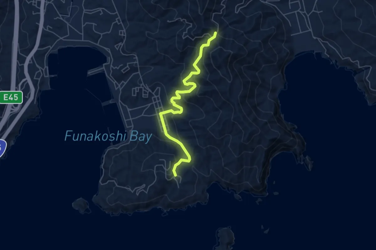
Medium · Trail
みちのく潮風トレイル(迂回路)
6.0 km · ↑ 374 m · 2 h 14 min
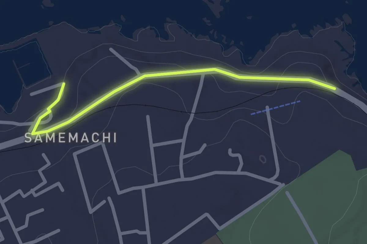
Easy · Trail
みちのく潮風トレイル(迂回路)
2.3 km · ↑ 53 m · 40 min
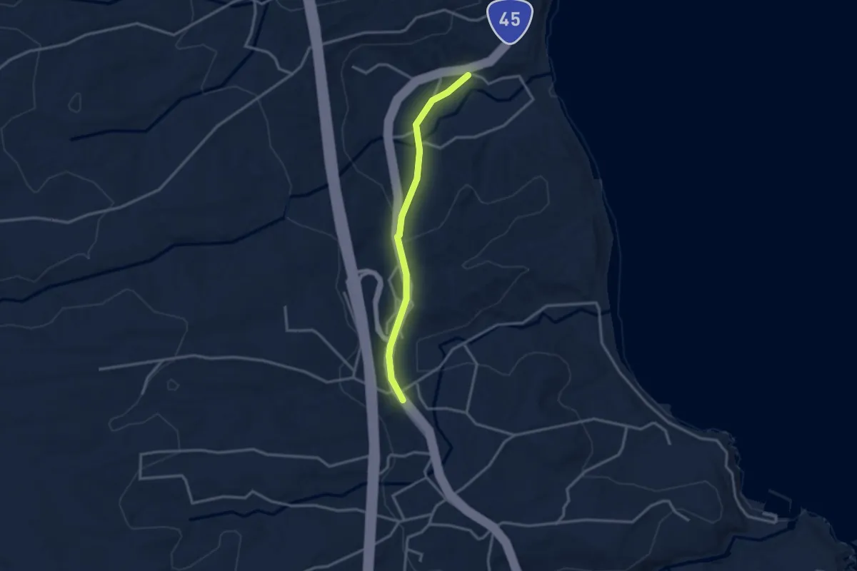
Easy · Trail
みちのく潮風トレイル(迂回路)
3.0 km · ↑ 75 m · 52 min
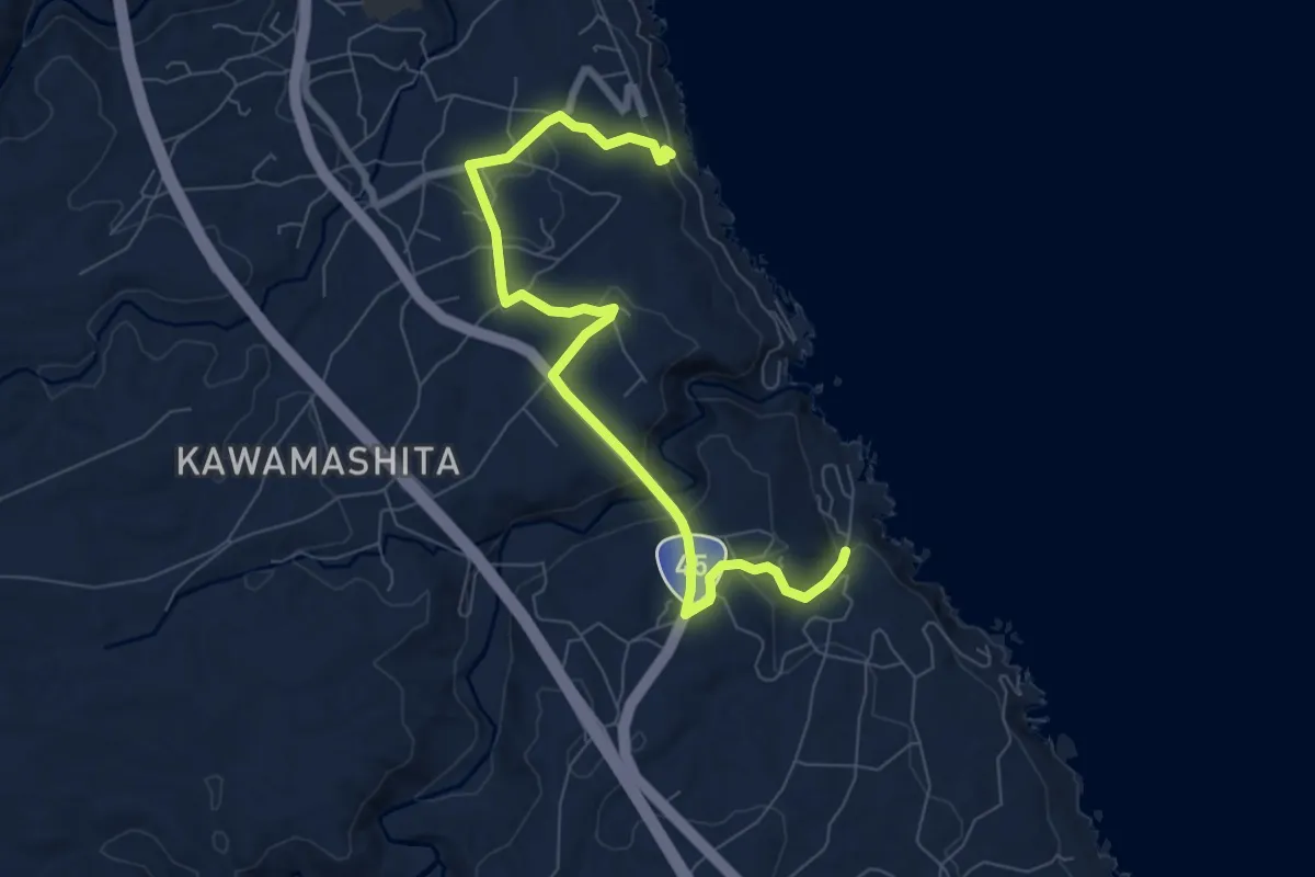
Medium · Trail
みちのく潮風トレイル(迂回路)
9.2 km · ↑ 259 m · 2 h 43 min
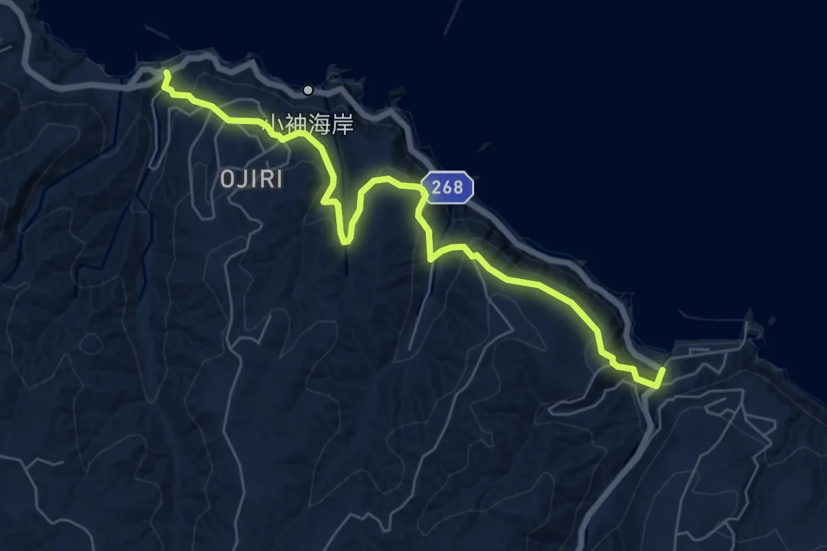
Medium · Trail
みちのく潮風トレイル(迂回路)
7.4 km · ↑ 348 m · 2 h 30 min
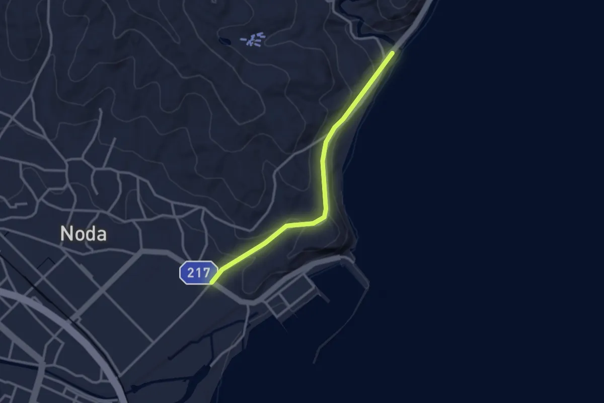
Easy · Trail
みちのく潮風トレイル(迂回路)
2.9 km · ↑ 72 m · 51 min
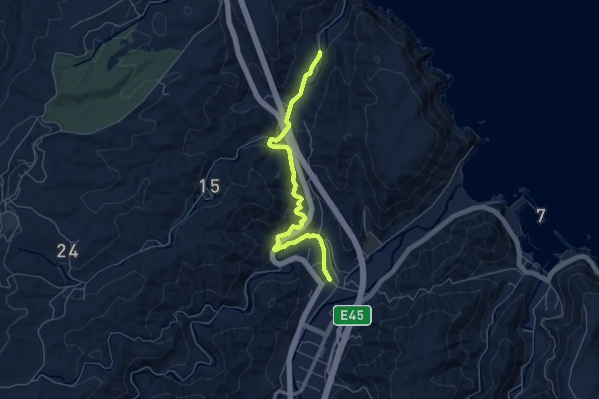
Easy · Trail
みちのく潮風トレイル(迂回路)
6.2 km · ↑ 193 m · 1 h 52 min
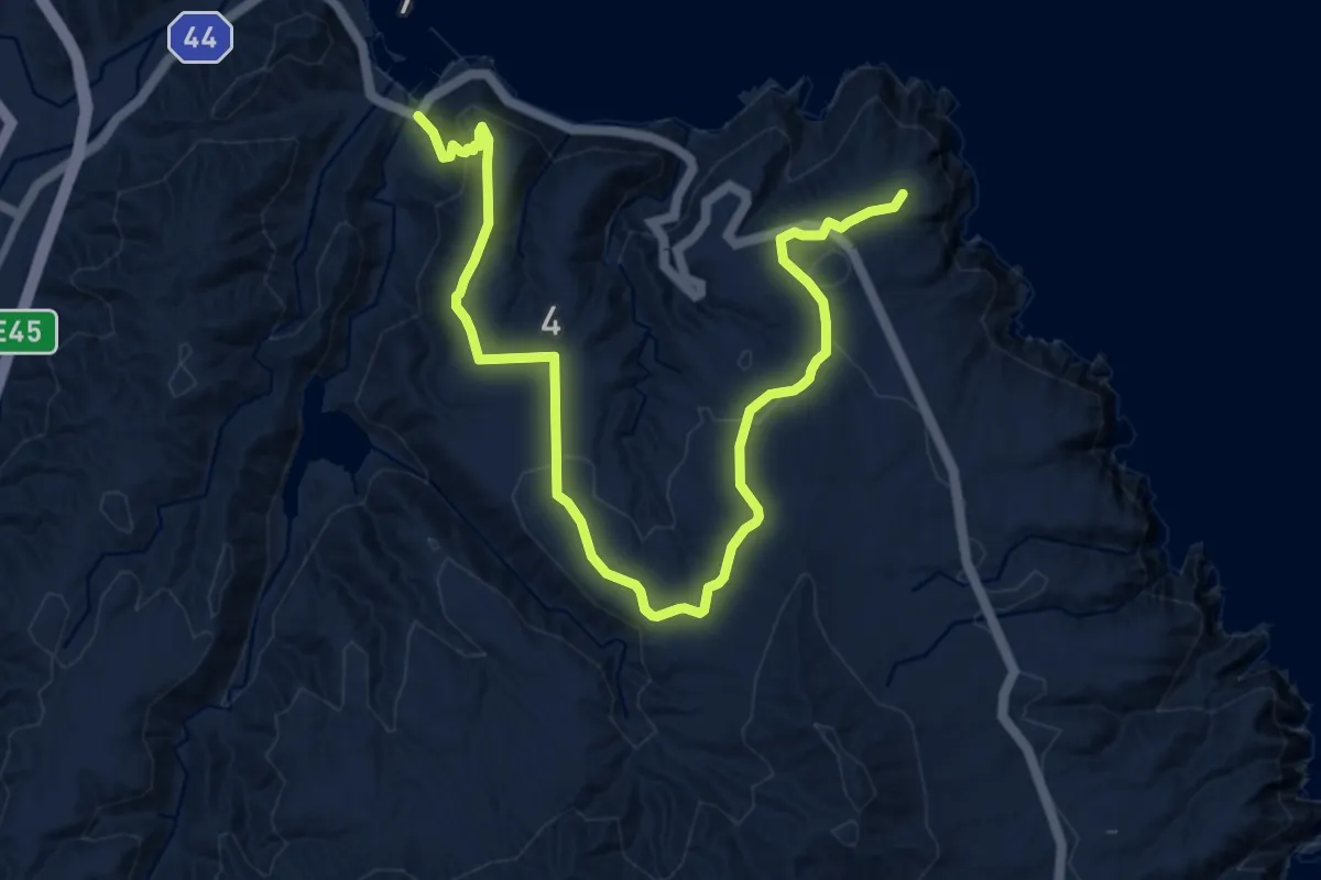
Medium · Trail
みちのく潮風トレイル(迂回路)
13.0 km · ↑ 359 m · 3 h 51 min
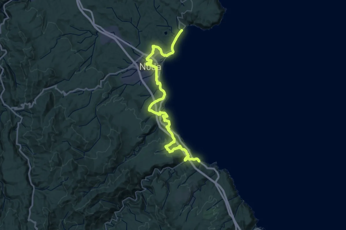
Demanding · Trail
みちのく潮風トレイル(野田村ルート)
18.6 km · ↑ 499 m · 5 h 45 min
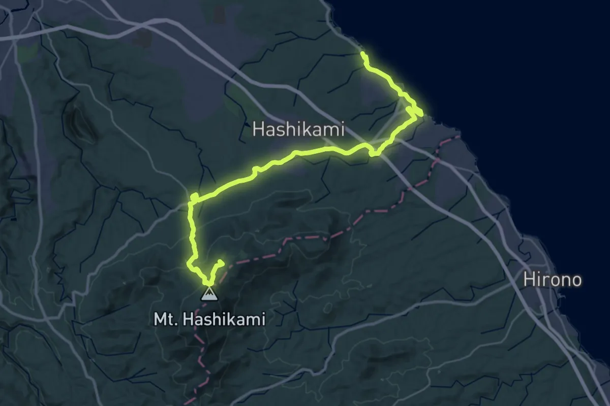
Demanding · Summit
みちのく潮風トレイル(階上町ルート)
35.3 km · ↑ 940 m · 10 h 23 min
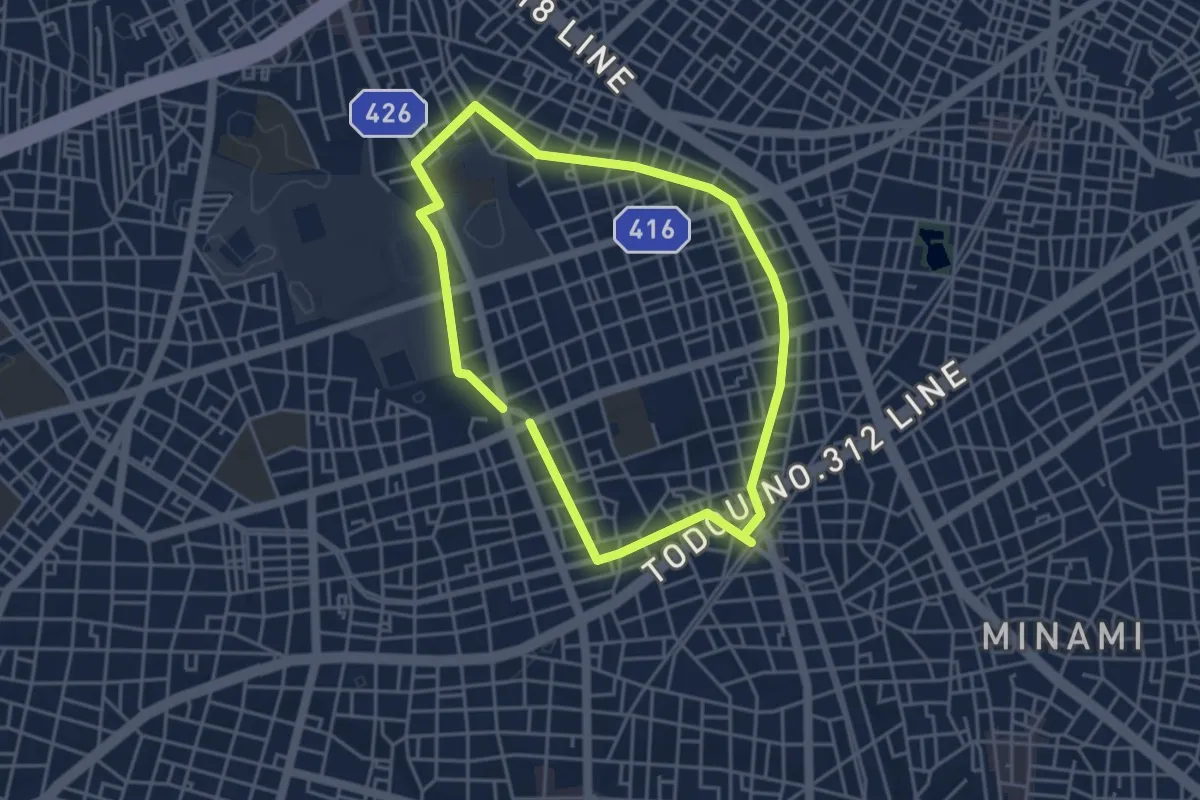
Easy · Trail
みどりの散歩道 呑川・柿の木坂コース
4.4 km · ↑ 38 m · 1 h 11 min
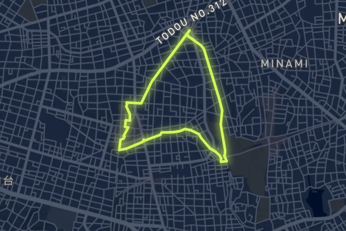
Easy · Trail
みどりの散歩道 呑川・自由が丘コース
4.6 km · ↑ 28 m · 1 h 12 min
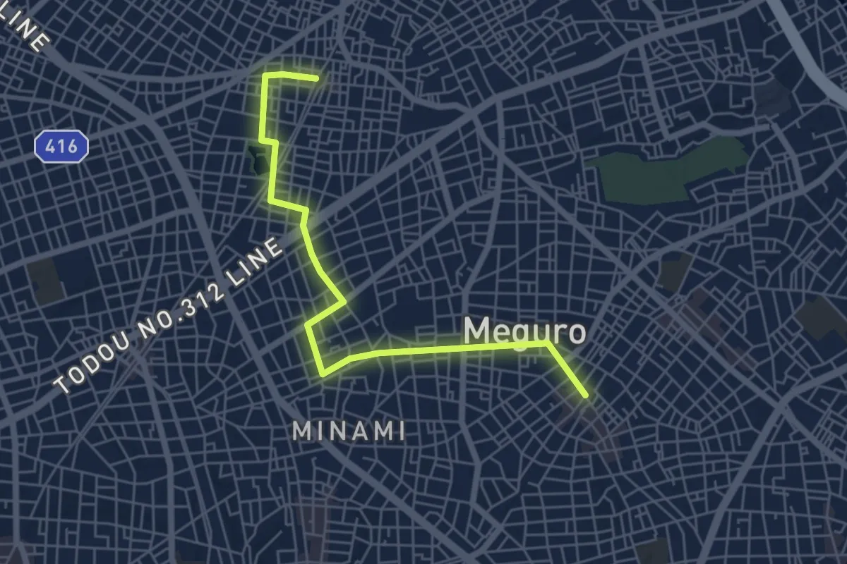
Easy · Trail
みどりの散歩道 碑文谷・立会川コース
6.6 km · ↑ 58 m · 1 h 41 min
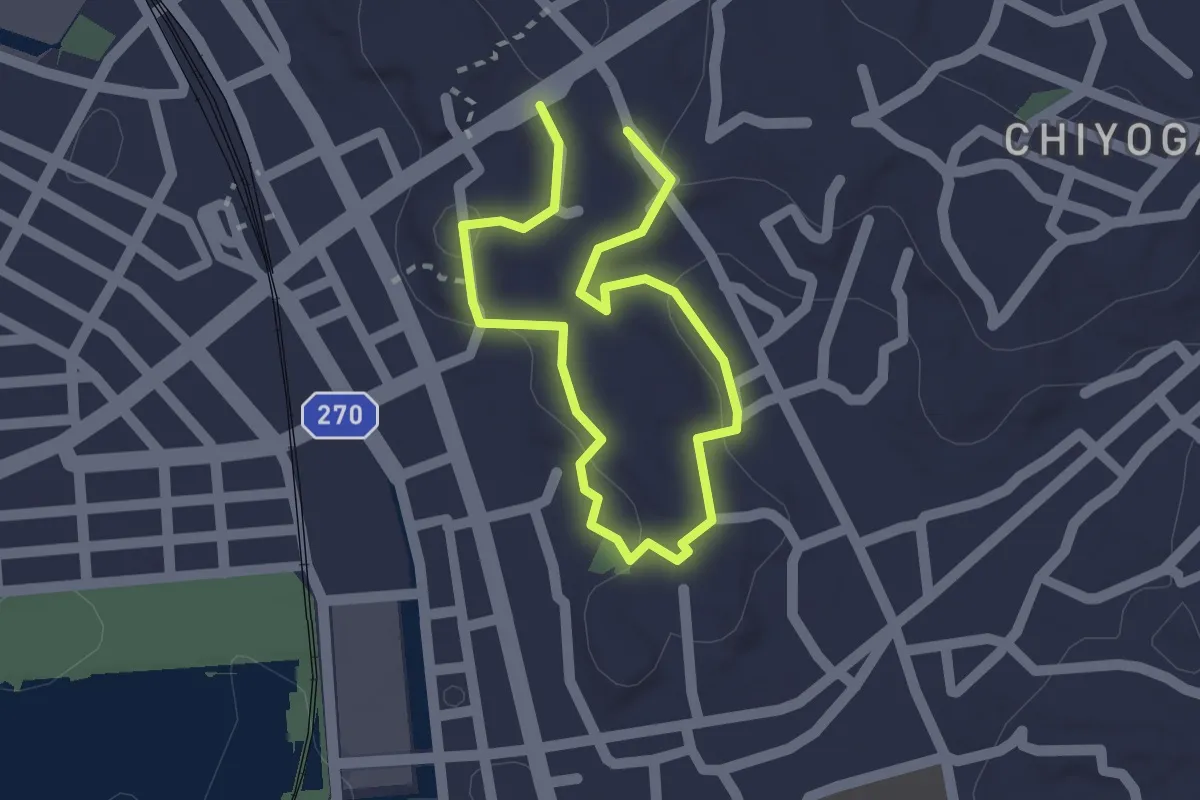
Easy · Trail
やきもの散歩道 Aコース
1.4 km · ↑ 24 m · 24 min
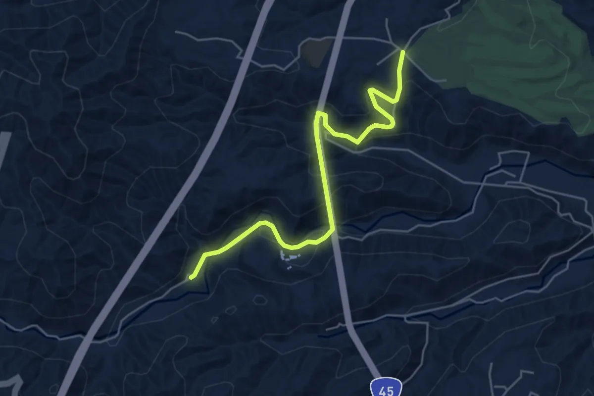
Easy · Trail
一の渡駅へ北
5.4 km · ↑ 256 m · 1 h 49 min
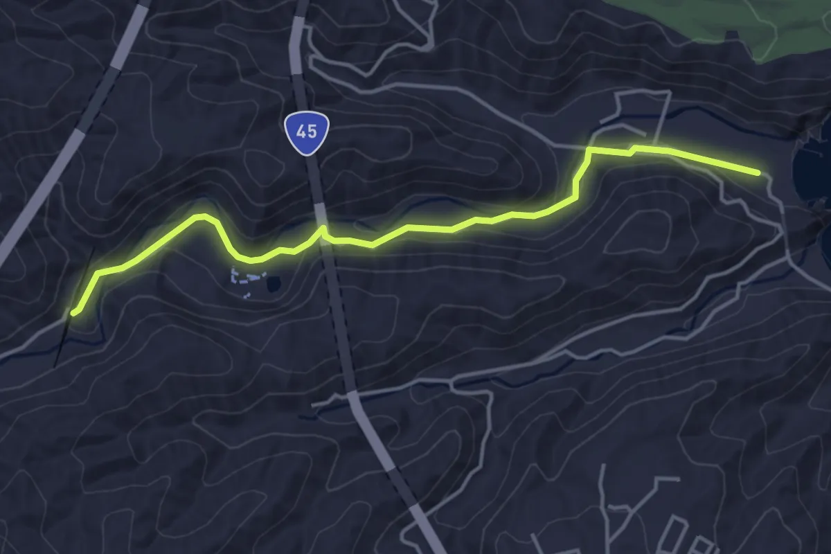
Easy · Trail
一の渡駅へ南
4.8 km · ↑ 98 m · 1 h 20 min
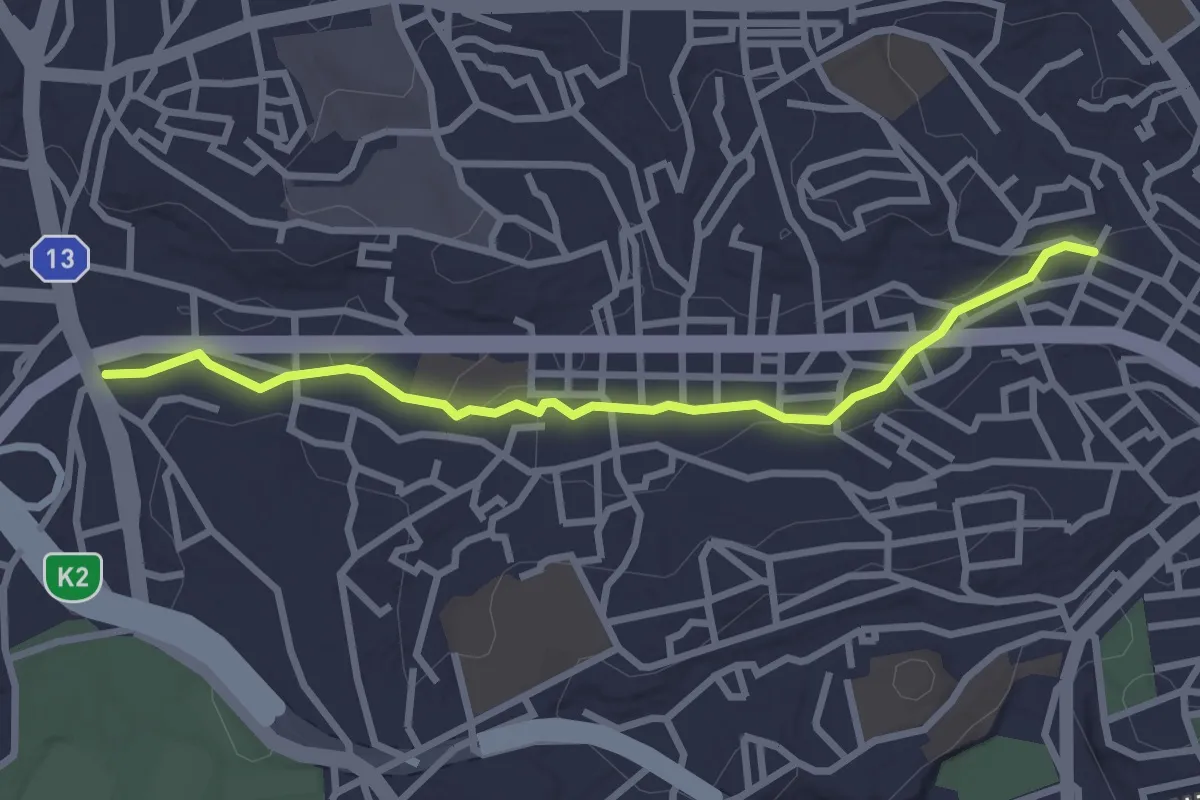
Easy · Trail
三ッ沢せせらぎ緑道
3.4 km · ↑ 33 m · 53 min
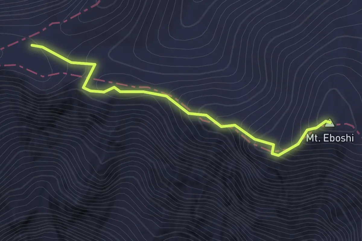
Demanding · Summit
三伏峠・烏帽子岳ルート
2.3 km · ↑ 192 m · 58 min
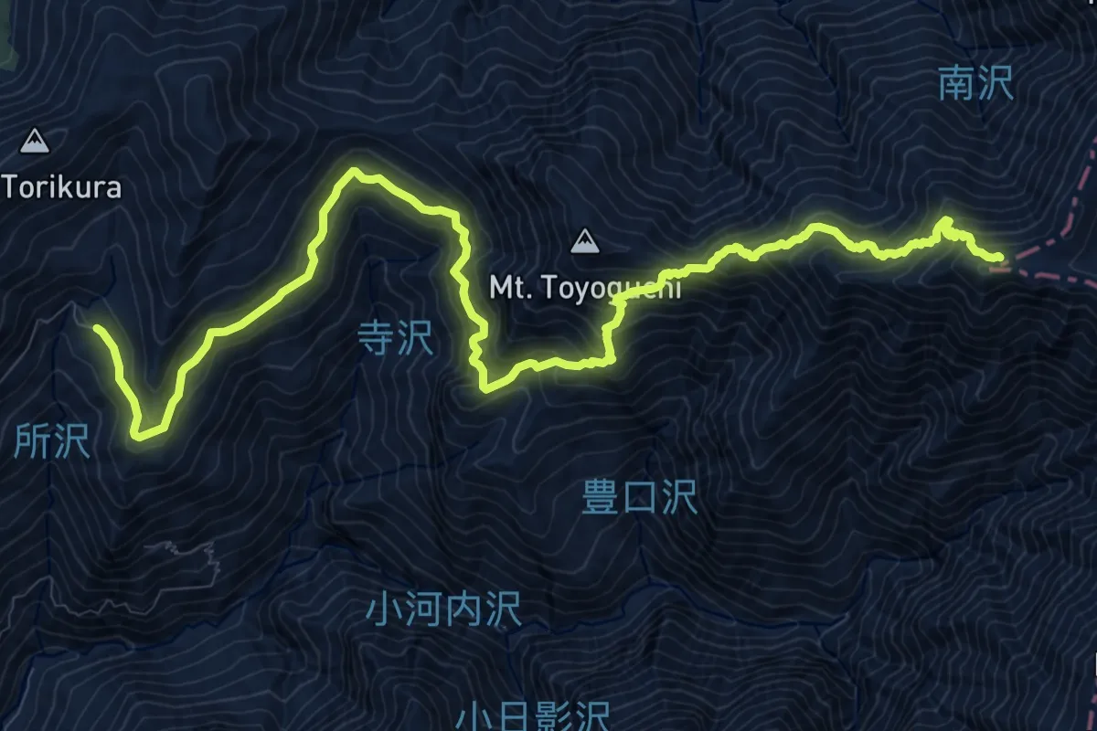
Demanding · Cabin
三伏峠鳥倉ルート
17.3 km · ↑ 1509 m · 7 h 21 min
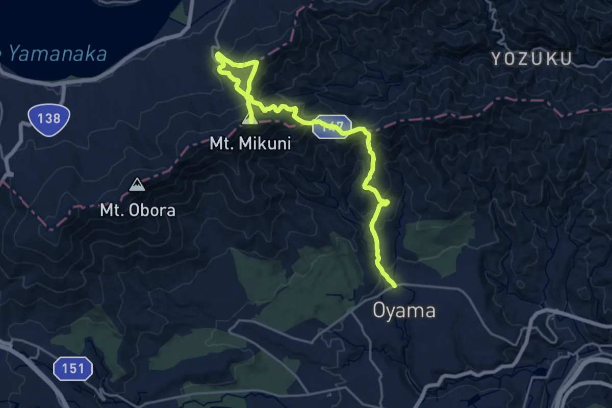
Demanding · Summit
三国山・パノラマ台コース
20.0 km · ↑ 1351 m · 7 h 40 min
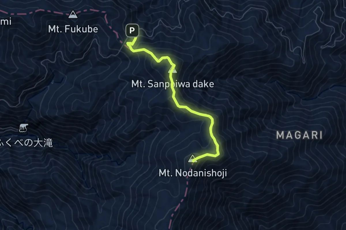
Medium · Summit
三方岩岳
7.0 km · ↑ 525 m · 2 h 47 min
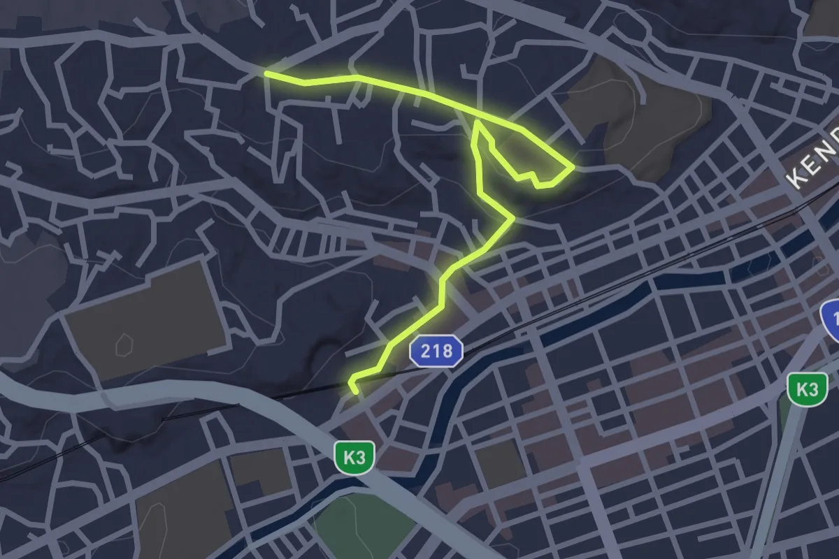
Easy · Trail
三春台の丘ルート
3.3 km · ↑ 44 m · 53 min
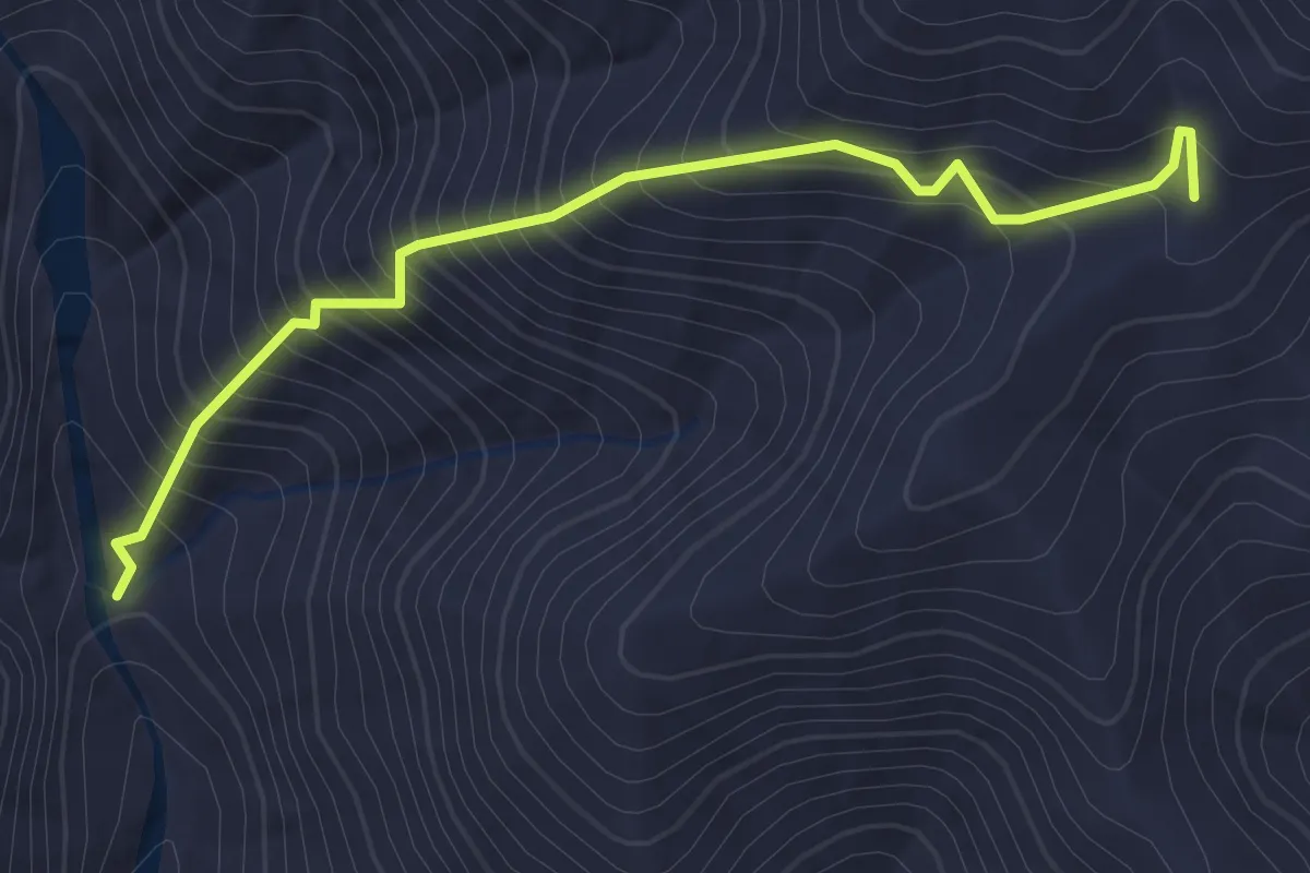
Easy · Trail
与一沢ルート
2.2 km · ↑ 307 m · 1 h 11 min
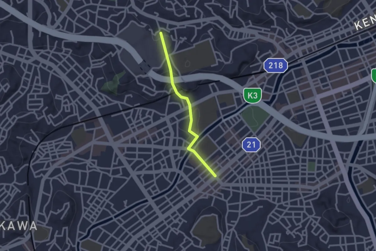
Easy · Trail
丘と川ジョイントプロムナード
2.4 km · ↑ 72 m · 44 min
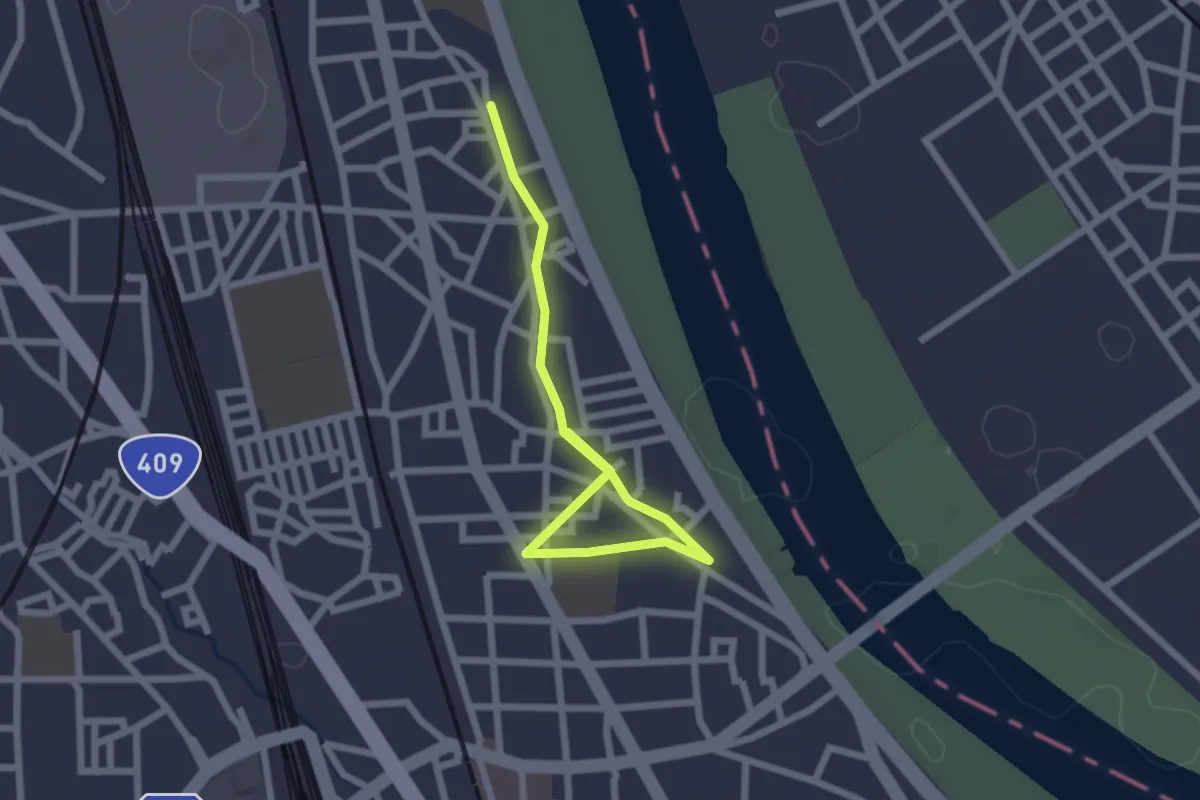
Easy · Trail
中丸子緑道
3.0 km · ↑ 4 m · 43 min
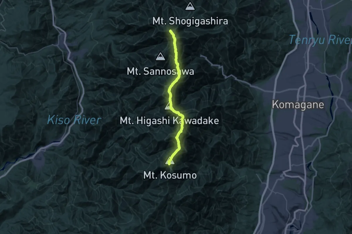
Expert · Summit
中央アルプス縦走路
30.0 km · ↑ 2915 m · 13 h 24 min
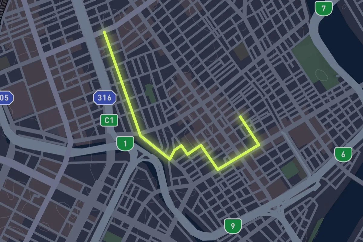
Easy · Trail
中央区散歩道(七福神めぐり)
3.2 km · ↑ 49 m · 52 min
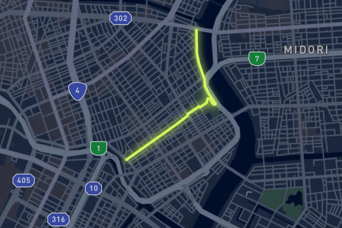
Easy · Trail
中央区散歩道(下町コース)
3.6 km · ↑ 78 m · 1 h 1 min
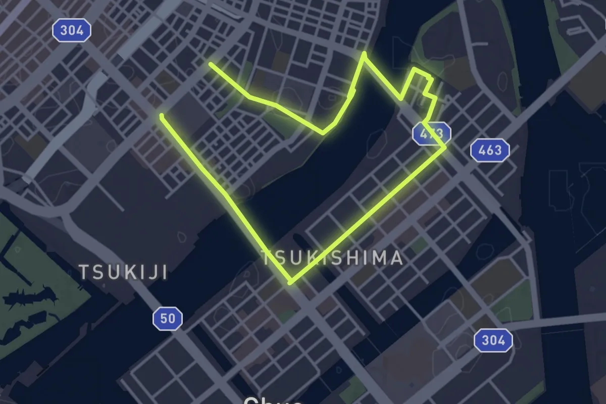
Easy · Trail
中央区散歩道 (街並散策コース)
7.2 km · ↑ 166 m · 2 h 3 min
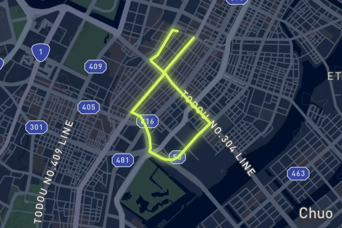
Easy · Trail
中央区散歩道(銀ブラコース)
7.5 km · ↑ 131 m · 2 h 3 min
Easy · Trail
中山道(信濃)
2.7 km · ↑ 136 m · 56 min
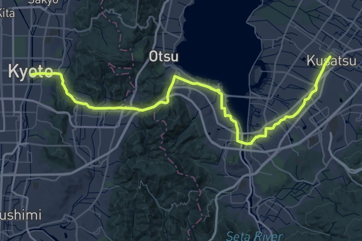
Demanding · Trail
中山道(東海道)
25.8 km · ↑ 270 m · 7 h 4 min
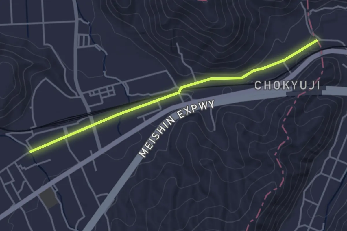
Easy · Trail
中山道(近江)
4.2 km · ↑ 36 m · 1 h 5 min
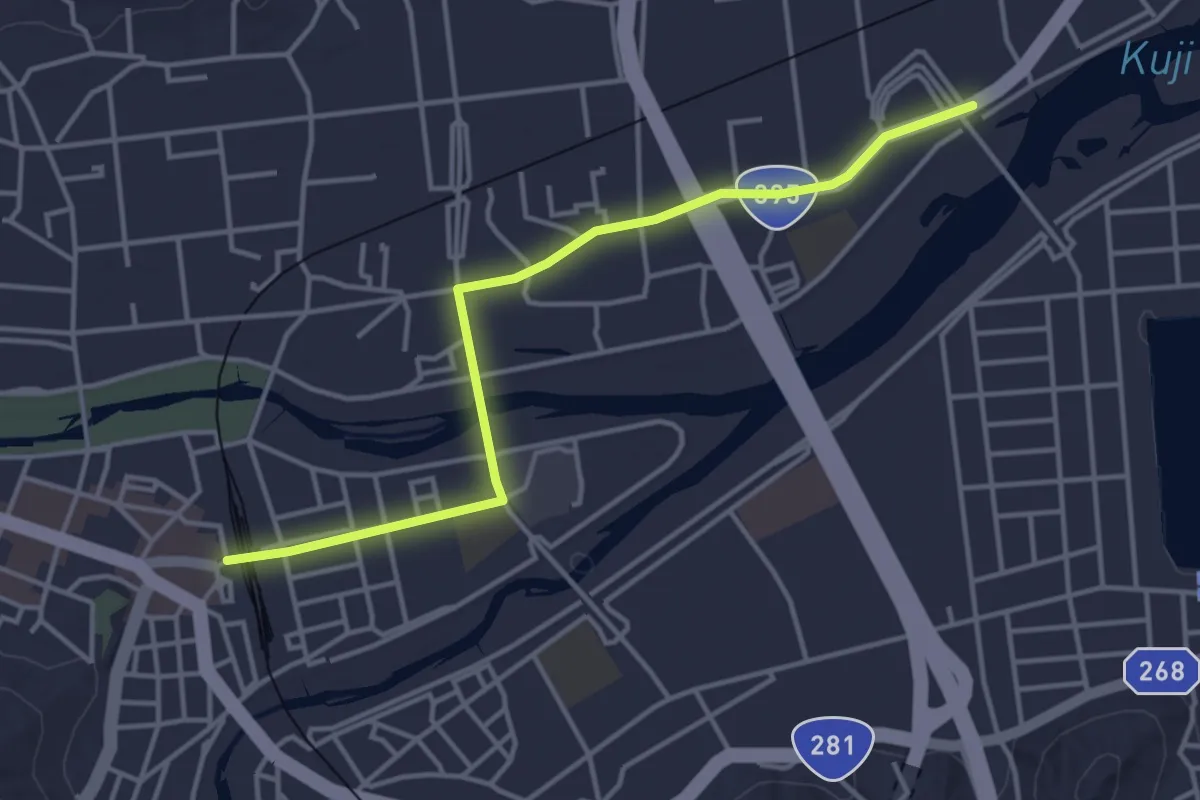
Easy · Trail
久慈駅へ北
4.5 km · ↑ 5 m · 1 h 5 min
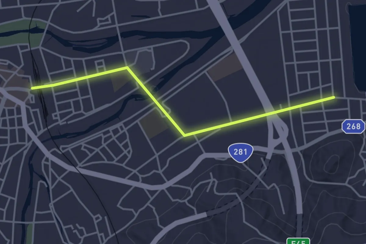
Easy · Trail
久慈駅へ南
4.2 km · ↑ 14 m · 1 h 2 min
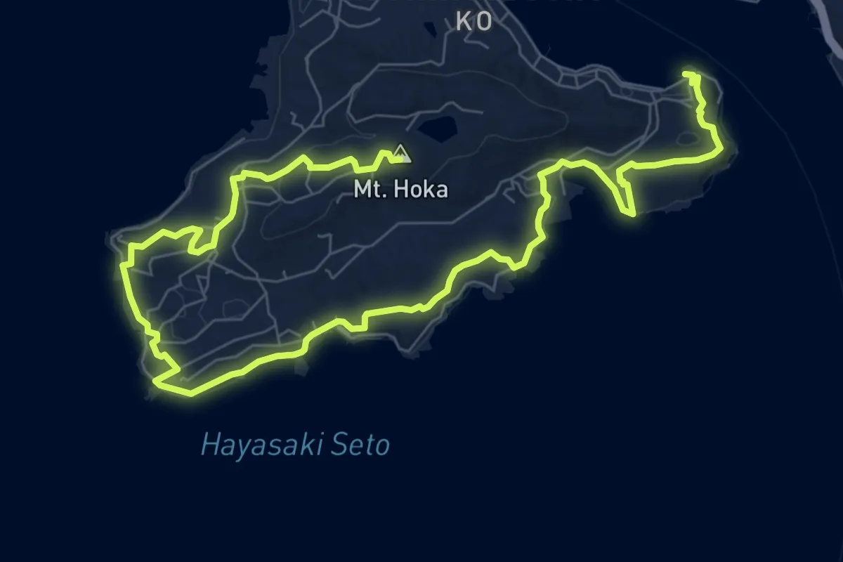
Medium · Summit
九州オルレ 南島原コース
14.9 km · ↑ 287 m · 4 h 8 min
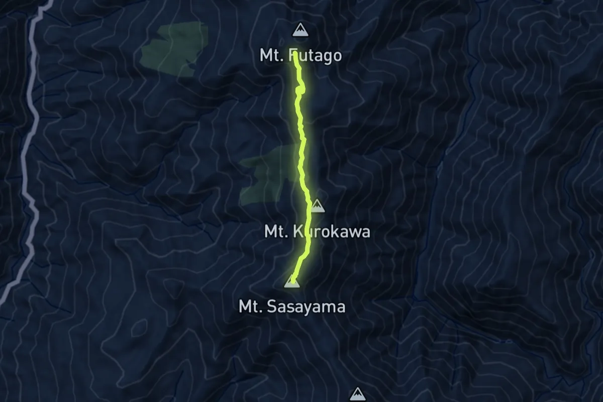
Medium · Summit
二児山遊歩道
7.6 km · ↑ 336 m · 2 h 31 min
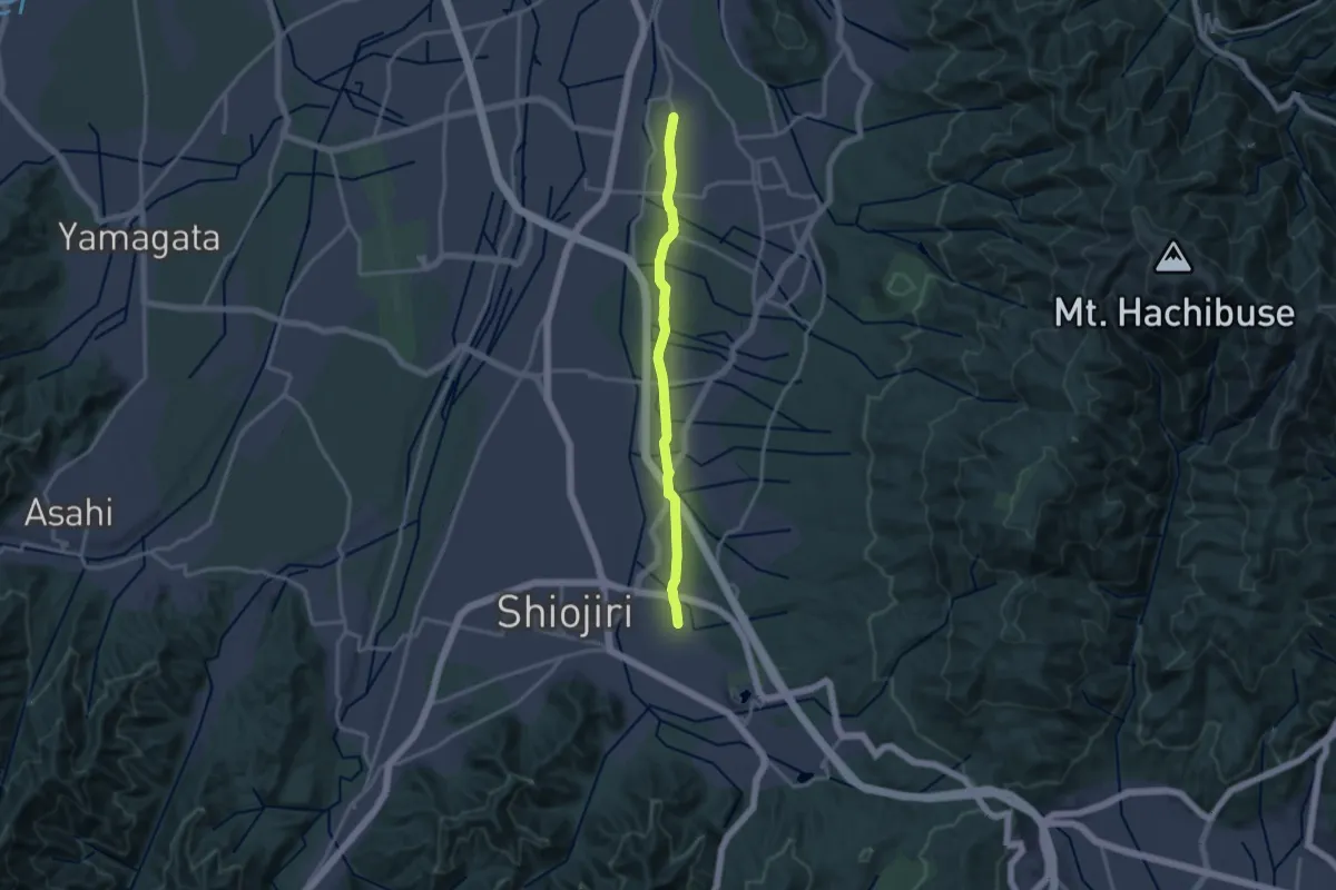
Medium · Trail
五千石街道
16.4 km · ↑ 162 m · 4 h 14 min
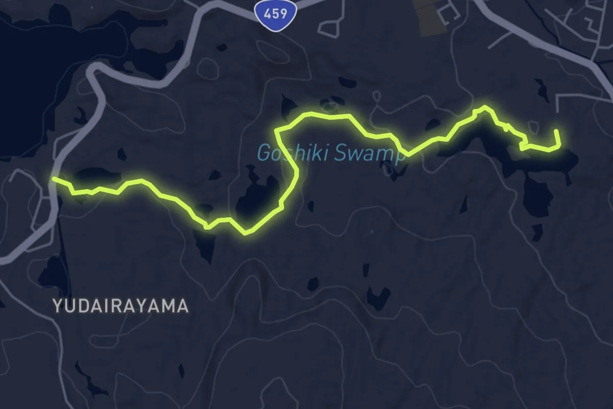
Easy · Trail
五色沼自然探勝路
6.7 km · ↑ 90 m · 1 h 46 min
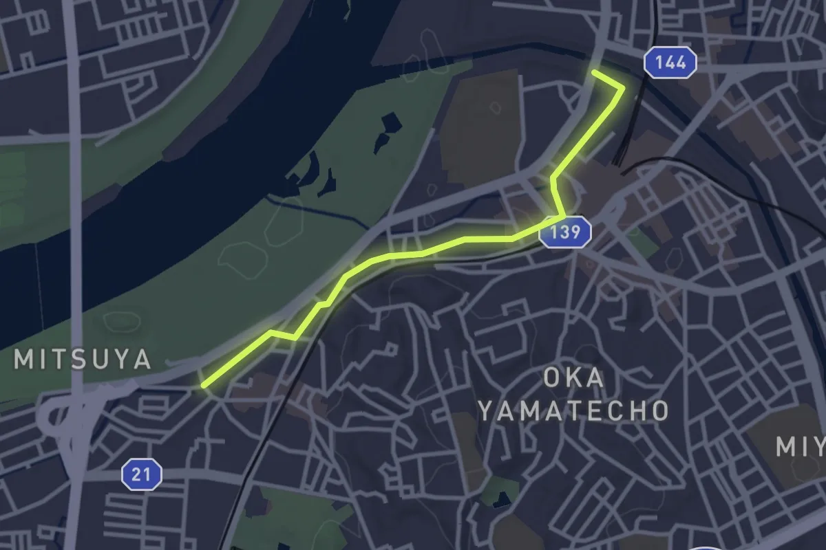
Easy · Trail
京街道・枚方宿
3.4 km · ↑ 21 m · 51 min
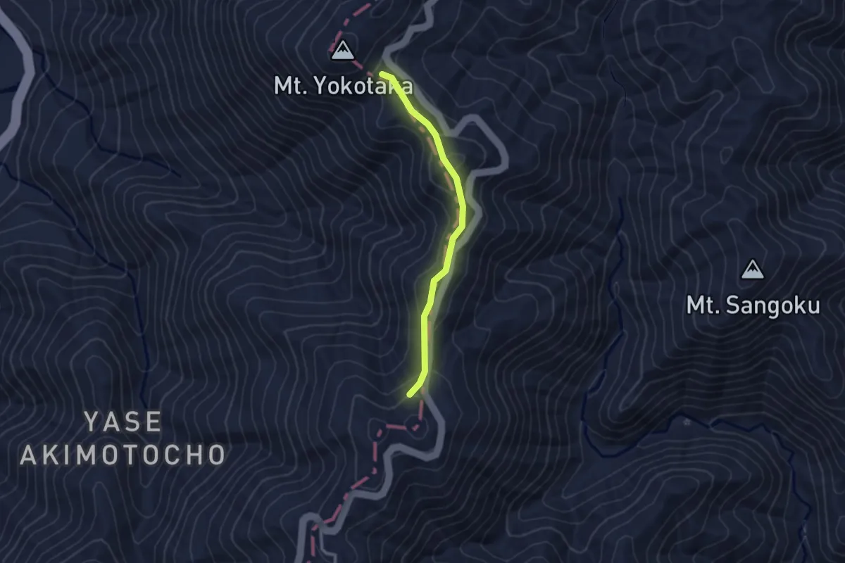
Easy · Trail
京都一周トレイル北山コース 11-1:12
2.6 km · ↑ 112 m · 51 min
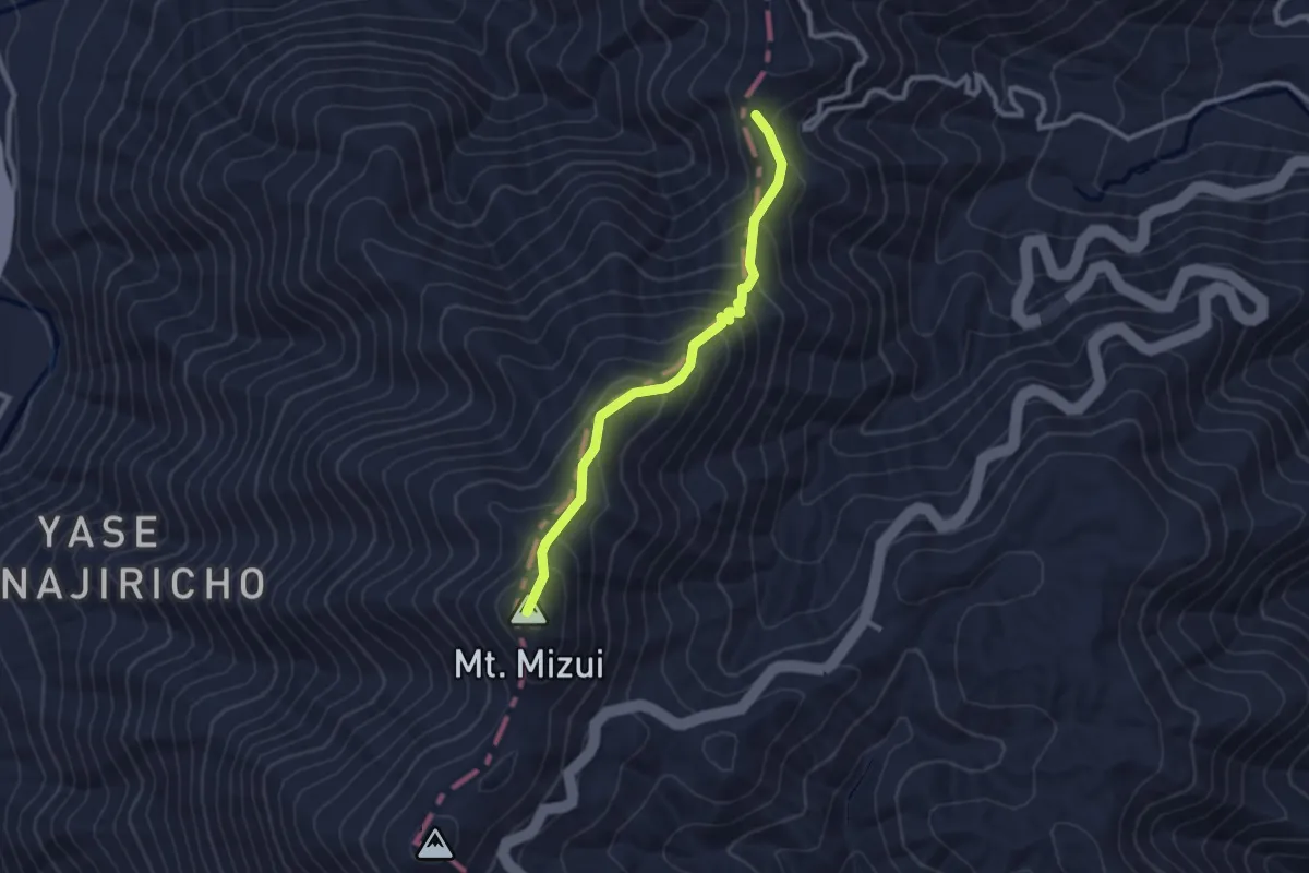
Easy · Summit
京都一周トレイル北山コース 16-1:18
2.9 km · ↑ 223 m · 1 h 10 min
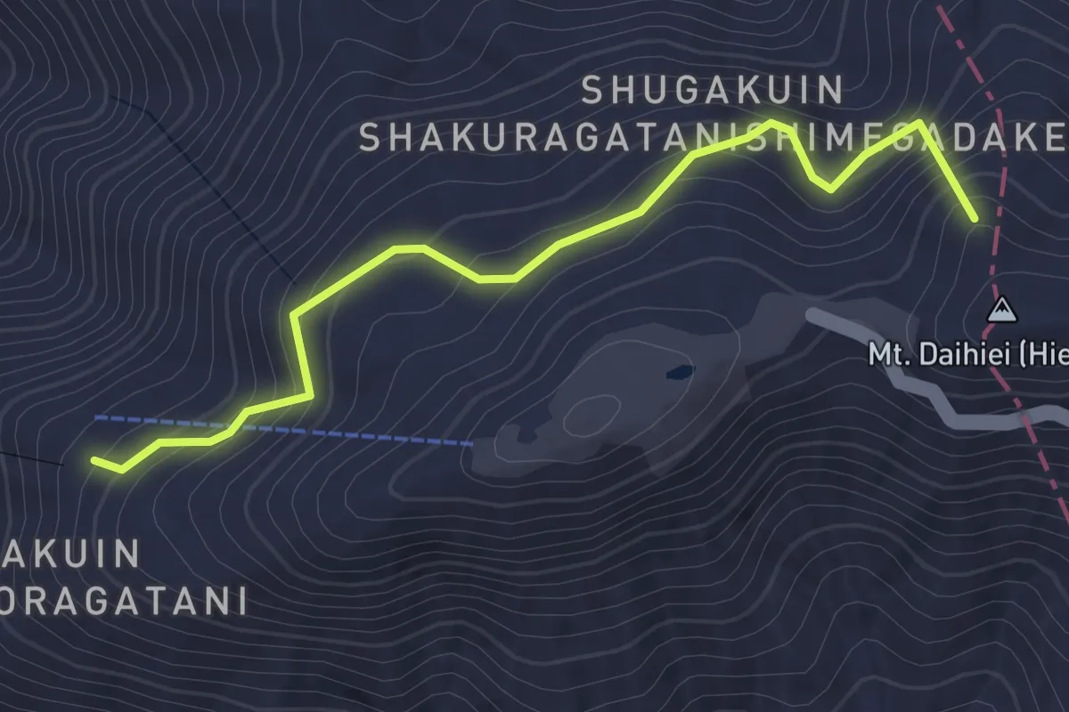
Easy · Summit
京都一周トレイル北山コース 1:7
2.8 km · ↑ 208 m · 1 h 7 min