Trails in Japan
621 hiking trails, each with its route, climb, walking time and grade.
All trails, page 6 of 13
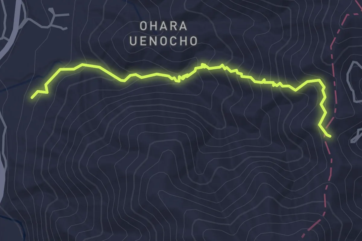
Medium · Trail
京都一周トレイル北山コース 18:22
4.5 km · ↑ 328 m · 1 h 46 min
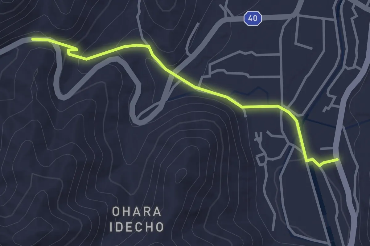
Easy · Trail
京都一周トレイル北山コース 24:31
3.6 km · ↑ 138 m · 1 h 9 min
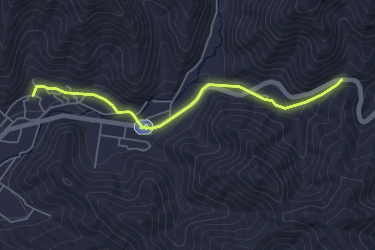
Easy · Trail
京都一周トレイル北山コース 31:37
4.6 km · ↑ 123 m · 1 h 21 min
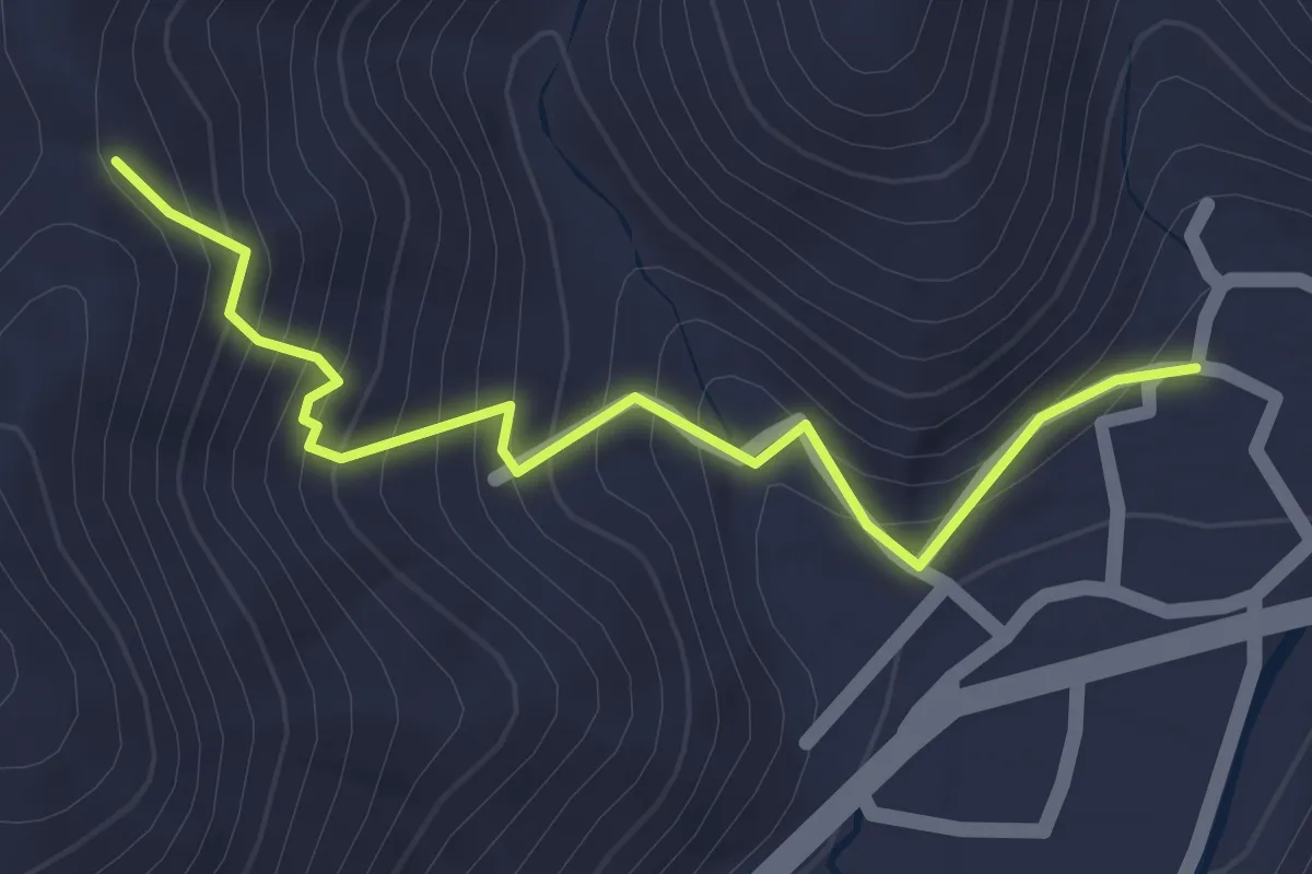
Easy · Trail
京都一周トレイル北山コース 37:40
2.1 km · ↑ 203 m · 56 min
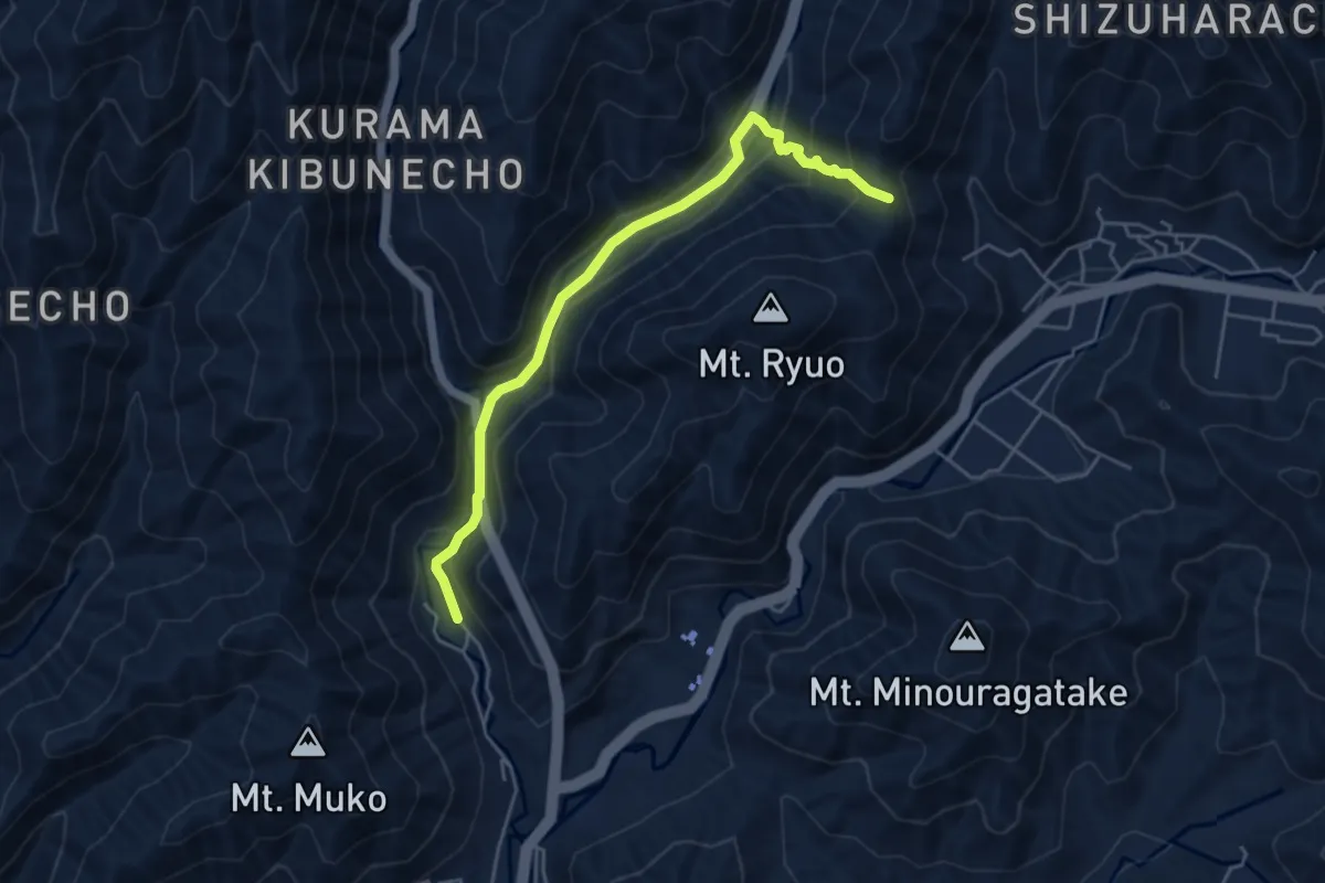
Easy · Trail
京都一周トレイル北山コース 40:46
5.6 km · ↑ 279 m · 1 h 56 min
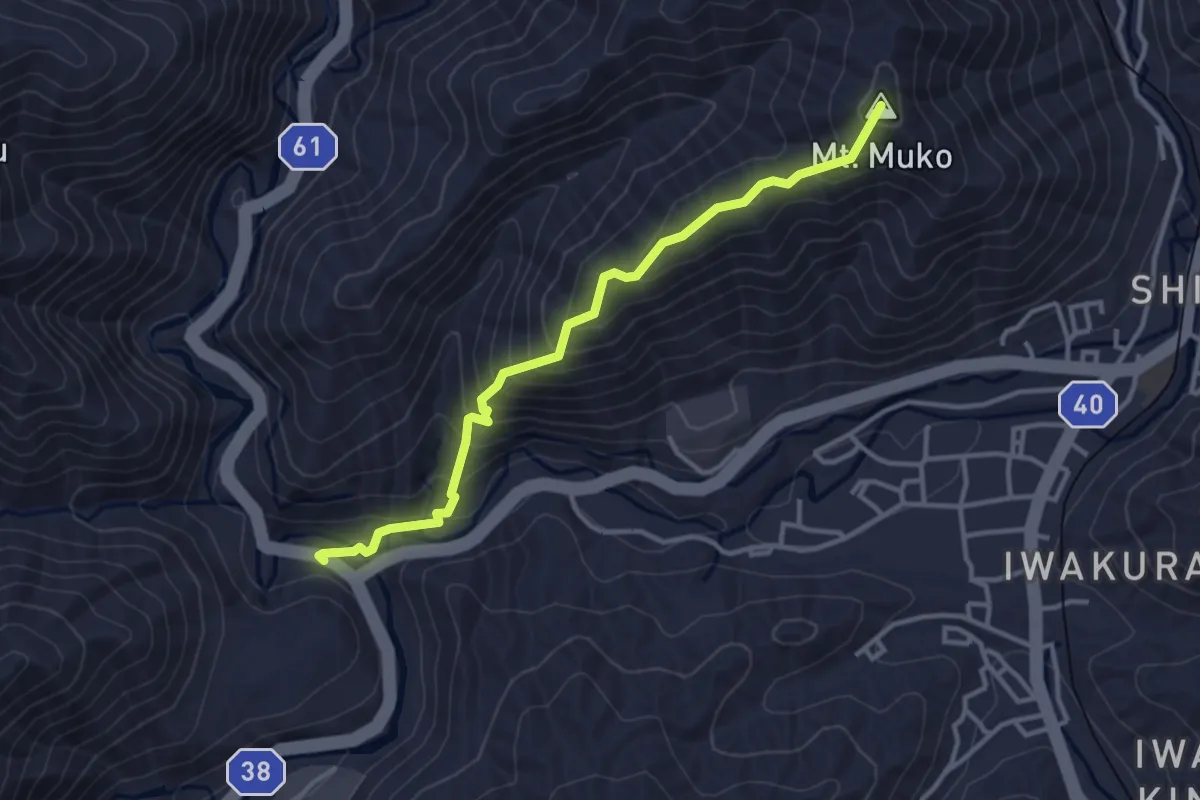
Easy · Summit
京都一周トレイル北山コース 50-1:56
4.0 km · ↑ 300 m · 1 h 36 min
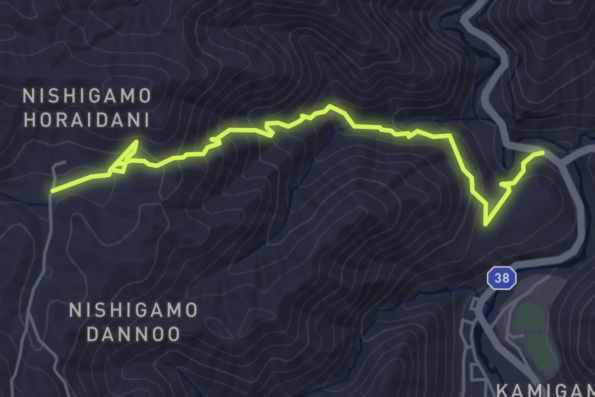
Medium · Trail
京都一周トレイル北山コース 56:65
6.1 km · ↑ 402 m · 2 h 19 min
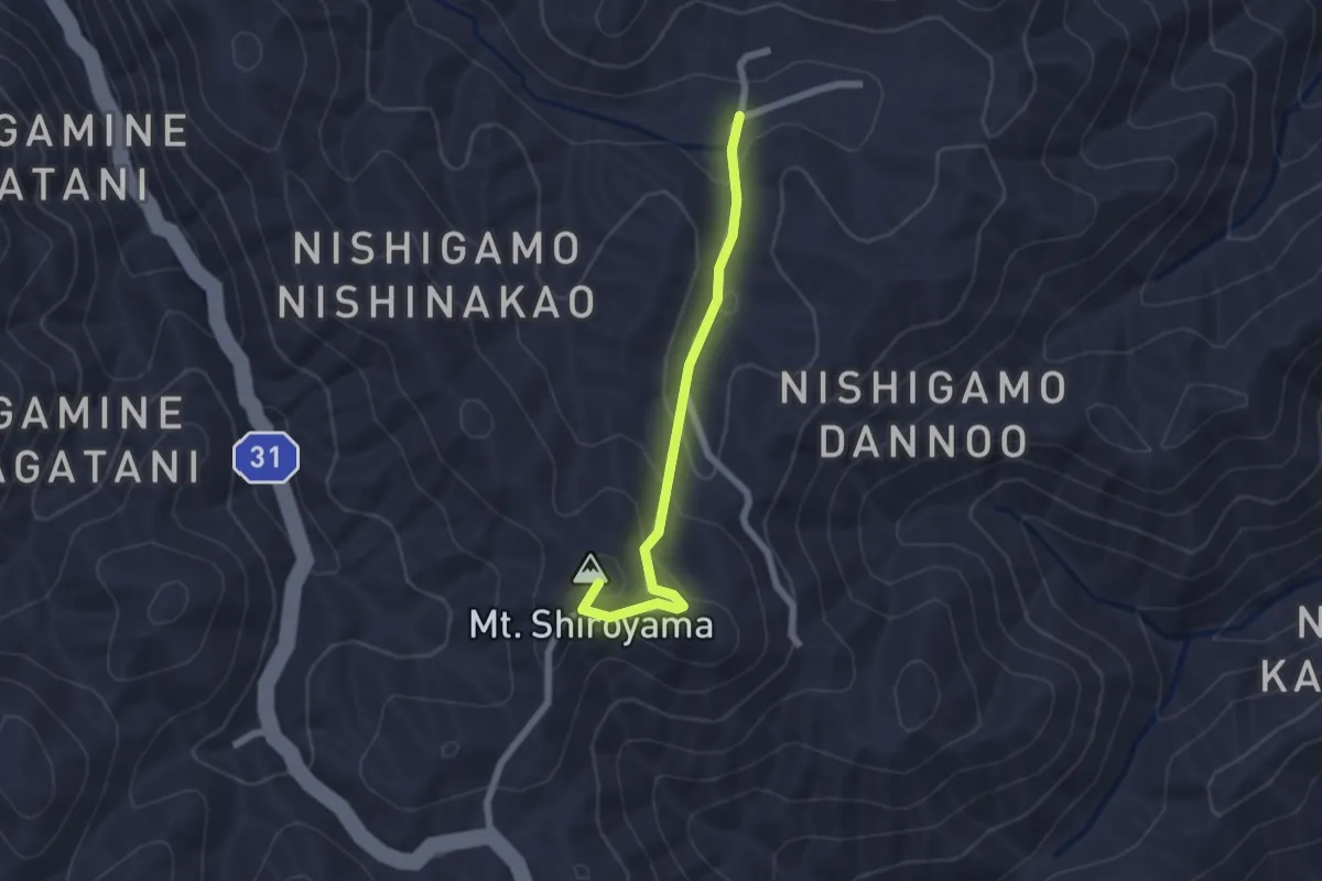
Easy · Summit
京都一周トレイル北山コース 65:68
2.3 km · ↑ 104 m · 46 min
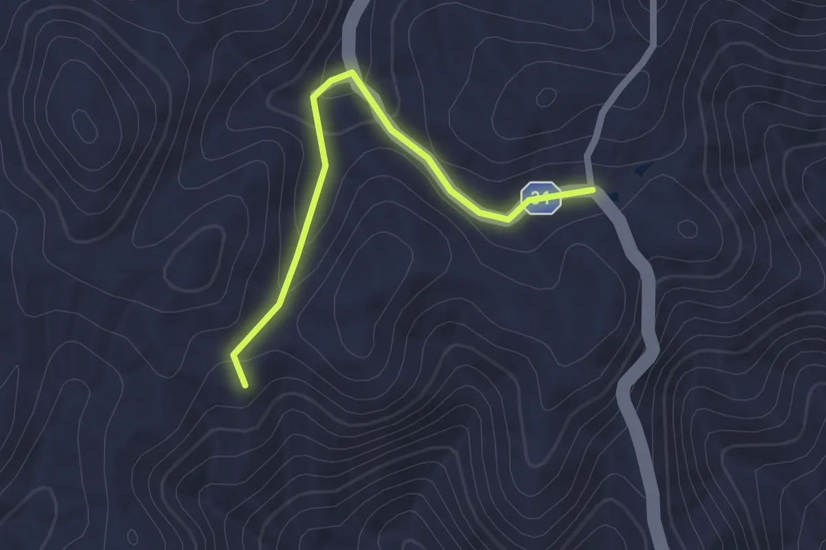
Easy · Trail
京都一周トレイル北山コース 67-1:70
2.2 km · ↑ 74 m · 41 min
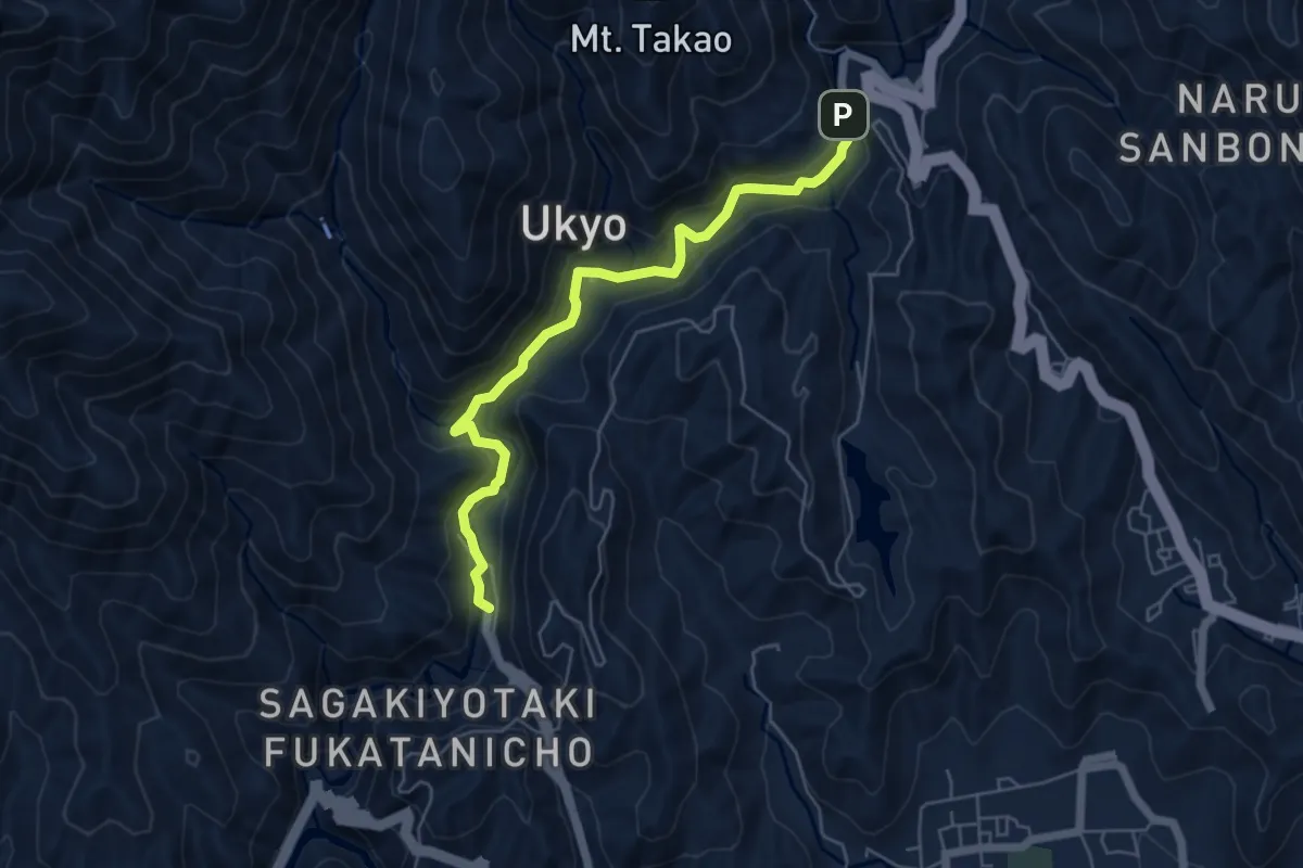
Easy · Trail
京都一周トレイル北山コース 90:94 西山コース 1
6.6 km · ↑ 316 m · 2 h 15 min
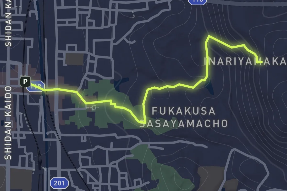
Easy · Trail
京都一周トレイル東山コース 1:3-1
3.2 km · ↑ 130 m · 1 h 3 min
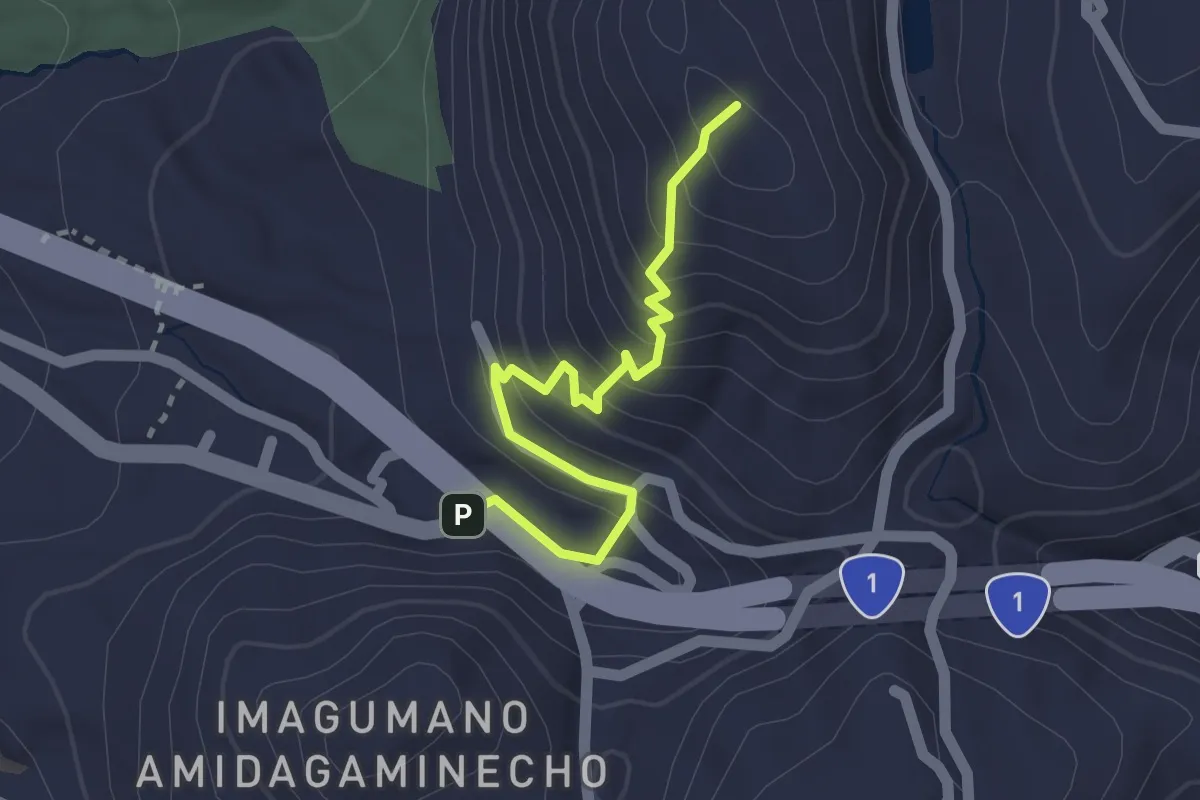
Easy · Summit
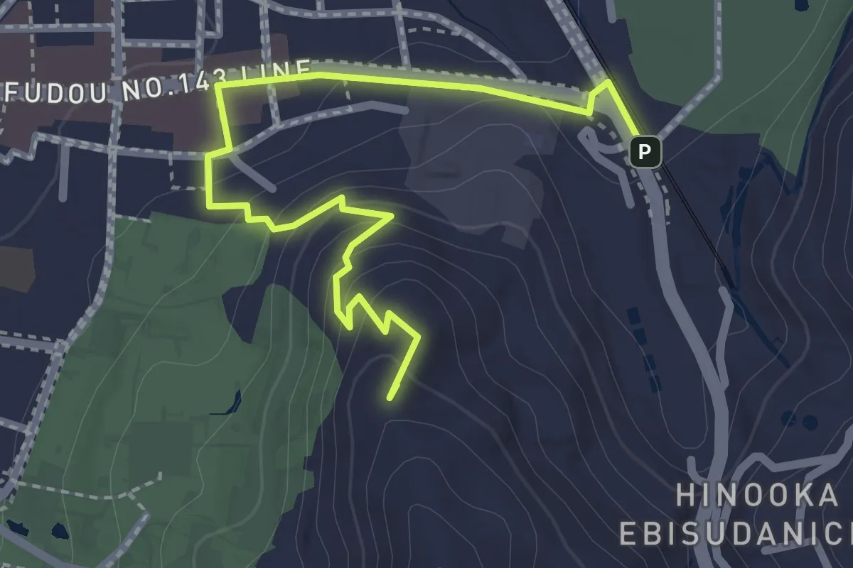
京都一周トレイル東山コース 15-2:21
2.0 km · ↑ 159 m · 49 min
Easy · Summit
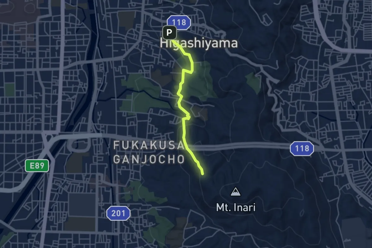
京都一周トレイル東山コース 21:30-2
3.1 km · ↑ 123 m · 59 min
Easy · Trail
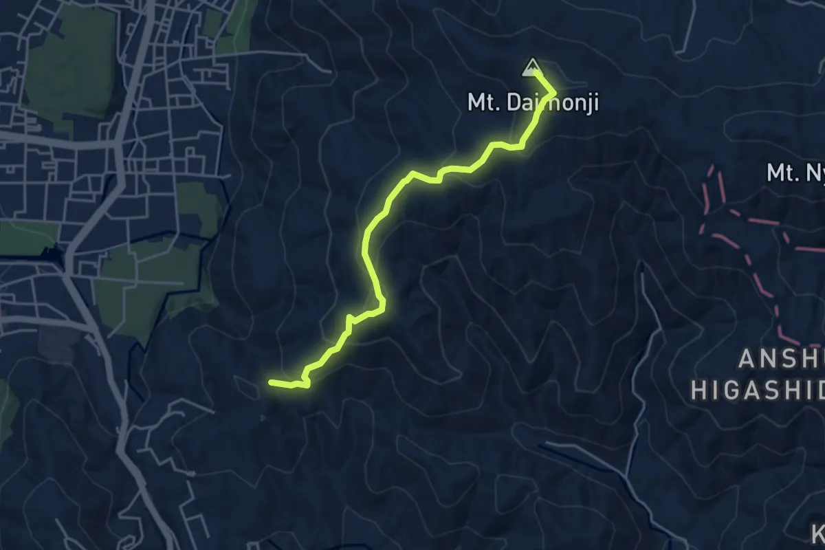
京都一周トレイル東山コース 3-1:9-1
4.1 km · ↑ 158 m · 1 h 18 min
Easy · Summit
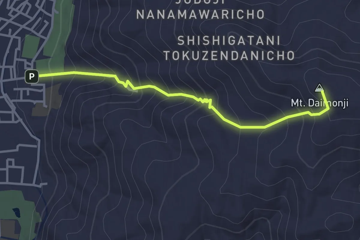
京都一周トレイル東山コース 38:45
5.0 km · ↑ 272 m · 1 h 46 min
Medium · Summit
京都一周トレイル東山コース 45:48
3.6 km · ↑ 368 m · 1 h 39 min
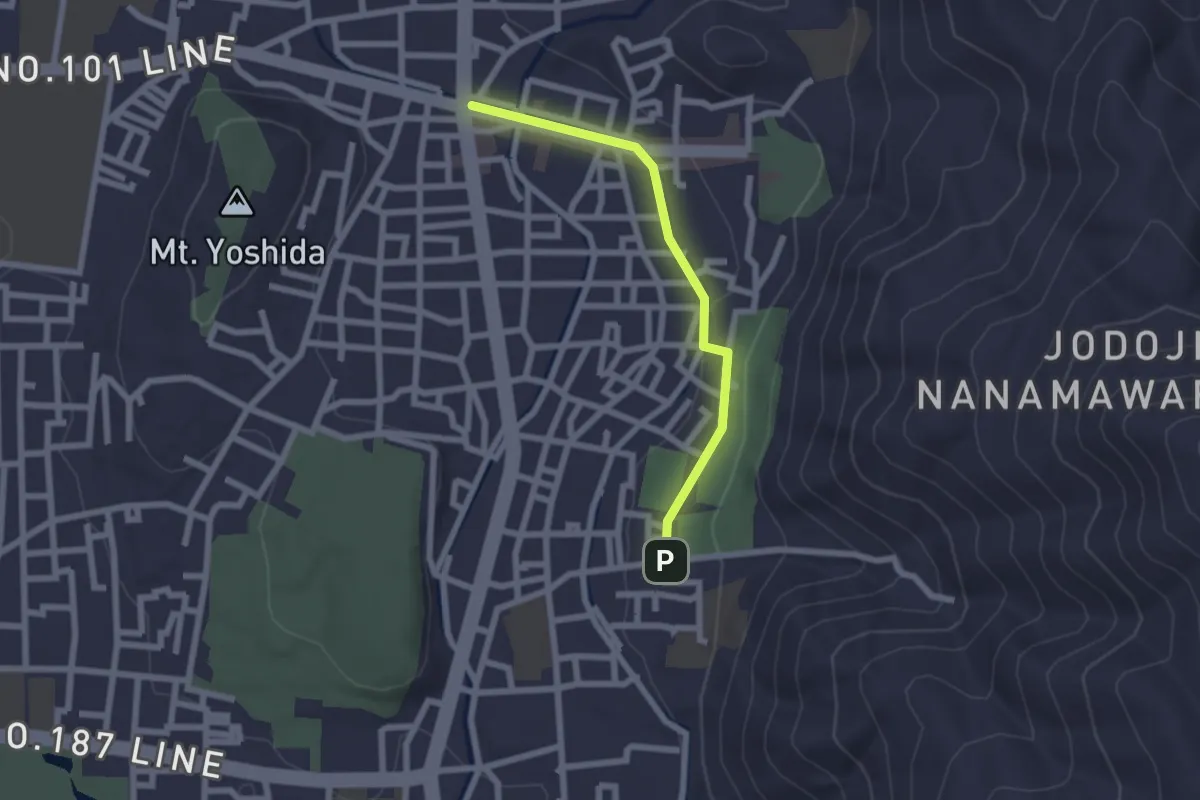
Easy · Trail
京都一周トレイル東山コース 48:52-1
2.4 km · ↑ 17 m · 36 min
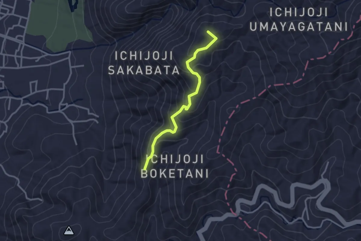
Easy · Summit
京都一周トレイル東山コース 64:67
2.9 km · ↑ 148 m · 1 h 1 min
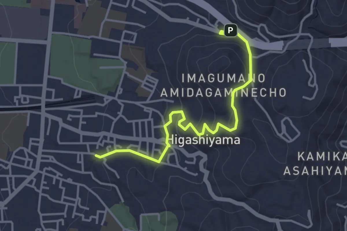
Easy · Trail
京都一周トレイル東山コース 9-1:15-2
4.3 km · ↑ 168 m · 1 h 22 min
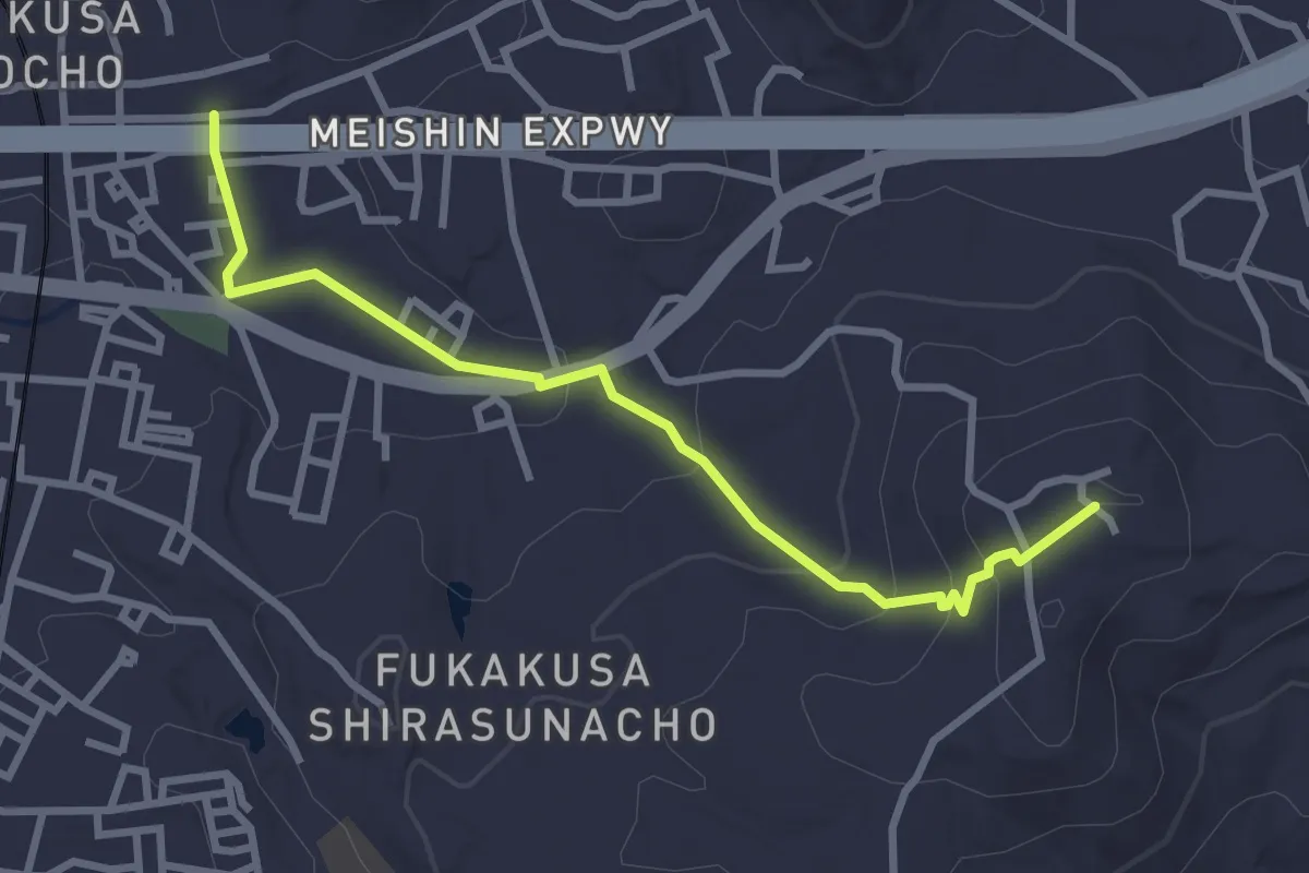
Easy · Summit
京都一周トレイル東山コース F18:F25
3.7 km · ↑ 135 m · 1 h 10 min
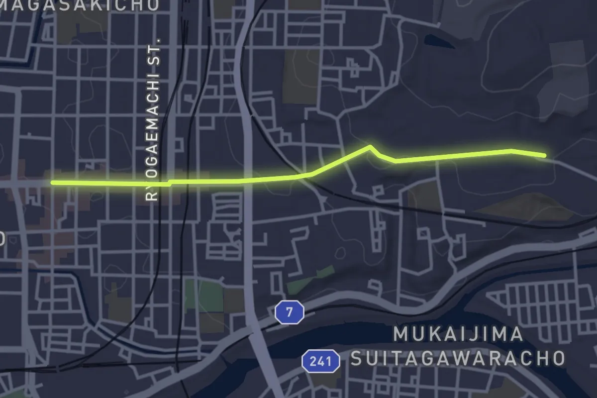
Easy · Trail
京都一周トレイル東山コース F1:F6
3.8 km · ↑ 61 m · 1 h 2 min
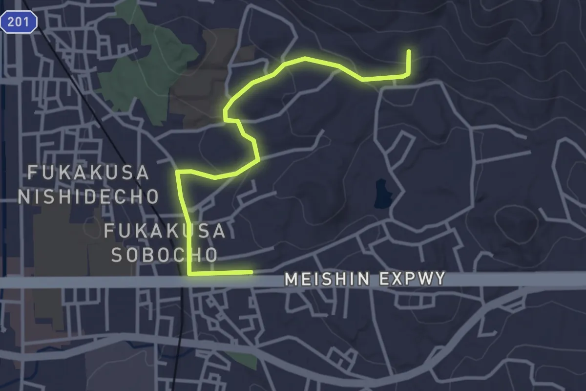
Easy · Trail
京都一周トレイル東山コース F25:F34
3.9 km · ↑ 93 m · 1 h 7 min
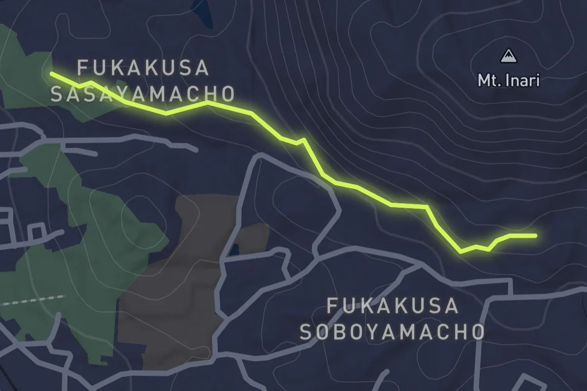
Easy · Trail
京都一周トレイル東山コース F34:F35
2.3 km · ↑ 75 m · 42 min
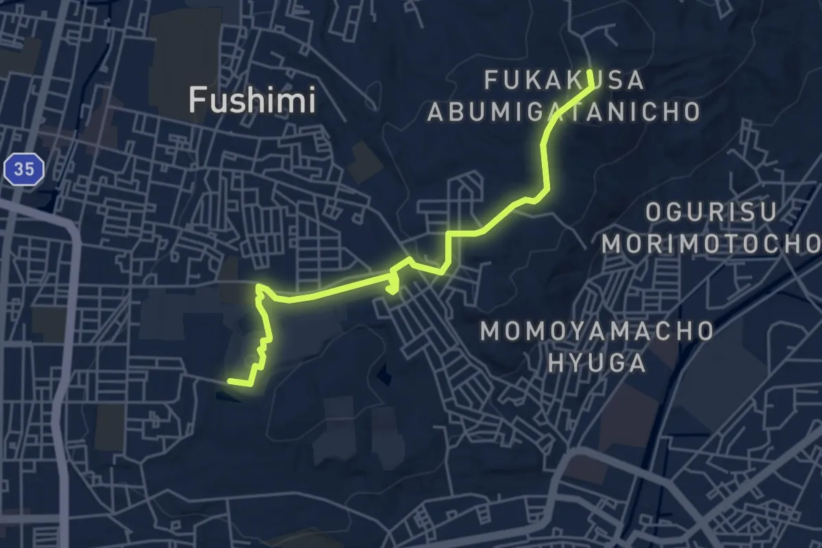
Easy · Trail
京都一周トレイル東山コース F6:F18
5.9 km · ↑ 121 m · 1 h 39 min
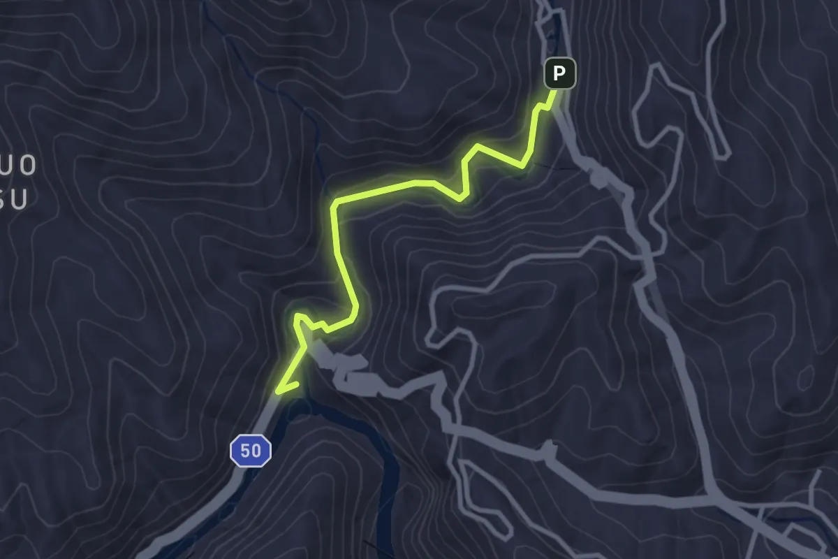
Easy · Trail
京都一周トレイル西山コース 1:5-2
3.3 km · ↑ 140 m · 1 h 5 min
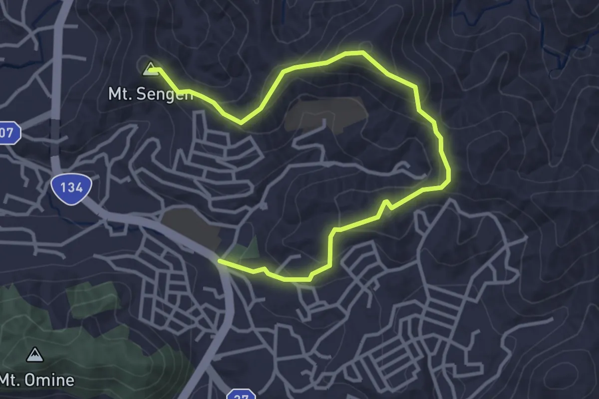
Easy · Summit
仙元山ハイキングコース
5.0 km · ↑ 297 m · 1 h 49 min
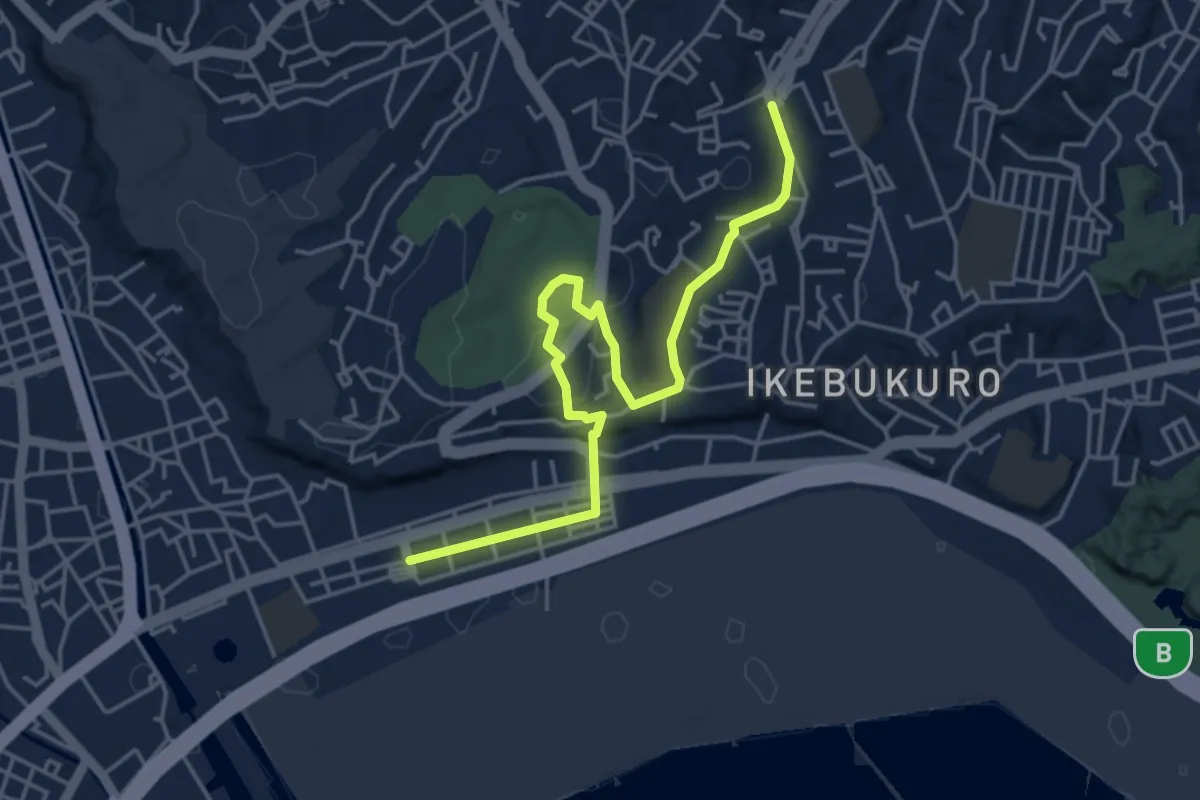
Easy · Trail
仲尾台から根岸・滝之上へ
5.7 km · ↑ 111 m · 1 h 36 min
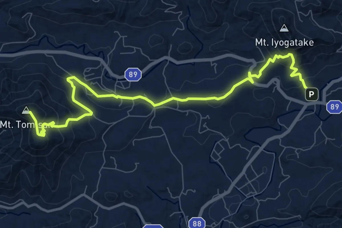
Demanding · Summit
伊予ヶ岳-富山
11.6 km · ↑ 664 m · 4 h 10 min
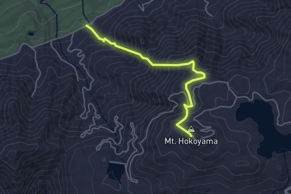
Medium · Summit
保古山登山路
4.4 km · ↑ 450 m · 2 h
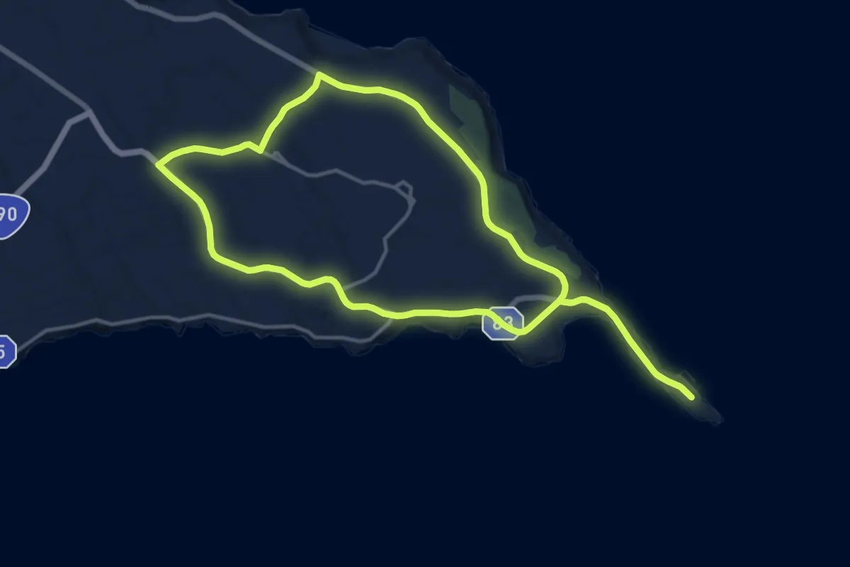
Medium · Trail
保良新城コース
17.5 km · ↑ 134 m · 4 h 40 min
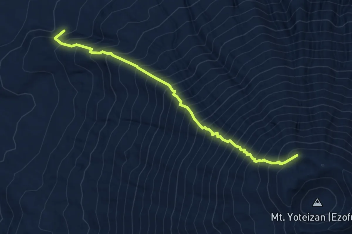
Demanding · Summit
倶知安コース · Kutchan trail
6.9 km · ↑ 1303 m · 4 h 27 min
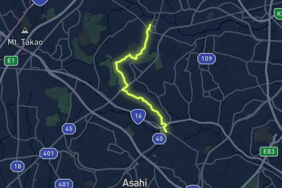
Medium · Trail
健康みちづくり:山と緑を感じる自然豊かなルート
14.2 km · ↑ 245 m · 3 h 53 min
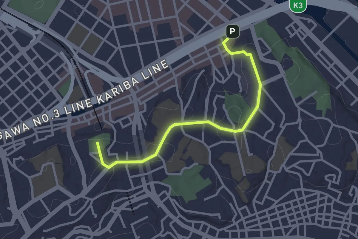
Easy · Summit
元町から山手の丘へ
3.2 km · ↑ 72 m · 55 min
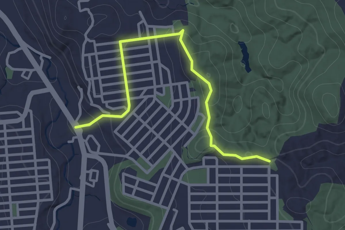
Easy · Trail
光明寺-梅沢山ルート
3.3 km · ↑ 115 m · 1 h 1 min
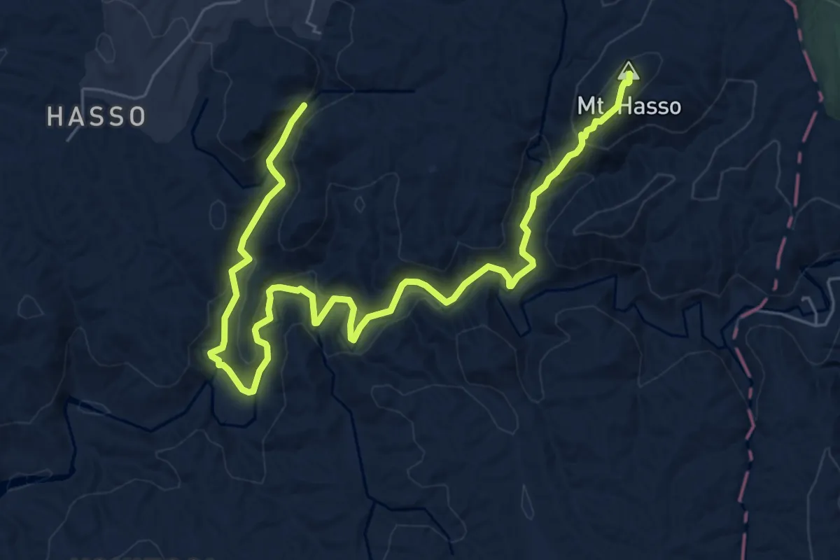
Medium · Summit
八曽山自然休養林散策
9.8 km · ↑ 406 m · 3 h 12 min
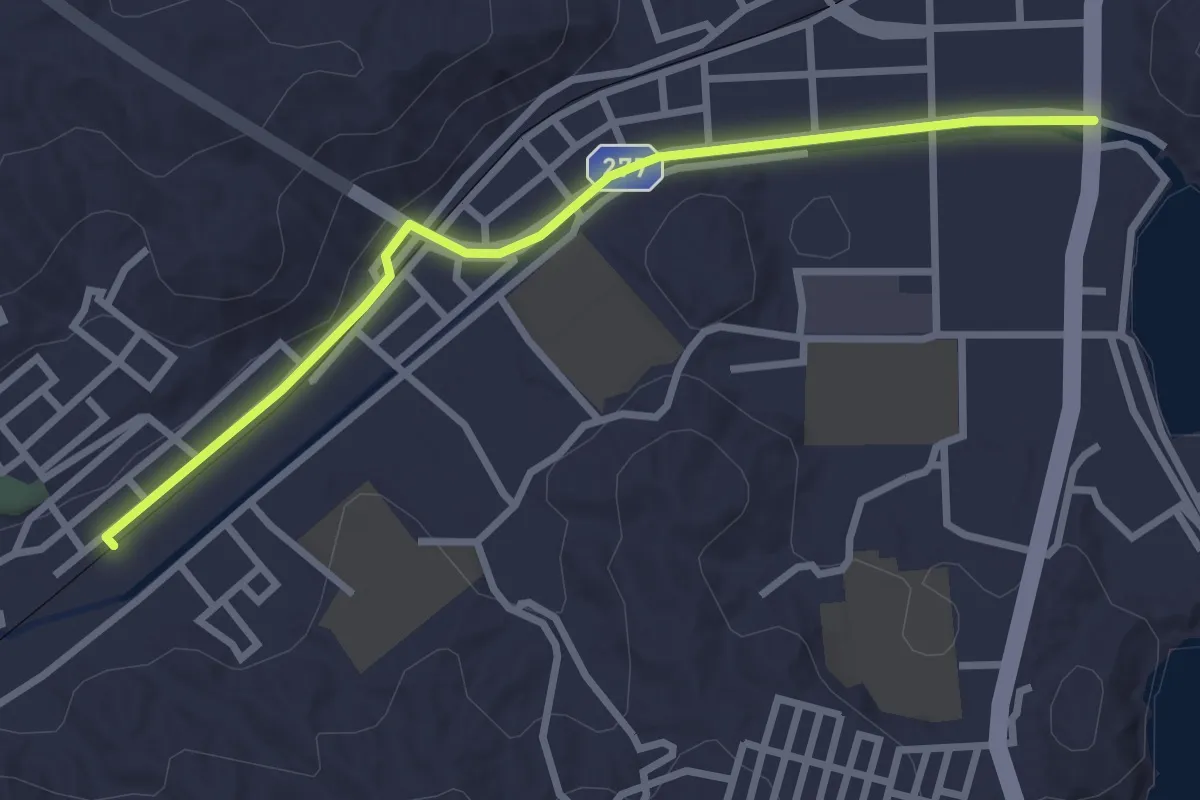
Easy · Trail
八木沢・宮古短大駅へ
3.4 km · ↑ 10 m · 49 min
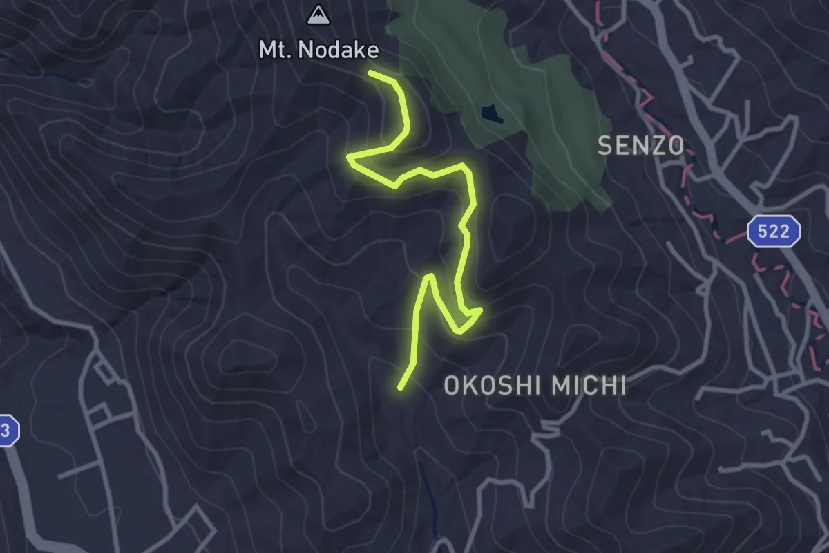
Easy · Trail
八重山コース
3.4 km · ↑ 221 m · 1 h 17 min
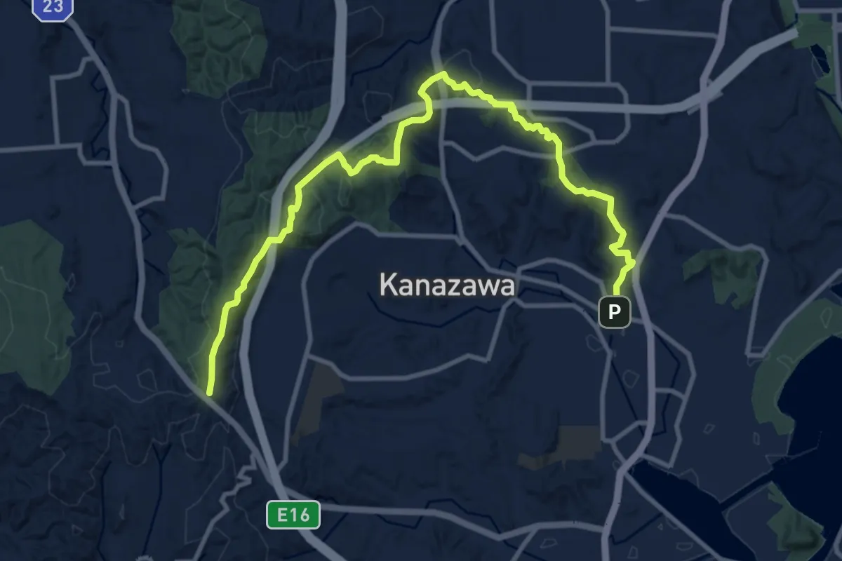
Medium · Trail
六国峠ハイキングコース
13.4 km · ↑ 416 m · 4 h 4 min
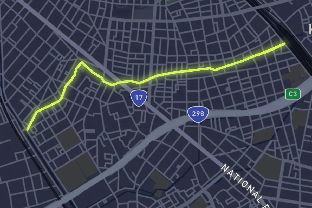
Easy · Trail
六辻水辺公園
5.2 km · ↑ 14 m · 1 h 16 min
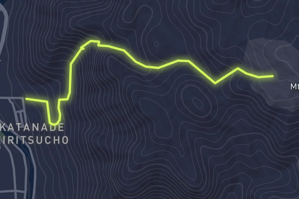
Medium · Trail
刀出坂
3.6 km · ↑ 287 m · 1 h 29 min
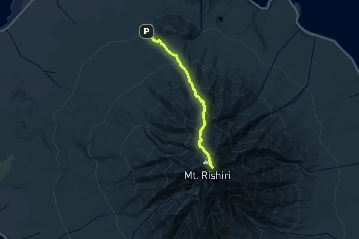
Demanding · Summit
利尻山鴛泊コース
12.4 km · ↑ 1503 m · 6 h 11 min
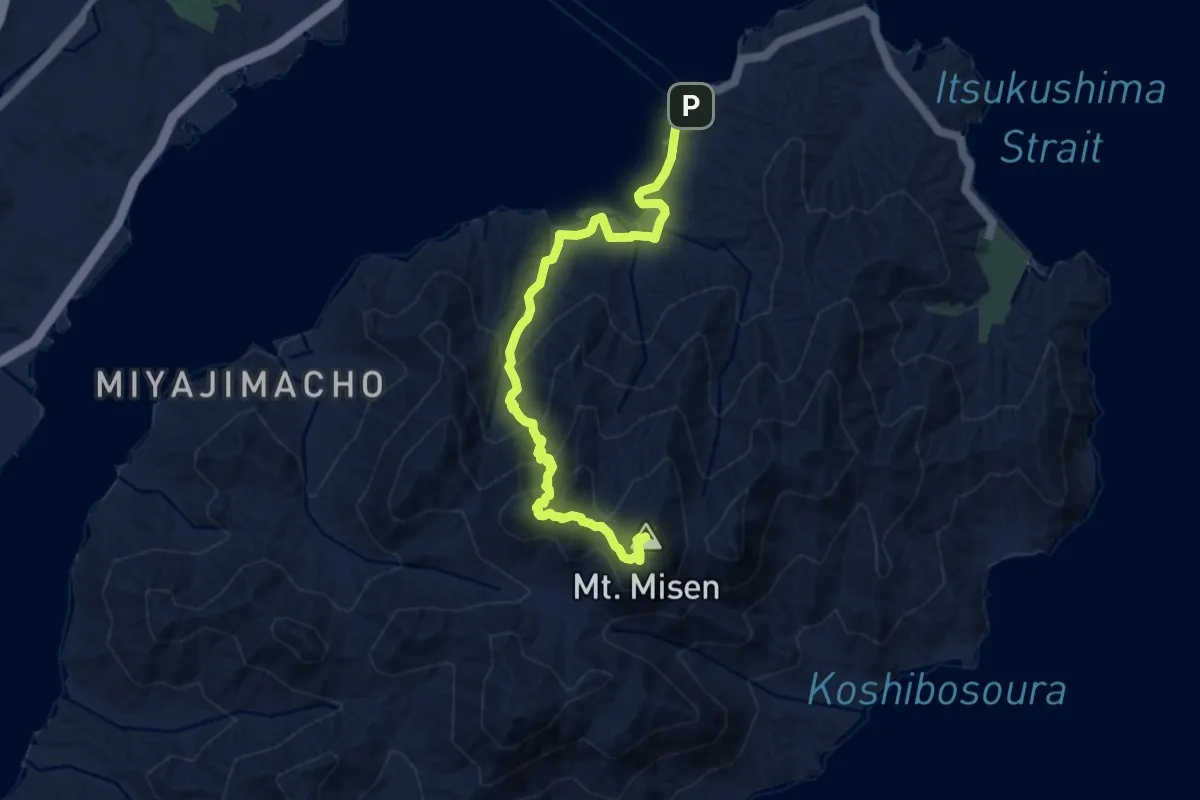
Medium · Summit
動植物観察コース
9.5 km · ↑ 648 m · 3 h 39 min
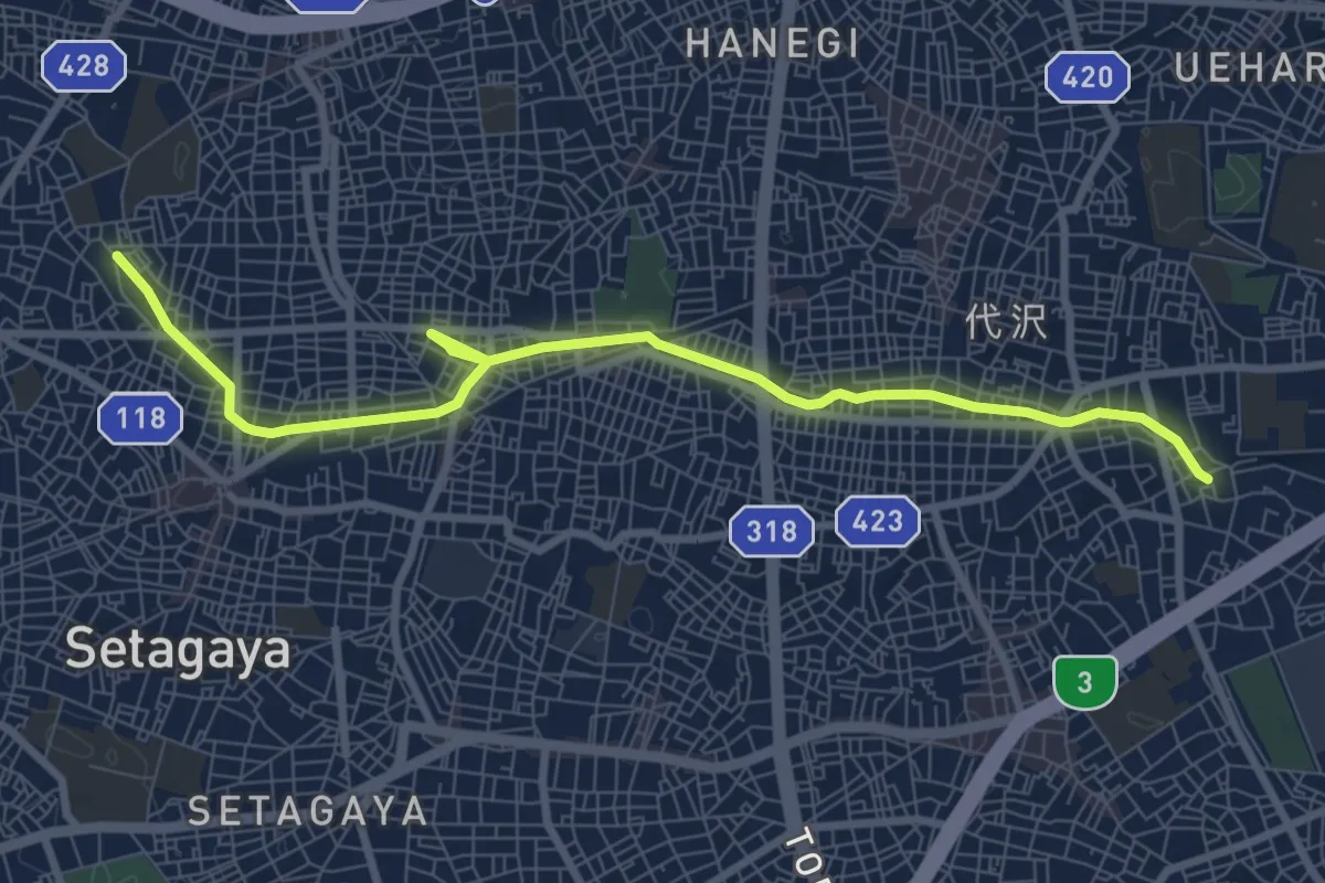
Medium · Trail
北沢川緑道
10.6 km · ↑ 40 m · 2 h 36 min
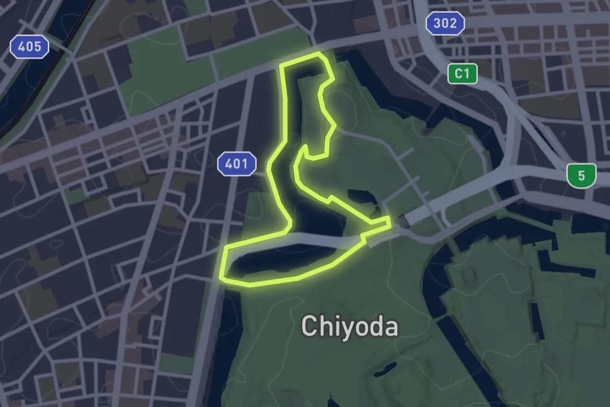
Easy · Trail
千鳥ヶ淵さんぽみち
2.6 km · ↑ 54 m · 47 min
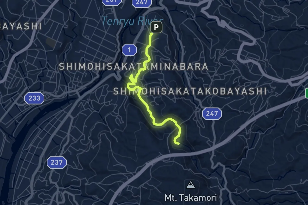
Easy · Trail
南原大井・一ノ瀬コース
7.2 km · ↑ 259 m · 2 h 15 min
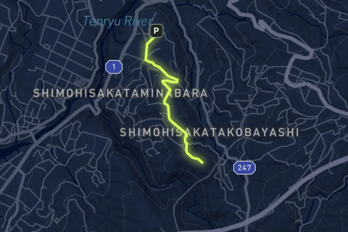
Easy · Summit
南原・稲葉コース
3.9 km · ↑ 144 m · 1 h 14 min
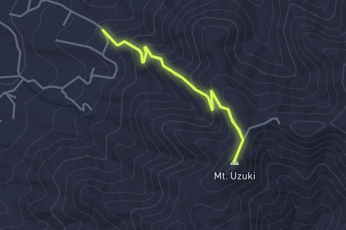
Easy · Summit
卯月山コース
2.9 km · ↑ 241 m · 1 h 12 min
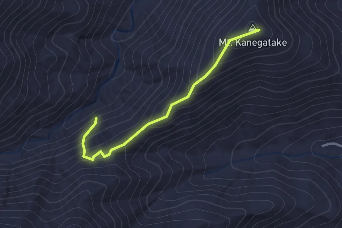
Easy · Summit
厚木市 - 鐘ヶ嶽ハイキングコース
2.6 km · ↑ 207 m · 1 h 4 min