Trails in Malaysia
74 hiking trails, each with its route, climb, walking time and grade.
Near a town
All trails, page 1 of 2

Demanding · Trail
Air Terjun Sofea Jane ATV Track
4.7 km · ↑ 213 m · 1 h 35 min

Easy · Trail
Air Terjun Tirai
6.3 km · ↑ 198 m · 1 h 54 min

Medium · Summit
Bukit Bakar
7.2 km · ↑ 562 m · 2 h 56 min

Easy · Summit
Bukit Besar roundtrip
4.2 km · ↑ 317 m · 1 h 45 min

Easy · Summit
Bukit Dinding - Main Route
4.9 km · ↑ 283 m · 1 h 46 min

Demanding · Summit
Bukit Ketumbar Roundtrip
1.9 km · ↑ 208 m · 56 min

Demanding · Trail
Bukit Kutu Hiking Trail (via Kampung Pertak)
10.0 km · ↑ 825 m · 4 h 8 min

Demanding · Trail
Bukit Kutu (via Old Colonial Route)
9.6 km · ↑ 1011 m · 4 h 28 min

Medium · Trail
Bukit Lanjan West Main Hiking Loop
2.2 km · ↑ 153 m · 52 min

Demanding · Summit
Bukit Repin Hiking Trail via Janda Baik
8.2 km · ↑ 815 m · 3 h 43 min

Medium · Trail
Butterfly Trail
6.7 km · ↑ 406 m · 2 h 33 min

Easy · Trail
Chiling Fish Sanctuary & Waterfall Hike
3.9 km · ↑ 209 m · 1 h 22 min

Medium · Summit
Gunung Baling
3.1 km · ↑ 507 m · 1 h 49 min

Medium · Summit
Gunung Berembun via Trail 2
4.9 km · ↑ 471 m · 2 h 11 min

Medium · Summit
Gunung Berembun via Trail 3
4.9 km · ↑ 461 m · 2 h 10 min

Medium · Summit
Gunung Berembun via Trail 5
4.8 km · ↑ 421 m · 2 h 2 min

Medium · Summit
Gunung Berembun via Trail 6
5.6 km · ↑ 461 m · 2 h 20 min

Medium · Summit
Gunung Berembun via Trail 7
3.4 km · ↑ 402 m · 1 h 40 min

Expert · Summit
Gunung Berembun via Trail 8
5.0 km · ↑ 480 m · 2 h 13 min

Demanding · Summit
Gunung Jasar - Cameron Valley Tea Trail
8.6 km · ↑ 642 m · 3 h 26 min

Demanding · Summit
Gunung Nuang Hiking Trail via Janda Baik
11.7 km · ↑ 1051 m · 5 h 2 min

Medium · Trail
Heritage Trail
5.8 km · ↑ 742 m · 2 h 59 min

Easy · Trail
Kazumi Otai Trail
2.4 km · ↑ 317 m · 1 h 15 min

Medium · Trail
Kebun Che Mah
2.5 km · ↑ 123 m · 52 min

Easy · Trail
Kelapa-X Trail
2.3 km · ↑ 249 m · 1 h 5 min

Easy · Summit
Kiara Hills Trail B (Blue)
5.0 km · ↑ 287 m · 1 h 52 min

Easy · Summit
Kiara Hills Trail C (Yellow)
3.2 km · ↑ 170 m · 1 h 11 min

Easy · Trail
Kiara Hills Trail D (Red)
4.1 km · ↑ 213 m · 1 h 30 min

Easy · Trail
KL East Park Loop
2.7 km · ↑ 233 m · 1 h 7 min

Easy · Summit
KL See See Trail
2.7 km · ↑ 261 m · 1 h 12 min

Medium · Summit
Laluan Pendakian Bukit Batu Pahat (dari IBKN)
5.0 km · ↑ 413 m · 2 h 4 min

Demanding · Summit
Laluan Pendakian Bukit Hulu Bakau
21.6 km · ↑ 1469 m · 8 h 17 min

Demanding · Summit
Laluan Pendakian Bukit Hulu Telang
21.6 km · ↑ 1493 m · 8 h 20 min

Medium · Summit
Laluan Pendakian Bukit Kunong
7.4 km · ↑ 789 m · 3 h 27 min

Demanding · Summit
Laluan Pendakian Gunung Rajah
22.8 km · ↑ 2042 m · 9 h 49 min

Easy · Trail
Laluan Pendakian Lata Jerbus
2.9 km · ↑ 97 m · 53 min

Medium · Trail
Laluan Pendakian Lata Makau
12.2 km · ↑ 650 m · 4 h 17 min

Medium · Trail
Laluan Pendakian Lata Medang
10.4 km · ↑ 564 m · 3 h 41 min

Medium · Summit
Laluan Pendakian Pusingan Bukit Batu Pahat (dari kuil)
4.9 km · ↑ 345 m · 1 h 58 min

Demanding · Summit
Lambak Butterfly
7.4 km · ↑ 859 m · 3 h 43 min
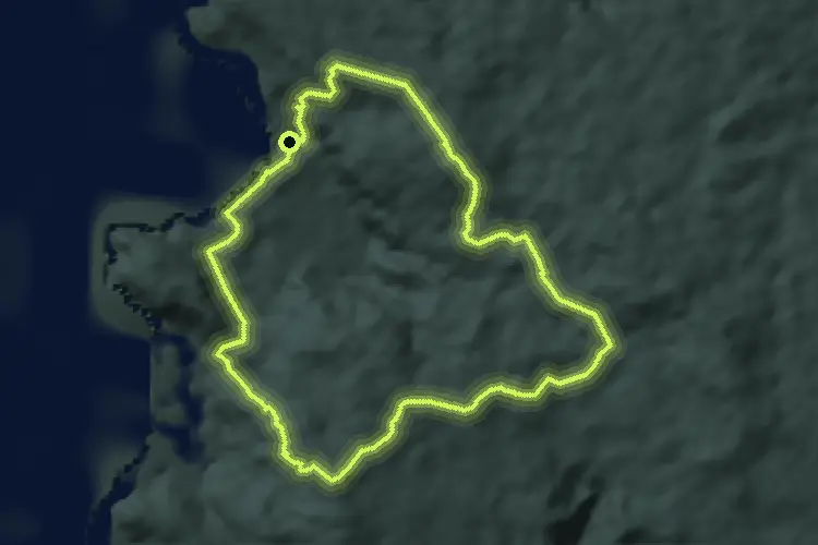
Medium · Trail
Lintang
6.8 km · ↑ 301 m · 2 h 21 min

Medium · Trail
Lubuk Tupai
8.4 km · ↑ 390 m · 2 h 49 min

Demanding · Summit
Merapoh Trail
29.9 km · ↑ 2350 m · 12 h 10 min

Demanding · Trail
Mini Tahan Route
6.4 km · ↑ 871 m · 3 h 24 min

Demanding · Summit
Mossy Forest (Brinchang - Gunung Irau)
11.0 km · ↑ 911 m · 4 h 34 min

Easy · Trail
Parit Falls Trail
2.7 km · ↑ 92 m · 50 min

Easy · Trail
Perdana Botanical Garden: Main walking loop
3.3 km · ↑ 64 m · 59 min

Easy · Trail
Perdana Botanical Garden: Scenic walking loop via major features
3.8 km · ↑ 66 m · 1 h 6 min